Day 8 - Carnarvon








Journal Notes
General
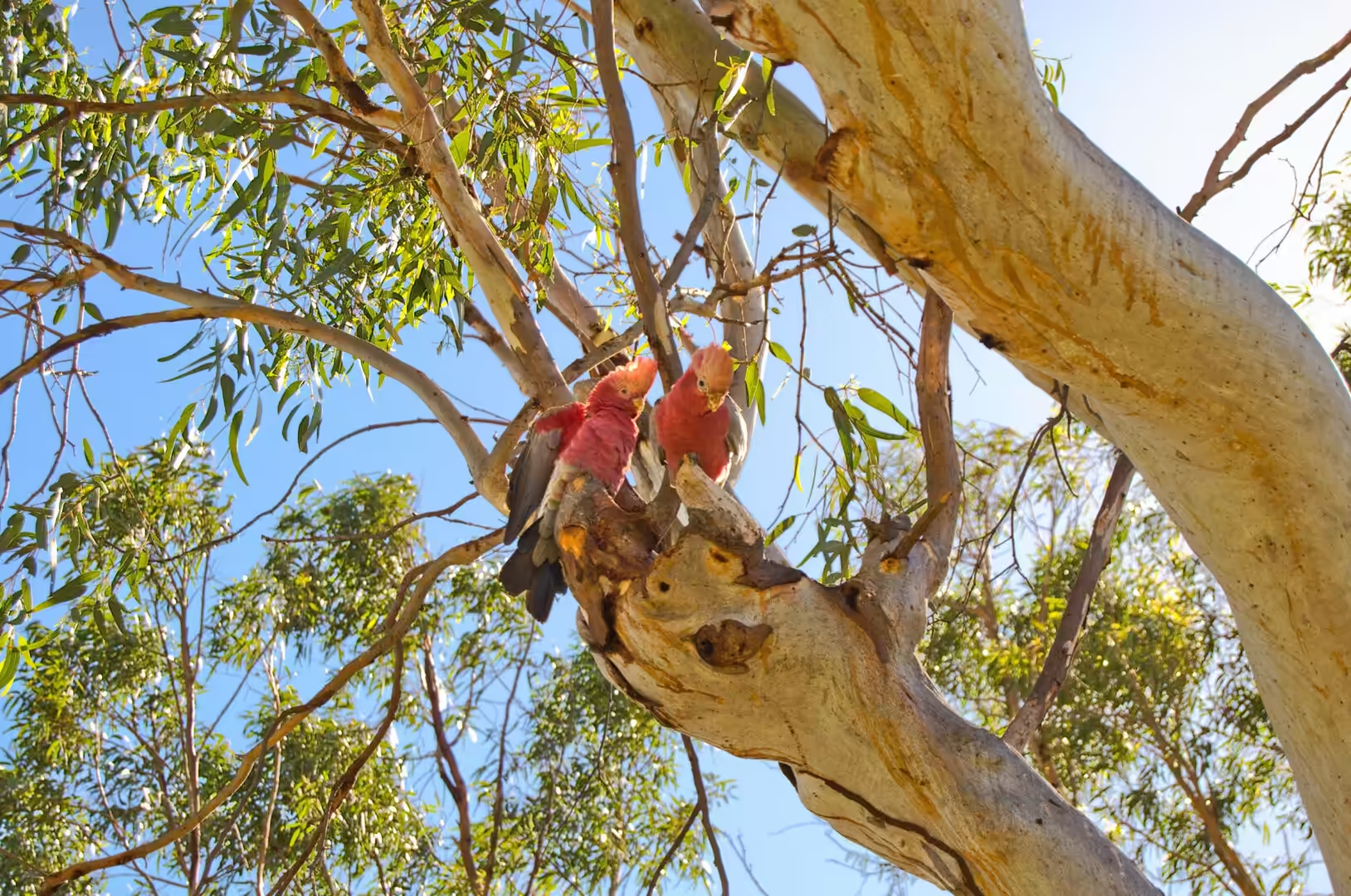
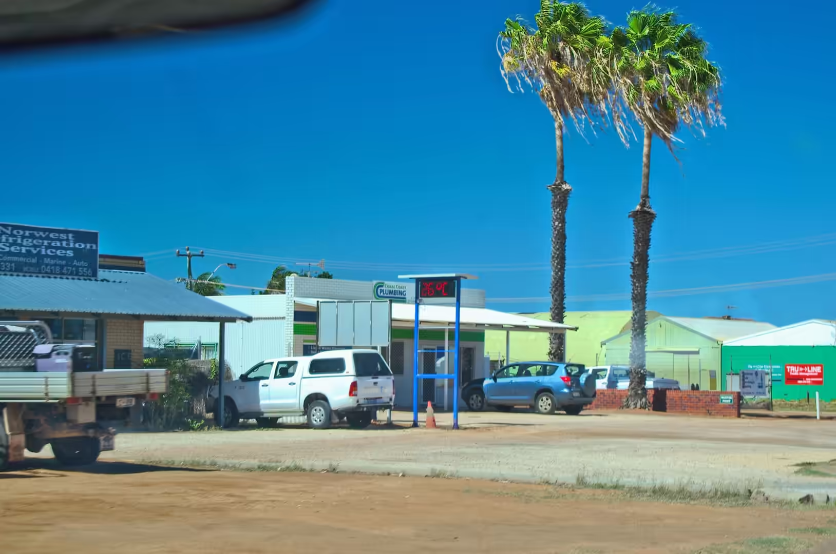
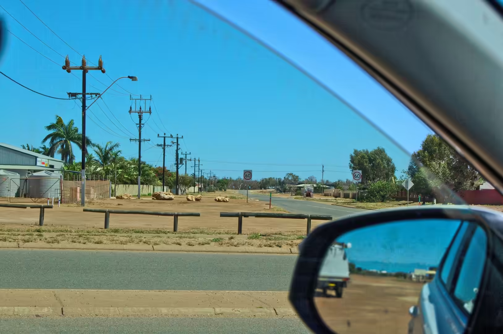
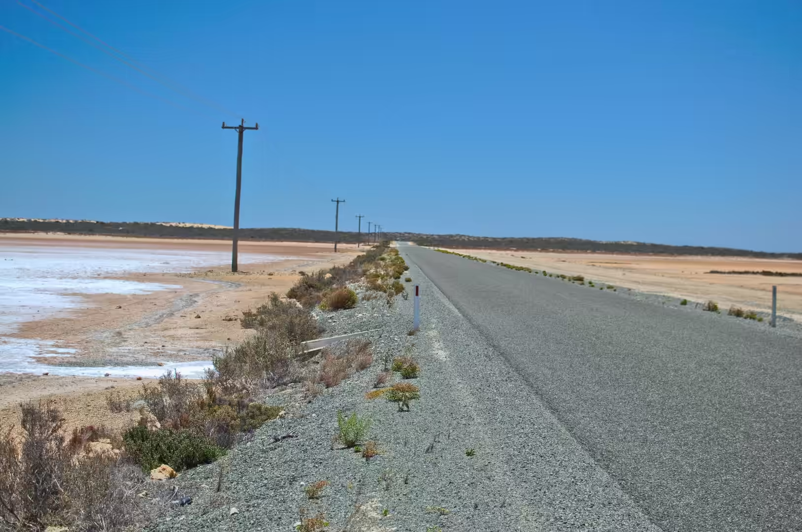
The eighth day was spent in and around Carnarvon, and it began with the sound of galahs. The camp was on grass under tall trees in a caravan park beside the river, and the pink and grey cockatoos that had been bickering in the branches since dawn were still at it when the tent was opened. By nine the town was already hot, the shops on the main street were open under their two storey verandas, and the road out of town ran past the speed signs and the power poles into country that was flatter and drier than anything seen so far.
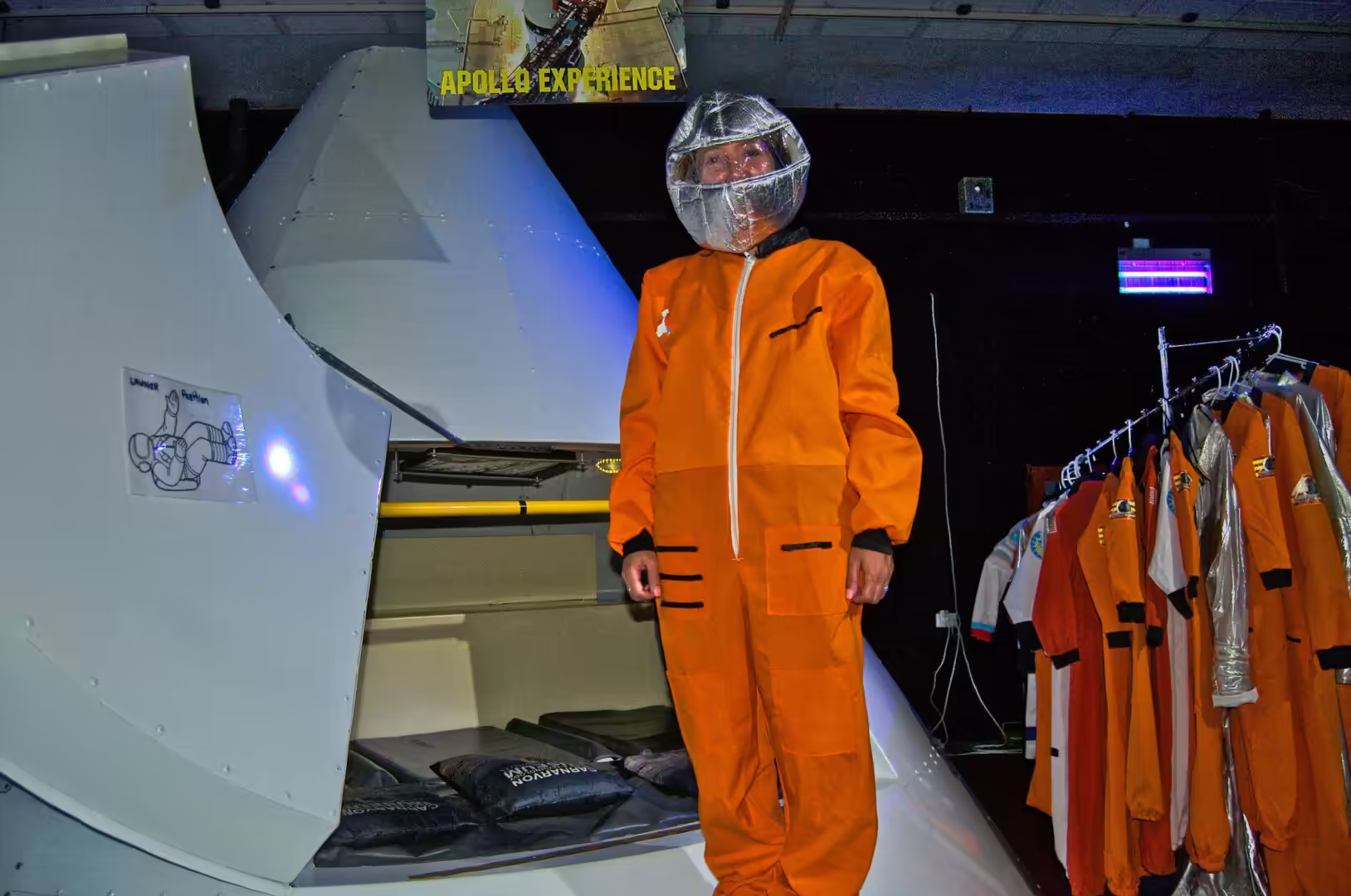
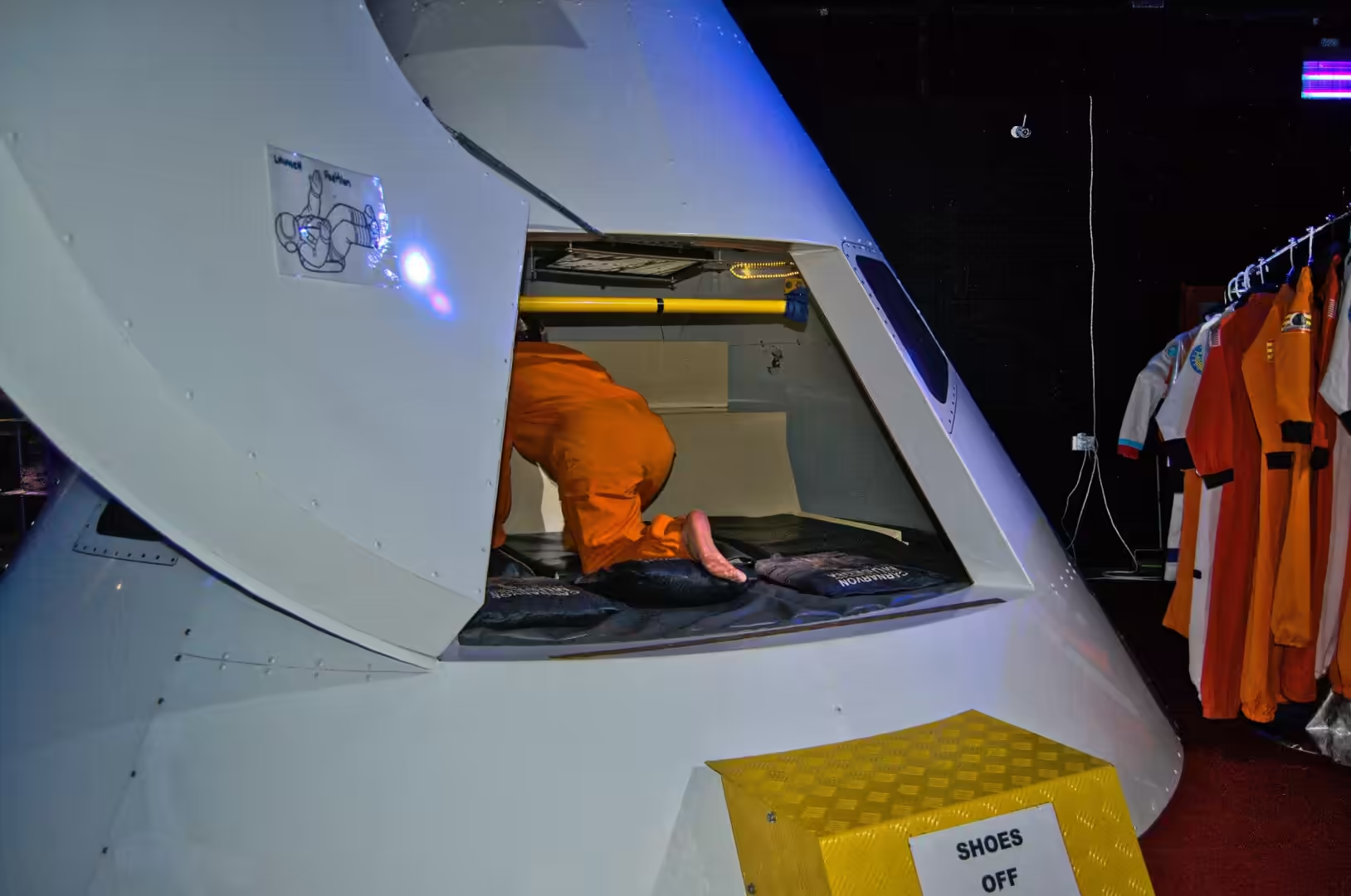
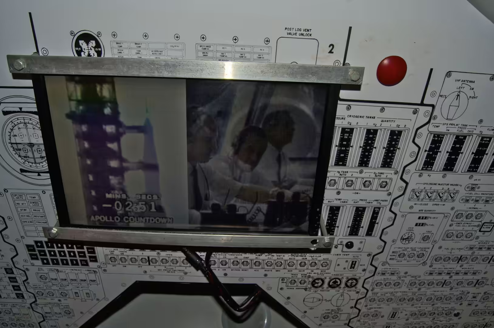
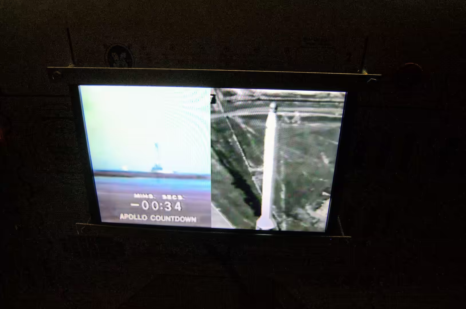
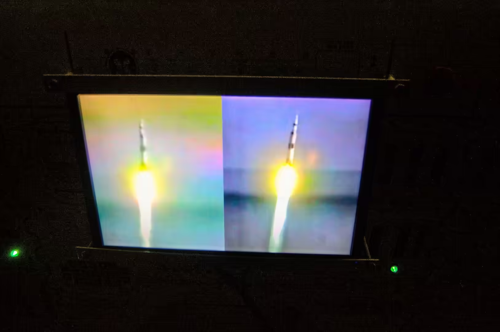
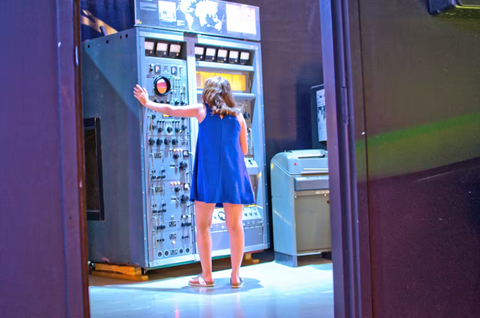
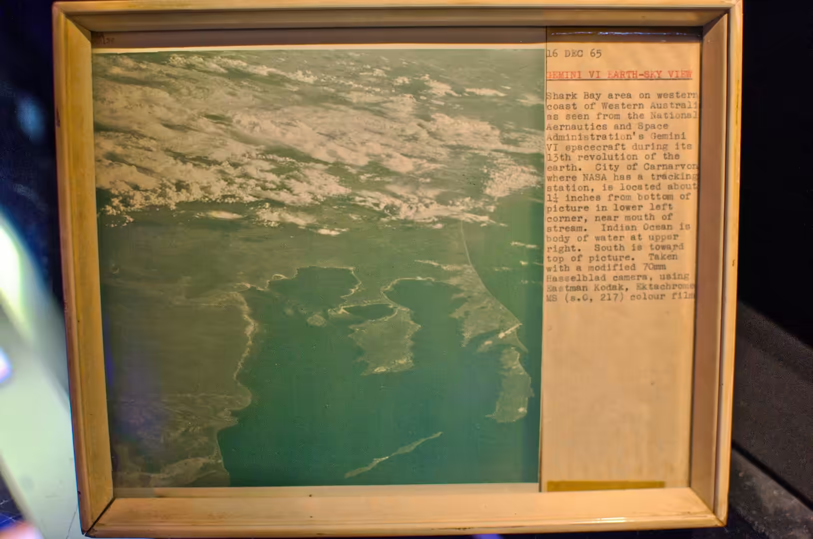
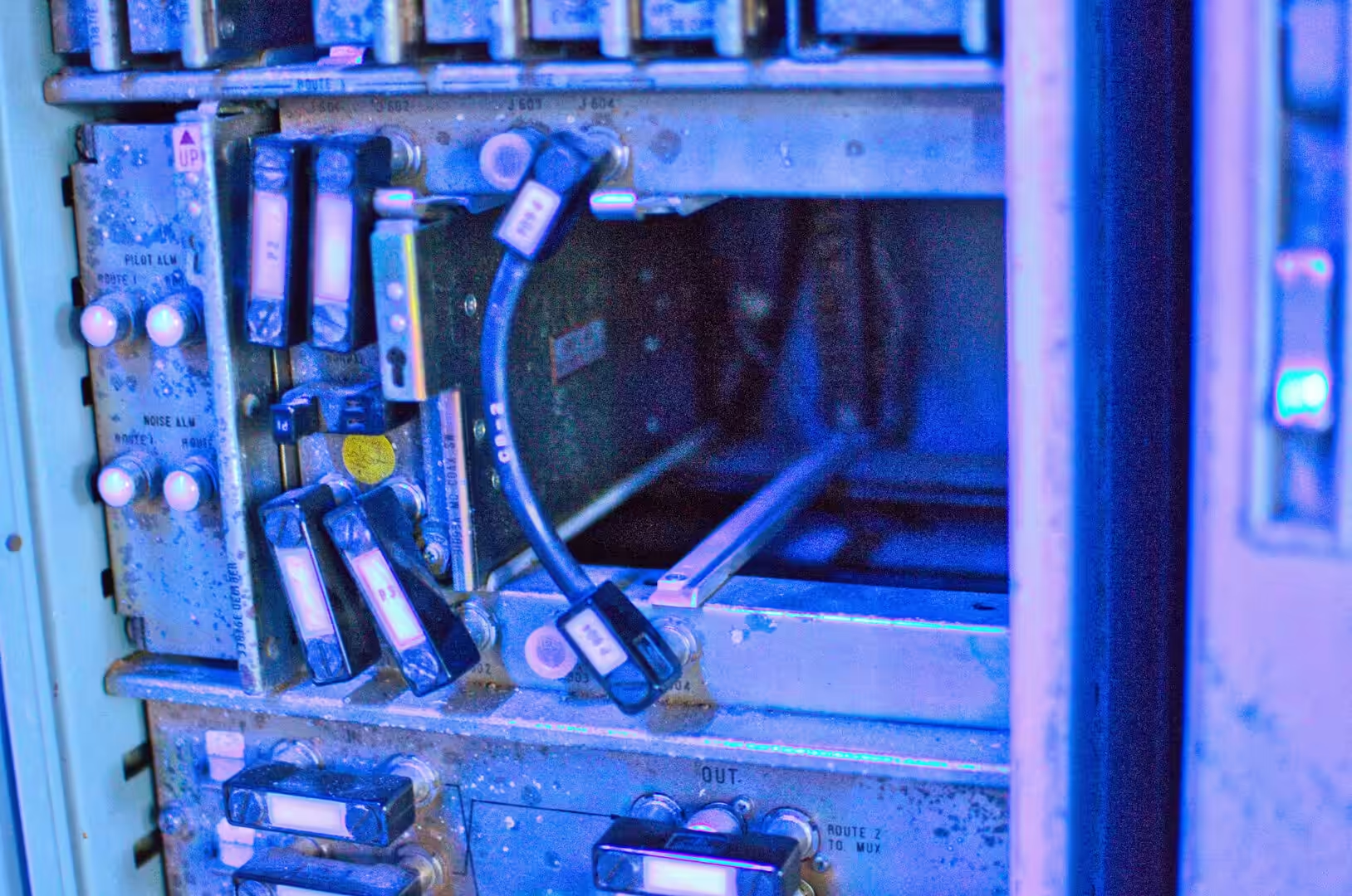
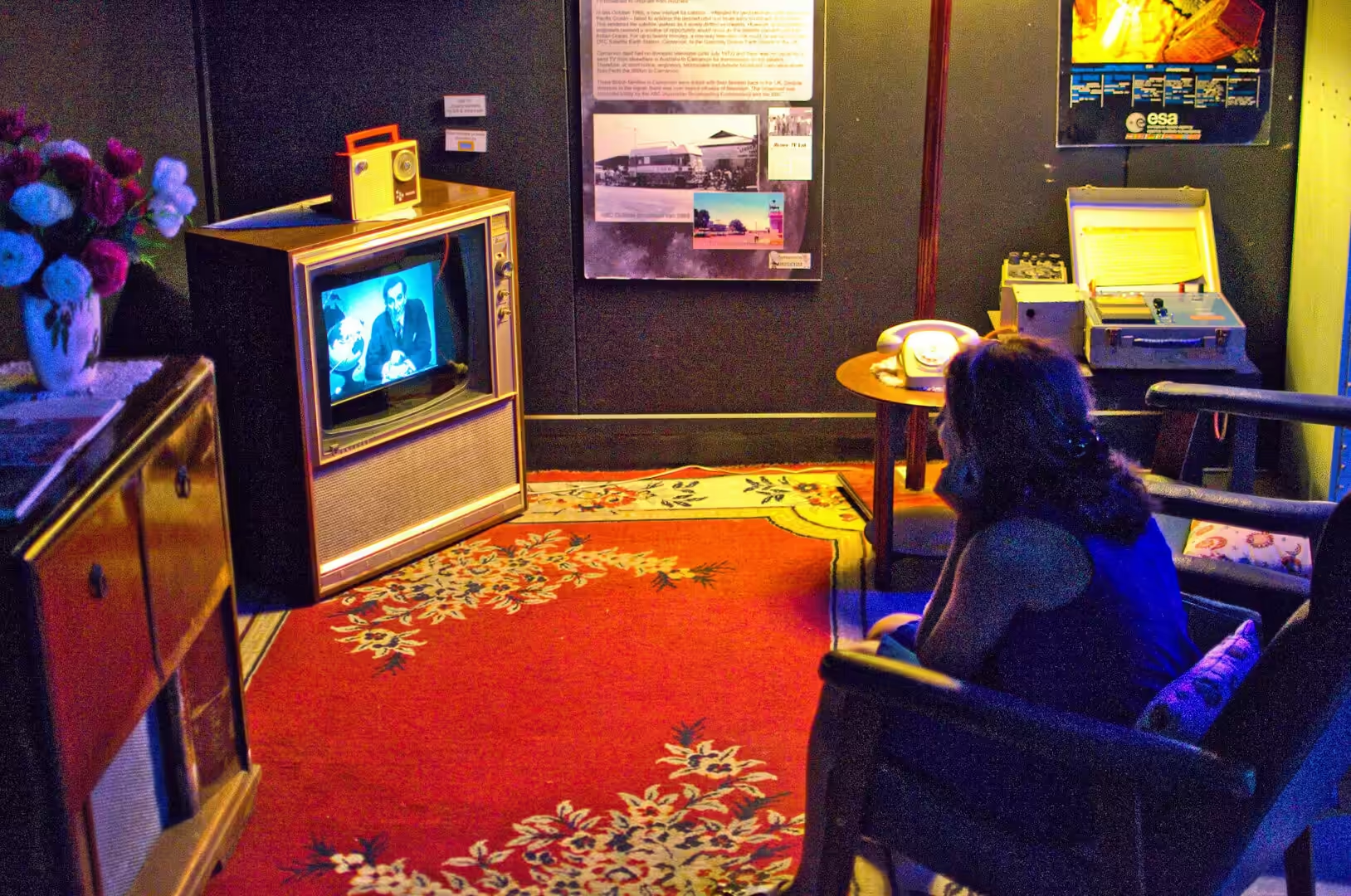
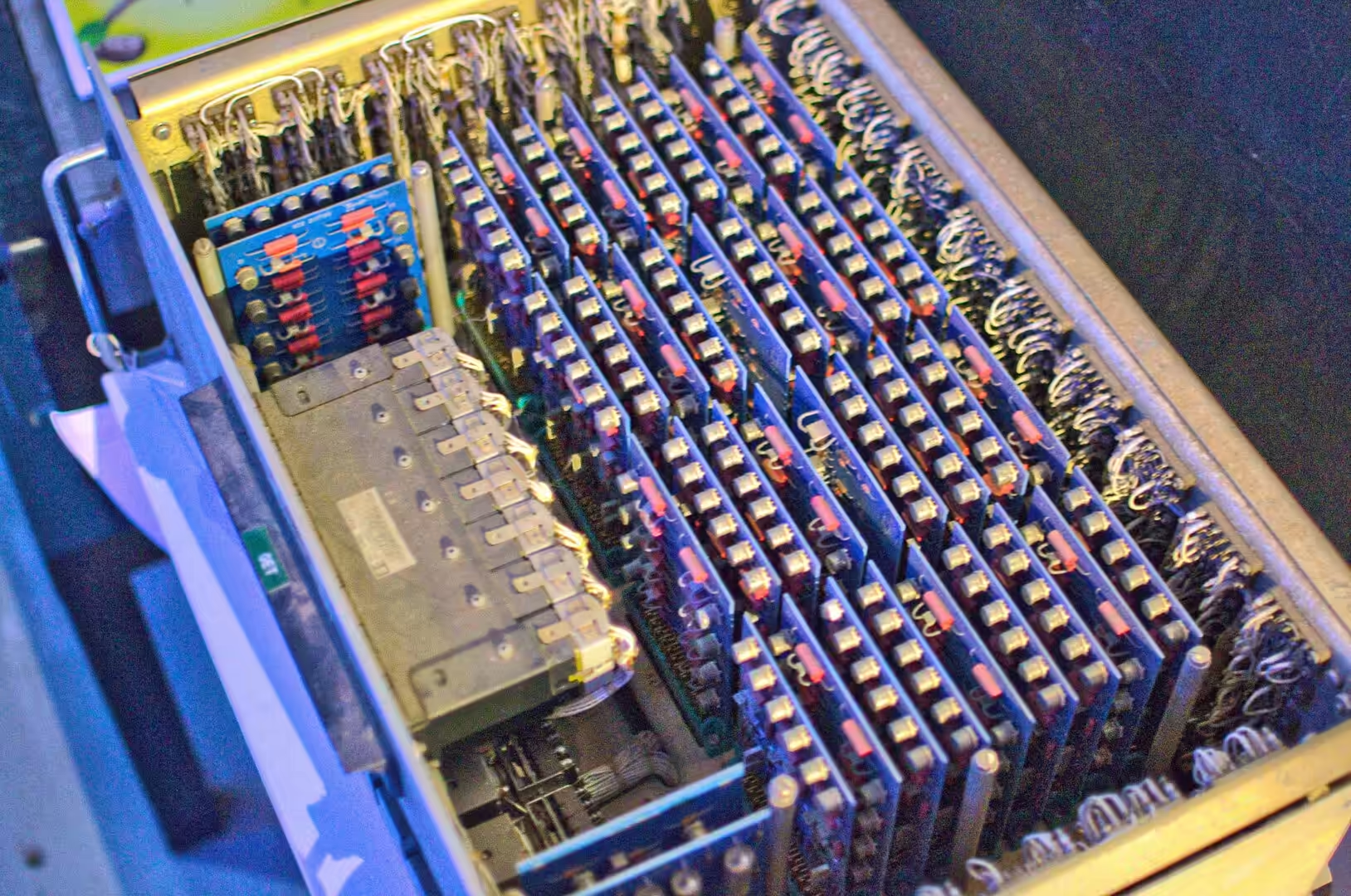
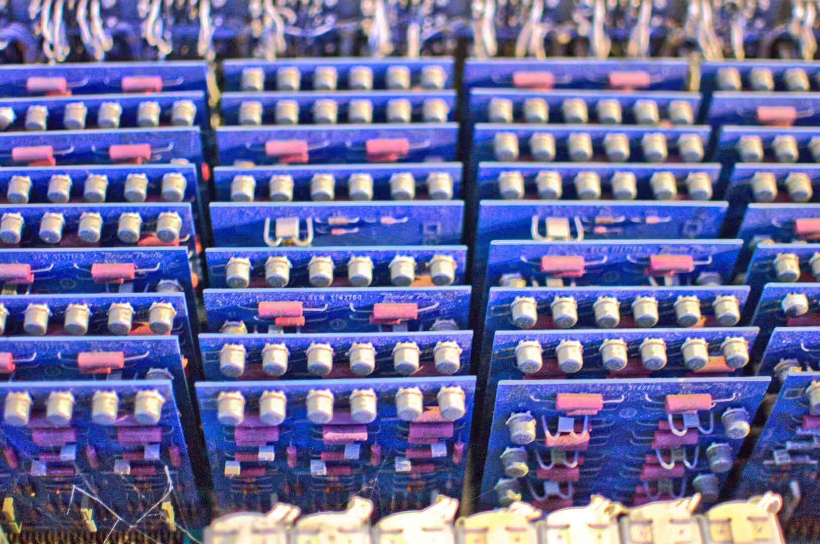
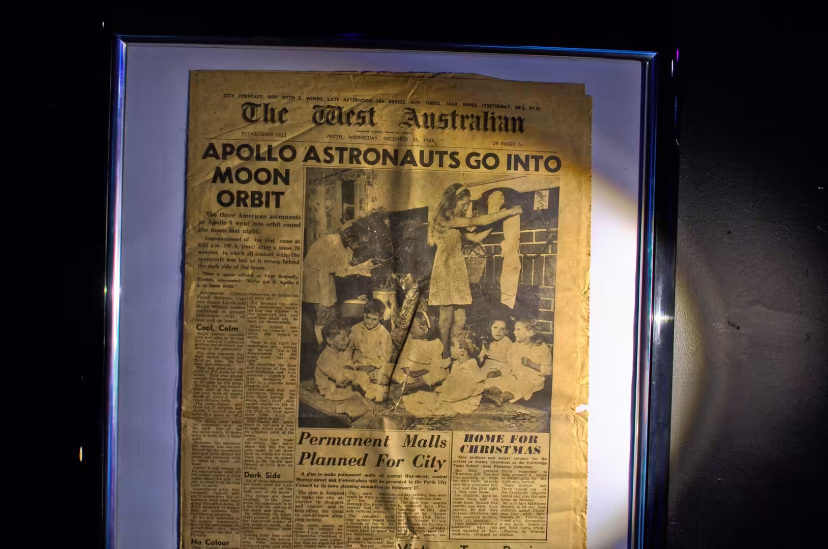
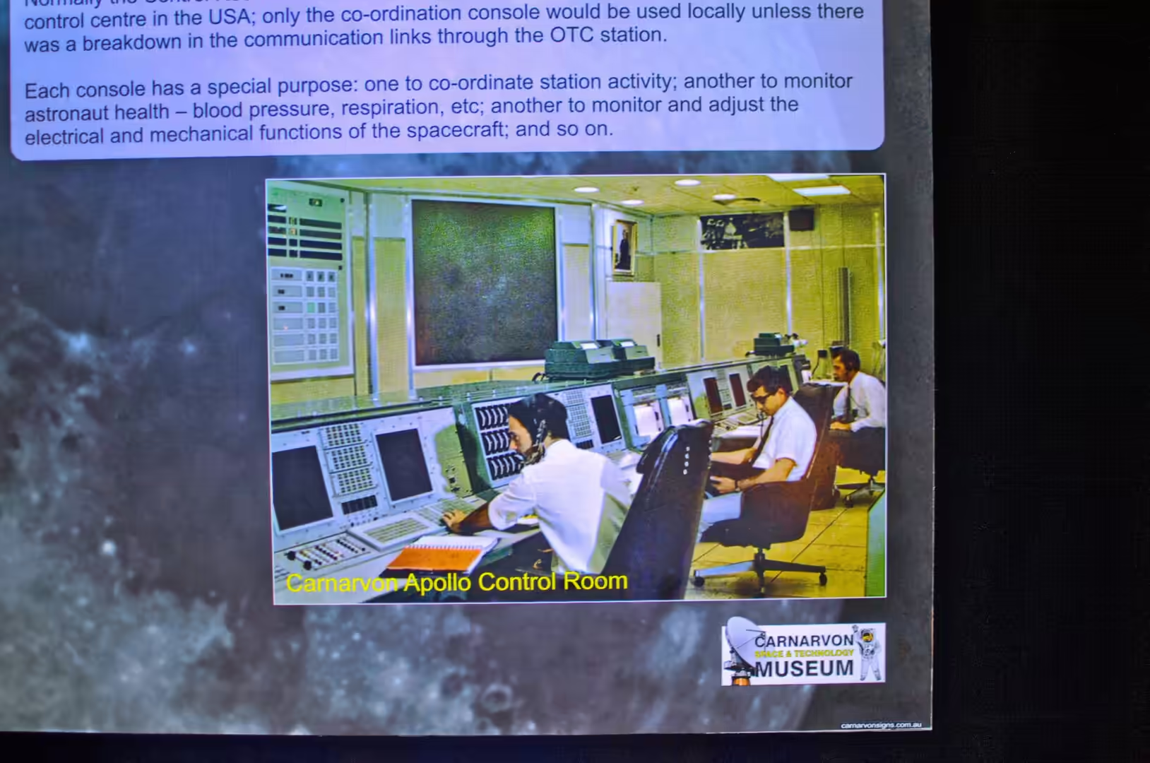
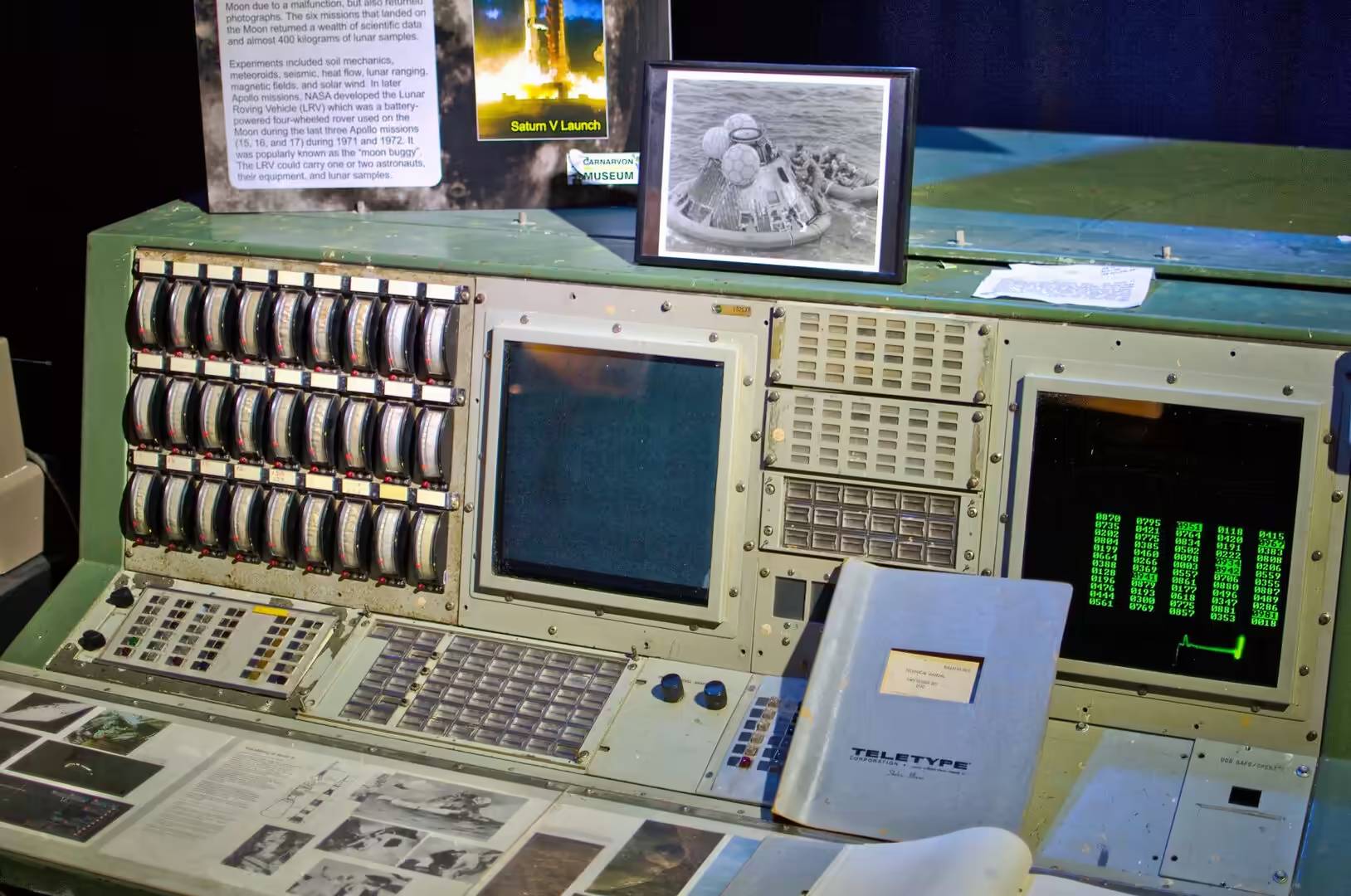
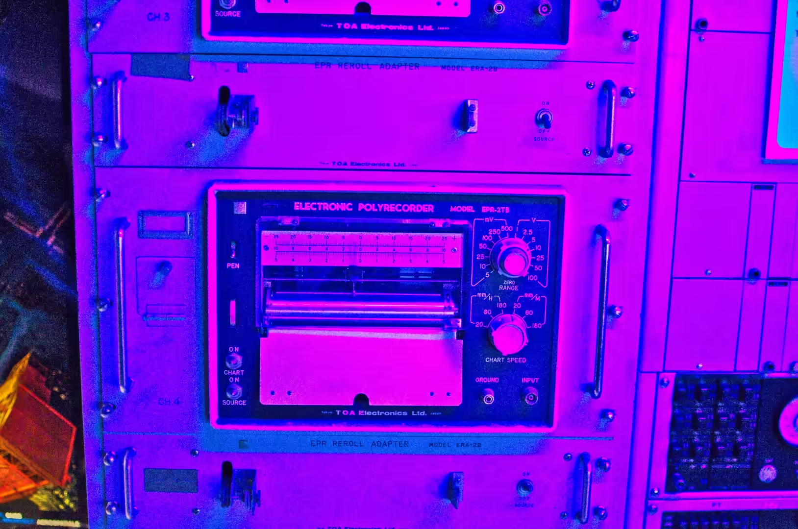
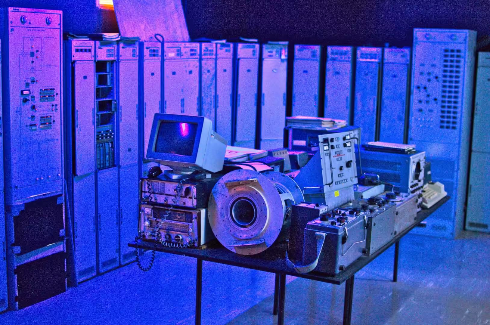
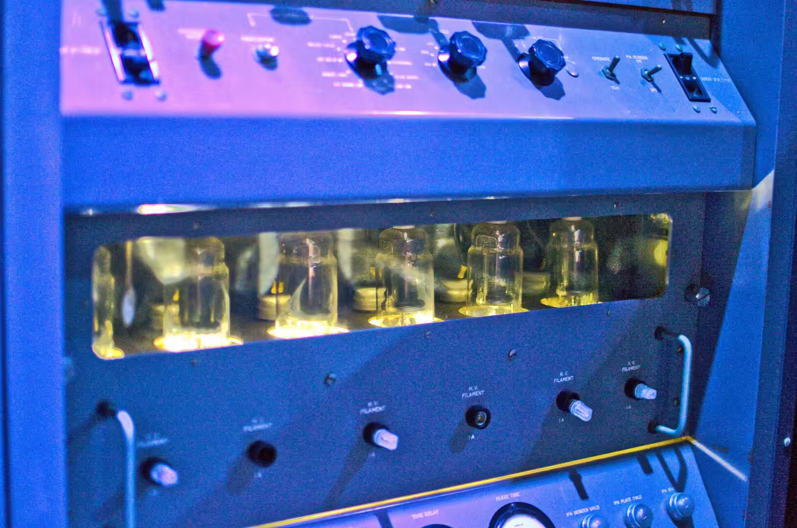
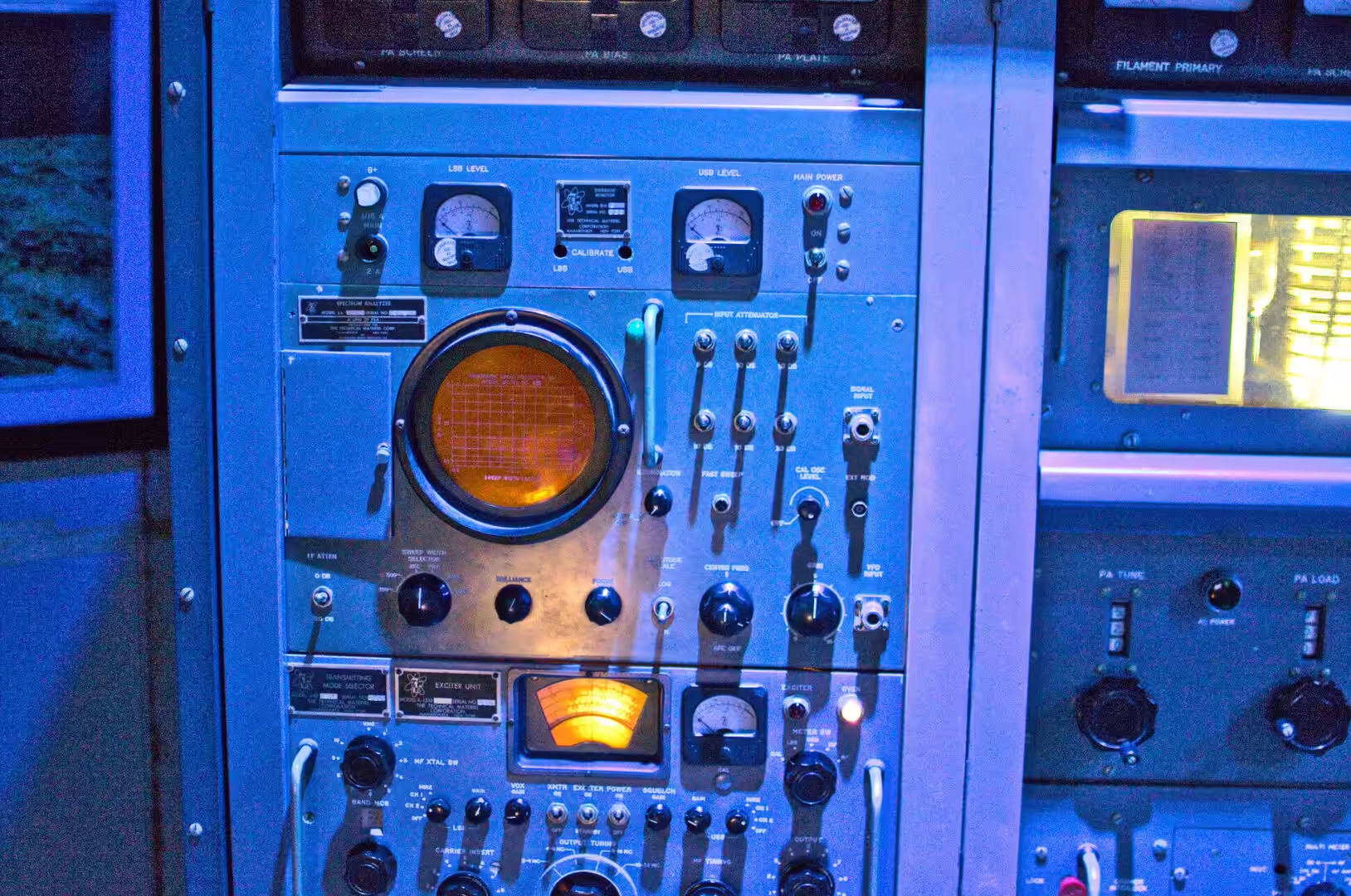
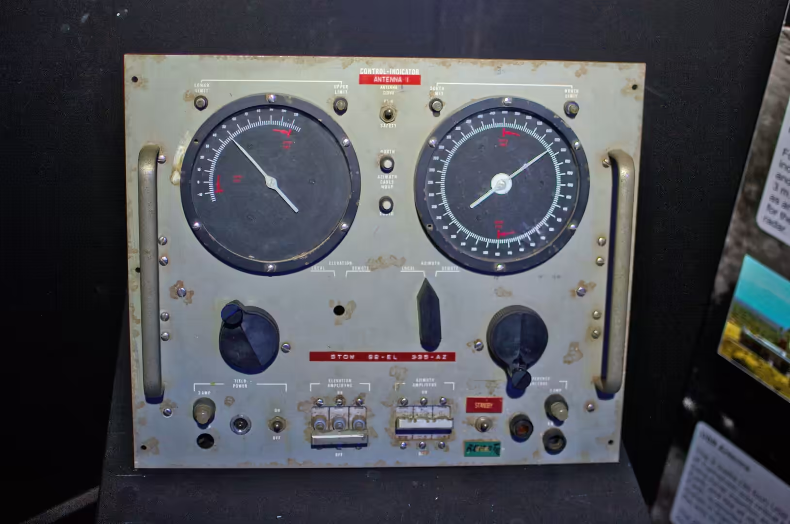
The morning belonged to the space museum, which turned out to be one of the best afternoons of the whole journey. It occupies the buildings of the old earth station and it is full of the actual equipment: racks of circuit boards and ribbon cables, consoles with tape reels and dials, a recreated control room with a countdown on the screen, Apollo flight suits to try on, and a vintage television in a recreated lounge with a patterned carpet and a rotary telephone. A yellowed front page announces that astronauts are circling the moon, and a framed display shows the Shark Bay coastline from orbit, taken by the people who worked here.
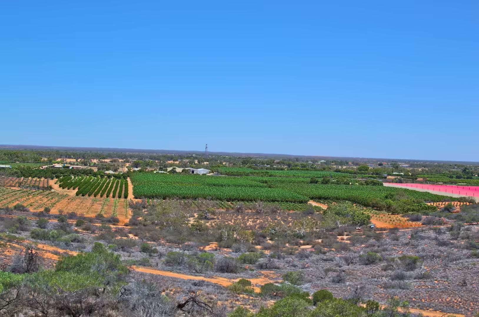
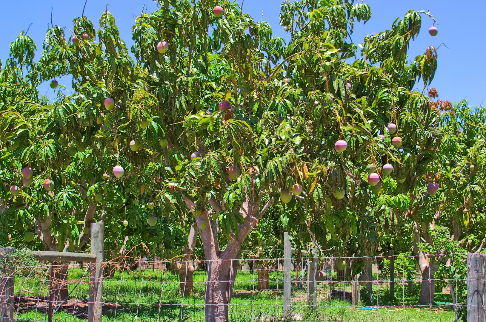
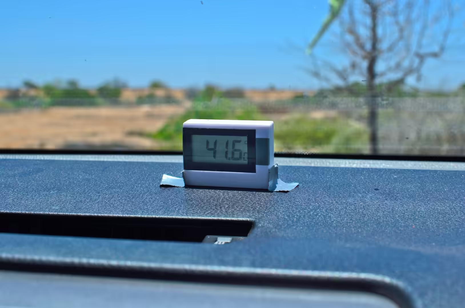
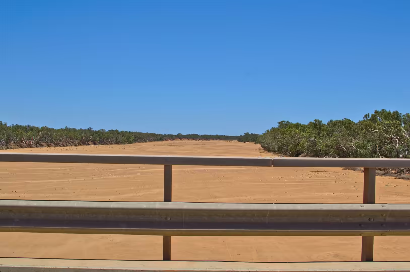
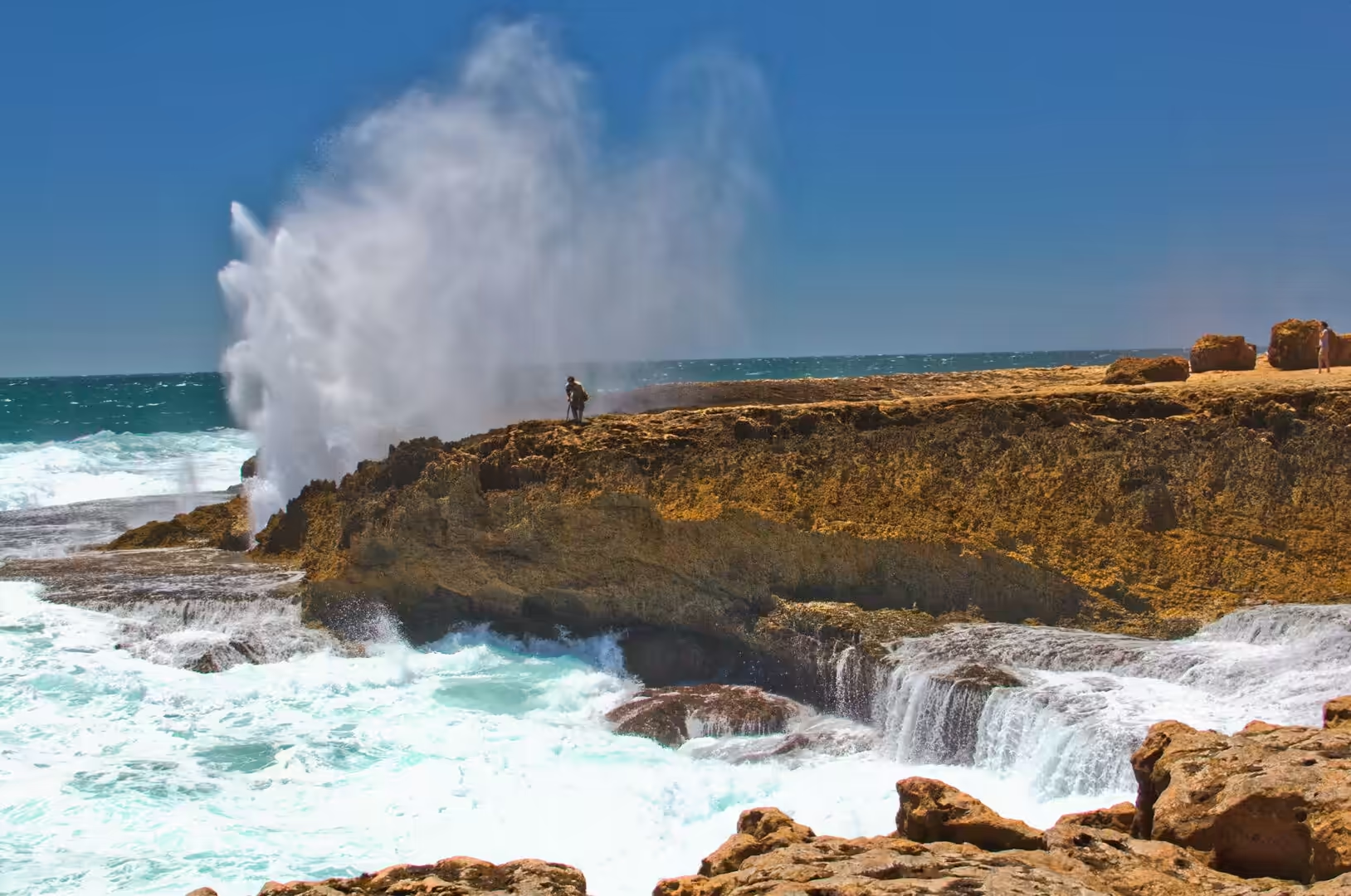
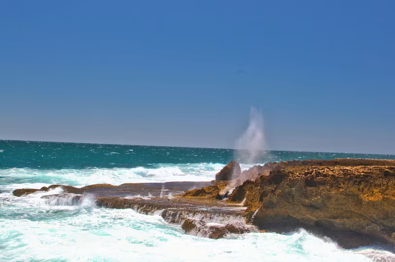
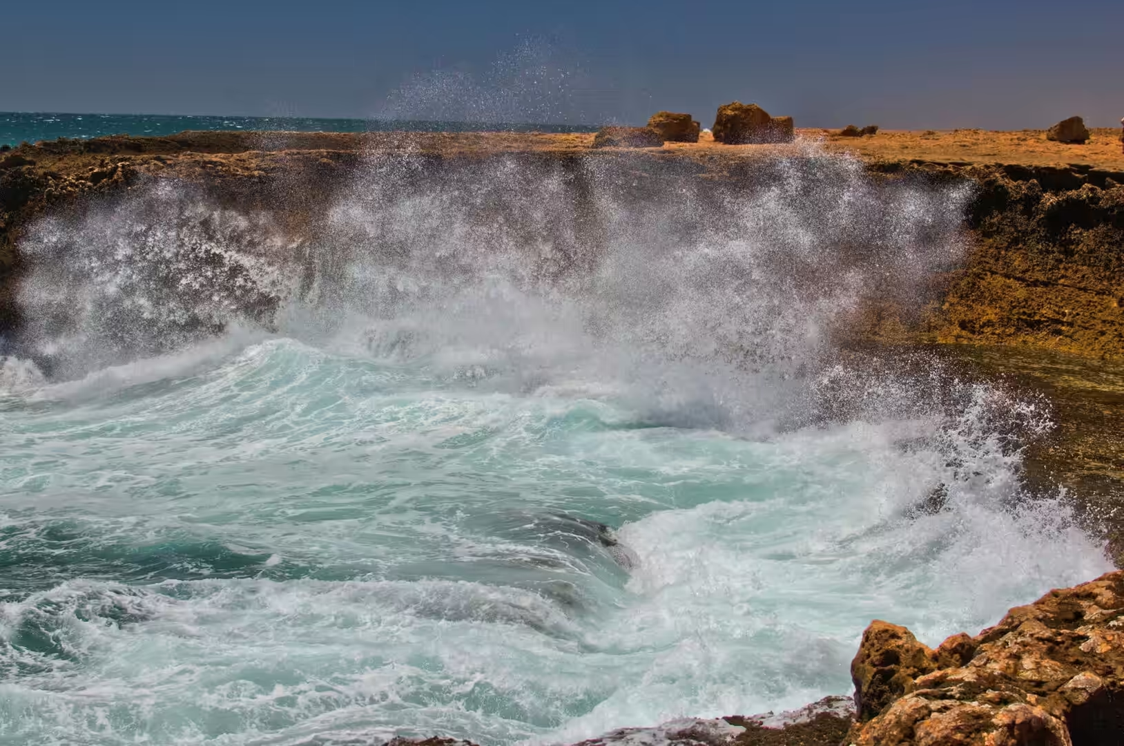
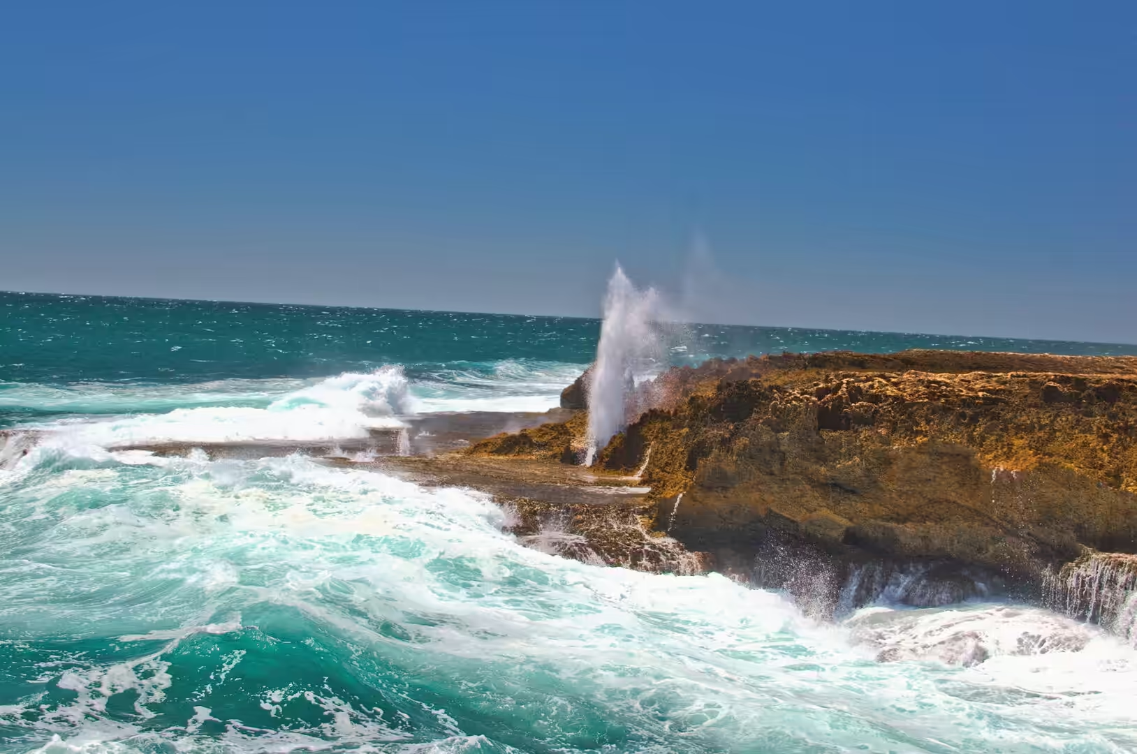
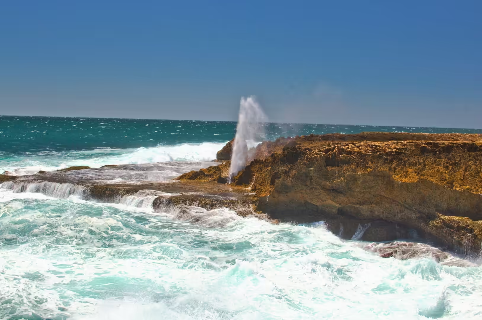
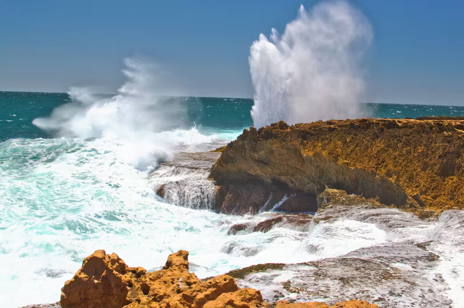
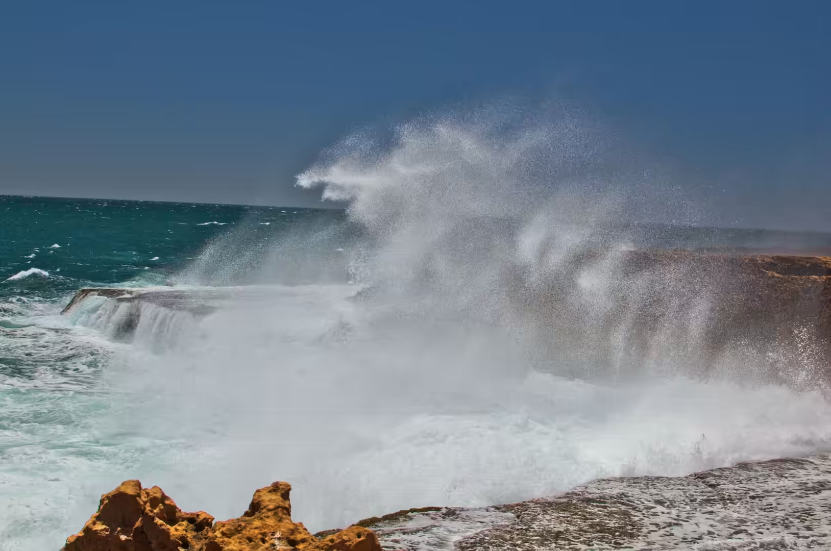
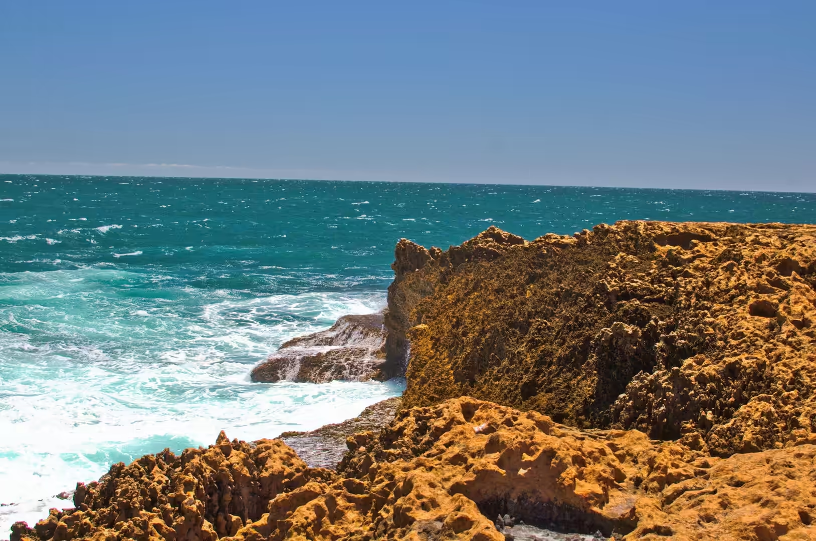
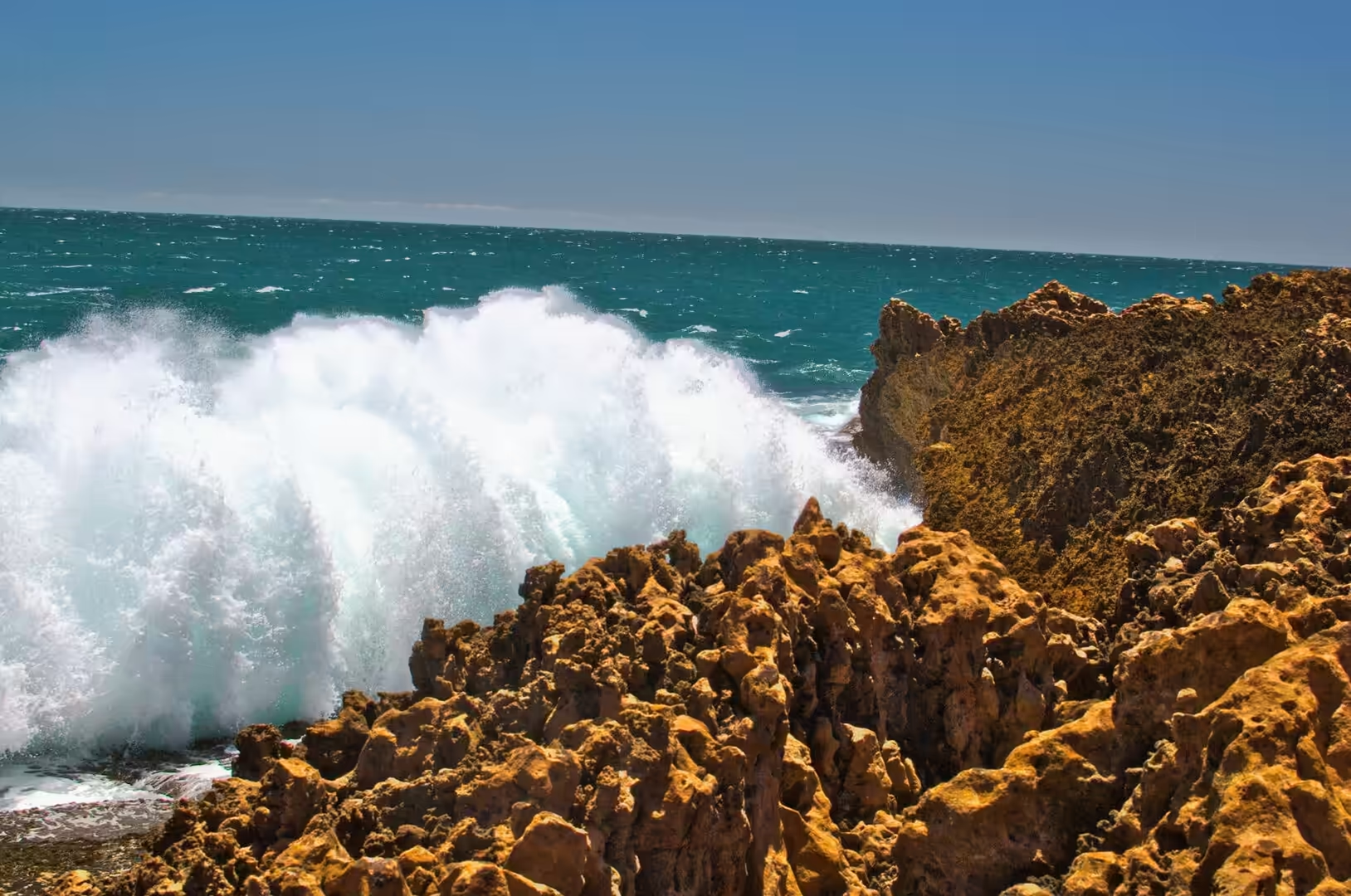
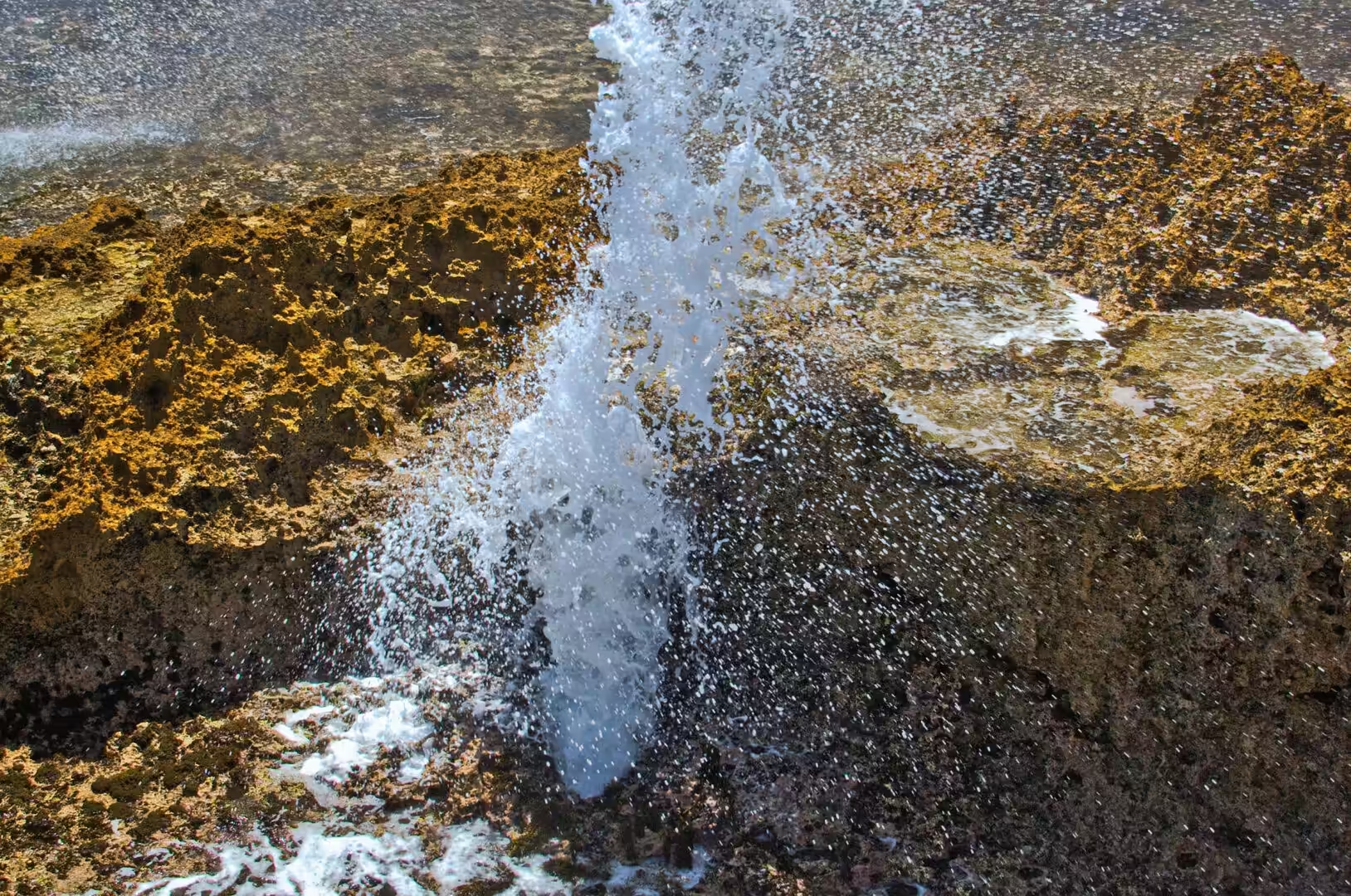
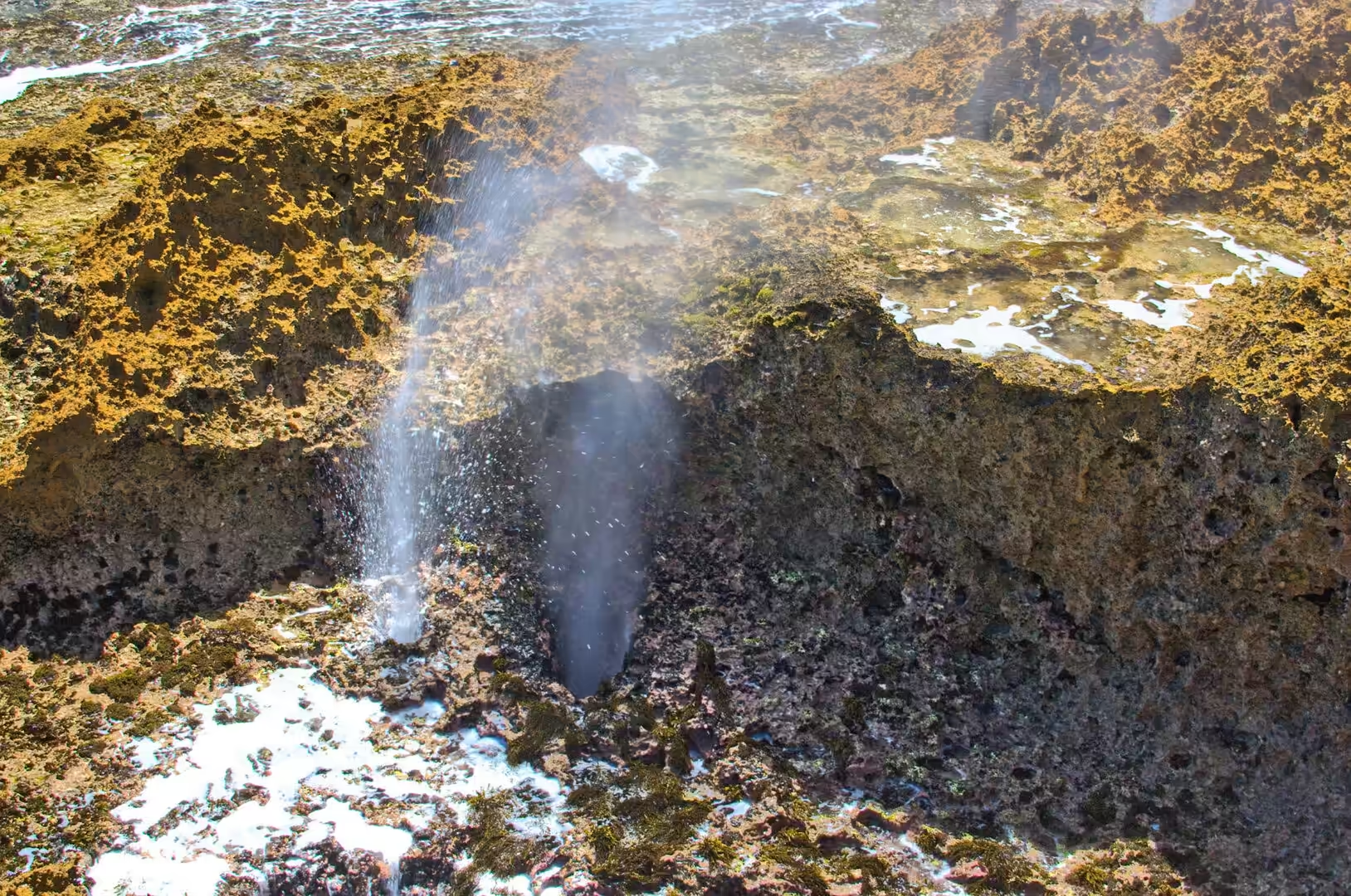
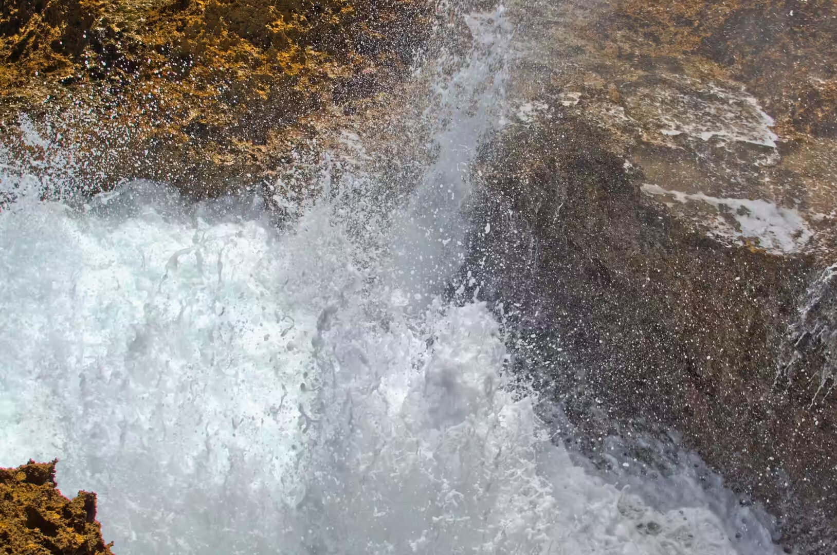
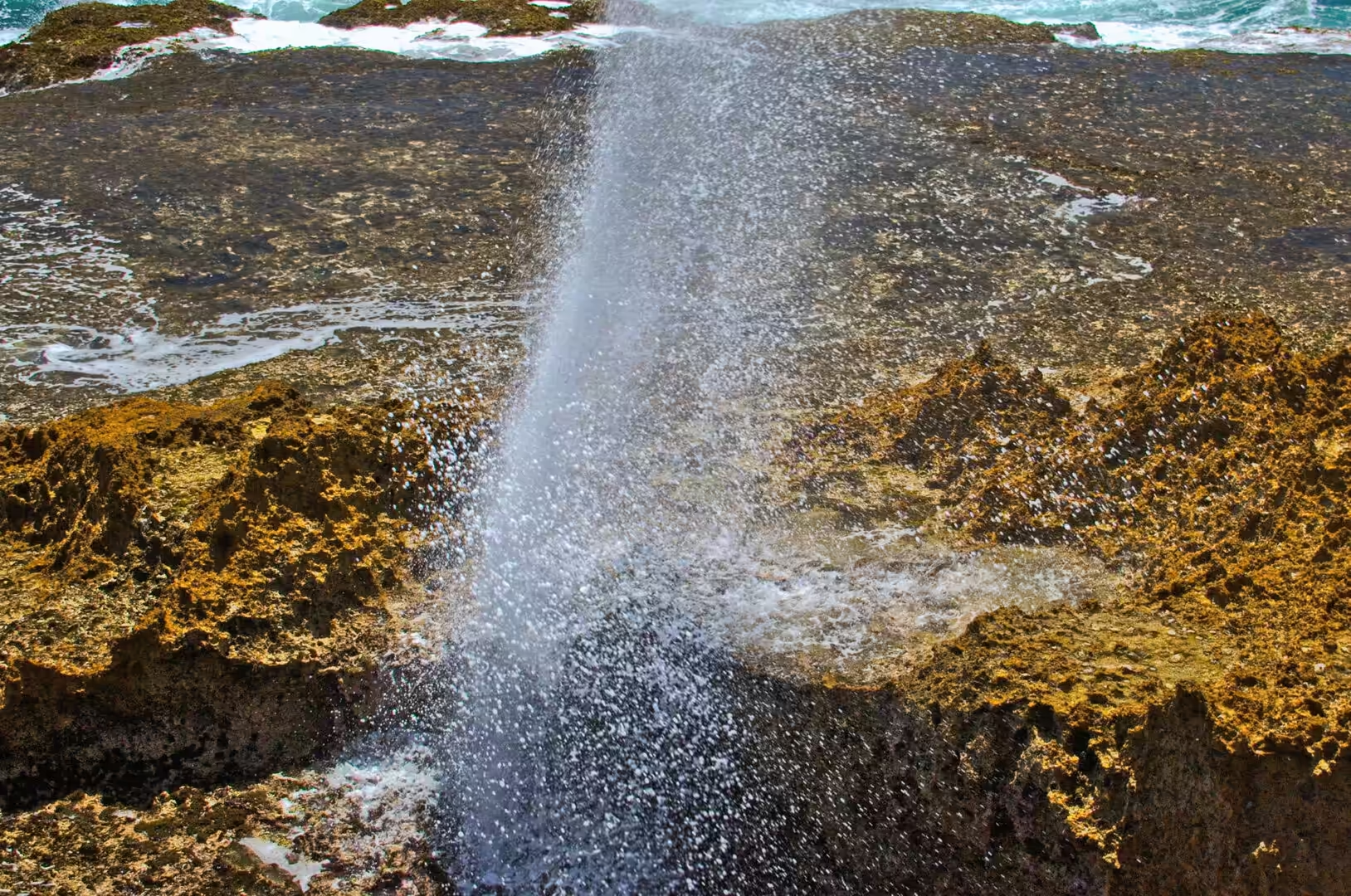
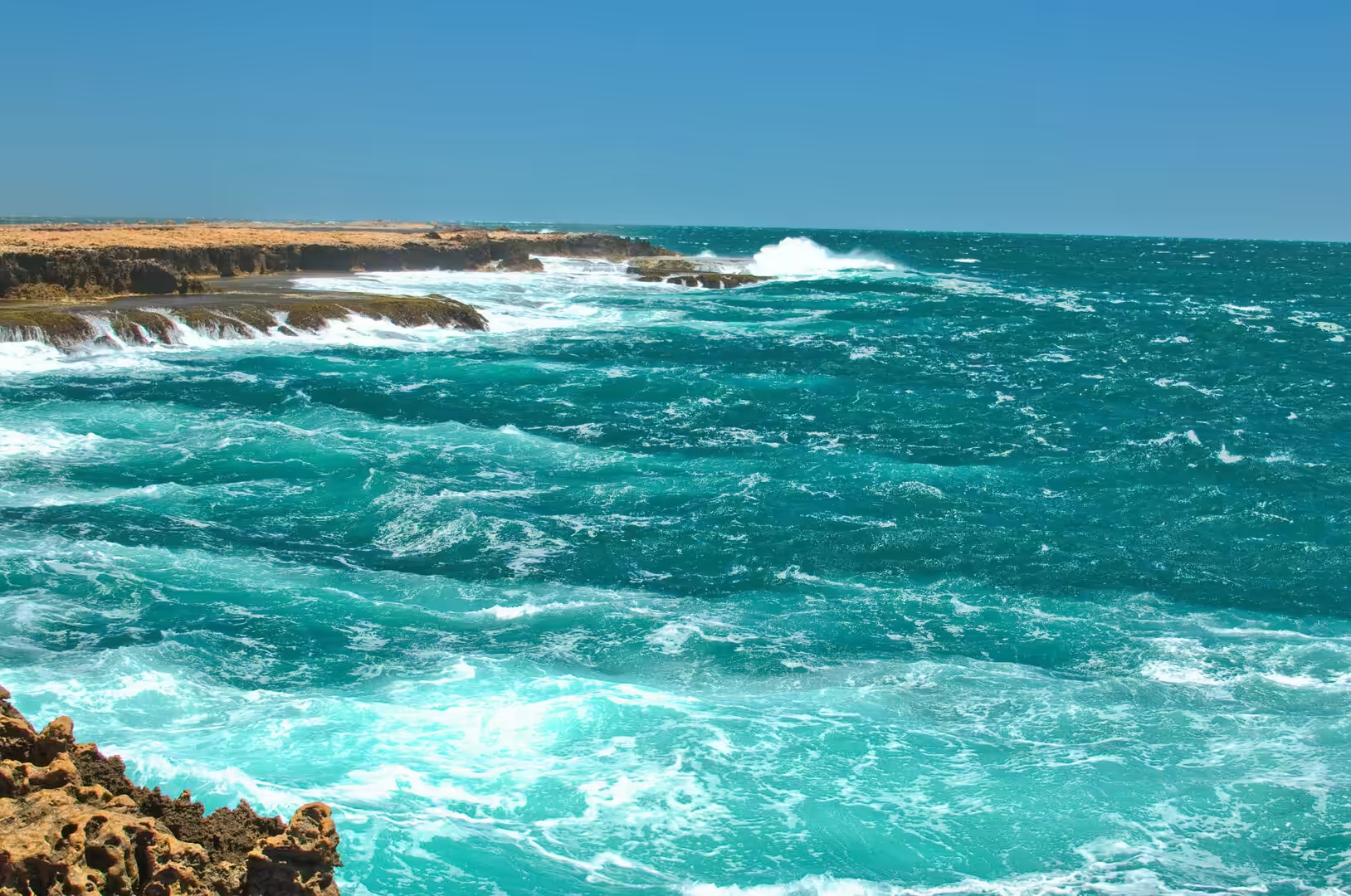
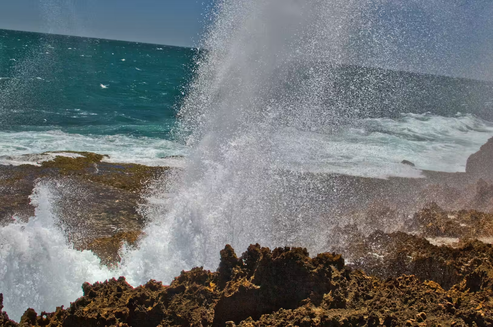
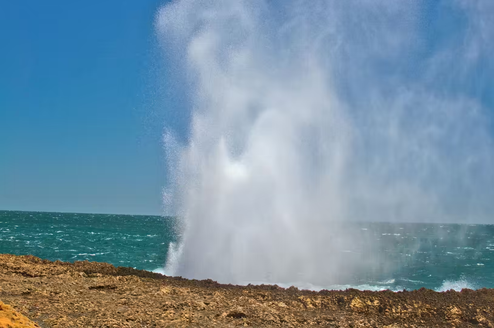
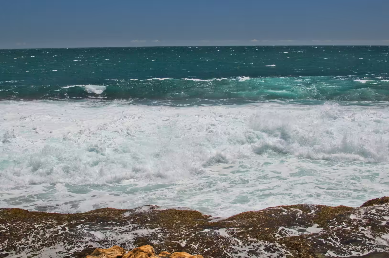
The afternoon was agricultural and then geological. The district behind the town is planted in neat green rows that contrast with the red soil: vines, mango trees heavy with ripening fruit, banana palms and vegetable plots, all of it watered from the river’s underground reserve. Then the road crossed the river on a bridge over an empty sandy bed, ran past a pale salt lake, and continued to the coast at Quobba, where the sea explodes through holes in the rock and sends spray high above the cliff. The car thermometer read forty one degrees on the way back.
The heat was a presence in every hour of the day and had to be managed. Between eleven and four nothing gets done quickly: the shops close early, the pool fills, the shade under the trees in the caravan park becomes the only comfortable place, and the plan for the afternoon is built around water. The car thermometer reading forty one degrees was measured while driving with the air conditioning on, which means the temperature outside was higher. The locals treat the season with respect and a certain amount of humour, and the visitors learn to do the same within a day.
History
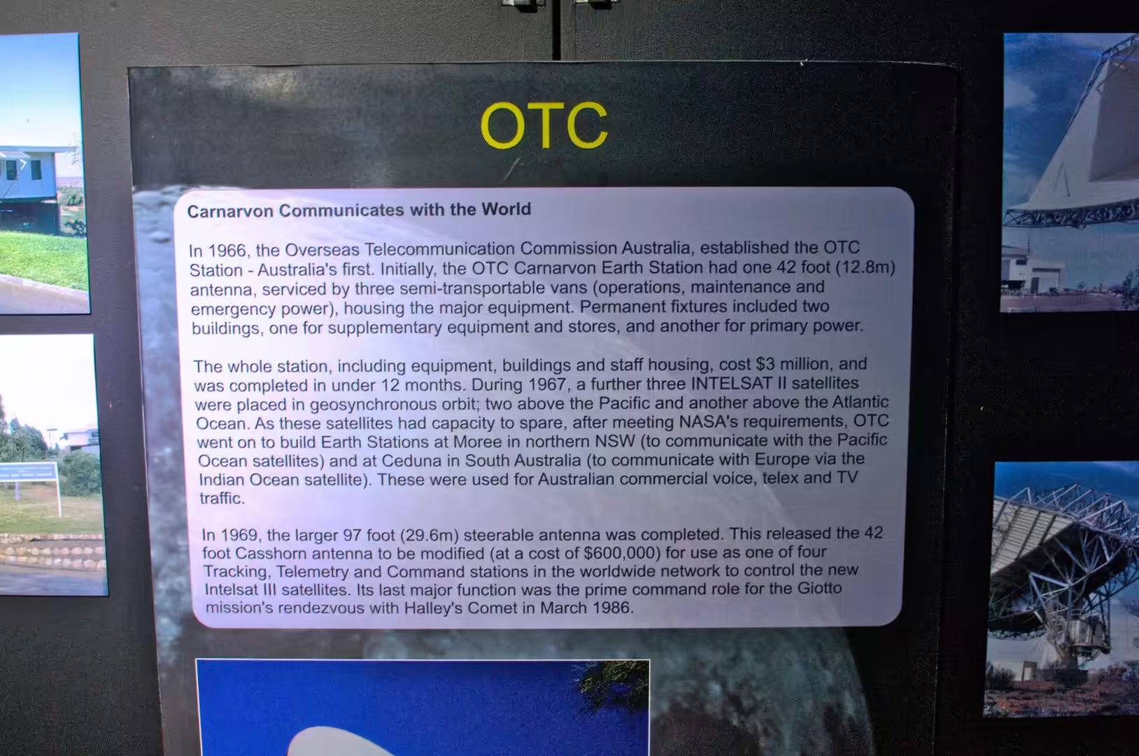
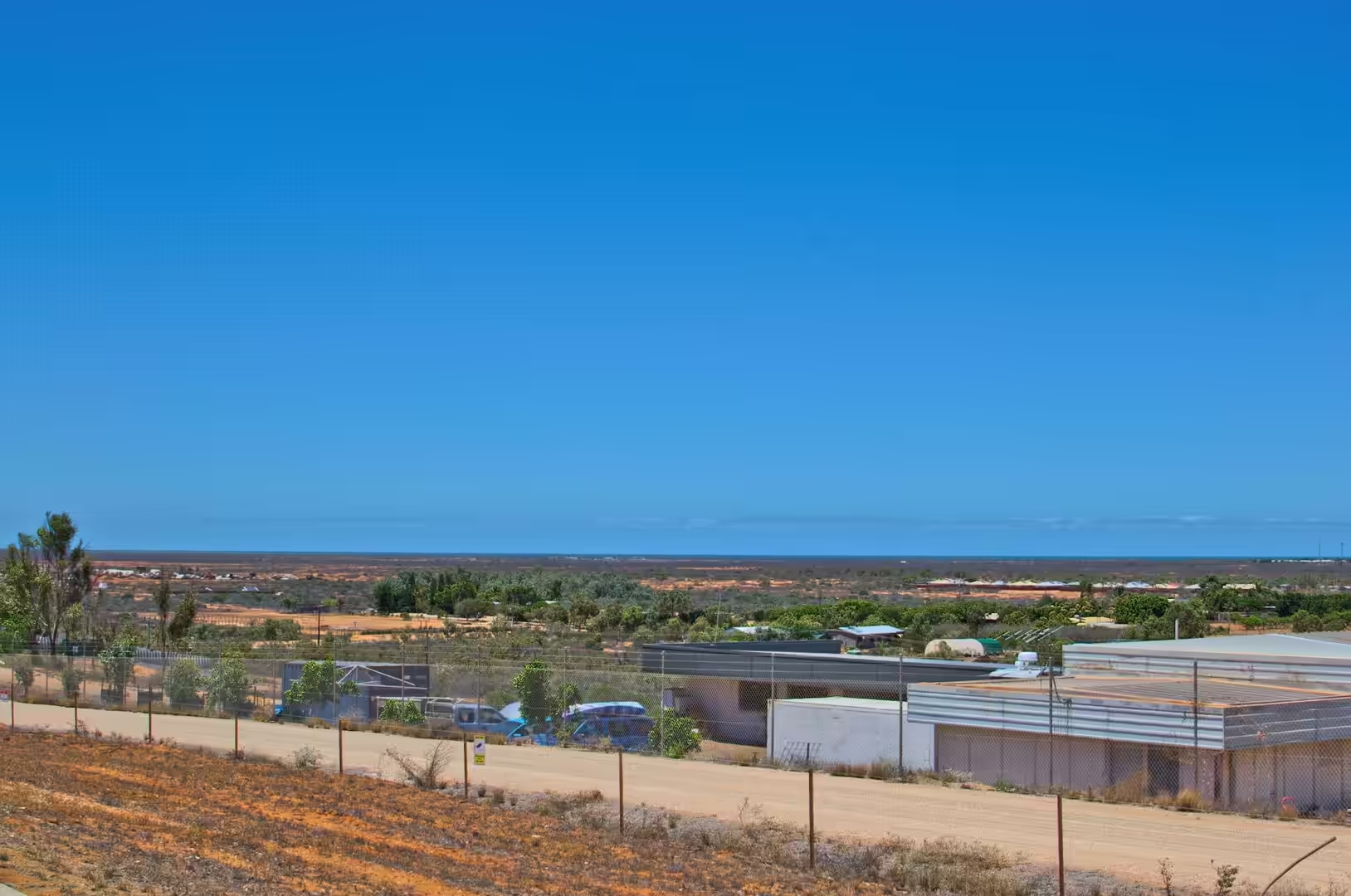
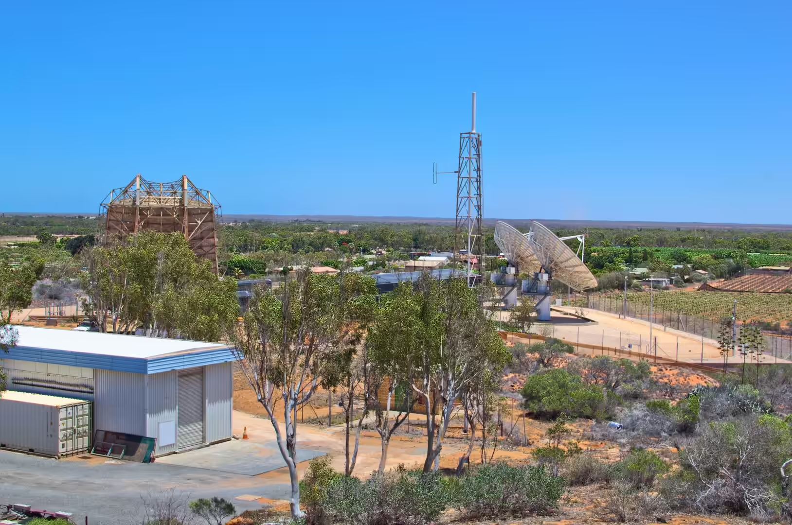
The earth station south of Carnarvon was part of a network that Australia and the United States built together in the 1960s to keep in touch with spacecraft. It opened in 1963, ten kilometres south of the town, and it operated until 1975, supporting the Gemini and Apollo programmes, the early satellites and the Skylab station. Its position was chosen for the same reason that the town is where it is: the site had a clear view of the southern sky, it was far from radio interference, and there was a road, a port and a supply of fresh water not far away.
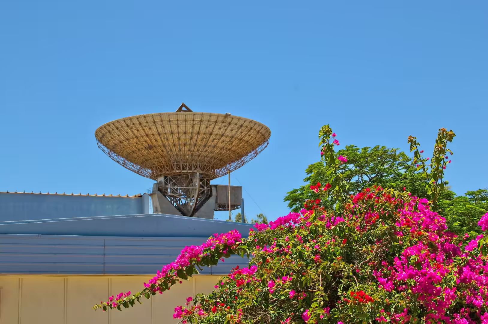
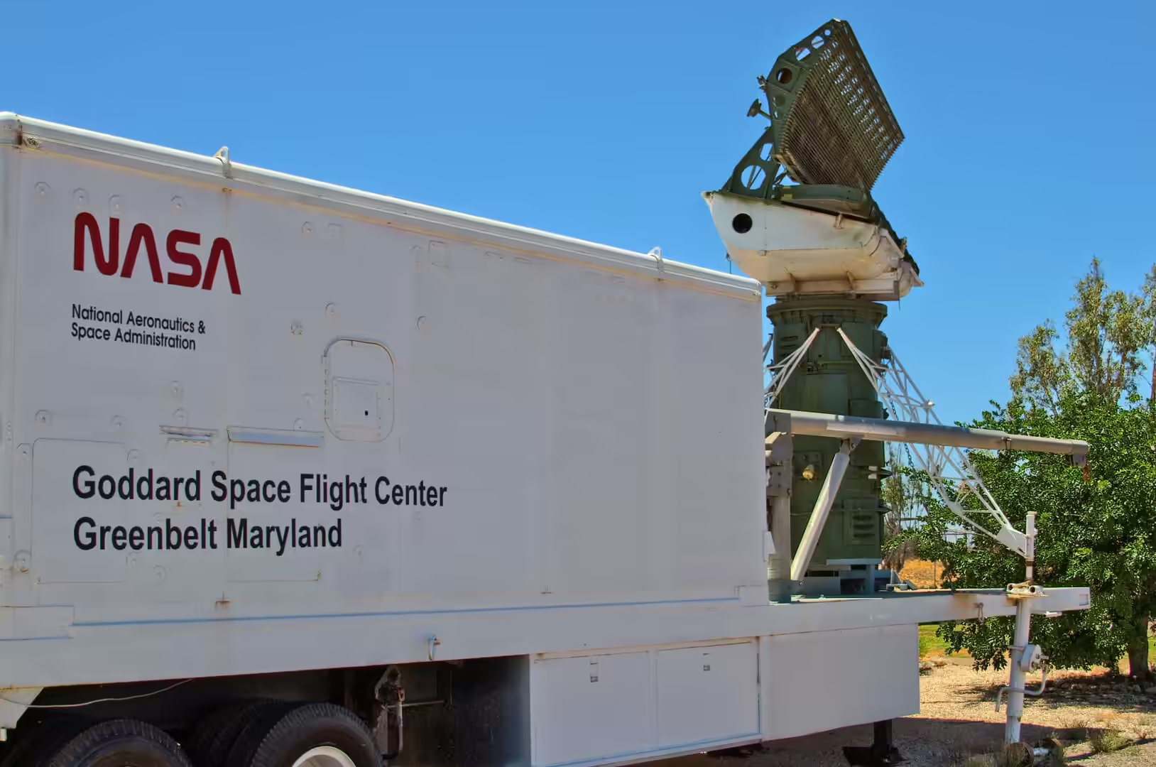
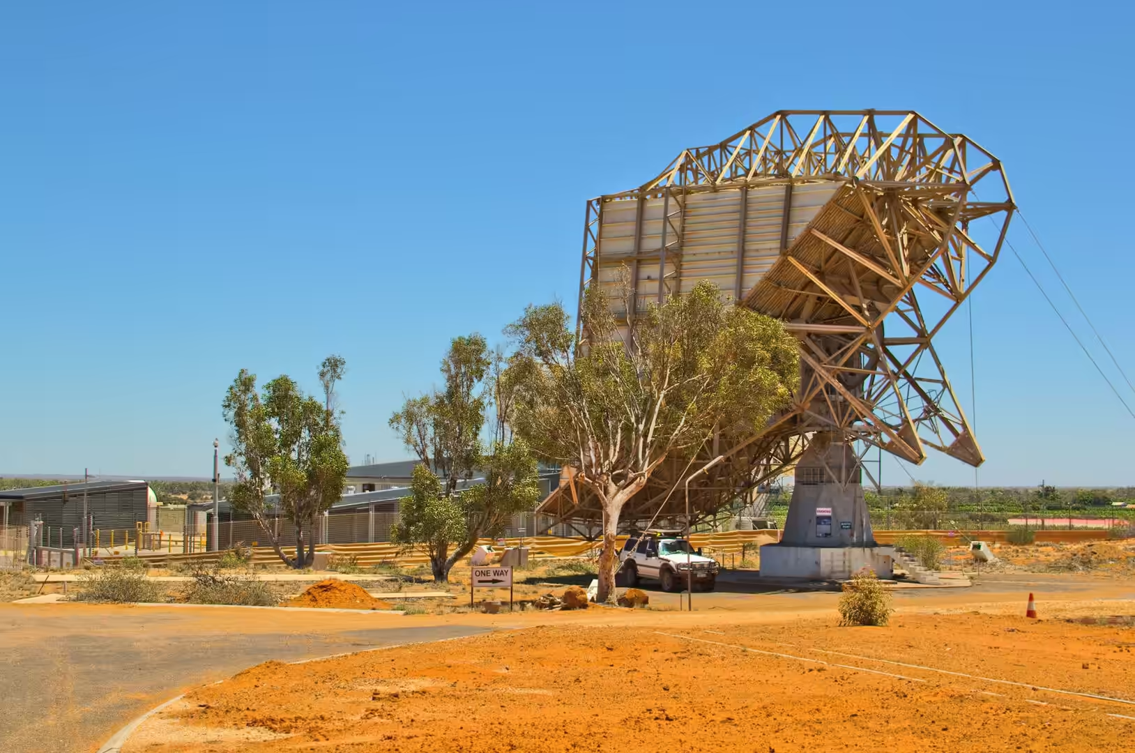
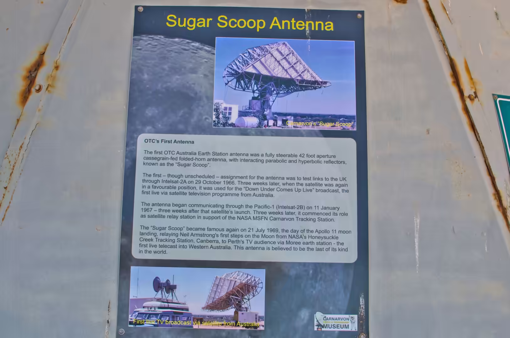
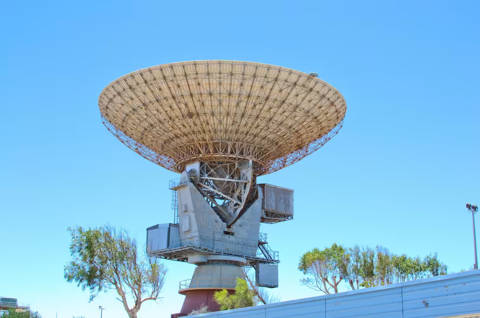
The equipment that the museum preserves is the physical record of that work. The big dish known locally as the sugar scoop antenna was built to track spacecraft in the first years of the station, and its lattice structure still stands on the site. The control room consoles, the tape recorders, the plotters and the racks of valves and transistors are set out as they were used, and the displays describe the work of the crews who sat the shifts. A trailer with a dish on the back, marked with the name of the American space agency, stands among them as an example of the mobile stations that were used during launch phases.
The town’s other history is on the river. Carnarvon has been a port since the 1880s, a base for pearling and fishing before it was a horticultural centre, and the old jetty and tramway along the bank are reminders of the days when everything came and went by sea. The salt works north of the town and the plantations along the river were both built on the same principle: take what the dry country provides, whether that is salt from evaporating lakes or water from the sand beneath a dry river, and find a market for it. Both are still in business, and the museum of the space age sits between them.
The space station was also a social experiment of a kind, and the museum records that side of it as well. Hundreds of Australians and Americans worked at Carnarvon over twelve years, with their families, in a town of a few thousand people at the end of a long road, and the station brought schools, housing and a social life that the town had not had before. When it closed in 1975, the workforce and the payroll went with it, and the district had to fall back on the two industries that had been there all along: the river water and the sea. The museum exists because a group of former workers and their families wanted the record kept.
Geology
The dry riverbed under the bridge at Carnarvon is the single most instructive geological sight in the district. The Gascoyne does not flow for most of the year, but its bed is not empty: water moves through the sand and gravel that fill the channel, and it does so in quantities that can supply a town, a horticultural industry and the needs of the pastoral stations upstream. The arrangement is common to the rivers of arid Australia and it is the reason that the settlements of the interior are found beside dry channels rather than beside flowing ones.
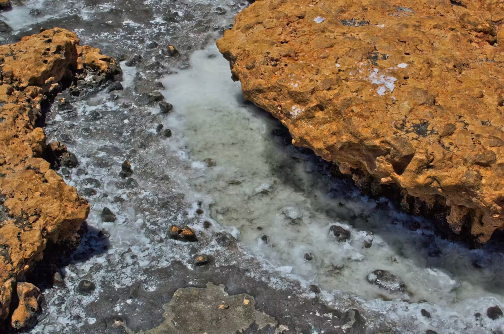
The salt lakes behind the coast are the other half of the water story. In a landscape where evaporation far exceeds rainfall, water that reaches a closed basin has nowhere to go but up, and the salts it carries are left behind as crusts of halite and gypsum. The pale surface of a saltpan reflects the sky, which is why the salt lakes of the interior look like sheets of water from a distance, and the crusts are harvested where they are thick enough. The lakes behind Carnarvon have been worked for salt for most of a century.
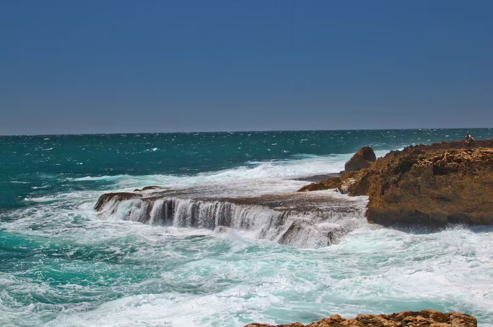
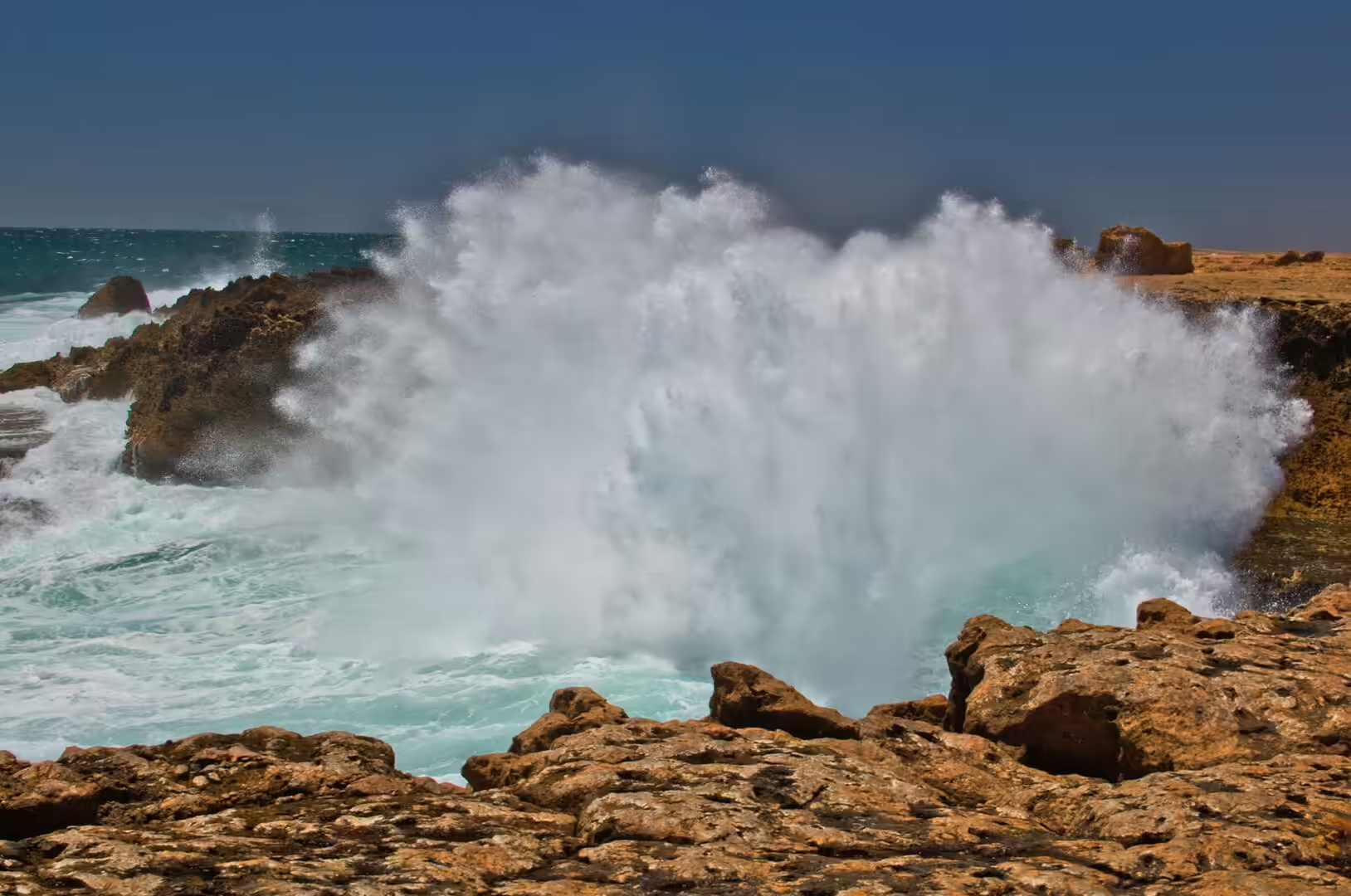
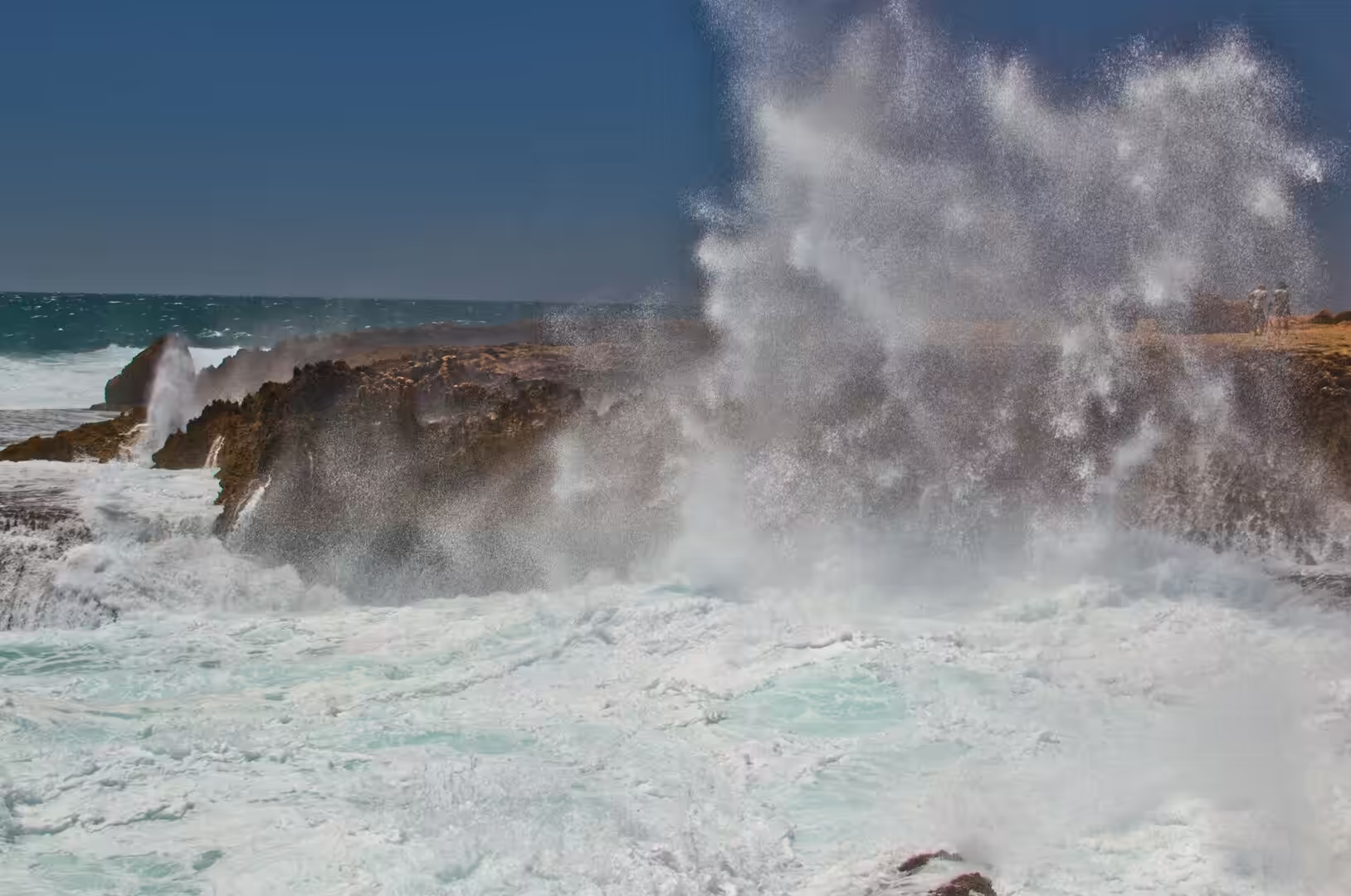
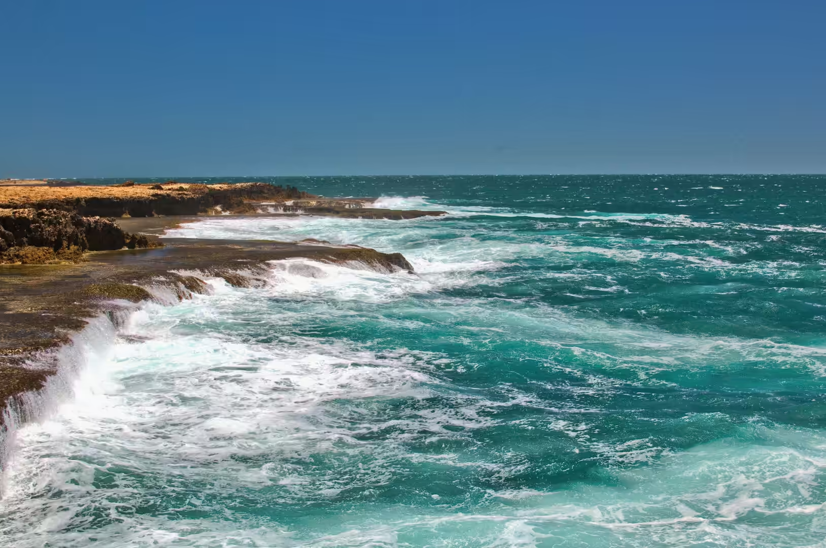
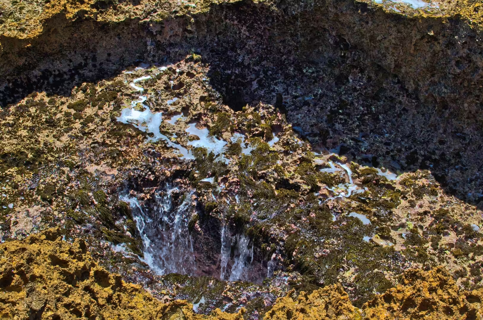
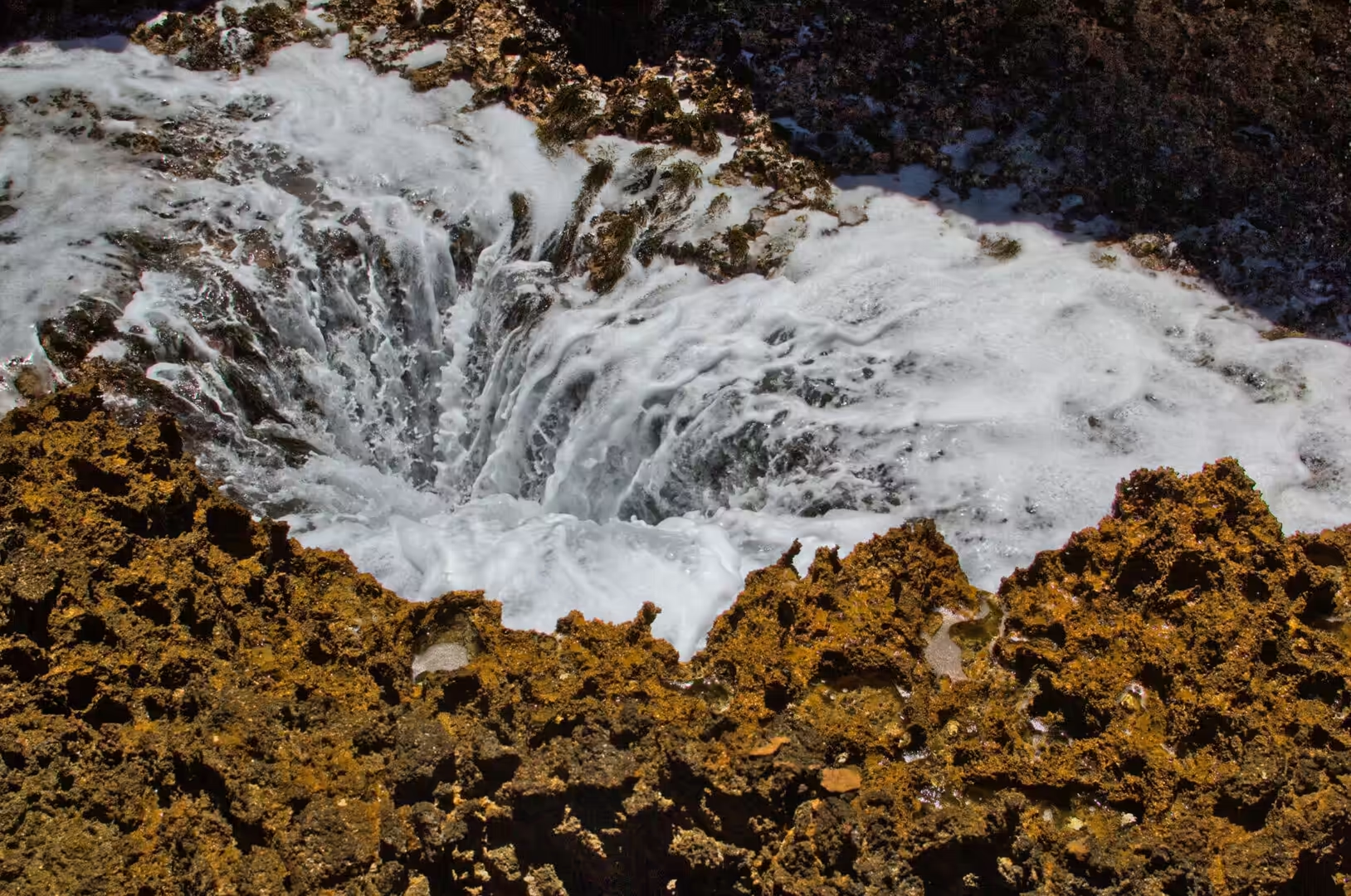
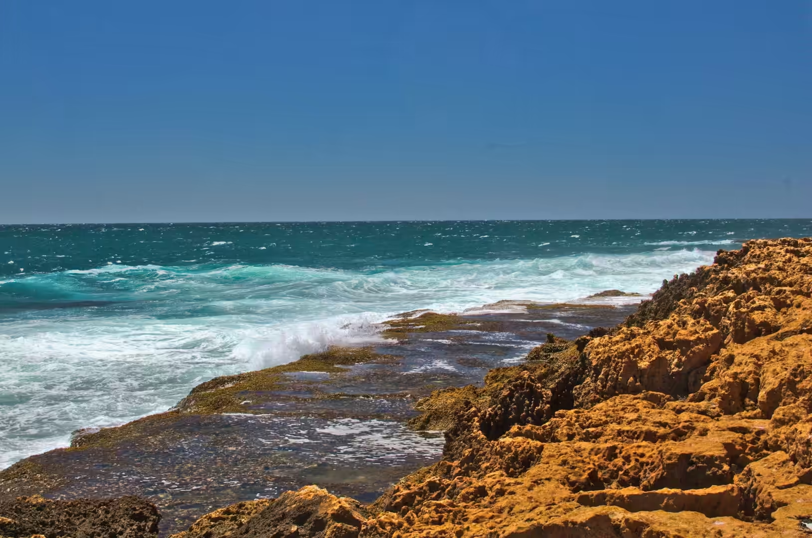
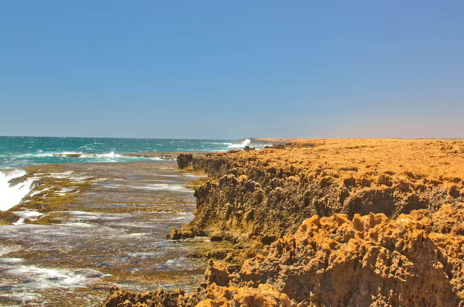
The coastline at Quobba, north west of the town, shows what happens where a limestone shore meets a strong swell. The rock here is the same aeolianite and reef limestone as elsewhere on this coast, and the sea has eroded it into a platform with narrow channels and vertical holes. When a swell arrives, water is forced into the channels faster than it can escape, and it shoots out of the holes in jets that can be several metres high. The blowholes are not geysers and they have no thermal source: they are the sea being compressed and released by the shape of the rock.
Inland from the coast the country is built of ancient material. The sand and the salt are young, but the rock beneath them belongs to the western part of the continent that has been stable for billions of years and contains some of the oldest mineral grains anywhere on Earth. The red soil of the plantations, the ironstone of the ranges and the salt of the lakes are all products of that long stability: nothing has been buried or melted for so long that the only processes left at work are weathering, evaporation and the movement of sand.
There is a wider geological point sitting under the district, and it is the reason the country is so rich in minerals and so poor in soil. The western part of Australia has been a stable block of continental crust for more than two and a half billion years, long enough that every mountain range built on it has been worn down to its roots and every mineral deposit has been exposed, weathered and concentrated. What the visitor sees as flat, red and empty is the end product of an enormous amount of erosion, and the iron, the salt and the heavy minerals that came out of it are all around, in the ground, in the lakes and in the colour of the sand.
Things to See
The space museum deserves two or three hours and is worth the drive on its own. The exhibition is built around the actual equipment of the tracking station, and the best part of it is the walk through the control room and the hardware racks, where labels explain what each console did during a mission. Old televisions show archive footage, the flight suits can be worn, and the dish outside can be walked around and seen from below. It is a museum of engineering rather than of souvenirs, and children who are bored by most adult attractions usually are not bored by this one.
The plantation country north and south of the town is the second stop. The rows of vines, the mango trees and the banana palms are all within a short drive of the main street, and several farms sell fruit and vegetables from roadside stalls. The contrast between the irrigated green and the red sand around it is the whole story of the district in one view, and it explains why the town fought so hard for its water.
Quobba is the excursion that needs a vehicle and a full tank. The road north from Carnarvon passes the salt works, follows the coast for a while and then turns onto dirt for the last stretch to the blowholes, where the spray rises above the cliff and the fishing is good enough that the camping area behind the rocks is busy in the season. The cliffs are dangerous in a big swell, and the signs that warn about it are not decorative.
The town itself is best seen slowly. The main street has palm trees, verandas, a bakery and a pub, the river bank has a walking track along the old tramway, and the jetty at the end of it faces the sunset over the Indian Ocean. There is a small museum in the old railway station, a war memorial on the hill, and a swimming pool that is genuinely appreciated in a place where the temperature passes forty degrees. Everything is within walking distance of everything else, which after a week of driving is a pleasure in itself.
The jetty at Carnarvon is a good place to end the day. It reaches out over the water from the end of the main street, it faces the sunset, and the fishing from it is taken seriously by the people who line the rails in the evening with a bucket and a rod. The old tramway track runs along the bank behind it, the pelicans wait below for the scraps, and the ships that used to load wool at this point are remembered by a sign. It is not a monument or an attraction, just a working end of a working street, and it is where the town goes to watch the day finish.
References
- Wikipedia contributors (2026). Carnarvon, Western Australia. en.wikipedia.org/wiki/Carnarvon%2C%20Western%20Australia
- Wikipedia contributors (2026). Gascoyne River. en.wikipedia.org/wiki/Gascoyne%20River
- Wikipedia contributors (2026). Gascoyne Junction, Western Australia. en.wikipedia.org/wiki/Gascoyne%20Junction%2C%20Western%20Australia
- Wikipedia contributors (2026). Kennedy Range National Park. en.wikipedia.org/wiki/Kennedy%20Range%20National%20Park
- Wikipedia contributors (2026). Carnarvon Tracking Station. en.wikipedia.org/wiki/Carnarvon%20Tracking%20Station
- Wikipedia contributors (2026). North West Cape. en.wikipedia.org/wiki/North%20West%20Cape
- Wikipedia contributors (2026). Shark Bay. en.wikipedia.org/wiki/Shark%20Bay
- Wikipedia contributors (2026). Denham, Western Australia. en.wikipedia.org/wiki/Denham%2C%20Western%20Australia
- Wikipedia contributors (2026). Indian Ocean Drive. en.wikipedia.org/wiki/Indian%20Ocean%20Drive
- Wikipedia contributors (2026). Ningaloo Coast. en.wikipedia.org/wiki/Ningaloo%20Coast
- Wikipedia contributors (2026). Hamelin Pool. en.wikipedia.org/wiki/Hamelin%20Pool
- Wikipedia contributors (2026). Western Australia. en.wikipedia.org/wiki/Western%20Australia
- El-Tabakh M., Mory A., Schreiber B., Yasin R. (2004) Anhydrite cements after dolomitization of shallow marine Silurian carbonates of the Gascoyne Platform, Southern Carnarvon Basin, Western Australia. Sedimentary Geology. 164. 75-87. doi.org/10.1016/j.sedgeo.2003.09.003
- (ohne Angabe) (2022) Australia, Western Australia, Pilbara Region, Indian Ocean Coast. Journal of Coastal Research. 100. doi.org/10.2112/jcr-si100-flat-044.1
- Anderson P. (1994) Dugong distribution, the seagrass Halophila spinulosa, and thermal environment in winter indeeper waters of eastern Shark Bay, WA. Wildlife Research. 21. 381-387. doi.org/10.1071/wr9940381