Day 1 - Tasman Peninsula






Journal Notes
General
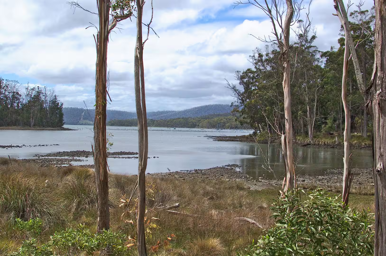
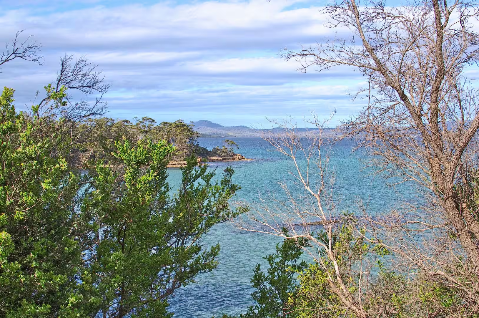
The first day of the Tasmanian journey went south and east from Hobart, down the long arm of land that ends in the cliffs of the Tasman Peninsula. The road runs through the forest of the Forestier Peninsula, crosses the narrow neck of sand that joins the two peninsulas to the rest of the island, and then continues through eucalyptus woodland with glimpses of water on both sides.
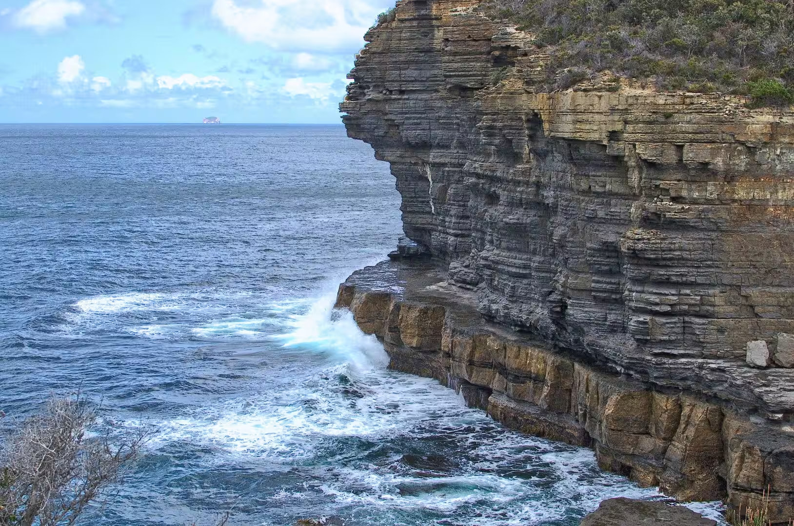
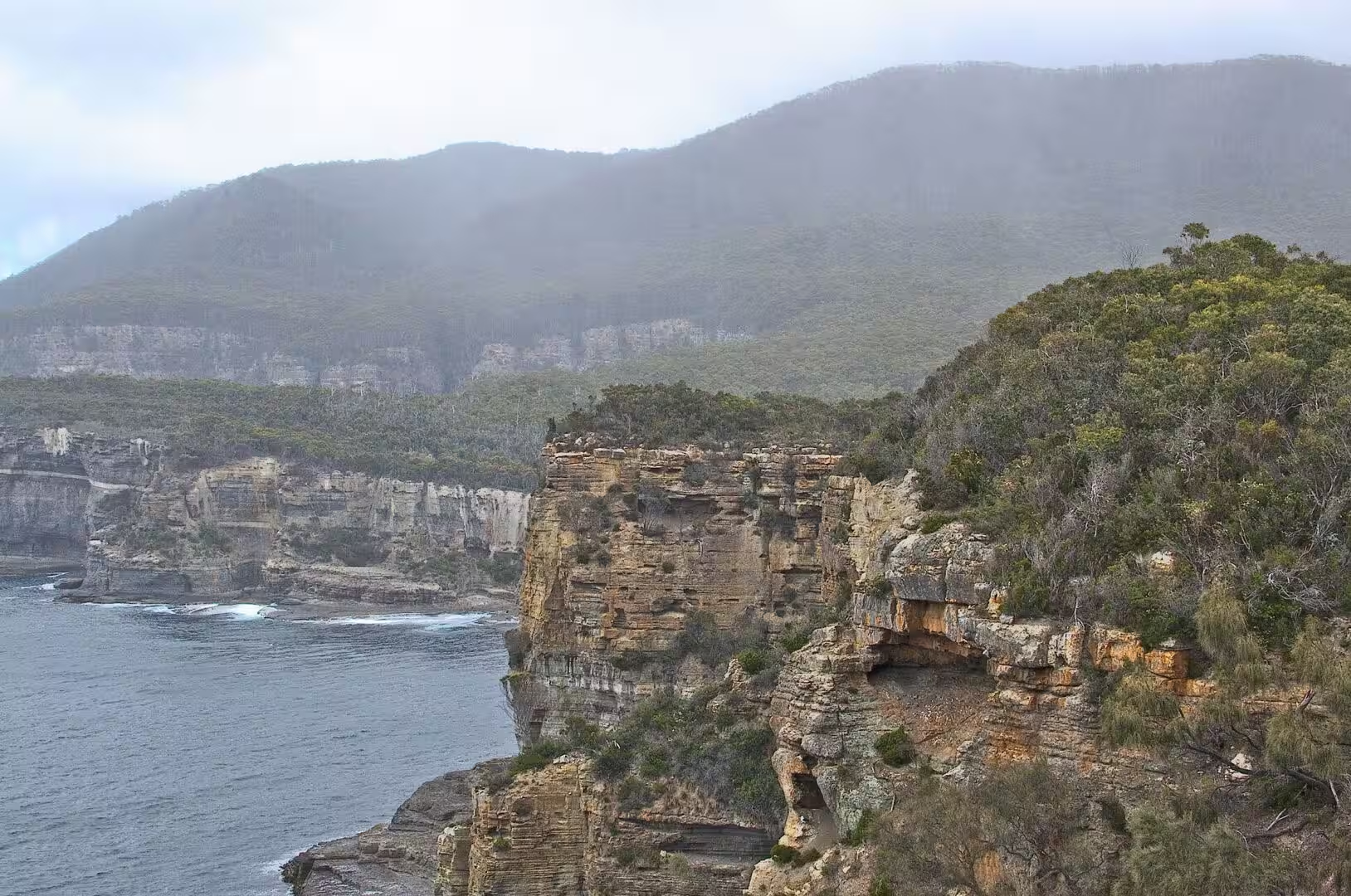
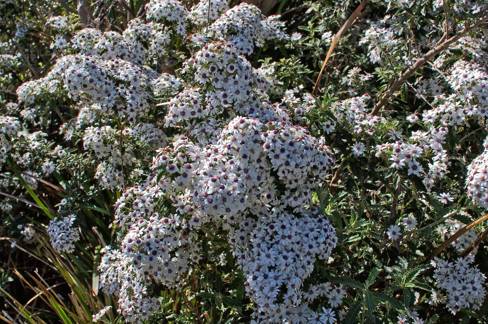
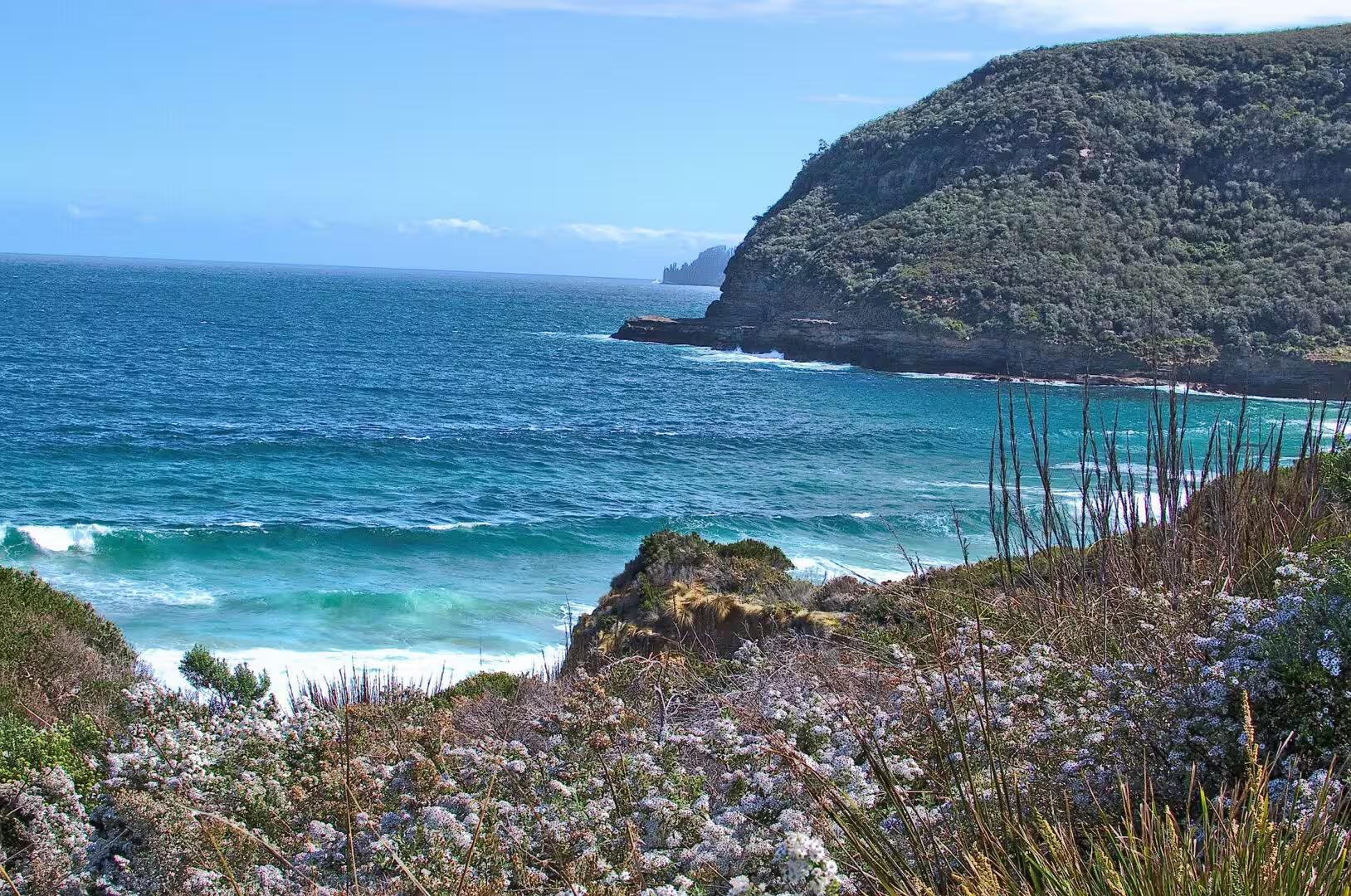
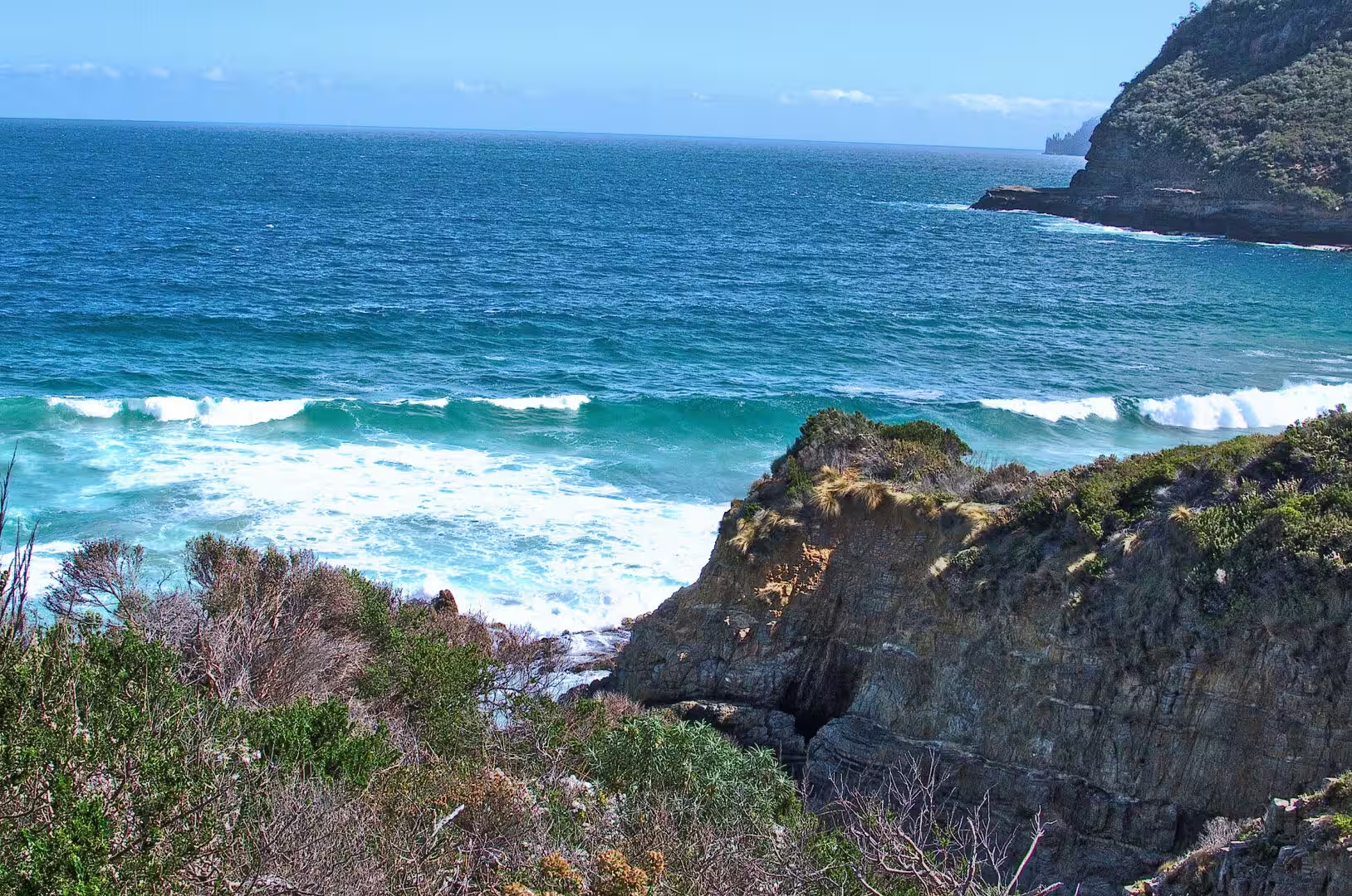
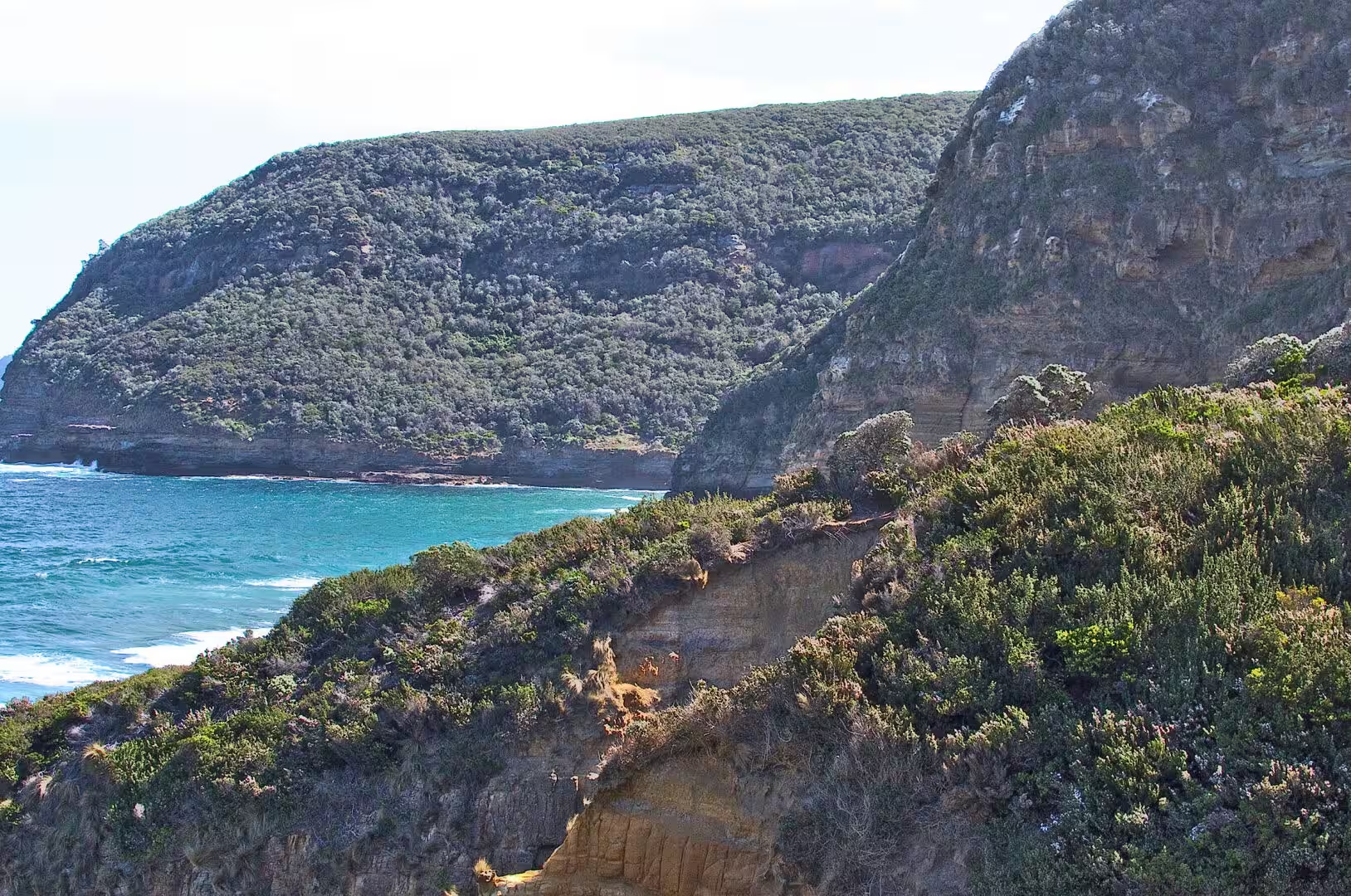
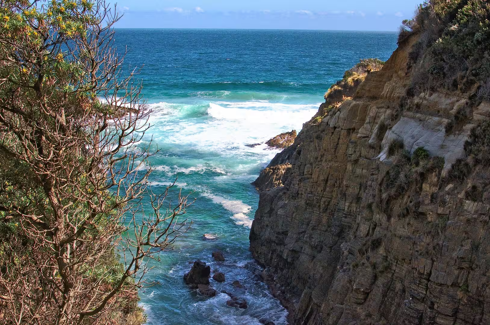
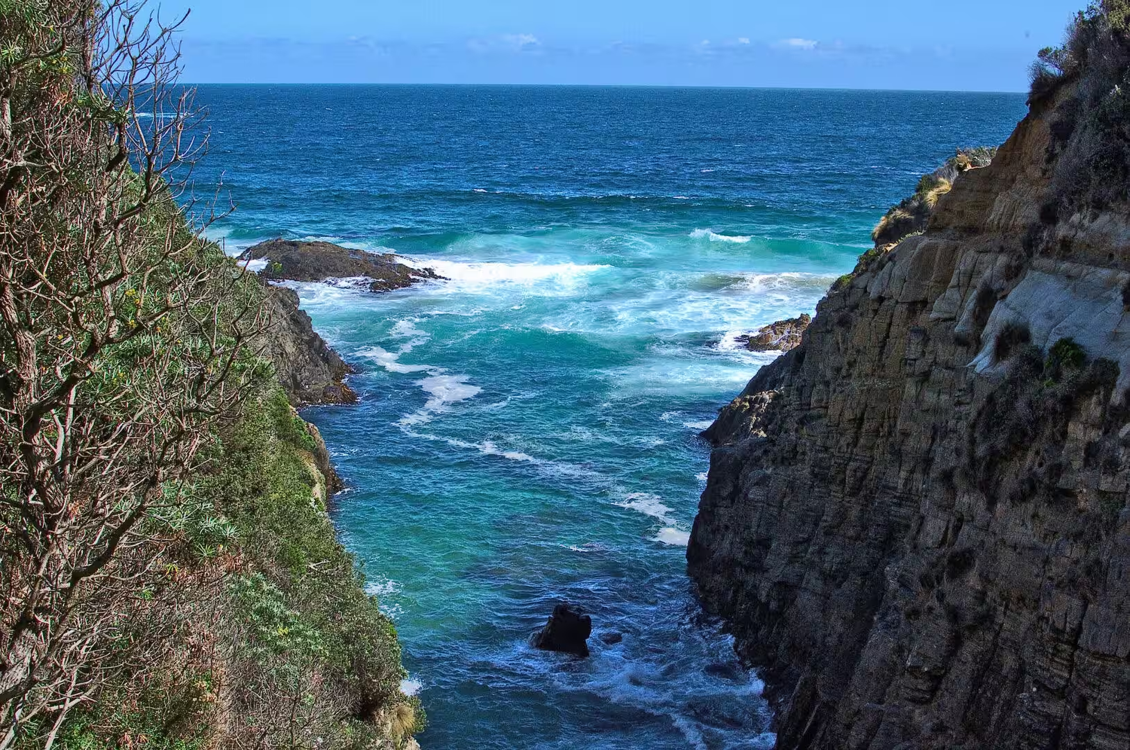
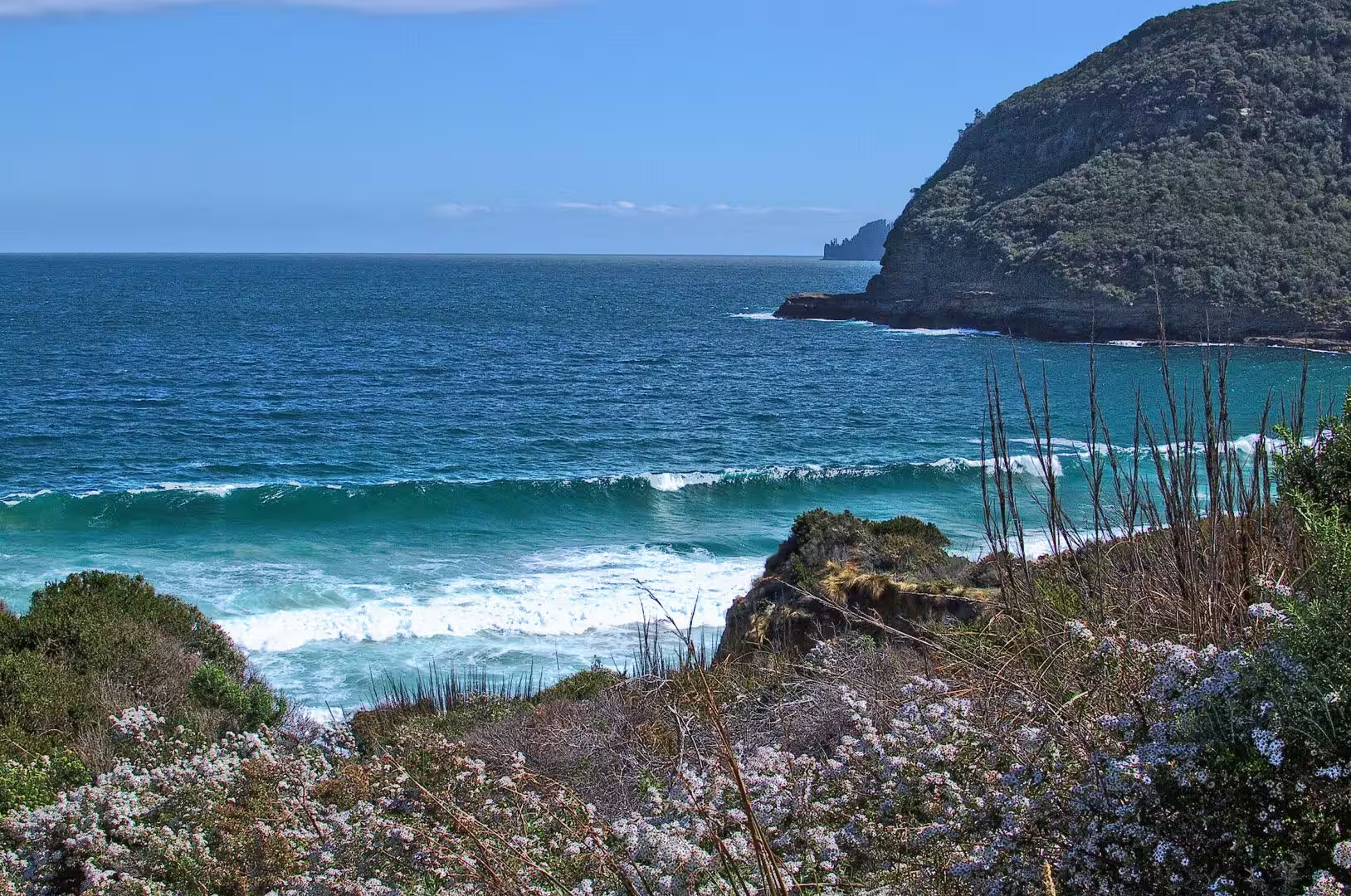
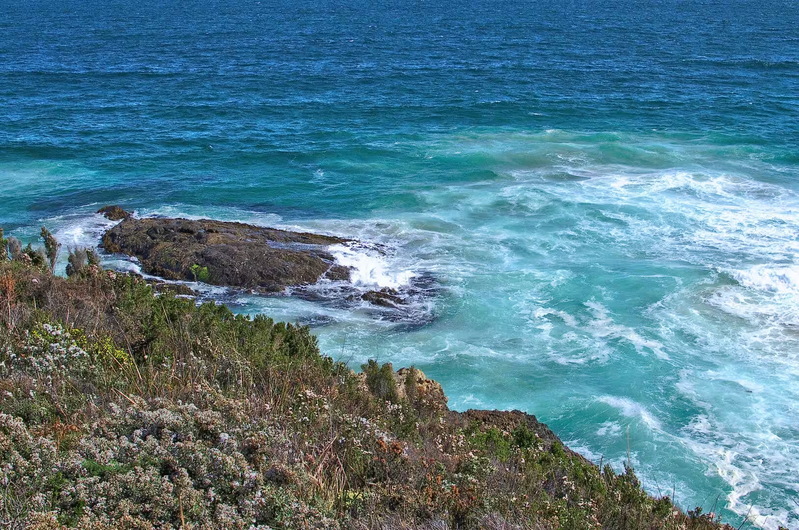
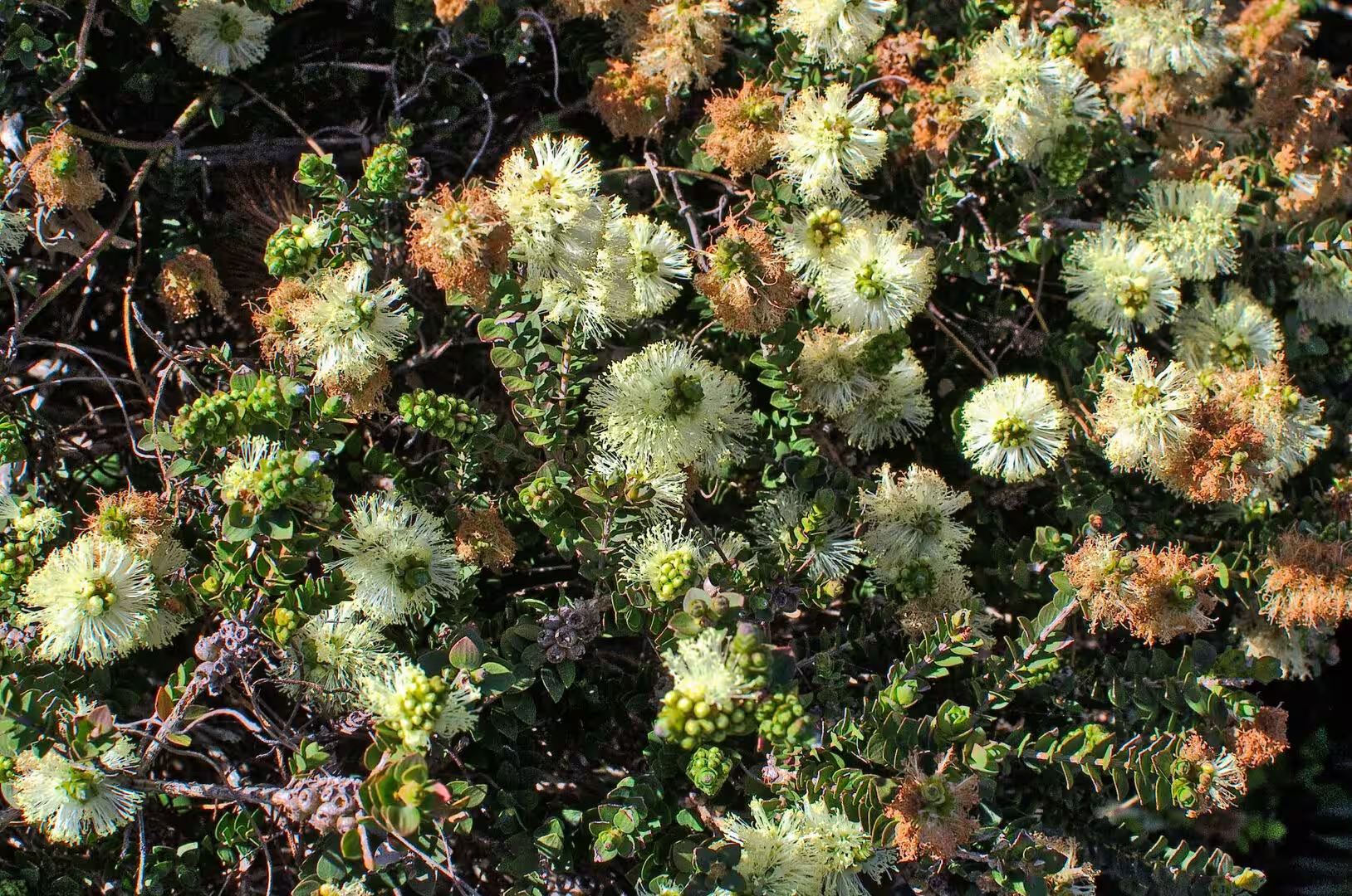
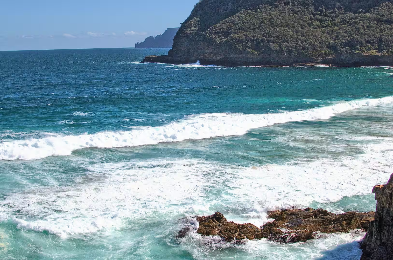
The country of the day is coastal and vertical: sandstone and dolerite cliffs falling into a sea that is bright blue even under cloud, sea arches and blowholes cut into the rock, coves of white sand between dark headlands, and a vegetation of eucalyptus, banksia and the low flowering shrubs of the south east. The light changes every few minutes because the weather comes off the Southern Ocean, and the same view can be grey and then vivid within half an hour.
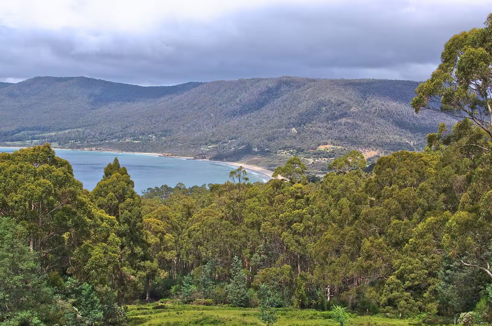
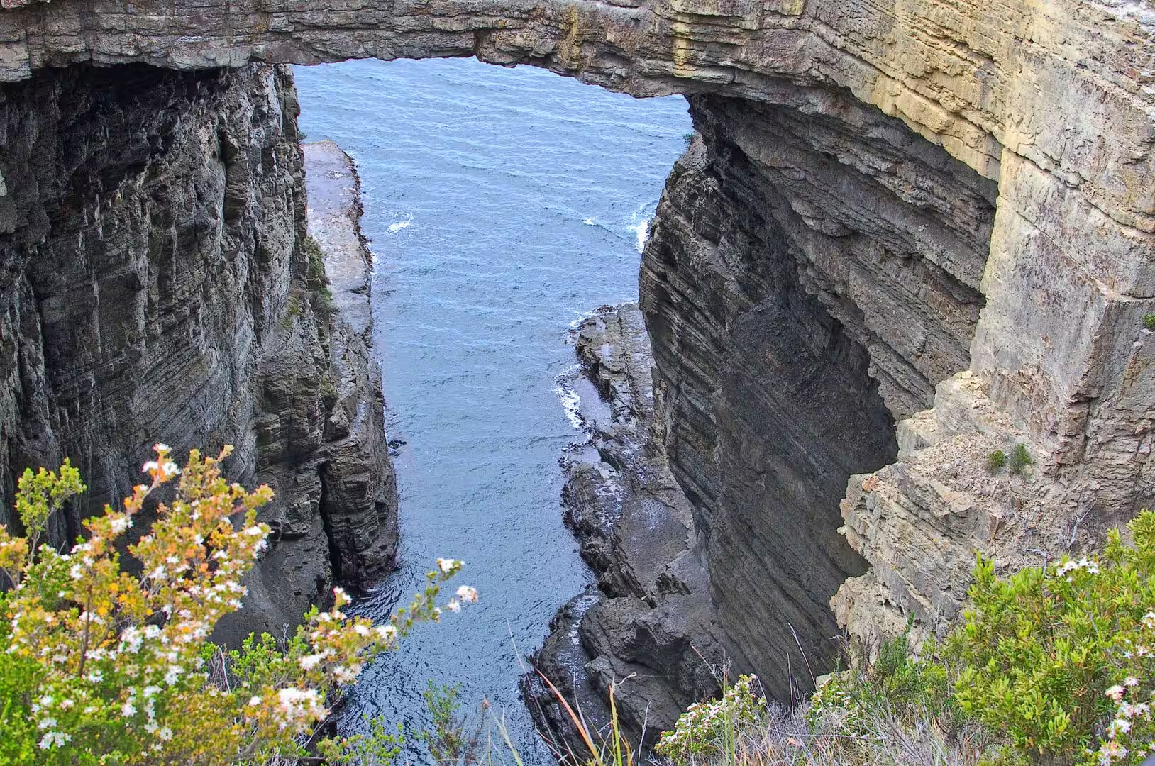
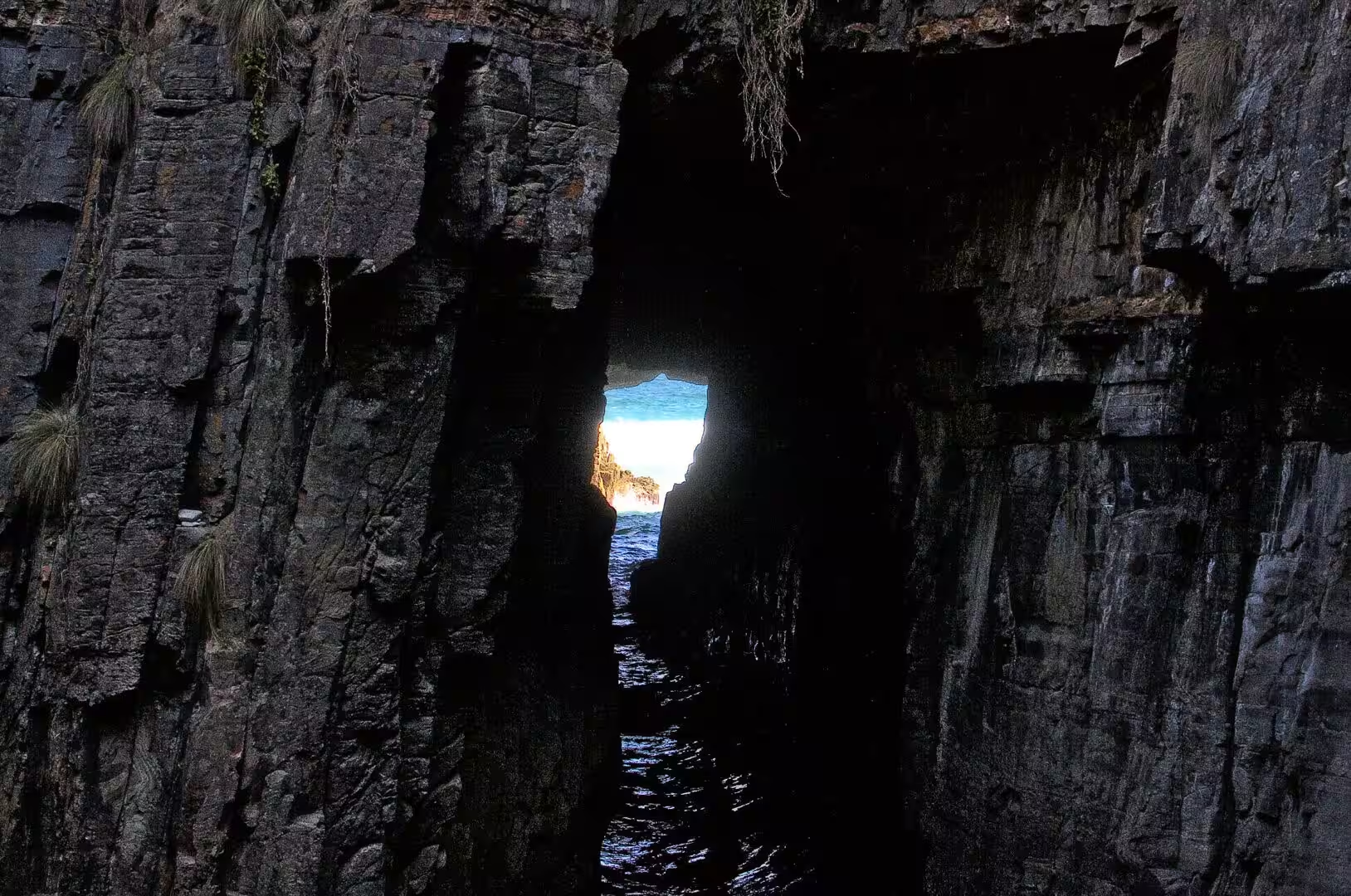
The first stop was the neck itself, where the road crosses the isthmus with the water of Pirates Bay on one side and the sheltered water of the bay on the other. A little further on the coast becomes a succession of geological set pieces: a natural arch spanning a channel of sea, a fissure in the rock that the wind and the water have carved into a deep cleft, a blowhole that fires spray into the air when the swell is running, and a cave reached by a staircase of stone steps that opens onto the water.
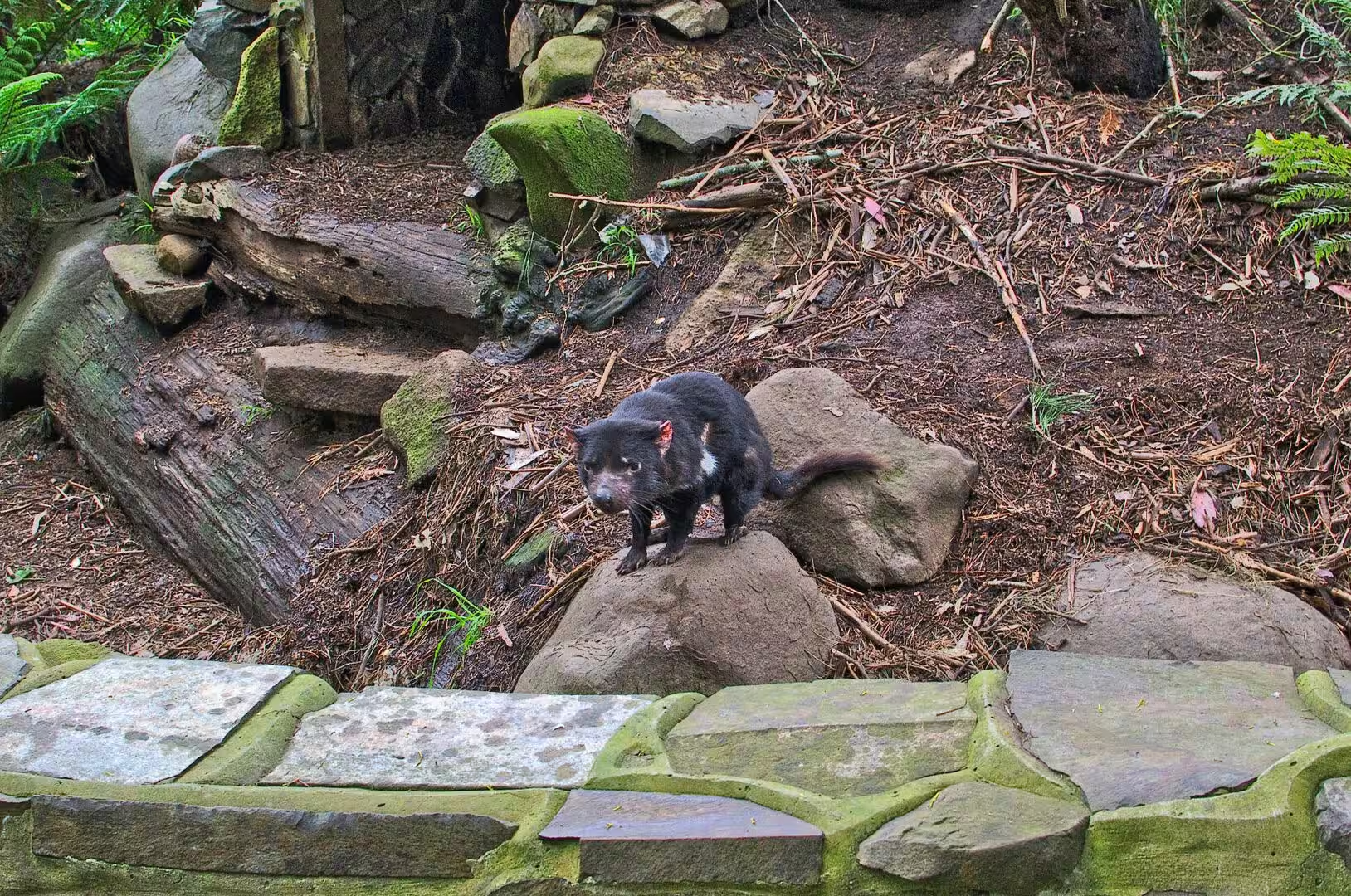
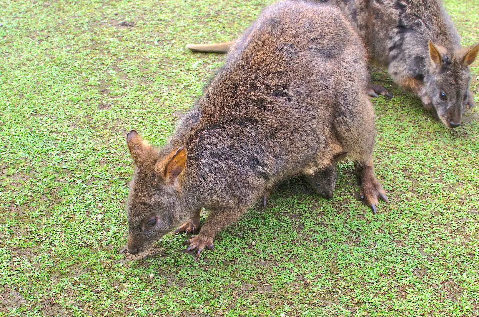
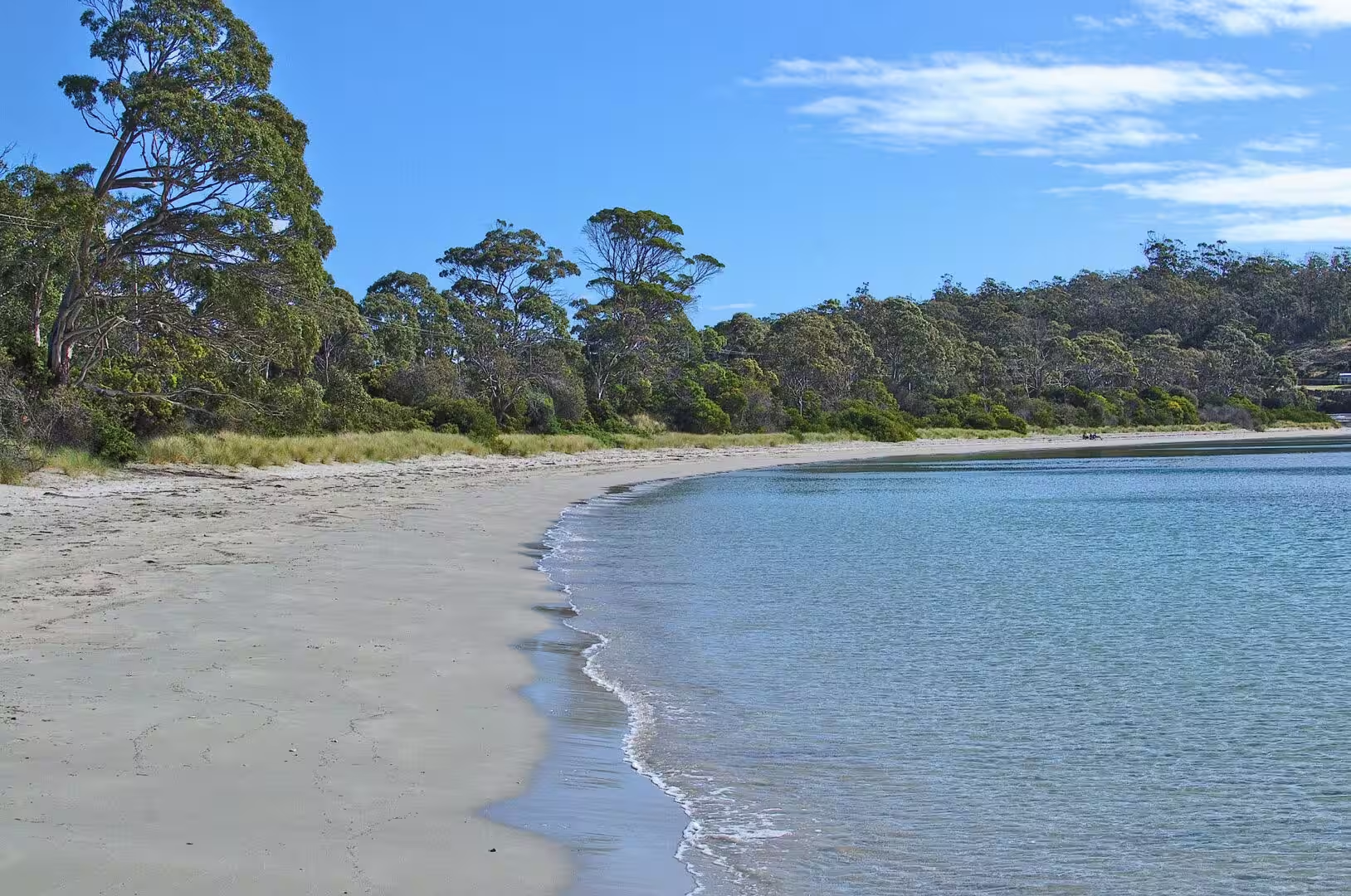
The afternoon belonged to the animals. The peninsula has a wildlife park at Taranna where the Tasmanian devil is kept and explained, and the animals of the island are close at hand all along the coast: kangaroos on the grass, pademelons in the undergrowth, birds in every shrub, and the small introduced melon plant that grows green on the road edges. The evening was spent above a beach where the forest comes down to the sand.
The logistics of the day are worth setting out because the peninsula is larger than the map suggests. The distance from Hobart to Port Arthur is about ninety kilometres, the road is sealed the whole way, and the sights are strung out along it so that the driving is part of the day. There is fuel and food in the towns of the peninsula, the camping and the accommodation are concentrated on the sheltered western shore, and the eastern coast, which faces the open sea, is mostly park and cliff.
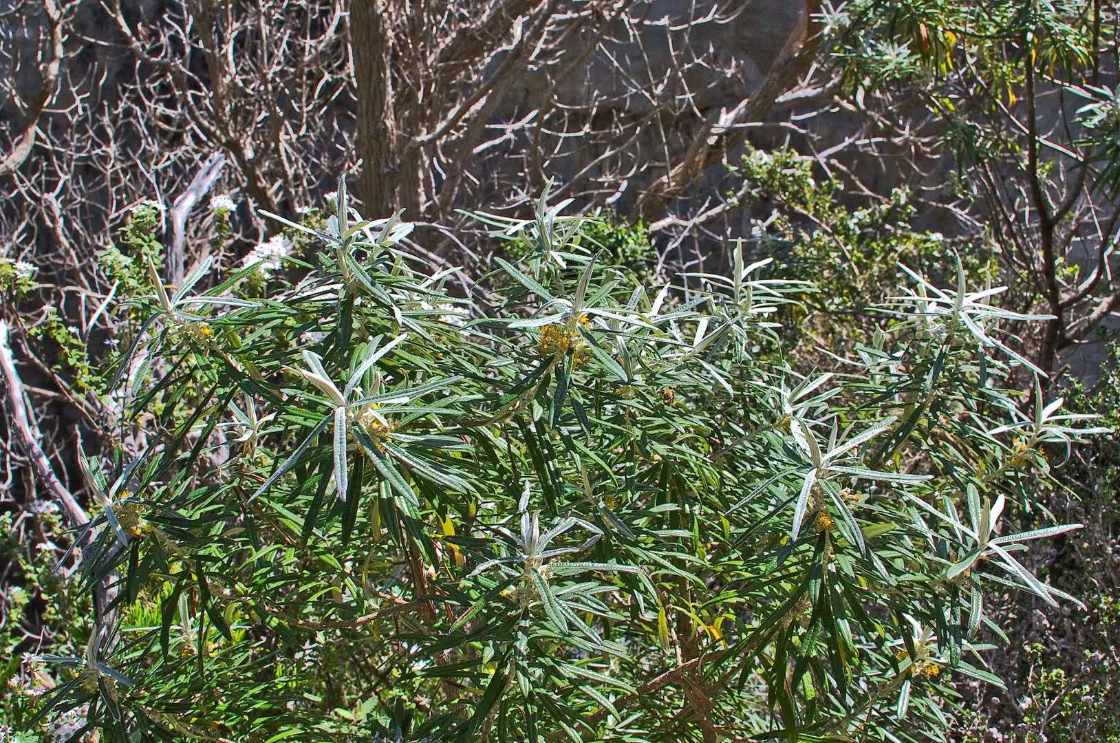
The forest of the peninsula is worth a paragraph of its own, because it is the matrix in which everything else stands. Eucalyptus dominates it, with a dense understorey of shrubs and tree ferns in the gullies, and the ground is covered in the litter of bark and leaves that gives the Australian bush its smell and its colour. The birds are in it all day, the smaller animals are in it at night, and the track to any lookout runs through it before it reaches the cliff.
History
The peninsula is one of the places where the history of Tasmania is at its most direct. It was the site of the penal settlement at Port Arthur, which operated from 1830 until 1877 and became the most feared of the Australian convict stations, and the whole of the surrounding country was organised around it. The neck that the road crosses today was the barrier of the system: because it is only a few hundred metres wide, it was easy to watch, and from 1831 a line of dogs was chained to posts across it to give warning of anyone trying to leave.
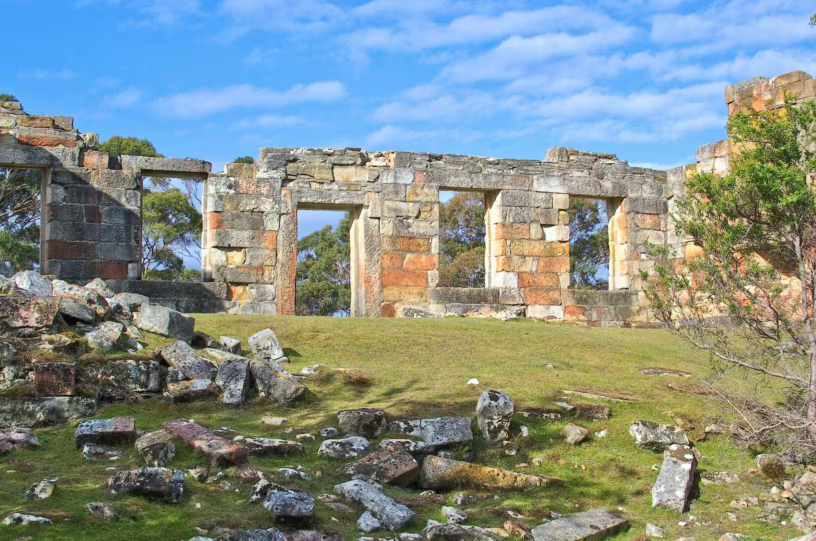
The punishment stations of the peninsula were places of labour. The coal mine at Little Norfolk Bay was Tasmania’s first working coal mine, operated with convict labour between 1833 and 1848 as a station for the worst class of prisoners from Port Arthur, and the ruins of its buildings, cells and workings still stand among the bush above the water. The site is now listed with the other convict places of the island as part of the Australian Convict Sites, a World Heritage property that includes eleven surviving penal complexes.
The names of the places carry two histories at once. The peninsula is officially Turrakana in the language of the Aboriginal Tasmanians, whose country this was for tens of thousands of years before the British arrived, and the neck is Teralina. The Aboriginal population of the island was between three and seven thousand at the time of the British arrival, and it collapsed within three decades through violence and disease, a catastrophe that the names in the landscape now partly record.
The European economy of the coast before the convicts and after them was the sea. Whaling stations worked the bays of the peninsula in the 1830s and 1840s, the small ports shipped timber and farm produce, and the fishing villages along the shore lived from the water in the way that the towns of the peninsula still partly do. The road that brings the visitors down the peninsula today is the same road that carried the convicts, the whalers and the timber, and the names on the mailboxes are the names of the families who stayed.
The villages of the peninsula are small and strung along the sheltered western shore, and life there is closer to the fishing and the farming of a hundred years ago than the visitor expects. Nubeena has the school and the shops, White Beach has the boat ramp, and the mailboats and the fishing boats still use the jetties that the timber ships used. The population of the whole peninsula is a few thousand, and it doubles in the summer without ever becoming crowded outside the historic site itself.
Geology
The rock of the Tasman Peninsula is one of the great geological signatures of eastern Tasmania. It is dolerite, a hard, dark igneous rock that was intruded as sheets of molten material into the sedimentary layers of the island during the Jurassic period, some 180 million years ago, and then exposed by erosion when the softer rocks above it were worn away. The columns and the cliffs that the coast is famous for are the edges of those sheets, and the same dolerite forms the crags of the mountains of the south east.
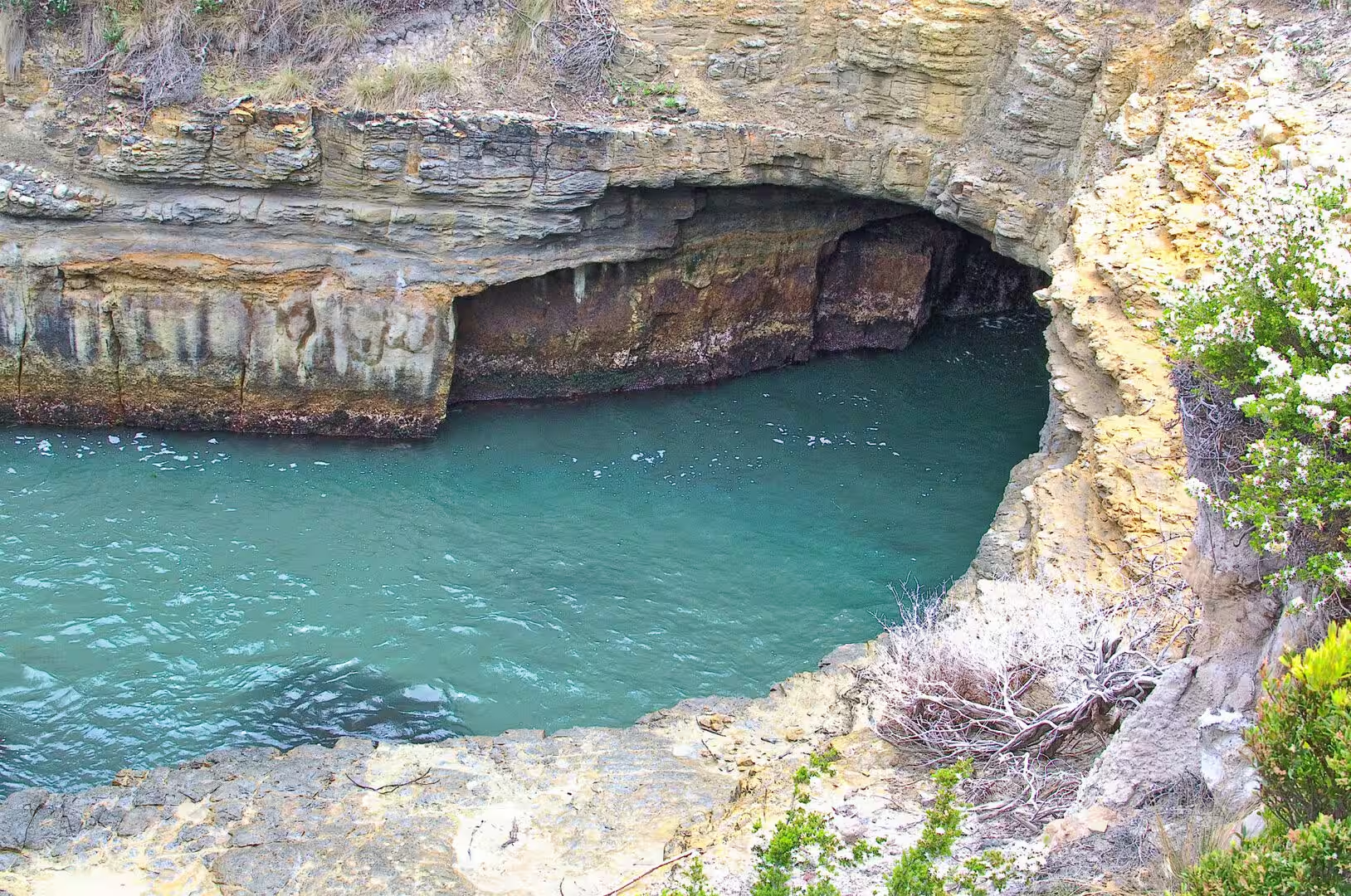
The sea has been working on that rock ever since. The cliffs are the result of the waves cutting back into the land along the lines of weakness in the dolerite and the sandstone beneath it, and the features of the coast are the stages of that process at different points: a cave where the sea has hollowed a softer bed, an arch where a cave has been cut through a headland, a blowhole where the roof of a sea cave reaches the surface, and a fissure where a joint in the rock has been widened into a chasm.
The peninsula itself is a piece of the mainland that has been almost separated from it. The isthmus at Eaglehawk Neck is the last connection, a strip of sand and rock a few hundred metres long and in places less than thirty metres wide, and it exists because the sea has not yet cut through it. The cliffs of the outer coast are the edge of the same landmass, and the Tasman National Park that protects them includes part of both peninsulas and the island beyond them.
The park is recent and the landscape is old. Proclaimed in 1999, it covers around a hundred square kilometres of cliff, forest and coast, including the columns of Cape Raoul and the highest sea cliffs in Australia, and it is managed with the surrounding reserves as one of the natural areas of the south east. The visitor who looks from the lookouts is standing on the edge of the same sheet of dolerite that runs under the whole region.
The sandstones and mudstones beneath the dolerite tell the earlier part of the story. They were laid down as sediments on the floor of a shallow sea and in the deltas of rivers during the Permian and Triassic periods, when Tasmania was part of the southern supercontinent, and they carry the fossils of the plants and the shellfish of that world. The dolerite came later, and the sea of today is the third chapter: it has been cutting the coast into its present shape since the ice ages ended and the water rose to its present level.
Things to See
The animals are the reason many people come to the peninsula, and the wildlife park at Taranna is the place to begin. It keeps Tasmanian devils, the largest carnivorous marsupial left in the world since the extinction of the thylacine in 1936, and it explains the disease that has halved their population: a transmissible cancer called devil facial tumour disease, which was first described in 1996 and has spread through most of the island, with a second strain found in the south since the 2010s.
The coastal features are the other half of the day. The natural arch, the blowhole and the deep cleft known as the Devil’s Kitchen are all within a short drive of each other on the same stretch of road, and each has a walking platform and a view. The Remarkable Cave, reached by a staircase of more than a hundred steps, opens onto the water at the southern end of the peninsula, and the beaches along the way are quiet even in the season.
The convict sites belong in the same day. The Coal Mines Historic Site is a walk through ruins rather than a museum, with the outlines of the station, the shafts and the cells among the bush above Little Norfolk Bay, and Port Arthur itself is a half hour further on. Both are part of the World Heritage listing, and both are best seen early or late, when the light is low and the day visitors have gone.
The practicalities of the peninsula are simple. The Arthur Highway runs from Hobart to Port Arthur in about an hour and a half, the towns along it have fuel, food and accommodation, and the lookouts and beaches are signposted. The weather changes quickly, the wind on the cliffs is stronger than it looks from the car park, and the wildlife is most visible in the hours around dawn and dusk. A jacket, boots and a full tank of fuel are the whole of the preparation.
The walks of the peninsula are worth a day of their own. The track from the car park above Pirates Bay runs along the cliff tops to the lookouts of the Tasman Arch and the Devil’s Kitchen, the platform of the tessellated pavement at Eaglehawk Neck is divided by the sea into rectangles that look artificial and are not, and the longer routes towards Cape Raoul and Cape Pillar cross the heath of the national park to the dolerite columns above the water. The coast between them is the highest sea cliff country in Australia, and the walking on the tops is flatter and quieter than the cliffs suggest.
References
- Wikipedia contributors (2026). Tasman Peninsula. en.wikipedia.org/wiki/Tasman%20Peninsula
- Wikipedia contributors (2026). Eaglehawk Neck. en.wikipedia.org/wiki/Eaglehawk%20Neck
- Wikipedia contributors (2026). Port Arthur, Tasmania. en.wikipedia.org/wiki/Port%20Arthur%2C%20Tasmania
- Wikipedia contributors (2026). Coal Mines Historic Site. en.wikipedia.org/wiki/Coal%20Mines%20Historic%20Site
- Wikipedia contributors (2026). Tasman National Park. en.wikipedia.org/wiki/Tasman%20National%20Park
- Wikipedia contributors (2026). Forestier Peninsula. en.wikipedia.org/wiki/Forestier%20Peninsula
- Wikipedia contributors (2026). Nubeena. en.wikipedia.org/wiki/Nubeena
- Wikipedia contributors (2026). Tasmanian devil. en.wikipedia.org/wiki/Tasmanian%20devil
- Wikipedia contributors (2026). Devil facial tumour disease. en.wikipedia.org/wiki/Devil%20facial%20tumour%20disease
- Wikipedia contributors (2026). Tasmanian Devil Unzoo. en.wikipedia.org/wiki/Tasmanian%20Devil%20Unzoo
- Wikipedia contributors (2026). Tasmania. en.wikipedia.org/wiki/Tasmania
- Gibbs M.D., Tuffin R.L., Maxwell-Stewart H., Roberts D.A., et al. (2018) Landscapes of production and punishment: convict labour management on the Tasman Peninsula 1830-1877. Antiquity. 92. doi.org/10.15184/aqy.2018.58
- Robson L. (1986) Tasman Peninsula, Is history enough? Past, present and future use of the resources of Tasman Peninsula. Papers and Proceedings of The Royal Society of Tasmania. 1-7. doi.org/10.26749/rstpp.120.1.1
- Beeton N.J., Forbes L. (2013) Dynamical systems analysis of a model describing Tasmanian Devil Facial Tumour Disease. ANZIAM Journal. 54. 89. doi.org/10.21914/anziamj.v54i0.5439