Day 2 - Mount Field National Park




Journal Notes
General
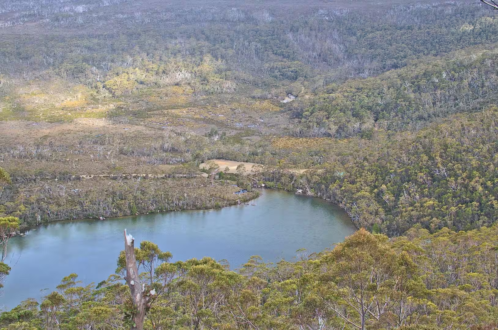
The second day went up into the mountains west of Hobart. The road from the Derwent Valley climbs through forest and then through the tall eucalyptus of the lower slopes, and at the end of the drive there is a lake in a hollow of the plateau with a small car park, a few cabins and the beginning of the walking tracks.
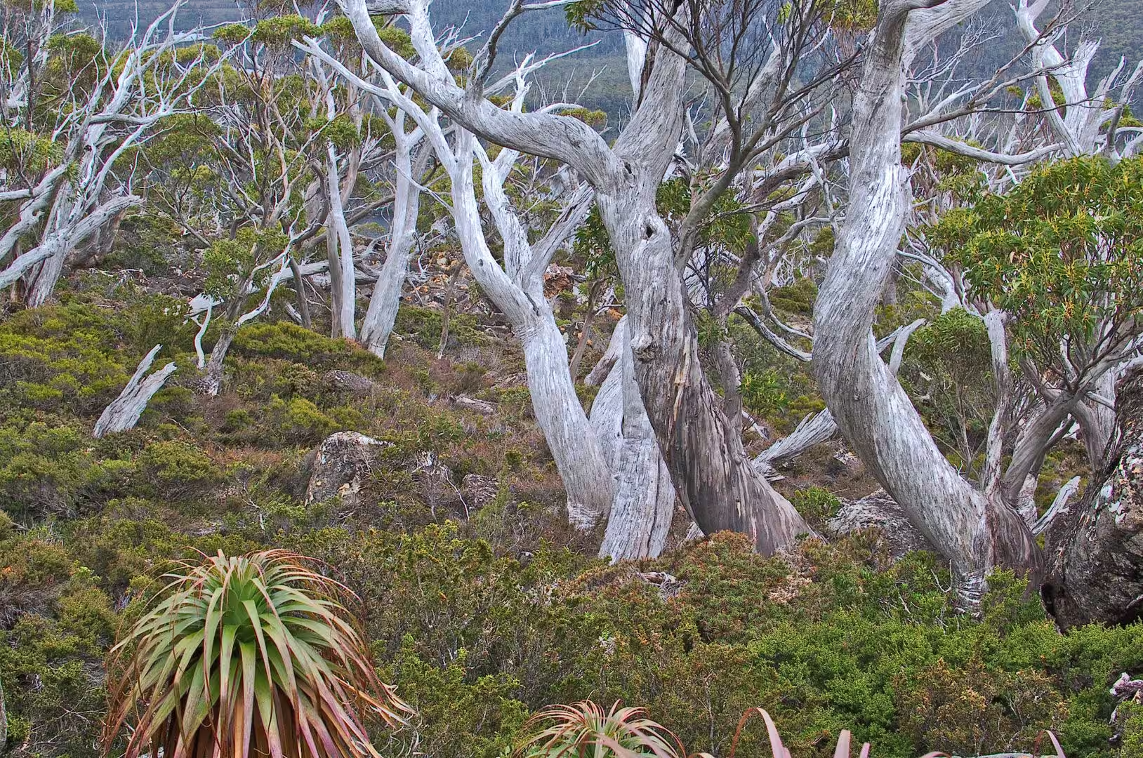
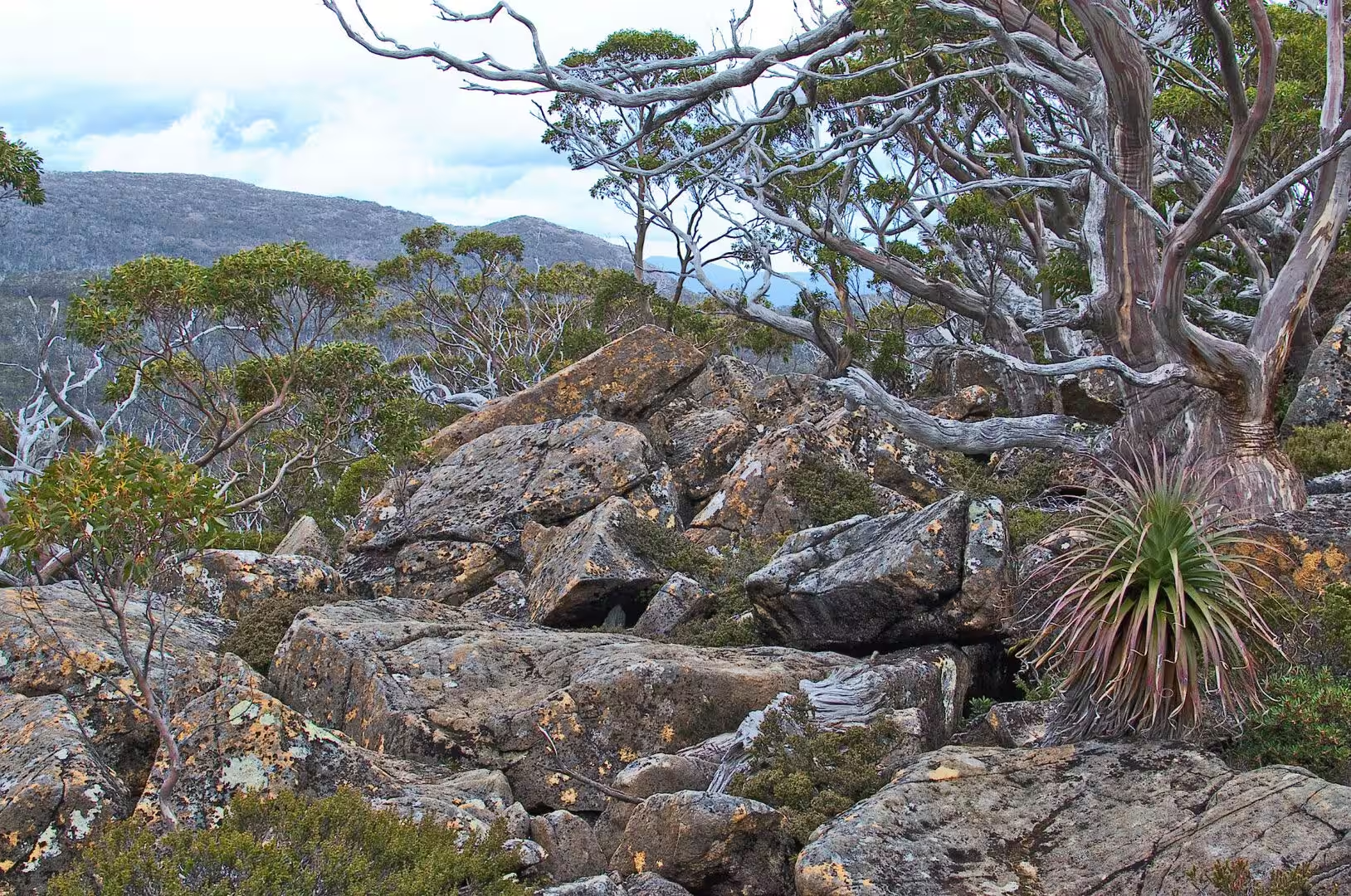
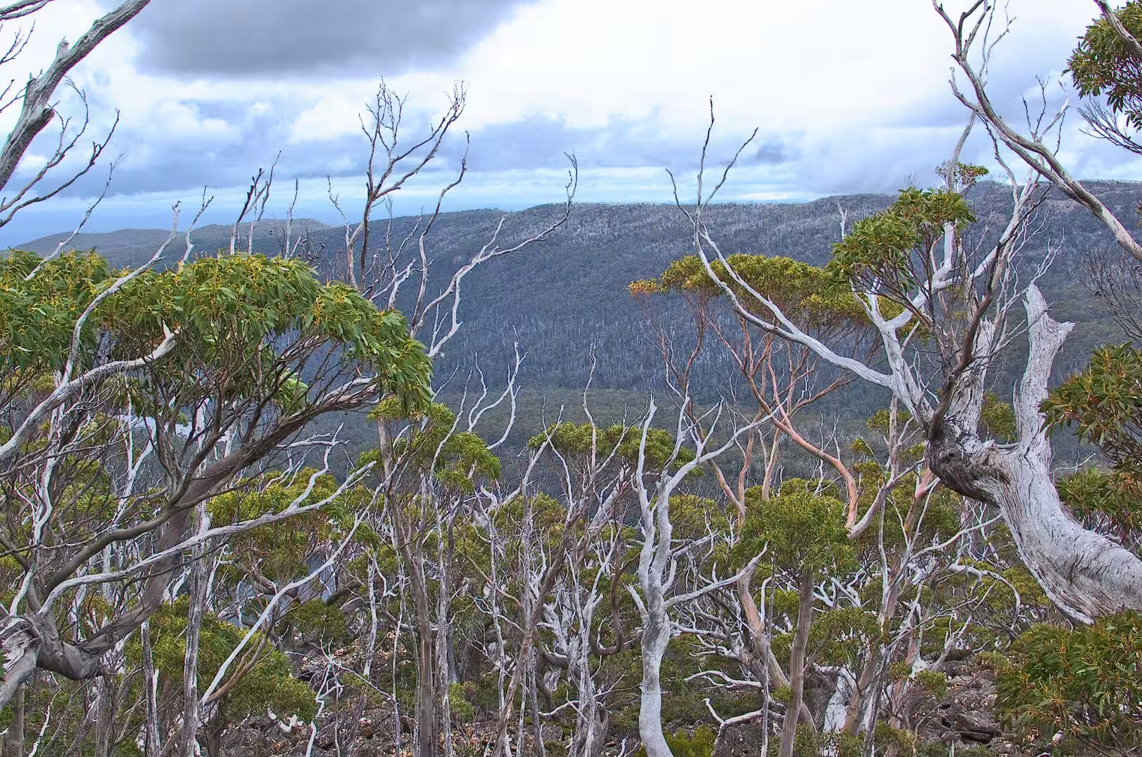
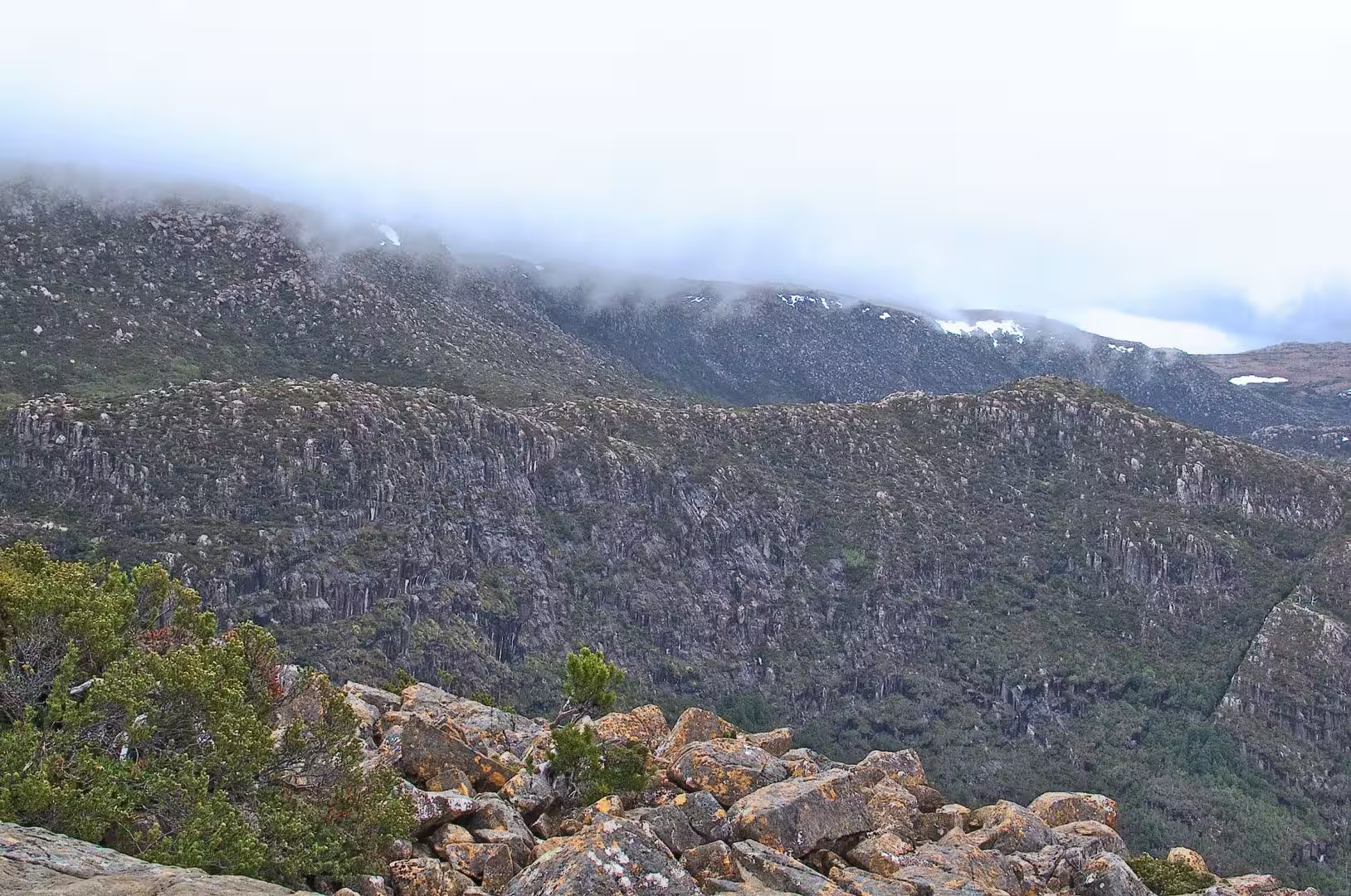
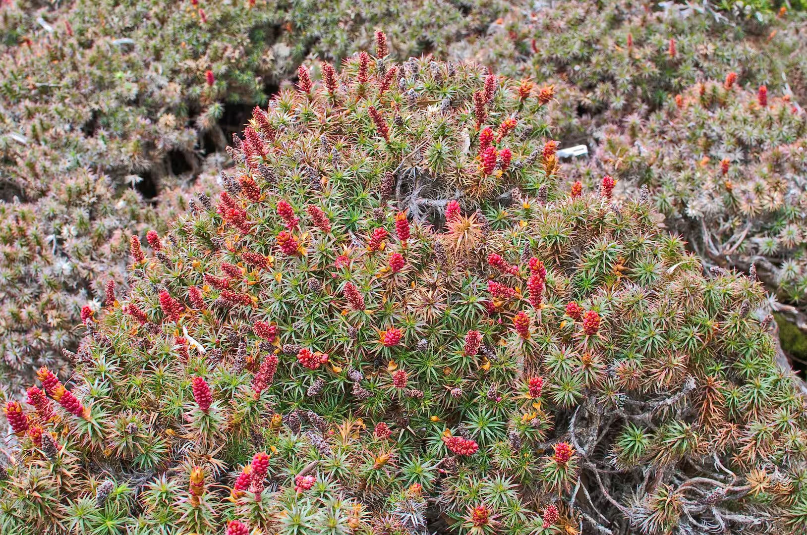
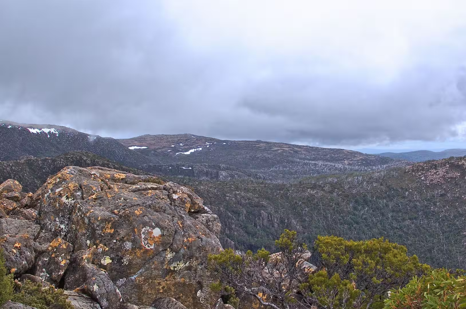
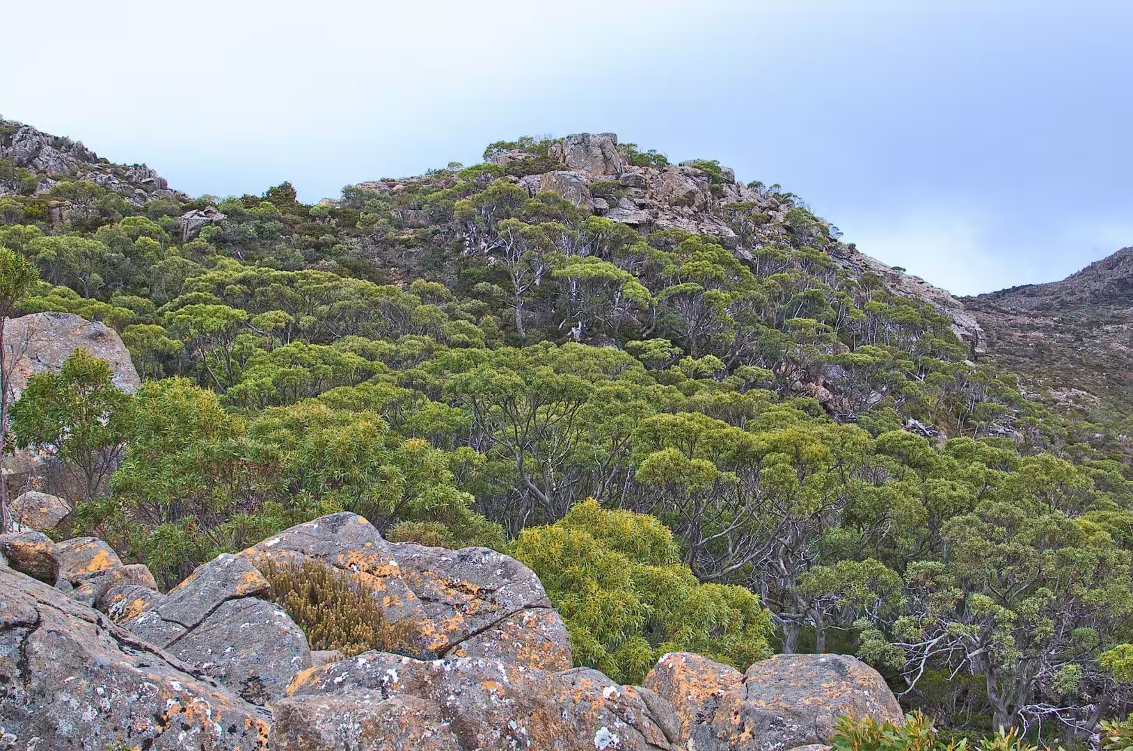
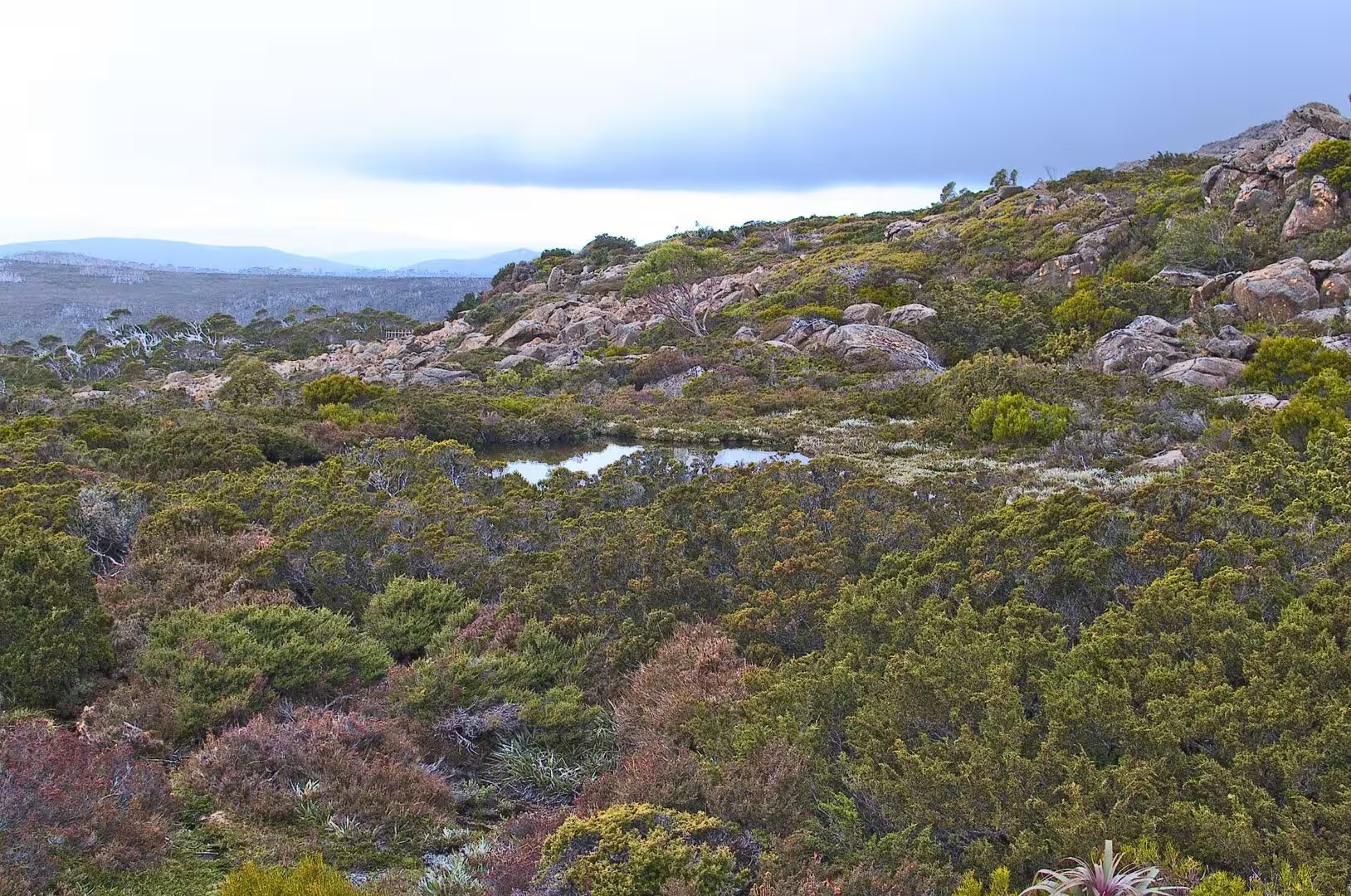
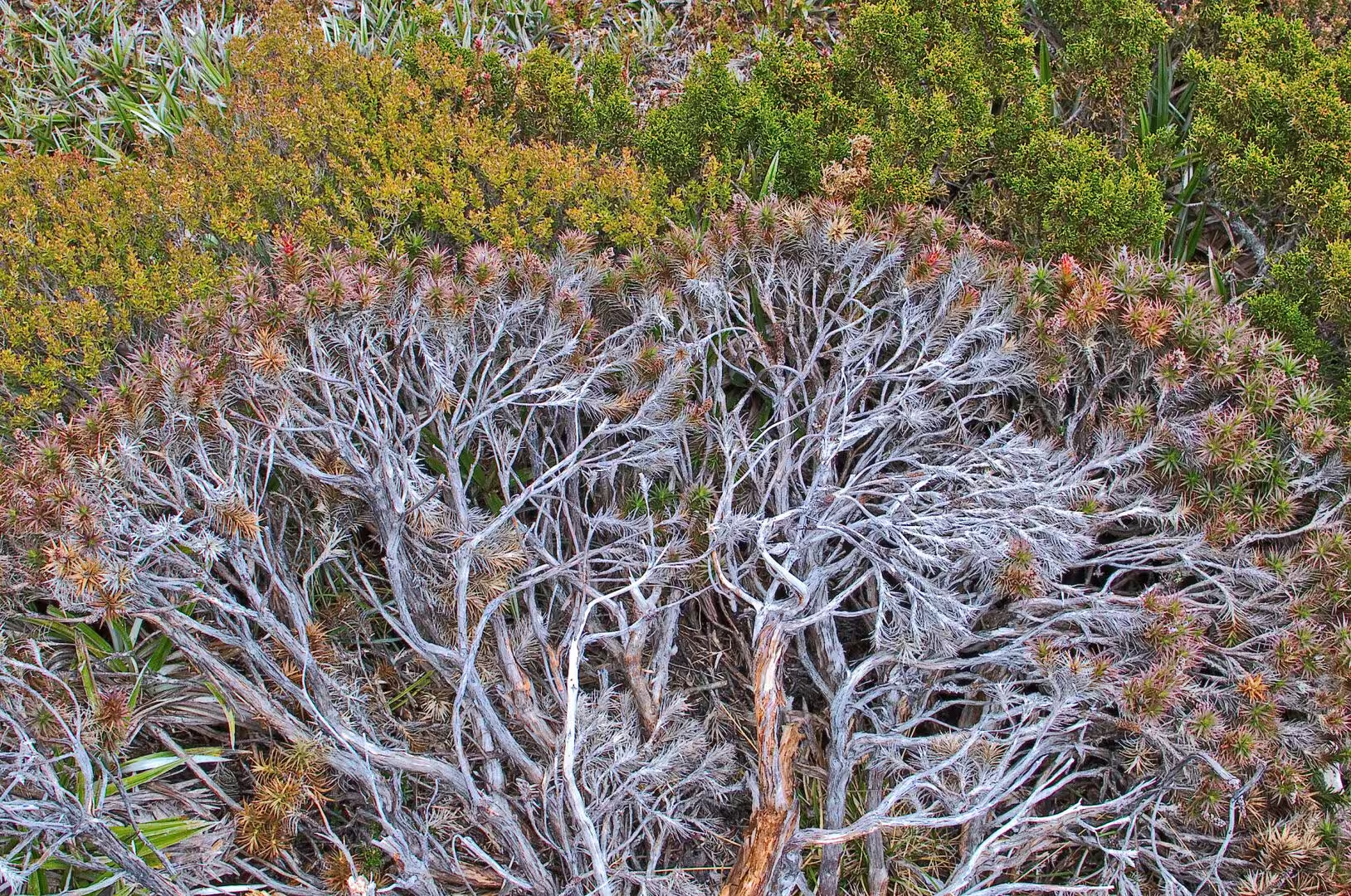
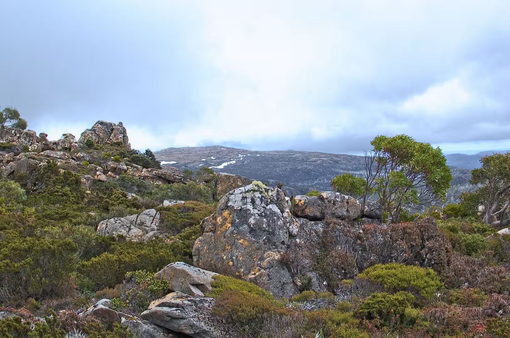
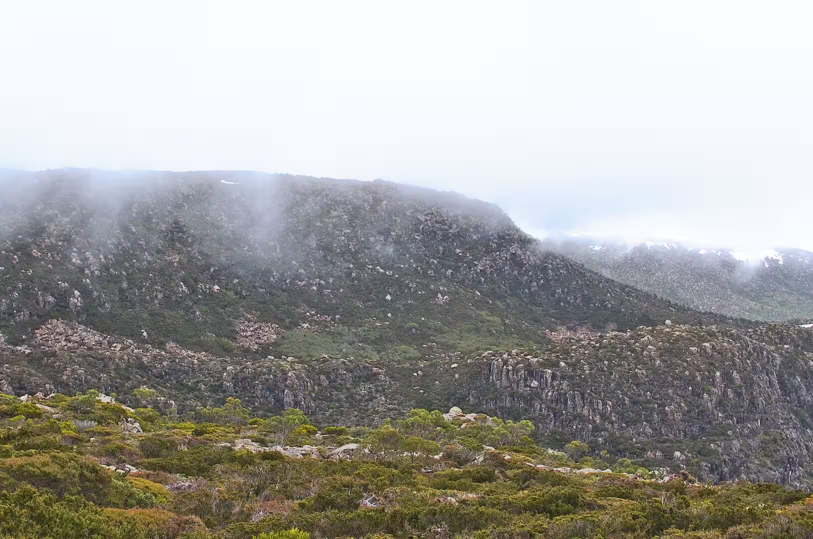
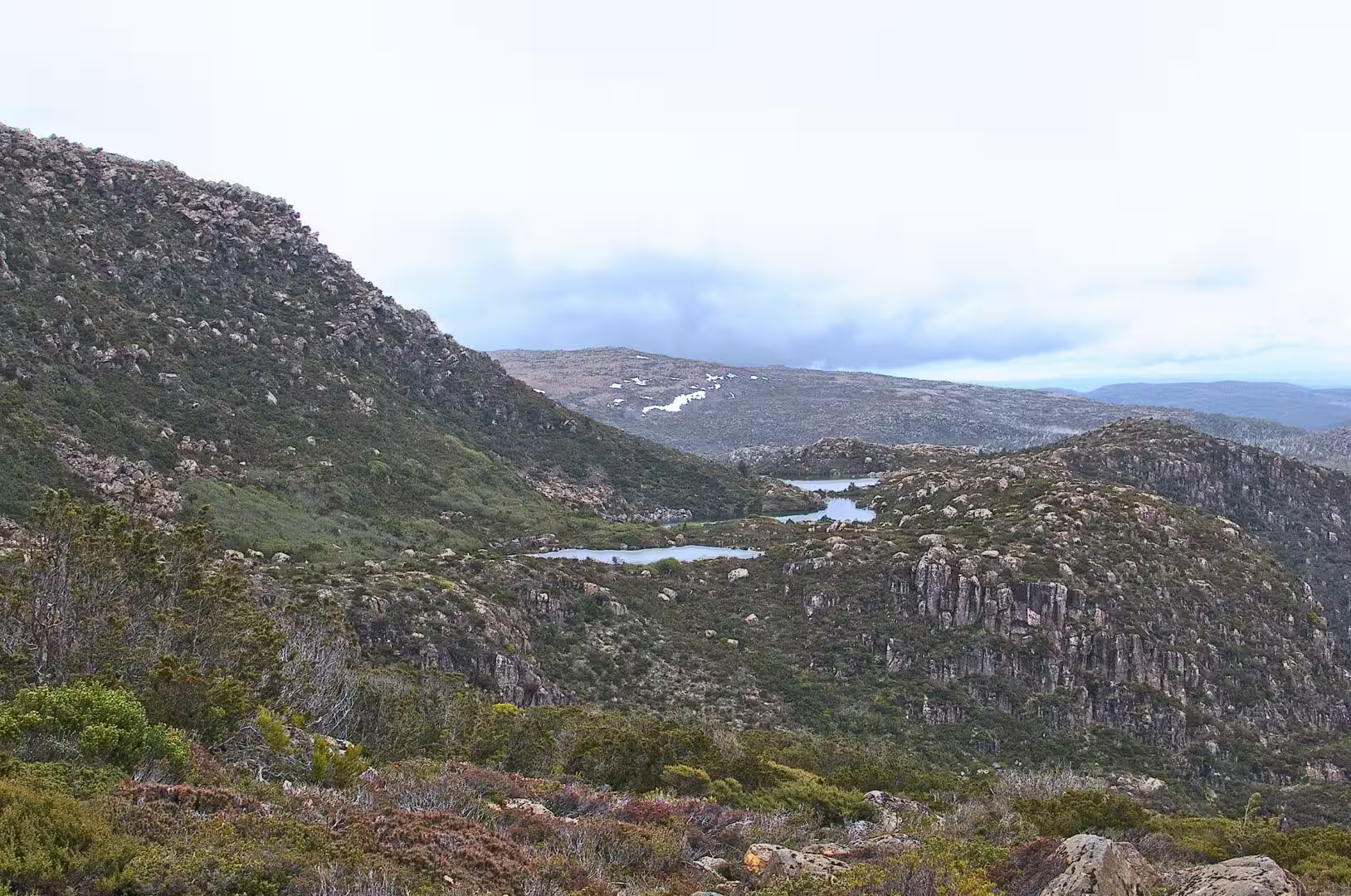
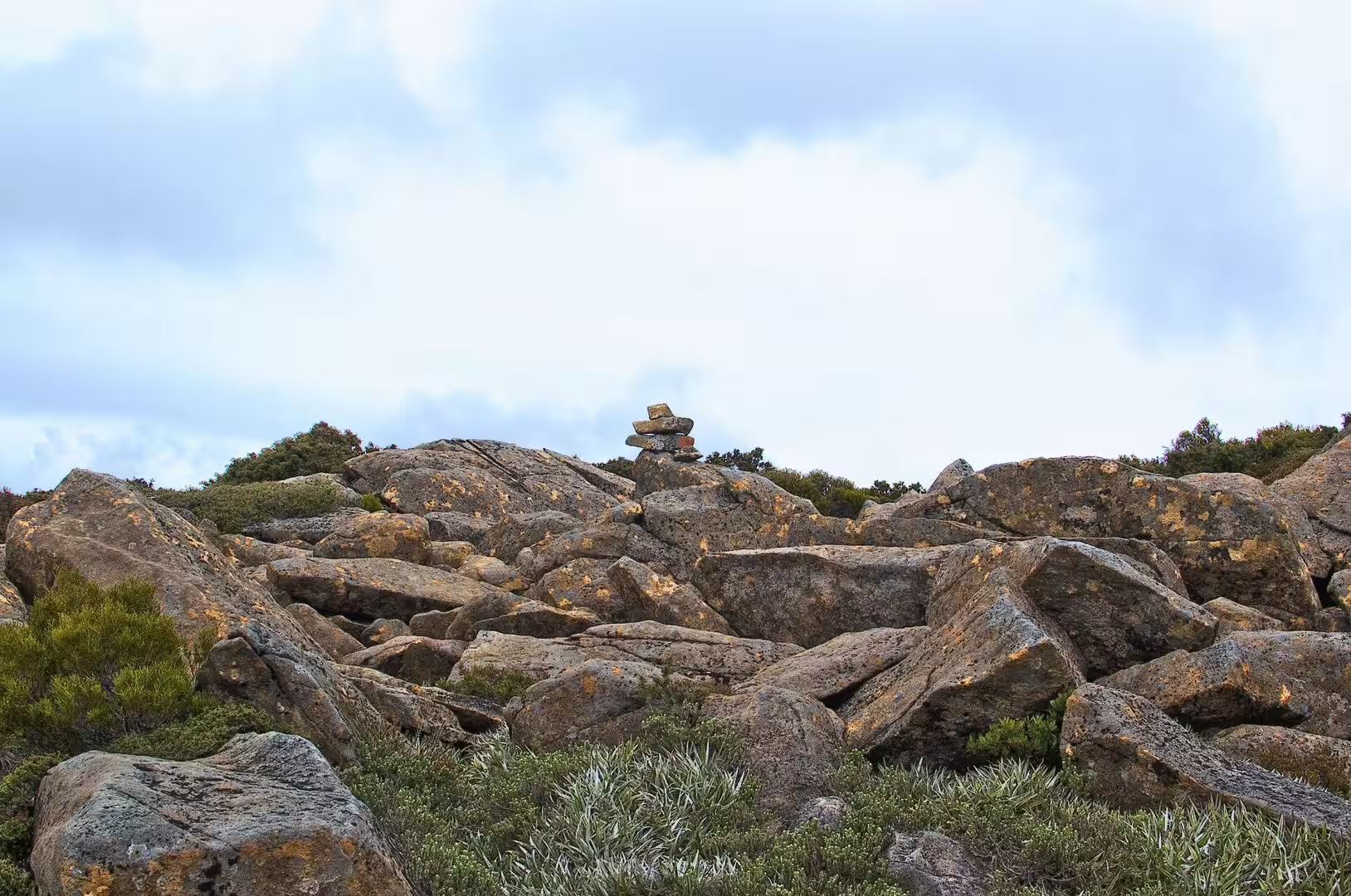
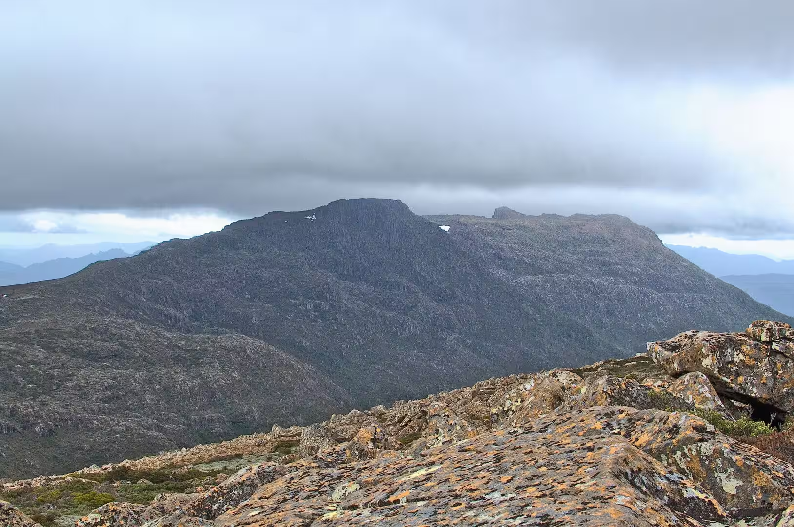
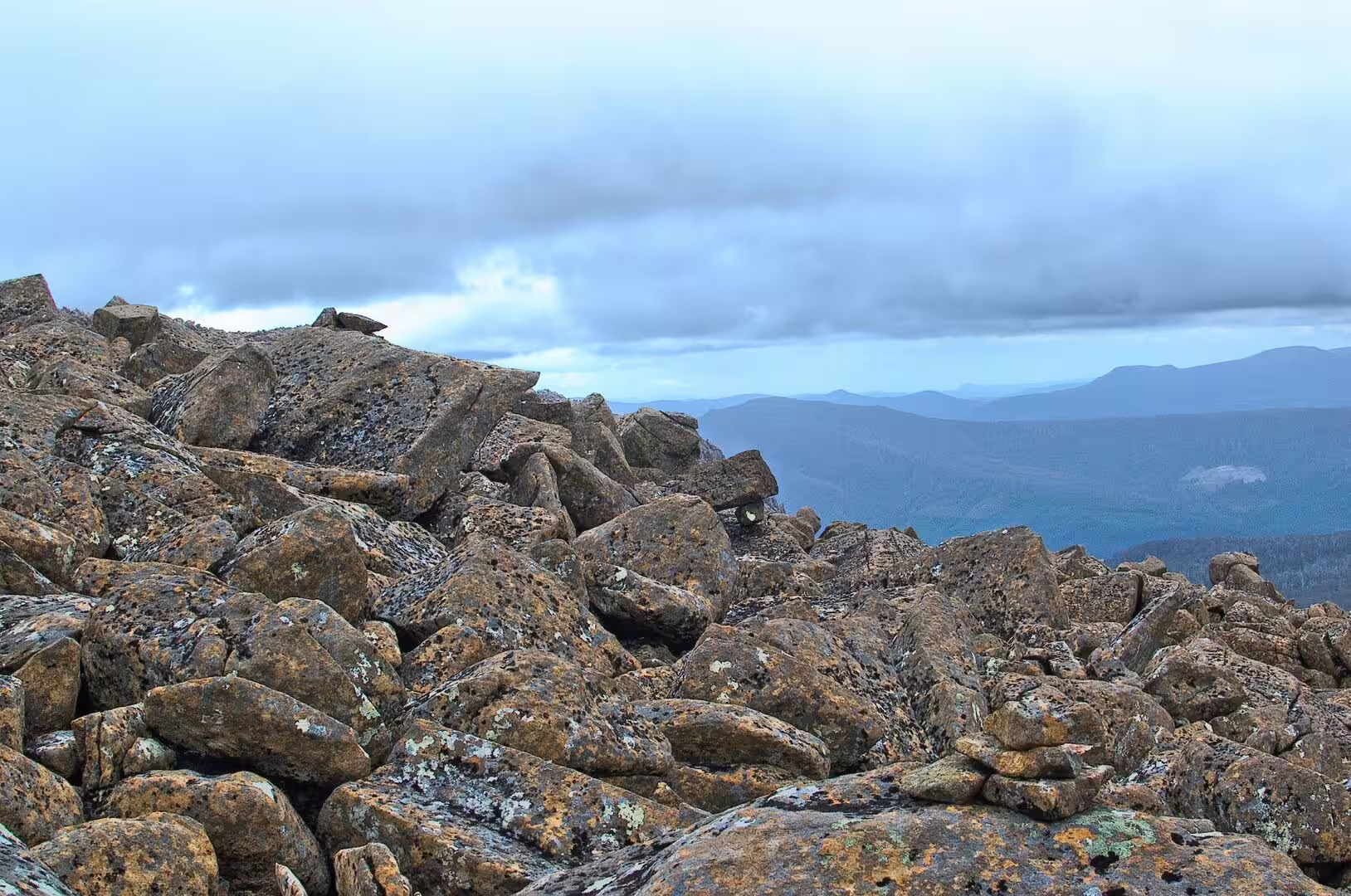
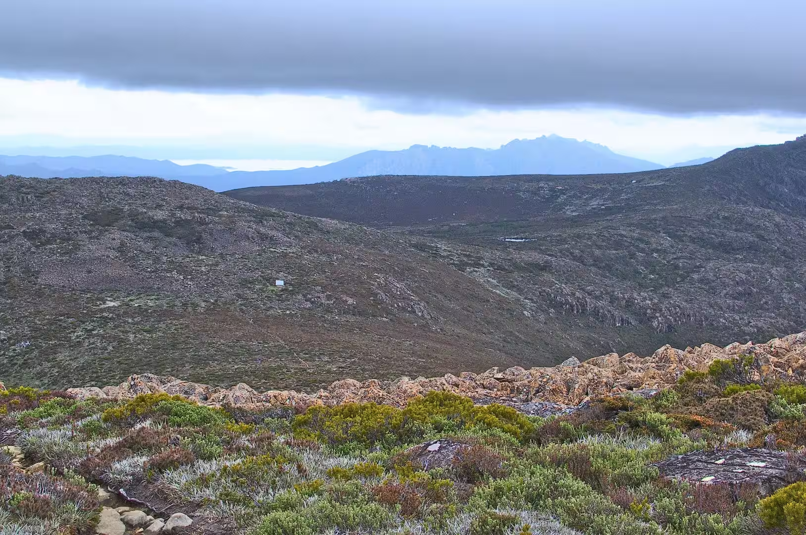
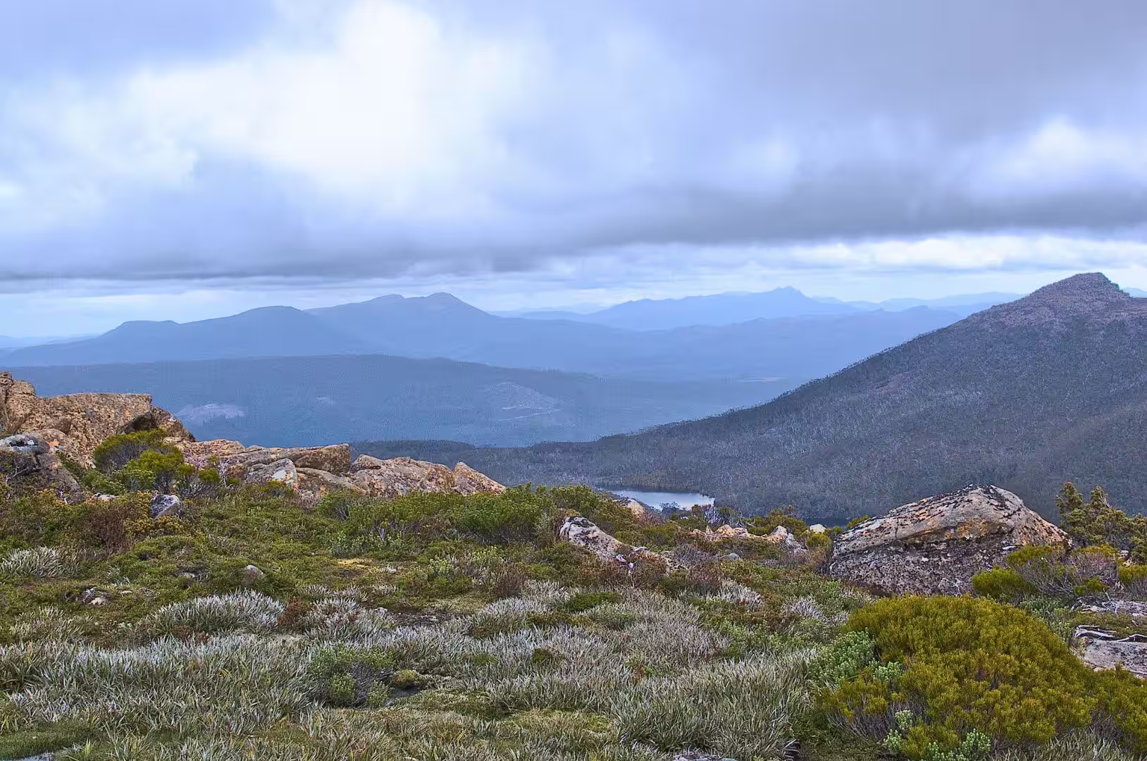
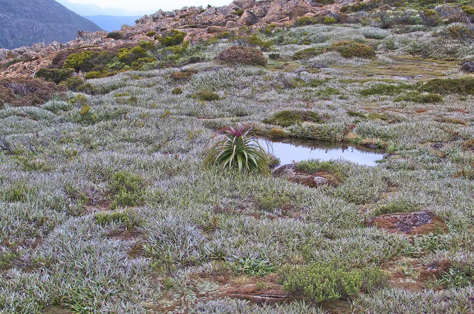
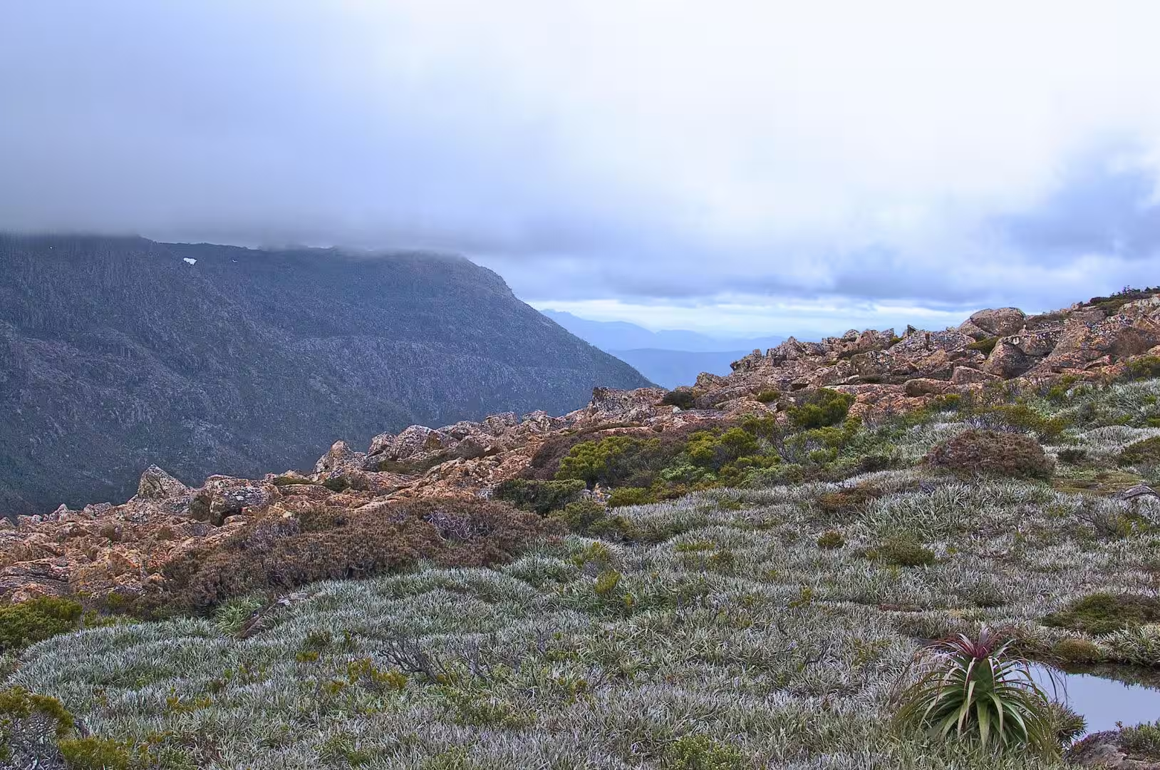
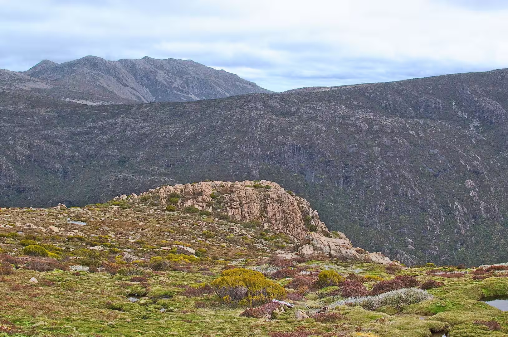
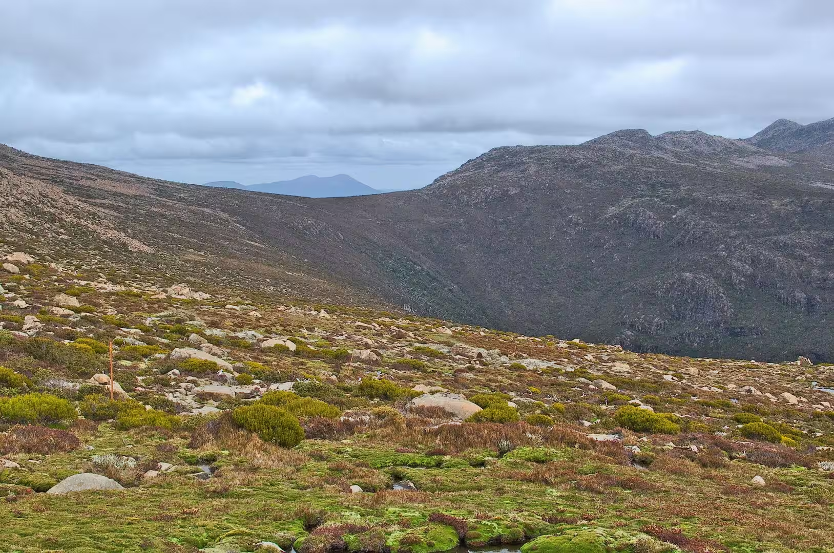
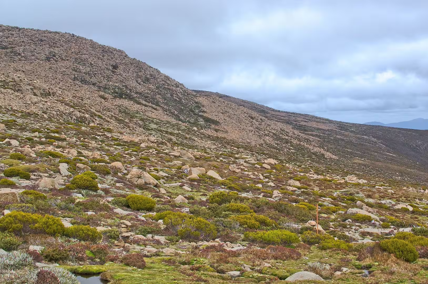
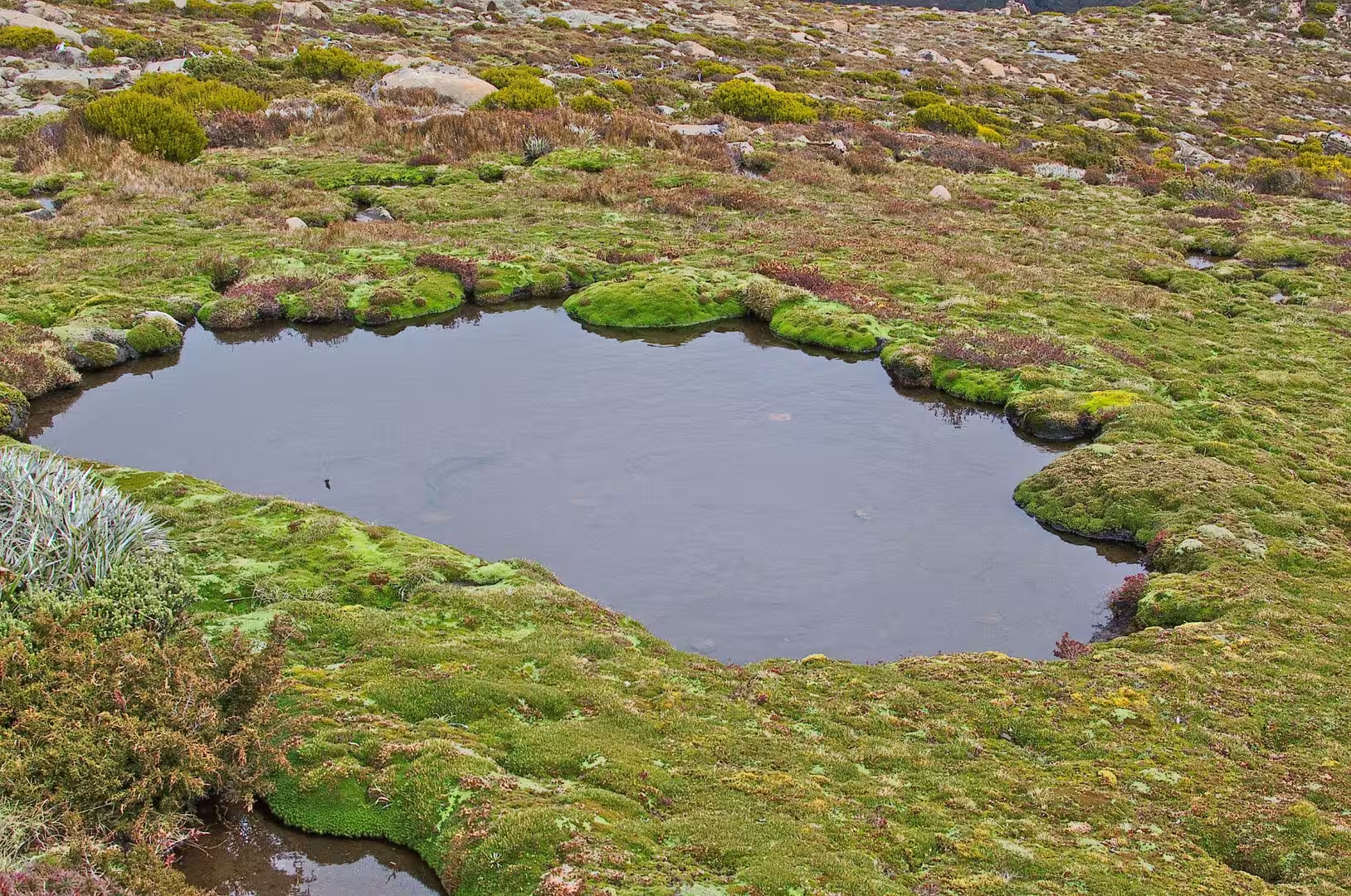
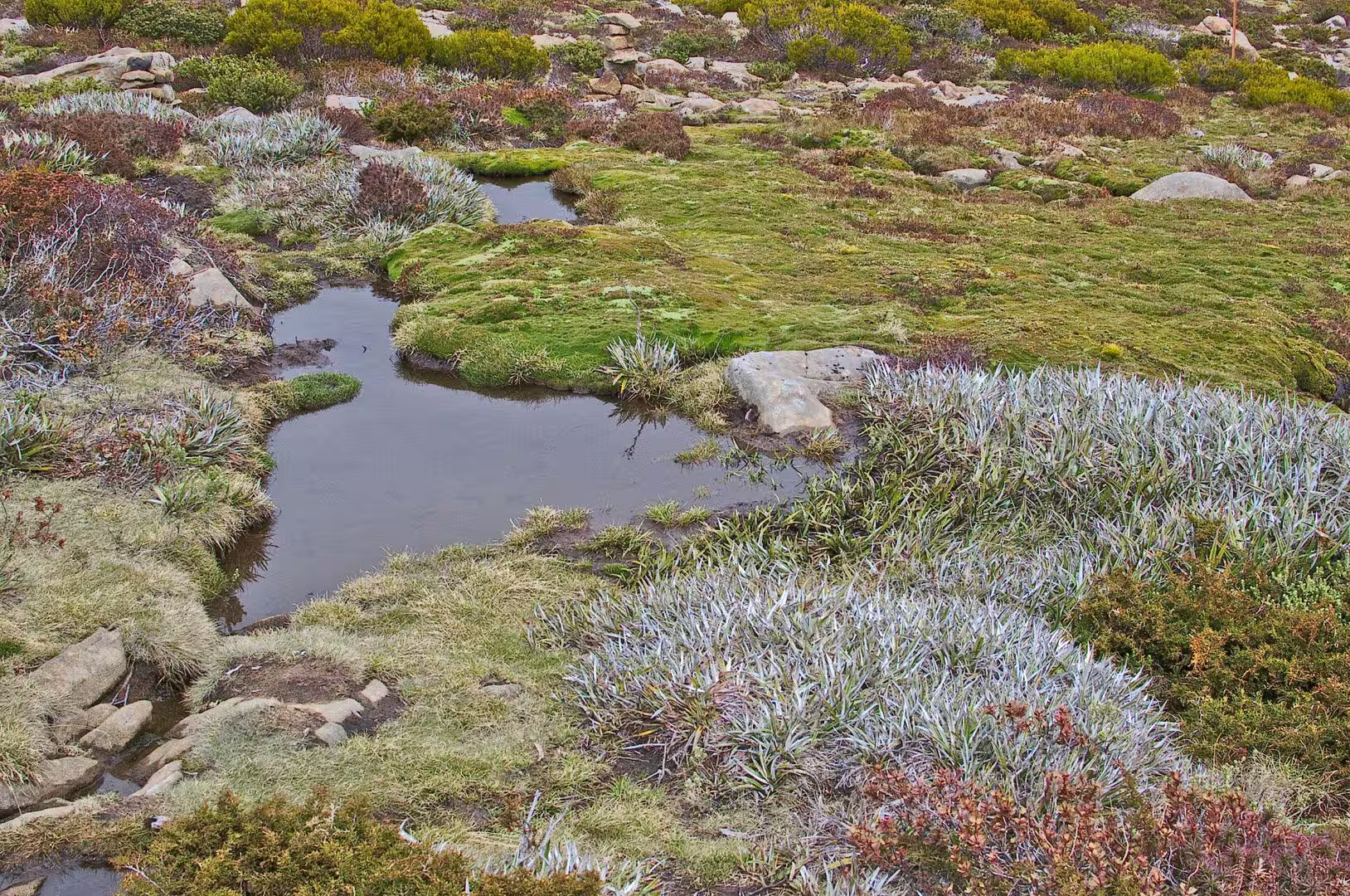
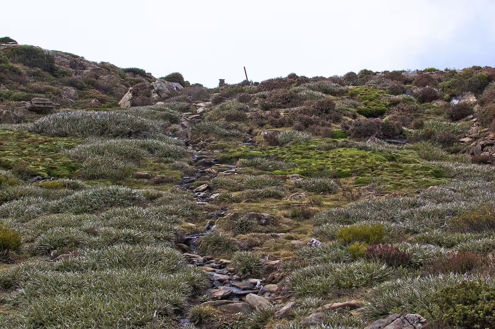
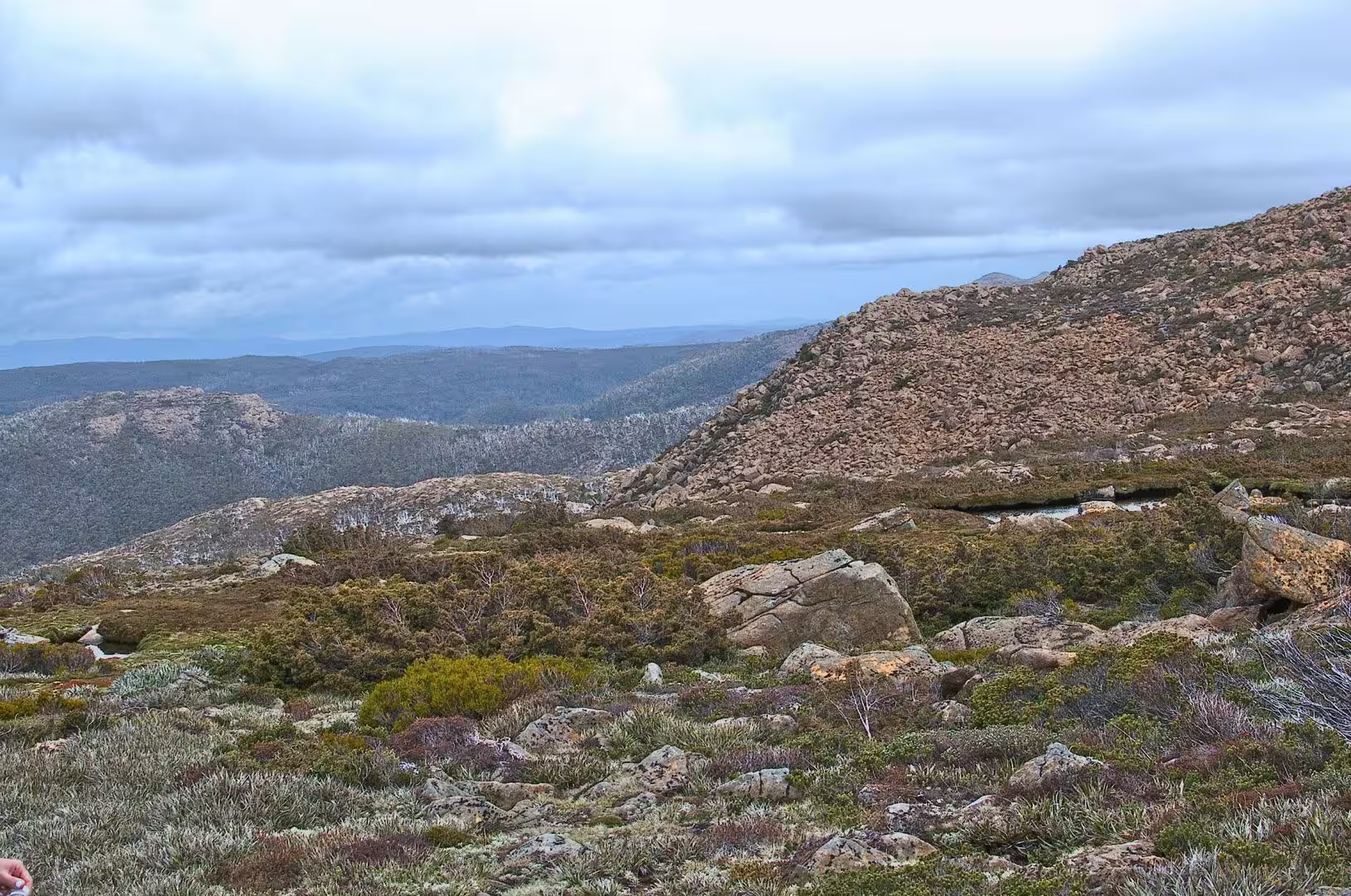
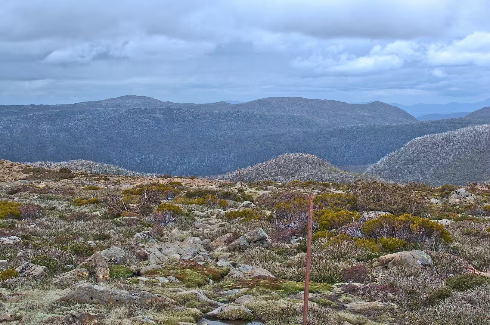
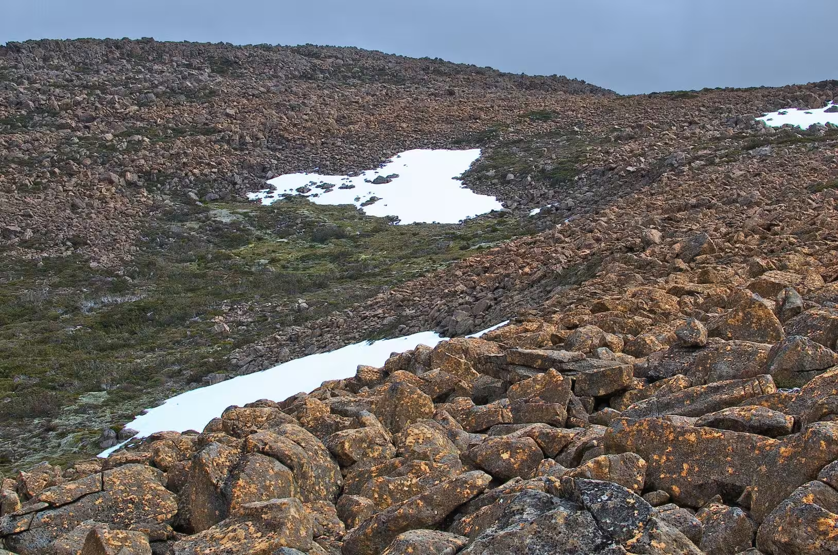
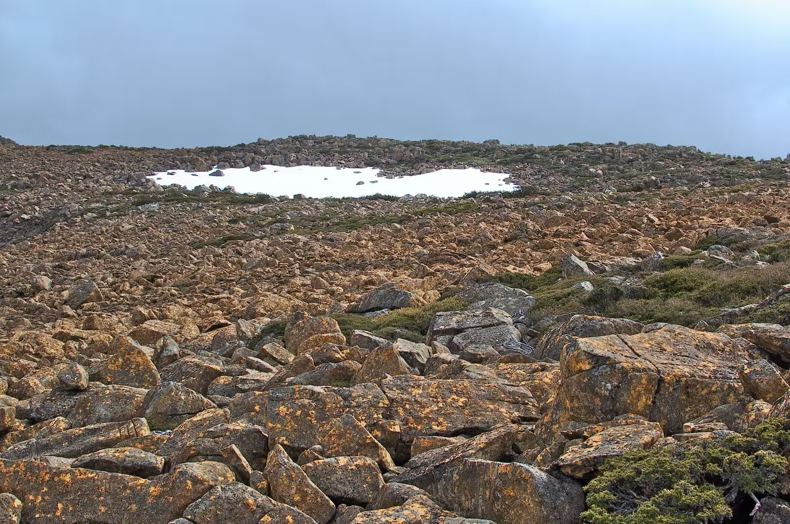
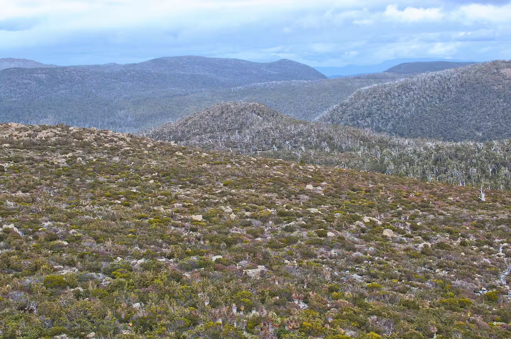
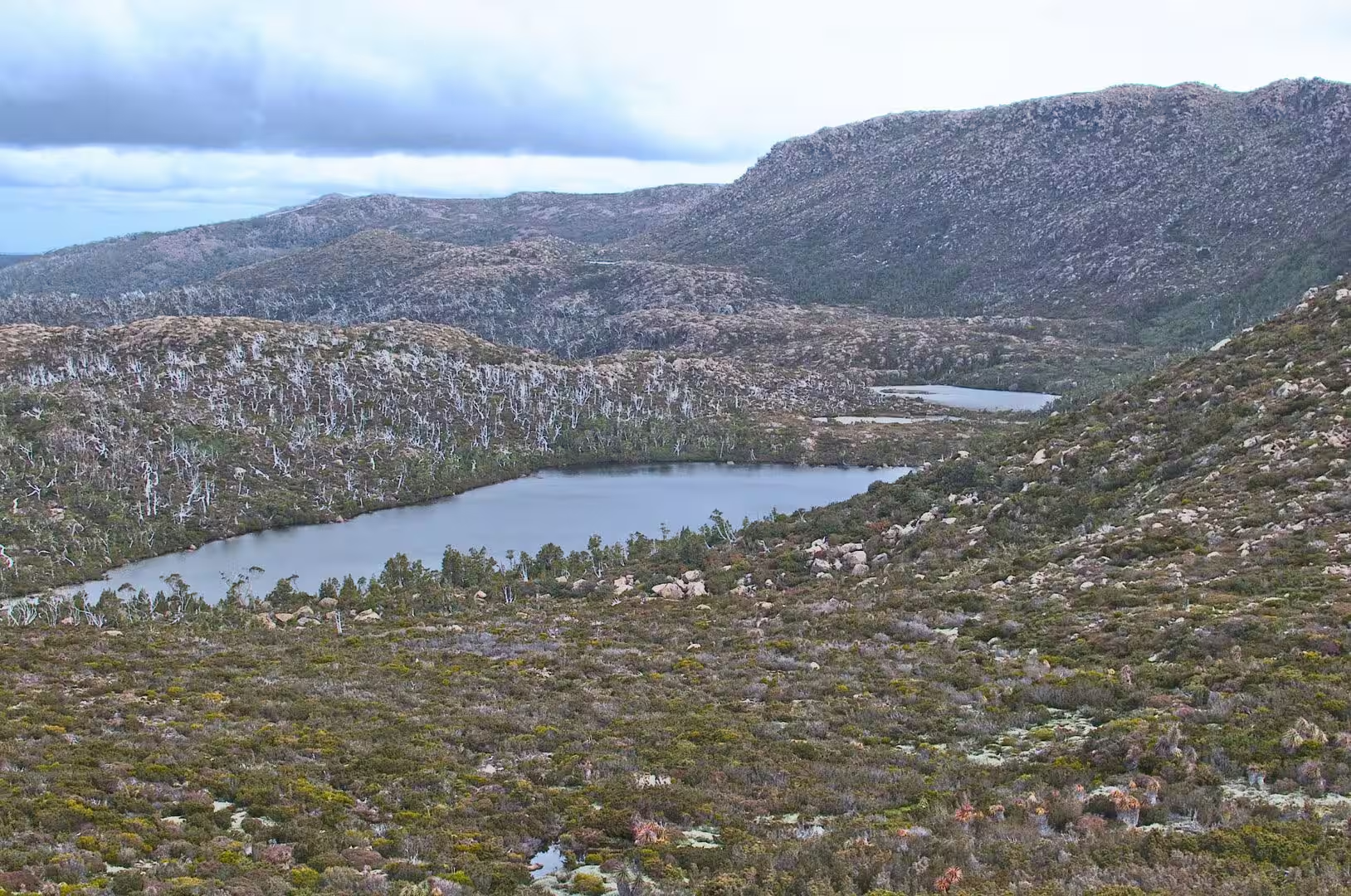
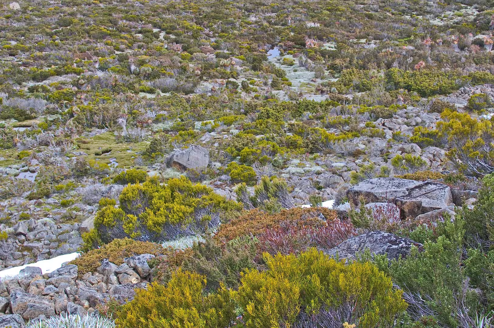
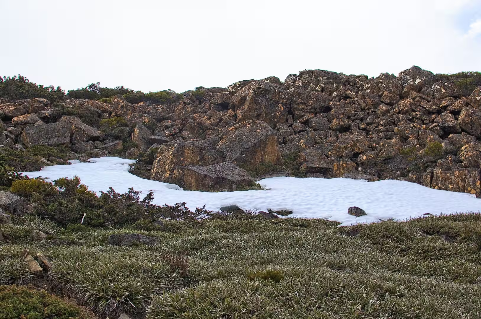
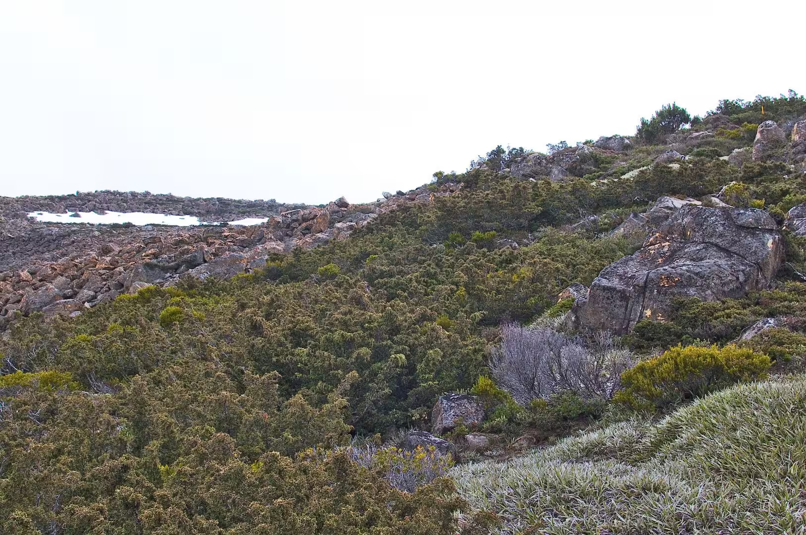
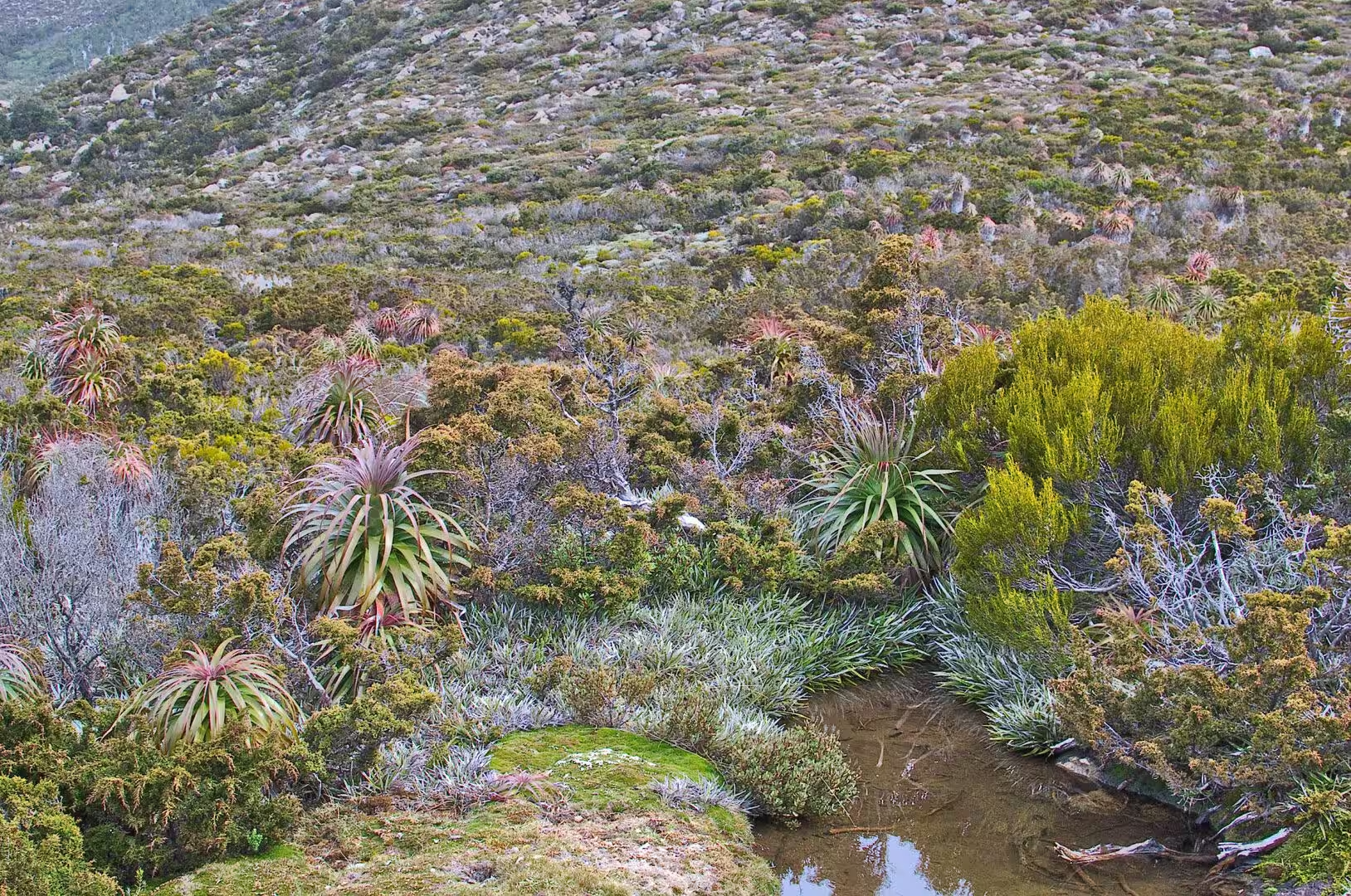
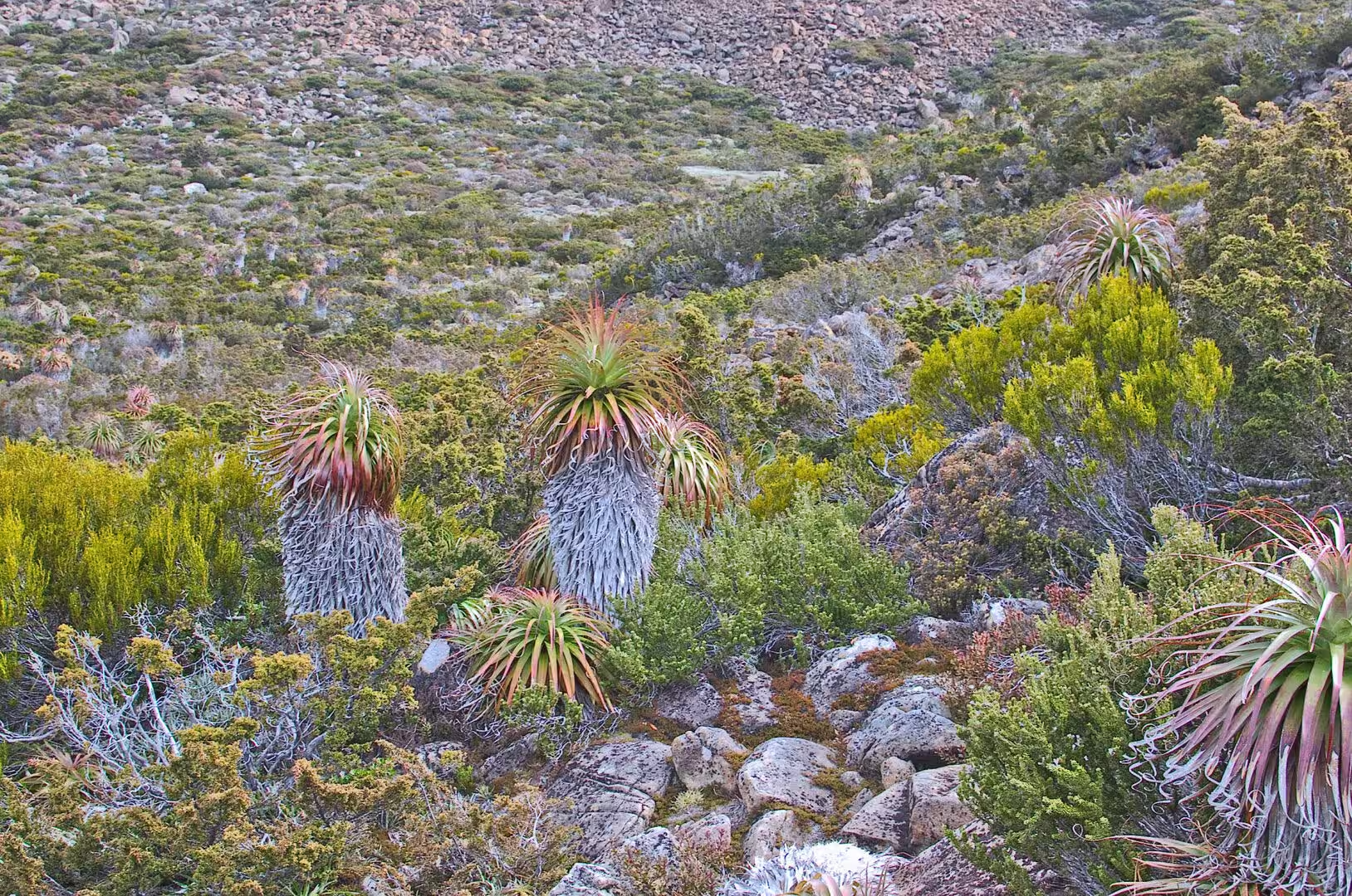
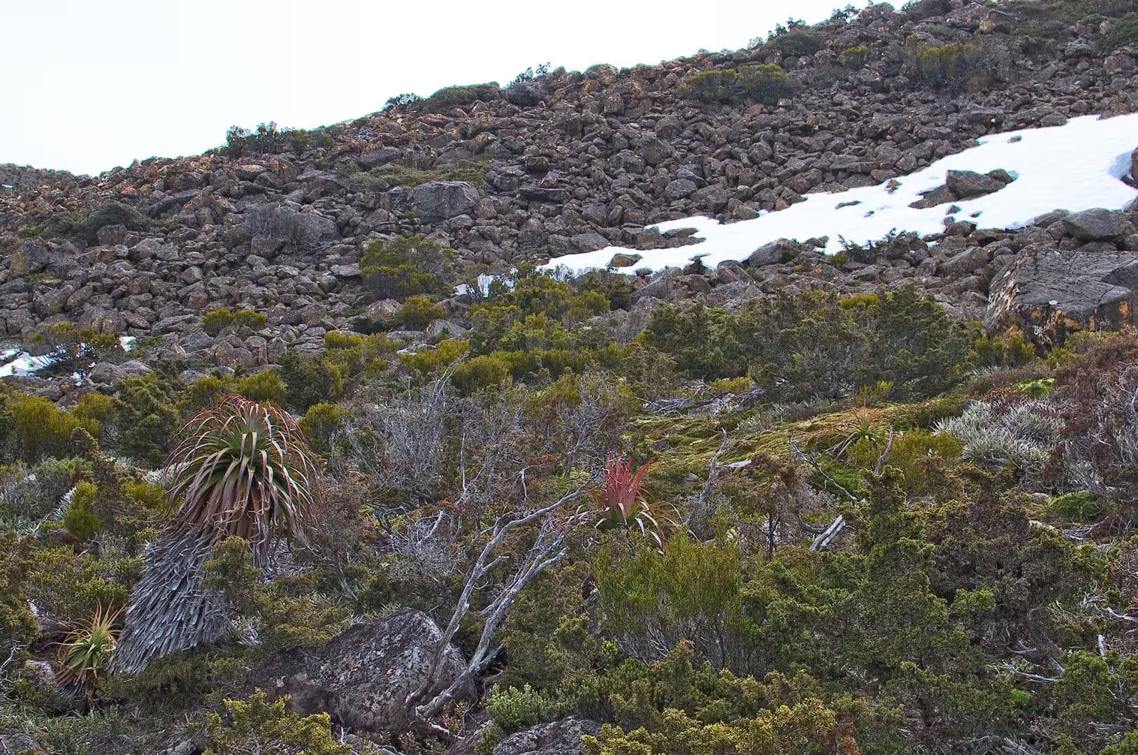
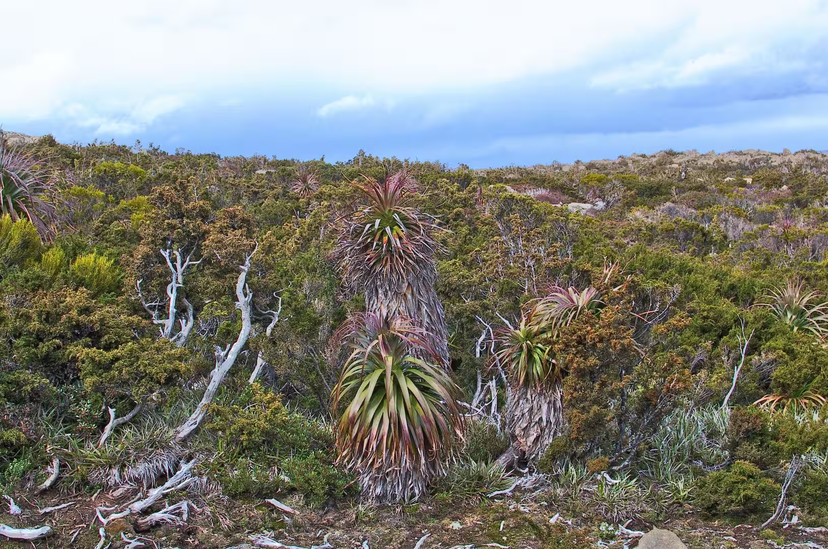
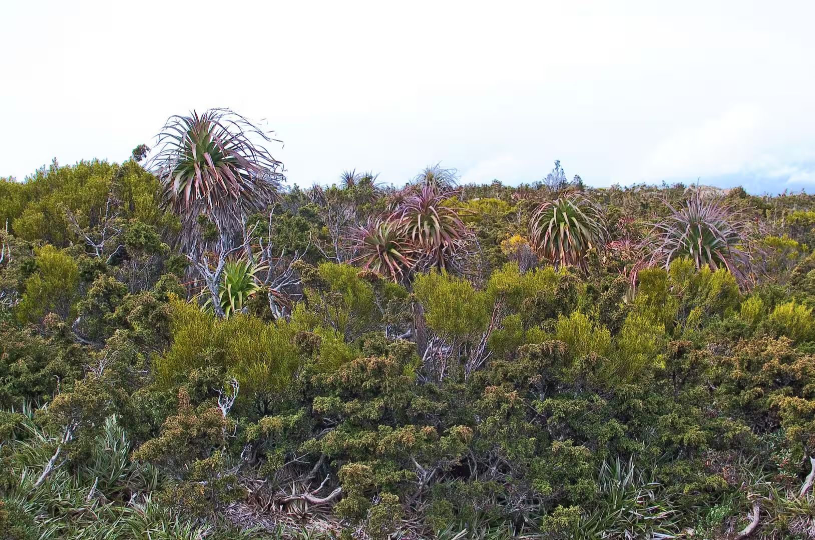
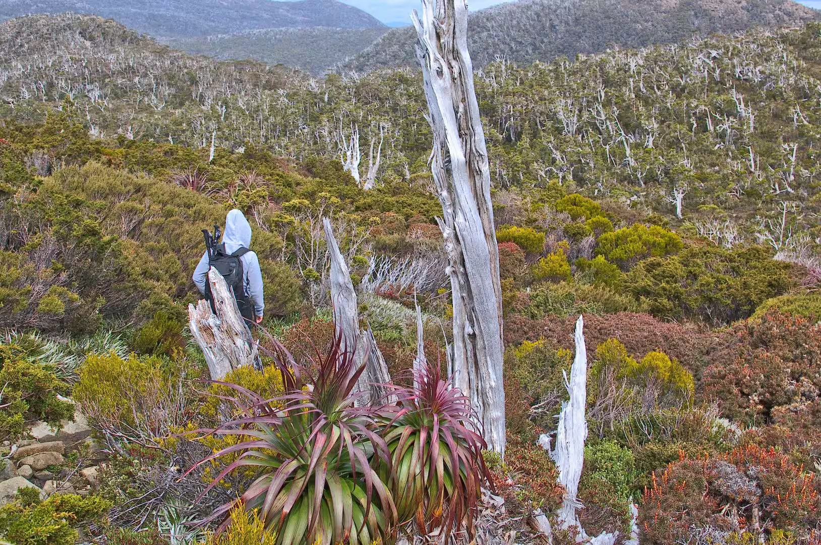
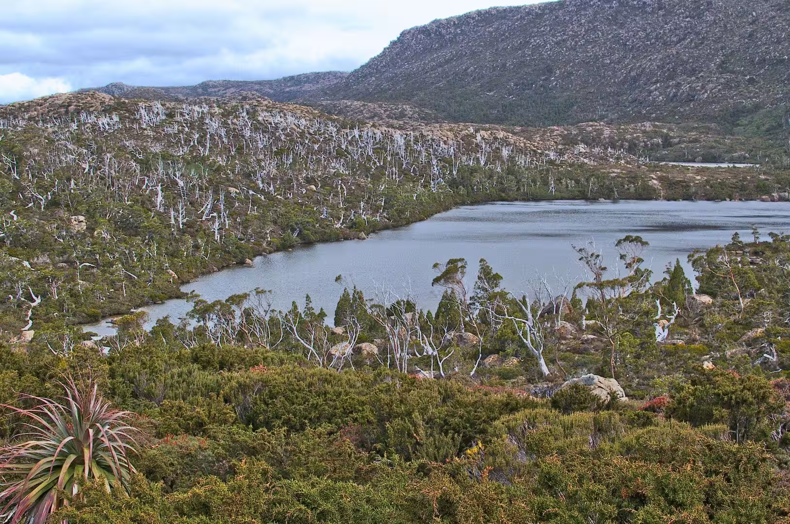
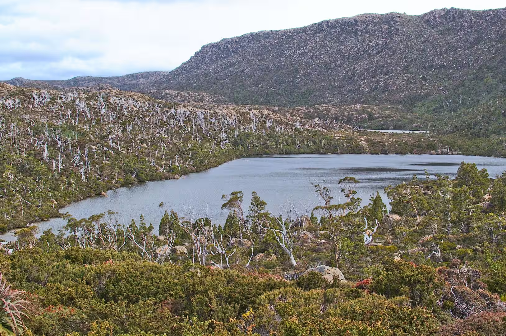
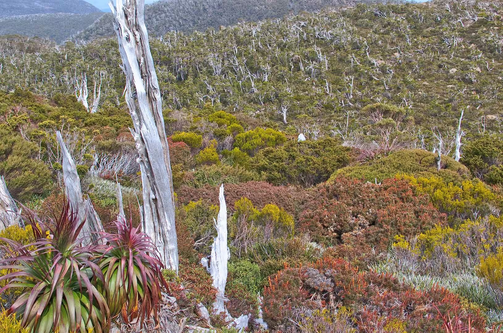
The country above the road is like nothing at low altitude in Australia. The plateau of Mount Field is an alpine moorland at a little over a thousand metres, with twisted snow gums, boulders covered in orange lichen, cushions of flowering heath, small dark tarns in the hollows, patches of snow that survive into the summer, and the extraordinary plants of the Tasmanian mountains: the pandani with its skirt of spiky leaves, the cushion plants that grow as flat mats a few centimetres high, and the tussock grasses of the wet ground.
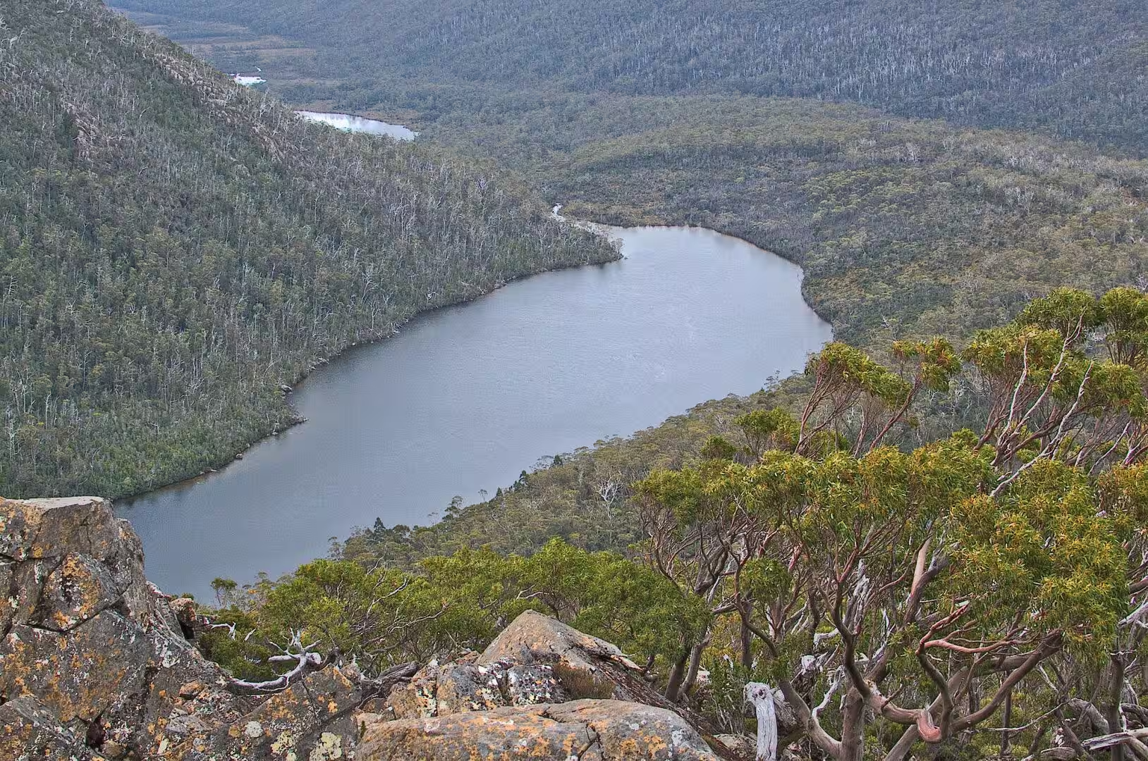
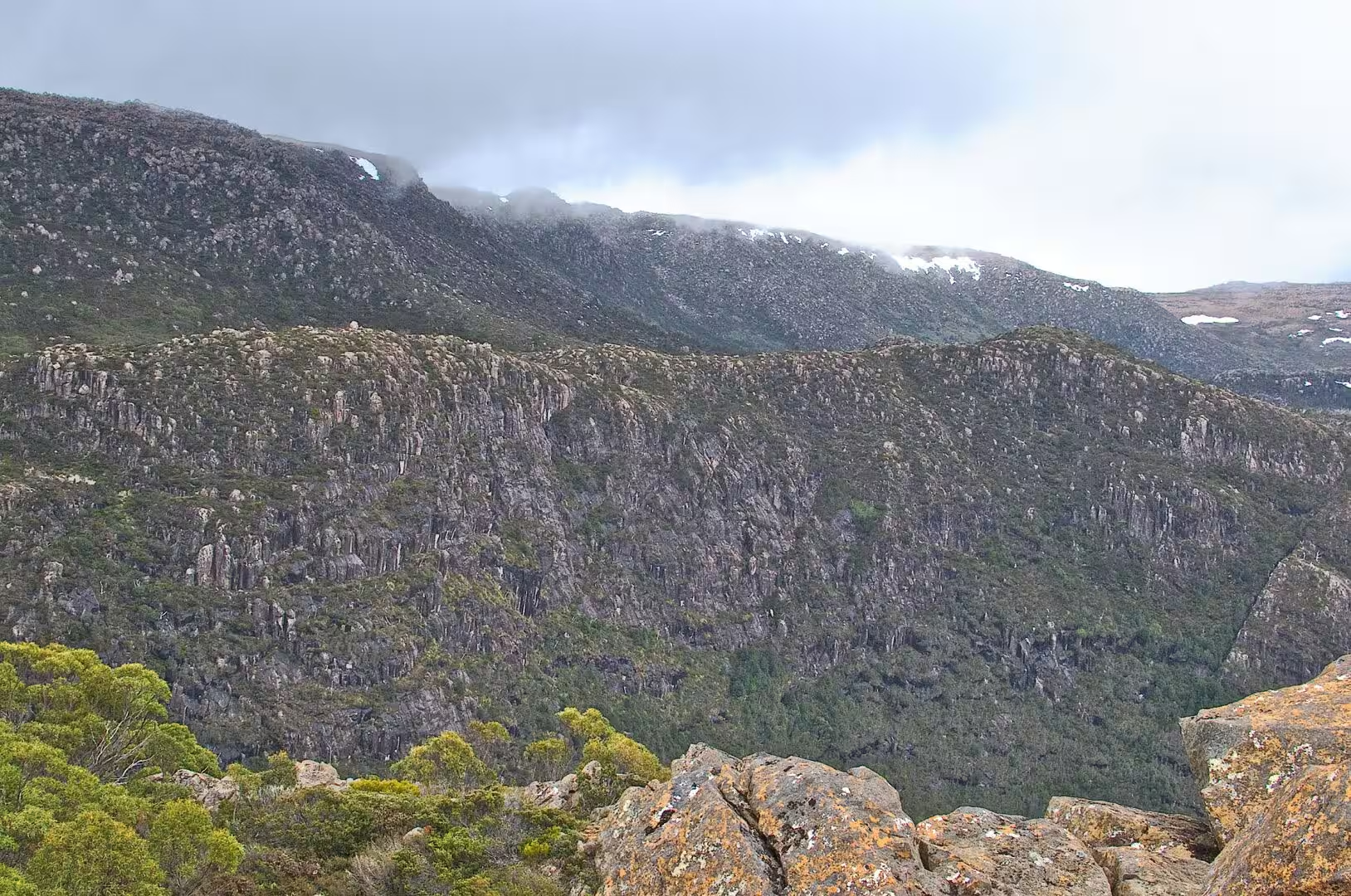
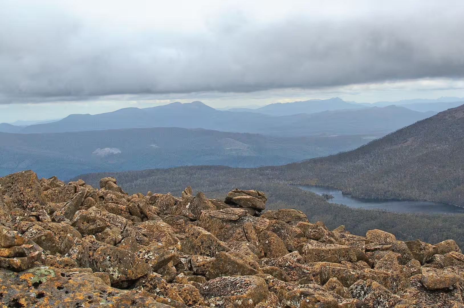
The day was spent walking the plateau. The tracks from the lake lead up through the moorland to the shelf of small tarns on the shoulder of the range, past lookouts over the valleys on both sides, and the walking is slow because the ground is rough, the vegetation is dense and the weather insists on being noticed. Cloud comes over the ridge in the middle of the day, the temperature drops by several degrees, and the view opens again as suddenly as it closed.
The evening was spent at the lake, where the light stays long in the southern summer and the water reflects the ridge above it. The cabins and the huts of the walking clubs stand among the trees at the end of the road, and the sounds of the place after the day visitors have gone are the wind in the eucalyptus and the calls of the birds of the high country.
History
Mount Field is the oldest national park in Tasmania, and one of the oldest in Australia. The area around Russell Falls was set aside as the island’s first nature reserve in 1885, the national park itself was declared in 1916 together with Freycinet on the east coast, and the reserve was renamed for Judge Barron Field, who visited the colony as an itinerant judge in 1819 and 1821. The park was called simply National Park until 1947, which is a measure of how early the protection came.
The region is also the place where the last wild thylacine was captured, in 1933, and the story of the Tasmanian tiger runs through the history of the park and the island. The animal had been persecuted as a threat to sheep for decades, a bounty was paid for its skin, and the last known individual died in a zoo in Hobart in 1936. The reports of sightings that continued for years afterwards never produced evidence that stood up, and the species is now the emblem of extinction in Australia.
The human history of the plateau is short and mostly recent. The mountains were visited by surveyors and botanists in the nineteenth century, the first walking tracks were cut in the early twentieth, and the road up to the lake was built so that the snow could be reached in winter. Ski clubs built huts on the slopes, the government built cabins by the lake, and the pattern of the place today, with a visitor centre at the bottom and a small ski area at the top, is the result of a hundred years of the same use.
The park is also part of the wider protected estate of the island. The Tasmanian Wilderness World Heritage Area, which covers a fifth of the state, begins in the mountains to the west, and Mount Field is one of the places where the transition from the managed forest to the wilderness is visible: the same eucalyptus species grow on the slopes below, the same dolerite is under the ground, and the boundary between the two is a line on a map rather than anything the walker can see.
The early visitors came for the waterfalls and the scenery, and the road up to the lake was built so that the winter snow could be reached. Skiing began on the slopes above Lake Dobson in the middle of the twentieth century, the clubs built their huts along the access road, and a small ski area with a lodge and tows still operates when the snow allows. In a good winter the skiing is on the plateau; in most years the snow comes and goes within days, which is why the walking boots outnumber the skis in the car park.
Geology
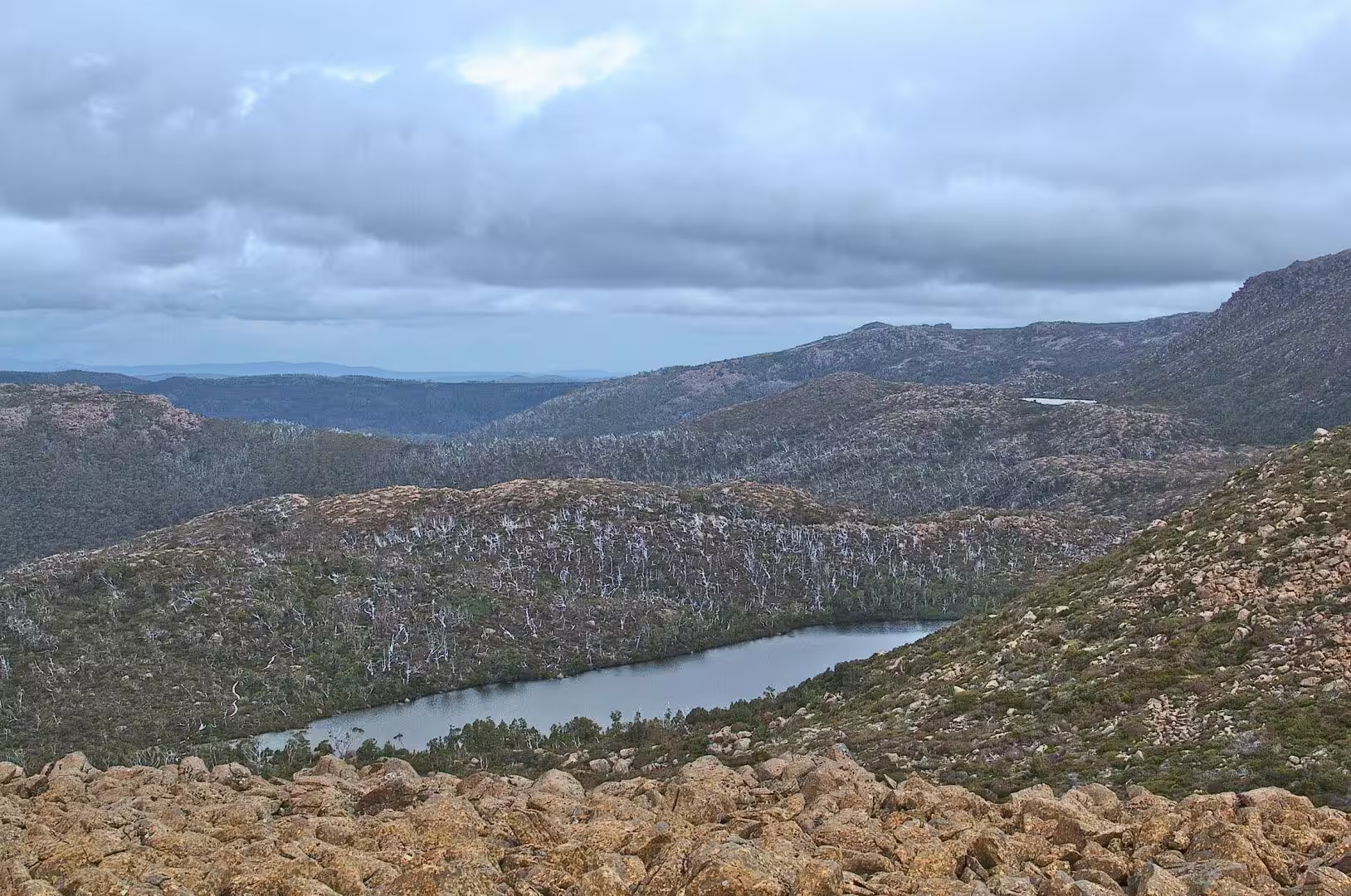
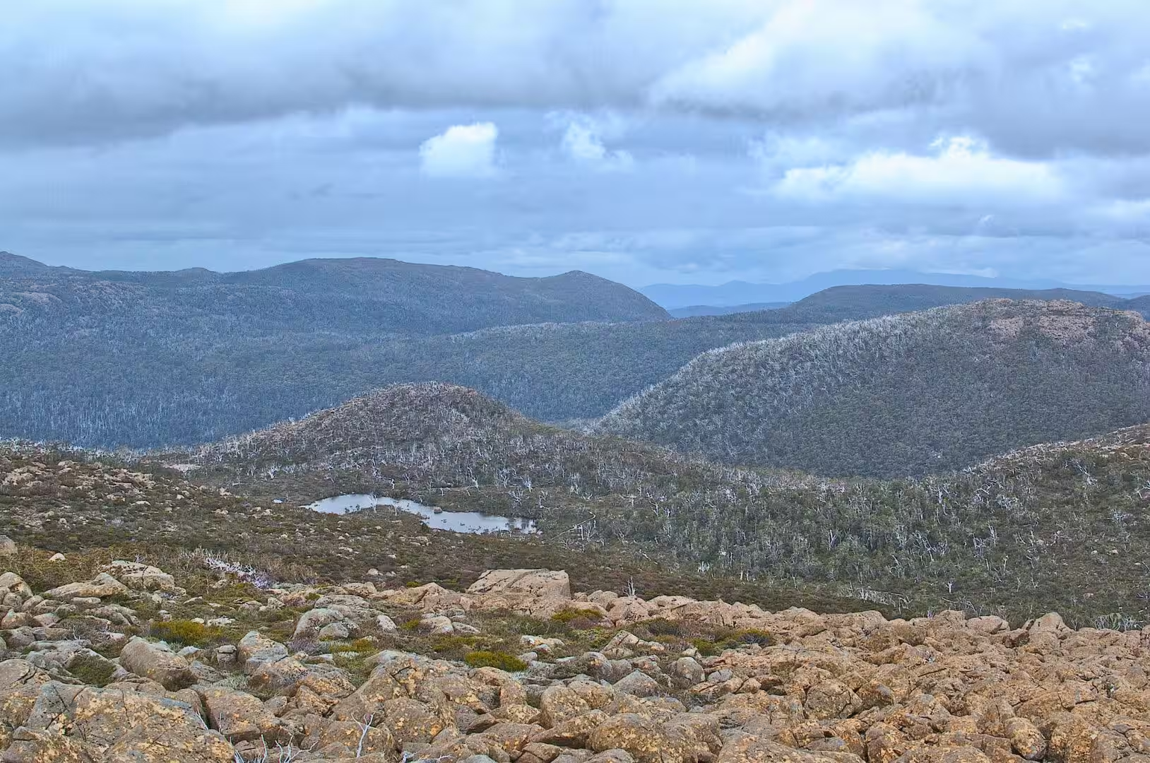
The shape of the plateau is the work of ice. During the ice ages of the Pleistocene a snowfield covered the top of Mount Field and fed glaciers into the valleys around it. A glacier twelve kilometres long carved the broad valley and the cirque walls above Lake Seal, the tarns of the shelf and the hollows of Twisted Tarn and Twilight Tarn were scooped out by the ice, and a separate glacier flowed south from the Rodway Range to form the lakes of the southern valleys. The plateau that the walker crosses is the floor of that system.
The rock beneath it is dolerite again, the same Jurassic intrusion that forms the cliffs of the Tasman Peninsula and the crags of the south east, here sitting as thick sheets inside the older sedimentary rocks of the central highlands. The dolerite weathers into the boulders that cover the moorland and the columns that stand at the edges of the plateau, and it produces the thin, acid, waterlogged soils in which the alpine plants of the island have evolved.
The climate of the plateau is the reason the vegetation is alpine at all. Mount Field is at the latitude of the roaring forties, in the path of the westerly winds that circle the Southern Ocean, and the weather is cool, wet and windy in every month of the year. Snow falls in winter and lies for weeks, frosts occur in summer, and the growing season at a thousand metres is short. Tasmania has around a hundred and twelve thousand hectares of alpine and subalpine habitat, about two per cent of the island, and more than half of the alpine country of the whole of Australia.
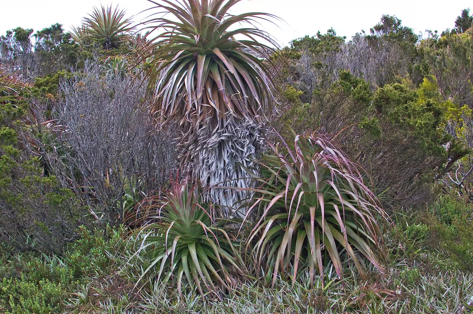
The vegetation that has evolved in those conditions is unlike anything else in the country. The pandani, an endemic member of the heath family, grows as a rosette of serrated strap-like leaves on a stem that can reach twelve metres, taller in sheltered gullies than in the open; the cushion plants grow as woody mats with deep taproots that stay under thirty centimetres high; and the tussock grasses and the heath fill the ground between the boulders. The alpine garden of the plateau is the result of slow growth and hard weather, and it is easily damaged by feet.
The water of the plateau is part of the same story. The tarns are small, shallow and dark, sitting in hollows that the ice scooped out and that the peat and the vegetation now hold; they warm quickly in the sun, freeze in the winter, and rise and fall with the rain. The soils around them are thin, acid and leached, with a layer of peat over the rock in the wet hollows and bare dolerite gravel on the ridges, and the whole surface is worked by frost: the ground freezes and thaws, the stones move, and the patterned ground of the moorland is the result.
The dolerite of the plateau has one property that shapes the walking more than any other: it breaks in blocks and columns rather than into soil. The boulders that cover the moorland are the pieces that the frost has split away, and they are what the walker steps on for most of the day. Where the rock is bare the vegetation is thin, where the boulders are packed the heath grows between them, and the whole surface is a mosaic of rock, heath, tarn and gravel that the tracks follow because nothing else can.
Things to See
The walking on the plateau is the reason to come, and there is more of it than a day allows. The circuit of the lake is the shortest introduction, the track to the tarn shelf is the classic half day, and the longer routes connect the shelf with the higher ridges and the lakes beyond them. The tracks are marked with wooden posts and cairns, the times on the signs assume reasonable weather, and the walker who goes beyond the signposted routes needs a map and the ability to use it.
The plants are the thing to look at closely. The pandani is the signature of the Tasmanian mountains, a rosette of long spiky leaves on a stem, with panicles of white or deep pink flowers in the summer, and it grows in colonies on the wet slopes where the snow lies longest. The cushion plants are the other speciality, their flat mats of tiny leaves and their white or pink flowers pressed against the ground between the rocks, and the boulders themselves carry the orange and grey lichens that give the moorland its colour.
The wildlife of the high country is quieter than on the coast. The birds are the small honeyeaters and wrens of the heath, the skinks and frogs are in the wet ground, and the larger animals keep to the forest below. The wallabies and pademelons come out at dusk on the edge of the trees, the wombats leave their burrows in the evening, and the quolls and the devils are almost never seen by the daytime walker.
The practical side of a day here is mostly about weather. The road to the lake is sealed and short, the visitor centre at the bottom has information and food, and the huts and the cabins at the top are for the clubs and the government rather than for casual visitors, so the plan should be to walk and return rather than to stay. Waterproof clothing, boots that grip wet rock and a spare layer are the standard kit, in summer as much as in winter, because the mountain makes its own weather and the forecast for the valley below is not the forecast for the plateau.
A second day on the plateau should be spent on the longer walks rather than the short ones. The track out to the tarn shelf and back takes most of a day, the route over the Rodway Range to the lakes beyond it takes the whole of one, and the tracks connect with the fire trails that cross the park. The rock and the vegetation are the same everywhere and the views are different from every ridge, which is the point of walking here: the plateau is not a single summit but a country of hollows, shelves and small peaks that has to be crossed to be understood.
References
- Wikipedia contributors (2026). Mount Field National Park. en.wikipedia.org/wiki/Mount%20Field%20National%20Park
- Wikipedia contributors (2026). Alpine vegetation of Tasmania. en.wikipedia.org/wiki/Alpine%20vegetation%20of%20Tasmania
- Wikipedia contributors (2026). Tasmanian cushion plants. en.wikipedia.org/wiki/Tasmanian%20cushion%20plants
- Wikipedia contributors (2026). Richea pandanifolia. en.wikipedia.org/wiki/Richea%20pandanifolia
- Wikipedia contributors (2026). Cushion plant. en.wikipedia.org/wiki/Cushion%20plant
- Wikipedia contributors (2026). Tasmanian Wilderness. en.wikipedia.org/wiki/Tasmanian%20Wilderness
- Wikipedia contributors (2026). Eucalyptus regnans. en.wikipedia.org/wiki/Eucalyptus%20regnans
- Wikipedia contributors (2026). Cradle Mountain-Lake St Clair National Park. en.wikipedia.org/wiki/Cradle%20Mountain-Lake%20St%20Clair%20National%20Park
- Wikipedia contributors (2026). Tasmania. en.wikipedia.org/wiki/Tasmania
- Wikipedia contributors (2026). Hobart. en.wikipedia.org/wiki/Hobart
- Wilson R., Hannan D. (1995) From ice to ice-free: Glaciation in the Lake Ayr Valley, central Tasmania. Papers and Proceedings of the Royal Society of Tasmania. 129. 35-41. doi.org/10.26749/rstpp.129.35
- Mills S.C. (2012) Late Pleistocene glaciation at Lake St Clair, Tasmania, Australia. Quaternary International. 279-280. 328-329. doi.org/10.1016/j.quaint.2012.08.945
- (ohne Angabe) (2017) Richea pandanifolia. CABI Compendium. doi.org/10.1079/cabicompendium.47572
- Curtis W.M. (1940) Observations of the stem anatomy of the genus Richea. Papers and proceedings of the Royal Society of Tasmania. 33-34. doi.org/10.26749/nmpr6137
- PHARO E.J., KIRKPATRICK J.B. (1994) Vegetation of the alpine sand dunes at Lake Augusta, Tasmania. Australian Journal of Ecology. 19. 319-327. doi.org/10.1111/j.1442-9993.1994.tb00495.x