Day 3 - Mount Field National Park











Journal Notes
General
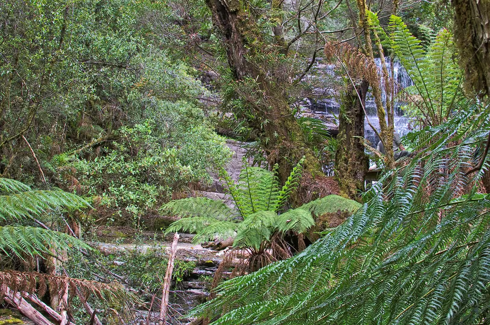
The third day was spent in the forest at the foot of the mountain. The road from the visitor centre leads to a car park under the eucalyptus, and from there a paved track follows the creek upstream through a gully of tree ferns and moss to the first and largest of the waterfalls of Mount Field.
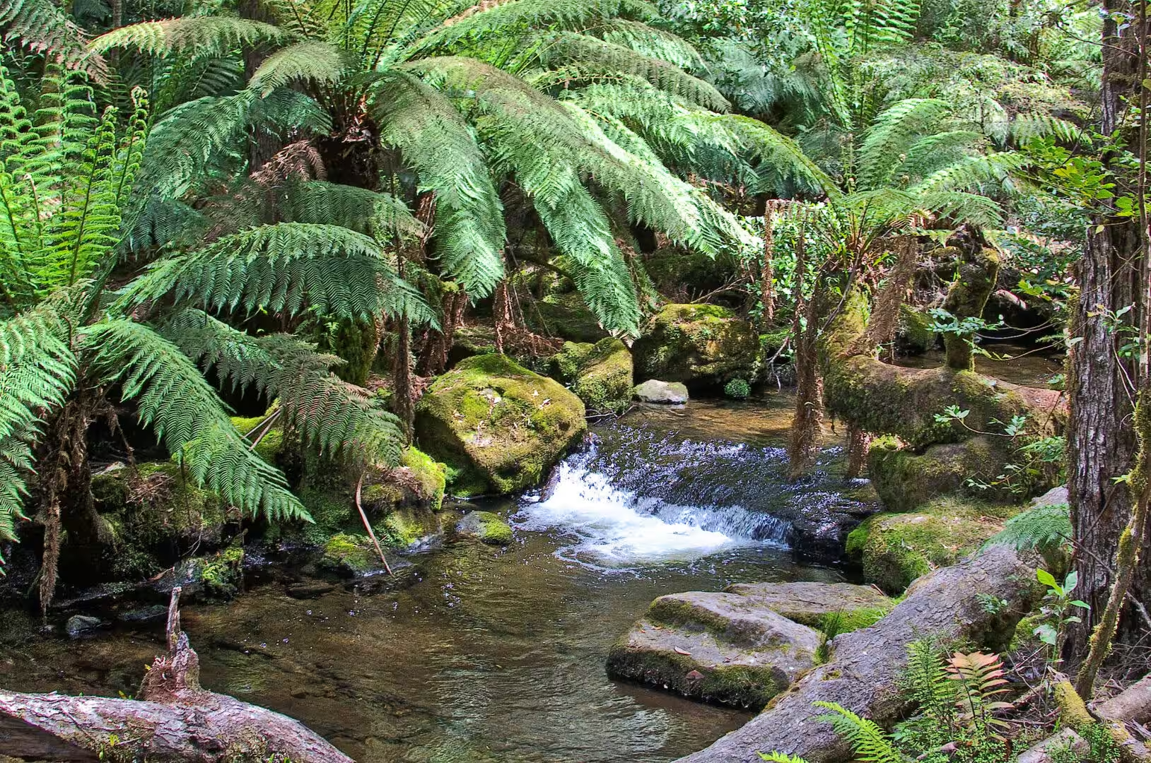
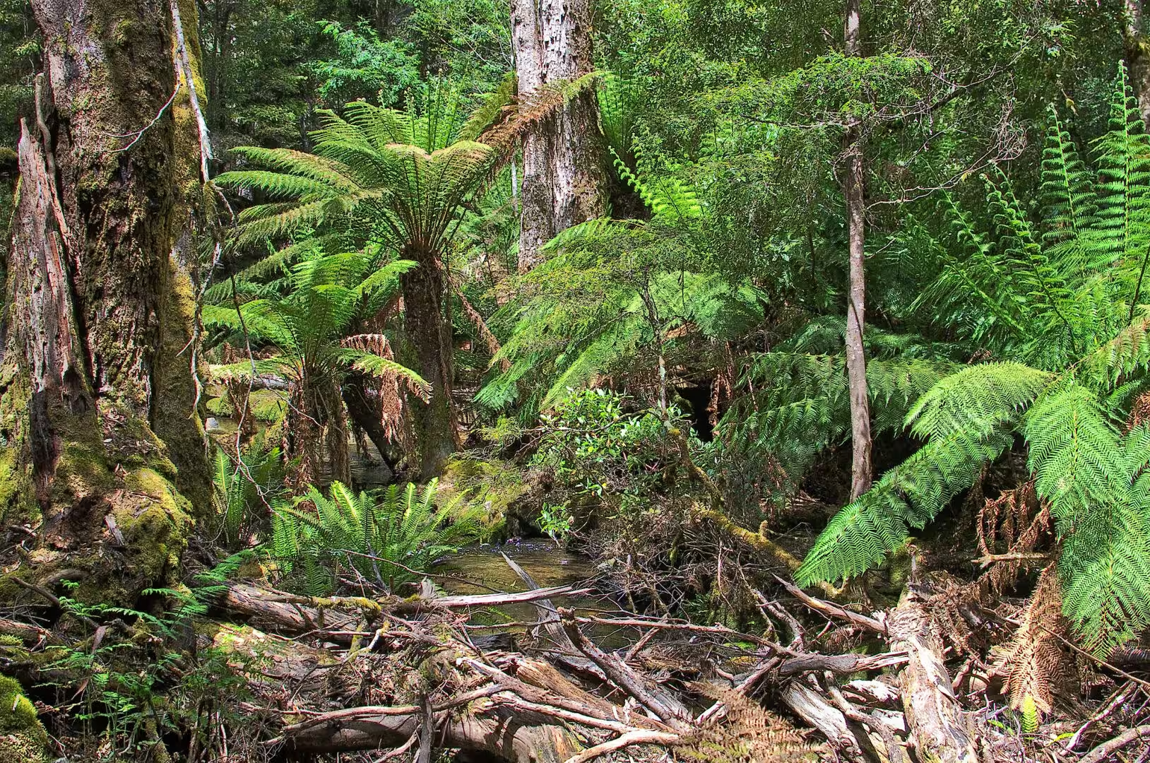
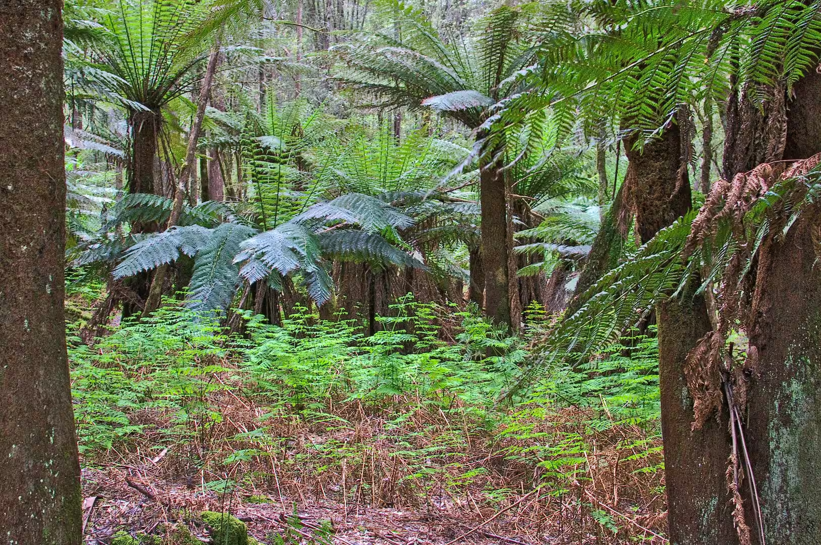
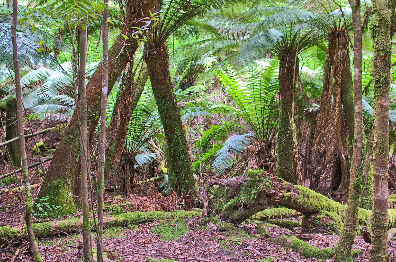
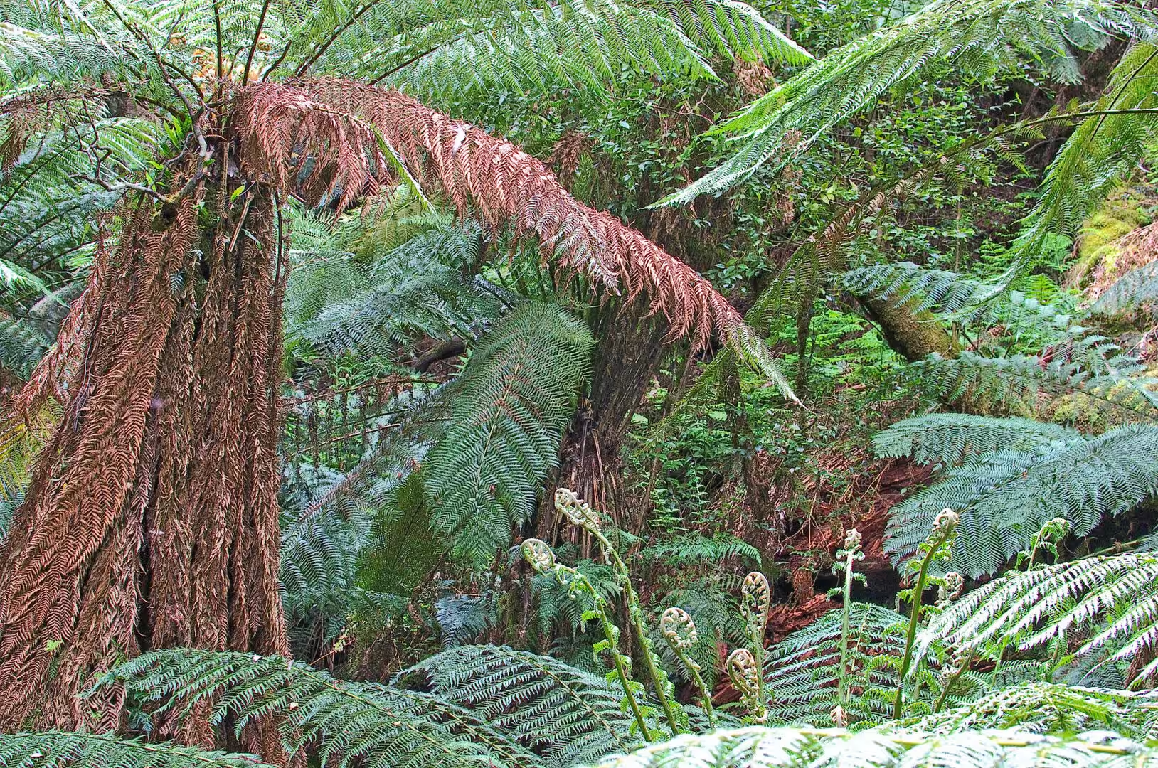
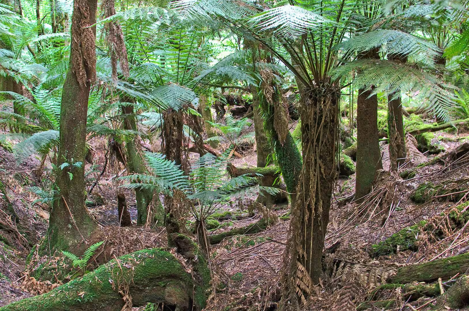
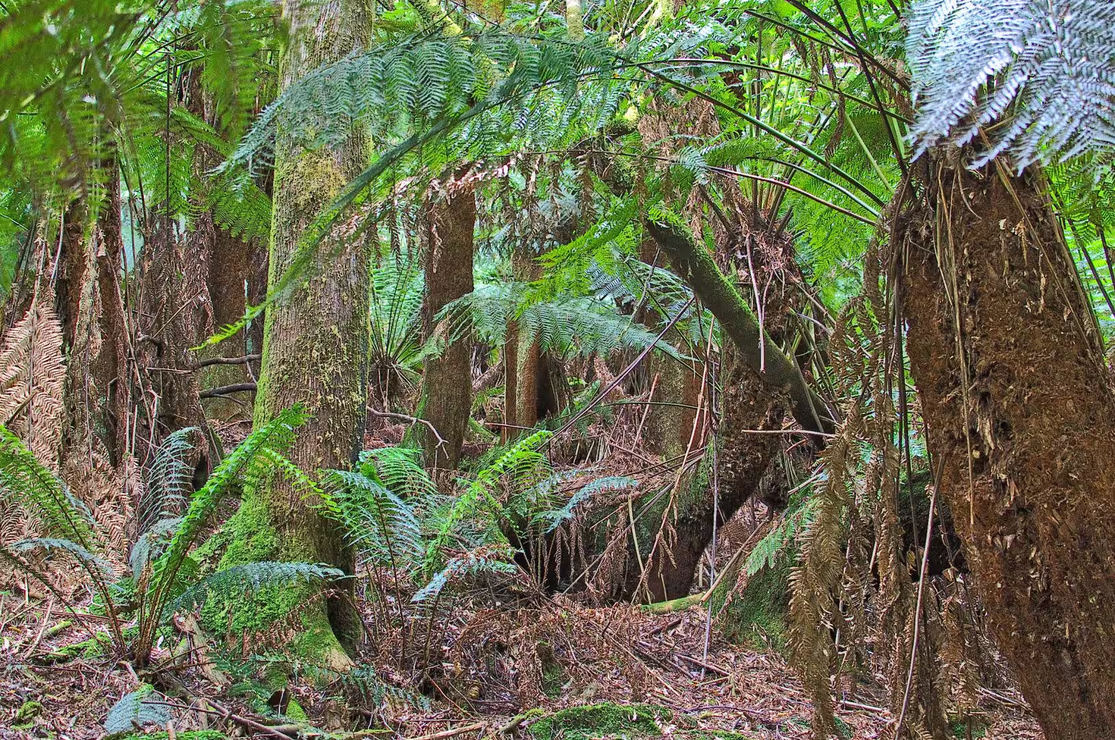
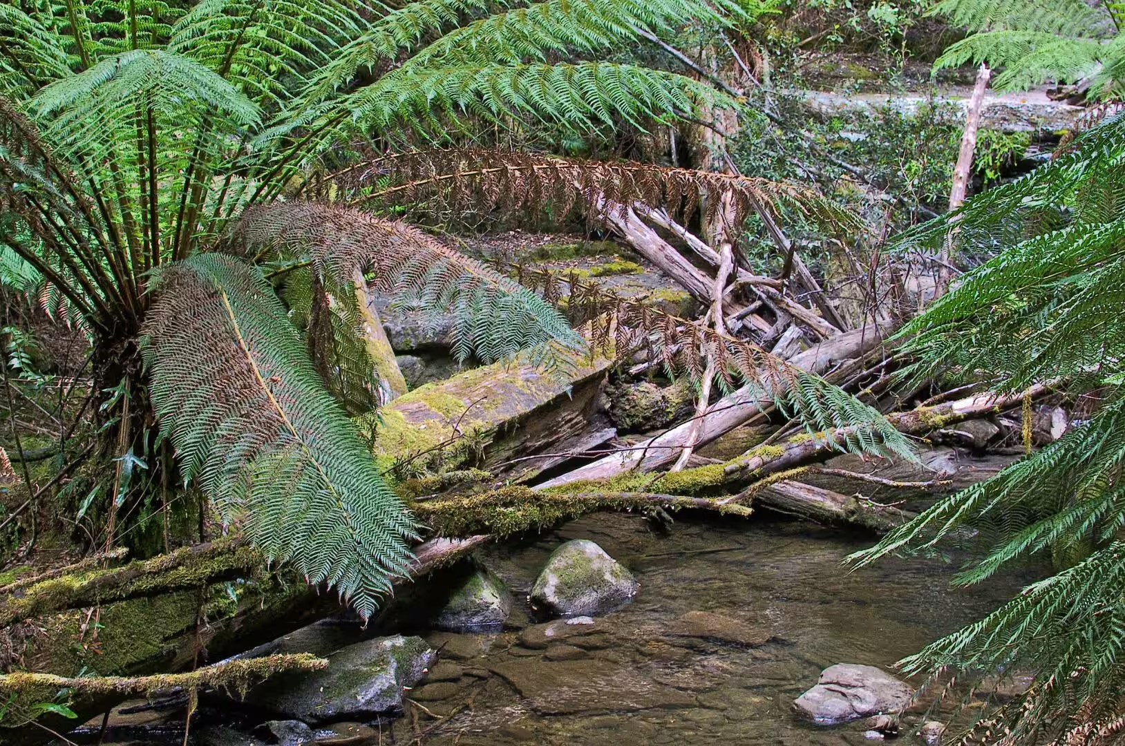
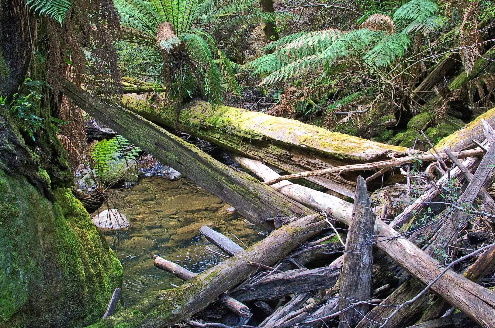
The forest of this part of the park is a rainforest in everything but temperature. The trees are eucalyptus and myrtle beech of great age, the understorey is a dense growth of tree ferns with trunks taller than a person, and the ground is covered with the moss, the ferns and the fallen logs of a place that is wet all year and never burns. The light comes down in patches, the creek is never out of hearing, and the air is cooler and damp under the canopy than in the open.
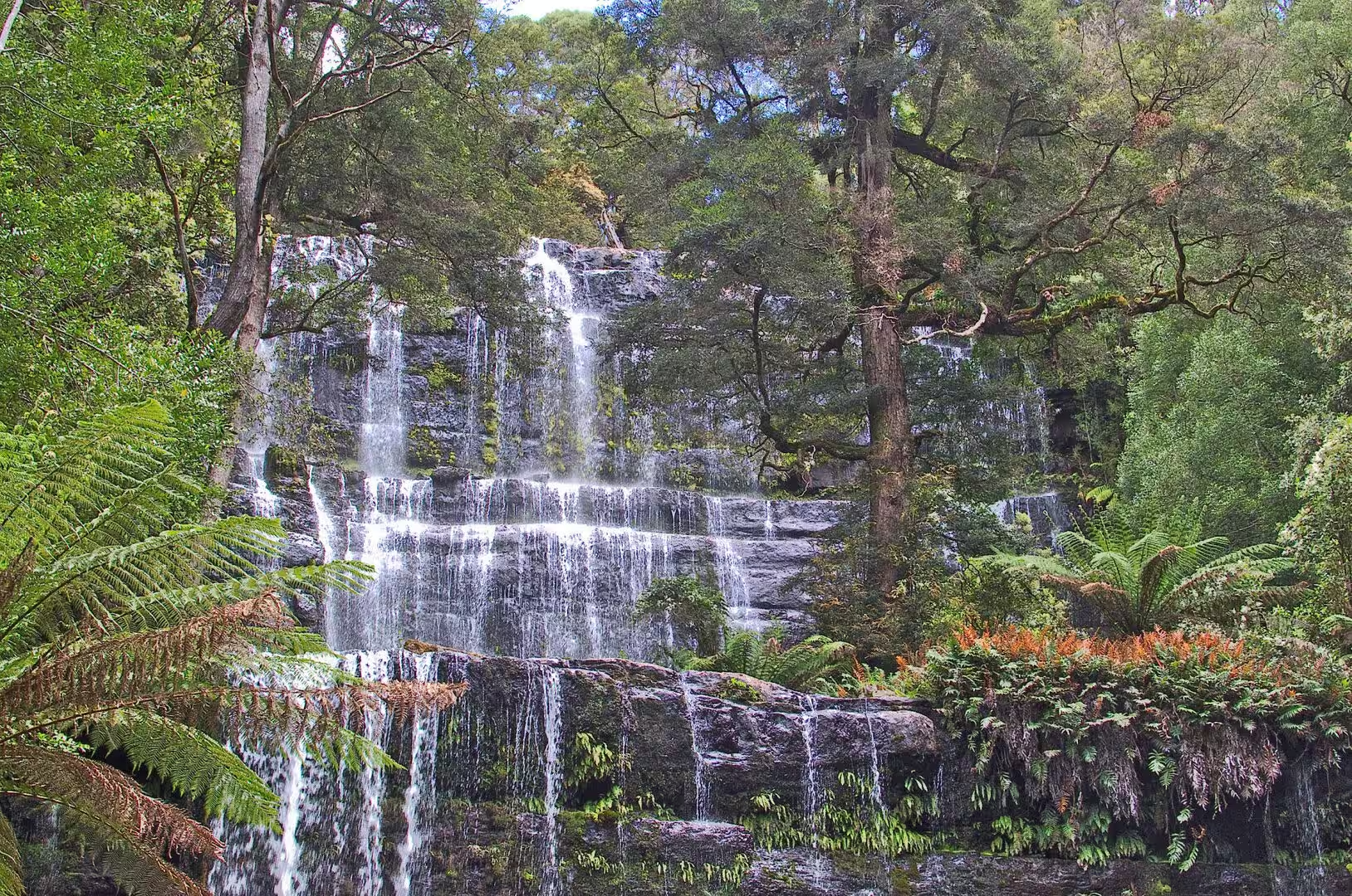
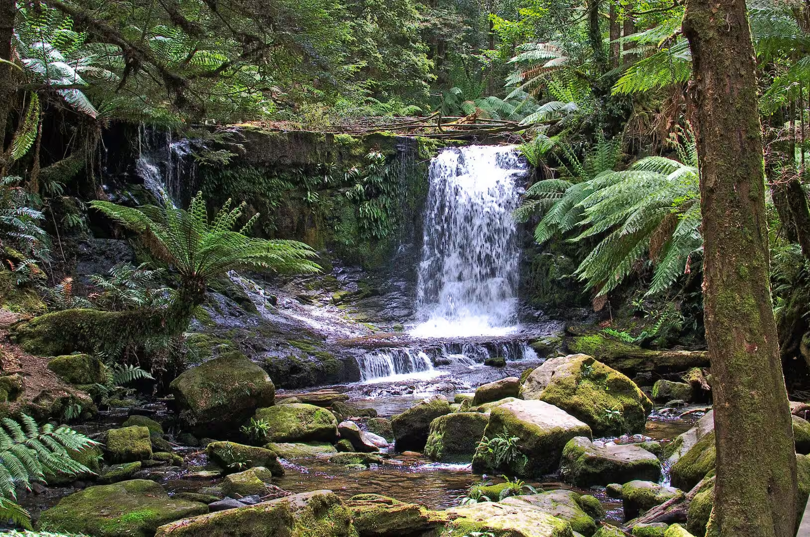
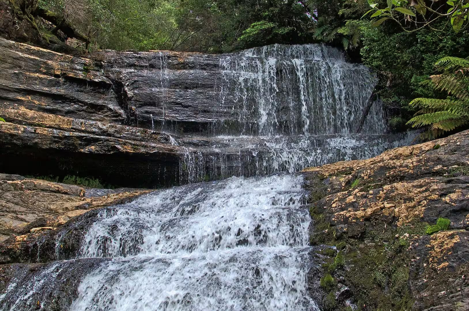
The falls are the destination and they earn the name. The Russell Falls come over a series of horizontal ledges in two main drops, with a curtain of water across the whole face after rain, and the viewing platform at the bottom is close enough for the spray to reach it. A short climb above them brings the Horseshoe Falls, a broader, lower sheet of water over a curved lip of rock, quieter and less visited than the first.
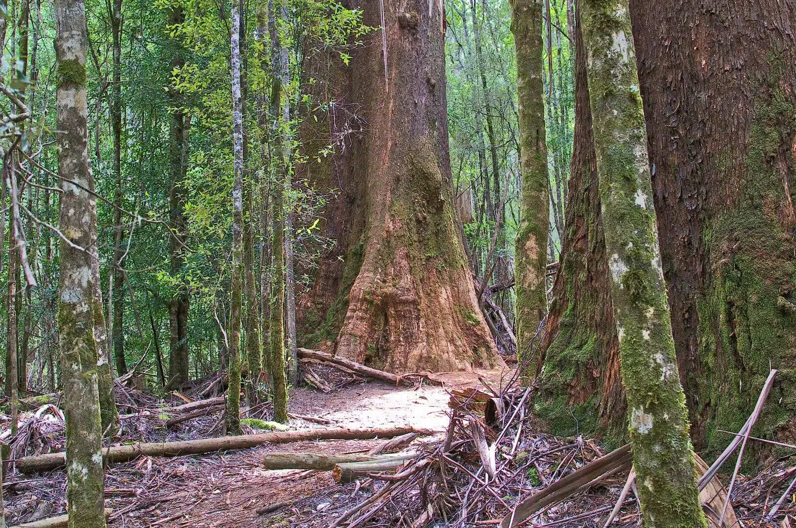
The afternoon was given to the tall forest. The track known for its big trees leads away from the falls through the wet eucalyptus and past trunks that take three people to reach around, and the walk is slow because the scale of the trees changes what the eye expects. The day ended with the drive back down the valley and the first sight of the Derwent in the evening light.
The falls are at their best after rain, and the rain in this part of Tasmania is not hard to find. The catchment above the track is small enough that a single wet night changes the character of the water from a trickle over the ledges to a curtain across the whole face, and the platforms are positioned so that the difference can be seen from one day to the next. The walker who wants the falls at full volume should go in the hours after a front has passed rather than in the dry weeks of late summer.
History
The waterfalls have been a public attraction since the nineteenth century, and the park grew out of them. The area around Russell Falls was reserved for its beauty in 1885, which makes it the first nature reserve in Tasmania, the road and the track were built so that the settlers of the Derwent Valley could visit, and the national park that followed in 1916 was an extension of the same idea. The visitor centre at the entrance now carries the same tradition with a gallery, a cafe and the interpretation of the forest.
The tall forests around the park have a harder history. The eucalyptus that grow here are the tallest flowering plants in the world, and the same qualities that make them remarkable, the straight trunk and the dense, fine timber, made them the target of the sawmillers for more than a century. The valleys of the Derwent and its tributaries were logged selectively and then clear-felled, the mills shipped the timber through Hobart, and the stands that remained became the argument for the reserves that protect them now.
The rainforest species of the island are the survivors of a much older flora. The myrtle beech, the sassafras and the leatherwood that dominate the Tasmanian rainforest are the descendants of the forests that covered Antarctica and Australia when the continents were joined, and the Huon pine, whose wood resists rot for centuries because of the oils in it, grows so slowly that the oldest individuals are thousands of years old. These forests do not recover from fire, which is why they are found only in the wettest and most sheltered places on the island.
The park and its forests are part of a wider argument about the use of the Tasmanian landscape that has been running for fifty years. The campaigns that saved the Franklin River and the rainforests of the south west in the 1980s ended with the creation of the World Heritage Area and a change in the balance between logging and conservation, and the tall forests of the Derwent Valley were part of the same conflict. The timber industry still works the plantations of the island, the old-growth forests are mostly protected, and the visitor who walks under the big trees is walking through the result.
Geology
The rock under the falls explains their shape. The water comes over a series of horizontal layers of sedimentary rock, the same marine sediments that were laid down on the floor of a shallow sea and lifted into the highlands when Tasmania was pushed up along the edge of the continent, and because the layers are flat and of different hardness the water wears them back in steps. The ledges that the falls pour over are bedding planes, and the pool at the bottom is the place where the falling water has dug into the softer beds below.
The valley itself is a product of ice and water together. A glacier came down this side of the plateau during the ice ages and widened the valley, the meltwater cut into the floor afterwards, and the creek that runs to the falls today is the small descendant of both. The walls of the gully are dolerite and sediment, the boulders in the creek are the harder pieces that have survived the journey, and the whole system is still being carved by every flood.
The climate of the west of the island is the other half of the explanation. The westerly winds bring rain off the Southern Ocean, the mountains of the interior take it out of the air, and the wettest parts of Tasmania receive more than two metres a year. The rain feeds the moss, the ferns and the rainforest, keeps the creeks running in every month, and makes the fire risk in these valleys low enough that the rainforest can survive between the eucalyptus. A dry year here is wetter than a wet year in most of Australia.
The soils are the reason the forest is as it is. They are deep, acid and rich in organic matter, built up over thousands of years of leaf litter and slow decay, and they hold water like a sponge. The eucalyptus grow quickly on them where the light is full, the rainforest species grow slowly in the shade beneath, and the mosses and the ferns cover everything that stays still long enough. The walker who leaves the track is walking on a mat of roots and litter rather than on ground.
The dolerite above the falls is the reason the water reaches them at all. The hard sheets of igneous rock cap the ridges and hold the plateau up, the softer sediments beneath them are cut back by the creeks, and the springs that come out along the boundary between the two feed the streams of the valleys. The gullies of the park are the places where that boundary has been exposed by erosion, and the waterfalls are where a creek crosses a band of resistant rock on its way down.
Things to See
The walk to the falls is the shortest and the busiest in the park, and it is worth doing early. The track is paved, the gradient is gentle, the platforms are placed where the views are, and the return trip takes about an hour at an easy pace. The path continues above the falls to a loop through the tall trees, and the combination of the two makes the classic half day of the park.
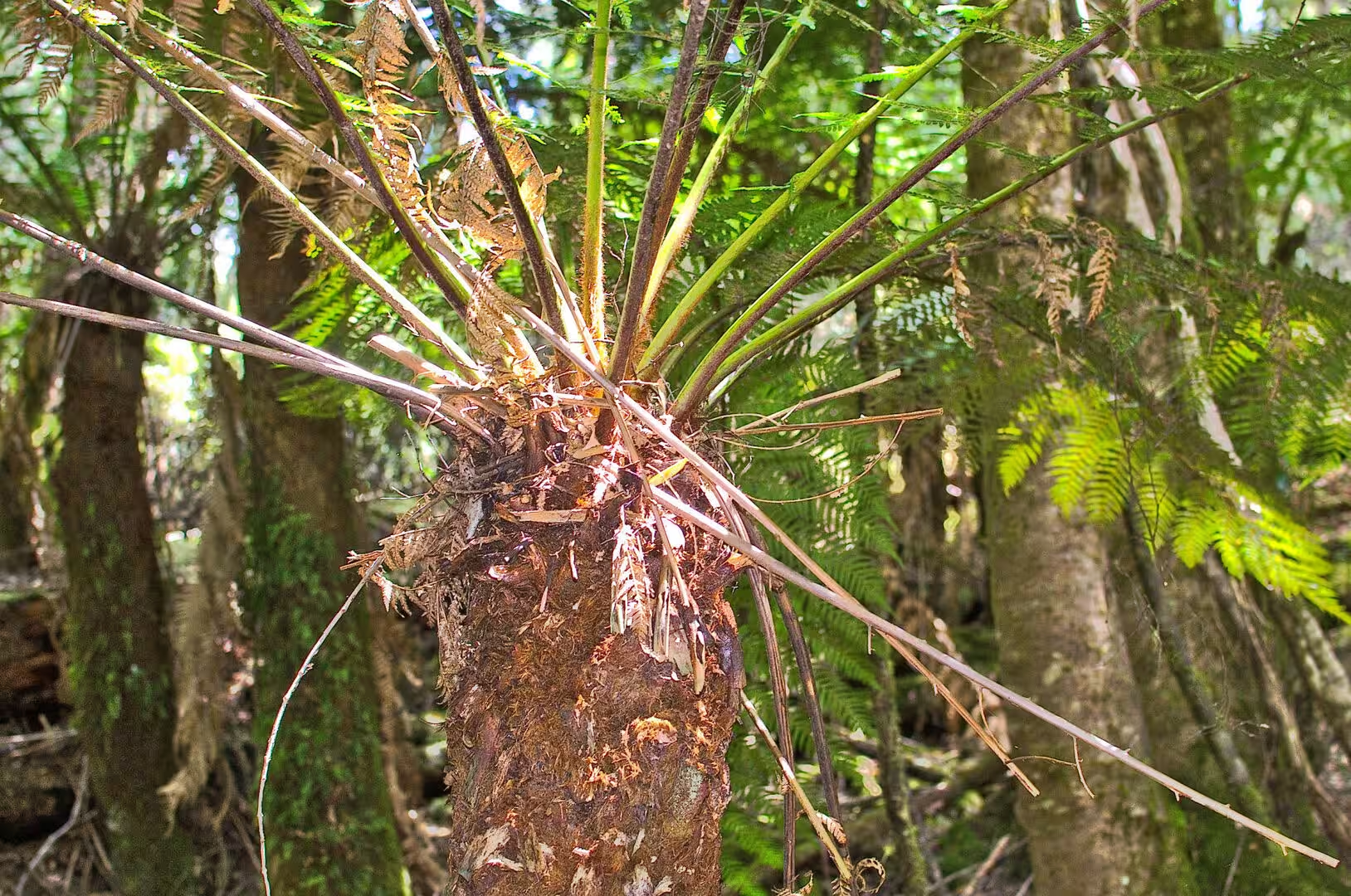
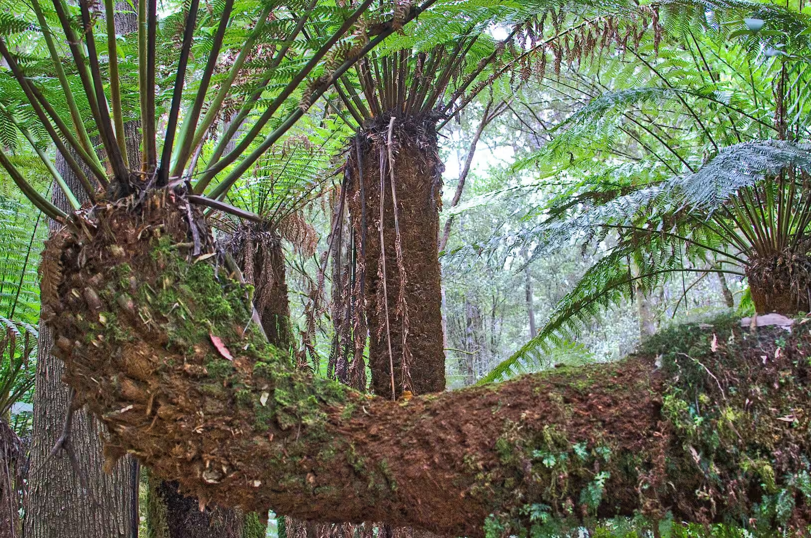
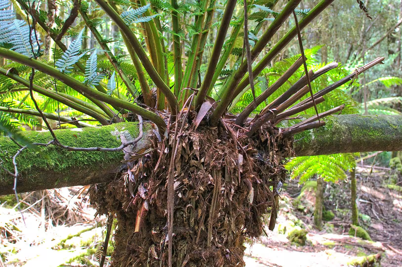
The tree ferns are the feature of the forest to look at closely. The soft tree fern of Tasmania grows a trunk of about five metres over a lifetime of many decades, and its crown of fronds opens from the top of a stem that is itself a mat of roots. The older trunks are colonised by other ferns and mosses, so that a single stem can carry a small garden, and the effect in a gully of a hundred of them is like nothing else in the country.
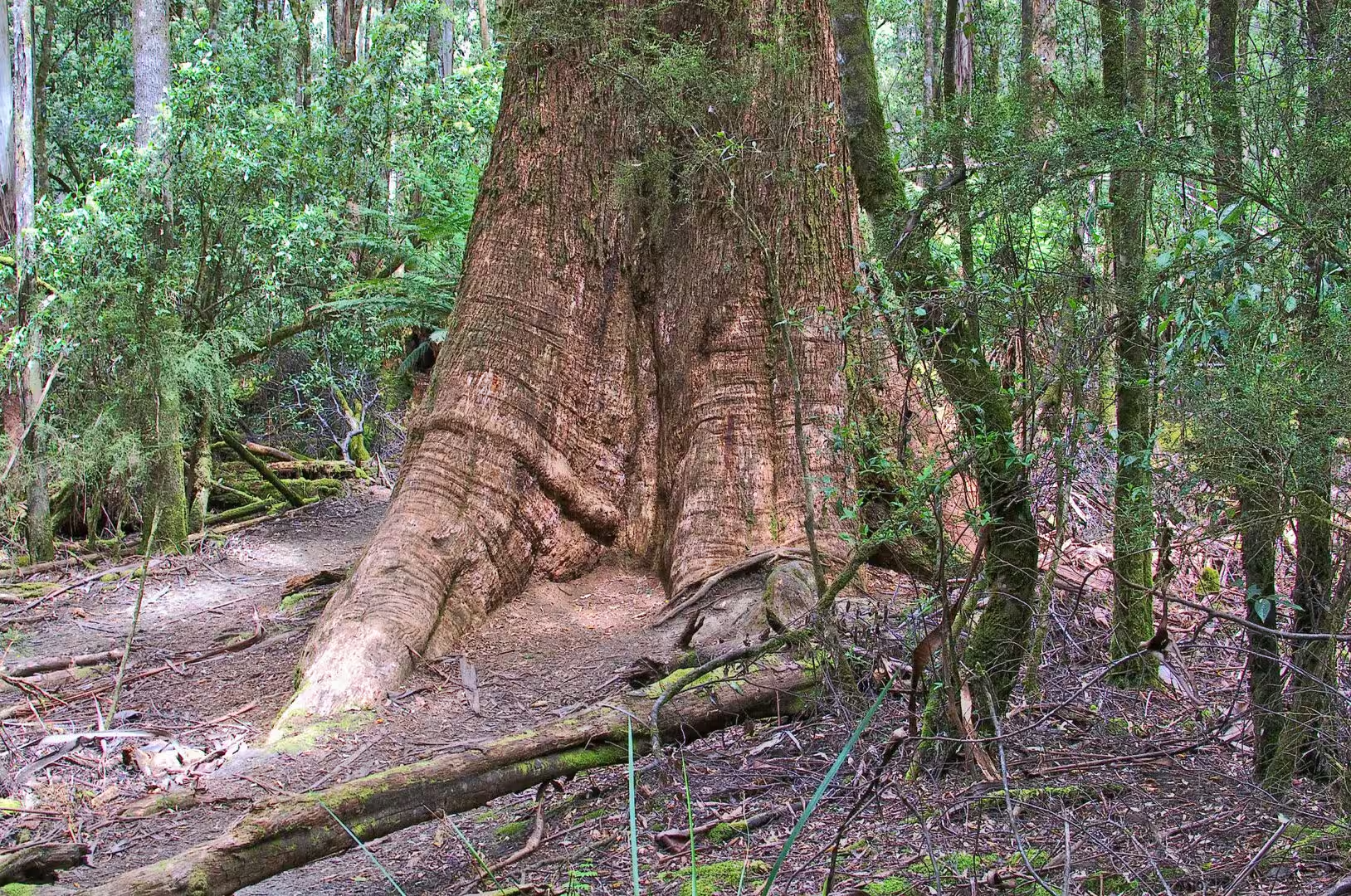
The big trees need no description beyond their size. The tallest of the eucalyptus of the island, and of any flowering plant in the world, is a swamp gum measured at a hundred metres, and the walk through the stand is laid out so that the visitor passes the largest of them at close range. The trunks are straight and pale, the bark hangs in strips, and the canopy is so far above the track that the birds in it are heard rather than seen.
The practicalities of the day are the same as everywhere in the park. The visitor centre at the entrance has the maps, the food and the information on the state of the tracks, the car park fills in the middle of the day in summer, and the weather in the valley is milder than on the plateau above but still changeable. Boots are worth having for the mud, a rain jacket for the showers, and the size of the place defeats description: nothing captures the scale of the trees properly, and the walk is the point.
A second walk in the same forest should go further up the creek. The track above the Horseshoe Falls continues into the taller, wetter forest and connects with the routes that climb towards the plateau, so that a day can be built out of a morning at the falls and an afternoon on the slopes. The birds are the small forest species of the island, the creeks hold the crayfish and the frogs of the clean water, and the quiet of the upper valley is the reason many people come back to this park rather than to the better known ones.
The wildlife of the forest is quiet and worth sitting still for. The scrubtit and the thornbill move through the understorey in mixed flocks, the pink robin sits on the low branches along the creek, the platypus is in the pools for anyone patient enough to wait at dusk, and the crayfish of the clean water are the largest invertebrates in the creek. The forest is at its best in the rain, which is a strange thing to write about a holiday, but the moss and the ferns and the smell of the wet eucalyptus are the reason the place exists.
The track system of the lower park is small enough to walk in a day and varied enough to fill a week. The falls circuit, the tall trees loop, the link up to the lake and the fire trails that cross the slopes all start within a few hundred metres of each other, and the visitor centre keeps the map of the closures and the conditions on the wall. The way to use the park is to take one walk in the morning and one in the afternoon, and to leave the middle of the day to the crowds and the cafe.
References
- Wikipedia contributors (2026). Mount Field National Park. en.wikipedia.org/wiki/Mount%20Field%20National%20Park
- Wikipedia contributors (2026). Russell Falls. en.wikipedia.org/wiki/Russell%20Falls
- Wikipedia contributors (2026). Dicksonia antarctica. en.wikipedia.org/wiki/Dicksonia%20antarctica
- Wikipedia contributors (2026). Tasmanian temperate rainforests. en.wikipedia.org/wiki/Tasmanian%20temperate%20rainforests
- Wikipedia contributors (2026). Wet sclerophyll forest. en.wikipedia.org/wiki/Wet%20sclerophyll%20forest
- Wikipedia contributors (2026). Eucalyptus regnans. en.wikipedia.org/wiki/Eucalyptus%20regnans
- Wikipedia contributors (2026). Lagarostrobos franklinii. en.wikipedia.org/wiki/Lagarostrobos%20franklinii
- Wikipedia contributors (2026). Nothofagus cunninghamii. en.wikipedia.org/wiki/Nothofagus%20cunninghamii
- Wikipedia contributors (2026). Atherosperma moschatum. en.wikipedia.org/wiki/Atherosperma%20moschatum
- Wikipedia contributors (2026). Tasmania. en.wikipedia.org/wiki/Tasmania
- (ohne Angabe) (1992) Management of Tasmanian cool temperate rainforest. Biological Conservation. 60. 70. doi.org/10.1016/0006-3207(92)90868-n
- Jarman S.J., Kantvilas G., Brown M.J. (1994) Phytosociological studies in Tasmanian cool temperate rainforest. Phytocoenologia. 22. 355-390. doi.org/10.1127/phyto/22/1994/355
- Shapcott A. (1997) Population genetics of the long-lived Huon pine Lagarostrobos franklinii: An endemic Tasmanian temperate rainforest tree. Biological Conservation. 80. 169-179. doi.org/10.1016/s0006-3207(96)00076-6
- Sillett S.C., Van Pelt R., Kramer R.D., Carroll A.L., et al. (2015) Biomass and growth potential of Eucalyptus regnans up to 100m tall. Forest Ecology and Management. 348. 78-91. doi.org/10.1016/j.foreco.2015.03.046
- Baker F.S. (1961) The Natural Regeneration of Eucalyptus Regnans. Forest Science. 7. 370-371. doi.org/10.1093/forestscience/7.4.370