Day 3 - Mesosaurus Fossils Campsite Keetmanshoop
6 June 2019





Journal Notes
General
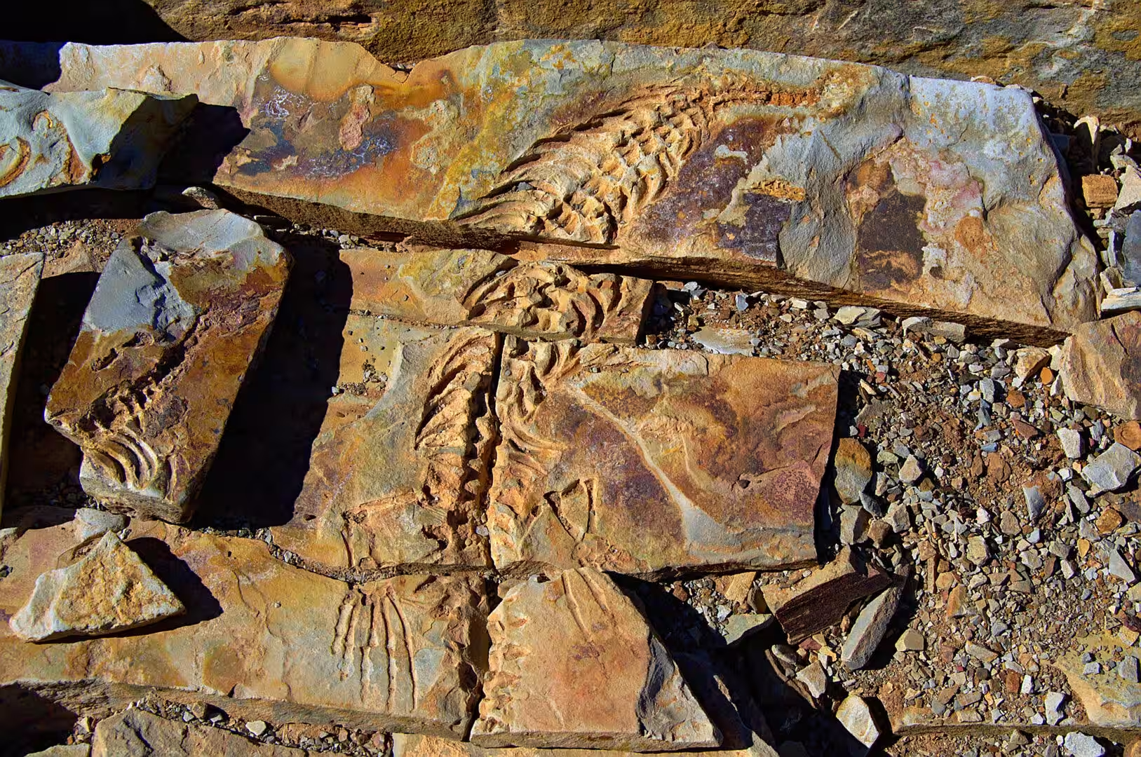
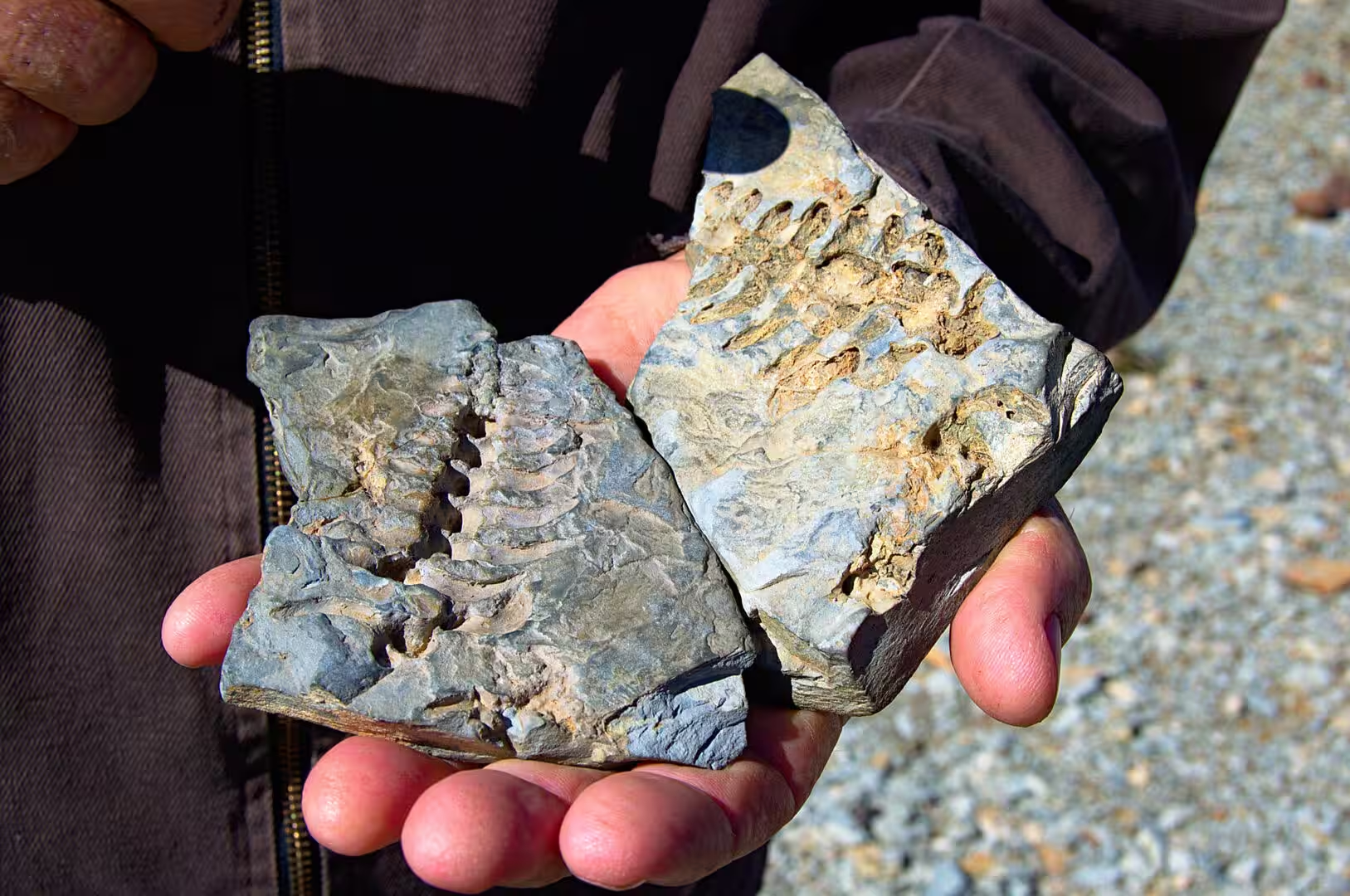
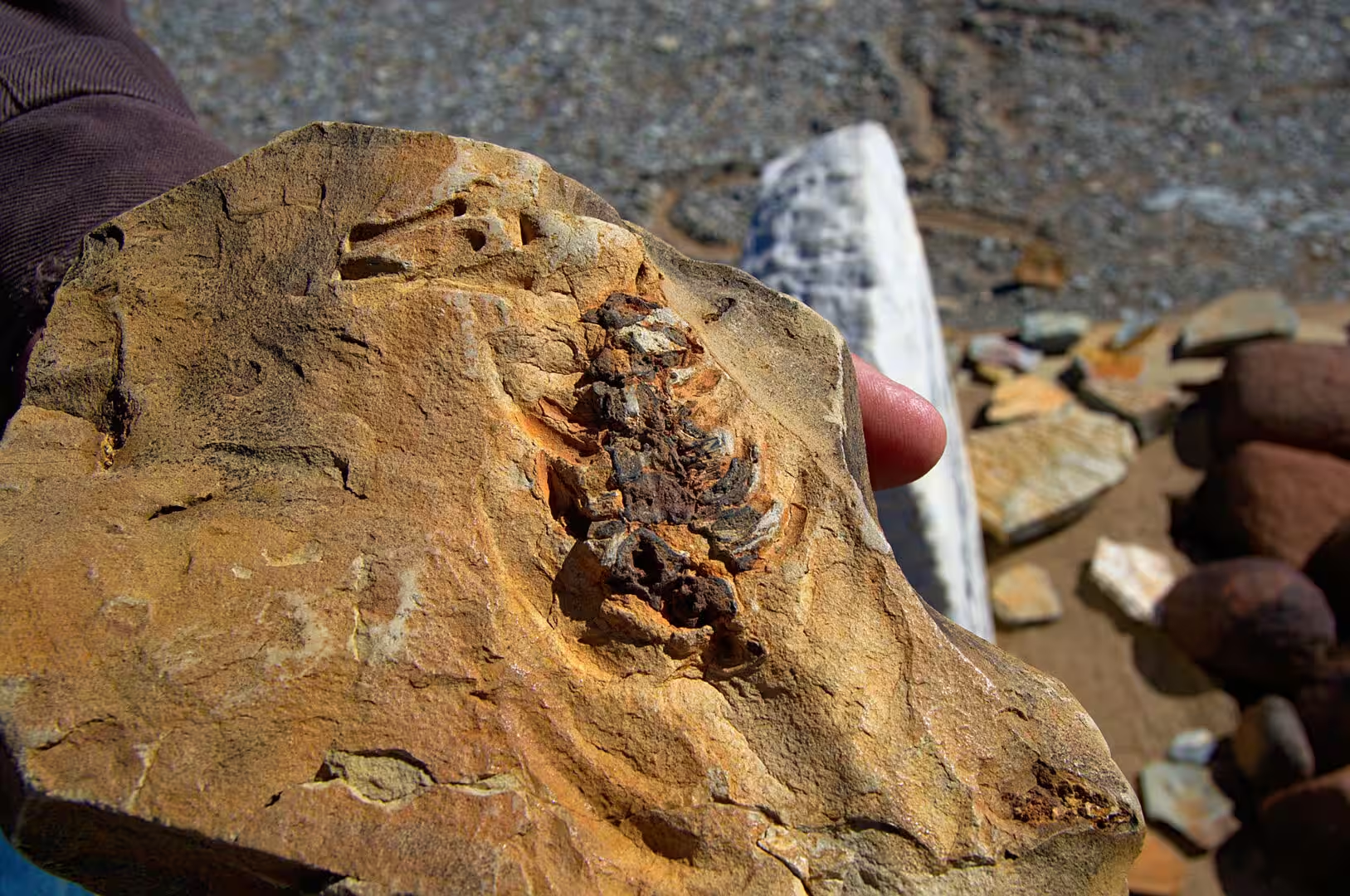
The third day stayed in the south and went looking for the deep history of the country. The camp of the night stands on a farm among outcrops of grey and orange rock north of Keetmanshoop, and the rocks are full of fossils: not the bones of large animals but the impressions of small aquatic reptiles, fish and plants, pressed into the layers of shale in their thousands and lying on the surface where the weather has split the stone open.
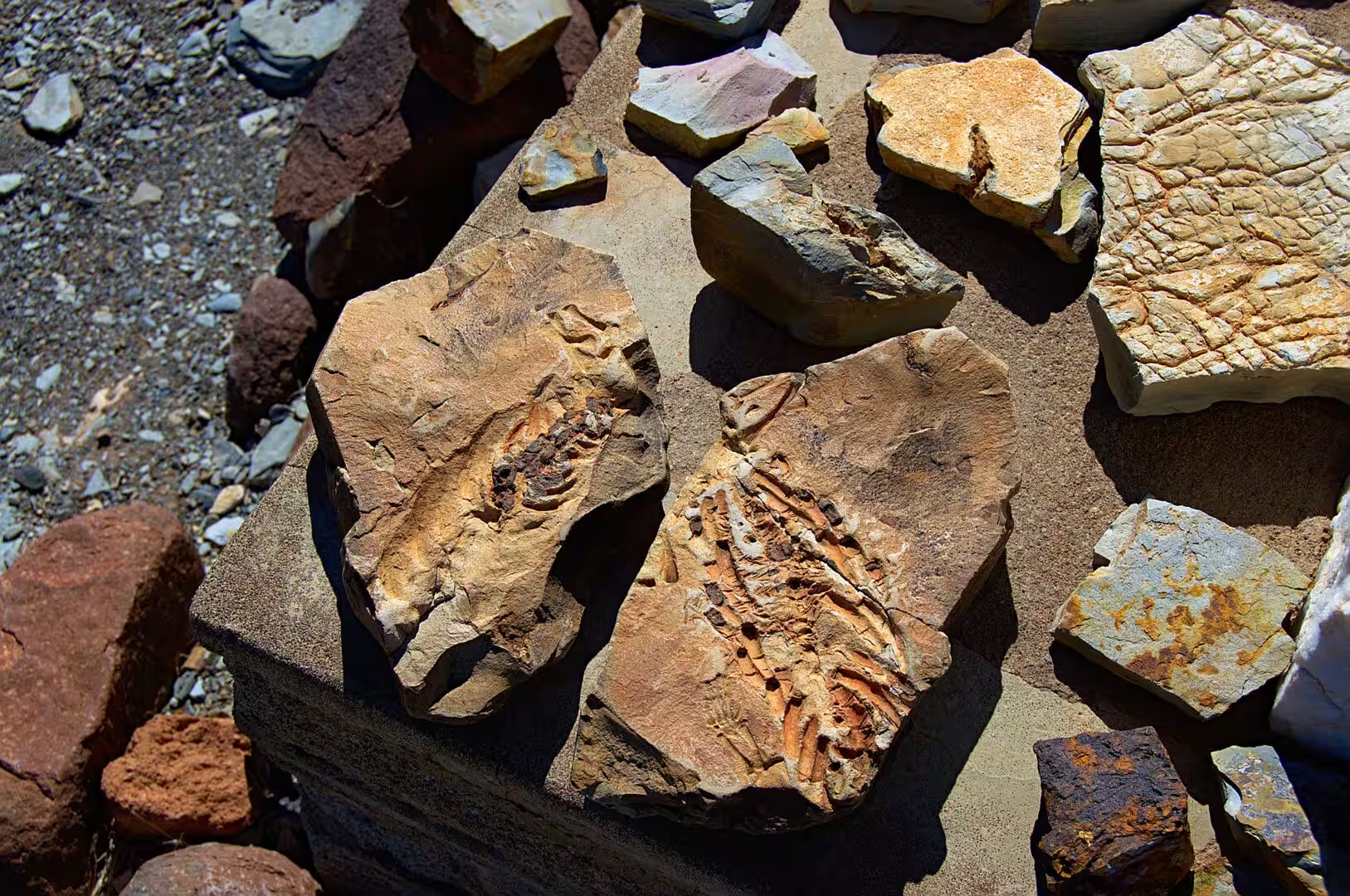
The farm has made a small business out of the beds. A path leads from the camp along the outcrop, the visitors are shown the layers by the farmer and his family, and the best pieces are displayed on slabs at the reception with the impressions of the skeletons clearly visible. The place is one of the classic fossil localities of southern Africa, and it is reachable by an ordinary car from the main road.
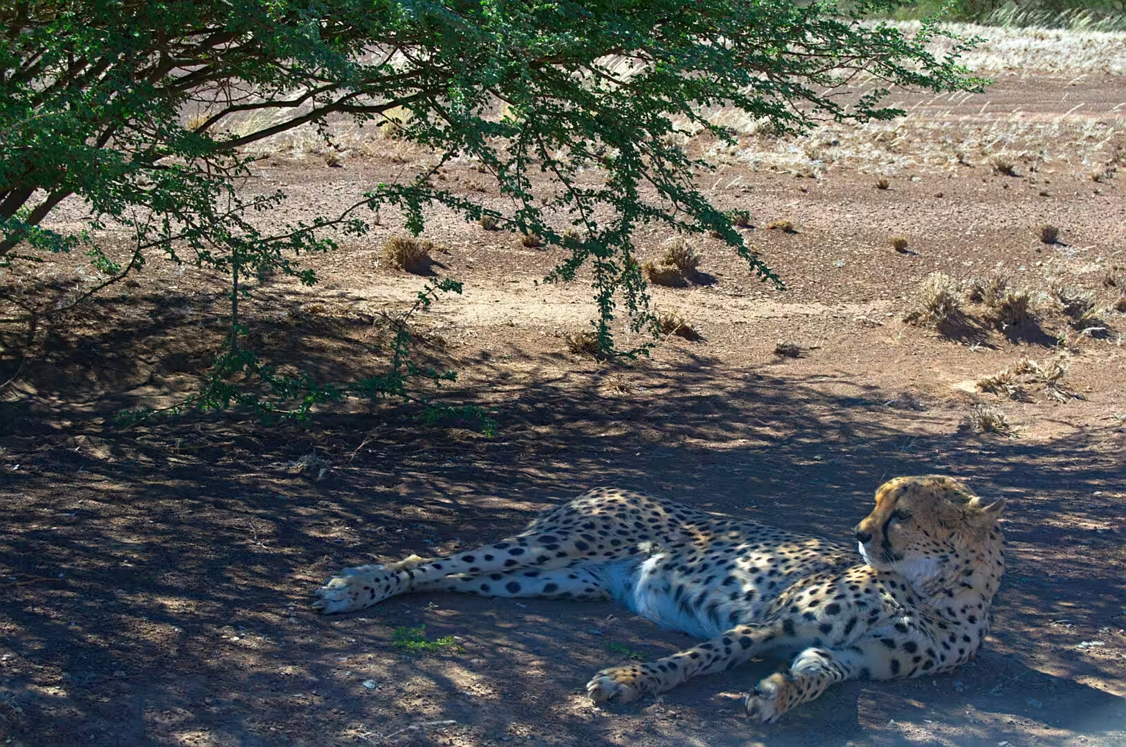
The day also produced the only large cat of the journey. A cheetah was at rest in the shade of a tree on the dry red ground, in the way that the animals of the farmland do when they have eaten, and the encounter was a reminder of how much of the wildlife of Namibia lives outside the parks. The country holds the largest population of cheetahs in the world, most of it on the private farms, and the farmers who protect the livestock and the cats at the same time are the reason it survives.
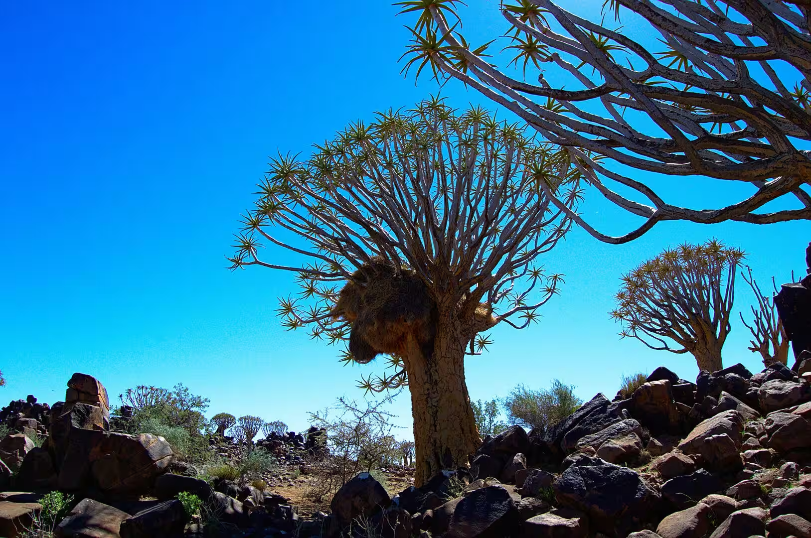
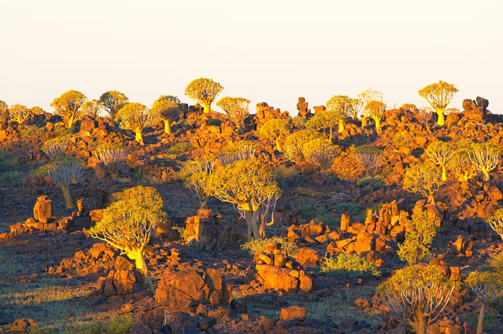
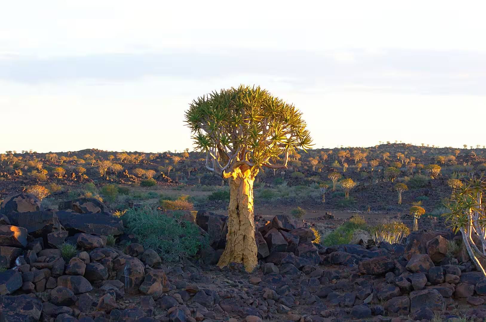
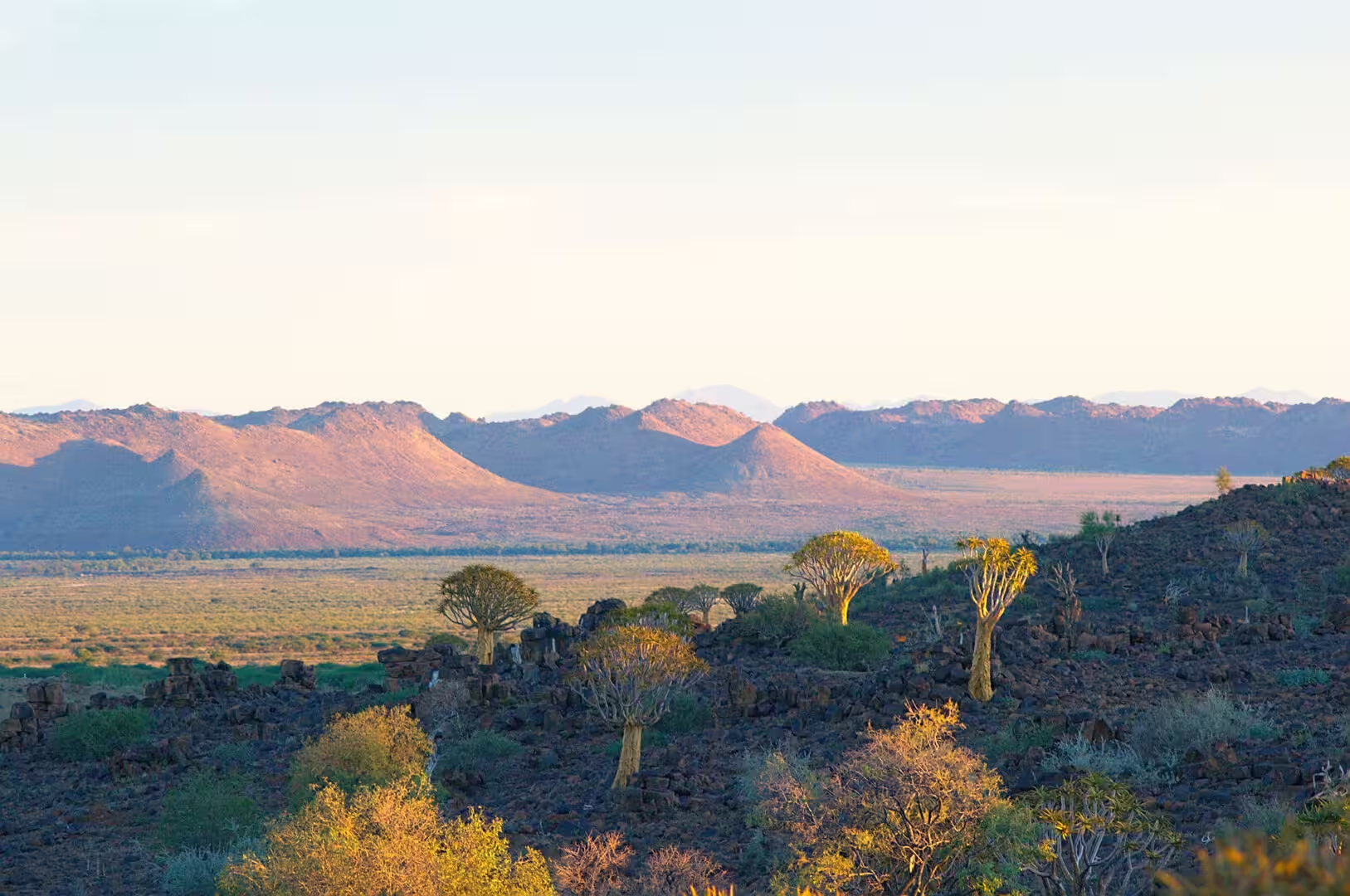
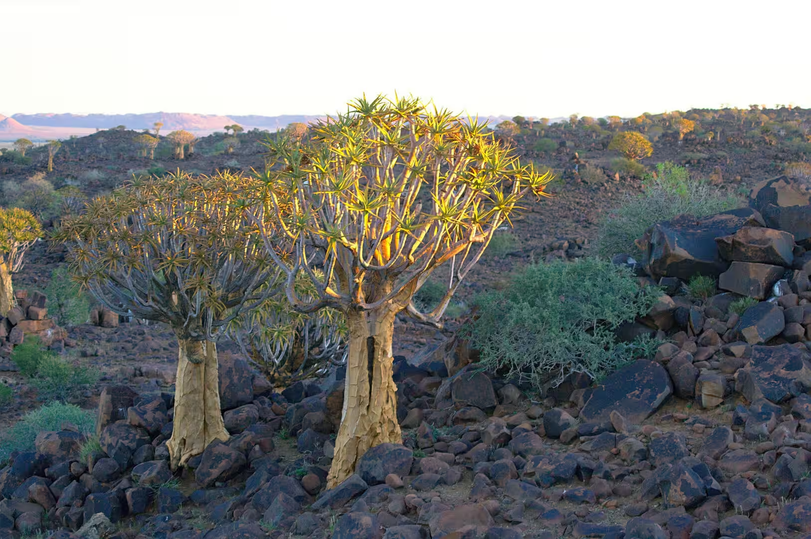
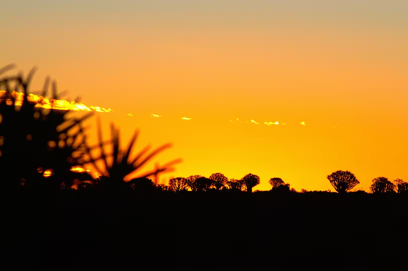
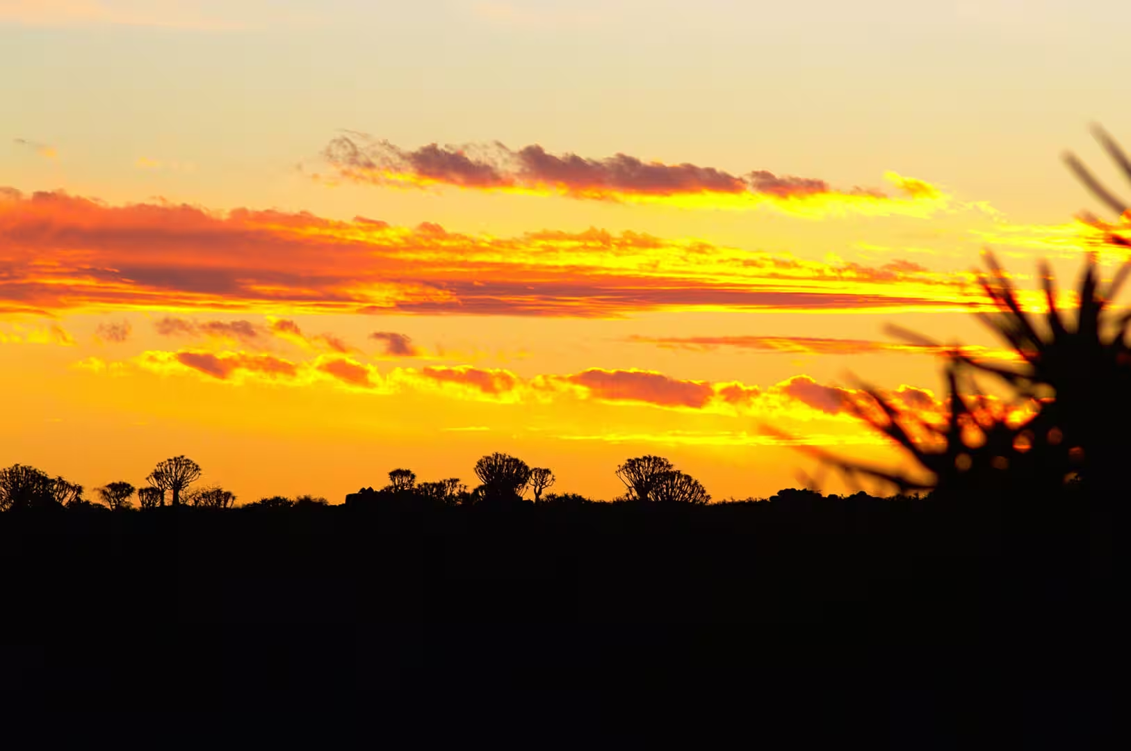
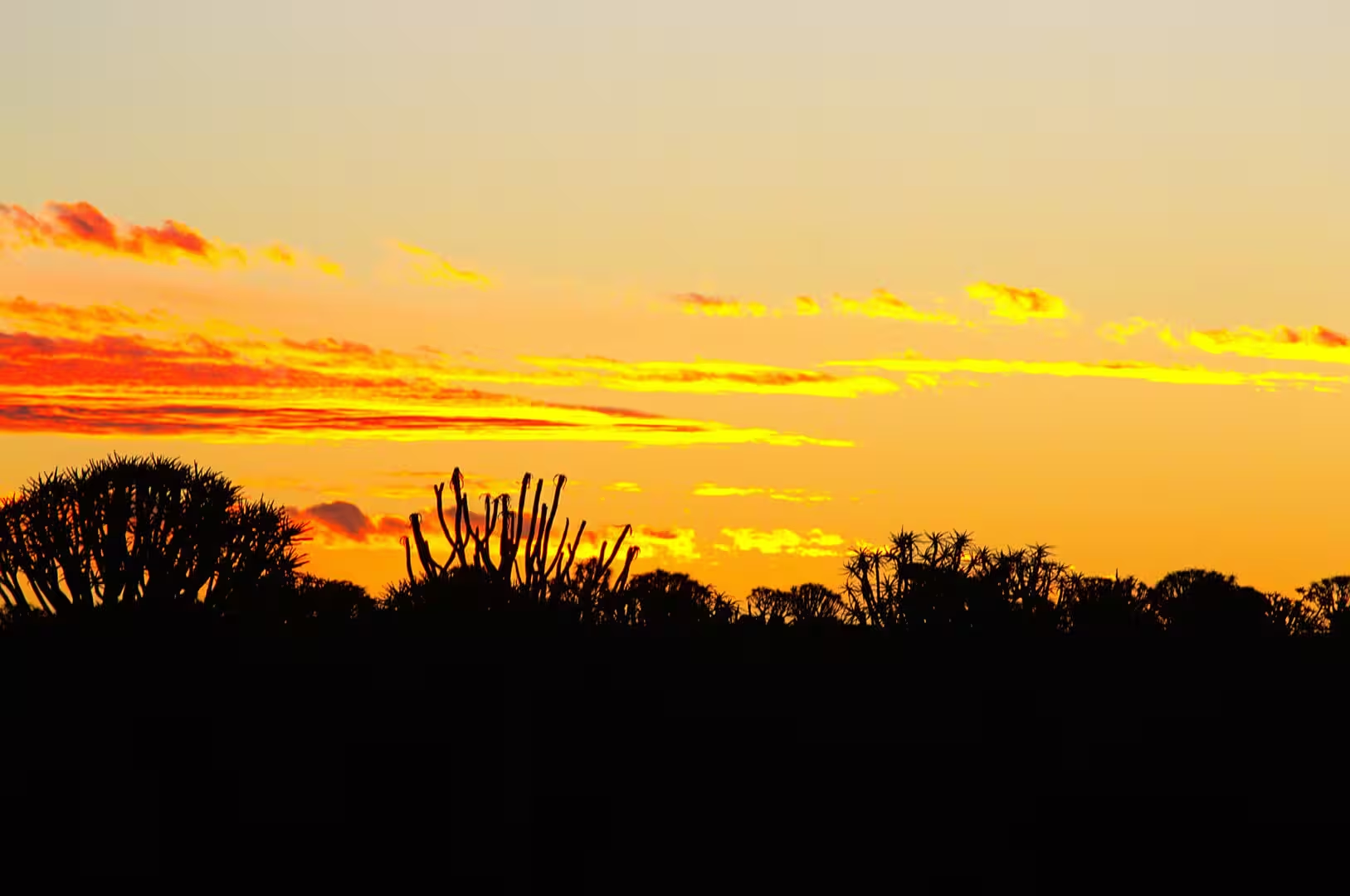
The afternoon was spent among the quiver trees again, this time on the rocky hillside above the camp, and the evening was one of the great sunsets of the journey: a sky of burnt orange clouds over the silhouettes of the trees, the moon small and pale above them, and the temperature dropping so quickly after the light went that the fire was welcome within minutes of lighting it.
History
The fossils of the farm are the remains of a world that had no resemblance to the desert of today. Two hundred and seventy five million years ago, in the late part of the early Permian period, this part of the continent was a lowland of rivers and lakes at the edge of a great ice sheet that was retreating, and the small aquatic reptiles, the fish, the crustaceans and the plants of that landscape were buried in the mud of its basins. The layers that hold them are the product of that burial, and the fact that they are now in the open is the work of the erosion of the whole plateau since.
The animals in the layers are the reason the place is famous. Mesosaurus was a reptile about a metre long with a long snout and teeth for catching fish, and it lived in the shallow water of the southern continent in numbers that allowed it to leave a fossil record of extraordinary density. It is the only member of its family, and its remains have been found in southern Africa and in South America, which is the point of the story: the same animal, in the same layers, on two continents that are now an ocean apart.
That coincidence is one of the foundations of the modern understanding of the earth. In the early twentieth century the fossil evidence of the plants and the animals shared by South America, Africa, India, Australia and Antarctica was one of the arguments for the theory that the continents had once been joined, and the Mesosaurus beds of southern Africa and Brazil were among its clearest cases. The reptile could not have swum across the Atlantic; the rock that holds it must have been continuous.
The human history of the farm is shorter and more painful. The headstones on the dry flat are those of German soldiers and settlers of the colonial period, and the date on the grave of the day falls in the years of the war against the Herero and the Nama. The bones of the old world and the graves of the new lie within sight of each other in this landscape, and the visitor who reads the inscriptions does so in a country that is still working out what to make of them.
The knowledge of the fossil ground did not wait for the scientists. The rock of the farm is full of the impressions of shells and bones, the layers were known to the farmers of the district long before they were studied, and the slabs with the clearest skeletons became part of the furniture of the farmhouses of the region: used for paving, for walls and for doorsteps, without any thought of what the marks on them were. The scientific importance of the beds was recognised in the twentieth century, and the farm where the day was spent has been a protected and visited locality since.
The fossils of the southern Karoo also carry a lesson that goes beyond the rocks. The plants and the animals of the layers belong to a world of cold rivers and melting ice at the end of an ice age, and their story is one of the clearest records that science has of what happens to the living world when the climate changes quickly. The visitors who come to see the impressions of the little reptiles are standing on the floor of a lake that dried up two hundred and seventy five million years ago, and the layer their feet are on is the page of a book that is still being read.
Geology
The rocks of the fossil farm are part of a system that geologists know as the Karoo Supergroup, the thick pile of sediments that covers much of southern Africa and records the history of the region from the ice ages of the Carboniferous to the deserts of the early Jurassic. The shales with the fossils are one unit in that pile, laid down in the quiet water of lakes and deltas, and the harder sandstones above and below them are the deposits of rivers and of the wind.
The ice that came before the fossils is part of the same story. In the late Carboniferous the south of the continent lay at a high latitude and was covered by an ice sheet, and the deposits it left are found from Namibia to South Africa and on to South America and Antarctica. When the ice retreated the basins it had carved filled with water and sediment, and the lakes of the early Permian that the mesosaurs lived in were the result: a cold landscape of meltwater, mud and shallow seas of fresh water at the edge of a melting ice sheet.
The split of the continent is the third act. At the end of the Triassic and the beginning of the Jurassic the crust beneath southern Africa was lifted and cracked by the rifting that opened the Atlantic, enormous volumes of lava poured out over the landscape, and the continents that had been joined began to separate. The dolerite sills and dykes that cut through the Karoo rocks, and the layers of basalt that the eruptions left, are the signature of that event, and they are the rock of the dark ridges that the quiver trees grow on.
What the visitor sees today is the top of that pile after a hundred and fifty million years of erosion. The soft shales and sandstones have been worn back, the hard dolerite has survived as the ridges and the outcrops, and the fossils fall out of the layers where the sheep and the rain have cut into them. The fossil ground of southern Namibia is therefore not a site that has to be dug: it is a landscape that is being taken apart in front of the visitor, one layer at a time.
The dark hills of the district are the other half of the geological story. The Karoo sediments were intruded by enormous volumes of molten rock during the Jurassic, and the sheets of dolerite that cooled inside them are harder than the shales and the sandstones around them; when the plateau was worn back, the sills and the dykes remained as the caps of the hills and the ridges of dark stone that the quiver trees grow on. The same dolerite is found across the whole of southern Africa and in the mountains of Antarctica, which is another of the pieces of evidence that the southern continents were once one.
The surface of the fossil ground itself is a lesson in how slowly a desert makes a landscape. The shale splits along the layers as the sun heats it and the night cools it, the fragments slide down the slope, and the fossils that were buried in the mud come out one by one on the surface where the walkers find them. The process takes decades for a single square metre, which is why the locality is protected and why the visitor is asked not to remove what the weather has revealed.
Things to See
The fossil beds are the sight of the day and they should be seen with the people who know them. The farmer walks the visitors along the outcrop, explains the layers, and shows the impressions of the skeletons that the weather has exposed; the collection at the farm buildings holds the best of them, and the geology of the exposure is explained with a clarity that no museum label achieves. A visit takes an hour or two and is best in the morning, before the rock gets hot.
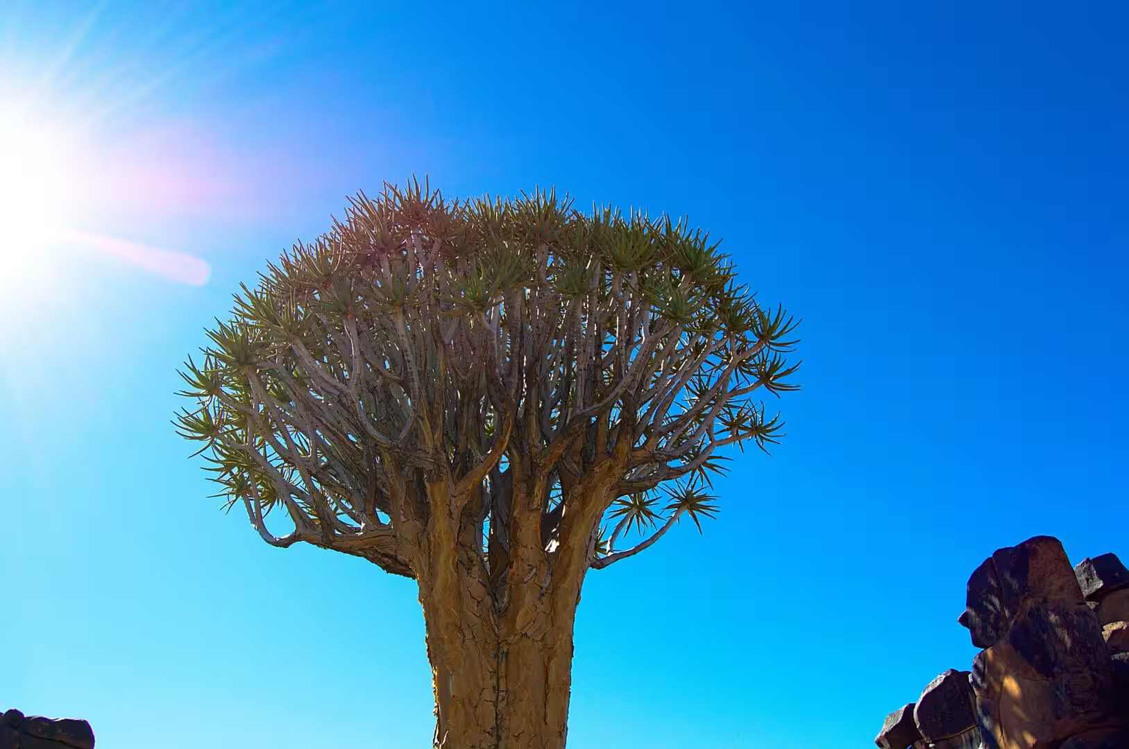
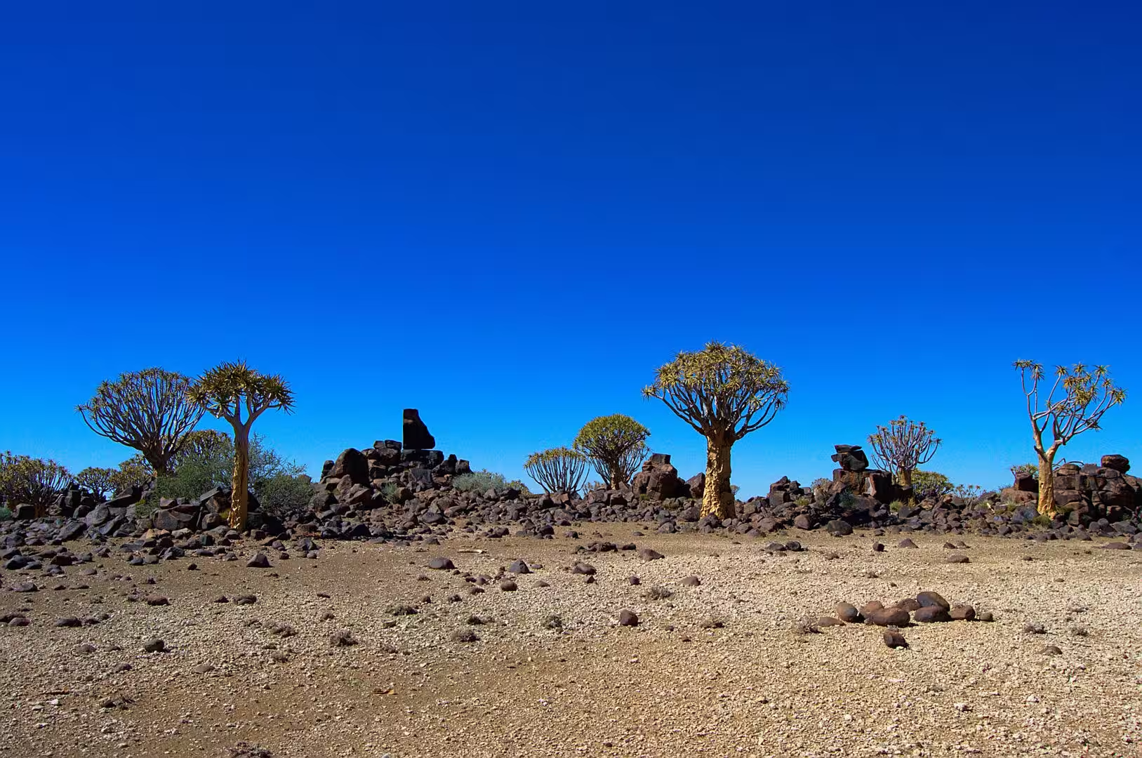
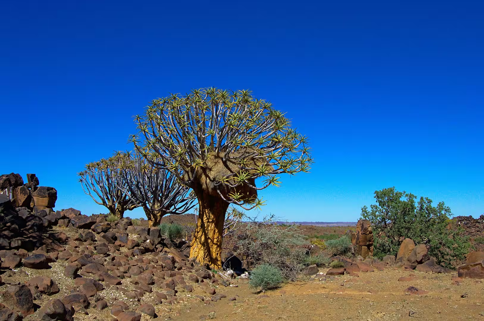
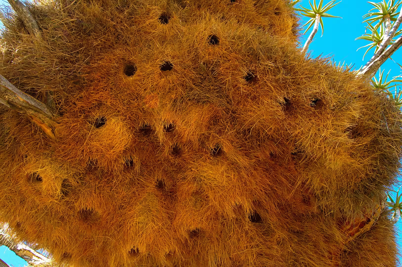
The quiver trees of the surrounding hills are the second sight of the area and the easiest to combine with the fossils. The trees stand on the dark outcrops in the way that the day of the Kalahari had shown, they flower in the winter months, and the golden light of the evening turns them into the silhouettes that give the landscape of the south its character. The same hillsides carry the nests of the sociable weavers on their poles and their trees.
The wildlife of the farmland is the third element and the one that requires patience and luck. The cheetah of the day was the exception rather than the rule, and the animals that the traveller can count on are the small ones: the ground squirrels and the mongooses, the hornbills and the weavers, the antelope that graze the grass along the roads, and the birds of prey that watch for them from the poles. The farms of the south are working country, and the game is part of the working landscape rather than an attraction.
The camp of the night is the usual Namibian arrangement with an unusual address. The pitches are set among the rocks and the trees of the farm, the ablutions are simple and clean, the firewood is sold at the reception, and the night sky above the outcrop is one of the best of the journey because there is no town within fifty kilometres. The farm also has a small shop and a kitchen, and the fossil tour is booked on arrival. It is a place to stay for two nights rather than one.
The practical side of the fossil country is the practical side of the whole south. The farm camps are reached on gravel roads that are graded but rough, the nearest town with fuel and shops is Keetmanshoop, and the distances between the camps are long enough that the day has to be planned around the light. The fossil tour is arranged at the farm and takes a couple of hours, the quiver trees are within walking distance, and the evening is spent at the fire with the silence of the Kalahari around the camp.
The sky of the fossil farm is the last sight of the day and one of the best of the journey. The farm lies far enough from the towns that the light of the settlements does not reach it, the air is dry and clear, and the Milky Way stands across the sky as a band of light with a texture that city dwellers have never seen. The visitor who takes a chair out after the fire has gone down will see more stars in half an hour than in a lifetime at home.
References
- Wikipedia contributors (2026). Mesosaurus. en.wikipedia.org/wiki/Mesosaurus
- Wikipedia contributors (2026). Keetmanshoop. en.wikipedia.org/wiki/Keetmanshoop
- Wikipedia contributors (2026). Quiver tree. en.wikipedia.org/wiki/Quiver%20tree
- Wikipedia contributors (2026). Sociable weaver. en.wikipedia.org/wiki/Sociable%20weaver
- Wikipedia contributors (2026). Kalahari Desert. en.wikipedia.org/wiki/Kalahari%20Desert
- Wikipedia contributors (2026). Cheetah. en.wikipedia.org/wiki/Cheetah
- Wikipedia contributors (2026). German South West Africa. en.wikipedia.org/wiki/German%20South%20West%20Africa
- Wikipedia contributors (2026). Herero and Namaqua genocide. en.wikipedia.org/wiki/Herero%20and%20Namaqua%20genocide
- Wikipedia contributors (2026). Nama people. en.wikipedia.org/wiki/Nama%20people
- Wikipedia contributors (2026). Namibia. en.wikipedia.org/wiki/Namibia
- Wikipedia contributors (2026). ǁKaras Region. en.wikipedia.org/wiki/%C7%81Karas%20Region
- MODESTO S.P. (2006) The cranial skeleton of the Early Permian aquatic reptile Mesosaurus tenuidens: implications for relationships and palaeobiology. Zoological Journal of the Linnean Society. 146. 345-368. doi.org/10.1111/j.1096-3642.2006.00205.x
- White F.N., Bartholomew G.A., Howell T.R. (1975) THE THERMAL SIGNIFICANCE OF THE NEST OF THE SOCIABLE WEAVER PHILETAIRUS SOCIUS: WINTER OBSERVATIONS. Ibis. 117. 171-179. doi.org/10.1111/j.1474-919x.1975.tb04205.x
- Fabiano E.C., Sutherland C., Fuller A.K., Nghikembua M., et al. (2020) Trends in cheetah <scp>Acinonyx jubatus</scp> density in north‐central Namibia. Population Ecology. 62. 233-243. doi.org/10.1002/1438-390x.12045
- Schaller D.J. (2017) Genocide in Colonial South-West Africa: The German War against the Herero and Nama, 1904-1907. Genocide of Indigenous Peoples. 37-60. doi.org/10.4324/9780203790830-3
- du Toit J.C., van den Berg L., van Lingen M., Goodall V.L., et al. (2022) Catastrophic collapses of sensitive species, including the quiver tree (Aloidendron dichotomum), following fire in the arid Nama-Karoo, South Africa. Journal of Arid Environments. 201. 104737. doi.org/10.1016/j.jaridenv.2022.104737