Day 4 - Fish River Canyon / Ais-Ais
5 June 2019

Journal Notes
General
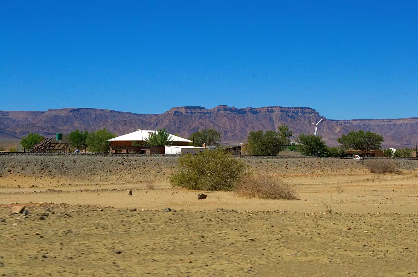
The fourth day was the day of the great canyon. The road from the south climbs through the country of the Great Karas Mountains towards the Fish River, and the landscape changes as it does so: the flat sand of the Kalahari is left behind, the rock comes closer to the surface, and the last kilometres run across a stony plain of low bushes before the ground suddenly ends.
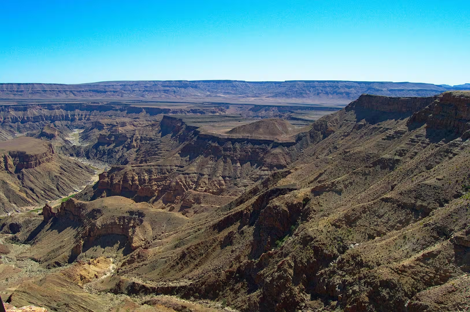
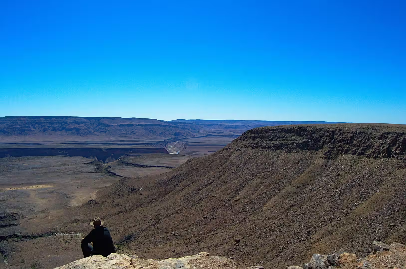
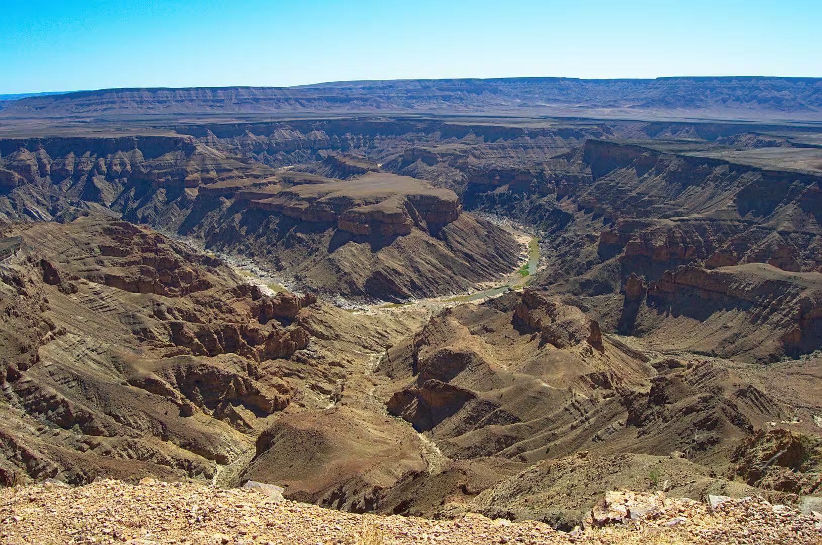
The end of the ground is the canyon. It arrives without warning: the plateau is flat, the bushes are the same, and then there is a gash in the earth that is a hundred metres deep and several kilometres wide, with the river at the bottom appearing as a thin green line of water among the rocks. The first sight of it from the car park of the main viewpoint is one of the moments that the journey is remembered for.
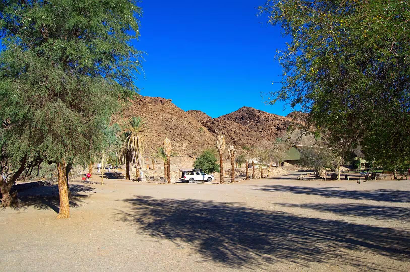
The day was spent between the viewpoints. The road along the western rim connects a series of them, each with a platform, a small parking area and a view into a different bend of the gorge, and the light changes the colour of the rock from ochre to rust to violet as the day goes on. The camp of the night is in the same area, on the edge of the plateau above the river, with the canyon within walking distance of the pitches.
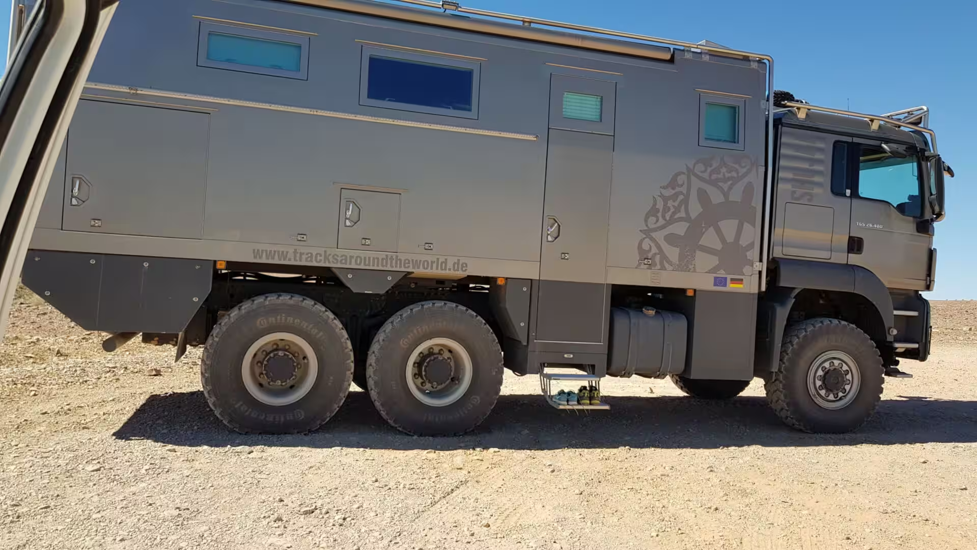
The other vehicle in the camp was a six-wheeled expedition camper of the kind that crosses continents, and the comparison with the pickup and its roof tent was the subject of the evening. The rusted hulk of an old truck on the plain near the camp, holed by years of target practice, made the same point in a different register: the desert takes back the machines that fail it, and the ones that survive are the ones built and maintained for the country.
History
The canyon has been a route and a barrier for as long as people have lived in the south of the country. The Fish River is the longest river inside Namibia, it flows south and west through a country that has almost no other permanent water, and the springs and the pools along its course were the places where the Nama and the San found water in the dry season. The name of the springs at the bottom of the gorge, ǀAi-ǀAis, means fire in the Khoekhoe language, and the hot water that rises there has been known and used for centuries.
The modern history of the canyon begins with the colonial administration. The springs at the southern end were developed as a spa for the settlers in the German period, the tracks along the rim were improved for the cars of the visitors in the twentieth century, and the canyon became, after the dunes and the parks of the north, the second most visited attraction of the country. The small settlement at the springs grew into a resort with pools and bungalows, and the viewpoints along the western rim were laid out for the traffic.
The long distance trail through the gorge is the other institution of the place. The hike down the Fish River runs for about eighty kilometres through the canyon between the viewpoints and the hot springs, it takes four to five days, and it is one of the classic walks of southern Africa: there is no path in the usual sense, the walkers follow the river bed, and the permits are limited and issued in advance. The hike is closed in the summer because of the heat and the risk of flash floods in the upper catchment.
The park that contains the canyon is also part of a larger political project. The ǀAi-ǀAis/Richtersveld Transfrontier Park was created in 2003 by joining the Namibian reserve around the hot springs with the Richtersveld park on the South African side of the Orange River, and it was one of the first of the peace parks of southern Africa. The idea behind them is that the landscapes of the region do not stop at the lines on the map drawn in the colonial period, and that the parks on both sides of a border should be managed as one.
Geology
The canyon is the work of a river that has been cutting into a plateau for tens of millions of years. The Fish River rises in the high ground of the interior, gathers the water of a catchment the size of a small country, and runs south and west towards the Orange River through country that is now dry: the river flows in the wet season, the rest of the year it is a chain of pools, and the channel that carries it is far larger than the water that uses it. The canyon that the river has cut is the largest in Africa, about a hundred and sixty kilometres long, up to twenty seven kilometres wide and in places five hundred and fifty metres deep.
The rock that the river has cut through is some of the oldest in the country. The walls of the gorge expose the metamorphic rocks of the Namaqua province, the folded and heated sediments and volcanics that were deformed in a mountain building event more than a thousand million years ago, and the layers stand in the cliffs at angles that record the pressure they were put under. Above them lie the younger sediments and the dolerite of the Karoo, and the whole pile has been lifted and tilted by the movements that raised the interior of the continent.
The reason the canyon is here at all is the uplift of the plateau. When the interior of southern Africa was raised by the movements of the crust in the period after the break up of Gondwana, the rivers that drained it were given a great deal of height to fall through, and the Fish River used the energy to cut down into the rock rather than to meander across it. The incision has been going on for tens of millions of years, in a climate that has been getting drier, and the canyon is the result of that race between the uplift and the water.
The hot springs at the bottom of the gorge are part of the same geology. Water that falls on the high ground of the catchment seeps into the faults and the fractures of the old metamorphic rock, is heated by the temperature of the crust as it goes deep, and rises again along the zone of weakness that the river has followed. The springs that come out at ǀAi-ǀAis are warm to hot, mineral rich and permanent, and they are the reason the place has been a stopping point for travellers and animals for as long as anyone has recorded.
The water that cut the canyon still runs through it, and the way it runs is the key to the whole landscape. The Fish River is a river of floods: for most of the year it is a chain of pools and a dry bed, and once or twice in a decade the rain of the interior arrives in a wave that fills the gorge from wall to wall. The flood carries sand, gravel and boulders down the canyon, scours the rock in the narrow places, and leaves the load in the wider bends. The walkers on the trail plan their days around the water and the weather of the catchment above them, not around the sky over their heads.
The canyon also marks the edge of the plateau in a way that the traveller can read from the rim. To the east and the north stretches the interior with its flat horizons and its thin cover of bush; to the west and the south the country falls away towards the Orange River and the coast, and the ranges that stand between the canyon and the sea are the last barriers before the desert. The viewpoint is therefore a geographical window as much as a spectacle: the visitor is standing on the step that divides the high interior of southern Africa from the low country of the Atlantic.
Things to See
The canyon is seen from the rim, and the rim is a road with a series of viewpoints. The main one is at Hobas, where the river makes a great bend and the gorge is at its most dramatic, and the others along the western edge look into different sections of the ravine. Each has a platform and a car park, the distances between them are short, and the walker who wants more than the view can follow the marked paths along the edge of the plateau between two of them.
The hike through the gorge is the serious option and the best way to see the canyon from the inside. It runs with the river from the northern end to the hot springs in the south, it takes four to five days, and it requires a permit, a group with experience, and a plan for the water. The walkers carry everything, the nights are cold and the days are hot, and the pools of the river are the only water. The route is closed from the beginning of the summer until the following spring.
The hot springs and the resort at ǀAi-ǀAis are at the southern end of the canyon and they are the reward of the hike and a destination in their own right. The pools are fed by the springs, the palms and the grass of the resort stand in the bed of the river, and the contrast between the green of the oasis and the bare rock around it is the image of the place. The camp and the bungalows are run by the state tourism organisation and the place is busy in the winter holidays.
The practical side of a visit is simple but strict. The canyon country is hot, the viewpoints are exposed, and there is no water between the camps, so the day should be planned with the heat in mind: early starts, shade at noon, and enough water for the hours between the stops. The gates of the park close at sunset, the fuel and the shops are in the towns on the main road, and the mobile coverage is patchy. The visitor who arrives with a full tank, a full cool box and a hat will enjoy the day; the one who does not will remember the heat.
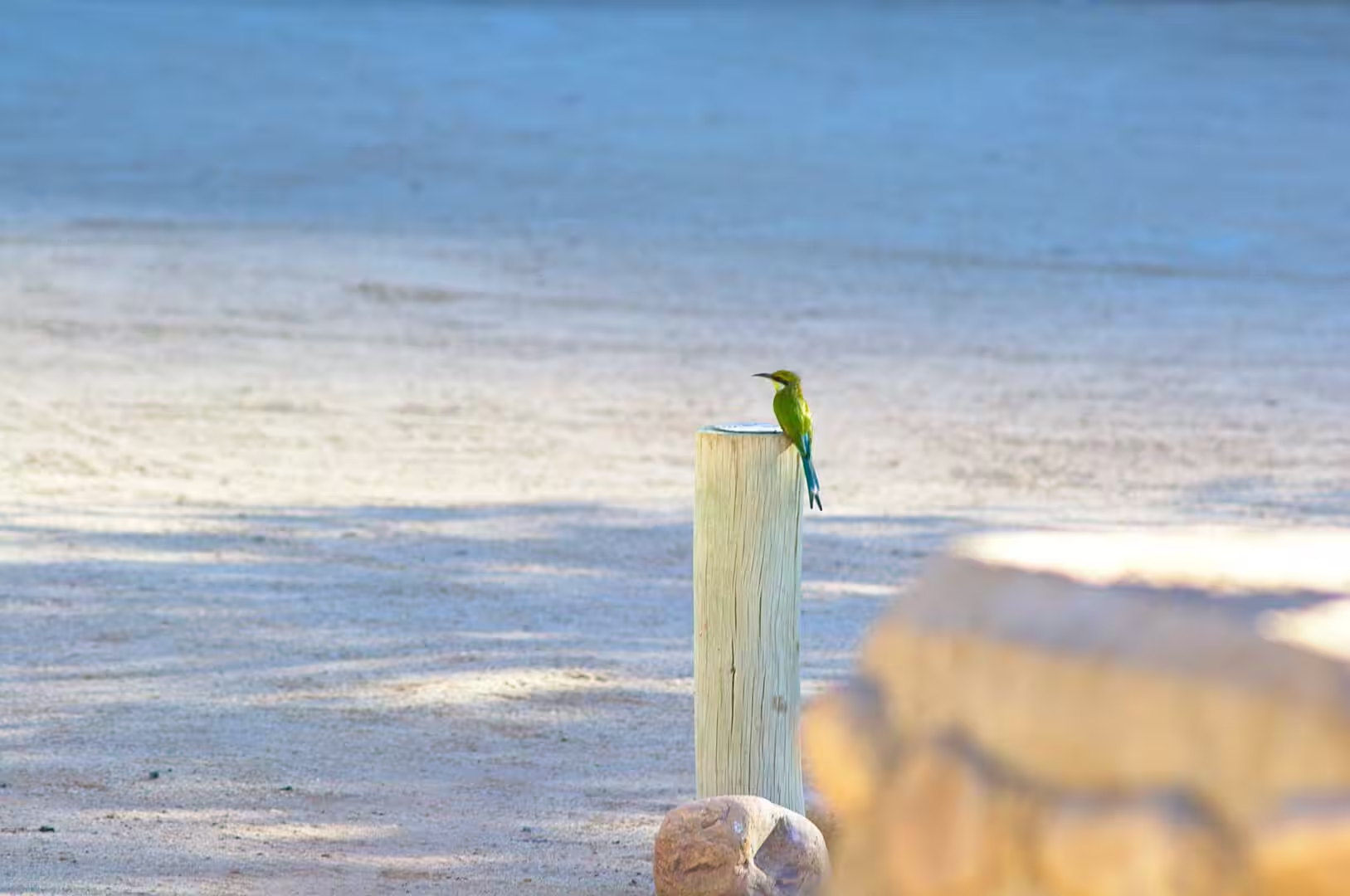
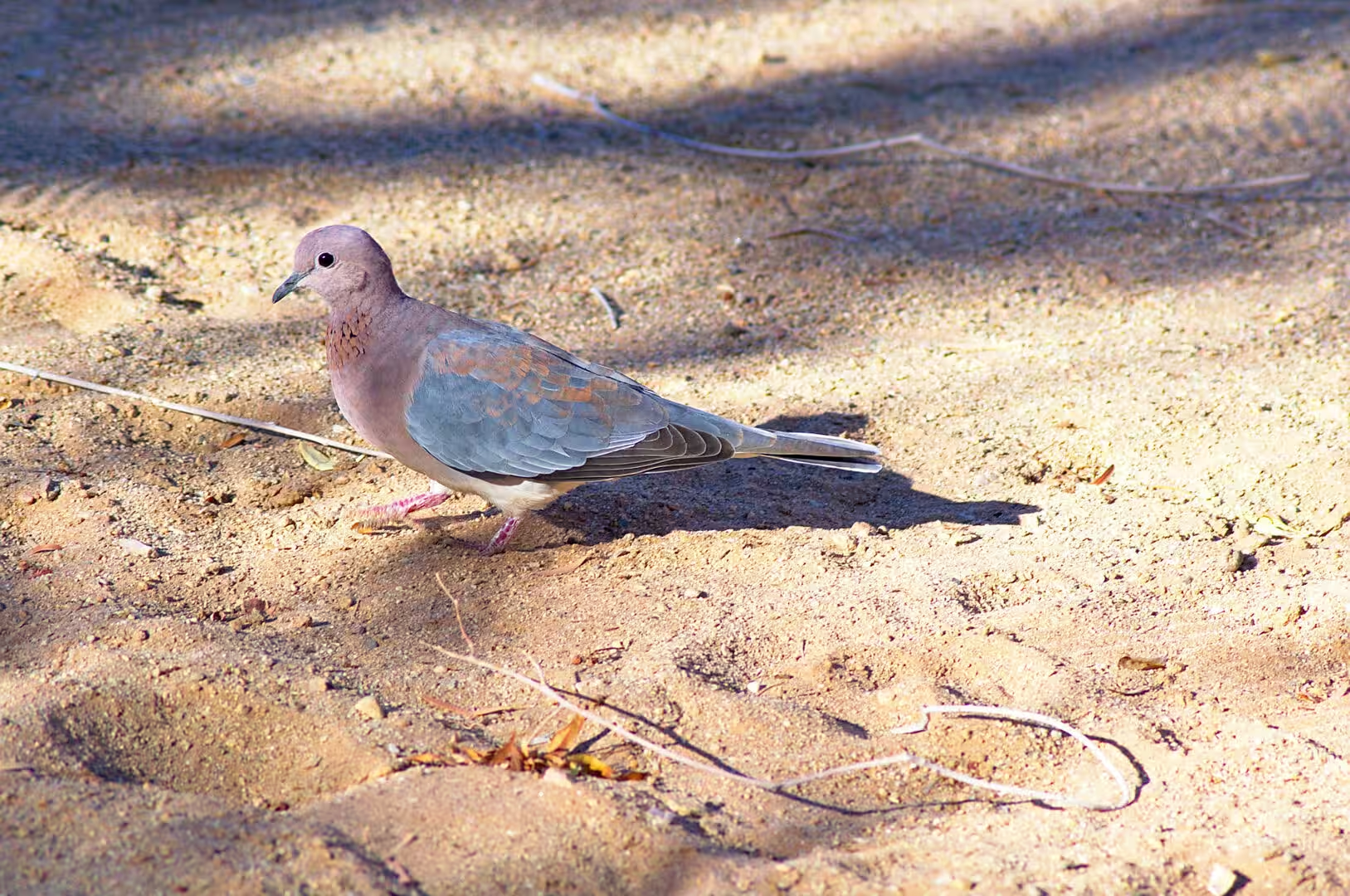
The birds of the canyon rim are a small but reliable pleasure. The bee-eaters and the rollers sit on the fence posts and the dead branches along the road, the doves and the sandgrouse come to the water points in the morning, the raptors circle the thermals above the gorge in the middle of the day, and the small seed-eaters are everywhere in the bushes. The visitor who stops the car and waits for a few minutes at any of the viewpoints will see more of them than the one who drives from platform to platform.
The camps of the canyon country are few and simple, and the best of them is the one on the rim above the gorge. It has pitches with shade and power, a small shop, a fuel station and a pool that the heat makes welcome, and the main viewpoint is a short walk from the gate. The visitor who sleeps there has the canyon at sunrise and at sunset, which are the two hours when the light does the work that the middle of the day cannot, and the stars of the southern sky after dark.
The drive to the canyon from the south is part of the experience and should not be rushed. The road from Keetmanshoop passes the last towns of the region, crosses the dry country of the Karas Mountains, and climbs through a gap in the hills to the rim; the road from the north comes down from the interior across a plain of red sand and pale grass. Both are gravel for long stretches, both are empty, and both give the traveller the sense of distance that the map of the country promises.
References
- Wikipedia contributors (2026). Fish River Canyon. en.wikipedia.org/wiki/Fish%20River%20Canyon
- Wikipedia contributors (2026). Ai-Ais Hot Springs. en.wikipedia.org/wiki/Ai-Ais%20Hot%20Springs
- Wikipedia contributors (2026). ǀAi-ǀAis/Richtersveld Transfrontier Park. en.wikipedia.org/wiki/%C7%80Ai-%C7%80Ais%2FRichtersveld%20Transfrontier%20Park
- Wikipedia contributors (2026). Orange River. en.wikipedia.org/wiki/Orange%20River
- Wikipedia contributors (2026). Namibia. en.wikipedia.org/wiki/Namibia
- Wikipedia contributors (2026). Nama people. en.wikipedia.org/wiki/Nama%20people
- Wikipedia contributors (2026). ǁKaras Region. en.wikipedia.org/wiki/%C7%81Karas%20Region
- Wikipedia contributors (2026). Keetmanshoop. en.wikipedia.org/wiki/Keetmanshoop
- Wikipedia contributors (2026). Lüderitz. en.wikipedia.org/wiki/L%C3%BCderitz
- Wikipedia contributors (2026). Aussenkehr. en.wikipedia.org/wiki/Aussenkehr
- Wikipedia contributors (2026). Namib. en.wikipedia.org/wiki/Namib
- Wikipedia contributors (2026). South Africa. en.wikipedia.org/wiki/South%20Africa
- Mvondo F., Dauteuil O., Guillocheau F. (2011) The Fish River canyon (Southern Namibia): A record of Cenozoic mantle dynamics?. Comptes Rendus. Géoscience. 343. 478-485. doi.org/10.1016/j.crte.2011.07.003
- Burke A. (2017) Biodiversity zoning in the Greater Fish River Canyon Landscape in southern Namibia. Namibian Journal of Environment. 1. A. doi.org/10.64640/fm4ctg18
- Grodek T., Cloete G., Vázquez-Tarrío D., Benito G. (2024) The hydromorphological effects of dams in an extreme desert environment, The Fish River Canyon, Namibia. Geomorphology. 453. 109124. doi.org/10.1016/j.geomorph.2024.109124
- Whitford W.G. (1999) Comparison of ecosystem processes in the Nama-karoo and other deserts. The Karoo. 291-302. doi.org/10.1017/cbo9780511541988.024