Day 5 - Ais-Ais
4 June 2019

Journal Notes
General
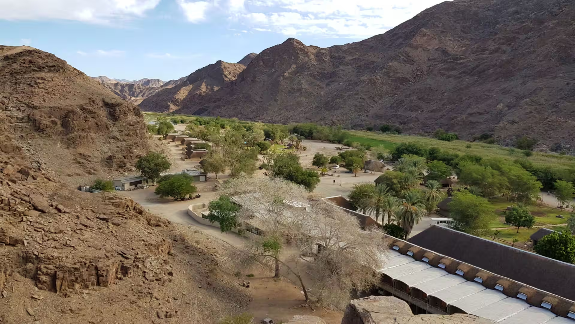
The fifth day went to the bottom of the canyon and the hot springs that come out of it. The road from the rim drops through a gap in the mountains into the valley of the Fish River, and at the end of it lies a green place in the middle of the driest country of the south: a resort of lawns, palms, pools and small buildings in the bed of a river that has no water in it.
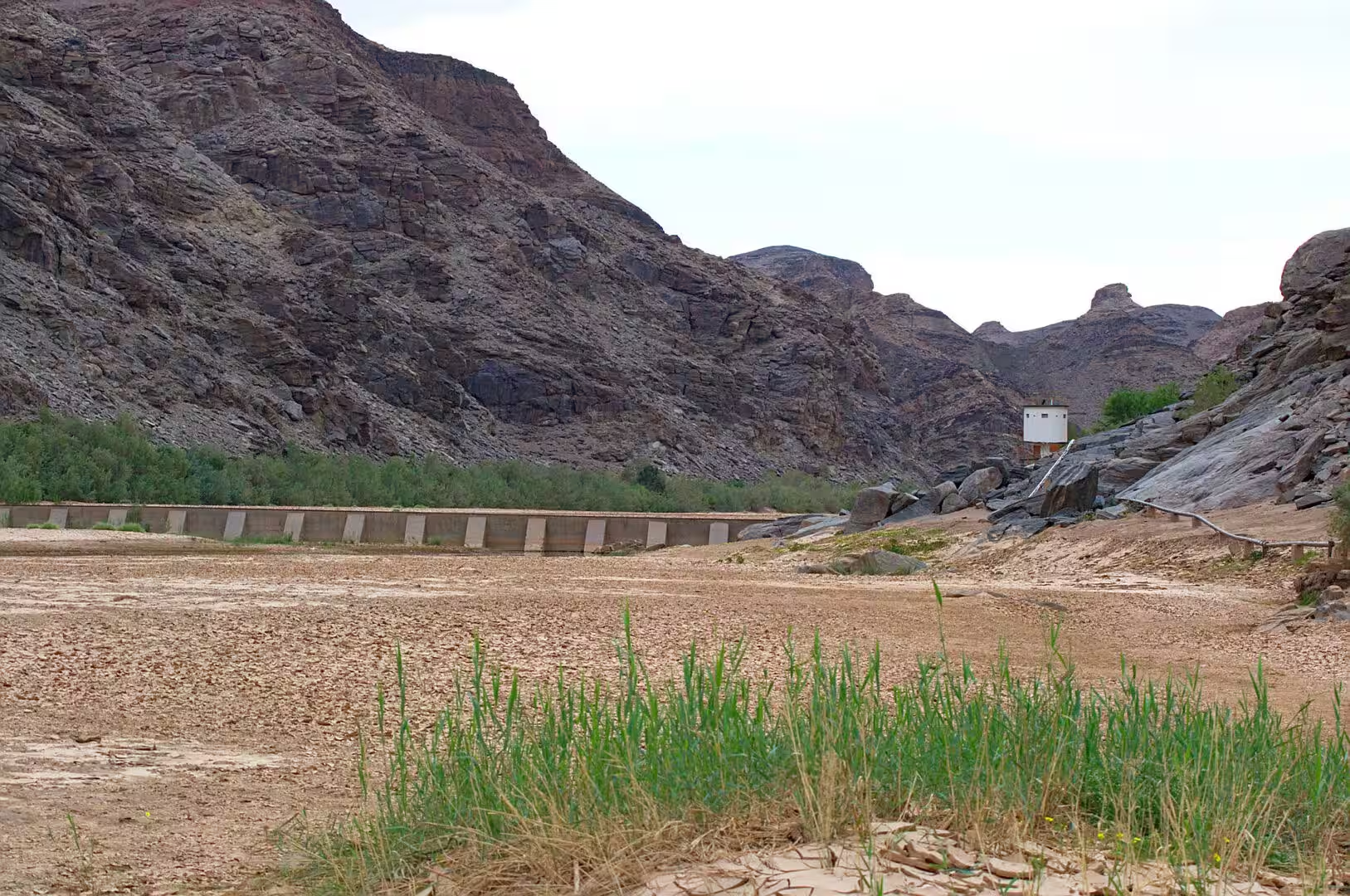
The day began on the rim above the camp, where the old reservoir and its dam wall stand in a side valley and the mountains fall away in brown and grey slopes towards the river. From there the drive follows the wadi down through the hills, and the vegetation changes with every kilometre: the bare rock of the plateau gives way to a line of green trees along the dry watercourse, the acacias and the camelthorn appear, and the last bend brings the palms of the resort into view.
The afternoon was spent at the springs. The water comes out of the ground at the bottom of the gorge, it is warm and mineral rich, and the pools that the state tourism organisation has built around it are the reason for the resort: the visitors soak in the hot water, the children play in the cold pool beside it, and the palms and the grass make the place feel like an oasis in a way that no desert camp does. The water has been used for its health for as long as the place has had a name.
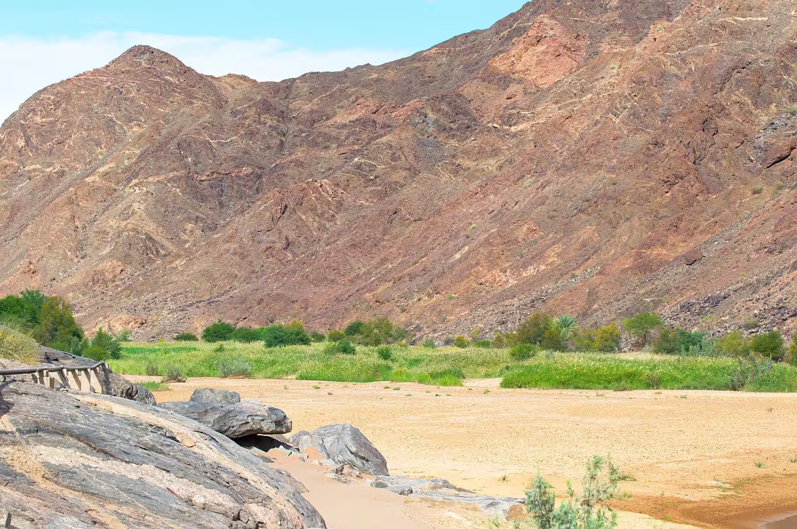
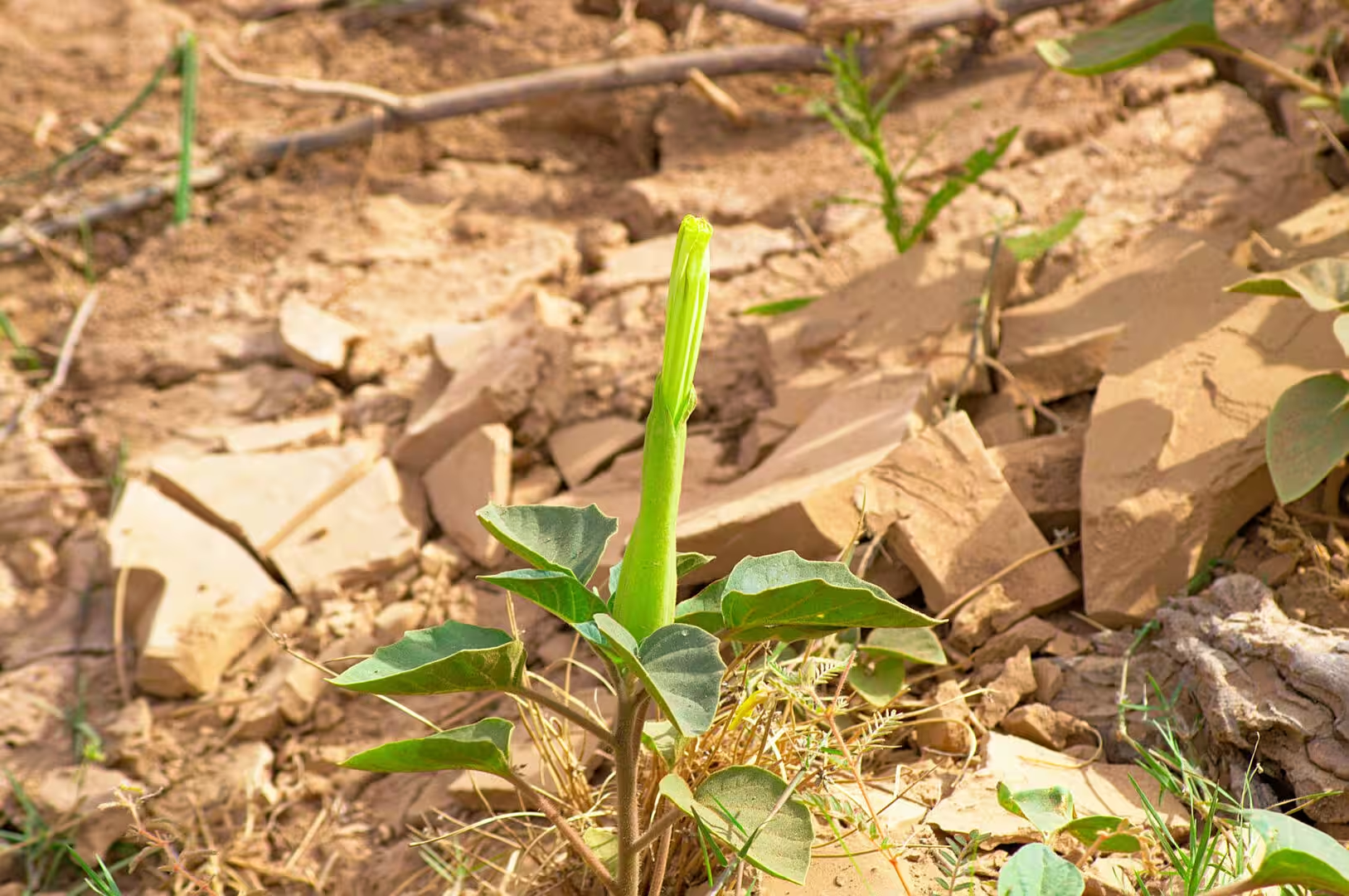
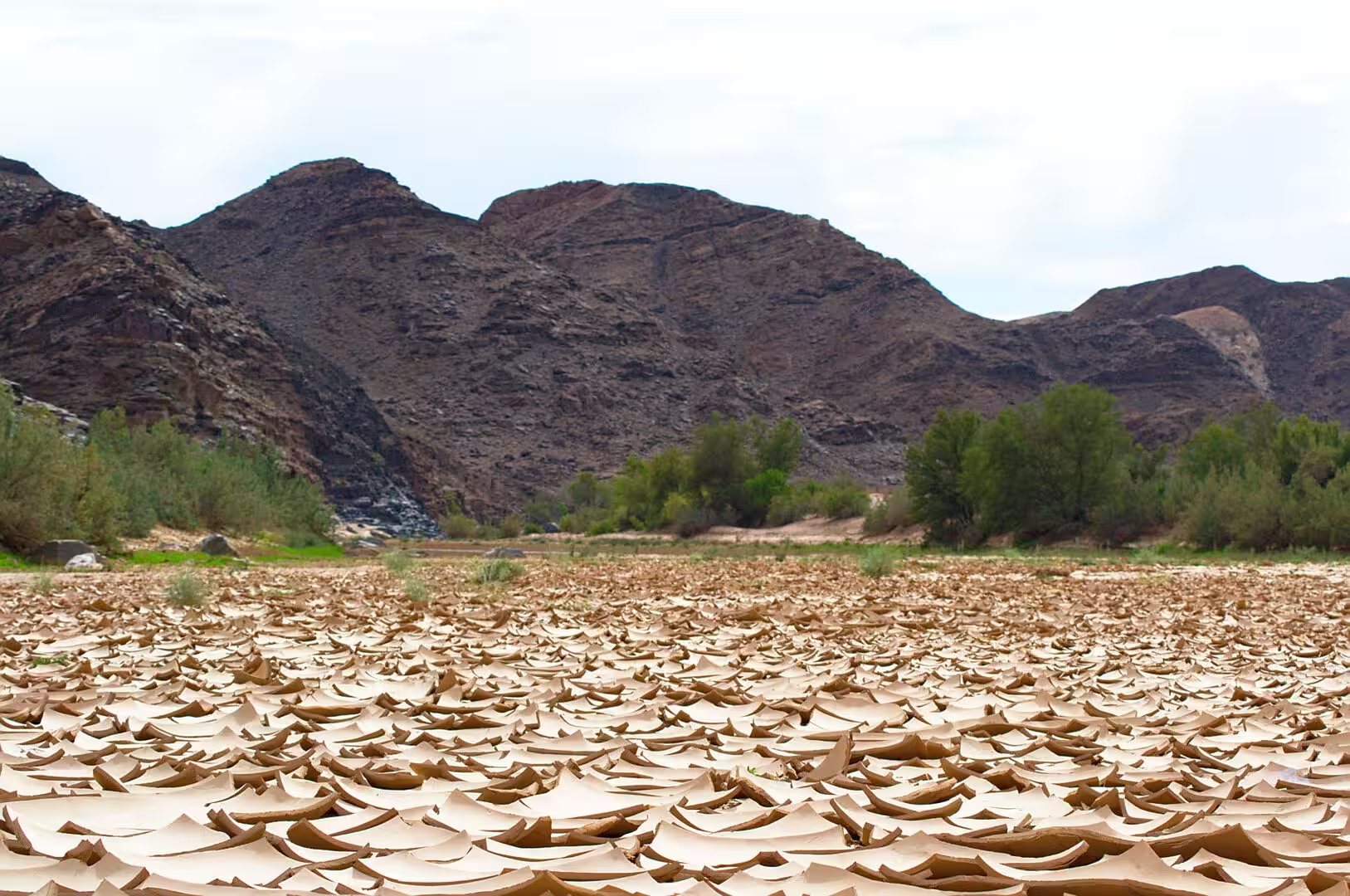
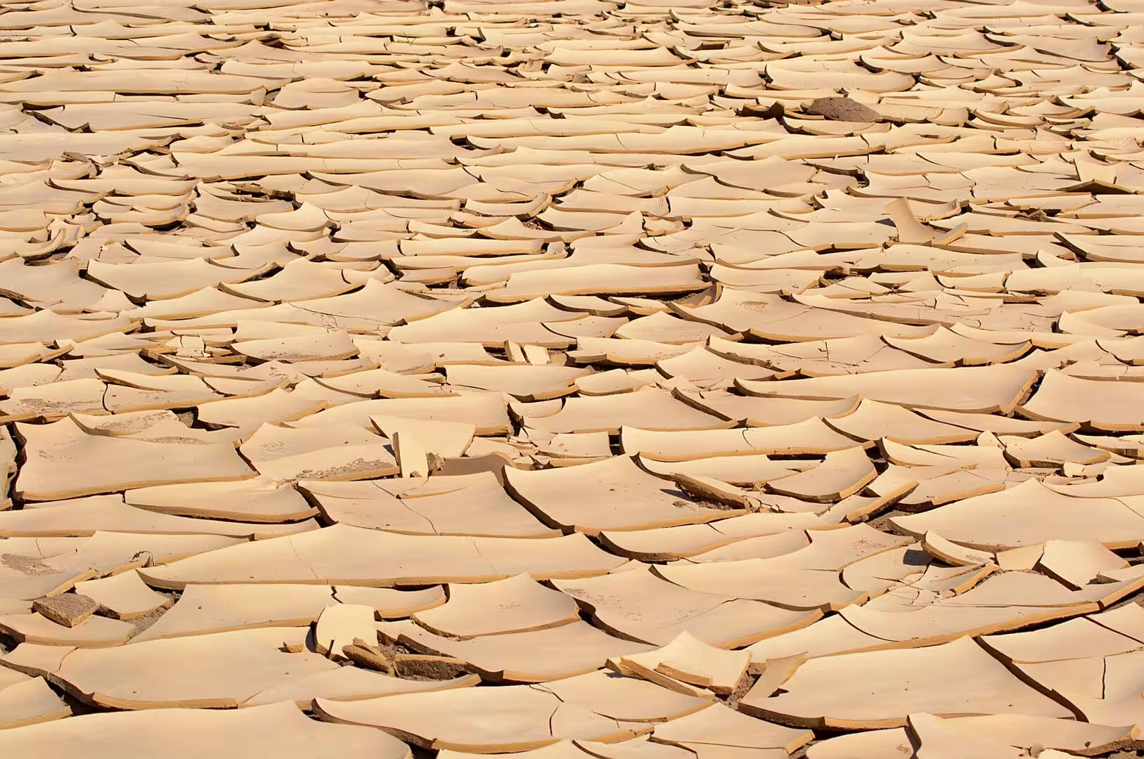
The walker who wants the country rather than the pool can walk up the dry riverbed. The floor of the valley is a wide wash of sand and cracked clay, the flaked plates of the dried mud cover the ground in their millions, and a single small seedling in the middle of the clay is the whole vegetation of the watercourse between the floods. The baboons of the valley come down to the resort in the evening, the birds are in the trees along the water, and the cliffs above the camp carry the shadows of the mountains until the sun leaves the valley early.
History
The springs have a name in the language of the people who lived there first. ǀAi-ǀAis means fire in Khoekhoe, the language of the Nama, and the name describes the temperature of the water rather than any flame: it comes out of the ground hot enough to be called scalding. The pools and the watercourse were a stopping point on the routes through the south of the country for the Nama and the San long before any European saw them, and the place has been known to travellers for centuries.
The resort that stands there now was built in stages. The German administration developed the springs as a spa at the beginning of the twentieth century, the South African administration that followed improved the access and built the first bungalows, and the independent government took the place over and expanded it into the complex of pools, campsites and accommodation that the visitor sees today. It is run by the state tourism organisation, it is the base for the hikers who come out of the canyon, and it is the only place of any size in a very large piece of country.
The park around it is one of the peace parks of southern Africa. The ǀAi-ǀAis/Richtersveld Transfrontier Park was declared in 2003 and joins the Namibian reserve around the hot springs with the Richtersveld National Park on the South African side of the Orange River, and it was one of the first of these cross-border parks to be established. The idea is that the landscapes, the plants and the animals of the region belong to the region rather than to the states that divided it, and that the two countries should manage them together.
The springs also mark the end of the long trail through the gorge. The hikers who have walked the Fish River for four or five days come out at the resort, and the hot pools are the first thing they use. The place has been the southern terminus of the route since the trail was opened, and the combination of the walk and the soak is one of the reasons the canyon hike is on the list of the classic walks of the continent.
The people of the lower Fish River were pastoralists before they were anything else. The Nama moved with their herds between the springs and the grazing of the river valley, the water determined the routes, and the place names of the region, most of them in Khoekhoe, record where the water was and who used it. The mission stations and the colonial farms that followed took the land and the herds, and the communities that remained adapted to an economy of wage labour on the farms and the mines that the twentieth century brought to the south.
The trail through the gorge was opened as a walking route by the administration in the middle of the twentieth century, and it has become one of the institutions of Namibian outdoor life: the permits are limited, the season is short, and the walkers who complete it join a small club of people who have seen the canyon from the bottom. The resort at the southern end lives partly on them, and the combination of the canyon and the springs is the reason the far south of the country is on the itinerary of the self drive travellers at all.
Geology
The hot springs are the visible end of a system that begins far above them. The rain that falls on the high ground of the interior, and the water of the Fish River itself, sinks into the fractures of the old metamorphic rocks of the catchment, travels downwards for kilometres along the faults of the region, and comes back to the surface at the base of the Great Karas Mountains where the rocks are broken enough to let it through. The heat comes from the depth of the journey: the deeper the water goes, the hotter the crust it passes through.
The chemistry of the water is a record of the rock it has crossed. The springs of ǀAi-ǀAis carry dissolved minerals from the metamorphic and volcanic rocks of the region, they are warm to the touch and slightly salty, and they have been used for their supposed medicinal properties since the colonial period. Whether the water heals anything is a matter for the visitor, but the flow is real and permanent, which in a country where surface water disappears within days of falling is the only thing that matters.
The valley that the resort occupies is the lower end of the canyon system. Above the springs the river runs in a gorge of hard rock, below them it opens into a wider valley of sand and clay, and the transition happens where the resistant layers give way to softer ones. The dry riverbed with its cracked clay floor is the modern surface of that valley: the river floods it for a few days in a wet year, and for the rest of the time the water is below the surface, hidden in the sand and the gravel of the bed.
The clay flakes that cover the floor of the watercourse are one of the small geological sights of the journey. The mud that the flood leaves behind dries in the sun, contracts as it loses water, and curls up into the plates and the scrolls that cover the ground in their millions; the visitor who walks across them hears the sound of breaking pottery. They are the record of the last flood and the prediction of the next, and they only form in a riverbed that is dry for most of the year.
The mountains behind the resort are the last of the great ranges of the south. The Great Karas Mountains rise to the north and west of ǀAi-ǀAis and form the wall that the road descends through, and they are made of the same old metamorphic rocks that the canyon has cut: hard, folded, and far older than the sediments and the lava flows that lie on top of them in other parts of the country. The springs rise at their base because the faults along the edge of the range give the deep water a way to the surface.
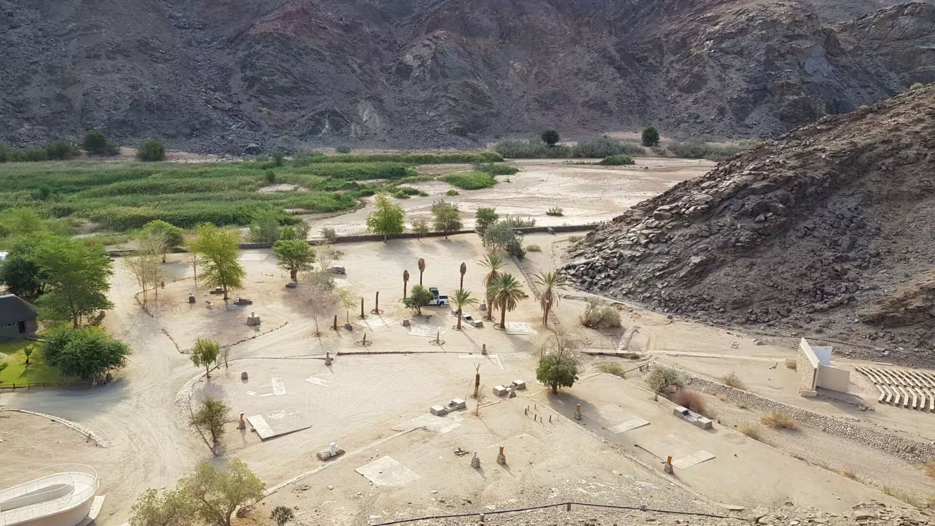
The contrast between the oasis and the country around it is the measure of the water. The resort stands on a few hectares of green in a valley of bare rock and dry sand, the irrigation that keeps it green comes from the springs, and everything outside the perimeter fence is the desert of the south. It is the oldest lesson of the region in a single view: in this country, life is not a matter of the climate but of where the water comes out of the ground.
Things to See
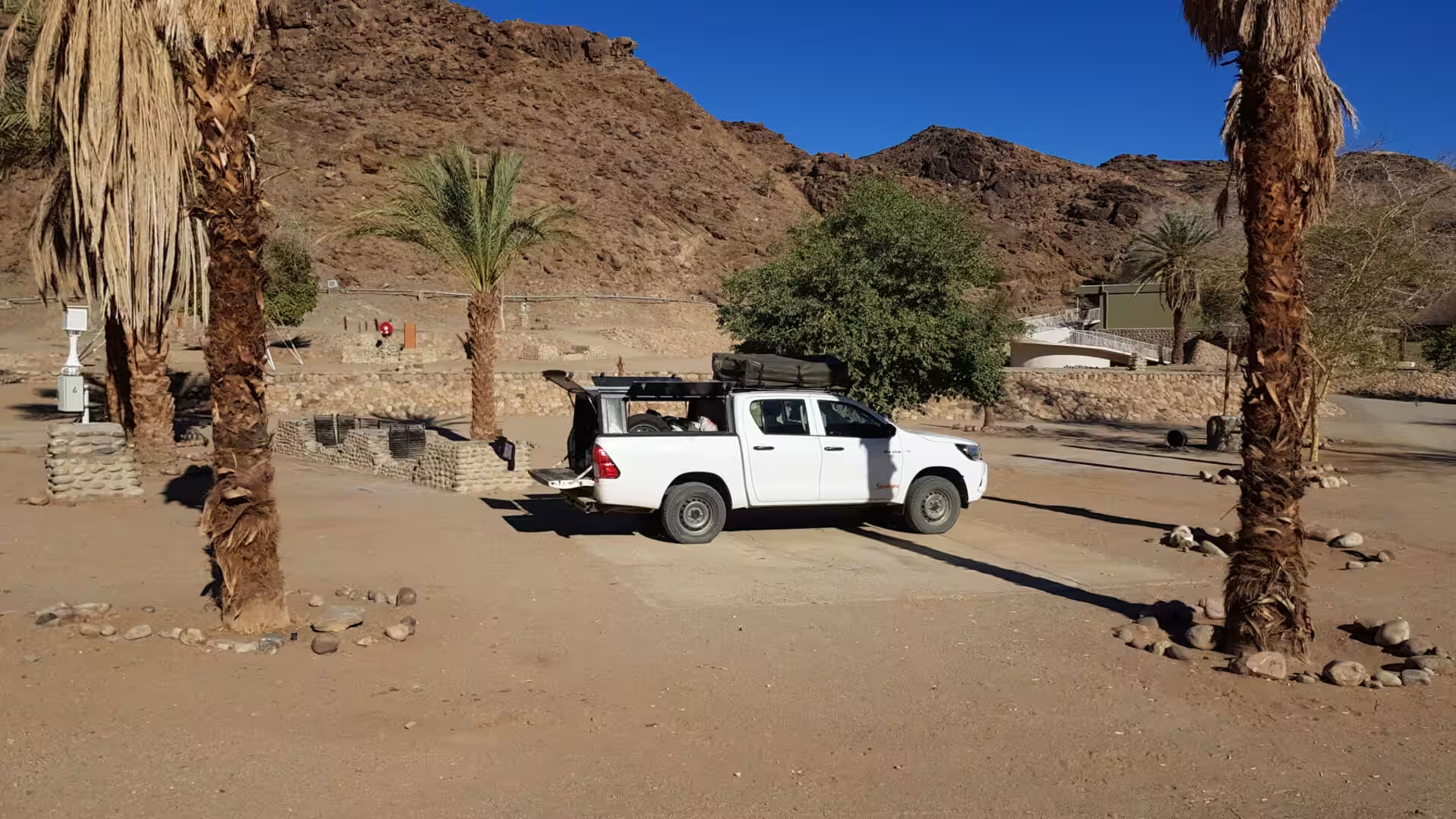
The pools are the centre of a stay at ǀAi-ǀAis. The water comes out of the springs at the temperature of a hot bath, it is piped into a set of indoor and outdoor pools, and the cold pool beside them makes the contrast that the place is built around. The resort has a restaurant, a shop, a fuel station and a campsite with power and shade, and the whole complex sits among palms and lawns that the irrigation keeps green in the middle of the desert.
The walk up the valley is the other half of the day and the better one for anyone who wants to understand the place. The track follows the dry riverbed from the resort towards the mouth of the gorge, the cliffs close in as the walk goes on, and the walker who continues for an hour reaches the point where the canyon proper begins and the trail of the hikers comes out. The route is flat, the sun is the only difficulty, and the reward is the sense of scale that the rim cannot give.
The baboons of the valley are the most visible animals of the place and the boldest. They come down from the mountains in the late afternoon, they cross the lawns of the resort and the car park, and they are completely unimpressed by the visitors: the food, the bags and the open cars are their business. The advice of the resort is the usual advice of the country, and it is worth taking: nothing edible outside, nothing left open, and no feeding.
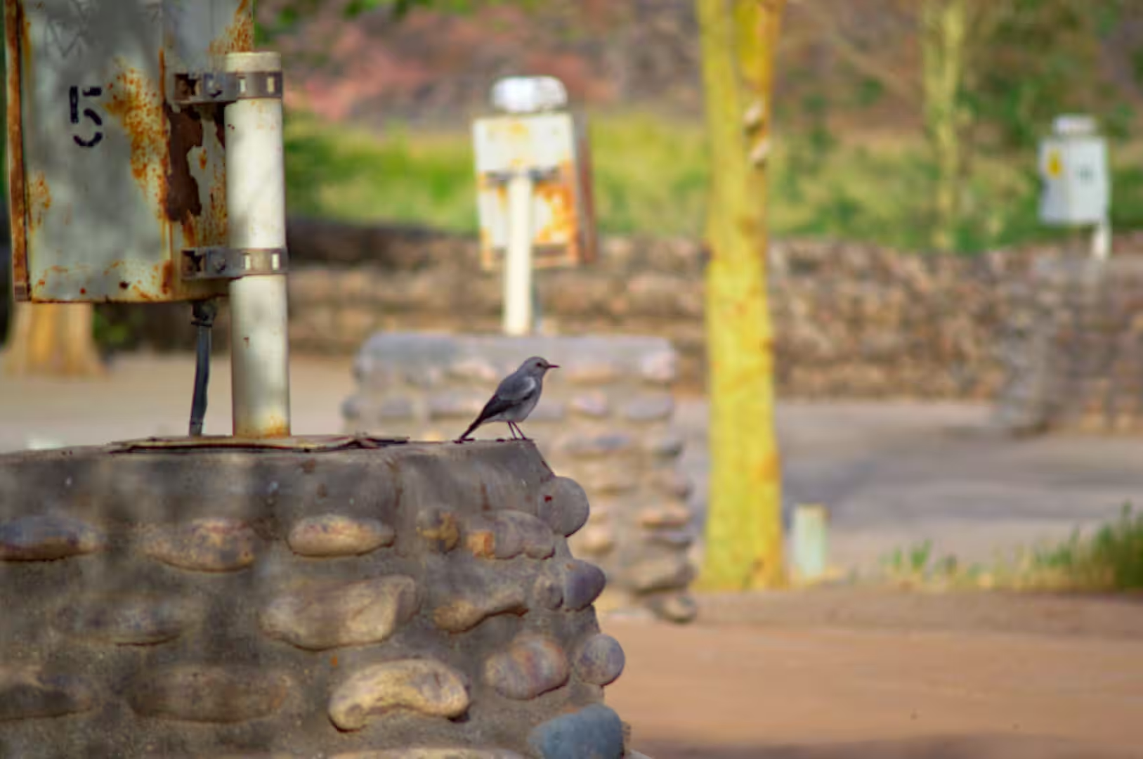
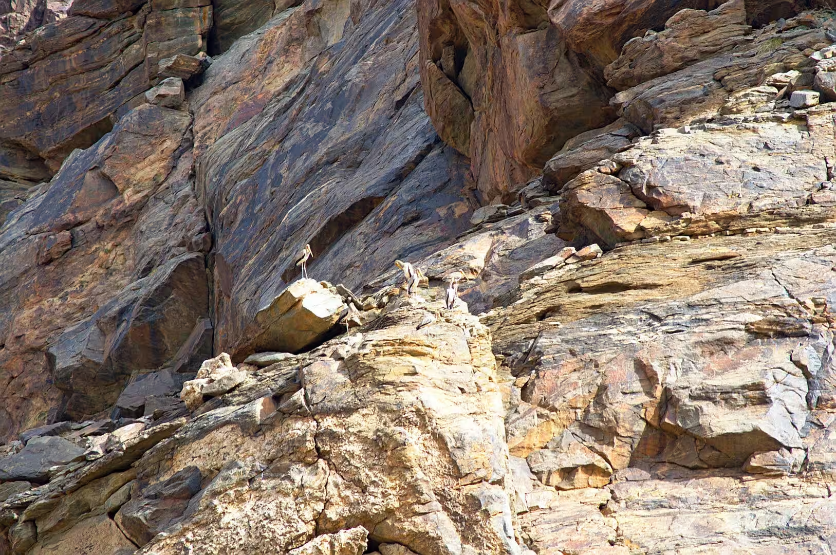
The birds of the oasis are the quiet pleasure of the place. The trees of the resort hold doves, bulbuls, starlings and the small warblers of the riverine bush, a grey bird of the cliffs watches the pools from the wall, and the water attracts the species of the surrounding desert that the traveller has been hearing without seeing for days. The hour after sunrise is the best of them, when the water is still and the birds are working through the trees.
The practical side of a stay is straightforward. ǀAi-ǀAis is 224 kilometres south west of Keetmanshoop on a good gravel and tar road, the last part of it descending into the valley through the mountains, and the traveller who arrives in the late afternoon has the best light of the day on the cliffs. The resort is busy in the South African school holidays, the campsite needs no booking outside them, and the fuel station at the complex is the last one before the long road north or west. In a country of distances, it is a place to fill the tank and the water cans.
References
- Wikipedia contributors (2026). Ai-Ais Hot Springs. en.wikipedia.org/wiki/Ai-Ais%20Hot%20Springs
- Wikipedia contributors (2026). Fish River Canyon. en.wikipedia.org/wiki/Fish%20River%20Canyon
- Wikipedia contributors (2026). ǀAi-ǀAis/Richtersveld Transfrontier Park. en.wikipedia.org/wiki/%C7%80Ai-%C7%80Ais%2FRichtersveld%20Transfrontier%20Park
- Wikipedia contributors (2026). Orange River. en.wikipedia.org/wiki/Orange%20River
- Wikipedia contributors (2026). Chacma baboon. en.wikipedia.org/wiki/Chacma%20baboon
- Wikipedia contributors (2026). Nama people. en.wikipedia.org/wiki/Nama%20people
- Wikipedia contributors (2026). Namibia. en.wikipedia.org/wiki/Namibia
- Wikipedia contributors (2026). ǁKaras Region. en.wikipedia.org/wiki/%C7%81Karas%20Region
- Wikipedia contributors (2026). Aussenkehr. en.wikipedia.org/wiki/Aussenkehr
- Wikipedia contributors (2026). Lüderitz. en.wikipedia.org/wiki/L%C3%BCderitz
- Wikipedia contributors (2026). Namib. en.wikipedia.org/wiki/Namib
- Wikipedia contributors (2026). Kalahari Desert. en.wikipedia.org/wiki/Kalahari%20Desert
- Wikipedia contributors (2026). Hardap Region. en.wikipedia.org/wiki/Hardap%20Region
- Mvondo F., Dauteuil O., Guillocheau F. (2011) The Fish River canyon (Southern Namibia): A record of Cenozoic mantle dynamics?. Comptes Rendus. Géoscience. 343. 478-485. doi.org/10.1016/j.crte.2011.07.003
- Burke A. (2017) Biodiversity zoning in the Greater Fish River Canyon Landscape in southern Namibia. Namibian Journal of Environment. 1. A. doi.org/10.64640/fm4ctg18
- Grodek T., Cloete G., Vázquez-Tarrío D., Benito G. (2024) The hydromorphological effects of dams in an extreme desert environment, The Fish River Canyon, Namibia. Geomorphology. 453. 109124. doi.org/10.1016/j.geomorph.2024.109124