Day 6 - Namtib Desert Lodge
3 June 2019


Journal Notes
General
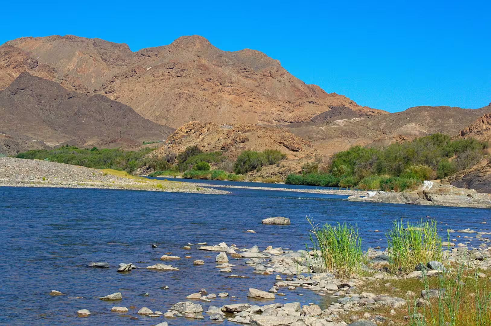
The sixth day was a long drive west, from the canyon country into the desert. The road leaves the Fish River behind, crosses the dry interior of the south, and joins the line of the Orange River where the country opens for a few kilometres into a corridor of green: the water of the great river, the vineyards and the settlements on its banks, and the mountains of the far south on the other side.
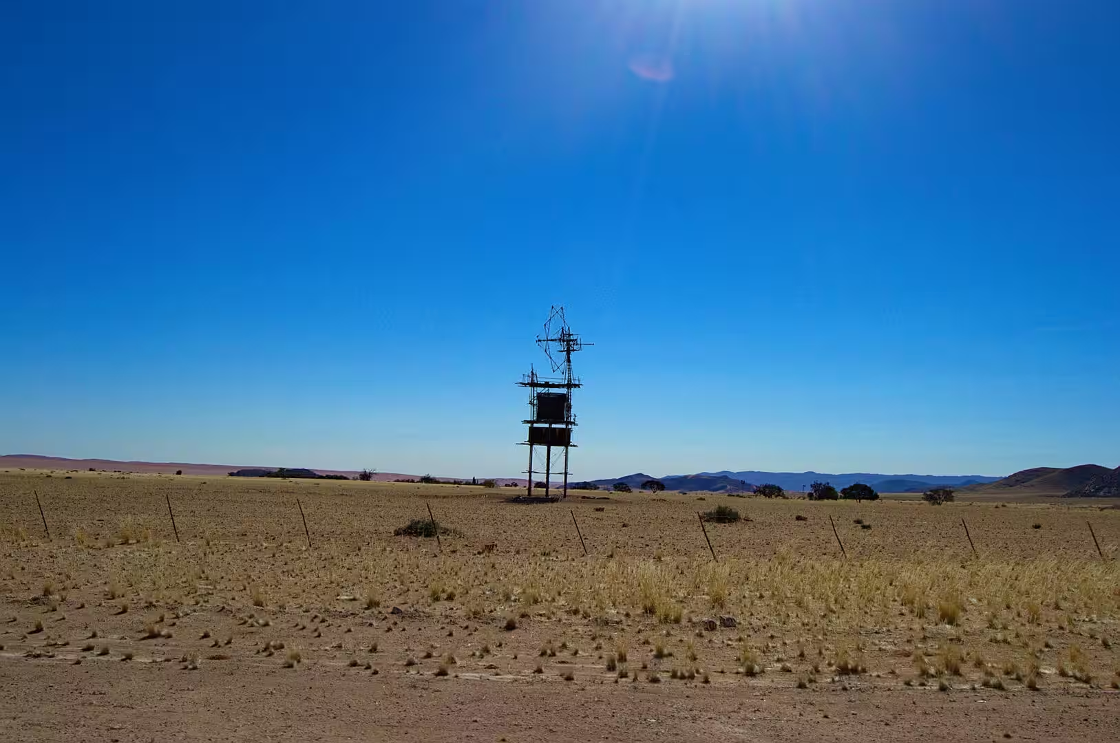
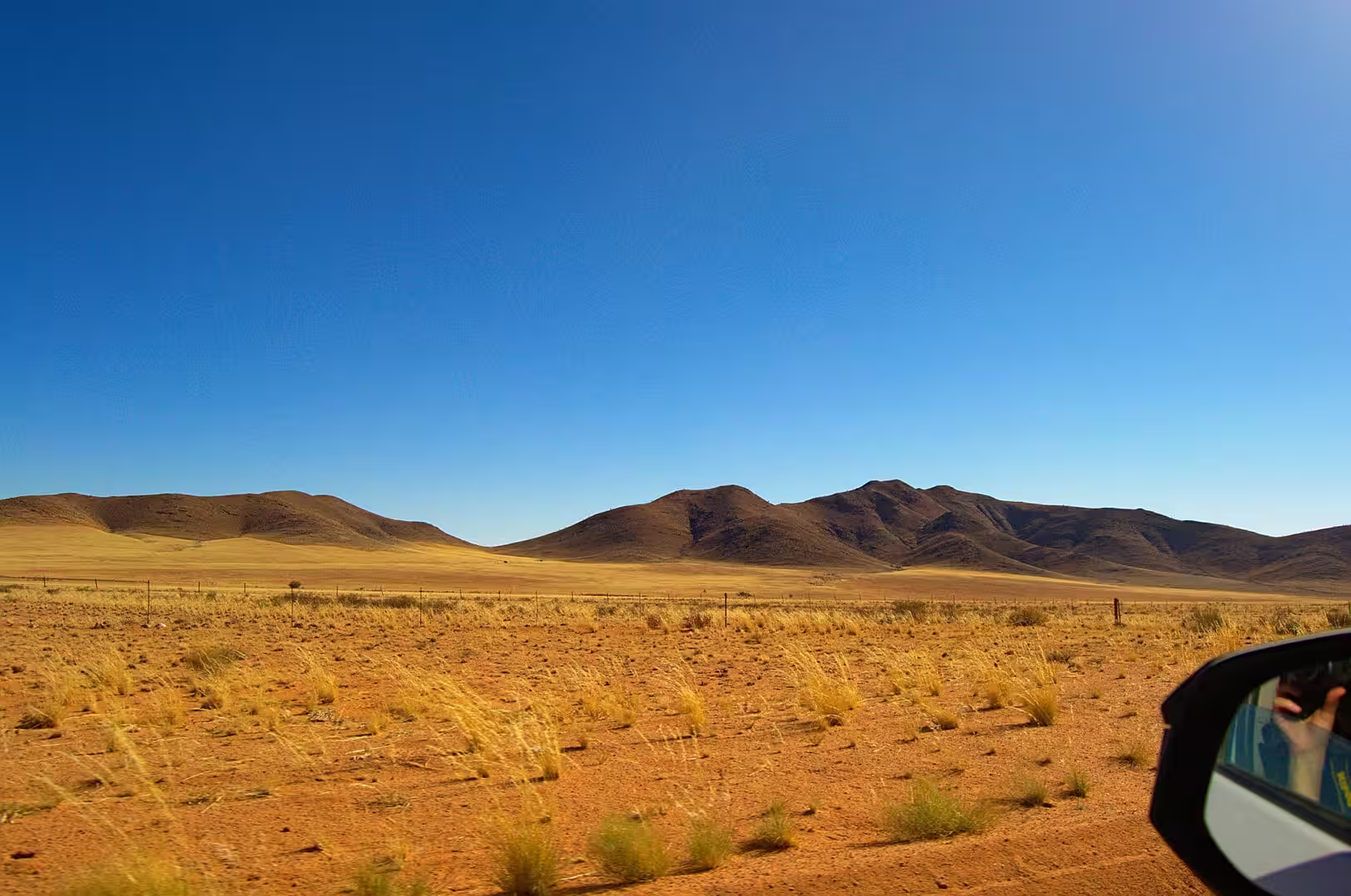
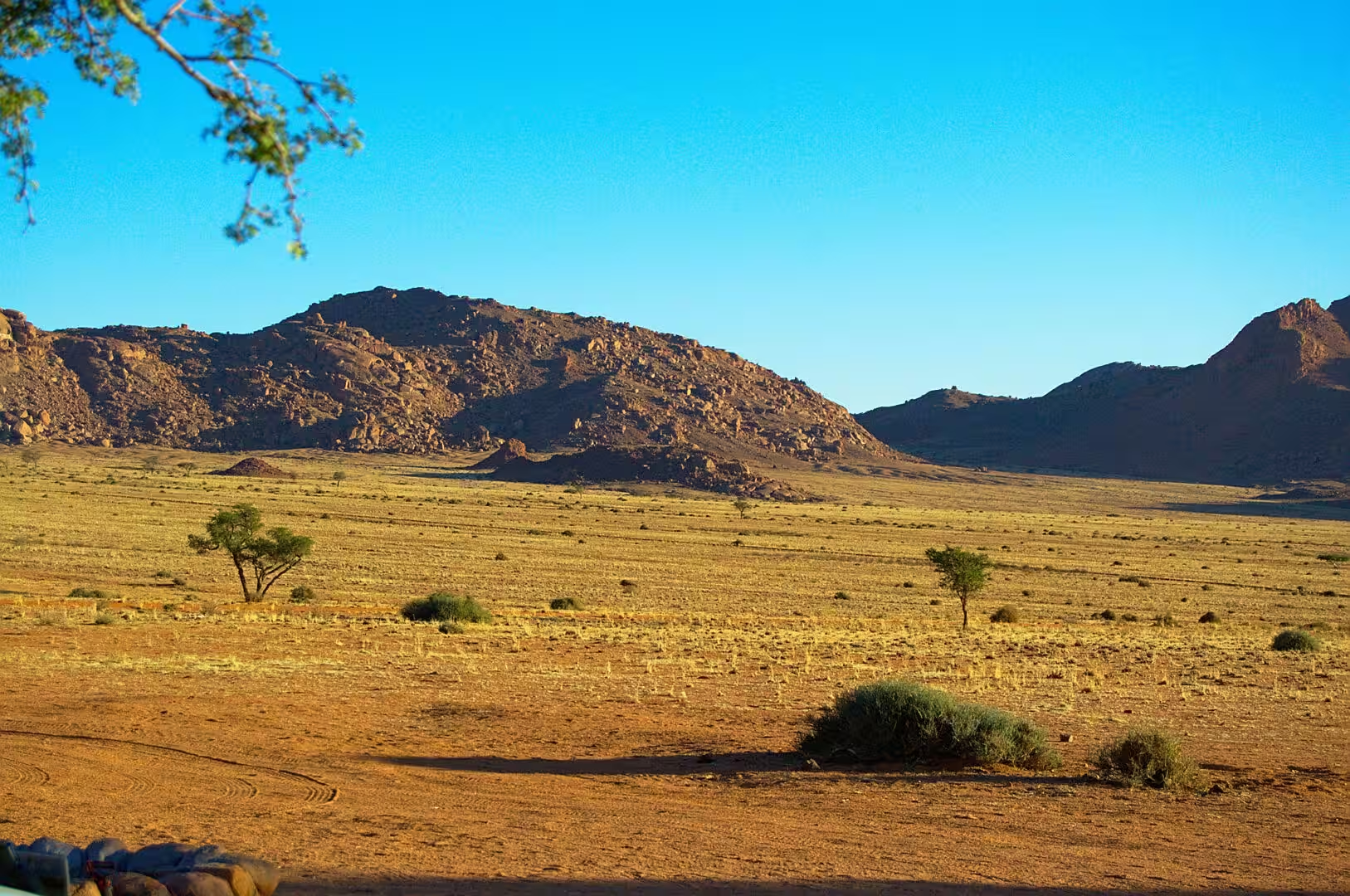
The change of landscape on the way is the day’s real subject. The bare grassland and the red gravel of the high country give way to the valley of the Orange, and the valley gives way again to the stone desert of the Namtib, where the road runs between dark rocky ridges and plains of dry golden grass with a single wind pump standing in the middle of them. The water is the only thing that changes the country, and it is almost absent.
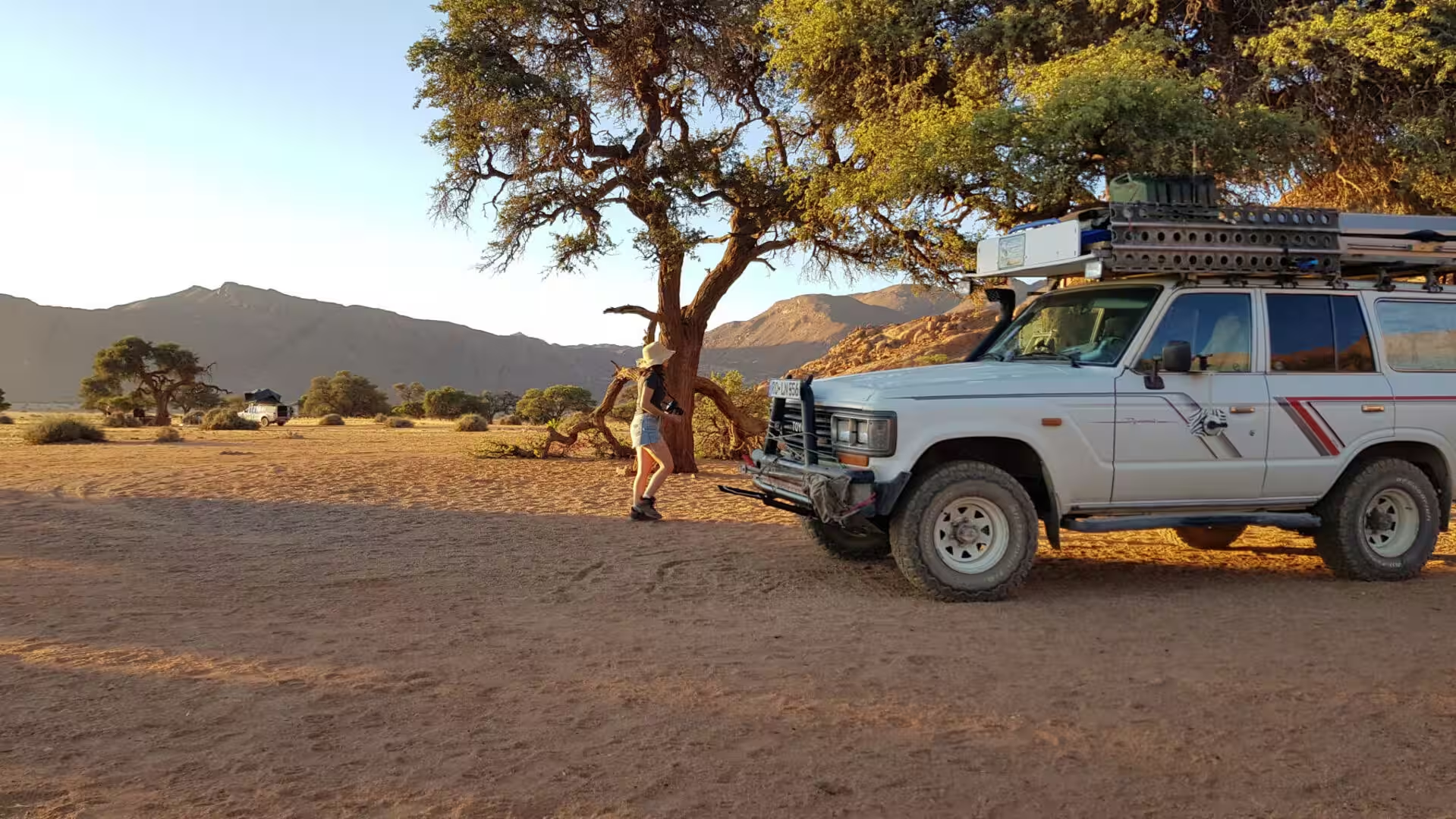
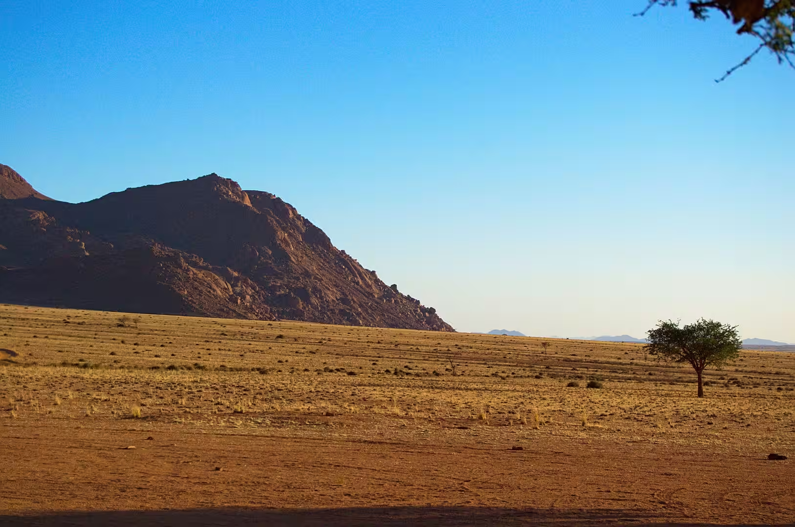
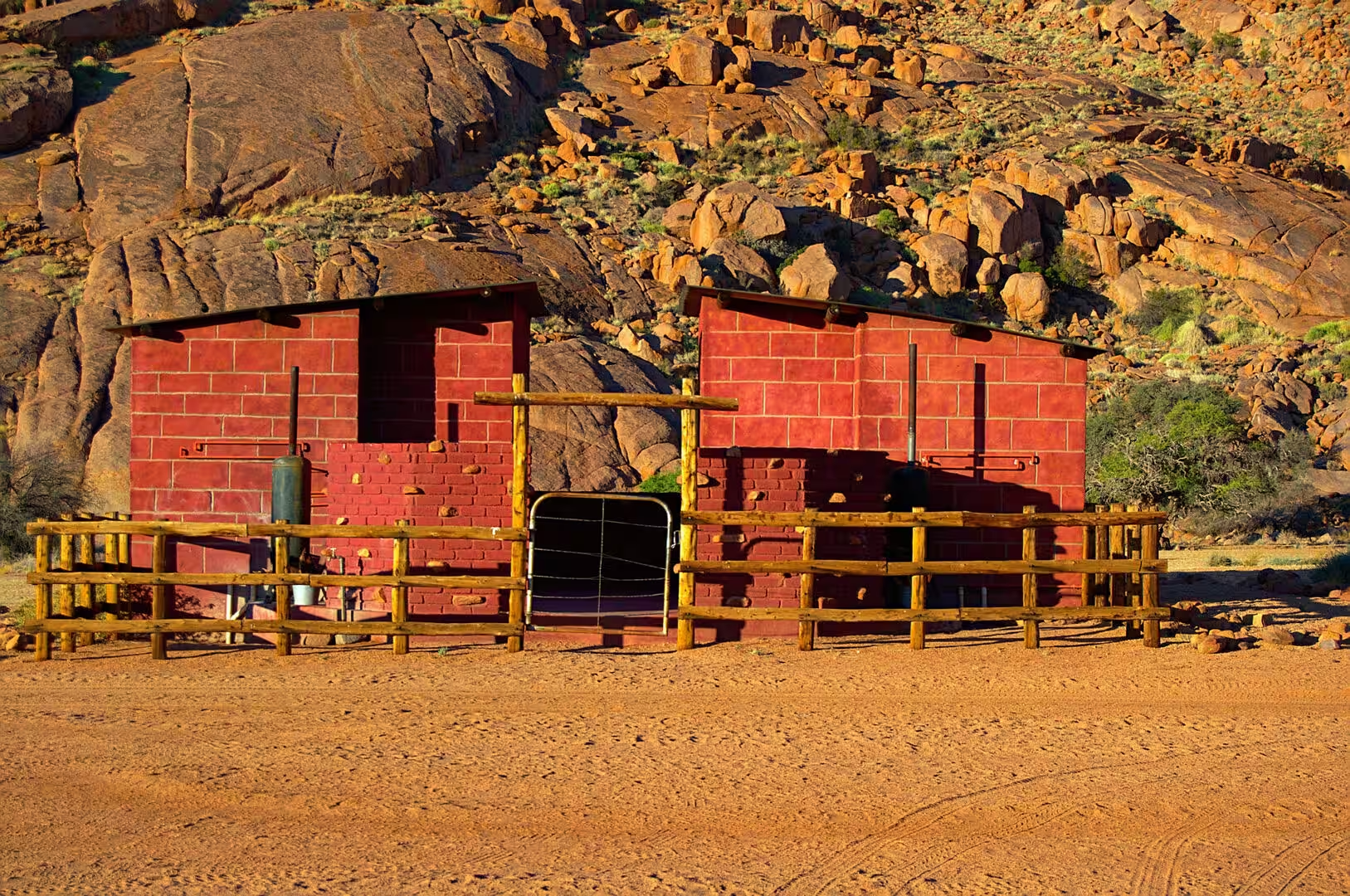
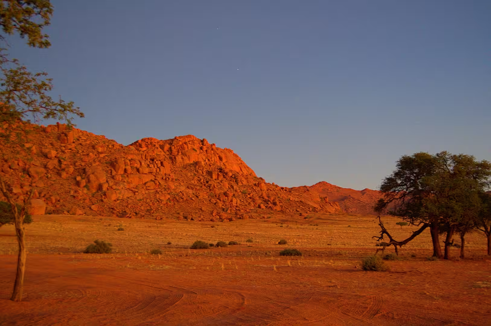
The camp of the night stands in that stone desert under a wall of dark rock. It is a lodge on a private reserve rather than a town campsite: a few buildings of red block and metal roof behind a timber fence, a shaded terrace, a small pool, and pitches for the travellers who sleep in their vehicles. The mountains behind it catch the last light of the day and turn the colour of rust, and the plain in front turns gold.
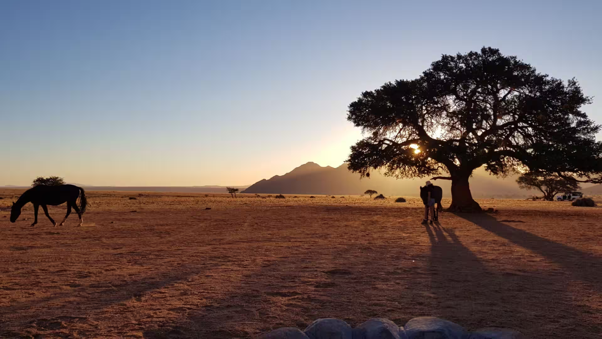
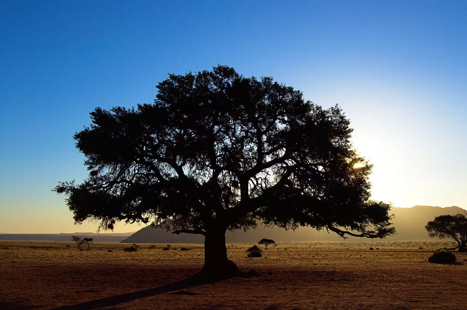
The evening produced the two typical images of the journey’s camping days. The first was the light itself, which in this country does not fade but goes out: the sky turns from blue to gold to deep red in half an hour, and everything standing in it becomes a silhouette. The second was the horse that grazed at the edge of the camp in the last of the glow, followed by a figure from the farm who brought it in, and the whole scene looked like the end of a western film.
History
The corridor of the Orange River is the oldest colonial landscape of the south. The river is the longest in southern Africa, it forms the border between Namibia and South Africa, and its lower valley has been farmed for water since the nineteenth century: the settlers who came from the Cape and from Germany established irrigation plots at Aussenkehr and the other settlements, and the grapes and the dates of the Namibian side are grown today on land that the river makes green in the middle of a desert.
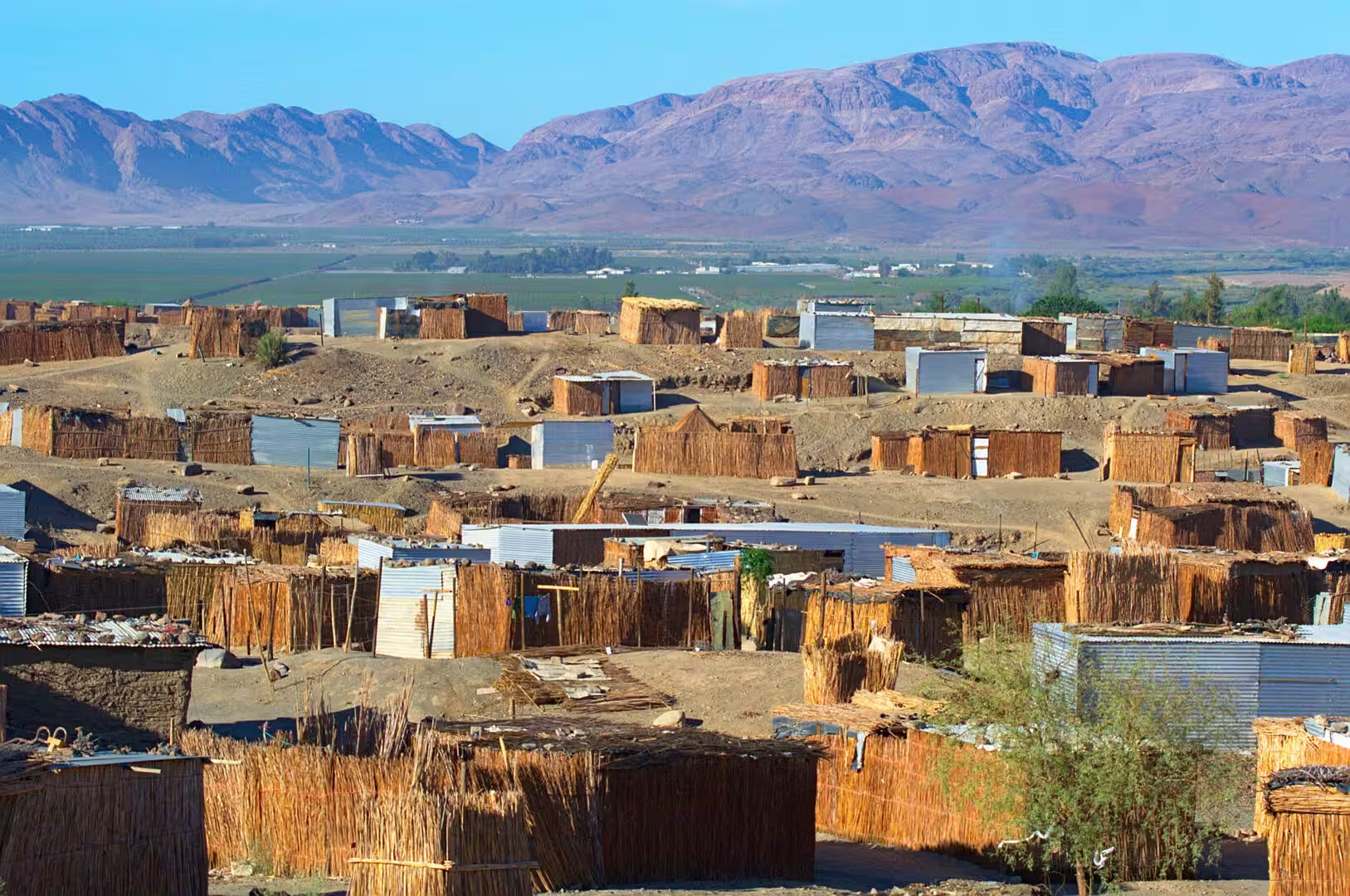
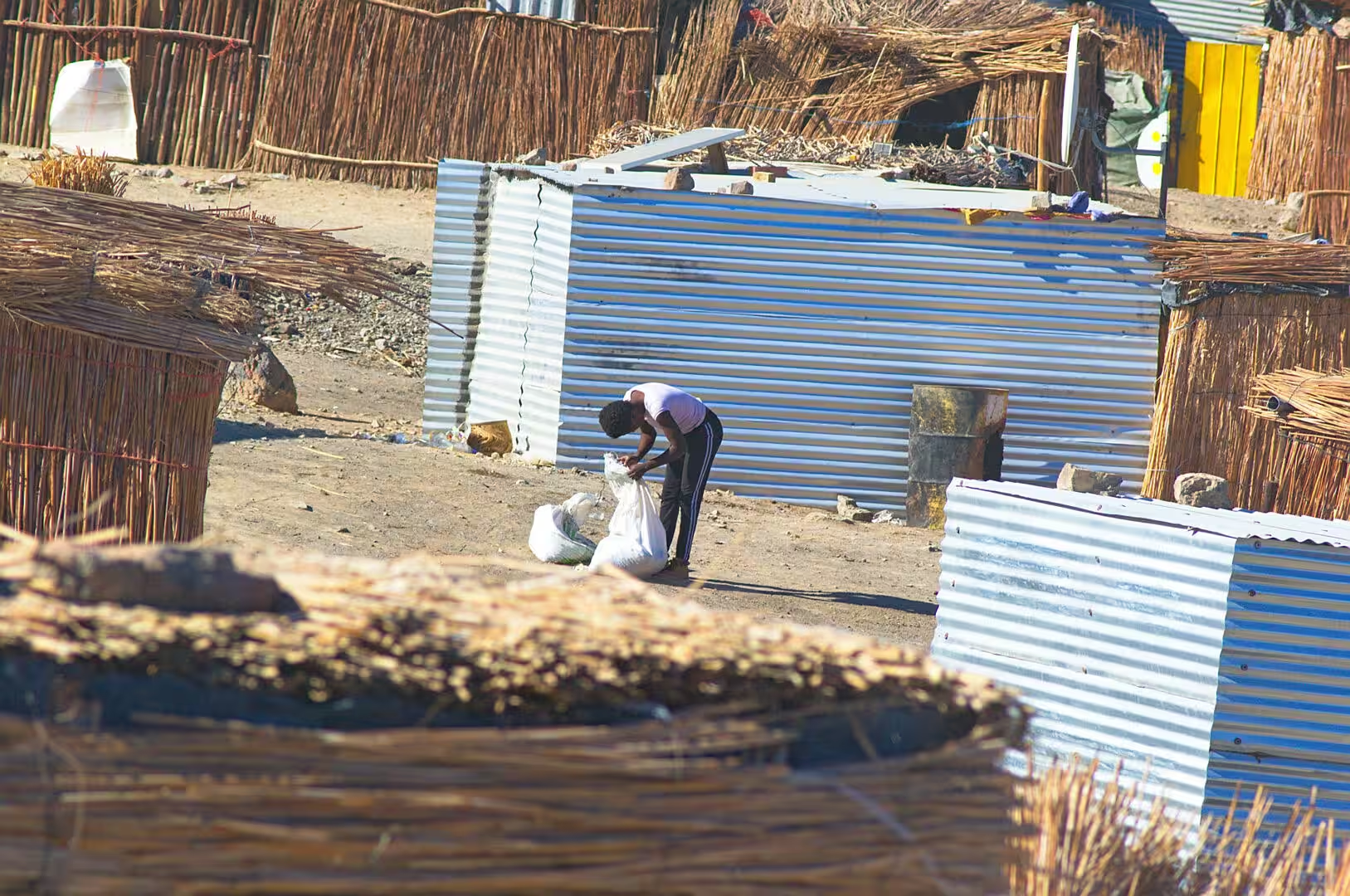
The settlements along the river are a different world from the rest of the south. The workers of the farms live in compounds of reed, tin and block on the slopes above the water, the vineyards stand in orderly rows on the flats, and the small shops sell to the labourers and to the travellers on the road. The contrast between the green of the river and the stone desert ten kilometres away is the sharpest in the country, and it is entirely the work of irrigation on the land.
The desert inland is the country of the Nama and of the farms that followed them. The land was divided into huge farms in the colonial period, the shepherds and the herds moved between the waterholes, and the names of the places are still the Khoekhoe names of the springs. The lodge where the night was spent stands on one of those farms, in a reserve that the owners have stocked with the game of the region, and the hospitality of the farm is a Namibian institution: the evening meal is served at a long table, the guests are told what to see on the road the next day, and the fire is lit before the sun goes down.
The colonial history of this part of the country is written in the castles. The German settlers of the south built farmhouses of stone that look like small forts, and one of them, a day’s drive to the north of the Namtib, is a castle in the full sense: Duwisib, the residence of a Saxon officer of the colonial army and his American wife, with towers, battlements and a courtyard, standing alone on the edge of the desert. It is the most improbable building in Namibia and it belongs to the same story as the farms and the waterholes of the day.
Geology
The Orange River is the geological boundary of the south. It cuts through the old metamorphic rocks of the Namaqua belt and the younger sediments of the interior, it carries the water of a catchment that reaches into the highlands of Lesotho, and its valley is the lowest and hottest part of the country. The river carries the line of the border for hundreds of kilometres, it is the only permanent water in the south of Namibia, and the settlements of the corridor live from a fraction of its flow.
The Namtib country that the road crosses after the river belongs to the transition zone between the highland and the desert. The plains are covered with the golden grass of the semidesert, the rocky ridges are black with desert varnish, and the flat stones of the outcrops are covered with lichens in orange, grey and white. Between the ridges lie wide basins of gravel and dry grass with the occasional waterhole, and the whole landscape is the product of the wind and the sheetwash of rare storms rather than of rivers.
The geology of the area is that of the escarpment and the old continental interior. The dark ridges are dolerite and quartzite, the flats are the eroded surfaces of older metamorphic rocks, and the red sand that covers parts of the surface has been brought in by the wind from the west, from the rivers of the coast and from the dunes of the Namib. Namibia is a country where the wind is a geological agent as important as water, and this is the part of it where that is easiest to see.
The water of the whole region is underground. There are no rivers between the Orange and the coast, the rain that falls on the mountains runs away or sinks, and every farm and every settlement depends on the boreholes and the wind pumps that draw it up. The single wind pump standing in the middle of the golden plain in the middle of the day is the image of that dependence: a structure that produces nothing but water, in a country where water is the only thing that cannot be carried.
The farm reserves of the south are the last part of the geography of the day and the most human. The land is divided into units of ten thousand hectares and more, the fences run for kilometres, and the water of each farm comes from a handful of boreholes that are marked on the map and on the ground by the wind pumps and the tanks. The game that the visitor sees has been brought back by the owners, the grazing is managed, and the same farm that carries the lodge carries the herd. It is conservation as a business, and it is the model that has kept the desert of the south from being emptied of its animals.
Things to See
The drive from the south is the sight of the day, and it is a drive rather than a destination. The road along the Orange River, the crossing of the dry interior, the arrival at the line of the escarpment and the long approach to the mountains of the lodge are a sequence of landscapes that changes every hour, and the traveller who keeps a camera on the seat beside them will use it. The road is gravel for long stretches, it is empty, and the gates of the farms are opened by hand.
The reserve of the lodge is the place to walk in the late afternoon. The trails of the farm lead into the hills behind the buildings and out into the plain, the game of the reserve is used to vehicles and to walkers, and the birds of the desert are all along the way: the small seed-eaters on the gravel, the shrikes and the flycatchers in the bushes, and the raptors overhead. The kitchen of the lodge cooks for the guests in the evening, and the terrace faces the sunset.
The settlements along the Orange are worth a stop for anyone interested in how the country works. Aussenkehr and the farms along the river are the centre of the Namibian table grape industry, the vineyards are visible from the road, and the packing houses and the compounds of the workers stand beside them. The visitor who drives through at the end of the day sees a side of Namibia that the parks and the dunes never show: the country as an agricultural production line in the middle of a desert.
The practicalities of a day like this are those of every long drive in Namibia. Fill the tank before leaving the last town, carry water and food for the hours between the stops, watch the animals on the road at dusk, and plan to arrive before dark, because the gates of the farms close and the roads are unlit. The phone signal comes and goes, the fuel stations are far apart, and the map distances mean what they say. The reward is a landscape that nothing prepared the traveller for, and that is the point of the journey.
The night sky of the lodge is the other attraction of the stay. The reserve is far from any town, the air is dry and clear, and the southern sky of April has the two clouds that the northern hemisphere does not: the Magellanic Clouds, the small satellite galaxies that stand beside the Milky Way, and the dark patches of the Coalsack between the stars. The visitor who asks at the reception will be told where to look, and the view from the terrace after the lights are out is one of the sights of the journey.
The community along the river and the farms of the interior are worth a conscious look as well, because they are the working Namibia that the parks hide. The compounds of the farm workers, the shops, the church and the school of the settlements, the trucks that carry the grapes and the cattle to the markets of South Africa: the visitor who drives through with an open mind will see a country of hard work rather than a holiday destination, and will understand the economy of the south better than any book explains it.
A last word about the lodge is about the food. The farms of the south cook for their guests from what the land and the river produce: the lamb of the Karas Mountains, the game of the reserve, the vegetables and the grapes of the Orange River corridor and the bread that comes out of the kitchen in the afternoon. The table is laid for all the guests at once, the conversation is the international mixture of the self drive travellers, and the evening ends early because the next day starts at dawn.
References
- Wikipedia contributors (2026). Namib. en.wikipedia.org/wiki/Namib
- Wikipedia contributors (2026). ǀAi-ǀAis/Richtersveld Transfrontier Park. en.wikipedia.org/wiki/%C7%80Ai-%C7%80Ais%2FRichtersveld%20Transfrontier%20Park
- Wikipedia contributors (2026). Fish River Canyon. en.wikipedia.org/wiki/Fish%20River%20Canyon
- Wikipedia contributors (2026). Aussenkehr. en.wikipedia.org/wiki/Aussenkehr
- Wikipedia contributors (2026). Orange River. en.wikipedia.org/wiki/Orange%20River
- Wikipedia contributors (2026). Lüderitz. en.wikipedia.org/wiki/L%C3%BCderitz
- Wikipedia contributors (2026). ǁKaras Region. en.wikipedia.org/wiki/%C7%81Karas%20Region
- Wikipedia contributors (2026). Hardap Region. en.wikipedia.org/wiki/Hardap%20Region
- Wikipedia contributors (2026). Namib-Naukluft National Park. en.wikipedia.org/wiki/Namib-Naukluft%20National%20Park
- Wikipedia contributors (2026). Namibia. en.wikipedia.org/wiki/Namibia
- Wikipedia contributors (2026). Nama people. en.wikipedia.org/wiki/Nama%20people
- Wikipedia contributors (2026). Quiver tree. en.wikipedia.org/wiki/Quiver%20tree
- Mvondo F., Dauteuil O., Guillocheau F. (2011) The Fish River canyon (Southern Namibia): A record of Cenozoic mantle dynamics?. Comptes Rendus. Géoscience. 343. 478-485. doi.org/10.1016/j.crte.2011.07.003
- Lancaster N. (2026) Dune Sediments. The Namib Sand Sea. 47-80. doi.org/10.1201/9781003763185-4
- du Toit J.C., van den Berg L., van Lingen M., Goodall V.L., et al. (2022) Catastrophic collapses of sensitive species, including the quiver tree (Aloidendron dichotomum), following fire in the arid Nama-Karoo, South Africa. Journal of Arid Environments. 201. 104737. doi.org/10.1016/j.jaridenv.2022.104737