Australia 2022 - October - Royal National Park







Journal Notes
General
The Royal National Park is a protected national park on the southern edge of Sydney in New South Wales. It lies mainly within the Sutherland Shire, with a smaller section in the City of Wollongong in the Illawarra, about 29 kilometres south of the Sydney central business district and close to the localities of Loftus, Otford and Waterfall. The park covers 151 square kilometres of coastal cliffs, sandy beaches, high plateau and deeply cut river valleys, and it is among the most heavily visited stretches of protected coast in the region, used by walkers, surfers, swimmers and families throughout the year.
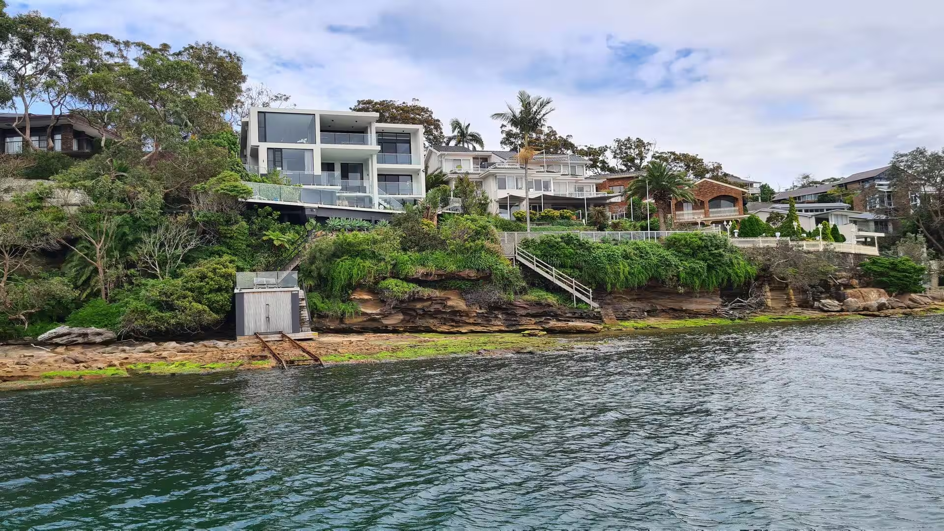
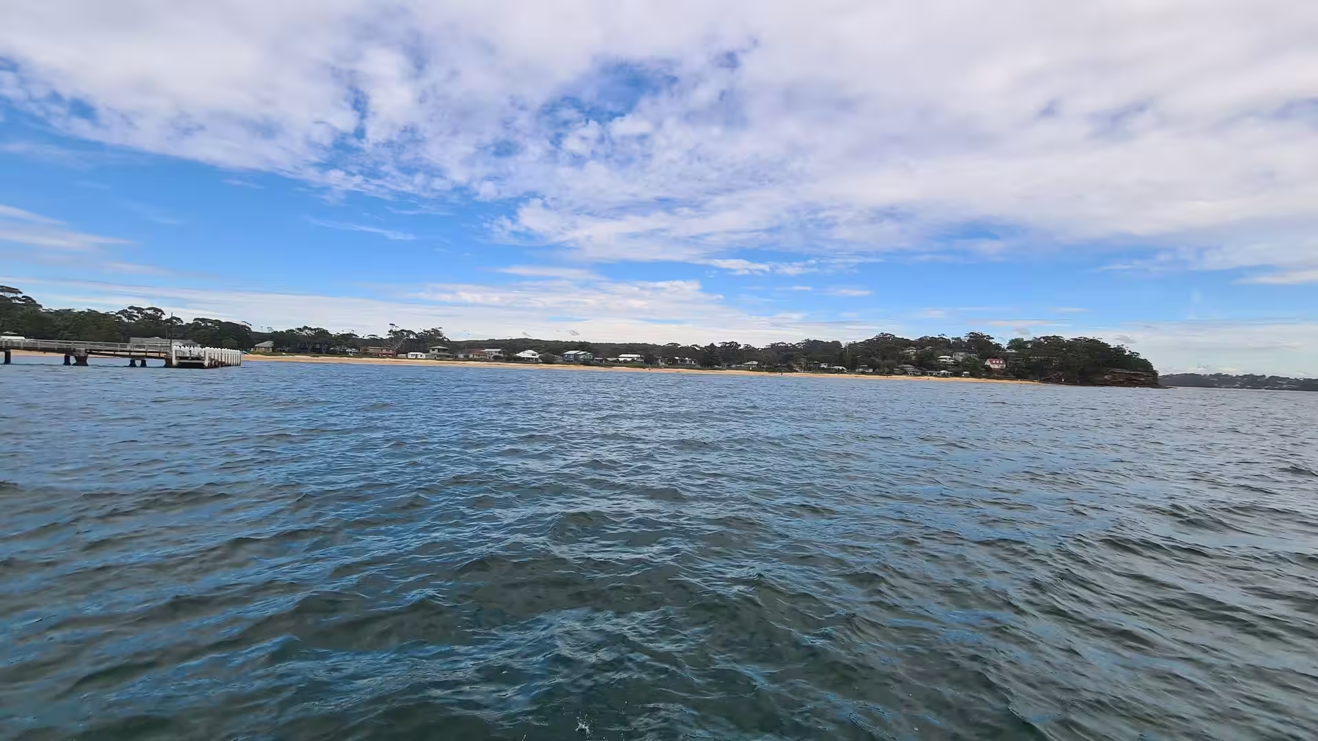
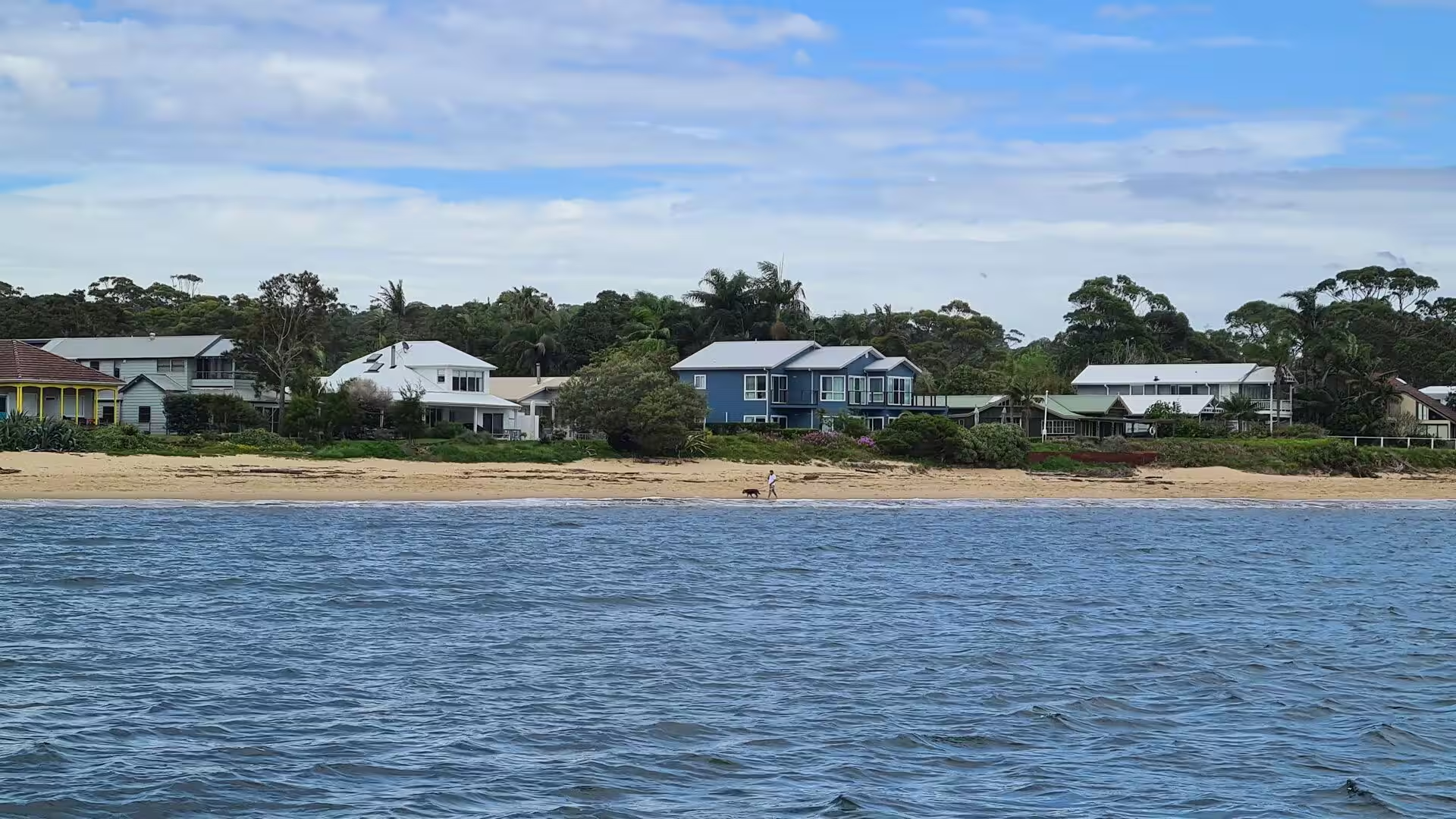
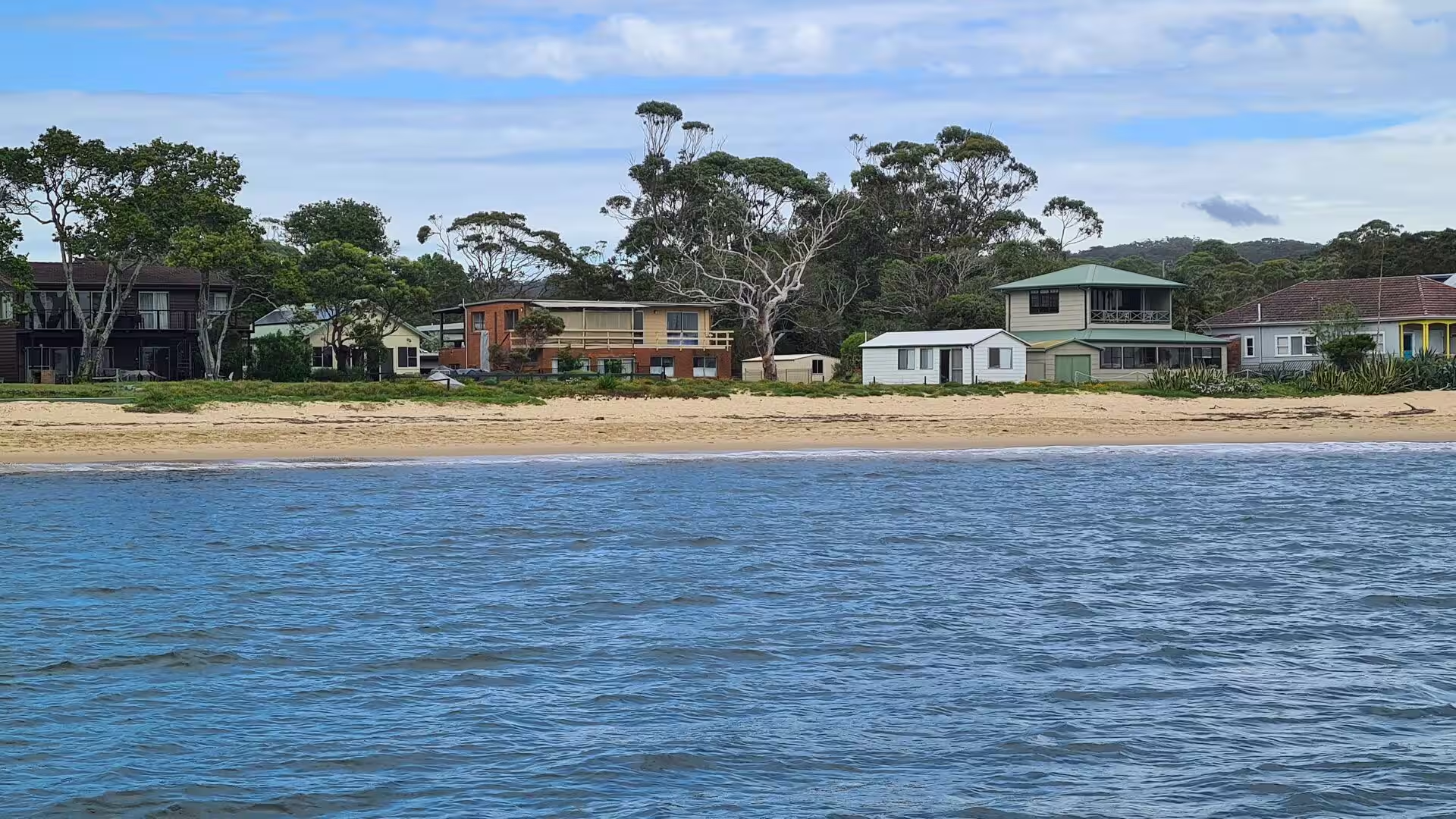
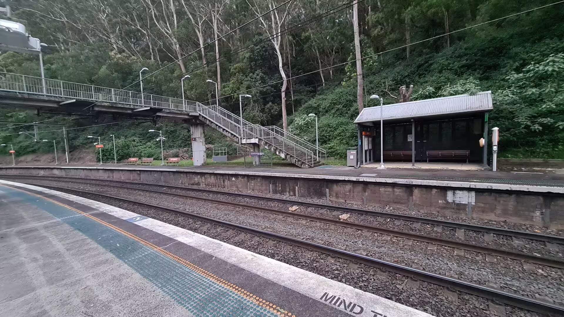
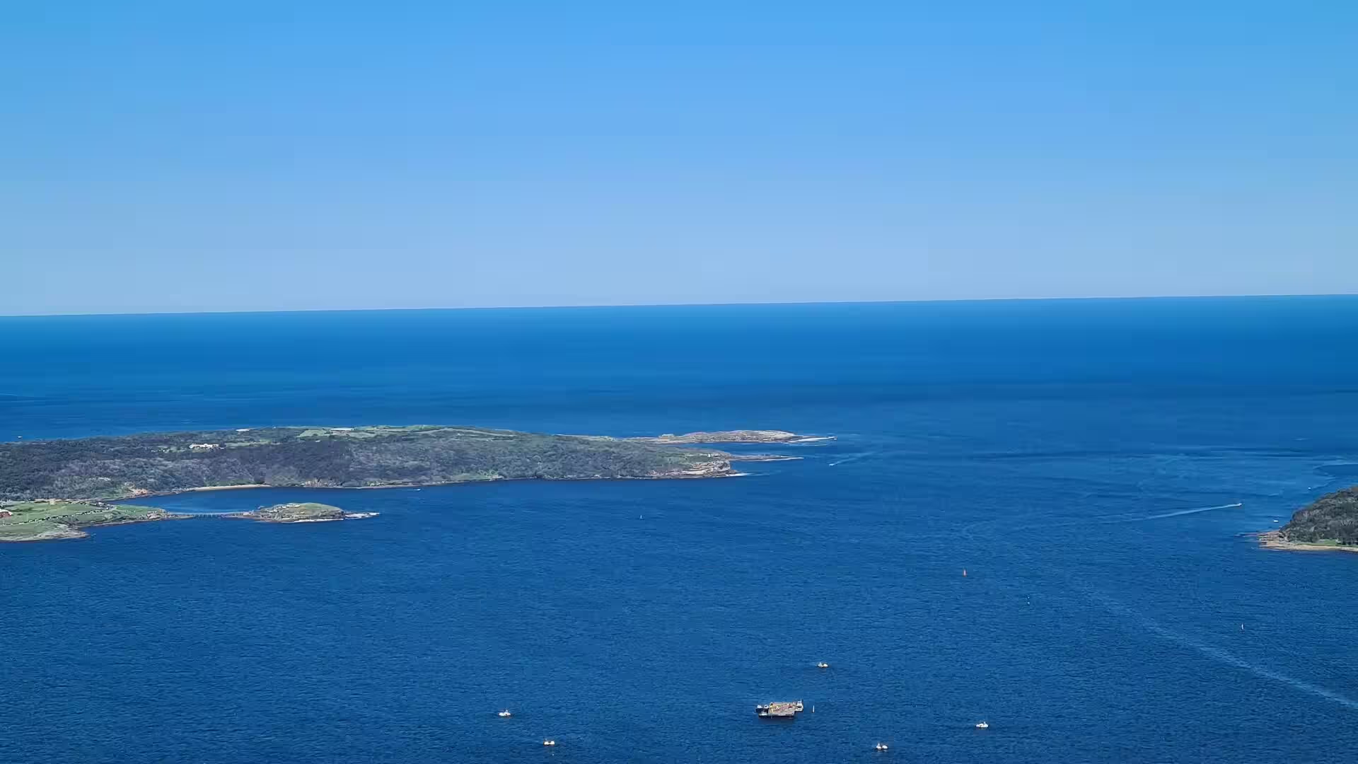
The northern boundary of the park is formed by Port Hacking, the shallow estuary that separates it from the suburbs of the Sutherland Shire. Three settlements lie inside the protected area: Audley on the Hacking River, and the villages of Bundeena and Maianbar on the southern shore of the estuary. Bundeena and Maianbar can be reached by road through the park or by the passenger ferry from Cronulla, while Audley is served by road from Loftus, Waterfall and Otford. Several railway stations stand on the outskirts of the park, among them Loftus, Engadine, Heathcote, Waterfall, Helensburgh and Otford.
Walking is the main business of the park, and more than 100 kilometres of tracks take in heathland, forest, cliff tops and valley floors. The best known route is the Coast Walk, a 30 kilometre track between Bundeena and Otford that follows the eastern edge of the park and is usually walked over two days, often as part of the Duke of Edinburgh’s Award. The Wallumarra Track was built in 1975 to serve environmental education, and the park is used for field teaching by schools, colleges and universities. Cycling is permitted on marked fire trails and mountain bike tracks, which run in both directions.
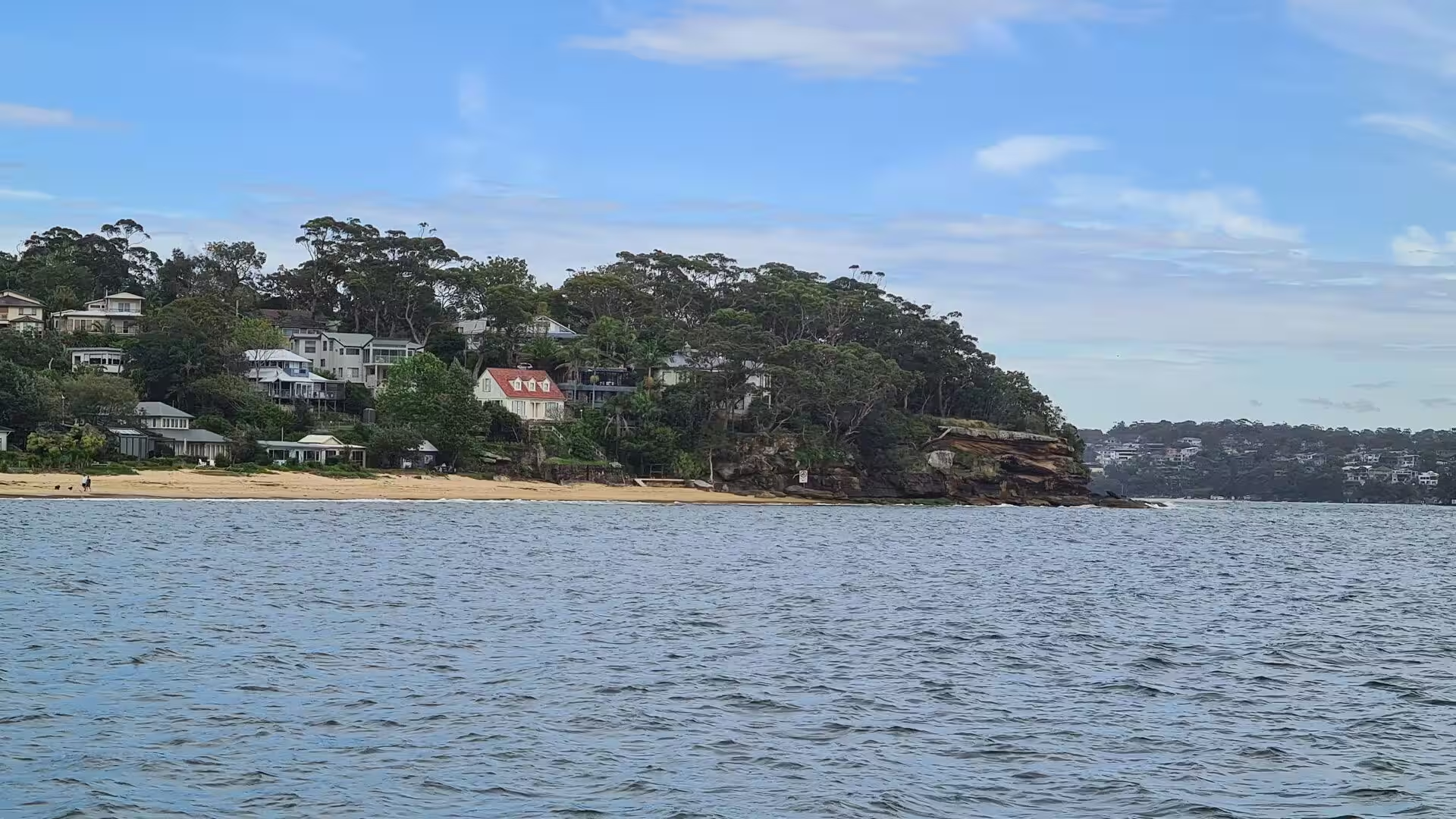
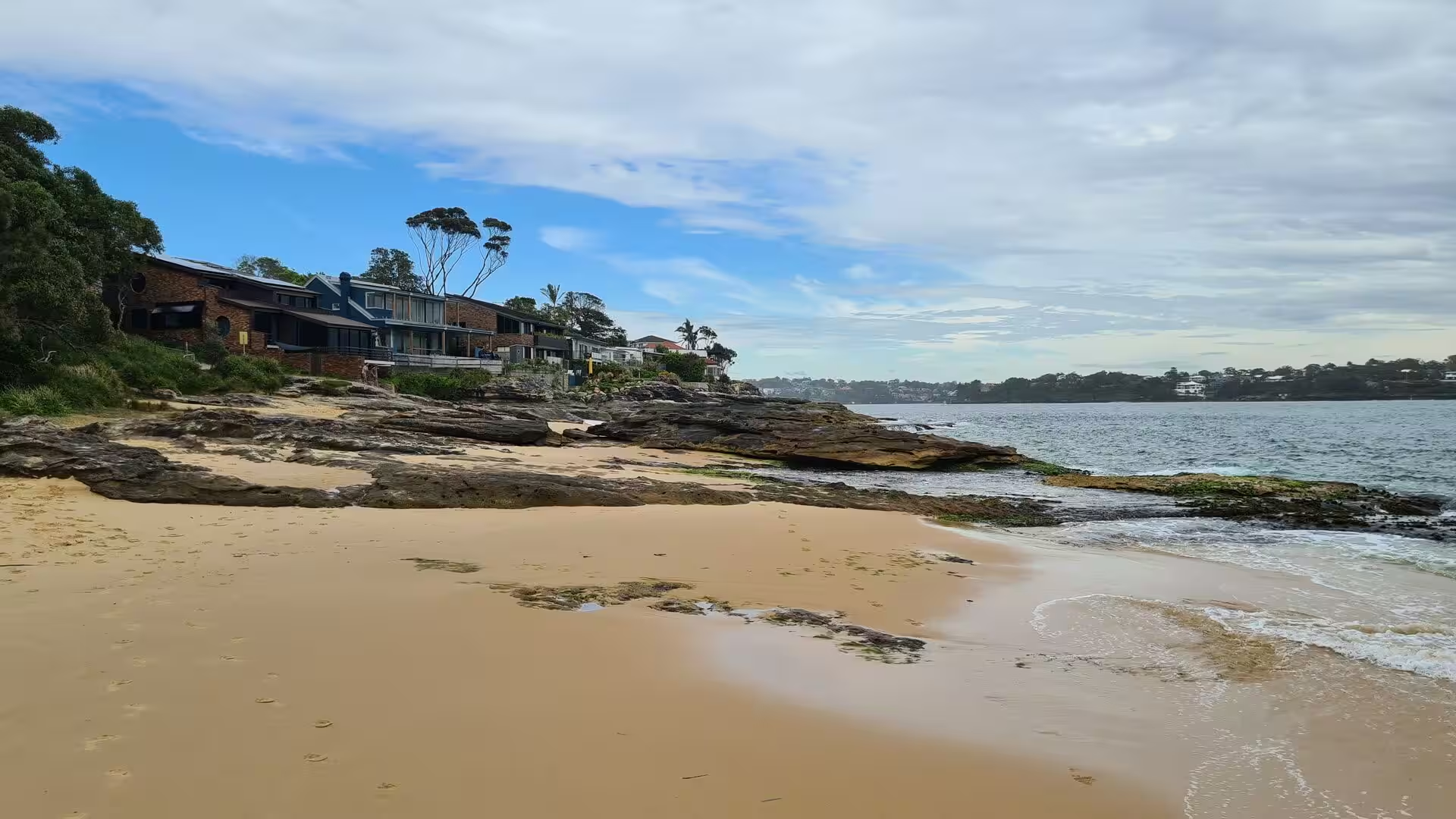
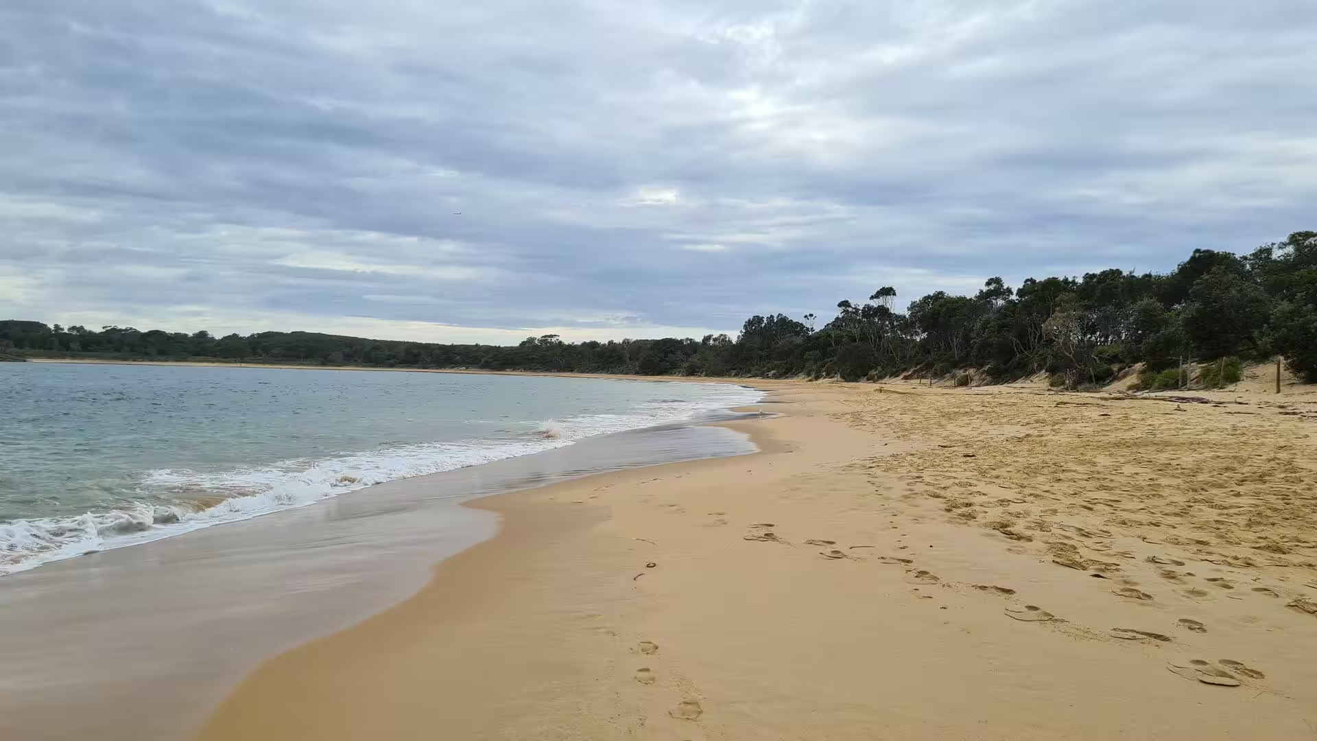
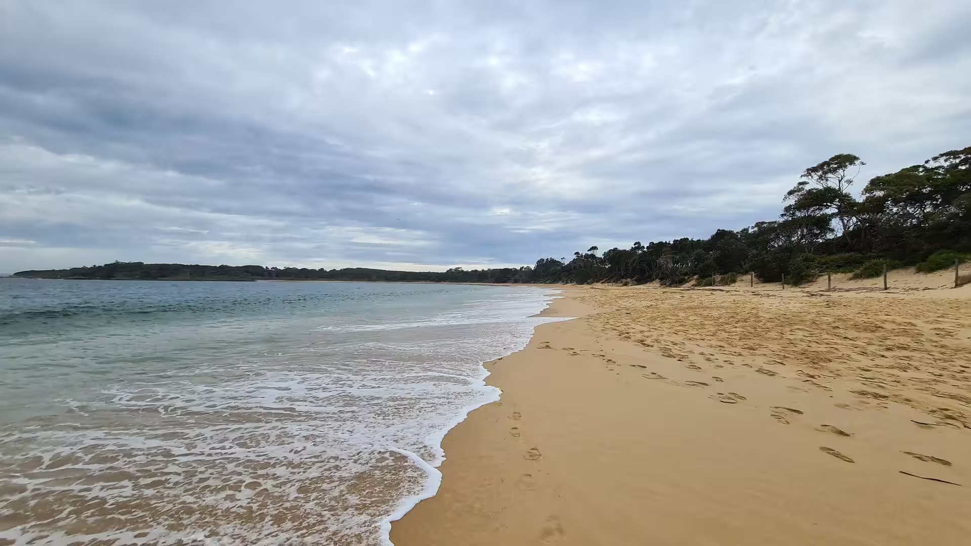
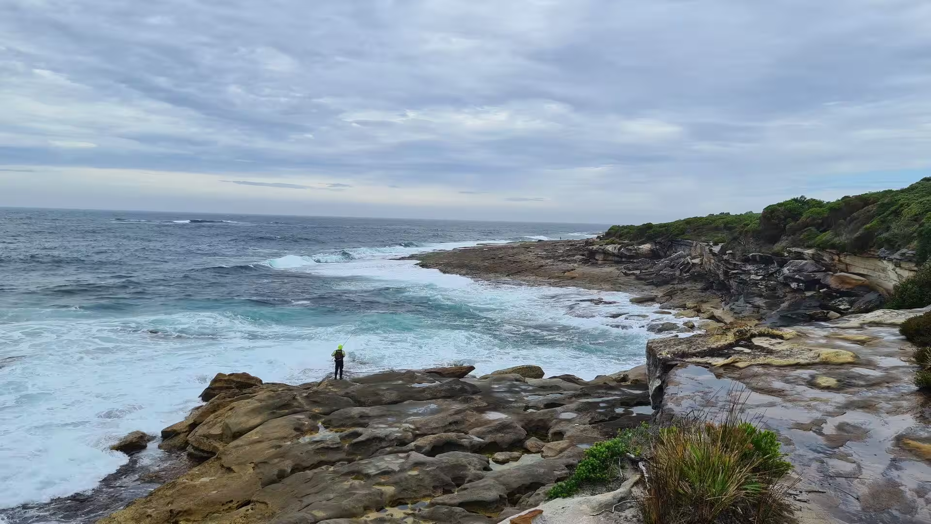
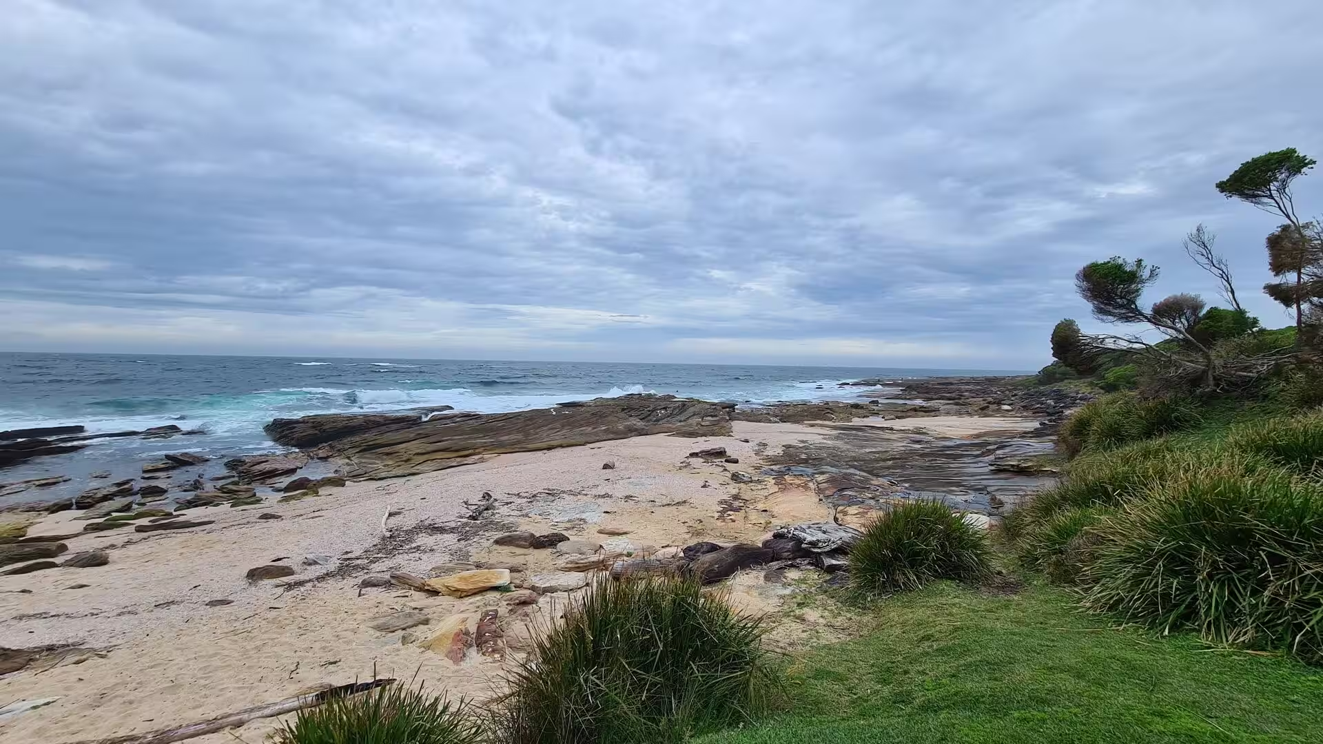
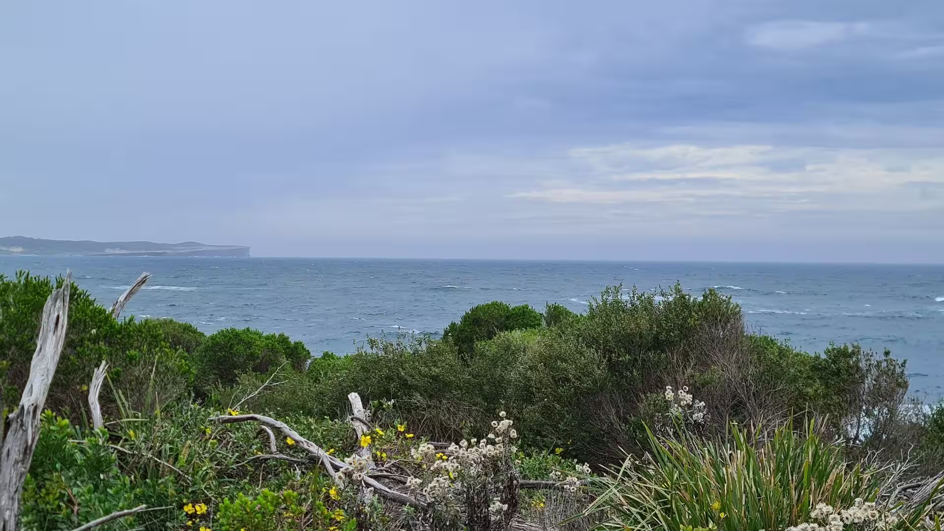
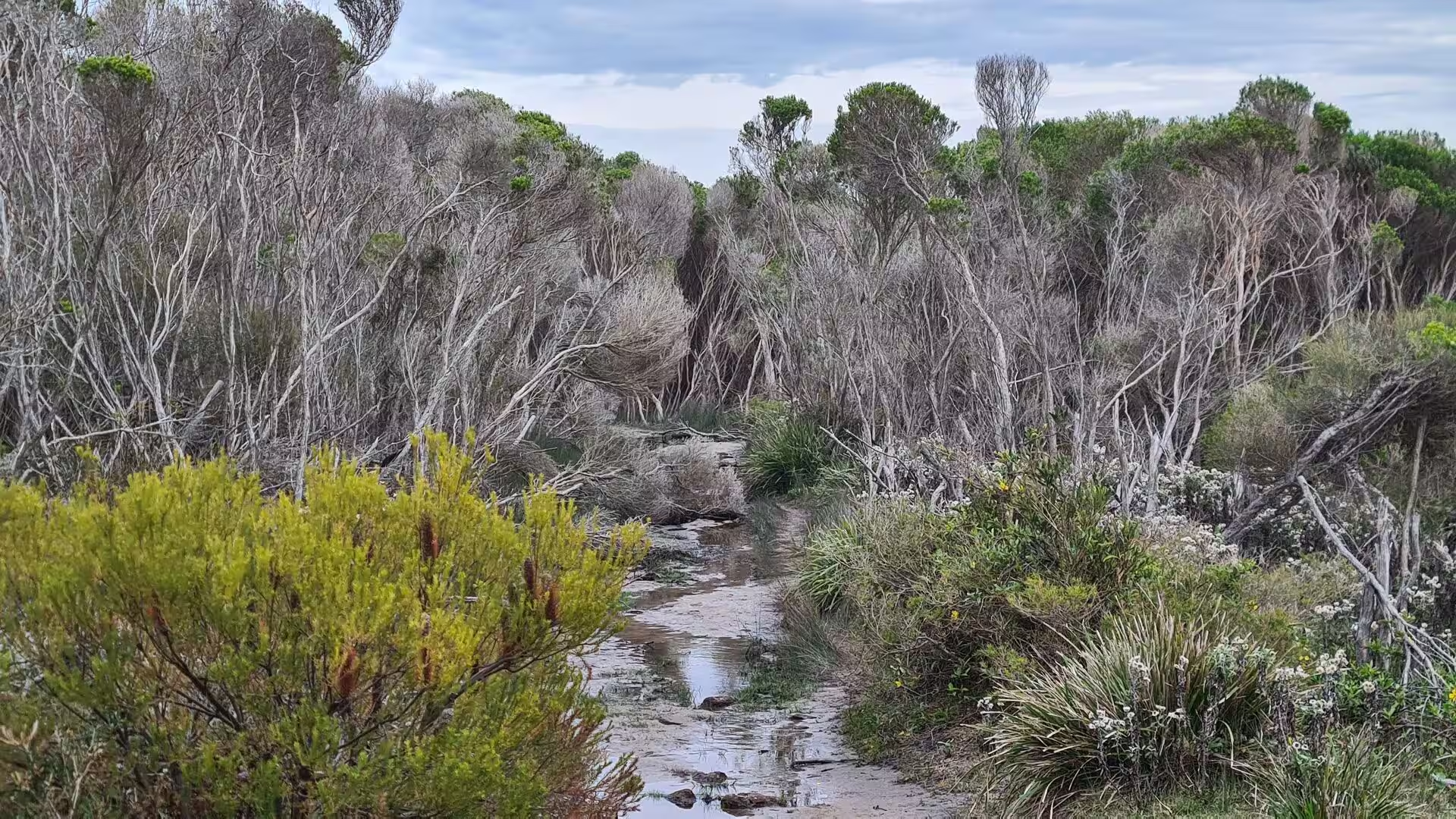
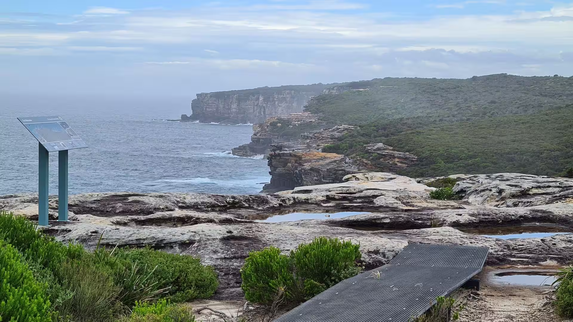
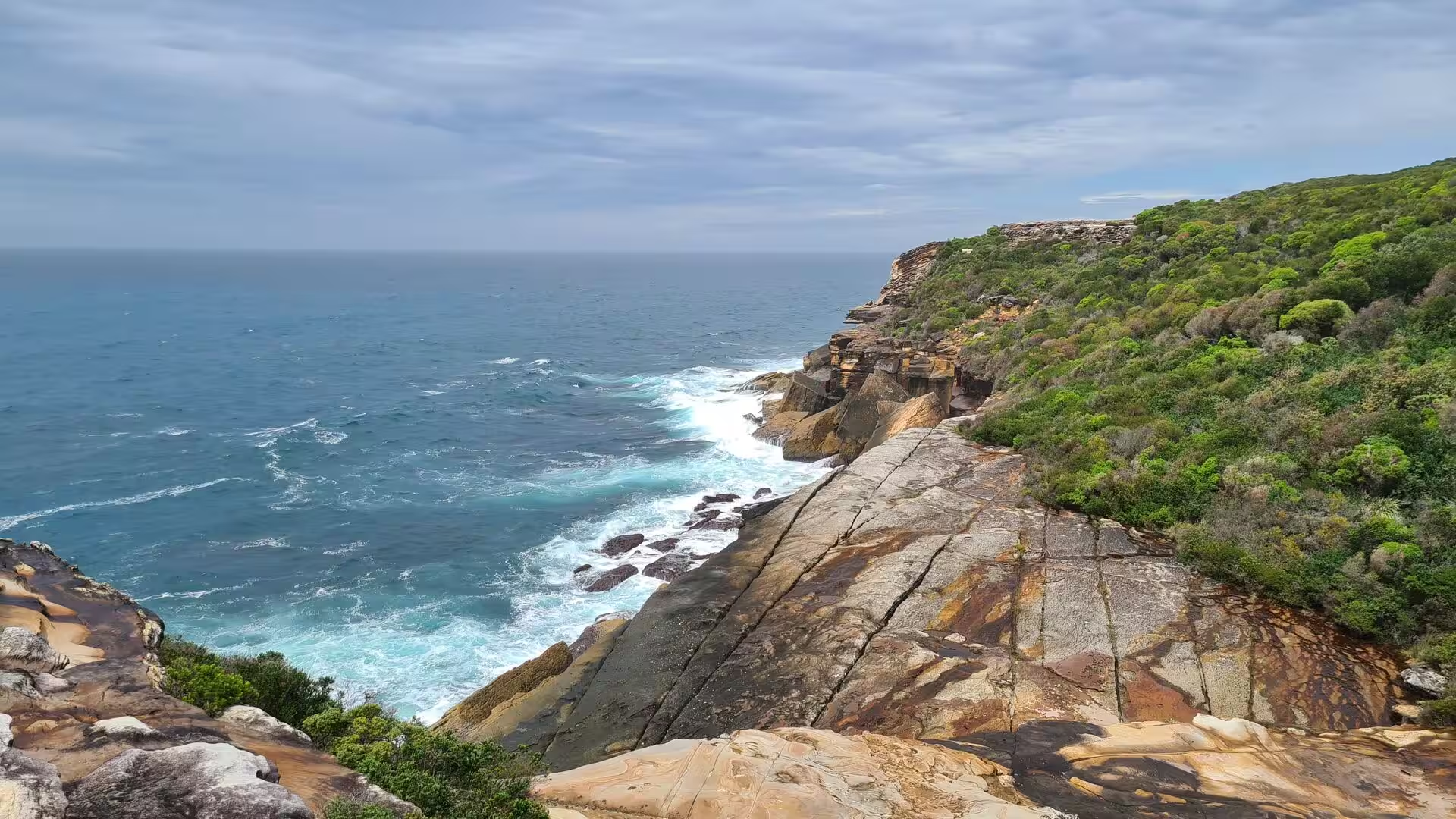
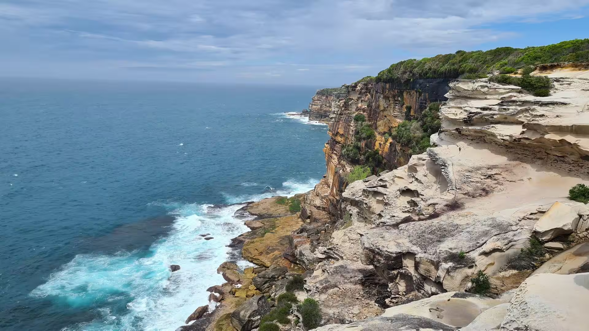
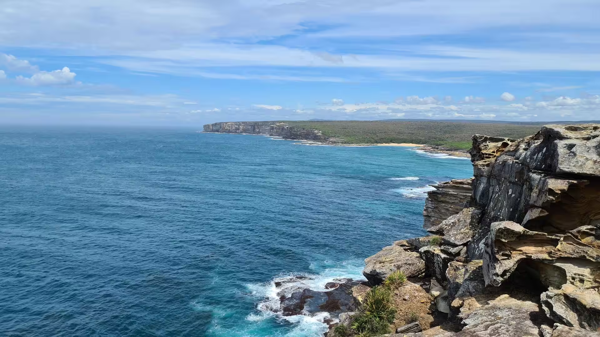
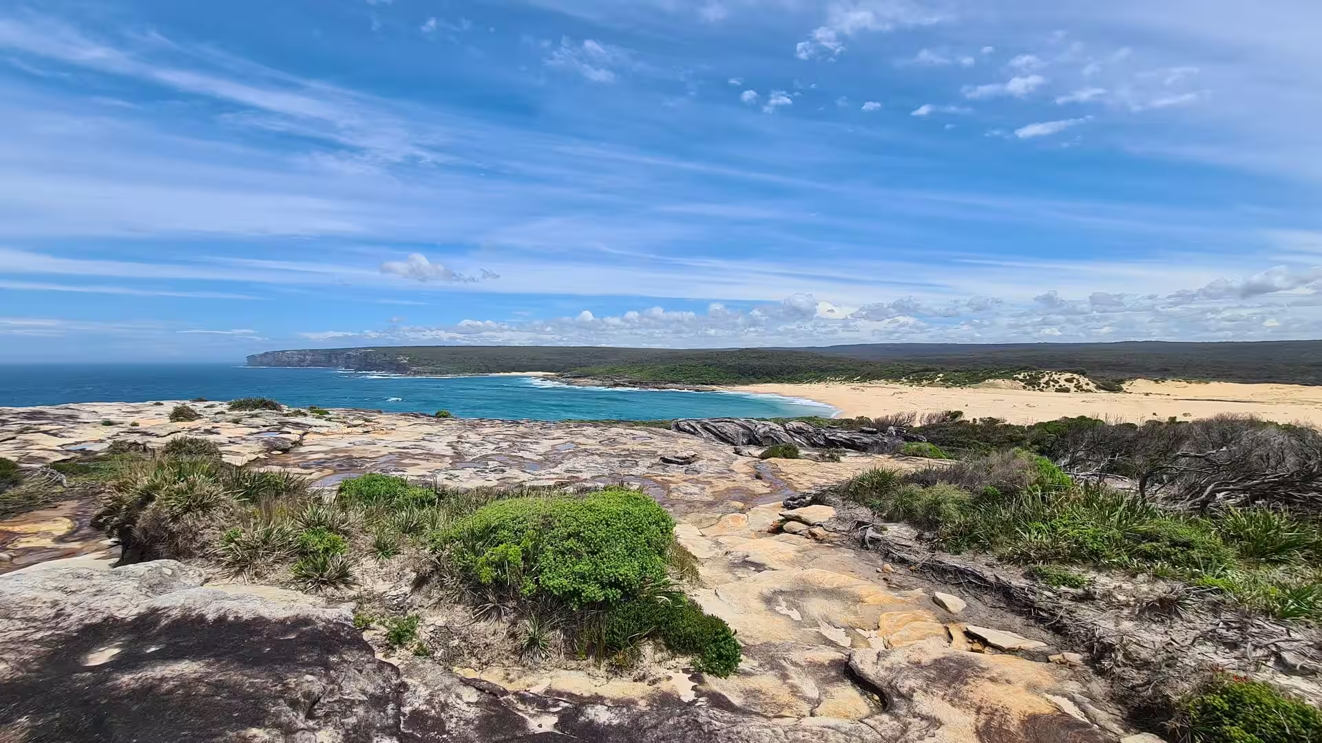
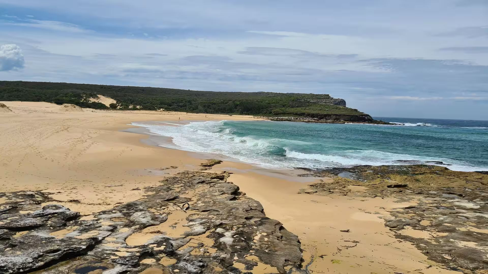
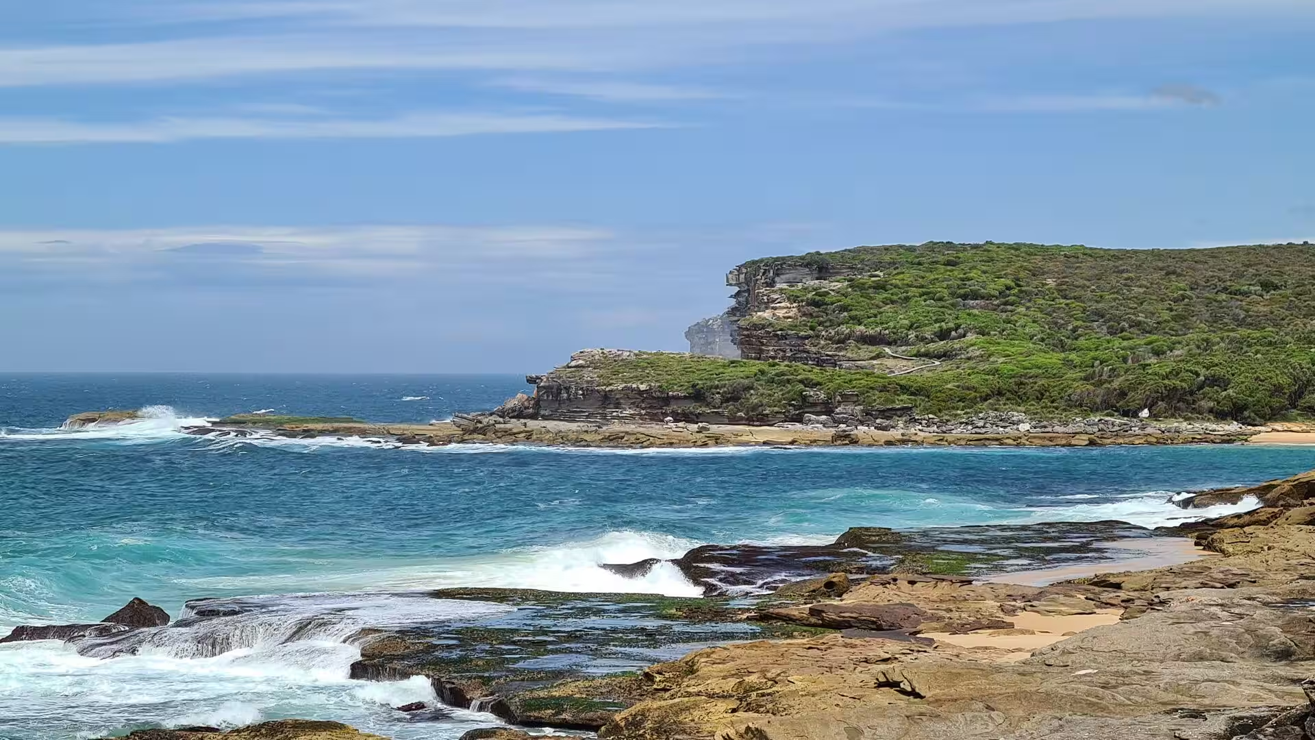
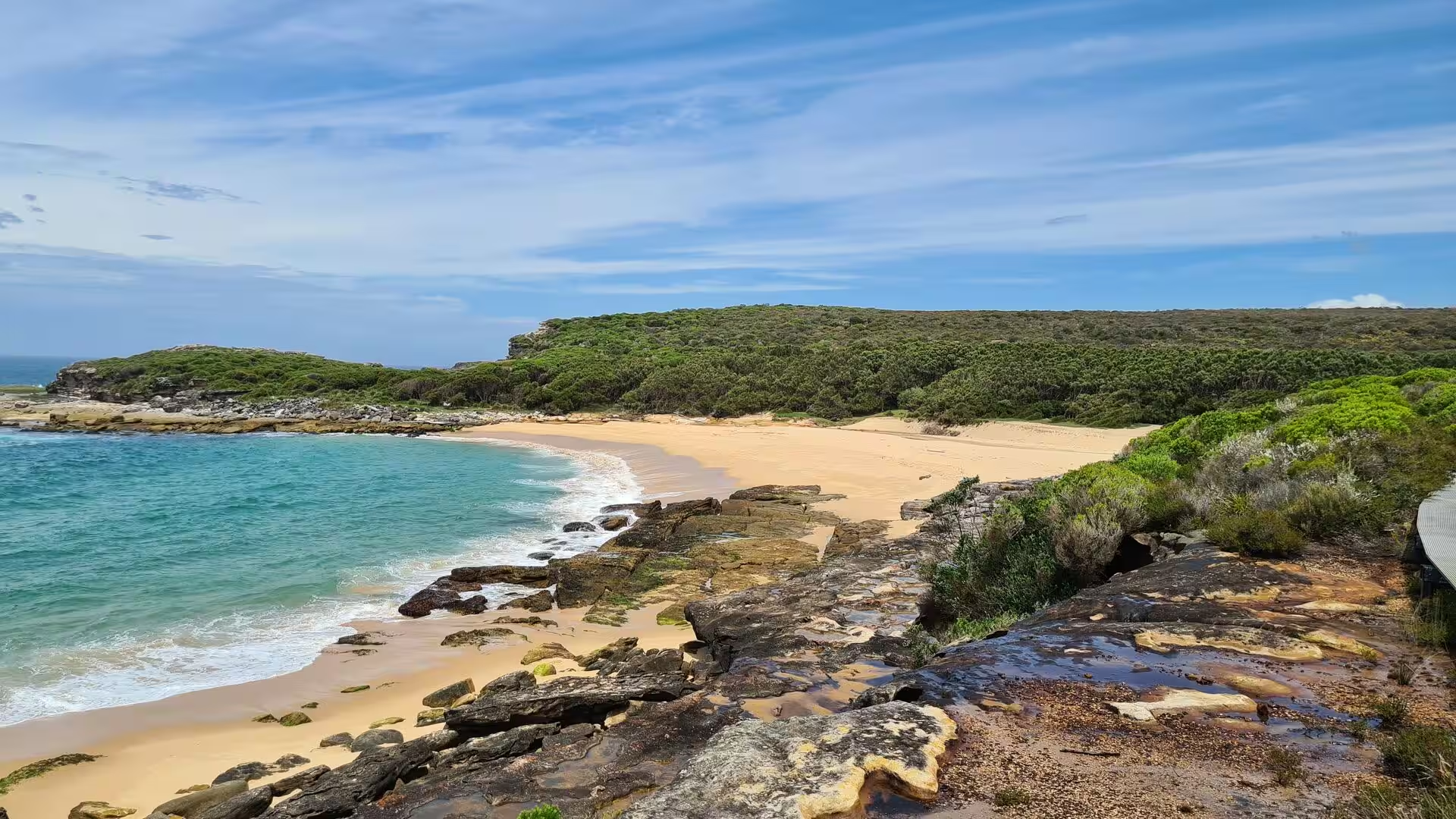
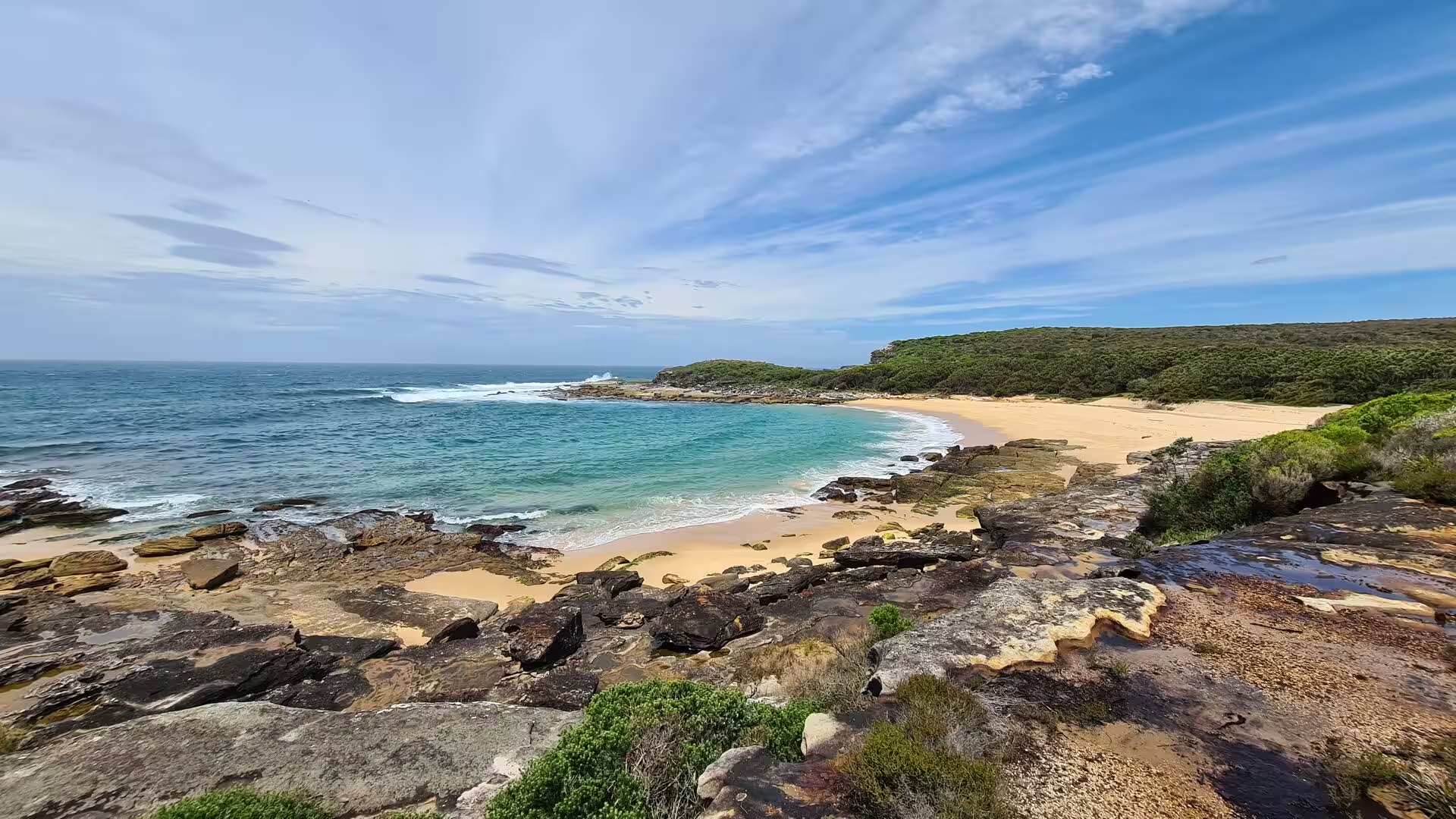
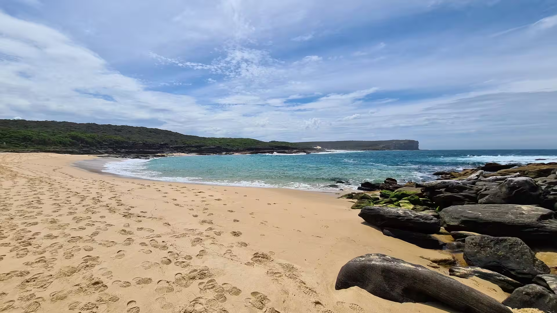
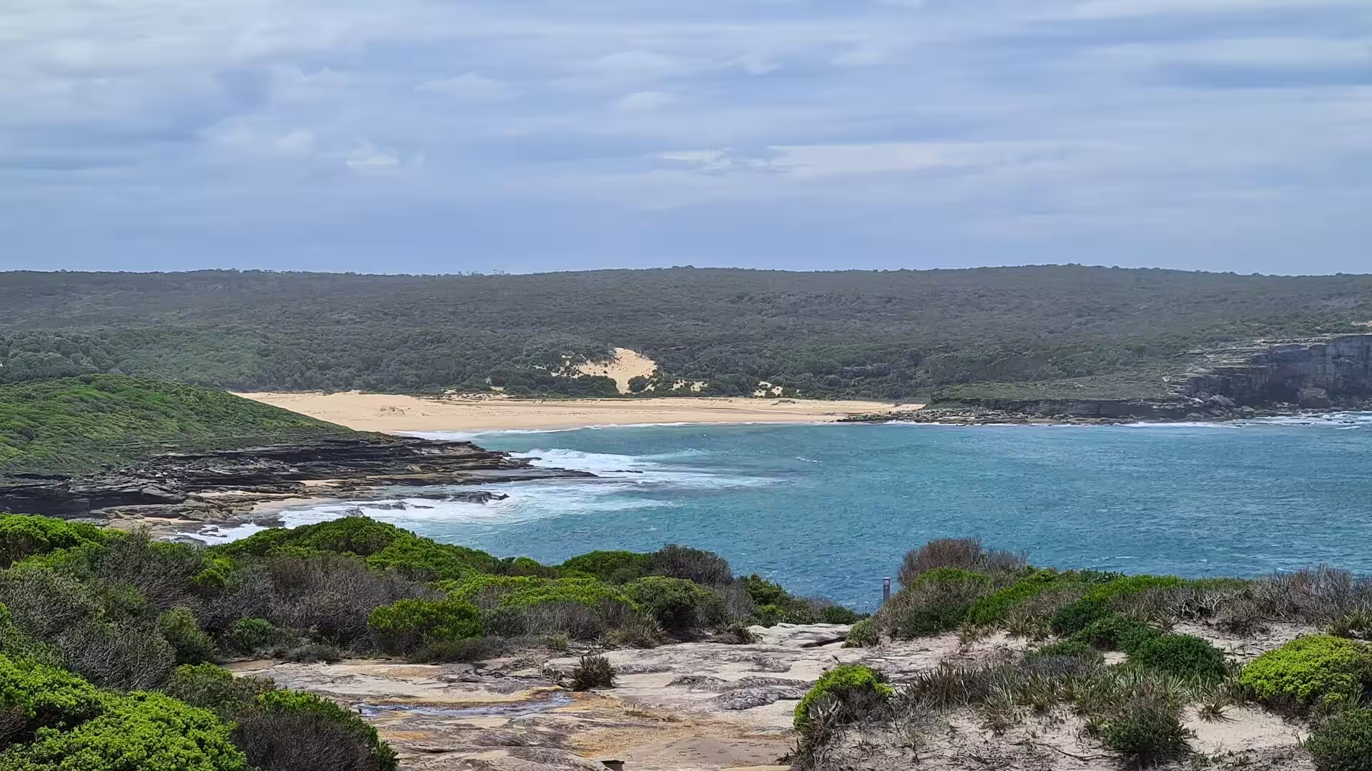
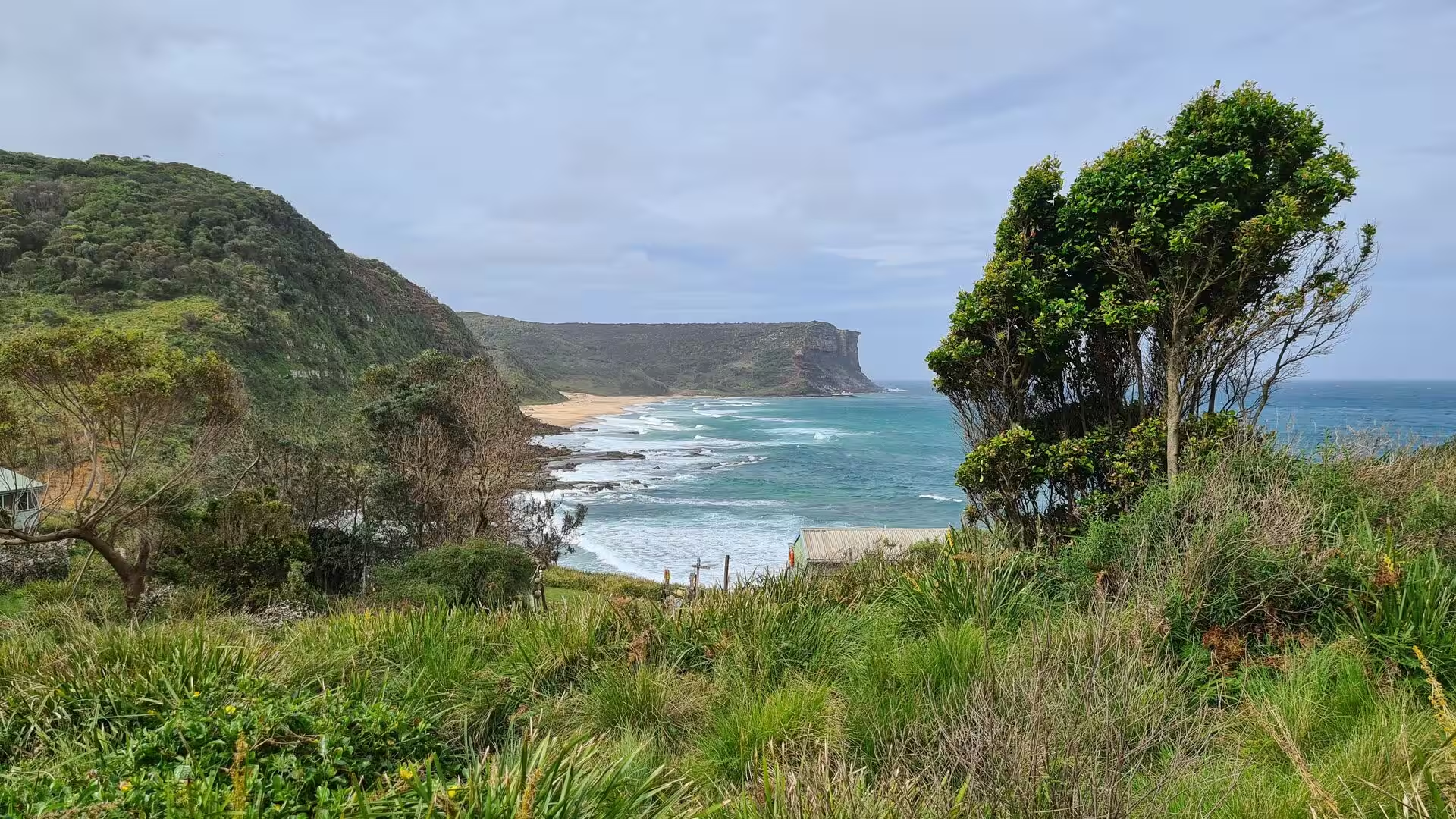
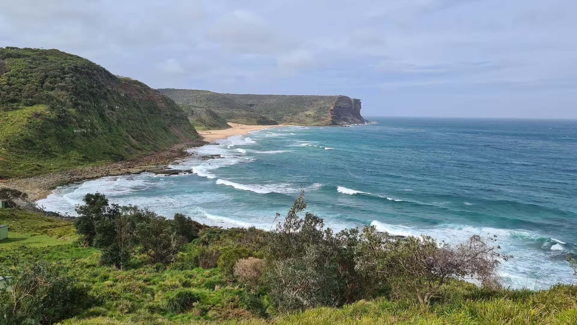
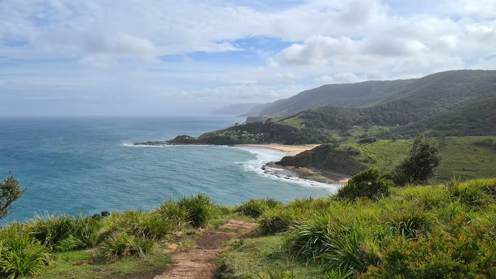
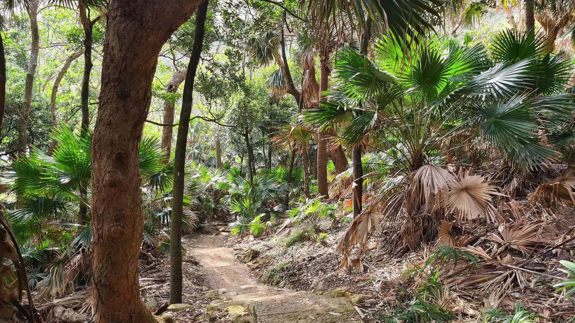
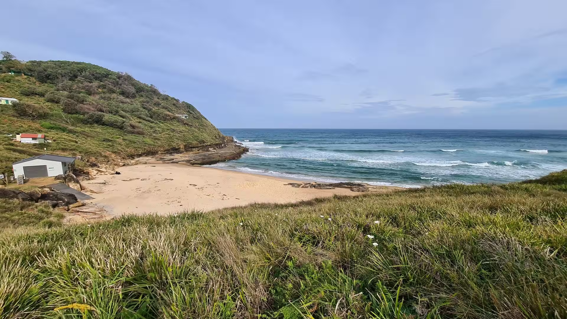
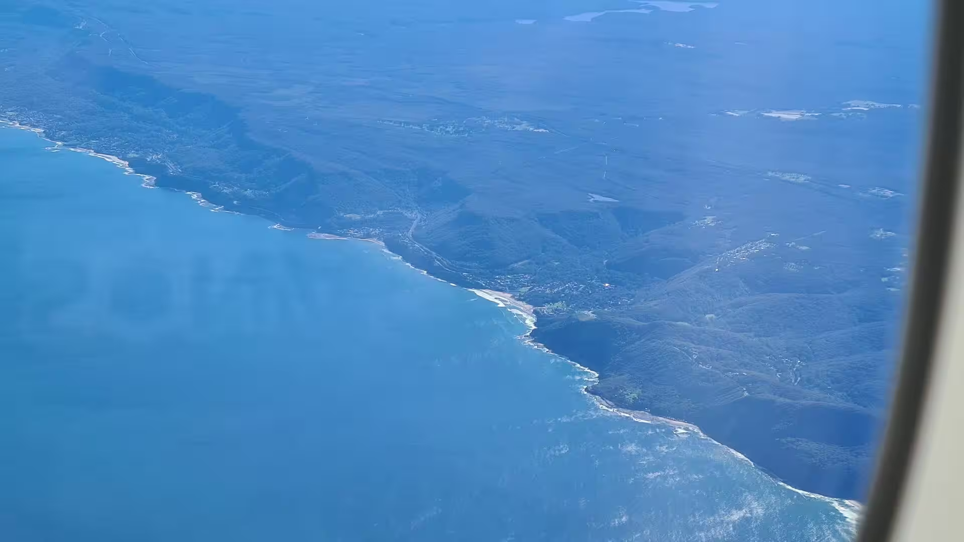
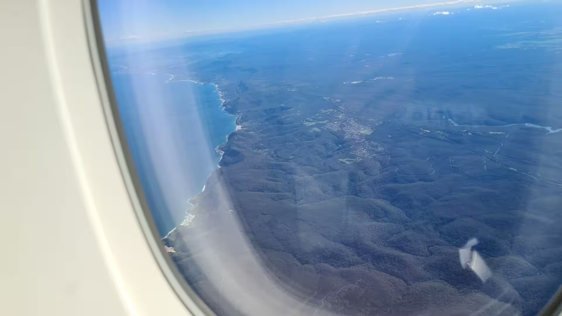
The park holds a wide range of scenery within a small area. Along the coast a heathland of low salt-tolerant shrubs covers rocky ground with very little topsoil, and the cliffs rise to almost one hundred metres at the southern end, interrupted by sandy beaches and a few small rocky coves. Inland the land rises to rocky ridges and plateaus above a series of deep river valleys, with dry and wet sclerophyll forest on the slopes, groves of cabbage tree palms and turpentine on the valley floors, and pockets of littoral rainforest.
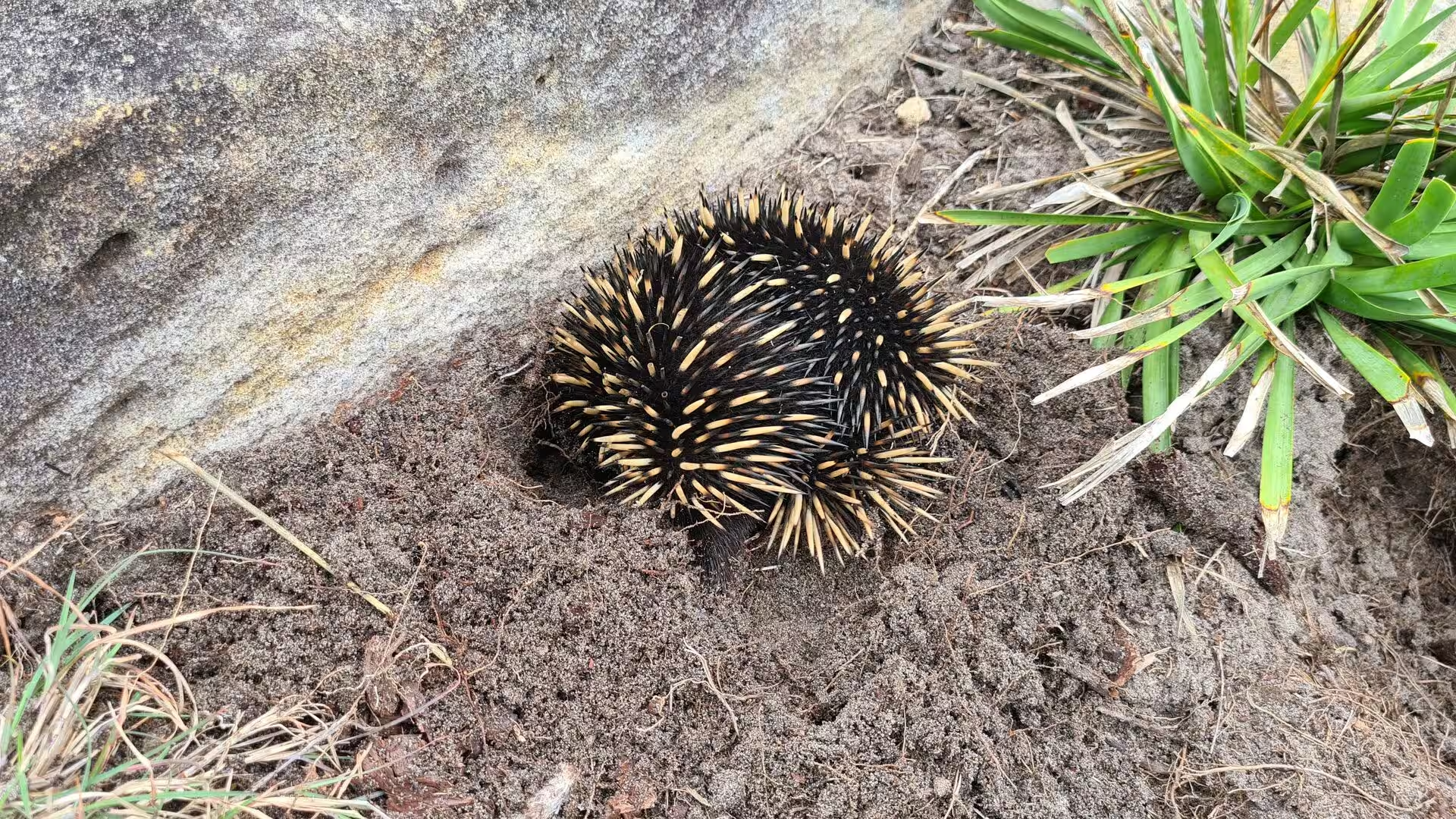
The wildlife of the park is unusually rich for ground so close to a large city. Wallaroos, common echidnas and the rarer koala and spotted quoll live in the forests, the streams hold long-finned eels, and the birdlife includes the superb lyrebird, the brush turkey, the eastern whipbird and heath specialists such as the southern emu-wren and the beautiful firetail. Platypus were returned to the Hacking River in May 2023 under a programme run by the University of New South Wales, the National Parks and Wildlife Service and the World Wildlife Fund.
History
The park lies in the traditional lands of the Dharawal people, who held the country along the coast south of Botany Bay for thousands of years before the arrival of Europeans. The northernmost clan of that nation, the Gweagal, occupied the shores of Botany Bay and Port Hacking and were the guardians of the white clay pits on the Kurnell peninsula. Archaeological work in the region has found evidence of Aboriginal settlement reaching back at least 8,200 years, and occupation of the drowned coastal plain is probably much older. Hundreds of rock shelters, middens, carvings and cave paintings survive in the park.
European knowledge of the coast begins with James Cook, who landed at Kurnell on the southern shore of Botany Bay on 29 April 1770 and stayed for eight days. Matthew Flinders and George Bass explored the coast south of Port Jackson in the small boat Tom Thumb in 1796, and a southerly gale on the evening of 29 March drove them into the sheltered water behind the beach at Wattamolla, which they named Providential Cove in relief at finding calm. In May 1797 three members of the crew of the Sydney Cove were found on the same beach after walking from the Ninety Mile Beach in Victoria to seek help.
For the first half of the nineteenth century the land that became the park was used for timber getting, grazing and small farms, and by the 1860s most of it belonged to the Holt family estate, which stretched from Sutherland to Cronulla. Growing concern about the loss of the bush led to calls for a reserve. On 26 April 1879 the Acting Premier of New South Wales, Sir John Robertson, formally proclaimed the area a national park, the first in Australia. It came only seven years after Yellowstone in the United States and eleven years before Yosemite, which was created in 1890.
Visitor facilities followed quickly in the later nineteenth century. Lady Carrington Drive was built between 1880 and 1883 and opened to traffic in 1886 as the first scenic route through the park, a carriageway from Audley southwards along the eastern bank of the Hacking River, named after the wife of the Governor of New South Wales. The railway station in the park also opened in 1886, on a branch of the Illawarra line, and by the 1930s the line carried as many as 25 trains a day at weekends. Audley was laid out as a picnic ground in the same period.
The park was known simply as the National Park until 1955, when it was renamed in honour of Elizabeth II, Queen of Australia, who had passed the site by train during her tour of 1954. The railway branch was electrified in 1926 and remained the southern limit of electric working until 1980, but patronage fell away, and the line closed in 1991 with an average of only three passengers per train. The Sydney Tramway Museum took over the track and reopened it for heritage services in 1993. The park was added to the Australian National Heritage List in December 2006.
Geology
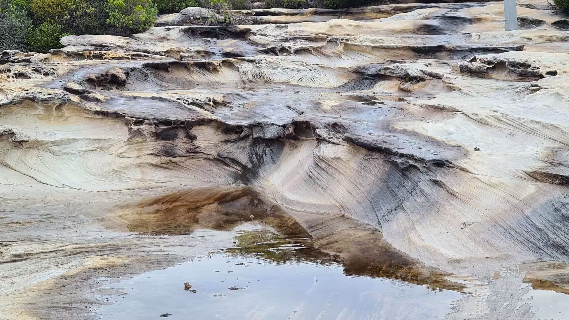
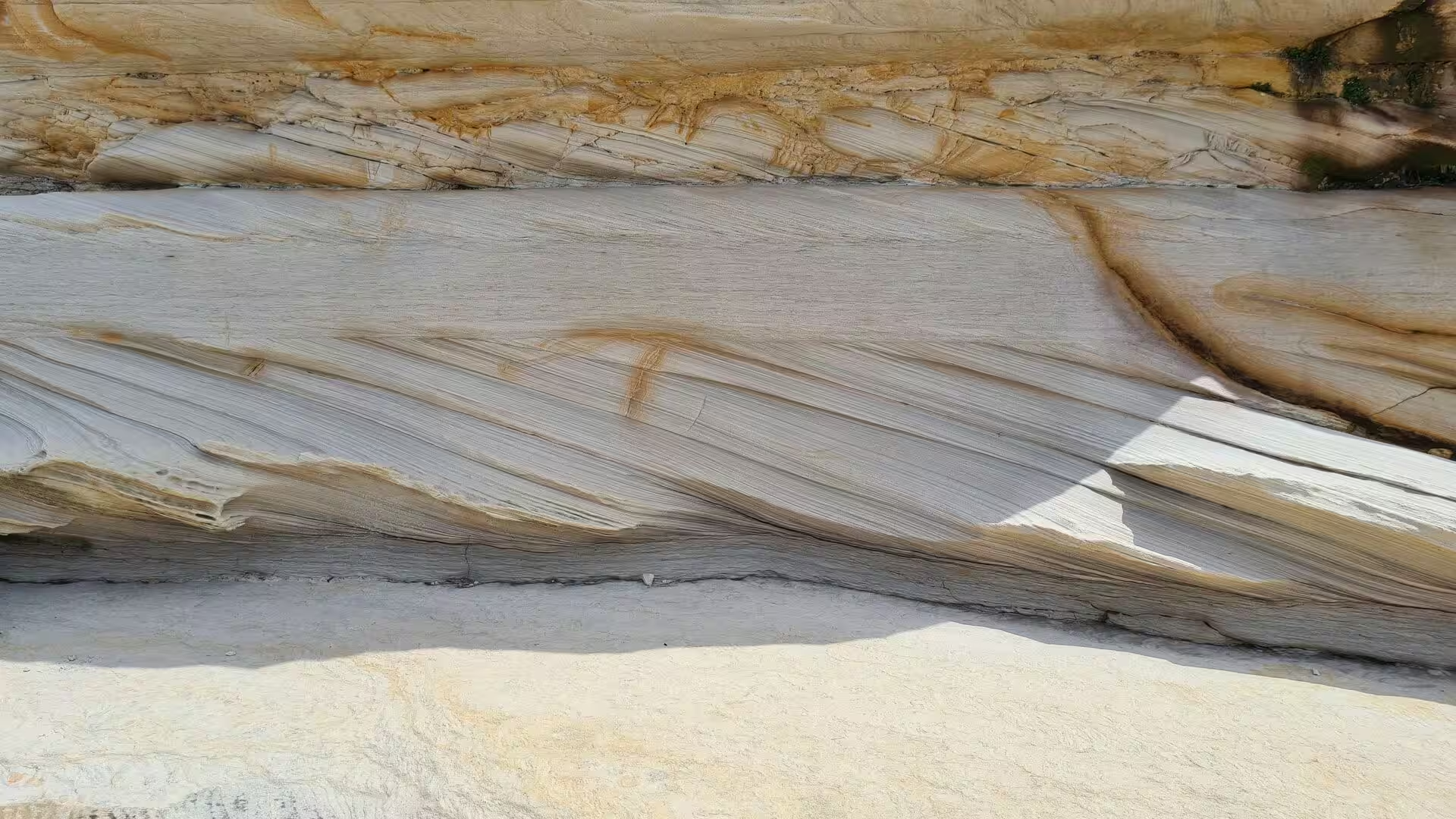
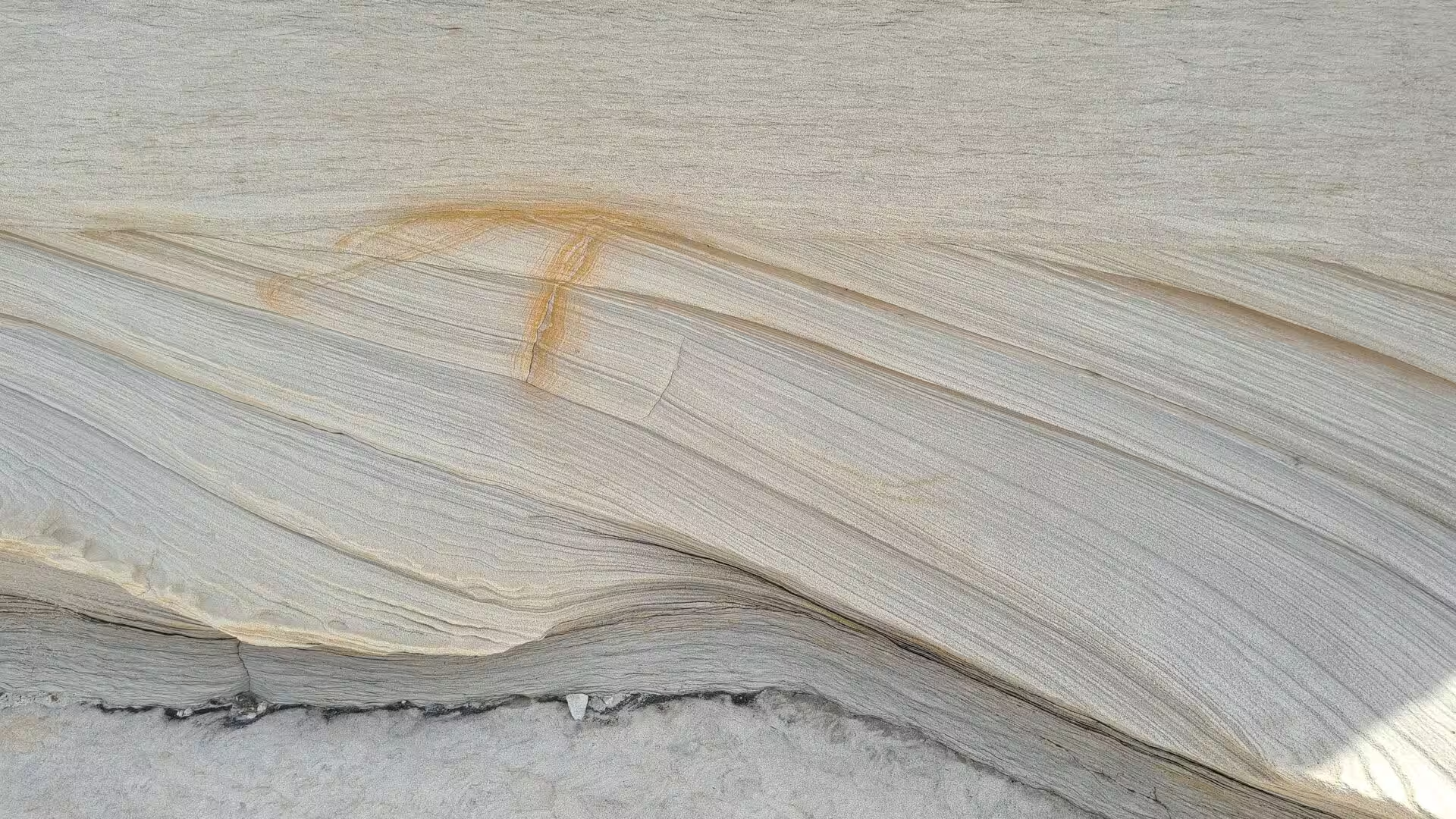
The park stands on the sandstones of the Sydney Basin, a large sedimentary basin that developed from the Early Permian to the Middle Triassic and now underlies the city and its coast. The most important unit here is the Hawkesbury Sandstone, a sheet sandstone of Triassic age that forms the cliffs, valleys and plateaus of the park and much of the country around Sydney. It was deposited during the Anisian stage of the Middle Triassic, between about 247 and 242 million years ago, when Australia and Antarctica were joined in the supercontinent of Gondwana and a vast river system carried sand northwards from the rising mountains of East Antarctica.
The sandstone rests on the older shales and sandstones of the Narrabeen Group, which are exposed at the base of the cliffs and in the deeper valleys, and in places it is capped by the younger and finer Wianamatta shale. Fringes of recent alluvium follow the estuaries, where swamp oak and swamp mahogany woodlands grow on soils listed as endangered ecological communities. Coal seams lie far beneath the sandstone and have been worked where they come closer to the surface south of the park near Wollongong.
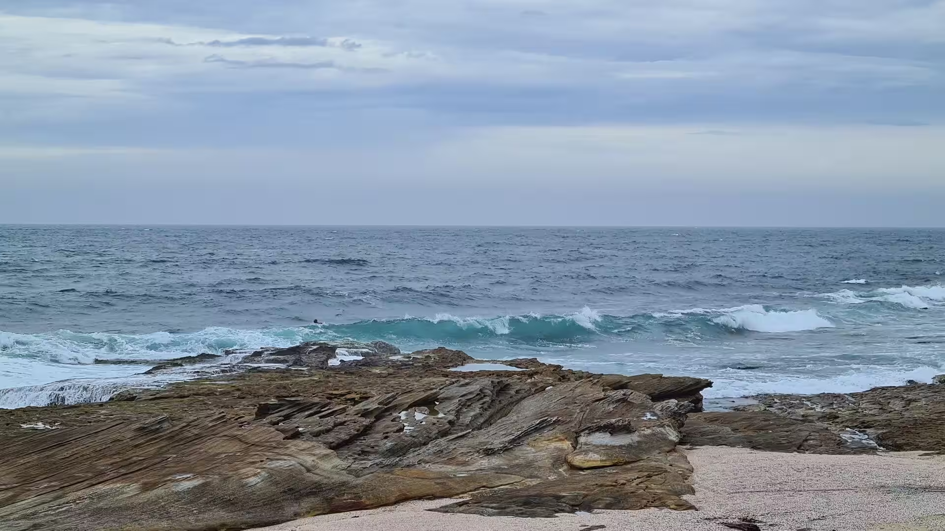
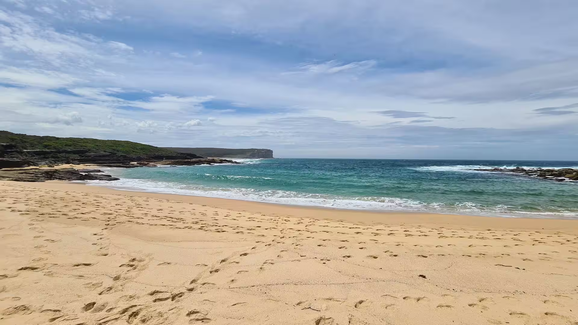
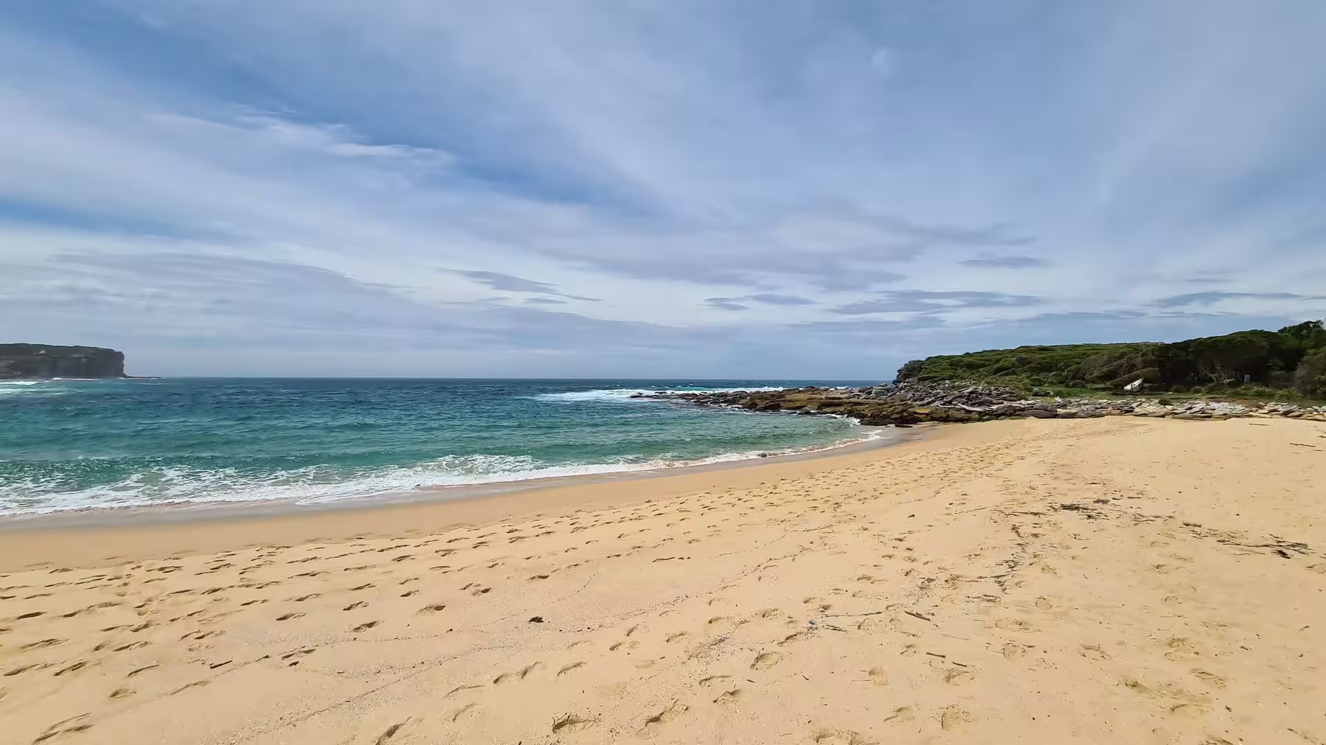
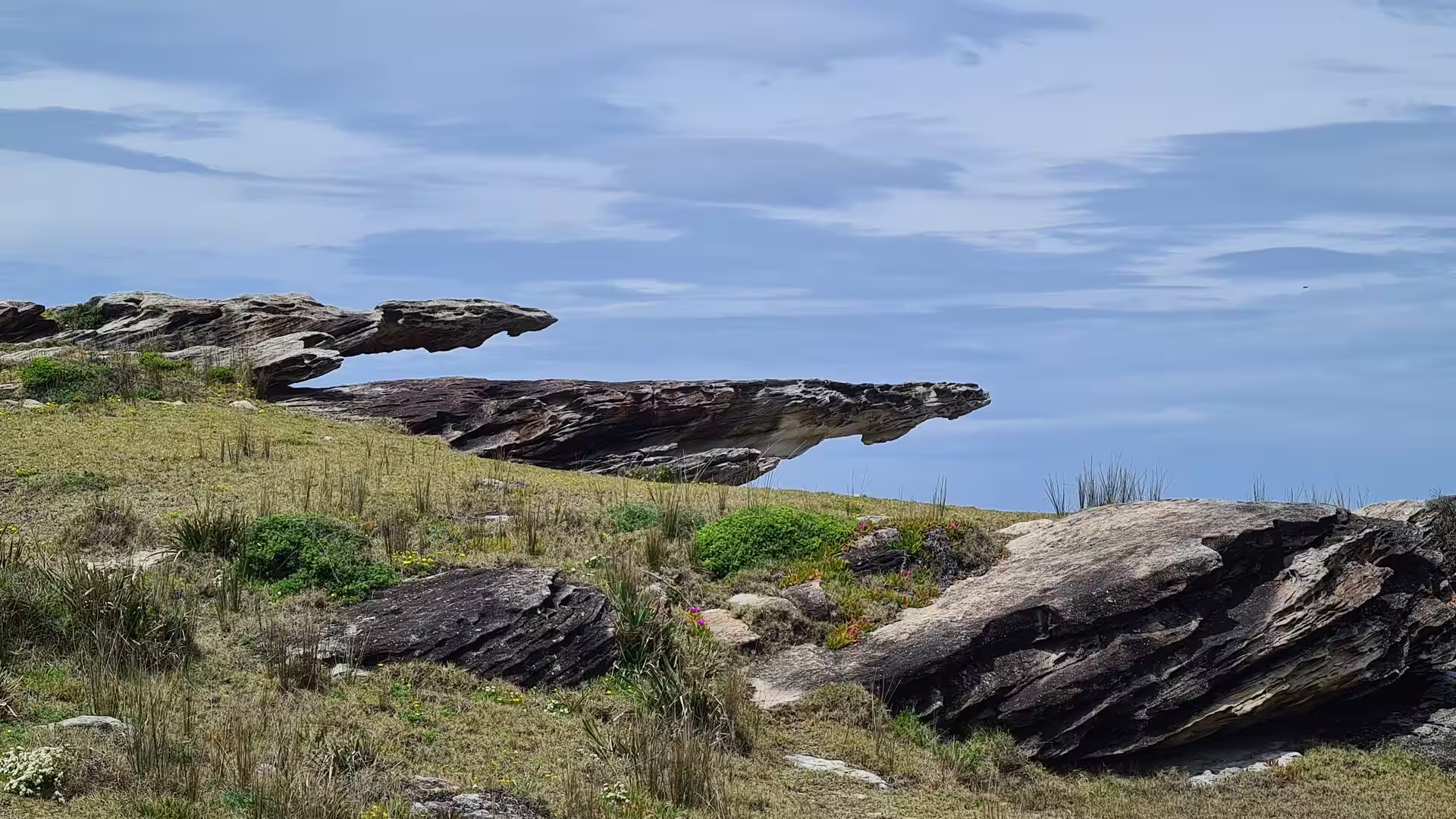
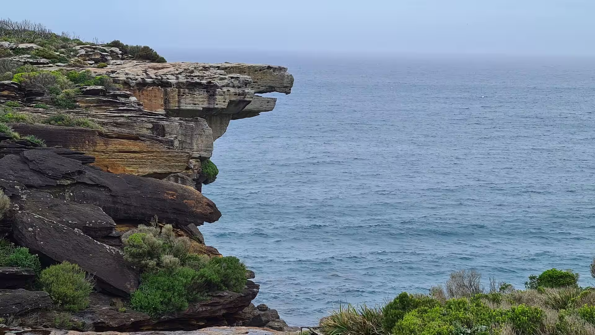
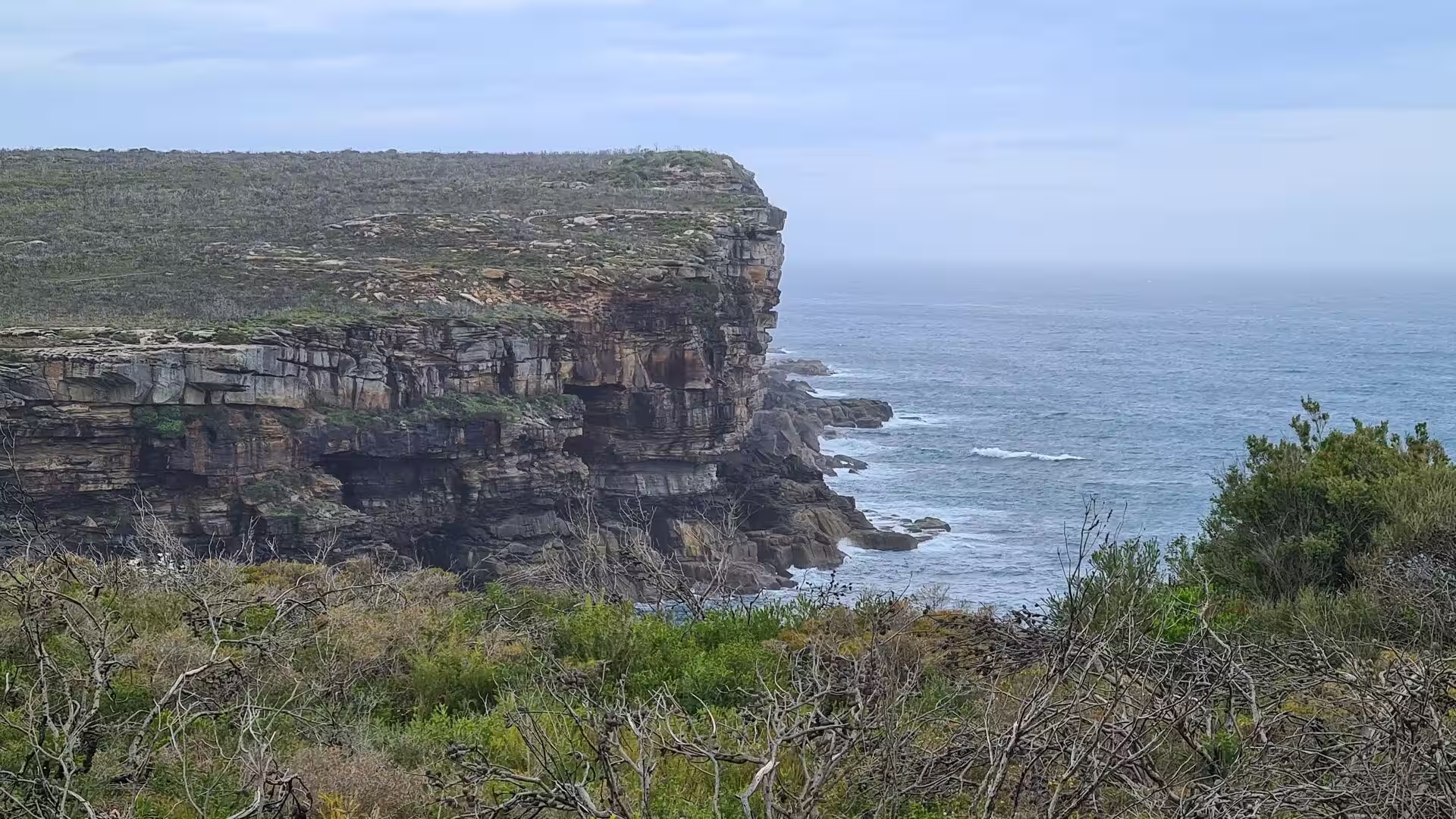
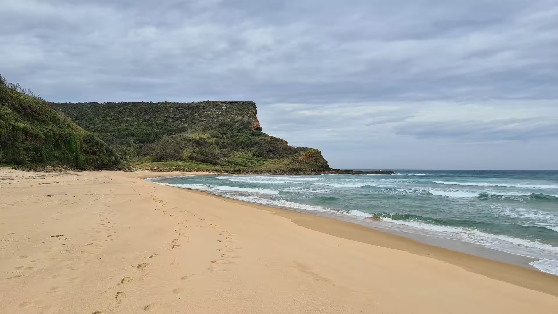
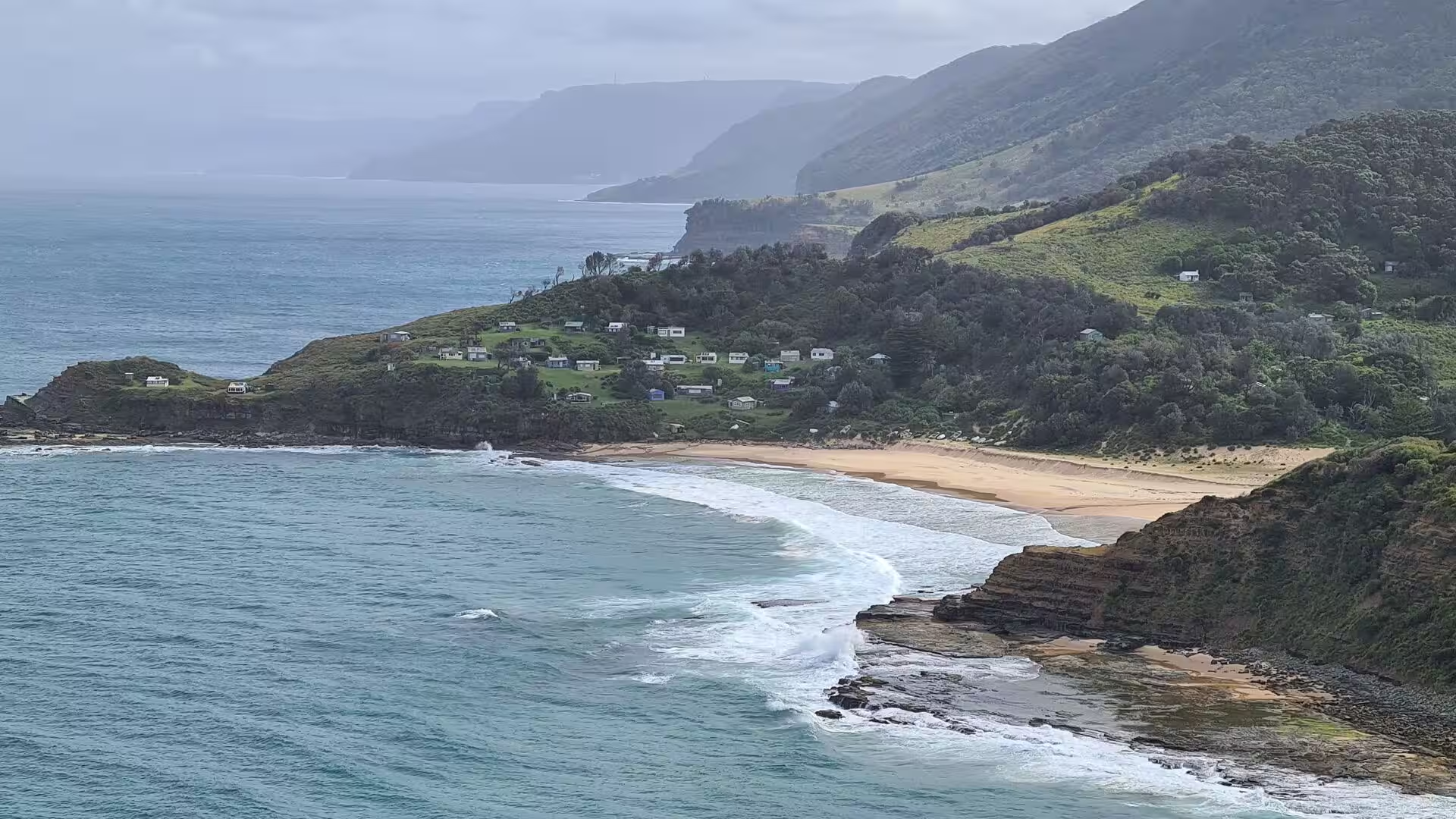
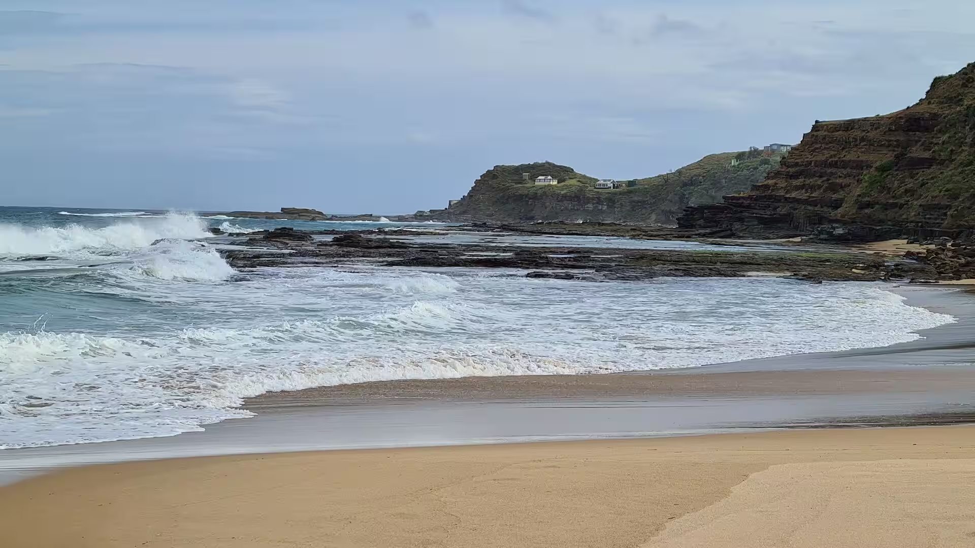
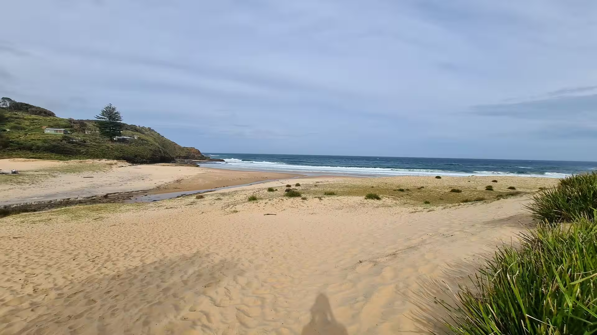
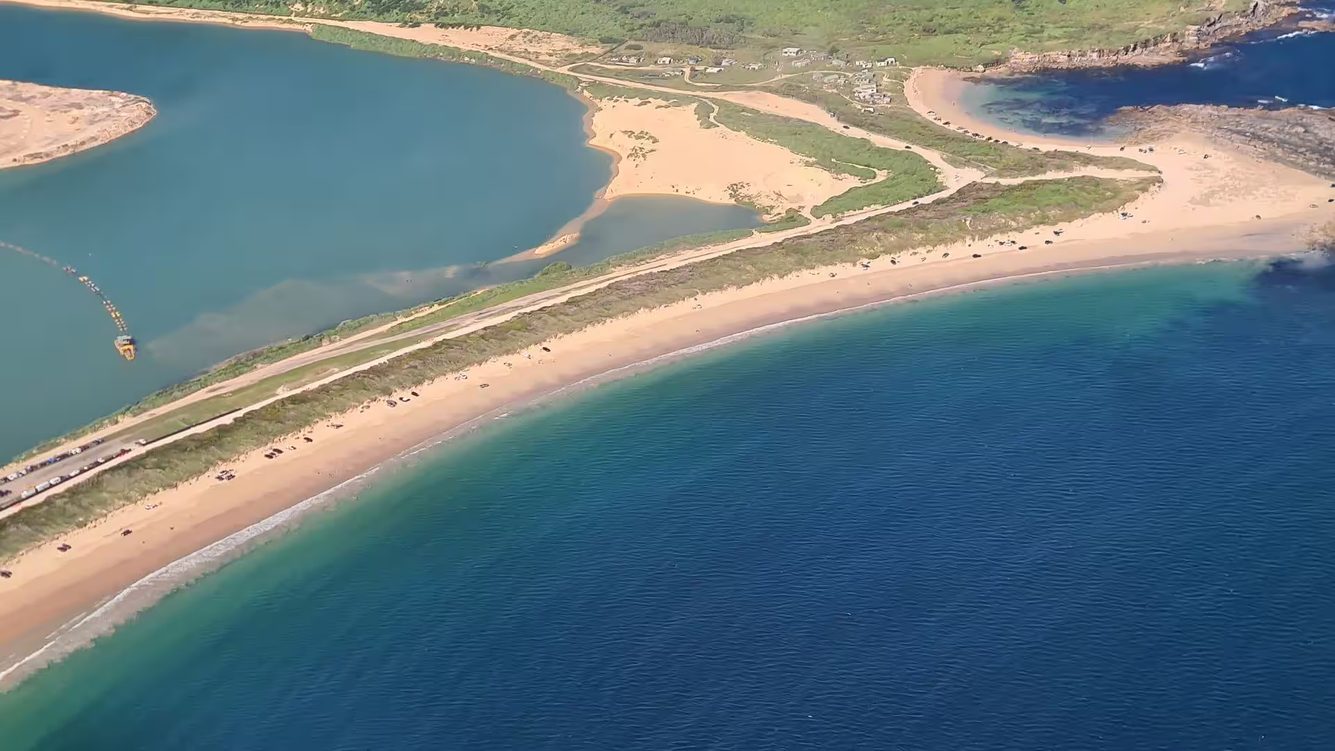
The coastline is the most dramatic part of the geology. The rock is broken by vertical joints, and the sea works on those joints until blocks fall away and the cliff face retreats, a process that is slow in calm weather and much faster during the storms that accompany the wet phase of the Pacific oscillation. The high cliffs of the southern end reach close to one hundred metres, and the beaches lie between the headlands where sand has collected in sheltered bays. Elsewhere the coast is bare rock, with small coves and gentle freshwater inlets between the sandy stretches.
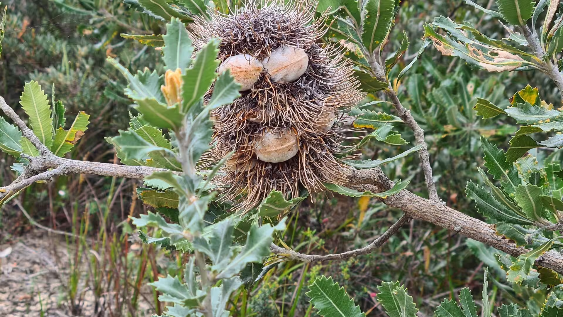
The exposed heaths on the headlands grow on rocky ground with little topsoil, where only low, salt-tolerant shrubs survive. Coastal rosemary, Darwinia, bracelet honey-myrtle, she-oak, white kunzea, grass trees and prostrate forms of coast banksia grow on the heaths, while the ancient dunes above the coastal path carry silver banksia, scrub-oak, silky hakea and pine heath. Sections of rare clifftop grassland occur on the windiest sites, dominated by long-leaf mat-rush and kangaroo grass. Soils on the plateau are sandy podsol over the sandstone, with richer soils where the Wianamatta shale survives.
Sandstone rock shelves and rock pools fringe the whole coastline and the shoreline of Port Hacking, broken by small beaches and freshwater inlets. The pools hold black nerites, turban snails, zebra snails and the Sydney rock oyster, and the seaweed known as Neptune’s necklace, made of small buoyant beads, grows among them. Beds of the sea squirt cunjevoi cover rocks reached by high tide, the waratah anemone with its flame red tentacles is the most conspicuous anemone of the park, and the biscuit sea star is common. The fatally toxic blue-lined octopus also occurs in the pools.
Things to See
The Coast Walk from Bundeena to Otford is the classic route through the park, 30 kilometres of cliff top, beach and heath along the eastern edge. It passes the headland known as Eagle Rock near Curracurrong, where waterfalls drop over the cliff face into the sea more than one hundred metres below, and it crosses the sand at North Era and Burning Palms. Walkers usually allow two days and camp at North Era, whose bush campsites are placed for exactly that purpose. The exposed sections of the track are best avoided in bad weather.
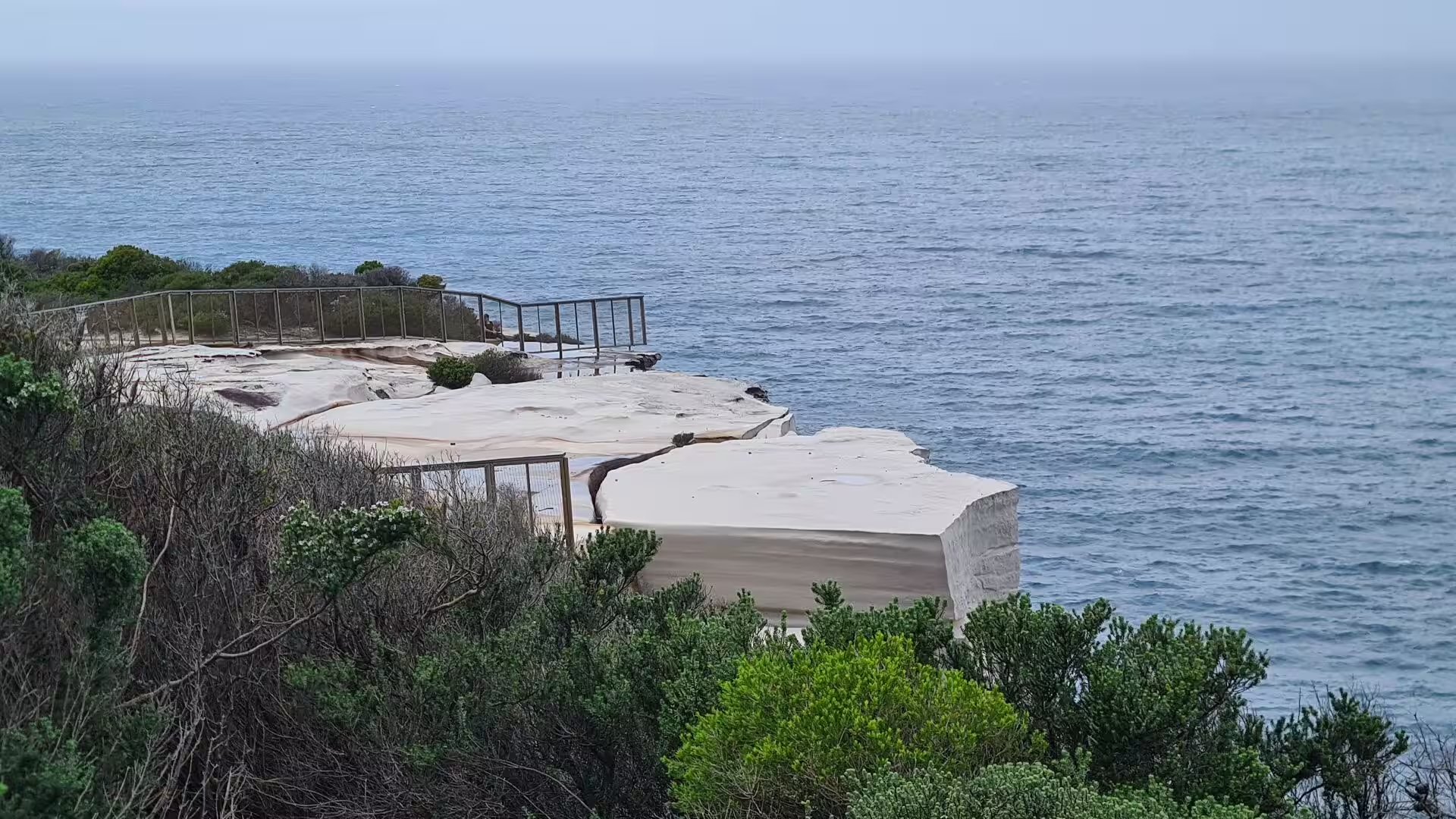
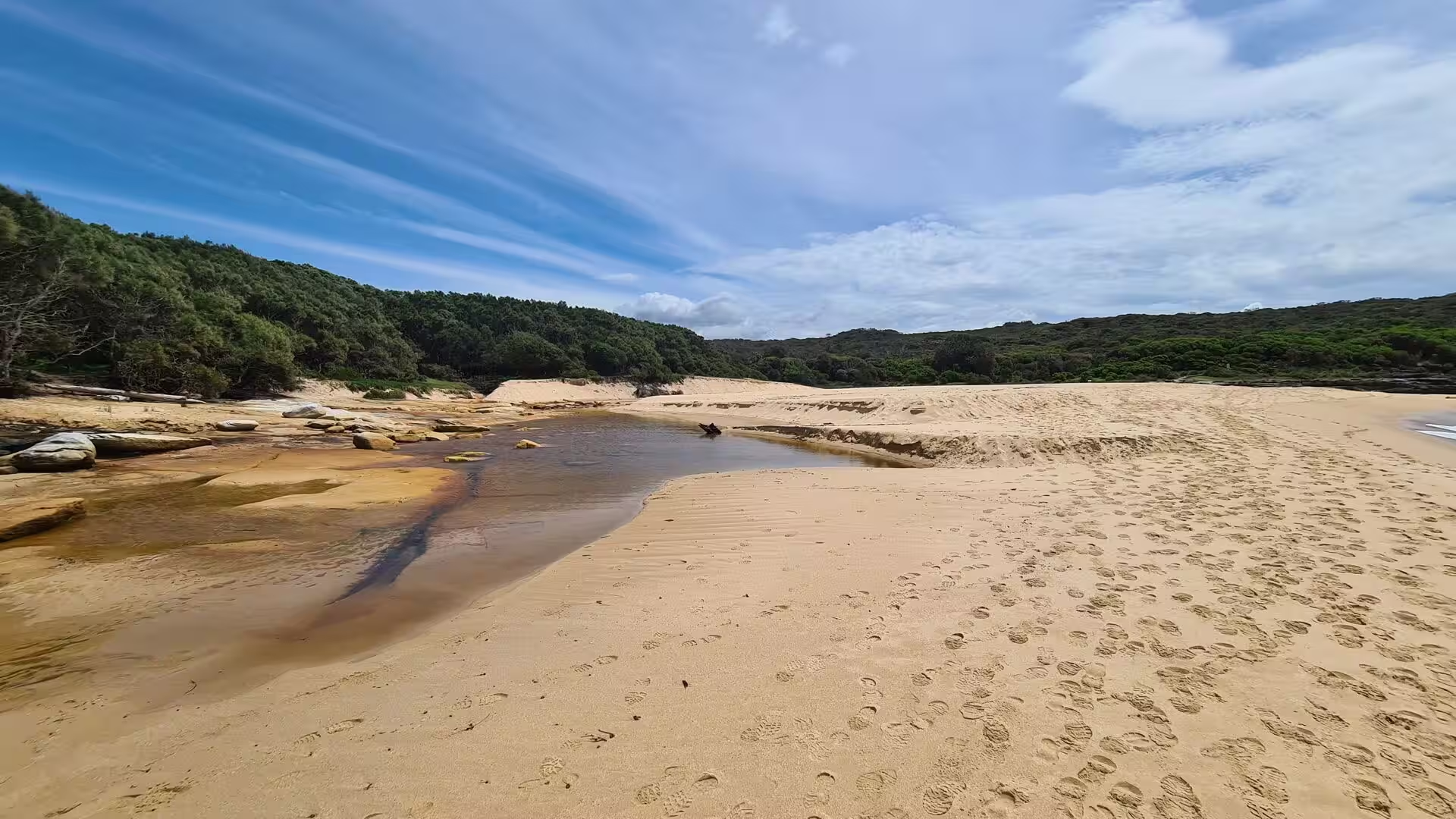
Wattamolla is a cove, lagoon and beach at the meeting point of two creeks. Wattamolla Creek flows in from the north west and forms the lagoon behind the sand, while the smaller Cootes Creek joins it from the west over a waterfall. Because the outflow of the creeks and the tide work against each other, the lagoon and its opening to the sea change shape from season to season. The name is the local Aboriginal name for the place, meaning near running water, and was recorded by Matthew Flinders as Watta-Mowley. Work completed in 2022 added a fenced lookout above the waterfall and a new picnic area.
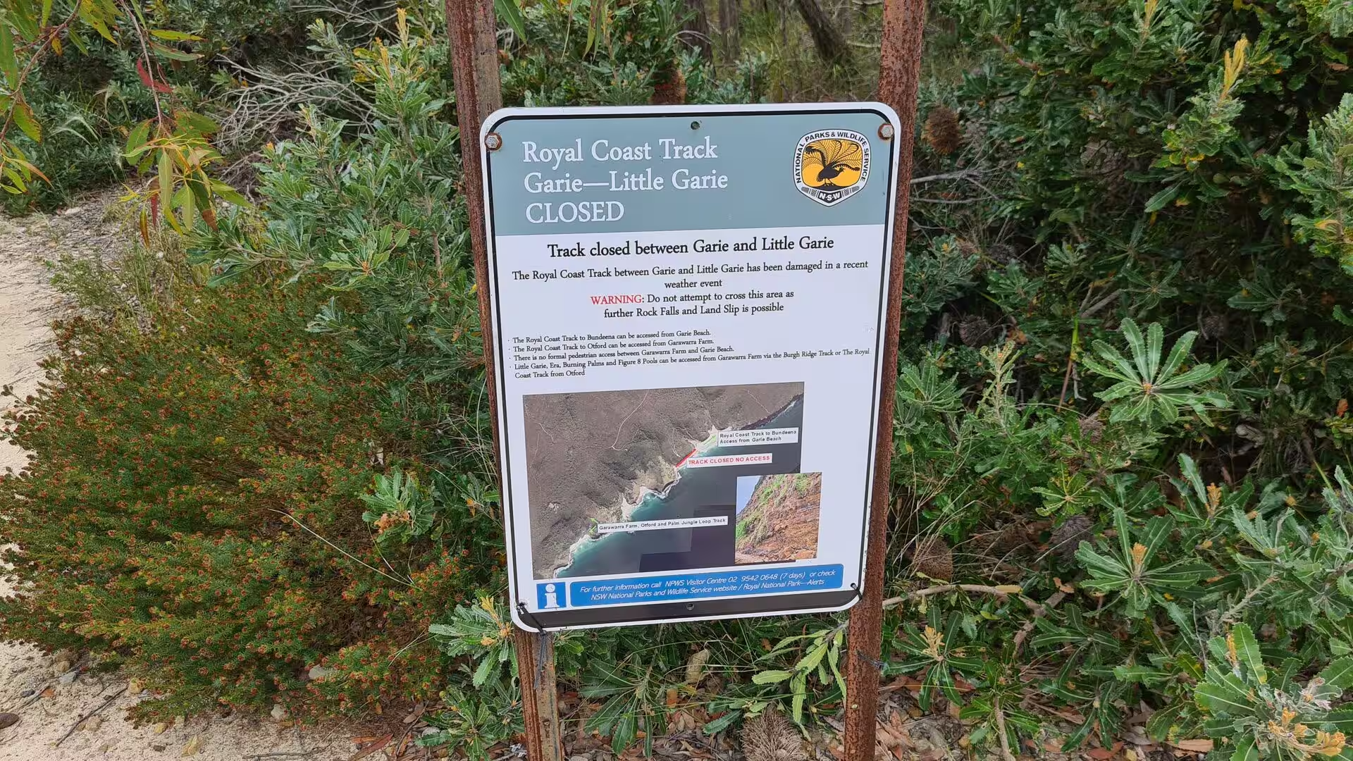
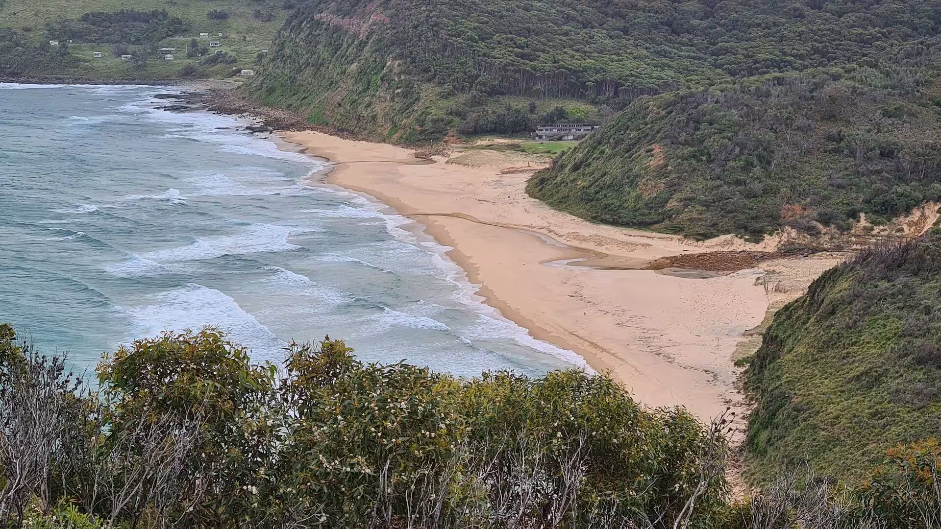
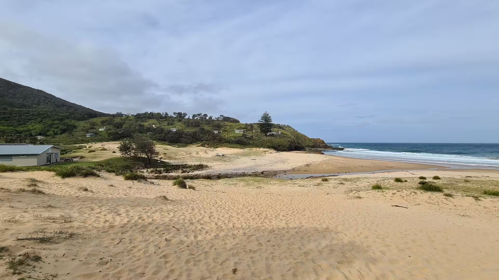
Garie Beach is the southernmost beach in the Greater Sydney area and one of eleven beaches inside the park. It is also one of only three beaches in the park that are patrolled, by the Garie Surf Life Saving Club at weekends and by paid lifeguards of Australian Lifeguard Services on weekdays during the summer school holidays. Garie Road brings traffic down to a large car park, and the valley has toilets, a kiosk, a picnic area and the Garie Beach Surf Safety Centre, built as the first stage of a larger redevelopment. The name is a Dharawal word meaning sleepy.
South of Burning Palms a broad shelf of sandstone holds a set of natural pools known as the Figure Eight Pools, cut by the sea into the shape of two linked basins. They can only be reached on foot, and the route is long and rough; the pools are dangerous in heavy swell and should be visited at low tide and in calm conditions. Further north Werrong Beach is the only legally sanctioned naturist beach in the park, facing east to the Tasman Sea with wooded slopes behind it. Campers sometimes wake there to wallabies moving through the campsite at dawn.
Audley occupies a large flat area at the base of one of the bigger valleys, where the main road from the north drops down to cross the Hacking River on a weir before climbing the far side. It was developed in the late nineteenth century as a picnic ground for day trippers from Sydney, and a heritage listed timber boathouse of that period still stands on the western bank, renting out rowing boats, canoes and mountain bikes. A timber dance hall built in the early twentieth century on the eastern bank is used for functions.
Lady Carrington Drive runs south from Audley along the eastern bank of the Hacking River for about ten kilometres and was the first scenic route completed in the park. It was built as a carriage drive between 1880 and 1883 and opened in 1886, and it is now closed to traffic and used by walkers and cyclists. The road is flat, well formed and unsealed, and it passes beneath sandstone overhangs such as Gibraltar Rock and the limestone overhang of Palona Cave, reached by a short side track. Jersey Spring, two and a half kilometres along, still feeds the sandstone watering troughs built in 1892 for horses and travellers.
Bundeena is a village of some two thousand people on the southern side of Port Hacking, surrounded by the park and reached by road or by the ferry from Cronulla, a crossing of twenty to thirty minutes. Its name is an Aboriginal word meaning noise like thunder, a reference to the surf on Horderns Beach, and the beaches at Jibbon, Gunyah, Horderns and Bonnie Vale belong to it. At Jibbon Point there is a public viewing site for Dharawal rock engravings showing a whale and a wallaby, which are said to commemorate a successful hunt and the stranding of a whale.
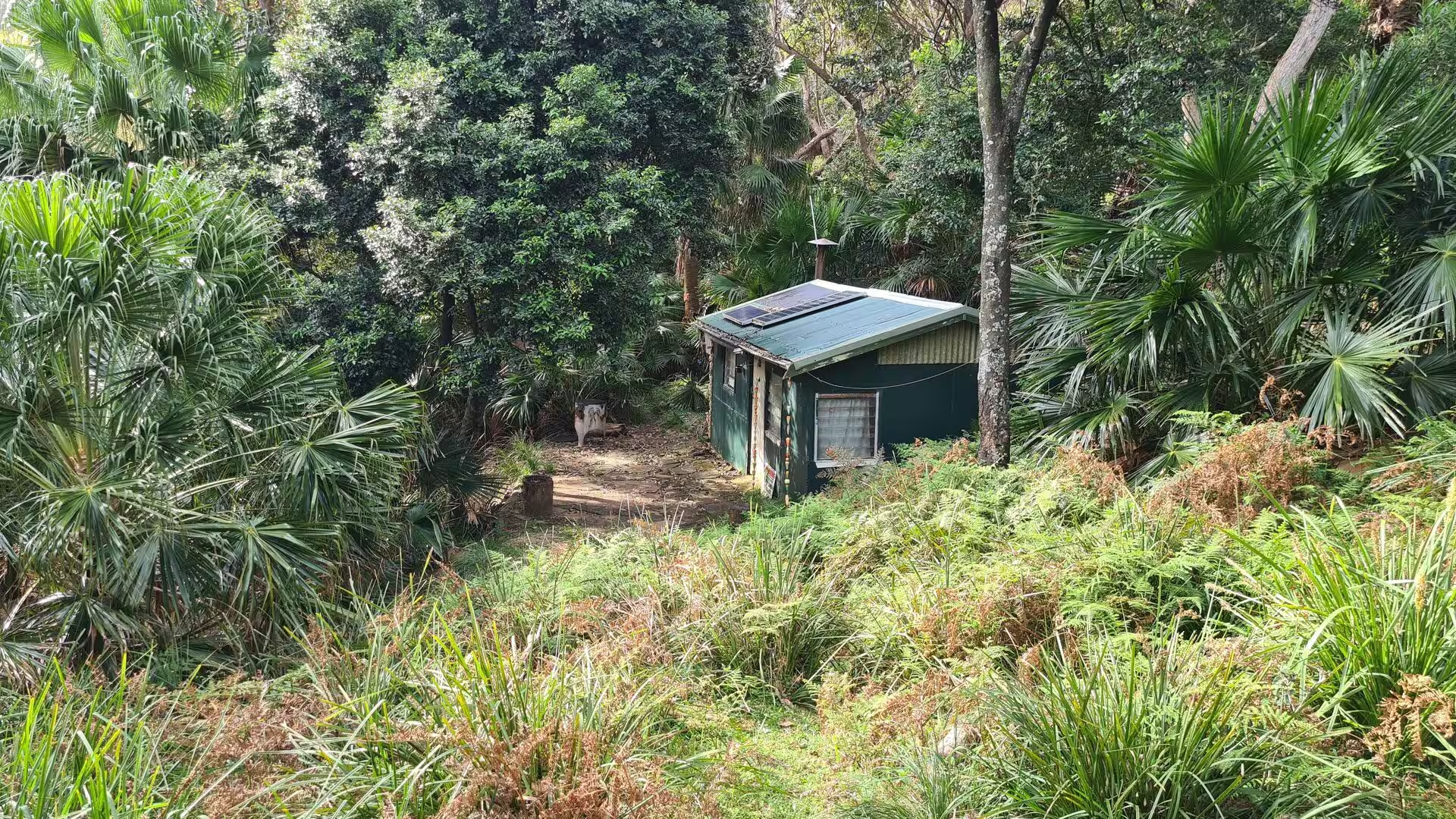
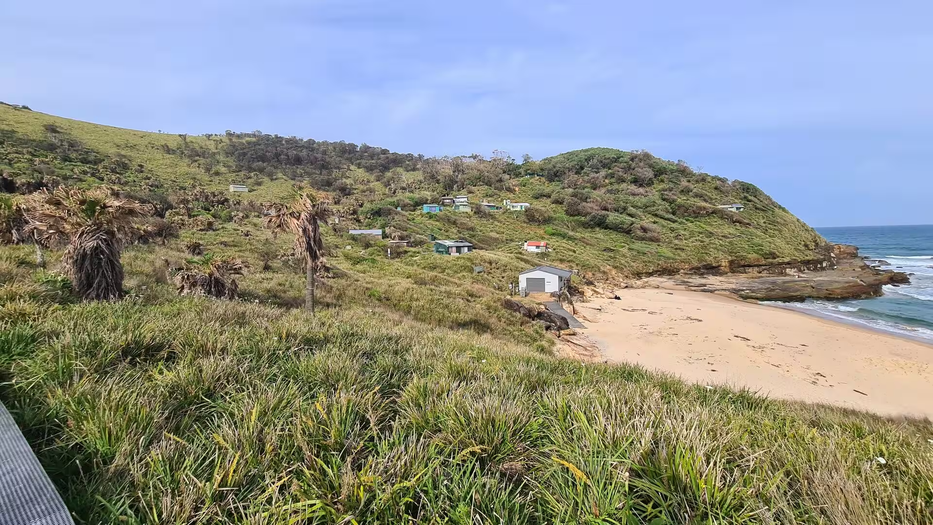
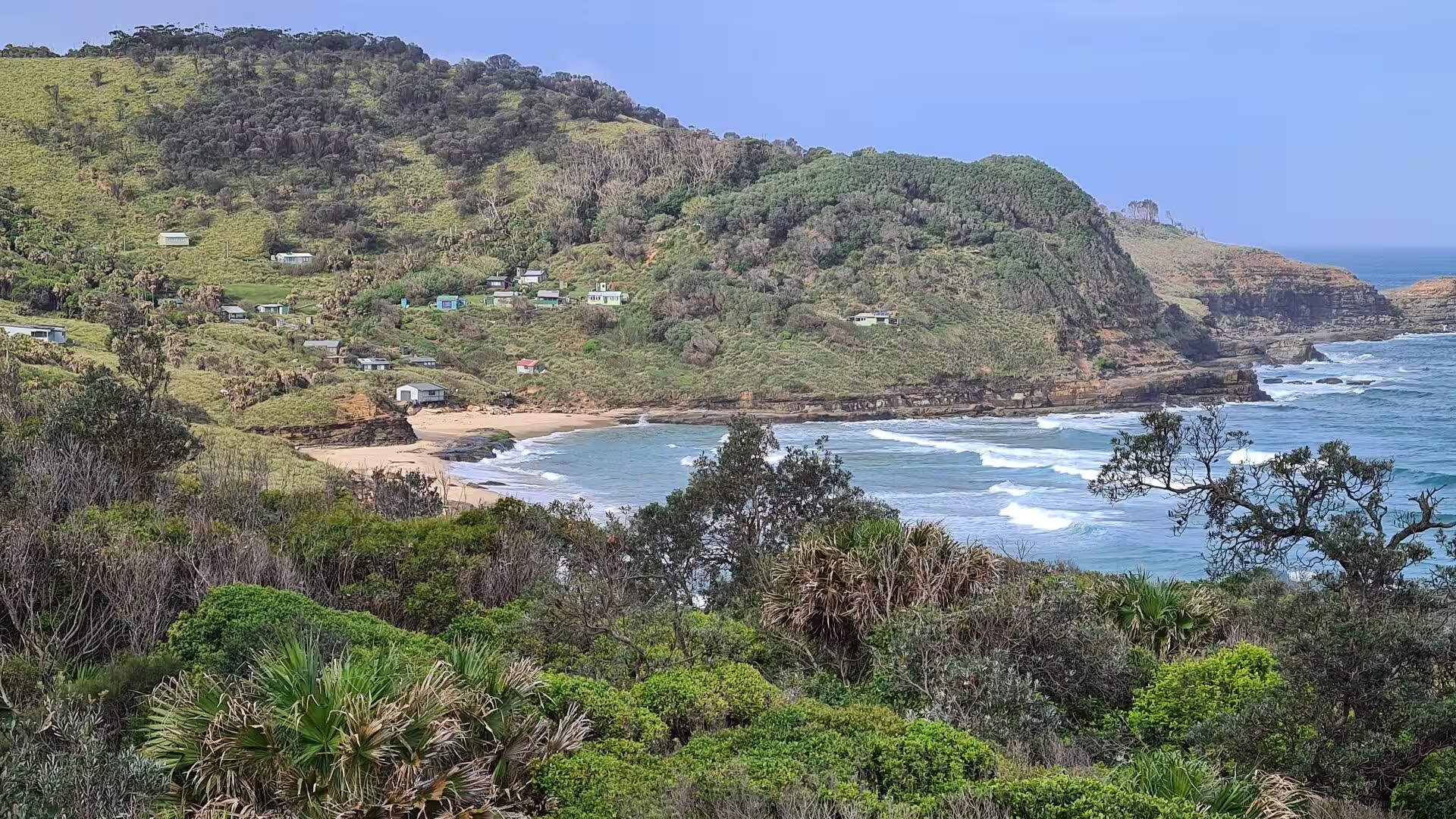
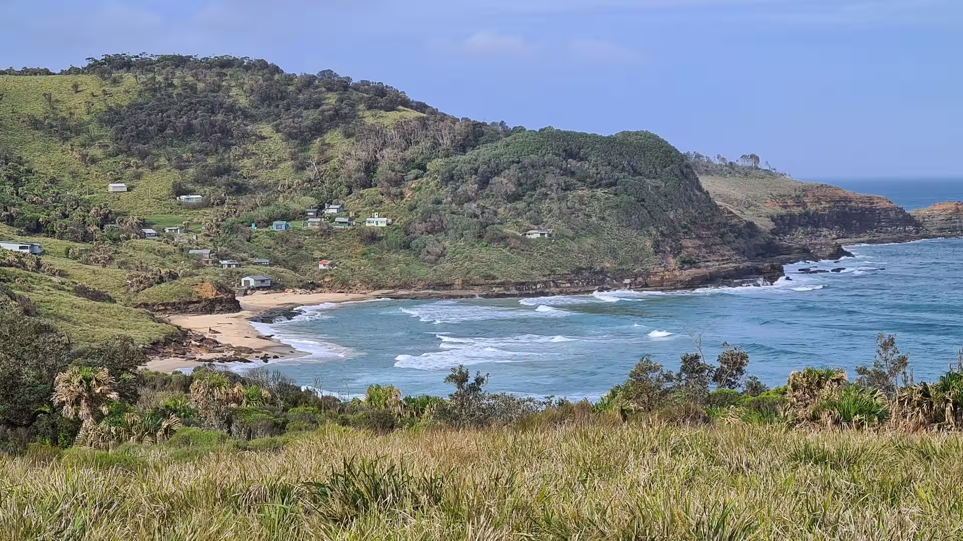
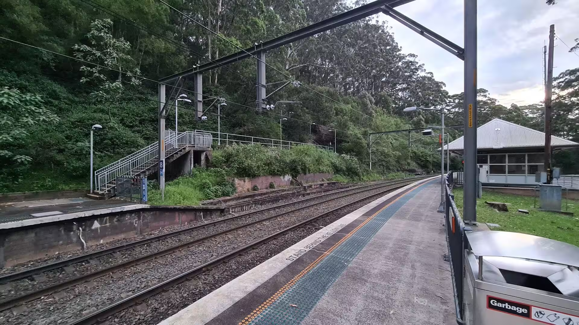
Two of the park’s more unusual sights are its heritage features. The Royal National Park Coastal Cabin Communities are groups of small holiday cabins built on the clifftops at Burning Palms and Era in the twentieth century, several of them painted white and green, and they are protected as a heritage landscape. At Audley the park has its own railway station, which opened in 1886 and closed in 1991; the Sydney Tramway Museum reopened the branch for heritage trams in 1993 and runs services on Wednesdays and Sundays. The visitor centre at Audley is the administrative headquarters of the park.
References
- Wikipedia contributors (2026). Royal National Park. en.wikipedia.org/wiki/Royal_National_Park
- Wikipedia contributors (2026). Dharawal. en.wikipedia.org/wiki/Dharawal
- Wikipedia contributors (2026). Hawkesbury sandstone. en.wikipedia.org/wiki/Hawkesbury_sandstone
- Wikipedia contributors (2026). Sydney Basin. en.wikipedia.org/wiki/Sydney_Basin
- Wikipedia contributors (2026). Wattamolla. en.wikipedia.org/wiki/Wattamolla
- Wikipedia contributors (2026). Garie Beach. en.wikipedia.org/wiki/Garie_Beach
- Wikipedia contributors (2026). Bundeena, New South Wales. en.wikipedia.org/wiki/Bundeena%2C_New_South_Wales
- Wikipedia contributors (2026). Hacking River. en.wikipedia.org/wiki/Hacking_River
- Wikipedia contributors (2026). Audley, New South Wales. en.wikipedia.org/wiki/Audley%2C_New_South_Wales
- Wikipedia contributors (2026). Banksia. en.wikipedia.org/wiki/Banksia
- Wikipedia contributors (2026). Illawarra. en.wikipedia.org/wiki/Illawarra
- Wikipedia contributors (2026). Sutherland Shire. en.wikipedia.org/wiki/Sutherland_Shire
- Wikipedia contributors (2026). Lady Carrington Drive. en.wikipedia.org/wiki/Lady_Carrington_Drive
- Wikipedia contributors (2026). Royal National Park railway station. en.wikipedia.org/wiki/Royal_National_Park_railway_station
- Wikipedia contributors (2026). Australian nationalism. en.wikipedia.org/wiki/Australian_nationalism
- Lunney D. (2018) A history of a contested ideal: national parks for fauna conservation. Australian Zoologist. 39. 371-396. doi.org/10.7882/az.2017.045
- MacEwen A., MacEwen M. (2025) The history of national parks. National Parks: Conservation or Cosmetics?. 3-29. doi.org/10.4324/9781003715597-2
- Hunter J. (2020) Grasslands on Coastal Headlands in New South Wales, south eastern Australia. Vegetation Classification and Survey. 1. 111-122. doi.org/10.3897/vcs/2020/48228
- Liston C. (2011) The Dharawal and Gandangara in colonial Campbelltown, New South Wales, 1788-1830. Aboriginal History Journal. 12. doi.org/10.22459/ah.12.2011.04