Australia 2022 - December - Blue Mountains







Journal Notes
General
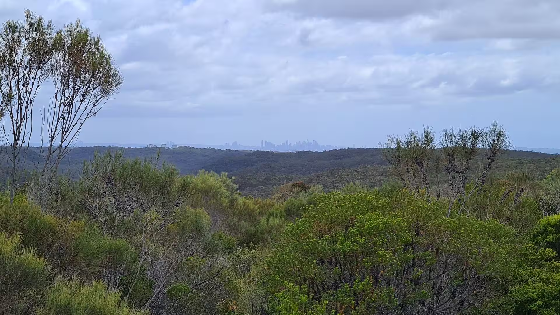
The Blue Mountains are a mountainous region and a mountain range in New South Wales, Australia, and they form part of the Great Dividing Range. The foothills begin about 50 kilometres west of Sydney, close to Penrith, so the region is often treated as part of the western outskirts of the greater city. As defined in 1970, it is bounded by the Nepean and Hawkesbury rivers in the east, by the Coxs River and Lake Burragorang in the west and south, and by the Wolgan and Colo rivers in the north. Geologically the whole region lies in the central parts of the Sydney Basin.
The range itself extends from about 4.8 kilometres north-west of Wolgan Gap in a south-easterly direction for roughly 96 kilometres and ends at Emu Plains, and for about two thirds of its length it carries the Great Western Highway and the Main Western railway line. The towns stand on the ridge tops, among them Katoomba, Blackheath, Mount Victoria and Springwood, and the local government area is the City of Blue Mountains. Katoomba had 8,268 residents at the 2021 census, Leura 4,503, and Wentworth Falls 6,076 in 2016.
The climate changes with elevation and is markedly cooler than that of Sydney. Katoomba, at 1,010 metres, has summer maxima near 22 degrees Celsius with a few days in the thirties, and winter days of 10 or 11 degrees with about minus one degree on clear nights. Frost and two or three snowfalls a year are normal on the upper mountains, and annual rainfall there reaches about 1,050 millimetres, with many misty days. The shelter of the valleys keeps the coldest air below the ridges on calm, clear nights.
The Greater Blue Mountains Area was listed as a natural World Heritage Site by UNESCO on 29 November 2000 and was the fourth such property in New South Wales. It covers about 10,300 square kilometres and consists of eight protected areas: the Blue Mountains, Wollemi, Yengo, Nattai, Kanangra-Boyd, Gardens of Stone and Thirlmere Lakes national parks together with the Jenolan Caves Karst Conservation Reserve. The listing recognises a wide and balanced representation of eucalypt habitats, from wet and dry sclerophyll forest to mallee heathland, swamps, wetlands and grassland. The property is roughly the size of Lebanon.
The name comes from the blue tinge the ranges take on when they are seen from a distance. The effect is produced by Mie scattering, in which light of shorter wavelength is scattered by particles in the atmosphere, and the volatile terpenoids released in quantity by the eucalyptus forests are thought to contribute to the haze. The original name in the languages of the Dharug and Gundungurra peoples is Colomatta, more accurately Gulumada, meaning koala place. Arthur Phillip named the ranges the Carmarthen and Lansdowne Hills in 1788, and the first documented use of the present name appears in John Hunter’s account of a journey up the Hawkesbury in 1789.
History
The mountains have been inhabited for millennia by the Gundungurra people, represented today by the Gundungurra Tribal Council Aboriginal Corporation in Katoomba, and in the lower mountains by the Darug. The Gundungurra creation story tells of Mirigan and Garangatch, half fish and half reptile, whose battle scarred the landscape into the Jamison Valley. Evidence of habitation survives in many places, among them Red Hands Cave near Glenbrook, where the walls carry hand stencils of adults and children, and the Kings Tableland Aboriginal Place at Wentworth Falls, where grinding grooves and an occupation cave date back 22,000 years.
Settlers and escaped convicts probed the ranges long before they were crossed. John Wilson, a First Fleet convict who lived among Aboriginal people, claimed in 1797 to have travelled about a hundred miles in all directions from Sydney and may have reached the far side by the Coxs River corridor with guides. Governor Hunter sent Wilson and John Price out in January 1798; the party crossed the Nepean River, went south towards the site of Mittagong and then west along the ridge of the present Wombeyan Caves Road, and came close to the site of Goulburn.
The crossing that the colony formally credits to Europeans was made by Gregory Blaxland, William Lawson and William Charles Wentworth, who set out on 11 May 1813 and were over the ranges by 31 May. They followed the ridge lines instead of the valleys and reached what is now Mount Blaxland, west of the Coxs River. Drought made the search for pasture urgent, and in November 1813 Governor Macquarie sent the surveyor George Evans to confirm the discovery and to judge whether there was arable land enough to justify settlement. Evans reached the Fish and Macquarie rivers and the site of Bathurst.
Construction of a road across the mountains began on 7 July 1814 under the direction of William Cox, who used 30 convict labourers and 8 guards, and the work was finished on 14 January 1815 after 27 weeks. The Main Western railway line followed from the 1860s: the first train ran from Penrith through to Weatherboard in July 1867, and the line reached Blackheath in 1869. Hotels and guest houses were built at Katoomba and Medlow Bath towards the end of the nineteenth century, the Carrington Hotel opened in 1882, and the towns became the summer resort of Sydney.
Coal and shale were worked from the 1860s, at Hartley Vale from 1865, in the Jamison Valley and at Newnes and Glen Davis, but shale mining failed in the long run because it was not profitable. In the twentieth century the mountains became a place of both conservation and mass tourism. The Blue Mountains National Park was gazetted in September 1959 with 63,000 hectares, the heritage-listed walking tracks date from 1880 onwards, and in 2018 the region received 8.4 million visits. Bushfires have repeatedly shaped the place, and the 2019 and 2020 season burned up to 80 per cent of the World Heritage area.
Geology
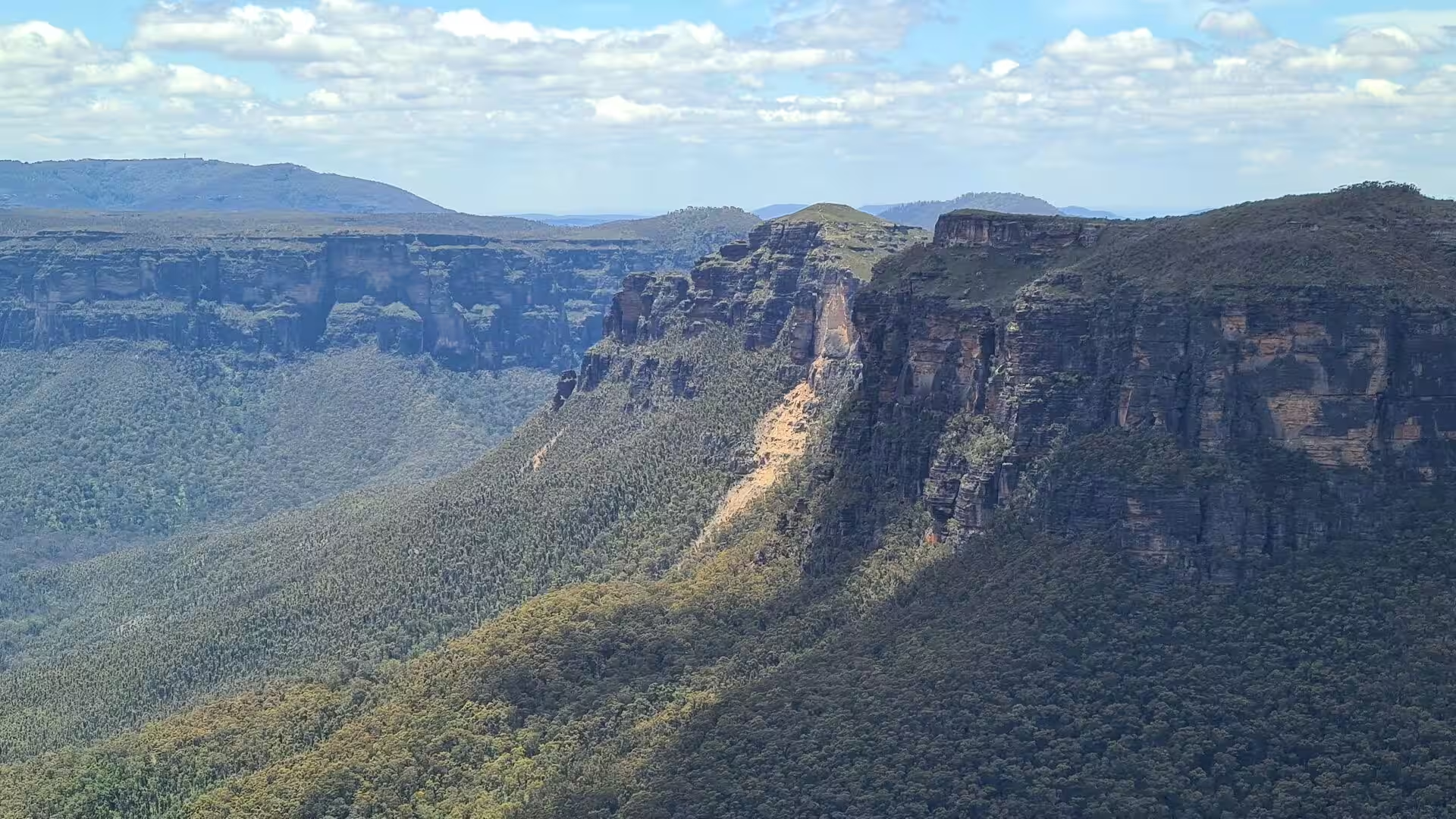
The Blue Mountains belong to the Sydney Basin, a major sedimentary basin that developed from the Early Permian to the Middle Triassic and contains a succession several kilometres thick. Shales, siltstones and mudstones were laid down first in a shallow sea, and rivers then dumped vast amounts of sand over them, burying the older beds. The sand that became the Hawkesbury sandstone was deposited in the Triassic, probably in a freshwater delta that worked on a scale comparable to the modern Brahmaputra. That sandstone is the caprock of the plateau, the material of the cliff lines and the stone of the old quarry faces.
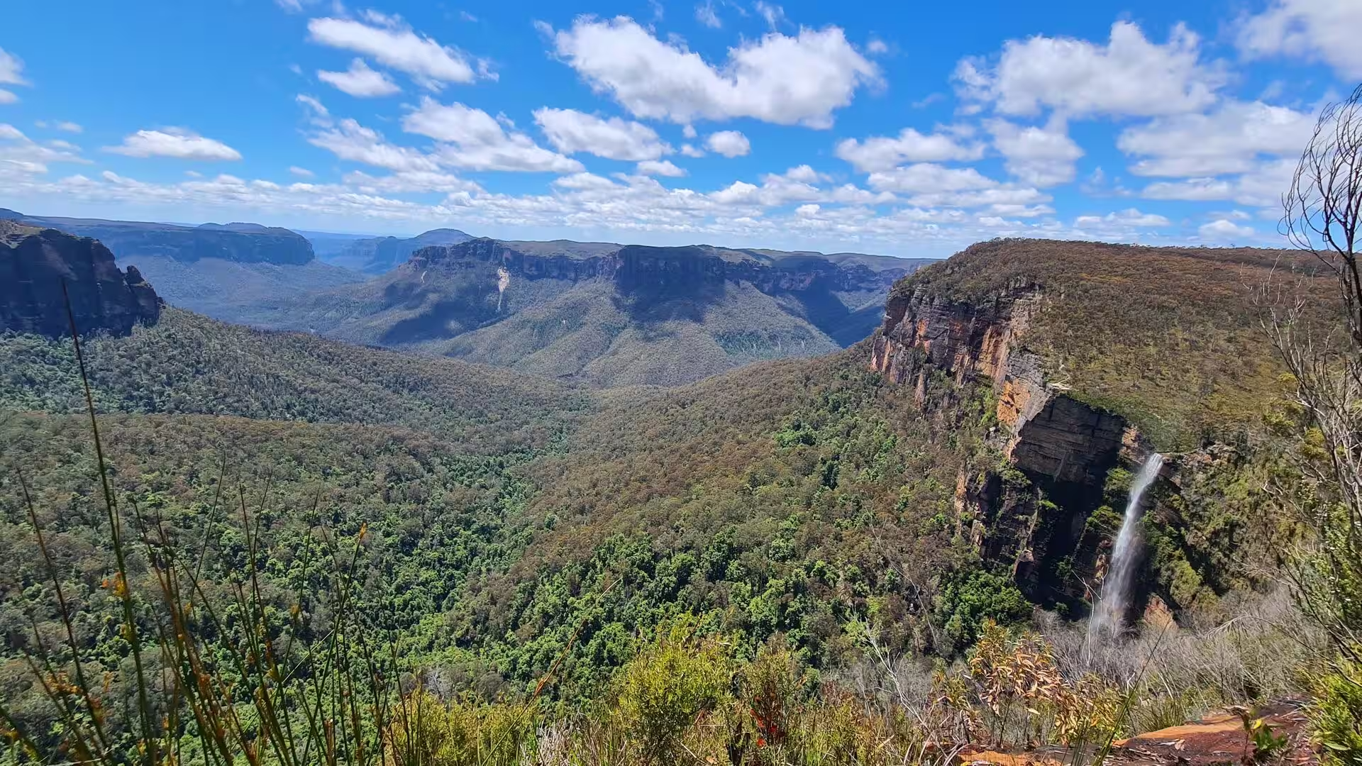
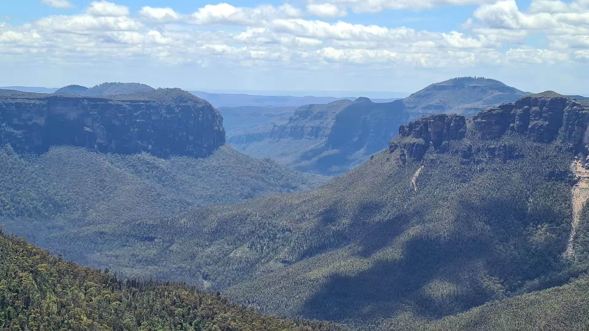
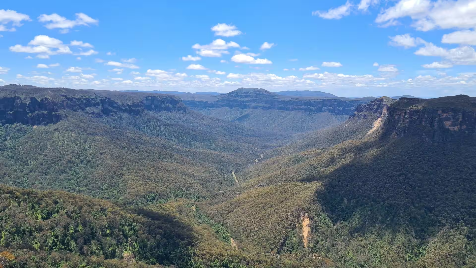
The mountains are not peaks in the usual sense but a deeply incised sandstone plateau, rising from less than 100 metres above sea level to about 1,300 metres at its highest point. Uplift raised the layered rocks, the rivers cut into them, and the result is a series of ridge lines separated by gorges up to 760 metres deep; Mount Solitary and the Narrow Neck plateau are products of that history. The eastern face retreats as blocks of jointed sandstone are prised away by water and gravity, and geomorphologists measure the rate of such retreat in comparable settings elsewhere.
Two structures give the eastern edge of the mountains its shape. The Lapstone Monocline is part of a system of monoclines and faults about 95 kilometres long that separates the lower Blue Mountains from the Cumberland Plain; it is interpreted as a fold that developed above a west dipping thrust fault and has contributed to the uplift of the eastern Blue Mountains. Volcanic flows once covered large parts of the plateau in basalt, and this rock has largely worn away, leaving occasional outcrops on the highest ridges. Further west, the Jenolan Caves preserve a limestone karst system within the same basin.
Coal seams and shale layers beneath the sandstone influenced the early industry and the settlement pattern of the region, and they still decide where drainage runs and how stable the ground is. Two soil types cover the area and determine what grows where: sandy soils derived from the Hawkesbury sandstone carry the dry open forest and the heath of the ridges and plateau edges, while clay soils from the shales and the volcanic rocks support taller forests and the grassland of the sheltered country. On the plateau edges, hanging swamps of button grass reeds lie on thick, deep black soil.
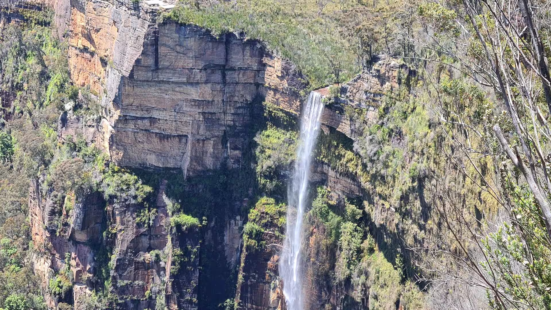
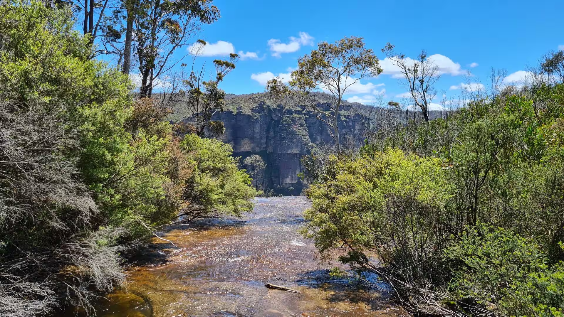
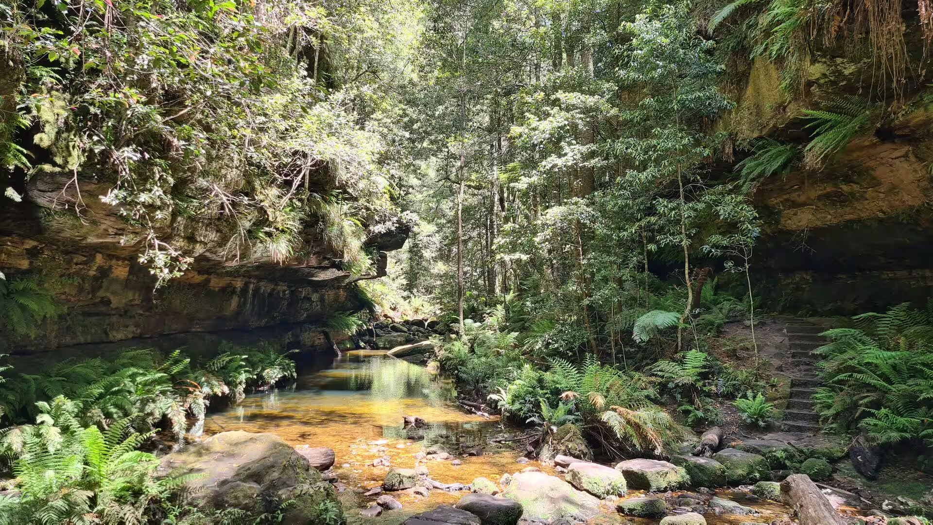
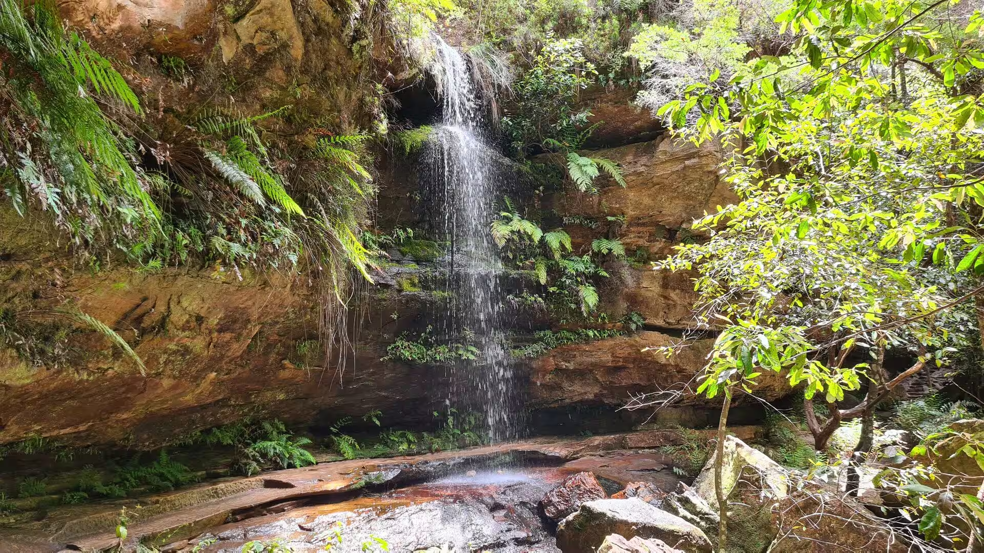
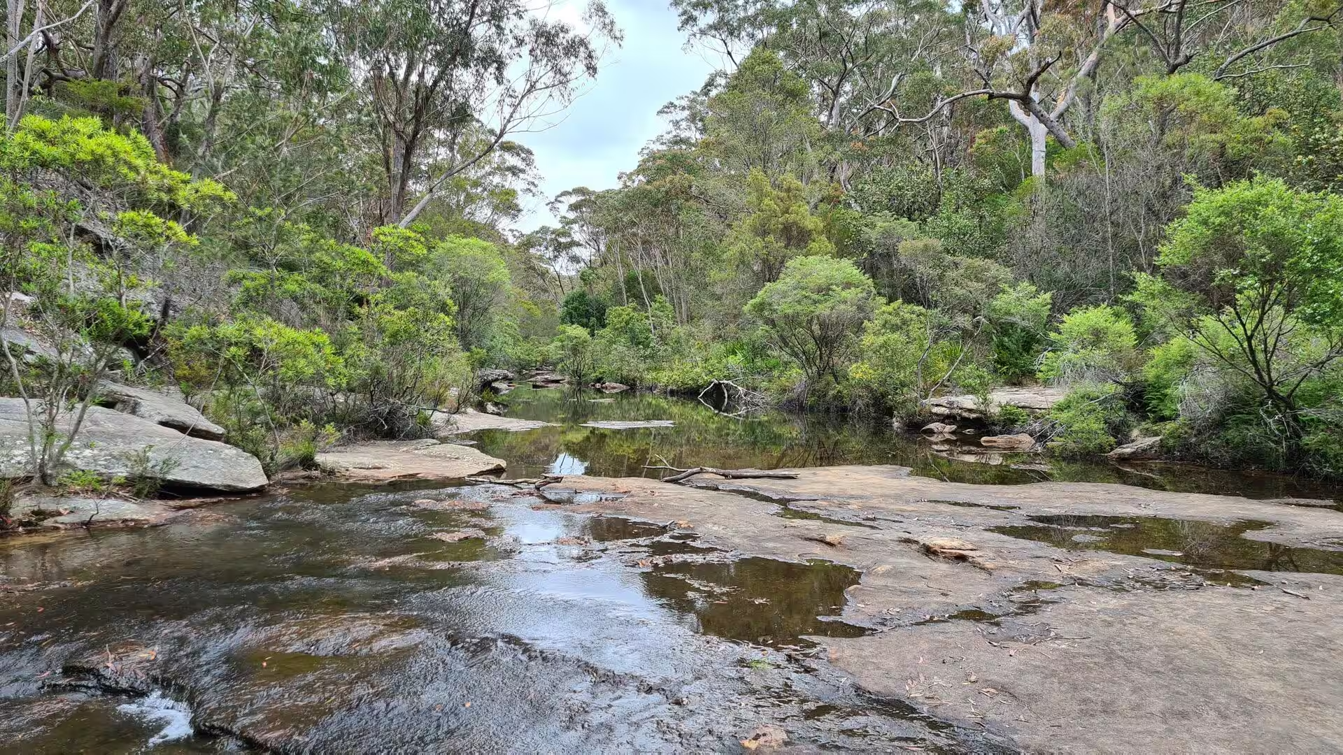
Water shapes the surface of the plateau. Four major rivers have most of their catchment inside the national park, the Wollangambe in the north, the Grose in the centre and the Coxs and Wollondilly in the south, and all of them flow from west to east; the Coxs and the Wollondilly empty into Lake Burragorang behind Warragamba Dam, the main source of drinking water for Sydney. Creeks cut the plateau edges and fall over them as waterfalls, and the softer beds within the sandstone produce the ledges and overhangs from which the water drops. Fern filled gullies and pockets of rainforest occupy the damp upper valleys.
Things to See
The Three Sisters stand on the north escarpment of the Jamison Valley close to Katoomba and are the best known sight of the mountains. The three pillars of sandstone carry the names Meehni at 922 metres, Wimlah at 918 metres and Gunnedoo at 906 metres. The story commonly told of the sisters and their forbidden lovers is not old tradition, and the Gundungurra, the traditional owners, tell a different story of their own. The formation receives more than 600,000 visitors a year and was declared an Aboriginal Place in January 2014.
Below the cliffs the Jamison Valley opens towards Mount Solitary, and from Echo Point the Ruined Castle and the forested valley floor lie in one view. A trail leaves Echo Point past the Three Sisters and descends the cliff by the Giant Stairway, 998 steps to the upper lookout. From the valley floor the Federal Pass runs about an hour and a half to the base of Katoomba Falls, and walkers who do not wish to climb back can return by the Scenic Railway, which drops 415 metres through a rock tunnel at a gradient of 52 degrees.
Wentworth Falls is both a town at 867 metres and a system of waterfalls that carries the name of William Charles Wentworth, one of the three men who crossed the mountains in 1813. The village was known first as The Weatherboard, after an inn built in 1814, and took its present name in 1879. Charles Darwin stayed at the inn in 1836 and walked from it along Jamison Creek to the cliff edge, where he wrote of an immense gulf opening unexpectedly through the trees; the route is now opened as the Charles Darwin Walk. The tracks below the town descend past the falls into the Jamison Valley.
Katoomba is the main town and council seat of the City of Blue Mountains, 102 kilometres west of Sydney by road, and the centre from which most visits to the mountains are made. Its name is a contraction of Kedumba, shining falling water, taken from a waterfall that drops into the Jamison Valley below the Harrys Amphitheatre escarpment; the name was adopted in 1877, and the town became a municipality in 1889. Katoomba Street holds dozens of cafes and restaurants, among them the Paragon from the early twentieth century, and the oldest hotel in town is the Carrington, established in 1882.
Leura lies next to Katoomba at 985 metres and merges with it along its western edge. Leura Mall is divided by a wide median strip planted with ornamental cherry trees, most of the commercial buildings date from 1900 to the 1920s, and the town is known for its cool climate gardens, which open to the public in October for the Leura Gardens Festival. The Everglades Gardens, the former home of the industrialist Henri van de Velde, are administered by the National Trust and hold five hectares of landscaped grounds designed by Paul Sorensen.
Blackheath stands further west at about 1,065 metres, near the highest part of the mountains. The town is known for its grower and community markets, for the ornamental cherries that line its streets and for the display of rhododendrons in the Campbell Rhododendron Gardens, eighteen and a half hectares planted beneath a native canopy, which is celebrated in a festival on the first weekend of November. North of the town, roads lead to the lookouts above the Grose Valley, among them Pulpit Rock, Perrys Lookdown and Anvil Rock, and the Blue Gum Forest is reached on foot from Perrys Lookdown.
The walking tracks of the mountains are themselves a heritage item. The picnic areas, tracks and rest areas were built from 1880 onwards, first by wealthy gentlemen on their private estates and later by community based trusts working with grants from the state government, and the whole complex was listed on the New South Wales State Heritage Register on 2 April 1999. Shelter sheds, wells, stone steps and signs from the 1870s to the 1960s survive along the routes. In 1999, 37 walking tracks within the national park were added to the register, from Glenbrook in the east to Jenolan Caves in the west.
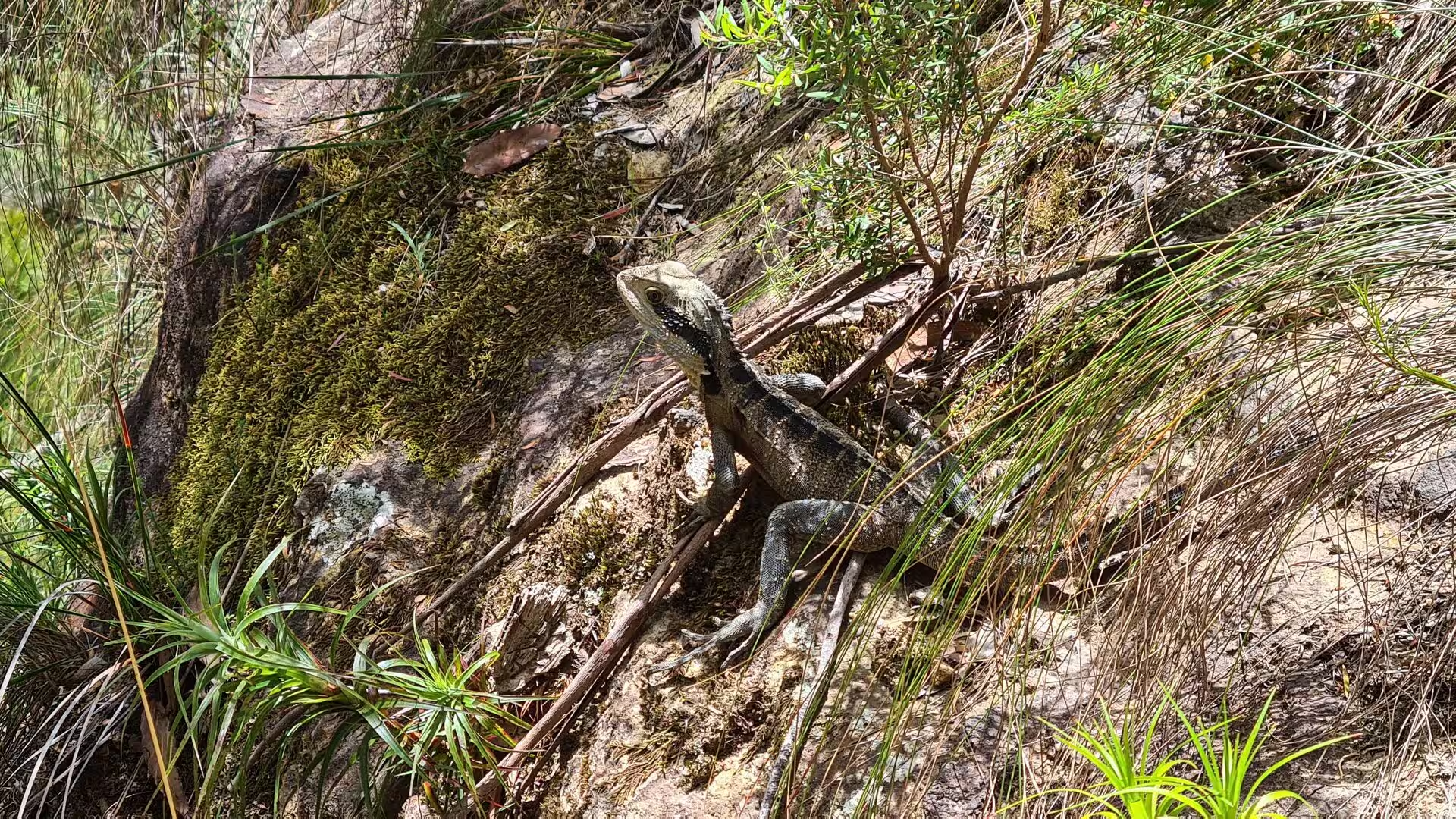
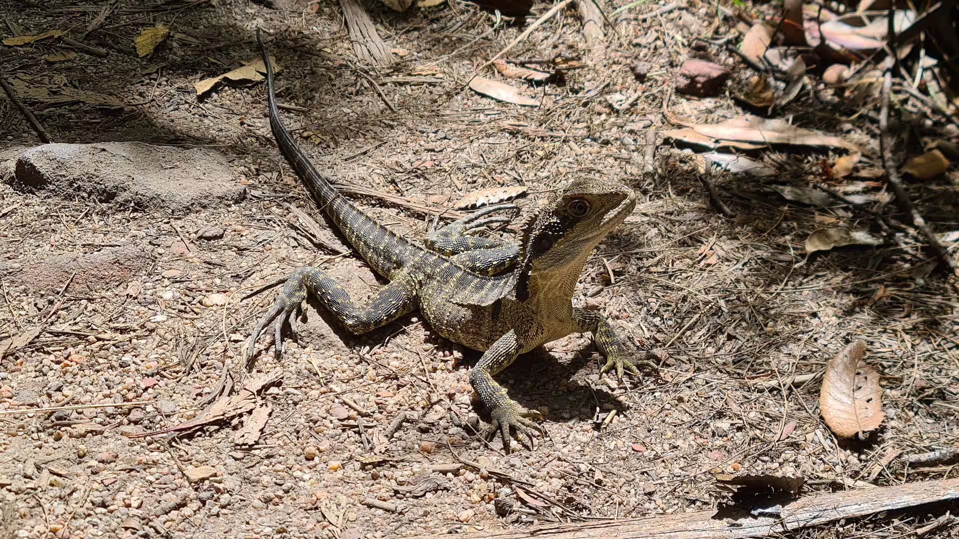
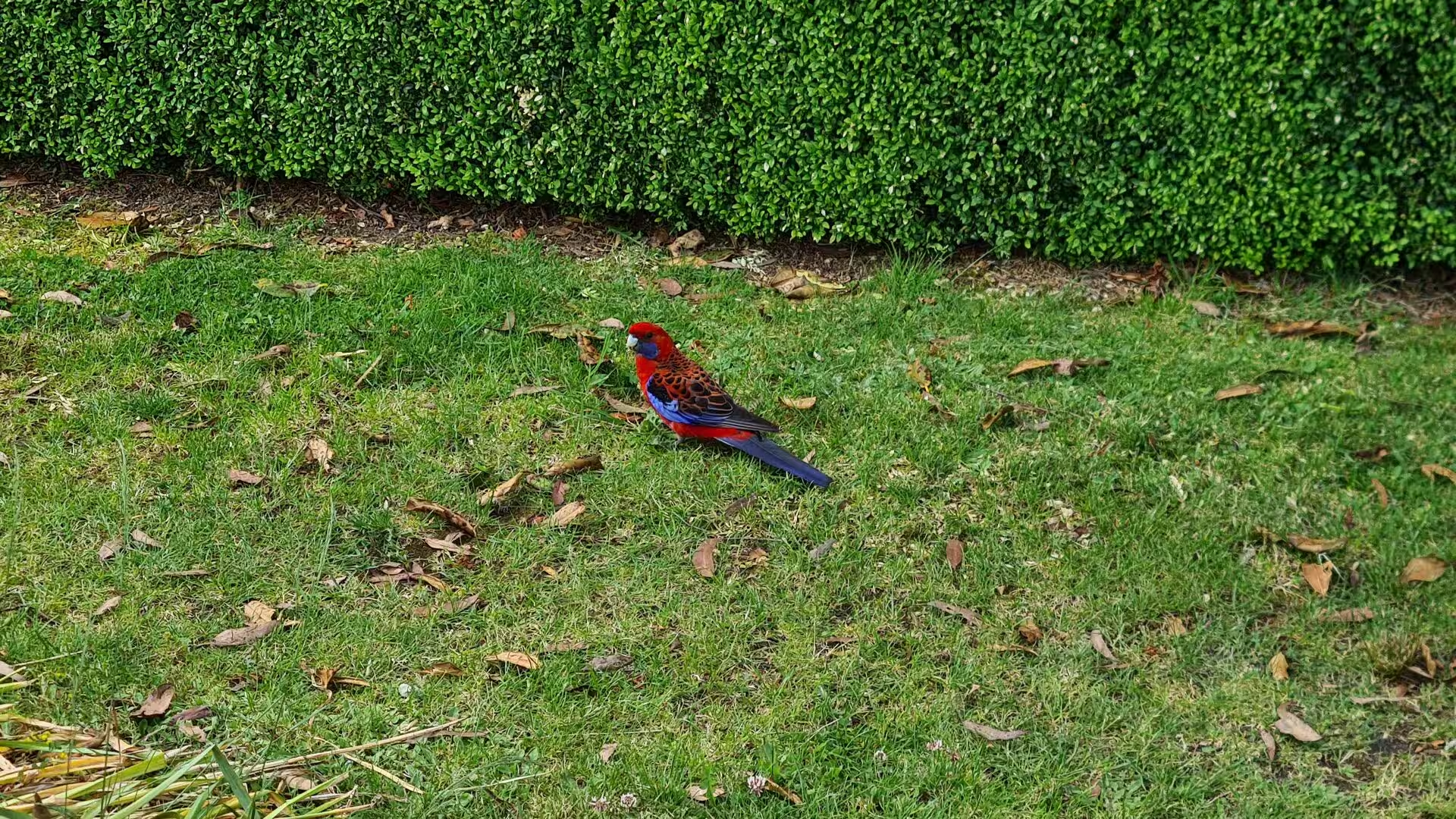
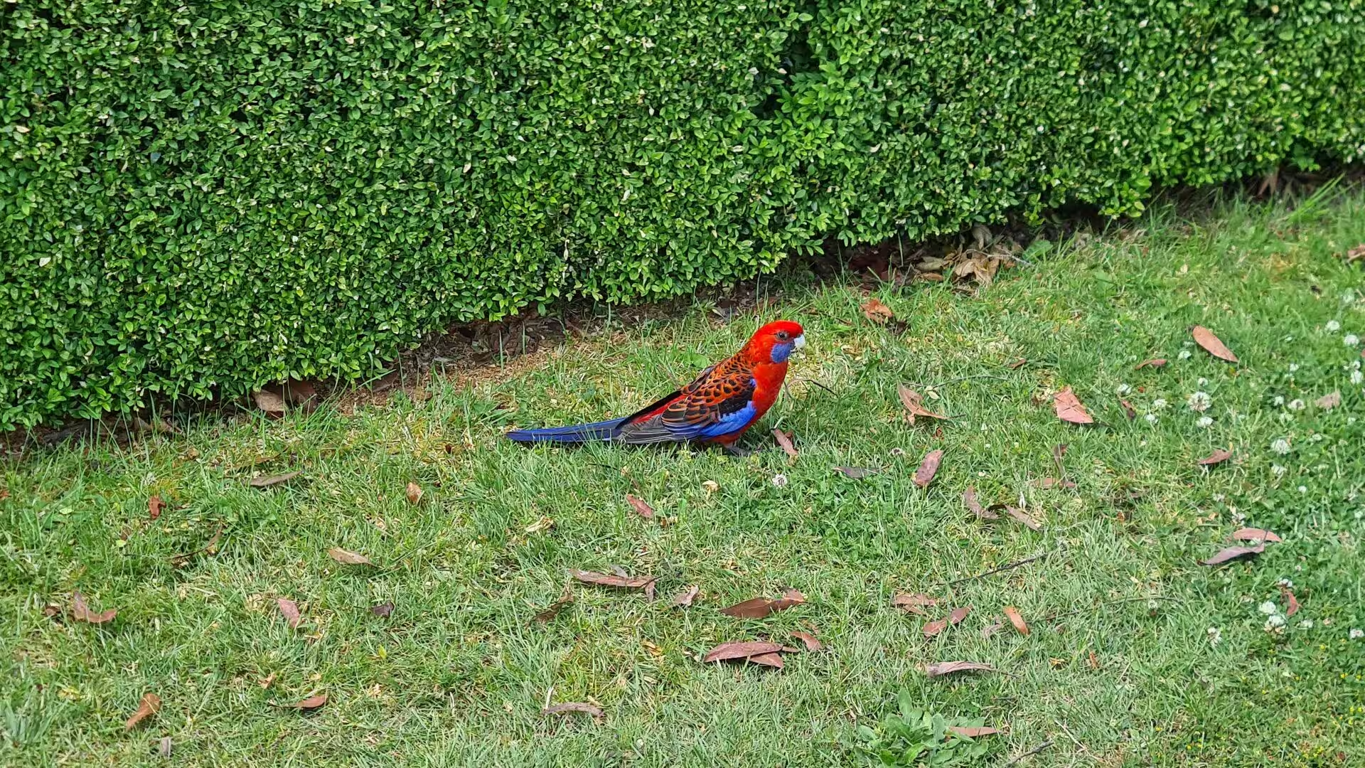
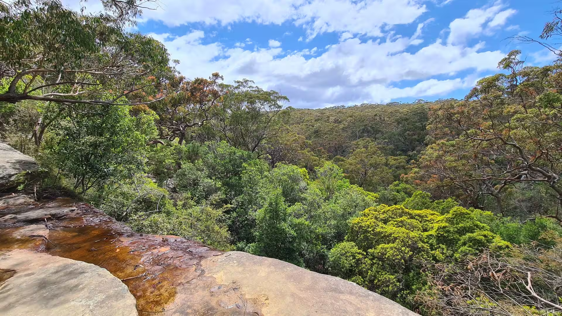
Eucalyptus forest covers the greater part of the plateau, with heath on the edges above the cliffs and temperate rainforest in the sheltered gorges. The Greater Blue Mountains Area records 96 species of eucalypt, about 13 per cent of the world total, and 41 of them are restricted in range. More than 400 kinds of animal live in the gorges and on the tablelands, among them the spotted-tailed quoll, the koala, the yellow-bellied glider, the long-nosed potoroo, the dingo and the rare Blue Mountains water skink, while the Wollemi pine, a living fossil discovered in 1994, survives in three small populations in remote gorges.
References
- Wikipedia contributors (2026). Blue Mountains (New South Wales). en.wikipedia.org/wiki/Blue_Mountains_%28New_South_Wales%29
- Wikipedia contributors (2026). Blue Mountains National Park. en.wikipedia.org/wiki/Blue_Mountains_National_Park
- Wikipedia contributors (2026). Greater Blue Mountains Area. en.wikipedia.org/wiki/Greater_Blue_Mountains_Area
- Wikipedia contributors (2026). Three Sisters (Australia). en.wikipedia.org/wiki/Three_Sisters_%28Australia%29
- Wikipedia contributors (2026). Katoomba, New South Wales. en.wikipedia.org/wiki/Katoomba%2C_New_South_Wales
- Wikipedia contributors (2026). Eucalyptus. en.wikipedia.org/wiki/Eucalyptus
- Wikipedia contributors (2026). Hawkesbury sandstone. en.wikipedia.org/wiki/Hawkesbury_sandstone
- Wikipedia contributors (2026). Great Dividing Range. en.wikipedia.org/wiki/Great_Dividing_Range
- Wikipedia contributors (2026). Jenolan Caves. en.wikipedia.org/wiki/Jenolan_Caves
- Wikipedia contributors (2026). Wentworth Falls, New South Wales. en.wikipedia.org/wiki/Wentworth_Falls%2C_New_South_Wales
- Wikipedia contributors (2026). Leura, New South Wales. en.wikipedia.org/wiki/Leura%2C_New_South_Wales
- Wikipedia contributors (2026). Blackheath, New South Wales. en.wikipedia.org/wiki/Blackheath%2C_New_South_Wales
- Wikipedia contributors (2026). Sydney Basin. en.wikipedia.org/wiki/Sydney_Basin
- Wikipedia contributors (2026). Blue Mountains walking tracks. en.wikipedia.org/wiki/Blue_Mountains_walking_tracks
- Wikipedia contributors (2026). Australian Aboriginal sacred sites. en.wikipedia.org/wiki/Australian_Aboriginal_sacred_sites
- Tranel L.M., Happel A.A. (2020) Evaluating escarpment evolution and bedrock erosion rates in the western Guadalupe Mountains, West Texas and New Mexico. Geomorphology. 368. 107335. doi.org/10.1016/j.geomorph.2020.107335
- Duszyński F., Jancewicz K., Migoń P., Waroszewski J., et al. (2024) Changing rates of escarpment retreat linked to environmental change in a sedimentary tableland, Stołowe Mountains, SW Poland. Geomorphology. 461. 109314. doi.org/10.1016/j.geomorph.2024.109314
- Lloyd D., Gilmour S., Stimpson K. (2015) Promoting the Greater Blue Mountains World Heritage Area: environmental presentation within tourist brochures. Journal of Heritage Tourism. 10. 325-343. doi.org/10.1080/1743873x.2015.1036873
- Gould J.S., Lachlan McCaw W., Phillip Cheney N. (2011) Quantifying fine fuel dynamics and structure in dry eucalypt forest (Eucalyptus marginata) in Western Australia for fire management. Forest Ecology and Management. 262. 531-546. doi.org/10.1016/j.foreco.2011.04.022