Australia 2022 - December - Cape Banks




Journal Notes
General
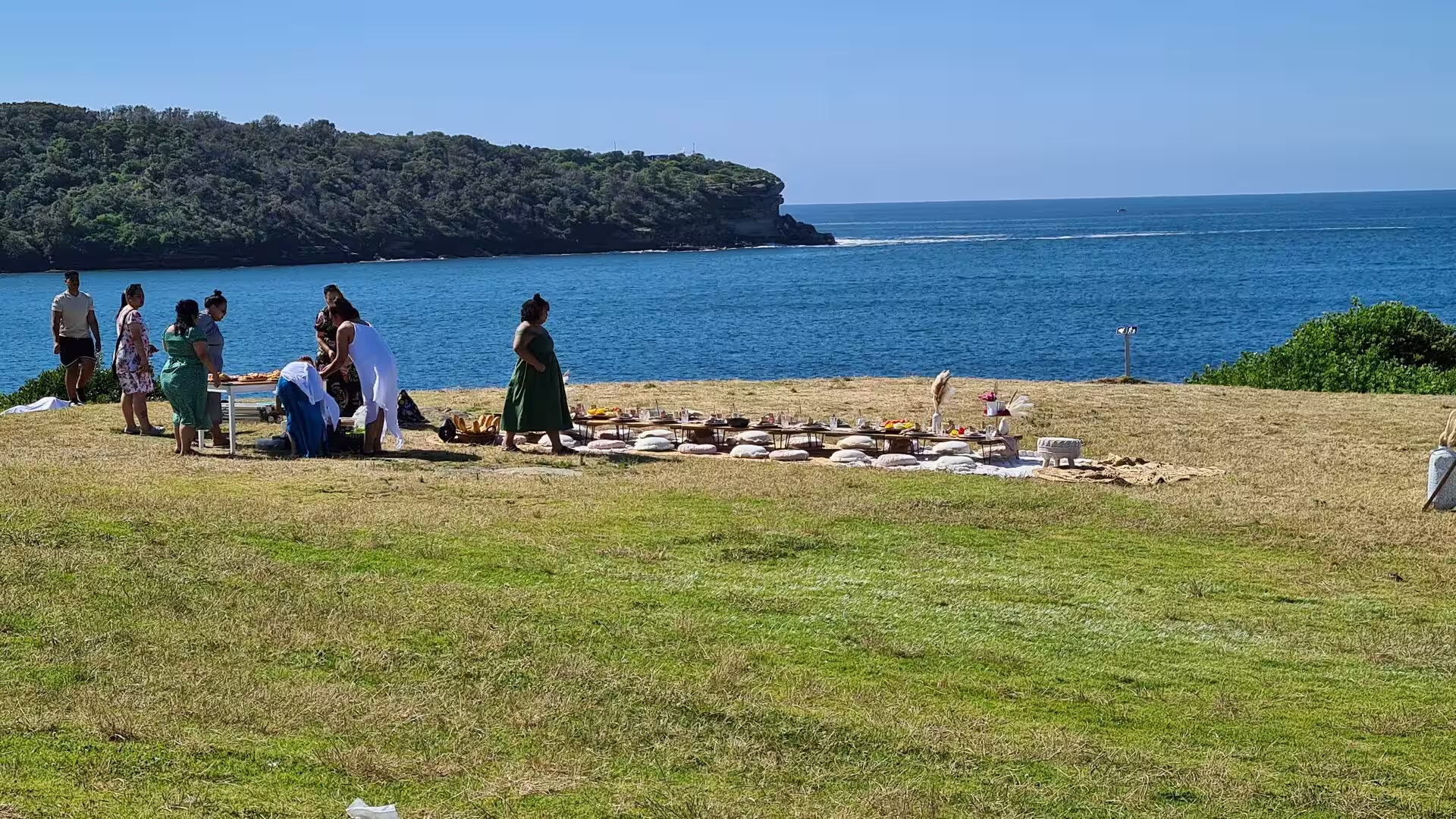
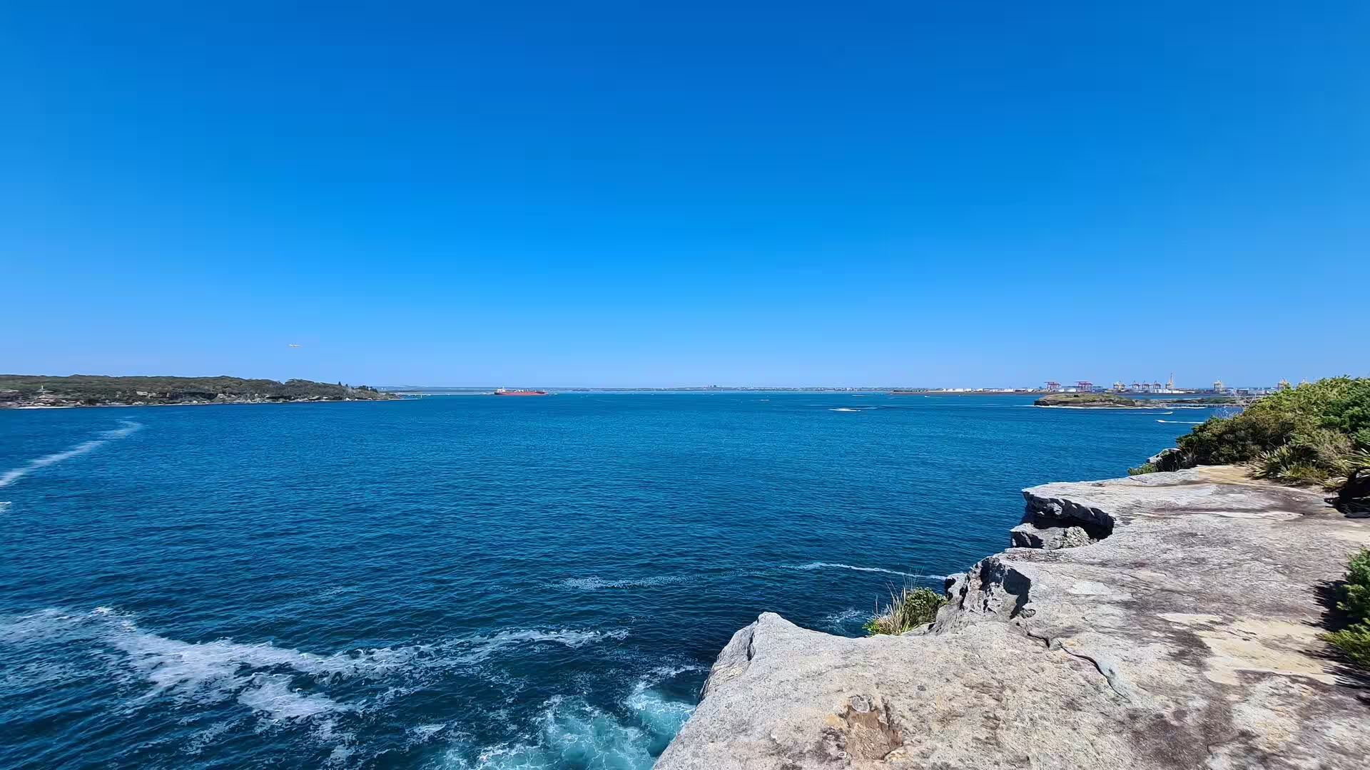
Cape Banks is the northern headland at the entrance to Botany Bay on the coast of Sydney, in New South Wales. It stands about 16 kilometres south east of the central business district, within the City of Randwick, at the seaward end of the La Perouse peninsula, and it faces the Tasman Sea across the mouth of the bay. The southern side of the entrance is formed by Cape Solander on the Kurnell peninsula, and the two headlands frame the shipping channel that leads to the port inside.
Botany Bay is an open oceanic embayment 13 kilometres south of the centre of Sydney, fed by the Georges and Cooks rivers and opening to the sea between La Perouse and Kurnell. It is shallow, and it is nevertheless the main cargo seaport of the metropolitan area, with port facilities at Port Botany and two runways of Sydney Airport extending into its northern waters. The northern and southern headlands are protected as Kamay Botany Bay National Park, a park of about 456 hectares which was added to the New South Wales State Heritage Register on 29 November 2013.
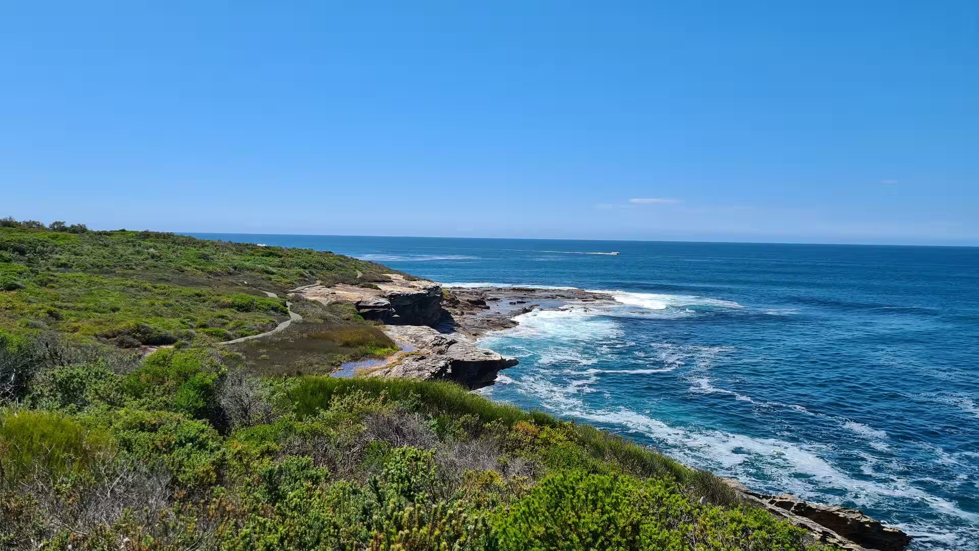
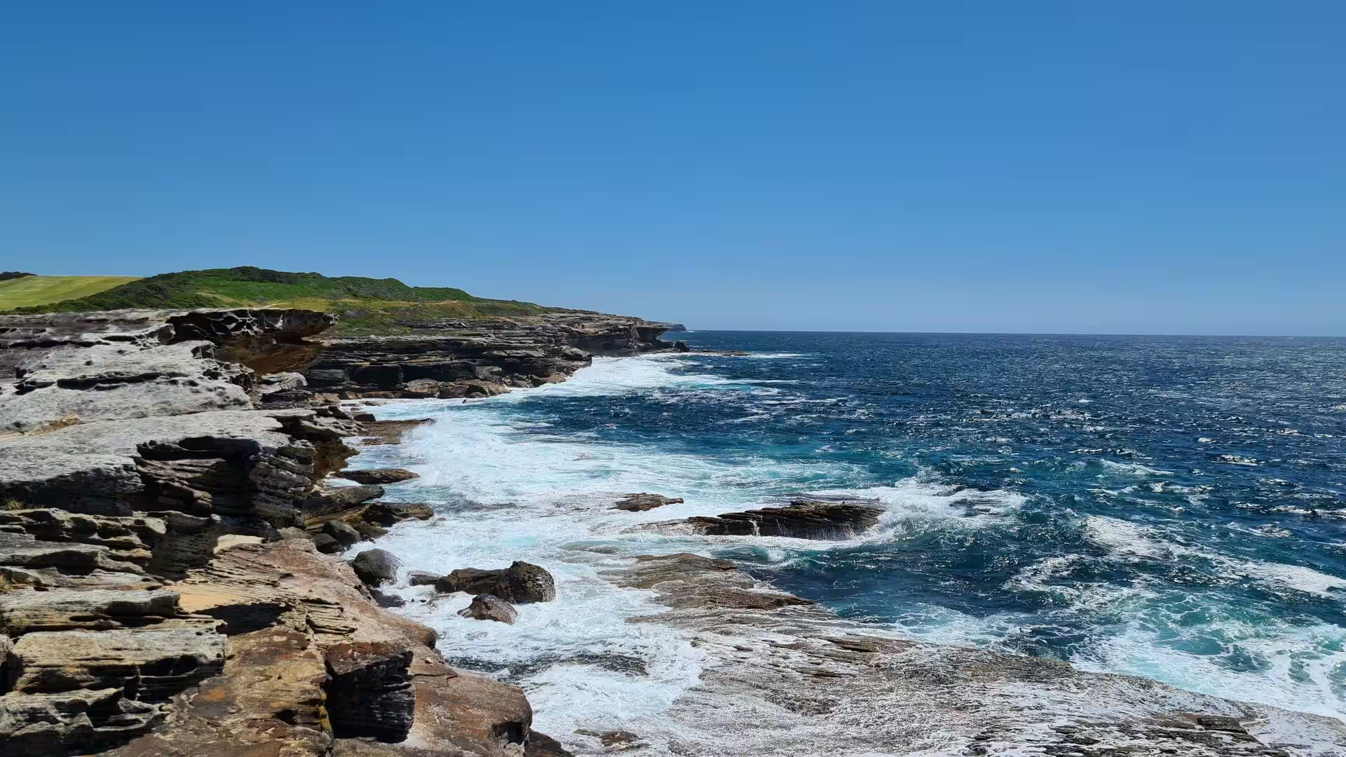
The headland itself is low and open: a plateau of sandstone covered with coastal heath, banksia scrub and grass, rimmed by cliffs that fall to rock platforms at the waterline. The coast is characterised by rocky sandstone cliffs which show the stratification of the Hawkesbury sandstone, and the cliff formations are punctuated by large gorges. More than 350 species of plant once common in the eastern suburbs of Sydney survive in the park, including rare species and communities, and the stands of eastern suburbs banksia scrub that grow there are regarded as an endangered community.
The park lies on both sides of the bay. Its northern section of about 168 hectares on the La Perouse headland includes Cape Banks, the coast at Cruwee Cove, Henry Head, Congwong Beach, the scrub covered dune behind Anzac Parade and the La Perouse headland itself, while the southern section is at Kurnell, on the far side of the water. The place is recognised for its cultural and historic values as well as its natural ones, and it holds sites relating to pre contact Aboriginal occupation, among them rock engravings and shell middens.
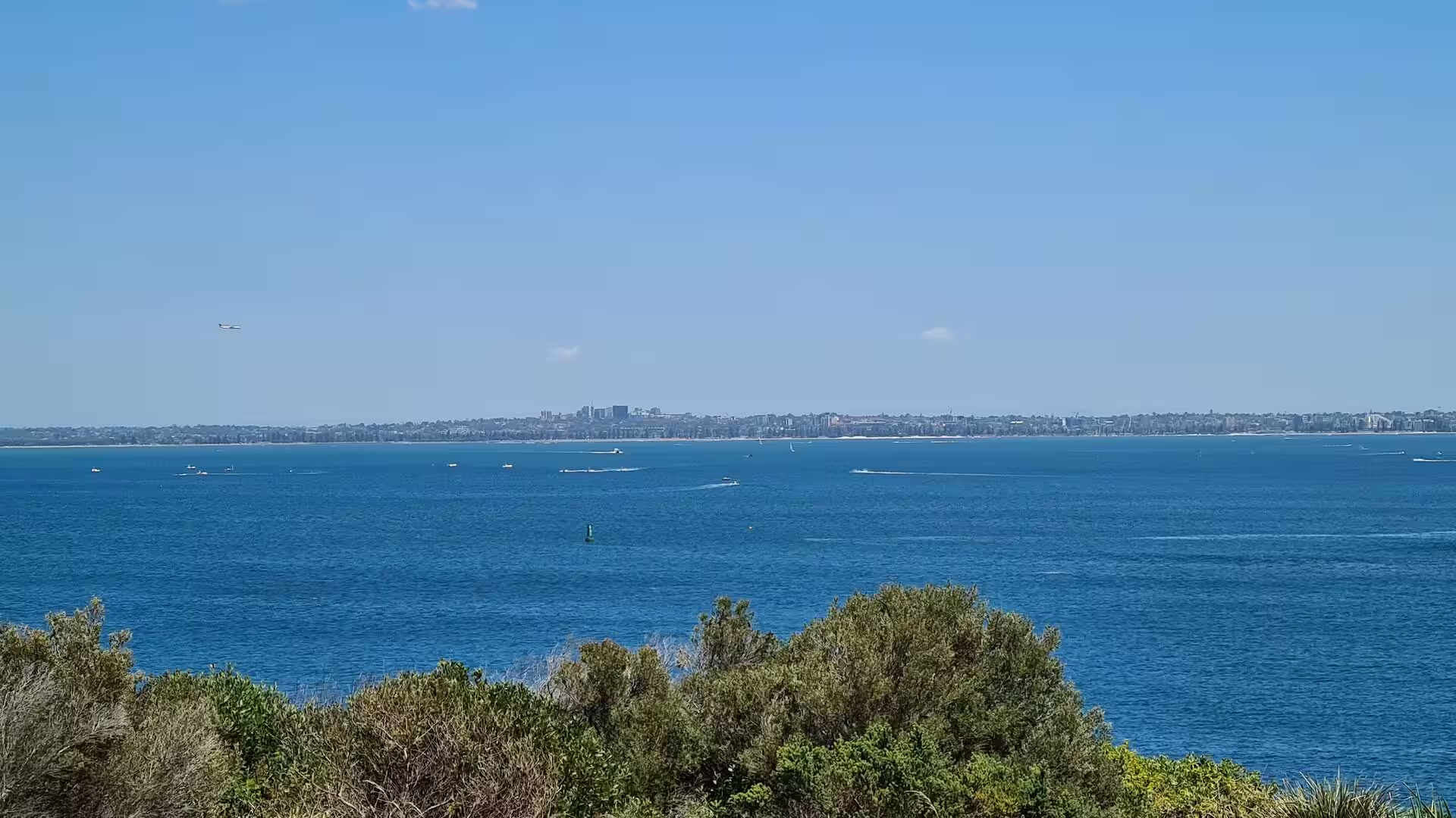
The weather of the headland is the weather of the open coast, with strong sea breezes, salt spray and rapid changes of cloud, and the vegetation is shaped by that exposure, so tree cover is limited to sheltered hollows. The setting is unusual in that a piece of rough coastline of this kind lies within a large city, and the skyline of towers and construction cranes rises on the horizon behind the heath. Seasonal change alters the visibility, the sea state and the movement of birds far more than it alters the land.
History
The land around the bay was occupied for many millennia before European contact. People living to the south of Botany Bay spoke the Dharawal language, and the rocky shores belonged to the Gweagal, the northernmost Dharawal clan, who lived on the southern side of the Georges River and Botany Bay towards the Kurnell peninsula; the Gweagal are the traditional owners of the white clay pits of their country, which are considered sacred. On the northern headland, where Cape Banks stands, the people were most likely Cadigal or Kameygal, of the Dharug language group. Engravings and shell middens survive in the park.
Lieutenant James Cook sailed into the bay in April 1770 and made landfall at Kurnell on its southern shore, the first landing of HMS Endeavour on the Australian continent. Cook first named the inlet Stingrays Harbour, after the rays his company caught, and then recorded in the journal prepared later that the great quantity of plants found by Joseph Banks and Daniel Solander had occasioned the name Botanist Bay, from which the present name comes. Banks and Solander collected many Australian species there, including type specimens of scientific value, and Bare Island appears in the journal as a small bare island.
The French expedition under Jean-François de Galaup, comte de Lapérouse, sailed into the bay on 26 January 1788, eight days after the British had anchored west of Bare Island and on the day the First Fleet moved north to Port Jackson. His ships, the Astrolabe and the Boussole, stayed until March, and the British and the French exchanged courtesies without accepting one another’s offers of help. The French built a stockade and a kitchen garden about 300 metres from the watchtower and buried their priest and naturalist, Père Receveur, on the headland, where the grave remains.
Defence became a serious concern of the colony in the second half of the nineteenth century. The Cardwell reforms of the late 1860s removed imperial garrison troops from the Australian colonies, and the outbreak of hostilities between Russia and Britain in 1876 led the colonial governments to request the advice of imperial engineers; Scratchley and Jervois were sent out. By 1869 a programme to strengthen the defences of the colony was under way, and a military road was constructed to the La Perouse headland. By 1871 a gun battery was in place on Henry Head.
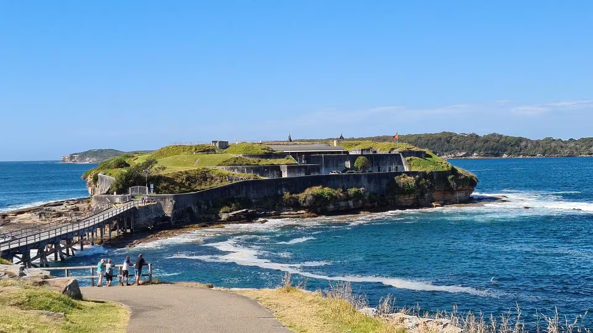
A large mass concrete fort was begun on Bare Island in 1881, designed by Peter Scratchley, Gustave Morell and James Barnet, built by John McLeod for the colonial department of public works, and operational by 1890. The works on the outer headland followed: the fortifications on Cape Banks, known as Fort Banks, formed part of the Eastern Command Fixed Defences and were built before and during the Second World War to protect the approaches to the bay, with two breech loading 9.2 inch gun emplacements, an underground plotting room, magazines, a pump room and short tunnels. The army also took over Bare Island again in 1942.
Geology
The coast of the headland is built of Hawkesbury sandstone, the bedrock of the Sydney region, which was deposited in the Triassic period between about 250 and 200 million years ago. The bay lies in a small tectonic depression, the Botany Basin, within the larger Sydney Basin, whose sedimentary succession was laid down from the Permian onwards, about 270 million years ago. The sandstone here is a sheet sandstone, porous and composed of very pure silica grains bound in a clay matrix, and it is the reason the shallow shelves of the coast break in such long, straight lines.
The shape of the present shoreline is recent. About 20,000 years ago, at the height of the ice age, the sea stood far lower and the northern headland was a sandstone hill above a broad plain. The sea rose between about 18,000 and 10,000 years ago, and when the rise stopped about 7,400 years ago the cliffs and rock platforms of the bay had been cut back by wave action into their present form. The beaches, dunes and swamps behind the shoreline built up during the same long interval, and the drowned river mouths became the estuaries of the modern coast.
The cliff line is broken by gorges. The formations are punctuated by large gorges which are the result of basalt dykes: sheets of molten rock that intruded the sedimentary layers in the early Tertiary period and have since weathered and been removed faster than the sandstone around them. The bastions left between the gorges carry the forts, the lookouts and the paths, and the notches cut by the dykes gather water from the plateau and lead it down to the sea. The rock platforms at the base of the cliffs are the surfaces on which the waves do their work.
Above the waterline, weathering rather than the waves does most of the work. Salt from spray crystallises in the pores of the stone, algae and other organisms grow on the shaded surfaces and help to break down the cement that holds the grains, and rain and wind smooth the exposed faces and hollow them into pans and potholes. The role of algae in the weathering of Hawkesbury sandstone has been studied in the Sydney area, together with the implications for the preservation of the rock art that the same stone carries. Behind the cliffs a thin sandy soil covers much of the plateau.
At the scale of a headland, geology decides where the sea can be reached and where it cannot. The flat rock platforms at Cape Banks and Henry Head are upper surfaces of sandstone beds, exposed where the overlying material has been stripped away; they are covered at high tide and used at low tide by anglers. Sand accumulates in the sheltered coves on the bay side, as at Congwong Beach and Frenchmans Bay, while the ocean side keeps its bare shelves. Beyond the entrance the seabed falls away into deeper water, and inside the entrance the bay stays shallow.
Things to See
The walk out to Cape Banks begins at the end of Anzac Parade in La Perouse and follows the coast north east across the headland. The route passes a golf course and then crosses open heath towards the point, where the weathered concrete crown of Fort Banks sits on the top of the headland above the water. The works held two 9.2 inch guns in open emplacements, with an underground plotting room, powder and shell magazines, a pump room and short tunnels linking the sections, and they formed part of the fixed defences of the eastern command.
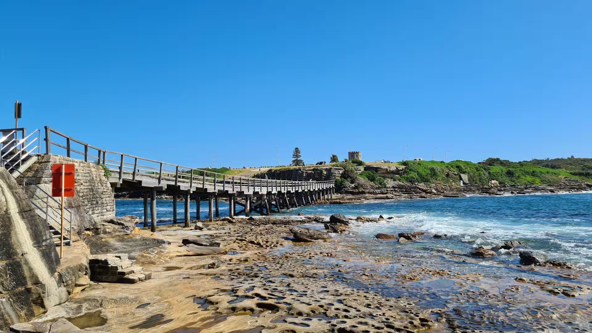
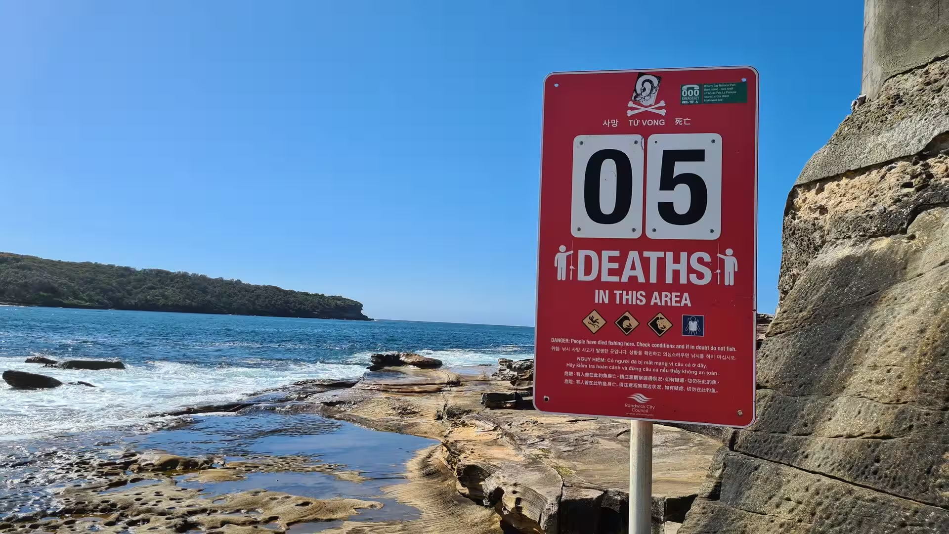
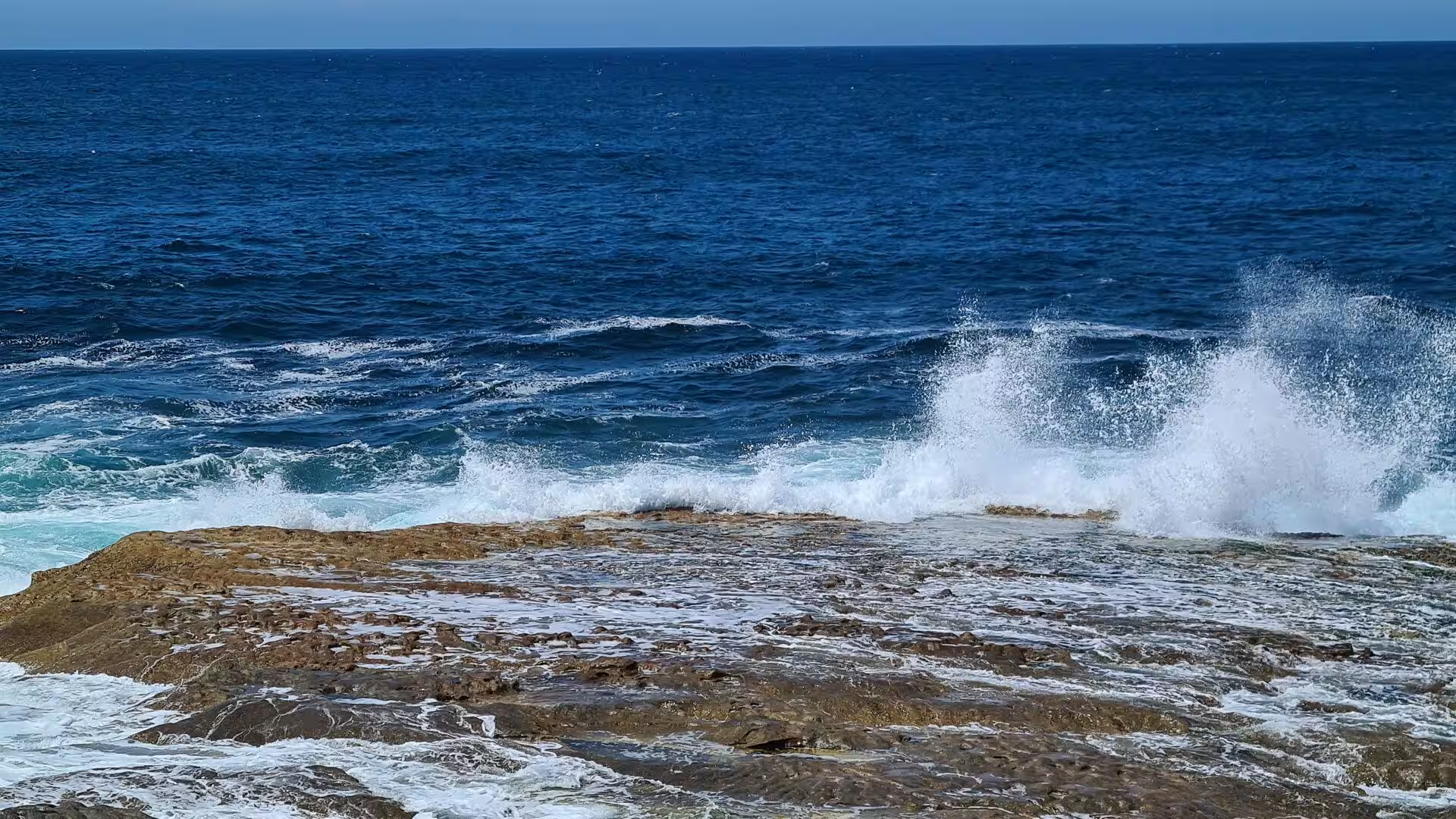
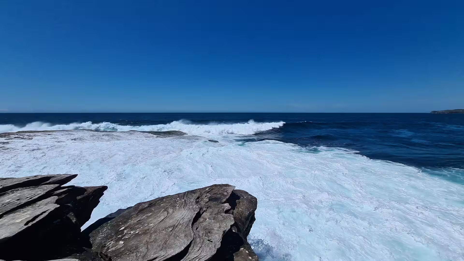
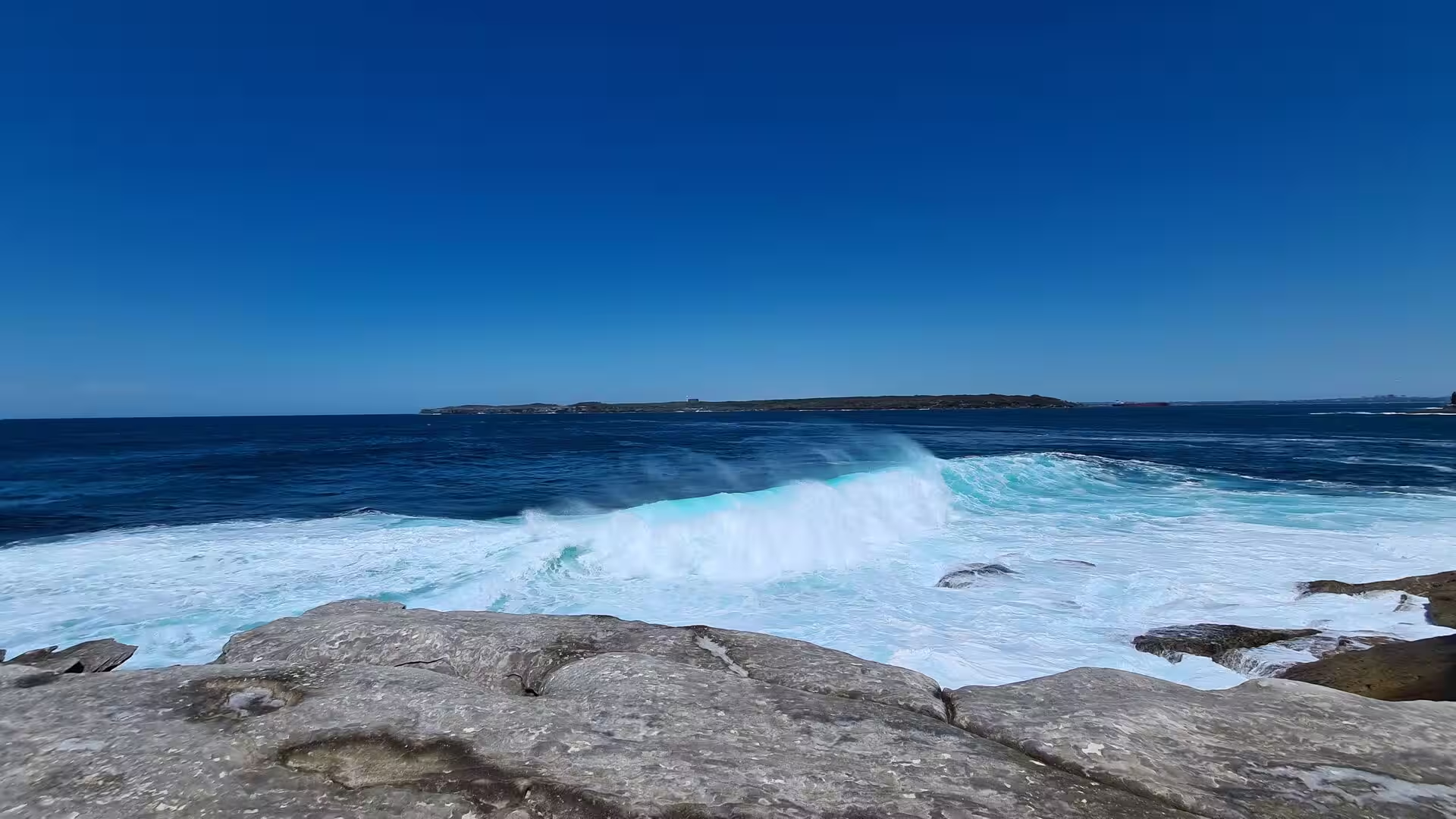
The outer coast faces the Tasman Sea and takes the full force of the swell. Waves break against the layered sandstone ledges, sweep across the flat shelves in white foam and throw spray high into the air, and the rock is pitted, cut into steps and hollowed where the water has worked on the joints for thousands of years. Rock fishing from these ledges is popular and dangerous, and the signs at the access points warn of the risk, because people have been swept from the platforms along this coast and drowned.
Henry Head lies on the same peninsula, south west of Cape Banks, and carries the older of the two batteries. A gun battery stood there by 1871, and the Henry Head Battery was constructed between 1892 and 1895 with two gun emplacements and observation posts; it became obsolete in 1910, and it was recommissioned during the Second World War, when it was armed with two 18 pounder field guns on pedestals in new concrete emplacements and used against landing parties and torpedo boats. The concrete works and tunnel entrances stand in the heath above the cliffs.
Bare Island is a low islet about 30 metres from the shore at the southern end of the La Perouse headland and is joined to the mainland by a footbridge. Its fort, designed by Peter Scratchley, Gustave Morell and James Barnet and built between 1881 and 1889, is an almost complete example of late nineteenth century coastal defence technology, and it was decommissioned in the early twentieth century. In 1912 it became the first war veterans’ home in Australia, a role it kept until 1963 apart from a period of military use during the Second World War.
The La Perouse headland holds the monuments of the earliest European visitors to the bay. The Lapérouse monument, an obelisk topped by a spherical brass astrolabe, is surrounded by a low wall and plaques commemorating the voyages of other French ships, and the tomb of Père Receveur, the priest and naturalist of the expedition, stands nearby. The Macquarie Watchtower is a two storey octagonal tower of Sydney sandstone about seven metres tall with a castellated parapet, and the former cable station now houses the La Perouse Museum.
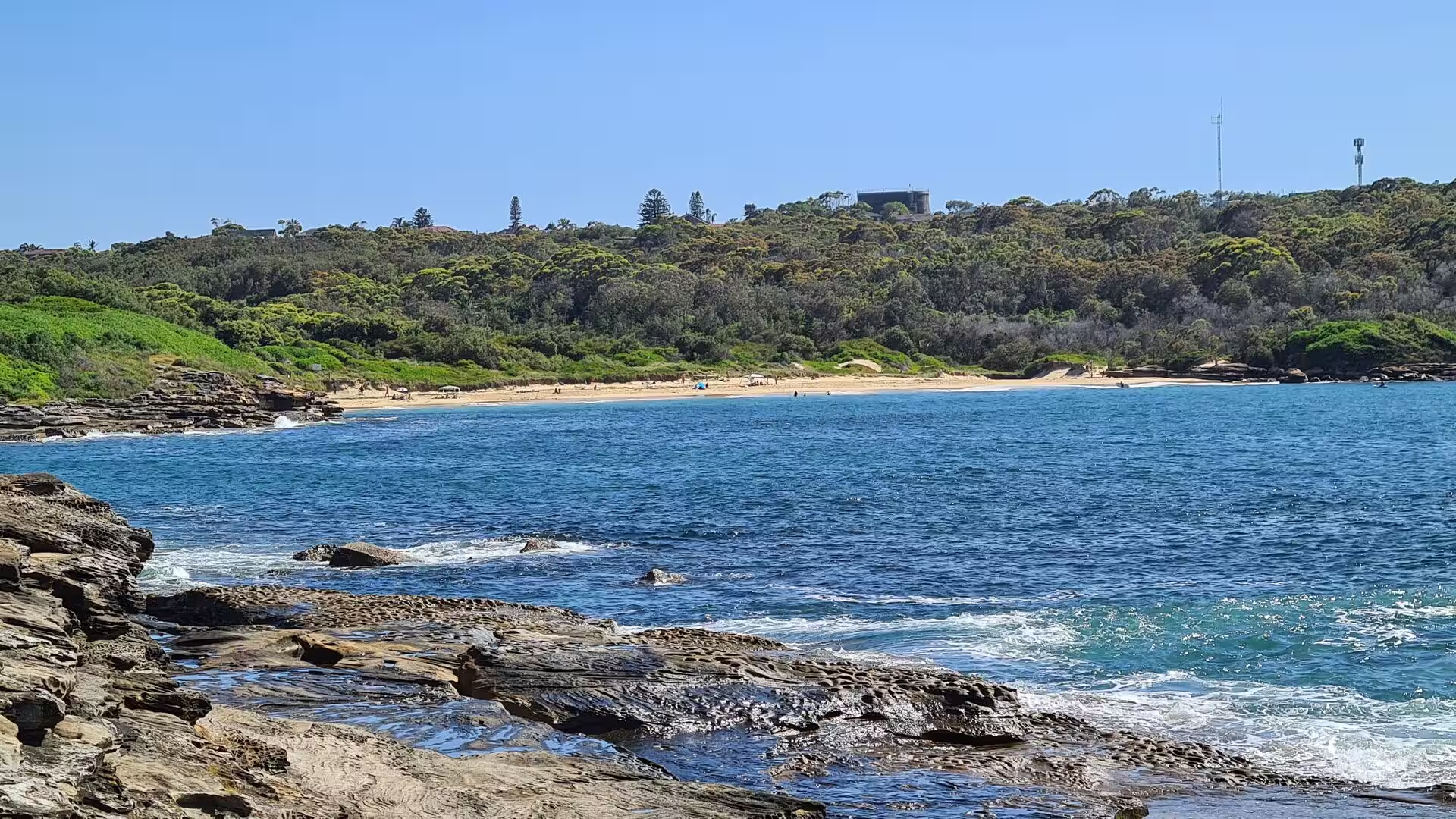
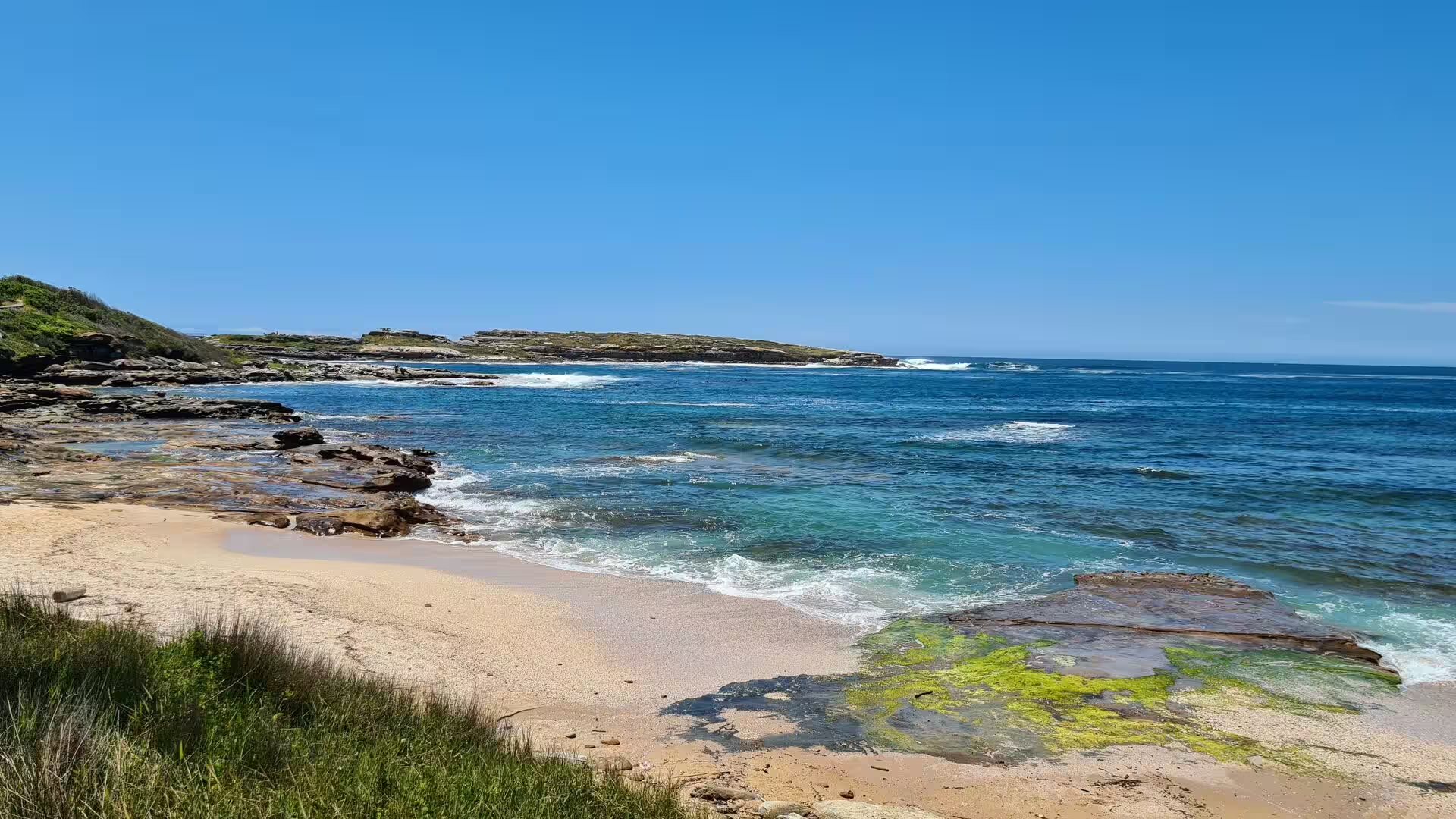
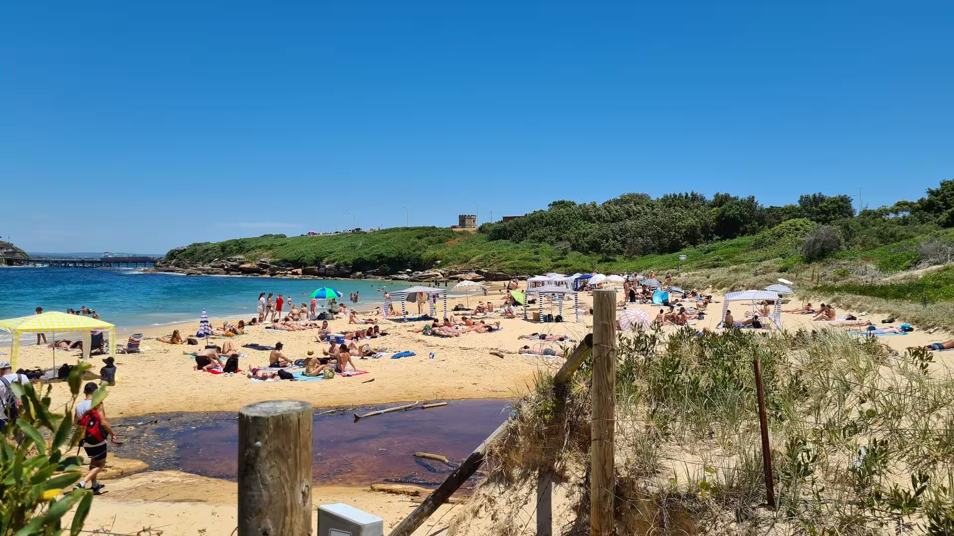
The bay side of the peninsula is sheltered and quite unlike the ocean coast. Congwong Beach and Little Congwong Beach lie behind the headland on the northern shore of the bay, and Frenchmans Bay faces the entrance channel; all of them offer calm water for swimming within sight of the city. Behind the beaches a low closed forest of smooth-barked apple grows in the hollows, and stands of coastal tea tree, coast banksia and bangalay cover the slopes. The old shack settlement known as Happy Valley stood behind Congwong Beach and was removed, and the ground has grown over again.
The former Coast Hospital Cemetery lies behind the headland and is now a designated Aboriginal Place, the Dharawal Resting Place, which holds about 3,000 burials. Aboriginal ancestral remains were reburied there in 2002 and 2005, and some headstones and the remains of a paved stone road survive among the graves. The path along the ridge from La Perouse to Cape Banks passes this ground and the cliffs of Cruwee Cove, where rock shelves are cut by the sea below the heath, and it gives views across the water to the southern headland at Kurnell.
Coastal heath and banksia scrub cover the headland and the dune country behind it, with wet heath between Henry Head and Cape Banks and prickly tea tree, paperbark, coast banksia and bangalay in the hollows. Over 70 species of native bird visit this part of the park, and possums, flying foxes, bats and snakes live in the scrub. The same coast continues to the south on Malabar Headland, which became a national park in 2012 and holds rare examples of the once extensive Port Jackson mallee scrub as well as the oldest rifle range in Australia.
References
- Wikipedia contributors (2026). Kamay Botany Bay National Park. en.wikipedia.org/wiki/Kamay_Botany_Bay_National_Park
- Wikipedia contributors (2026). Botany Bay. en.wikipedia.org/wiki/Botany_Bay
- Wikipedia contributors (2026). La Perouse, New South Wales. en.wikipedia.org/wiki/La_Perouse%2C_New_South_Wales
- Wikipedia contributors (2026). Bare Island (New South Wales). en.wikipedia.org/wiki/Bare_Island_%28New_South_Wales%29
- Wikipedia contributors (2026). Bidjigal. en.wikipedia.org/wiki/Bidjigal
- Wikipedia contributors (2026). Gweagal. en.wikipedia.org/wiki/Gweagal
- Wikipedia contributors (2026). Dharawal. en.wikipedia.org/wiki/Dharawal
- Wikipedia contributors (2026). Eora. en.wikipedia.org/wiki/Eora
- Wikipedia contributors (2026). Sydney sandstone. en.wikipedia.org/wiki/Sydney_sandstone
- Wikipedia contributors (2026). Malabar Headland. en.wikipedia.org/wiki/Malabar_Headland
- Wikipedia contributors (2026). Fort Banks (Australia). en.wikipedia.org/wiki/Fort_Banks_%28Australia%29
- Wikipedia contributors (2026). Sydney Basin. en.wikipedia.org/wiki/Sydney_Basin
- Wikipedia contributors (2026). Kurnell, New South Wales. en.wikipedia.org/wiki/Kurnell%2C_New_South_Wales
- Wikipedia contributors (2026). New South Wales. en.wikipedia.org/wiki/New_South_Wales
- Bell D. (1984) THE ROLE OF ALGAE IN THE WEATHERING OF HAWKESBURY SANDSTONE : SOME IMPLICATIONS FOR ROCK ART CONSERVATION IN THE SYDNEY AREA. AICCM Bulletin. 10. 5-12. doi.org/10.1179/bac.1984.10.3-4.002
- Horikawa K., Sunamura T. (1968) An Experimental Study on Erosion of Coastal Cliffs Due to Wave Action. Coastal Engineering in Japan. 11. 131-147. doi.org/10.1080/05785634.1968.11924076
- Steele J. (2018) The aboriginal language of Sydney. Multilingual Sydney. 167-179. doi.org/10.4324/9781351215541-14