2022 - Rome - 1 - Ostia Antica
9 September 2022













Journal Notes
General
Ostia Antica is the excavated site of the ancient city of Ostia, the harbour town of Rome at the mouth of the Tiber, about 25 kilometres south west of the capital and directly beside the modern seaside district of Lido di Ostia. The name comes from the Latin ostium, the mouth of a river, and describes the position exactly: the settlement grew where the river met the Tyrrhenian Sea, and its whole history turned on that meeting point. Ostia is thought to have been the first colony of Rome, and in the imperial period it counted an estimated fifty thousand inhabitants.
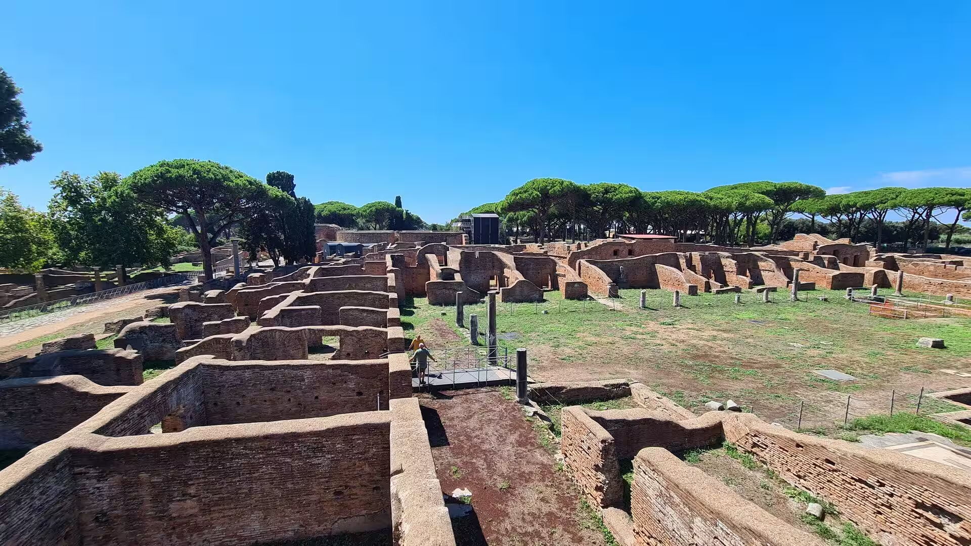
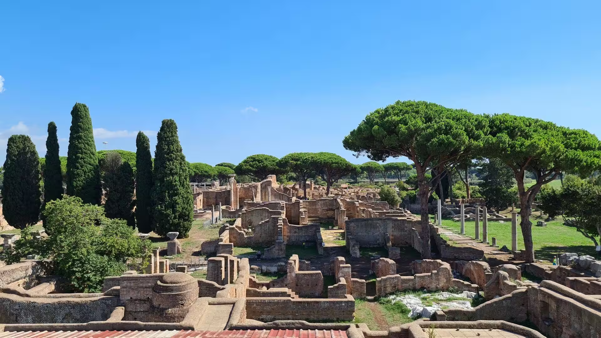
The archaeological area covers roughly 150 hectares and ranks among the largest in Europe, but only about forty per cent of the ancient city has been brought to light; the greater part still lies under fields. In 2019 the site received the European Heritage Label. Because the city was abandoned rather than destroyed in a single catastrophe and was gradually covered by sand and mud, its everyday buildings survived: apartment blocks, shops, workshops, warehouses, baths and taverns rather than a handful of temples and palaces. That is what makes Ostia the best place to study ordinary Roman urban life.
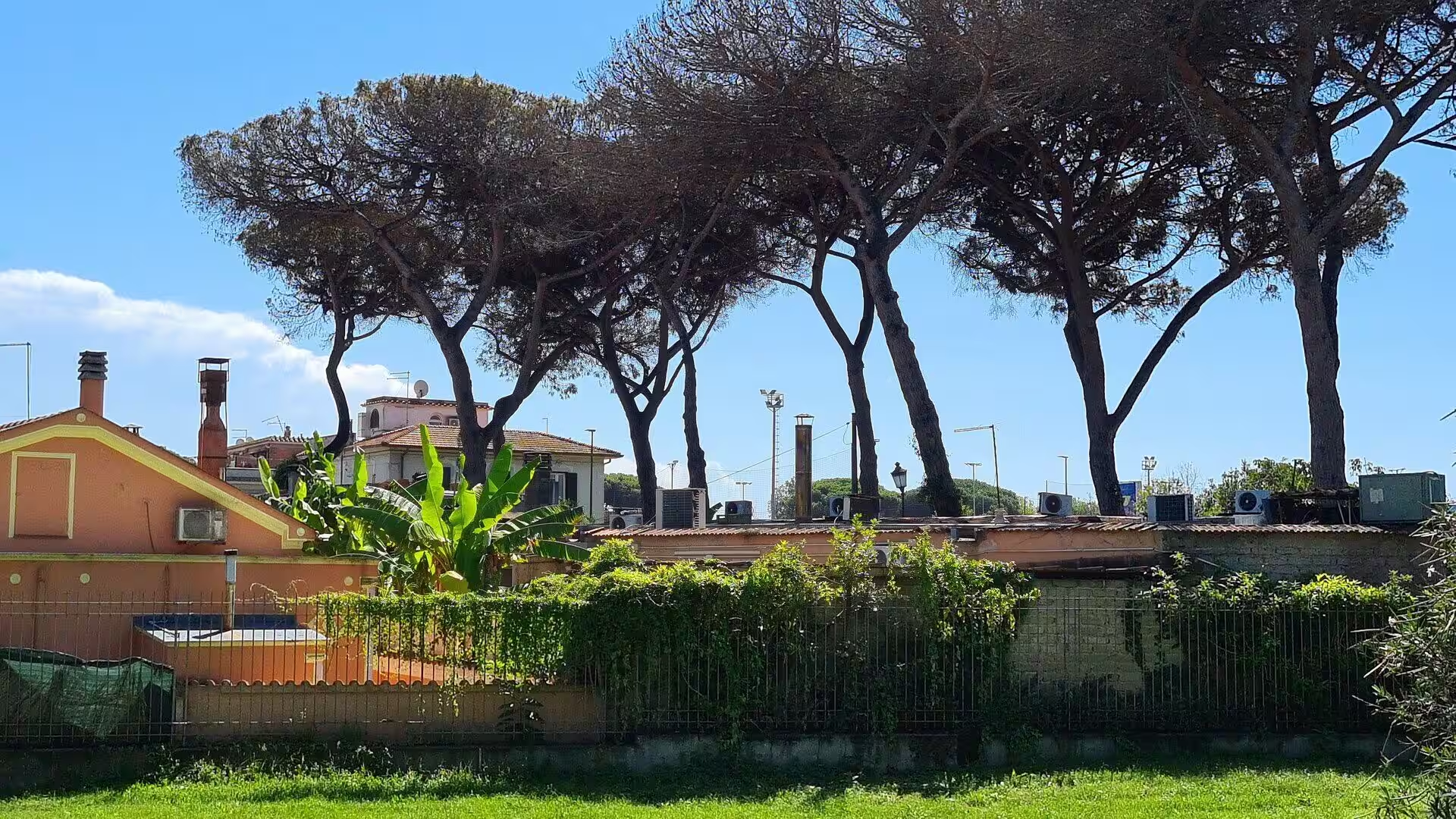
The ruins lie on the flat delta plain between the river and the sea, in a landscape of dunes, farmland, umbrella pines and holm oaks. The climate is Mediterranean, with hot dry summers, mild wet winters and a sea breeze that moderates the summer heat. The river silted up early, so the shore in front of the city moved steadily seawards, and the fields that now separate the ruins from the beach were once water, mud and reeds. The grain ships could no longer reach the quays, and that single process decided the fate of the town.
The modern settlement grew at the coast and not at the ruins. Lido di Ostia was founded in 1884, after the marshes had been drained and a railway had made the shore reachable; the Roma Ostia line opened in 1924, the Via Ostiense was laid out in 1907 and the Via Cristoforo Colombo in 1942. Since 1976 the district forms the Municipio X of Rome, and its marina holds more than eight hundred yachts.
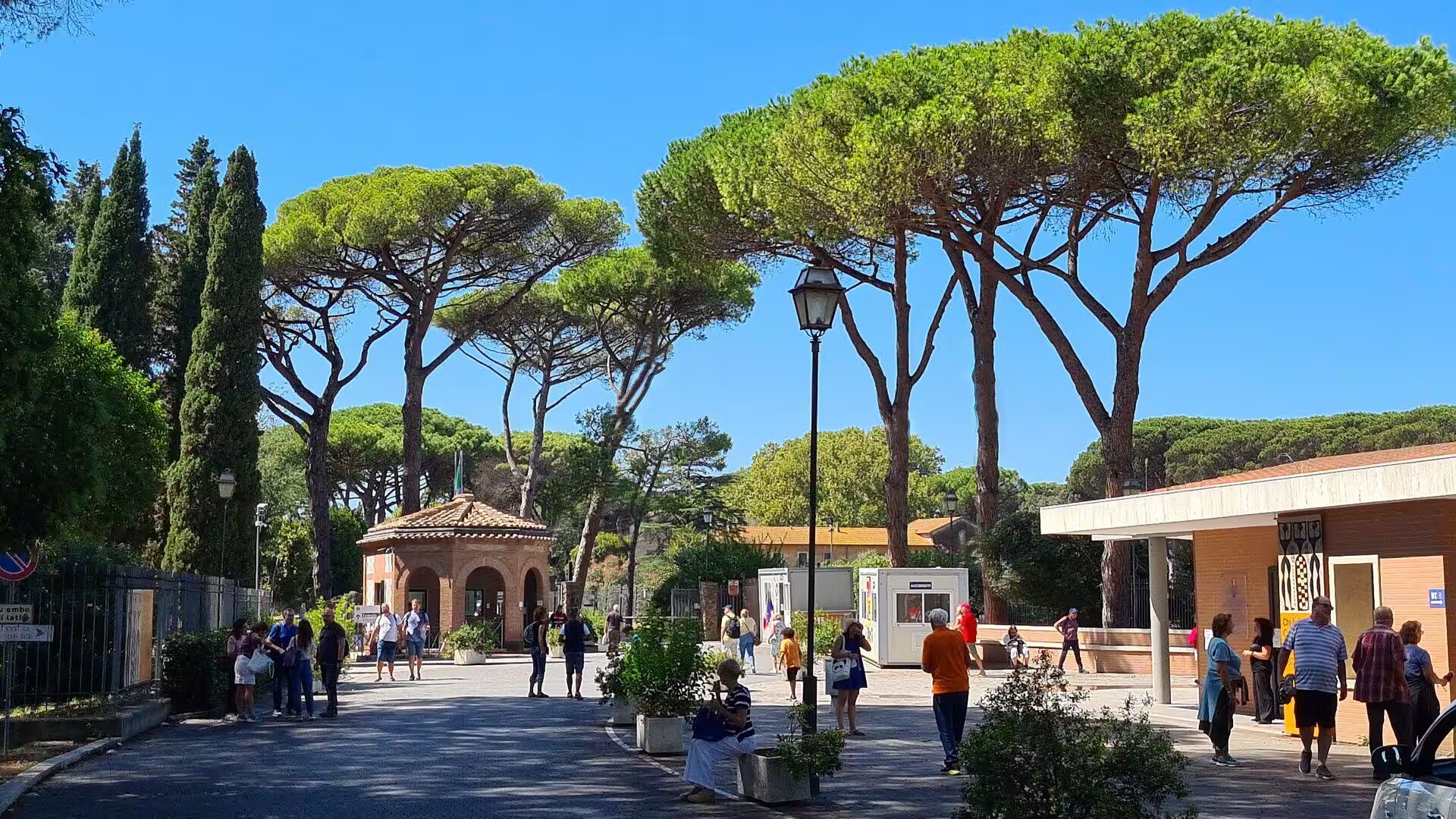
The study of the city began under Pope Pius VII in the early nineteenth century; the large excavation of 1939 to 1942 cleared the main streets, and a magnetometer survey in 2014 revealed the northern boundary wall together with three warehouses. The site is entered next to the railway station at the Porta Romana and includes a museum with sculptures and wall paintings from the ruins. One long day is enough for the principal monuments, which lie within a few minutes of walking distance of each other.
History
The tradition of the city names Ancus Marcius, the fourth king of Rome, as its founder, and explains the choice of site with salt: the pans at the river mouth were valuable, and the coast had to be watched. When the Romans destroyed the neighbouring settlement of Ficana upstream, they moved its inhabitants nearer to the sea, to a place some ten kilometres west of the city walls. The oldest remains found at Ostia so far belong to the fourth century BC, and the oldest buildings still visible, the walls of the small fort and the main temple on the forum, date to the third century BC.
Ostia became the naval base of Rome. In 267 BC, during the First Punic War, a quaestor was stationed here to oversee the fleet and the grain supply, and in the Second Punic War the town served the campaigns overseas as a supply base. As Rome grew, Ostia grew with it and became the port through which grain from Sicily and Sardinia entered Italy. From the second century BC the distant trade shifted towards Puteoli, and the first century BC brought violence: the town was caught in the civil wars, and in 68 BC pirates plundered the harbour so thoroughly that Rome gave Pompey extraordinary powers to clear the sea. Defence walls followed, begun under Cicero in 63 BC and completed by Clodius five years later.
The imperial period reshaped the city. Under Augustus and his general Agrippa the theatre and the market square behind it were built, under Tiberius the forum was laid out, and under Caligula the aqueduct arrived, so that the town no longer depended on wells and cisterns. Because the river mouth was silting up, Claudius built a large artificial harbour with two long moles and a lighthouse, and Trajan added an inner basin in the shape of a hexagon, finished in 113. The new harbour town of Portus took over the heavy traffic of the grain fleet, while Ostia became the administrative centre of the supply system. In the second century the city reached its greatest extent.
Late antiquity changed the character of the town once more. The crises of the third century slowed the trade, and Constantine made Portus an independent city, which left Ostia to live on its rents, its gardens and its pleasant position by the sea. Twenty eight baths are said to have been in use in the fourth century, and the Baths of Neptune were repaired in the 370s. A Christian community with its own bishop existed from the third century, and in 387 Augustine and his mother Monica spent time in the town, a stay he described in his Confessions.
The end came slowly. After the western empire dissolved, the harbour town lost its purpose, and in 849 a Muslim fleet was defeated off the coast in the naval battle of Ostia by a league of papal, Neapolitan, Amalfitan and Gaetan ships. Pope Leo IV fortified a small settlement that survived as Gregoriopoli. Malaria and the advancing marshes completed what the shifting trade had begun, and the site was quarried for centuries for marble, columns and building stone, above all for the churches and palaces of Rome.
Geology
The Tiber is the reason for Ostia and also the reason for its end. With 406 kilometres it is the third longest river of Italy, and its catchment covers about 17,375 square kilometres of the Apennines and the volcanic country of Lazio. The river enters the Tyrrhenian Sea between Ostia and Fiumicino, where the coast runs almost straight, because the sea here has a strong current that carries the sediment northwards instead of allowing a broad delta to grow. The material still settles, and the shore has moved seawards by roughly three kilometres since Roman times, so that the quays of the imperial harbour now lie inland among fields.
The plain between the river arms is a young, low and watery landscape. It was built during the Holocene from beach ridges, dunes and coastal lagoons, one of which, the Stagno di Maccarese, has been studied for its record of environmental change. Standing water and salt marshes made the district unhealthy for centuries, and malaria kept the shore thinly populated long after the ancient city had been abandoned. Sand drifted over the ruins and buried them, which protected the wall paintings, the mosaics and the upper floors of the houses. The river itself remained dangerous: a flood in 1557 reached a height of about nineteen metres and killed more than a thousand people.
The hills behind the plain are volcanic. Rome and its surroundings lie on the eroded edge of a volcanic plateau built up by the Sabatini volcanoes to the north west and by the Alban volcano to the south east, whose caldera rim still rises to the Monte Cavo. Their ashes and tuffs provided the standard building stones of the region: the dark volcanic tuff quarried north of Rome for the earliest walls, lighter varieties for later facings, and pozzolana, the ash that was mixed with lime to make a mortar able to set under water. Travertine came from the hot springs at Tivoli, marble from Carrara and from the eastern Mediterranean, and fired brick replaced cut stone from the second century onwards.
Water had to be brought in and kept out at the same time. The aqueduct built under Caligula supplied the public baths and the fountains, while private houses relied on cisterns that collected rain from the roofs, and the floors of the granaries were raised on low pillars so that damp could not spoil the grain. The town drains carried the used water of the baths and the latrines towards the river, and the streets were paved with basalt blocks that are still in place.
The modern delta is a working landscape of a different kind. The canal of Fiumicino and the community of the same name, which became a comune of its own in 1992 and has about eighty thousand inhabitants, carry the traffic of the busiest airport of Italy on the plain that the Roman harbours once occupied. Salt, sand and farmland, a nature reserve with the pine forest of Castelfusano, and the free beach south of the Lido with its low dunes belong to the same strip of coast.
Things to See
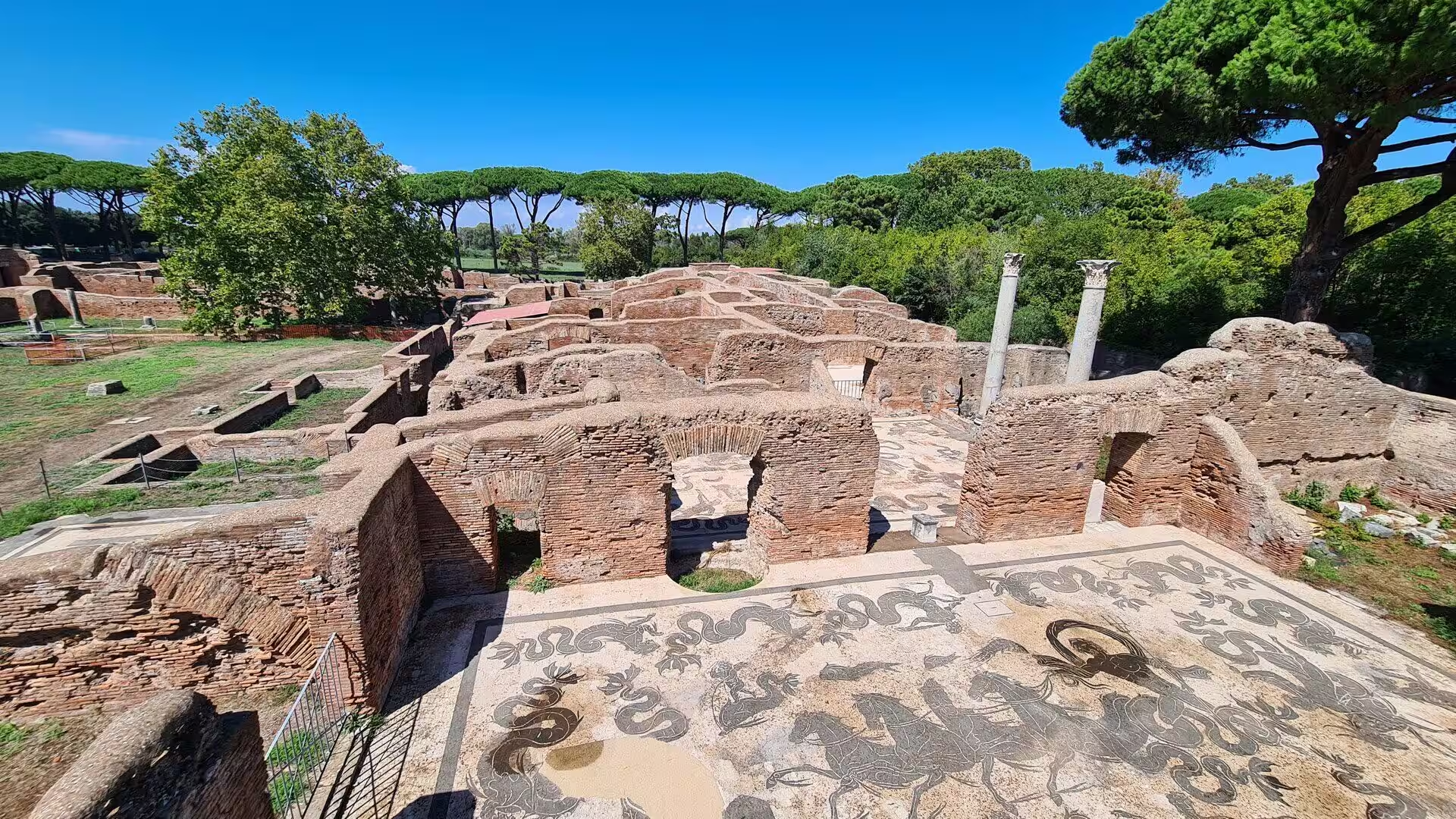
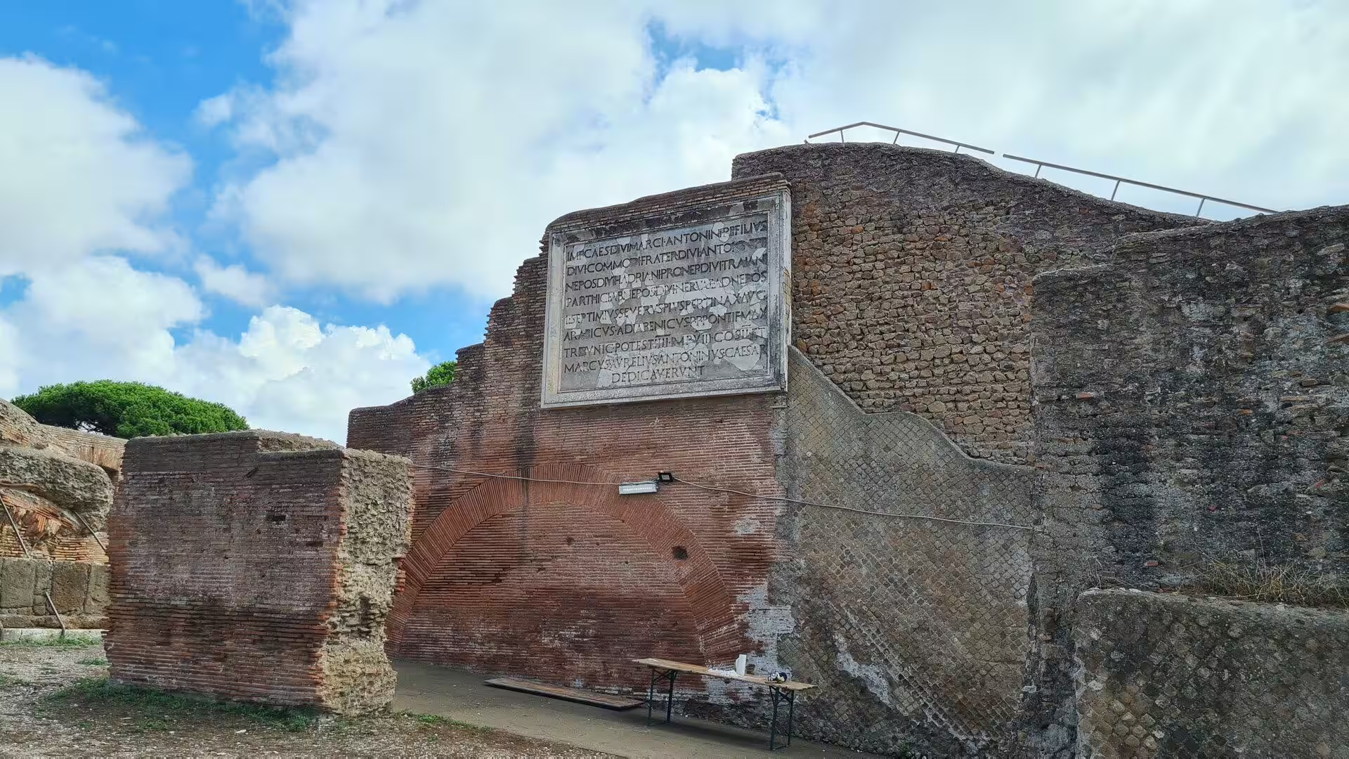
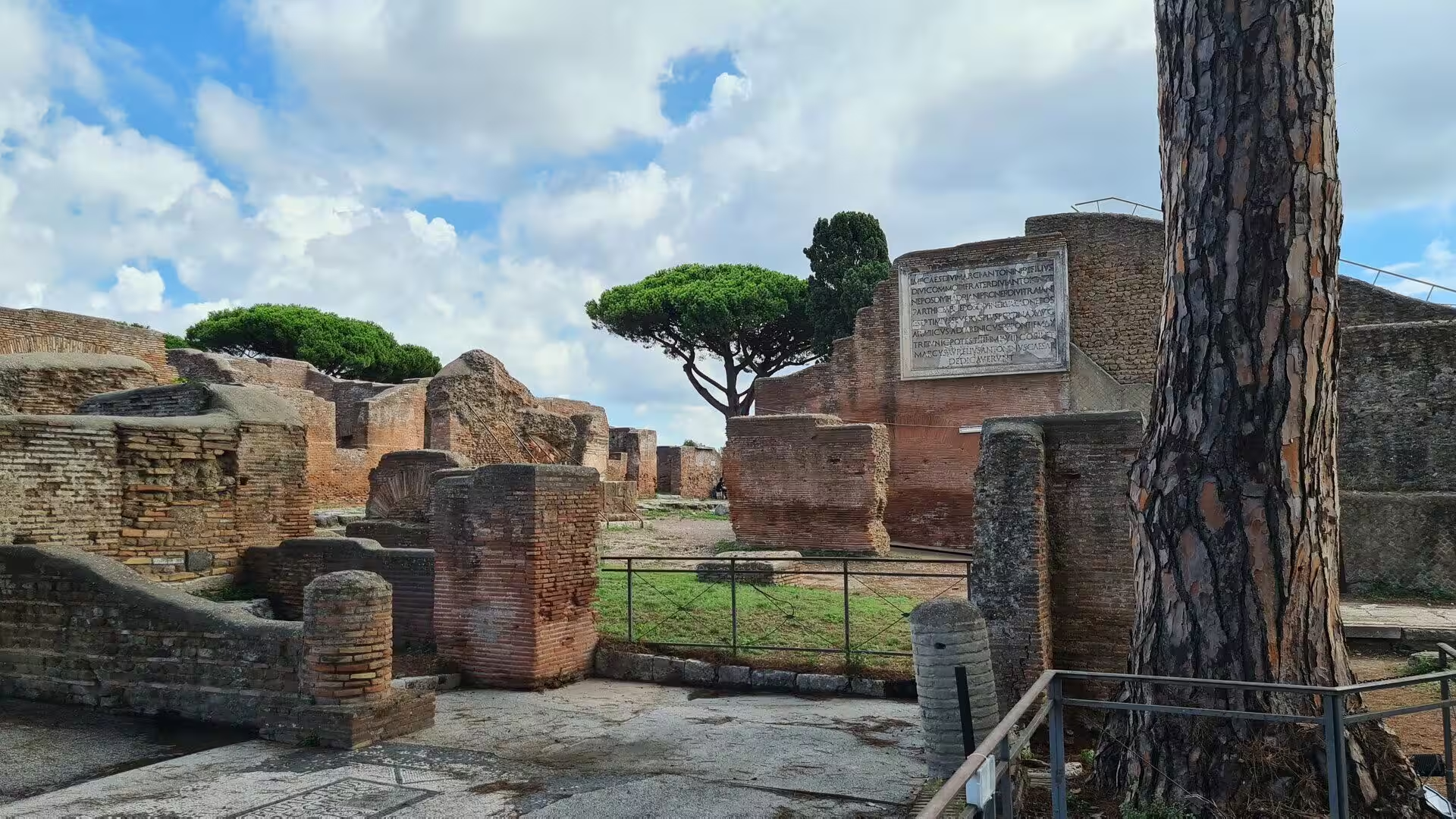
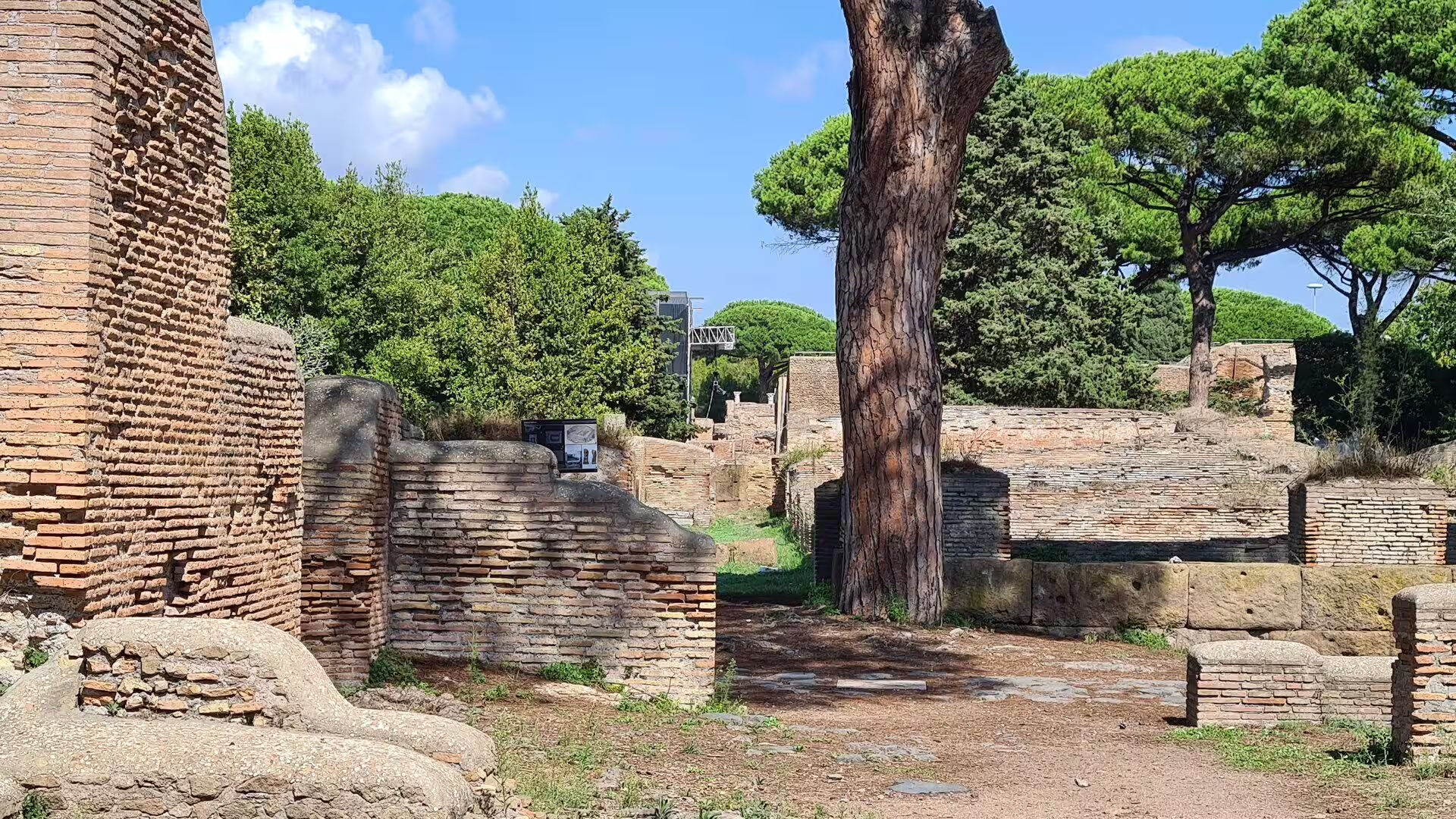
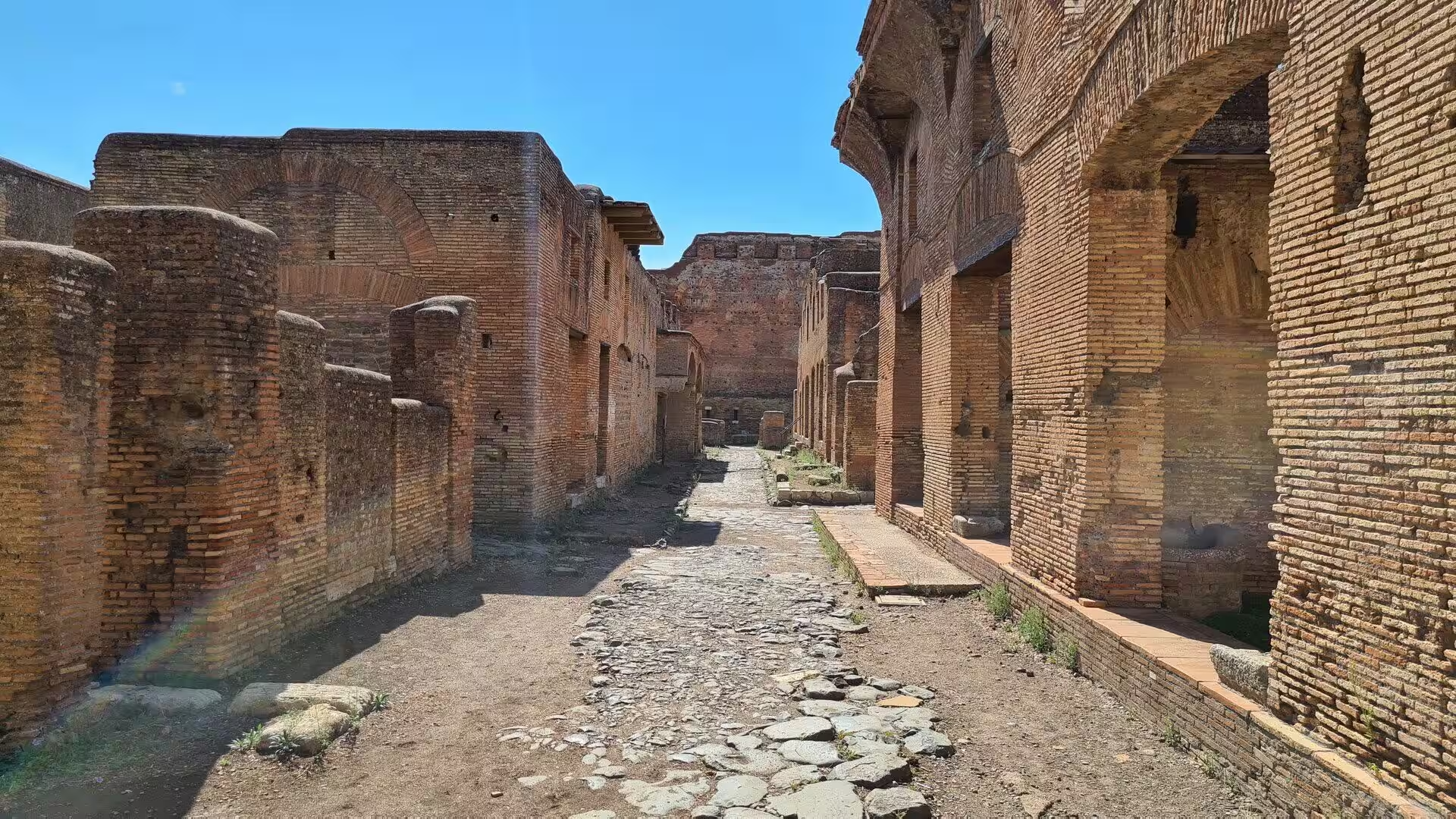
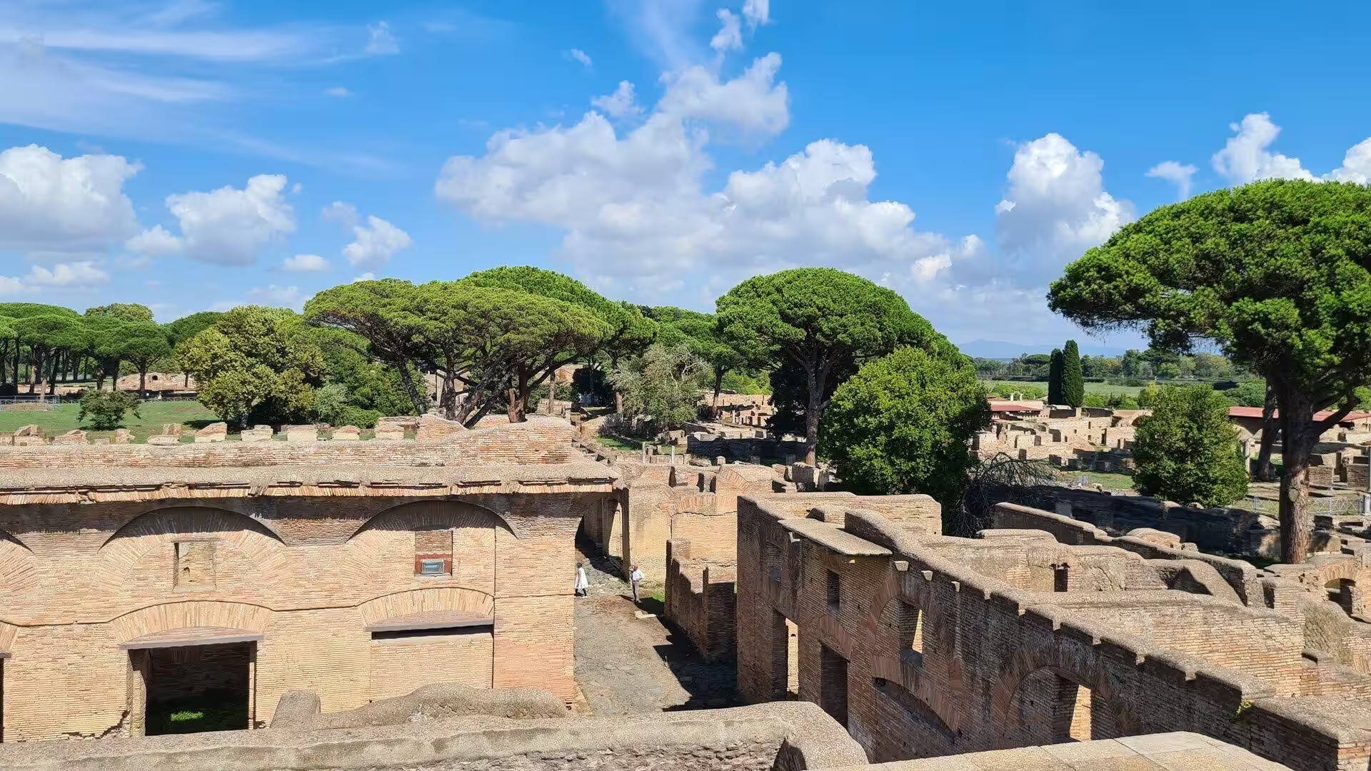
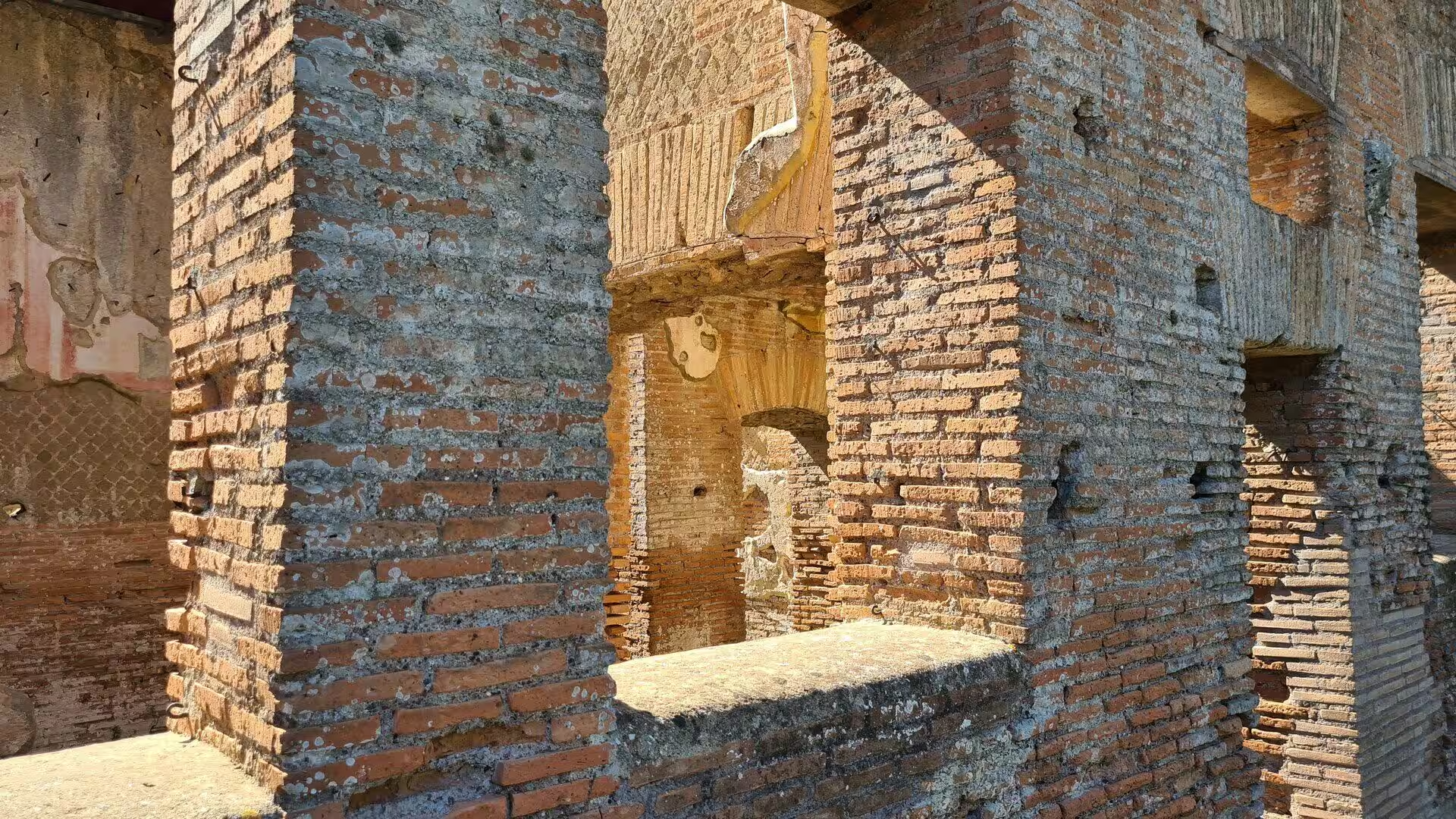
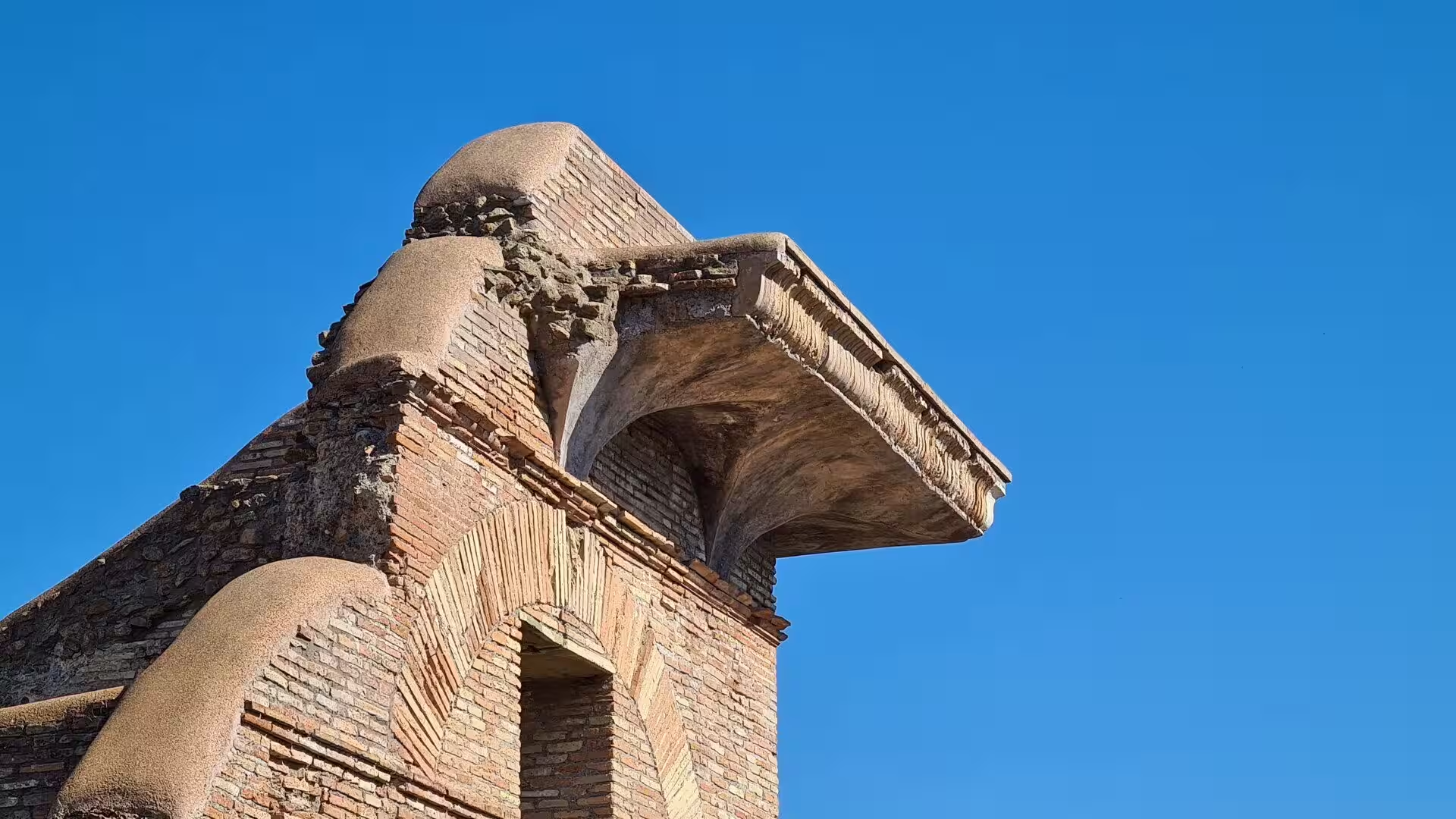
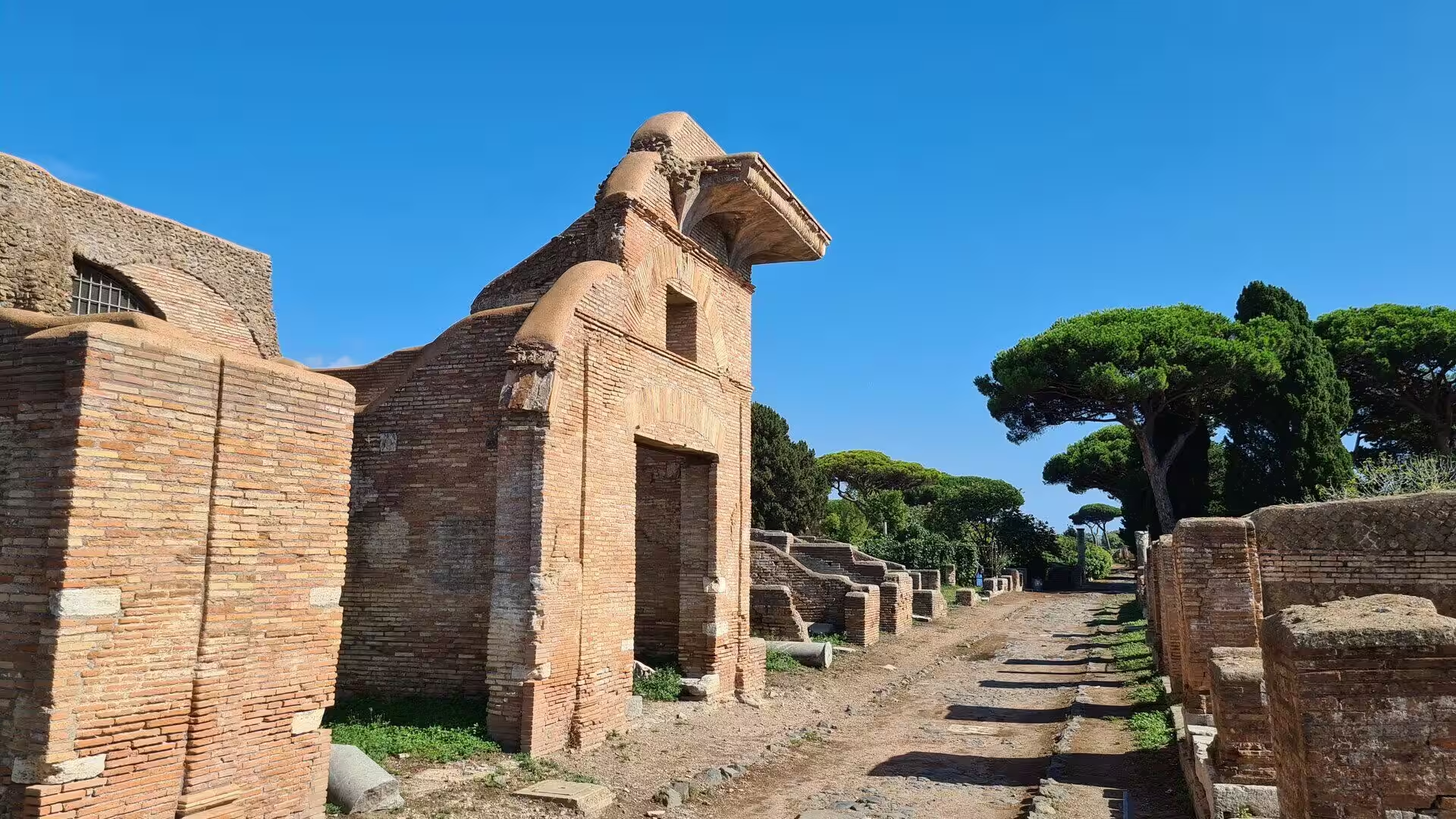
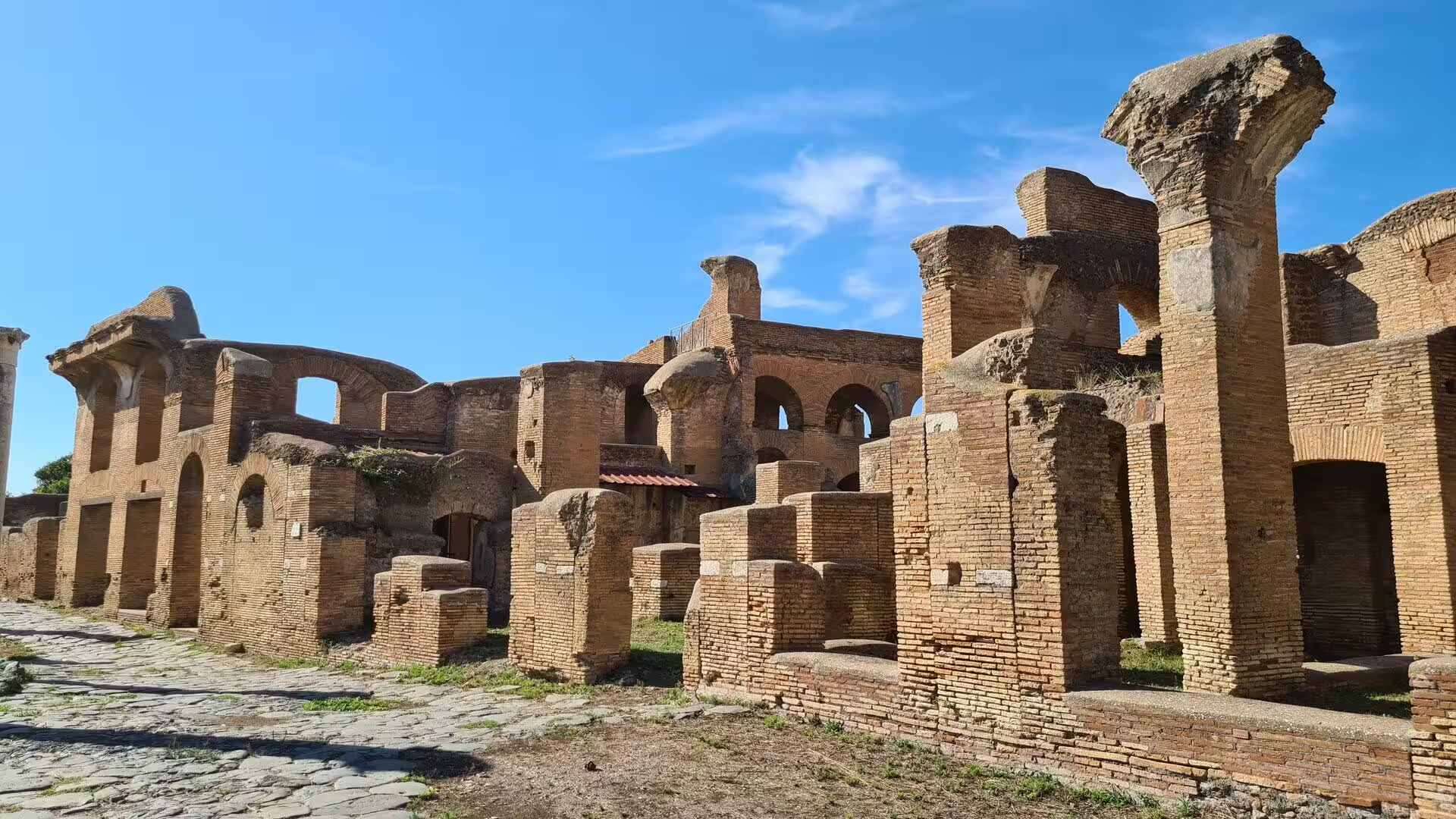
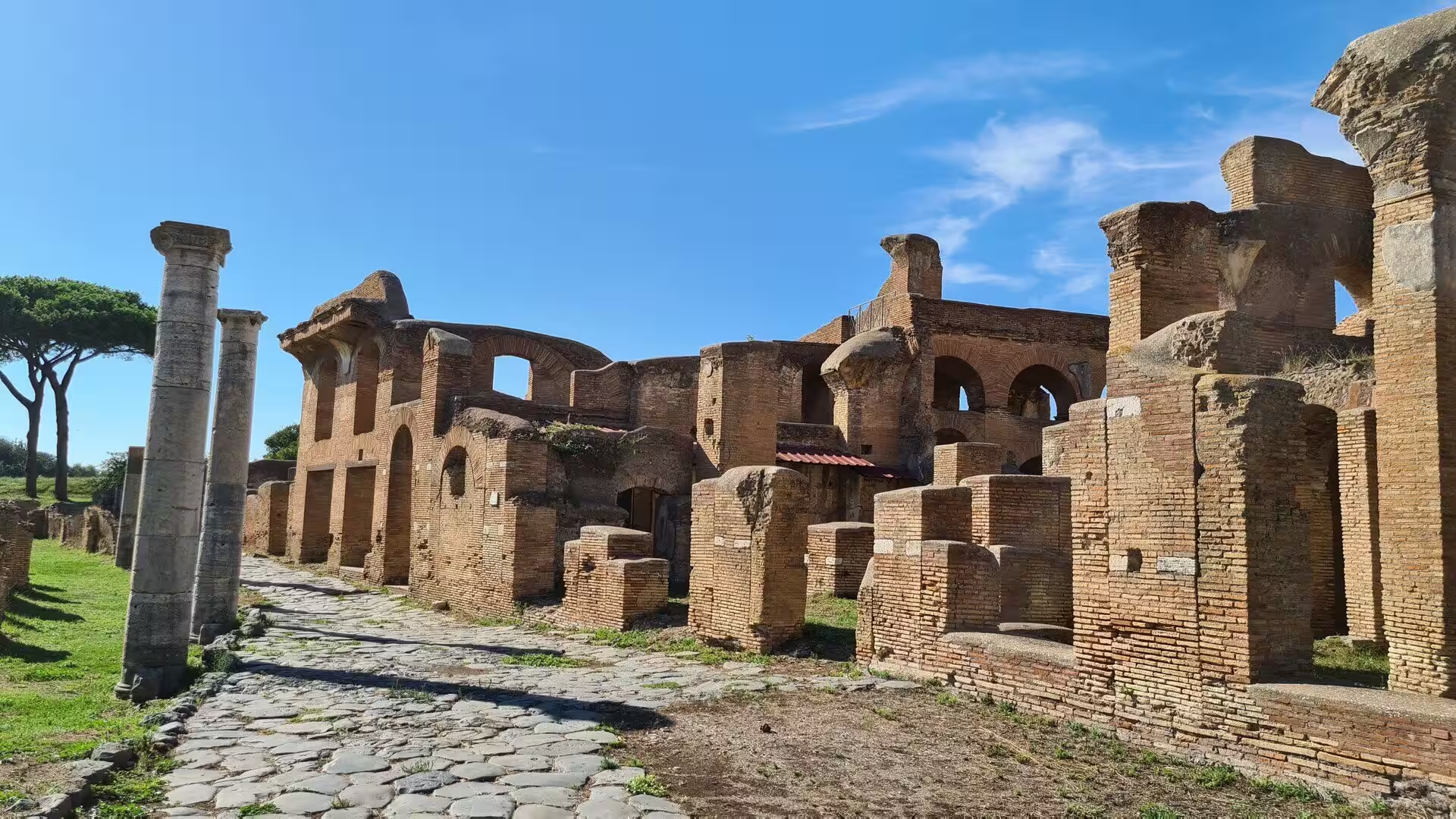
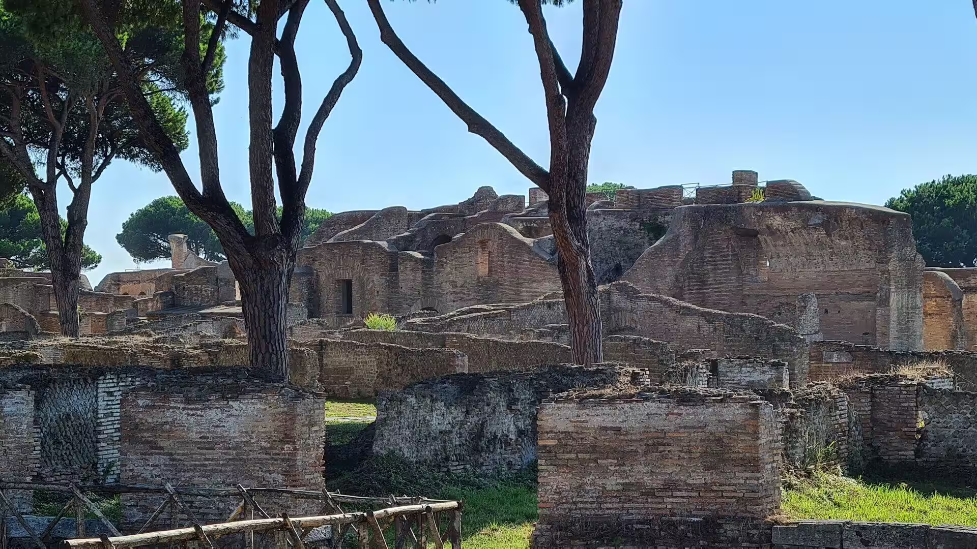
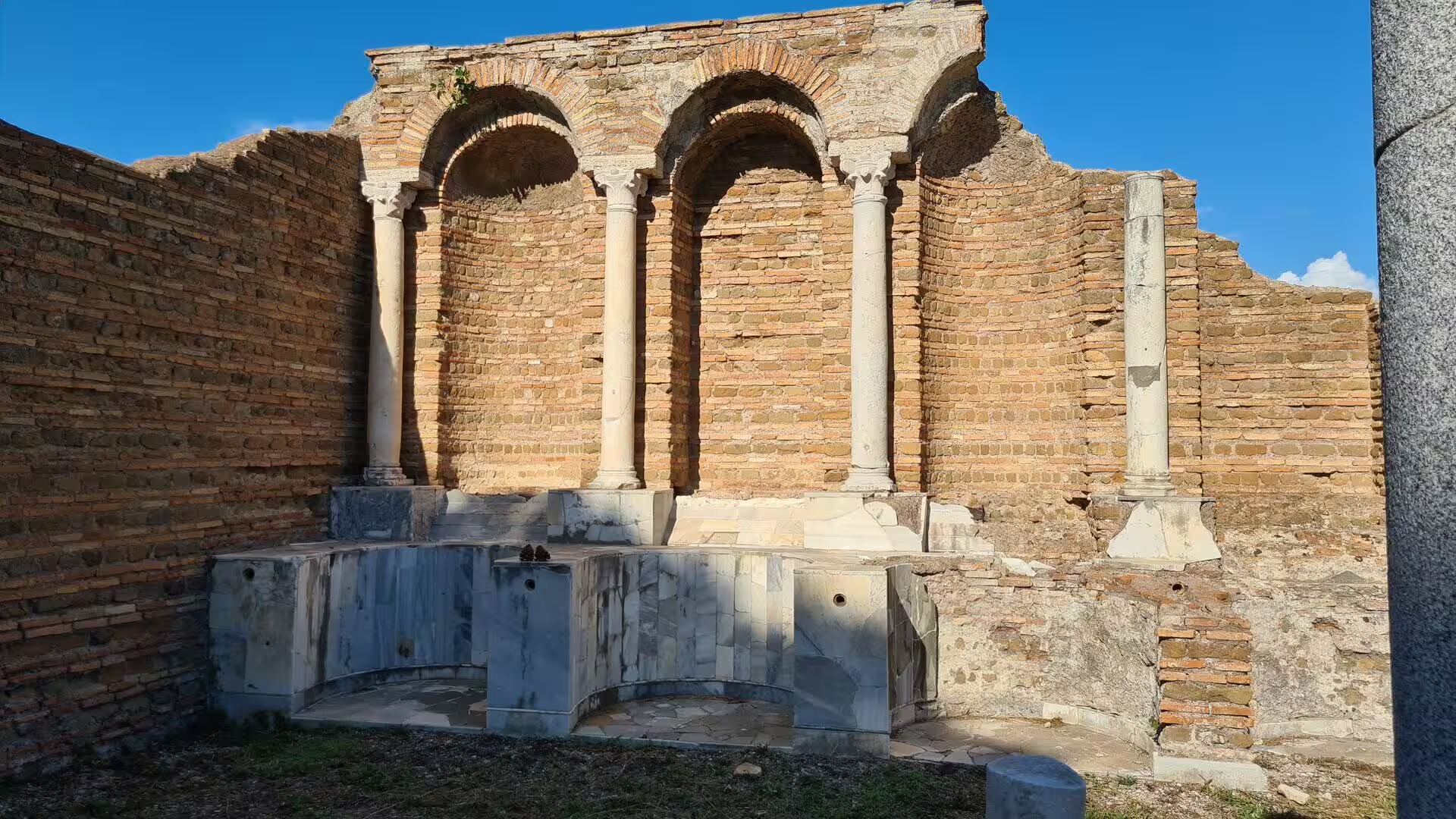
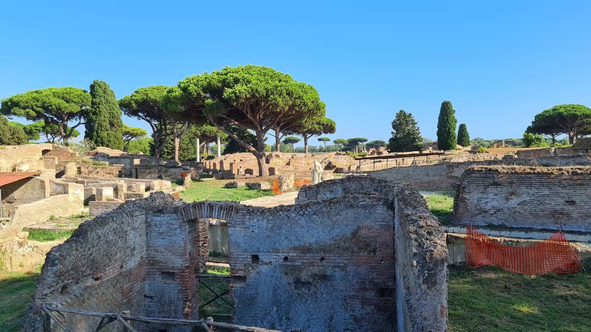
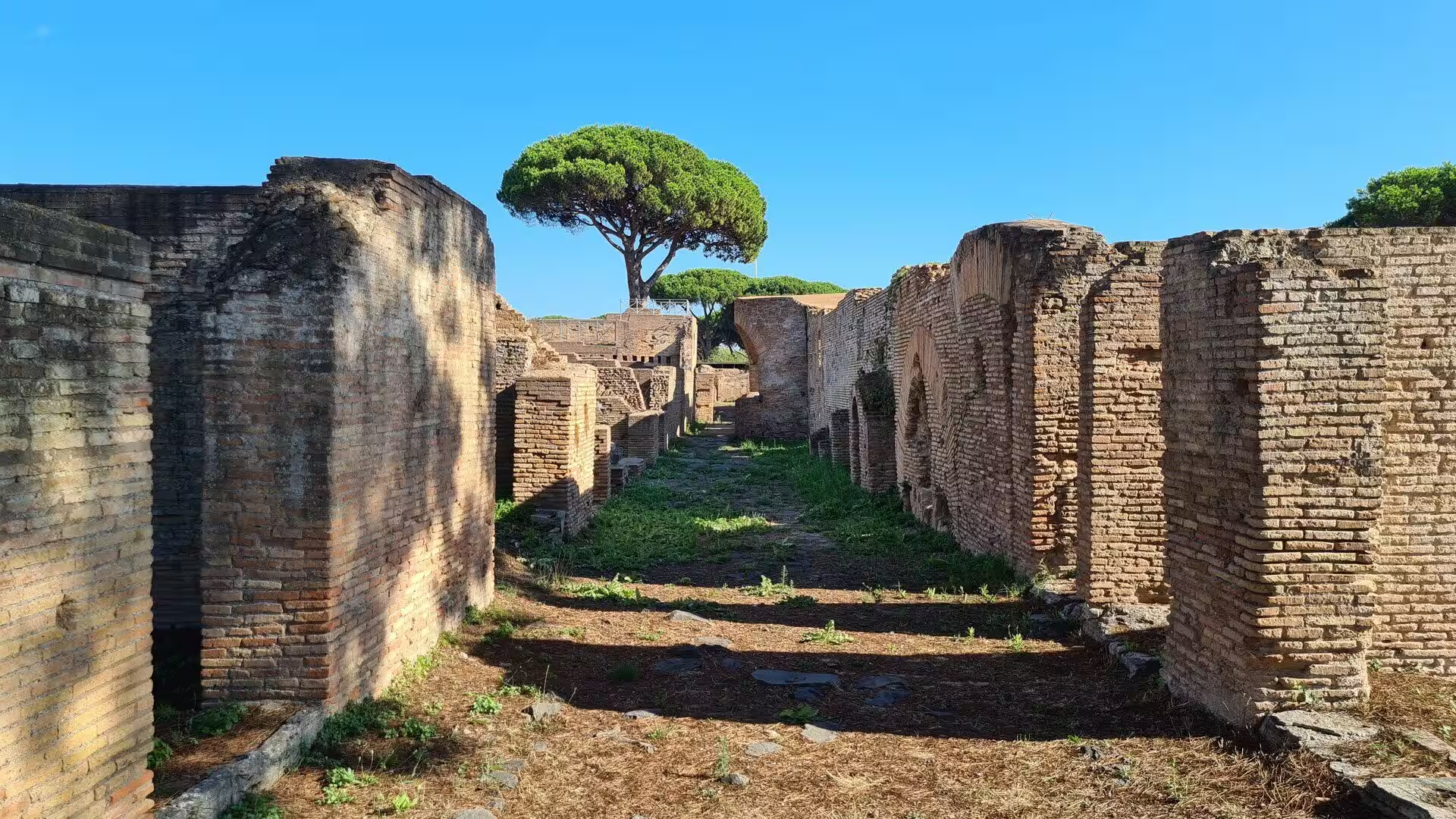
The visit begins at the Porta Romana, the gate through which the Via Ostiensis entered the town from Rome, and the street grid of the ancient city is still intact behind it. The main axis, the Decumanus Maximus, runs straight through the site towards the sea, crossed by side streets that lead to the river and to the baths. The facades along the way are of brick, two and three storeys high, with doorways that open directly onto the pavement, and in many of them the thresholds, the shop counters and the staircases are still in place.
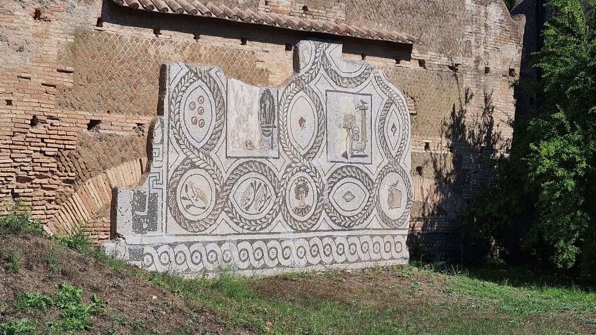
The theatre is the centre of the excavated area and the best preserved building of its kind in Italy. It was erected under Augustus by Agrippa and could hold about three thousand spectators. Behind the stage wall lies the Piazzale delle Corporazioni, a square of about 110 by 80 metres surrounded by a portico with roughly seventy small offices behind it. Their floors are covered with black and white mosaics that name the businesses and show ships, lighthouses, dolphins and warehouses, so that the shipping agents of Ostia can still be read by the trade they advertised.
The forum occupies the crossing of the two main streets and preserves the political centre of the town. The Capitolium, a temple on a high podium dedicated to Jupiter, Juno and Minerva, closes the square at one end; opposite it stand the remains of the Temple of Rome and Augustus, and beside them the basilica and the curia where the town council met. The round temple of the Forum Baths, a circular building with a dome, is one of the most famous ruins of the site.
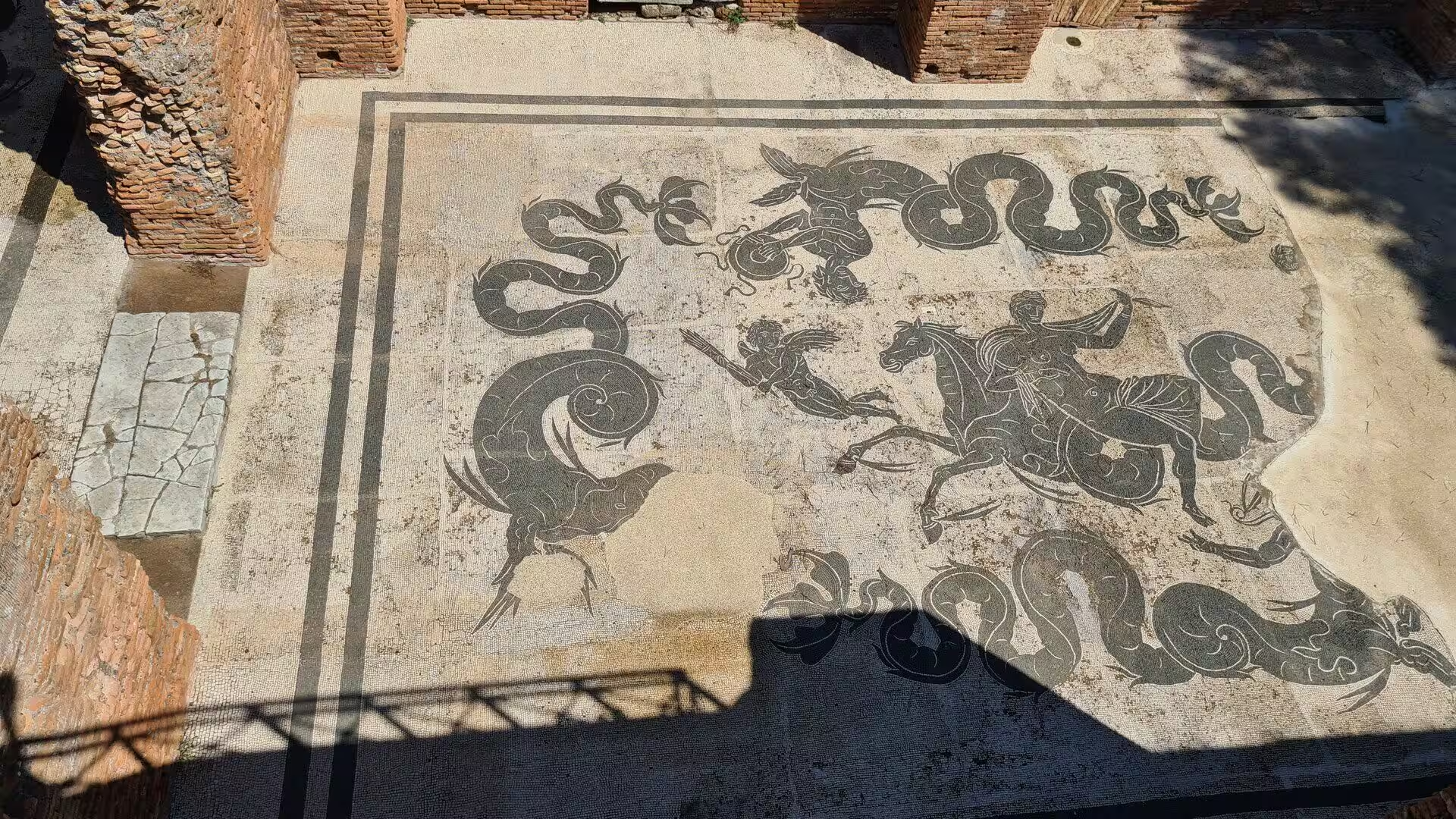
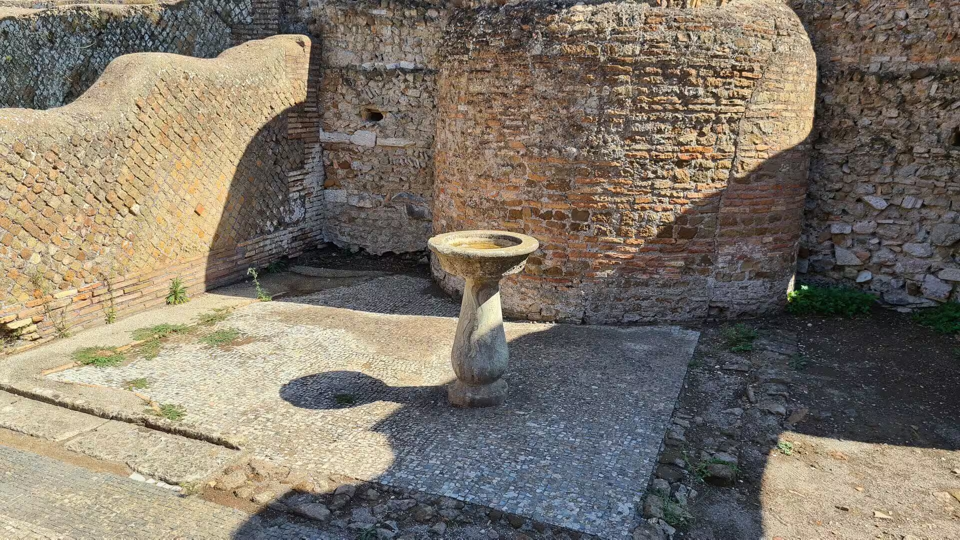
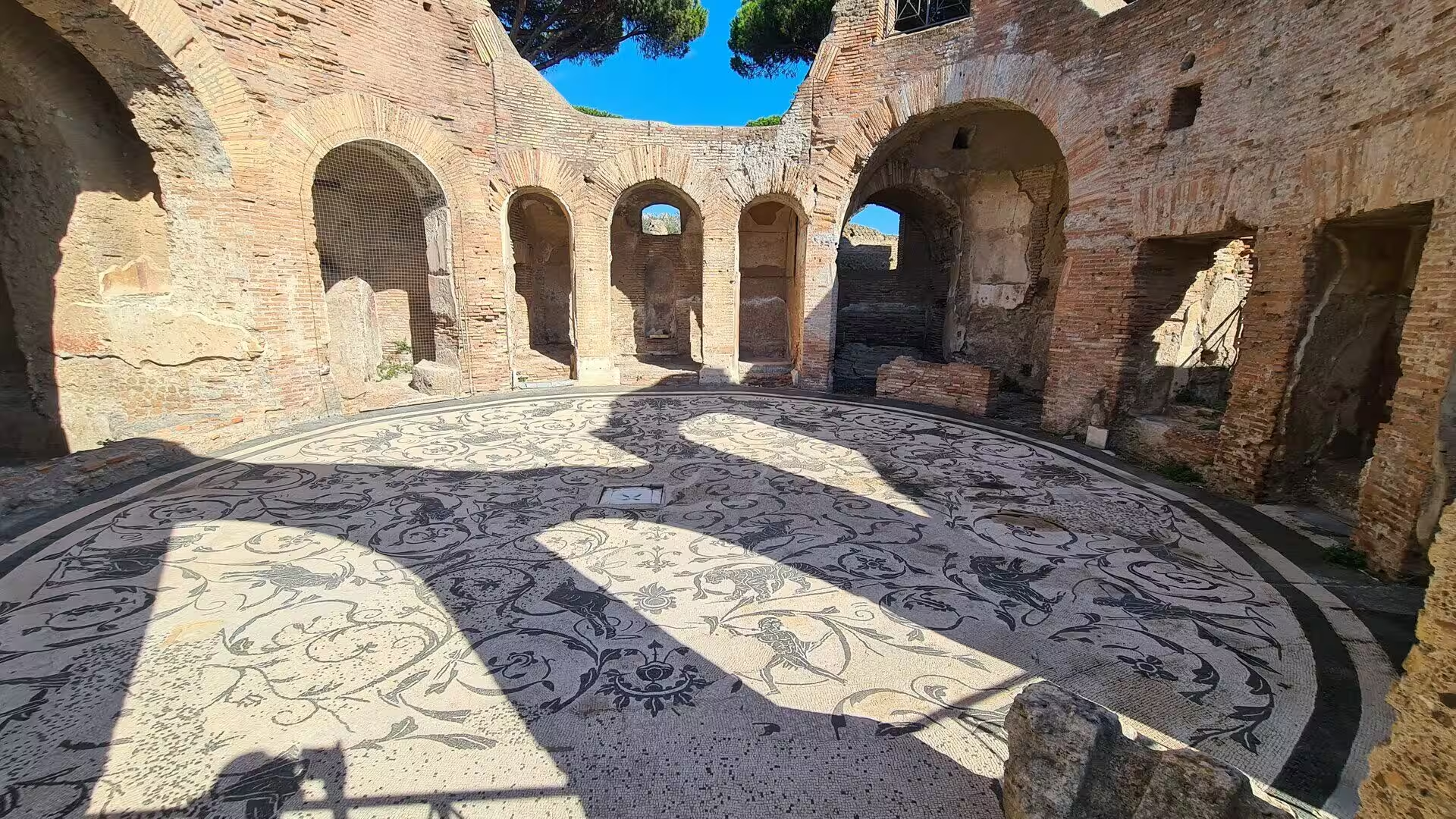
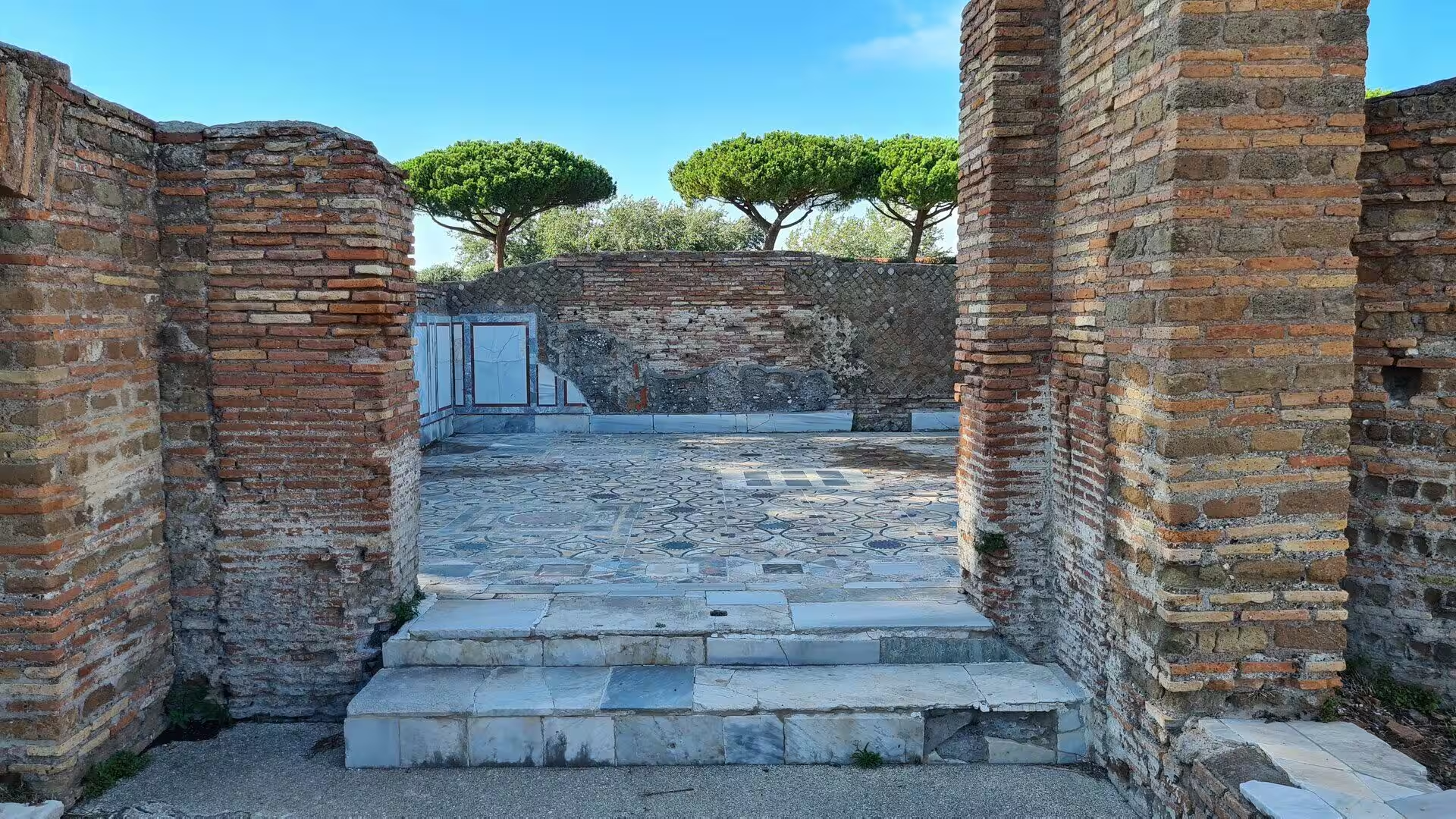
The Baths of Neptune, built in the reign of Hadrian with a gift of two million sesterces, are the largest bath complex of the town and are known for their floors. The mosaic in the central hall shows Neptune and Amphitrite riding over the sea in a chariot drawn by sea horses, surrounded by Tritons and marine monsters; the black and white technique is the same as in the offices behind the theatre and belongs to the second century. Behind the bathing rooms lies a large colonnaded exercise court, and the service areas with their heating channels and water tanks can still be walked through.
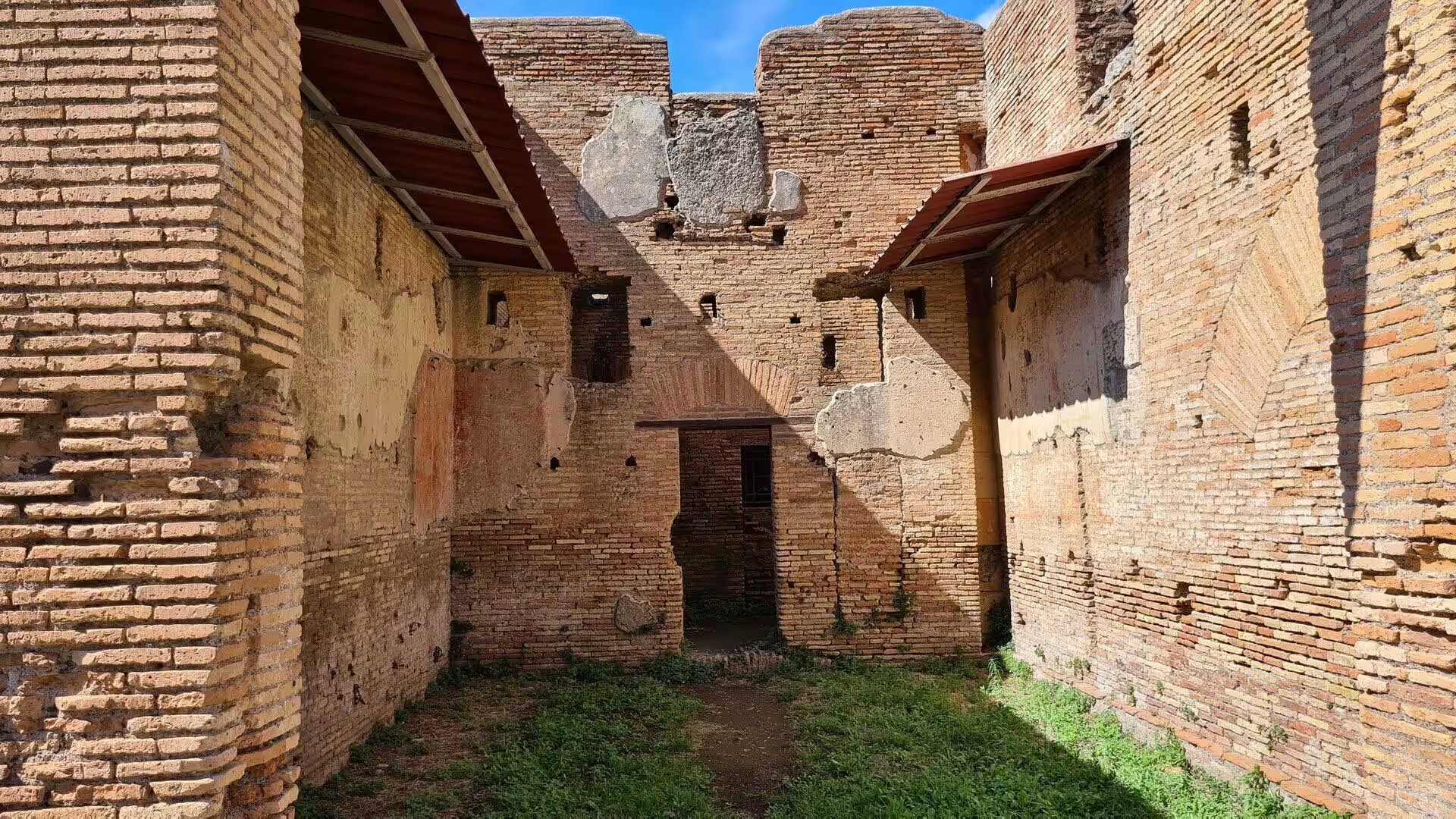
The residential quarters are what turn a walk through Ostia into a lesson in Roman everyday life. The Casa di Diana, named after a relief of the goddess over its entrance, is a large block arranged around an inner courtyard with a well, and the House of the Painted Vaults takes its name from the stuccoed ceilings of its rooms. Elsewhere the so called insulae rise over several floors with small apartments grouped around a central light well, and their balconies, shop openings and shared stairs show a city of tenants rather than of villa owners.
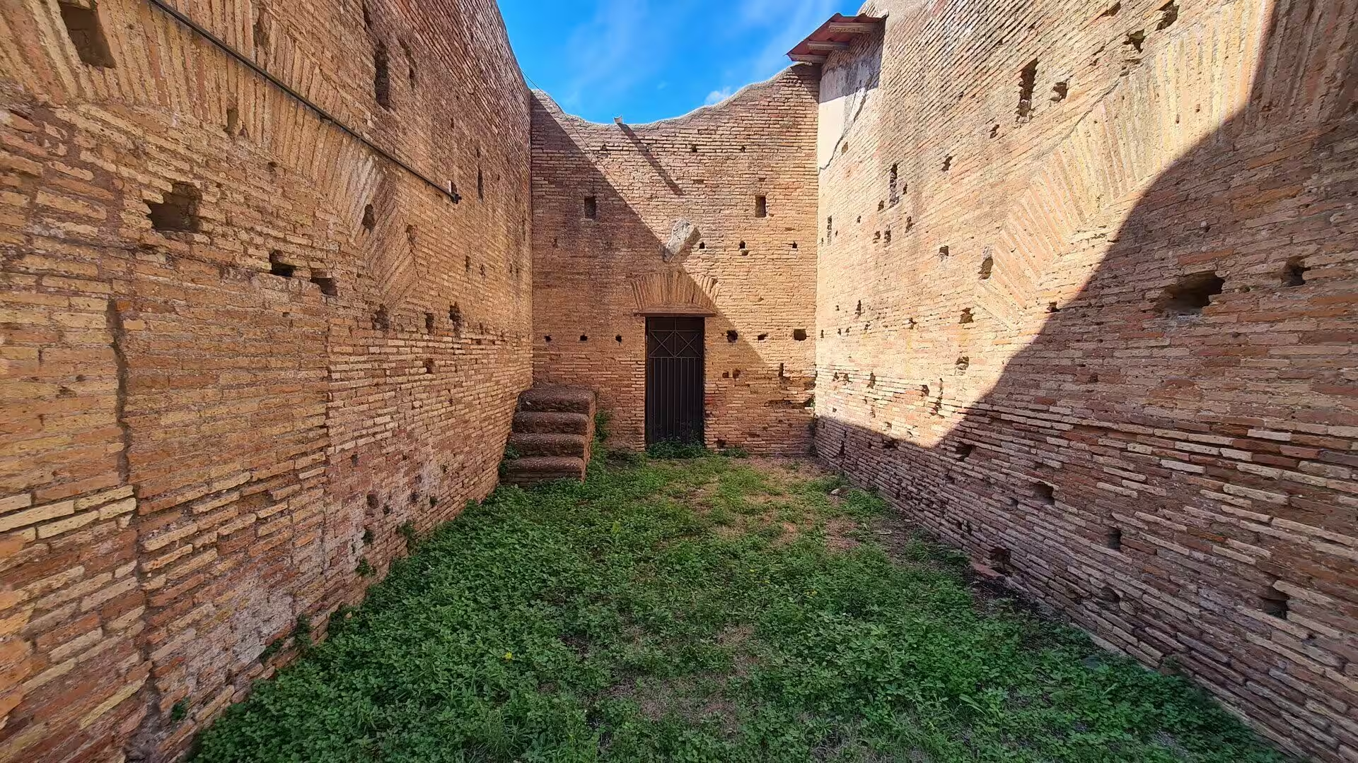
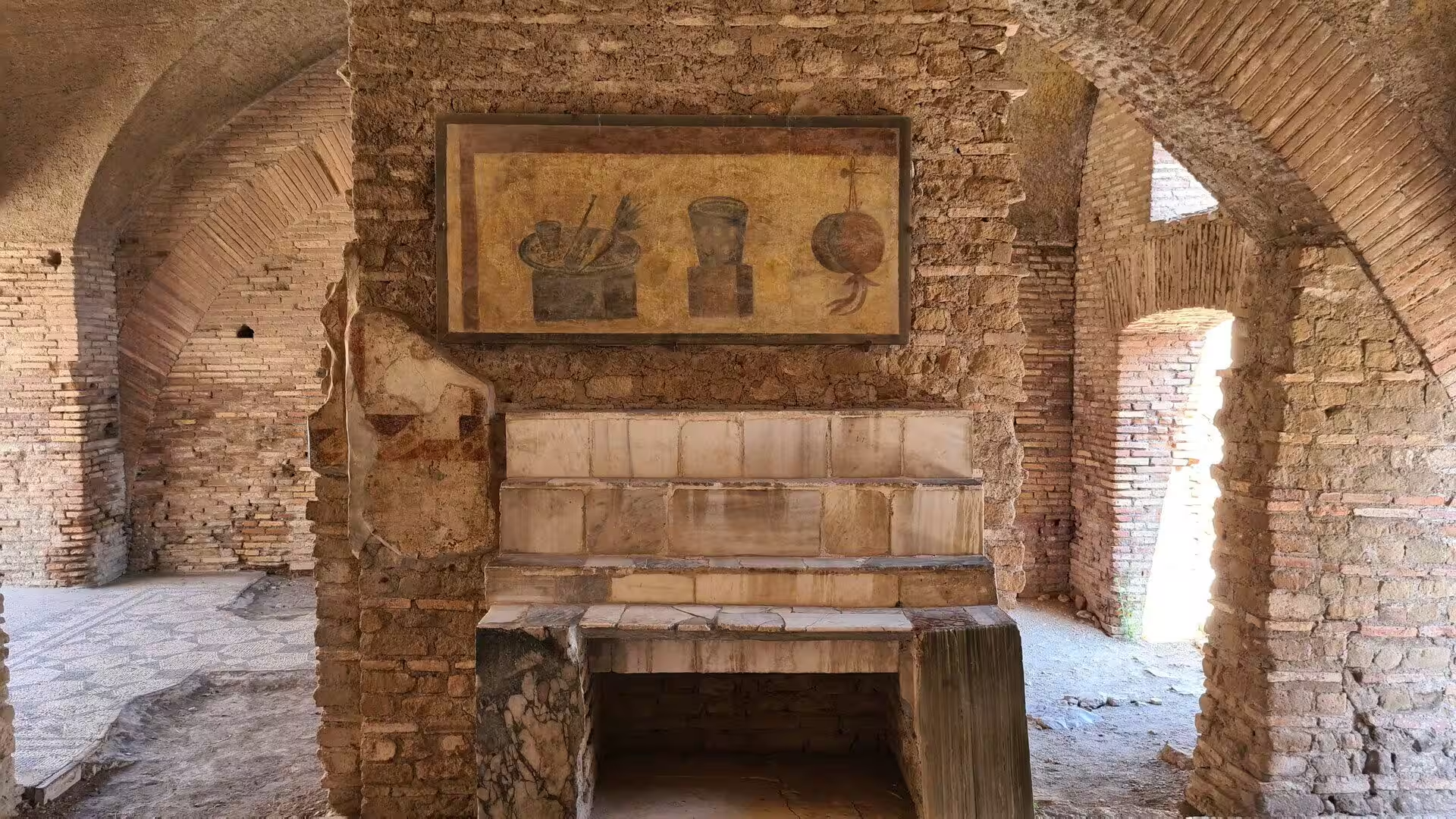
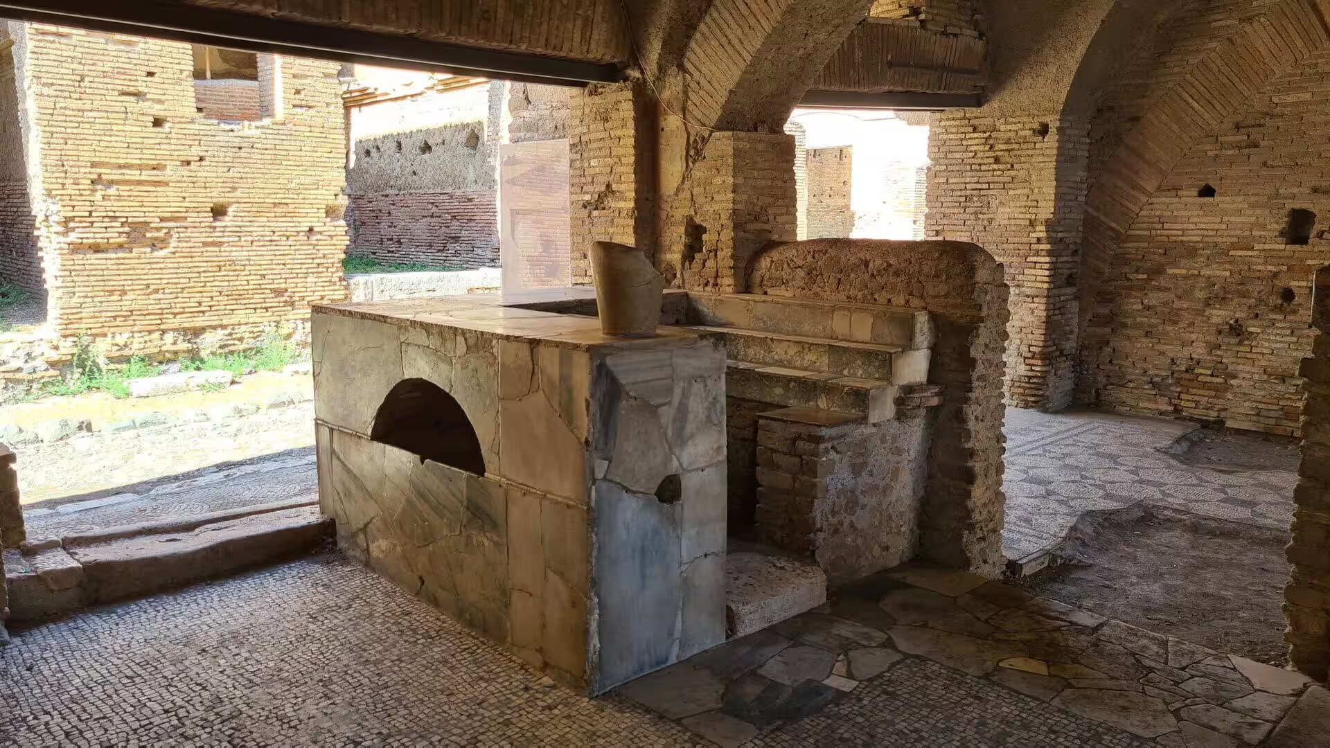
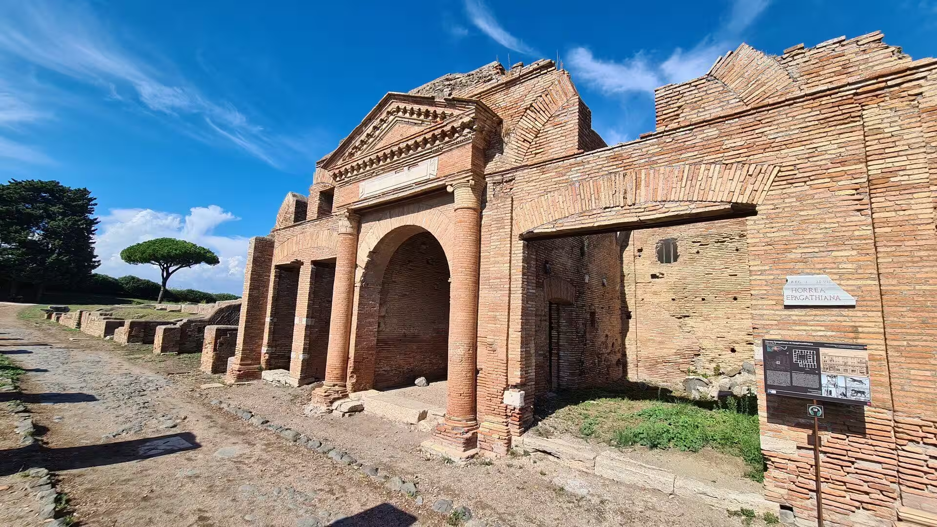
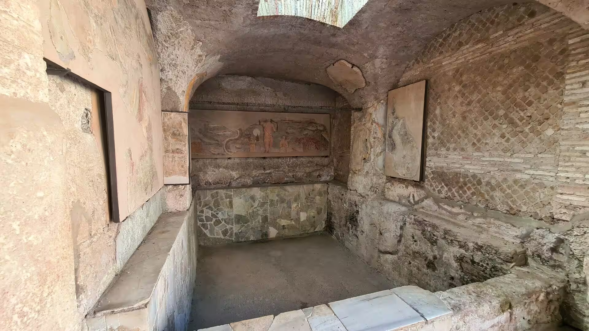
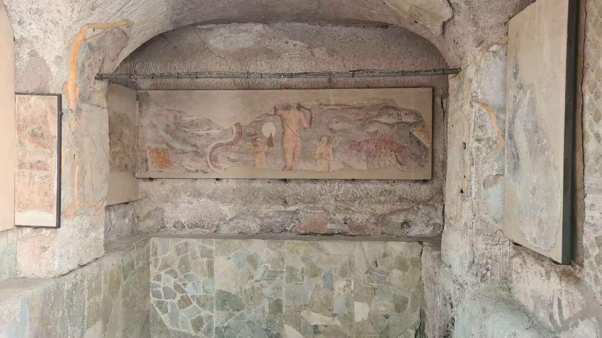
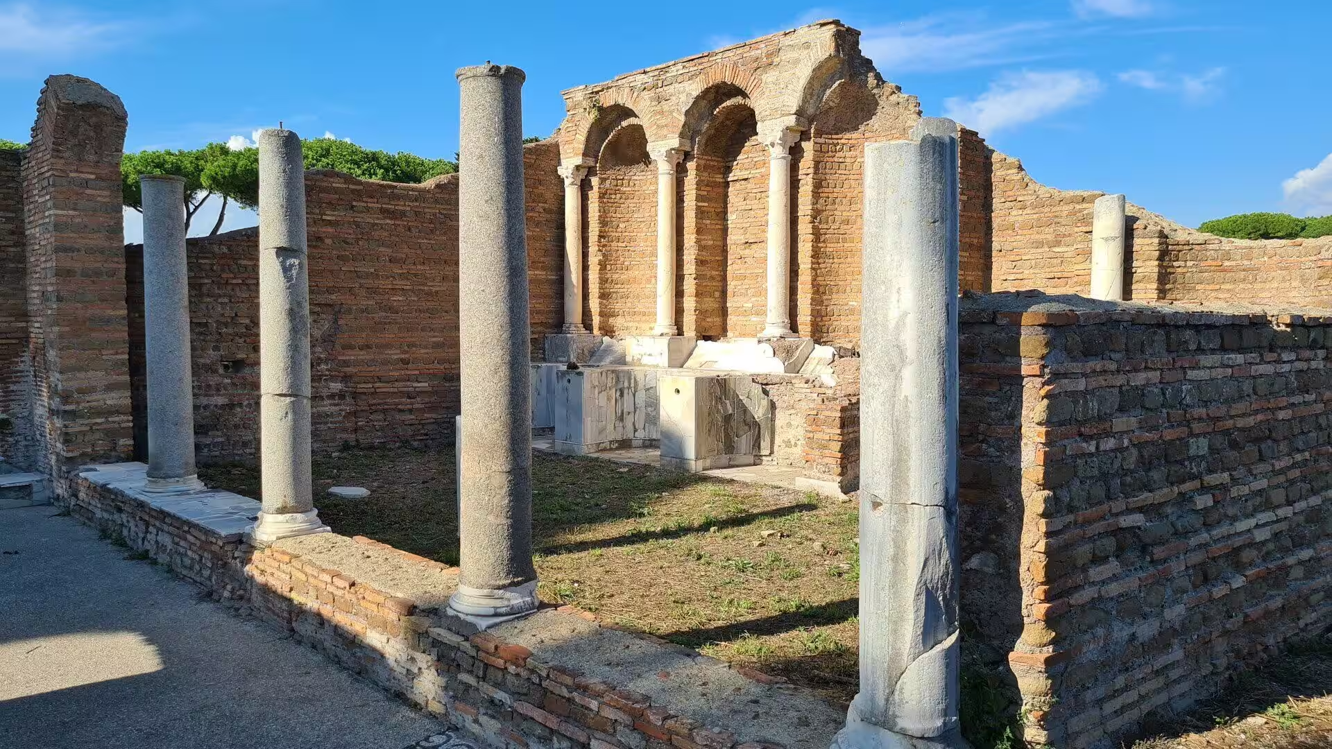
Trade and storage shaped the town even more than the temples did. Ostia was full of warehouses, and their ground floors were raised on pillars and reached by ramps so that goods could be moved in and out quickly and safely; the Horrea Epagathiana, whose entrance still carries the names of its two owners, gives a good idea of such a building. Small taverns, the thermopolia, line the streets with their masonry counters, and in one of them a painted menu of drinks and dishes survives above the serving counter, together with the jars that were set into the stone. Workshops and a fire station for the town brigade complete the picture of a port that worked around the clock.
The religious life of the harbour was as mixed as its population. Eighteen sanctuaries of Mithras are known in Ostia, more than in any other city of the empire; the Mithraeum of the Baths of Mithras preserves its underground water installations and rows of stucco busts, while another has a floor mosaic with the symbols of the grades through which the initiates passed. Outside the walls and near the baths of the Porta Marina lie the remains of the synagogue, discovered in 1961: built in the late first century and enlarged later, it belongs to the oldest known Jewish communities of the western Mediterranean.
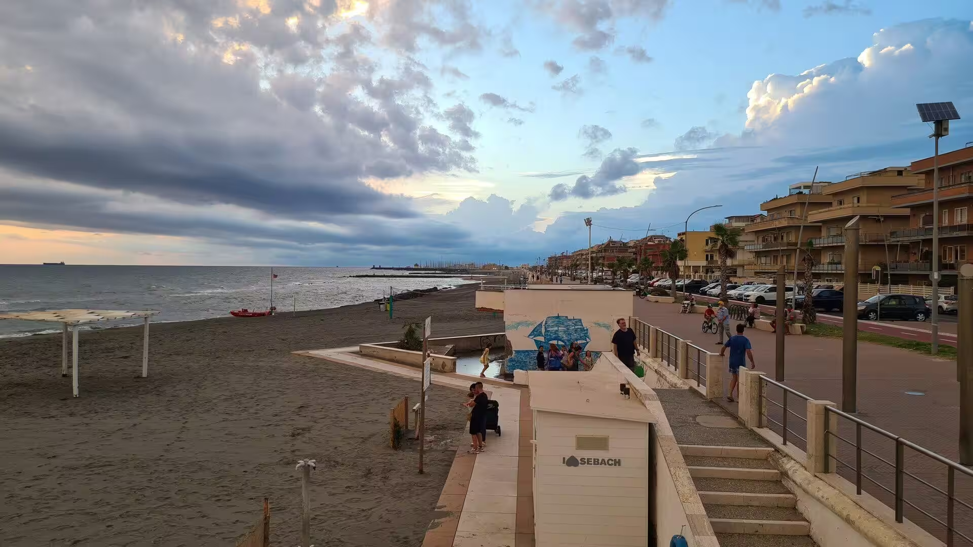
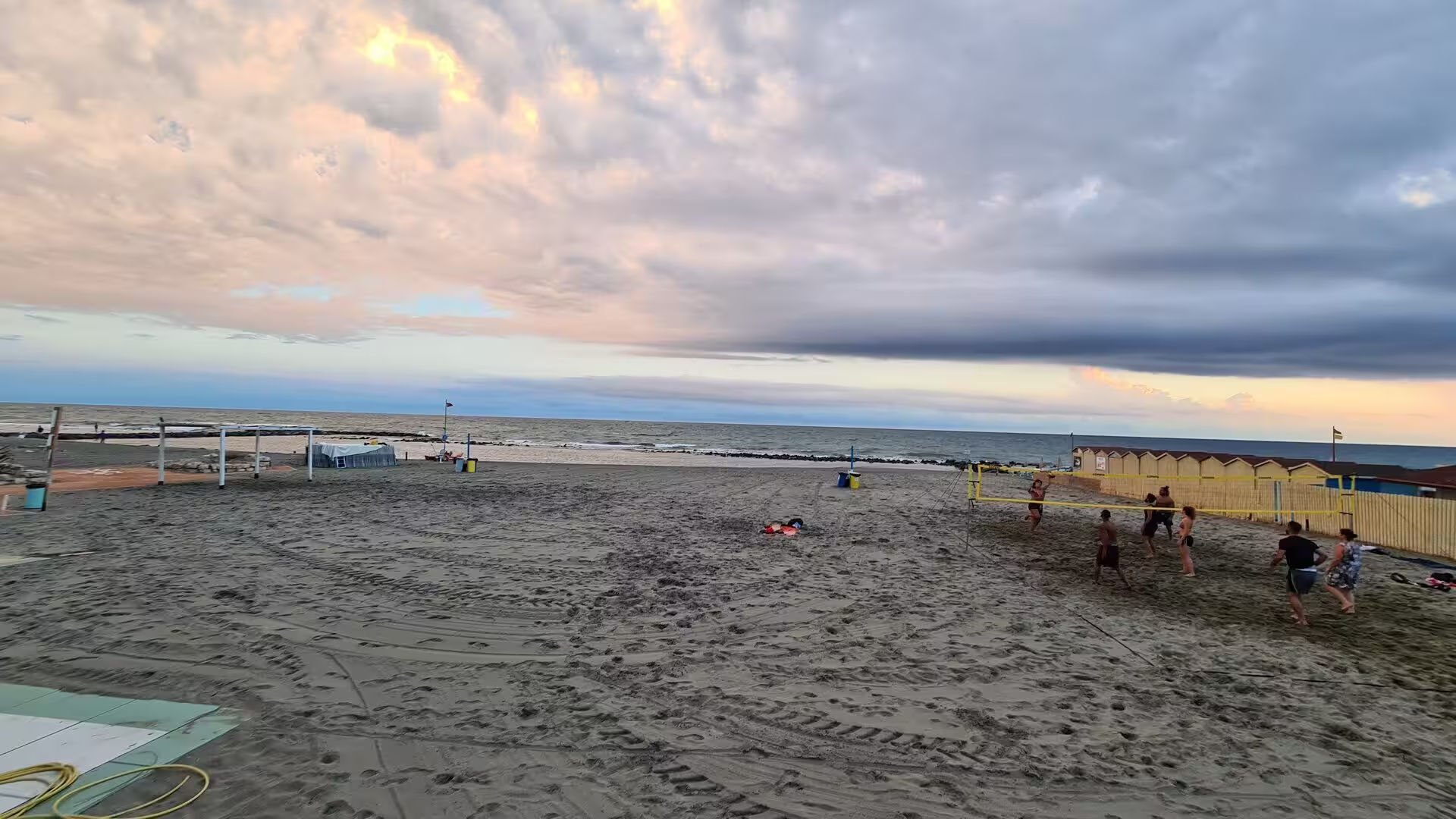
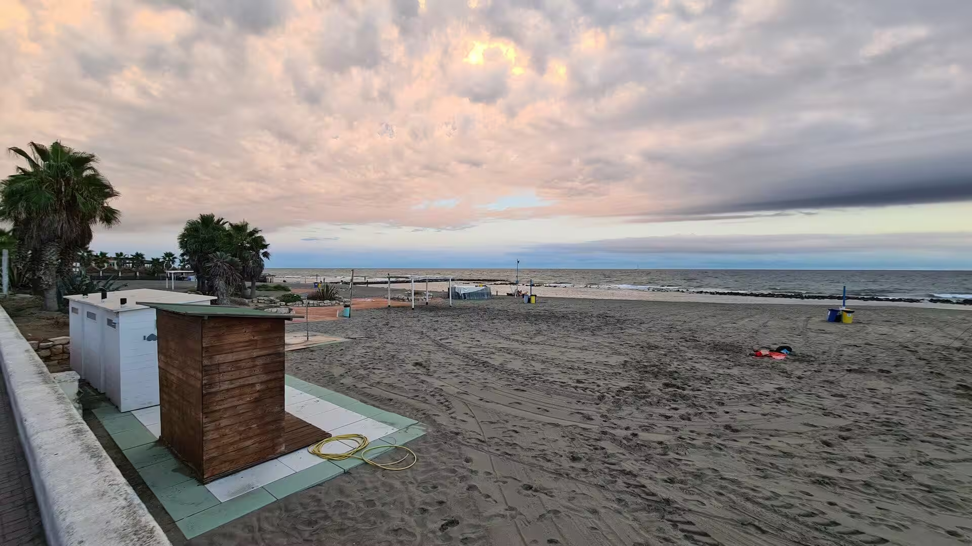
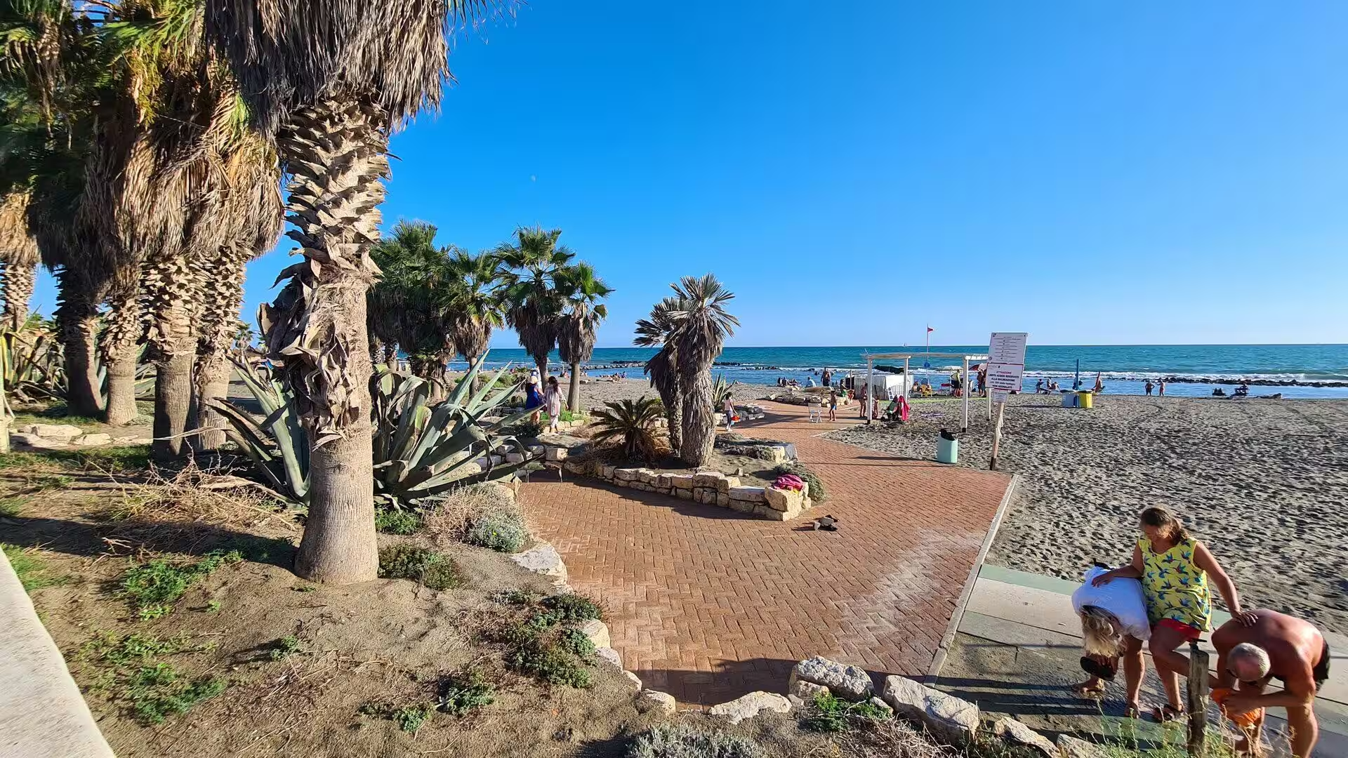
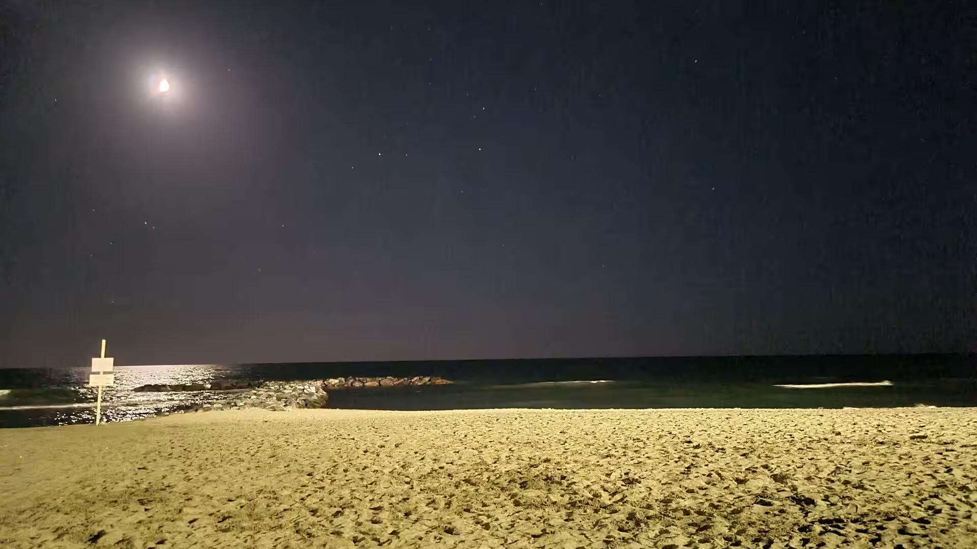
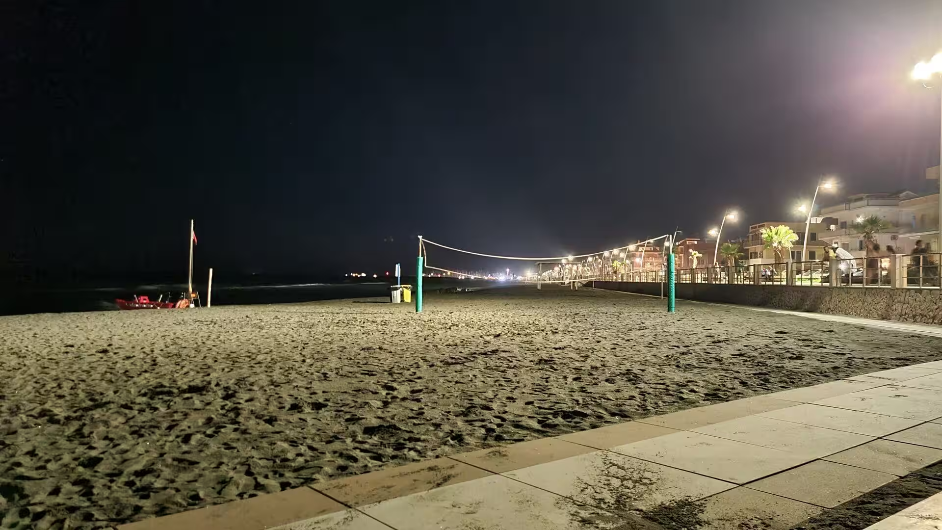
The day ends at the shore, where the modern Lido di Ostia offers what the ancient town once offered in another form. The lungomare, the seaside promenade named after Paolo Toscanelli, runs along a broad beach with bathing establishments, palms and small kiosks, and the pier and the yacht harbour are the landmarks of the district. In the late afternoon the light turns the water copper and the beach fills with volleyball players and families; dinner along the promenade usually begins with pasta and ends with ice cream, eaten while the last ships of the day cross the horizon. Between the mosaics of the imperial port in the morning and the sound of the surf in the evening, the whole history of this coast fits into a single day.
References
- Wikipedia contributors (2026). Ostia Antica. en.wikipedia.org/wiki/Ostia_Antica
- Wikipedia contributors (2026). Ostia (Rome). en.wikipedia.org/wiki/Ostia_%28Rome%29
- Wikipedia contributors (2026). Portus. en.wikipedia.org/wiki/Portus
- Wikipedia contributors (2026). Tiber. en.wikipedia.org/wiki/Tiber
- Wikipedia contributors (2026). Horrea. en.wikipedia.org/wiki/Horrea
- Wikipedia contributors (2026). Thermopolium. en.wikipedia.org/wiki/Thermopolium
- Wikipedia contributors (2026). Insula (Roman city). en.wikipedia.org/wiki/Insula_%28Roman_city%29
- Wikipedia contributors (2026). Mithraeum. en.wikipedia.org/wiki/Mithraeum
- Wikipedia contributors (2026). Ostia Synagogue. en.wikipedia.org/wiki/Ostia_Synagogue
- Wikipedia contributors (2026). Battle of Ostia. en.wikipedia.org/wiki/Battle_of_Ostia
- Wikipedia contributors (2026). Tuff. en.wikipedia.org/wiki/Tuff
- Wikipedia contributors (2026). Pozzolana. en.wikipedia.org/wiki/Pozzolana
- Wikipedia contributors (2026). Fiumicino. en.wikipedia.org/wiki/Fiumicino
- Wikipedia contributors (2026). Ostia Antica. de.wikipedia.org/wiki/Ostia_Antica
- Keay S., Woytek B. (2022) PORTVM TRAIANI: An interdisciplinary approach to the imagery of Trajan’s harbour at Portus. Papers of the British School at Rome. 90. 63-107. doi.org/10.1017/s0068246222000277
- Control (Flow): Warehouses in the Ports of Ostia and Portus (2020) The Socio-Economics of Roman Storage. 122-157. doi.org/10.1017/9781108850216.006
- Giraudi C. (2012) The Holocene record of environmental changes in the Stagno di Maccarese marsh (Tiber river delta, central Italy). The Holocene. 22. 1461-1471. doi.org/10.1177/0959683612455543
- Casson L. (1965) Harbour and River Boats of Ancient Rome. Journal of Roman Studies. 55. 31-39. doi.org/10.2307/297428
- Modern Ostia Antica (2021) Encyclopedic Dictionary of Archaeology. 877. doi.org/10.1007/978-3-030-58292-0_130627