Day 2 - White Tank Mountains Arizona
2 May 2022


Journal Notes
General
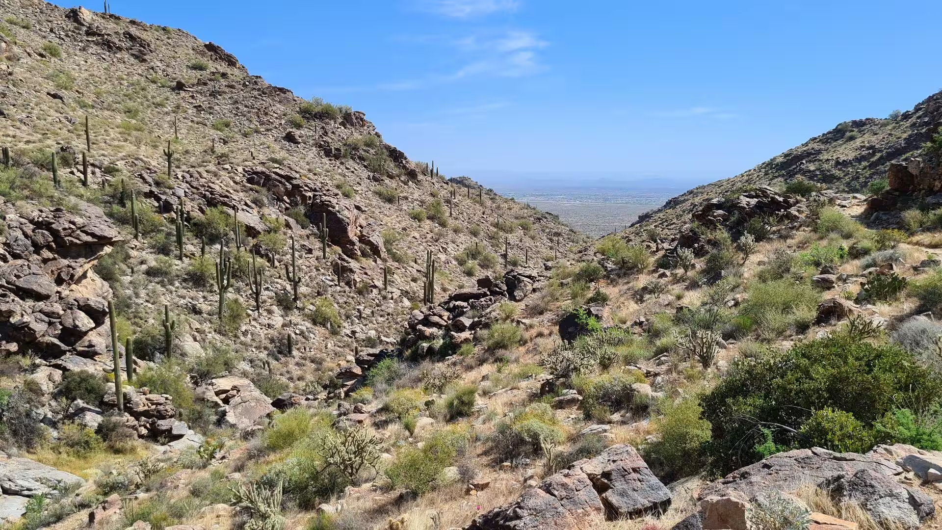
The White Tank Mountains are a rugged range on the western edge of the Phoenix metropolitan area, stretching across a large part of western Maricopa County in central Arizona. They separate the spreading suburbs of the valley from the open desert that continues westward towards the lower Colorado River basin, and they still carry a largely undeveloped character although several hundred thousand people live within a short drive of their slopes. The range reaches its highest point at Barry Goldwater Peak, at approximately 4,083 feet, or 1,245 metres, above sea level.
Almost the whole range lies inside White Tank Mountain Regional Park, which was established in the 1960s and covers 29,271 acres, the equivalent of 45.7 square miles or 118.5 square kilometres. It is the largest regional park in Maricopa County and doubles as a nature reserve: motor vehicles are confined to the existing roads, walking is restricted to marked trails over most of the area, and the undeveloped wilderness forms a refuge of desert habitat within one of the fastest growing urban regions of the United States.
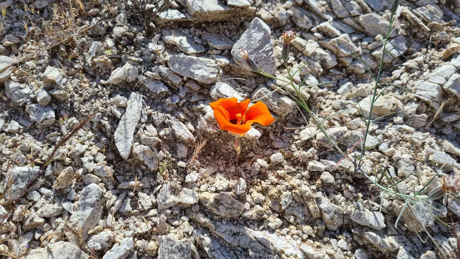
The climate is that of the Sonoran Desert, with extremely hot summers, mild winters and low annual rainfall that arrives in two seasons. Winter storms bring steady rain, and the summer monsoon brings brief and violent thunderstorms between July and September. The narrow canyons that cut through the range are subject to sudden flash flooding, and the same storms feed the temporary waterfalls that appear in the rock for a few days at a time. In wet years the slopes and the valley floor cover themselves in wildflowers.
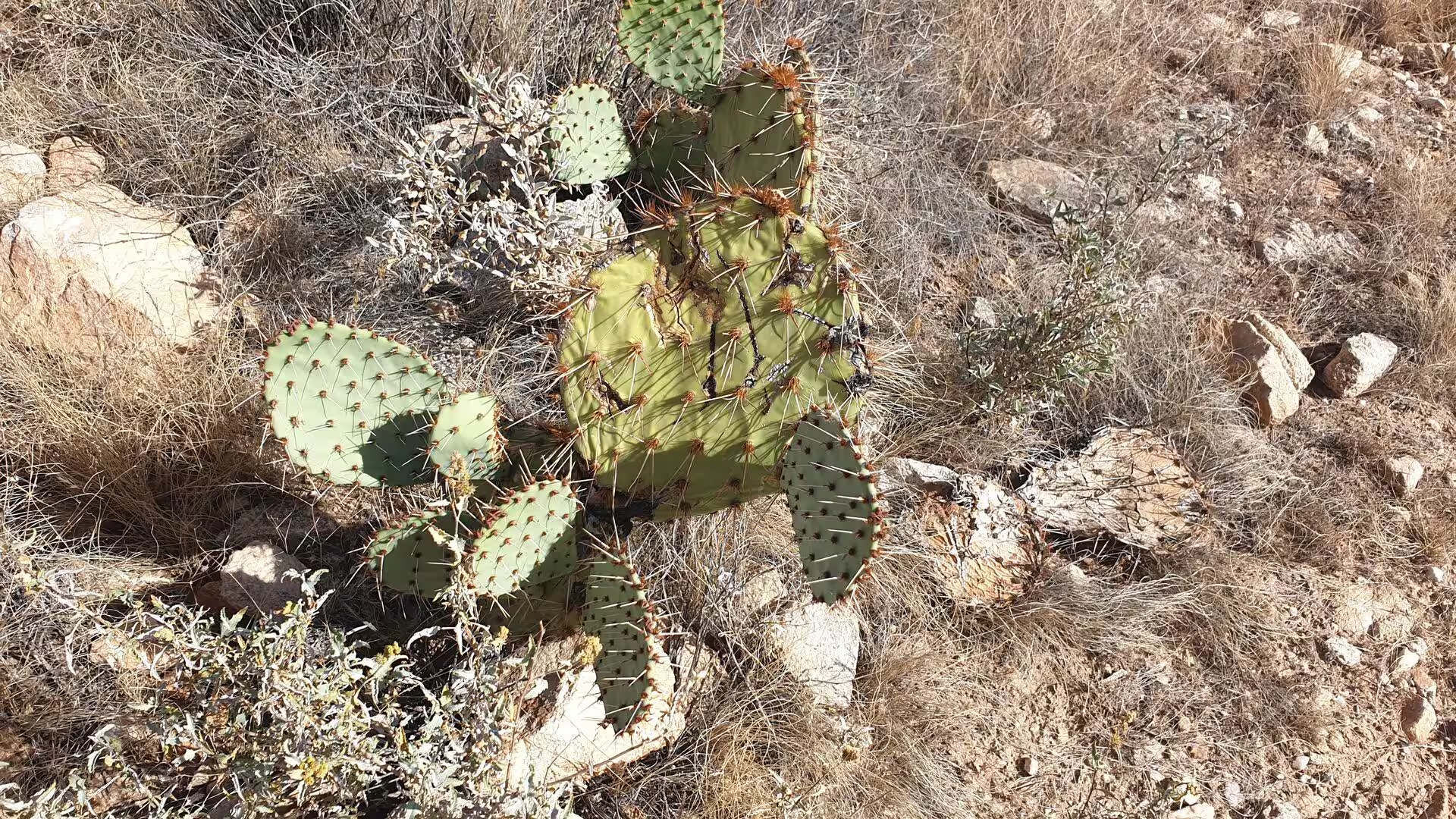
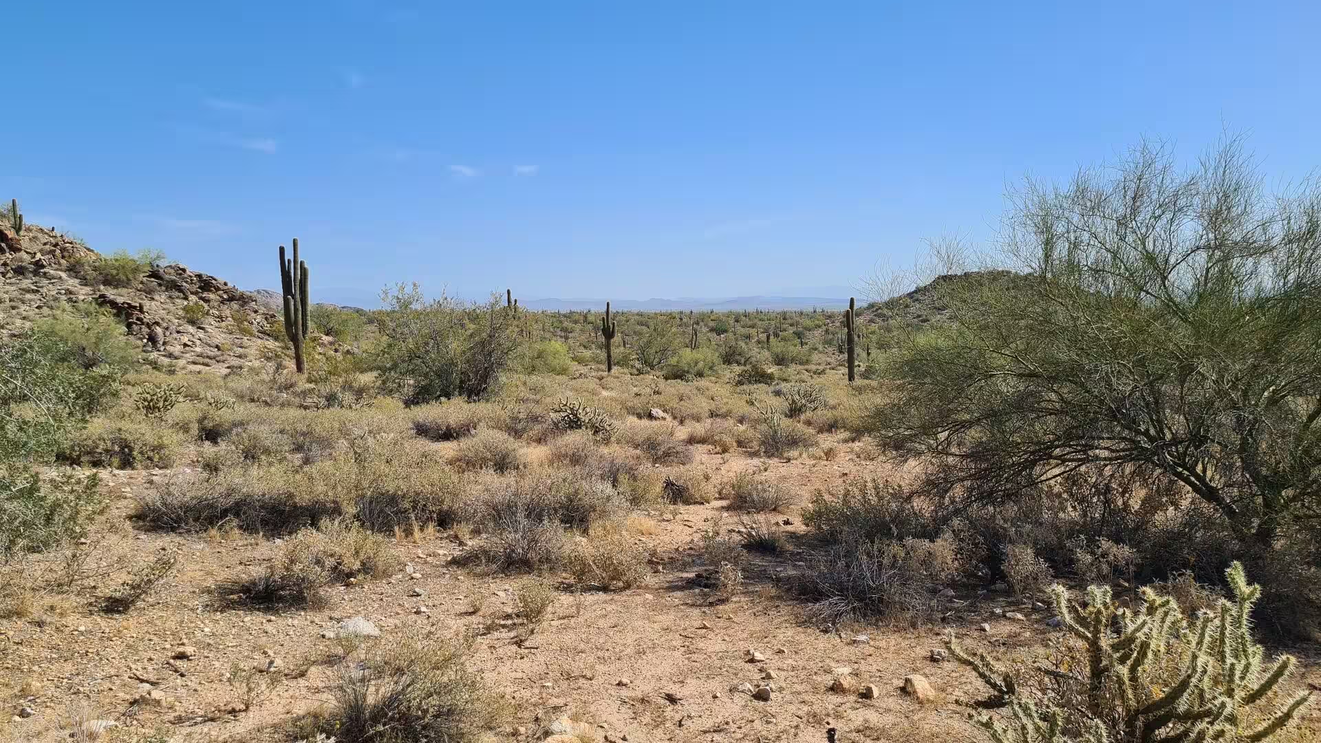
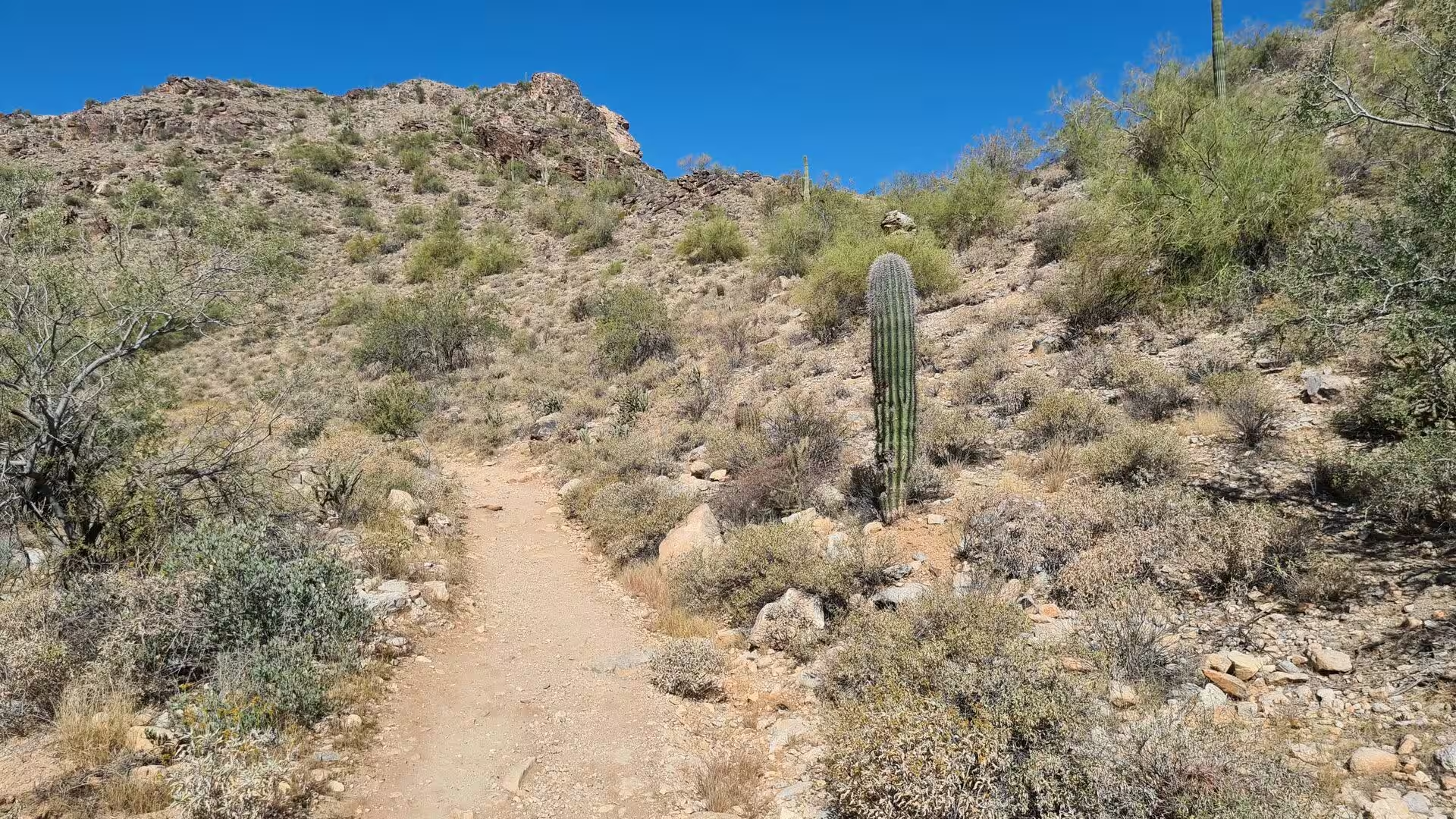
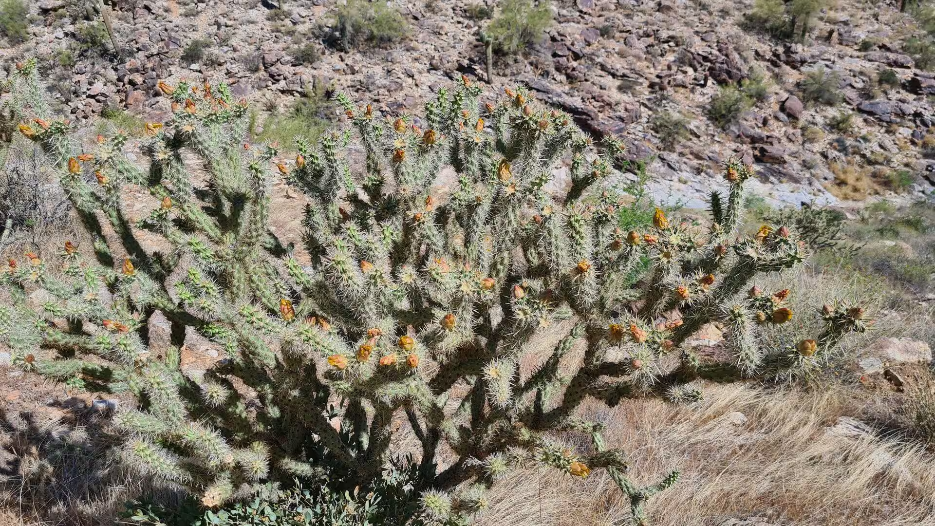
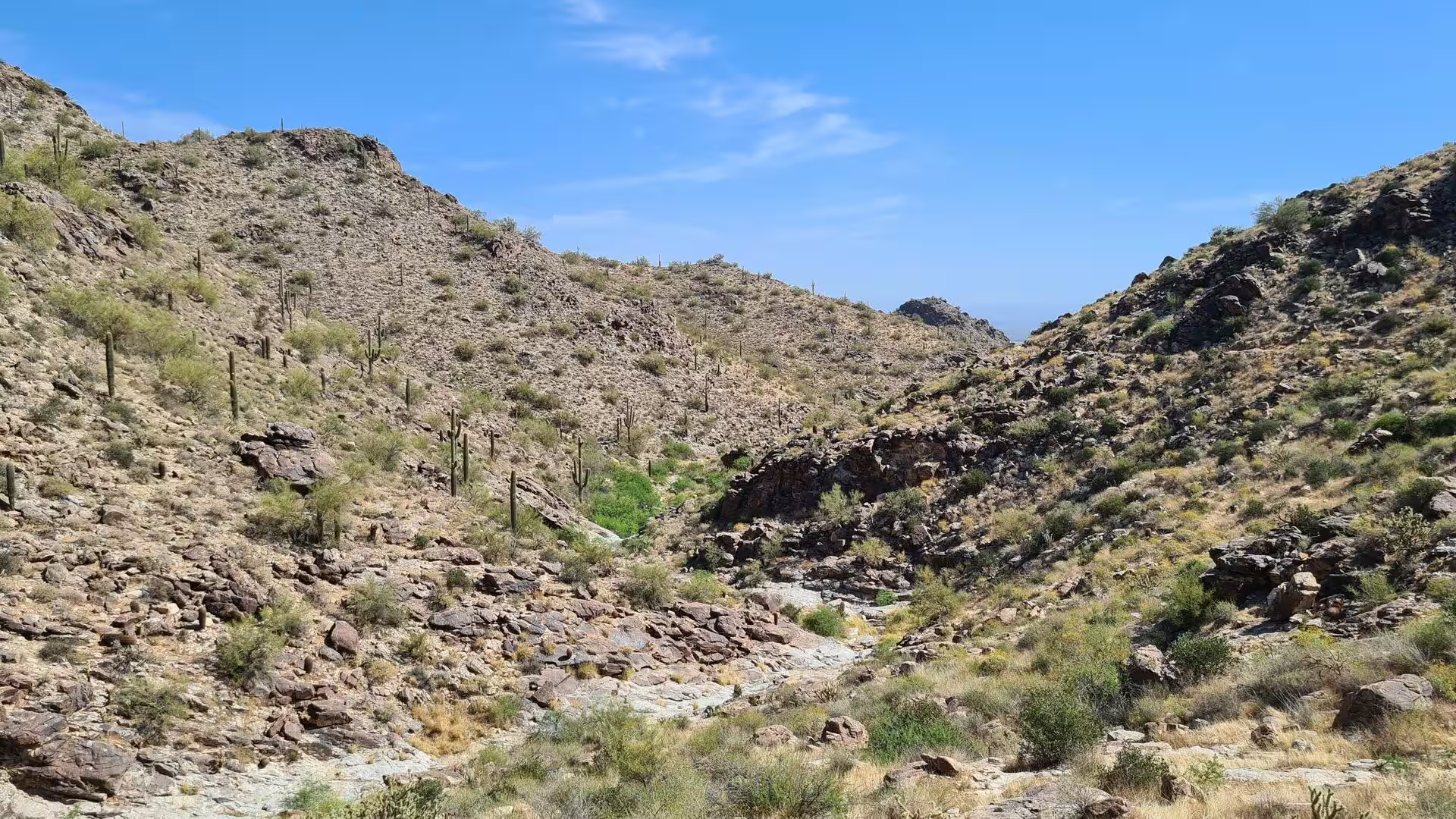
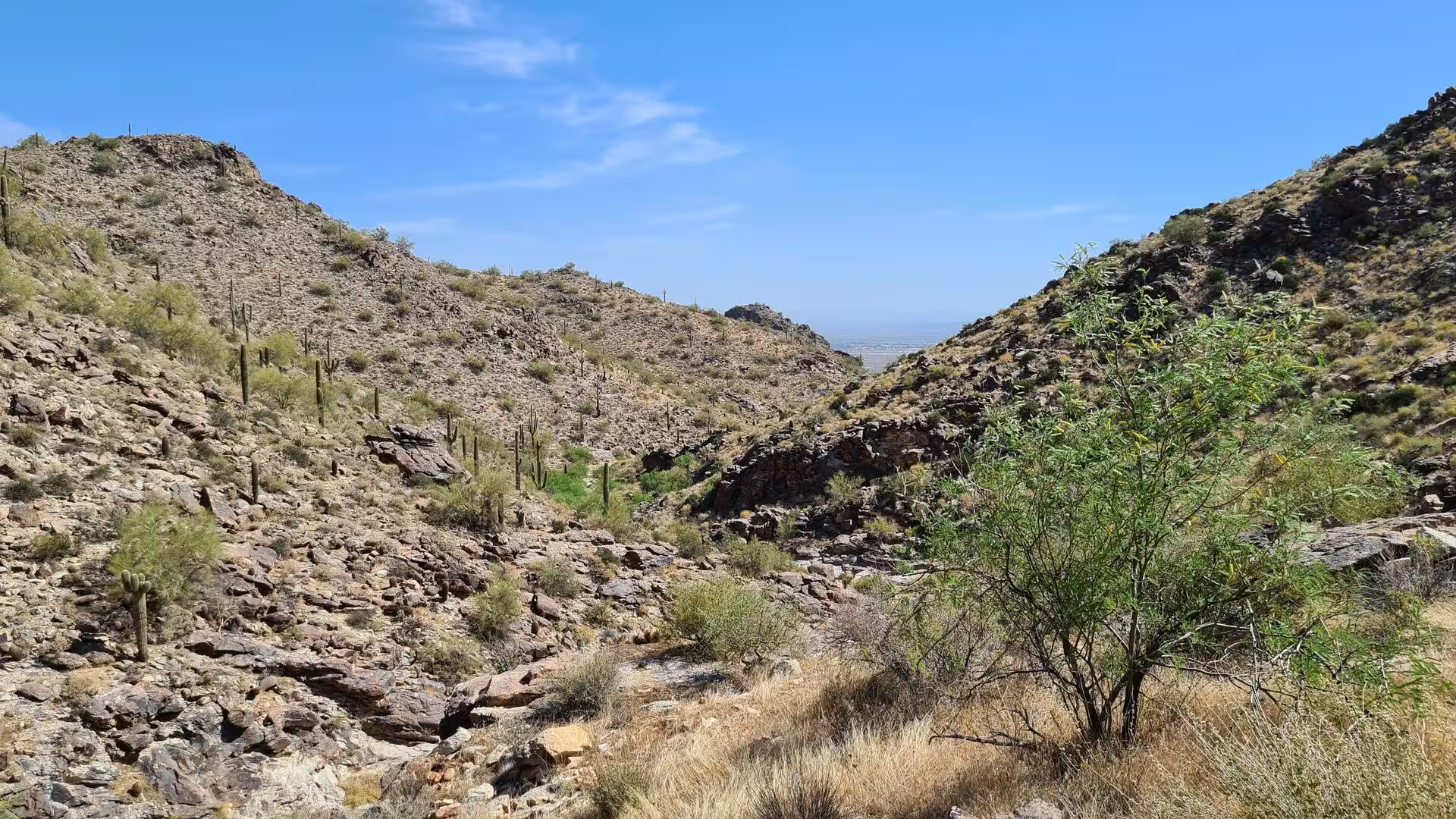
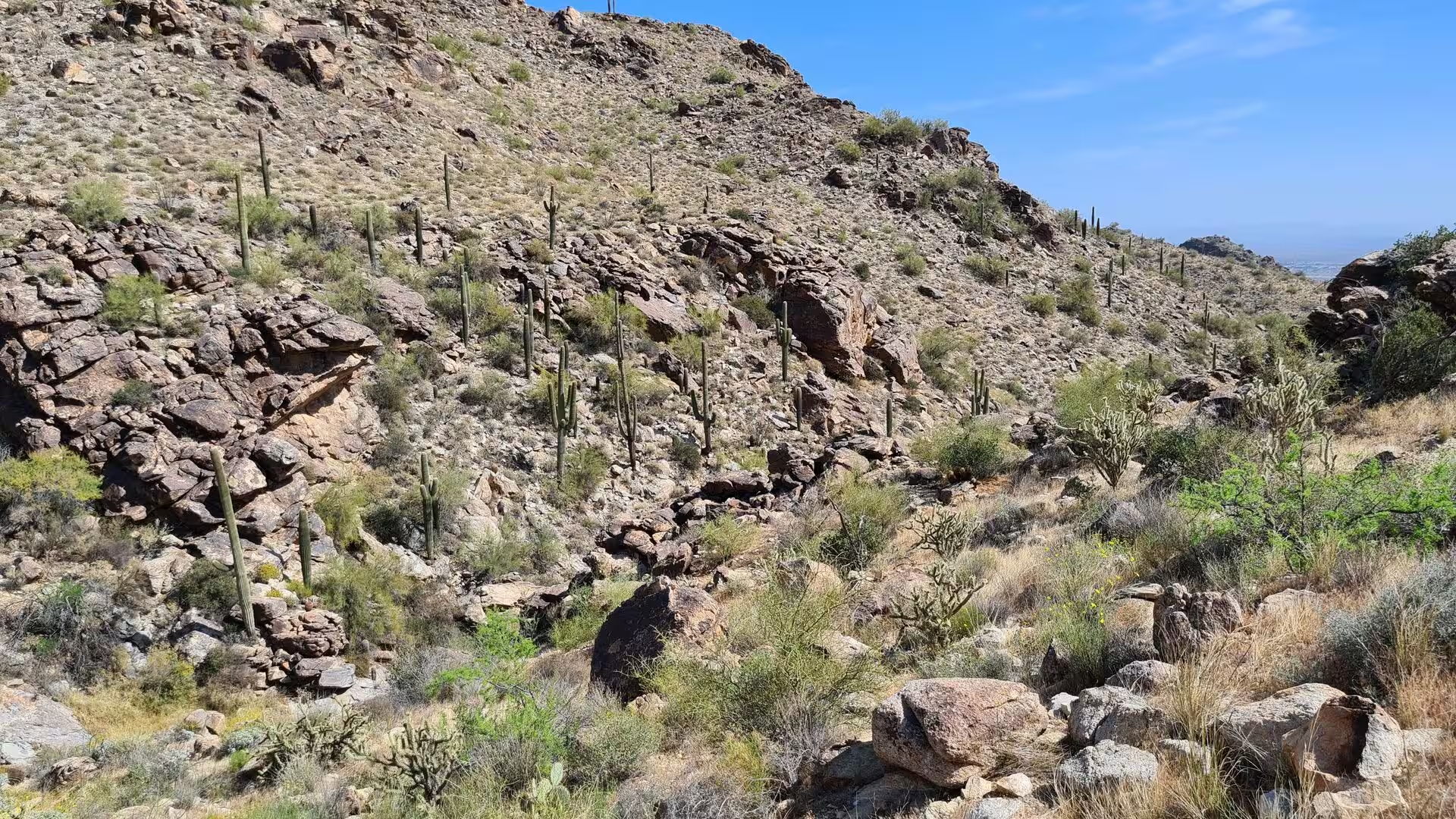
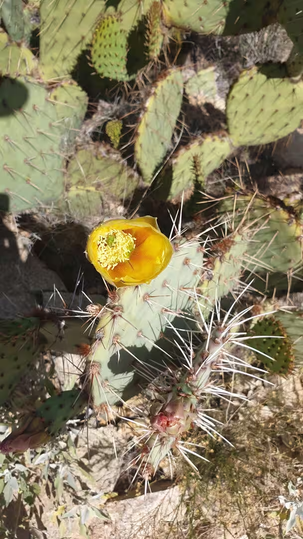
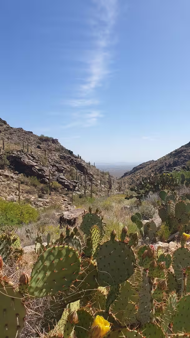
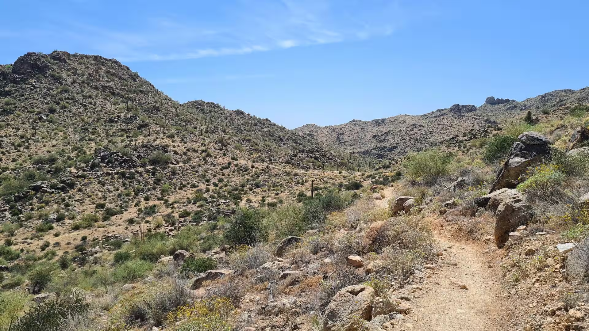
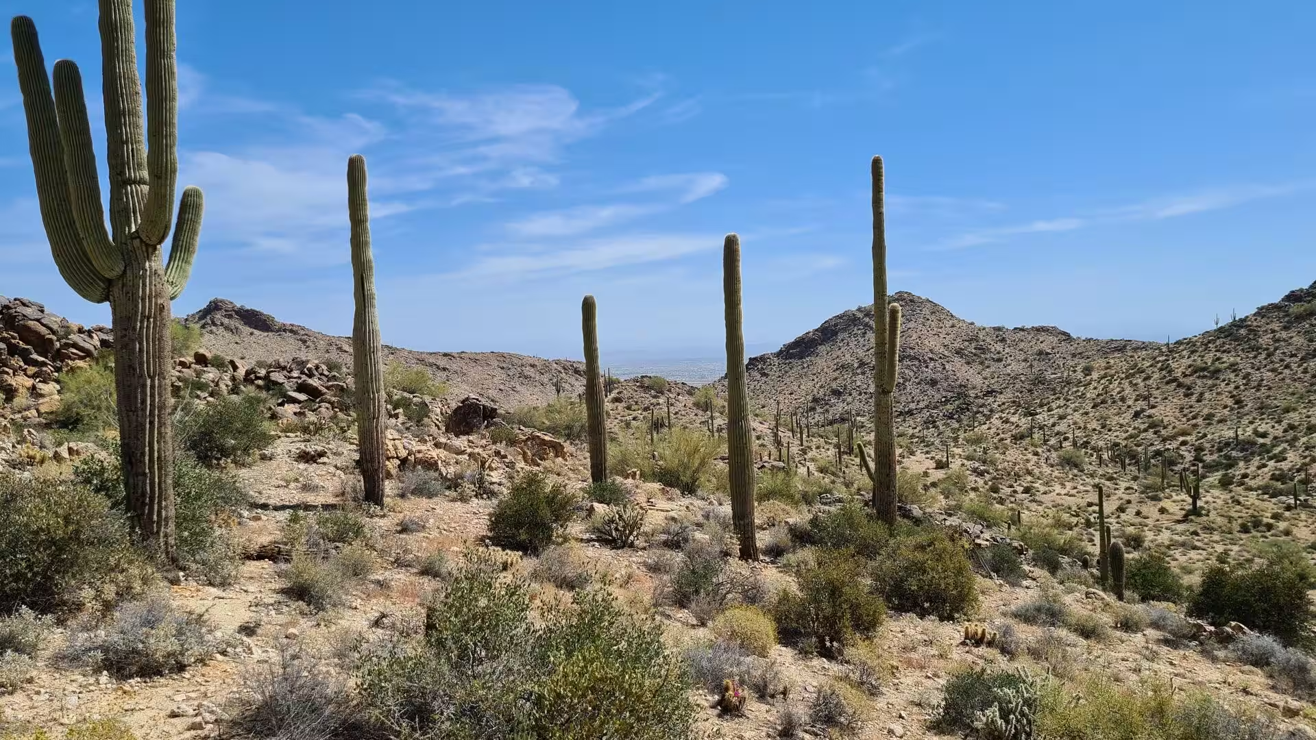
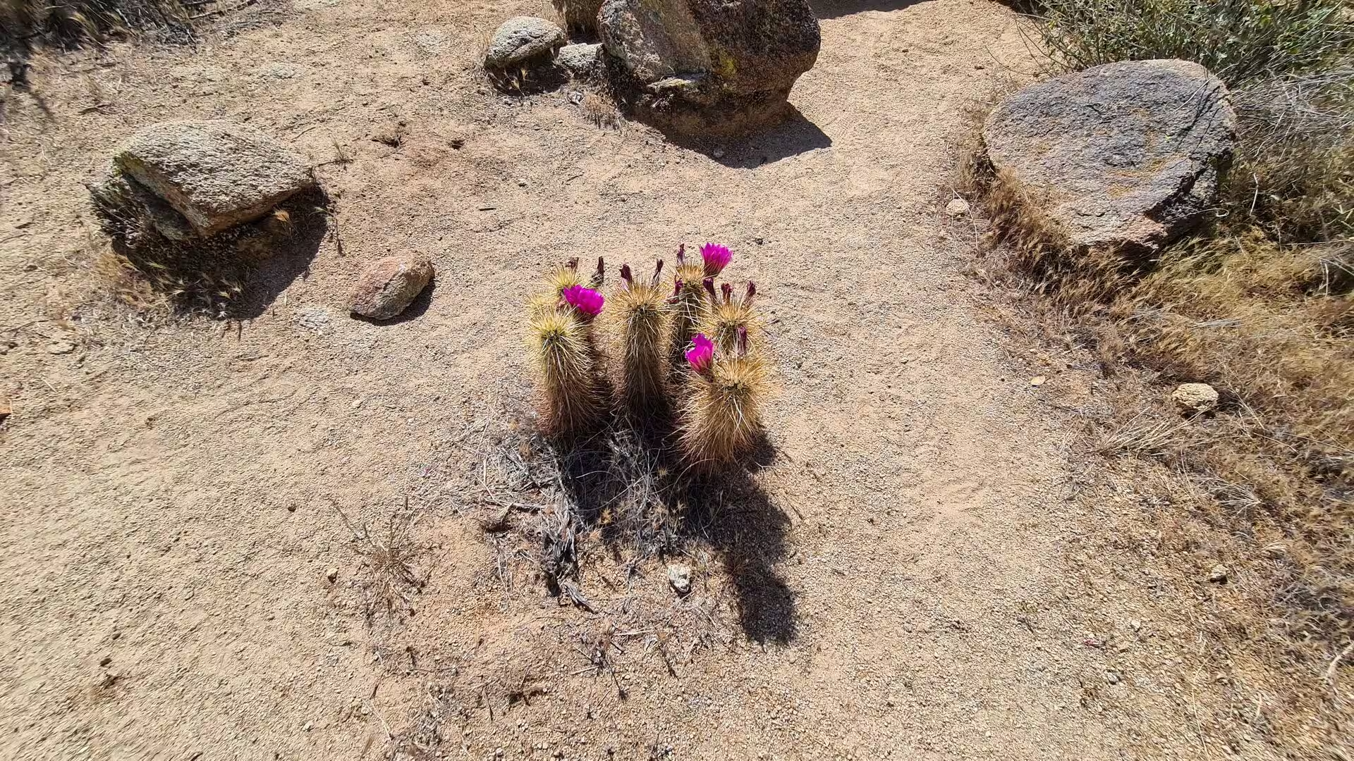
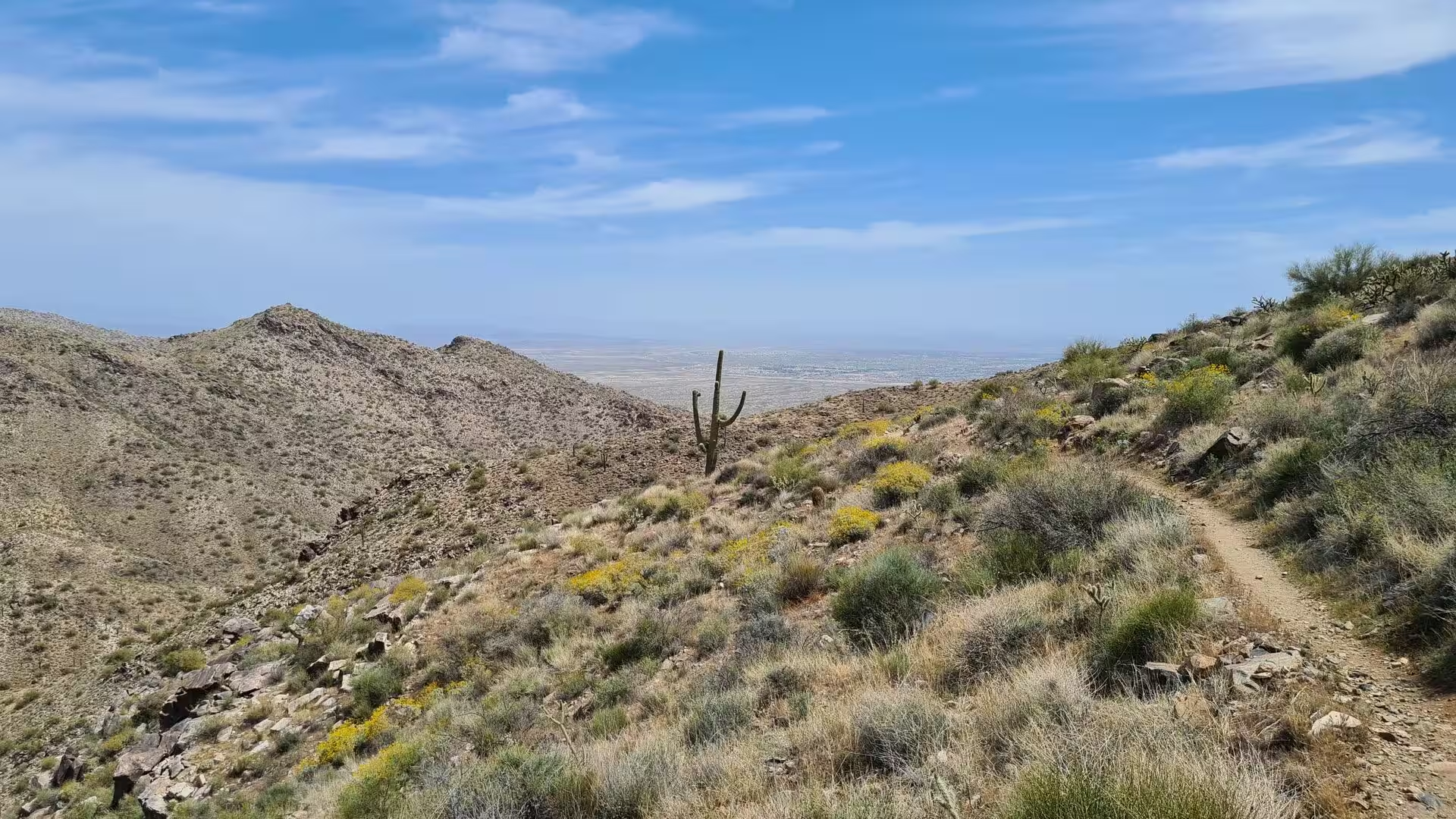
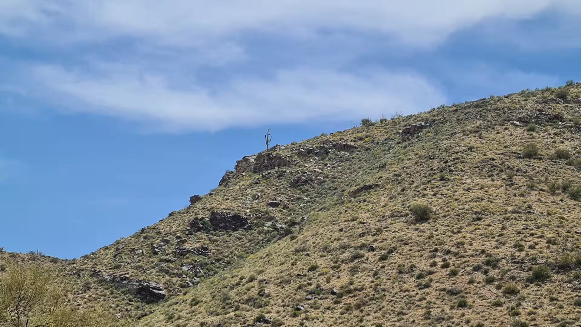
The vegetation is the classic assembly of the Sonoran Desert: saguaro and barrel cactus, cholla and prickly pear, ocotillo, creosote bush, palo verde and mesquite, with grasses and small shrubs filling the spaces between them. The animal life of the park includes mule deer, coyotes and javelinas, several species of small rodents and, more rarely, mountain lions, as well as a long list of birds such as the roadrunner and the cactus wren, the state bird of Arizona. Lizards, snakes and the Gila monster represent the reptiles of the range.
The park is developed along its eastern entrance rather than throughout. Ramadas, picnic areas and campgrounds, some of them semi-developed with tables, grills, showers and spaces for recreational vehicles, serve visitors who spend the day or the night. Around 42 kilometres of hiking trails wind through the terrain, from simple walks to moderately challenging routes, and a separate ten mile track was laid out for competitive riding at high speed. The White Tank Library and Nature Center, housed since 2010 in a certified green building of 29,000 square feet at the entrance, adds live native reptiles, an information centre and a large viewing area.
History
Human presence in these mountains reaches back thousands of years. The Hohokam, the culture that occupied much of central and southern Arizona, left the clearest traces: eleven archaeological sites have been identified inside the park boundaries, among them seven villages that were occupied between 500 and 1100 CE. The villages belonged to a society of farmers who lived from the desert rivers, and the Black Rock Trail still leads to the remains of one of them, although the walls are low and easily overlooked beside the rock and the brush.
More visible are the petroglyphs scattered across the range. Most of them are of Hohokam origin, pecked into the dark surface of the rock, but some may have been made nearly ten thousand years ago by peoples of the earlier hunting cultures, which would place the oldest carvings in the range at the end of the last ice age. Visitors are welcome to look at and to record these figures, while park regulations forbid touching them or otherwise disturbing the rock surface.
The Hohokam are best known as the canal builders of the Salt River Valley, where they cut about 217 kilometres of irrigation ditches and made farming possible in the desert. They traded with the Ancestral Puebloans, the Mogollon and the Sinagua, and with Mesoamerica far to the south. Drought and severe floods between 1300 and 1450 are thought to have ended their settlements, and the mounds and canals they left behind were still visible when settlers arrived in the nineteenth century.
The modern history of the western valley is shorter. The region became part of the United States in 1848, the mining town of Wickenburg was founded to the north in 1863, Fort McDowell was built on the Verde River in 1865, and the town of Phoenix began with a canal company in 1867. After the founding of the city the western desert was ranching country, used by cattlemen who relied on the few natural water holes of the range, the rock tanks that collect rainwater in hollows in the bedrock, and the wells and windmills of the homesteads.
The park itself is a product of the second half of the twentieth century. It was established in the 1960s, when the growth of Phoenix began to press westward, and the library at its entrance followed in 2010. Its existence now depends on planning decisions rather than on distance: the suburbs of Buckeye and Surprise have reached its borders, and Surprise has identified the preservation of the range and the adjoining desert as one of the most critical issues in its general plan, with a green belt intended to hold residential development back from the boundary.
Geology
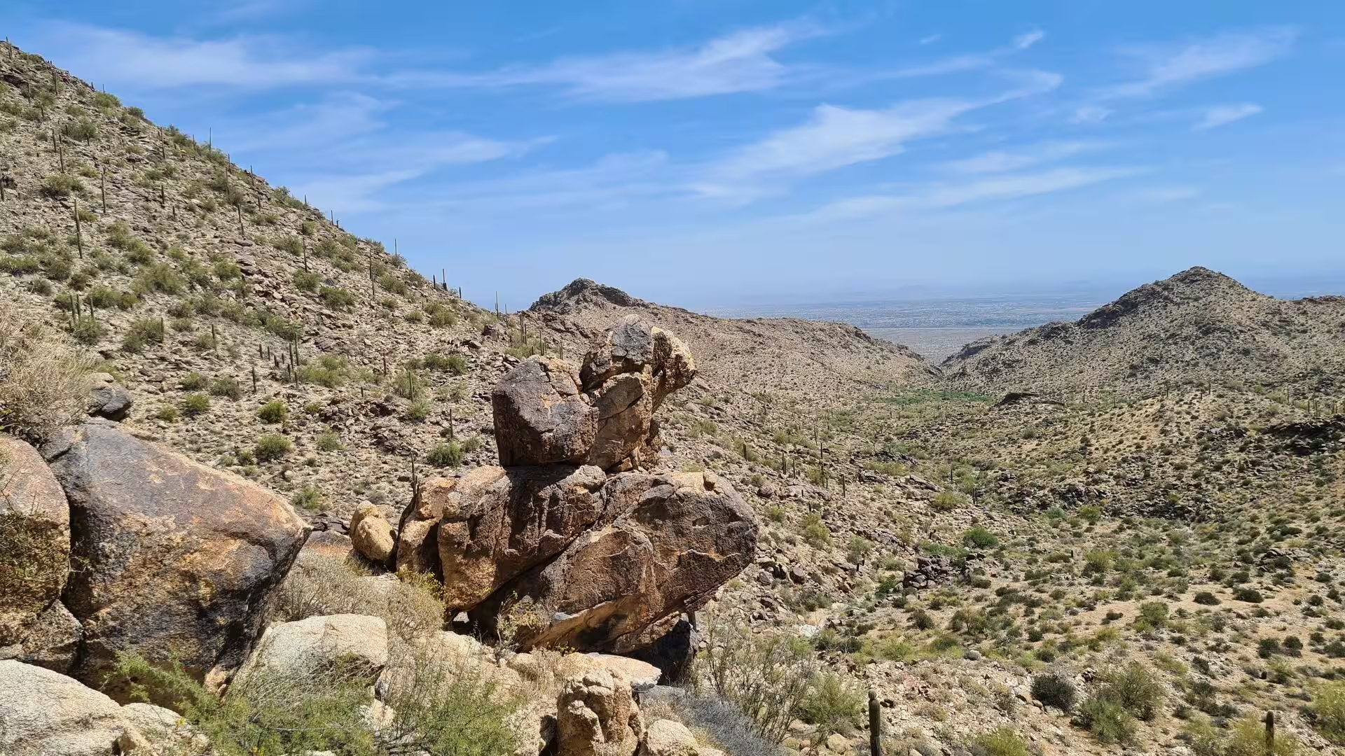
The range belongs to the Basin and Range Province, the physiographic region that covers much of the inland western United States and north western Mexico and is defined by abrupt changes of elevation, alternating between narrow faulted mountain chains and flat arid basins. The topography is the result of tectonic extension that began about 17 million years ago in the early Miocene, and it gives the landscape its characteristic order: mountains rising from a flat valley floor without foothills of any size, and a straight horizon across the desert on either side.
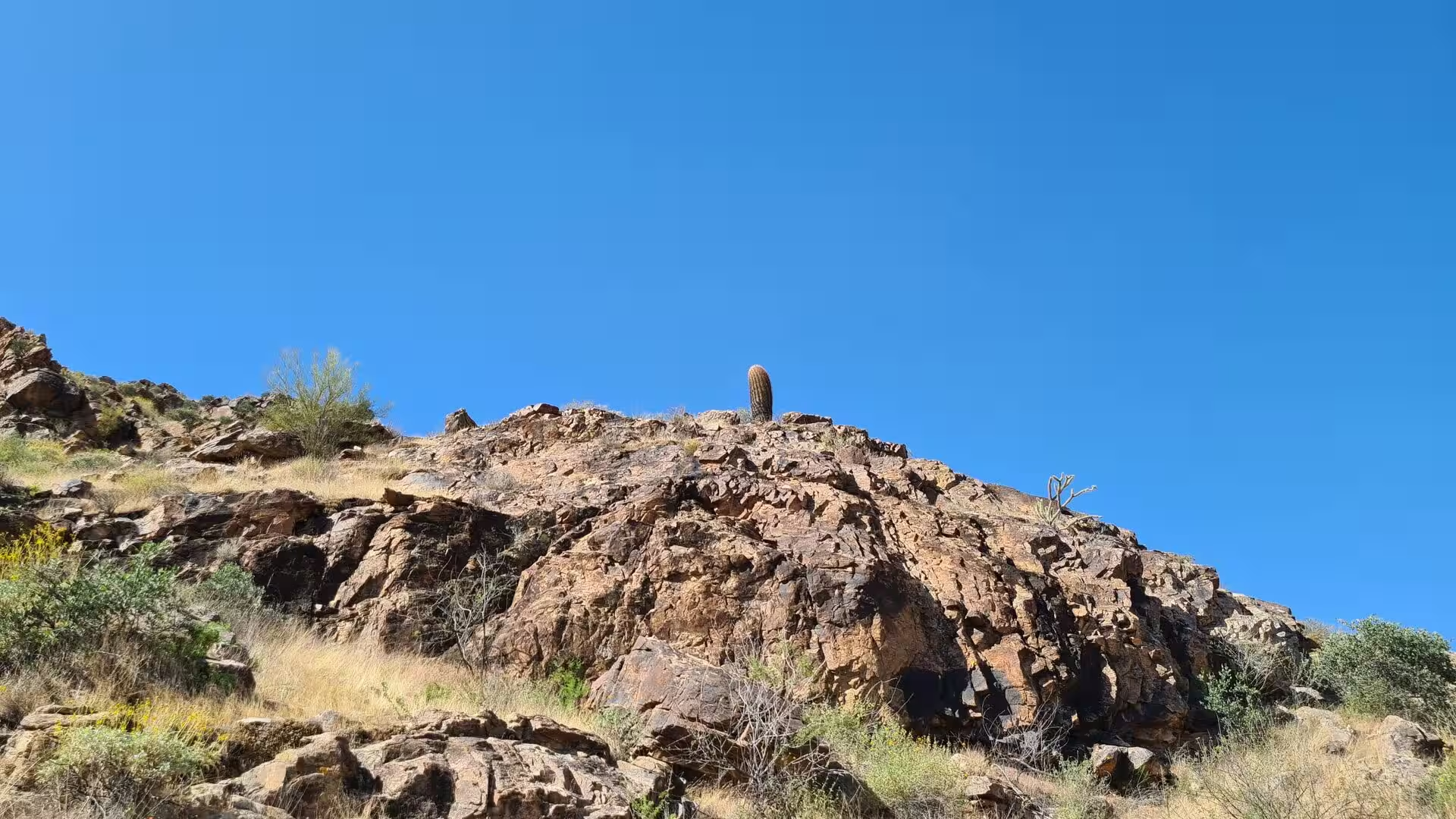
The slopes themselves are the product of erosion rather than of the original uplift. The rock of the range is broken and jointed, water enters along the fractures, and the freeze and thaw of winter nights opens the blocks further until they fall away as the boulders and rubble that cover the hillsides. What remains after millions of years of this work are the sharp ridgelines and the bare peaks that stand above the valley, with deeper soil only where the debris has collected.
Between the mountains and the flat desert floor lie broad alluvial fans and bajadas, sheets of sediment carried out of the canyons by water and dropped where the slope slackens. The process is irregular: a single monsoon storm may move more material in an hour than the ordinary weather does in a year, and the gravel and boulders it leaves behind build the fan outward in steps. The same material covers the older surfaces of the valley with the desert pavement that protects the fine dust below it from the wind.
Water is the defining absence and the defining event. The streams of the range flow only after rain, and the best known of them is the short canyon reached by the Waterfall Trail, which holds a seasonal fall when the catchment above it is wet. At other times the same channels are dry corridors of sand, gravel and stone, passable on foot and dangerously fast during a thunderstorm, when a wall of water and debris can arrive without warning from a cloud the walker may not even see.
In a wider sense the range marks a boundary between two deserts of the same region. To the east lies the irrigated Salt River Valley, whose fields and gardens are fed by the reservoirs and canals of the Salt River Project, and to the west and south the land becomes drier towards the Gila River and the low desert near the Colorado. The mountains themselves are neither forested nor green: the vegetation that covers them lives on the fraction of rain that falls, and the appearance of the range changes from grey to olive green and back again with the seasons.
Things to See
The Waterfall Trail is the most used route in the park and the easiest introduction to the range. It runs 0.9 miles, about 1.4 kilometres, from the trailhead into a narrow canyon and ends at the place where the rock walls close in and the water falls in the wet season. The walk is short and largely flat, but the destination depends on the weather: after a good rain the fall is a proper cascade, and in dry months the same spot is a shaded cleft of dark rock above a sandy floor.
The petroglyphs are the other reason to walk here, and they are spread along several of the trails rather than gathered in one place. The figures are pecked into the darker rock surfaces of the hillsides, where the desert varnish that builds up over centuries gives the figures their contrast. The site of one Hohokam village is reached on the Black Rock Trail, and the archaeology of the range as a whole comprises eleven recorded sites, seven of them villages occupied between 500 and 1100 CE.
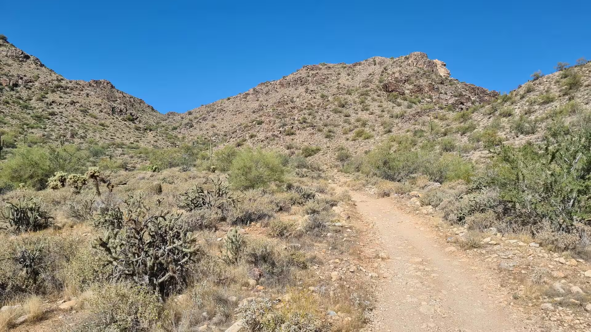
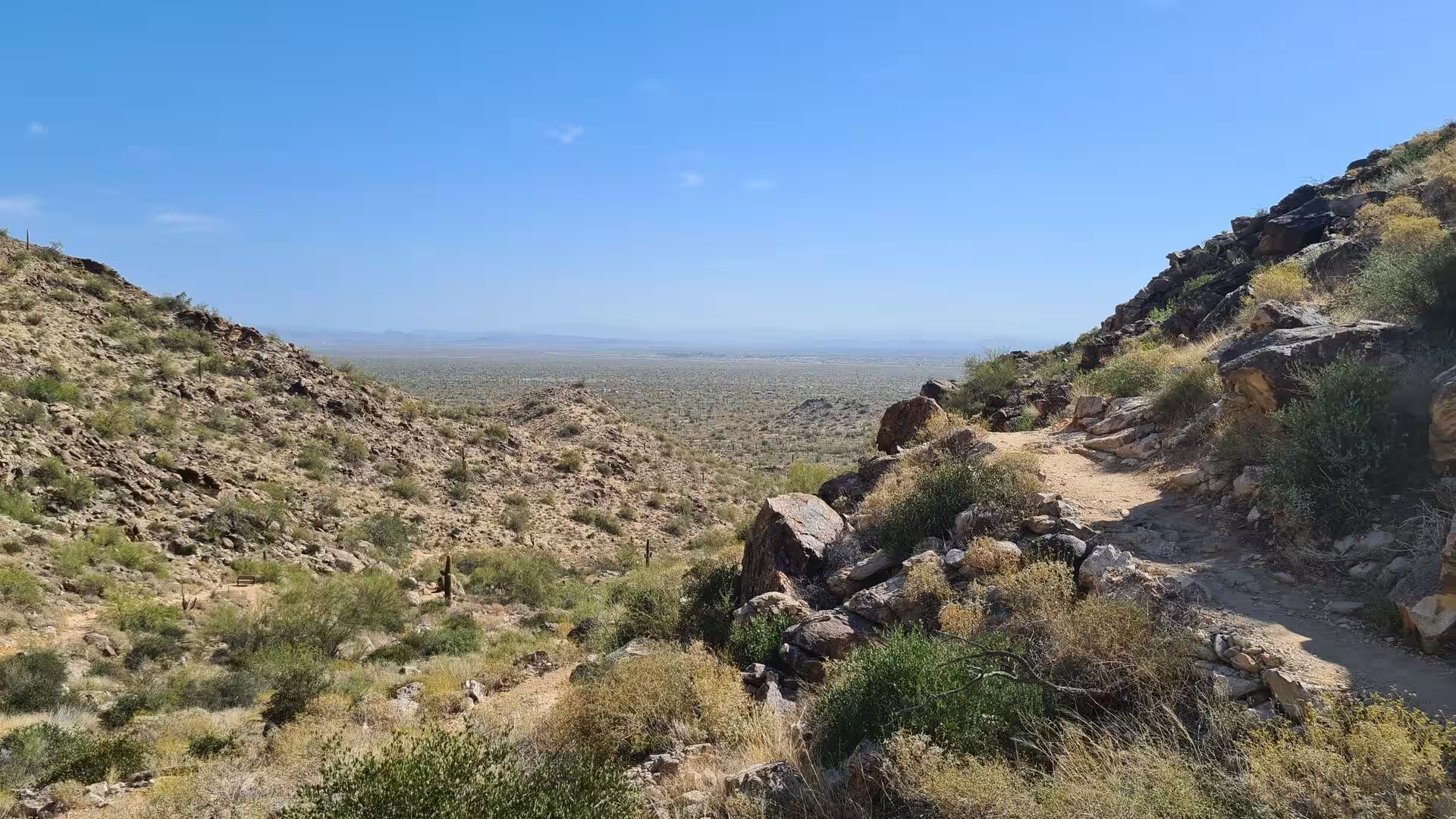
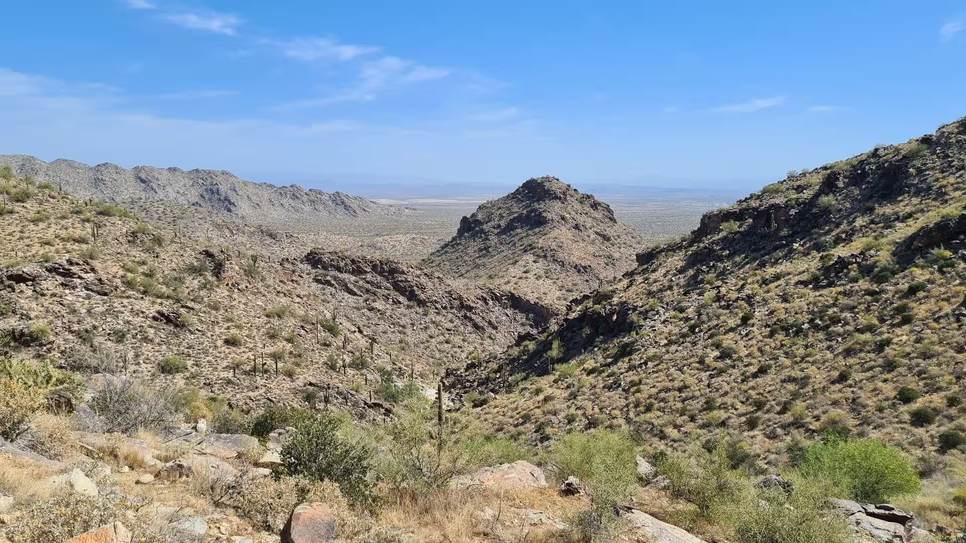
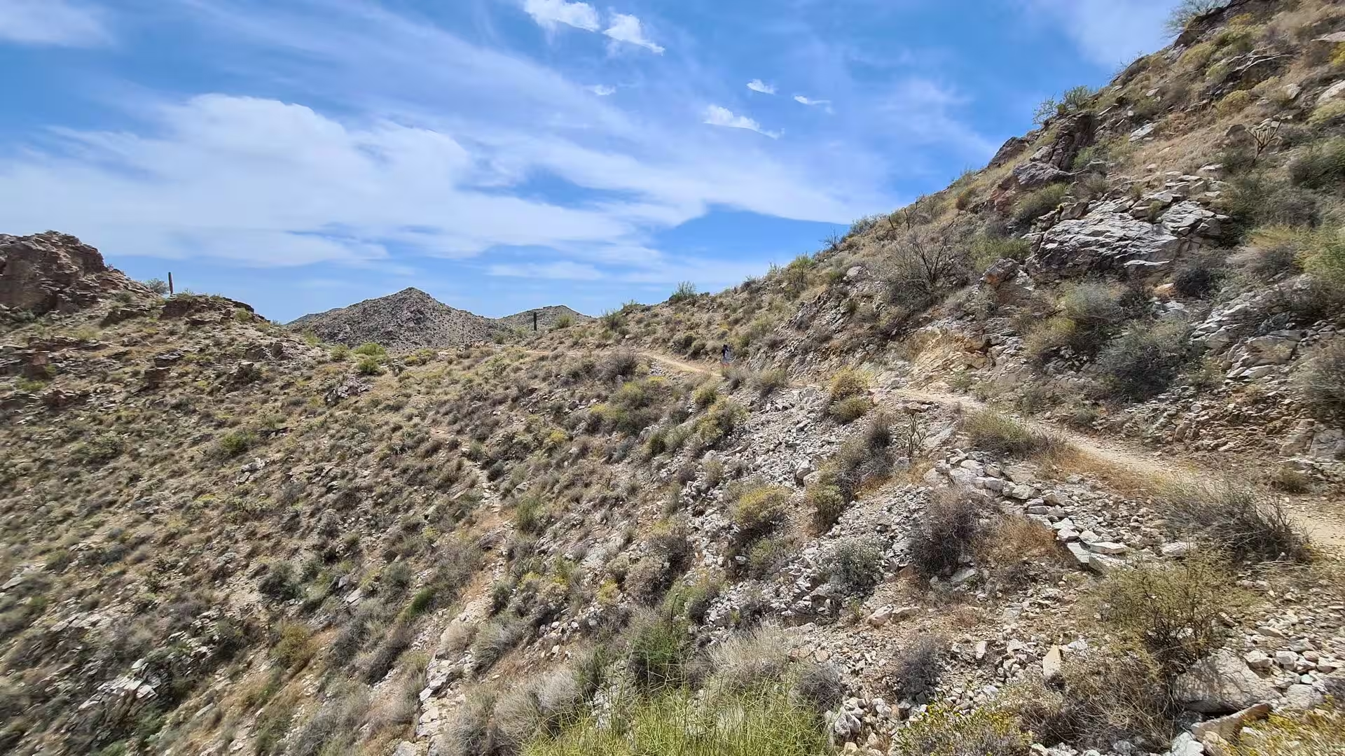
The network of trails covers nearly 26 miles, about 42 kilometres, of the park and ranges from gentle walks to routes that climb over loose rock to the ridges. The reward at the top is the view: the whole western valley of the Salt River lies spread out to the east, with the Estrella Mountains to the south and the town of Surprise immediately below, and on clear days the far ranges beyond the city are visible in layers of blue.
Cycling and horse riding are permitted on many of the trails, and a separate ten mile competitive track was built for riders who want speed and technical ground rather than a scenic route. Mountain biking is a long established sport in the Arizona desert, where the dry surface and the rock make year round riding possible, and the park is one of the places near Phoenix where a full day can be spent on the bike without leaving the county.
Camping is a simple affair at the White Tank Mountains. The campgrounds offer tables, barbecue grills and restrooms with showers, some of them with spaces for recreational vehicles, and the ramadas and picnic areas are used for family gatherings through the cooler months of the year. The park service also runs guided hikes, interpretive nature walks and programmes for children, which are the practical way to learn the names of the plants along the trail.
The dark skies of the site are an attraction in their own right. The park lies at the semirural western edge of the metropolitan area, far from the glow of the city centre, and the park organises stargazing evenings through the year with amateur astronomers and their telescopes. The clear desert air and the low humidity of most nights make the conditions reliable, and the constellations of the northern sky appear above a dark horizon unbroken by trees.
For families the White Tank Library and Nature Center at the entrance is the first stop. The building opened in 2010 and is certified for its low energy consumption, with a large window wall that looks into the park. The nature centre keeps live native reptiles and offers education programmes for children, families and adults, and the library beside it serves the surrounding communities with books and study space only minutes away from the desert wilderness.
Wildlife watching belongs to the same day out. Mule deer, coyotes and javelinas are seen regularly along the trails, the roadrunner and the cactus wren are common among the shrubs, and the spring flowering of the barrel cacti and the prickly pear colours slopes that are grey for most of the year. The advice of the park is unchanged by the season: water, a hat and an early start, because the heat on the open rock becomes dangerous long before noon in the months between May and September.
References
- Wikipedia contributors (2026). White Tank Mountain Regional Park. en.wikipedia.org/wiki/White_Tank_Mountain_Regional_Park
- Wikipedia contributors (2026). Hohokam. en.wikipedia.org/wiki/Hohokam
- Wikipedia contributors (2026). Petroglyph. en.wikipedia.org/wiki/Petroglyph
- Wikipedia contributors (2026). Rock art. en.wikipedia.org/wiki/Rock_art
- Wikipedia contributors (2026). Sonoran Desert. en.wikipedia.org/wiki/Sonoran_Desert
- Wikipedia contributors (2026). Saguaro. en.wikipedia.org/wiki/Saguaro
- Wikipedia contributors (2026). Desert bighorn sheep. en.wikipedia.org/wiki/Desert_bighorn_sheep
- Wikipedia contributors (2026). Maricopa County, Arizona. en.wikipedia.org/wiki/Maricopa_County%2C_Arizona
- Wikipedia contributors (2026). Basin and Range Province. en.wikipedia.org/wiki/Basin_and_Range_Province
- Wikipedia contributors (2026). Mountain biking. en.wikipedia.org/wiki/Mountain_biking
- Wikipedia contributors (2026). Equestrianism. en.wikipedia.org/wiki/Equestrianism
- Wikipedia contributors (2026). Arizona. en.wikipedia.org/wiki/Arizona
- Wikipedia contributors (2026). Gila monster. en.wikipedia.org/wiki/Gila_monster
- Wikipedia contributors (2026). Bajada (geography). en.wikipedia.org/wiki/Bajada_%28geography%29
- Wells S.G. (2020) Geomorphic Controls of Alluvial Fan Deposition in the Sonoran Desert, Southwestern Arizona. Geomorphology in Arid Regions. 27-50. doi.org/10.4324/9780429299230-2
- Westaway R. (1989) Northeast Basin and Range province active tectonics: An alternative view. Geology. 17. 779. doi.org/10.1130/0091-7613(1989)017<0779:nbarpa>2.3.co;2
- Francis J. (2006) Pictographs, Petroglyphs, and Paradigms:. Discovering North American Rock Art. 181-195. doi.org/10.2307/j.ctv1qwwjr2.12
- Pape R.B., Peachey W.D. (2026) Frugivory and Dispersal of Saguaro Cactus (Carnegiea gigantea) Seeds by the Common Raven in the Arizona Upland Subdivision of the Sonoran Desert at Tucson, Arizona, USA. Cactus and Succulent Journal. 98. doi.org/10.2985/015.098.0207
- Austin G.T. (1974) Nesting Success of the Cactus Wren in Relation to Nest Orientation. The Condor. 76. 216. doi.org/10.2307/1366737
- Gutiérrez-Espeleta G.A., Kalinowski S.T., Hedrick P.W. (2000) Genetic population structure in desert bighorn sheep: implications for conservation in Arizona. Genetics, Demography and Viability of Fragmented Populations. 227-236. doi.org/10.1017/cbo9780511623448.016