USA
WhenMay—June 2022
CountriesUnited States
Stages21
Route
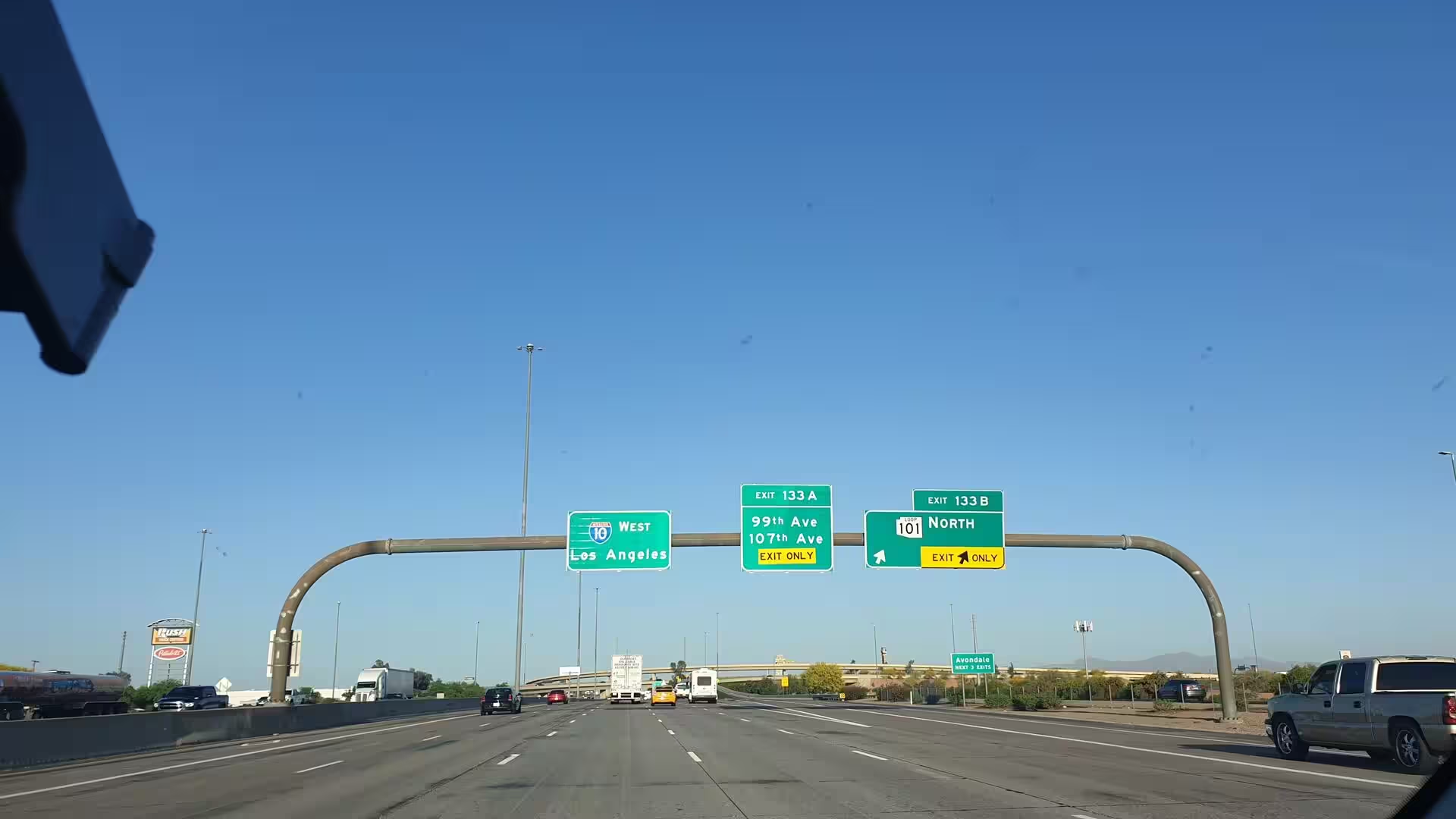
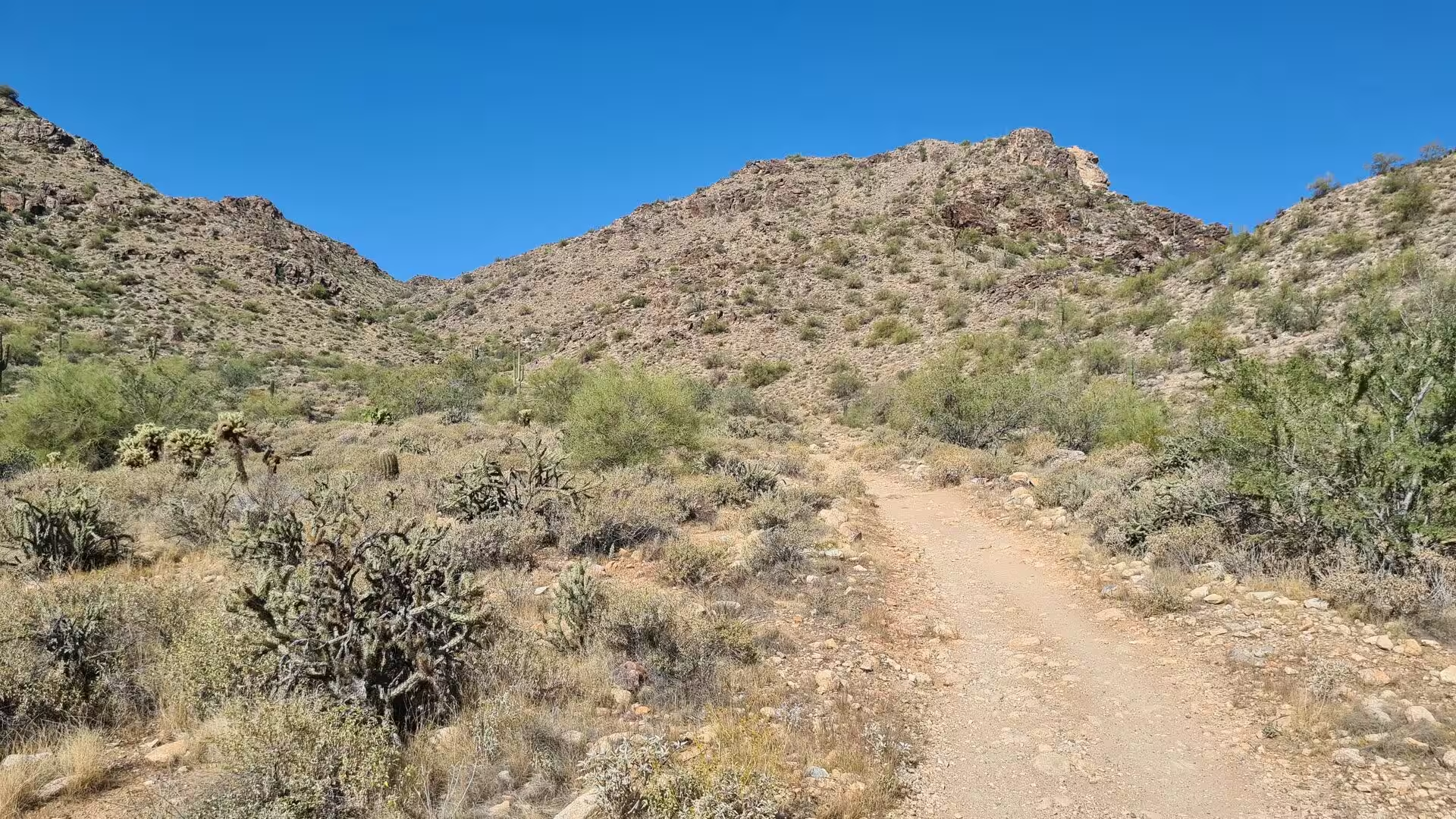
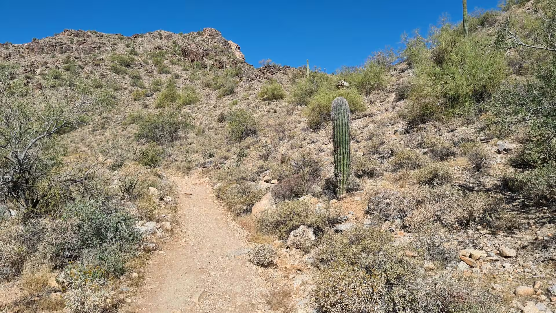
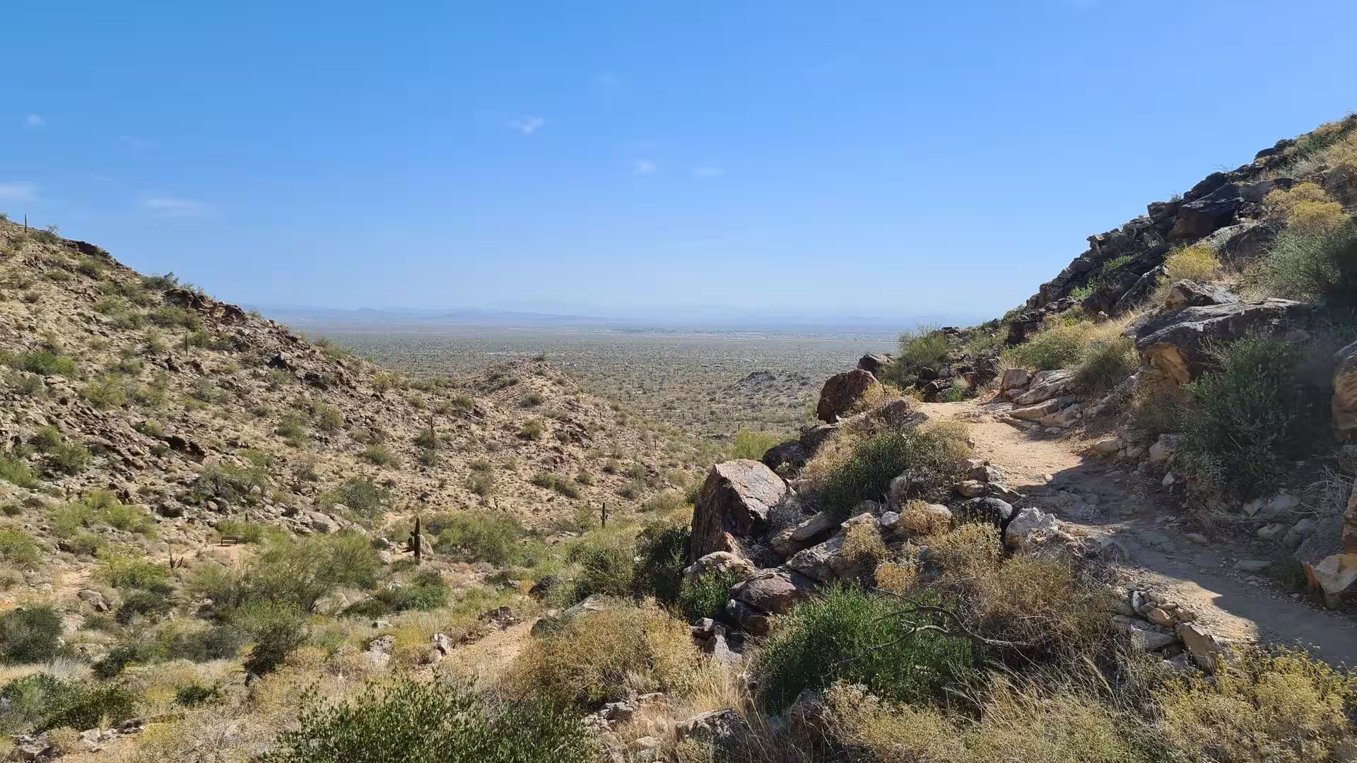
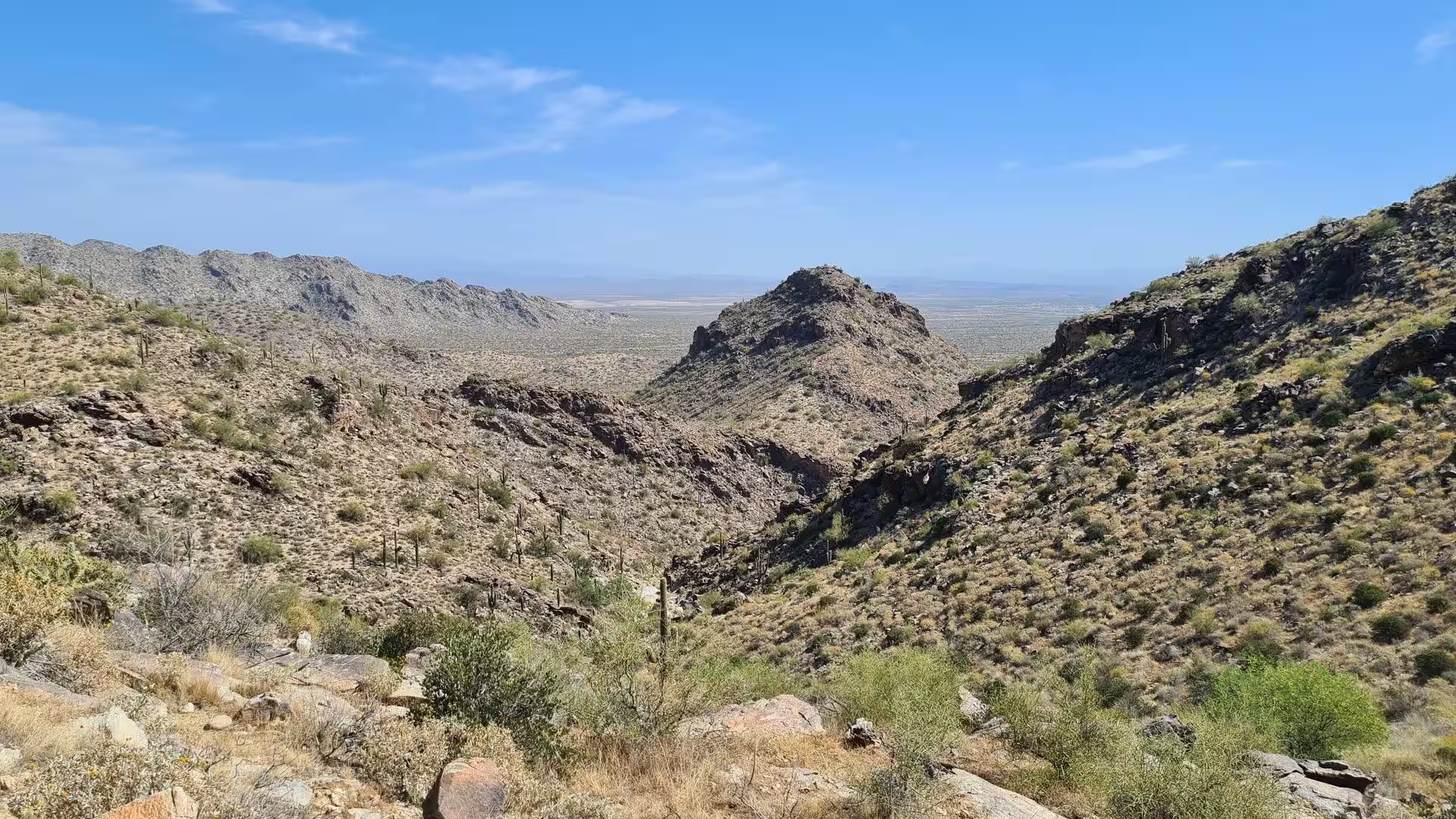
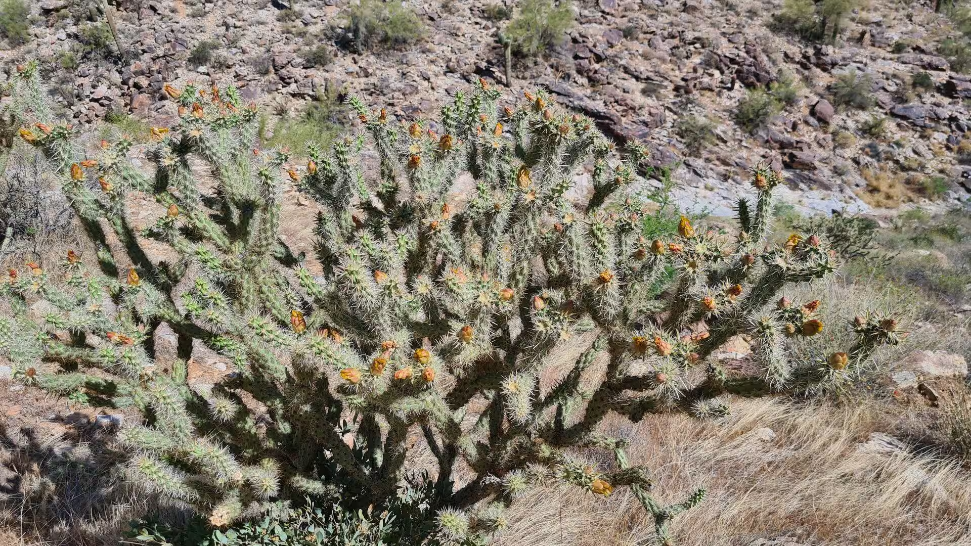
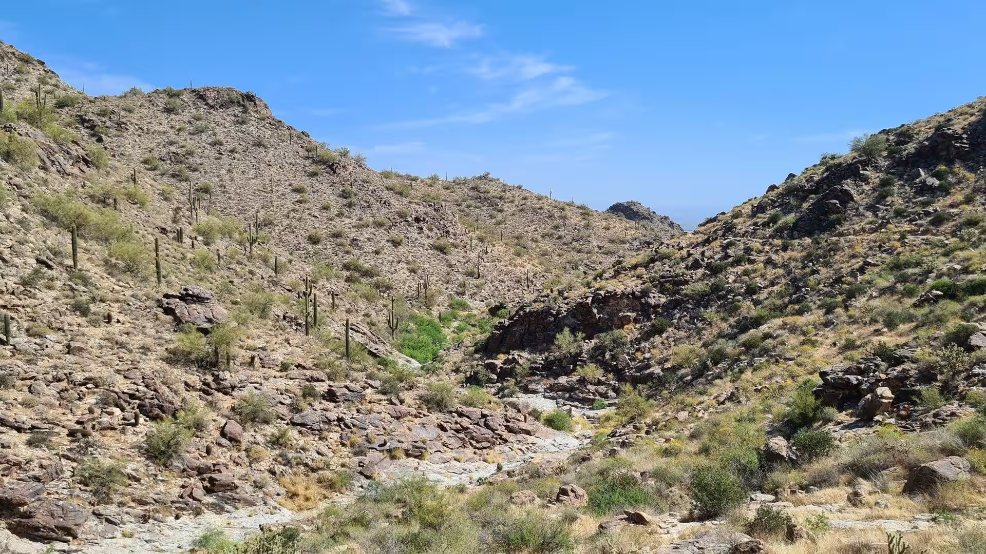
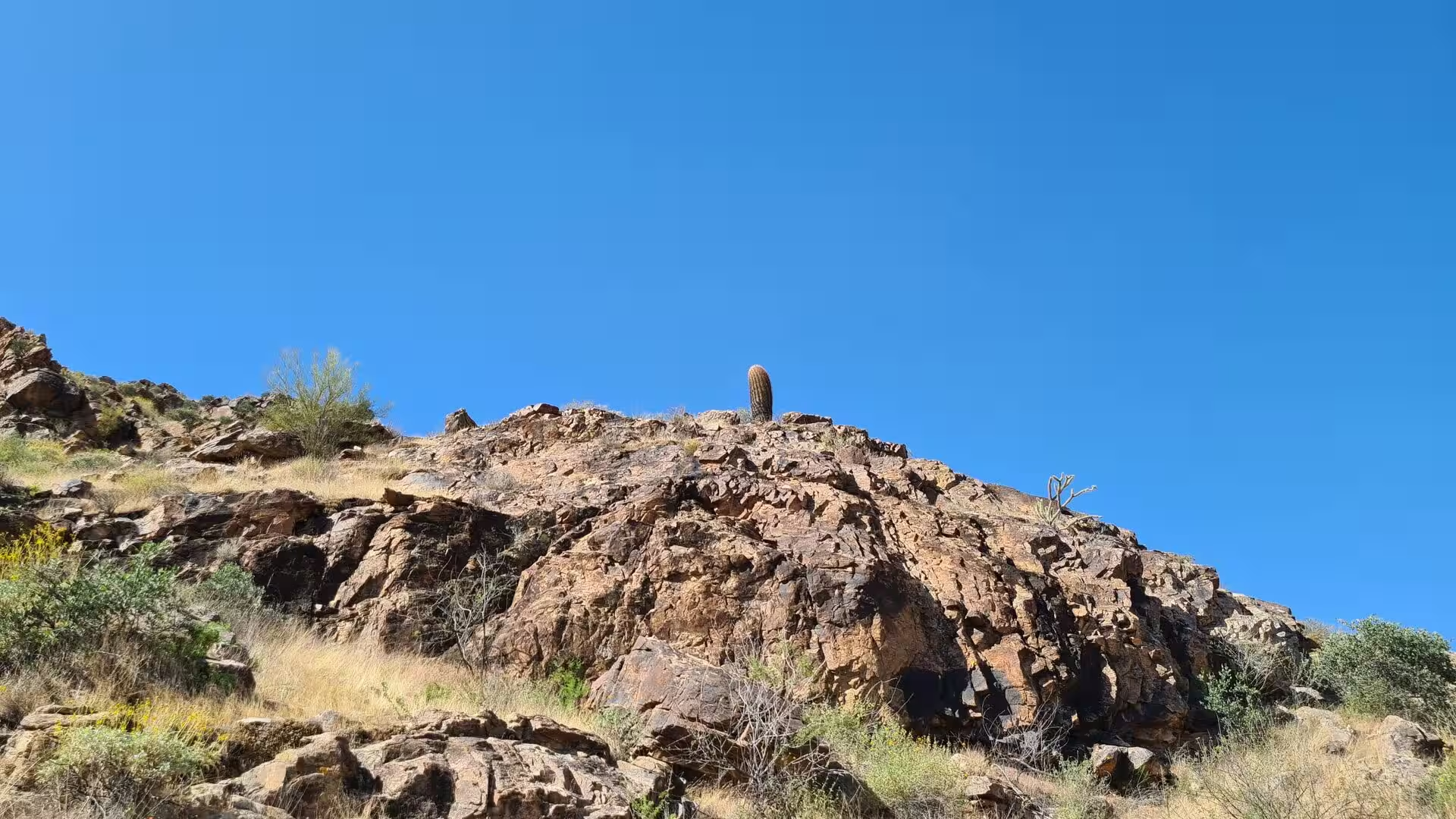
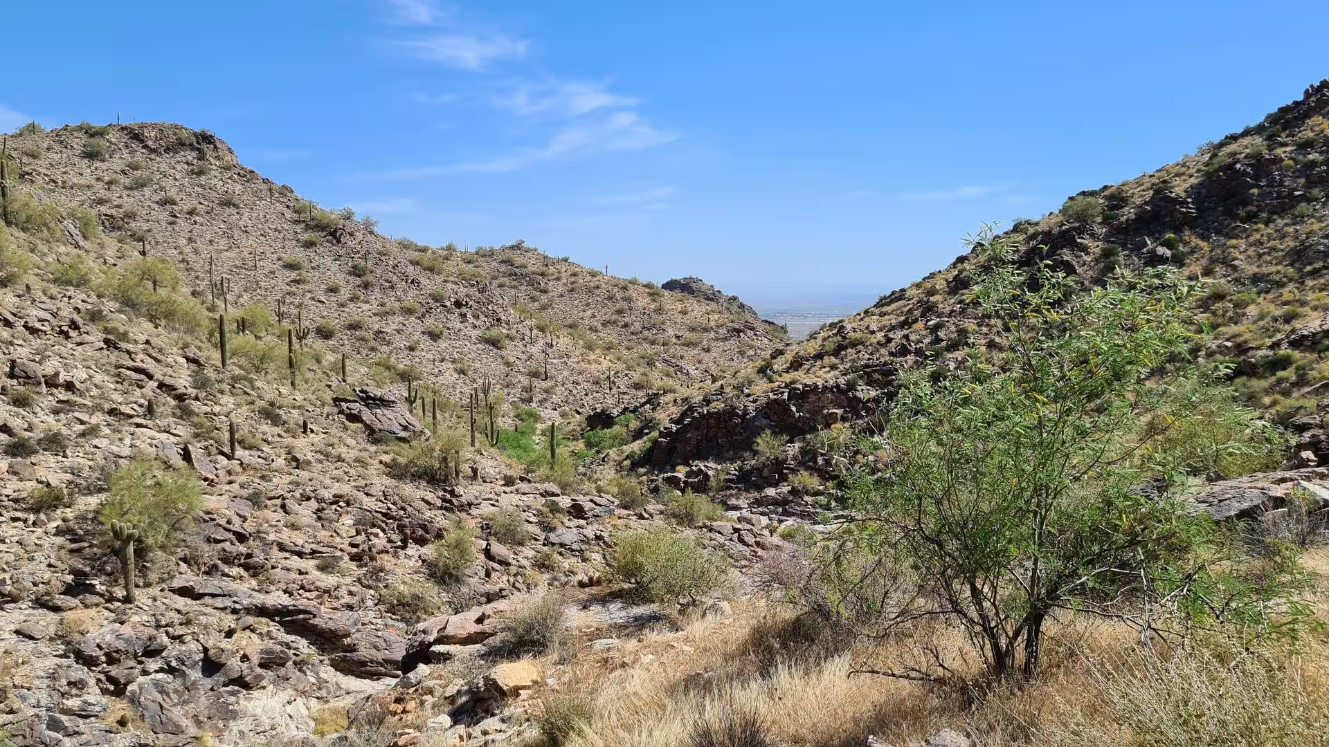
Day 2 - White Tank Mountains Arizona
2 May 2022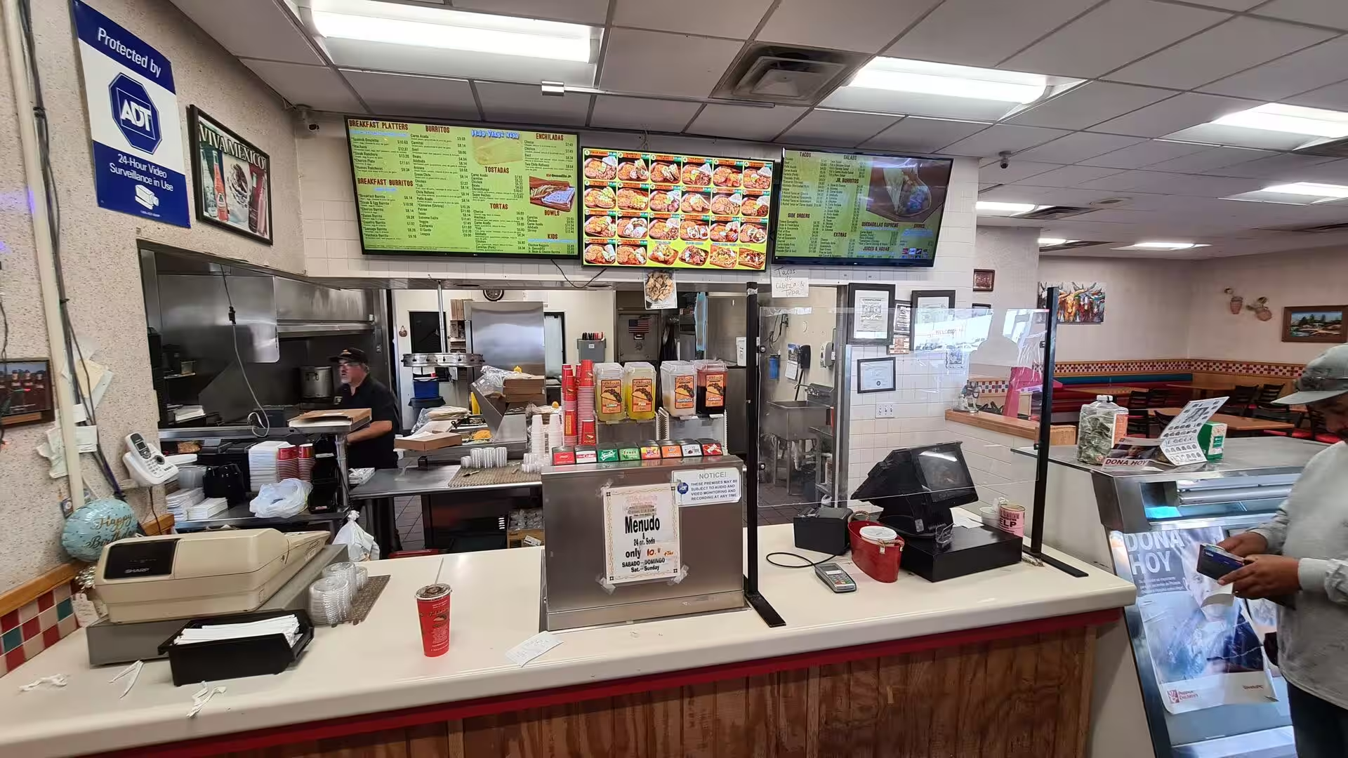
Day 3 - Arizona / California
3 May 2022
Day 4 - California - Joshua Tree National Park
5 May 2022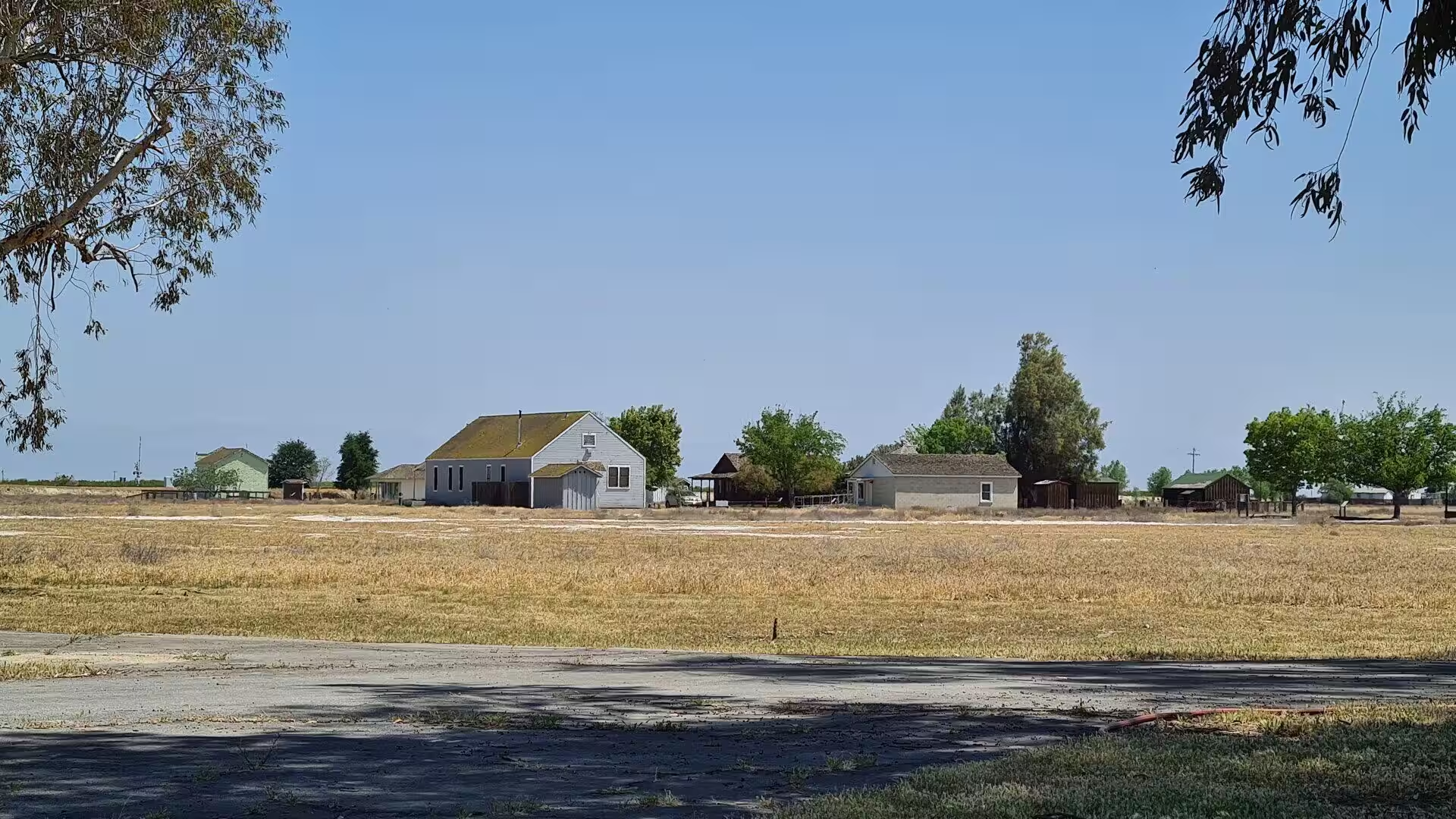
Day 5 - California
6 May 2022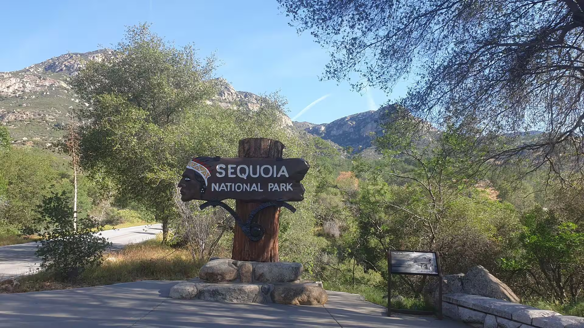
Day 6 - California / Sequoia National Park
11 May 2022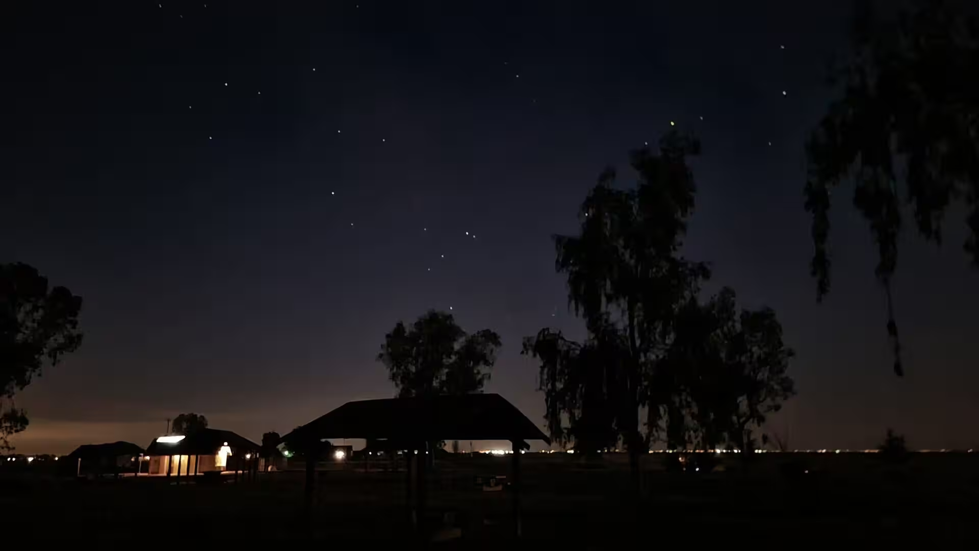
Day 7 - California / Yosemite National Park
13 May 2022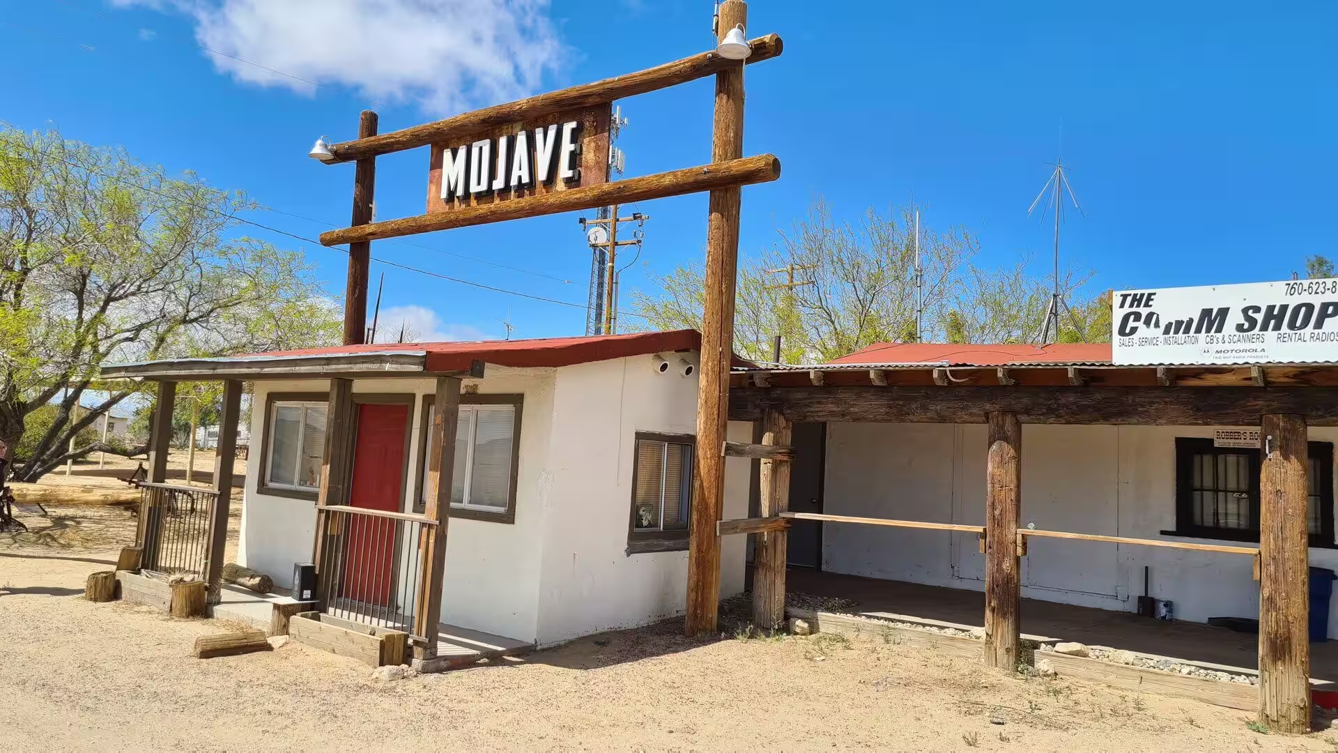
Day 8 - California / Ridgecrest / Randsburg
14 May 2022
Day 9 - Death Valley
16 May 2022
Day 10 - Death Valley
21 May 2022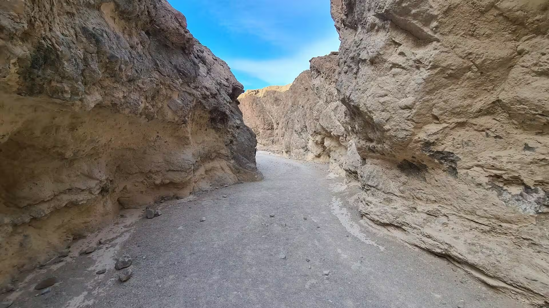
Day 11 - Death Valley
23 May 2022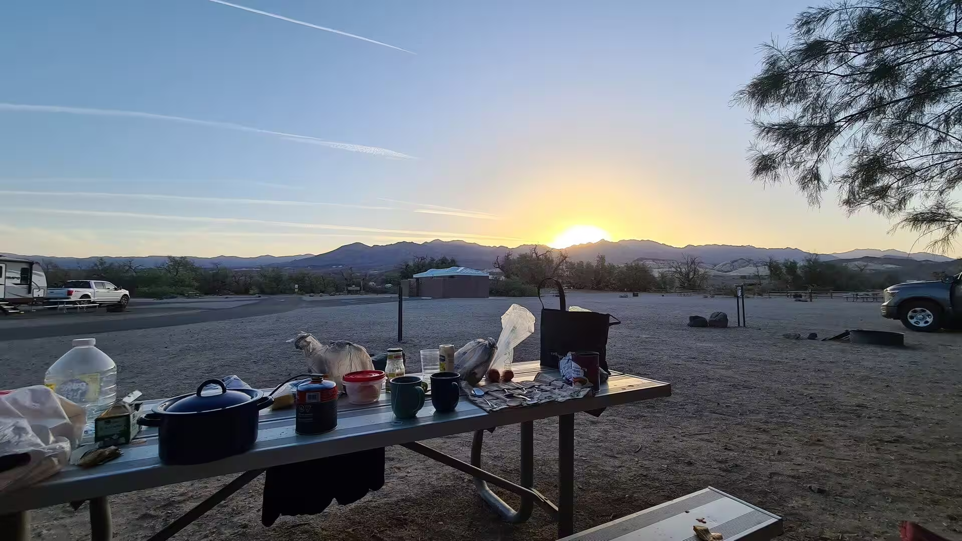
Day 12 - Las Vegas
4 June 2022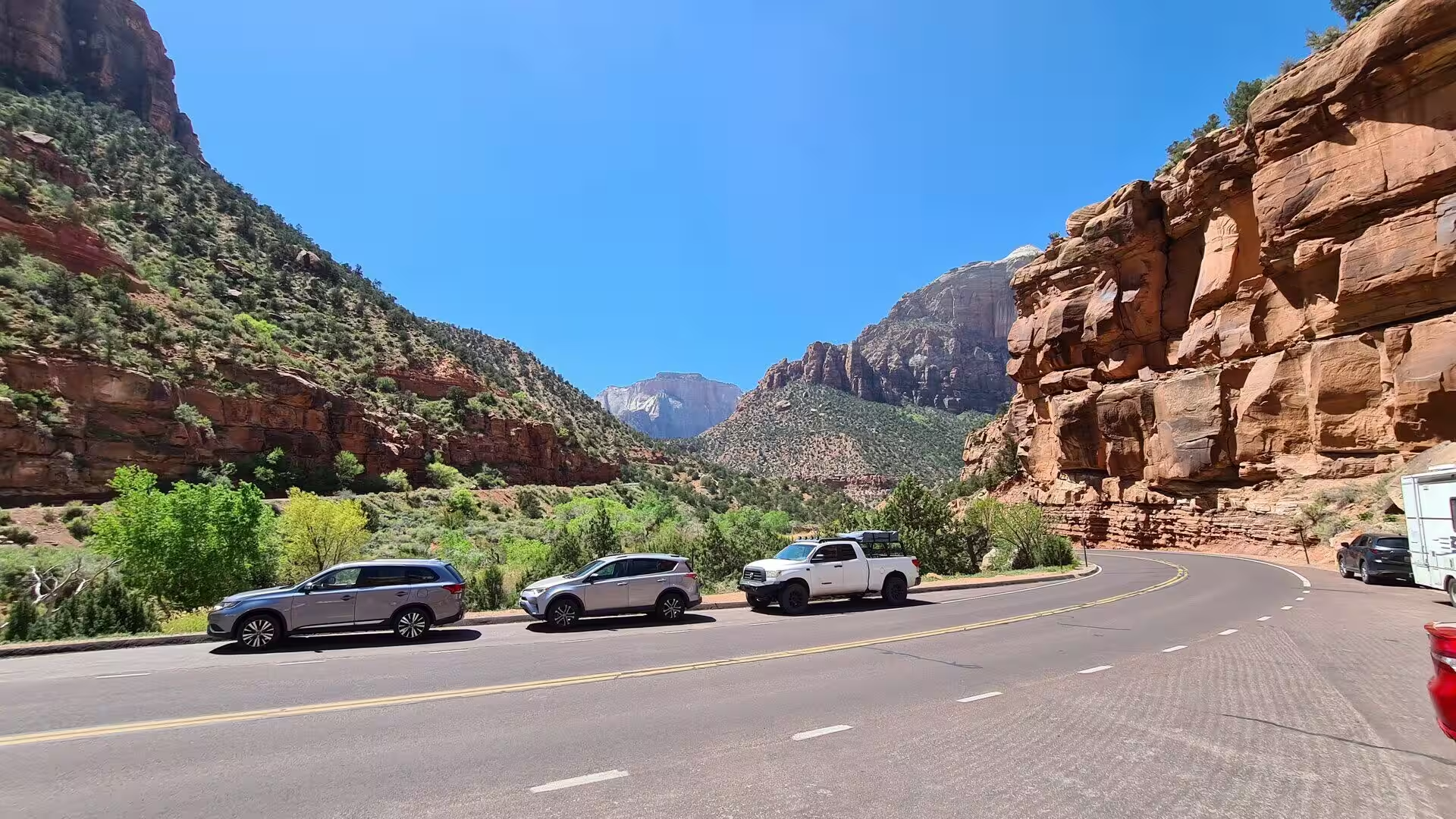
Day 13 - Zion National Park
4 June 2022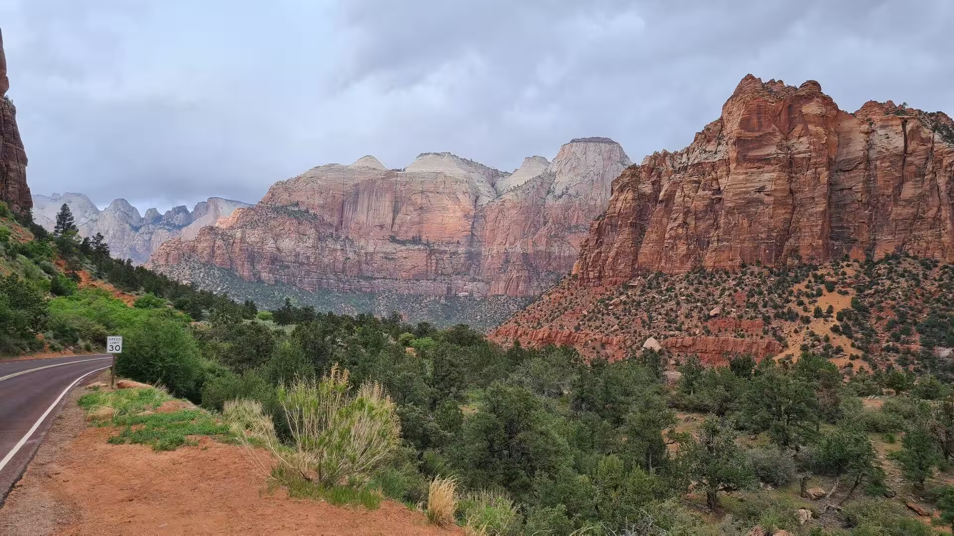
Day 14 - Utah
6 June 2022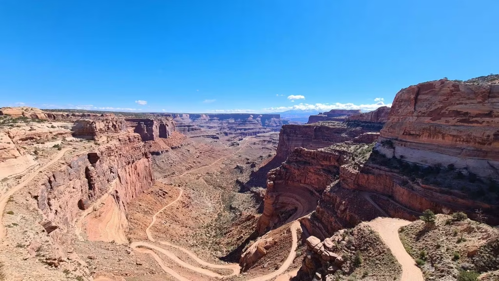
Day 15 - Canyonlands
9 June 2022
Day 16 - Mesa Verde
13 June 2022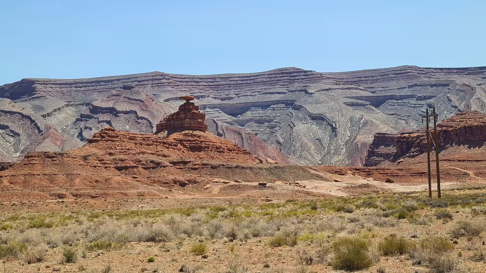
Day 17 - Monument Valley
13 June 2022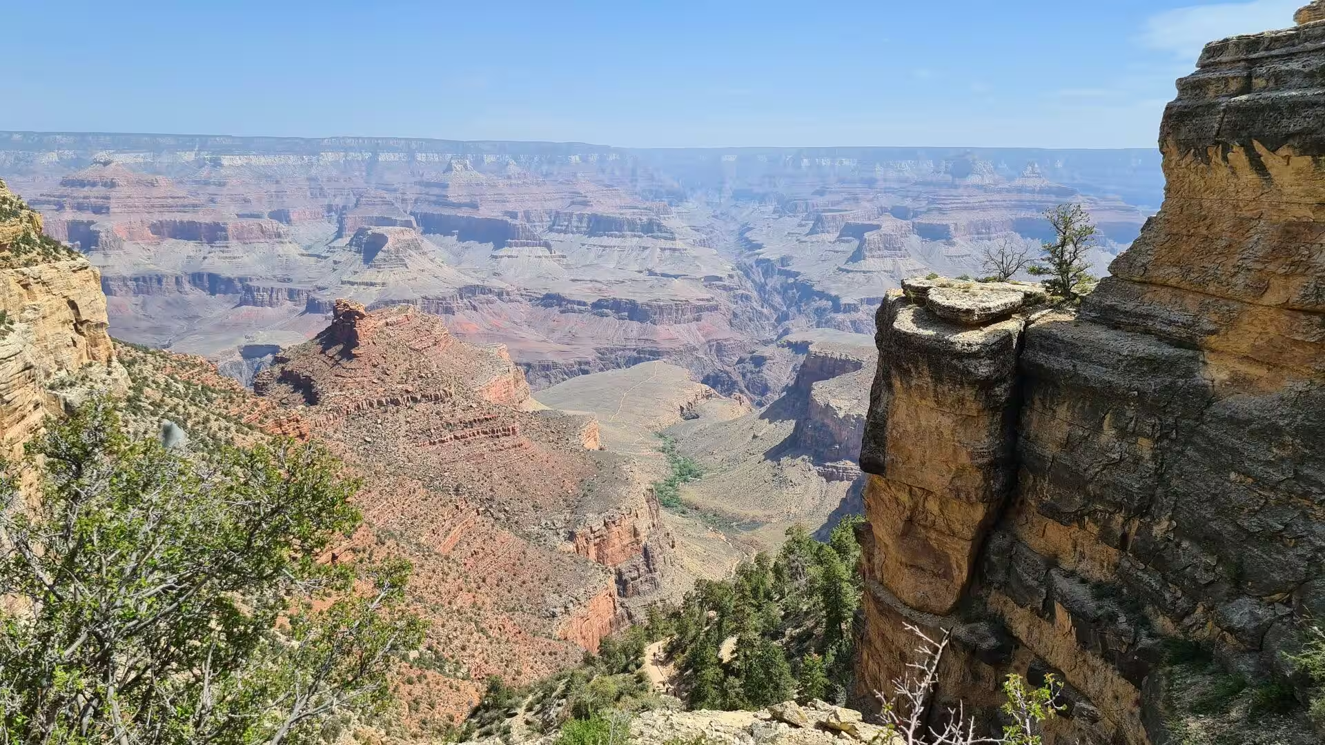
Day 18 - Grand Canyon
13 June 2022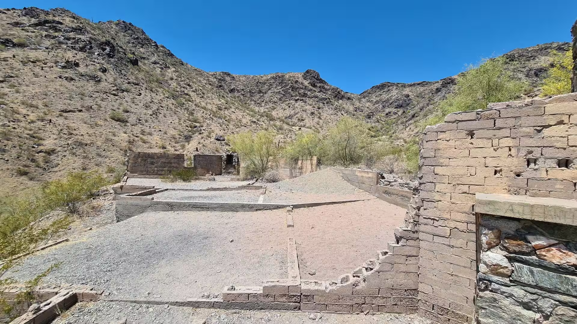
Day 19 - Phoenix / AZ
13 June 2022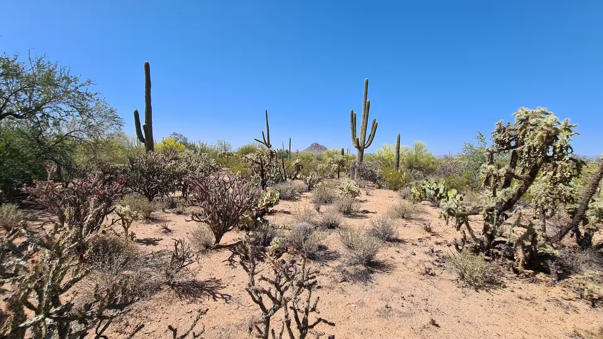
Day 20 - Saguaro National Park
13 June 2022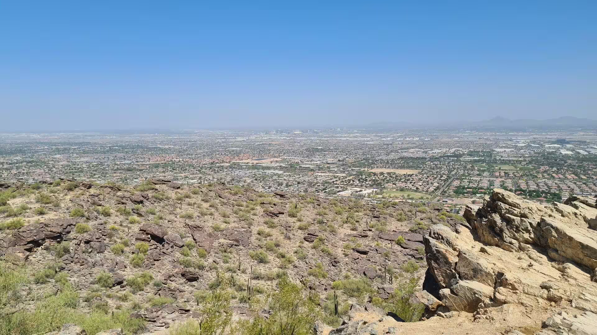
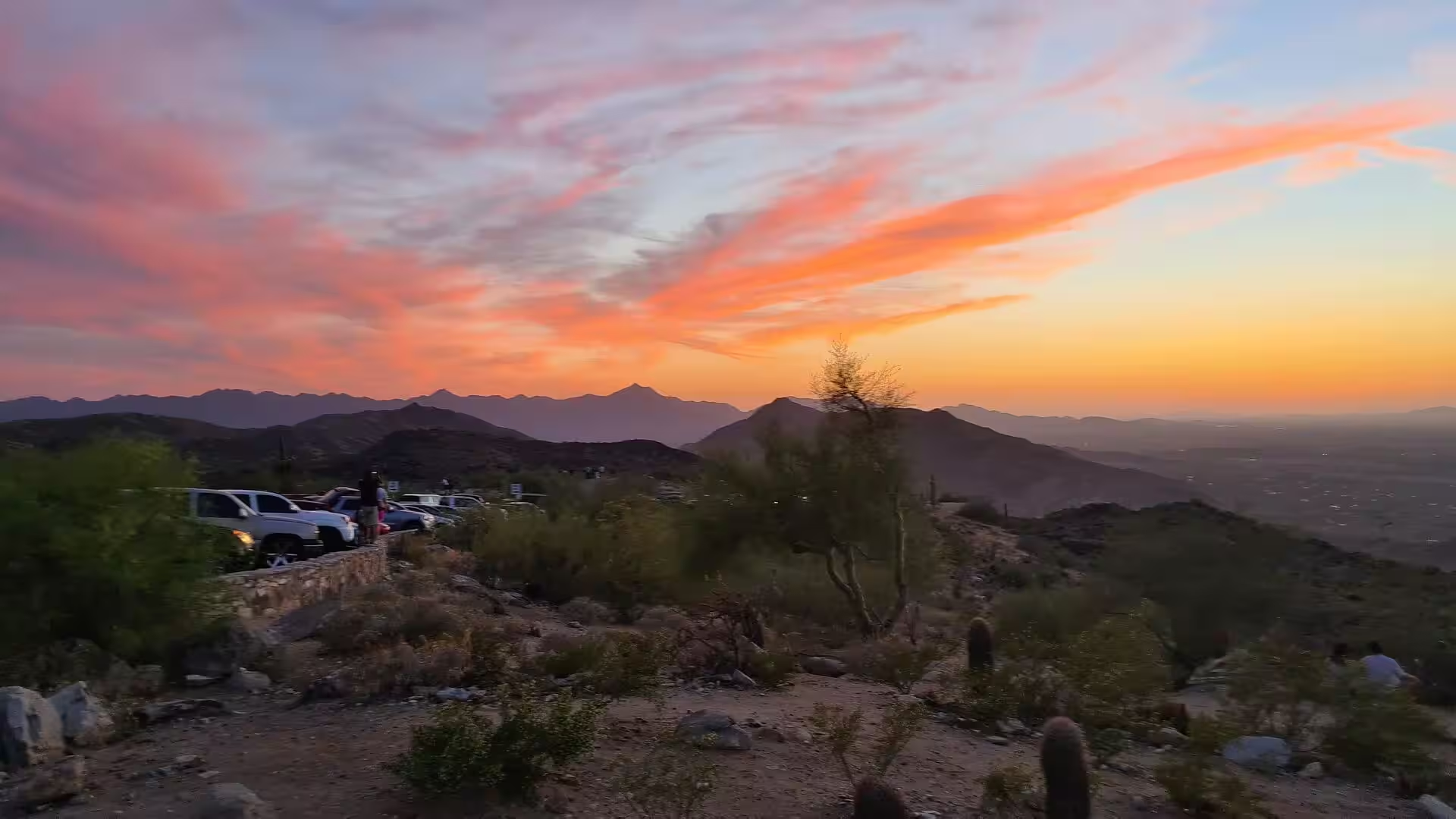
Day 21 - Camelback Mountain Phoenix / AZ
13 June 2022Photographs (756)

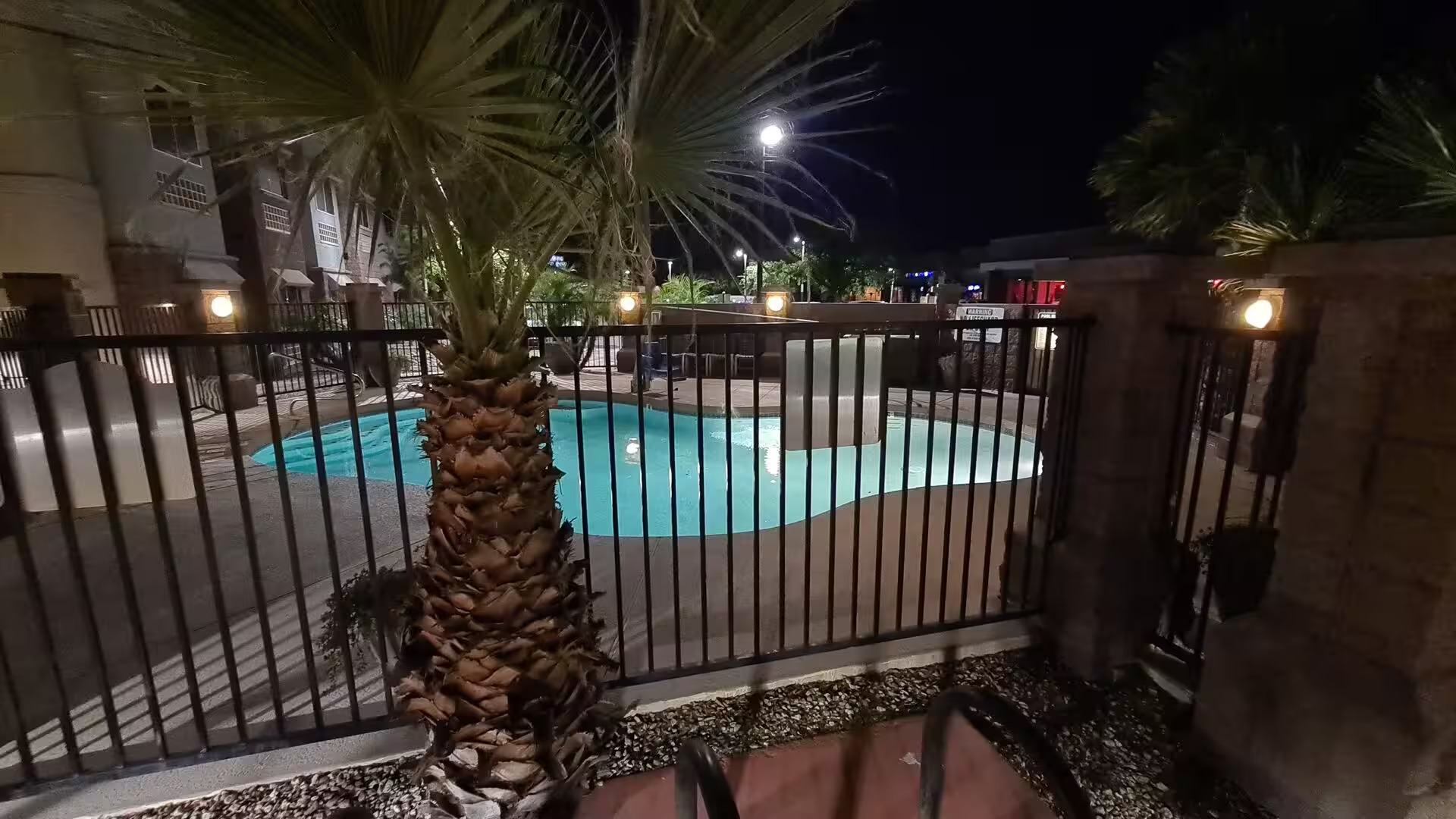
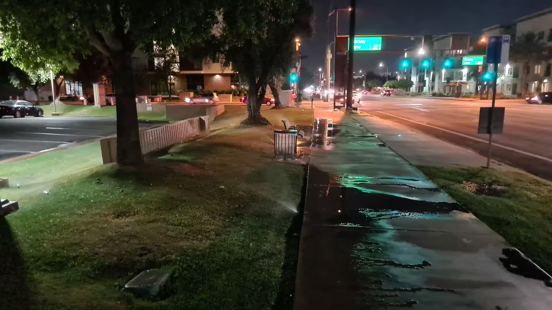
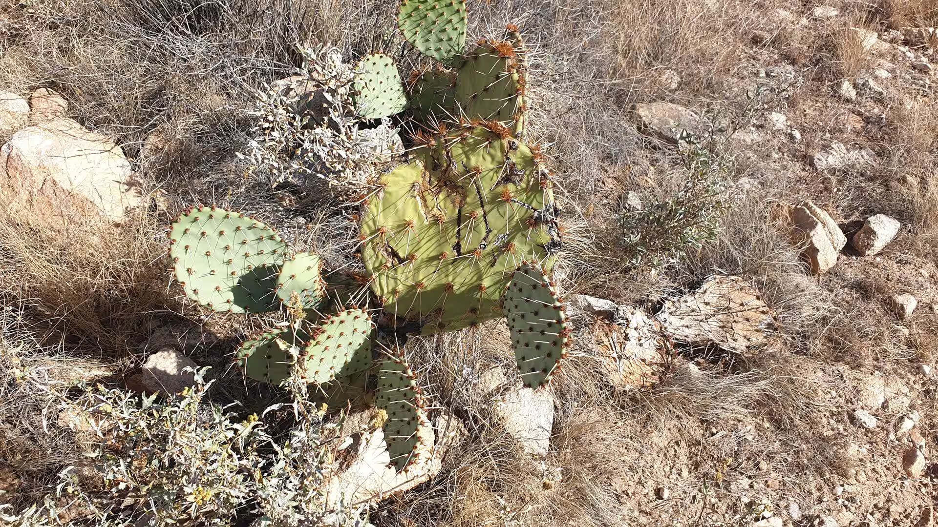
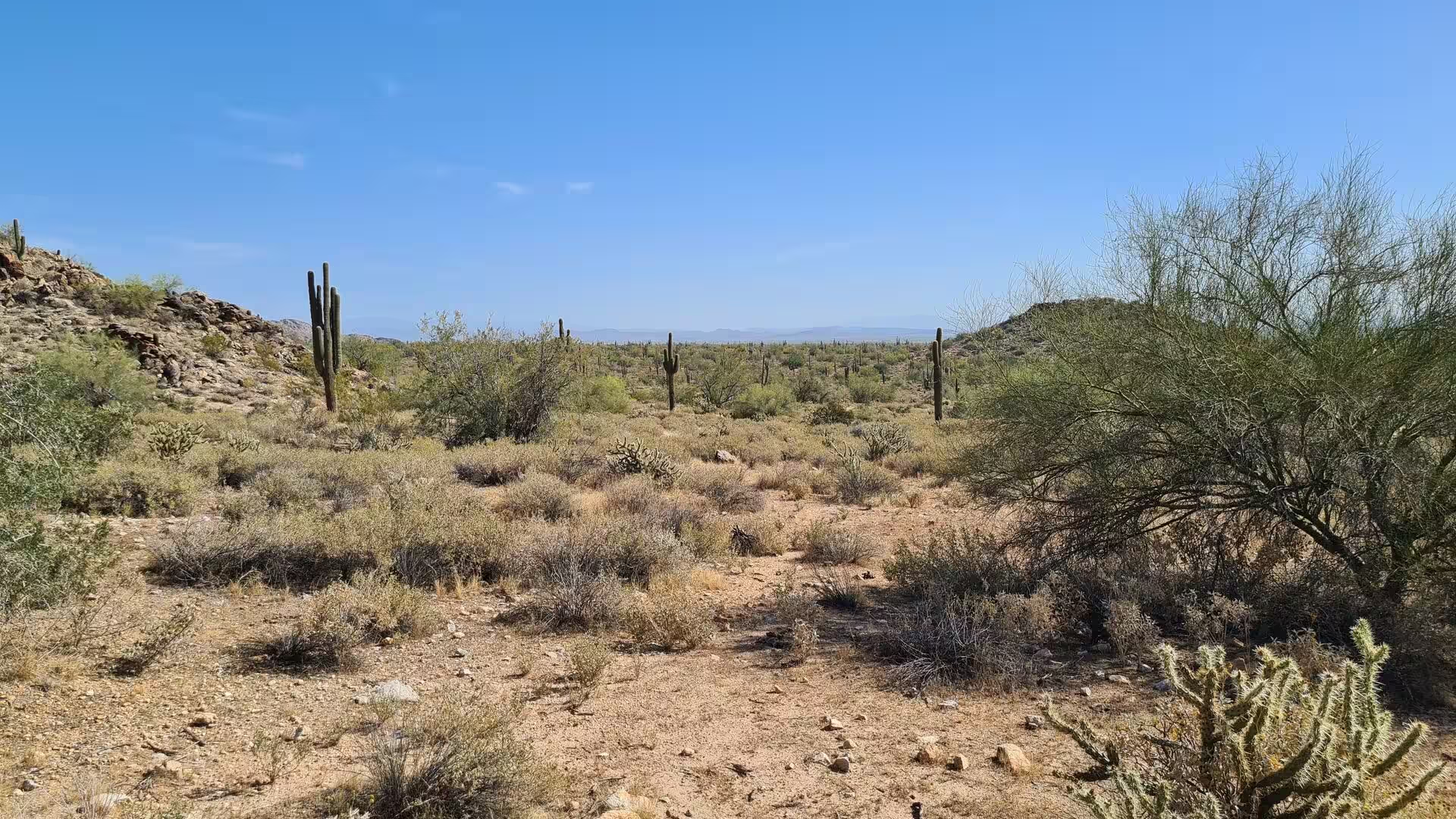

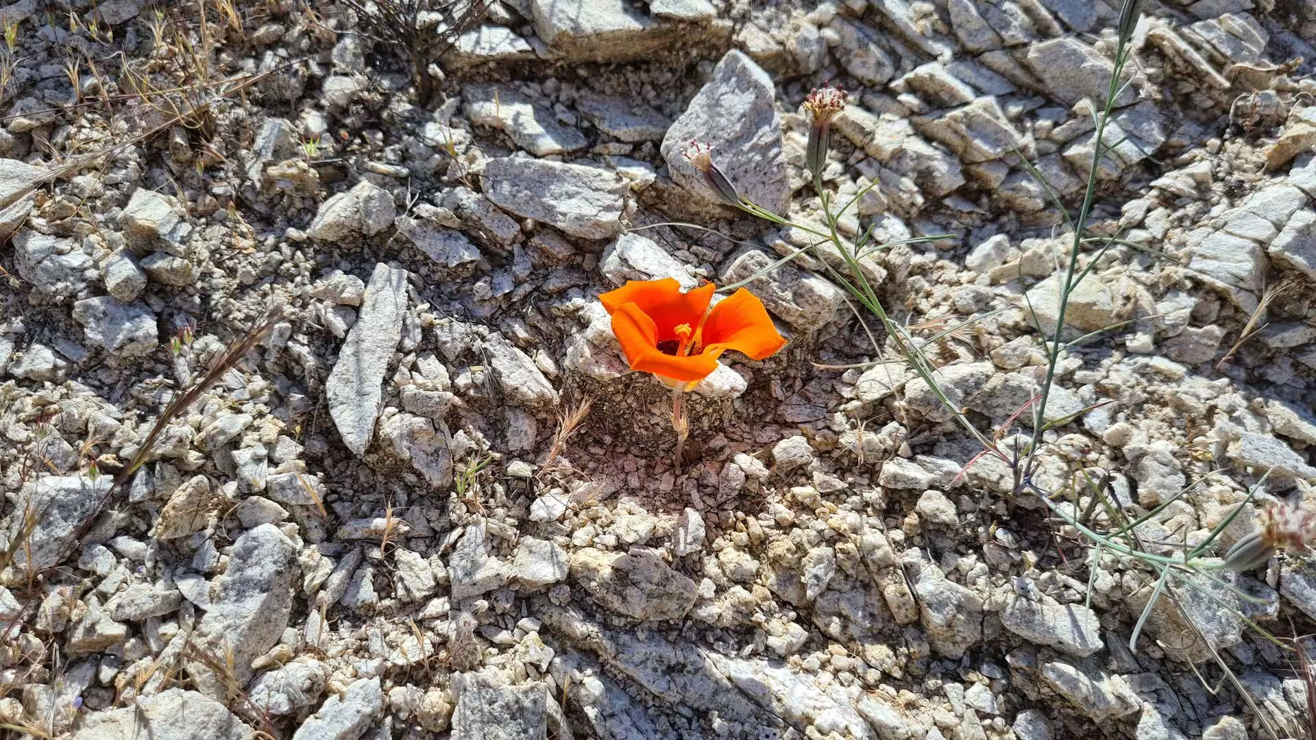

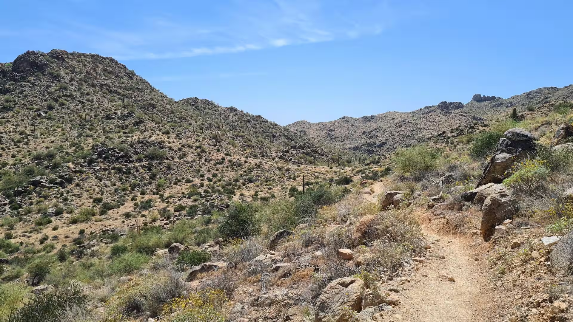
Journal Notes (21)
Day 1 - Phoenix / Arizona
General Phoenix is the capital and the largest city of Arizona, the fifth most populous city in the United States and the most populous state capital in the country. More than 1.6 million people were counted in the city at the 2020 census, and the metropolitan area, which reaches …
Day 2 - White Tank Mountains Arizona
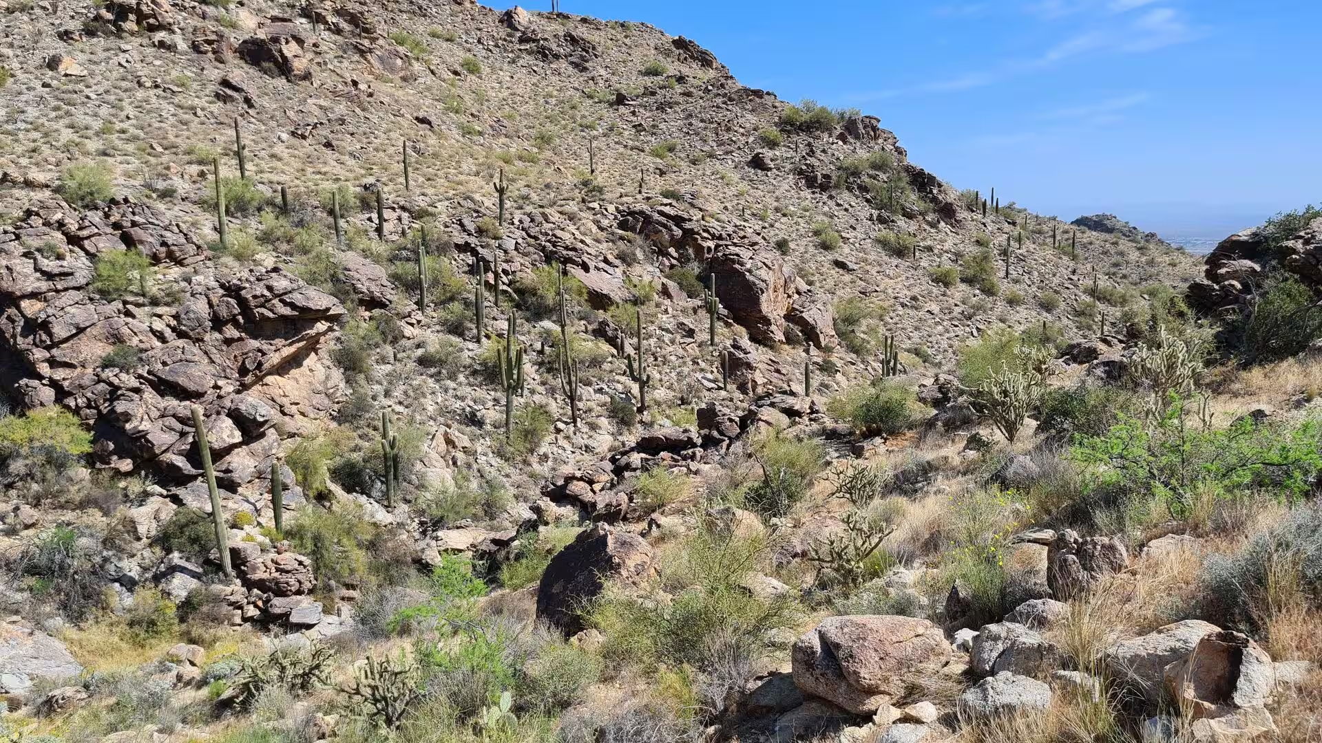
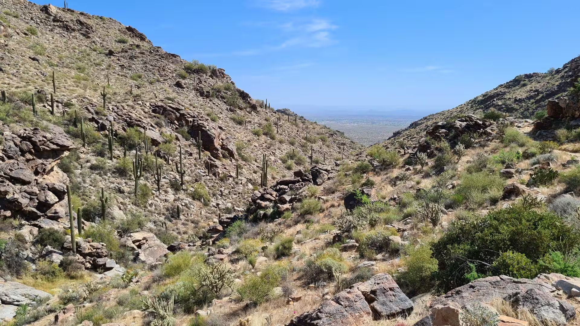
General The White Tank Mountains are a rugged range on the western edge of the Phoenix metropolitan area, stretching across a large part of western Maricopa County in central Arizona. They separate the spreading suburbs of the valley from the open desert that continues westward t …
Day 3 - Arizona / California
General The road from Arizona into California crosses the Mojave Desert on one of the oldest corridors of the American west. Interstate 40 enters the state east of Needles, where it crosses the Colorado River, and runs 155 miles, or 249 kilometres, through San Bernardino County t …
Day 4 - California - Joshua Tree National Park
General Joshua Tree National Park lies in south eastern California, straddling north central Riverside County and a part of southern San Bernardino County. It is named after the Joshua tree, the yucca that grows in the park and the country around it, and it stands about 130 miles …
Day 5 - California
General California is the most populous state of the United States and one of the largest economies in the world, and its identity rests on the range of its landscapes rather than on a single one of them. The state reaches from the temperate rainforest of the north coast to the d …
Day 6 - California / Sequoia National Park
General Sequoia National Park protects a mountainous section of the southern Sierra Nevada in Tulare County, California, east of the town of Visalia. Congress set the area aside on 25 September 1890, and the park now extends over 404,064 acres, or 631 square miles, some 1,635 squ …
Day 7 - California / Yosemite National Park
General Yosemite National Park lies in the central Sierra Nevada of California and covers 1,187 square miles, some 3,070 square kilometres, in four counties, centred on Tuolumne and Mariposa and reaching north and east into Mono and south into Madera. UNESCO inscribed it as a Wor …
Day 8 - California / Ridgecrest / Randsburg
General Ridgecrest is the only incorporated city in the Indian Wells Valley, in north eastern Kern County, California, and the largest settlement on U.S. Route 395 between the Mojave Desert and the Sierra Nevada. It was incorporated in 1963 and counted 27,959 residents at the 202 …
Day 9 - Death Valley
General Death Valley is a desert valley in eastern California, in the northern Mojave Desert where it borders the Great Basin Desert, and it gives its name to Death Valley National Park. The valley runs north to south between the Amargosa Range on the east and the Panamint Range …
Day 10 - Death Valley
General Death Valley National Park lies on the border between California and Nevada, east of the Sierra Nevada, and it is the largest national park in the contiguous United States, larger than Rhode Island and Delaware together and nearly as large as Puerto Rico. More than 93 per …
Day 11 - Death Valley
General The eastern side of Death Valley is defined by the Amargosa Range, a chain of mountains that runs for about 110 miles or 180 kilometres along most of the valley's eastern edge, dividing it from the Amargosa Desert in Nevada. The U shaped river after which the range is nam …
Day 12 - Las Vegas
General Las Vegas is the most populous city in Nevada and the county seat of Clark County, and it stands in a basin on the floor of the Mojave Desert at about 2,030 feet, or 620 metres, above sea level. Some 641,903 people lived in the city at the 2020 census, and the metropolita …
Day 13 - Zion National Park
General Zion National Park lies in south western Utah, close to the town of Springdale, where the Colorado Plateau, the Great Basin and the Mojave Desert meet. The protected area covers 229 square miles, or 590 square kilometres, and reaches from Coalpits Wash, 3,666 feet or 1,11 …
Day 14 - Utah
General Utah is a landlocked state of the Mountain West and one of the Four Corners states, sharing a border with Arizona, Colorado and New Mexico, and with Wyoming to the north east, Idaho to the north and Nevada to the west. Its area of 84,899 square miles, or 219,890 square ki …
Day 15 - Canyonlands
General Canyonlands National Park lies in south eastern Utah near the town of Moab and preserves a colourful landscape that the Colorado River, the Green River and their tributaries have eroded into canyons, mesas and buttes. Legislation creating the park was signed by President …
Day 16 - Mesa Verde
General Mesa Verde National Park lies in the south western corner of Colorado, in Montezuma County, about 10 miles or 16 kilometres east of the town of Cortez and 35 miles west of Durango. The protected area covers 52,485 acres, which is 82 square miles or 212 square kilometres, …
Day 17 - Monument Valley
General Monument Valley lies on the border between north eastern Arizona and south eastern Utah, on the Colorado Plateau and entirely inside the Navajo Nation. The valley is not a national park but a tribal park, the Monument Valley Navajo Tribal Park, which protects the heart of …
Day 18 - Grand Canyon
General The Grand Canyon is the great gorge of the Colorado River in northern Arizona, 277 miles or 446 kilometres long, up to 18 miles or 29 kilometres wide and more than 1,800 metres deep. It is not the deepest canyon on land, but no other is so large or so completely exposed. …
Day 19 - Phoenix / AZ
General Phoenix is the capital and the largest city of Arizona, the seat of Maricopa County and the fifth most populous city in the United States. The census of 2020 counted 1,608,139 residents within 517.9 square miles, or 1,341 square kilometres, which makes it the largest city …
Day 20 - Saguaro National Park
General Saguaro National Park lies in south eastern Arizona, in Pima County, and consists of two separate parcels that face each other across the city of Tucson. The Tucson Mountain District occupies the western side of the city and the Rincon Mountain District the eastern side, …
Day 21 - Camelback Mountain Phoenix / AZ
General Camelback Mountain is the highest peak of the Phoenix metropolitan area, a landmark of bare rock rising between the Arcadia district of the city and the town of Paradise Valley. Its summit stands at 2,704 feet, a little over 824 metres, and the shape of the massif gave it …