Day 16 - Mesa Verde
13 June 2022




Journal Notes
General
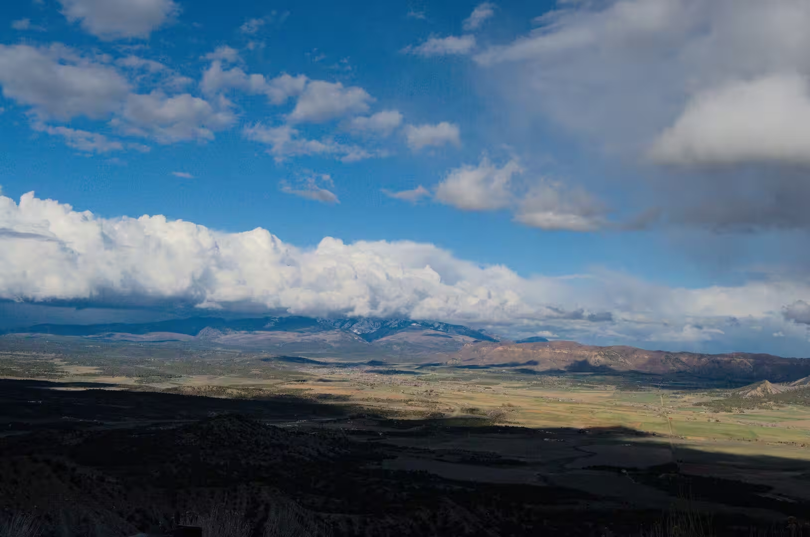
Mesa Verde National Park lies in the south western corner of Colorado, in Montezuma County, about 10 miles or 16 kilometres east of the town of Cortez and 35 miles west of Durango. The protected area covers 52,485 acres, which is 82 square miles or 212 square kilometres, and it occupies the northern end of the mesa that gives it its name. The only entrance is on US Highway 160, from which a single road climbs roughly 2,000 feet to the mesa top in a long series of bends, reaching the museum on Chapin Mesa after about 21 miles.
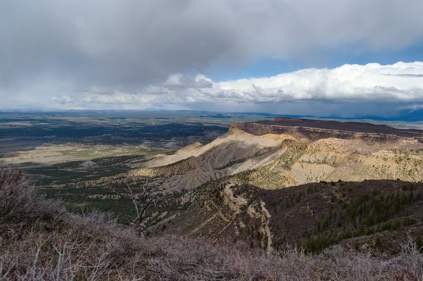
The name is Spanish and means green table, and it was in use long before the first archaeologists arrived, describing the flat and wooded upland that rises above the Mancos Valley. The park consists of a broad cuesta and of the canyons that cut into it from the north, and it is divided for visitors into three parts. Chapin Mesa carries the museum, the largest cliff dwellings and the loop roads; Wetherill Mesa, on the far side of the park, carries a second group of ruins; and the north rim is crossed by the entrance road.
More than five thousand archaeological sites have been recorded inside the park, of which about six hundred are cliff dwellings, and the density of settlement is one of the reasons for its protection. President Theodore Roosevelt created the park on 29 June 1906 under the Antiquities Act, which gave the president the power to set aside land containing historic and prehistoric structures, and Mesa Verde was the first area protected in that way. UNESCO added it to the World Heritage List in 1978, together with Chaco Culture further south.
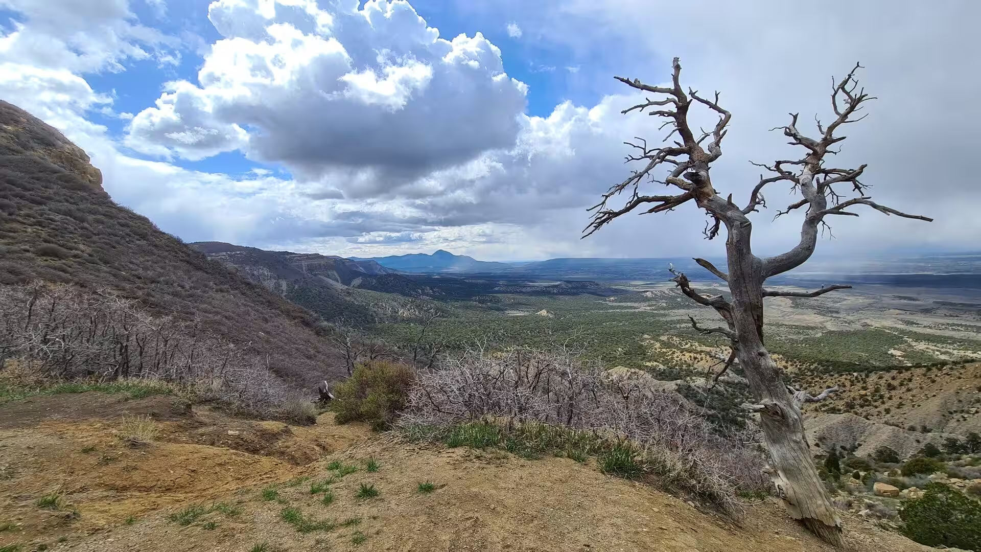
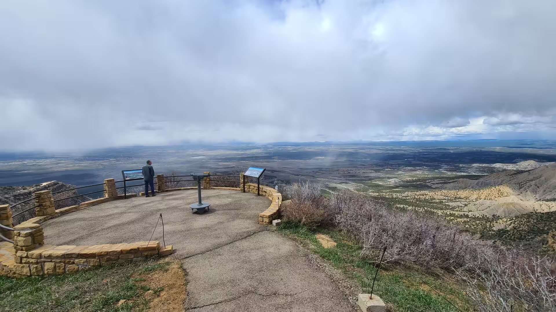
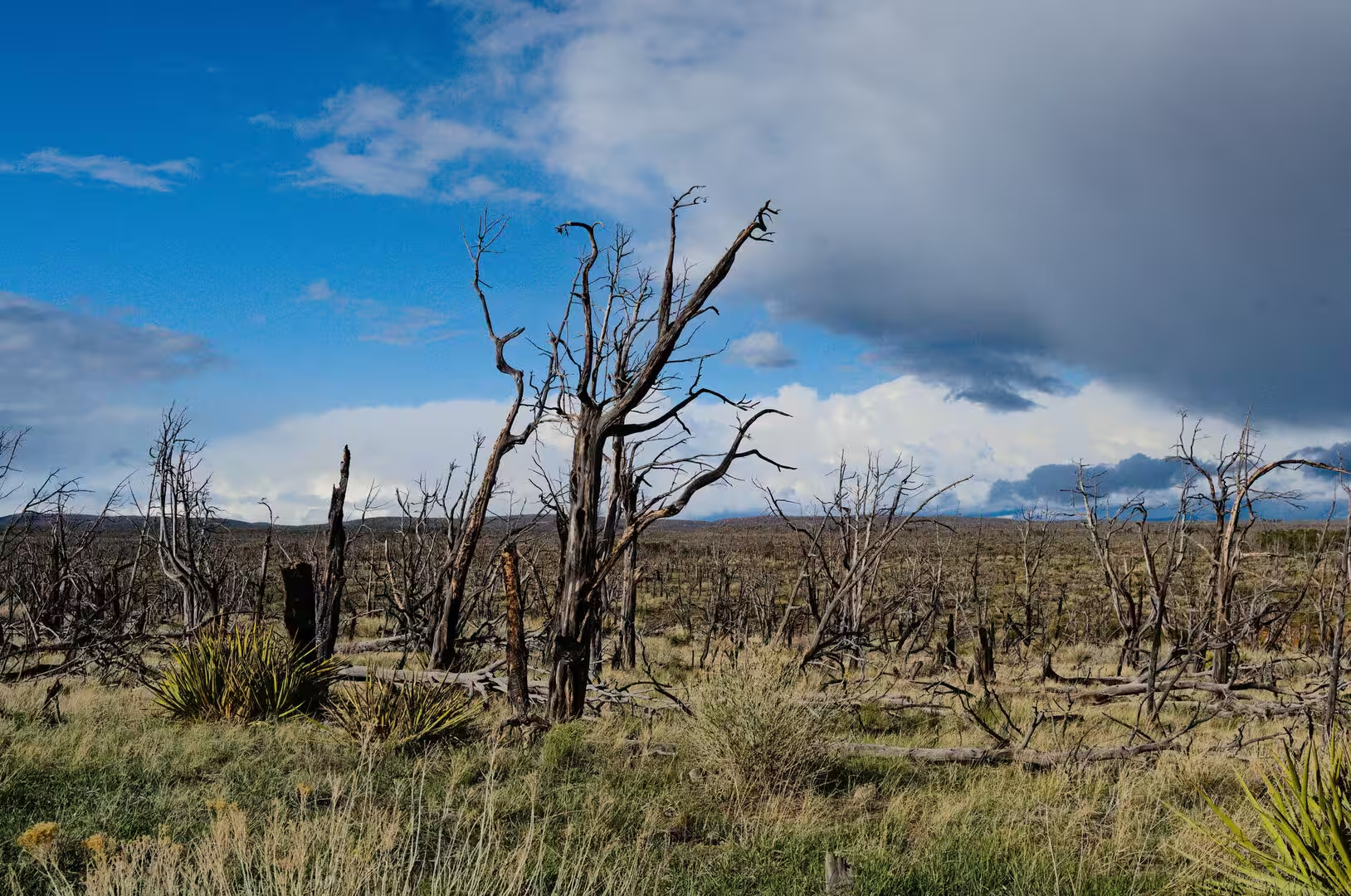
The climate is semi arid and continental, with the altitude tempering the heat of summer. Warm days and cool nights are the rule, thunderstorms build over the plateau on summer afternoons, and snow covers the mesa from December into March, when the loop roads and the cliff dwelling tours close. Precipitation is modest, most of it falling in late summer, and the dryness is important to the archaeology, because the sheltered alcoves and the stable cool air inside them have preserved wood, fibre and plaster that would long ago have decayed in a wetter climate.
Services are concentrated on Chapin Mesa, where the archeological museum, a restaurant, a bookshop and the ticket office stand together above Spruce Tree House. Far View Lodge lies further down the entrance road and Morefield Campground near the gate, and both are the only places to sleep inside the park. Tours of Cliff Palace and Balcony House are led by rangers and must be booked in advance, Wetherill Mesa is reached by a tram in the summer months, and the park remains open all year, though the winter closes much of the northern section.
History
People have lived on the mesa for at least ten thousand years, but the culture that built the famous villages belongs to the last few centuries of that long occupation. Hunters and gatherers of the Archaic period left little behind them, and the first farmers, known as the Basketmaker II people, settled on the uplands some two thousand years ago. They grew maize with stone tools, hunted with the atlatl or spear thrower, made baskets of great skill and lived in shallow pits and rock shelters rather than in houses of stone.
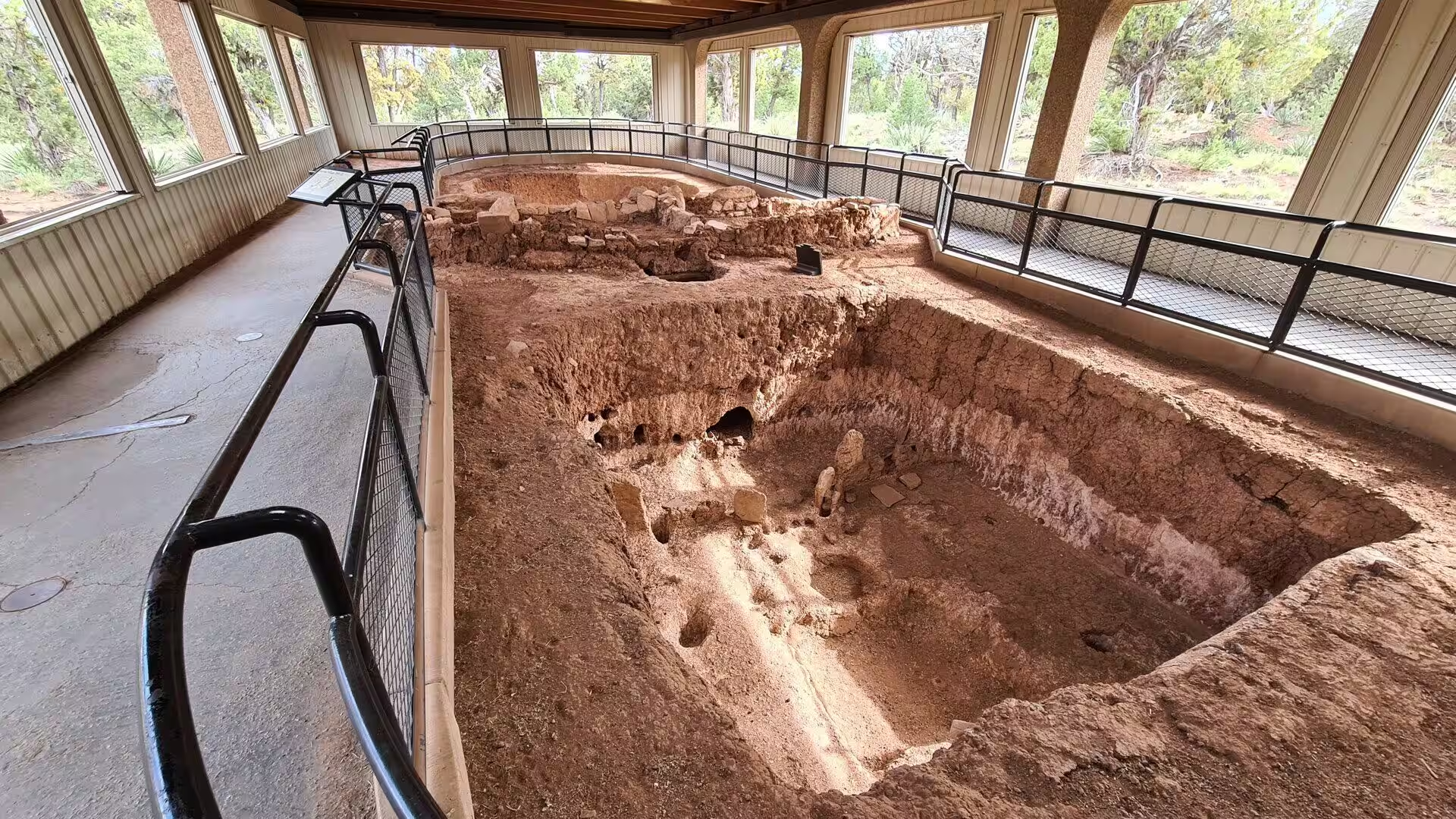
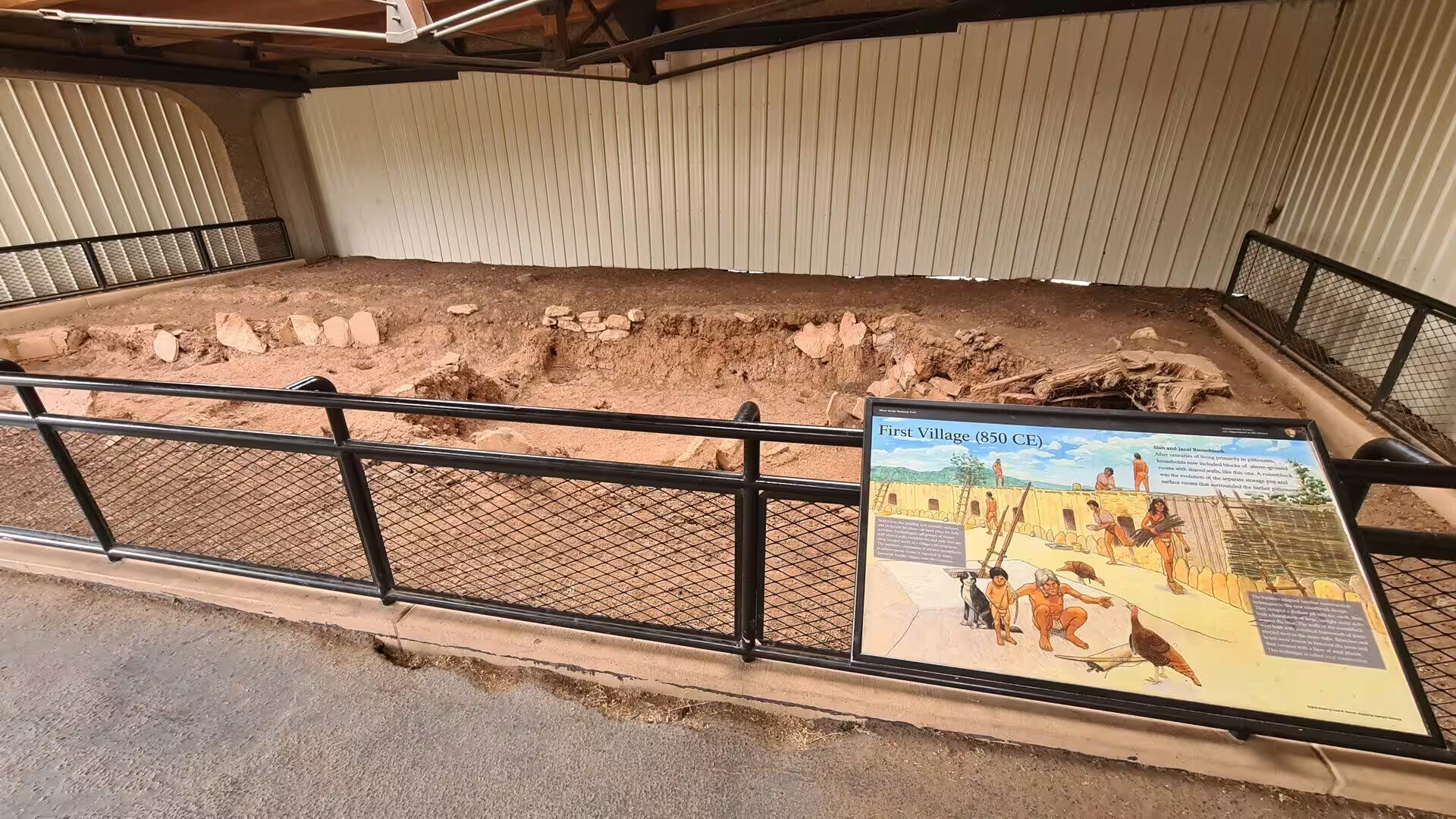
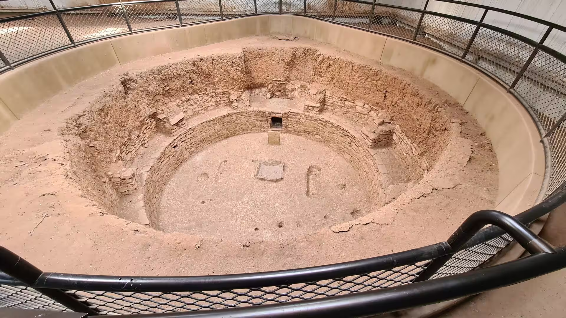
The Basketmaker III period, from about 550 to 750, brought beans and the bow and arrow to the mesa, and with them the first true pit houses, roofed over a circular floor with timber and earth. The Pueblo I period that followed saw the building of the first above ground masonry rooms, arranged in rows and blocks, together with the earliest kivas, the round and sunken rooms used for ceremony. By the Pueblo II period, between about 900 and 1150, the mesa tops carried hundreds of small settlements, and the dry farming of maize, beans and squash supported an expanding population.
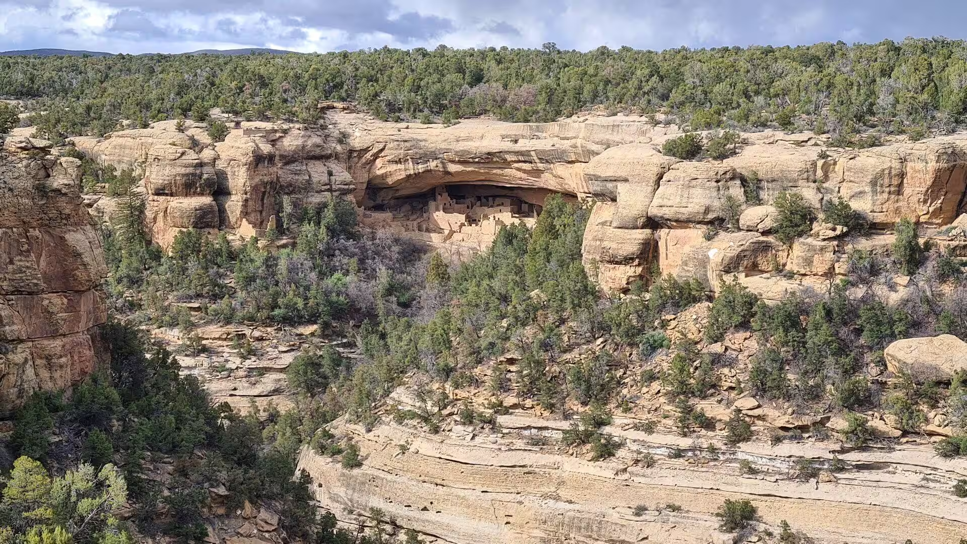
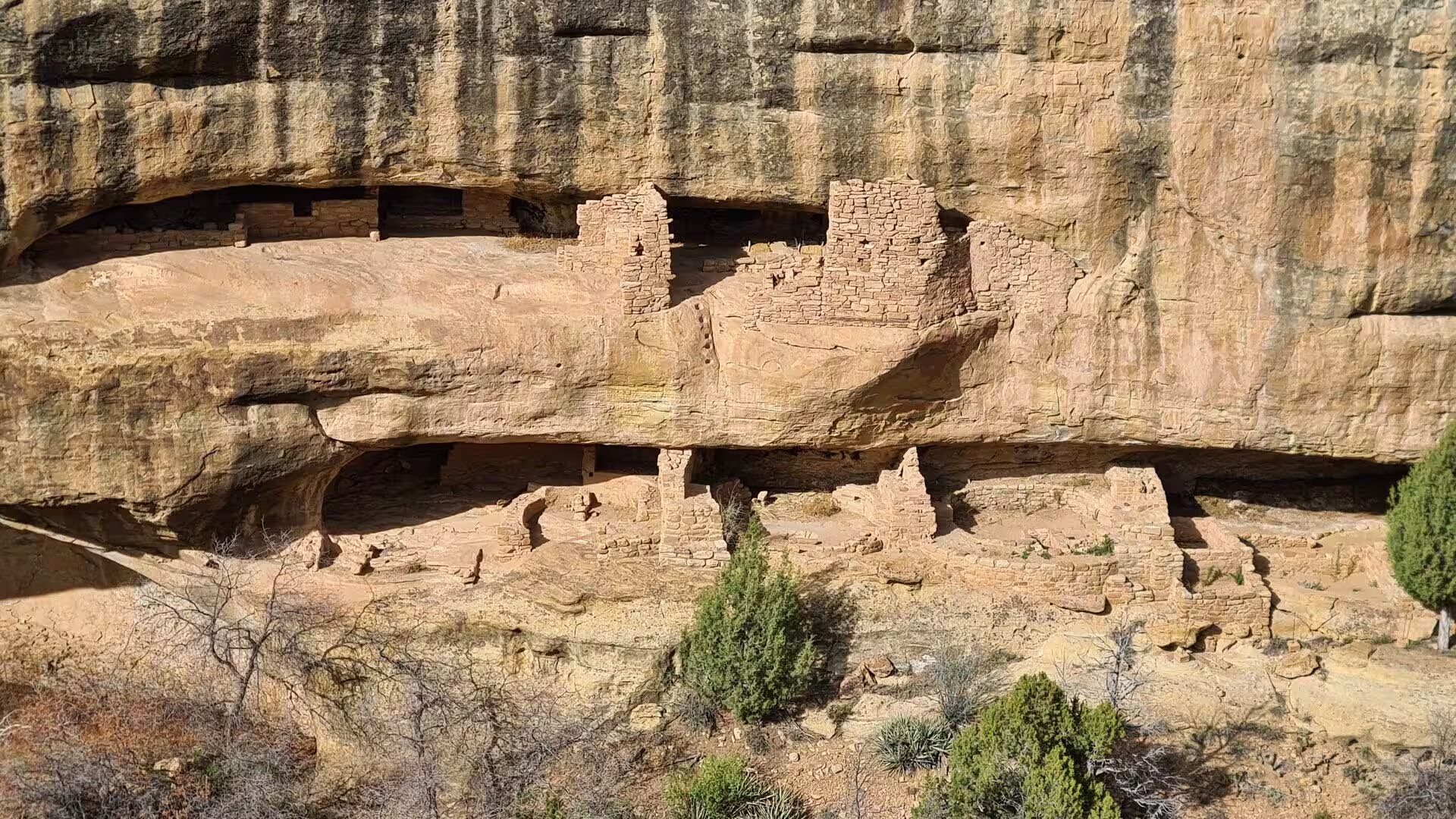
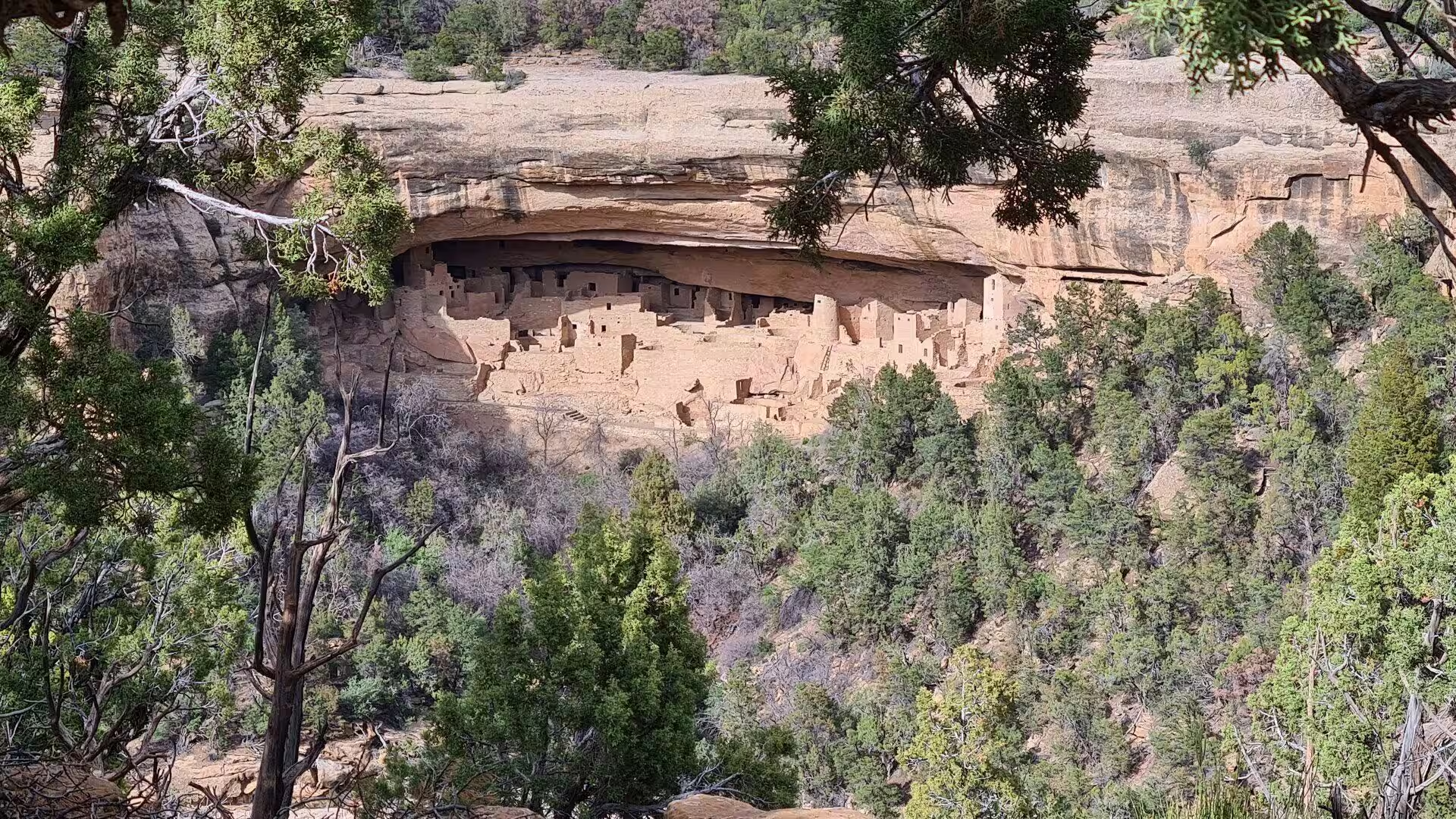
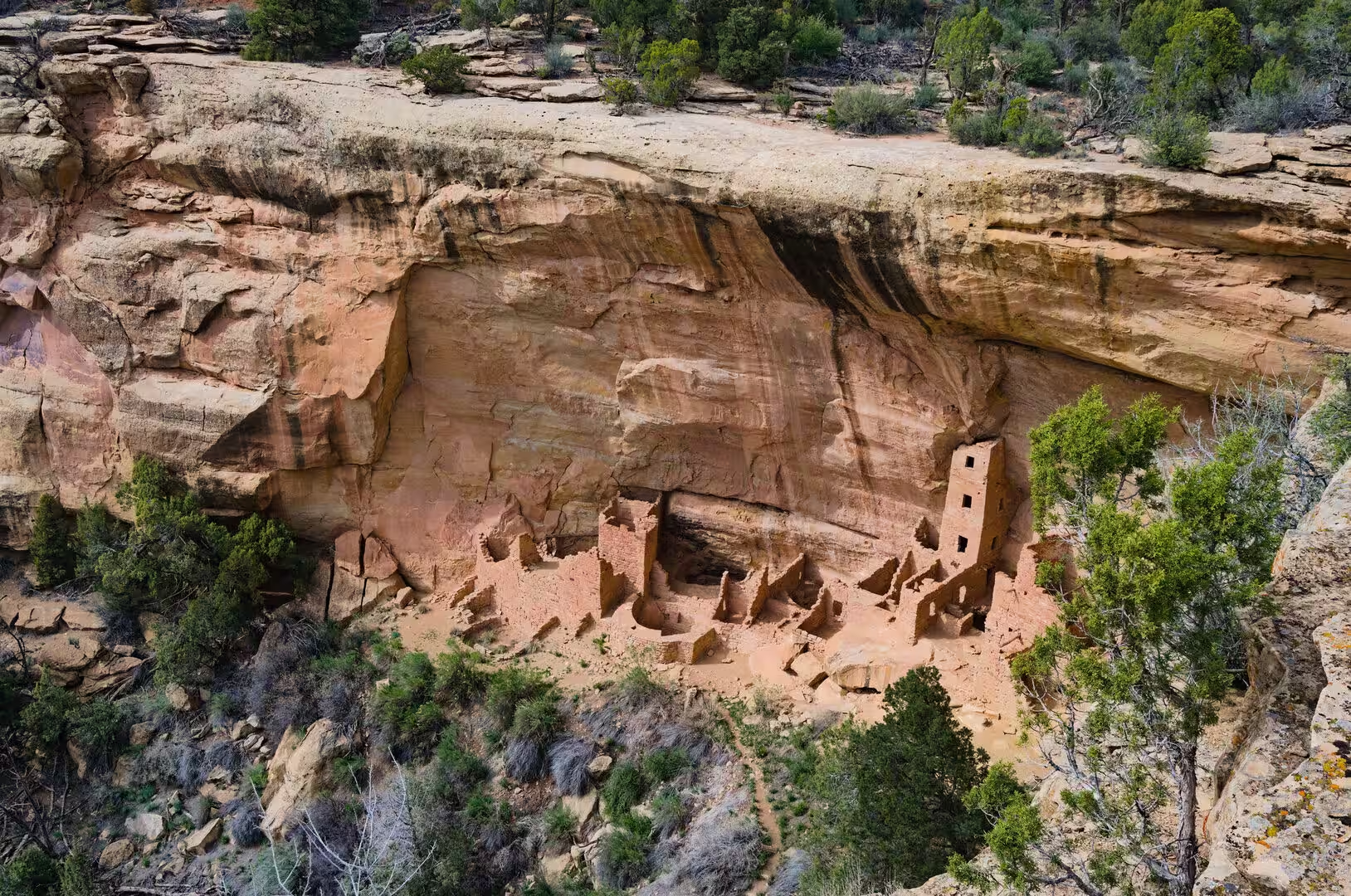
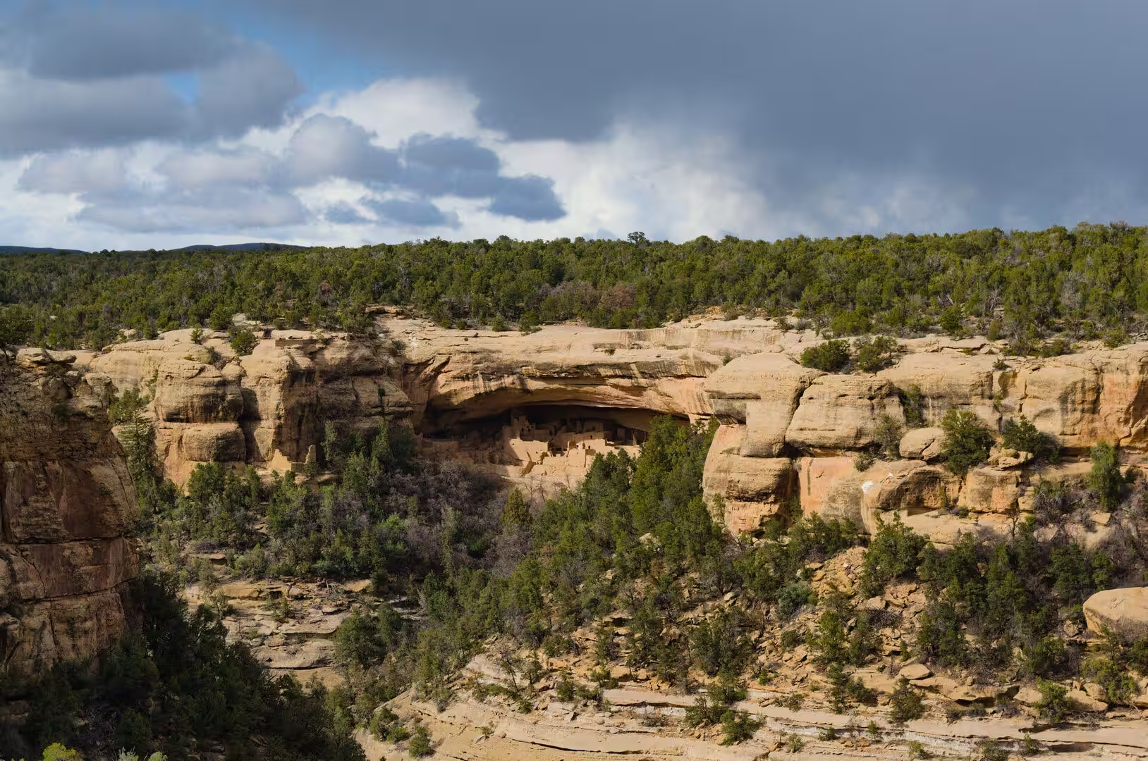
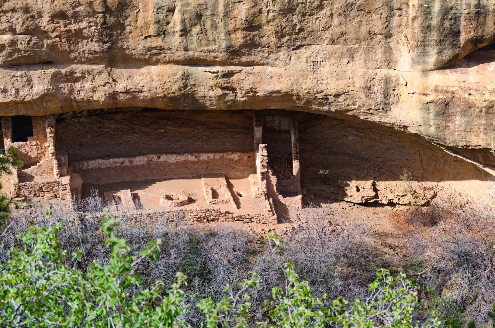
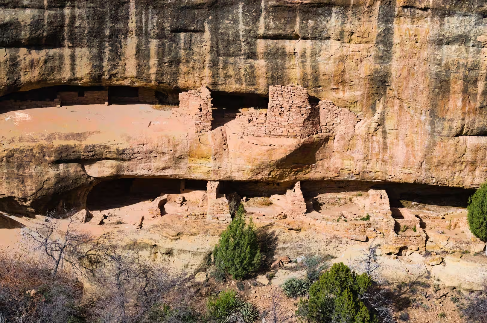
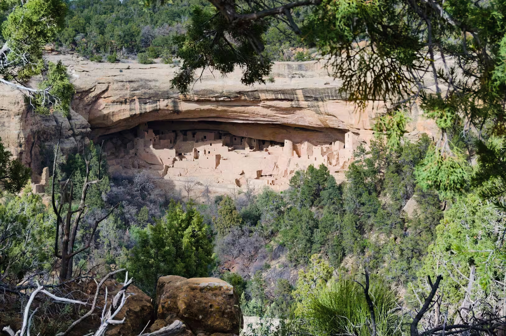
The last and best known phase, Pueblo III, ran from about 1150 to 1300 and produced the cliff dwellings. Communities moved from the open mesa tops into the alcoves of the canyon walls, where they built with shaped sandstone blocks, mud mortar and carefully fitted timber, and where Cliff Palace, Balcony House, Spruce Tree House and Long House were raised within a span of barely a century. Cliff Palace alone contains around 150 rooms, twenty three kivas and a four storey tower, and the population of the mesa probably reached several thousand at its height.
The end came within a few generations. Tree ring records show a series of dry years from the 1250s, and a severe drought between 1276 and 1299 that tree rings date precisely. Farming became unreliable, game grew scarce, the woodland near the villages was cut for timber and fuel, and the evidence of the last decades includes signs of conflict and of hurried abandonment. By about 1300 the mesa was empty, and the people had moved south and west to the Rio Grande valley, to the Hopi mesas and to Zuni, where their descendants live today.
Centuries of quiet followed, broken by Ute and Navajo use of the plateau and by the arrival of prospectors and ranchers in the 1870s. In December 1888 the rancher Richard Wetherill and his brother in law Charlie Mason, searching for stray cattle, looked across a canyon and saw the towers of Cliff Palace. Digging followed, collections were sold to eastern museums, and the destruction of the sites provoked a campaign led by Virginia McClurg and the Colorado Cliff Dwellings Association, which persuaded Congress and the president to give the mesa the protection of the Antiquities Act of 1906.
Geology
The rocks of Mesa Verde were laid down between about 100 and 75 million years ago, when a shallow sea covered the interior of North America and river deltas poured sand and mud into it from the west. The sequence is a rhythm of hard and soft beds. The Dakota Sandstone comes first, then the thick grey Mancos Shale, then the Point Lookout Sandstone, the coal bearing Menefee Formation and finally the Cliff House Sandstone, which caps the mesa and forms the cliffs in which the dwellings were built.
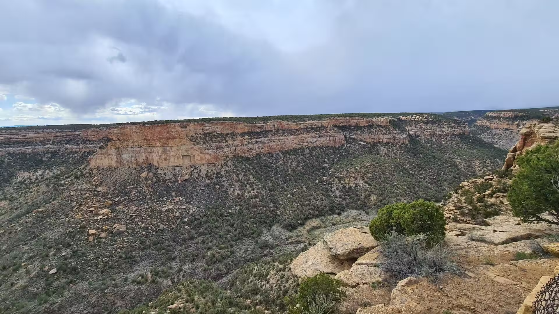
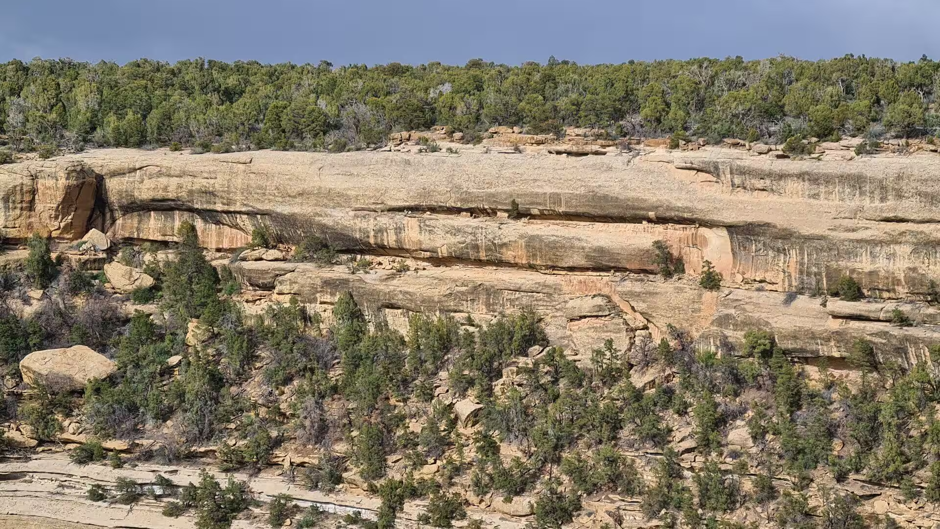
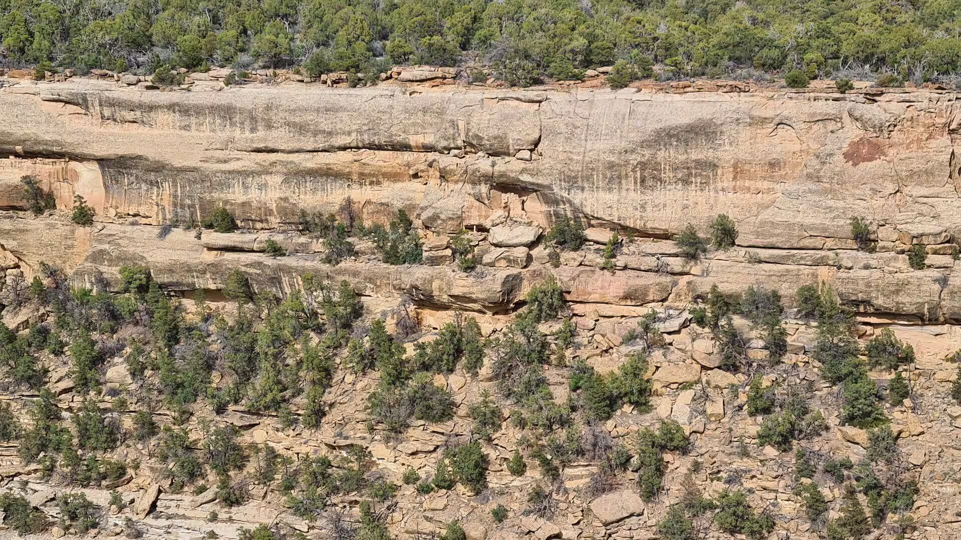
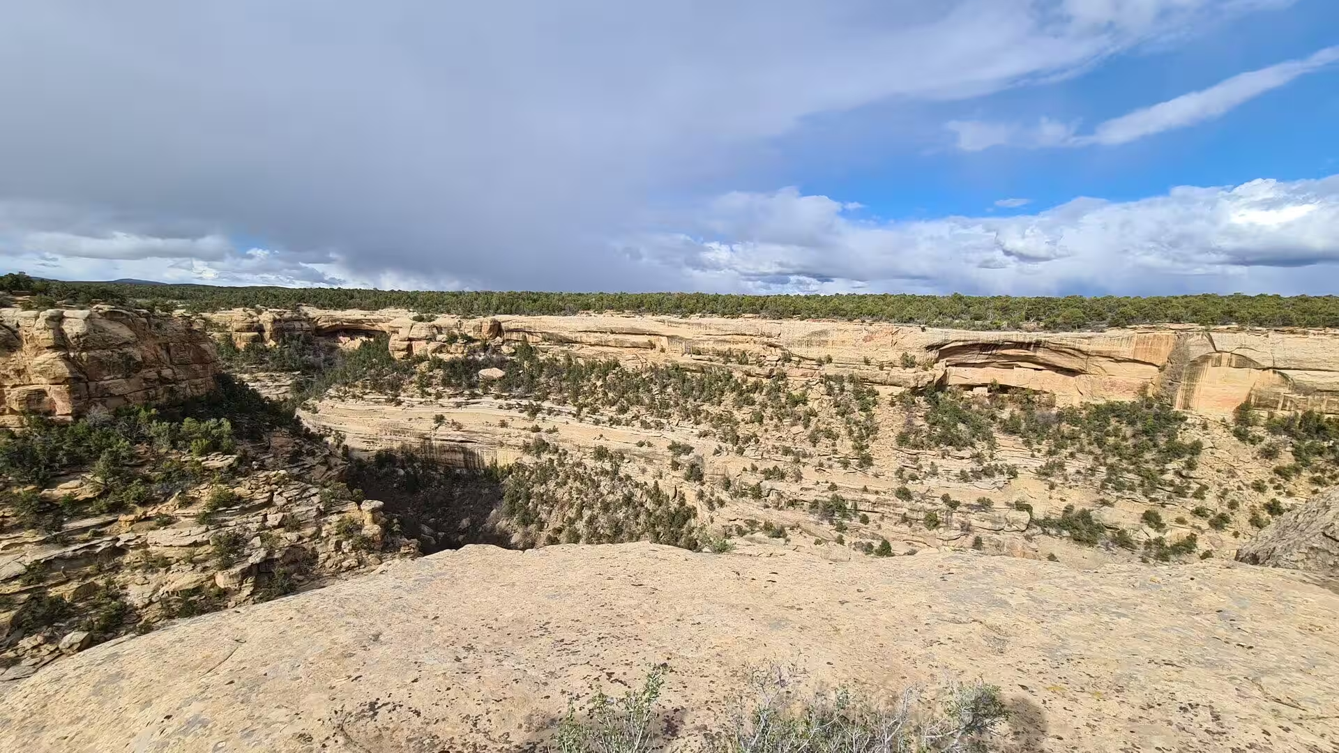
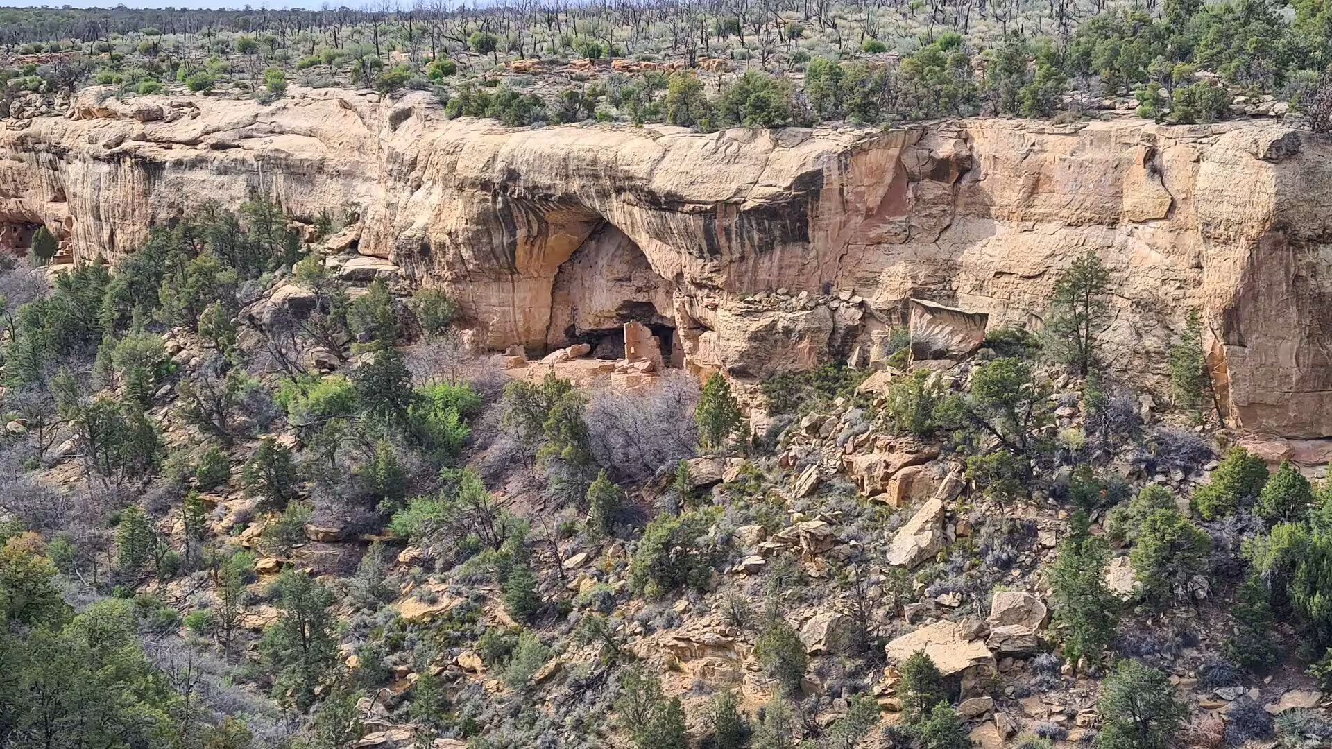
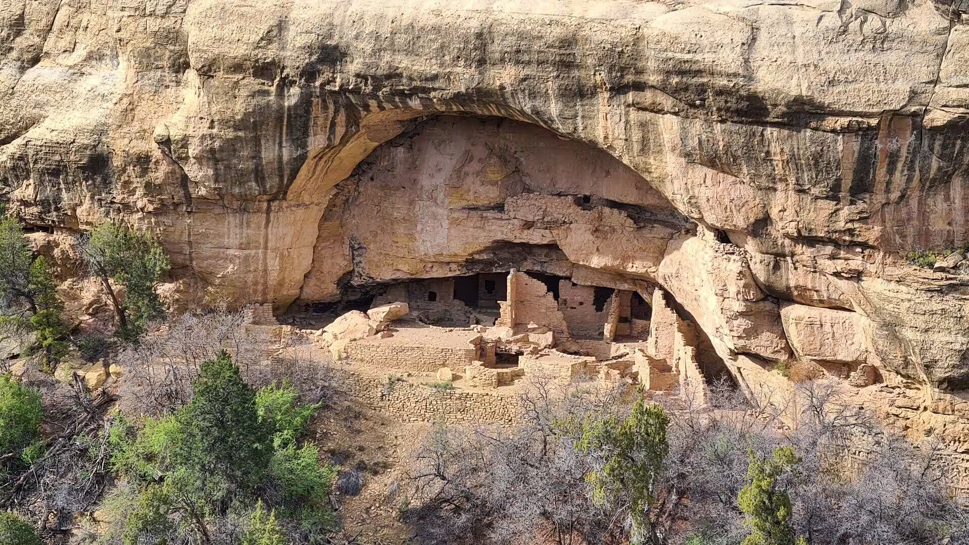
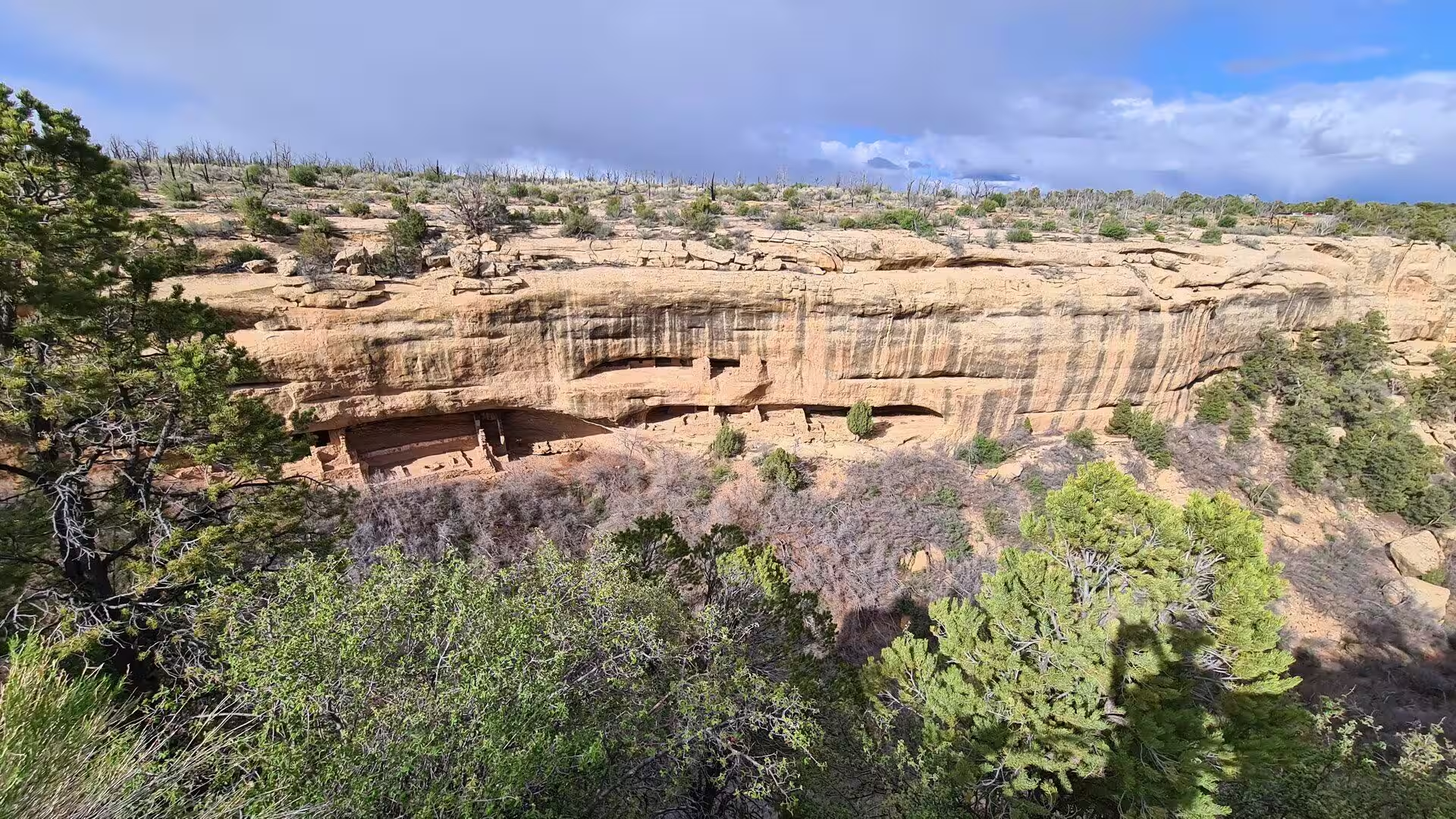
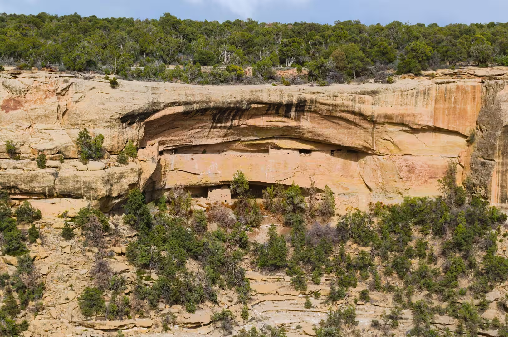
Each formation weathers differently, and the difference explains the shape of the canyons. The Cliff House Sandstone is hard, jointed and resistant, and it stands in vertical walls with a dark stain of iron and manganese running down them. The Mancos Shale and the Menefee Formation are soft and crumble to slopes. Where a band of soft rock was undermined beneath the harder sandstone, the overhang collapsed inward and left a shallow cave, and those alcoves, facing south or east above the canyon floors, are the places the Ancestral Puebloans chose.
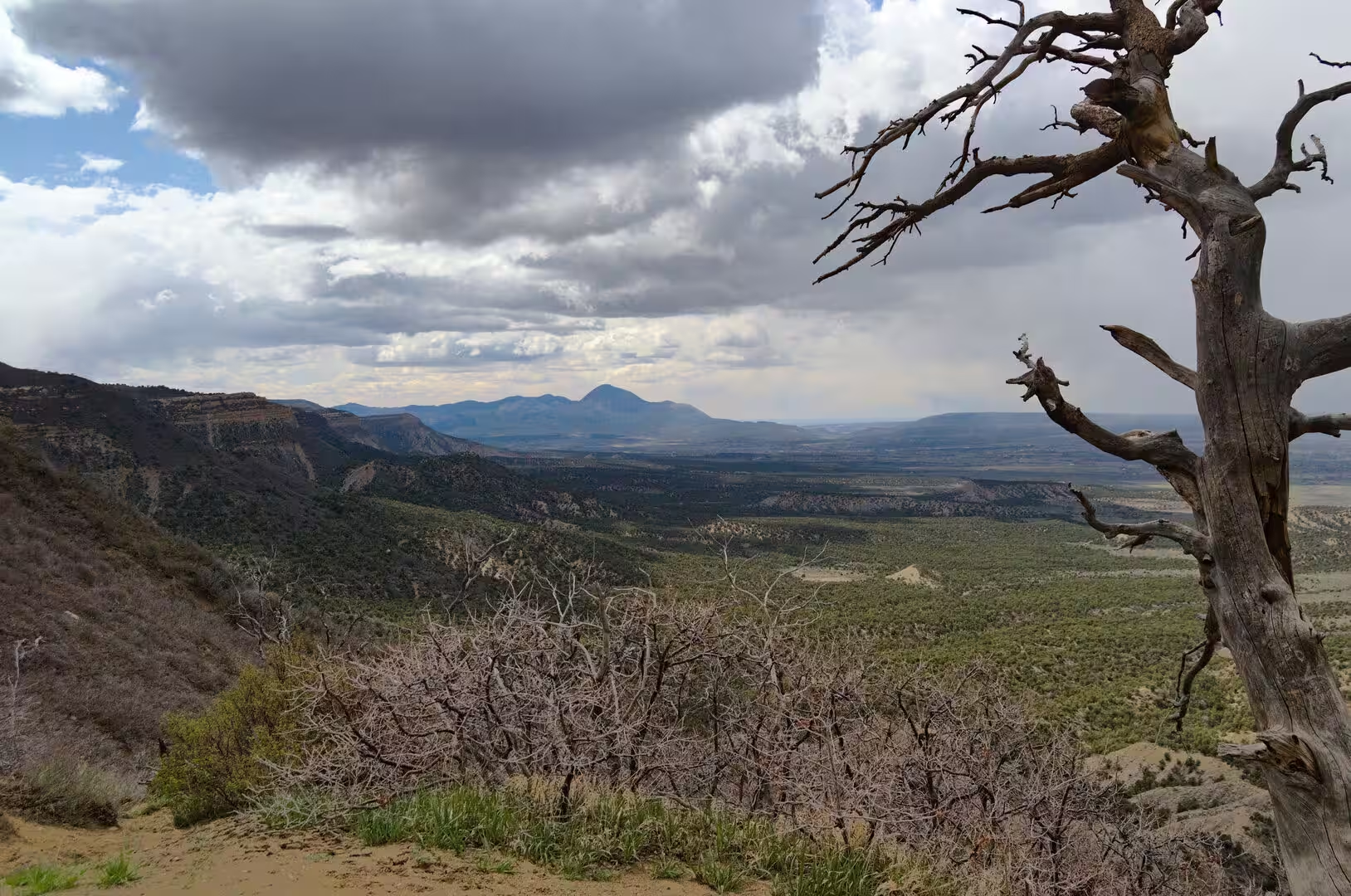
The beds were lifted long after they were deposited. The Laramide mountain building, which raised the modern Rocky Mountains between about 70 and 40 million years ago, tilted the plateau, and the younger uplift of the Colorado Plateau lifted the whole region a mile or more above sea level without folding it severely. The result is a landscape of gentle inclination, in which the same hard sandstone bed runs for miles and breaks off in an escapment. Park Point, at 8,572 feet the highest ground in the park, rises above the surrounding country.
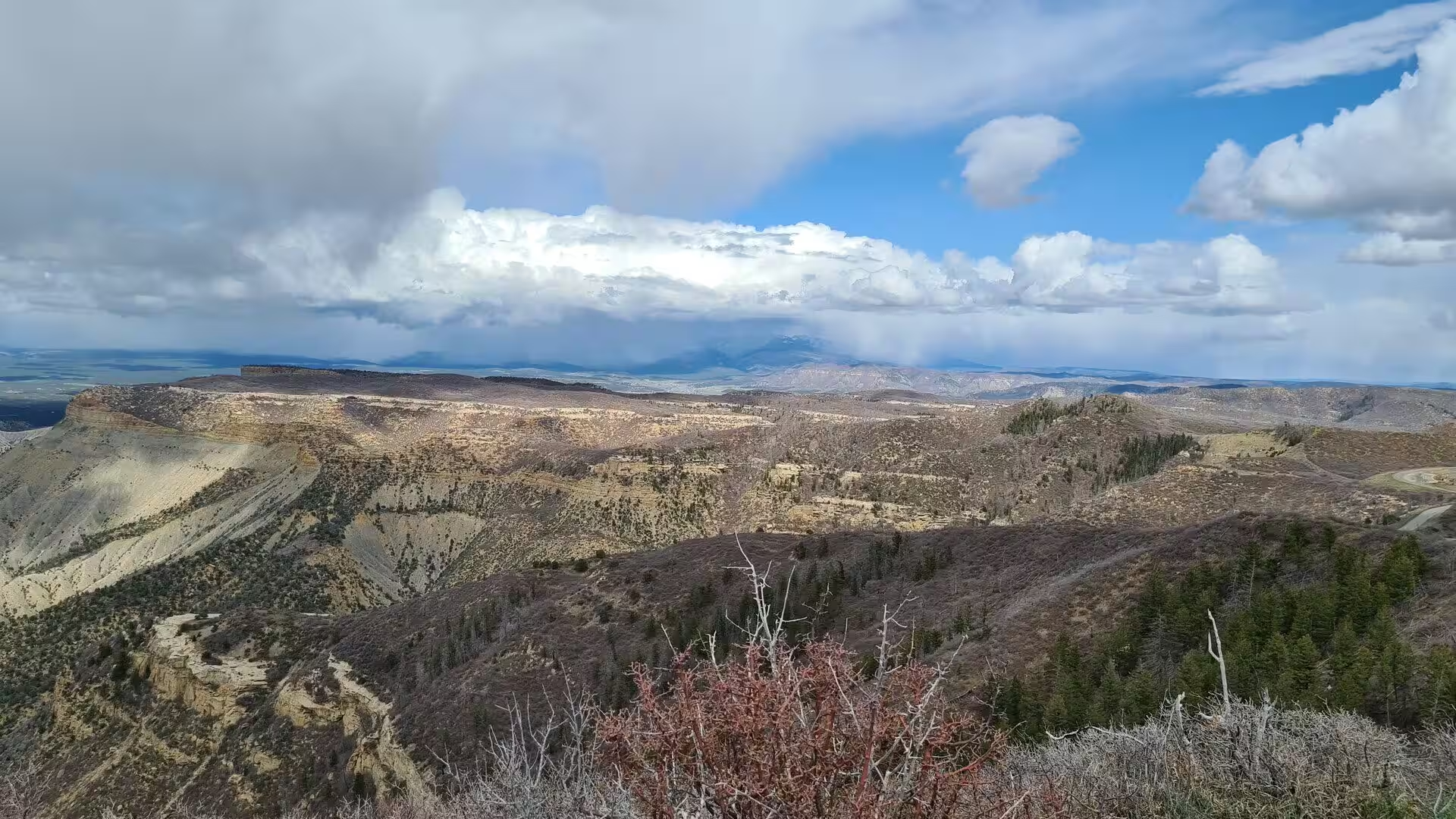
Water and frost do the rest of the work. Meltwater and summer rain run off the mesa top and cut the canyons backwards into it, the Mancos River carrying the load away to the south, while freezing water widens the joints of the sandstone and loosens the blocks. Sheets of rock peel away from the faces in a process called exfoliation, slabs fall, and the debris is swept along the canyon floors into the Mancos Valley, where the soft shale forms the grey badlands that stand below the park entrance and extend west towards Cortez.
Two geological accidents made the archaeology possible. The first is the alcove, which offers a dry floor, a rock roof and a cooler temperature than the open mesa, so that organic material survives for seven centuries and more. The second is the quiet of the region. Mesa Verde lies well away from the great faults of the western United States, earthquakes are rare and weak, and the mesa has not been shaken or flooded often enough to destroy the villages that were built at its edge. Erosion continues, as the rockfalls at Spruce Tree House show, and the park now closes some alcoves to visitors to slow the damage.
Things to See
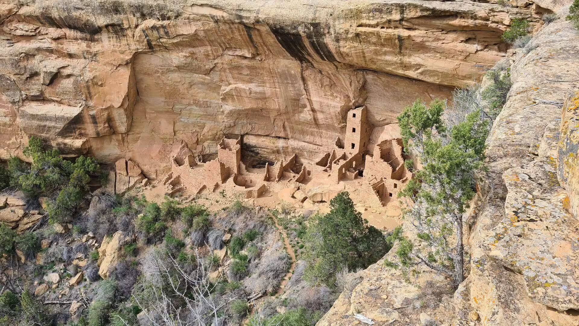
Cliff Palace is the largest cliff dwelling in North America and the best known single site in the park. It stands in an alcove on the east wall of Cliff Canyon and contains about 150 rooms, twenty three kivas and a square tower of four storeys, built of thin sandstone blocks set in mud mortar over a frame of juniper and pinyon beams. It was raised between about 1200 and 1300, and it held perhaps a hundred people. It can be visited only on a ranger led tour, which descends into the canyon and climbs back out by ladders and stone steps.
Balcony House is the most demanding of the guided tours and the most memorable. It hangs in the east face of a cliff above Soda Canyon, some forty rooms and two kivas spread along a narrow ledge, and it is entered by climbing a wooden ladder of thirty two feet and crawling through a tunnel cut in the rock. The balcony that gives the site its name is a plastered ledge in front of the rooms, and the whole village was clearly built with defence in mind, since the approach is narrow and easily watched from above.
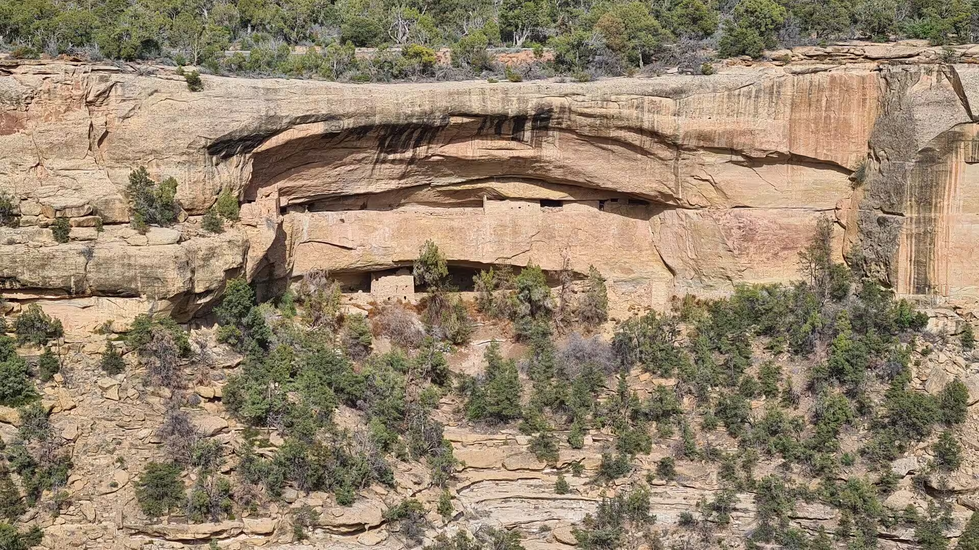
Spruce Tree House lies directly below the museum on Chapin Mesa and is the best preserved of the great dwellings, protected by the overhang of the cliff and by a natural spring that gave the site its name. It contains about 130 rooms and eight kivas, and the tree ring dates from its beams place its construction between about 1211 and 1278. Falls of rock from the alcove roof have made it unsafe in recent years, and it is seen from the overlook beside the museum rather than entered, although the old path down to it remains visible.
The Far View sites stand on the mesa top along the entrance road and show the other half of Pueblo life. Far View House is a large block of about fifty rooms around a plaza, Pipe Shrine House takes its name from carved stone pipes found in one of its rooms, Coyote Village lies on a ridge above, and Cedar Tree Tower sits over a small kiva connected by a tunnel to a shrine. Reservoir and check dams, terraces and field houses show how the dry farming of the mesa top was organised, and the group is visited on a short self guided trail.
Wetherill Mesa, reached by a winding road from the north west and by tram in summer, holds the second great group of ruins. Long House is the largest dwelling after Cliff Palace, with about 150 rooms and twenty one kivas, and it stands in an alcove high above the canyon floor. Nearby are the Step House, occupied in two separate periods, and the Badger House Community, a group of mesa top villages that spans six centuries of building. The mesa is quieter than Chapin Mesa, and its archaeological history is easier to read in sequence.
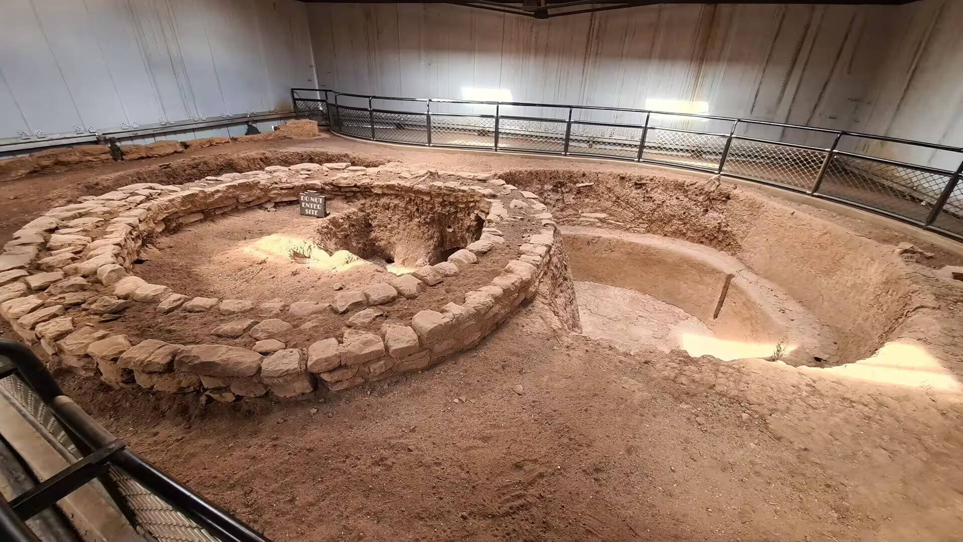
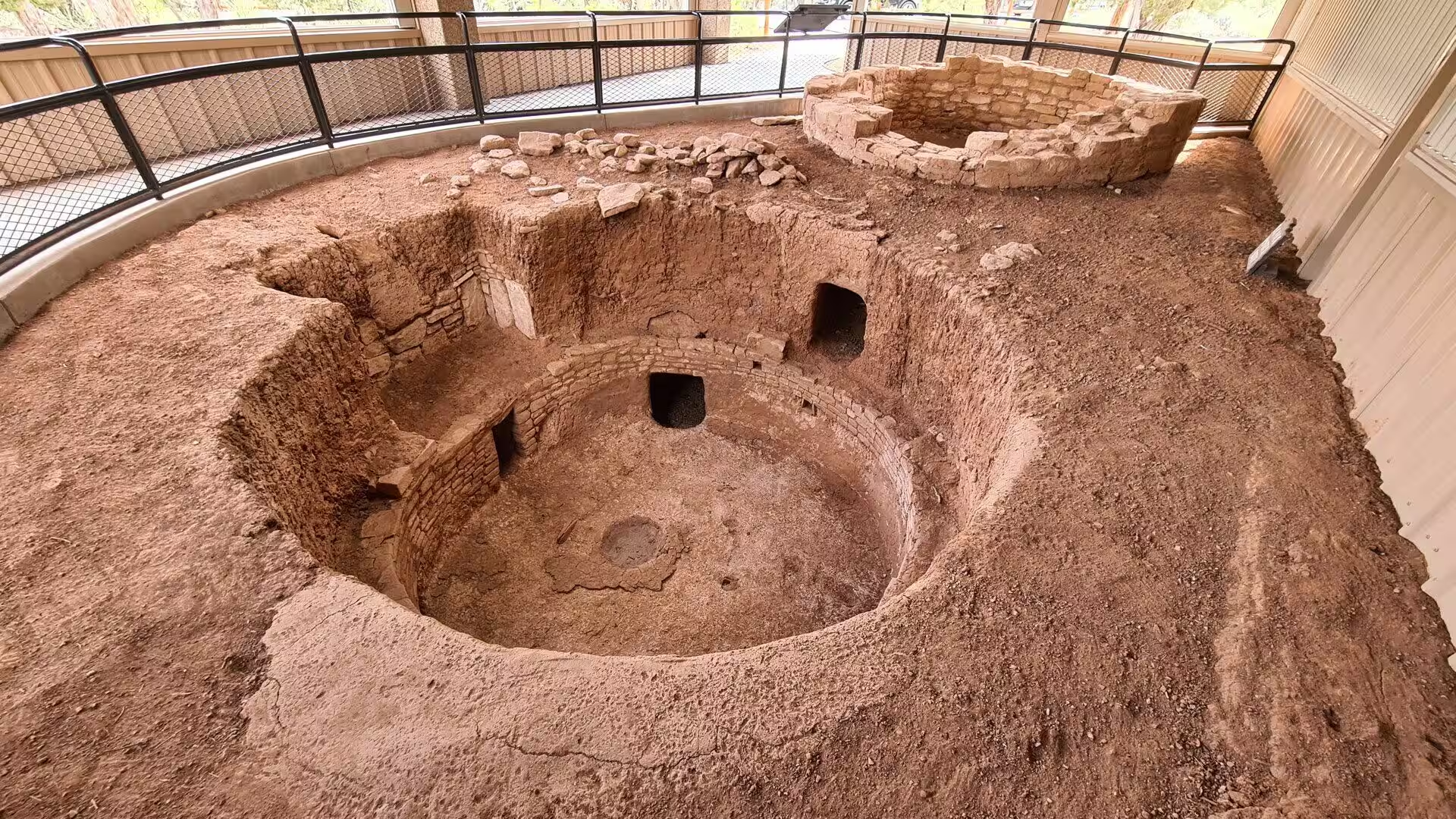
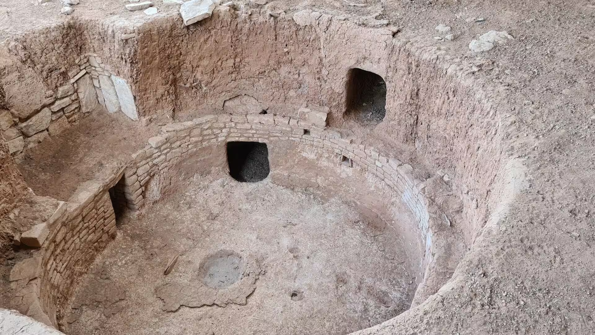
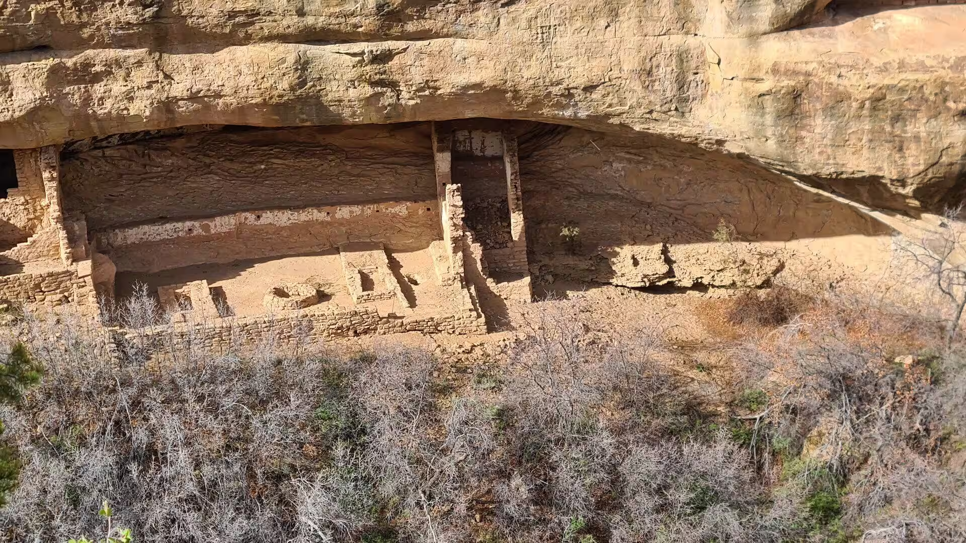
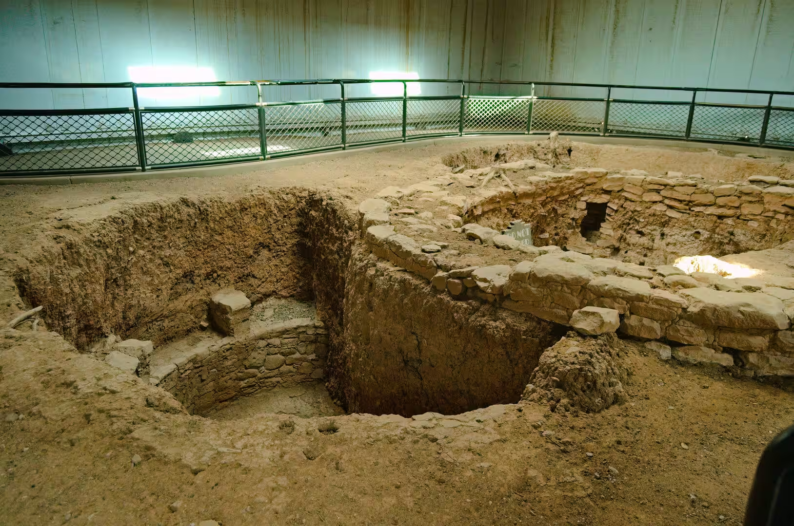
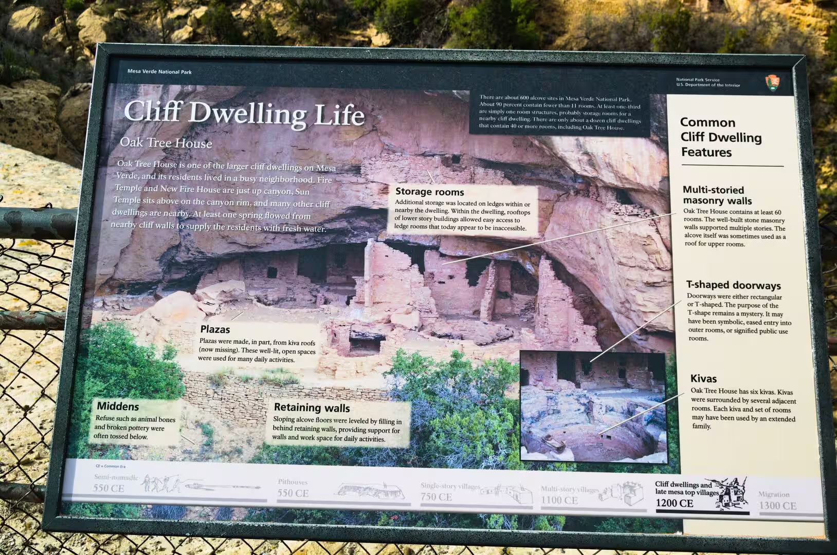
The ceremonial architecture of the mesa repays close attention. A kiva is a round and sunken room, entered through the roof, with a masonry bench around the wall, pilasters that carried the roof beams and a small hole in the floor called the sipapu, the place of emergence in Pueblo belief. Kivas at Mesa Verde are unusually numerous, often one for every few rooms, and the great kivas of the earlier period are larger still. Sun Temple, on Chapin Mesa, is a special case, a building of finely cut stone that was never roofed and was abandoned before it was finished, probably about 1270.
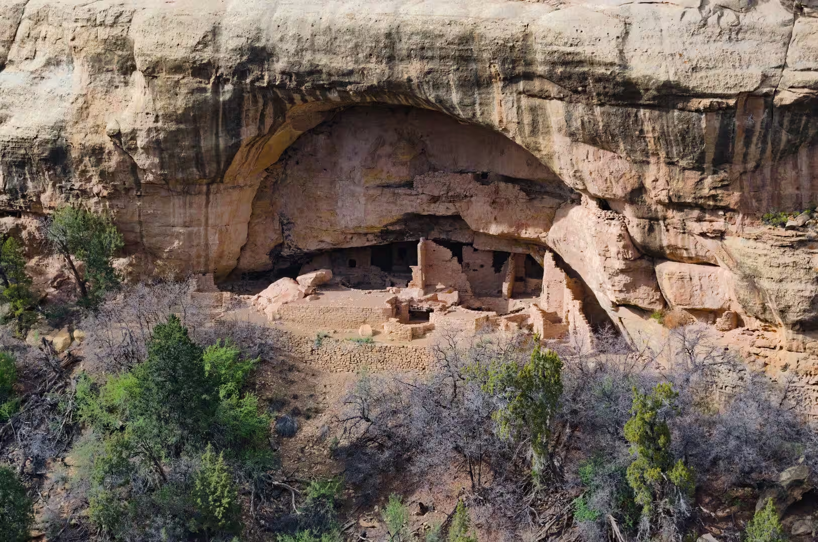
Rock art and the smaller mesa top sites fill out the picture. Petroglyph Point, at the head of Chapin Mesa, carries panels of animals, spirals and clan symbols pecked into the sandstone, together with a horse and rider cut in the nineteenth century after the Ute and Navajo had come into the country. The Mesa Top Loop Road passes a series of excavated pit houses and pueblos, among them Oak Tree House and the sites on Sun Point, and it is the quickest way to see how the architecture changed from the earliest houses to the last villages.
The wider country beyond the park belongs to the same story. The Four Corners Monument, about sixty miles to the south west, marks the single point where Colorado, New Mexico, Arizona and Utah meet, and it stands on the Navajo Nation, surrounded by the stalls of Navajo and Ute craftspeople. The Canyons of the Ancients National Monument and its museum at Dolores, the Ute Mountain Ute Tribal Park south of Cortez, Hovenweep National Monument on the Utah line and Chaco Culture in New Mexico are all within a day of the mesa, and together they describe the world of which Mesa Verde was a part.
References
- Wikipedia contributors (2026). Mesa Verde National Park. en.wikipedia.org/wiki/Mesa_Verde_National_Park
- Wikipedia contributors (2026). Ancestral Puebloans. en.wikipedia.org/wiki/Ancestral_Puebloans
- Wikipedia contributors (2026). Cliff Palace. en.wikipedia.org/wiki/Cliff_Palace
- Wikipedia contributors (2026). Cliff dwelling. en.wikipedia.org/wiki/Cliff_dwelling
- Wikipedia contributors (2026). Four Corners. en.wikipedia.org/wiki/Four_Corners
- Wikipedia contributors (2026). Montezuma County, Colorado. en.wikipedia.org/wiki/Montezuma_County%2C_Colorado
- Wikipedia contributors (2026). Colorado. en.wikipedia.org/wiki/Colorado
- Wikipedia contributors (2026). Kiva. en.wikipedia.org/wiki/Kiva
- Wikipedia contributors (2026). Basketmaker culture. en.wikipedia.org/wiki/Basketmaker_culture
- Wikipedia contributors (2026). Pueblo Bonito. en.wikipedia.org/wiki/Pueblo_Bonito
- Wikipedia contributors (2026). Chaco Culture National Historical Park. en.wikipedia.org/wiki/Chaco_Culture_National_Historical_Park
- Wikipedia contributors (2026). Mancos Shale. en.wikipedia.org/wiki/Mancos_Shale
- Wikipedia contributors (2026). Cortez, Colorado. en.wikipedia.org/wiki/Cortez%2C_Colorado
- Wikipedia contributors (2026). Ute people. en.wikipedia.org/wiki/Ute_people
- Wikipedia contributors (2026). Anasazi Heritage Center. en.wikipedia.org/wiki/Anasazi_Heritage_Center
- Wikipedia contributors (2026). Sandstone. en.wikipedia.org/wiki/Sandstone
- Pederson J.L., Mackley R.D., Eddleman J.L. (2002) Colorado Plateau uplift and erosion evaluated using GIS. GSA Today. 12. 4. doi.org/10.1130/1052-5173(2002)012<0004:cpuaee>2.0.co;2
- Wilmot N.A., McIntosh C.R. (2014) Forecasting Recreational Visitation at US National Parks. Tourism Analysis. 19. 129-137. doi.org/10.3727/108354214×13963557455487
- Francis J. (2006) Pictographs, Petroglyphs, and Paradigms. Discovering North American Rock Art. 181-195. doi.org/10.2307/j.ctv1qwwjr2.12
- Schmader M.F. (2025) Hybrid Forms, Composite Creatures, and the Transit Between Worlds in Ancestral Puebloan Imagery. Arts. 14. 54. doi.org/10.3390/arts14030054