Day 15 - Canyonlands
9 June 2022















Journal Notes
General
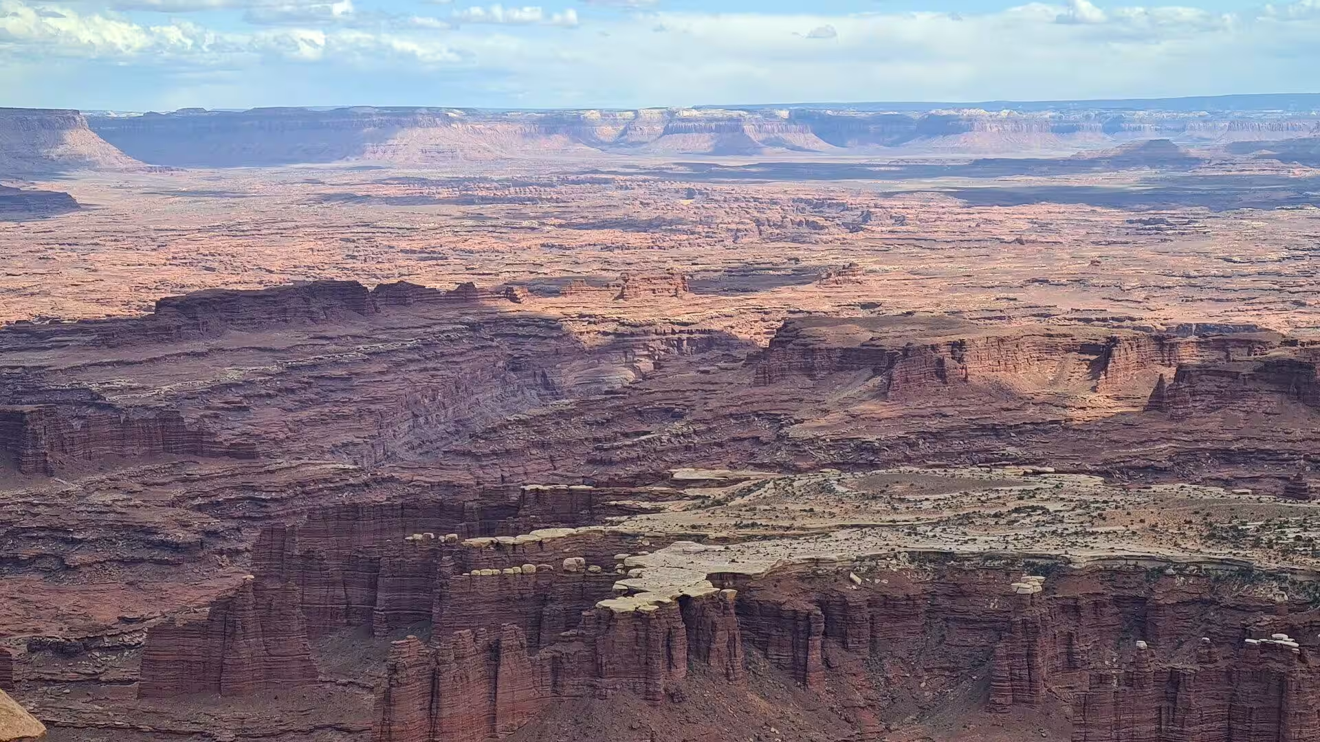
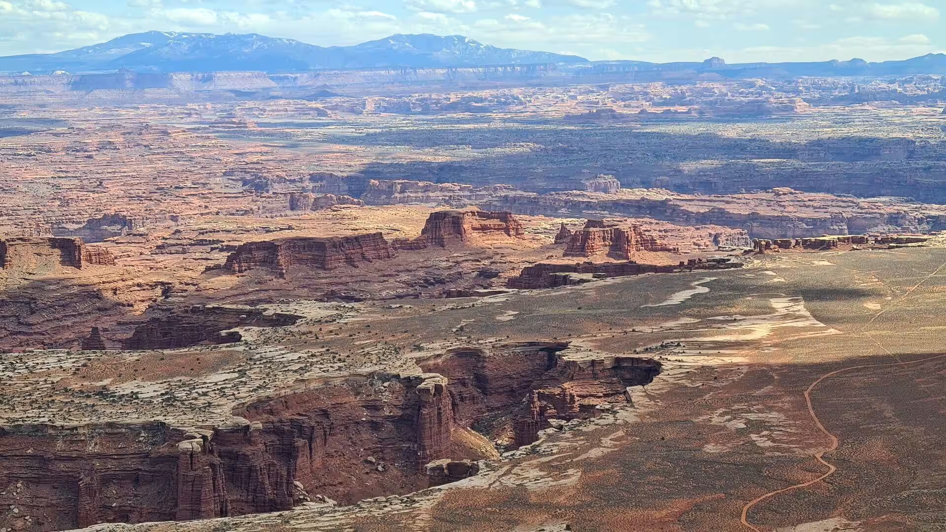
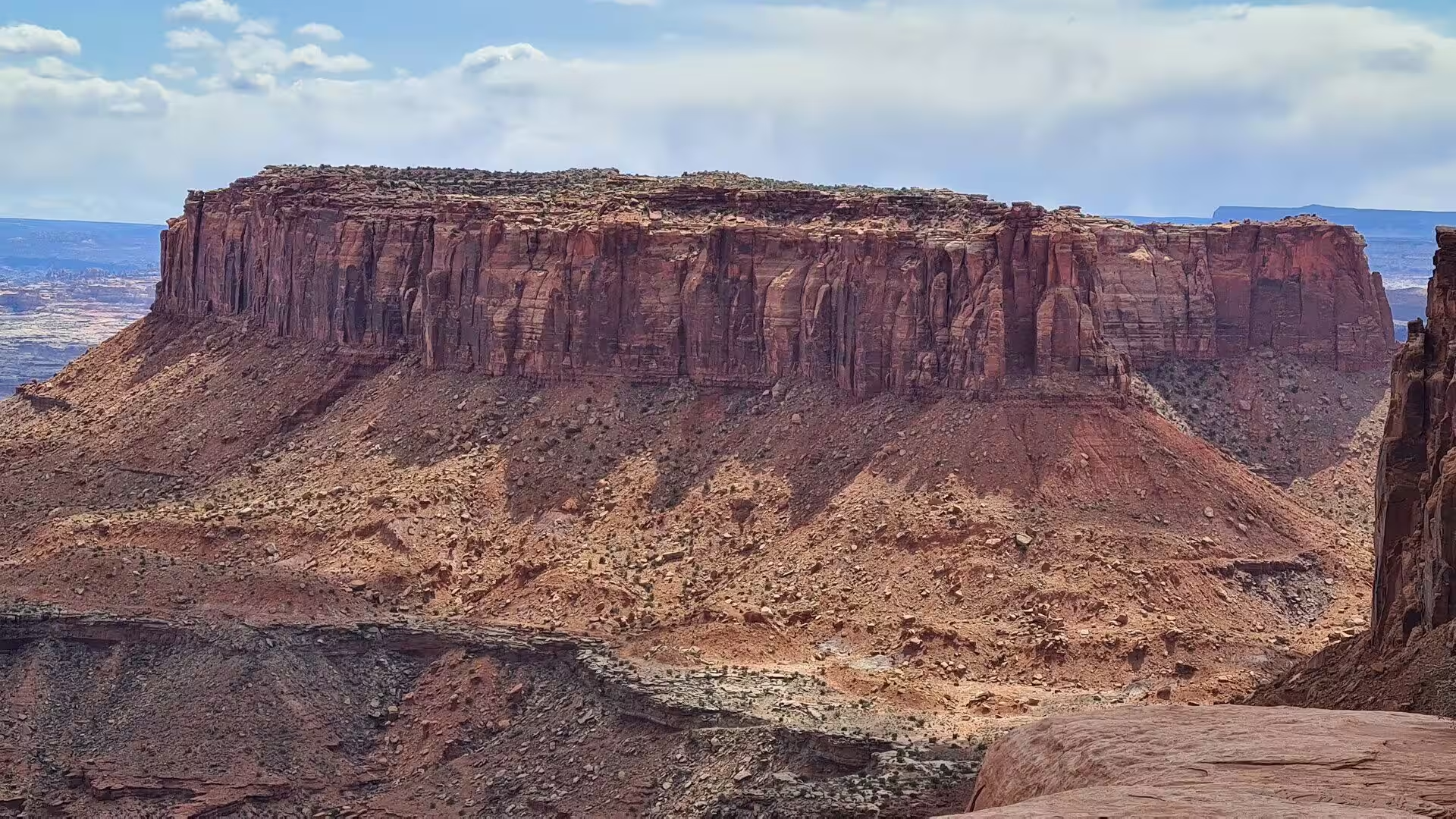
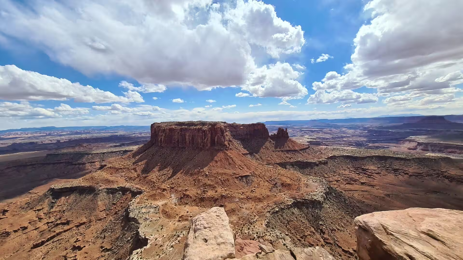
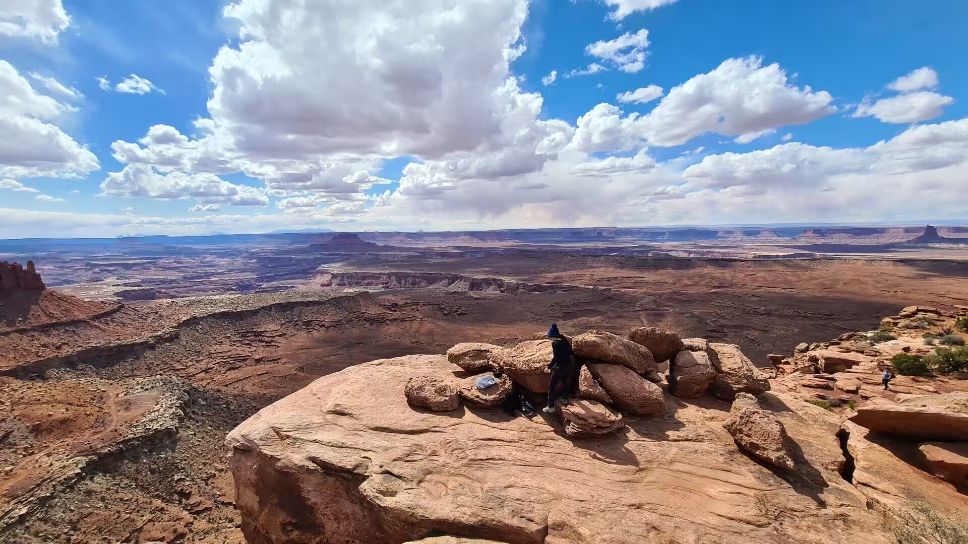
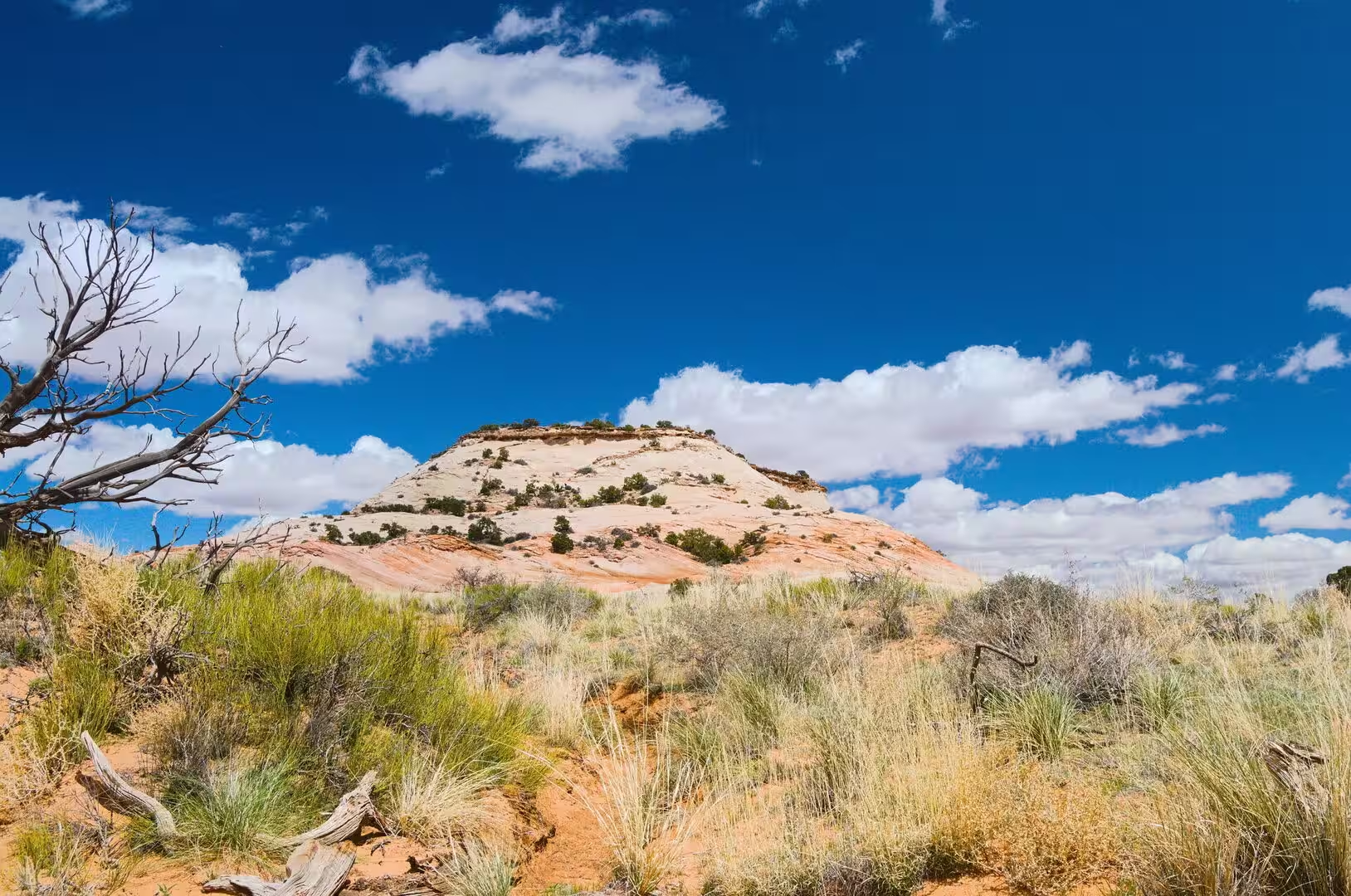
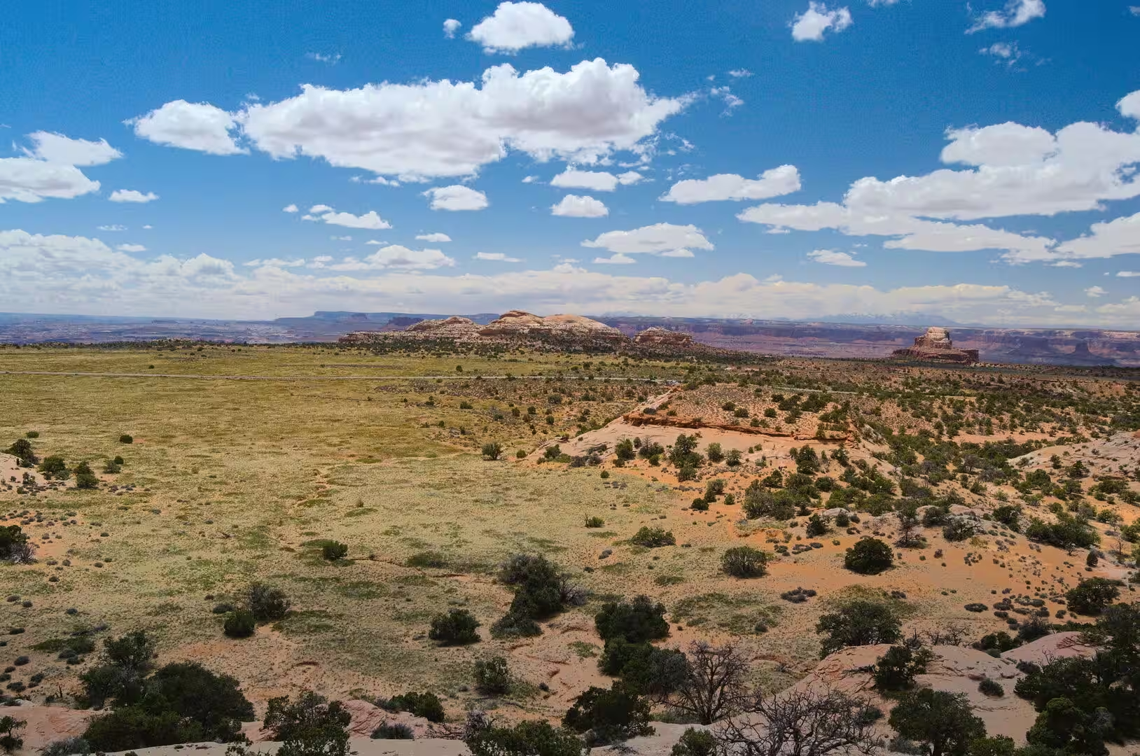
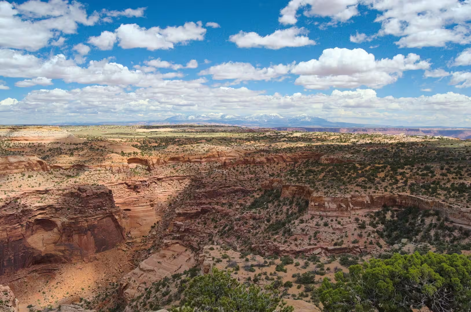
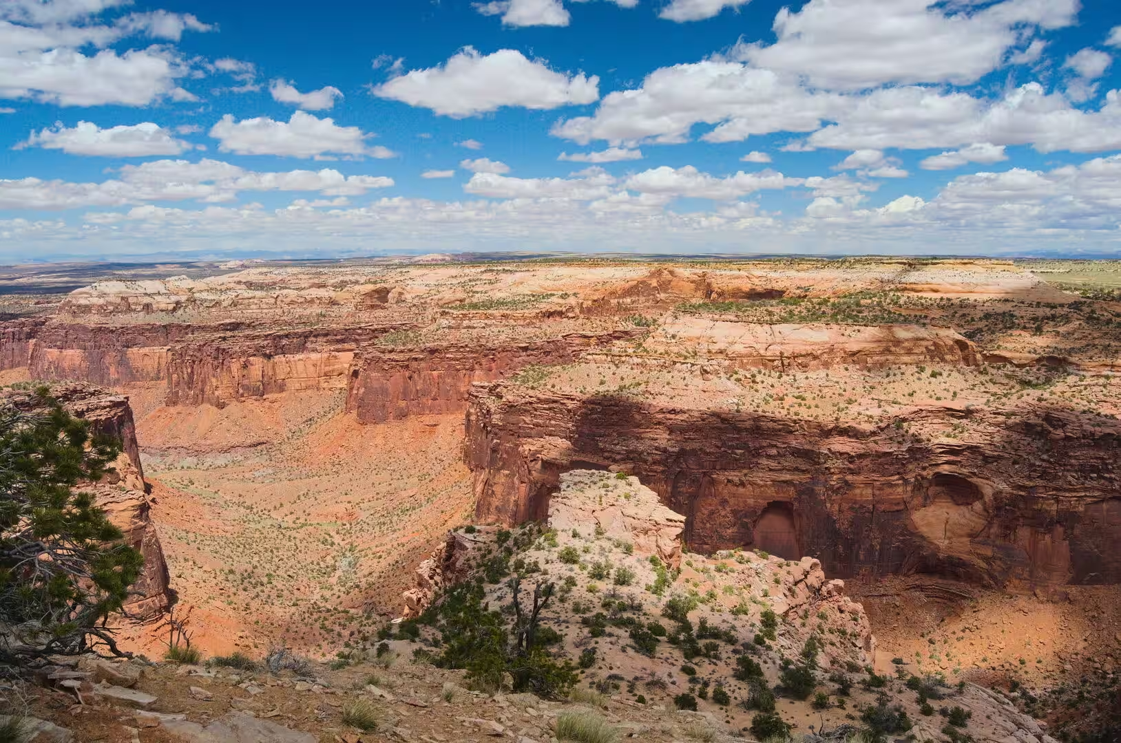
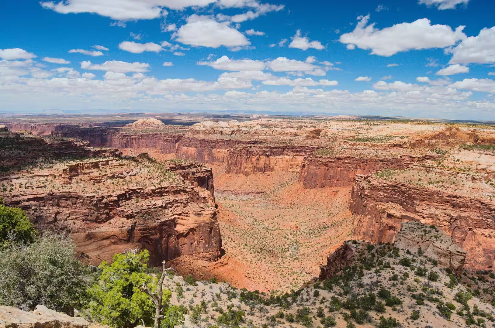
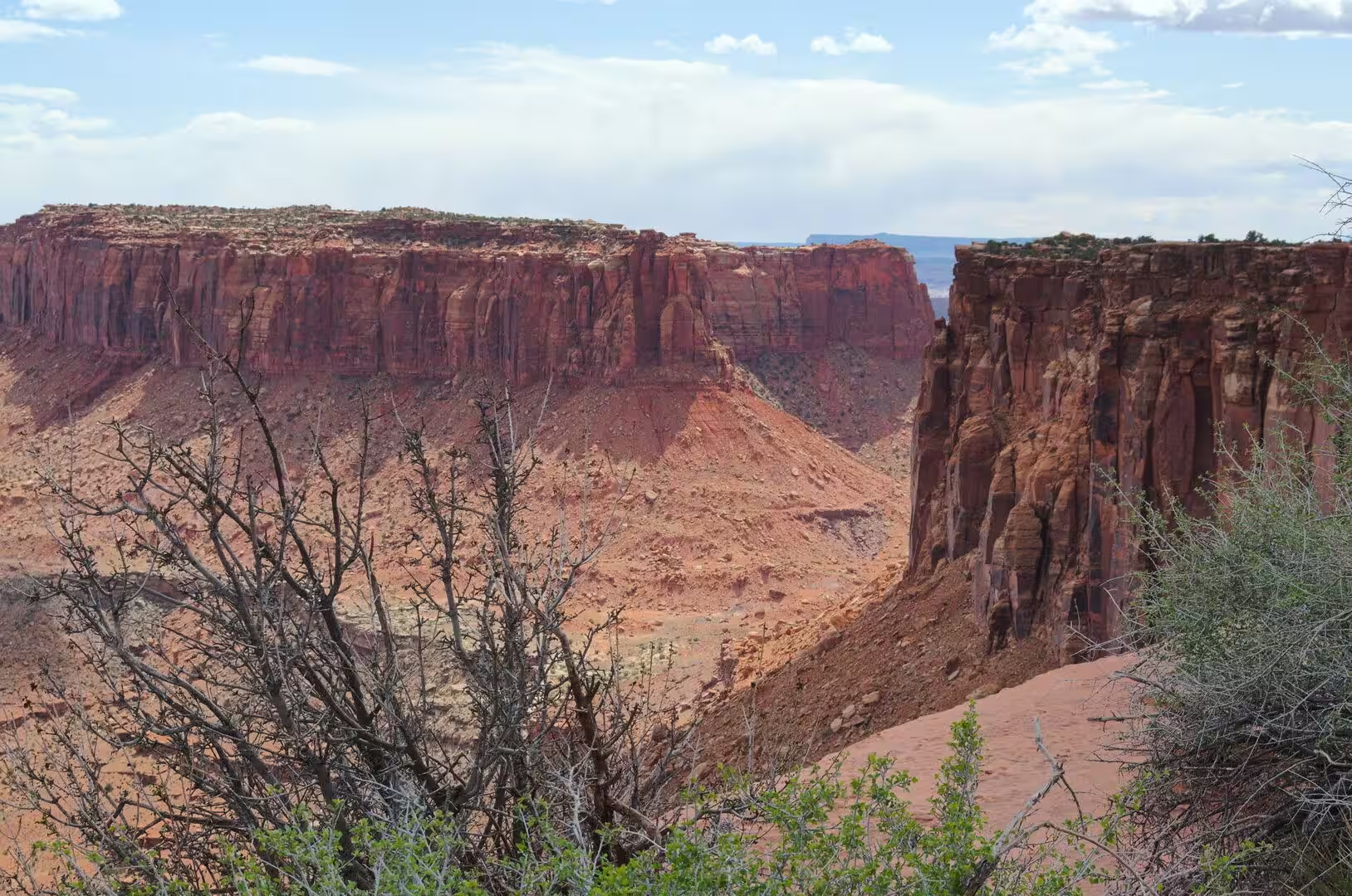
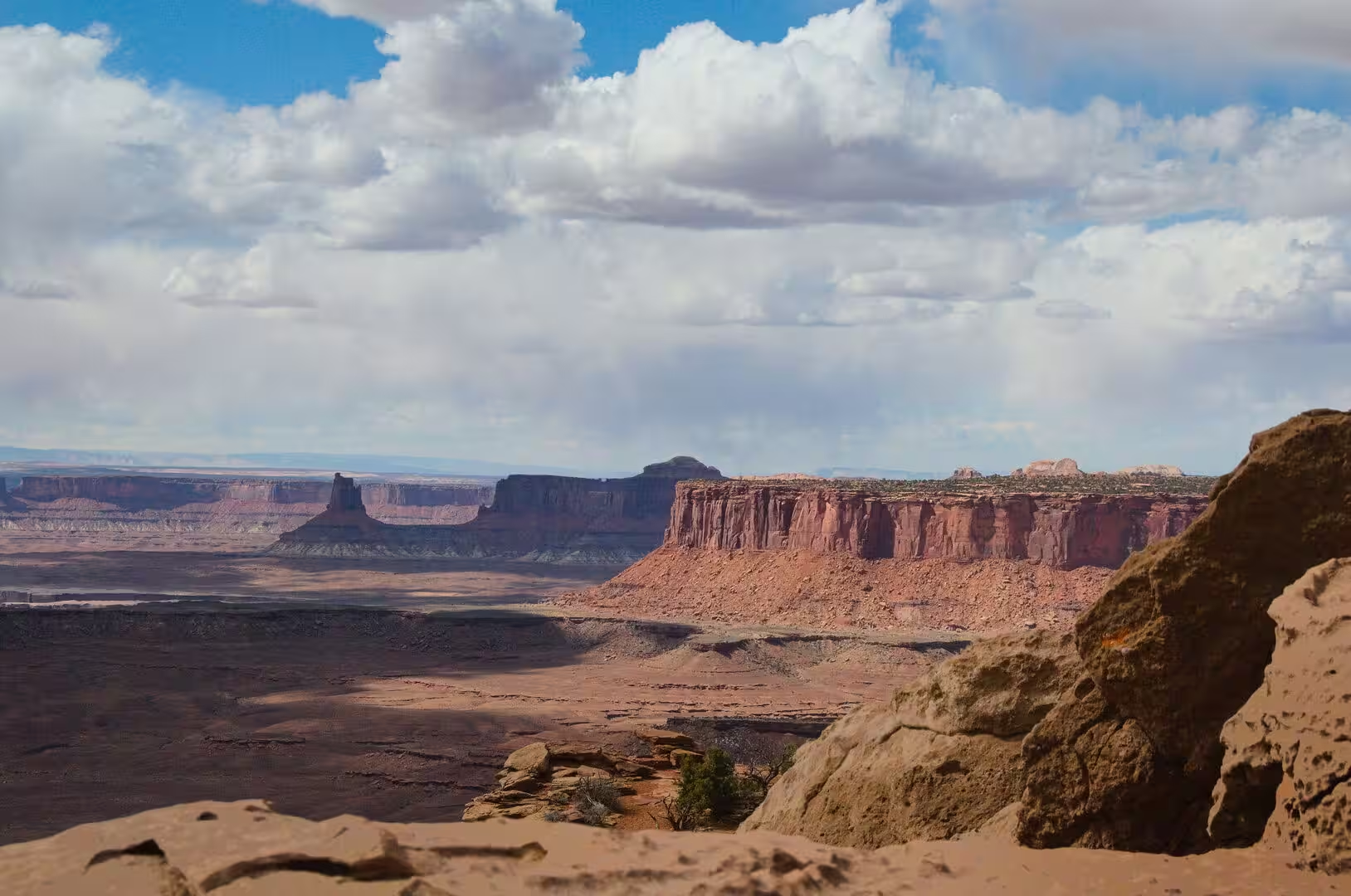
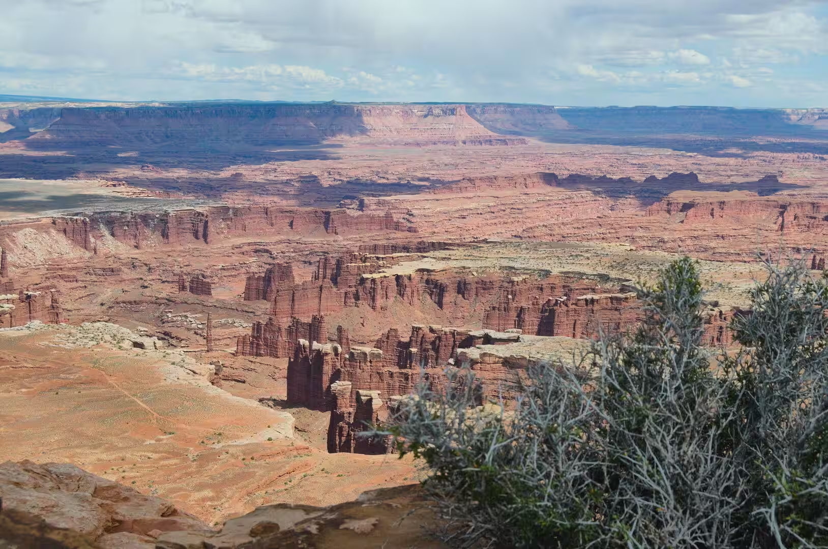
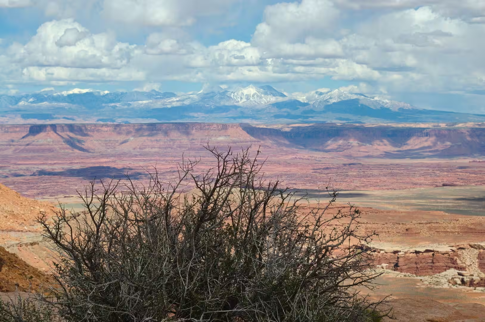
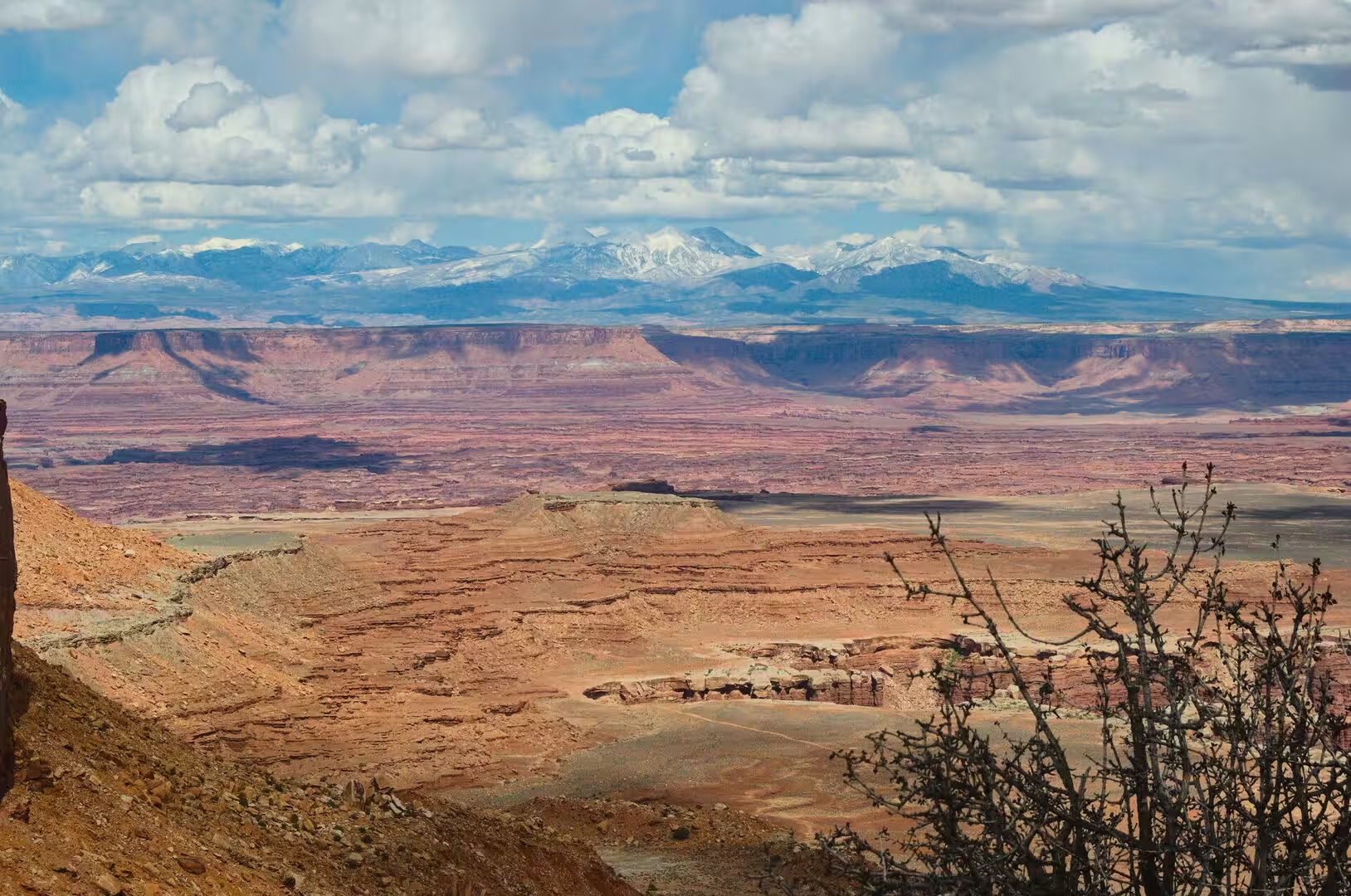
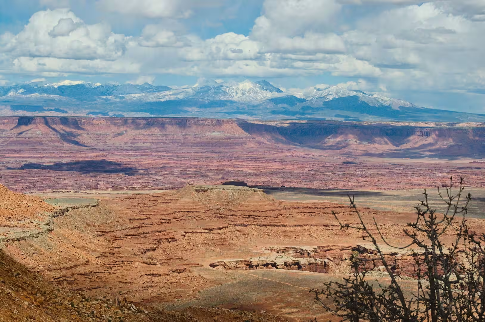
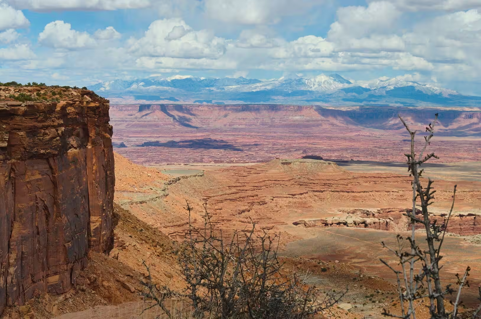
Canyonlands National Park lies in south eastern Utah near the town of Moab and preserves a colourful landscape that the Colorado River, the Green River and their tributaries have eroded into canyons, mesas and buttes. Legislation creating the park was signed by President Lyndon B. Johnson on 12 September 1964, and the park is divided into four districts: the Island in the Sky, the Needles, the Maze, and the rivers themselves, which have cut two great canyons into the Colorado Plateau. The plateau here is a high desert of bare rock and enormous distances.
The districts are separated by those canyons and are not joined by roads, so each of them is a separate journey. The Island in the Sky lies nearest to Moab and, as of 2016, attracted 76.7 per cent of the visitors to the park; the Needles drew 20.7 per cent; the remote Maze accounted for about 1.5 per cent; and rafters and other river users made up the remaining 1.1 per cent. More than 400,000 people have visited the park in each year since 2007, and the record was 911,594 visitors in 2021.
Moab is the largest town of the region and the seat of Grand County, with 5,366 residents at the 2020 census, and it stands on the Colorado River between the national park and its other neighbour, Arches National Park. It is a base for mountain bikers who ride the Slickrock Trail and the trails around it, and for drivers who come for the annual Jeep Safari, and it holds one of the nine regional campuses of Utah State University. The first bridge over the river here was built in 1911, the present crossing dates from 2010, and the local airfield is named Canyonlands Field.
Arches National Park begins four miles north of Moab and protects 76,680 acres of high desert on the Colorado Plateau. It contains more than 2,000 natural sandstone arches, among them Delicate Arch, the best known symbol of the state. The land was made a national monument in 1929 and a national park on 12 November 1971, and it received just under 1.5 million visitors in 2024. Dead Horse Point State Park, north west of Moab, adds a further overlook of the river and of the canyons, and both of them are reached by a single road from the town.
The rivers give the region its shape. The Colorado is 1,450 miles, or 2,330 kilometres, long, the fifth longest river of the United States, and it drains parts of seven American states and two Mexican states. Its largest tributary is the Green River, 730 miles long, which begins in the Wind River Range of Wyoming and crosses the Colorado Plateau, where it has cut some of the deepest canyons of the country. The two meet inside the park, and below their confluence the Colorado enters Cataract Canyon, a stretch of 46 miles with powerful rapids.
History
People have travelled through this country for at least nine thousand years. In Horseshoe Canyon, west of the Green River, human presence has been dated as far back as 9000 to 7000 BC, when Palaeo-Indian hunters followed large mammals such as the mastodon and the mammoth across the south west. The Desert Archaic culture followed them, then the Fremont and the Ancestral Puebloans, and the canyon was abandoned by about 1300 AD. The country afterwards was the range of the Ute and of bands of the Paiute and the Navajo.
The rock art of the park is the chief evidence of those peoples. The Great Gallery in Horseshoe Canyon is a panel about 200 feet long and 15 feet high, with some twenty life sized anthropomorphic figures, the largest of them more than seven feet tall, and it belongs to the Barrier Canyon Style, which was first recognised in that place. Ancestral Puebloan farmers also left petroglyphs, the best known of them at Newspaper Rock, on the access road to the Needles district. The Horseshoe Canyon unit was added to the park in 1971 to protect such panels.
European Americans came late to this part of Utah. The first attempt at settlement where Moab now stands was the Elk Mountain Mission of April 1855, when forty men were called to build a trading fort at the crossing of the Colorado River; repeated attacks led to its abandonment, and the brothers Silas and George Green, who tried to hold the place afterwards, were killed by the Ute. A new company from Rich County, led by Randolph Hockaday Stewart, arrived in 1878 under the direction of Brigham Young, and Moab was incorporated as a town on 30 December 1902.
Uranium made the town famous. In 1883 the main line of the Denver and Rio Grande Western Railroad was built across eastern Utah, and cattle and sheep were grazed on the surrounding country for sixty years. In the 1950s the geologist Charles Steen found a rich deposit of uranium ore south of the town, and Moab became the uranium capital of the world. The population grew by nearly five hundred per cent to almost 6,000 as the mines of the district were opened, and the boom collapsed with the Cold War.
The park itself was the work of a few determined men. In the early 1950s Bates Wilson, superintendent of Arches National Monument, began to explore the country south and west of Moab and called for the protection of what is now the Needles district. In 1961 Stewart Udall, the Secretary of the Interior, flew over the confluence of the Green and the Colorado, and the view persuaded him. The bill was defeated and reintroduced before it passed, and Wilson became the first superintendent of the new park, which is why he is called its father.
Geology
The canyonlands are cut into the Colorado Plateau, a continental uplift of 130,000 square miles that stood near sea level until about eighty million years ago. Inland seas advanced and withdrew across it, deserts spread over it and rivers crossed it, and the result is a stack of sedimentary formations thousands of feet thick. Within the park these layers lie almost flat, with one exception that gives the place its peculiar character: a series of linear salt walls and the synclines that accompany them, which have raised, bent and broken the beds above them.
The salt comes from the Paradox Basin of the Pennsylvanian period, when the sea retreated and left thick evaporites behind. Rock salt is light, with a density of about 2,160 kilograms per cubic metre, and weak, while the compacted sediment around it reaches 2,500 kilograms per cubic metre. Once the overburden had become denser than the salt, the salt began to flow upwards, and it has moved ever since, forming ridges, domes and diapirs. Structures of this kind are known in more than 120 sedimentary basins of the world, and the park is a clear example of them.
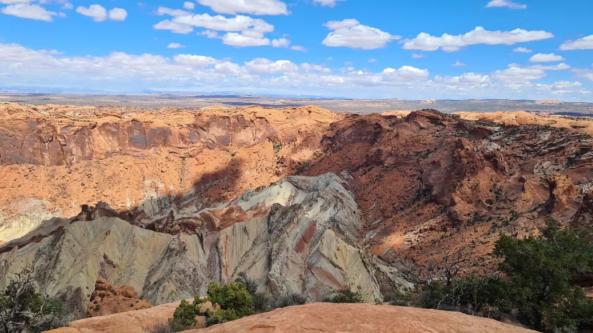
Upheaval Dome, twenty two miles south west of Moab in the Island in the Sky, is the strangest feature of the park. It is a circular structure about ten kilometres across, less than 170 million years old, and it appears on the surface as concentric rings of light and dark brown rock. The oldest formation exposed at its centre is the Permian Organ Rock Shale, above which follow the White Rim Sandstone, the Moenkopi, Chinle, Wingate and Kayenta formations and the cross bedded Navajo Sandstone. A study by NASA and the University of Nevada at Reno in the 1990s supported the reading of the structure as an eroded meteorite crater rather than a salt dome.
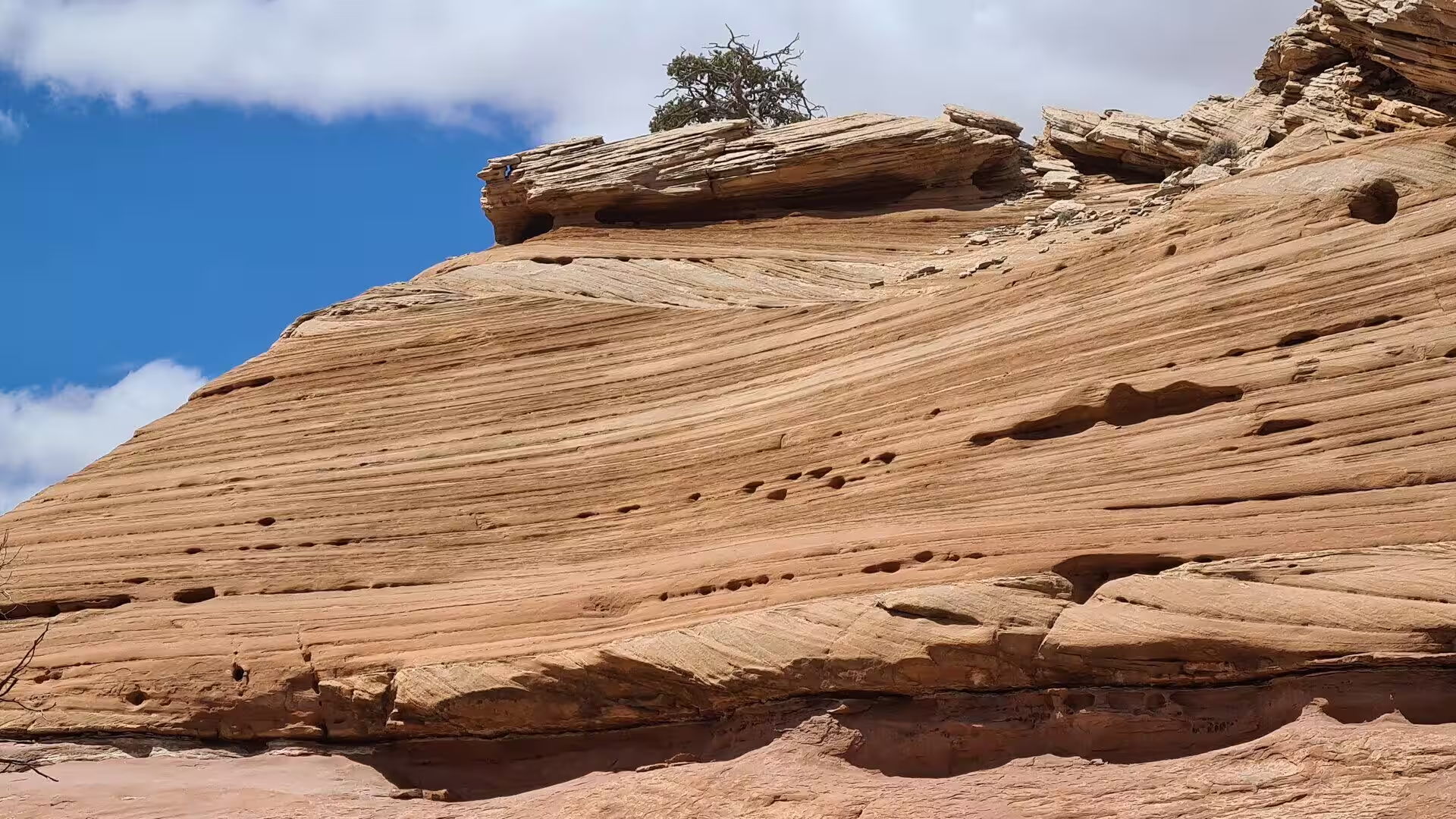
The arches and the spires of the region are made in a different way. The Entrada Sandstone, about 140 million years old, lies above the Navajo Sandstone, and it was the weight of younger rock, more than 5,000 feet of it since removed by erosion, that made the salt below flow. The arches of Arches National Park are developed mostly within the Entrada. Uplift, jointing and the stripping of softer beds leave fins of sandstone standing, and the fins break into arches, windows and balanced rocks. The Moab Fault, a displacement of about 2,500 feet, can be seen from the visitor centre.
Water does the rest of the work, and it does it slowly. The Colorado and the Green have cut down through the salt structures and the layers above them, and the rate of cutting is set by snowmelt in the mountains upstream rather than by any dam, since there is no large impoundment on the Colorado above the park. Tributary streams cut the side canyons, and their walls retreat by rockfall and flash flood. The climate is cold and semi arid, with 9.33 inches of precipitation a year, and the biological crust that binds the thin soils takes decades to recover from a single footprint.
Things to See
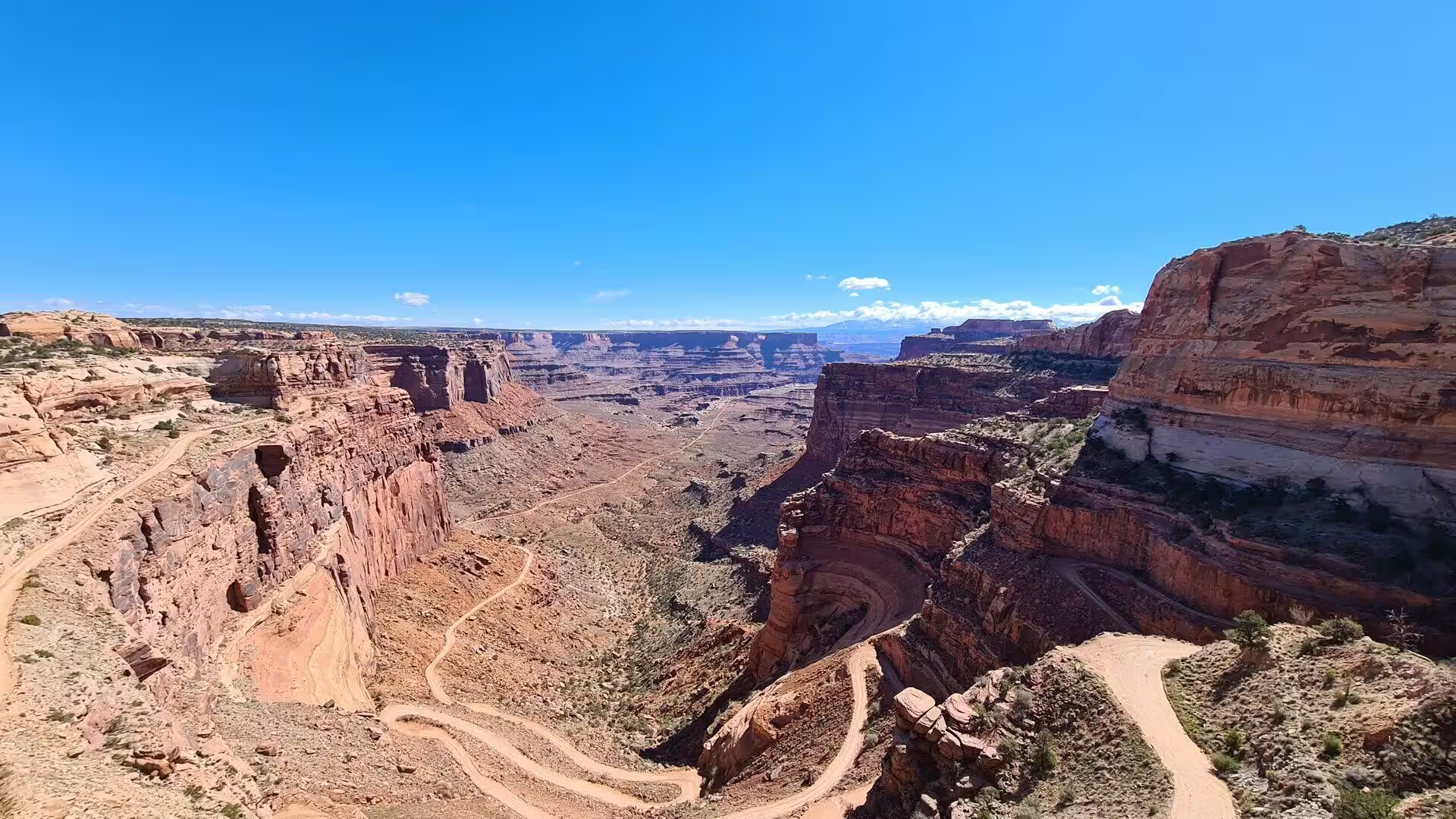
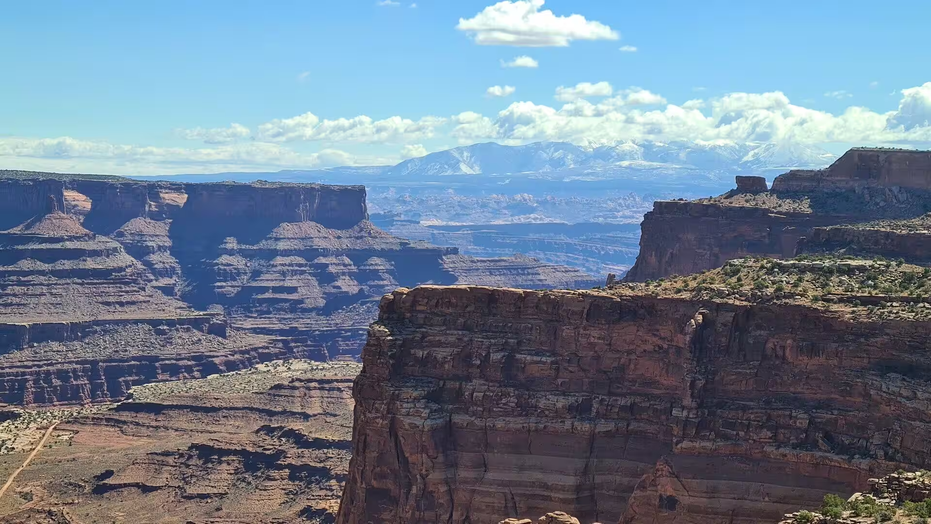
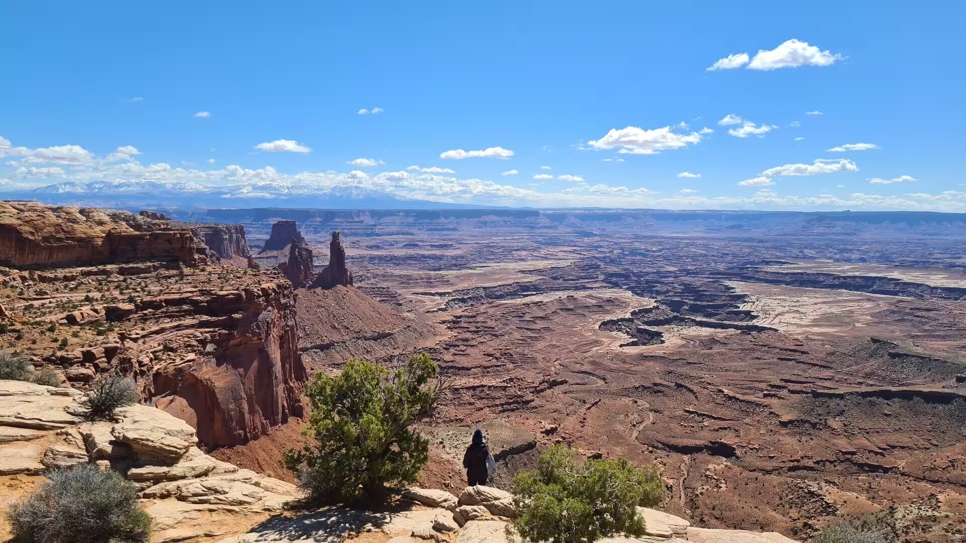
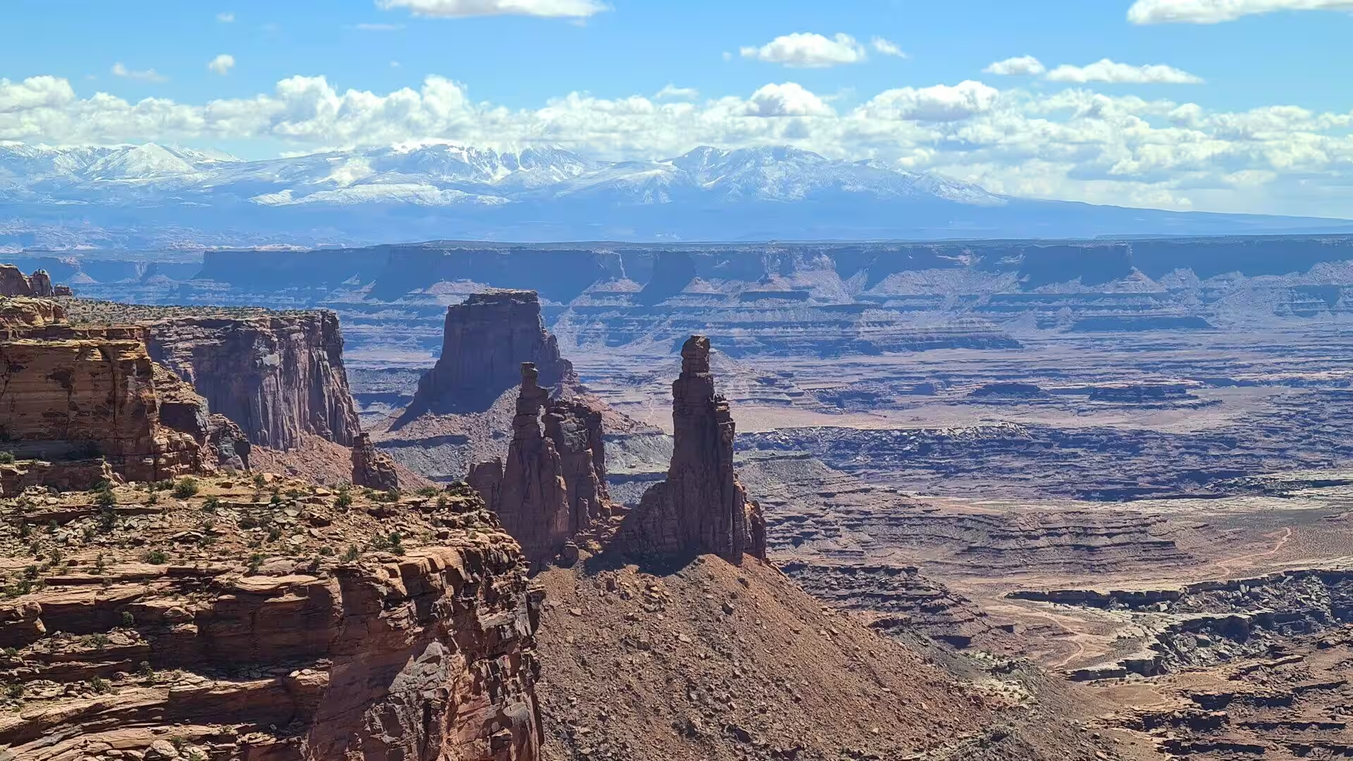
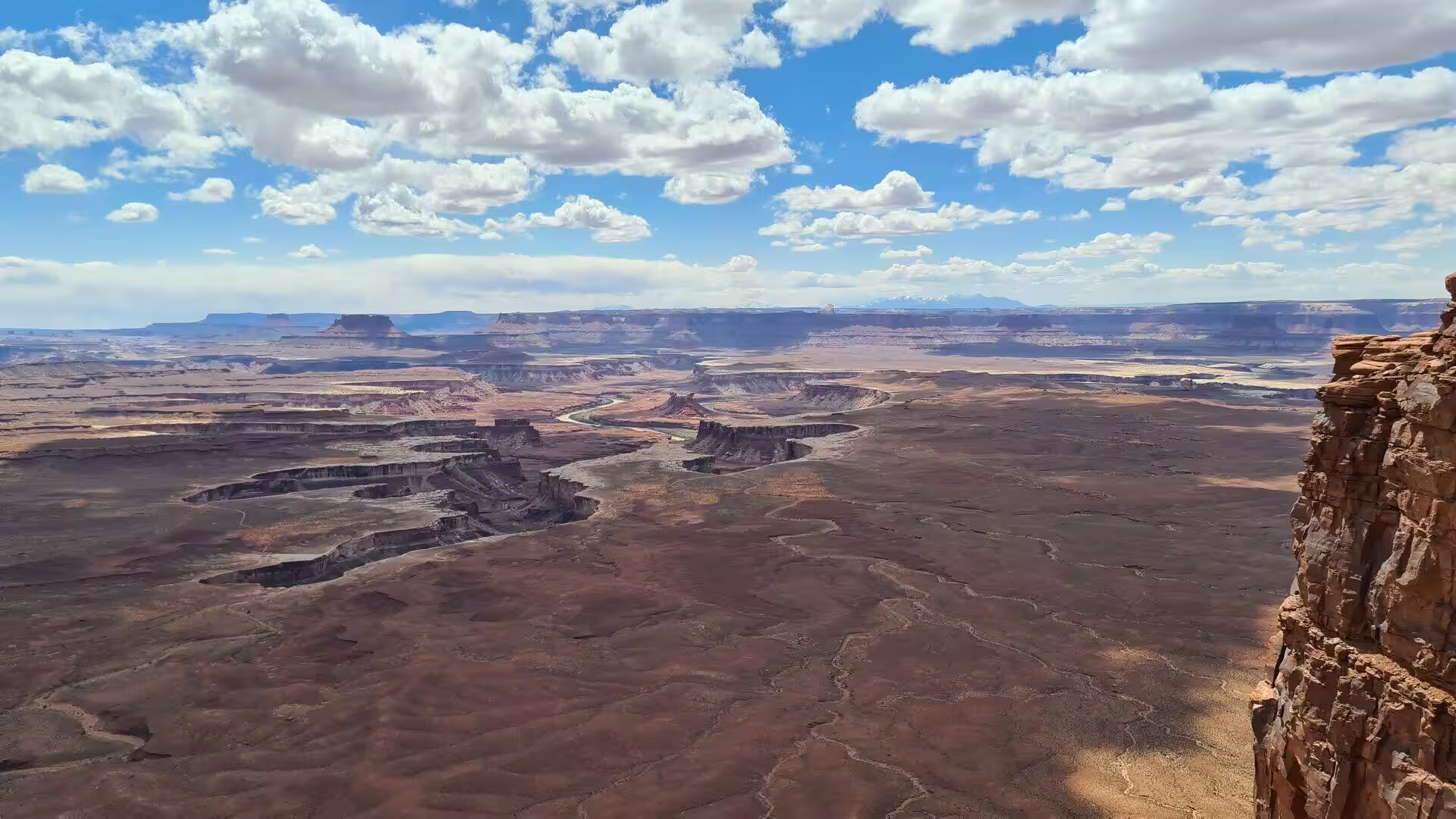
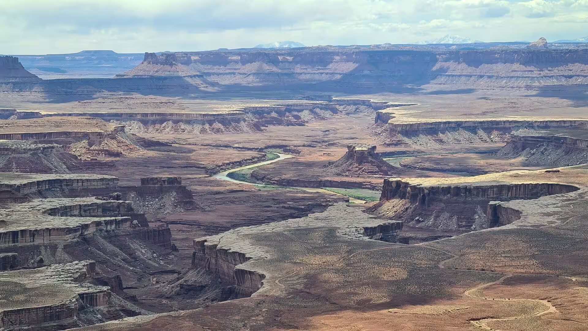
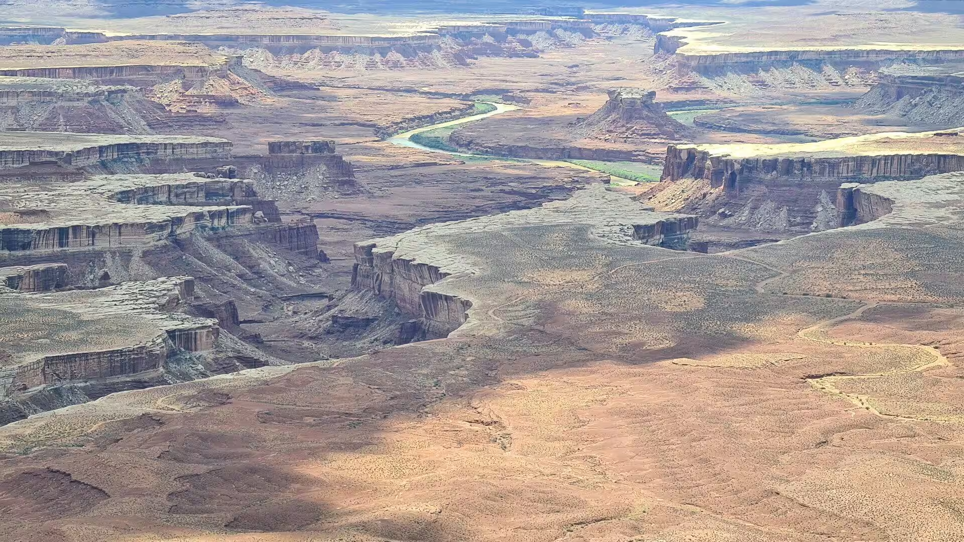
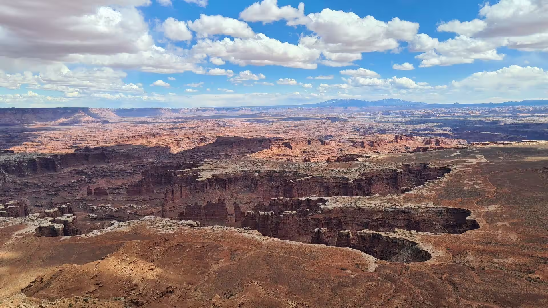
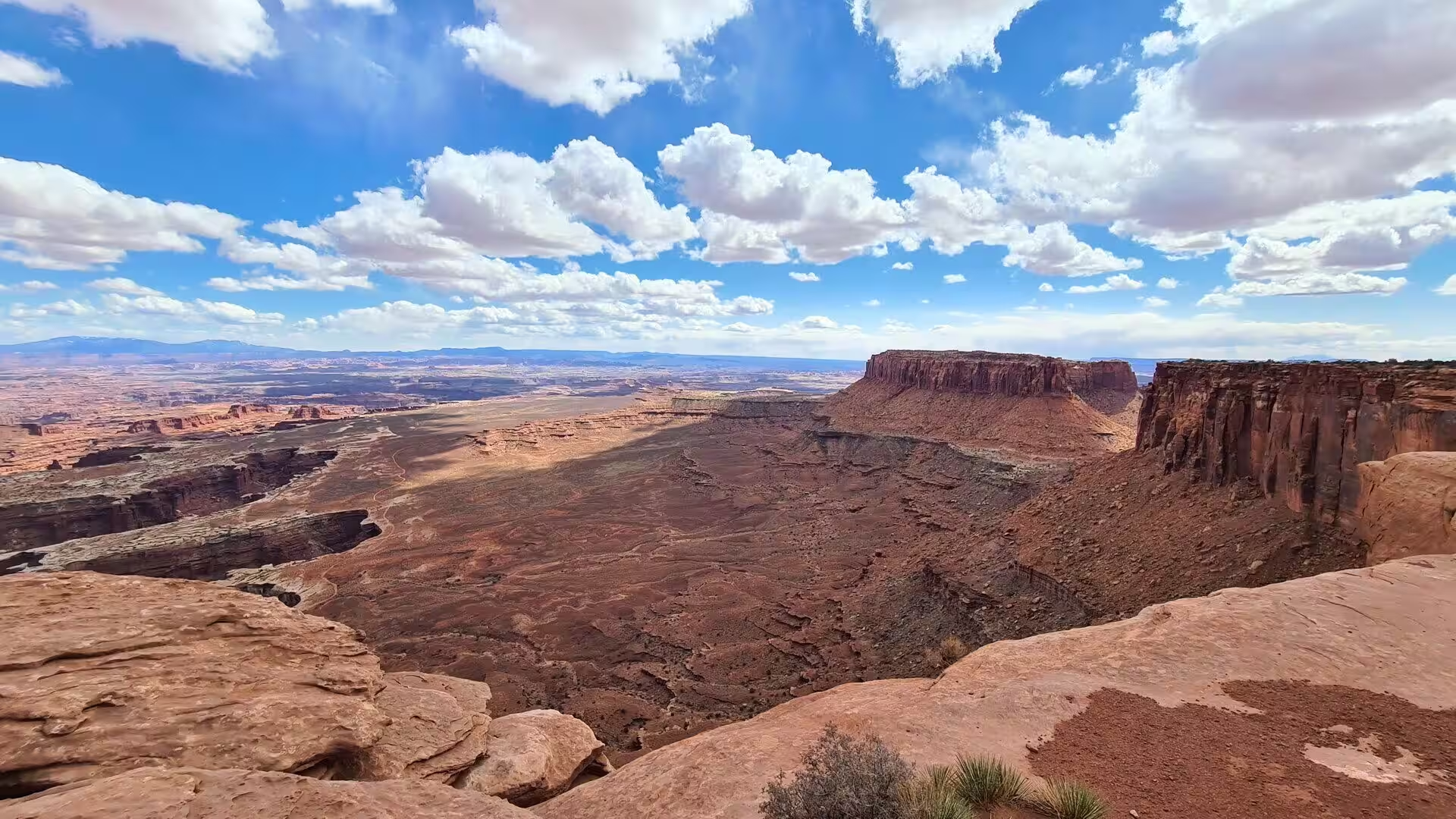
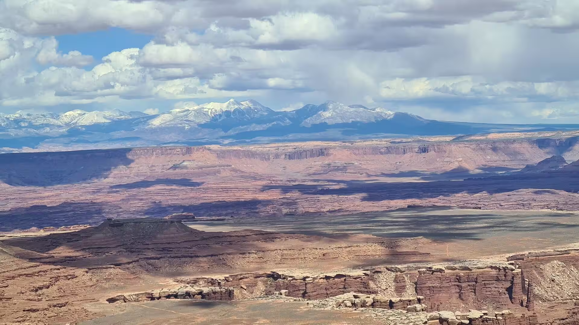
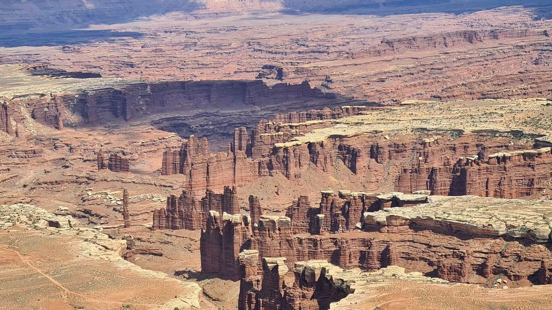
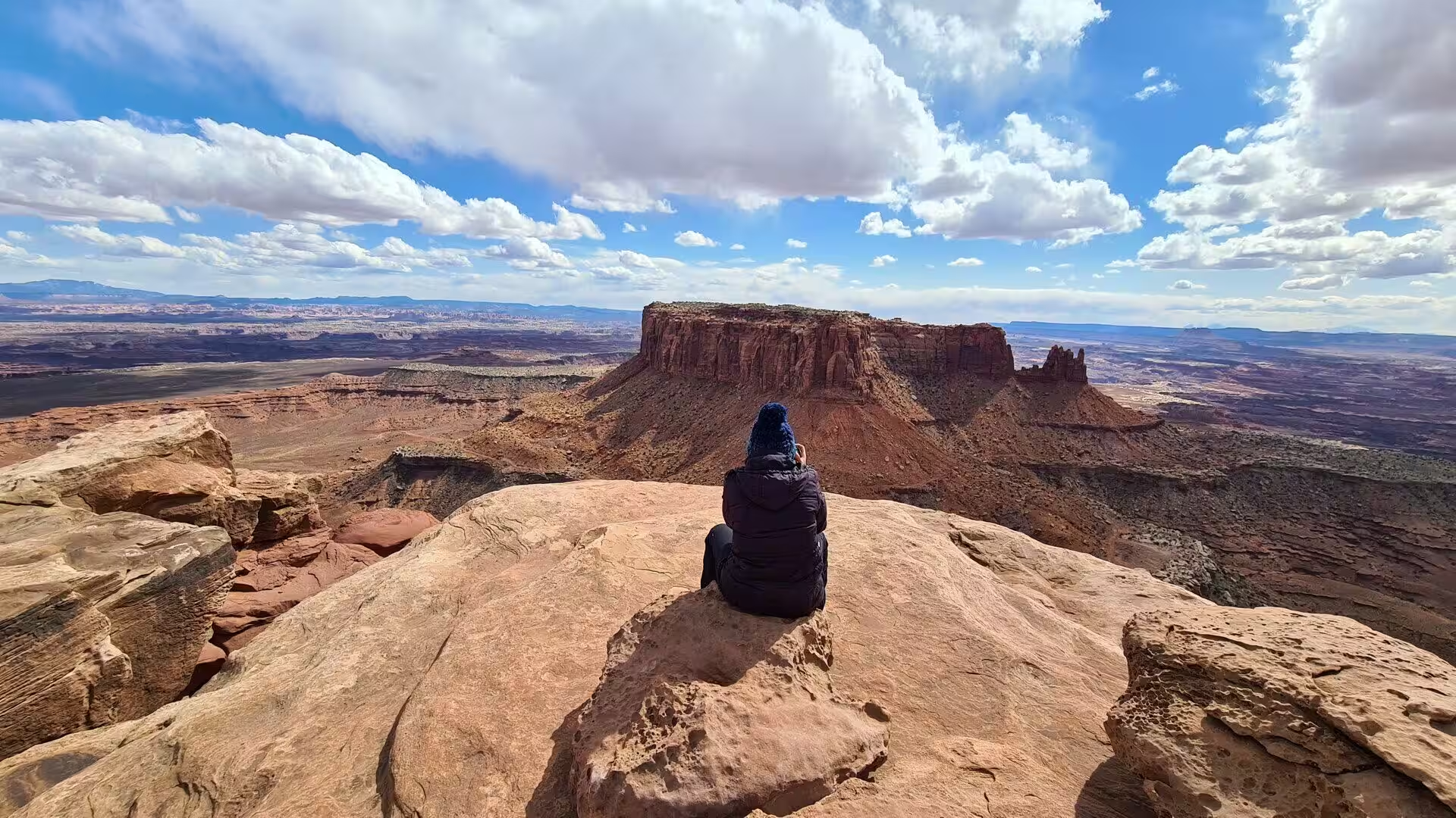
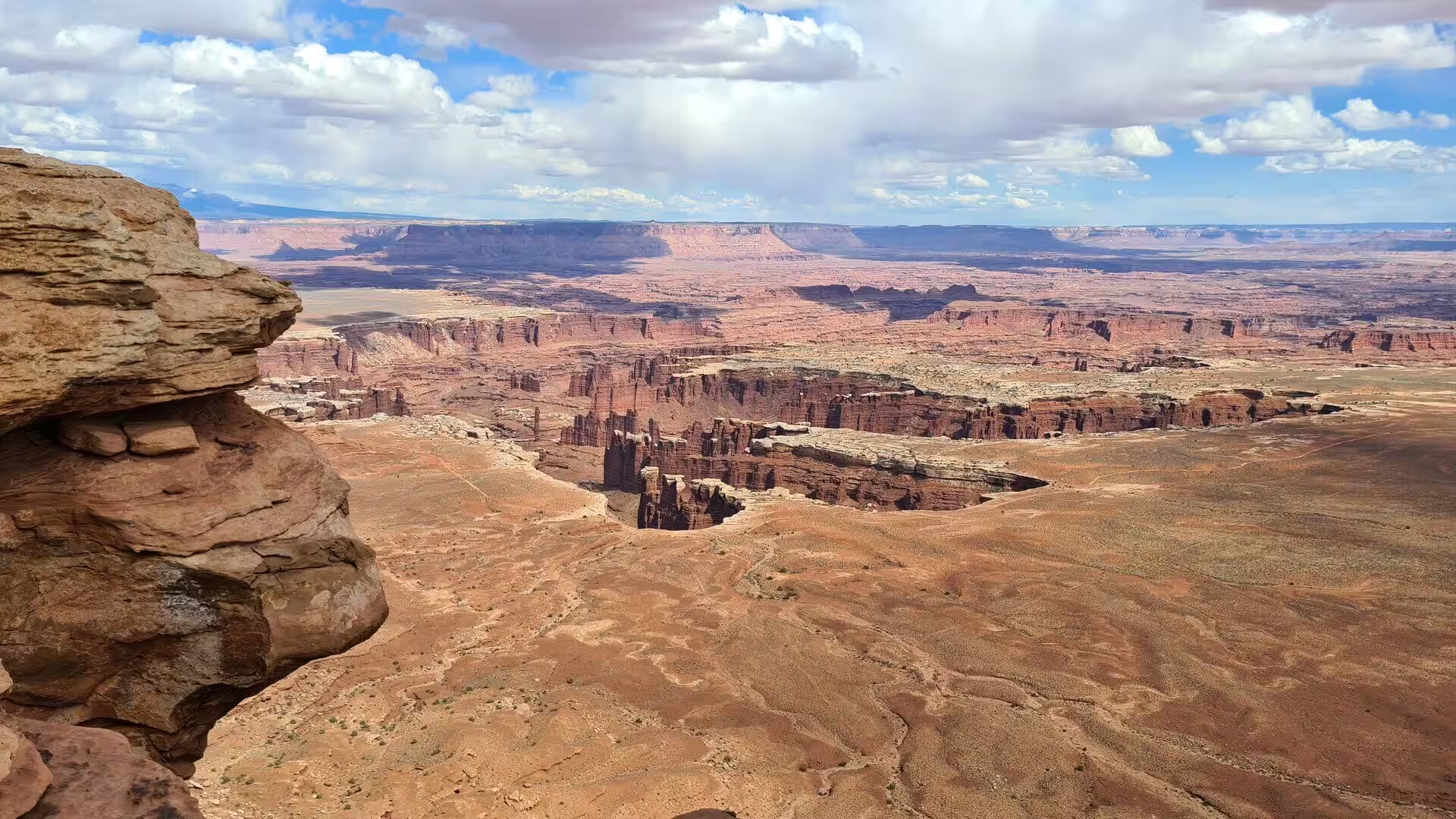
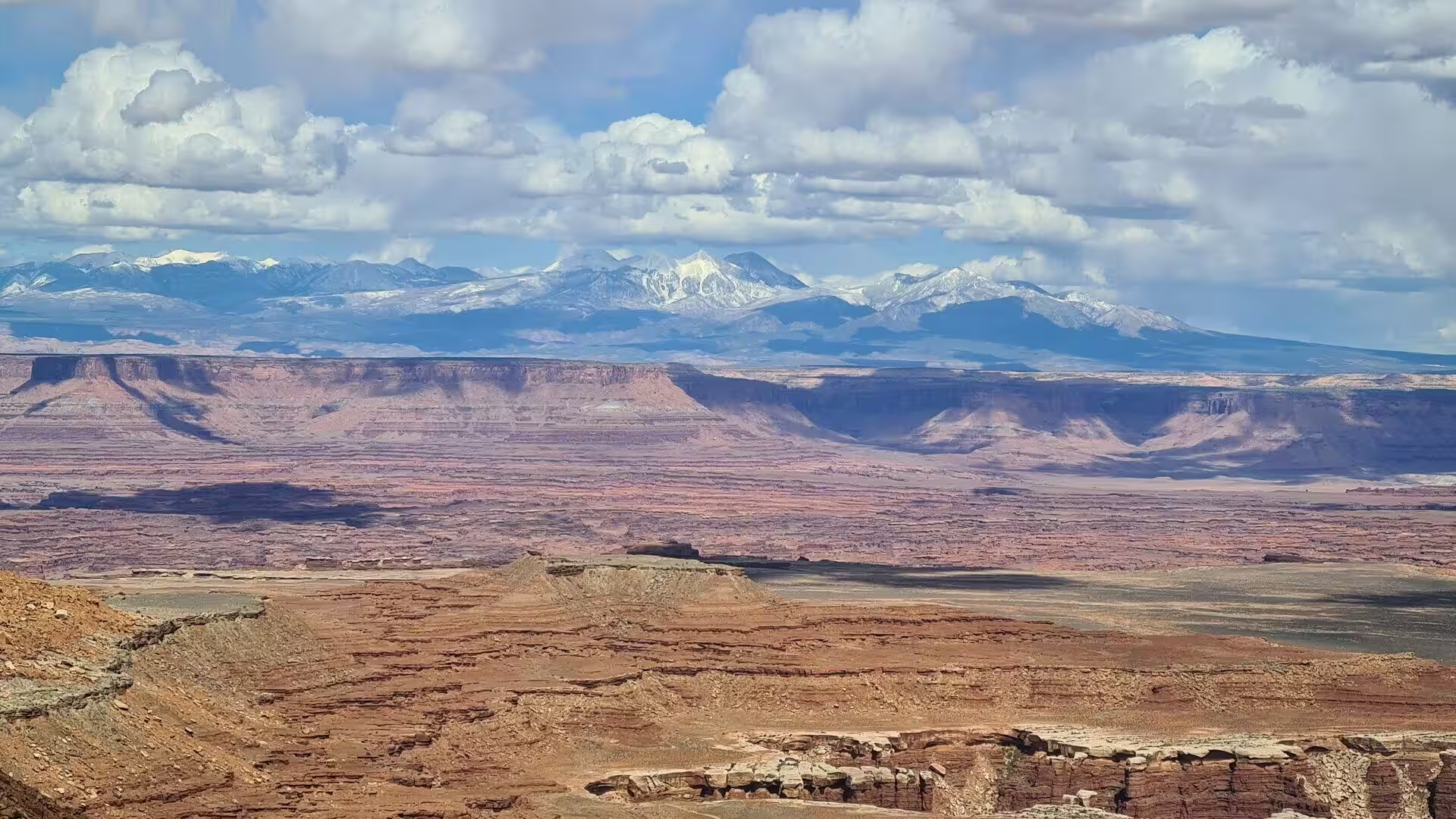
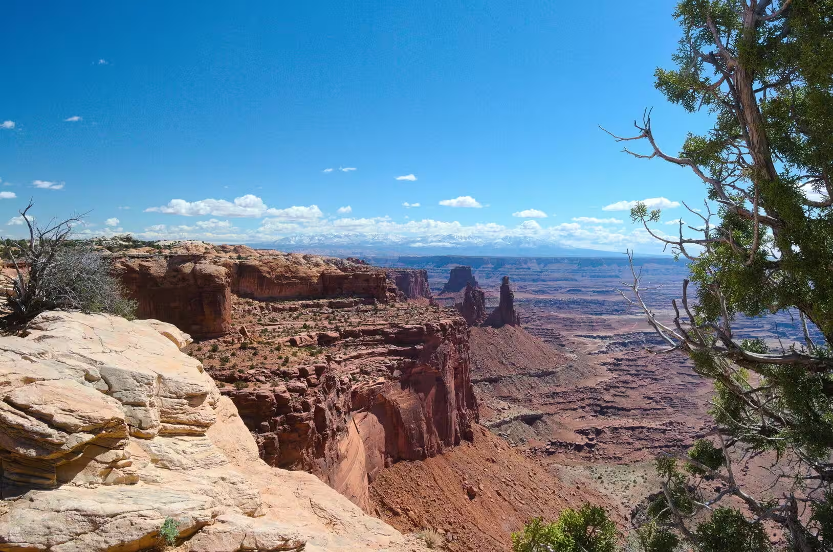
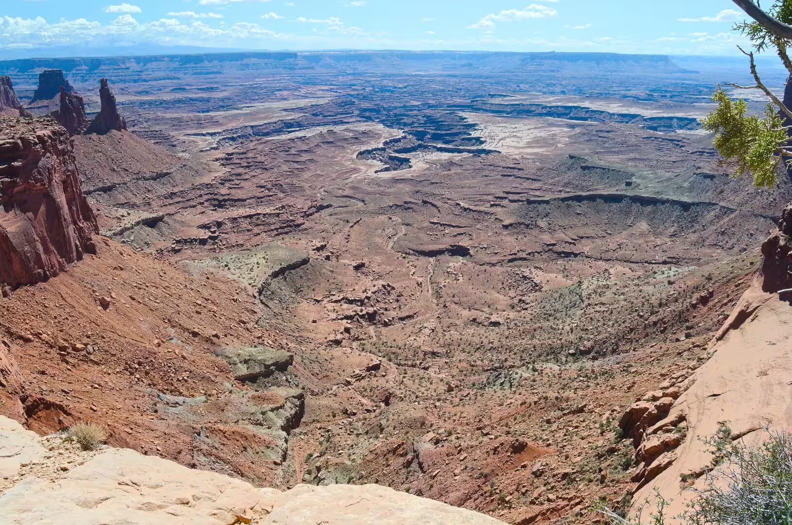
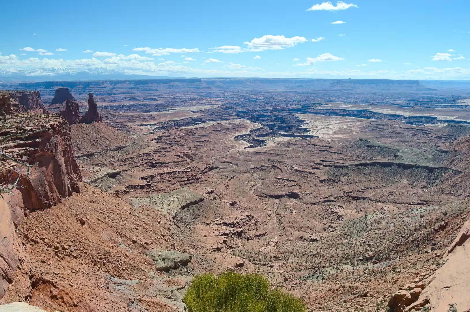
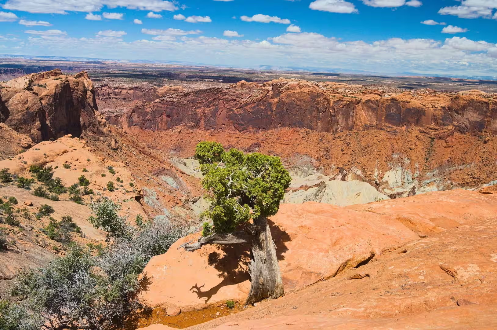
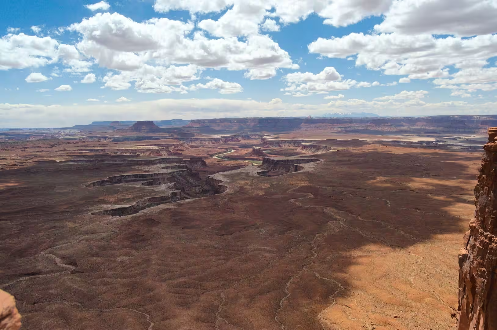
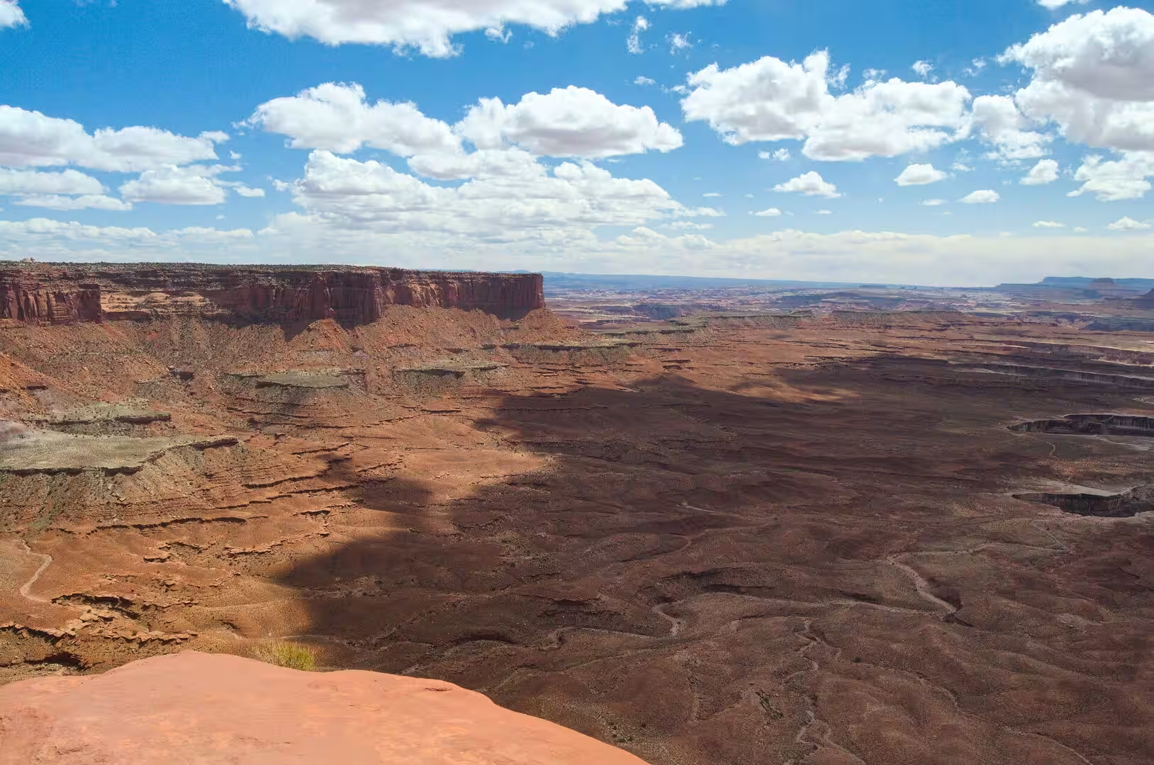
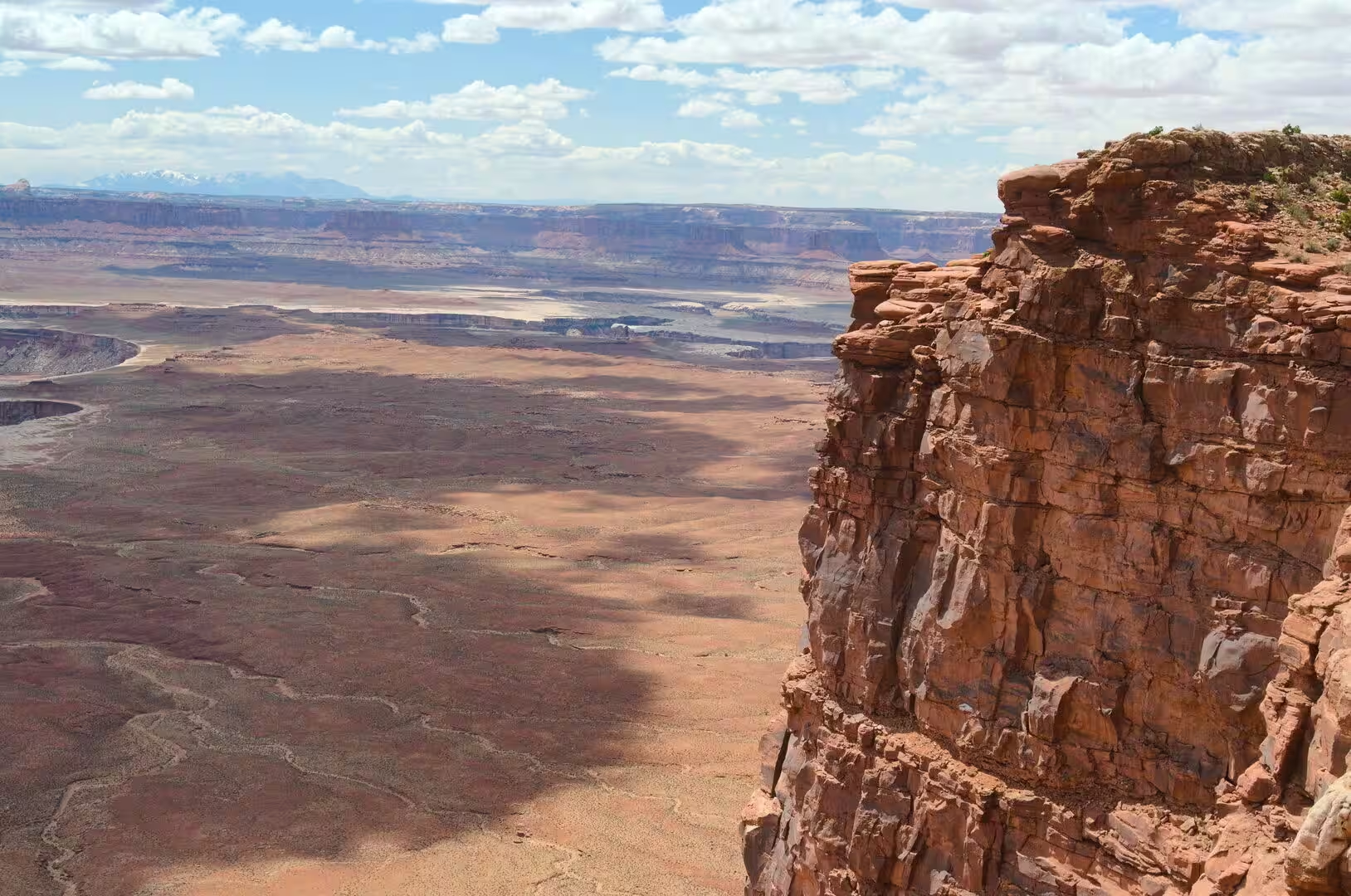
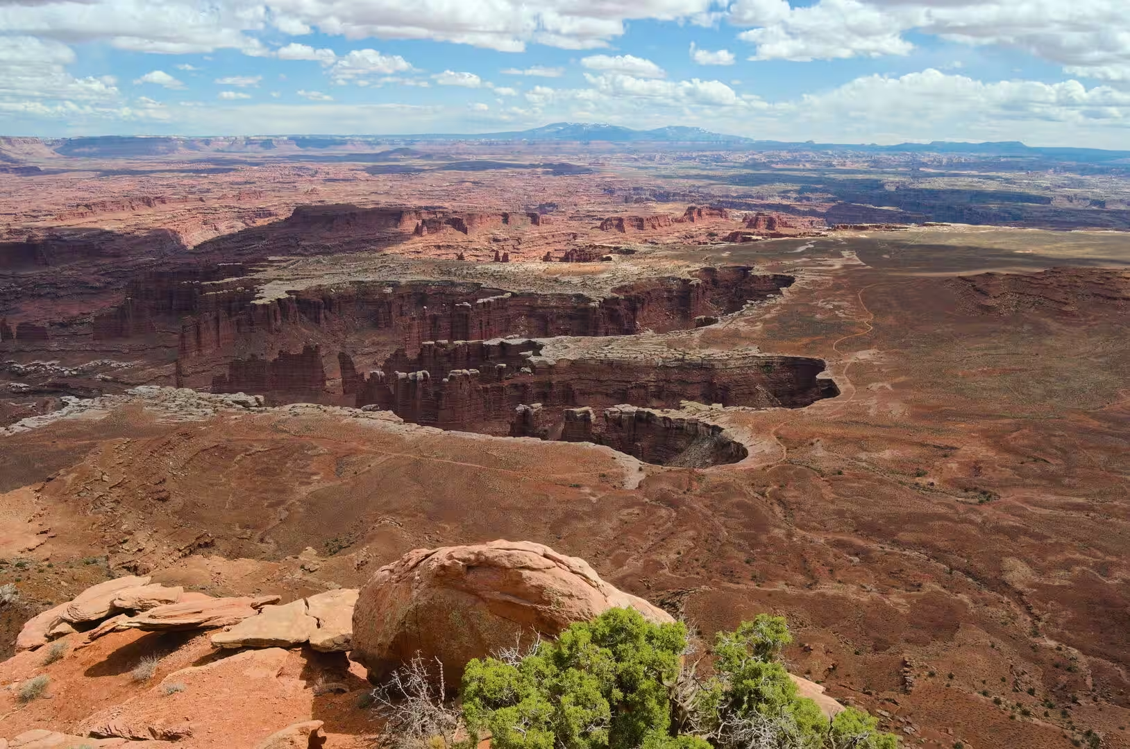
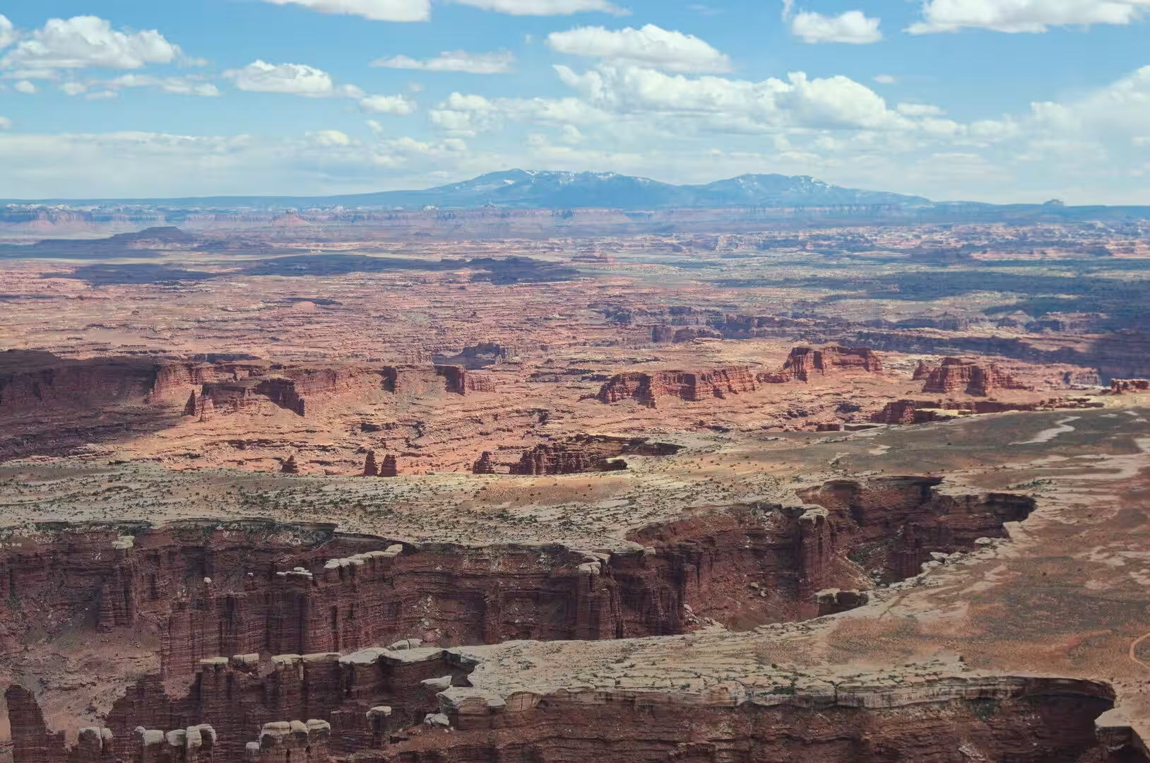
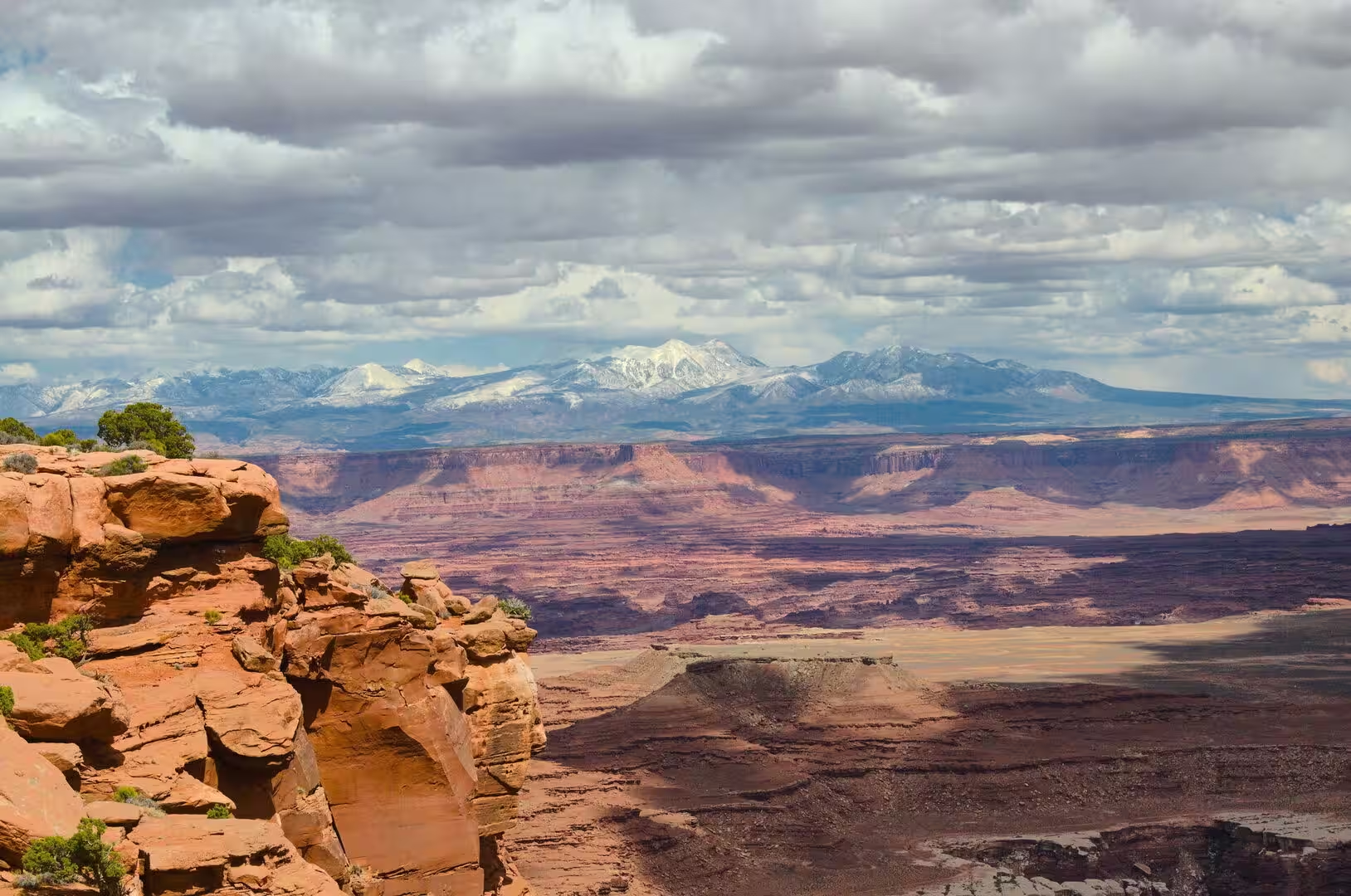
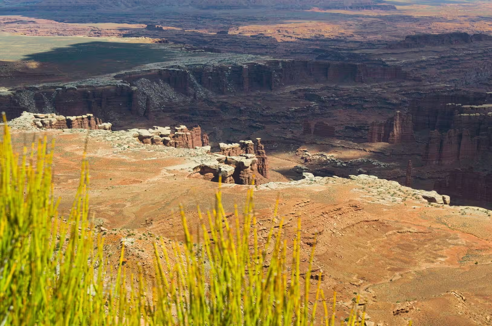
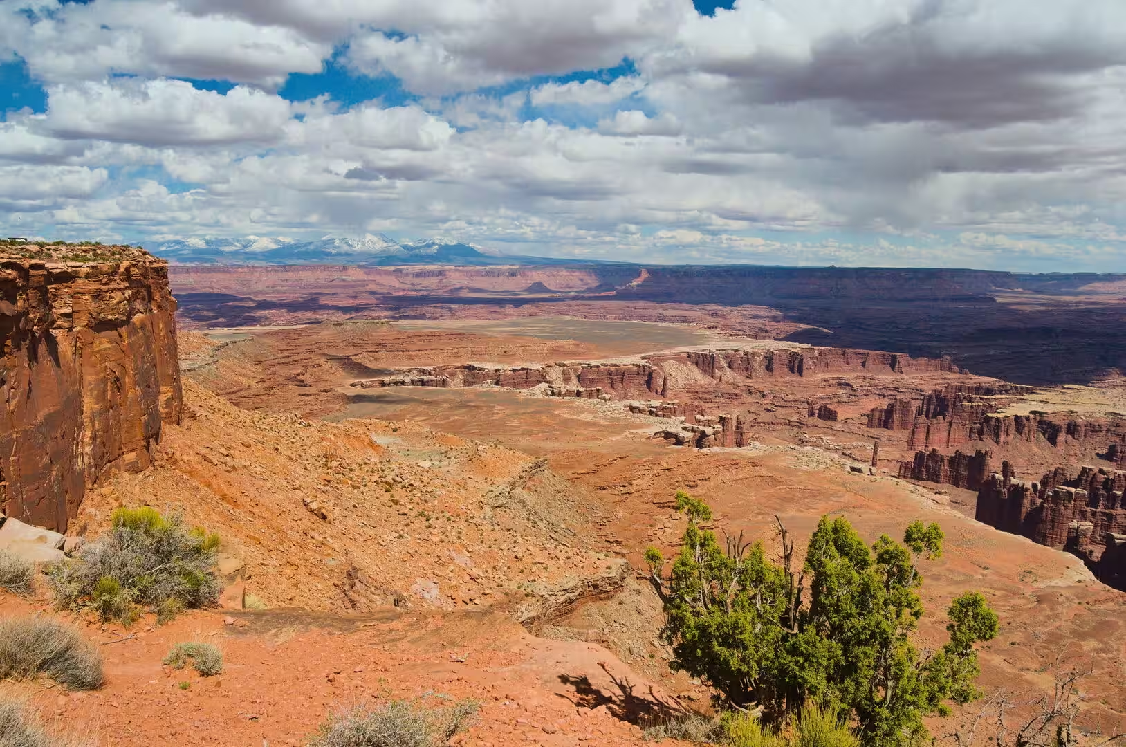
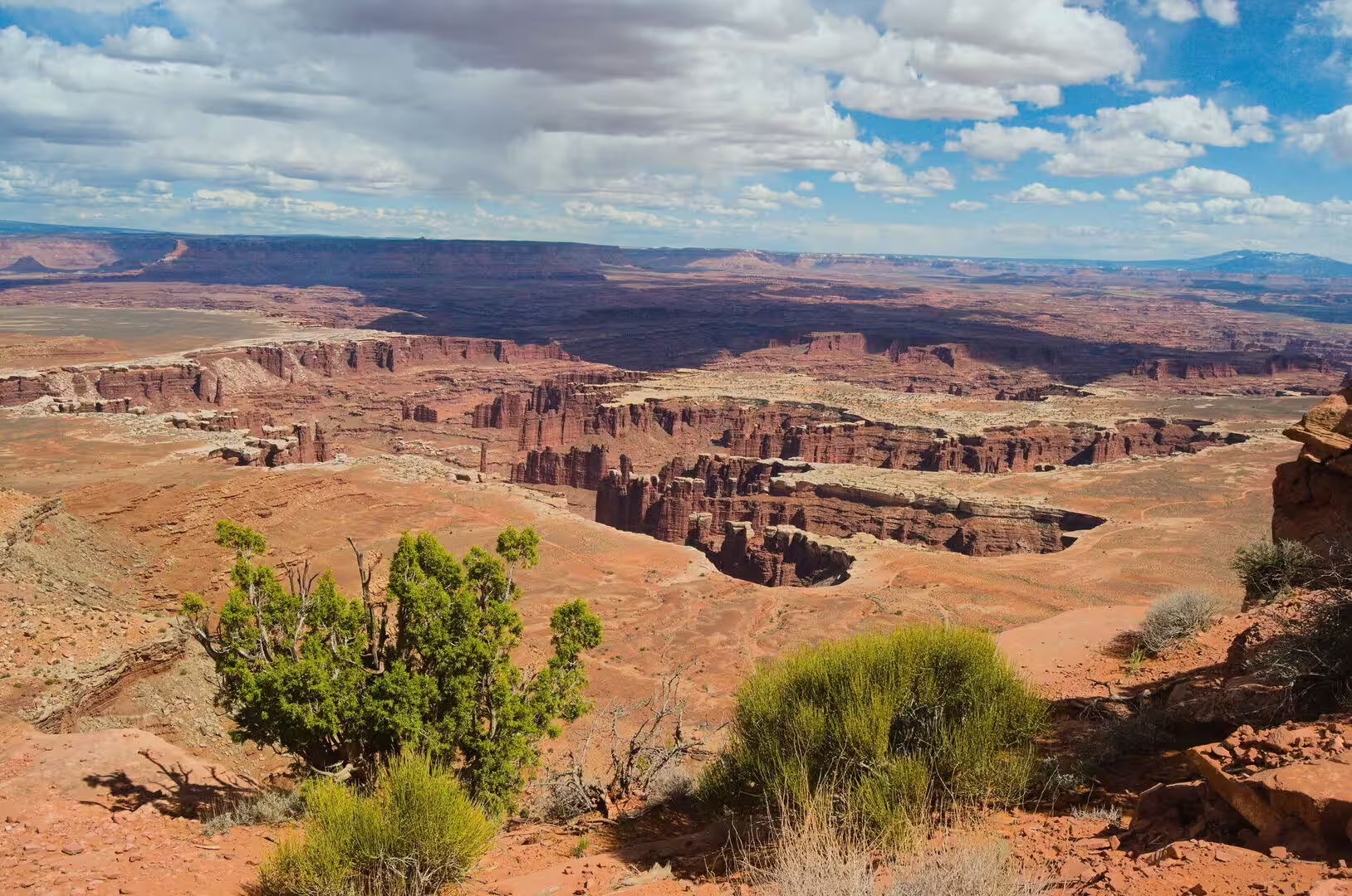
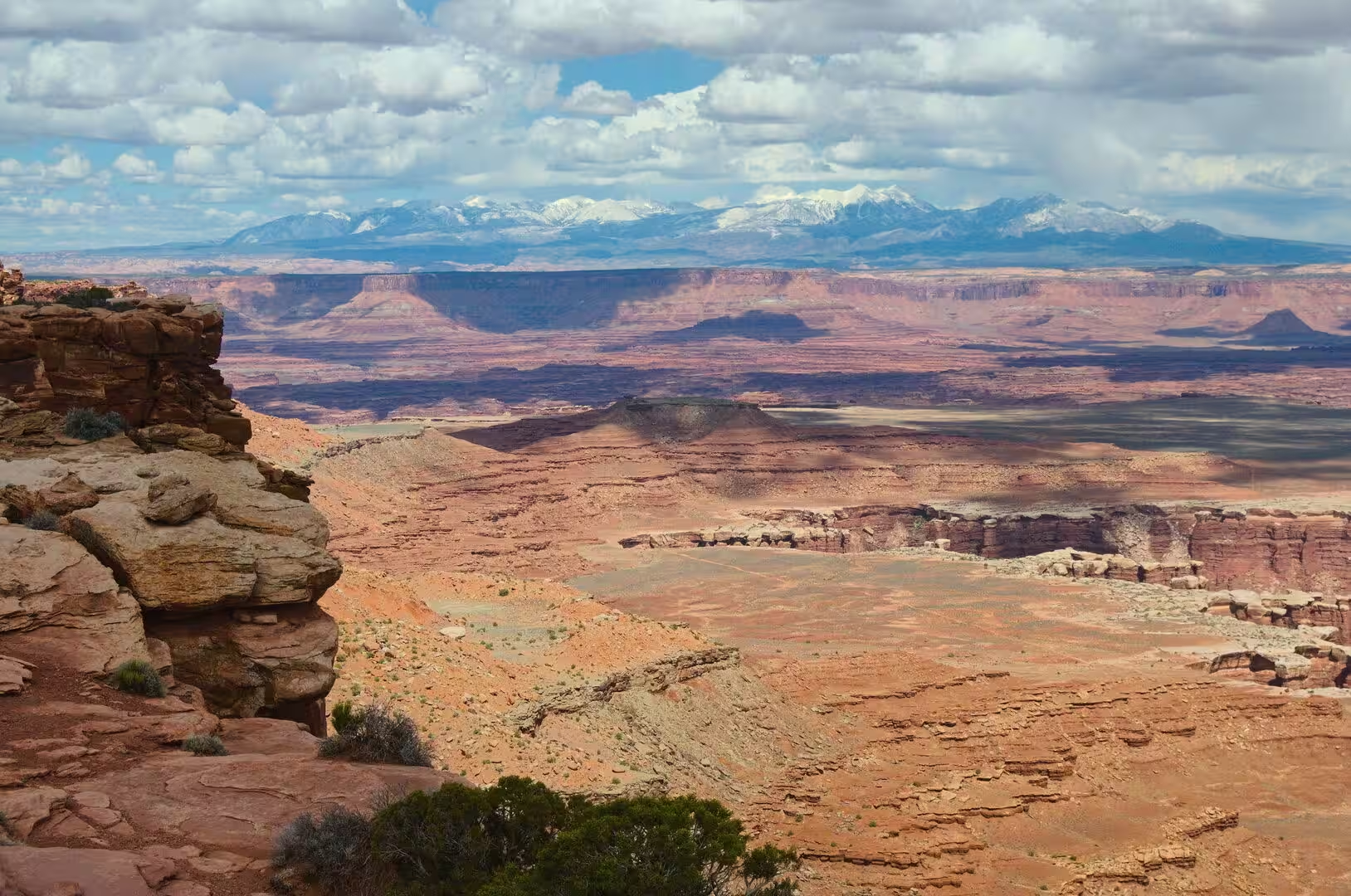
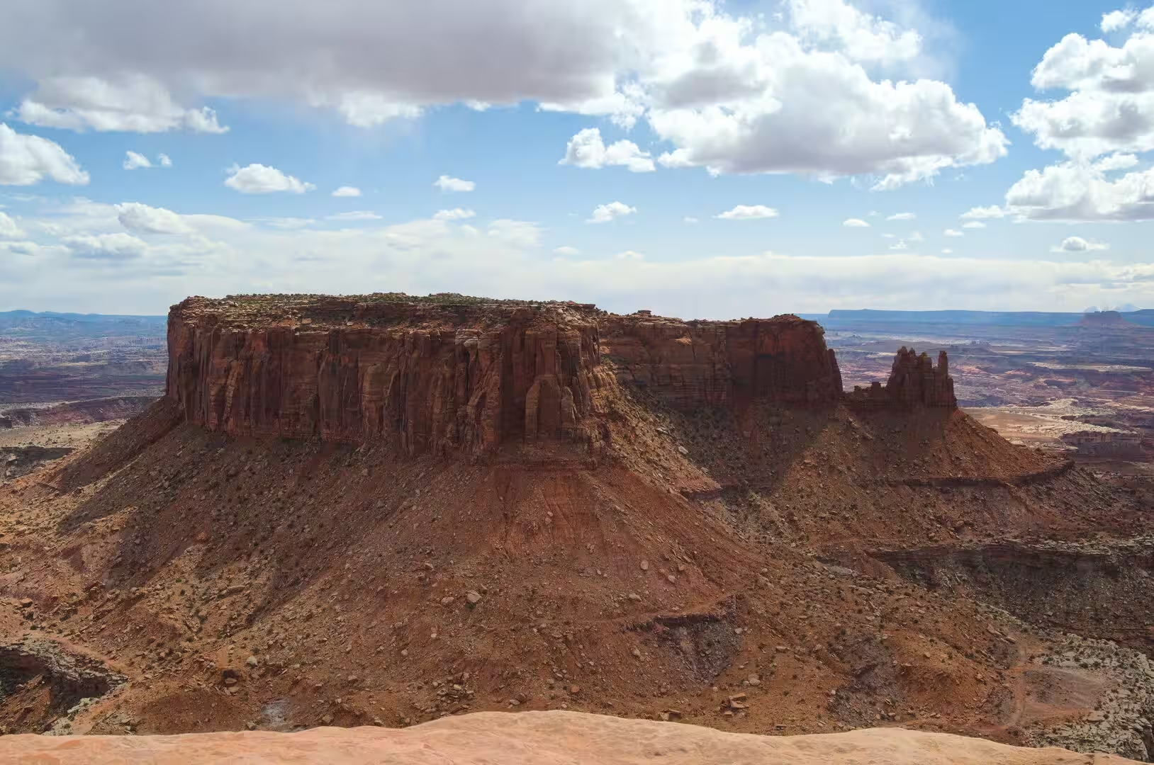
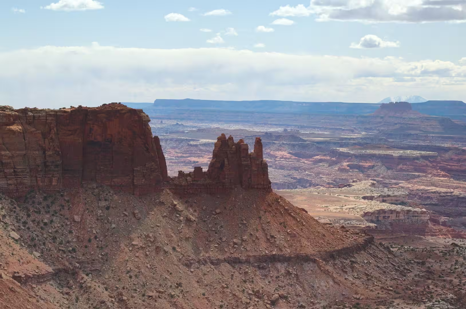
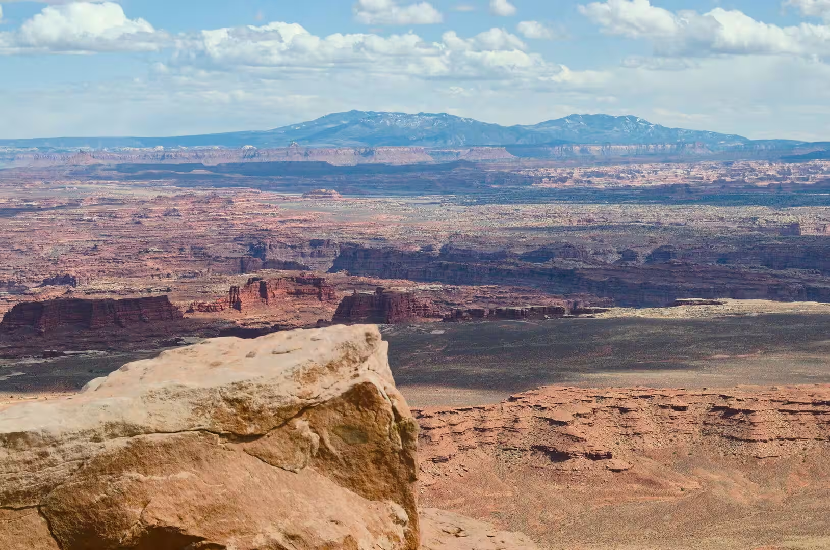
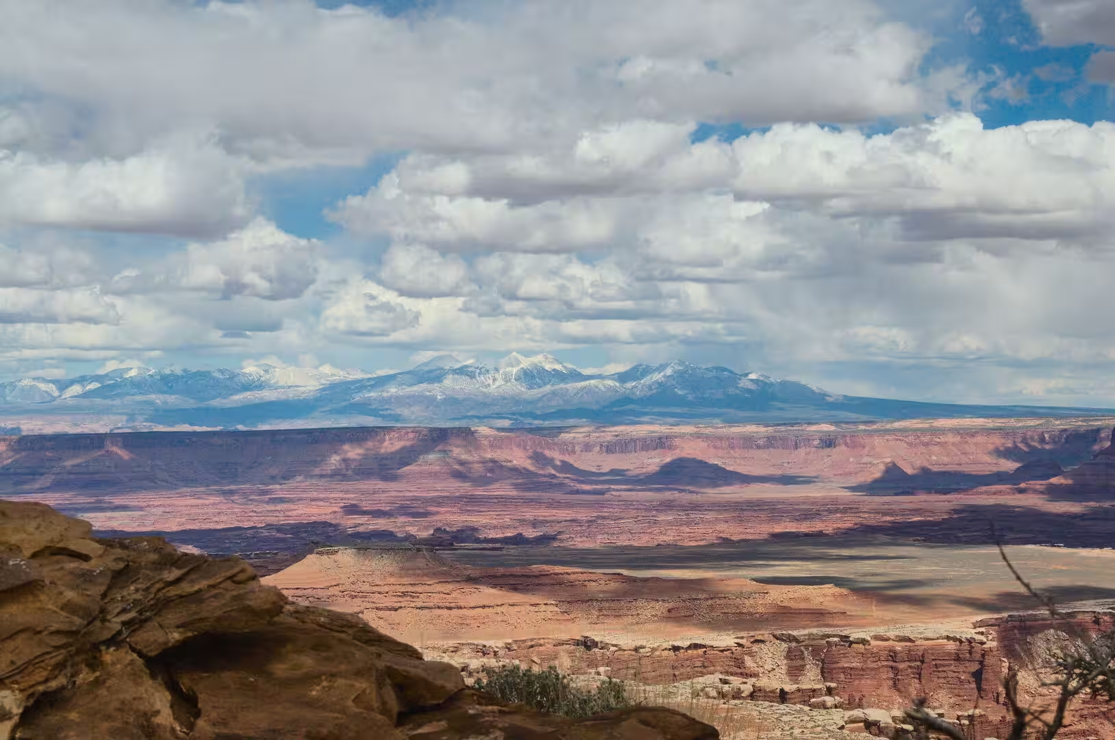
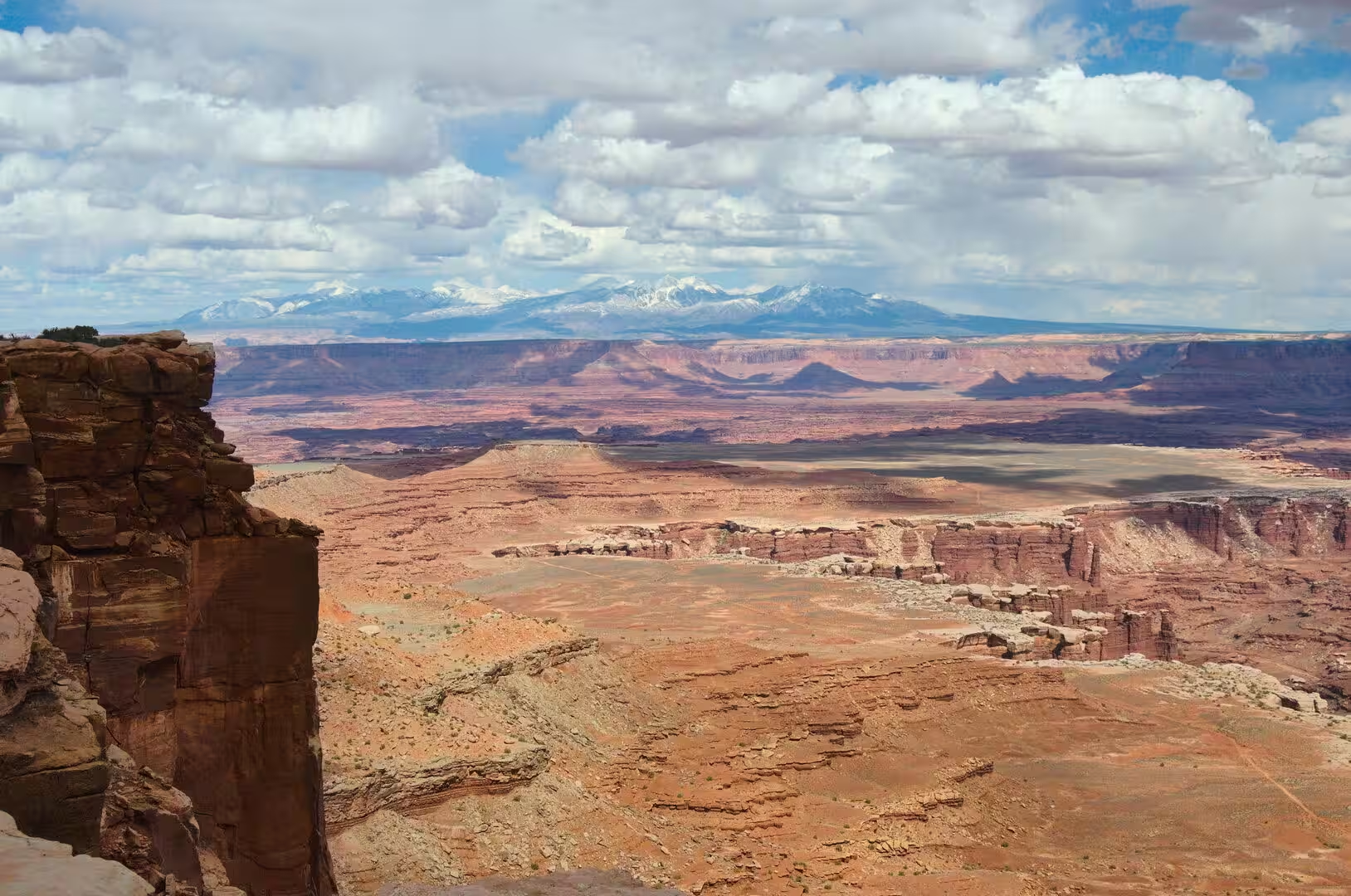
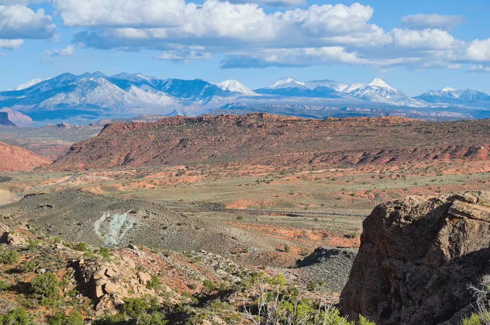
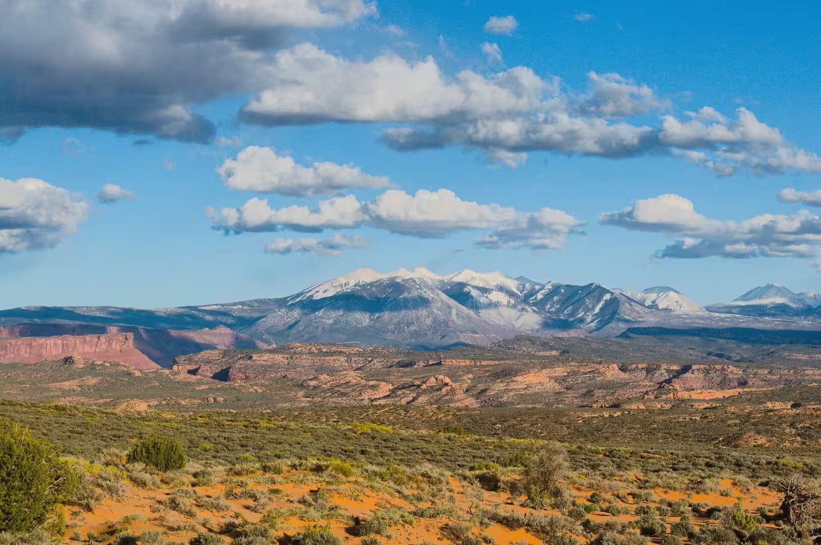
The Island in the Sky is a broad mesa between the two rivers and the best introduction to the park. The paved road to it leaves U.S. Route 191 north of Moab, passes the entrance to Dead Horse Point State Park and ends at the rim, where the ground falls away for more than a thousand feet. From the overlooks the view takes in several hundred square miles of canyon at once. Below the mesa the white band of the White Rim Sandstone runs between the rivers and the high ground, and on the eastern side an unpaved road drops to it.
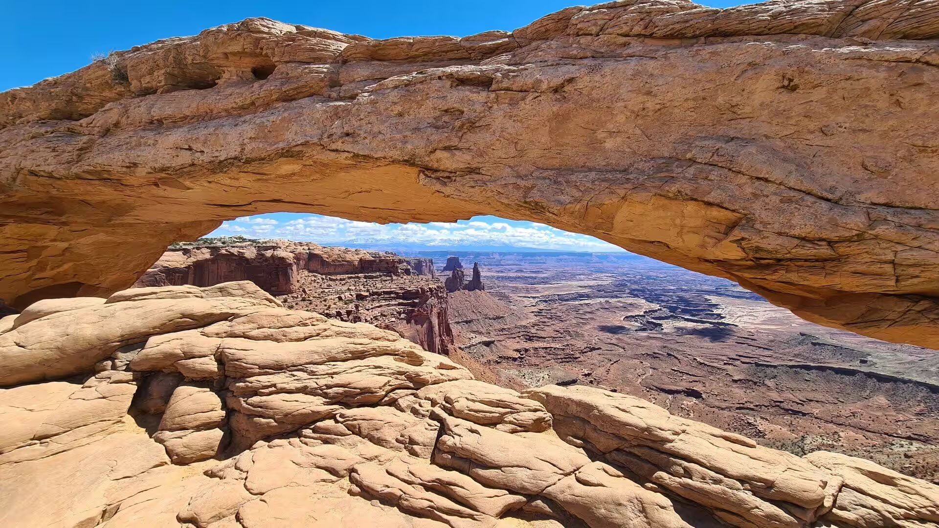
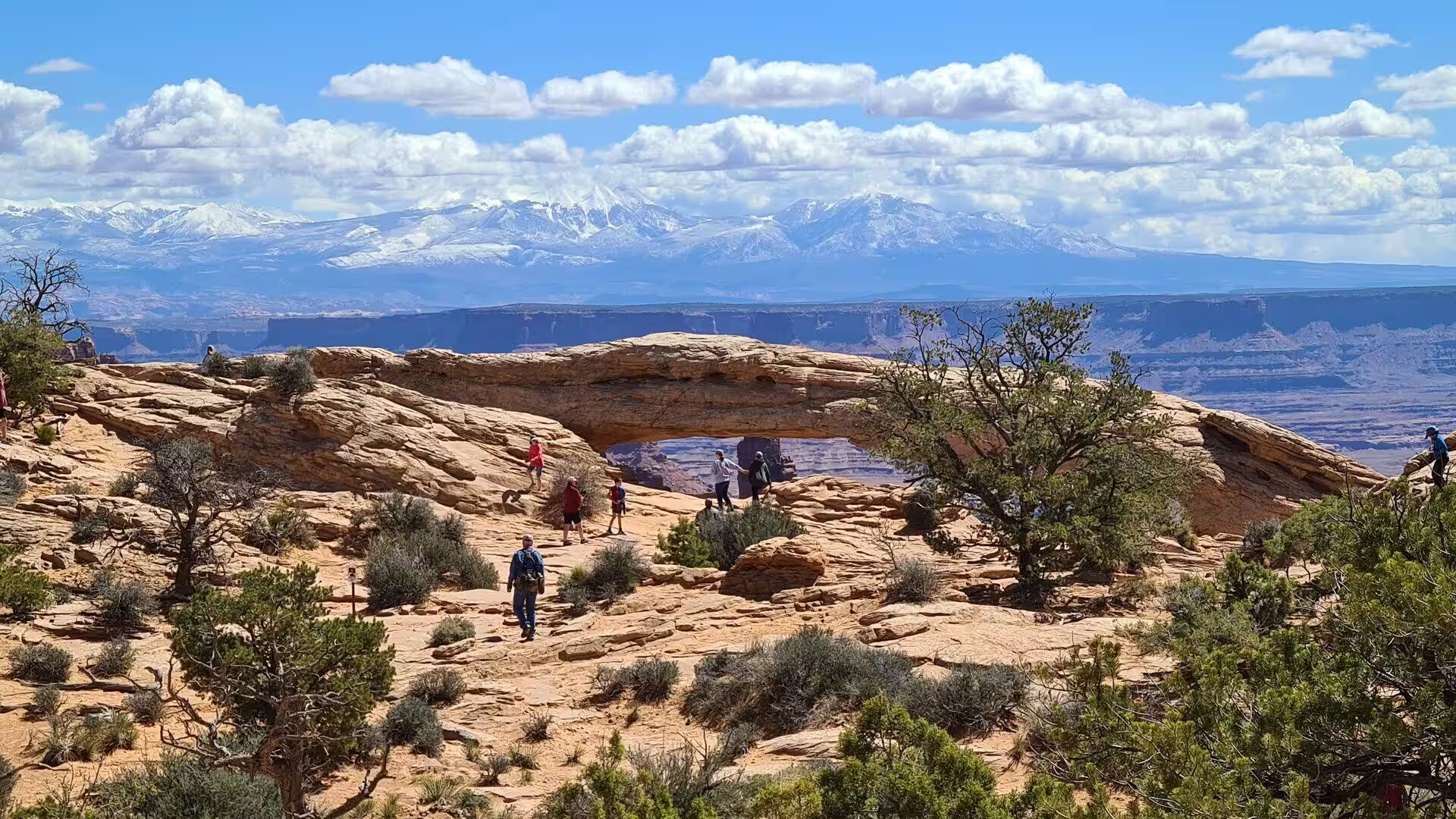
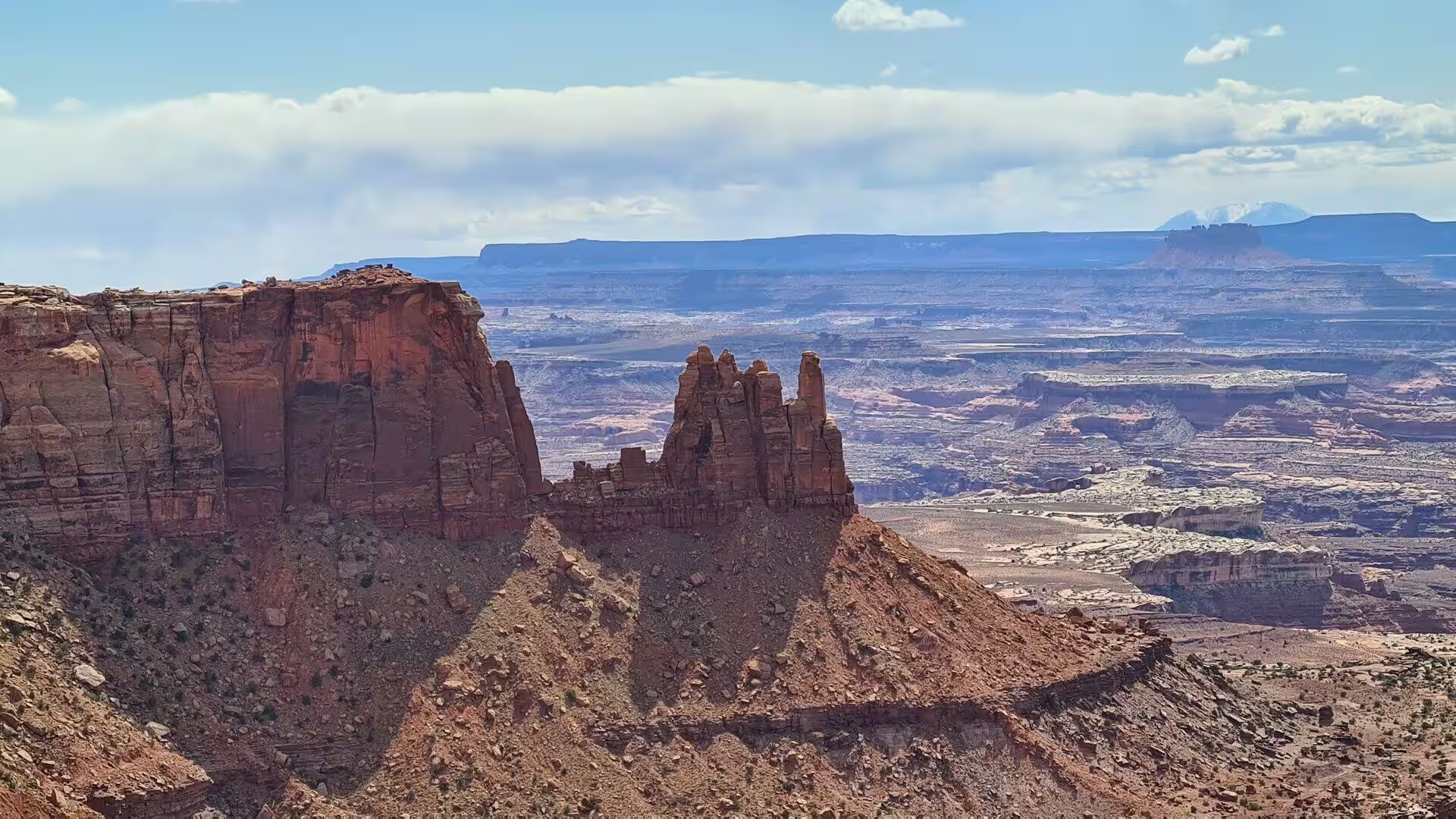
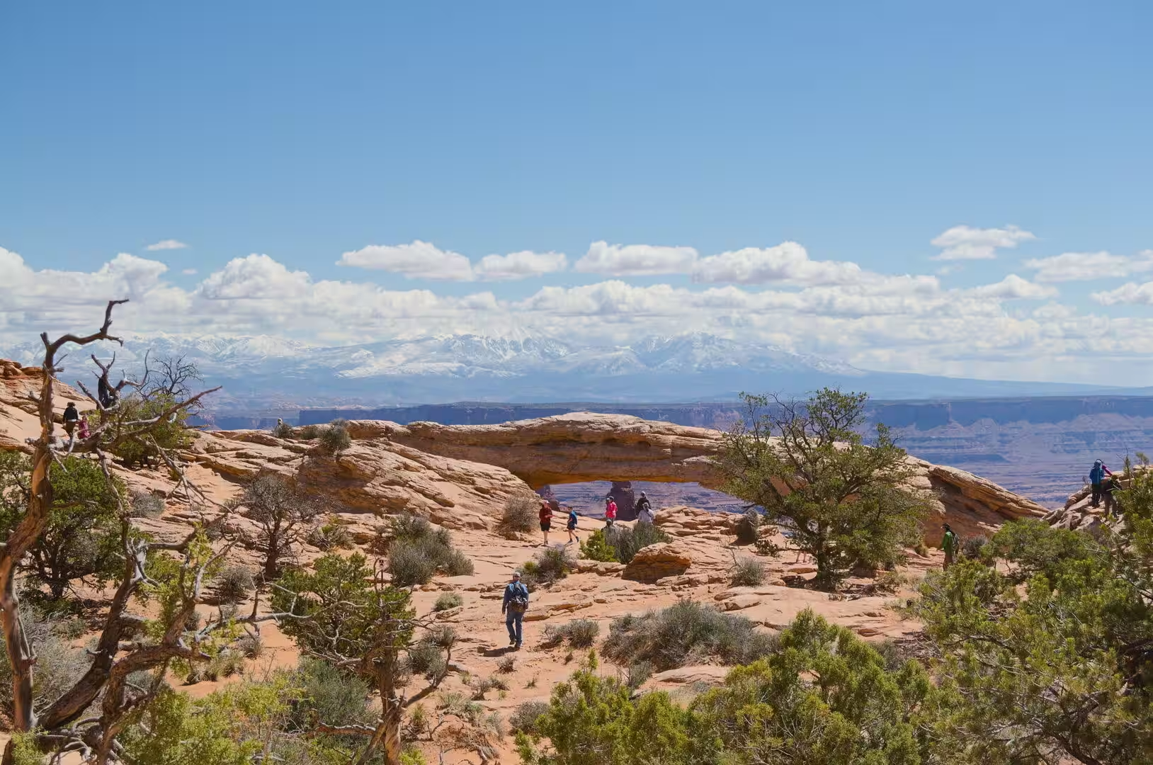
Mesa Arch is the most visited single feature of the Island in the Sky. It is a pothole arch rather than a bridge cut by a stream, and it stands on the very edge of the mesa in the northern part of San Juan County, above a cliff with the Monster Tower, the Airport Tower and the La Sal Mountains in view. A trail of about half a mile leads to it from the park road, which makes it the easiest of the viewpoints to reach. Less than ten inches of rain falls in a year.
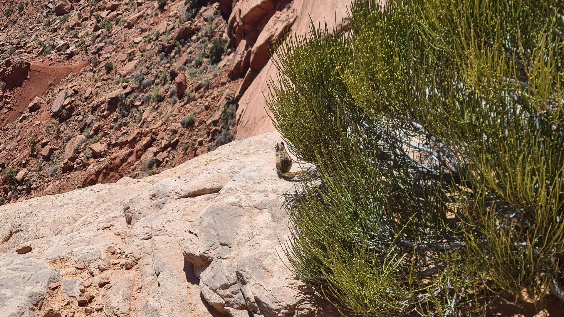
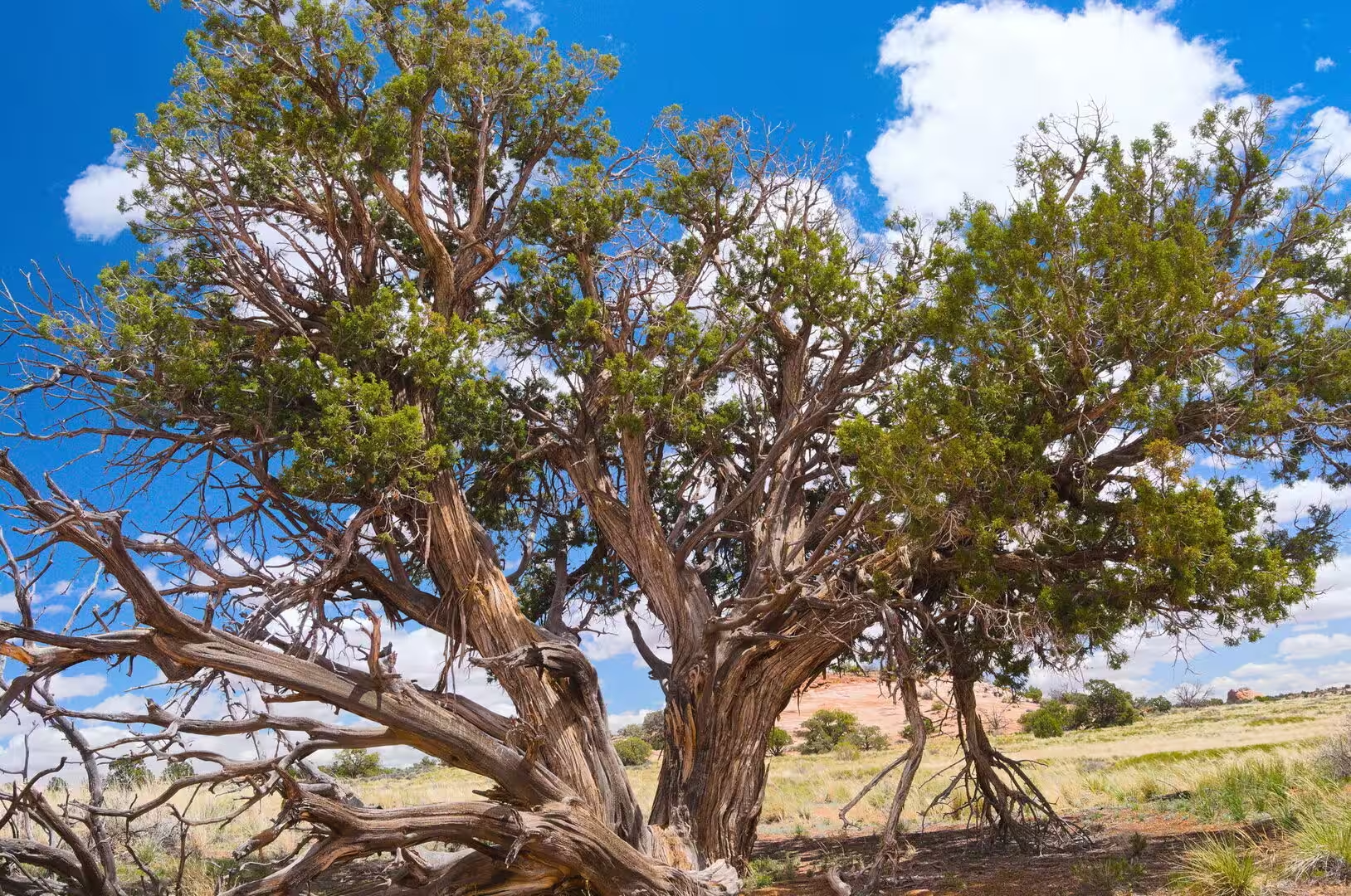
Dead Horse Point State Park occupies a promontory north west of the national park and offers the classic view of the Colorado River winding below. It opened to the public in 1959 and covers 5,362 acres of high desert at an elevation of about 5,900 feet. Its name recalls the cowboys of the nineteenth century, who used the point as a natural corral. Mule deer, coyotes and the Hopi chipmunk live there, and the plants include Utah juniper, pinyon pine, blackbrush and the claret cup cactus. Utah State Route 313 serves it.
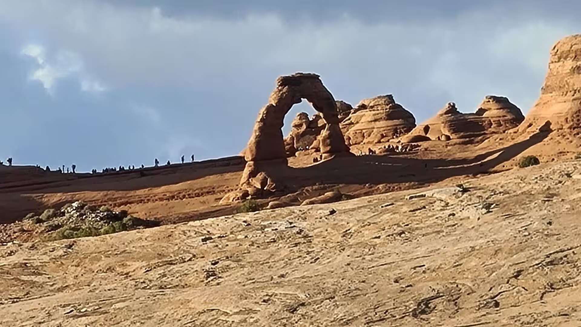
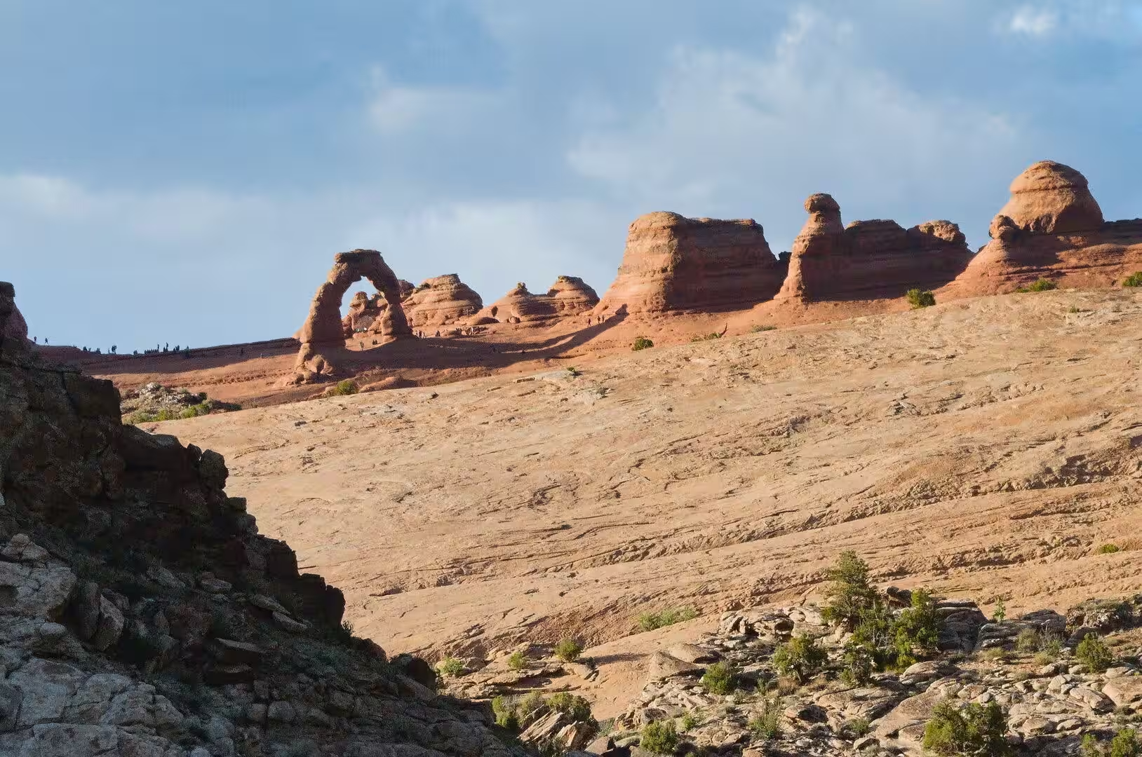
Arches National Park is the other half of a visit to Moab. More than 2,000 natural arches have been counted inside it, among them Delicate Arch, a free standing arch on the rim of a sandstone bowl that has become the emblem of Utah. The park runs from 4,085 feet at the visitor centre to 5,653 feet at Elephant Butte, and it receives less than ten inches of rain in a year. Park Avenue, the Courthouse Towers, Balanced Rock and the Dark Angel, a pillar of 150 feet at the end of the Devils Garden trail, are the other set pieces of the park.
The rivers can be travelled as well as watched. Above the confluence the Colorado and the Green are calm enough for canoes and rafts, and the Green carries a heavy load of silt. Below the confluence the character of the water changes at once, and Cataract Canyon, which runs for forty six miles to the mouth of the Dirty Devil River, has whitewater as violent as anything in the Grand Canyon. John Wesley Powell portaged every rapid on his expedition of 1869, and the first commercial trips were run by Norman Nevills in 1938.
The White Rim Road is the great unpaved route of the park. It is 71.2 miles long and follows the top of the White Rim Sandstone below the Island in the Sky mesa, and it was built in the 1950s by the Atomic Energy Commission so that prospectors could reach uranium claims at that level, a venture that produced very little and left the workings abandoned. The surface is loose dirt, sandy washes and bare sandstone, four wheel drive vehicles and mountain bikes are the usual means of travel, and two days are needed at a modest pace. Day use permits have been required since 2015.
Horseshoe Canyon, the detached unit of the park west of the Green River, is reached by a long drive on dirt roads and a walk of several miles, and it holds the finest rock art of the region. The Great Gallery is about 200 feet long and 15 feet high and contains some twenty life sized figures, the largest of them over seven feet tall, painted by the Desert Archaic hunters who lived here before the Fremont and the Ancestral Puebloans. Newspaper Rock, a panel of hundreds of petroglyphs in the cliffs of Indian Creek Canyon, has been a state monument since 1961 and stands on the road to the Needles district.
The other districts repay the longer journeys. The Needles, named for the pale spires of the Cedar Mesa Sandstone, is the second most visited district and is entered from the south east past Newspaper Rock and the visitor centre. The Maze, west of the Green and Colorado rivers, is the least accessible part of the park and one of the most remote places of the United States. Hunting is forbidden throughout the park, and the wilderness beyond the roads is left without trails, water or shelter.
References
- Wikipedia contributors (2026). Canyonlands National Park. en.wikipedia.org/wiki/Canyonlands_National_Park
- Wikipedia contributors (2026). Mesa Arch. en.wikipedia.org/wiki/Mesa_Arch
- Wikipedia contributors (2026). Green River (Colorado River tributary). en.wikipedia.org/wiki/Green_River_%28Colorado_River_tributary%29
- Wikipedia contributors (2026). Colorado River. en.wikipedia.org/wiki/Colorado_River
- Wikipedia contributors (2026). Moab, Utah. en.wikipedia.org/wiki/Moab%2C_Utah
- Wikipedia contributors (2026). Arches National Park. en.wikipedia.org/wiki/Arches_National_Park
- Wikipedia contributors (2026). Dead Horse Point State Park. en.wikipedia.org/wiki/Dead_Horse_Point_State_Park
- Wikipedia contributors (2026). Cataract Canyon. en.wikipedia.org/wiki/Cataract_Canyon
- Wikipedia contributors (2026). Colorado Plateau. en.wikipedia.org/wiki/Colorado_Plateau
- Wikipedia contributors (2026). Utah. en.wikipedia.org/wiki/Utah
- Wikipedia contributors (2026). Salt tectonics. en.wikipedia.org/wiki/Salt_tectonics
- Wikipedia contributors (2026). Upheaval Dome. en.wikipedia.org/wiki/Upheaval_Dome
- Wikipedia contributors (2026). Horseshoe Canyon (Utah). en.wikipedia.org/wiki/Horseshoe_Canyon_%28Utah%29
- Wikipedia contributors (2026). National Park Service. en.wikipedia.org/wiki/National_Park_Service
- Wikipedia contributors (2026). Newspaper Rock State Historic Monument. en.wikipedia.org/wiki/Newspaper_Rock_State_Historic_Monument
- Wikipedia contributors (2026). White Rim Road. en.wikipedia.org/wiki/White_Rim_Road
- Pech L.L., Graham T.B. BEETLE DIVERSITY OF THREE MANAGEMENT ZONES IN SALT CREEK CANYON, CANYONLANDS NATIONAL PARK, UTAH. The Colorado Plateau VI. 243-261. doi.org/10.2307/j.ctt183pc7f.19
- Chamberlin R.M., Anderson O.J. (1989) The Laramide Zuni uplift, southeastern Colorado Plateau: A microcosm of Eurasian-syle indentation-extrusion tectonics?. Southeastern Colorado Plateau. 81-90. doi.org/10.56577/ffc-40.81
- Schmader M.F. (2025) Hybrid Forms, Composite Creatures, and the Transit Between Worlds in Ancestral Puebloan Imagery. Arts. 14. 54. doi.org/10.3390/arts14030054