Day 17 - Monument Valley
13 June 2022


Journal Notes
General
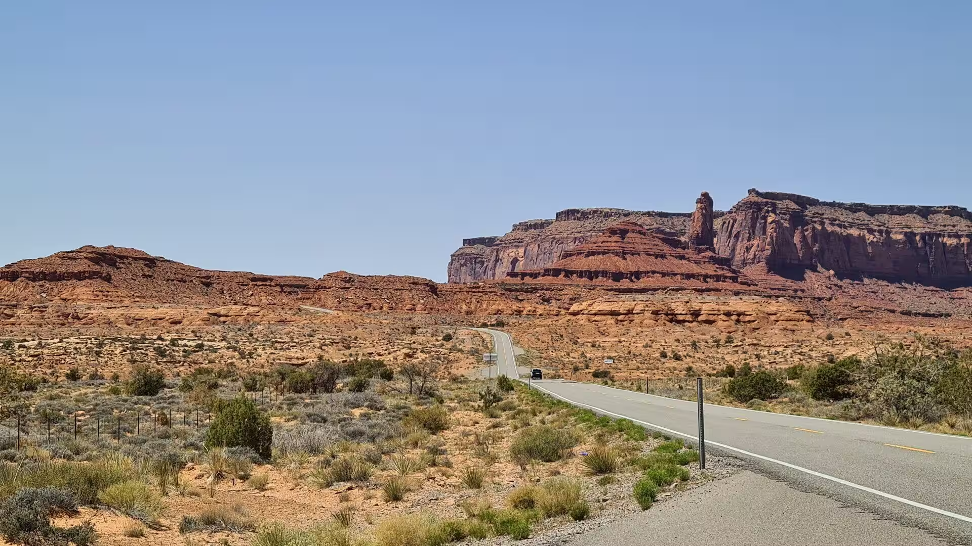
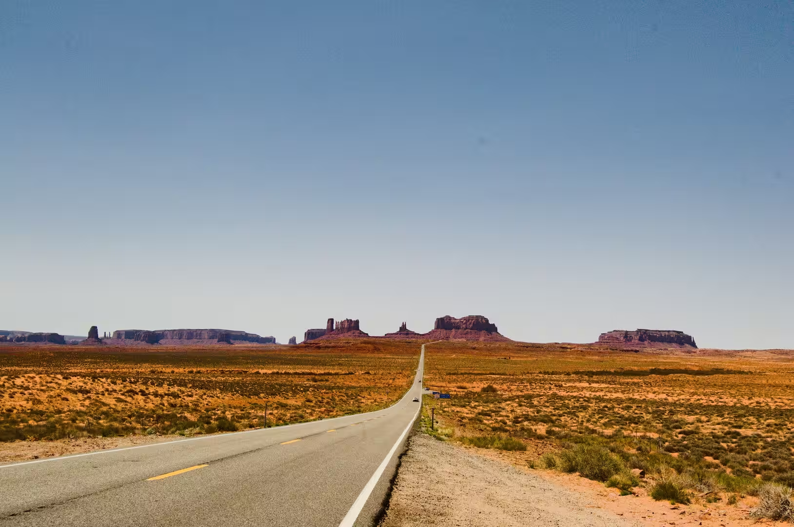
Monument Valley lies on the border between north eastern Arizona and south eastern Utah, on the Colorado Plateau and entirely inside the Navajo Nation. The valley is not a national park but a tribal park, the Monument Valley Navajo Tribal Park, which protects the heart of the valley, its desert floor and the mesas that stand above it. The nearest towns are Kayenta in Arizona, about 30 miles to the south, and Mexican Hat in Utah, 20 miles to the north, and US Route 163 runs through the valley on its way between them.
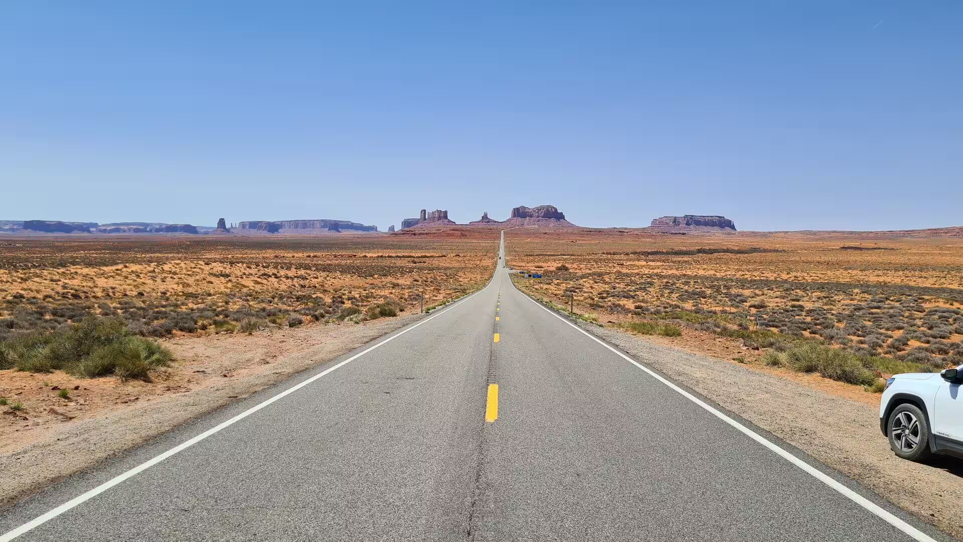
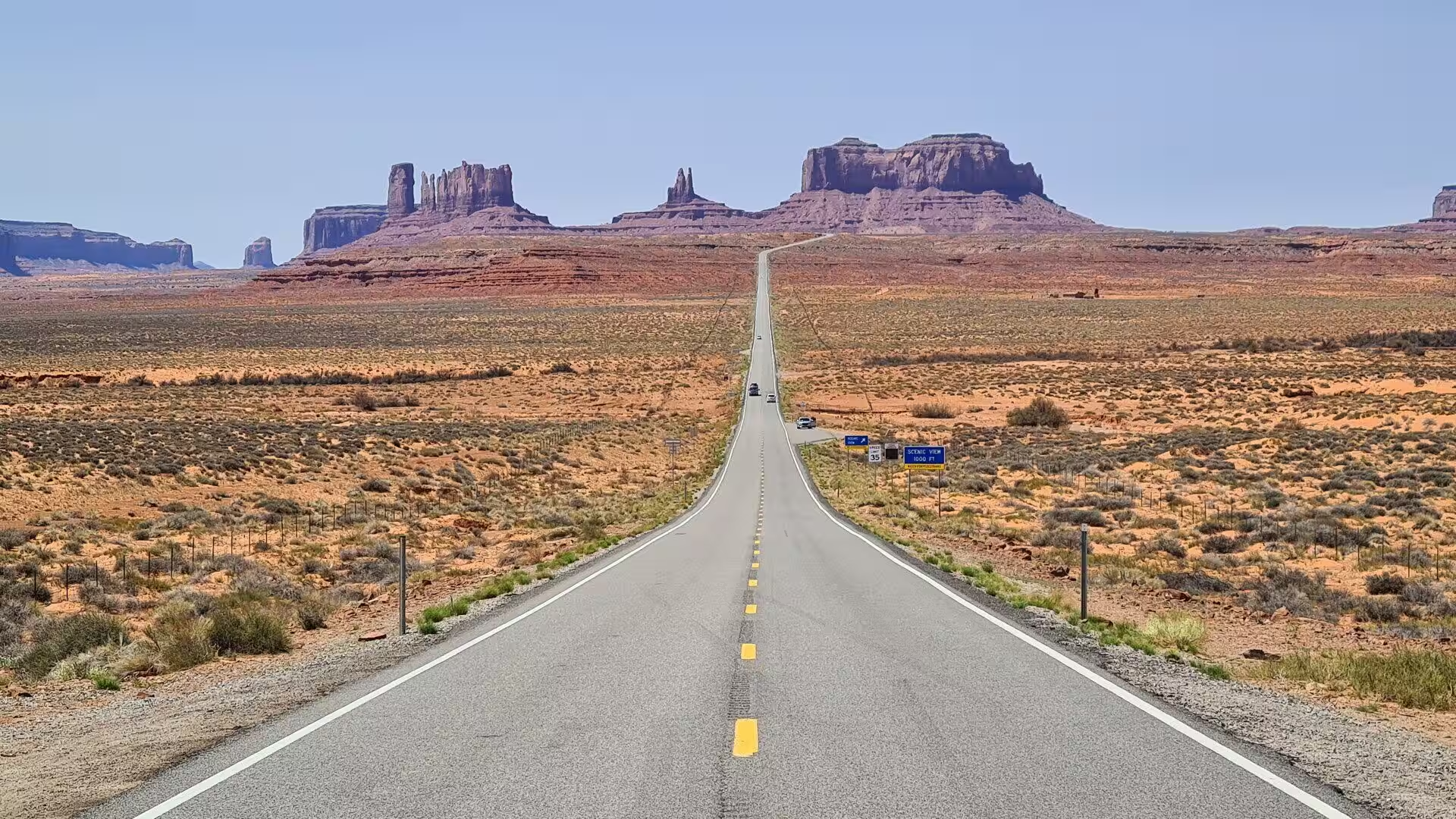
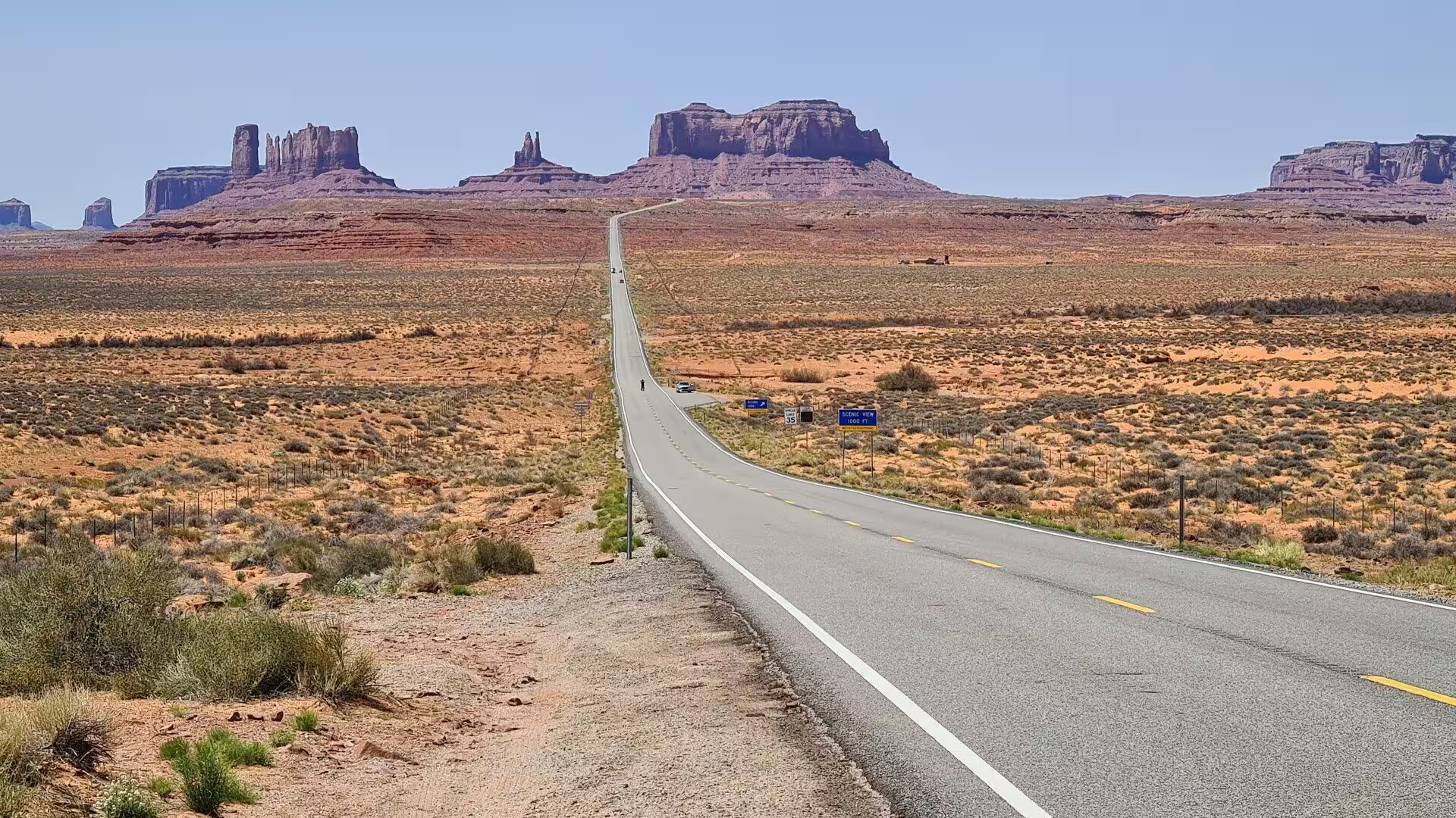
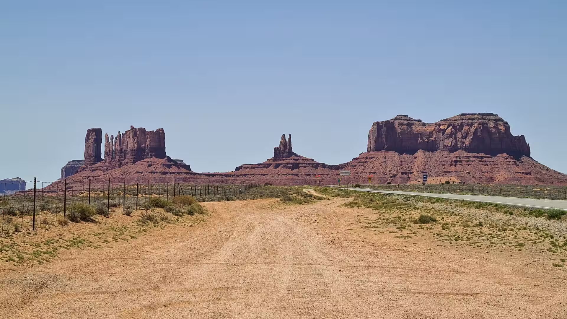
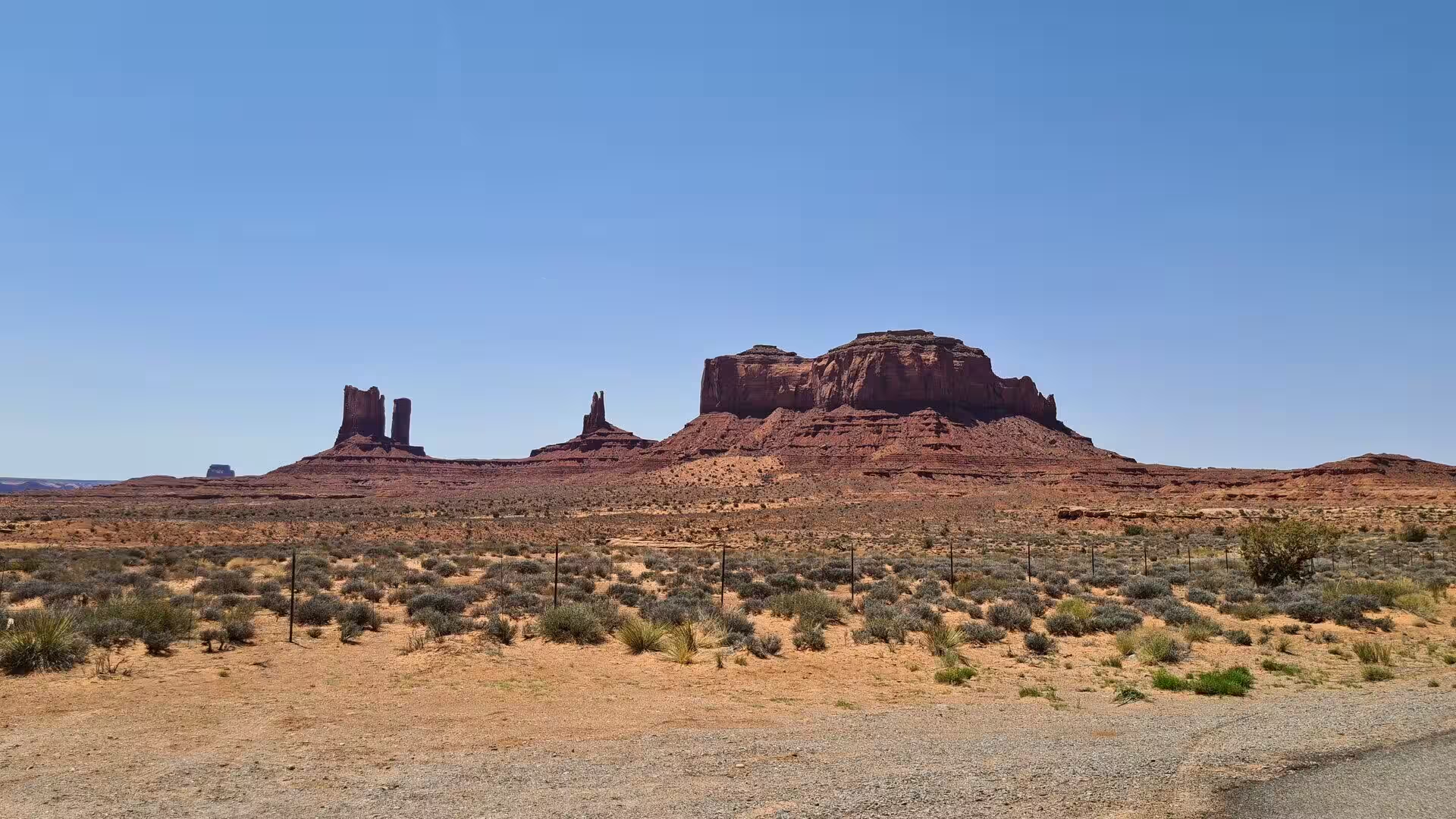
The Navajo name for the place is Tsé Bii’ Ndzisgaii, which is usually translated as valley of the rocks, and the English name comes from the great isolated buttes that rise from the floor and give the landscape its monumental scale. The valley floor stands between about 5,000 and 6,000 feet above sea level and the buttes rise up to a thousand feet above it, so that the horizon is broken by towers, mesas and spires in every direction. The view is remarkably simple, since there is little vegetation to interrupt it.
The climate is high desert, with hot summers and cold winters. Rainfall is slight, most of it arriving in violent summer thunderstorms that flood the dry washes for a few hours and then disappear, and a little snow falls in winter. Daytime temperatures in July commonly pass 35 degrees Celsius while the nights are cool at any season, and the clear dry air is one reason for the quality of the light, which changes the colour of the sandstone from pale orange at midday to deep red in the evening.
The tribal park was created in 1958 and was the first of its kind on the Navajo Nation, which manages it through its own parks department rather than through the National Park Service. A visitor centre stands on the rim above the valley floor, with a hotel beside it, and a seventeen mile dirt road, the Valley Drive, loops through the main formations. Visitors may drive it in their own vehicles or join a guided tour in an open truck, and the Navajo guides add the cultural and family history that the landscape alone does not explain.
Settlement is thin and scattered. The community of Oljato and Monument Valley has about seven hundred inhabitants, most of them Navajo, and there is no town inside the park, no fuel and no hospital, the nearest of each being in Kayenta. Water is scarce and has to be hauled, and much of the land is held in family allotments on which sheep and cattle are grazed. Tourism and ranching are the two economies of the valley, and the income from tours and from lodging stays largely with the families who live there.
History
The valley has been used for centuries, and the archaeological record is older than the Navajo presence. Ancestral Puebloan people, related to the builders of Mesa Verde and of the Kayenta region, farmed and hunted here and left small masonry sites and rock art in the canyons. The Navajo or Diné came into the region from the north, and by the sixteenth century they were living across the plateau between the four sacred mountains, herding sheep where the Spanish had introduced them and moving with the seasons between the low ground and the uplands.
The middle of the nineteenth century brought catastrophe. In 1863 and 1864 the United States Army under Kit Carson destroyed crops and livestock in a campaign designed to starve the Navajo into surrender, and about nine thousand people were forced to walk to an internment camp at Bosque Redondo on the Pecos River, a journey remembered as the Long Walk. The treaty of 1868 allowed the survivors to return and set the first boundaries of the reservation, and later agreements and executive orders enlarged it to its present extent.
Peaceful settlement followed slowly, and trade came with it. In the nineteen twenties Harry Goulding and his wife Leone, known to everyone as Mike, established a trading post at the foot of the valley on the Utah side, dealing in wool, mutton and handmade rugs and supplying the families of the district with flour, sugar and coffee. The trading post became a small settlement of its own, with a lodge, a garage, a school and a landing strip, and the Gouldings acted as hosts, employers and intermediaries between the Navajo and the outside world for fifty years.
The decisive event in the modern history of the valley was the arrival of the film industry. In 1938 Harry Goulding travelled to Hollywood with a bundle of pictures and persuaded the director John Ford to shoot his western Stagecoach in the valley, and the film that appeared in 1939 made its landscape famous around the world. Ford returned again and again, using the valley as the setting for cavalry films and for The Searchers, and studios, advertising agencies and motor companies followed him, so that the silhouettes of the valley became the standard image of the American West.
Recognition brought both income and problems. The Navajo Nation established the tribal park in 1958, charging admission and controlling the road, and a visitor centre and hotel were built at the rim in later decades so that the benefit of tourism stayed closer to the community. The park remains a working cultural landscape rather than a museum, and its management has to balance the protection of sacred places, which are still used for ceremony, against the traffic of half a million visitors each year.
Geology
The rocks of Monument Valley are Permian in age, laid down between about 280 and 250 million years ago, when the region lay near the western edge of the supercontinent Pangaea. Rivers carried mud and sand from the highlands to the south east and spread them across a broad coastal plain, and the sea advanced and retreated over it several times. The result is a stack of formations, among them the Organ Rock Shale and the De Chelly Sandstone, and it is the De Chelly Sandstone that builds the buttes which the valley is known for.
The De Chelly Sandstone formed as sand dunes and river sands, and its cross bedding, the inclined layers left by migrating dunes, is visible on the faces of the buttes where they have broken away. It is fine grained, well cemented and hard, and it is covered in places by a younger conglomerate that forms a dark caprock. Below it lies the soft red Organ Rock Shale, and above it the Moenkopi Formation, the mudstones and siltstones of which crumble quickly and make the smooth slopes that run down from the cliff bases to the valley floor.
The whole region was lifted as part of the Colorado Plateau, and the deep structure of the valley is that of a broad upward fold, called the Monument Upwarp, which was later breached by erosion. The Defiance uplift to the south east and the fractures that run with it broke the area into large blocks, and two sets of joints cross the sandstone almost at right angles. Those joints are the reason the buttes are angular rather than rounded, because water enters the cracks and prises the blocks apart along straight lines.
Erosion does the rest, and it does it in a fixed order. Water and frost widen the joints, debris falls, and the edge of a sandstone plateau retreats until a valley is left where the rock used to be. A broad mesa is reduced to a smaller butte, the butte is cut back until only a slender tower remains, and the tower in time becomes a low heap of rubble. The landforms of the valley preserve each of these stages, from the great mesas on its borders to the thin spires of the Totem Pole and the single capstone balanced on top of a cone of softer rock.
The making of the modern surface continues, though it happens at a pace that no visitor can see. Flash floods after summer storms carry sand and gravel across the floor and cut the washes deeper, and those floods also built the broad sandy plains that separate the formations today, where the green of the sage and the snakeweed softens the red of the rock. The sand grains themselves are coated with iron oxide, which produces the colour of the valley, and the dark streaks that run down the cliff faces are a varnish of manganese and iron laid down over thousands of years by bacteria and by water.
Things to See
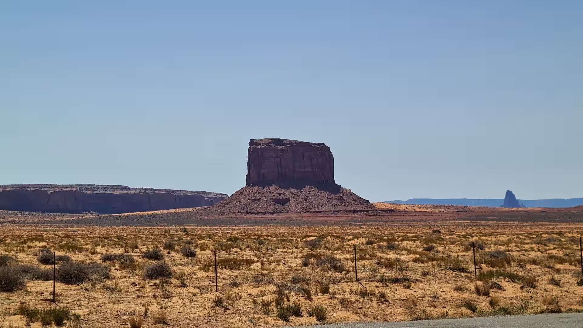
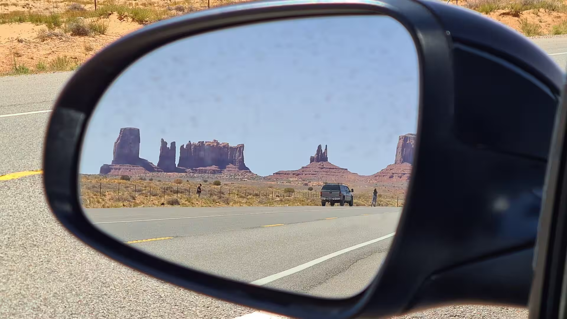
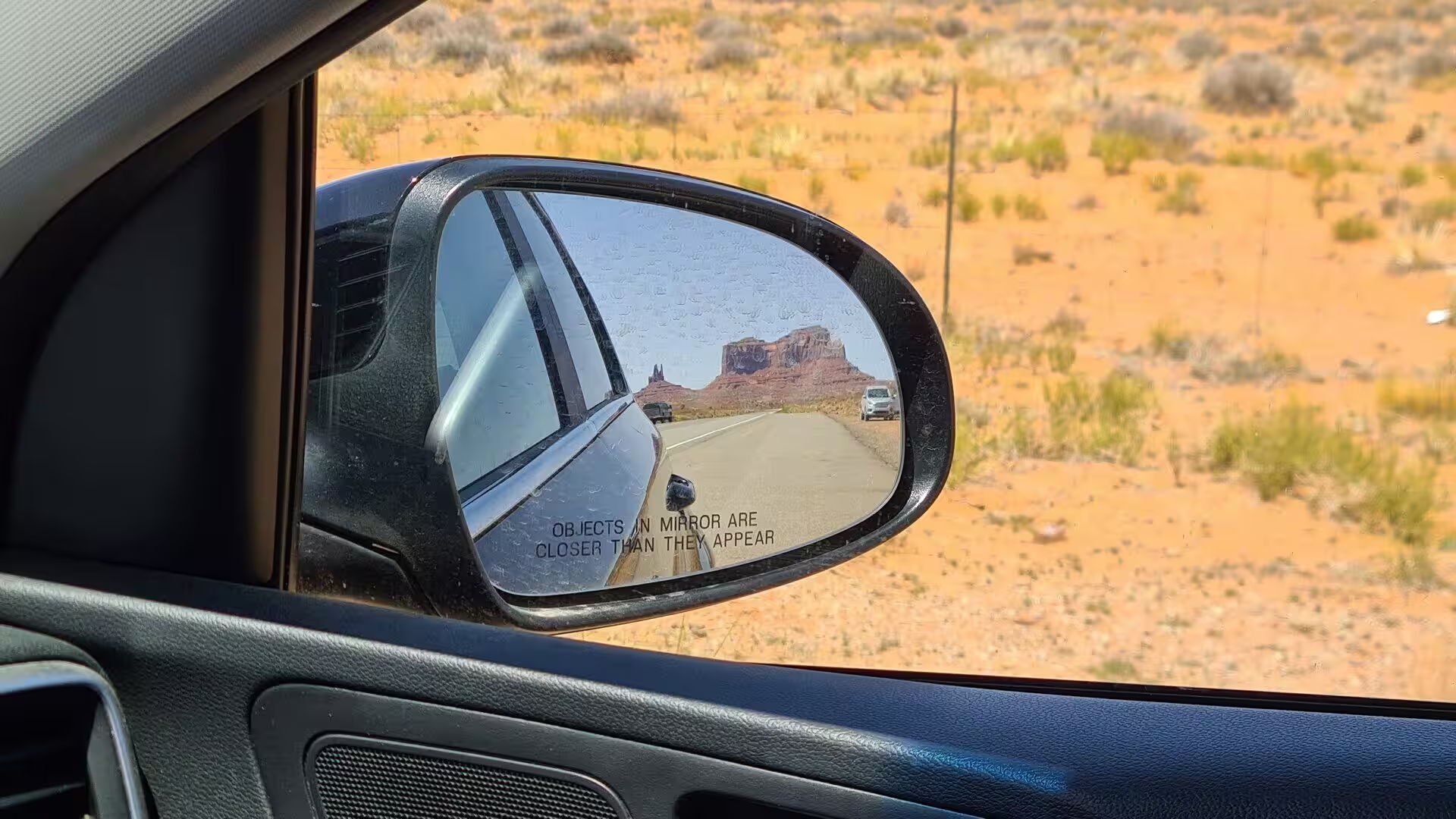
The Mittens are the two buttes that stand beside the entrance and in front of the visitor centre, and they are the most recognised silhouettes in the American South West. The West Mitten Butte and the East Mitten Butte both have a rounded summit and a narrow shaft on one side, so that from the south they look like a pair of thumbs or mittens raised out of the desert. Merrick Butte, a third and slightly broader tower, stands with them, and the three together form the group that greets every visitor arriving from US Route 163 in the morning light.
John Ford’s Point is the place from which most of the well known views of the valley have been composed, a low promontory of bare rock that juts into the middle of the valley beneath Mitchell Mesa. It was named in honour of the director, and its Navajo name is one of the older names of the place. Visitors who leave their vehicles here are often joined on the ledge by Navajo men on horseback, who sit for the tour parties and then ride back along the rim above the drop, and the point is the busiest stop on the drive.
The Valley Drive itself is the chief sight of the park, a circuit of about seventeen miles that leaves the visitor centre and returns to it across the desert floor. Among its stops are the North Window, a natural opening in the rocks that frames East Mitten Butte; the Three Sisters, three slender pinnacles standing together; the Camel Butte and the Elephant Butte, named for their shapes; and the Artist’s Point, from which the whole valley opens out. The Totem Pole and the Yei Bi Chei, a group of figures beside it, stand at the far end of the loop.
Goulding’s Lodge stands on the Utah side of the border and is the best place to see how the valley came to be famous. The trading post that Harry Goulding opened grew into a motel, a restaurant, a filling station and a landing strip, and its stone buildings have changed little since the 1930s, when the film crews stayed there, though the Navajo Nation bought the property in 2023. The trading post holds a museum of that period, with equipment, furniture and film posters, and the lodge is still run as a business while remaining a monument to its founders.
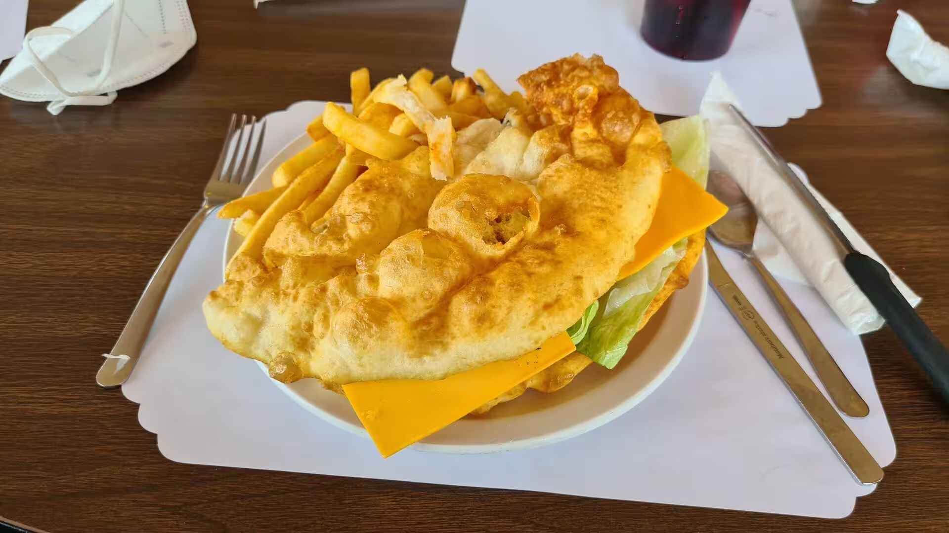
The visitor centre at the rim is the other starting point, and it explains the Navajo side of the valley. Exhibits set out the history of the Diné, their weaving, their silverwork and the ceremonies that belong to this country, and the restaurant above the valley serves the mutton stew and the fry bread for which the region is known. Walking away from the road is not allowed in the tribal park, and any visit on foot must be made with a Navajo guide, who usually shows the rock art and the burial and ceremonial sites that are closed to others.
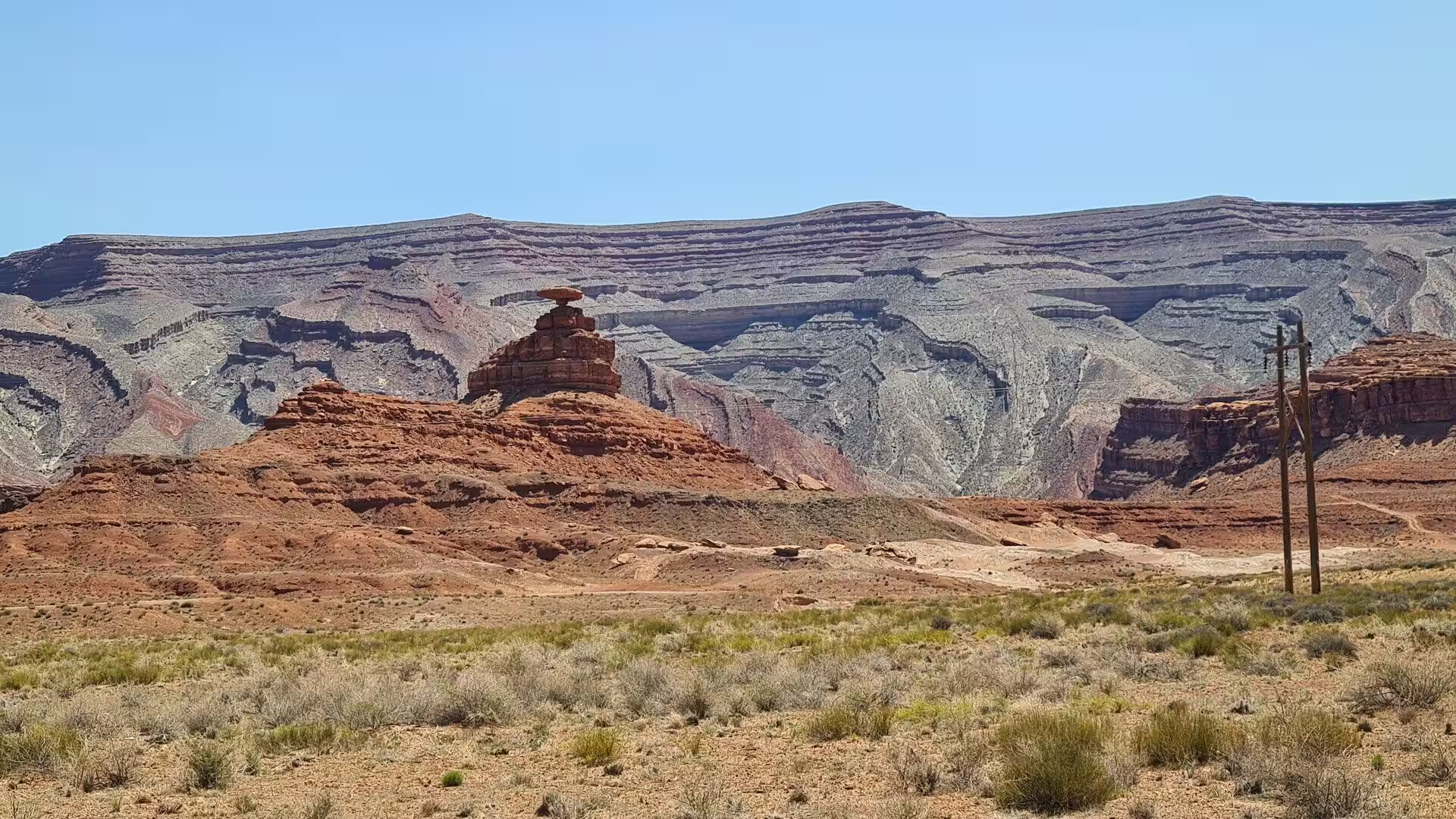
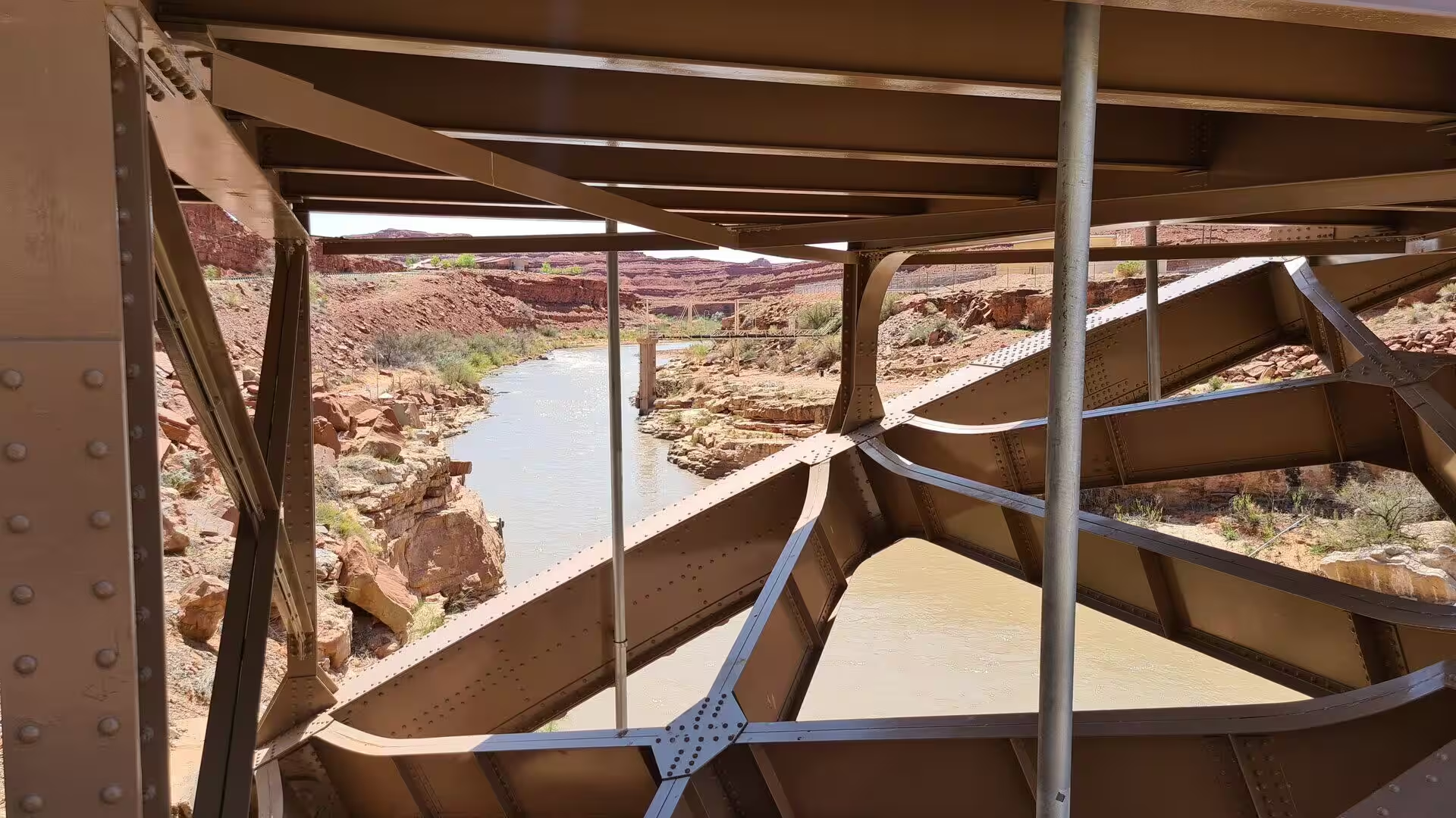
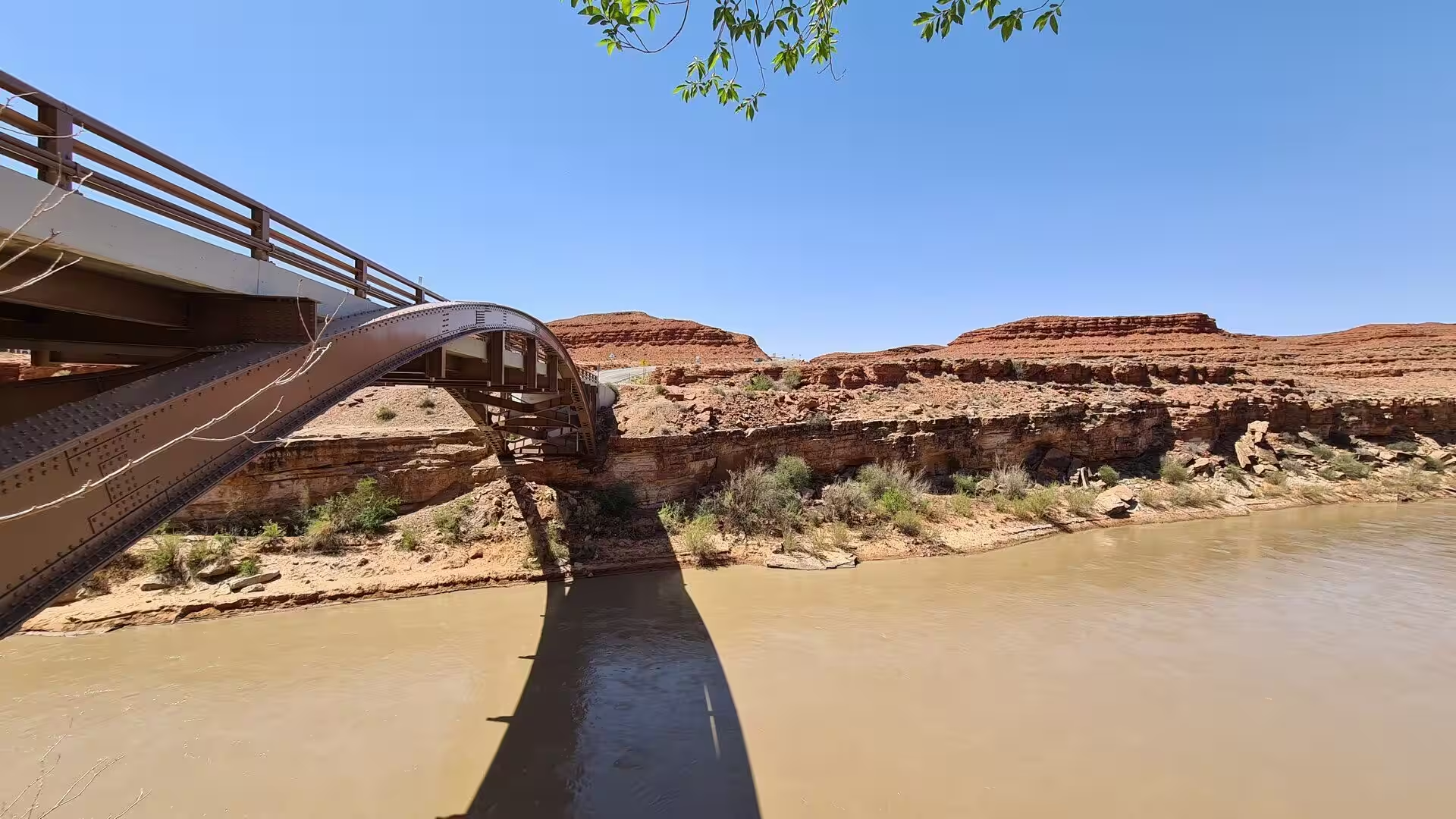
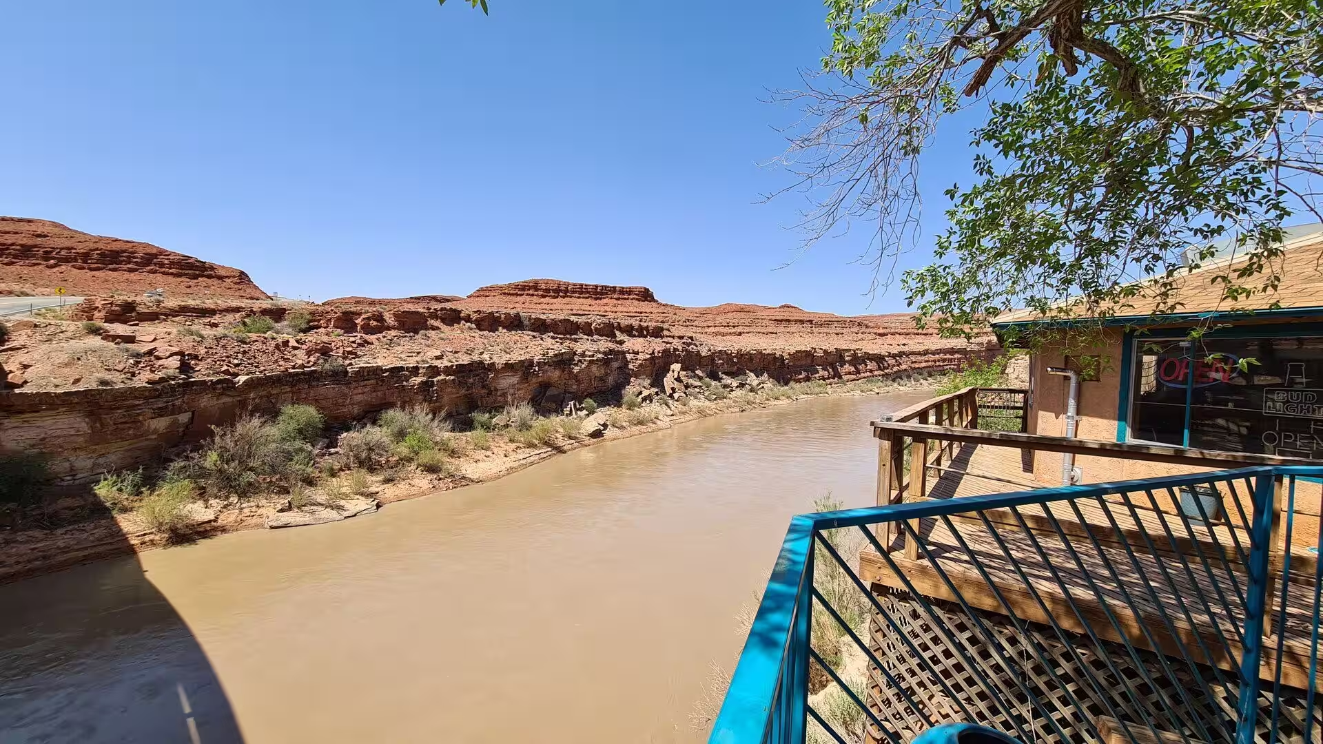
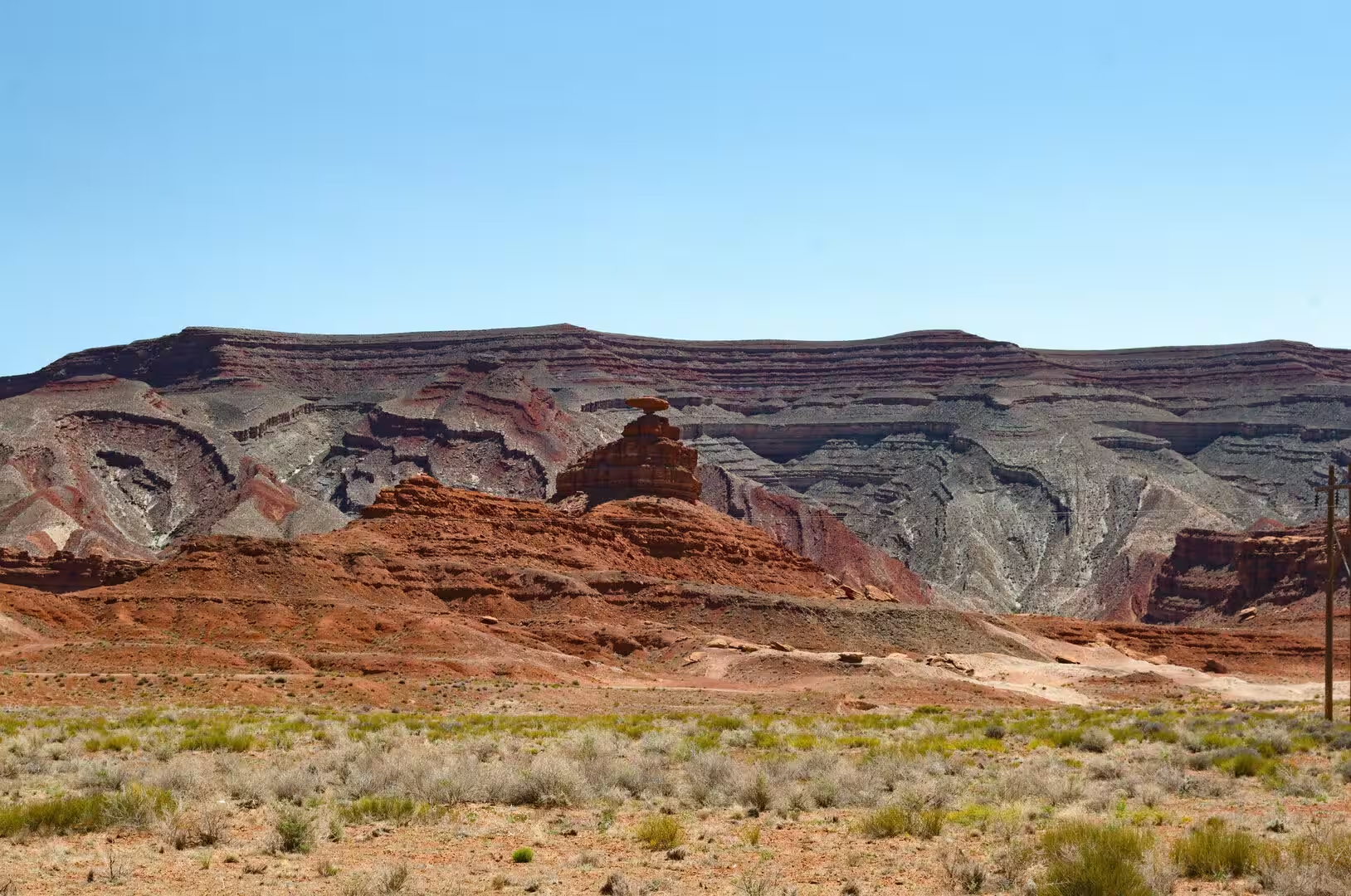
The San Juan River and the village of Mexican Hat lie a short drive to the north of the park. The river runs through a canyon of red rock and is crossed by a steel arch bridge on Route 163, and at Mexican Hat the water is popular with rafters on their way from Bluff to Lake Powell. The village takes its name from a rock formation above the road that resembles a sombrero on a peak, and the surrounding country, with its trading posts and its sheep camps, is a good introduction to the wider Navajo reservation through which the route continues.
The Four Corners Monument stands about seventy miles to the east, where the boundaries of Colorado, New Mexico, Arizona and Utah meet at a single point, the only such place in the United States. It is managed by the Navajo Nation, which collects the entrance fee, and it is surrounded by the stalls of Navajo and Ute traders selling jewellery, pottery and blankets. The road to it passes through some of the emptiest country in the South West, and the combination of the marker, the desert and the long horizons is what makes the detour worth the driving.
The desert itself and the sky above it complete the picture. The vegetation is sparse, consisting of sand sage, blackbrush, snakeweed, rabbitbrush and scattered juniper, and it supports jackrabbits, coyotes, kit foxes, rattlesnakes, ravens and several kinds of hawk. Because there is almost no light pollution and very little moisture in the air, the night sky over the valley is exceptionally clear, and the park allows overnight camping beside the visitor centre so that visitors can watch the sun set and rise over the buttes and the stars come out in between.
References
- Wikipedia contributors (2026). Monument Valley. en.wikipedia.org/wiki/Monument_Valley
- Wikipedia contributors (2026). Navajo Nation. en.wikipedia.org/wiki/Navajo_Nation
- Wikipedia contributors (2026). Oljato-Monument Valley, Utah. en.wikipedia.org/wiki/Oljato%E2%80%93Monument_Valley%2C_Utah
- Wikipedia contributors (2026). Navajo people. en.wikipedia.org/wiki/Navajo_people
- Wikipedia contributors (2026). John Ford. en.wikipedia.org/wiki/John_Ford
- Wikipedia contributors (2026). Stagecoach (1939 film). en.wikipedia.org/wiki/Stagecoach_%281939_film%29
- Wikipedia contributors (2026). Merrick Butte. en.wikipedia.org/wiki/Merrick_Butte
- Wikipedia contributors (2026). Mitten Buttes. en.wikipedia.org/wiki/Mitten_Buttes
- Wikipedia contributors (2026). Four Corners. en.wikipedia.org/wiki/Four_Corners
- Wikipedia contributors (2026). Arizona. en.wikipedia.org/wiki/Arizona
- Wikipedia contributors (2026). Utah. en.wikipedia.org/wiki/Utah
- Wikipedia contributors (2026). Goulding’s Lodge. en.wikipedia.org/wiki/Goulding’s_Lodge
- Wikipedia contributors (2026). Monument Valley Navajo Tribal Park. en.wikipedia.org/wiki/Monument_Valley_Navajo_Tribal_Park
- Wikipedia contributors (2026). Silicon dioxide. en.wikipedia.org/wiki/Silicon_dioxide
- Wikipedia contributors (2026). Mesa Verde National Park. en.wikipedia.org/wiki/Mesa_Verde_National_Park
- McGavock E.H., Levings G.W. (1973) Ground water in the Navajo sandstone in the Black Mesa area, Arizona. Monument Valley (Arizona, Utah and New Mexico). 150-155. doi.org/10.56577/ffc-24.150
- Dumitru T.A., Duddy I.R., Green P.F. (1994) Mesozoic-Cenozoic burial, uplift, and erosion history of the west-central Colorado Plateau. Geology. 22. 499. doi.org/10.1130/0091-7613(1994)022<0499:mcbuae>2.3.co;2
- Pederson J.L., Mackley R.D., Eddleman J.L. (2002) Colorado Plateau uplift and erosion evaluated using GIS. GSA Today. 12. 4. doi.org/10.1130/1052-5173(2002)012<0004:cpuaee>2.0.co;2
- Francis J. (2006) Pictographs, Petroglyphs, and Paradigms. Discovering North American Rock Art. 181-195. doi.org/10.2307/j.ctv1qwwjr2.12
- Wilmot N.A., McIntosh C.R. (2014) Forecasting Recreational Visitation at US National Parks. Tourism Analysis. 19. 129-137. doi.org/10.3727/108354214×13963557455487