Day 8 - California / Ridgecrest / Randsburg
14 May 2022



Journal Notes
General
Ridgecrest is the only incorporated city in the Indian Wells Valley, in north eastern Kern County, California, and the largest settlement on U.S. Route 395 between the Mojave Desert and the Sierra Nevada. It was incorporated in 1963 and counted 27,959 residents at the 2020 census, which makes it the third largest city in Kern County. The nearest large urban centres lie far away: 132 kilometres to Lancaster and Palmdale, 177 kilometres to Bakersfield and 193 kilometres to San Bernardino, which gives the place its reputation as the most isolated city in the county.
The valley that holds it is an arid basin running north to south, a southern continuation of Owens Valley that is separated from it by the young volcanic rocks of the Coso Range. Three counties share the ground, with Inyo County in the north, Kern County across the centre and west and San Bernardino County in the east, and California State Routes 14 and 178 cross it as well as the old federal highway. The floor lies between about 655 and 730 metres, and the valley holds the second largest population base in Kern County.
Randsburg is the older of the two historic towns, an unincorporated community and census designated place in the Rand Mountains, 27 kilometres south of Ridgecrest on the west side of U.S. Route 395. It stands at 1,068 metres, and the 2020 census recorded 45 residents, down from 69 in 2010 and 77 in 2000. A ridge separates it from its neighbour, and the road between the two passes mine workings, tailings and the low brown hills that gave the district its name. Randsburg first appeared as a census designated place in the 2000 census.
Johannesburg lies on the eastern side of that ridge, one and a half kilometres east north east of Randsburg at 1,072 metres. It is a census designated place of 113 residents in 2020, down from 172 in 2010, and the locals call it Joburg. The settlement was a railway town and a supply centre rather than a mining camp in its own right, and the terminus of the Randsburg Railway stood here from 1897 until 1933. A weekly lifeline bus to Ridgecrest is the only public transport left in the district.
Four mountain ranges frame the valley: the Sierra Nevada to the west, the Coso Range to the north, the Argus Range to the east and the El Paso Mountains to the south. The climate is that of the high desert, with a mean annual maximum of 24 degrees Celsius and a mean minimum of 9, extremes of 48 and minus 17 degrees, less than 130 millimetres of rain in a year and winds that have reached 121 kilometres an hour. The two small towns depend on Ridgecrest for fuel, food, water and repairs.
History
People have lived in the valley for a very long time. The Paiute, Shoshone and Kawaiisu thrived around the springs and watercourses of the basin, and the Coso People left the most visible trace in the canyons of the range to the north, where thousands of petroglyphs show bighorn sheep, deer and antelope as the favourite subjects. Big and Little Petroglyph Canyons were declared a National Historic Landmark in 1964 and folded into the larger Coso Rock Art District in 2001, and the Coso traded with tribes as far away as the Pacific coast.
Travel through the valley began in the nineteenth century. Jedediah Smith’s beaver trappers arrived in 1826 and Joseph Walker crossed Walker Pass into the Indian Wells Valley in 1834. Mining rushes brought settlers in the following decades, and in the 1880s Chinese prospectors harvested borax from a dry lake that carries the name China Lake after their workings, while Chinese railway workers also settled in the area for a time. Permanent settlement, however, waited for the aqueduct and the railway, which arrived together in the years before the First World War.
Gold made Randsburg. On 25 April 1895 Frederic Mooers, John Singleton and Charles Burcham discovered the Yellow Aster, a mine named, like the camp that grew around it, after the gold fields of the Witwatersrand in South Africa. The Rand Mining District was created on 20 December 1895, the camp had been renamed Randsburg by the end of 1896 with more than 1,500 people living in it, the post office opened in the same year and the first stamp mill followed in 1899. By October 1897 the district had produced more than 600,000 dollars in gold.
Johannesburg exists because of the mines as well. It was founded as a supply town, and the first wells of the district were operated by companies based here; the railway from Johannesburg to Kramer Junction, with a stop at Atolia, opened in January 1898. During the first half of the twentieth century the Rand Mining District was the principal gold producing region of California, and the Rand Mine produced more silver than any other mine in the state. Tungsten was found at Atolia in 1907, and the Rand Silver Mine was discovered at Red Mountain in 1919.
The twentieth century divided the two towns. The Yellow Aster declined during the First World War and closed in 1918, reopened in 1921 and worked intermittently until 1933, changed hands twice after that and was bought by Glamis Gold in 1983, which removed the top of the mine; by 2006 all the remaining gold bearing rock had been extracted. Ridgecrest grew in the other direction, from a farming settlement called Crumville in 1912 to a naval town after the Naval Ordnance Test Station was established in November 1943, with the post office opening in 1941.
Geology
The Indian Wells Valley is a structural basin with a fault along its western side and the left lateral Garlock Fault to the south, which runs through the El Paso Mountains. Owens Peak, at 2,576 metres the highest summit of the southern Sierra Nevada, looks down on the valley from the west, while the volcanic rocks of the Coso Range close it to the north. The petroglyph canyons, the hot springs and the lava flows of the surrounding ranges all belong to the same young and restive country.
The Mojave is the smallest and the driest of the North American deserts, and most of it lies between 610 and 1,220 metres above sea level. Its structure is that of the basin and range, parallel faulted mountains with flat, sediment filled valleys between them, and the two boundaries of the region are both faults: the San Andreas to the south west and the Garlock to the north. Alluvial fans, called bajadas, spread from every canyon mouth, and where there is no outlet for the water, dry lake beds collect salt instead.
Seismicity is part of daily life. The area lies within the Eastern California Shear Zone and has a long history of earthquake swarms, groups of thousands of small quakes without an obvious mainshock. The sequence of 1995 began on 17 August with a magnitude 5.4 earthquake 18 kilometres north of the town and produced more than 2,500 aftershocks in five weeks, and it was followed on 20 September by a magnitude 5.8 event, the largest to strike southern California since the Northridge earthquake of 1994. A second sequence followed in July 2019, with a magnitude 7.1 mainshock.
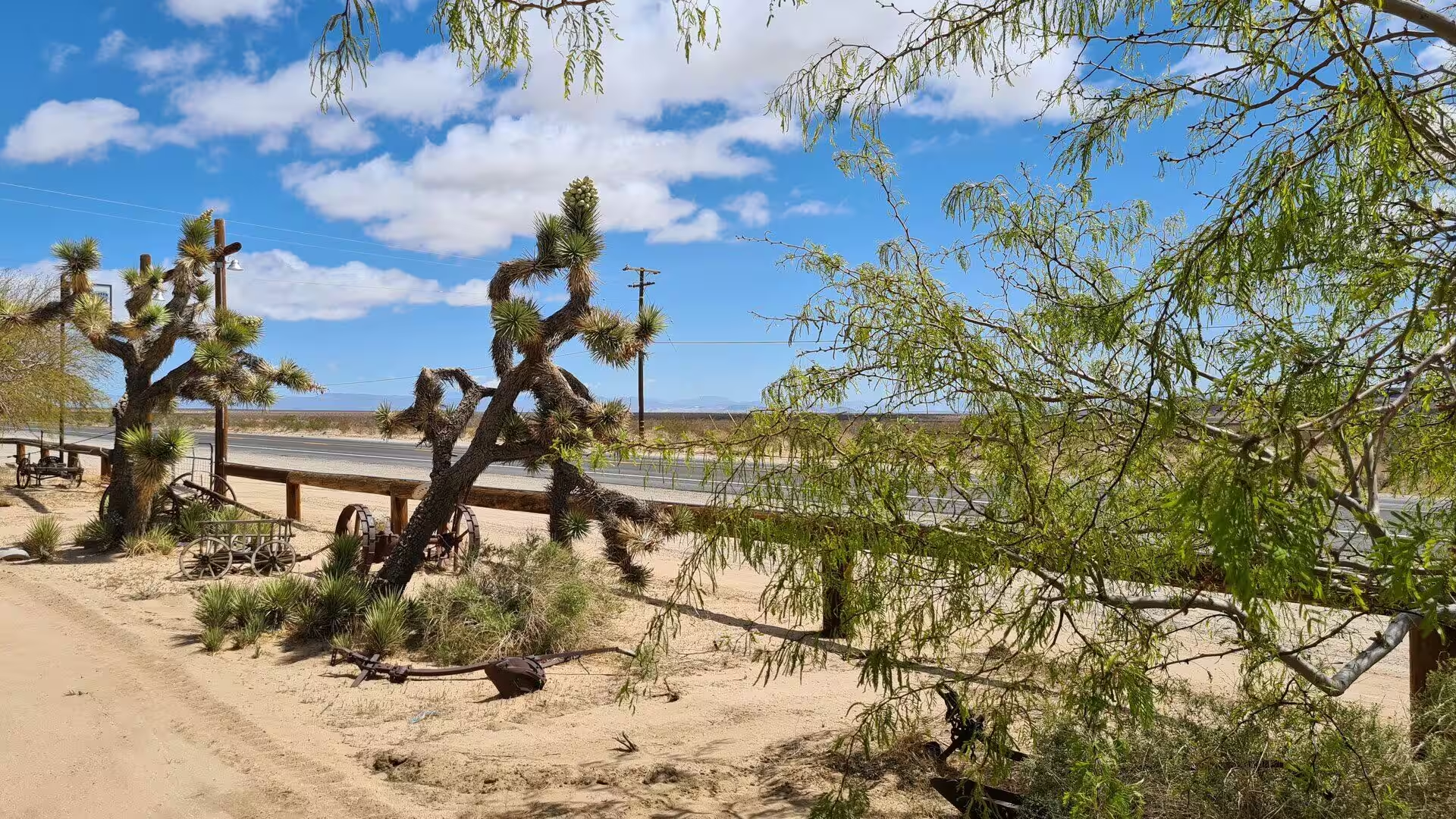
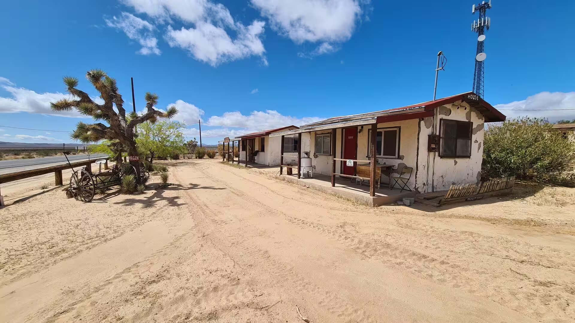
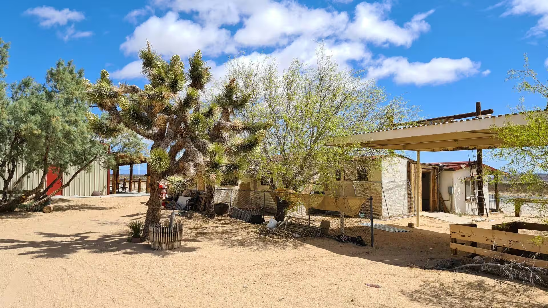
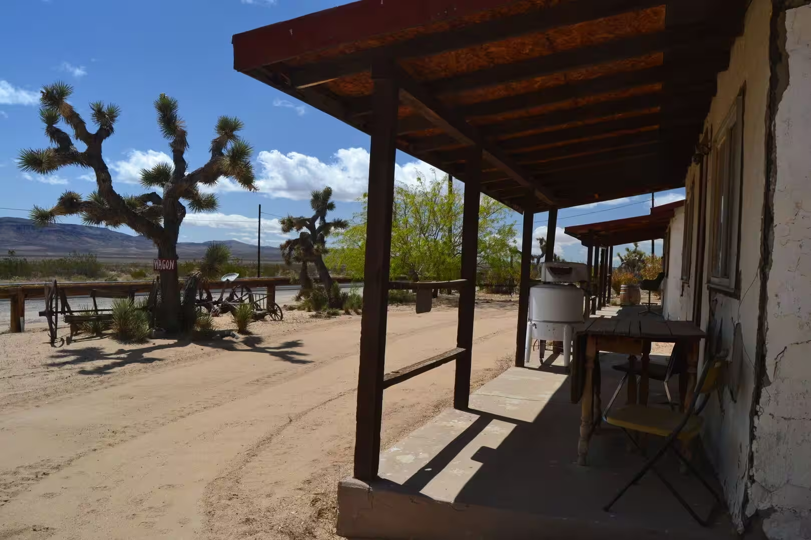
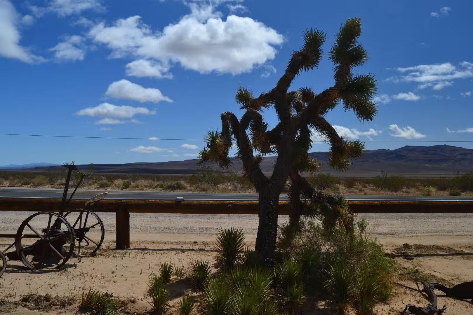
The country around Randsburg is broken and mineralised. The Rand Mountains and the El Paso Mountains to the south are ranges of the northern Mojave, with Black Mountain as the highest point of the El Paso range at 1,598 metres. Creosote bush scrub covers the slopes and Joshua trees stand on the western side, and through the range runs the Burro Schmidt Tunnel, dug by hand between 1906 and 1938 so that ore could be moved across the ridge. Gold, silver and tungsten lay under all of it.
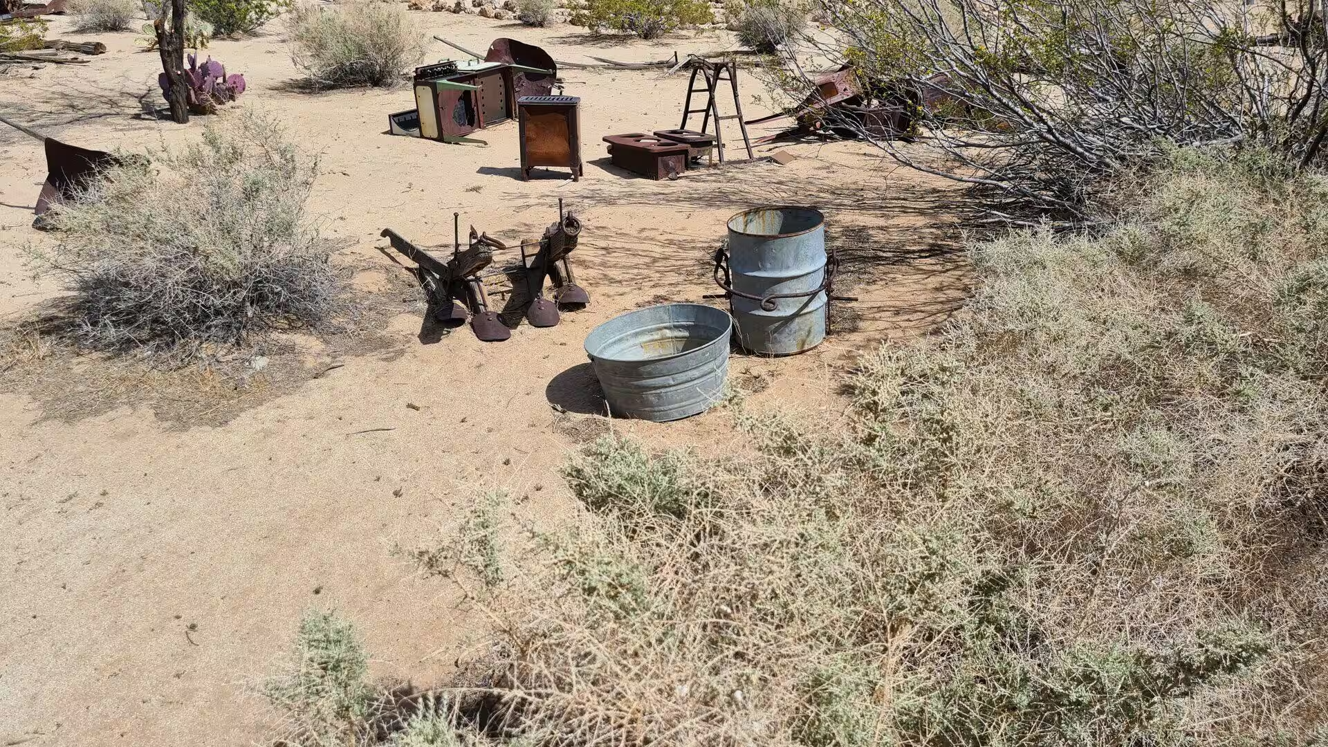
Mining left its own marks on the land. A well was dug at Goler and water was pumped up to the Yellow Aster to serve a second mill, and in 1903, when the district mines were making substantial profits and the pay was still poor, the workers called a strike. Some thirty kilometres east of Ridgecrest the Searles Valley Minerals plant stands beside Searles Dry Lake near Trona, working the evaporites of a basin that once held a lake, the same chemistry that gave the Mojave its borax and its salt.
Things to See
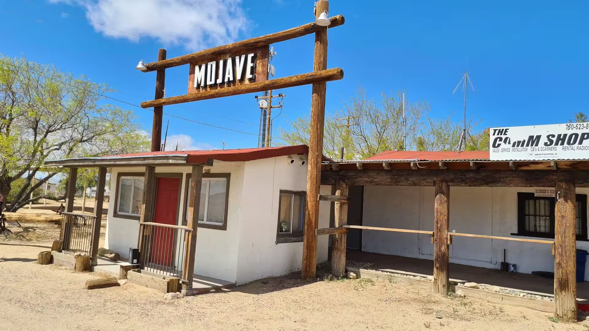
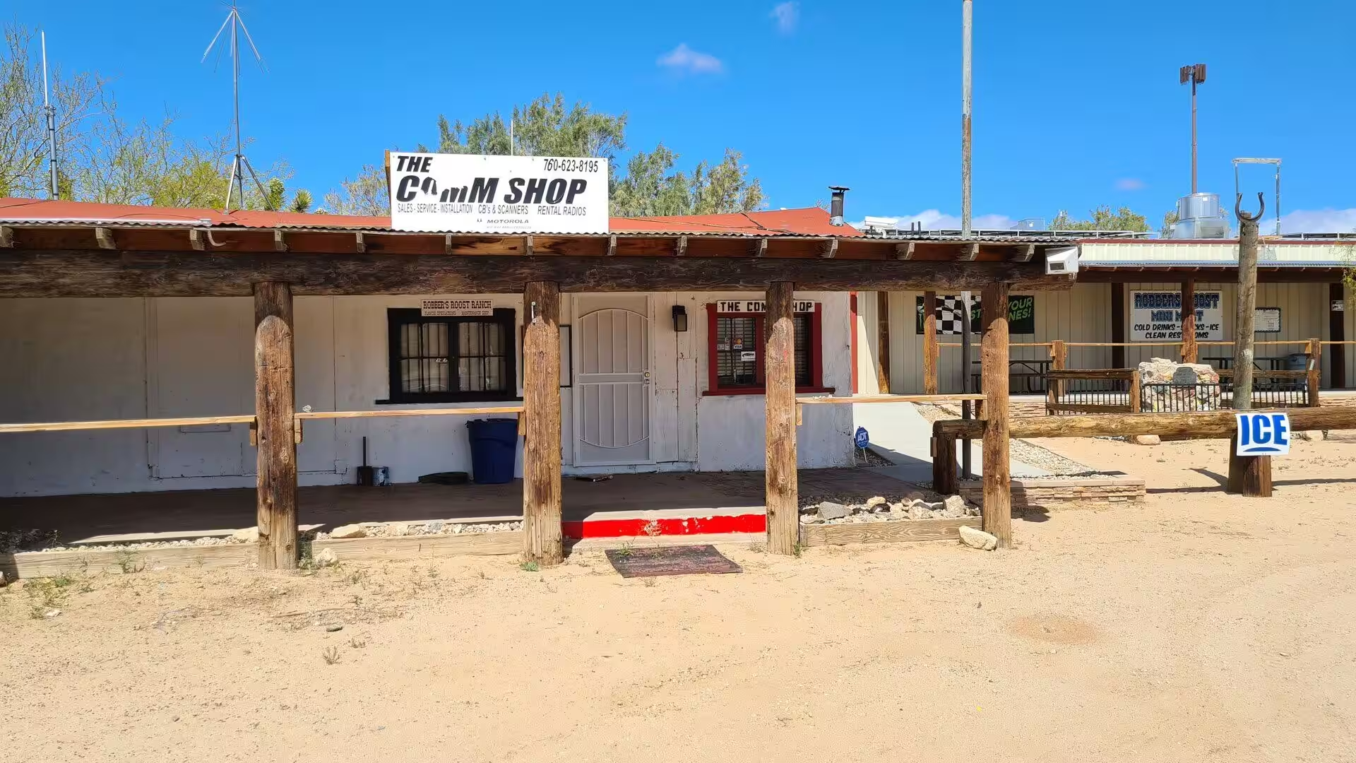
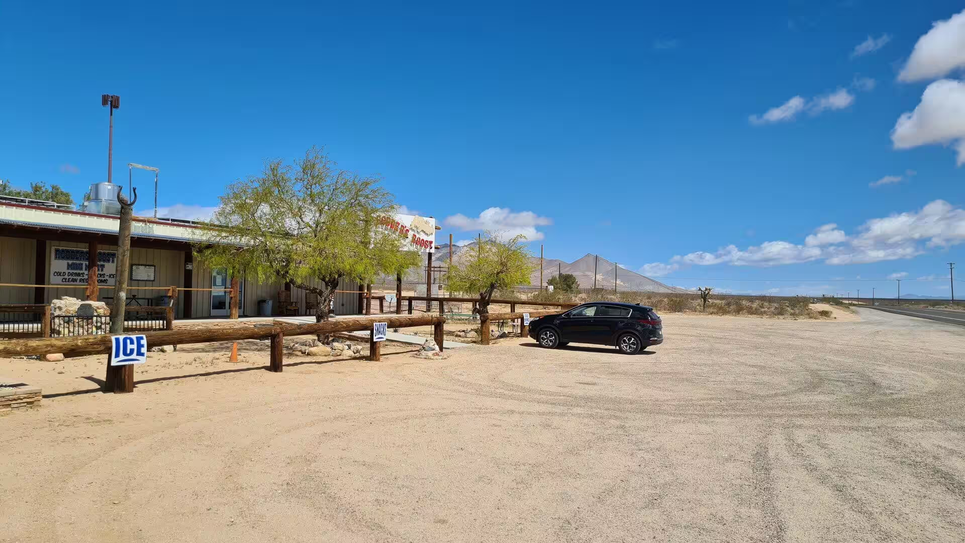
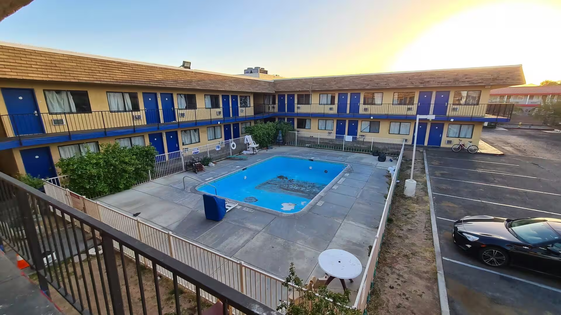
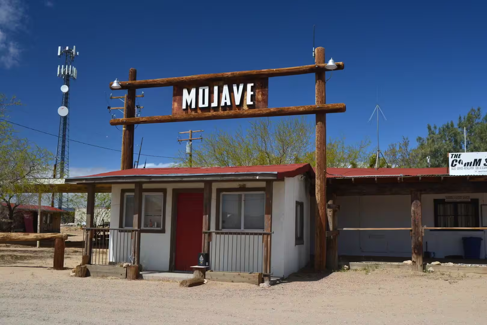
Ridgecrest is the practical base for the district. The commercial strip on U.S. Route 395 mixes timber framed archways and painted boards with roadside stores, workshops and motels, and the desert begins again at the end of the last row of buildings. Fuel, food, water and lodging are all here, and there is almost nothing between the town and the next settlement in any direction, which makes the filling station and the motel courtyard the landmarks of every journey in the northern Mojave. Ridgecrest Transit runs a shuttle to Inyokern, where connections run north to Bishop and south to Lancaster.
The Maturango Museum is the best introduction to the region. It holds exhibits on the natural and cultural history of the northern Mojave Desert, with collections of plants, animals, Native American artefacts, geology and contemporary arts and crafts, and it runs the guided tours to Little Petroglyph Canyon on the naval base above the town. The petroglyphs of the Coso Rock Art District, more than 20,000 of them in that canyon alone, are one reason the museum exists, and the Ridgecrest Petroglyph Festival has celebrated them every autumn since 2014.
The rock art of the Coso Range is the outstanding archaeological monument of eastern California. The district covers some 260 square kilometres within the boundaries of the naval station and holds more than 50,000 documented petroglyphs, the greatest concentration of rock art in the northern hemisphere, with designs that range from animals to abstract and human figures. Most of the carvings are thought to be between one thousand and three thousand years old, and everything in the canyons is protected, including the obsidian chips and the tools left behind.
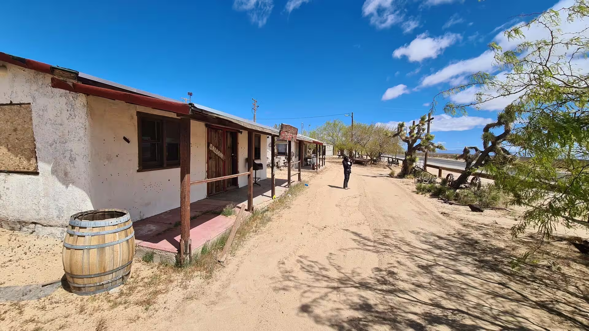
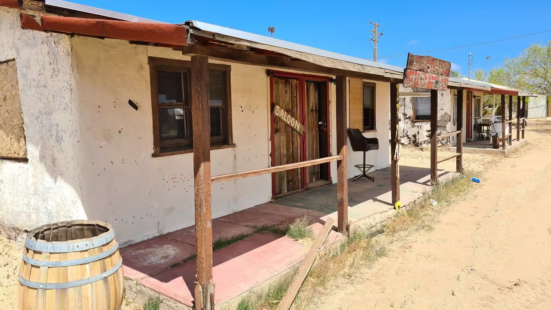
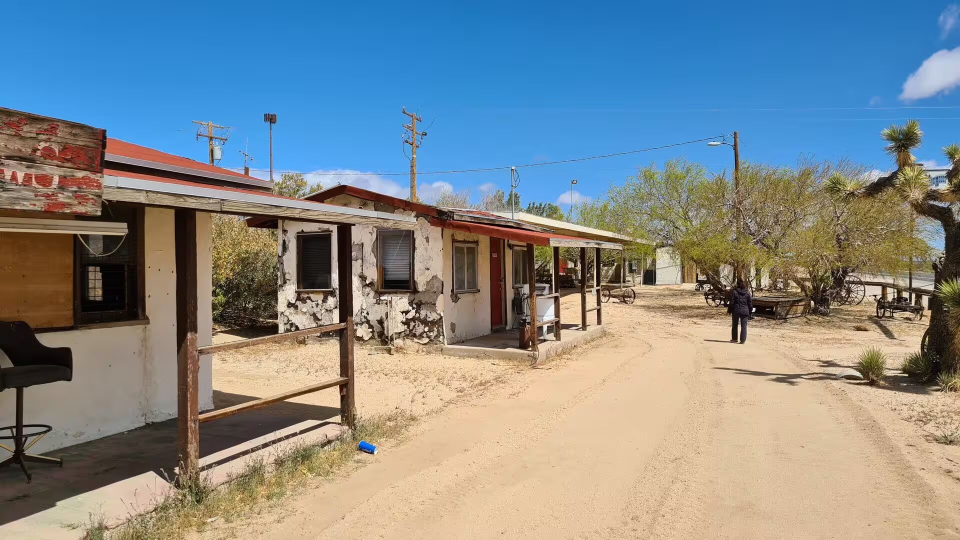
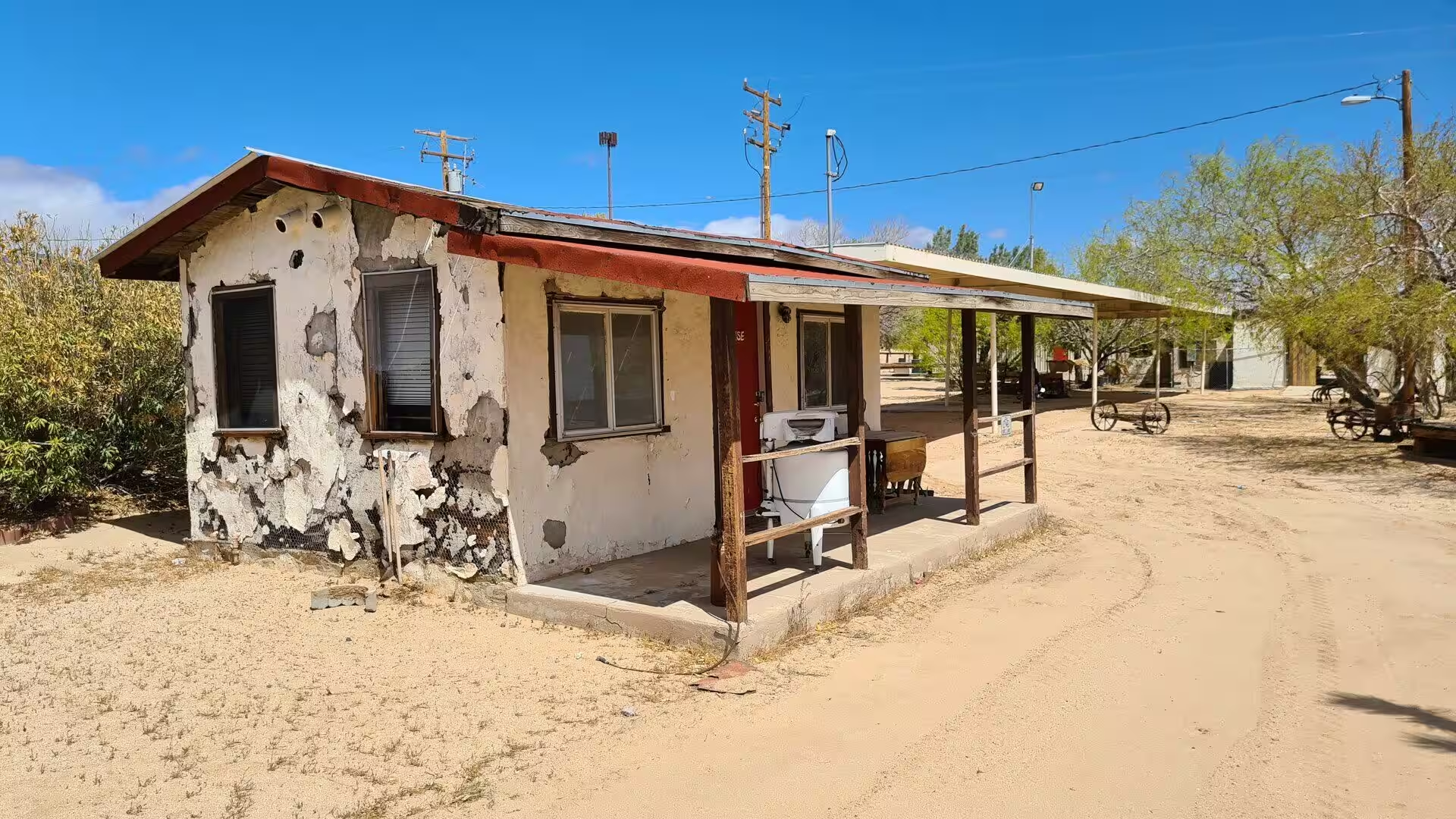
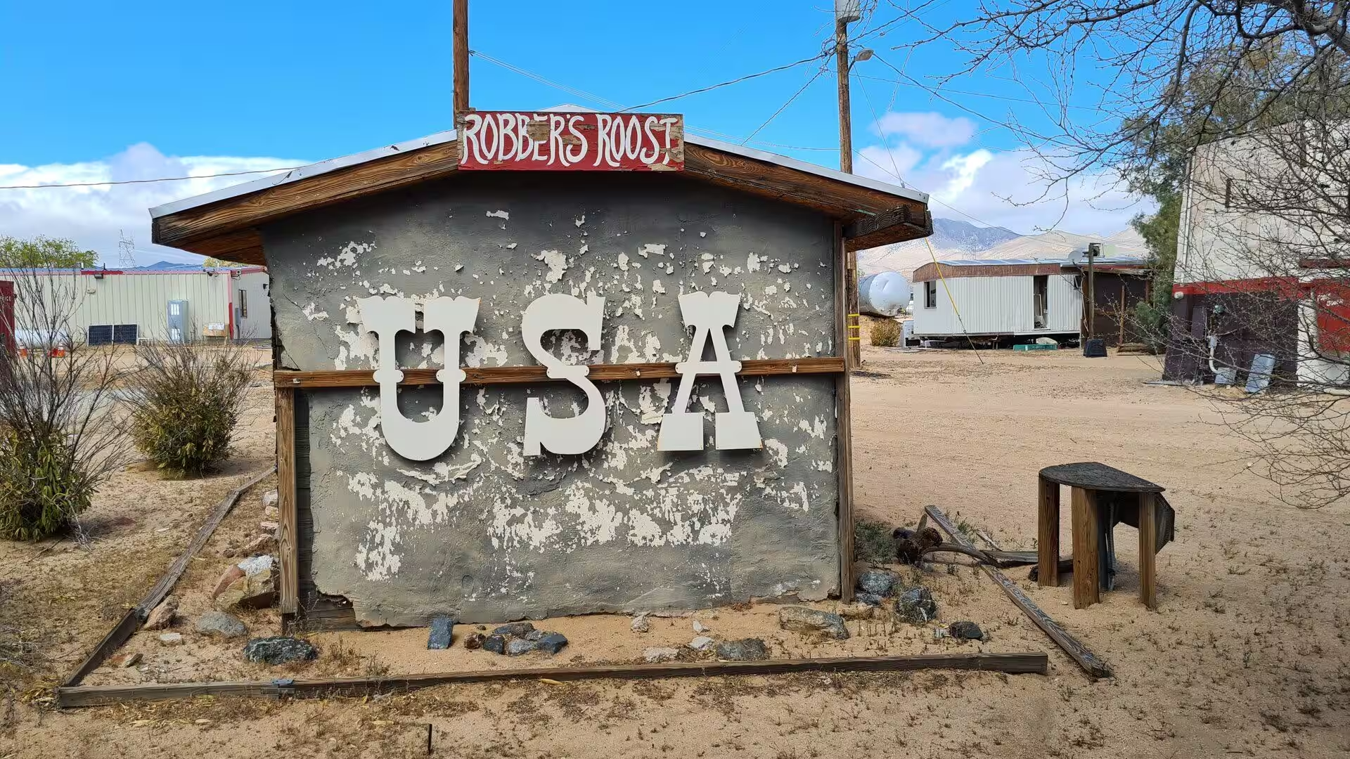
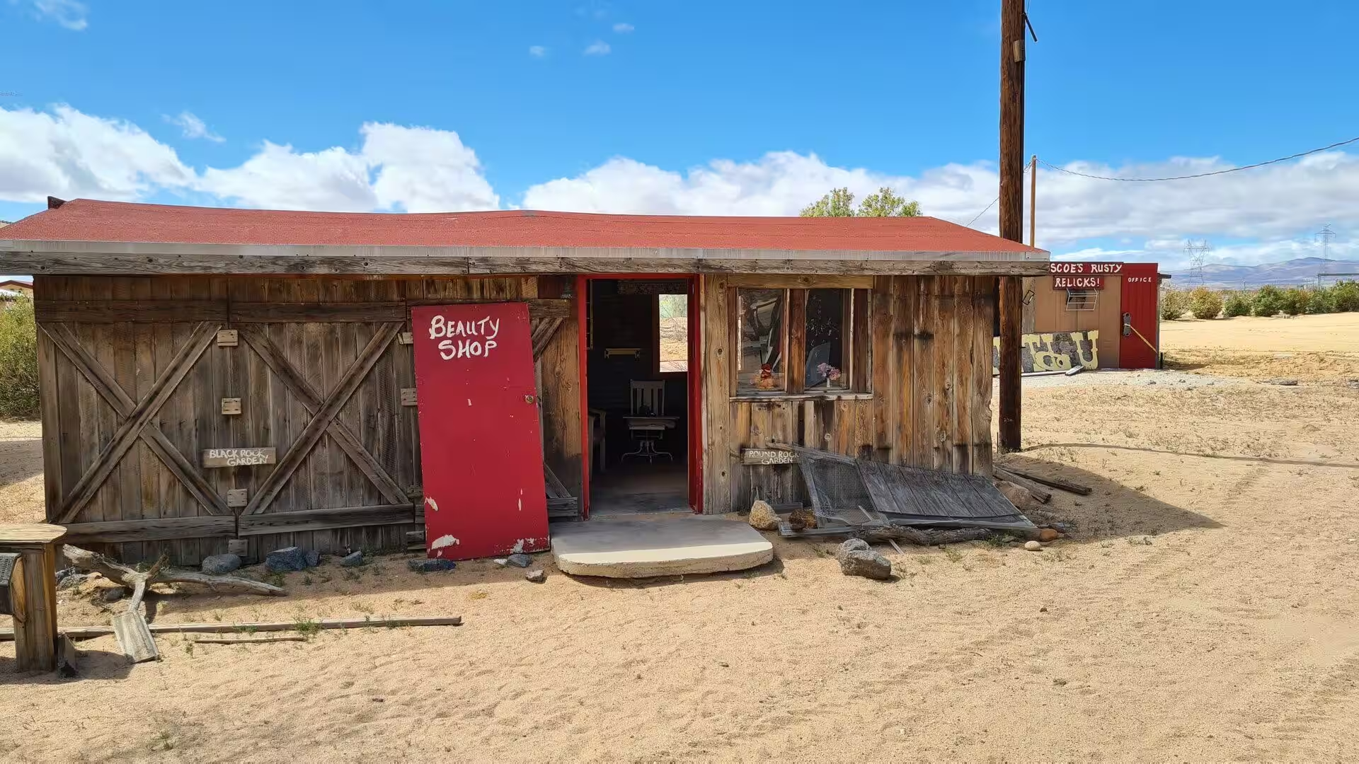
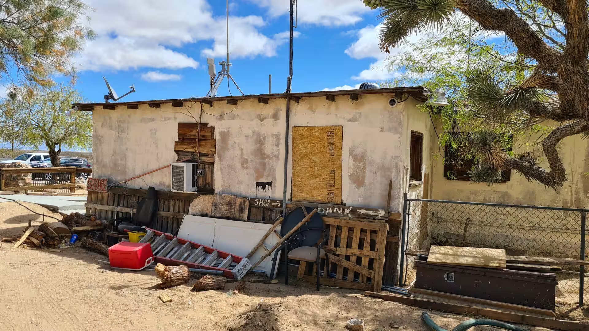
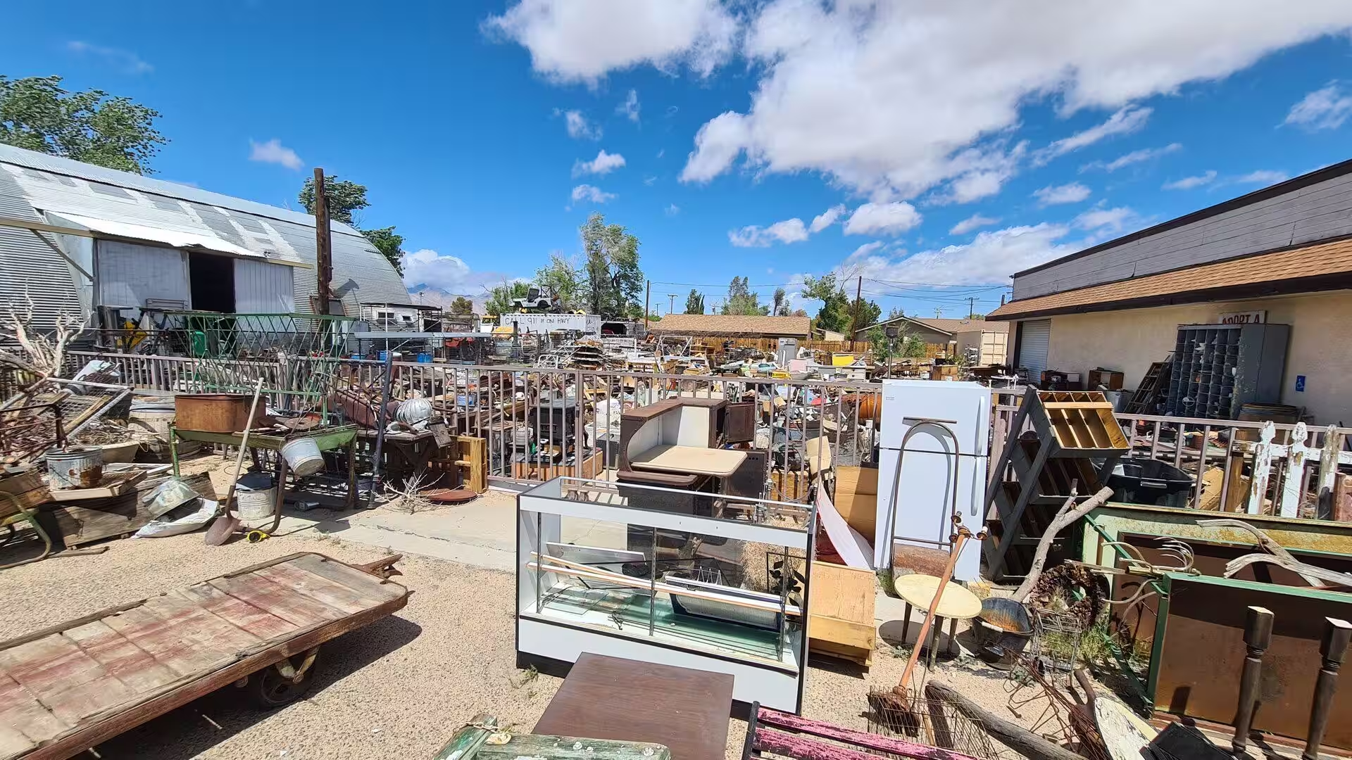
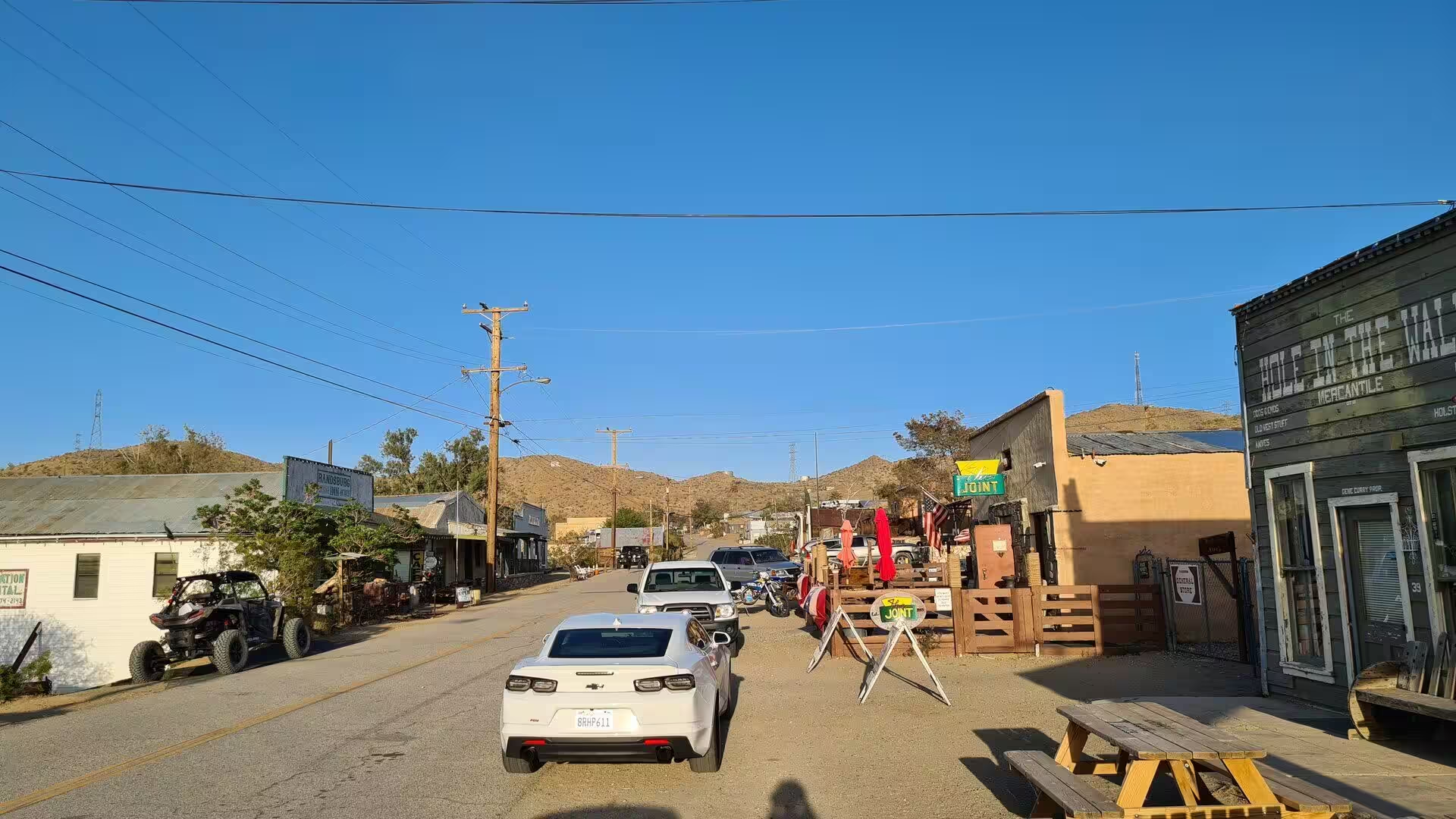
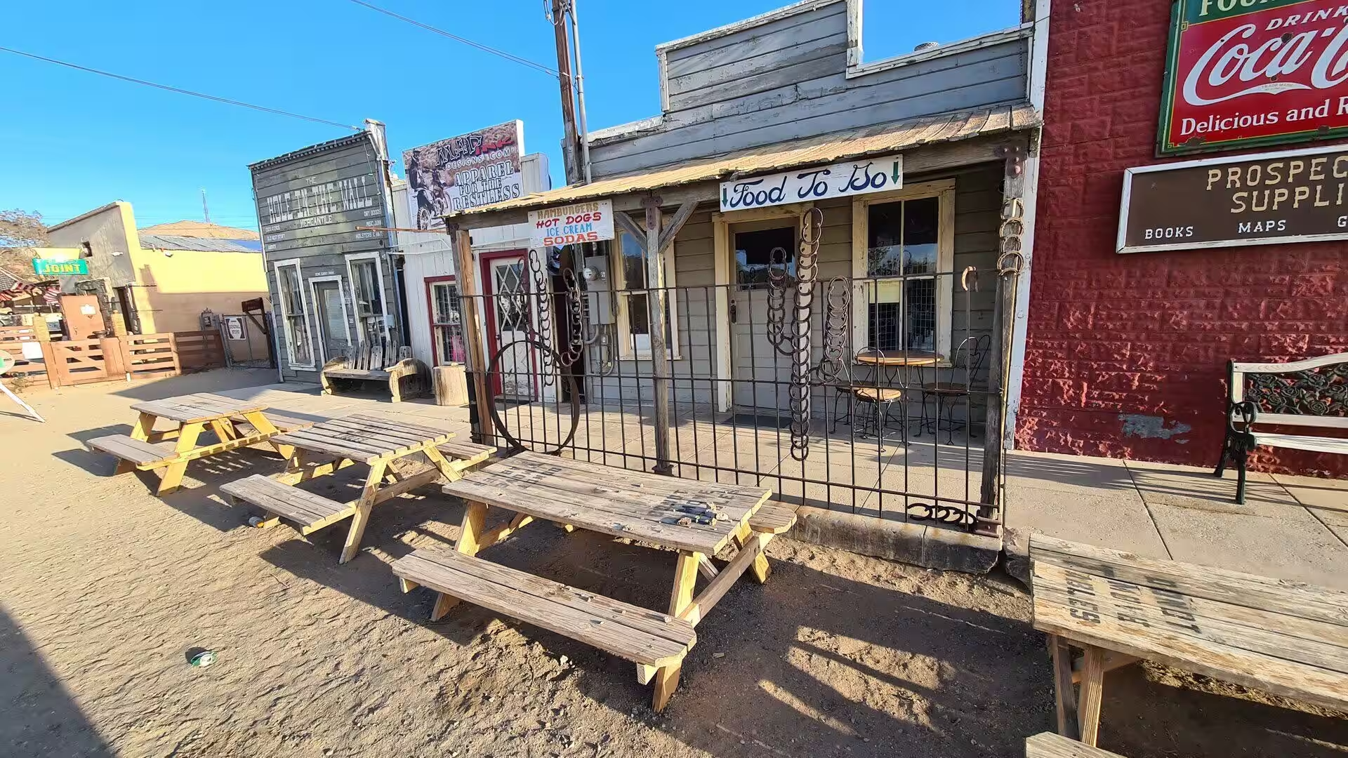
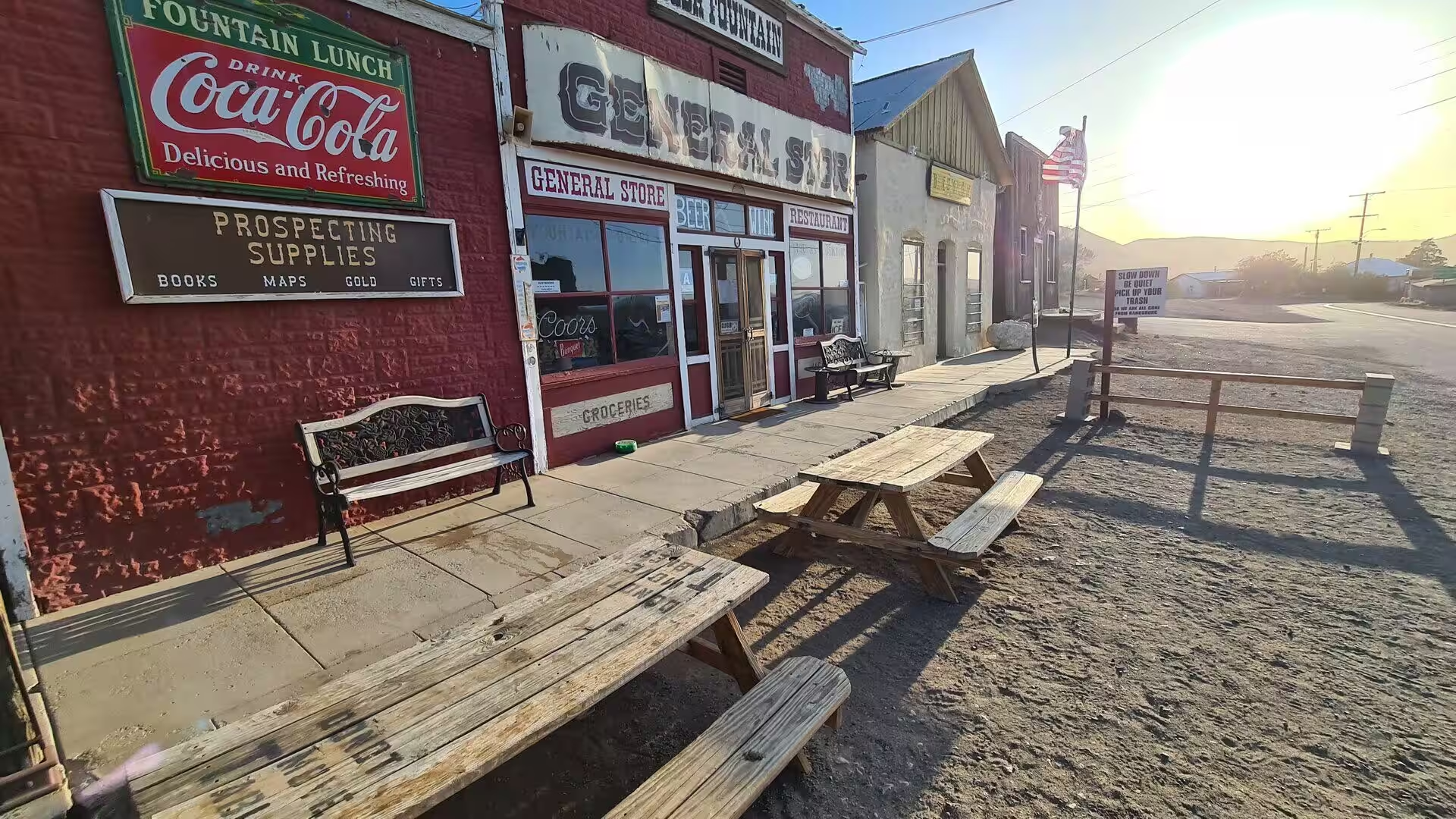
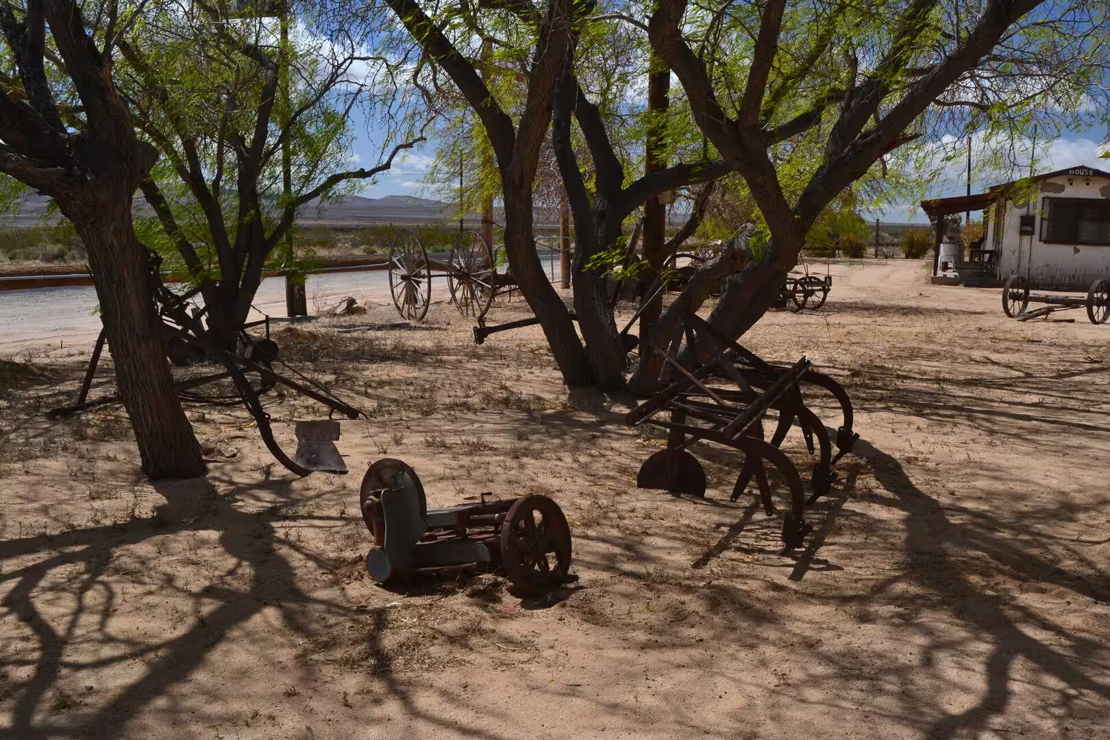
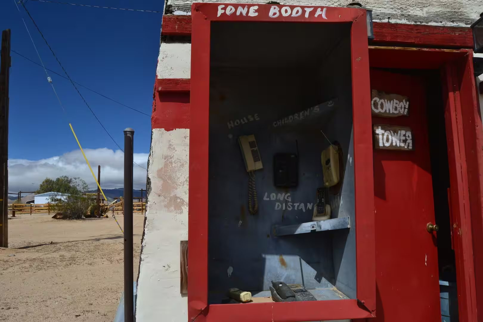
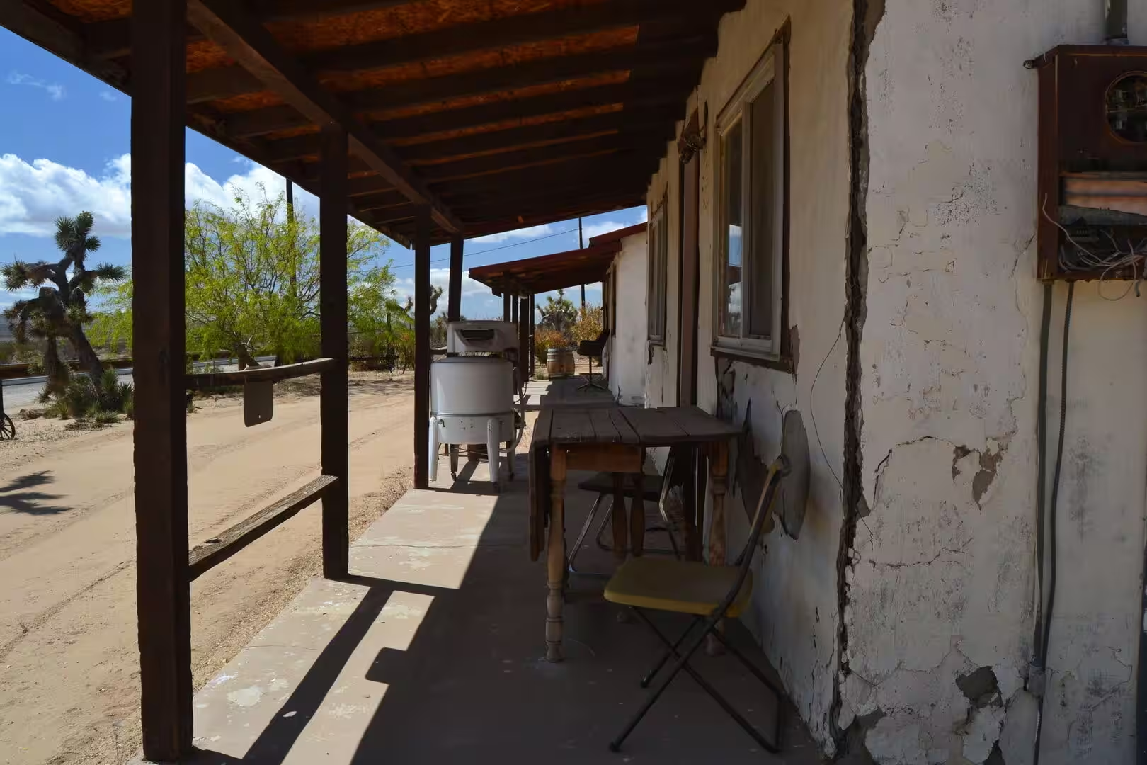
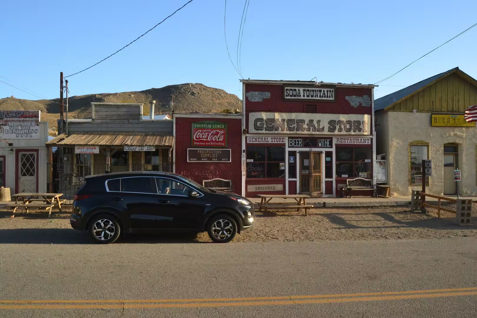
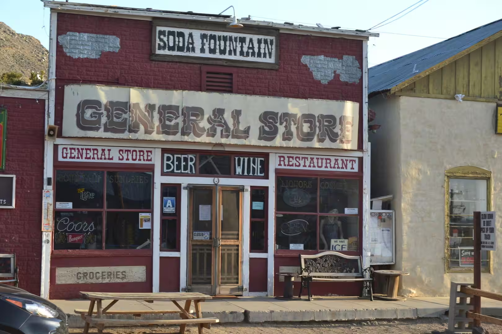
Randsburg is the heart of the visit. Its streets are still unpaved and lined with timber storefronts, porches and painted signs, and among them the White House Saloon and the general store keep the proportions of a mining town of the 1890s, with a soda fountain, beer and wine advertised on the boards. Traffic arrives between autumn and spring, when the heat relents, and the shops open at weekends with antiques, salvage and relics of the desert laid out in the yards. Film and music crews have used the streets for a century, from a lost picture of 1913 about the Yellow Aster mine to music videos shot among the storefronts.
Above the town the Rand Mining District is marked by California Historical Landmark 938, signed on 12 October 1958. The plaque tells of the Yellow Aster, or Rand, mine, discovered in April 1895, of the town that quickly developed around it and of the supply town of Johannesburg in 1896, and of the tungsten at Atolia and the silver at Red Mountain. Mine dumps, levelled pads and fenced shafts can still be seen on the slopes above the last houses, and gold was worked here until 2006.
Johannesburg repays a short stop. The ridge that separates it from Randsburg is low enough to walk over, the settlement keeps a scatter of small houses, sheds and workshops, and the alignment of the Randsburg Railway can still be traced where it ran from here to Kramer Junction between 1897 and 1933. A monument to the mining district stands in the town, and the census of 2020 found 113 people here, with a lifeline bus to Ridgecrest once a week and the highway carrying the rest of the traffic.
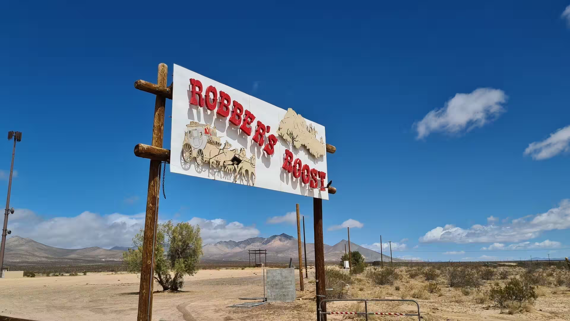
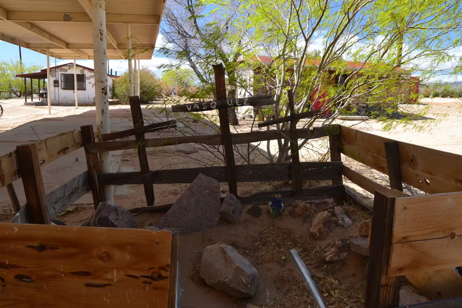
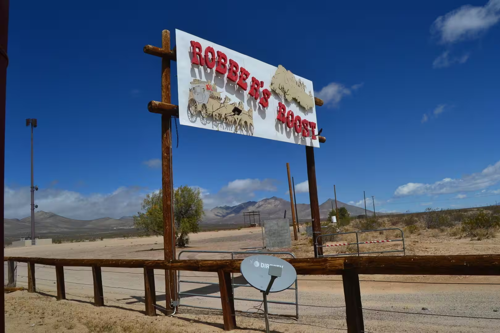
The desert around the two towns holds sights of its own. Trona Pinnacles and Red Rock Canyon State Park lie within easy reach of Ridgecrest, the first of them familiar from films, the second offering hiking and camping at the western end of the El Paso Mountains. West of Freeman Junction, where the highways 178 and 14 meet, the jagged rocks called Robbers Roost look out over the southern end of the valley; stagecoach robbers used them as a lookout in the nineteenth century, the bandit Tiburcio Vasquez among them, and the formation was listed on the National Register of Historic Places in 1975.
The best time to come is the spring or the autumn. Summer heat of more than forty degrees Celsius is dangerous at any hour of the afternoon, the winter nights at a thousand metres are cold, and water should be carried for far more than the distance planned. Randsburg fills in the third weekend of September for the Western Days celebration, with gunfights, gold panning, live bands, dances and vendors, and off roaders arrive over Thanksgiving and the New Year, when the legal desert trail is open to them.
References
- Wikipedia contributors (2026). Ridgecrest, California. en.wikipedia.org/wiki/Ridgecrest%2C_California
- Wikipedia contributors (2026). Randsburg, California. en.wikipedia.org/wiki/Randsburg%2C_California
- Wikipedia contributors (2026). Naval Air Weapons Station China Lake. en.wikipedia.org/wiki/Naval_Air_Weapons_Station_China_Lake
- Wikipedia contributors (2026). Johannesburg, California. en.wikipedia.org/wiki/Johannesburg%2C_California
- Wikipedia contributors (2026). Indian Wells Valley. en.wikipedia.org/wiki/Indian_Wells_Valley
- Wikipedia contributors (2026). Robbers Roost (Kern County, California). en.wikipedia.org/wiki/Robbers_Roost_%28Kern_County%2C_California%29
- Wikipedia contributors (2026). Mojave Desert. en.wikipedia.org/wiki/Mojave_Desert
- Wikipedia contributors (2026). Kern County, California. en.wikipedia.org/wiki/Kern_County%2C_California
- Wikipedia contributors (2026). El Paso Mountains. en.wikipedia.org/wiki/El_Paso_Mountains
- Wikipedia contributors (2026). Gold mining. en.wikipedia.org/wiki/Gold_mining
- Wikipedia contributors (2026). Borax. en.wikipedia.org/wiki/Borax
- Wikipedia contributors (2026). Searles Valley. en.wikipedia.org/wiki/Searles_Valley
- Wikipedia contributors (2026). U.S. Route 395. en.wikipedia.org/wiki/U.S._Route_395
- Melosi M.V. (2022) The California Gold Rush: Placer and Hydraulic Mining. Water in North American Environmental History. 75-85. doi.org/10.4324/9781003041627-11
- Vogel D. (2019) Gold Mining. California Greenin’. 22-47. doi.org/10.23943/princeton/9780691196176.003.0002
- Wood Y., Graham R., Wells S. (2005) Surface control of desert pavement pedologic process and landscape function, Cima Volcanic field, Mojave Desert, California. CATENA. 59. 205-230. doi.org/10.1016/j.catena.2004.06.001
- Blair T.C., McPherson J.G. (1994) Alluvial Fan Processes and Forms. Geomorphology of Desert Environments. 354-402. doi.org/10.1007/978-94-015-8254-4_14