Day 9 - Death Valley
16 May 2022





Journal Notes
General
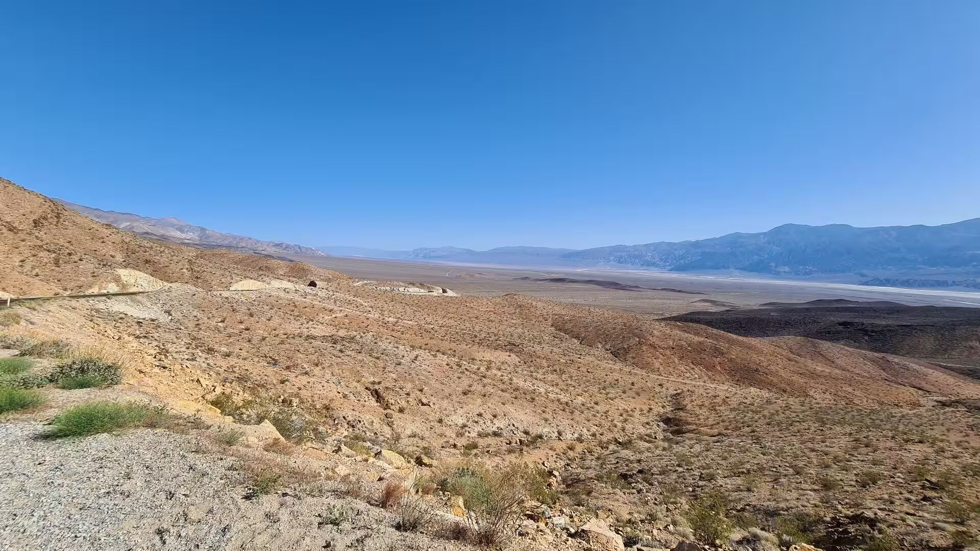
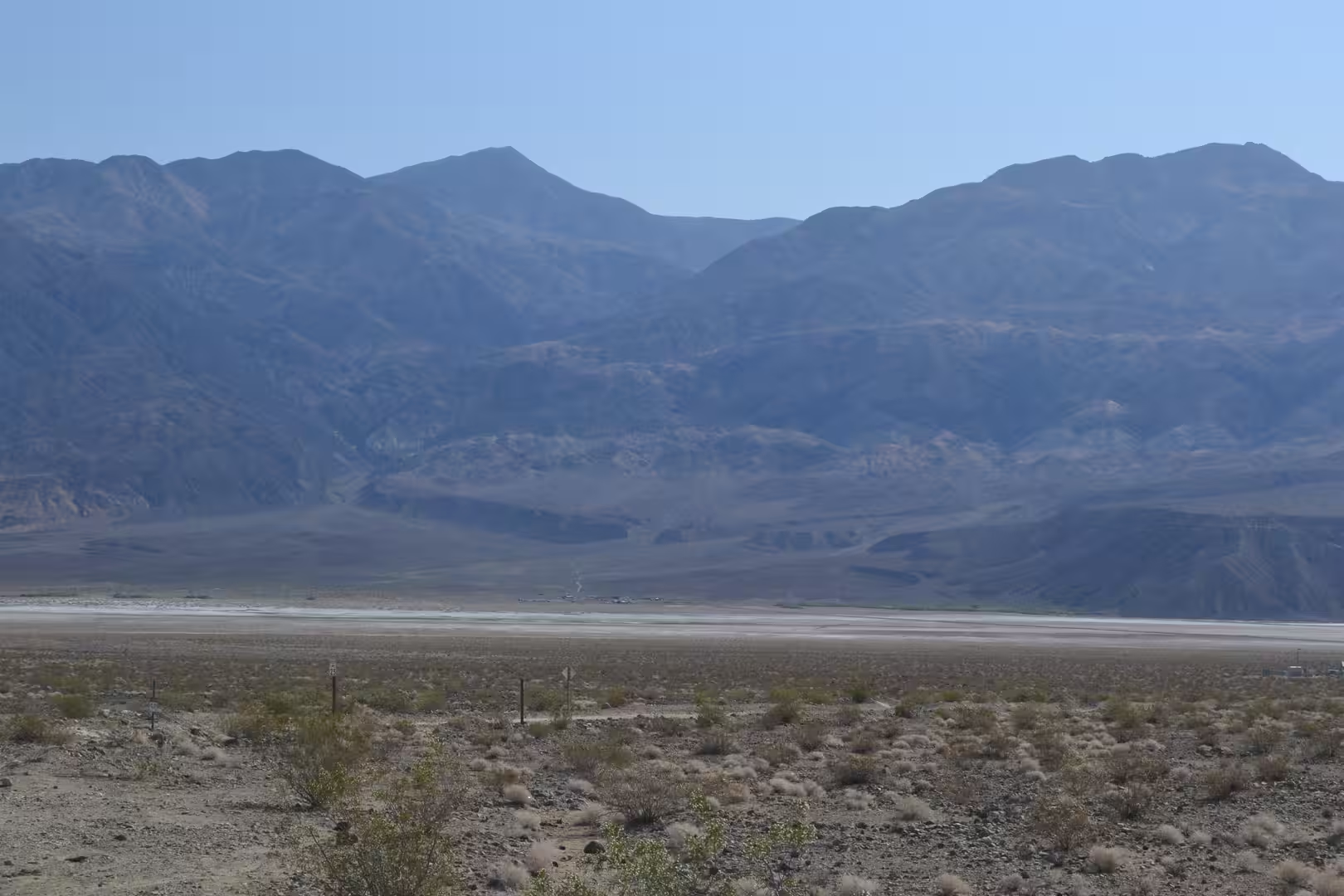
Death Valley is a desert valley in eastern California, in the northern Mojave Desert where it borders the Great Basin Desert, and it gives its name to Death Valley National Park. The valley runs north to south between the Amargosa Range on the east and the Panamint Range on the west, with the Grapevine Mountains closing it in the north and the Owlshead Mountains in the south, and it covers about 7,800 square kilometres. It is the hottest, driest and lowest of the American national parks, and the largest in the whole country outside Alaska.
The park straddles the California and Nevada border east of the Sierra Nevada and takes in Death Valley, the northern part of Panamint Valley, the southern part of Eureka Valley and most of Saline Valley. It occupies the interface between the Great Basin and the Mojave, protecting salt flats, sand dunes, badlands, valleys, canyons and mountains, and more than ninety three per cent of it is designated wilderness. Badwater Basin, at 86 metres below sea level, is the lowest land in North America, and the park has been part of a UNESCO biosphere reserve since 1984.
The climate explains the name. A temperature of 56.7 degrees Celsius was recorded at Greenland Ranch, now Furnace Creek, on 10 July 1913, and although that reading is disputed by modern meteorologists, the highest reliable figure, 54.4 degrees, was measured at the same station on 16 August 2020 and again on 9 July 2021. July averages a high of 47 degrees, and there are on average 147 days in the year above 38 degrees. Rainfall at Badwater averages about 38 millimetres, and in 1929, 1953 and 1989 no rain at all was recorded for the whole year.
Extremes of elevation define the landscape as much as the heat. The floor of the valley lies far below sea level while Telescope Peak in the Panamint Range rises to 3,368 metres, which is the greatest topographic relief in the contiguous United States. Four mountain ranges stand between the valley and the Pacific, each one taking moisture out of the air before it arrives, and the salt pans they leave behind are among the largest in the world and the richest in borax and other salts.
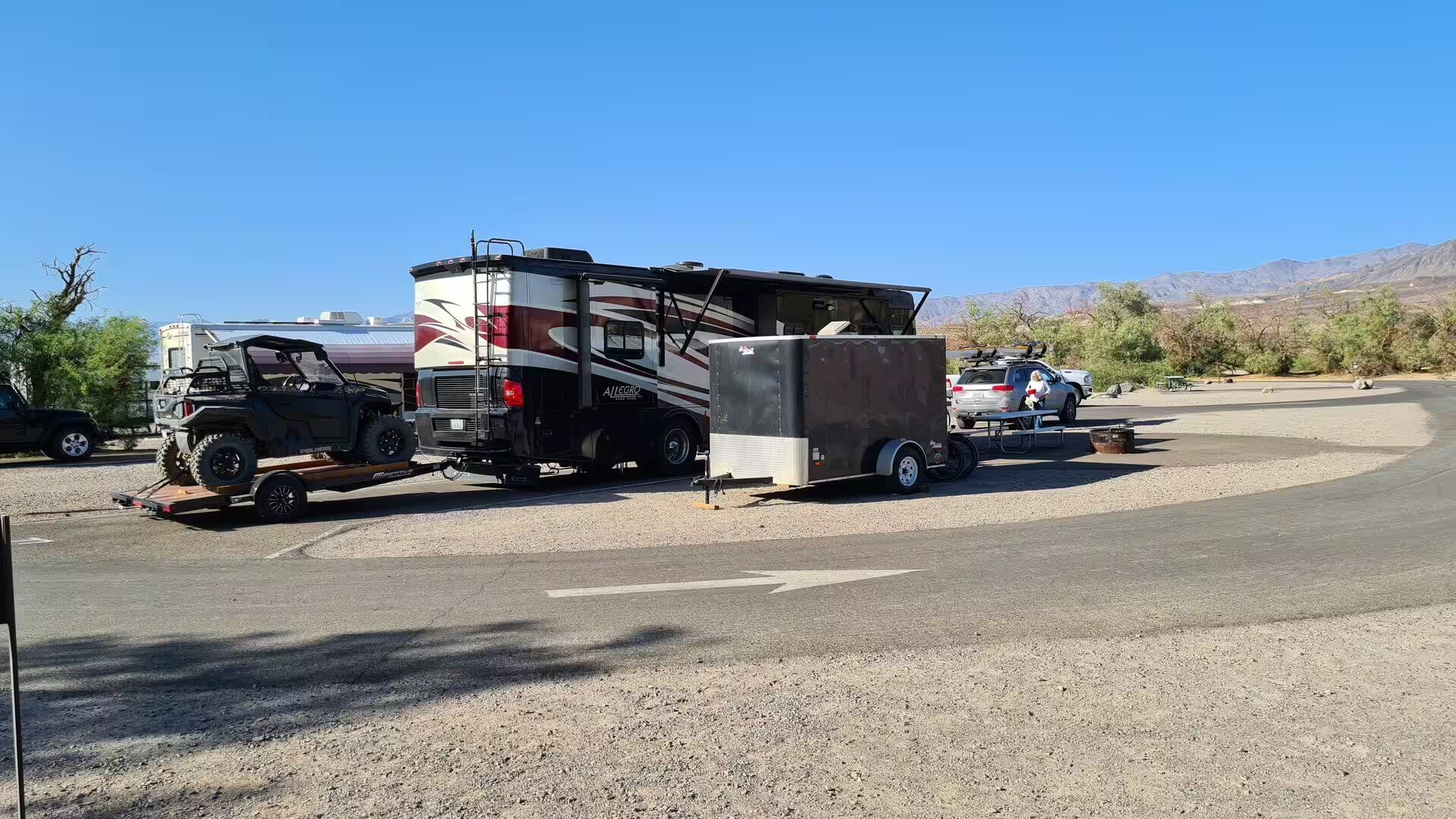
The park has no entrance station. Fees are paid at the visitor centres, ranger stations and machines, and State Route 190, the Badwater Road, the Scotty’s Castle Road and the paved road to Dante’s View reach the main viewpoints. There are nine designated campgrounds and three resorts, at Furnace Creek, Stovepipe Wells and Panamint Springs, and the season runs from October to May, when the motels, campsites and trails fill with visitors. In 2013 it was named a dark sky park, and on the darkest nights in the north west the Milky Way is bright enough to cast shadows.
History
Four Native American cultures are known to have lived in the valley over the last ten thousand years. The Nevares Spring People arrived about 9,000 years ago, when small lakes still stood in the basin and large game was plentiful; the Mesquite Flat People displaced them some 5,000 years ago, and the Saratoga Spring People followed about 2,000 years ago, leaving stone patterns that still puzzle archaeologists. The Timbisha, whom outsiders called the Panamint Shoshone, have been here for a thousand years and some families still live at Furnace Creek.
The Timbisha name for the valley is tumpisa, meaning rock paint, after the red ochre in the local clay. Their year was organised by altitude: winter camps stood beside the springs on the valley floor, and as spring and summer passed the people followed the ripening plants upwards until November found them on the ridges harvesting pinyon nuts before the return to the valley for the winter. A second village, called maahunu, stood in Grapevine Canyon near the site of Scotty’s Castle. The difference in altitude between the valley floor and the ridges, especially on the western side, is what made that pattern possible.
The valley took its English name in the winter of 1849 and 1850. Two parties of emigrants bound for the goldfields, perhaps a hundred wagons in all, left the Old Spanish Trail for what they believed was a shortcut and stumbled into the basin, where they spent weeks searching for a pass out. They found water at the springs but ate several of their oxen, burning their own wagons for fuel at a place still called Burnt Wagons Camp, near Stovepipe Wells. Only one of the party died.
Borax, not gold, made the valley pay. Rosie and Aaron Winters found borax near Greenland, now Furnace Creek, in 1881, and the Eagle Borax Works became the first commercial operation in the same year. William Tell Coleman built the Harmony Borax Works and began processing ore in late 1883 or early 1884, shipping the product 266 kilometres to the railhead at Mojave in ten-ton wagons drawn by teams of eighteen mules and two horses. By the late 1920s the district was the leading source of borax in the world.
Gold followed at the beginning of the last century. In December 1903 two prospectors from Ballarat, Jack Keane and Domingo Etcharren, came upon an immense ledge of free milling gold and named it the Keane Wonder Mine, which set off a short-lived rush; only Keane Wonder, Rhyolite, Skidoo and Harrisburg repaid the work. Other ventures, such as the town of Leadfield, were shams, and the boom towns faded quickly after the Panic of 1907. President Herbert Hoover proclaimed the national monument on 11 February 1933, and the California Desert Protection Act made it a national park on 31 October 1994.
Geology
Death Valley is a graben, a block of crust that has dropped between two rising ranges. It lies at the southern end of the Walker Lane trough and is cut along its length by the right lateral strike-slip faults of the valley, the Death Valley Fault and the Furnace Creek Fault, while the eastern end of the left lateral Garlock Fault meets the first of them. Stretching of the crust began about sixteen million years ago and reached this area some three million years ago, and the basin is still widening and sinking.
The rocks are old and have been through a great deal. The oldest exposed formations were metamorphosed at least 1,700 million years ago and then intruded by a mass of granite 1,400 million years ago, before being uplifted and eroded for five hundred million years. The Pahrump Group of conglomerate, mudstone and dolomite followed, and rifting about 755 million years ago opened an ocean whose carbonate banks record the first complex life in the region. Compressive forces in the Mesozoic raised the Sierran arc and drove thrust faults through the area, and the erosion that followed left a major gap in the rock record.
The salt of the valley is the residue of a lake. Lake Manly, which formed repeatedly during the Pleistocene ice ages, was nearly 160 kilometres long and up to 180 metres deep, the last basin in a chain of lakes fed by the Amargosa and Mojave rivers, and it began to dry out 10,500 years ago as the glaciers retreated. Badwater sits on a pan left by a shallower lake that vanished two to three thousand years ago, and its 48 millimetres of rain a year are overwhelmed by 3,800 millimetres of evaporation.
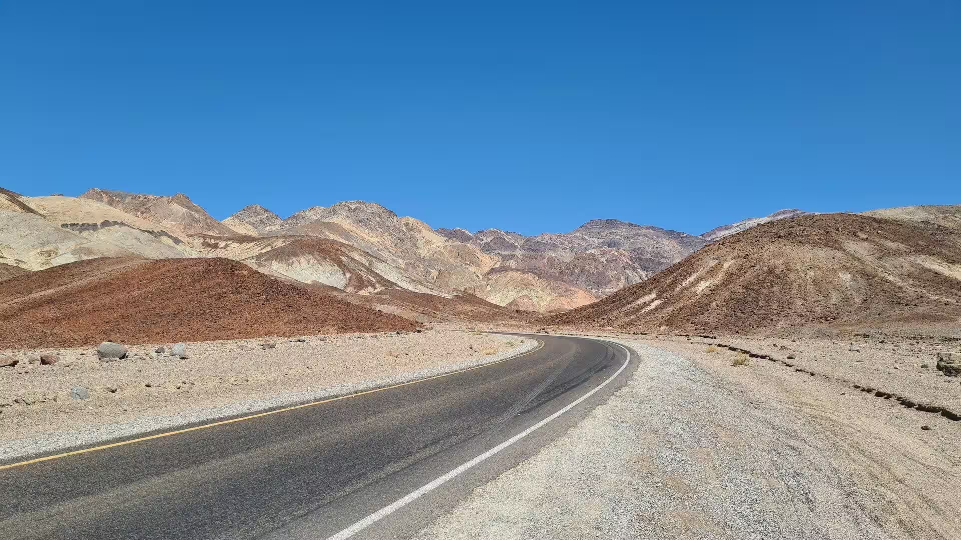
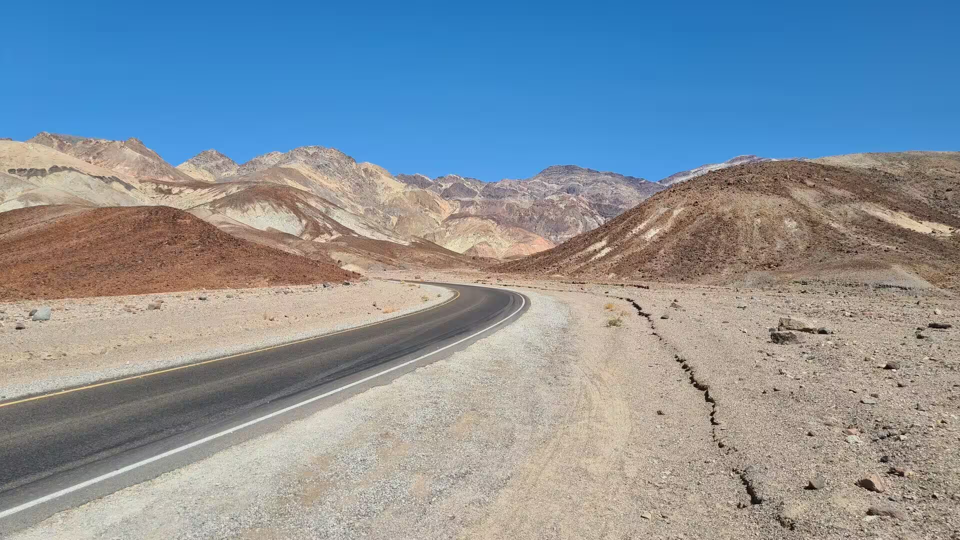
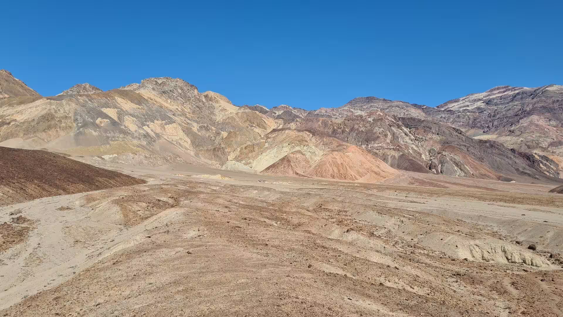
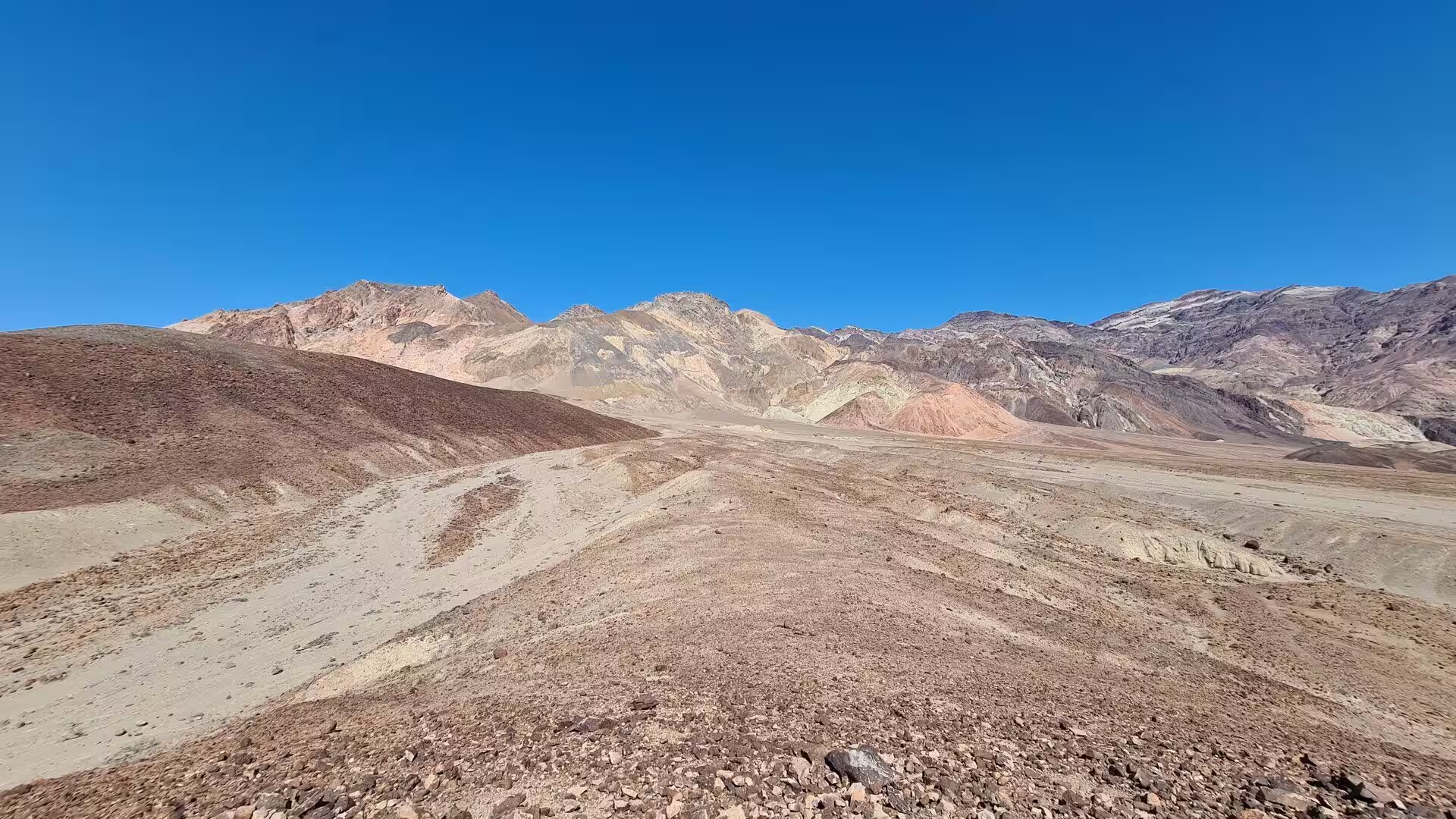
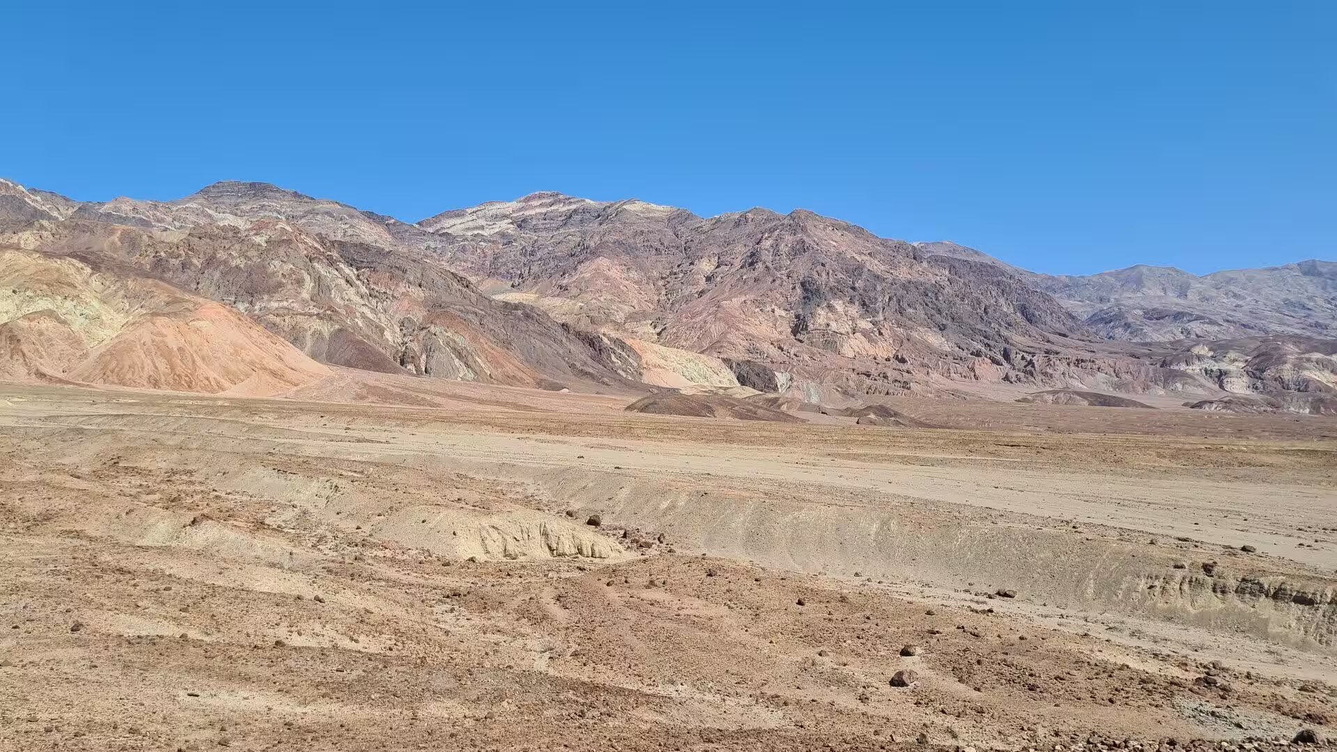
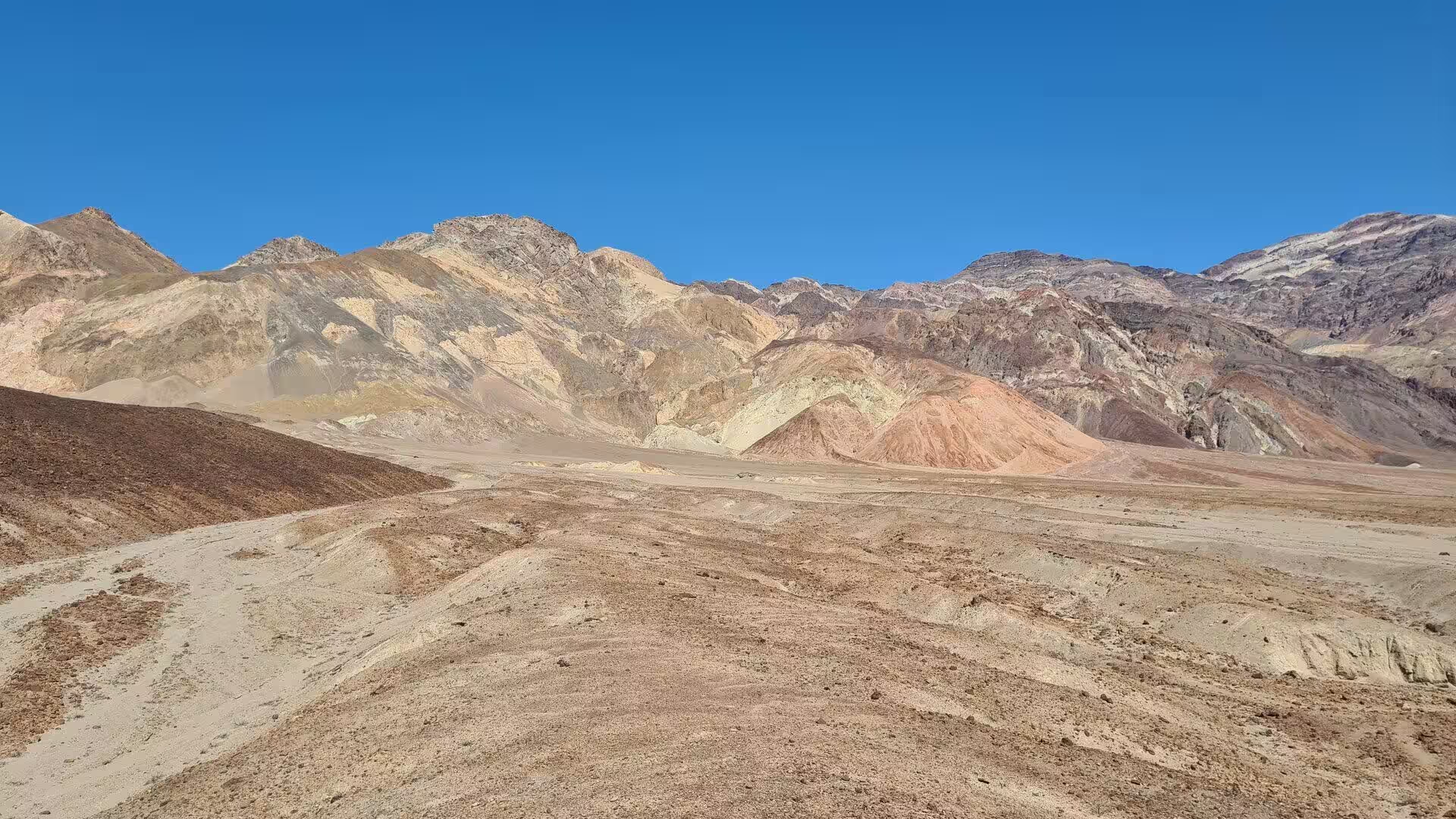
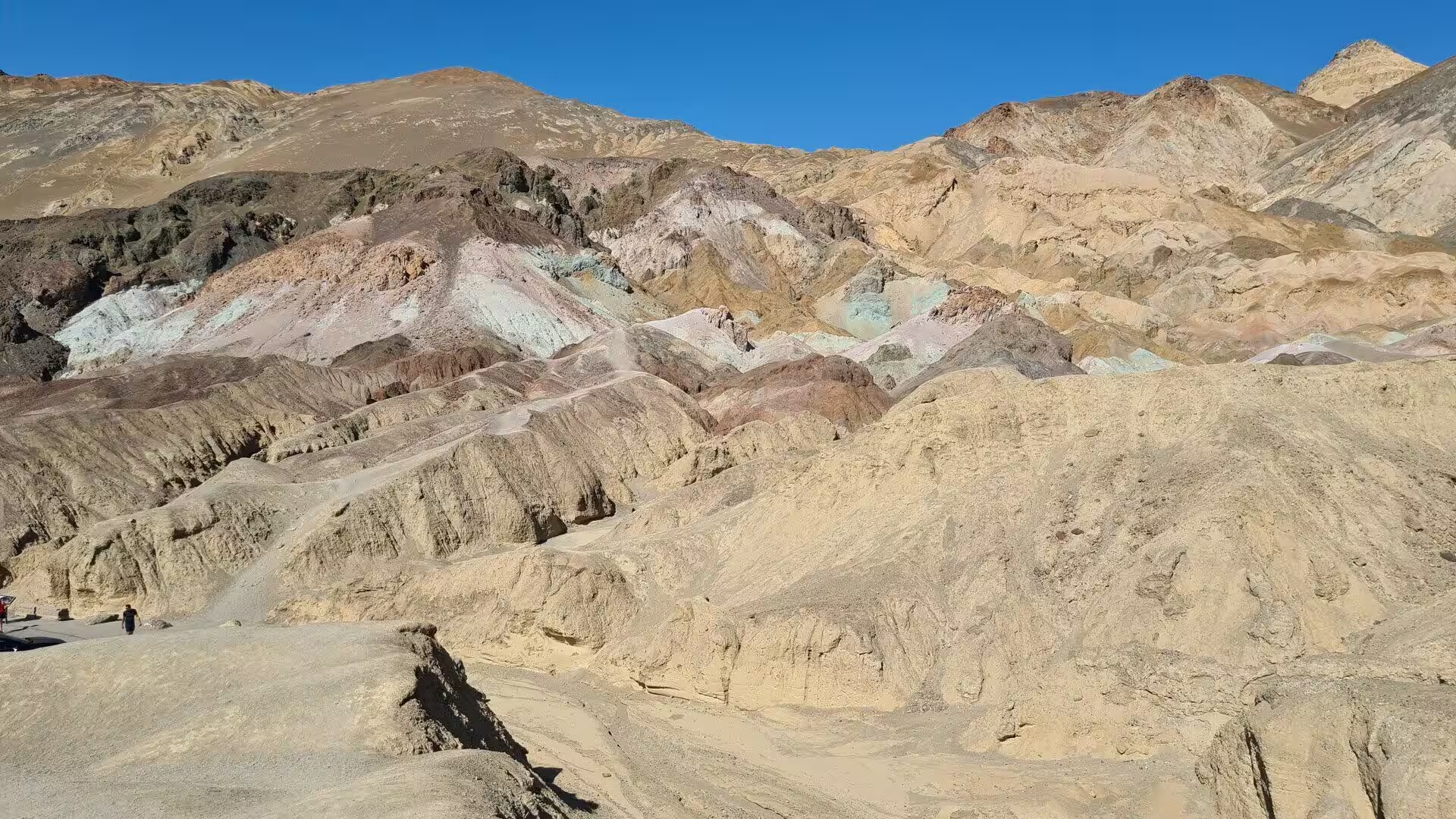
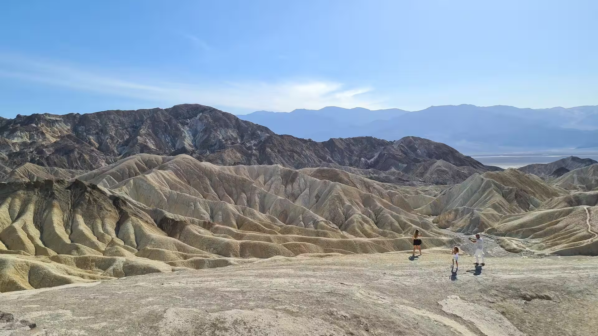
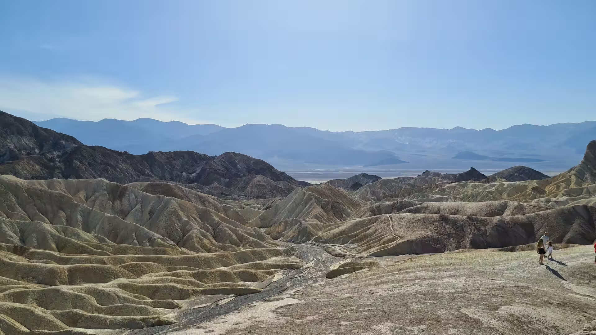
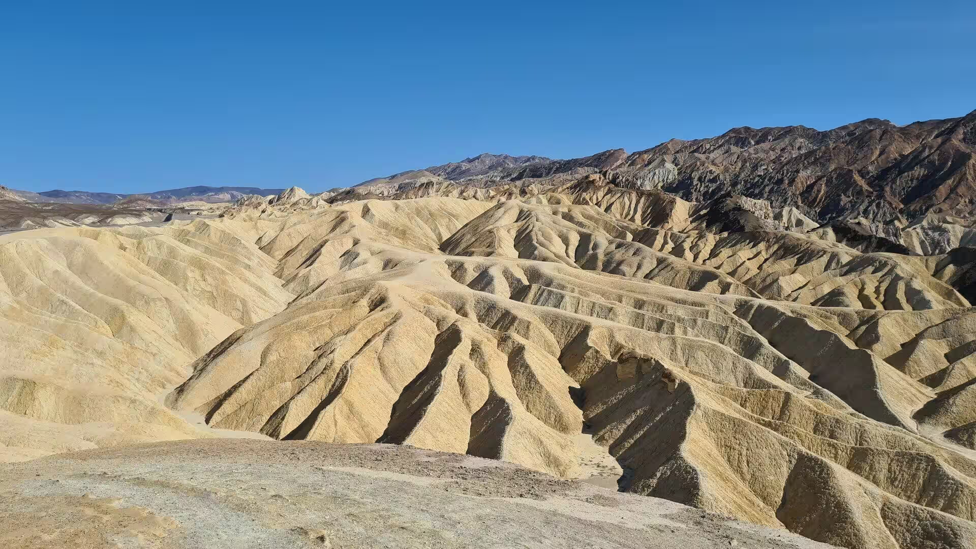
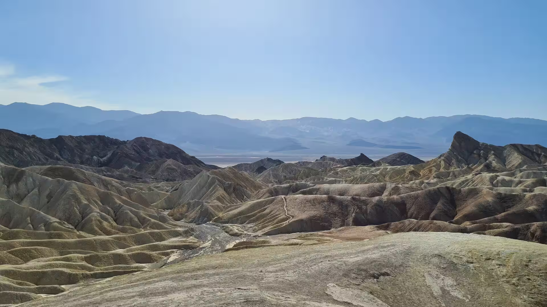
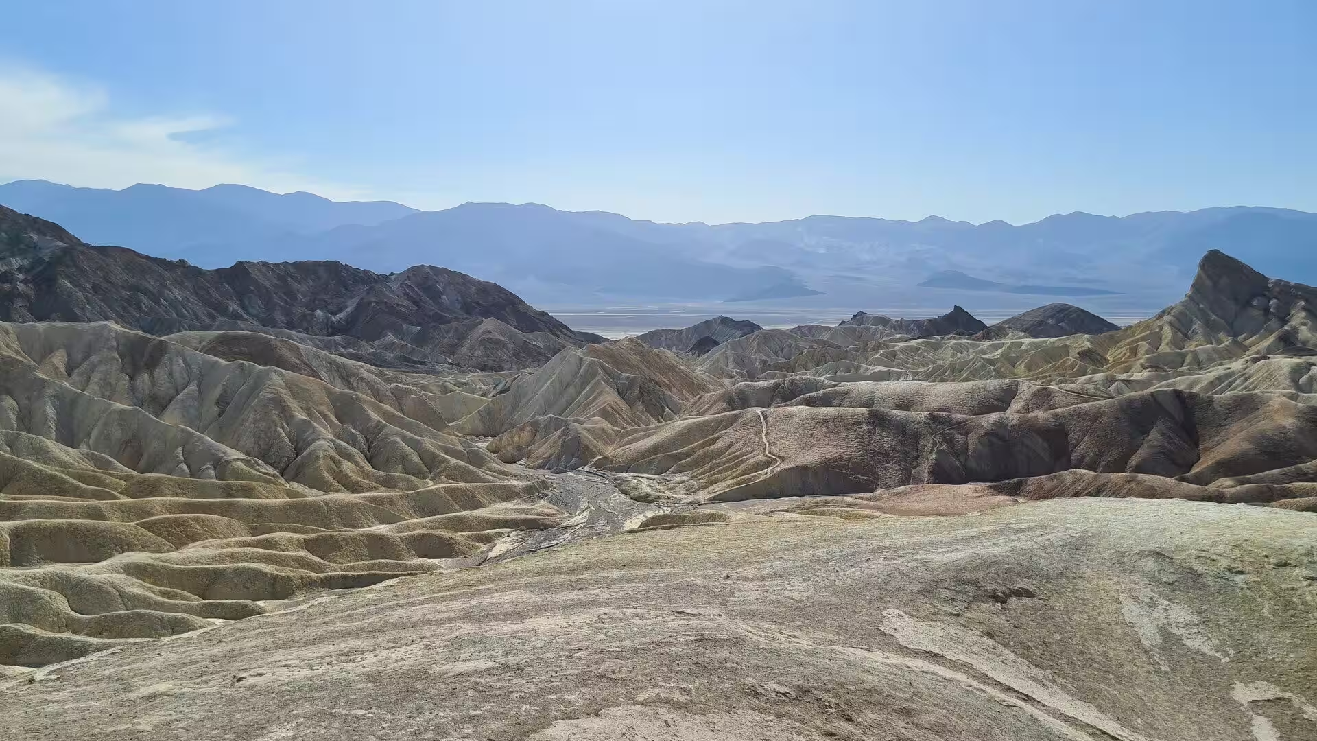
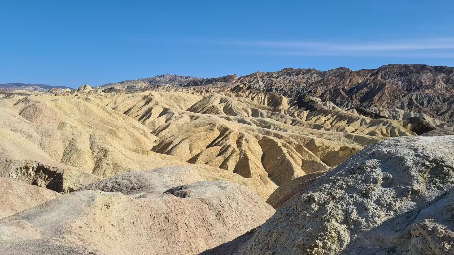
Volcanism added the colour. The Artist Drive Formation is a Miocene mixture of cemented gravel, playa deposits and volcanic debris, perhaps 1,500 metres thick, laid down during one of the most violent eruptive periods in the history of the region, and it was chemical weathering and hydrothermal alteration that produced its palette: oxidised iron gives red, pink and yellow, decomposed mica in the tuff gives green, and manganese gives purple. The nearby Furnace Creek Formation, the source of the borate minerals of the valley, shows the same alteration. In the Black Mountains the Amargosa Chaos preserves four separate phases of folding and faulting.
The ranges on either side have their own history. The Amargosa Range runs 180 kilometres along the eastern side of the valley and separates it from the Amargosa Desert in Nevada, in the Grapevine, Funeral and Black mountains, and the Amargosa River flows around it in a great U to end below sea level in Badwater. The Panamint Range, a fault block 160 kilometres long, forms the western wall and carries Telescope Peak at 3,366 metres. As a high habitat surrounded by desert, the range receives more rain than the valley floor and carries species that are found nowhere else.
Things to See
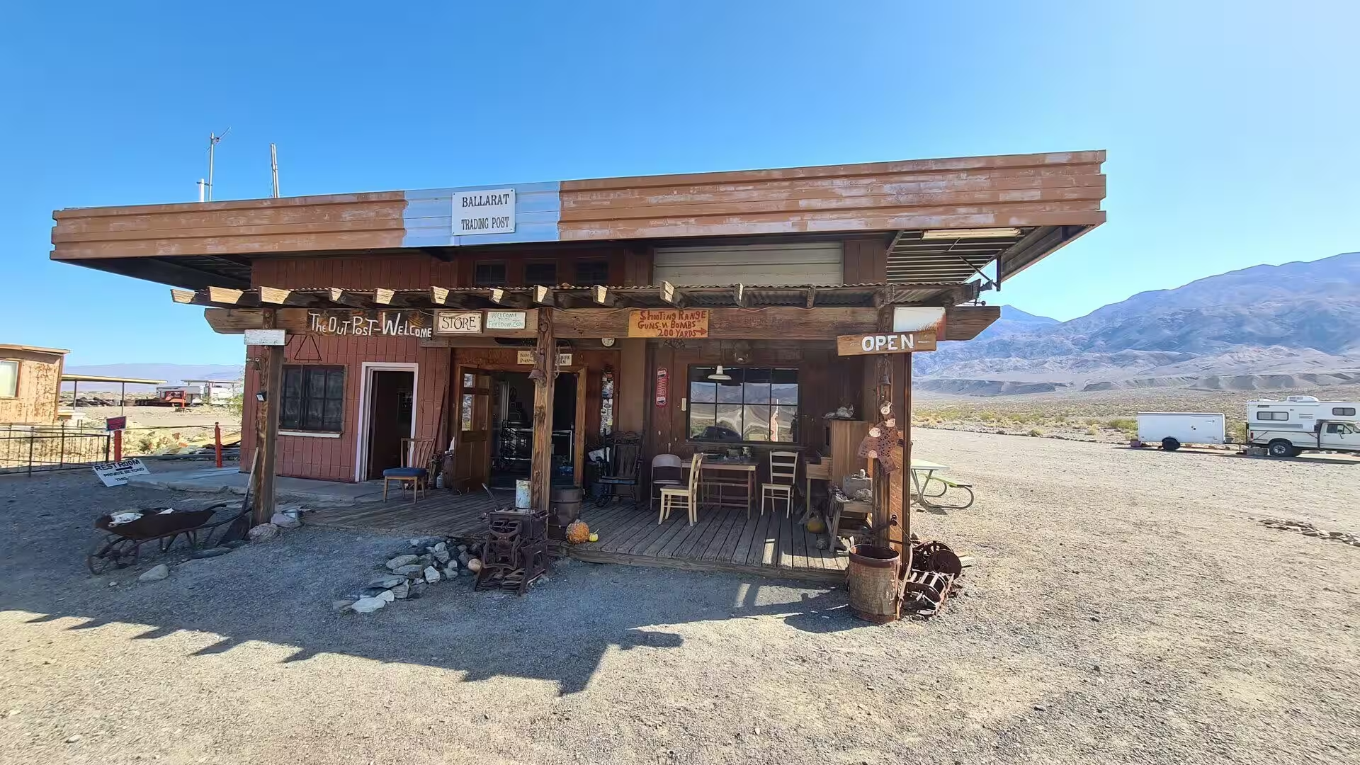
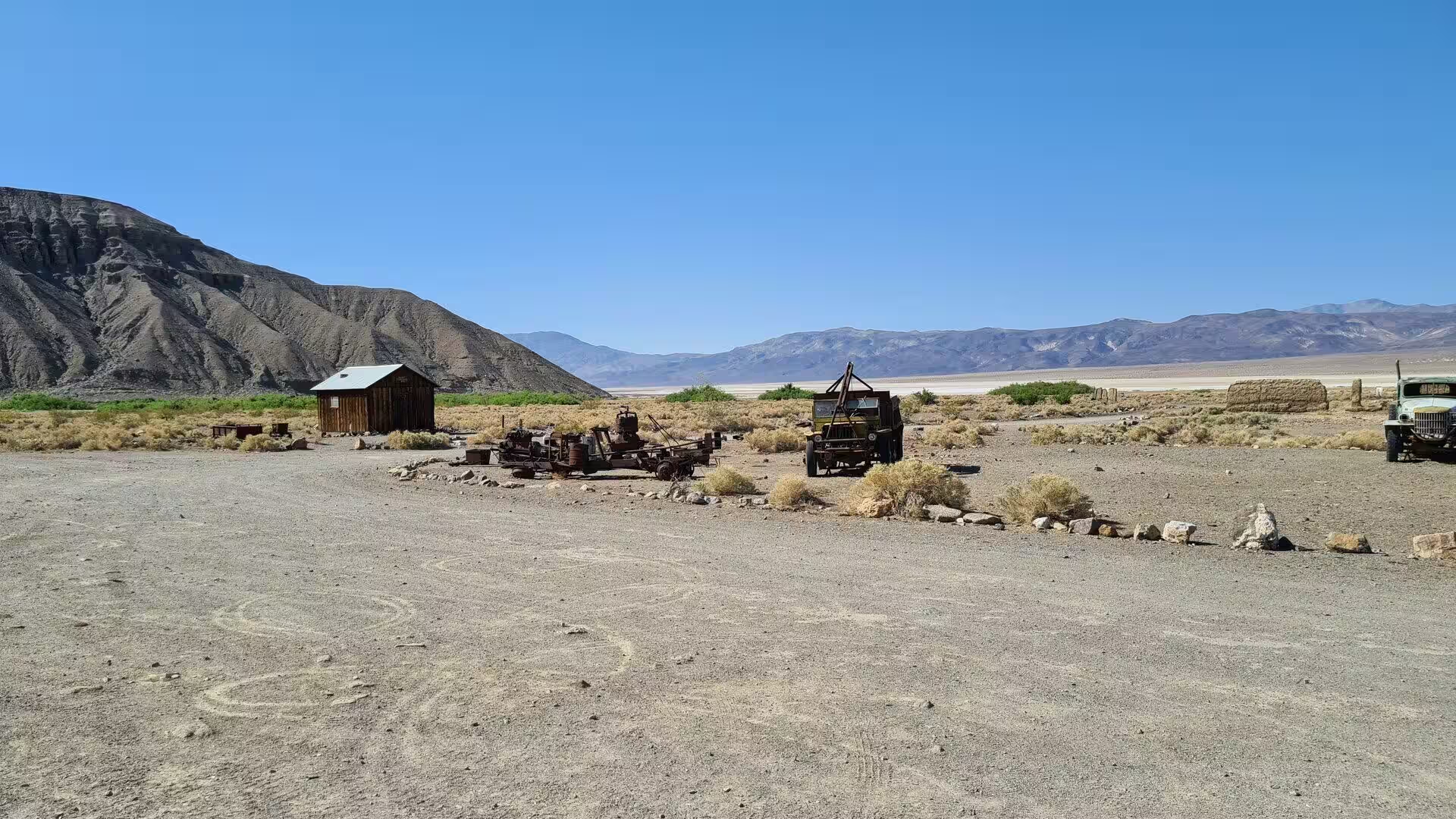
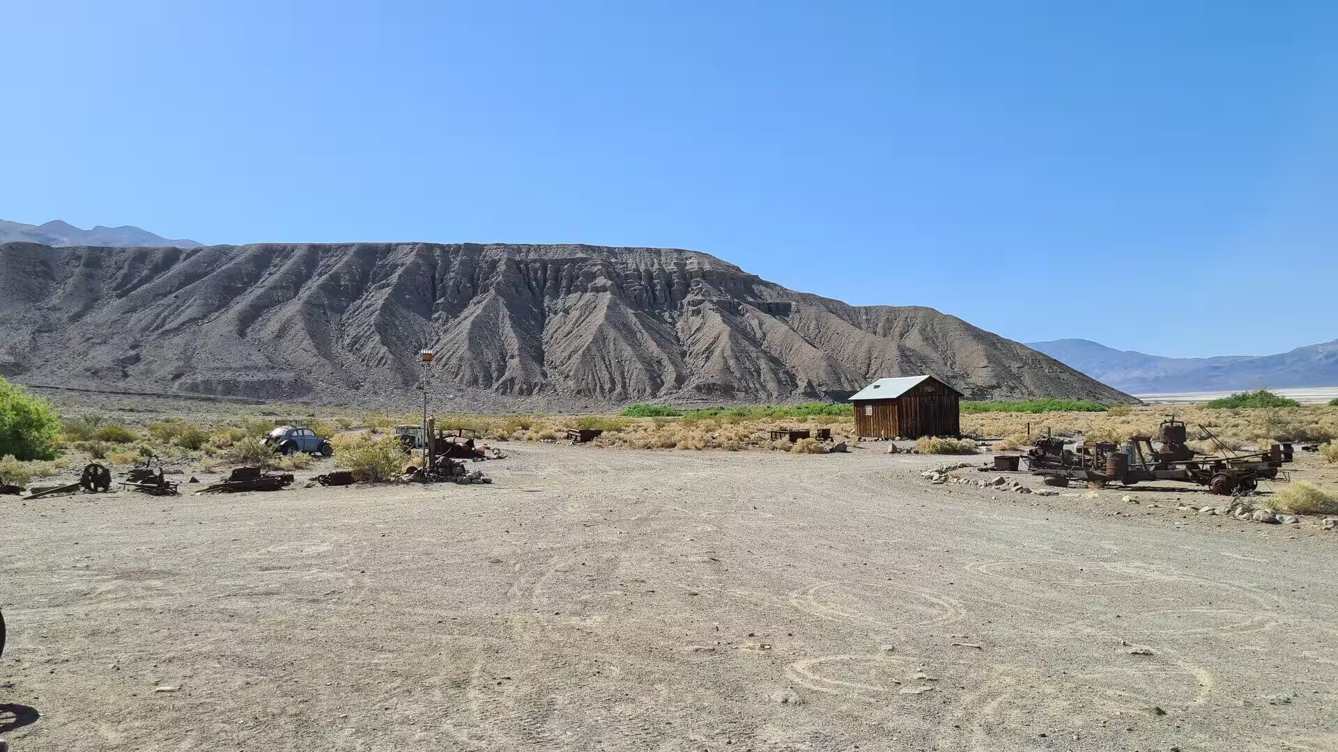
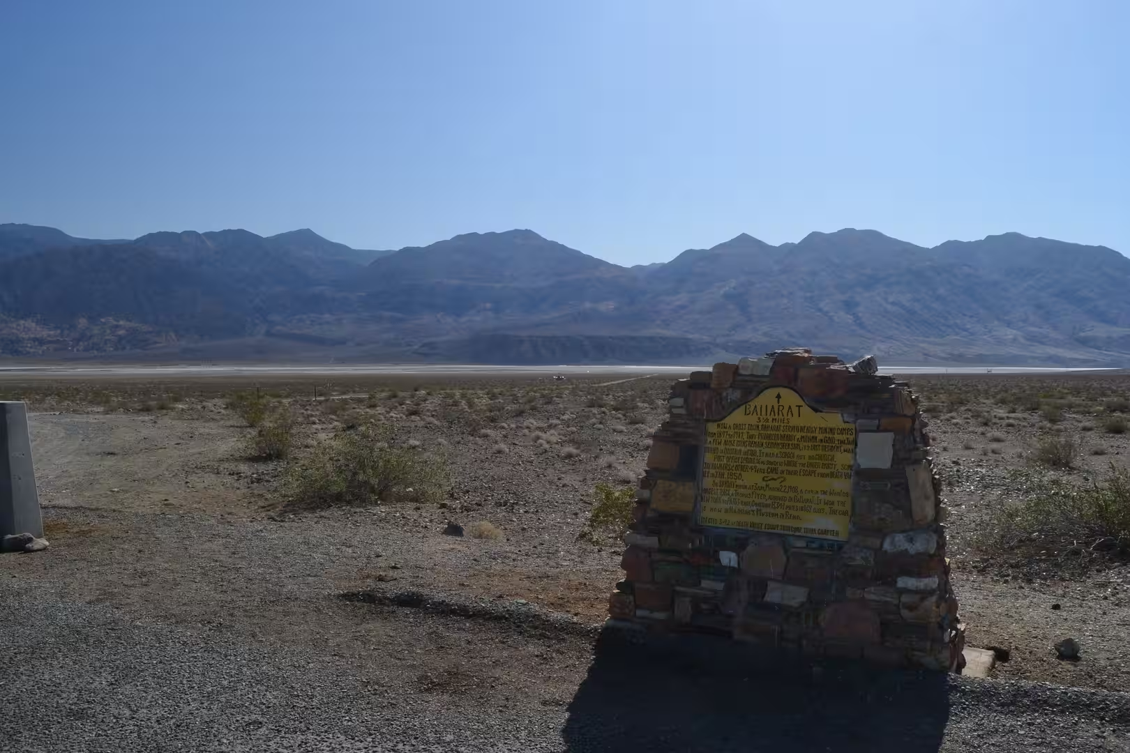
Ballarat is the first human landmark of the modern valley. Founded in 1897 as a supply point for the mines in the canyons of the Panamint Range, it held four hundred to five hundred residents in its years of prosperity between 1897 and 1905, with seven saloons, three hotels, a Wells Fargo station, a school, a jail and a morgue, and no church at all. A quarter of a mile to the south, Post Office Springs had supplied water since the 1850s, and the town was named after Ballarat in Victoria.
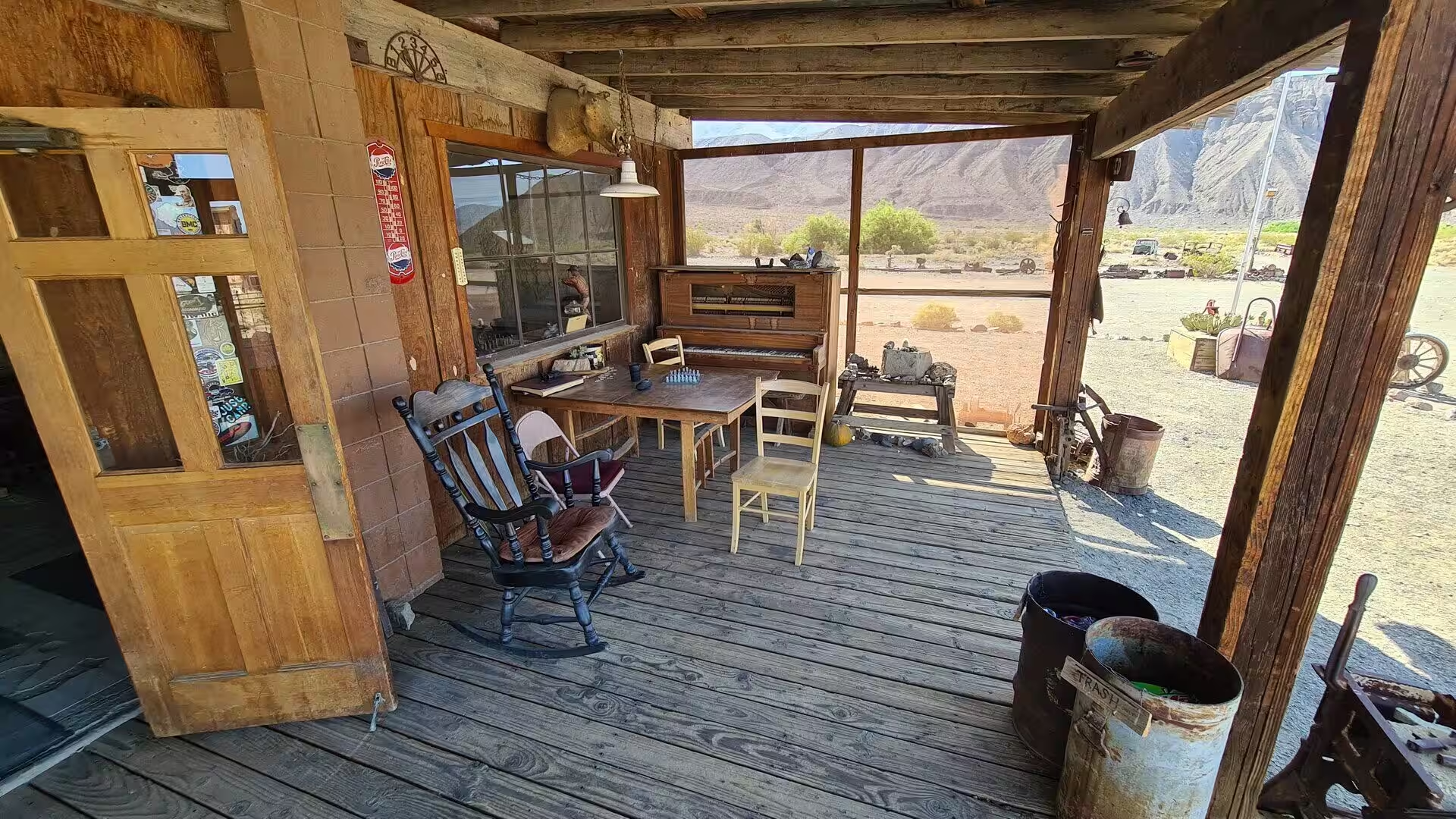
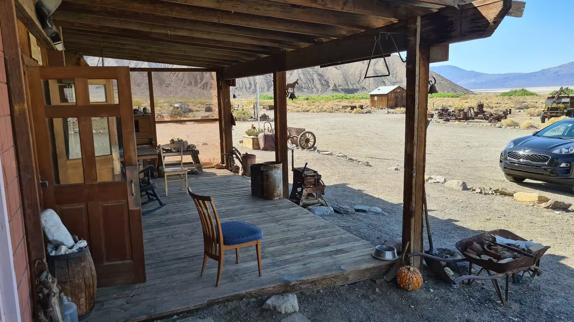
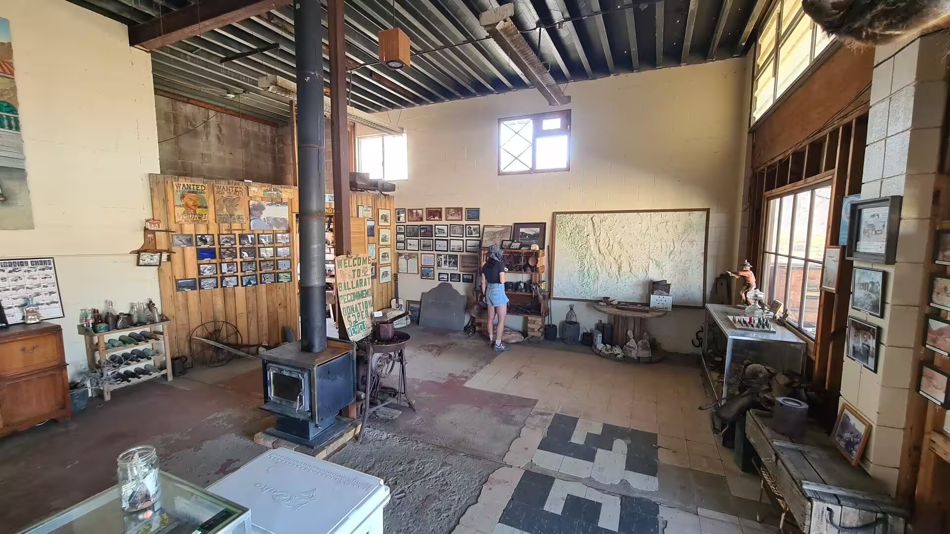
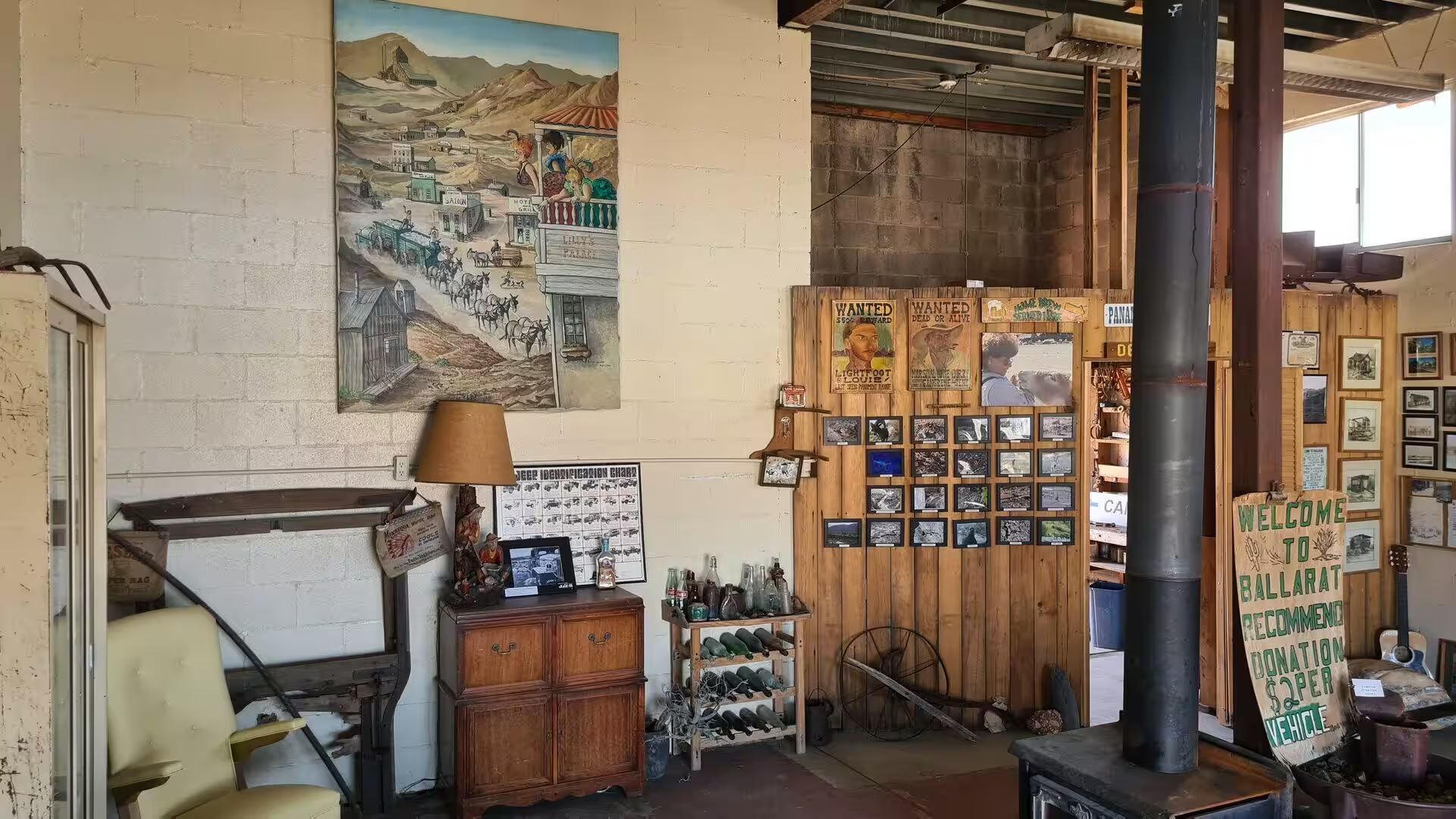
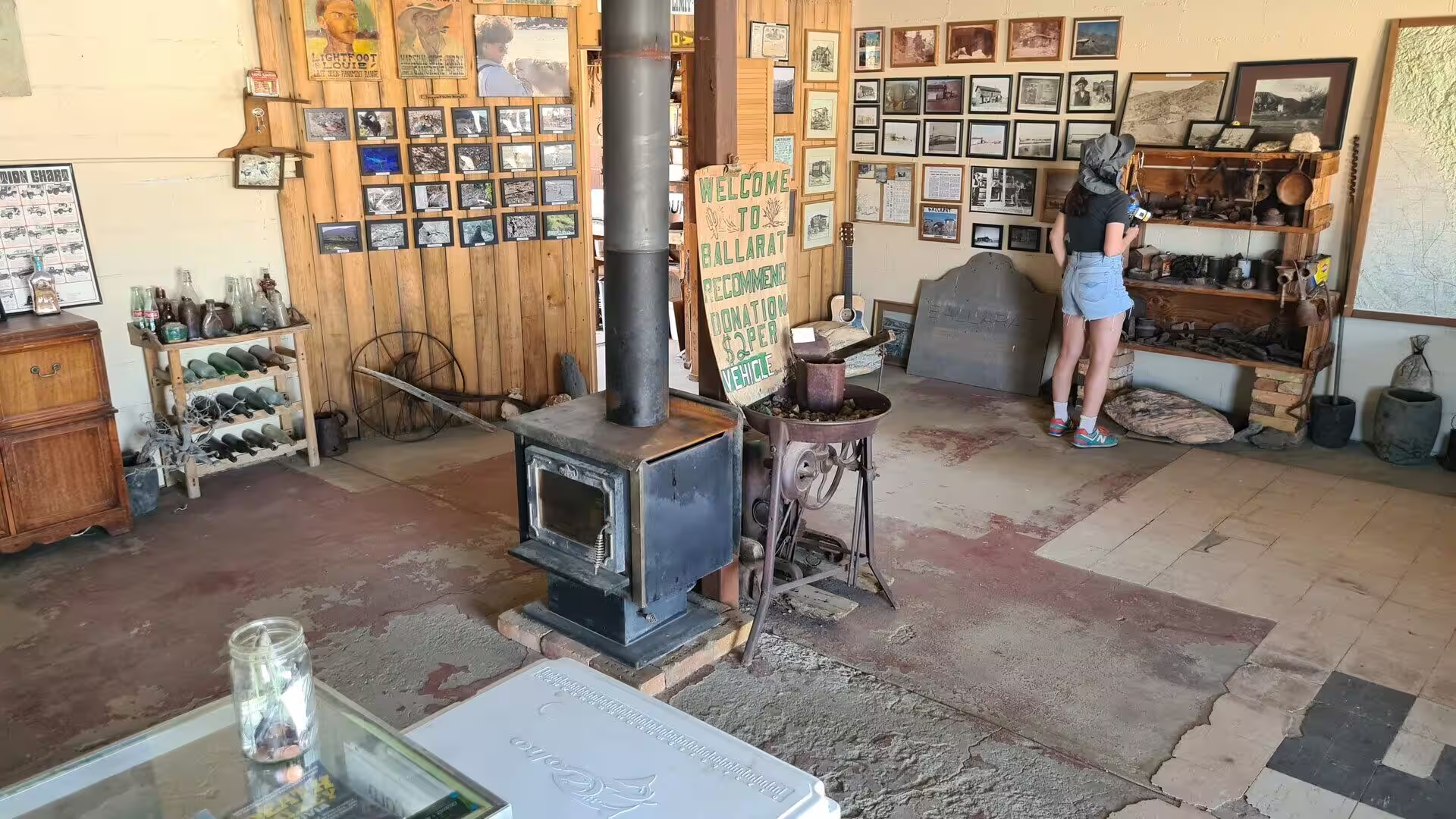
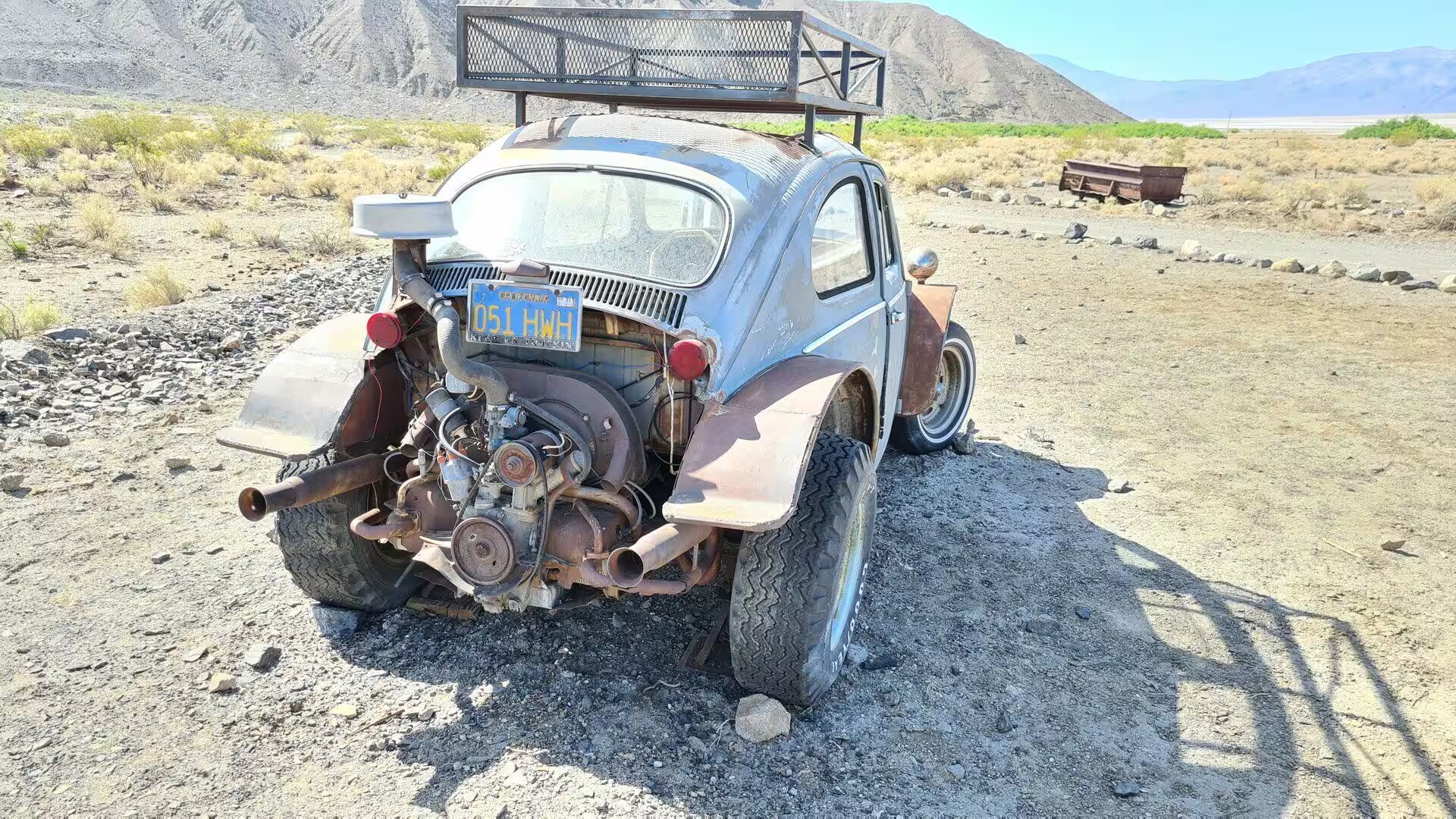
The trading post keeps the place alive. Its porch, its rooms of stoves, posters and a large relief map and its shelves of bottles and tools work as the town museum, and outside the yards hold rusted machinery, wagon parts and rough shacks. Seldom Seen Slim, the prospector Charles Ferge, was the only resident from about 1918 until his death in 1968, and when his adobe house became uninhabitable he lived in a Volkswagen and a house trailer. Ballarat is the meeting point for four-wheel drive trips into the Panamint Range, and in winter as many as three hundred people camp on the old town grounds.
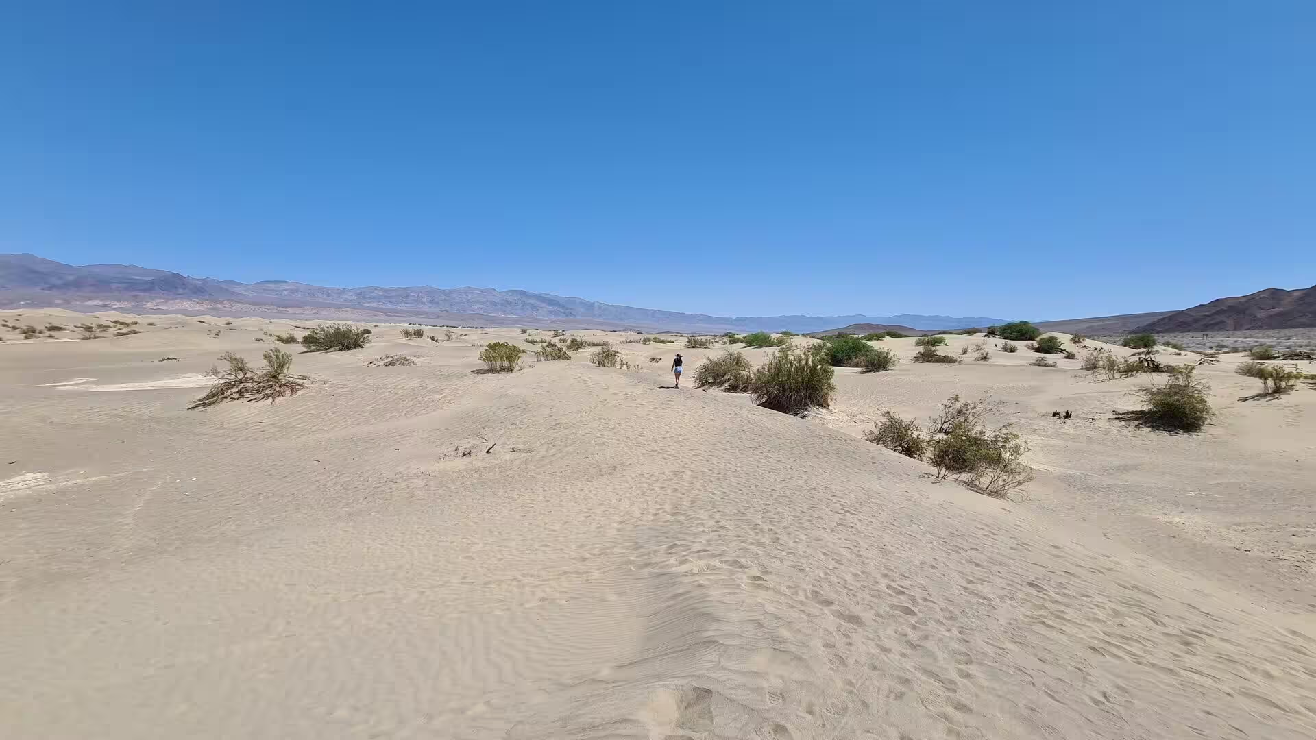
Mesquite Flat holds the best known dunes in the park. They lie at the northern end of the valley floor just east of Stovepipe Wells, almost surrounded by mountains, and they are made mainly of quartz sand that began as rock in the Cottonwood Mountains to the north west. The largest dune, Star Dune, stands where the prevailing winds meet and is relatively stable, its crest covering sand forty to forty three metres deep, and creosote bush and mesquite grow in the hollows between the dunes.
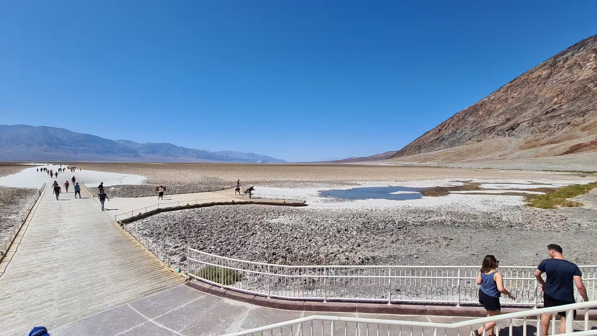
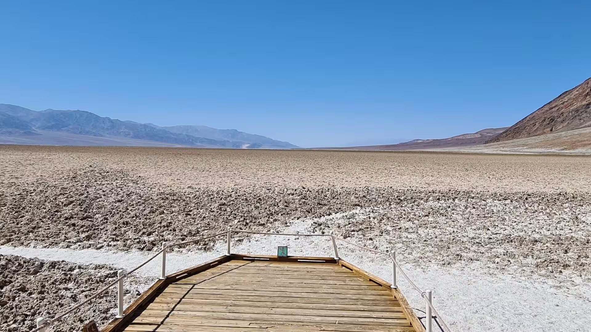
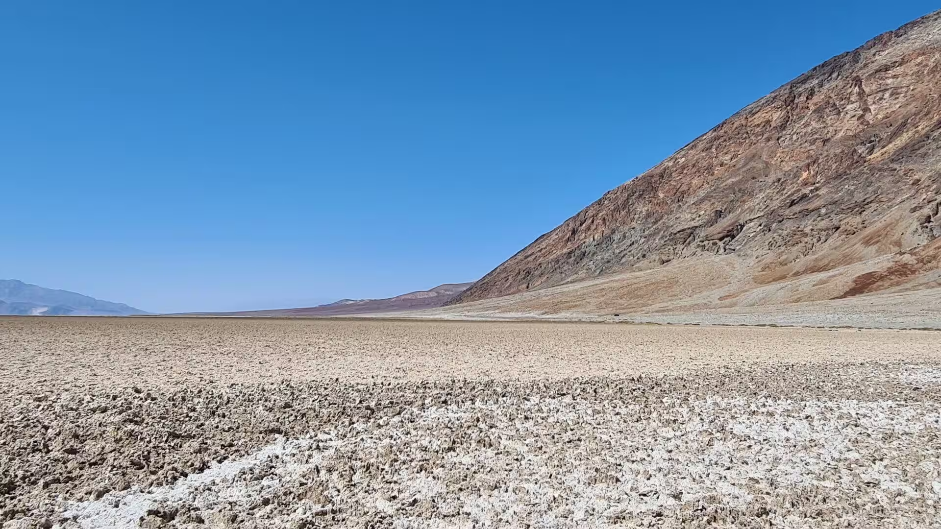
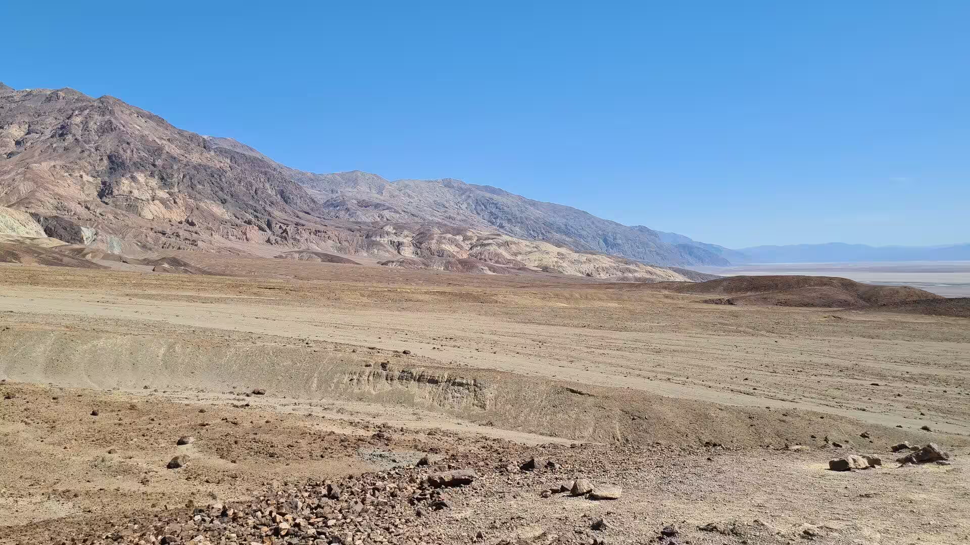
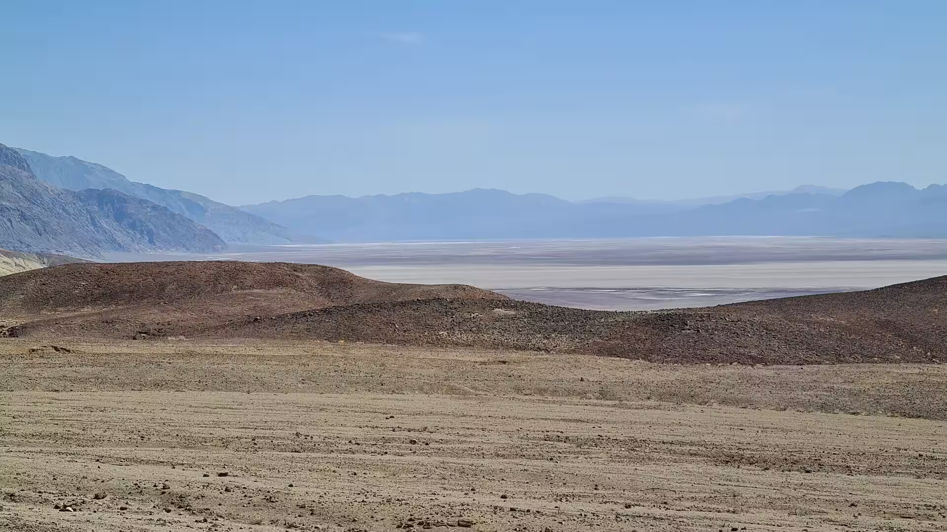
Badwater Basin is the lowest ground in North America, 86 metres below sea level, and its whiteness is nearly pure table salt. Rainstorms flood the pan with a thin sheet of standing water, and because evaporation far outruns rainfall the shallow lake never lasts long; when it dries, the salt is redeposited as clean crystals. The Badwater Road follows the base of the Black Mountains to reach it, and above the pan the steep brown and grey wall of that range rises without a break.
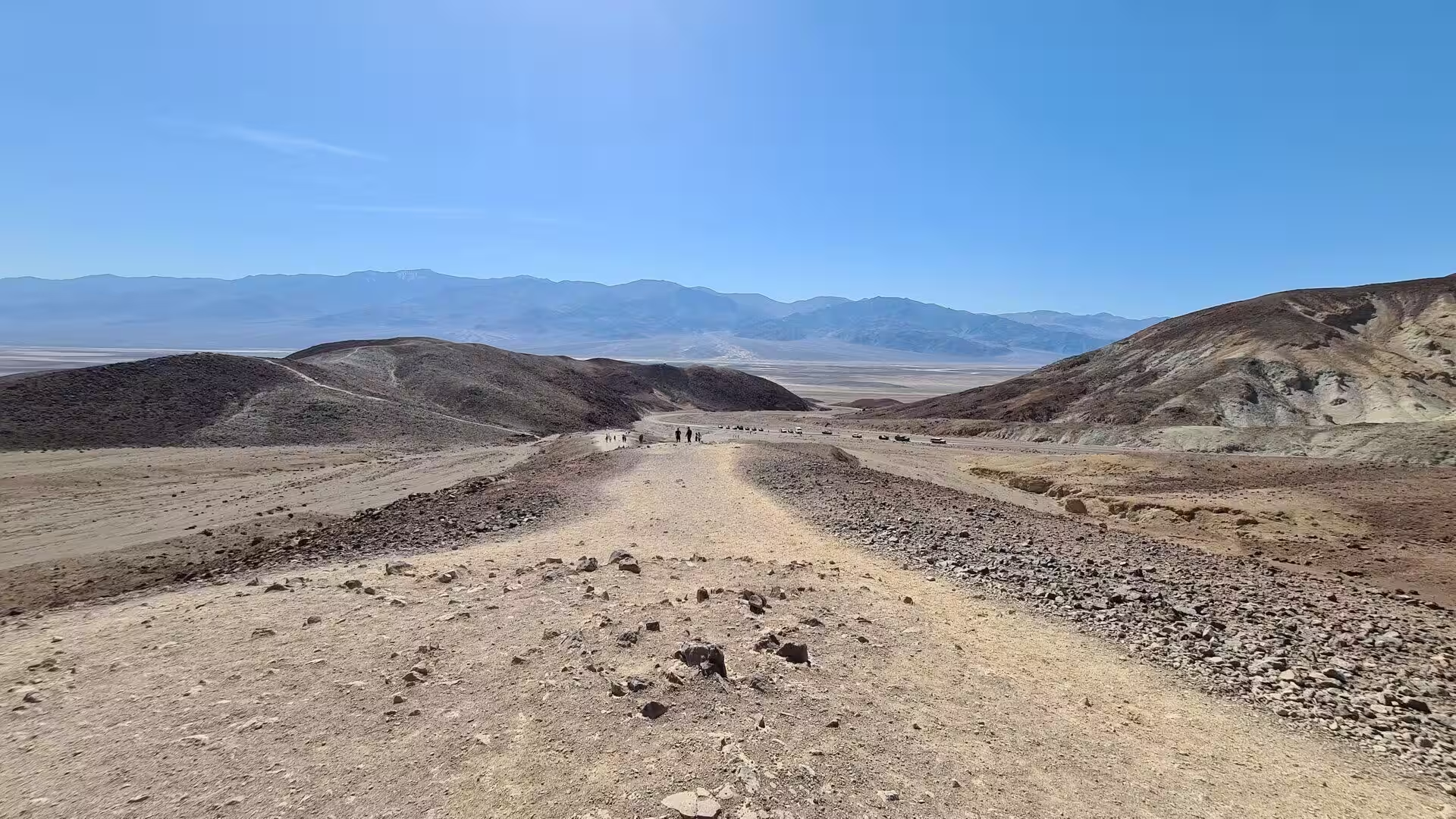
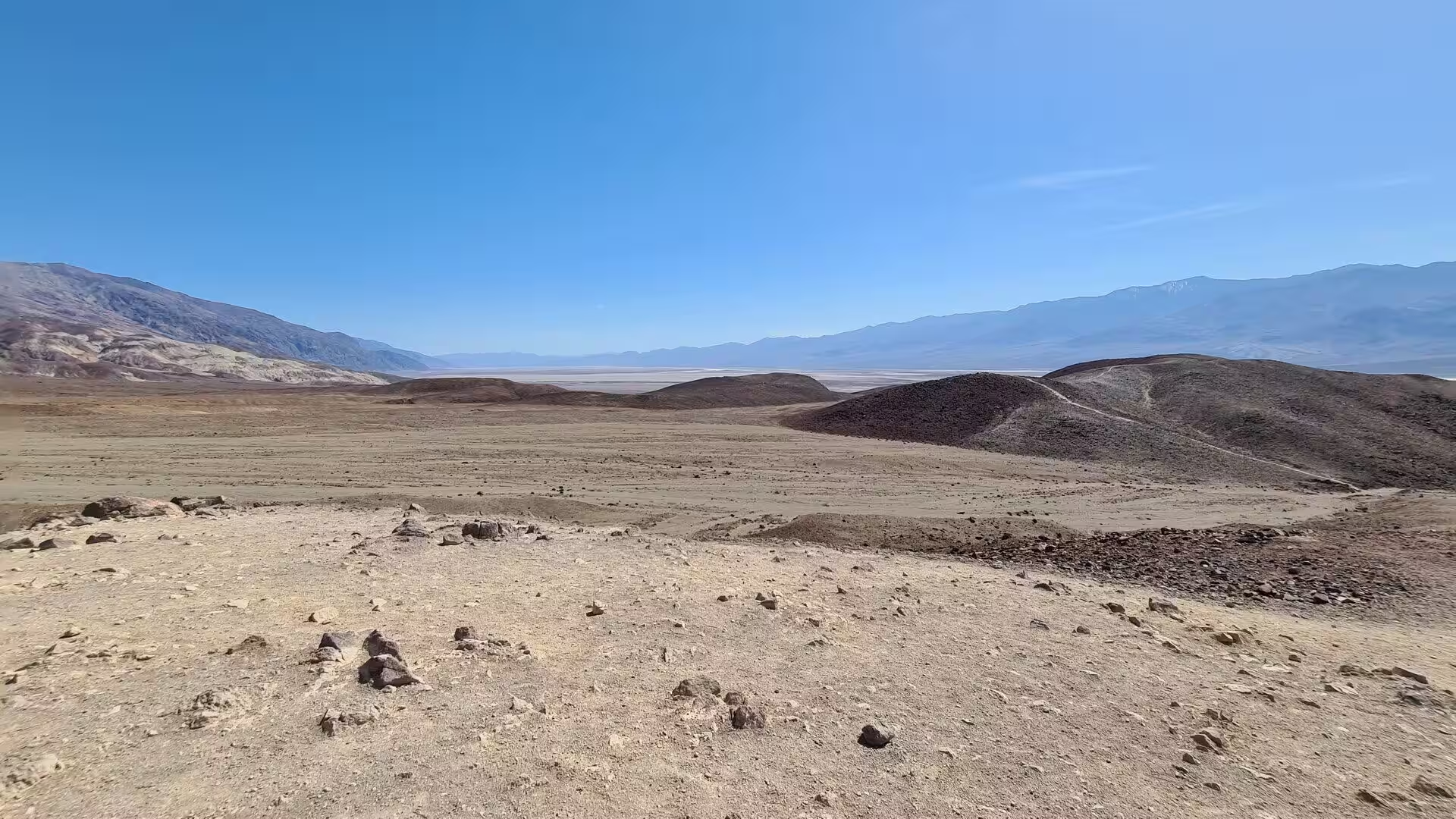
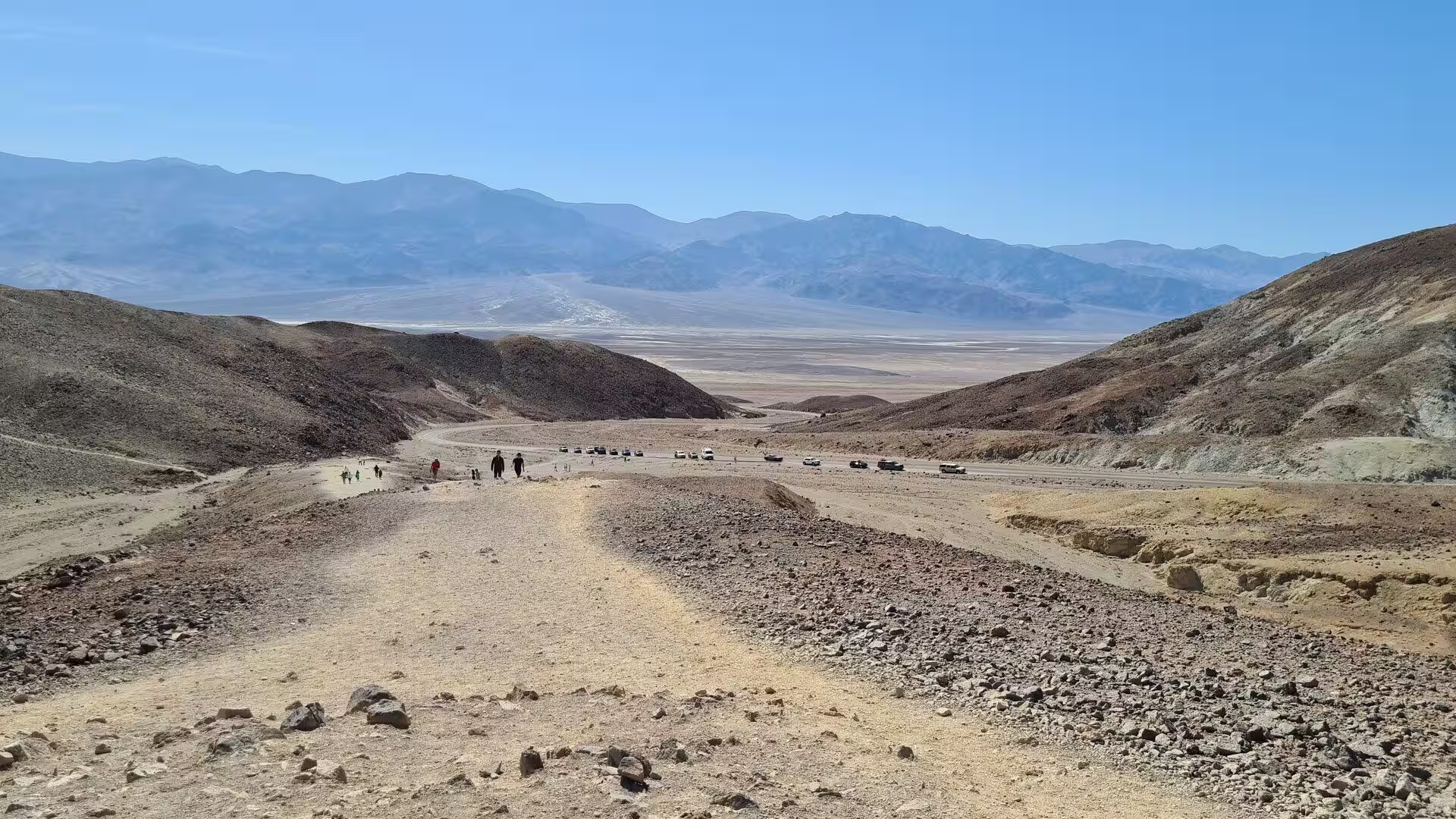
Dante’s View looks down on the whole valley from 1,700 metres on the crest of the Black Mountains. Badwater Basin lies more or less directly below, Telescope Peak stands on the far side, and the distance between them is the greatest topographic relief in the contiguous United States, which makes this one of the few places from which the highest and the lowest points of the country can be seen at once. A wide gravel trail follows the ridge above the parking area.
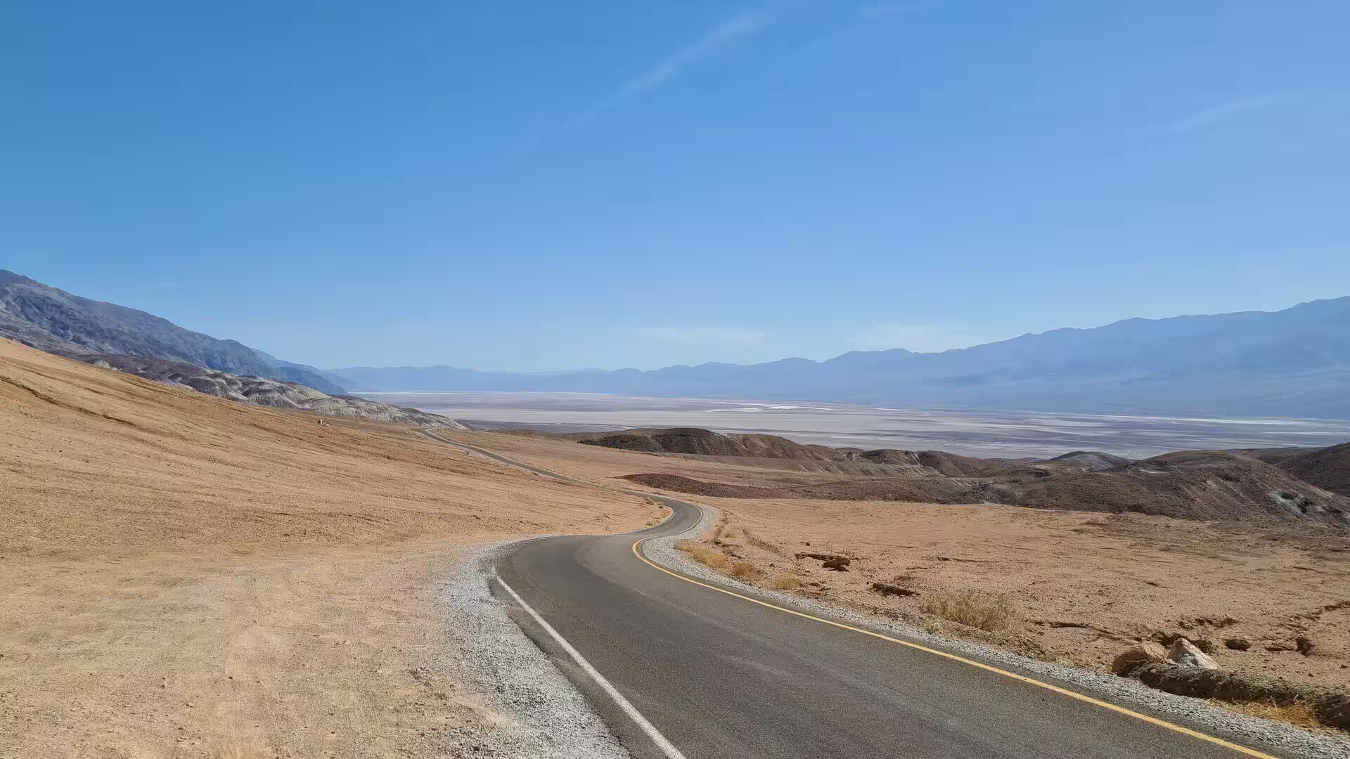
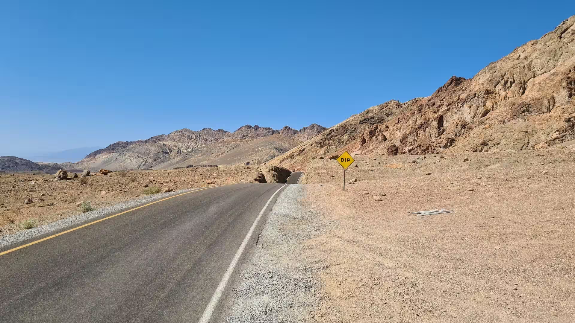
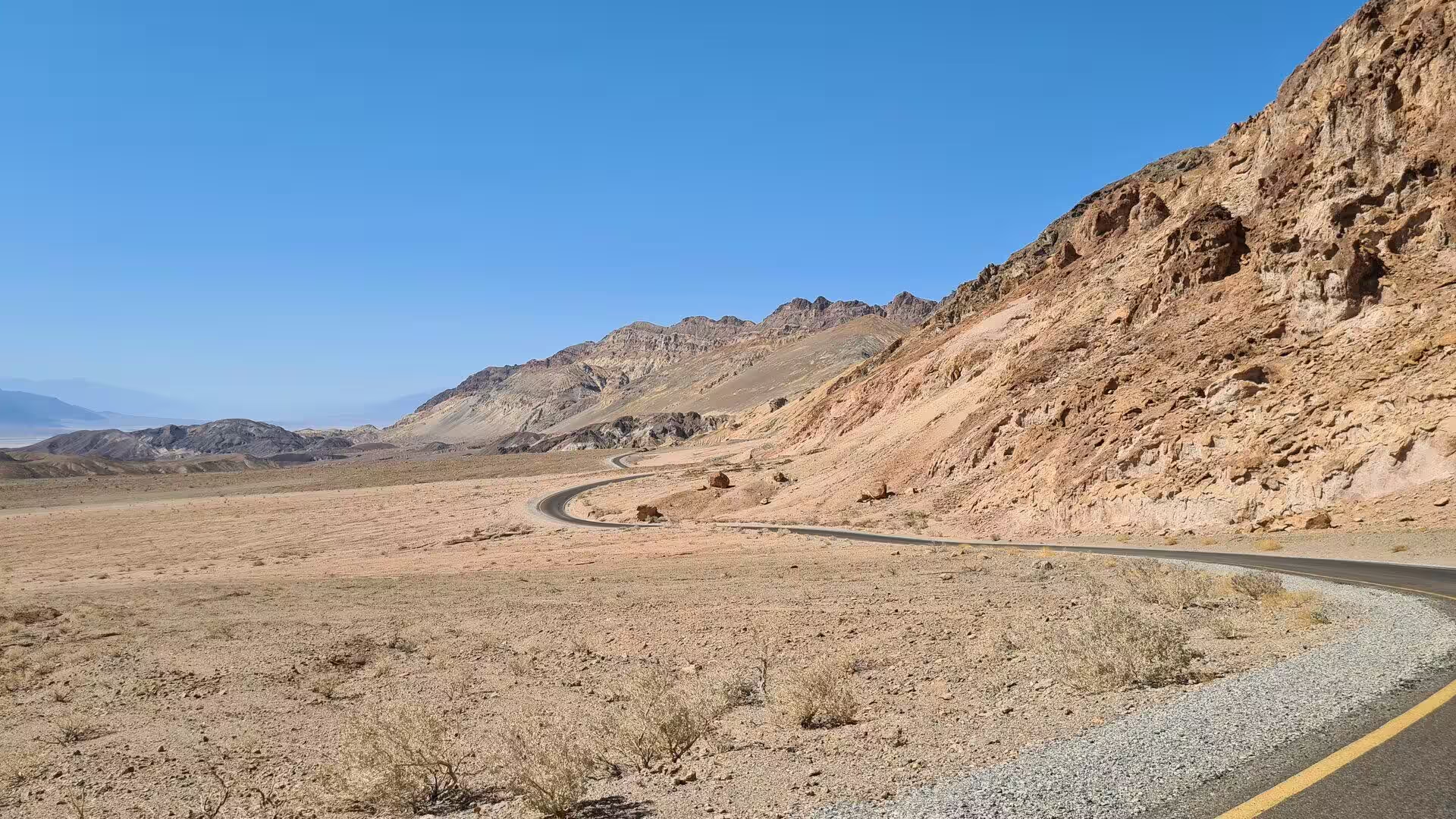
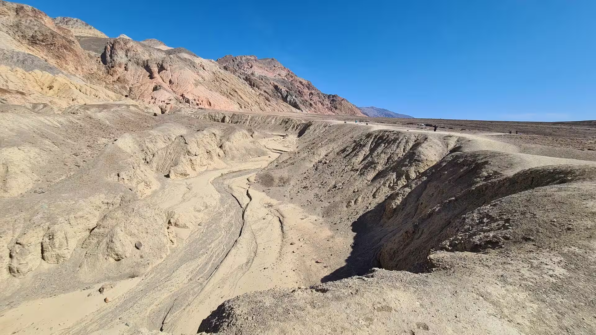
Artists Drive is the short scenic loop of the valley floor. It climbs an alluvial fan fed by a deep canyon cut into the Black Mountains, and it passes the Artists Palette, a face of rock stained red, pink, yellow, green and purple by the oxidation of metals and other chemical reactions in the volcanic debris. Four miles south of the loop a short walk from the road leads to Natural Bridge, a stone arch in a narrow canyon on the eastern side of the park.
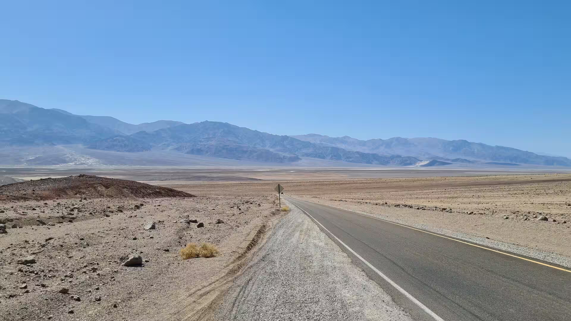
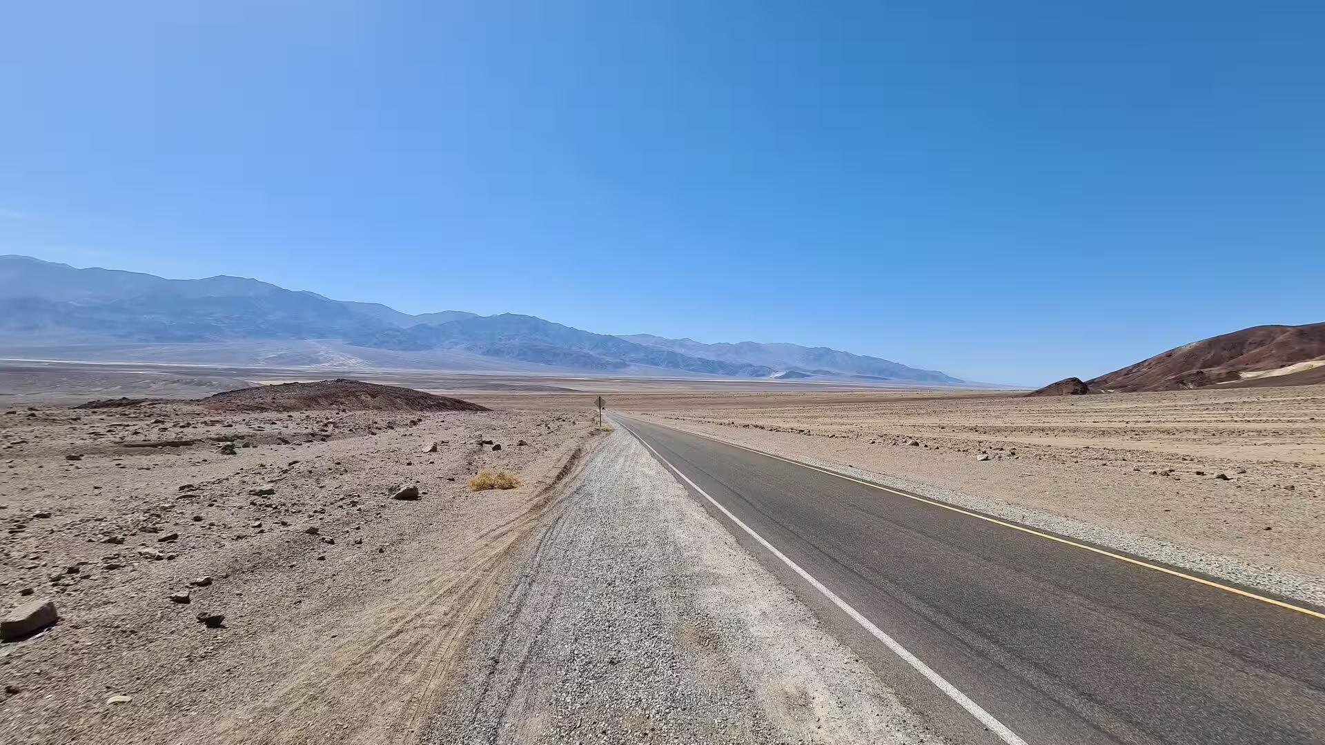
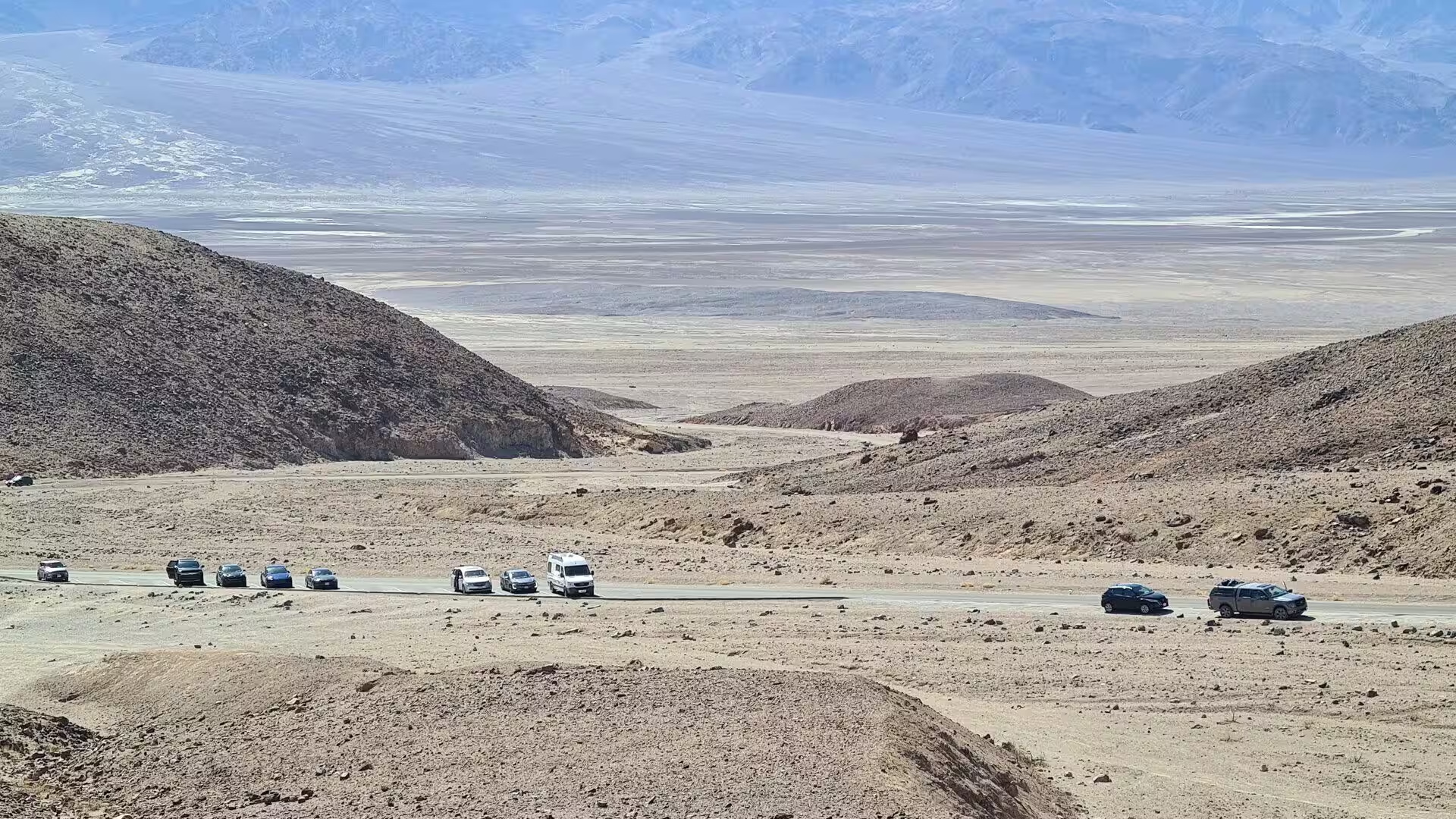
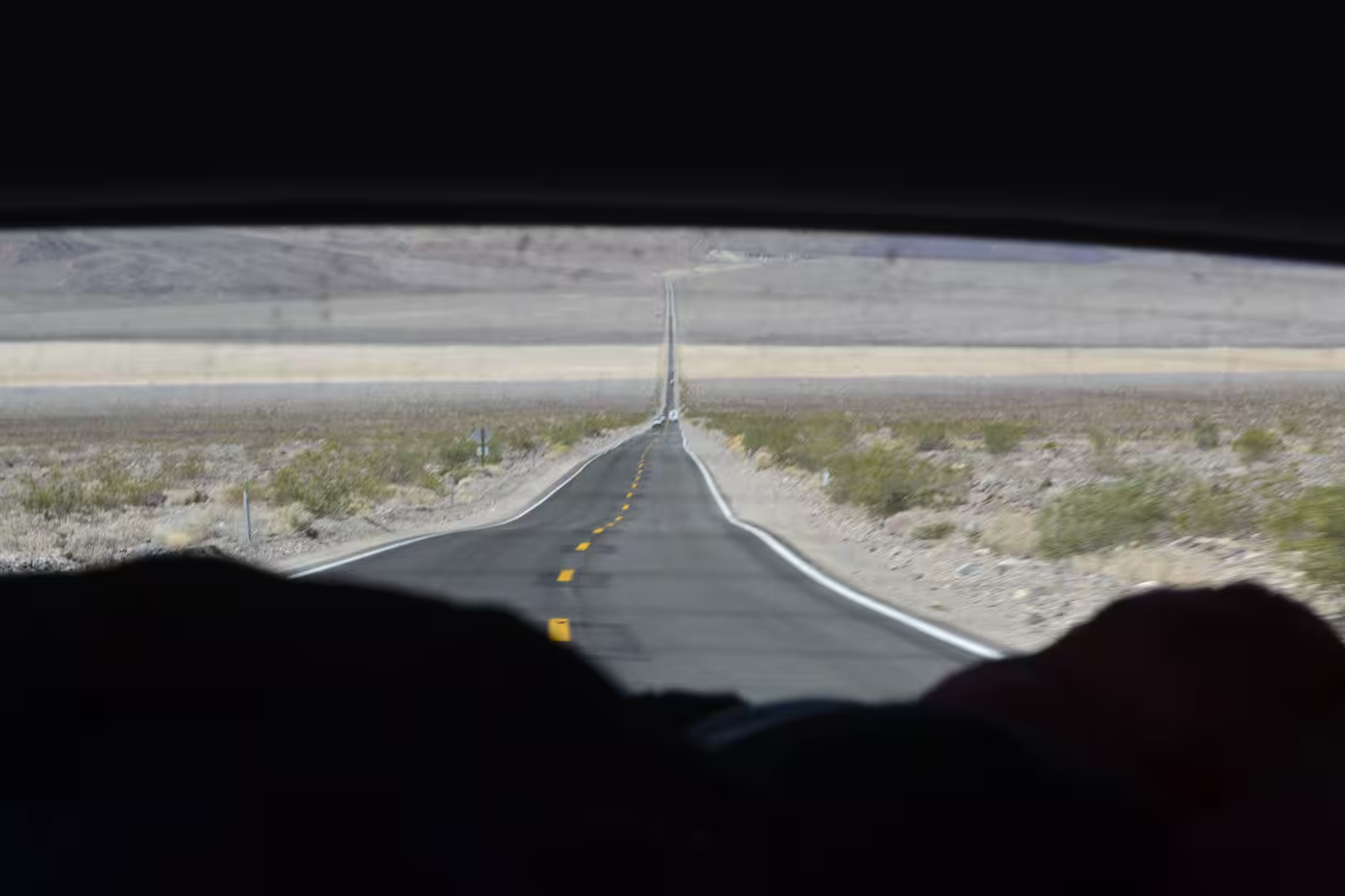
Roads and passes hold the park together. State Route 190 crosses from west to east, the Badwater Road runs south along the floor of the valley, and Hells Gate, at the junction of the Daylight Pass and Beatty roads, has a car park and short paths. Fuel, water and supplies are found at Furnace Creek and Stovepipe Wells, the campgrounds stand on gravel among the mesquite, and the distances between all of these are long. The visitor centre at Furnace Creek explains the geology, climate, wildlife and history of the park, and the springs of the oasis have supplied a resort, a golf course and a pool since the 1920s.
The west side belongs to the Panamint Range. Wildrose Canyon holds the charcoal kilns built in 1877 by the Modock Consolidated Mining Company to feed the smelters of the Argus Range, ten beehive shaped masonry structures about 7.6 metres tall that were restored by Navajo stonemasons in 1971, and the road above them climbs to the campgrounds and the trailhead for Telescope Peak. The two campgrounds stand at 7,490 and 7,923 feet above the kilns, among single-leaf pinyon pines and Utah junipers. Darwin Falls, near Panamint Springs, drops into a pond of willows and cottonwoods that draws more than eighty species of birds.
References
- Wikipedia contributors (2026). Death Valley National Park. en.wikipedia.org/wiki/Death_Valley_National_Park
- Wikipedia contributors (2026). Death Valley. en.wikipedia.org/wiki/Death_Valley
- Wikipedia contributors (2026). Ballarat, California. en.wikipedia.org/wiki/Ballarat%2C_California
- Wikipedia contributors (2026). Badwater Basin. en.wikipedia.org/wiki/Badwater_Basin
- Wikipedia contributors (2026). Dante’s View. en.wikipedia.org/wiki/Dante’s_View
- Wikipedia contributors (2026). Panamint Range. en.wikipedia.org/wiki/Panamint_Range
- Wikipedia contributors (2026). Amargosa Range. en.wikipedia.org/wiki/Amargosa_Range
- Wikipedia contributors (2026). Furnace Creek, California. en.wikipedia.org/wiki/Furnace_Creek%2C_California
- Wikipedia contributors (2026). Stovepipe Wells, California. en.wikipedia.org/wiki/Stovepipe_Wells%2C_California
- Wikipedia contributors (2026). Mesquite Flat Sand Dunes. en.wikipedia.org/wiki/Mesquite_Flat_Sand_Dunes
- Wikipedia contributors (2026). Salt pan (geology). en.wikipedia.org/wiki/Salt_pan_%28geology%29
- Wikipedia contributors (2026). Basin and Range Province. en.wikipedia.org/wiki/Basin_and_Range_Province
- Wikipedia contributors (2026). Mojave Desert. en.wikipedia.org/wiki/Mojave_Desert
- Wilmot N.A., McIntosh C.R. (2014) Forecasting Recreational Visitation at US National Parks. Tourism Analysis. 19. 129-137. doi.org/10.3727/108354214×13963557455487
- Blair T.C., McPherson J.G. (1994) Alluvial Fan Processes and Forms. Geomorphology of Desert Environments. 354-402. doi.org/10.1007/978-94-015-8254-4_14
- Krymkowski D.H., Manning R.E., Valliere W.A. (2014) Race, ethnicity, and visitation to national parks in the United States: Tests of the marginality, discrimination, and subculture hypotheses with national-level survey data. Journal of Outdoor Recreation and Tourism. 7-8. 35-43. doi.org/10.1016/j.jort.2014.09.008