Day 10 - Death Valley
21 May 2022



Journal Notes
General
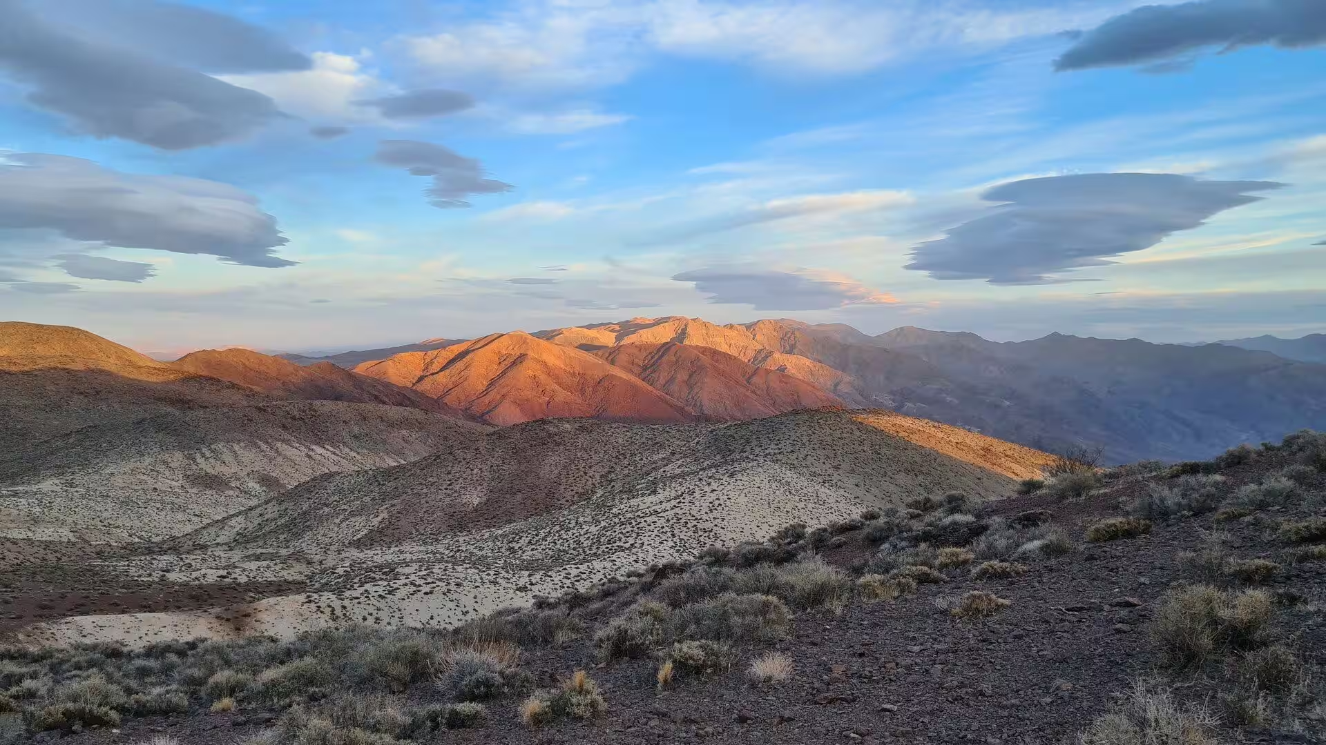
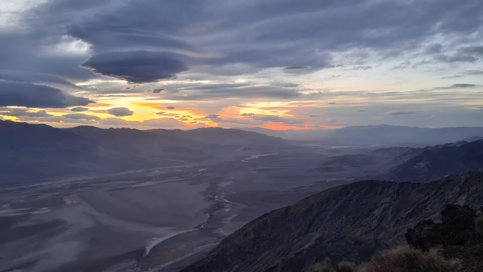
Death Valley National Park lies on the border between California and Nevada, east of the Sierra Nevada, and it is the largest national park in the contiguous United States, larger than Rhode Island and Delaware together and nearly as large as Puerto Rico. More than 93 per cent of its surface is designated wilderness. The northern half of the park is the quieter one: a wide floor of gravel, saltbush and dry wash that runs north from Stovepipe Wells towards the volcanic field at Ubehebe Crater, closed on its outer side by the high wall of the Grapevine Mountains.
The northern valley is a corridor between two mountain masses. The Grapevine Mountains close it to the north and reach their highest point at Grapevine Peak, 8,738 feet or 2,663 metres above sea level, which is also the highest summit of the Amargosa Range. To the north west of Stovepipe Wells the face of Tucki Mountain rises directly from the valley floor, and the canyon country at its foot is cut into some of the oldest rock in the region. Between the ranges the floor is almost flat and lies close to sea level.
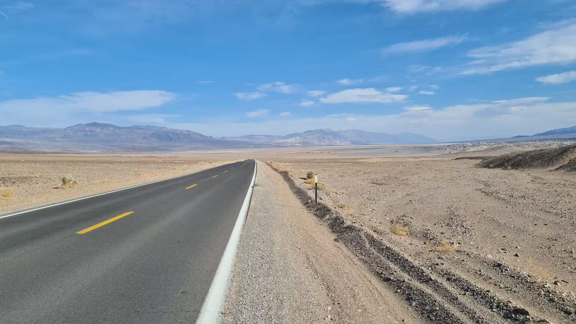
The north is reached by two main roads. California State Route 190 crosses the valley from west to east, and the Scotty’s Castle Road branches north from Stovepipe Wells, running for about 45 miles or 72 kilometres to the ranch in Grapevine Canyon. Beyond the paved surface a network of unpaved tracks leads to the Racetrack and to Hunter Mountain, and the junction where the road from Ubehebe Crater meets them carries the sign of Teakettle Junction. There are no entrance stations, and fees are paid at visitor centres, ranger stations or machines.
The climate of the valley floor is extreme in both directions. Rainfall comes to about 1.5 inches or 38 millimetres a year at the lowest ground, and some years pass without measurable rain at all, while summer days above 48 degrees Celsius are common. July has an average high of 117 degrees Fahrenheit, or 47 degrees Celsius, and an average low of 91 degrees Fahrenheit, and December brings average highs of 66 degrees Fahrenheit with freezing nights. The season for walking here runs from October to May, and the higher slopes of the Grapevine Mountains stay cooler than the floor throughout the year.
The northern country is part of the homeland of the Timbisha Shoshone, and their name for the valley, tümpisa, means rock paint, a reference to the red ochre that can be made from a clay found there. Some Timbisha families still live in the valley at Furnace Creek, and a village once stood in Grapevine Canyon near the present site of Scotty’s Castle. The darkness of the desert night is another quality of the north: the park was designated a dark sky park in 2013, and the sky above Ubehebe Crater is rated among the darkest in the United States.
History
People have lived in and around the valley for about ten thousand years, and four distinct cultures are known from that long record. The first were hunters and gatherers who arrived perhaps 9,000 years ago, in a period when small lakes still lay on the floor and game was plentiful. They were followed about 5,000 years ago by people of the sand country, and about 2,000 years ago by a third group that hunted, gathered and left mysterious stone patterns behind. The Timbisha arrived about a thousand years ago and practised a vertical migration between winter camps in the valleys and summer grounds high on the ridges.
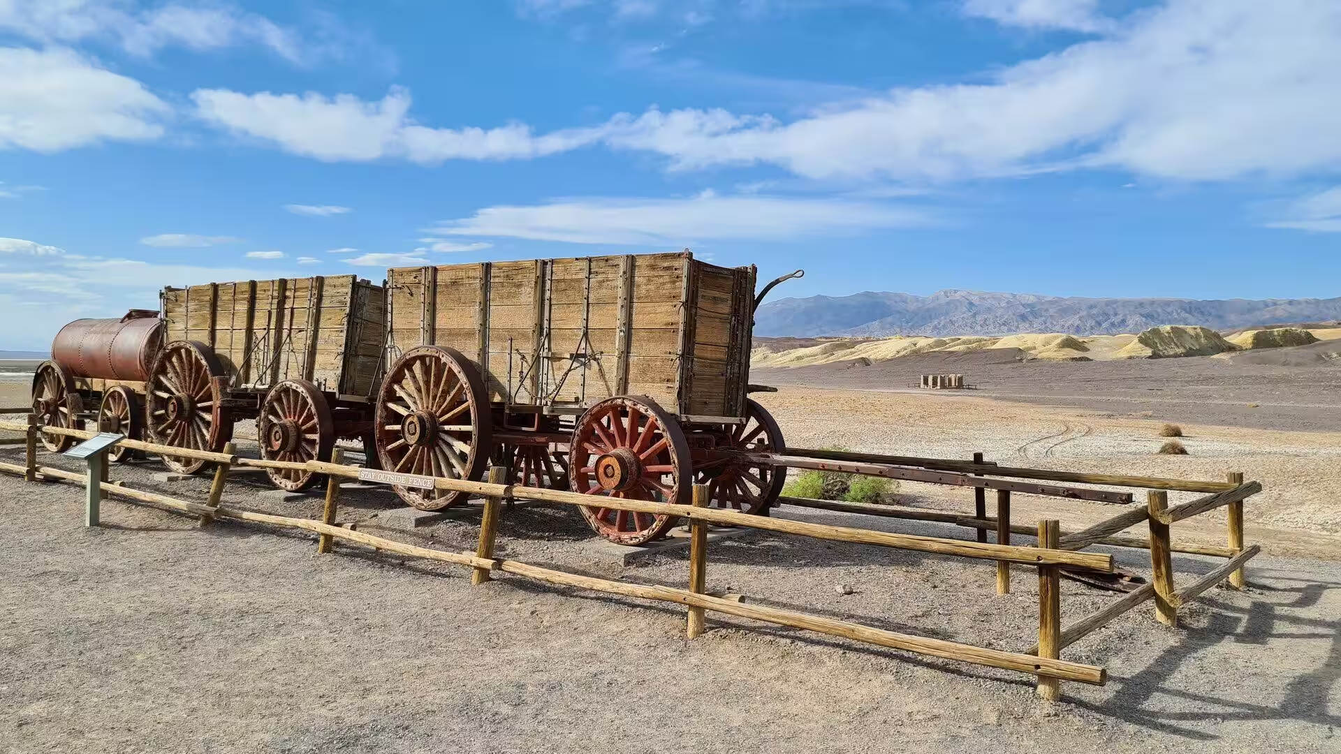
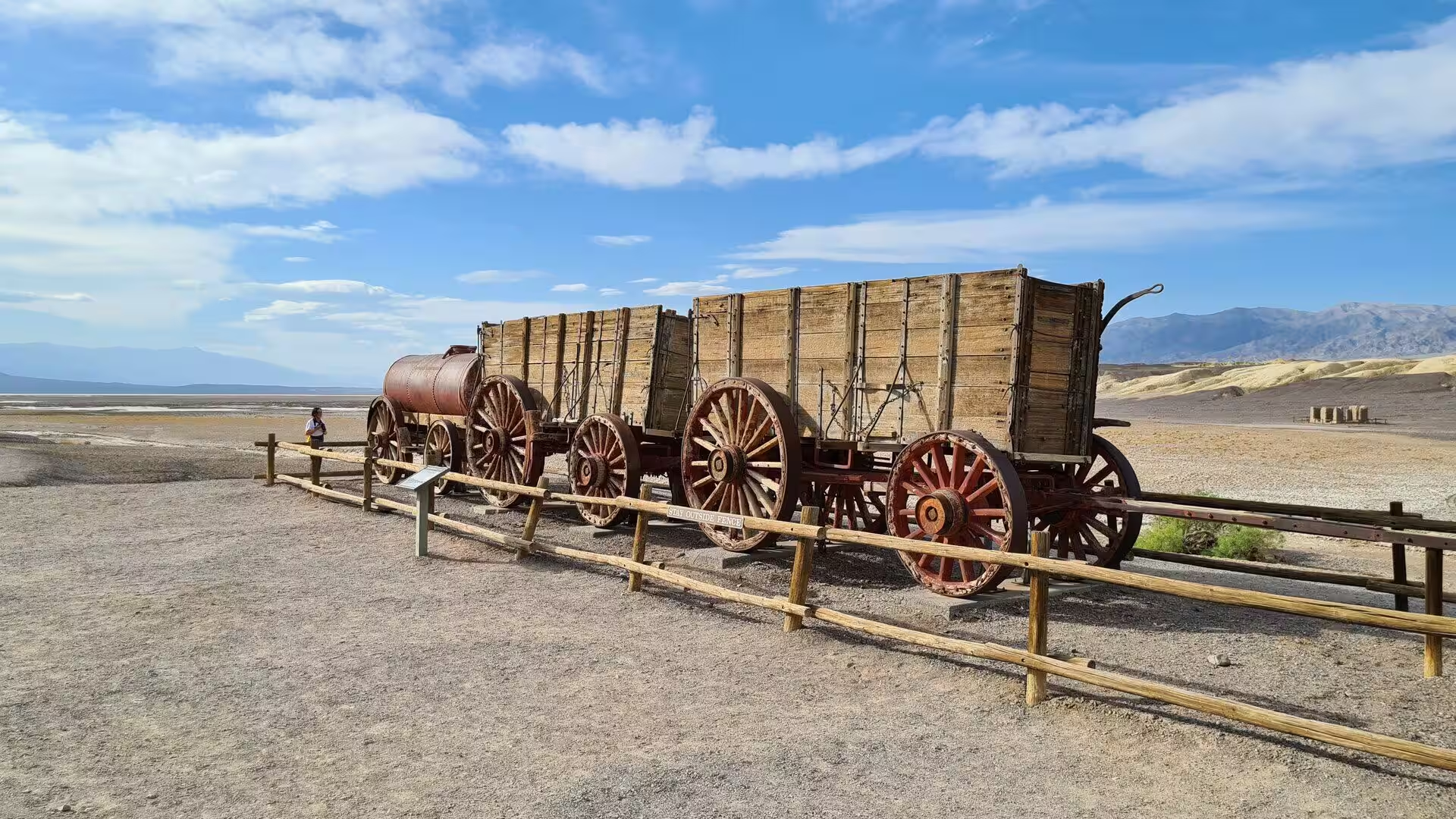
The first travellers of European descent came by accident. In December 1849 two groups of gold seekers, with perhaps a hundred wagons between them, left the Old Spanish Trail on what they believed was a shortcut to the California goldfields and blundered into the valley. They found water at springs but could not find a way out for weeks, and they were forced to eat several of their oxen, using the wood of their own wagons to cook the meat. The place where they did so is remembered as Burnt Wagons Camp, near Stovepipe Wells.
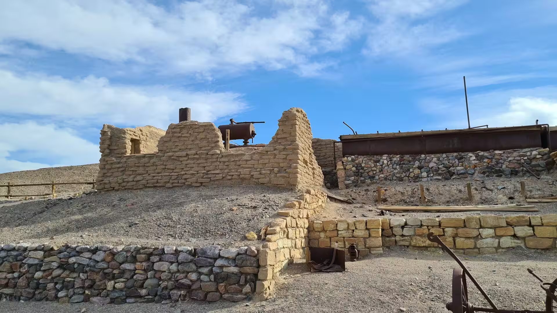
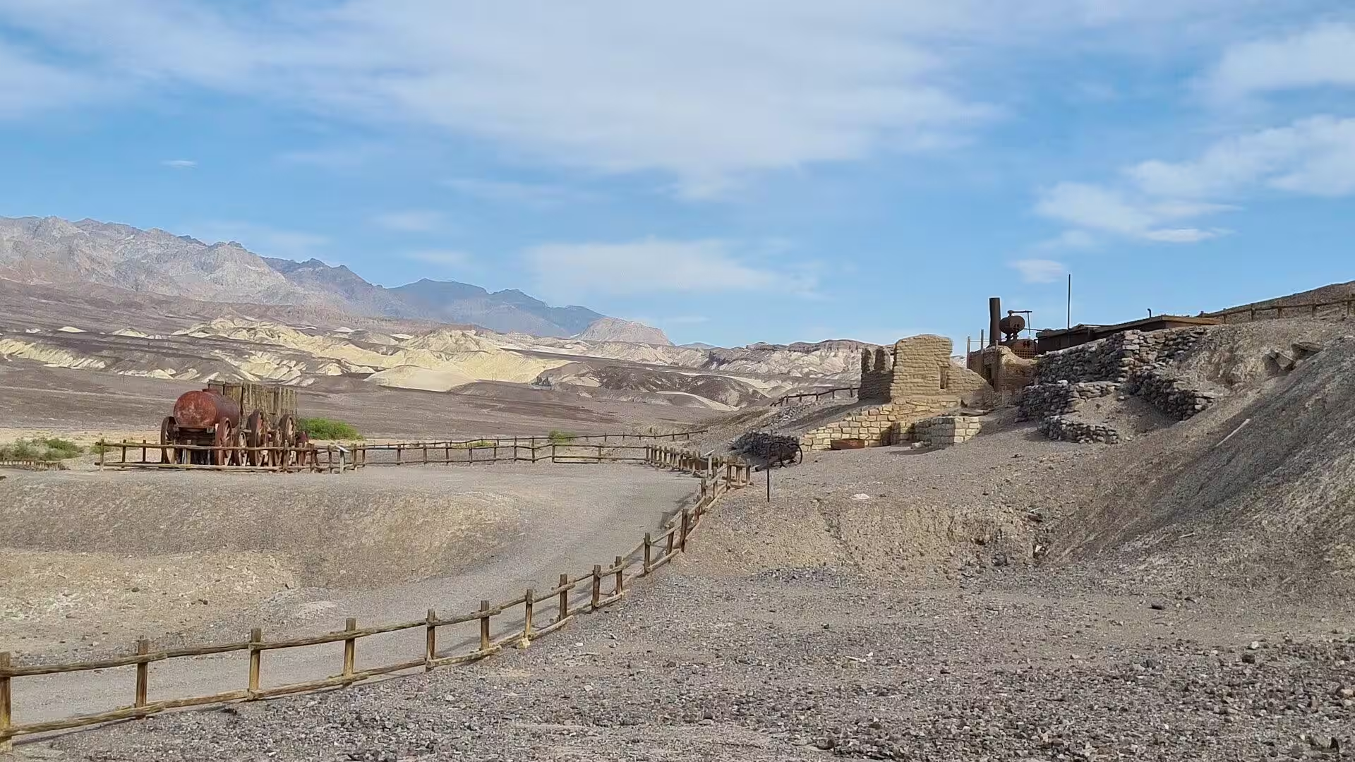
Mining followed, and the northern hills carry its remains. Borax was the one ore that paid over the years, but gold and silver drew prospectors as well: two men from Ballarat found free milling gold in December 1903 and opened the Keane Wonder Mine, which started a short rush into the mountains of the east. The towns of Rhyolite, Skidoo and Harrisburg were the only workings that produced enough ore to last, while Leadfield in the Grapevine Mountains was a sham that collapsed at once, and the boom faded after the Panic of 1907.
Tourism in the north began with tents. The first documented visitor accommodation in the valley was a group of tent houses put up in the 1920s on the site that Stovepipe Wells occupies today, and the same decade saw the conversion of the borax company’s crew quarters at Furnace Creek into a resort. The most ambitious building of the period stands in Grapevine Canyon. Construction of Death Valley Ranch, better known as Scotty’s Castle, began in 1922 at a cost of between 1.5 and 2.5 million dollars, and the springs above the house supplied both its water and its electricity.
Protection came in stages. President Herbert Hoover proclaimed Death Valley a national monument on 11 February 1933, setting aside almost two million acres in south eastern California and a small part of Nevada, although Congress reopened the land to mining only months later. Civilian Conservation Corps crews graded 500 miles of road and built 76 buildings during the 1930s and the early 1940s. The monument became a biosphere reserve in 1984, was enlarged by 1.3 million acres and redesignated a national park on 31 October 1994, and saw its last mine close in 2005.
Geology
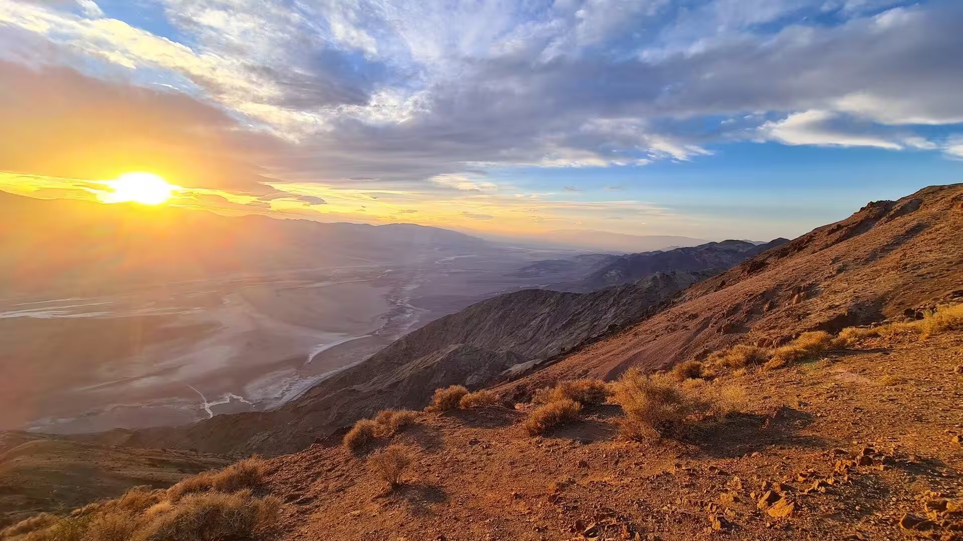
The valley is a graben, a sunken block of crust that lies between two rising mountain ranges. The stretching of the crust that produced it belongs to the Basin and Range Province, and the oldest rocks exposed around the valley are heavily metamorphosed and at least 1.7 billion years old, far older than the depression itself, which formed within the last few million years. Faults of the same system cross the northern valley at the foot of Tin Mountain, and movement along them raised the Cottonwood Mountains while the floor went on settling.
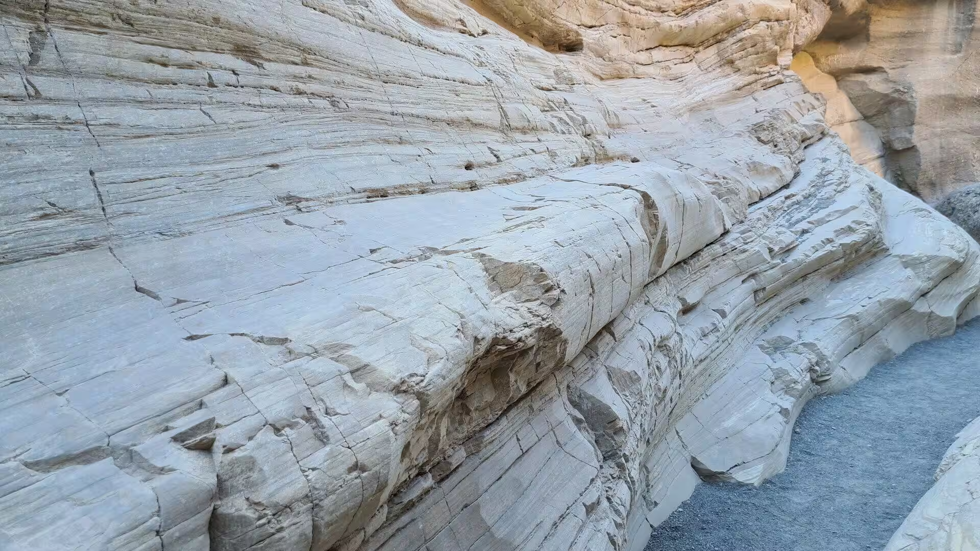
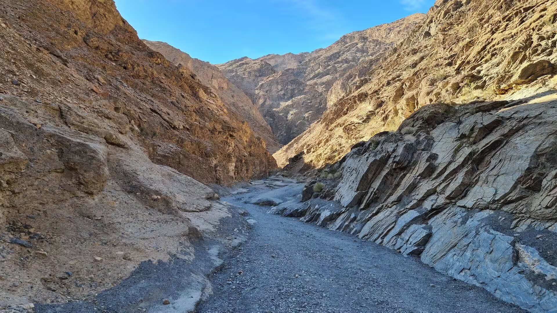
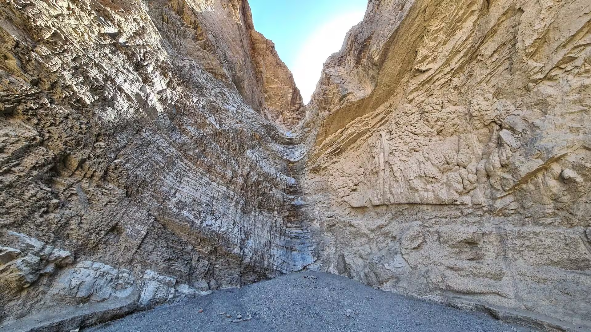
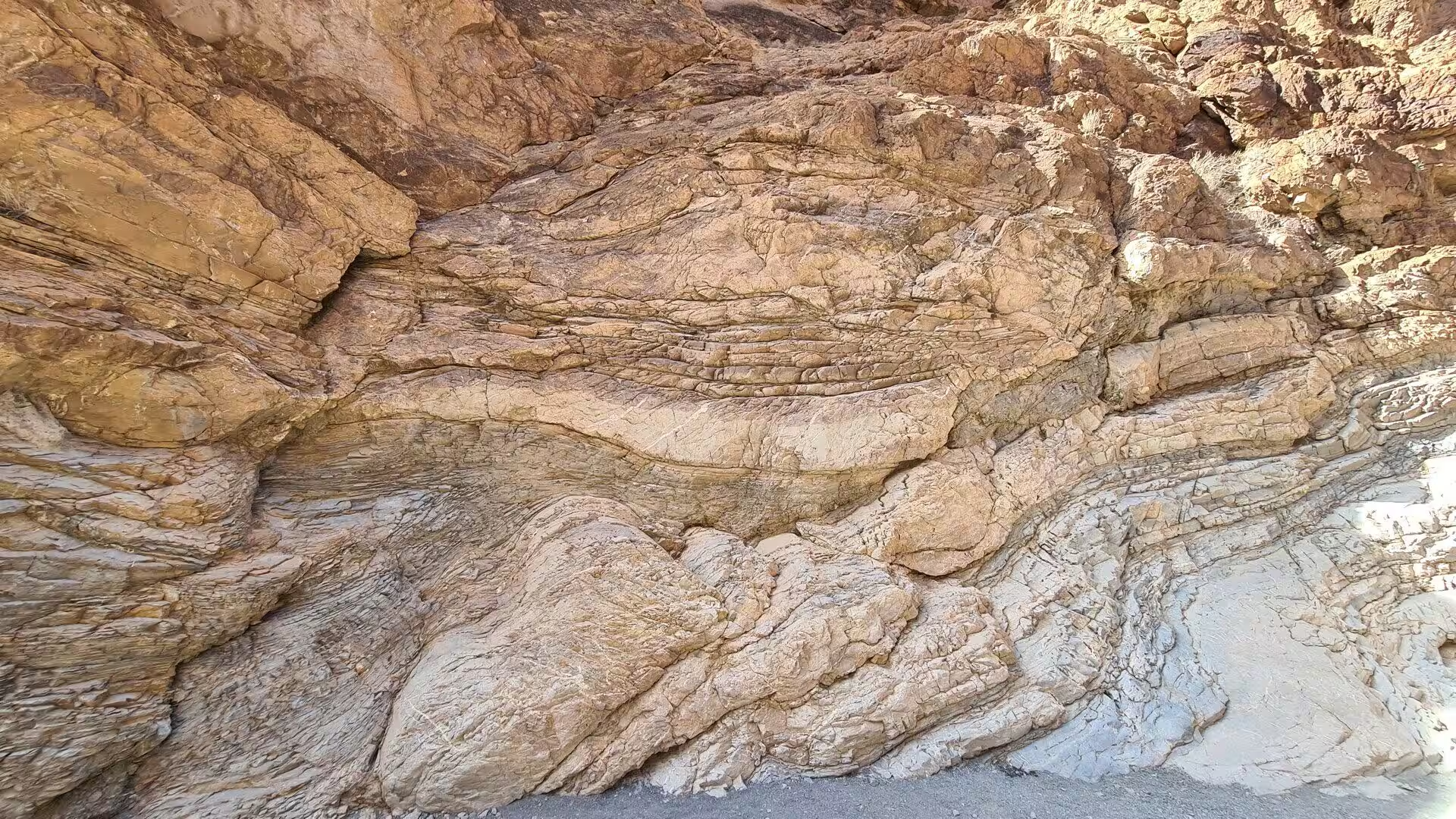
The polished walls of Mosaic Canyon are made of marble, and the marble began as limestone on the floor of a warm sea in the Late Precambrian, between about 850 and 700 million years ago. Magnesium later replaced part of the calcium in the sediment and turned the limestone into dolomite. Deep burial followed, and the heat and pressure at depth recrystallised the dolomite into a dense metamorphic rock in which the original grains can no longer be seen. Uplift has since tilted the beds, which is why they stand on edge along the canyon.
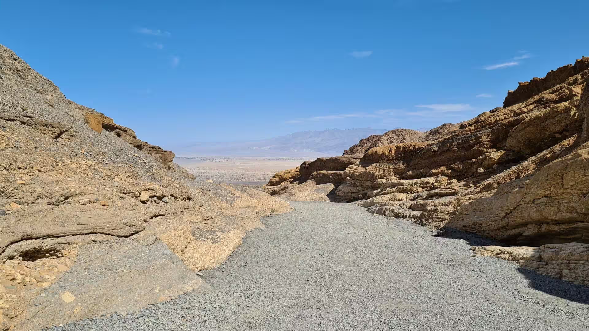
The canyon follows lines of weakness of the same age as the crustal stretching. Running water has scoured away the faulted and fractured rock along them, and the record of that work is written in the shape of the gorge. Floods arrive rarely but carry grit and boulders at speed and cut the bed deeply; between them long quiet periods allow gravel to collect while the land rises. The result is the stepped banks above the present floor. Where the canyon opens out, the water spreads and drops its load, building the wedge shaped fan that reaches towards Stovepipe Wells.
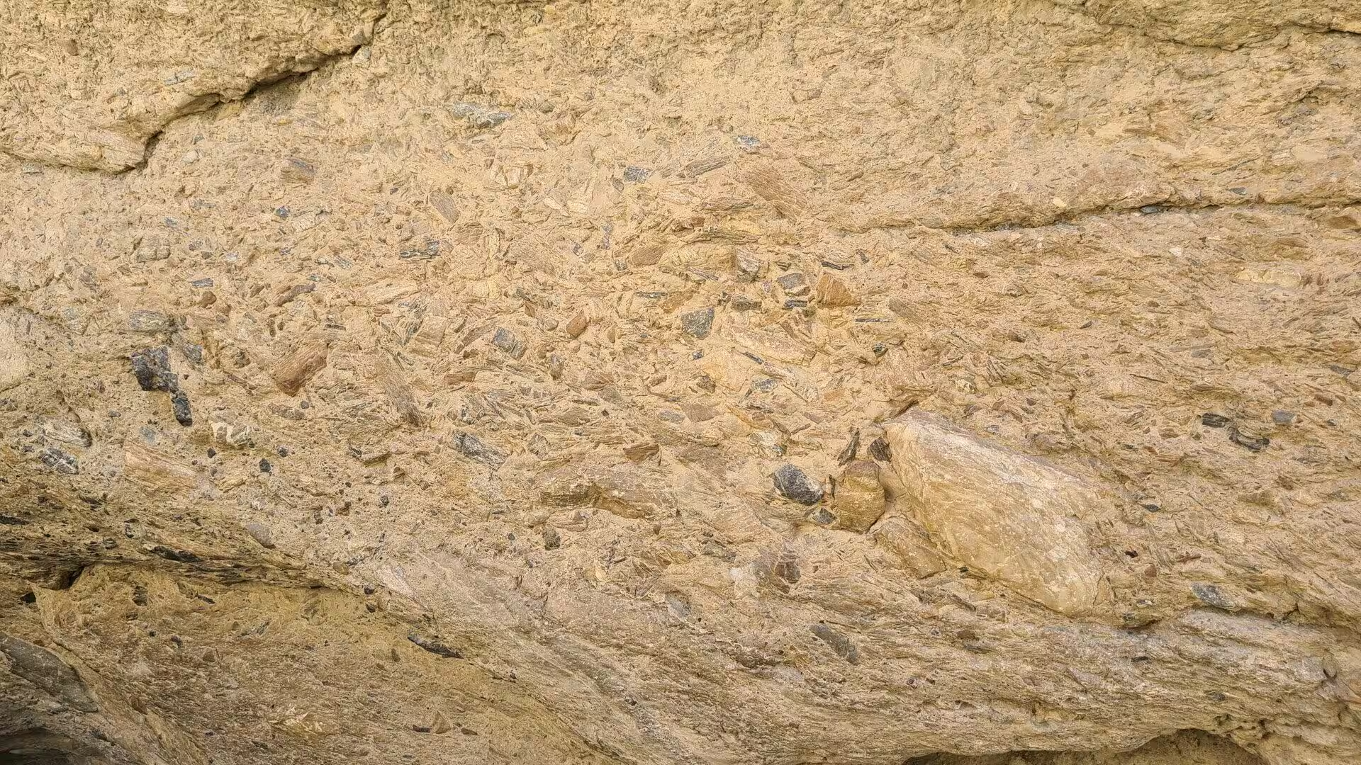
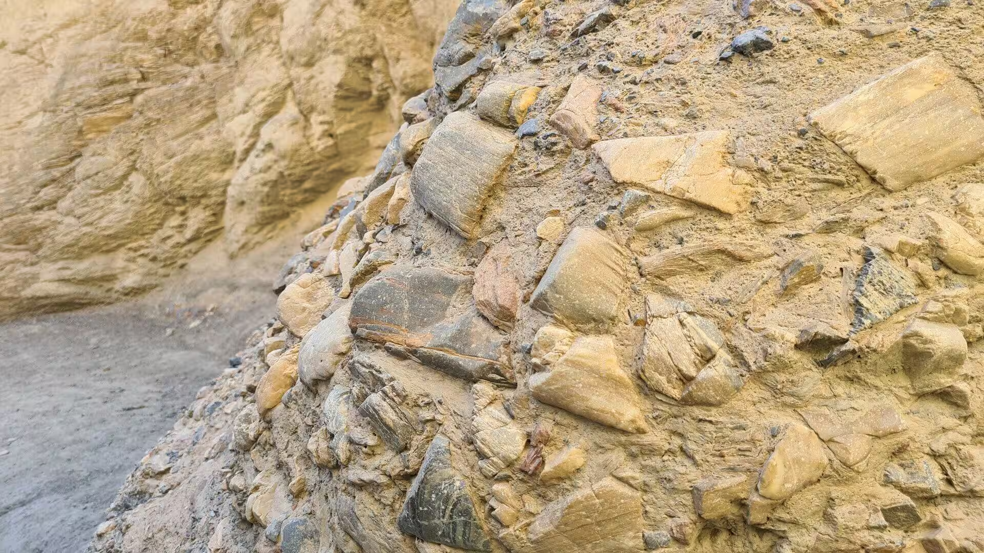
Two coarse rocks give Mosaic Canyon its name and its texture. The Mosaic Breccia is a stream deposit in which angular blocks of dolomite and other parent rocks sit in a matrix of pebbles, and the pattern of pale fragments in darker cement resembles the tesserae of a mosaic, which is the meaning of the Italian word from which breccia is taken. It can be seen on the canyon floor just beyond the parking area. A related rock, the fanglomerate, is lithified alluvial sediment that looks like concrete with stones set in it, and it is exposed in the washes of the northern valley.
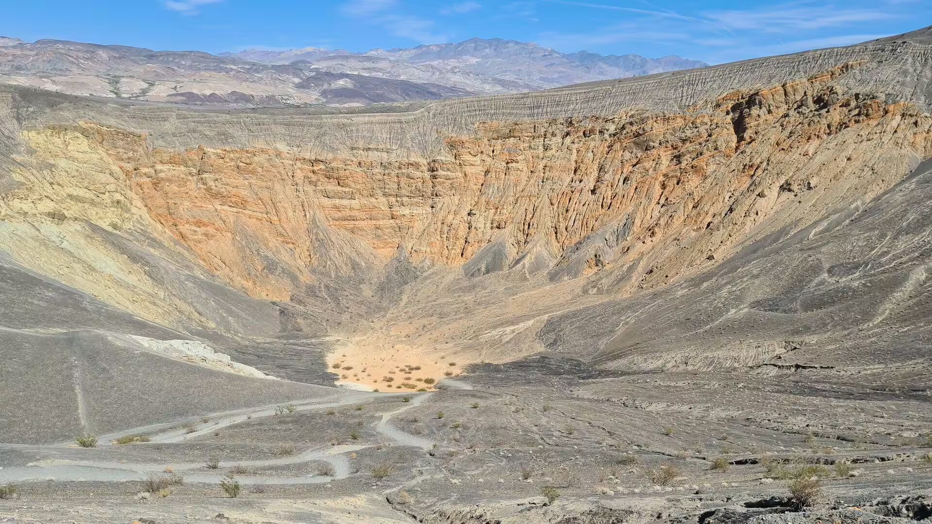
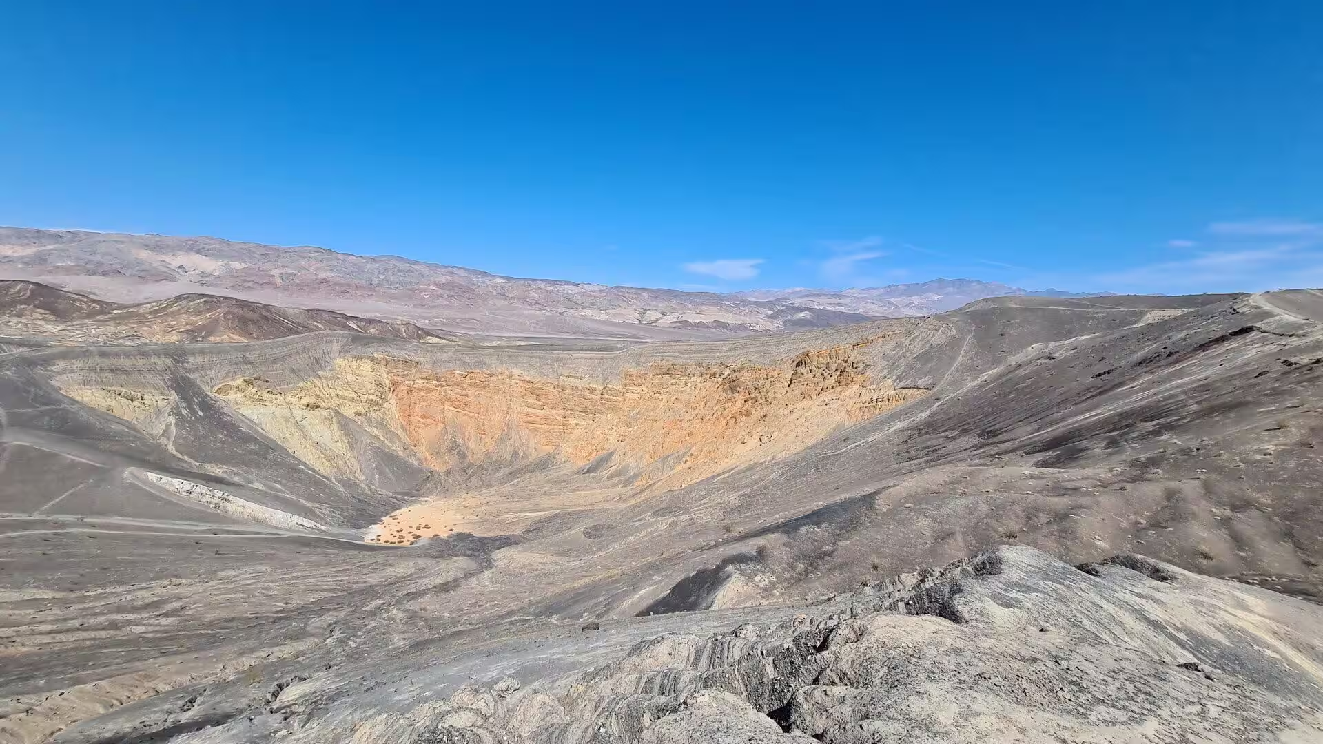
Ubehebe Crater is the largest feature of a volcanic field of more than a dozen craters, and it was made by steam rather than by lava. Magma rose close to the surface along a fault at the western base of Tin Mountain, the groundwater above it flashed into steam, and the explosion that followed threw pulverised bedrock and fresh magma across the stony fan. The pit left behind, a maar in the language of geology, is half a mile or one kilometre wide and between 500 and 777 feet, or 152 and 237 metres, deep. Estimates of its age range from about 800 to 7,000 years.
Things to See
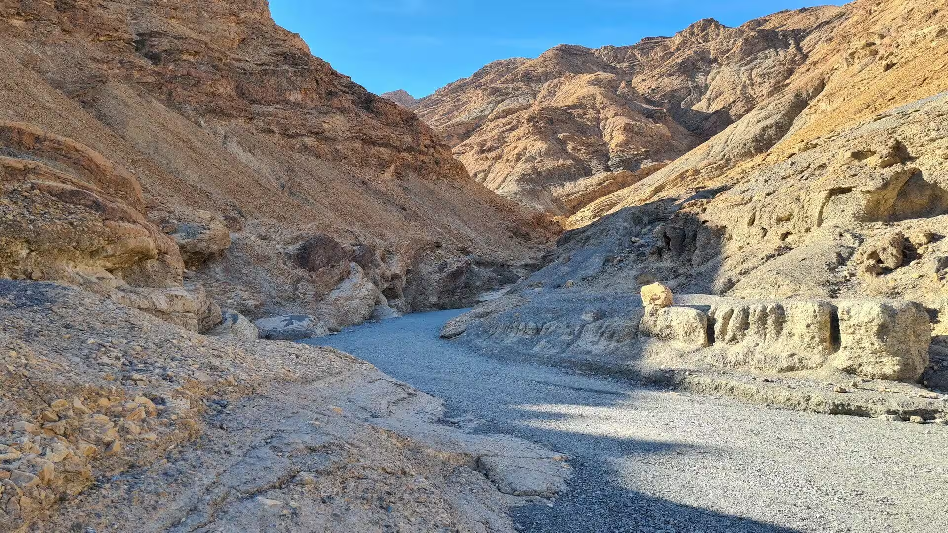
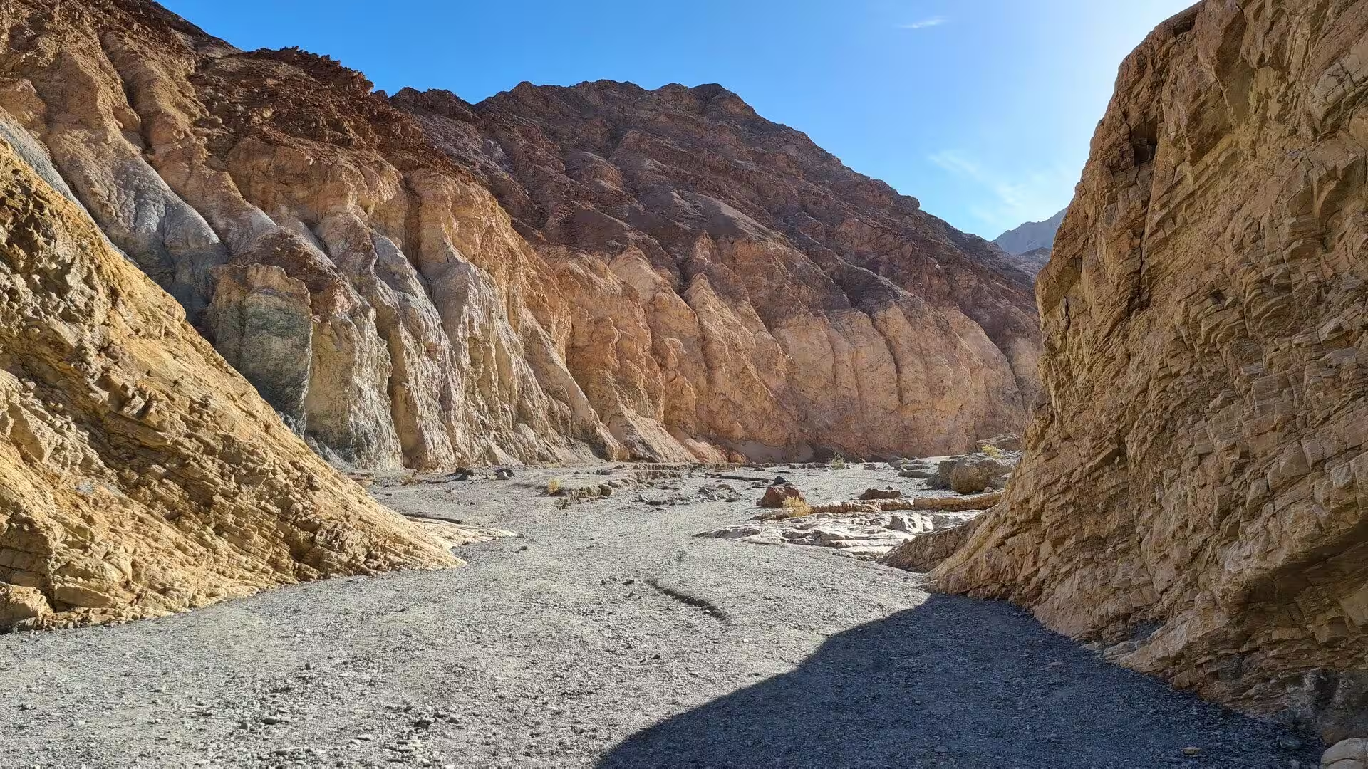
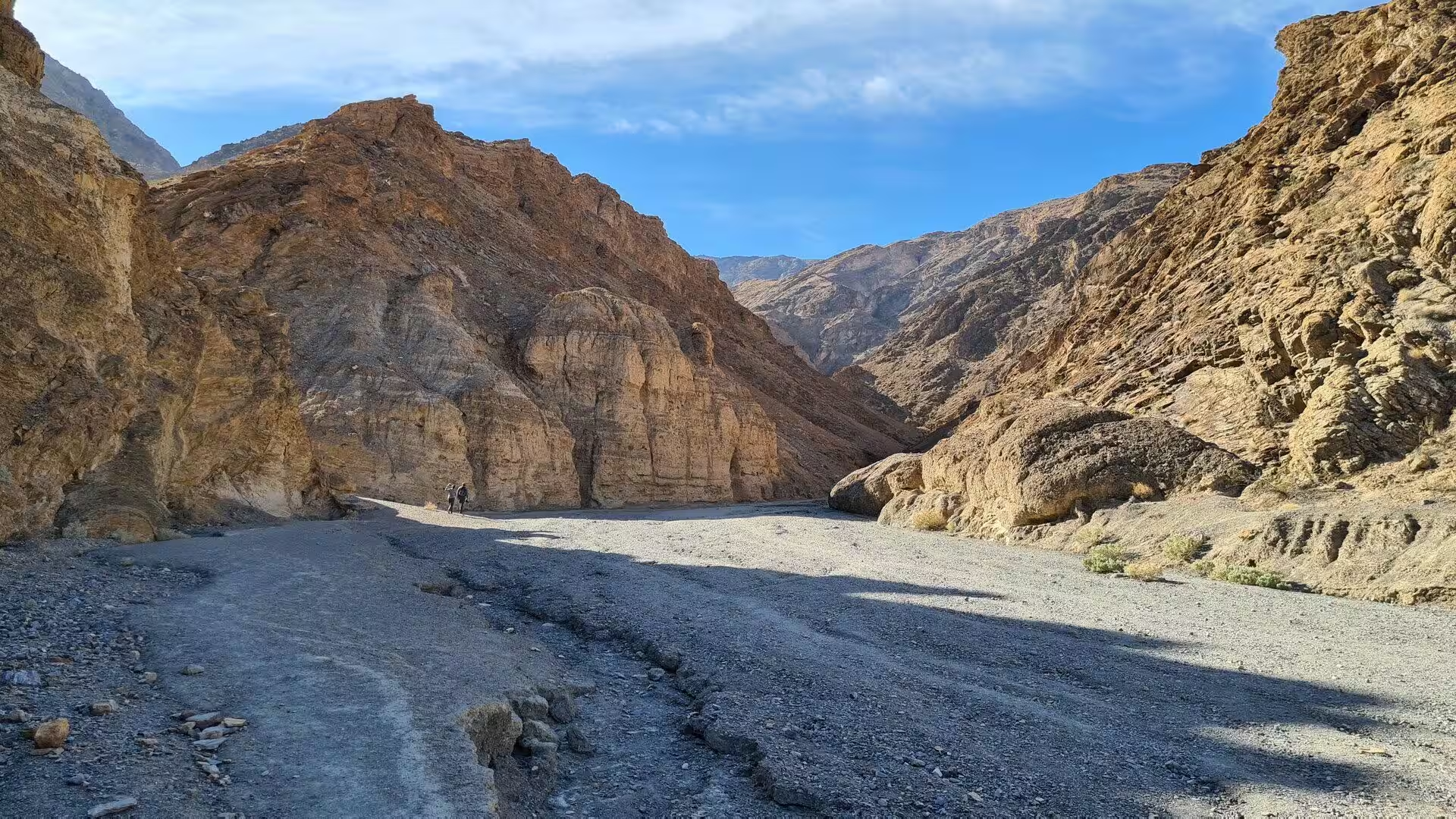
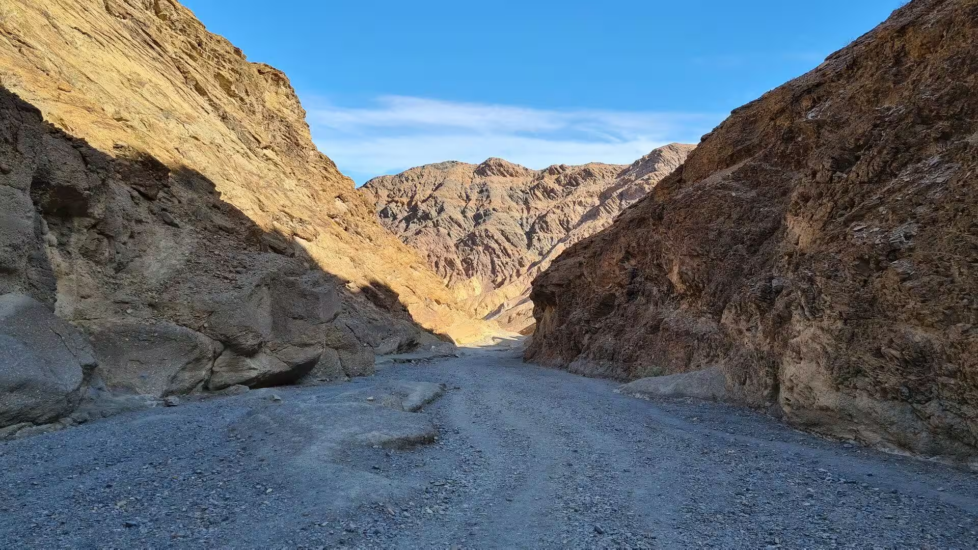
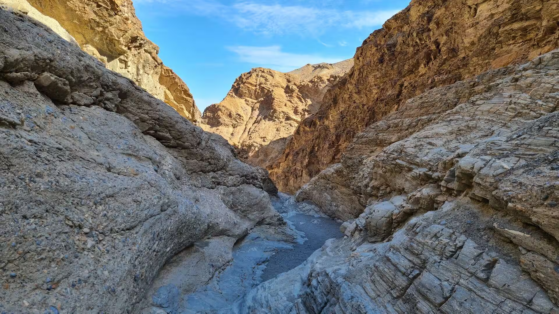
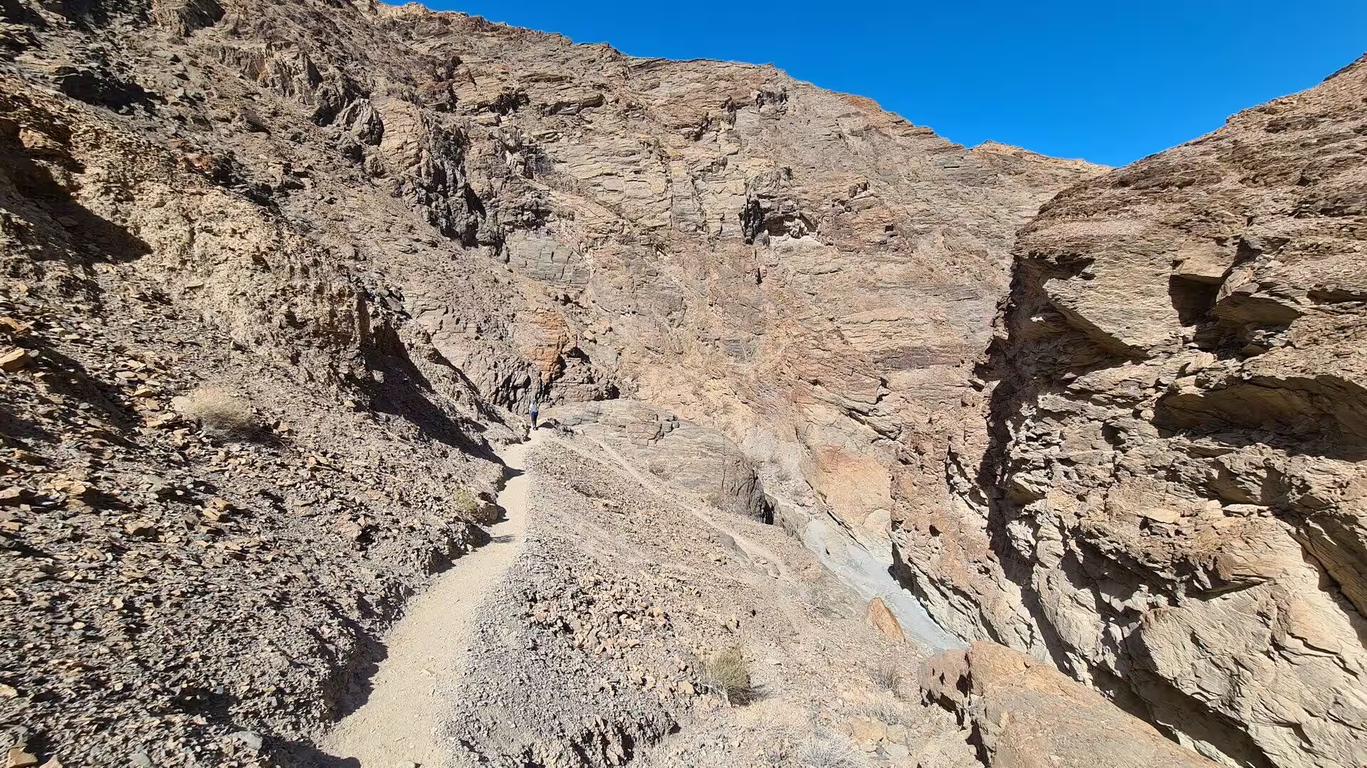
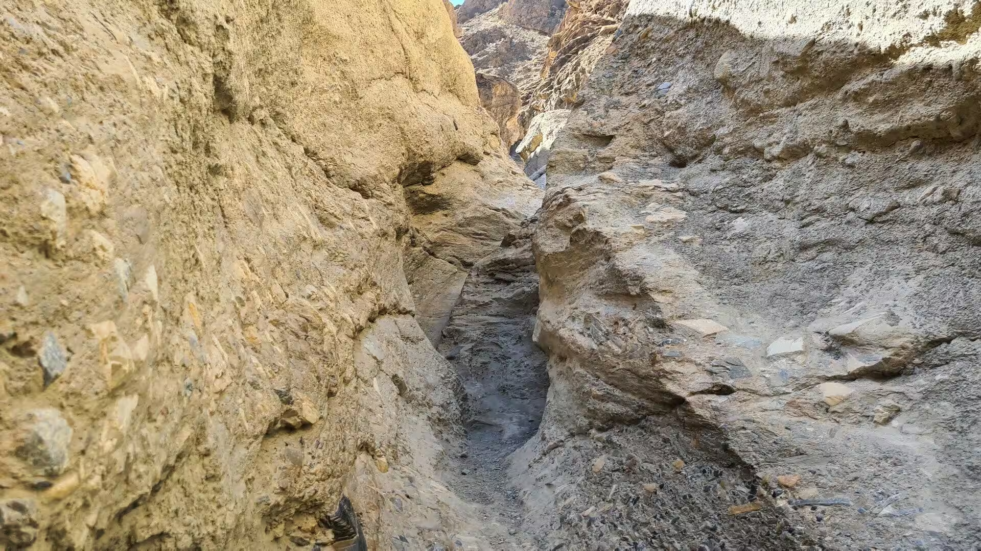
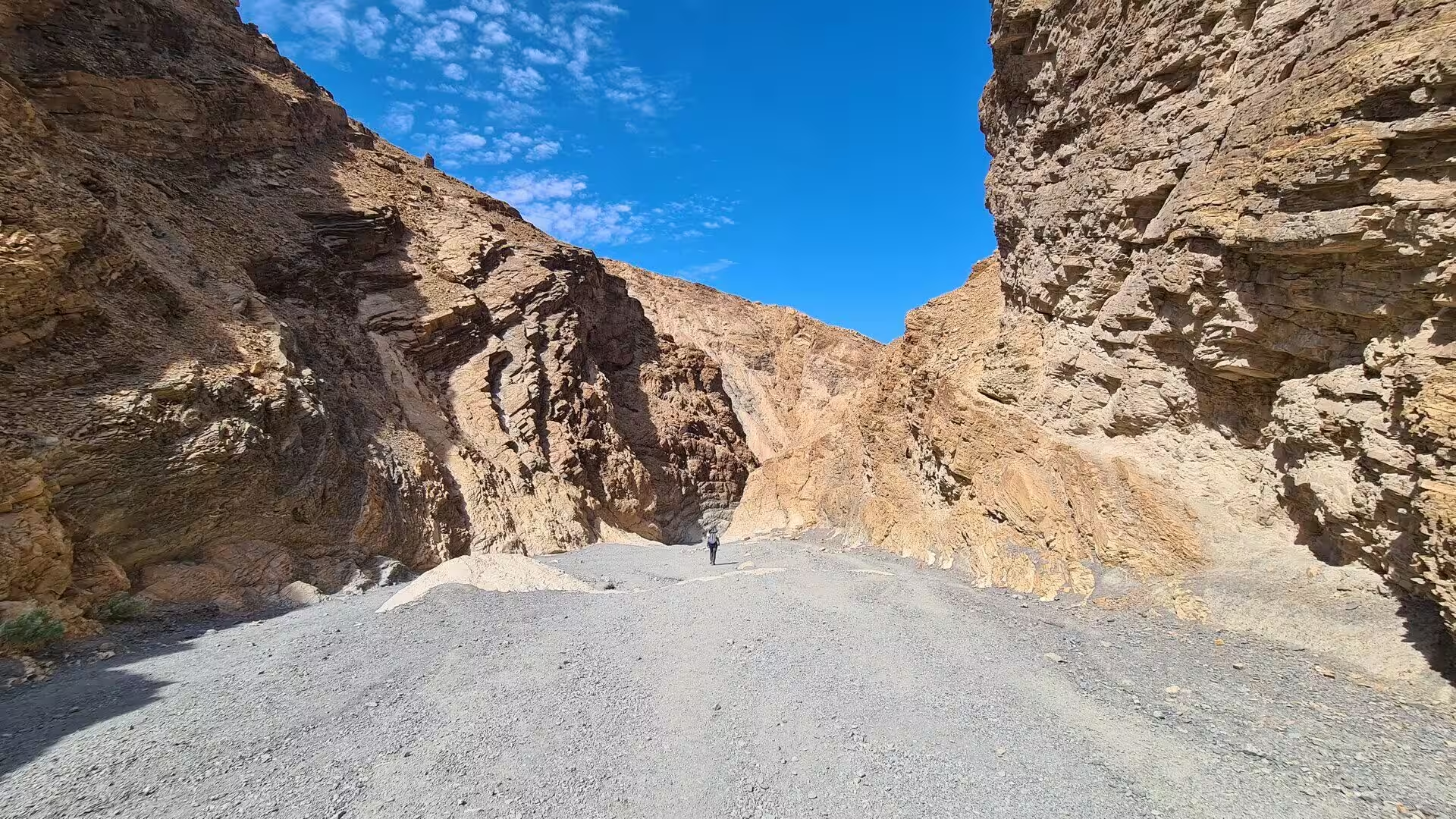
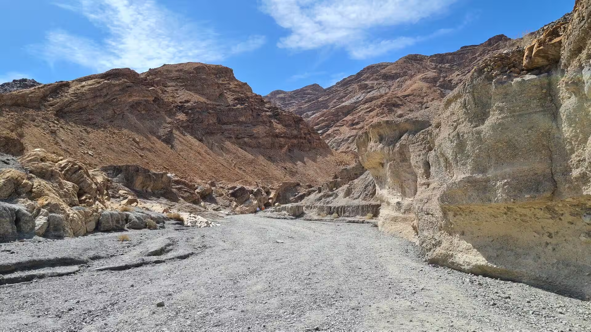
Mosaic Canyon is the closest thing the northern valley has to a slot. From the highway at Stovepipe Wells an unpaved road climbs the alluvial fan for a short distance to a parking area, and from there the walk begins in an open wash that gives no hint of what follows. The entrance is deceptively ordinary, yet within a quarter of a mile, or about 400 metres, the walls close in and the route narrows into a deep cut in the north western face of Tucki Mountain. The first stretch runs over gravel and cobbles.
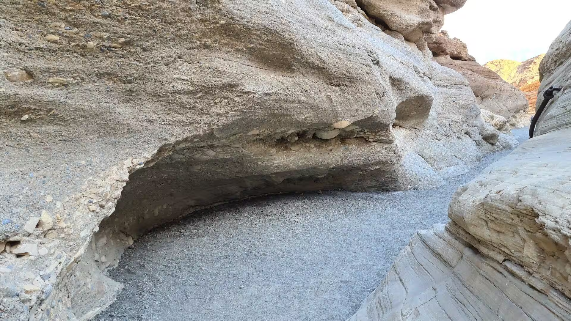
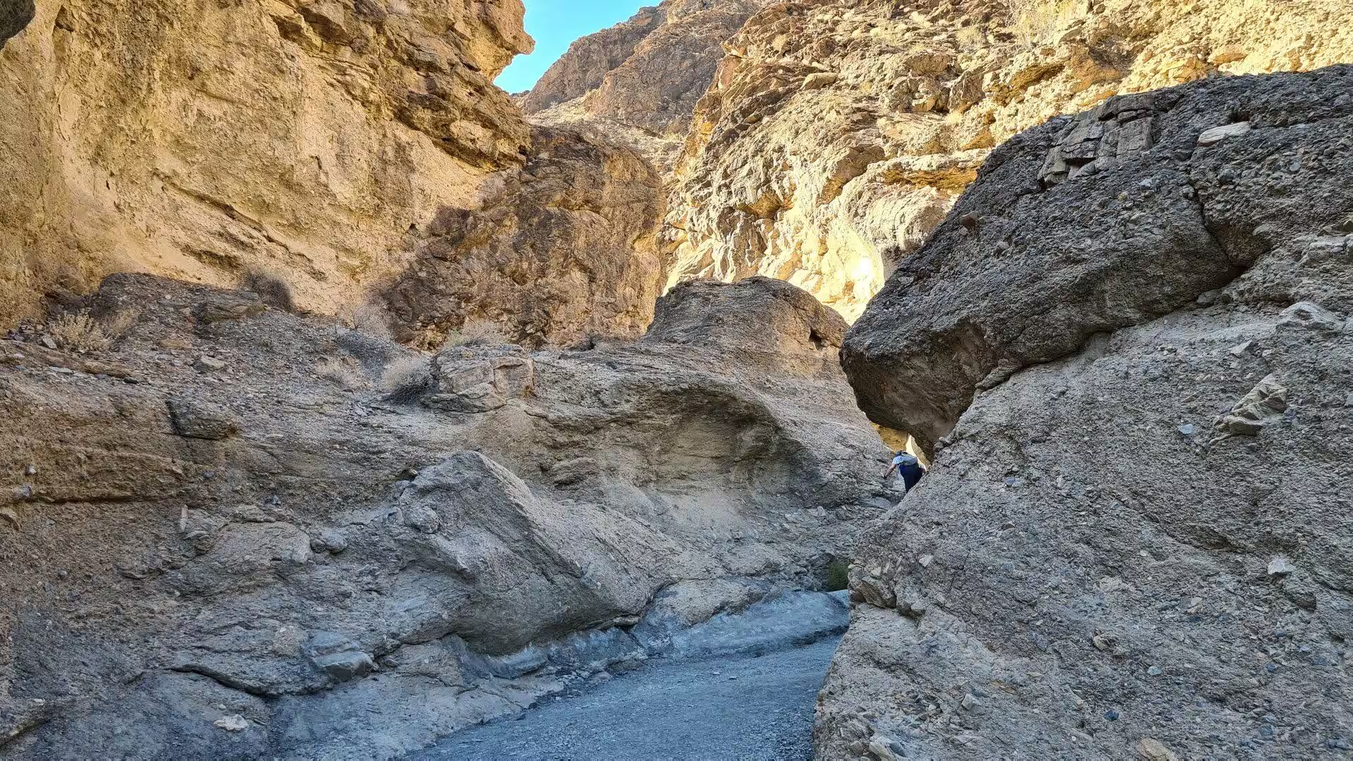
Further up, the canyon becomes a corridor of smooth polished stone. The walls curve in and out in long sinuous lines, follow the direction of the faults, and in places pinch until only a sliver of sky remains visible above. The rock is pale, finely banded and so smooth that its surface reflects the sun in a soft sheen. Shade collects in the narrows even at midday, and the temperature there falls several degrees. The way continues over rounded ledges and small dry falls, and returns along the same route.
The mosaic of the canyon’s name lies in the floor rather than in the walls. It is a breccia, a rock made of angular fragments of many different parent rocks cemented together, and it was laid down by streams that once carried debris out of the mountains. Sections of it remain on the bed of the wash, where the polished marble of the walls gives way to a patterned surface of pale pieces in a darker ground. The clearest band lies just south of the parking area, before the canyon proper begins.
Tucki Mountain stands above the site like a wall, and its north western flank is the reason the canyon exists. The faults that cross it were active when the crust of the region began to stretch, and the rock between them has been broken, tilted and lifted in stages. The canyon cuts through the damage in a straight line, which is why it is unusually narrow for a desert gorge and why its walls stand so smoothly. Higher up the mountain the same beds reappear in bare ridges of dolomite and marble, without soil to soften them.
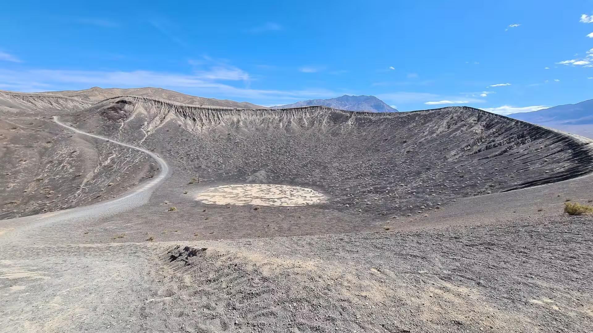
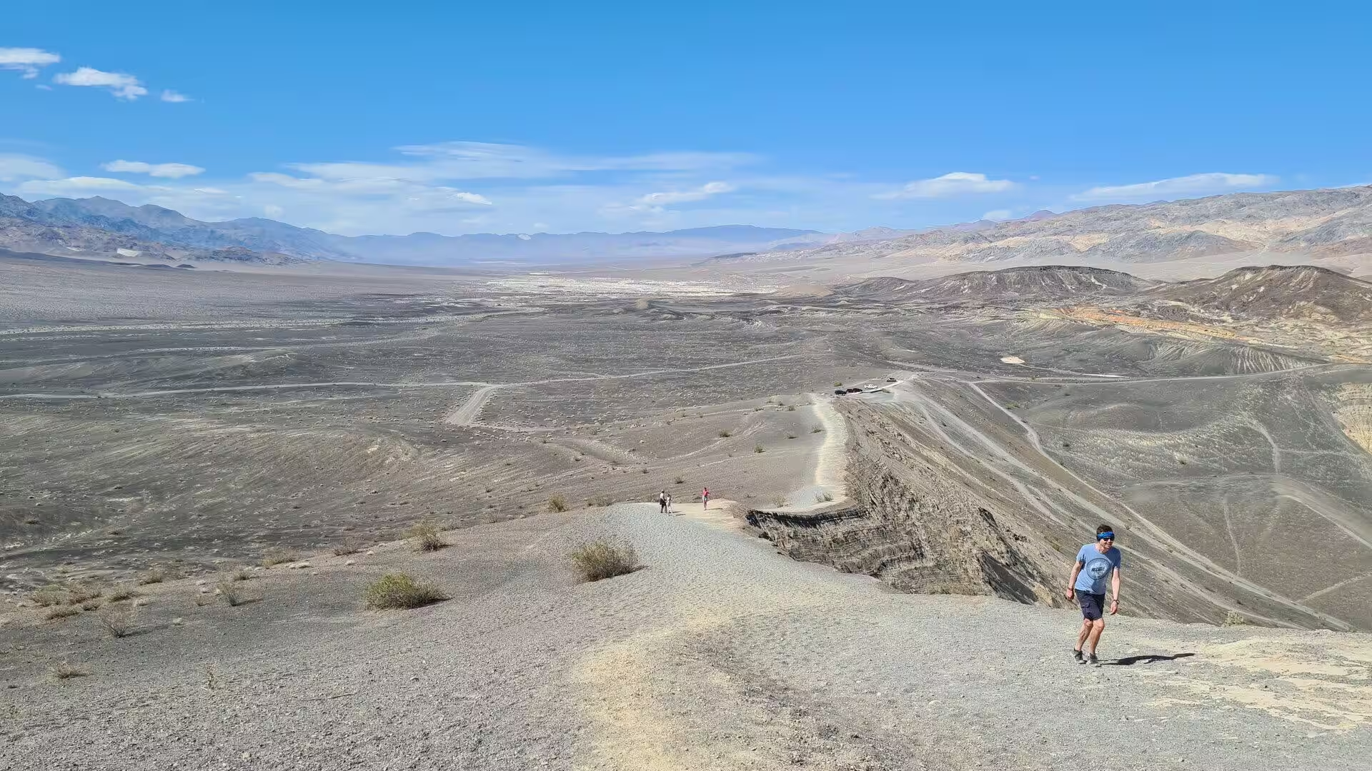
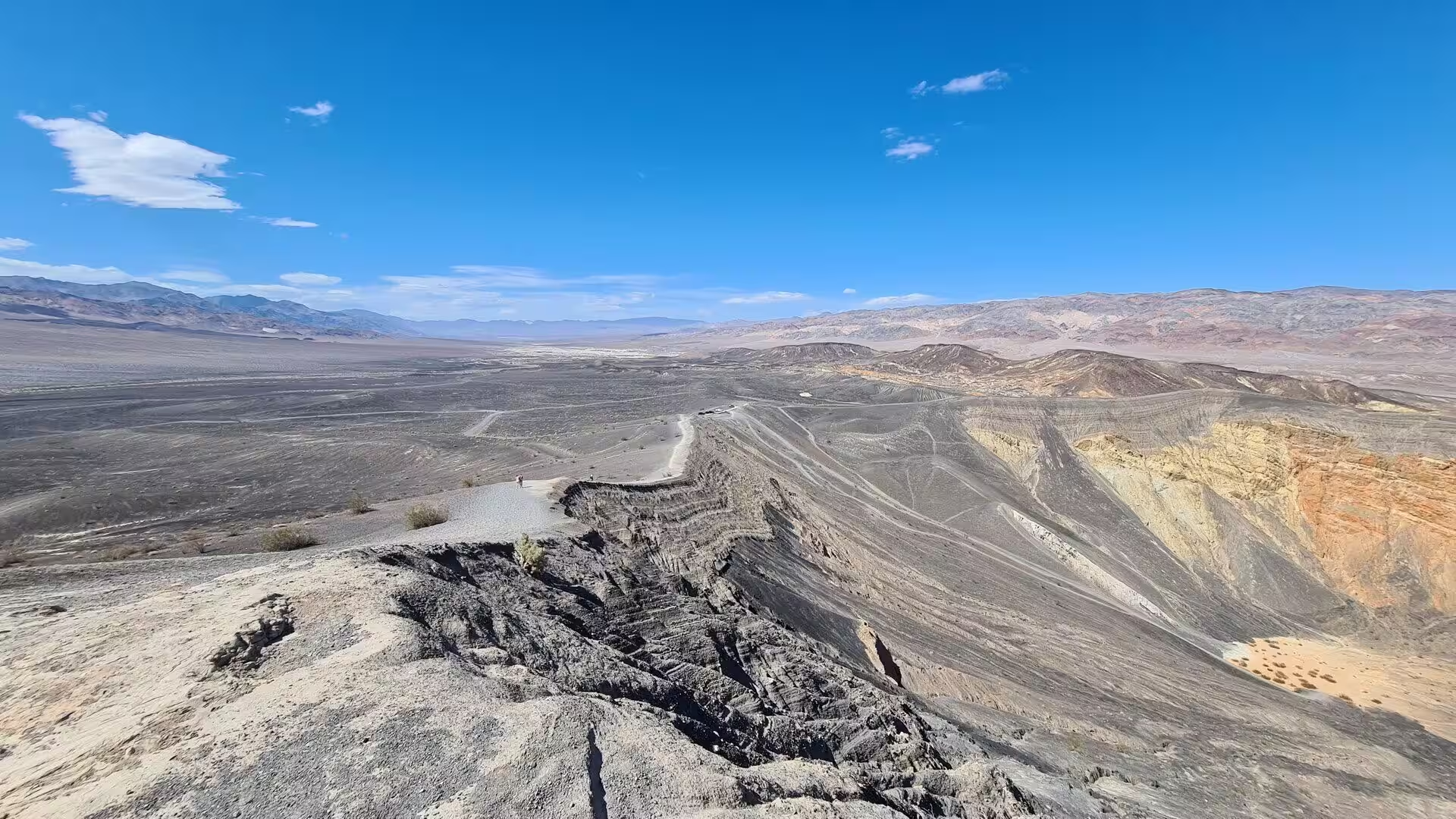
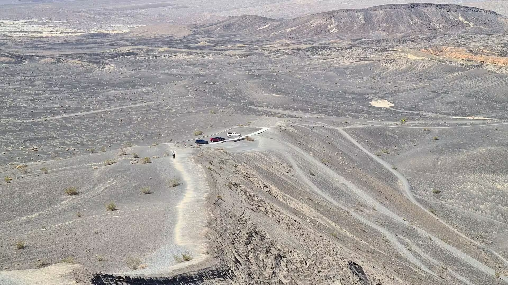
Ubehebe Crater is the best known of the northern sights and the most startling. It lies in the north of the park beyond the end of the paved road that runs from Stovepipe Wells towards Grapevine Canyon, a vast bowl surrounded by cinders, with a rim that can be walked in a loop and a path that descends to the flat floor. The wind at the rim is strong and often gusts above 50 miles, or 80 kilometres, an hour, and there is no shade anywhere on the slopes. The walls show bands of colour, and white silt covers the ground below.
The smaller craters of the field surround the main one and are easily missed. Earlier eruptions to the south and west left a series of shallower pits, and in the middle of the largest of the southern group stands Little Hebe, a spatter cone built of the only significant deposit of lava in the whole field. Fallout from all these explosions mantled the country around them with a layer of grey cinders, thickest beside Ubehebe, where it reaches a depth of about 80 feet. Rills and gullies buried by that layer have since been re-excavated by erosion.
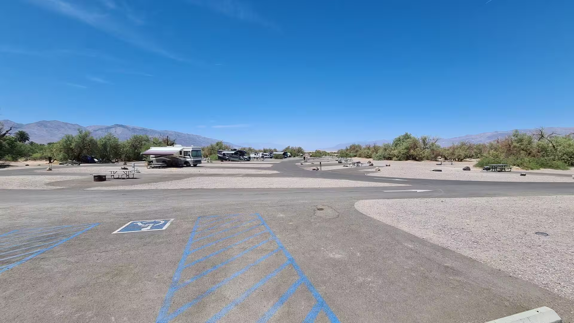
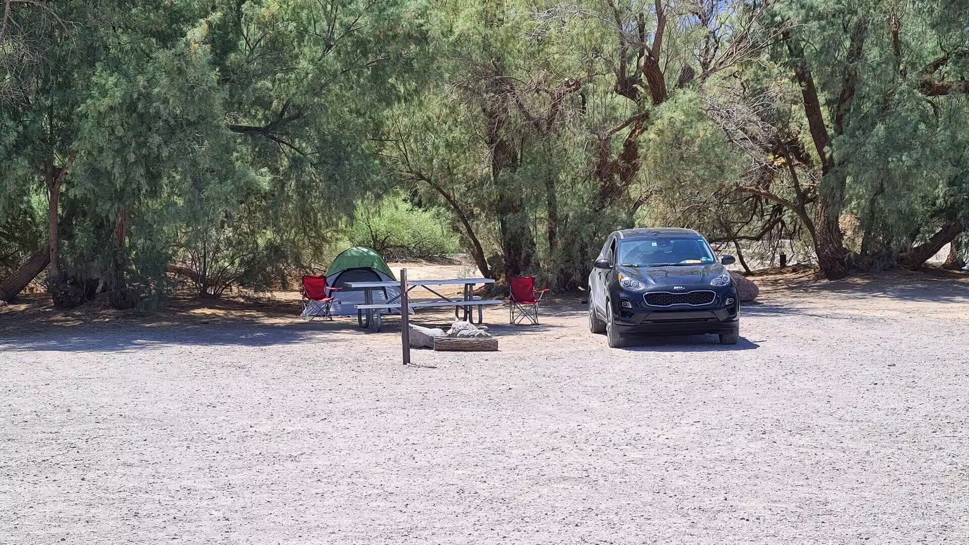
The camp below the mountains is the practical centre of the northern valley. Sites lie on sandy ground among the rocks of the lower slopes, and the evening brings a sharp drop in temperature even in the hot months. Water has to be carried in, shade is scarce, and the wind that funnels down the valley can flatten a poorly pitched tent, so experienced campers pitch low, weight everything down and keep the vehicle close. There are nine designated campgrounds in the park, and the northern ones are the quietest of them.
The Grapevine Mountains close the north of the park and carry two of its curiosities. Grapevine Peak reaches 8,738 feet, or 2,663 metres, and the canyon below it holds Death Valley Ranch, the villa built for Albert Mussey Johnson from 1922 and known to the world as Scotty’s Castle, which has been closed to visitors since a flood in October 2015 and a fire in 2021. East of the range, a rough road runs through the narrow gorge of Titus Canyon past Leadfield, a ghost town of the 1920s, and on over the state line.
References
- Wikipedia contributors (2026). Death Valley National Park. en.wikipedia.org/wiki/Death_Valley_National_Park
- Wikipedia contributors (2026). Ubehebe Crater. en.wikipedia.org/wiki/Ubehebe_Crater
- Wikipedia contributors (2026). Mosaic Canyon. en.wikipedia.org/wiki/Mosaic_Canyon
- Wikipedia contributors (2026). Stovepipe Wells, California. en.wikipedia.org/wiki/Stovepipe_Wells%2C_California
- Wikipedia contributors (2026). Panamint Range. en.wikipedia.org/wiki/Panamint_Range
- Wikipedia contributors (2026). Grapevine Mountains. en.wikipedia.org/wiki/Grapevine_Mountains
- Wikipedia contributors (2026). Tucki Mountain. en.wikipedia.org/wiki/Tucki_Mountain
- Wikipedia contributors (2026). Marble. en.wikipedia.org/wiki/Marble
- Wikipedia contributors (2026). Fanglomerate. en.wikipedia.org/wiki/Fanglomerate
- Wikipedia contributors (2026). Death Valley. en.wikipedia.org/wiki/Death_Valley
- Wikipedia contributors (2026). National Park Service. en.wikipedia.org/wiki/National_Park_Service
- Wikipedia contributors (2026). Slot canyon. en.wikipedia.org/wiki/Slot_canyon
- Wikipedia contributors (2026). Mesquite Flat Sand Dunes. en.wikipedia.org/wiki/Mesquite_Flat_Sand_Dunes
- Wikipedia contributors (2026). Scotty’s Castle. en.wikipedia.org/wiki/Scotty’s_Castle
- Sasnett P., Goehring B.M., Christie-Blick N., Schaefer J.M. (2012) Do phreatomagmatic eruptions at Ubehebe Crater (Death Valley, California) relate to a wetter than present hydro-climate?. Geophysical Research Letters. 39. doi.org/10.1029/2011gl050130
- Leiter S., Ross P.S., Johnson E.R. (2025) Magma fragmentation and tephra deposition from a small-volume phreatomagmatic eruption: Blue Lake crater, Oregon, USA. Bulletin of Volcanology. 87. doi.org/10.1007/s00445-025-01857-6
- Wells S.G. (2020) Geomorphic Controls of Alluvial Fan Deposition in the Sonoran Desert, Southwestern Arizona. Geomorphology in Arid Regions. 27-50. doi.org/10.4324/9780429299230-2
- Blair T.C., McPherson J.G. (1994) Alluvial Fan Processes and Forms. Geomorphology of Desert Environments. 354-402. doi.org/10.1007/978-94-015-8254-4_14