Day 11 - Death Valley
23 May 2022





Journal Notes
General
The eastern side of Death Valley is defined by the Amargosa Range, a chain of mountains that runs for about 110 miles or 180 kilometres along most of the valley’s eastern edge, dividing it from the Amargosa Desert in Nevada. The U shaped river after which the range is named flows clockwise around its perimeter and ends far below sea level on the valley floor, and the Spanish word amargosa refers to the bitter taste of its water. From north to south the range is formed by the Grapevine Mountains, the Funeral Mountains and the Black Mountains.
Furnace Creek is the centre of this side of the park. It is a village and an oasis at 190 feet or 58 metres below sea level, and it holds the visitor centre, the museum and the headquarters of the national park together with the resort complex known as the Oasis at Death Valley and its two hotels. Springs in the Amargosa Range created the oasis, and the water has since been diverted to serve the village. The permanent population was 136 at the 2020 census, and most of those residents belong to the Timbisha Shoshone community at their reservation here.
The roads of the east follow the line of the range. State Route 190 comes over the Funeral Mountains from the north, passes Zabriskie Point and Furnace Creek, and continues west across the valley, while the Badwater Road runs south from Furnace Creek towards the lowest ground in North America. Two short side roads lead into the badlands themselves. Death Valley Junction, where the road towards the Nevada line meets the road south to Shoshone, marks the eastern gateway, and a few motels serve travellers there. The gateway settlements are also the last places to fill a tank before the park.
Almost all of the eastern sights stand within a few kilometres of one another, which makes this the most concentrated part of the park. The badlands form a band along the foot of the Black Mountains, and the viewpoints, the trailheads and the historic sites are strung out along it. The season for a visit runs from October until May, and the valley floor is often several degrees warmer than the ground above it, course beside the ranch stays open through the summer. Water, shade and fuel are found at Furnace Creek and at the gateways, and almost nowhere in between.
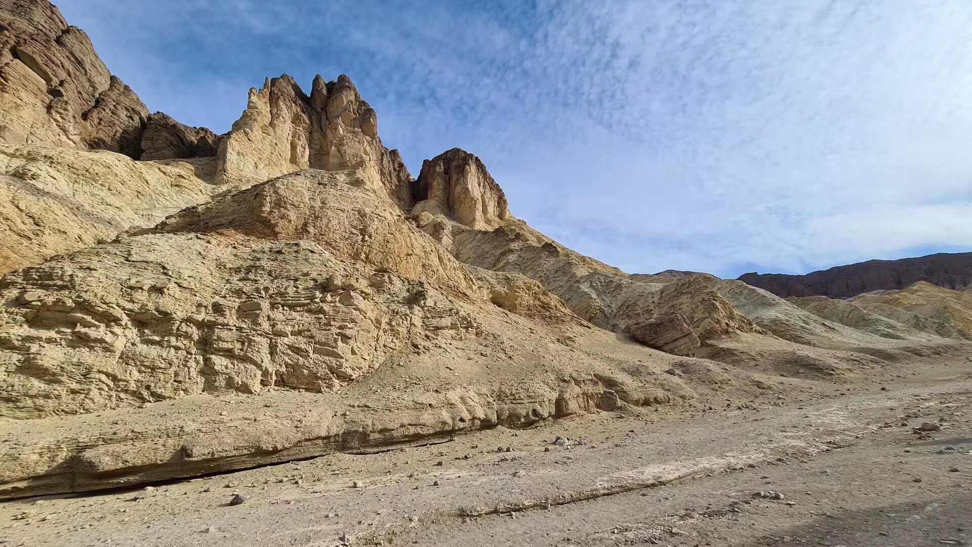
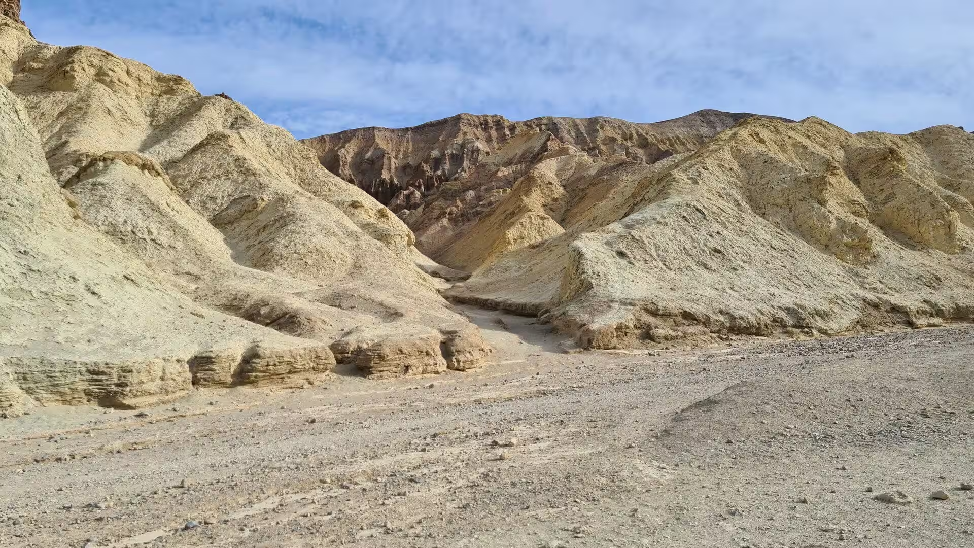
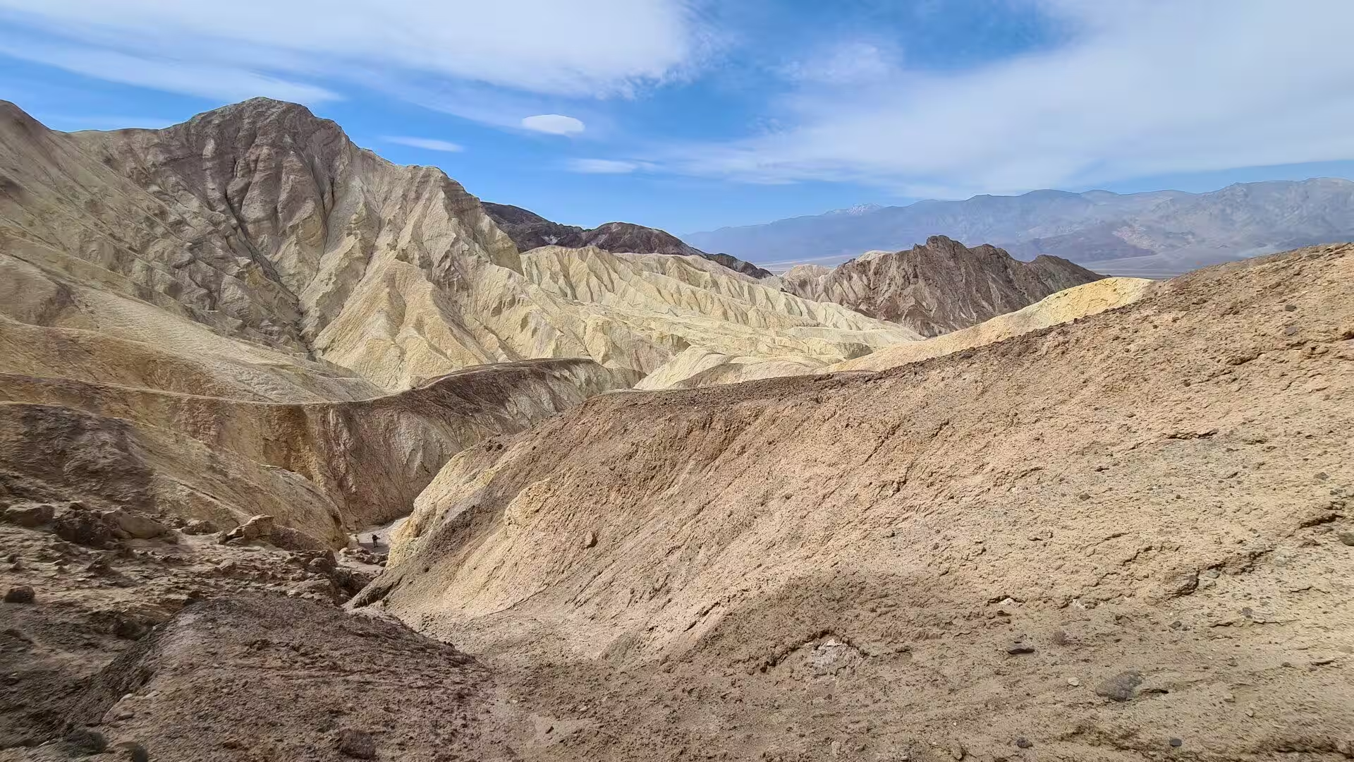
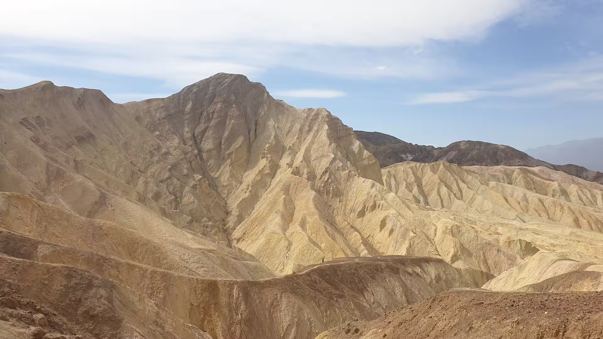
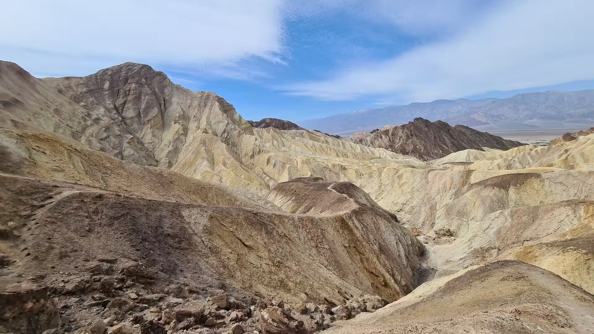
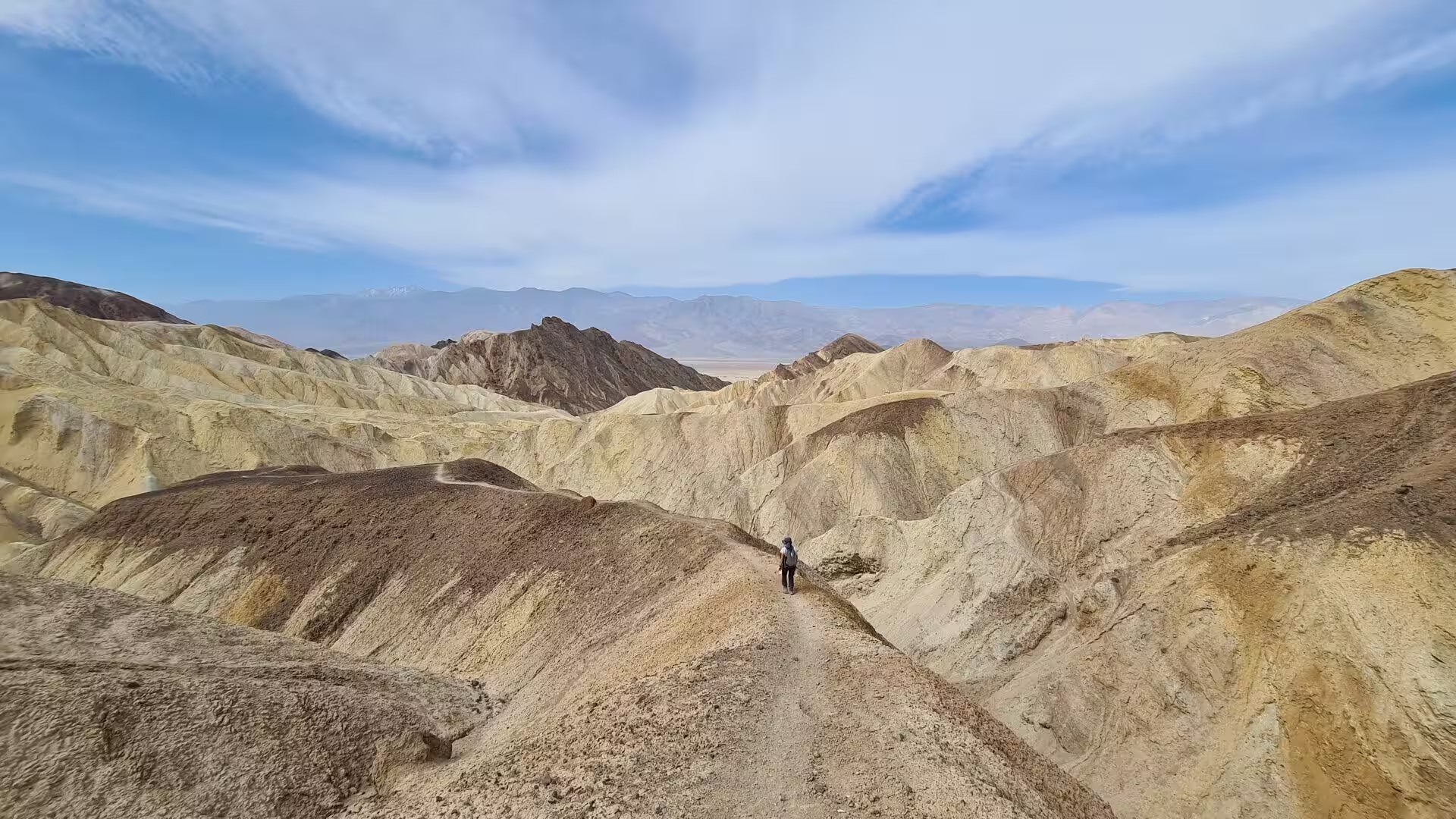
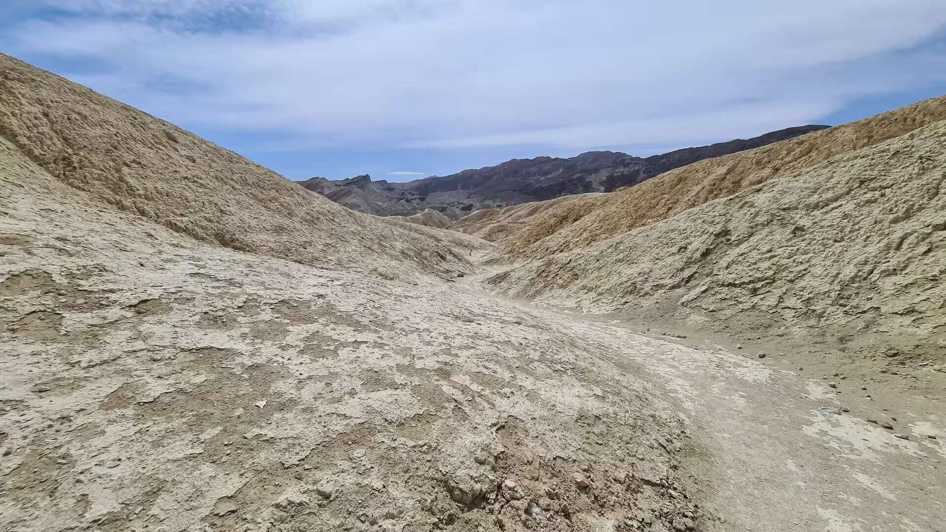
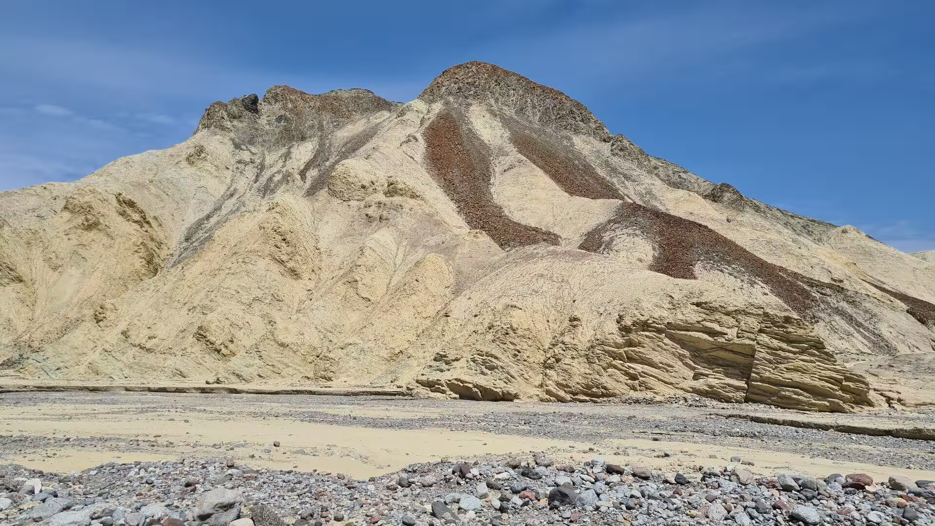
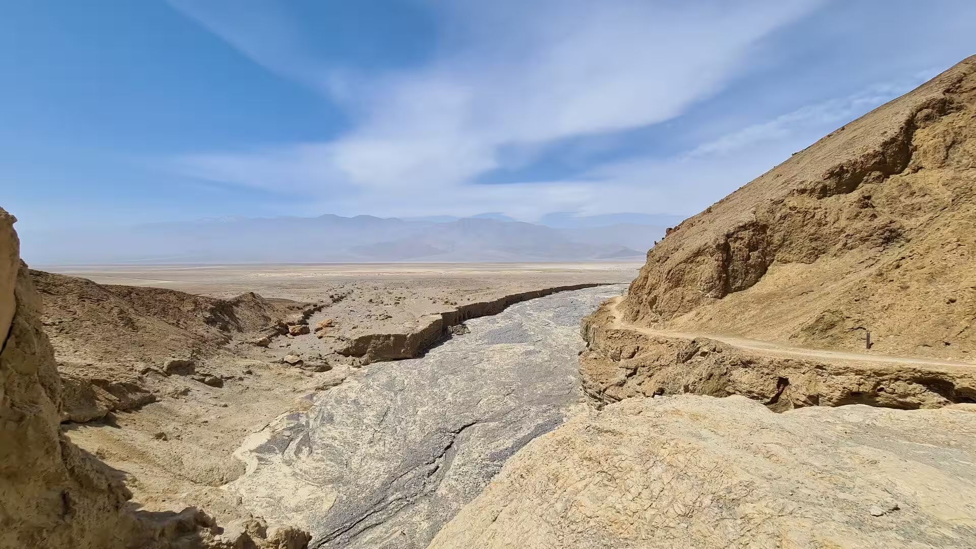
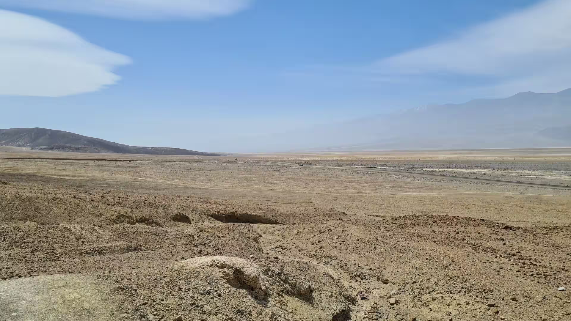
The character of the eastern valley rests on colour and form rather than on scale. The badlands are pale gold, cream and grey, banded with darker lava, and they change from minute to minute as the sun moves across them. Behind them the Black Mountains rise sheer and nearly bare, with very little soil on their slopes. The names of this part of the park, Zabriskie Point, Golden Canyon, Twenty Mule Team Canyon, Red Cathedral and Manly Beacon, all belong to one formation and to a few square kilometres of broken ground.
History
The valley has been home to the Timbisha Shoshone for at least a thousand years. Their own name for it, tümpisa, means rock paint and records the red pigment that was prepared from a clay found in the valley. They moved with the seasons between winter camps at the springs on the valley floor and the high ridges in summer, where grass and pine nuts ripened later in the year. Timbisha artisans and builders put up much of the village at Furnace Creek, and the tribe forms the majority of its permanent residents today.
Borax made the eastern valley famous. Deposits of evaporite minerals, salts, borate and talc were the easiest ores of the region to collect and the most profitable, and in 1881 Aaron and Rosie Winters discovered borax beside the place then called Greenland. The Eagle Borax Works, the first commercial operation in the valley, followed in the same year. In 1883 the company that owned the Harmony Borax Works laid out Greenland Ranch beside the springs, named after the green alfalfa fields planted there, and a weather station was set up at the ranch in 1891. The name was changed to Furnace Creek Ranch in 1933.
The best known of the works stands a short distance from Furnace Creek. The plant at Harmony was built for William Tell Coleman, who began to process ore there in late 1883 or early 1884, and the operation continued until 1888. Its product went into soap and into industry, and it left behind masonry walls, rusted machinery and the long wooden wagons of the teams that carried the ore away. The plant stopped work in 1888, and those ruins are what remain of the most profitable business ever conducted in the valley.
Transport was the hardest part of the trade. The end product was hauled 165 miles, or 266 kilometres, to the railhead at Mojave in wagons of ten tons capacity, pulled by teams of eighteen mules and two horses that were known, for convenience, as twenty mule teams. They averaged two miles or 3.2 kilometres an hour and needed about thirty days for the round trip. In 1890 the Pacific Coast Borax Company, under Francis Marion Smith, bought Coleman’s holdings and established the trade name 20 Mule Team Borax, which the company later used in its advertising for soap.
Mining outlasted Coleman by decades. In 1914 the Death Valley Railroad was built to serve the mines on the east side of the valley, and by the end of the 1920s the region had become the foremost producer of borax in the world. The industry declined after that, and the abandoned settlements, mills and dumps of the eastern hills became part of the landscape that visitors came to see. Congress closed the monument to new mining claims in 1976, work continued on a limited basis from 1980, and the last mine in the park shut in 2005. A state historical landmark now marks the gateway used by the party of 1849.
Geology
The rock of the eastern badlands is the Furnace Creek Formation, a sequence of mudstone, siltstone and conglomerate more than 5,000 feet or 1,500 metres thick and between four and six million years old. It is the primary source of the borate minerals that were gathered from the playas, because the borates were concentrated in these lakebeds by hot spring waters and by the alteration of rhyolite in the volcanic field nearby. Weathering and the action of thermal water are also responsible for the variety of colours that the formation displays.
The formation began as the bed of a lake. A body of water covered a large part of the valley from about nine million years ago, and for several million years saline muds, gravels washed down from the surrounding mountains and ash from the then active Black Mountain volcanic field collected in it. Camels, mastodons, wild horses, carnivores and birds left tracks in the shore muds, together with grasses and reeds that were later fossilised. The climate grew drier, the lake dried up about five million years ago, and its bed was left as a plain long before the valley took its present shape.
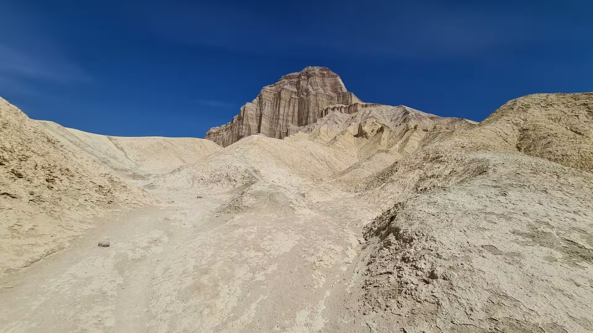
Erosion did the rest. The widening and sinking of the valley and the uplift of the Black Mountains tilted the old lake beds and gave the streams the relief they needed to cut into them, which is how the badlands were made. A hard cap of lava, erupted three to five million years ago, protects some of the ridges and has slowed their erosion, and it may be the reason why Manly Beacon stands much higher than the ground around it. Manly Beacon is named after William L. Manly, who guided the party of 1849 out of the valley.
The Black Mountains also contain one of the most thoroughly broken pieces of country in the region. The geologist Levi F. Noble studied the faulting and folding there in the 1930s and called the result the Amargosa Chaos, because the rock had been so extremely warped. Four major deformational events have since been documented: the first metamorphosed the Precambrian basement about 1,700 million years ago, and the last faulted and sheared the older rocks during the Late Miocene and Pliocene, when the crust was stretching. In places only lens shaped pods of whole formations are left.
Water works on this landscape in short violent episodes. Rain arrives in a few storms a year, the dry washes fill within minutes and carry mud and boulders down the slopes, and a widespread storm in August 2022 damaged the surface of nearly every road in the park and deposited debris across them. Between the storms the dominant force is mass wasting, the slow down slope movement of loose rock, which keeps the mountain slopes almost bare of soil. The faulting that lifted the Black Mountains was so fast that the fans at their foot are small and steep.
Things to See
Zabriskie Point is the most visited of the eastern viewpoints. It stands above the badlands on the road from Death Valley Junction to Furnace Creek, and it is made of sediments that were laid down in Furnace Creek Lake, which dried up five million years ago, long before the valley itself came into being. The name honours Christian Brevoort Zabriskie, vice president and general manager of the Pacific Coast Borax Company in the early twentieth century, the man whose twenty mule teams hauled the ore out of the desert. The point is reached by a short paved road from the highway, a few minutes north of Furnace Creek.
The outlook from the point takes in the whole of the basin below, and it has been borrowed for other places. Zabriskie Point is the title of a film by the Italian director Michelangelo Antonioni, released in 1970, and the location appears on the cover of The Joshua Tree by U2. Views of Red Cathedral and Manly Beacon were altered to form the planet Arvala-7 in the first season of The Mandalorian, and the ground below was used for a scene in the film Spartacus, which was released in 1960.
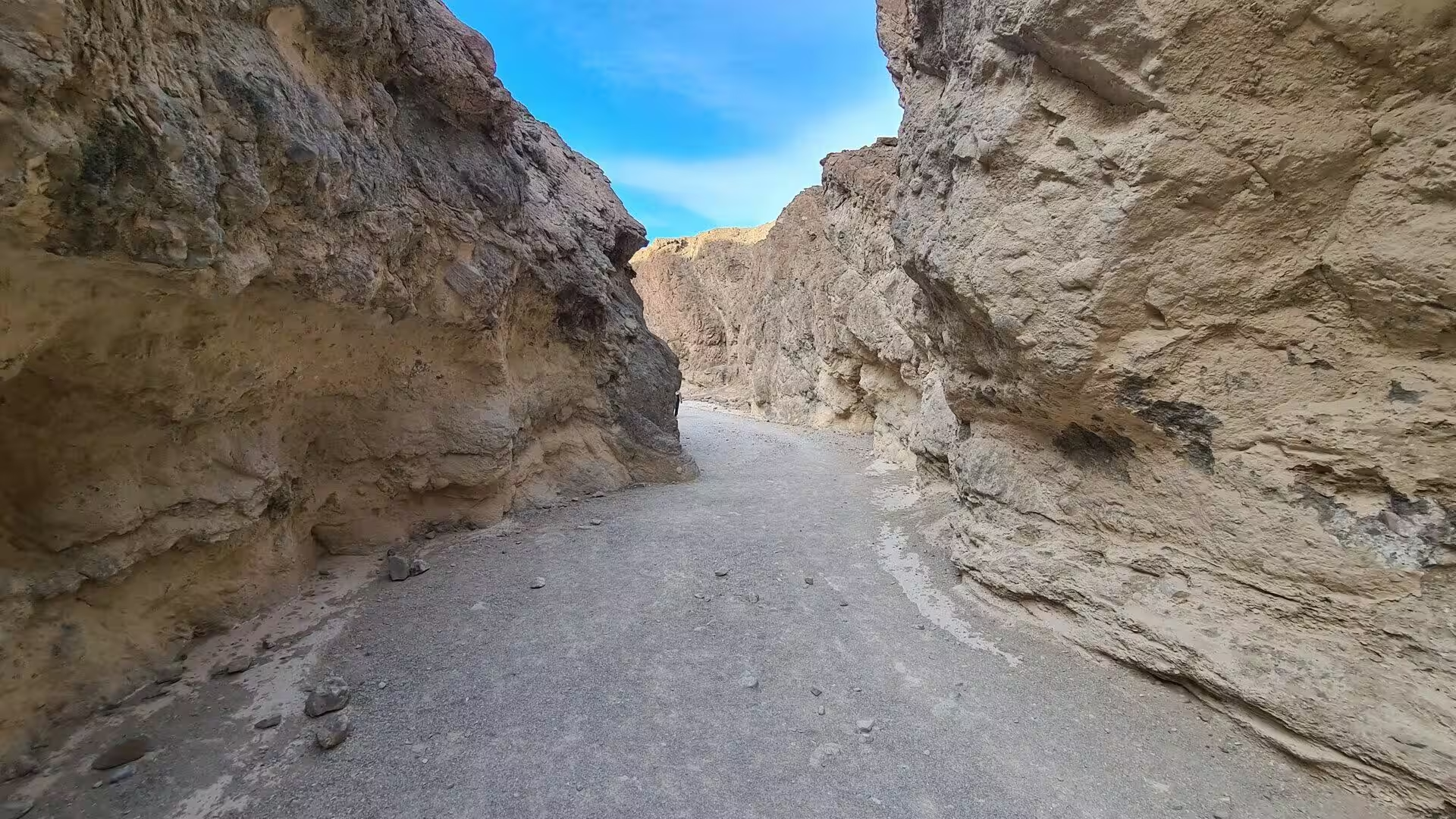
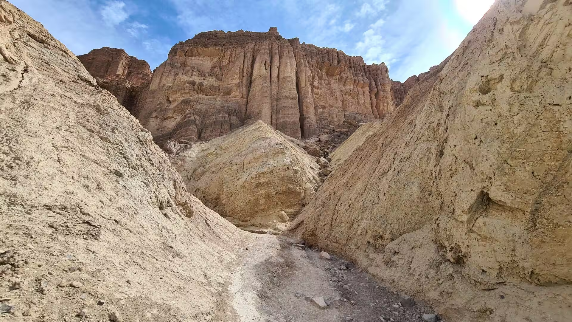
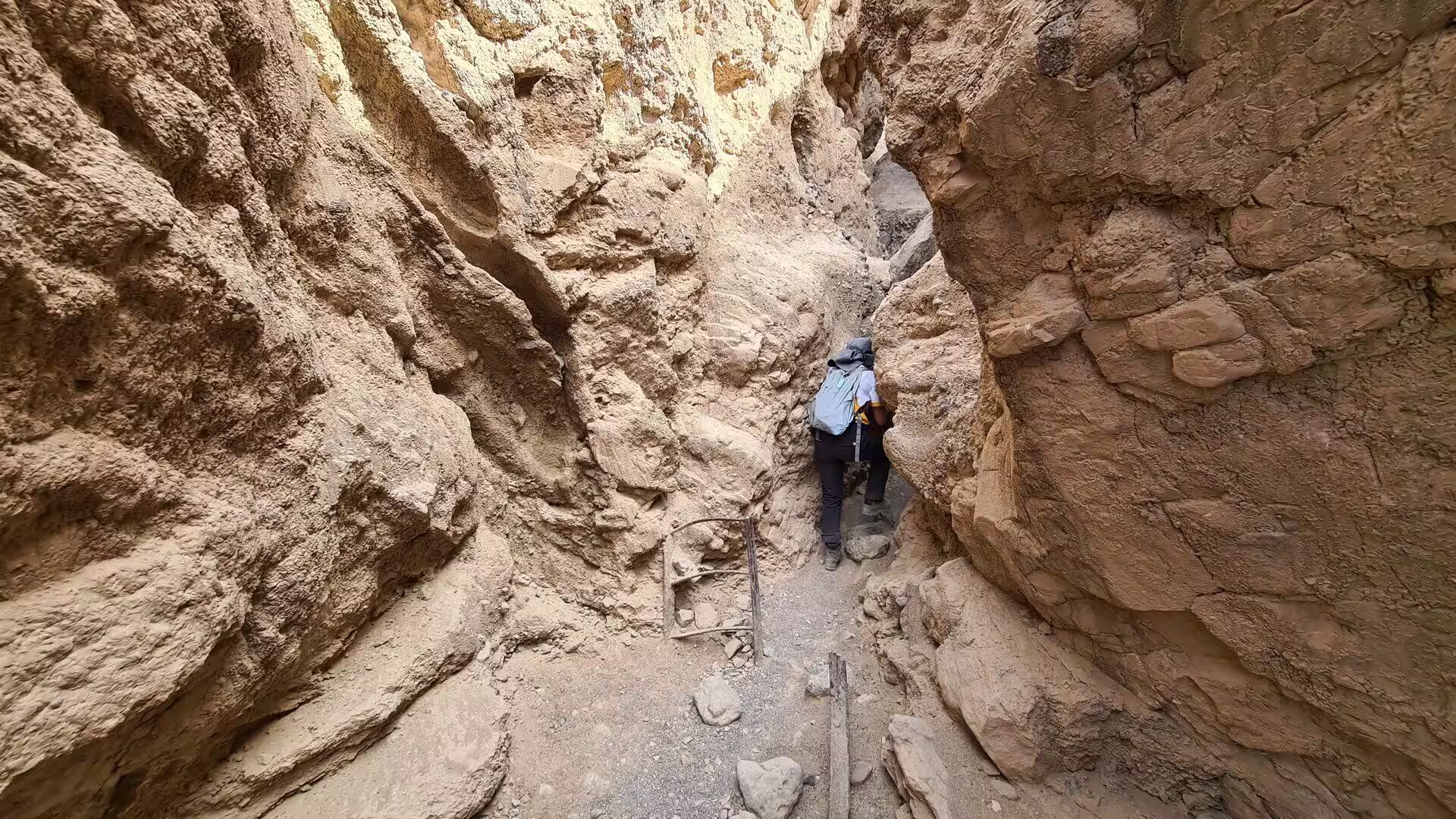
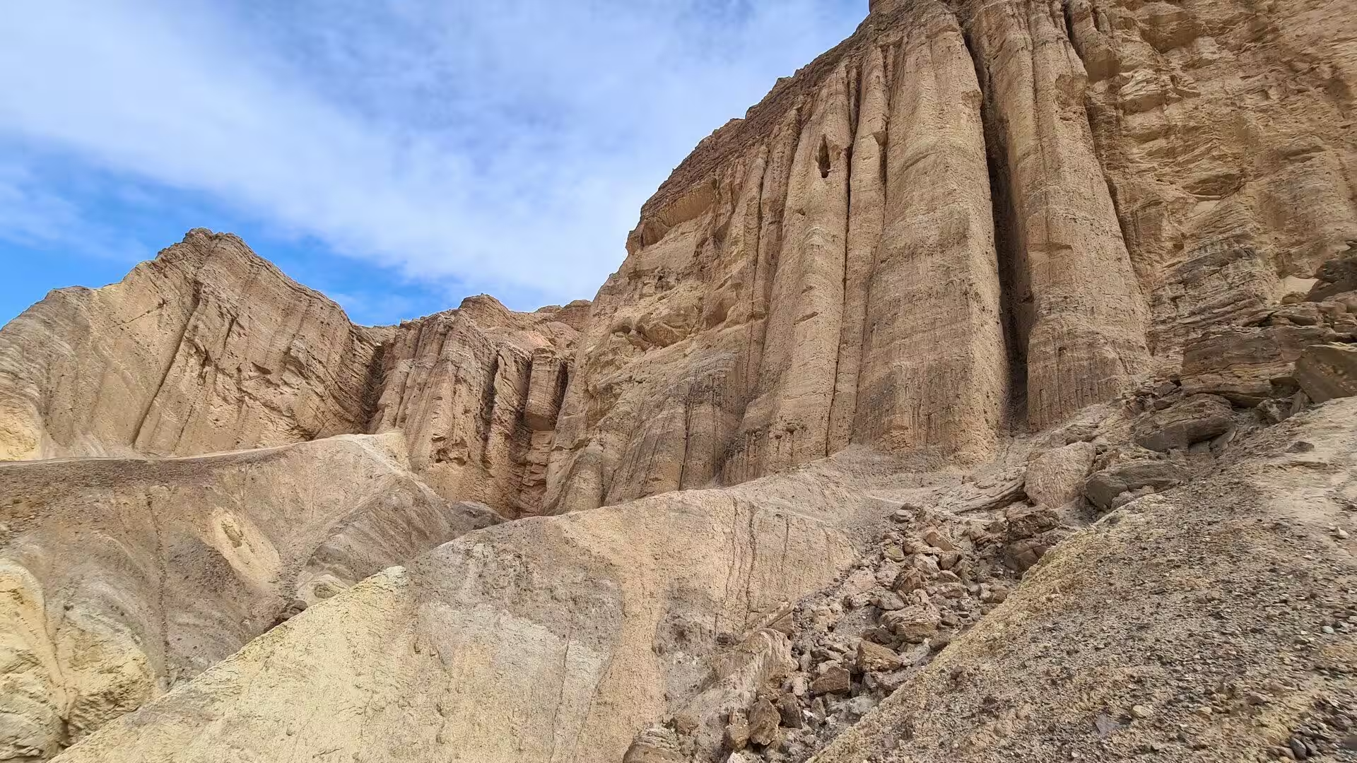
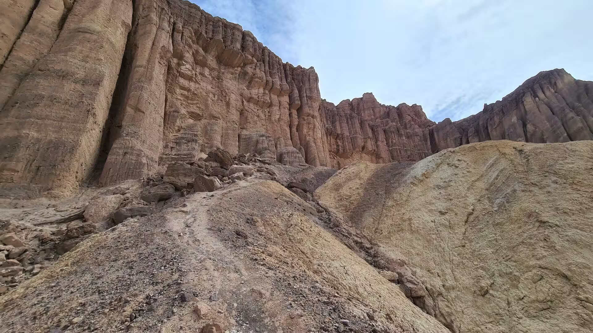
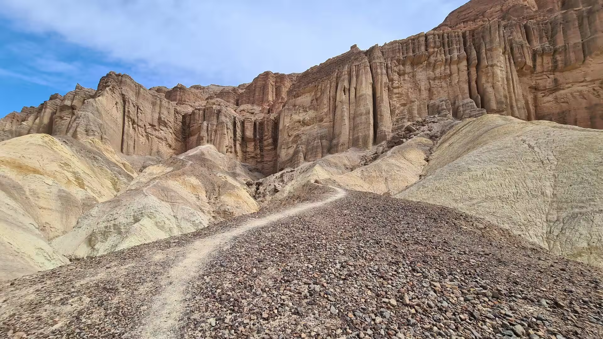
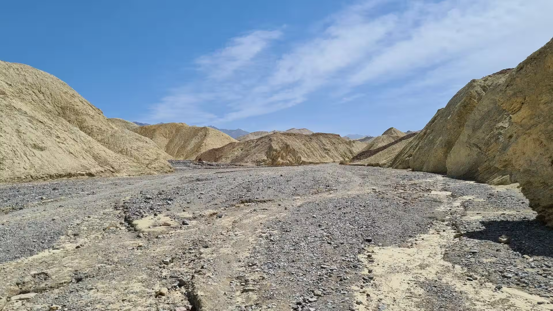
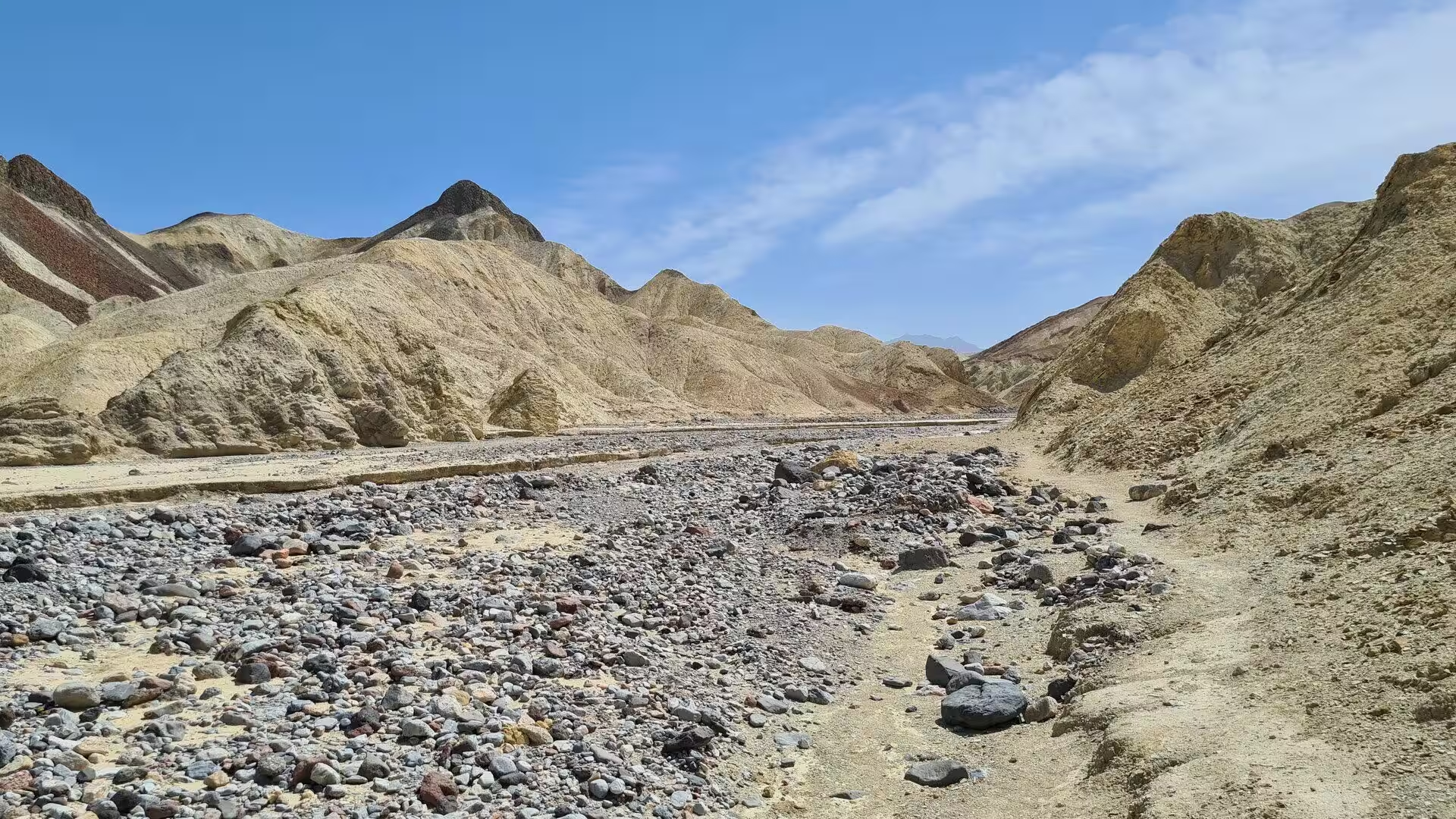
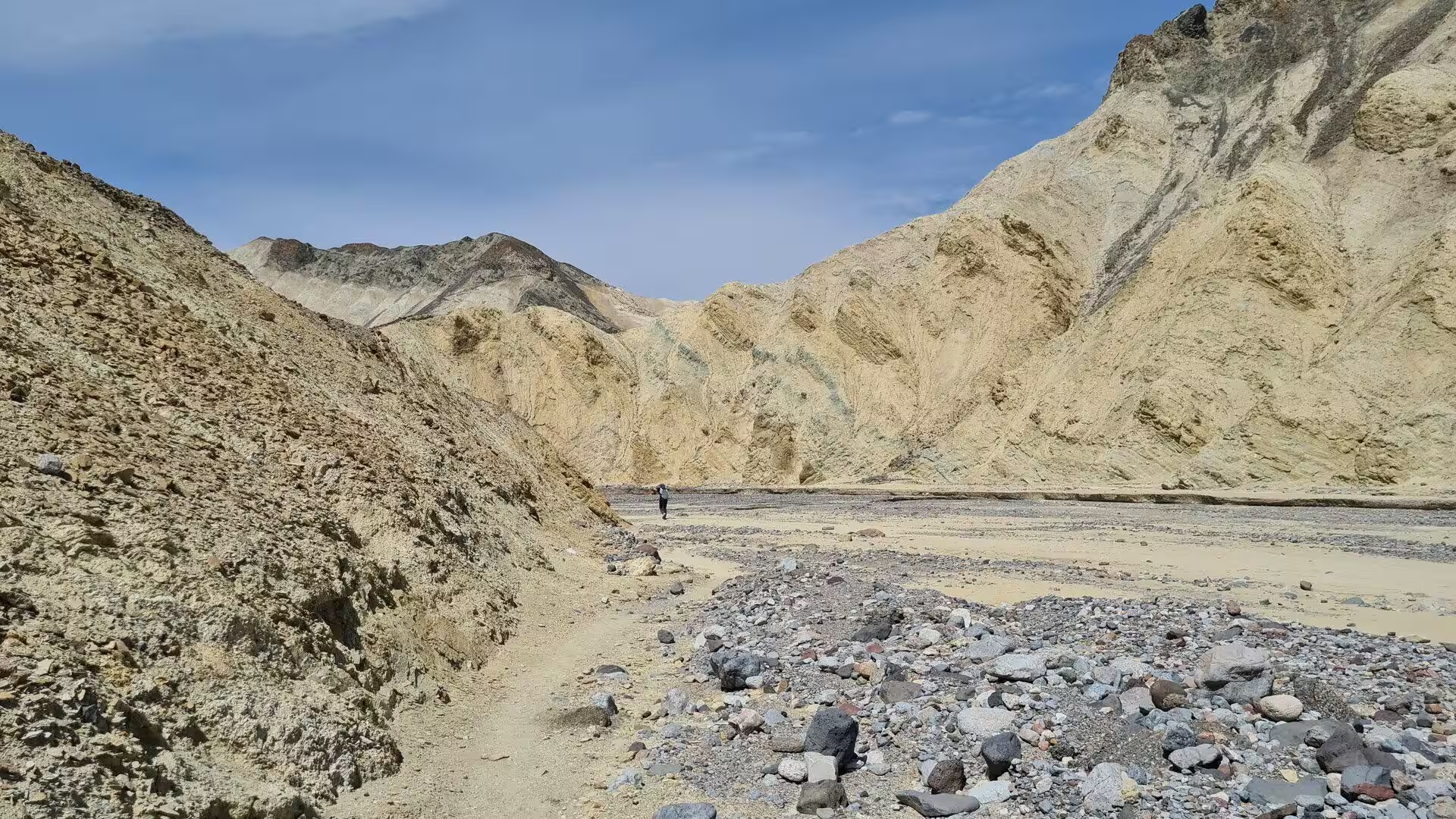
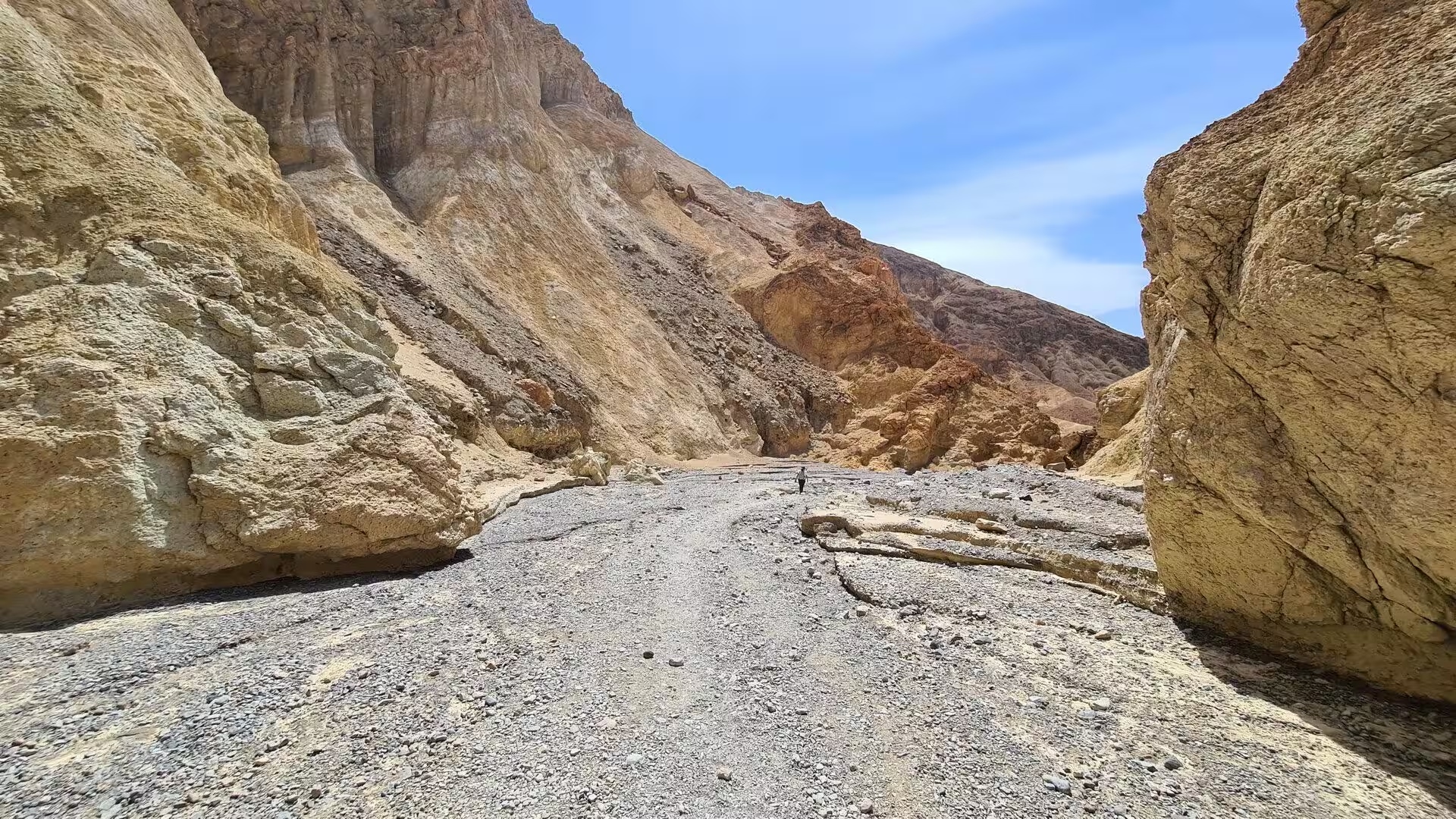
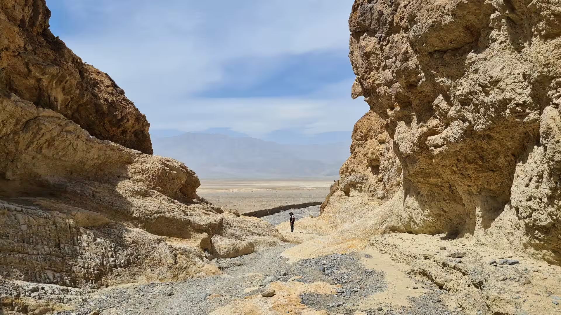
Golden Canyon is the walk that leads into the same badlands on foot. It opens from the Badwater Road a short distance south of Furnace Creek, and the route follows a wash between walls of the Furnace Creek Formation. The canyon narrows between banded cliffs of pale mudstone and conglomerate, and Red Cathedral, a mass of steep red cliffs of oxidised rock, closes the view at the head of it. The Furnace Creek Fault runs through this part of the valley, and the broken rock along it is plain to see in the walls.
Twenty Mule Team Canyon carries the name of the borax teams and is cut into the same beds as its neighbours, which is the reason to go through it. The route winds between pale ribbed ridges and small towers of badly eroded ground, with soft dust underfoot and little shade anywhere. Because the terrain is low and the ground is broken, the canyon is often empty even when the viewpoint above it is crowded. It is the clearest illustration in the park of how quickly this formation falls apart under the weather.
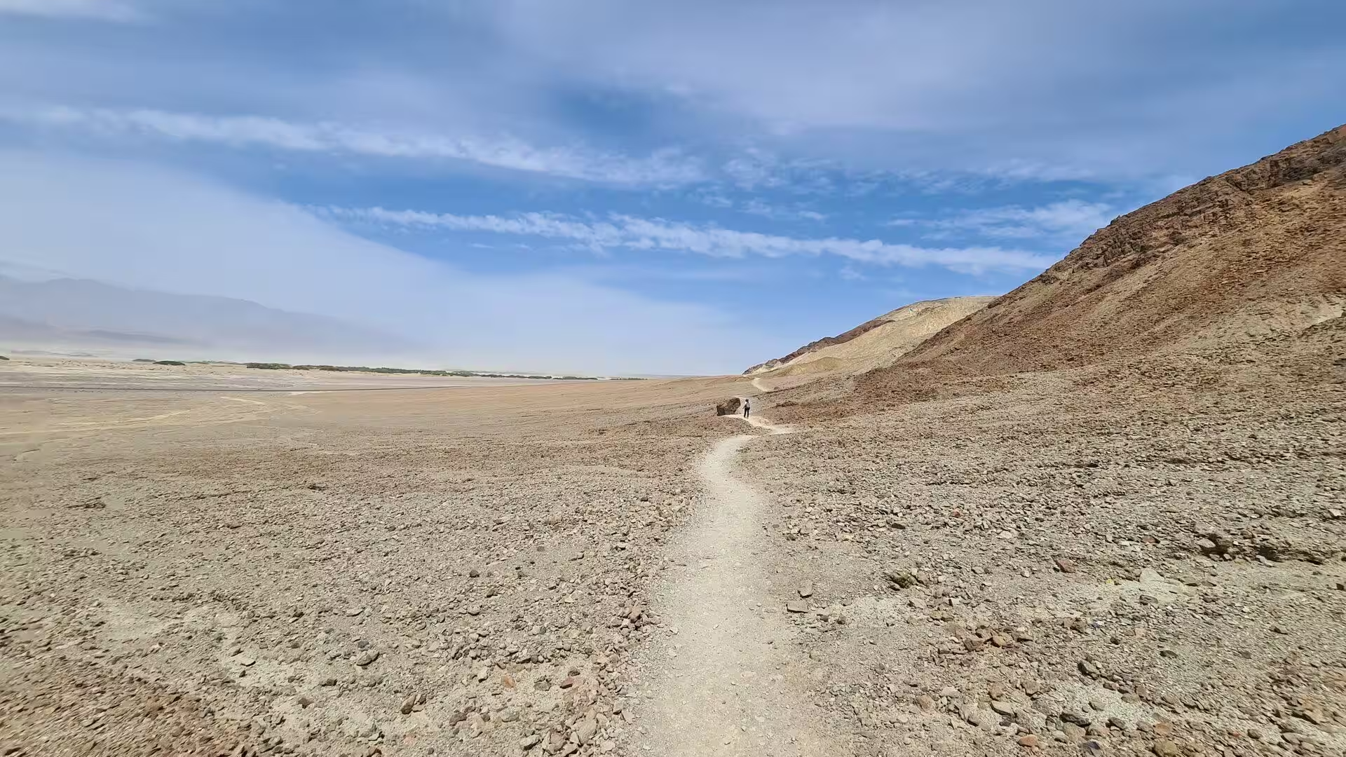
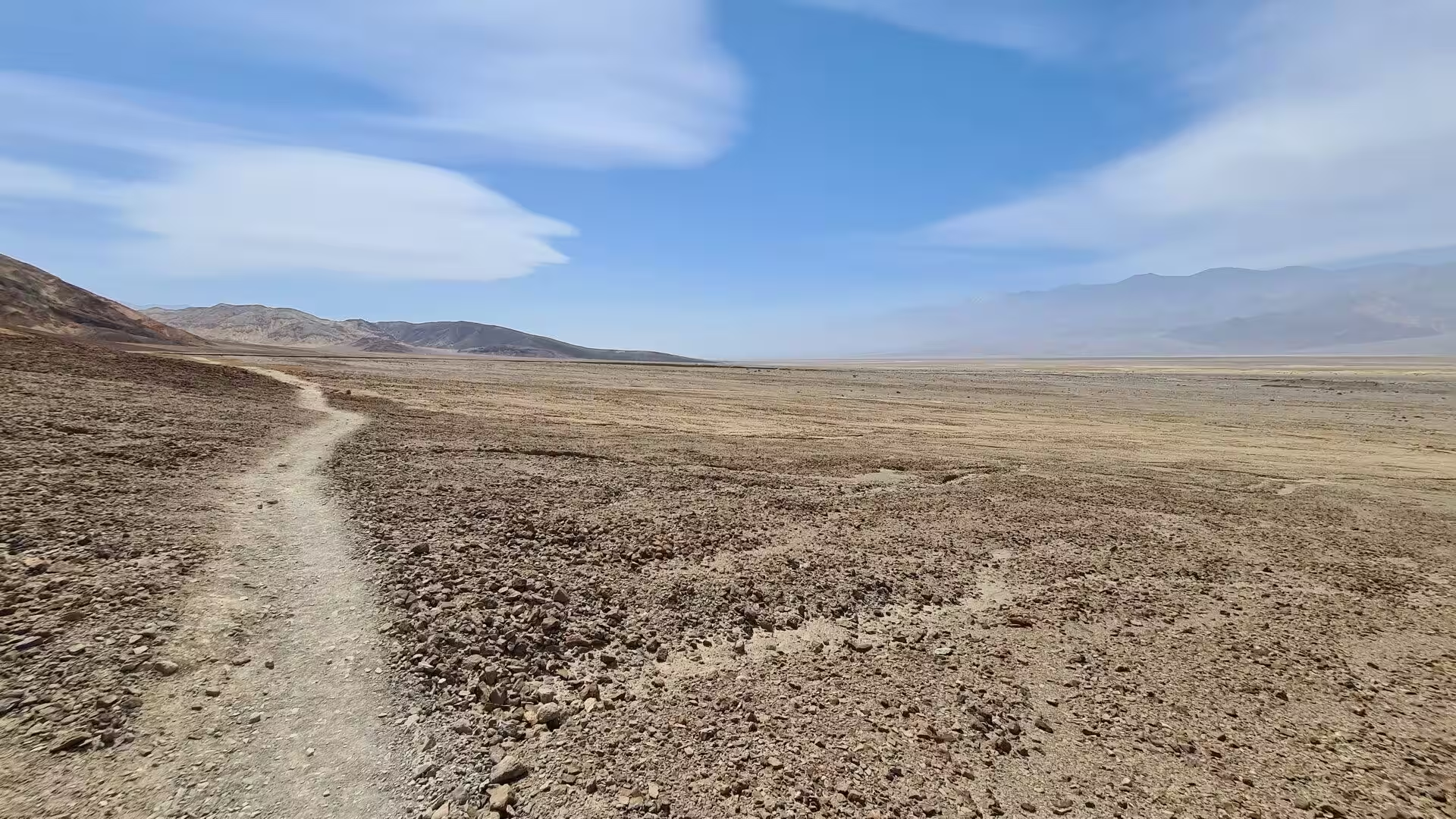
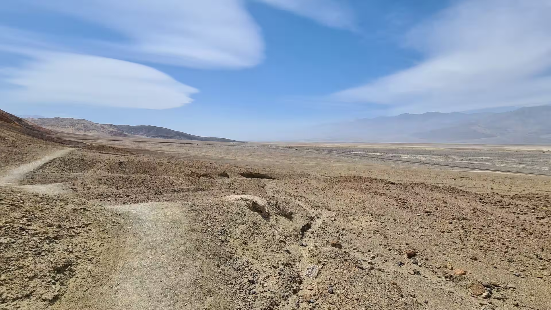
The ridge trail above Golden Canyon is the best way to see the badlands as a whole. It climbs from the canyon onto the crest of the eroded ground and runs from there towards Zabriskie Point, with Manly Beacon rising above the way and the length of the valley opening to the west. The walking is on loose scree and gravel, the sun reaches the trail early, and there is no water on the route. The colours are strongest in the first hour after sunrise, when the ridges cast long shadows across the yellow rock.
Harmony Borax Works is the historic site of the eastern valley. Coleman’s plant stood at the edge of the valley floor near Furnace Creek, and its remains are the most complete of any industrial site in the park, with masonry walls, corroded machinery, a rusted tank and the long wooden freight wagons of the teams gathered behind a fence. The wagons were built to carry ten tons each over unimproved desert roads, and the plant worked the ore of the valley floor from 1883 or 1884 until 1888. The site lies a short distance north of the visitor centre, on the edge of the open valley floor.
The borax road was a system rather than a place, and it takes some imagination to see it. From the works the loaded wagons were driven to the railhead at Mojave, a journey of 165 miles or 266 kilometres at two miles an hour, with the round trip taking about a month because the teams had to be watered and fed along the way. The outfit of eighteen mules and two horses gave its name to one of the best known trademarks in the United States. What remains of the route is a line of faint tracks through the desert.
Death Valley Junction is the other historic stop of the eastern side. It lies in the Amargosa Valley where the road to the Nevada line meets the road south to Shoshone, and it was the settlement at the junction of the railway that served the mines of the district in the early twentieth century. Its plain buildings still stand along the road, and a few motels serve travellers at this entrance to the park. Beyond the junction the land opens into the Amargosa Desert and the long approach from Nevada begins.
References
- Wikipedia contributors (2026). Death Valley National Park. en.wikipedia.org/wiki/Death_Valley_National_Park
- Wikipedia contributors (2026). Zabriskie Point. en.wikipedia.org/wiki/Zabriskie_Point
- Wikipedia contributors (2026). Amargosa Range. en.wikipedia.org/wiki/Amargosa_Range
- Wikipedia contributors (2026). Furnace Creek, California. en.wikipedia.org/wiki/Furnace_Creek%2C_California
- Wikipedia contributors (2026). Badlands. en.wikipedia.org/wiki/Badlands
- Wikipedia contributors (2026). Harmony Borax Works. en.wikipedia.org/wiki/Harmony_Borax_Works
- Wikipedia contributors (2026). Borax. en.wikipedia.org/wiki/Borax
- Wikipedia contributors (2026). Death Valley Junction, California. en.wikipedia.org/wiki/Death_Valley_Junction%2C_California
- Wikipedia contributors (2026). Death Valley. en.wikipedia.org/wiki/Death_Valley
- Wikipedia contributors (2026). Alluvial fan. en.wikipedia.org/wiki/Alluvial_fan
- Wikipedia contributors (2026). Twenty-mule team. en.wikipedia.org/wiki/Twenty-mule_team
- Wikipedia contributors (2026). Timbisha. en.wikipedia.org/wiki/Timbisha
- Wikipedia contributors (2026). Black Mountains (California). en.wikipedia.org/wiki/Black_Mountains_%28California%29
- Wikipedia contributors (2026). Geology of the Death Valley area. en.wikipedia.org/wiki/Geology_of_the_Death_Valley_area
- Wikipedia contributors (2026). Amargosa River. en.wikipedia.org/wiki/Amargosa_River
- McAllister J.F. (1976) Columnar section of the main part of the Furnace Creek Formation of Pliocene (Clarendonian and Hemphillian) age, across Twenty-Mule Team Canyon, Furnace Creek borate area, Death Valley, California. Open-File Report. doi.org/10.3133/ofr76261
- Blair T.C., Raynolds R.G. (1999) Sedimentology and tectonic implications of the Neogene synrift Hole in the Wall and Wall Front members, Furnace Creek Basin, Death Valley, California. Cenozoic basins of the Death Valley region. doi.org/10.1130/0-8137-2333-7.127
- Blair T.C., McPherson J.G. (1994) Alluvial Fan Processes and Forms. Geomorphology of Desert Environments. 354-402. doi.org/10.1007/978-94-015-8254-4_14
- Reeves C.C. (1978) Economic Significance of Playa Lake Deposits. Modern and Ancient Lake Sediments. 279-290. doi.org/10.1002/9781444303698.ch15
- HANDFORD C.R. (1982) Sedimentology and evaporite genesis in a Holocene continental-sabkha playa basin-Bristol Dry Lake, California. Sedimentology. 29. 239-253. doi.org/10.1111/j.1365-3091.1982.tb01721.x