Day 12 - Las Vegas
4 June 2022







Journal Notes
General
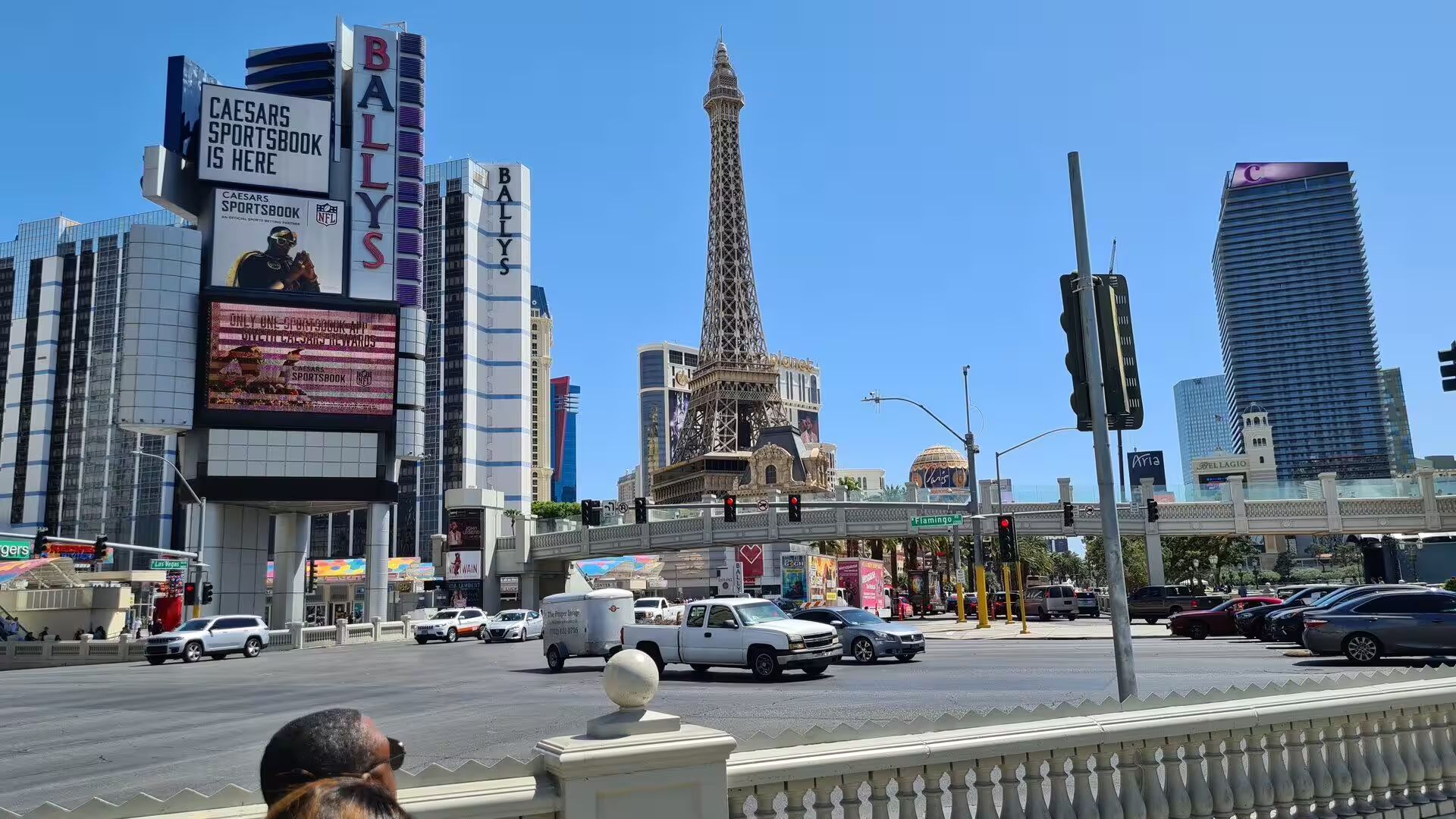
Las Vegas is the most populous city in Nevada and the county seat of Clark County, and it stands in a basin on the floor of the Mojave Desert at about 2,030 feet, or 620 metres, above sea level. Some 641,903 people lived in the city at the 2020 census, and the metropolitan area holds about 2.4 million. The city is best known for gambling, shopping, dining, entertainment and nightlife, most of which lies either downtown or along the Las Vegas Strip, and it attracted more than 40.8 million visitors in a recent year.
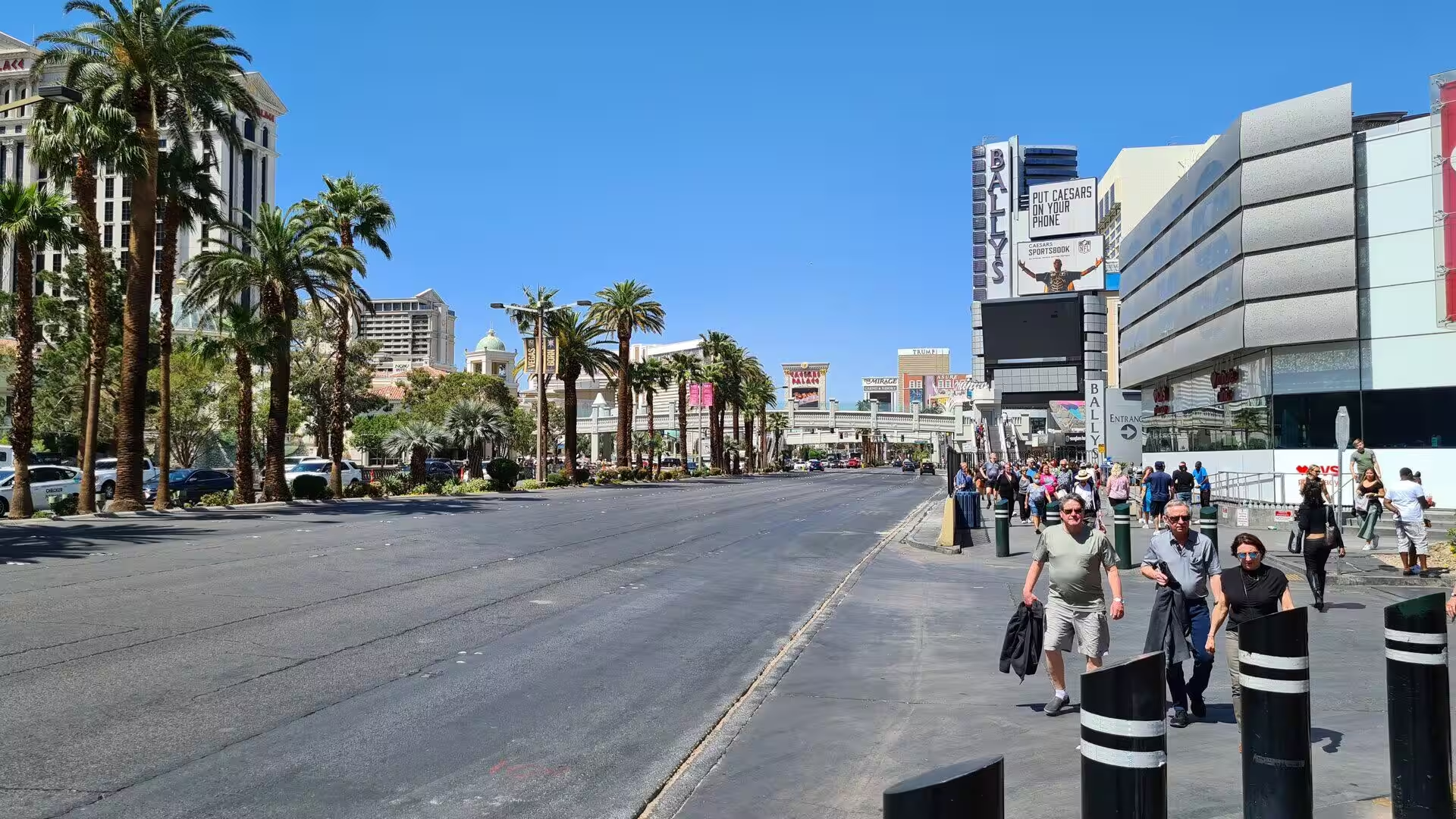
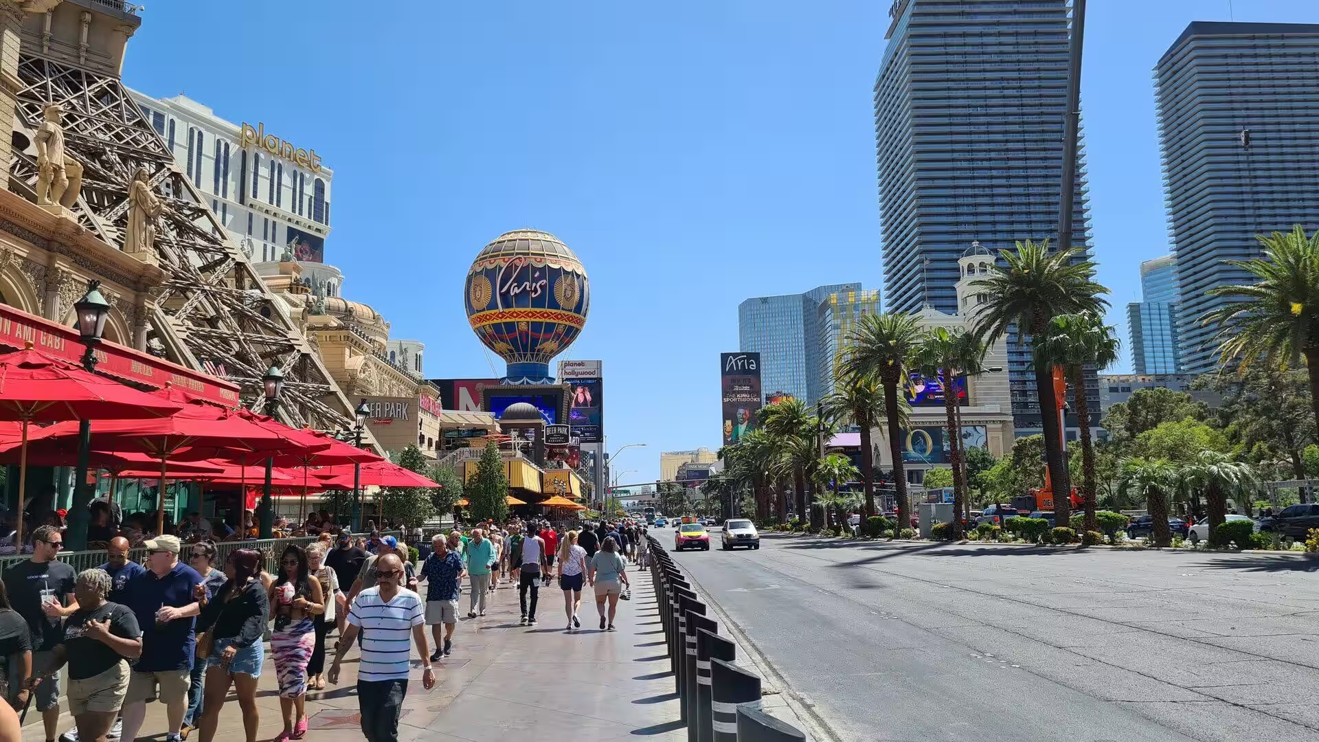
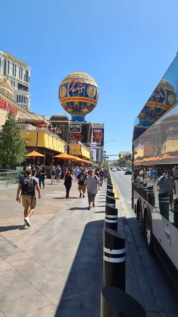
The Las Vegas Strip is a stretch of Las Vegas Boulevard about 4.2 miles, or 6.8 kilometres, long, and it lies just south of the city limits in the unincorporated towns of Paradise and Winchester. It carries many of the largest hotel casino and resort properties in the world, and its hotels, restaurants and skyline have made it one of the most visited destinations on earth. Most of the Strip has been designated an All-American Road, and its northern and southern sections are classed as Nevada and National Scenic Byways.
Paradise is an unincorporated town in Clark County with 191,238 residents at the 2020 census, which makes it the fifth most populous census-designated place in the United States. It contains Harry Reid International Airport, the University of Nevada at Las Vegas and the greater part of the Strip, although every address in the town is written as Las Vegas. The town was created on 8 December 1950 to stop the city annexing the casino corridor, and the casino executives who lobbied for it were led by Gus Greenbaum of the Flamingo. Winchester was separated from it in 1953.
The Las Vegas Valley is a basin of about 600 square miles, or 1,600 square kilometres, walled by mountains on every side but the north west, and it holds the three largest incorporated cities in Nevada: Las Vegas, Henderson and North Las Vegas. Clark County covers 8,061 square miles, roughly the size of New Jersey, and its 2,265,461 residents at the 2020 census are about seventy per cent of the population of the state on seven per cent of its land. The Colorado River forms the south eastern boundary, where Hoover Dam holds back Lake Mead.
Las Vegas has a subtropical hot desert climate, and it is among the sunniest and driest places in North America, with 310 sunny days a year and only 4.2 inches, or about 110 millimetres, of rain. July is the hottest month, with an average daytime high of 104.5 degrees Fahrenheit, that is 40.3 degrees Celsius, and 137 days a year reach or pass 90 degrees. The record is 120 degrees, measured on 7 July 2024. About ninety per cent of the city’s water comes from Lake Mead, under an annual allocation of 300,000 acre-feet.
History
Nomadic hunters came to the Las Vegas Valley more than 10,000 years ago and left petroglyphs behind them, and Ancestral Puebloan and Southern Paiute peoples followed at least 2,000 years ago. The Paiute spent their winters beside the springs that gave the valley its name, where artesian water supported meadows of grass and mesquite. In 1829 the Mexican trader Antonio Armijo led sixty men and a hundred mules along the Old Spanish Trail and stopped for water, and his party named the place Las Vegas, Spanish for the meadows. John C. Frémont reached the valley in 1844.
Mormon missionaries under William Bringhurst built an adobe fort of 150 feet square beside the creek in 1855 and irrigated crops from it, but the community returned to Utah in 1857 and abandoned the post, whose remains are kept in the Old Las Vegas Mormon Fort State Historic Park. The water rights then passed through the hands of Octavius Gass and the Stewart family, and in 1902 the San Pedro, Los Angeles and Salt Lake Railroad bought the ranch. The city was founded on 15 May 1905, when 110 acres beside the tracks were auctioned, and it was incorporated in 1911.
The year 1931 changed everything. Nevada legalised casino gambling, cut the residency requirement for divorce to six weeks, and began work on the tunnels of the Boulder Dam, later renamed the Hoover Dam. The population of the town rose from about 5,000 to 25,000 as workers arrived, and the county issued its first gambling licence to the Northern Club. Federal planners built Boulder City so that the dam crews would not live in Las Vegas, but electricity from the dam reached the city in 1937, and the lights of Fremont Street earned it the name Glitter Gulch.
The first resort on the Strip was the El Rancho Vegas, which opened with 63 bungalow rooms on 3 April 1941 and became famous for its buffet. The Hotel Last Frontier followed in 1942, and in 1946 Bugsy Siegel and Meyer Lansky opened the Flamingo, which showed how firm a hold organised crime had on the new casino industry. The Teamsters pension fund and local banks then financed the Sahara, the Sands, the Riviera, the Fremont and the Tropicana, and by 1954 more than eight million people were visiting each year and spending $200 million in the casinos.
Howard Hughes arrived in 1966 and bought hotel after hotel, and legitimate corporations followed him, so that organised crime was pushed out over the years that followed. Caesars Palace had opened in the same year, and the International Hotel of 1969, with 1,512 rooms, began the age of the mega-resorts. The Mirage opened in 1989 and more than twelve new hotels followed in the 1990s, among them the Bellagio and the themed resorts of the Luxor, Excalibur and Mandalay Bay. The Fremont Street Experience opened on 14 December 1995.
Geology
Las Vegas lies in a fault-bounded basin on the floor of the Mojave Desert, the smallest and driest of the four North American deserts, which is often called the high desert because most of it stands between 2,000 and 4,000 feet above sea level. The valley is walled by mountain ranges, and those to the north and west rise above 10,000 feet and take the moisture out of the prevailing winds. The Spring Mountains run along the western side of the city, and their summit, Mount Charleston, reaches 11,918 feet or 3,633 metres, the highest ground in Clark County.
The valley is a structural and hydrologic basin filled with alluvial-fan deposits, and it is crossed by several active faults, among them the Frenchman Mountain Fault, which runs for twenty miles and is capable of a magnitude seven event, and the Whitney Mesa, Cashman, Valley View, Decatur, Eglington and West Charleston faults. Nevada is the third most seismically active state in the union after Alaska and California, and the United States Geological Survey has estimated a ten to twenty per cent chance of an earthquake of magnitude 6.0 or more within fifty kilometres of the city in the next fifty years.
Rain in the mountains is carried down the alluvial fans and gathered in dry channels known as washes or arroyos, which converge on the Las Vegas Wash and once fed a large natural wetland that drained into the Colorado River. Hoover Dam and Lake Mead put an end to that, and later work in the 1980s and 1990s sent the wash through tunnels beneath Lake Las Vegas. Pumping from the deep aquifers, which lie between 660 and 980 feet down, lowered the ground by about 6.2 feet in the city centre and about 2.9 feet along the Strip by 1986.
Hoover Dam is a concrete arch-gravity dam in the Black Canyon of the Colorado River, on the boundary between Nevada and Arizona about thirty miles south east of the city. It was authorised in 1928, built between 1931 and 1936 by a consortium called Six Companies, and dedicated on 30 September 1935 by President Franklin D. Roosevelt. The dam impounds Lake Mead, and its generators supply public and private utilities in Nevada, Arizona and California. The road across its crest carried U.S. Route 93 until the Hoover Dam Bypass opened in October 2010.
Creosote bush is the main native plant of Clark County, and the mountains are mostly bare rock. Water is scarce, and the springs of the valley, which the Paiute used and which gave the city its name, are among the few natural features of the kind in the region. Beyond the built-up area the ground is desert pavement, gravel and dry wash, and the ranges that close the basin on three sides are cut by passes that carry the highways out of it.
Things to See
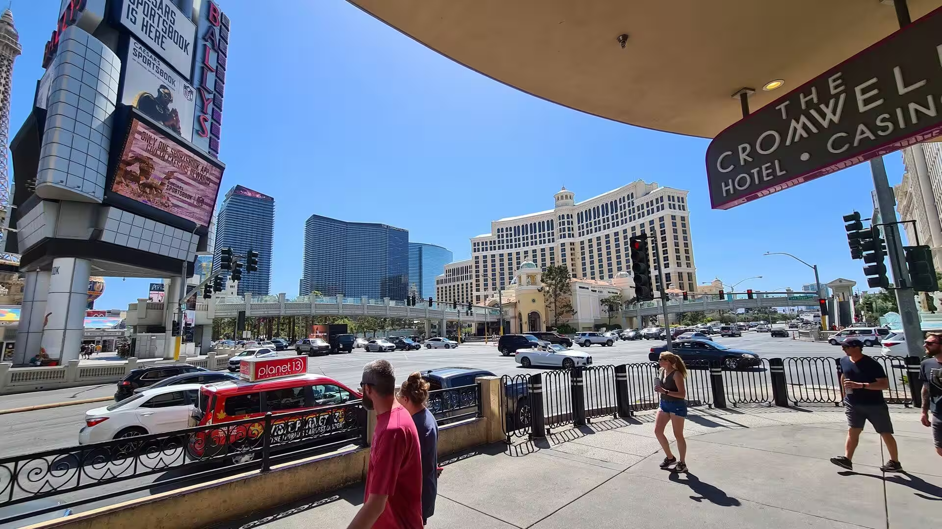
The Strip is best understood on foot or from the monorail, which runs 3.9 miles along its eastern side between the Sahara and the MGM Grand. Tens of thousands of pedestrians use the boulevard at any time, and about 50,000 walked it on an average day in 2019, so several footbridges were built over Las Vegas Boulevard in the 1990s. The double-decker buses of the RTC system, known as The Deuce, link the Welcome to Fabulous Las Vegas sign with the Fremont Street Experience. That sign was built in 1959.
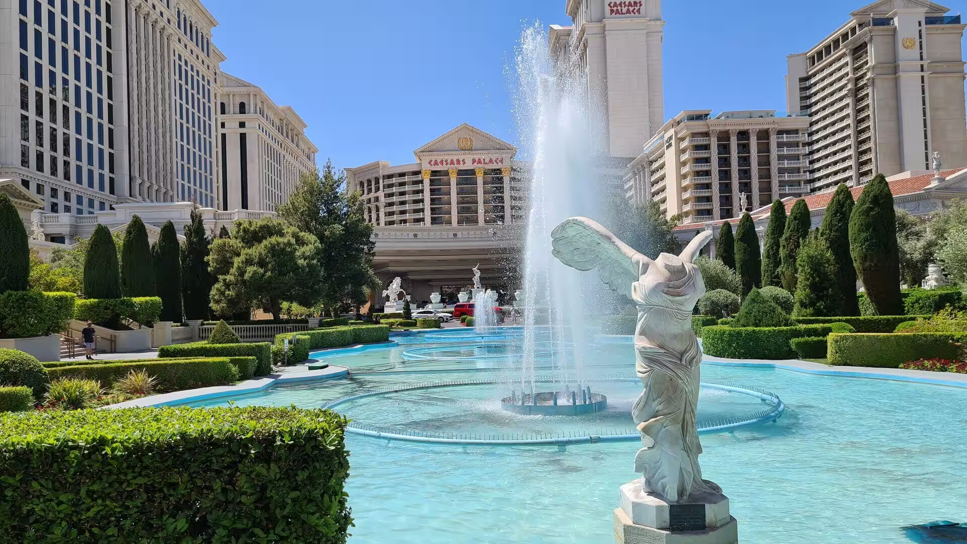
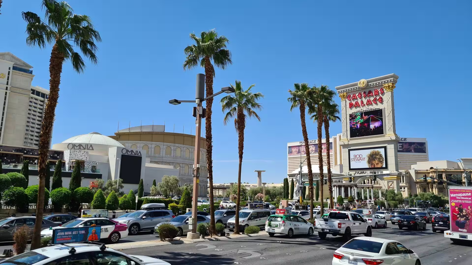
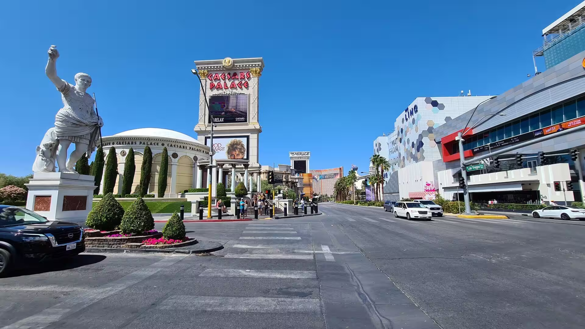
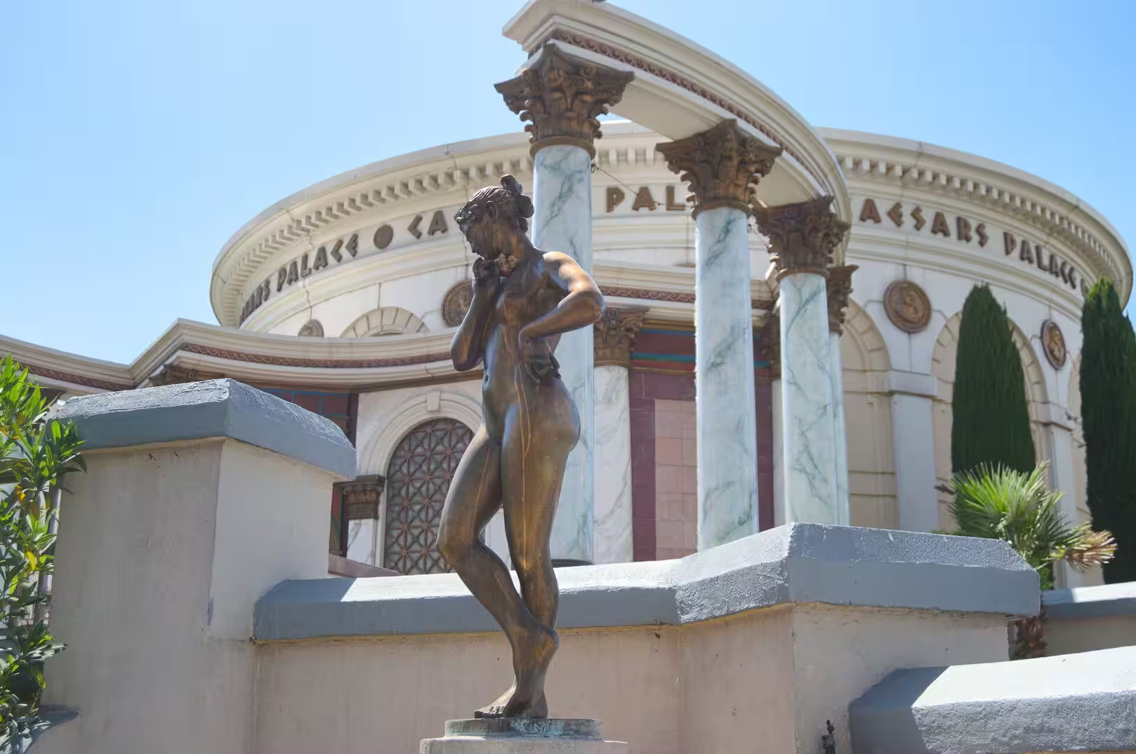
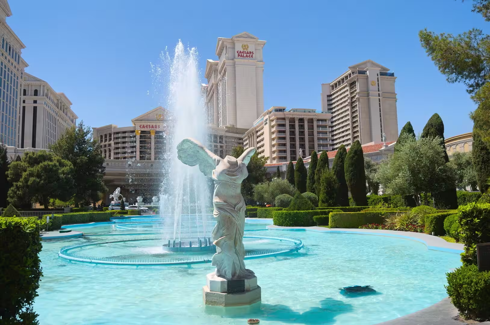
Caesars Palace opened on 5 August 1966 on a site of 34 acres on the west side of the Strip, and it was built for Jay Sarno and Stanley Mallin on land owned by Kirk Kerkorian. The theme is imperial Rome, and the grounds carry a twenty-foot statue of Augustus Caesar, fountains, marble columns and a four-ton four-faced Brahma shrine made in Bangkok in 1983. The hotel now has 3,960 rooms in six towers and a convention floor of more than 300,000 square feet. The Forum Shops of 1992 is the highest grossing mall in the United States.
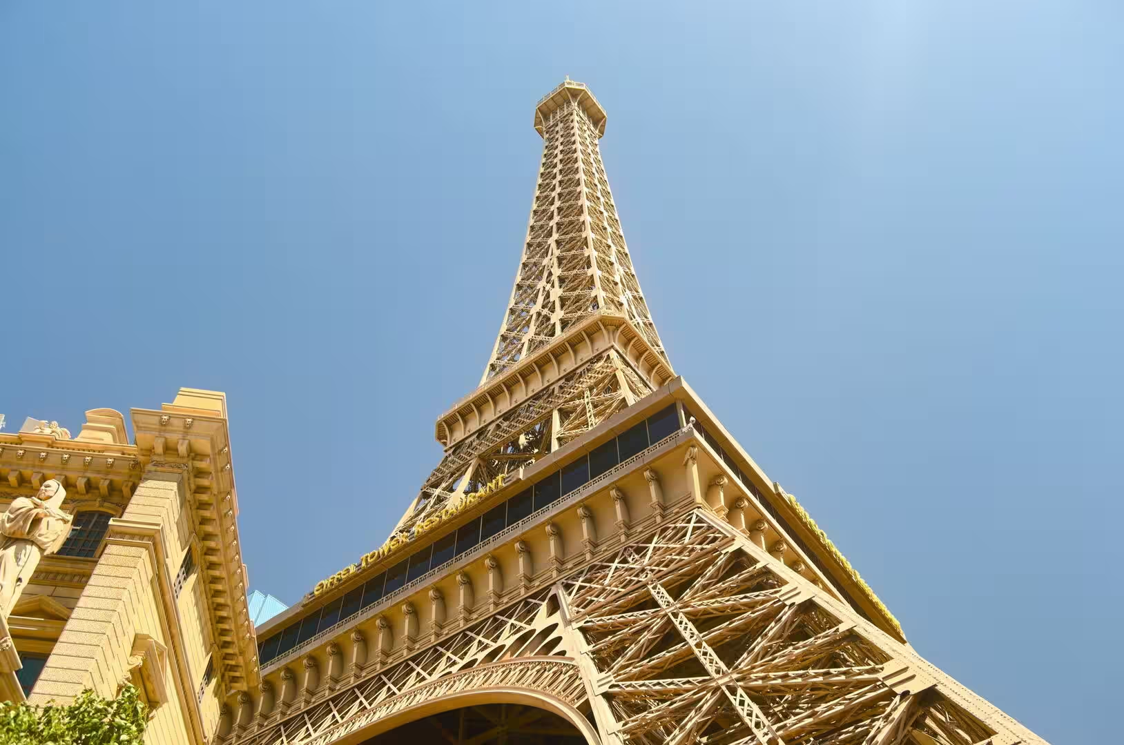
Paris Las Vegas opened on 1 September 1999 at a cost of $785 million, on 24 acres directly south of the Horseshoe. It holds a casino of 95,263 square feet and, since a hotel tower was rebuilt in 2024, about 3,672 rooms. Its half-scale Eiffel Tower replica rises 540 feet, or 160 metres, with an observation deck at 460 feet that can hold 96 people, and it was built by Schuff Steel from 5,000 tons of steel, with three of its four legs standing on the casino floor. The architect Joel Bergman worked from Gustave Eiffel’s original blueprints.
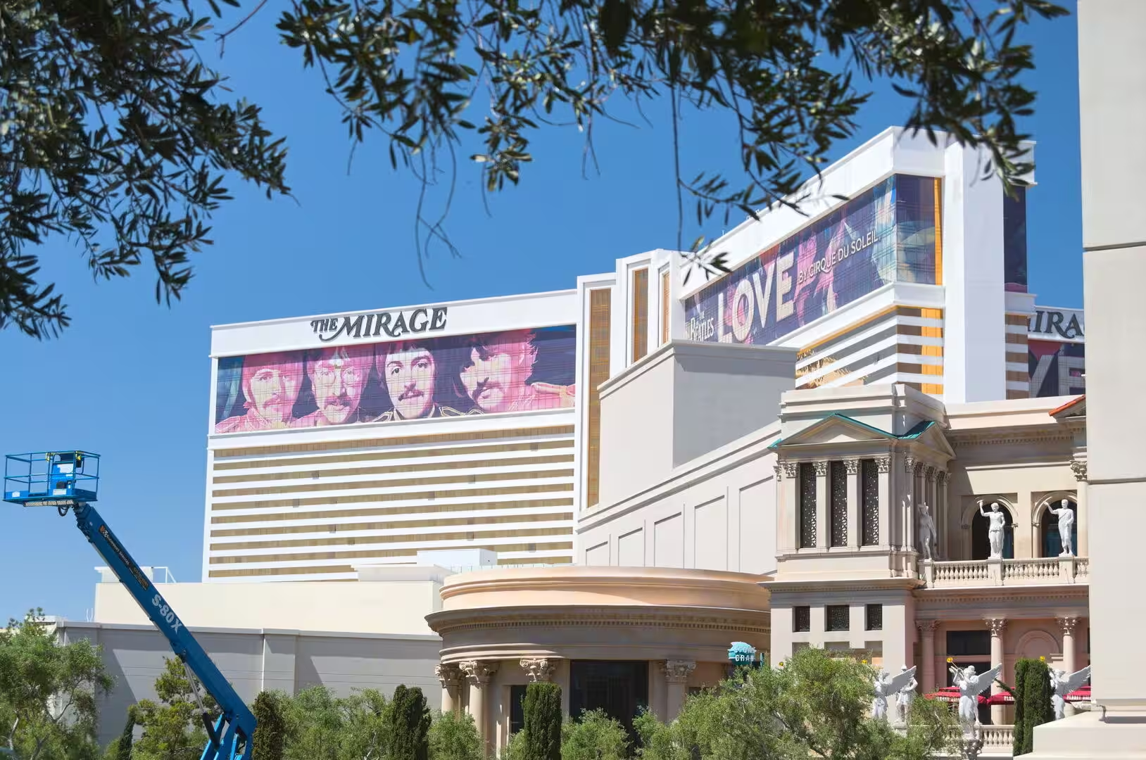
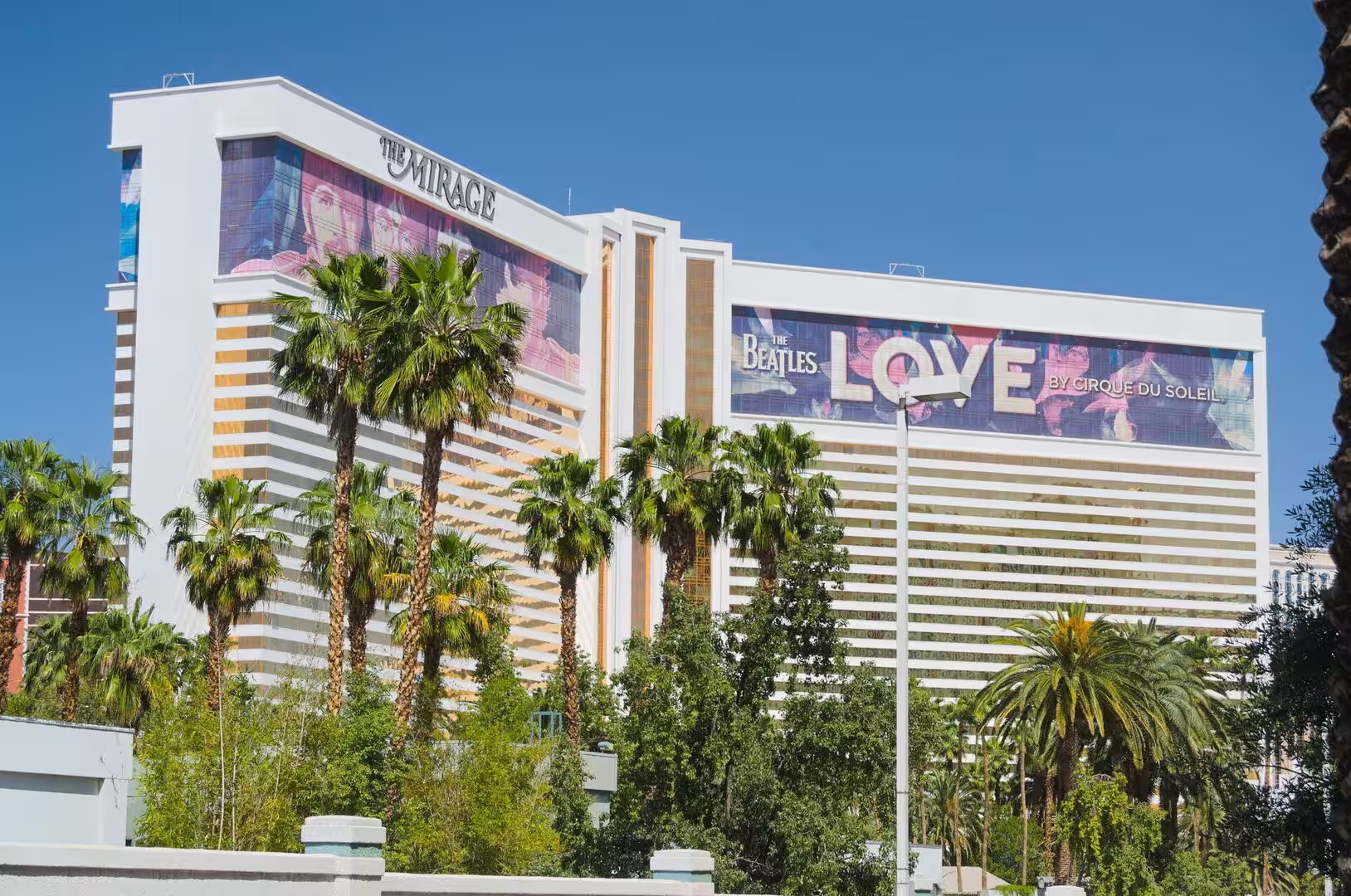
The Mirage, at the northern end of the resort corridor, opened on 22 November 1989 after two years of construction, at a cost of $630 million. It was the first mega-resort on the Strip, with a casino of 90,548 square feet, 3,044 rooms, a tropical forest display, habitats for dolphins and tigers, and an artificial volcano that erupted every evening. Siegfried and Roy performed there for nearly fourteen years. The resort closed on 17 July 2024 and is expected to reopen as Hard Rock Las Vegas in late 2027.
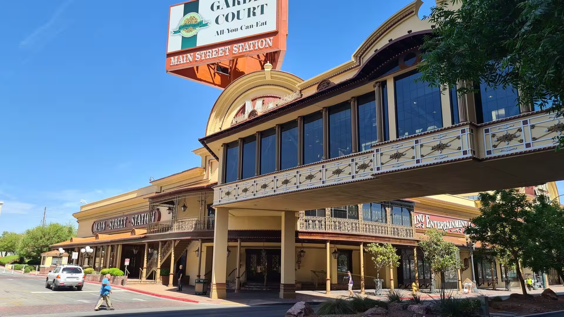
Downtown Las Vegas keeps the first of everything. Fremont Street had the first hotel, the Hotel Nevada of 1906, now the Golden Gate, the first paved street in 1925 and the first gaming licence in the state, which went to the Northern Club at 15 East Fremont Street. In 1994 the five western blocks were closed to traffic, and the Fremont Street Experience opened on 14 December 1995 under a barrel vault canopy ninety feet high and about 1,375 feet long, lit since 2004 by 12.5 million light emitting diodes. Main Street Station stands beside the western end of the mall.
Hoover Dam is the great excursion from the city, thirty miles or forty-eight kilometres to the south east near Boulder City, and about seven million people visit it each year. The dam is 660 feet thick at the base and 45 feet at the crest, and the road that once crossed it carried every vehicle between Nevada and Arizona until the bypass opened in 2010. Visitors can walk the crest, look down into the Black Canyon and join a guided tour of the generating hall, where turbines driven by the Colorado River still work for three states.
Older sights lie away from the resort corridor. The Old Las Vegas Mormon Fort State Historic Park preserves the adobe fort that Mormon missionaries raised in 1855, and the Springs Preserve explains the water that made settlement possible. The Tule Springs Fossil Beds National Monument, north of the city, has produced a large collection of Late Pleistocene fossils, among them Columbian mammoths and the extinct camel Camelops hesternus. The Nevada Test Site lay sixty-five miles north west, and the mushroom clouds of its tests were watched from the hotels until 1963.
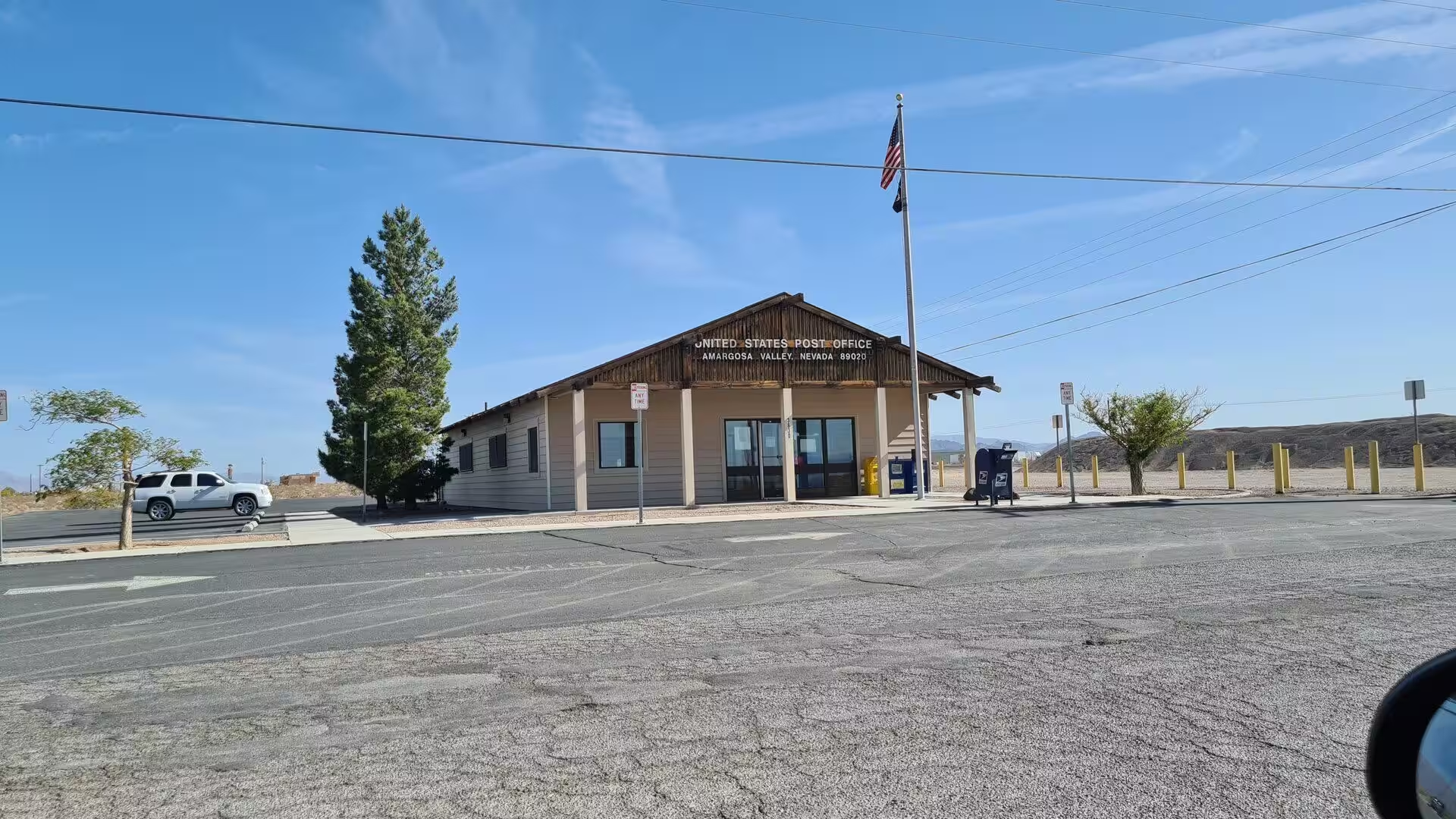
Routes out of the valley run through desert that repays the drive. Interstate 15 leaves to the south west past Jean Pass and the Ivanpah Valley, and U.S. Route 95 goes north west through the Spring Mountains at Strawberry Valley. The Spring Mountains are a sky island of some 860 square miles with 37 species of trees and more than twenty plants and animals found nowhere else, among them Palmer’s chipmunk. They also divide the Amargosa River basin from the watershed of the Las Vegas Valley.
References
- Wikipedia contributors (2026). Las Vegas. en.wikipedia.org/wiki/Las_Vegas
- Wikipedia contributors (2026). Las Vegas Strip. en.wikipedia.org/wiki/Las_Vegas_Strip
- Wikipedia contributors (2026). Paradise, Nevada. en.wikipedia.org/wiki/Paradise%2C_Nevada
- Wikipedia contributors (2026). Clark County, Nevada. en.wikipedia.org/wiki/Clark_County%2C_Nevada
- Wikipedia contributors (2026). Caesars Palace. en.wikipedia.org/wiki/Caesars_Palace
- Wikipedia contributors (2026). Paris Las Vegas. en.wikipedia.org/wiki/Paris_Las_Vegas
- Wikipedia contributors (2026). The Mirage. en.wikipedia.org/wiki/The_Mirage
- Wikipedia contributors (2026). Hoover Dam. en.wikipedia.org/wiki/Hoover_Dam
- Wikipedia contributors (2026). Nevada. en.wikipedia.org/wiki/Nevada
- Wikipedia contributors (2026). Mojave Desert. en.wikipedia.org/wiki/Mojave_Desert
- Wikipedia contributors (2026). History of Las Vegas. en.wikipedia.org/wiki/History_of_Las_Vegas
- Wikipedia contributors (2026). Las Vegas Valley. en.wikipedia.org/wiki/Las_Vegas_Valley
- Wikipedia contributors (2026). Bugsy Siegel. en.wikipedia.org/wiki/Bugsy_Siegel
- Wikipedia contributors (2026). Fremont Street Experience. en.wikipedia.org/wiki/Fremont_Street_Experience
- Wikipedia contributors (2026). Spring Mountains. en.wikipedia.org/wiki/Spring_Mountains
- Wikipedia contributors (2026). Southern Nevada. en.wikipedia.org/wiki/Southern_Nevada
- Stephen H., Black A., Ahmad S. (2014) Relating Temperature Trends to Urban Change and NDVI in Las Vegas. World Environmental and Water Resources Congress 2014. 866-875. doi.org/10.1061/9780784413548.090
- Robison J. (2016) Climate Change and Allocation Institutions in the Colorado River Basin. Drought and Water Crises. 289-314. doi.org/10.1201/b19534-20