Day 13 - Zion National Park
4 June 2022


Journal Notes
General
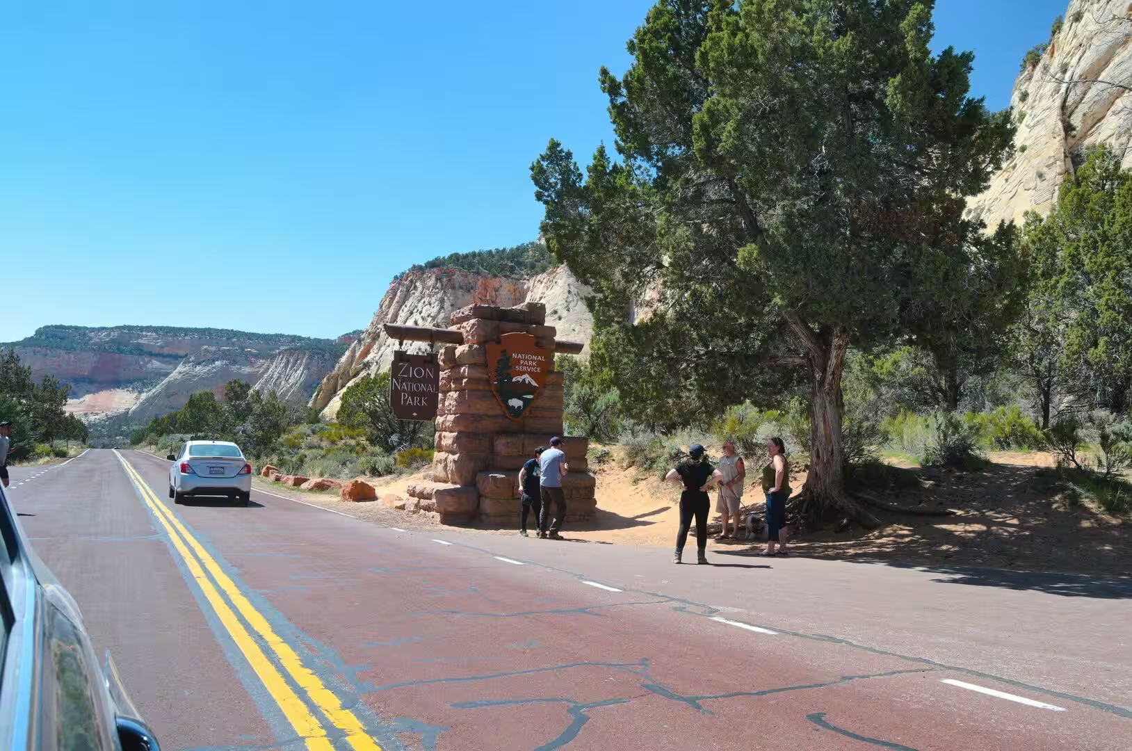
Zion National Park lies in south western Utah, close to the town of Springdale, where the Colorado Plateau, the Great Basin and the Mojave Desert meet. The protected area covers 229 square miles, or 590 square kilometres, and reaches from Coalpits Wash, 3,666 feet or 1,117 metres above sea level, to the summit of Horse Ranch Mountain at 8,726 feet, or 2,660 metres. A relief of about 5,100 feet brings desert, canyon and high plateau within a short distance of one another, and visitation reached 4,984,525 people in 2025.
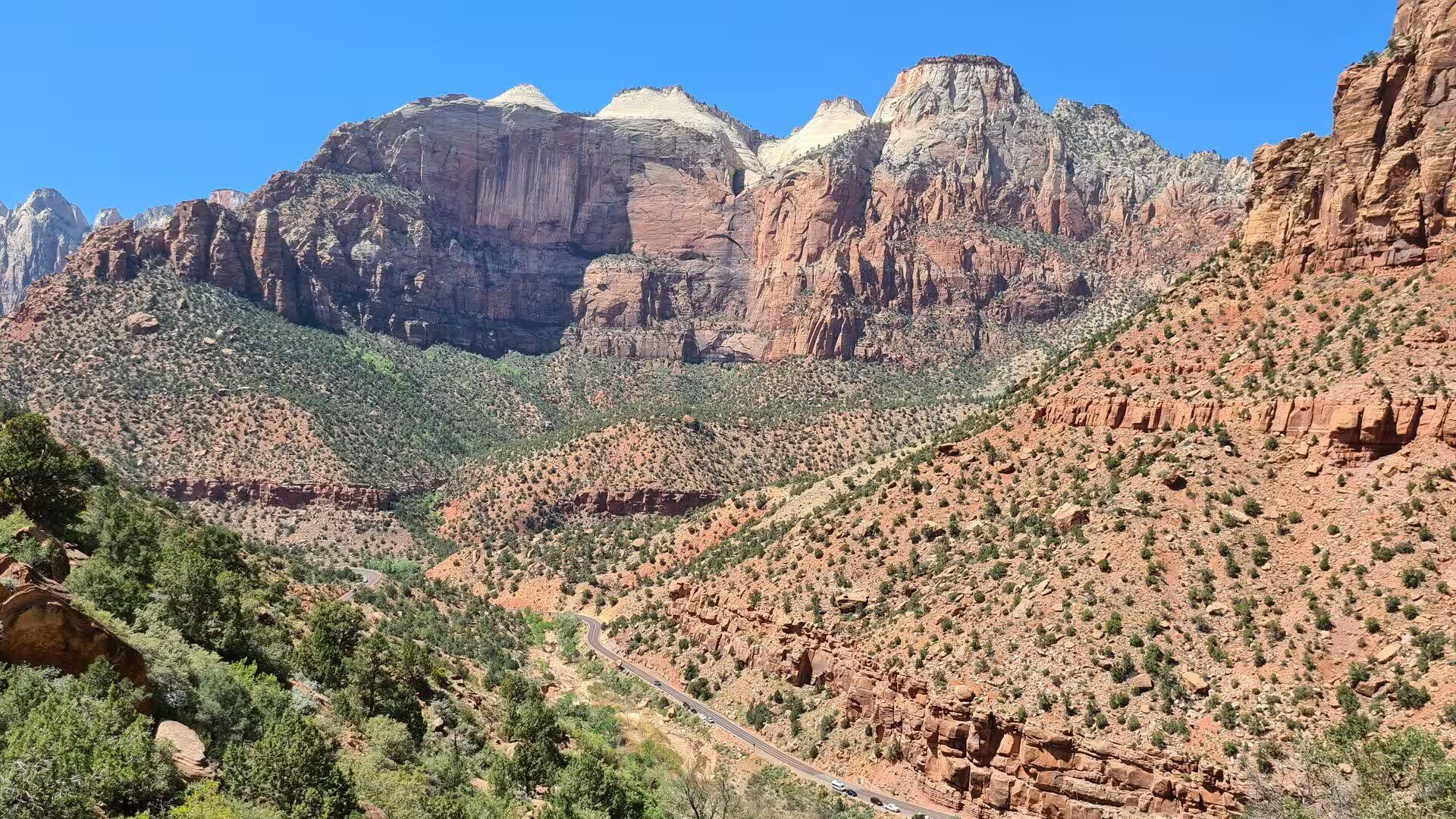
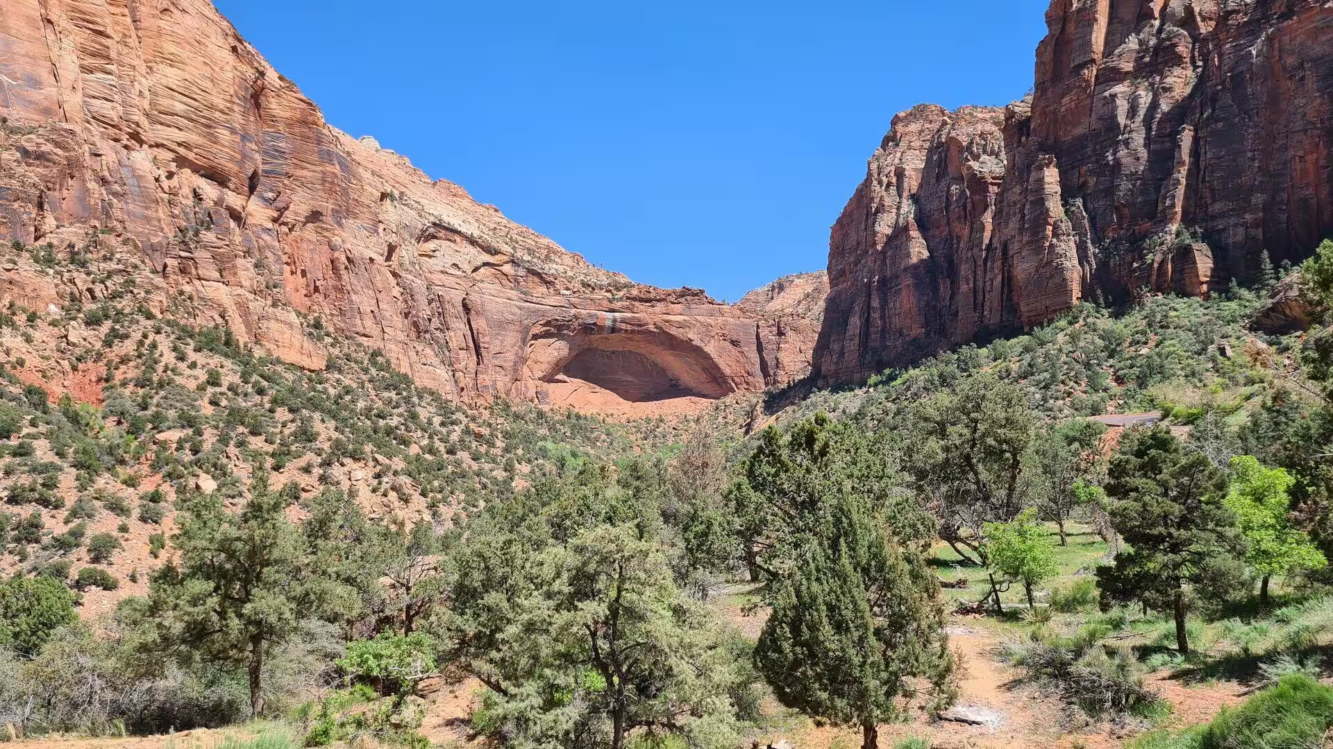
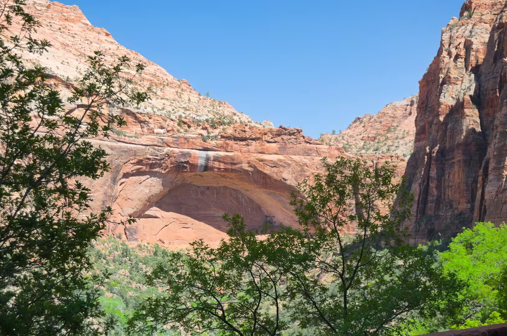
The centre of the park is Zion Canyon, a gorge fifteen miles, or twenty-four kilometres, long and up to 2,640 feet, or 800 metres, deep, cut by the North Fork of the Virgin River. Its walls are built of reddish and tan Navajo Sandstone. The road into the canyon runs six miles to the Temple of Sinawava, named for the coyote god of the Paiute, and beyond that point the gorge closes to a passage twenty feet wide and up to 2,000 feet high.
Zion is one of the most varied parks in the United States because each province brings its own plants and animals. Four life zones are recognised inside the boundary: desert, riparian, woodland and coniferous forest. The park holds 289 species of bird, 79 of mammal, among them nineteen kinds of bat, and also 28 reptiles, seven fish and six amphibians. Mule deer, rock squirrels, pinyon jays and whiptail lizards appear by day, while desert cottontails and Merriam’s kangaroo rats come out after dark. Desert bighorn sheep were reintroduced in 1973.
The climate is a cold semi-arid one, classed as BSK, with hot summers and mild winters. Summer days commonly reach between 95 and 110 degrees Fahrenheit, or 35 to 43 degrees Celsius, while nights stay comfortable at 65 to 70 degrees. Afternoon thunderstorms are frequent from mid-July to mid-September and may produce waterfalls as well as flash floods. March is normally the wettest month, spring flowers peak in May, and autumn colour in the canyon is at its best in late October. Winter storms leave snow on the higher ground and ice on the roads.
The Zion Canyon road is closed to private vehicles from early April to late October, and visitors travel on a free shuttle system introduced in the year 2000 to relieve congestion in the narrow gorge. Two of the vehicles are electric trams that each carry up to 36 passengers, and the service is run for the National Park Service by the transit operator RATP Dev. Other roads stay open to private cars. Lodging inside the boundary is limited to Zion Lodge, halfway up the canyon, and to three campgrounds: South, Watchman and the primitive site at Lava Point.
History
People have lived in the Zion region for about 8,000 years. The earliest were small family groups who camped where they could hunt game and collect plants and seeds, and their toolkit included flaked stone knives, drills and stemmed dart points thrown with a board known as an atlatl. Baskets, cordage nets and sandals woven from yucca fibre have survived from this long Archaic period, which lasted until about the year 500. From roughly 2,000 years ago some groups grew corn and other crops and settled in permanent villages as the Basketmaker Ancestral Puebloans, who stored food in stone-lined cists and lived in shallow pithouses.
By about 1300 the Virgin Anasazi and the Parowan Fremont had disappeared from the archaeological record of south western Utah. Extended droughts in the eleventh and twelfth centuries, broken by catastrophic floods, may have made farming impossible here. Their successors were Numic-speaking peoples, among them the Southern Paiute and the Ute, who moved up and down the valleys with the seasons in search of wild seeds and game. Some of the Southern Paiute also planted corn, sunflowers and squash, and made brownware vessels for storage and cooking.
The first Europeans known to have passed this way were the Spanish priests Silvestre Vélez de Escalante and Francisco Atanasio Domínguez, who camped near the site of the present Kolob Canyons visitor centre on 13 October 1776. The trapper Jedediah Smith explored the lower country in 1825, and Mormon farmers from the Salt Lake area settled the region from 1847. In 1858 a Paiute guide led the missionary Nephi Johnson into the upper Virgin River country, and the towns of Virgin and Springdale were founded soon afterwards. Isaac Behunin farmed the canyon floor from 1863 and is credited with the name Zion.
John Wesley Powell visited the canyon in 1872 and recorded the name Mukuntuweap, which he believed to be the Paiute one. Paintings of the gorge by Frederick S. Dellenbaugh were shown at the Saint Louis World’s Fair in 1904, and on 31 July 1909 President William Howard Taft proclaimed the Mukuntuweap National Monument. The acting director of the National Park Service proposed the name Zion in 1917, and on 19 November 1919 Congress established Zion National Park, an act signed by President Woodrow Wilson.
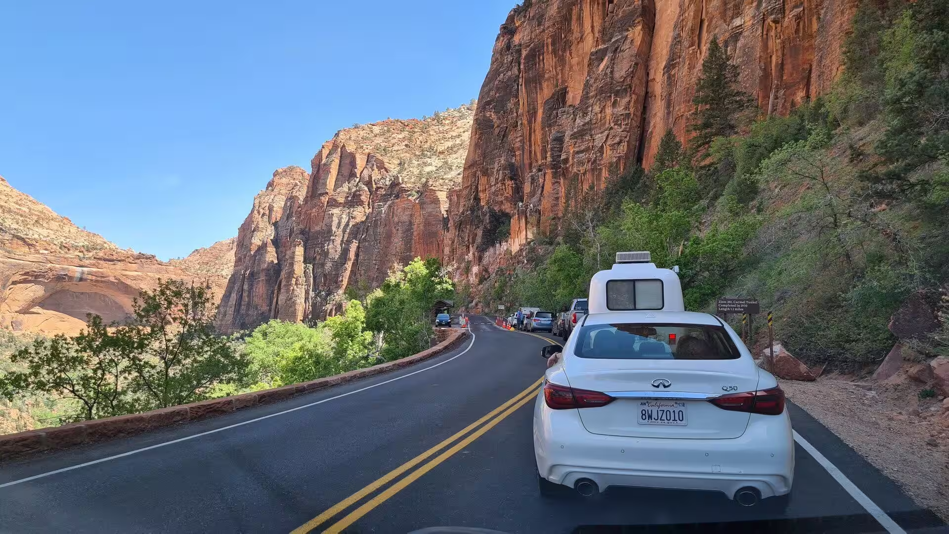
The Zion and Mount Carmel Highway was begun in 1927 and opened in 1930, and its tunnel of 1.1 miles, or 1.8 kilometres, carries six large windows cut through the sandstone cliff. The trail to Angels Landing was built in 1926, with two suspension bridges over the Virgin River, and the 21 switchbacks known as Walter’s Wiggles take their name from Walter Ruesch, the first superintendent. Zion Lodge was designed in 1925 by Gilbert Stanley Underwood at the site of the Wylie tent camp, and further trails followed under the Civilian Conservation Corps in the 1930s. Congress designated 85 per cent of the park as wilderness in 2009.
Geology
Nine formations are exposed in the Zion and Kolob canyons, and together they record about 150 million years of sedimentation, most of it during the Mesozoic era. They form part of a much larger stack of rock units known as the Grand Staircase, which runs from Bryce Canyon through Zion into the Grand Canyon. The sediments were laid down in very different settings: the warm shallow seas of the Kaibab and Moenkopi formations, the streams, ponds and lakes of the Chinle, Moenave and Kayenta formations, the deserts of the Navajo and Temple Cap formations, and the dry shoreline of the Carmel Formation.
Uplift linked to the making of the Colorado Plateau raised these beds more than 10,000 feet, or 3,000 metres, above the levels at which they were deposited, and did so slowly from about 13 million years ago. The strata now dip very gently to the east, so the oldest rocks lie along the Virgin River in Zion Canyon and the youngest are exposed in Kolob Canyons. The plateau is bounded by the Sevier Fault Zone in the east and the Hurricane Fault Zone in the west, and weathering along north-trending faults and fractures guides the making of the canyons.
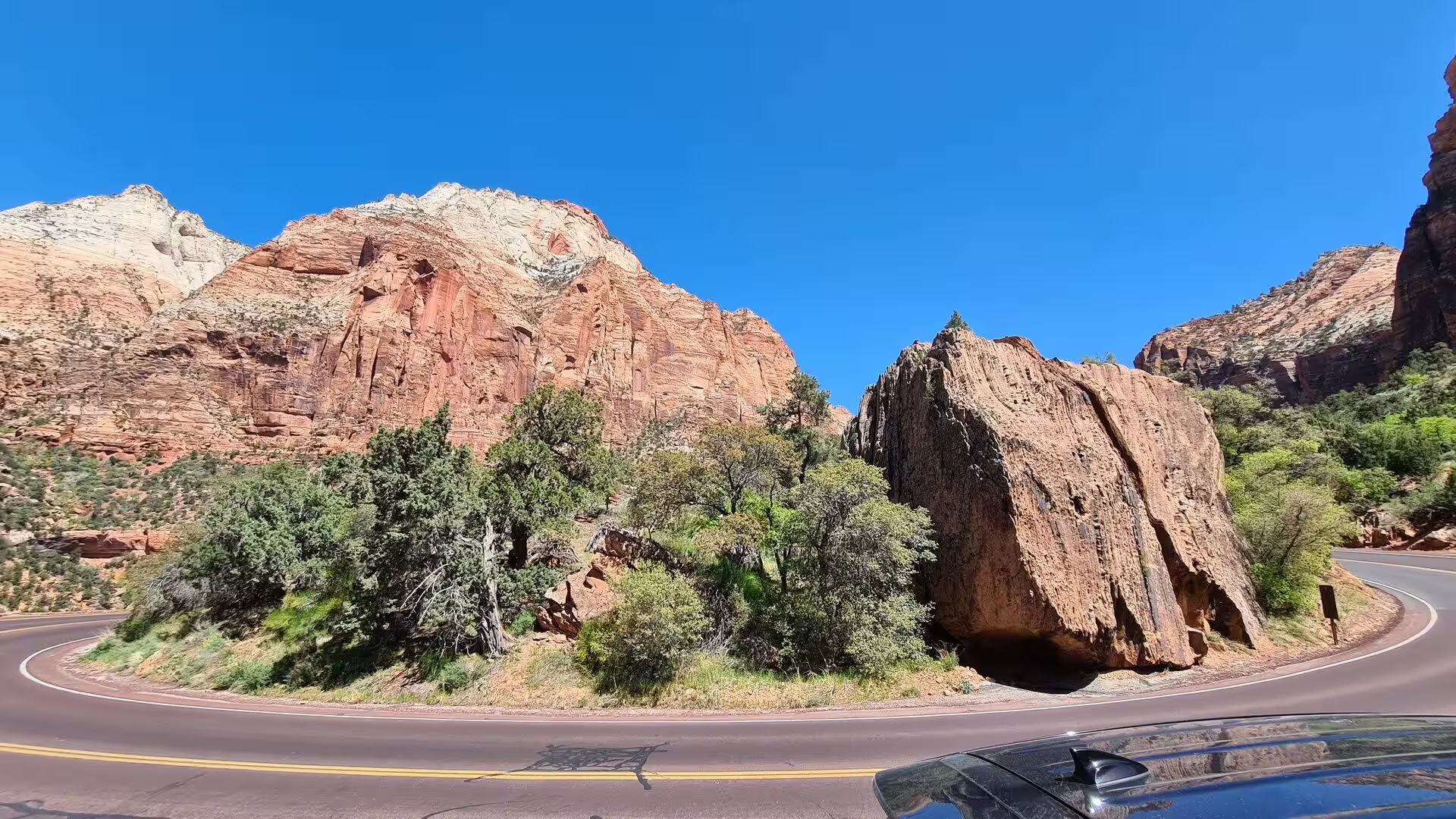
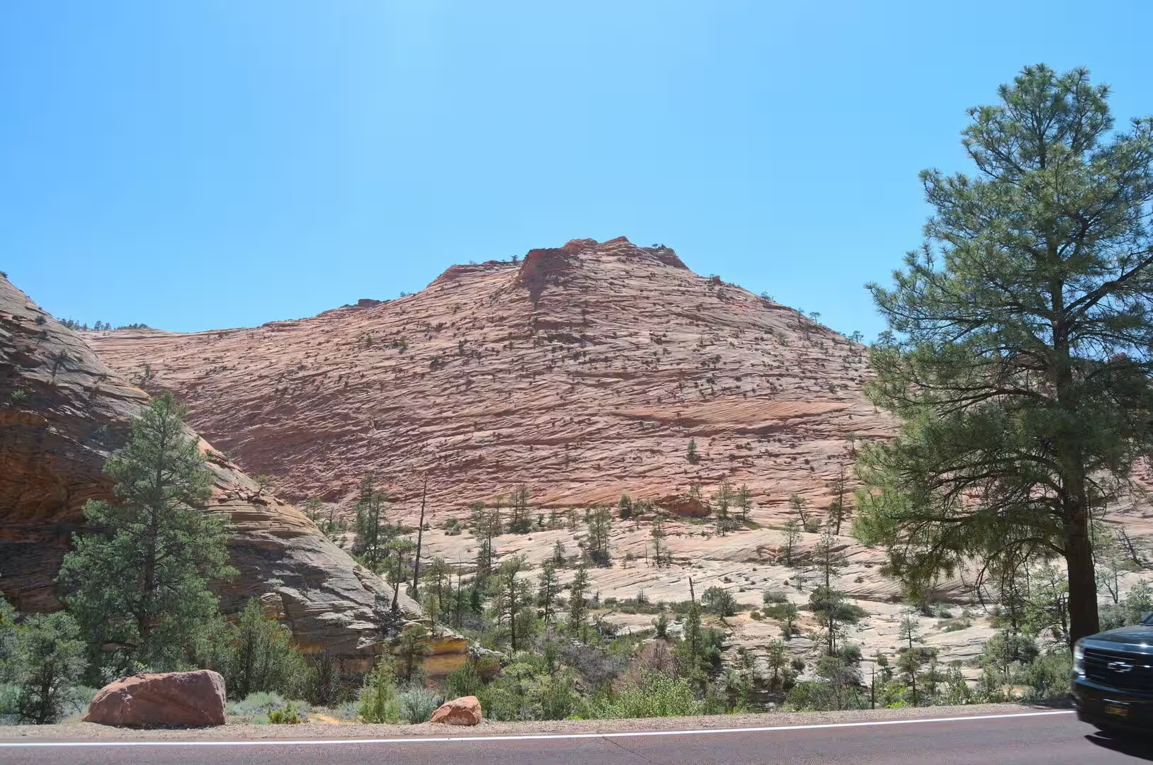
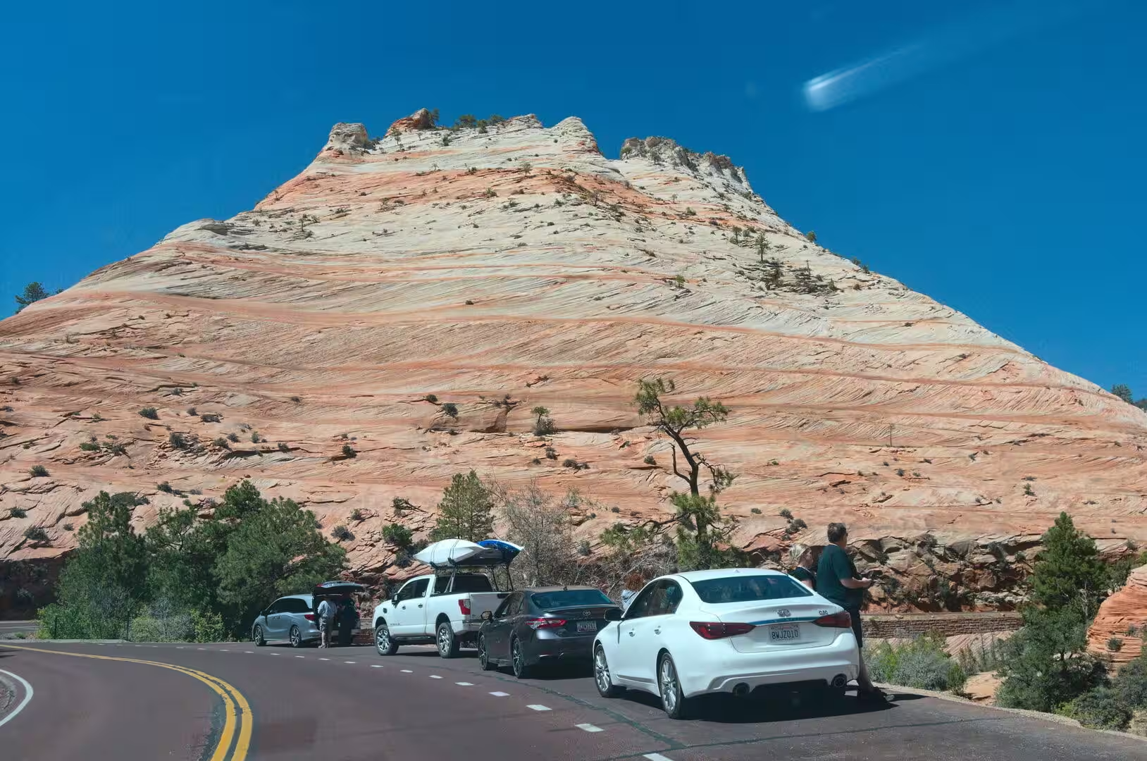
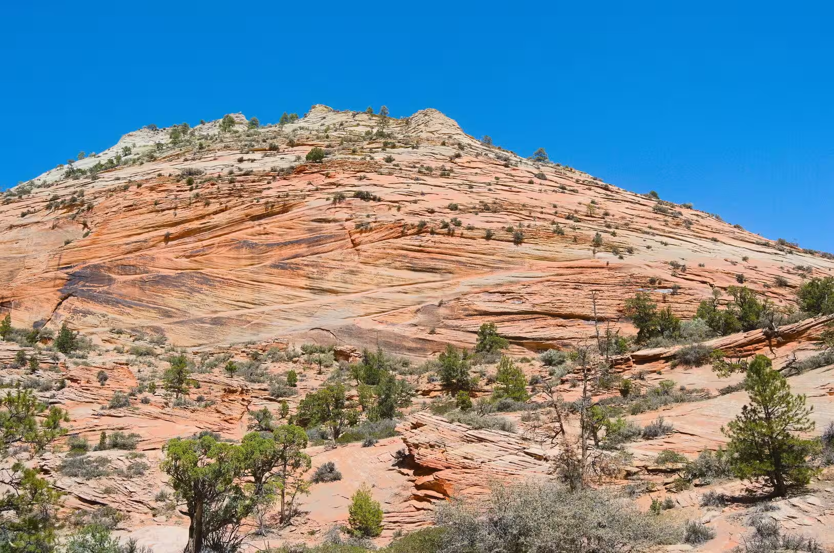
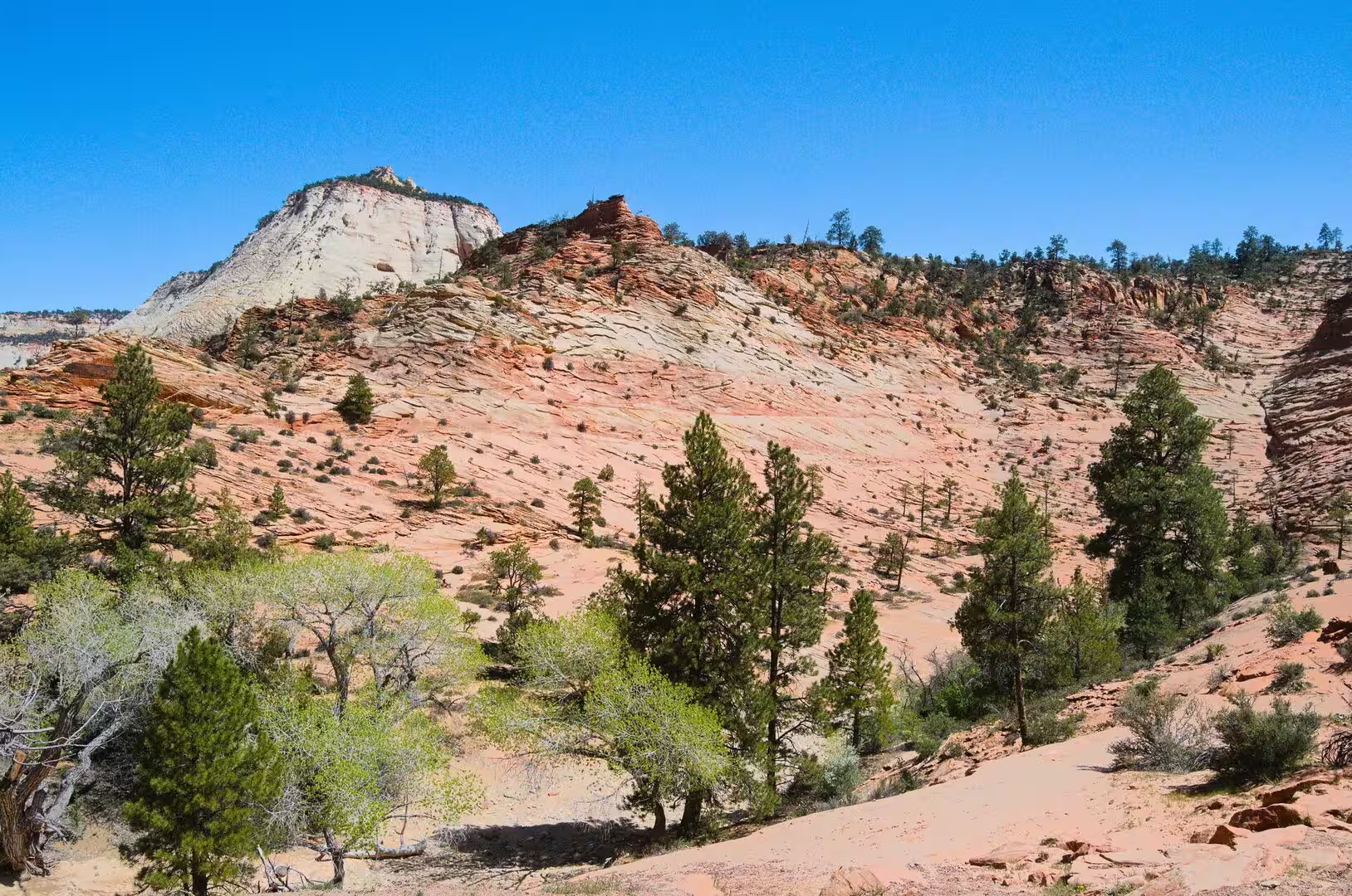
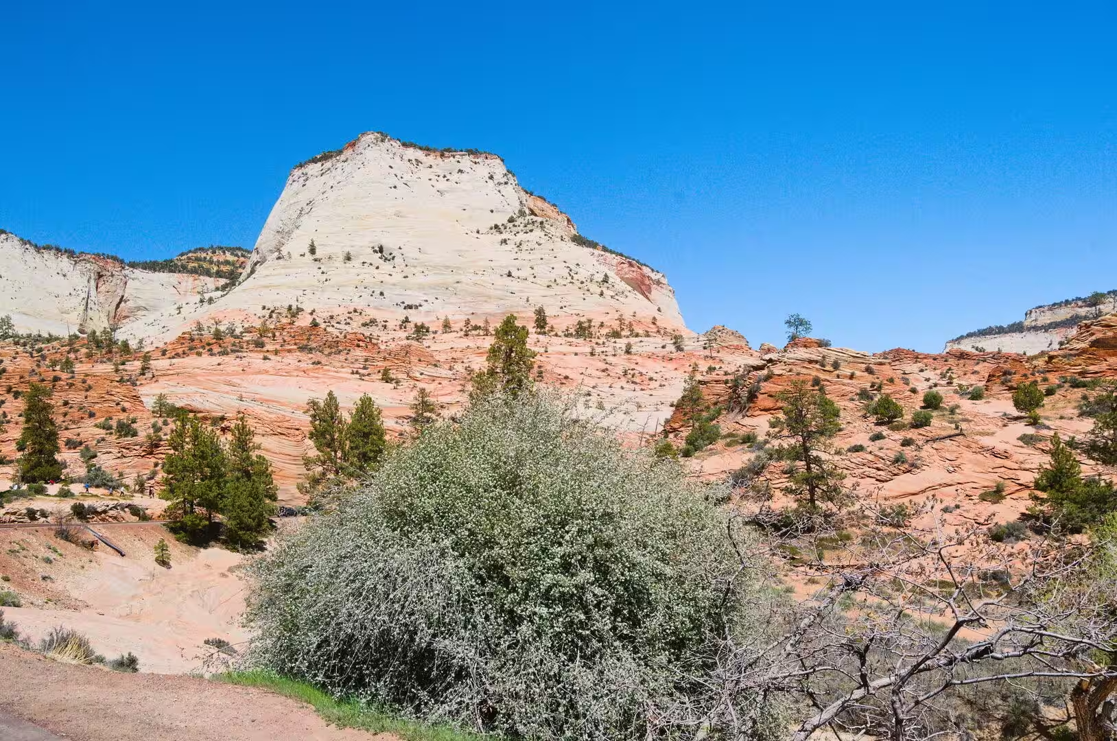
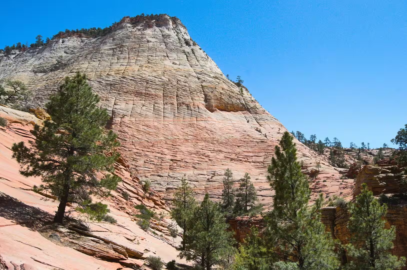
The best known formation is the Navajo Sandstone, laid down between about 190 and 136 million years ago. For perhaps ten million years around 175 million years ago, dunes gathered across 150,000 square miles of western North America, and they reached their greatest thickness of about 2,200 feet, or 670 metres, at the Temple of Sinawava. The sand is 98 per cent translucent, rounded quartz, carried from coastal dunes in what is now central Nevada. The lower part of the formation is red from iron oxide, the upper part pale tan to almost white, and cross-bedding shows at Checkerboard Mesa.
Navajo Sandstone is porous, friable and easily eroded, and it holds the principal aquifer of the region. Where water sinks into it and meets the impermeable Kayenta Formation below, it is forced out along the canyon wall, and springs of this kind feed Weeping Rock and the hanging gardens that grow from bare rock. Because the sandstone is resistant at the surface but weakly cemented inside, the canyon walls stand as monoliths, and the cliffs of Zion are among the tallest sandstone walls in the world.
The canyon itself was cut by the North Fork of the Virgin River, and the work was done less by the average flow than by flash floods. The gradient of the river is between 50 and 80 feet per mile, one of the steepest in North America, and it carries about three million short tons of rock and sediment out of the park every year. Because the main river cuts down faster than its tributaries can follow, those side streams end in waterfalls from hanging valleys. Ice wedging widens the canyon, and rockslides have dammed the river, most recently about 4,000 years ago.
Things to See
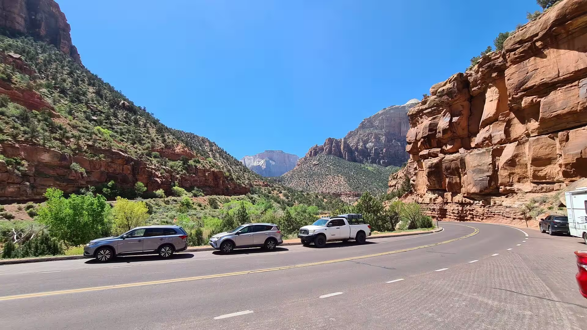
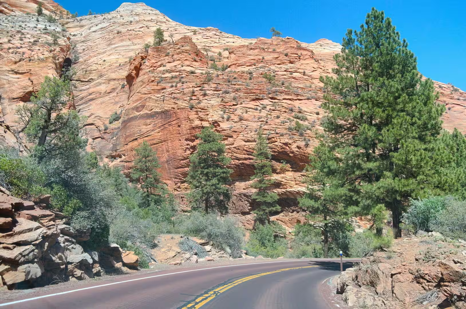
The scenic drive up Zion Canyon is the spine of any visit. It runs six miles from the south entrance to the Temple of Sinawava, where a riverside walk continues to the mouth of the Narrows. In the main season the road carries only the shuttle, which stops at the Grotto, at Weeping Rock and at the Temple, and the change has restored to the gorge a quiet that private traffic had destroyed by the 1990s. The side canyons of Pine Creek, Deep Creek, Goose Creek and Oak Creek join the river along the way.
Angels Landing, previously known as the Temple of Aeolus, is a rock formation 1,488 feet, or 454 metres, high, and the trail to its top gives the best known view in the park. The route is 2.5 miles long and climbs about 1,500 feet from the Grotto shuttle stop on the West Rim Trail. The last part follows a narrow ridge with sheer drop-offs on both sides, and chains are fixed to the rock for the final half mile. That section was listed in the National Register of Historic Places in 1987, and permits have been needed beyond Scout Lookout since 2022.
The Narrows is the narrowest part of Zion Canyon, upstream of the Temple of Sinawava, and it is walked in the river itself. The bottom-up route runs 3.6 miles to Big Springs, while the through walk from Chamberlain’s Ranch is sixteen miles long and takes most of a day. For much of the last stretch the river fills the gorge from wall to wall between cliffs that rise 2,000 feet. The section was named in 1872 by the geologist Grove Karl Gilbert, and permits are required beyond Big Springs. The gorge closes when the flow is high.
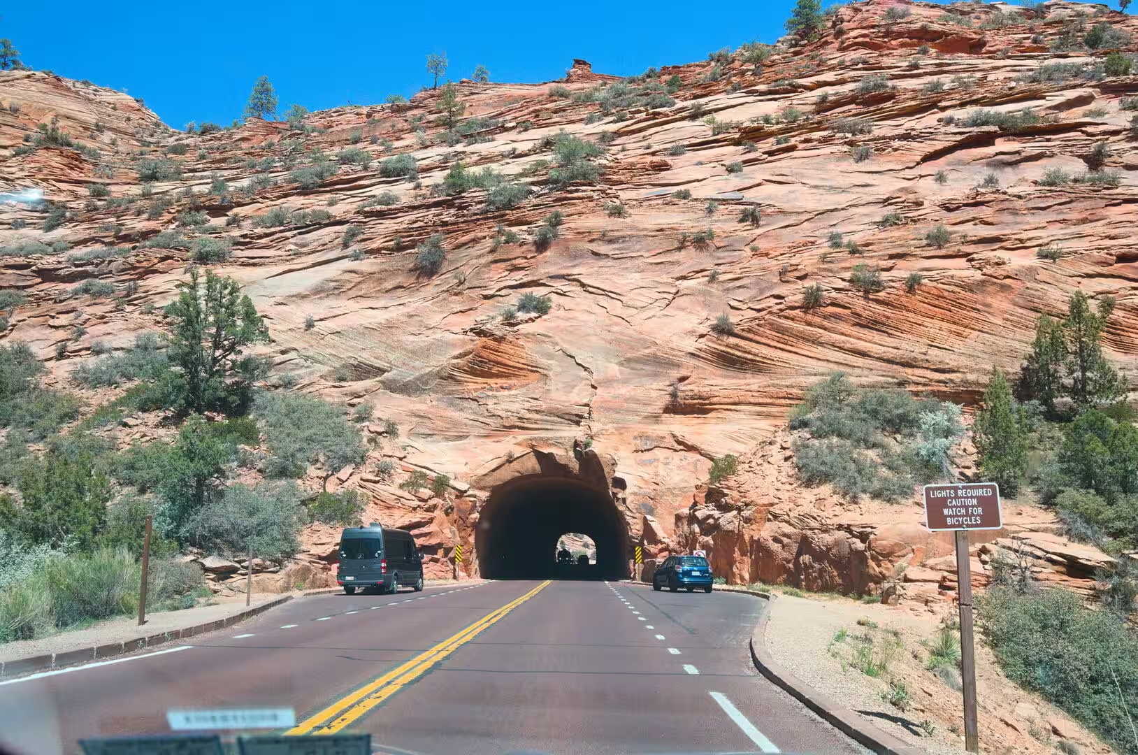
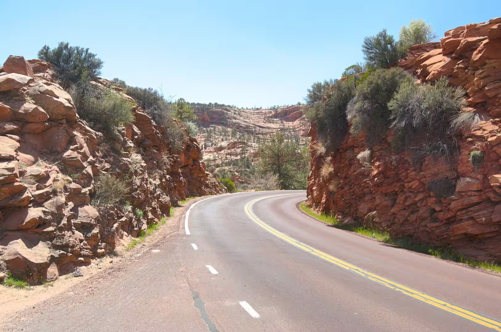
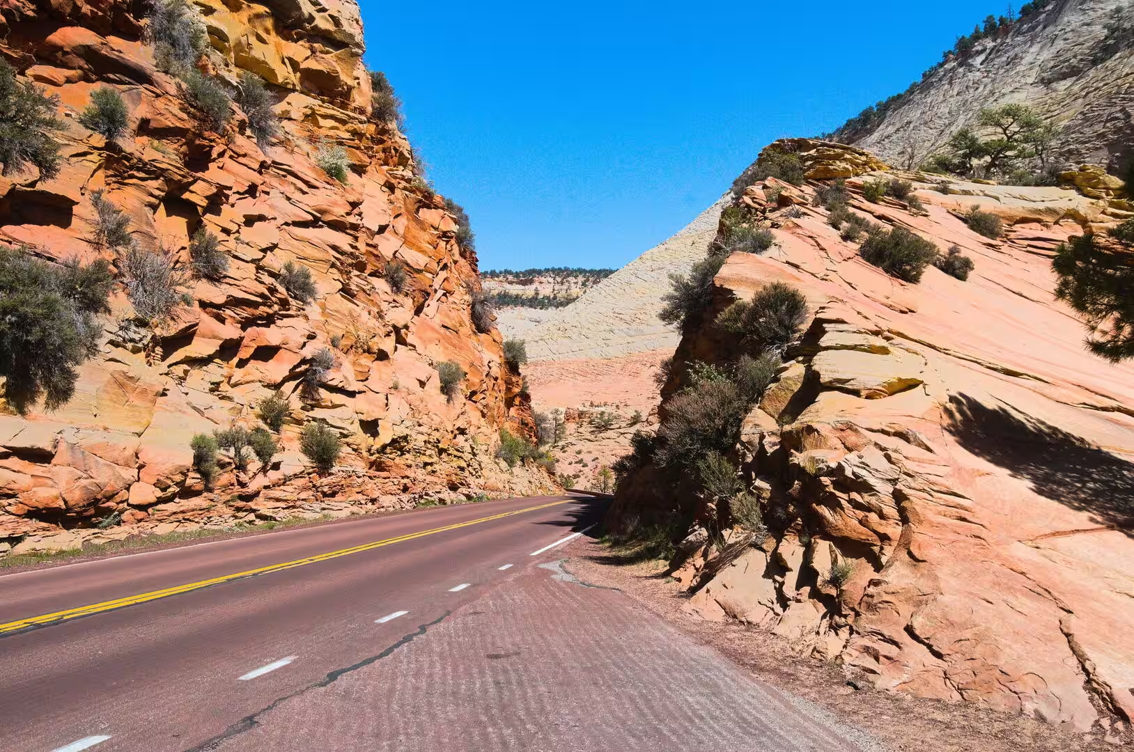
The Zion and Mount Carmel Highway, signed as Utah State Route 9, opened in 1930 and links Springdale with the east side of the park and with U.S. Route 89 at Mount Carmel Junction. Its finest feature is a tunnel of 1.1 miles, or 1.8 kilometres, driven through the sandstone with six large galleries that open onto the canyon. Beyond it lie the striped slopes of Checkerboard Mesa and the East Temple. Oversized vehicles require a permit and must pass in daylight, when the tunnel runs one way. A separate road of five miles serves Kolob Canyons from Interstate 15.
Kolob Canyons lies in the north west of the park, near Cedar City, and is reached by a five-mile road that often closes in winter. It contains Tucupit Point and Kolob Arch, one of the longest natural arches in the world, together with the narrow finger canyons for which the area is known. The Kolob Terrace area, north west of Zion Canyon, holds the slot canyon called The Subway and the broad view from Lava Point. Both sections are quieter than the main canyon, and both lie where the youngest rocks of the park are exposed.
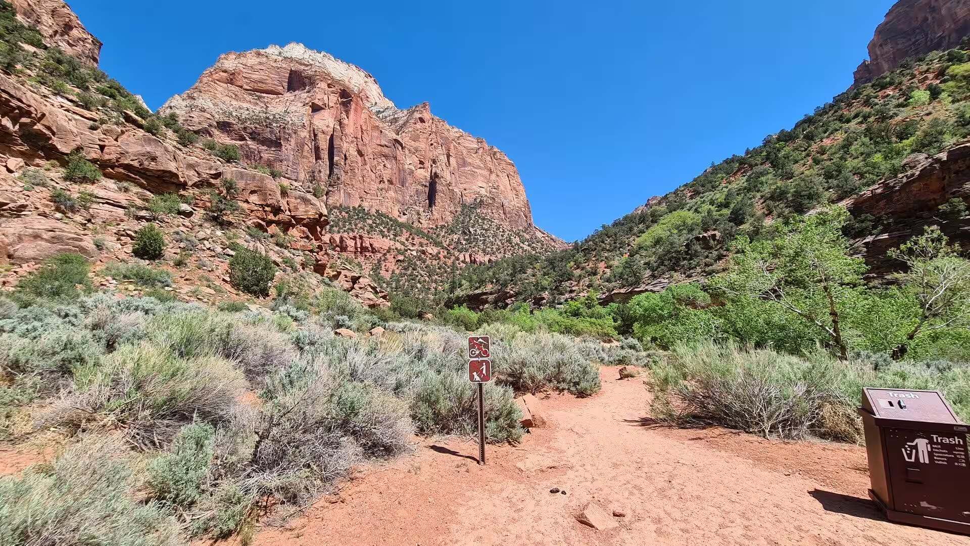
Seven trails in Zion Canyon take between half an hour at Weeping Rock and four hours at Angels Landing. Longer routes such as Taylor Creek and the walk to Kolob Arch lie in Kolob Canyons, and the West Rim and LaVerkin Creek trails lead into the backcountry. Fifty miles of path connect the north west corner of the park with its south east side in a route known as the Zion Traverse. The park is also a centre for rock climbing, with short and difficult walls including Spaceshot, Moonlight Buttress and Prodigal Son.
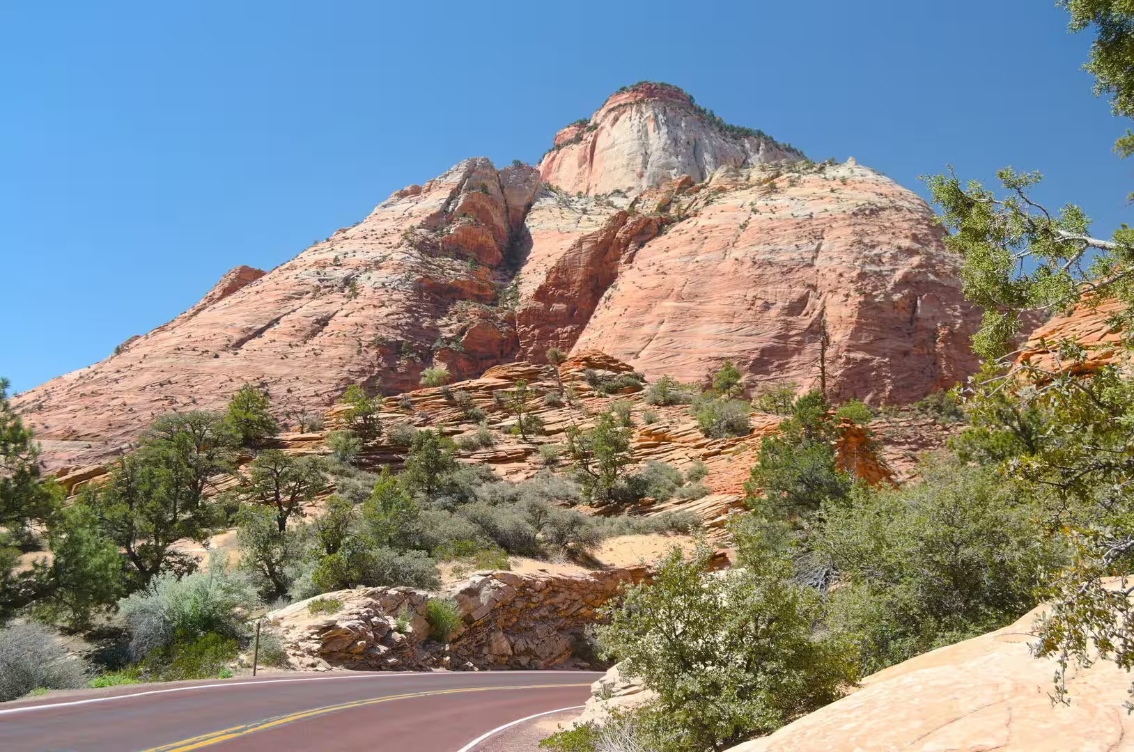
The named features of the canyon are numerous. The Great White Throne, the Court of the Patriarchs, the Sentinel, the West Temple, the Towers of the Virgin, the Altar of Sacrifice, the Watchman and the Emerald Pools all lie along the scenic drive or a short walk from it. The visitor centre near the south entrance uses windcatchers, a trombe wall and solar panels to keep its temperature down in summer, and the Human History Museum explains the people who farmed the canyon floor.
Springdale, the town at the south gate, is the gateway community of the park and stands between Mount Kinesava in the west and the Watchman in the east. It was settled as a Mormon farming community in 1862 by evacuees from the flooding of nearby Northrop, and it remains small, with 514 residents at the 2020 census. The North Fork of the Virgin River courses through the town before its confluence with the East Fork, and the place sits at the western edge of the Colorado Plateau. Most of the lodging stands here.
References
- Wikipedia contributors (2026). Zion National Park. en.wikipedia.org/wiki/Zion_National_Park
- Wikipedia contributors (2026). Zion Canyon. en.wikipedia.org/wiki/Zion_Canyon
- Wikipedia contributors (2026). Virgin River. en.wikipedia.org/wiki/Virgin_River
- Wikipedia contributors (2026). Navajo Sandstone. en.wikipedia.org/wiki/Navajo_Sandstone
- Wikipedia contributors (2026). Angels Landing. en.wikipedia.org/wiki/Angels_Landing
- Wikipedia contributors (2026). The Narrows (Zion National Park). en.wikipedia.org/wiki/The_Narrows_%28Zion_National_Park%29
- Wikipedia contributors (2026). Geology of the Zion and Kolob canyons area. en.wikipedia.org/wiki/Geology_of_the_Zion_and_Kolob_canyons_area
- Wikipedia contributors (2026). Colorado Plateau. en.wikipedia.org/wiki/Colorado_Plateau
- Wikipedia contributors (2026). Utah. en.wikipedia.org/wiki/Utah
- Wikipedia contributors (2026). Springdale, Utah. en.wikipedia.org/wiki/Springdale%2C_Utah
- Wikipedia contributors (2026). Mormon pioneers. en.wikipedia.org/wiki/Mormon_pioneers
- Wikipedia contributors (2026). Kolob Canyons. en.wikipedia.org/wiki/Kolob_Canyons
- Wikipedia contributors (2026). National Park Service. en.wikipedia.org/wiki/National_Park_Service
- Wikipedia contributors (2026). Desert climate. en.wikipedia.org/wiki/Desert_climate
- ROBINSON E.S. (1970) Mechanical Disintegration of the Navajo Sandstone in Zion Canyon, Utah. Geological Society of America Bulletin. 81. 2799. doi.org/10.1130/0016-7606(1970)81[2799:mdotns]2.0.co;2
- Ford C., Bryant G., Nick K.E. (2016) Architectural evidence of dune collapse in the Navajo Sandstone, Zion National Park, Utah. Sedimentary Geology. 344. 222-236. doi.org/10.1016/j.sedgeo.2016.04.009
- Grater R.K. (1945) Landslide in Zion Canyon, Zion National Park, Utah. The Journal of Geology. 53. 116-124. doi.org/10.1086/625254
- Dumitru T.A., Duddy I.R., Green P.F. (1994) Mesozoic-Cenozoic burial, uplift, and erosion history of the west-central Colorado Plateau. Geology. 22. 499. doi.org/10.1130/0091-7613(1994)022<0499:mcbuae>2.3.co;2
- Pederson J.L., Mackley R.D., Eddleman J.L. (2002) Colorado Plateau uplift and erosion evaluated using GIS. GSA Today. 12. 4. doi.org/10.1130/1052-5173(2002)012<0004:cpuaee>2.0.co;2