Day 7 - California / Yosemite National Park
13 May 2022






Journal Notes
General
Yosemite National Park lies in the central Sierra Nevada of California and covers 1,187 square miles, some 3,070 square kilometres, in four counties, centred on Tuolumne and Mariposa and reaching north and east into Mono and south into Madera. UNESCO inscribed it as a World Heritage Site in 1984. Granite cliffs, waterfalls, clear streams, groves of giant sequoia, lakes, meadows and glaciers are its defining features, and almost 95 per cent of the park is designated wilderness. The Sierra National Forest borders the park on the south east and the Stanislaus National Forest on the north west.
Yosemite Valley is the heart of the park. The valley runs about 7.5 miles from east to west at an average width of one mile, and its granite walls rise between 3,000 and 3,500 feet above a floor that lies some 4,000 feet above sea level. The Merced River drains it, carrying the water of more than half a dozen creeks that fall from hanging valleys along the rim. The valley occupies only one per cent of the park but receives most of its visitors.
The park contains three groves of ancient giant sequoia. The Mariposa Grove holds about 200 trees, the Tuolumne Grove 25 and the Merced Grove 20. Mount Lyell at 13,120 feet is the highest point in the park, and the Lyell Glacier below it is the largest glacier in Yosemite, covering some 160 acres; it lies in permanent shade and, like the Maclure Glacier, has been shrinking for a century. Within the boundary are 1,600 miles of streams, 800 miles of hiking trails and 350 miles of road, together with two rivers designated Wild and Scenic, the Merced and the Tuolumne.
Yosemite draws about four million visitors in a normal year. The park set a record in 2016, passing five million for the first time, and it received more than four million again in 2024, while the figure fell to 2,268,313 in 2020, the year a reservation system was introduced for entry. Most visitors spend their time in the seven square miles of the valley, where the visitor centre, the museum and the accommodation are concentrated. Reservations have been required periodically since 2021 during the busiest months.
The climate is Mediterranean, with precipitation falling mostly in the mild winter. Annual rainfall rises from about 36 inches at 4,000 feet to 50 inches at 8,600 feet, and snow lies in the high country from November until March or early April. Mean daily temperatures at Tuolumne Meadows range from 25 to 53 degrees Fahrenheit, while the valley floor varies from 46 to 90 degrees. Park headquarters averages 38.0 degrees in January and 73.3 degrees in July, and average annual snowfall is 39.4 inches. Snow does not usually accumulate in the high country until November, and it deepens through March or early April.
History
Humans may have entered the region 10,000 to 8,000 years ago, and Native Americans have lived in it for nearly 4,000 years. The people of the valley called themselves the Ahwahneechee, dwellers in Ahwahnee, and were the only tribe living inside the present park boundary; with neighbouring groups they formed the Southern Sierra Miwok and were related to the Northern Paiute and the Mono. Acorns were their staple food, together with seeds, plants, salmon and deer, and they traded and intermarried with the Central Sierra Miwok and the Yokuts.
The Gold Rush of 1848 to 1855 brought more than 90,000 European Americans into the region and destroyed the peace of the valley. The Mariposa War followed, and in 1851 the Mariposa Battalion under James D. Savage pursued the Ahwahneechee and their chief Tenaya, capturing some 70 people in March and 35 more in May. Most escaped or were released, and Tenaya was killed in 1853. Doctor Lafayette Bunnell, who marched with the battalion, wrote the first account of the valley and helped to give it its name.
Tourism began almost at once. In 1855 the publisher James Mason Hutchings and the artist Thomas Ayres were the first visitors to leave a record, and their articles and drawings carried the valley to a national audience. The first transcontinental railroad was completed in 1869, tourist numbers rose after that, and three stagecoach roads were built in the mid 1870s. Galen Clark found the Mariposa Grove in 1857, and the Wawona Hotel opened in 1879 to serve travellers bound for it. On 30 June 1864 Abraham Lincoln signed the Yosemite Grant, the first time the United States set land aside for preservation and public use.
Yosemite National Park itself was created on 1 October 1890, after John Muir and Robert Underwood Johnson of Century Magazine lobbied Congress, though the state of California kept the valley and the Mariposa Grove for another sixteen years. A troop of the 4th Cavalry took charge in 1891, and cavalry regiments including the all Black 9th Cavalry, the Buffalo Soldiers, were stationed there between 1899 and 1913. In May 1903 President Theodore Roosevelt camped with Muir near Glacier Point, and in 1906 the valley returned to federal control.
The National Park Service took over in 1916, the year it was founded, and the Yosemite Museum followed in 1926. A dam in Hetch Hetchy Valley had been approved by the Raker Act of 1913 over the objections of Muir and the Sierra Club. In 1984 Congress designated 677,600 acres, about 89 per cent of the park, as the Yosemite Wilderness, and the Firefall, in which embers were pushed from a cliff near Glacier Point, ended in 1968. The last Native village inside the park was cleared in 1969.
Geology
Almost every landform in Yosemite is cut from the granite of the Sierra Nevada batholith, a body of intrusive igneous rock more than 100 square kilometres in extent that solidified from magma five to thirty kilometres below the surface. About five per cent of the park, mostly along its eastern margin near Mount Dana, consists of older metamorphosed volcanic and sedimentary rocks that once formed the roof above the magma. The spacing of the joints depends on the amount of silica in the rock, and the more resistant granite breaks into larger blocks. Erosion working along those joint systems then produced the valleys, canyons and domes that define the scenery.
The individual plutons differ in age. The oldest granitic rock in the valley, at 114 million years, occurs along the Merced River gorge west of the valley, while the El Capitan granite underlies much of the central valley and the Taft granite forms the upper part of the great cliff. The youngest pluton is the 87-million-year-old Half Dome granodiorite, which also makes up Glacier Point and the Royal Arches. Because crystals in plutonic rock expand when the overburden is removed, exfoliation peels the surface away in sheets and leaves rounded forms.
Glaciers did the rest. Ice formed at high elevation about one million years ago and moved down the valleys, and the Sherwin Glaciation, between about 1.3 million and one million years ago, is held responsible for most of the sculpting of El Capitan. The earlier and longer glaciations covered nearly every landmark around the valley except Half Dome, Eagle Peak, Sentinel Dome and the top of El Capitan. Those older glaciers excavated the bedrock floor of the valley, and the later Wisconsinan ice reached only as far as Bridalveil Fall, leaving sediment behind it.
The valley floor is flat because sediment filled it. After the ice retreated, a body of water known as Lake Yosemite formed behind a terminal moraine near the base of El Capitan; at its largest it was about 5.5 miles long, and the silt it left behind became the meadow floor of today. The parallel glaciers of Tenaya Canyon and Little Yosemite Canyon were up to 2,000 feet deep where they entered the valley, and they shaped Clouds Rest behind Half Dome into an arête.
Water still shapes the park. The Merced River runs 145 miles from the Sierra crest to the San Joaquin River and drains 1,700 square miles, and the first 122 miles of it are designated Wild and Scenic. Up to 85 per cent of the flow above Happy Isles comes from snowmelt, with an average of 355 cubic feet per second, and the river falls over the Giant Staircase of Nevada Fall and Vernal Fall on its way into the valley. The two remaining glaciers, Lyell and Maclure, have been shrinking for a century.
Things to See
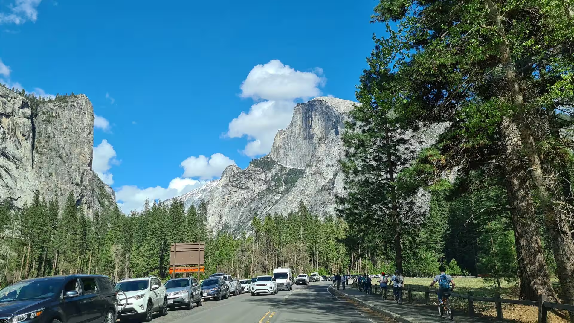
The first view of the valley for most arrivals comes at Tunnel View, on State Route 41 just east of the Wawona Tunnel portal. Since the viewpoint opened in 1933 it has looked eastward down the valley, with the south west face of El Capitan on the left, Half Dome on the axis and Bridalveil Fall on the right. The trailhead for the climb up to Inspiration Point begins at the same place, and the valley widens immediately beyond, past the Cathedral Spires and Sentinel Rock.
El Capitan stands on the north side of the valley near its western end and rises about 3,000 feet from base to summit along its tallest face. The Mariposa Battalion named it in 1851, taking El Capitan as a translation of the Miwok Tutokanula, rock chief. The Nose was climbed in 1958 by Warren Harding, Wayne Merry and George Whitmore over 47 days of siege tactics; Royal Robbins and his party made the second ascent in seven days in 1960, and Alex Honnold free soloed the face in 3 hours 56 minutes on 3 June 2017. More than 70 routes now exist.
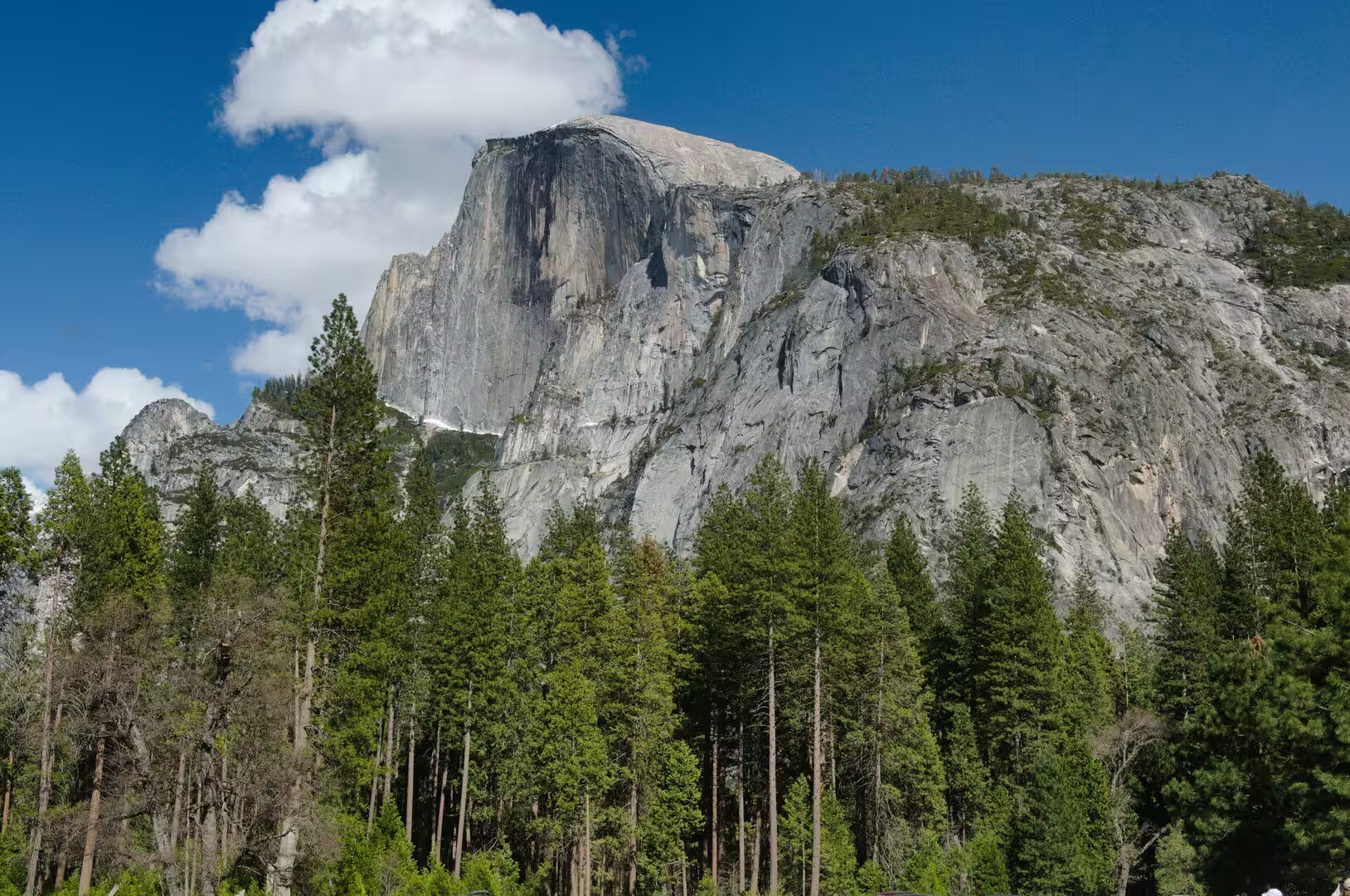
Half Dome closes the eastern end of the valley, a mass of quartz monzonite rising above 8,800 feet. Josiah Whitney called it perfectly inaccessible in the 1870s, and George Anderson reached the summit in October 1875 by drilling iron eye bolts into the rock. The steel cables that now protect the final 400 feet were installed in 1919 and are listed on the National Register of Historic Places. The cable route runs 8.2 miles from the valley floor with 4,800 feet of gain, and permits have been limited to 300 walkers a day since 2010.
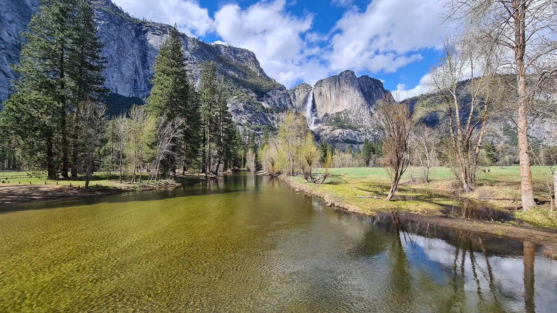
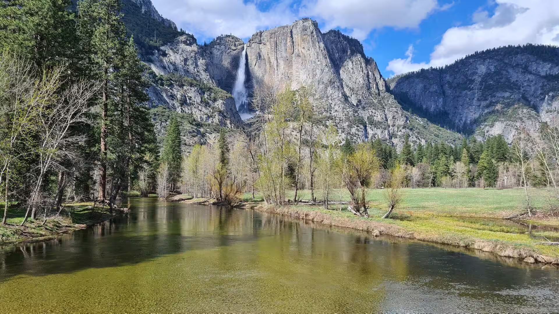
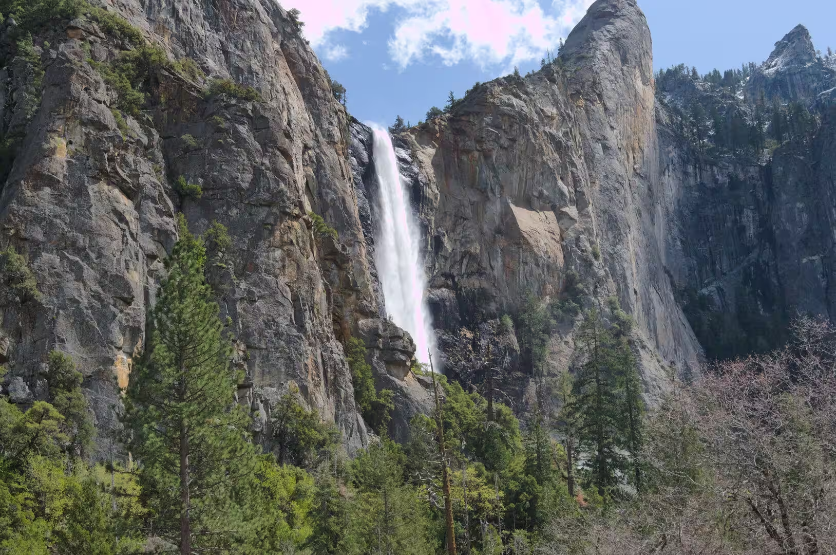
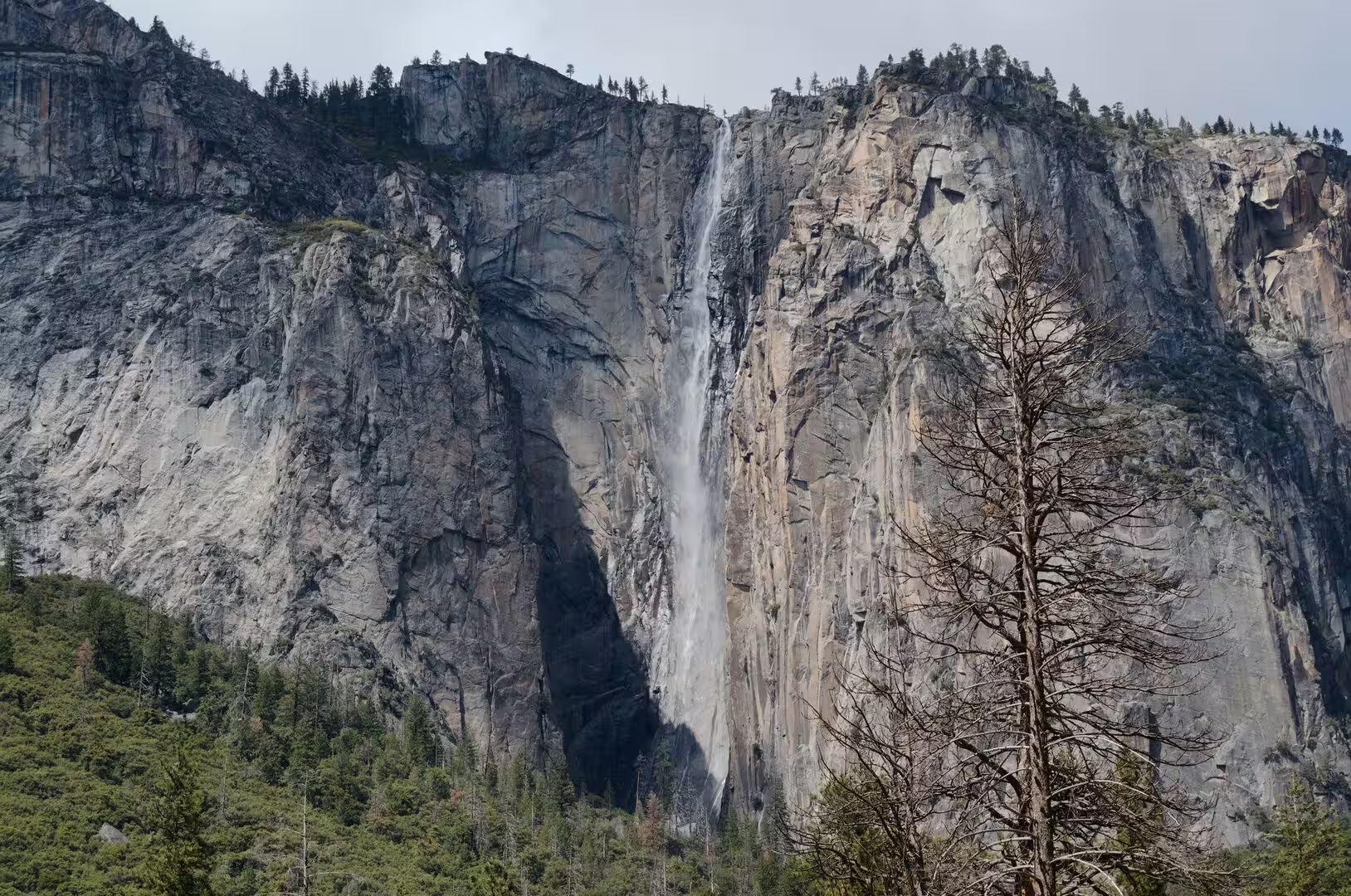
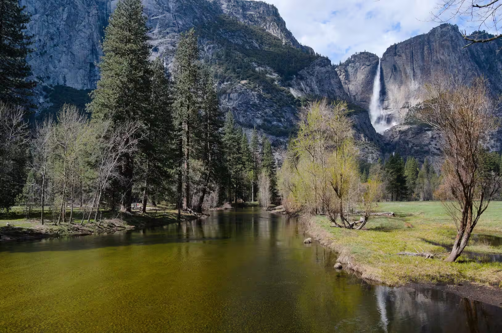
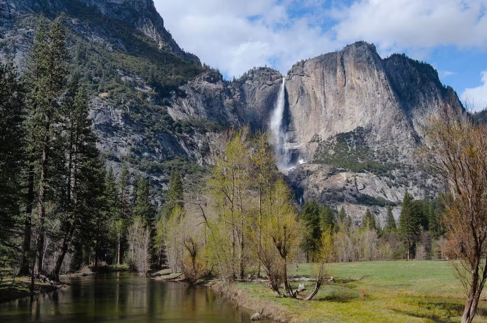
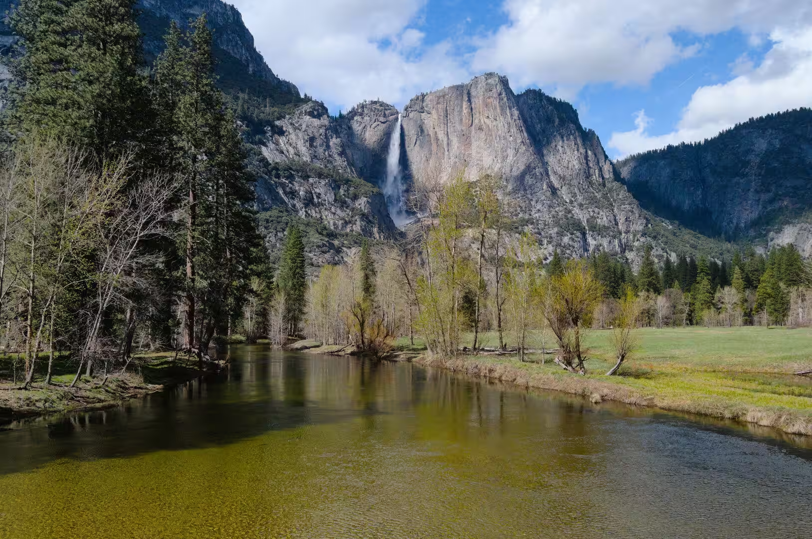
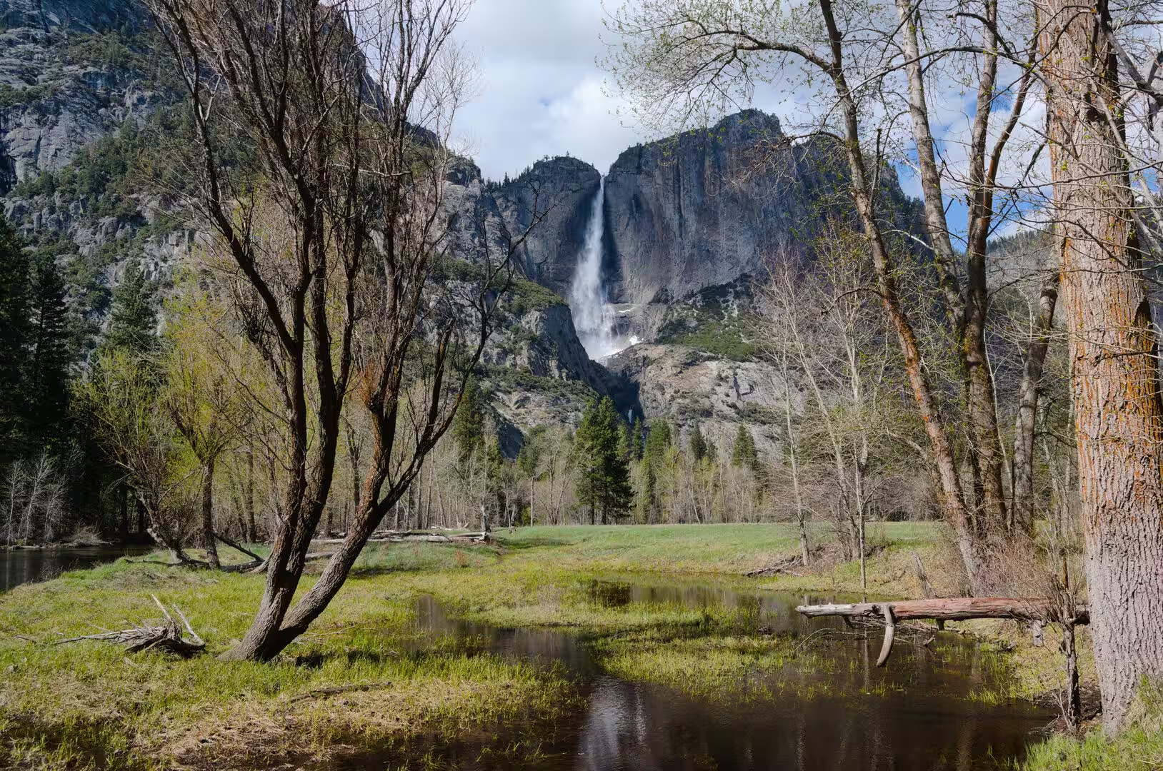
Yosemite Falls is the highest waterfall in the park and one of the tallest in North America, with a total drop of 2,425 feet. The upper fall accounts for 1,430 feet, the middle cascades for 675 feet and the lower fall for 320 feet, and the water comes from Yosemite Creek, which leaves the rim of a hanging valley above the valley floor. The falls usually stop flowing in late summer. Bridalveil Fall drops 620 feet nearby, Ribbon Fall has a single drop of 1,612 feet, and Vernal Fall and Nevada Fall carry the Merced over the Giant Staircase.
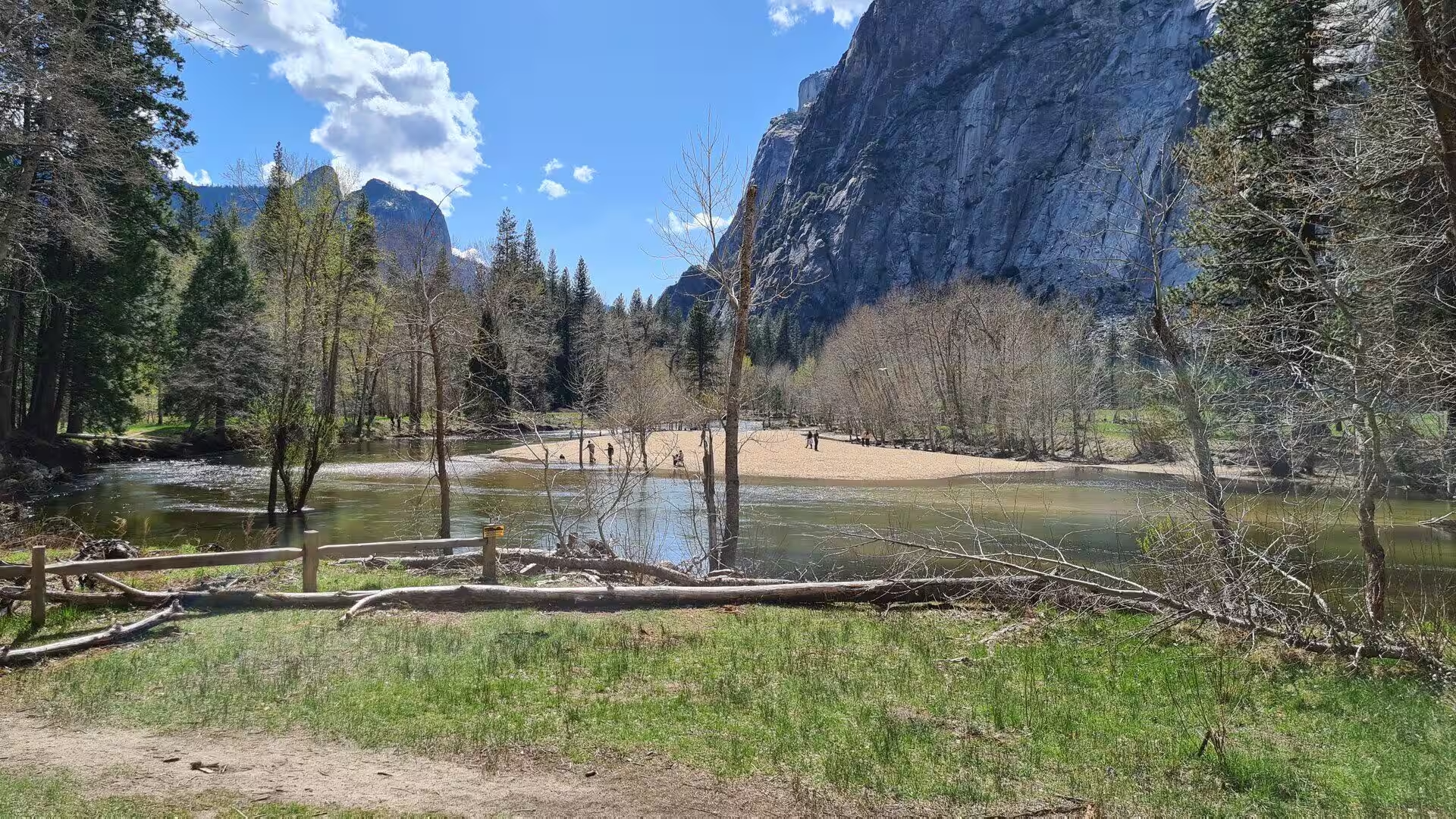
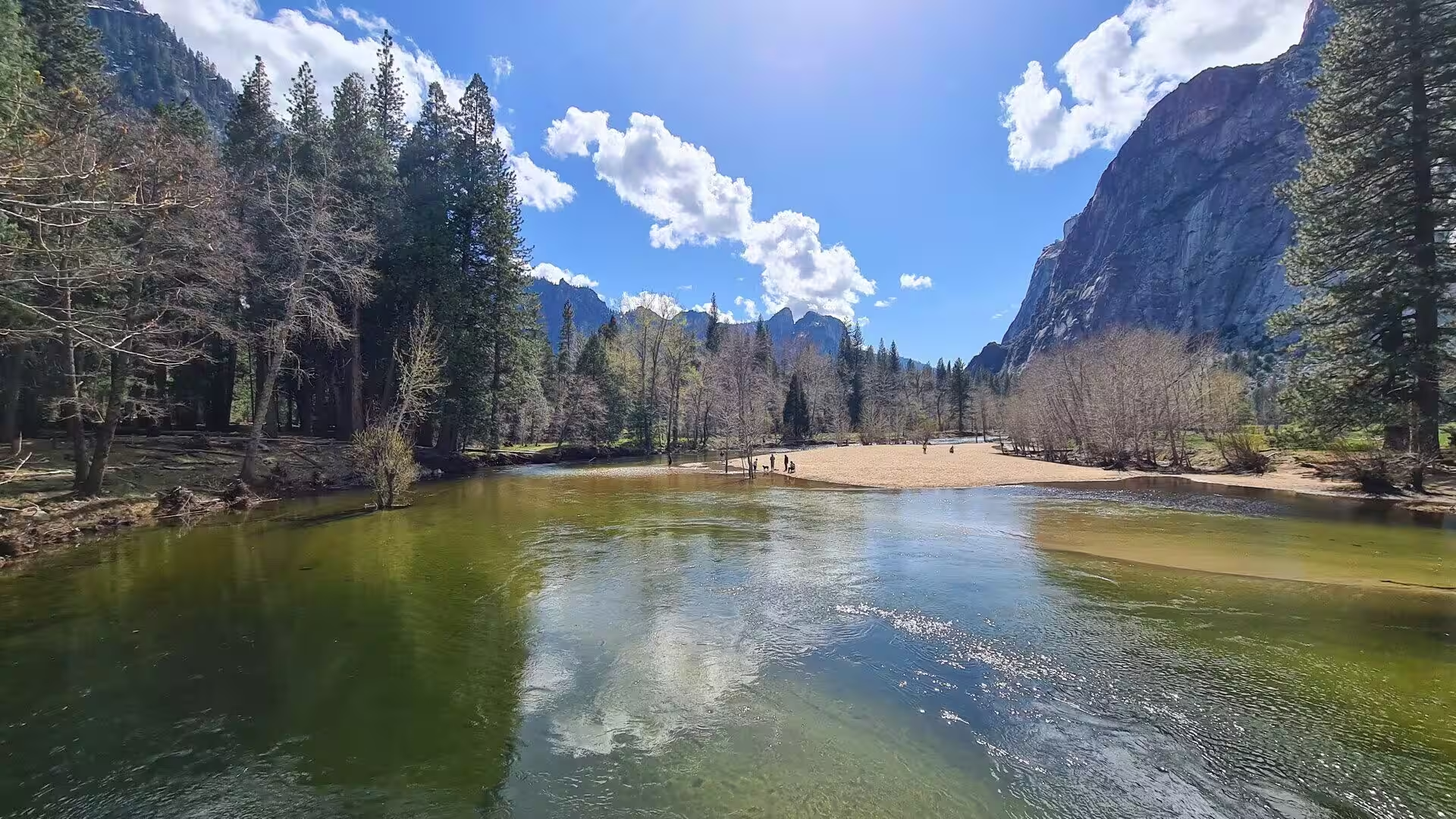
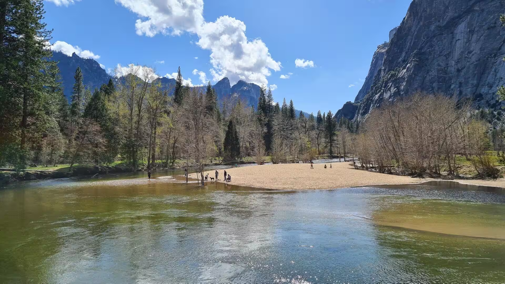
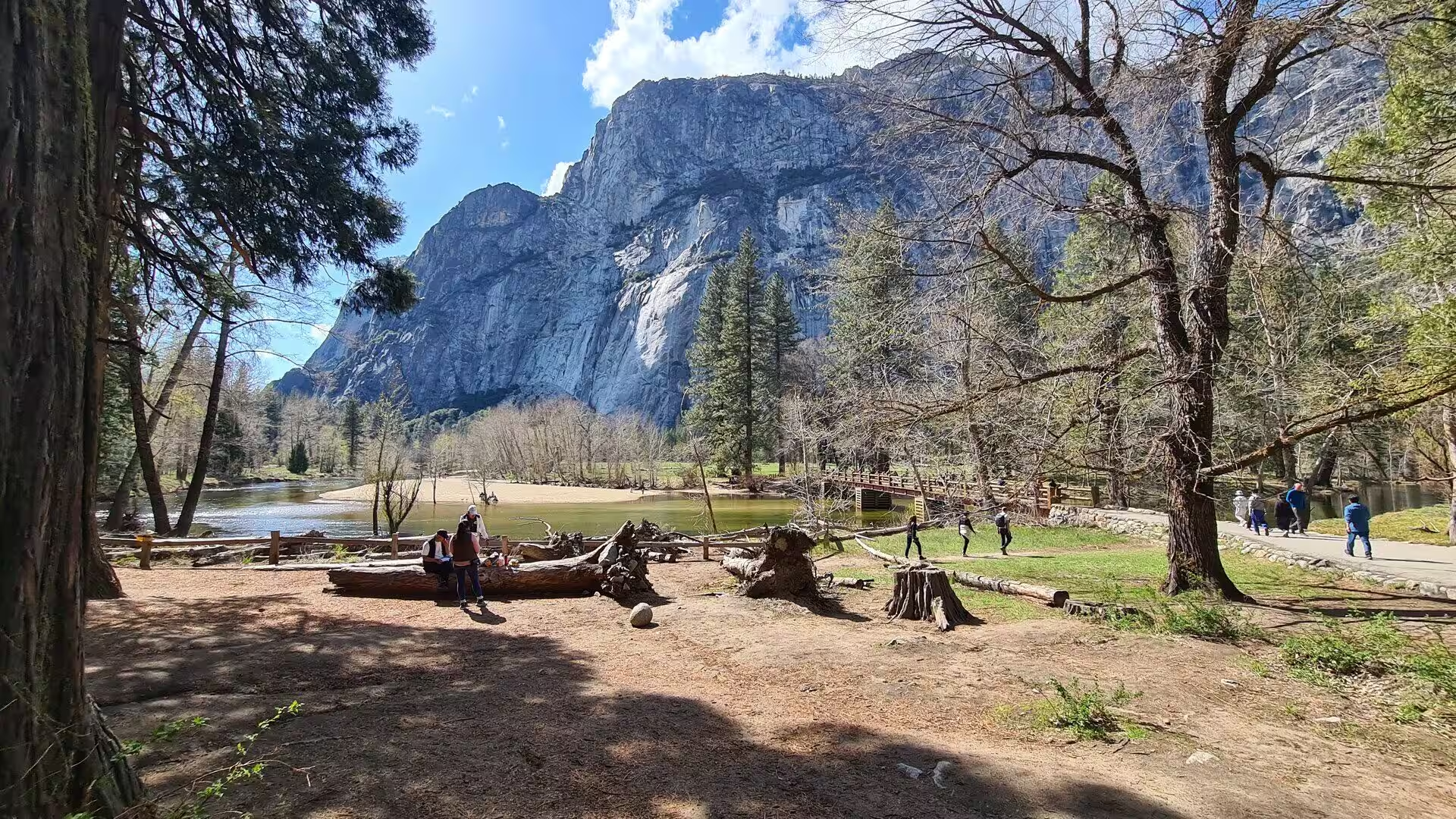
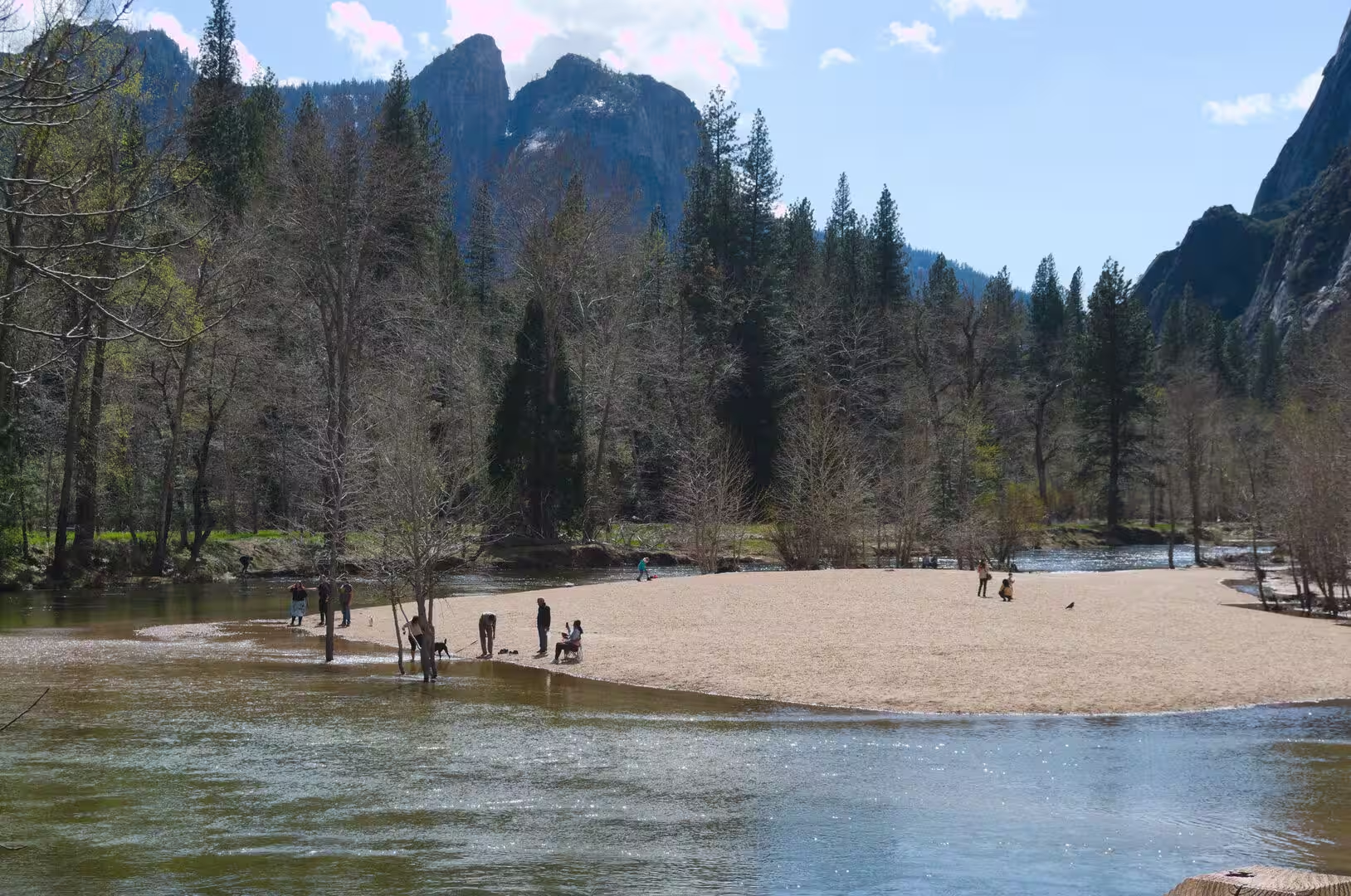
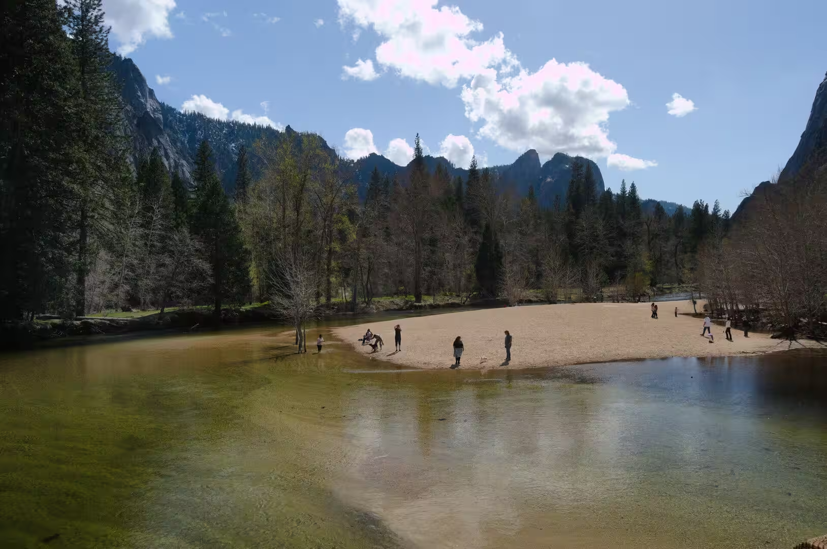
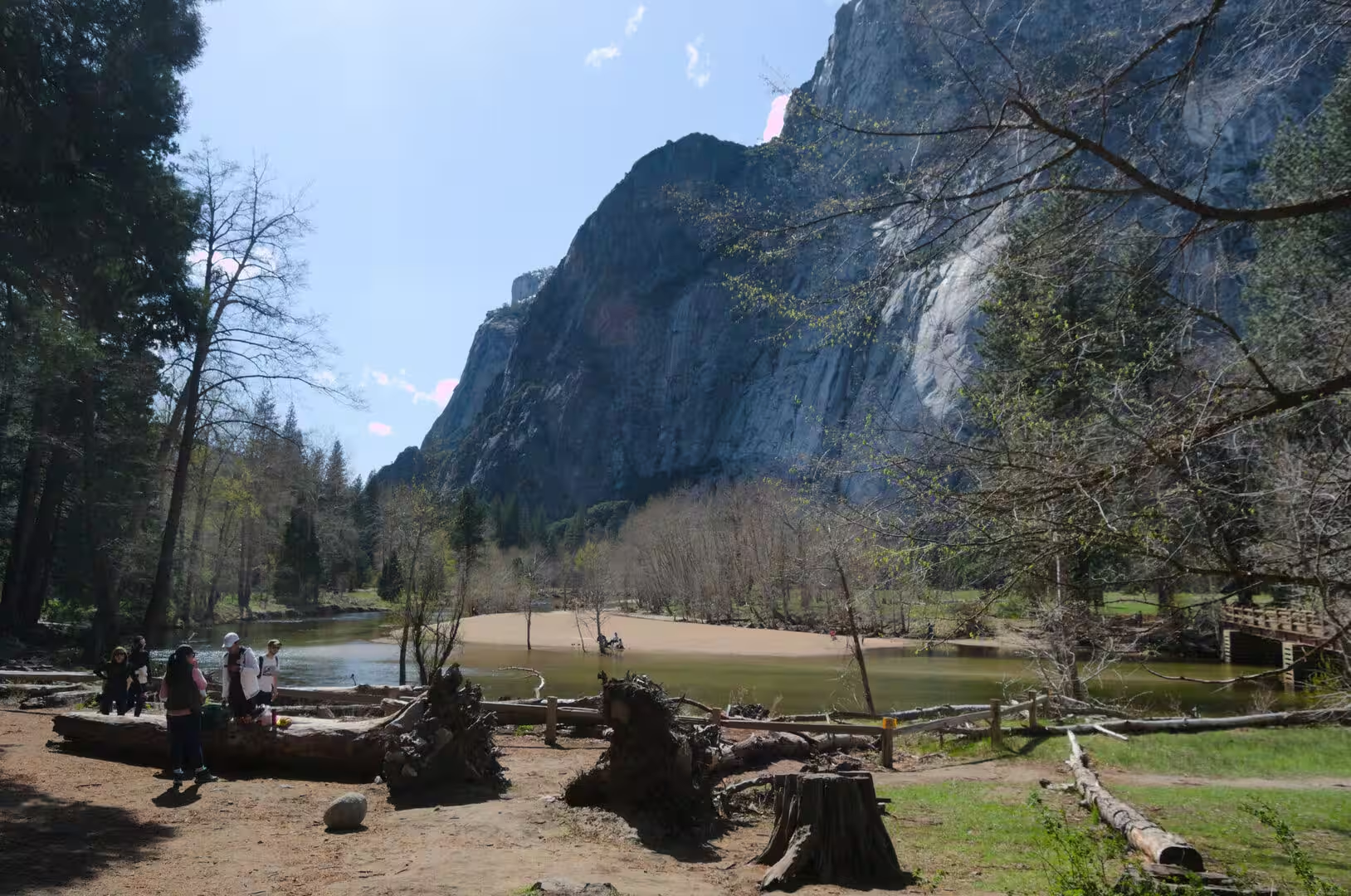
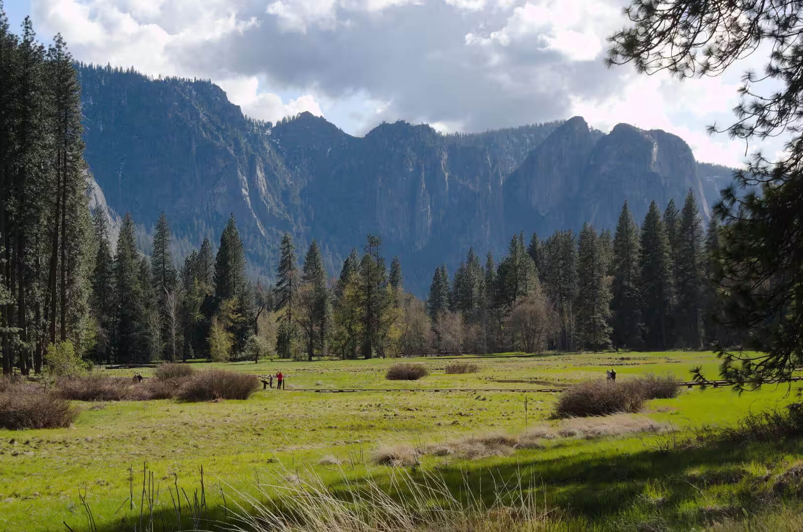
The valley floor itself is a place of meadows, pine forest and slow water. The Merced meanders between sandy banks and grassy openings, and the flat ground holds forest and large open meadows with views to the surrounding crests. More than 142 species of bird and about 90 species of mammal live in the valley, among them black bear, mule deer, coyote, the Sierra Nevada red fox and the Pacific fisher. California black oak, ponderosa pine, incense cedar, red fir and lodgepole pine are the common trees, and wildflowers are at their best between June and August.
Glacier Point on the south rim stands at 7,214 feet, some 3,200 feet above the valley, and gives a view of Yosemite Falls, Half Dome, Vernal Fall, Nevada Fall and Clouds Rest in a single sweep. The Four Mile Trail was completed in 1872 and climbs the 3,200 feet in 4.6 miles. A stage road reached the point in 1882, the road was improved for motor traffic and taken over by the federal government in 1917, and the Firefall burned from the point between 1872 and 1968. The road usually opens from June to October.
The Mariposa Grove, near Wawona at the southern end of the park, is the largest grove of giant sequoias in Yosemite, with several hundred mature trees and two of the thirty largest in the world. Galen Clark and Milton Mann found it in 1857 and counted 427 mature sequoias. A tunnel 7 feet wide, 9 feet high and 26 feet long was cut through the Wawona Tree in 1881, and the tree fell under snow in 1969 at an estimated age of 2,100 years; the California Tunnel Tree, cut in 1895, still lives. The grove was closed from 2015 until 15 June 2018 for restoration.
The high country above the valley is reached by the Tioga Road. Tuolumne Meadows lies at 8,619 feet among granite domes and sub-alpine meadow, with Tenaya Lake nearby and the Cathedral and Clark Ranges, the Kuna Crest and the Sierra Crest beyond. The John Muir Trail begins at Happy Isles in the valley and runs 211 miles to Mount Whitney, and the Pacific Crest Trail crosses the same ground. Hetch Hetchy Valley, drowned behind the O’Shaughnessy Dam in 1913, and Wapama Falls remain the quieter side of the park.
References
- Wikipedia contributors (2026). Yosemite National Park. en.wikipedia.org/wiki/Yosemite_National_Park
- Wikipedia contributors (2026). Yosemite Valley. en.wikipedia.org/wiki/Yosemite_Valley
- Wikipedia contributors (2026). El Capitan. en.wikipedia.org/wiki/El_Capitan
- Wikipedia contributors (2026). Half Dome. en.wikipedia.org/wiki/Half_Dome
- Wikipedia contributors (2026). Yosemite Falls. en.wikipedia.org/wiki/Yosemite_Falls
- Wikipedia contributors (2026). Merced River. en.wikipedia.org/wiki/Merced_River
- Wikipedia contributors (2026). John Muir. en.wikipedia.org/wiki/John_Muir
- Wikipedia contributors (2026). Ahwahneechee. en.wikipedia.org/wiki/Ahwahneechee
- Wikipedia contributors (2026). Ansel Adams. en.wikipedia.org/wiki/Ansel_Adams
- Wikipedia contributors (2026). Tunnel View. en.wikipedia.org/wiki/Tunnel_View
- Wikipedia contributors (2026). Glacier Point. en.wikipedia.org/wiki/Glacier_Point
- Wikipedia contributors (2026). Mariposa Grove. en.wikipedia.org/wiki/Mariposa_Grove
- Wikipedia contributors (2026). Tuolumne Meadows. en.wikipedia.org/wiki/Tuolumne_Meadows
- Wikipedia contributors (2026). Sierra Nevada. en.wikipedia.org/wiki/Sierra_Nevada
- Wikipedia contributors (2026). National Park Service. en.wikipedia.org/wiki/National_Park_Service
- Wikipedia contributors (2026). Sierra Club. en.wikipedia.org/wiki/Sierra_Club
- Wilmot N.A., McIntosh C.R. (2014) Forecasting Recreational Visitation at US National Parks. Tourism Analysis. 19. 129-137. doi.org/10.3727/108354214×13963557455487
- Krymkowski D.H., Manning R.E., Valliere W.A. (2014) Race, ethnicity, and visitation to national parks in the United States: Tests of the marginality, discrimination, and subculture hypotheses with national-level survey data. Journal of Outdoor Recreation and Tourism. 7-8. 35-43. doi.org/10.1016/j.jort.2014.09.008