Day 6 - California / Sequoia National Park
11 May 2022




Journal Notes
General
Sequoia National Park protects a mountainous section of the southern Sierra Nevada in Tulare County, California, east of the town of Visalia. Congress set the area aside on 25 September 1890, and the park now extends over 404,064 acres, or 631 square miles, some 1,635 square kilometres of forested terrain. Its relief is close to 13,000 feet, or 4,000 metres, and within its boundary stands Mount Whitney at 14,505 feet, the highest summit of the contiguous United States.
The park is famous above all for the giant sequoia, and the General Sherman Tree in the Giant Forest is the largest tree on earth by volume. Five of the ten most massive trees on the planet grow in that one grove. A paved road, the Generals Highway, links the Giant Forest with the General Grant Grove of Kings Canyon National Park, and the two parks share more than 200,000 acres of old growth forest. The land was the ancestral homeland of the Monache, the Tubatulabal, the Owens Valley Paiute, the Yokuts and the Shoshone.
Sequoia and Kings Canyon are administered together by the National Park Service as one unit, and UNESCO designated the two of them a biosphere reserve in 1976. Wilderness makes up 84 per cent of the combined area, designated as the Sequoia and Kings Canyon Wilderness in 1984 and, in the south west, as the John Krebs Wilderness in 2009. The two wilderness areas together cover more than 768,000 acres, or nearly 90 per cent of the combined parks. No road crosses the Sierra Nevada inside the park, and the back country is reached on foot or on horseback.
The range of elevation creates a series of distinct belts. The southern entrance near Three Rivers stands at Ash Mountain at 1,700 feet, and its lower slopes carry the only national park protection given to the California foothill ecosystem, with blue oak woodland, chaparral, grassland and yucca. Between 5,500 and 9,000 feet the country becomes montane conifer forest of ponderosa, Jeffrey, sugar and lodgepole pine with white and red fir. Above the tree line the terrain turns to alpine tundra and bare granite. The five climate types of the park run from a hot-summer Mediterranean climate in the foothills to tundra on the highest ground.
The park receives more than 1.2 million recreational visitors in a year, and most of them arrive between late spring and early autumn, when the snow has cleared from the highest trails. Sequoia contains more than 270 known caves, among them Lilburn Cave, at nearly 17 miles the longest cave in California, and Crystal Cave, which is open for guided tours and holds a constant temperature of 48 degrees Fahrenheit. Summer is warm and dry at low elevation, while the high country keeps snow into early summer.
History
People have lived in the Kaweah country for a very long time. Occupation of the area that became the park is documented from about AD 1000, and the Monachee, or Western Mono, lived chiefly in the Kaweah River drainage and its foothills, with a population estimated at around 2,000. Villages held one to eight families under a chief, and an annual mourning ceremony remembered the dead of the past year. Pictographs survive at Hospital Rock and Potwisha, together with the bedrock mortars in which acorns were ground.
Other peoples shared the wider region. The Tubatulabal occupied the Kern River drainage to the east in three bands and spoke a Uto-Aztecan language. The Yokuts lived in the San Joaquin Valley and the lower foothills, organised into about fifty groups with their own chiefs and territories, and traded with the Monachee and with the Miwok further north. Their winter villages in the foothills were pit houses thatched with tules, some of them up to 31 feet across, and acorns were ground in hollows worn into the granite bedrock. The Owens Valley Paiute and the Shoshone, or Newe, held the eastern side of the range and the Great Basin beyond it.
The first European settler to homestead in the area was Hale Tharp, who came in 1858 and built himself a cabin out of a hollowed fallen sequoia beside Log Meadow in the Giant Forest. Native guides showed him the grove, and settlers followed from about 1860. Between 1860 and 1863 epidemics of smallpox, measles and scarlet fever killed most of the indigenous inhabitants, and by 1865 the remainder had been removed from their largest settlement at Hospital Rock.
Logging followed the settlers. In the 1880s a group of colonists founded the Kaweah Colony, a utopian community on the Kaweah River, and hoped to make its living from sequoia timber. The wood splintered easily and proved unsuitable for building, but thousands of trees were felled before the work stopped. President Benjamin Harrison signed the legislation that created Sequoia National Park on 25 September 1890, the second national park of the United States, and logging in the groves ended; the colony dissolved in 1892.
The new park was guarded before the National Park Service existed by troops of the 24th Infantry and the 9th Cavalry, the segregated regiments known as the Buffalo Soldiers, who served there from 1891 until 1913. Under Captain Charles Young they built the first road into the park, laid out trails and planted an arboretum, and the Booker T. Washington Tree commemorates that connection. Later campaigns kept the forest intact: in 1978 the Sierra Club helped to defeat a proposal for a ski resort at Mineral King, which was added to the park.
Geology
Most of the rock in the park belongs to the Sierra Nevada batholith, a vast body of intrusive igneous rock formed deep underground. During the Cretaceous period, roughly 100 million years ago, an oceanic plate sank beneath the North American continent, and the water driven from it melted the rock above, producing magma that solidified far below the surface as granite, diorite and monzonite. Quartz, feldspar and mica give the rock its speckled appearance. Uplift and erosion later stripped away the covering and exposed the granite.
The Sierra Nevada itself is a young range, probably no more than 10 million years old. At least four ice ages have covered the mountains in ice during that time, and the glaciers carved deep valleys and craggy peaks as they moved. Because the granitic rock resists erosion, the result is a landscape of hanging valleys, waterfalls, alpine lakes and glacial canyons, cut by the Great Western Divide, a chain of summits parallel to the main crest that rises above 12,000 feet. The Palisade Glacier, the largest in the Sierra Nevada, lies just beyond the park in the John Muir Wilderness.
Deep canyons cut between the ridges. Tokopah Valley lies above Lodgepole, Deep Canyon follows the Marble Fork of the Kaweah, and Kern Canyon in the back country runs more than 5,000 feet deep for 30 miles. On the eastern edge of the park the land rises to Mount Whitney at 14,505 feet, and the same block drops abruptly towards the Owens Valley. Caves add another chapter to the geology: most caves in the Sierra Nevada are dissolved from marble, which is limestone altered by the heat and pressure that accompanied the batholith.
Marble belongs to the metamorphic rocks that once covered the granite, and the uplift of the batholith has left most of the cave passages at middle and lower elevations, below about 7,000 feet. More than 270 caves are known inside the park. Crystal Cave, discovered on 28 April 1918, runs for over 3.4 miles and keeps a temperature of 48 degrees Fahrenheit throughout the year, and Lilburn Cave extends for nearly 17 miles. New caves continue to be found, the most recent major one being Ursa Minor in 2006.
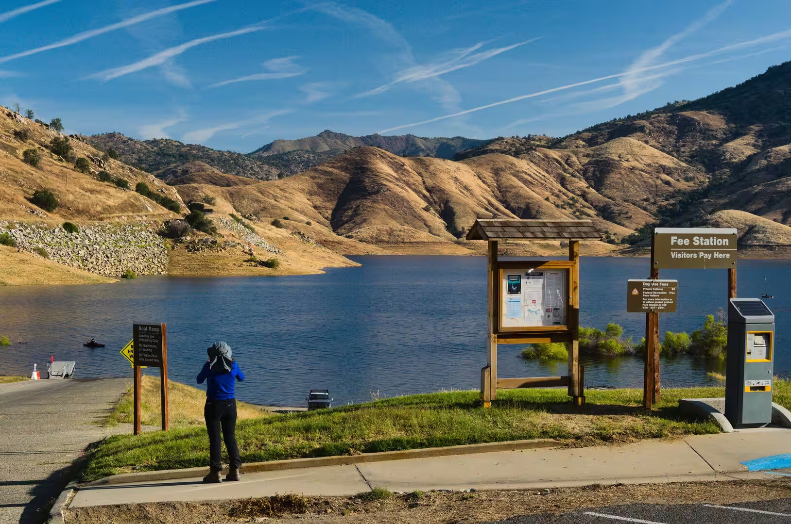
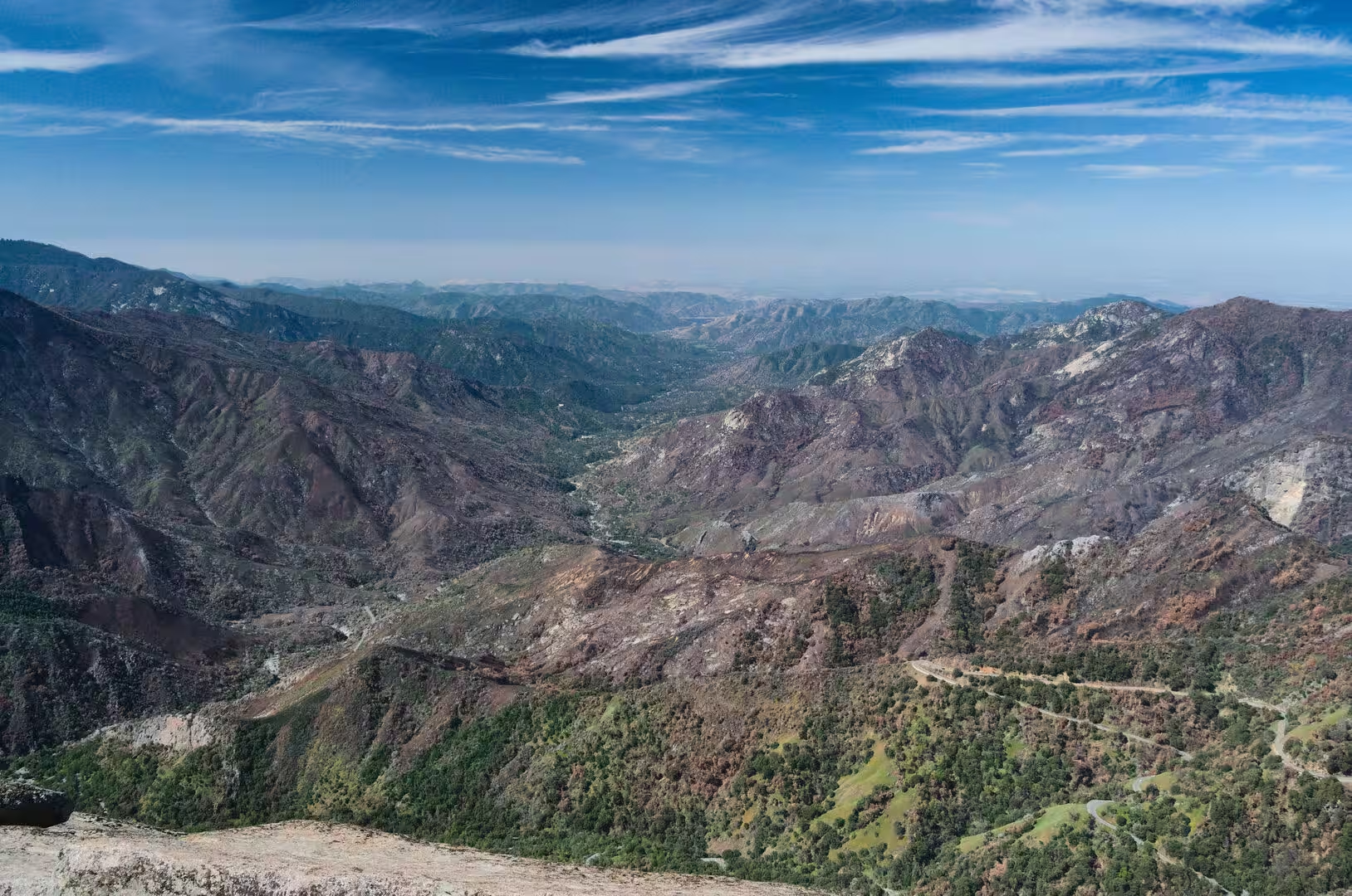
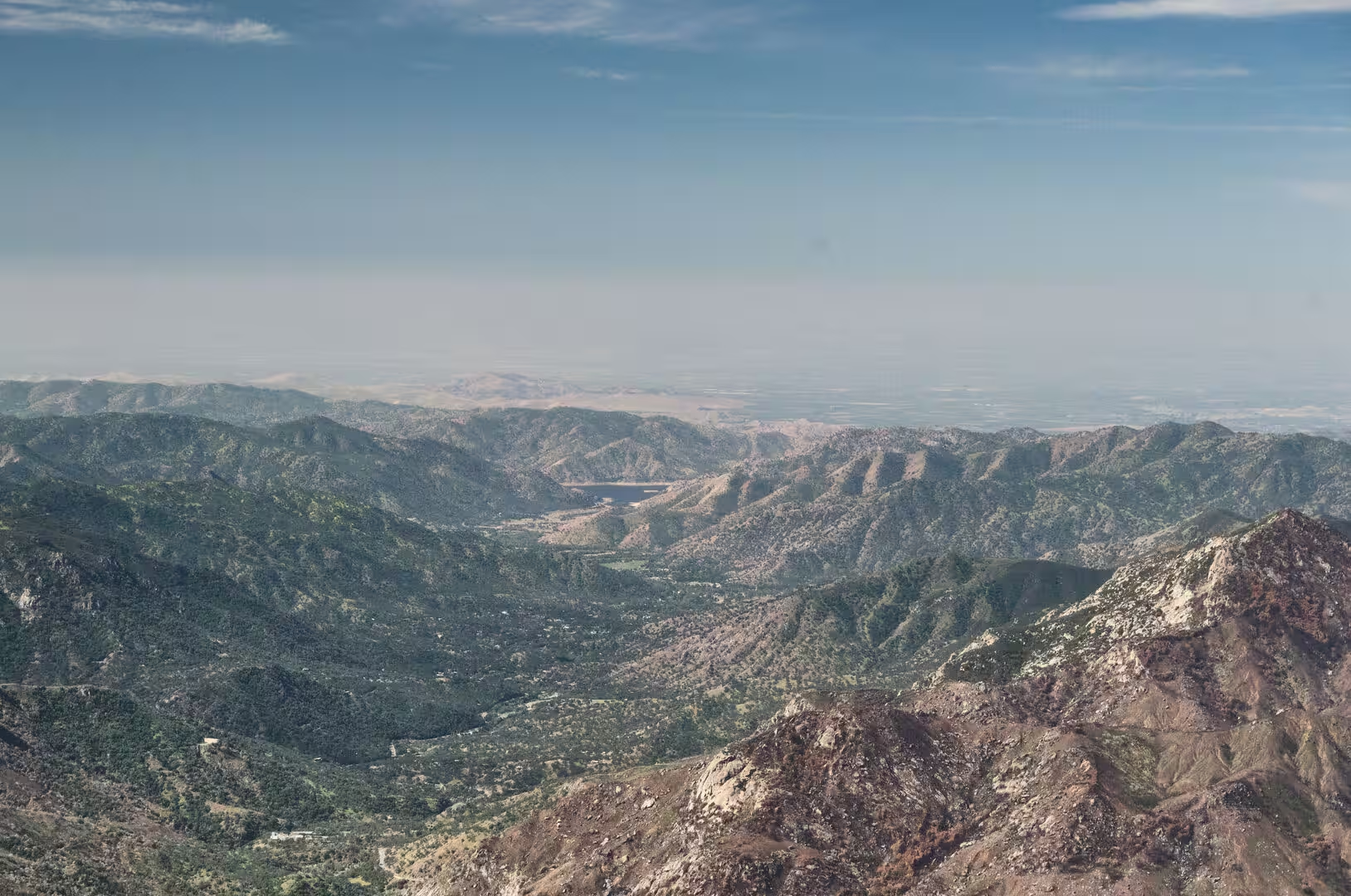
Water is the other force at work. The Kaweah River rises in four forks along the Great Western Divide, where the headwaters begin at almost 13,000 feet, and falls nearly two and a half miles on its way to the San Joaquin Valley. The Middle and Marble Forks meet in the gorge directly below Moro Rock. Further west the river is held by Lake Kaweah, formed by Terminus Dam, a 255-foot earthfill barrier completed in 1962 for flood control and irrigation, and the river then divides across the plain towards Visalia. The mountain watershed above the town covers 658 square miles, and its annual runoff averaged 443,000 acre-feet between 1975 and 1995.
Things to See
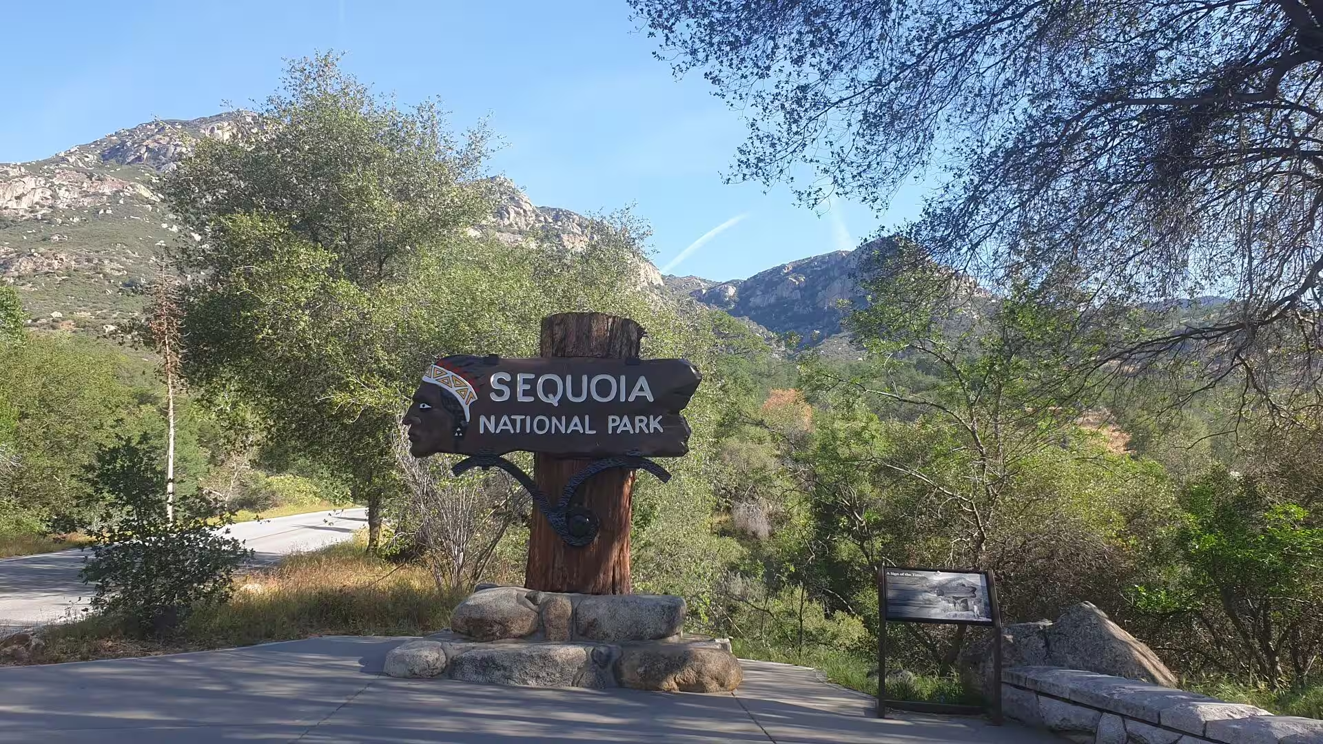
The southern approach to the park climbs out of the citrus and orchard country of Tulare County and follows State Route 198 up the Kaweah canyon. The entrance at Ash Mountain stands at 1,700 feet in the foothill belt, where blue oak, chaparral, yucca and dry grassland cover the slopes. Bobcats, foxes, ground squirrels, rattlesnakes and mule deer are common there, and the last California grizzly in the state was killed in the park at Horse Corral Meadow in 1922.
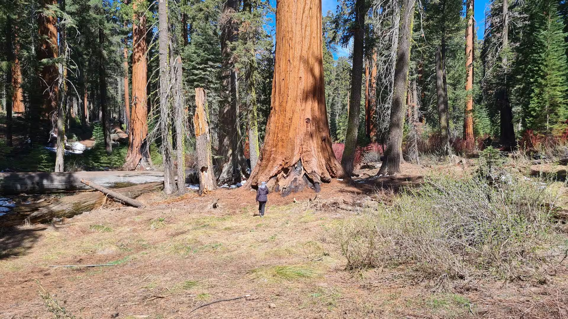
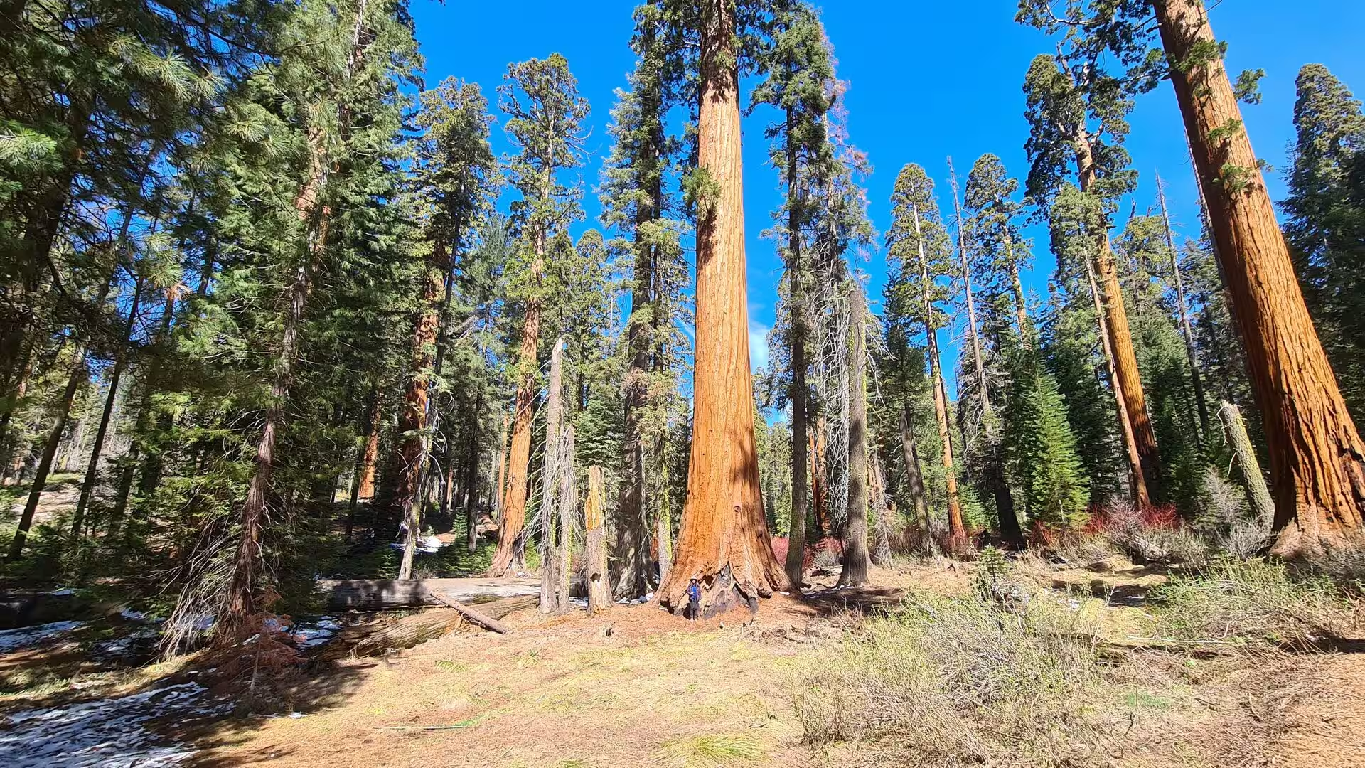
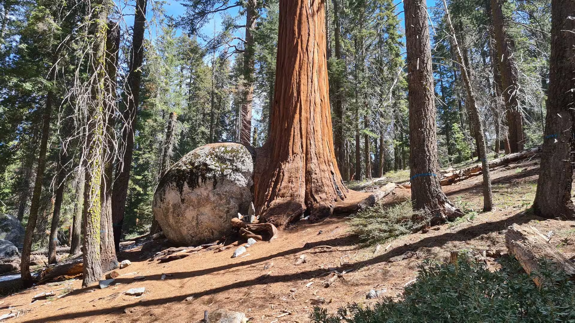
Above the foothills the road enters the montane forest and reaches the Giant Forest, a grove of 1,880 acres at over 6,000 feet. It is the most accessible of all sequoia groves, with more than 40 miles of trails, and five of the ten most massive trees on earth grow within it. The Giant Forest Museum, built in 1928 to a design by Gilbert Stanley Underwood, explains the ecology of the grove. The historic village has been cleared and the area is now reserved for day use.
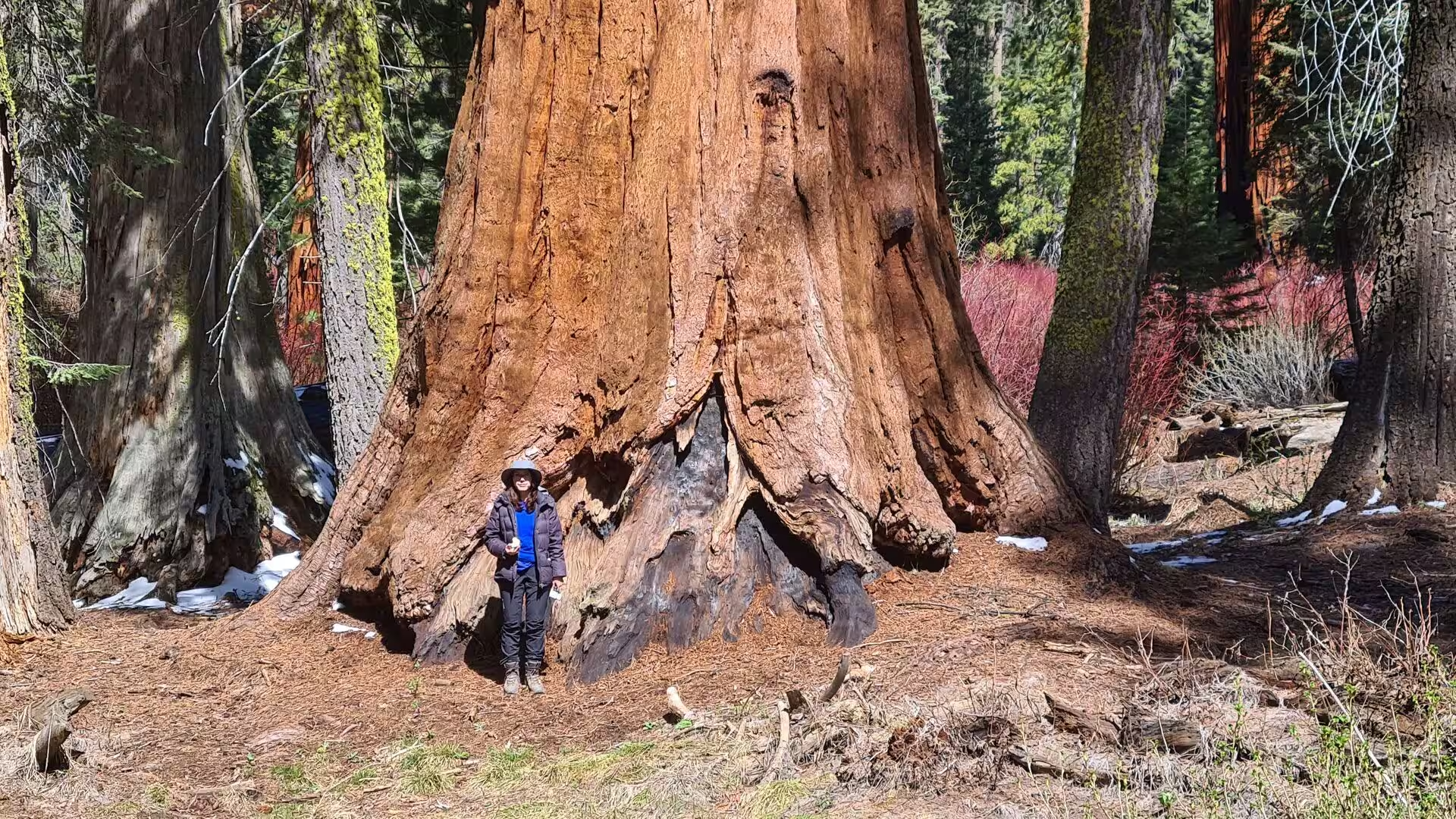
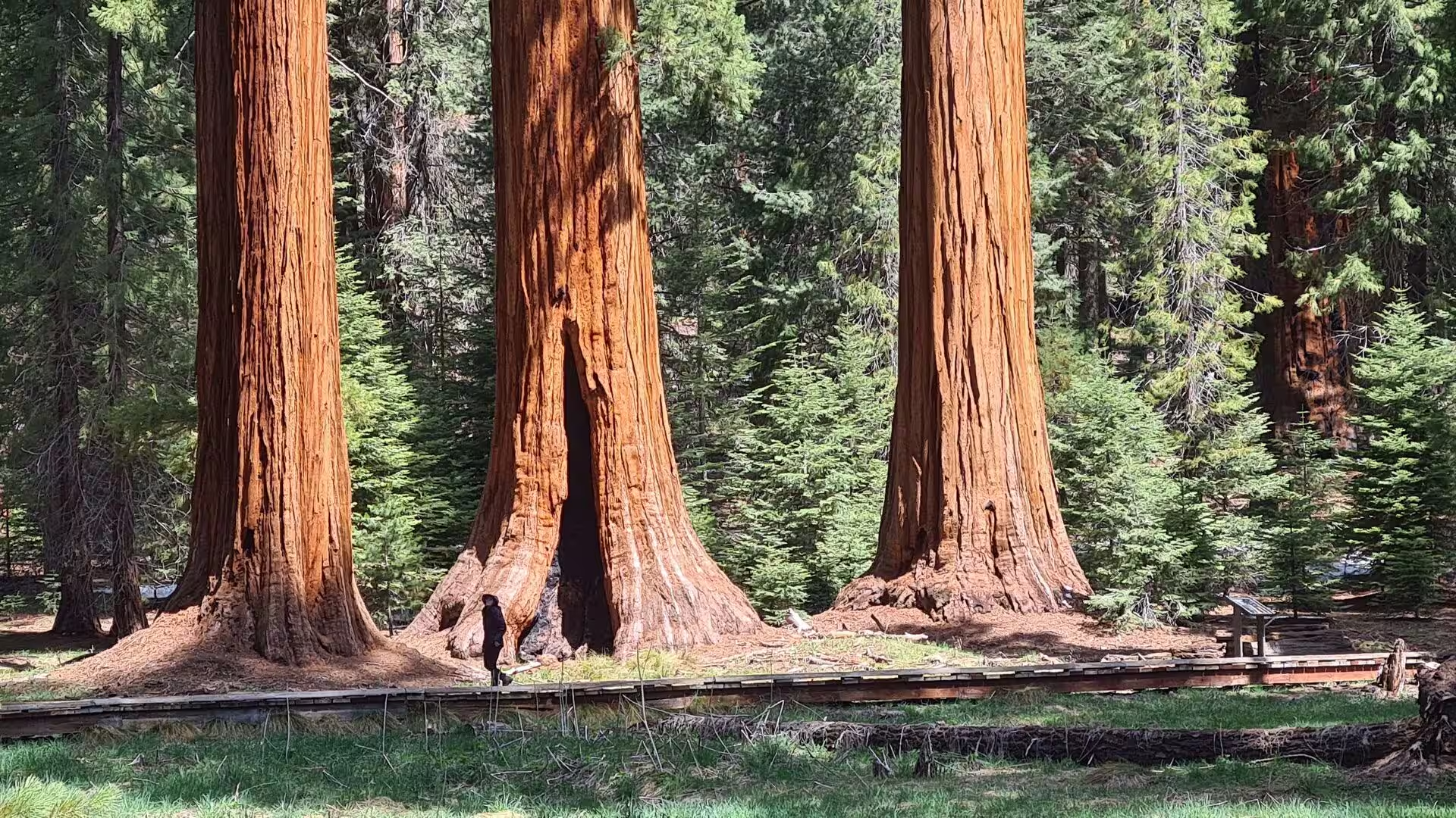
The General Sherman Tree is the centre of the grove. It stands 275 feet high with a diameter of 25 feet and an estimated bole volume of 52,513 cubic feet, and its age is put at between 2,300 and 2,700 years. Its cones mature in 18 to 20 months, yet often stay green and closed for as long as 20 years, opening only when the heat of a fire dries them. A paved trail of 0.8 miles round trip descends from the car park to its base. The Congress Trail, an easy walk of about two miles, passes The President, Chief Sequoyah and the group known as The Senate, and old fire scars and hollow trunks stand open along the way.
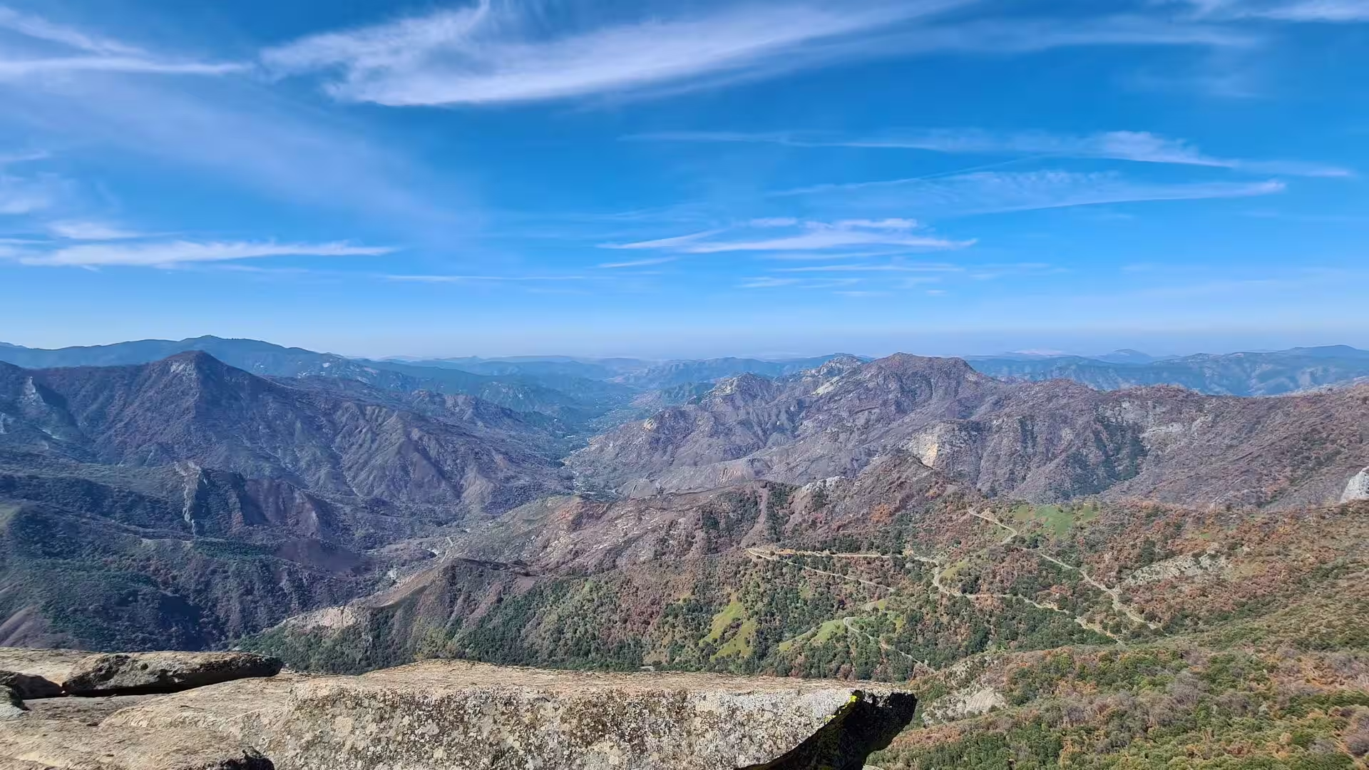
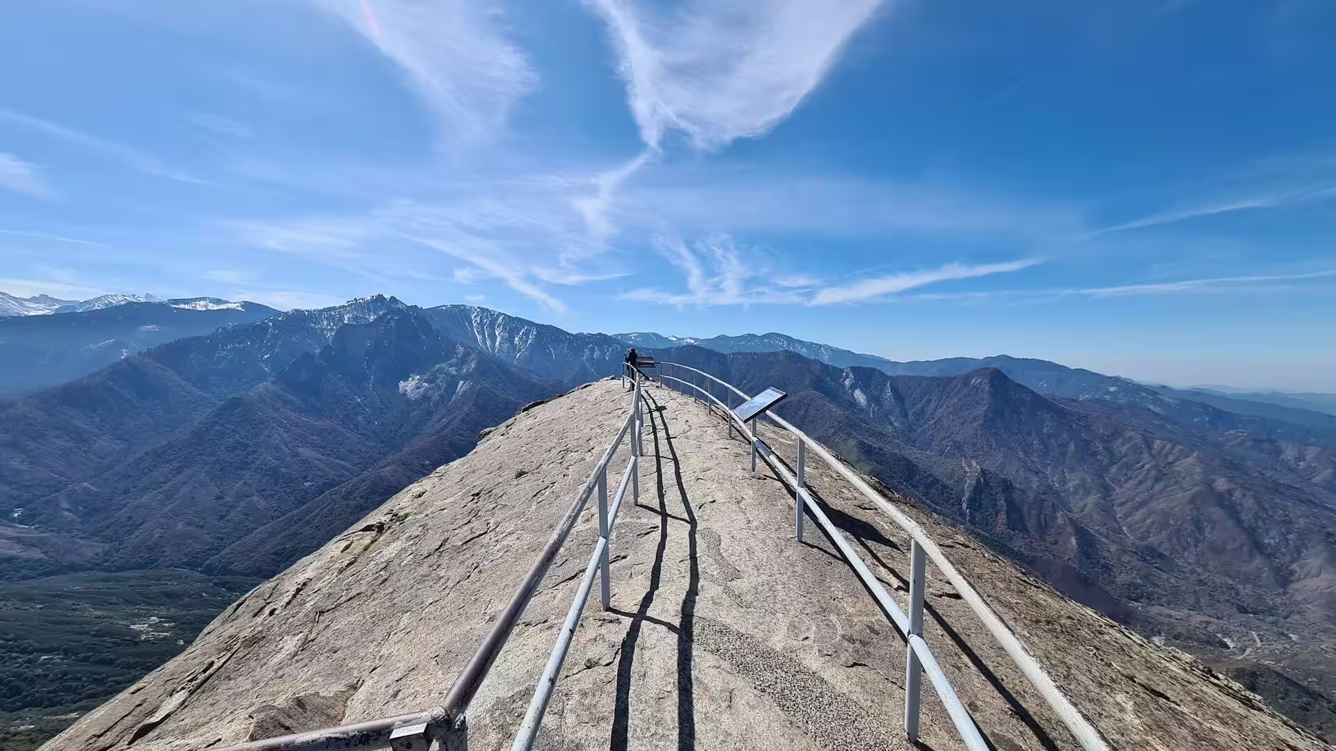
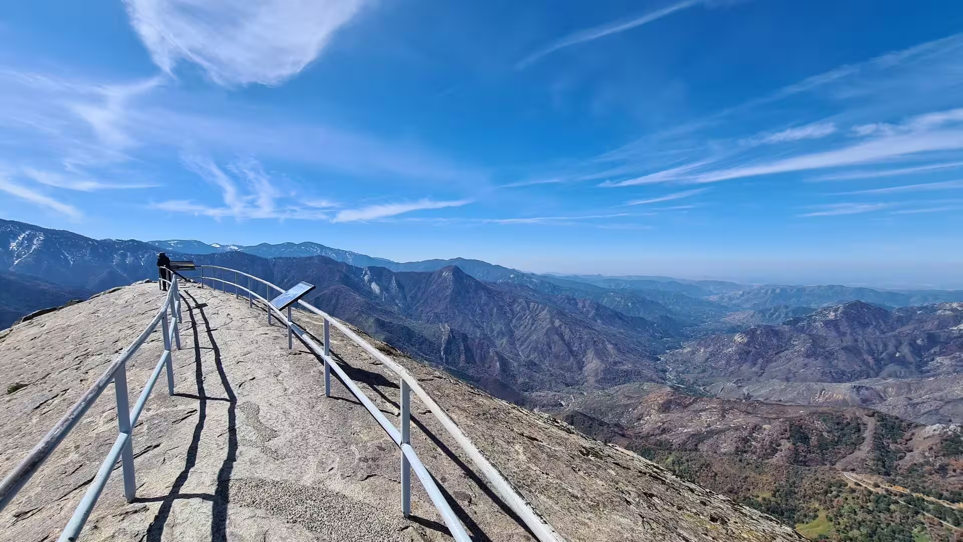
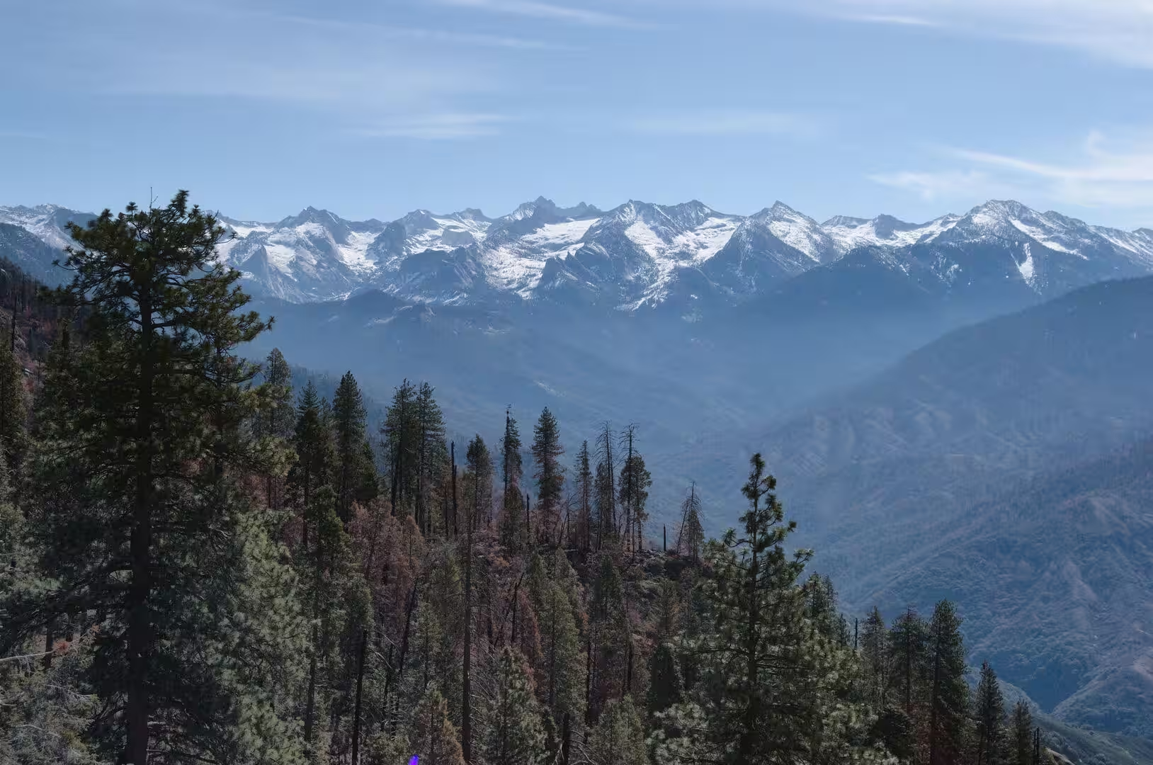
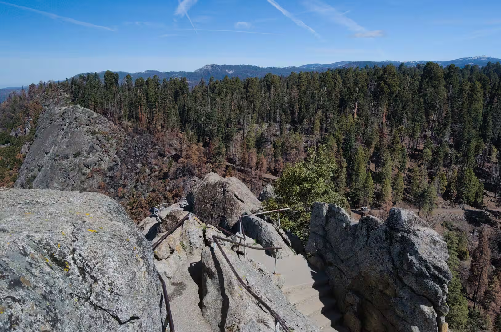
Moro Rock rises above the Giant Forest to 6,725 feet, a granite dome at the head of Moro Creek. A wooden stairway was fixed to its face in 1917, and the present stairway was built in 1931, partly cut into the rock and partly poured onto it; it runs 797 feet and has 400 steps. It is listed on the National Register of Historic Places. From the top the view reaches across the park to the Great Western Divide, and the granite has the rounded form that exfoliation gives to rock with widely spaced joints.
Crescent Meadow lies at the end of a three-mile road from the Generals Highway and marks the western terminus of the High Sierra Trail, which climbs to Kaweah Gap on its way across the Great Western Divide towards Mount Whitney. John Muir called the meadow the gem of the Sierra, and Hale Tharp’s hollowed log cabin still stands nearby. Round Meadow, Crescent Meadow and Circle Meadow are fen meadows that store water in the forest. From Lodgepole a trail of 1.7 miles follows the Marble Fork to Tokopah Falls, 1,200 feet high.
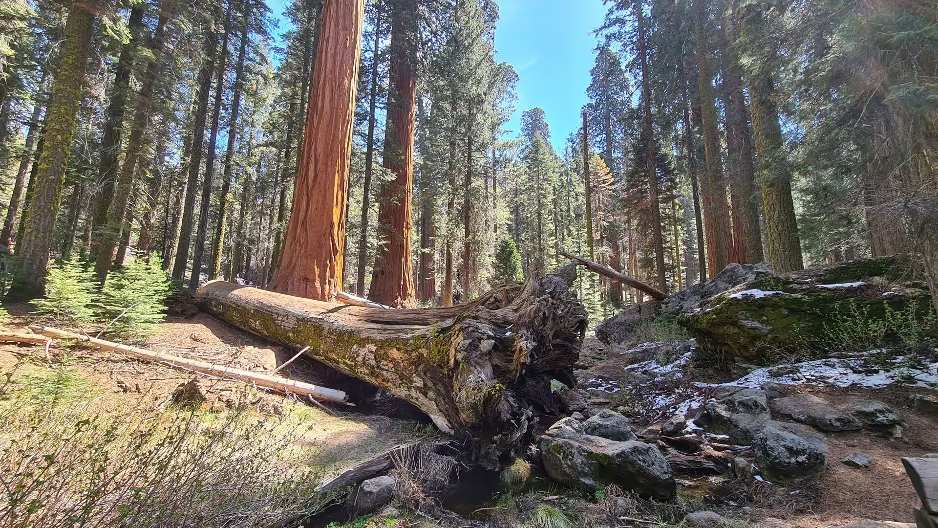
Fallen giants are part of the landscape. The Tunnel Log was a sequoia 275 feet tall and 21 feet in diameter that came down across a park road in 1937; the following year a crew cut a tunnel 8 feet high and 17 feet wide through the trunk so that traffic could pass again. Fallen trunks lie where they came to rest, their roots torn up and their wood slowly returning to the soil, and the mineral ground they open is where new sequoia seedlings take hold after a fire. The bark of a full grown tree may be 90 centimetres thick at the base, and the tannic acid in the sap gives it protection against burning.
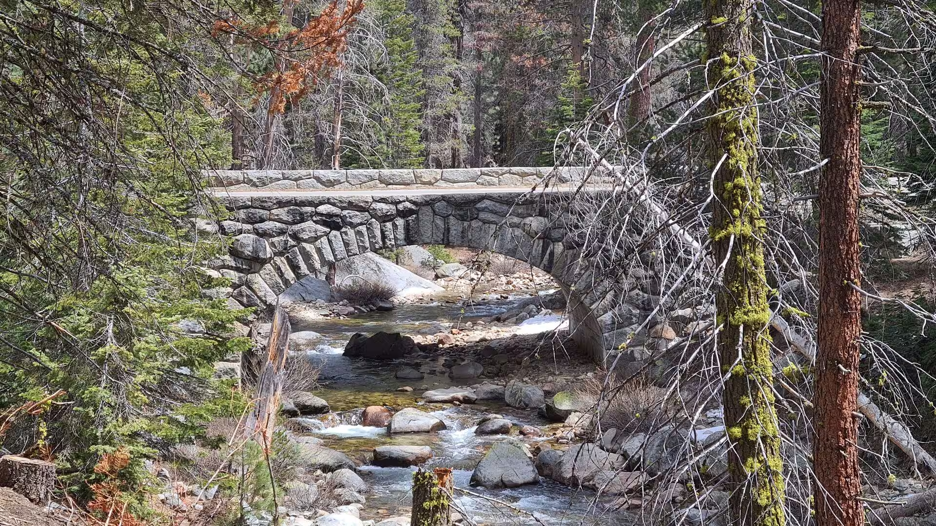
The Kaweah River runs through the whole visit. Its Marble Fork drops 1,200 feet over a glacial headwall at Tokopah Falls, passes Lodgepole Village and turns south, and it joins the Middle Fork in the gorge below Moro Rock to form the main stem. State Route 198 follows the river in its narrow canyon past the settlement of Three Rivers. Fishing for rainbow and brown trout is possible in the upper reaches, and the clear water runs over granite boulders and fallen logs between the pines.
Beyond the park boundary the same country continues under other protection. Sequoia National Forest covers 1,193,315 acres and holds 34 groves of giant sequoia, and on 15 April 2000 the Giant Sequoia National Monument was proclaimed over 328,000 acres of it. Kings Canyon National Park, north of Sequoia and administered with it, protects 461,901 acres, the deep canyon of the Kings River and the General Grant Tree, the second largest tree in the world by trunk volume. Granite domes and dry ridges overlook the valley floor far below, where palms and irrigated orchards stand beside the road.
References
- Wikipedia contributors (2026). Sequoia National Park. en.wikipedia.org/wiki/Sequoia_National_Park
- Wikipedia contributors (2026). Sequoiadendron giganteum. en.wikipedia.org/wiki/Sequoiadendron_giganteum
- Wikipedia contributors (2026). General Sherman (tree). en.wikipedia.org/wiki/General_Sherman_%28tree%29
- Wikipedia contributors (2026). Sierra Nevada. en.wikipedia.org/wiki/Sierra_Nevada
- Wikipedia contributors (2026). Kings Canyon National Park. en.wikipedia.org/wiki/Kings_Canyon_National_Park
- Wikipedia contributors (2026). Giant Forest. en.wikipedia.org/wiki/Giant_Forest
- Wikipedia contributors (2026). Mount Whitney. en.wikipedia.org/wiki/Mount_Whitney
- Wikipedia contributors (2026). Kaweah River. en.wikipedia.org/wiki/Kaweah_River
- Wikipedia contributors (2026). John Muir. en.wikipedia.org/wiki/John_Muir
- Wikipedia contributors (2026). Sierra Club. en.wikipedia.org/wiki/Sierra_Club
- Wikipedia contributors (2026). National Park Service. en.wikipedia.org/wiki/National_Park_Service
- Wikipedia contributors (2026). Batholith. en.wikipedia.org/wiki/Batholith
- Wikipedia contributors (2026). Glacial landform. en.wikipedia.org/wiki/Glacial_landform
- Wikipedia contributors (2026). Sequoia National Forest. en.wikipedia.org/wiki/Sequoia_National_Forest
- Wikipedia contributors (2026). Moro Rock. en.wikipedia.org/wiki/Moro_Rock
- Meyer M.D., Safford H.D. (2011) Giant Sequoia Regeneration in Groves Exposed to Wildfire and Retention Harvest. Fire Ecology. 7. 2-16. doi.org/10.4996/fireecology.0702002
- Rundel P.W. (1973) The Relationship Between Basal Fire Scars and Crown Damage in Giant Sequoia. Ecology. 54. 210-213. doi.org/10.2307/1934393
- Stark N. (1982) Reviews: Giant Sequoia Ecology. Forest Science. 28. 867-867. doi.org/10.1093/forestscience/28.4.867