Day 5 - California
6 May 2022






Journal Notes
General
California is the most populous state of the United States and one of the largest economies in the world, and its identity rests on the range of its landscapes rather than on a single one of them. The state reaches from the temperate rainforest of the north coast to the deserts of the south east, from the cliffs of the Pacific to the high Sierra, and the route that crosses it from the deserts of Nevada and Arizona to the farm country of the interior passes through two of the most distinct regions of the west: the Mojave Desert and the Central Valley.
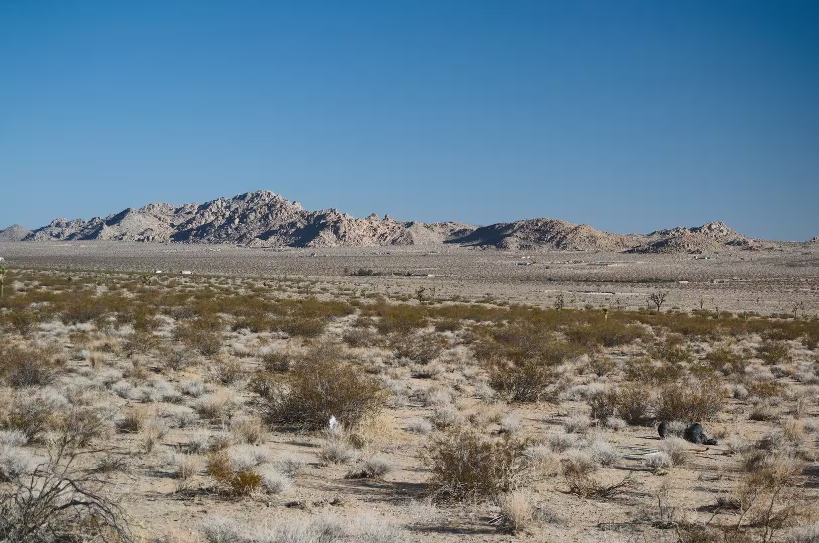
The Mojave is the smallest and driest of the four deserts of North America, lying in the rain shadow of the southern Sierra Nevada and the Transverse Ranges. It is named after the Mohave people and covers parts of south eastern California, southern Nevada, north western Arizona and south western Utah. Most of it lies between 2,000 and 4,000 feet, which is why the region is known locally as the high desert, and its topography follows the basin and range pattern of parallel mountain ranges and dry valleys. Badwater Basin, the lowest point in North America, lies within it.
The Central Valley is the opposite of the desert in every respect. It is a broad, elongated and almost flat valley that dominates the interior of the state, between 60 and 100 kilometres wide and about 720 kilometres long from north west to south east, covering roughly 47,000 square kilometres, or about eleven per cent of the land area of California. The Coast Ranges close it to the west and the Sierra Nevada to the east, and its watershed extends over 160,000 square kilometres, more than a third of the state.
The southern half of that valley is the San Joaquin, the breadbasket of California. It draws on eight counties, among them Kern, Kings, Fresno, Merced, Stanislaus and part of Tulare, and although the region is predominantly rural it contains four dense clusters of population around Stockton and Modesto, Fresno, Visalia and Porterville, and Bakersfield. Tulare County alone counted 473,117 residents at the 2020 census, with its seat at Visalia, and it extends from the floor of the valley eastwards to the Sierra Nevada, where Sequoia National Park and part of Mount Whitney lie inside its boundary.
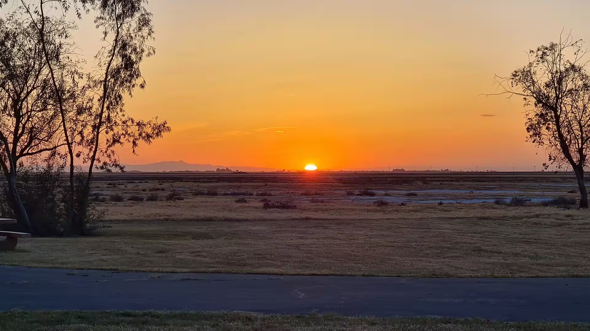
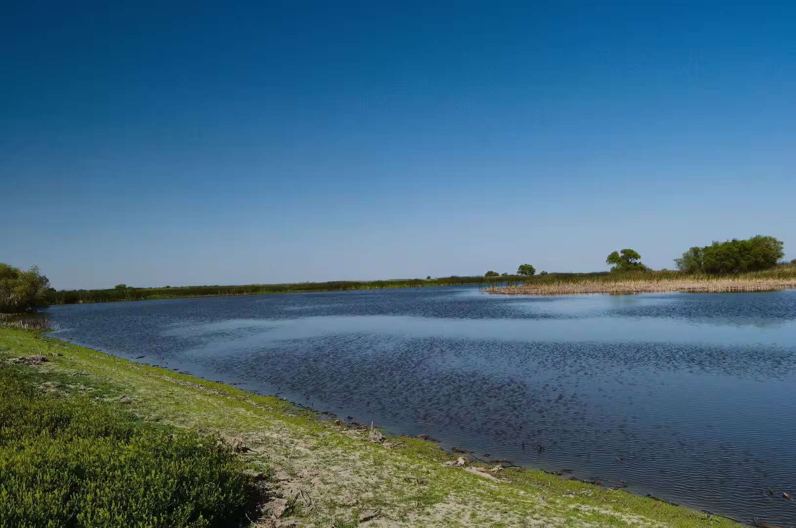
What makes the valley productive is water. More than seven million acres are irrigated from reservoirs and canals fed by the snow of the Sierra Nevada, and California as a whole produces more than half of the fruits, vegetables and nuts grown in the United States. The county was named after Tulare Lake, once the largest freshwater lake west of the Great Lakes, which was drained for agriculture and now survives only as a shallow basin in the neighbouring county, filled in the wettest years and dry in most others.
History
People have lived in California for more than thirteen thousand years, and the region contained one of the densest and most diverse populations of indigenous North America, with hundreds of tribes speaking distinct languages. In the desert the Mojave people gave the desert its name, and the farming communities of the valley and the coast lived from acorns, fish, game and the produce of the wetlands long before the arrival of Europeans.
Spanish exploration of the coast began in the sixteenth century and settlement followed in the late eighteenth, when the mission system established a chain of stations from San Diego to Sonoma. The missions became centres of agriculture and of colonial administration, and they also brought about the disruption and decline of the indigenous communities around them. California then belonged to Mexico before it was transferred to the United States in 1848 at the end of the Mexican American War.
The discovery of gold in the same year transformed the territory within a decade. The Gold Rush brought hundreds of thousands of people from the eastern states, Latin America, Europe and China, and the mining camps of the Sierra foothills were followed by the farms, the railways and the cities that made the modern state. Route 66 belongs to the next chapter of that movement: established on 11 November 1926 and signed the following year, the highway ran 2,448 miles, or 3,940 kilometres, from Chicago to Santa Monica and became the main road of westward migration during the Dust Bowl of the 1930s.
Route 66 lost its traffic to the interstate highways in the middle of the twentieth century and was officially removed from the highway system in 1985, but it left behind a long corridor of small towns, motels, filling stations and roadside signs that are now visited as heritage. The same decades produced the aviation industry of the desert. Kern County opened an airport east of the small town of Mojave in 1935 to serve the gold and silver mines of the region, and in 1941 the federal government improved it for national defence with two asphalt runways, each 4,500 feet long, and a taxiway.
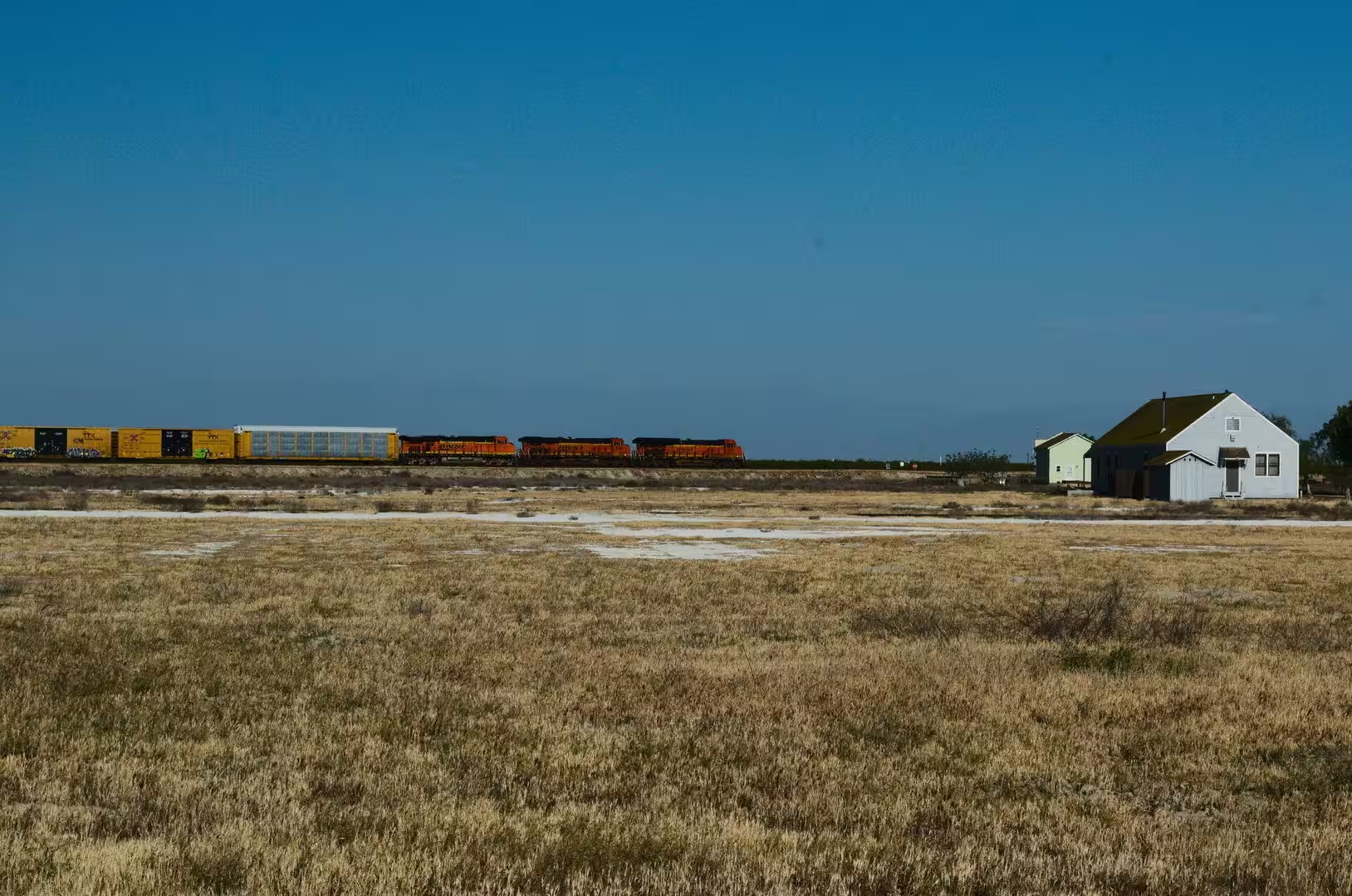
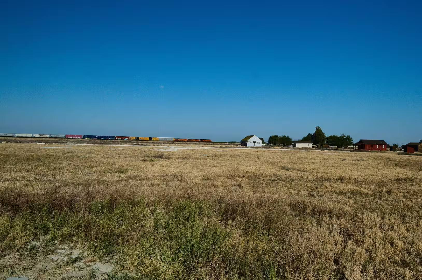
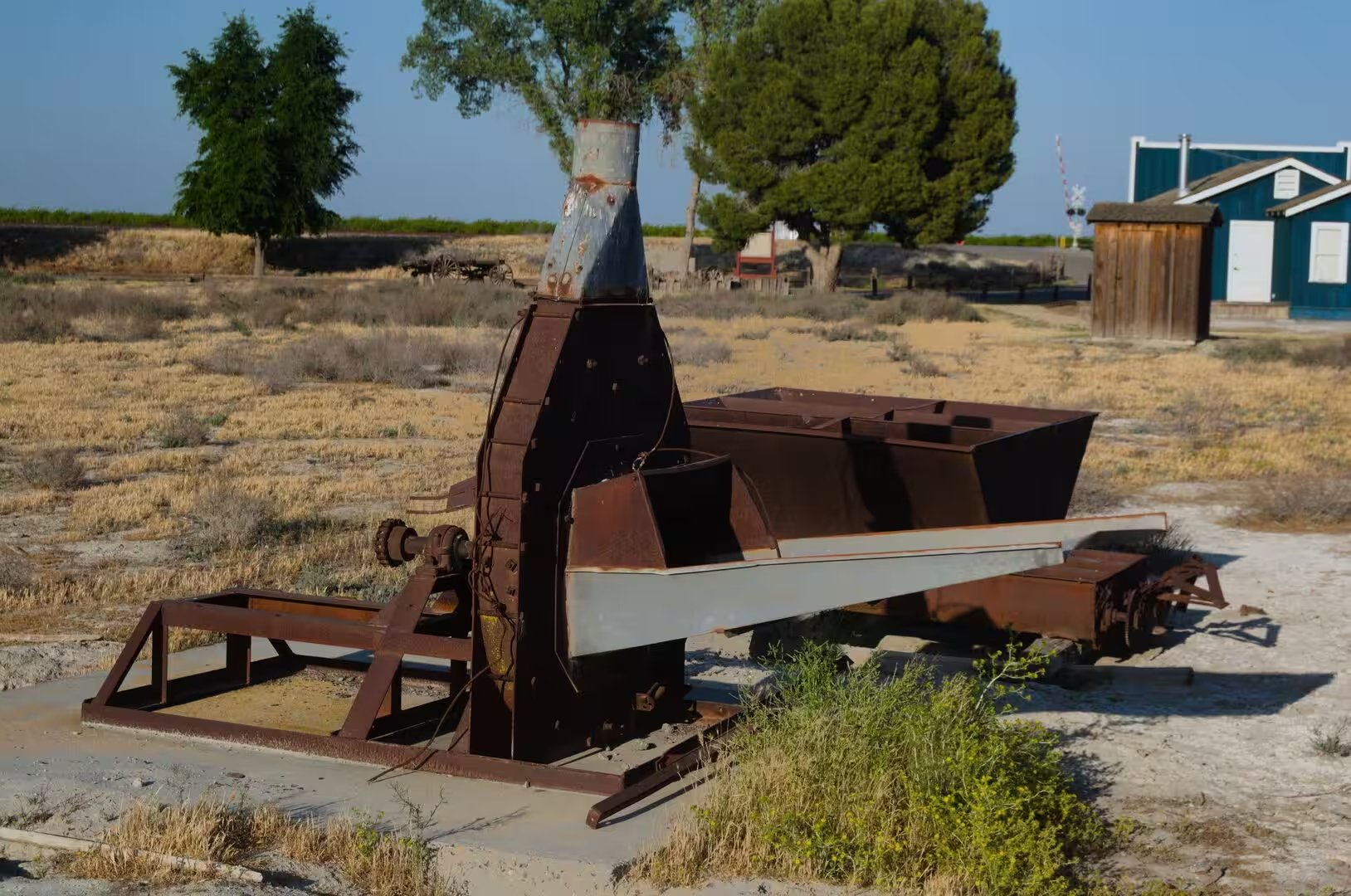
Agriculture in the valley grew into an industry in the same period. The draining of Tulare Lake, the digging of canals and the building of reservoirs turned the dry grassland of the southern San Joaquin into one of the most productive farming regions of the world, worked by successive waves of settlers from the eastern states, from Mexico and from the dust-blown plains of Oklahoma and Texas. The railway, which reached the valley in the second half of the nineteenth century, carried the harvest out and brought the settlers and their supplies in, and the small stations and farm buildings that stand along the line still mark that history.
Geology
The geology of California is among the most complex and active in North America, because the state lies along the boundary between the Pacific and the North American plates. The San Andreas Fault system is the best known expression of that boundary, and the movement along it, together with the uplift of the ranges and the erosion that follows, continues to reshape the landscape from year to year.
The Sierra Nevada is the clearest result of the process: a long block of the crust raised along its eastern side and composed largely of granite that solidified deep underground and was later exposed by uplift and erosion. The same range produces the rain shadow that makes the Mojave a desert, since the moisture carried eastwards from the Pacific falls as snow and rain on the western slopes and little of it reaches the valleys beyond.
The Central Valley is the trough between the Sierra Nevada and the Coast Ranges, filled to a great depth with sediment washed out of both. Its surface is flat because that fill is young and has not yet been cut into by the rivers, and the two large river systems that cross it, the Sacramento in the north and the San Joaquin in the south, meet in the delta before flowing into San Francisco Bay. It is this combination of level ground, deep soil and available water that makes the valley farmable on such a scale.
The Mojave owes its character to elevation as much as to latitude. Most of the desert lies between 610 and 1,220 metres above sea level, which keeps the summers slightly less extreme than those of the Sonoran Desert to the south but makes the winters cold. The parallel ranges and basins that cross it were formed by the same tectonic extension that shaped the basin and range country further east, and between them lie playas, dry washes and broad plains of gravel and rock.
Wind and water are the two forces that finish the work. Rain in the desert arrives in rare and violent storms that move sediment from the mountain fronts onto the alluvial fans, and the wind sorts the finer material and carries it away, leaving the surfaces of closely packed stones that are known as desert pavement. Creosote bush, yucca and the occasional Joshua tree grow where enough soil has collected, and the scrub vegetation of the Mojave is described in the botanical literature as a community of its own, distinct from the vegetation of the deserts on either side.
Things to See
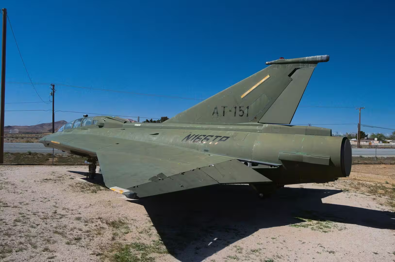
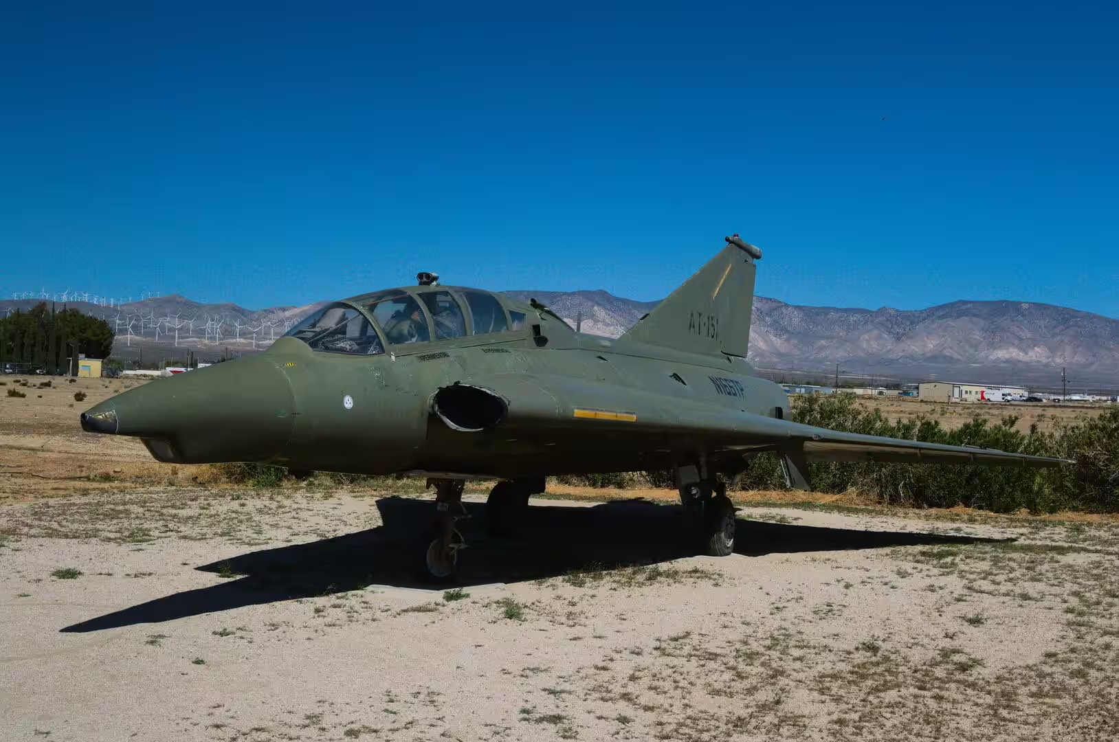
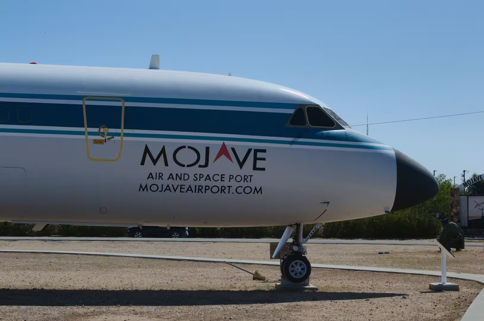
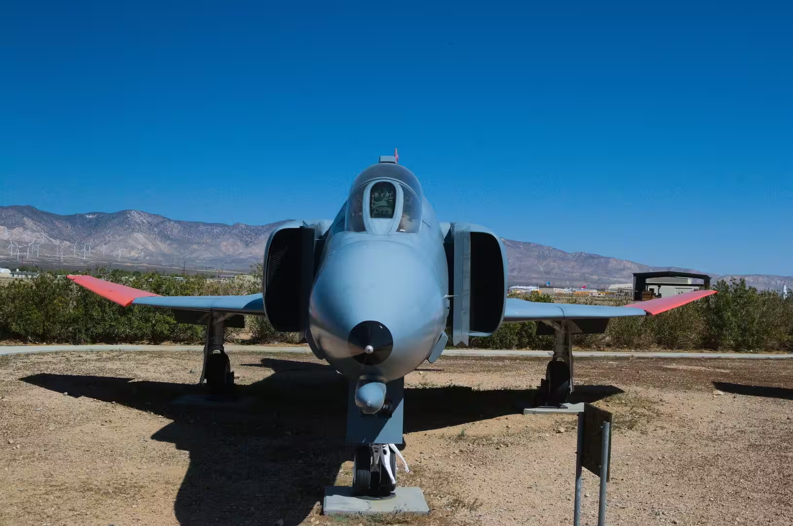
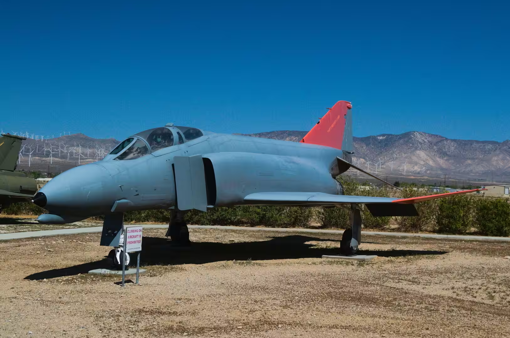
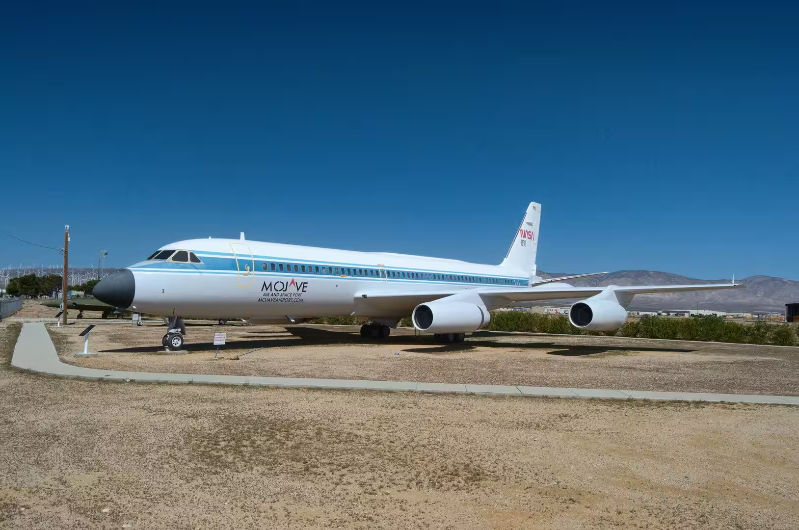
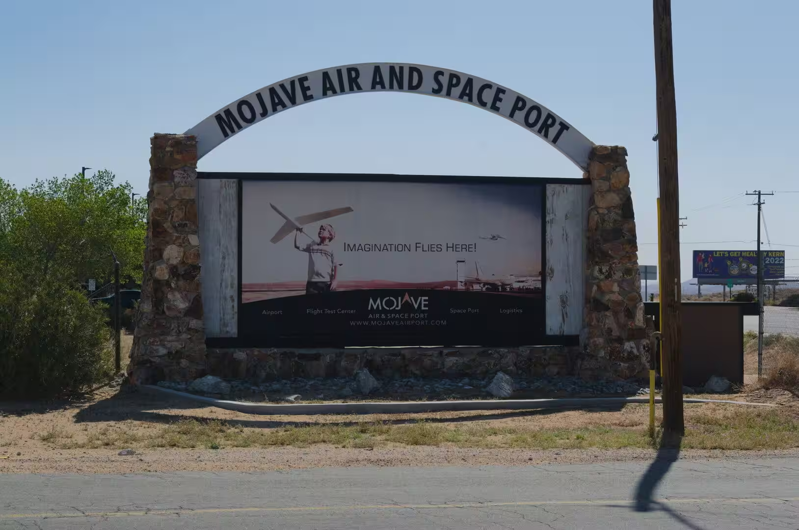
The Mojave Air and Space Port is the most surprising place on this route. It lies at Mojave, at an elevation of 2,801 feet or 854 metres, and consists of three runways on an area of 2,998 acres, or 1,213 hectares. Its activities fall into three groups: flight testing, the development of the space industry, and heavy maintenance and storage of aircraft, which is why rows of airliners stand in the desert beside military jets and experimental machines.
The airport was opened by Kern County in 1935 to serve the mines of the district, and it was improved for defence purposes in 1941. Its later history runs parallel to the rise of aviation in the desert: the clear air, the enormous empty spaces and the long runways made it a natural centre for testing, and on 17 June 2004 it received the designation that gave it the name it carries, as the first facility in the United States licensed for horizontal launches of reusable spacecraft. In 2022 the formal name was extended to include the Rutan Field addition.
For the traveller the airport is a place to look at rather than to enter. The entrance sign, the stored airliners along the perimeter and the aircraft parked in the open are visible from the road, and the town of Mojave itself is a small desert settlement with a railway, a few motels and the straight streets typical of the high desert. Beyond it the land opens into scrub and dry washes towards the mountains.
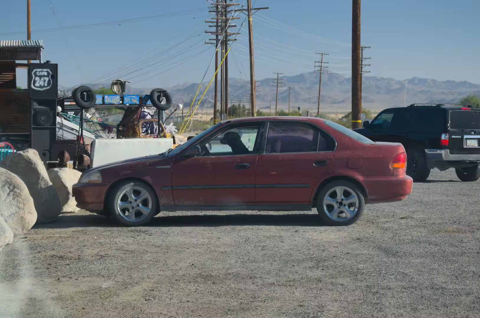
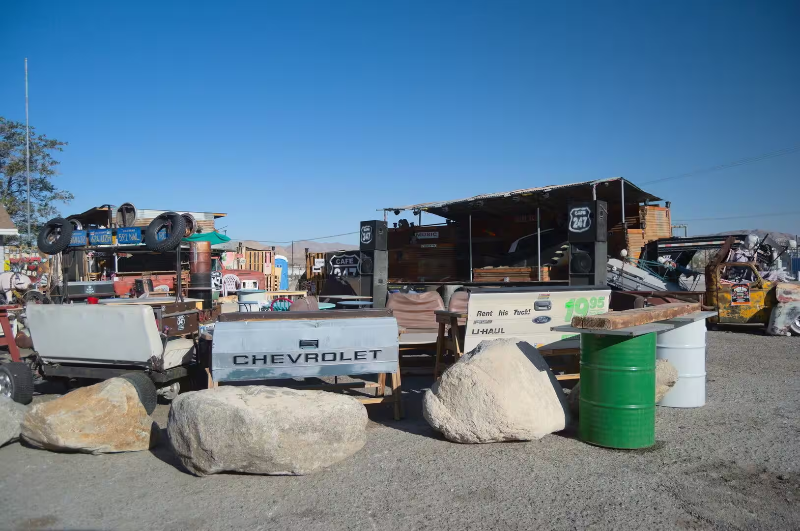
Route 66 runs through the same country, and its remains are still there for anyone following the old alignment. The road came through Barstow, Ludlow and Amboy on its way to the coast, and the communities along it preserve the ordinary architecture of the mid twentieth century: motels with neon signs, filling stations with tall canopies, cafes and trading posts. Long sections of the highway have been superseded by the interstate, and the emptiness of those stretches is part of their attraction.
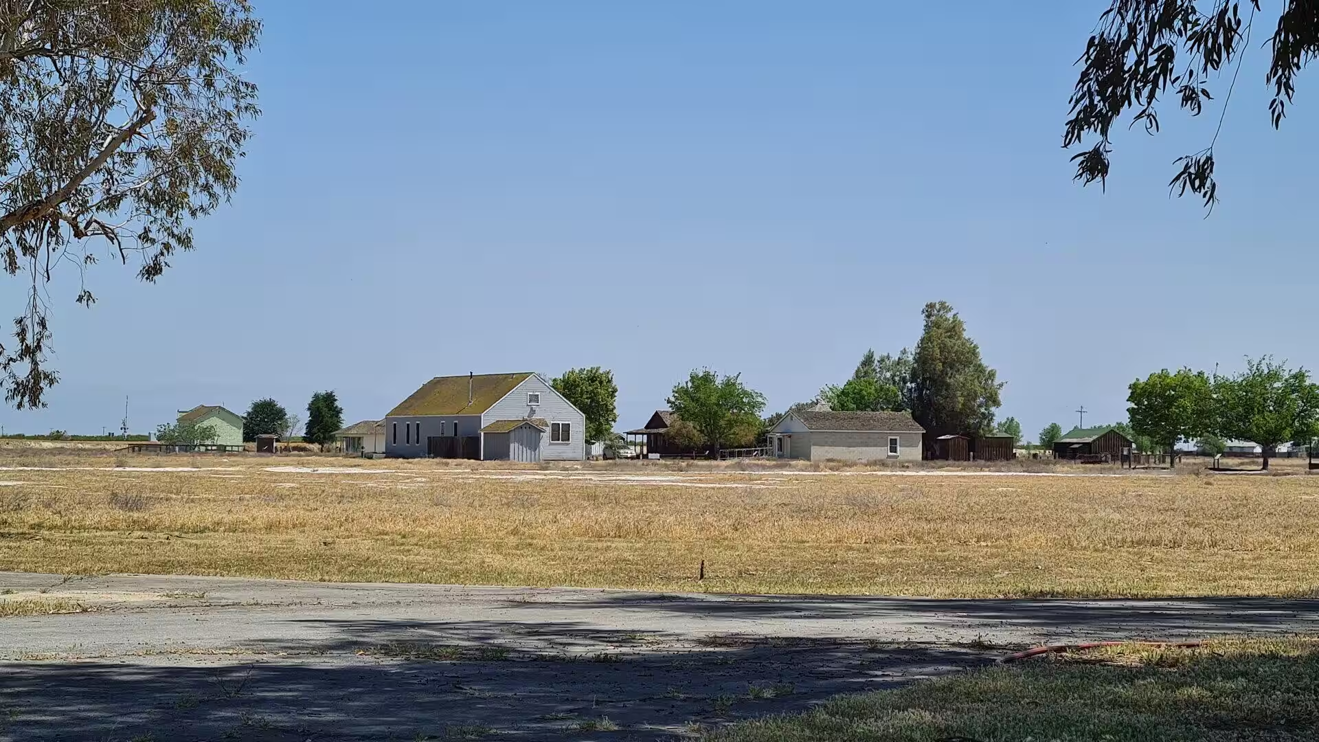
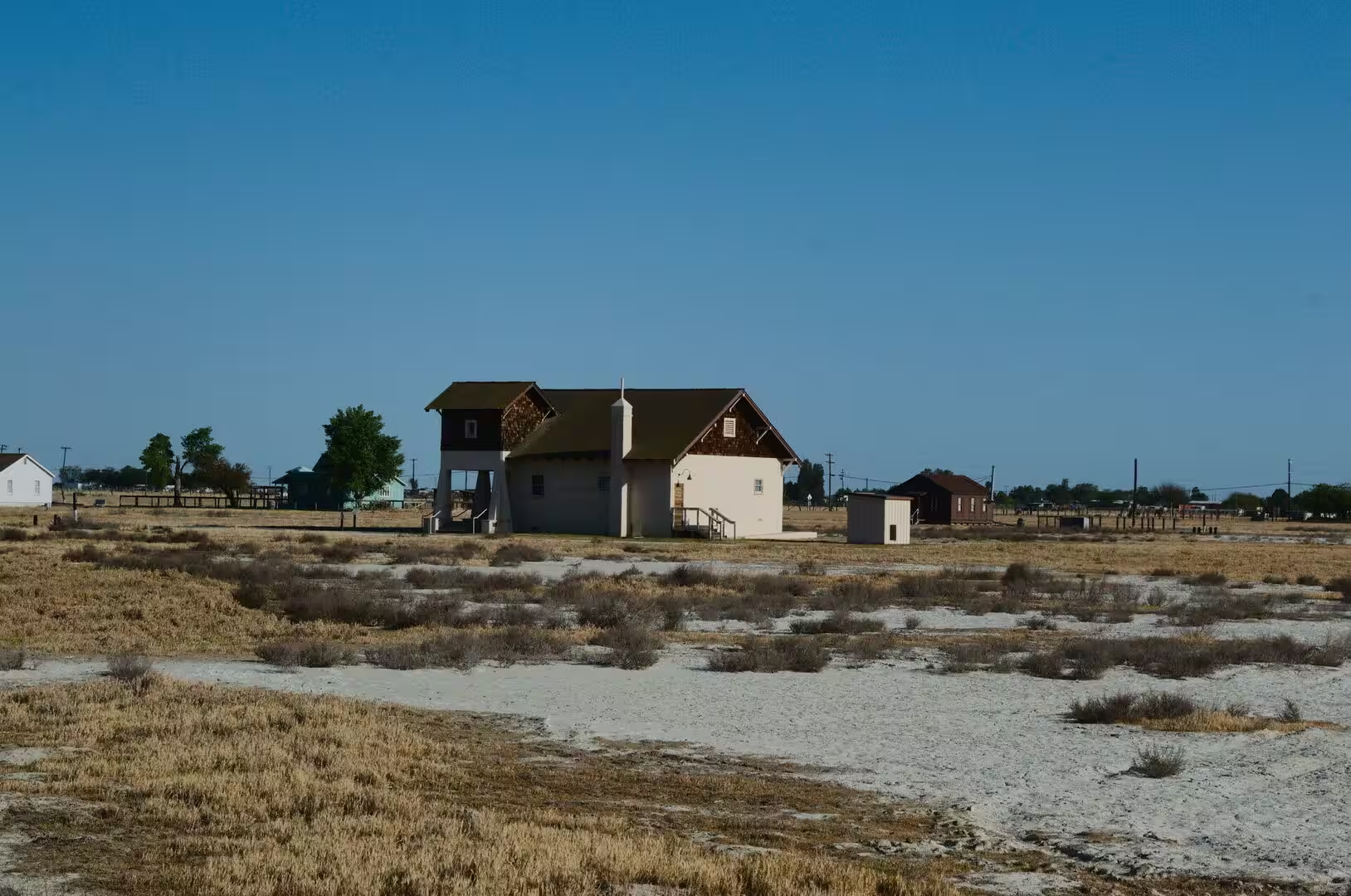
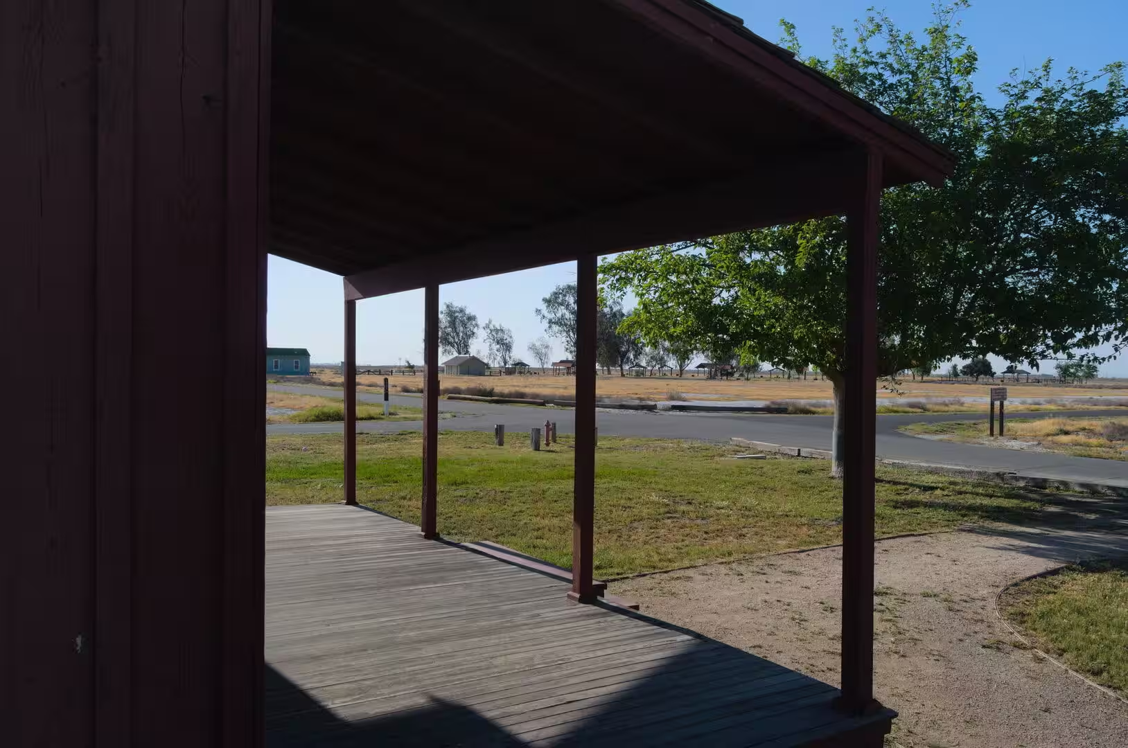
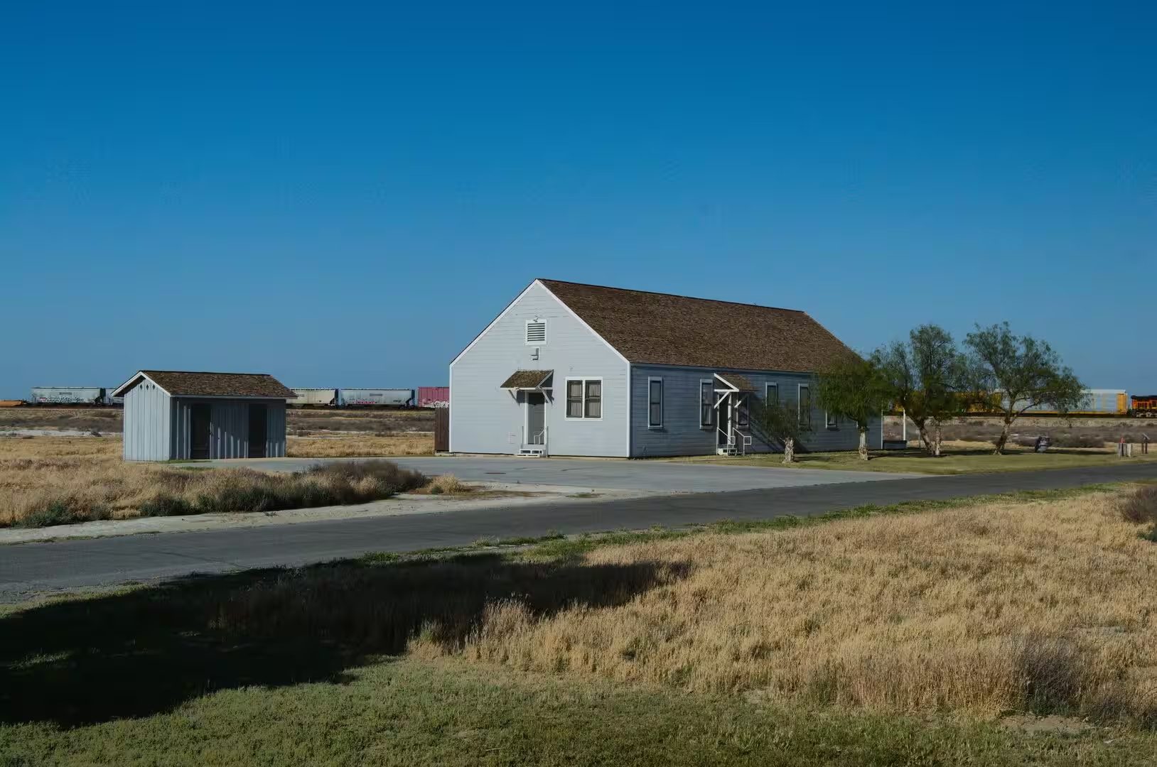
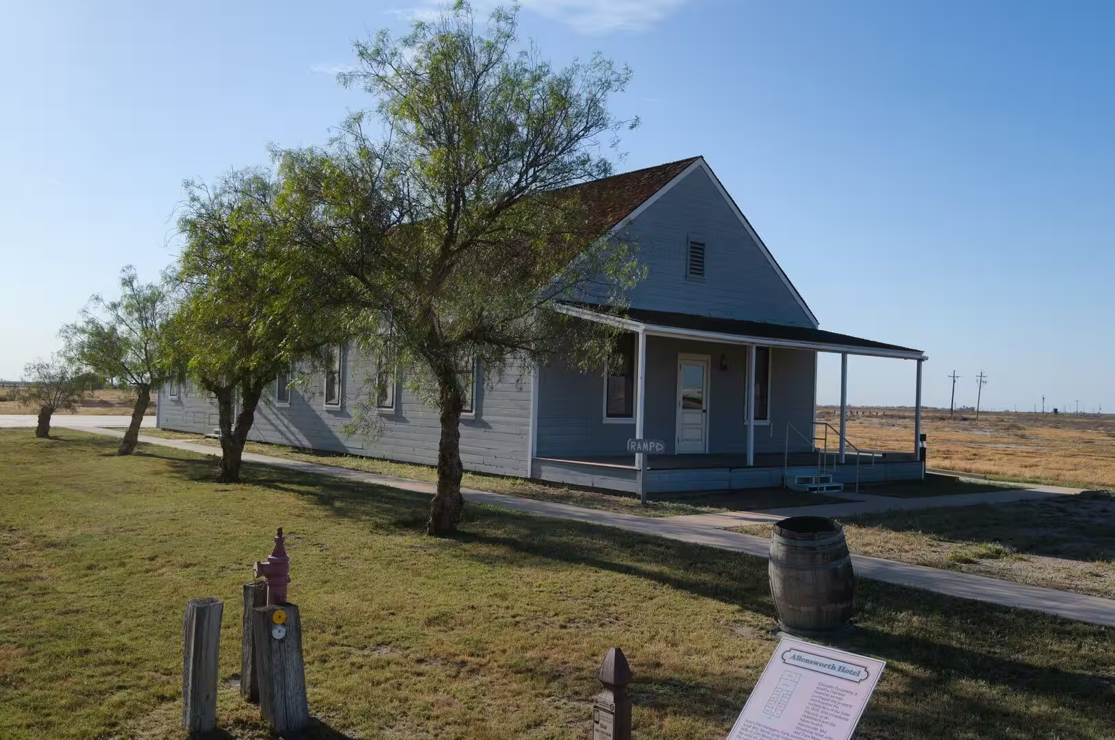
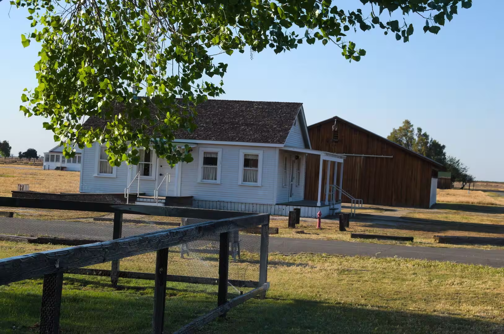
The Central Valley begins where the desert ends. The transition is abrupt: the Tehachapi Mountains close the southern end of the San Joaquin Valley, and beyond them the landscape changes to irrigated fields, orchards, vineyards and the long lines of the railway. Visalia, the seat of Tulare County, is a town of tree-lined streets and brick blocks that grew as a market centre for the farms around it, and the smaller places along the line preserve the timber verandas, storefronts and station buildings of the same period.
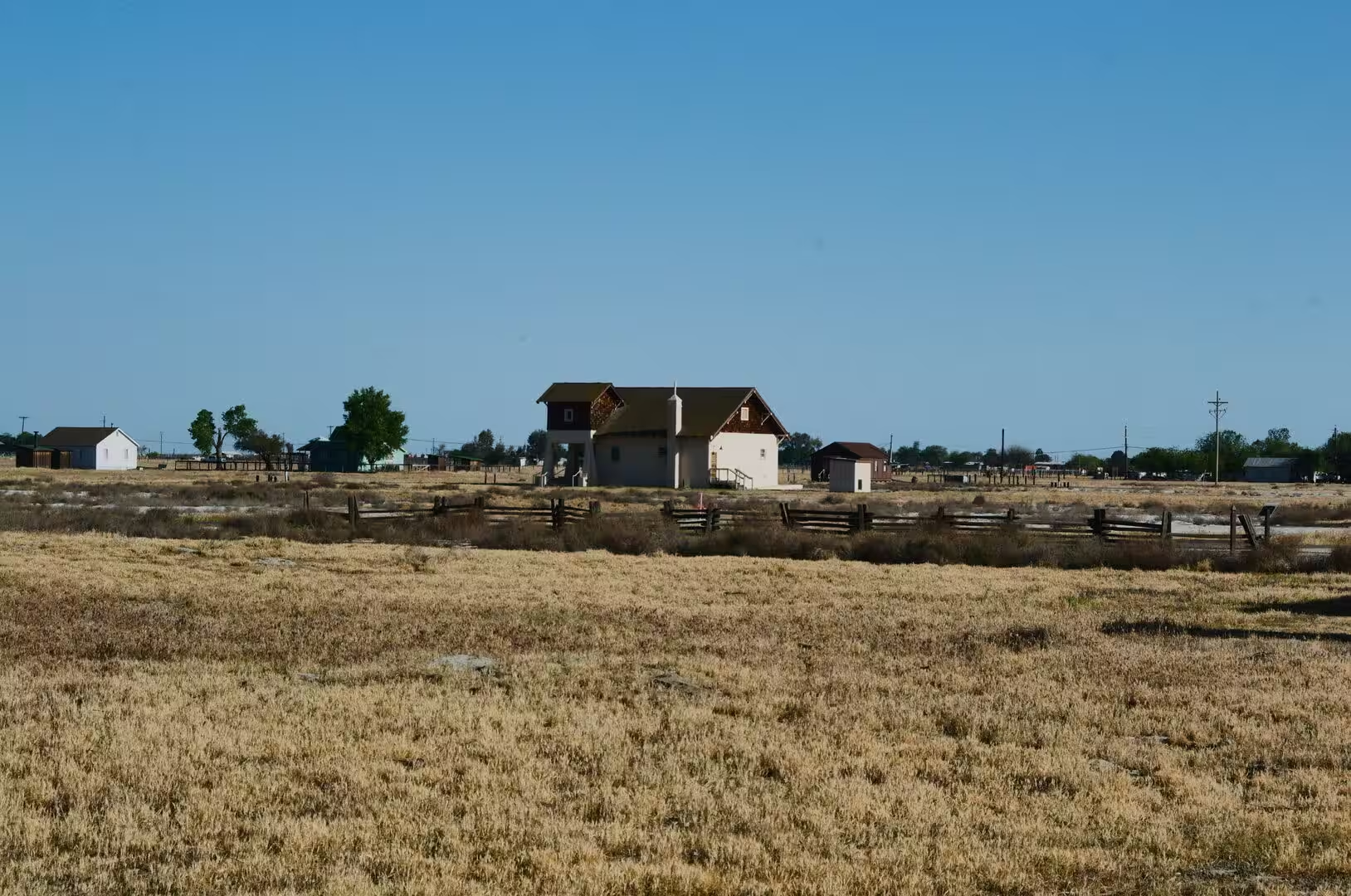
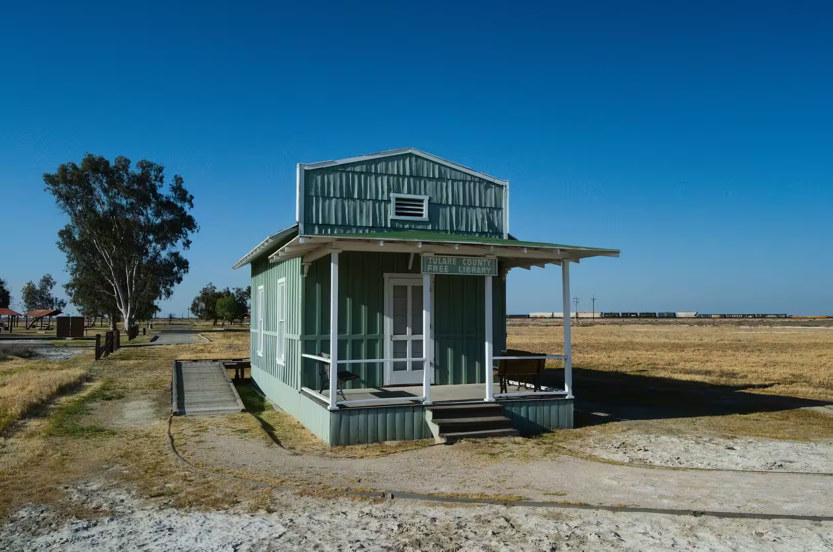
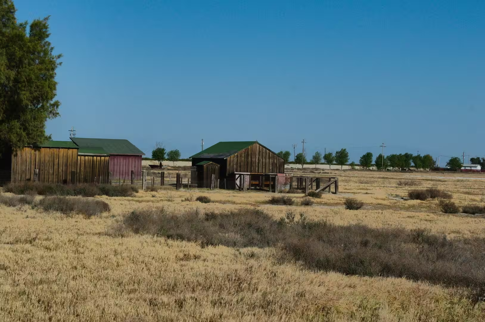
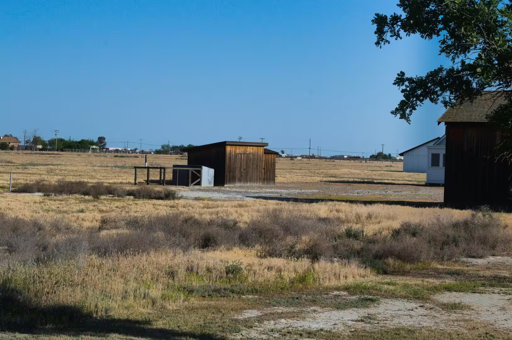
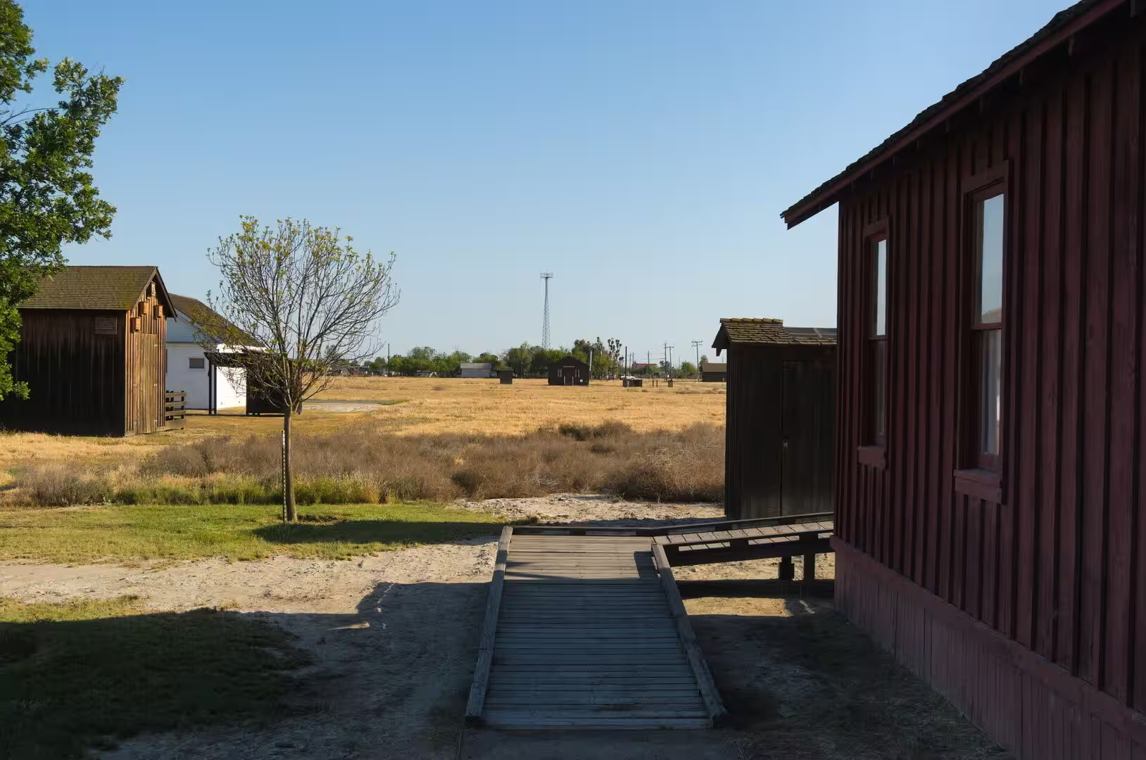
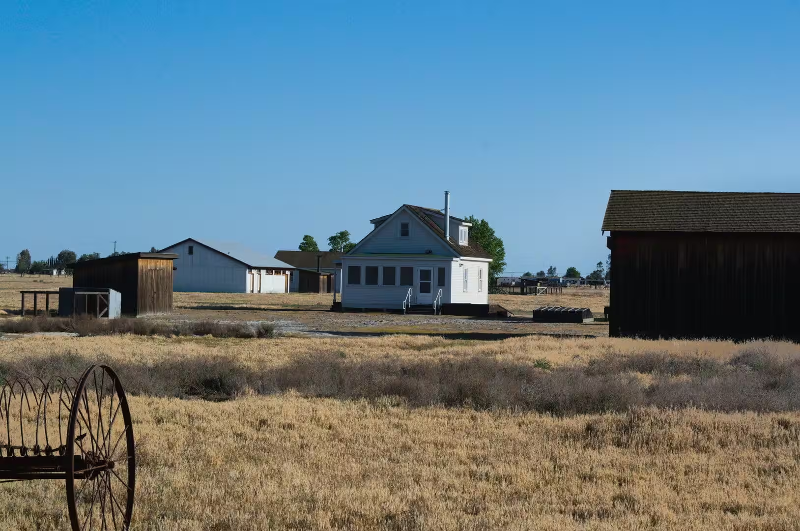
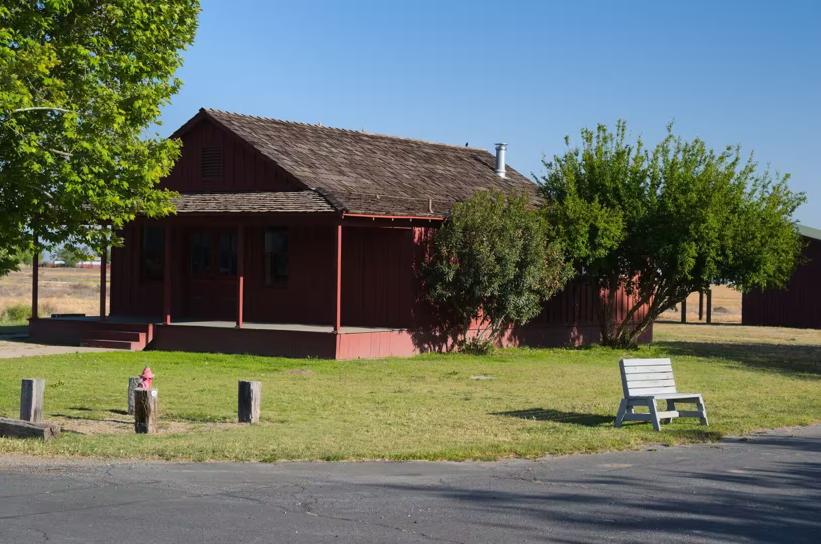
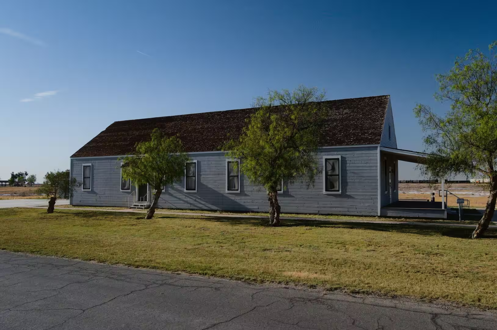
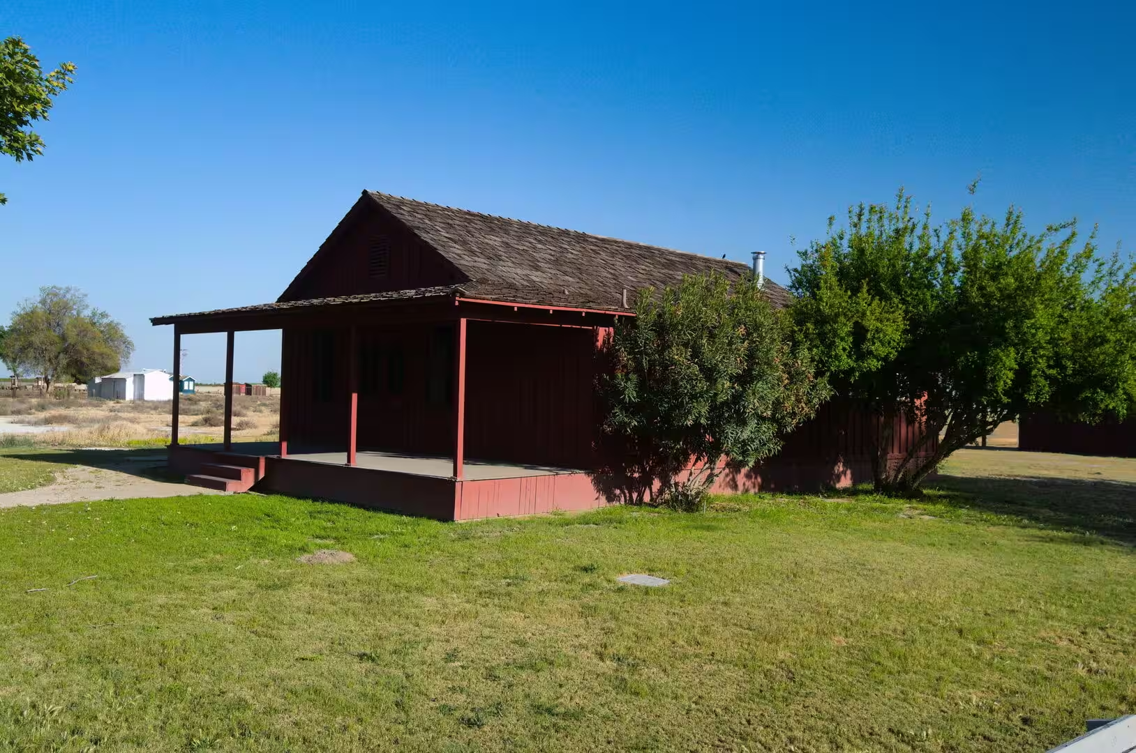
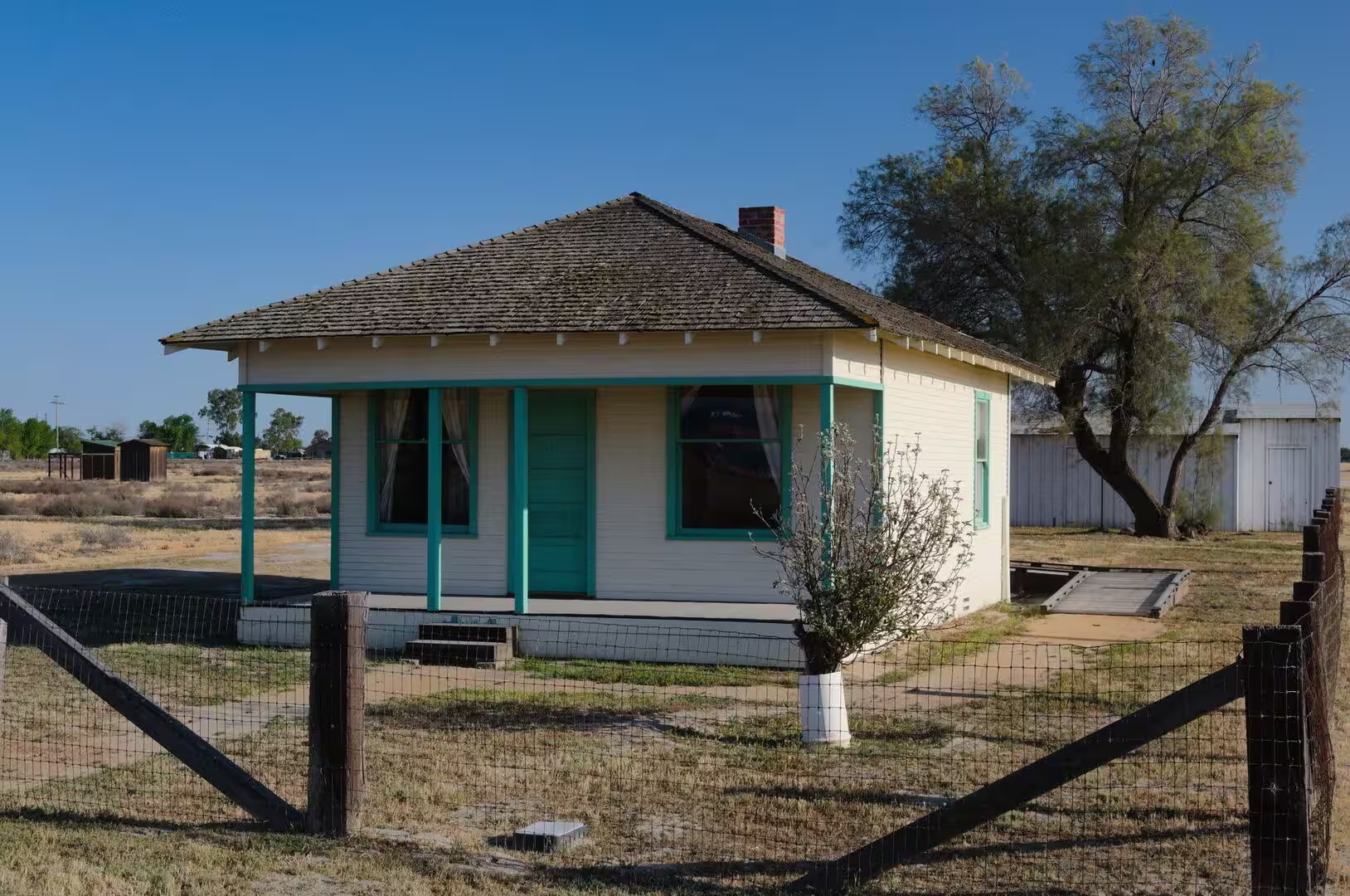
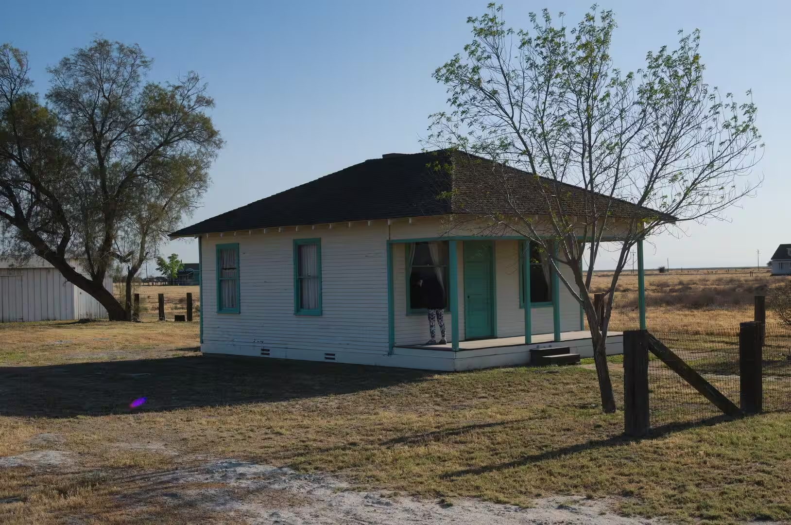
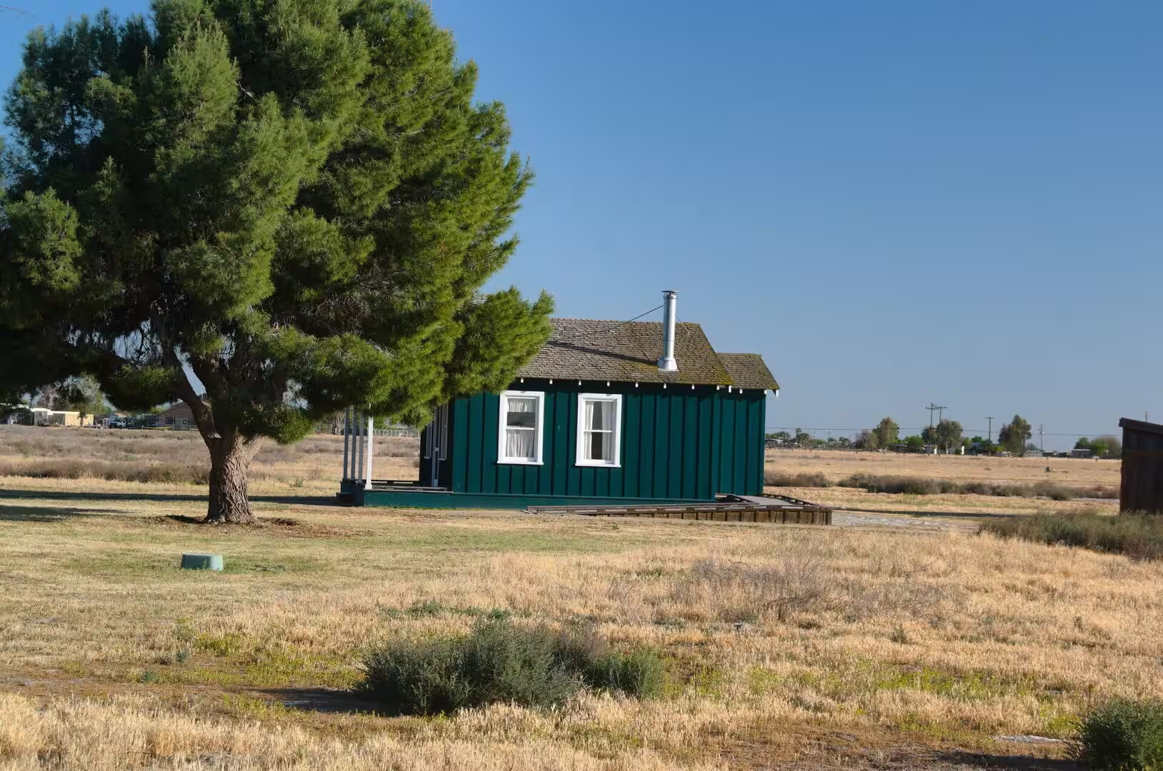
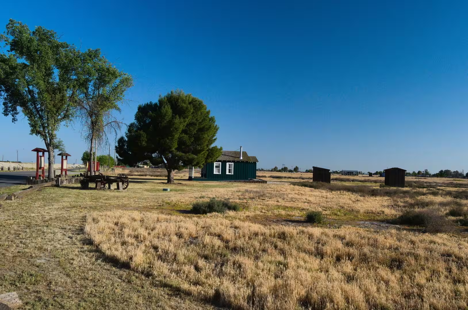
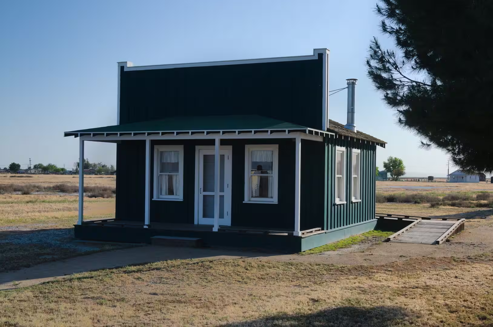
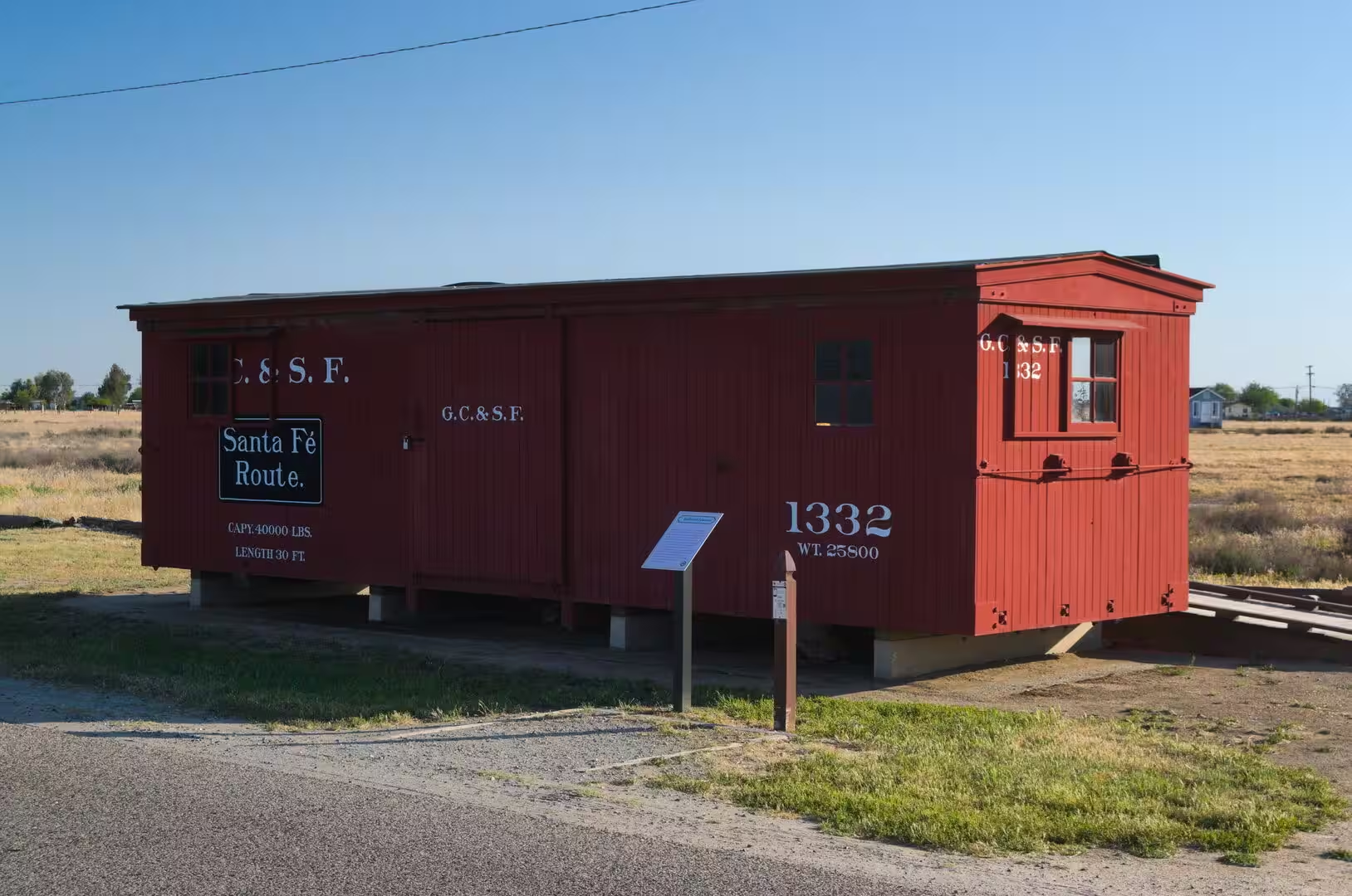
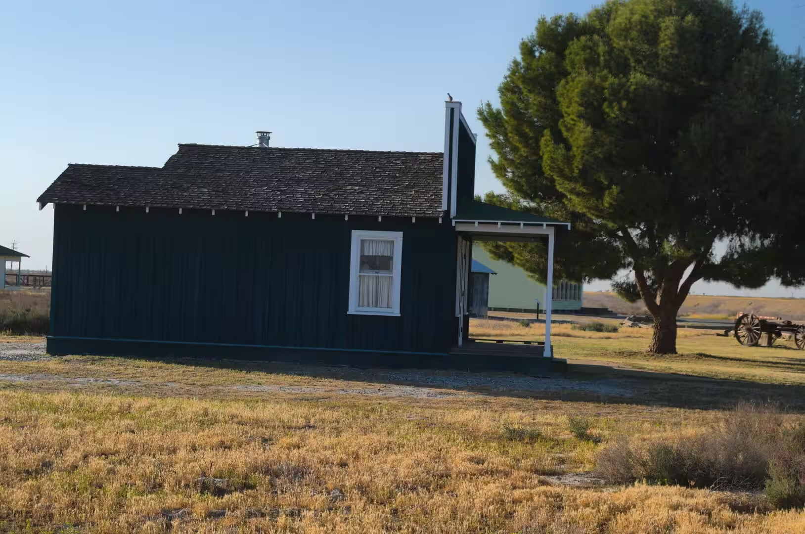
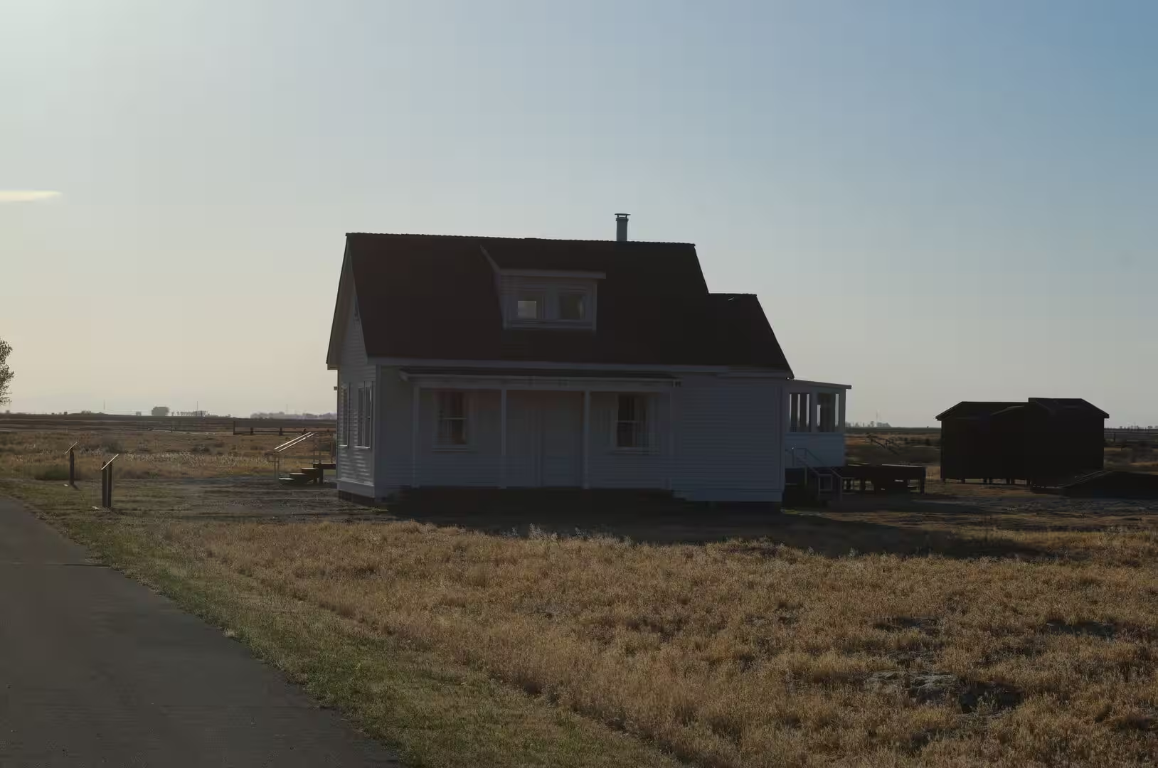
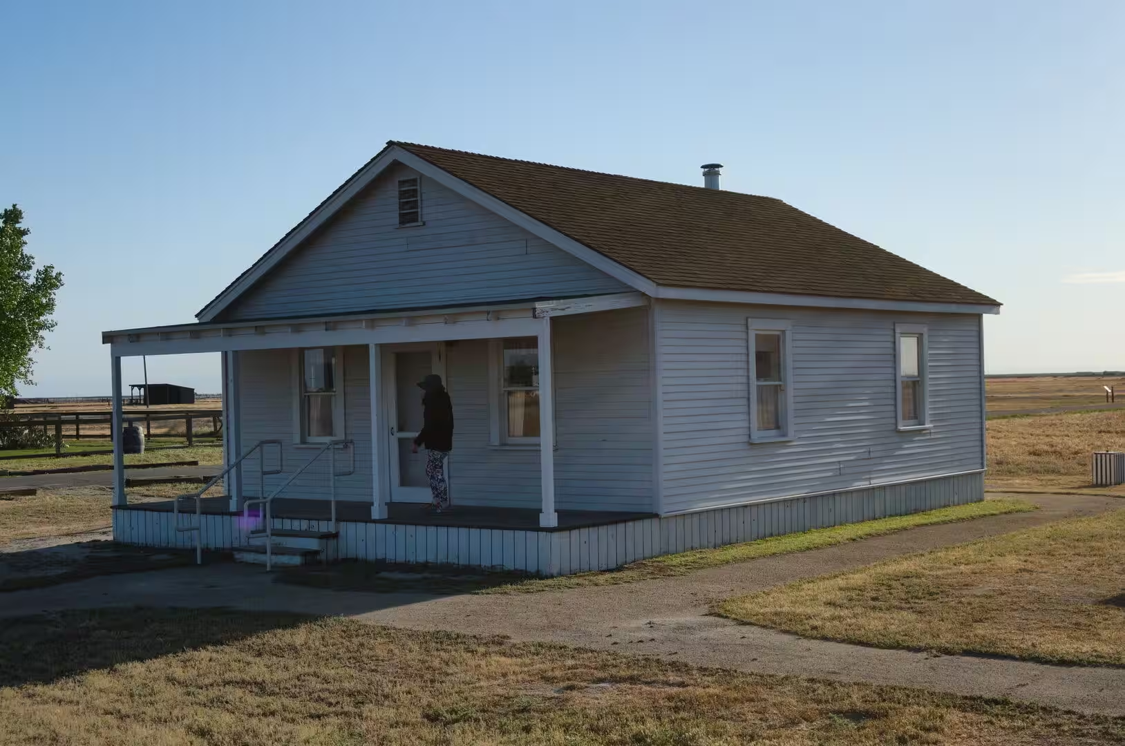
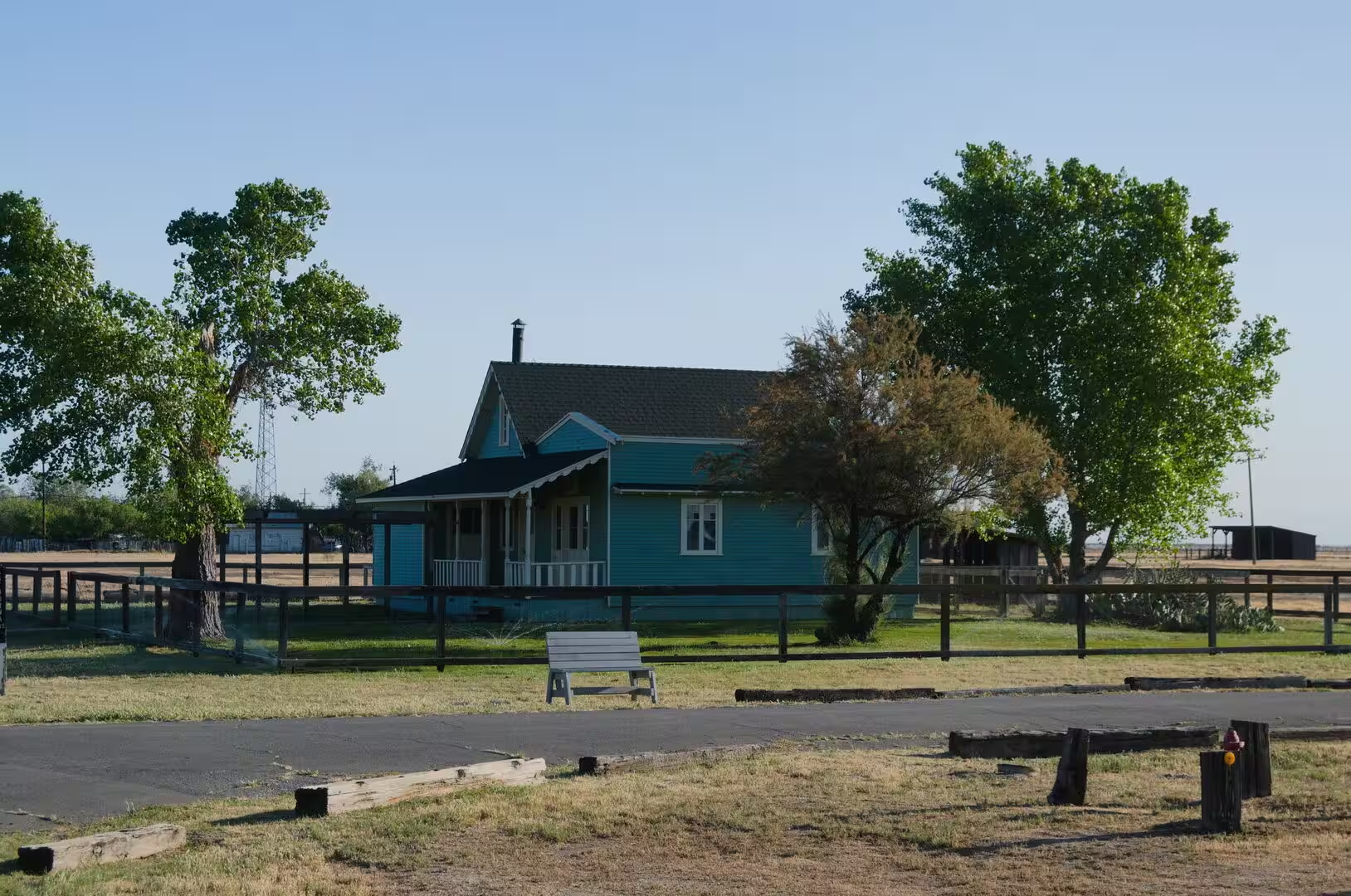
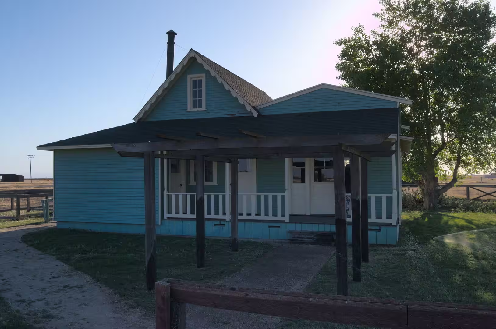
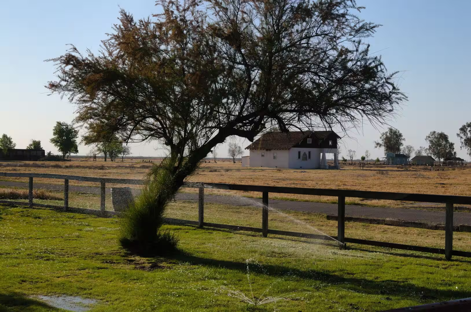
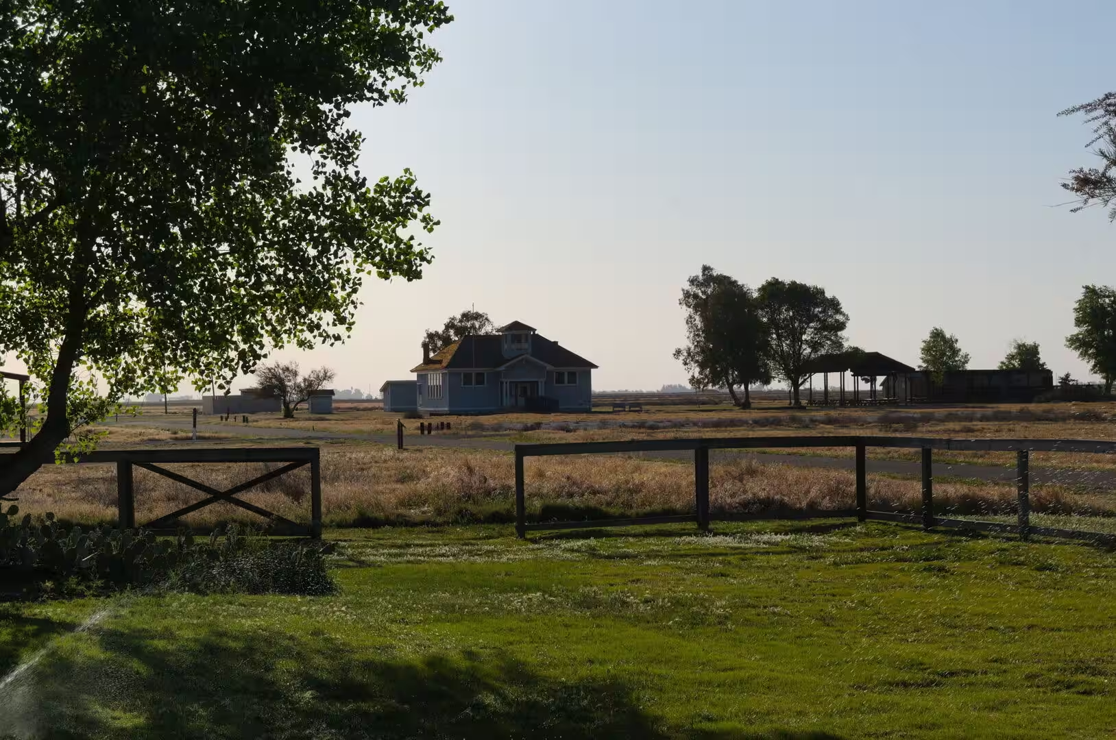
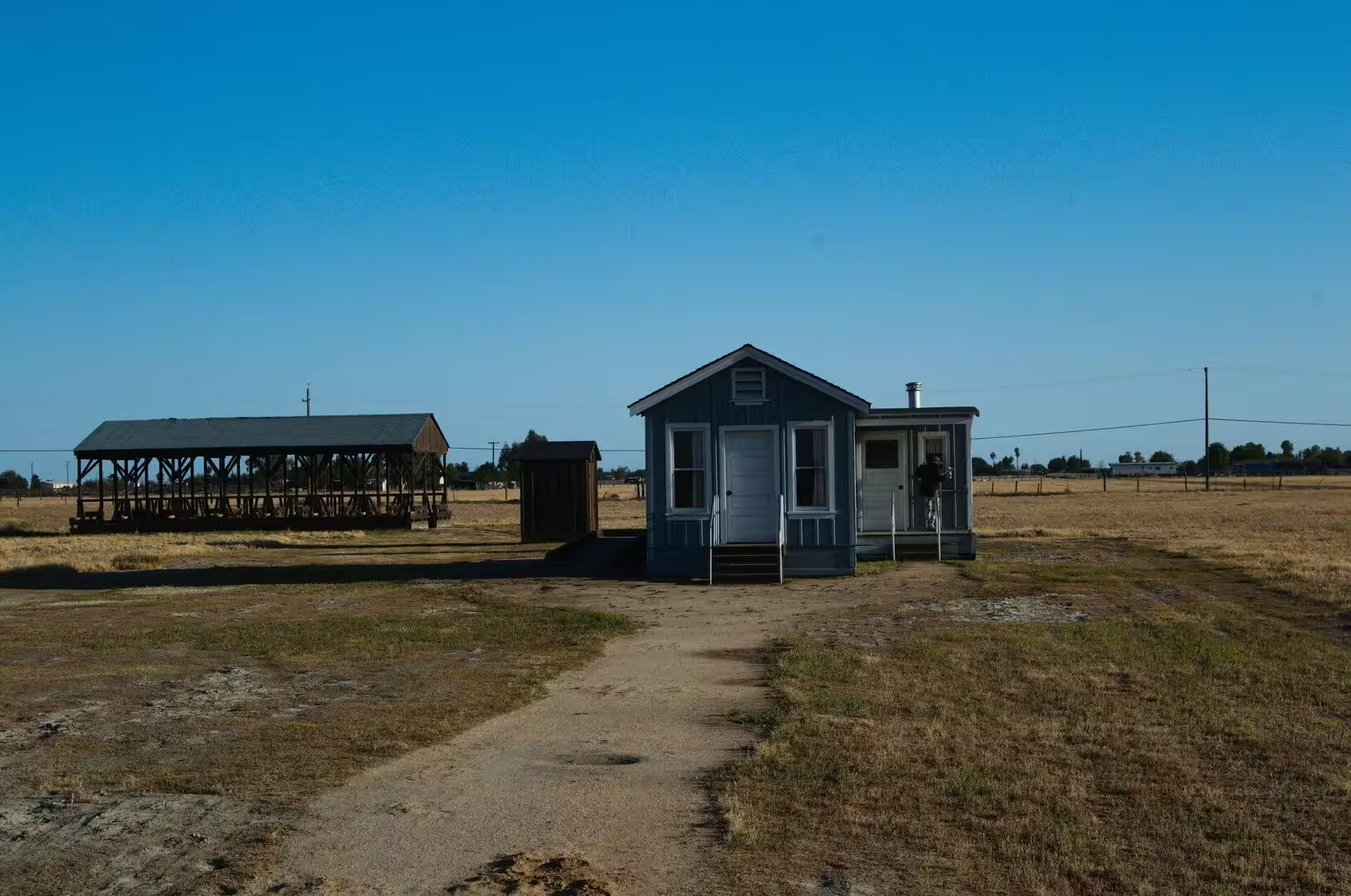
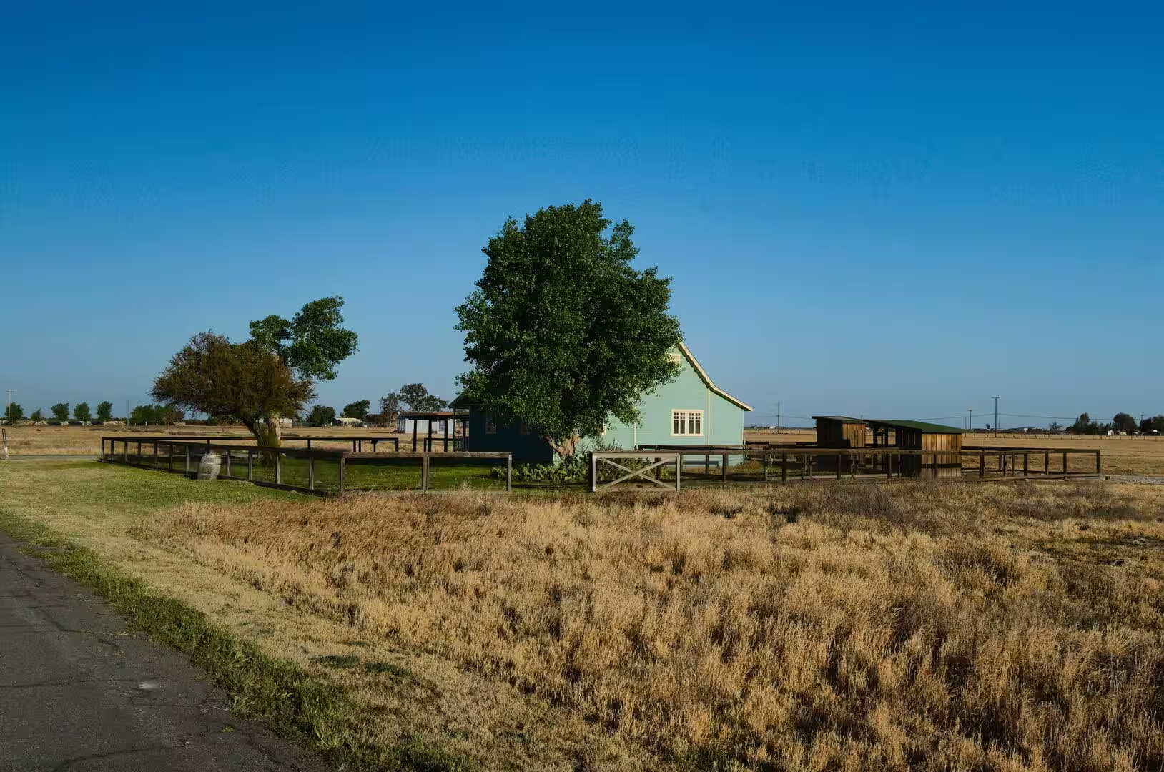
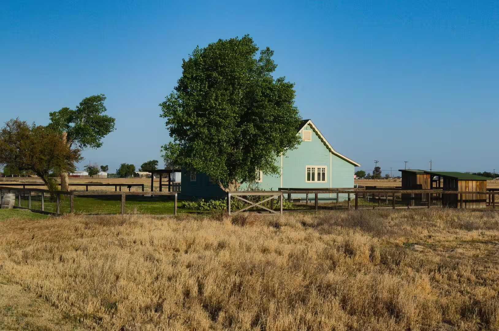
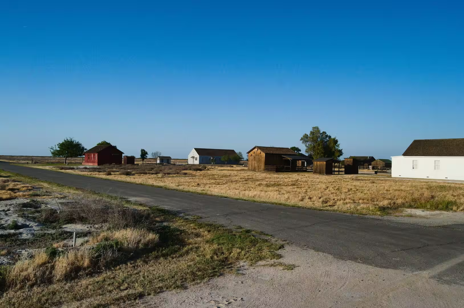
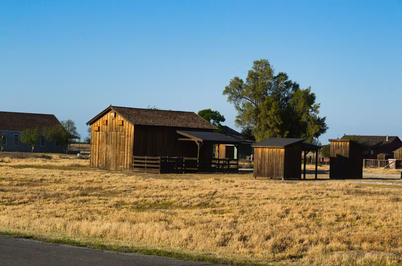
The farm buildings are the real monuments of the valley. White farmhouses with deep porches, wooden barns, sheds, windmills and the occasional vintage boxcar of the Santa Fe route stand beside fields of alfalfa, cotton, citrus and grapes, and the scale of the agriculture becomes clear from any small rise in the ground. The county library in a gabled building of the 1910s, a school, a church and a cemetery are often all that remains of a settlement that once had a post office and a general store.
Two national parks stand within reach of the valley, and both belong to the same mountain system that makes it fertile. Sequoia National Park and Kings Canyon lie east of Visalia in the Sierra Nevada, where the giant sequoias grow, and Mount Whitney, the highest summit of the contiguous United States, stands on the county boundary. From the farm country the road climbs in a matter of hours from irrigated fields to granite and pine forest.
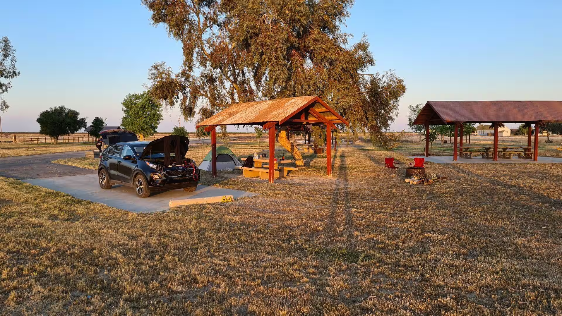
The practical notes for the route are the notes of the desert and the valley together. Water, shade and fuel are scarce between the towns of the Mojave, the summer heat is dangerous in the middle of the day, and the distances between settlements are long, while the valley in winter can be cold and damp in a way that surprises visitors who know only the California of the coast. The reward is a crossing of the state that shows the two halves of its geography in a single day: the empty high desert and the irrigated garden that feeds much of the country.
References
- Wikipedia contributors (2026). California. en.wikipedia.org/wiki/California
- Wikipedia contributors (2026). Mojave Desert. en.wikipedia.org/wiki/Mojave_Desert
- Wikipedia contributors (2026). Mojave Air and Space Port. en.wikipedia.org/wiki/Mojave_Air_and_Space_Port
- Wikipedia contributors (2026). Central Valley (California). en.wikipedia.org/wiki/Central_Valley_%28California%29
- Wikipedia contributors (2026). San Joaquin Valley. en.wikipedia.org/wiki/San_Joaquin_Valley
- Wikipedia contributors (2026). Tulare County, California. en.wikipedia.org/wiki/Tulare_County%2C_California
- Wikipedia contributors (2026). U.S. Route 66. en.wikipedia.org/wiki/U.S._Route_66
- Wikipedia contributors (2026). Sierra Nevada. en.wikipedia.org/wiki/Sierra_Nevada
- Wikipedia contributors (2026). Death Valley National Park. en.wikipedia.org/wiki/Death_Valley_National_Park
- Wikipedia contributors (2026). Atchison, Topeka and Santa Fe Railway. en.wikipedia.org/wiki/Atchison%2C_Topeka_and_Santa_Fe_Railway
- Wikipedia contributors (2026). Kern County, California. en.wikipedia.org/wiki/Kern_County%2C_California
- Wikipedia contributors (2026). Visalia, California. en.wikipedia.org/wiki/Visalia%2C_California
- Wikipedia contributors (2026). Agriculture in California. en.wikipedia.org/wiki/Agriculture_in_California
- Melosi M.V. (2022) The California Gold Rush: Placer and Hydraulic Mining. Water in North American Environmental History. 75-85. doi.org/10.4324/9781003041627-11
- Vogel D. (2019) Gold Mining. California Greenin’. 22-47. doi.org/10.23943/princeton/9780691196176.003.0002