Day 21 - Camelback Mountain Phoenix / AZ
13 June 2022

Journal Notes
General
Camelback Mountain is the highest peak of the Phoenix metropolitan area, a landmark of bare rock rising between the Arcadia district of the city and the town of Paradise Valley. Its summit stands at 2,704 feet, a little over 824 metres, and the shape of the massif gave it the name: the ridge and the rounded lower section suggest the hump and the head of a kneeling camel, an outline recognisable from almost every part of the valley and from the aeroplanes that approach the city from the east.
The mountain is administered by the Parks and Recreation Department of Phoenix as the Echo Canyon Recreation Area, a public park with a parking area, restrooms and a limited water supply at the trailhead. It is listed as one of the Phoenix Points of Pride, the city’s own register of the places that define it. The name has travelled beyond the rock: Camelback Road runs for about 34 miles, or 55 kilometres, from the eastern border of Scottsdale through the metropolitan area to the western suburb of Litchfield Park.
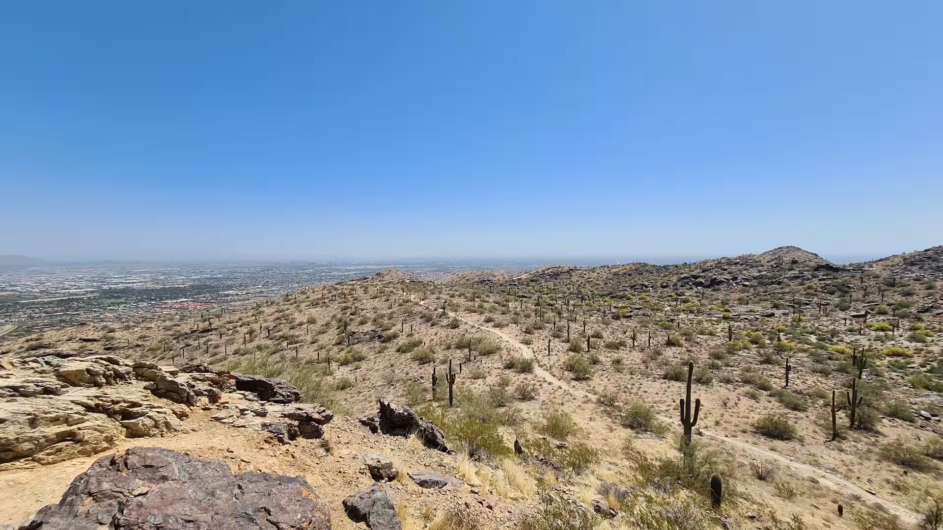
The setting is the northern rim of the Salt River Valley, where the flat floor of the basin meets the first of the mountain blocks that surround it. Camelback belongs to the chain of small ranges that stand inside the city itself, together with Piestewa Peak, North Mountain and the Phoenix Mountains, and it is surrounded by the desert vegetation of the lower Sonoran zone: saguaro, cholla and prickly pear on the slopes, creosote bush and palo verde on the lower ground, and brittlebush and other flowering shrubs between the rocks.
The climate of the mountain is the climate of the city, with long and extremely hot summers and mild winters, and the heat governs the use of the trails. In 2024 the city approved the closure of the park trails between eight in the morning and five in the afternoon during periods of extreme heat, and the water that visitors are advised to carry is measured in litres rather than in bottles. The most comfortable months are those between October and April, when the nights are cool and the days are clear enough to see range beyond range on the horizon.
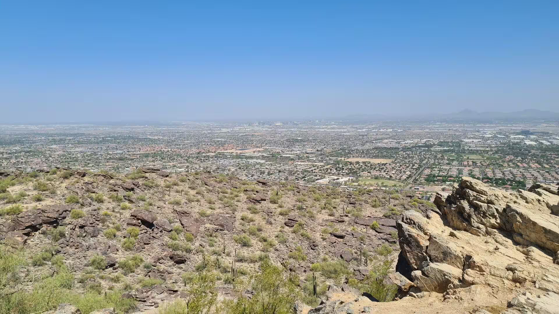
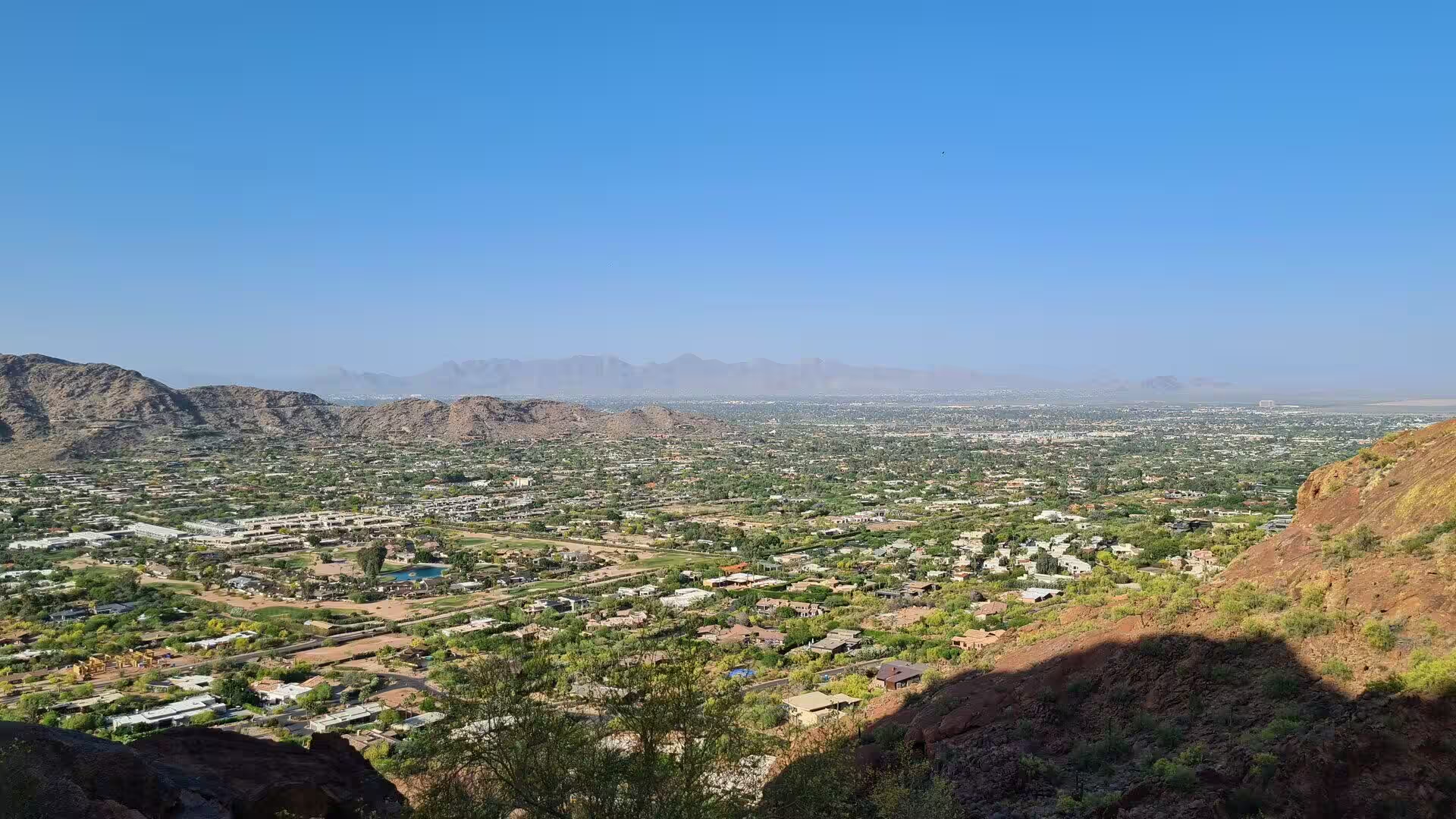
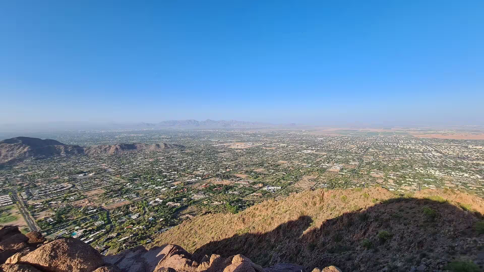
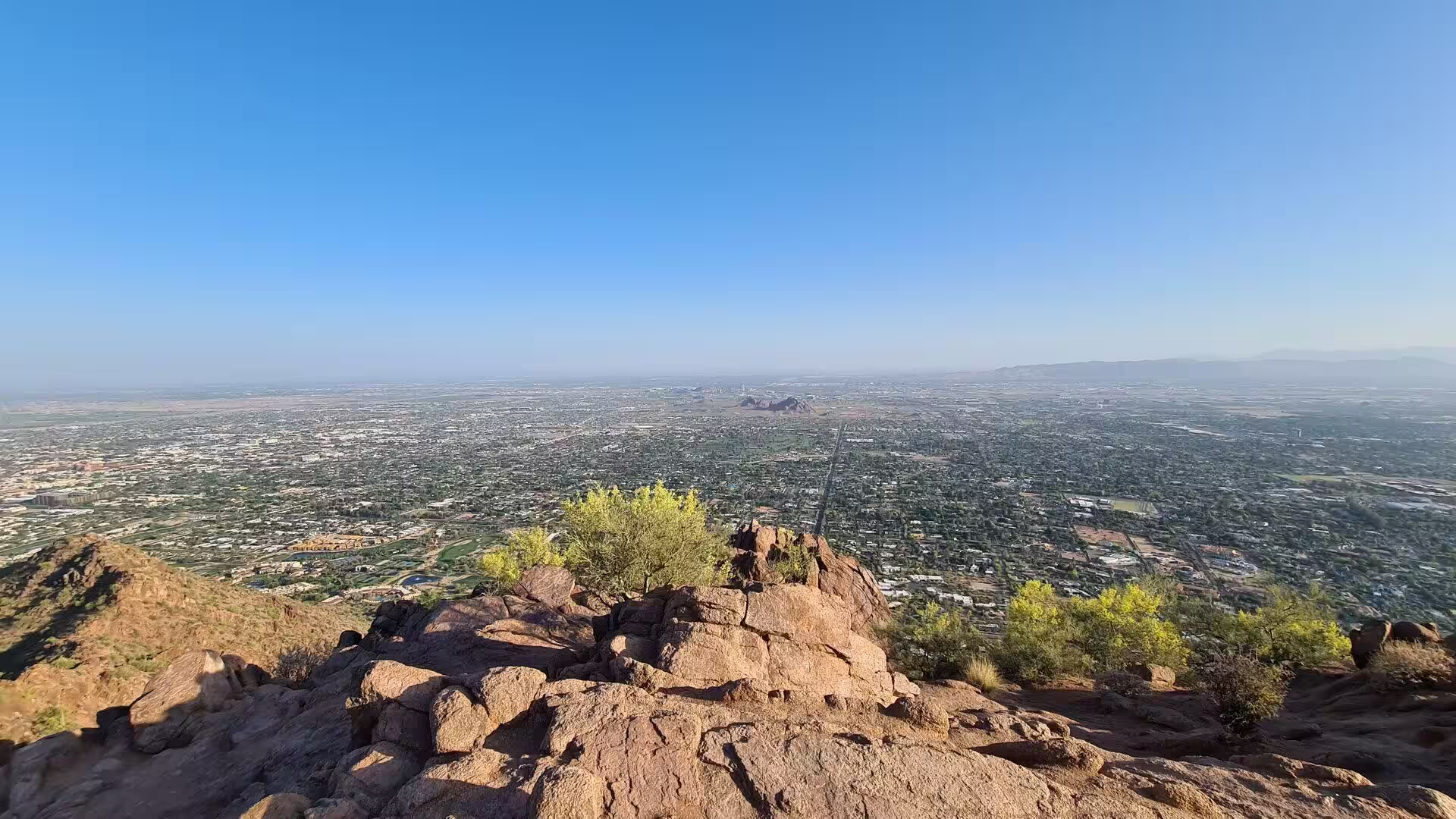
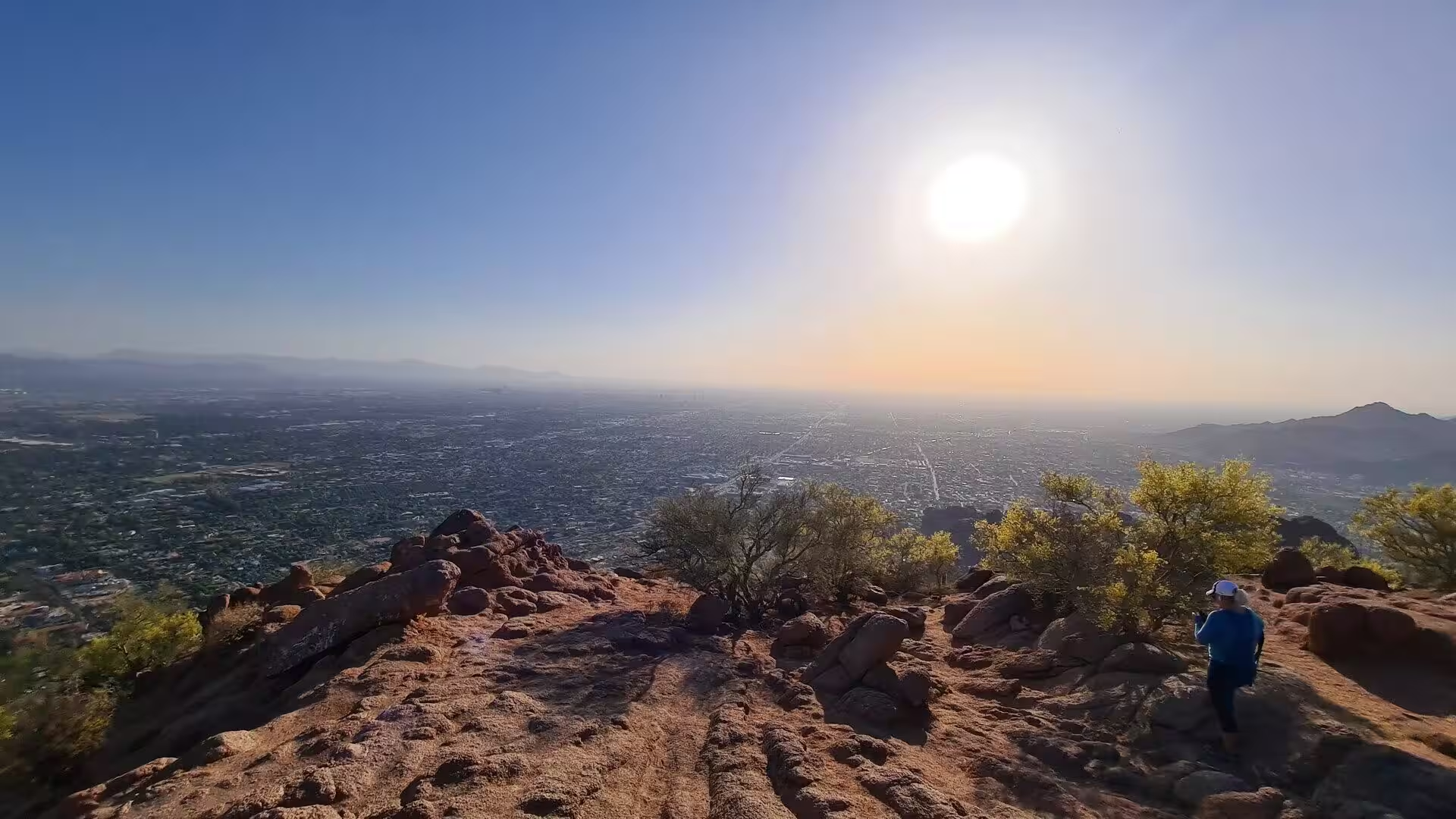
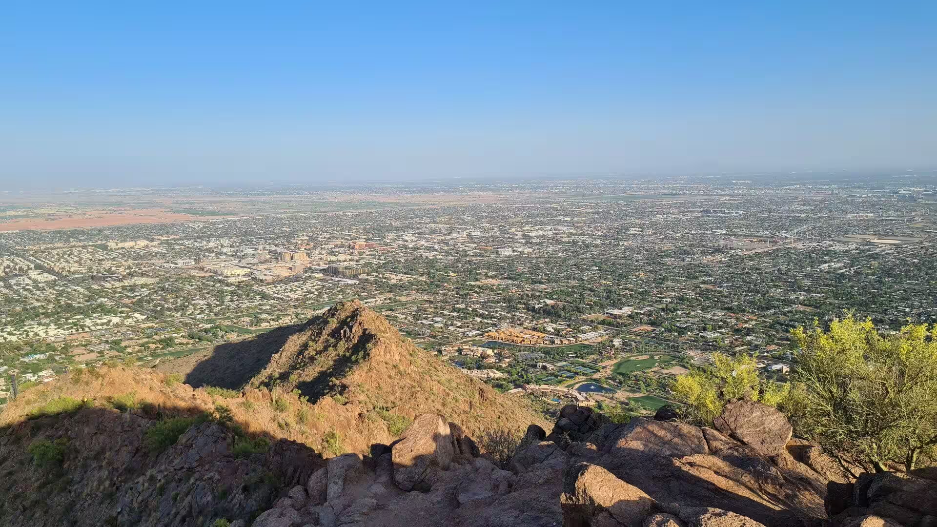
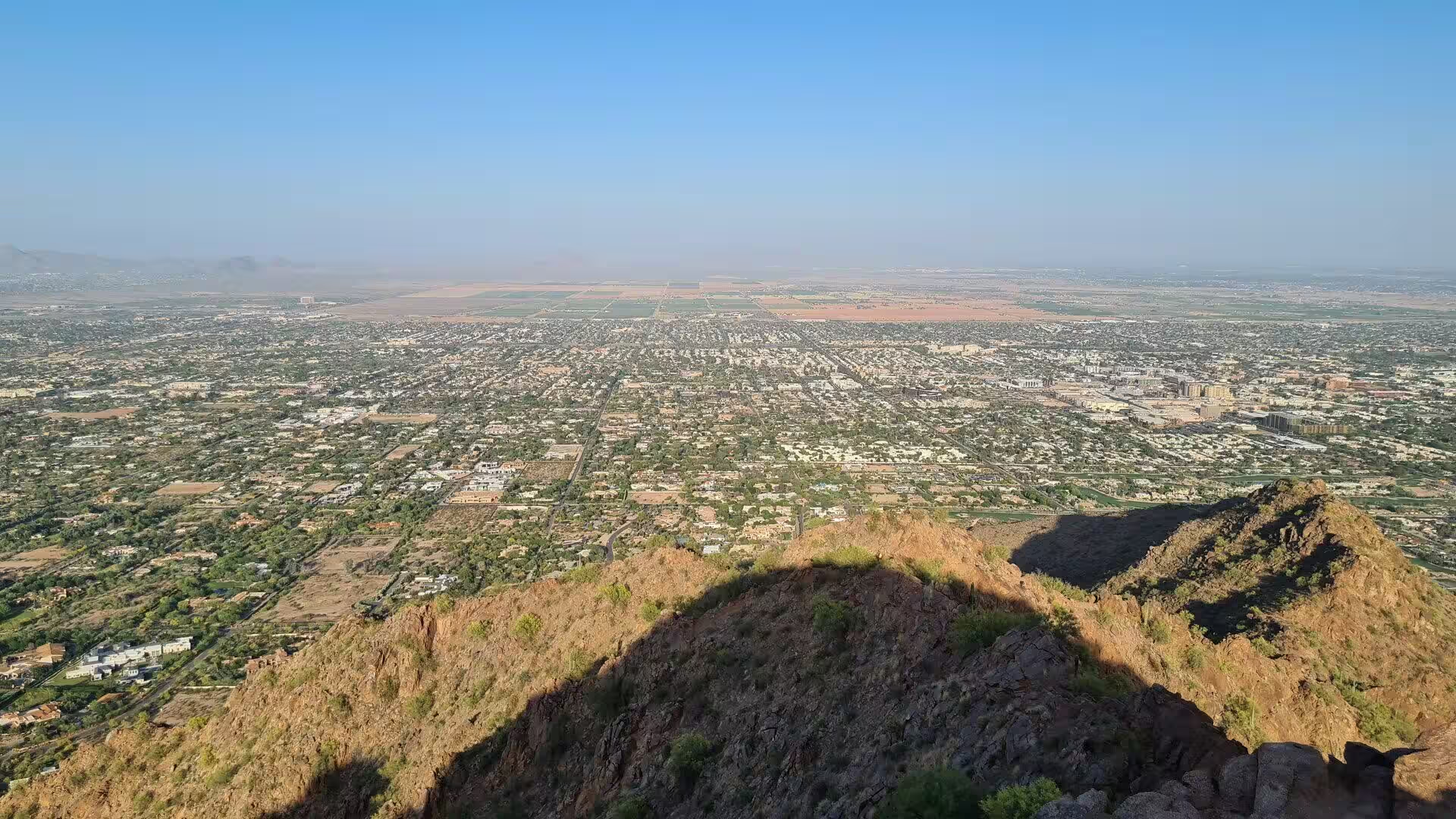
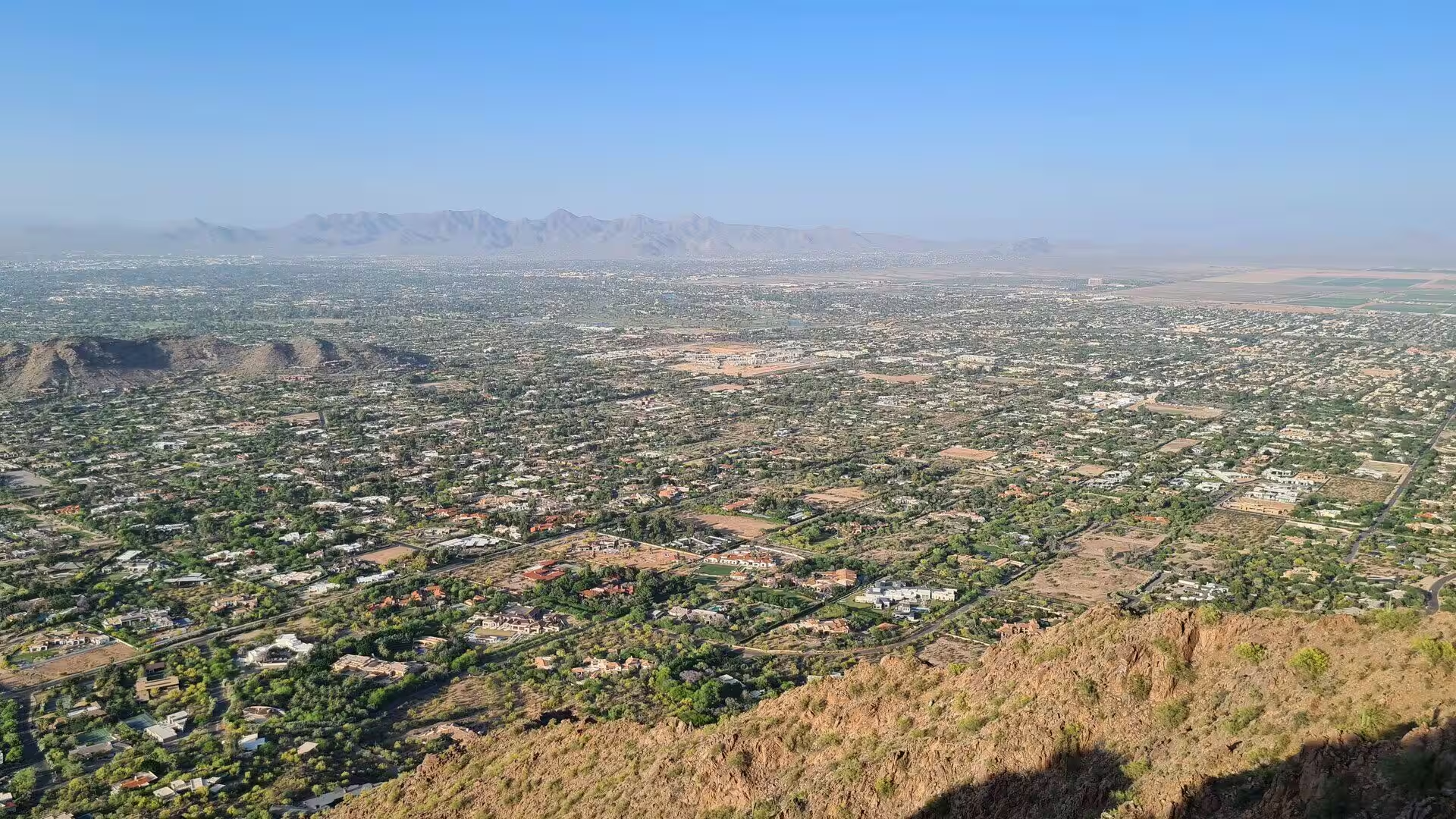
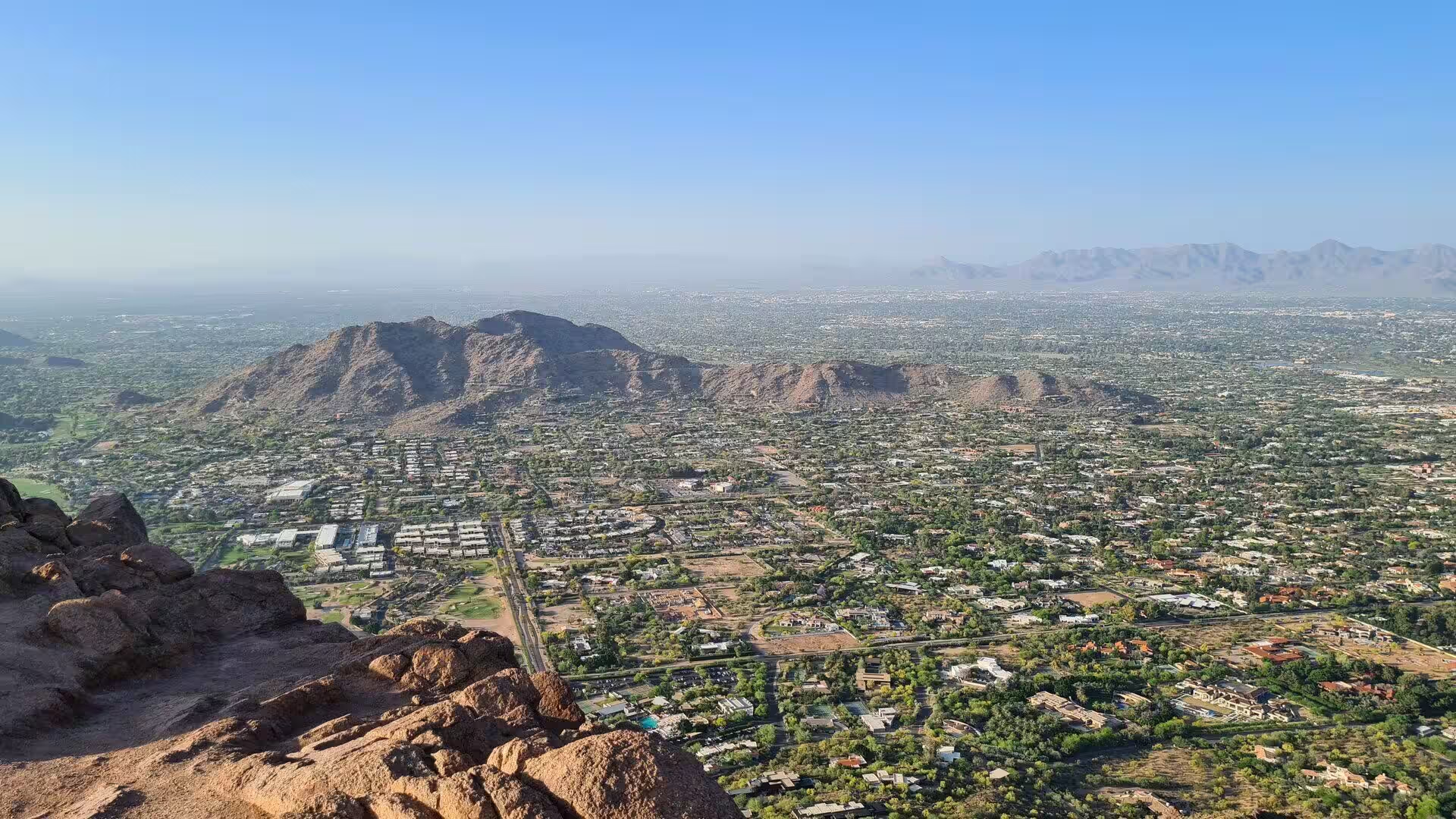
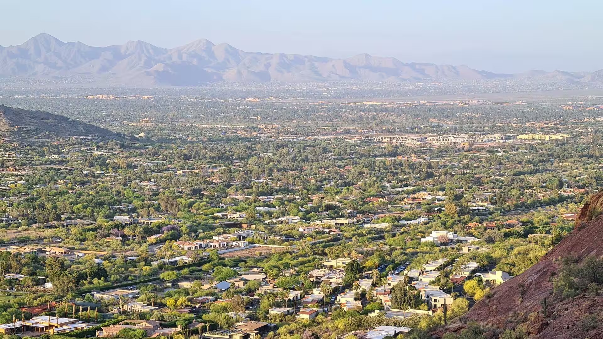
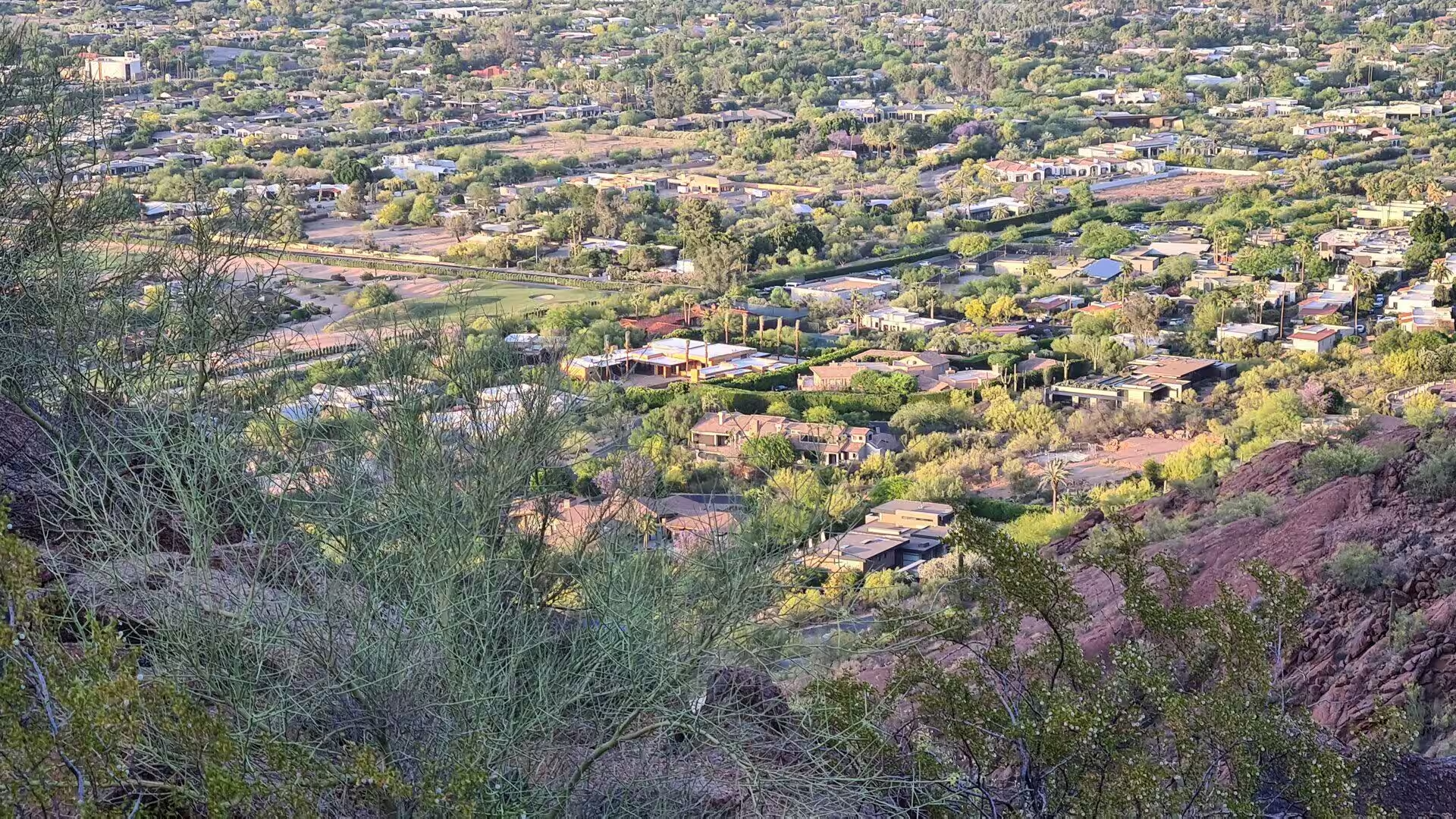
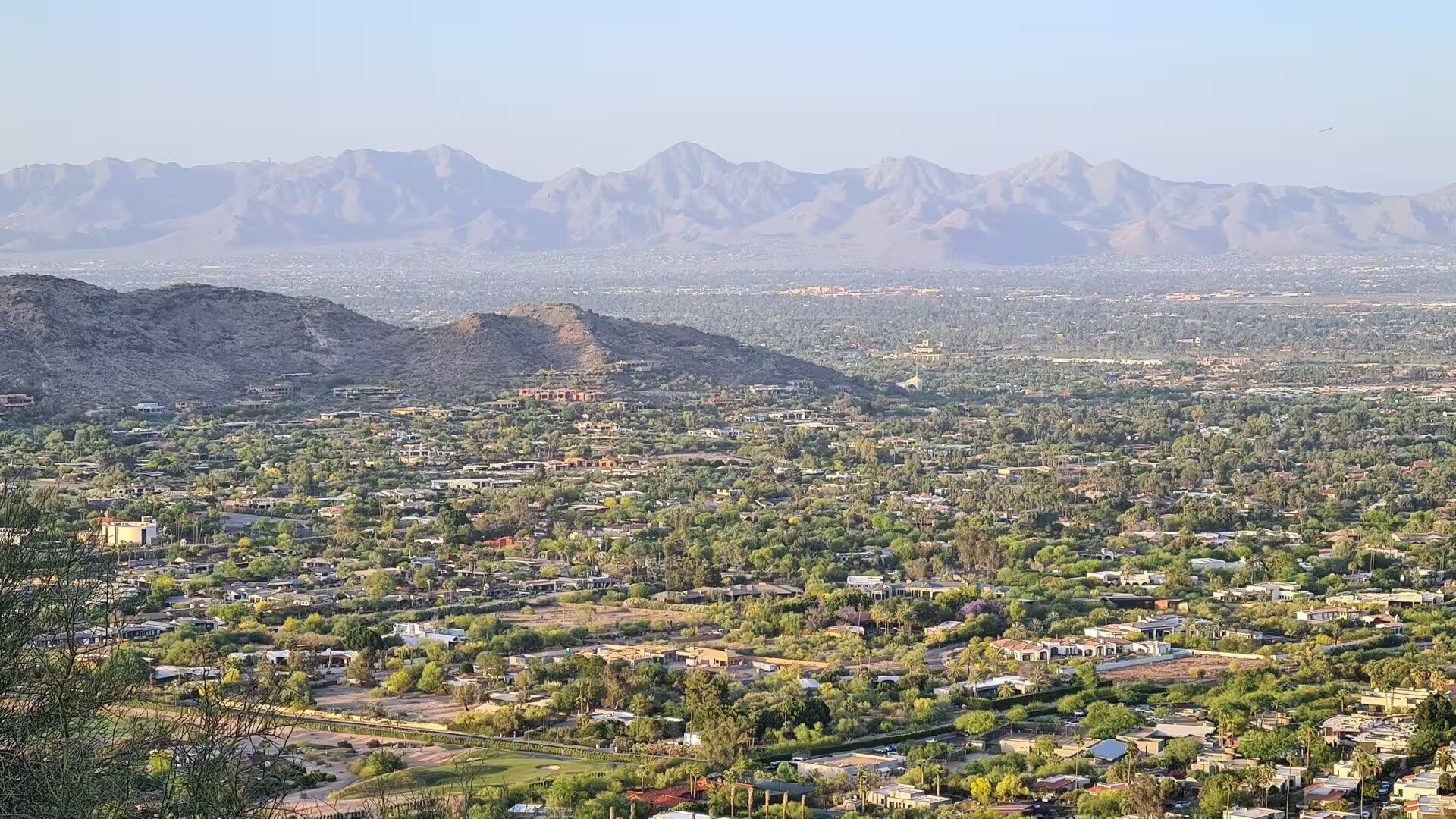
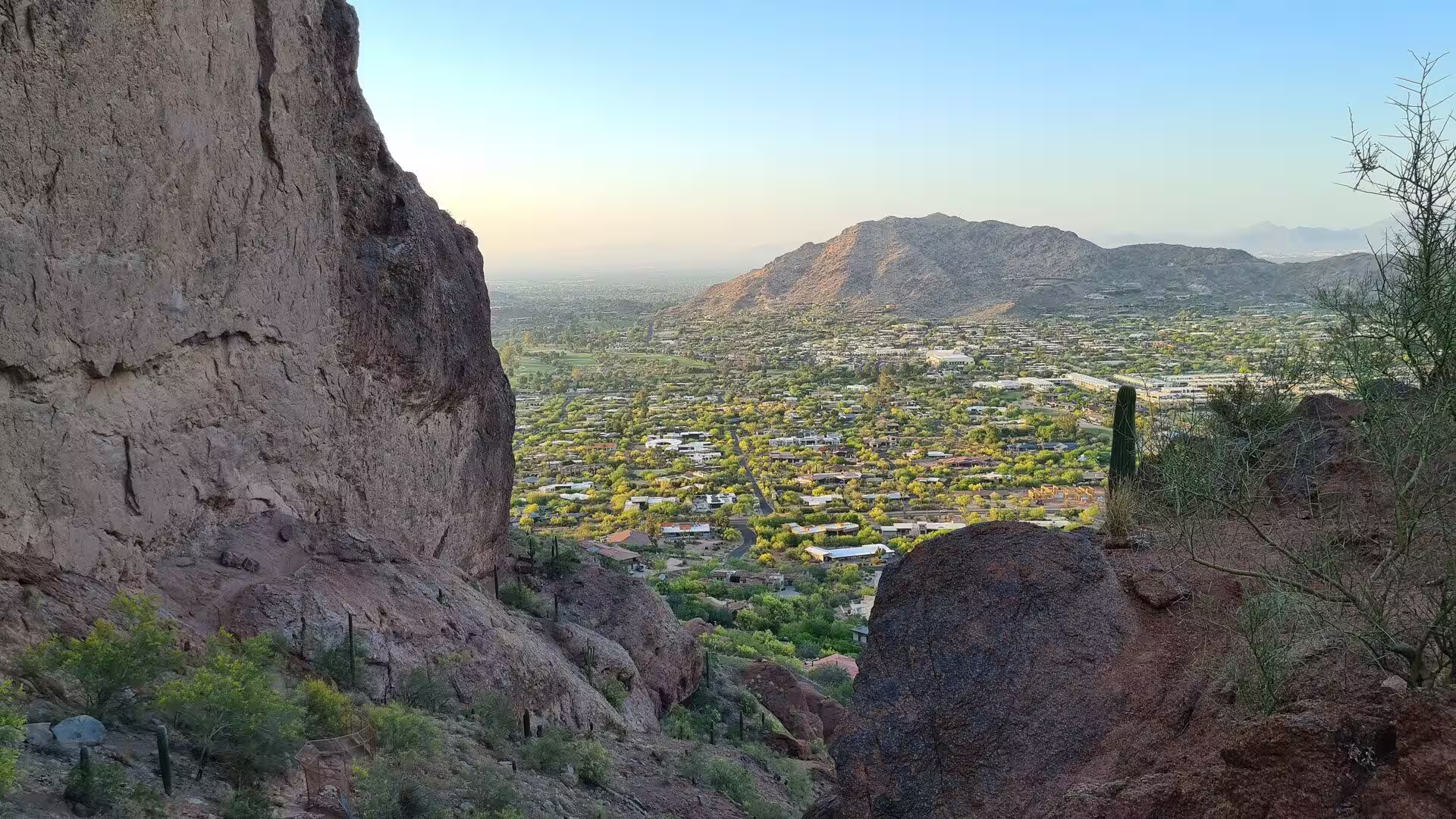
From the summit the whole Valley of the Sun lies open below: the grid of the streets, the green of the irrigated neighbourhoods, the dry bed of the Salt River, and the mountain blocks that frame the basin on every side, from the McDowell Mountains in the north east to the Sierra Estrella in the south west. At dusk the city lights come on across the valley in every direction, and the mountain becomes one of the standard places from which the residents of Phoenix watch their own city.
History
The mountain held a religious meaning long before it had a name in English. A cave discovered on its north side indicates that Camelback was used as a sacred site by the Hohokam, the culture that occupied the Salt River Valley for roughly two thousand years, until the community abandoned the area in the fourteenth century. The cave is one of the few traces of that use that survives in the mountains around the city.
The Hohokam were farmers who lived from the river. They cut about 217 kilometres of irrigation canals across the valley, traded with the Ancestral Puebloans, the Mogollon and the Sinagua and with the civilisations of Mesoamerica, and made the desert productive on a scale that no later community matched until the twentieth century. Drought and severe floods between 1300 and 1450 are thought to have ended their settlements, and their descendants are counted among the later peoples of the region.
The modern history of the mountain is a history of competing claims. In January 1879 President Rutherford B. Hayes included Camelback Mountain in a reservation of one million acres, about 4,000 square kilometres, for the Salt River Pima and Maricopa American Indian tribes. Six months later, at the request of Charles Poston, the Arizona Territorial Legislature reversed the decision and returned the land to general use, in order to secure the position of the roughly five thousand non-Indian residents of the area and their access to the water of the Salt River.
Protection of the mountain as a natural preserve was first attempted in the early years of the twentieth century, but by the 1960s nearly all of the land had been sold to private owners. Federal and state authorities tried to stop building above the level of 1,600 feet and failed, and in 1963 a proposed exchange of land collapsed in the Arizona State Legislature. Two years later Senator Barry Goldwater took up the cause and helped to secure the higher elevations against development, and in 1968 the area became a park of the city of Phoenix.
What remains is a mountain that belongs to the city in a way that few urban peaks do. Its trails are busy on every clear morning of the cooler months, the roads that carry its name cross the whole metropolitan area, and the rules that govern access are rewritten as the city grows hotter. The closing of the trails in the heat of the day is the most recent of those decisions, and it marks the point at which recreation and climate have to be balanced in the same place.
Geology
The mountain is part of the Basin and Range Province, the region of the inland western United States and north western Mexico that is defined by alternating faulted mountain chains and flat arid basins. Its topography results from tectonic extension that began about 17 million years ago in the early Miocene, when the crust of the region was stretched and broke into blocks along steep faults. The Salt River Valley is one of the basins of that system, and Camelback is one of the blocks that rise from its northern side.
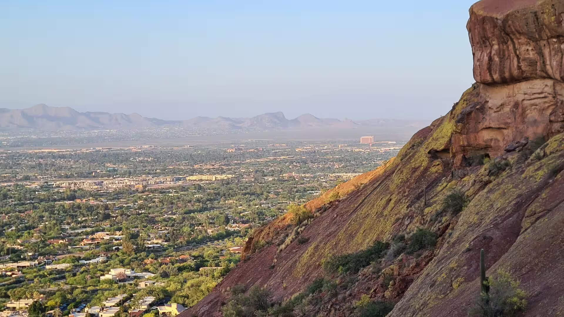
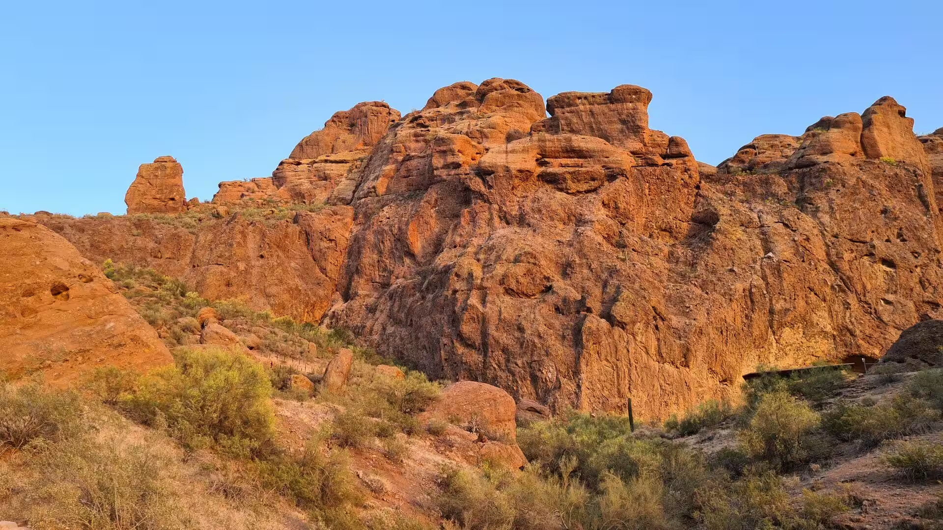
The rock of the peak records an unusually long and unusually visible history. The summit consists of Precambrian granite about 1.5 billion years old, while the lower part of the mountain, the head of the camel, is predominantly red sedimentary sandstone of the Chattian stage of the Oligocene, roughly 25 million years old. The two formations meet at an unconformity, a surface of erosion that represents a gap of more than a billion years in the geological record.
An unconformity of that size means that an entire mountain range was raised, worn down to its roots and buried again in the interval that the missing rock represents. The sandstone was deposited on the eroded granite long after the older rock had cooled and been exposed, and the contact between the two is still visible on the slopes, where dark crystalline stone gives way to layered red sediment that was laid down in lakes and rivers of a much younger landscape.
Weathering is what shapes the mountain now. The granite is jointed and fractured, water collects in the cracks, and the daily and seasonal changes of temperature break the surface into blocks that finally fall away as the boulders and rubble which cover the slopes. The same process produces the scree fields and the bare rounded outcrops that give the mountain its characteristic appearance, and the debris is carried down by rare but violent rainstorms into the washes below.
There is almost no permanent water on the mountain, and the plants and animals that live on it depend on the two rainy seasons of the Sonoran Desert, the winter storms and the summer monsoon. The saguaro is the best known of them and grows on the lower and middle slopes, its root system spreading wide and shallow to catch the rain that falls in a few hours. Desert bighorn sheep once used the range, and the fragmented populations of the species in southern Arizona remain the subject of conservation work.
Things to See
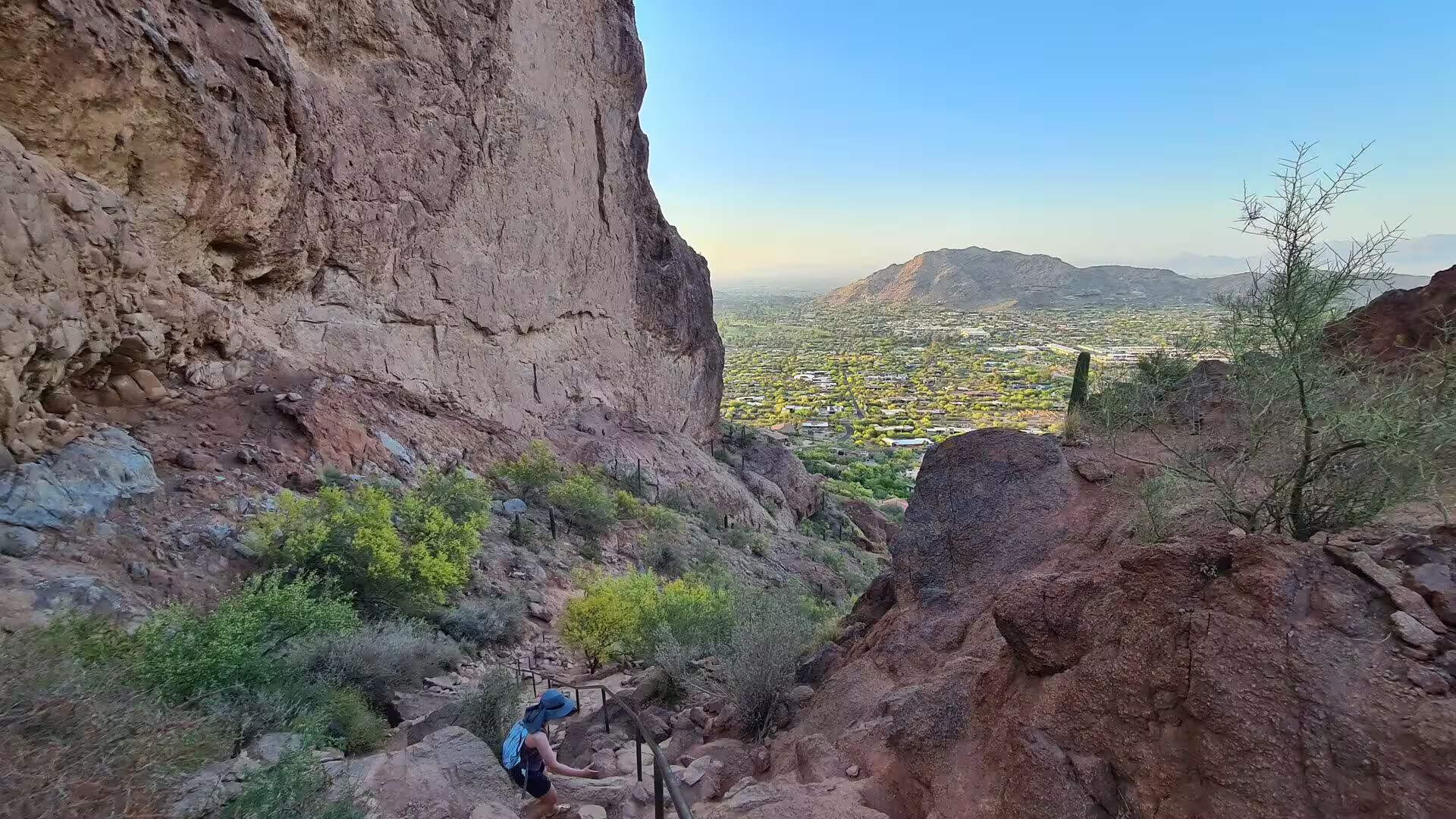
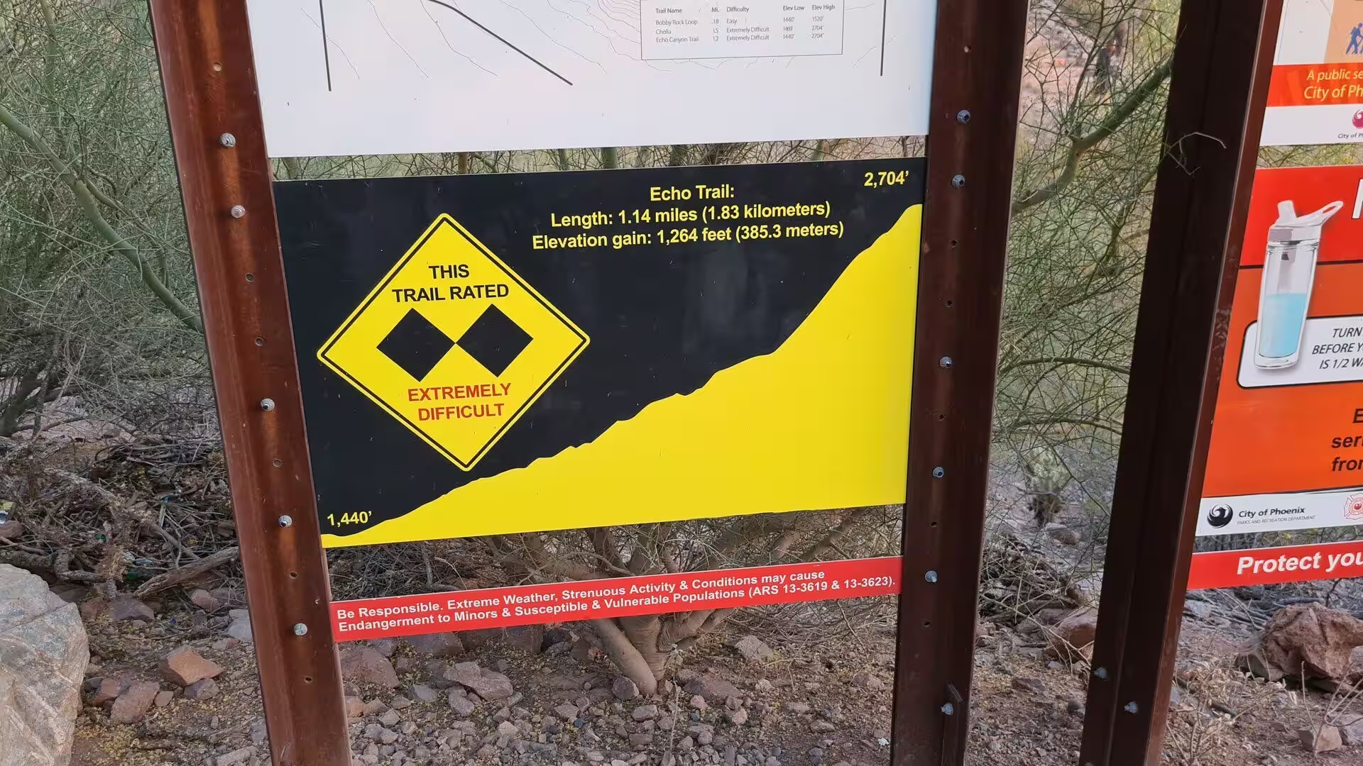
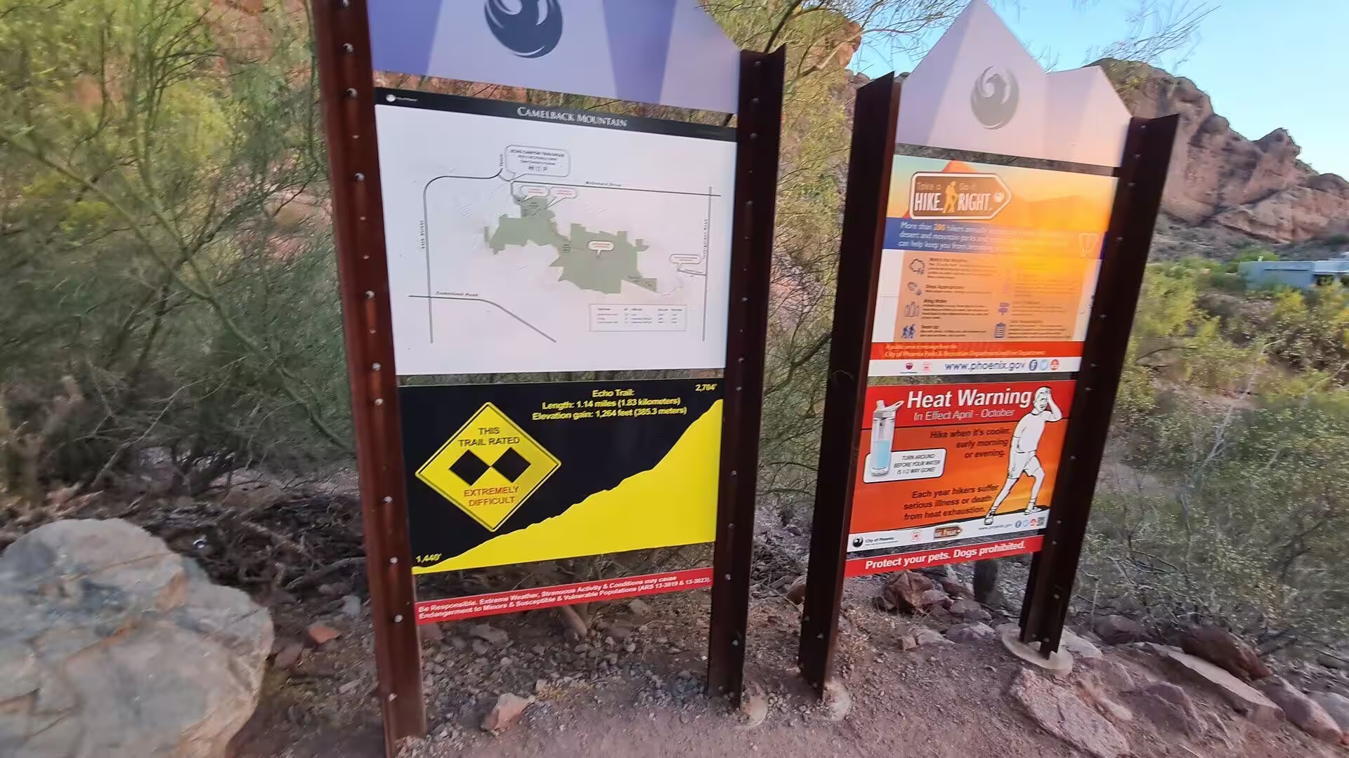
The Echo Canyon Trail is the shorter and steeper of the two routes to the summit. It measures 1.14 miles, about 1,900 metres, and climbs roughly 1,280 feet, or 390 metres, over that distance, with sections where the walker has to use hands as well as feet on the rock. The trailhead carries panels with a map and a warning about the heat, and the rating board at the entrance leaves no doubt about the difficulty of the ground.
The Cholla Trail approaches from the north eastern side of the mountain and is the longer option, at 1.4 miles or about 2,300 metres, with the same total ascent. It is exposed for most of its length and is reached through residential streets on the north eastern side of the mountain. Both routes are considered strenuous, and the descent takes longer than most first time visitors expect because of the loose rock and the steepness.
The view from the summit is the reason for the climb. To the north and east lies the chain of the Phoenix Mountains, to the south the flat expanse of the valley with its grid of streets and freeways, and to the west the dry bed of the Salt River running towards the White Tank Mountains on the horizon. The orientation is easy to follow from the top, because the valley is laid out in straight lines and the ranges that surround it stand clearly against the sky.
The Echo Canyon Recreation Area provides the simple services that such a place needs: a parking area, restrooms and some water at the trailhead. Beyond that there is nothing on the mountain, and the climb offers no shade between the boulders. Walkers are advised to start early, to carry more water than they think necessary and to turn back if the heat or the exposure becomes too much, and the closures during extreme heat are the formal version of the same advice.
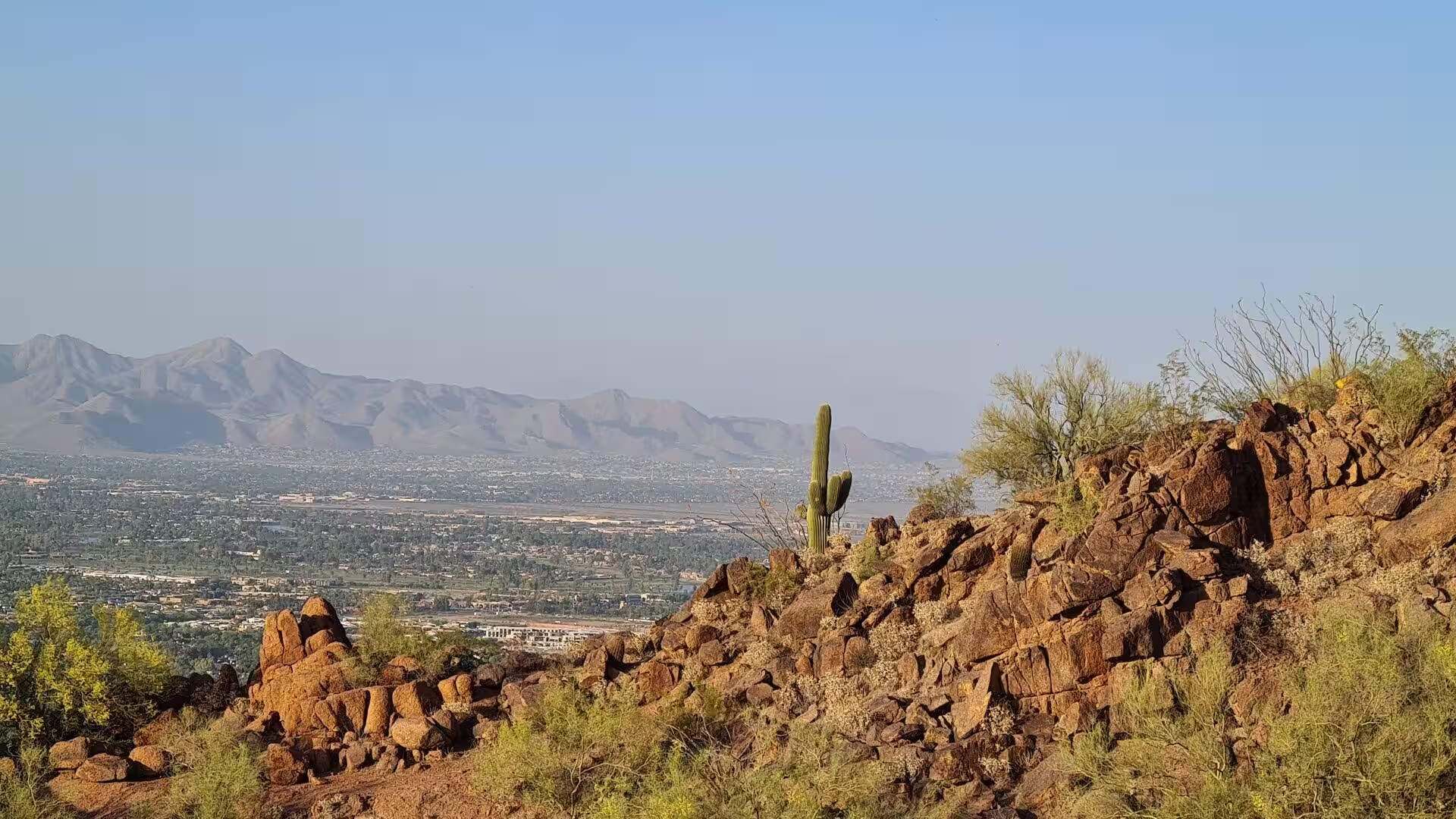
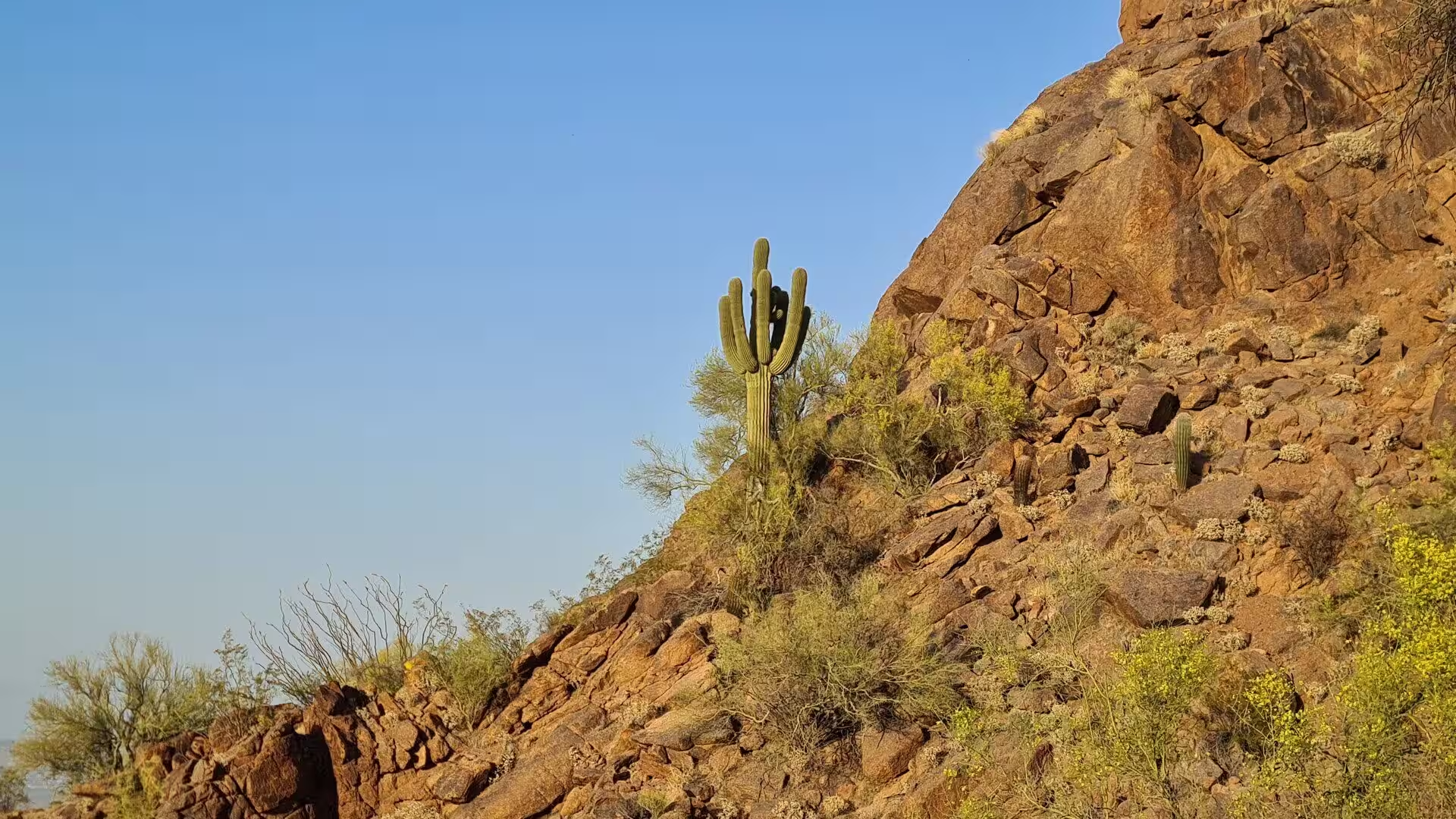
The plant life of the slopes is a compact version of the Sonoran Desert. Saguaros of different ages stand among the boulders, cholla and prickly pear grow in the gravel, and in spring the brittle bushes and the cacti flower in yellow, pink and magenta against the grey and ochre of the rock. The flowering depends entirely on the rain of the preceding winter, which is why the same slope can look bare in one year and almost green in the next.
At the foot of the mountain the town of Paradise Valley and the suburbs of Phoenix and Scottsdale spread out around the desert preserves, and the neighbouring places of interest are within a few minutes by car. Papago Park with its Hole in the Rock, the Desert Botanical Garden, the Phoenix Zoo and the museums of downtown Phoenix make the north eastern side of the valley the practical base for a stay, with the mountain always in view.
Evening is the other good time on the rock. The heat leaves the slopes after sunset, the light falls low across the valley, and the views open up towards the distant ranges that disappear during the day in the haze. The desert around the mountain is used for walking and watching the city lights come on, and the dry washes at the foot of the trails remain passable in the dark for those who know the ground.
The practical reminders are always the same. Water is the first requirement, followed by a hat, suitable shoes for rough rock, and an honest assessment of fitness, because the two trails are short but steep and the summer heat of Phoenix is among the most intense of any large city in the world. The reward is a summit that stands above one of the largest urban areas of the United States, with the desert preserved at its base and the whole valley visible from the top.
References
- Wikipedia contributors (2026). Camelback Mountain. en.wikipedia.org/wiki/Camelback_Mountain
- Wikipedia contributors (2026). Phoenix, Arizona. en.wikipedia.org/wiki/Phoenix%2C_Arizona
- Wikipedia contributors (2026). Paradise Valley, Arizona. en.wikipedia.org/wiki/Paradise_Valley%2C_Arizona
- Wikipedia contributors (2026). Scottsdale, Arizona. en.wikipedia.org/wiki/Scottsdale%2C_Arizona
- Wikipedia contributors (2026). Phoenix Mountains Preserve. en.wikipedia.org/wiki/Phoenix_Mountains_Preserve
- Wikipedia contributors (2026). Sonoran Desert. en.wikipedia.org/wiki/Sonoran_Desert
- Wikipedia contributors (2026). Hohokam. en.wikipedia.org/wiki/Hohokam
- Wikipedia contributors (2026). Saguaro. en.wikipedia.org/wiki/Saguaro
- Wikipedia contributors (2026). Basin and Range Province. en.wikipedia.org/wiki/Basin_and_Range_Province
- Wikipedia contributors (2026). Salt River Valley. en.wikipedia.org/wiki/Salt_River_Valley
- Wikipedia contributors (2026). Papago Park. en.wikipedia.org/wiki/Papago_Park
- Wikipedia contributors (2026). Desert Botanical Garden. en.wikipedia.org/wiki/Desert_Botanical_Garden
- Wikipedia contributors (2026). Desert bighorn sheep. en.wikipedia.org/wiki/Desert_bighorn_sheep
- Wikipedia contributors (2026). Arizona. en.wikipedia.org/wiki/Arizona
- Wikipedia contributors (2026). Maricopa County, Arizona. en.wikipedia.org/wiki/Maricopa_County%2C_Arizona
- Gutiérrez-Espeleta G.A., Kalinowski S.T., Hedrick P.W. (2000) Genetic population structure in desert bighorn sheep: implications for conservation in Arizona. Genetics, Demography and Viability of Fragmented Populations. 227-236. doi.org/10.1017/cbo9780511623448.016
- Drezner T.D. (2007) Variation in age and height of onset of reproduction in the saguaro cactus (Carnegiea gigantea) in the Sonoran Desert. Plant Ecology. 194. 223-229. doi.org/10.1007/s11258-007-9286-9
- Krymkowski D.H., Manning R.E., Valliere W.A. (2014) Race, ethnicity, and visitation to national parks in the United States: Tests of the marginality, discrimination, and subculture hypotheses with national-level survey data. Journal of Outdoor Recreation and Tourism. 7-8. 35-43. doi.org/10.1016/j.jort.2014.09.008