2023 Australia - May 1 - Southern Queensland














Journal Notes
General
Southern Queensland is the part of the state that lies around Brisbane, from the New South Wales border north to the Sunshine Coast and inland across the Great Dividing Range to the plains of the Darling Downs. The wider region of South East Queensland holds about four million of the state’s five and a half million people, and its economy, with a product of some 170 billion Australian dollars, rests on agriculture, mining, tourism, education and technology.
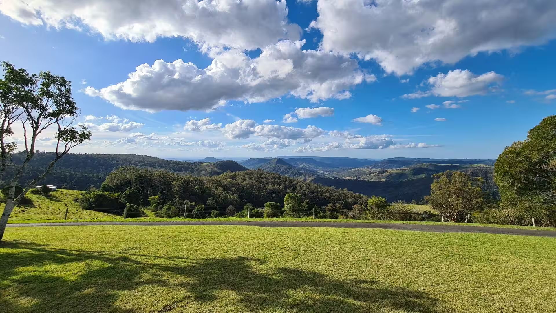
The landscape changes within a short distance. Along the coast lie wide beaches, the shallow waters of Moreton Bay and a chain of sand islands; behind them rise the forested ranges of the Scenic Rim, the McPherson Range and the Border Ranges, cut by deep valleys and carrying subtropical rainforest; further inland the land opens into the rolling plains of the Darling Downs, one of the most productive farming areas of Australia. Rainfall is high in the east and markedly lower in the west, and the vegetation changes with it from rainforest to dry eucalyptus forest.
The Scenic Rim is the quarter circle of forested mountains that closes the region to the south, running roughly from below Toowoomba around to Springbrook. It belongs to the Great Dividing Range and to the hinterland of the Gold Coast, and it is the closest wilderness of this size to a major Australian city. Its volcanic soils support agriculture in the valleys, and the ridges carry national parks that have been protected for more than a century.
The cities of the region are linked by a dense network of motorways, railways and ferries. Brisbane, the state capital, has about 2.8 million inhabitants and is the third most populous city in Australia, with an airport and a port that rank third in the country. The Gold Coast and the Sunshine Coast are the two great seaside resorts, Toowoomba and Ipswich the inland centres, and Warwick the market town of the southern downs.
For a visitor the region is above all a landscape of national parks, lookouts and waterfalls. The plateaus of Lamington and Springbrook lie within an hour and a half of the centre of Brisbane, the climate there is several degrees cooler than on the coast, and the walking tracks lead through rainforest, past strangler figs, palm groves and rock pools, to the escarpments where the creeks fall into the valleys below.
History
Southern Queensland has been inhabited for tens of thousands of years. The Turrbal and Yuggera peoples belong to the country around Brisbane and the Brisbane River, the Yugambeh and Bundjalung peoples to the south of the border ranges, and the Quandamooka to the islands and shores of Moreton Bay. Estuarine waters, wetlands and forests gave these communities a rich economy of fish, shellfish, birds and plants, and the land was managed with fire and with careful use of water and season.
The European period began with the penal settlement of Moreton Bay, established in 1824 at Redcliffe for secondary offenders from the colony at Sydney and moved in May 1825 to North Quay on the banks of the Brisbane River. The river and the settlement were named after Sir Thomas Brisbane, then governor of New South Wales. Free settlement followed in 1842, and German Lutherans, timber cutters and farmers arrived in the following decades.
Queensland became a separate colony on 6 June 1859, when Queen Victoria signed the letters patent that detached it from New South Wales; the day is still commemorated as Queensland Day. Brisbane grew into the administrative centre of a vast territory, and the railway and the ports carried wool, wheat, cotton and timber. The border with New South Wales was surveyed through the ranges in 1863, and the rainforest was logged for its red cedar and beech.
In the twentieth century the region became a base of national importance, first during the two world wars and then through immigration and industry, and today more than a third of the population of Brisbane was born overseas. The Commonwealth Games of 1982 and the World Expo of 1988 gave the river city its South Bank parklands, and the Olympic Games of 2032 will return them to the same ground. Floods have shaped the city in every century, above all in 1893, 1974, 2011 and 2022.
Nature conservation began late and against resistance. Robert Collins campaigned from the 1890s for the protection of the McPherson Range, and the Lamington National Park was created in 1915 after further efforts by Romeo Lahey and others. The rainforest reserves of the region were inscribed on the World Heritage List in 1986, and in December 1994 the listing was extended over the Scenic Rim and its national parks. The rainforests now receive about two million visitors a year.
Geology
The mountains of the Scenic Rim are the eroded remains of one of the largest shield volcanoes of eastern Australia. The Tweed Volcano was active in the early Miocene, when the continent passed over a hotspot beneath the crust, and its last eruptions are dated to about 23 million years ago. Lava flows of that period covered a wide area, and the rocks of the McPherson Range, the Border Ranges and the plateaus below Brisbane all belong to that single volcanic system.
Mount Warning, known in the Bundjalung language as Wollumbin, is the central volcanic remnant of the complex, a plug of harder rock left standing when the softer material around it was removed. Since the eruptions ceased, streams and rain have hollowed out the caldera, which today measures about 30 kilometres across and is among the largest erosional calderas on earth. Its rim is formed by the mountain ranges of the Scenic Rim, which close around the fertile basin of the Tweed Valley.
Between the ranges lie plateaus and valleys of very different character. The Lamington Plateau and the Springbrook Plateau face each other across the Numinbah Valley, Tamborine Mountain stands further north, and Mount Barney rises above the valley of the upper Logan River. The volcanic soils of the caldera are deep and rich and carry sugarcane and dairy farming, while the black cracking clays of the Darling Downs, formed from similar volcanic material, make that region one of the best farming areas of the continent.
Inland, the plains rest on the Surat Basin, an intracratonic basin of about 270,000 square kilometres that was filled with river sediments in the Jurassic and Cretaceous periods. Its sandstones and coal measures, among them the Precipice Sandstone, the Hutton Sandstone and the Walloon Coal Measures, form part of the Great Artesian Basin, and they carry both the artesian water that made pastoral farming possible and the coal seam gas of the present. Coal mining and manufacturing have grown beside agriculture on the downs, and the two now shape the landscape together.
Water and sea level complete the picture. Moreton Bay was formed only about six thousand years ago, when the rising ocean flooded the lower valley of the Brisbane River and drowned its floodplains; the bay is shallow, bordered by sandbanks and islands, and its seagrass meadows feed turtles, dolphins and the only herds of dugong known in Australia. The Brisbane River, which drains the whole region and has flooded in 1893, 1974, 2011 and 2022, carries the sediment of the ranges into the bay, while at the edge of the plateaus the same creeks that cut the gorges of the rainforest run off the escarpments in long waterfalls.
Things to See
Brisbane is the natural starting point of any journey through the region, and its setting is unusual for a city of its size. The river loops through the centre in wide meanders, the skyline of towers stands on both banks, and ferries connect the quarters as cheaply as buses. The Story Bridge of 1940 spans the river in the east, and the South Bank parklands occupy the ground of the World Expo of 1988, with gardens, a swimming lagoon and a riverside promenade looking across to the business district.
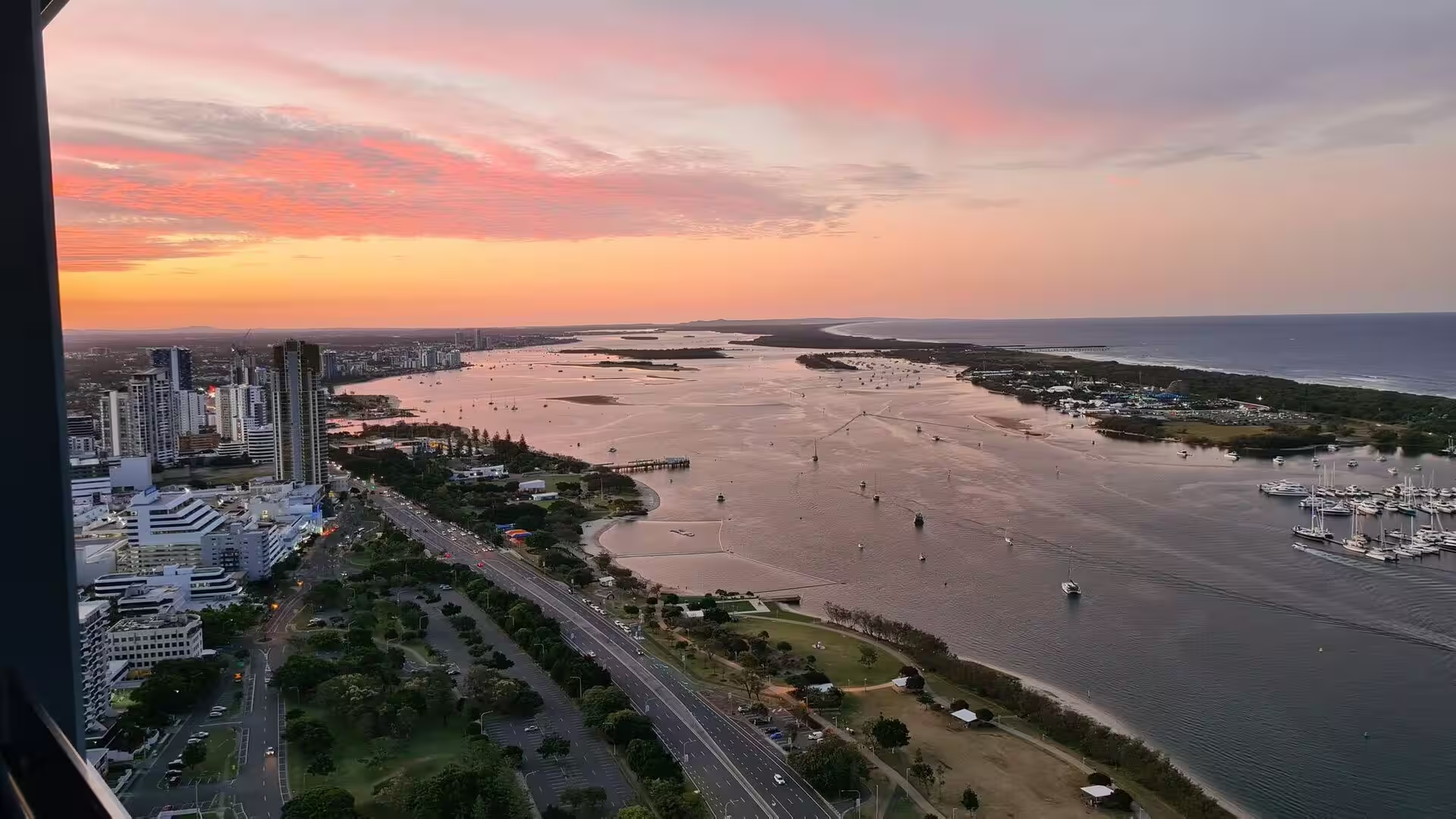
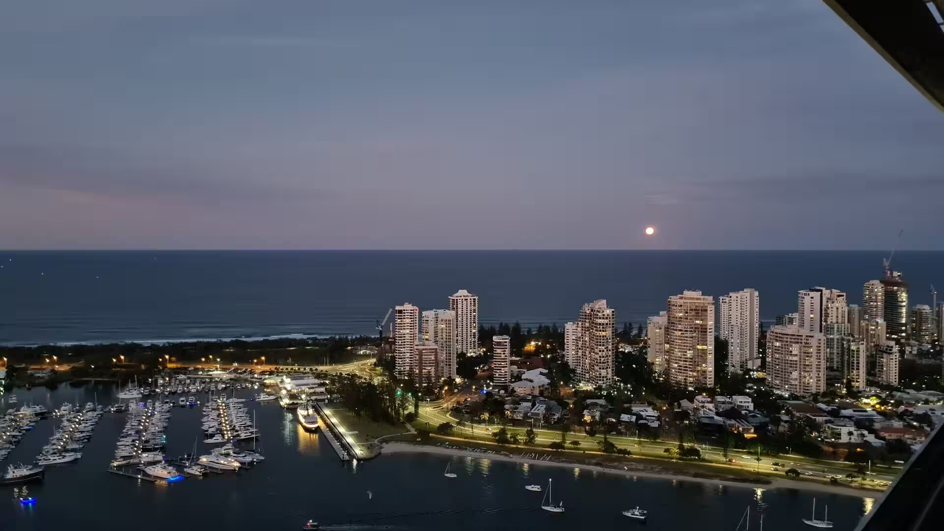
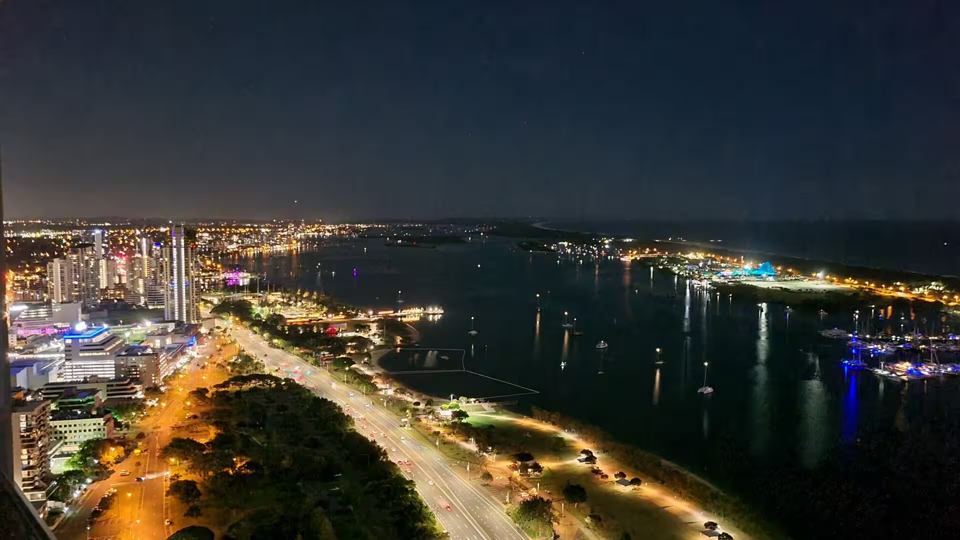
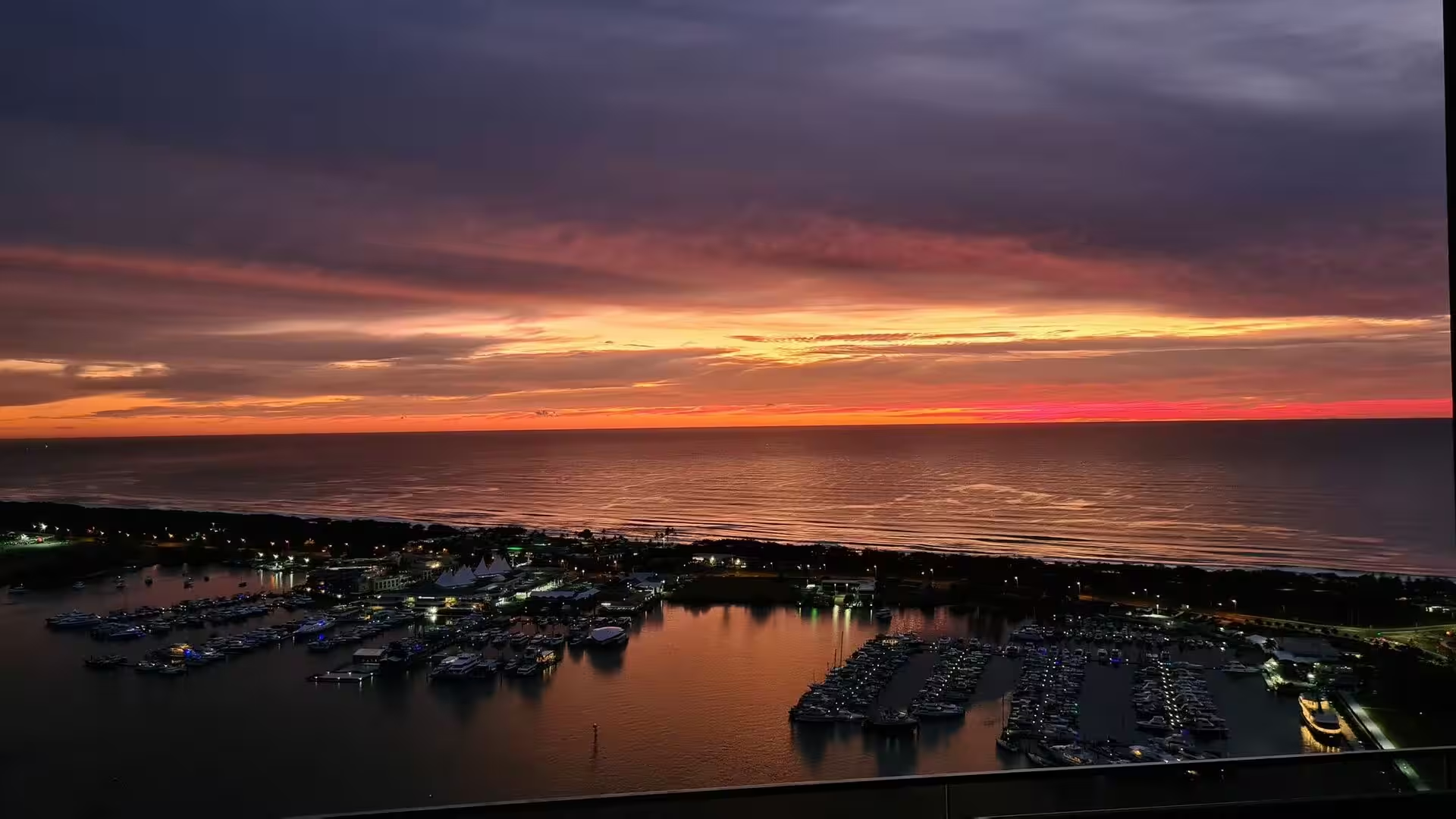
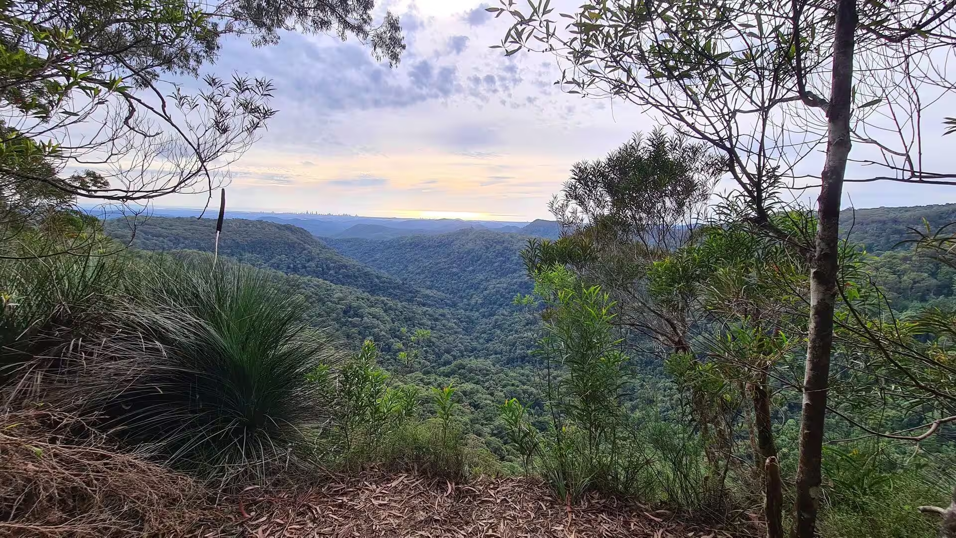
Above the city the lookout on Mount Coot-tha opens the whole basin at once. To the east the towers and the river give way to the flat expanse of Moreton Bay and to the sand islands on the horizon; to the south and west the forested ranges of the Scenic Rim stand along the skyline. In the late afternoon the light turns the glass facades of the city copper, and the marina and the estuary are the places where the day ends.
The museums and galleries of the South Bank and the cultural centre occupy a compact area beside the river. The Queensland Museum and the Gallery of Modern Art, the State Library and the performing arts centre stand within a few minutes of one another, and the botanic gardens and the Roma Street Parkland give the inner city an unusual amount of green space. The universities and the older suburbs with their wooden houses on stilts lie on the ridges above the river.
Moreton Bay, the shallow water body that gives the city its harbour, is a destination in its own right. The bay is bordered by the mainland and by three large sand islands, Moreton, North Stradbroke and Bribie, all of them reachable by ferry and all of them protected in parks. Dugongs gather here in herds, the only place in Australia where they do so, and dolphins, turtles and rays are common in the seagrass meadows and around the wrecks of the sheltered western shore.
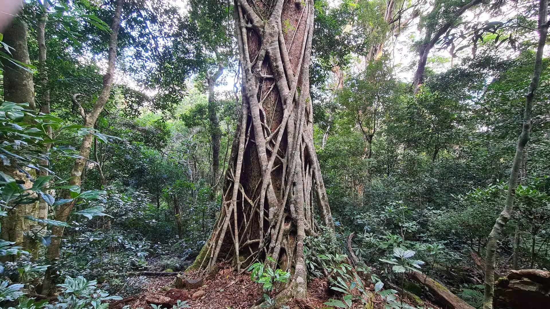
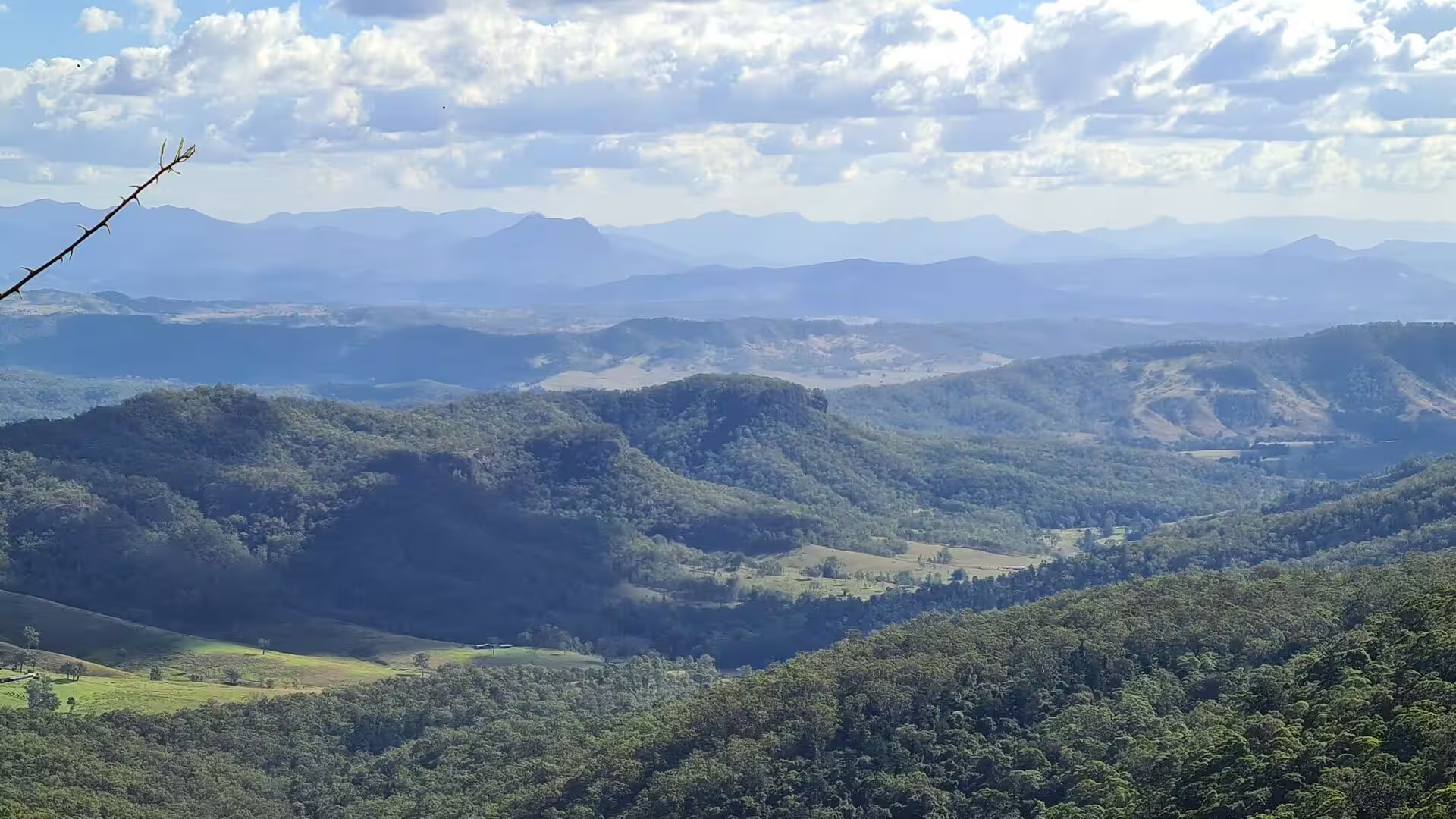
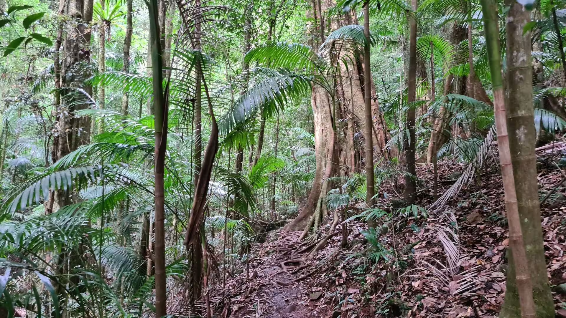
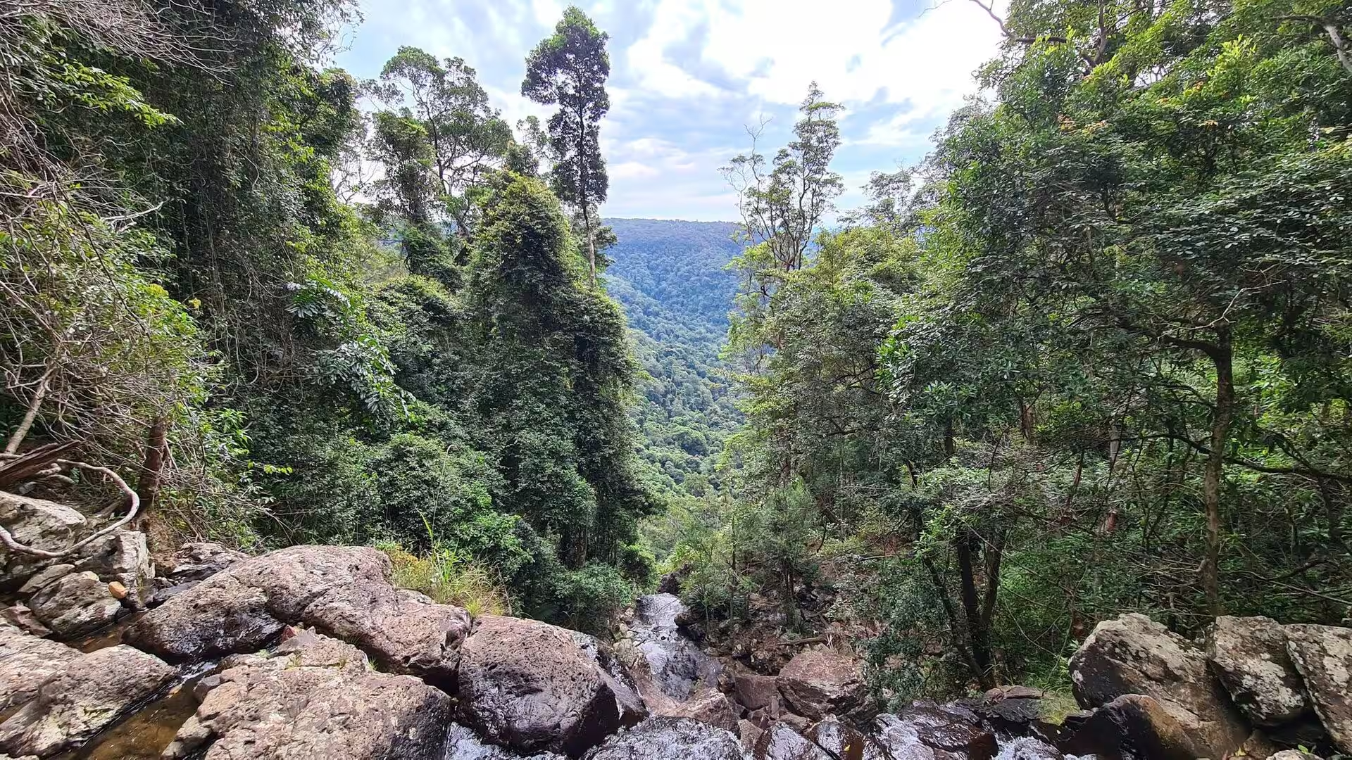
The Scenic Rim is the mountain country south of the city, and it is entered through two valleys: the Numinbah Valley below Springbrook and the Logan Valley below Mount Barney. The roads climb through dairy farms and eucalyptus forest onto the ridges, where lookouts open onto the caldera of the old volcano and onto the mountain wall of the Border Ranges. Mount Barney, Mount French and the peaks of the Main Range are the classic climbing country of the region, and the small towns at their feet have kept the scale of market villages. The Lamington National Park covers the McPherson Range on the Queensland side of the border and forms part of the Gondwana Rainforests of Australia, the World Heritage area of 41 reserves that stretches across the border into New South Wales. Its rainforest is subtropical: giant coachwood and booyong trees, strangler figs whose roots wrap around a host trunk, palms, tree ferns and vines, and more than two hundred rare and threatened species among the frogs, reptiles and birds.
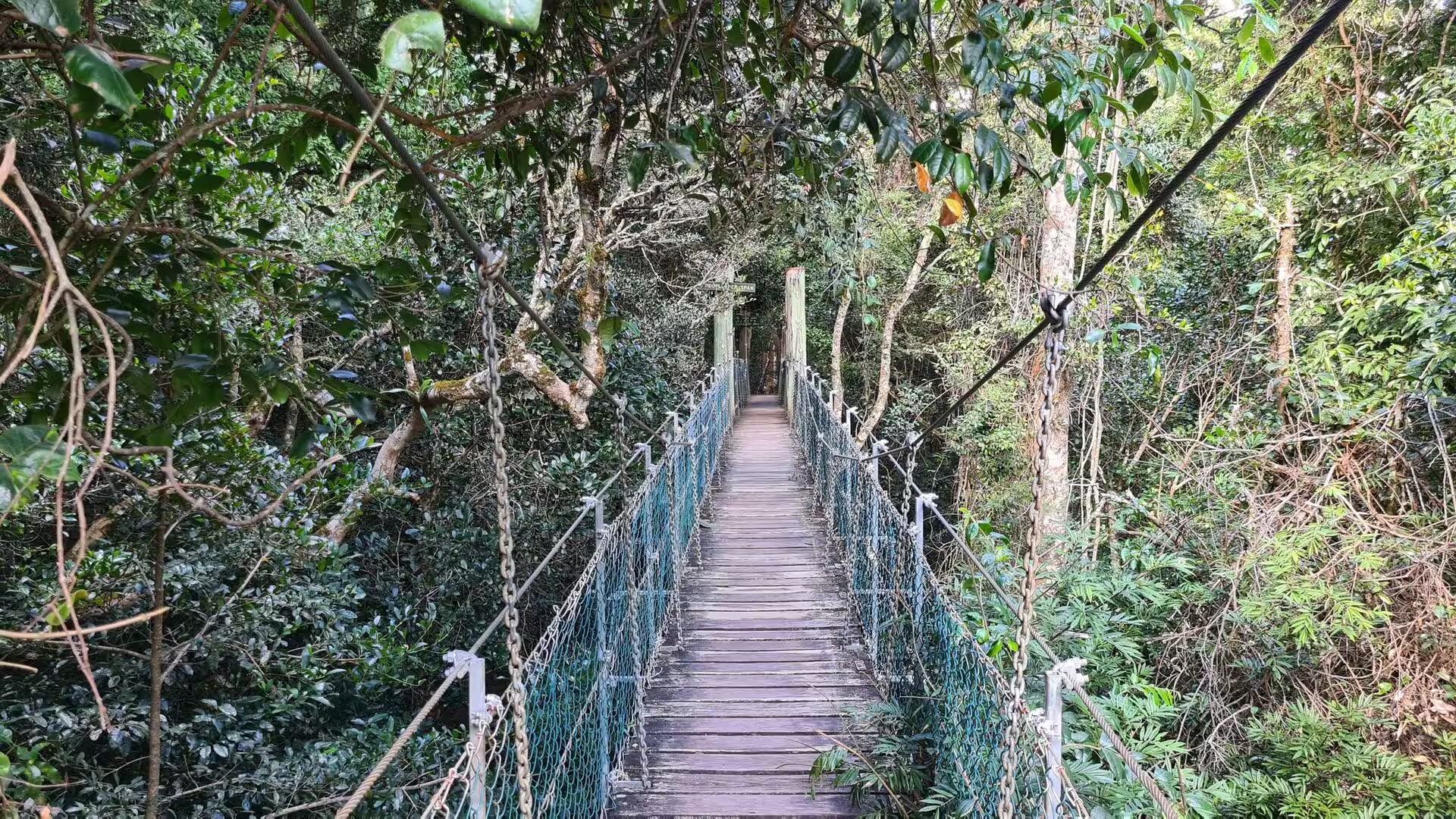
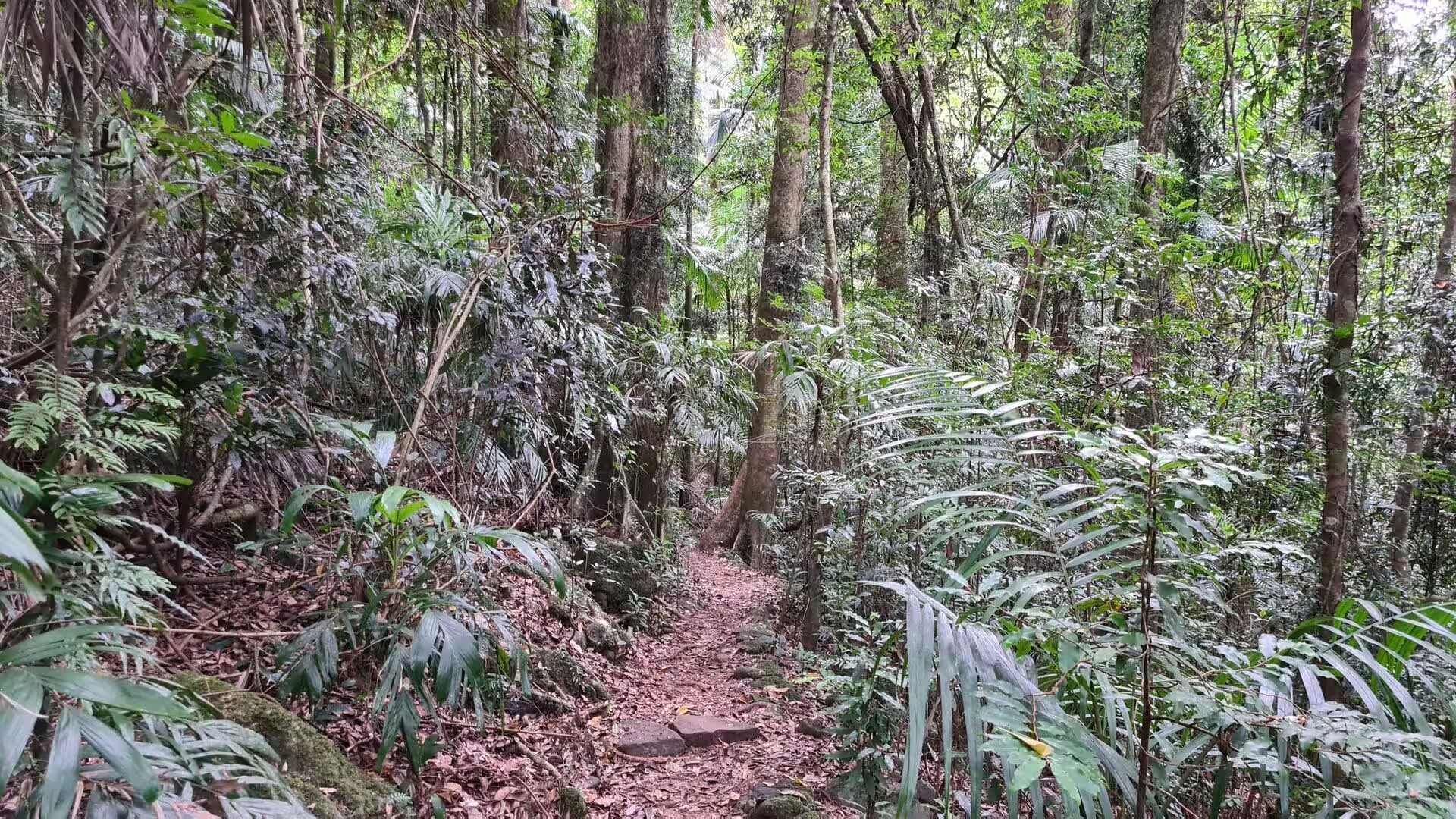
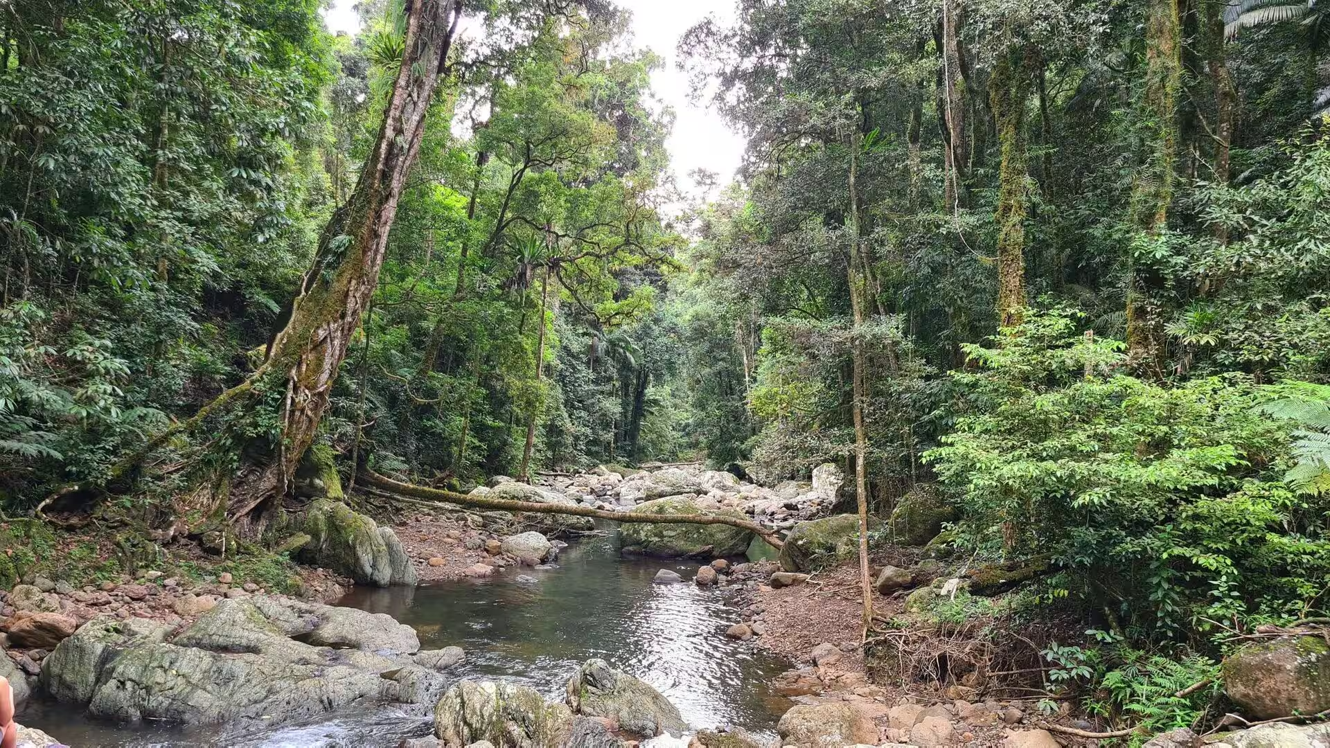
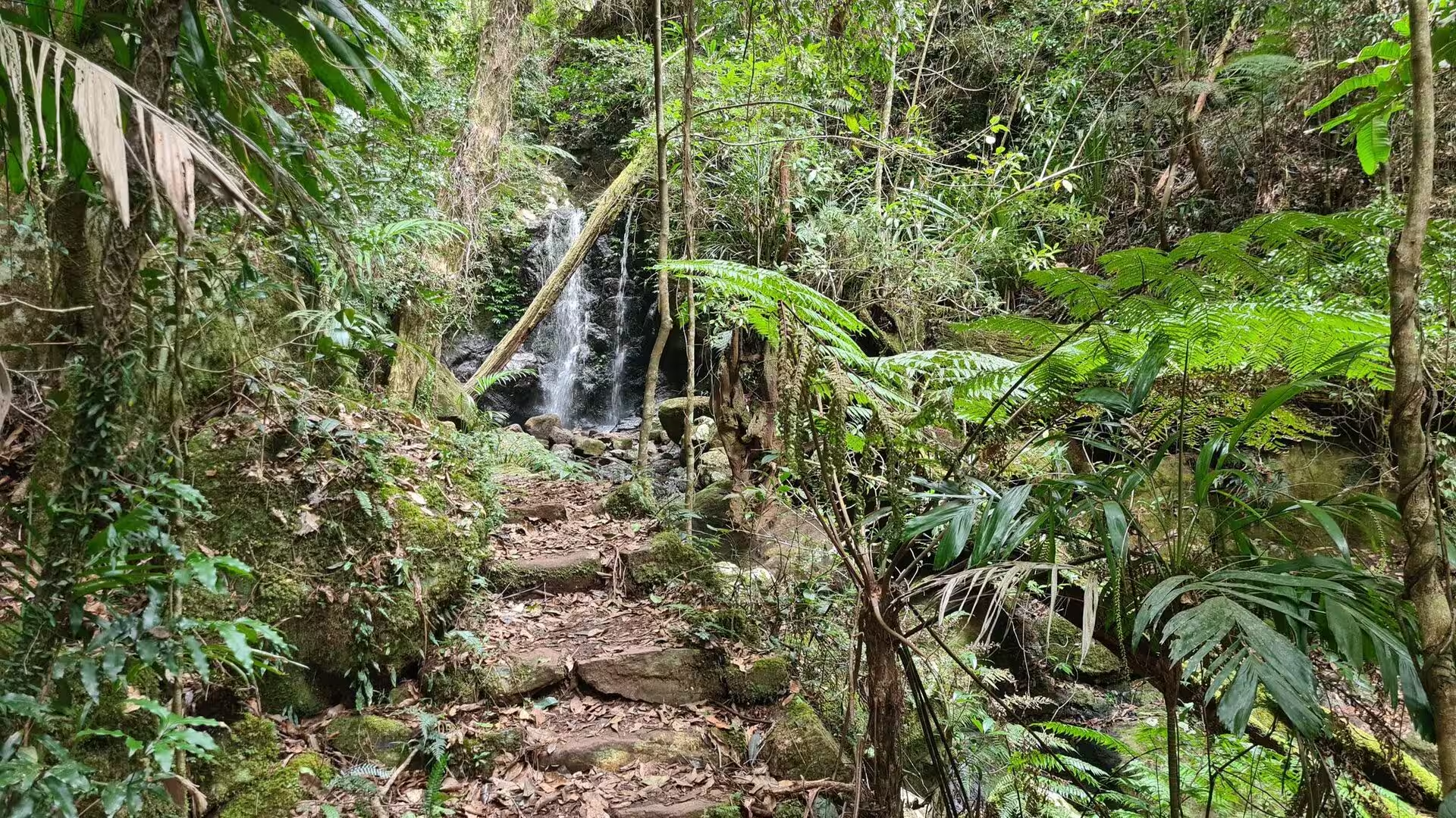
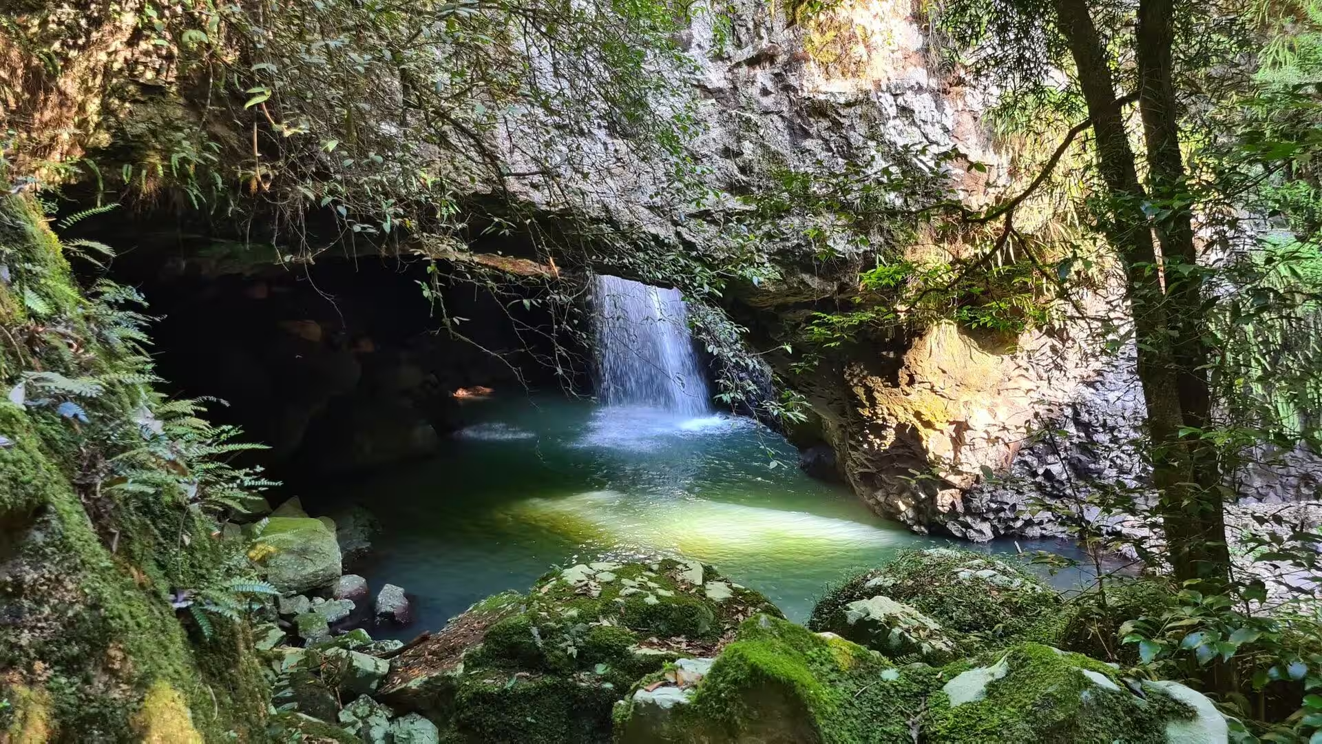
Walking in Lamington means dirt tracks under a closed canopy, and the two sectors of Binna Burra and O’Reilly’s offer the best known circuits. The Box Forest track follows a stream from pool to pool past moss covered boulders and small falls, while the canopy walk crosses above the crowns on a suspension bridge. Crimson rosellas pick at the ground near the picnic places, whipbirds call from the undergrowth, and the lyrebird of the plateau is heard far more often than it is seen. The Springbrook National Park lies on the plateau east of the Numinbah Valley and belongs to the same volcanic landscape and to the same World Heritage area. Its escarpment carries the two great falls of the plateau, and its short walks lead to lookouts over the valley and to the Natural Bridge, a rock arch over Cave Creek that was hollowed out by a waterfall which undercut the cave beneath it and finally broke through the roof.
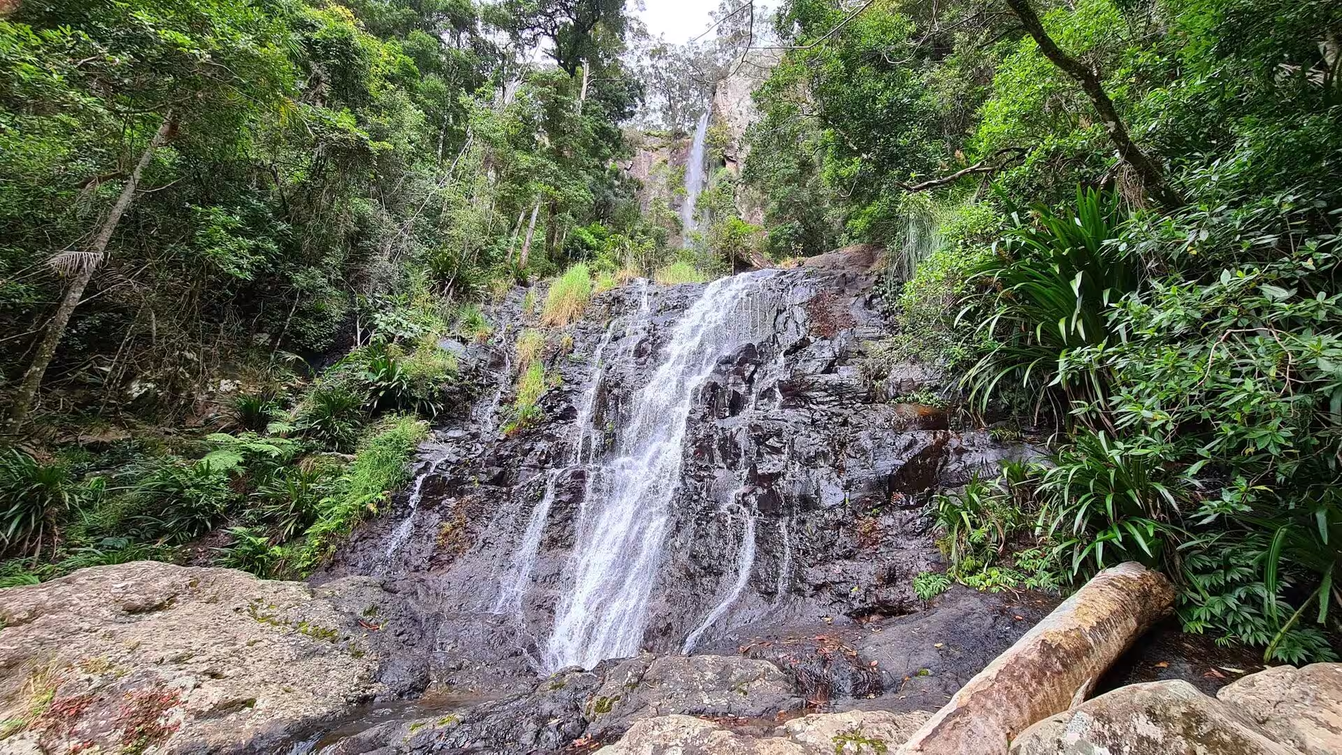
The waterfalls are the real attraction of both parks. The creeks leave the plateau at its edges and fall in long thin veils down the rock faces: Purling Brook and Twin Falls on Springbrook, and on Lamington the many falls of the box forest and of the Tullawallal and Toolona circuits. The water is cool and brown with tannin, it collects in glassy pools beneath the overhangs, and the walking tracks climb along the rocky beds from one pool to the next. The forest itself explains the water. Subtropical rainforest needs more than 1,500 millimetres of rain a year, and the plateau gets it, with cloud and drizzle through much of the summer. The canopy keeps the ground dark and damp, palms line the creeks, the giant figs and the giant stinging trees stand in the hollows, and the whole vegetation would disappear with a drier climate. The rainforest of the Scenic Rim is thus a narrow belt on the eastern slopes, while dry forest and open woodland cover the western side.
Wildlife is easy to see in the early morning and in the late afternoon, the hours when the tracks are at their best. Crimson rosellas feed in flocks on the verges, satin bowerbirds and catbirds call from the shrubs, pademelons cross the clearings, and the streams hold eels and small freshwater crayfish. Above the canopy wedge tailed eagles and white bellied sea eagles circle on the thermals that rise from the heated valley floor. A trip of this kind is possible as a day excursion from Brisbane, but the plateau deserves more than one day. The roads up to Binna Burra, O’Reilly’s and Springbrook take between one and two hours, the weather can close in within minutes, and the parks offer campsites and simple lodges for those who stay. The reward is a landscape that combines the city, the coast, the volcanic rim and the rainforest within a single day’s drive.
References
- Wikipedia contributors (2026). South East Queensland. en.wikipedia.org/wiki/South_East_Queensland
- Wikipedia contributors (2026). Brisbane. en.wikipedia.org/wiki/Brisbane
- Wikipedia contributors (2026). Brisbane River. en.wikipedia.org/wiki/Brisbane_River
- Wikipedia contributors (2026). Scenic Rim. en.wikipedia.org/wiki/Scenic_Rim
- Wikipedia contributors (2026). Tweed Volcano. en.wikipedia.org/wiki/Tweed_Volcano
- Wikipedia contributors (2026). Mount Warning. en.wikipedia.org/wiki/Mount_Warning
- Wikipedia contributors (2026). Lamington National Park. en.wikipedia.org/wiki/Lamington_National_Park
- Wikipedia contributors (2026). Springbrook National Park. en.wikipedia.org/wiki/Springbrook_National_Park
- Wikipedia contributors (2026). Moreton Bay. en.wikipedia.org/wiki/Moreton_Bay
- Wikipedia contributors (2026). Surat Basin. en.wikipedia.org/wiki/Surat_Basin
- Wikipedia contributors (2026). Darling Downs. en.wikipedia.org/wiki/Darling_Downs
- Wikipedia contributors (2026). Queensland. en.wikipedia.org/wiki/Queensland
- Wikipedia contributors (2026). Turrbal. en.wikipedia.org/wiki/Turrbal
- Wikipedia contributors (2026). Gondwana Rainforests. en.wikipedia.org/wiki/Gondwana_Rainforests
- Wikipedia contributors (2026). Crimson rosella. en.wikipedia.org/wiki/Crimson_rosella
- Wilkinson J. (1968) The magmatic affinities of some volcanic rocks from the Tweed Shield Volcano, south east Queensland to north east New South Wales. Geological Magazine. 105. 275-289. doi.org/10.1017%2Fs0016756800052298
- Abal E., Dennison W., Greenfield P., et al. (2001) Managing the Brisbane River and Moreton Bay: an integrated research/management program to reduce impacts on an Australian estuary. Water Science and Technology. 43. 57-70. doi.org/10.2166%2Fwst.2001.0508
- Gondwana Rainforests, Australia (2019) Dictionary of Geotourism. 221. 10.1007/978-981-13-2538-0_946 doi.org/10.1007%2F978-981-13-2538-0_946
- Wilson E., Stimpson K., Lloyd D., Boyd W., et al. (2011) Promoting Gondwana: presentation of the Gondwana Rainforests of Australia World Heritage Area in tourist brochures. Journal of Heritage Tourism. 6. 297-308. doi.org/10.1080%2F1743873x.2011.620112
- Young P., Kirkman H. (1975) The seagrass communities of Moreton Bay, Queensland. Aquatic Botany. 1. 191-202. doi.org/10.1016%2F0304-3770(75)90022-4