Day 1













Journal Notes
General
Madeira lies in the North Atlantic Ocean as part of Macaronesia, the group of four volcanic archipelagos that reaches from the Azores and Madeira to the Canary Islands and Cape Verde. Each archipelago consists of oceanic islands formed by seamounts whose peaks have risen above the surface. The island group sits on the African tectonic plate but is politically Portuguese, and its 250,769 inhabitants represented eight per cent of the Macaronesian population in 2022. In one biogeographical system the Azores, Madeira and the Canaries form the Macaronesian Biogeographic Region. The name is Greek and means islands of the fortunate; it was revived in 1917 with its present meaning.
The main island, Madeira Island, is the largest and most populous of the group and had 245,595 residents in 2021. The archipelago also includes Porto Santo and the Desertas, which are administered together with the separate Savage Islands. Roughly half of the islanders live in Funchal, the capital on the south coast, and the region has held political and administrative autonomy since 1976 as one of the two autonomous regions of Portugal. As an outermost region it is an integral part of the European Union, with a statute anchored in the Portuguese Constitution.
Funchal itself counts 105,795 inhabitants and is the sixth largest city in Portugal. It occupies a natural amphitheatre above the sea, with gentle slopes at the waterline rising to about 1,200 metres, a setting that sheltered the first settlers. Of the many bioclimates found on the island, the capital has a hot summer Mediterranean climate and is the warmest city in Portugal. Its name goes back to the wild fennel that grew abundantly at the site, for funcho with the suffix al denotes a plantation of fennel.
The south coast, where this day is spent, is the productive side of the island. Daily life is concentrated in the many villages at the mouths of the ravines, locally called ribeiras, through which the heavy rains of autumn and winter travel to the sea, and the slopes behind them are worked in small plots. Tourism now contributes about a fifth of regional gross domestic product, and hotels and restaurants add a further share of gross value added, yet the terraced fields and the stone channels that water them still define the look of the coastal landscape.
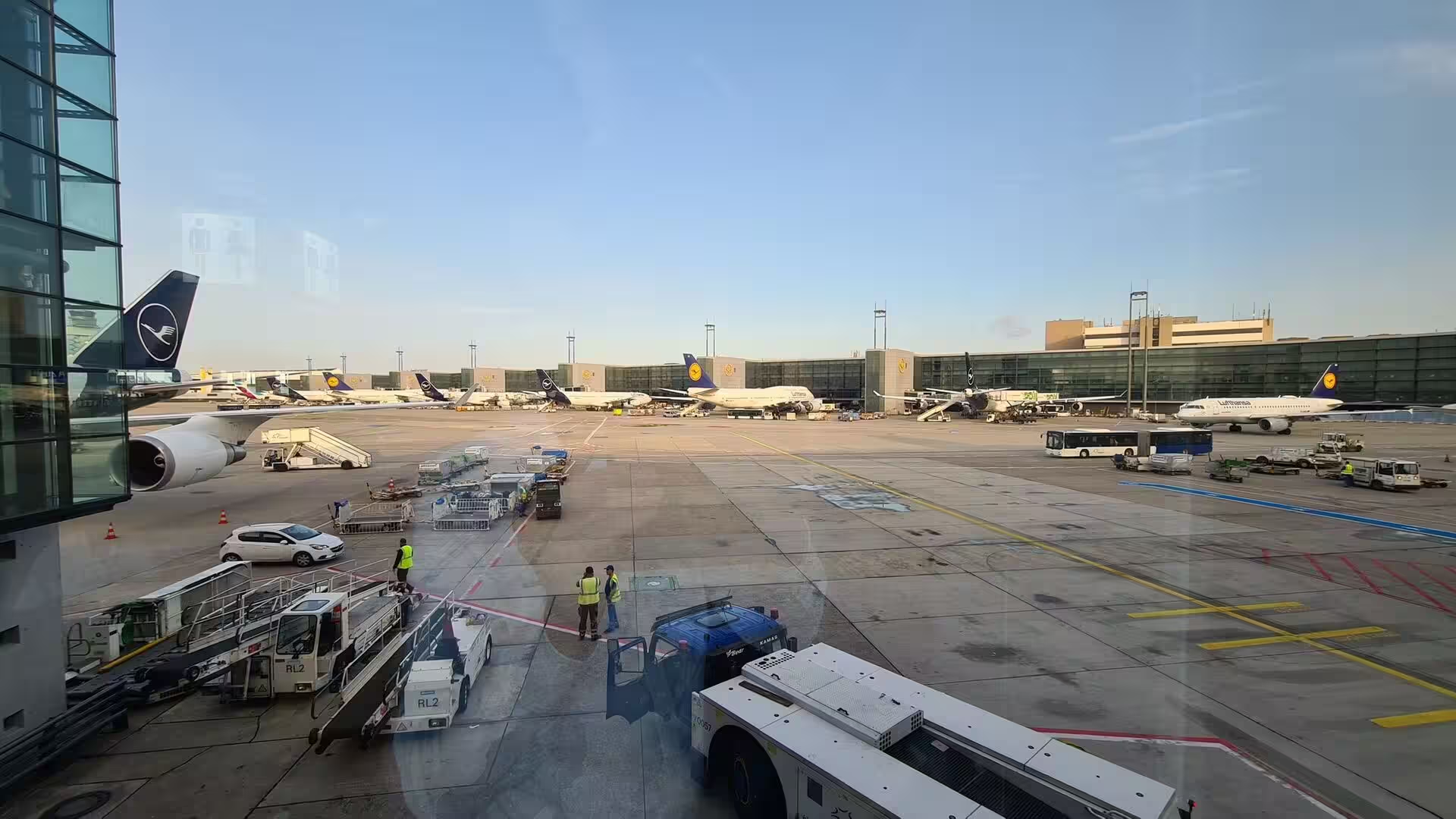
Arrival is by air, and the day opens at the apron where aircraft of a German carrier stand in the dusk while ground crews work between the stands. Madeira Airport, also called Funchal Airport and officially Cristiano Ronaldo International Airport, lies east of the capital in the parish of Santa Cruz and handles more than five million passengers. Its runway was extended over the ocean on a platform carried by 180 columns, a project that received the Outstanding Structure Award in 2004 and included a safety barrier for aircraft accidents. Windshear limits and the required visual approach keep the landing demanding.
History
The recorded history of the island begins in 1419, and no evidence of earlier settlement has survived. Several medieval manuscripts mention the group, among them the Book of Knowledge of All Kingdoms, the Medici-Laurentian Atlas of 1351, the Soleri Portolani of 1380 and 1385 and the Corbitis Atlas, using forms such as Lecmane, Legnami, the isle of wood, and Deserta. Pliny wrote of certain Purple Islands, and Plutarch, in his life of Sertorius, of two blessed islands in the Atlantic. Mouse bones of the tenth or eleventh century have been read as a Viking trace, although geographers dispute that reading.
In 1418 the captains João Gonçalves Zarco and Tristão Vaz Teixeira were driven off course by a storm and came upon an island that they named Porto Santo, holy harbour, in gratitude for their rescue. In the service of Prince Henry the Navigator they claimed the group for the Portuguese crown in 1419, and in 1420 an expedition with Bartolomeu Perestrello took possession of Madeira itself, after which the islands were settled about 1420 to 1425. The settlers cleared the dense laurel forest, and the fires they set are said to have burned for seven years. In 1425 King John I made the island a province and gave it to Henry.
Wheat production fell during the 1450s and the island turned to sugar cane, a crop then rare in Europe and treated as a spice. With advisers from Sicily and Genoese capital, the first water driven mill helped to raise output beyond six thousand arrobas by 1455, and the boom peaked about 1506. Enslaved workers, from 1452 Berbers and Guanches and later also people from the African mainland, laboured in the cane fields and mills and in the construction of the levadas that still carry water across the island. Funchal became a mandatory port of call for European trade routes.
Sugar gave way in the seventeenth century to wine, and Madeira became perhaps the most popular luxury drink of the colonial Atlantic. English merchants settled in Funchal and controlled the trade with Britain, the West Indies and the North American colonies, and the fortified wine travelled as ballast on long voyages; a shipment returned unsold after a round trip revealed how heat and movement had improved it. Today the wine is aged by the canteiro method of gentle warmth, with older blends classified as colheitas and frasqueiras, and the protected name is reserved for wine from the islands.
British troops occupied Madeira during the Napoleonic Wars, from 1801 to 1802 and again from 1807 to 1814, and the island hosted travellers and invalids who came for the climate. The census of 1891 counted 132,223 inhabitants; German submarines attacked Funchal harbour in 1916 and 1917, and after 1940 about two thousand evacuees from Gibraltar were received on the island. In the wake of the Carnation Revolution of 1974 a separatist front carried out around two hundred bomb attacks, and on 1 July 1976 Portugal granted the region political autonomy, an event still celebrated as Madeira Day.
Geology
Madeira Island is the summit of a massive shield volcano that rises from the floor of the Atlantic on the Tore underwater mountain range. The volcano grew on an east west rift in the oceanic crust along the African Plate, beginning in the Miocene about five million years ago and continuing into the Pleistocene until roughly 700,000 years ago. Its flanks descend to the deep sea, where gravitational, erosional, sedimentary and volcanic processes continue to mould the submarine slopes of the archipelago, and flank collapses of such island volcanoes are known to have raised large waves in the past.
The shield building was followed by a long phase of erosion that cut two large amphitheatres open to the south in the central part of the island. Volcanic activity later resumed and built scoria cones and lava flows across the eroded shield, and the youngest eruptions, on the west central part of the island only about 6,500 years ago, produced further cinder cones and flows. Dykes cut the older successions in swarms, and the cliffs expose basalt together with marine vestiges, such as the calcareous layer at Lameiros in São Vicente that was later quarried for calcium oxide.
A mountain ridge runs along the centre of the island and reaches 1,862 metres at Pico Ruivo, the highest point of the archipelago and the third highest in Portugal. The neighbouring summits are close in height, with Pico das Torres at 1,851 metres, Pico do Areeiro at 1,818 metres, Pico do Cidrão at 1,802 metres, Pico do Cedro at 1,759 metres and Pico do Casado at 1,725 metres. Towards the east the ridge falls away to below two hundred metres, which is why the headland of São Lourenço sits so low against the central massif.
Water is the second sculptor of the island. Sea cliffs such as Cabo Girão, valleys and ravines make the interior generally inaccessible, and the heavy rain of autumn and winter reaches the coast through the ravines, while the villages stand at their mouths. Since the fifteenth century the islanders have cut levadas, thousands of kilometres of stone channels, to move rain water from the wet north to the cultivated south for drinking, irrigation and electricity, and the Socorridos hydroelectric scheme is fed in this way. The same steep ground concentrates the rain of a few months into narrow channels, and the cultivated ground below depends on those channels being kept open.
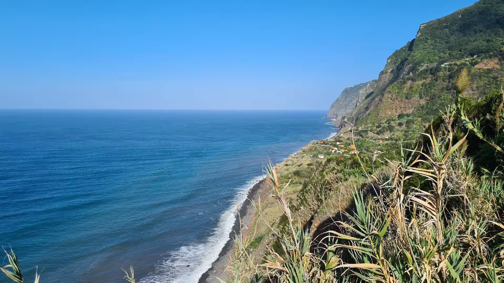
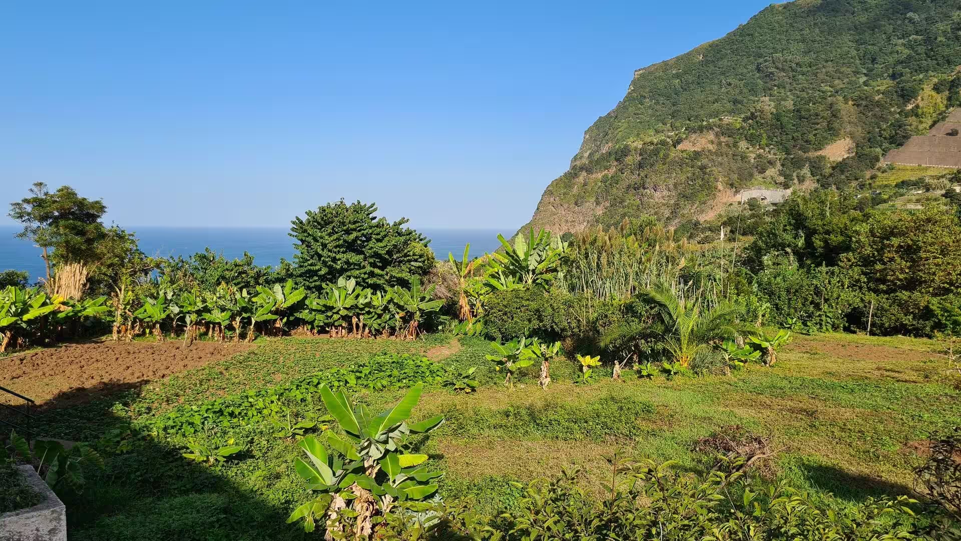
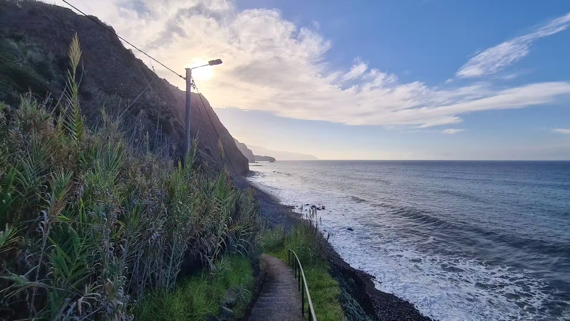
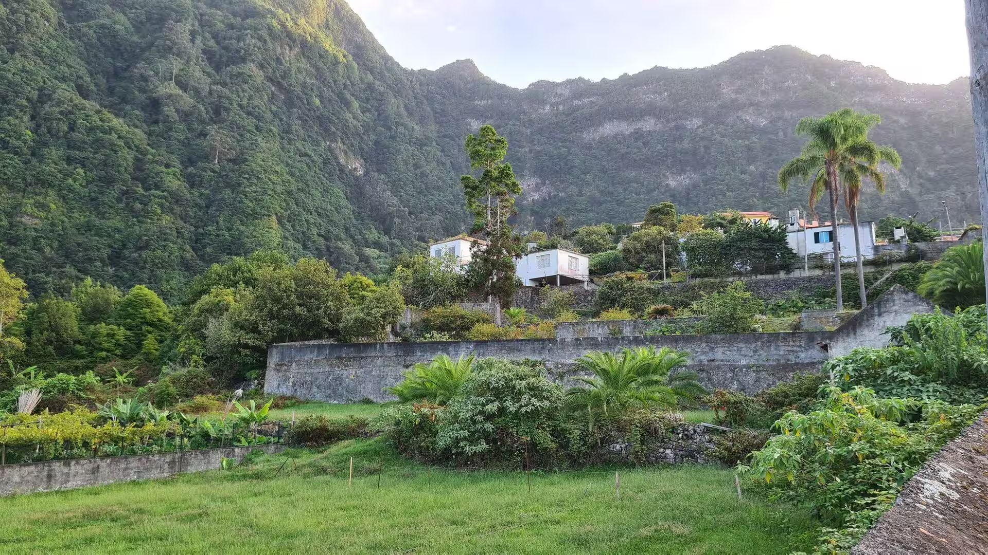
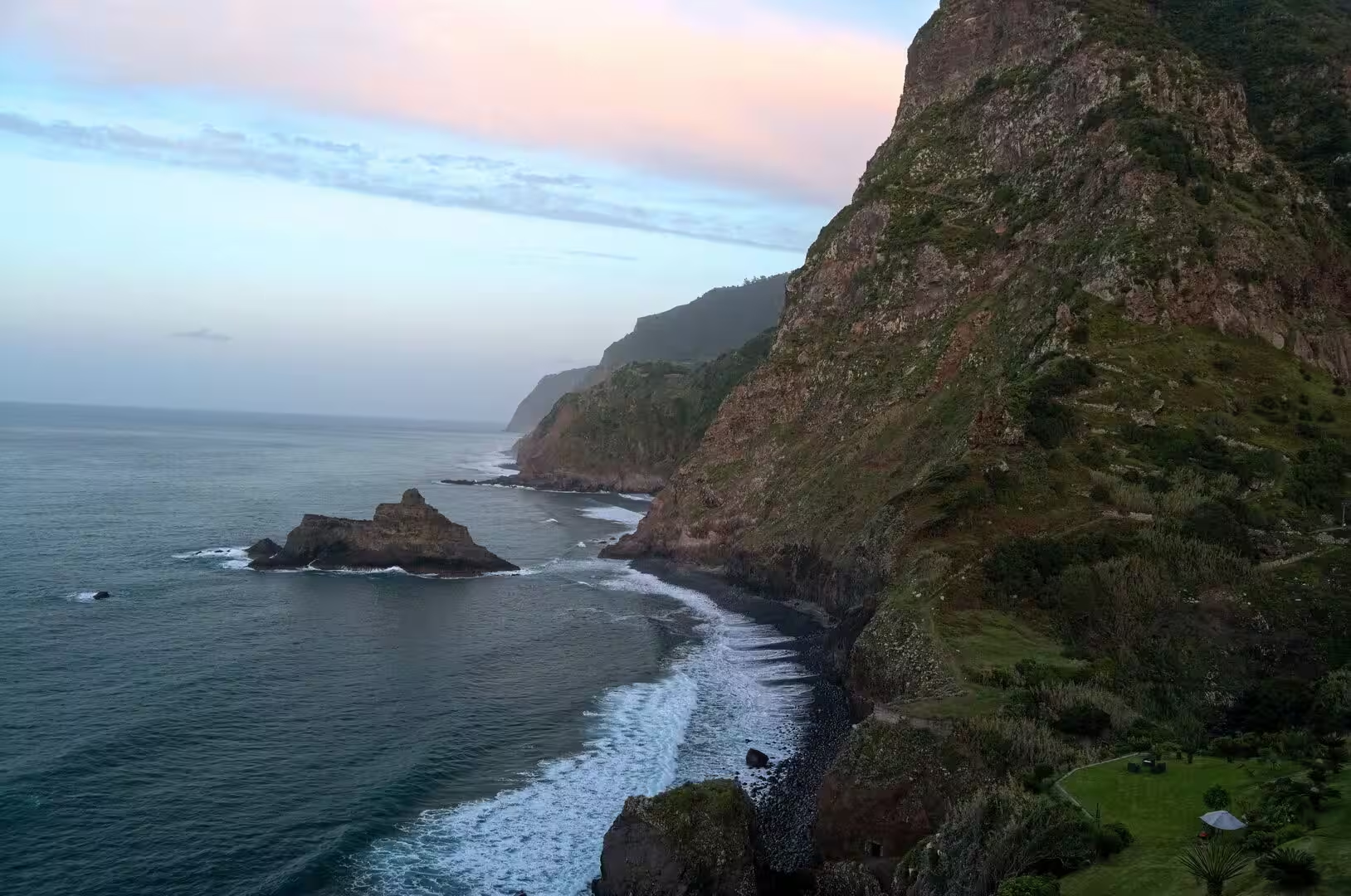
The slopes above the harbour belong to that amphitheatre of erosion. They rise from the shore to about 1,200 metres and are dissected by gullies, with gardens, walls and paths cut into the weathered rock. On the southern coast the sea has quarried the cliff foot and left wave cut platforms, as below Cabo Girão, where cultivated plots lie at the base of the escarpment and a cable car has served the farmers since 2003. Gullies and run off work on the terraced ground, and the villages on the slope are built to live with the steepness.
Things to See
The visit begins at the airport, where aircraft of a German carrier stand at their gates in the dusk and ground crews move between the stands. The runway of Madeira Airport is a tabletop strip with steep drop offs at either end, and the extension of 2000 carries the pavement at the beginning of runway 23 on a platform over the sea. A safety barrier system for aircraft accidents formed part of that project. Windshear limits and a circling visual approach demand additional training from pilots, and the terminal lies mostly underground. Air access has carried the growth of British and German tourism on the island.
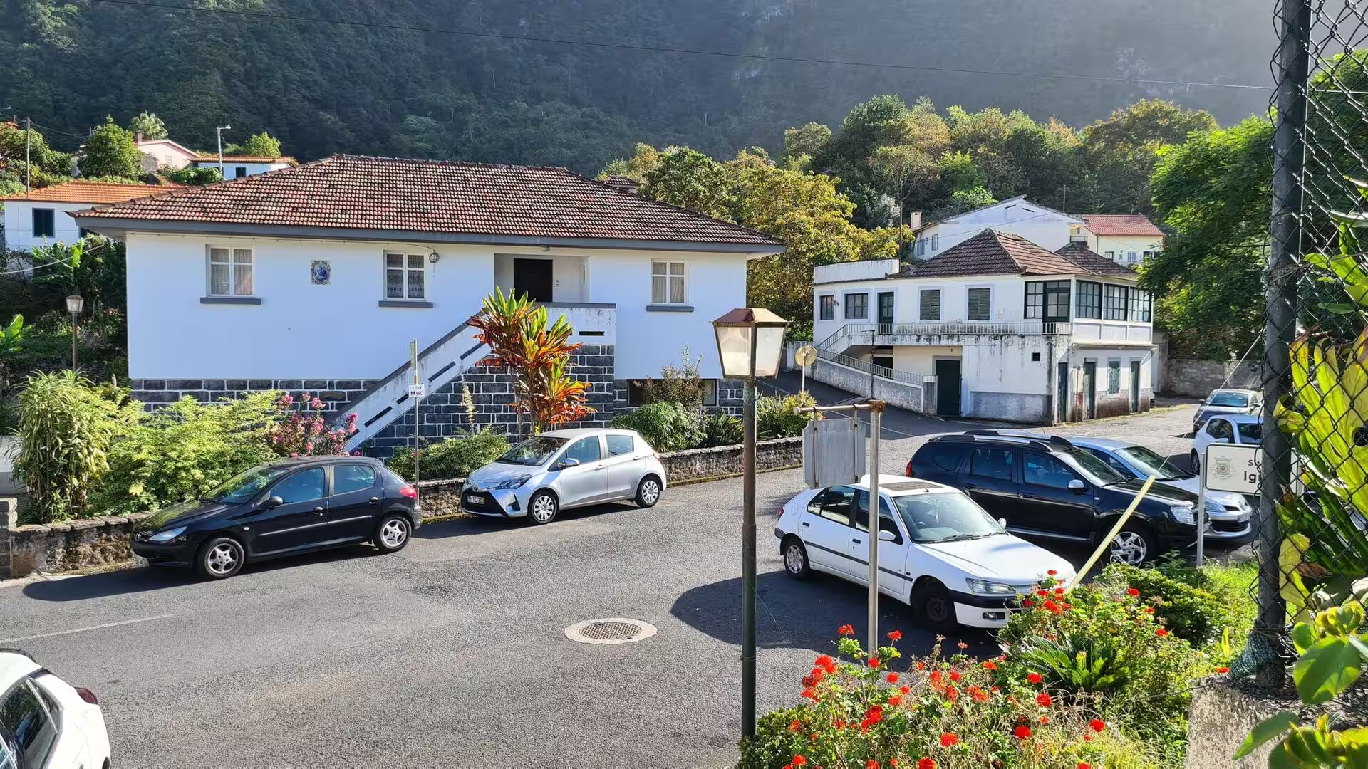
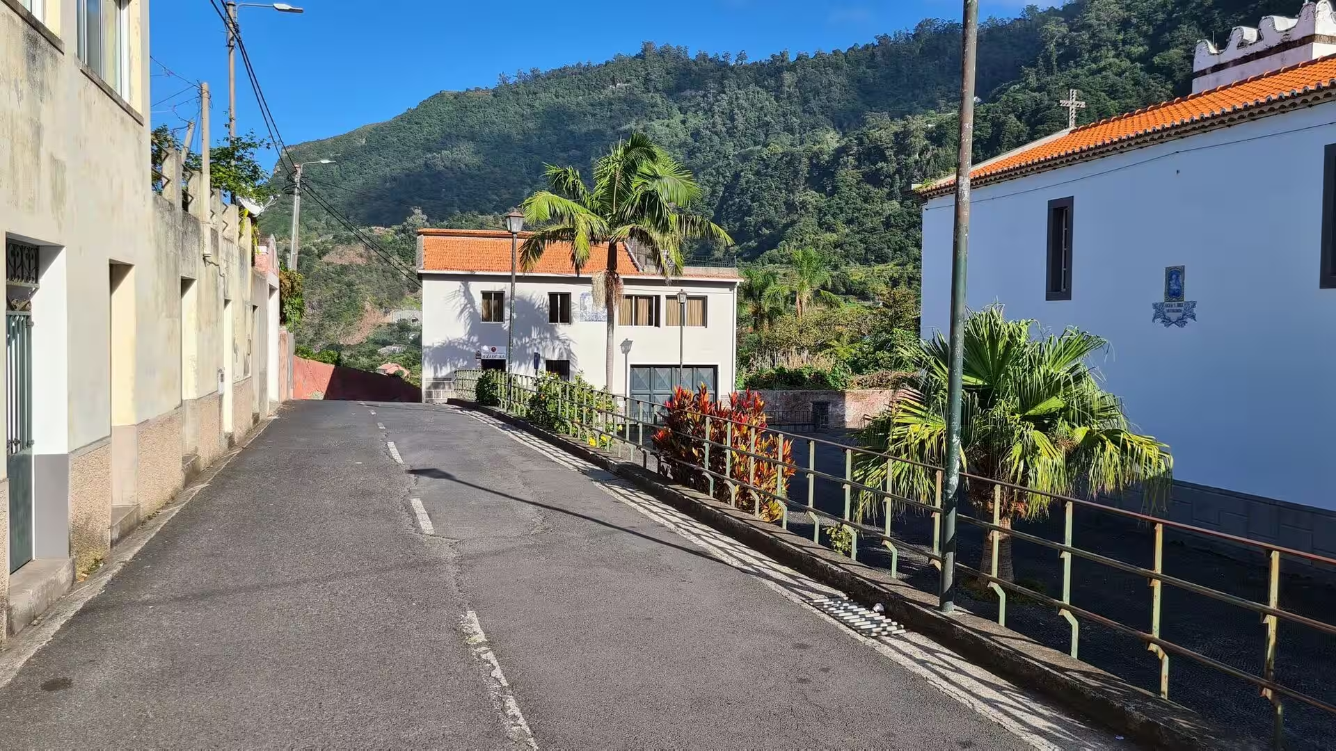
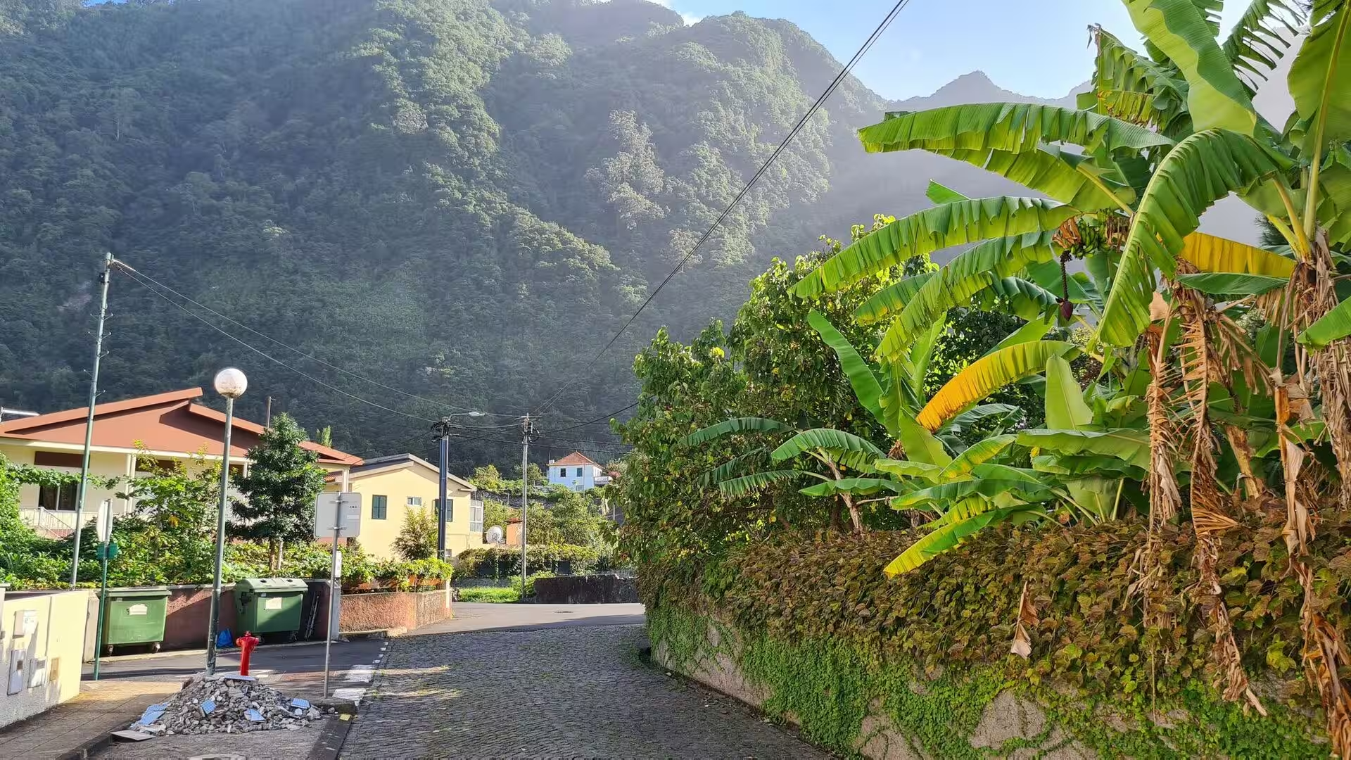
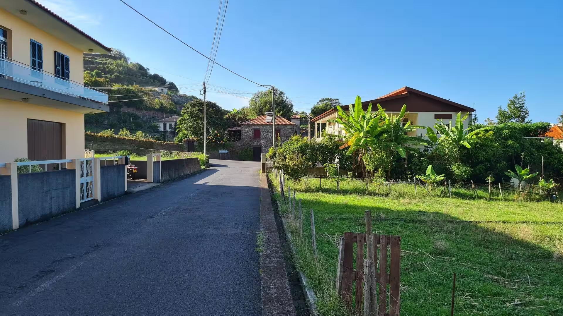
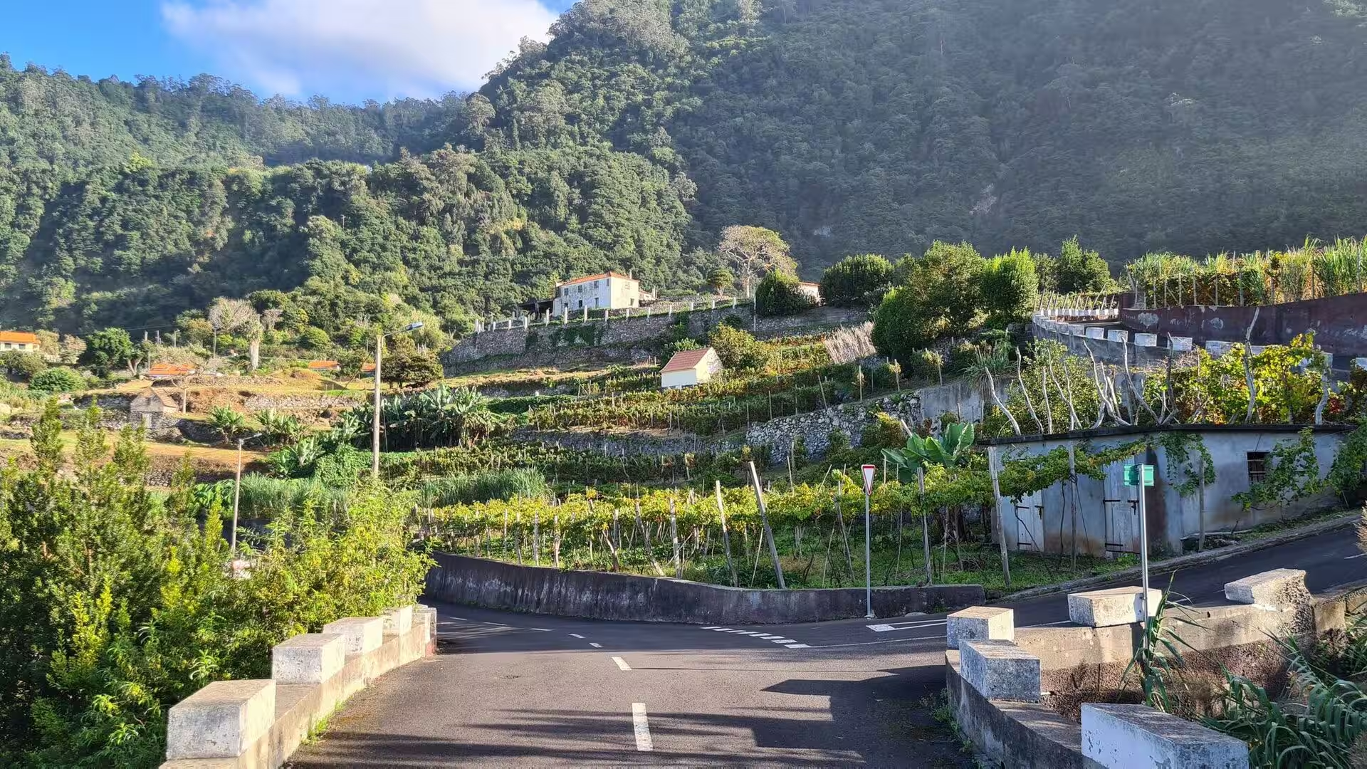
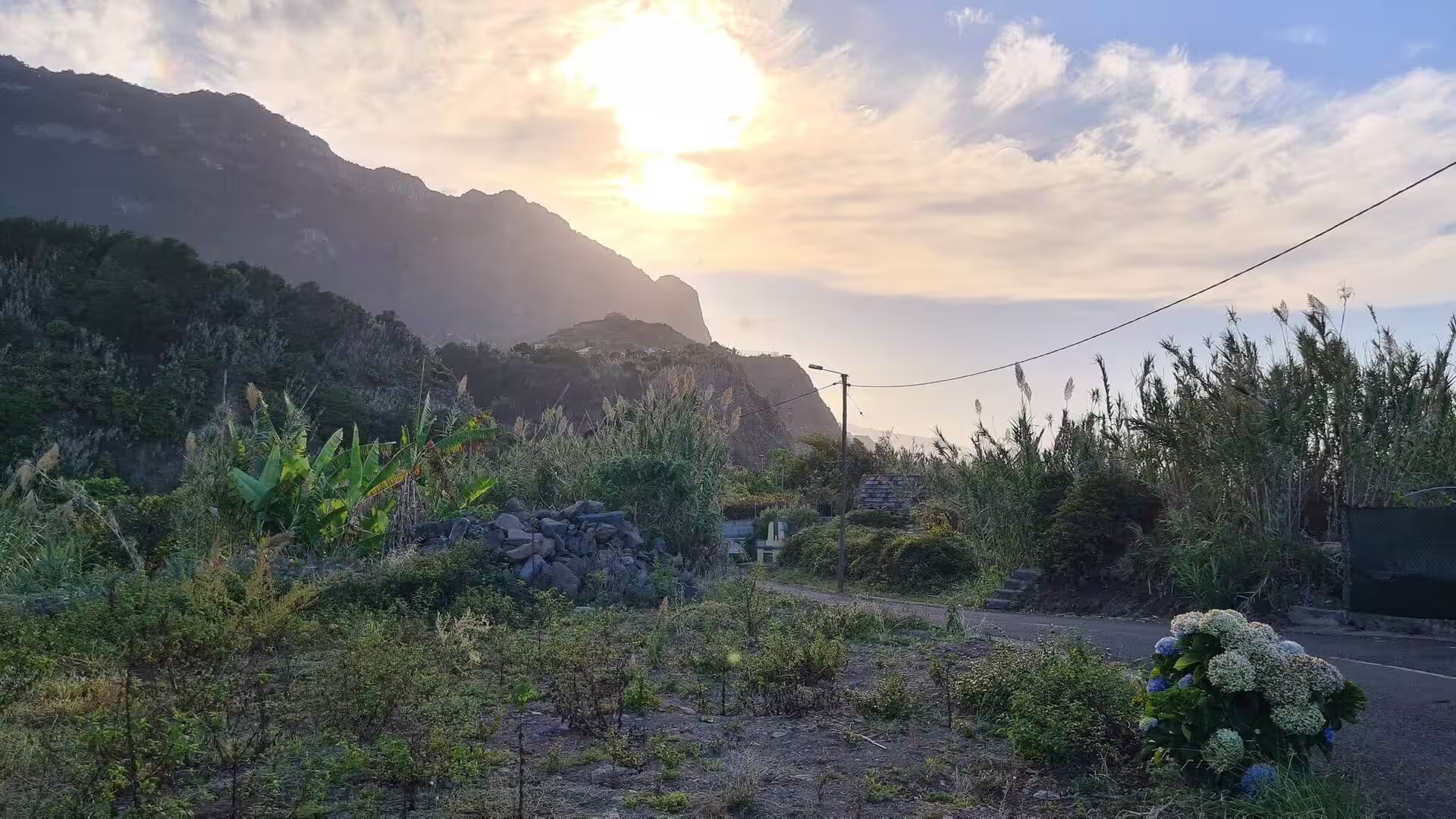
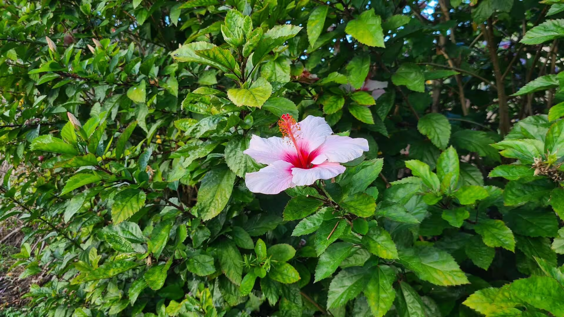
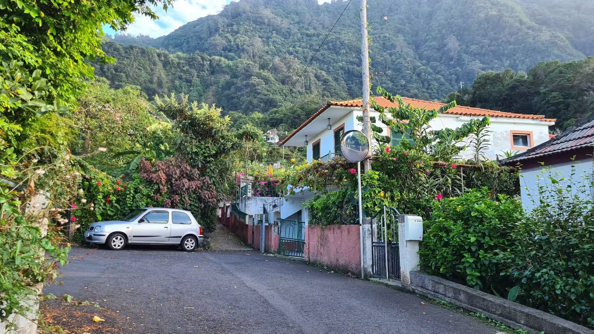
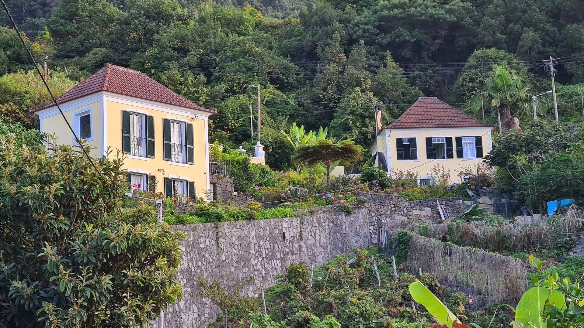
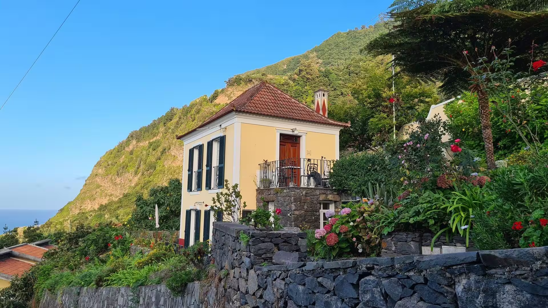
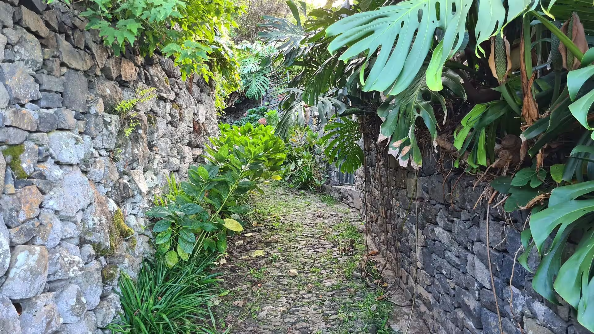
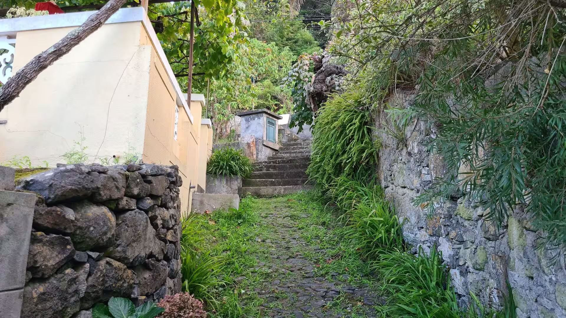
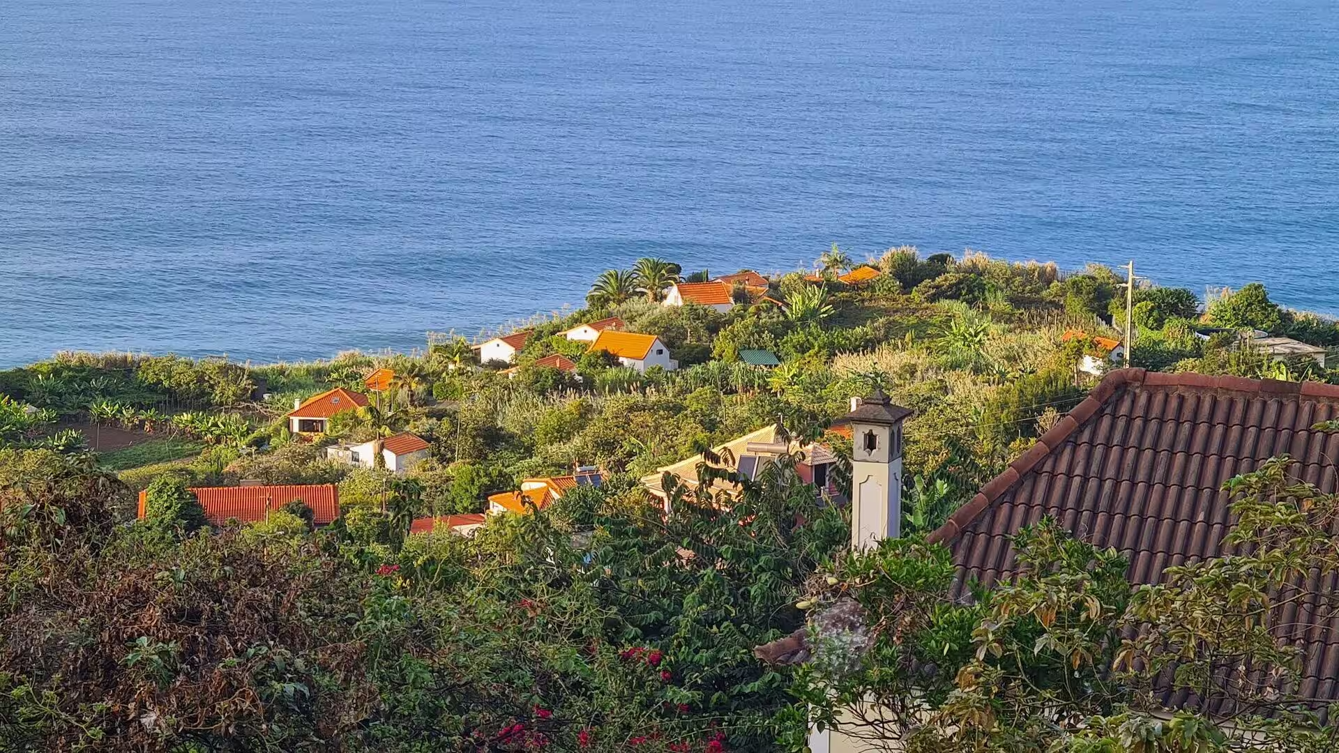
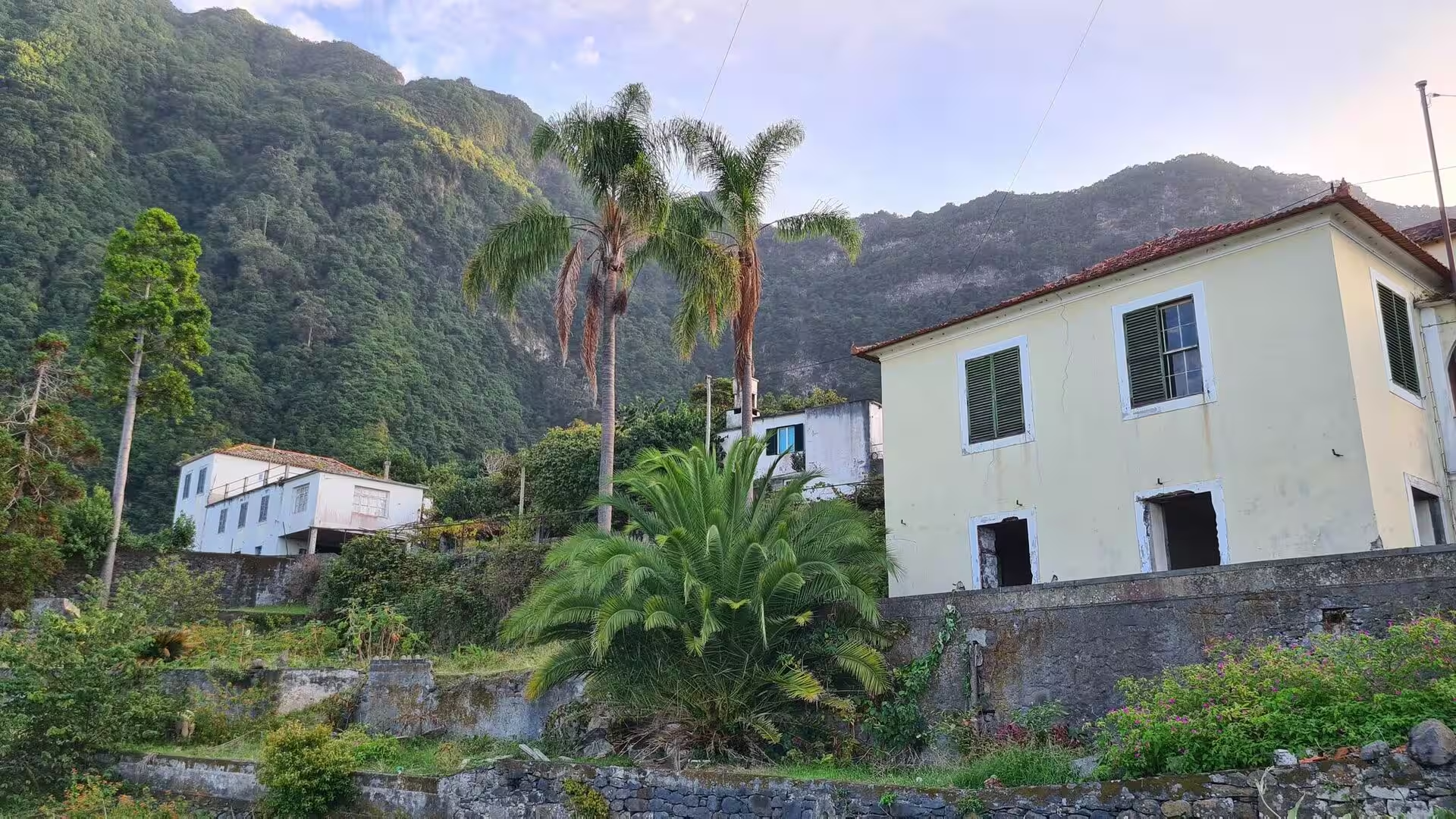
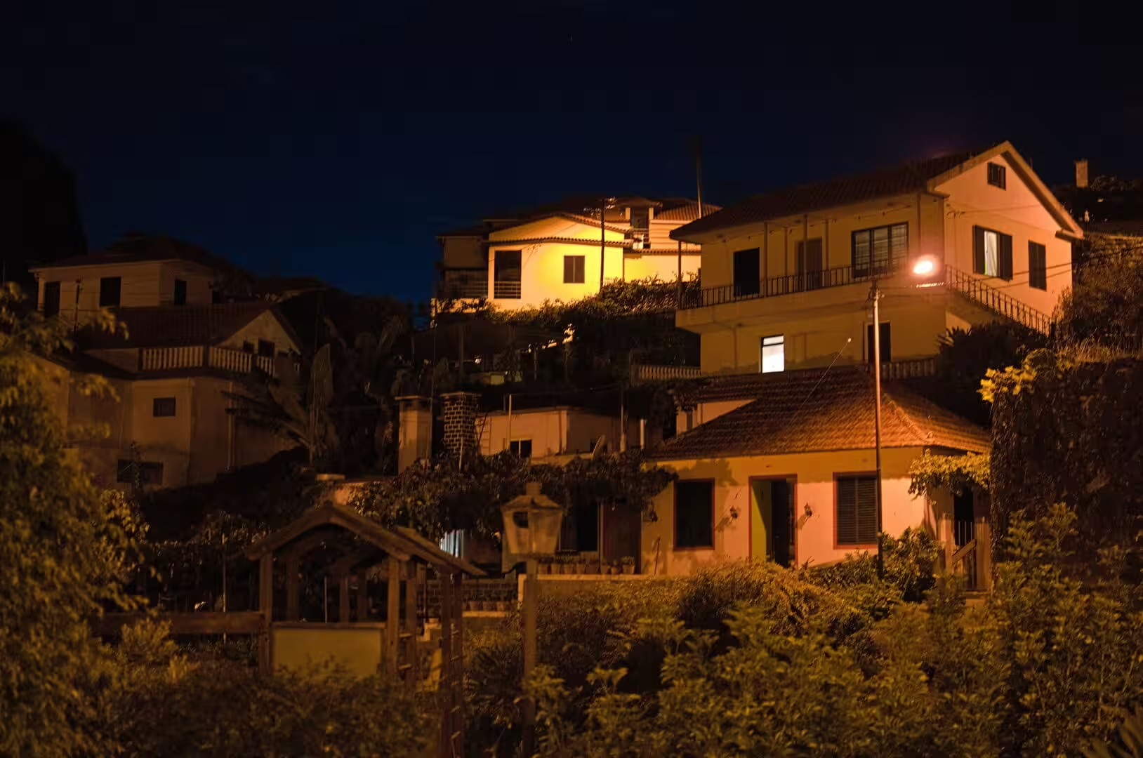
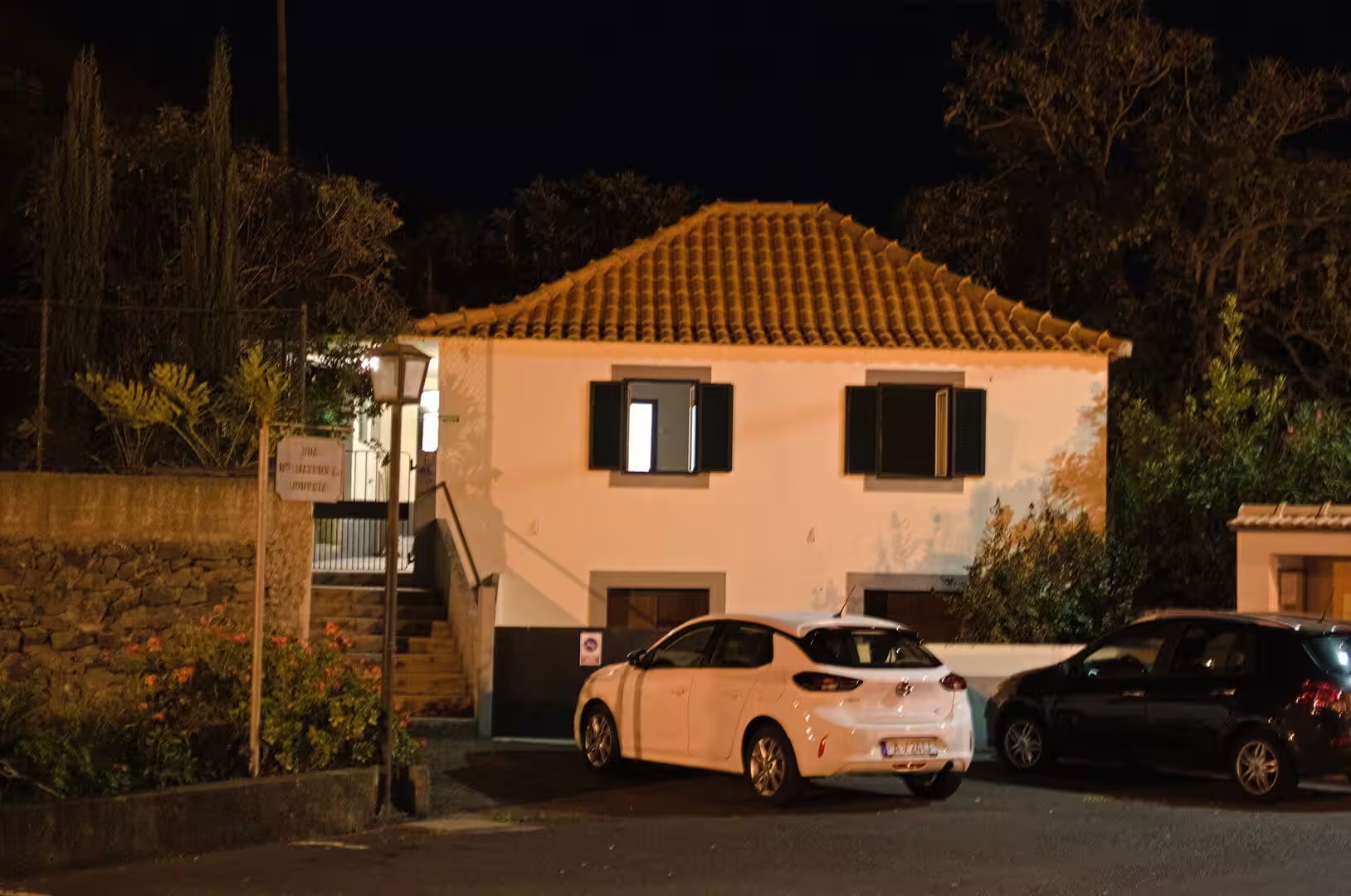
Above the water the villages show the island’s building tradition: white rendered walls, doors and window frames in red and blue, terracotta tiles and cobbled lanes so narrow that a car passes with little room. Houses cluster where the ravine reaches the shore, one roof above the next, each with a small yard for vegetables and a vine. Shutters are closed against the afternoon sun, and hedges of hibiscus and oleander spill over the low walls. This dense, linear pattern is the settlement form of the south coast, repeated in dozens of places along the shoreline.
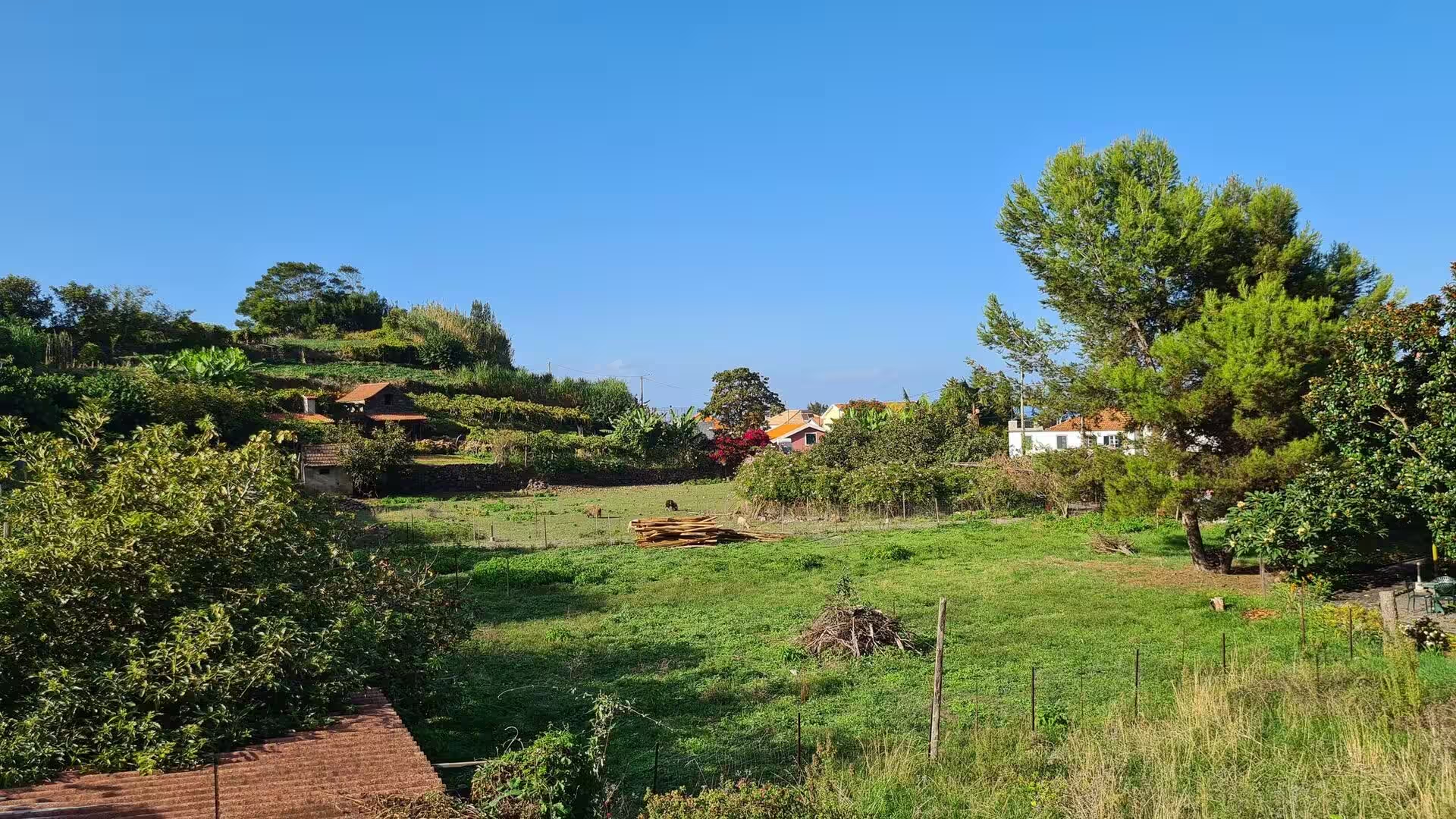
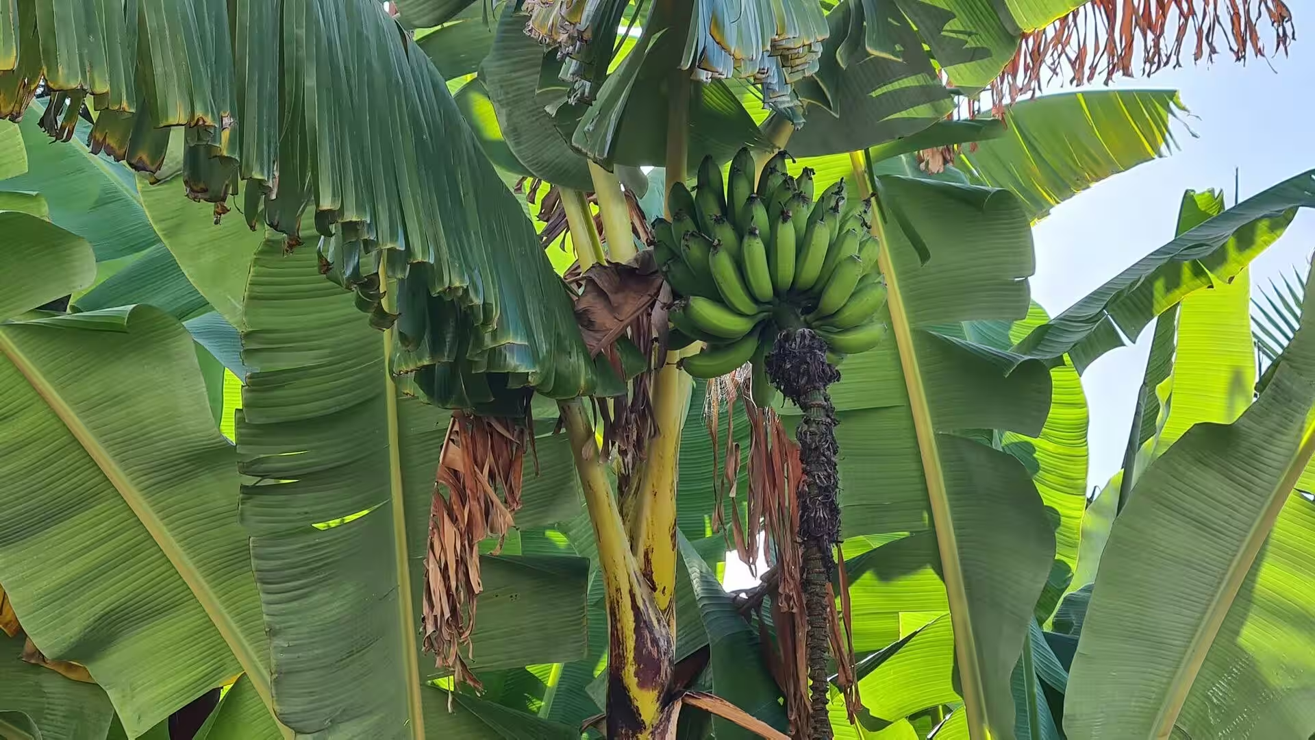
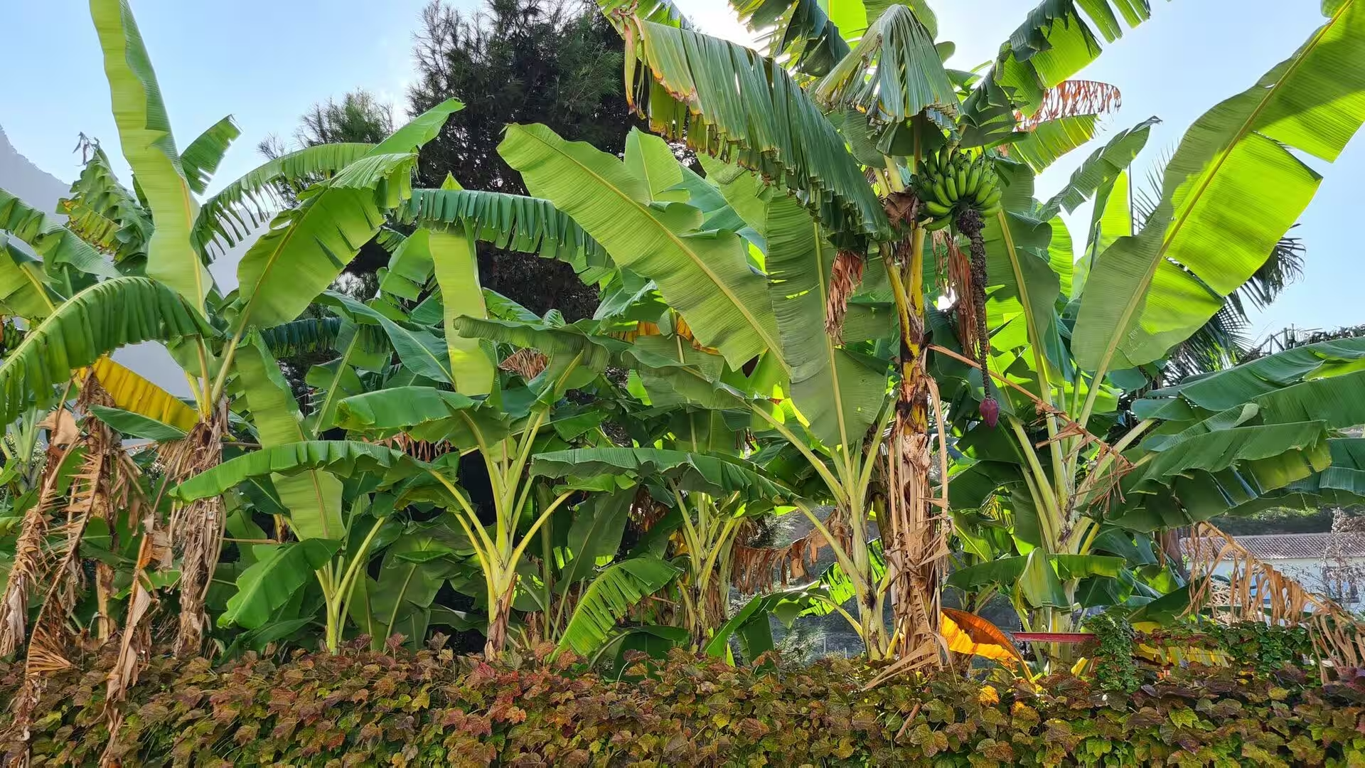
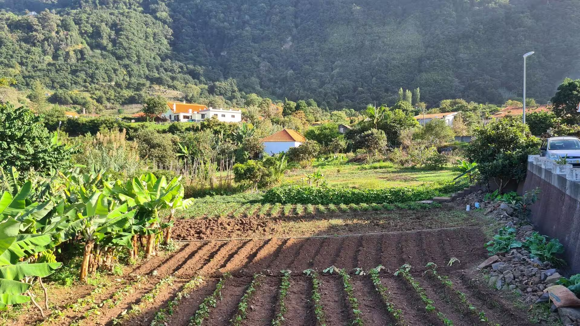
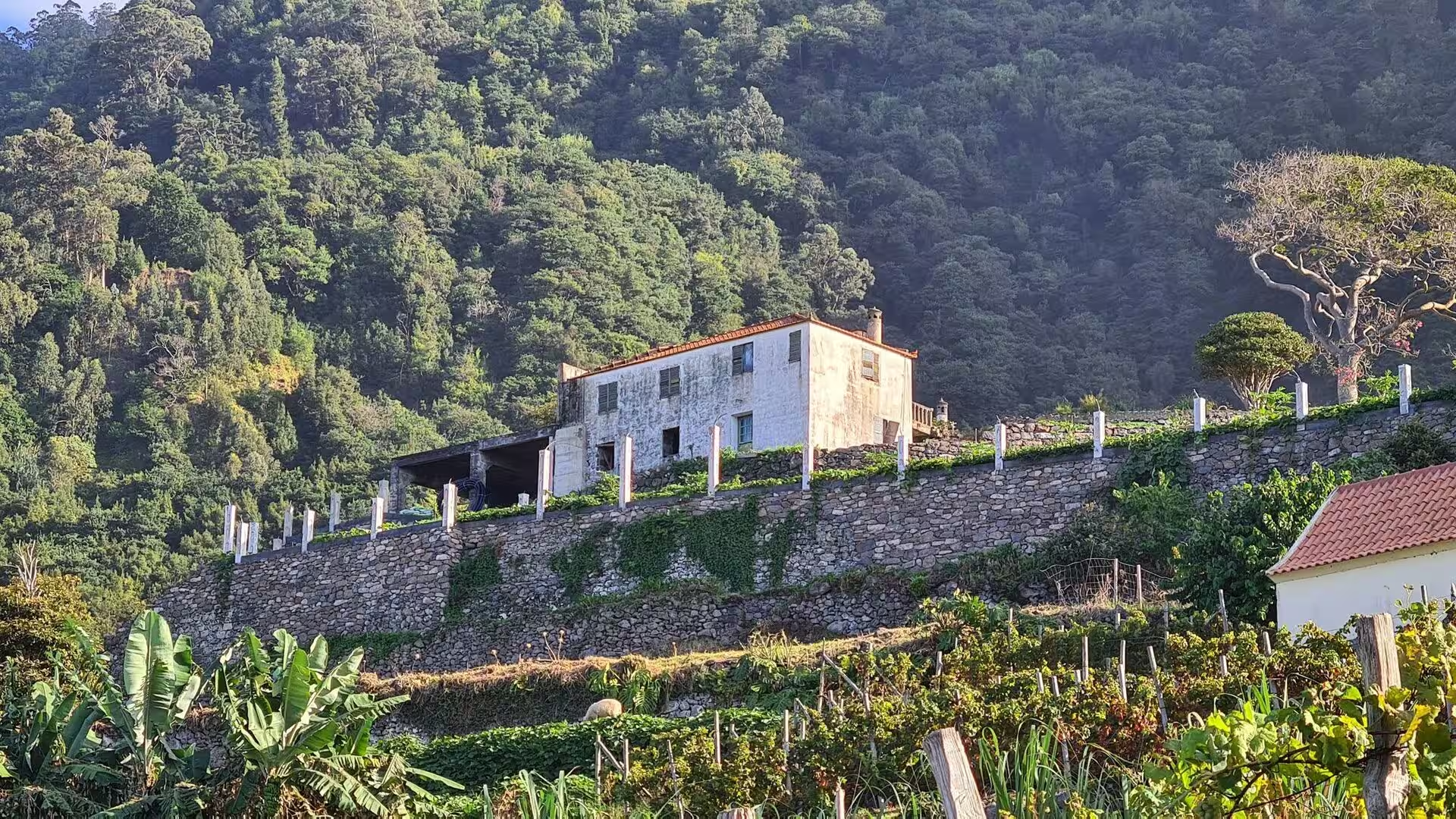
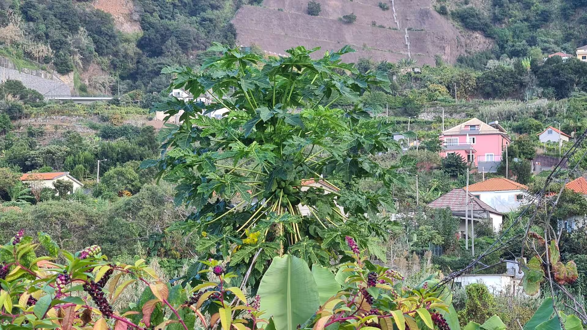
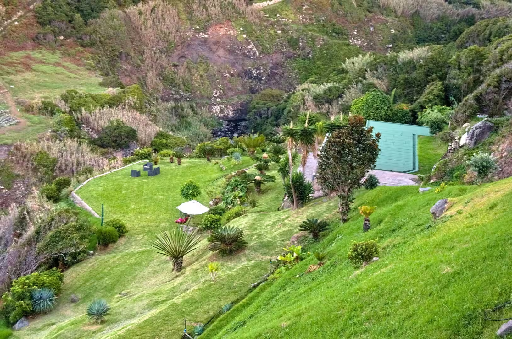
The terraces above the coast are the most legible archive of the island’s agriculture. Stone retaining walls hold narrow plots that follow the contours, and banana plants stand in rows on the warm slopes, their broad leaves catching the light, while smaller beds of vegetables and maize occupy the flatter platforms. Research on Madeira reads these agricultural terraces as a proxy for landscape history, since their construction, abandonment and reuse record the shifting balance between subsistence crops, sugar, wine and export fruit. Below them the field plots run almost to the water.
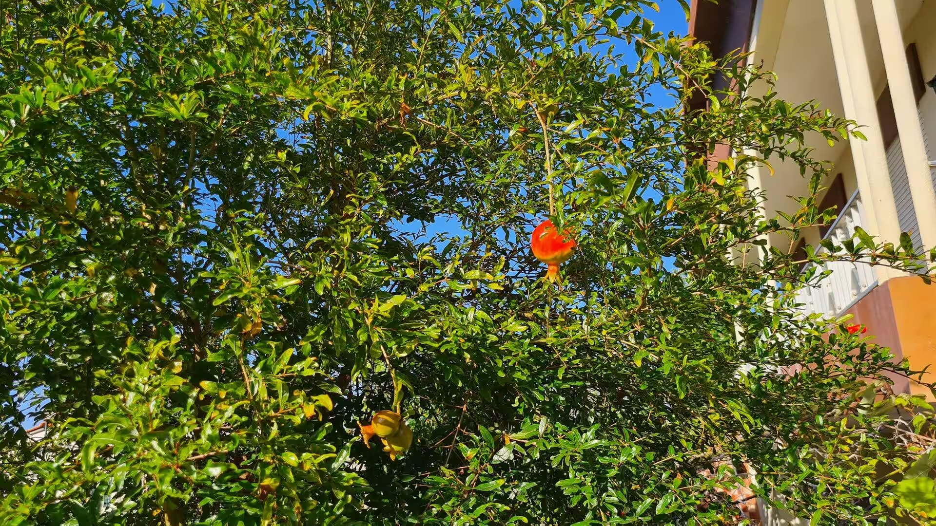
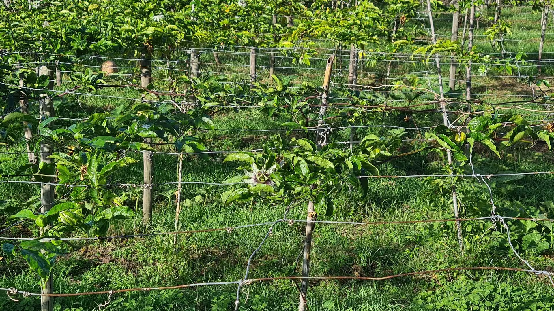
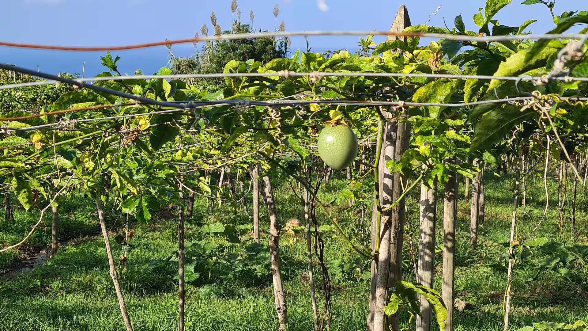
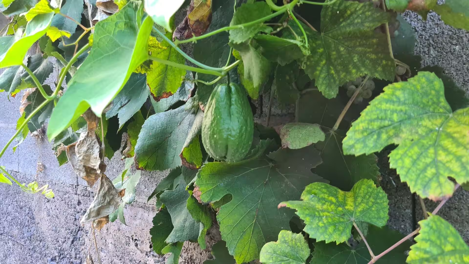
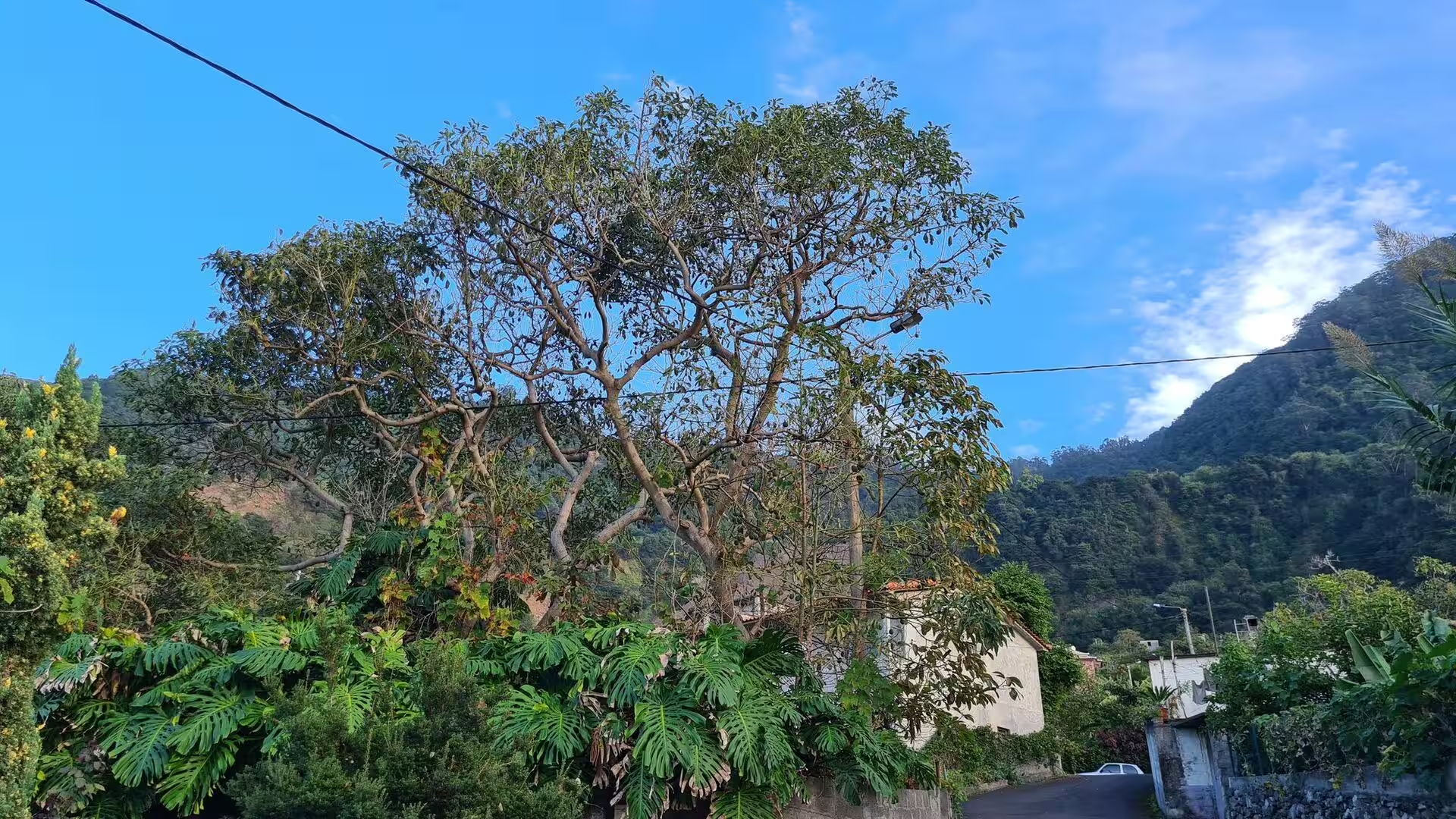
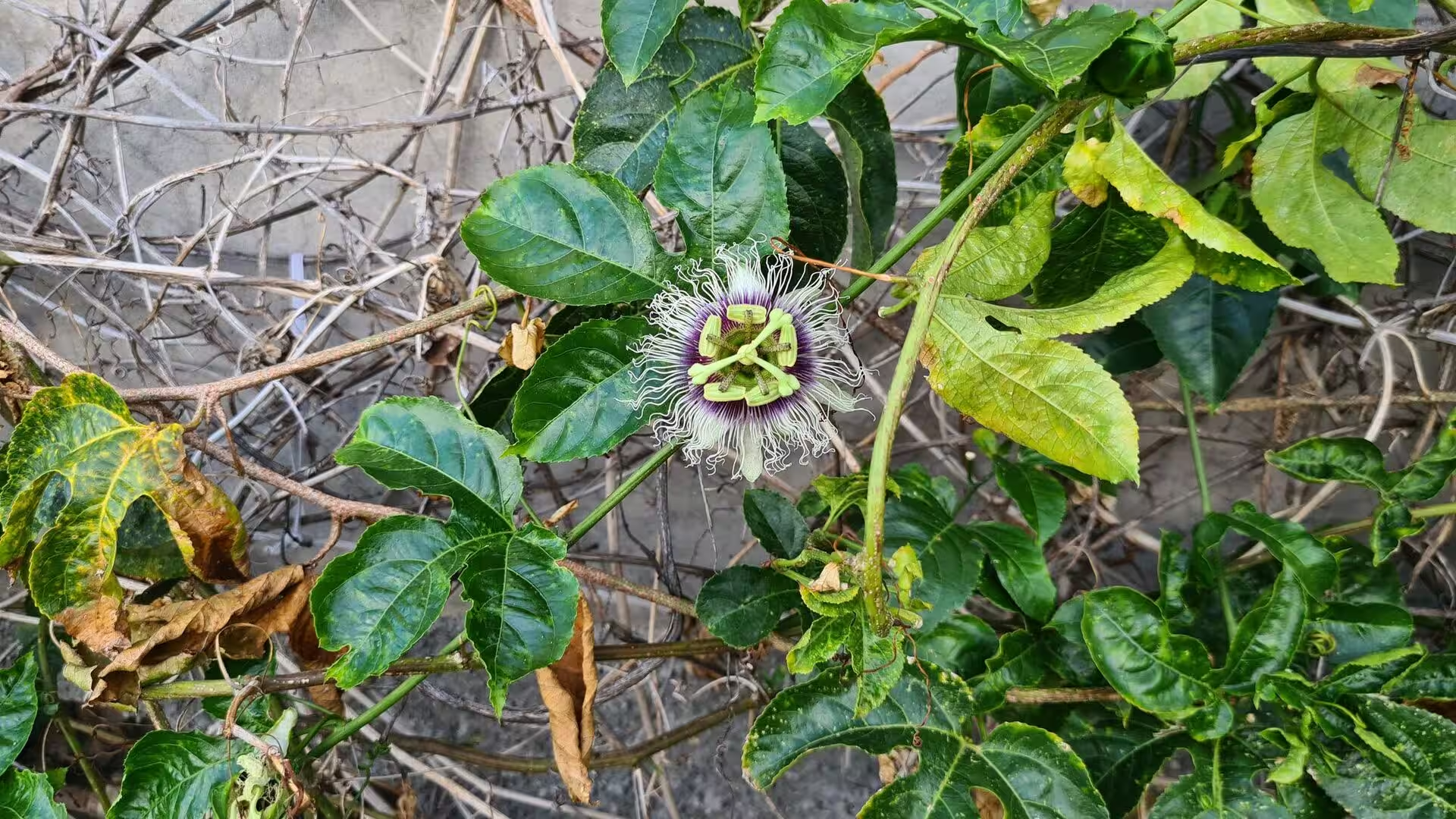
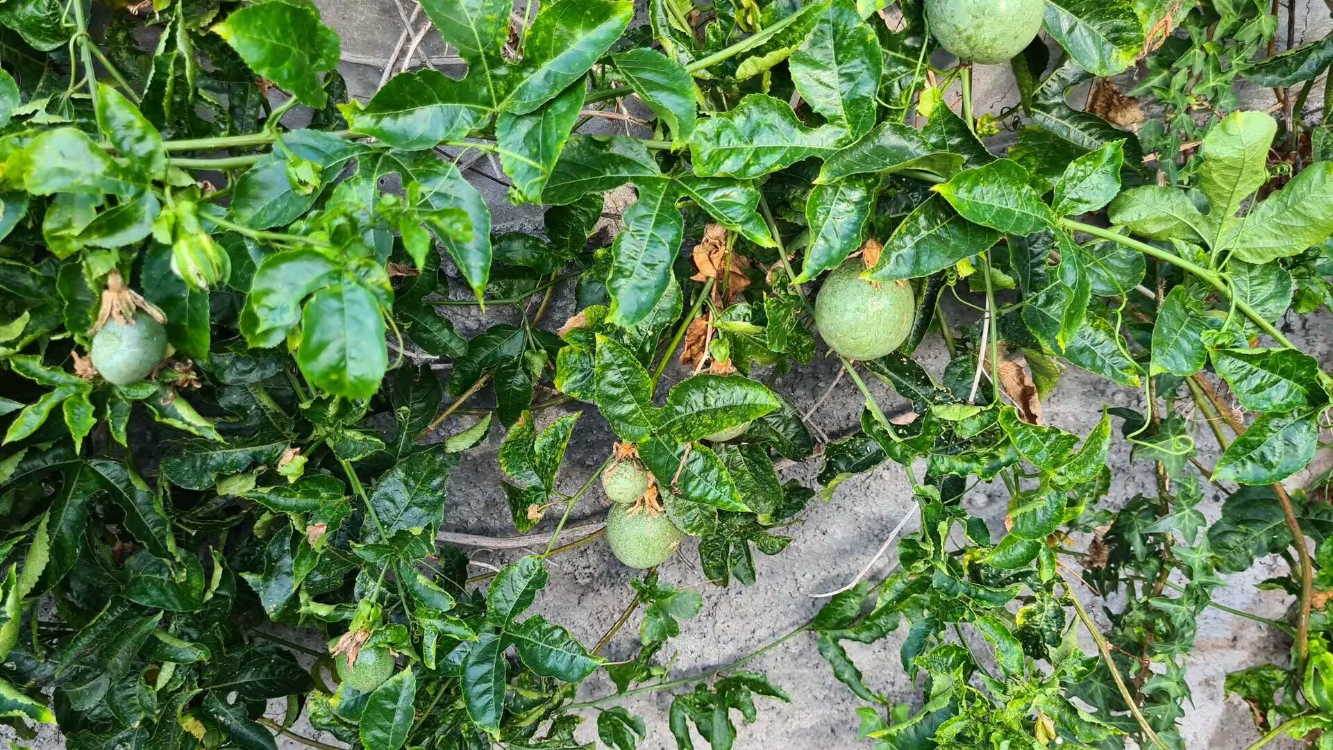
Gardens and small orchards fill the spaces between the houses. Papaya trees stand above the roofs on slender trunks, avocado and fig occupy the sheltered corners, and passion fruit vines climb the walls, their fruit ripening against the stone. Monstera, arum lilies and geraniums grow as ornamentals, and the mild subtropical climate with its many microclimates allows tropical and temperate species to share a single slope. Botanists have long selected endemic Macaronesian species for ornamental use, so that the same gardens which feed a household also display the plant wealth of the islands.
Stone stairways lead between the terraces, shaded by fern and by the trees of the ever damp gullies. The laurel forest, the laurisilva, is the relic vegetation of the island, a subtropical forest of broad leaved evergreens with glossy, water shedding leaves that thrives where oceanic moisture condenses into rain and fog. Its flora has been present on Madeira for at least 1.8 million years, and the northern valleys preserve the finest stands, which UNESCO recognised as a World Heritage Site in 1999. Even at village level the damp walls and channels support ferns and liverworts.
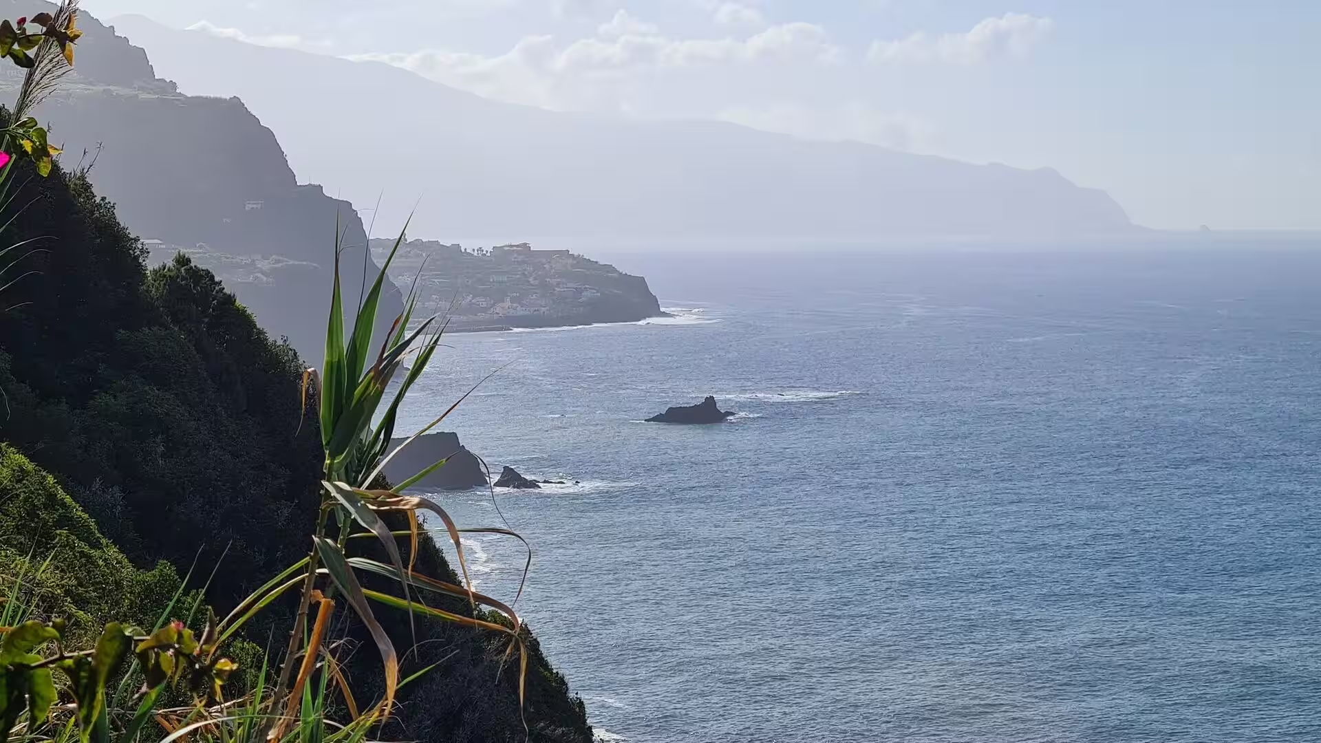
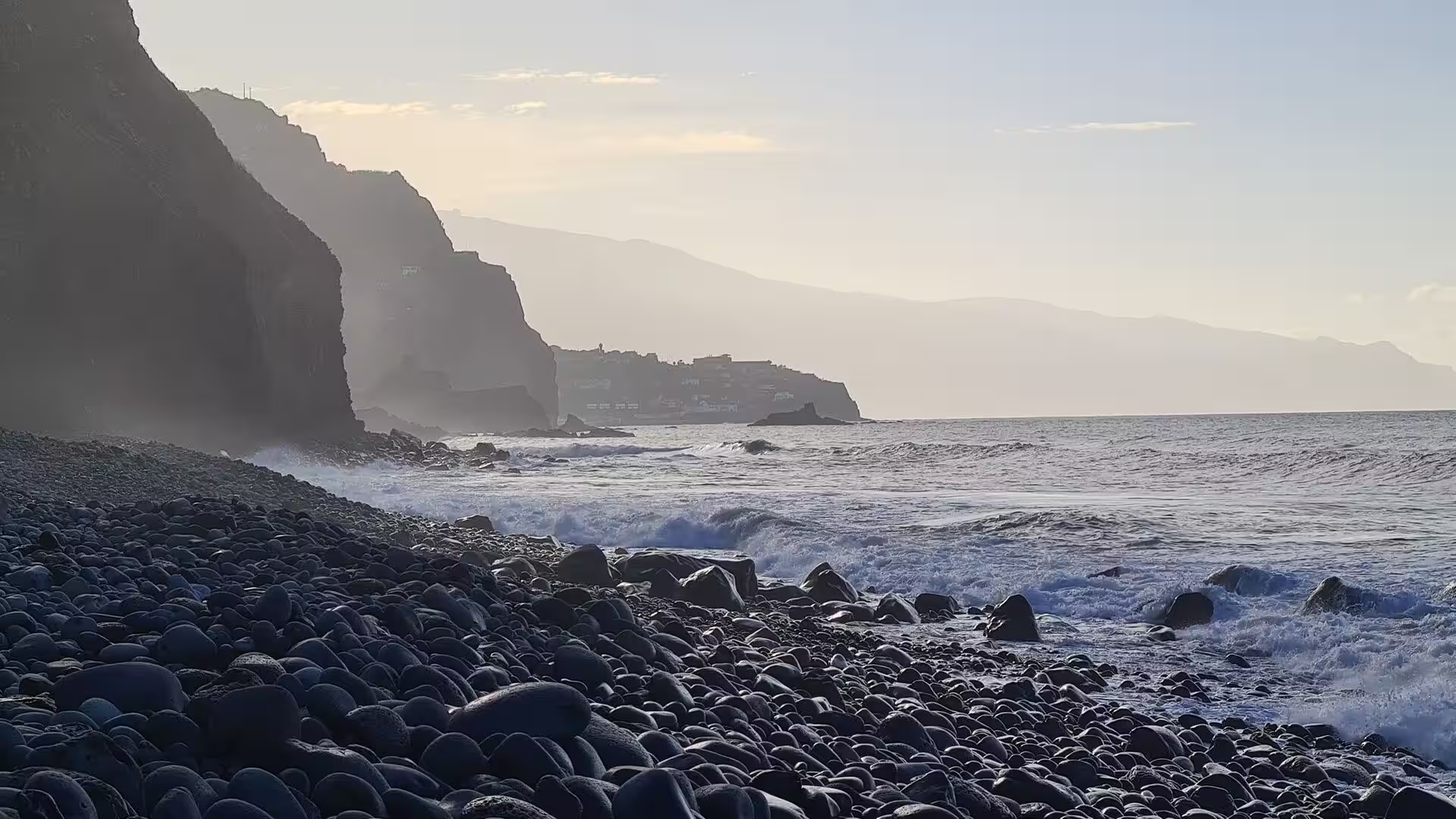
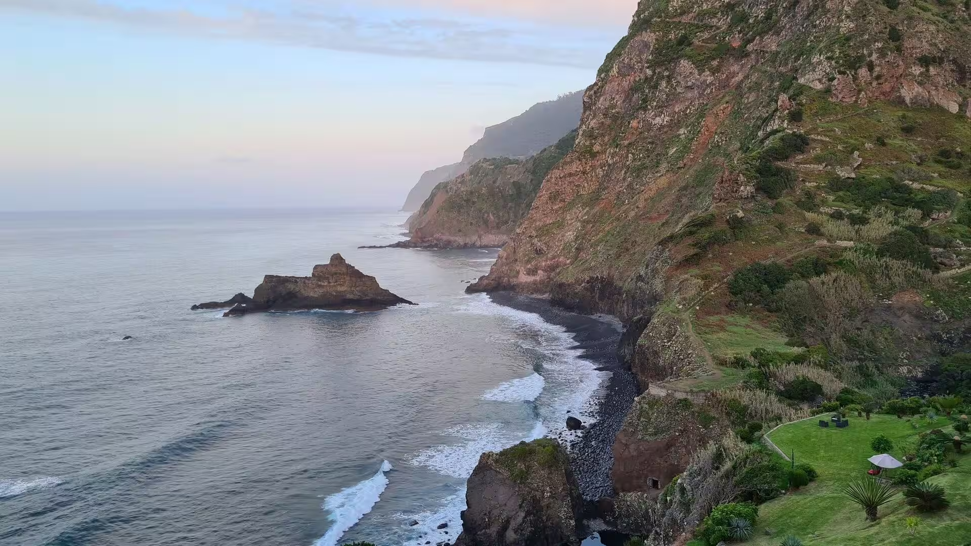
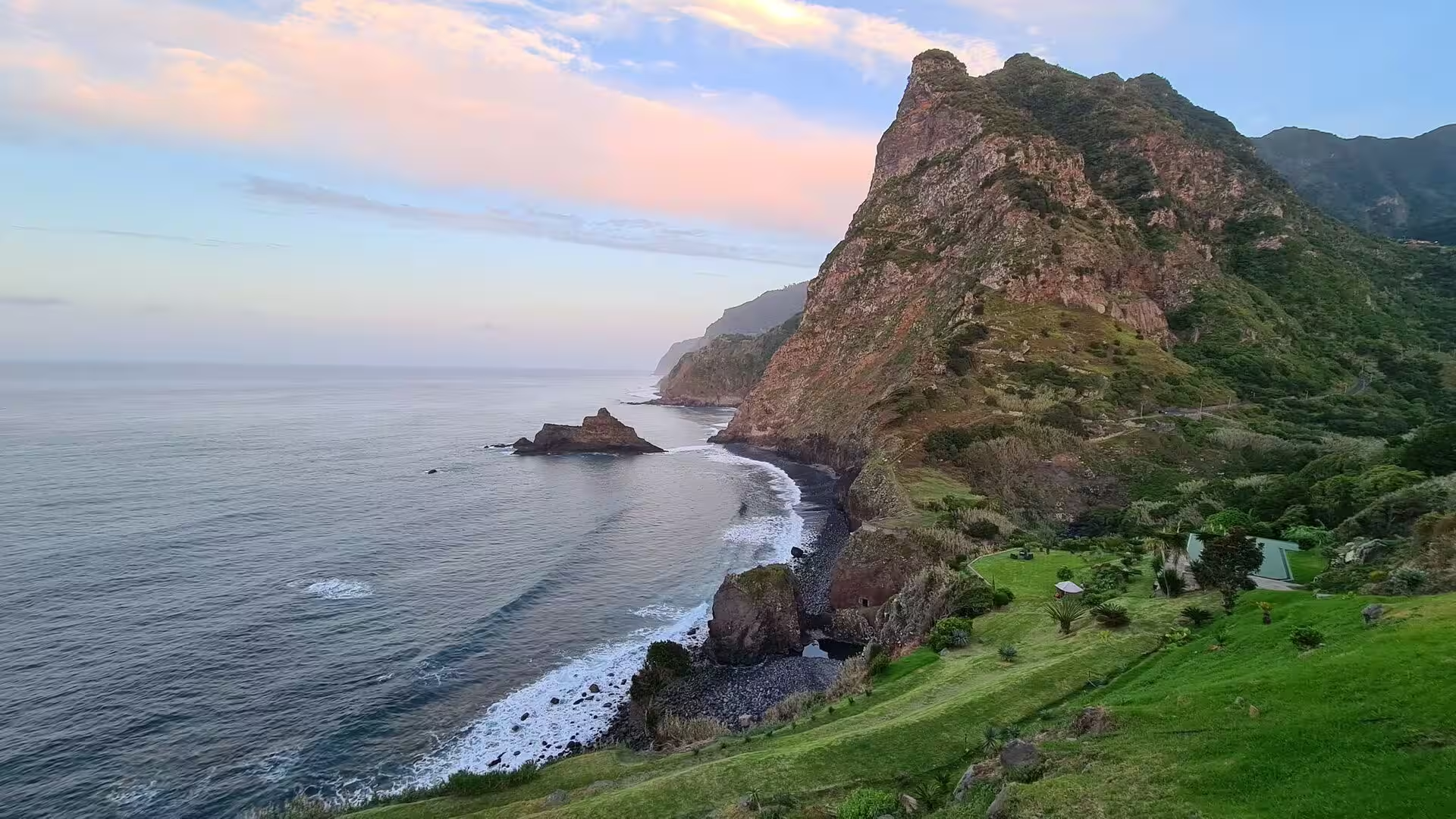
The southern coast is a wall of rock. Cabo Girão is the best known of these escarpments, a diamond shaped cliff face between the parishes of Quinta Grande and Câmara de Lobos which is visited by up to 1,800 people a day and has carried a glass floored skywalk, the highest of its kind in Europe, since October 2012. Below the cliff the fajãs, cultivated wave cut platforms, were once reachable only by boat. Communications towers, a chapel and hiking trails share the headland, and the view takes in the whole curve of the bay.
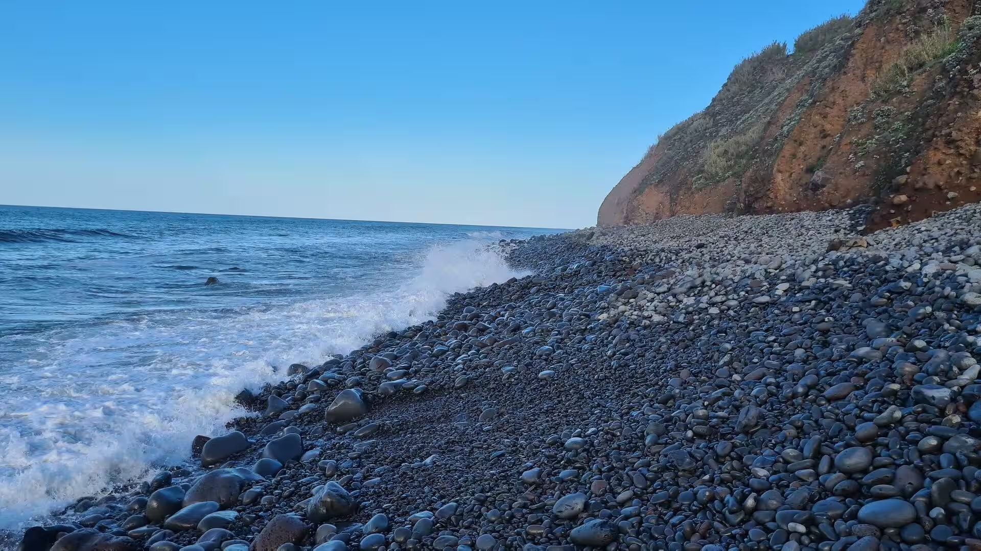
Where the ravine meets the sea the shore is made of stone. The surf works on rounded basalt boulders and gravel, drawing them back with each retreating wave and polishing them against one another, so that the beach is a moving field of rock rather than a bank of sand. Marine abrasion at the foot of the cliffs supplies the material and slowly eats the land, and the water is deep close inshore, which makes the coastline dramatic and the sea cool for bathing. Rocky foreshores, not sandy beaches, are the rule along most of the island.
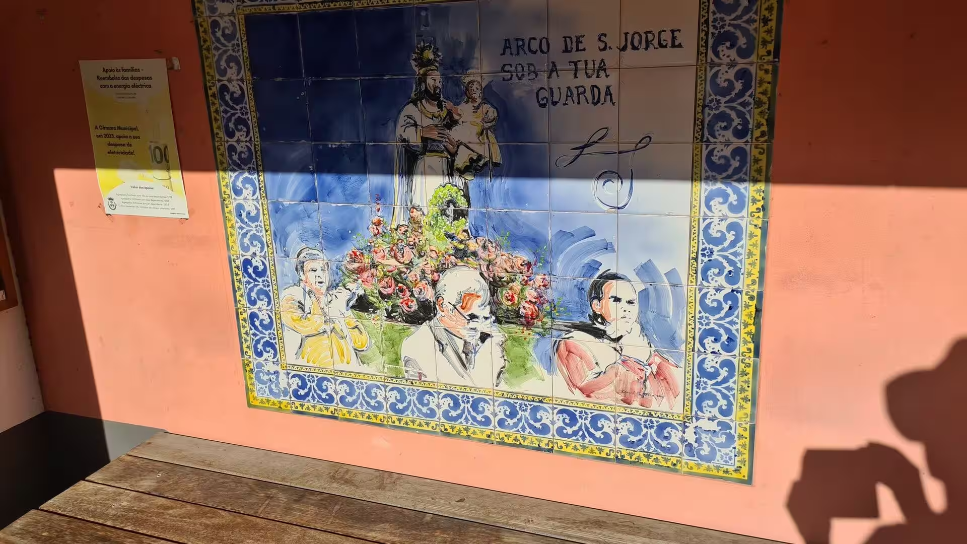
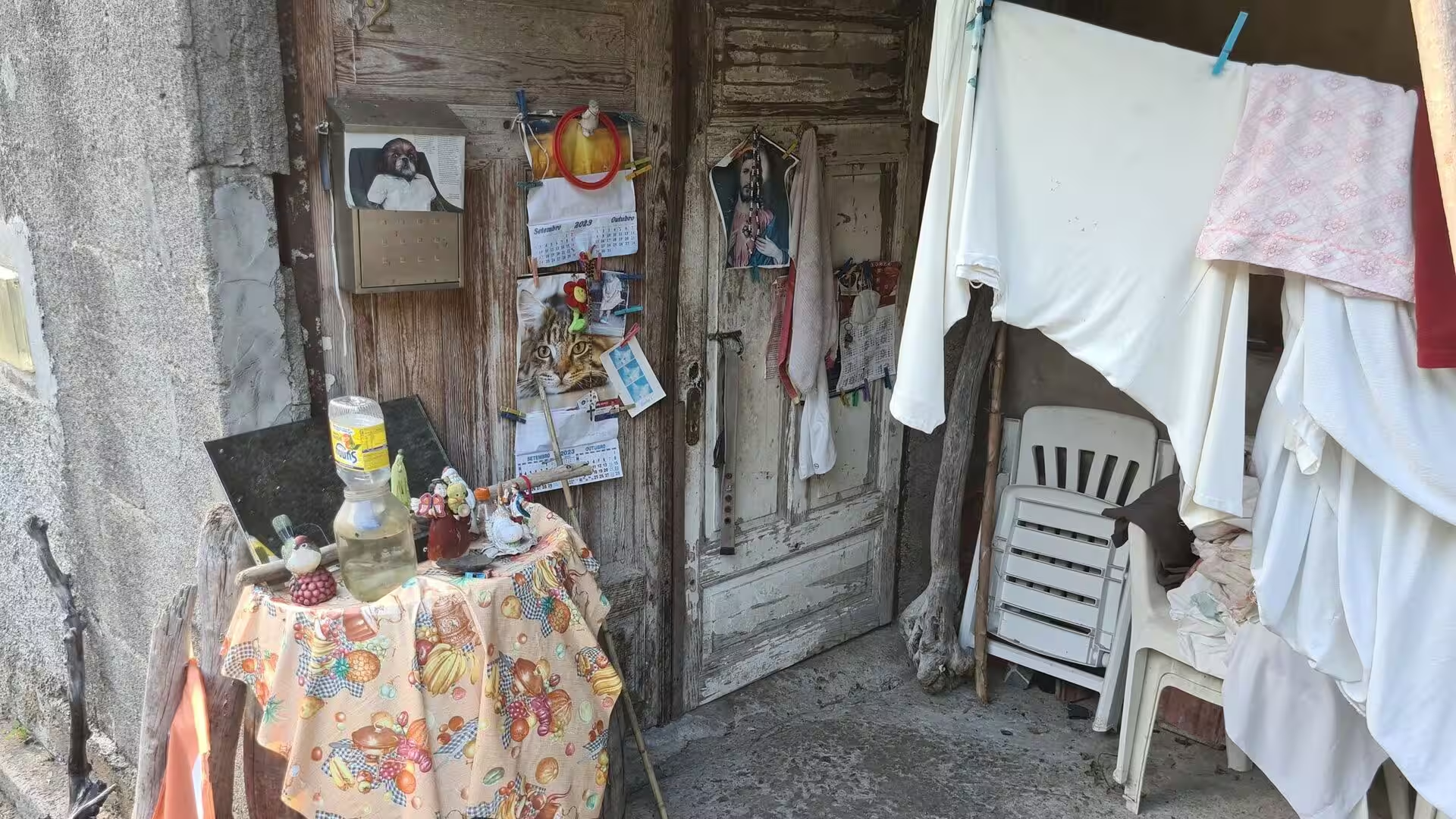
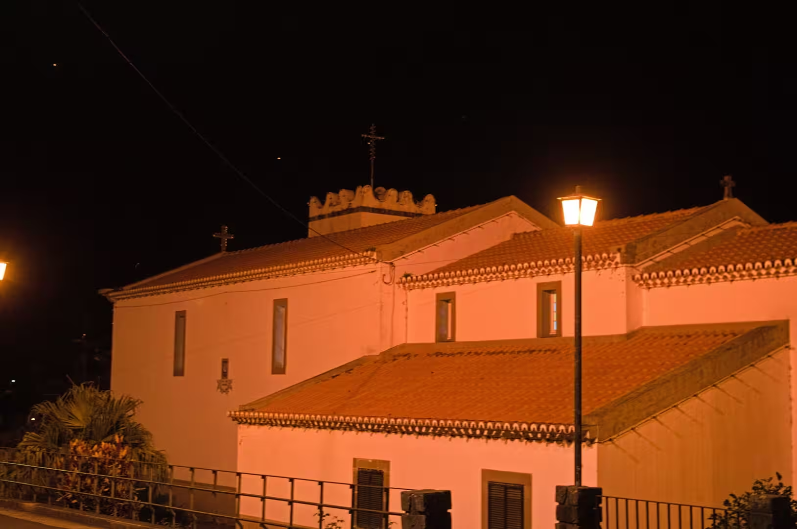
Night falls on the coast road. Lamps are lit along the lanes, shutters are closed, and the pale fronts of the houses catch the last light from the sea, while above the roofs a tower with a cross keeps watch over the village. A blue and white tile mural with a crowned saint and a Portuguese inscription covers a wall on the lane, and a weathered wooden door carries pinned notices and calendars beside hanging laundry. On the terraces the banana leaves close in the darkness, and the day ends among the lights of a settlement that lives from the slope above it and the water below.
References
- Wikipedia contributors (2026). Madeira. en.wikipedia.org/wiki/Madeira
- Wikipedia contributors (2026). Madeira Island. en.wikipedia.org/wiki/Madeira_Island
- Wikipedia contributors (2026). Autonomous Region of Madeira. en.wikipedia.org/wiki/Autonomous_Region_of_Madeira
- Wikipedia contributors (2026). Funchal. en.wikipedia.org/wiki/Funchal
- Wikipedia contributors (2026). History of Madeira. en.wikipedia.org/wiki/History_of_Madeira
- Wikipedia contributors (2026). Laurisilva. en.wikipedia.org/wiki/Laurisilva
- Wikipedia contributors (2026). Macaronesia. en.wikipedia.org/wiki/Macaronesia
- Wikipedia contributors (2026). Cabo Girão. en.wikipedia.org/wiki/Cabo_Gir%C3%A3o
- Wikipedia contributors (2026). Pico Ruivo. en.wikipedia.org/wiki/Pico_Ruivo
- Wikipedia contributors (2026). Madeira Airport. en.wikipedia.org/wiki/Madeira_Airport
- Wikipedia contributors (2026). Madeira wine. en.wikipedia.org/wiki/Madeira_wine
- Branco (2005). A Safety Barrier for Aircraft Accidents: The Madeira Island Airport New Runway. IABSE Symposium, Lisbon 2005: Structures and Extreme Events. 38-44. doi.org/10.2749/222137805796270694
- Kiesow, Bork (2017). Agricultural terraces as a proxy to landscape history on Madeira island, Portugal. Ler História. 71. 127-152. doi.org/10.4000/lerhistoria.2912
- Dragovic (2015). SELECTION AND DOMESTICATION OF ENDEMIC SPECIES FROM MACARONESIA WITH ORNAMENTAL VALUE. Acta Horticulturae. 193-198. doi.org/10.17660/actahortic.2015.1097.23
- Santos, Quartau, Brum da Silveira, Ramalho (2019). Gravitational, erosional, sedimentary and volcanic processes on the submarine environment of Selvagens Islands (Madeira Archipelago, Portugal). Marine Geology. 415. 105945. doi.org/10.1016/j.margeo.2019.05.004
- Ramalho, Winckler, Madeira, Helffrich (2015). Hazard potential of volcanic flank collapses raised by new megatsunami evidence. Science Advances. 1. doi.org/10.1126/sciadv.1500456