Madeira
CountriesPortugal
Stages15
Route

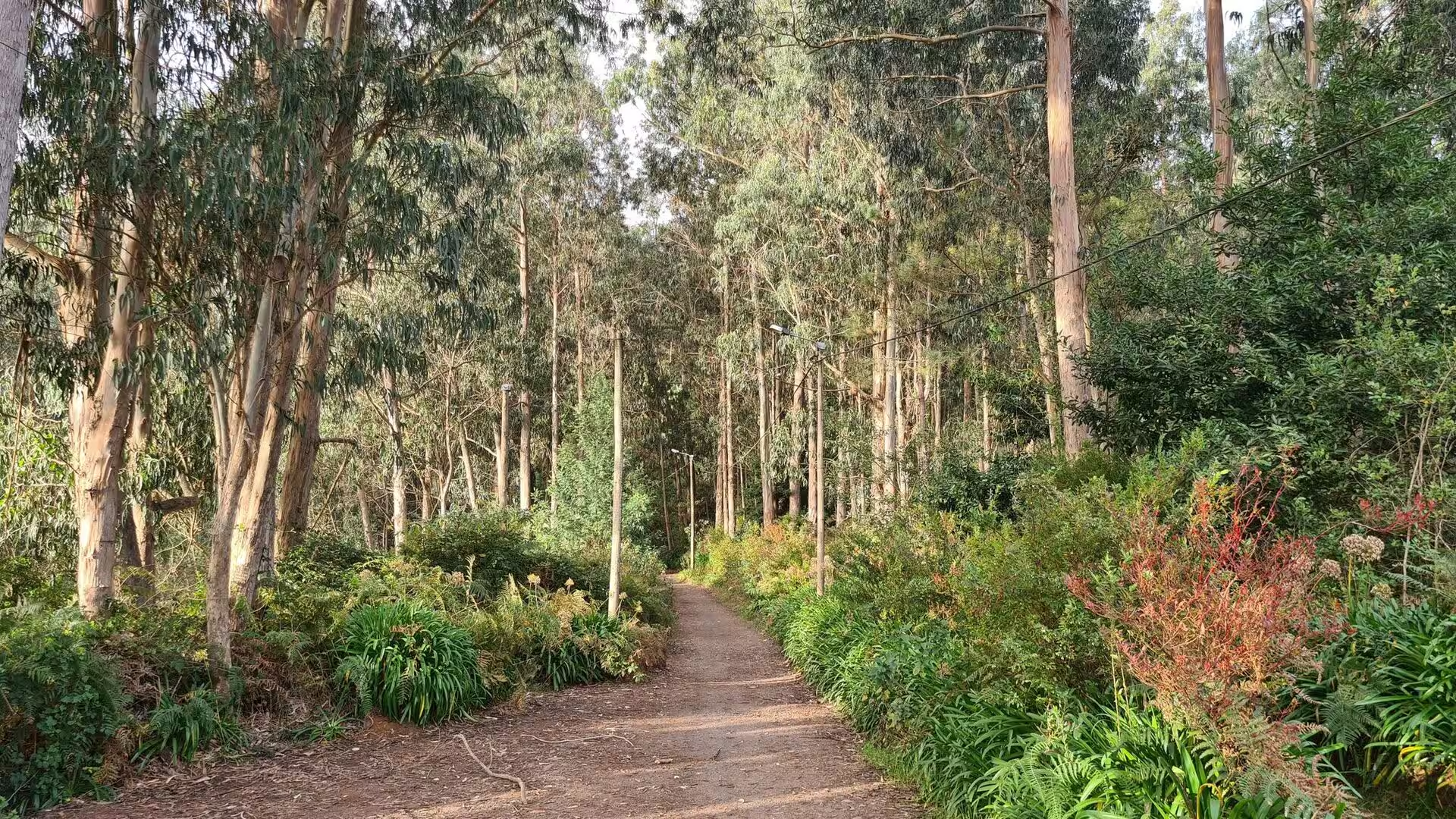
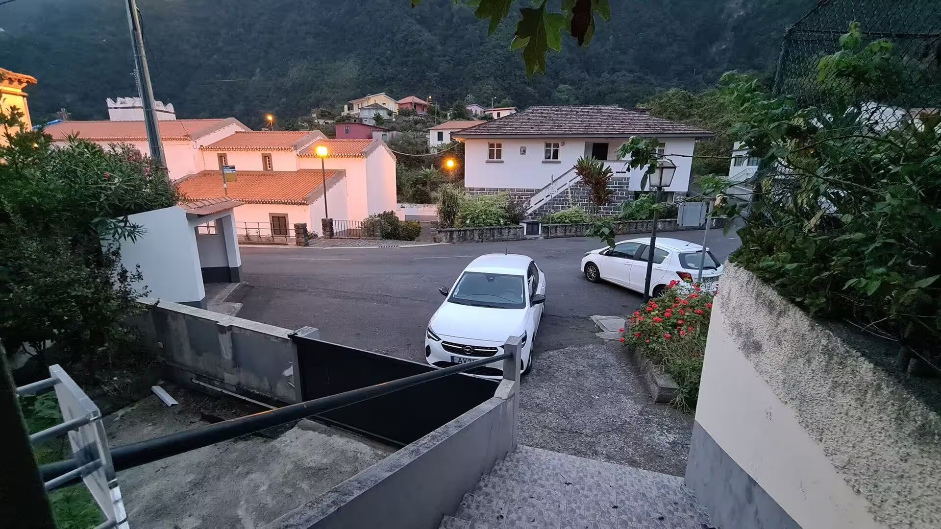
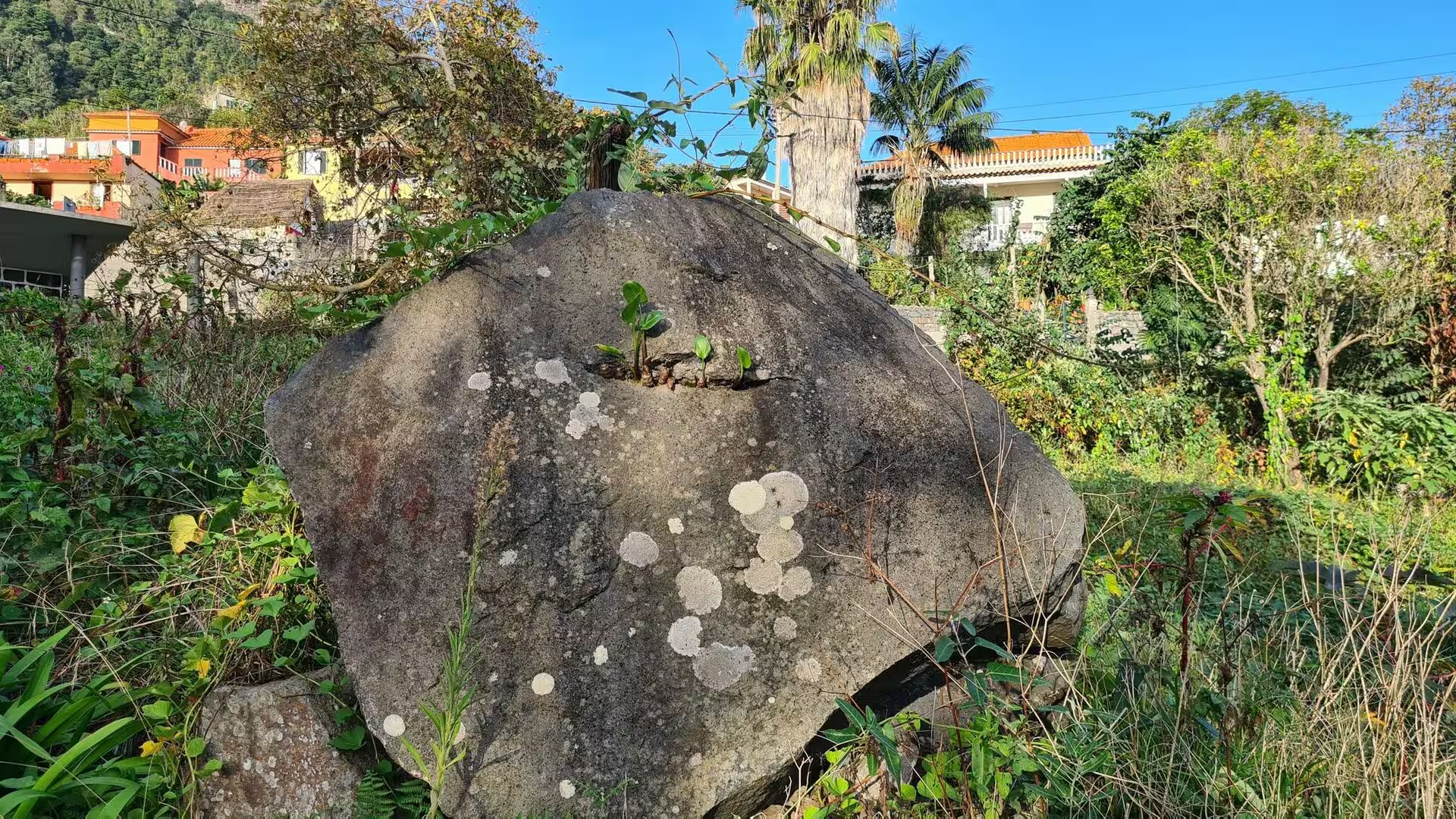
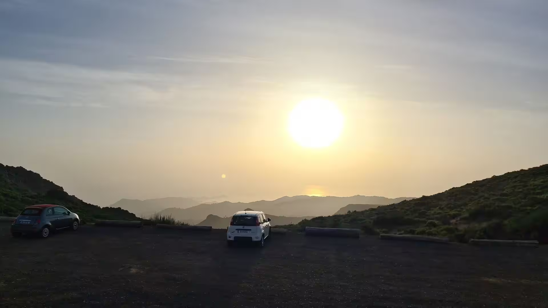
Photographs (847)




Journal Notes (15)
Day 1
General Madeira lies in the North Atlantic Ocean as part of Macaronesia, the group of four volcanic archipelagos that reaches from the Azores and Madeira to the Canary Islands and Cape Verde. Each archipelago consists of oceanic islands formed by seamounts whose peaks have risen …
Day 2
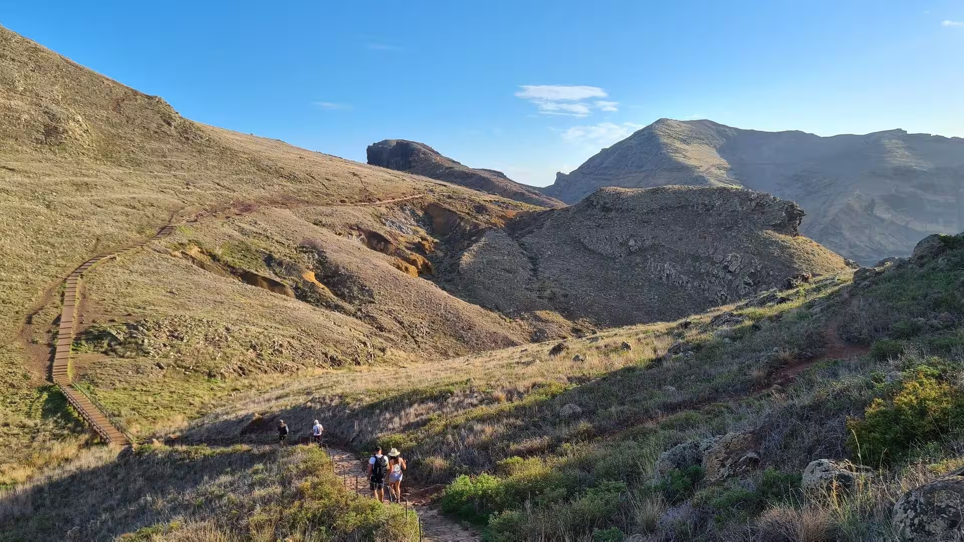
General The eastern tip of Madeira Island is a low, dry headland. Ponta de São Lourenço, the point of Saint Lawrence, is the easternmost point of the island, lying inside the town of Caniçal in the municipality of Machico. Its terrain is made up of rocks and herbaceous vegetation …
Day 3
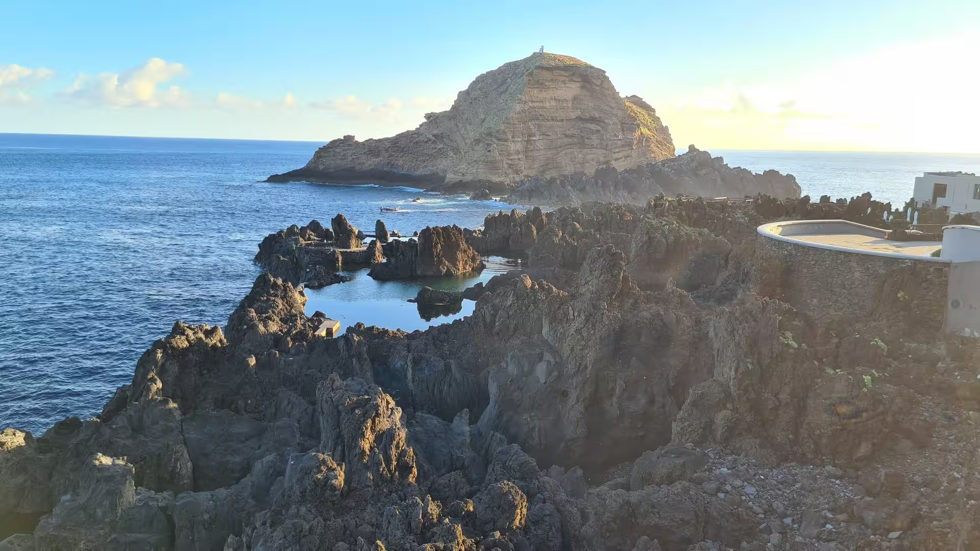
General The third day of the journey moves to the northwest of Madeira, to the coast that runs from the parish of Seixal up to the harbour of Porto Moniz. Madeira is a Portuguese island in the North Atlantic and the largest and most populous island of the archipelago of the same …
Day 4
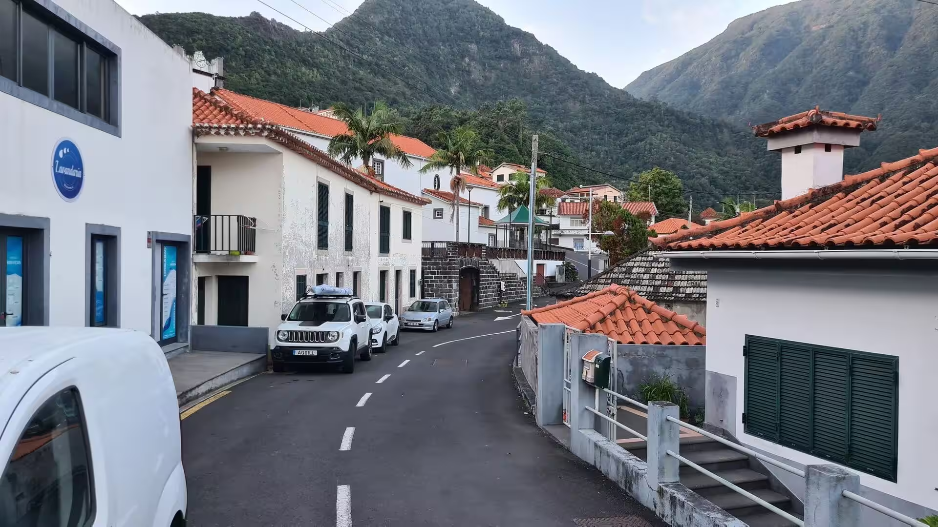
General The fourth day follows the north coast between Boaventura and São Vicente, two parishes of the same municipality on the narrow northern side of Madeira. Madeira is a Portuguese island in the North Atlantic, part of the African tectonic plate and politically the southernmo …
Day 5
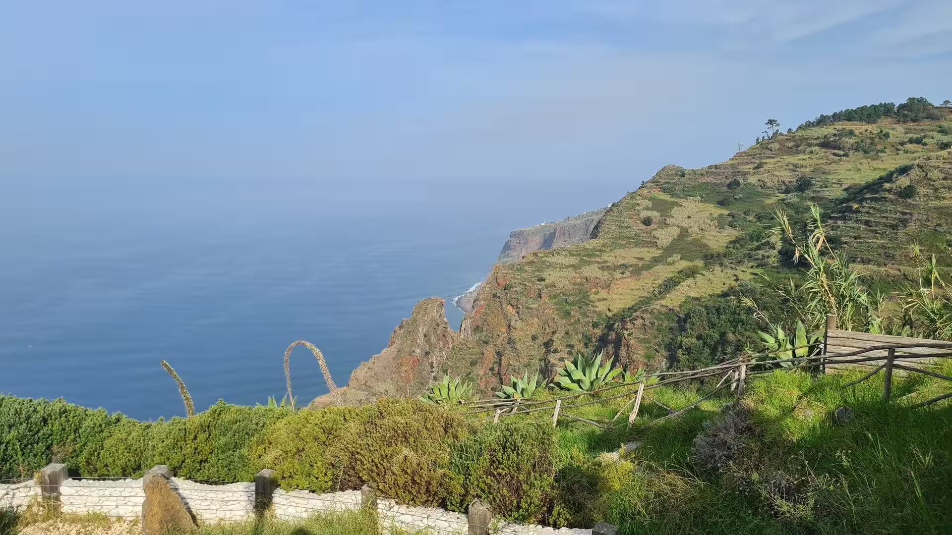
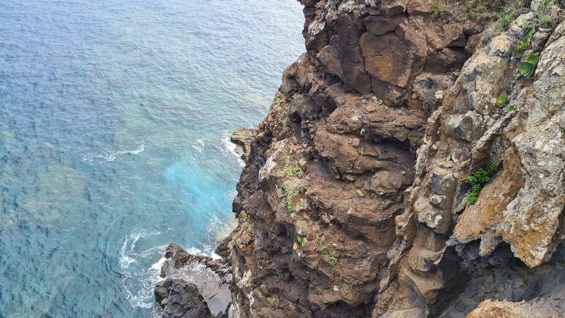
General The fifth day turned to the south western coast, to the municipality of Calheta and the small parishes beneath its cliffs. The morning belonged to the cliff tops, where succulents line a rustic fence above the Atlantic and a path follows a jagged edge with the ocean far b …
Day 6
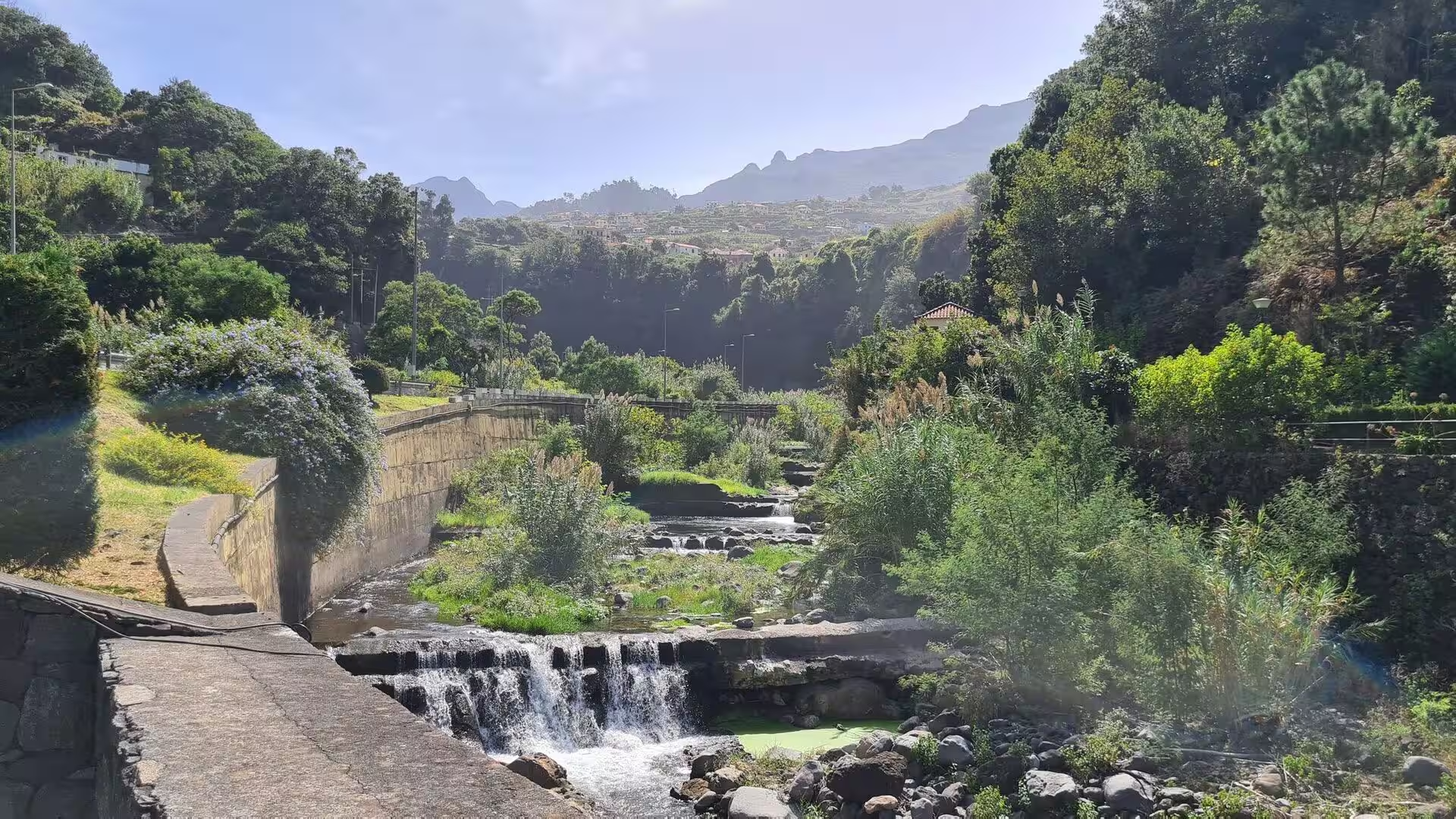
General The sixth day had three parts: a morning in a mountain valley where water falls through a gorge lined with moist vegetation, an afternoon in the market hall of the capital, among stone counters and globe lamps, and an evening at the shore, where a broad pebble beach lies …
Day 7
General Madeira is an archipelago and an autonomous region of Portugal in the North Atlantic Ocean, one of the four volcanic archipelagos of Macaronesia together with the Azores, the Canary Islands and Cape Verde. The islands lie on the African tectonic plate while remaining poli …
Day 8
General Madeira is a group of volcanic islands in the North Atlantic Ocean and one of the four archipelagos of Macaronesia, together with the Azores, the Canary Islands and Cape Verde. In 2022 the combined population of Macaronesia was estimated at 3,222,054 people, of whom 250,7 …
Day 9
General Madeira is an archipelago in the North Atlantic, part of Macaronesia together with the Azores, the Canary Islands and Cape Verde. It sits on the African tectonic plate but is politically part of Portugal, and its 251,060 residents recorded in 2021 live mostly on the main …
Day 10
General The tenth stage of this series crosses the island in a single day, from a village in the highlands down to the south coast, along the sea cliffs and back into the mountain valleys. Madeira is the largest and most populous island of its archipelago, with 245,595 residents …
Day 11
General Ponta do Sol is a municipality on the south-western coast of Madeira, the largest island of the Portuguese archipelago of the same name in the North Atlantic. The town lies between Ribeira Brava and Calheta and is connected to Funchal, the regional capital, by the main re …
Day 12
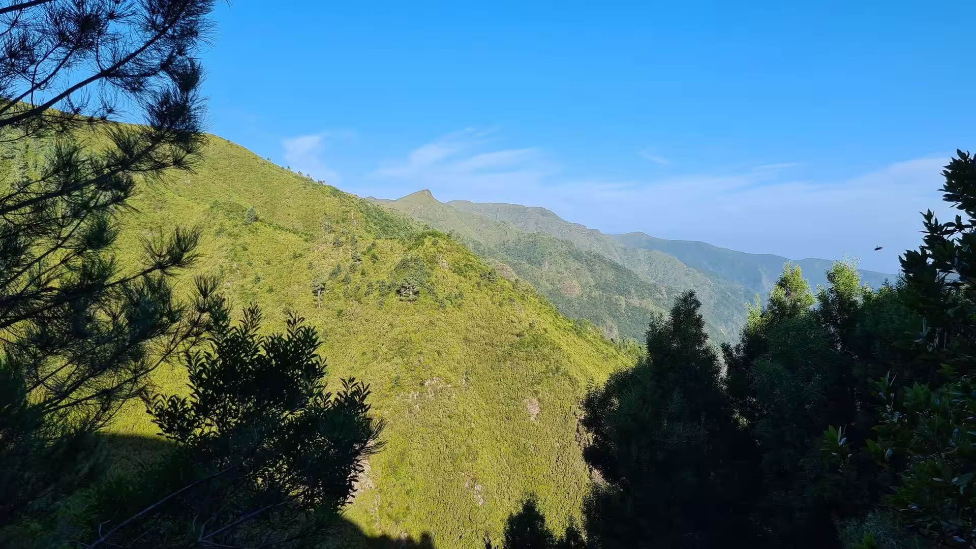
General The central massif of Madeira forms the highest ground of the island, and Pico Ruivo, at 1,862 metres, is its summit. The peak lies in the municipality of Santana and is the highest point of the archipelago and the third highest in Portugal. It can be reached only on foot …
Day 13
General The Madeira archipelago lies in the North Atlantic within the Macaronesian region, on the African tectonic plate but politically part of Portugal as an autonomous region with Funchal as its capital. The islands recorded a population of 251,060 in 2021, and roughly half of …
Day 14
General Calheta is a municipality on the southwest coast of Madeira with a population of 11,521 in 2011 and an area of 111.50 square kilometres. It is usually called Vila da Calheta in order to distinguish it from the Calheta of the Azores. Eight parishes make up the municipality …
Day 15
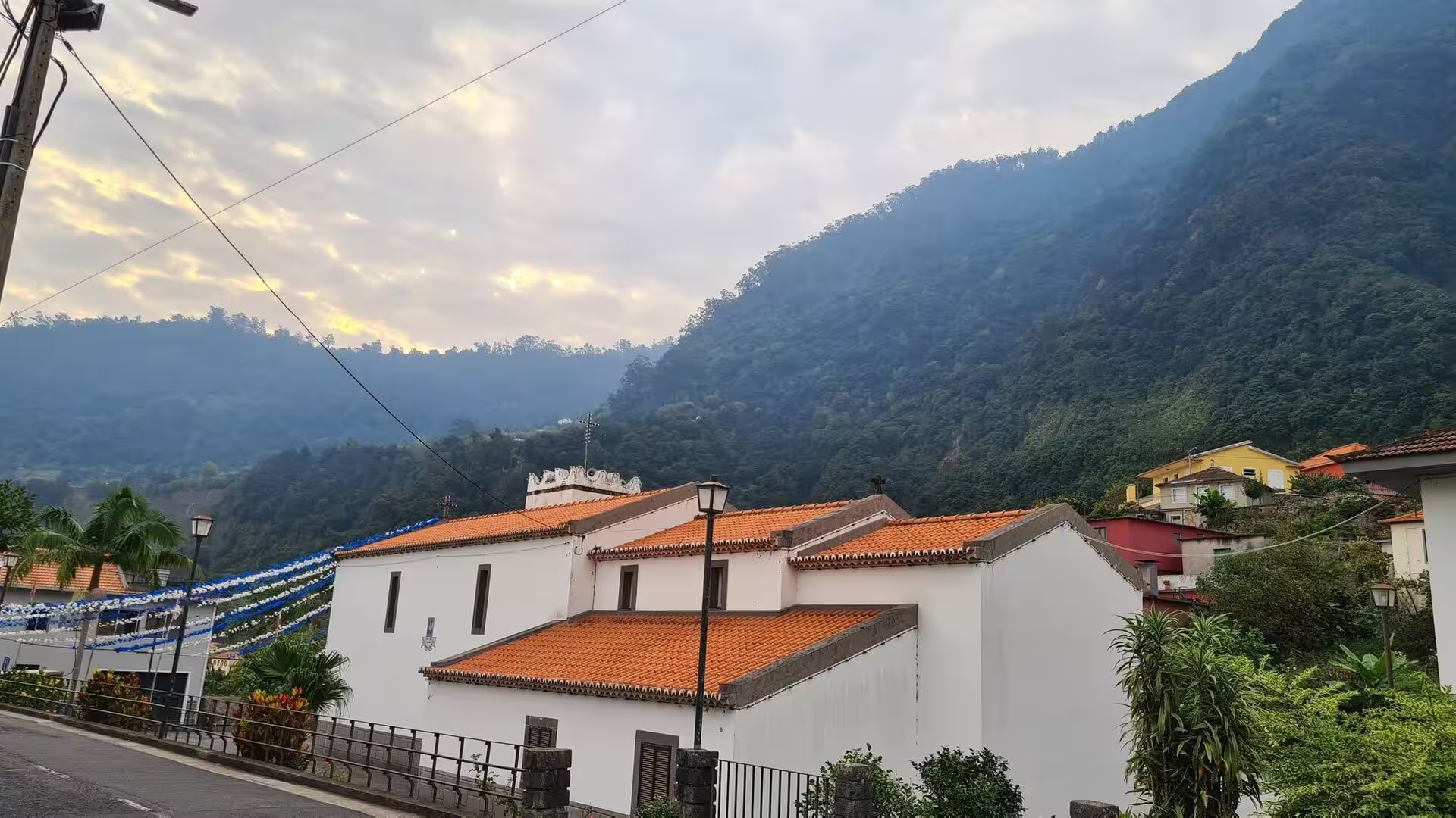
General The final morning of the journey belonged to the village that stands beside the island airfield on the south-eastern coast, where whitewashed houses and a small chapel with an orange roof sit beneath a steep, dark mountain. The day unfolded in two movements: a walk throug …