Day 5







Journal Notes
General
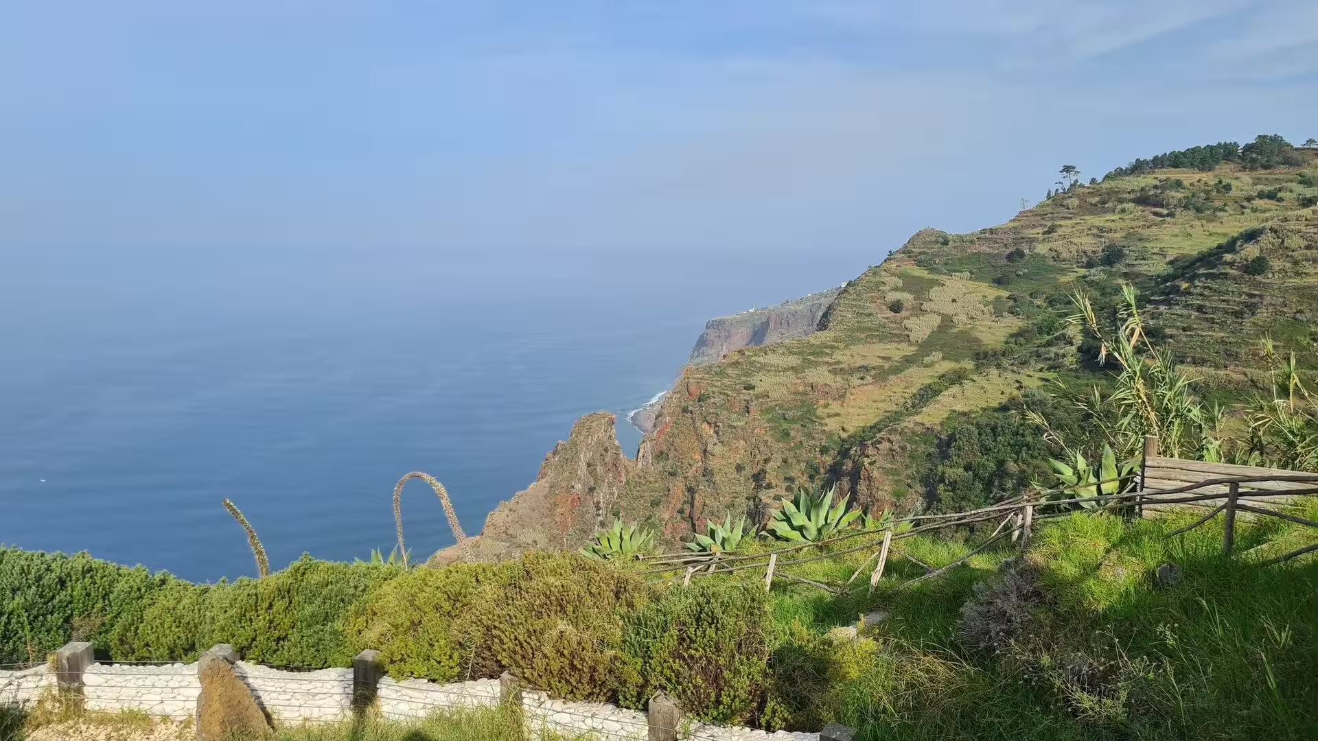
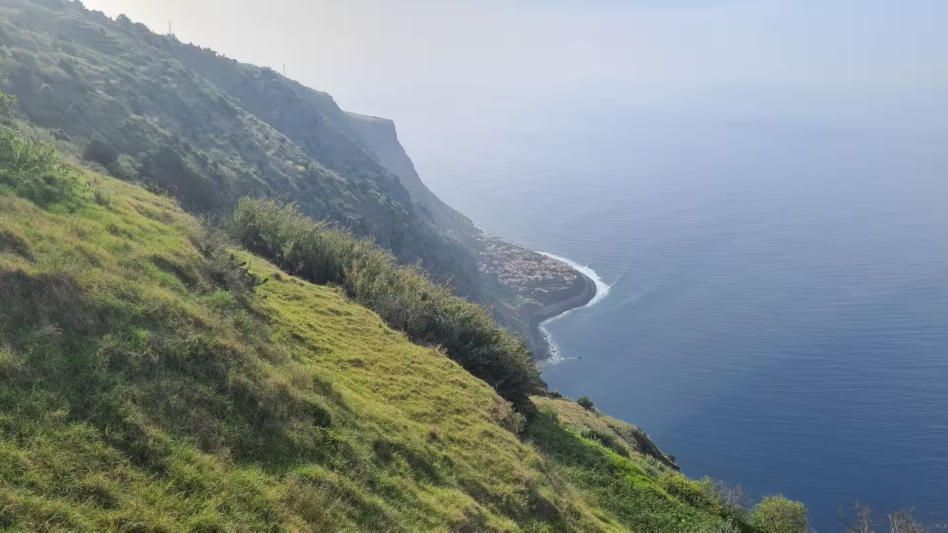
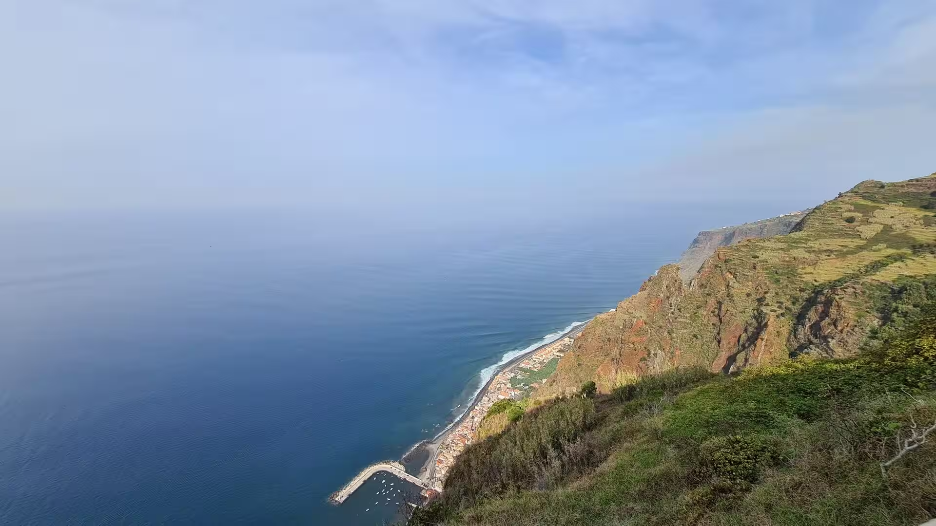
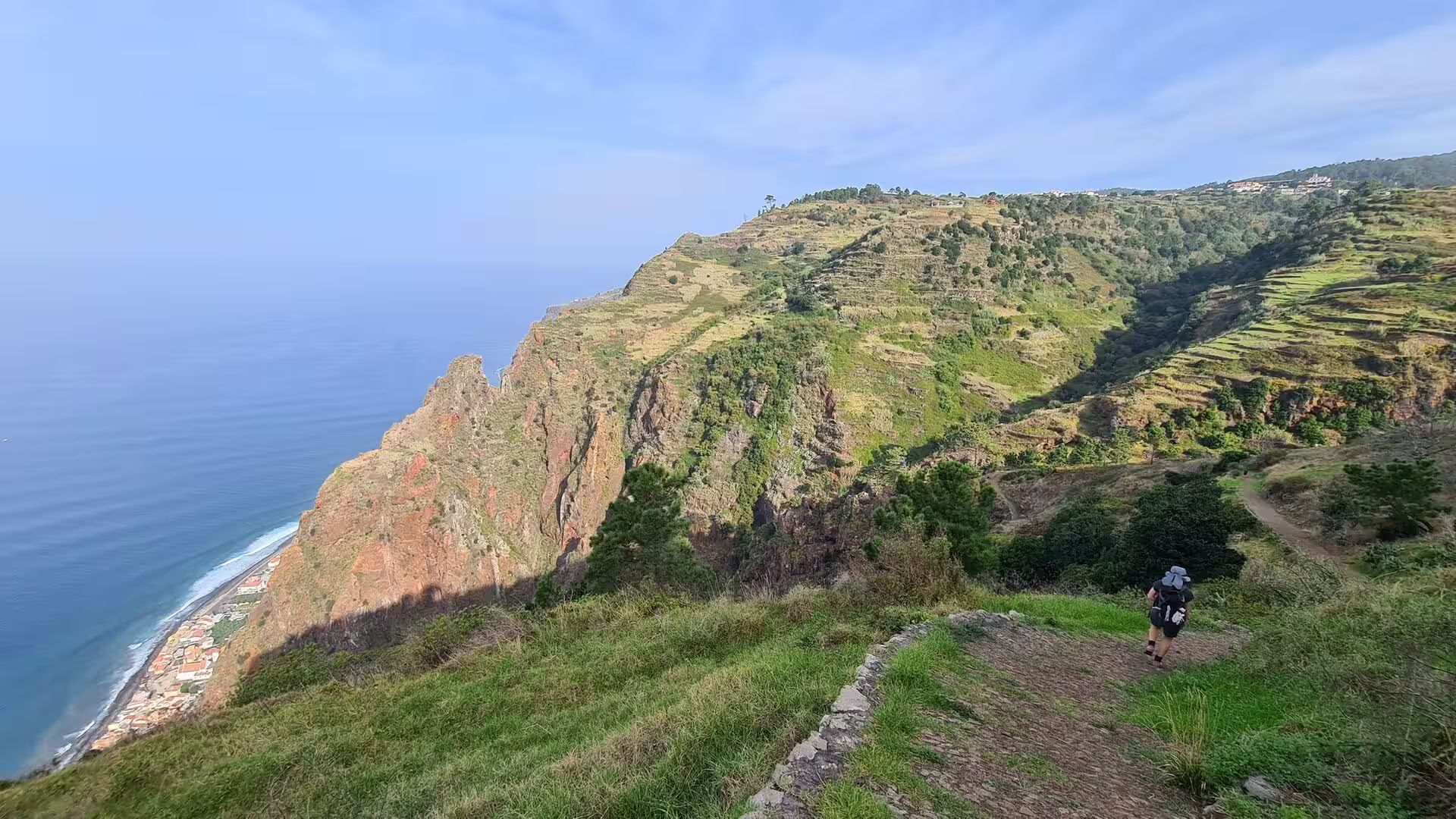
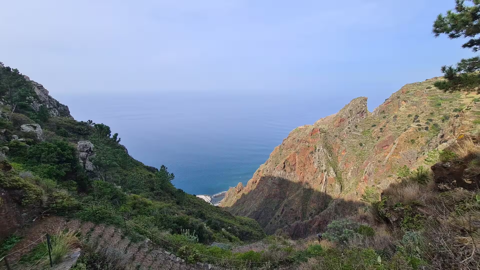
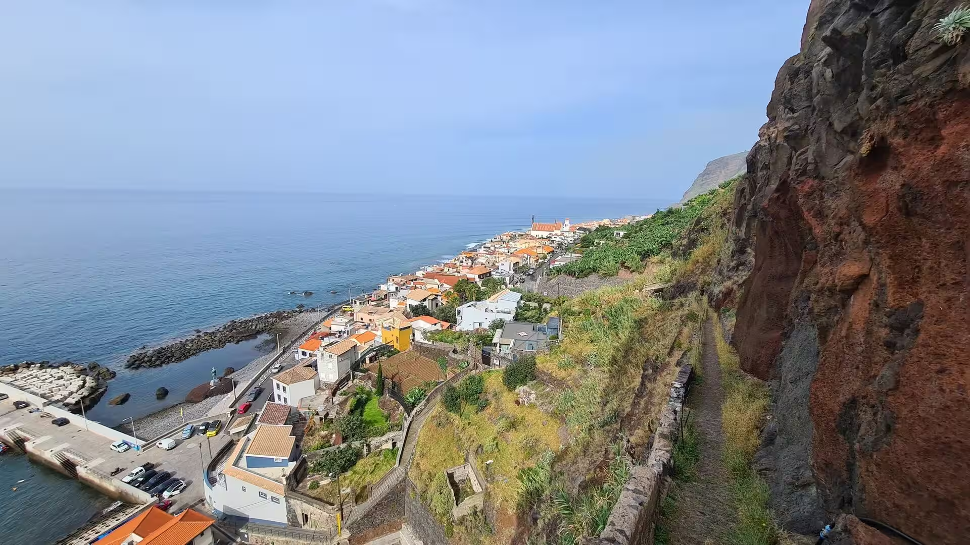
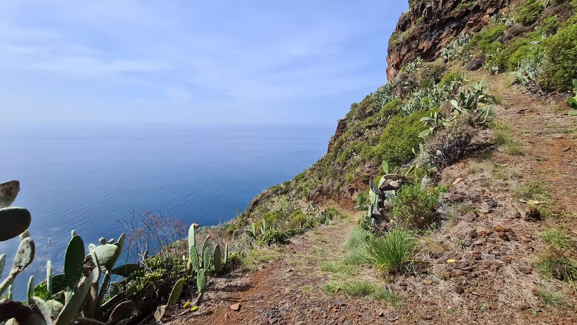
The fifth day turned to the south western coast, to the municipality of Calheta and the small parishes beneath its cliffs. The morning belonged to the cliff tops, where succulents line a rustic fence above the Atlantic and a path follows a jagged edge with the ocean far below. Towards midday came the descent into a narrow ravine of red rock and to the slender waterfall that drops into it. The afternoon was given to an irrigation channel on a green hillside and to quiet inland lanes, and the evening closed on a sheltered bay, a calm tidal pool behind a breakwater and a low sun across the water.
Madeira is the largest and most populous island of the Madeira archipelago and the heart of an autonomous region of Portugal. The capital, Funchal, lies on the south coast, and roughly half of the region’s inhabitants live there. The archipelago also includes Porto Santo, the Desertas and the separate Savage Islands, and it lies in Macaronesia in the North Atlantic together with the Azores, the Canary Islands and Cape Verde. The region counted 251,060 inhabitants in 2021 and the island 245,595, on the African tectonic plate but politically and culturally European.
Calheta is a municipality on the south western coast with 11,521 inhabitants in 2011 within 111.50 square kilometres, and it consists of eight parishes: Arco da Calheta, Calheta, Estreito da Calheta, Fajã da Ovelha, Jardim do Mar, Paul do Mar, Ponta do Pargo and Prazeres. Their scale varies sharply: Arco da Calheta held 3,168 inhabitants in 14.70 square kilometres, Estreito da Calheta 1,607 in 14.32, Prazeres 704 in 10.03, Paul do Mar 871 in 1.40 and Jardim do Mar 204 in 0.74. The name Calheta means small bay, and cal also means lime.
The south western corner of the island lies on its dry side. Moist air from the Atlantic is forced upward along the central ridge, so the northern valleys receive the greater part of the rain while the south, sheltered behind the mountains, remains markedly drier. Over short distances the difference produces distinct microclimates, from humid upland slopes to almost arid coastal shelves. Funchal, the warmest city in Portugal, has a subtropical hot summer Mediterranean climate with humidity near seventy per cent all year, and the same mild regime governs the coast far to the west, where this day was spent in October warmth.
Fishing and agriculture remain the economic base of these parishes: bananas, wine, horticulture and sugar cane are the main products, and the fishery has supported both Paul do Mar and the village of Calheta. Paul do Mar also lives from tourism, including dolphin and whalewatching, and it holds a four star hotel, self catering houses, shops, bars and restaurants for a village of its size. Its waves break large and are surfed by experienced riders, and in 2001 the beach was one of the venues of the World Surfing Championships.
History
Recorded history begins in 1419, when two captains of Prince Henry the Navigator, João Gonçalves Zarco and Tristão Vaz Teixeira, were driven by a storm to the island they called Porto Santo; the following year an expedition took possession of Madeira for the Portuguese crown, with Bartolomeu Perestrello among the captains. Settlement began around 1420 or 1425 on an island that had no recorded inhabitants. The settlers cut into the dense laurel forest to gain arable ground. Fish supplied about half of their diet, wheat gave the first successful harvest, and many water channels were built because water was excessive in some places and scarce in others.
In the decade after 1450 wheat production fell, and sugar cane was planted at the instance of Henry the Navigator, with Sicilian plants and technique and Genoese capital behind it. Sugar brought prosperity to Funchal, which became a mandatory port of call on European trade routes in the second half of the fifteenth century, and it created the model of plantation economy later transferred to Brazil and the Caribbean. The first slaves arrived in 1452, Berbers and Guanches, and Madeiran sugar declined in the seventeenth century until sugar had to be imported from other Portuguese colonies.
Calheta itself was founded in 1430, and its central parish is among the oldest on the island. Zarco chose the area as a grant to his son, João Gonçalves da Câmara, and his wife Beatriz Gonçalves. Seventy two years after its foundation the village became a town, on 1 July 1502, when King Manuel I granted a royal charter, and noblemen and knights settled the district. In 1502 João de França built the chapel of Nossa Senhora da Graça, and in 1535 the Santa Casa da Misericórdia was established to serve the elderly and the sick.
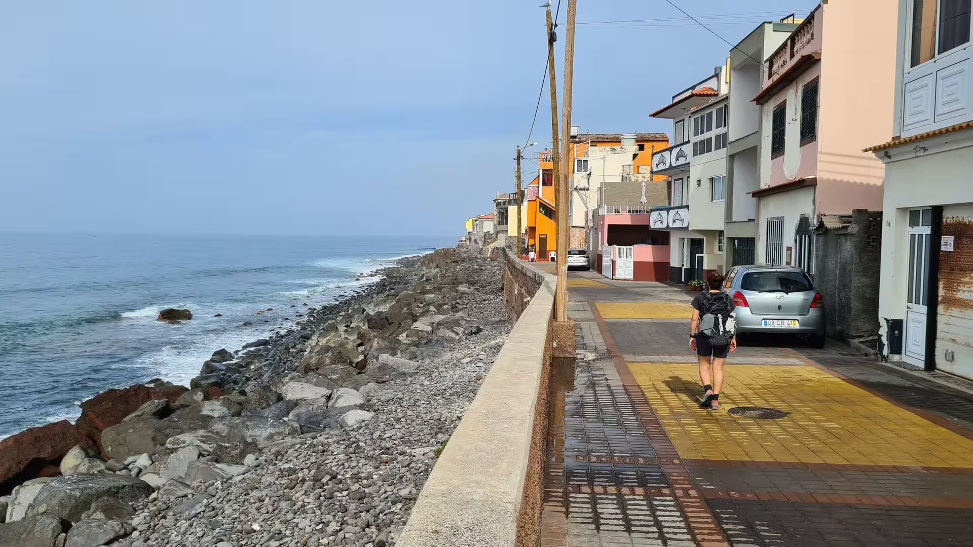
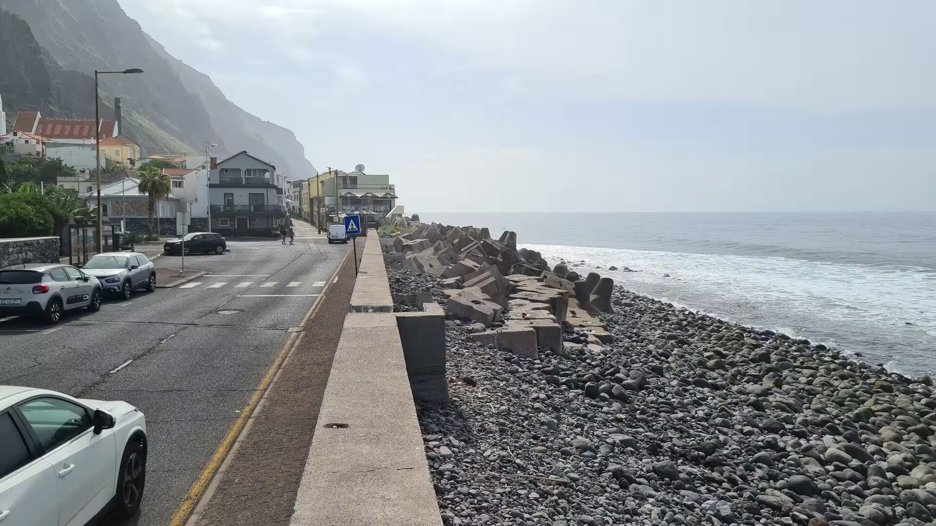
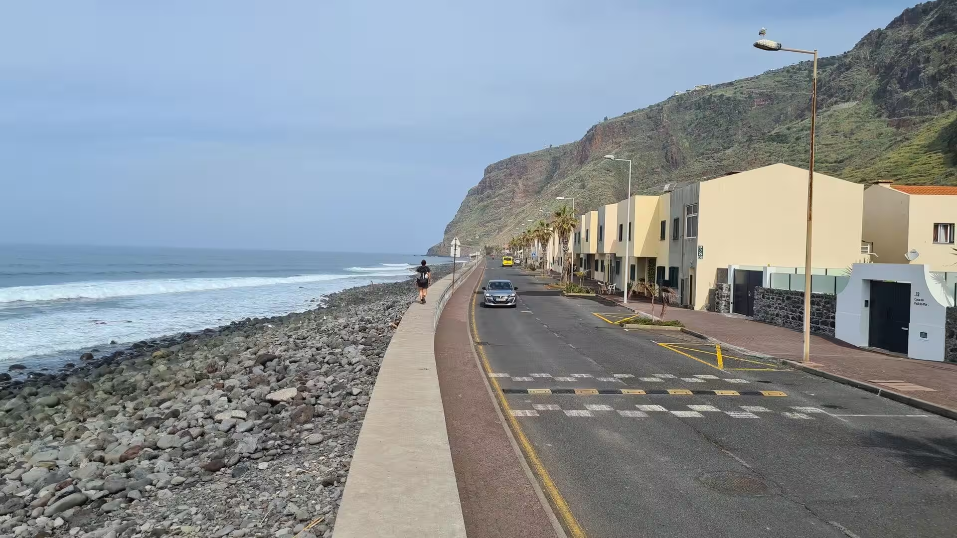
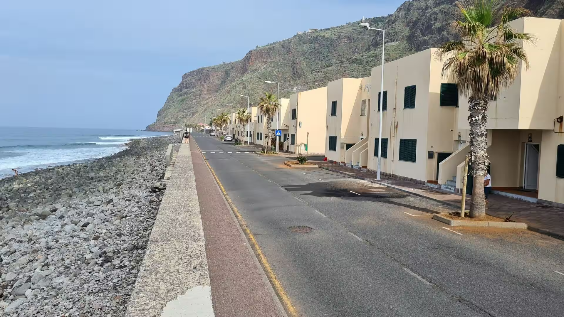
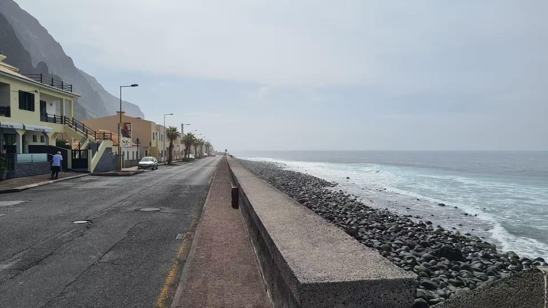
The parish structure was rearranged several times. Prazeres, an ecclesiastical part of Estreito da Calheta, was dismembered in 1733 and became an autonomous clergy on 12 November, with the first stone of its church laid in 1751; it had already become independent together with some houses of Fajã da Ovelha on 18 December 1676. The Liberal revolution incorporated Calheta as a municipality in 1835. Paul do Mar lived with the ocean: winter storms flooded its flat quarter and its fields with seawater to a depth of one metre, and a salt factory worked there until it closed long ago, before a higher sea wall and a new ocean front with road and parking ended the flooding.
Emigration and disaster shaped the modern period. A census in 1891 counted 132,223 inhabitants on the island, and after the Carnation Revolution the constitution of 1976 gave the archipelago an autonomous administration with its own legislature. Roads and tunnels opened the western parishes, which had depended on a single roadway and on the Caminho Real, the old municipal footpath that begins at the harbour of Paul do Mar and climbs to Prazeres. On 20 February 2010 an extreme rainfall event produced flash floods and mudslides in the south of the island that killed 51 people, injured 250 and left about 600 homeless.
Geology
Madeira is the summit of a massive submerged shield volcano that rises from the floor of the Atlantic. It grew on an east to west rift in the oceanic crust along the African plate, beginning in the Miocene more than five million years ago and continuing into the Pleistocene until about 700,000 years ago. Activity resumed on the eroded shield, and the most recent eruptions, about 6,500 years ago in the west central part of the island, left scoria cones and lava flows. The relief is extreme: from sea level to more than 1,800 metres within short horizontal distances.
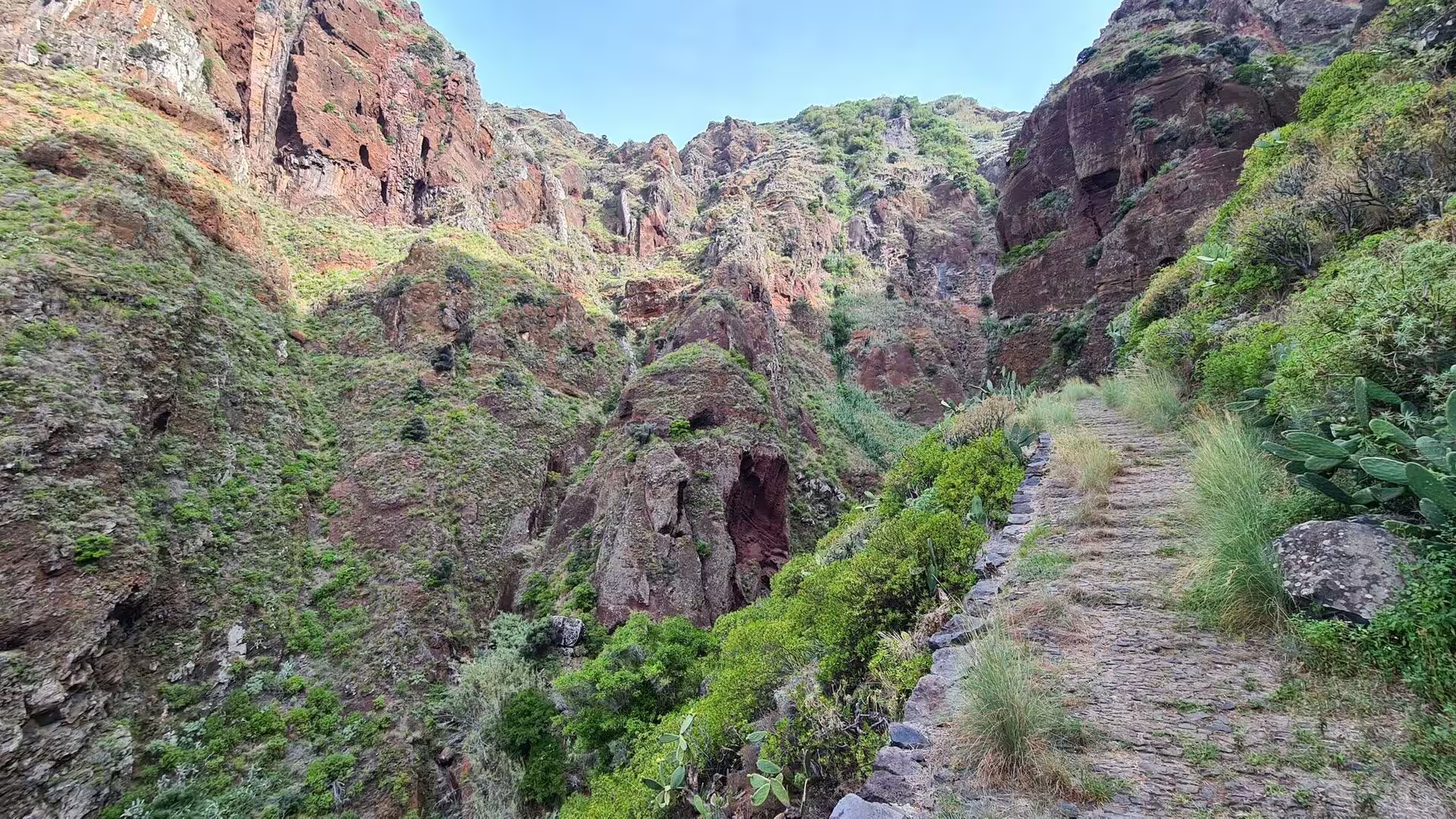
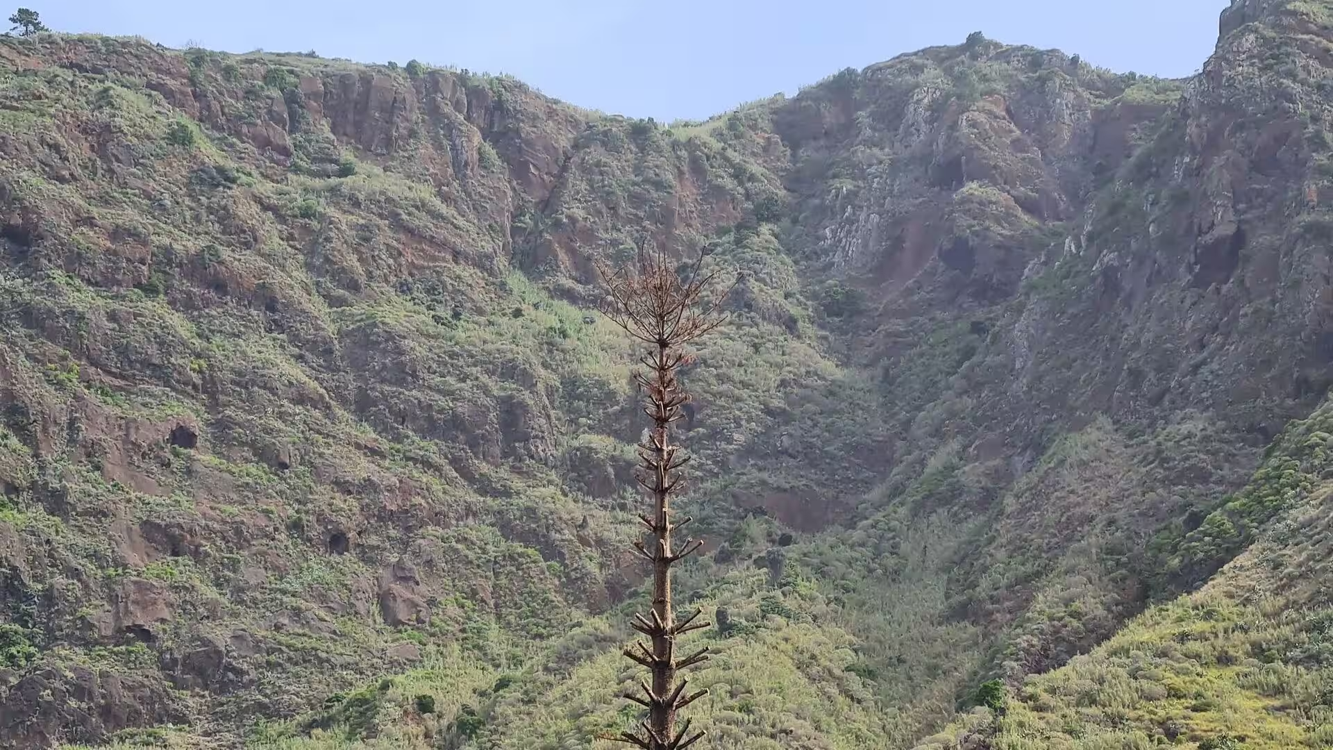
Extensive erosion followed the main eruptive phase and cut two large amphitheatres open to the south in the central part of the island. From the central ridge a dense system of valleys and ravines descends to the coast, and cliffs, valleys and ravines together make the interior largely inaccessible, so daily life concentrated in villages at the mouths of the ravines, through which the heavy autumn and winter rain travels to the sea. The ravine of this day, with its slender waterfall and its dark pool, is a small branch of that drainage, and the reddish colour of its walls comes from weathering on old lava.
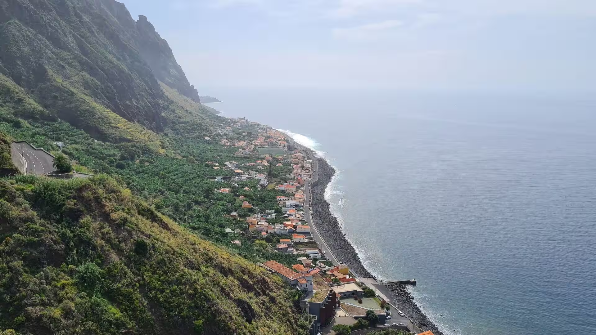
Coastal form results from marine abrasion working on that volcanic base. Waves cut platforms into the lower slopes, and the cultivated benches below the great sea cliffs, the fajãs, appear in several places along the southern coast; below the escarpment of Cabo Girão, 580 metres high, they were reachable only by boat until a cable car was installed for farmers in 2003. Coves at the mouths of ravines collect boulders and black pebbles rather than sand, and small breakwaters create the calm water that lets boats lie at a quay beneath layered cliffs.
Rain is the other agent. Moist air lifted by the mountains releases brief and intense falls, and heavy rainfall events in the south of the island are the trigger for mass movements and flash floods; the Funchal area has been mapped for the susceptibility of its slopes. On 20 February 2010 a single storm dropped 108 millimetres of rain at the Funchal station in five hours and 165 millimetres at the high station of Pico do Arieiro, against an average of 88 millimetres for the whole of February at Funchal. A landslide long ago gave one locality of the parish the name of Quebrada.
The response was hydraulic engineering. The first settlers built the stone channels known as levadas because water was unevenly distributed, and the network now runs for thousands of kilometres, carrying rain from the wetter north and the high interior towards the south and the fields. It supplies drinking water, irrigation and electricity, and it feeds a hydroelectric system whose plant at Socorridos runs throughout the year. Offshore, the same volcanic slopes continue below the sea, cut by gravitational, erosional, sedimentary and volcanic processes, and the flanks of the edifice have failed catastrophically in the distant past, an event linked to megatsunami evidence on Fogo.
Things to See
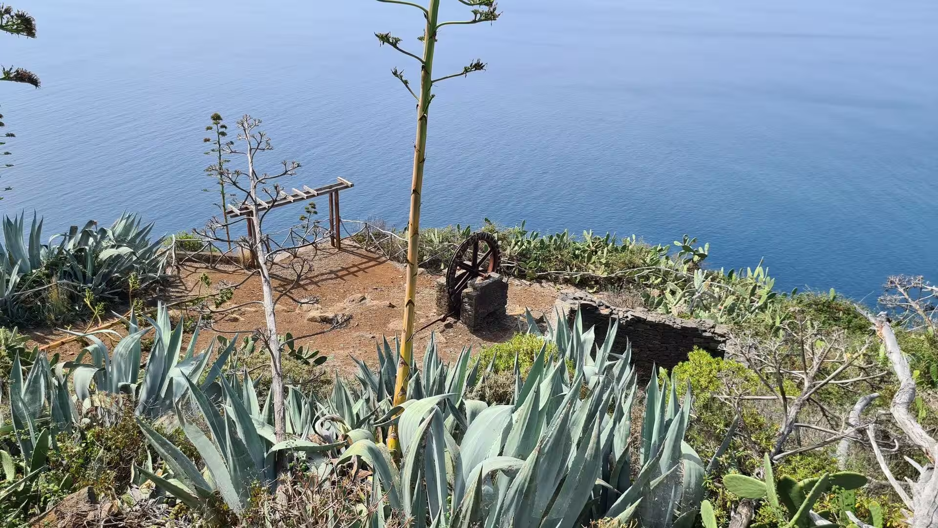
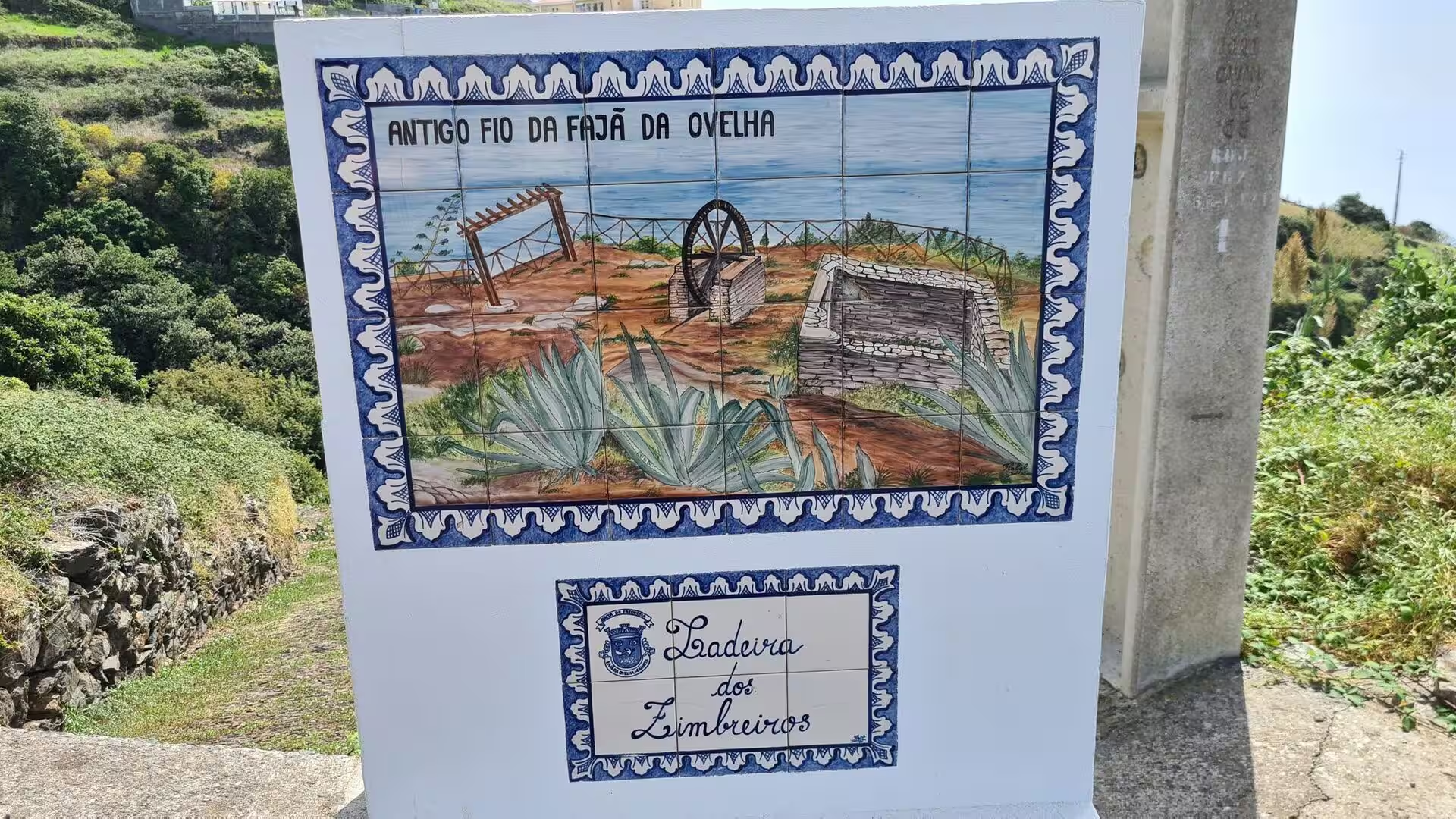
The cliff path above the sea. The historic ways between the parishes run along the top of the coastal slope rather than beside the water. A rustic fence of posts and wire follows the edge, succulents crowd against it and agave sends tall stalks above the drop, and an old well with a rusted iron wheel stands among the plants, a reminder that even this exposed shelf was farmed and watered. The Caminho das 25 Voltas climbs the western cliffs to Fajã da Ovelha, and the Caminho Real connects the harbour of Paul do Mar with Prazeres.
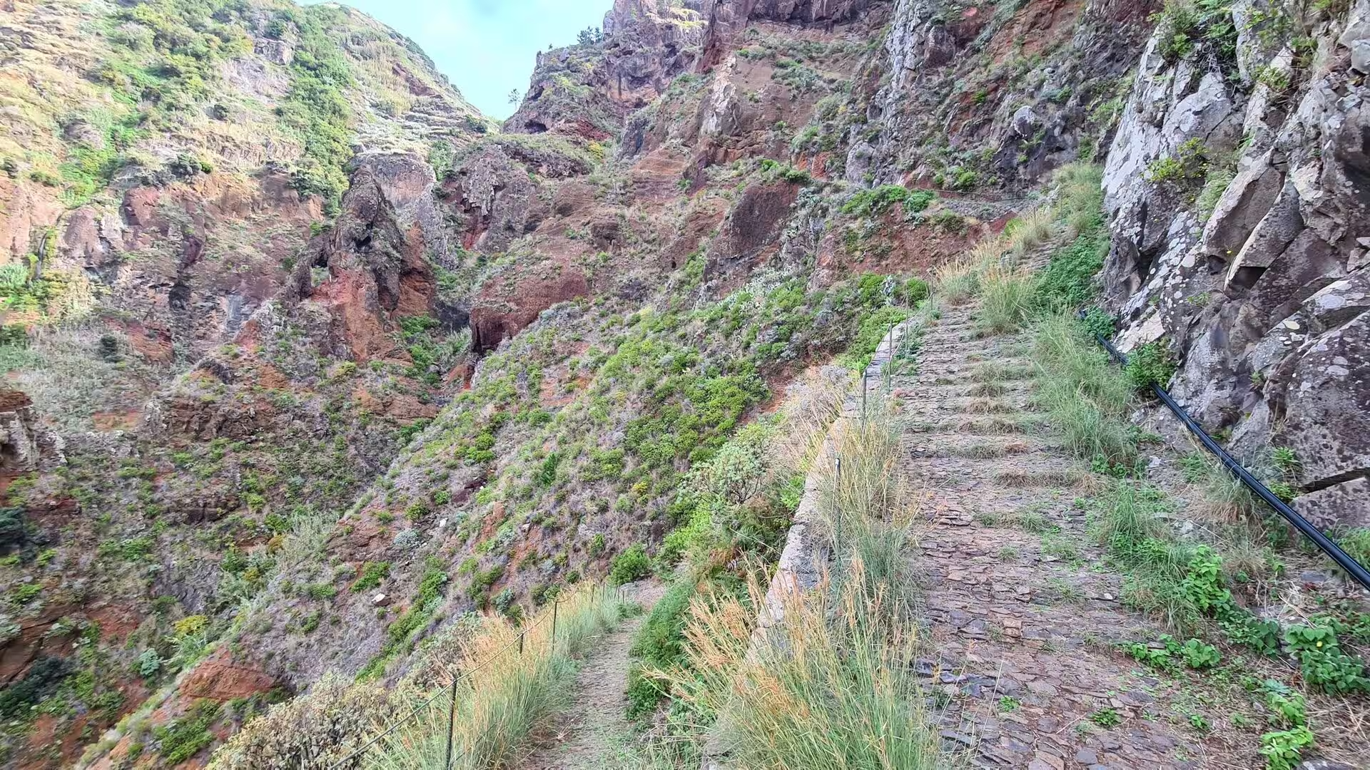
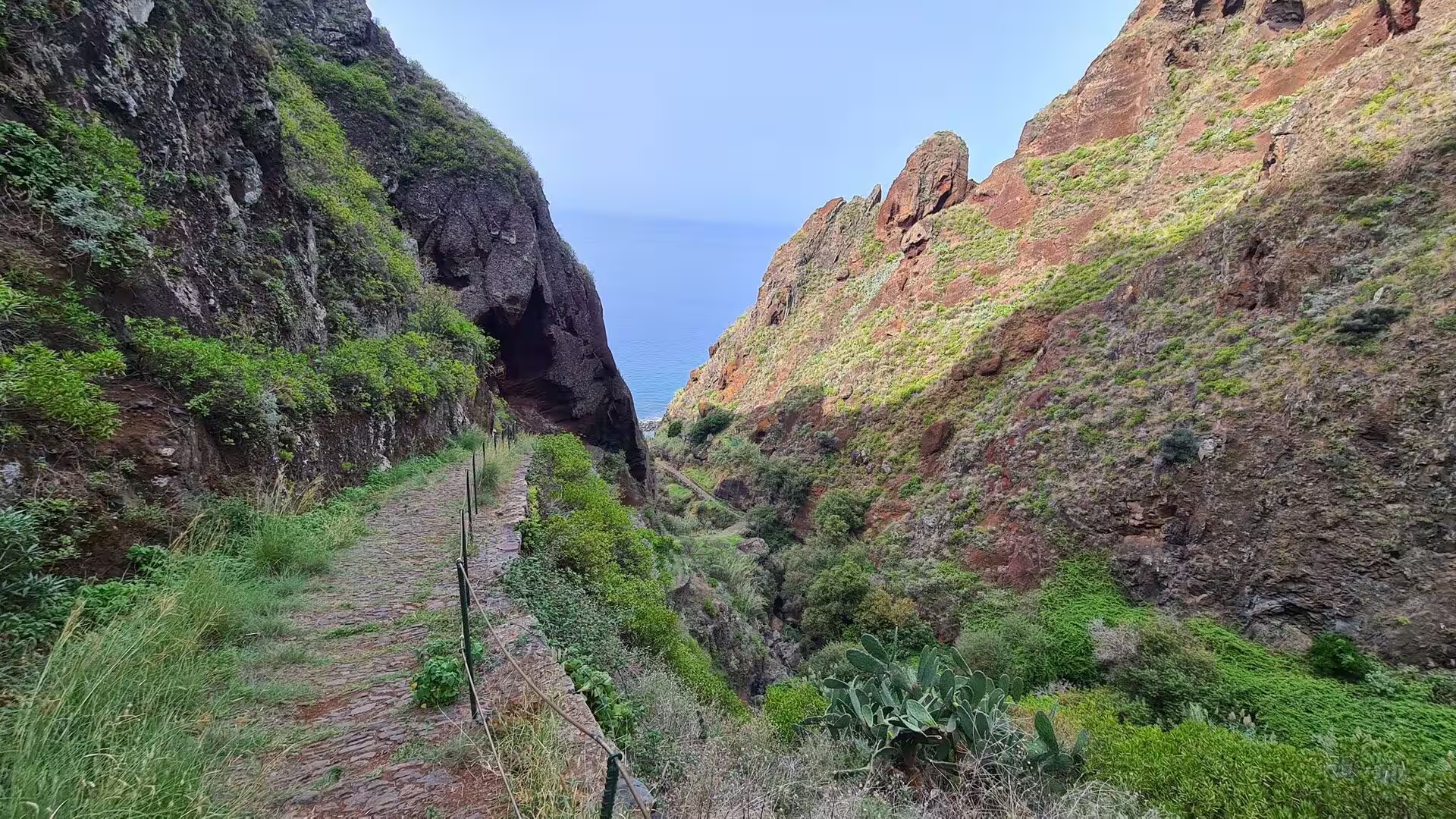
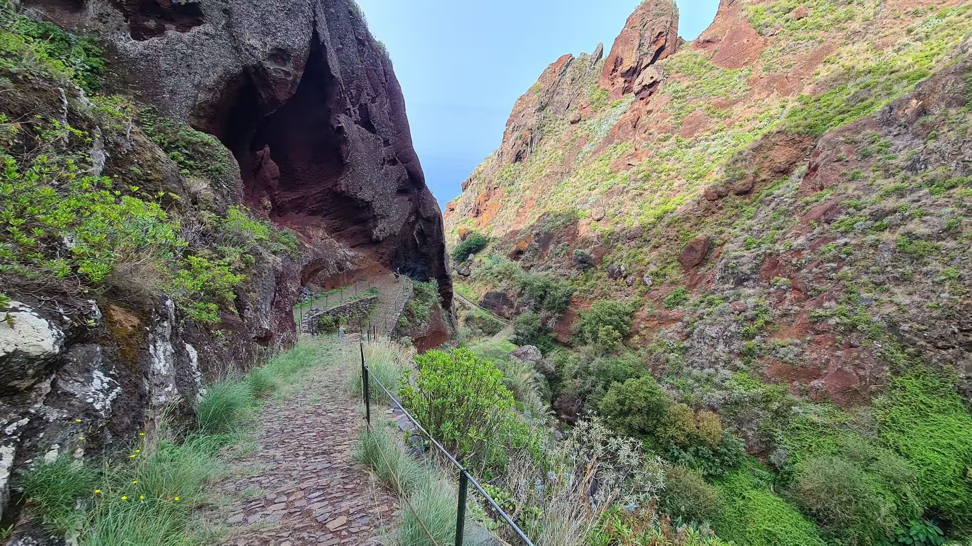
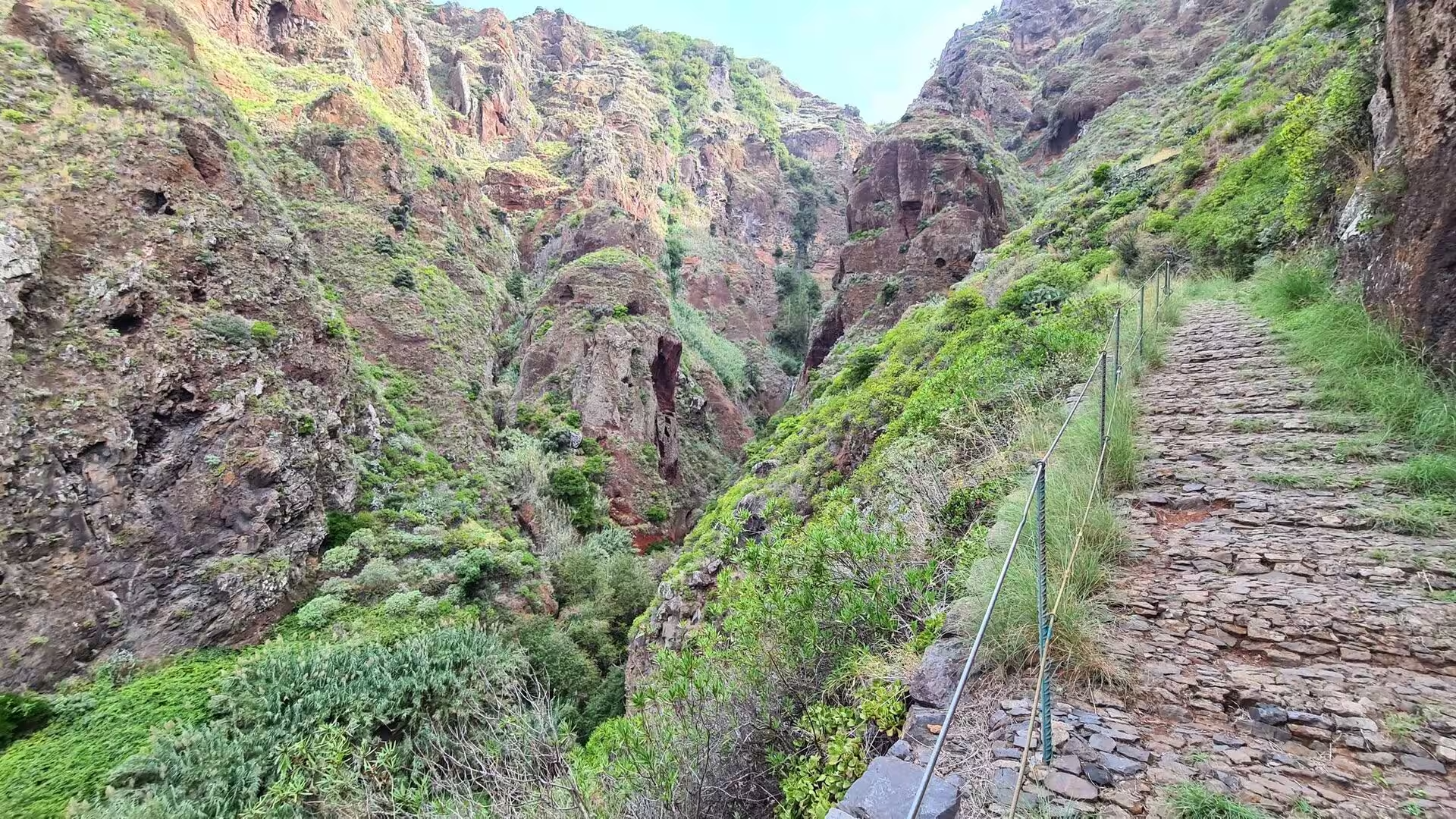
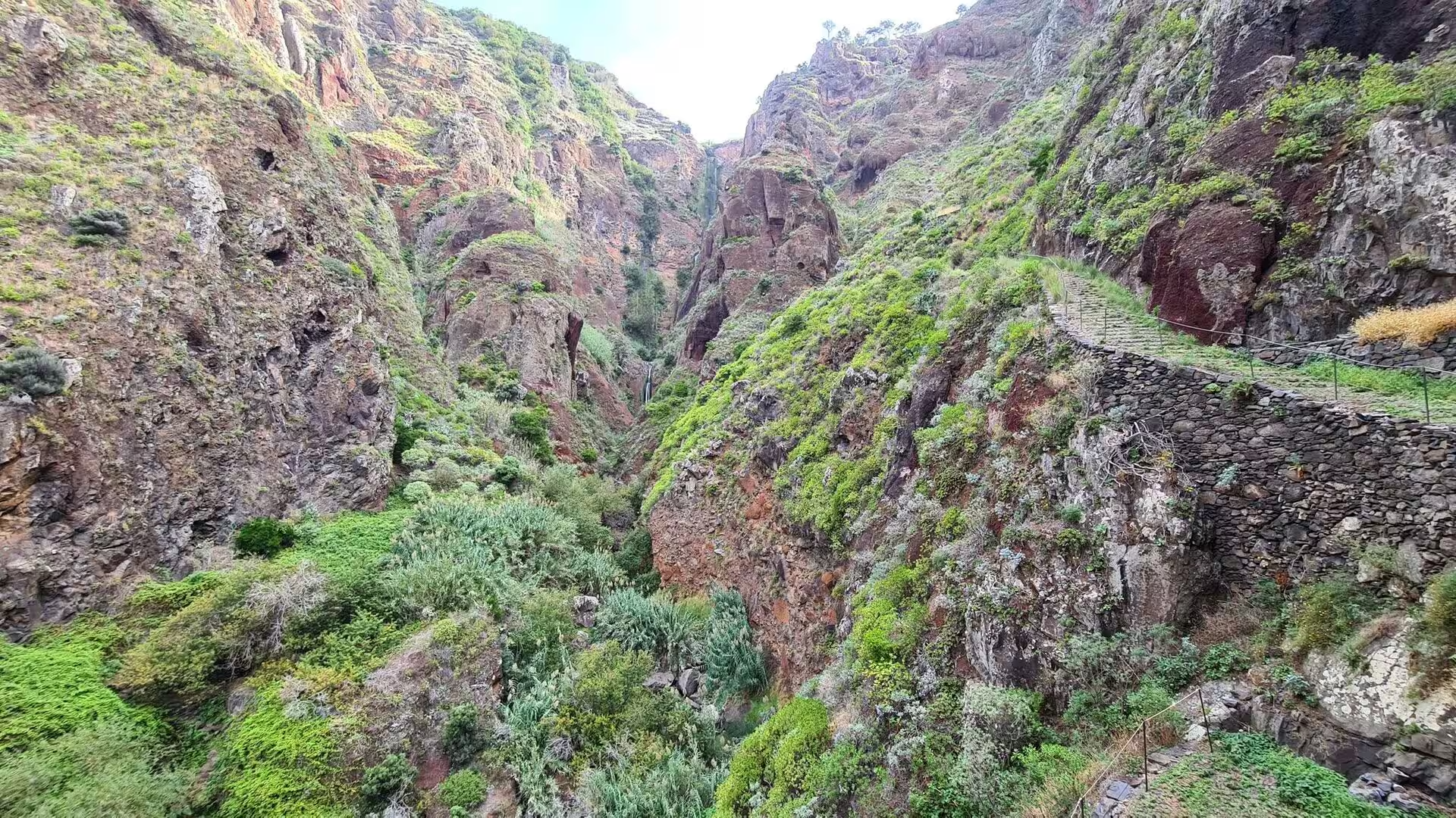
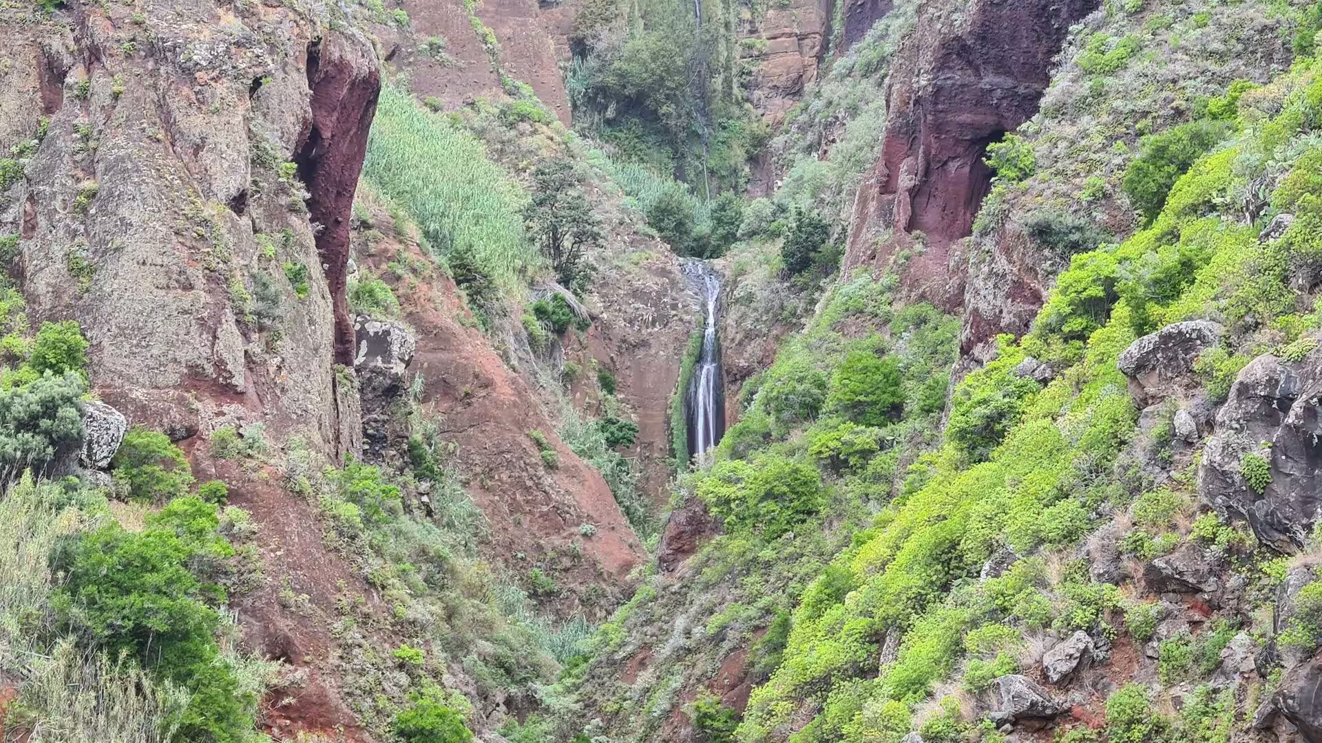
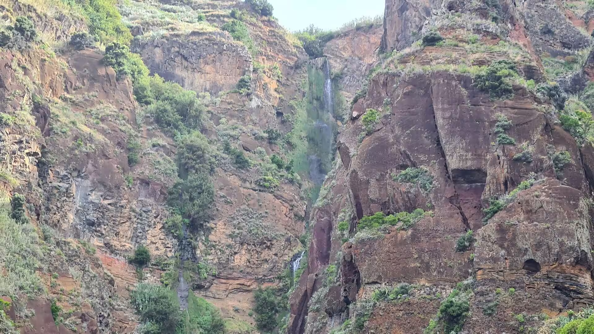
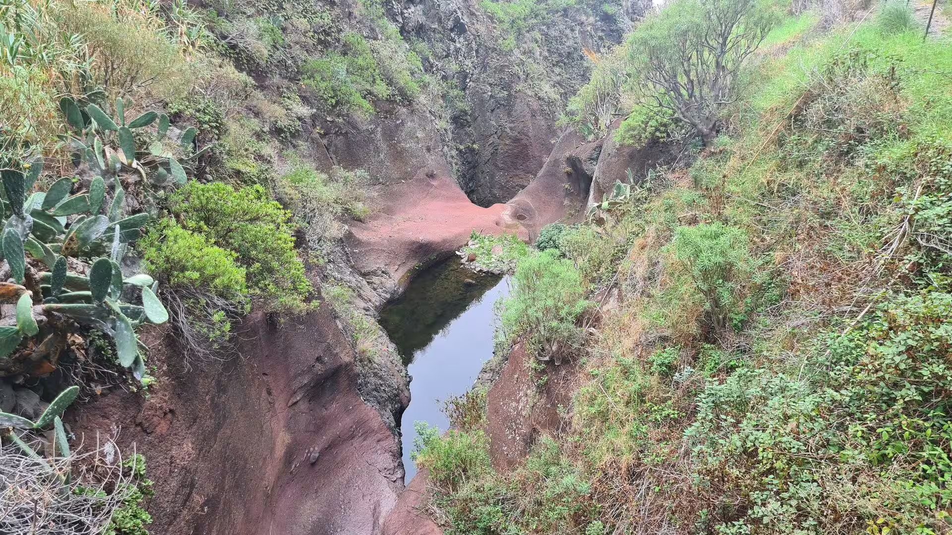
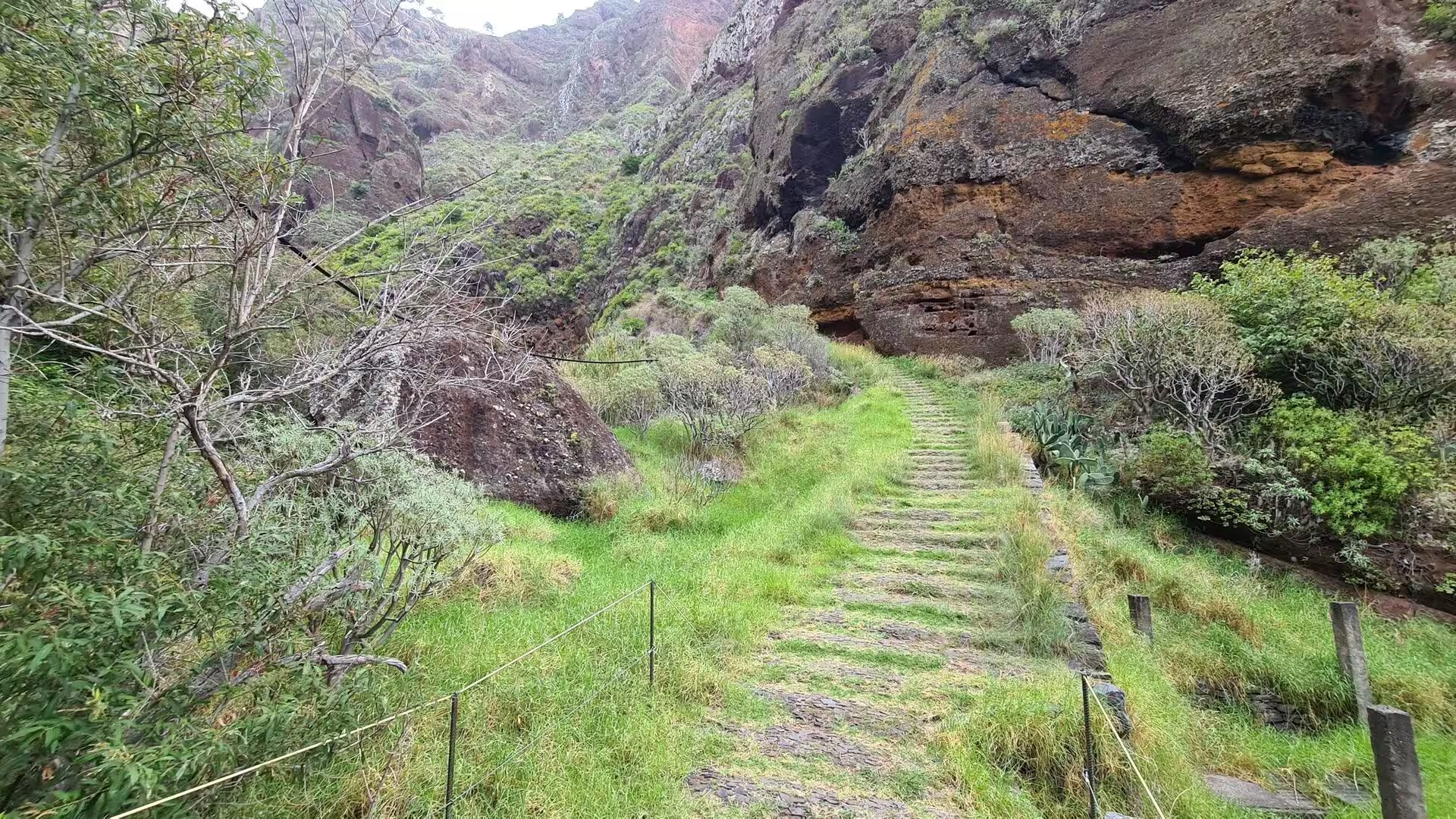
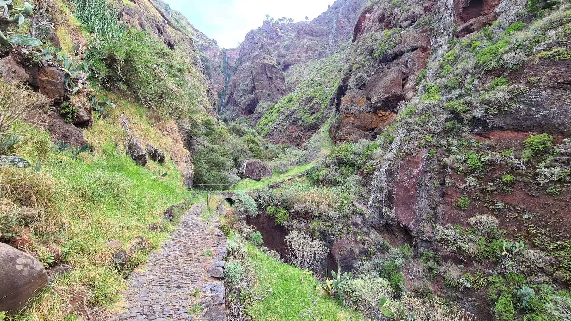
The ravine and its waterfall. A cobbled way, guarded by a railing on the open side, descends into a gorge where the walls close to a few paces and the stone is red. The path passes below a dark overhang, follows a ledge above the drop, then descends between green covered walls to a slender waterfall that falls from a mossy lip into a plunge pool at the foot of the cliffs. Water falls here throughout the year, fed by the high ground, and the shade and constant moisture keep ferns and moss on the walls.
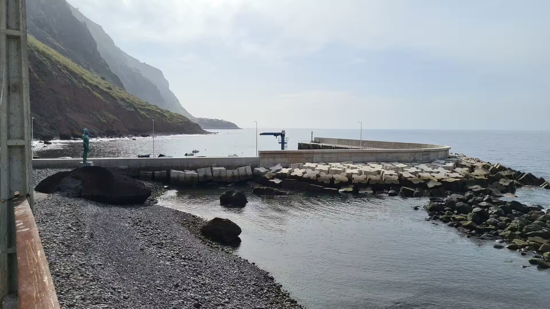
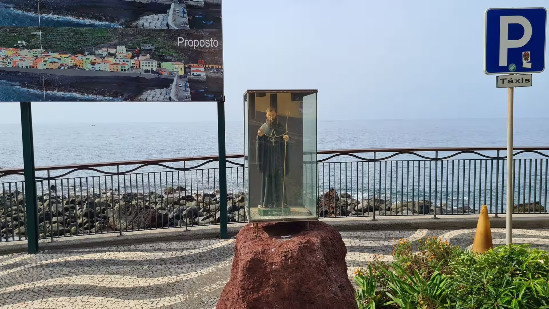
The harbour and the quay. Small boats lie inside a curved breakwater beneath layered cliffs, and the quay carries the fish registration centre and a slipway, the working heart of a village whose main activity is fishing. The village keeps its festas, among them the festival of the shellfish on a July weekend and the feast of its patron saint, Santo Amaro, on 14 and 15 January. Above the water the rock shows its bedding, dark bands of lava alternating with lighter seams. Cargo and passengers once left from here for Funchal, and for long the harbour was the link between the parish and the rest of the island.
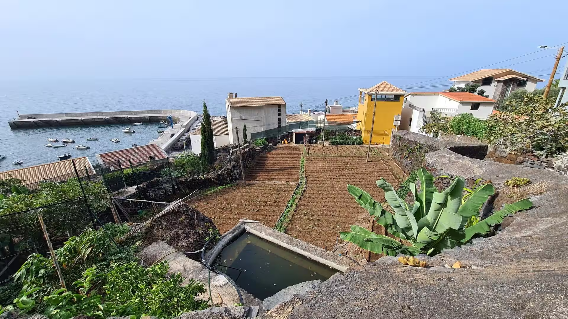
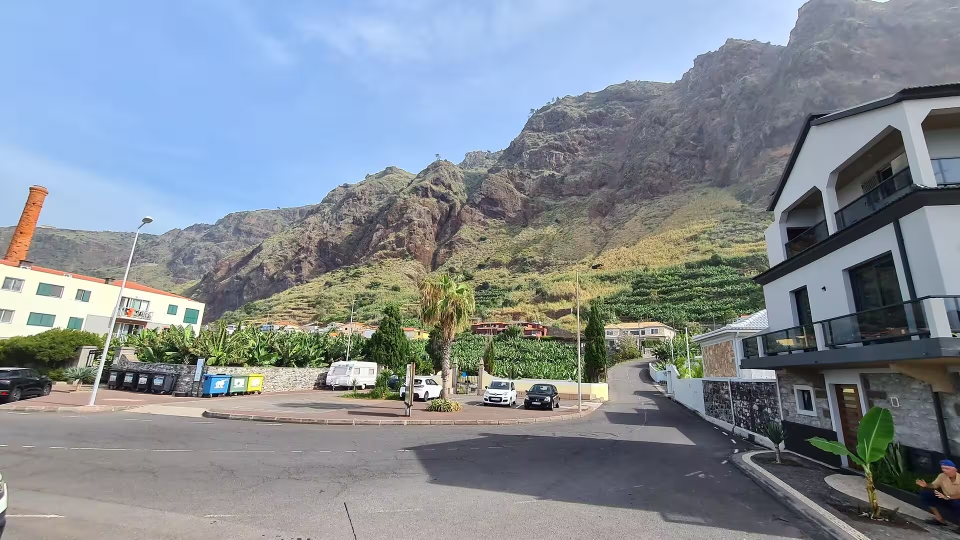
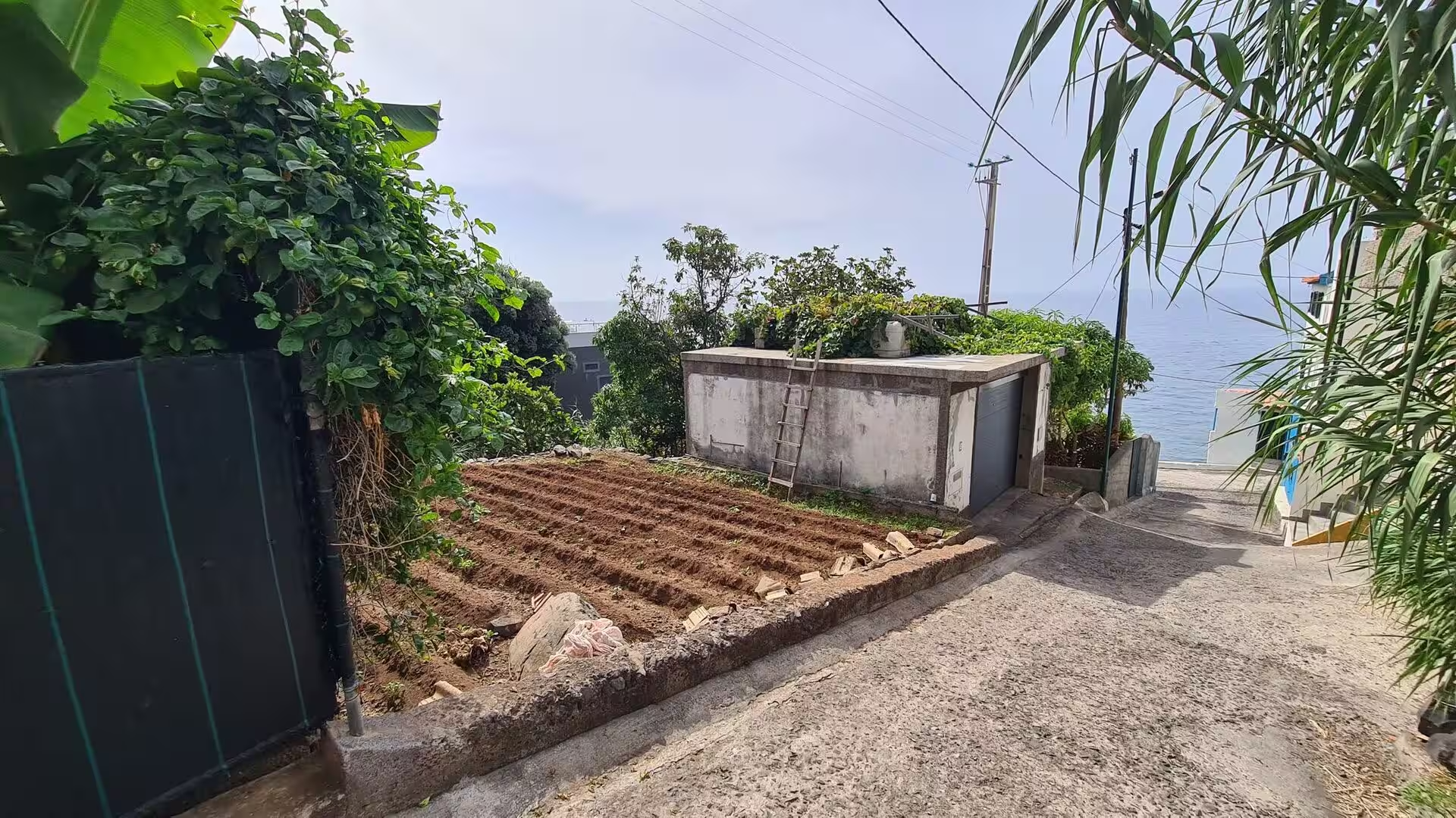
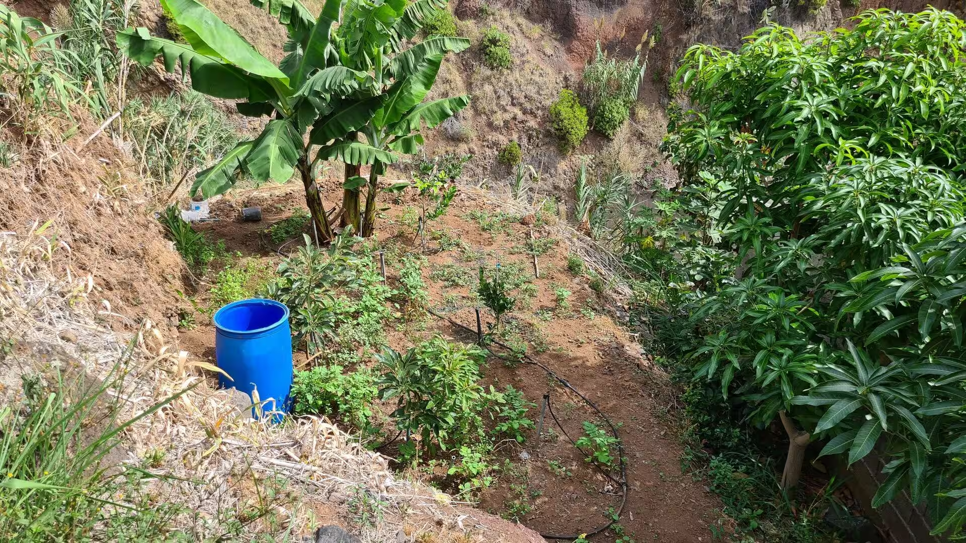
The terraced slopes and the banana plots. Behind the shore the ground is cultivated in narrow beds held by low stone walls, with banana plants, water barrels and small sheds. In the western locality of the parish bananas are the main crop, and the same plant dominates the lower slopes of the municipality, where banana, wine, horticulture and sugar cane were developed as export products. Water arrives through channels and is distributed plot by plot, and a barrel at the corner of a bed holds the reserve for the dry weeks. The terraces are an archive of land use, and their study has become a way of reading the cultivated history of the island.
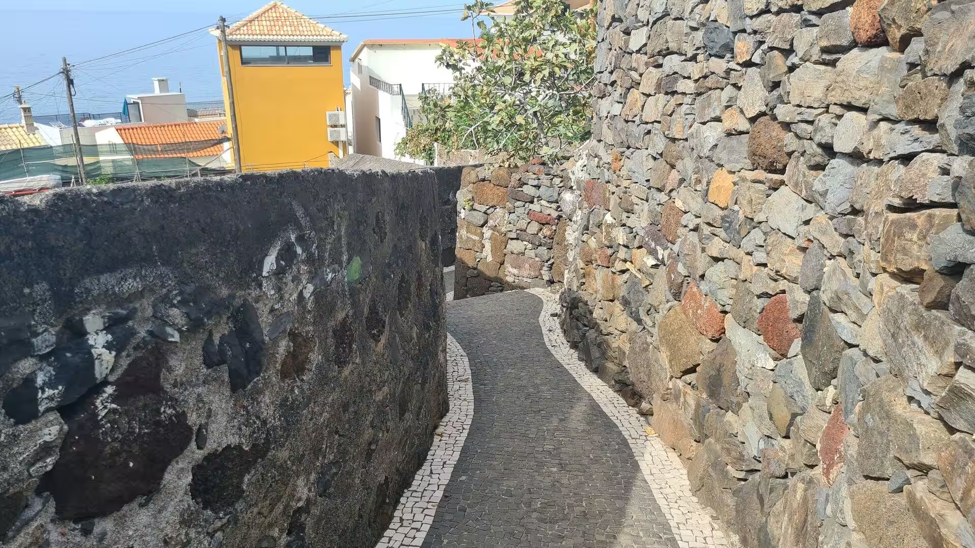
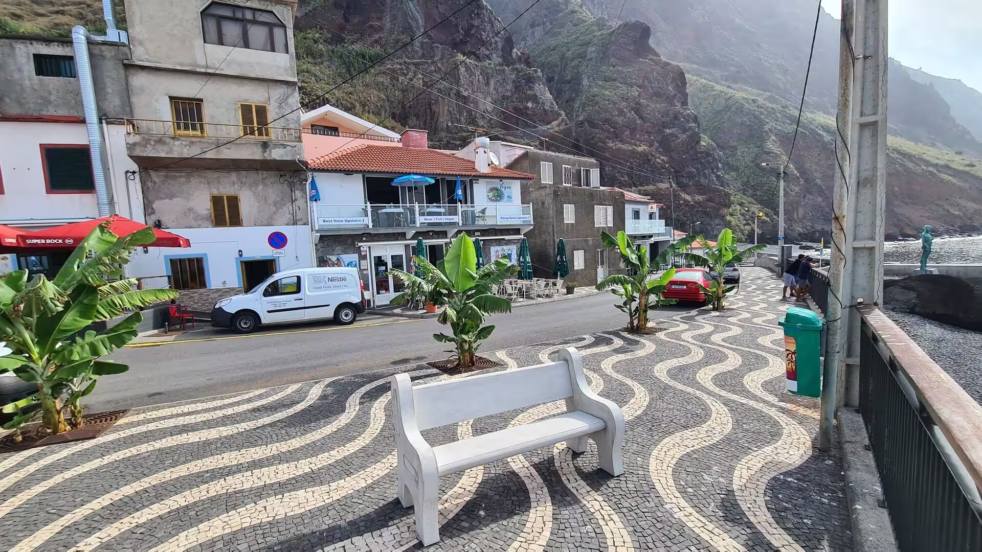
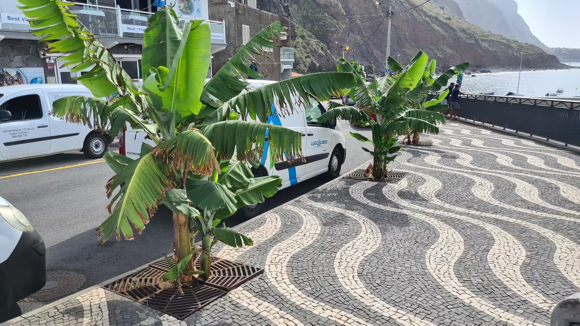
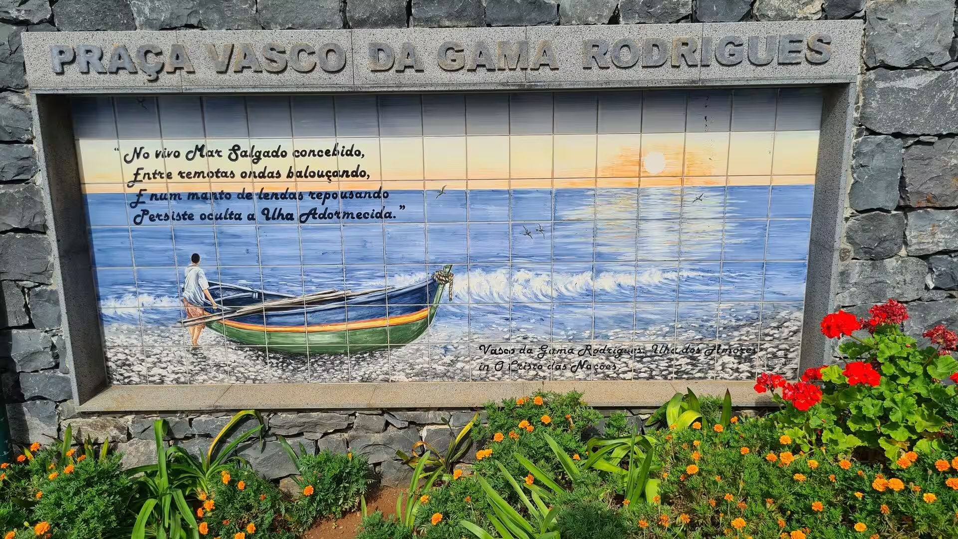
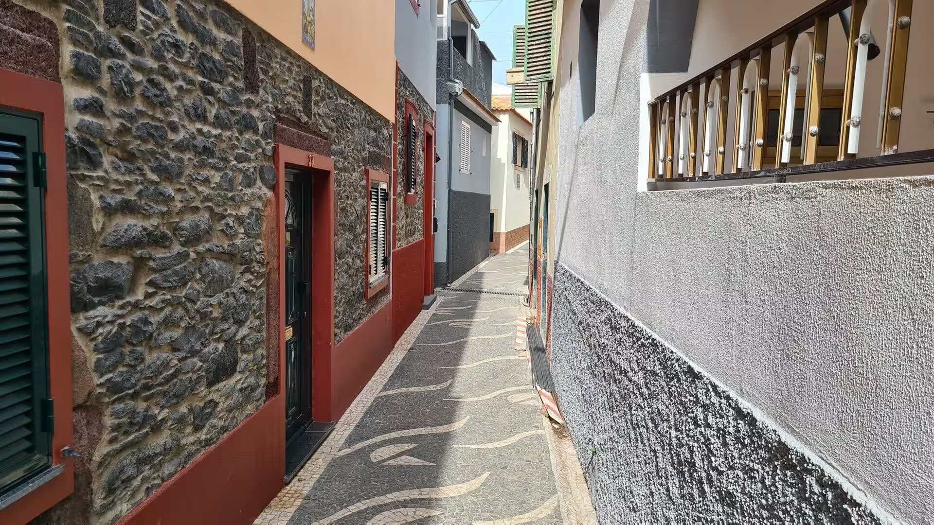
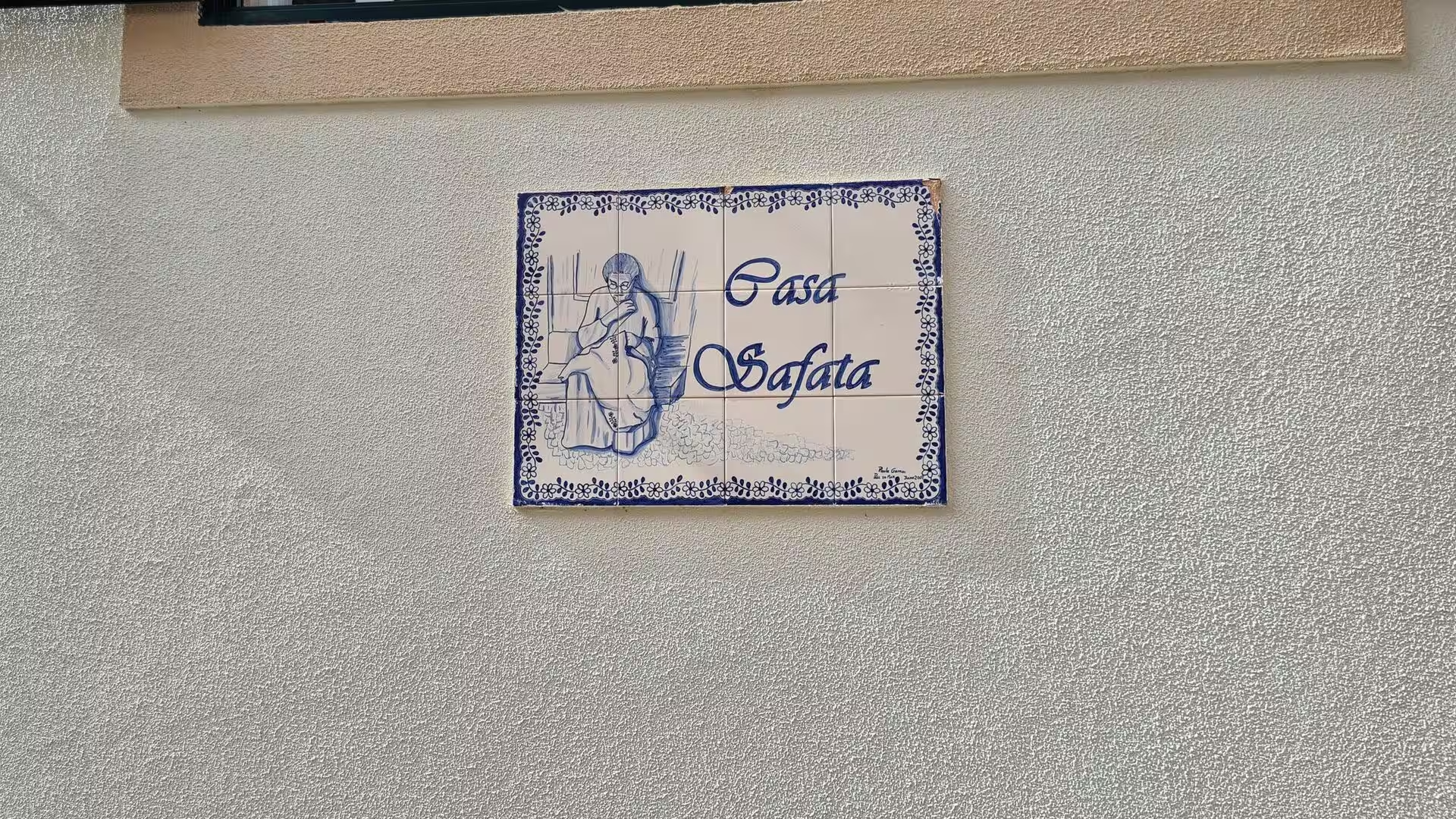
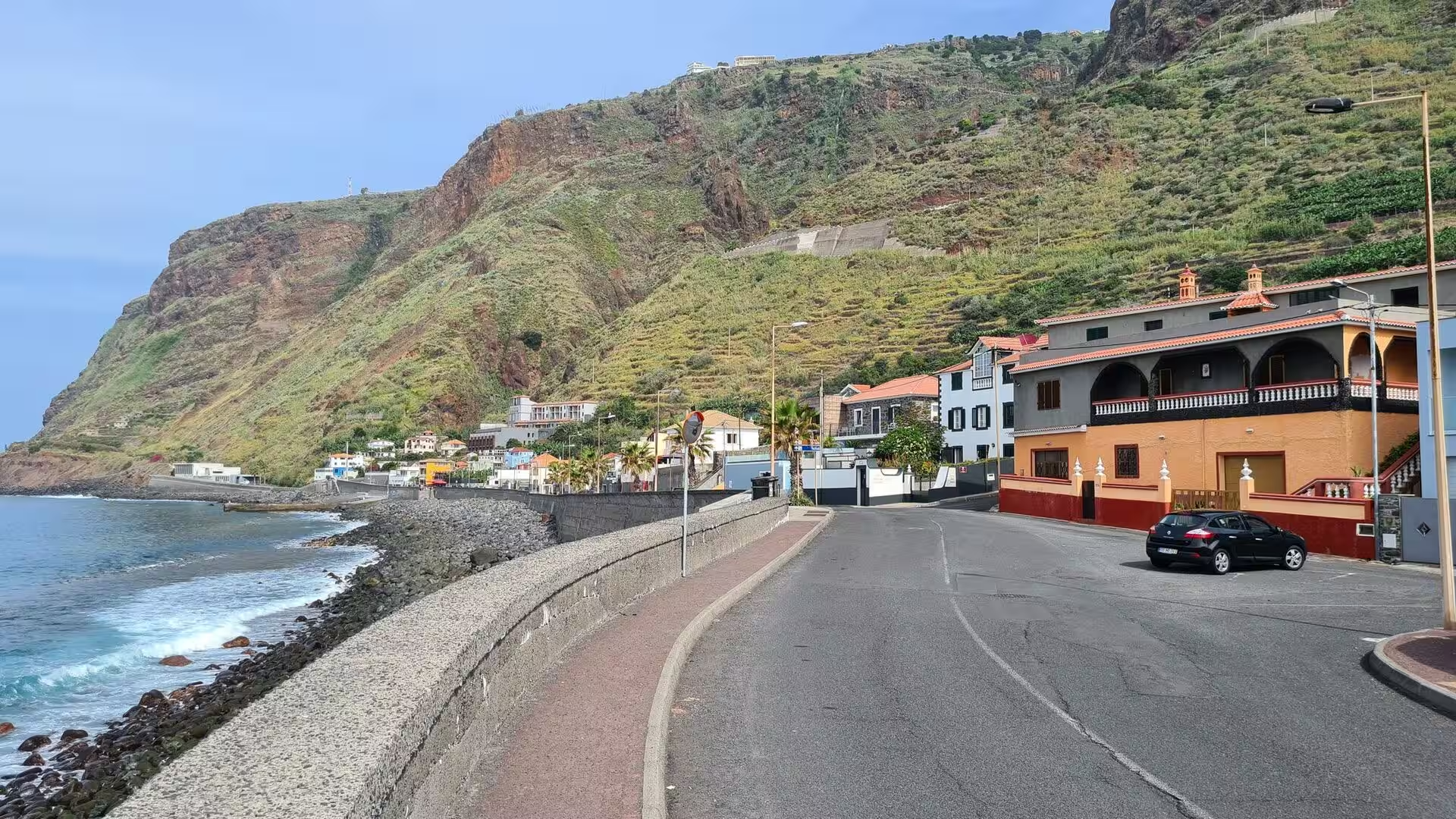
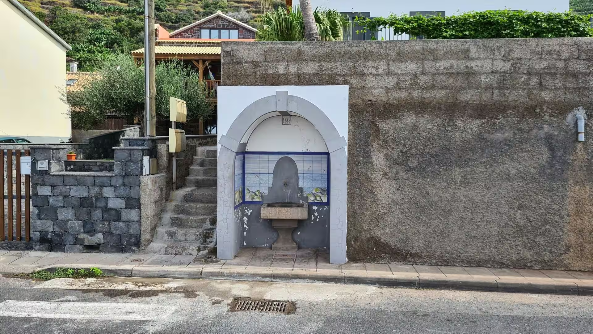
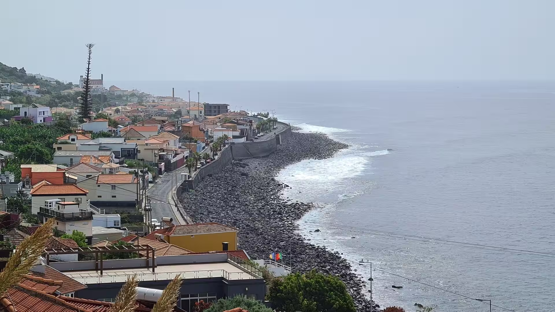
The old street along the shore. Wavy black and white cobbles run past facades whose plaster has fallen away and whose doors are painted green. One house carries a ceramic nameplate, painted in blue and white on a beige wall, reading Casa Safata. A tile panel set into a wall shows a rowing boat drawn up on shingle, a record of the parish’s relationship with the sea, and further on a robed figure in a glass case stands on rock above the water among the boats. The pavements are stepped and the doors and shutters carry most of the colour.
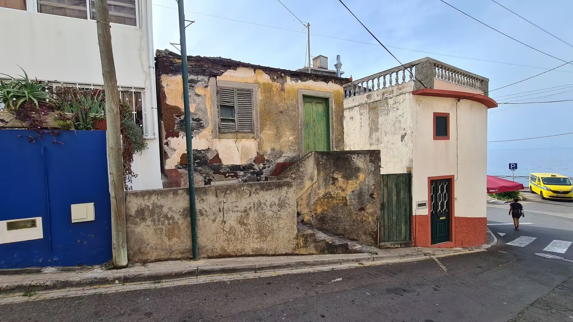
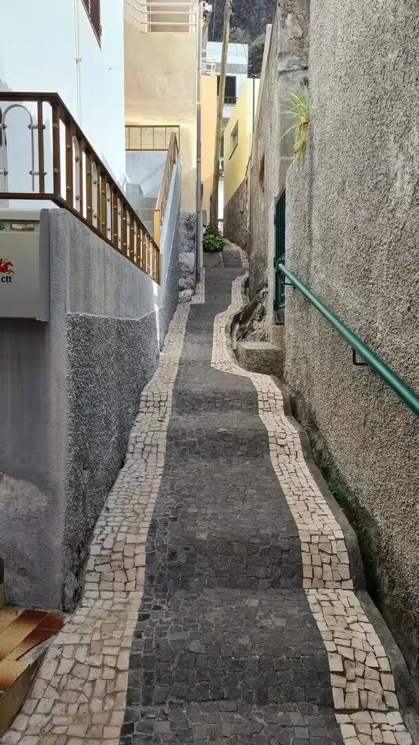
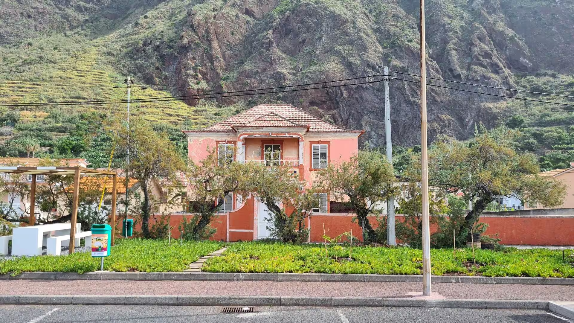
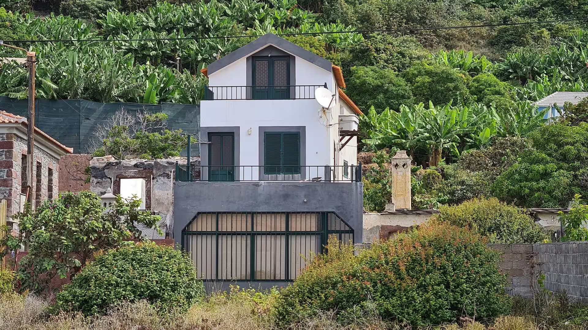
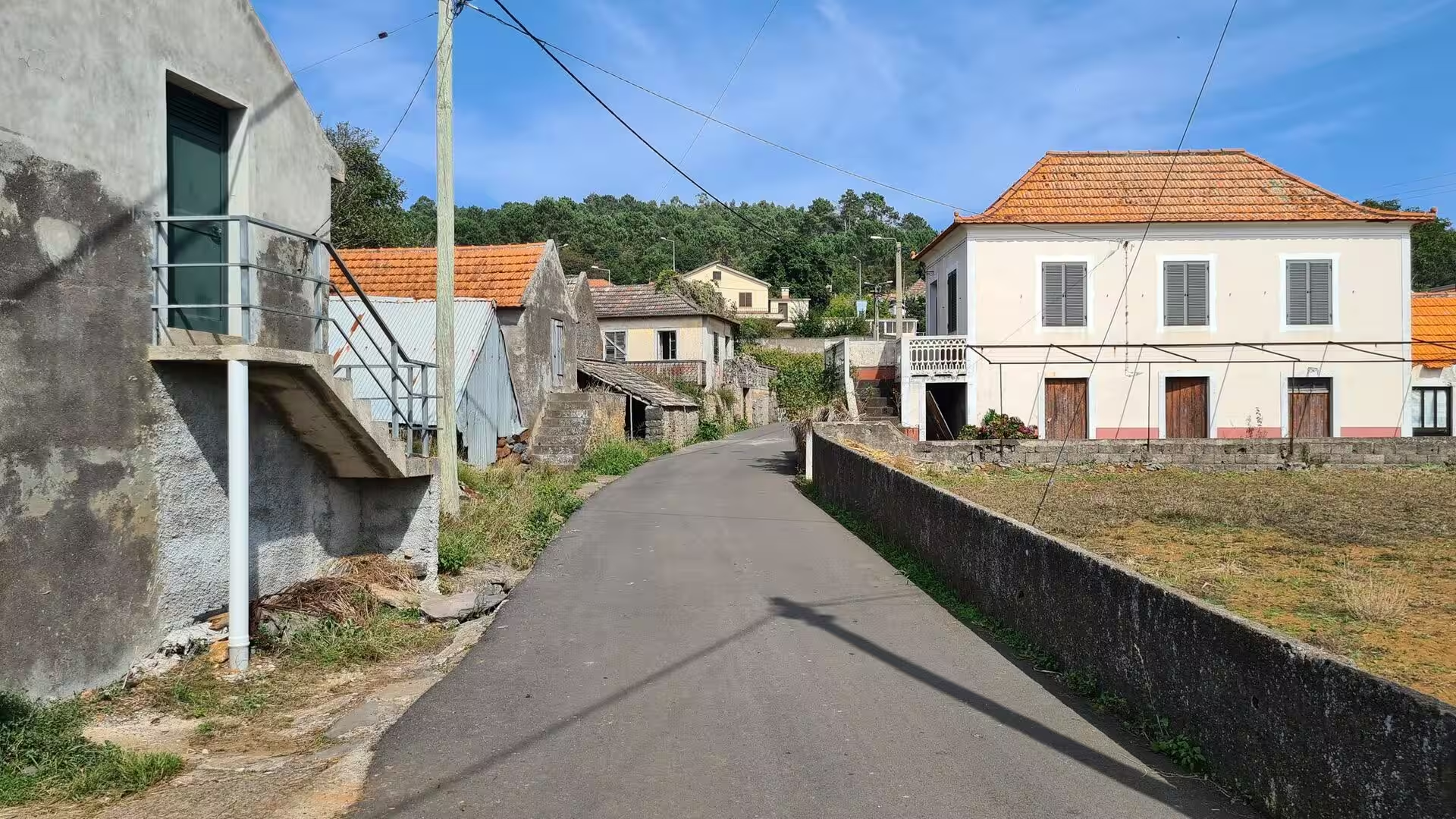
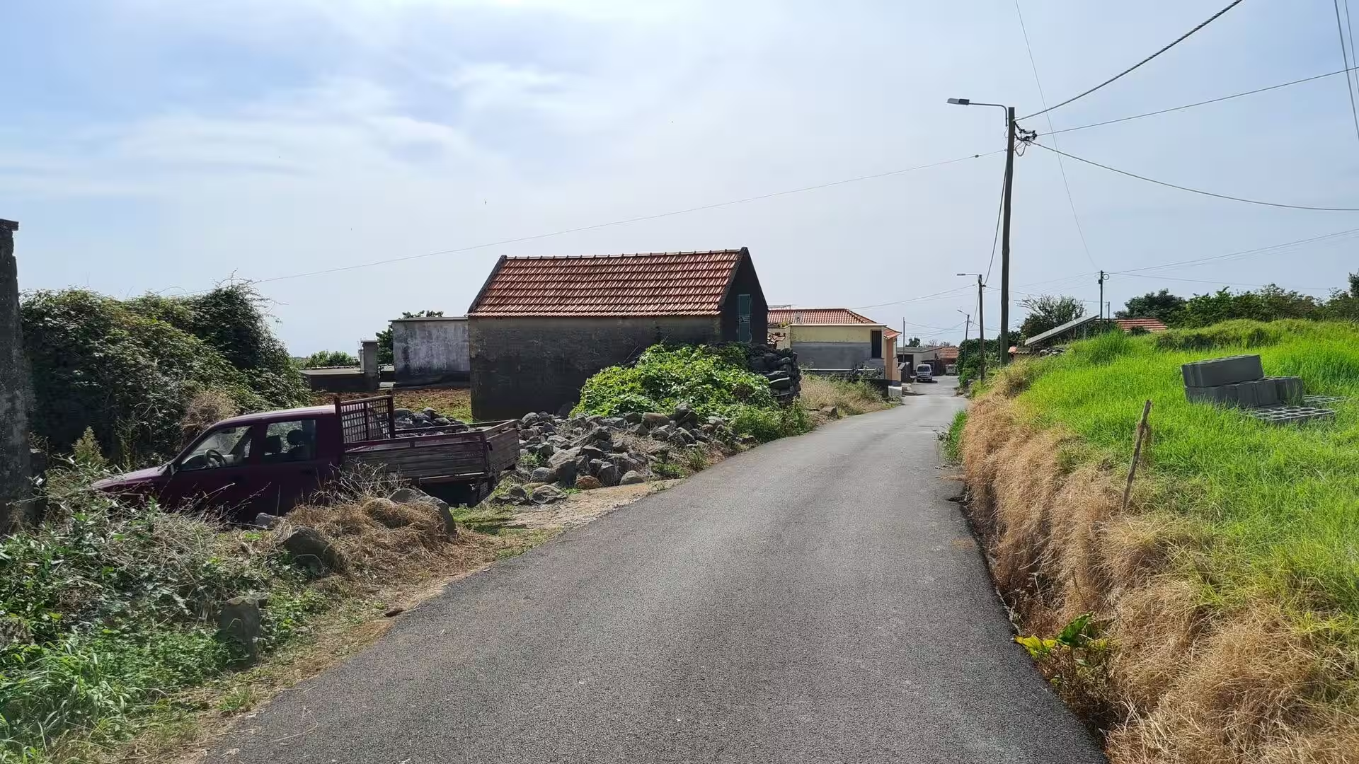
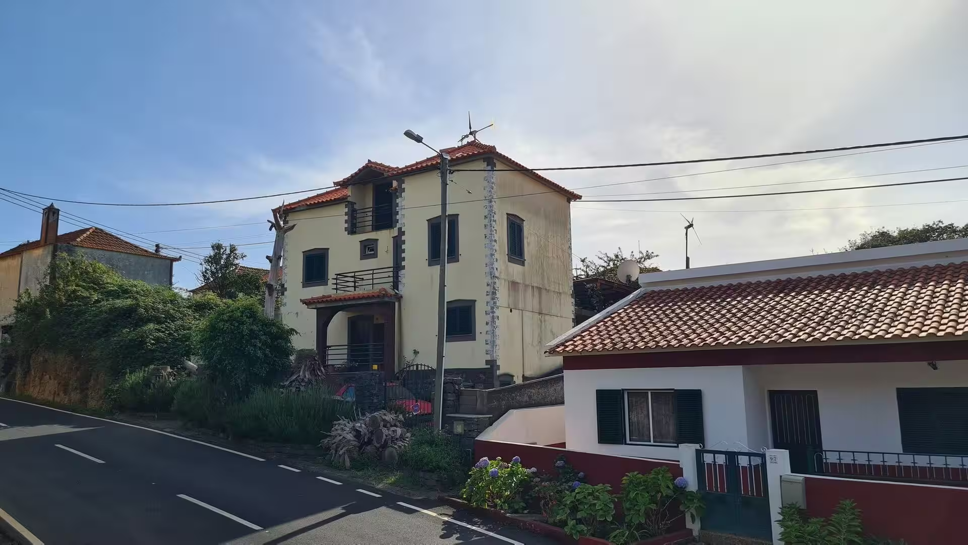
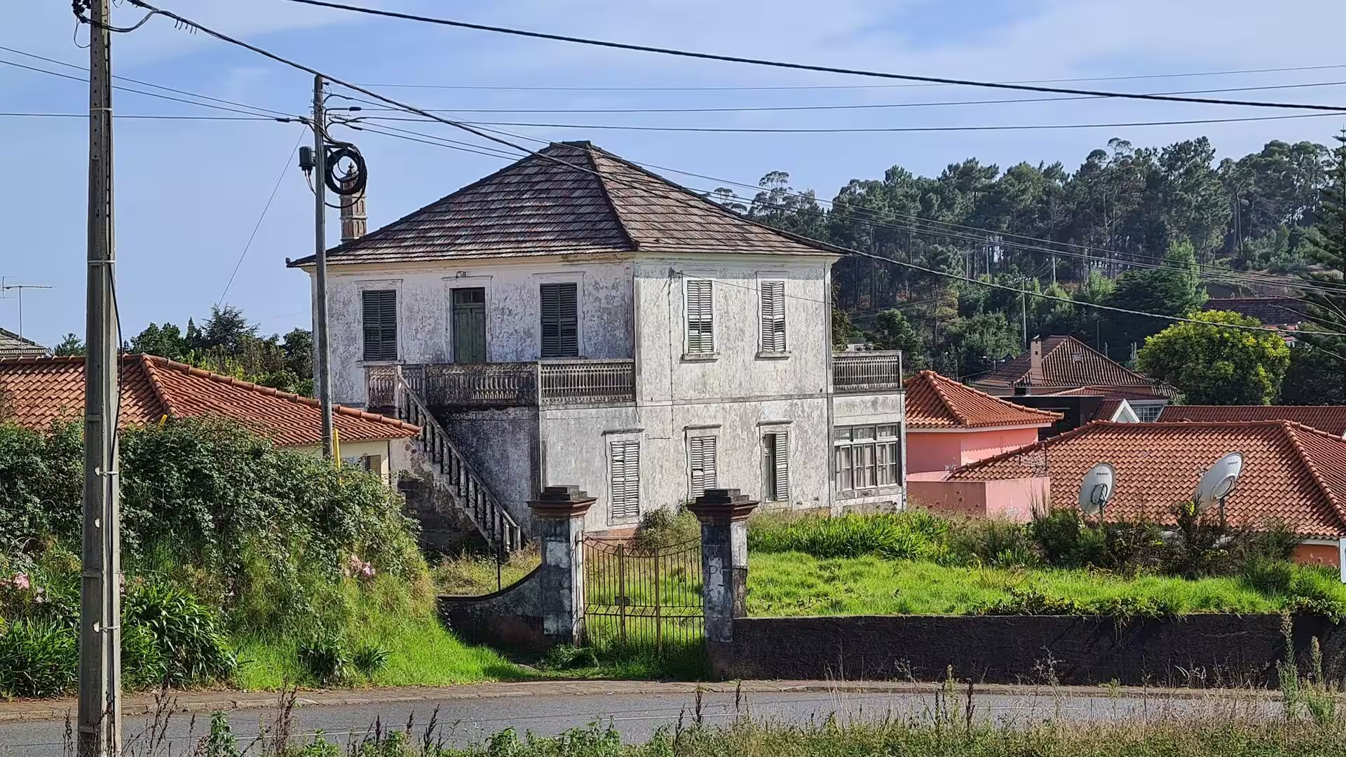
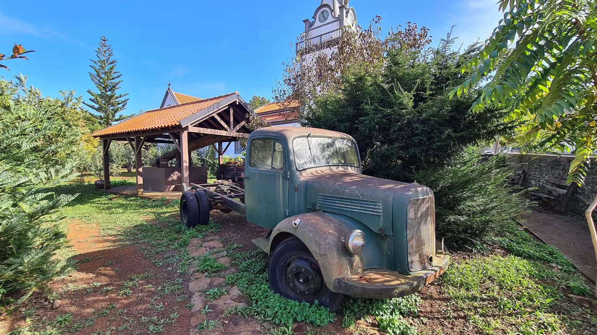
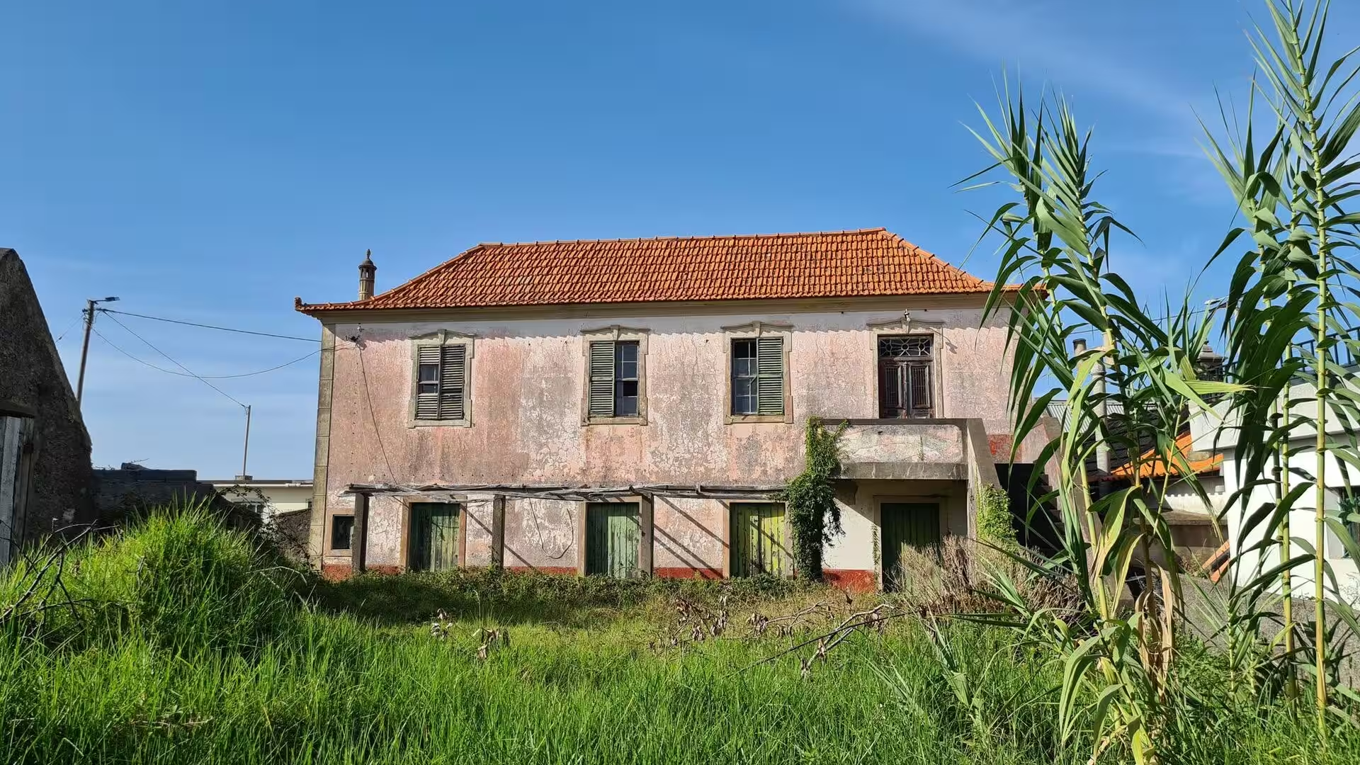
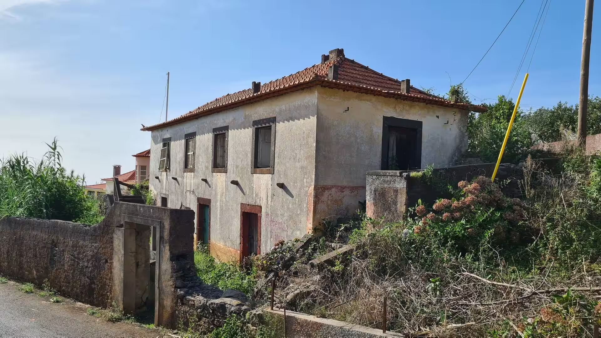
The inland lanes. Away from the water the parish becomes a scatter of houses along lanes that climb between walls of rough stone. A two storey house with a red roof stands on a quiet street, an old whitewashed building has a wooden balcony and an external stairway behind a gate, and further on a weathered rural house with a tiled roof sits behind a crumbling wall, its shutters faded to a pale green. A rusted vintage truck rests in a garden beside a tiled shelter. Grass and reeds grow against the lower walls where the ground stays damp.
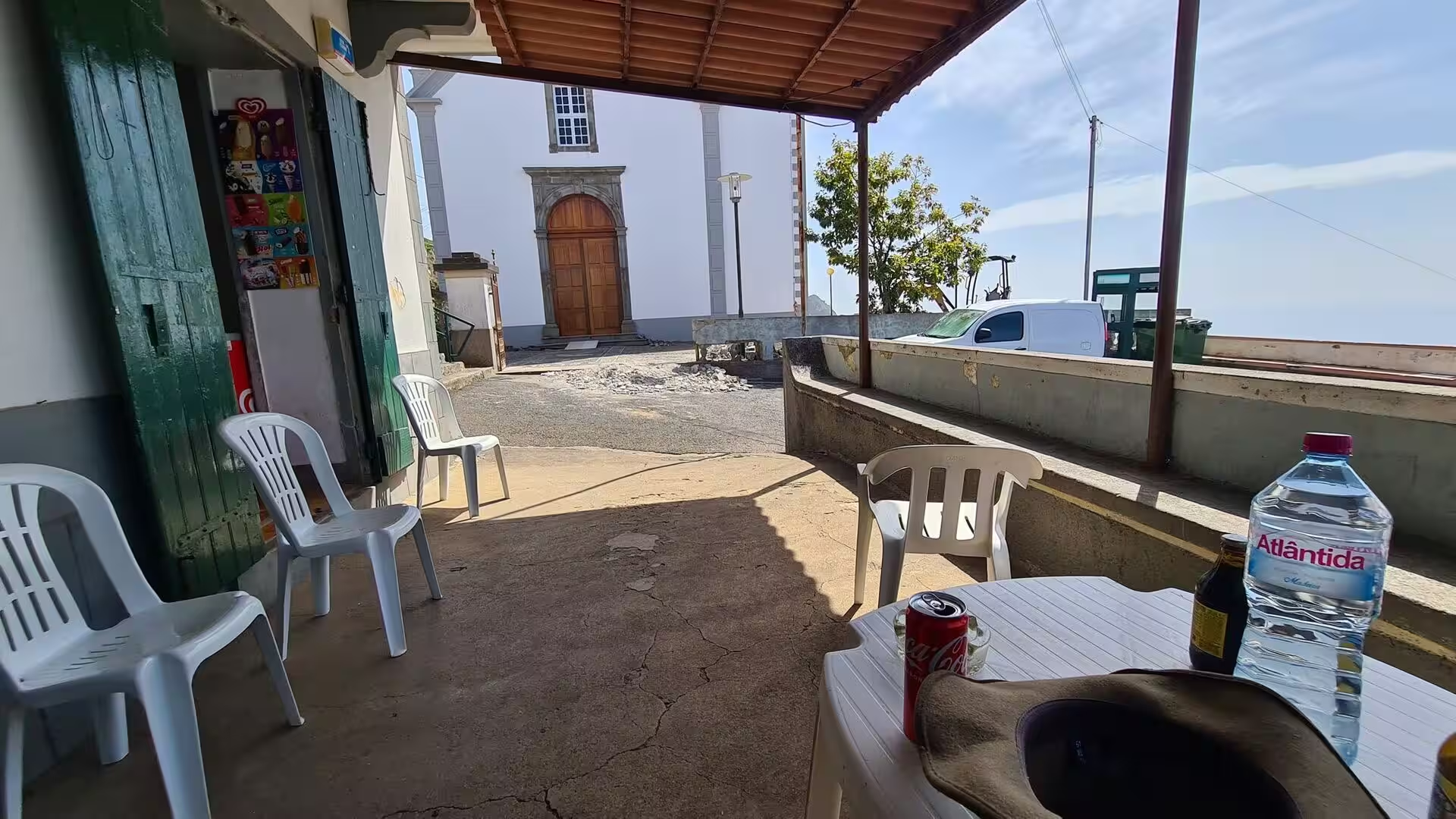
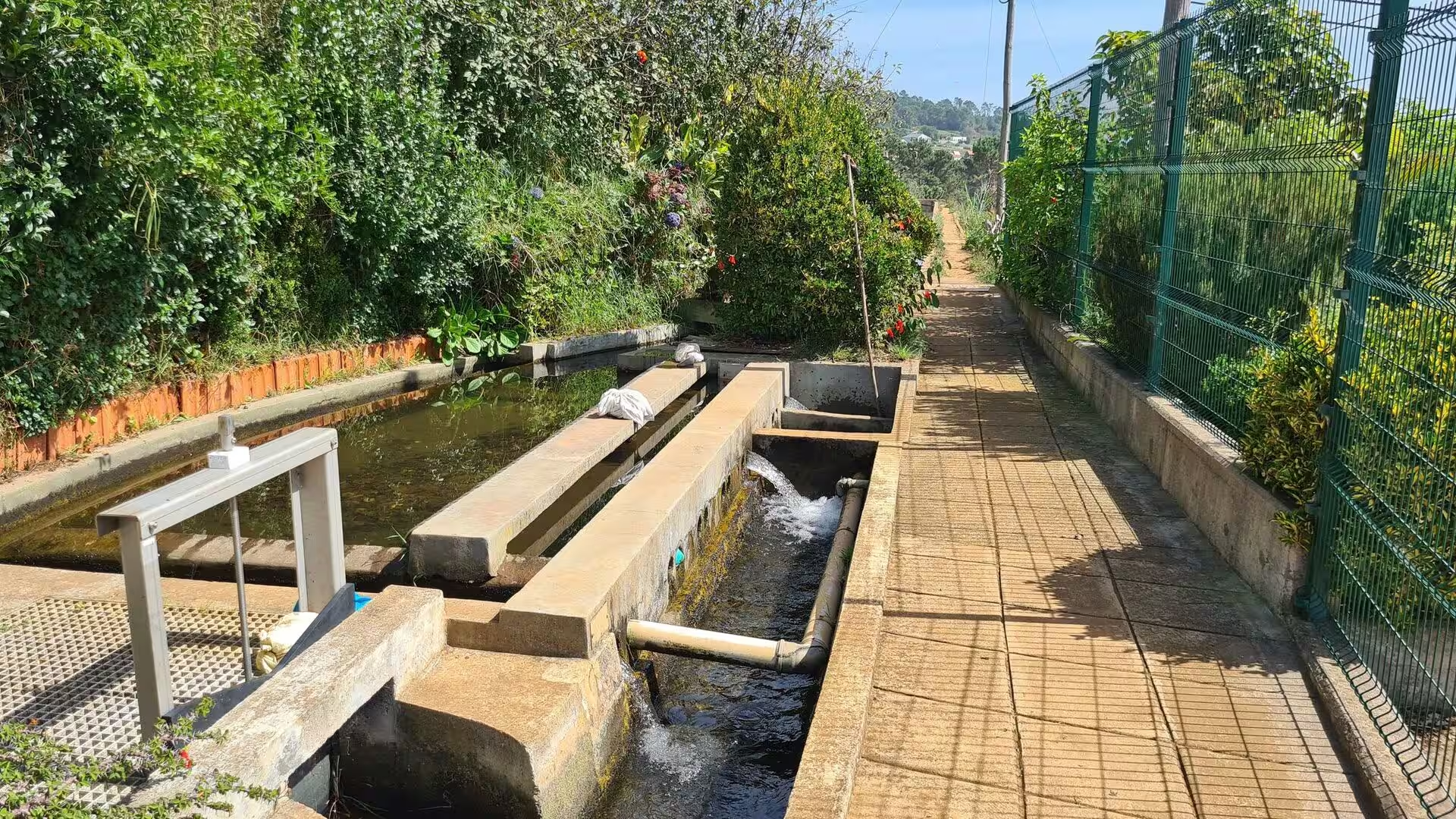
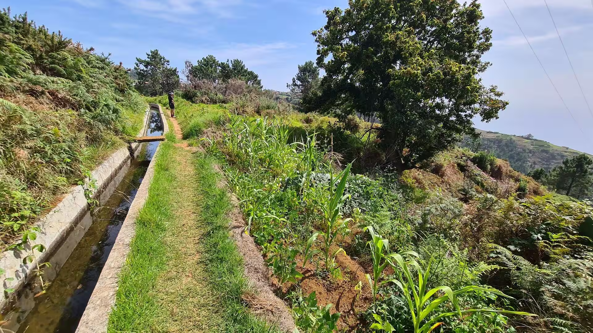
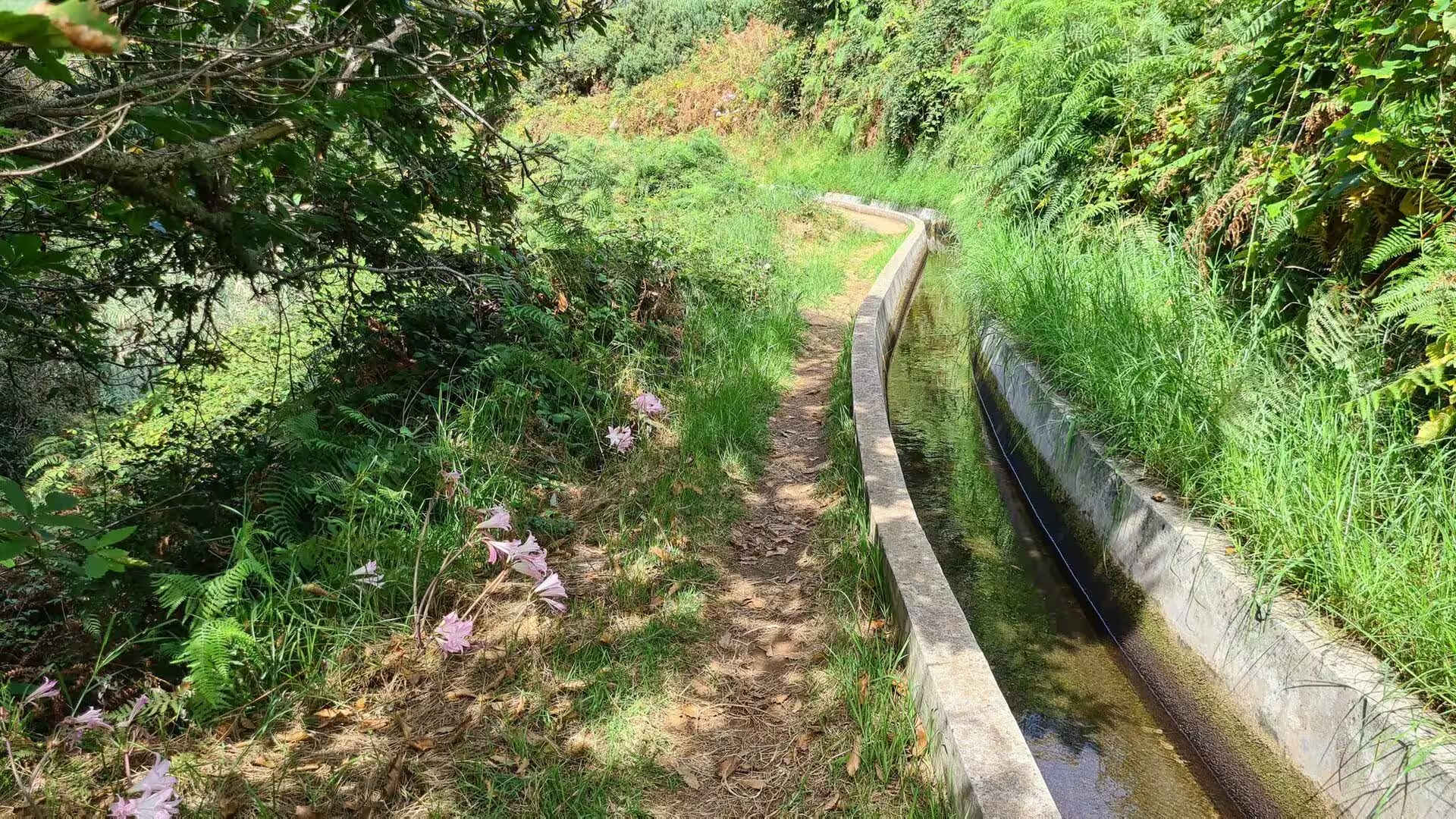
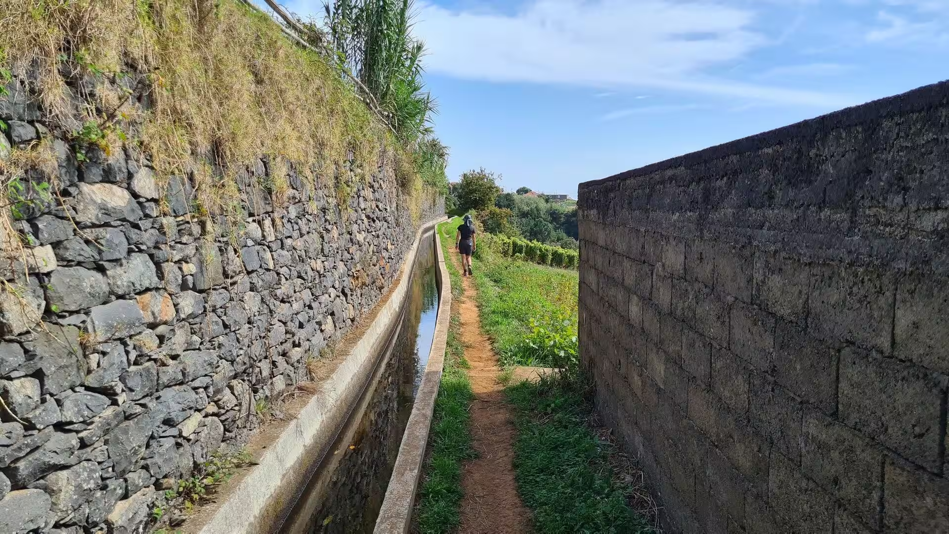
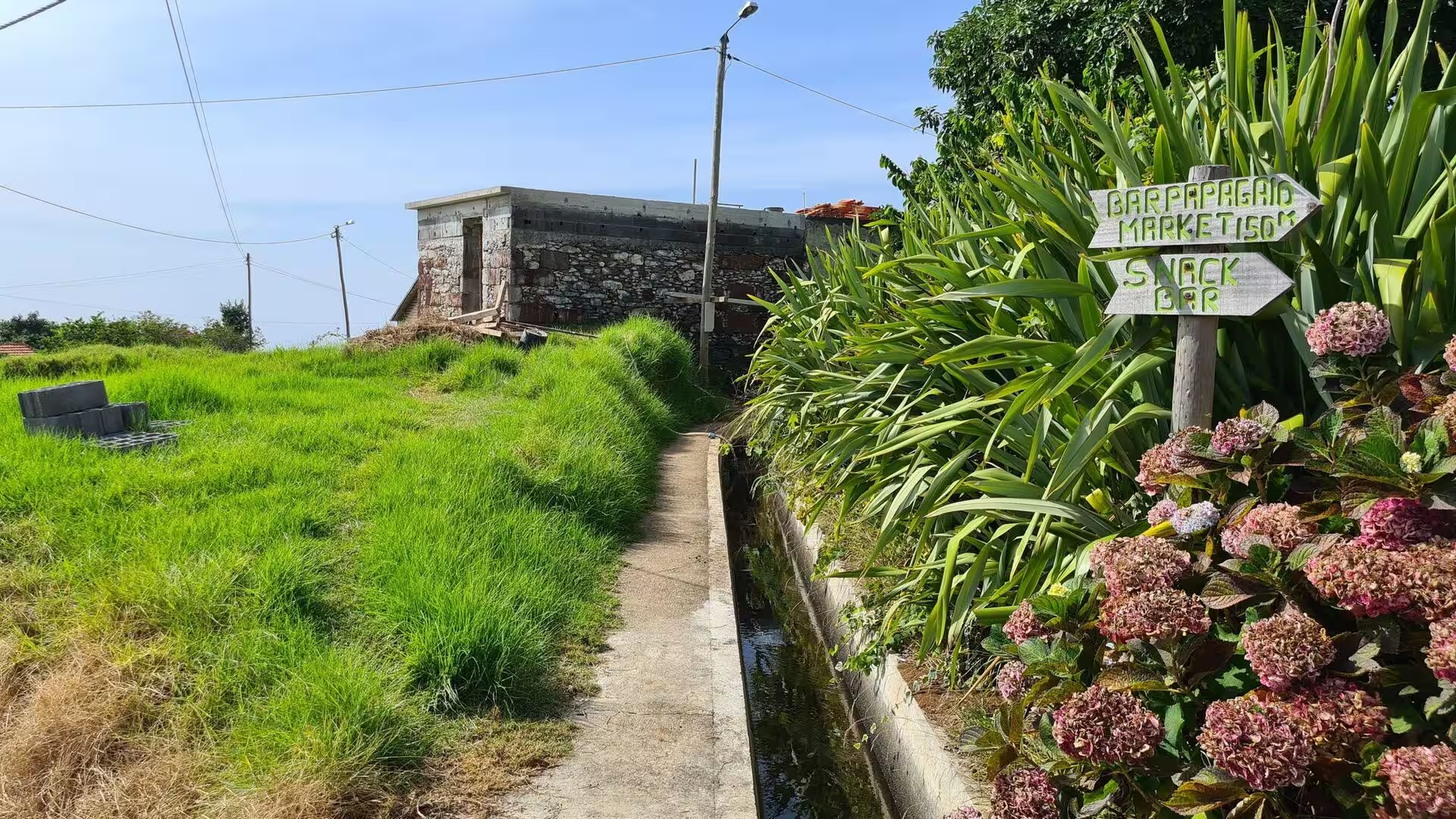
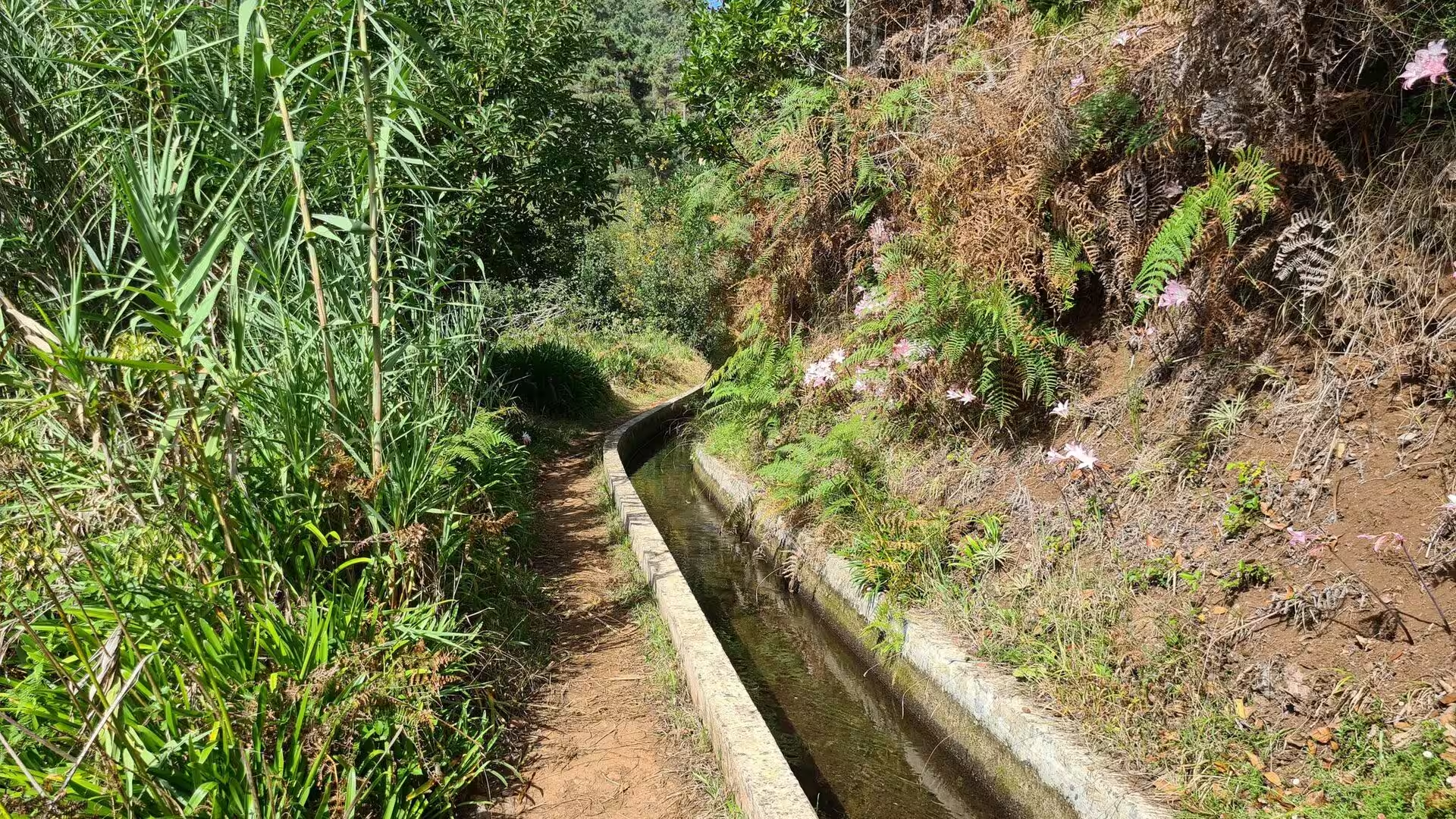
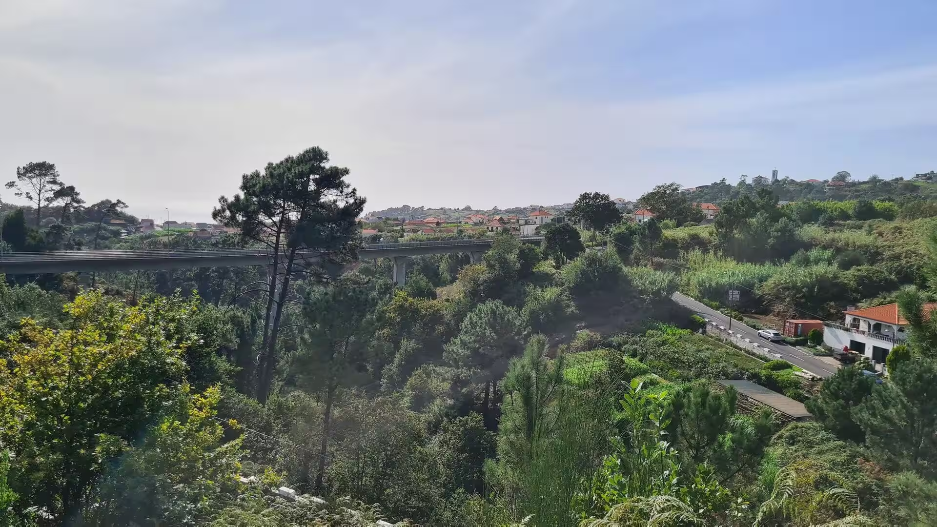
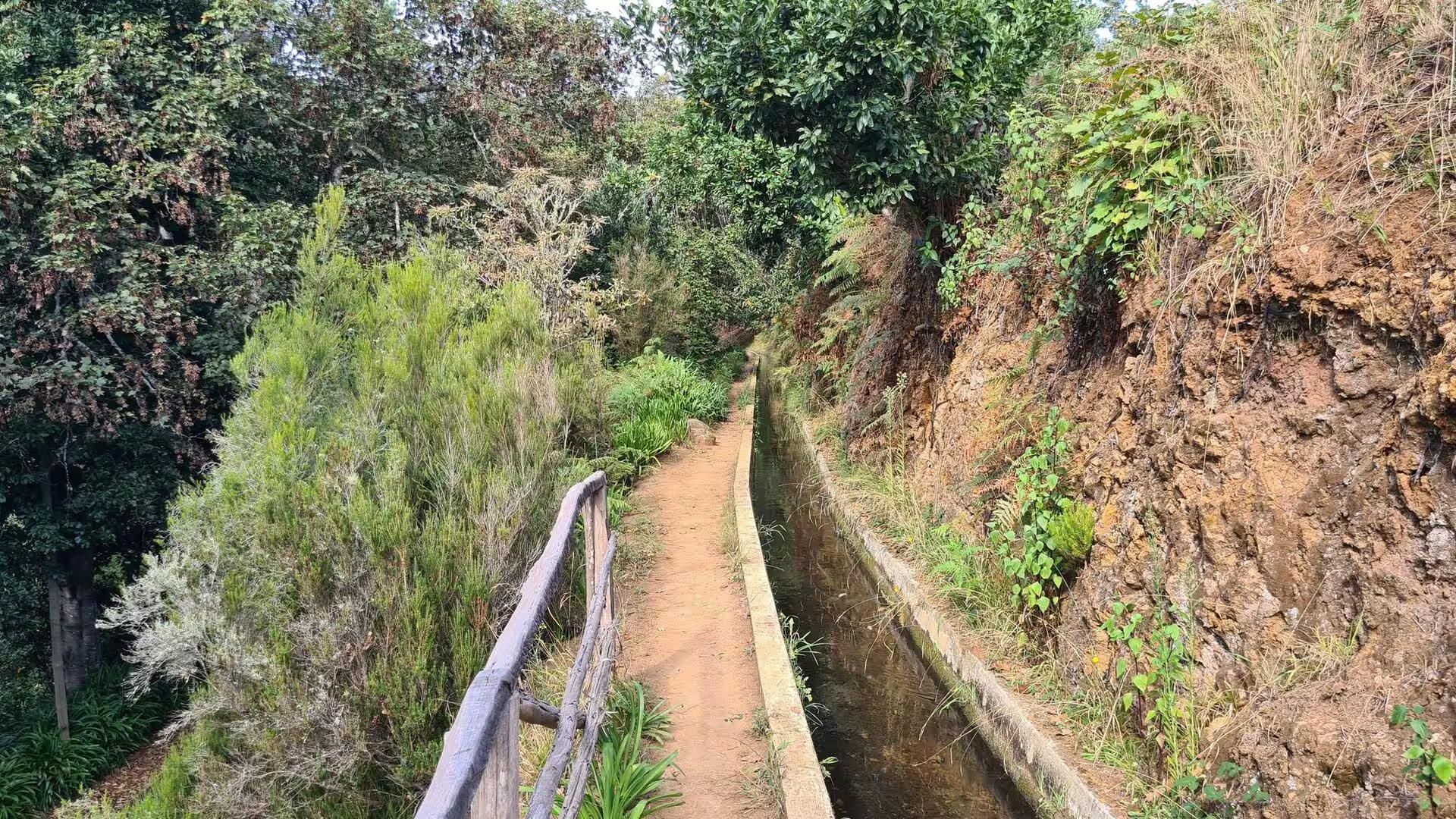
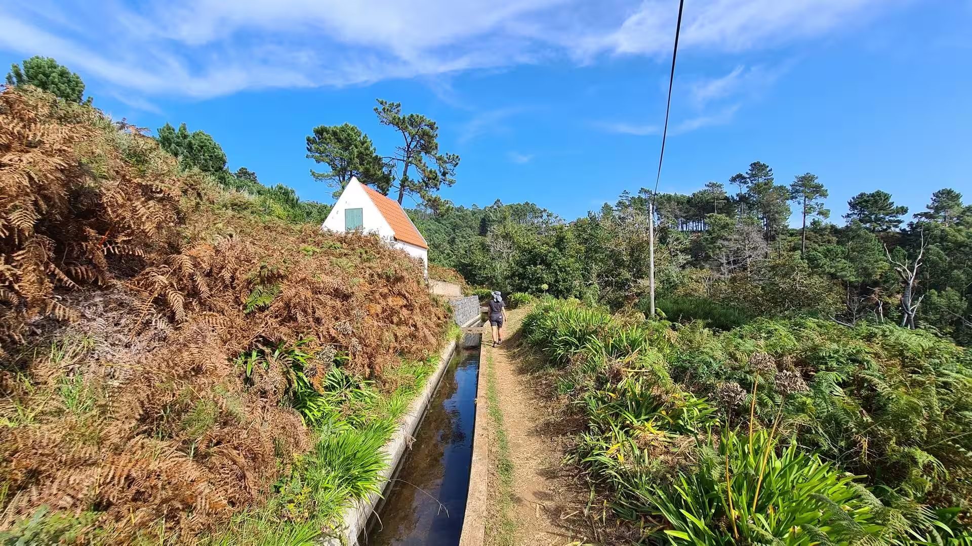
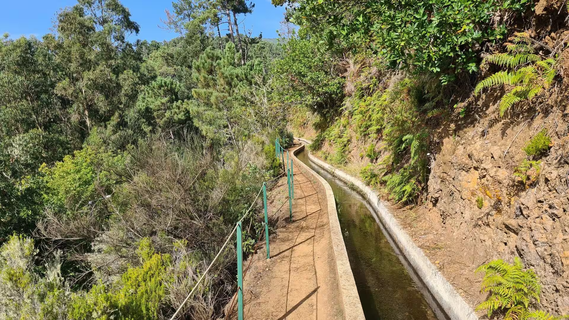
The afternoon on the levada. A concrete channel carries water along the hillside, a green fence guards the drop on the open stretches, and a narrow path runs beside it between ferns, moss and pink hydrangeas. Walkers follow it past hillside fields and beneath a reddish earth bank, and beside a simple wooden railing where the channel hugs a fern covered slope on the edge of the forest. Wooden arrows point down a side track towards a snack bar, and a tall viaduct crosses a green valley below a village of white houses. The channel is one of the irrigation lines that water the terraces, and it explains why these hillsides stay green through a dry summer.
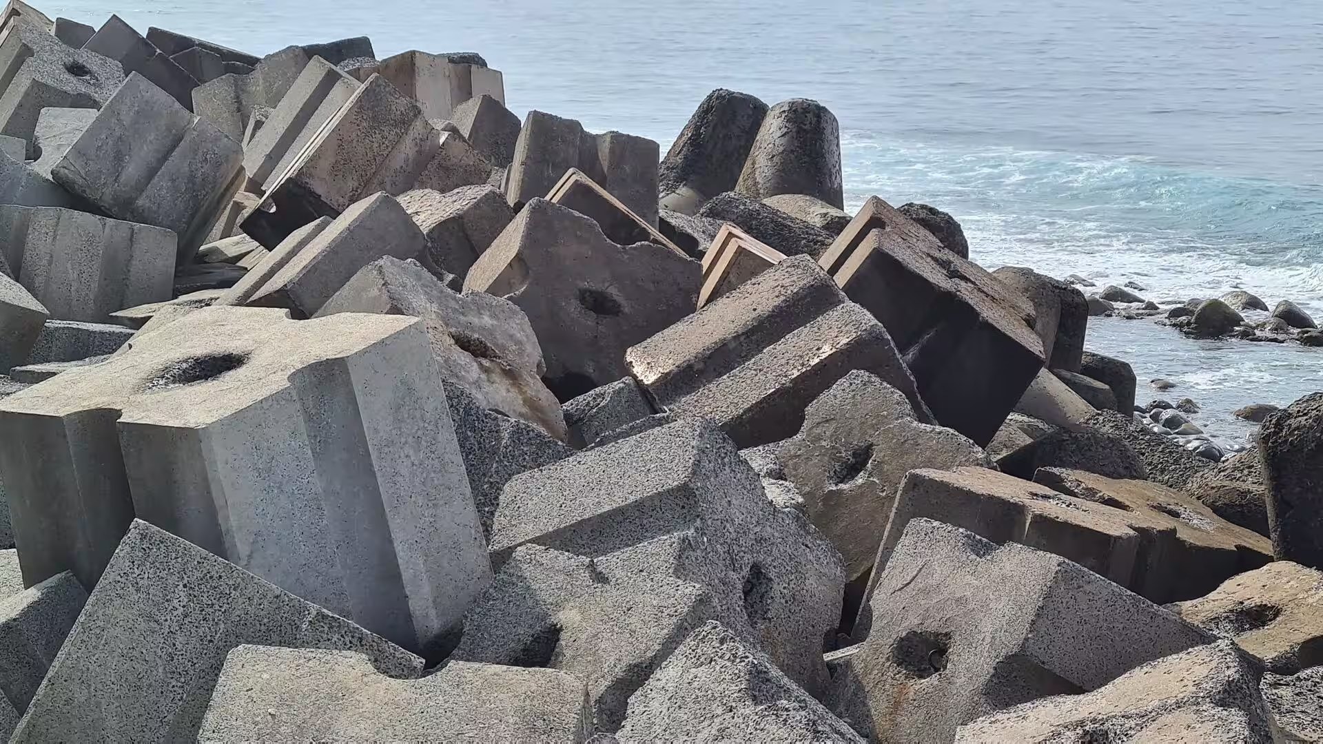
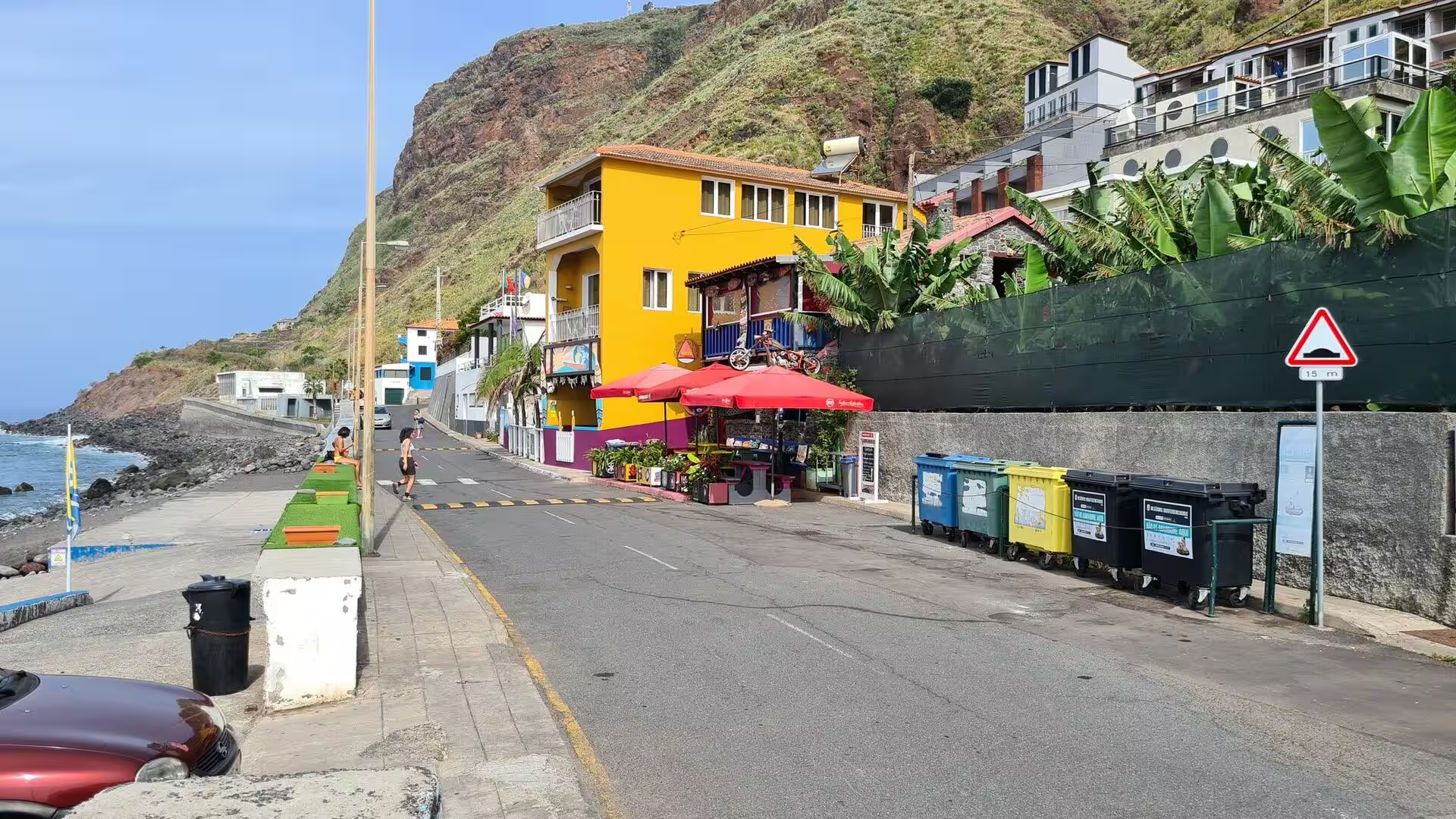
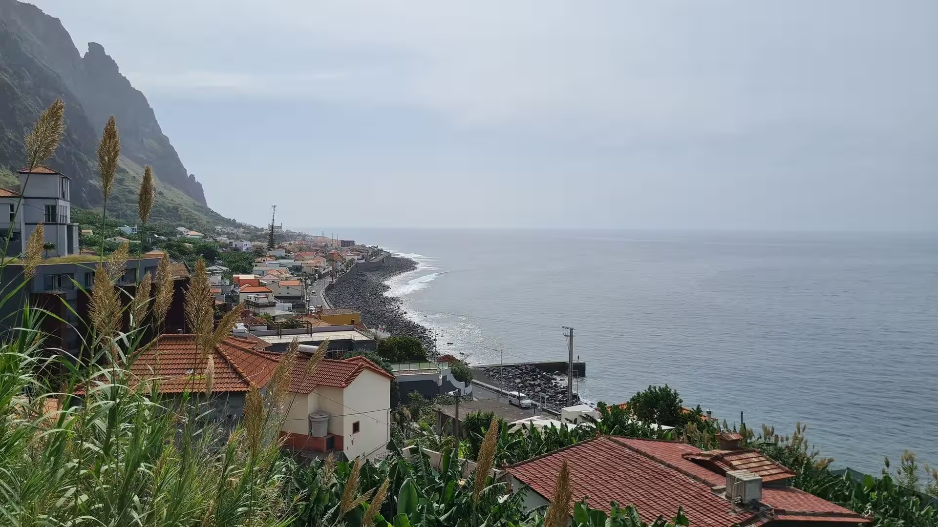
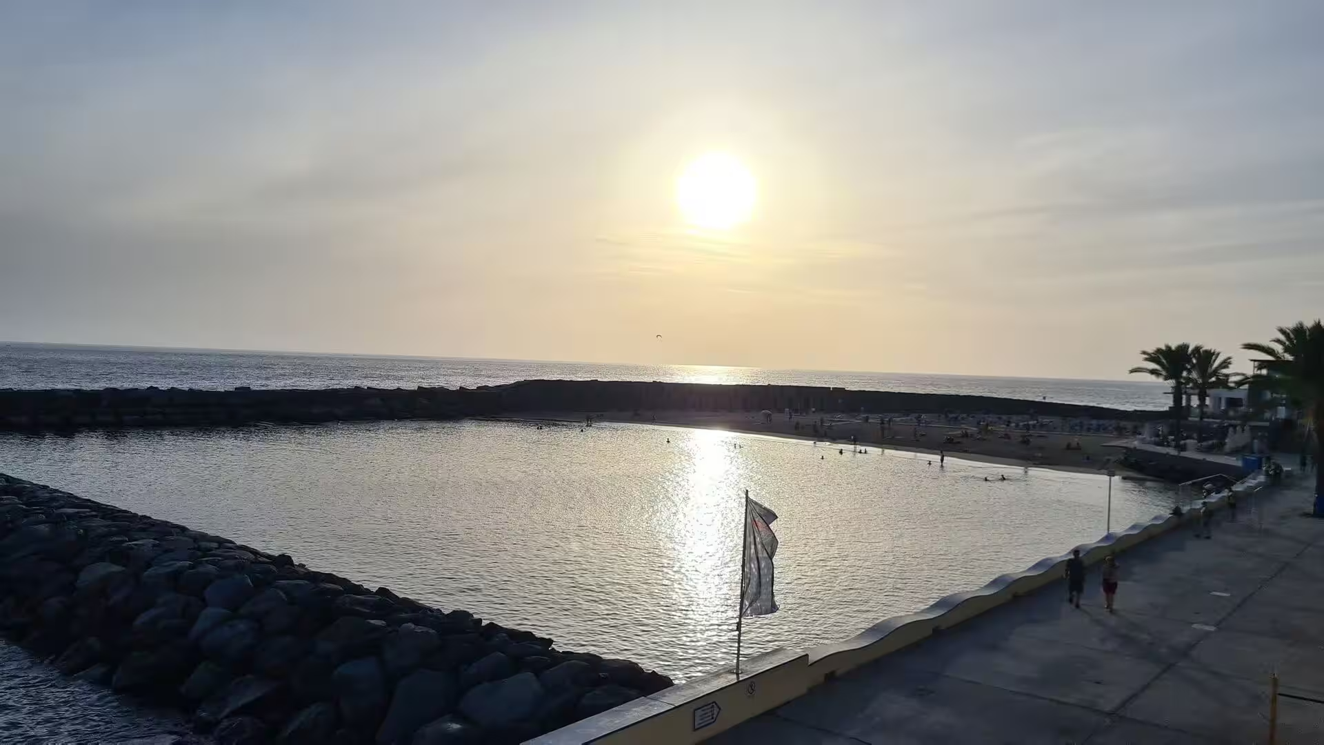
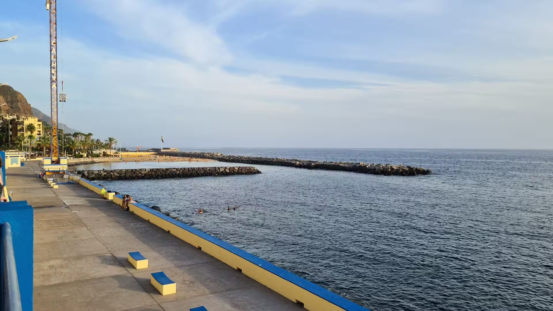
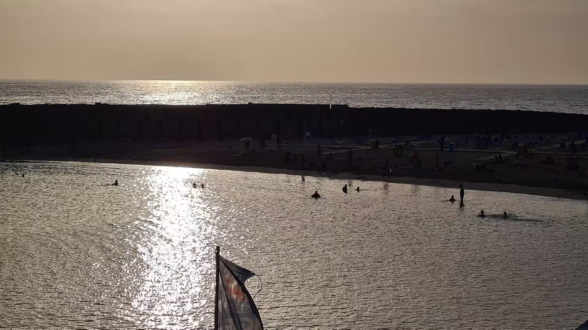
The bathing bay at dusk. The day ended where a rocky breakwater encloses a calm pool, so that the low sun is reflected across still water while the sea outside it breaks white on the stones. A paved promenade with blue and yellow benches runs along the shore, palms stand above a low wall, and a small beach lies behind the rock armour. The village turns to this edge in the evening, and the restaurants of the area serve poncha, the local drink of lemon or orange brandy, alongside fish and the traditional dishes of the island. Fishing boats and the whalewatching trips share the same water, and the last light falls on both.
References
- Wikipedia contributors (2026). Paul do Mar. en.wikipedia.org/wiki/Paul_do_Mar
- Wikipedia contributors (2026). Calheta, Madeira. en.wikipedia.org/wiki/Calheta%2C_Madeira
- Wikipedia contributors (2026). Jardim do Mar. en.wikipedia.org/wiki/Jardim_do_Mar
- Wikipedia contributors (2026). Estreito da Calheta. en.wikipedia.org/wiki/Estreito_da_Calheta
- Wikipedia contributors (2026). Prazeres, Madeira. en.wikipedia.org/wiki/Prazeres%2C_Madeira
- Wikipedia contributors (2026). Arco da Calheta. en.wikipedia.org/wiki/Arco_da_Calheta
- Wikipedia contributors (2026). Levada. en.wikipedia.org/wiki/Levada
- Wikipedia contributors (2026). Ponta do Sol, Madeira. en.wikipedia.org/wiki/Ponta_do_Sol%2C_Madeira
- Wikipedia contributors (2026). Cabo Girão. en.wikipedia.org/wiki/Cabo_Gir%C3%A3o
- Wikipedia contributors (2026). Câmara de Lobos. en.wikipedia.org/wiki/C%C3%A2mara_de_Lobos
- Wikipedia contributors (2026). Madeira Island. en.wikipedia.org/wiki/Madeira_Island
- Wikipedia contributors (2026). Madeira. en.wikipedia.org/wiki/Madeira
- Wikipedia contributors (2026). History of Madeira. en.wikipedia.org/wiki/History_of_Madeira
- Wikipedia contributors (2026). Laurisilva. en.wikipedia.org/wiki/Laurisilva
- Wikipedia contributors (2026). Macaronesia. en.wikipedia.org/wiki/Macaronesia
- Wikipedia contributors (2026). 2010 Madeira floods and mudslides. en.wikipedia.org/wiki/2010_Madeira_floods_and_mudslides
- Kiesow, Bork (2017). Agricultural terraces as a proxy to landscape history on Madeira island, Portugal. Ler História. 71. 127-152. doi.org/10.4000/lerhistoria.2912
- Lopes, Fragoso, Lopes (2020). Heavy Rainfall Events and Mass Movements in the Funchal Area (Madeira, Portugal): Spatial Analysis and Susceptibility Assessment. Atmosphere. 11. 104. doi.org/10.3390/atmos11010104
- Santos, Quartau, Brum da Silveira, Ramalho (2019). Gravitational, erosional, sedimentary and volcanic processes on the submarine environment of Selvagens Islands (Madeira Archipelago, Portugal). Marine Geology. 415. 105945. doi.org/10.1016/j.margeo.2019.05.004
- Ramalho, Winckler, Madeira, Helffrich (2015). Hazard potential of volcanic flank collapses raised by new megatsunami evidence. Science Advances. 1. doi.org/10.1126/sciadv.1500456
- Valls, Mota, Vieira (2019). Opportunities for Slow Tourism in Madeira. Sustainability. 11. 4534. doi.org/10.3390/su11174534