Day 4


Journal Notes
General
The fourth day follows the north coast between Boaventura and São Vicente, two parishes of the same municipality on the narrow northern side of Madeira. Madeira is a Portuguese island in the North Atlantic, part of the African tectonic plate and politically the southernmost region of Portugal, sharing the Macaronesian group with the Azores, the Canary Islands and Cape Verde. The population of the archipelago was 251,060 in 2021, with roughly half of the inhabitants living in and around Funchal on the south coast. The north faces the open Atlantic, and its settlements are strung along the few places where a valley reaches the sea.
São Vicente is the municipality of this stretch of coast. It includes three civil parishes: Boaventura, physically the largest but with the lowest population density; Ponta Delgada, a small parish nestled between two promontories; and São Vicente, the largest in population and in density, which contains the municipal seat. São Vicente has a population of 3,139 (in 2011) in an area of 44.14 square kilometres. The town is also the site of the São Vicente Caves. Boaventura lies on the northeast coast of the municipality and was the last of the three parishes to be settled.
The climate of the north coast is a very wet subtropical Mediterranean type, with warm, almost rainless summers, mild and wet winters, and humidity of about 75 per cent throughout the year. The Gulf Stream keeps the temperature range narrow. The north coast is generally some degrees cooler than the south because of increased cloud cover and reduced sunshine, and temperature falls about 0.65 degrees Celsius per 100 metres of elevation. In the Queimadas forest park, at an altitude of 860 metres, annual precipitation reaches about 2,314 millimetres, with November the wettest month at 391 millimetres and July, the driest, still receiving 47.1 millimetres.
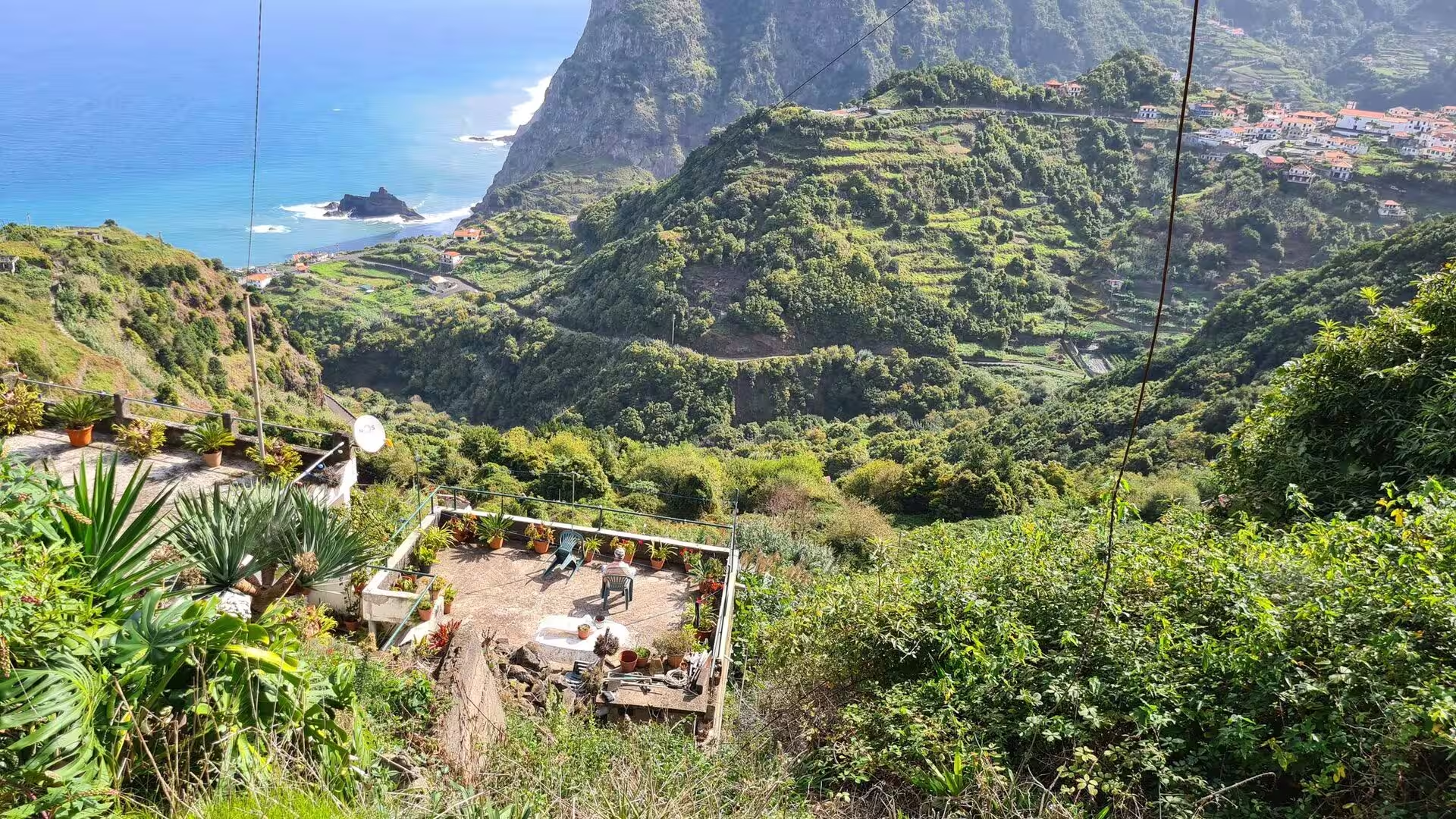
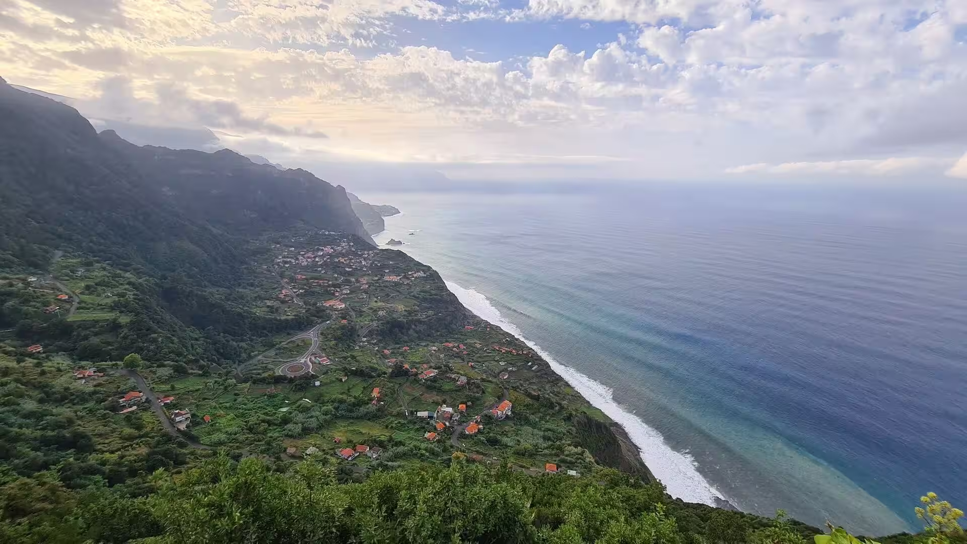
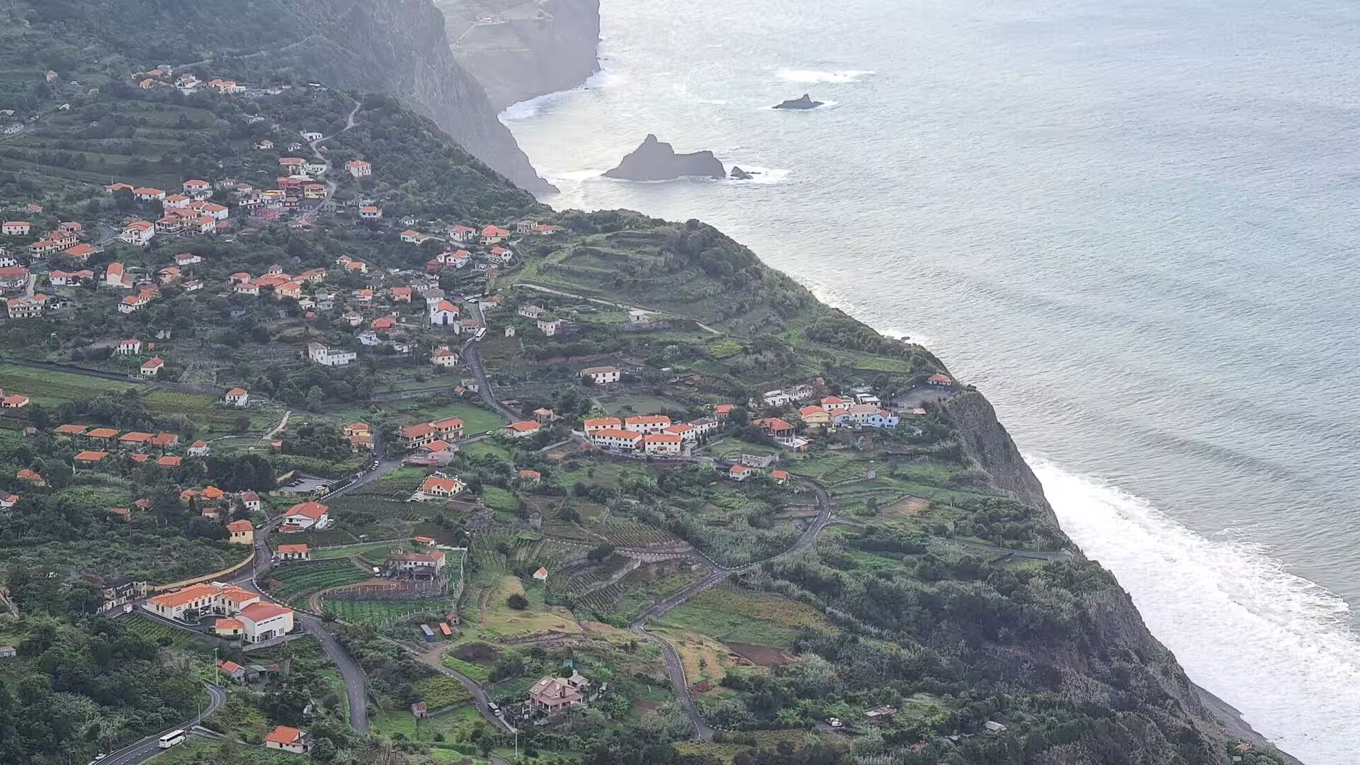
That moisture is visible everywhere on this day. Water runs in open channels along the hillsides, moss covers the stonework, ferns grow to the height of a person in the ravines, and waterfalls fall over boulders into dark pools. The villages occupy the valley floors and the lower slopes, where the ground is gentler and water can be diverted onto terraced fields. Above the roofs the slopes rise steeply into forest, and the coast below is a line of dark cliffs broken by the mouths of the ribeiras.
The day moves between the villages with their white houses and terracotta roofs, the green valleys that open to the sea, and the coastal path along the cliff edge above the surf. Along the way it also shows the small scale of life on this coast: stone sheds, walled lanes, banana groves on terraces, a stone bridge with a cafe terrace beside the water, thatched houses in a neighbouring municipality, and the blue and white tile panels set into the walls of the houses.
History
Madeira had no inhabitants when the first Portuguese ships reached it. In 1418 two captains of Prince Henry the Navigator, João Gonçalves Zarco and Tristão Vaz Teixeira, were driven by a storm to the island that they named Porto Santo in gratitude for their rescue from shipwreck, and in the following year an expedition took possession of the larger island for the Portuguese crown, with captain Bartolomeu Perestrello among them. Settlement began around 1420 or 1425, and the islands started life as the property of the Order of Christ, which promoted their colonisation. The archipelago counts as the first territorial discovery of Portuguese expansion.
São Vicente was among the last parts of the island to be settled. The first visitors reached the area in the middle of the fifteenth century, and colonisation came later than in the south, because steep escarpments and deep river valleys made it difficult to work the land or to move between valleys. The first settlers occupied the areas that are now São Vicente and Ponta Delgada. A legend accounts for the name of the parish: Saint Vincent of Saragossa is said to have appeared in a rocky cove near the mouth of the river, and the settlers built a small chapel in his honour.
As the population grew, the parish gained administrative weight. São Vicente was separated from the Captaincy of Machico and elevated to the status of municipal seat by royal charter on 23 August 1774, and at that time the parishes of Porto Moniz, Seixal, Arco de São Jorge and São Jorge were under its administration. The Liberal reform of municipal government under Mouzinho da Silveira created two new municipalities along the northern coast in 1835, Santana and Porto Moniz, which reduced the area of São Vicente; in 1898 the municipality began to function within the territorial area that it holds today.
Agriculture shaped the parishes for centuries. Terracing was the answer to steep slopes and thin soils, and the walls that hold the fields remain the most widespread man made feature of the northern landscape, since their construction, rebuilding and abandonment record the history of land use on the island. Water was managed with equal care: the settlers built large numbers of canals, the levadas, because in some parts of the island there was water in excess while other parts suffered from scarcity, and fish supplied about half of the settlers’ diet in the earliest period. Wheat was the first successful crop, sugar cane followed in the middle of the fifteenth century, and vines became the most valuable product of the island after the collapse of the sugar trade.
In the twentieth century the northern parishes lost population to emigration while remaining largely rural. Gregório Joaquim Diniz, a doctor born in 1863 who served as Sub-Delegate for Health, was involved in the first hydro electrical production facility on the island of Madeira, at Pé de Corrida. Madeira was granted political autonomy on 1 July 1976, celebrated since as Madeira Day, and the Madeira International Business Centre was created in 1980. Tourism now provides about 20 per cent of the region’s gross domestic product, and in 2021 the island registered 148,000 British and 113,000 German visitors.
Geology
Madeira is the summit of a shield volcano that began to grow during the Miocene, over five million years ago, along an east to west rift in the oceanic crust of the African plate, and continued into the Pleistocene until about 700,000 years ago. At the end of that eruptive phase the island was encircled by reefs, and the marine vestiges of those reefs survive as a calcareous layer at Lameiros in São Vicente, which was later explored for the production of calcium oxide. Limestone inside a volcanic sequence is unusual, and it makes the parish one of the few places where the marine past of the island can be read directly.
The relief of the northern coast is the product of erosion rather than of construction. Sea cliffs, valleys and ravines extend from the central ridge towards the shore and leave the interior generally inaccessible, and the ribeiras, the steep watercourses that give the valleys their shape, carry the heavy rains of autumn and winter to the sea. Where the gradient is greatest the slopes are cut into a dense sequence of spurs and gullies, and long term fluvial erosion together with gravitational mass movements such as landslides and rockfalls has produced a highly dissected relief.
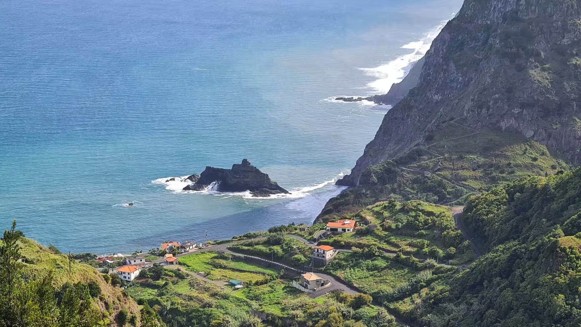
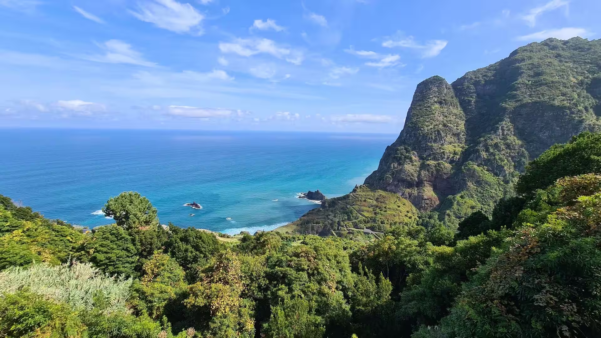
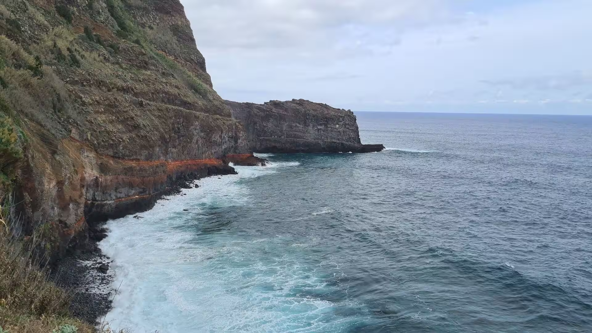
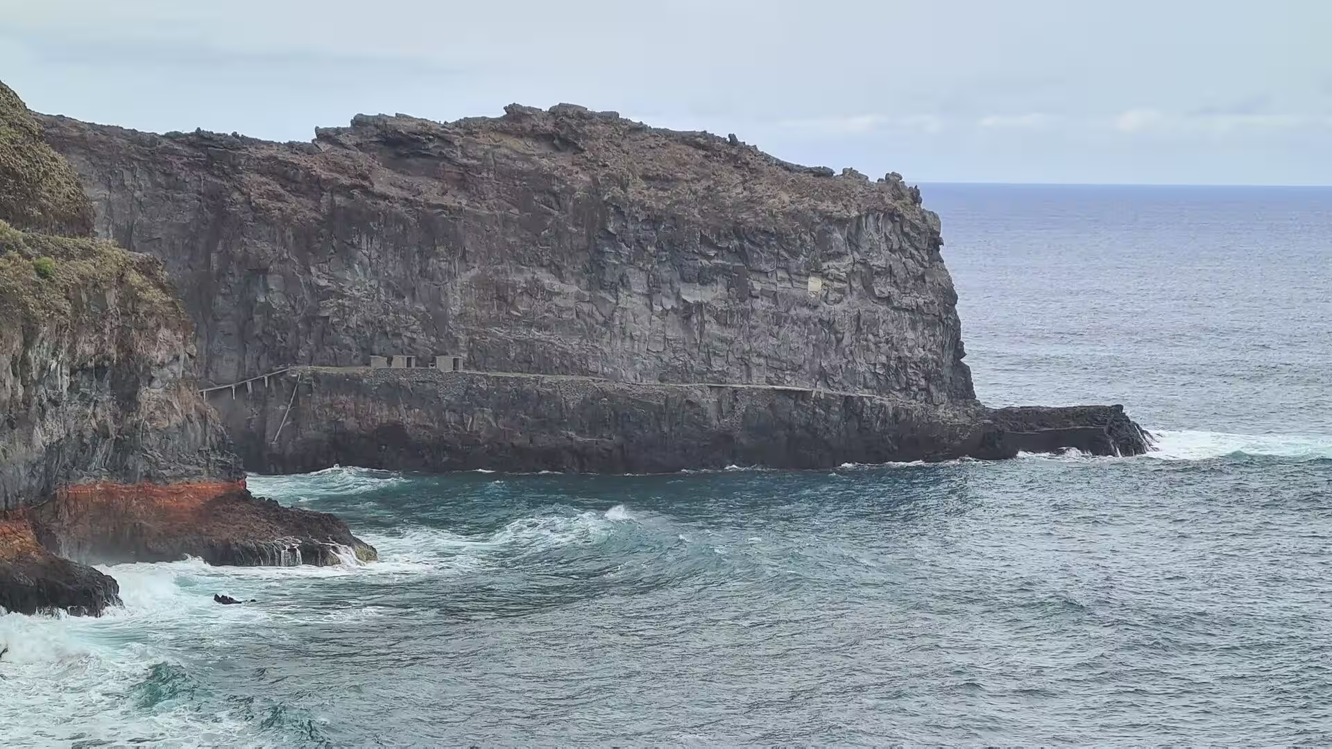
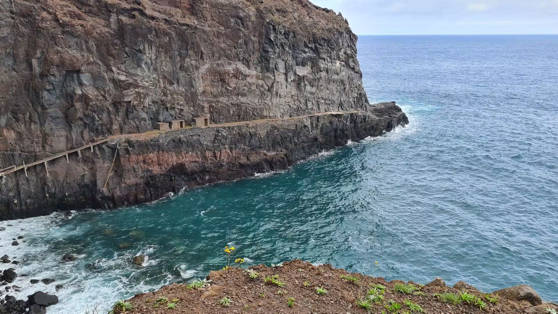
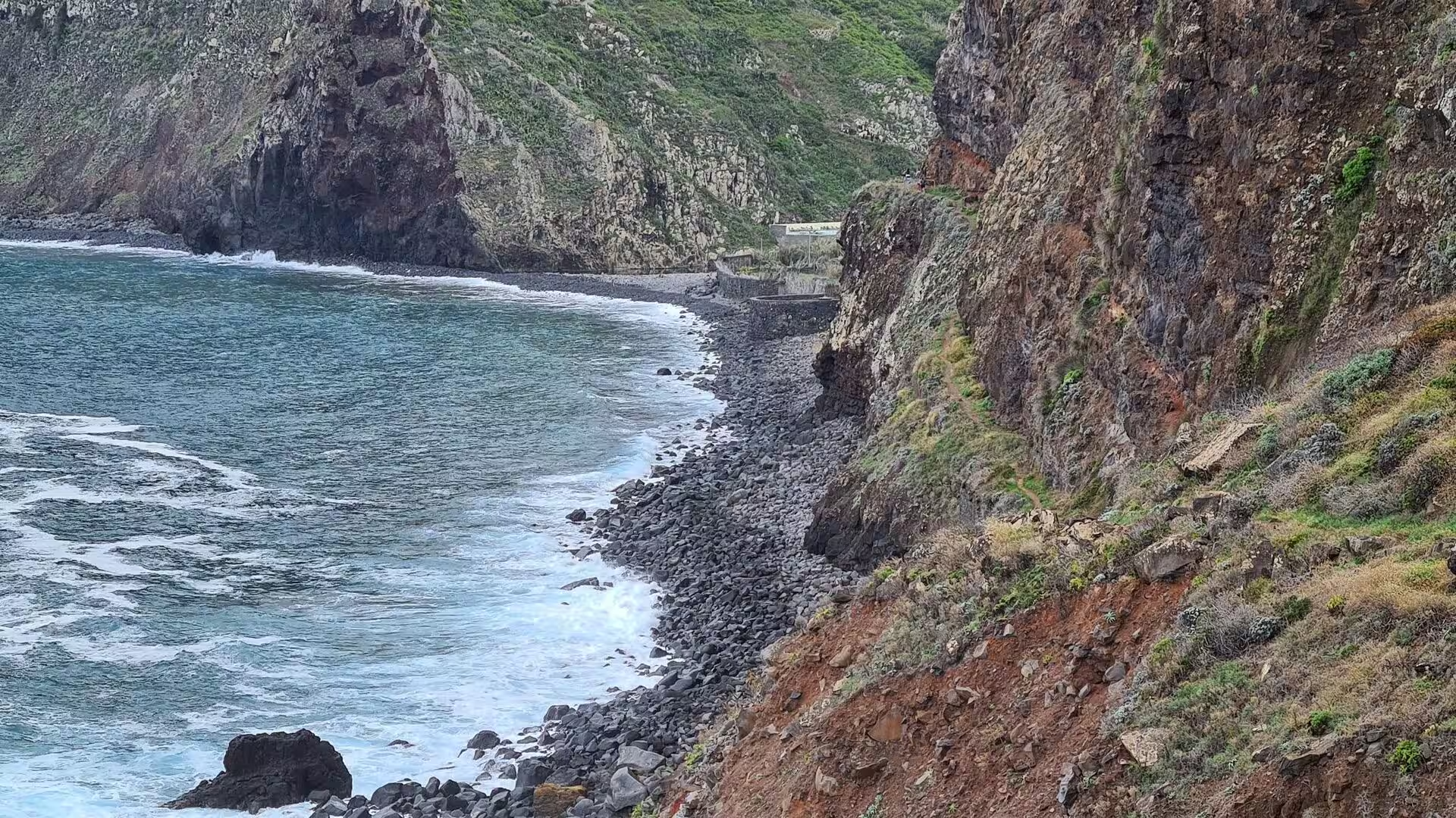
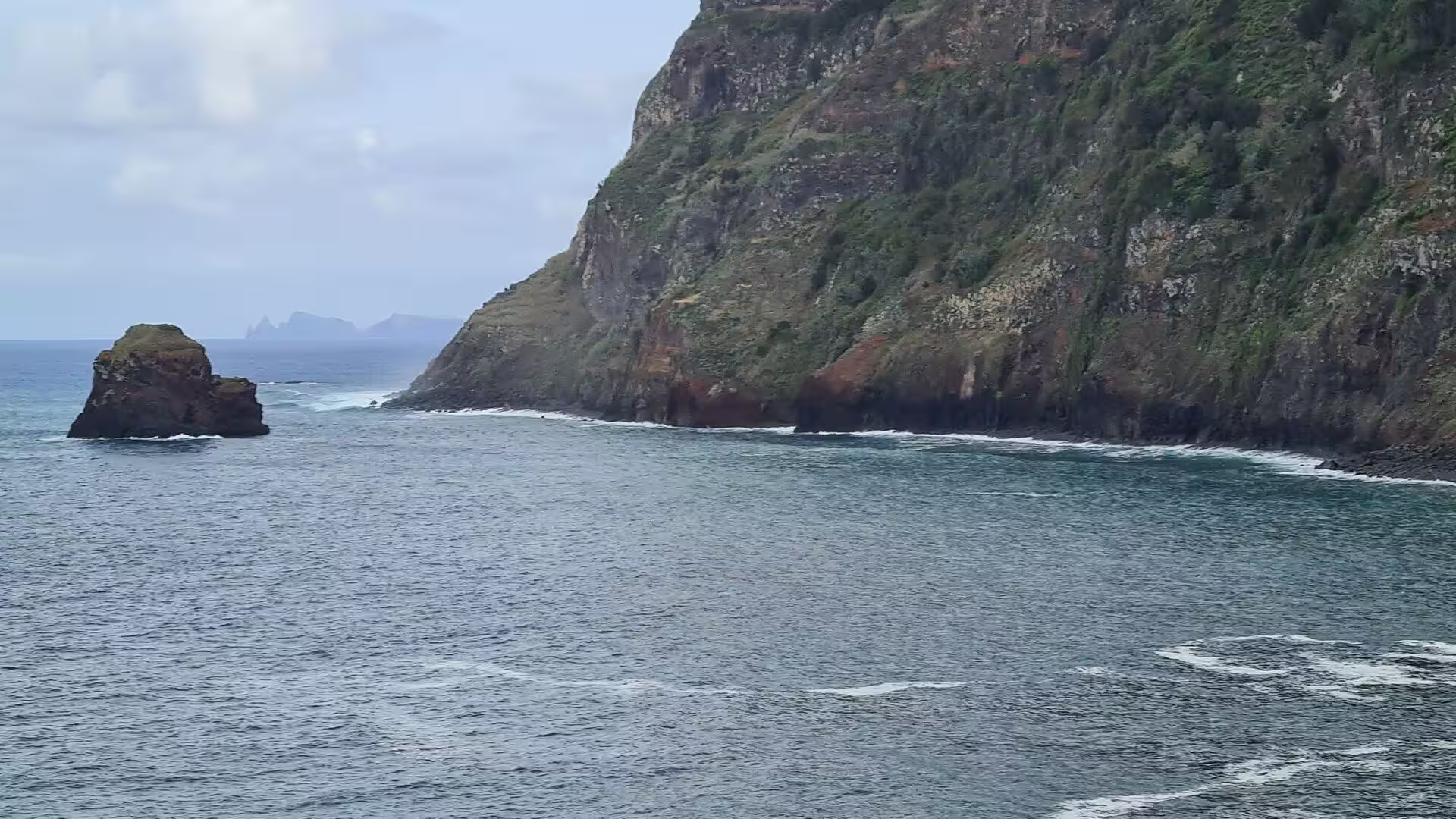
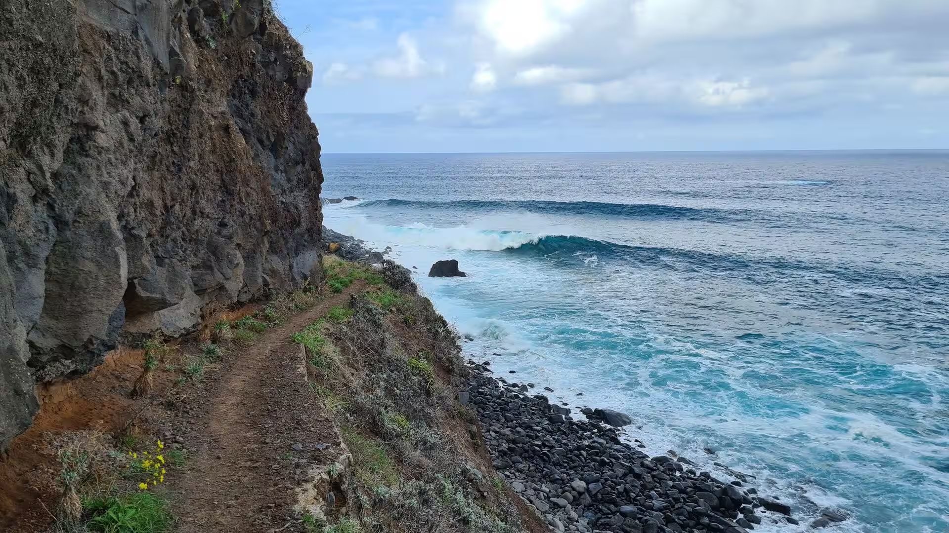
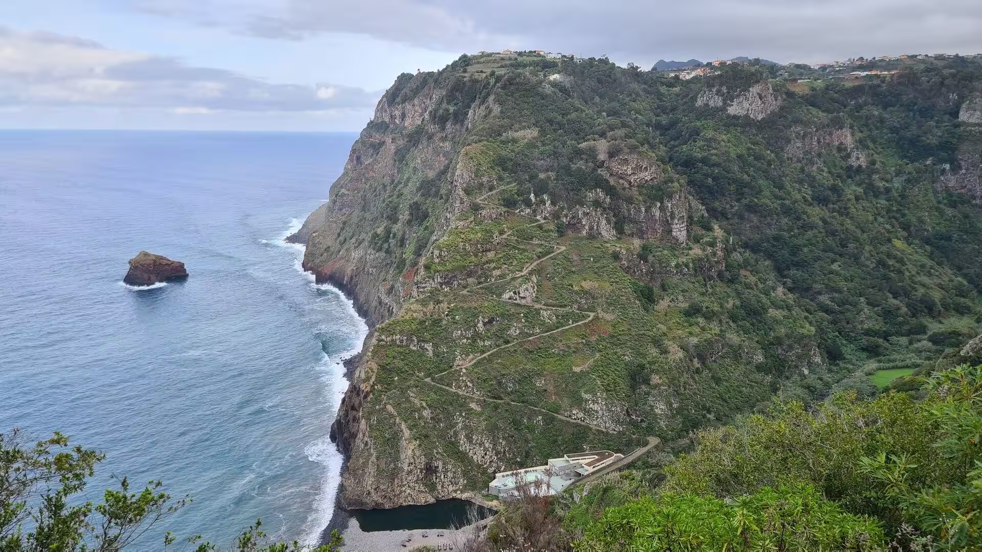
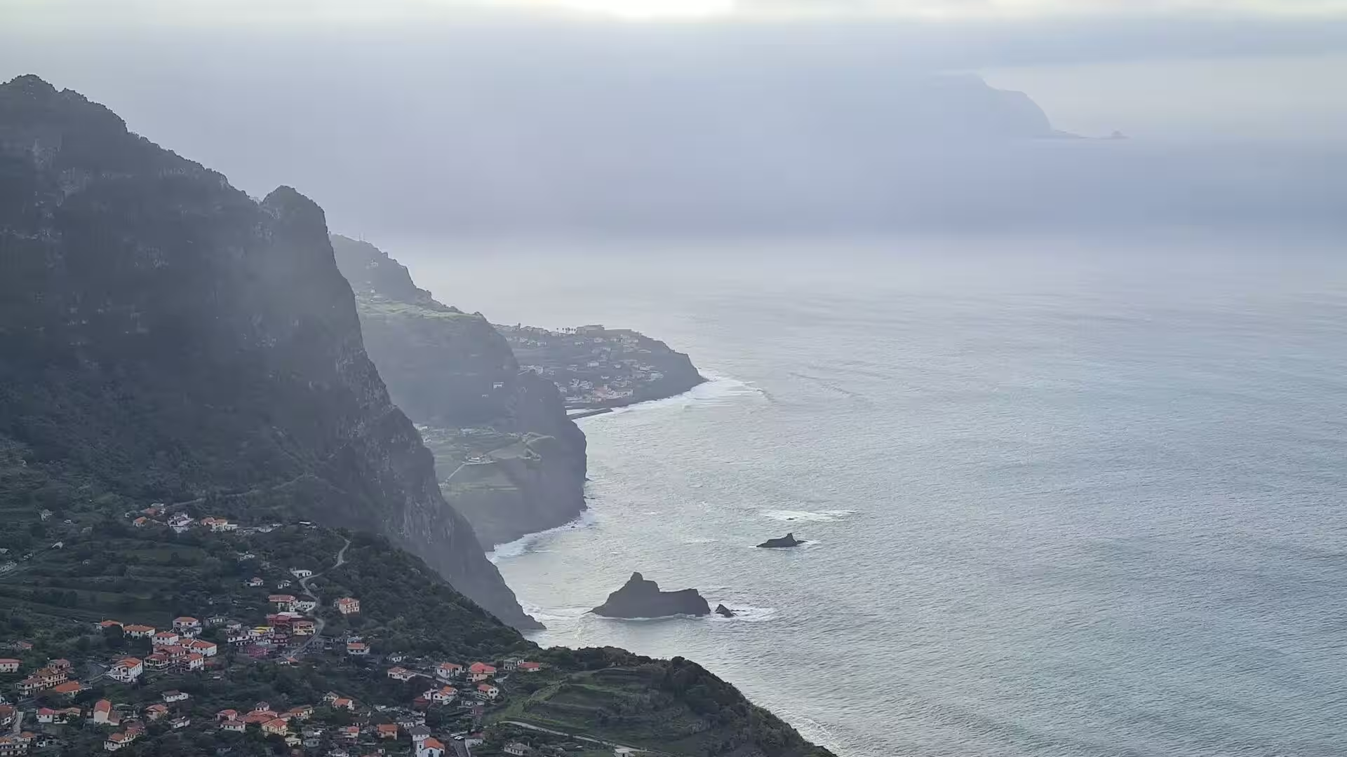
The cliff line itself is the work of marine abrasion. The Atlantic attacks the base of the slopes, removes the fallen material and leaves near vertical faces of dark basalt above a wave cut platform. Sea stacks and small islets stand offshore where the rock was more resistant, and white surf marks the position of the platform even when the rock is under water. Beaches of black pebbles and dark sand accumulate in the small bays between the headlands, and the exposure of the north coast keeps the water in almost constant movement.
Rain and cloud perform the rest of the work. Moist air is lifted against the central massif and condenses, and the resulting cloud belt keeps the upper slopes wet for much of the year; in the Queimadas forest park, at 860 metres, annual precipitation is among the highest recorded on the northern slopes of Madeira. Water penetrates fractures in the lava flows and in the altered pyroclastic layers, and the rock weathers chemically under persistent moisture. The soils that form are shallow and often unstable, which is why heavy rainfall is followed by rockfalls and shallow landslides in the ravine systems. Studies of the submerged slopes of the archipelago describe the same gravitational, erosional and volcanic processes under water.
Water management is the human answer to this geological situation. The levadas of Madeira date from the fifteenth century, run for thousands of kilometres along the contours of the island and carry rainwater from the wet north towards the drier south for consumption, irrigation and the production of electricity. The system still powers the island: in the first half of 2022, 33 per cent of the electricity consumed on the archipelago came from renewable sources, a large part of it hydroelectricity generated in the levada network, which also feeds the Ribeira dos Soccoridos plant and its pumped reservoir.
Things to See
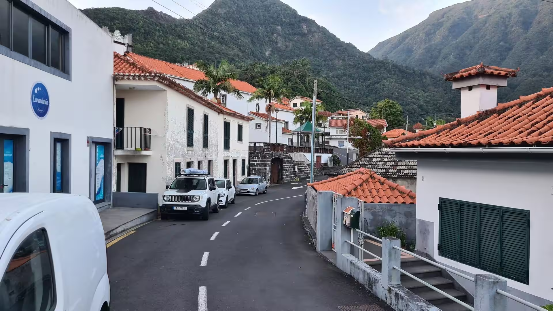
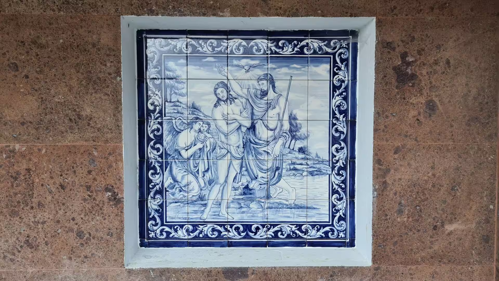
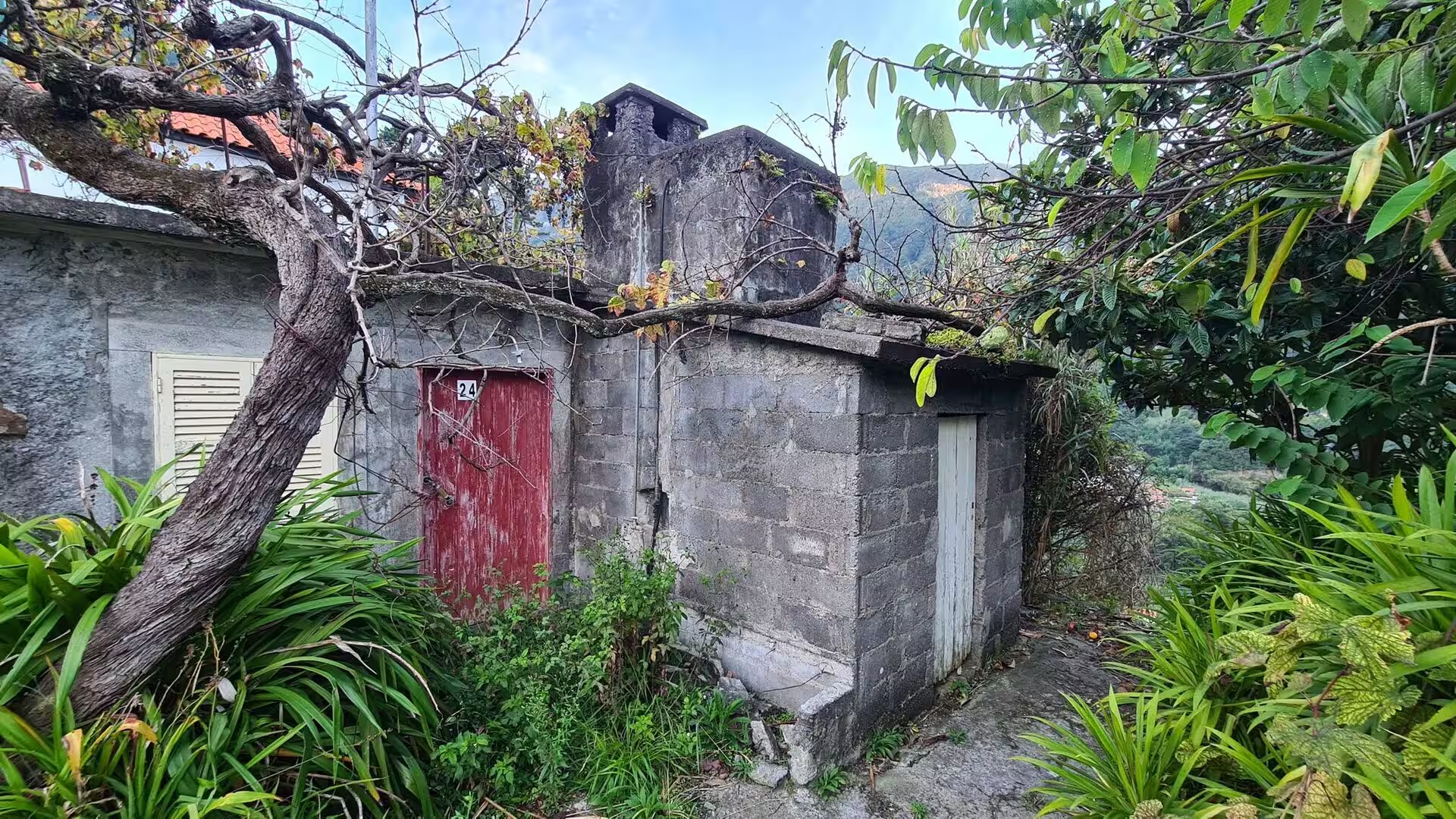
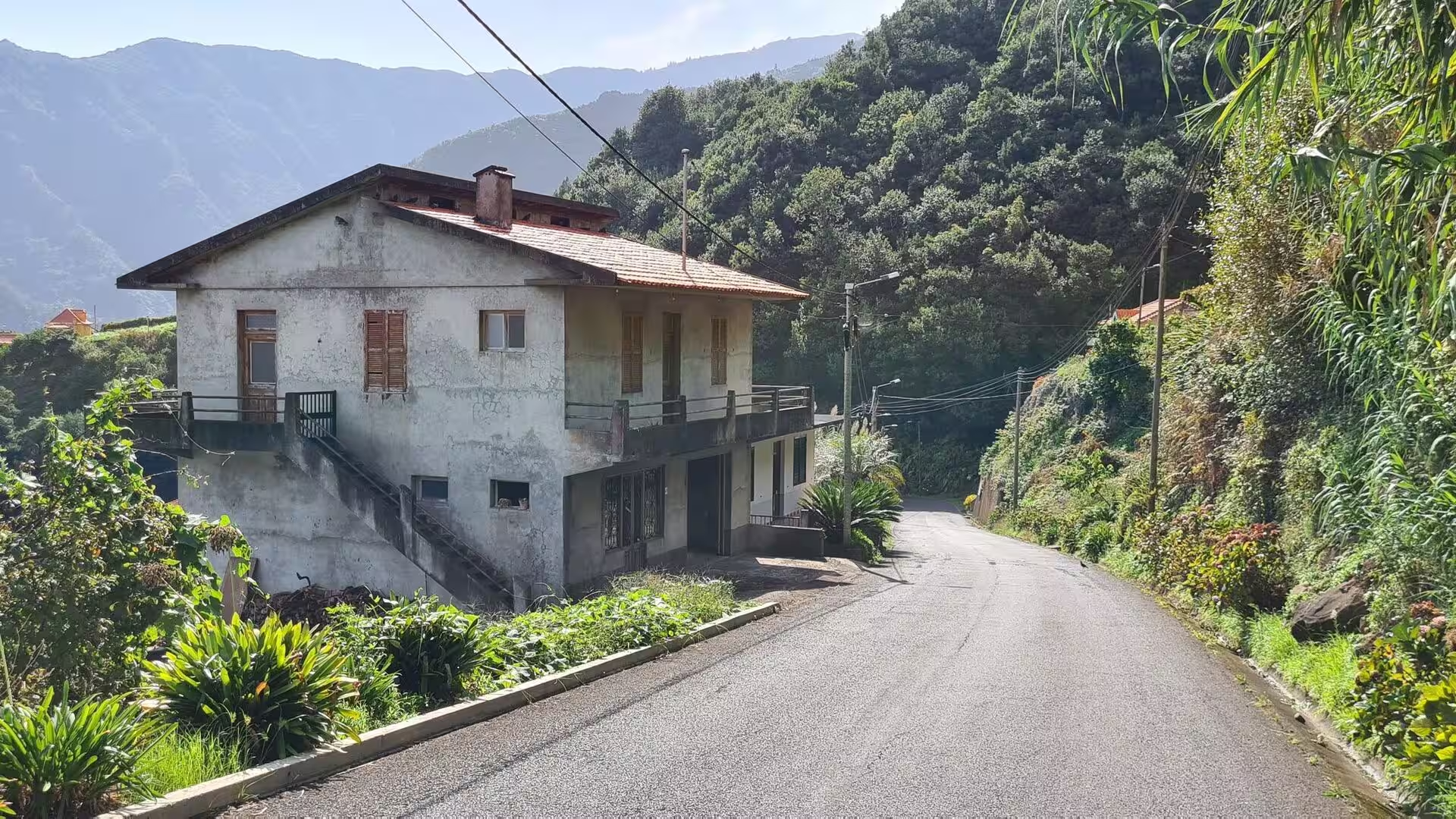
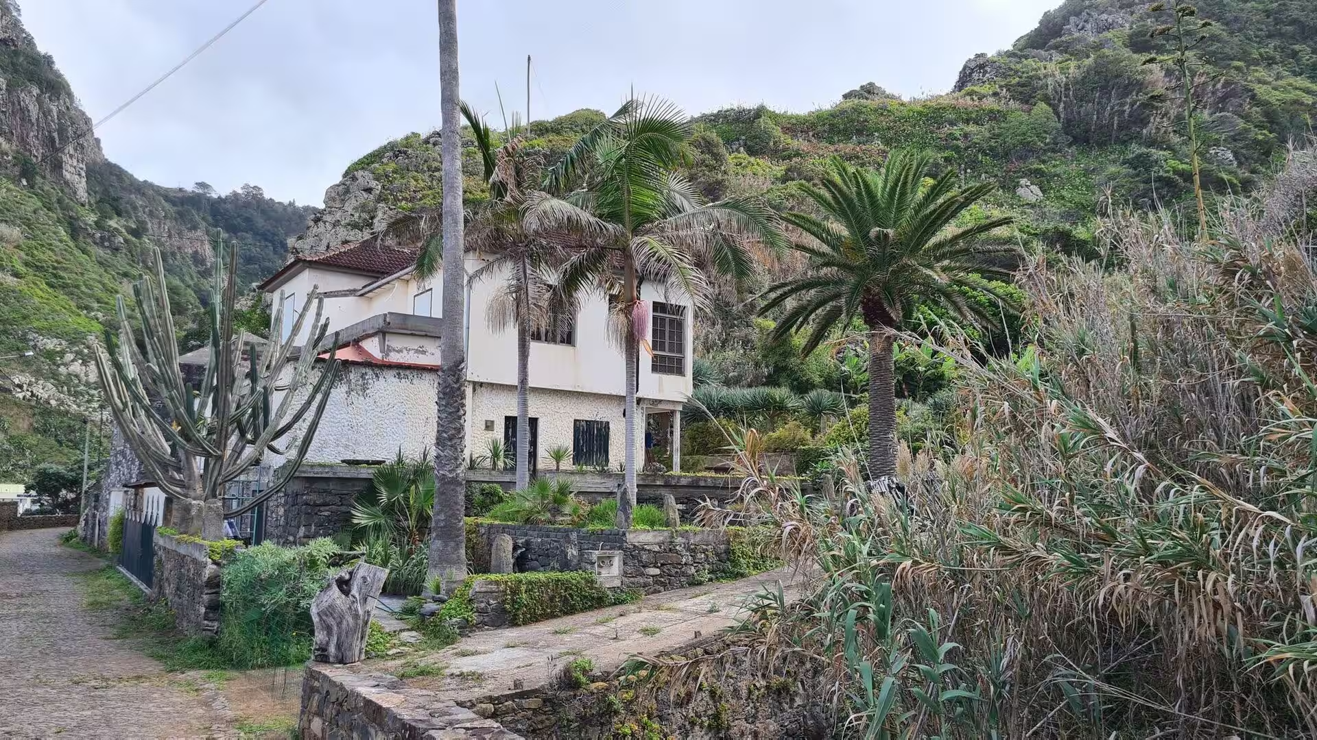
Boaventura begins with a quiet lane lined with white houses and terracotta roofs beneath forested peaks. The village keeps the scale of a rural parish: low walls, red doors, an old stone shed with a peeling red door hidden among the plants, and small gardens along the road. On one of the walls a blue and white tile panel shows the Baptism of Christ, set into a stone niche. Panels of this kind are a Portuguese tradition, and on Madeira they appear in villages as well as in towns, where they mark entrances, chapels and the corners of public buildings.
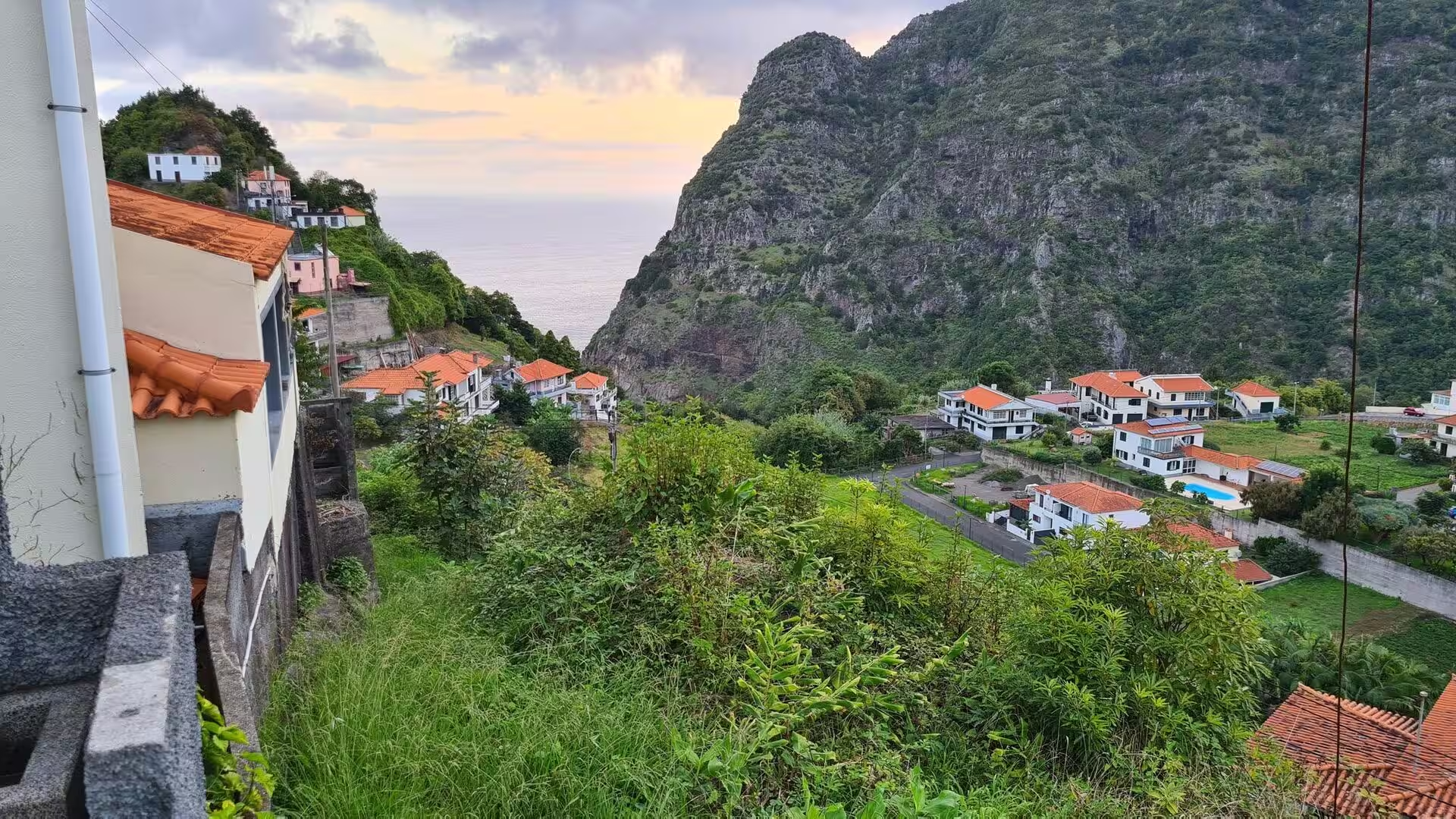
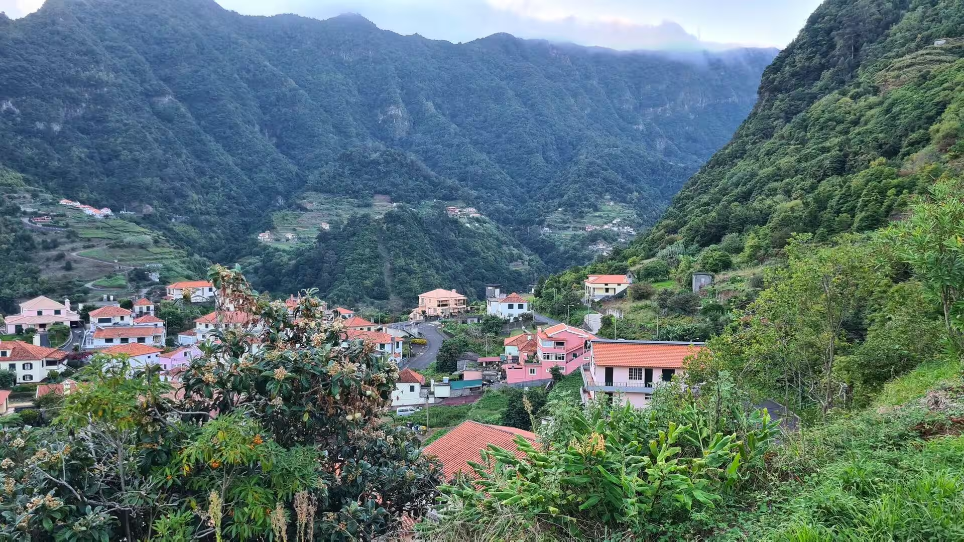
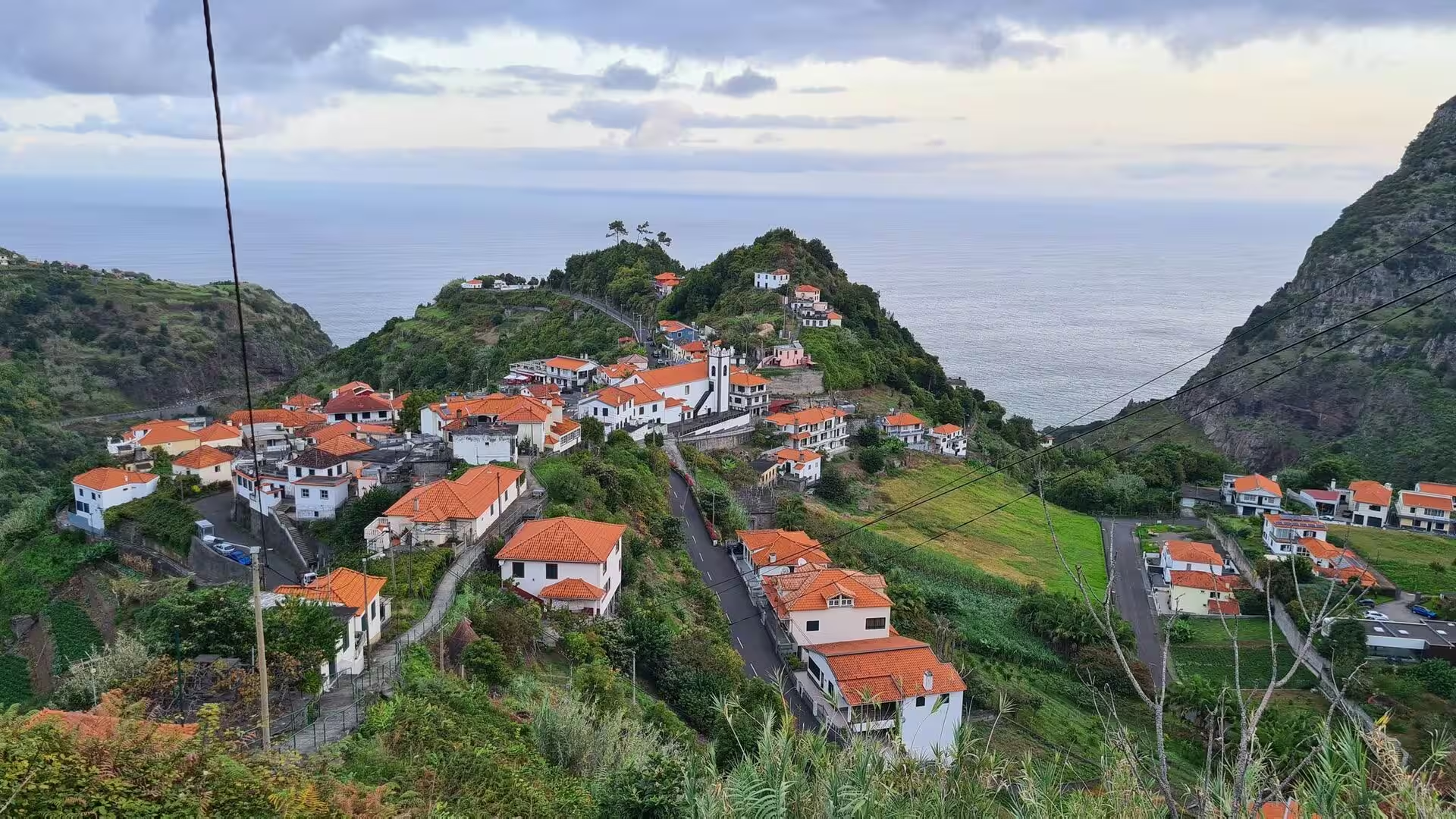
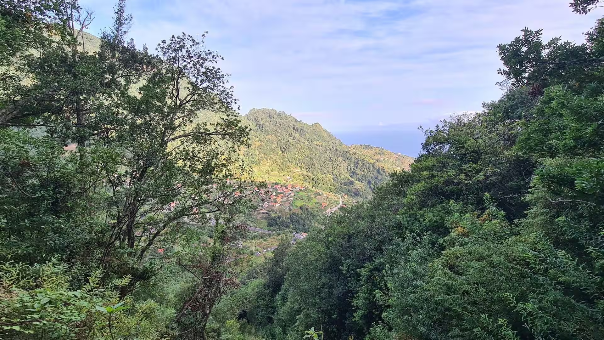
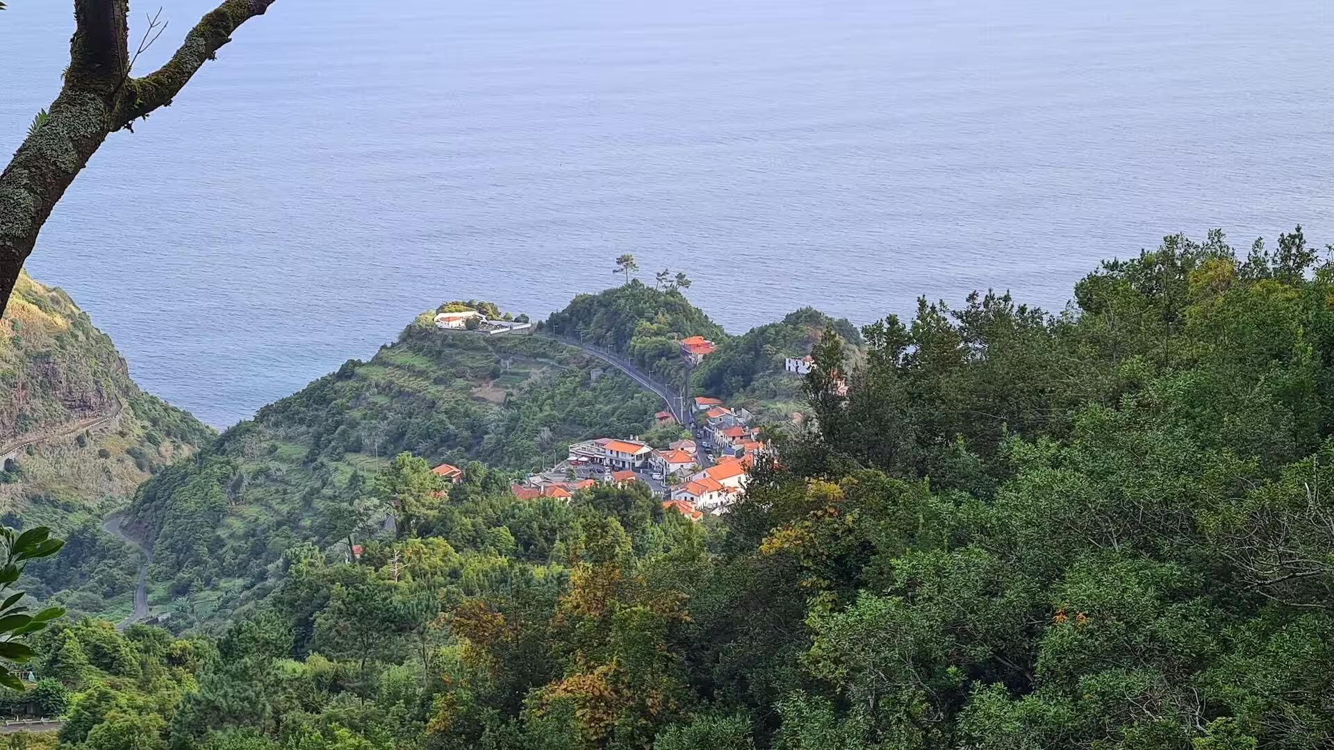
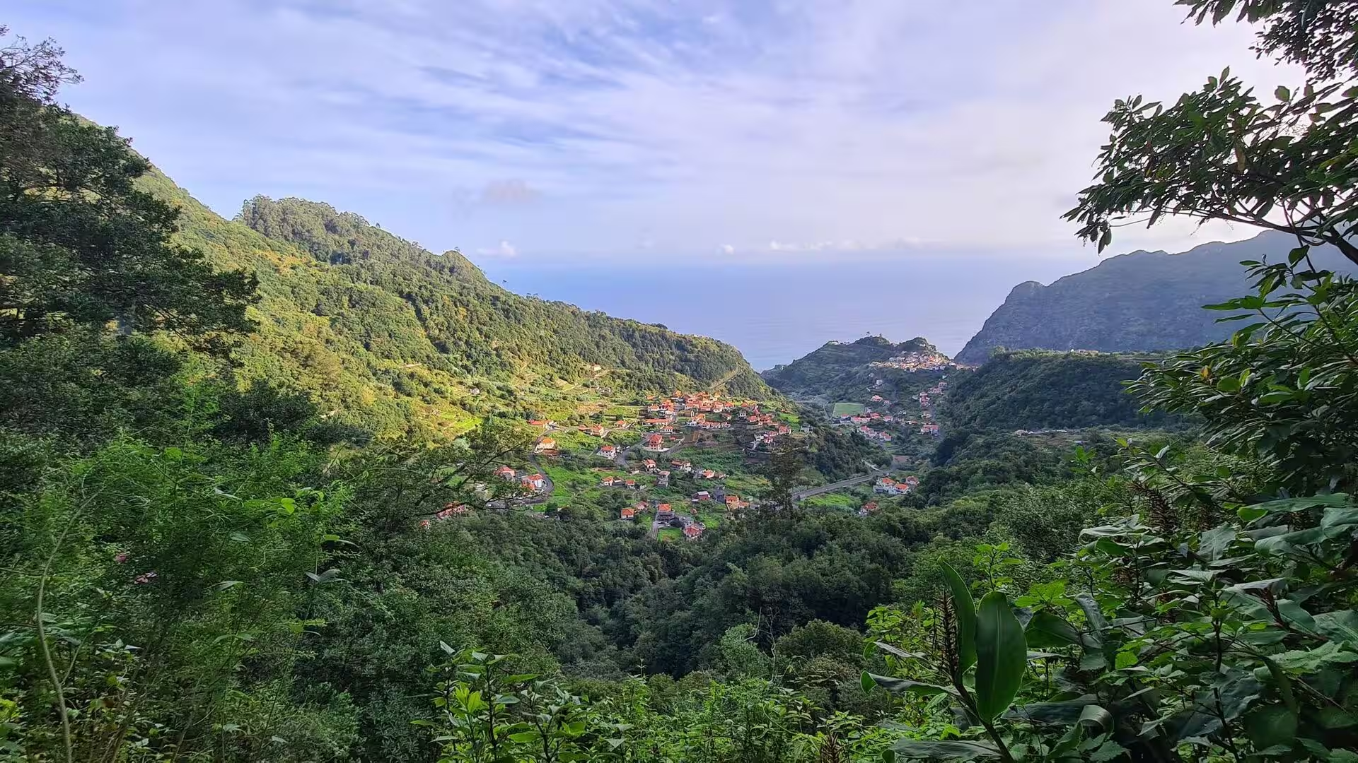
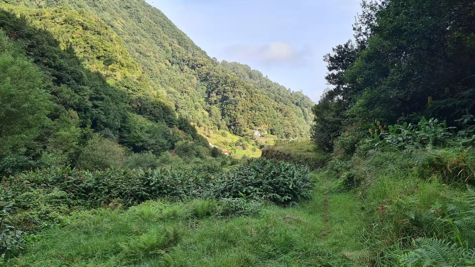
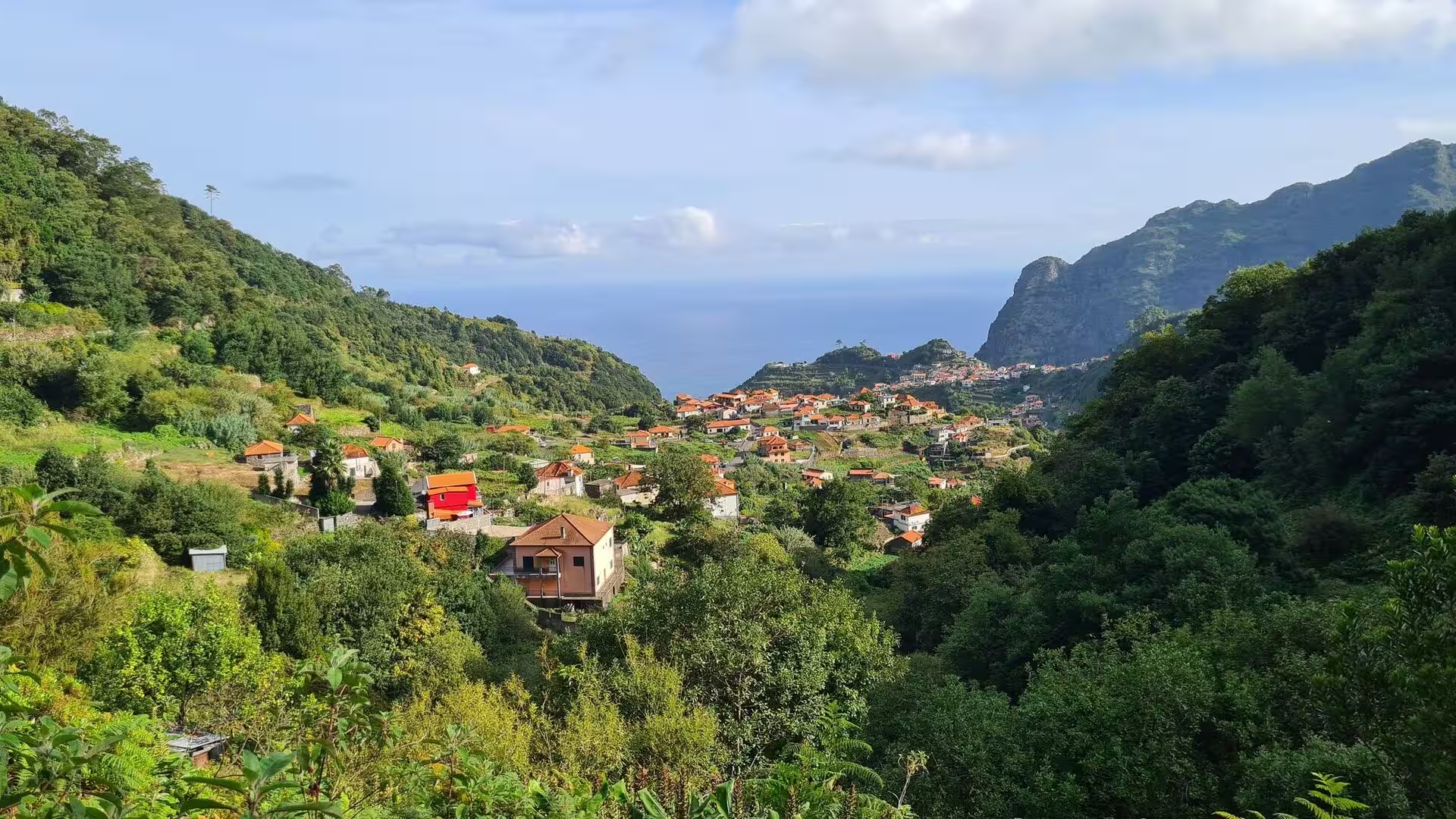
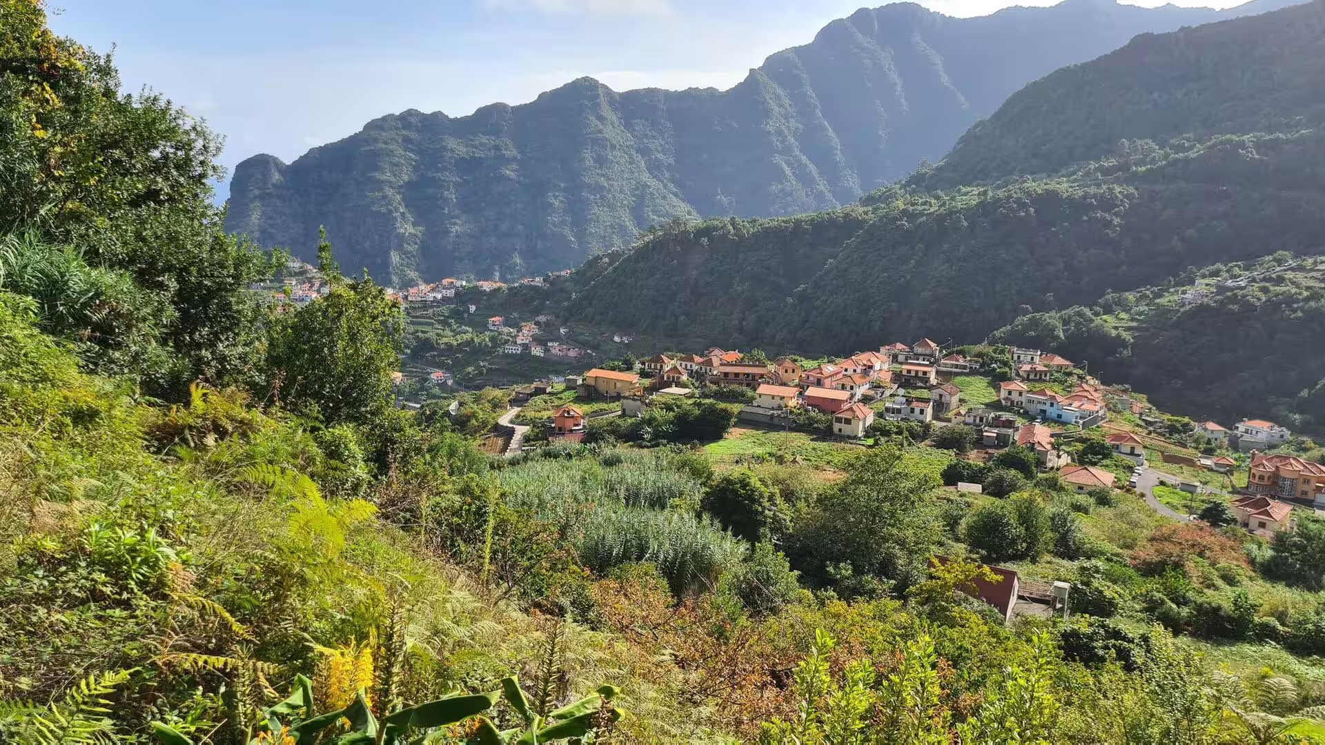
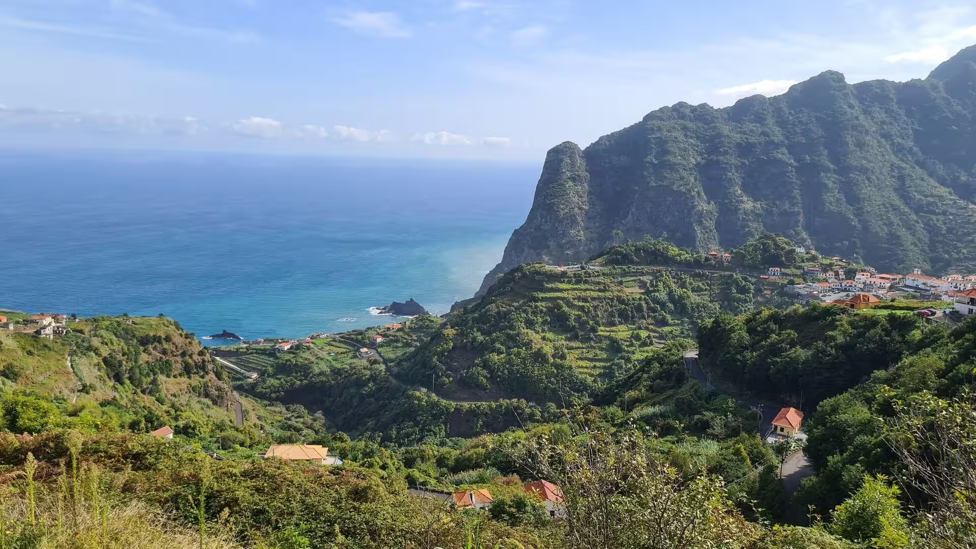
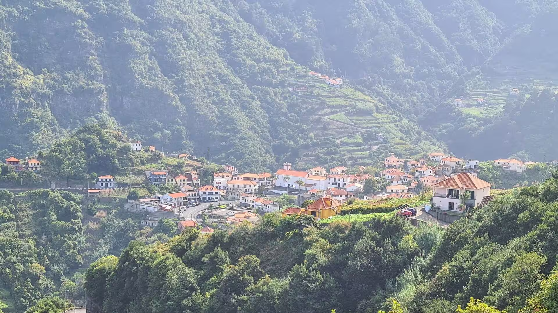
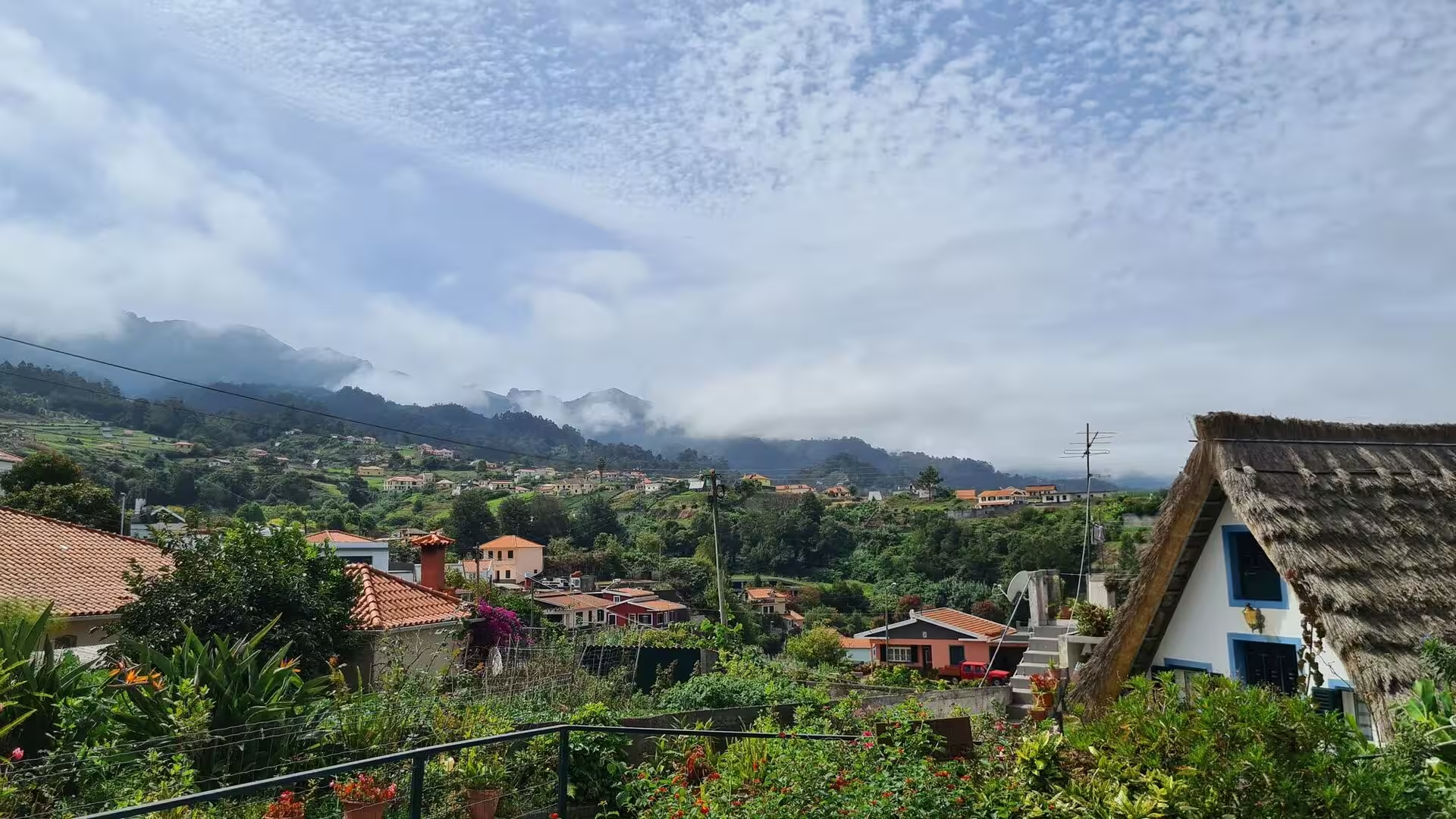
The valley of the Ribeira de Boaventura carries the settlement down to the sea. Clusters of white and orange roofed houses rest at the foot of the green valley, terracotta roofs scatter across the slopes above the ocean, and higher up white houses spread across a forested mountain valley while others cling to a terraced mountainside. The pattern is linear: the village occupies the valley floor and the gentler lower slopes, and the fields climb the sides in narrow steps. Above the roofs the mountains behind the settlement are steep enough to be lost in mist by the middle of the day.
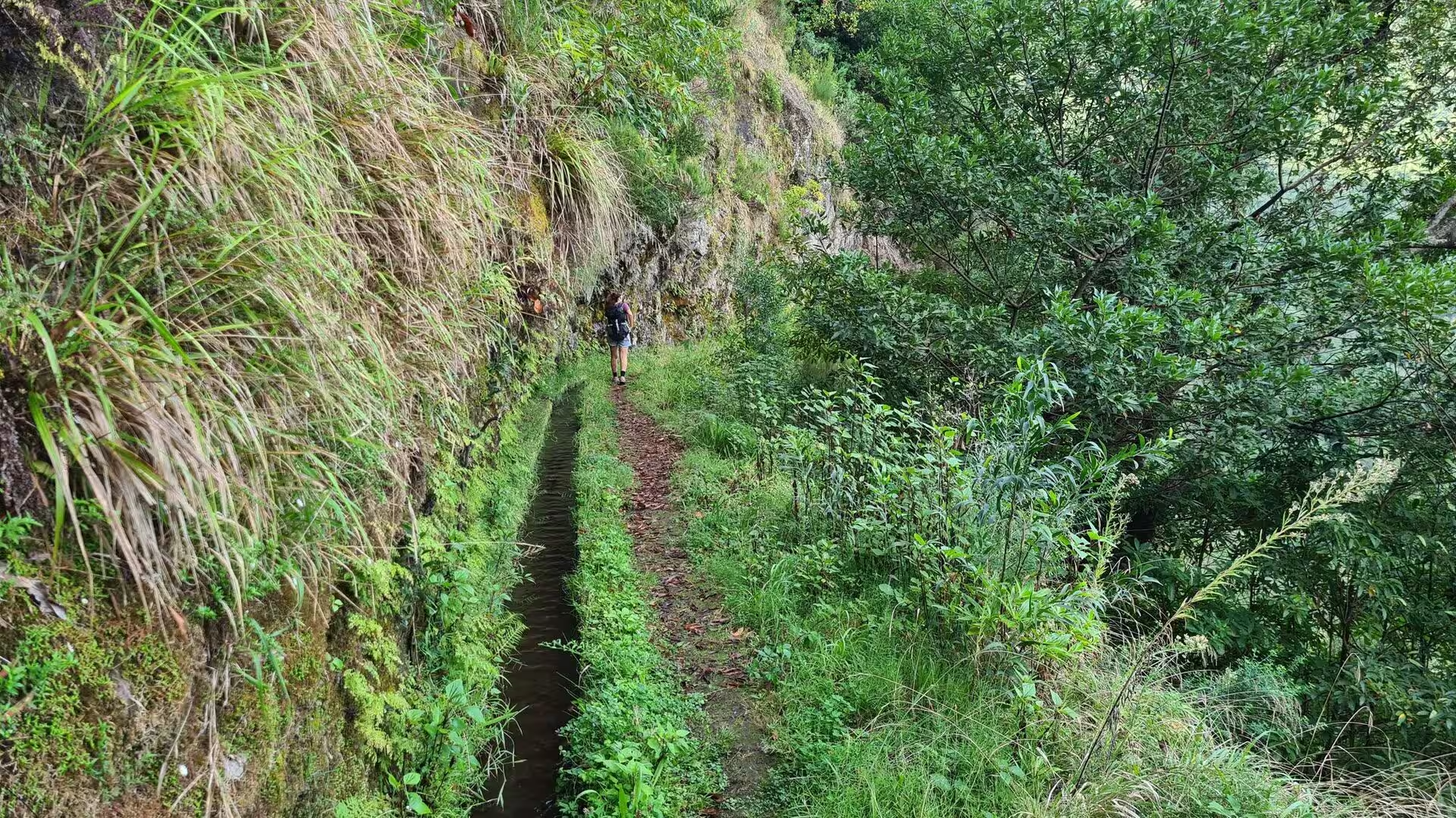
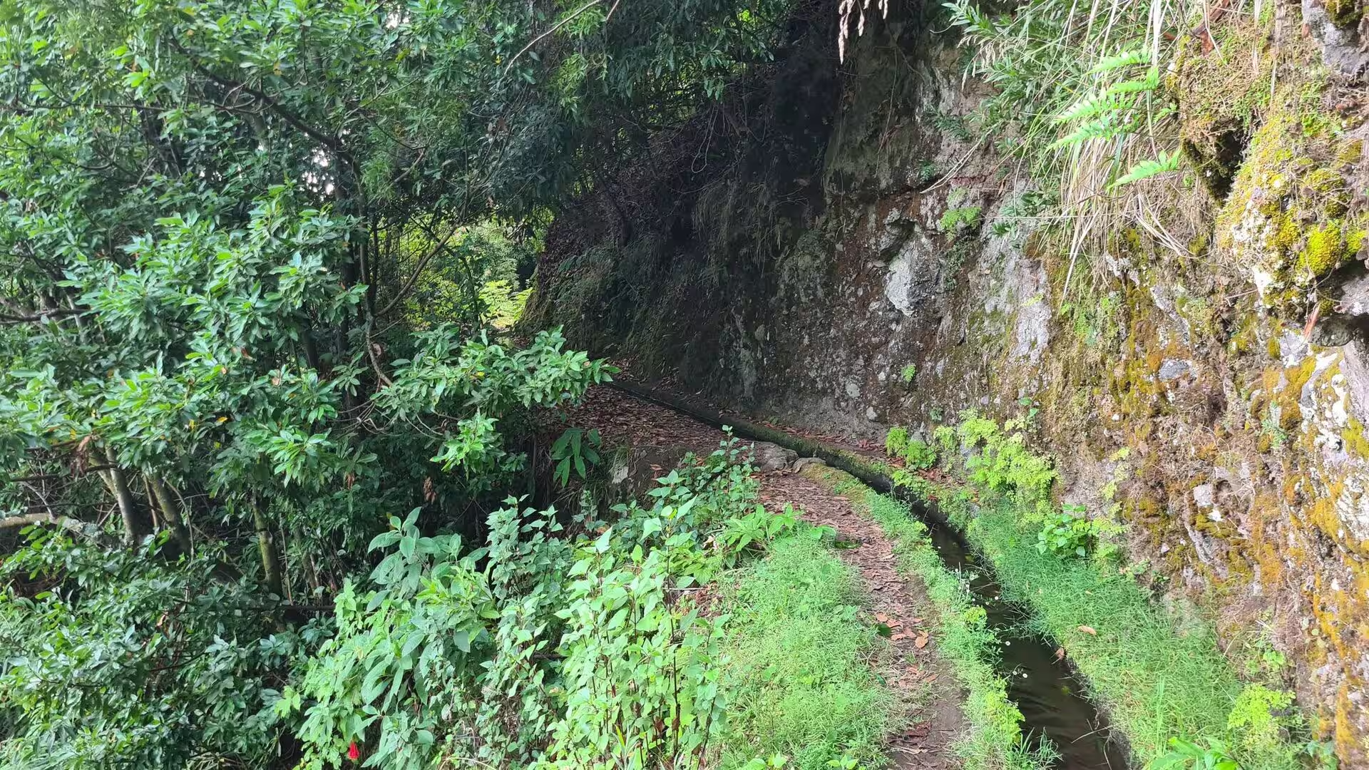
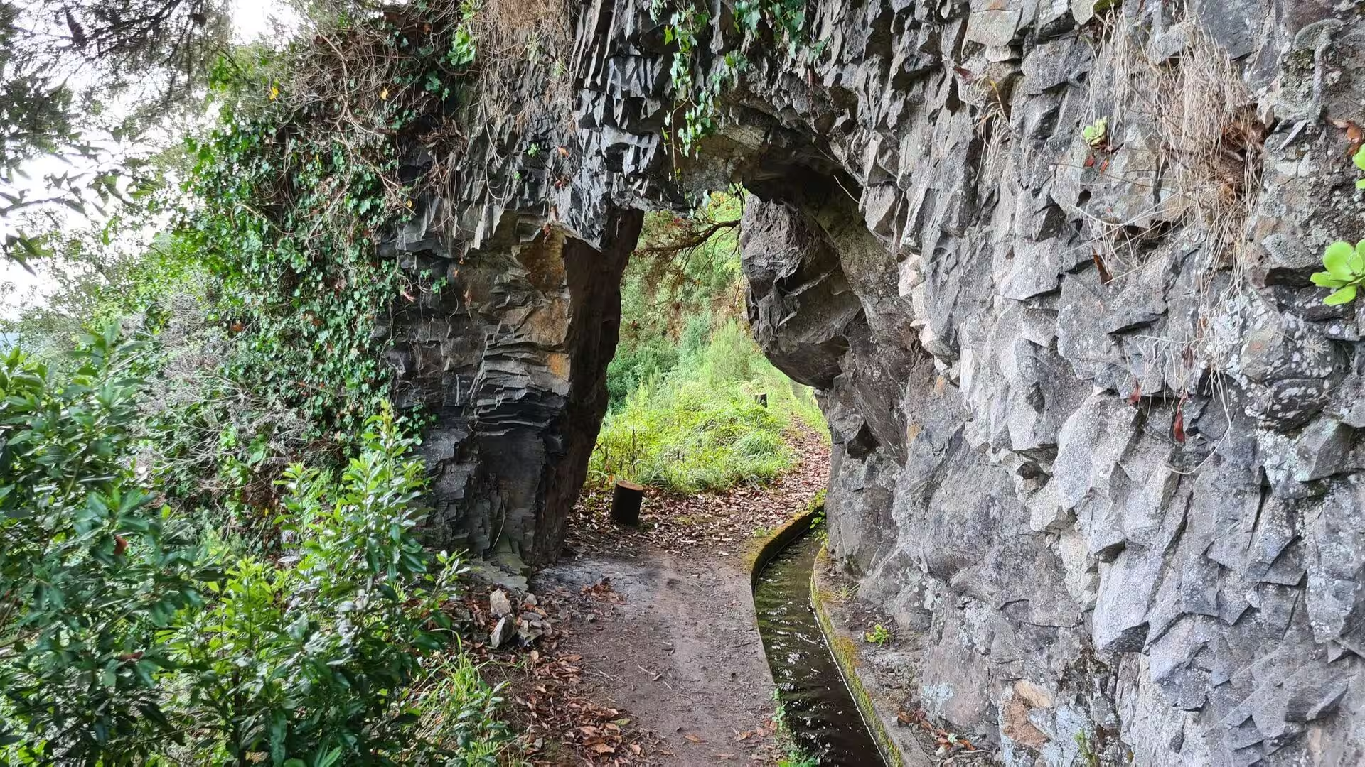
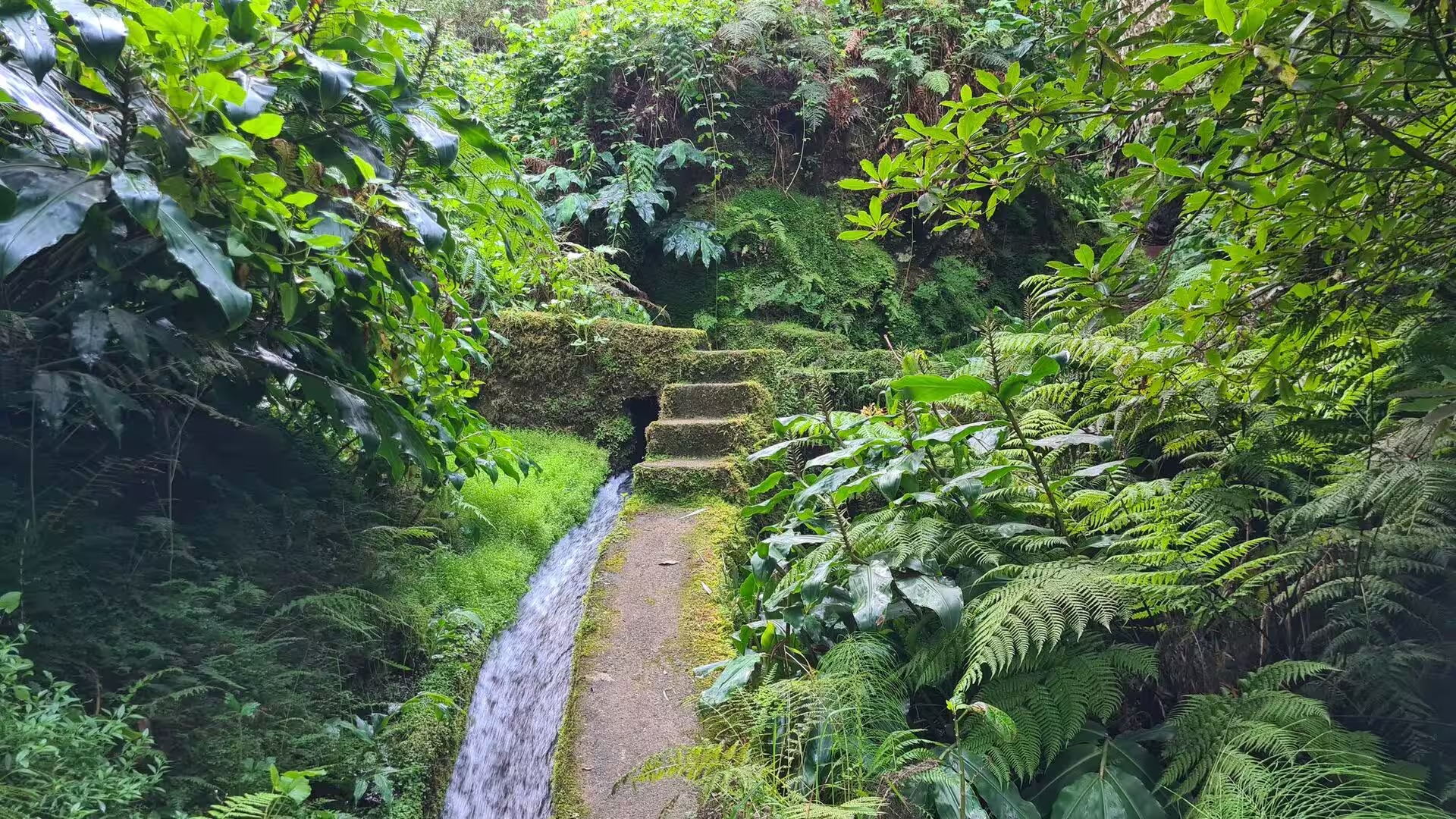
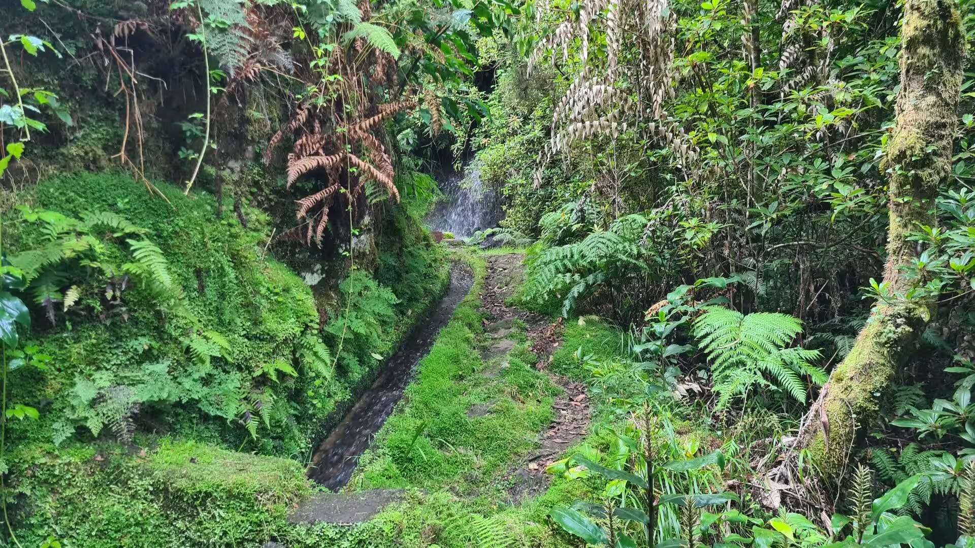
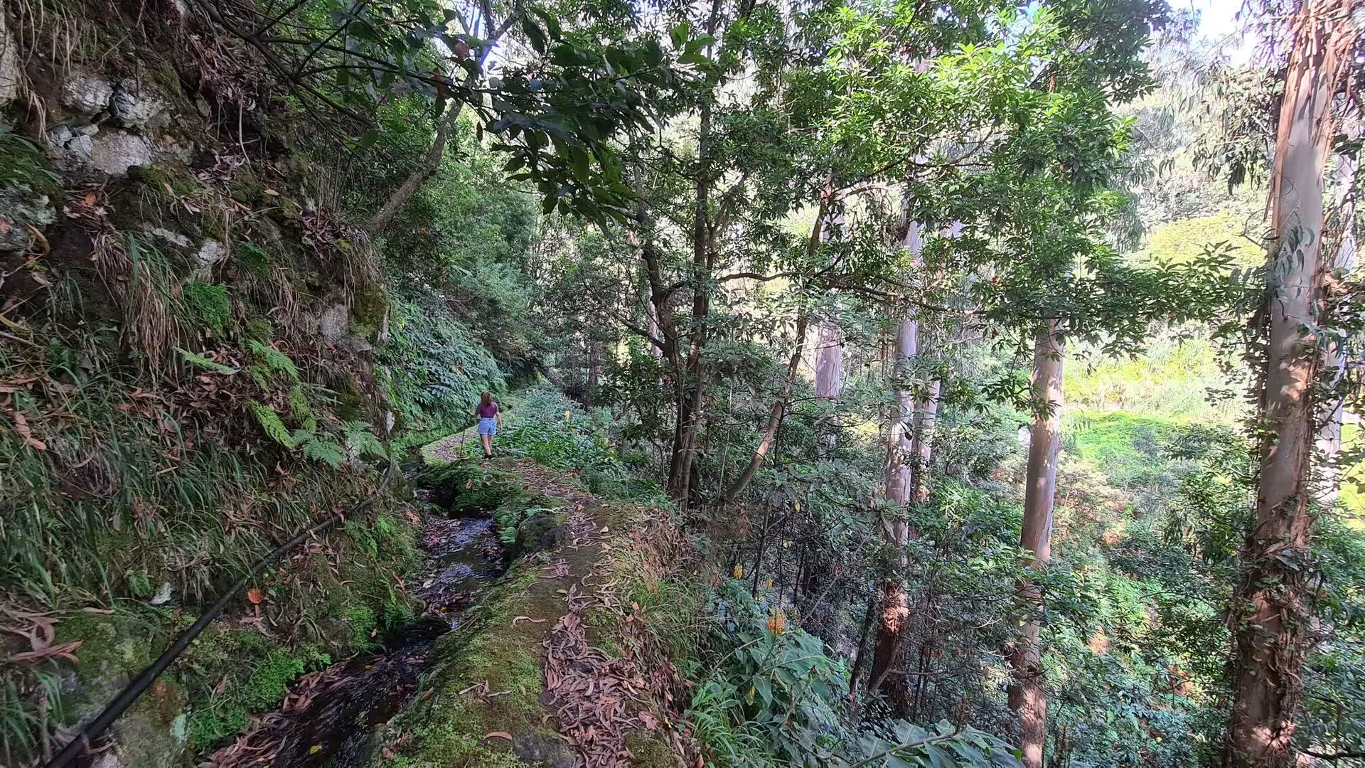
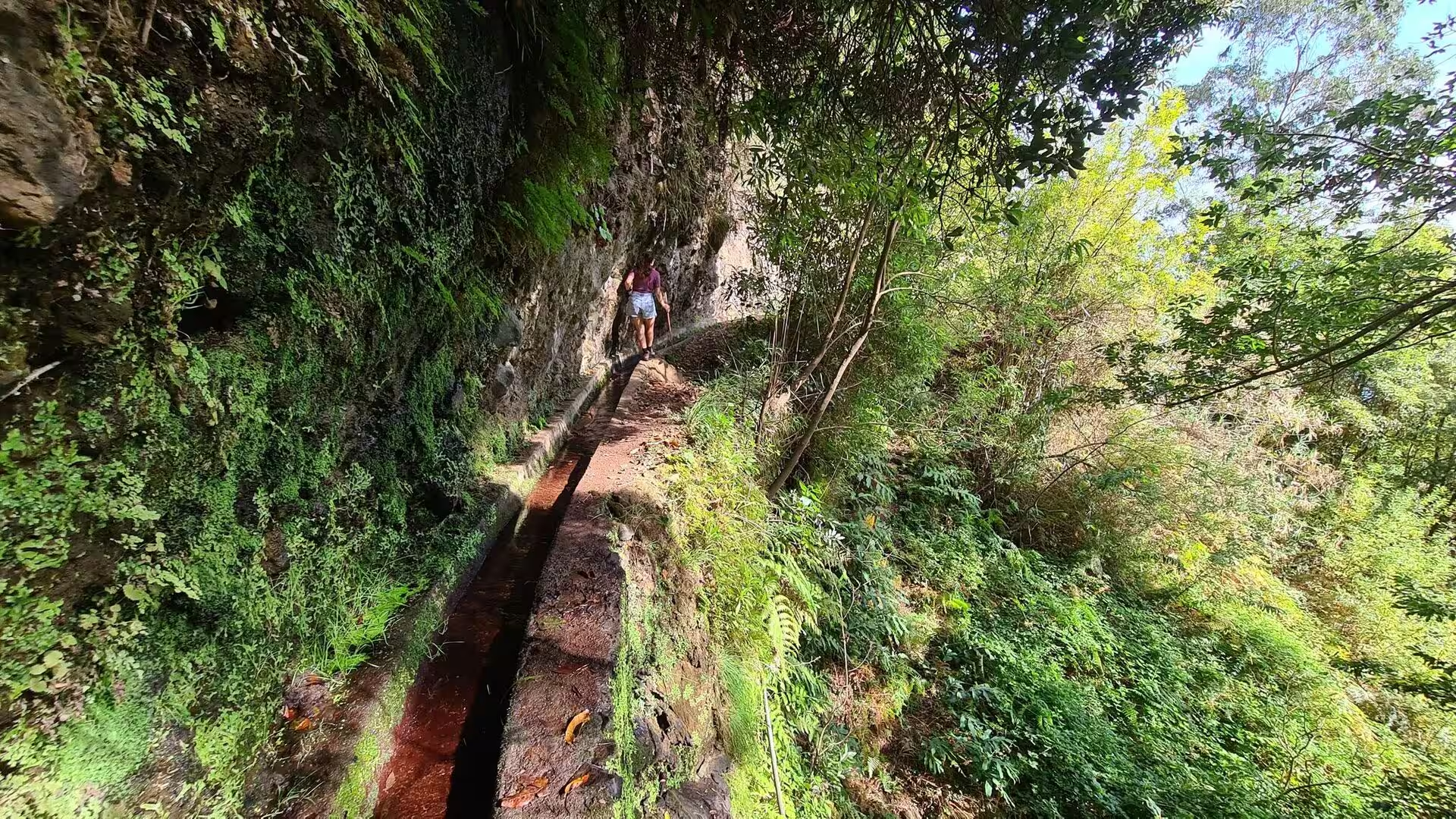
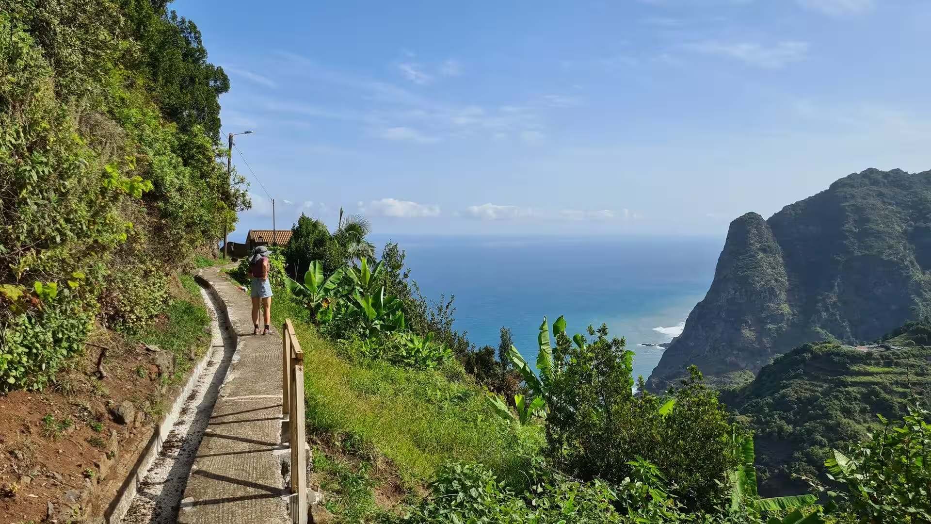
Paths beside the water channels are the practical routes through this landscape. A stone walled channel runs along a mossy rock face among green plants, a narrow stone walkway follows it through dense ferns, and a walker passes an irrigation channel along a wall of tall grass. In one place a natural rock arch tunnels over the path beside the channel, so that the route continues under a roof of stone. The channels are shallow, open and continuous, and their gradient is so slight that the water is heard rather than seen over any distance.
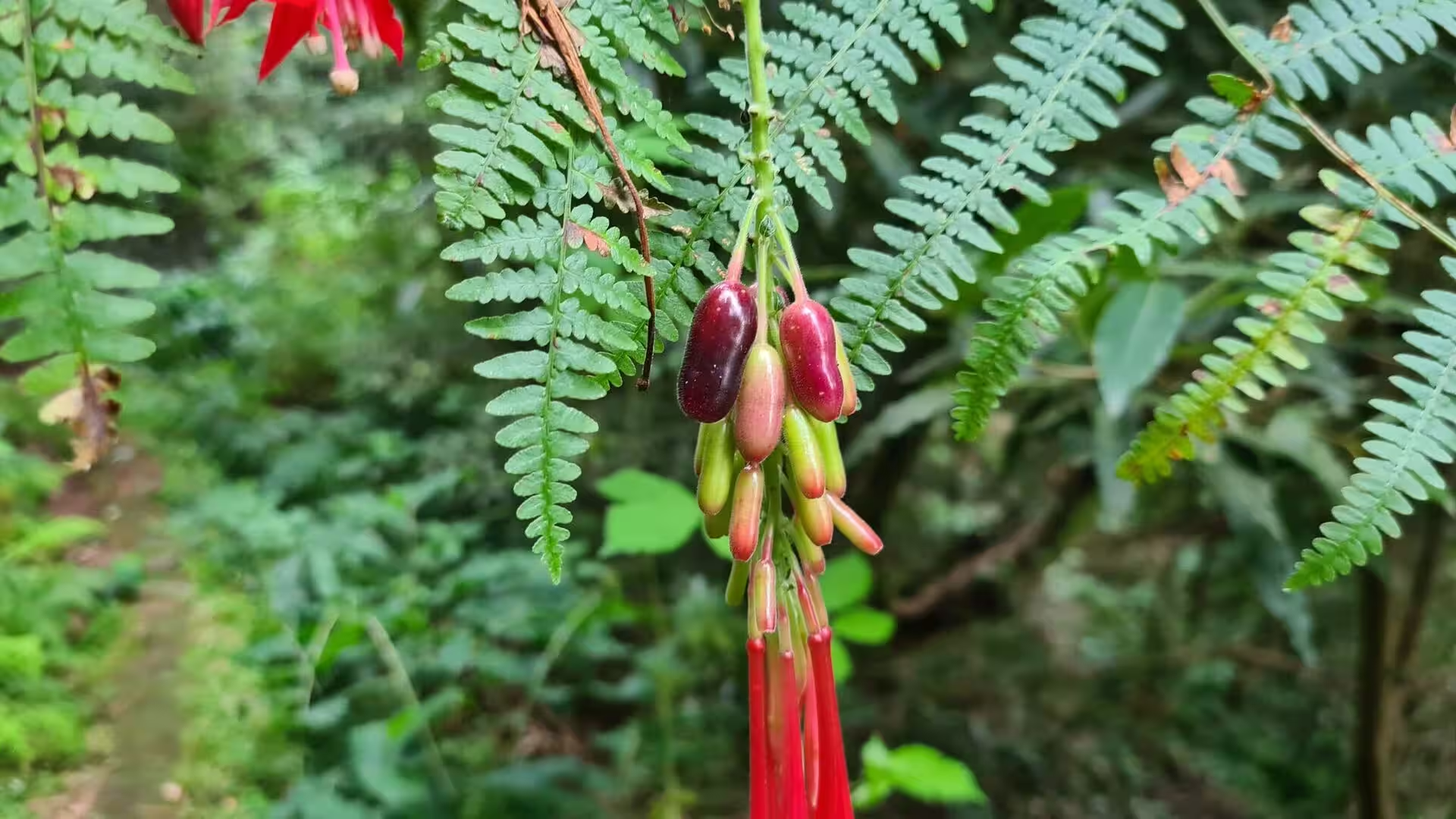
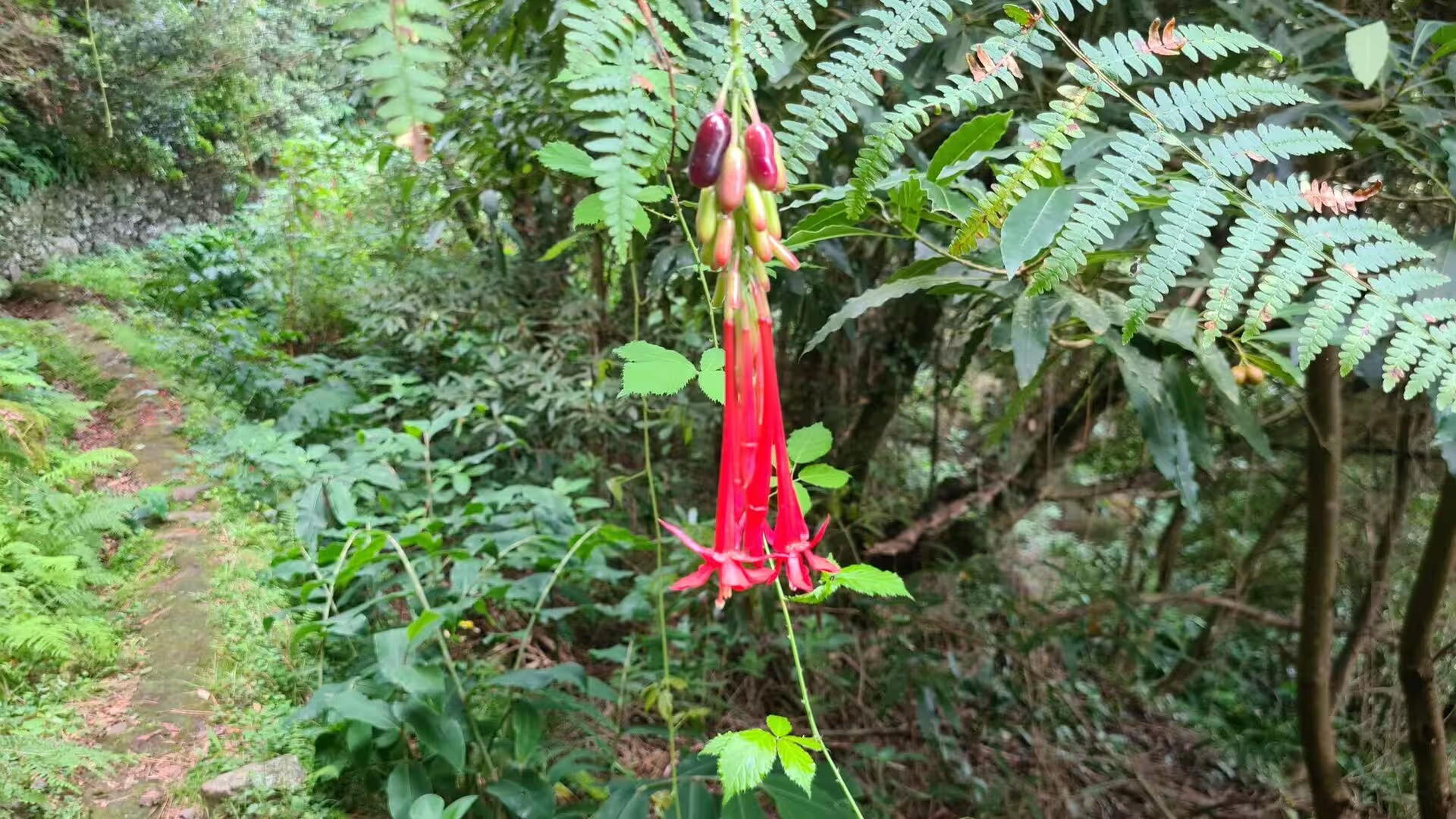
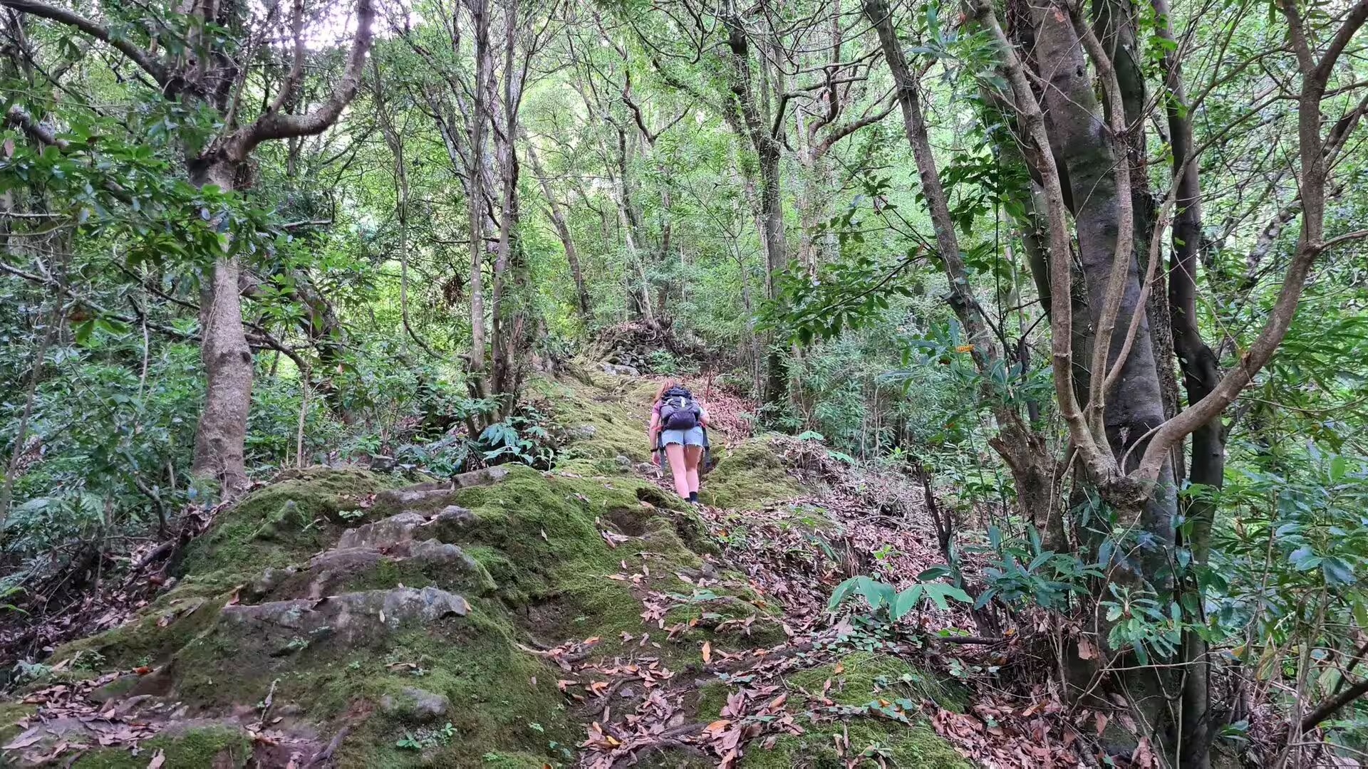
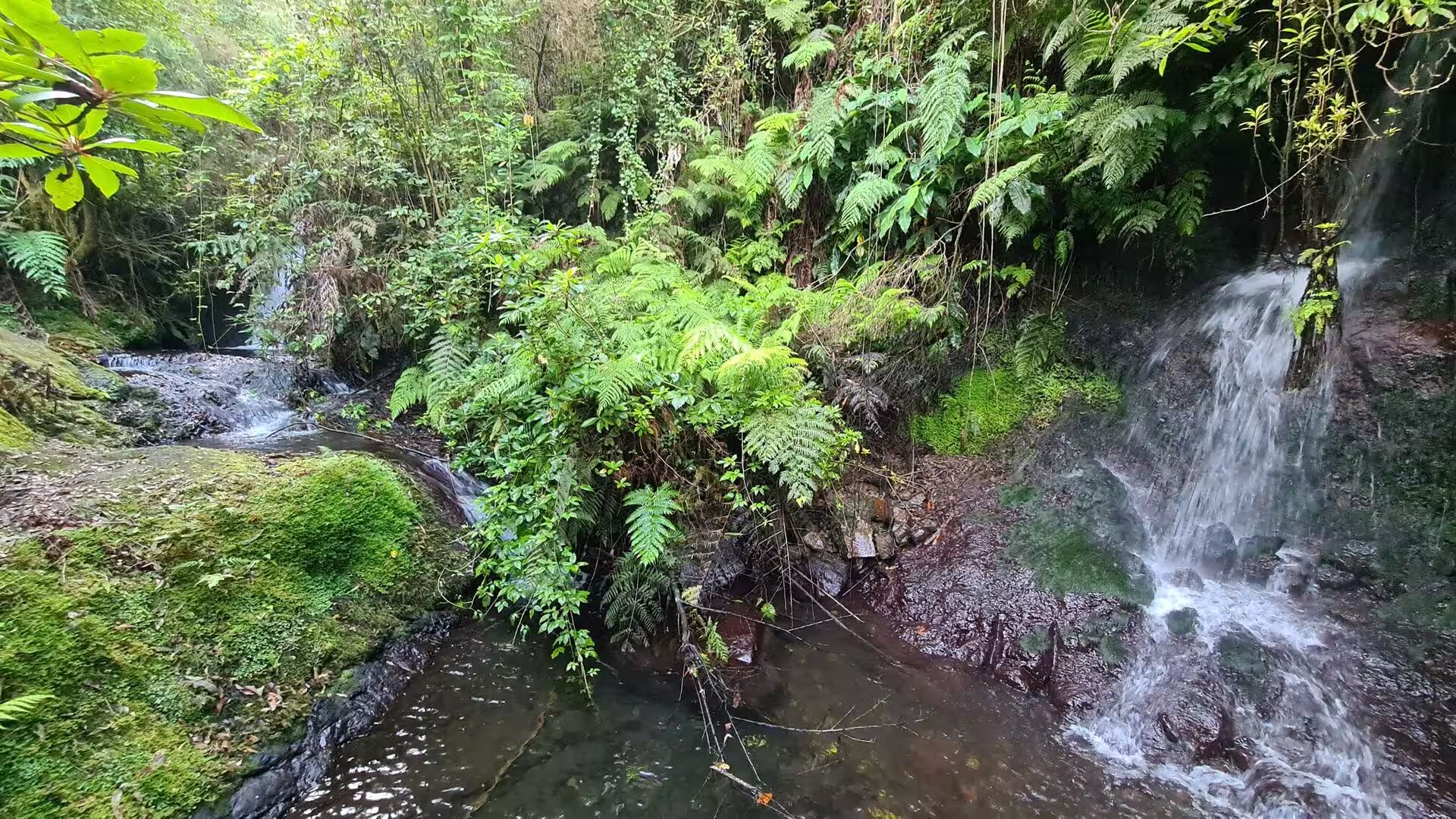
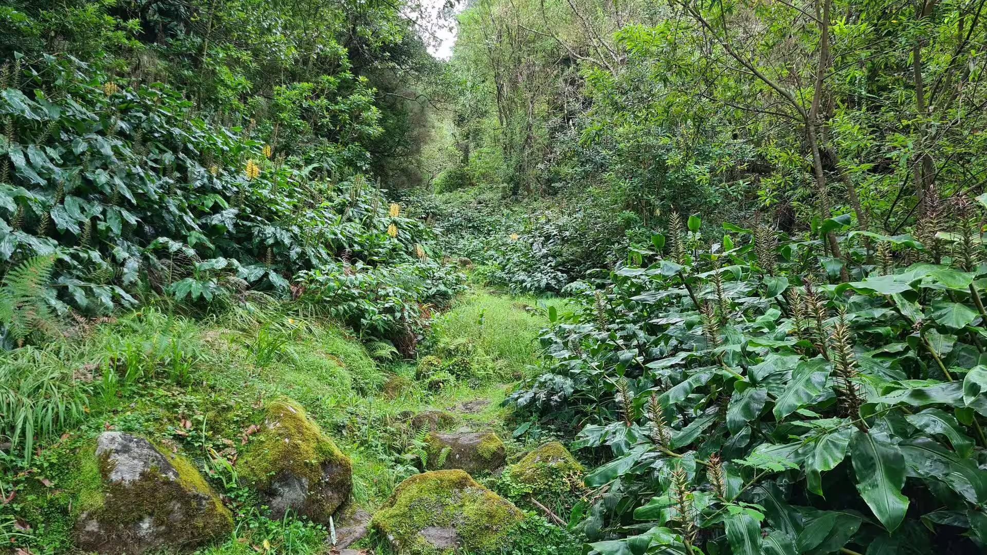
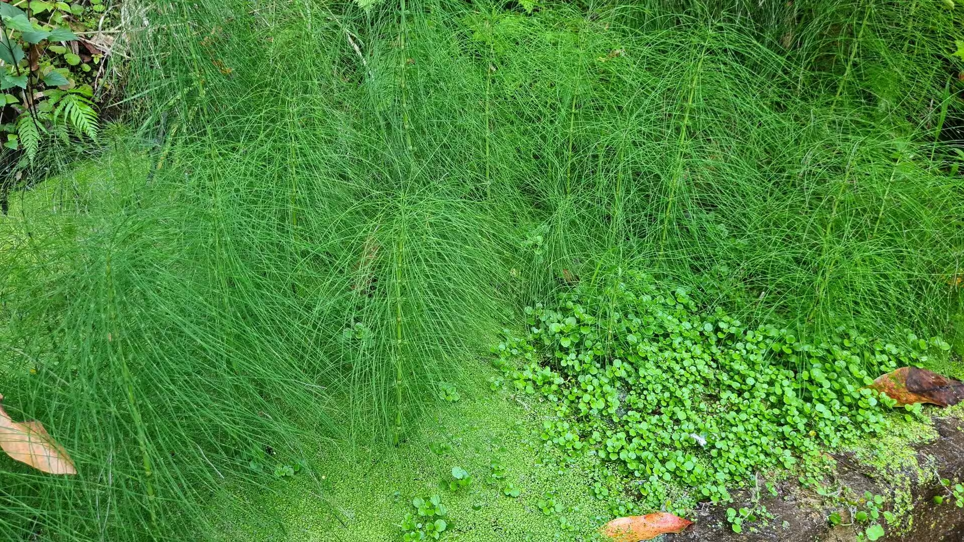
In the ravine above the village the vegetation thickens. A boulder strewn grassy trail leads into a shaded forest ravine, a gentle stream channel flows through a mossy gorge clad in ferns, and a waterfall cascades over mossy rocks into a dark pool. Bell shaped red and purple flowers hang from fuchsia plants near the trail beside a stone wall, and the damp conditions favour mosses and filmy ferns on every surface. The laurel forest that survives in such valleys is a relict of the subtropical vegetation that once covered much of the Mediterranean basin, and it shelters species that occur nowhere else.
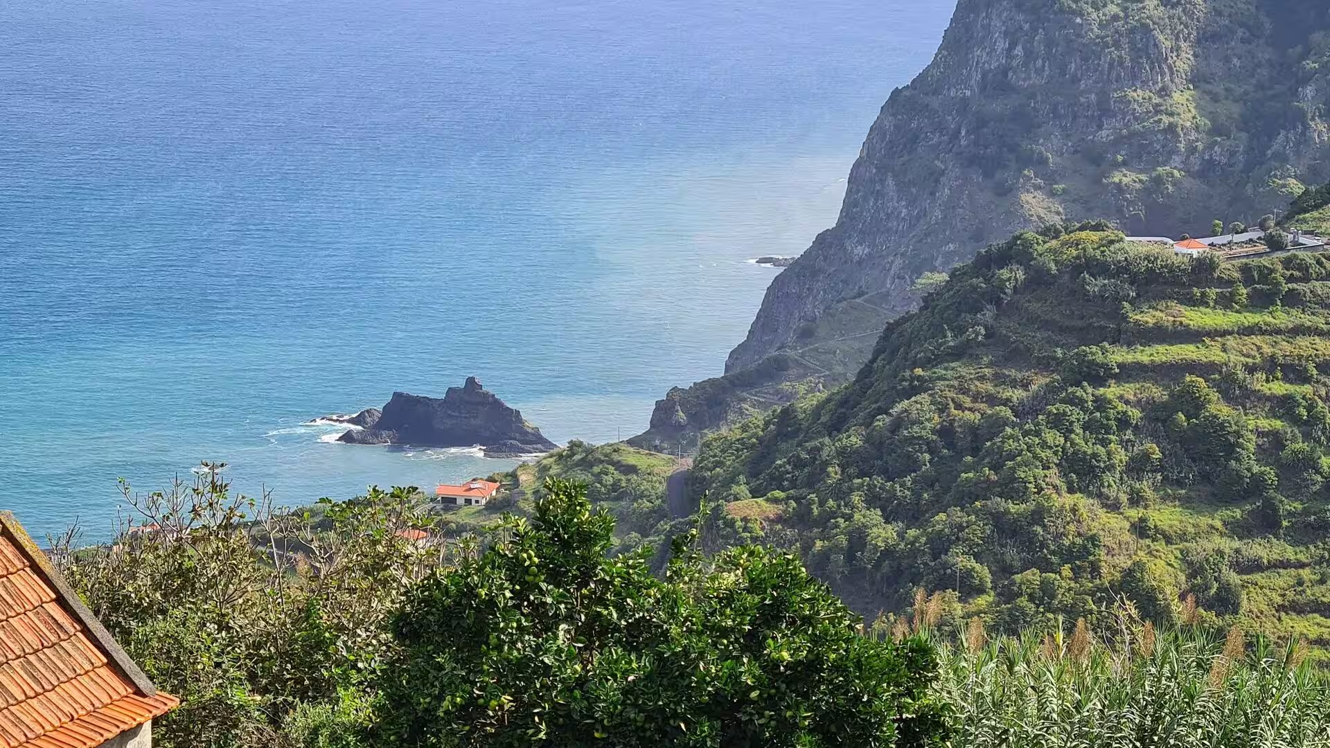
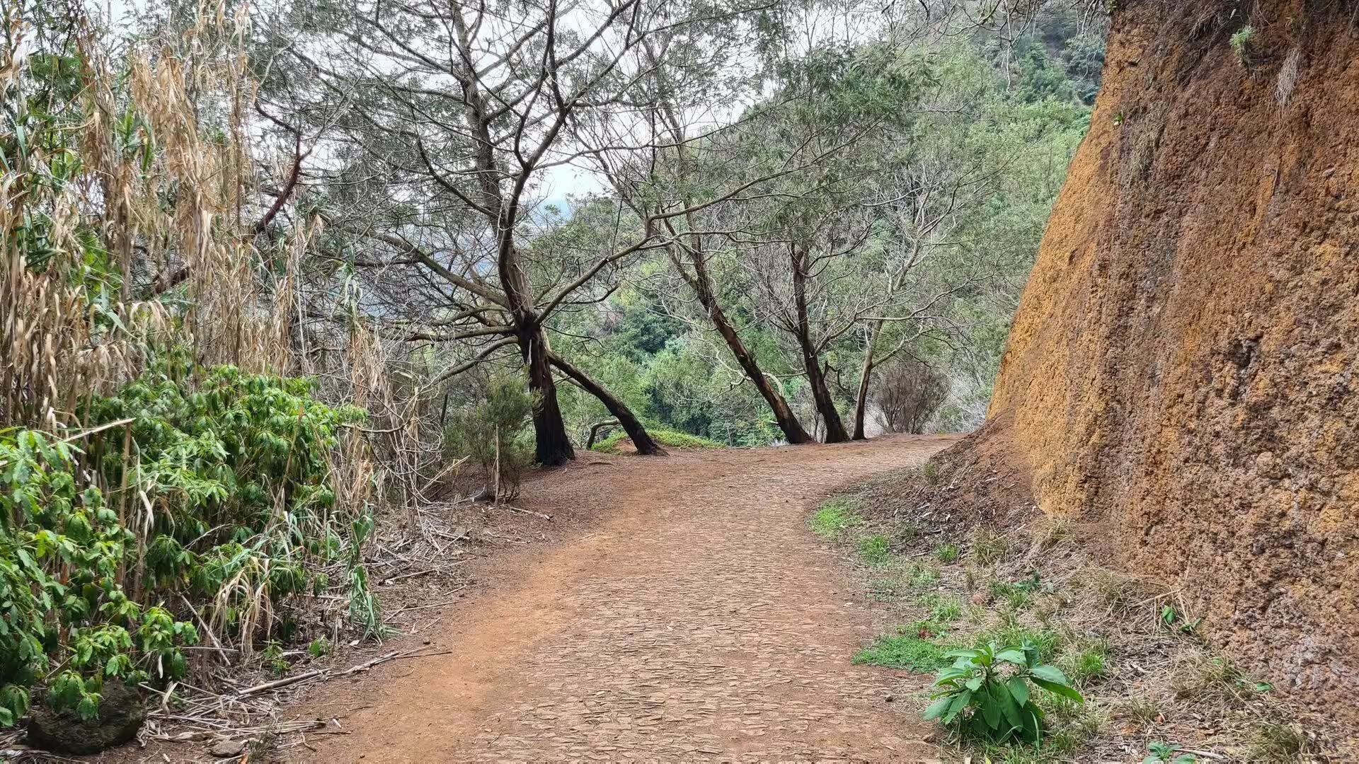
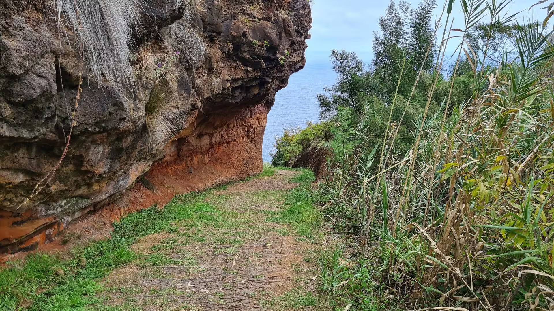
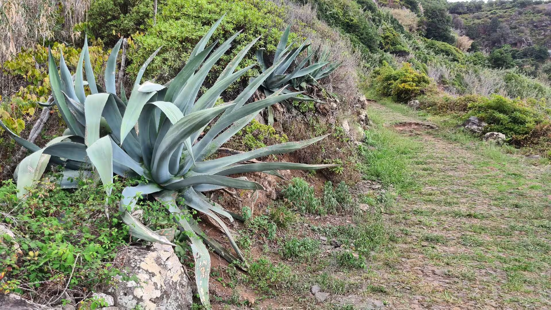
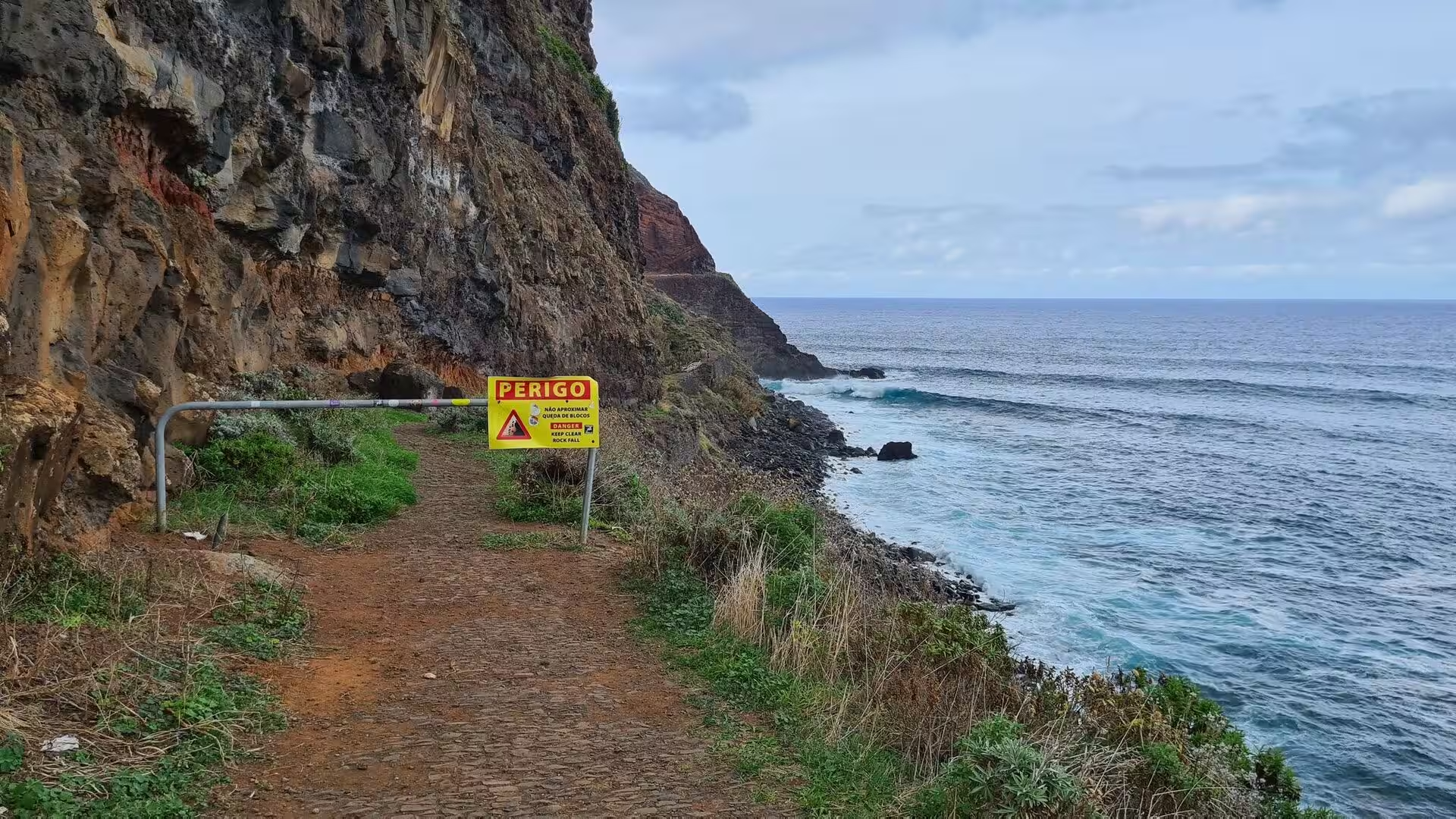
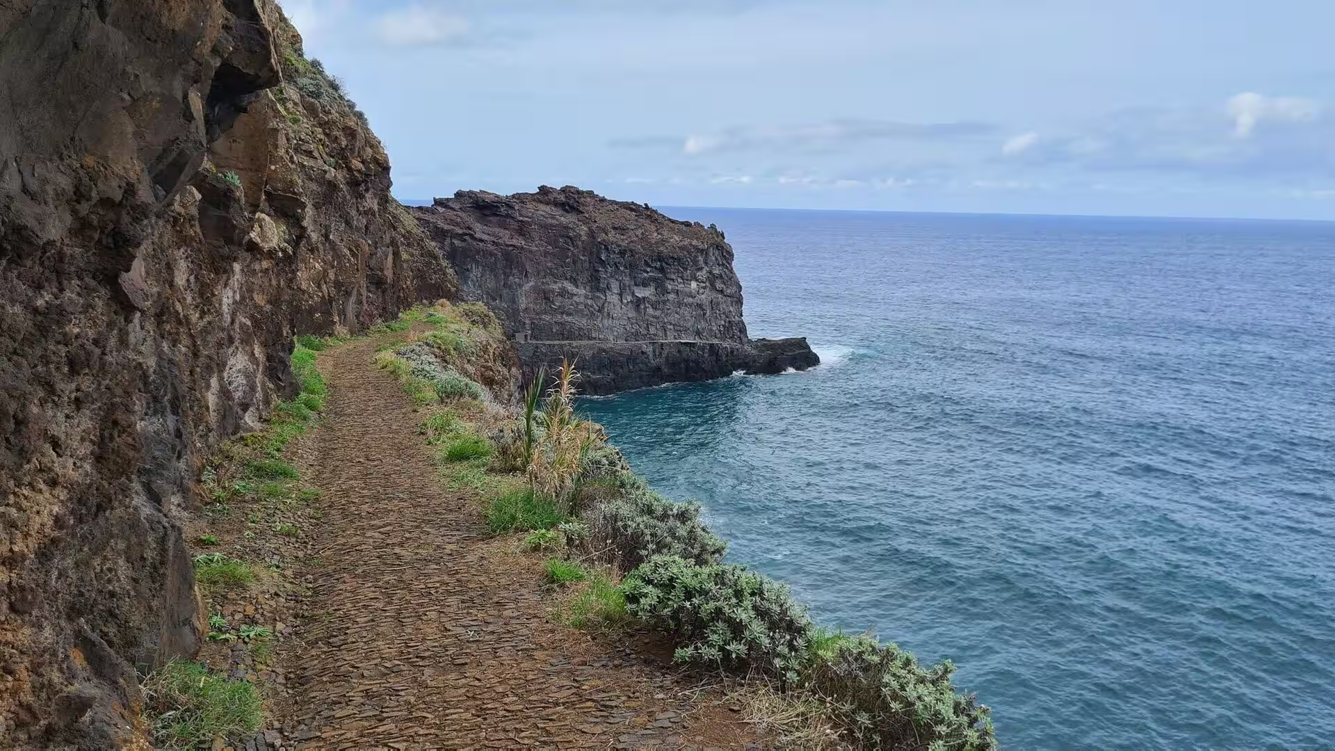
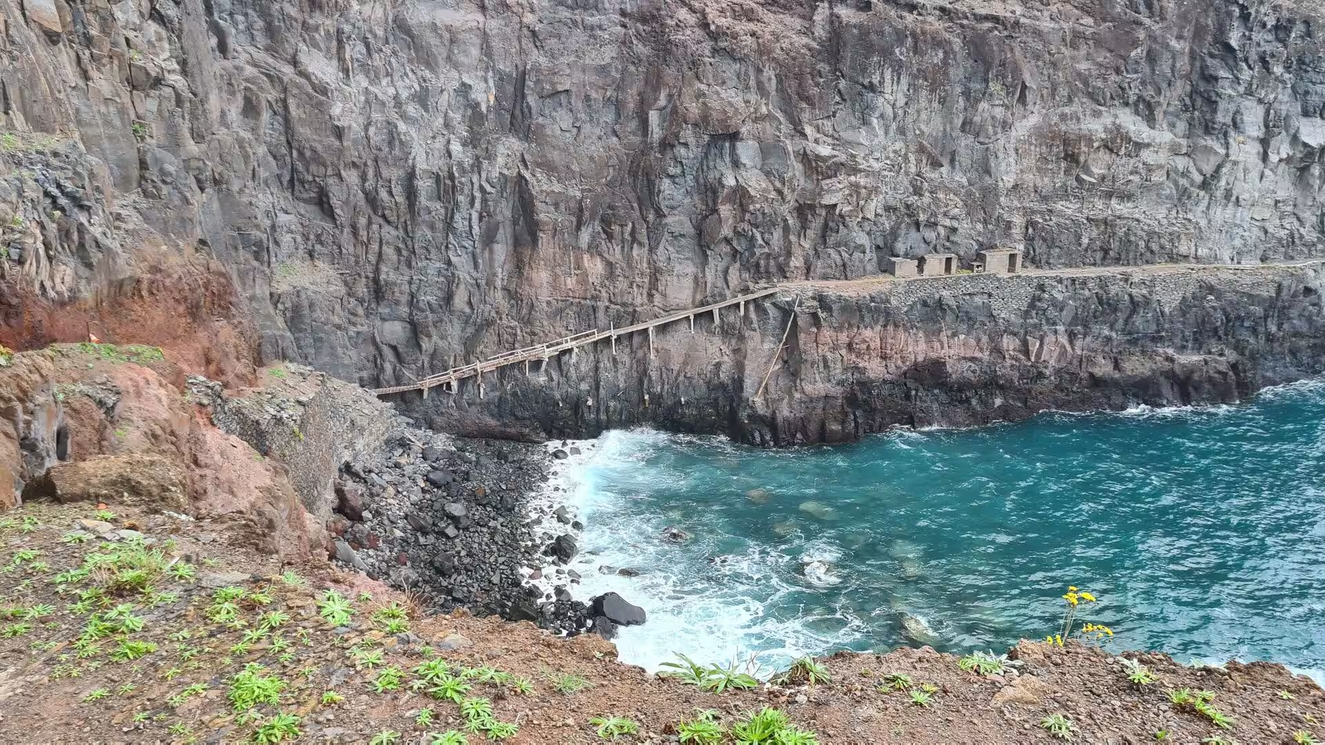
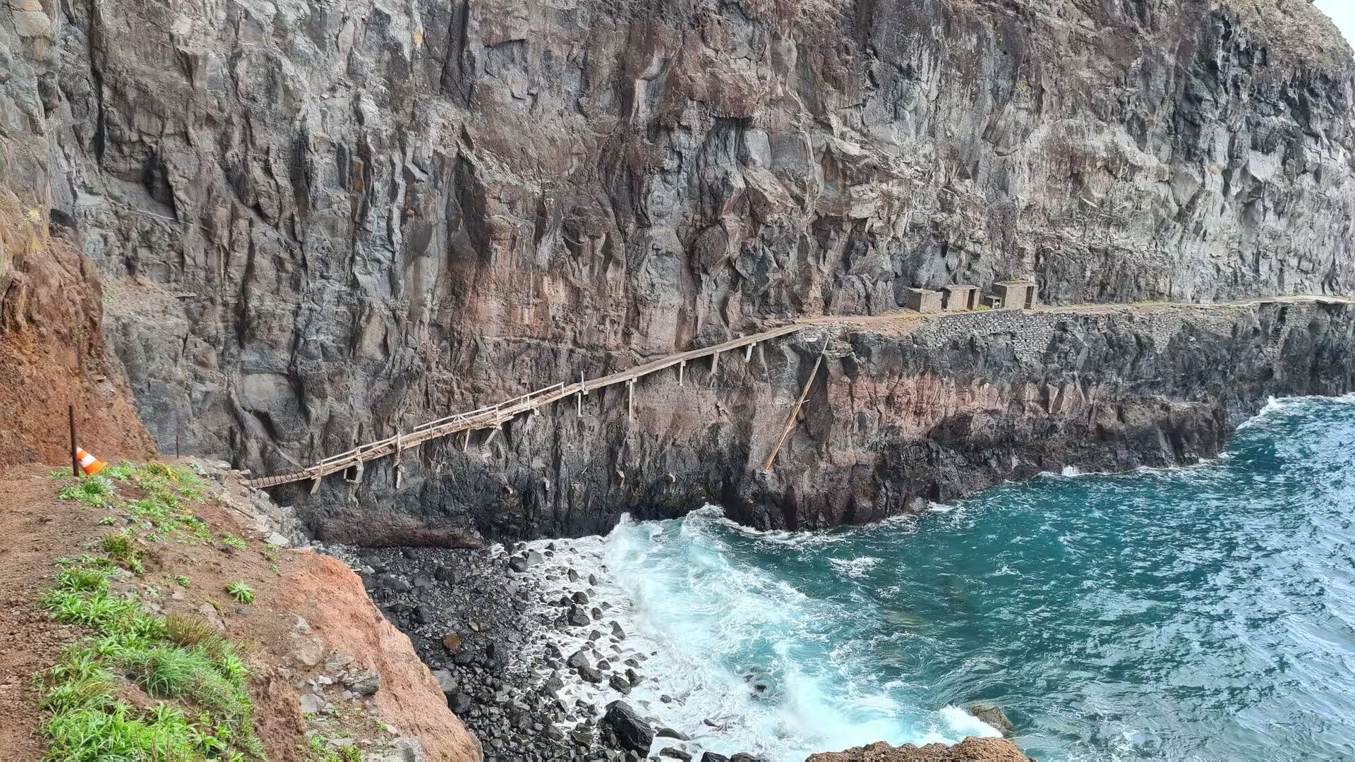
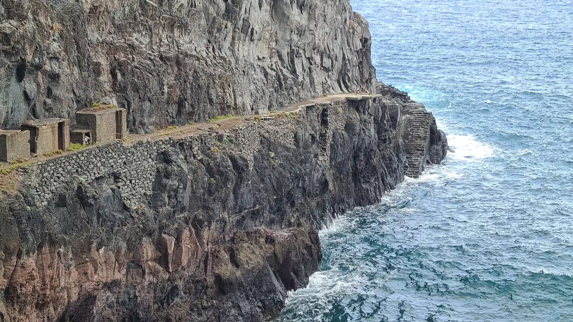
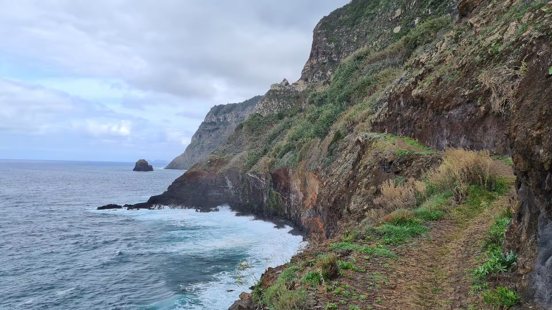
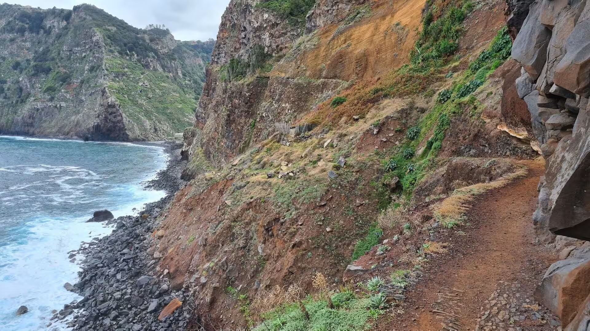
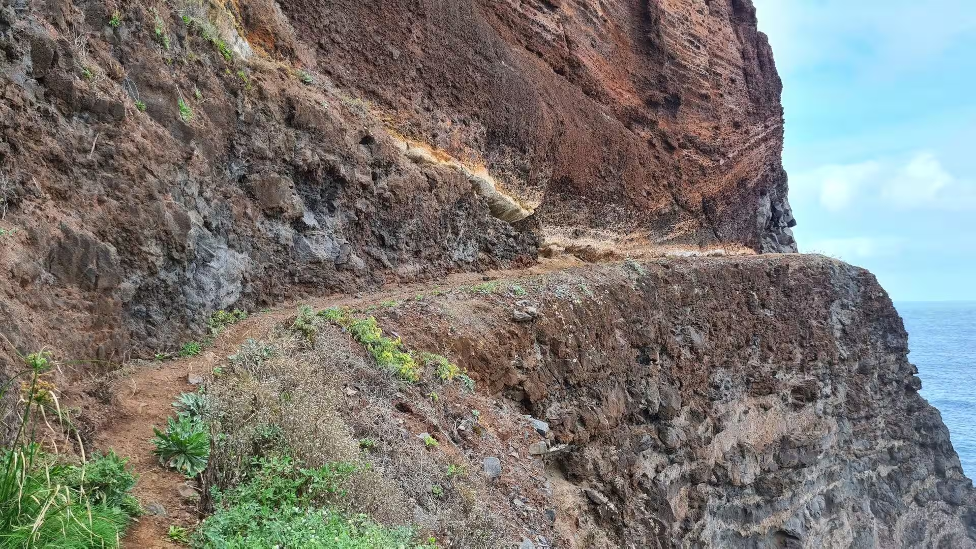
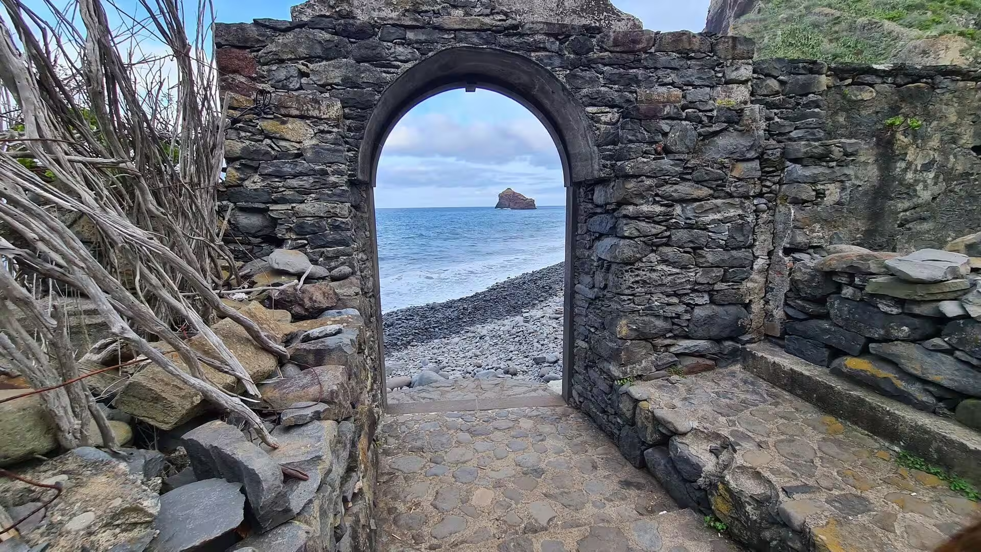
The coastal path is the most exposed part of the day. A dirt trail runs beside a towering cliff and is blocked by a post carrying a yellow warning sign, a walker follows a damp path cut into a cliffside, and a timber walkway hugs a steep cliff above churning surf. Below the path white surf breaks around a dark islet beneath towering sea cliffs, and elsewhere a dark rocky beach lines the base of a steep coastal cliff. Agave plants stand beside the trail, and the path continues along a vegetated slope above the open sea.
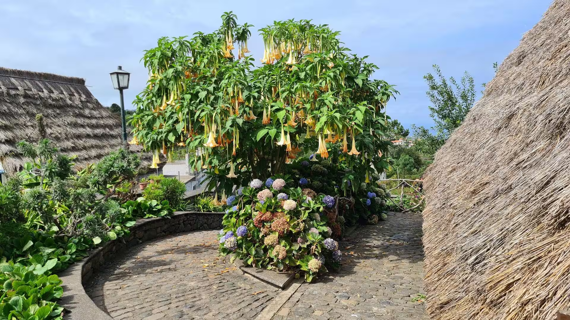
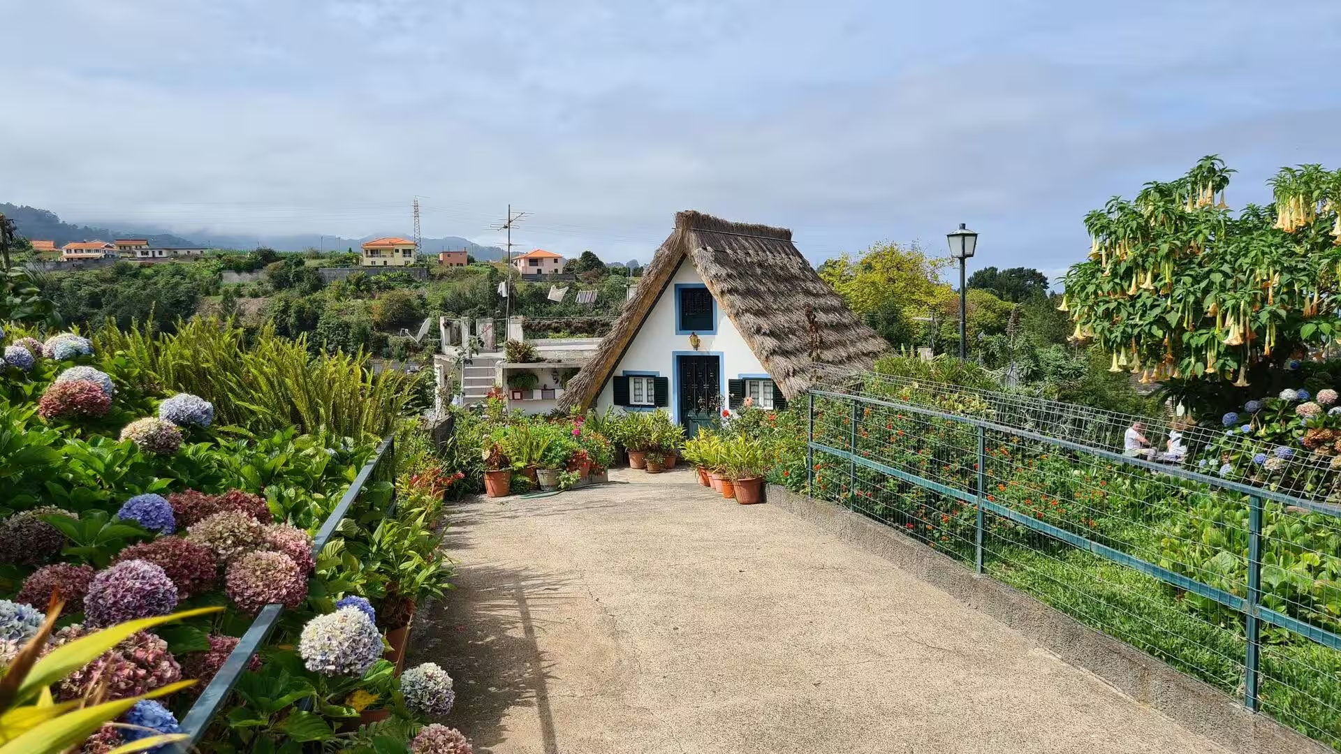
To the east of the day’s route lies the municipality of Santana, which is known for the traditional homes built with sloping triangular rooftops and protected with straw. These were mainly rural houses used by local farmers during the settlement of the island, with white painted walls and red doors and windows with blue trim. Most of the surviving buildings are tourist attractions and are maintained, with the straw roofs replaced every four to five years, and the type is exhibited at the Madeira Theme Park. Hydrangeas line the walkways between the huts, and yellow trumpet blossoms hang over the thatch.
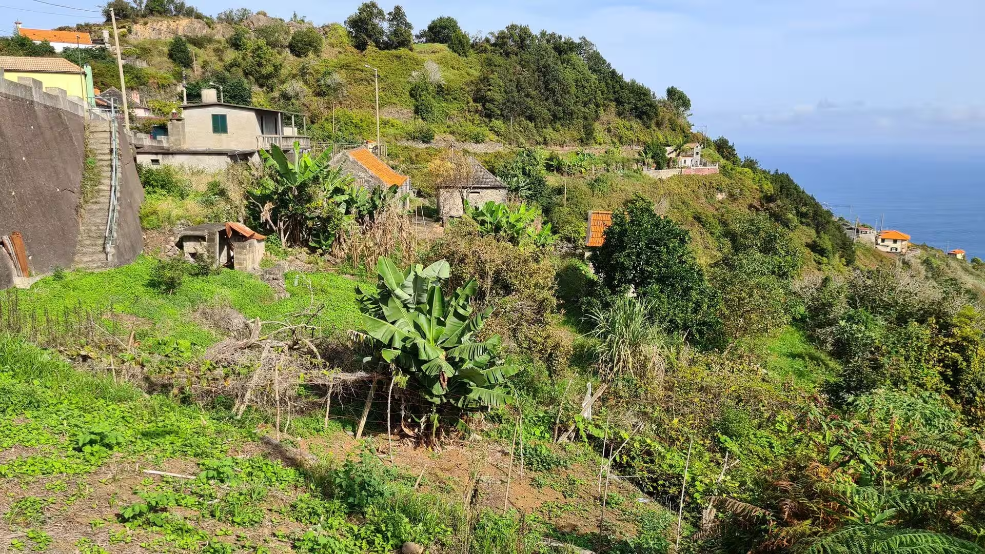
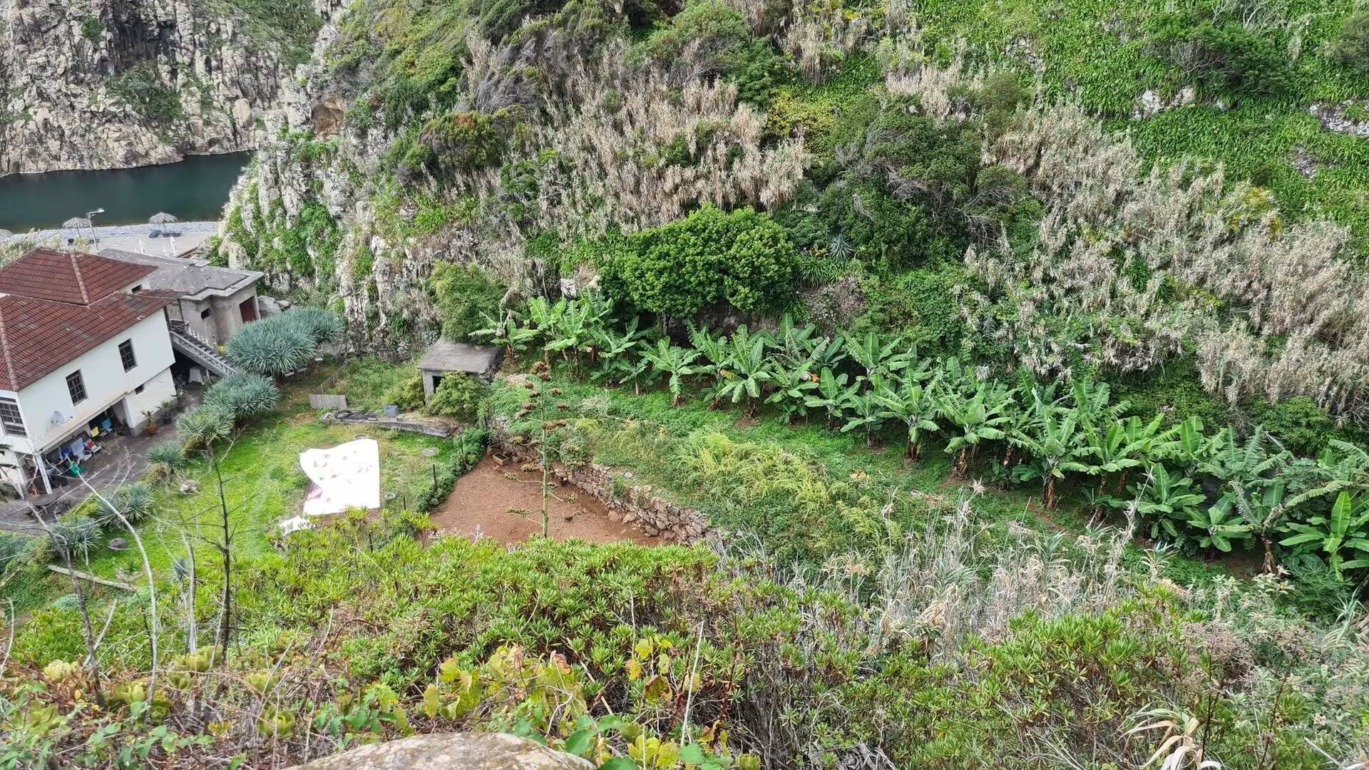
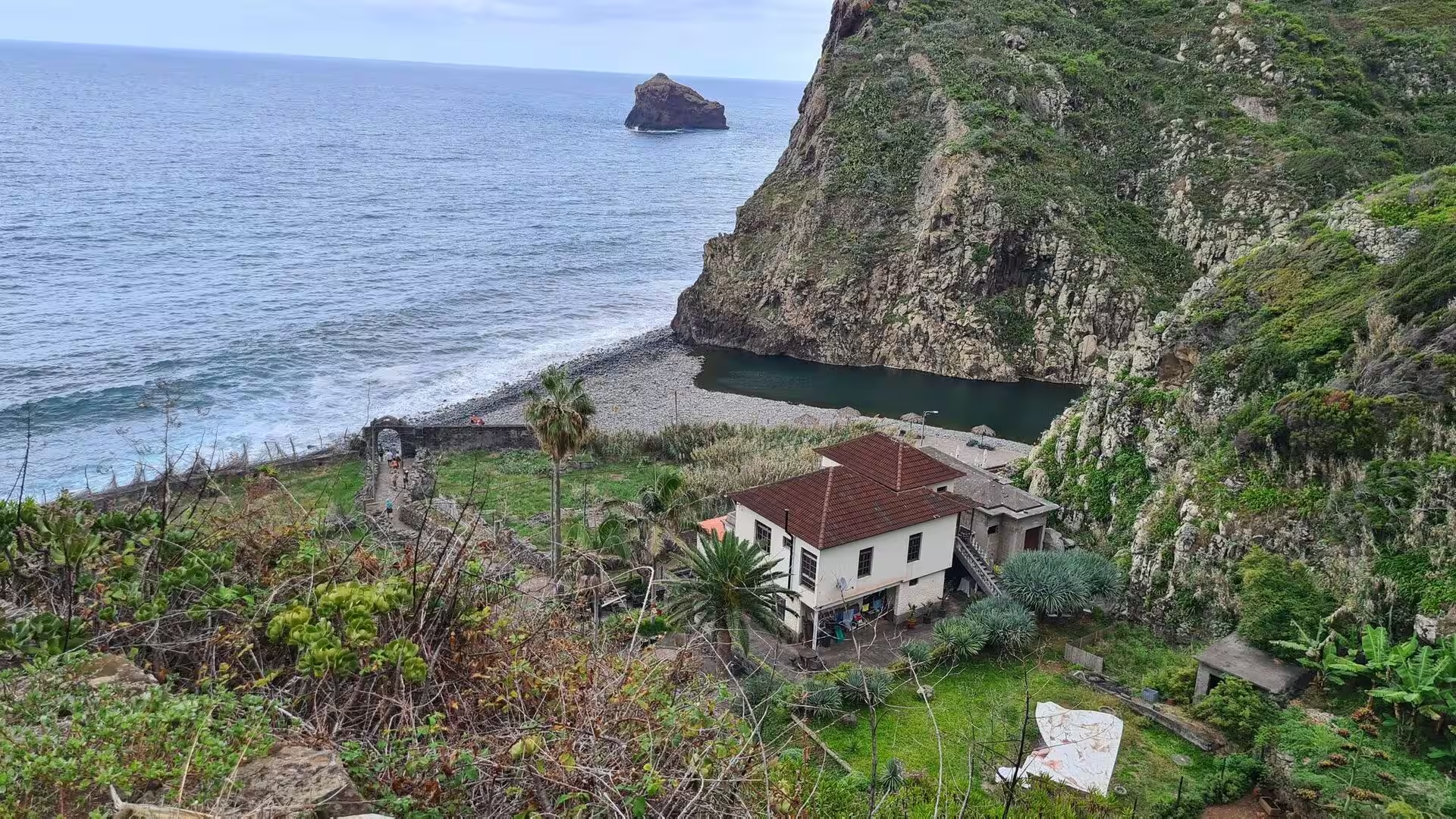
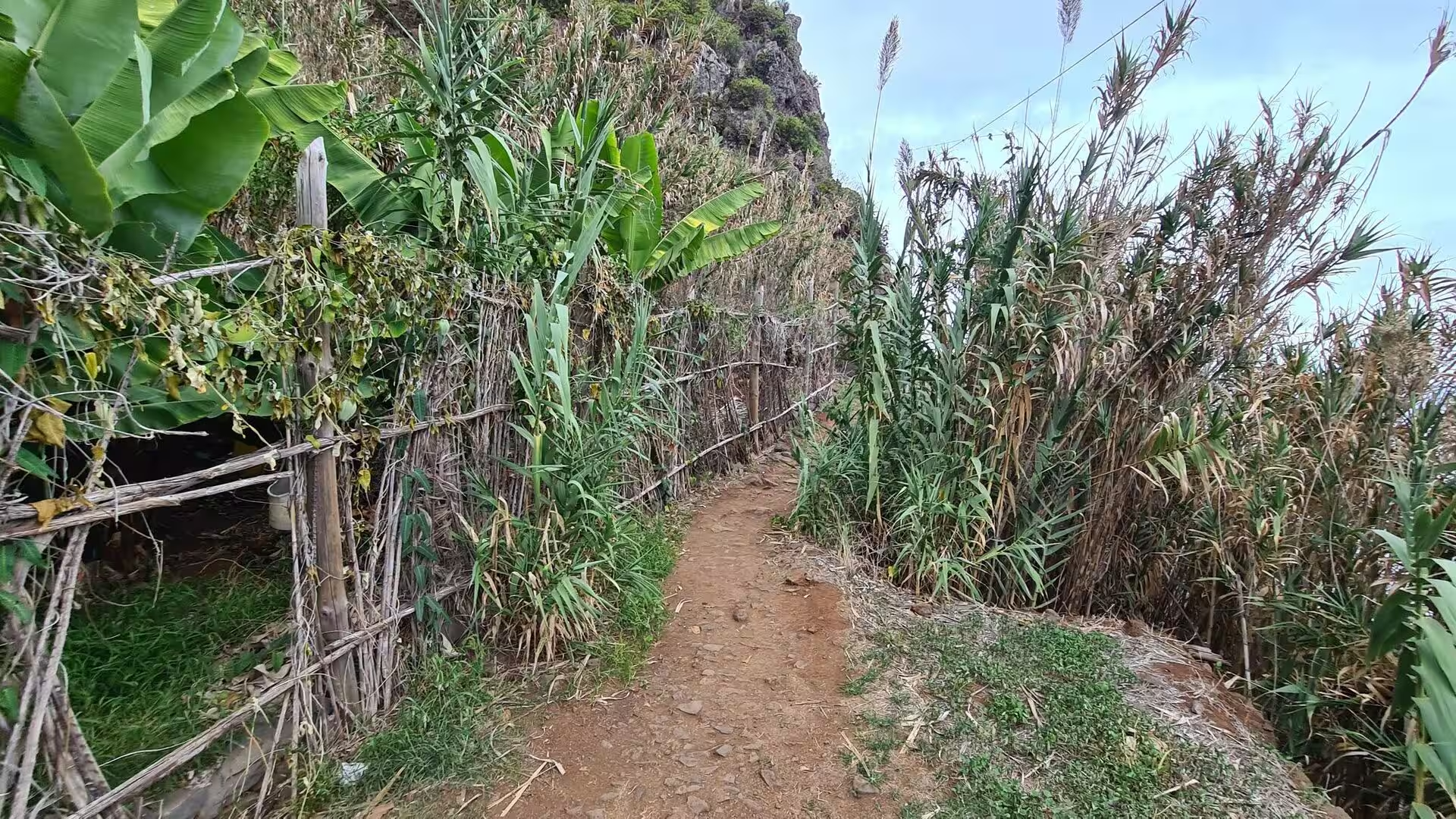
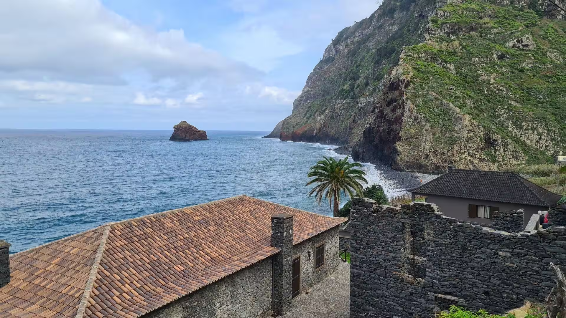
Subsistence farming has given way to specialised crops, and the banana is the most visible of them. A banana grove grows on a terraced slope above the sea, giant leaves lean over a winding dirt footpath beside a bamboo fence, and a stream pool lies beside a white house on a verdant terraced hillside. From one of the red roofed houses among palm gardens a black sand cove and a lone offshore rock come into view. The crop needs warmth, shelter and water, and the lowest terraces of the northern valleys supply all three within a short distance of the sea.
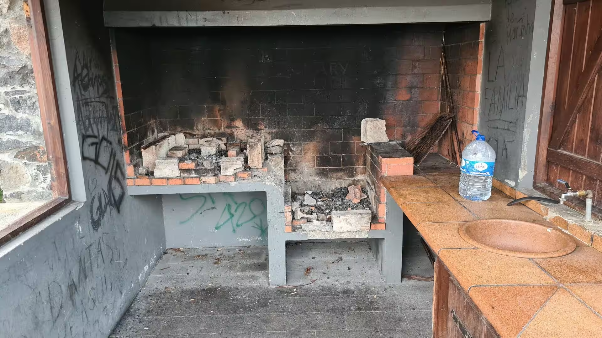
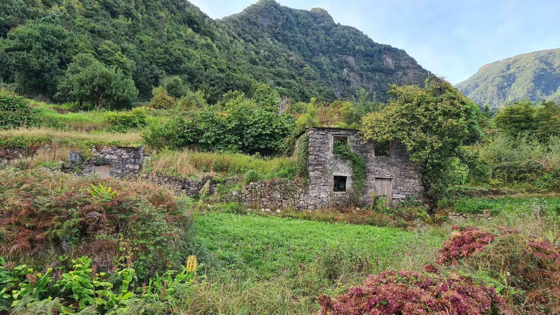
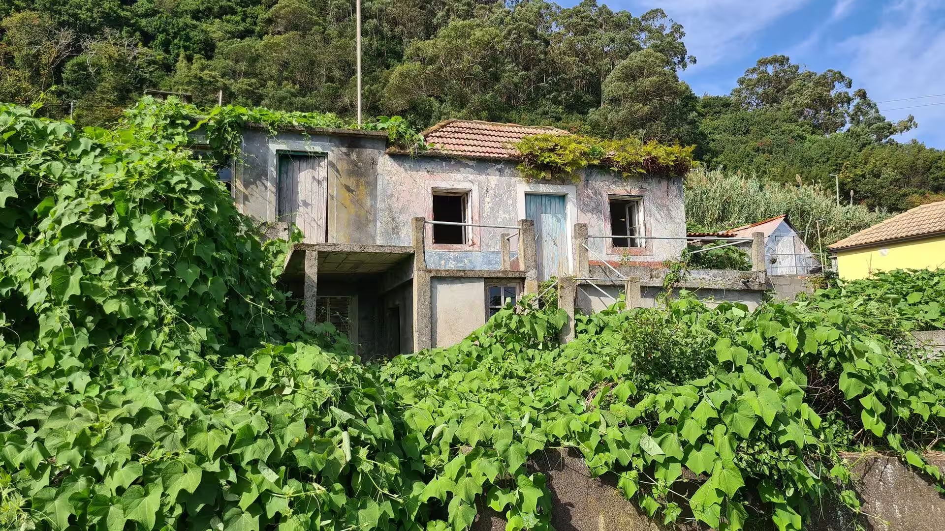
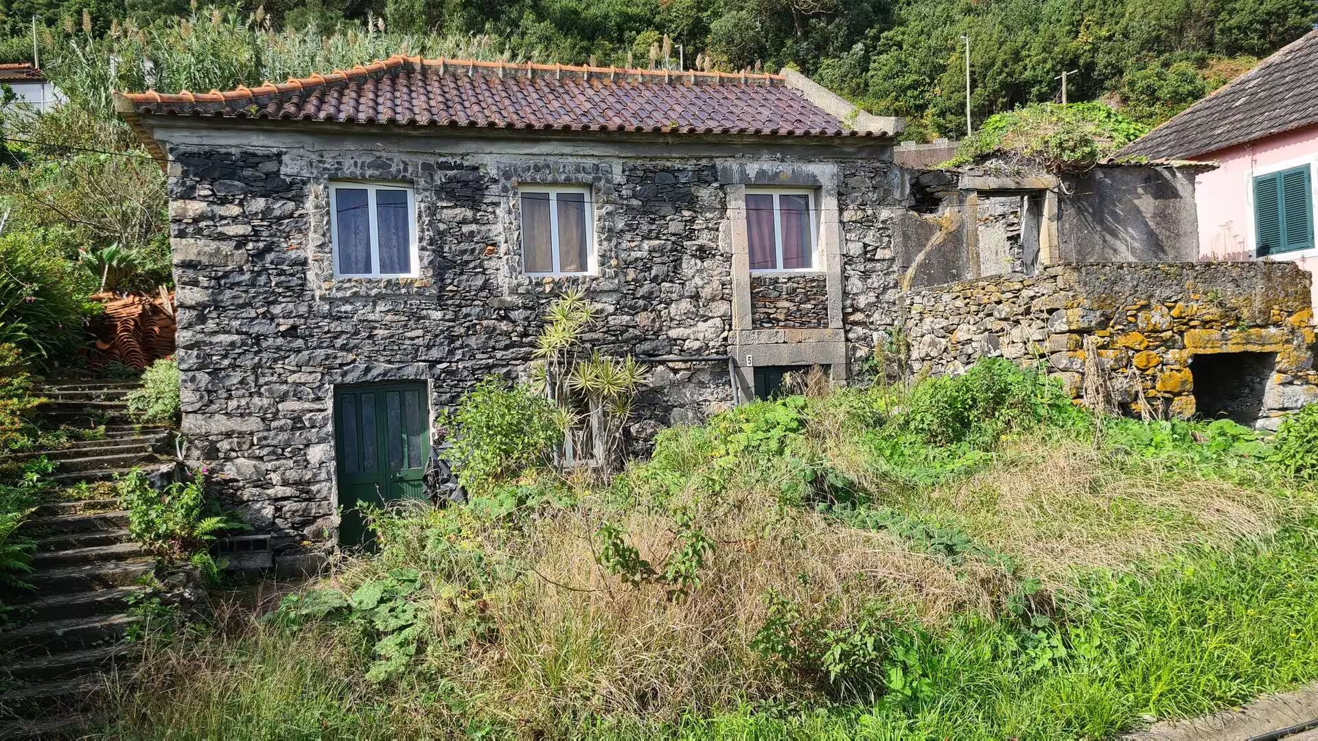
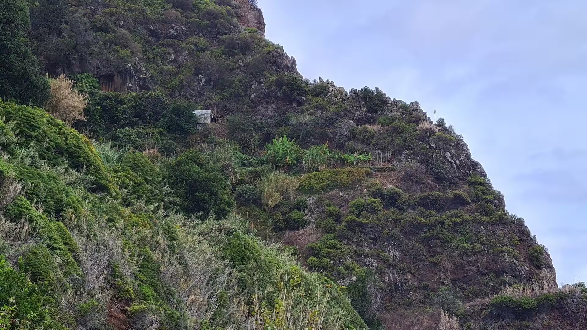
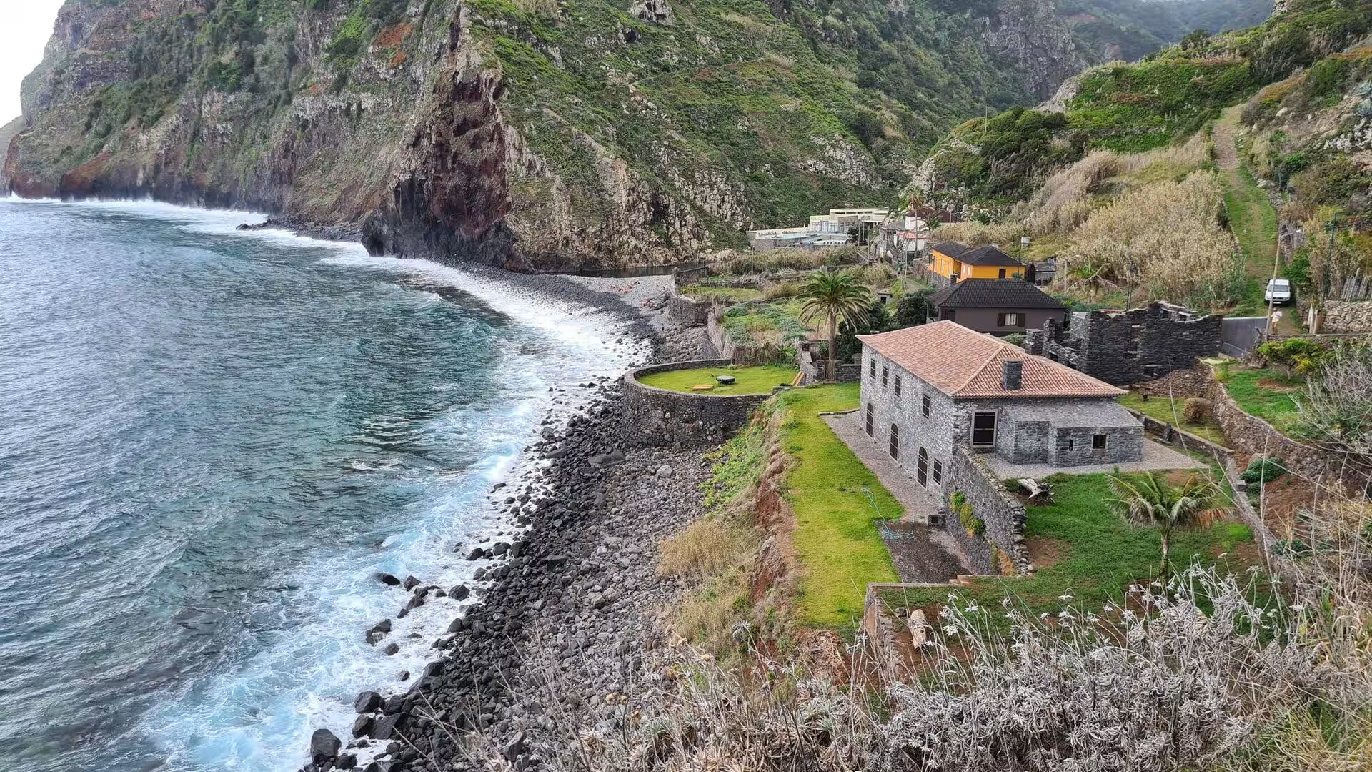
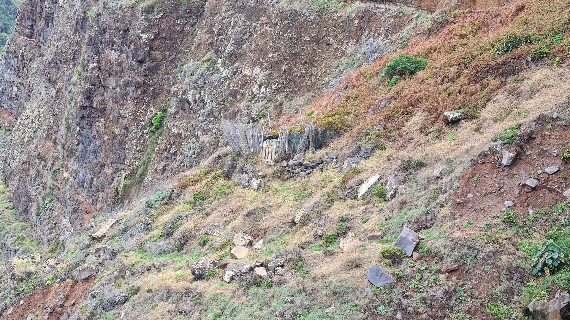
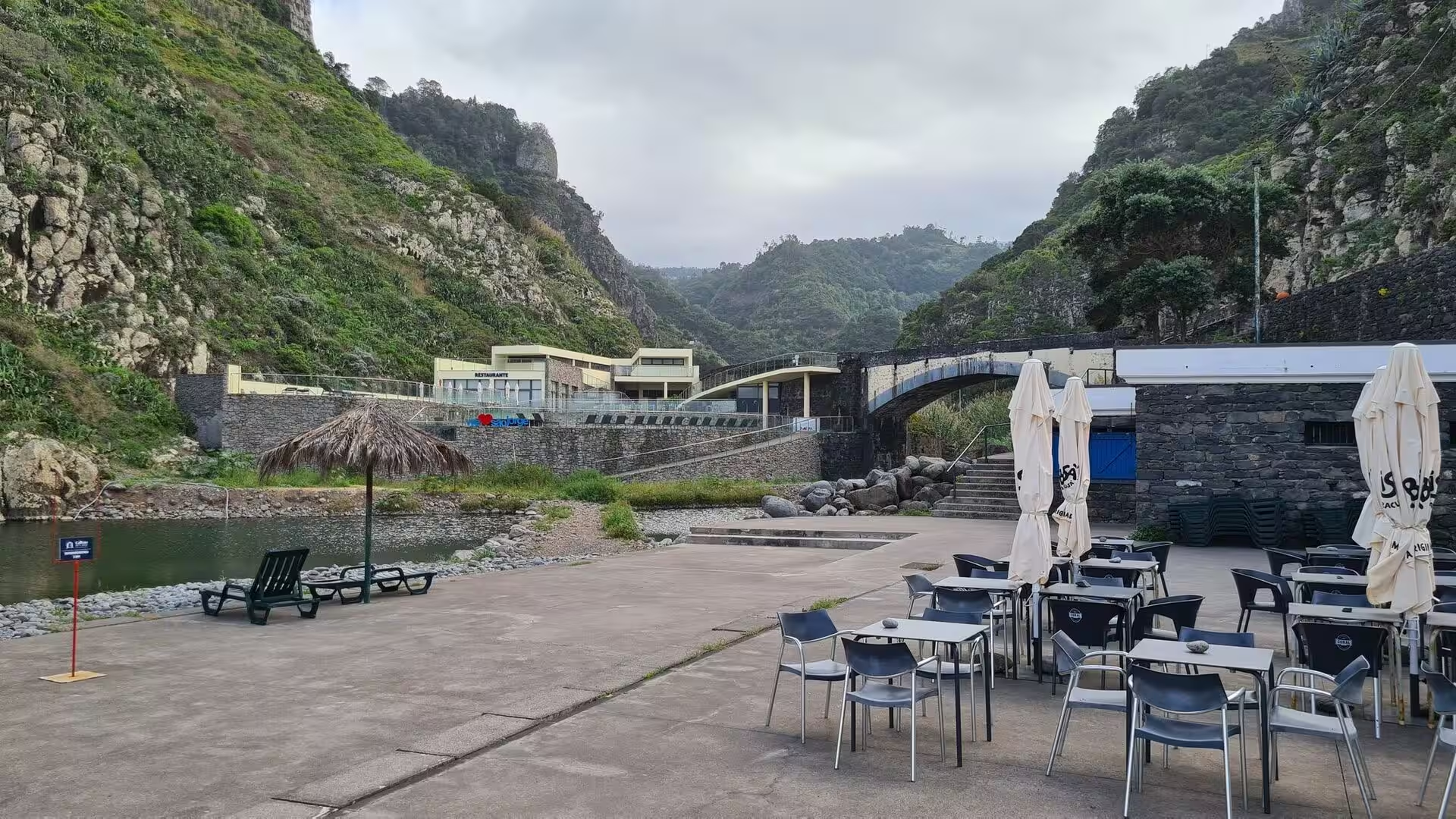
Stone is the other constant of this coast. A rugged basalt farmhouse with a green door stands in a wild garden, a roofless stone house ruin stands amid green and reddish vegetation, and a grey stone house with a tiled roof sits on a lawn above a shingle beach beneath high cliffs. An outdoor stone grill with a tiled sink counter belongs to the same domestic equipment, as do the old stone huts and the walled path that cling to the rugged coastline. In one of the valleys a calm pool and an empty cafe terrace rest beneath a stone bridge.
References
- Wikipedia contributors (2026). Madeira Island. en.wikipedia.org/wiki/Madeira_Island
- Wikipedia contributors (2026). Madeira. en.wikipedia.org/wiki/Madeira
- Wikipedia contributors (2026). São Vicente, Madeira. en.wikipedia.org/wiki/S%C3%A3o_Vicente%2C_Madeira
- Wikipedia contributors (2026). Santana, Madeira. en.wikipedia.org/wiki/Santana%2C_Madeira
- Wikipedia contributors (2026). Laurisilva. en.wikipedia.org/wiki/Laurisilva
- Wikipedia contributors (2026). Ocotea foetens. en.wikipedia.org/wiki/Ocotea_foetens
- Wikipedia contributors (2026). Levada. en.wikipedia.org/wiki/Levada
- Wikipedia contributors (2026). Macaronesia. en.wikipedia.org/wiki/Macaronesia
- Wikipedia contributors (2026). History of Madeira. en.wikipedia.org/wiki/History_of_Madeira
- Wikipedia contributors (2026). Paul da Serra. en.wikipedia.org/wiki/Paul_da_Serra
- Wikipedia contributors (2026). Madeira wine. en.wikipedia.org/wiki/Madeira_wine
- Lopes, Fragoso, Lopes (2020). Heavy Rainfall Events and Mass Movements in the Funchal Area (Madeira, Portugal): Spatial Analysis and Susceptibility Assessment. Atmosphere. 11. 104. doi.org/10.3390/atmos11010104
- Kiesow, Bork (2017). Agricultural terraces as a proxy to landscape history on Madeira island, Portugal. Ler História. 71. 127-152. doi.org/10.4000/lerhistoria.2912
- Fernández-Palacios, de Nascimento, Otto, Delgado (2010). A reconstruction of Palaeo-Macaronesia, with particular reference to the long-term biogeography of the Atlantic island laurel forests. Journal of Biogeography. 38. 226-246. doi.org/10.1111/j.1365-2699.2010.02427.x
- Santos, Quartau, Brum da Silveira, Ramalho (2019). Gravitational, erosional, sedimentary and volcanic processes on the submarine environment of Selvagens Islands (Madeira Archipelago, Portugal). Marine Geology. 415. 105945. doi.org/10.1016/j.margeo.2019.05.004
- Oliveira, Menezes, Jones (2006). The influence of fruit abundance on the use of forest and cultivated field habitats by the endemic Madeira laurel pigeon Columba trocaz: Implications for conservation. Biological Conservation. 130. 538-548. doi.org/10.1016/j.biocon.2006.01.016