Day 3

Journal Notes
General
The third day of the journey moves to the northwest of Madeira, to the coast that runs from the parish of Seixal up to the harbour of Porto Moniz. Madeira is a Portuguese island in the North Atlantic and the largest and most populous island of the archipelago of the same name. It rises as the summit of a massive submerged shield volcano on the African tectonic plate and forms part of Macaronesia together with the Azores, the Canary Islands and Cape Verde. The 2021 census counted 245,595 inhabitants on the island, roughly half of them in Funchal on the south coast; the north, by contrast, is a thinly settled coast of small parishes at the mouths of deep ravines.
Porto Moniz is the municipality of the extreme northwest, with 2,711 inhabitants at the 2011 census in an area of 82.93 square kilometres. It consists of four parishes: Seixal is the largest by area, Porto Moniz the largest by population and the seat of the settlement of Santa Maria Madalena, Achadas da Cruz the smallest both in population and in extent, and Ribeira da Janela the smallest in density. The main settlement lies southeast of Ponta do Tristão, the northernmost point of the island. Its church, the Igreja de Nossa Senhora da Conceição, was built in the eighteenth century, the same period in which vines were cultivated around Porto Moniz, before potatoes became the local crop in the nineteenth century.
The northwest belongs to the wetter half of the island. Moist Atlantic air masses are forced upwards against the central ridge, cool with altitude and release their water as rain and cloud, so that the northern slopes receive more precipitation and more cloud cover than the sheltered south. Above the coast the land climbs into the uplands of the Fanal plateau and to the tableland of Paul da Serra, the largest and most extensive plateau of Madeira, which sees more than 240 foggy days a year. That moisture is the reason why the upper valleys still carry laurisilva, the relict laurel forest of the island, inscribed as a UNESCO World Heritage Site in 1999.
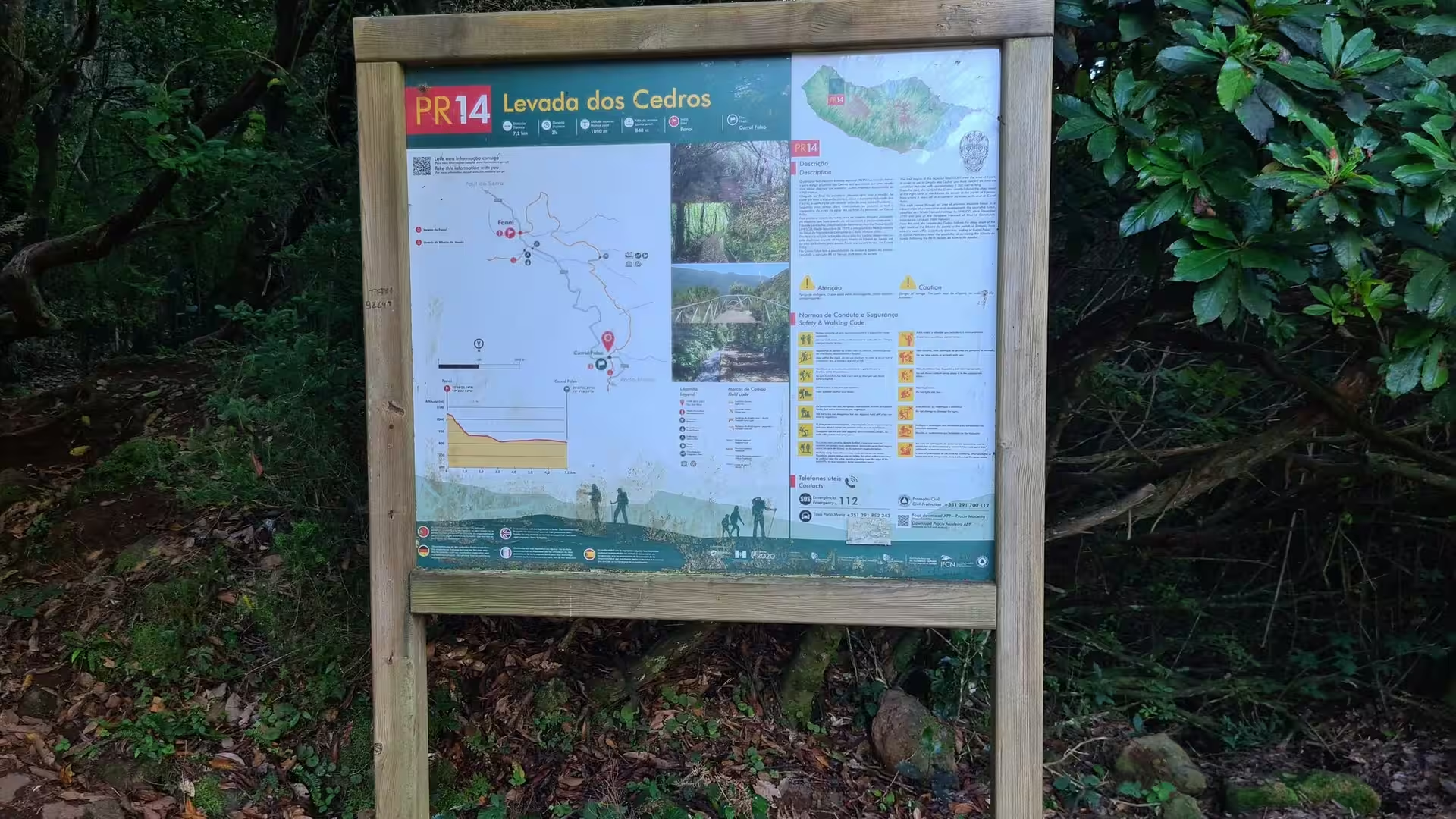
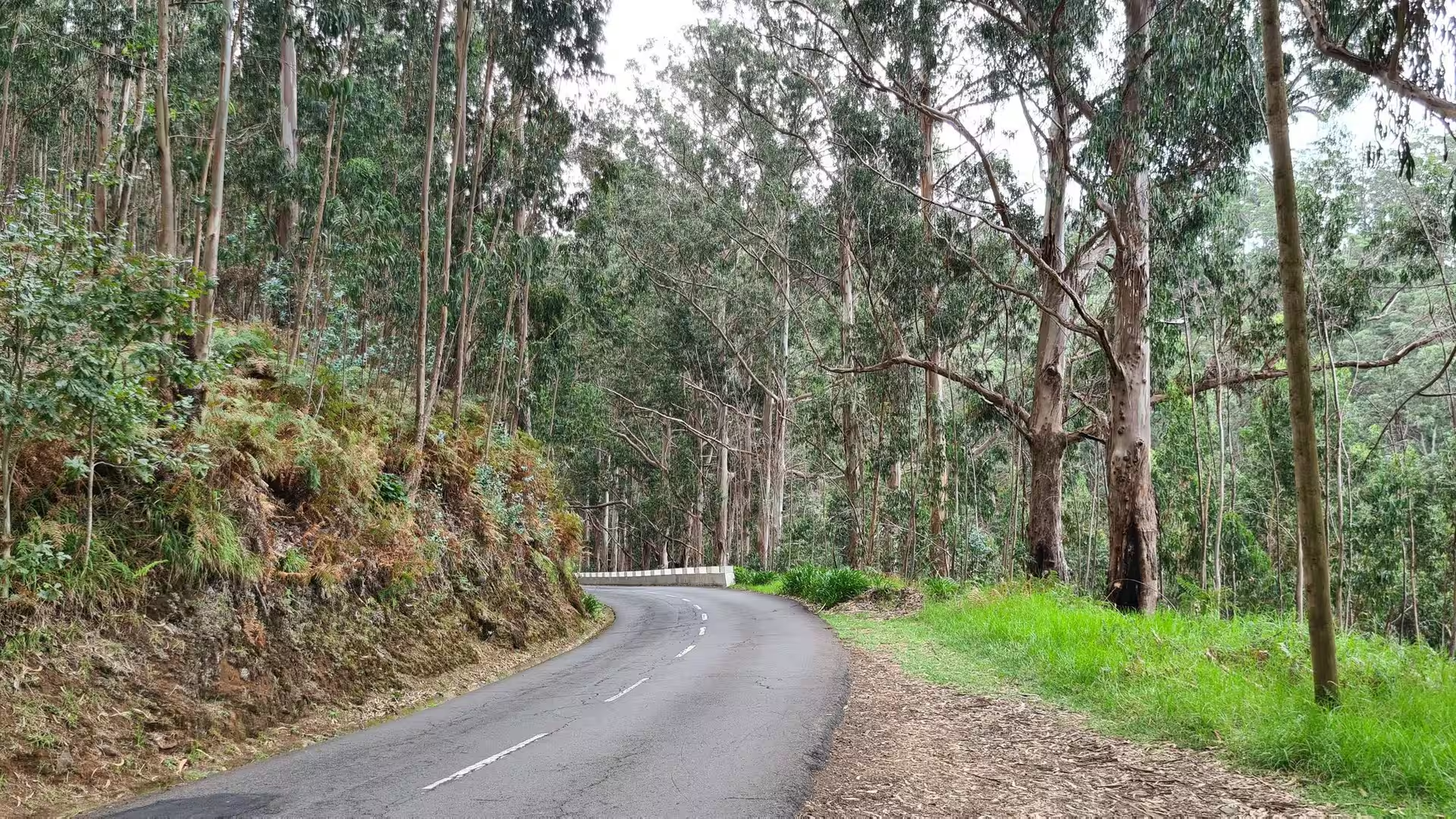
The day works through three levels of this landscape. The first is the high forest, where the Levada dos Cedros gives the route its name and a wooden board identifies it as the PR 14 walk. The second is the open plateau above the trees, where a path climbs through windswept green and brown scrub and passes an old stone oven in a clearing. The third is the volcanic coast, where the valleys reach the sea between dark cliffs. The connecting element is water: the channels that carry it, the rain that feeds them, and the ocean into which it drains.
Travel between those levels is possible on the roads built across the interior as Vias Rápidas and along the coast, where the route is cut into the slope and disappears into tunnel mouths. Before those roads existed, the parishes lived from the sea and from what the narrow terraces above them could produce. The day closes at the shore, between the natural lava pools of Porto Moniz, where the sea is held in hollows of black rock, and the dark sand of the northern beaches, which is made of the same fragmented volcanic material as the cliffs behind it.
History
Madeira was uninhabited when Portuguese sailors in the service of Prince Henry the Navigator reached it. In 1418 two captains, João Gonçalves Zarco and Tristão Vaz Teixeira, were driven off course by a storm to the island they named Porto Santo in gratitude for their rescue from shipwreck, and in the following year the same captains, with Bartolomeu Perestrello, took possession of the larger island on behalf of the Portuguese crown. Settlement began around 1420 or 1425 under three captaincies, Funchal, Machico and Porto Santo. The islands remained the property of the Order of Christ, which promoted their settlement.
The north coast was colonised later than the south. Steep escarpments and deep river valleys made access difficult, and the first settlers preferred the gentler land around Funchal. In the case of Porto Moniz it is likely that colonisation took place at the beginning of the last quarter of the fifteenth century. Francisco Moniz O Velho, a nobleman from the Algarve who had uncultivated lands in the area, established a farm and a chapel there; he married Filipa da Câmara and was one of the sons of João Gonçalves Zarco. The first settlers around him grew grain, kept cattle and cut timber.
Wheat exports declined in the decade of 1450, and the crown turned to a crop that was treated in Europe as a spice. Sugar cane was planted with Sicilian advisers and financed by Genoese capital, and after the introduction of the first water driven sugar mill, production exceeded 6,000 arrobas by 1455. The industry attracted merchants from Italy, the Basque country, Catalonia and Flanders to Funchal, which became a mandatory port of call for European trade routes in the second half of the fifteenth century. Enslaved labourers, first Guanches from the Canary Islands and later West Africans, worked the cane fields and built and maintained the levada system that remains one of the most distinctive features of the Madeiran landscape.
Madeiran sugar could not compete with the plantations of Brazil and São Tomé, and from the seventeenth century the most important product of the island was its wine. Madeira wine is a fortified wine whose character was discovered by accident, when an unsold shipment returned after a round trip and was found to have been transformed by heat and movement. English merchants settled in Funchal and controlled the trade. Porto Moniz began to grow vines in the eighteenth century and potatoes in the nineteenth, and the municipality itself was created on 31 October 1835, only to be abolished and re-established in 1849 to 1855, in 1867 to 1871 and again in 1895 to 1898.
Administratively the northwest changed hands more than once. São Vicente was elevated to municipal seat by royal charter on 23 August 1774, and the parishes of Porto Moniz, Seixal, Arco de São Jorge and São Jorge were then under its authority; the Liberal reform of 1835 created Santana and Porto Moniz as separate municipalities. The twentieth century brought emigration to Africa and the Americas, a pattern that also shaped the northern parishes, and in 1976 the constitution granted Madeira an autonomous administration with its own legislature. Tourism now contributes about 20 per cent of the region’s economic output, and in 2021 the island received 148,000 British and 113,000 German visitors.
Geology
Madeira is the summit of a shield volcano that rises from the floor of the Atlantic Ocean on the Tore underwater mountain range. Volcanic activity began during the Miocene, over five million years ago, along an east to west rift in the oceanic crust of the African plate, continued into the Pleistocene until about 700,000 years ago, and built a broad shield of stacked lava flows. A mountain ridge extends along the centre of the island, reaching its highest point at Pico Ruivo, 1,862 metres above sea level.
The end of the shield building phase was followed by extensive erosion, which produced two large amphitheatres opening to the south in the central part of the island. Volcanic activity later resumed and produced scoria cones and lava flows on top of the older, eroded shield. The most recent eruptions took place on the west central part of the island only about 6,500 years ago and created further cinder cones and lava flows. The black rock of this coast, the hollows at the waterline and the dark sand of the beaches all belong to that last phase of growth.
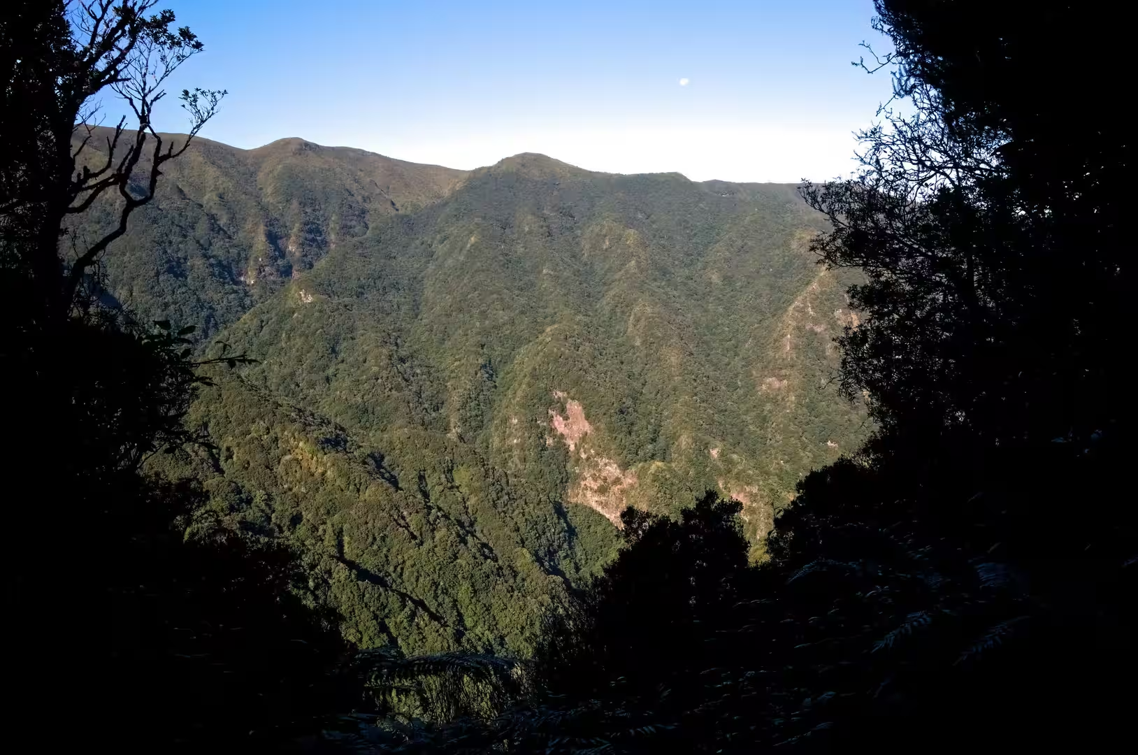
Above the sea the relief is dominated by the central ridge. Sea cliffs, valleys and ravines extend from that spine towards the coast and leave the interior generally inaccessible, so that daily life is concentrated in the villages at the mouths of the ravines, through which the heavy rains of autumn and winter travel to the sea. The northern valleys are deeply incised, and their slopes are steep enough for rockfalls and shallow landslides after periods of intense rainfall. Persistent moisture and mild temperatures also accelerate chemical weathering, which produces altered volcanic surfaces and shallow soils.
Behind the coastal parishes lies Paul da Serra, the largest and most extensive plateau of Madeira, whose highest point is the pico do Paul. Its planar structure facilitates the infiltration of a significant part of the high annual rainfall and slows the runoff towards the sea, which makes the plateau the most important area of groundwater recharge on the island. The ground cover is mostly underbrush that recolonised the high ground after grazing was abandoned, with bracken, bent grass, broom and gorse, and with Thymus micans, a species endemic to Madeira that is confined to the central mountain massif.
The levadas that carry the water of the wet north towards the drier south date from the fifteenth century and span thousands of kilometres. They run at a nearly constant gradient, often cut into a rock face, and they now serve human consumption, agriculture and the production of electricity. The Ribeira dos Soccoridos plant, rated at 15 megawatts, uses a pumped hydropower reservoir to recycle mountain water during the dry summer, and a project financed with 34.7 million euros, of which 17.3 million came from the European Cohesion Policy, added a 5.4 kilometre tunnel to increase storage. In the first half of 2022, 33 per cent of the electricity consumed on the archipelago came from renewable sources.
Things to See
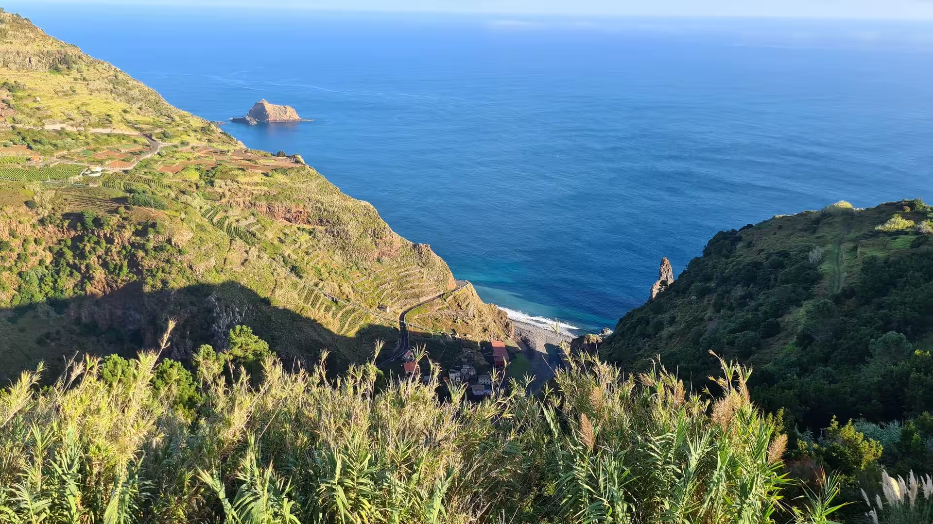
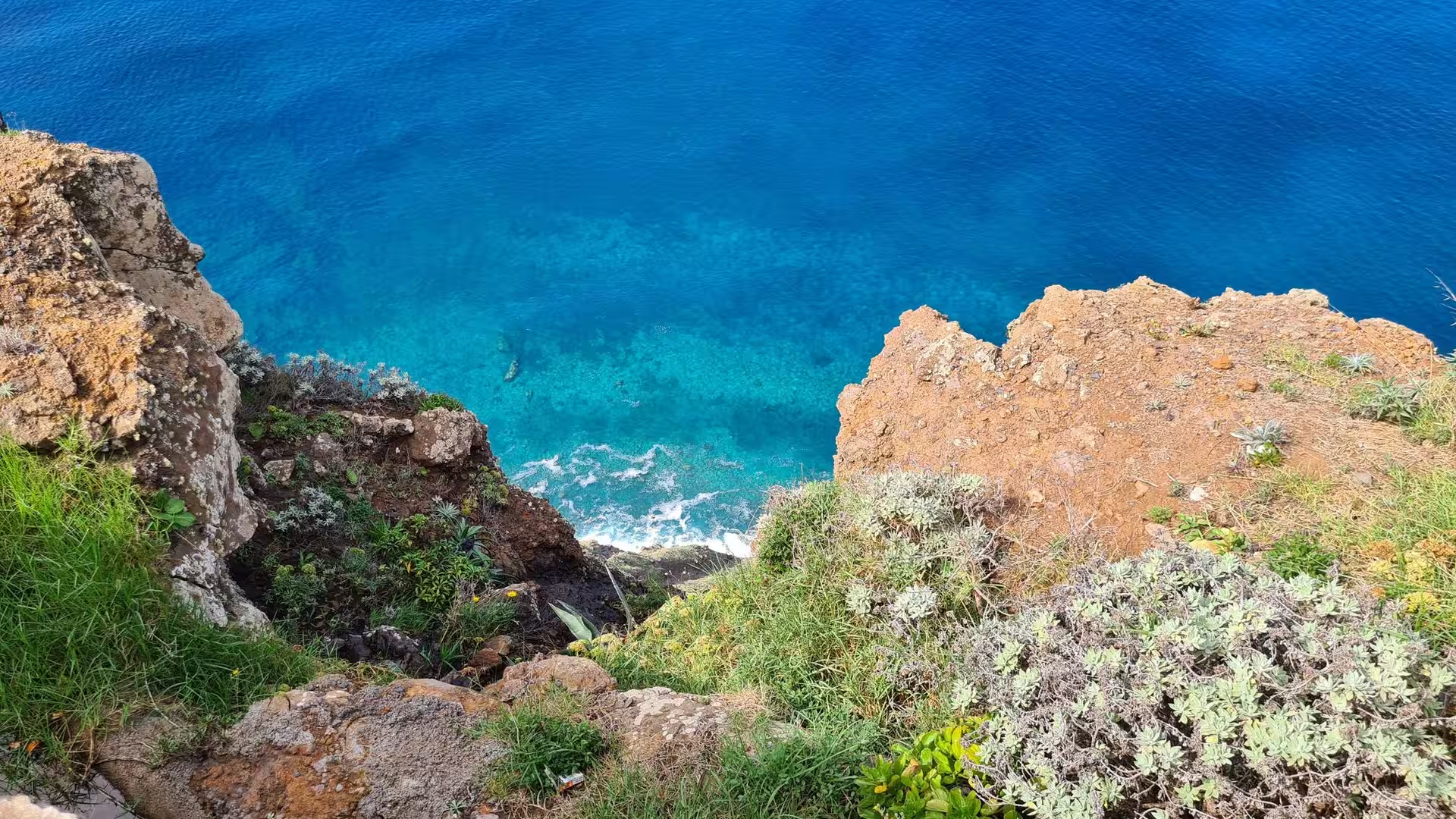
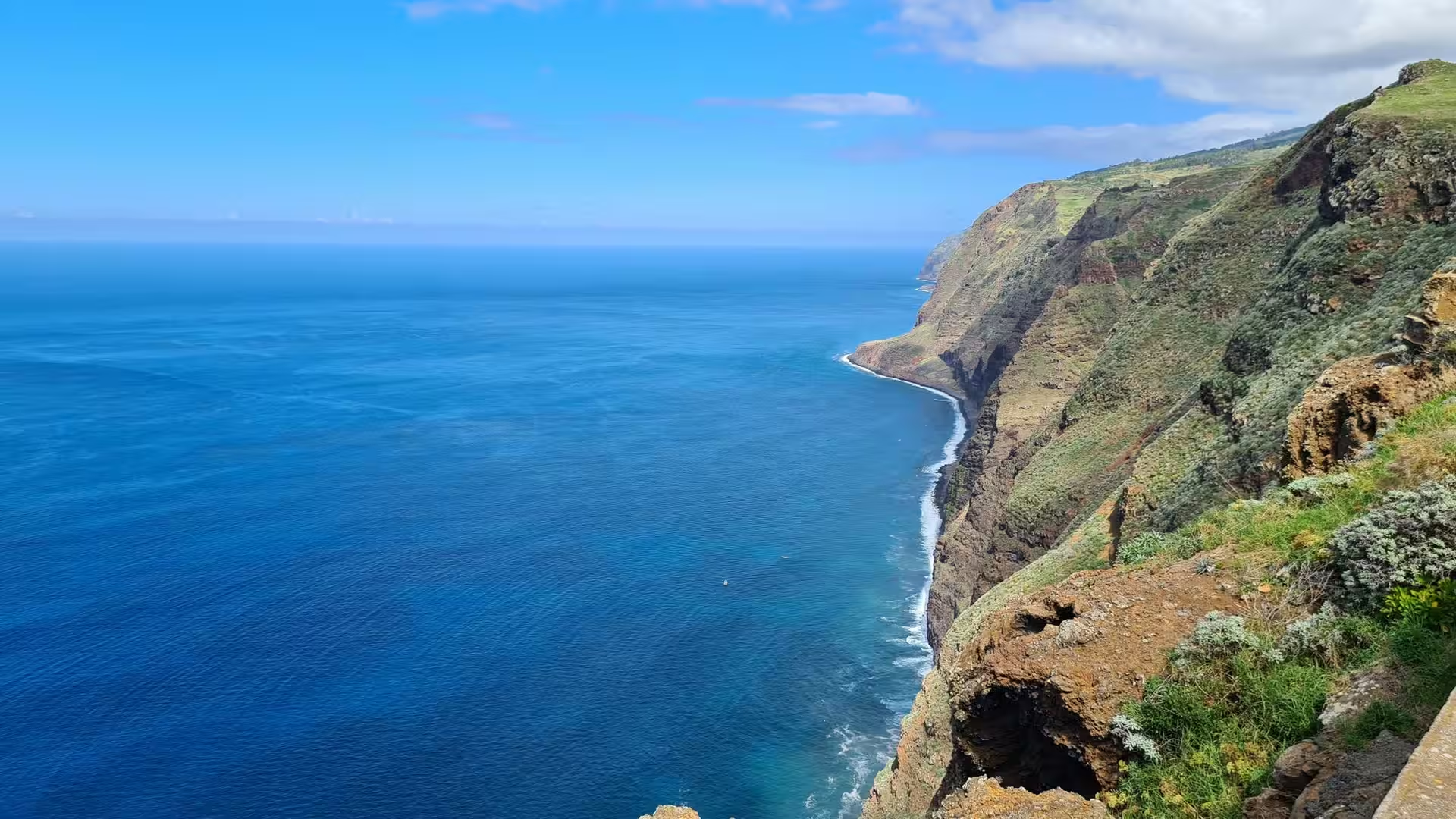
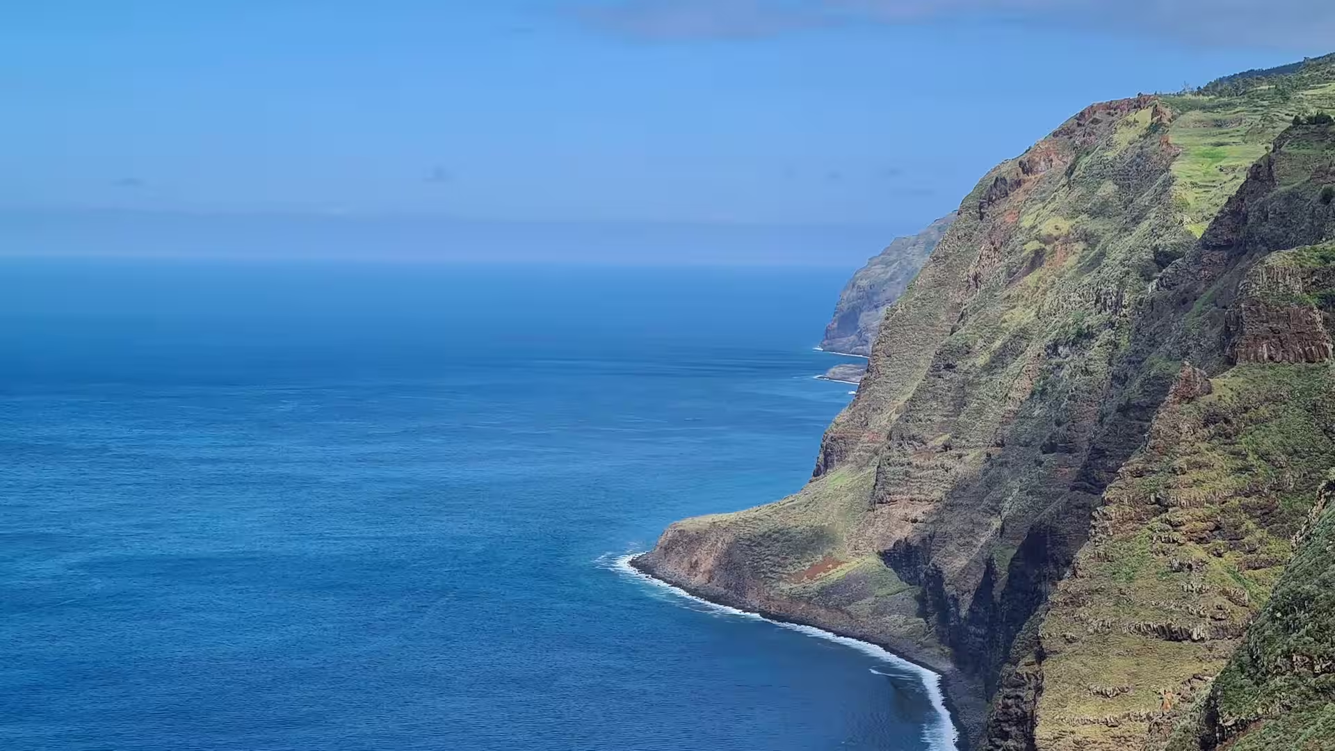
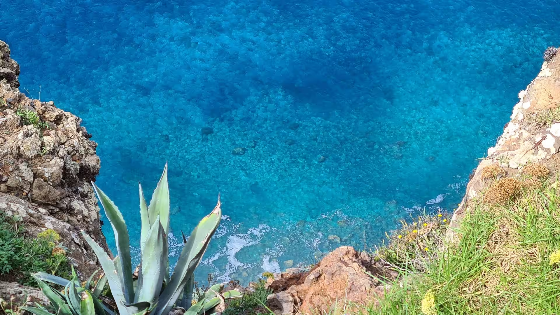
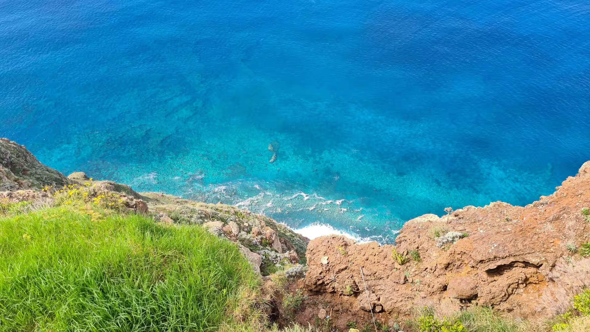
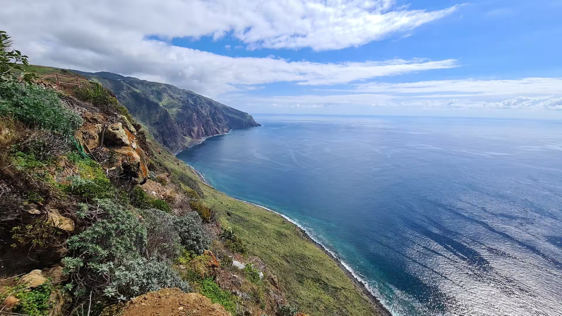
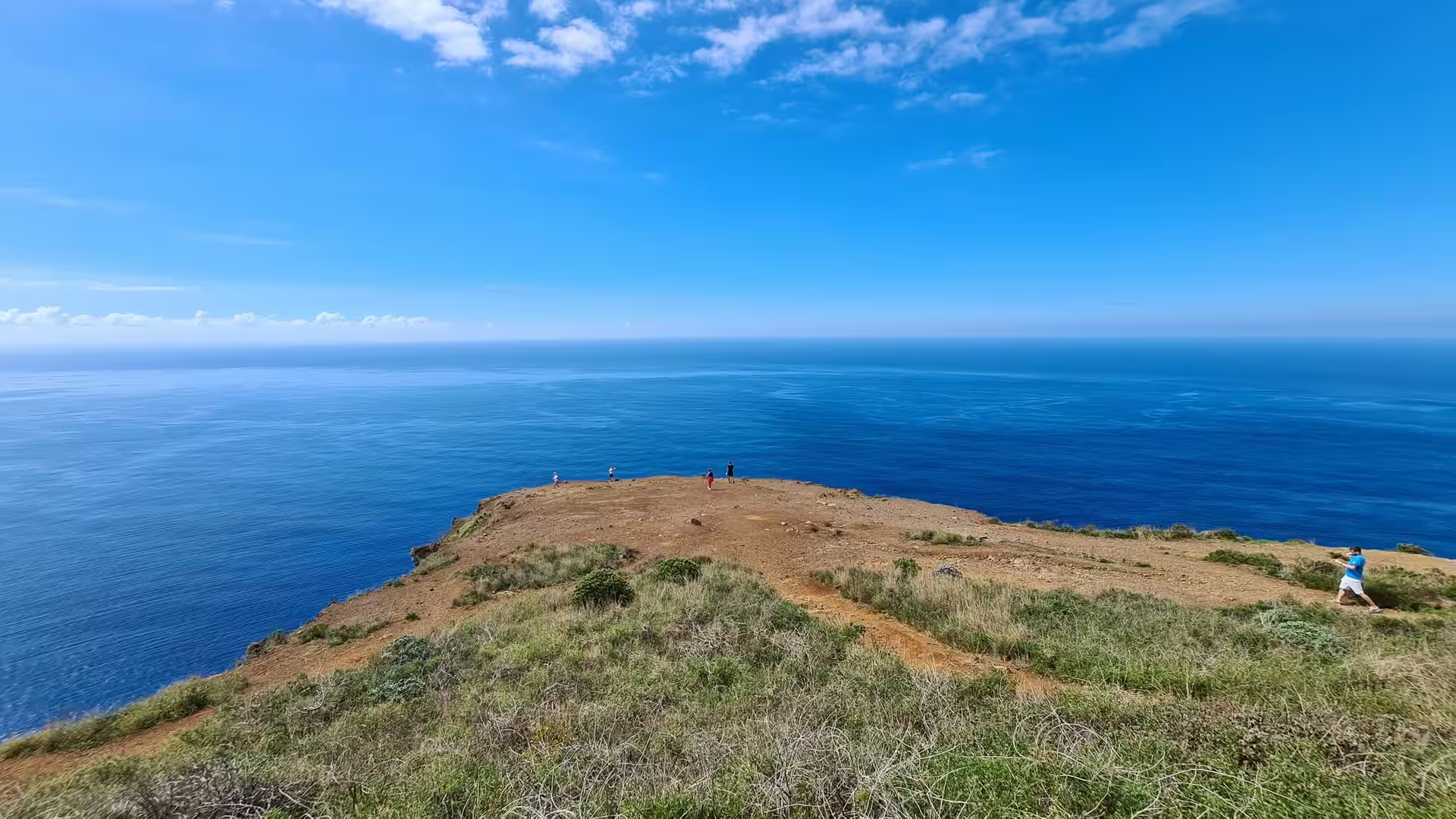
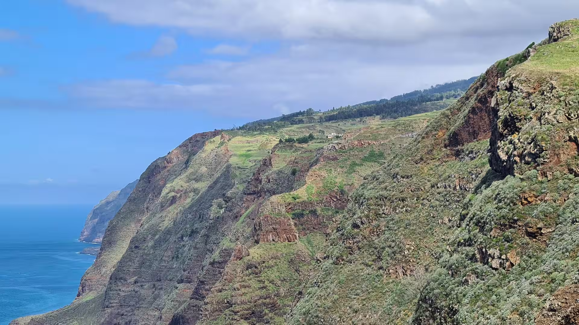
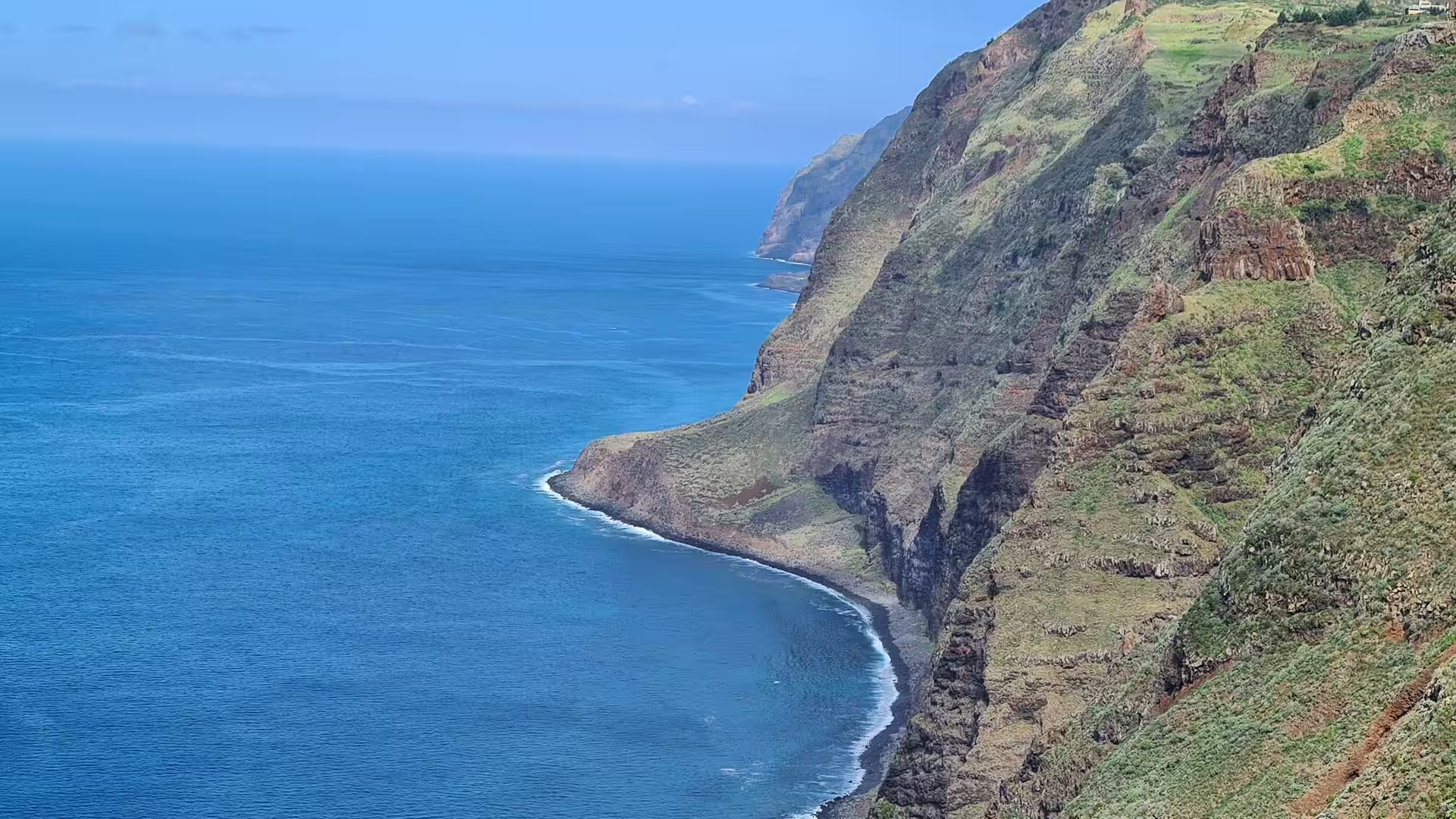
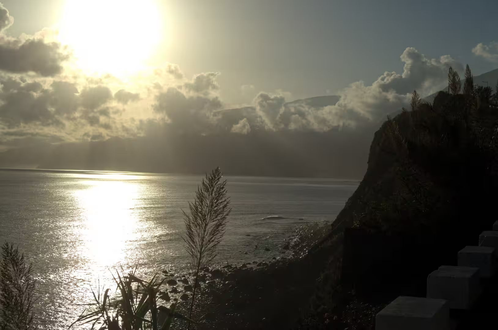
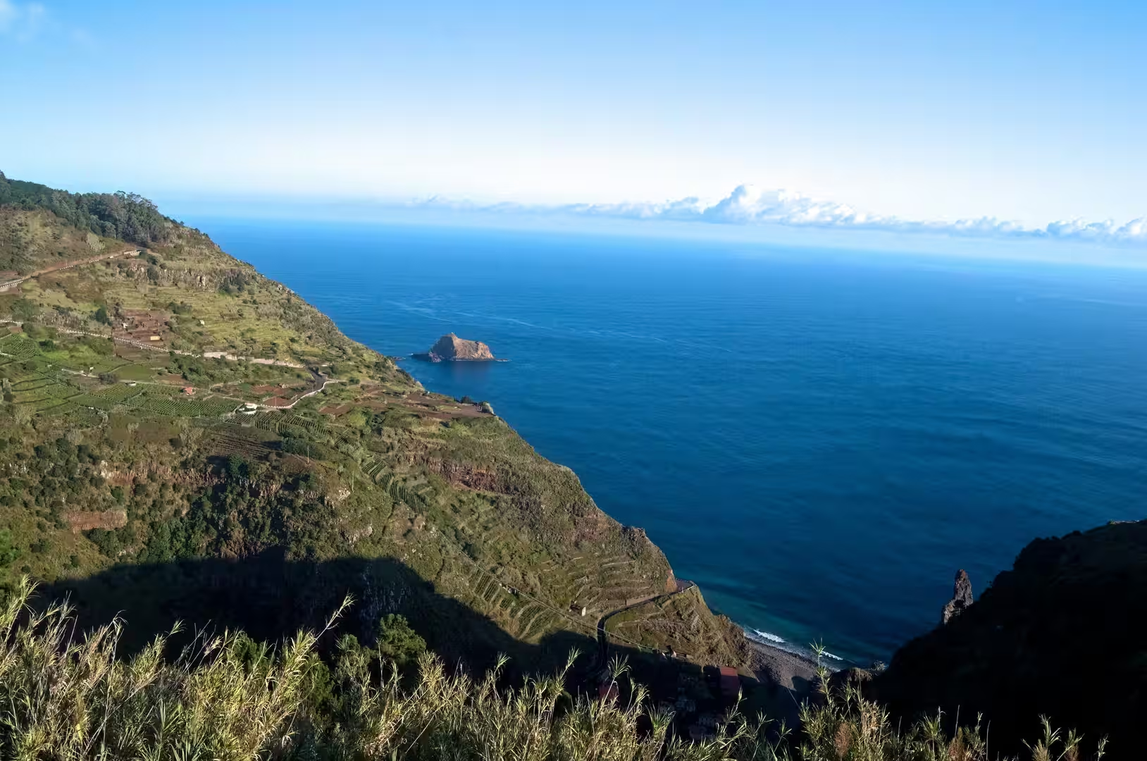
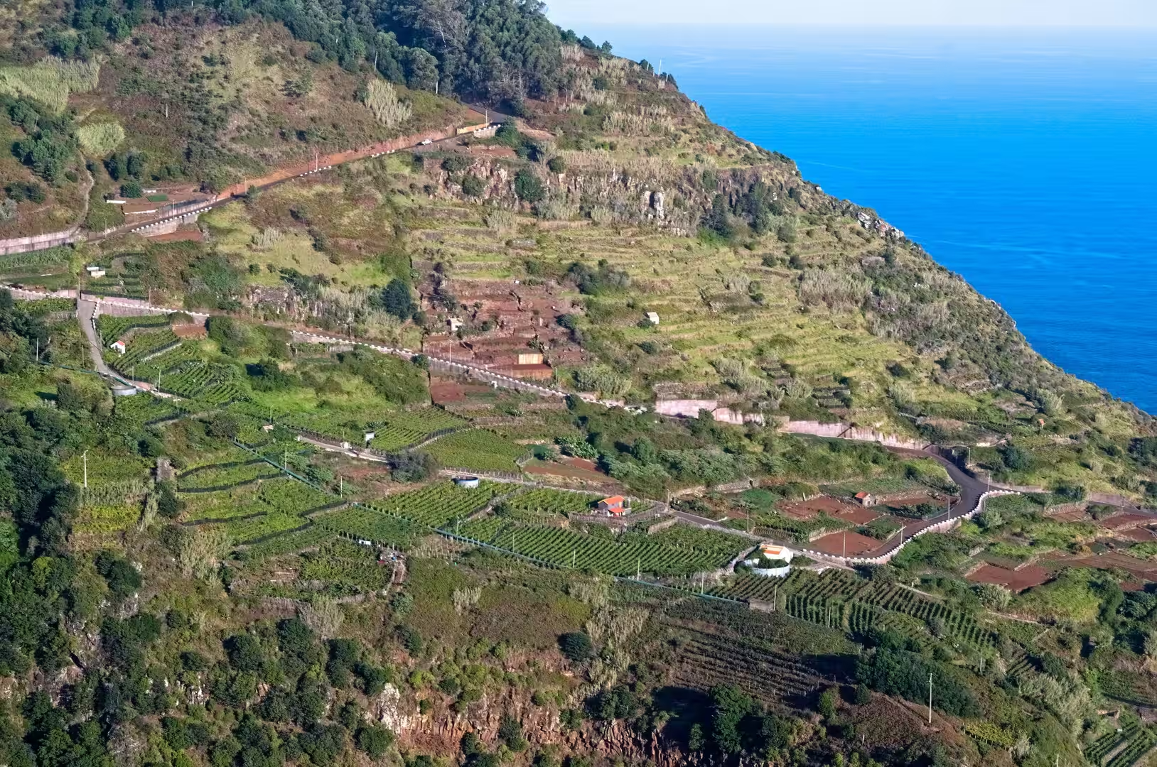
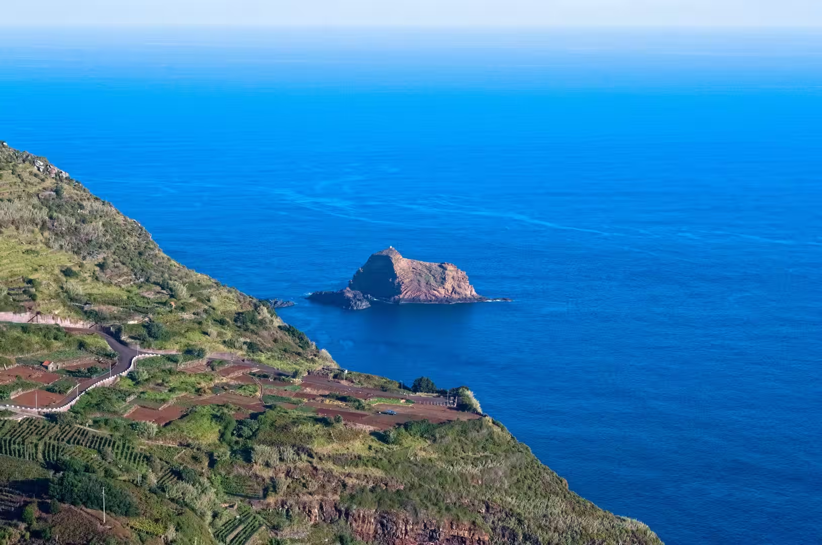
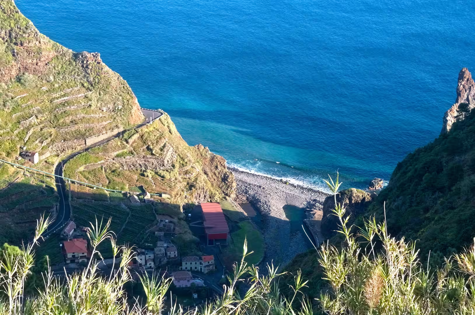
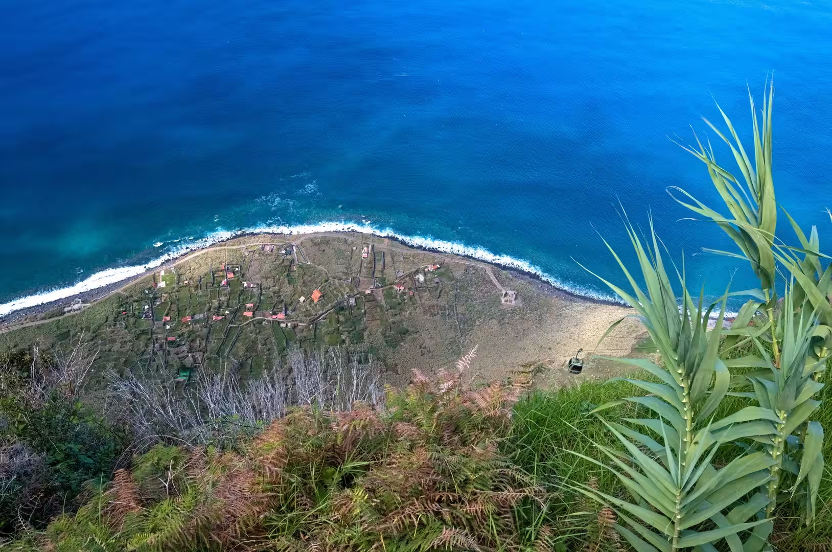
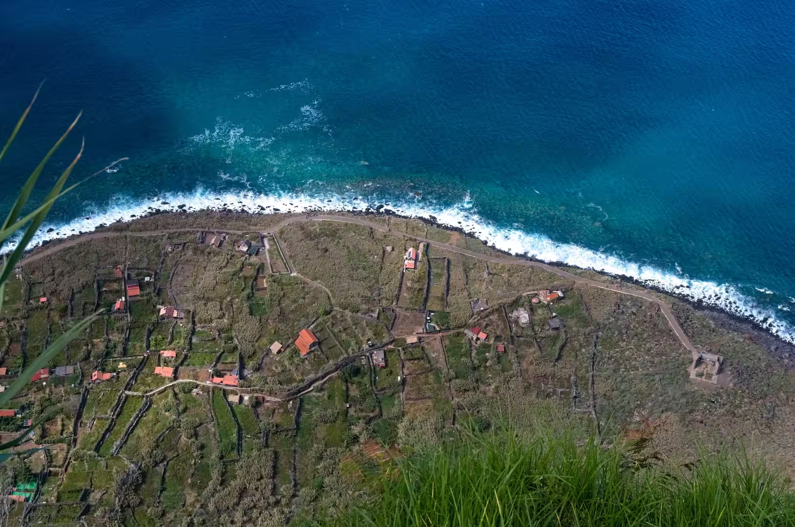
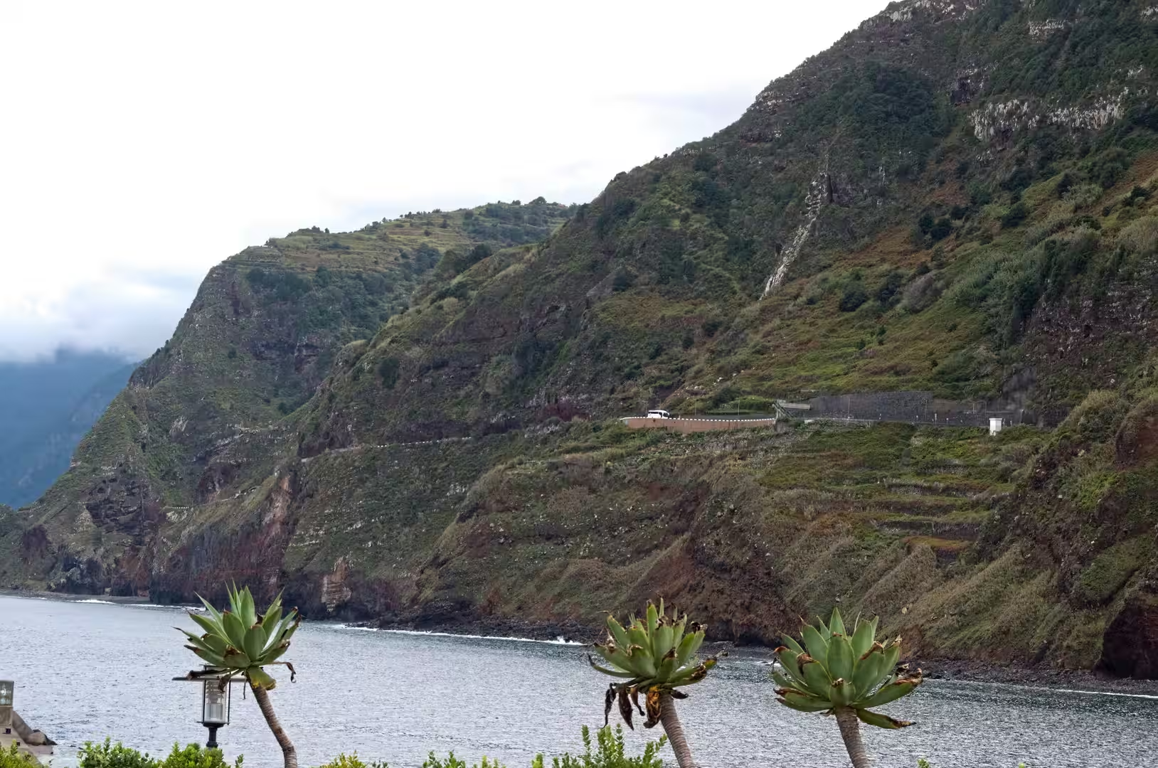
The clifftop viewpoints above the western coast open over green terraced slopes that fall towards a deep blue sea. Fields are held by dry stone walls on gradients that seem impossible to farm, and below them the waves break at the base of red brown rock beneath a flower dotted cliff top. Terraces are more than a pattern: their construction, maintenance and abandonment record the history of land use on the island and document how a small population organised agriculture on steep volcanic ground.
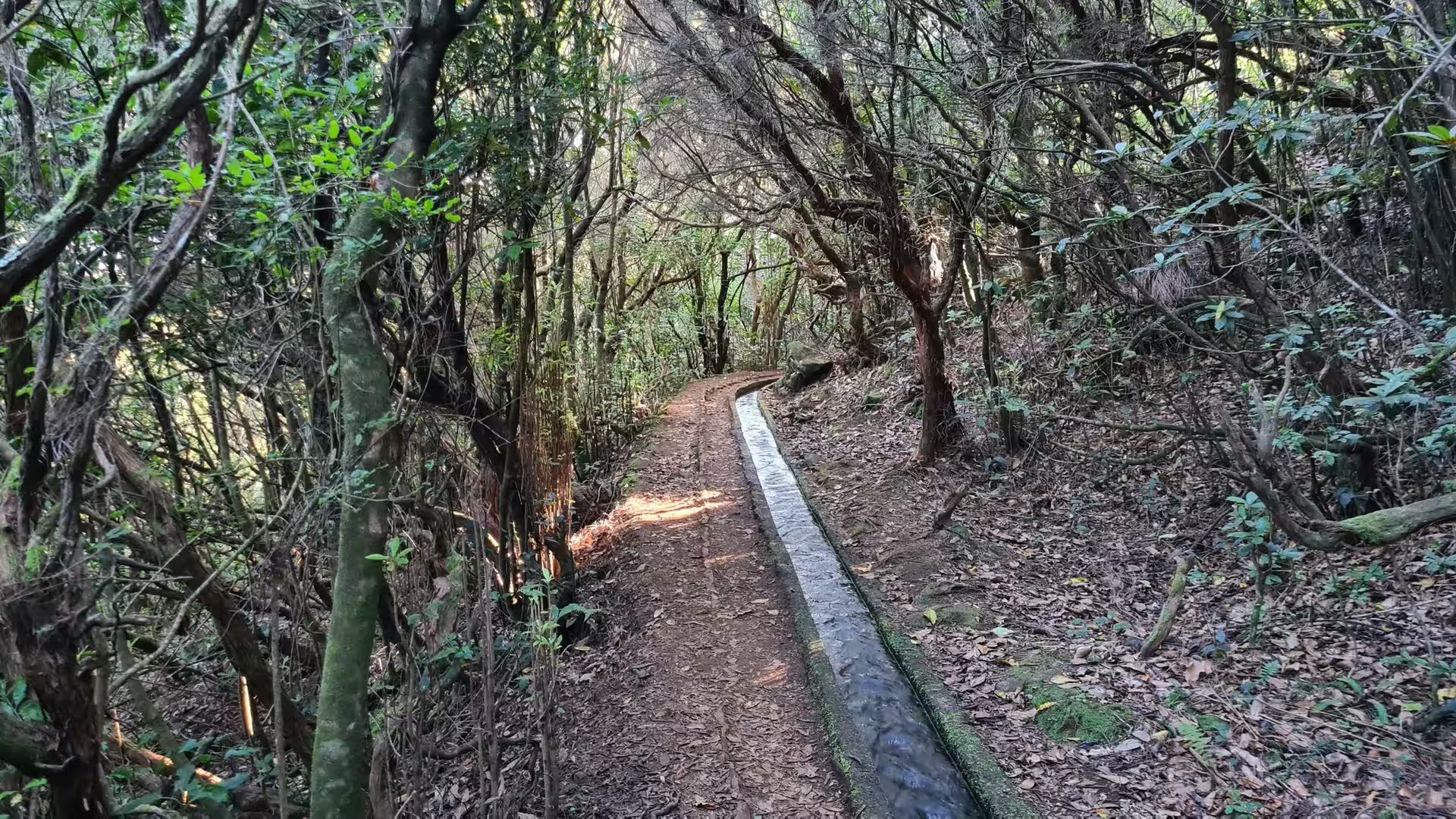
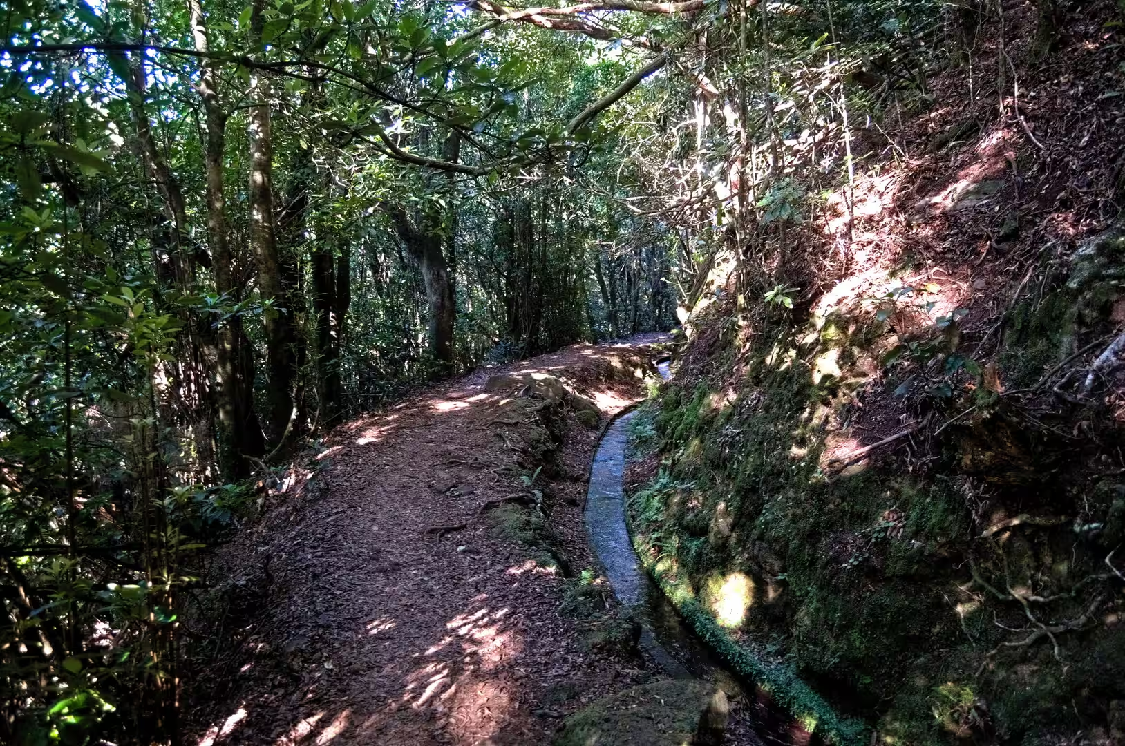
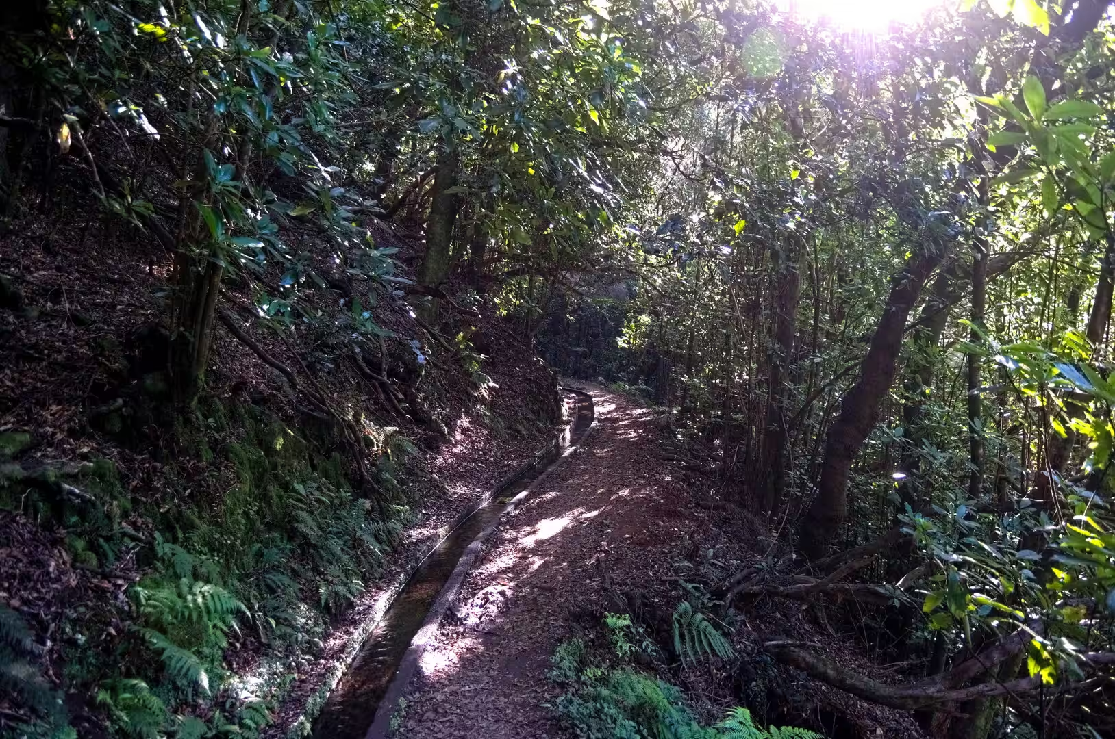
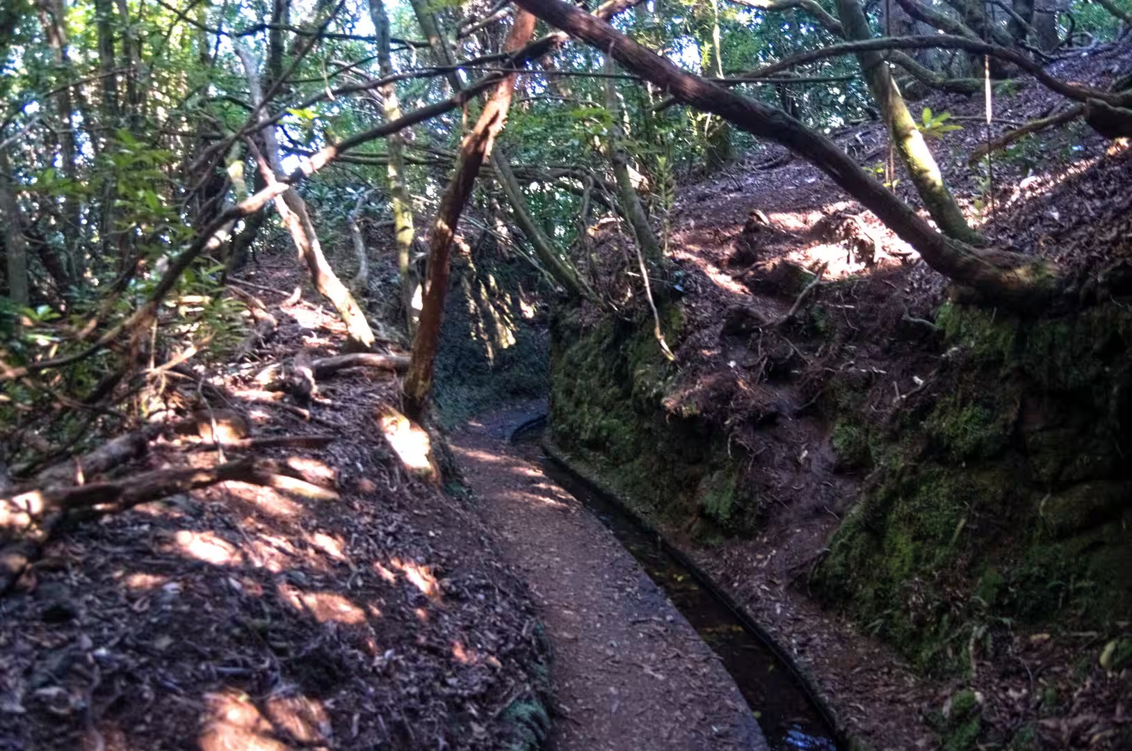
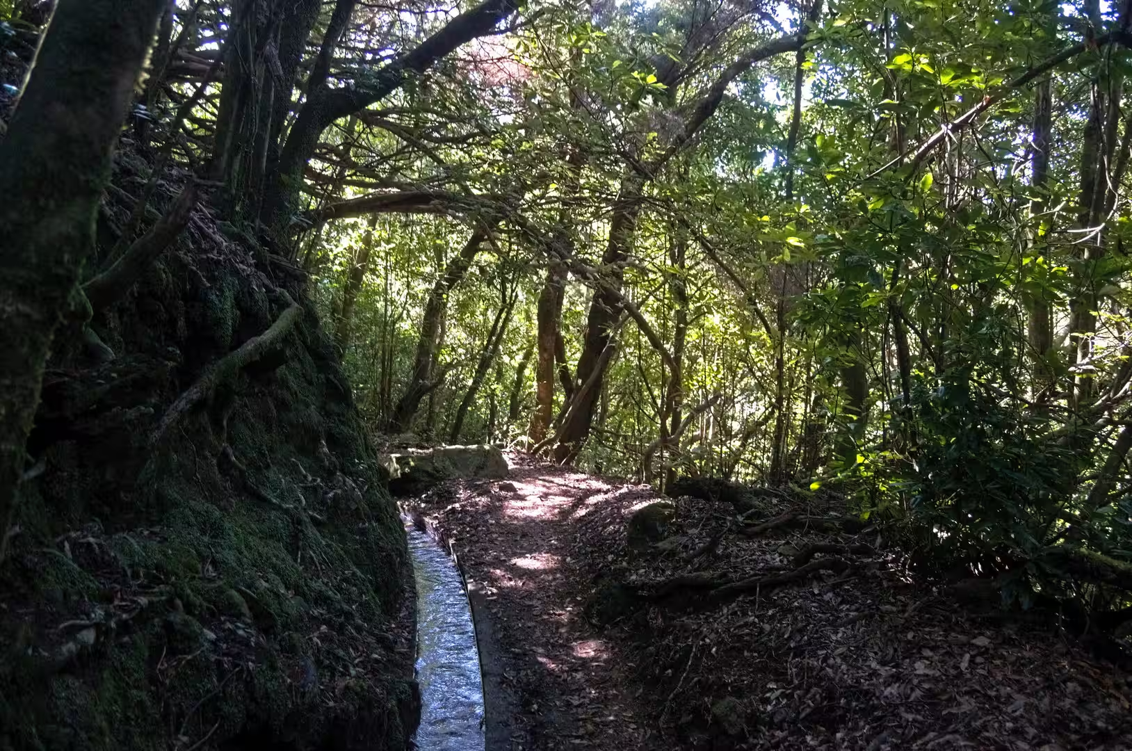
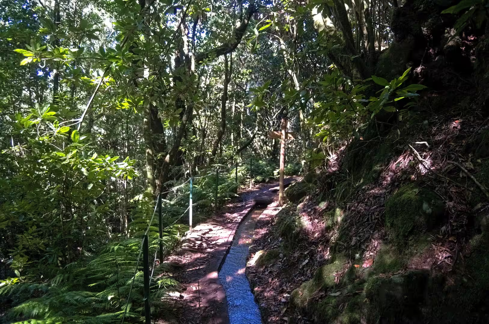
The Levada dos Cedros walk starts where a wooden board marks the PR 14 route in the forest. From there a narrow dirt trail runs beside a stone irrigation channel through a dim laurel forest, the water moving at the same steady pace as everywhere in the network. The channel follows the contour of the mountain instead of the fall line, which is what allows a gravity fed system to carry water across long distances without pumping. Moss covers the stone walls, the path beside the channel is leaf strewn and shaded, and the sound of running water accompanies the whole section.
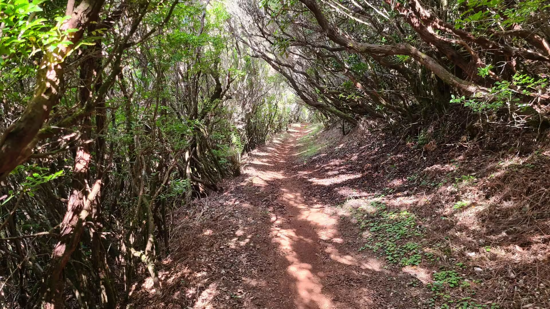
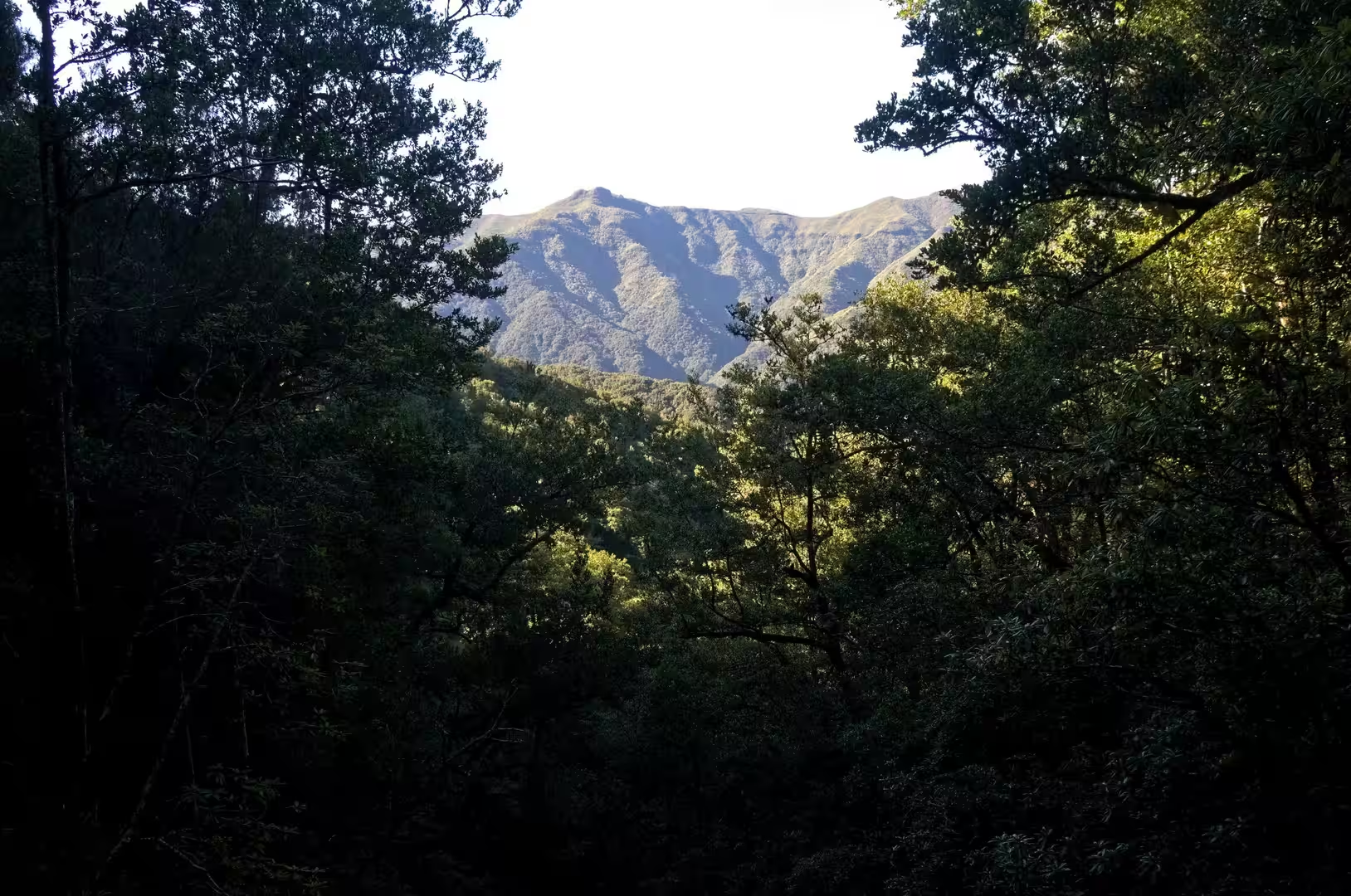
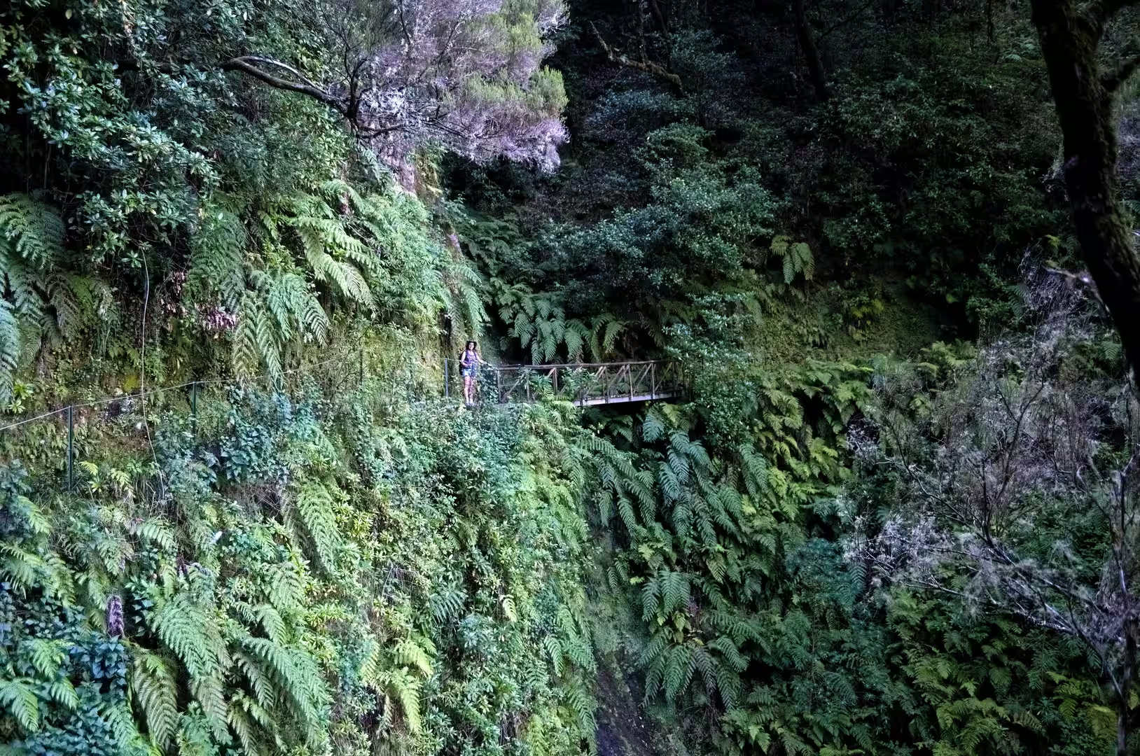
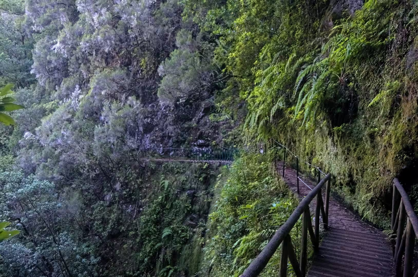
Higher up, the route enters closed laurel forest. The canopy is made of evergreen trees with leathery, glossy leaves, among them Ocotea foetens, a species of the laurel family that grows up to 40 metres tall and is called stinkwood because its freshly cut wood is rich in essential oils with an unpleasant odour. Its berries are consumed mostly by the endemic Madeiran pigeon. Ferns, mosses and epiphytes cover trunks, banks and boulders alike, since persistent cloud and high humidity favour bryophytes and lichens, and a hiker crosses a small wooden bridge in a fern covered ravine.
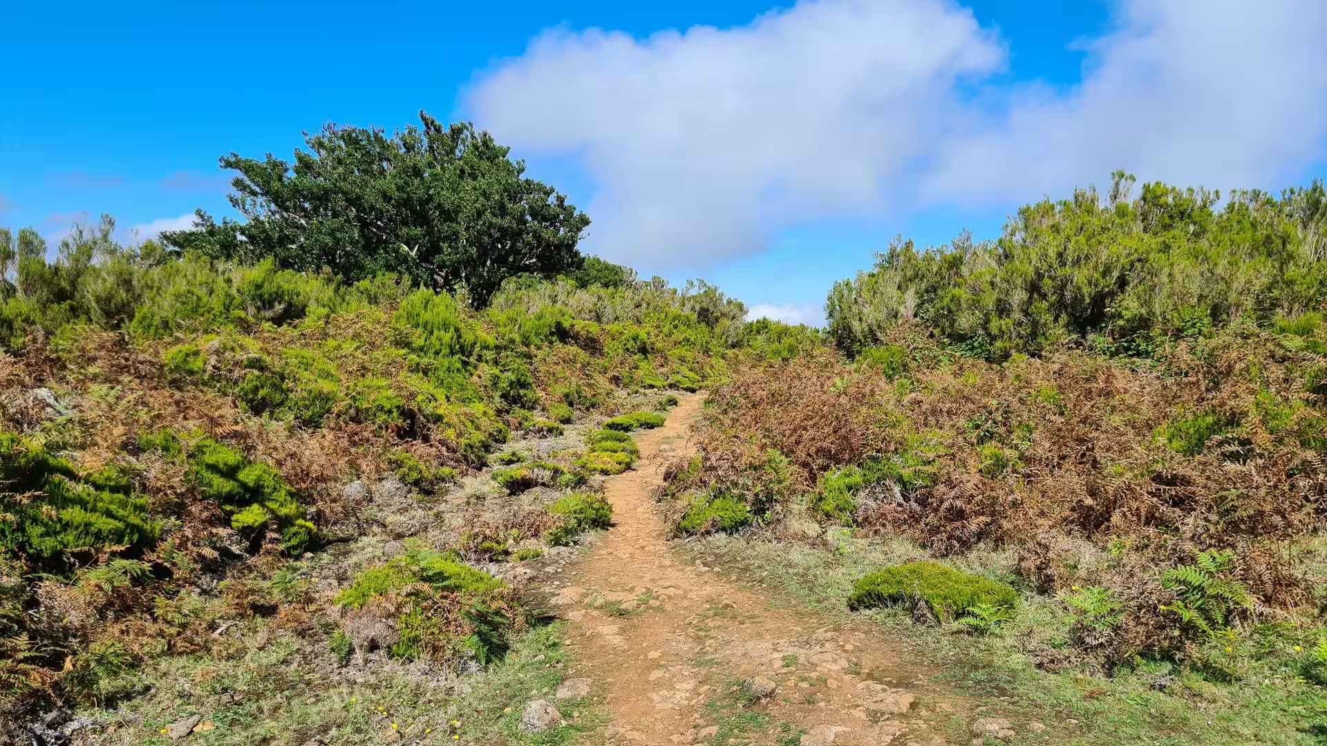
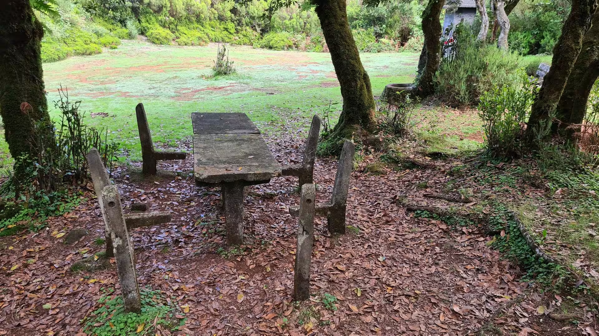
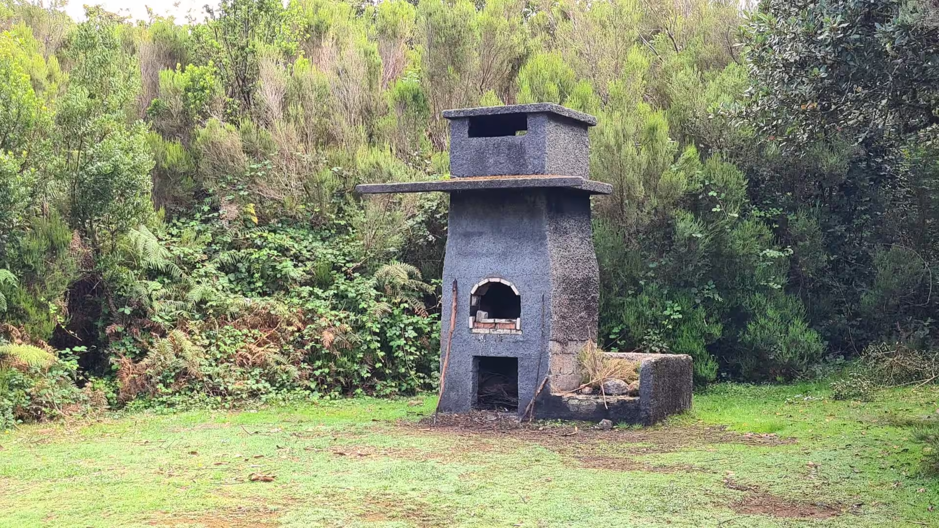
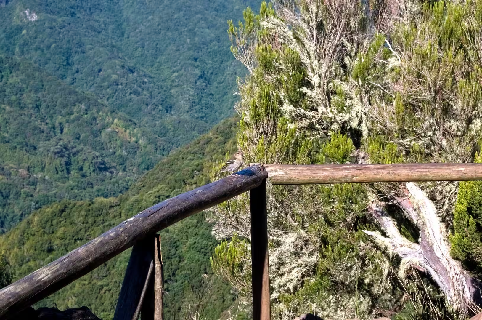
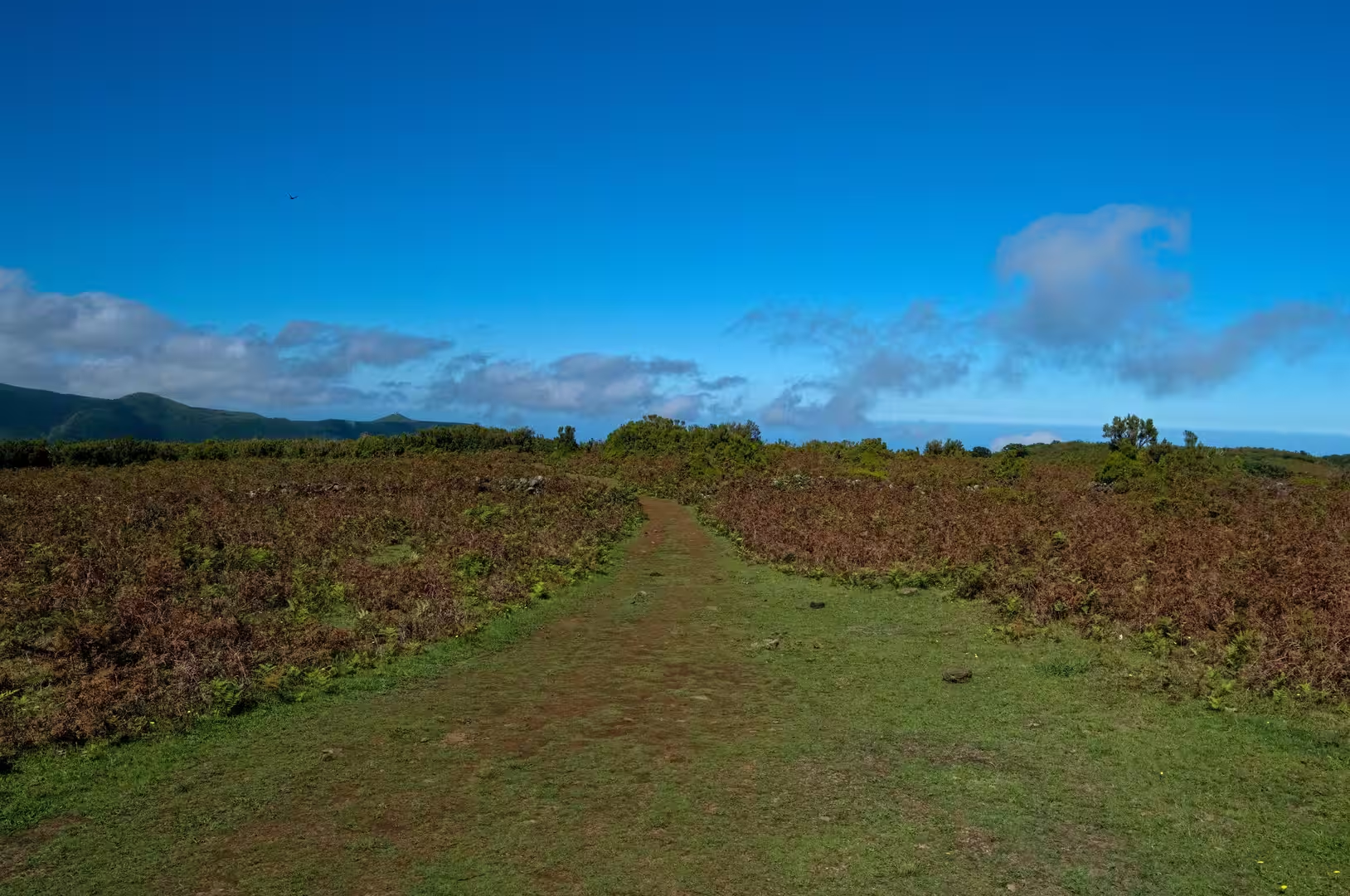
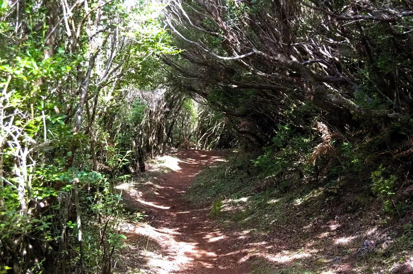
Above the tree line the path opens onto a plateau of low green and brown scrub. A trail of reddish earth climbs through the vegetation under a wide sky, and a clearing ringed by shrubs holds a weathered stone oven with arched openings and a picnic table on a leaf strewn floor. Such structures belong to the period when the high ground was used for grazing and were built to bake bread and to shelter shepherds. Grazing has since been abandoned and the vegetation has been recovering slowly but consistently, yet the walls and the oven remain as monuments of that older economy.
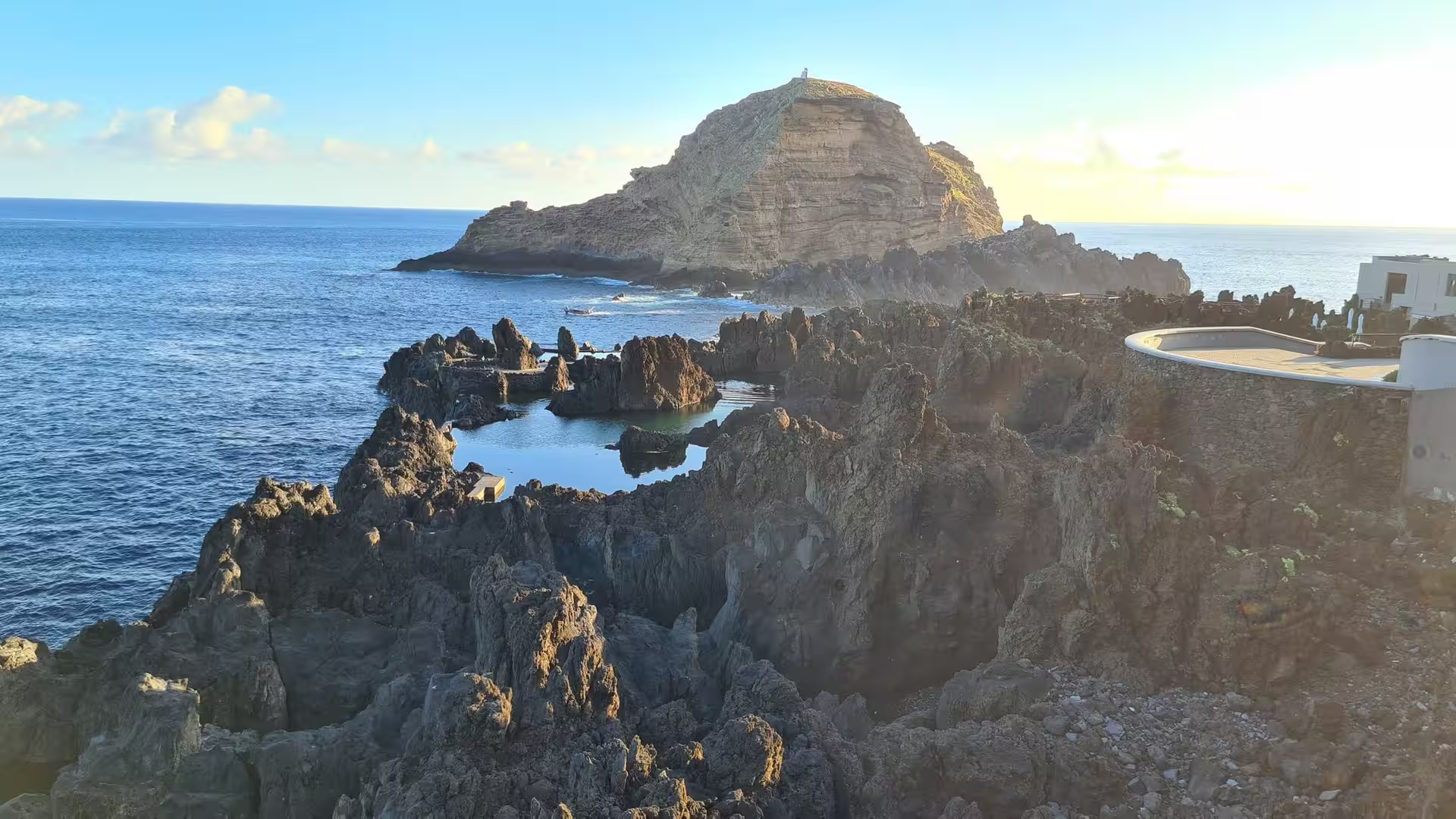
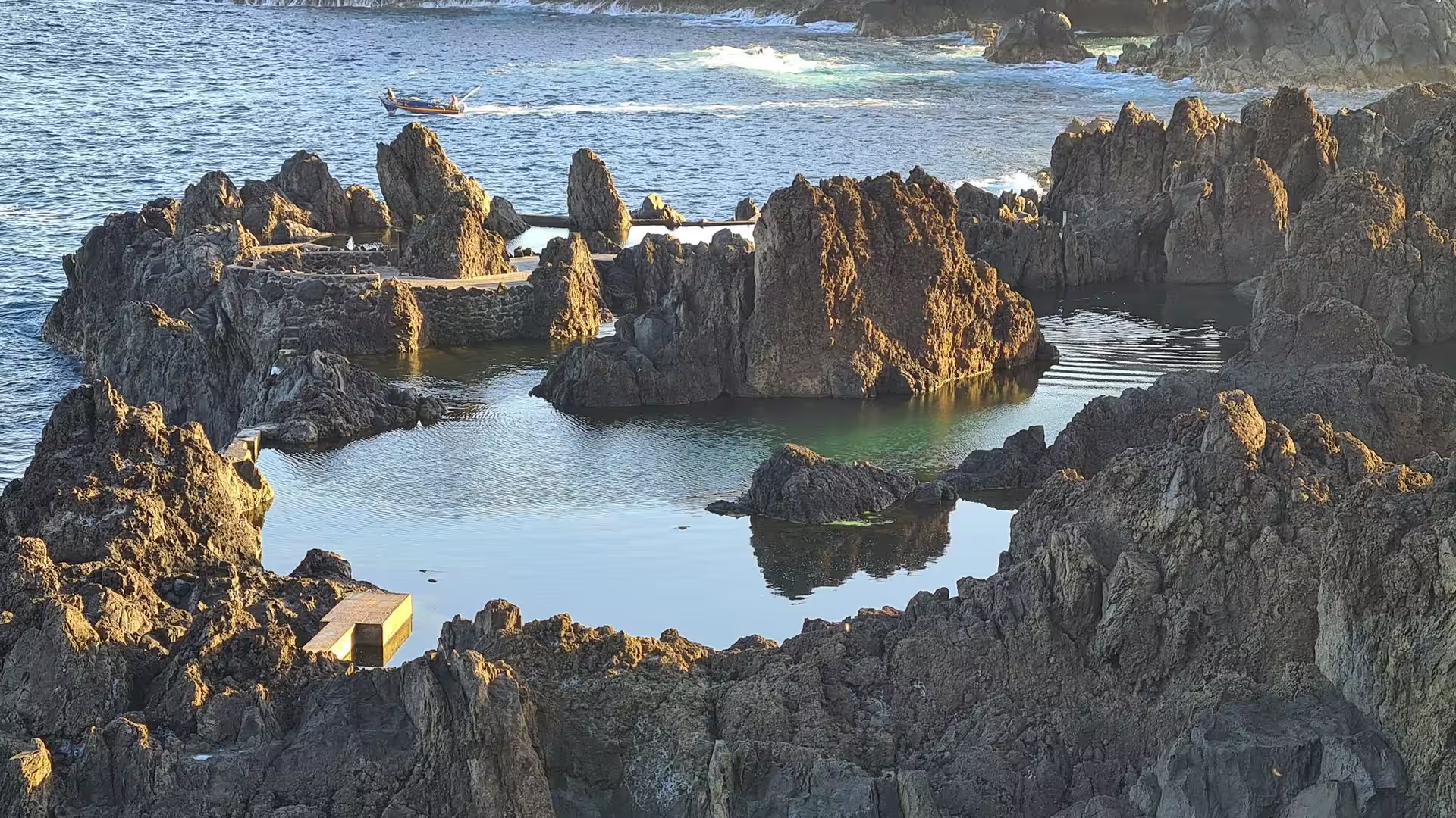
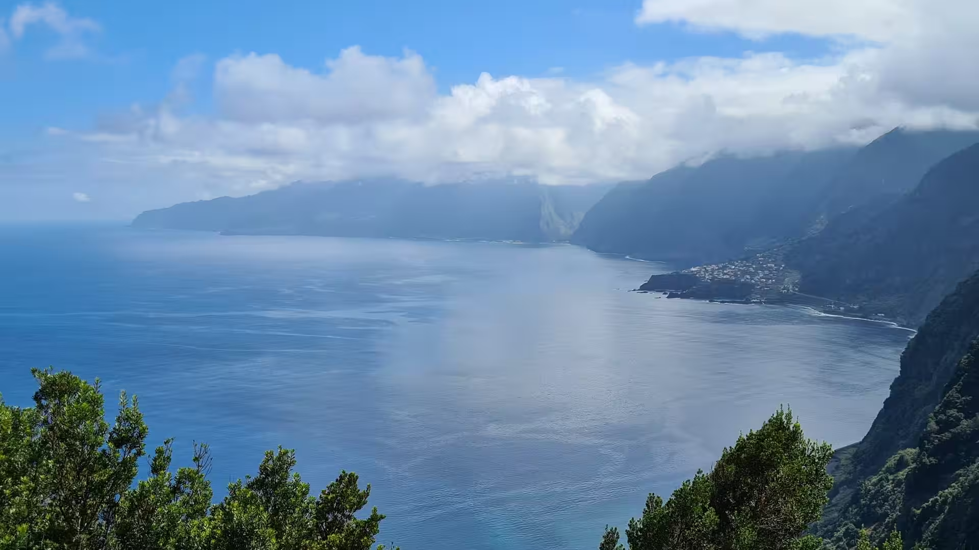
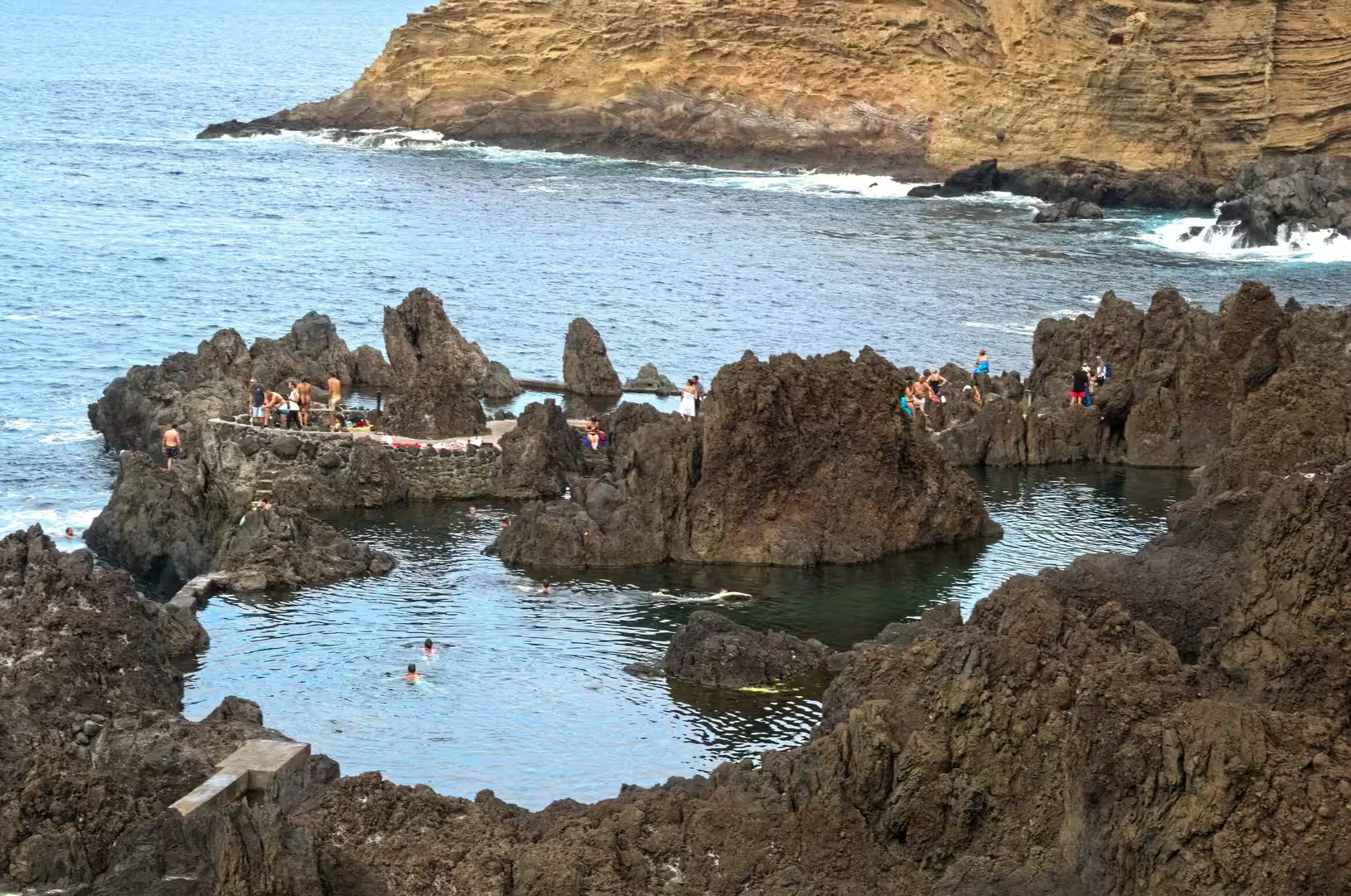
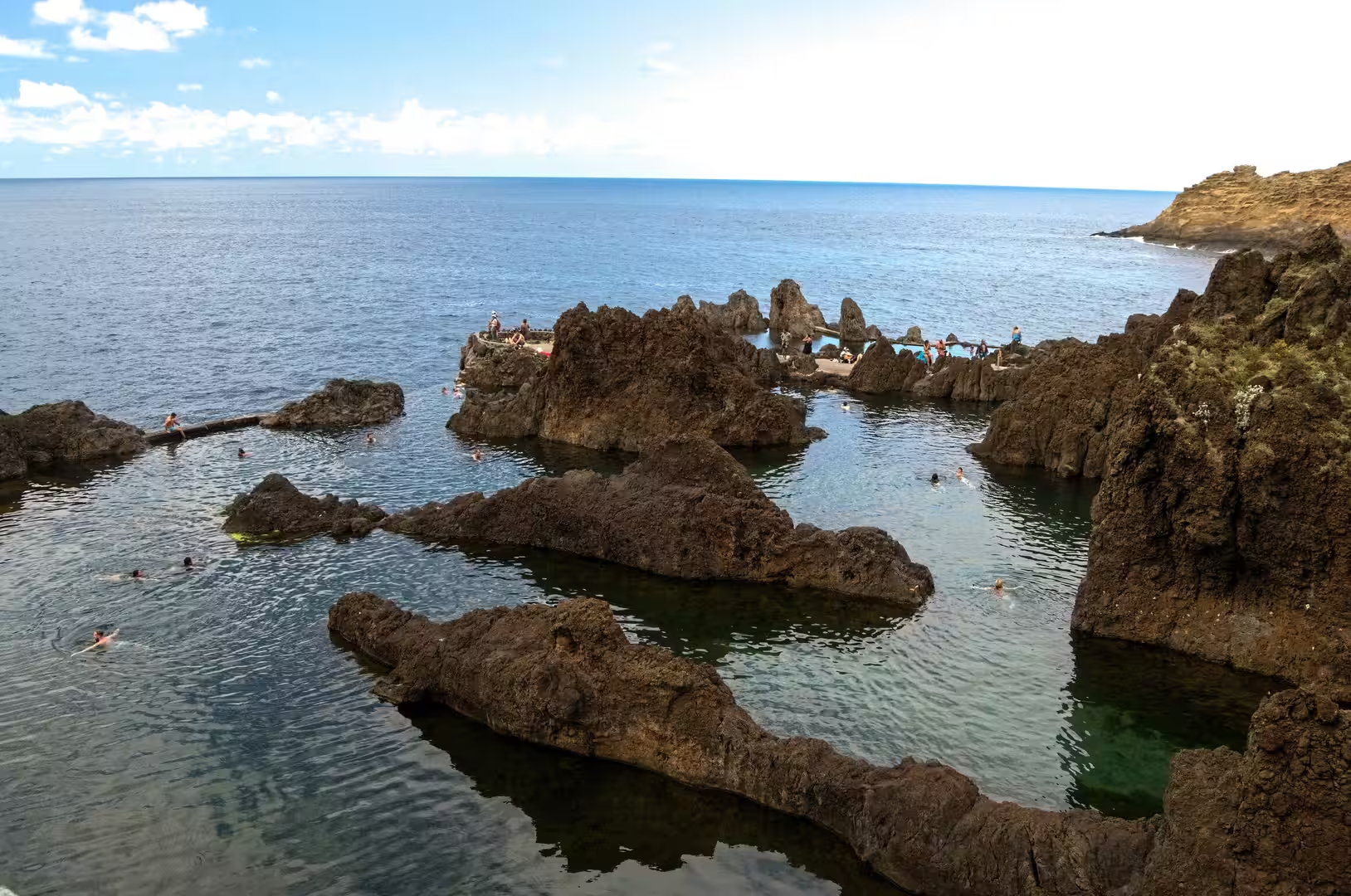
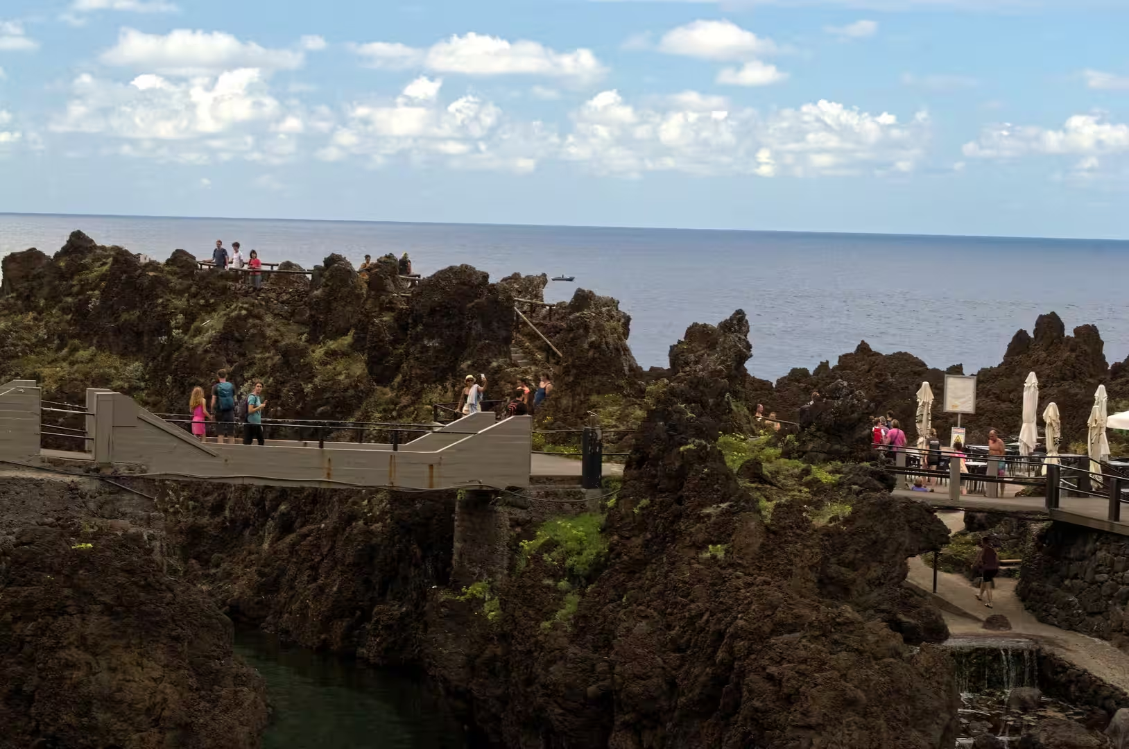
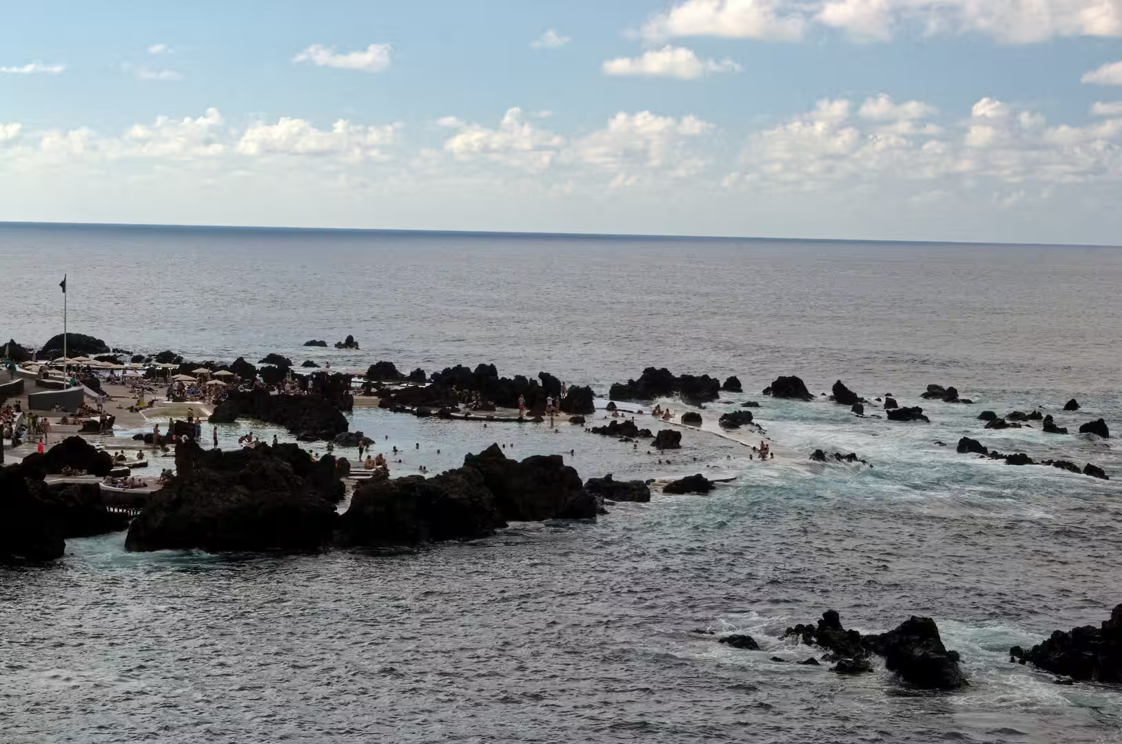
At Porto Moniz the sea is held in a natural complex of lava pools that is popular with locals and tourists. Dark, sharp edged rock encloses clear water, boardwalks weave between the rocks beside the sea, and bathers float in basins that the Atlantic fills and refreshes with every swell. The pools owe their form to the youngest lava flows of the island, which reached the water and cooled into a broken, blocky shoreline. A broad bay of deep blue water lies cupped by green cliffs beneath banks of low cloud.
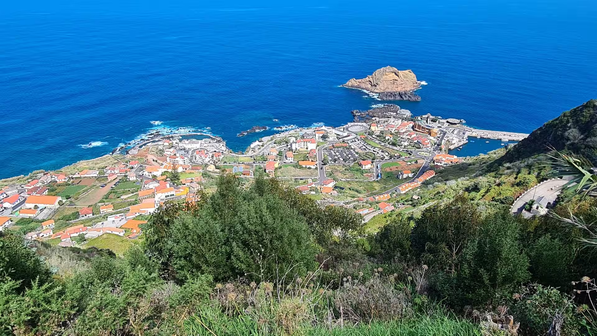
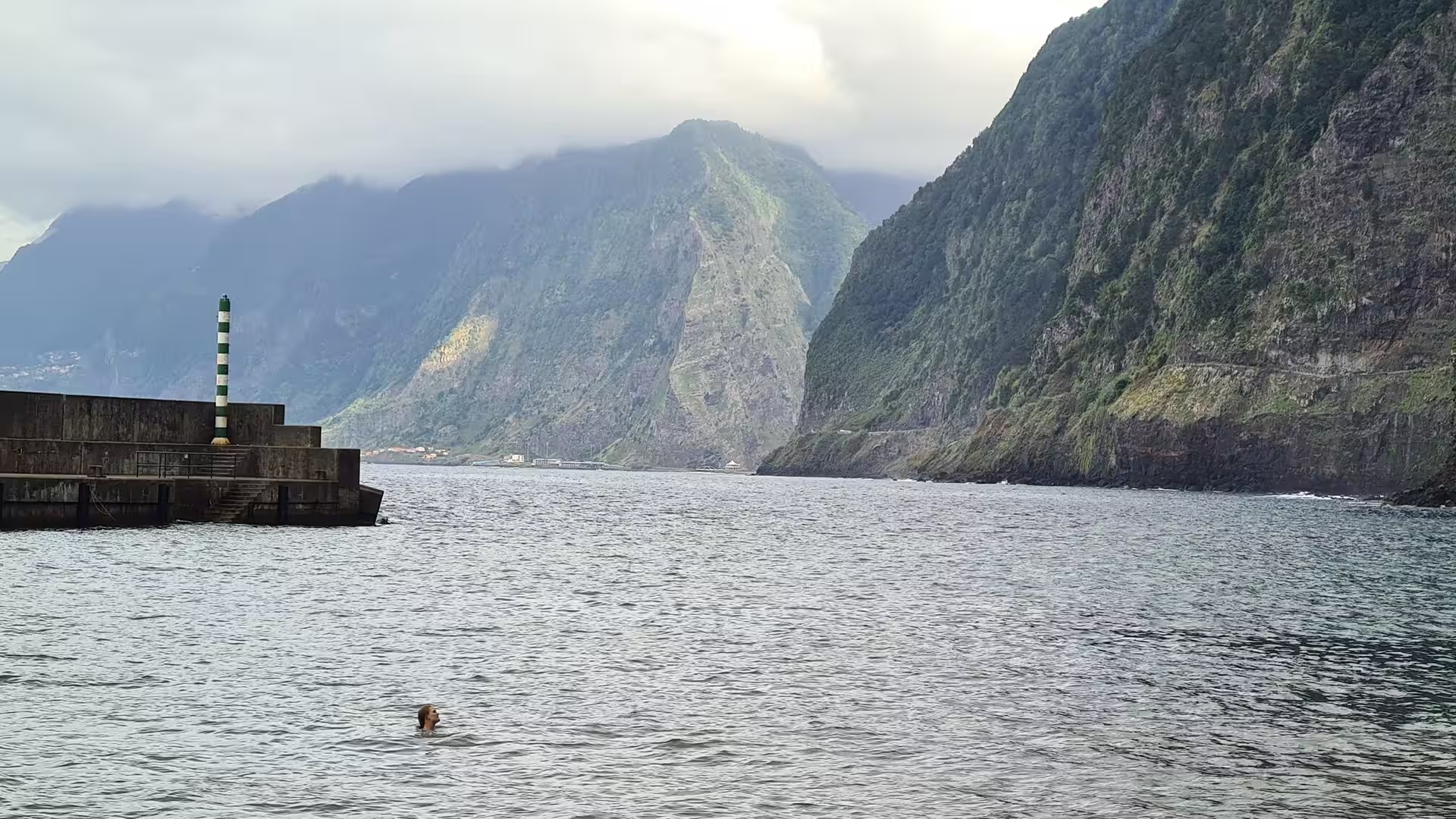
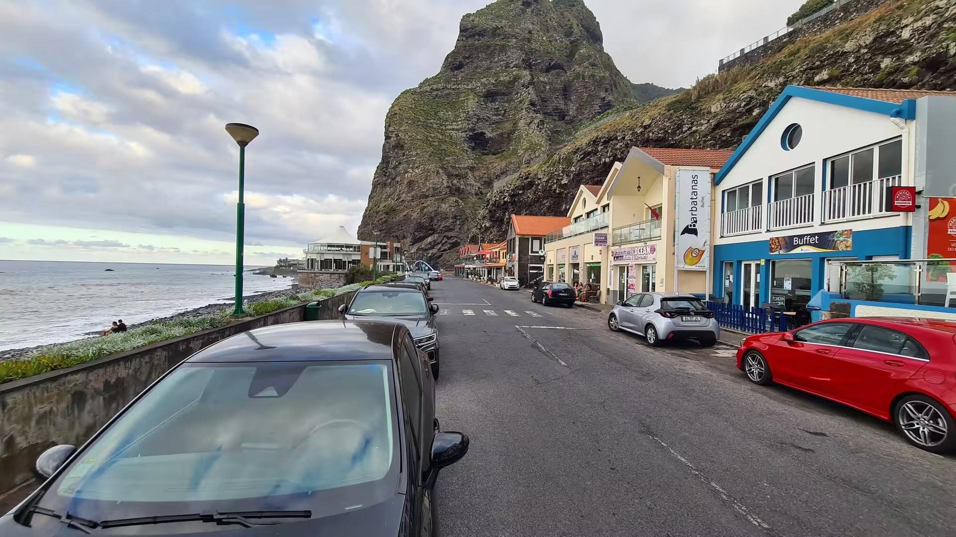
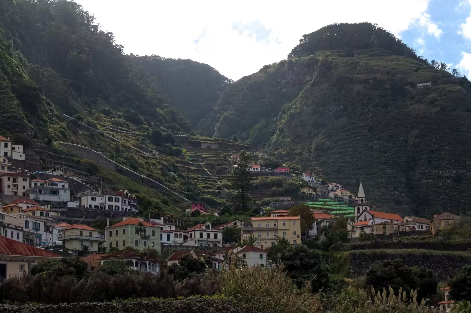
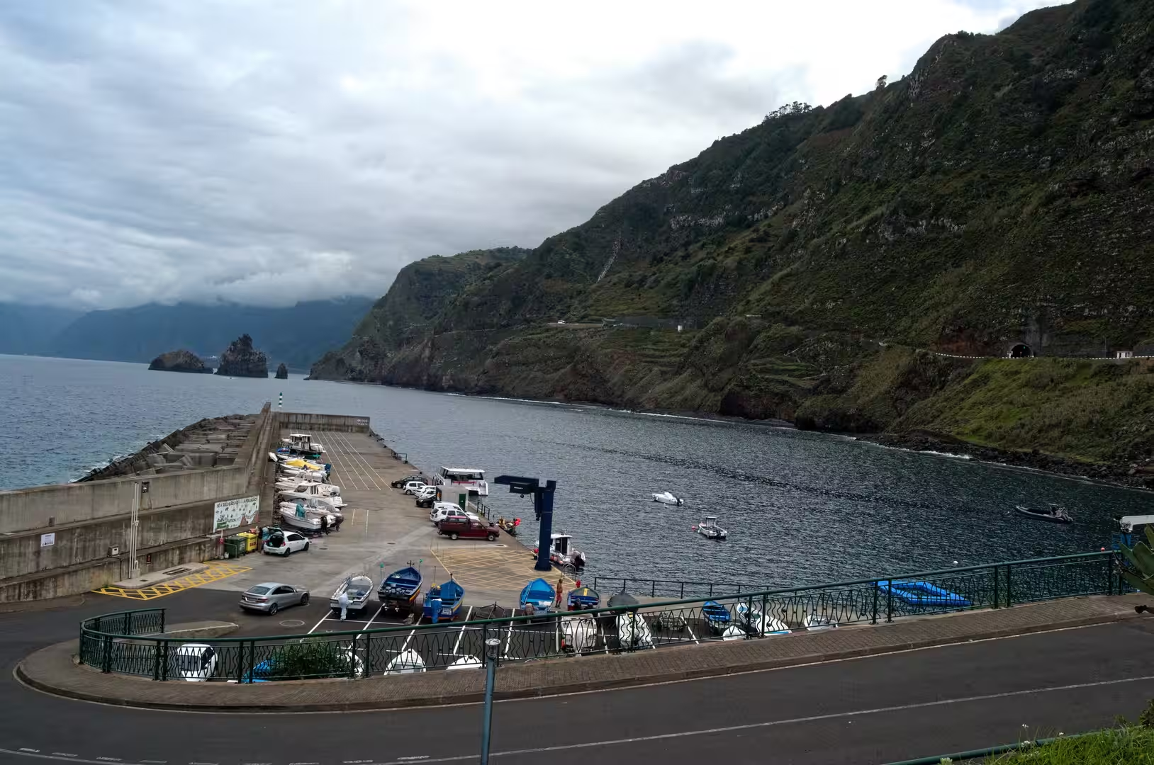
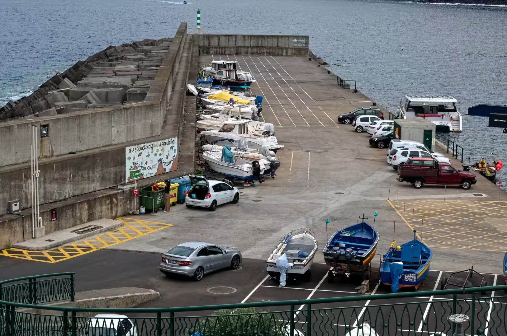
The town of Porto Moniz clings to a narrow strip of land between the sea and towering fog veiled cliffs. A sea of terracotta roofs spills down towards the harbour beside a rocky islet in deep blue water, small boats drift in the sheltered basin, and boats and cars share one paved yard beside a concrete pier that reaches into the sea. A striped navigation beacon stands on the jetty, and above the waterfront a church and red roofed houses sit beneath the slopes.
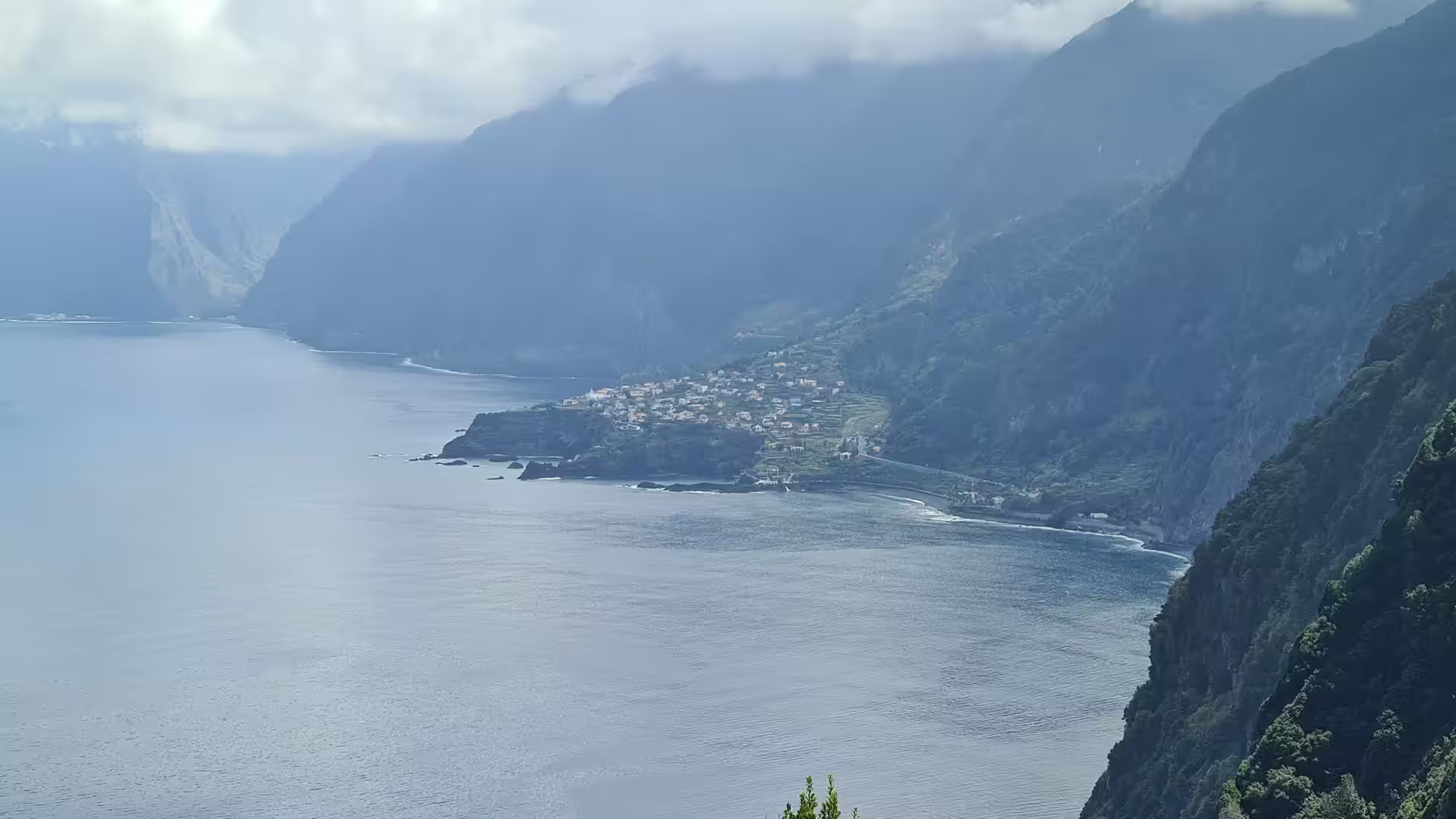
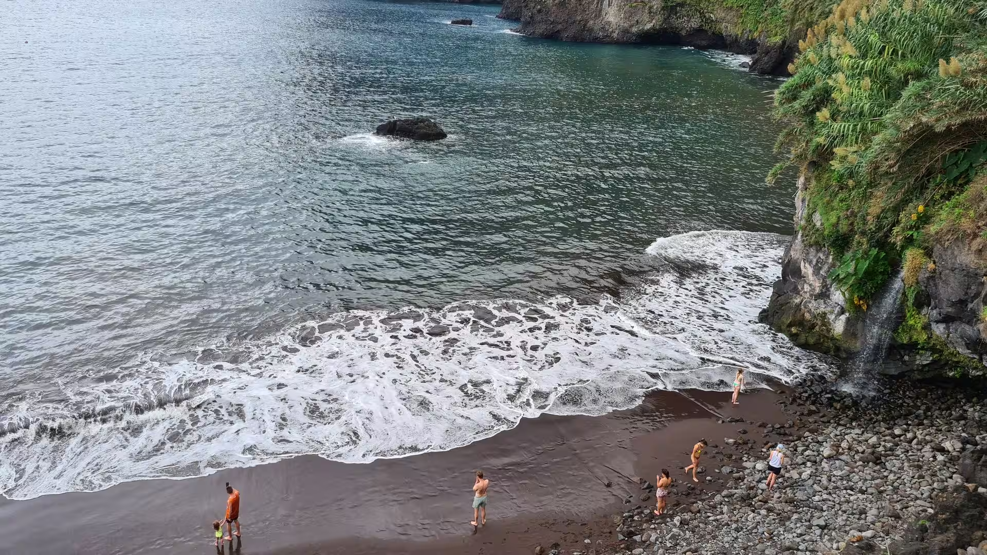
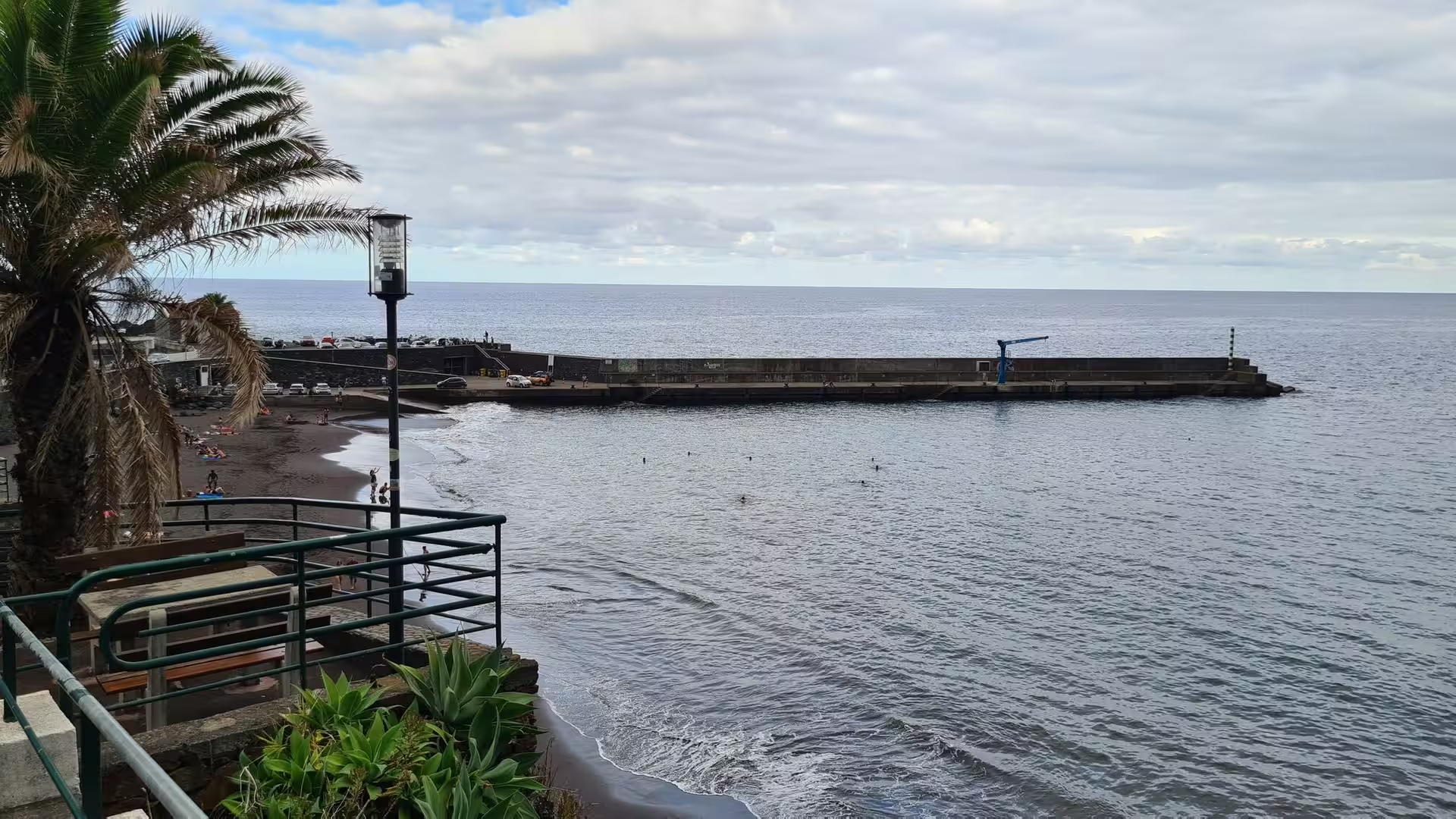
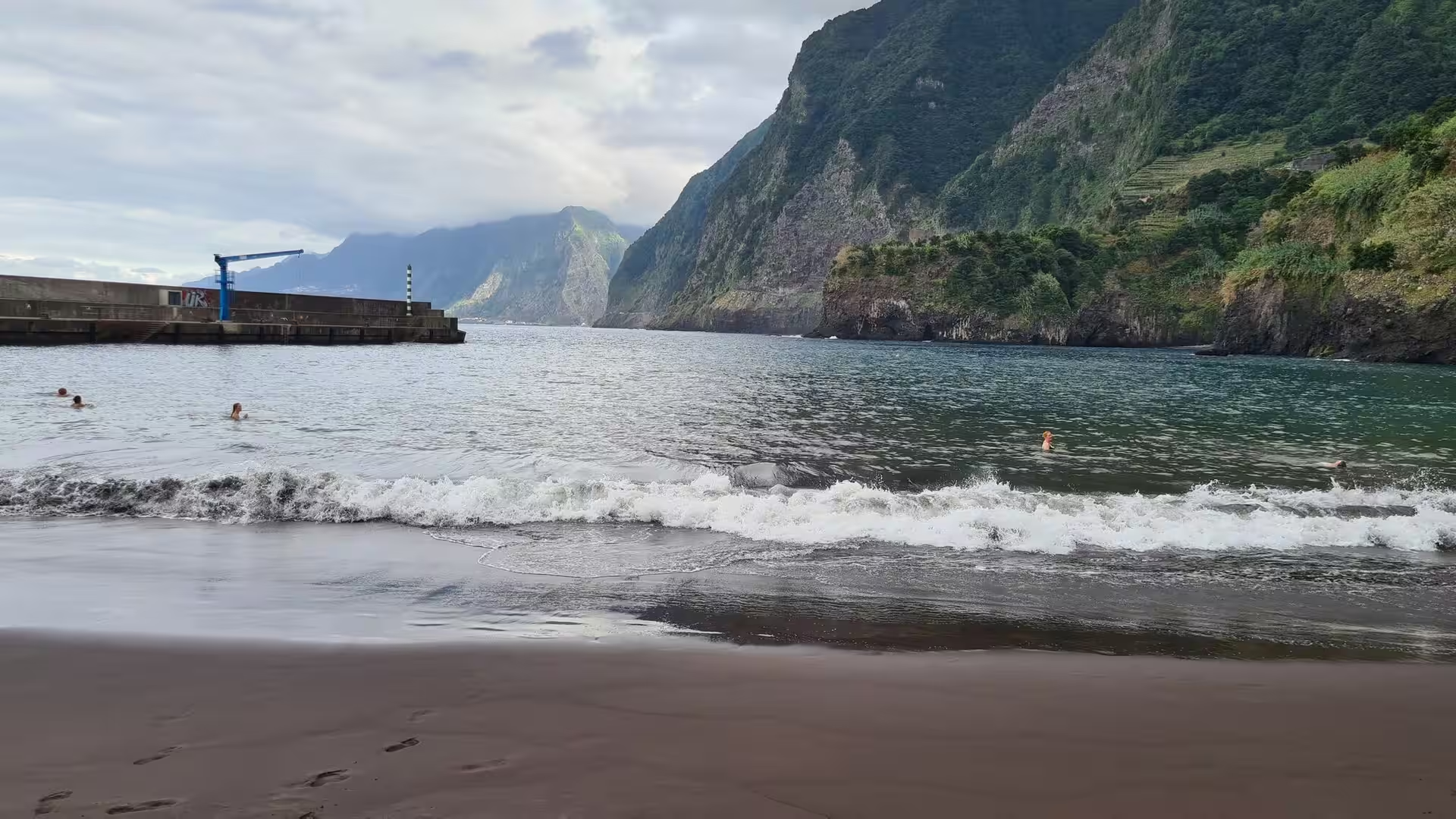
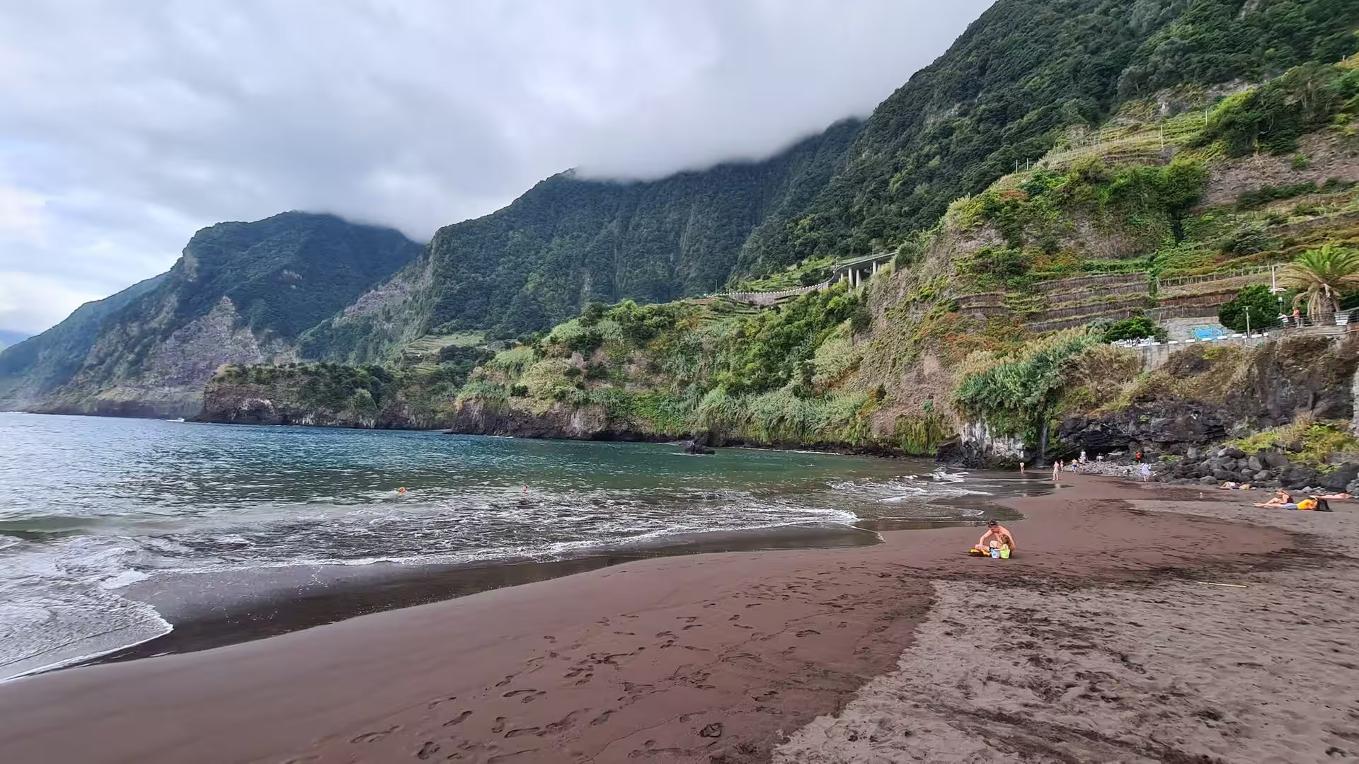
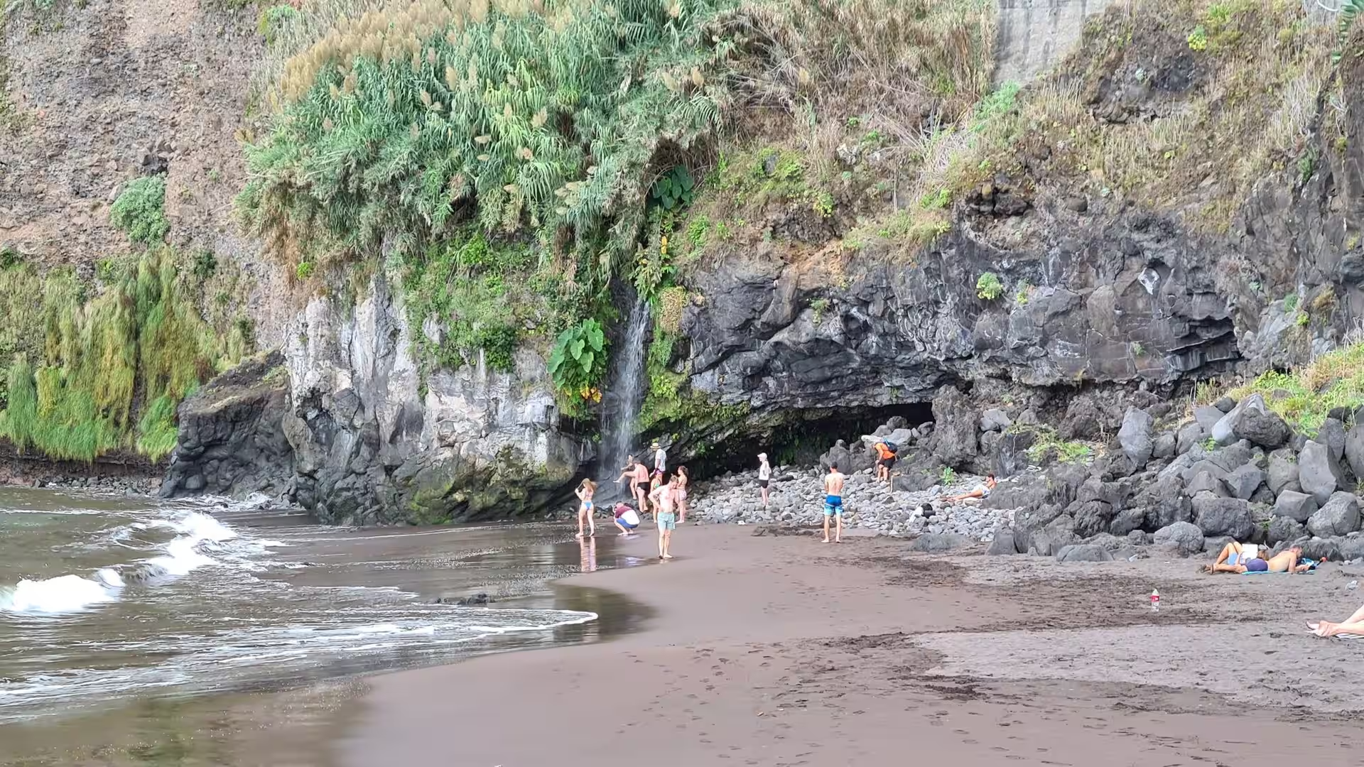
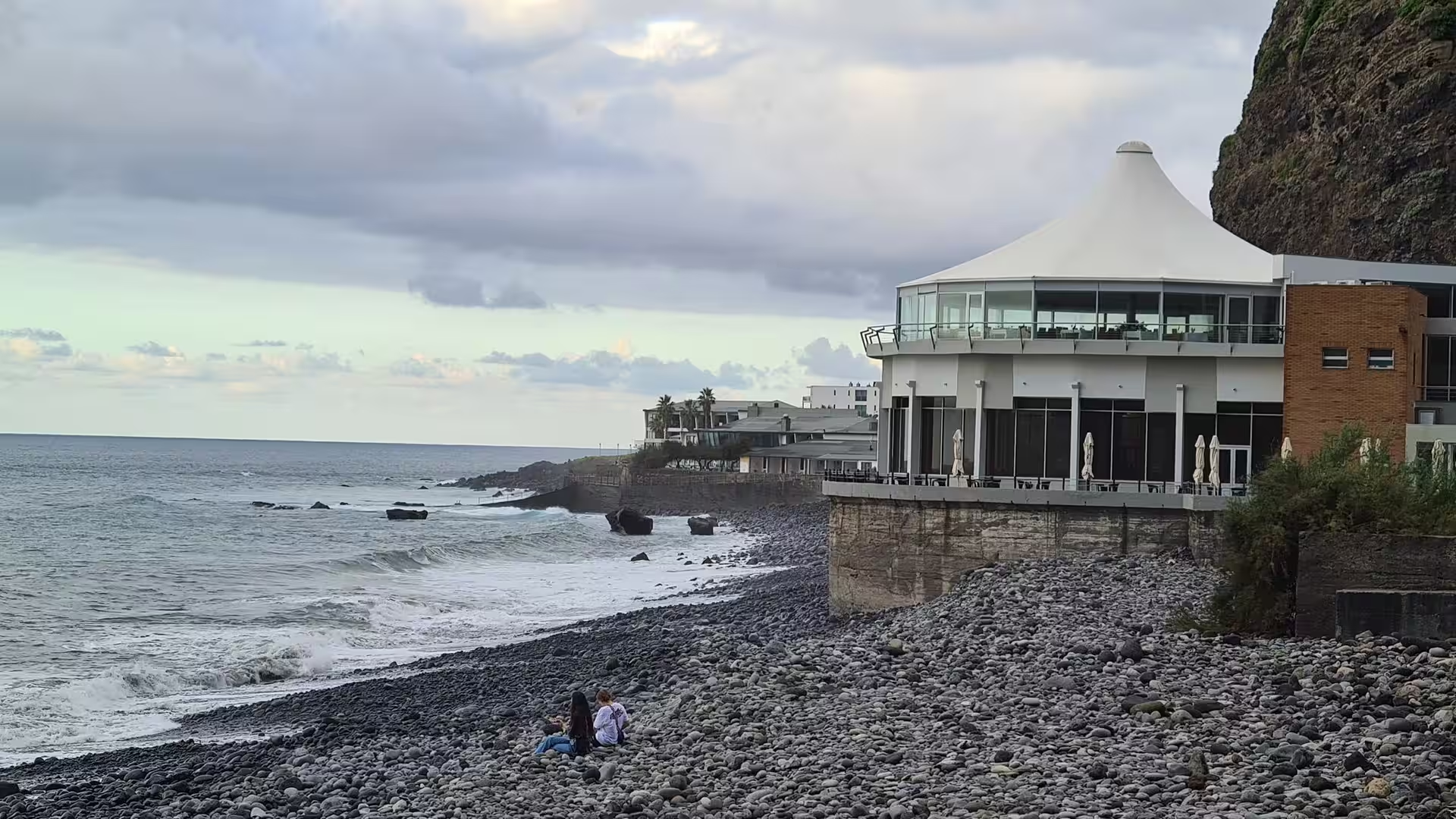
The black sand beach at Seixal is one of the few beaches on the north coast. Foaming surf rolls onto dark volcanic sand beneath steep, cloud wrapped green cliffs, a slender waterfall drops onto the sand beside a dark sea cave, and a long breakwater stretches out to sea beyond the palms at the back of the beach. Bathers stand in the shallows in front of the cliffs. The sand is dark because it consists of ground down volcanic rock, and the beach lies at the mouth of a valley that carries the debris of the interior towards the coast.
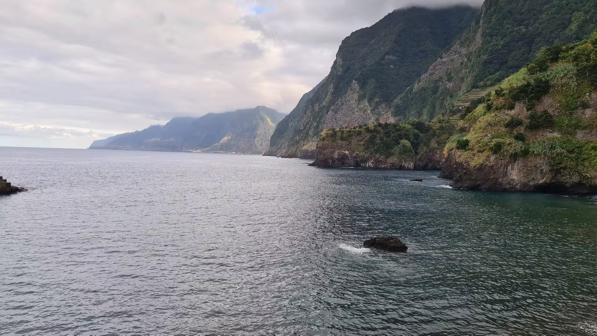
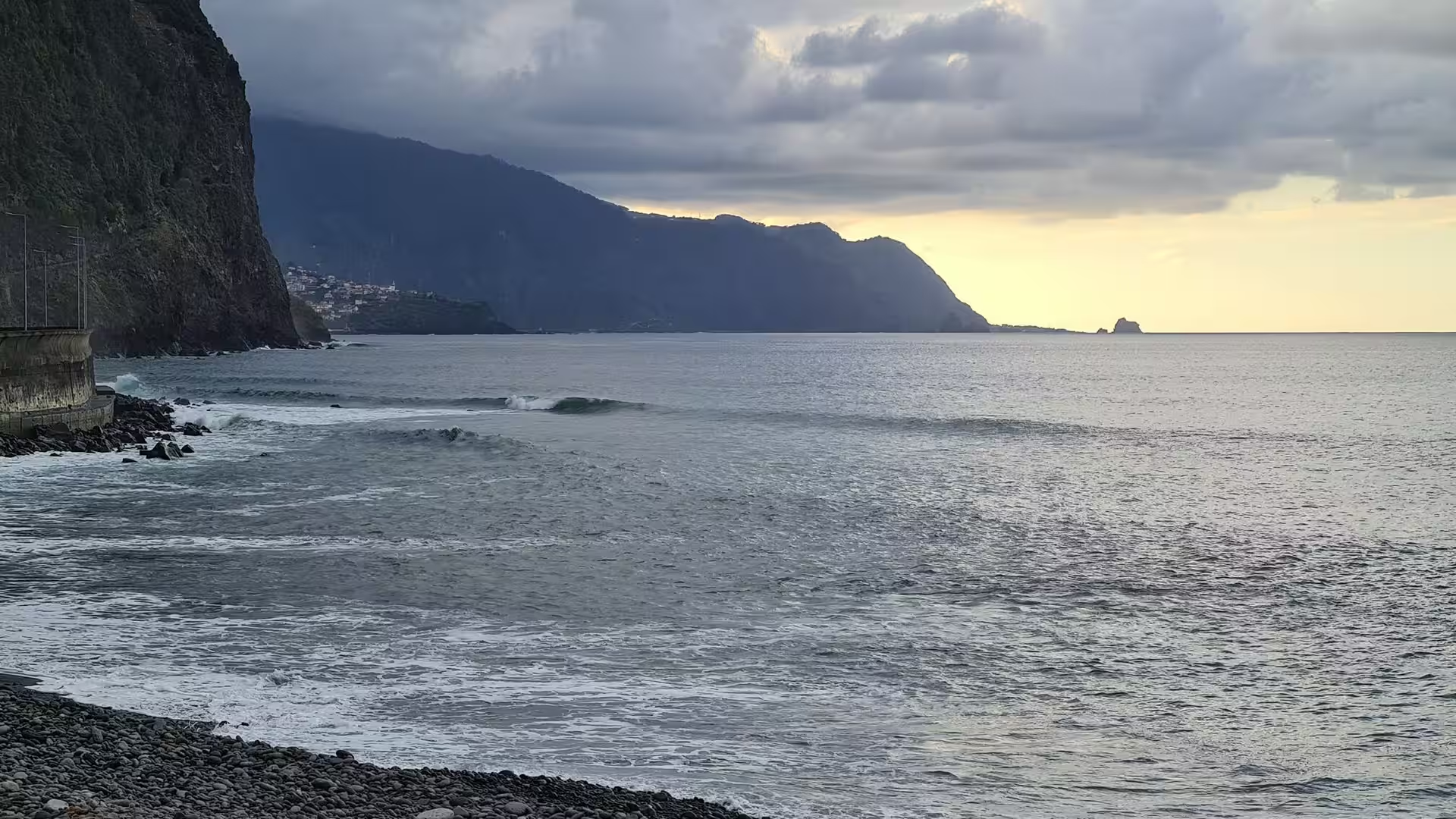
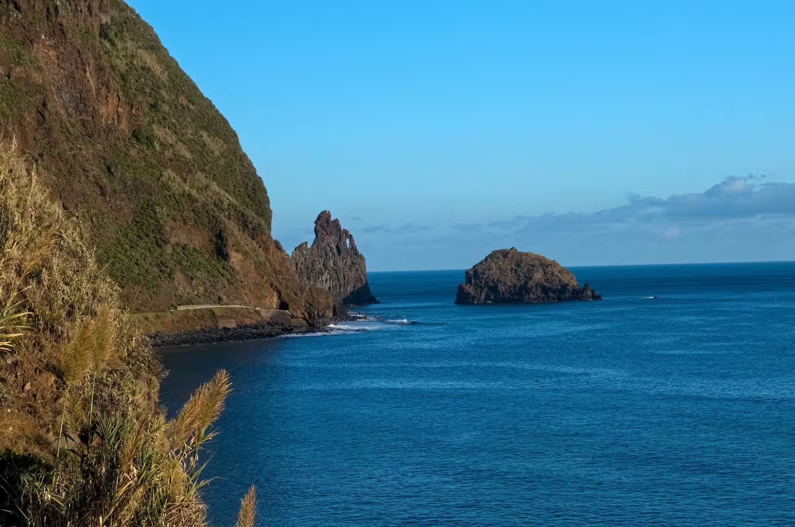
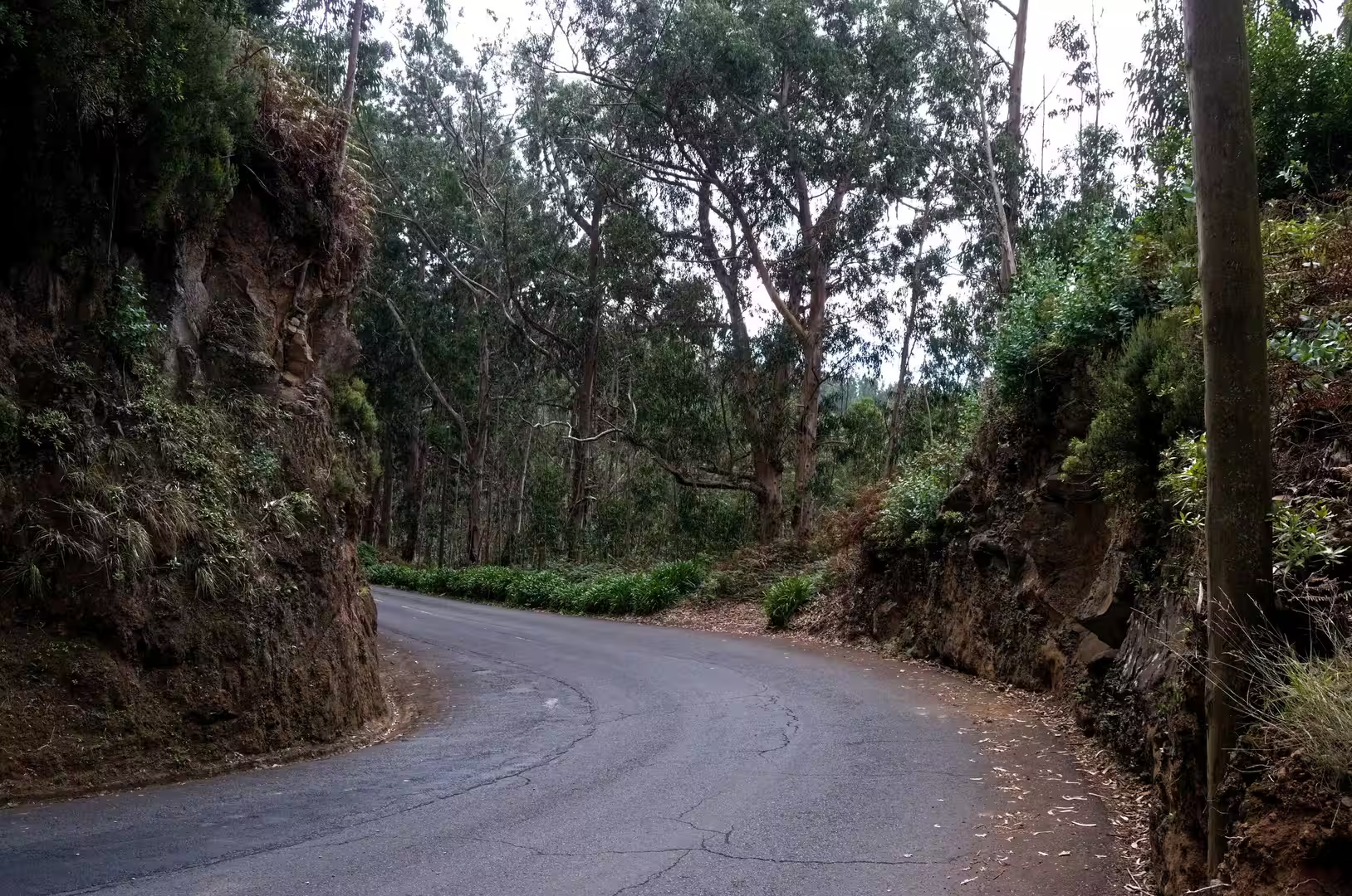
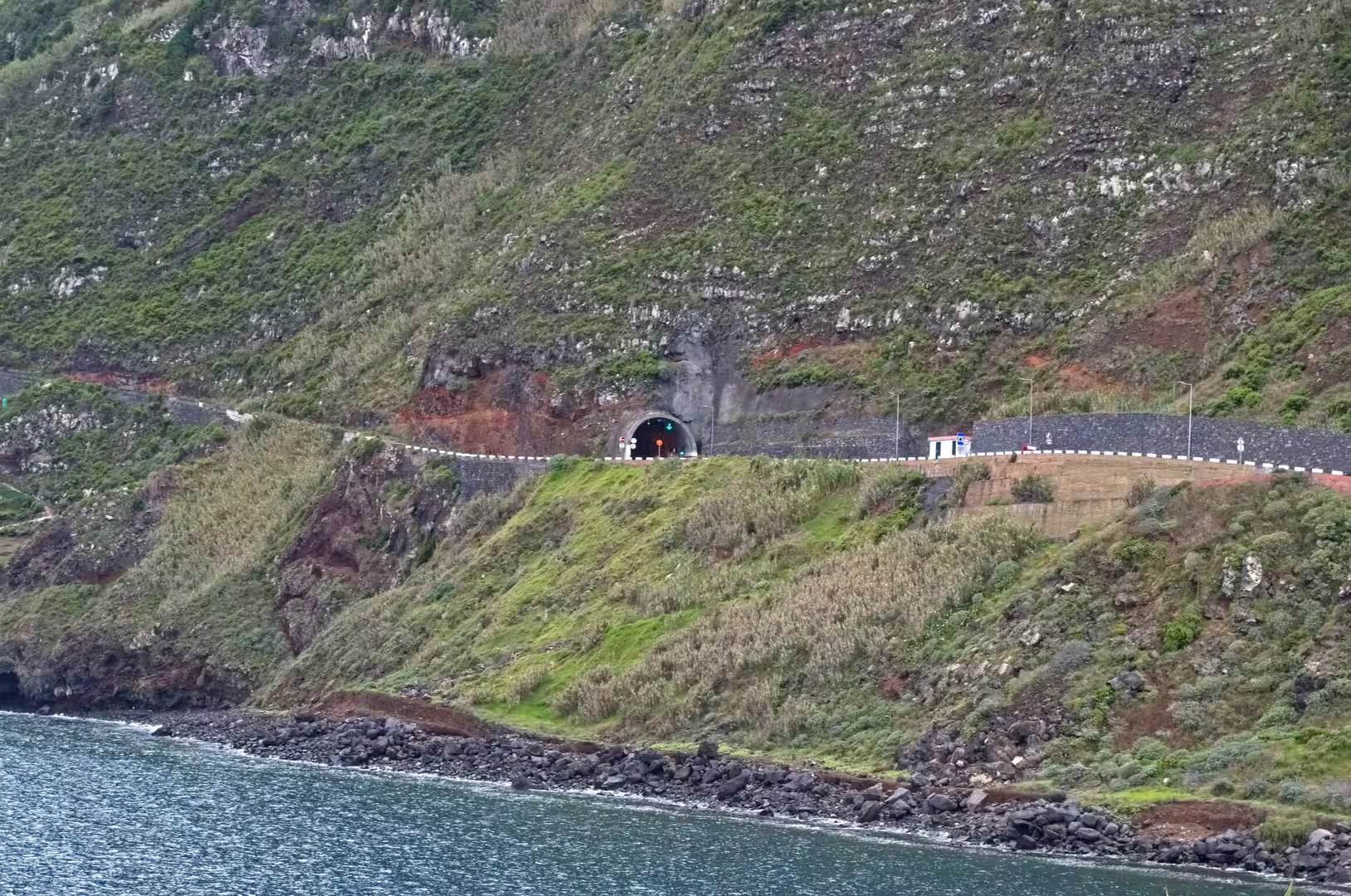
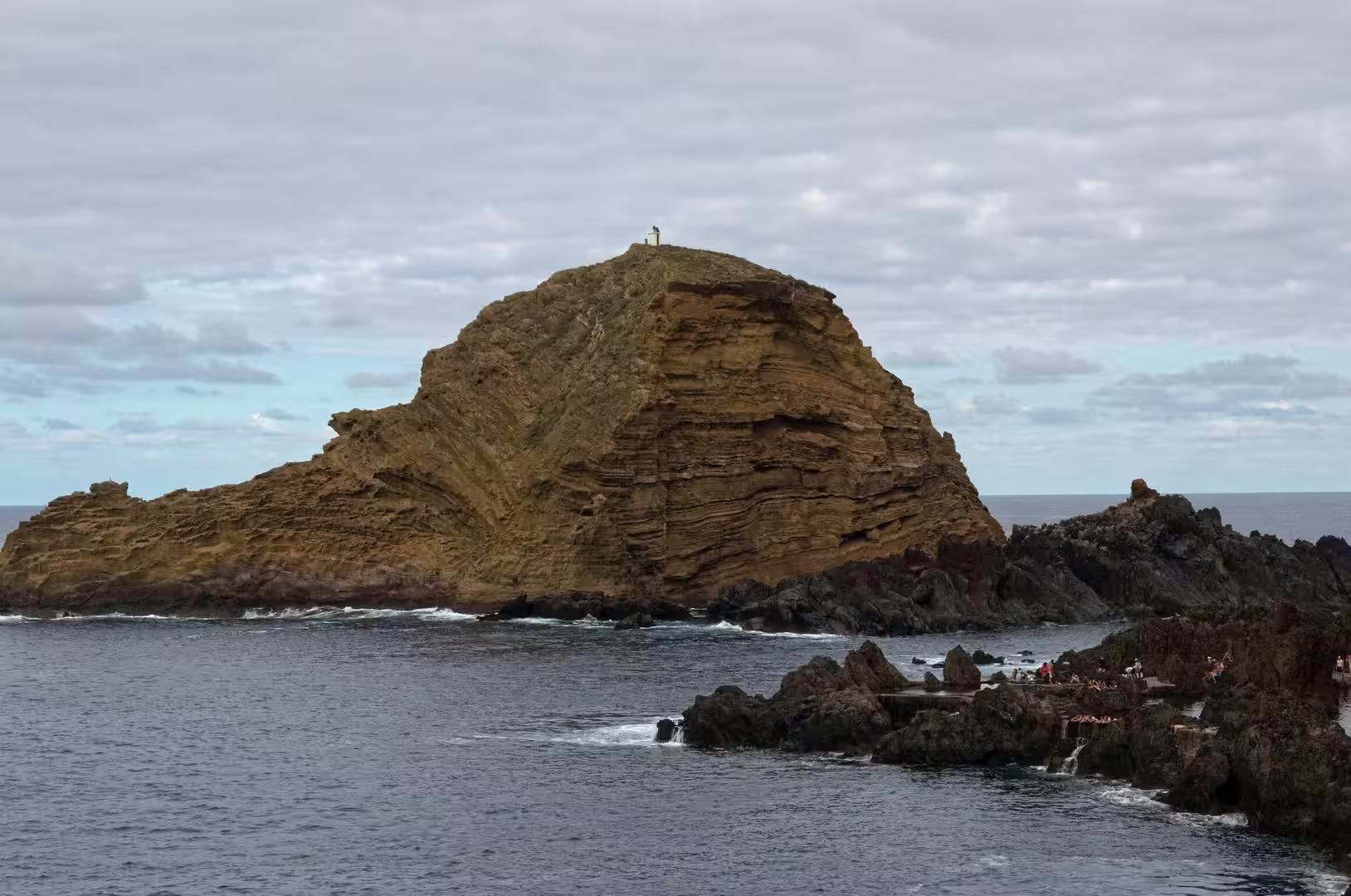
At the mouth of the Ribeira da Janela a banded rock stands in the sea among white water, with small figures walking the shore nearby. Its orange brown layers are tilted and cut, so that the bedding of the volcanic sequence can be read from the beach, and it forms one of the most recognisable landmarks of the western coast. Behind it a little harbour holds boats and cars on the same paved yard. Upstream the valley climbs into the forested interior, and a road cut into a steep green slope disappears into a tunnel mouth high above the sea.
References
- Wikipedia contributors (2026). Madeira Island. en.wikipedia.org/wiki/Madeira_Island
- Wikipedia contributors (2026). Madeira. en.wikipedia.org/wiki/Madeira
- Wikipedia contributors (2026). Porto Moniz. en.wikipedia.org/wiki/Porto_Moniz
- Wikipedia contributors (2026). São Vicente, Madeira. en.wikipedia.org/wiki/S%C3%A3o_Vicente%2C_Madeira
- Wikipedia contributors (2026). Paul da Serra. en.wikipedia.org/wiki/Paul_da_Serra
- Wikipedia contributors (2026). Laurisilva. en.wikipedia.org/wiki/Laurisilva
- Wikipedia contributors (2026). Ocotea foetens. en.wikipedia.org/wiki/Ocotea_foetens
- Wikipedia contributors (2026). Levada. en.wikipedia.org/wiki/Levada
- Wikipedia contributors (2026). Macaronesia. en.wikipedia.org/wiki/Macaronesia
- Wikipedia contributors (2026). History of Madeira. en.wikipedia.org/wiki/History_of_Madeira
- Wikipedia contributors (2026). Madeira wine. en.wikipedia.org/wiki/Madeira_wine
- (2019). Laurisilva of Madeira, Portugal. Dictionary of Geotourism. 339-339. doi.org/10.1007/978-981-13-2538-0_1368
- Fernández-Palacios, de Nascimento, Otto, Delgado (2010). A reconstruction of Palaeo-Macaronesia, with particular reference to the long-term biogeography of the Atlantic island laurel forests. Journal of Biogeography. 38. 226-246. doi.org/10.1111/j.1365-2699.2010.02427.x
- Kiesow, Bork (2017). Agricultural terraces as a proxy to landscape history on Madeira island, Portugal. Ler História. 71. 127-152. doi.org/10.4000/lerhistoria.2912
- Mota, Franco, Santos (2021). 255 Island tourism carrying capacity in the UNESCO Site Laurisilva of Madeira. Island Studies Journal. 16. 255-269. doi.org/10.24043/isj.143
- Marrero, Oliveira, Nogales (2004). Diet of the endemic Madeira Laurel Pigeon Columba trocaz in agricultural and forest areas: implications for conservation. Bird Conservation International. 14. 165-172. doi.org/10.1017/s0959270904000218