Day 12













Journal Notes
General
The central massif of Madeira forms the highest ground of the island, and Pico Ruivo, at 1,862 metres, is its summit. The peak lies in the municipality of Santana and is the highest point of the archipelago and the third highest in Portugal. It can be reached only on foot, either from Pico do Areeiro along the ridge or by the shorter and easier trail that climbs from Achada do Teixeira. From the top the view extends over the green mountains around Curral das Freiras and the valleys of Ribeira Grande and São Jorge, and on clear days as far as Porto Santo and the Desertas islands.
Madeira is the largest island of the Portuguese archipelago of the same name, in the North Atlantic, and rises as the summit of a shield volcano on the African tectonic plate. The island recorded 245,595 inhabitants in 2021, and the autonomous region counts some 251,060 residents, roughly half of them in Funchal. The archipelago belongs to Macaronesia together with the Azores, the Canary Islands and Cape Verde, and since 1976 it has formed an autonomous region of Portugal with its own government and legislative assembly.
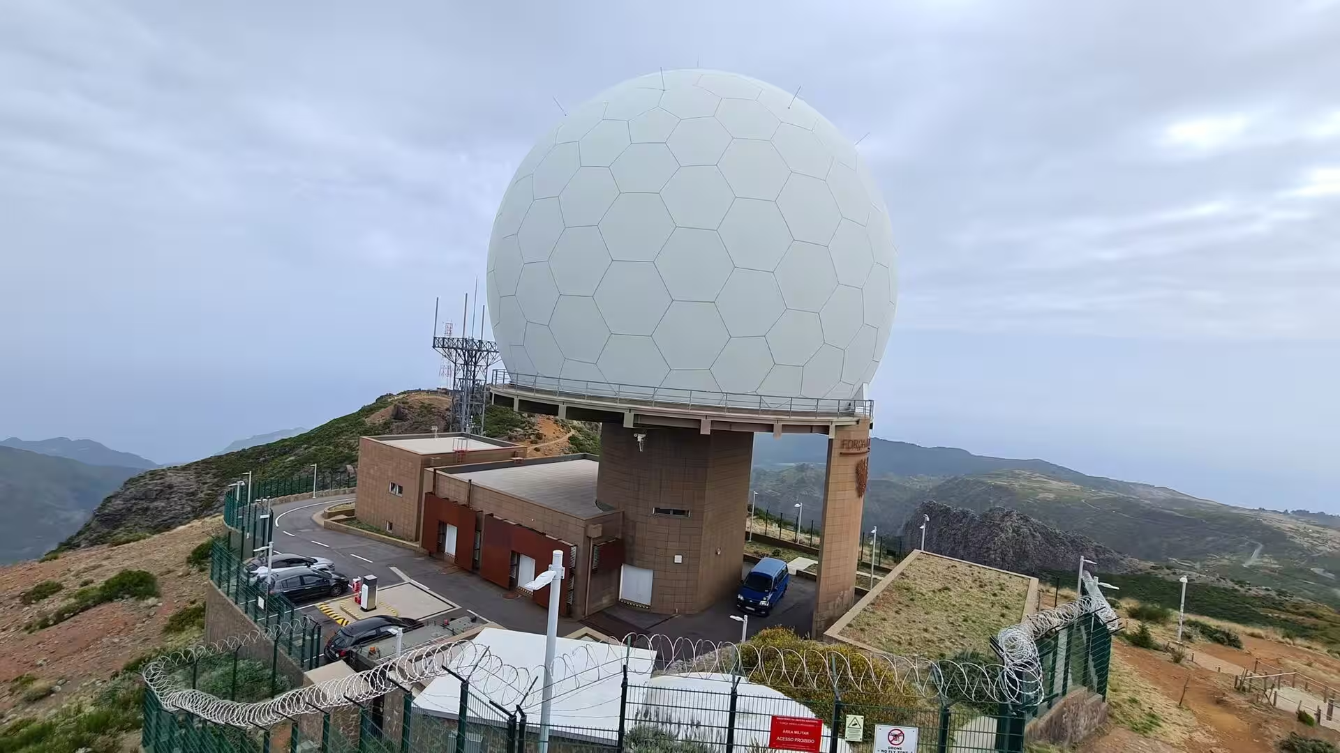
Pico do Areeiro, the third highest summit of the island, stands in the mountainous interior roughly halfway between the northern and southern coasts, and the road from Funchal reaches it directly. The summit has a large car park, a restaurant and a souvenir shop, and in 2011 a radar station of the Portuguese air force was built next to the tourist facilities. It is the starting point for the traverse towards Pico Ruivo, and at peak times up to a thousand people a day pass through the area. The climb from sea level to the summit, with 1,810 metres of ascent over 22 kilometres, is counted among the hardest in cycling.
The climate of the high ground differs sharply from that of the coast. Pico do Areeiro has a cool Mediterranean climate that is surprisingly wet for the type, with much of the precipitation arriving as drizzle and fog, and the plateau of Paul da Serra records more than 240 foggy days a year. Temperatures at the summit are considerably lower than at sea level, and snow falls on the highest peaks in most winters. Wind and cloud can change conditions within minutes, so the forecast for the mountains matters more than the weather on the coast.
Most of the high ground is protected. The Madeira Nature Reserve, created in 1982, covers about two thirds of the area of the island and includes the Ilhas Desertas, the Ilhas Selvagens, Garajau and Rocha do Navio. The laurel forest of Madeira was inscribed as a UNESCO World Heritage Site in 1999, and the trails of the central massif cross areas of the Natura 2000 network. The official walking routes, the pequenas rotas, are waymarked and maintained, and the two paths that reach the summit of Pico Ruivo carry a fee of three euros for visitors over the age of twelve.
History
Madeira was claimed for the Portuguese crown in 1419 and settled from about 1420. The island was divided into captaincies, and the three captain-majors, João Gonçalves Zarco, Tristão Vaz Teixeira and Bartolomeu Perestrello, brought their families and a small group of nobles, servants and settlers. The archipelago came under the Order of Christ, which promoted colonisation. The first farmers cleared parts of the dense laurel forest by fire, and they cut the first levadas in order to move water from the wet north to the fields of the south.
The high valley of Curral das Freiras, the pen of the nuns, lies in the municipality of Câmara de Lobos and recorded 2,001 inhabitants in 2011. In its early years the valley was reached only by semi-nomadic shepherds and by people who had escaped from servitude, and a small hamlet grew there towards the end of the fifteenth century. The lands belonged to João Gonçalves Zarco, who granted their use for cultivation to João Ferreira and his wife Branca Dias around 1462, and they passed in 1480 to João Gonçalves da Câmara, the son of the discoverer, who gave them to the convent of Santa Clara in the name of his daughters.
The mountain paths of the central massif were opened long before walking became a pastime. Shepherds and forestry workers used them to move between grazing grounds and shelters, and the route that is now the Vereda do Pico Ruivo follows some of those lines. Caves such as the Furna da Lapa da Cadela gave shelter to people who harvested heather for stakes, firewood and charcoal. The name of the valley changed with its owners: it was known simply as Curral or Curral da Serra while it served as pasture, and became Curral das Freiras when the nuns of Santa Clara took possession of the land.
Curral das Freiras belonged to the parish of Santo António, and because the distance from that ecclesiastical seat made attendance difficult, a separate religious parish was instituted in 1780. By royal charter of Queen Maria I, dated 17 March 1790, the community became an independent parish. Access remained difficult for another two centuries, since the valley is encircled by steep ridges, and it was only in 2004 that a tunnel towards Funchal opened and the older and dangerous route could be abandoned. The patron of the parish is Nossa Senhora do Livramento, honoured in a festival on the last Sunday of August.
The modern history of the island is one of decline and recovery. The wine trade lost its markets in the nineteenth century, sugar production had long since moved to Brazil and São Tomé, and emigration to the Americas and to South Africa reduced the population. Political autonomy, granted on 1 July 1976, gave the region its own administration, and an international business centre was established in 1980. In the following decades walking tourism grew into one of the pillars of the local economy, and the network of official trails was standardised and equipped with signs, handrails and stone steps, which turned the old routes of the shepherds into a principal attraction of the island.
Geology
The geology of the central massif is the record of a long volcanic history. The island is the top of a shield volcano that grew along an east-west rift in the oceanic crust, beginning in the Miocene more than five million years ago and continuing into the Pleistocene until about 700,000 years ago. After the main phase ended, erosion removed much of the upper structure and produced two large amphitheatres that open to the south. Volcanic activity resumed later with scoria cones and lava flows, and the most recent eruptions, in the west-central part of the island, occurred only about 6,500 years ago.
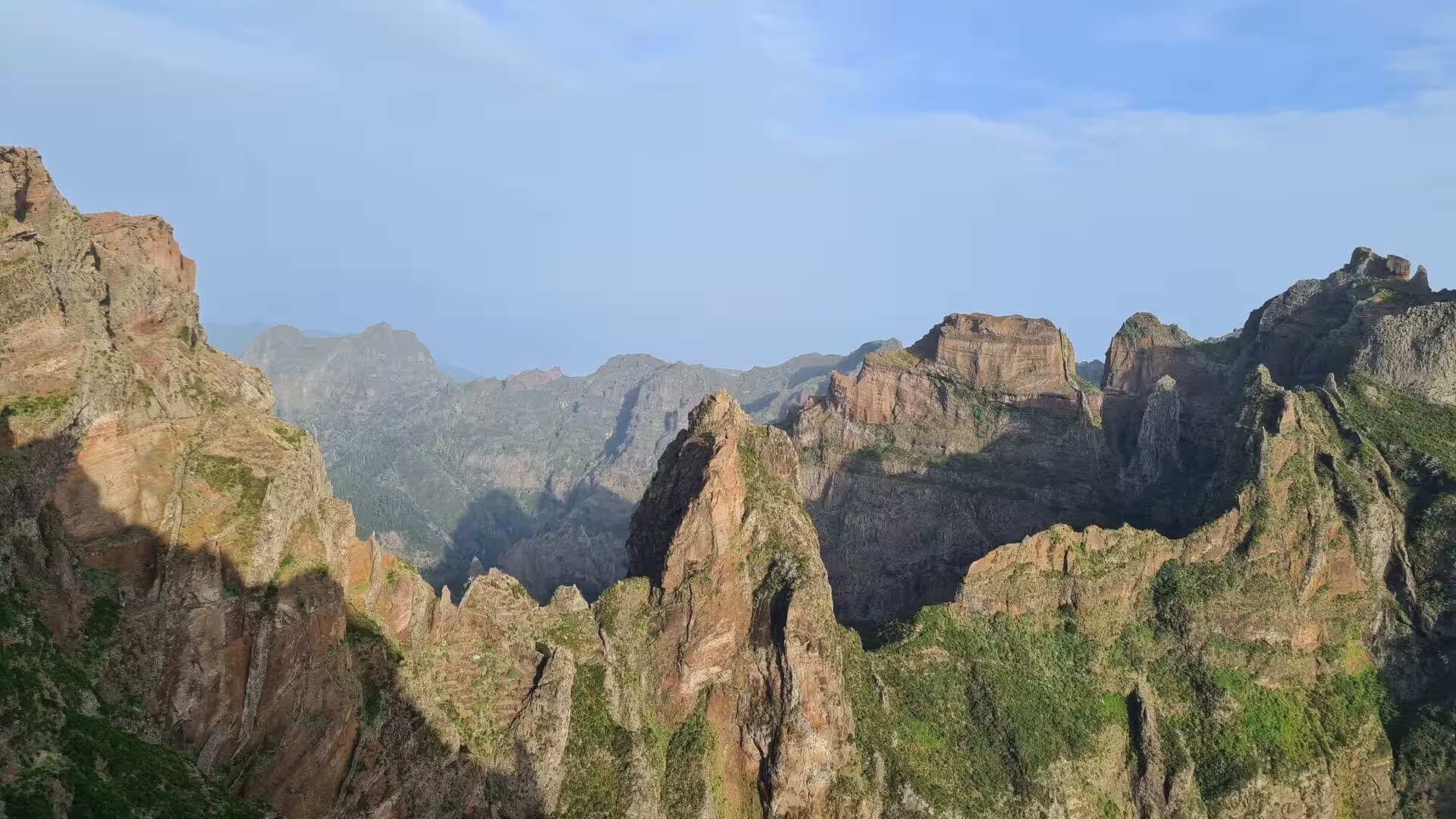
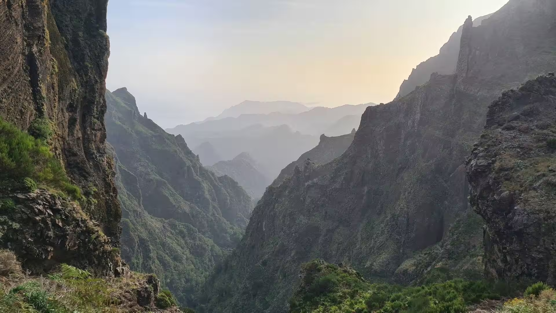
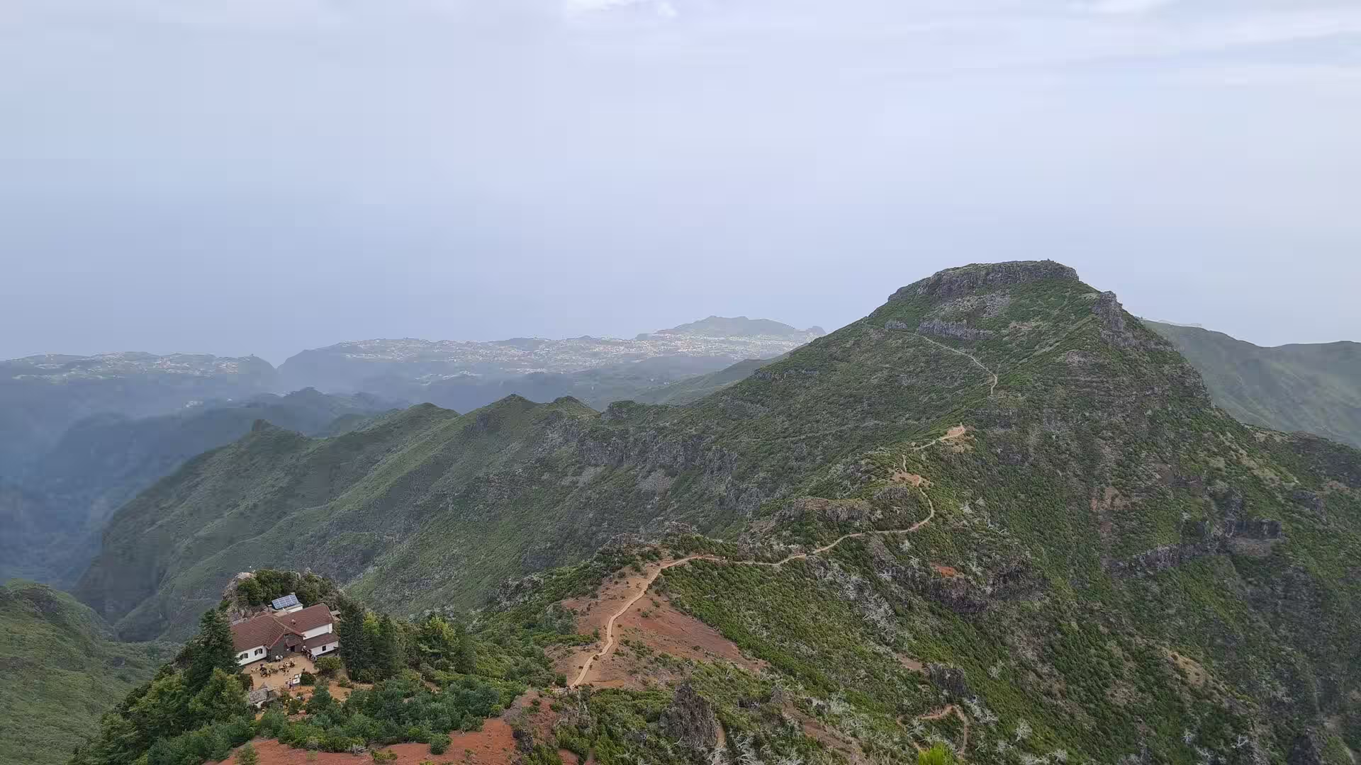
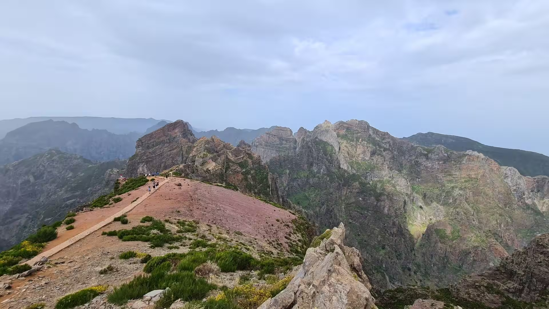
The primitive volcanic centres of the interior formed a group of high peaks that dominate the ridge of the island. Pico Ruivo, Pico das Torres, Pico do Areeiro, Pico do Cidrão, Pico do Cedro, Pico Casado, Pico Grande and Pico Ferreiro belong to this series, and the highest of them gives the massif its present outline. Between these summits the ridge is narrow and the flanks fall away in long slopes and ravines.
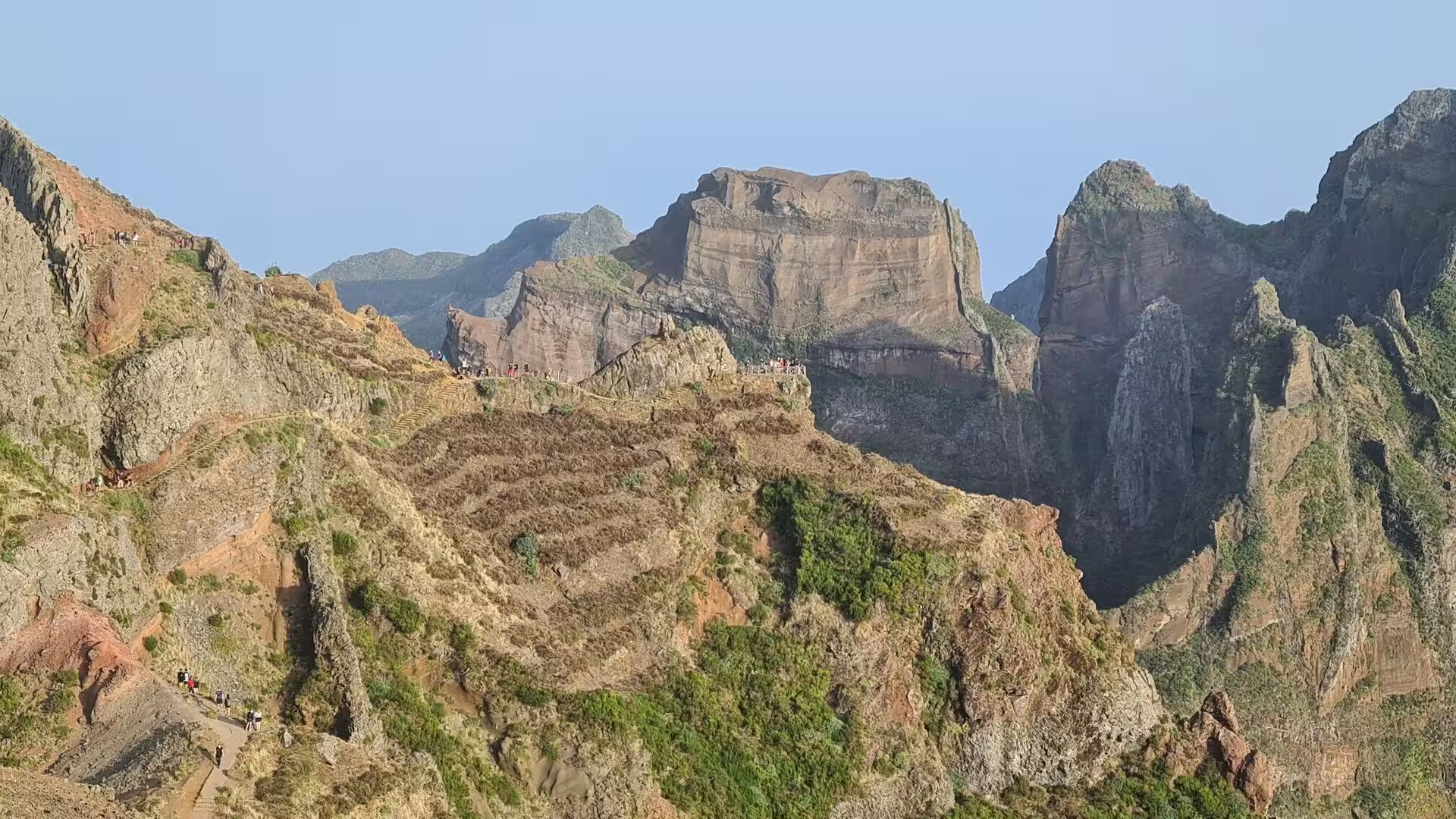
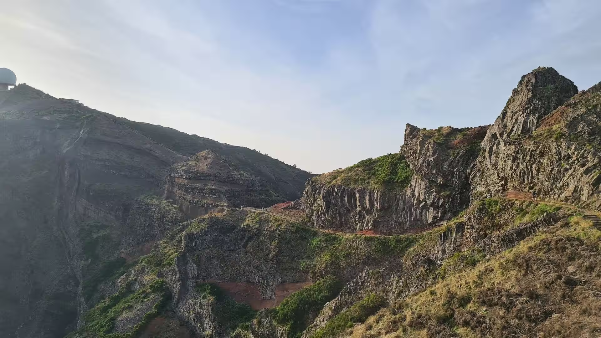
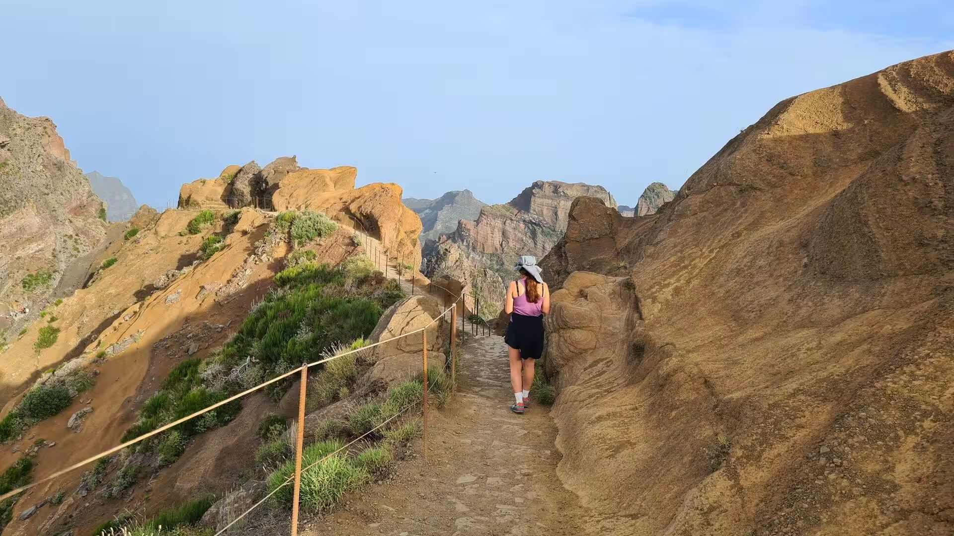
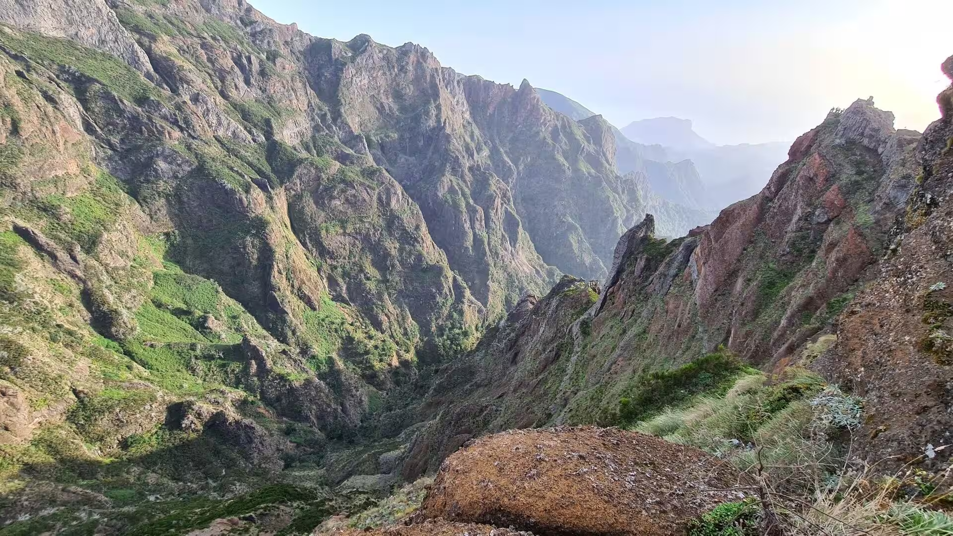
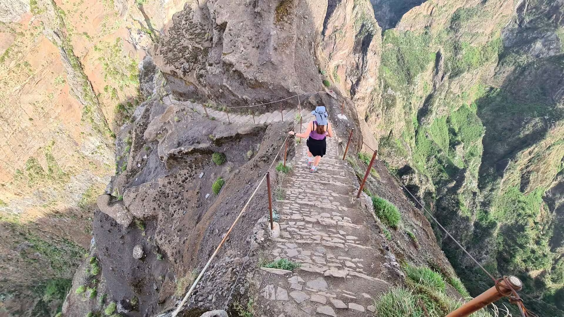
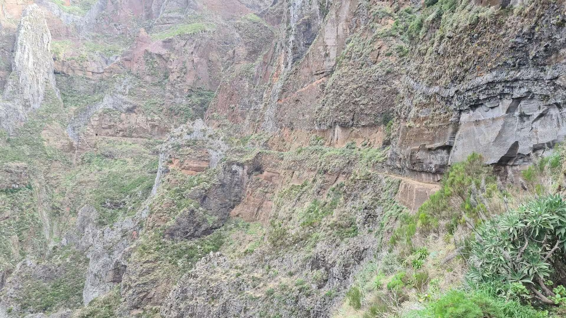
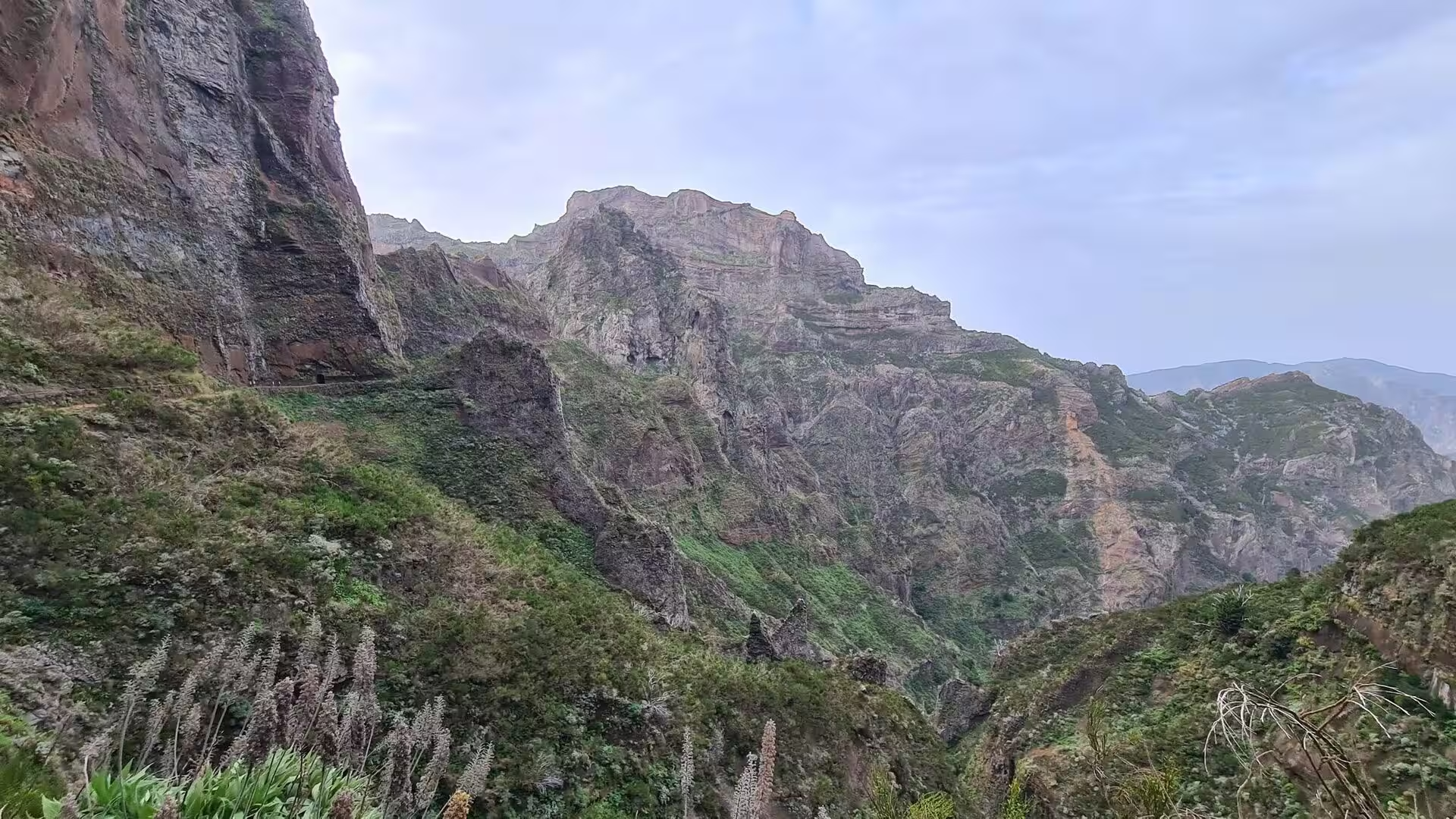
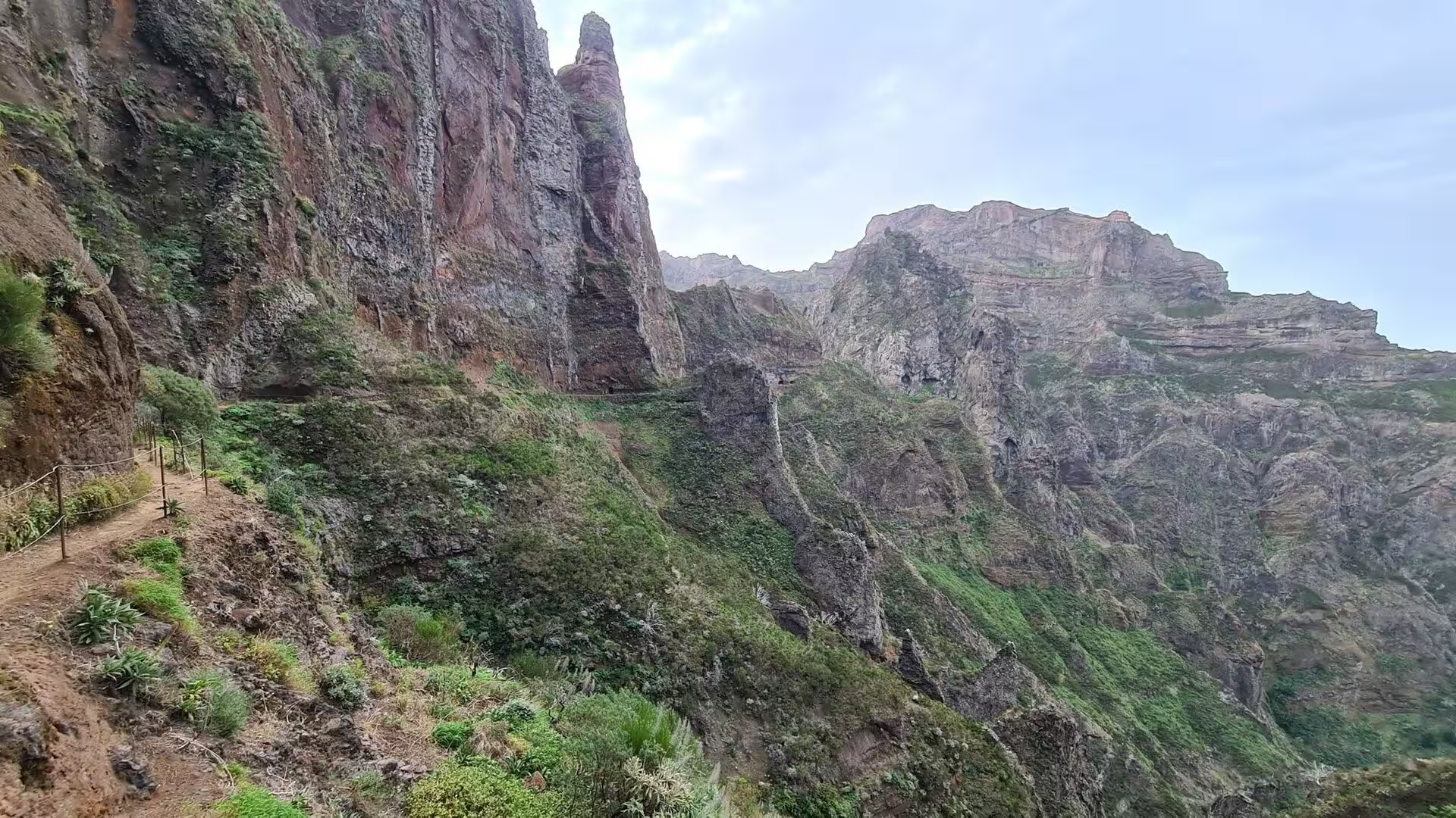
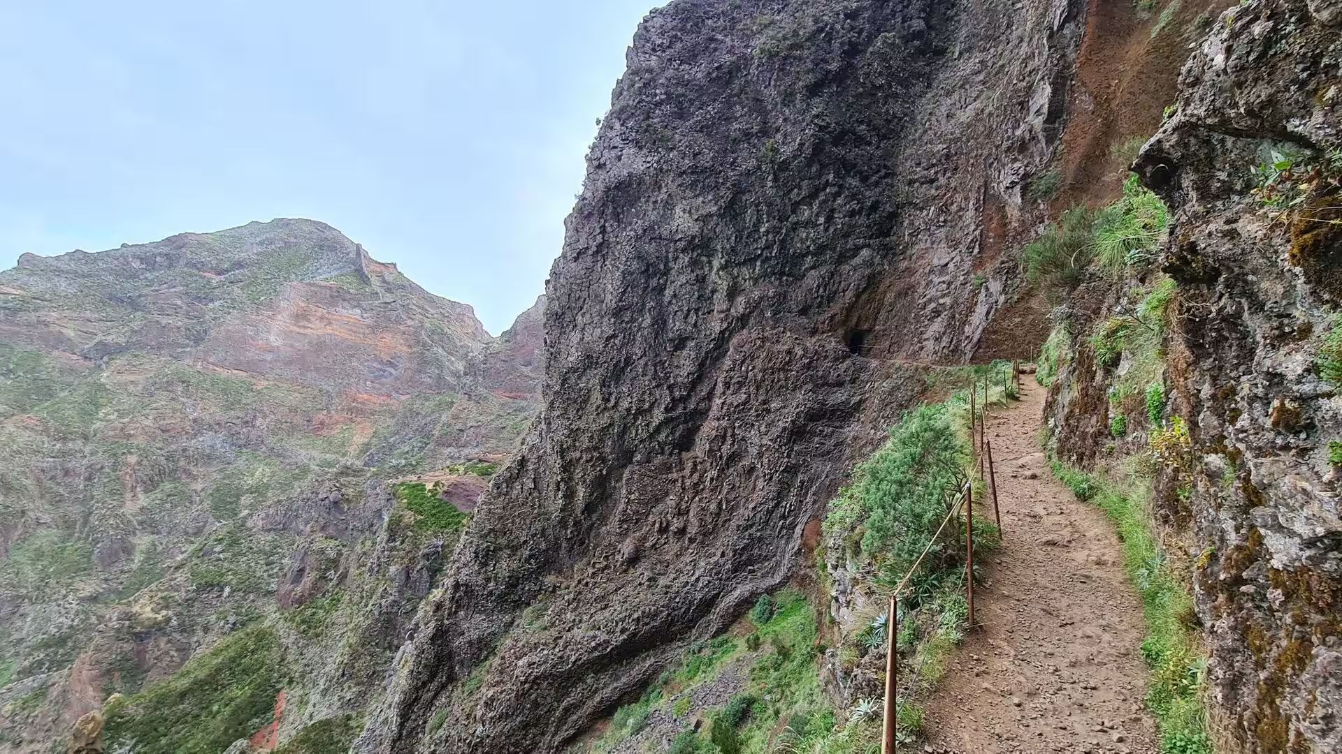
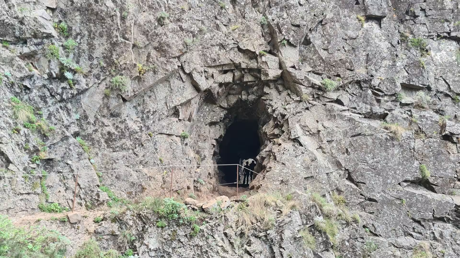
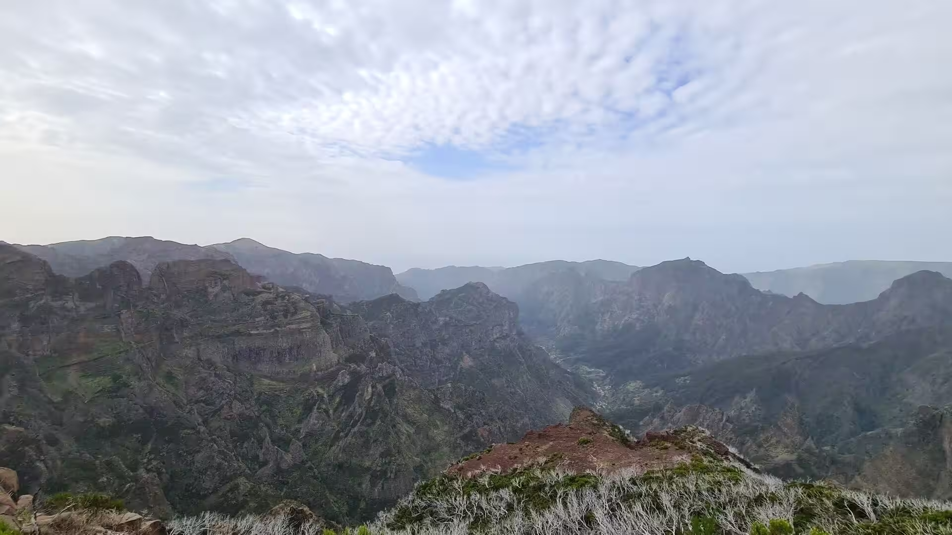
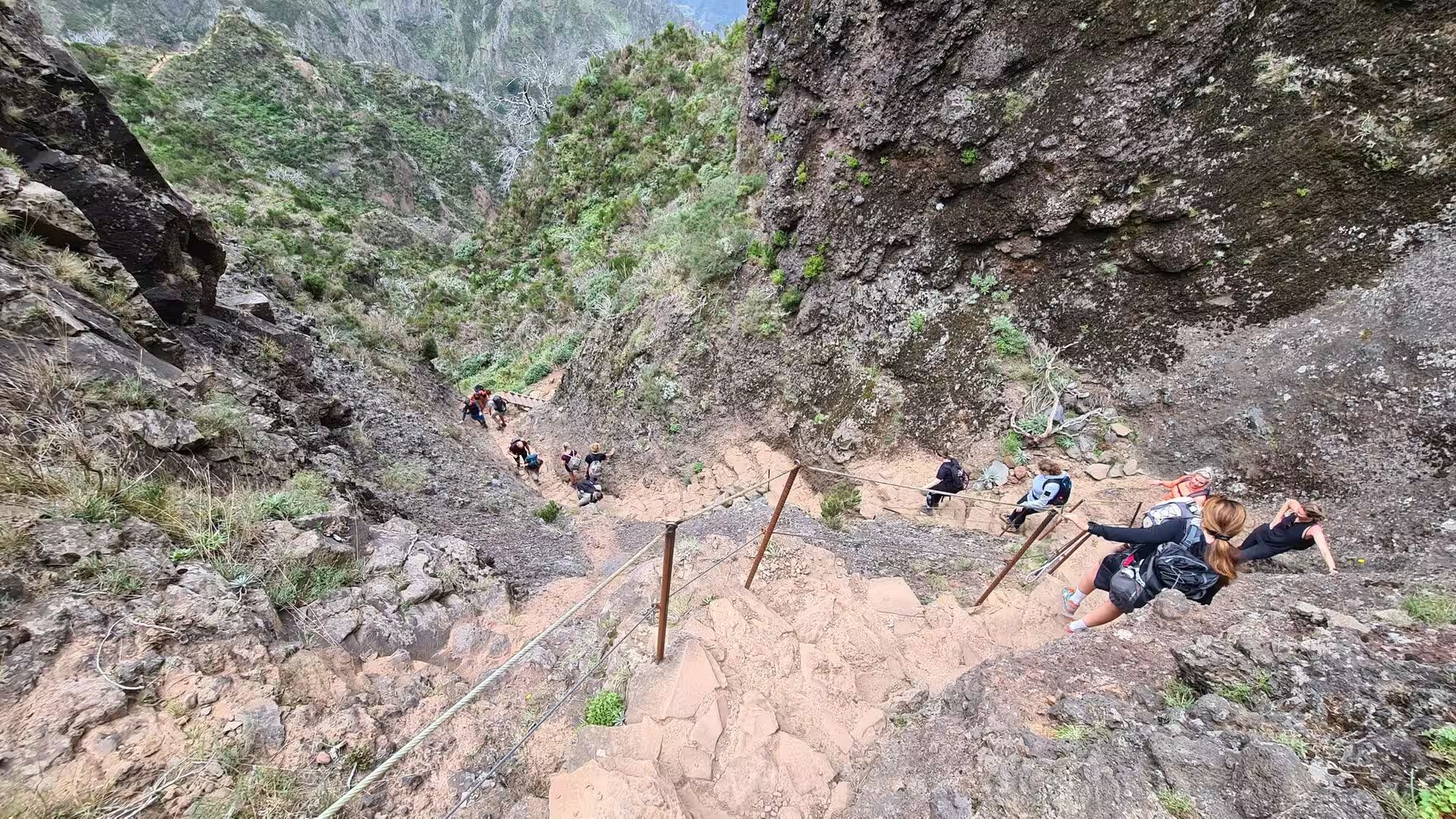
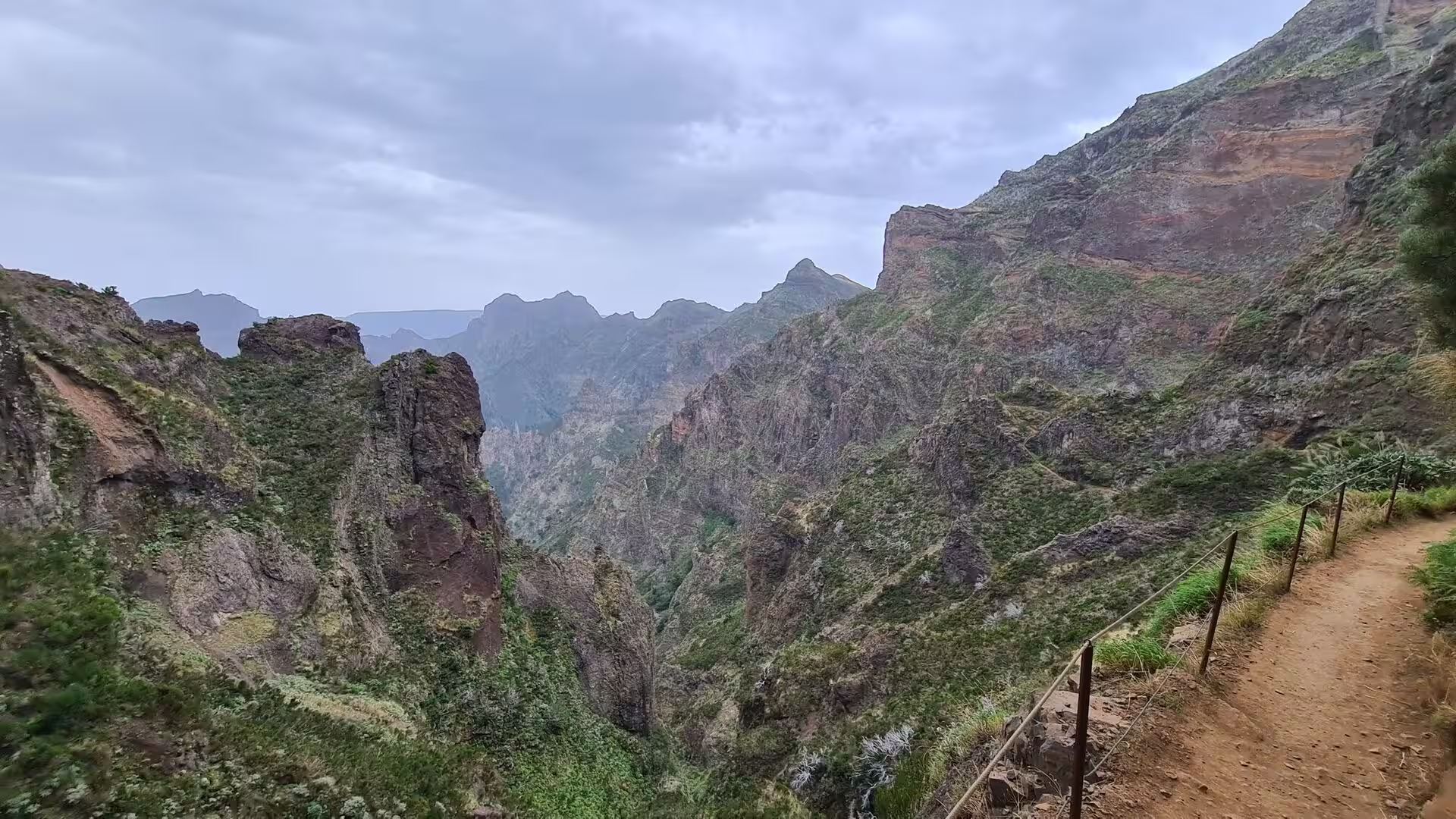
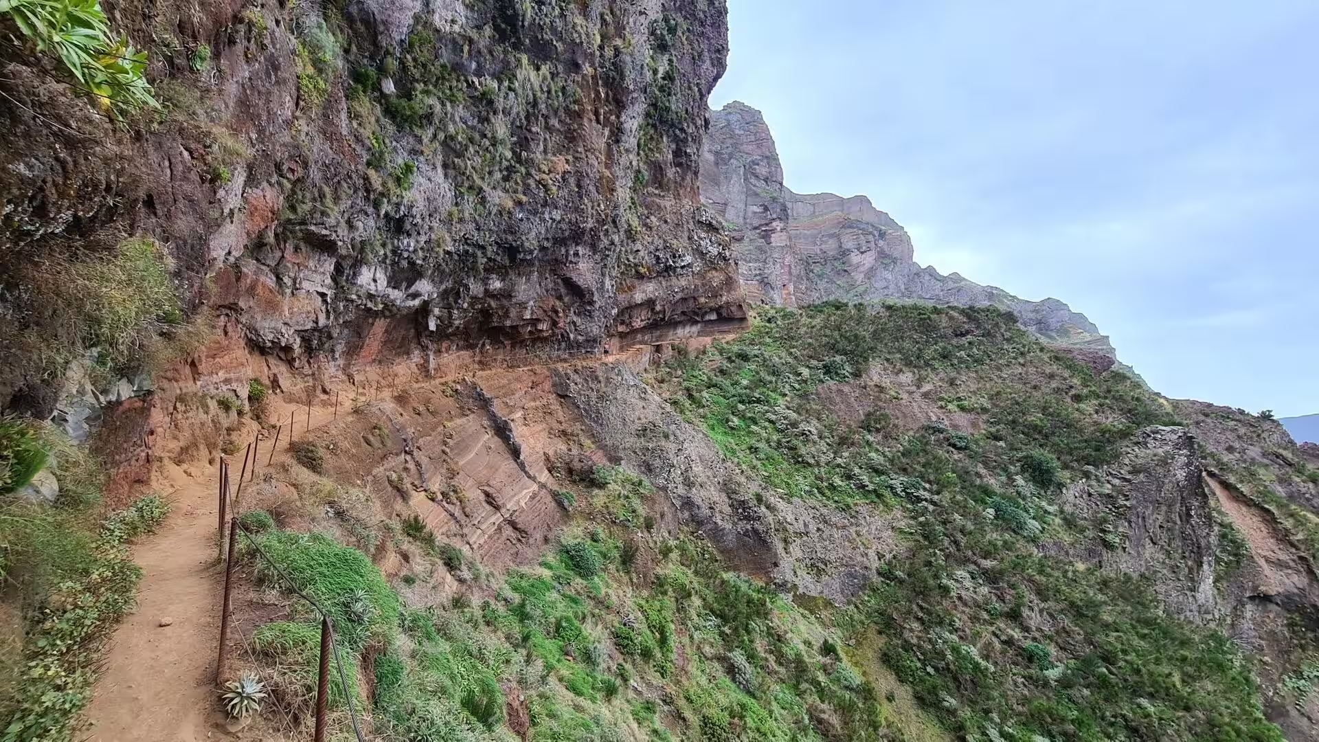
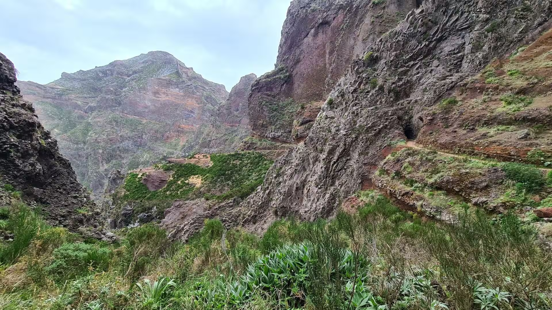
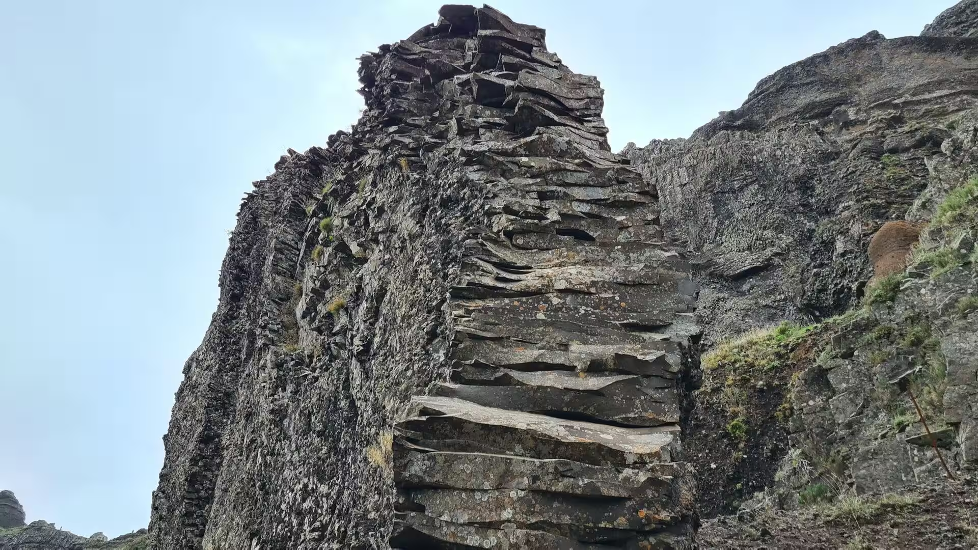
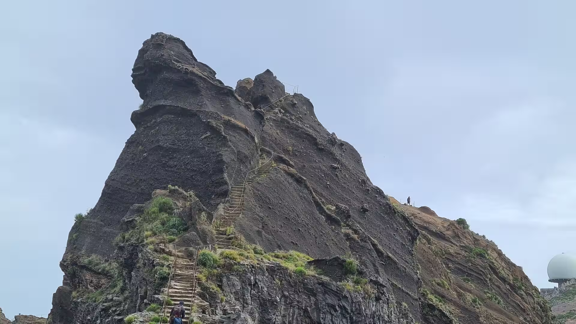
The rock that the walker meets on the ridge is chiefly basalt in thick, layered flows. On the ascent towards Pico Ruivo the trail passes sharp crests, stacks of flat slabs and bare rock faces in dark grey and rust red, and in places the path disappears into tunnels cut through the rock. Long stone stairways follow the gradient where nothing but steps could carry a route, and metal cables or handrails secure the most exposed sections. Rockfalls and weathering are continuous processes on these slopes, which is why the trails are inspected and occasionally closed, and why the official routes publish notices on their condition.
Erosion has shaped the interior into narrow crests and deep V-shaped valleys that run radially towards the coast. Soils are thin on the upper slopes, and vegetation has to withstand wind, cold and long periods of fog. Farther west the plateau of Paul da Serra forms the largest and most extensive level area of the island, with its highest point at Pico do Paul, from which both coasts can be seen on clear days. The plain collects a large part of the rainfall of the island, slows the runoff towards the sea, and is considered the most important area of groundwater recharge. Virtually all wind energy produced on Madeira comes from turbines installed on this plateau.
The island continues beneath the sea. Studies of the submarine environment of the archipelago, including the slopes around the Selvagens islands, describe gravitational, erosional, sedimentary and volcanic processes that still shape the flanks below the waterline, and evidence of megatsunamis caused by volcanic flank collapses has been found in the geological record of the region. On land the same steepness produces the mass movements that heavy rainfall triggers in the area of Funchal, where short and intense events concentrate on the slopes and in the ravines. Remains of a marine phase survive in a calcareous layer near Lameiros in the municipality of São Vicente, later quarried for the production of calcium oxide.
Things to See
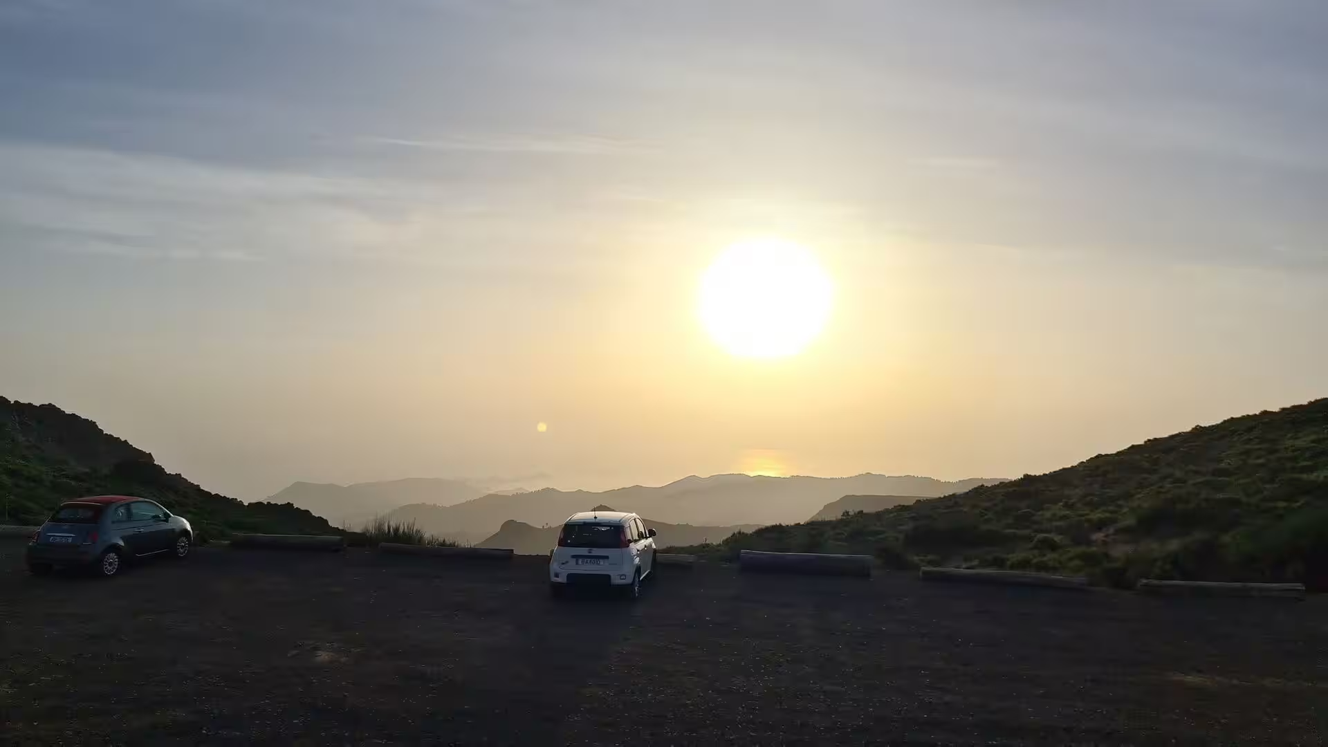
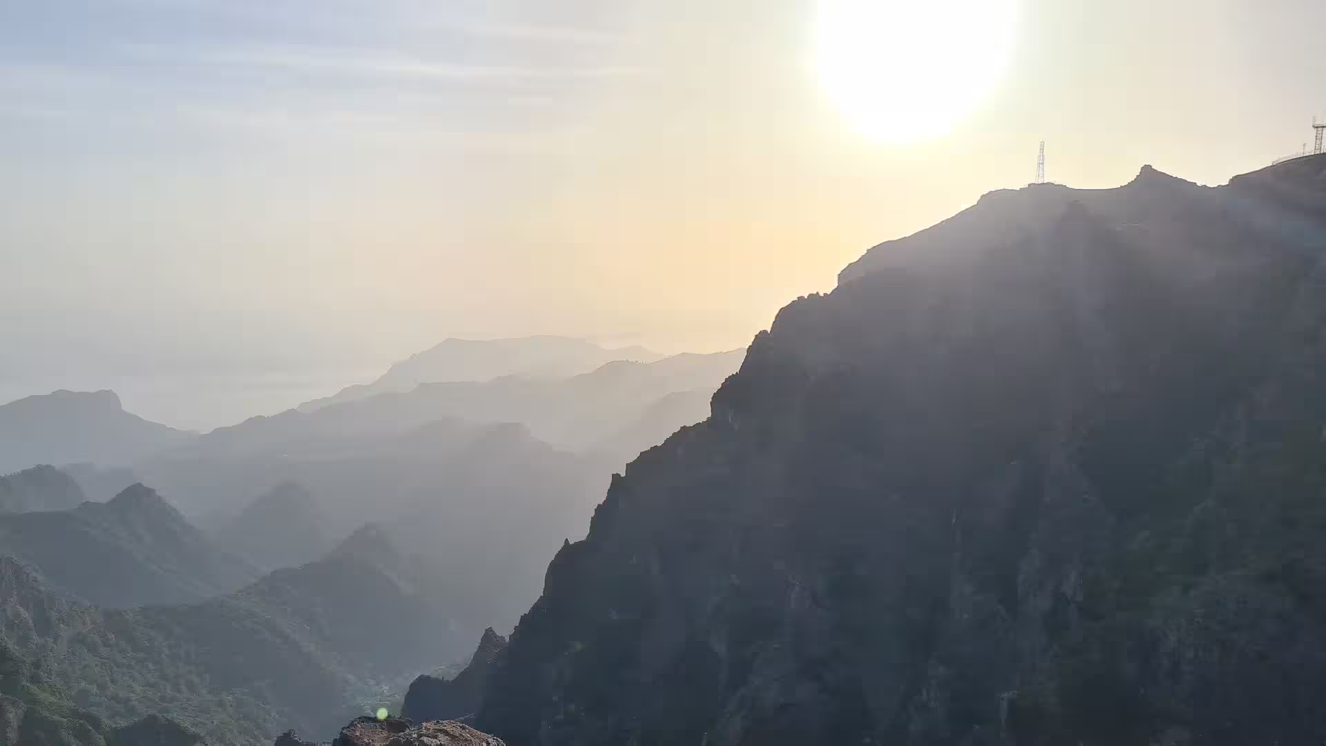
The day began on the asphalt of the high lookout, where a large disc of the sun hung low above the ocean and a row of cars stood at the edge of the parking area. Waymarks in blue and yellow lead away from that platform onto the crest, and the first steps already show the character of the terrain: bare rock underfoot and the ridge running ahead between the two sides of the island. In the early light the valleys below lie in shadow, while the summits catch the first warmth of the day.
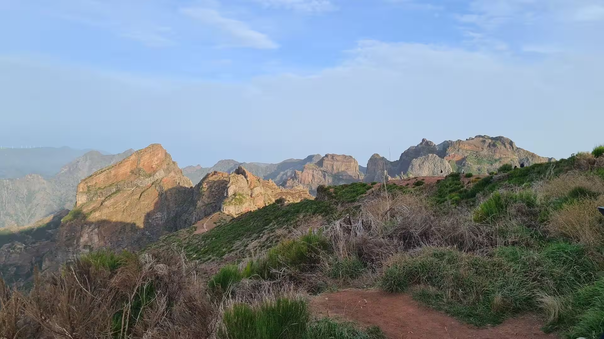
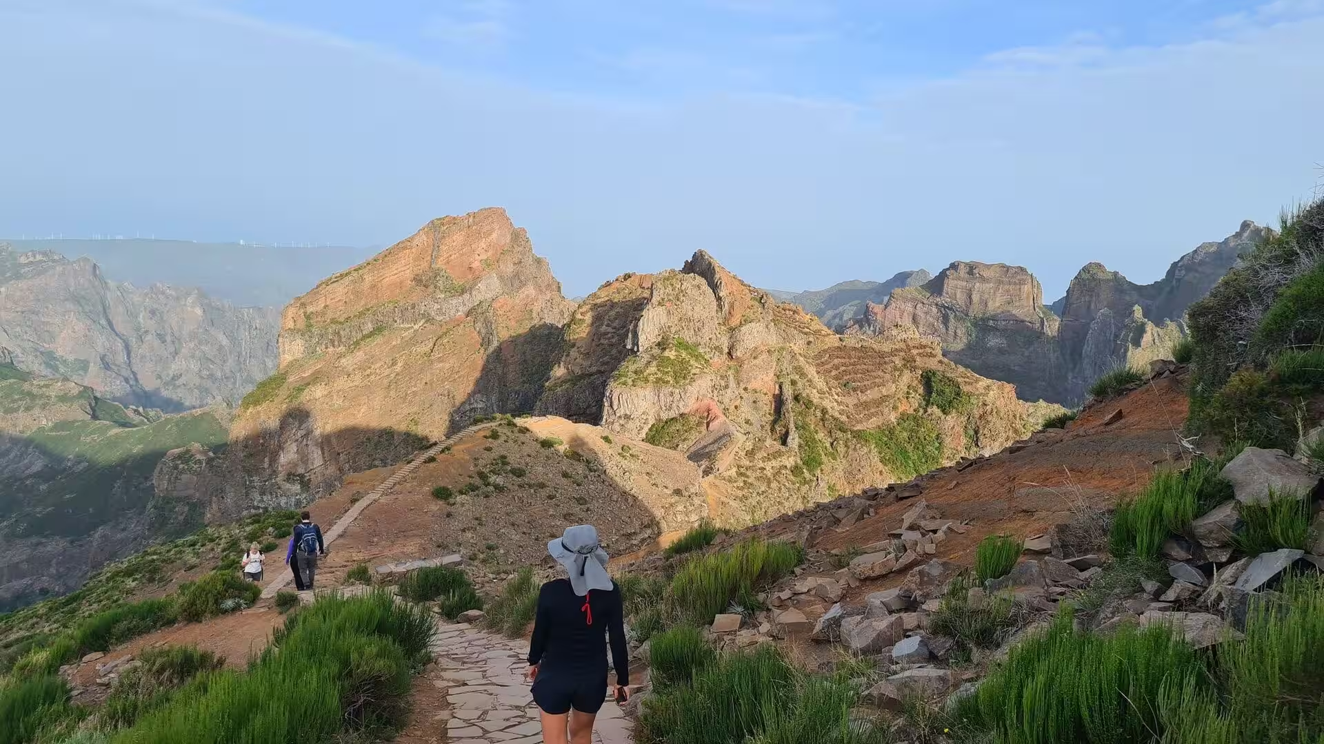
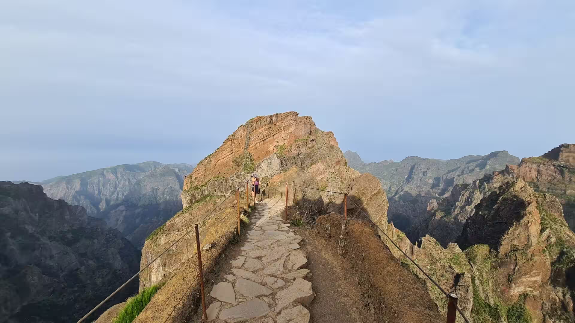
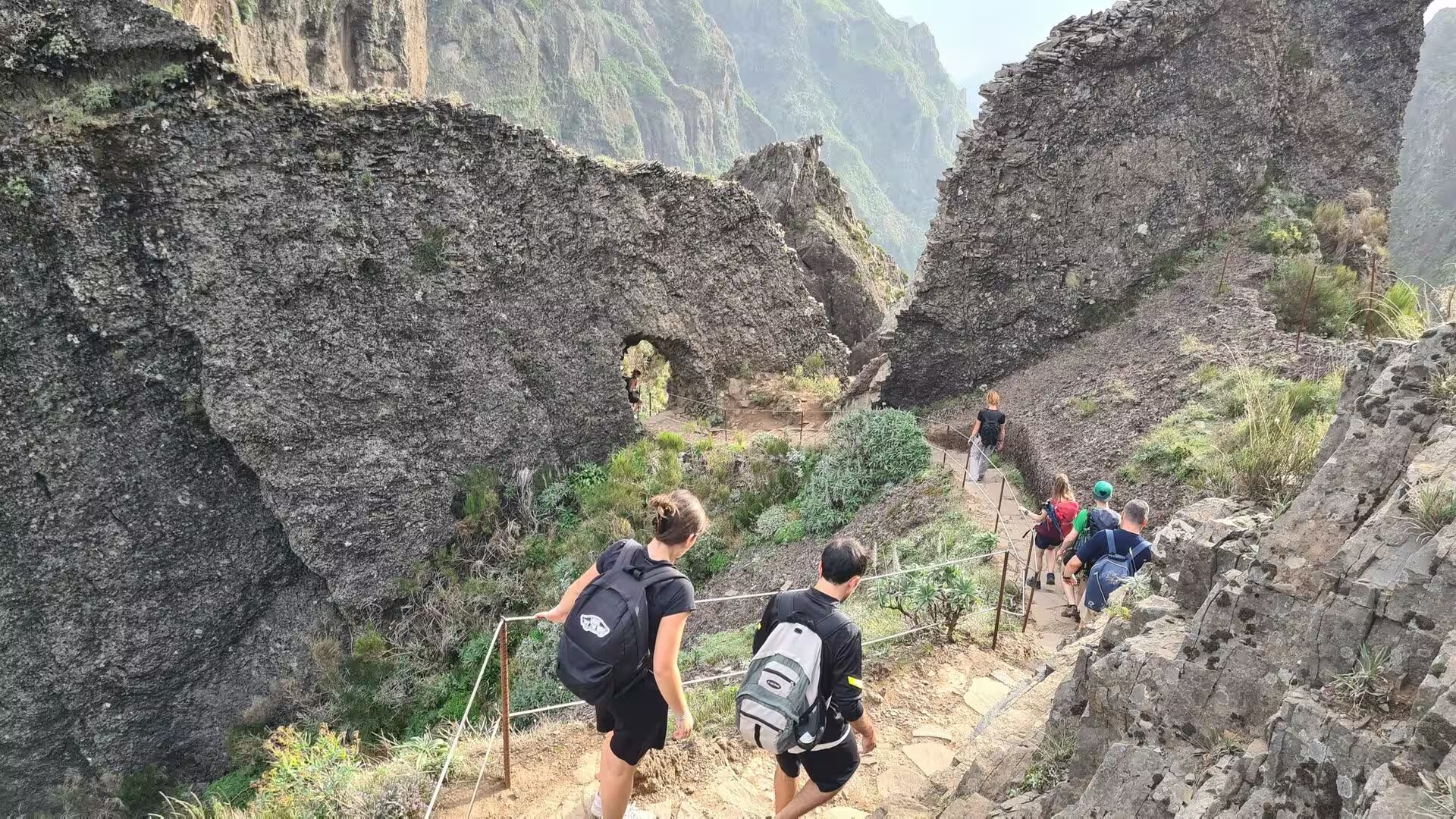
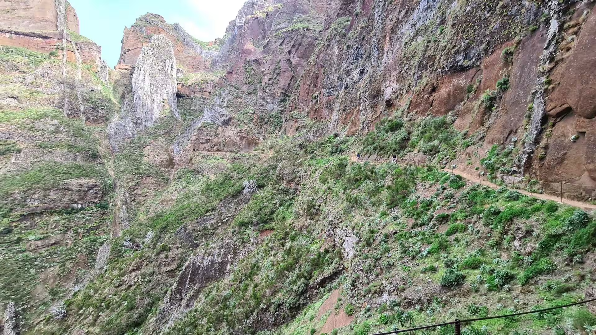
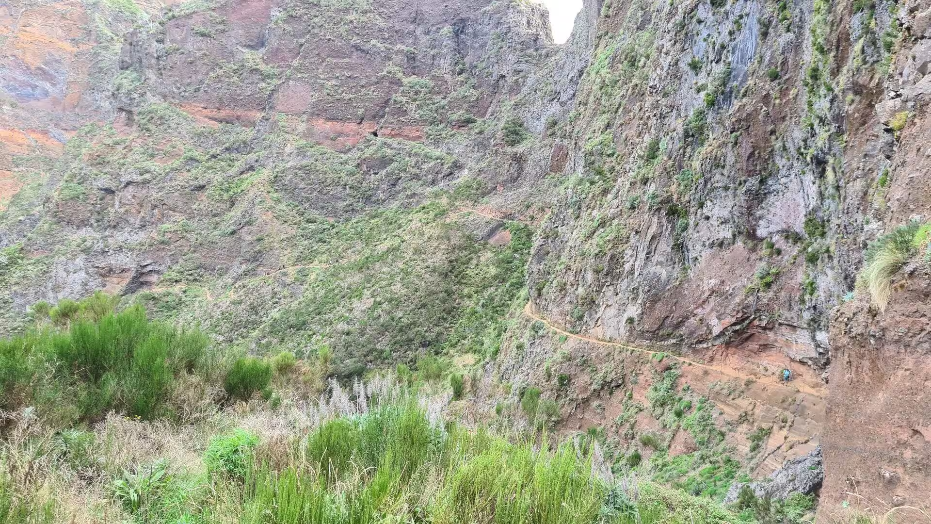
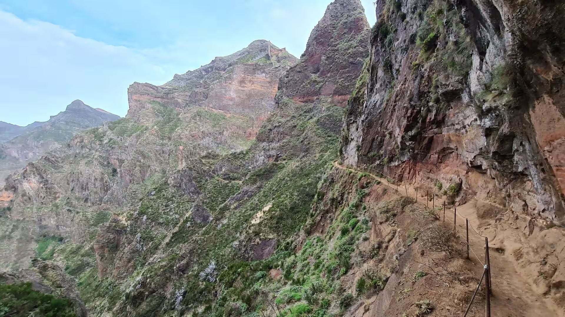
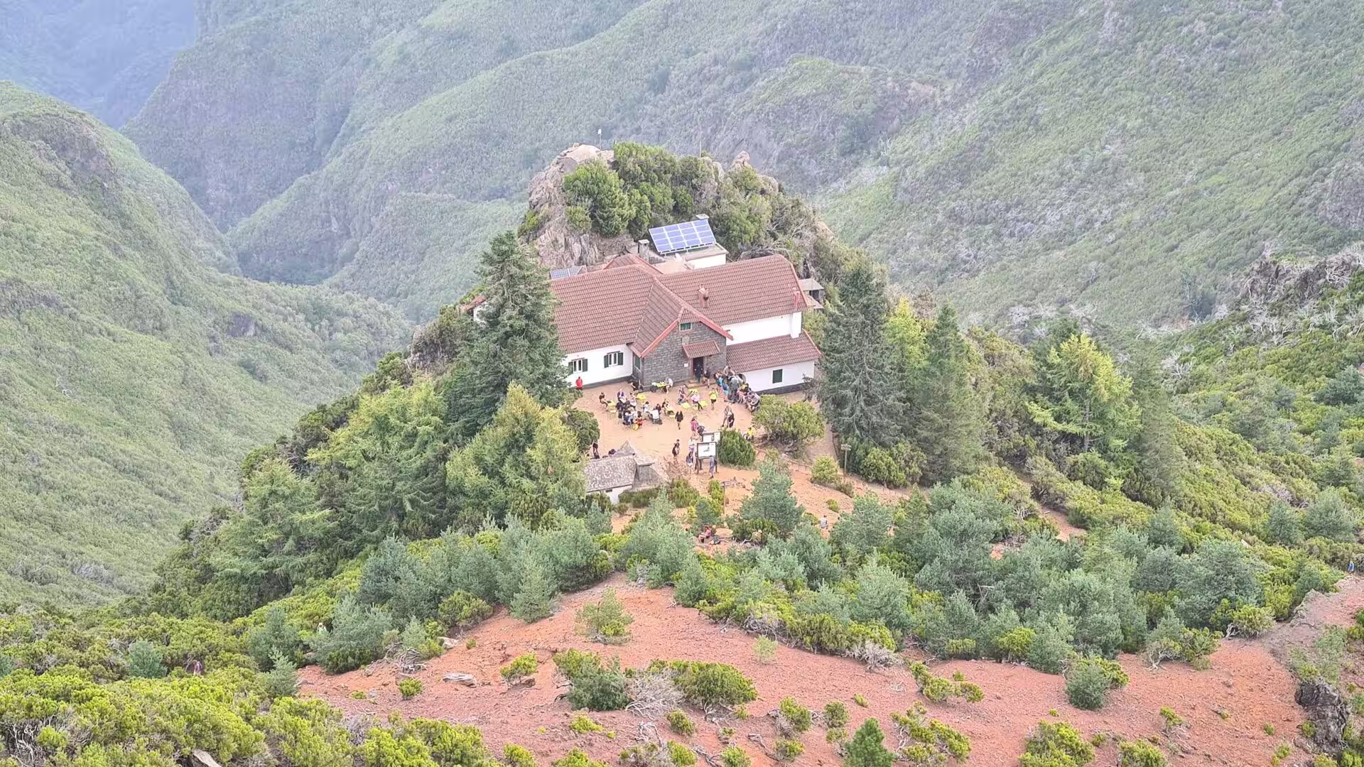
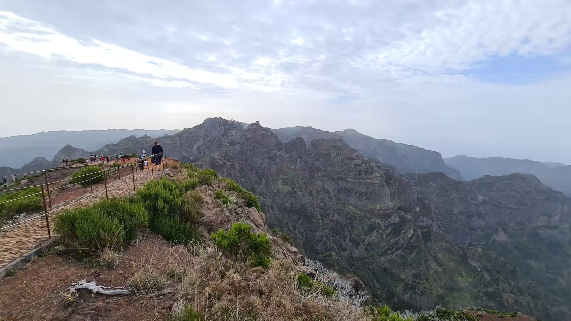
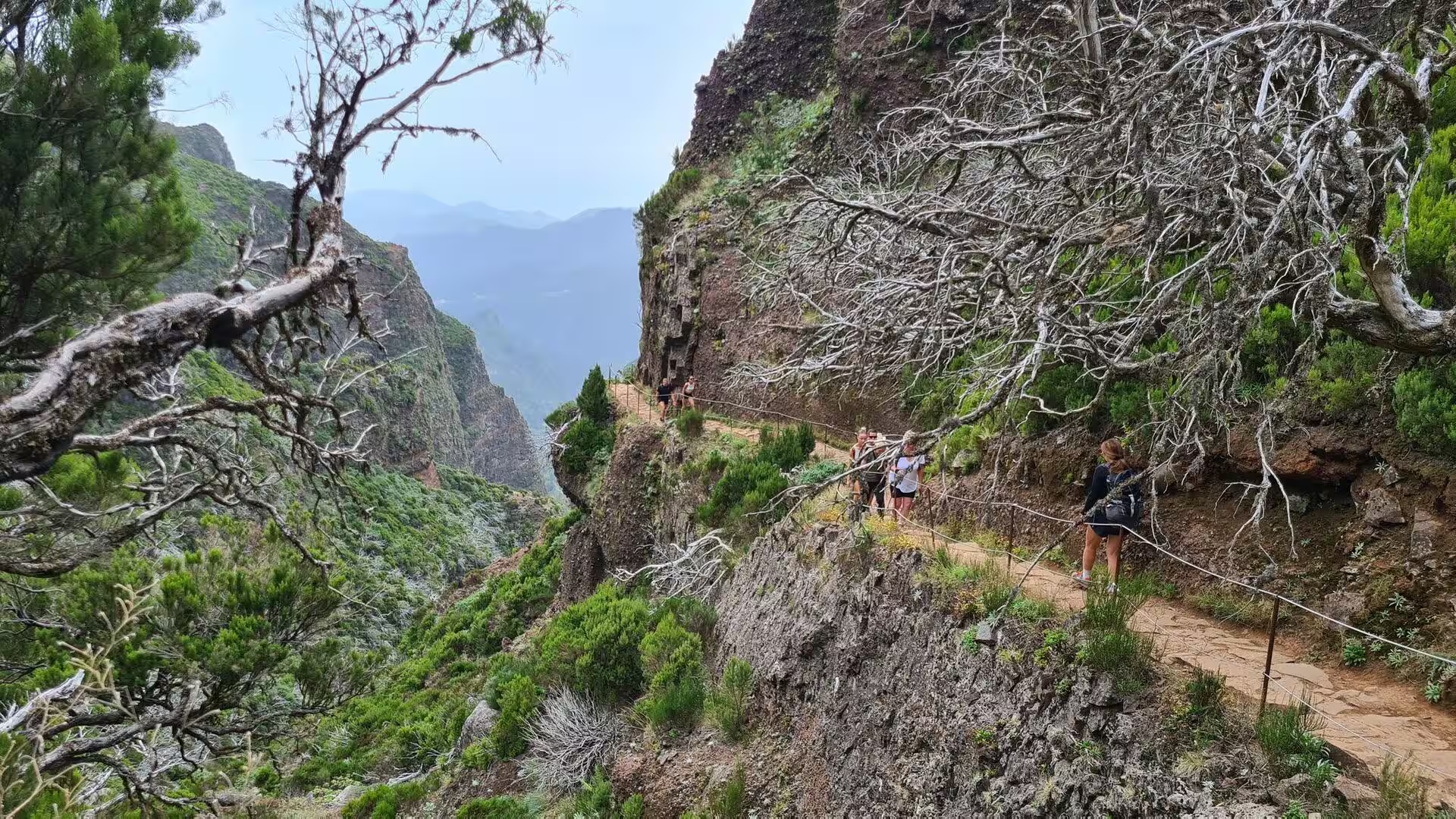
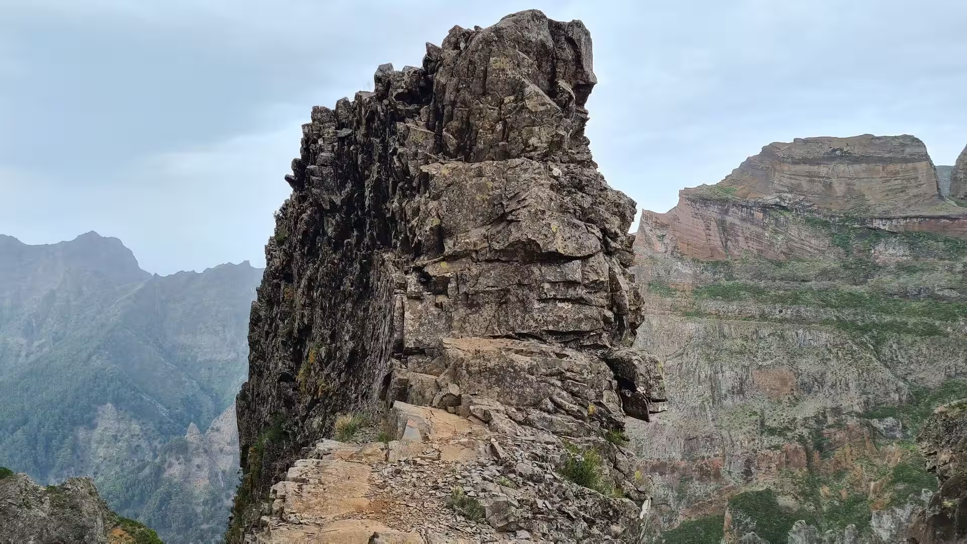
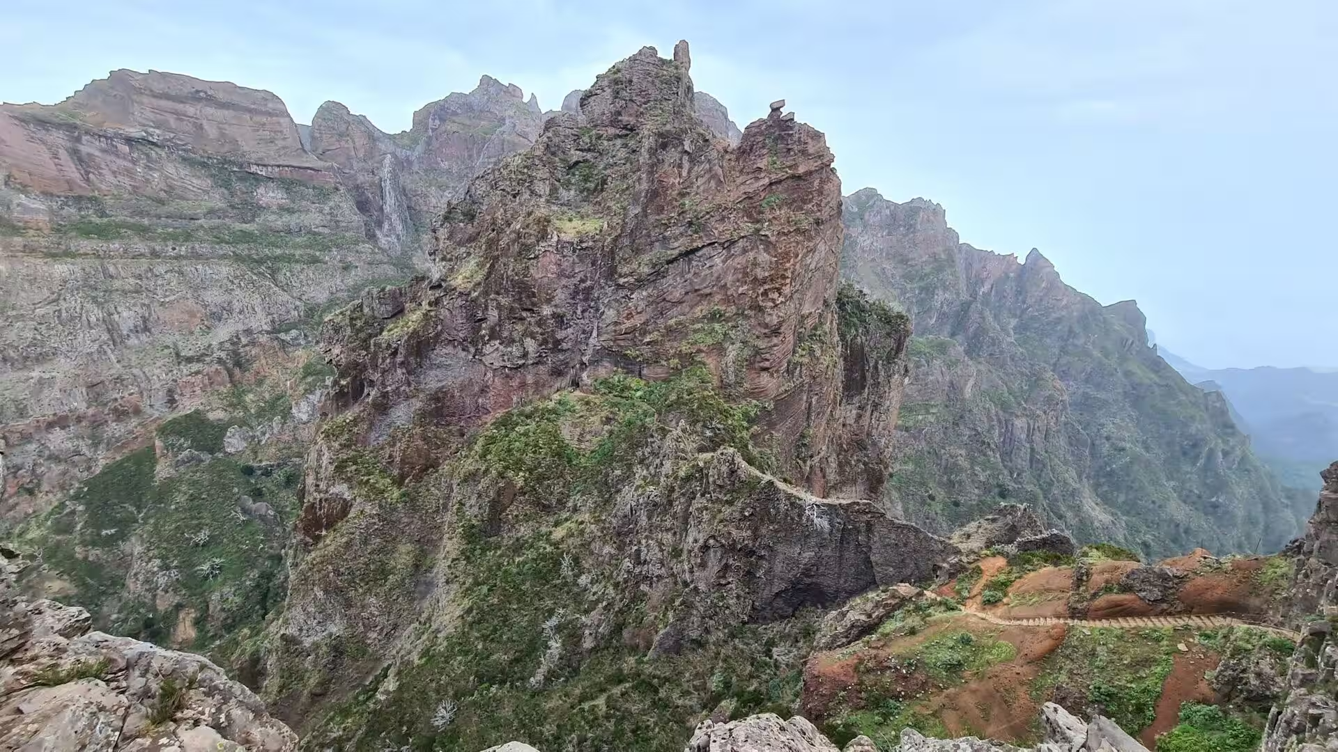
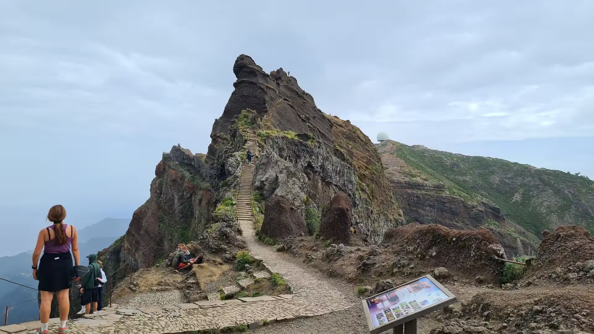
Close to the path, sharp spires and towers of reddish rock rise from the slope. The route follows a jagged crest where walkers move on bare stone, and a glance back shows the line of the trail drawn over the ridge with deep ground falling away on both sides. Groups of hikers gather at the narrower passages, one after the other, and the exchange of a few words between strangers is part of the rhythm of the morning.
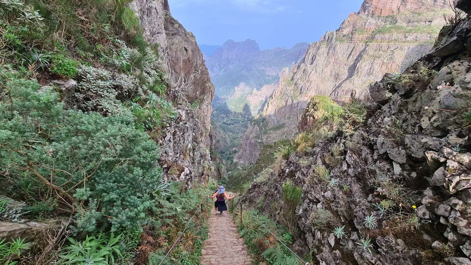
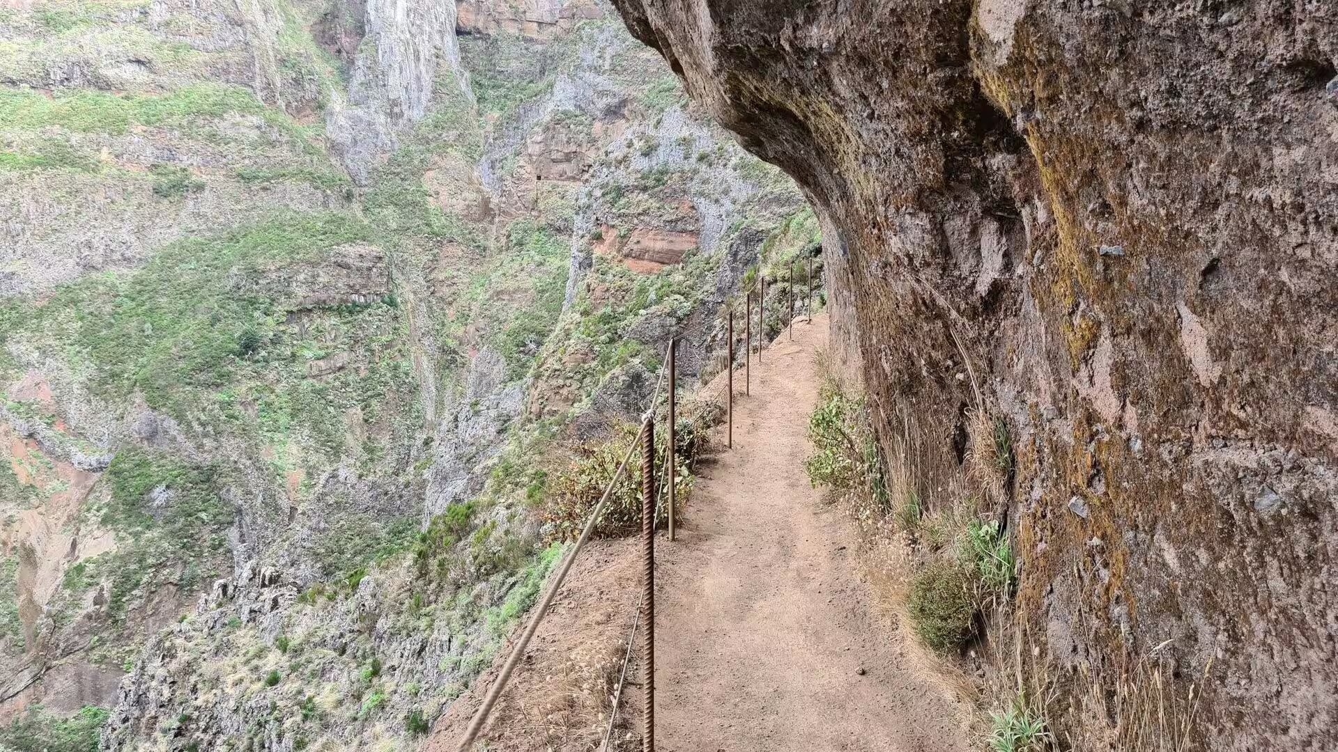
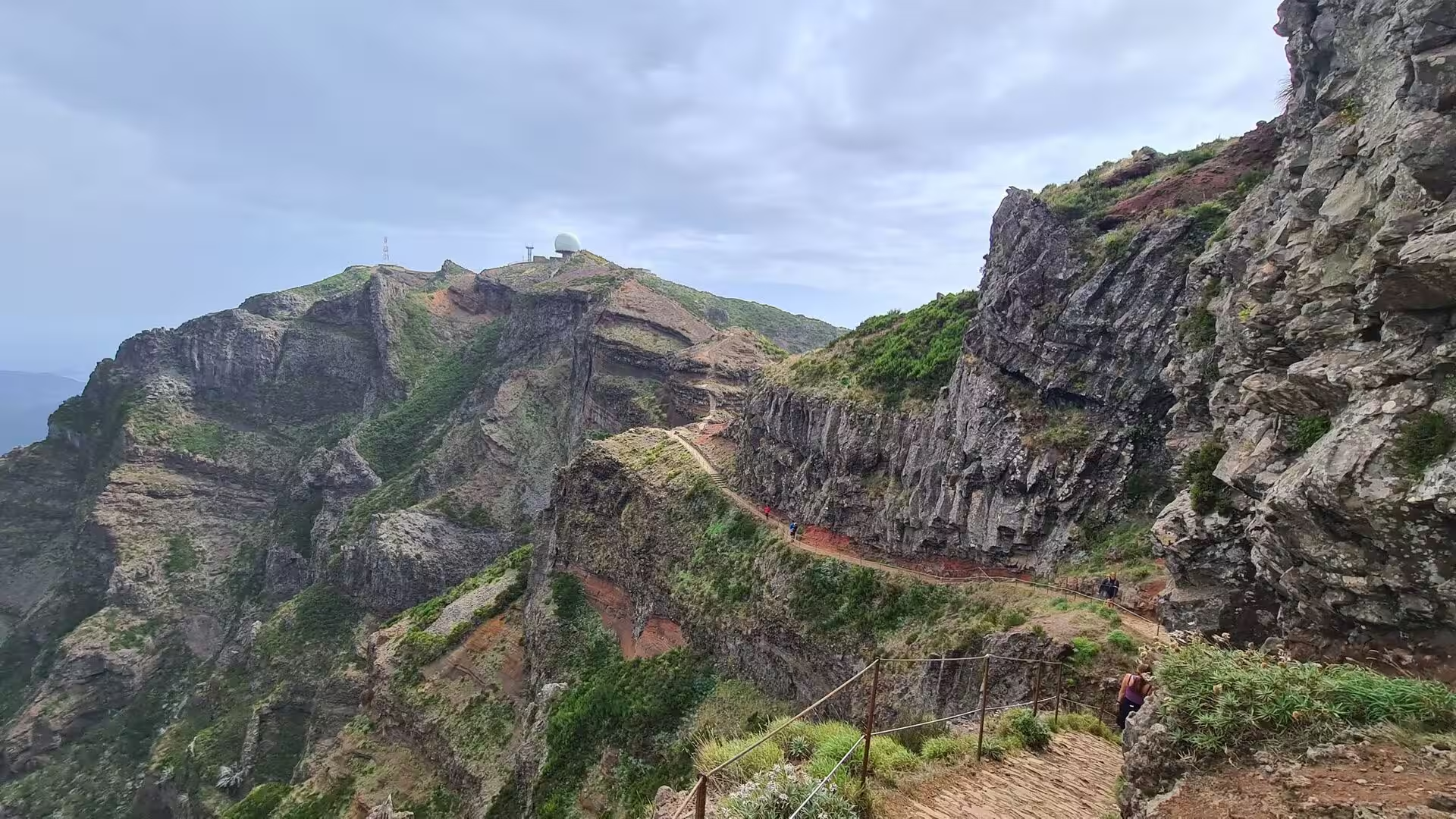
The path is built from stone. Long flights of steps descend into a saddle and climb again on the far side, and where the exposure is greatest the way is secured with ropes, metal cables and wooden posts. The steps are laid in irregular blocks that follow the shape of the rock and demand attention on the descent. In wet or windy weather the same sections become slippery or dangerous, and the notices of the trail authority are the best guide to their condition on the day of a visit.
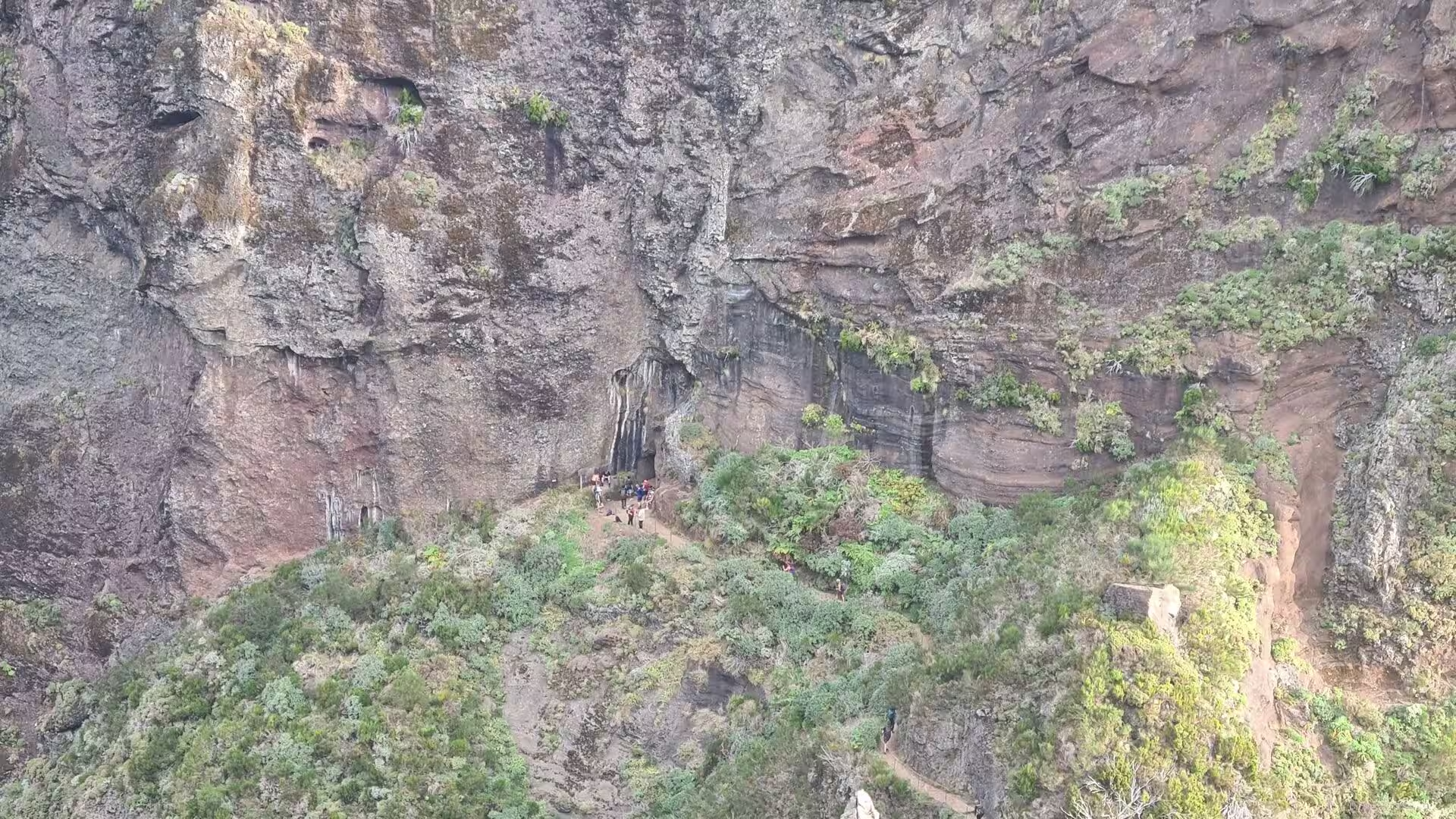
Several tunnels pierce the crest. Their entrances appear as black openings in the rock, and inside, the passage is rough hewn and unlit, with occasional gaps that open towards the sea and let daylight into the dark. Elsewhere the path passes beneath a massive overhanging rock face secured by cables, so that the way ahead leads through a narrow band of shade and light. Near the end of the route a rock pillar known as the standing man marks the junction where the descent towards Achada do Teixeira separates from the climb to the summit.
The summit of Pico Ruivo carries a viewing platform and, to the north of the peak, a shelter that was renovated in 2019 and offers running water, restrooms and meal services. The area is surrounded by high-altitude heath, and monumental rock formations often rise out of the cloud and dominate the landscape. The Madeira firecrest, the chaffinch and the linnet live on these slopes, and the highest ledges of the central mountains are among the few breeding places of Zino’s petrel, one of the most endangered seabirds of Europe, .
The return leads down into a green valley that drops between steep reddish cliffs, and the landscape changes with every hundred metres of altitude. Terraces and smallholdings appear, the first trees of the laurel forest close over the path, . One of the most striking sights of the massif is the deep bowl of Curral das Freiras, where white houses cluster around a church on the floor of a valley enclosed by ridges, and where the steep hillsides are planted with cherries and with vines whose grapes are used for the production of Madeira wine.
The descent towards the road passes the white radar dome that stands on the summit compound of Pico do Areeiro, next to the car park and the restaurant of that peak. Cyclists who have climbed the mountain from Funchal rest there before the long descent, and hikers assemble for the traverse in the opposite direction. The weather station and the air force installation mark the highest point that can be reached by vehicle, and from the terrace the view reaches over the central range towards the coast on both sides of the island.
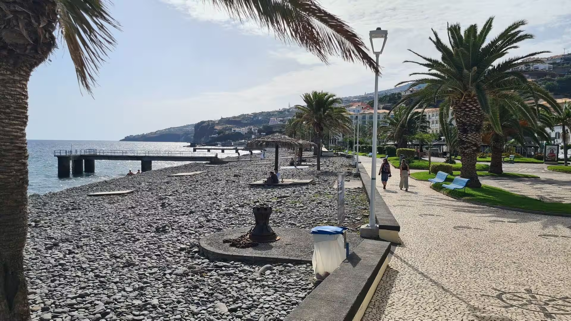
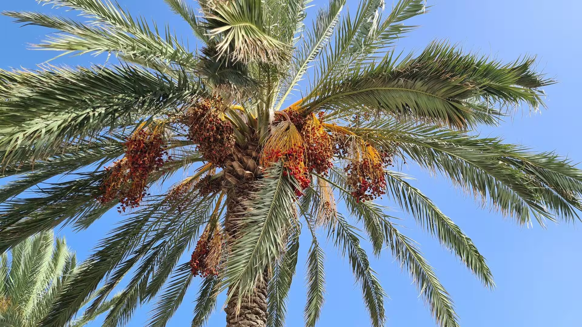
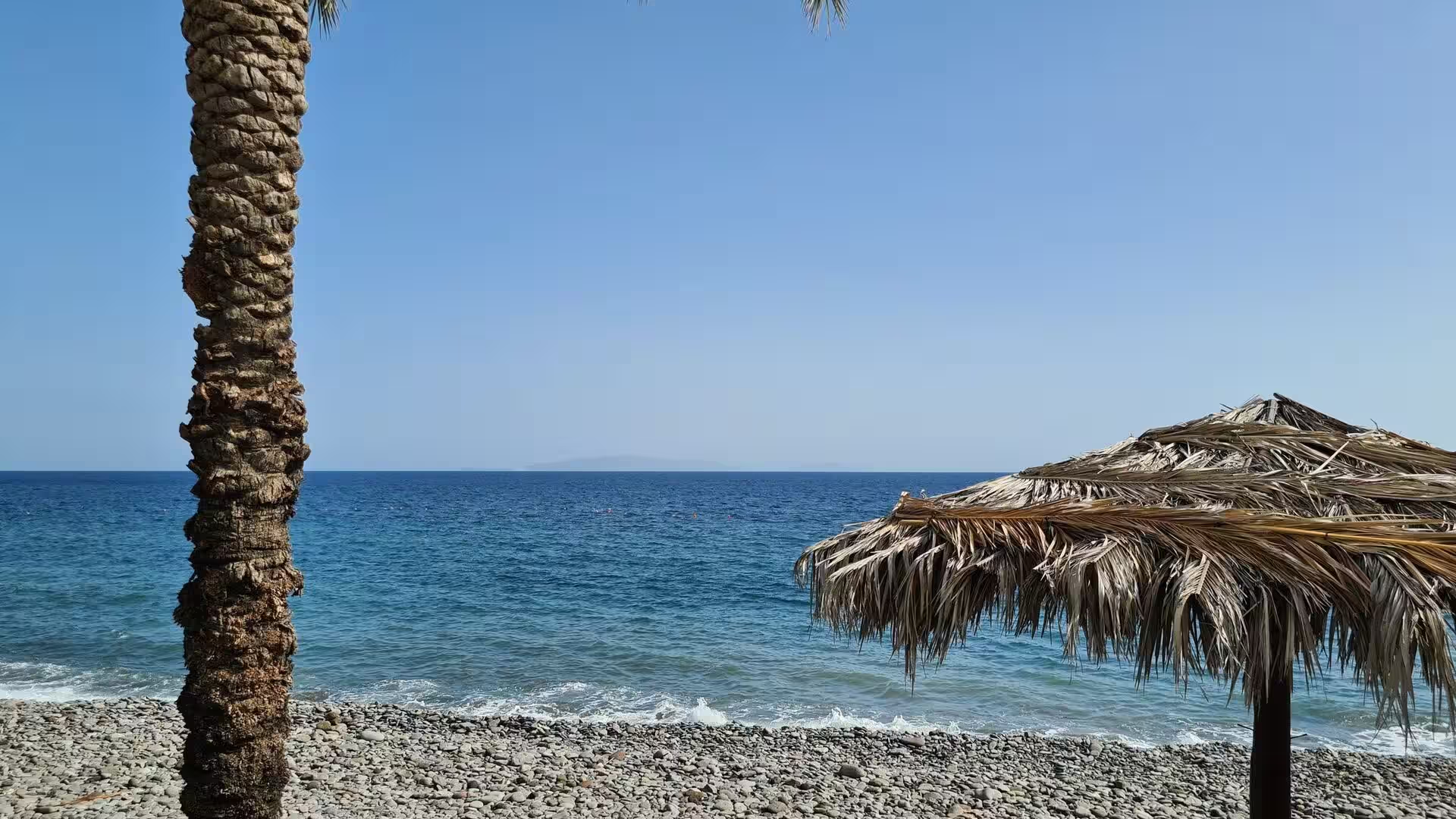
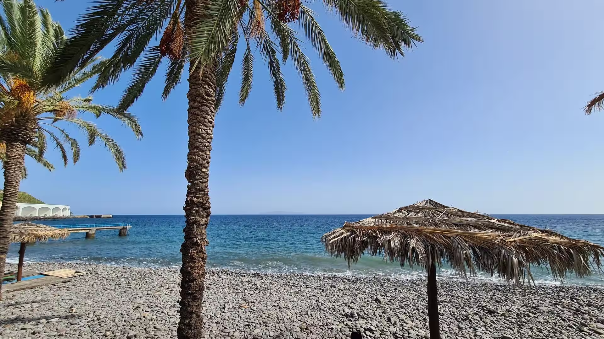
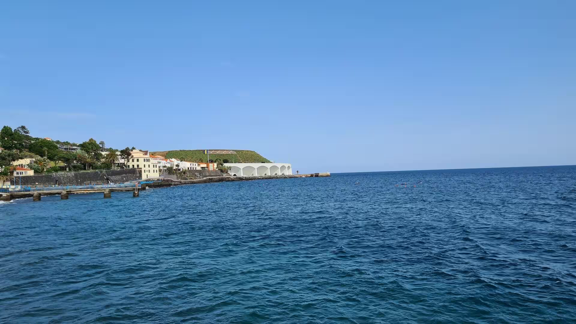
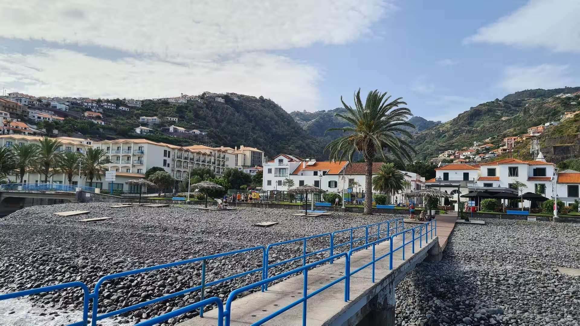
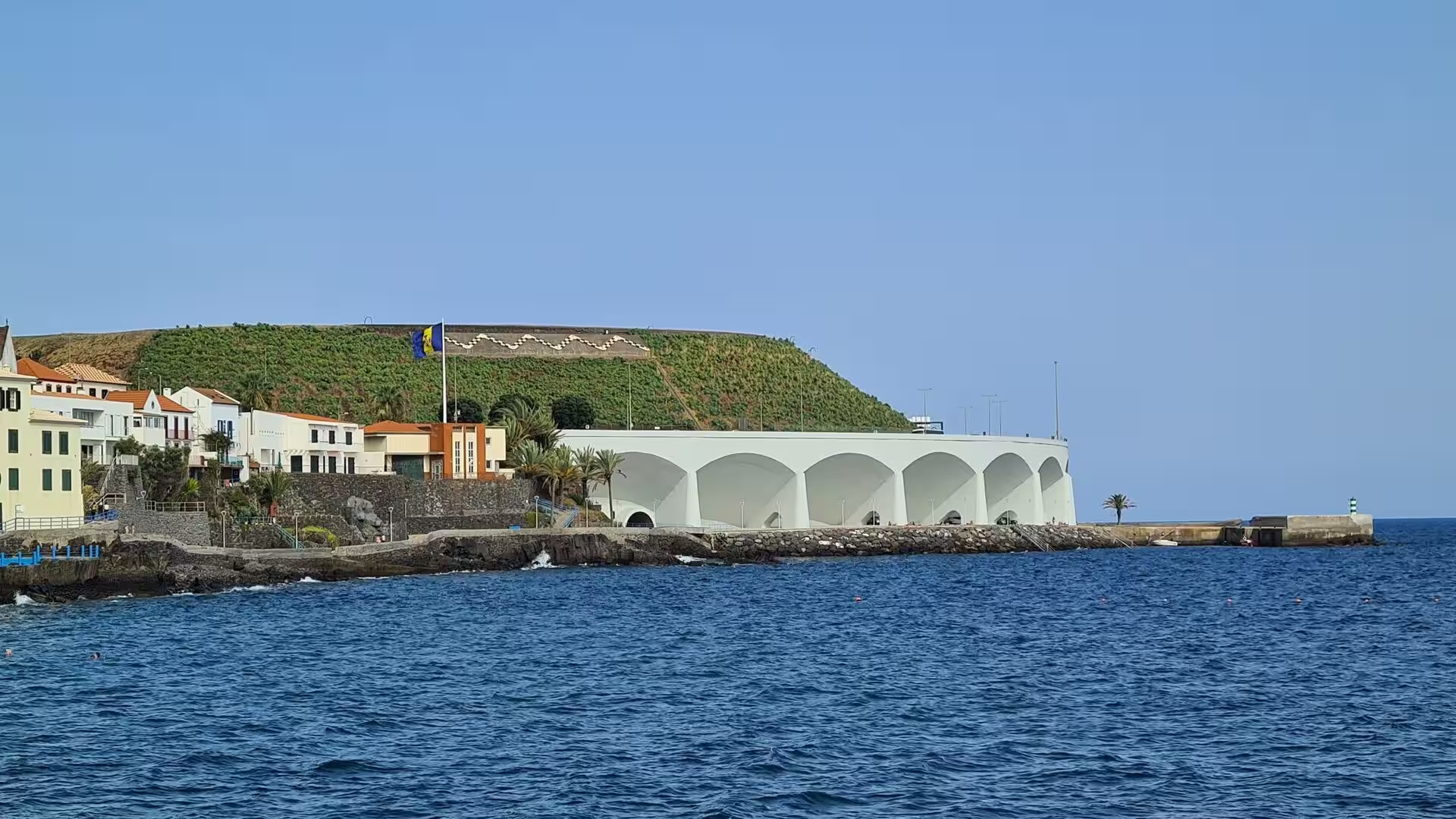
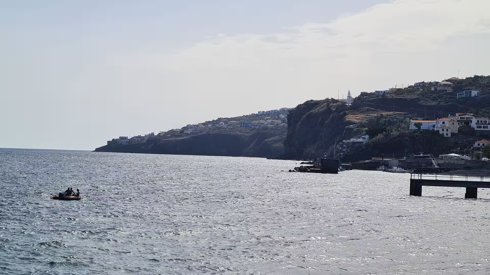
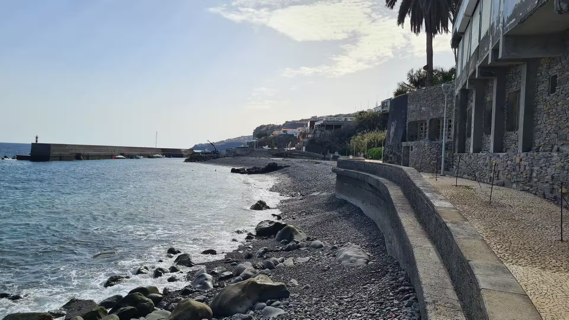
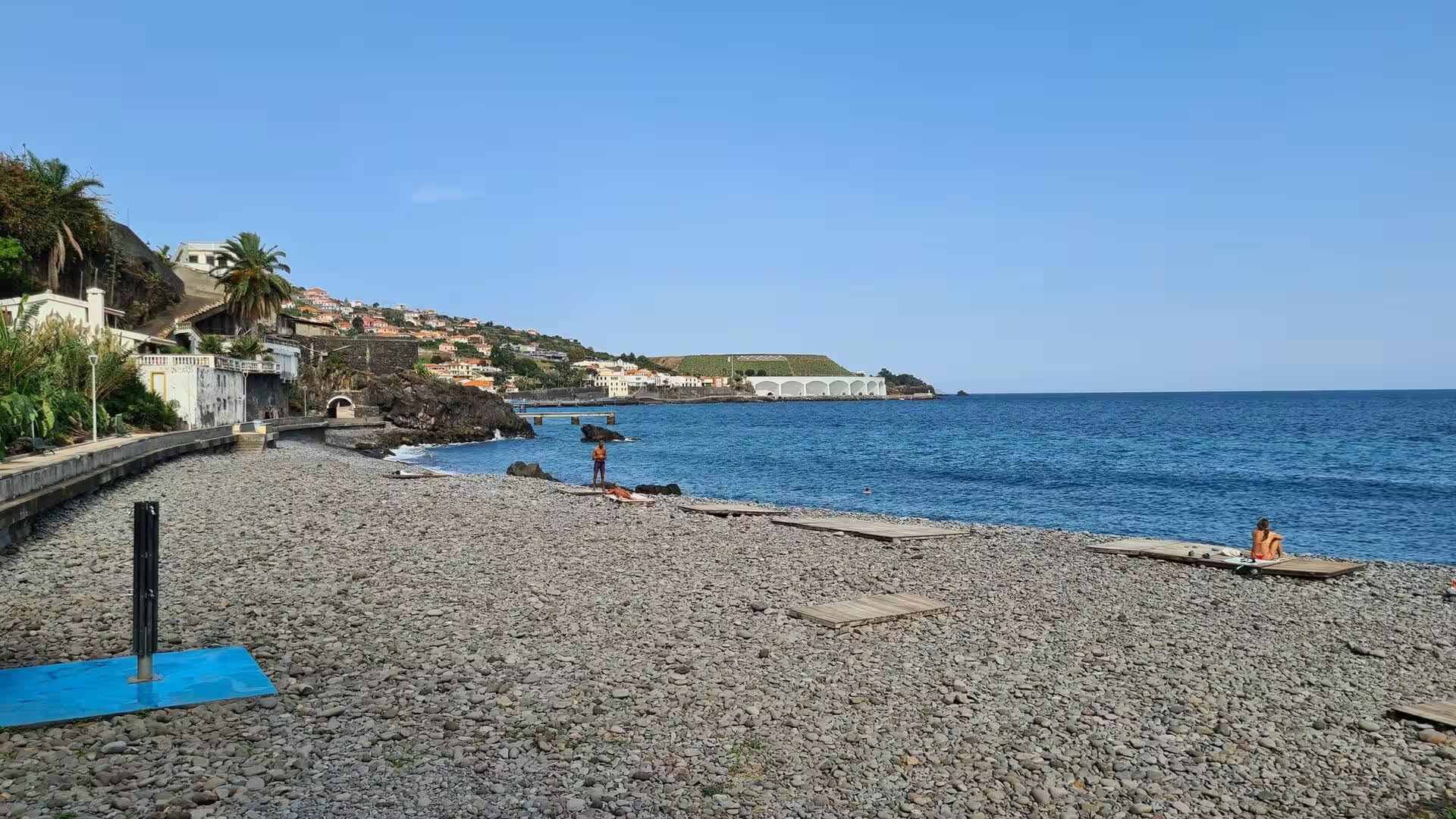
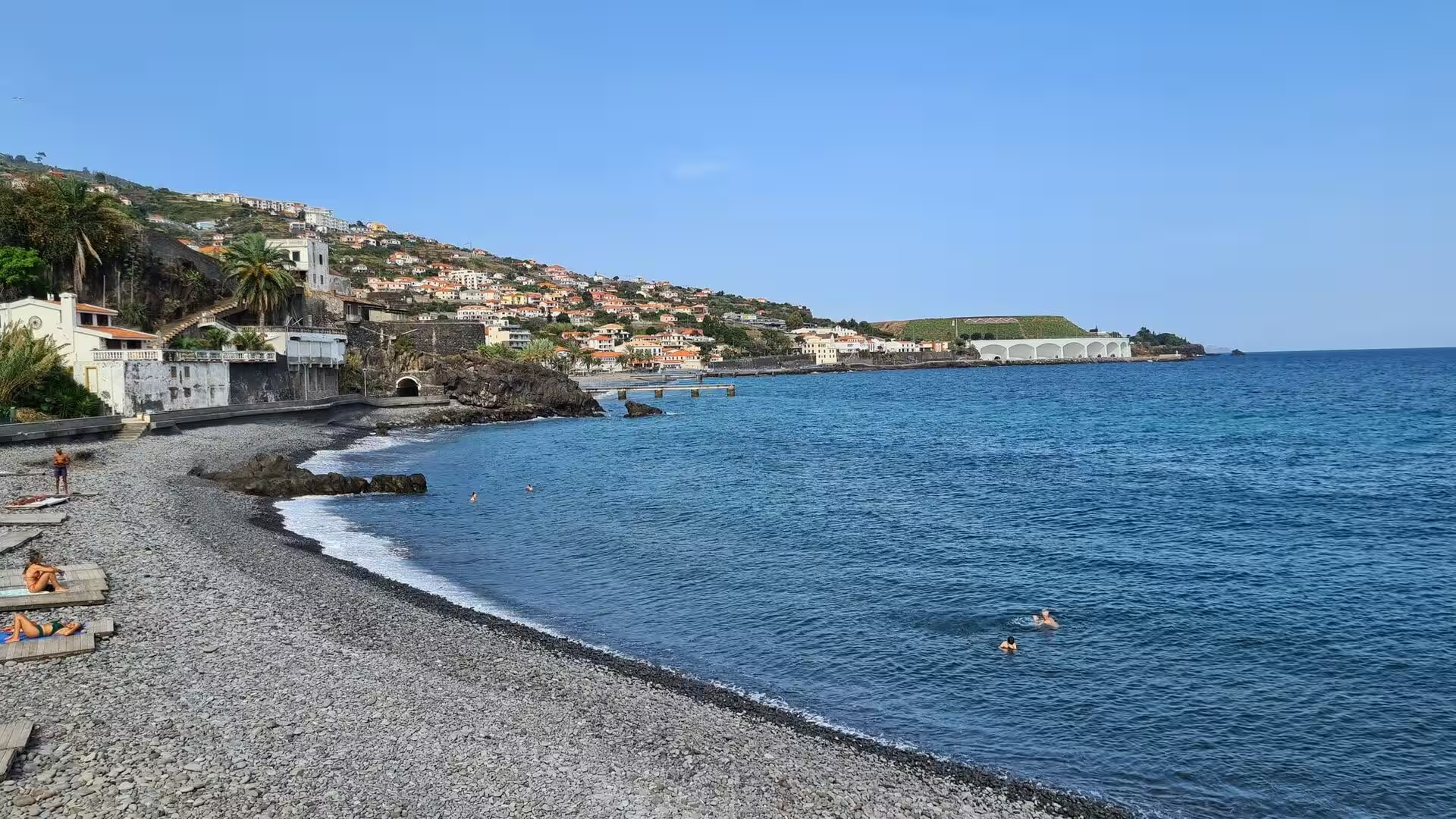
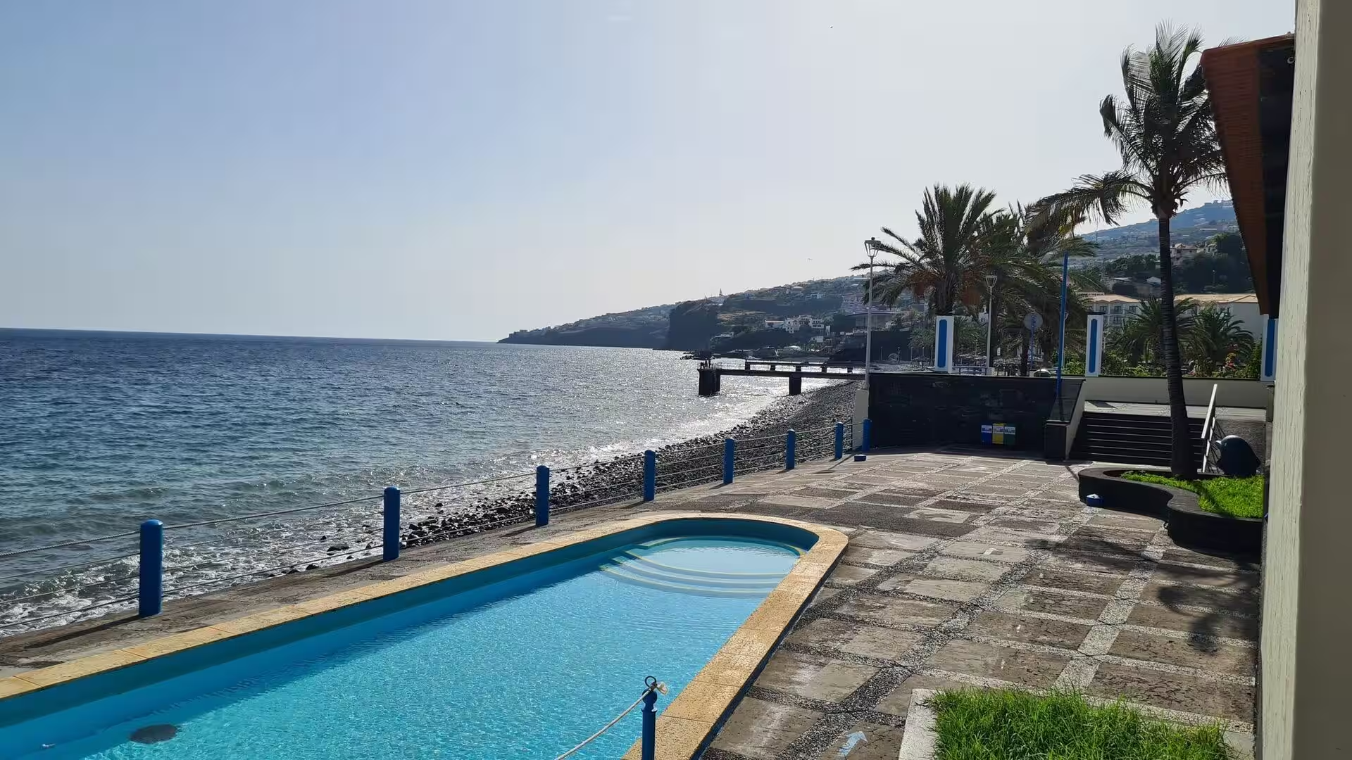
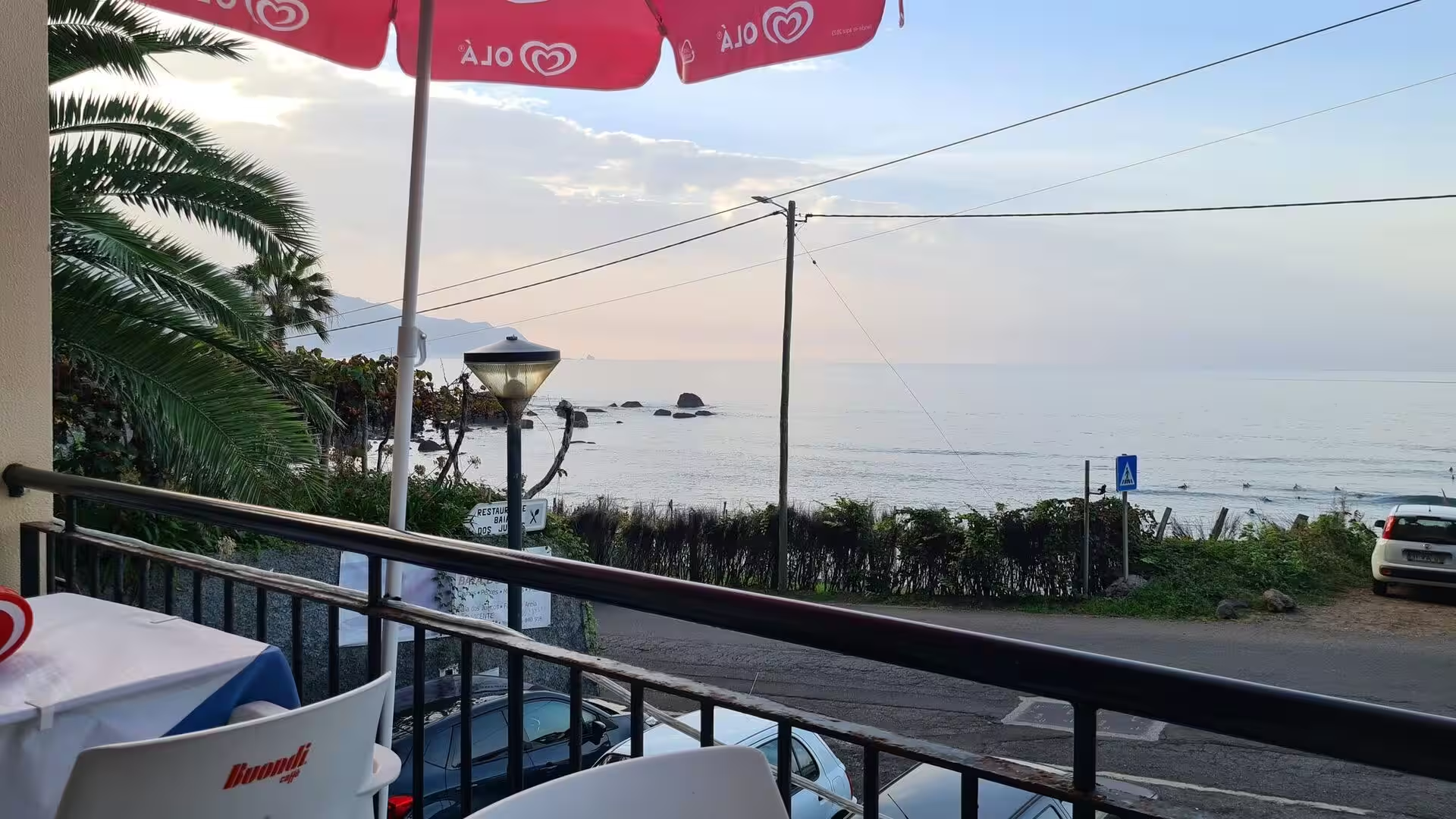
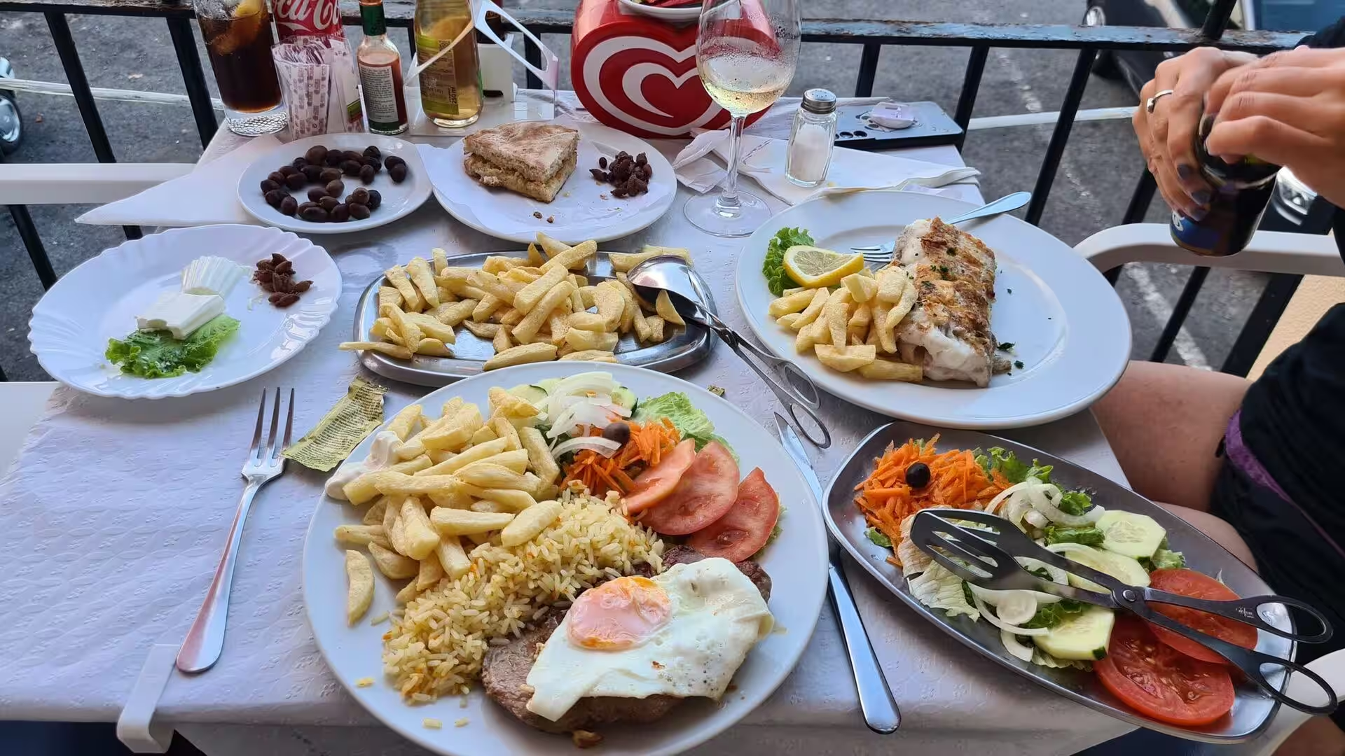
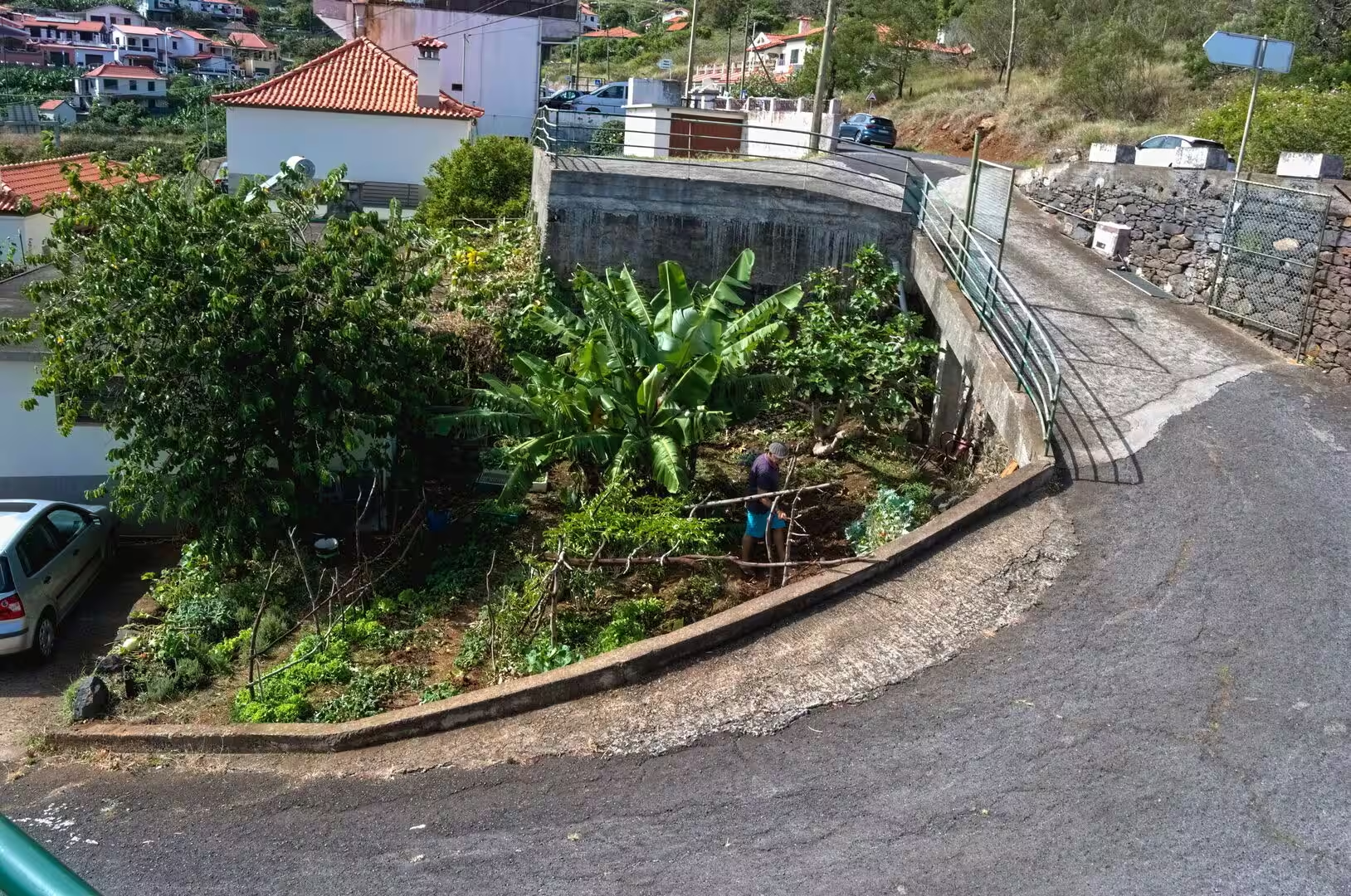
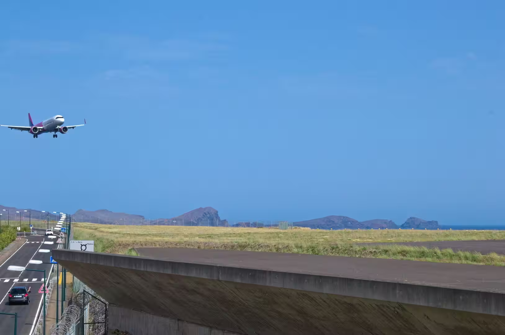
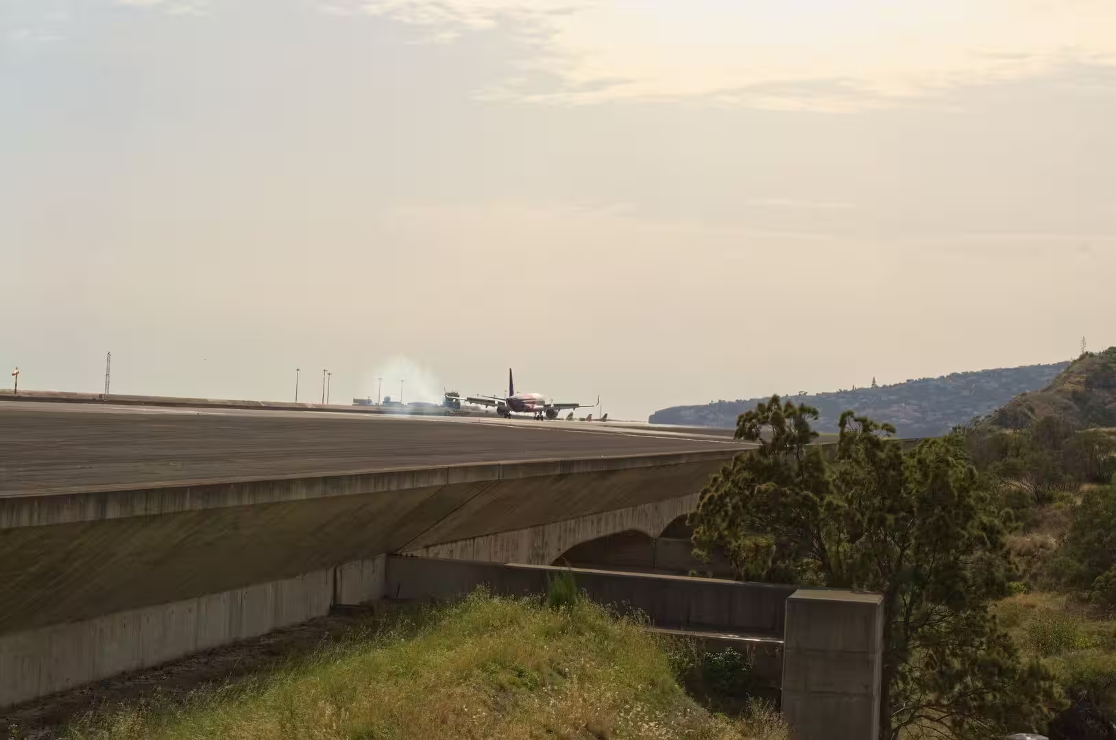
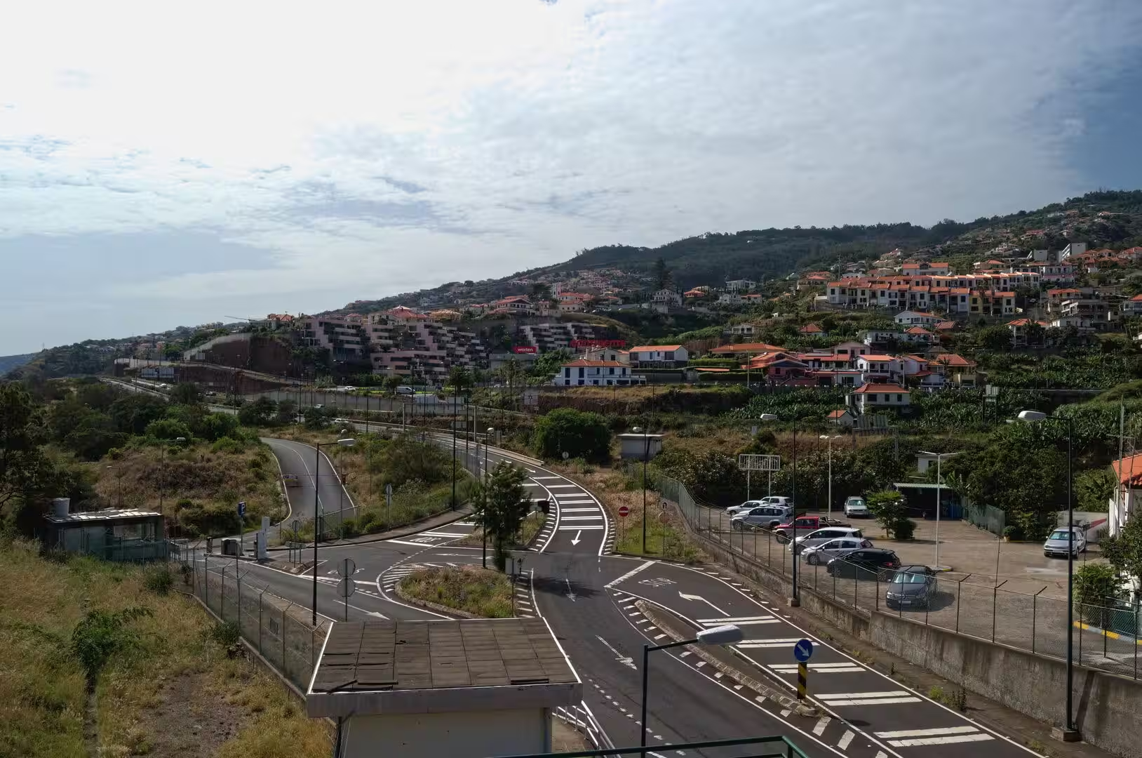
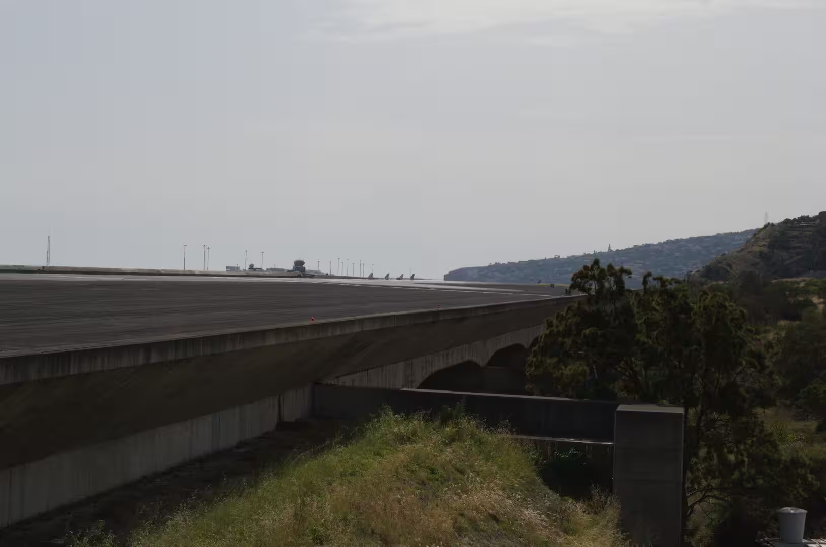
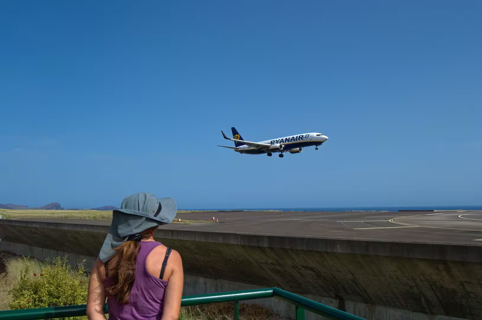
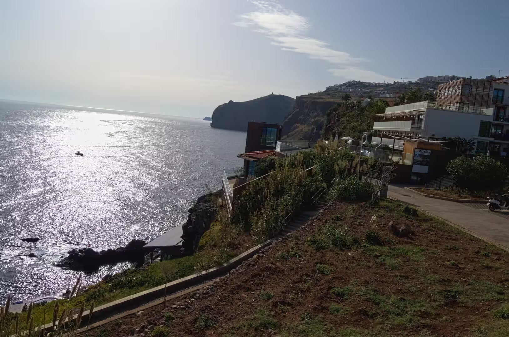
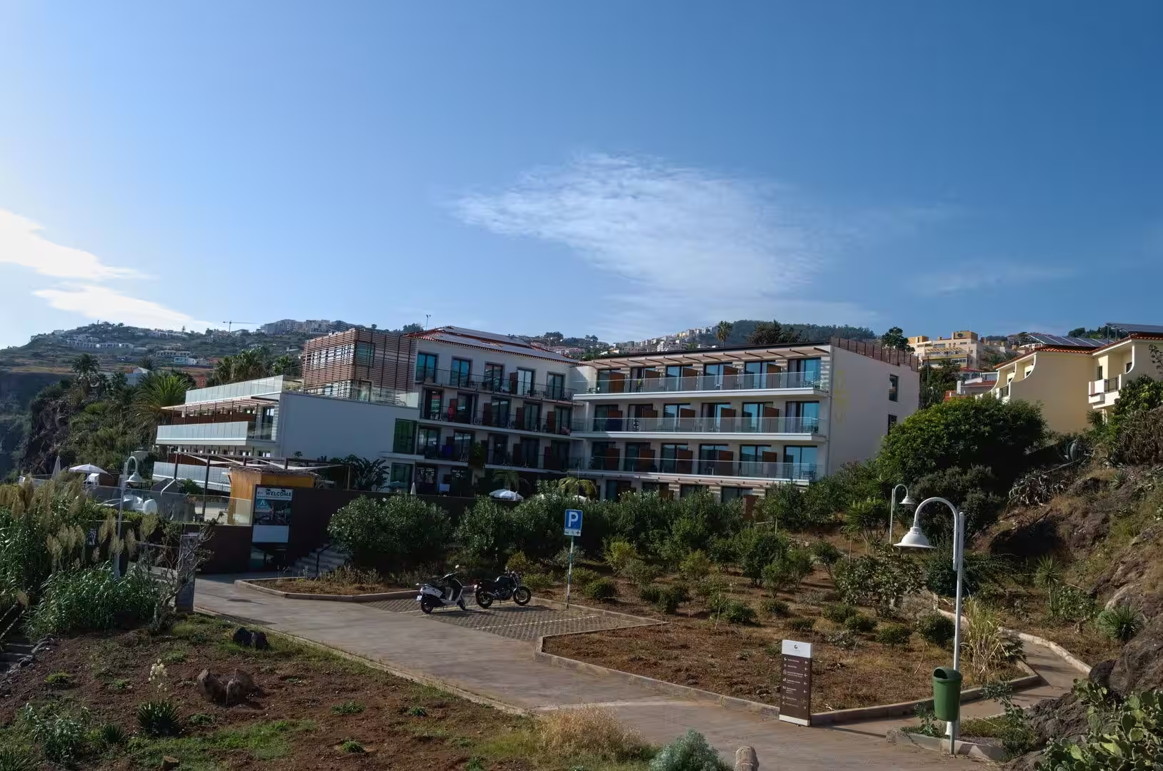
The afternoon belongs to the shore. Palms shade the stone paving of a square, a stone pier reaches into the sea from a beach of pebbles, and thick trunks and thatched parasols frame the water and a distant island. A walkway with blue railings runs past the rocky shore and the white houses of a coastal town whose church tower overlooks the bay, and further along, a curved wall and a row of red roofs front a green hillside. Bathers swim in clear water and sunbathe on boards and stones, a small pool stands directly against the breaking waves, and a late meal of grilled fish, rice and salad closes the day in the last light, shortly after the runway on its concrete supports has been seen from the hillside road, with an aircraft coming in low over the sea.
References
- Wikipedia contributors (2026). Pico Ruivo. en.wikipedia.org/wiki/Pico_Ruivo
- Wikipedia contributors (2026). Pico do Areeiro. en.wikipedia.org/wiki/Pico_do_Areeiro
- Wikipedia contributors (2026). Curral das Freiras. en.wikipedia.org/wiki/Curral_das_Freiras
- Wikipedia contributors (2026). Madeira Nature Reserve. en.wikipedia.org/wiki/Madeira_Nature_Reserve
- Wikipedia contributors (2026). Madeira Island. en.wikipedia.org/wiki/Madeira_Island
- Wikipedia contributors (2026). Paul da Serra. en.wikipedia.org/wiki/Paul_da_Serra
- Wikipedia contributors (2026). Madeira. en.wikipedia.org/wiki/Madeira
- Wikipedia contributors (2026). Laurisilva. en.wikipedia.org/wiki/Laurisilva
- Wikipedia contributors (2026). Madeira firecrest. en.wikipedia.org/wiki/Madeira_firecrest
- Wikipedia contributors (2026). Zino’s petrel. en.wikipedia.org/wiki/Zino%27s_petrel
- Wikipedia contributors (2026). History of Madeira. en.wikipedia.org/wiki/History_of_Madeira
- Wikipedia contributors (2026). Funchal. en.wikipedia.org/wiki/Funchal
- Wikipedia contributors (2026). Autonomous Region of Madeira. en.wikipedia.org/wiki/Autonomous_Region_of_Madeira
- Wikipedia contributors (2026). Macaronesia. en.wikipedia.org/wiki/Macaronesia
- Ramalho, Winckler, Madeira, Helffrich (2015). Hazard potential of volcanic flank collapses raised by new megatsunami evidence. Science Advances. 1. doi.org/10.1126/sciadv.1500456
- Santos, Quartau, Brum da Silveira, Ramalho (2019). Gravitational, erosional, sedimentary and volcanic processes on the submarine environment of Selvagens Islands (Madeira Archipelago, Portugal). Marine Geology. 415. 105945. doi.org/10.1016/j.margeo.2019.05.004
- Fernández-Palacios, de Nascimento, Otto, Delgado (2010). A reconstruction of Palaeo-Macaronesia, with particular reference to the long-term biogeography of the Atlantic island laurel forests. Journal of Biogeography. 38. 226-246. doi.org/10.1111/j.1365-2699.2010.02427.x
- (2019). Laurisilva of Madeira, Portugal. Dictionary of Geotourism. 339-339. doi.org/10.1007/978-981-13-2538-0_1368
- Gouveia, Nyberg, Aedo, Bairos (2025). Genetic diversity and conservation of the Madeira Island (Portugal) endemic Geranium maderense Yeo (Geraniaceae). Journal for Nature Conservation. 88. 127010. doi.org/10.1016/j.jnc.2025.127010