Day 11











Journal Notes
General
Ponta do Sol is a municipality on the south-western coast of Madeira, the largest island of the Portuguese archipelago of the same name in the North Atlantic. The town lies between Ribeira Brava and Calheta and is connected to Funchal, the regional capital, by the main regional road. Administratively the municipality comprises the parishes of Canhas, Madalena do Mar and Ponta do Sol. The census of 2011 recorded 8,862 residents in the municipality, of whom 4,577 lived in the parish that carries the name of the town. The settlement occupies a narrow shelf at the mouth of a steep valley, and its streets climb the adjoining slope.
Madeira rises as the summit of a shield volcano that stands on the African tectonic plate. The island covers about 740 square kilometres, measures roughly 57 kilometres from east to west, and recorded 245,595 inhabitants in 2021. Pico Ruivo, at 1,862 metres, is its highest point. Madeira belongs to Macaronesia together with the Azores, the Canary Islands and Cape Verde. Since 1976 the archipelago has formed the Autonomous Region of Madeira, with its own government and legislative assembly and with Funchal as its capital, where about half of the resident population lives.
The southern coast of Madeira is the driest and sunniest part of the island. Funchal has a hot summer Mediterranean climate and counts as the warmest city in Portugal; humidity remains constantly high at about seventy per cent, the warm dry season runs from May to September, and the cooler wet season extends from October to April. Because the land rises quickly from the shore to high ridges, cloud, fog and rain can occur on the northern slopes while the southern side stays clear. Ponta do Sol, with its wide south-facing valley, is counted among the sunniest places of the island.
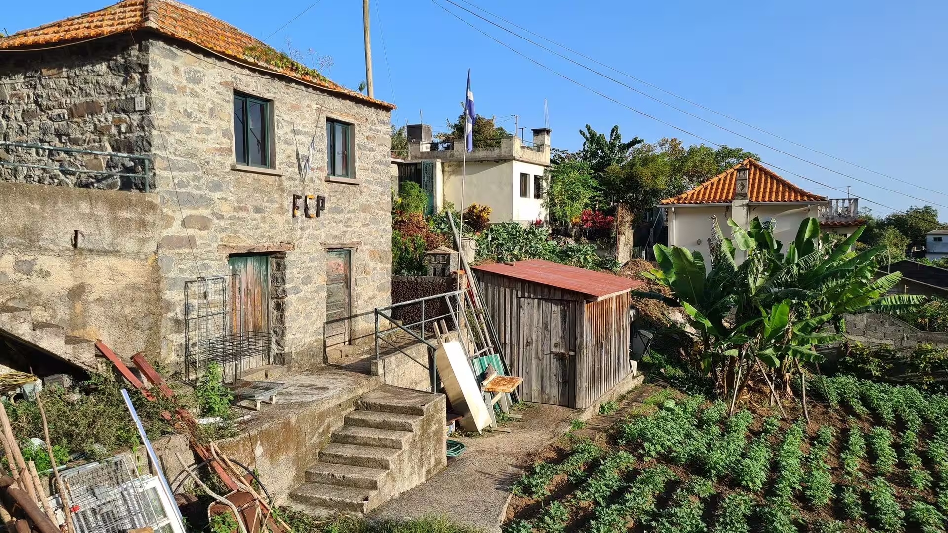
The visit described here fell in the warm season of an autumn stay, and the day was clear from morning to night. The route began on the terraced slopes above the town, where farm buildings stand among rows of crops, and continued through the narrow lanes of the older quarter towards the water. A long walk then followed a stone water channel on the wooded mountainside before the path returned to the shore, to a cove of dark pebbles below cliffs covered in dense vegetation. The afternoon passed on the promenade and at the small harbour, and the evening ended under street lamps in the upper part of the village.
Agriculture, fishing and trade have shaped Ponta do Sol for centuries. Its small harbour once served as a commercial gateway for the western part of the island, and the flow of imported and exported goods created the compact centre that still defines the town. The port has since lost that role, and the local economy has dispersed towards Canhas and other parishes, where construction, industry and services have replaced fishing, while farming continues in the interior. Hotels and guest houses form a modest part of local income, and visitors tend to stay for longer periods rather than for short resort holidays.
History
The recorded history of Madeira begins in 1419, when João Gonçalves Zarco and Tristão Vaz Teixeira were driven by a storm to Porto Santo. In the following year an expedition took possession of the larger island for the Portuguese crown, and permanent settlement started soon afterwards. The settlement of Ponta do Sol began shortly after the discovery, around 1420. The island was granted to the Order of Christ, which promoted its colonisation, and the early communities grew out of the allotments that the captains of the captaincies distributed among settlers, nobles, servants and smallholders alike.
In the fifteenth century the island lived first from wheat and then from sugar cane. Sugar production began in the decade after 1450 at the initiative of Prince Henry the Navigator, and it brought prosperity to Funchal, which became a compulsory port of call on European trade routes in the second half of that century. The crop required large quantities of water, and the settlers therefore cut an extensive network of canals, the levadas, from the wet northern slopes to the fields of the south. The sugar cycle also introduced enslaved labour to the island, first Guanches from the Canary Islands and Berbers from northern Africa, and later West Africans, .
Sugar gave way to wine. From the seventeenth century onwards Madeira wine was the most valuable product of the island, and English merchants who settled in Funchal from that time controlled much of the trade with North America, the West Indies and England. The fortified wine travelled well across the tropics; a cargo confiscated by customs in Boston in 1768 became one of the incidents that preceded the American Revolution, and the wine is also said to have been used for a toast when independence was declared. Viticulture and the trade in wine shaped the fortunes of the coastal towns for generations.
Madalena do Mar, today a parish of Ponta do Sol, preserves one of the stranger traditions of the island. According to a Portuguese legend, King Władysław III of Poland survived the battle of Varna and later settled on Madeira; King Afonso V granted him lands in the district of Madalena do Mar for the rest of his life. He was known there as Henrique Alemão and established the church of Saint Catherine and Saint Mary Magdalene in 1471. In the mid-twentieth century many residents of Ponta do Sol and the surrounding communities emigrated to the Netherlands Antilles, above all to Curaçao, and their descendants still live there.
In the nineteenth and twentieth centuries the wine trade declined, and the island suffered from vine disease and from the loss of markets. The fishing industry of the south coast also shrank, and the harbour of Ponta do Sol lost its commercial importance. Political autonomy, granted on 1 July 1976, gave the archipelago its own administration, and the regional economy turned increasingly towards tourism and services, supported after 1980 by the International Business Centre of Madeira. New interest in walking holidays, in work from a distance and in quieter coastal places has brought the town a second and gentler period of growth.
Geology
Madeira is the summit of a massive shield volcano that rises several thousand metres from the floor of the Atlantic along an east-west rift in the oceanic crust. Volcanic activity began in the Miocene, more than five million years ago, and continued into the Pleistocene until roughly 700,000 years ago. Extensive erosion followed, carving two large amphitheatres that open towards the south, and later eruptions built scoria cones and lava flows on top of the older, already eroded shield. The most recent eruptions occurred in the west-central part of the island only about 6,500 years ago.
The interior of the island is a high ridge from which deep ravines descend to the coast. These valleys, the ribeiras, carry the heavy rain of autumn and winter to the sea, and most settlements stand at their mouths. The municipality of Ribeira Brava, immediately east of Ponta do Sol, owes its name to one of these watercourses: the river was known as the angry river, because in the rainy season its current was strong enough to cause damage along the whole of its eight-kilometre course.
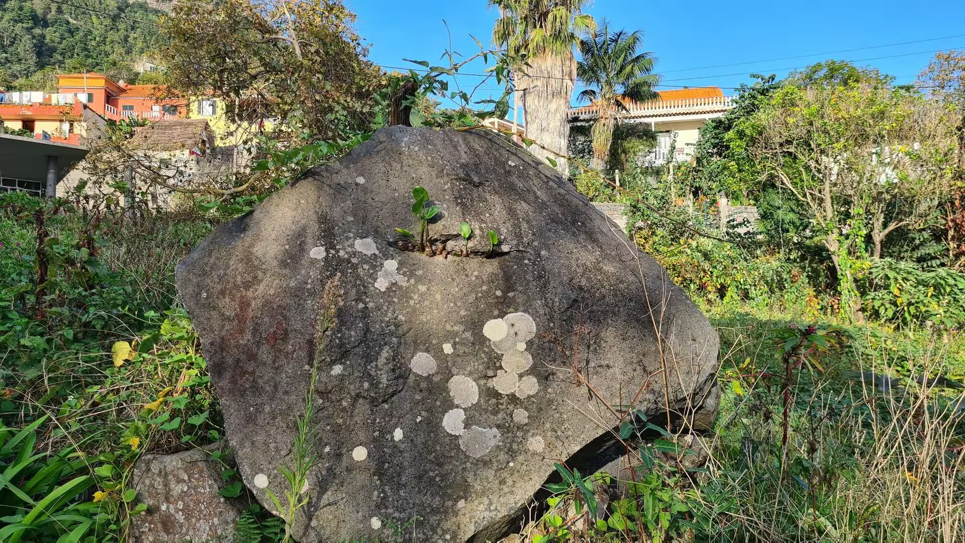
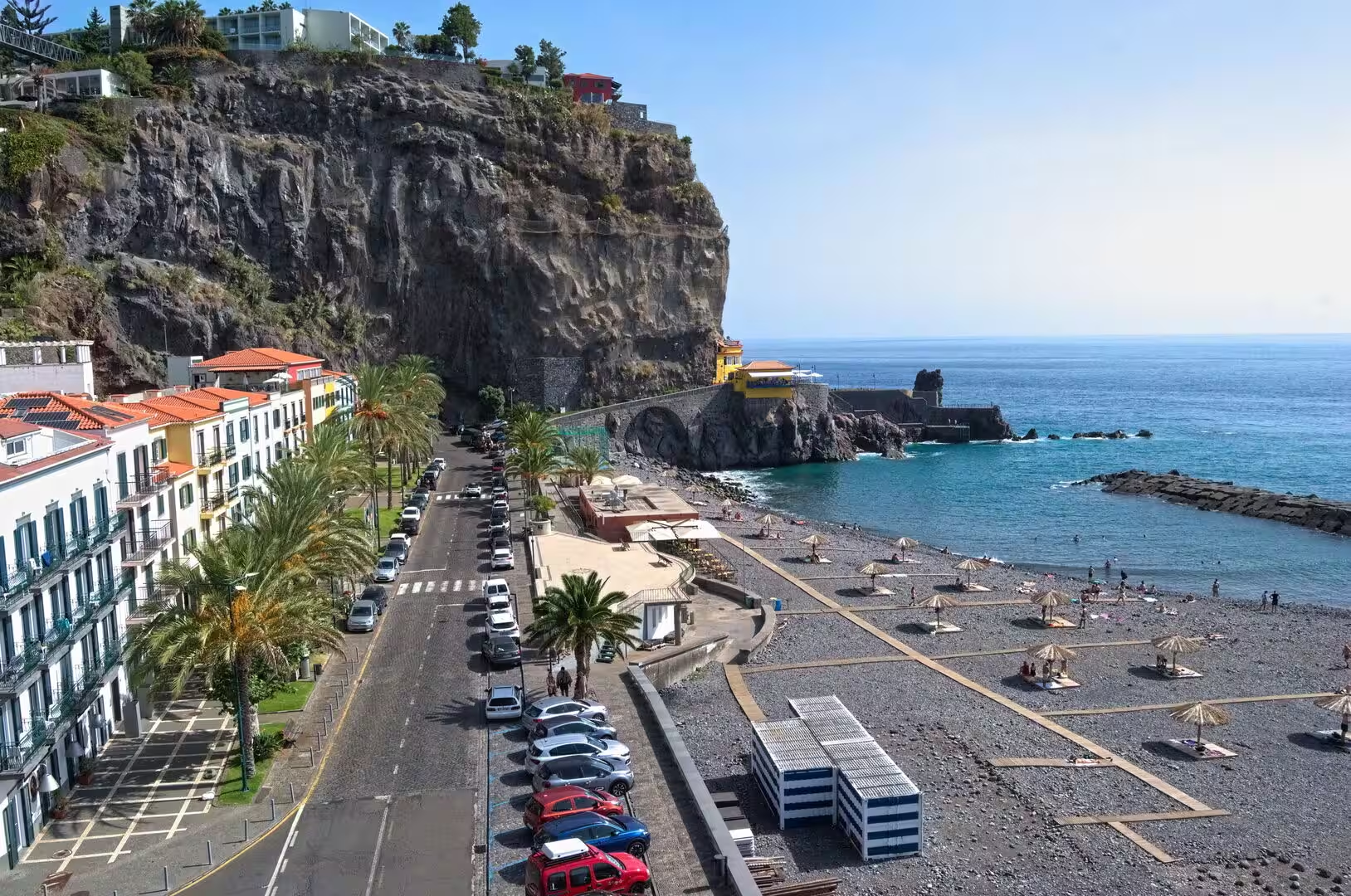
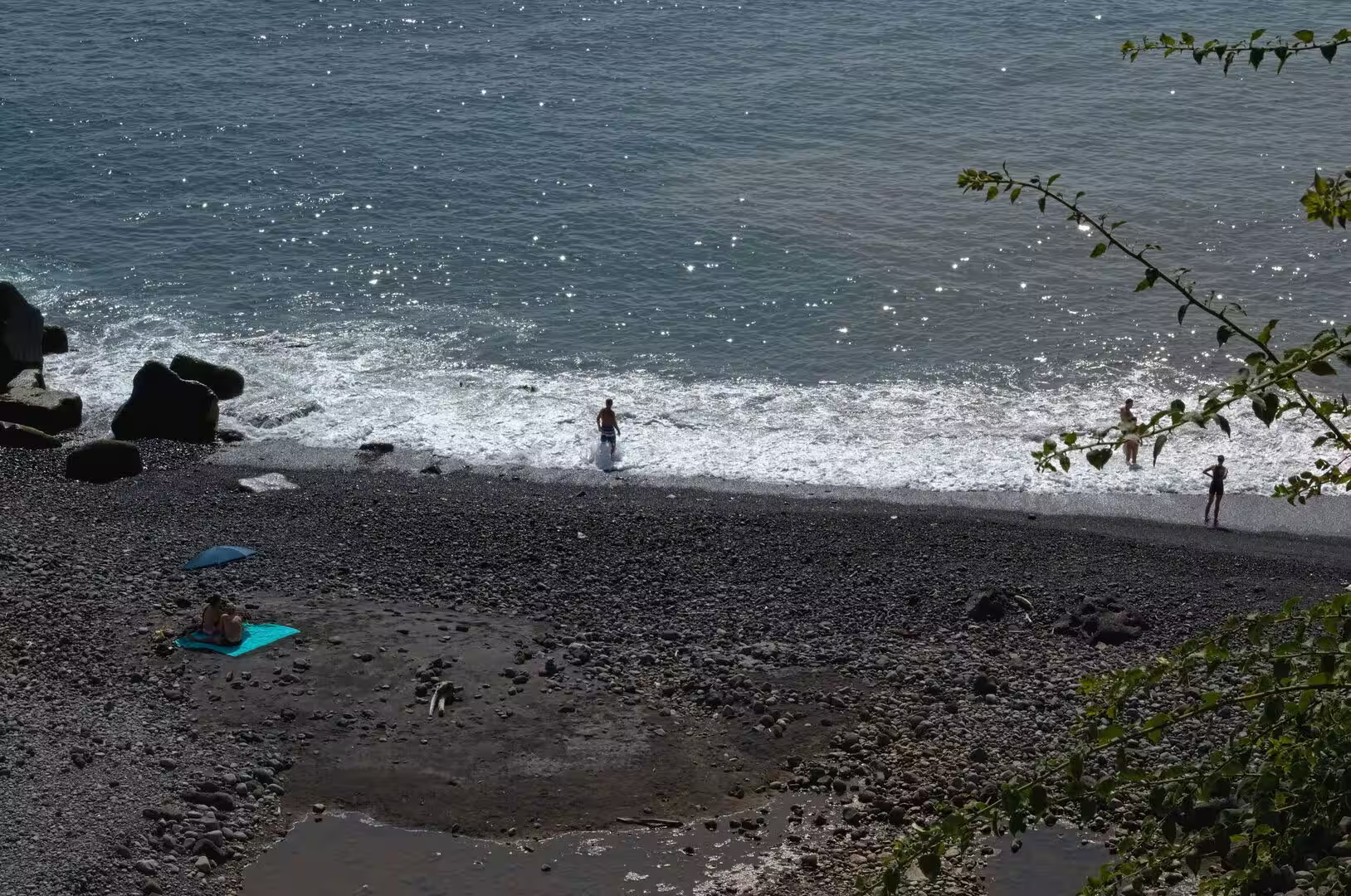
Ponta do Sol sits at the base of a deep valley cut by water over thousands of years. Basaltic rock forms the foundation of the area and appears in the cliffs, in the walls of the ravines and in the rocky formations of the shore. The valley works as a channel for moisture and cooler air that descend from higher ground, which supports cultivation and keeps the slopes green in spite of the dry southern exposure. The coastline consists of rocky shores and beaches of dark pebbles, shaped by wave action, and the supply of sediment is limited, so that the profile of the shore changes slowly and mostly in the season of storms.
The rocks of the island are mainly basaltic, and the terraces that cover the lower slopes were cut into this volcanic bedrock. Walls of dark basalt hold the soil in place on gradients that would otherwise be washed away, and the same material appears in the walls of houses and in the paving of the lanes. Remains of a marine phase survive in a calcareous layer near Lameiros in the municipality of São Vicente, which was later quarried for the production of calcium oxide, evidence that parts of the island lay below the sea before the last volcanic episodes lifted them above the water.
Water is central to the geology and the agriculture of the island. Rain falls abundantly on the central massif, where the plateau of Paul da Serra forms the most important area of groundwater recharge, and the levadas distribute it to fields, settlements and small power stations. The same water can become a danger: studies of heavy rainfall and mass movements in the area of Funchal describe how short and intense events trigger landslides and debris flows on the steep slopes. Offshore, the submarine flanks of the archipelago are shaped by gravitational, erosional and sedimentary processes, and evidence of large flank collapses and of the tsunamis they caused has been identified in the geological record.
Things to See
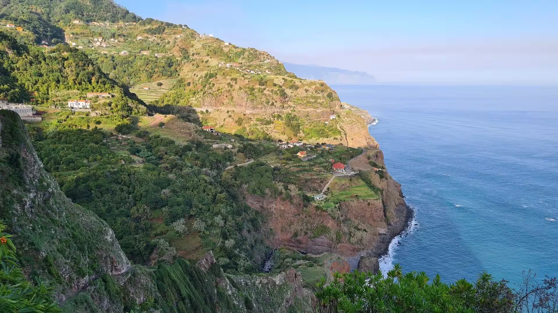
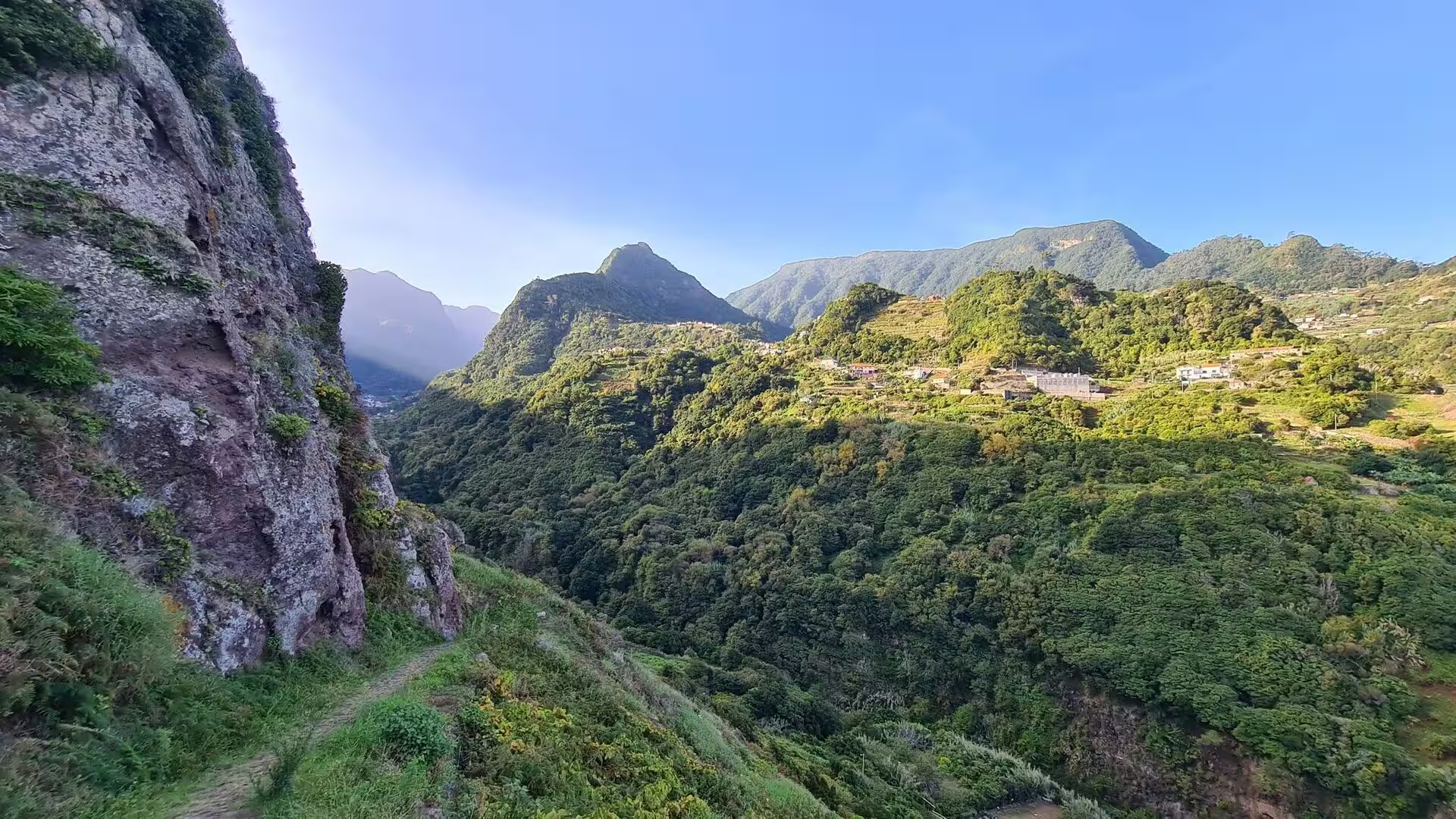
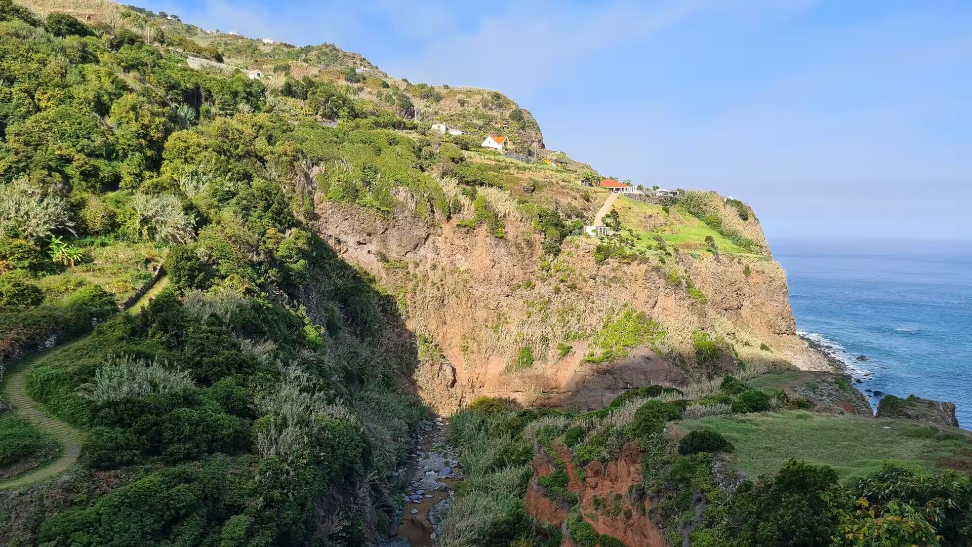
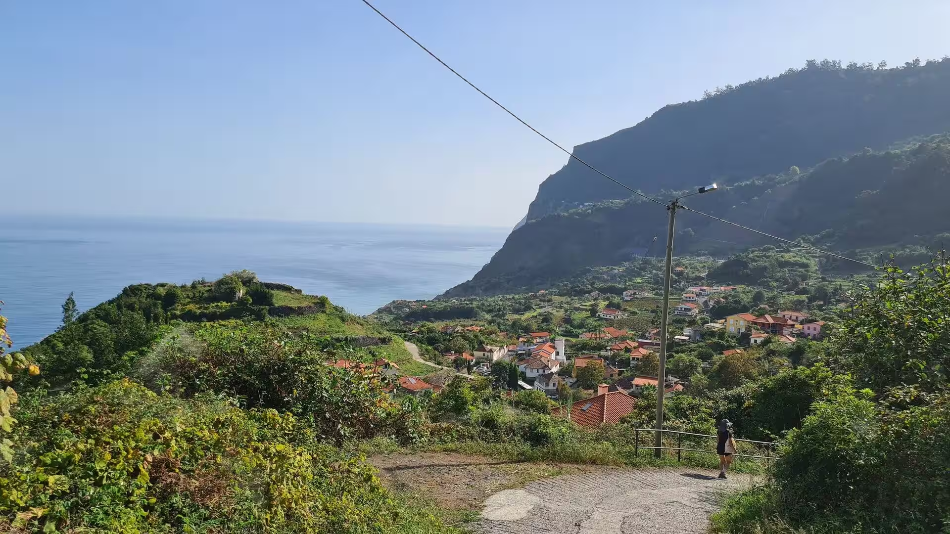
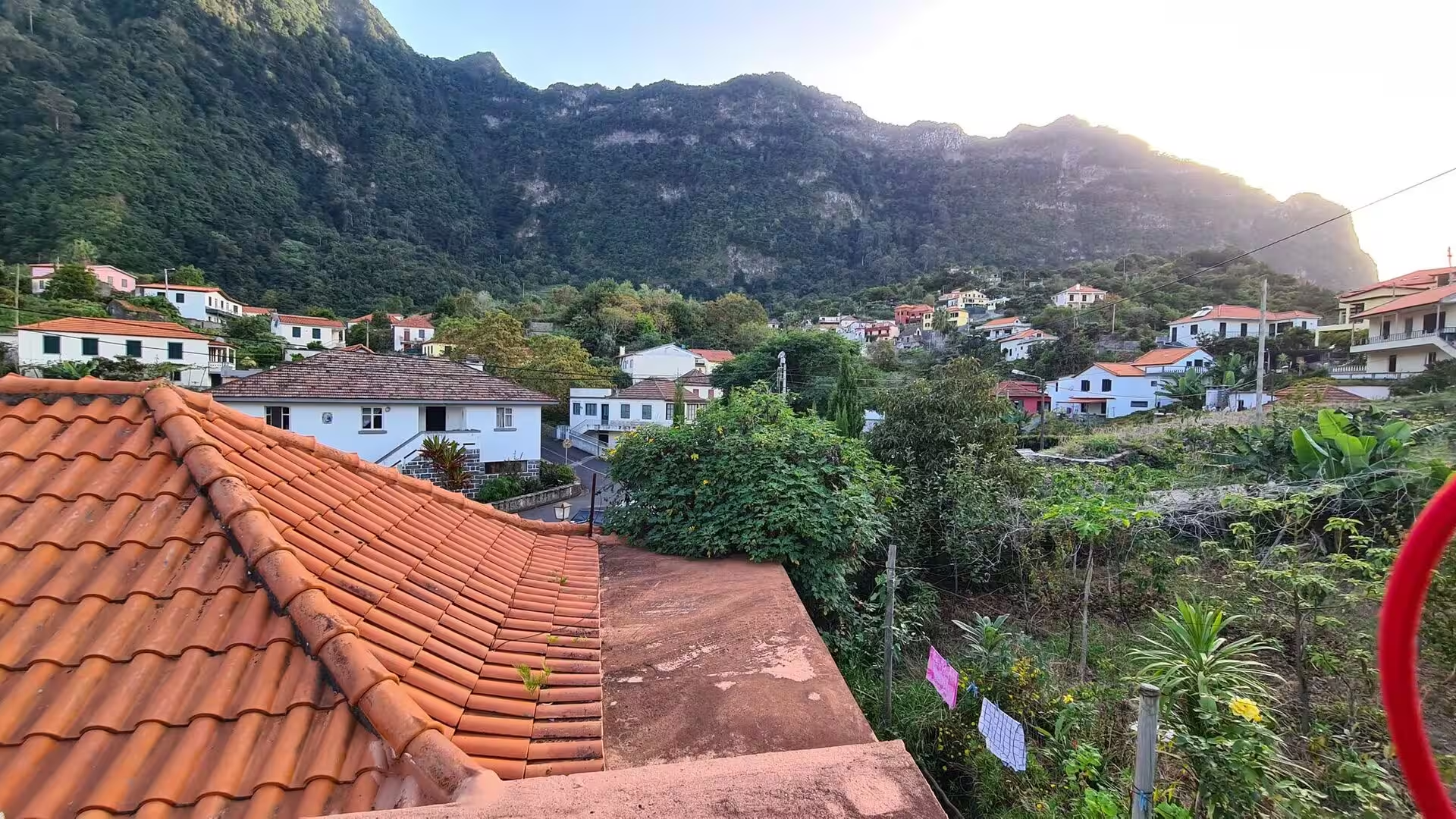
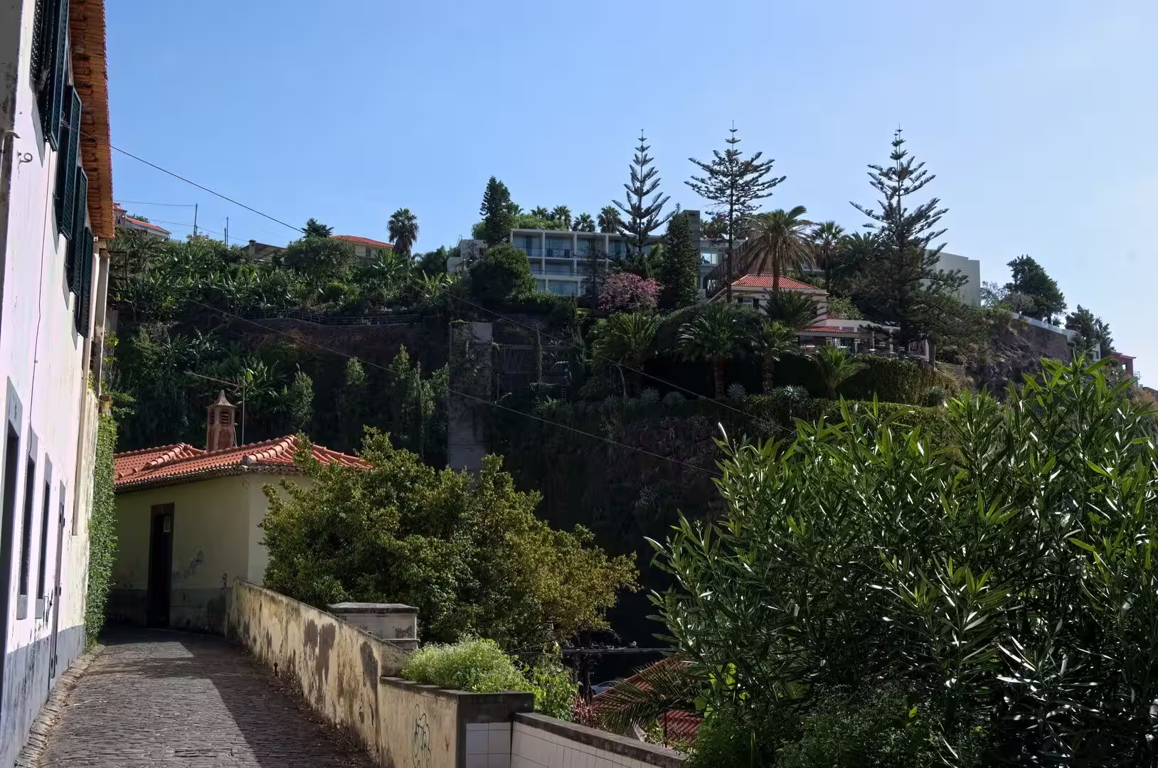
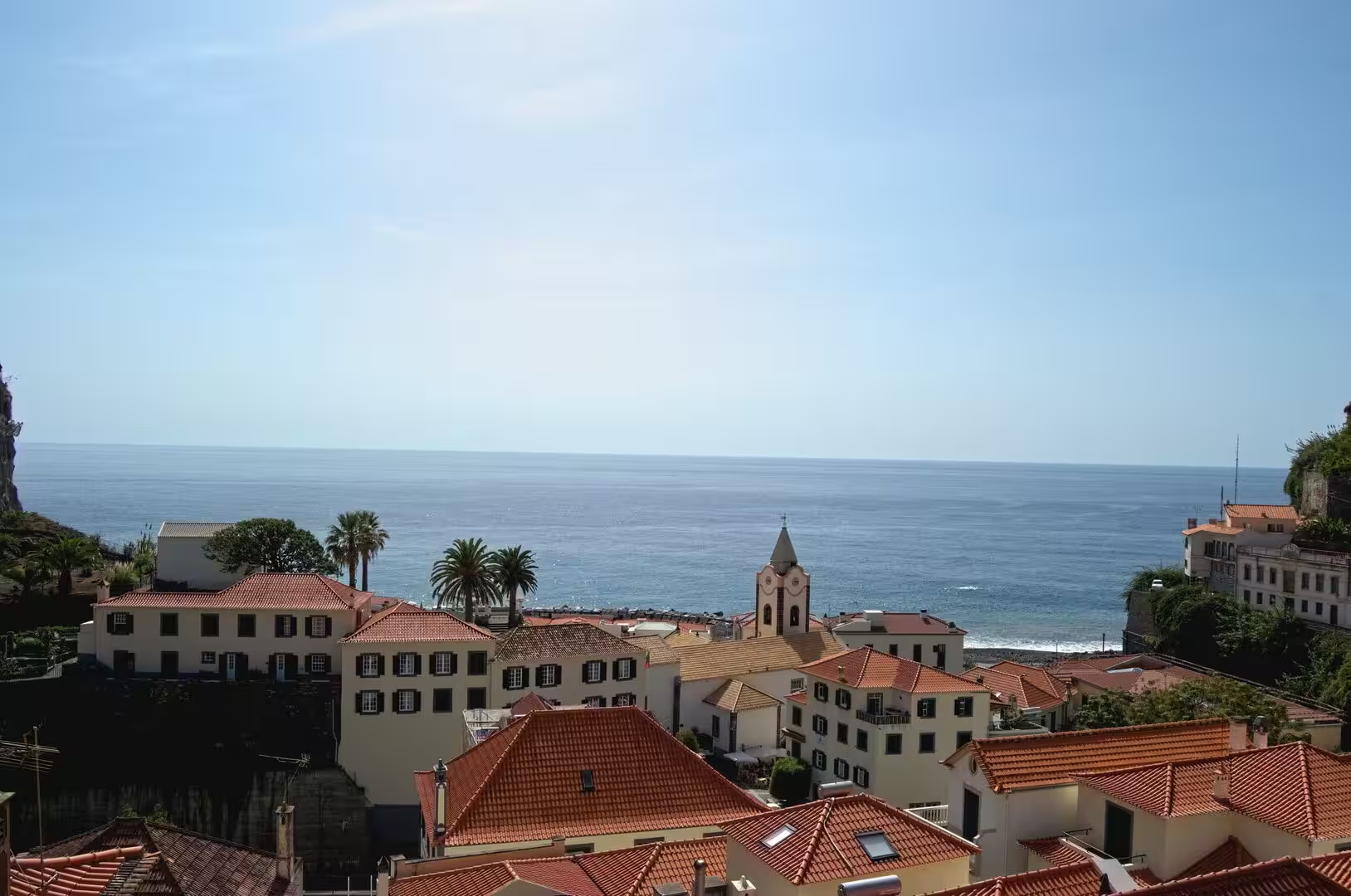
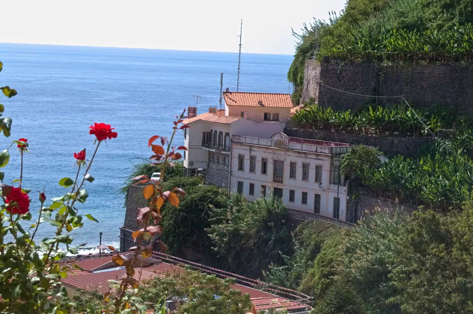
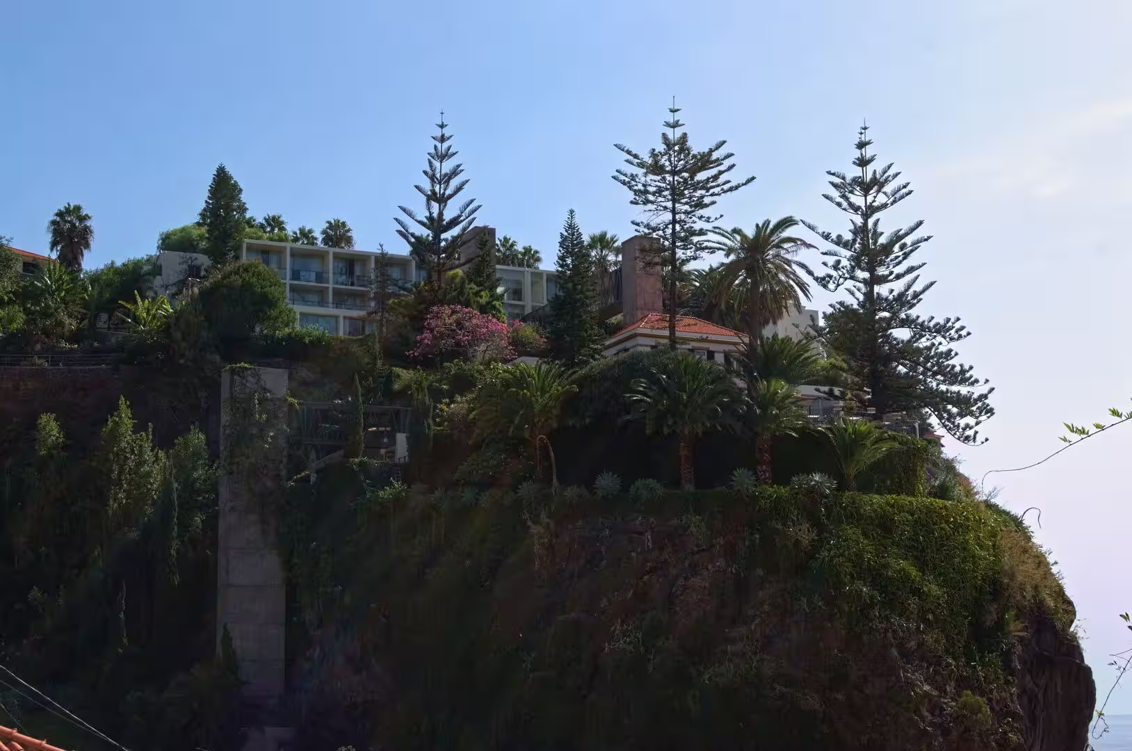
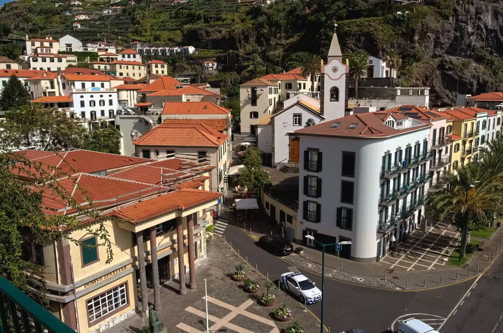
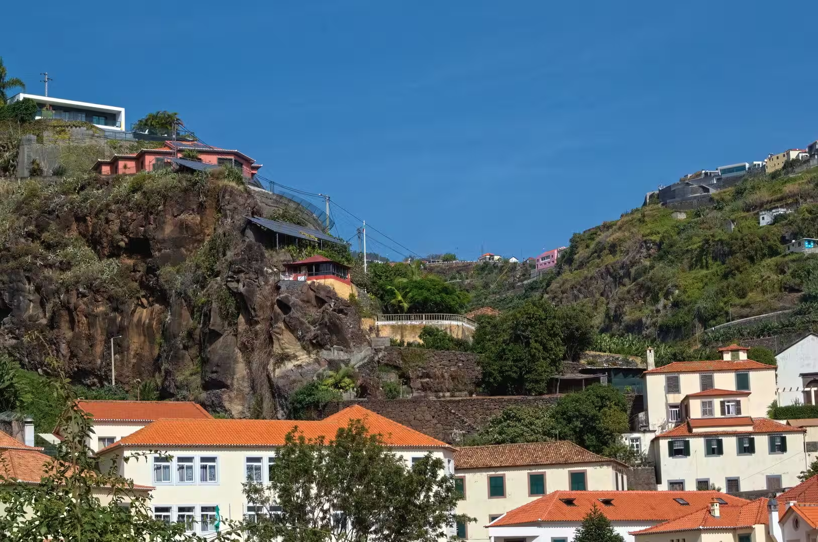
The approach to Ponta do Sol from higher ground opens a wide view of the coast. Villas and small houses sit on the steep slope above the town, half hidden among trees, and agricultural terraces descend in long steps towards the sea until they meet the first roofs. In the morning the water lies in a broad band of deep blue beyond the headlands, From such a vantage point the vertical organisation of the island becomes visible: shore, terraces, forest and ridge, each with its own vegetation and its own light.
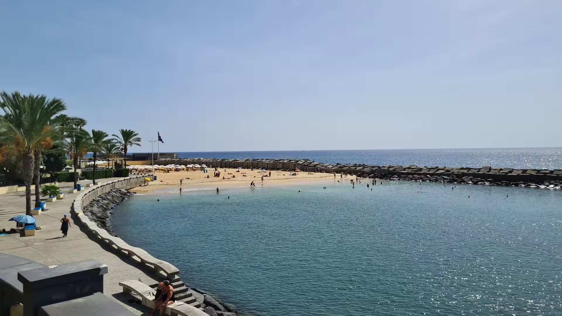
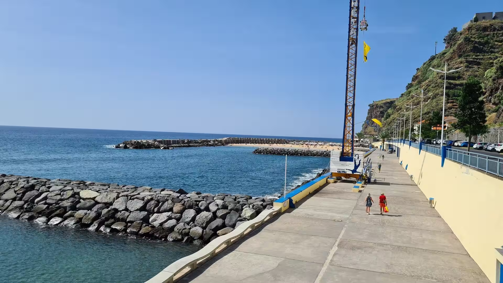
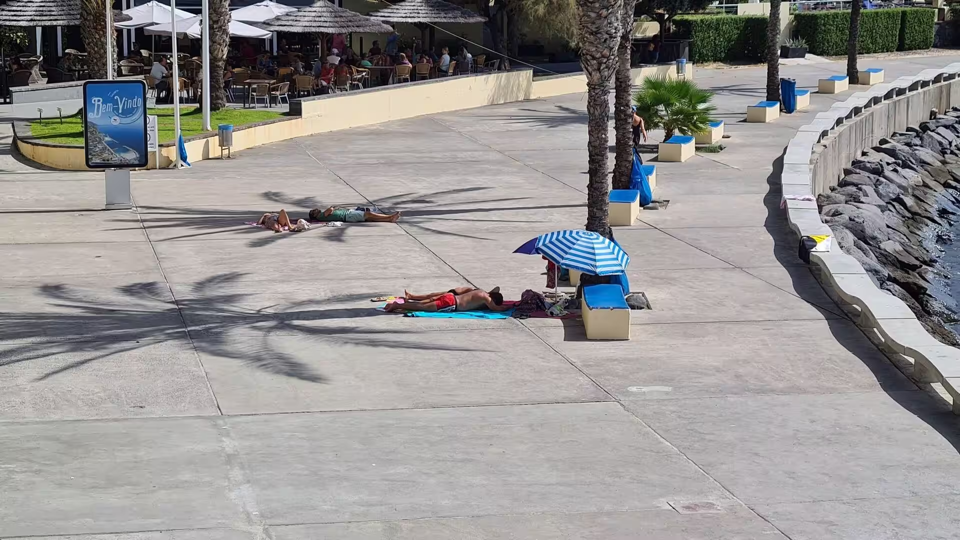
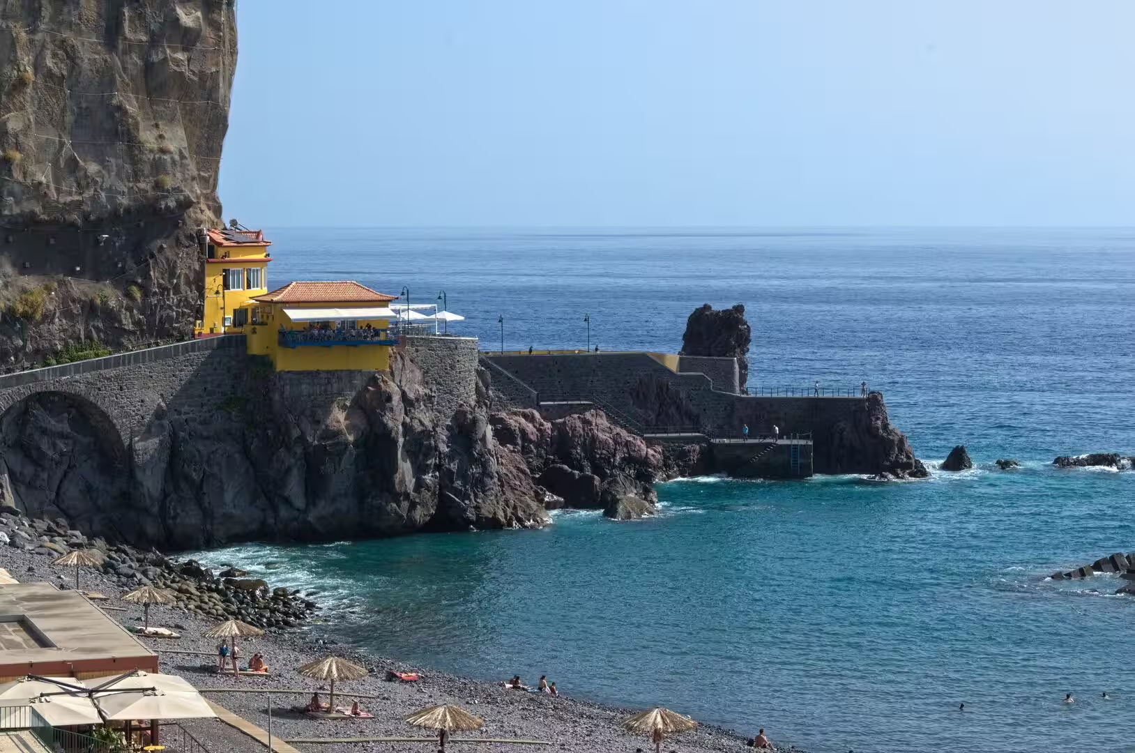
At the foot of the town a small cove of dark pebbles serves as the beach. A breakwater protects the landing place, and a stone pier reaches a short distance into the water. Palms and a few parasols stand at the edge of the pebbles, and the water is clear enough to show the rocky shelf below the surface. Bathers use the shallow sections in calm weather, while waves run over the boulders after a swell. The promenade above the beach connects the harbour area with the rest of the town and gives the waterfront its quiet, residential character.
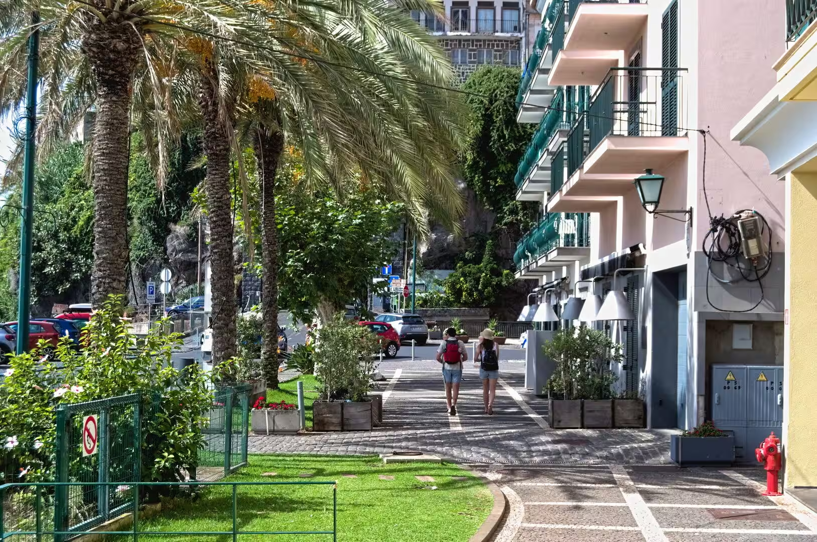
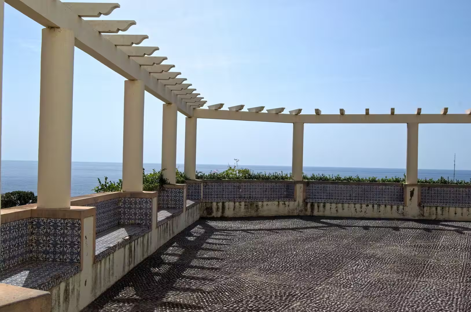
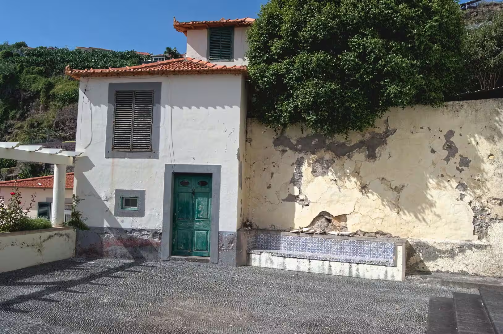
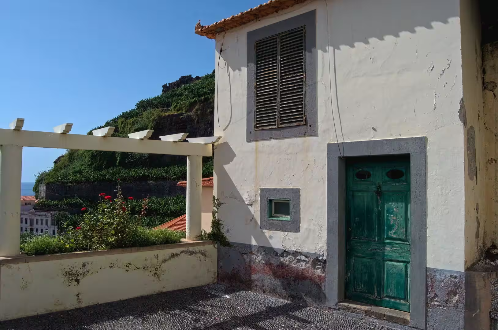
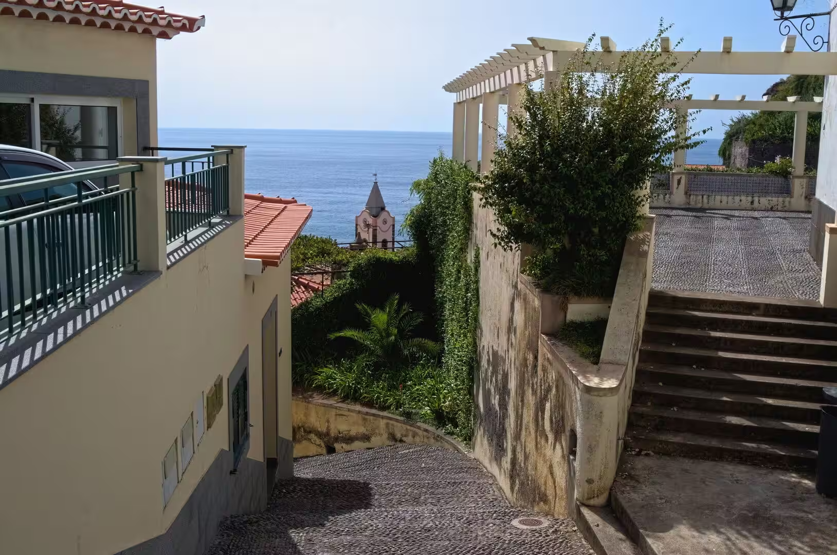
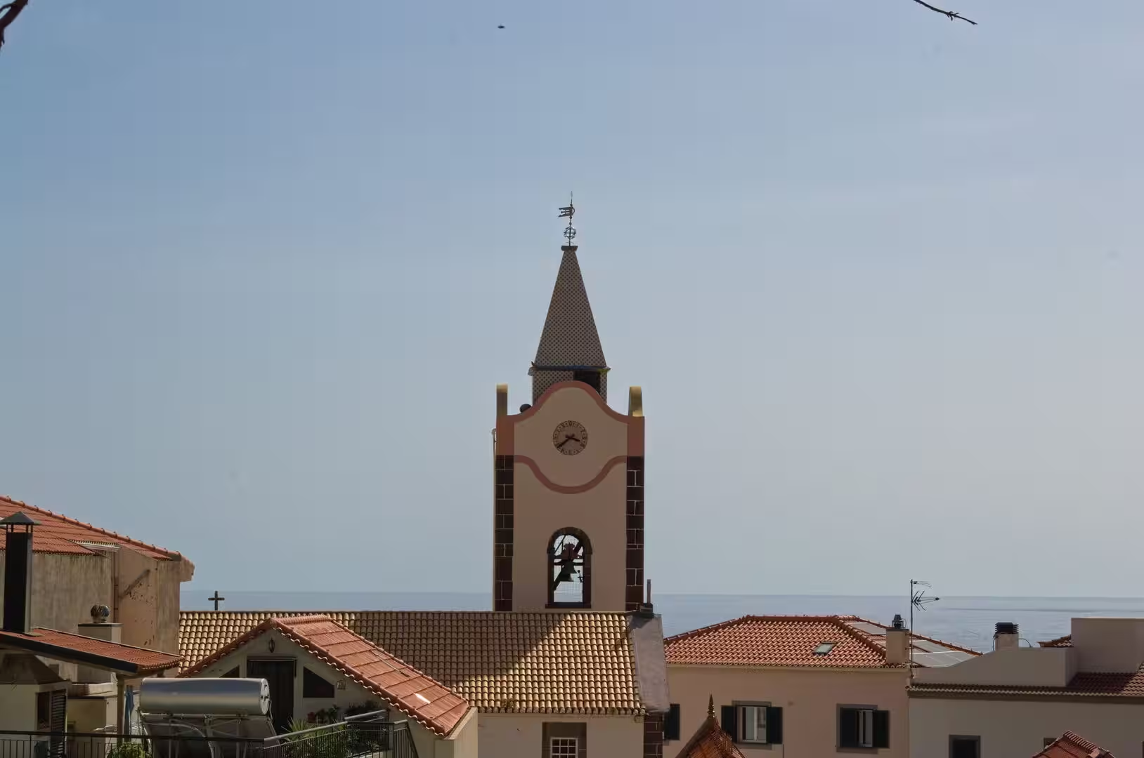
The historic centre is compact and easy to walk. Cobbled lanes pass below whitewashed houses with terracotta roofs, and there are doors and shutters in faded green and orange, small squares with benches, and a church whose clock tower rises above the surrounding buildings. A chapel with a cross on its roof stands under a street lamp, and an ornamental panel of tiles with the figure of Saint George decorates a wall painted in warm tones. In the older lanes the details accumulate: a stone farmhouse with a red tiled roof and a wooden porch, a pergola with blue and white tiled benches that frames a view of the sea, and the smell of coffee from a village café.
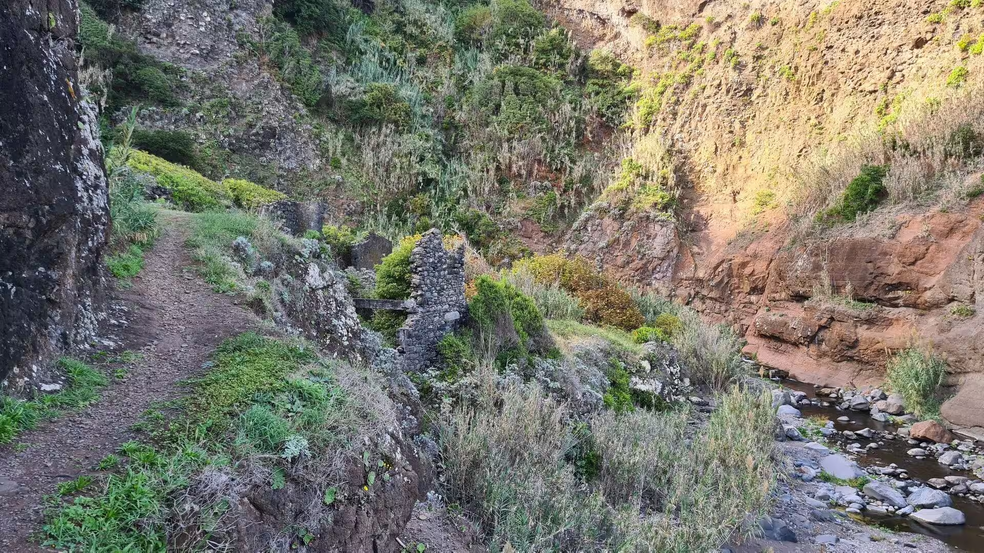
A path above the town follows a levada, one of the water channels that carry water from the mountains. The channel runs as a narrow trough of stone along the flank of the mountain, edged by ferns, moss and dripping rock, and the shade of the forest keeps the air cool. Ruins of small structures stand beside the water, among them a weathered red pump and a valve wheel set into a mossy wall. The levadas were built from the fifteenth century onwards and remain in use for irrigation, for drinking water and for the generation of electricity, and alongside them they have created a network of walking routes.
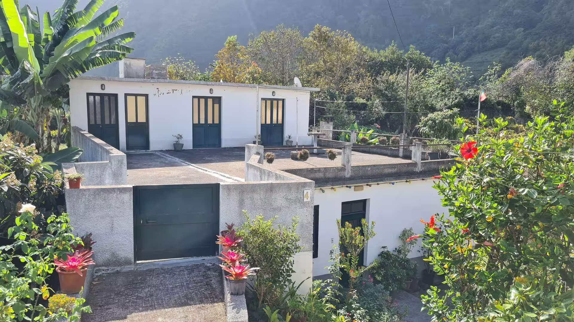
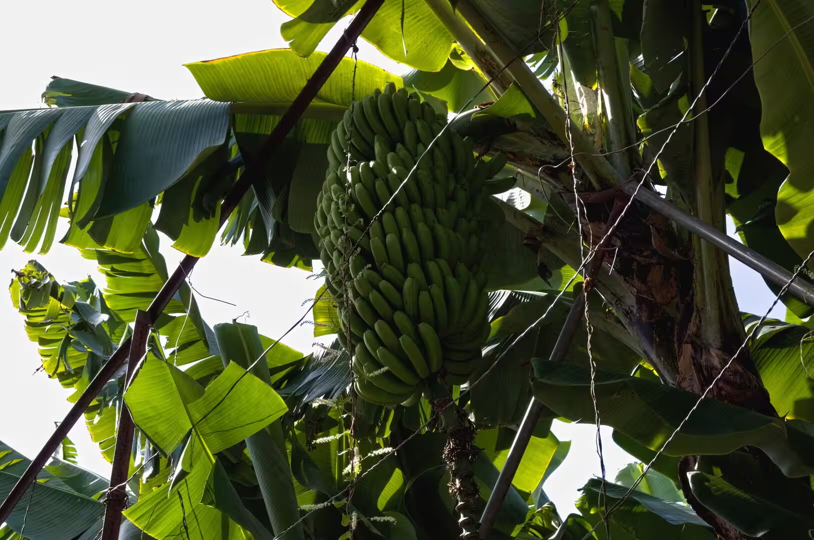
Above the built area the land is organised in terraces, the poios that cover much of the lower slope, and the main crop is the banana. Banana plants with their broad leaves fill small plots enclosed by stone walls, and bunches of fruit hang under the canopy next to a white house with green shutters and pots of red flowers. Vineyards and orchards occupy other terraces, together with maize, vegetables and herbs. Research on the terraces of Madeira treats them as an archive of the landscape, since their walls, steps and drainage record the changing patterns of agriculture over several centuries.
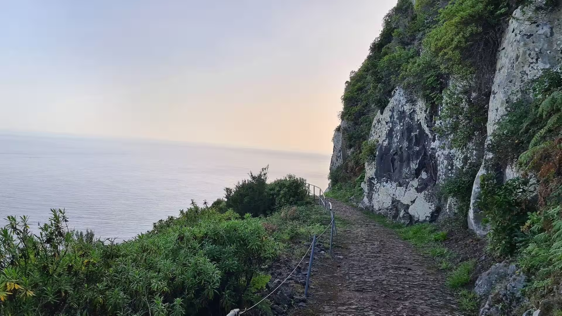
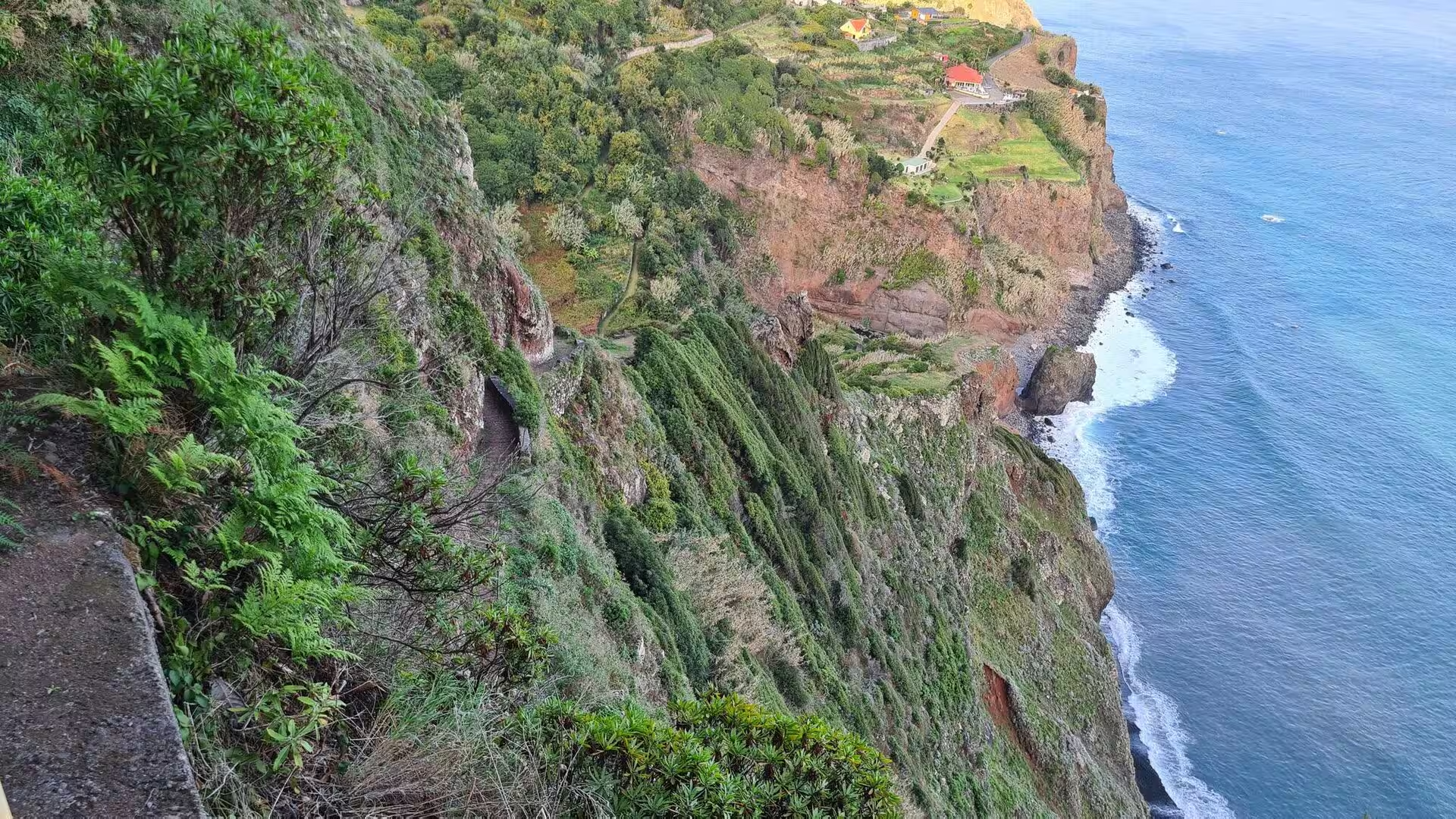
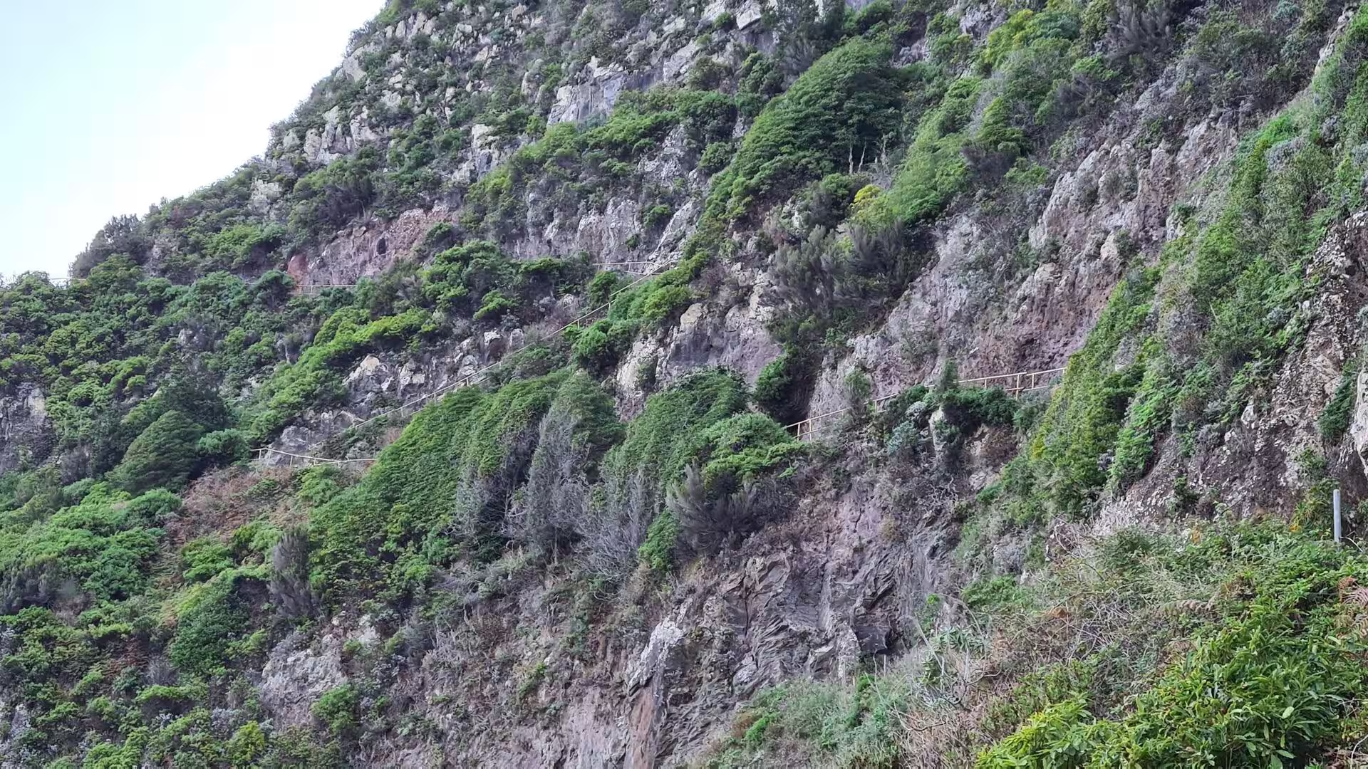
A footpath runs along the shore below the cliffs and follows a long concrete walkway over the steep coastal edge, secured by a wire railing where the ground drops towards the water. Elsewhere the route climbs to a ledge that crosses a near-vertical wall of rock draped in vegetation, with a rope as the only support, and the sea lies far below. The light on these walks changes quickly: mist drifts over the ridges, breaks apart in rays that fall on the green slopes, and then gives way to full sun over the water. The combination of dense vegetation and open ocean makes the coastal route one of the most rewarding walks of the area.
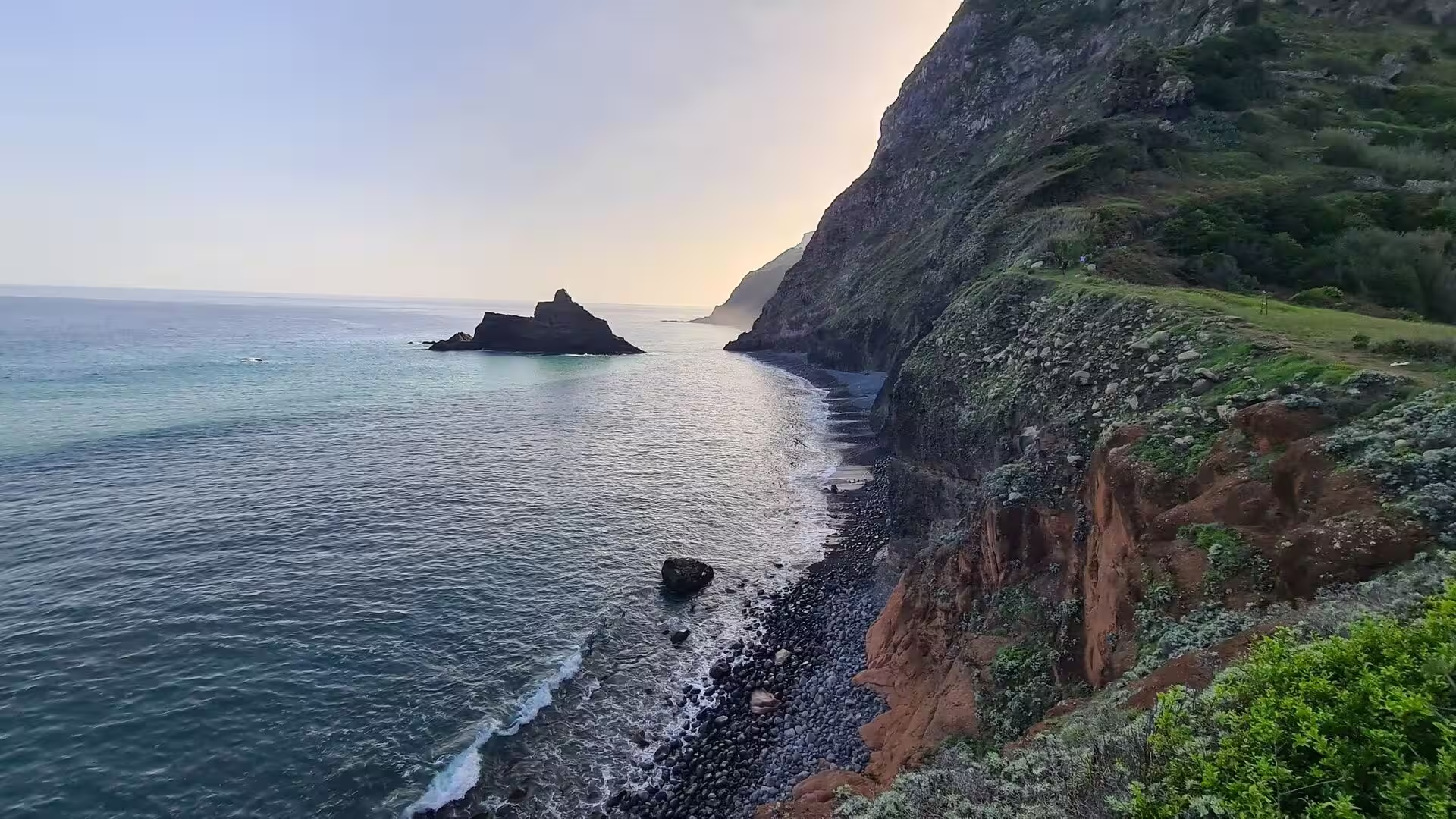
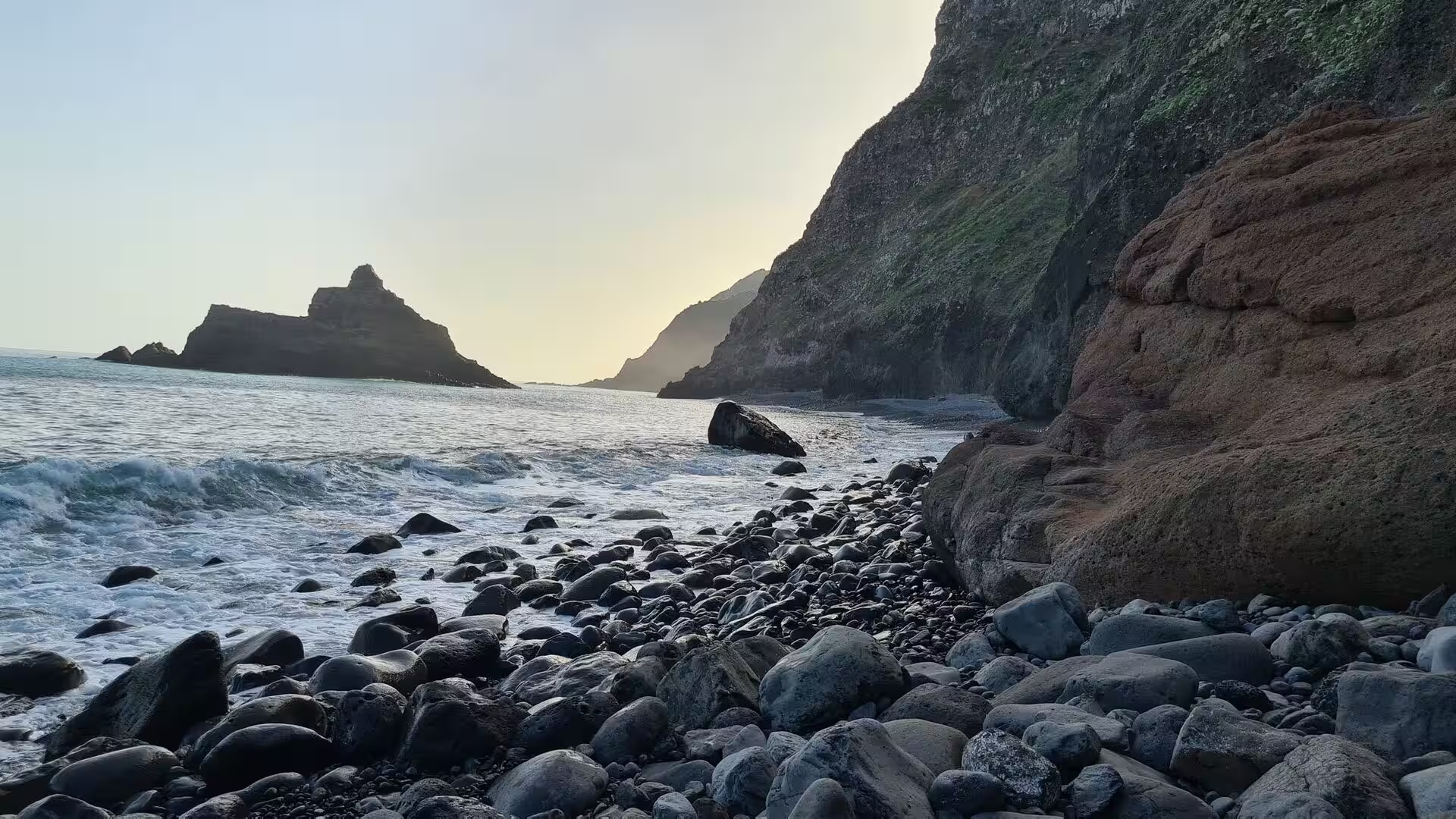
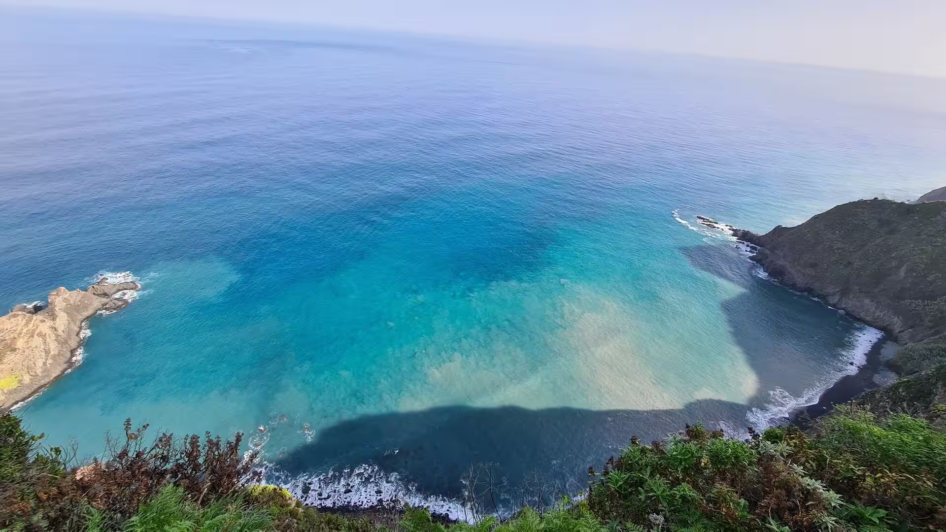
Beyond the headland that closes the bay a dark sea stack rises from the water in front of cliffs of reddish brown rock. At its foot the shore consists of boulders and pebbles, and the waves run high over them when the swell increases. Where the water is shallow and calm it appears in a clear shade of teal over the rocky shelf, framed by the darker volcanic headlands. The geometry of the place is simple and severe: rock, water and a small strip of gravel, with vertical cliffs behind and no houses in sight.
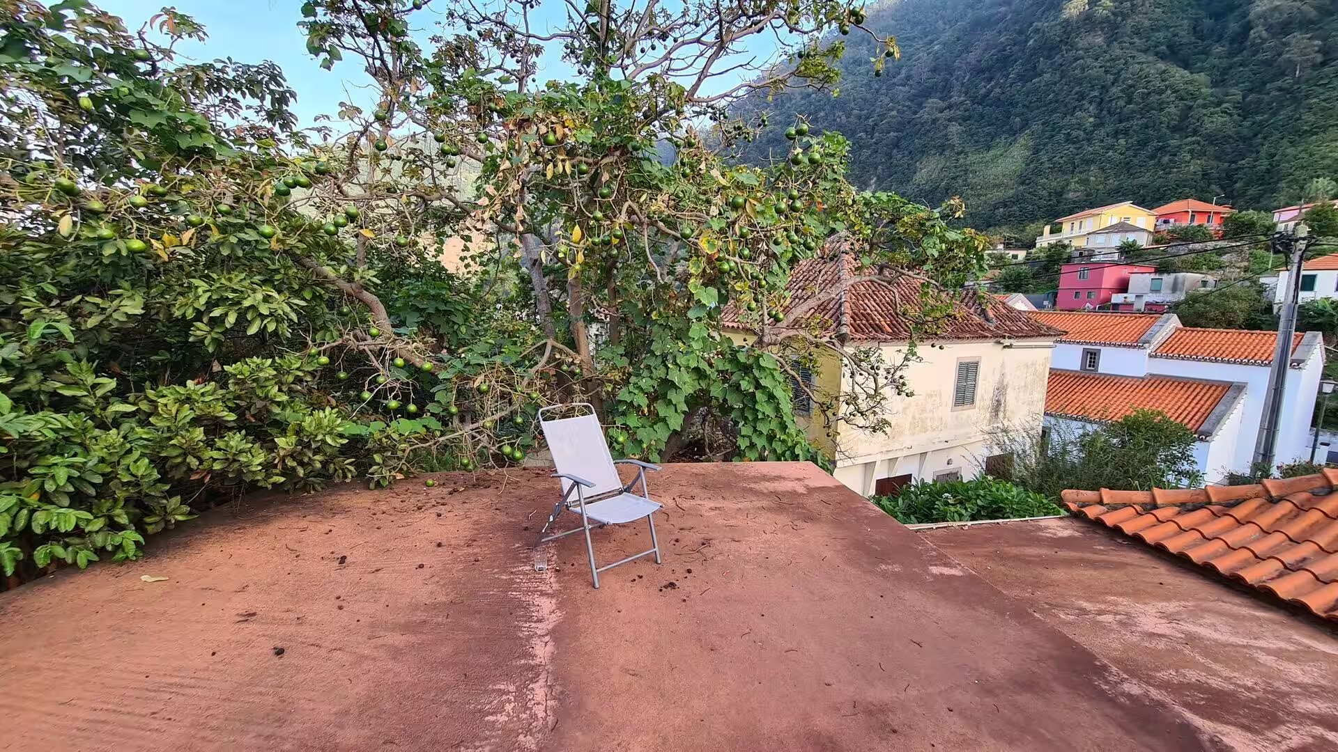
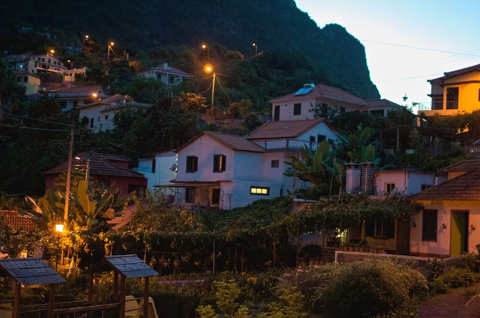
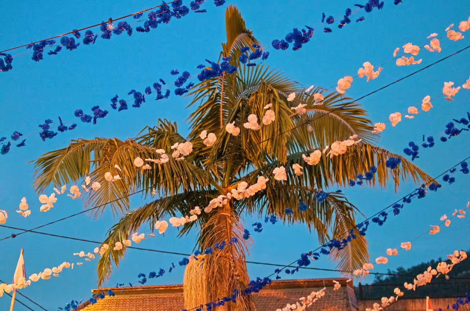
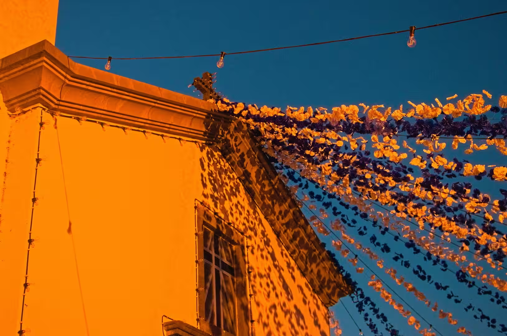
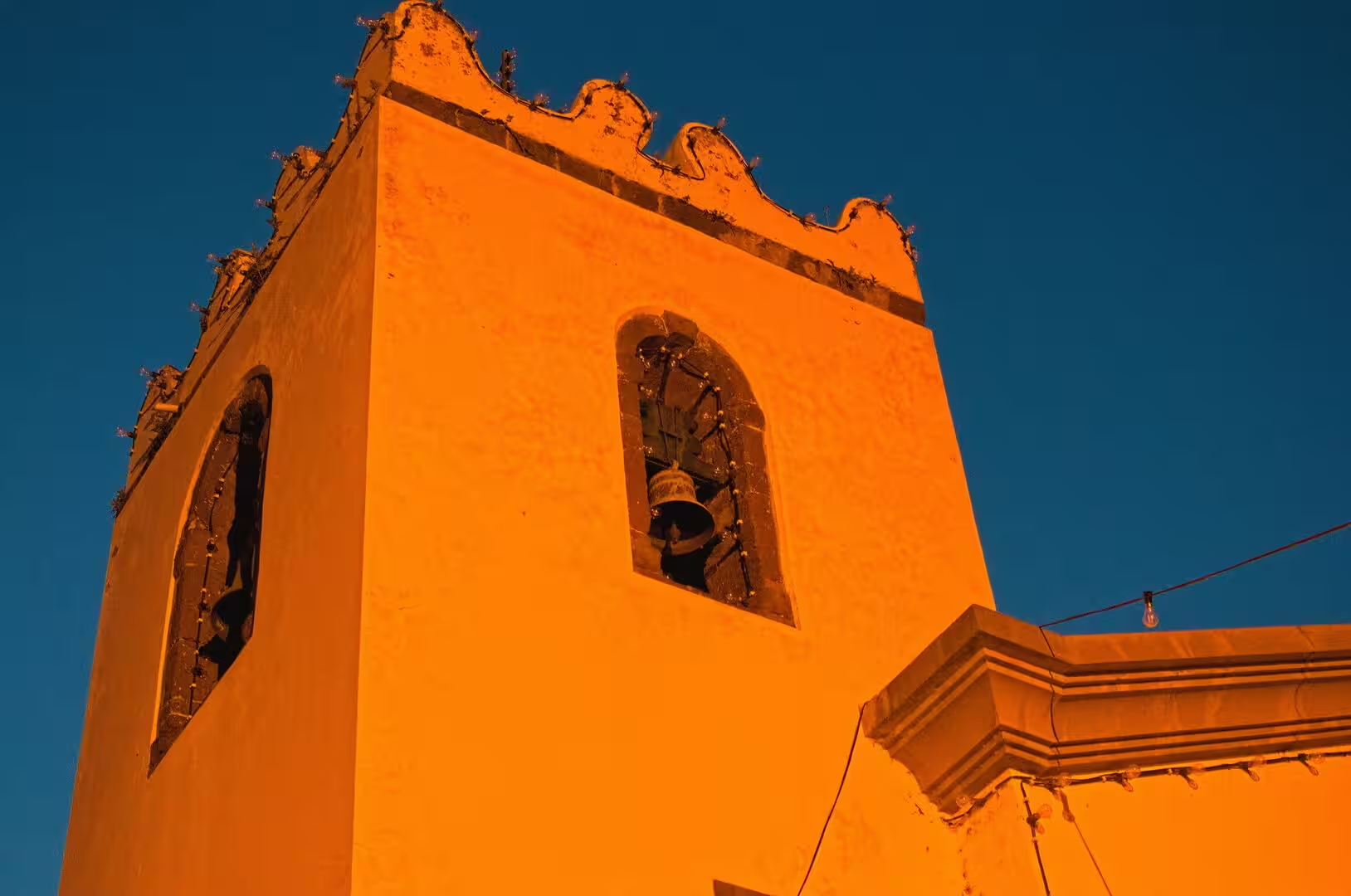
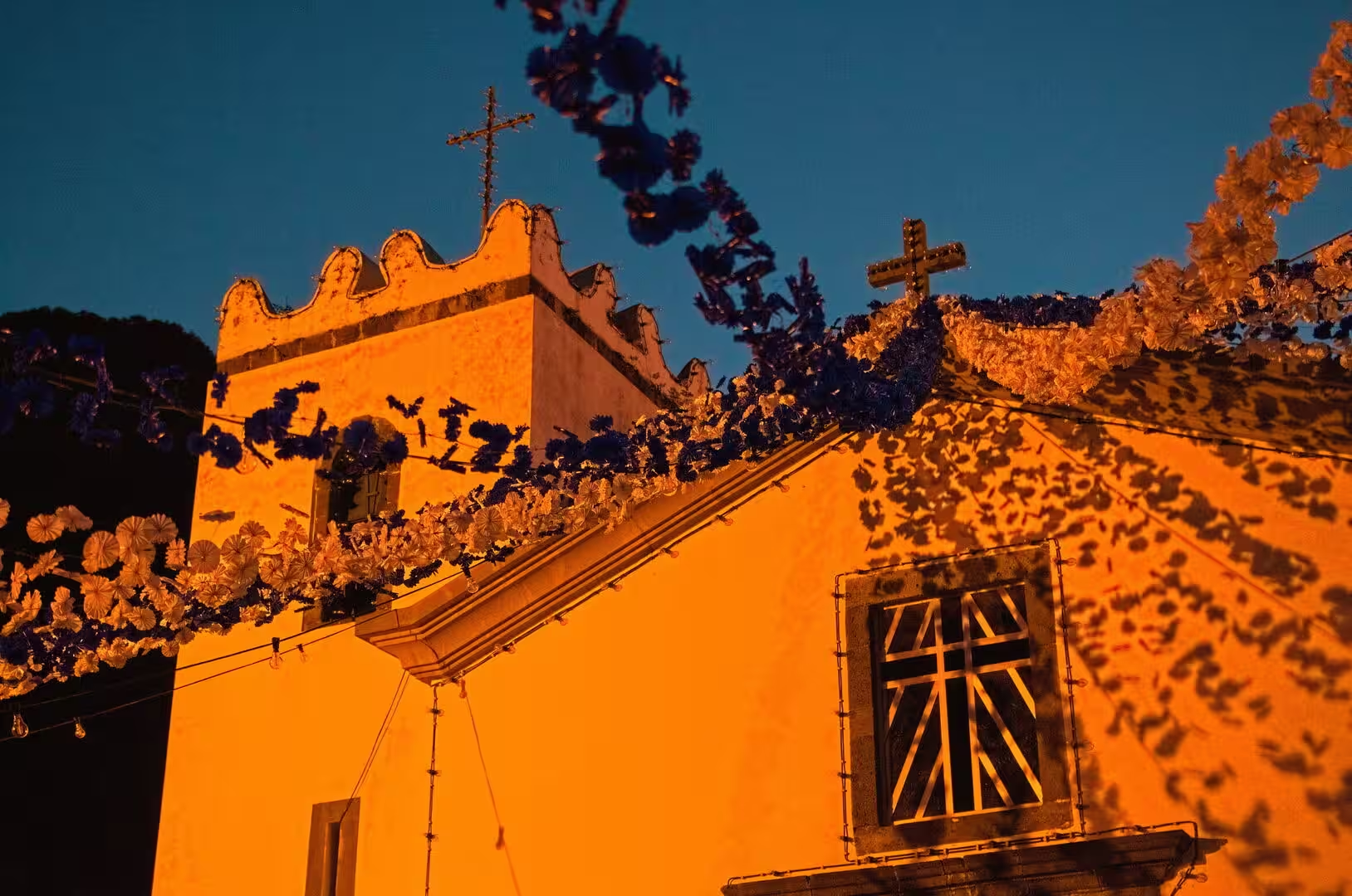
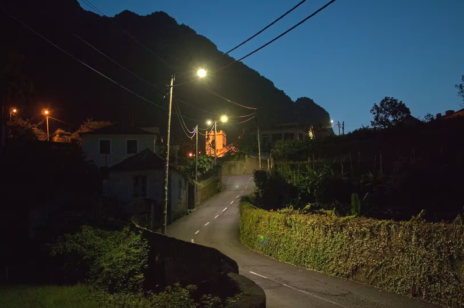
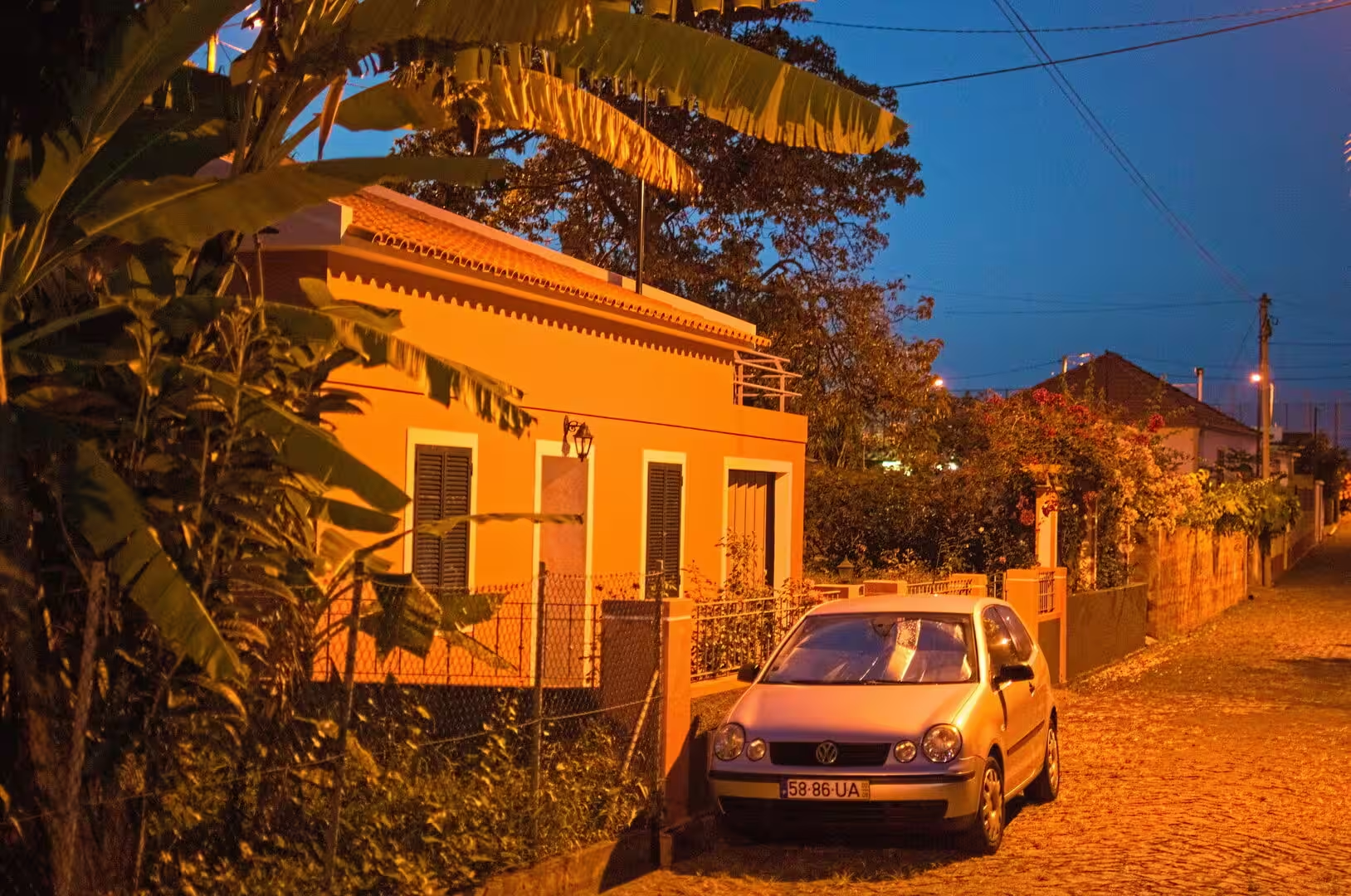
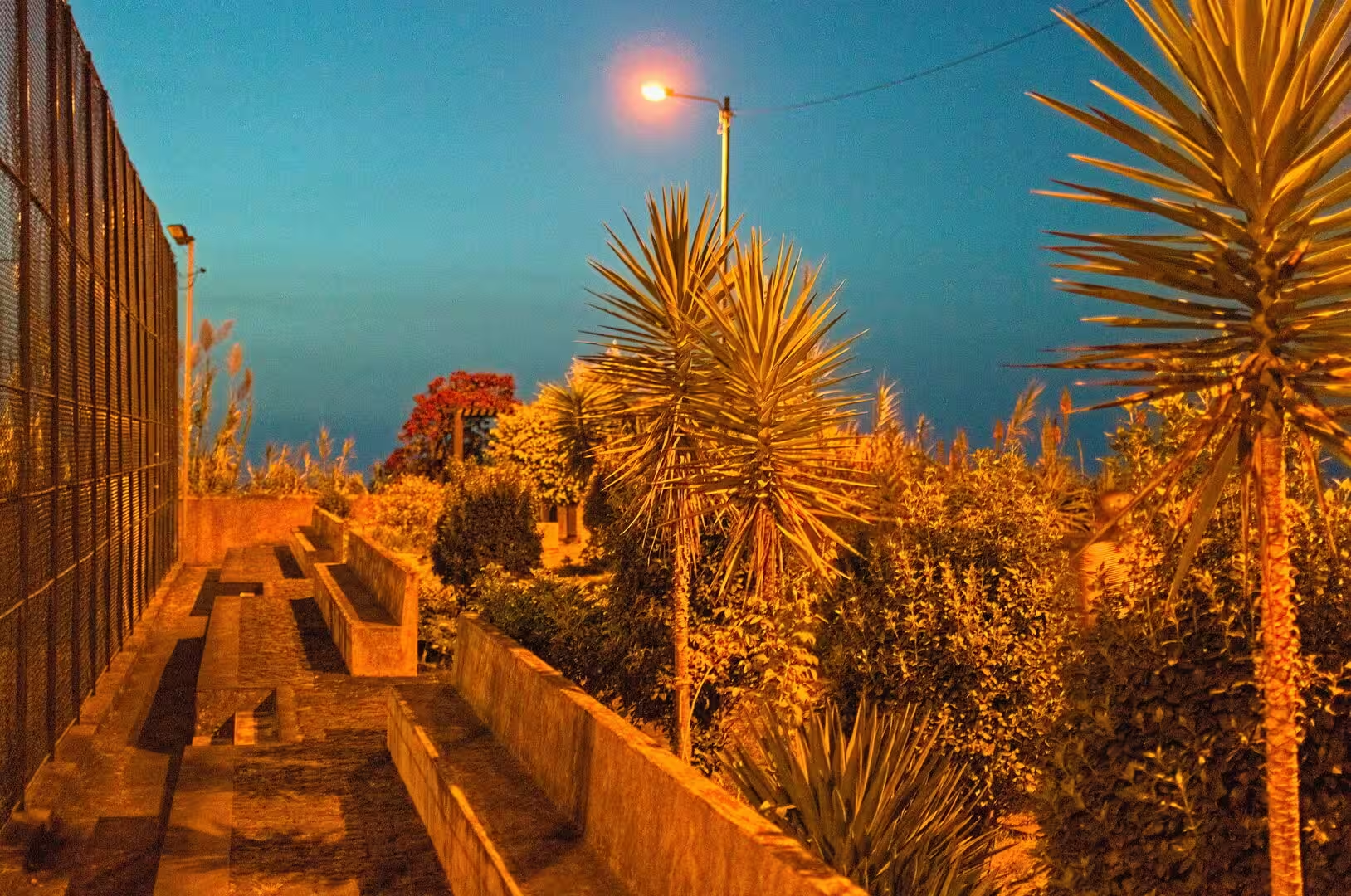
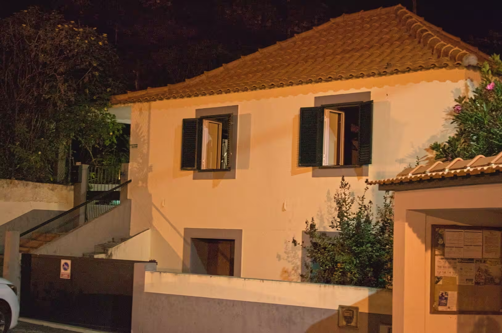
In the evening the village takes on a different character. Street lamps light the white facades and the climbing lanes, garlands of flowers hang on the church, and a bell tower stands in silhouette against the last light. A palm tree rises against the deep blue of the sky, the corner of a building is covered in blossoms, and a garden path lined with palms and benches leads uphill past a fence. On a roof terrace above the roofs of the town, a deck chair stands beside a wooded mountain, and the day closes in the warm light of the lamps.
References
- Wikipedia contributors (2026). Ponta do Sol, Madeira. en.wikipedia.org/wiki/Ponta_do_Sol%2C_Madeira
- Wikipedia contributors (2026). Ribeira Brava, Madeira. en.wikipedia.org/wiki/Ribeira_Brava%2C_Madeira
- Wikipedia contributors (2026). Calheta, Madeira. en.wikipedia.org/wiki/Calheta%2C_Madeira
- Wikipedia contributors (2026). Madeira wine. en.wikipedia.org/wiki/Madeira_wine
- Wikipedia contributors (2026). Funchal. en.wikipedia.org/wiki/Funchal
- Wikipedia contributors (2026). Madeira Island. en.wikipedia.org/wiki/Madeira_Island
- Wikipedia contributors (2026). Madeira. en.wikipedia.org/wiki/Madeira
- Wikipedia contributors (2026). History of Madeira. en.wikipedia.org/wiki/History_of_Madeira
- Wikipedia contributors (2026). Laurisilva. en.wikipedia.org/wiki/Laurisilva
- Wikipedia contributors (2026). Macaronesia. en.wikipedia.org/wiki/Macaronesia
- Wikipedia contributors (2026). Autonomous Region of Madeira. en.wikipedia.org/wiki/Autonomous_Region_of_Madeira
- Wikipedia contributors (2026). Madeira Nature Reserve. en.wikipedia.org/wiki/Madeira_Nature_Reserve
- Wikipedia contributors (2026). Paul da Serra. en.wikipedia.org/wiki/Paul_da_Serra
- Kiesow, Bork (2017). Agricultural terraces as a proxy to landscape history on Madeira island, Portugal. Ler História. 71. 127-152. doi.org/10.4000/lerhistoria.2912
- Hancock (1998). Commerce and Conversation in the Eighteenth-Century Atlantic: The Invention of Madeira Wine. The Journal of Interdisciplinary History. 29. 197-219. doi.org/10.1162/002219598551670
- Valls, Mota, Vieira (2019). Opportunities for Slow Tourism in Madeira. Sustainability. 11. 4534. doi.org/10.3390/su11174534
- Mota, Franco, Santos (2021). Social Carrying Capacity in Island Destinations: Interpreting Visitors’ Opinions in Madeira Island. European Journal of Tourism, Hospitality and Recreation. 11. 253-266. doi.org/10.2478/ejthr-2021-0023
- Lopes, Fragoso, Lopes (2020). Heavy Rainfall Events and Mass Movements in the Funchal Area (Madeira, Portugal): Spatial Analysis and Susceptibility Assessment. Atmosphere. 11. 104. doi.org/10.3390/atmos11010104