Day 7












Journal Notes
General
Madeira is an archipelago and an autonomous region of Portugal in the North Atlantic Ocean, one of the four volcanic archipelagos of Macaronesia together with the Azores, the Canary Islands and Cape Verde. The islands lie on the African tectonic plate while remaining politically and culturally associated with Europe. Madeira Island is the largest and most populous of the group, and the region counted 251,060 inhabitants in 2021, roughly half of them in the capital, Funchal, on the south coast. The climate is mild and subtropical, with dry summers and rain in winter, and many microclimates occur at different elevations.
The seventh day is spent in the southwestern part of the island, in the municipality of Calheta. Calheta covers 111.50 square kilometres on the southwest coast and had 11,521 residents in 2011, divided into eight parishes, among them Arco da Calheta, Calheta, Estreito da Calheta, Fajã da Ovelha, Jardim do Mar, Paúl do Mar, Ponta do Pargo and Prazeres. Arco da Calheta is the most populous of the parishes, while Jardim do Mar, a sliver of land between the ocean and the cliffs of Prazeres, had 204 residents in 0.74 square kilometres and is reached by a single roadway with tunnels towards Prazeres and Estreito da Calheta.
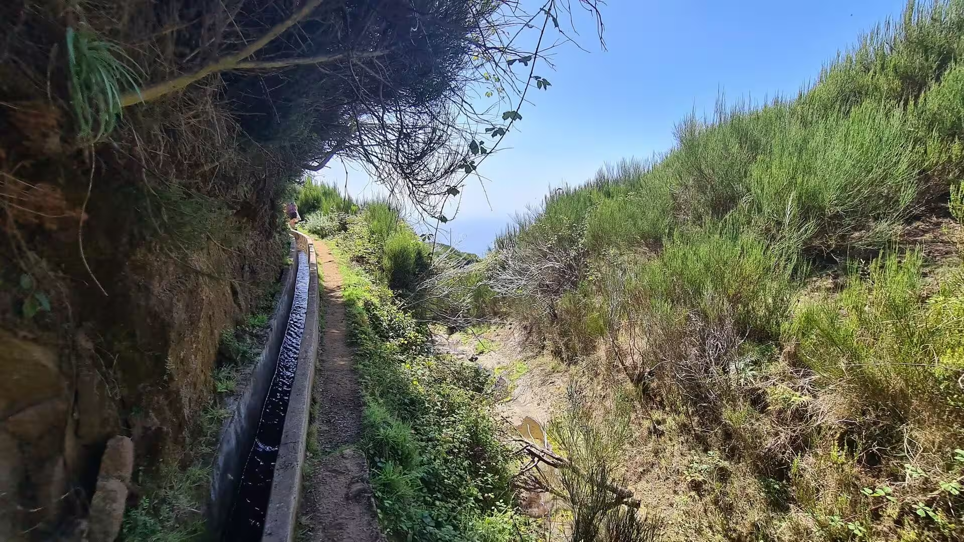
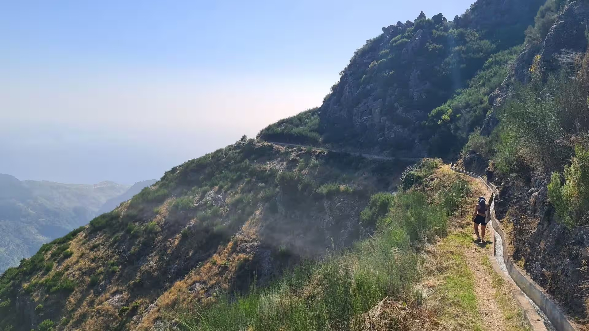
The route of the day runs at middle elevation above this coast, on paths laid out for the maintenance of the water channels. Such a path is narrow, essentially one person wide, and follows the contour of the hillside with the channel on one side and a drop towards the terraces and the ocean on the other side. Some sections pass through shaded woodland of evergreen trees, others cross open slopes of dry grass and bare rock.
The levadas explain why these slopes are cultivated at all. The channels span thousands of kilometres and date back to the fifteenth century, transporting rainwater from the north of the island to the south and serving human consumption, agriculture and the production of electricity. Their construction and upkeep shaped land ownership, the layout of the terraces and the pattern of settlement, and the paths along them remain the principal means of reaching the interior on foot.
Settlement in the western parishes is organised in small villages at the mouths of the ravines and on the shoulders of the hills. Paul do Mar, with 871 residents in 1.40 square kilometres, lives from fishing and from the cultivation of bananas along a narrow coastal strip, and its economy now includes eco tourism, dolphin watching and whale watching. Agriculture and the fishery still provide the primary sources of income in the municipality, and the day closes at a village table with grilled meat, salad, fried potatoes and cold drinks.
History
Madeira was uninhabited when Portuguese sailors in the service of Prince Henry the Navigator sighted it in 1419, and the archipelago was settled after 1420. The island was divided into captaincies, among them the donatary captaincy of Funchal, and colonization began in 1425 with people of modest means, among them fishermen and farmers. The first settlers produced wheat for their own sustenance and later exported it to the mainland, while fish and vegetables were their main means of subsistence. The settlement of Funchal was founded between 1420 and 1425 by João Gonçalves Zarco, who had received the captaincy of the southern part of the island.
Grain production declined and the crisis obliged Henry the Navigator to order other commercial crops, and sugar cane became the economic base of the island. Following the introduction of the first water driven sugar mill, production rose above 6,000 arrobas by 1455, using advisers from Sicily and financed by Genoese capital. Enslaved workers were critical to the sugar boom, which peaked about 1506, labouring in the cane fields and in the mills and in the construction and maintenance of the system of irrigating levadas that remain one of the most distinctive features of the Madeiran landscape. Calheta was founded in 1430, and the parish of the same name is one of the oldest on the island.
The area was the choice of João Gonçalves Zarco as a grant to his son and his son’s wife, João Gonçalves da Câmara and Beatriz Gonçalves. Calheta became a town seventy two years after its foundation, on 1 July 1502, when King Manuel I granted a royal charter, and it was settled mainly by noblemen and knights, which survives in local names such as Lombo do Doutor and Lombo do Atouguia. João de França built the Chapel of Nossa Senhora da Graça in 1502, the basis of the new parish, and the Santa Casa da Misericórdia was established in 1535 to serve the elderly and provide health care.
The parish of Prazeres, an ecclesiastical component of Estreito da Calheta, was dismembered in 1733 and became an autonomous clergy on 12 November, and the first cornerstone of its church followed in 1751. The liberal revolution brought the incorporation of the municipality of Calheta in 1835. On the coast, Paul do Mar was repeatedly flooded by the Atlantic, which once submerged its fields, and a salt factory was established there as a consequence; the works have long been closed, and a higher sea wall with a road and parking area now protects the lower village.
Wine dominated the island economy from the eighteenth century, when English merchants acquired estates in Funchal and supplied Britain, the West Indies and the North American colonies, which took as much as 95 per cent of the wine produced. The prosperity ended in the mid nineteenth century: powdery mildew was discovered in 1851, phylloxera followed, and by the end of the century most vineyards had been uprooted and many were converted to sugar cane. Fishing and agriculture remained the basis of the western parishes, the autonomous region was established in 1976, and the beach of Paul do Mar was one of the venues of the World Surfing Championships in 2001.
Geology
Madeira Island is the summit of a massive shield volcano that rises from the floor of the Atlantic Ocean. Volcanism began during the Miocene, more than five million years ago, and continued into the Pleistocene until about 700,000 years ago, followed by extensive erosion that produced two large amphitheatres open to the south in the central part of the island. Later activity built scoria cones and lava flows on the eroded shield, and the most recent eruptions took place in the west central part of the island only about 6,500 years ago.
A mountain ridge extends along the centre of the island and reaches its highest point at Pico Ruivo, 1,862 metres above sea level. The primitive volcanic centres of the central massif formed the peaks of Ruivo, Torres at 1,851 metres, Arieiro at 1,818 metres, Cidrão at 1,802 metres, Cedro at 1,759 metres, Casado at 1,725 metres, Grande at 1,657 metres and Ferreiro at 1,582 metres. Sea cliffs, valleys and ravines descend from this spine and leave the interior generally inaccessible, and daily life is concentrated in the villages at the mouths of the ravines, through which the heavy autumn and winter rains reach the sea.
The basaltic bedrock supports the channels. A levada can be cut into a steep slope at a minimal but constant gradient over long distances, so the water moves by gravity alone, and tunnels are driven through solid basalt where a spur blocks the line, with stone aqueducts spanning the ravines. Lithological variation, such as the presence of pyroclastic layers or altered volcanic material, introduces zones of weakness that require reinforcement. The walk of the day passes concrete lined sections, a square storage tank on a ridge and stretches where the channel runs open beside the footpath, sometimes in dense vegetation and sometimes across bare ground.
The plateau of Paul da Serra is the largest and most extensive plateau of Madeira and forms the northern part of the municipality, with a wet and frequently fogged climate. It is considered the most important area of groundwater recharge on the island, because its planar structure allows a significant part of the high rainfall to infiltrate the ground. As a flat upland it also favours wind farms, and virtually all wind energy produced on the island comes from these installations, which appear on the skyline of the higher paths.
The levada system distributes water captured from perennial springs, from small upland streams known as ribeiras and from zones of high groundwater discharge to terraces, reservoirs and settlements, and it also feeds the electricity supply. The Ribeira dos Socorridos hydropower plant, rated at 15 MW, uses a pumped reservoir to recycle mountain water during the dry summer, and a project co-funded by the European Union enlarged storage capacity with a 5.4 kilometre tunnel and additional mountain tunnels. In the first half of 2022, 33 per cent of the electricity consumed on Madeira came from renewable sources. Relief remains the determinant factor on precipitation, and heavy rain in the ravines can trigger mass movements, a hazard documented for the area of Funchal.
Things to See
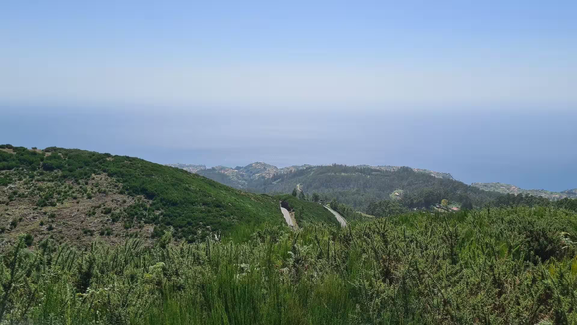
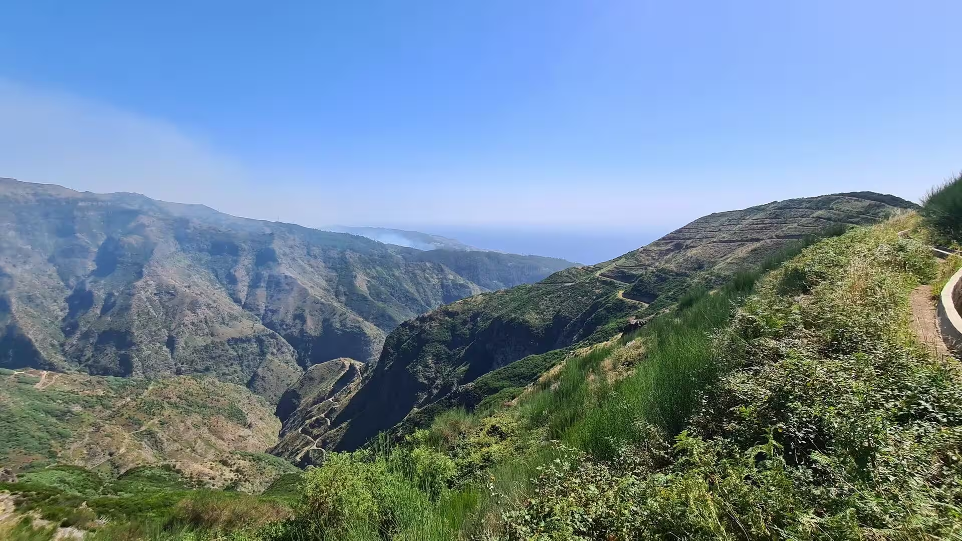
From the road that serves the western parishes the coastline appears in long stretches. The surface curves around the shoulders of the hills high above the sea, with small passing places on the verge where a vehicle can wait, and below the road the ground falls away through terraces to settlements that show as pale clusters in the haze. The roads link the parishes of the municipality. One route connects Paul do Mar with Porto Moniz, Santana, Calheta and Funchal to the east, a second follows the Atlantic towards Fajã da Ovelha and Jardim do Mar, and the Caminho das 25 Voltas scales the western cliffs in a series of bends towards Fajã da Ovelha.
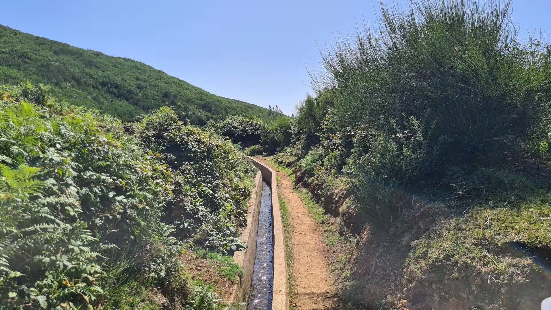
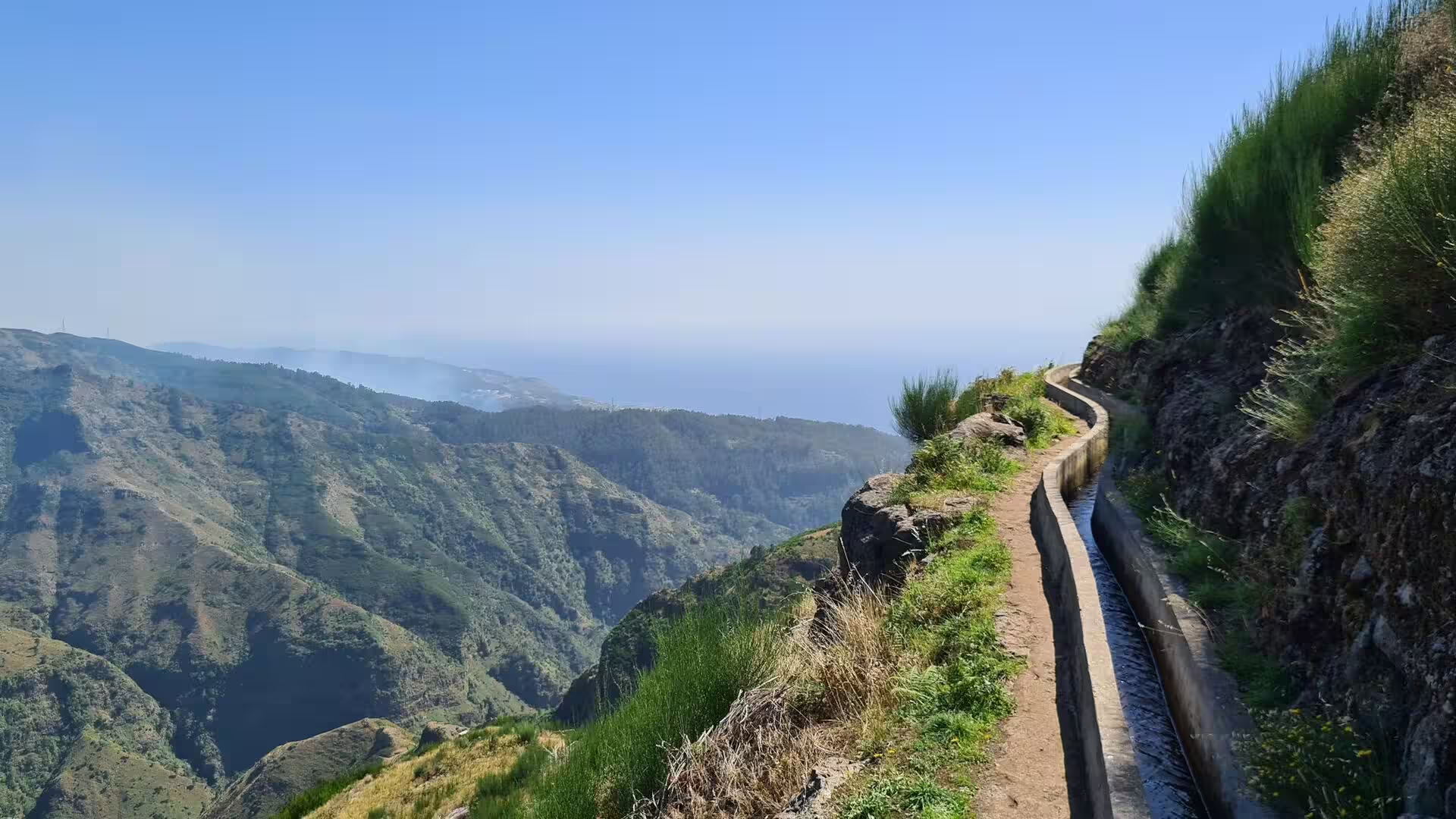
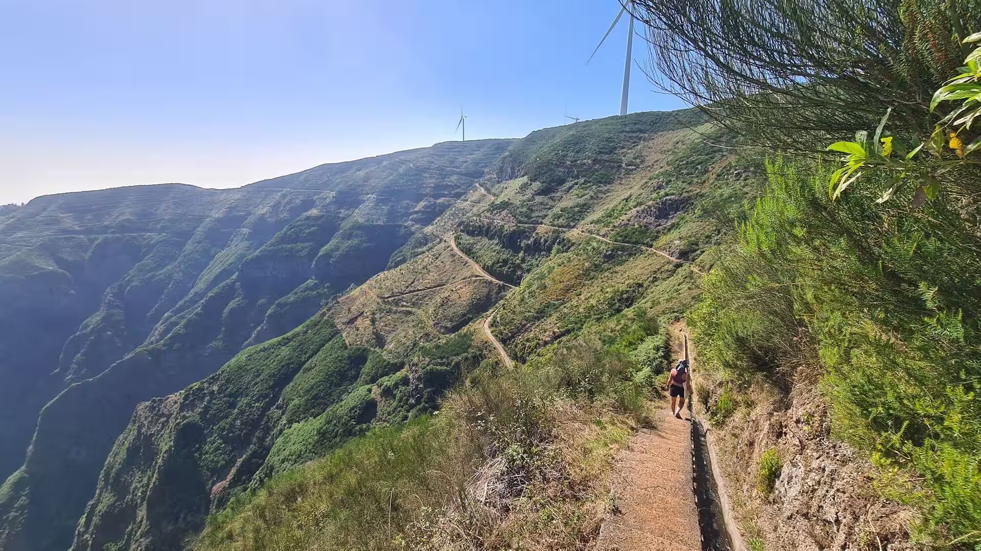
The levada is the central feature of the walk. The conduit is lined with concrete or stone, wide enough to be stepped across, and carries water across the hillside while a dirt footpath runs beside it on the downhill side. The path hugs the slope with the ocean far below, curves around spurs where only shrubs and rough rock grow, and narrows to a single track beside a low wall or a stone kerb. There is no steep ascent, because the gradient of the channel sets the pace, and the trail passes from shade into sun as the hillside turns.
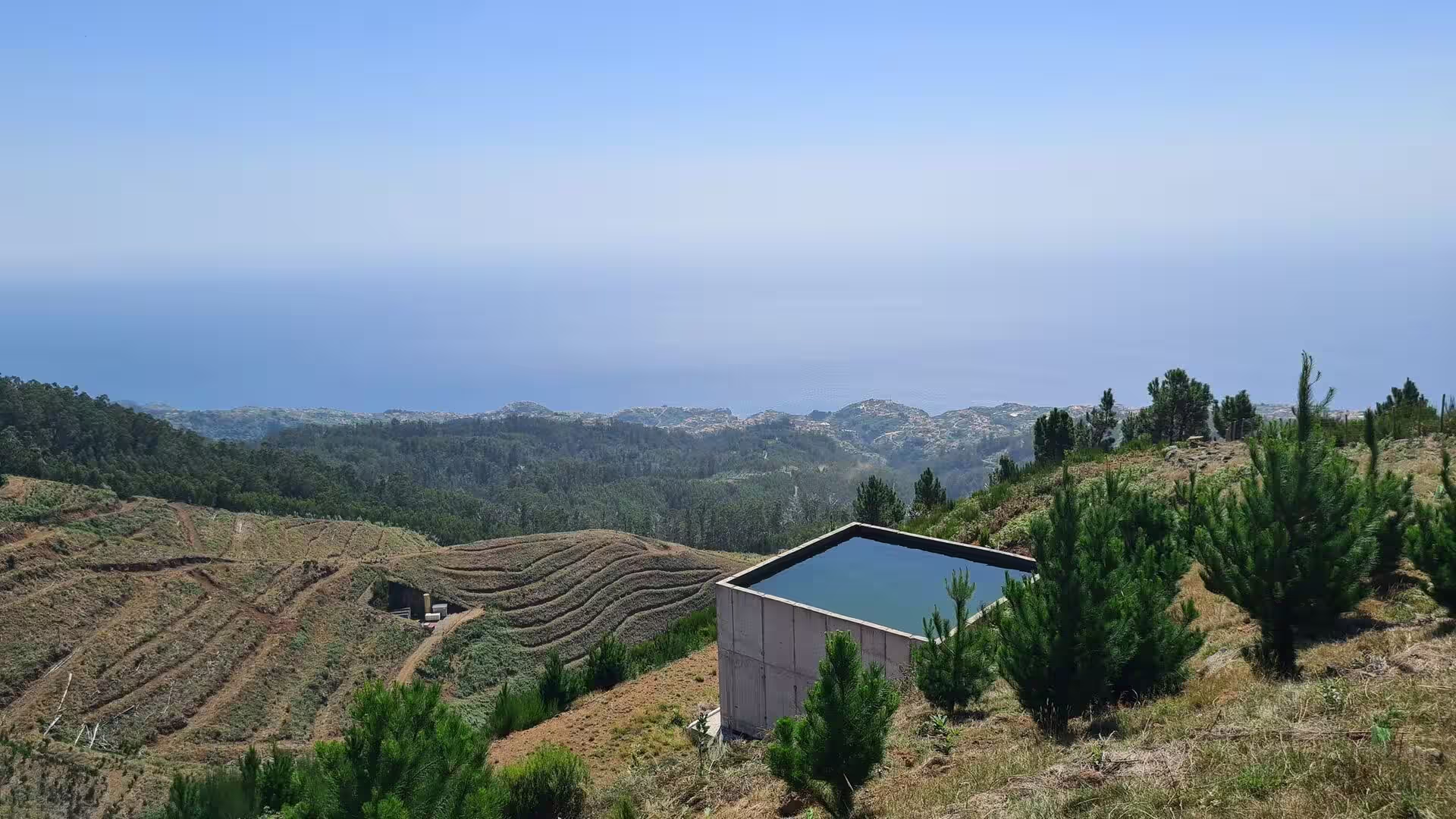
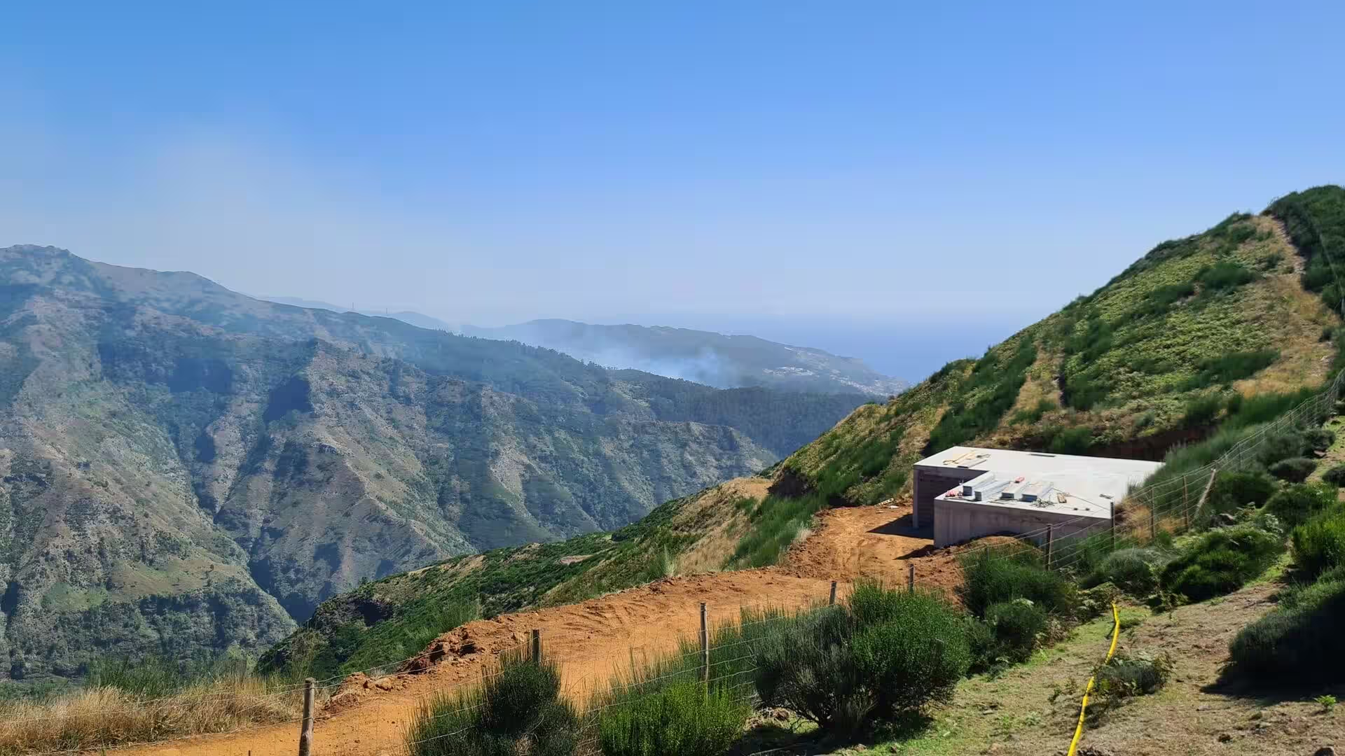
Where a ridge flattens, the system stores its water. A square concrete tank stands on a green shoulder above terraced fields and a hazy coast, and a dirt road passes a second concrete building and tank on a high ridge above a rocky valley. Water collected at higher elevations is held in such tanks and released under gravity to the fields and gardens below, which is why they occupy the highest convenient point of a cultivated slope. Around one bend of the channel a single dark tree crowns the ridge, the only vertical mark on a skyline otherwise formed of grass, rock and the pale line of the sea.
The cultivated landscape below the channels is built of terraces. Steep slopes are held by dry stone walls that create narrow fields, and the terraces are a record of the agricultural history of the island, since their construction and use can be dated through the soils that have accumulated behind the walls. Viticulture was planted on man made terraces of red and brown basaltic bedrock known as poios, very similar to those of the Douro. From the ridge the ground falls into a deep valley where the plots descend towards a distant village near the ocean, and further west the green ridges drop into a valley veiled in haze.
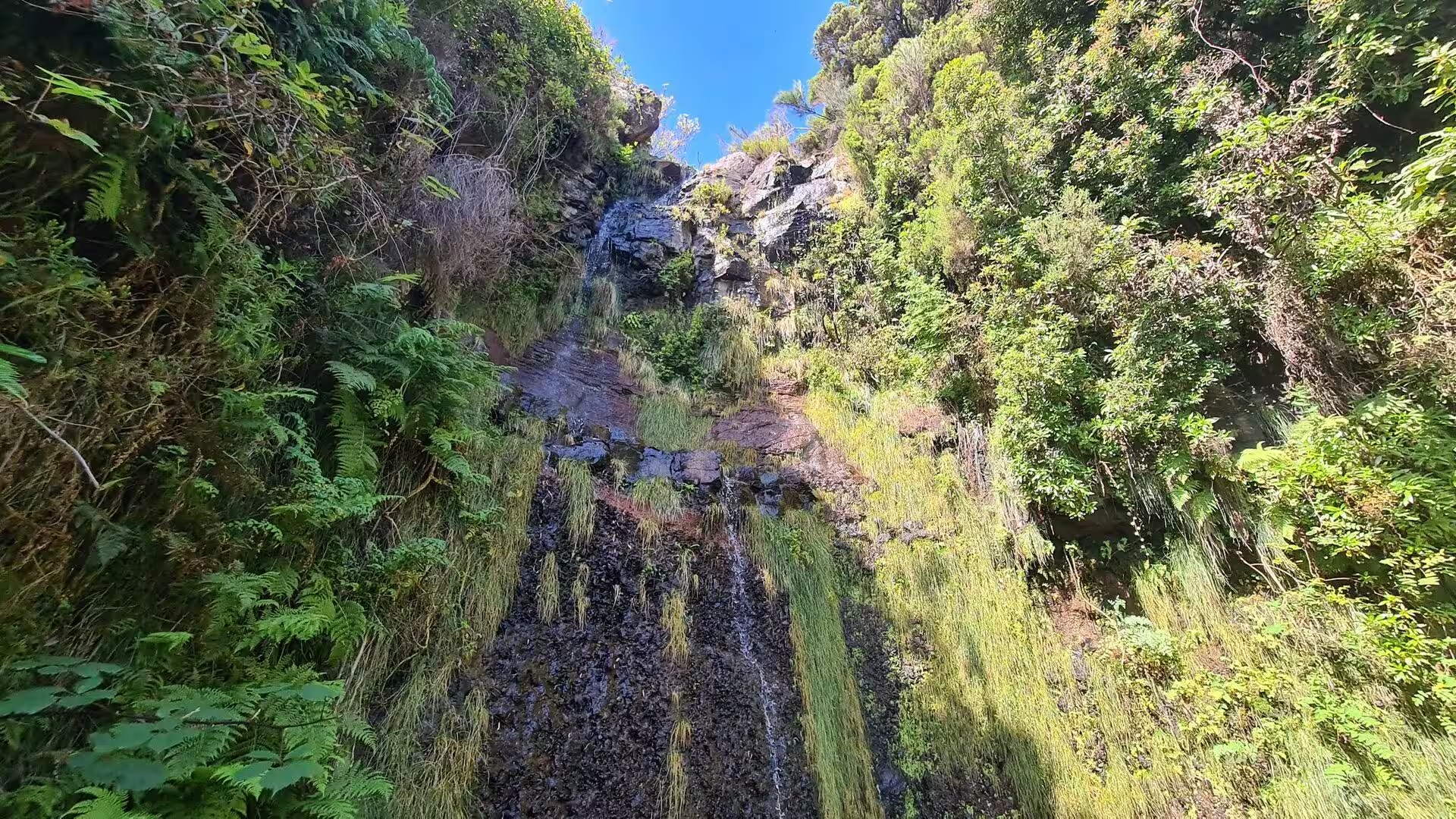
In the upper reaches a stream crosses the route. Water threads down a mossy rock face draped with ferns and empties into a quiet pool ringed by ferns and boulders, one of the places where the moisture of the interior is most evident. The constant presence of water along the channels supports mosses, ferns and lichens, and in humid zones the levadas become corridors between patches of laurel forest, a subtropical formation of evergreen trees with glossy, elongated leaves. The laurisilva of Madeira was designated a World Heritage Site in 1999, and palaeobotanical records show that such forest has existed on the island for at least 1.8 million years.
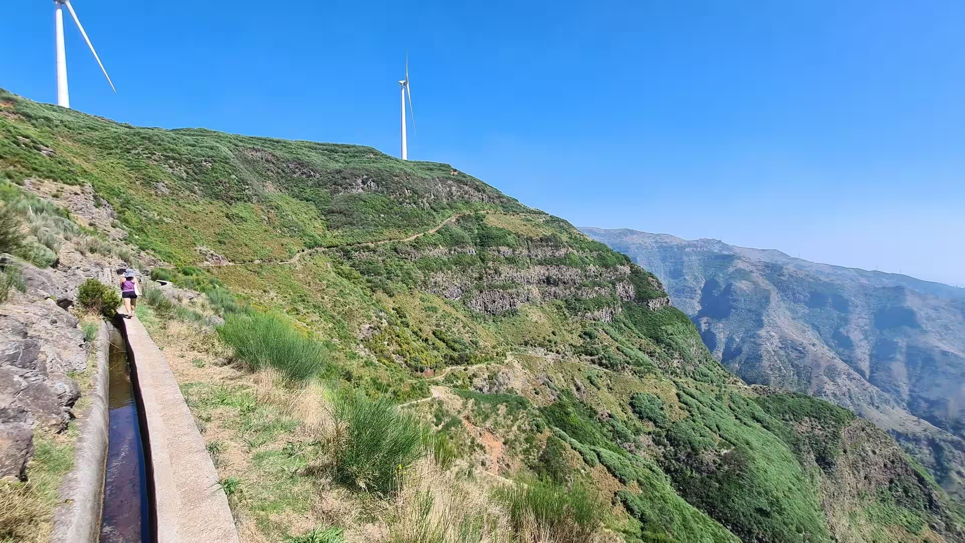
Above the woodland the trail reaches open ridges. A walker follows a mountain path beneath two white wind turbines, and further along the route edges a rocky peak before climbing a crest with more turbines in the distance. Virtually all wind energy produced on Madeira comes from installations on the plateau of Paul da Serra, and these ridges belong to the same system of renewable generation that the levadas supply with water. The path continues along the crest with views over successive valleys, and it can descend to the channel on the far side of the hill.
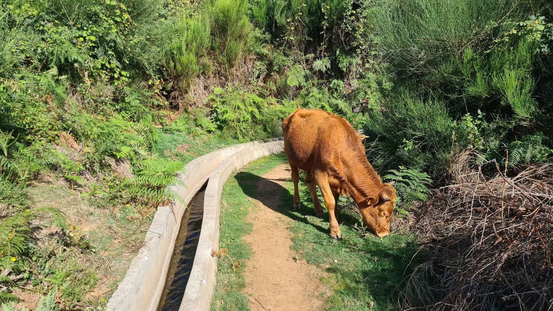
On the lower slopes cattle graze beside the water. A brown cow lowers its head next to a curving concrete channel, and a black cow stands squarely on a paved road cut through dense forest, an ordinary obstacle of the western parishes, where cattle are kept on smallholdings and on the higher pastures. Economic activity has moved through successive cycles that included the dairy industry, fireworks, salt, beekeeping and the refining of sugar cane, with ironworks that converted honey into aguardente among the enterprises of the region.
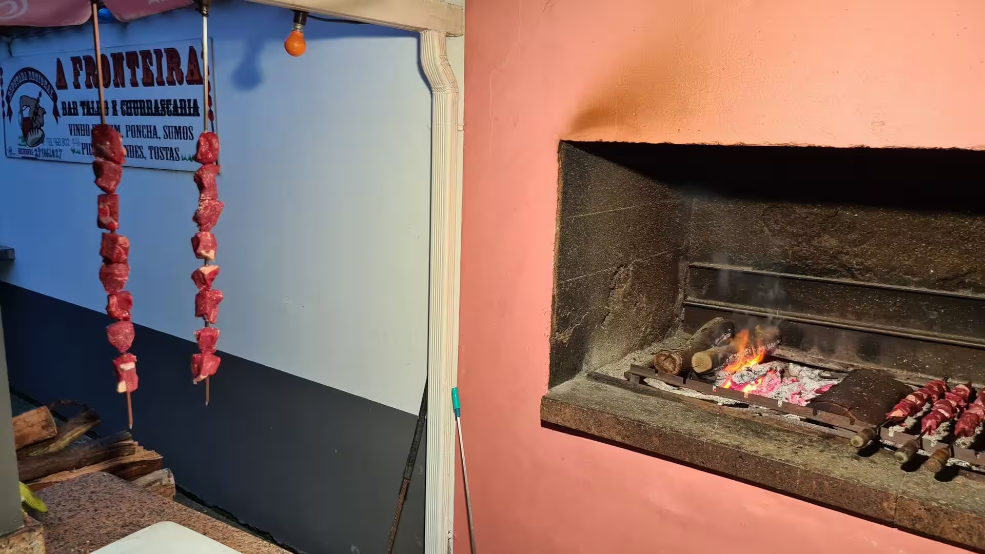
The day ends at a shared table. An open charcoal fire roasts skewers of meat beside a stacked pile of split logs, and the same skewers hang on hooks next to a stone fireplace burning with logs before they are served with salads, chips and cold drinks. Espetada is the emblematic dish of the island: pieces of beef cut into cubes and seasoned with salt, pepper, garlic and bay leaf, skewered on a stick of bay laurel and grilled over hot coals or wood chips. Bolo do caco, the round flatbread baked on a slab of basalt, is usually eaten with it, and milho frito, fried squares or triangles of firmly set polenta, soaks up the juices of the meat.
References
- Wikipedia contributors (2026). Levada. en.wikipedia.org/wiki/Levada
- Wikipedia contributors (2026). Madeira Island. en.wikipedia.org/wiki/Madeira_Island
- Wikipedia contributors (2026). Laurisilva. en.wikipedia.org/wiki/Laurisilva
- Wikipedia contributors (2026). Calheta, Madeira. en.wikipedia.org/wiki/Calheta%2C_Madeira
- Wikipedia contributors (2026). Paul do Mar. en.wikipedia.org/wiki/Paul_do_Mar
- Wikipedia contributors (2026). Jardim do Mar. en.wikipedia.org/wiki/Jardim_do_Mar
- Wikipedia contributors (2026). Estreito da Calheta. en.wikipedia.org/wiki/Estreito_da_Calheta
- Wikipedia contributors (2026). Prazeres, Madeira. en.wikipedia.org/wiki/Prazeres%2C_Madeira
- Wikipedia contributors (2026). Paul da Serra. en.wikipedia.org/wiki/Paul_da_Serra
- Wikipedia contributors (2026). Madeira wine. en.wikipedia.org/wiki/Madeira_wine
- Wikipedia contributors (2026). Macaronesia. en.wikipedia.org/wiki/Macaronesia
- Wikipedia contributors (2026). Madeira. en.wikipedia.org/wiki/Madeira
- Wikipedia contributors (2026). History of Madeira. en.wikipedia.org/wiki/History_of_Madeira
- Wikipedia contributors (2026). Madeira Nature Reserve. en.wikipedia.org/wiki/Madeira_Nature_Reserve
- Wikipedia contributors (2026). Espetada. en.wikipedia.org/wiki/Espetada
- Wikipedia contributors (2026). Milho frito. en.wikipedia.org/wiki/Milho_frito
- Kiesow, Bork (2017). Agricultural terraces as a proxy to landscape history on Madeira island, Portugal. Ler História. 71. 127-152. doi.org/10.4000/lerhistoria.2912
- Lopes, Fragoso, Lopes (2020). Heavy Rainfall Events and Mass Movements in the Funchal Area (Madeira, Portugal): Spatial Analysis and Susceptibility Assessment. Atmosphere. 11. 104. doi.org/10.3390/atmos11010104
- Santos, Quartau, Brum da Silveira, Ramalho (2019). Gravitational, erosional, sedimentary and volcanic processes on the submarine environment of Selvagens Islands (Madeira Archipelago, Portugal). Marine Geology. 415. 105945. doi.org/10.1016/j.margeo.2019.05.004
- Oliveira, Menezes, Jones (2006). The influence of fruit abundance on the use of forest and cultivated field habitats by the endemic Madeira laurel pigeon Columba trocaz: Implications for conservation. Biological Conservation. 130. 538-548. doi.org/10.1016/j.biocon.2006.01.016
- Valls, Mota, Vieira (2019). Opportunities for Slow Tourism in Madeira. Sustainability. 11. 4534. doi.org/10.3390/su11174534