Day 9


Journal Notes
General
Madeira is an archipelago in the North Atlantic, part of Macaronesia together with the Azores, the Canary Islands and Cape Verde. It sits on the African tectonic plate but is politically part of Portugal, and its 251,060 residents recorded in 2021 live mostly on the main island, where Funchal spreads along the sheltered south coast. The ninth stage of this series keeps to the wet side of that island: a walk beside an open water channel in the morning, a path along the sea cliffs in the afternoon, and a small coastal settlement at the end of the day.
Rain decides the geography of the day. The central ridge catches the moisture brought by the trade winds and forces it upward, so the northern valleys and the high plateau receive far more precipitation than the south coast, and the difference is legible in the vegetation within a few kilometres. A route that starts under dripping laurel trees and ends above a sunlit shore therefore describes the island itself. The middle hours pass a tunnel cut in rock, a bridge above a gorge and ledges built for the water.
Waymarked long distance paths carry the prefix PR and are maintained and signposted by the regional authorities. Access to the highest ground is regulated: on PR1 and PR1.2 visitors over the age of twelve pay three euros, and at peak times up to a thousand people a day pass the summit of Pico do Areeiro, where a road, a large car park, a restaurant and a souvenir shop make the high country unusually easy to reach. The paths of this day are quieter, but they belong to the same network.
The backbone of that network is the levada. These stone pipes span thousands of kilometres and date back to the fifteenth century; they transport rainwater from the northern regions to the south, where it serves human consumption, agriculture and the production of electricity. The Socorridos hydroelectric power station, fed by water conveyed through the levadas, is the island’s principal hydraulic system, and later work enlarged the storage capacity with a tunnel of 5.4 kilometres and further mountain tunnels. Beside every channel runs the narrow service path of the keepers, and those paths are now the walking routes.
Conditions change quickly with altitude. Madeira has a mild and moderate climate, and the relief produces a series of microclimates: the plateau above the central massif counts more than 240 foggy days in a year while the southern coast below may stay clear at the same hour, and snow falls on the high ground in most winters. Waterproof clothing, boots with grip and a margin of several hours in the schedule are the ordinary precautions on channels and cliff paths, where wet stone and sudden gusts are the usual difficulties.
History
The recorded history of Madeira begins in 1419, when two captains of Prince Henry the Navigator, João Gonçalves Zarco and Tristão Vaz Teixeira, were driven by a storm to the island they named Porto Santo in gratitude for their rescue from shipwreck. An expedition was sent out the following year to populate that island, and, having reports of a larger land nearby, the captains took possession of Madeira for the Portuguese crown together with Bartolomeu Perestrello. The archipelago belonged to the Order of Christ, which promoted its settlement, and the first families arrived in 1420; the name Ilha da Madeira appears on a map for the first time in a document of September 1433.
The three captain majors led their families, a small group of the minor nobility, people of modest condition and some former prisoners of the kingdom. The majority of the settlers were fishermen and peasant farmers who left Portugal after the Black Death, at a time when the best farmland at home was held by the nobility. To gain ground for agriculture they cut into the dense laurel forest and set it alight, and the fires are said to have burned for seven years. Fish made up about half of their diet at first, together with vegetables and fruit, and wheat became the first crop of real success.
Water was the second problem. In some parts of the island there was water in excess, in others too little, and the settlers therefore built a large number of canals, the levadas. From the middle of the fifteenth century sugar cane changed the economy: the plant was rare in Europe and treated as a spice, Sicilian know how came with it, and merchants from Italy, the Basque country, Catalonia and Flanders followed. Enslaved workers were critical to the sugar boom, which peaked about 1506; they laboured in the cane fields and the mills and in the construction and maintenance of the levadas, which remain one of the most distinctive features of the Madeiran landscape.
The first enslaved people came in 1452, Berbers and Guanches from the nearby Canary Islands, and exiled convicts known as degredados were also part of the workforce. Their numbers declined in the sixteenth century as the industry that used them moved on. Records list 2,232 slave owners on the island between 1400 and 1700, of whom 89 percent held between one and five people, while the largest holding was fourteen. Sugar gave way to wine from the seventeenth century, and the canal system continued to supply the terraced plots on which vines and vegetables were grown.
In the eighteenth century Madeira wine became the most popular luxury drink of the colonial Western Hemisphere, and the American colonies took as much as 95 percent of the wine produced on the island in some years. English merchants settled in Funchal and controlled the trade. The first tourist guide to Madeira appeared in 1850. British forces occupied the island in 1801 and again from 1807 to 1814. In December 1916 a German submarine entered Funchal harbour and sank three ships. After the revolution of 1974, Portugal granted the region political autonomy on 1 July 1976, and tourism now contributes 20 percent of its economic output.
Geology
Madeira is the top of a massive submerged shield volcano that rises from the floor of the Atlantic on the Tore underwater mountain range. Growth began along an east to west rift in the oceanic crust during the Miocene, about five million years ago, and continued into the Pleistocene; the island was substantially complete 700,000 years ago. After that long pause, volcanic activity resumed on the west central part only 6,500 years ago and built cinder cones and lava flows on the older, already eroded shield. Basalt dominates the rock, and the cliffs, the ravines and the ridges all belong to the same volcanic mass.
Erosion then shaped the island. Prolonged rainfall and running water cut two large amphitheatres that open toward the south in the central part, and the same processes carved the valleys and ravines that run from the central spine to the coast, making the interior generally inaccessible. Daily life is concentrated in the villages at the mouths of those ravines, through which the heavy rain of autumn and winter travels to the sea. A calcareous layer near Lameiros in São Vicente, later quarried for calcium oxide, preserves the marine remains of an early phase when the young island was circled by reefs.
The high ground belongs to heath and rock. Pico Ruivo is the highest point of the archipelago and can be reached only on foot, either from Pico do Areeiro or by a shorter trail from Achada do Teixeira; a shelter north of the summit, renovated in 2019, provides running water, restrooms and meals. The marked routes cross areas of the Natura 2000 network, the Central Mountain Massif and the laurel forest, and the birds of that zone include the Madeira firecrest, the chaffinch and the linnet. Monumental rock formations rise out of the cloud, and on clear days Porto Santo and the Desertas appear on the horizon.
Water on Madeira is a question of catchment. Paul da Serra, the largest and most extensive plateau of the island, lies in the municipality of Ponta do Sol and is regarded as the most important area of groundwater recharge; its planar structure lets a large share of the heavy annual rainfall sink into the ground and slows the runoff toward the coast. More than 240 foggy days a year add to the total. The ground cover is underbrush of bracken, broom, gorse and St John’s wort, with a thyme that is endemic to the central massif, and heather has been returning slowly since grazing was abandoned under environmental policy. Nearly all wind energy of the island is produced here.
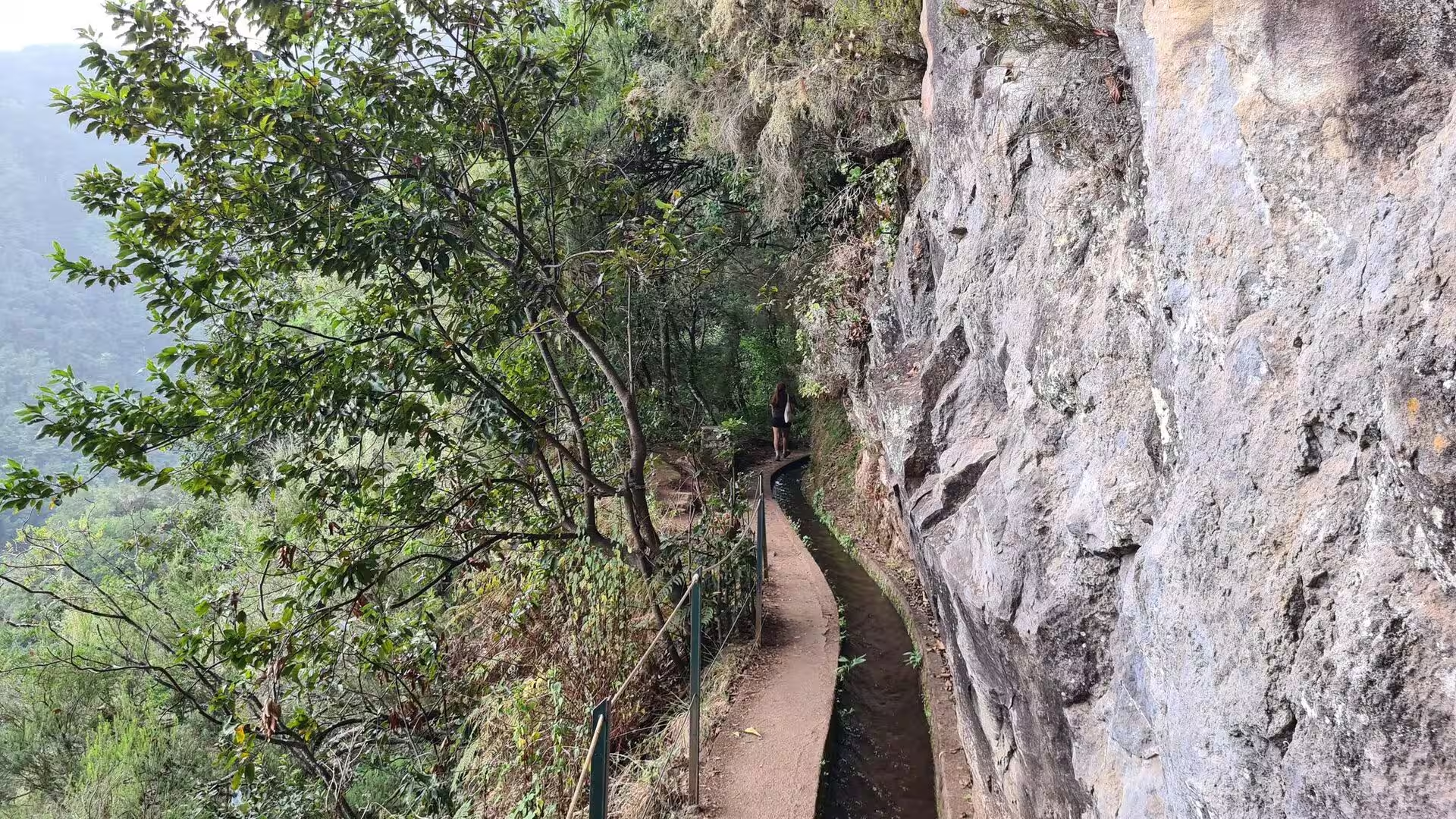
The forms of the walk itself follow the same logic. The channels are cut with a gentle gradient so that the water moves steadily, and their service paths cross slopes that would otherwise be impassable, on steps, low walls and short tunnels. The soils beside them are thin and rich in leaf litter, and the sustainability of forest soils is a subject of its own in the research on the island. At the coast, sea cliffs such as Cabo Girão rise straight from the water, valleys and ravines meet the sea abruptly, and the ocean works along the fractures of the lava, leaving vertical faces and detached rock towers.
Things to See
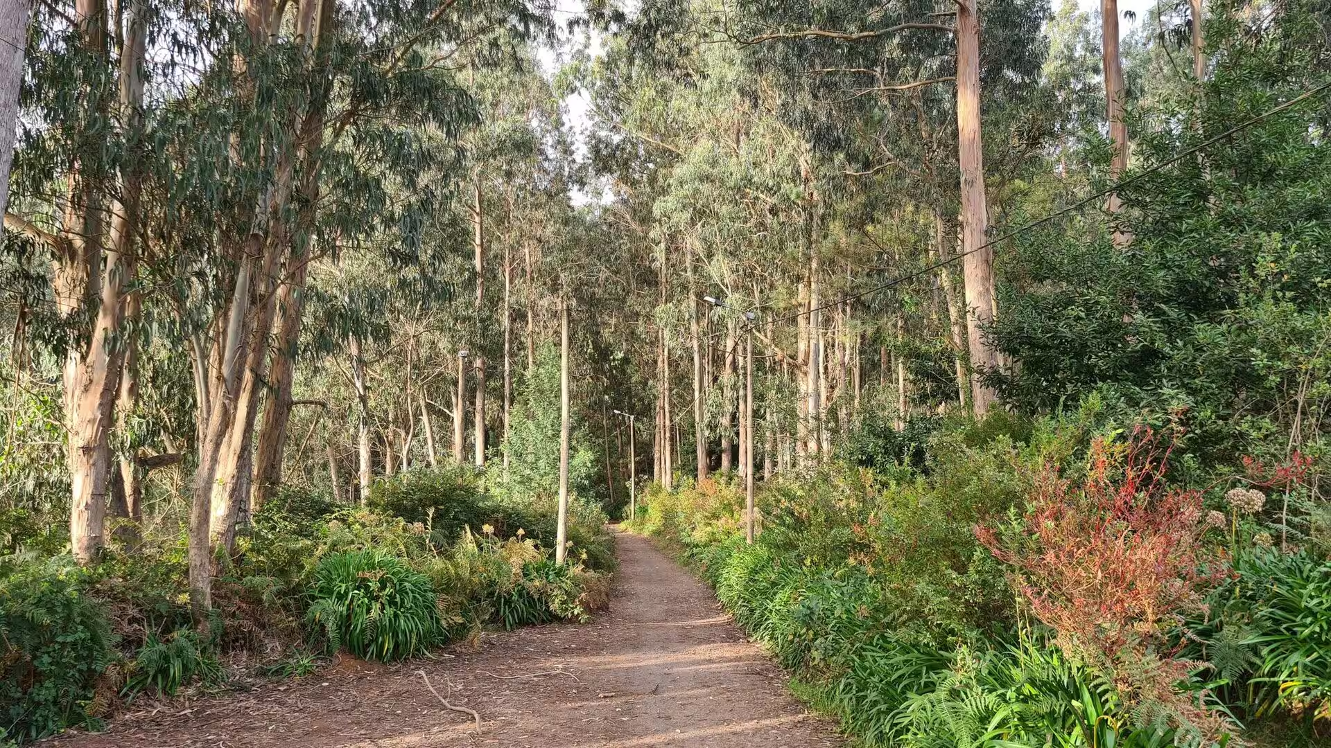
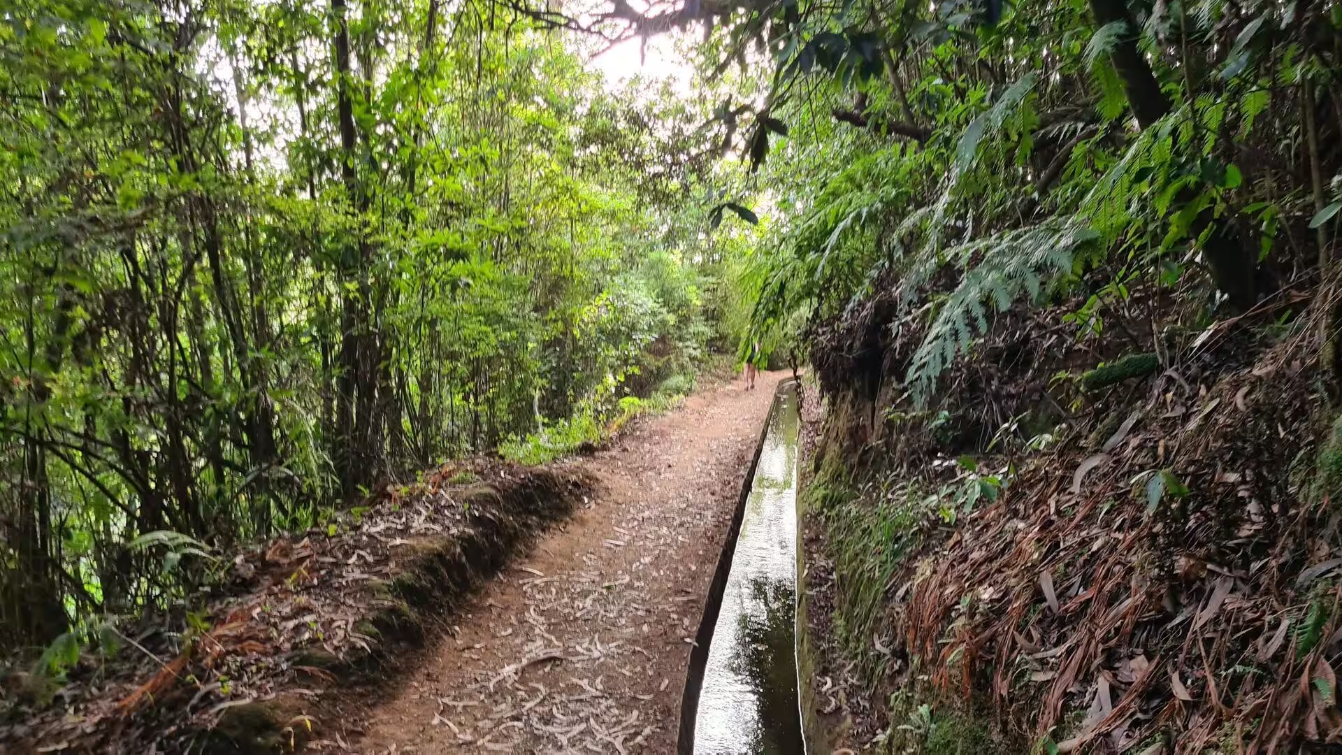
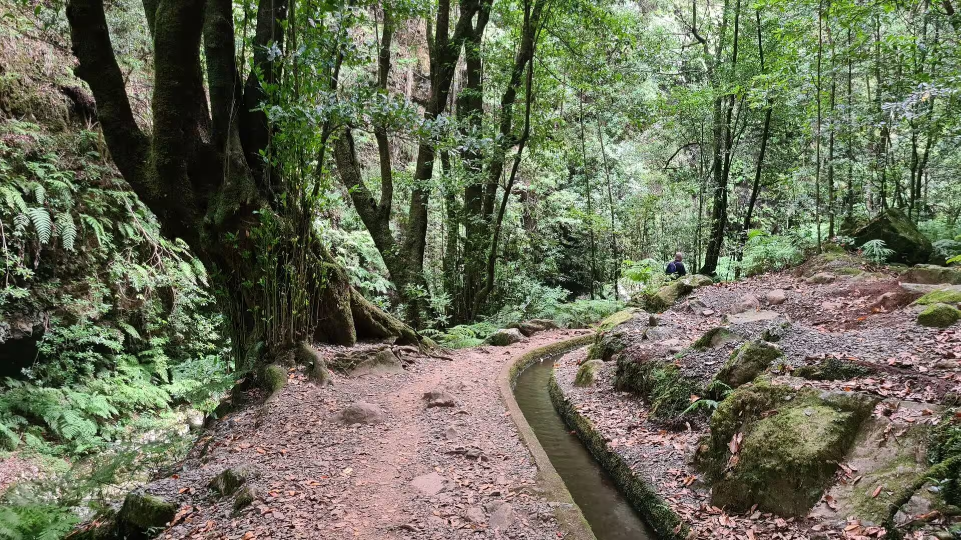
The walk begins on a broad dirt path between tall straight trunks and leafy undergrowth in dappled light. This is laurel forest, the subtropical woodland that once covered much of the island and survives best on the wet northern slopes, where it is protected as a UNESCO World Heritage Site and where the paleobotanical record shows forest of this type for at least 1.8 million years. The til, Ocotea foetens, is among its common trees: evergreen, able to reach forty metres, often branching from the base into several trunks, with leathery glossy leaves and dark hard wood that smells strongly when it is freshly cut. Its berries feed the endemic Madeira laurel pigeon.
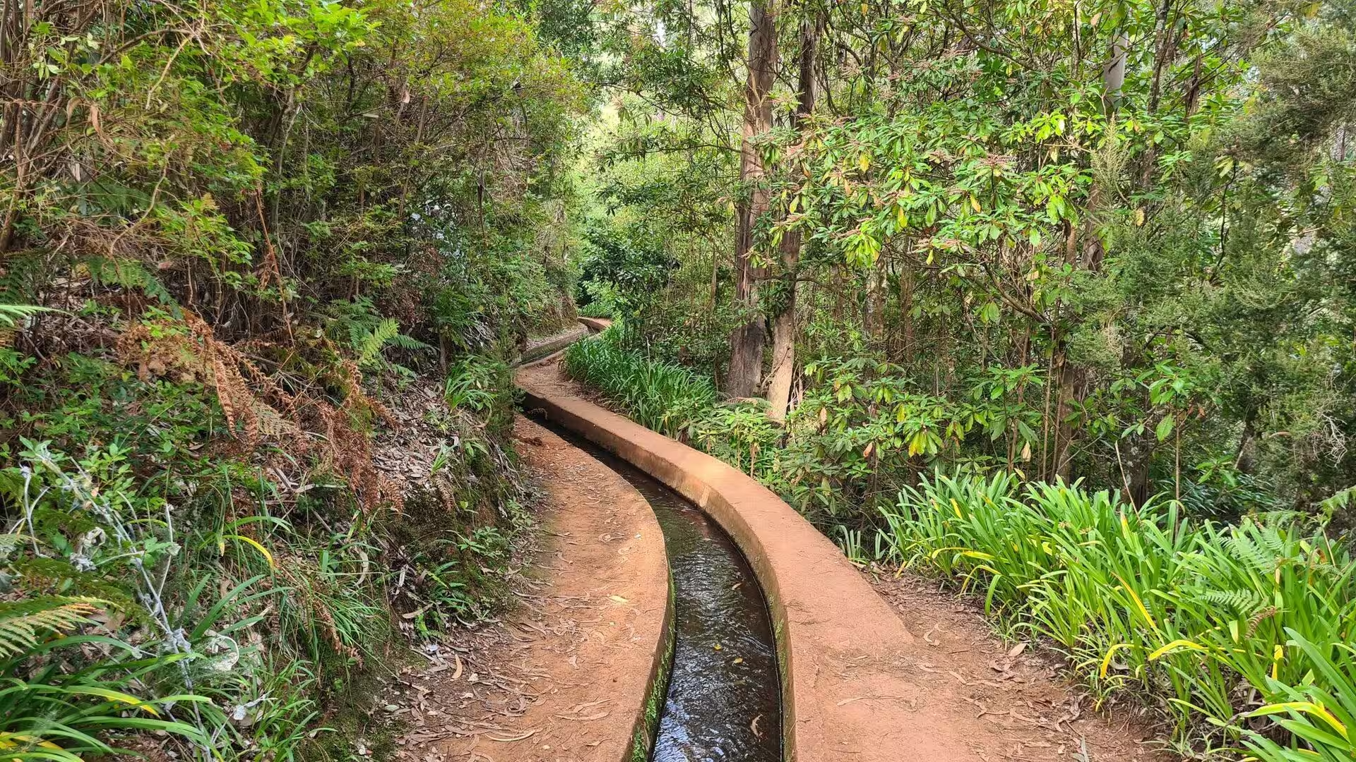
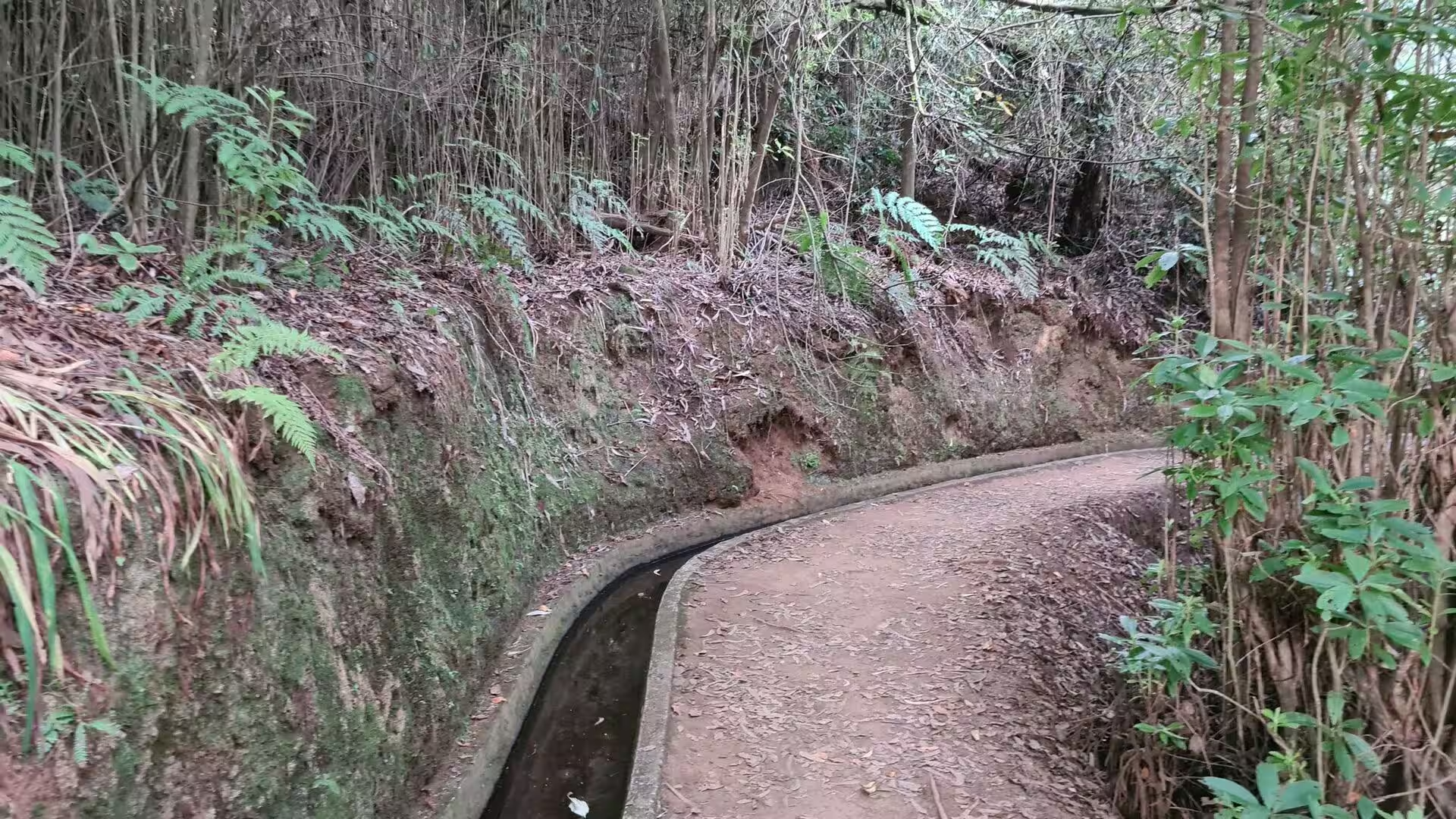
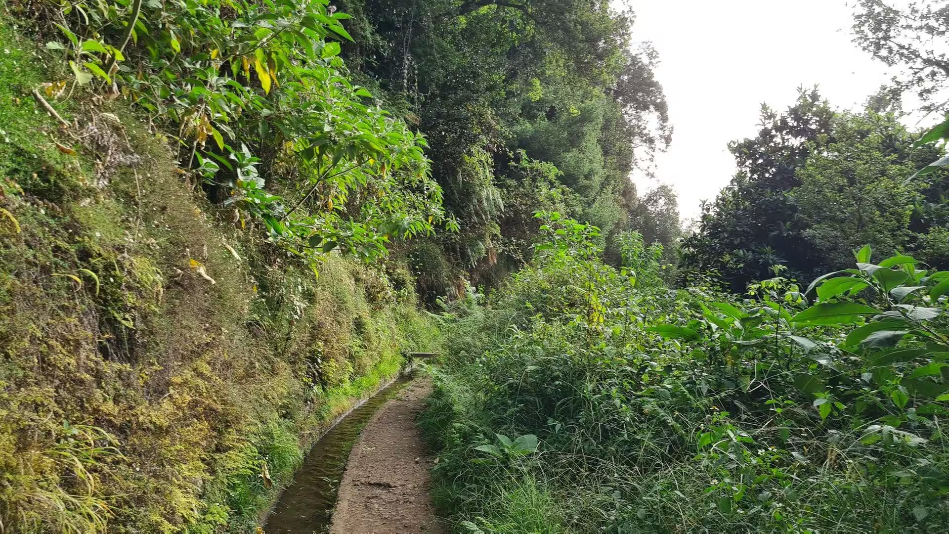
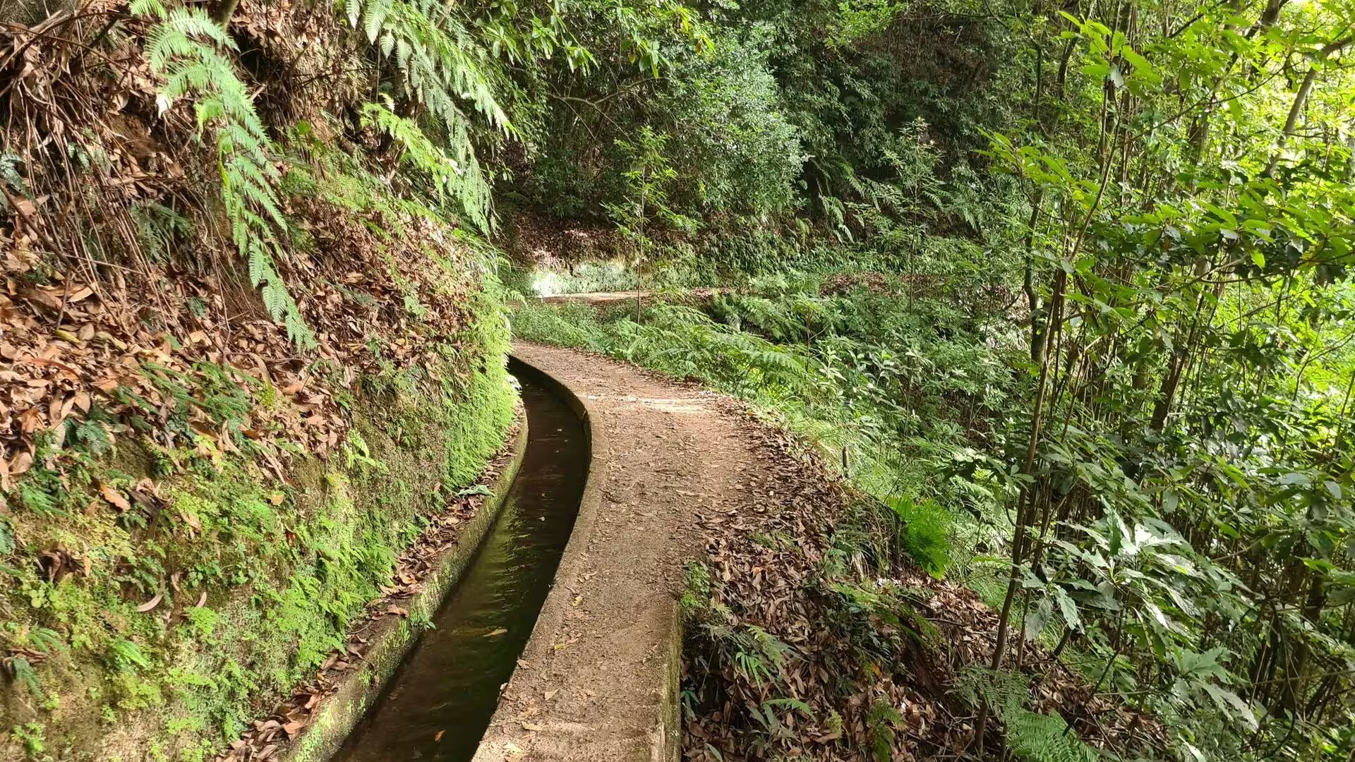
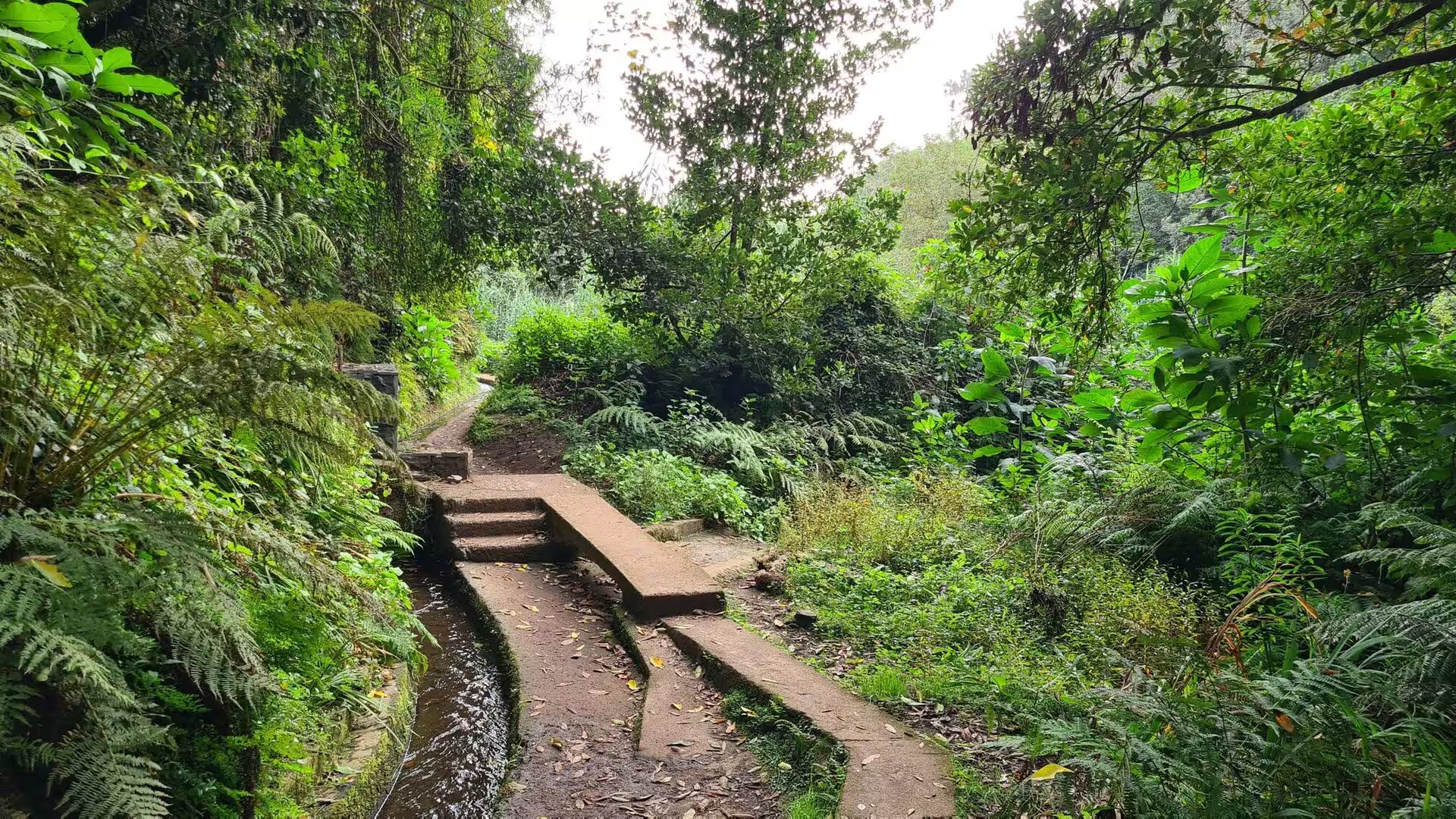
Within a few minutes the path meets the reason for its existence, a narrow channel of flowing water that curves through the woodland beside the trail. The levadas are open aqueducts of great total length, and their gradient is gentle by design, so the water moves steadily and the walking beside them stays easy even where the surrounding ground is steep. The flow is divided and measured at small stone basins, and the channels are cleaned by hand after heavy rain. None of this is scenery left over from another age: the dry south of the island still depends on this quiet transfer of water across the ridges.
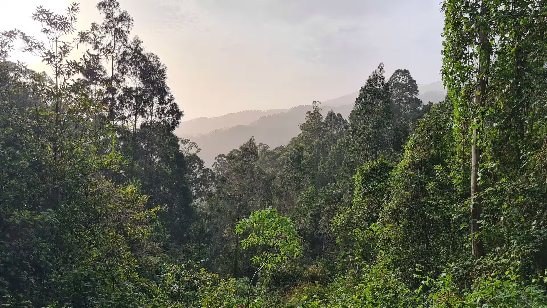
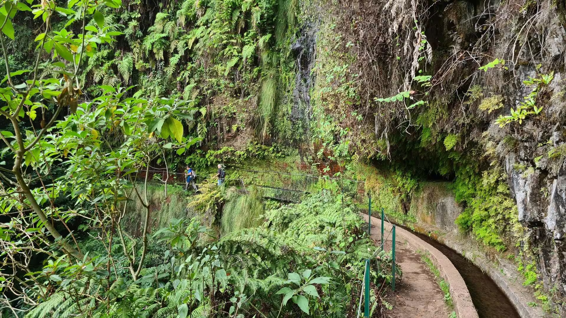
In the wettest sections, banks of fern and stands of bamboo press in from both sides and the air under the canopy stays cool and humid. The laurel forest of Macaronesia is a mountain cloud forest of relict species, a vegetation type that covered much of the Mediterranean basin when that region was more humid; many of the plants and animals here are endemic, and much of the original cover has been displaced by clearing and introduced species.
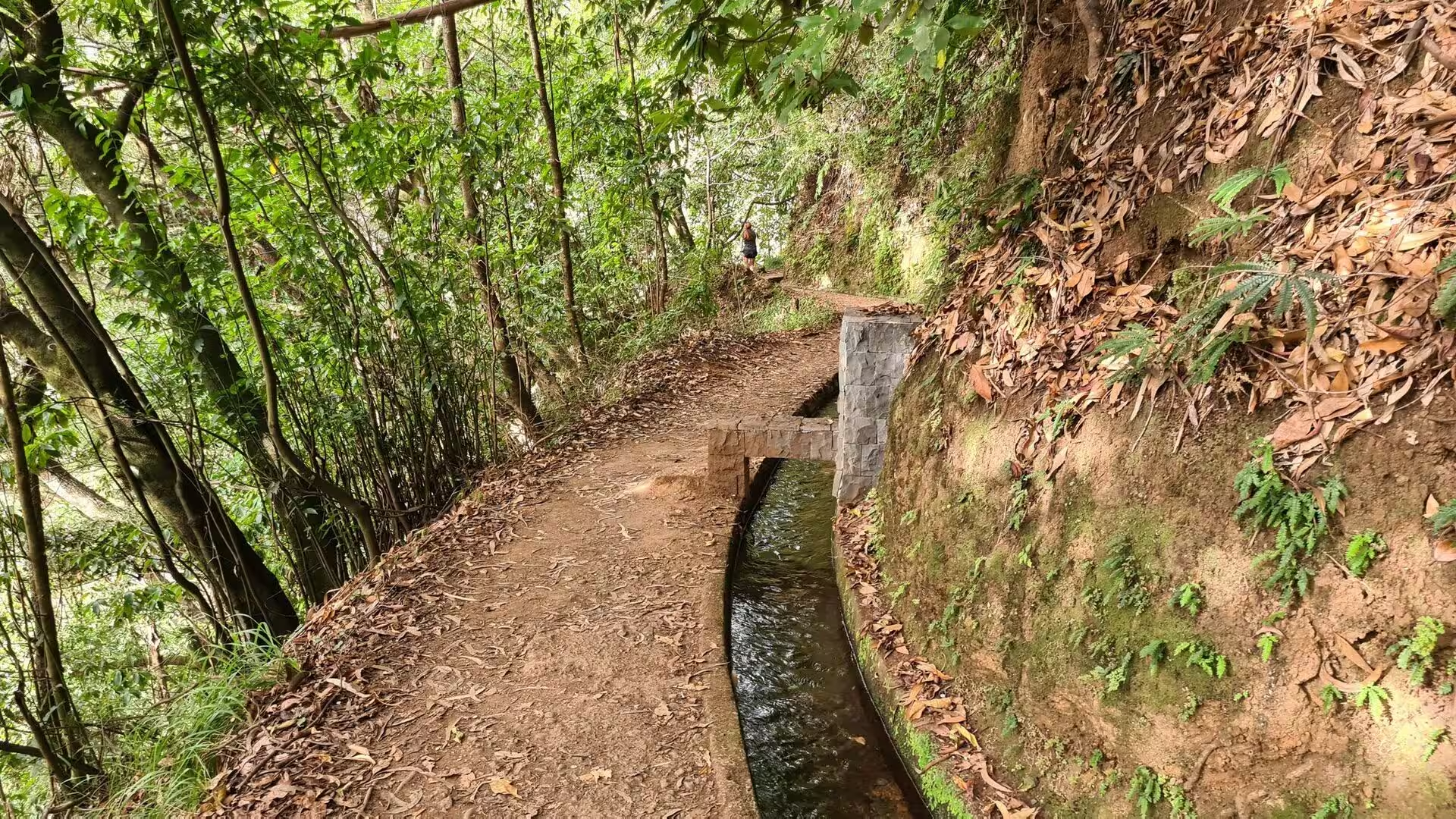
Where the ground falls away, the channel is held by stonework and the route follows it on steps and narrow ledges. At one point two paths curve around a U shaped stone water channel beneath the trees, a place where the flow is divided before it continues downhill. Such details explain the shape of the walk: the trail is not a scenic detour but the maintenance line of an aqueduct, and the steps, low walls and basins were built for people carrying tools and timber along the slope. The route stays within reach of the stone kerb of the channel, which gives both the direction and the firmest footing of the morning.
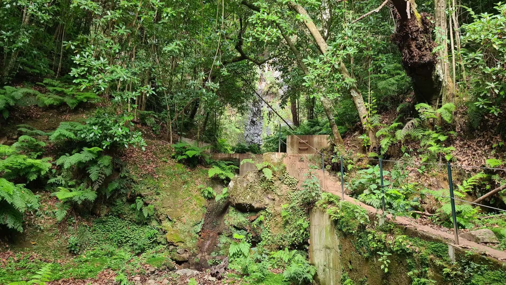
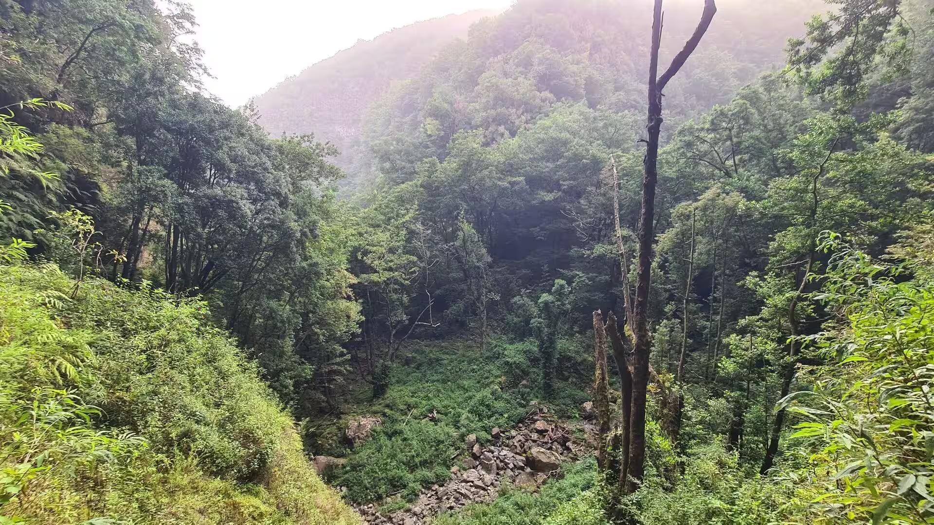
Further on the path enters a dark tunnel cut through the rock face and later crosses a narrow bridge with metal railings above a gorge where ferns and trees close over the water. At the bottom of the valley a rocky stream bed carries the runoff of the slopes after rain. The streams of the wet north descend steeply, and in the course of a single day the same water may pass a chain of channels, a set of terraced plots and finally the sea. Tunnels and bridges are the practical answer to that relief, and they are the sections that stay wettest underfoot.
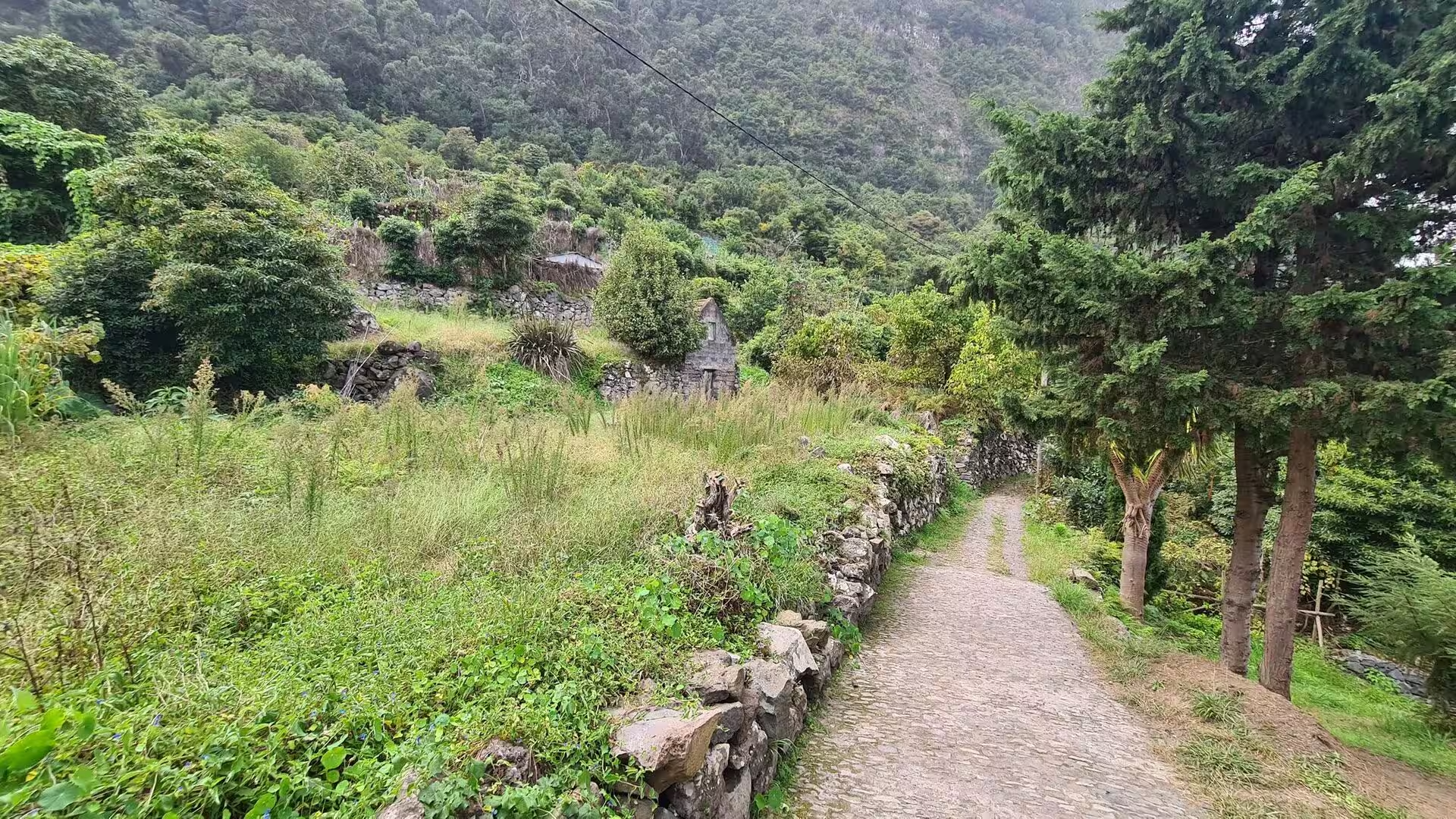
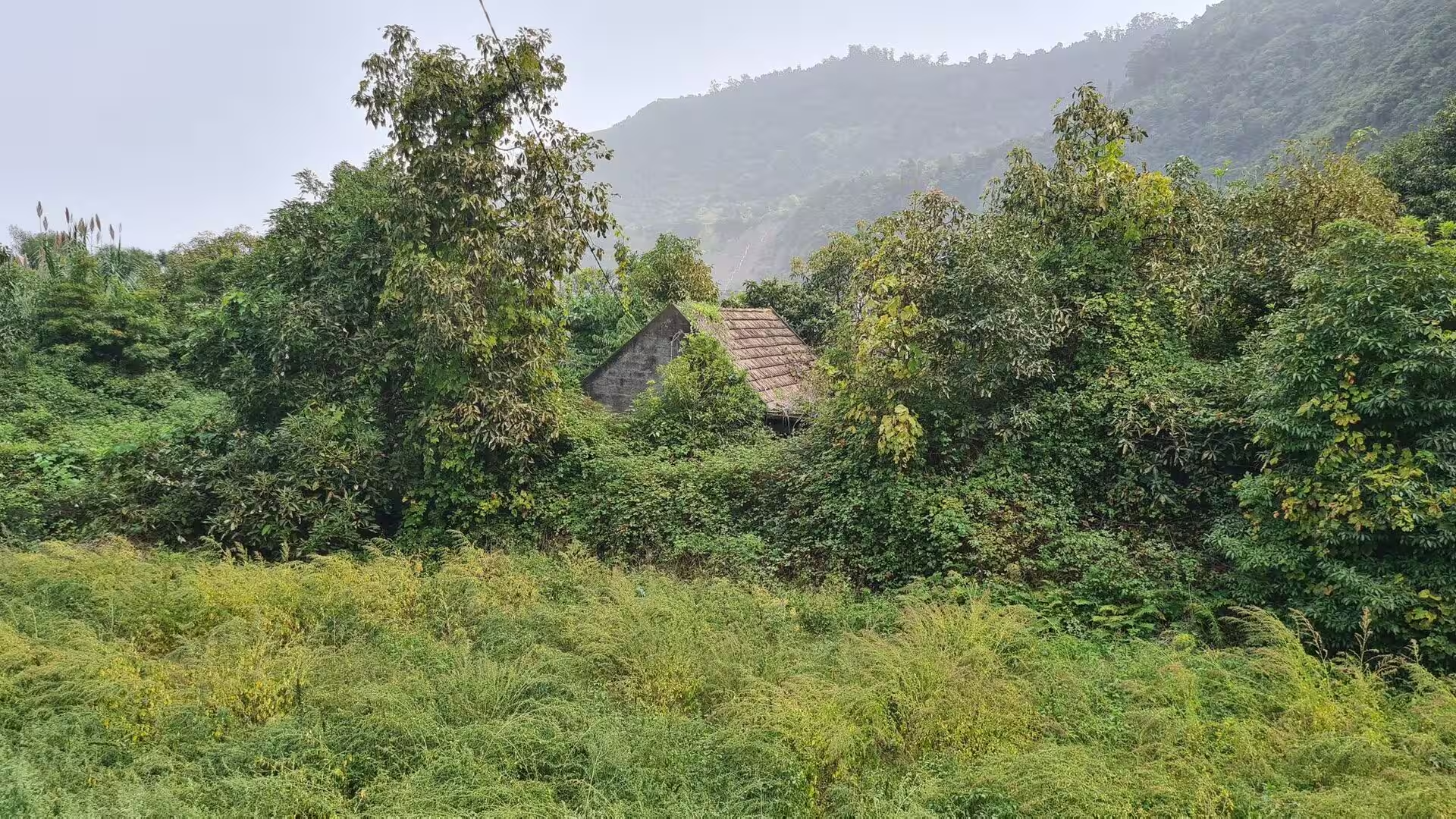
A small stone structure built into the forest hillside stands close to the trail, one of the modest buildings that belong to the water economy, and further along a cobbled path runs past a stone wall and the ruined shell of a building among green hills. Masonry cut from local basalt outlasts almost everything raised beside it, and the pattern repeats across the island: small houses at the head of the valleys, chapels at the junctions and low walls along the plots.
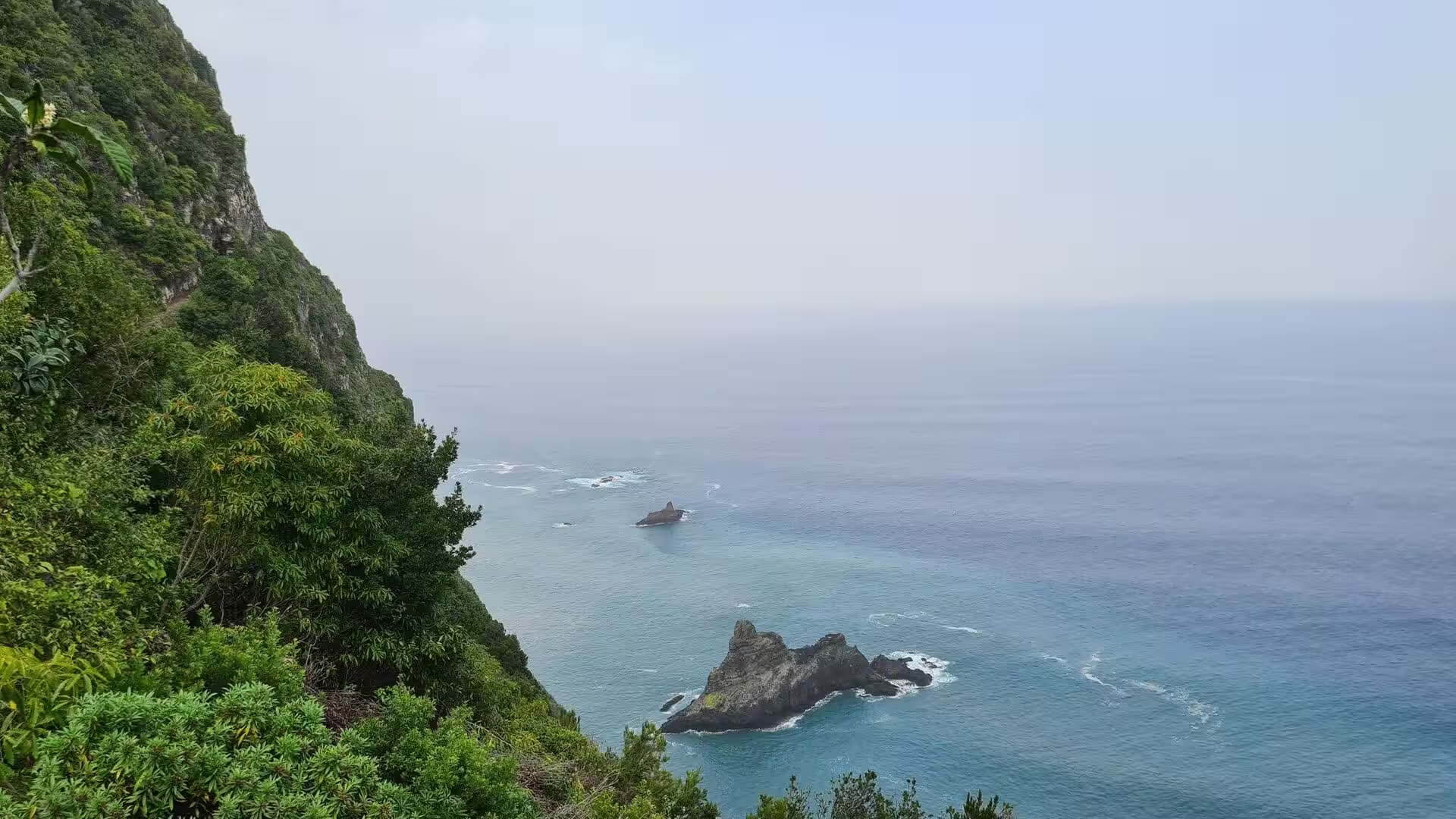
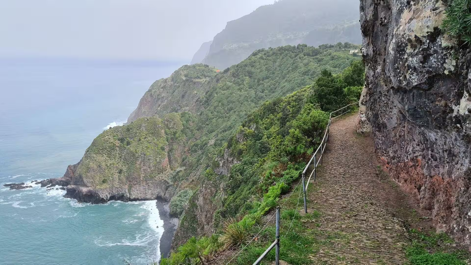
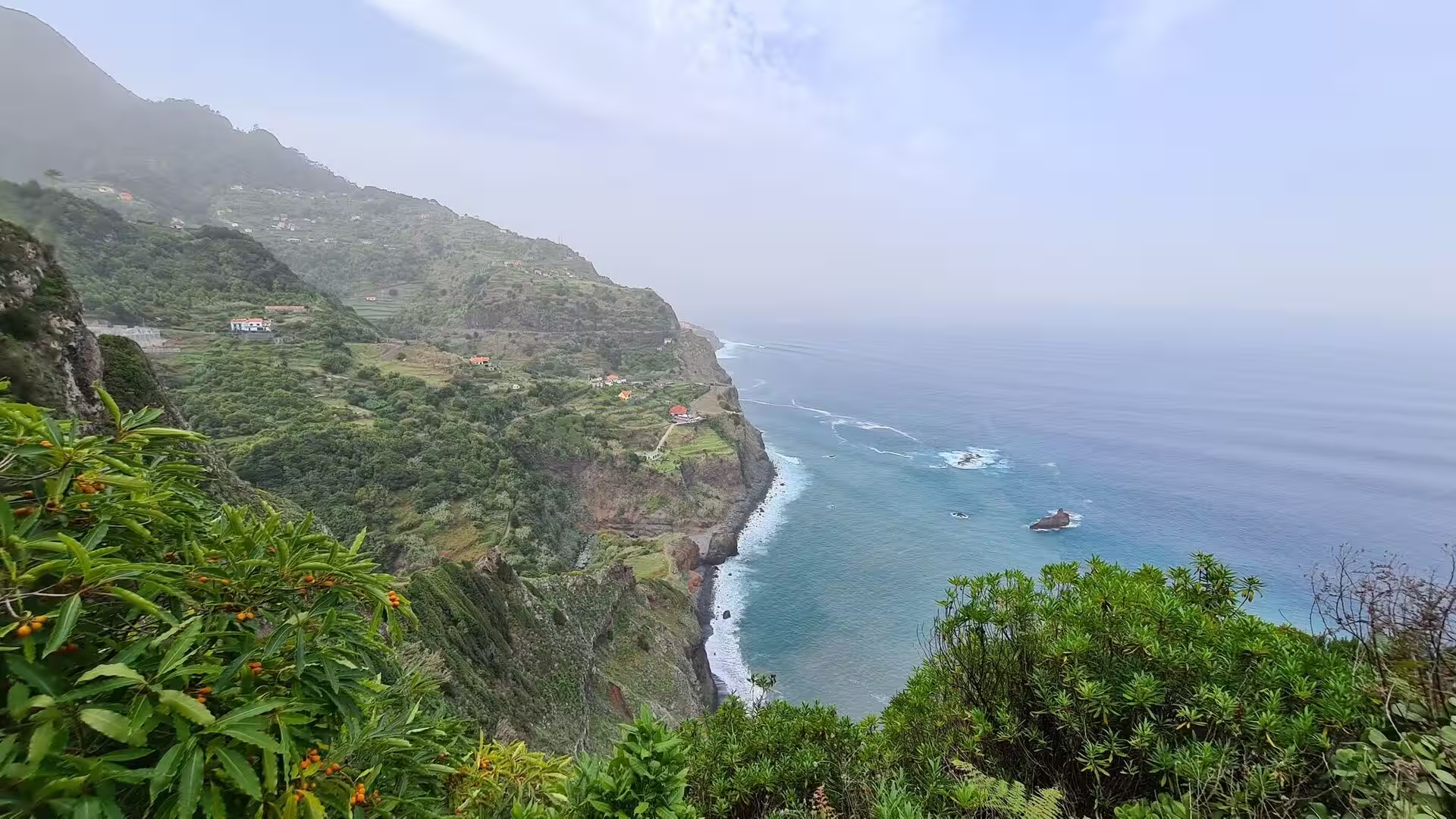
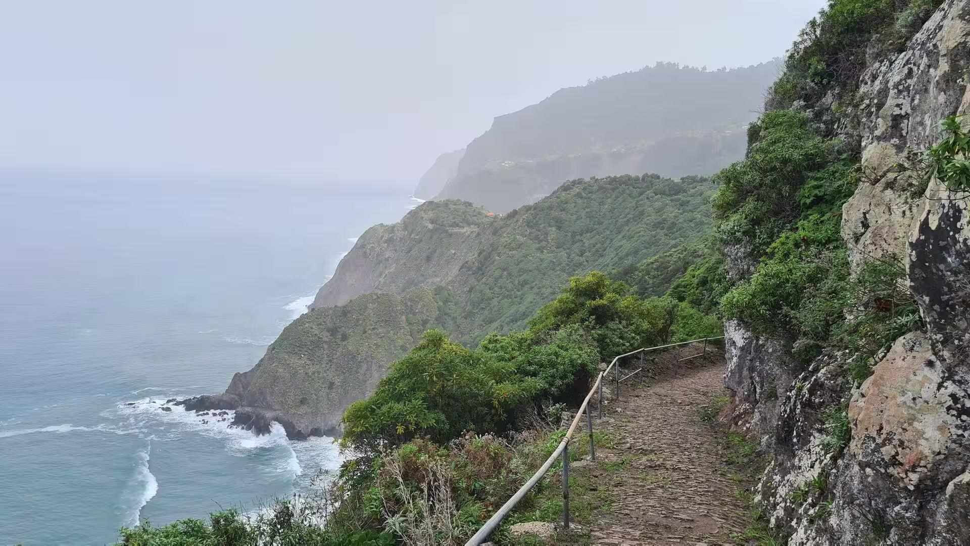
Later the route changes character. A stone footpath with a metal railing follows the edge of a sheer cliff, the surf breaks far below, and the view takes in rugged cliff walls, blue water with a few boats and a lone rock offshore. The sea cliffs of the island extend from the central spine to the water, and from the path their structure is legible: horizontal layers of lava, vertical joints, and the gaps where the sea has removed the weaker rock first. The wind is stronger here, the ground falls away without warning, and the railing is the only barrier between the path and the water.
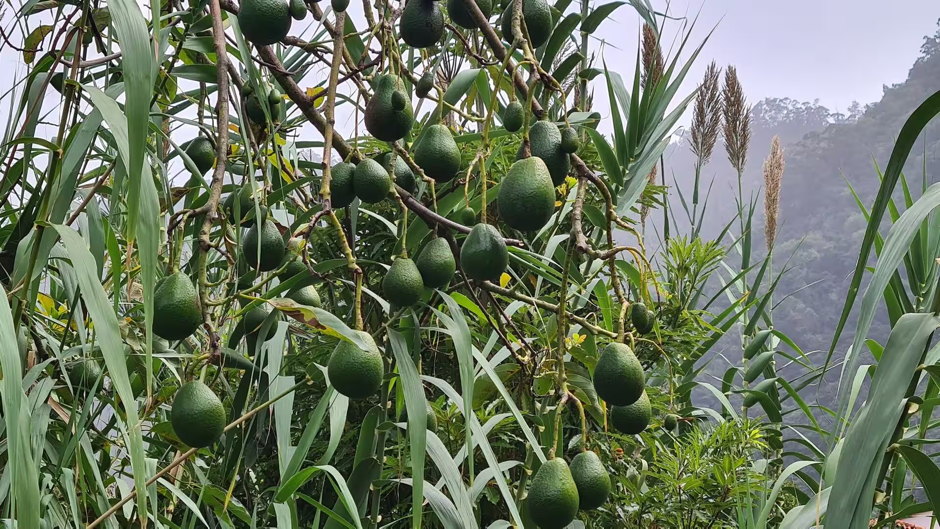
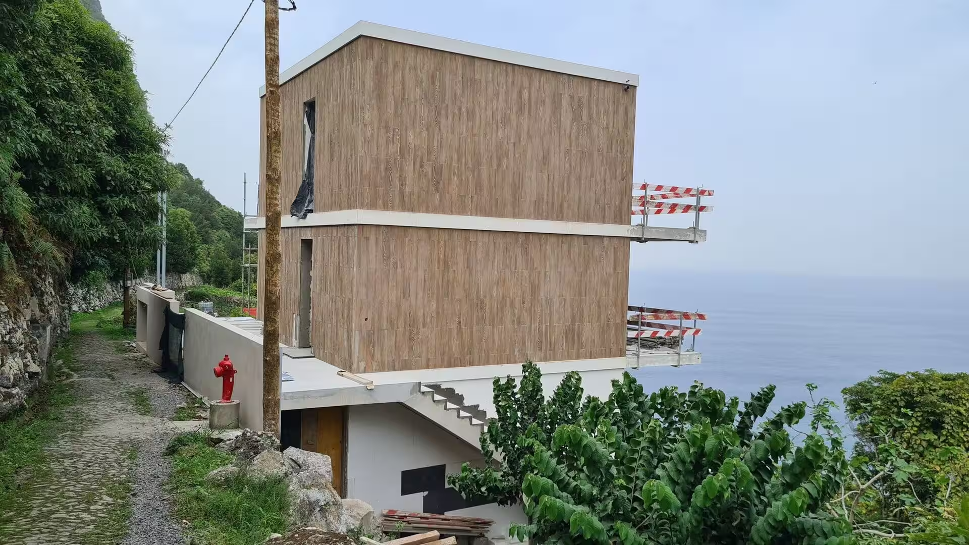
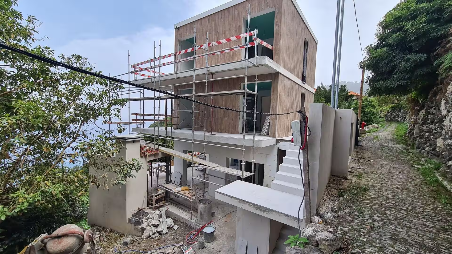
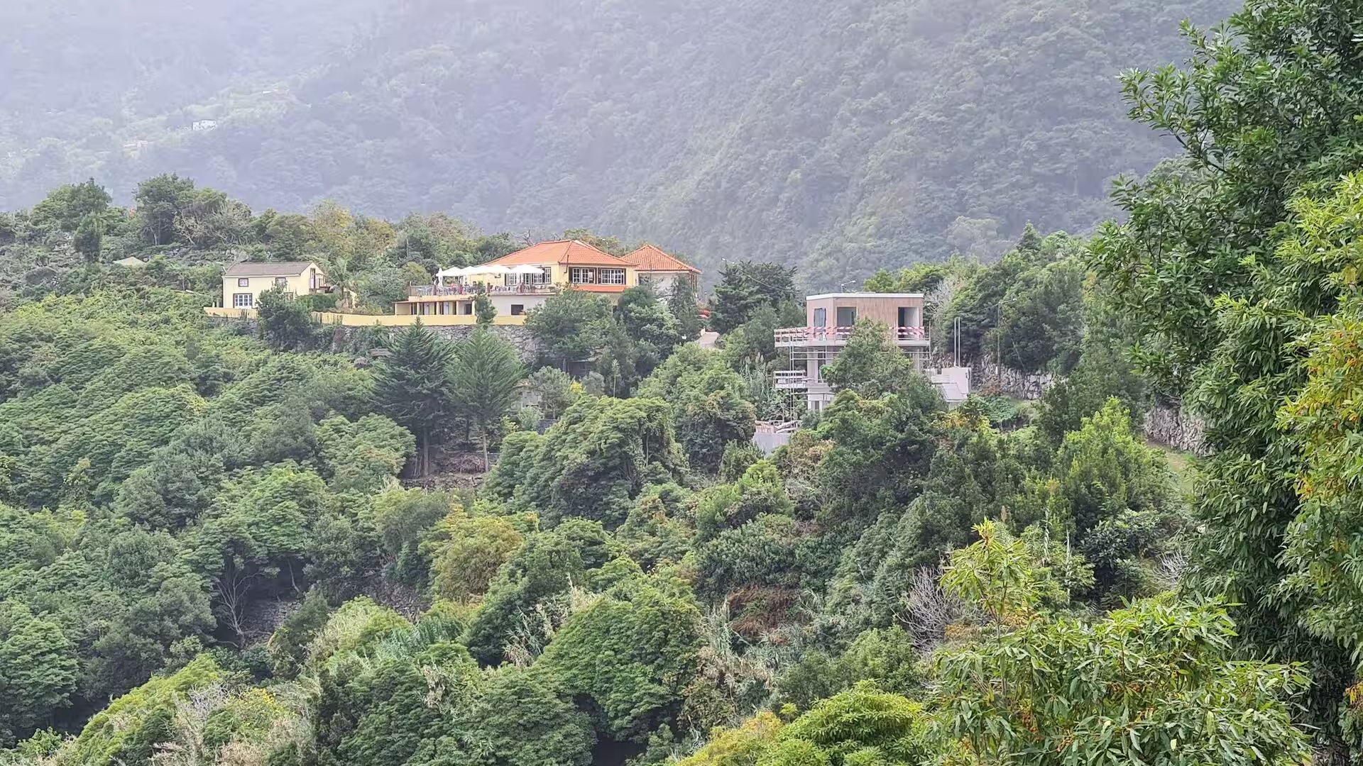
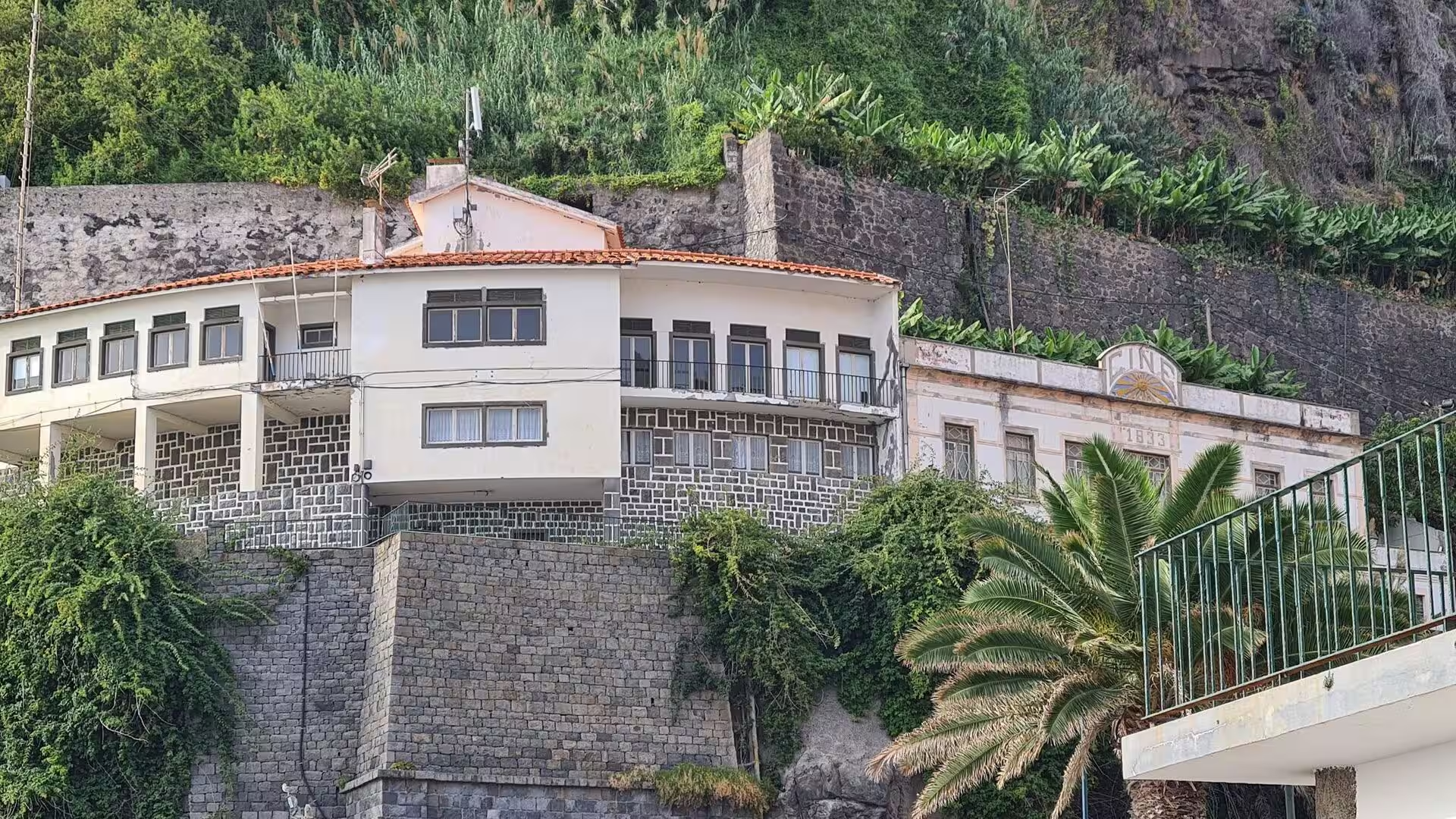
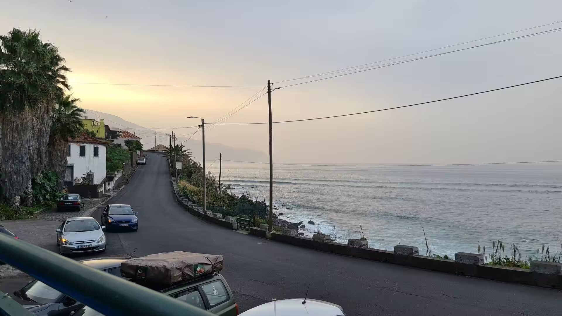
The day closes in a small settlement on the coast, where a street lined with palms and parked cars runs beside the ocean under a warm evening sky. White houses with orange roofs stand among dense forest on a slope wrapped in fog, and in the gardens above the road avocado branches hang over tall grass. A house under construction, its wooden facing already fixed to the frame, overlooks the water beside a narrow cobbled lane. The place holds the two halves of the day together: wet forest and cloud above, road, boats and open water below.
References
- Wikipedia contributors (2026). Madeira. en.wikipedia.org/wiki/Madeira
- Wikipedia contributors (2026). Madeira Island. en.wikipedia.org/wiki/Madeira_Island
- Wikipedia contributors (2026). Autonomous Region of Madeira. en.wikipedia.org/wiki/Autonomous_Region_of_Madeira
- Wikipedia contributors (2026). History of Madeira. en.wikipedia.org/wiki/History_of_Madeira
- Wikipedia contributors (2026). Levada. en.wikipedia.org/wiki/Levada
- Wikipedia contributors (2026). Laurisilva. en.wikipedia.org/wiki/Laurisilva
- Wikipedia contributors (2026). Macaronesia. en.wikipedia.org/wiki/Macaronesia
- Wikipedia contributors (2026). Paul da Serra. en.wikipedia.org/wiki/Paul_da_Serra
- Wikipedia contributors (2026). Pico Ruivo. en.wikipedia.org/wiki/Pico_Ruivo
- Wikipedia contributors (2026). Pico do Areeiro. en.wikipedia.org/wiki/Pico_do_Areeiro
- Wikipedia contributors (2026). Madeira Nature Reserve. en.wikipedia.org/wiki/Madeira_Nature_Reserve
- Wikipedia contributors (2026). Madeira firecrest. en.wikipedia.org/wiki/Madeira_firecrest
- Wikipedia contributors (2026). Ocotea foetens. en.wikipedia.org/wiki/Ocotea_foetens
- Wikipedia contributors (2026). Madeira wine. en.wikipedia.org/wiki/Madeira_wine
- (2019). Laurisilva of Madeira, Portugal. Dictionary of Geotourism. 339-339. doi.org/10.1007/978-981-13-2538-0_1368
- Mota, Franco, Santos (2021). 255 Island tourism carrying capacity in the UNESCO Site Laurisilva of Madeira. Island Studies Journal. 16. 255-269. doi.org/10.24043/isj.143
- Valls, Mota, Vieira (2019). Opportunities for Slow Tourism in Madeira. Sustainability. 11. 4534. doi.org/10.3390/su11174534
- Khanna, Madeira, Fabião (2002). Sustainability of forest soils. Forest Ecology and Management. 171. 1-2. doi.org/10.1016/s0378-1127(02)00475-9