Day 14










Journal Notes
General
Calheta is a municipality on the southwest coast of Madeira with a population of 11,521 in 2011 and an area of 111.50 square kilometres. It is usually called Vila da Calheta in order to distinguish it from the Calheta of the Azores. Eight parishes make up the municipality, namely Calheta itself, Arco da Calheta, Estreito da Calheta, Fajã da Ovelha, Jardim do Mar, Paul do Mar, Ponta do Pargo and Prazeres. The parish of Calheta counted 3,163 inhabitants living in 23.45 square kilometres.
The municipality reaches from the sea up to the plateau of Paul da Serra, which forms its northern boundary. Its coast is a succession of cliffs, rocky coves and pebble beaches, and the main village has no natural sandy strand: the beach was manufactured, replacing the dark rock and sand of the volcanic shore with imported sand for bathers. Saharan dust occasionally reaches the area and produces minor dust clouds over the water.
Two neighbouring parishes illustrate the terrain of the municipality. Arco da Calheta is its most populous parish with 3,168 inhabitants, and its name refers to the arc of settlements around an amphitheatre shaped valley, where a band of laurel forest divides the built area from the barren vegetation of the upper slopes. Estreito da Calheta, whose name means the strait of Calheta, counts 1,607 inhabitants. Further west lie Prazeres with 704, Jardim do Mar with 204 in less than one square kilometre, and Paul do Mar with 871.
Agriculture and fishing provide the primary income of the region. Banana, wine, horticulture and sugar cane developed as the main export products, and the fisheries supported the population of Paul do Mar and of the village of Calheta. Industrial activity has moved in cycles through dairy, fireworks, salt, beekeeping and sugar cane refinement, a factory for the conversion of honey into aguardente once stood in the village, and fireworks workshops were established in the hamlet of Lombo do Doutor.
Sugar cane is still grown locally. It occupies small terraced plots on the lower coastal slopes, where warmth and irrigation allow the crop to mature, and the harvest is taken to distilleries that work seasonally, often within sight of the fields. Because the spirit is distilled from fresh cane juice rather than from molasses, it carries a fresher character than the industrial rums of larger producers, and it forms the base of the island’s mixed drinks as well as of its aged rums. The route of this day follows the western coast road through this landscape of terraces, cane plots and cliff settlements.
History
Calheta was founded in 1430, and its parish is one of the oldest on the island, since the area was among the first to be settled. The land belonged to the grant that João Gonçalves Zarco, the discoverer of the island, made to his son João Gonçalves da Câmara and his wife Beatriz Gonçalves. The place name refers to a small bay, and the harbour served as an outport from which sugar and wood were shipped overseas.
The village became a town seventy-two years after its foundation, on 1 July 1502, when King Manuel I granted it a royal charter. Noblemen and knights settled the region, which left its mark on place names such as Lombo do Doutor and Lombo do Atouguia. In the same year João de França built the chapel of Nossa Senhora da Graça, the basis of the new parish, and in 1535 the Santa Casa da Misericórdia was established in order to serve the elderly and provide health care.
Sugar gave the island its first period of wealth. Cane was introduced in the 1450s on the initiative of Prince Henry after wheat production began to fall, and it was treated as a spice because it was rare in Europe. Along the southern coast from Machico to Fajã da Ovelha the crop supported mills and a processing industry, of which the settlement at the beachhead of Machico became a centre; by 1494 that captaincy produced one fifth of the regional crop. Madeiran sugar was later outmatched by Brazilian and São Toméan plantations, and the mills were gradually abandoned.
Wine replaced sugar from the seventeenth century. Madeira wine, fortified so that it would survive long voyages, became one of the most popular luxury drinks of the colonial Western Hemisphere and was famous enough to be mentioned in the plays of Shakespeare. English merchants established themselves in Funchal and controlled much of the trade, and viticulture remained the island’s most valuable activity while sugar contracted to a small local industry.
The parishes of the municipality acquired their present shape in the following centuries. Prazeres, originally part of Estreito da Calheta, became independent on 18 December 1676 and received the first stone of its church in 1751; Calheta was incorporated as a municipality in 1835. King Carlos I and Queen Amélie visited the village on one of their journeys to the island, and in July 1944 a quarter of houses for people employed in the fishing sector was inaugurated at Paul do Mar.
Geology
The southwest coast belongs to the flank of the island’s shield volcano. Madeira is the summit of a massif that rises from the ocean floor on the Tore rise, built along an east to west rift on the African Plate from the Miocene until about 700,000 years ago, with later scoria cones and lava flows and the youngest eruptions 6,500 years ago in the west central part of the island. Erosion then cut deep valleys into the flanks and left the cliffs that line the coast.
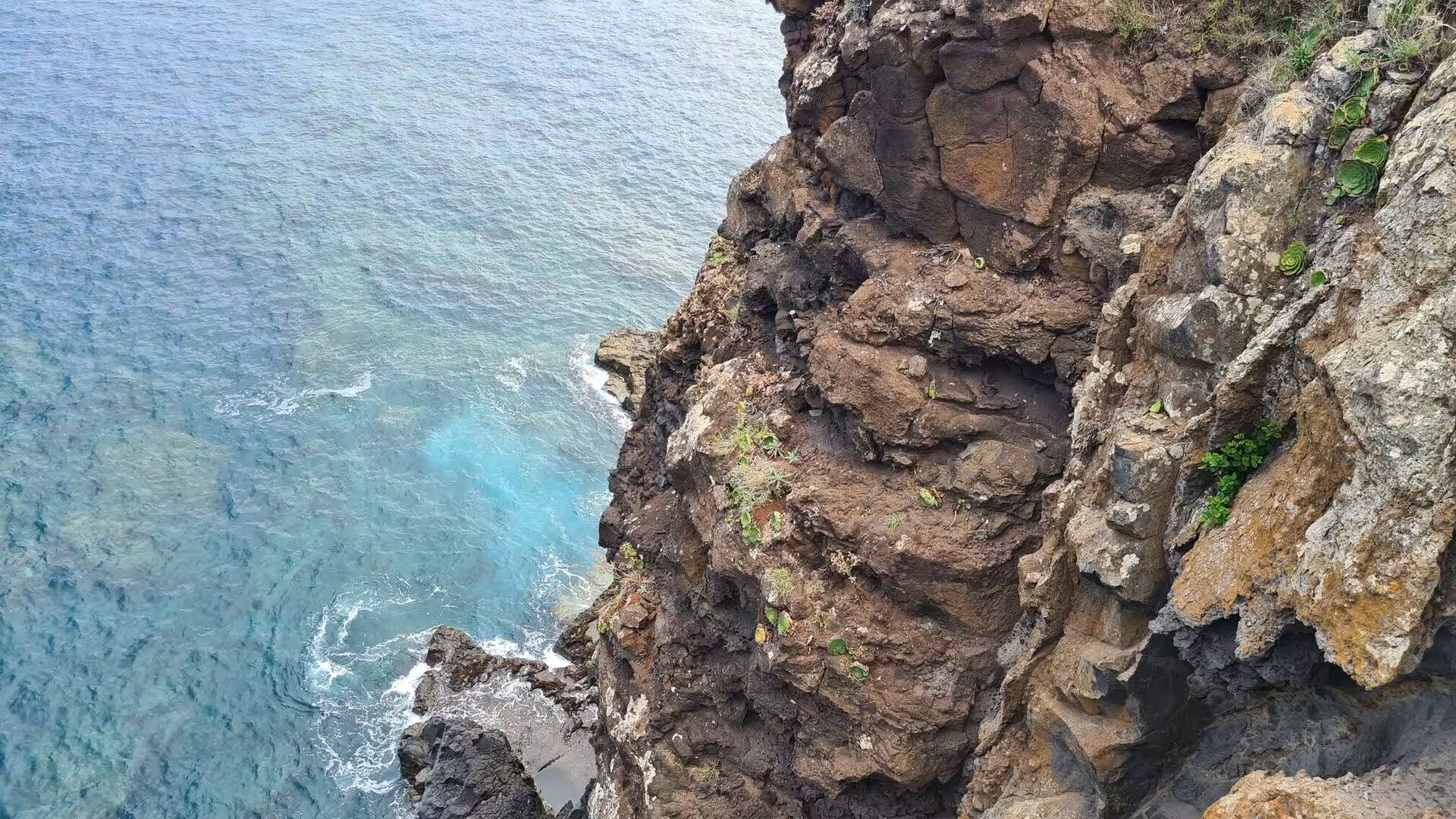
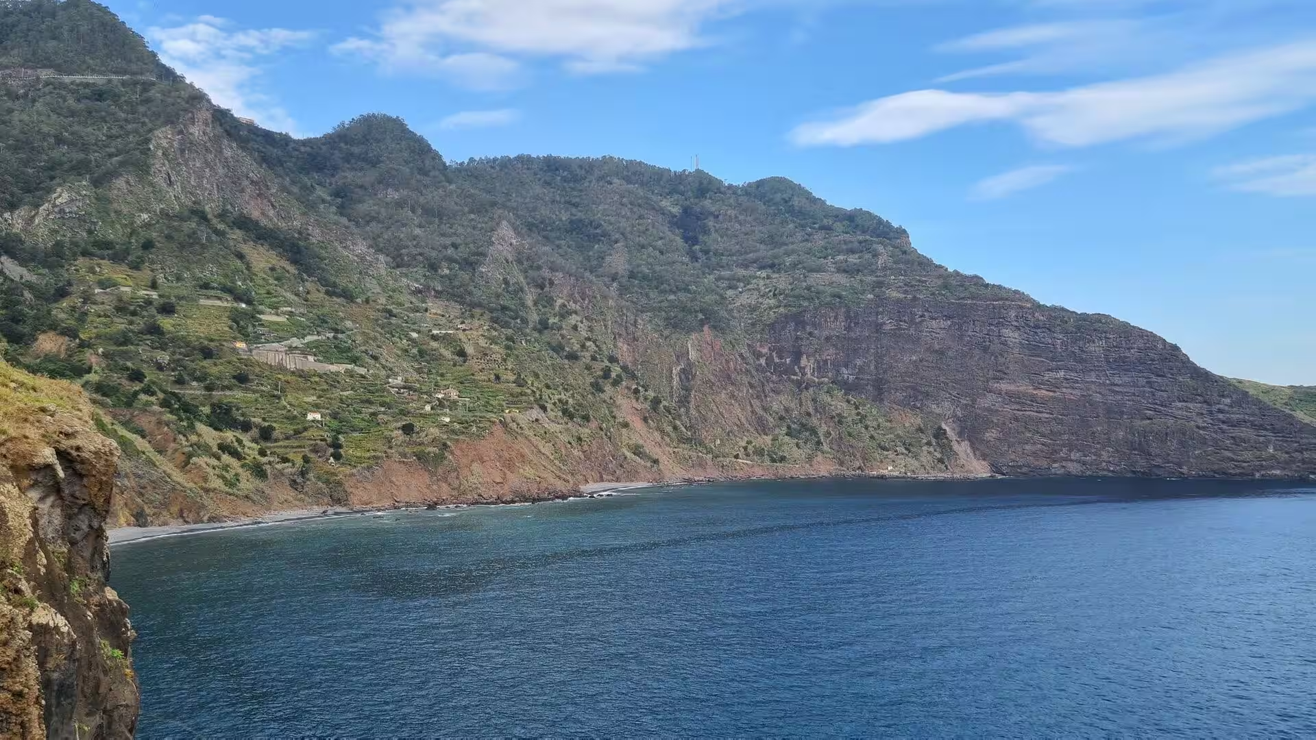
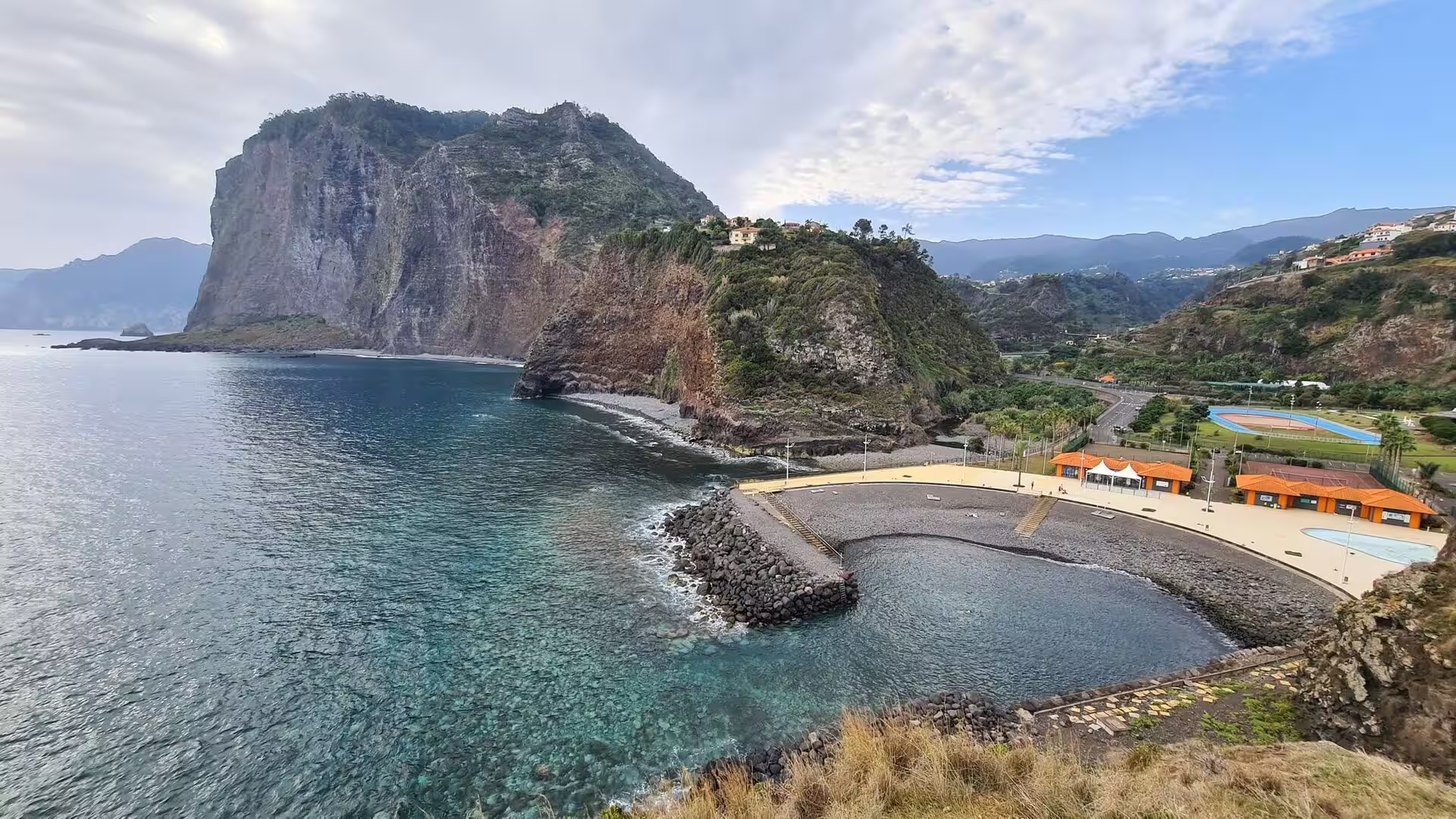
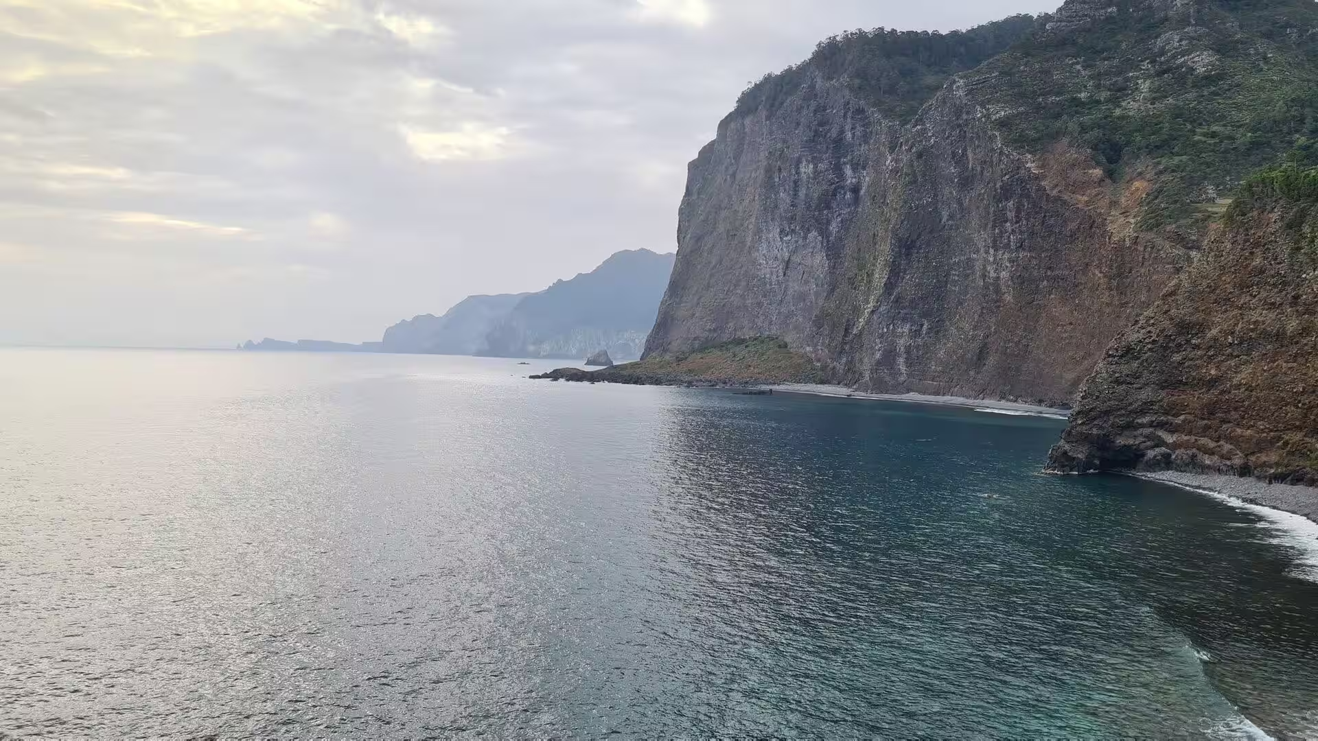
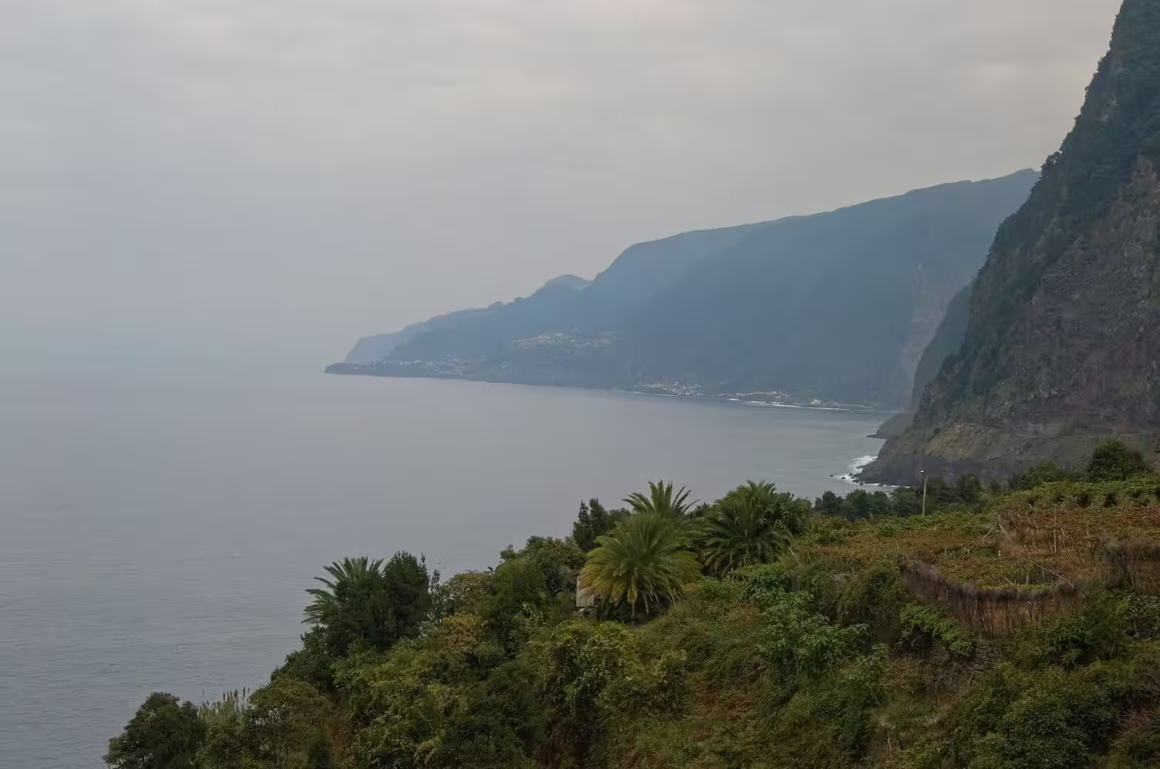
Cliff forms dominate the day. A steep weathered wall drops into teal water, a vast rock face stands across a turquoise bay, and in places the rock is banded by successive lava flows, so that vertical stripes rise above a beach of river stones. The dark colour of the cliffs and of the shore stones is typical of basaltic rock, and the same stone is used for building, from the flat slab on which the local flatbread is cooked to the retaining walls of the terraces.
Above the ridges that frame the municipality lies Paul da Serra, the largest and most extensive plateau of Madeira and the northern extent of Calheta. Its flat surface is the most important area of groundwater recharge on the island, since it allows a significant part of the high rainfall to infiltrate and slows the runoff towards the sea. The plateau is also used for wind power, and almost all of the wind energy produced on the island comes from installations there.
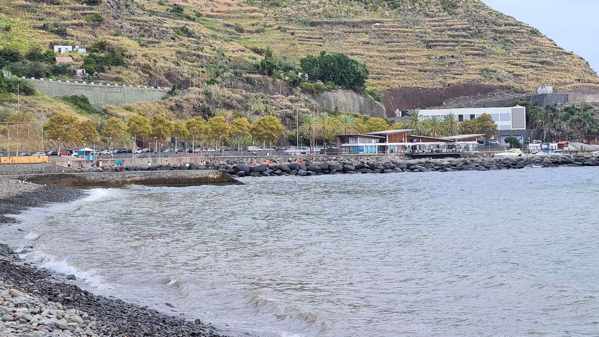
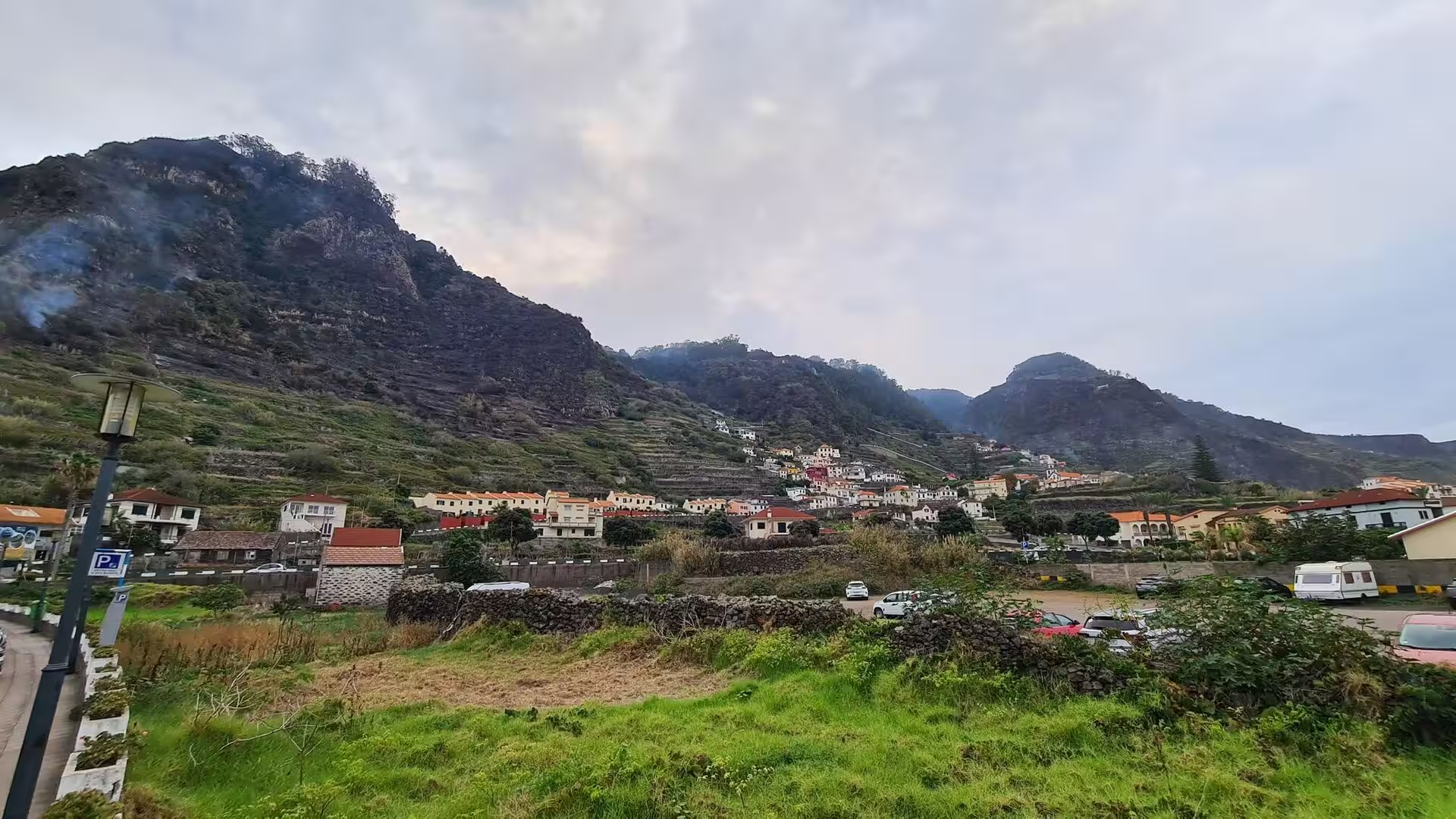
Water shapes the human landscape as much as the rock does. The fields of the steep slopes are held by stone terraces that were built over centuries and are irrigated by channels carrying water from the wetter north; the terrace walls form a landscape archive that documents the agricultural history of the island. Where the ravines reach the sea, the rain of autumn and winter arrives in concentrated flows, and heavy rainfall events in the built areas of the island are associated with mass movements on the slopes.
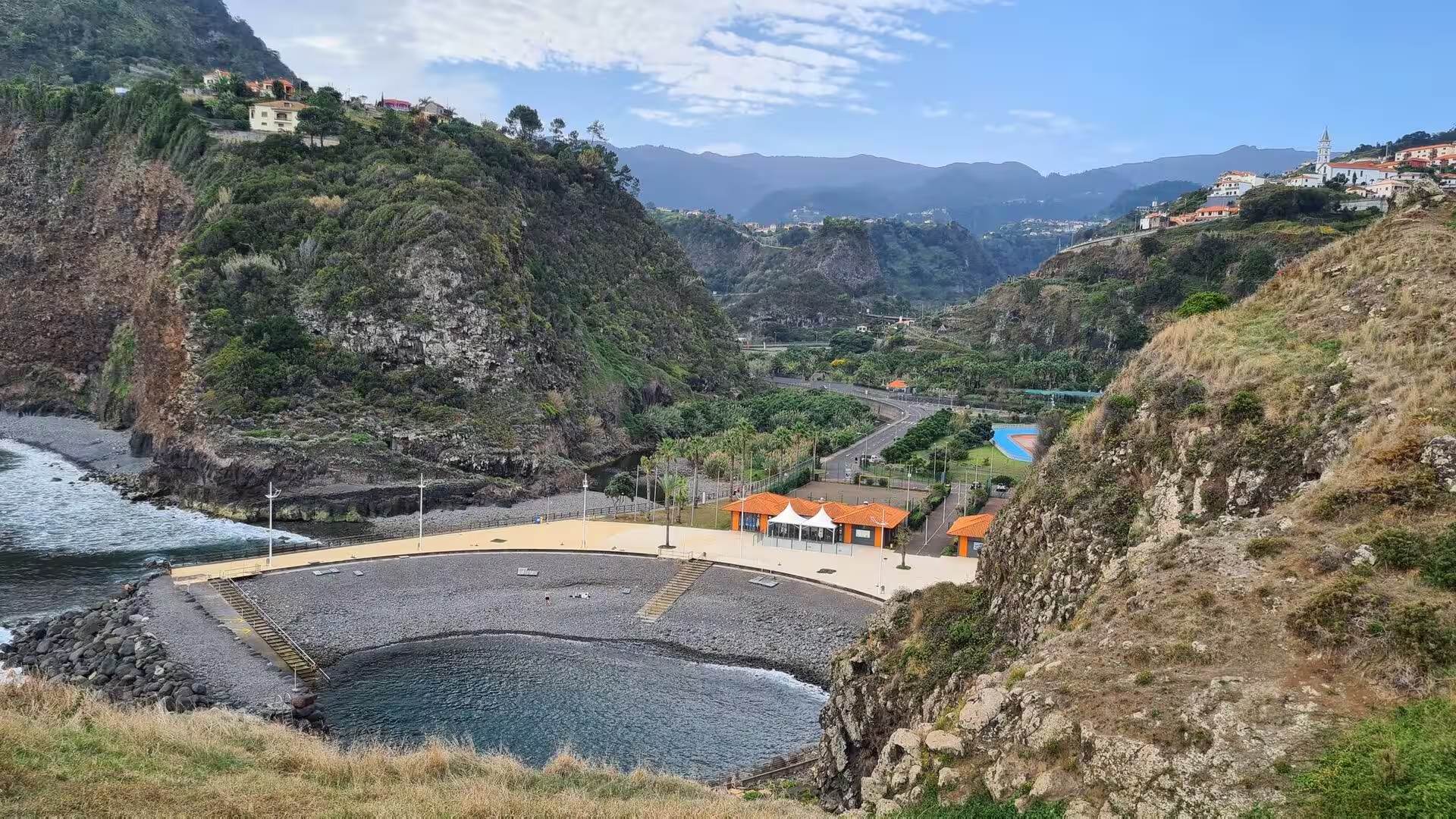
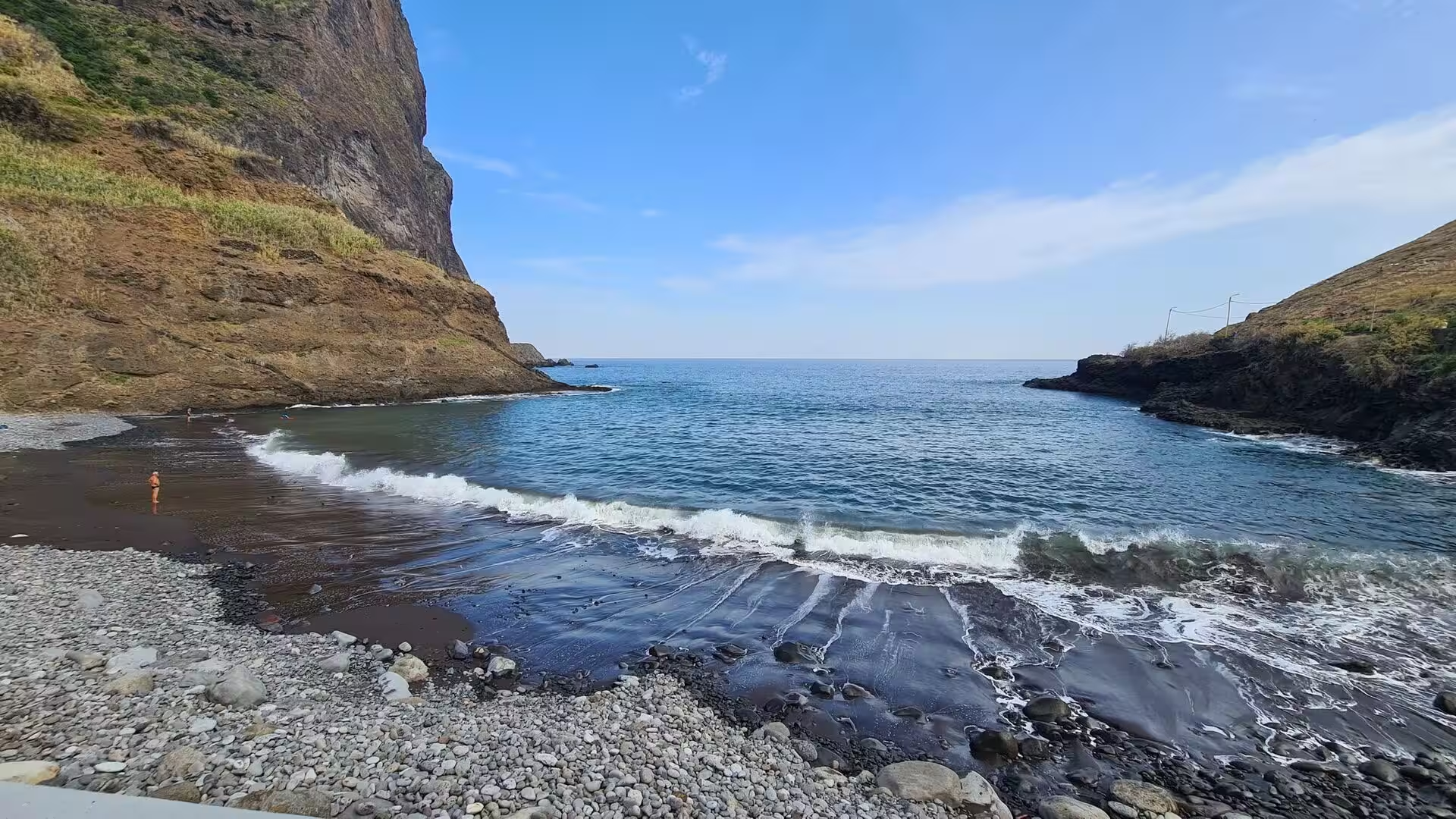
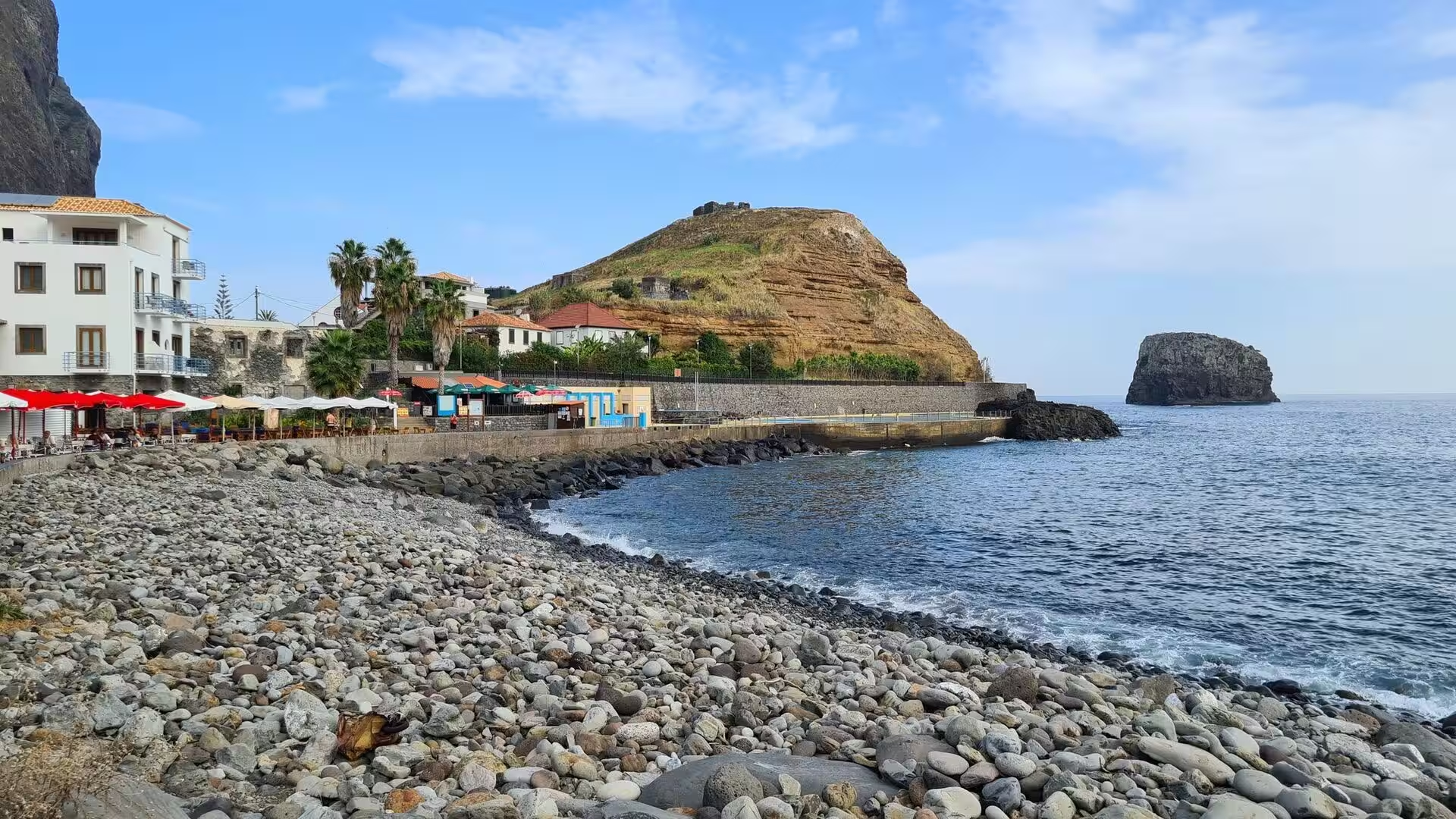
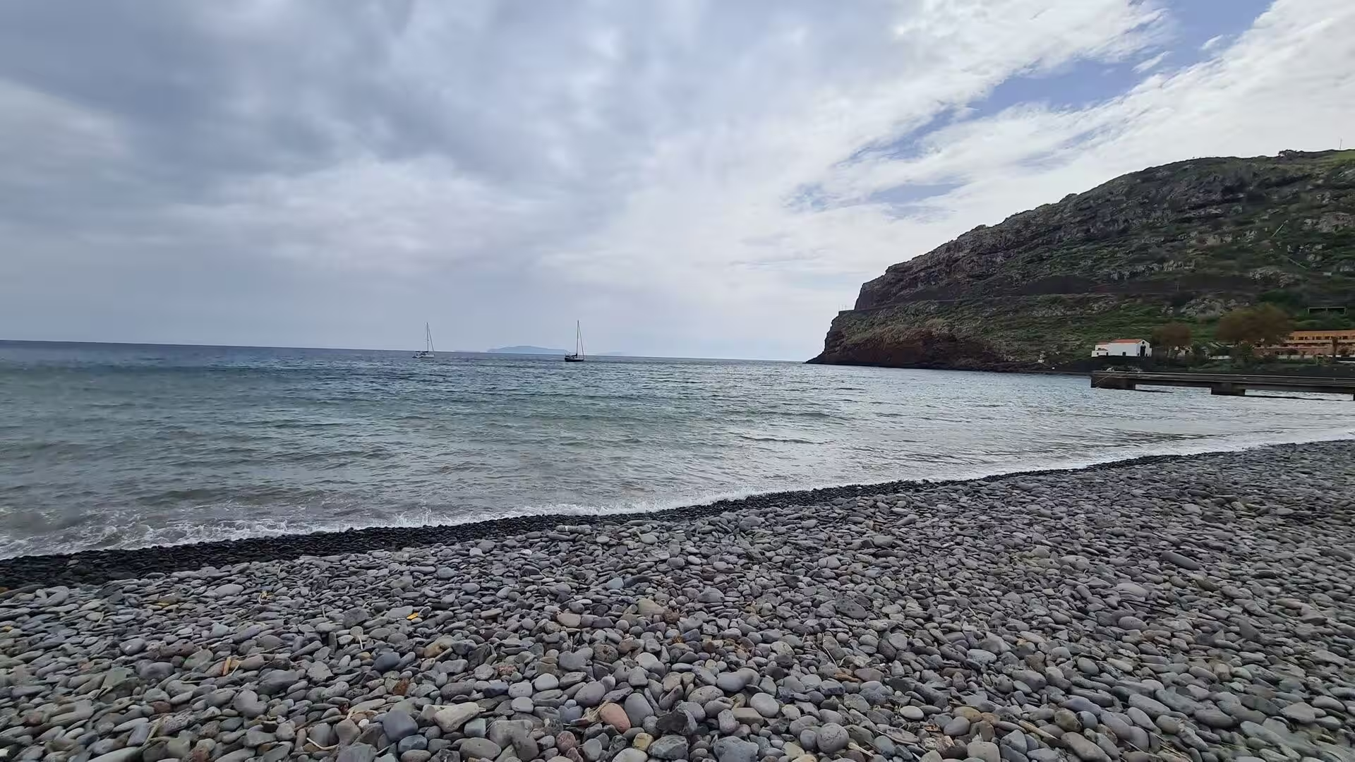
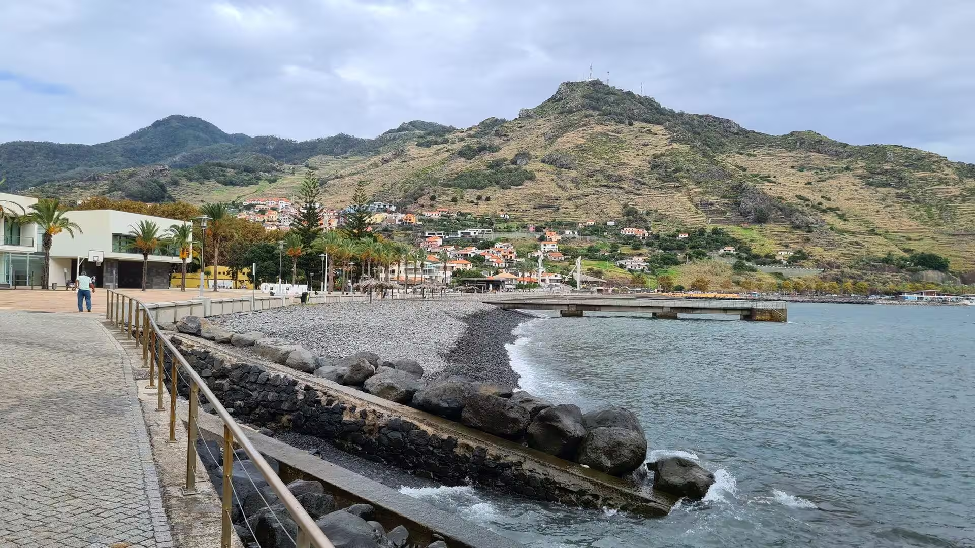
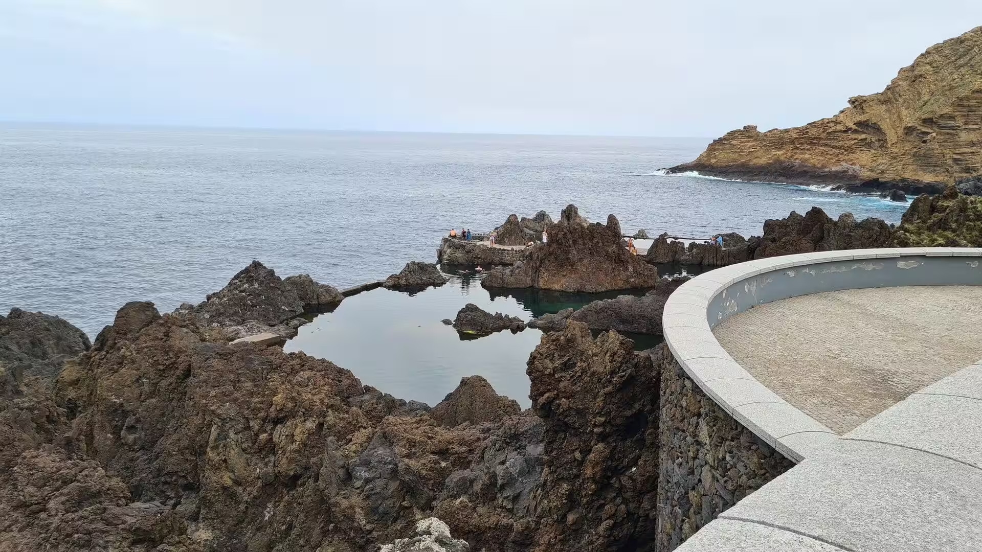
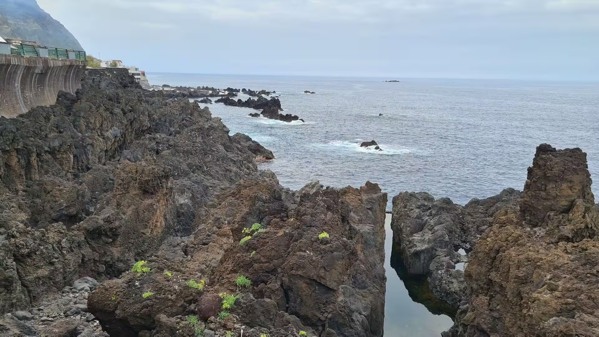
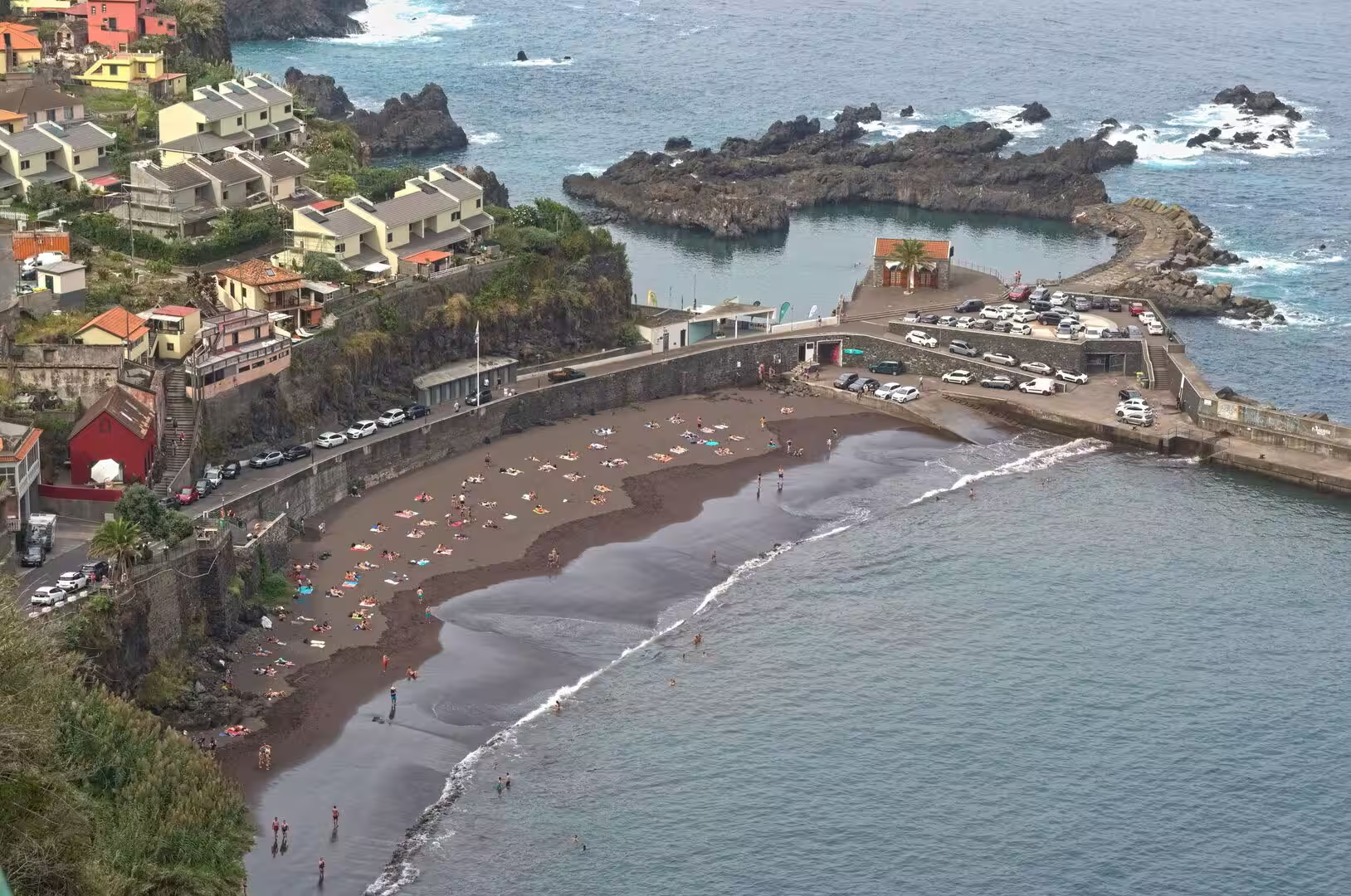
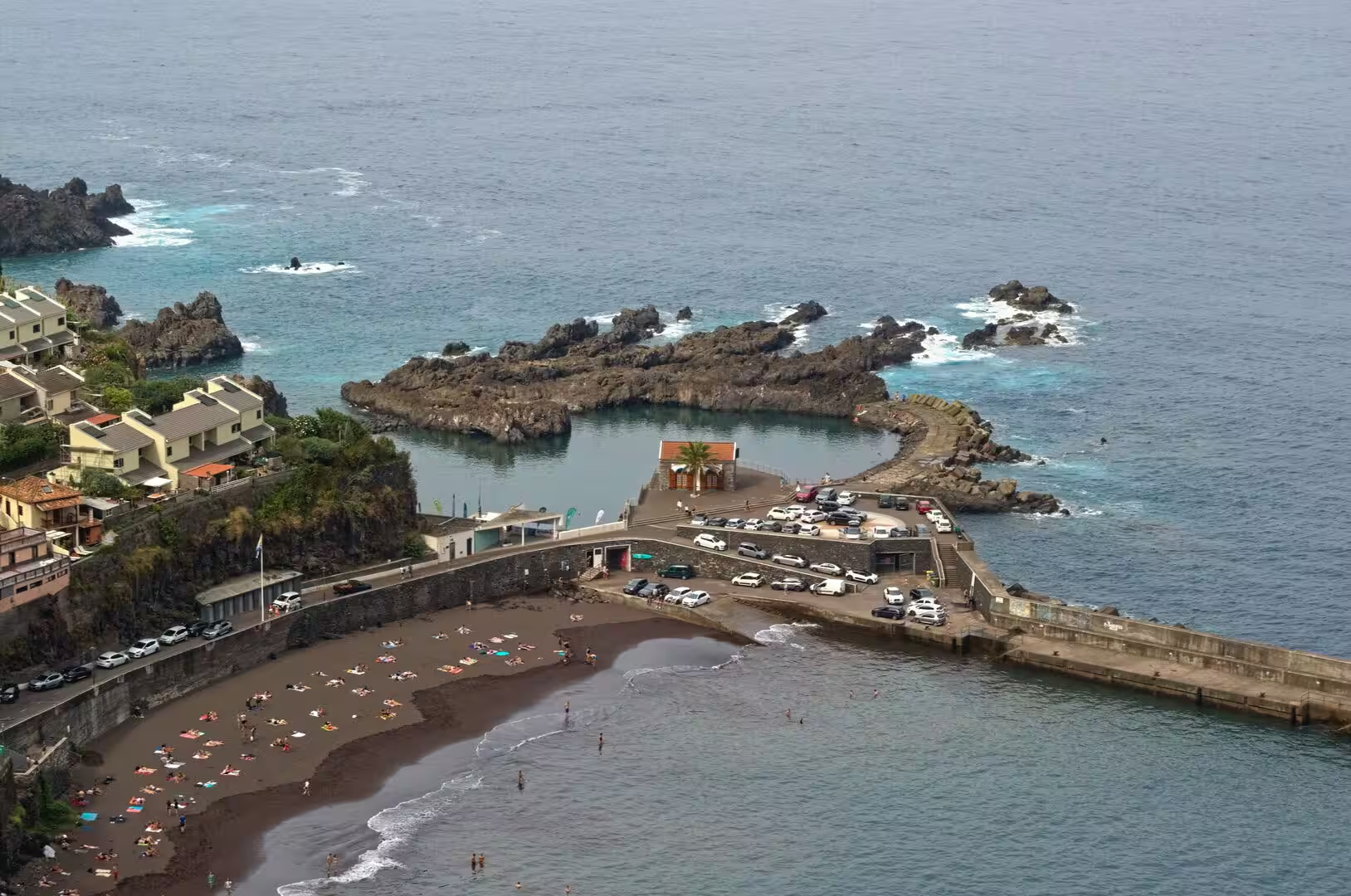
The shoreline between the cliffs takes several forms. Streams carry boulders to the sea and build the shingle and cobble beaches that appear below the villages, while the waves rework the debris into flat platforms. In the west, rock pools are enclosed by dark lava beside the open ocean, and where the water is calm a narrow stone edged walkway follows a steep cliff above it. A black sand beach below a coloured hillside town shows the material from which such strands are made, for the sand is ground lava rather than shell or coral.
Things to See
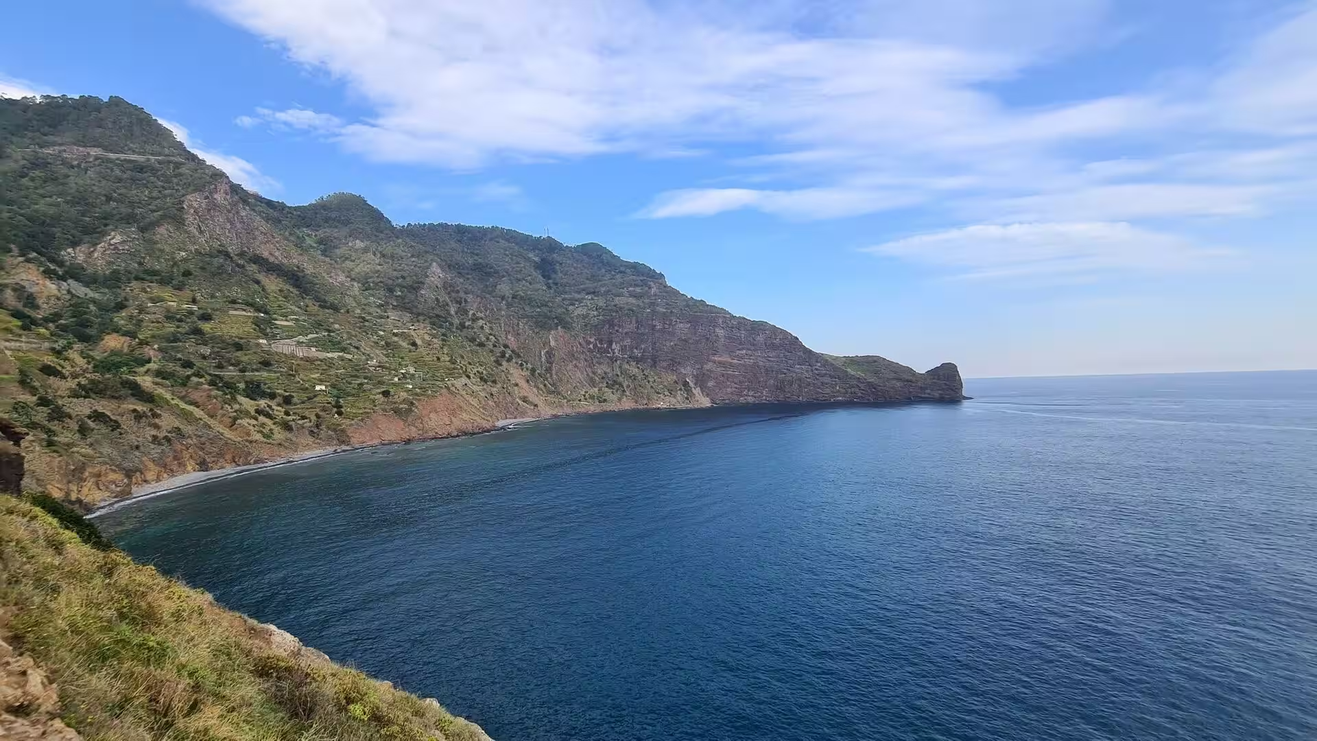
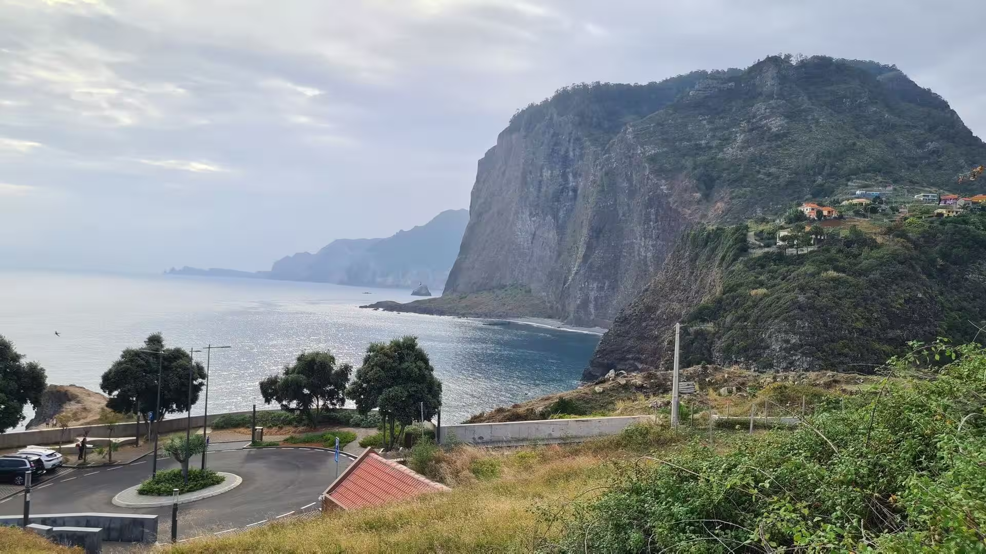
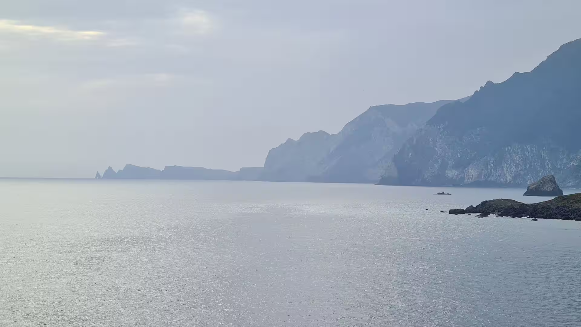
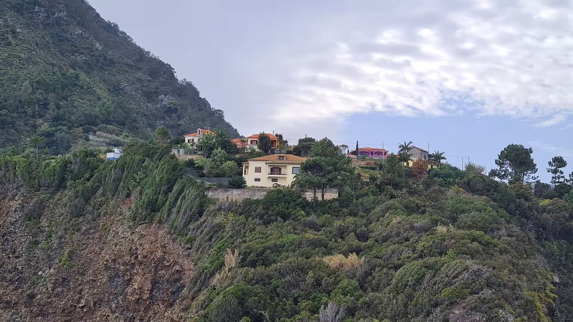
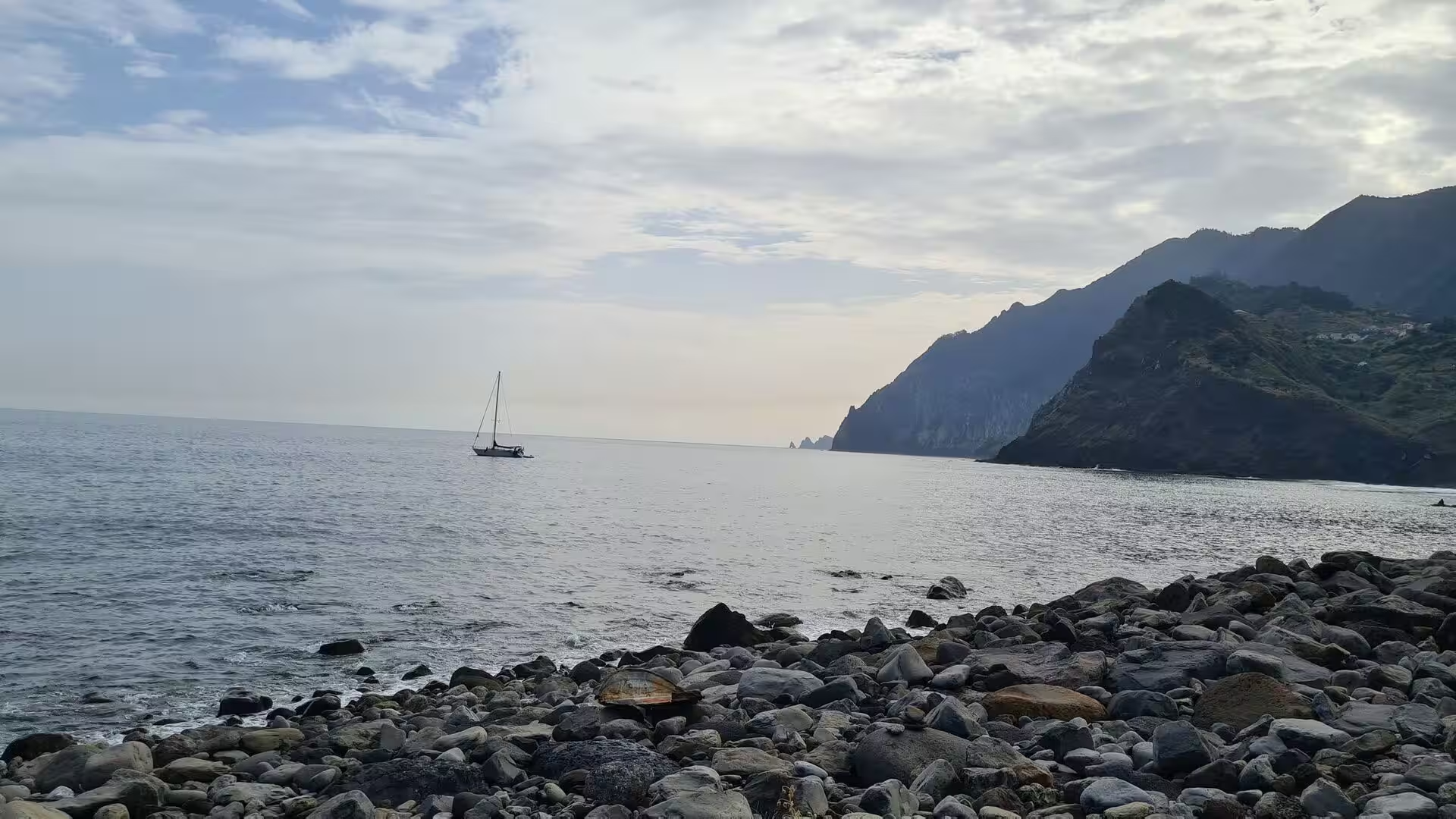
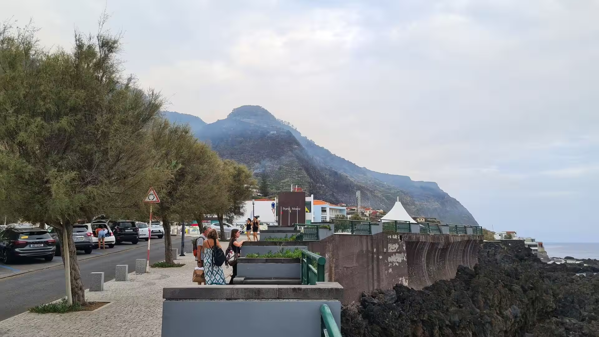
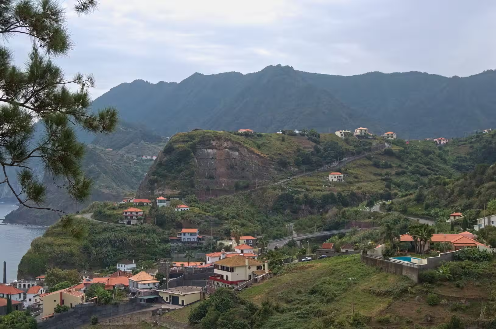
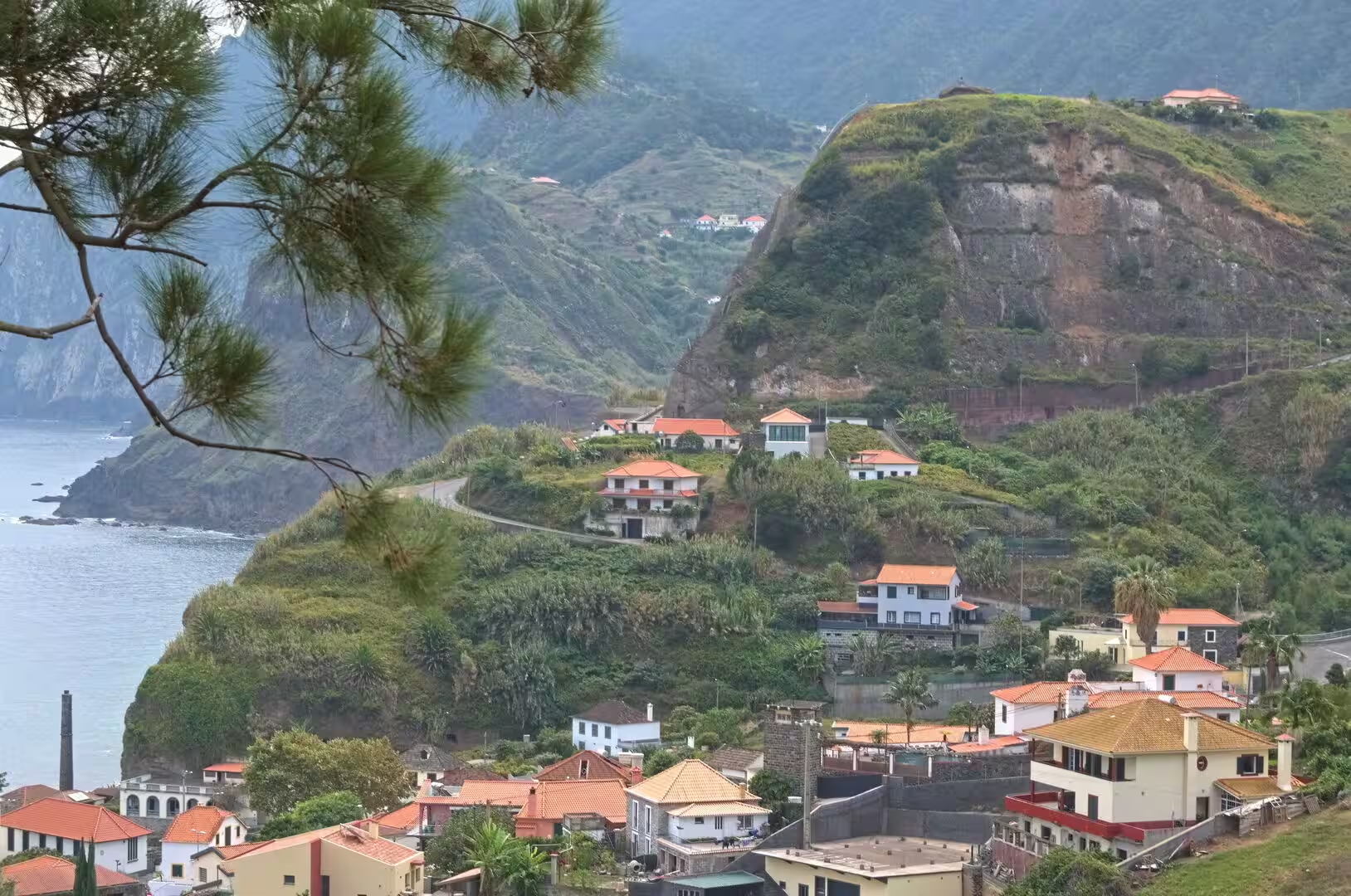
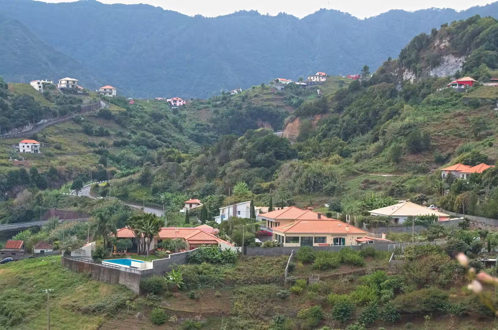
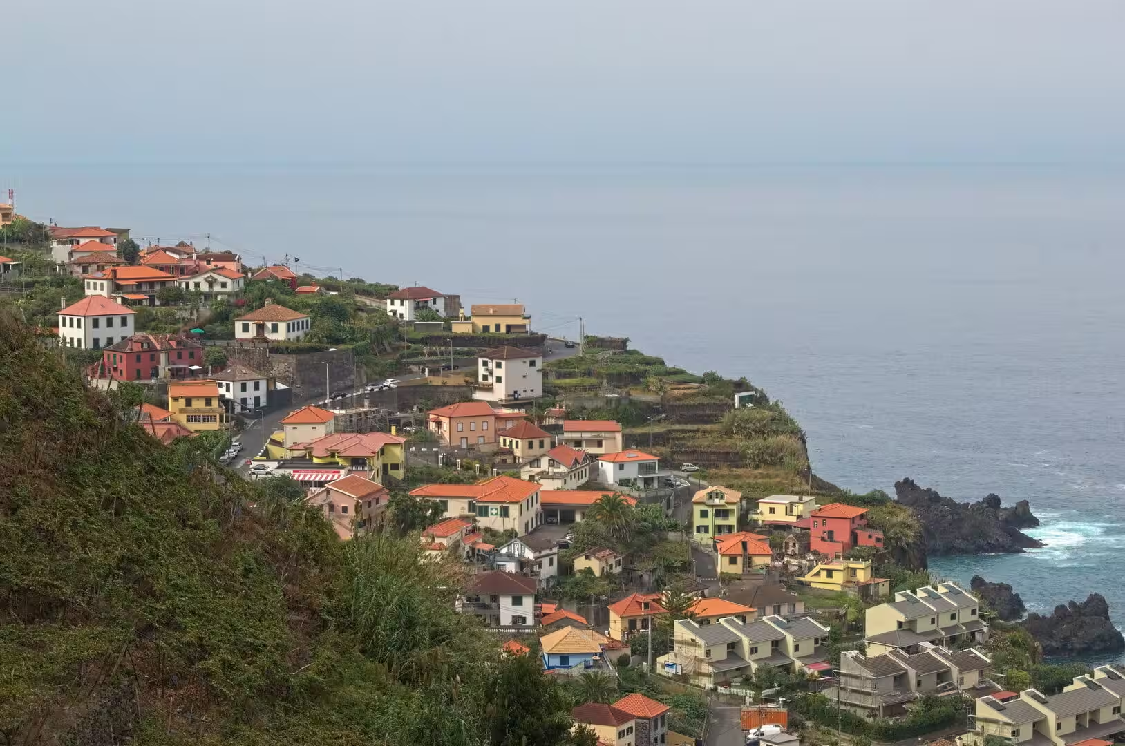
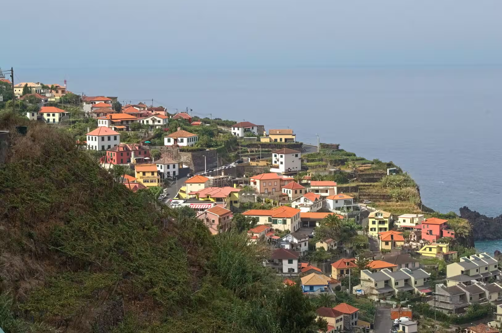
The western coast road keeps to the top of the cliffs, and its stopping places look down on water that changes colour with the depth beneath it. From the viewpoints the coastline runs away in a series of headlands, each falling as a sheer wall into the sea, with a town scattered up a green hillside behind and a coastal shelf held by terraced fields. In the morning haze the far headlands appear as pale silhouettes above a still, silver blue sea, and the rock takes on a reddish brown tone.
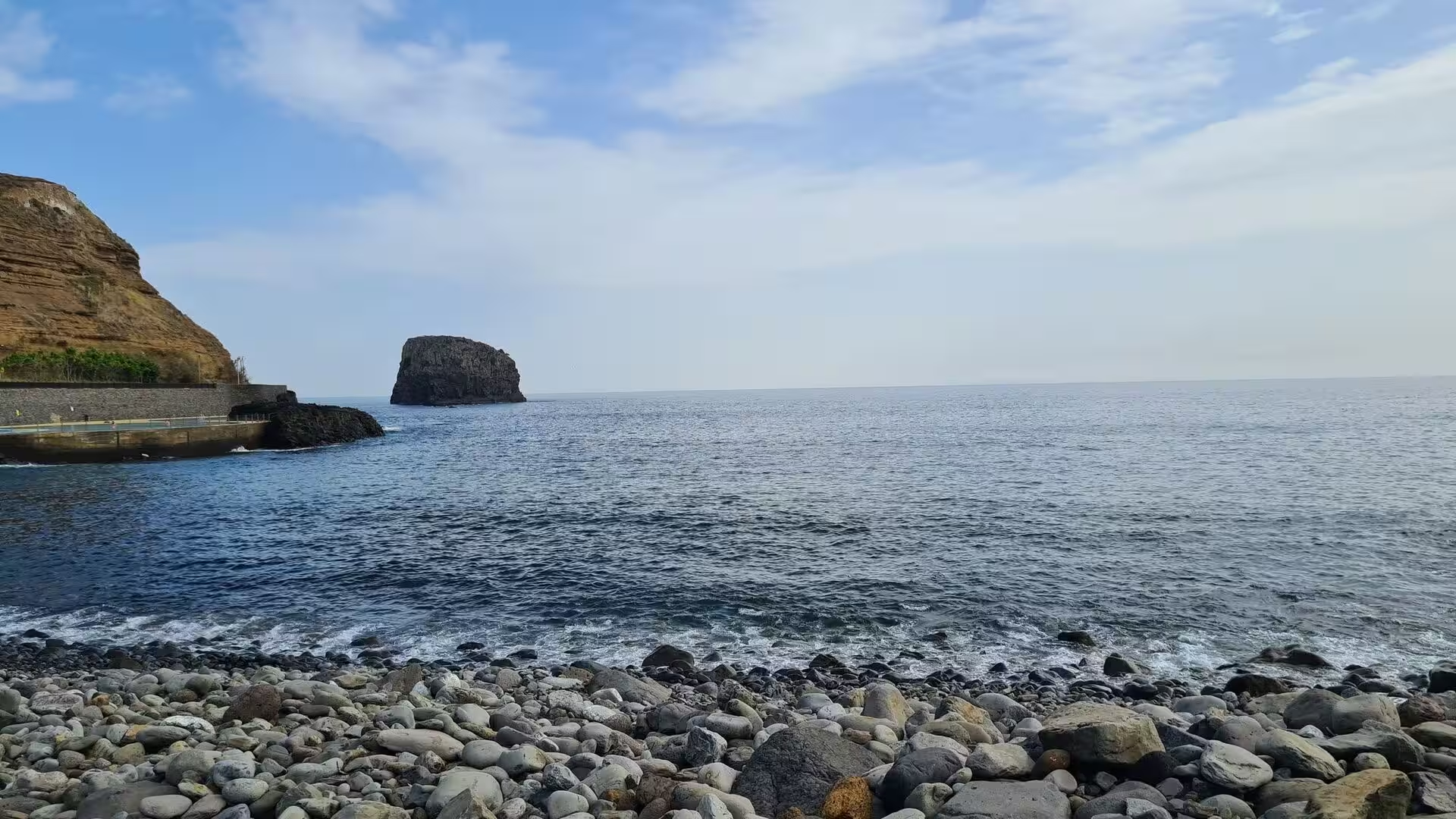
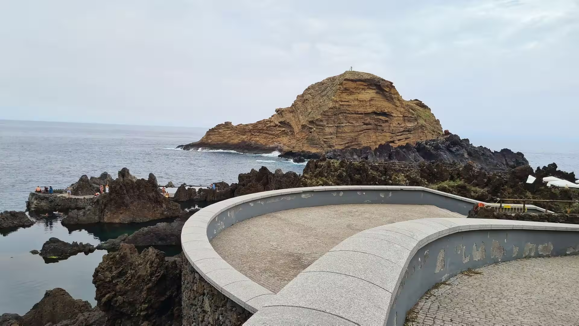
At the foot of the cliffs the sea has been enclosed by lava. Rock pools sit in a basin of dark basalt beside the open ocean, some of them next to a curved stone deck that serves swimmers, and tidal pools lie under a shadowed headland at the end of a small promenade. Further along, jagged black lava rocks line a wild shore where the swell meets stone without a beach, and on the horizon a rounded brown islet carries a cross on its summit.
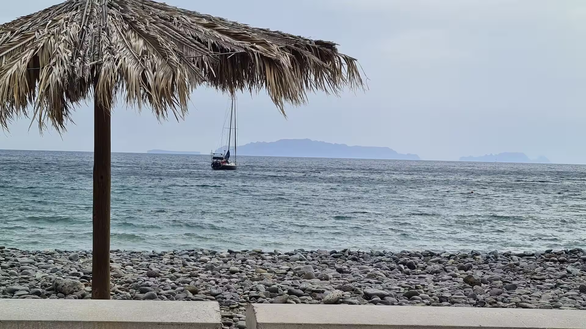
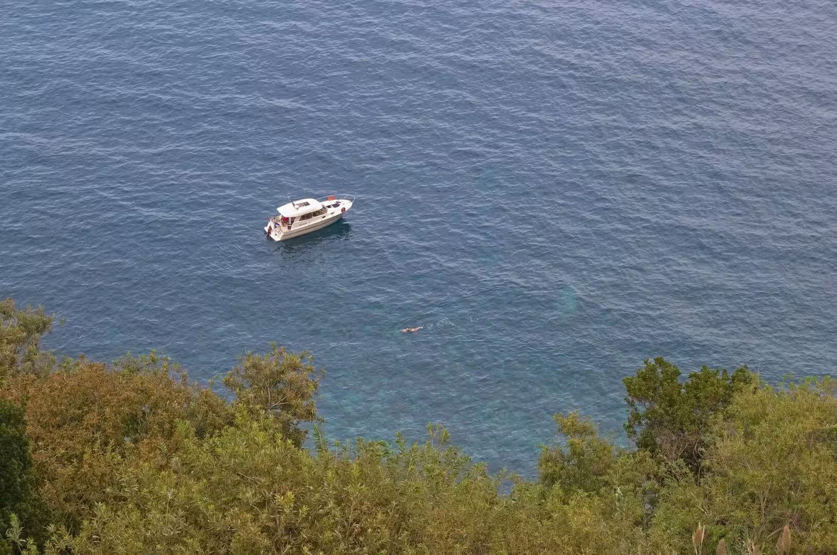
Beaches in this part of the island are made of stone. Waves roll onto dark volcanic sand below a steep green topped cliff; a shingle beach fronts a village with beach umbrellas and a rocky hill; people rest on grey pebbles under orange brown cliffs, and a single swimmer crosses a deep blue bay while a white motorboat drifts nearby. At the eastern end of the island a black sand beach and a sheltered rock pool lie beside a coastal town with a long stone breakwater.
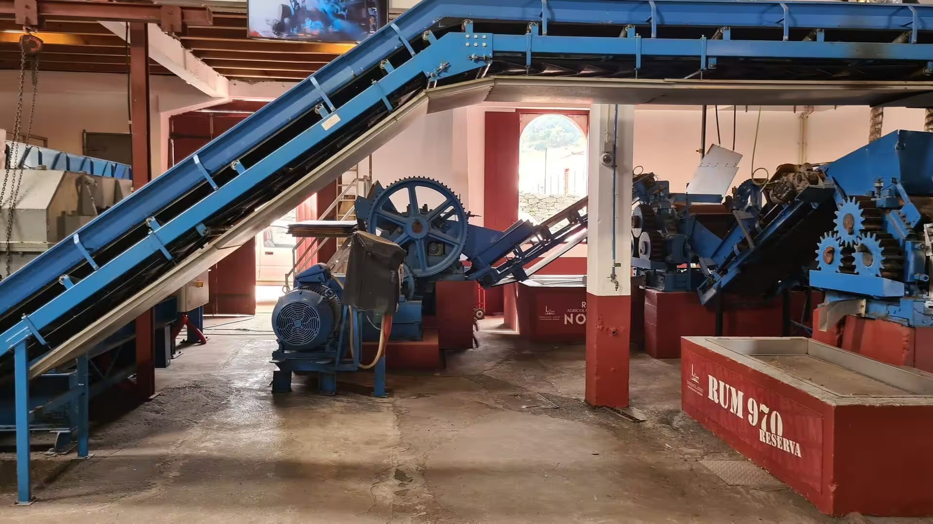
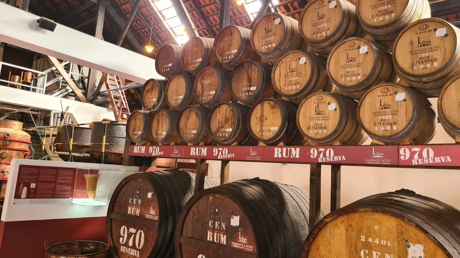
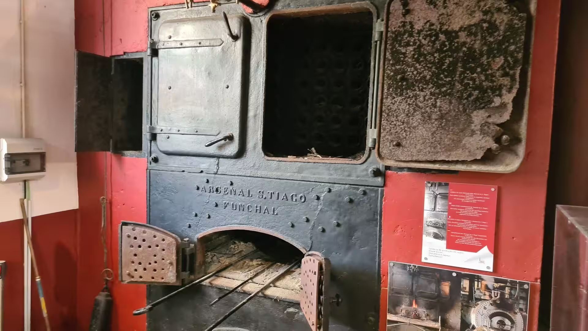
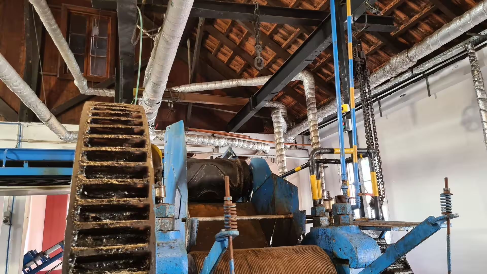
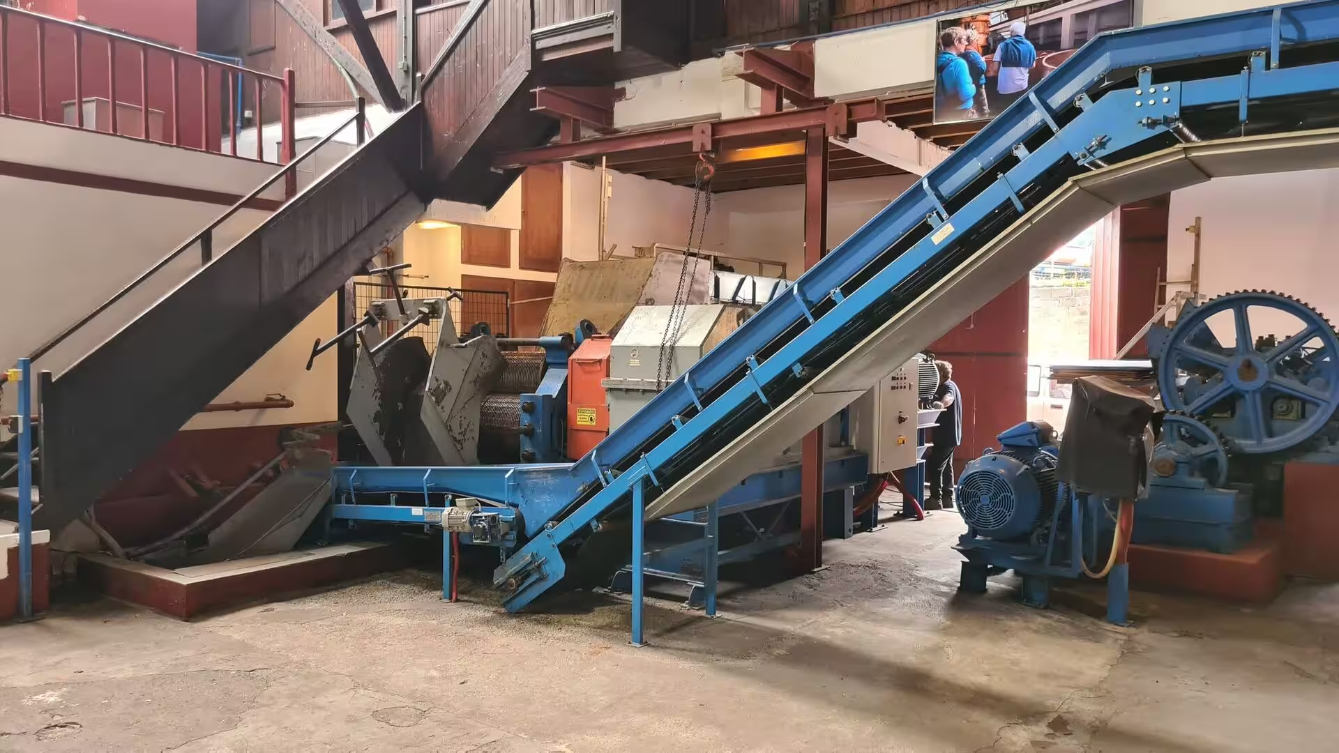
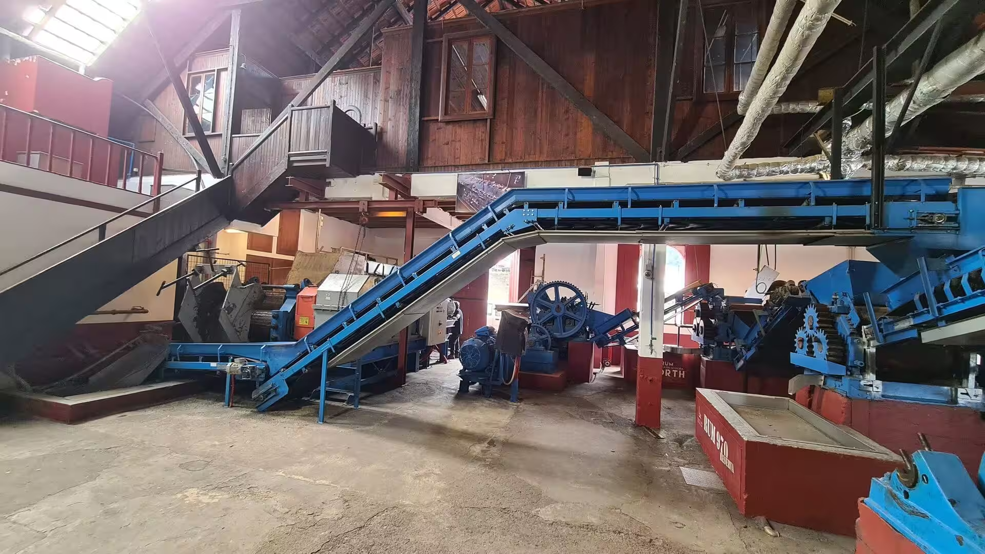
A distillery hall gives the day its industrial chapter. Vintage blue machinery fills a rustic building with red iron columns, conveyor belts and gears rise through a hall of wooden beams, and rows of oak barrels rest on racks beneath the ceiling. A cast iron oven carries the name of a Funchal works, and the rollers of a cane crusher still hold dark fibrous residue from the last pressing. Cane is crushed in such houses, the juice fermented and the spirit distilled into aguardente, which is the base both of the local rum and of the mixed drink called poncha.
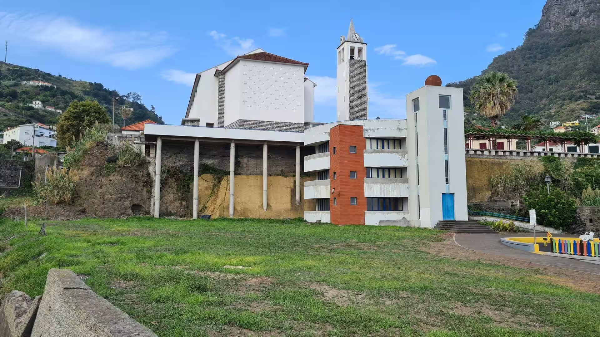
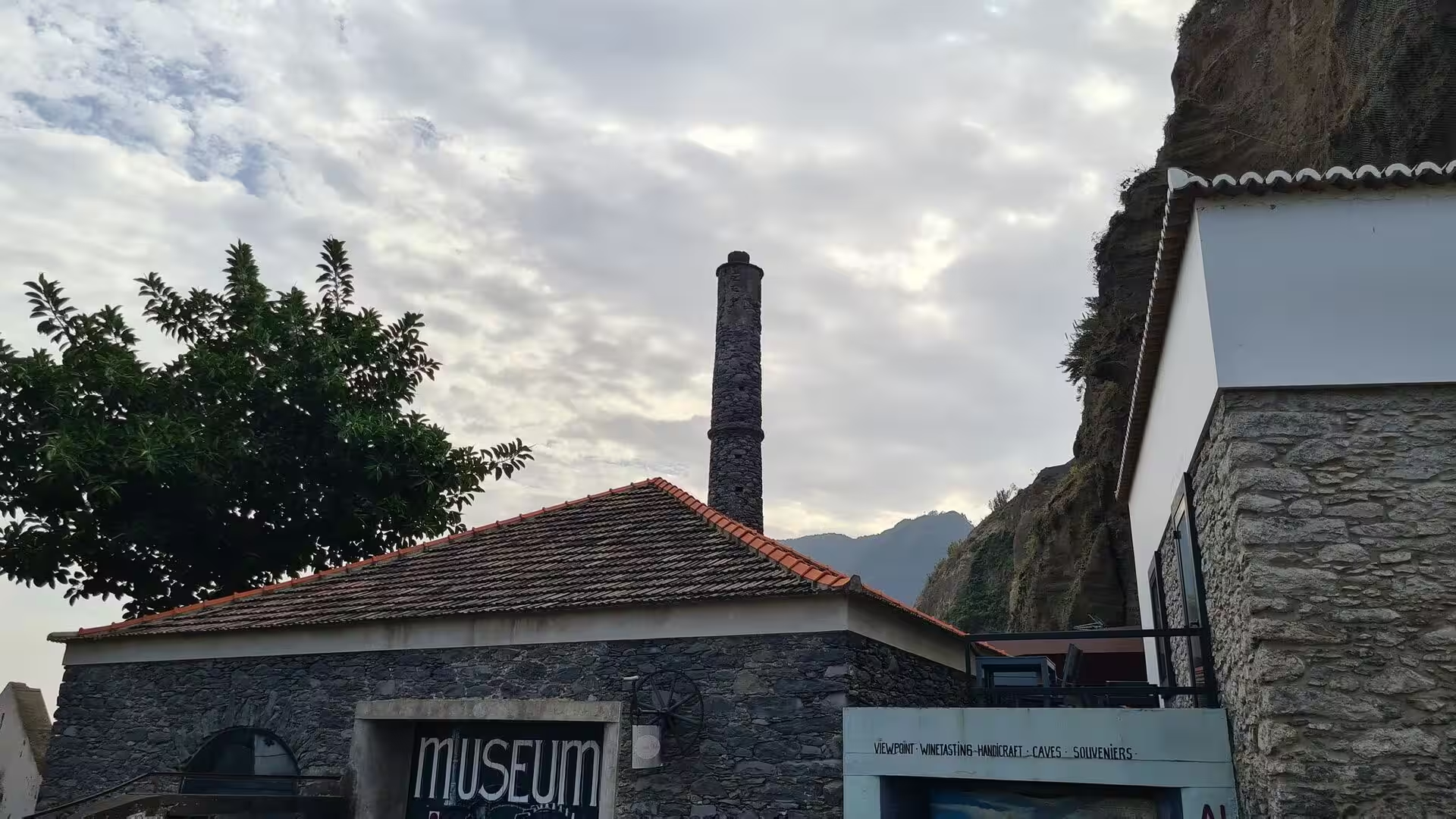
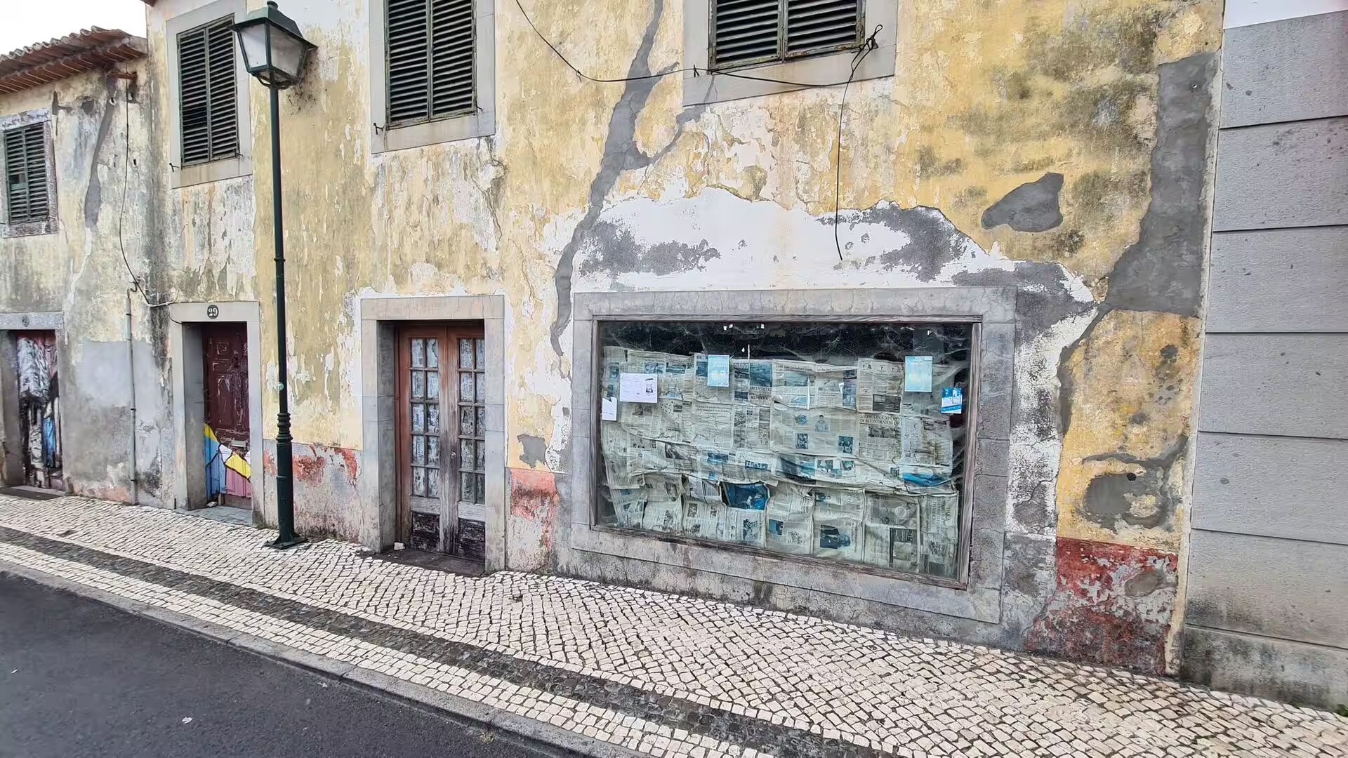
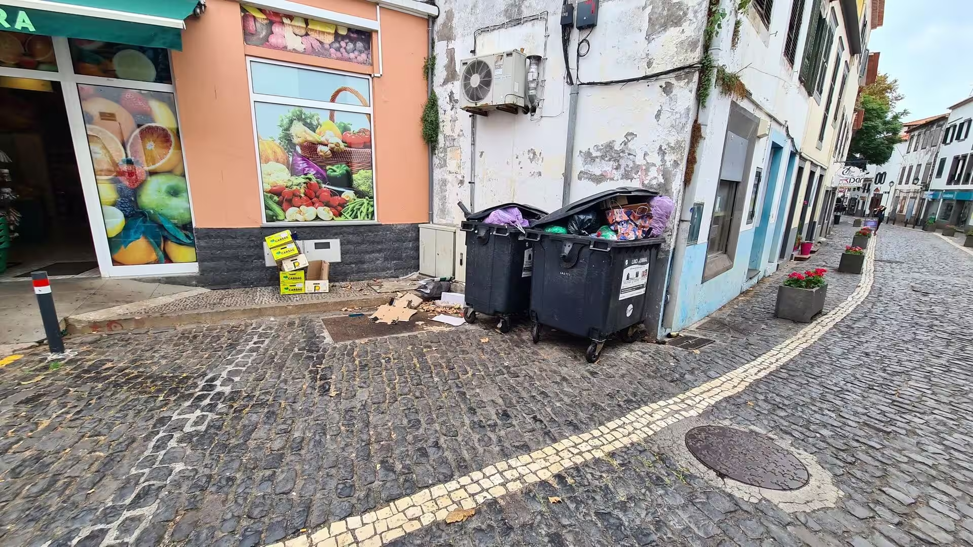
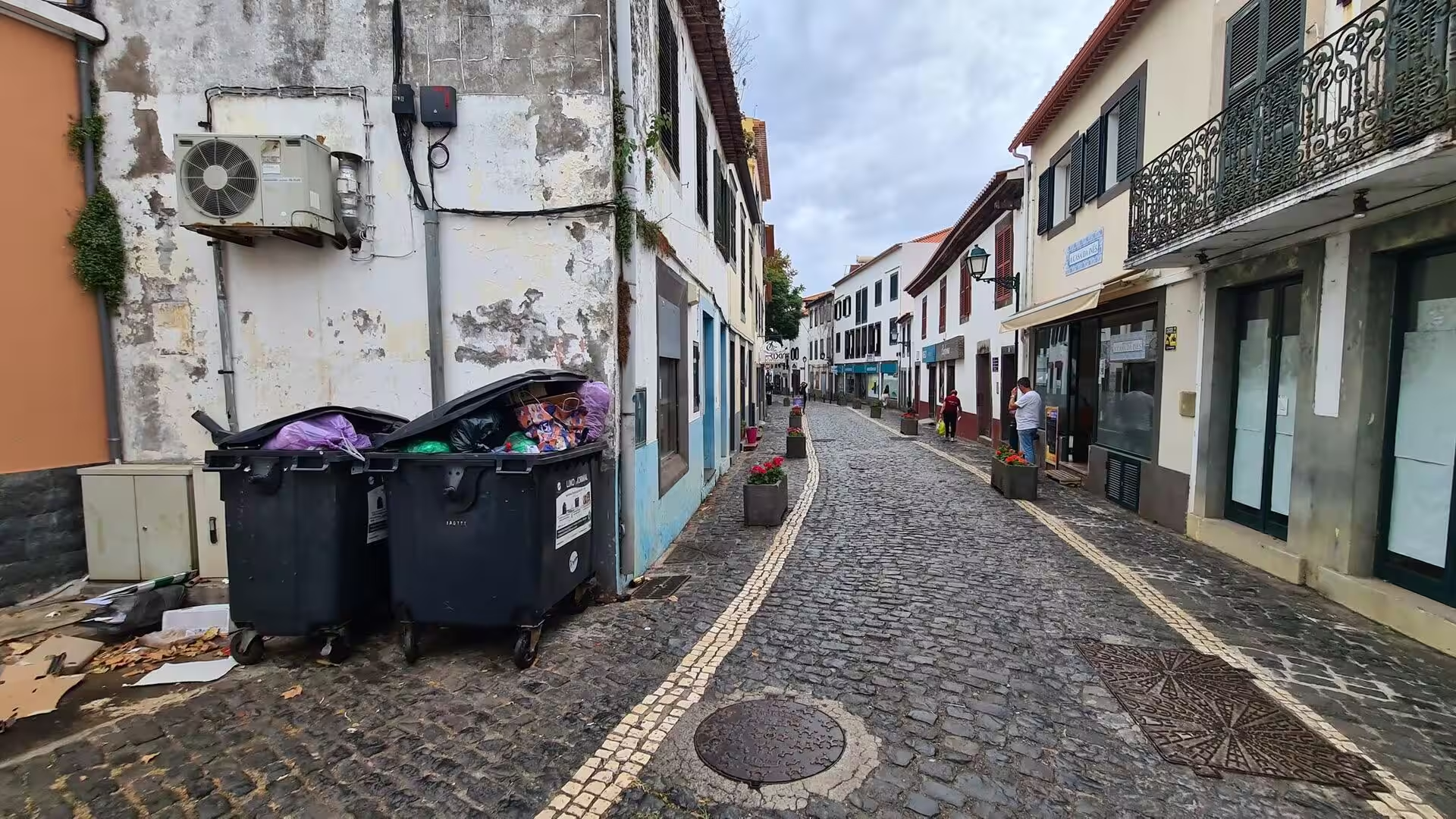
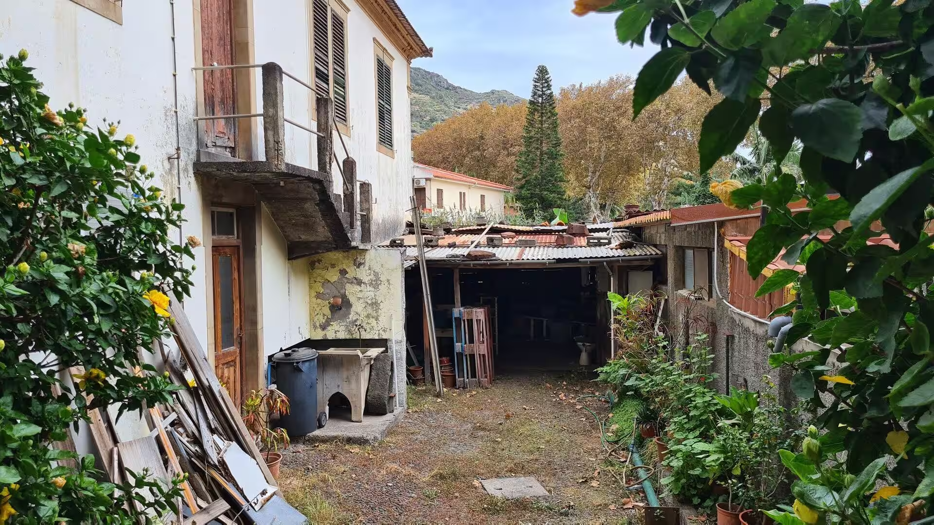
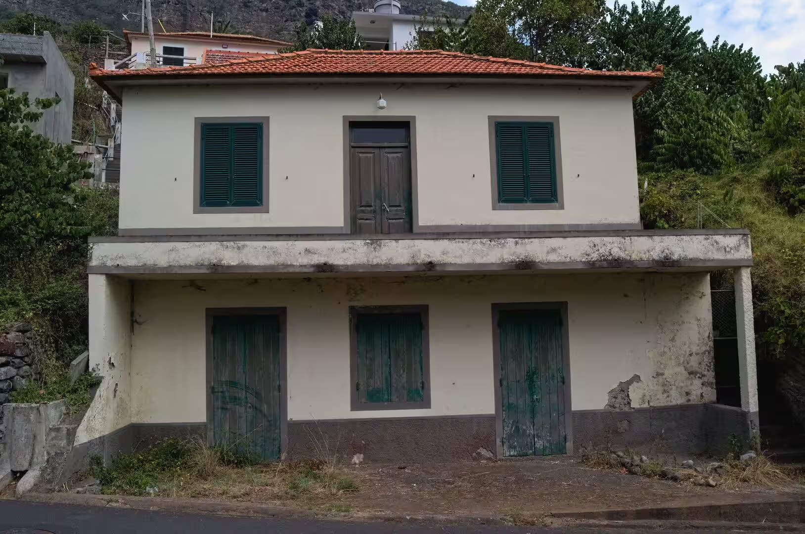
The parishes along the road keep a compact village core. A crisp white church with a slender bell tower stands on a green lawn, a stone museum building with a tall brick chimney recalls the industrial past of the place, and a crumbling whitewashed house with green shutters and a stone archway stands off the road. In the older streets narrow cobbled lanes are lined with white houses and wrought iron balconies, a fruit shop occupies a corner beside the bins, and a peeling yellow facade holds a window full of old newspapers.
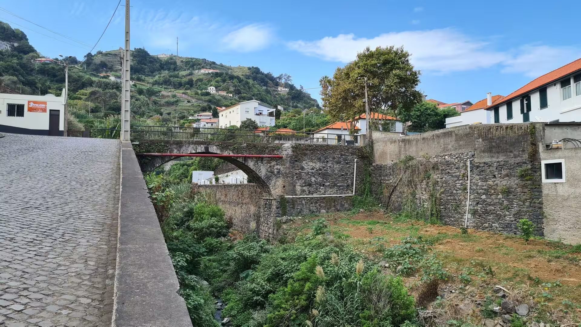
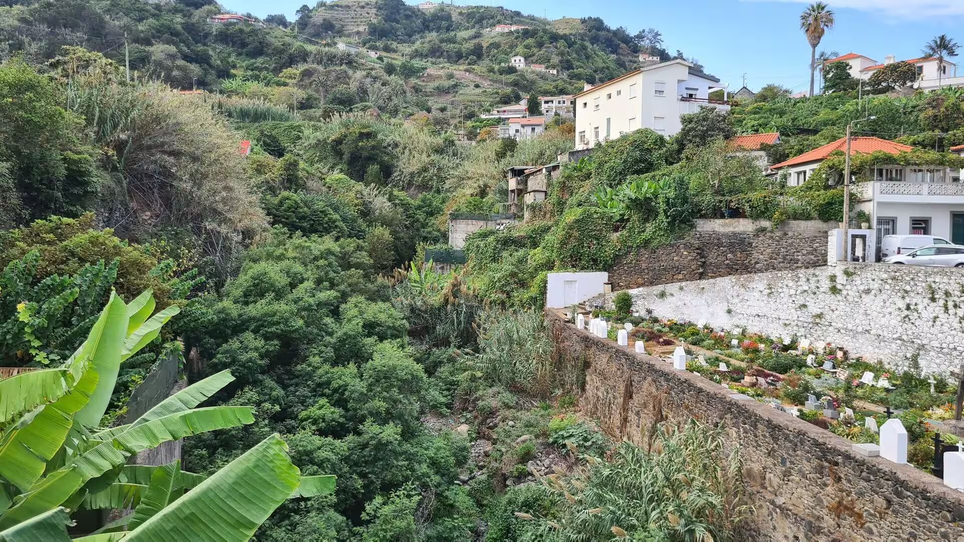
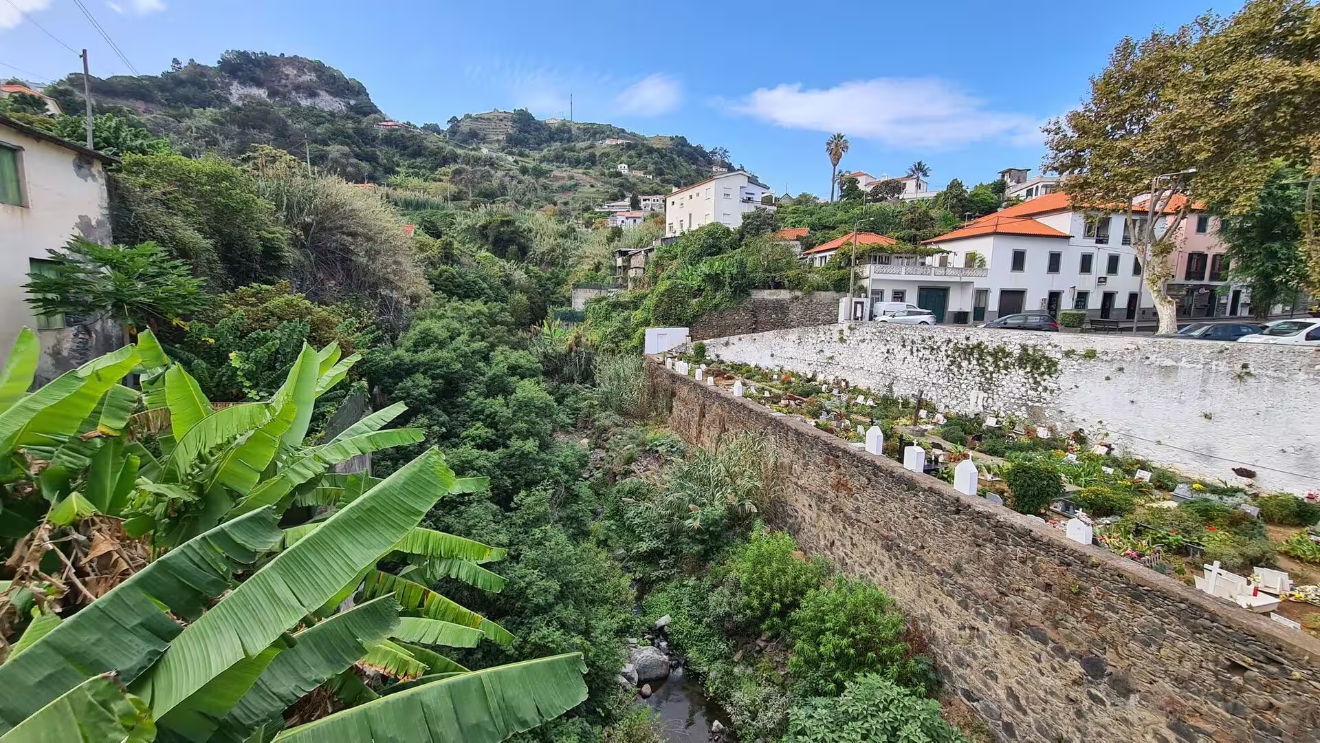
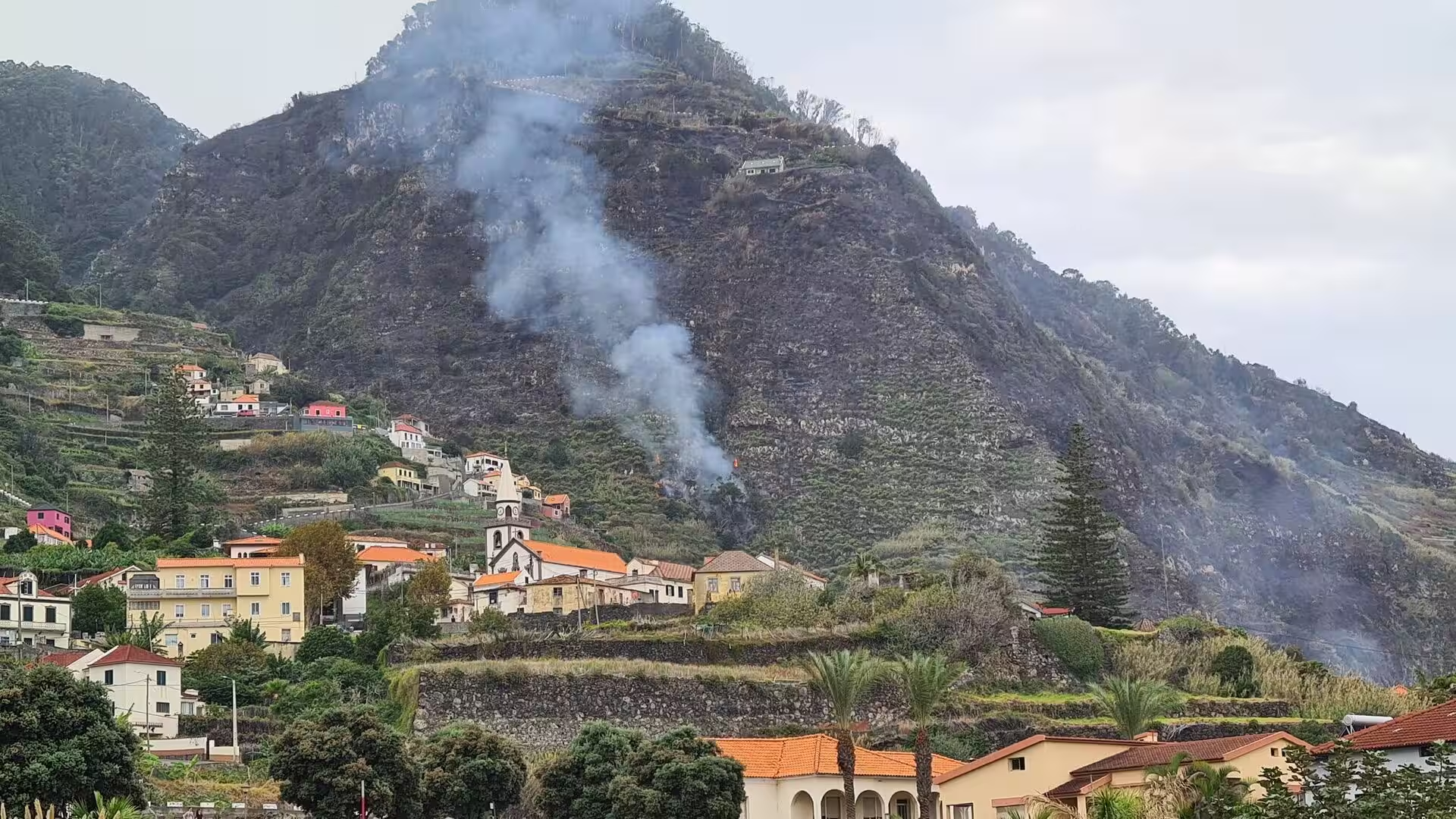
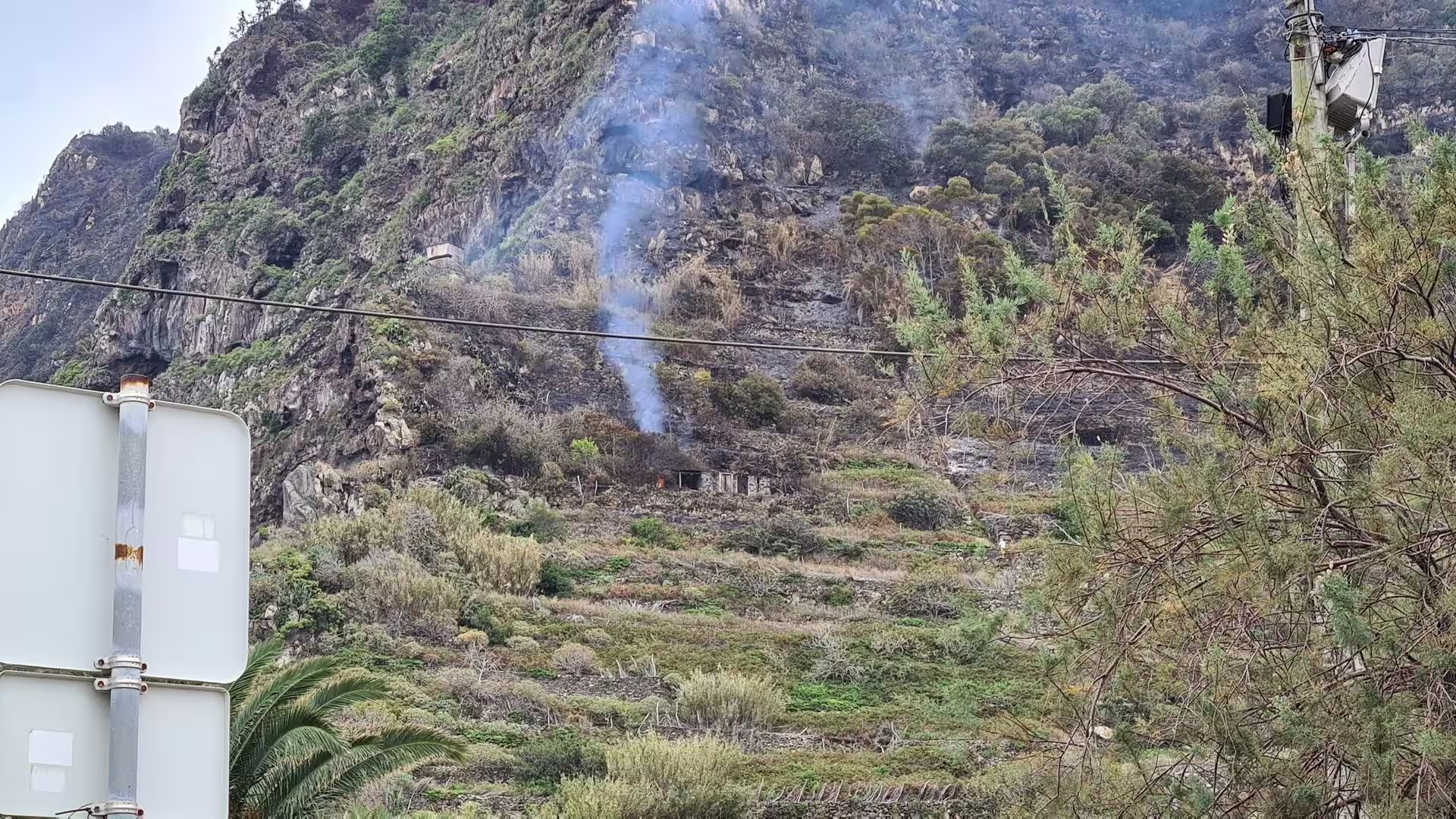
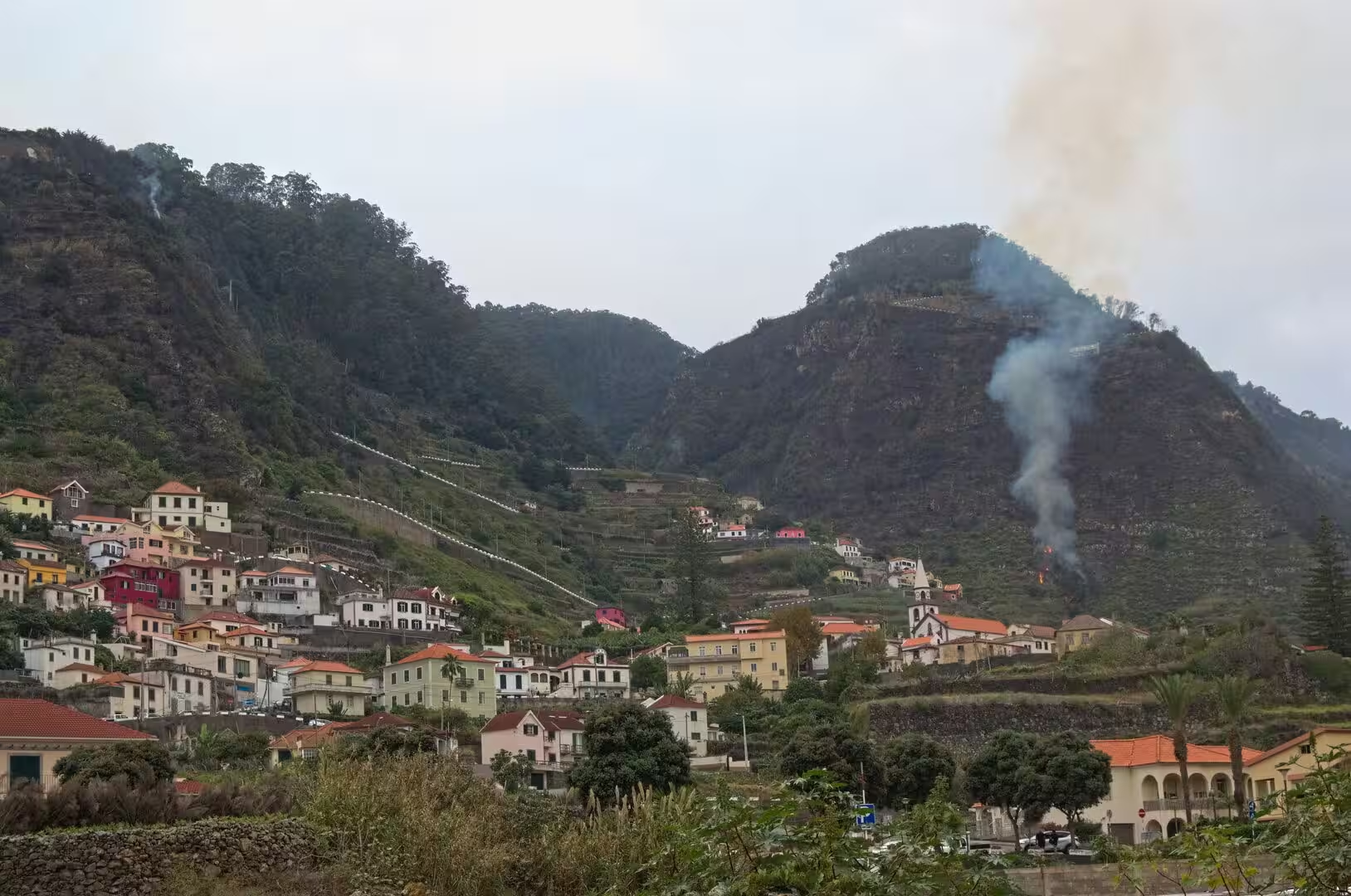
Above the villages the dead are buried on the slopes. A terraced cemetery of white gravestones overlooks a lush green valley, and below it a gorge carries the water of the interior towards the sea with houses standing on the ridge between. A weathered stone arch bridge spans a dry, overgrown ravine nearby, a reminder that the watercourses of the island are seasonal. On the hillside behind a small village a plume of smoke drifts upward, and elsewhere a wisp of smoke curls from brush on a rocky slope.
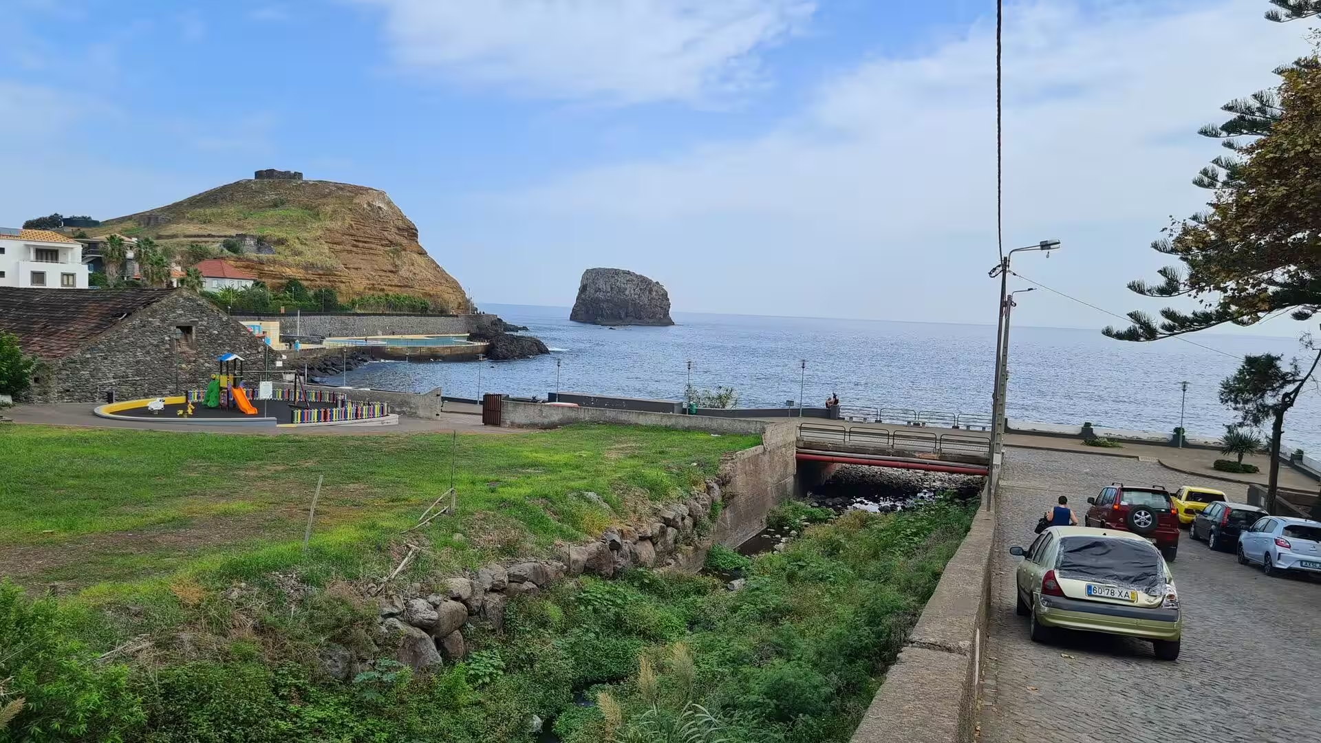
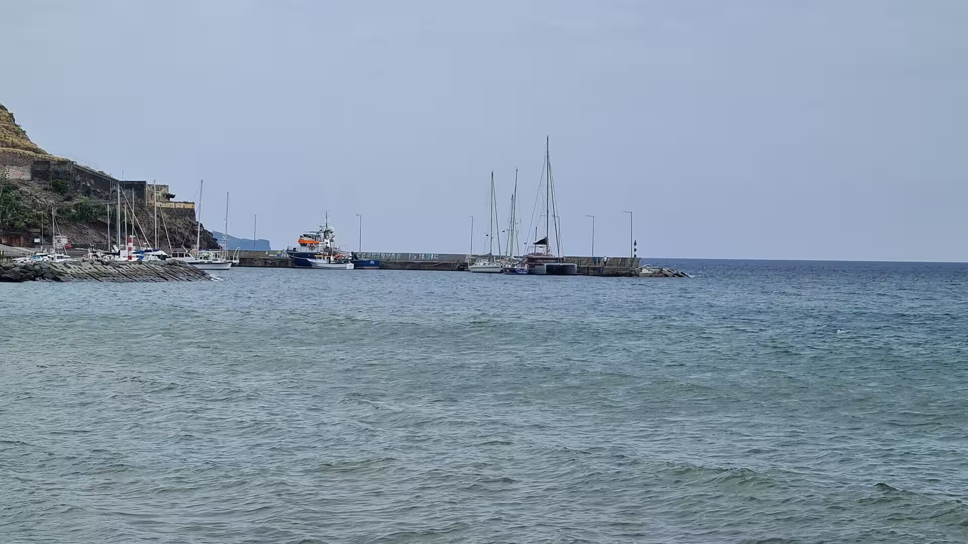
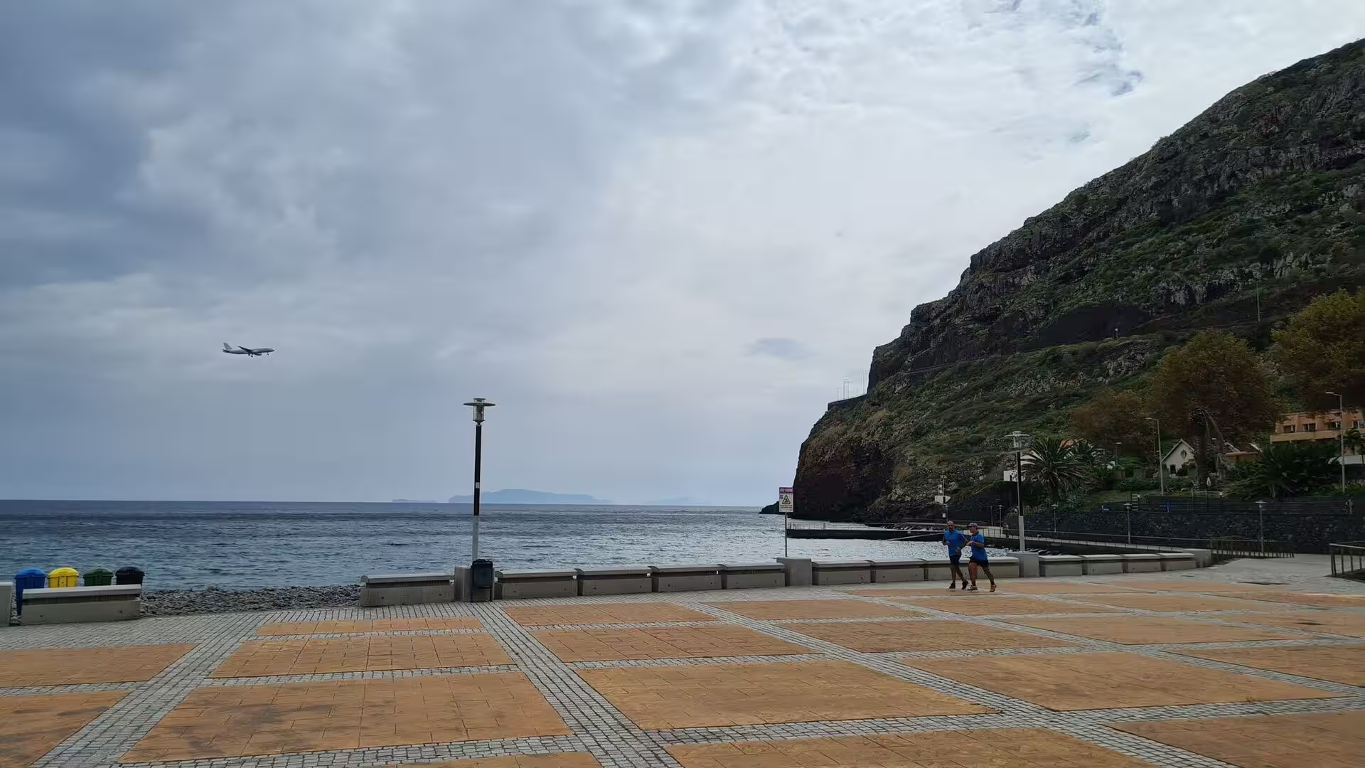
The coast also shows its maritime and its modern face. On still grey water, tall masted sailboats rest along a stone pier, a palm thatch umbrella shades a pebble beach with a distant sailboat beyond it, and a calm bay holds an offshore islet, a green headland and a playground on the shore. In the east of the island, giant white letters spell the name Machico across a patterned plaza at the water’s edge, an aircraft glides low over that plaza on its approach, and a narrow mountain village spills down towards a rocky shore and a small harbour.
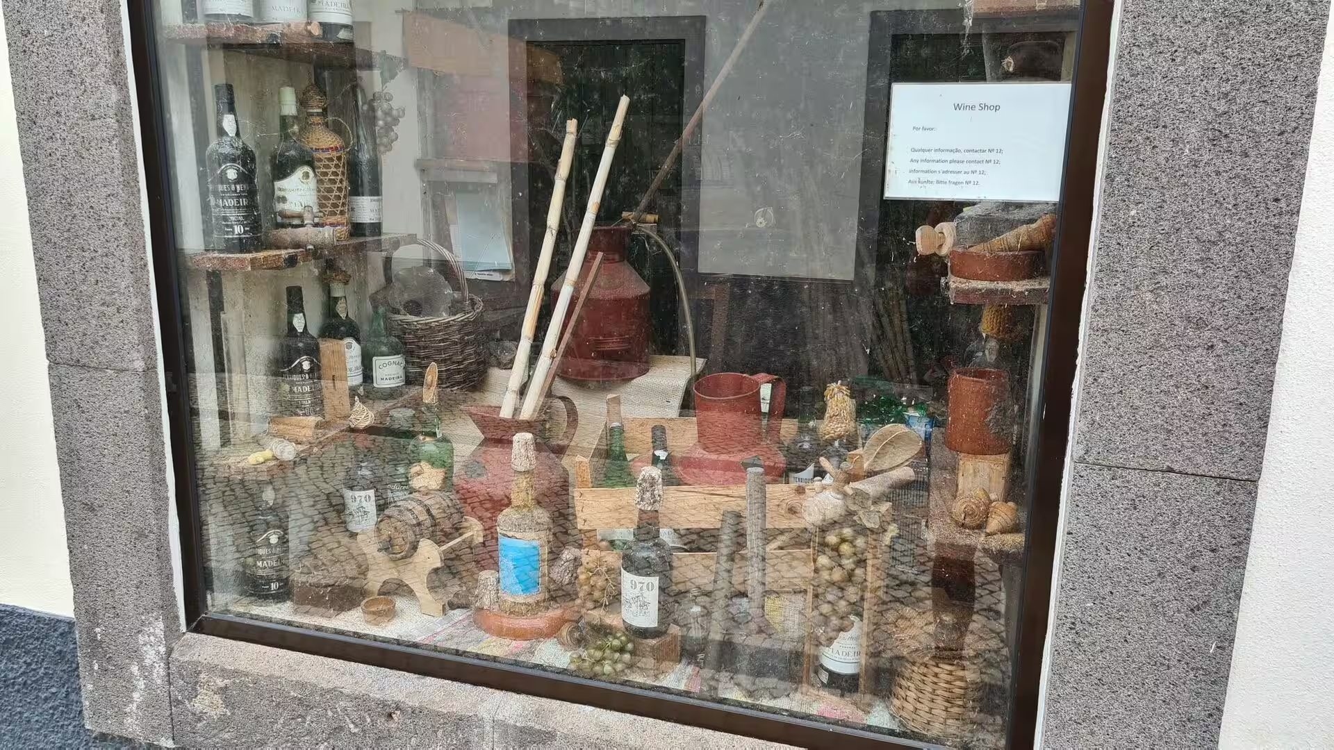
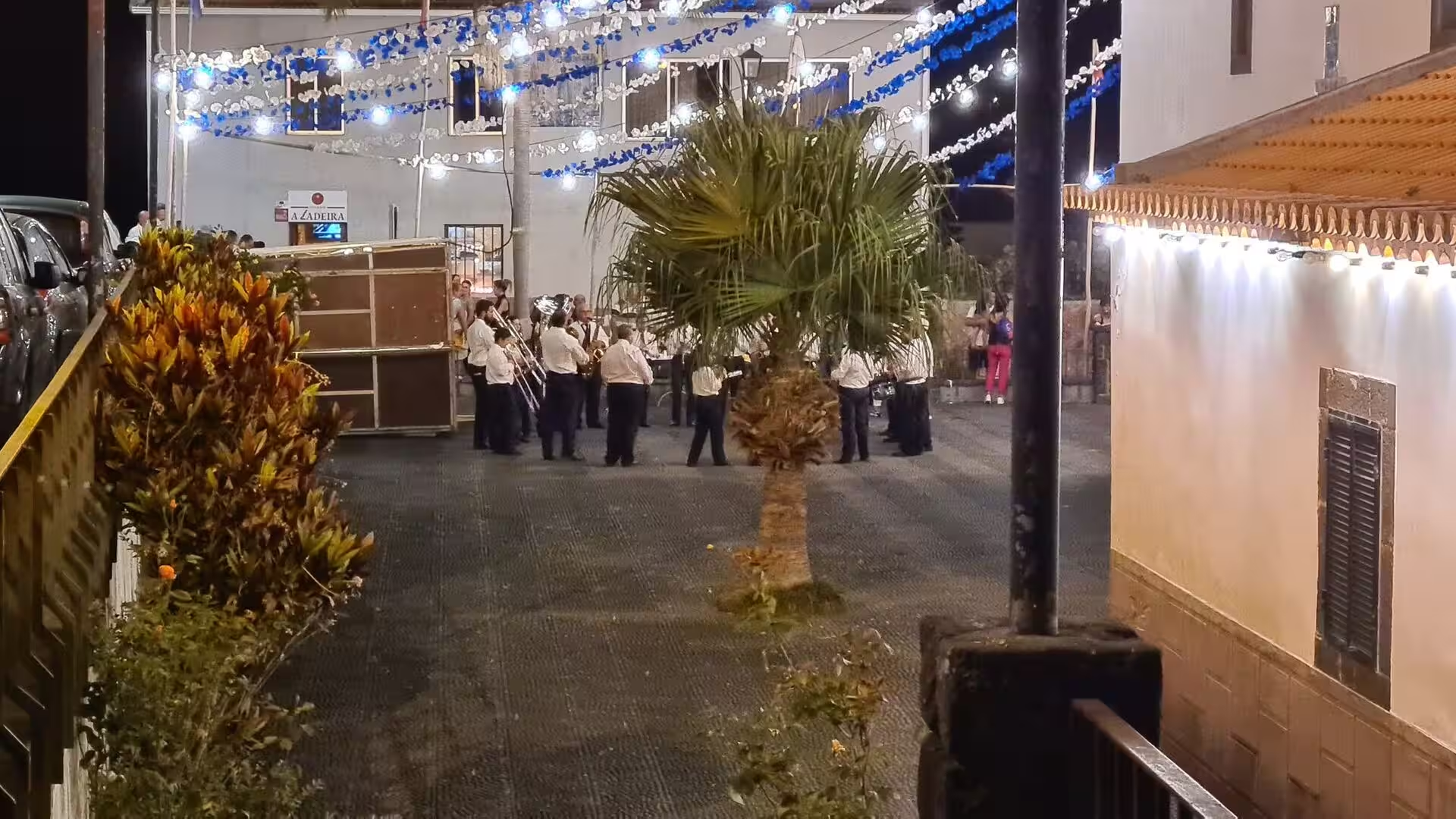
Eating and drinking belong to the day as much as the cliffs do. A sesame topped bun carries ham, bacon and fries on a blue tray; the local flatbread, baked on a slab of basalt, serves as a sandwich or arrives with garlic butter; and cubed beef marinated with garlic and bay leaf is grilled on laurel skewers and eaten with squares of fried cornmeal. Wicker baskets, wine bottles and a red ceramic jug stand in a shop display, poncha is mixed from cane spirit, honey and citrus juice, and in the evening a small band plays beneath blue and white garlands in a softly lit square.
References
- Wikipedia contributors (2026). Calheta, Madeira. en.wikipedia.org/wiki/Calheta%2C_Madeira
- Wikipedia contributors (2026). Arco da Calheta. en.wikipedia.org/wiki/Arco_da_Calheta
- Wikipedia contributors (2026). Estreito da Calheta. en.wikipedia.org/wiki/Estreito_da_Calheta
- Wikipedia contributors (2026). Jardim do Mar. en.wikipedia.org/wiki/Jardim_do_Mar
- Wikipedia contributors (2026). Paul do Mar. en.wikipedia.org/wiki/Paul_do_Mar
- Wikipedia contributors (2026). Prazeres, Madeira. en.wikipedia.org/wiki/Prazeres%2C_Madeira
- Wikipedia contributors (2026). Machico. en.wikipedia.org/wiki/Machico
- Wikipedia contributors (2026). Madeira. en.wikipedia.org/wiki/Madeira
- Wikipedia contributors (2026). Madeira Island. en.wikipedia.org/wiki/Madeira_Island
- Wikipedia contributors (2026). History of Madeira. en.wikipedia.org/wiki/History_of_Madeira
- Wikipedia contributors (2026). Madeira wine. en.wikipedia.org/wiki/Madeira_wine
- Wikipedia contributors (2026). Poncha. en.wikipedia.org/wiki/Poncha
- Wikipedia contributors (2026). Bolo do caco. en.wikipedia.org/wiki/Bolo_do_caco
- Wikipedia contributors (2026). Espetada. en.wikipedia.org/wiki/Espetada
- Wikipedia contributors (2026). Milho frito. en.wikipedia.org/wiki/Milho_frito
- Faria (2012). Sugar cane spirits: cachaça and rum production and sensory properties. Alcoholic Beverages. 348-358. doi.org/10.1533/9780857095176.3.348
- Bakker (1999). Sugar Cane Production. Sugar Cane Cultivation and Management. 137-166. doi.org/10.1007/978-1-4615-4725-9_12
- Kiesow, Bork (2017). Agricultural terraces as a proxy to landscape history on Madeira island, Portugal. Ler História. 71. 127-152. doi.org/10.4000/lerhistoria.2912
- Hancock (1998). Commerce and Conversation in the Eighteenth-Century Atlantic: The Invention of Madeira Wine. The Journal of Interdisciplinary History. 29. 197-219. doi.org/10.1162/002219598551670
- Lopes, Fragoso, Lopes (2020). Heavy Rainfall Events and Mass Movements in the Funchal Area (Madeira, Portugal): Spatial Analysis and Susceptibility Assessment. Atmosphere. 11. 104. doi.org/10.3390/atmos11010104