Day 3 - Capadoccia
21 July 2023






Journal Notes
General
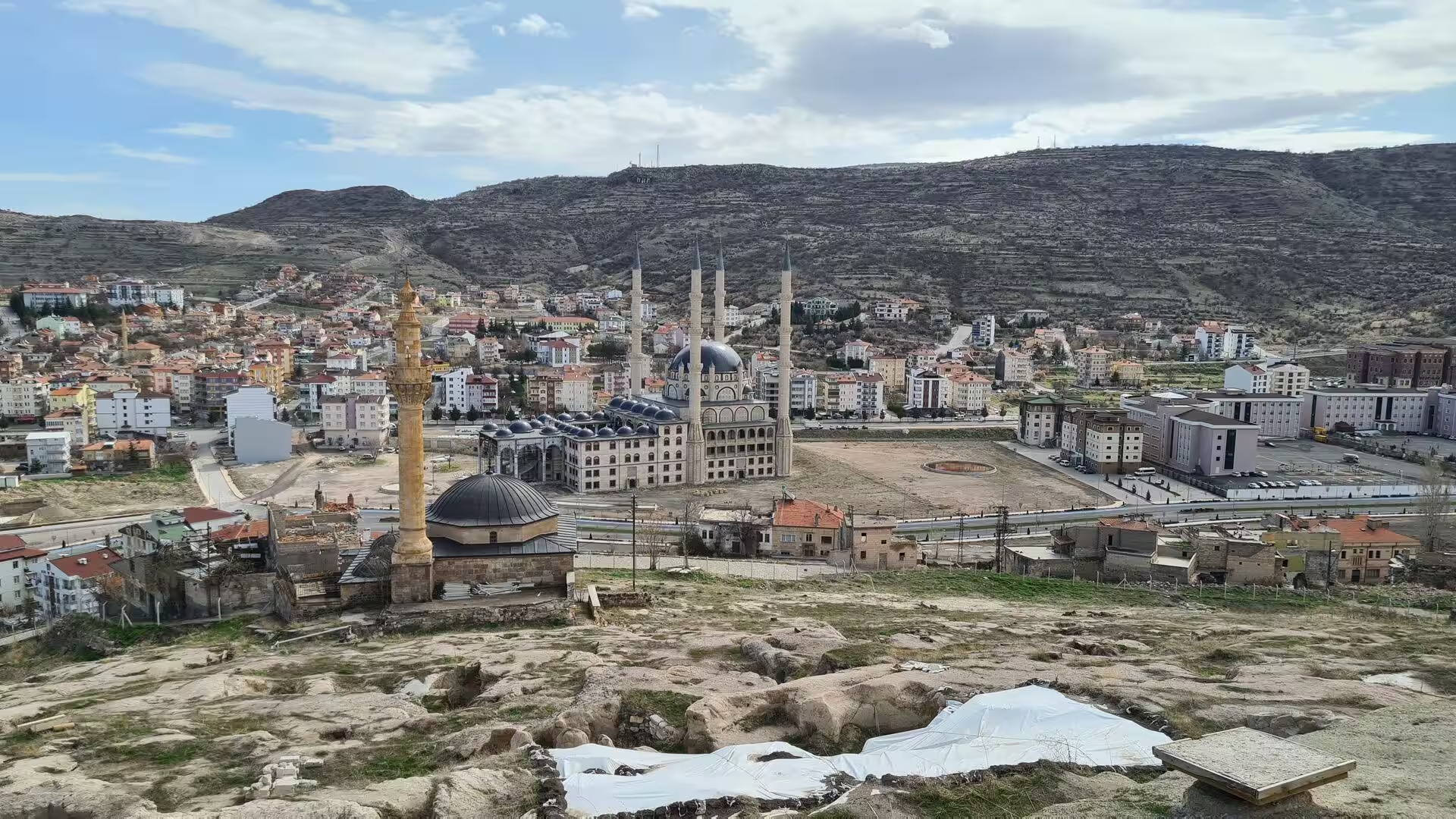
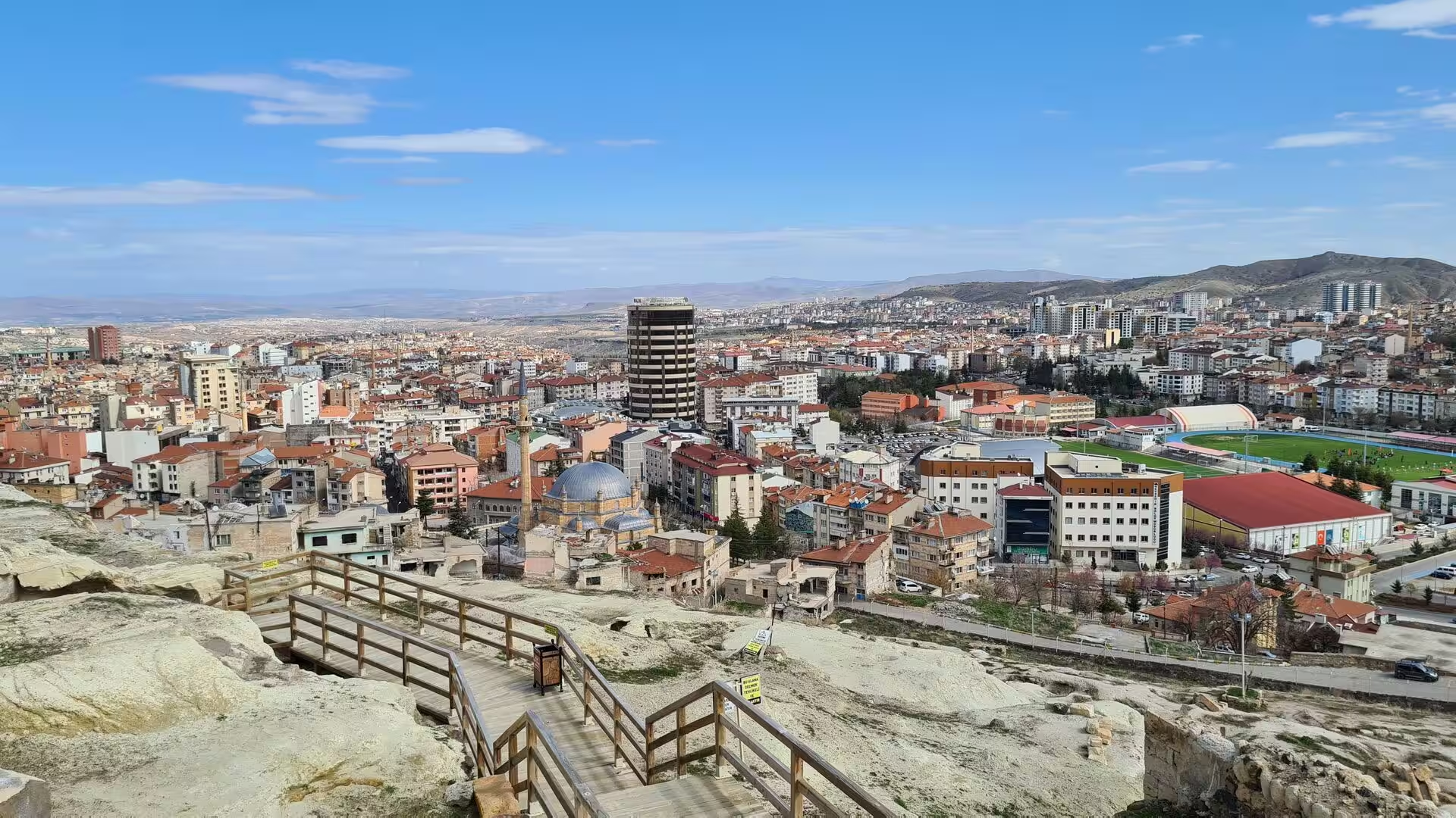
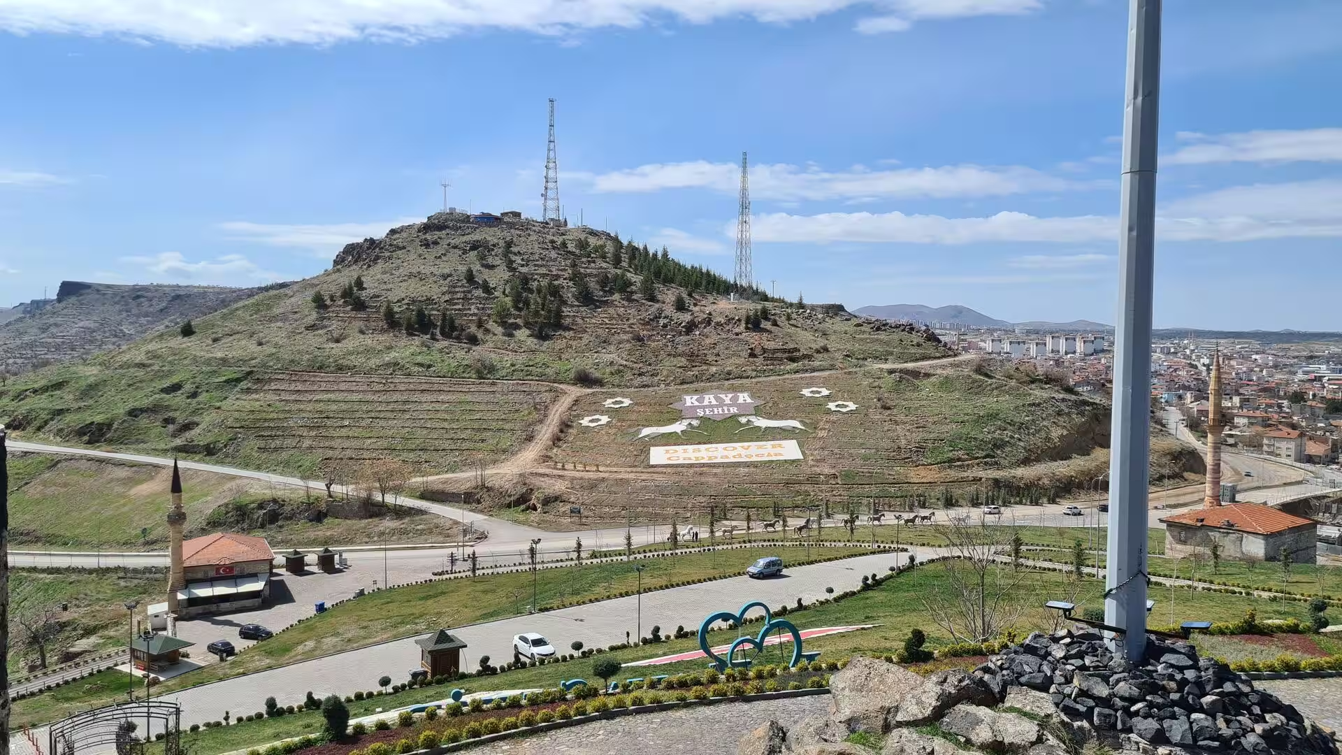
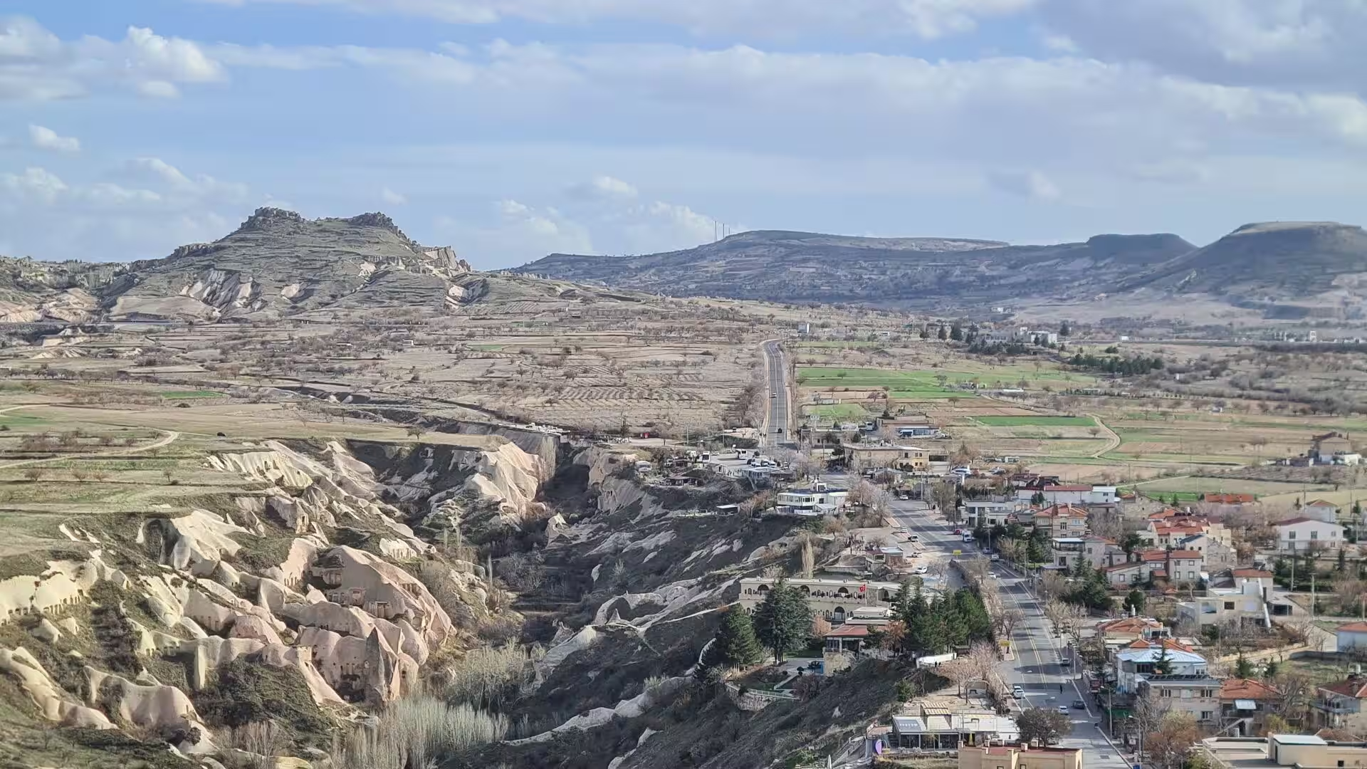
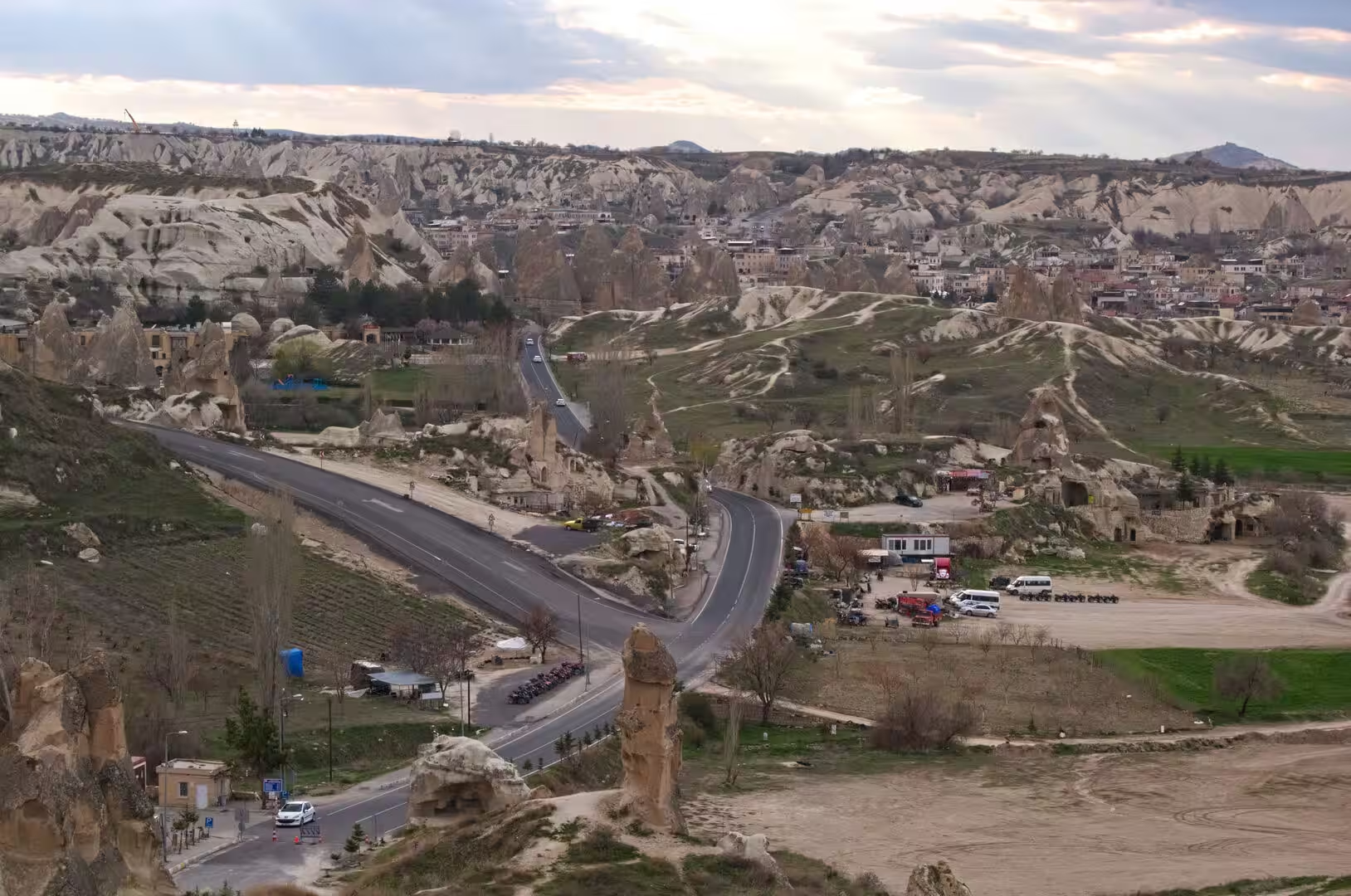
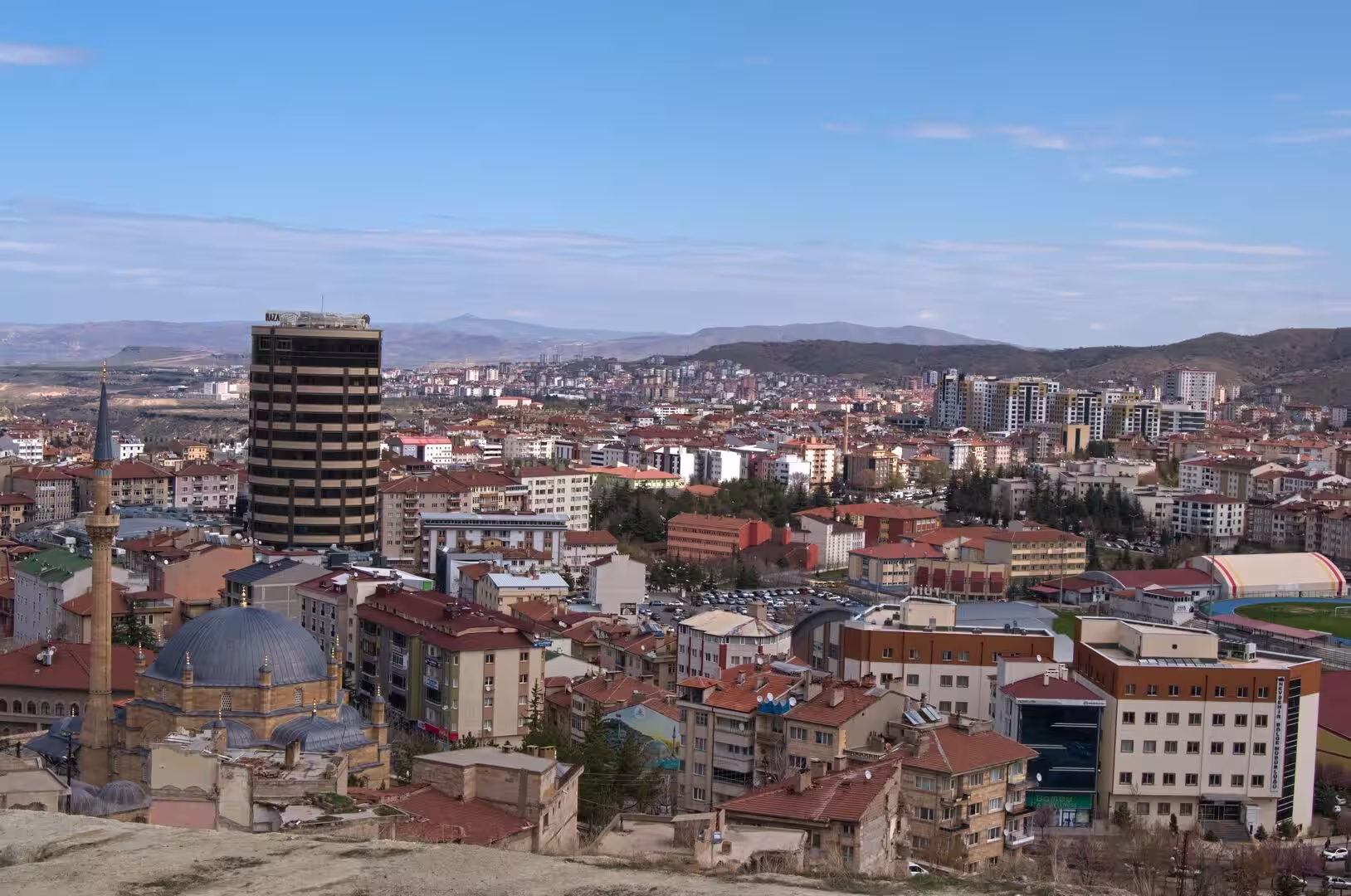
Cappadocia is a historical region of central Turkey, spread across the high volcanic plateau of Central Anatolia. The heart of the modern touristic region lies in Nevşehir Province, and the name is conventionally extended across the neighbouring provinces of Kayseri, Aksaray and Niğde. The relief is an undulating plateau that rises above 1,000 m and is broken by deep valleys and scattered volcanic peaks, the highest of which, Mount Erciyes, reaches 3,917 m. The inland position and the altitude give the region a strongly continental and largely semi-arid climate, with hot, dry summers and cold, snowy winters. The historic region was always far larger than the modern touristic one: in antiquity its name covered a territory that stretched from the Taurus Mountains towards the Black Sea.
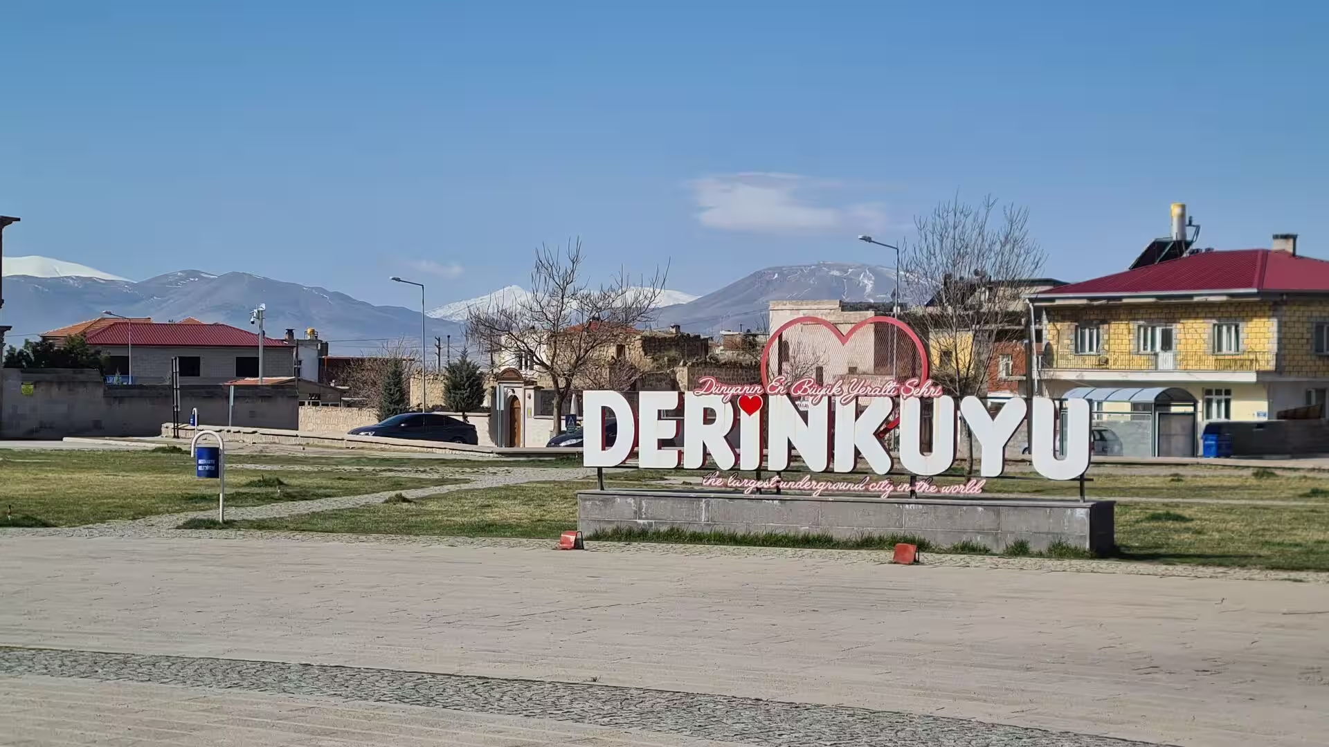
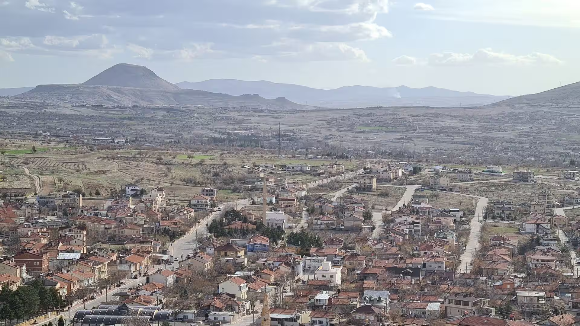
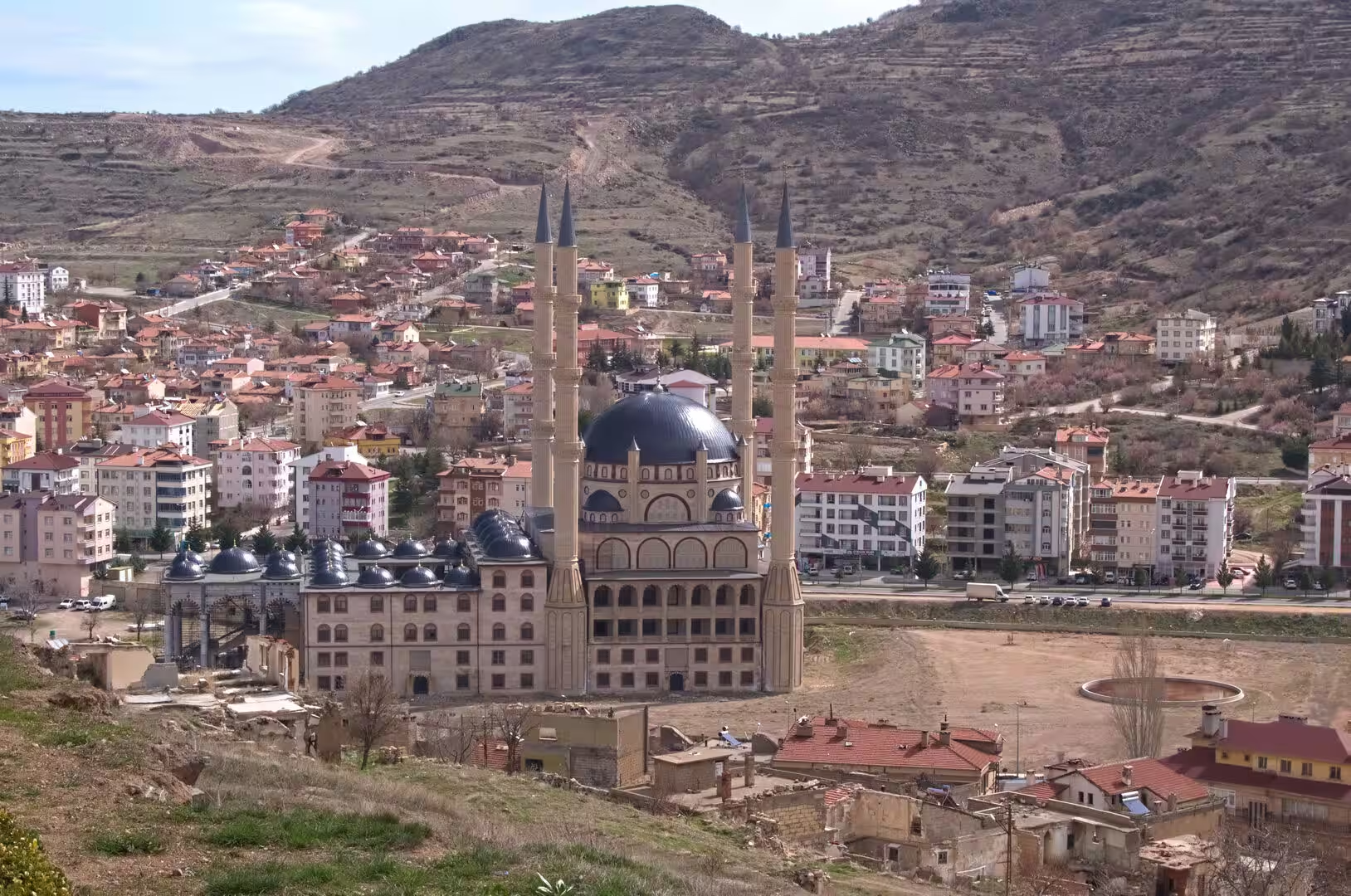
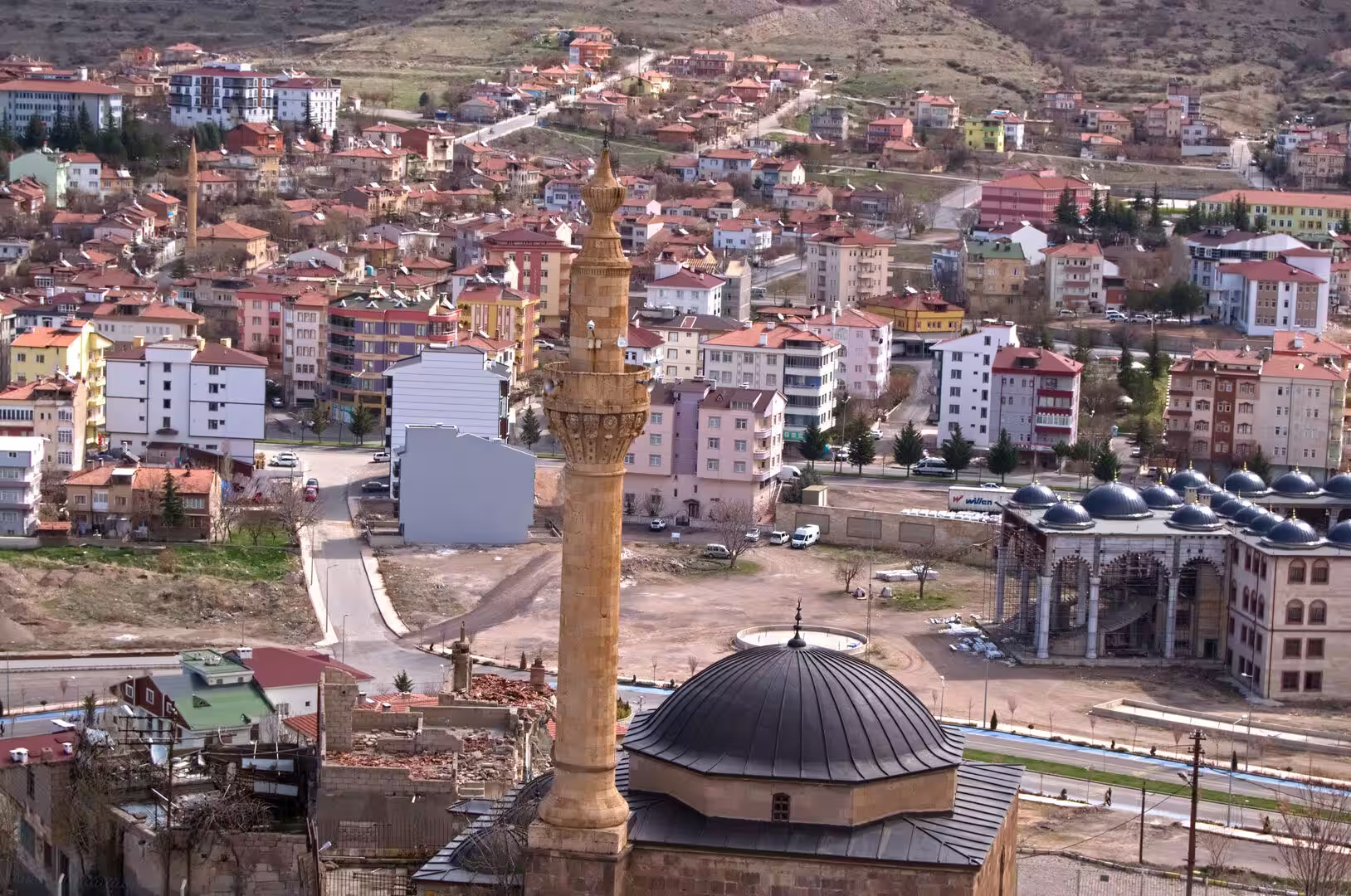
The district town of Derinkuyu lies in the southern part of Nevşehir Province, about 30 km from the provincial capital along the Nevşehir-Niğde highway. The town, whose Turkish name means ‘deep well’, stands in an exposed position on the plateau at roughly 1,333 m and counts some 10,900 inhabitants. Below the houses and gardens of the settlement, and below those of many other towns of the district, run the chambers and corridors of one of the largest networks of rock-cut underground rooms in the world.
Cappadocia has been known since antiquity for the ease with which its soft volcanic stone could be hollowed out, and the region contains an exceptional density of excavated settlements. More than 200 underground settlements at least two storeys deep have been recorded in the area between Kayseri and Nevşehir, around 40 of them with three storeys or more, and Derinkuyu’s complex is the largest excavated underground city in Turkey. In 1985 the Göreme National Park and the Rock Sites of Cappadocia were inscribed on the World Heritage List in recognition of the region’s outstanding natural and cultural landscape.
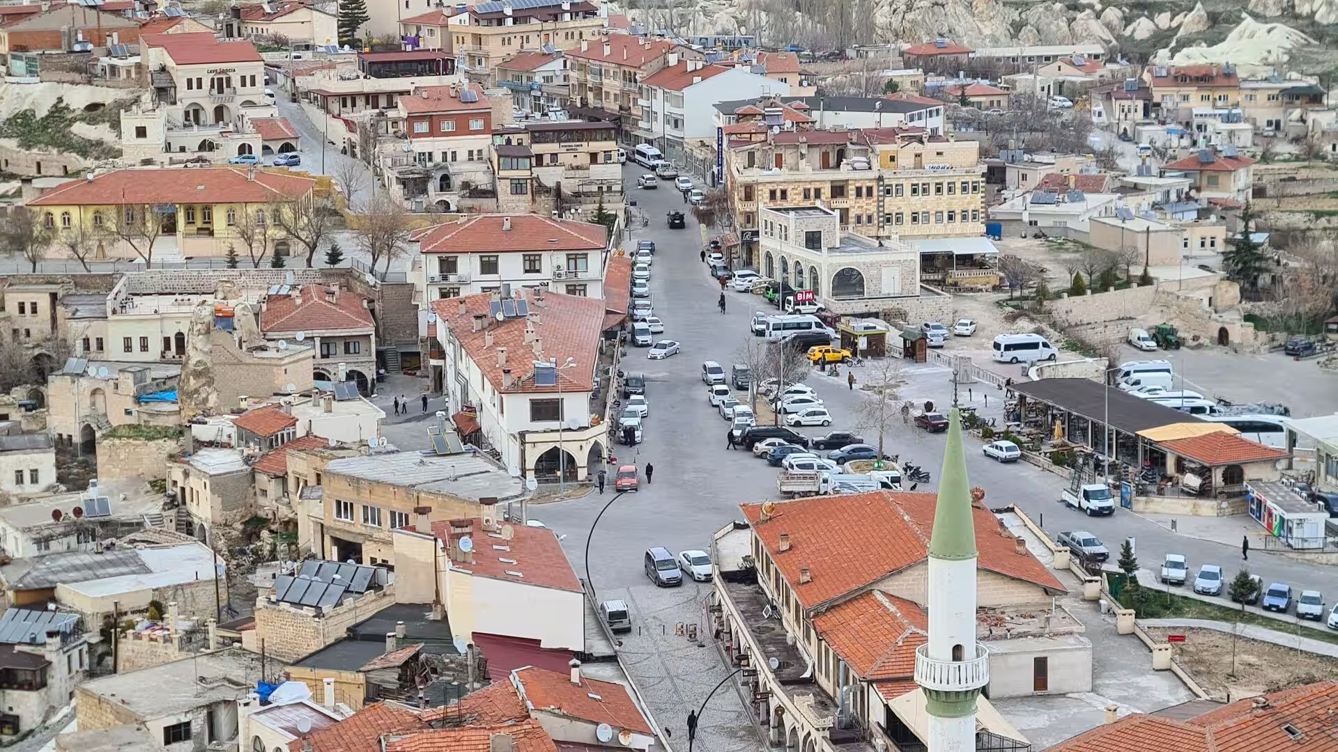
Tourism now shapes much of everyday life in the Cappadocian districts. Visitors come for the lunar scenery of the valleys, for the rock-cut churches and monasteries, for hot-air balloon flights at dawn and for nights in hotels carved out of the old dwellings, and the underground city of Derinkuyu is operated as a state museum site on the circuit of the region’s most visited monuments. The plateau beyond the tourist routes remains open agricultural country, and Nevşehir Kapadokya Airport, the region’s principal airport, lies about 30 km northwest of the provincial capital.
History
The excavated landscape of Cappadocia has roots that reach back to the Bronze Age. In the late Bronze Age the region was known as Hatti and formed the homeland of the Hittite power centred on Hattusa, and it was probably during the Hittite period that the first passages and rooms were cut into the soft rock. The earliest chambers of the Derinkuyu complex may have been cut by the Phrygians of the eighth and seventh centuries BC; the earliest written testimony comes from Xenophon’s Anabasis, composed around 370 BC, which describes the people of Anatolia living in excavated houses large enough for their families, their animals and their stored food, and the two uppermost floors of Derinkuyu are dated to this same early period. Under the Achaemenid Persians the country appears as Katpatuka in the trilingual inscriptions of Darius I and Xerxes I from the late sixth century BC. After the conquests of Alexander the Great the local dynasty of Ariarathes founded a kingdom, and in AD 17 the emperor Tiberius made Cappadocia a Roman province. The habit of underground life ran so deep that the tenth-century historian Leo the Deacon still described the people of the region as troglodytes who went underground in holes, clefts and labyrinths.
Christianity was firmly established in the region by the third century, and the fourth century brought the Cappadocian Fathers, among them Basil of Caesarea, whose teaching drew hermits and monks into the valleys; the earliest monastic communities hewed their cells out of the rock from the fourth century onward. From 642 the raids of Arab armies began to fall on the Byzantine frontier province, and the Christians of the district enlarged the older underground settlements into refuges where a settled life could continue during dangerous times. Derinkuyu was significantly extended during the Arab-Byzantine wars, when it sheltered the local population from Umayyad and later Abbasid raiding armies, and it was probably in this period that the city came closest to its peak capacity of about 20,000 people together with their livestock. A chronicle of the campaigns of Timur in the fourteenth century records that one of his captains, sent to hunt out inhabitants who had taken refuge underground, was killed by an arrow fired through the hole in one of the round door-stones, a glimpse of how the defences were meant to work.
In the same centuries the visible rock-cut architecture of Cappadocia took shape. Monks and villagers carved churches, monasteries, refectories and houses into the cliffs and the free-standing cones, and the rock-cut monasteries are dated mostly to the ninth to eleventh centuries. The scale of this activity is extraordinary: scholars count at least a thousand rock-cut churches and chapels, of which more than a third preserve significant elements of painted decoration, and recent survey work has shown that many of the settlements were ordinary towns rather than purely monastic communities. After the Seljuk victory at Manzikert in 1071 Cappadocia passed gradually under Turkish rule, through the Anatolian Seljuks, the beylik of Karaman and finally the Ottoman Empire, and in the early eighteenth century the grand vizier Nevşehirli Damat İbrahim Pasha, a native of the district, founded the new provincial capital of Nevşehir.
The Greek-speaking Christian population of the district, which knew the town as Malakopea, continued to use the underground chambers in times of danger until the exchange of populations between Greece and Turkey in 1923 and 1924, when the Cappadocian Greeks left and the tunnels fell out of use. Even in the early twentieth century the chambers were not forgotten: the linguist Richard Dawkins recorded that during the Adana massacres of 1909 much of the population of one village slept underground for several nights. In 1963 a resident of Derinkuyu who was renovating his house broke through a basement wall and found a mysterious room behind it; further digging revealed the entrance to the tunnel network. More than 600 separate entrances to the complex have since been discovered, some of them concealed beneath the basements of private houses, and the cleared part of the city was opened to visitors during the 1960s.
Geology
The landscape of Cappadocia is built almost entirely from the products of a long volcanic history. During the late Miocene and Pliocene epochs, roughly nine to three million years ago, explosive eruptions from the great volcanoes of the region, including Mount Erciyes, Mount Hasan and the Göllüdağ massif, buried the plateau under thick sheets of ash and ignimbrite, which alternate with sediments laid down in lakes and streams. Mount Erciyes, the highest peak of the region at 3,917 m, is an inactive stratovolcano whose construction began in the Miocene and whose last eruptions fell in the early Holocene.
The compacted volcanic ash hardened into tuff, a rock formed from ash that settles and lithifies after an eruption and is soft and porous enough to be worked with simple hand tools; ignimbrites are the thick sheet deposits left by hot ash flows, welded in places into especially resistant rock. This easy workability explains both the underground cities and the carved architecture of the surface. Over the tuff, later lava flows laid down harder cappings of basalt and of welded ignimbrite. The contrast between the soft, easily eroded tuff and its harder cover is the key to the region’s relief: where a resistant cap protected the stone beneath it, erosion left tall cones and pillars standing, while the unprotected tuff was carved away into valleys.
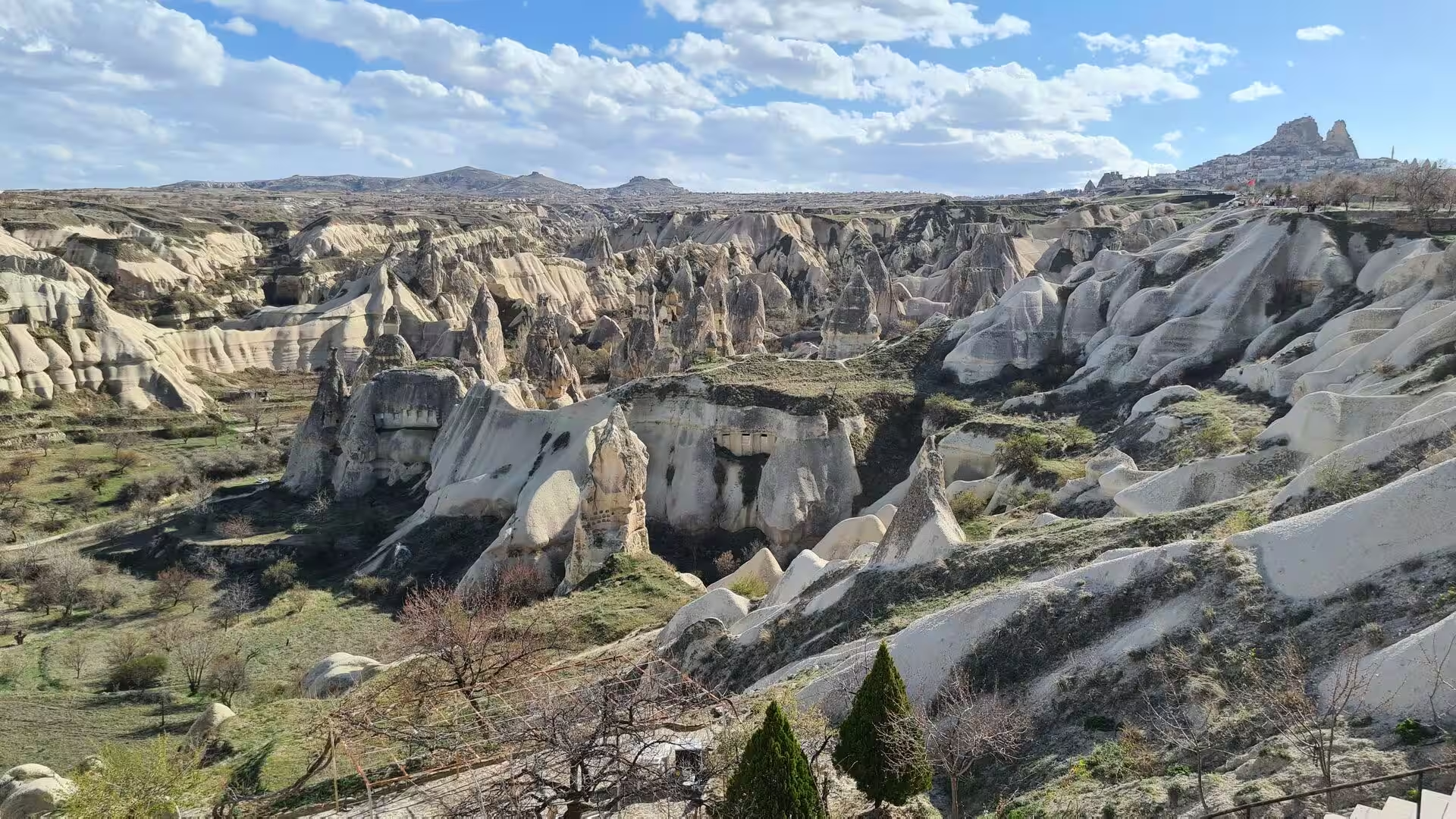
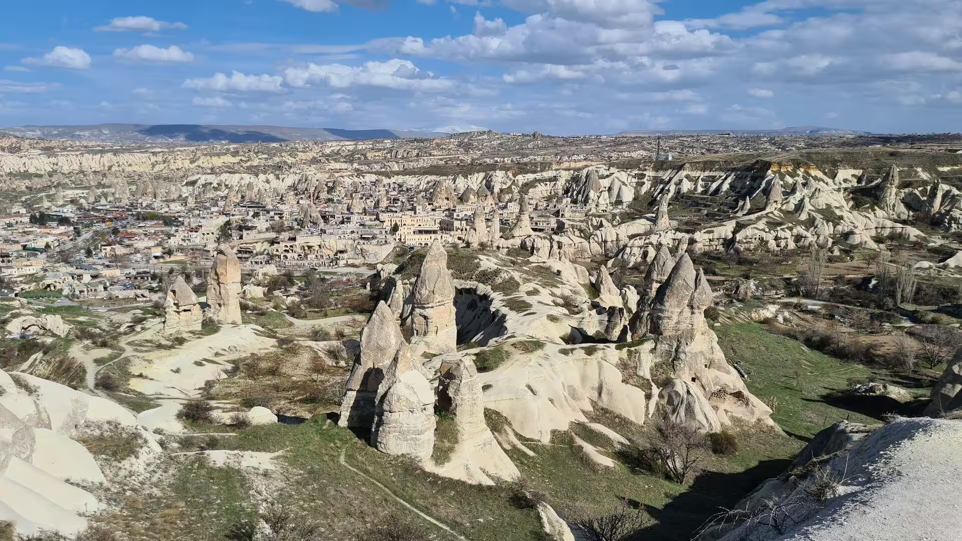
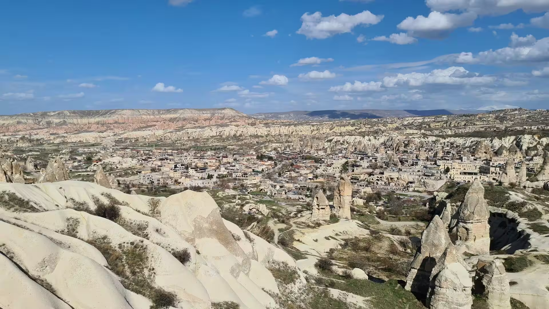
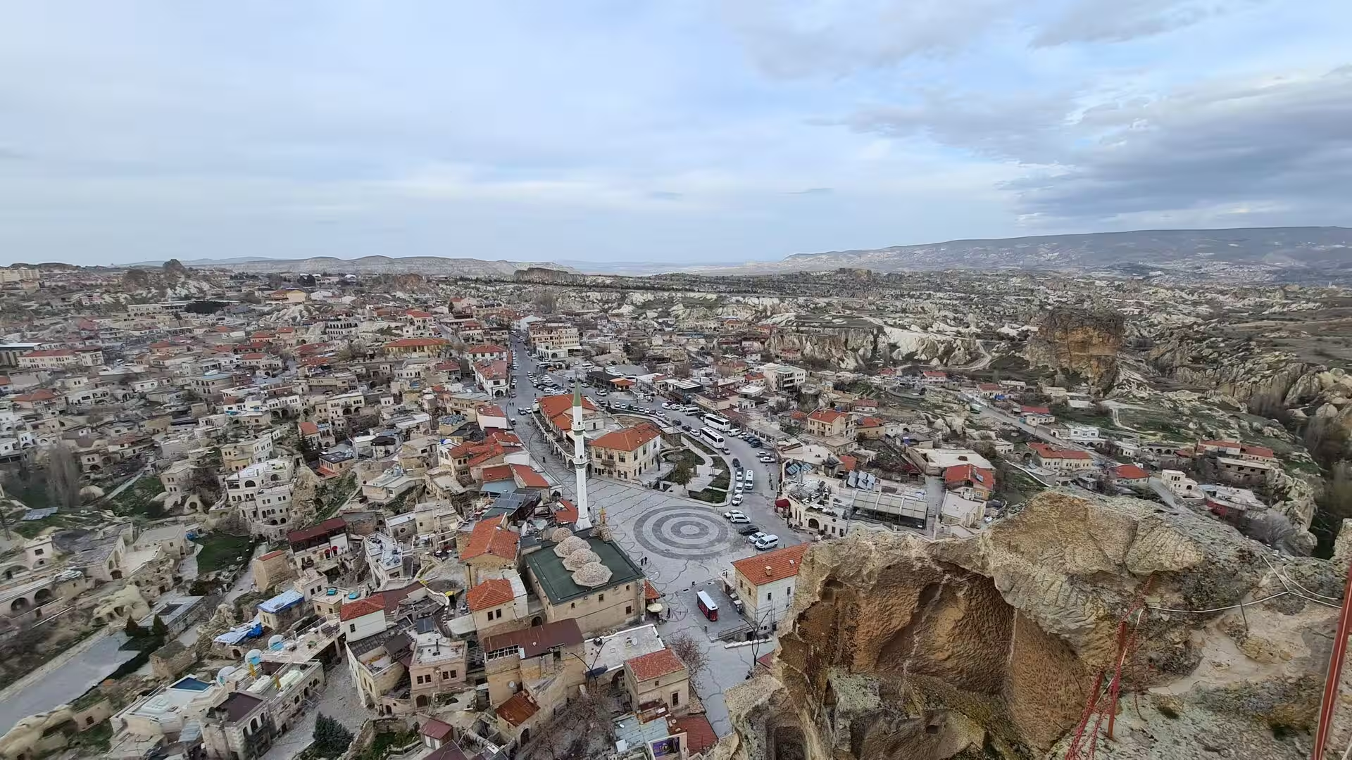
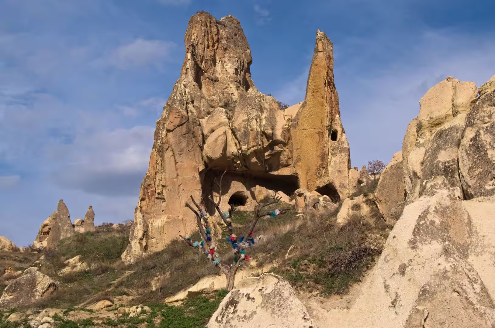
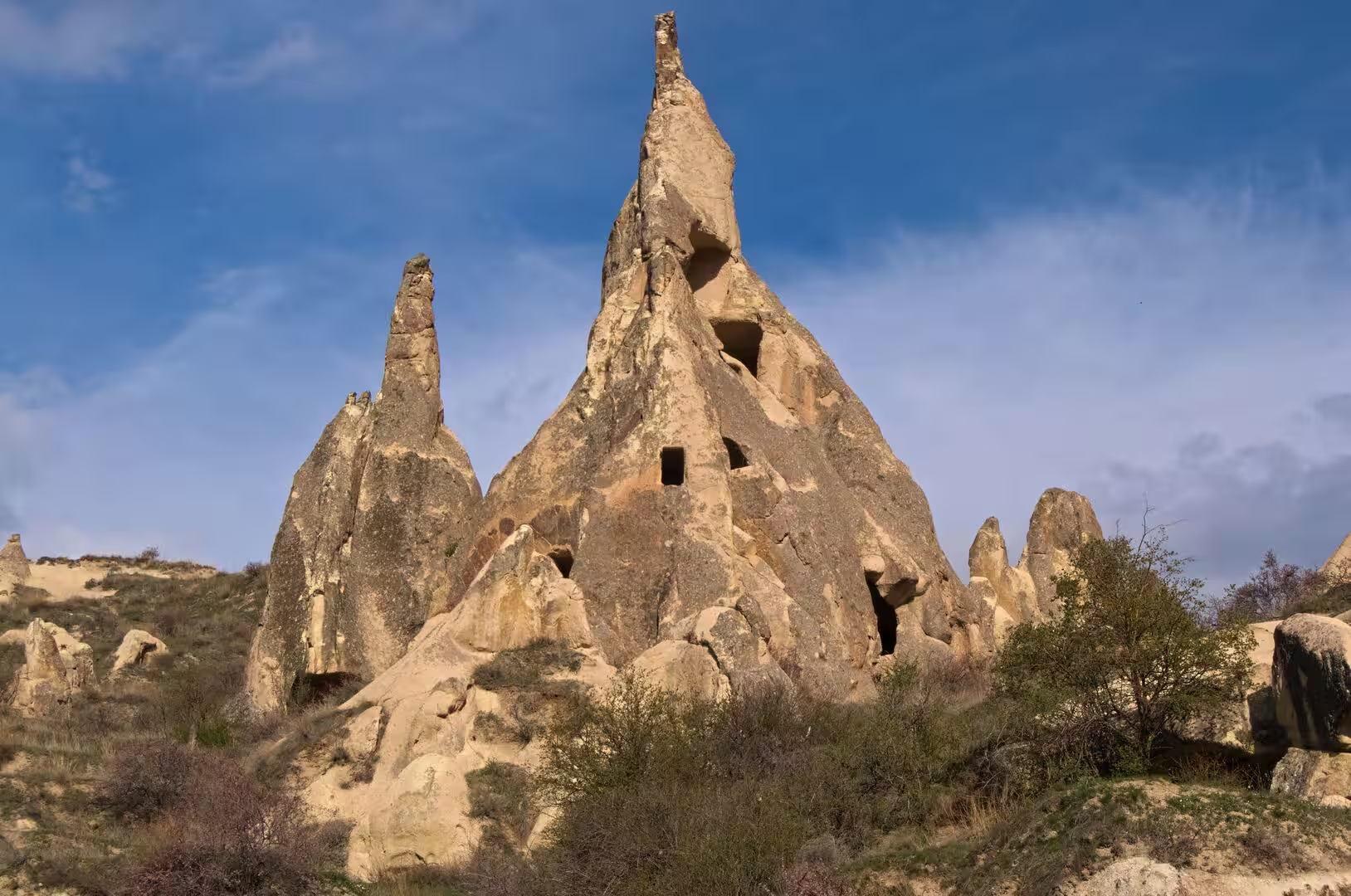
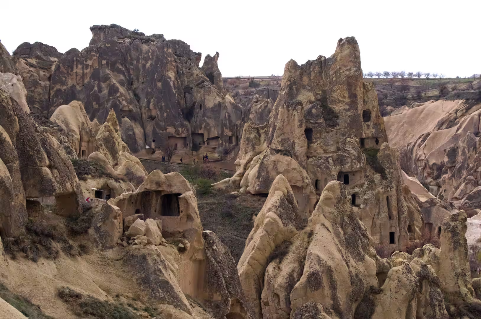
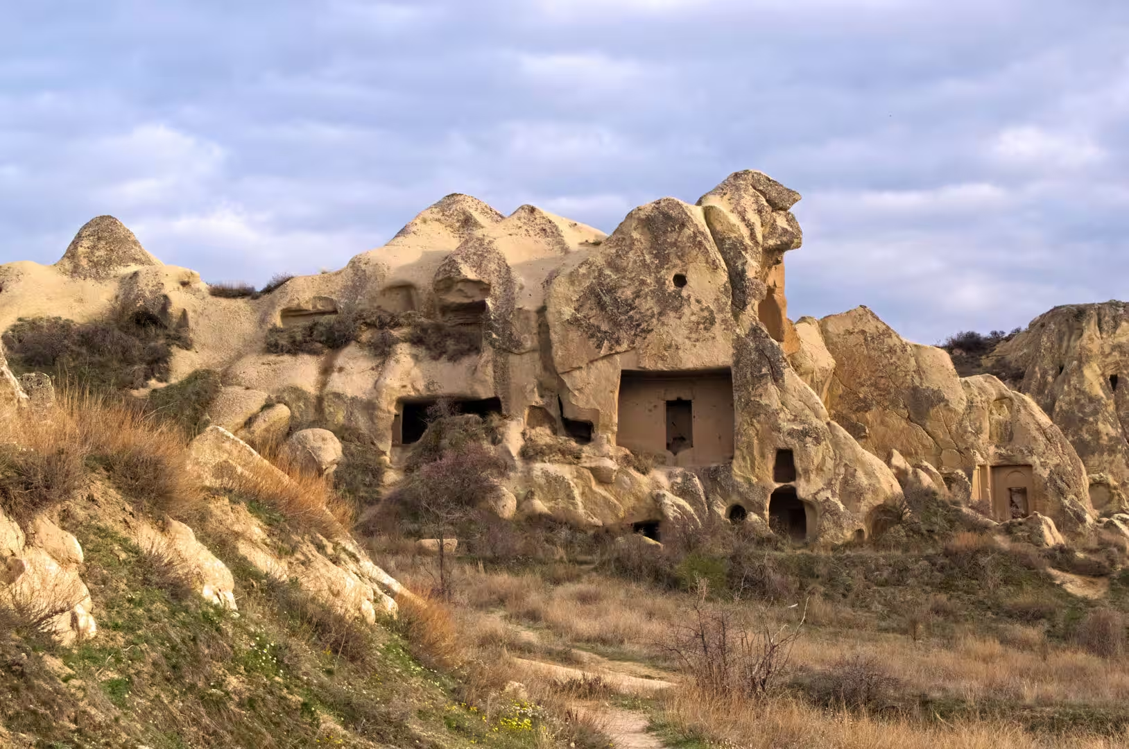
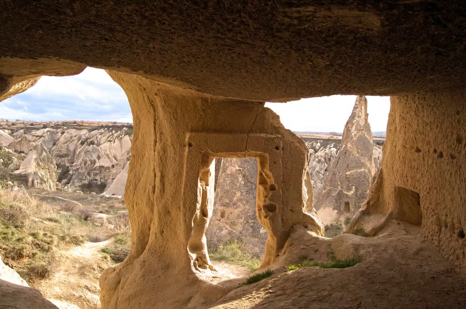
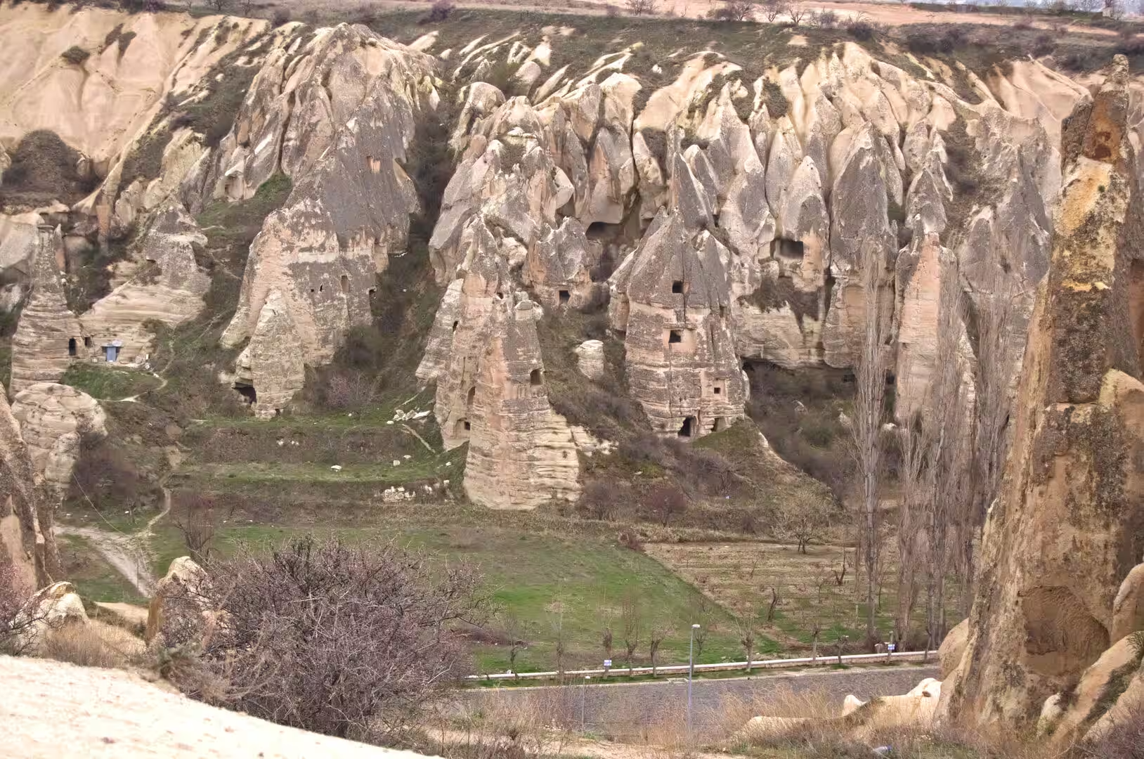
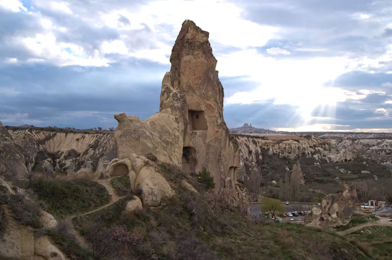
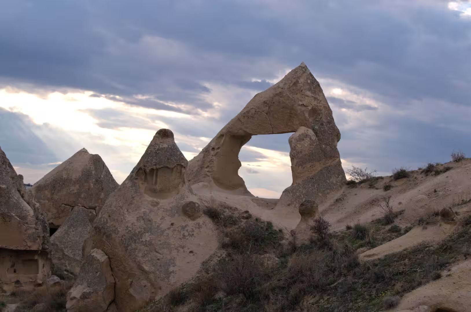
Wind and water have worked on these deposits for millions of years. Rivers and seasonal streams cut deep, steep-sided valleys into the plateau, and the combination of rill erosion and the variable hardness of the rock produced the fantastic forms for which the region is known: cliffs, ridges, isolated towers and the conical hoodoo-like formations that are popularly called fairy chimneys. In the classic form, a resistant capping of basalt or welded ignimbrite protected the softer stone beneath while the surrounding tuff was stripped away, leaving slender towers standing wherever the cap survived. In the valleys of the Göreme district alone the erosion has produced hundreds of these pillars and minaret-like forms. The process continues today, for the climate is continental and semi-arid, with sparse rainfall concentrated in sudden downpours that scour the soft slopes.
The scientific importance of these rocks is widely recognised. In October 2022 the International Union of Geological Sciences included the Miocene Cappadocian ignimbrite sequence in its list of 100 geological heritage sites of international relevance, citing the voluminous eruption deposits and the fairy-chimney development produced by uplift and erosion.
Things to See
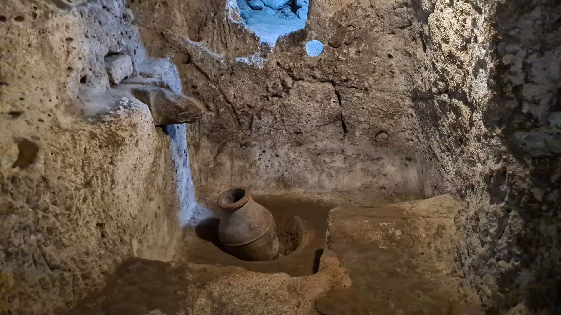
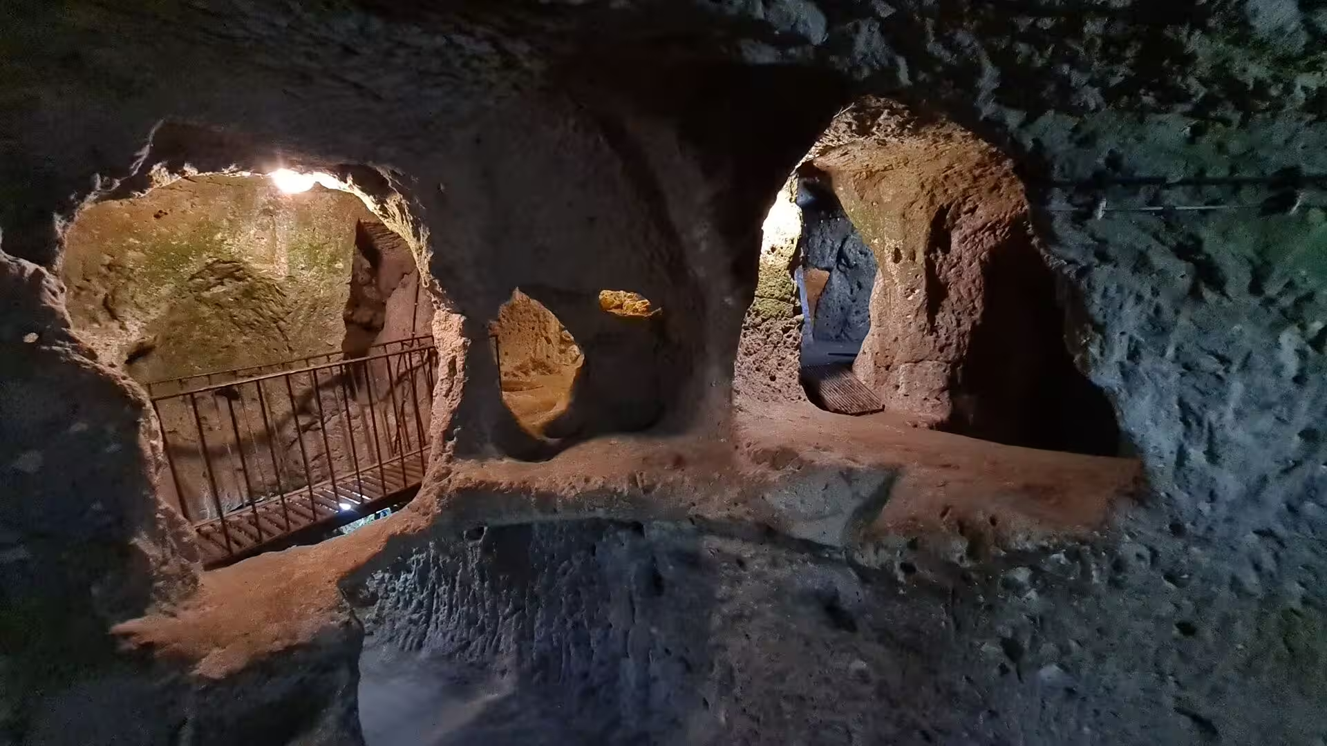
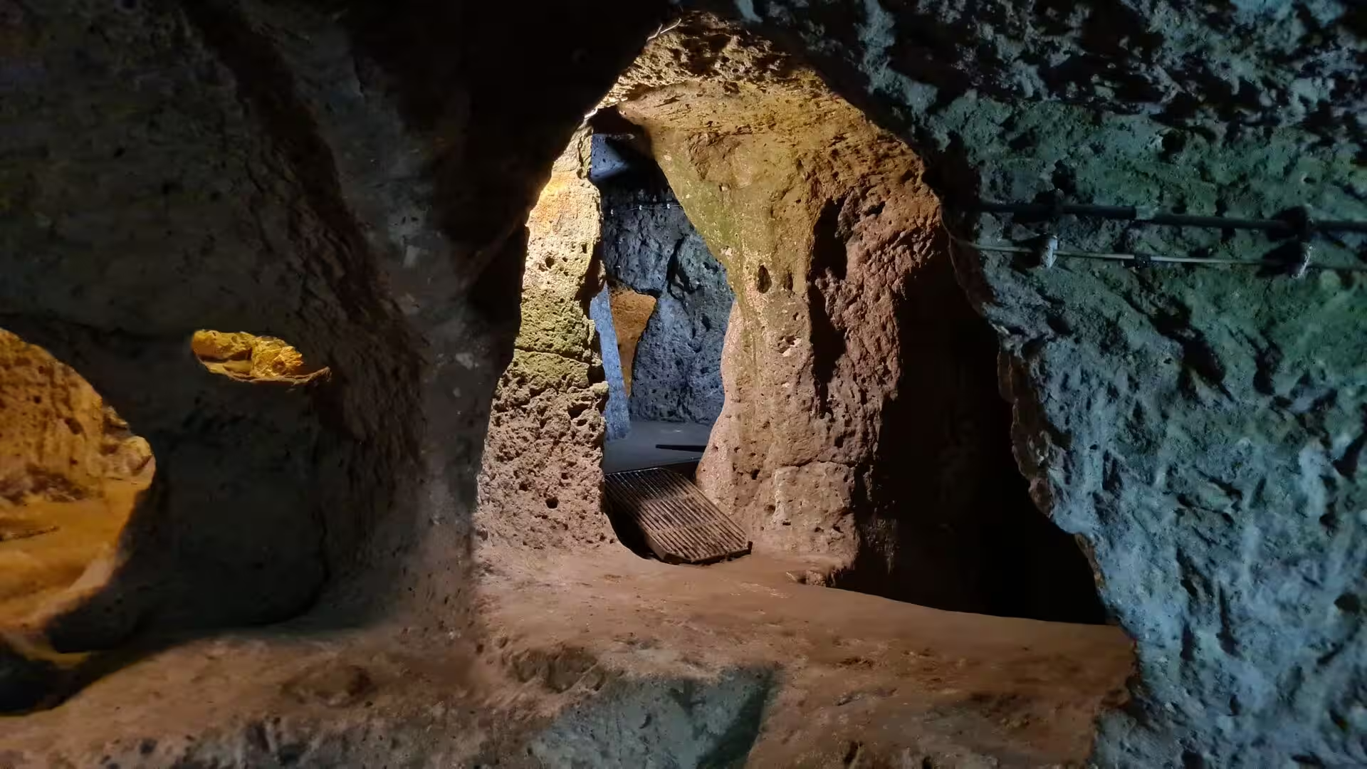
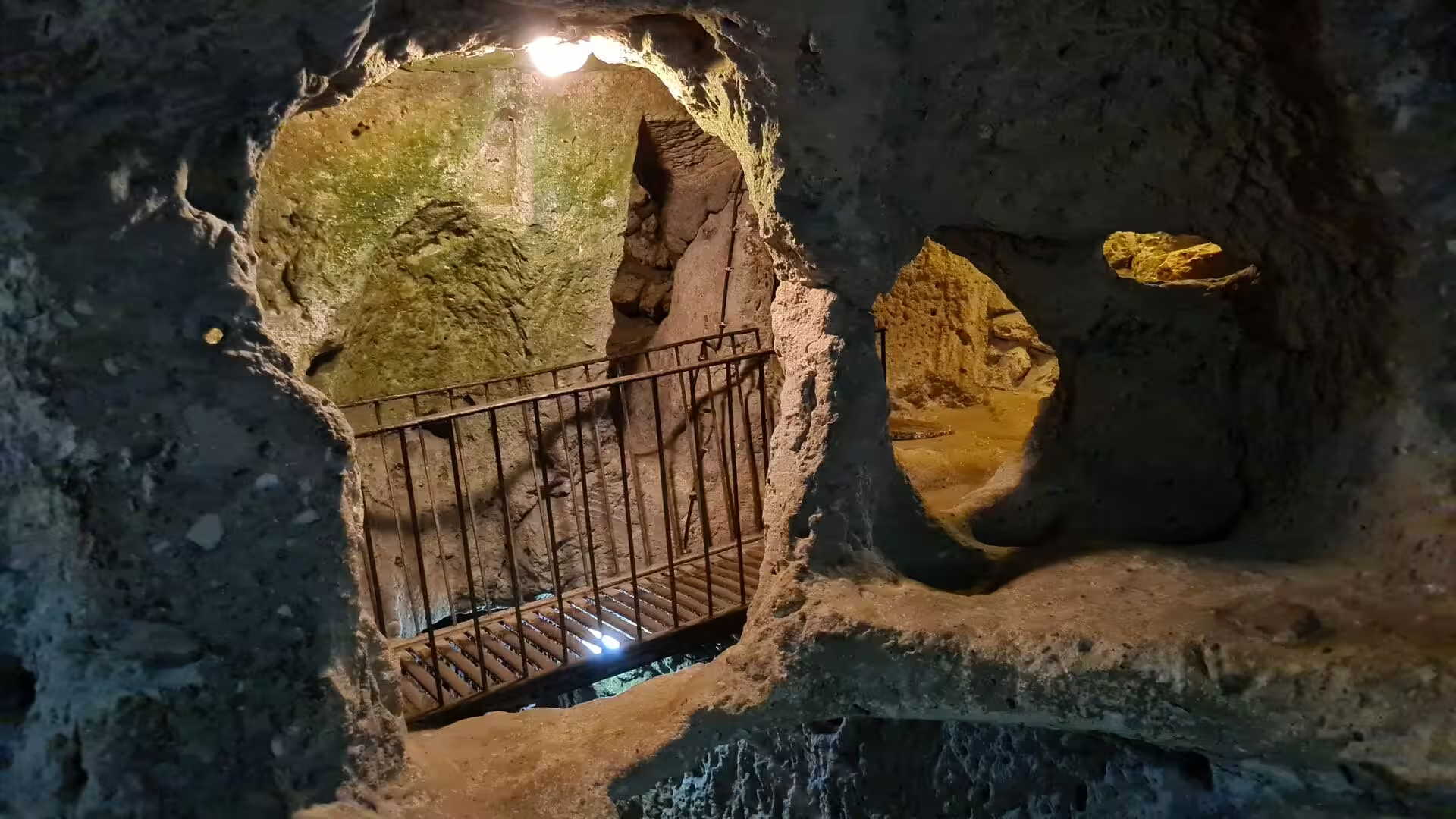
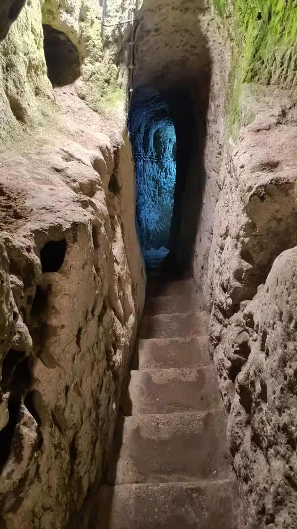
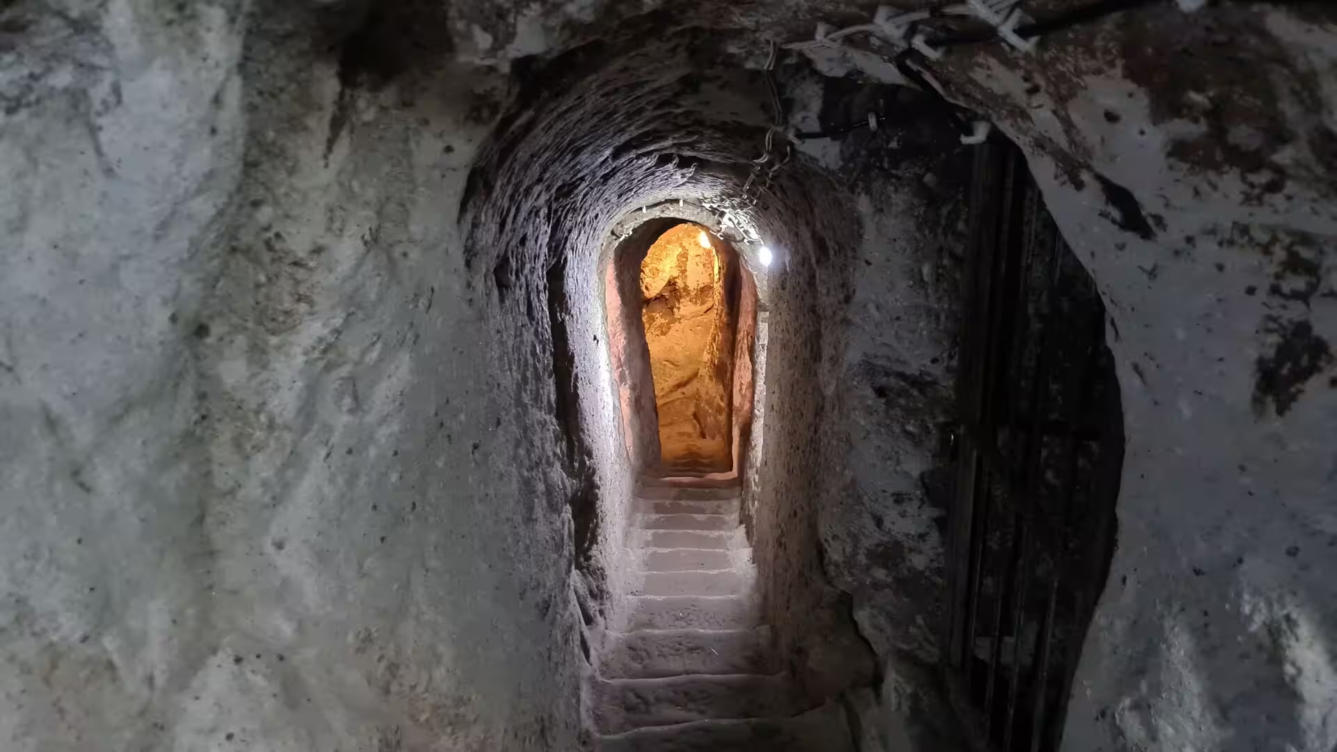
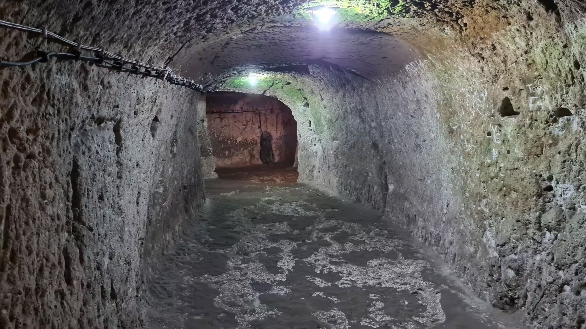
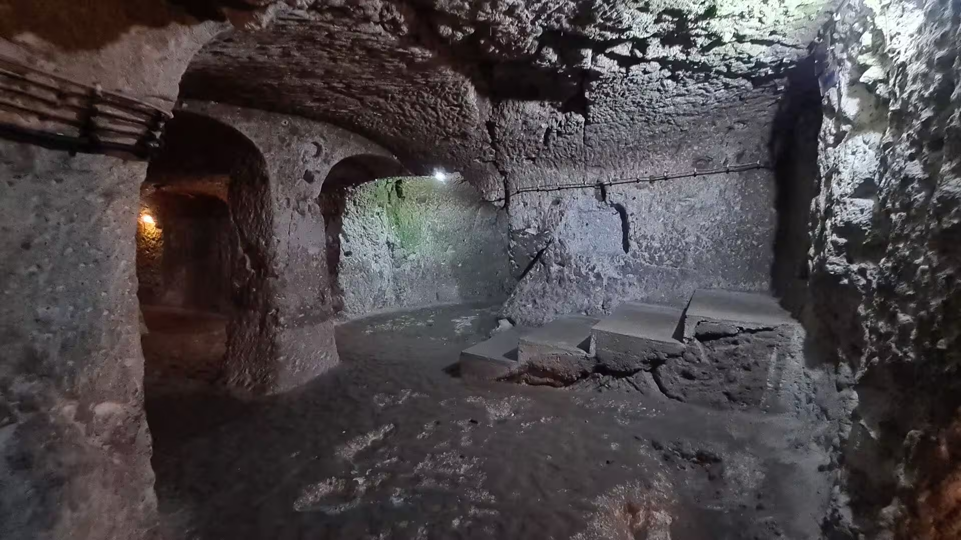
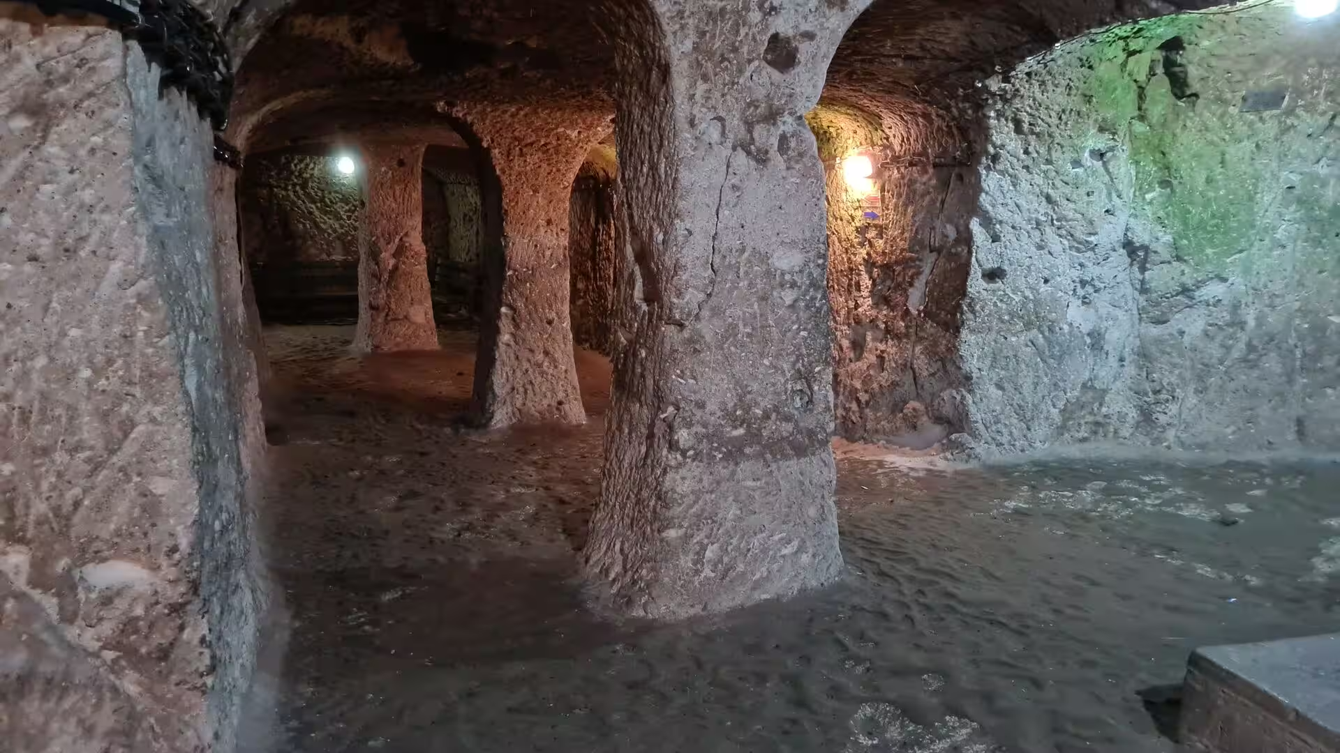
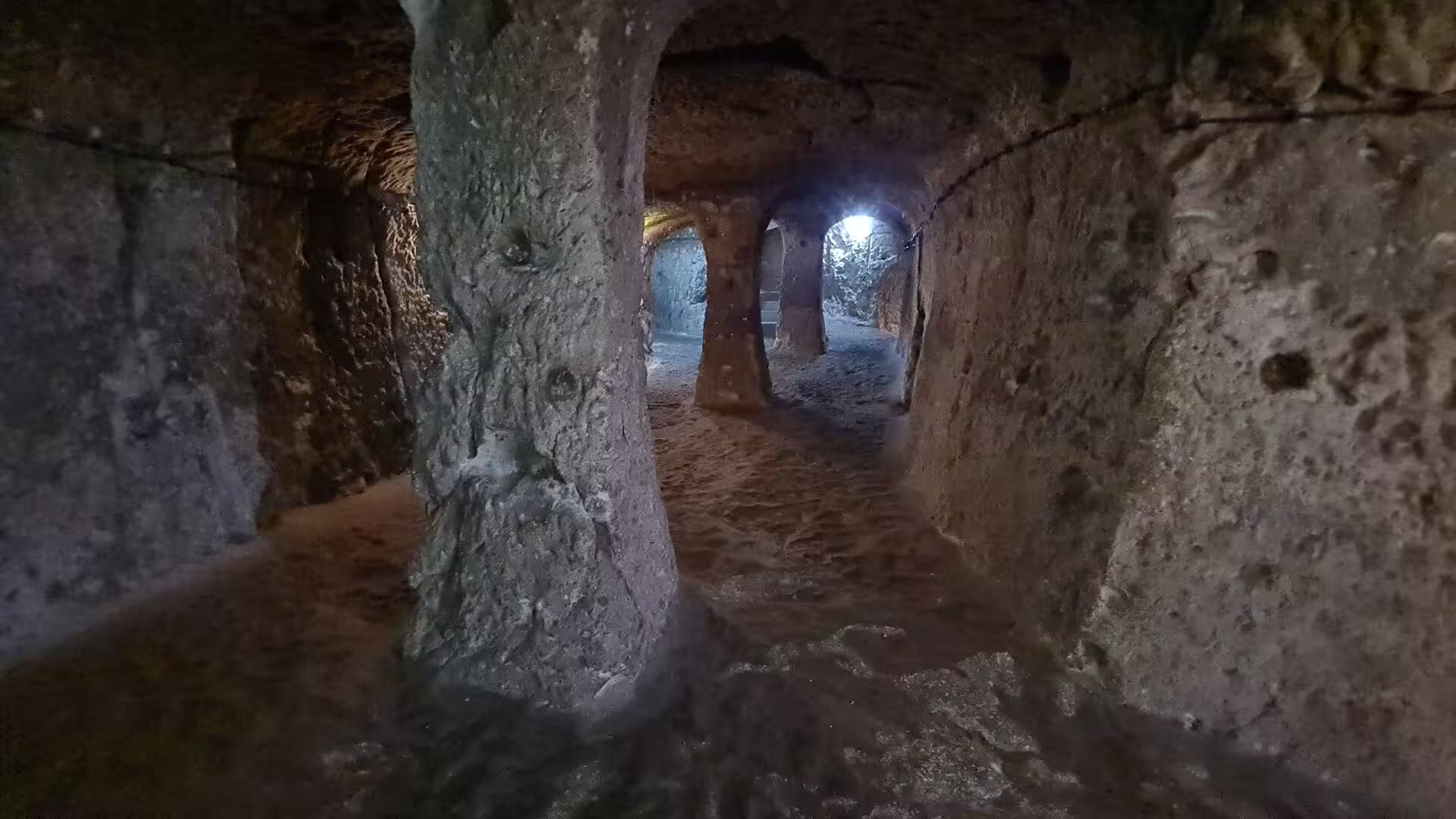
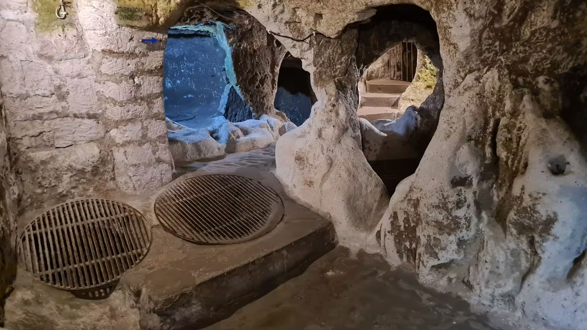
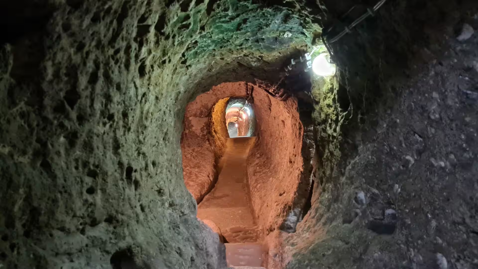
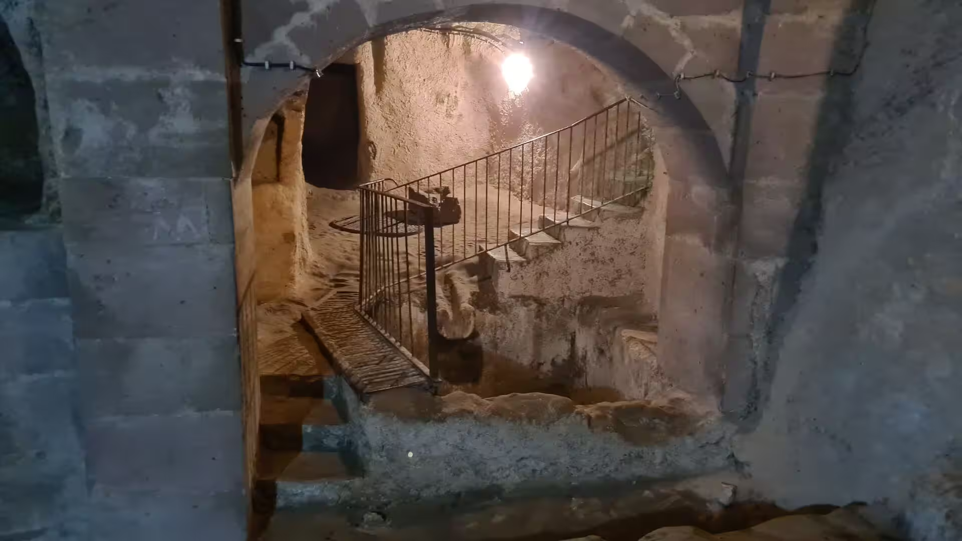
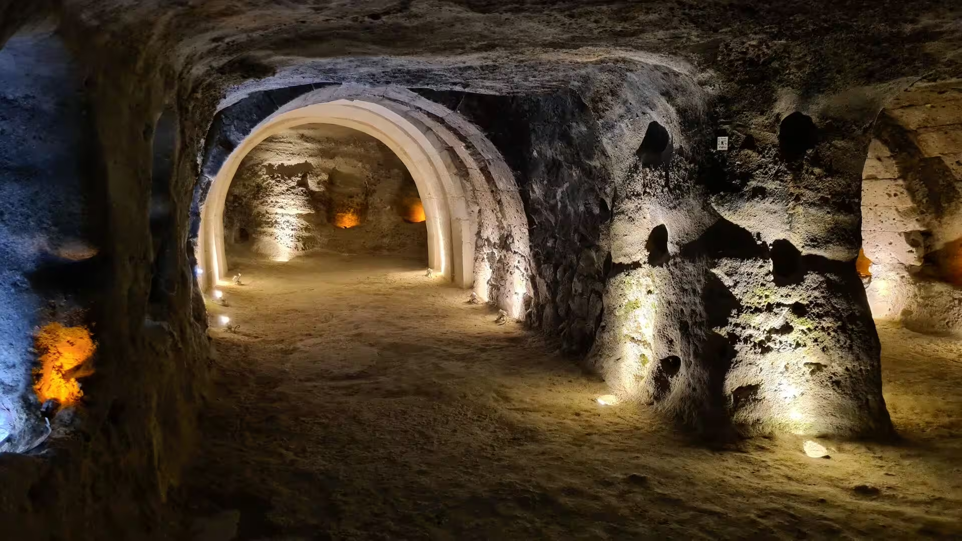
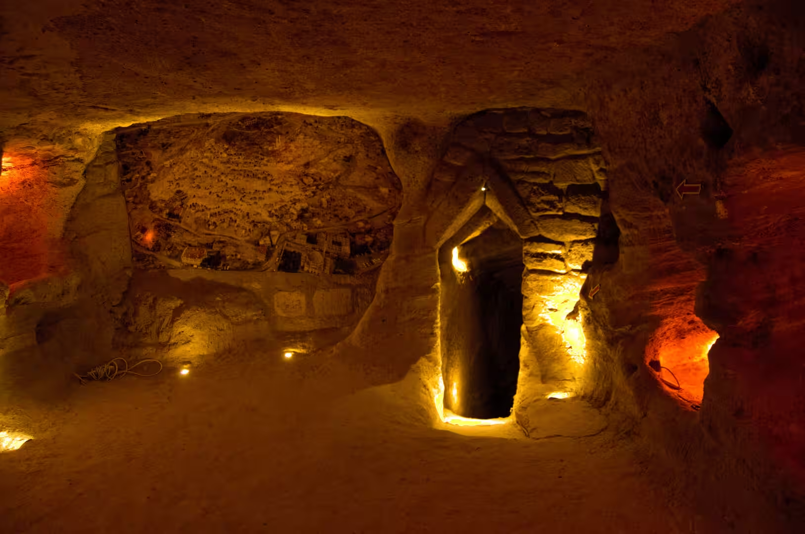
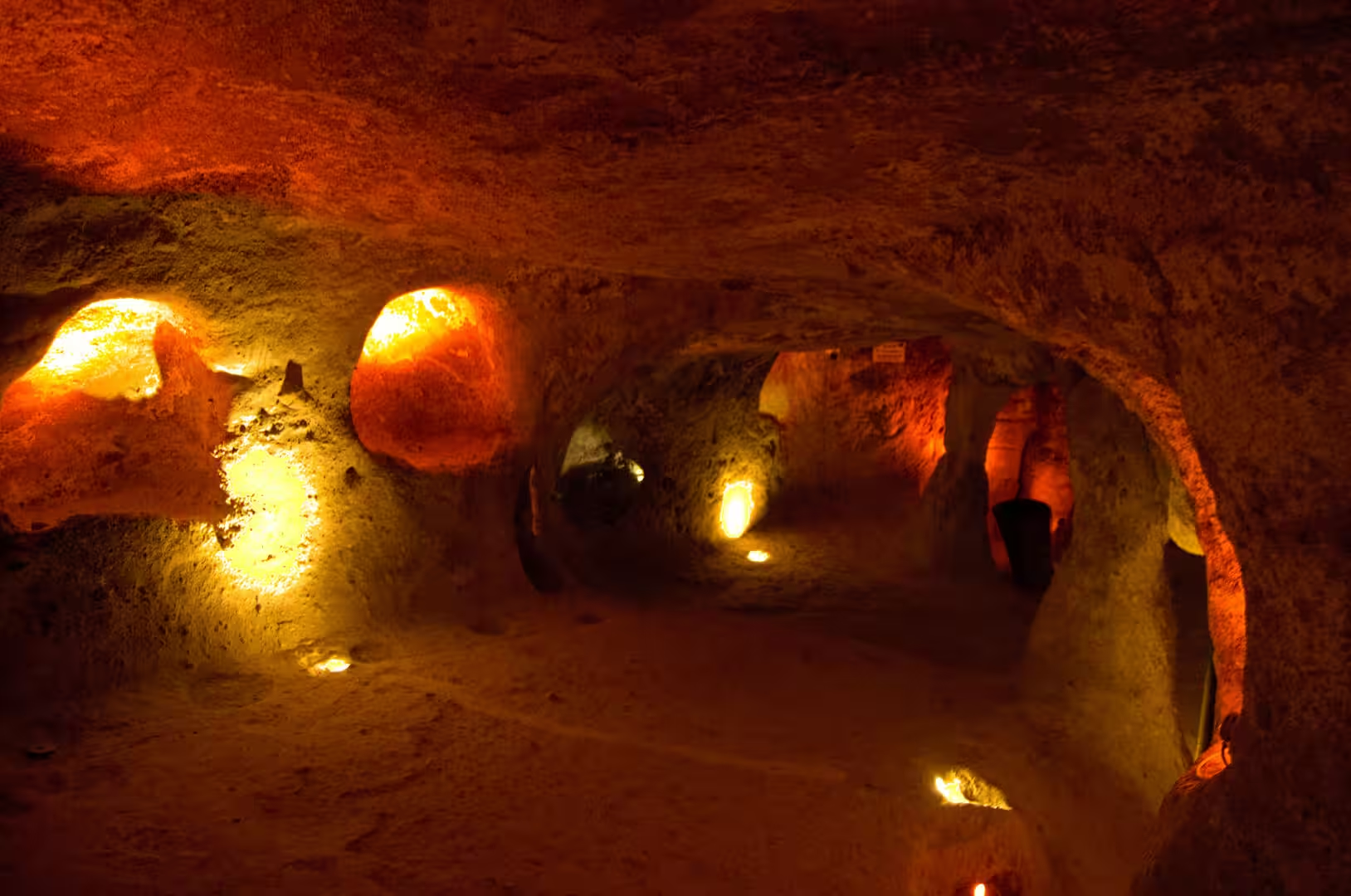
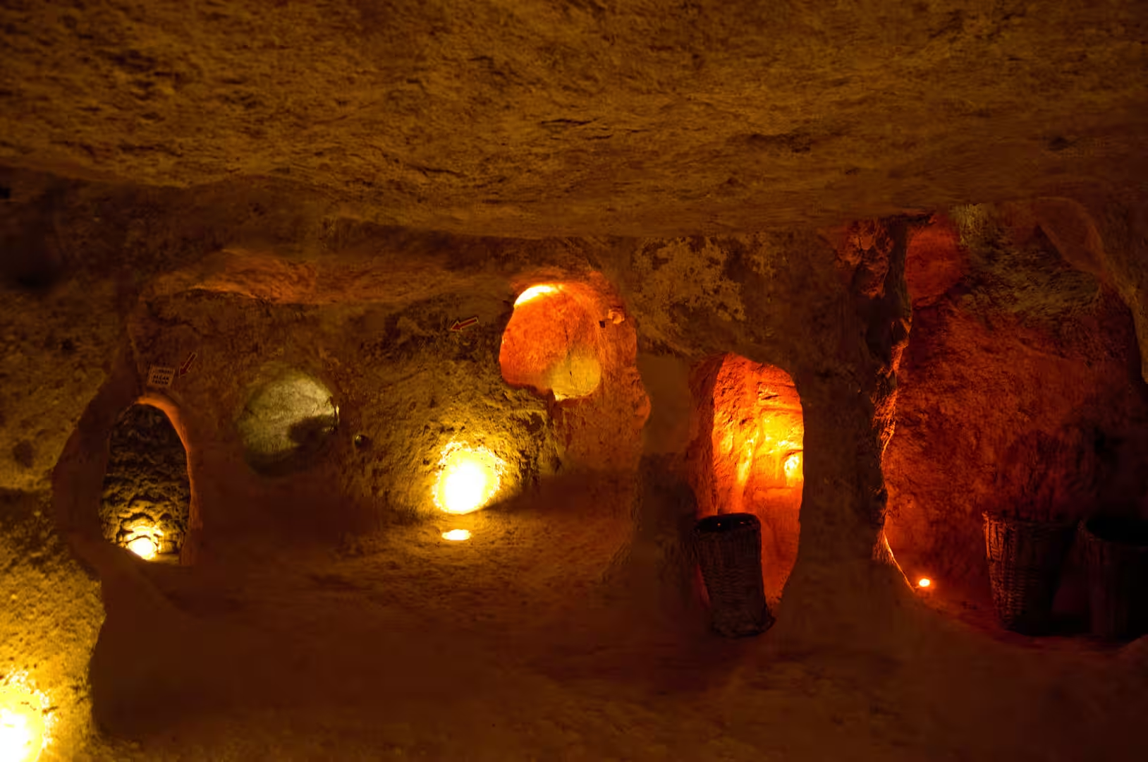
Derinkuyu Underground City lies beneath and around the modern town of the same name, about 30 km from Nevşehir on the Nevşehir-Niğde highway. The excavated complex descends through eight storeys that reach a depth of roughly 50 m, and if the lower, uncleared levels were fully emptied the city would probably extend to about 85 m and twelve or thirteen storeys; only part of the whole, around ten per cent, is open to visitors. The route of the visit is equipped with handrails and electric lamps, but the low ceilings, worn steps and narrow passages still convey the conditions in which the city was built and used. The rooms and corridors were carved from the tuff over many centuries and could shelter up to 20,000 people together with their livestock and food stores, which makes Derinkuyu the largest excavated underground city in Turkey.
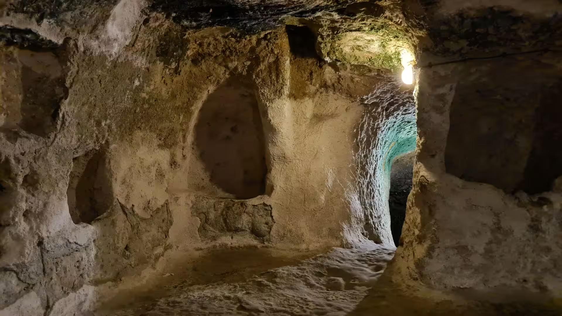
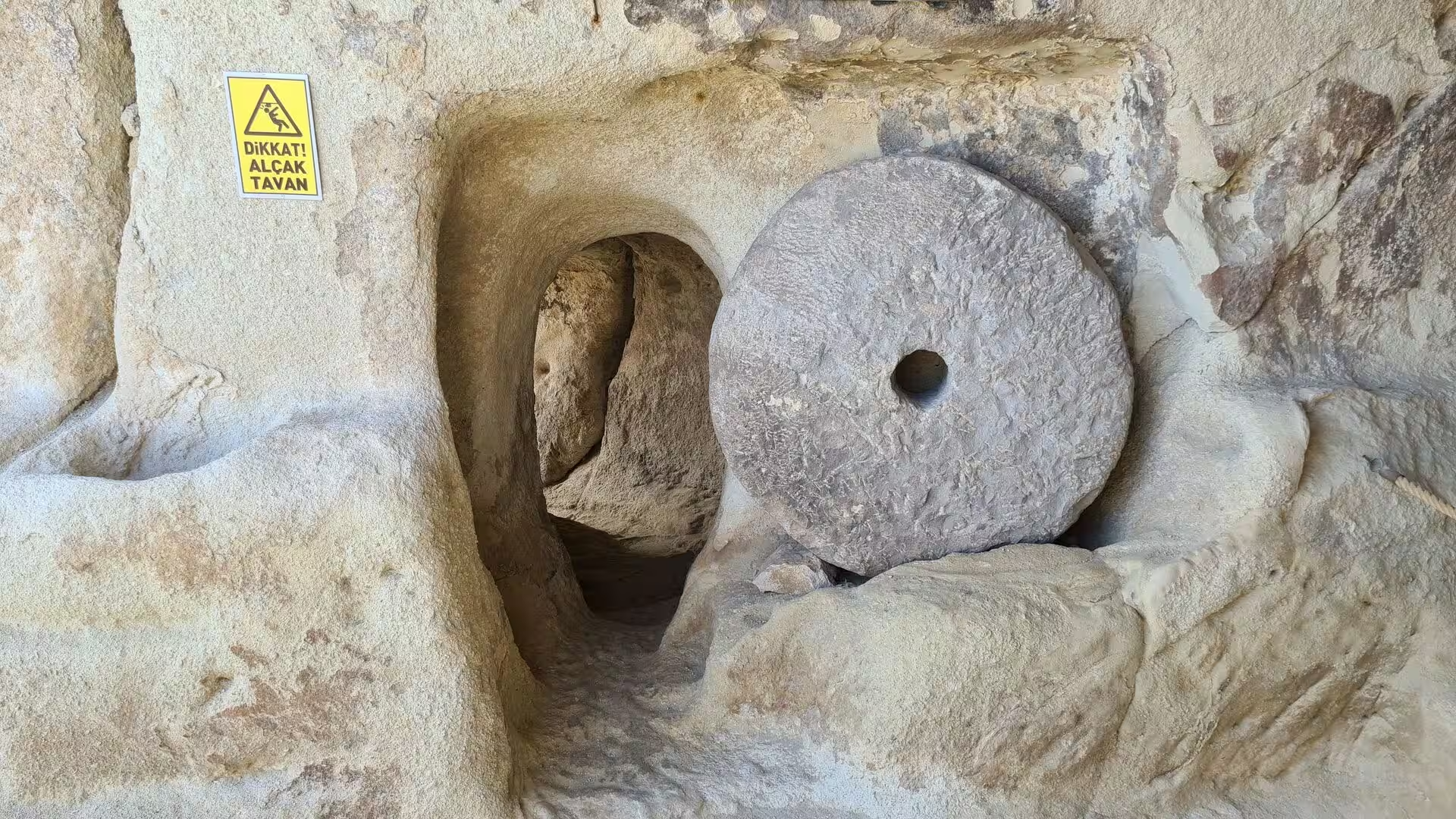
Narrow, low corridors link hundreds of chambers hewn out of the living rock, and steep staircases climb and descend between the levels past cylindrical doorways and shafts. The passages could be closed with large circular stone doors shaped like millstones, roughly a metre high, which were rolled into place from inside and could not be moved from the outside; each had a small central hole that served as a peephole, and in some places openings in the ceiling allowed defenders to attack intruders from above. Ventilation shafts pierce the whole depth of the city, and one shaft, connected to the surface, was also used as a well; the openings of different levels were deliberately staggered so that air could circulate through the complex.
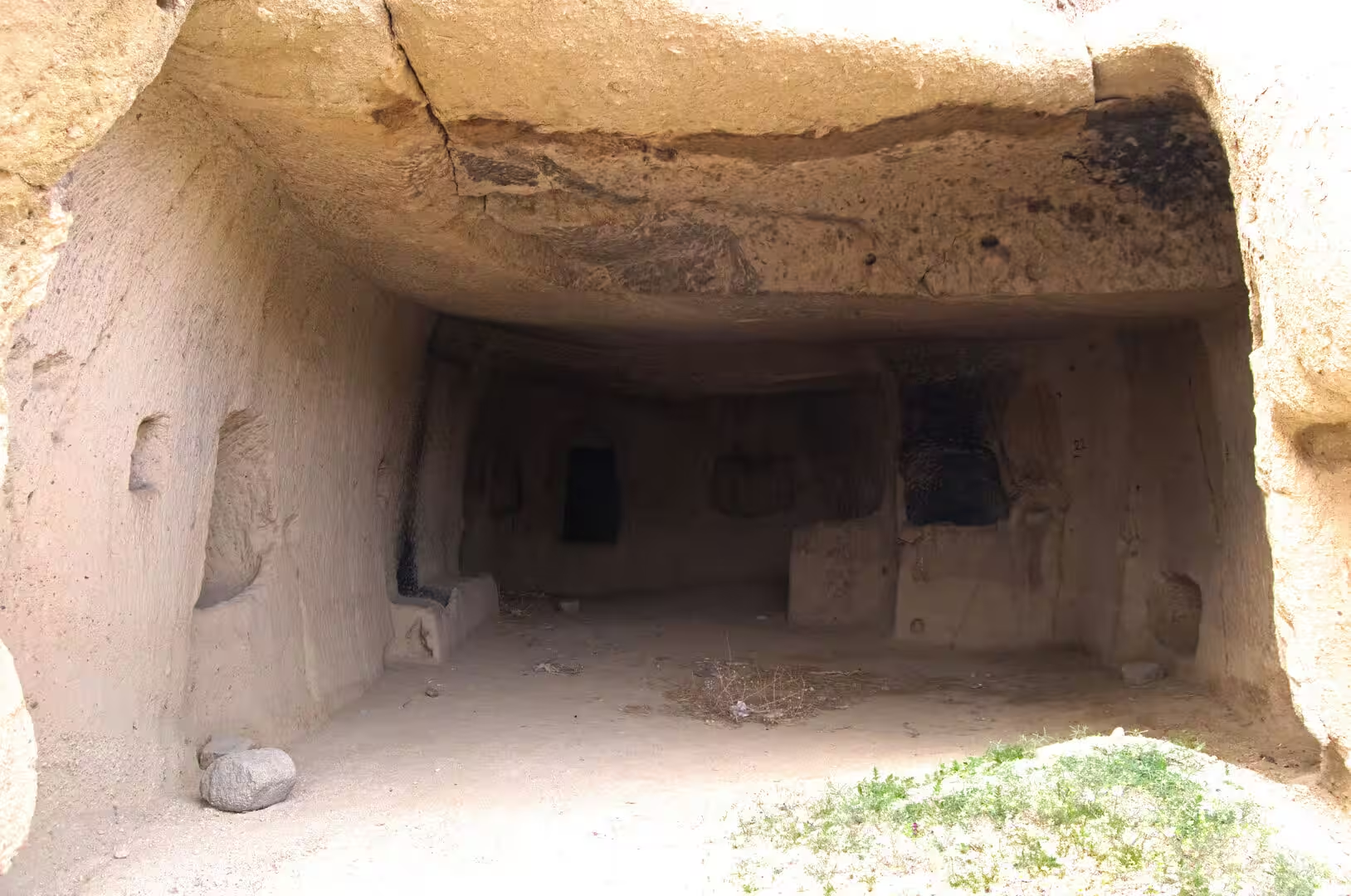
The rooms themselves show how complete a refuge the city provided. Among the chambers are stables, cellars and storerooms, kitchens with the round clay ovens known as tandır, and presses for wine and oil. On the second level a spacious hall with a barrel-vaulted ceiling, a form rarely found in underground cities, is reported to have served as a school, with smaller rooms beside it for study, and on a lower level a church on a cross-shaped plan was cut out of the rock. As a Byzantine writer noted as early as the thirteenth century, the tuff chambers stay relatively warm in the cold Anatolian winters and pleasantly cool in summer.
Underground Settlements of Cappadocia. Derinkuyu is only the best known of a numerous family of similar sites across the region, most of which remain unexcavated or closed to the public. They share the same defensive logic: hidden entrances, labyrinthine passages that were hard for strangers to navigate, corridors so narrow that movement was reduced to single file, millstone doors that sealed whole sections, and ventilation shafts that could supply air even during a long stay below ground.
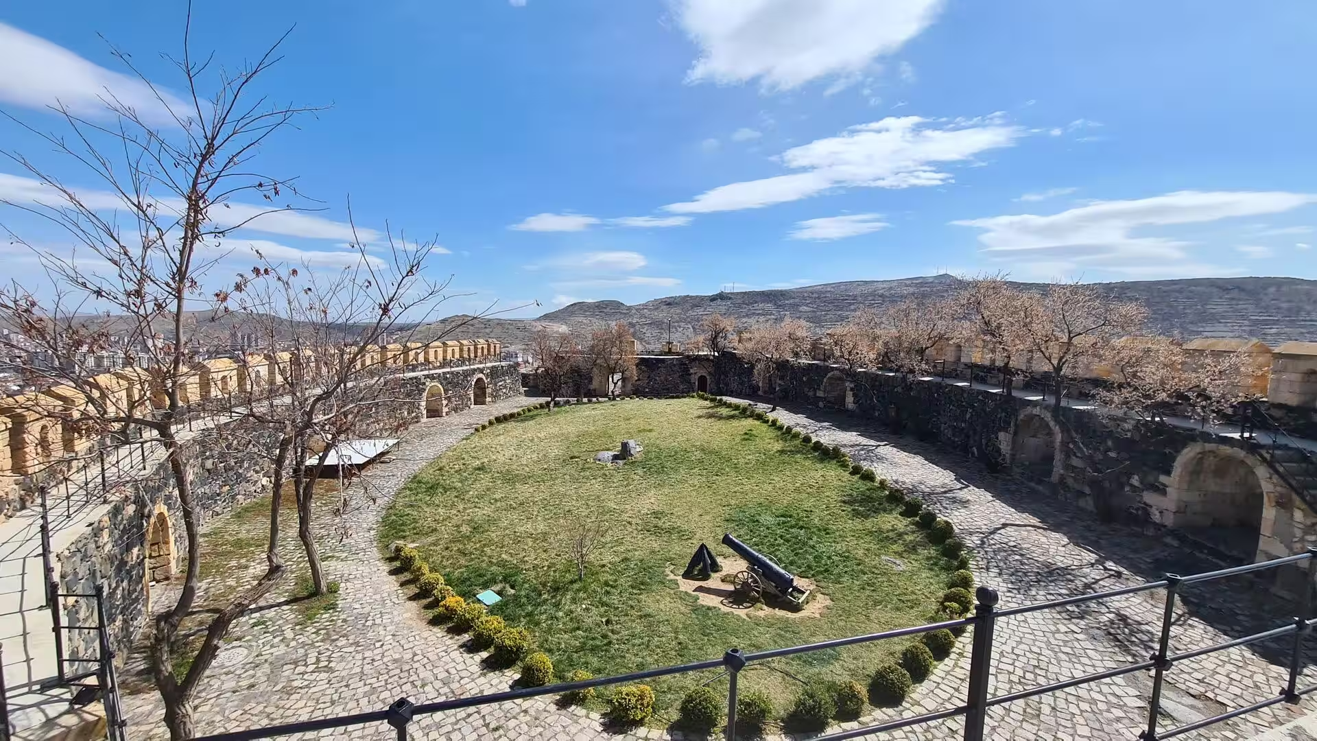
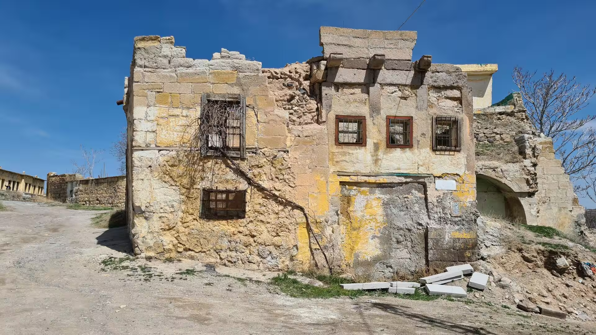
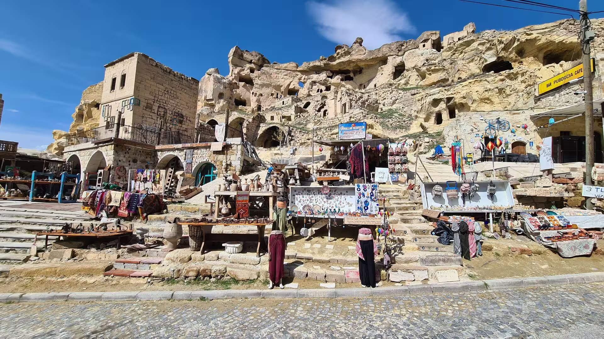
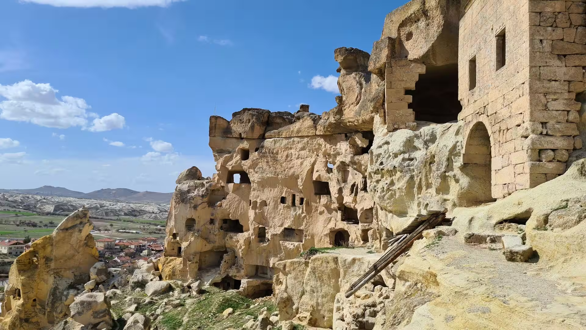
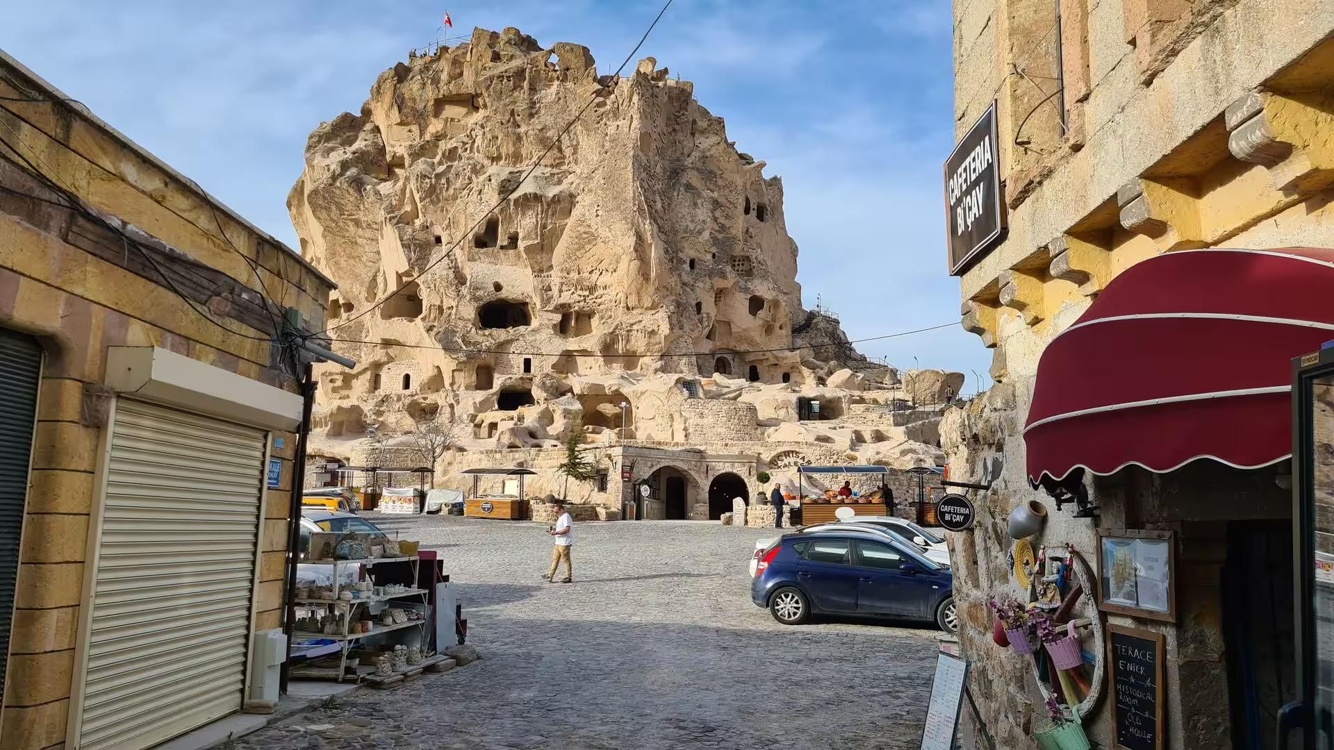
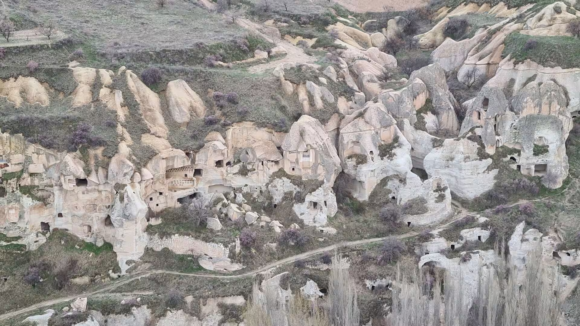
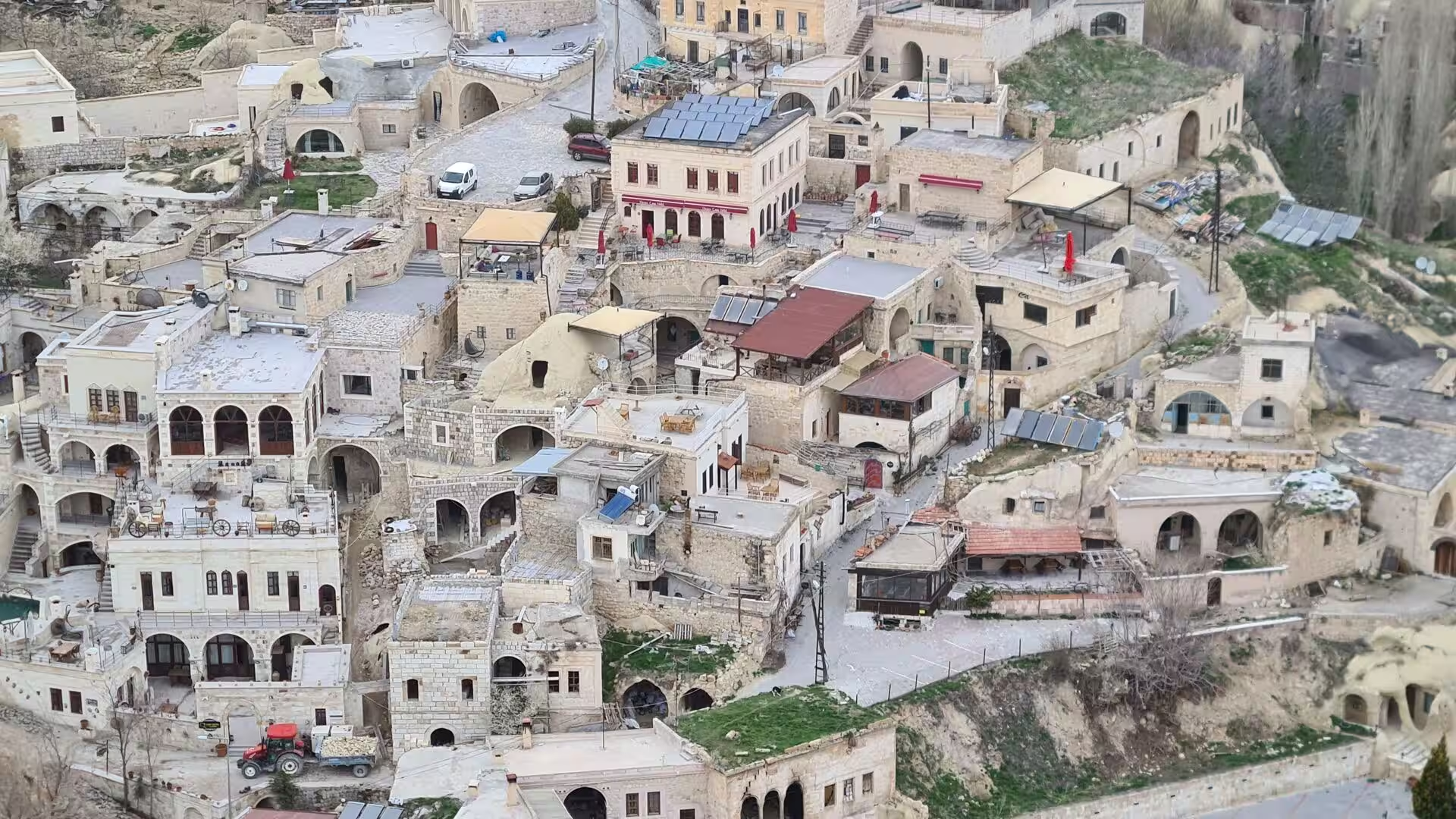
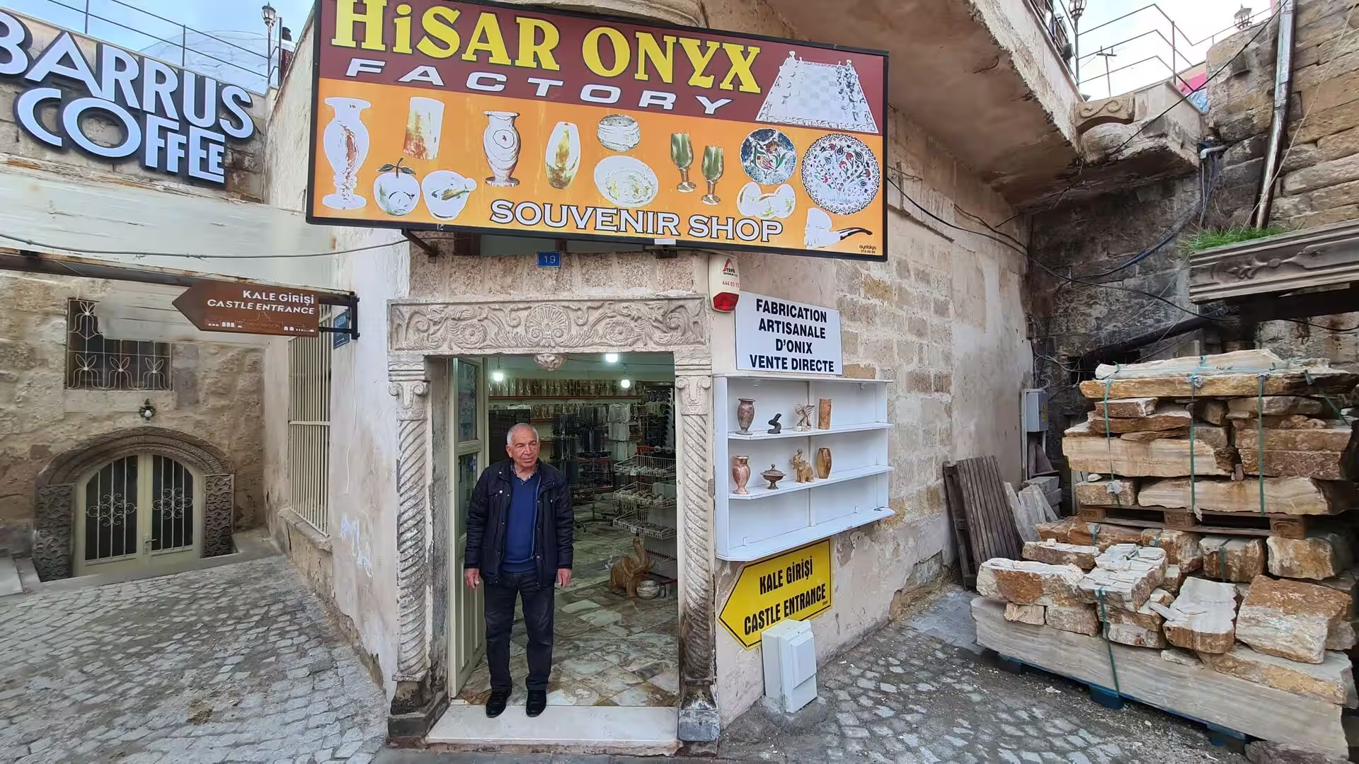
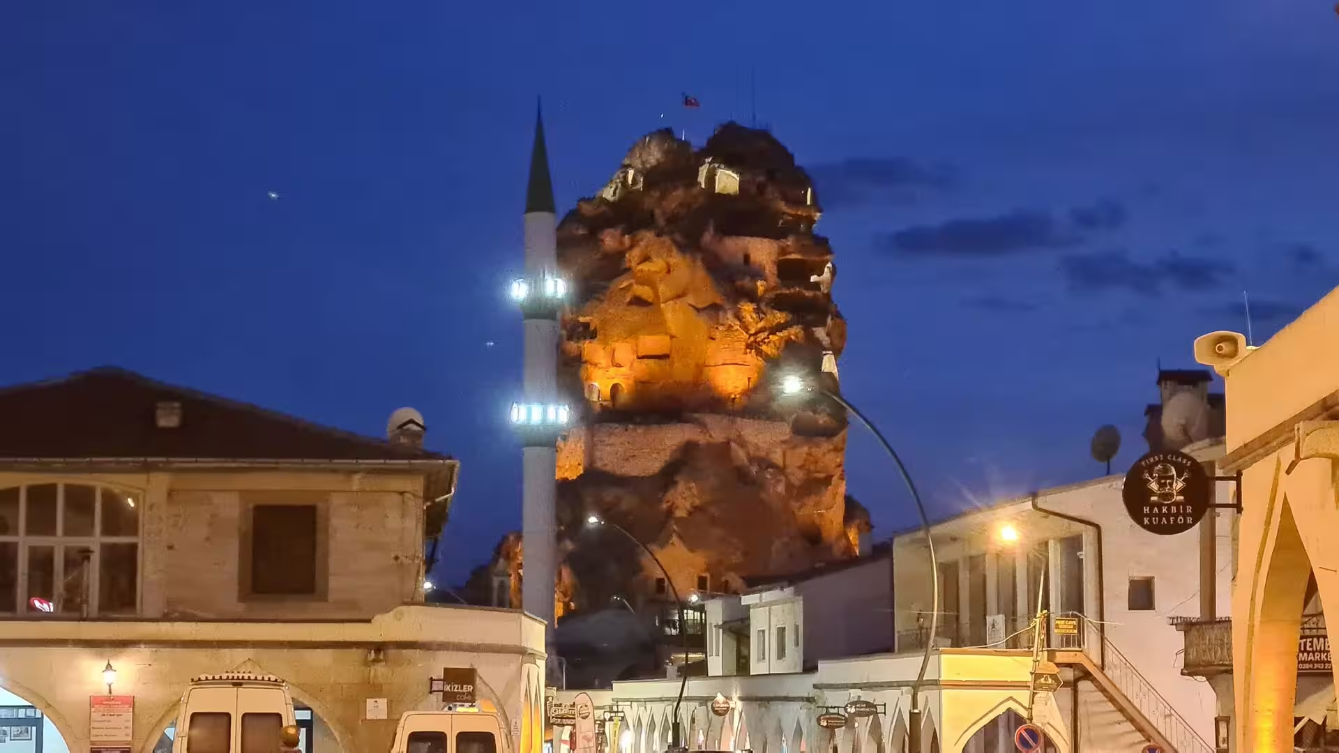
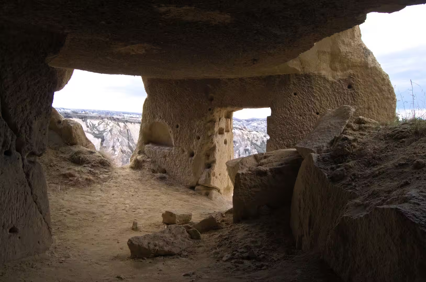
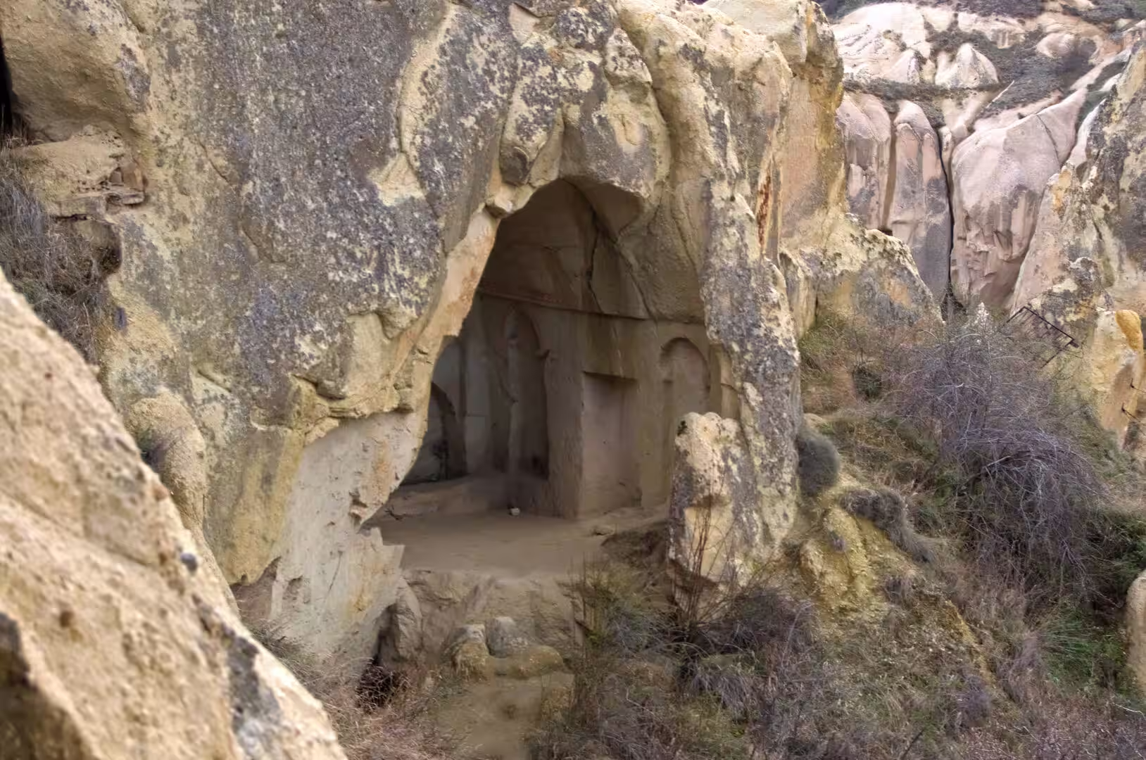
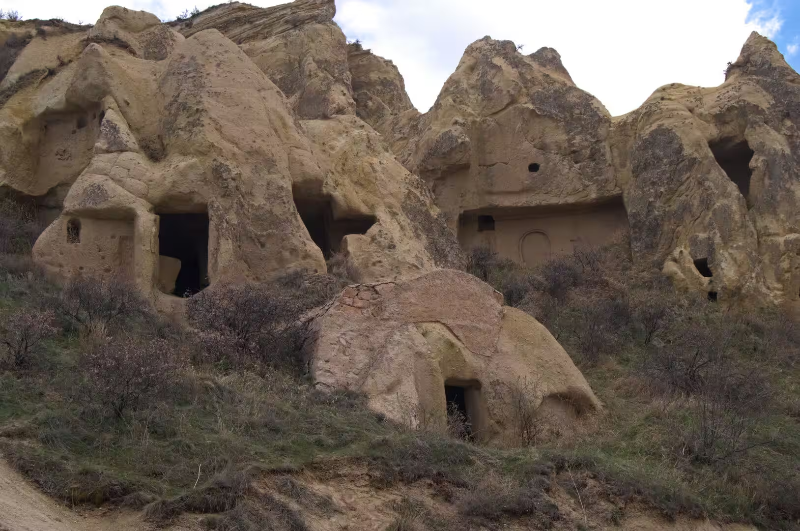
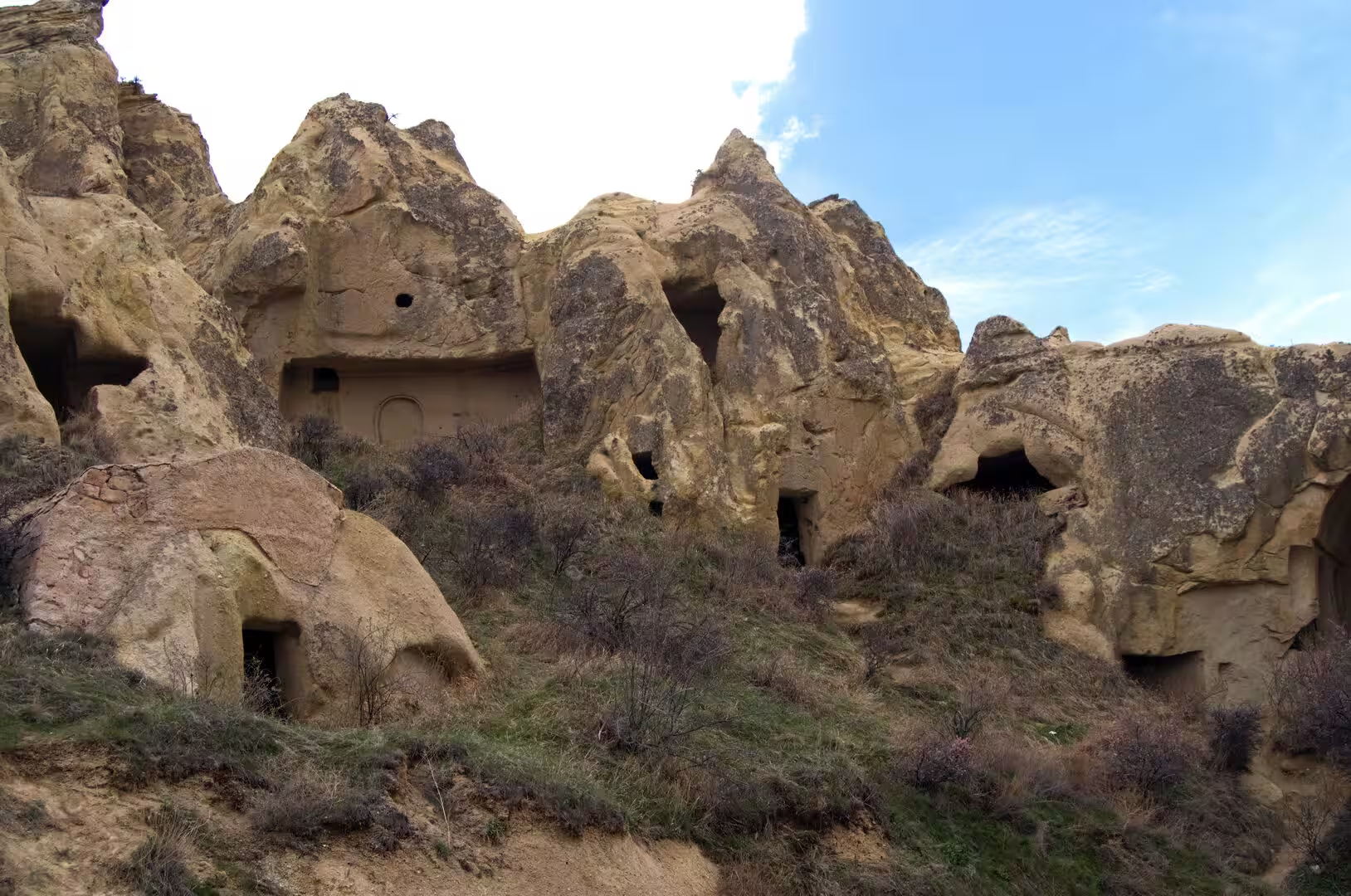
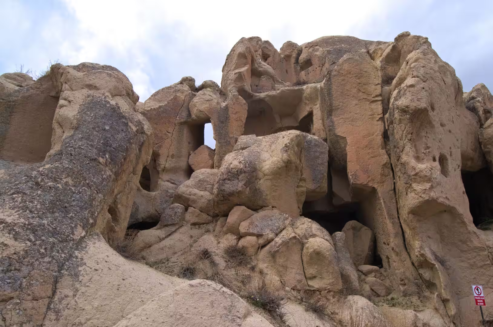
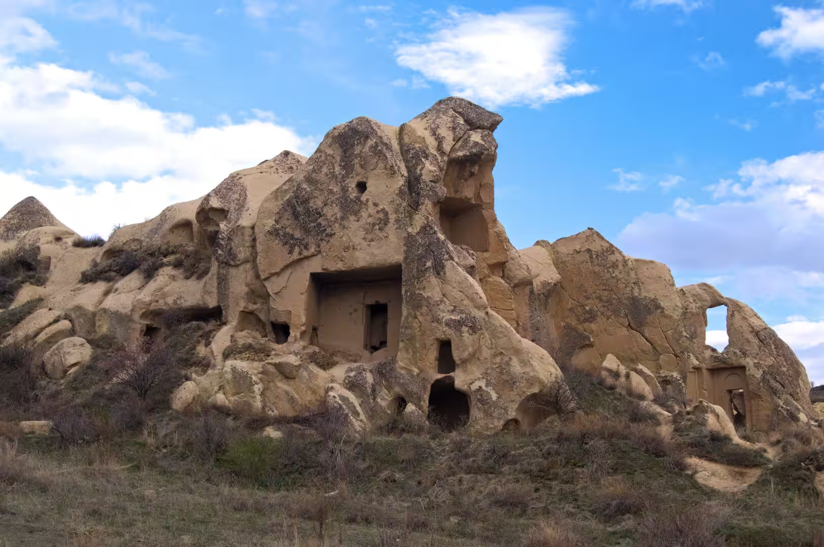
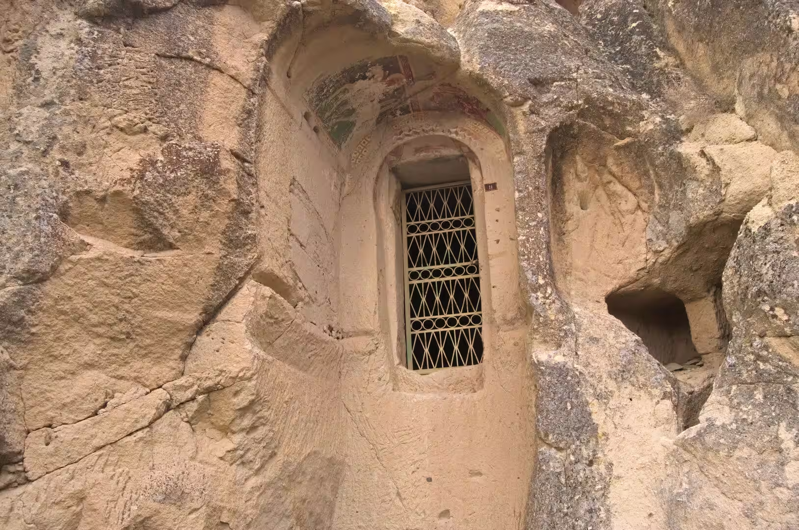
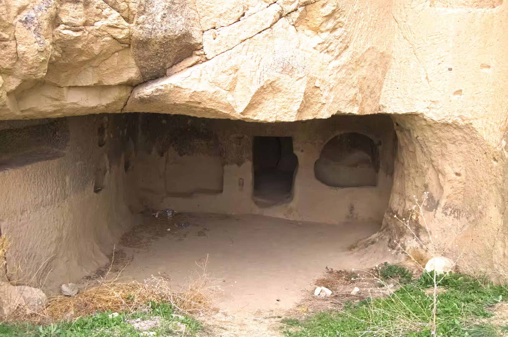
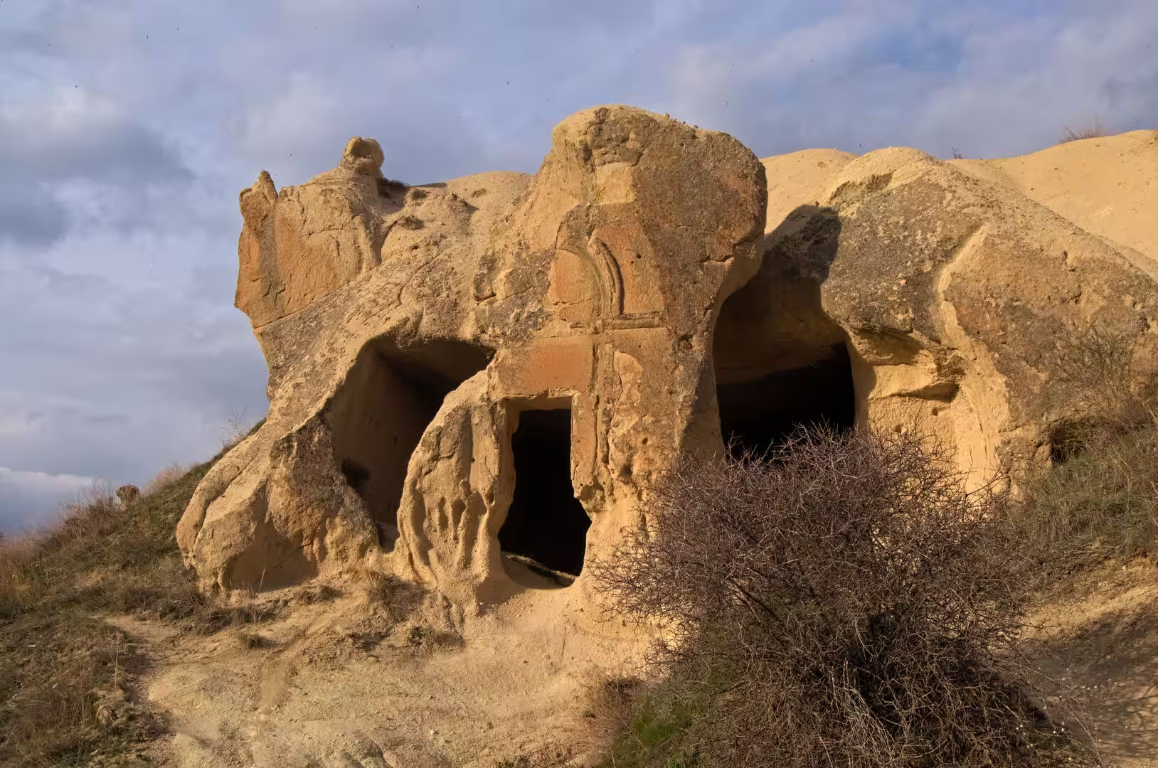
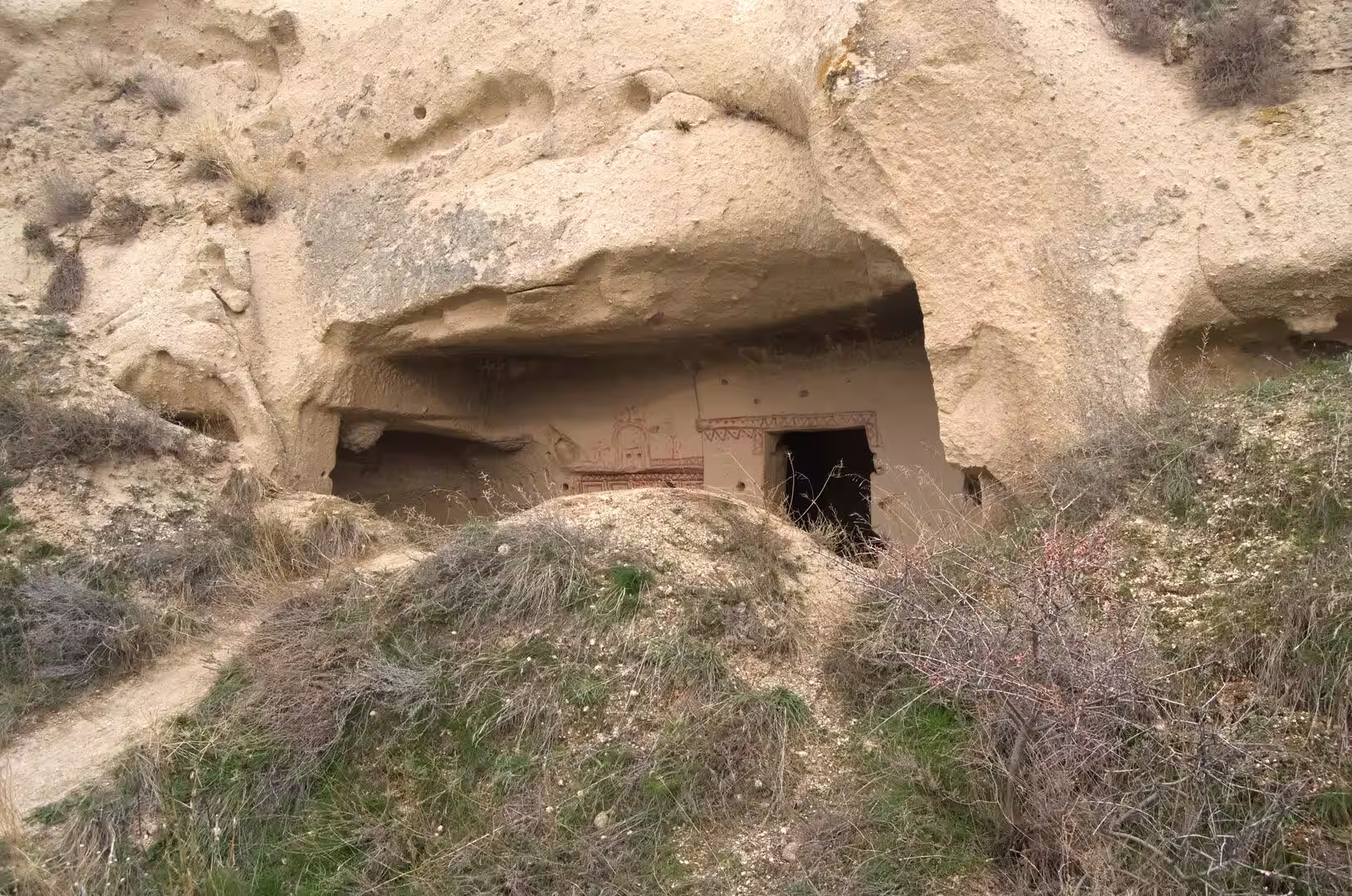
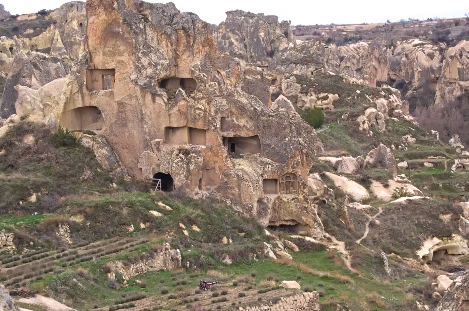
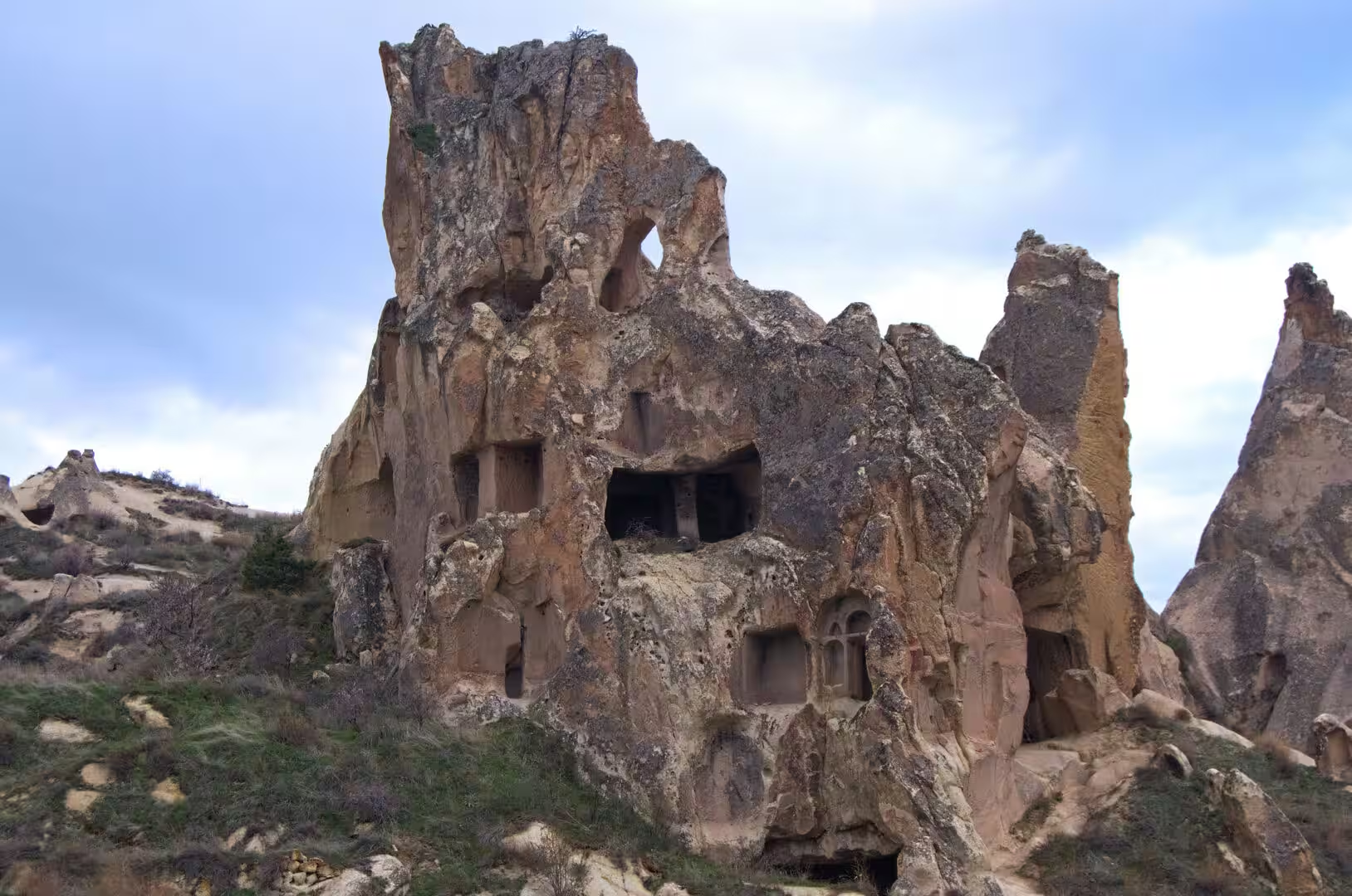
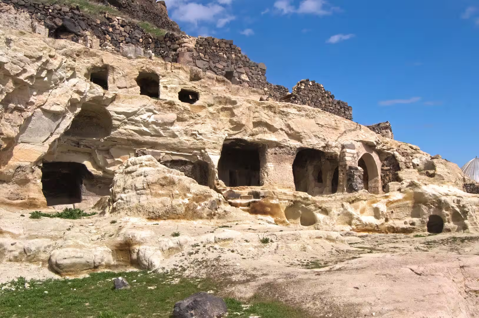
Rock-Cut Villages, Churches and Castle Rocks. The surface of the region is no less carved than its underground. Whole quarters of the plateau towns are hollowed into the cliffs and the fairy chimneys, with windows, doors and balconies cut into the stone, and the ground-floor chambers of these dwellings are still used as stables, stores and shops. Lanes of souvenir stalls sell carpets, pottery and polished objects of the local veined stone beneath the carved facades. Throughout the valleys stand rock-cut churches and chapels, some of them preserving traces of painted plaster decoration, and isolated castle rocks rise above the villages, riddled with chambers and passageways, able to shelter about a thousand people in times of danger, with door-stones like those of the underground cities. Trails wind between the cones and ridges, past dovecotes cut high in the cliffs, climbed once a year so that the accumulated droppings could be gathered as fertiliser, and through valleys where every level of the soft rock, from cellar to church, bears witness to centuries of excavation.
References
- Ousterhout, Robert G. (2005). A Byzantine Settlement in Cappadocia. Washington, D.C.: Dumbarton Oaks Research Library and Collection.
- Ousterhout, Robert G. (2017). Visualizing Community: Art, Material Culture, and Settlement in Byzantine Cappadocia. Washington, D.C.: Dumbarton Oaks Research Library and Collection.
- Rodley, Lyn (1985). Cave Monasteries of Byzantine Cappadocia. Cambridge: Cambridge University Press.
- Kostof, Spiro (1989). Caves of God: Cappadocia and Its Churches. New York: Oxford University Press.
- Göreme National Park and the Rock Sites of Cappadocia. UNESCO World Heritage Centre. whc.unesco.org/en/list/357/
- Nevşehir Derinkuyu Underground City. Turkish Museums, Republic of Türkiye Ministry of Culture and Tourism. turkishmuseums.com/museum/detail/2203-nevsehir-derinkuyu-underground-city/2203/4
- Derinkuyu District Governorship: The Historical Underground City. www.derinkuyu.gov.tr/yeralti-sehrimizz
- Cappadocia. en.wikipedia.org/wiki/Cappadocia
- Derinkuyu underground city. en.wikipedia.org/wiki/Derinkuyu_underground_city
- Derinkuyu. en.wikipedia.org/wiki/Derinkuyu
- Nevşehir Province. en.wikipedia.org/wiki/Nevşehir_Province
- Nevşehir. en.wikipedia.org/wiki/Nevşehir
- Mount Erciyes. en.wikipedia.org/wiki/Mount_Erciyes
- Rock-cut architecture of Cappadocia. en.wikipedia.org/wiki/Rock-cut_architecture_of_Cappadocia
- Tuff. en.wikipedia.org/wiki/Tuff
- Göreme Historical National Park. en.wikipedia.org/wiki/Göreme_Historical_National_Park