Day 4 - Capadoccia
21 July 2023






Journal Notes
General
Cappadocia is a historic region of central Turkey on the high plateau of Central Anatolia, which here lies mostly above 1,000 metres. Rather than a single city, it is a broad landscape of valleys, ridges and small towns, falling today mainly within the province of Nevşehir and reaching into neighbouring Kayseri, Aksaray and Niğde. To the south the Taurus Mountains close the region off from the Mediterranean lowlands of ancient Cilicia.
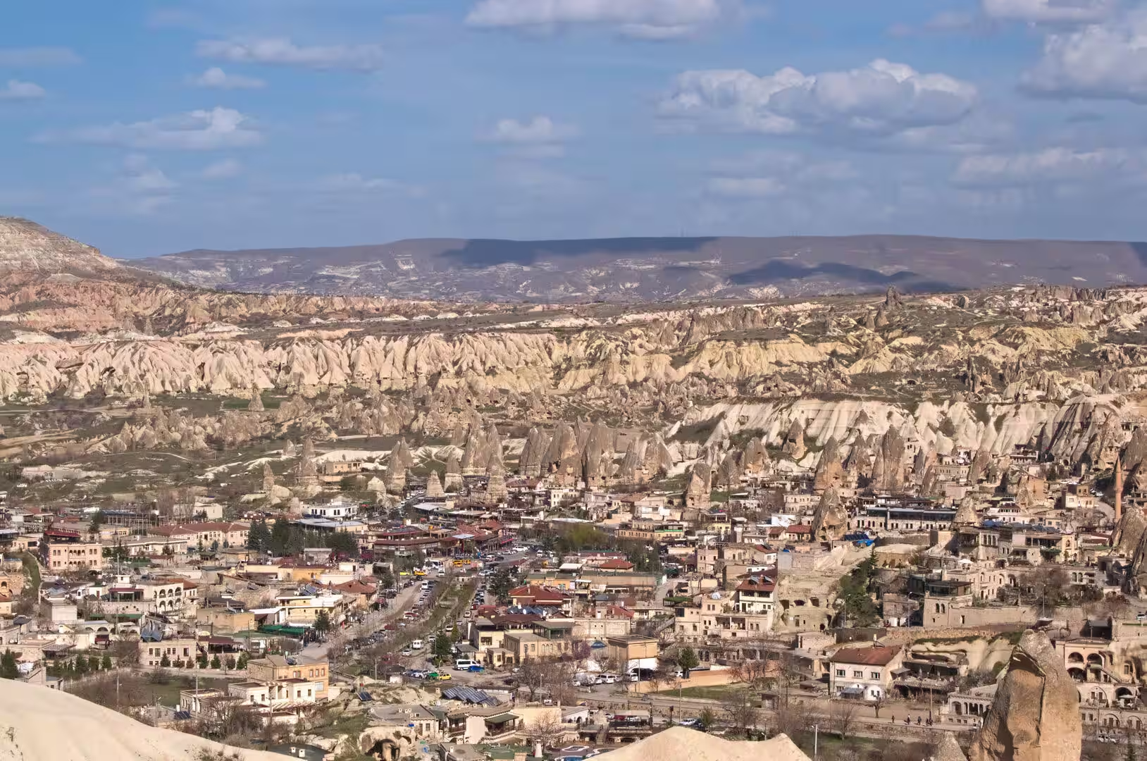
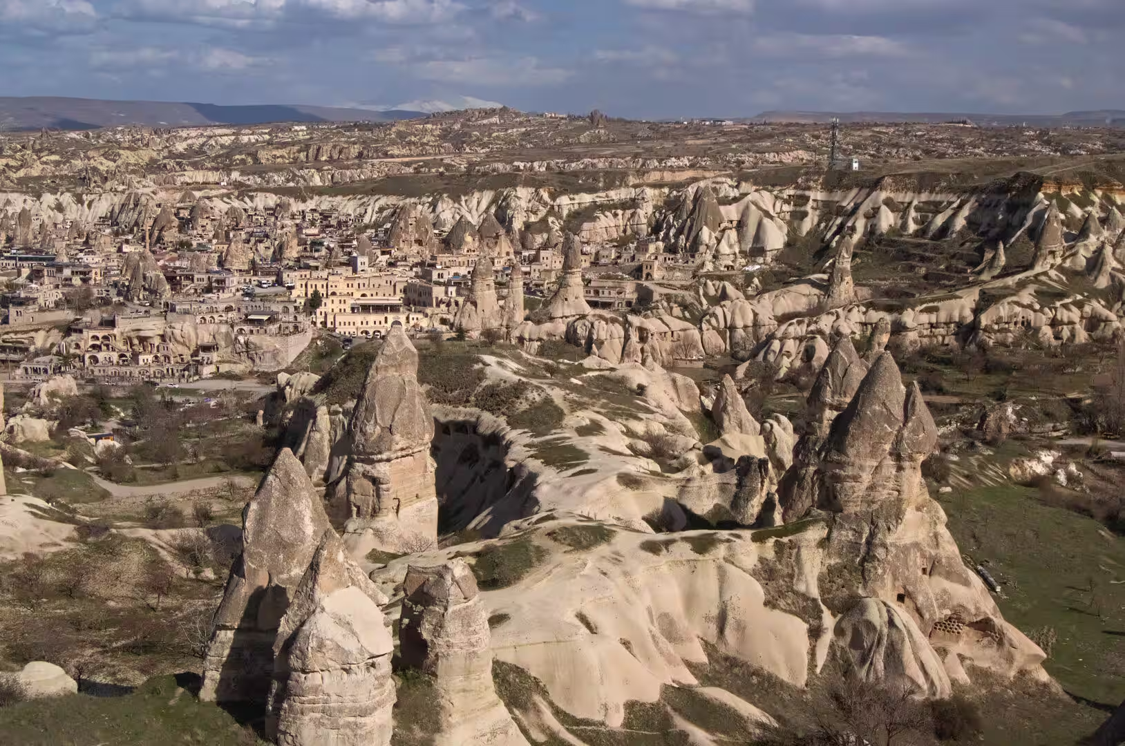
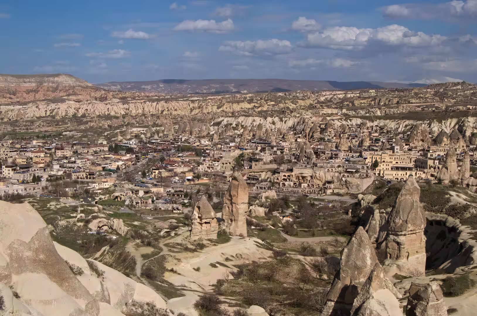
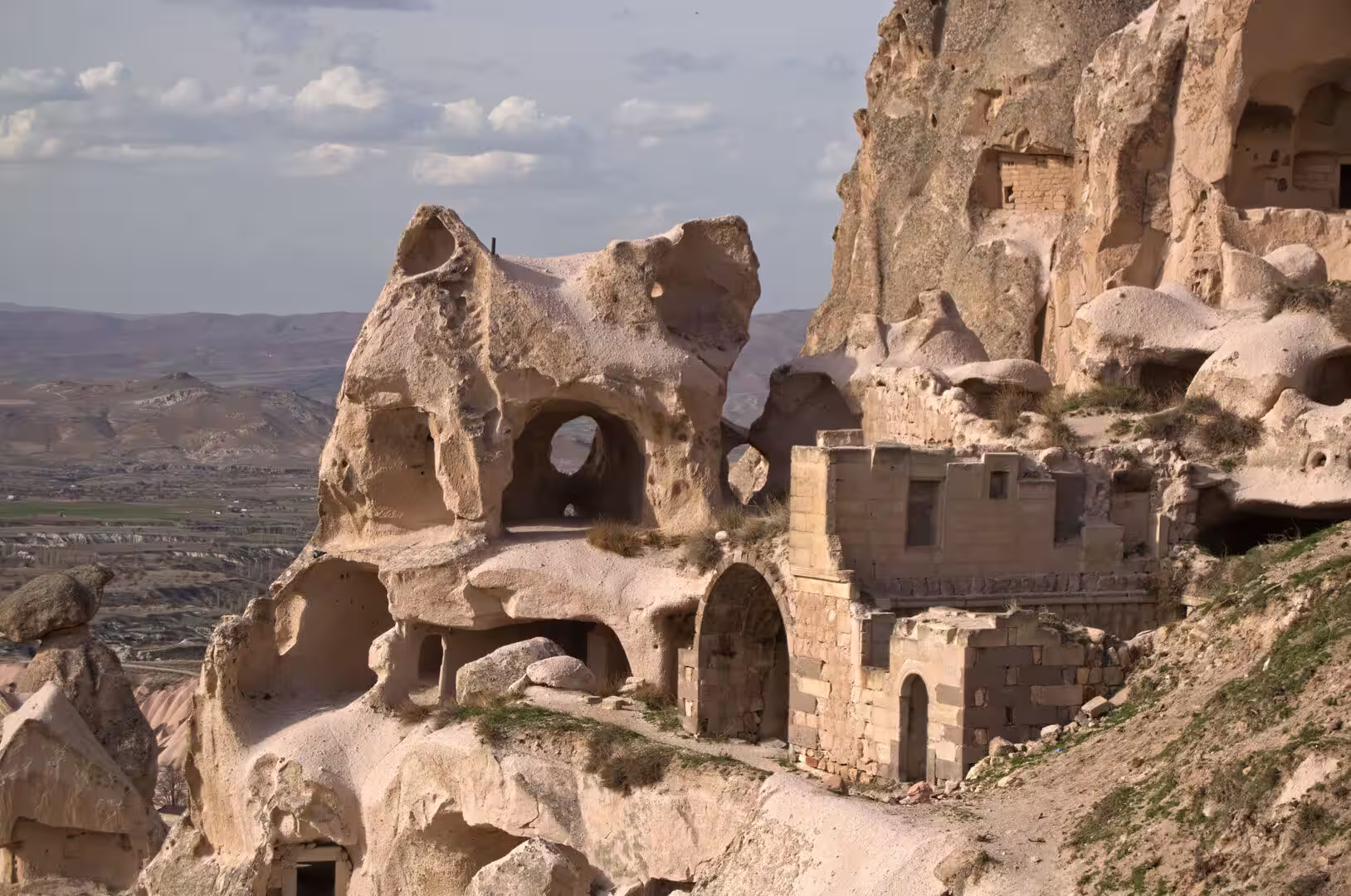
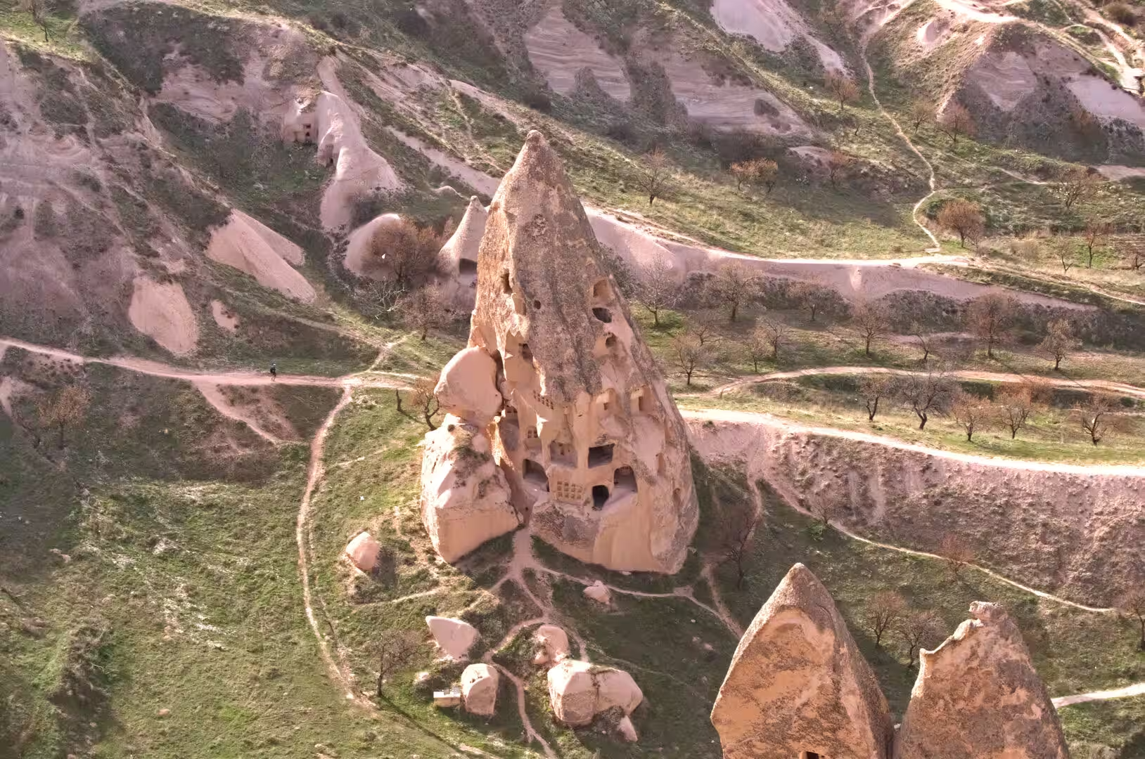
The region is celebrated above all for geology turned into architecture: cones, spires and towers of soft volcanic rock, known as fairy chimneys (peribacalar in Turkish), that were hollowed over the centuries into dwellings, churches, monasteries and entire underground towns. The blend of natural scenery and human carving is protected as the Göreme National Park and the Rock Sites of Cappadocia, a mixed cultural and natural World Heritage property of about 9,884 hectares inscribed in 1985, covering the country between the towns of Nevşehir, Ürgüp and Avanos.
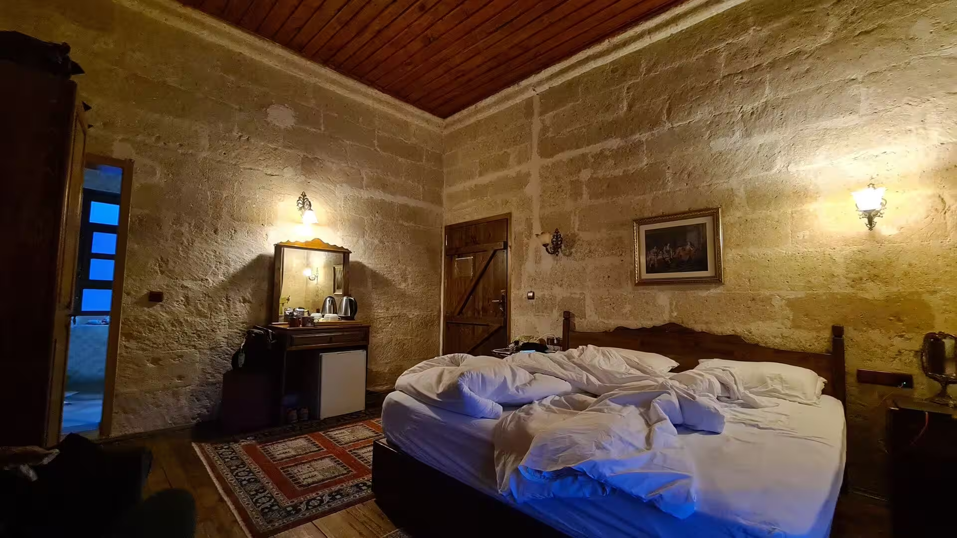
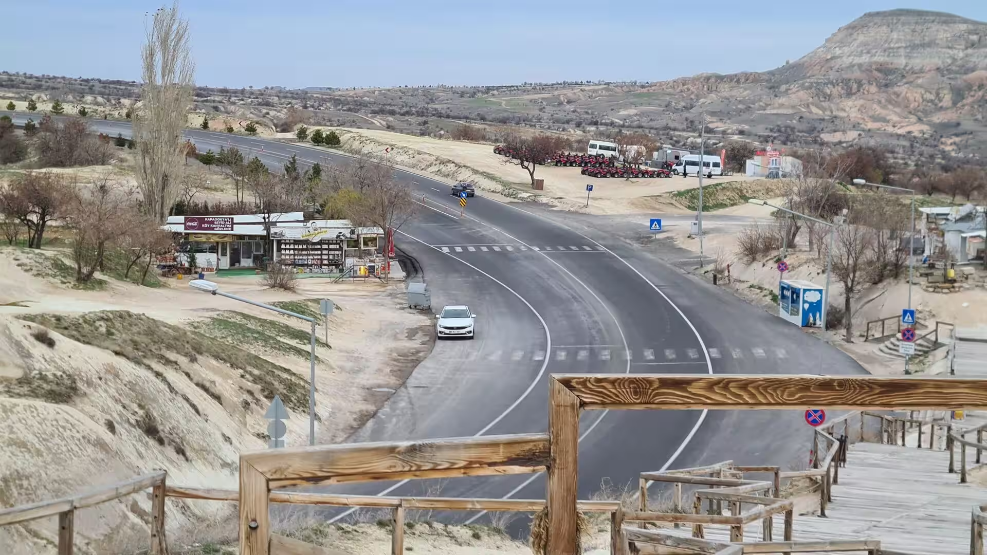
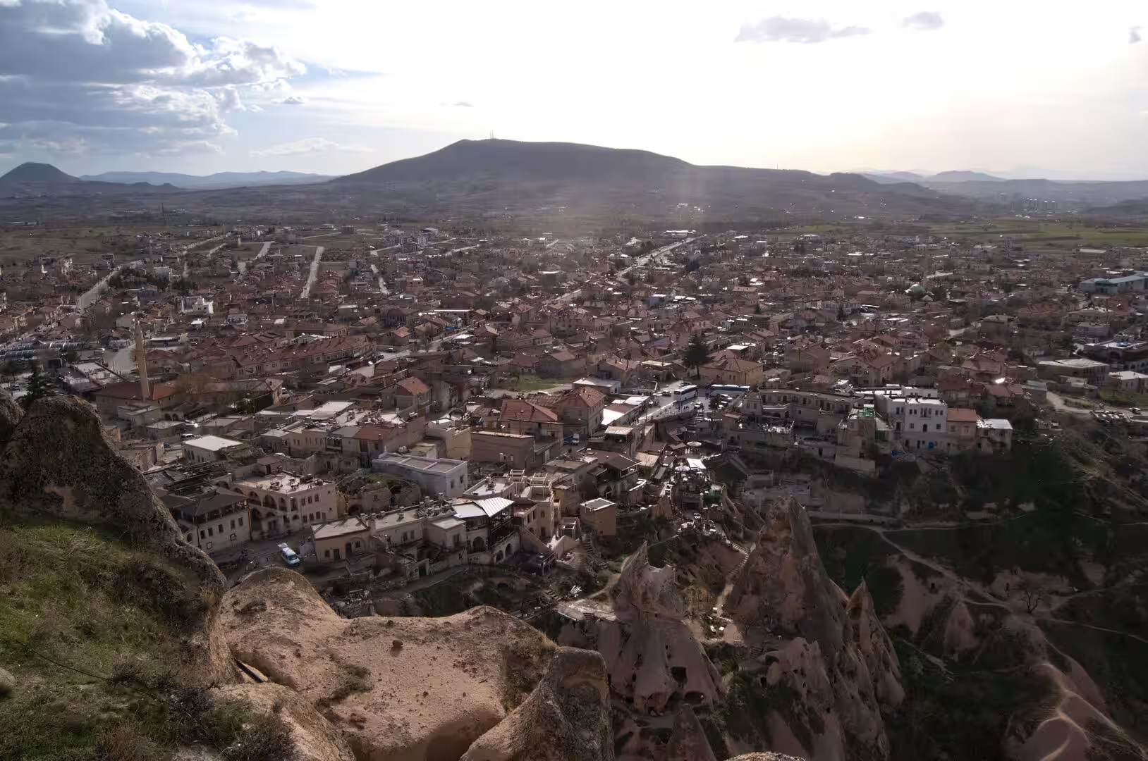
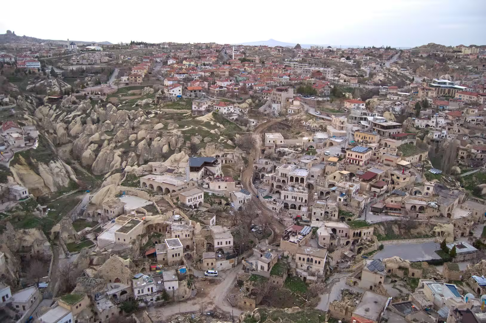
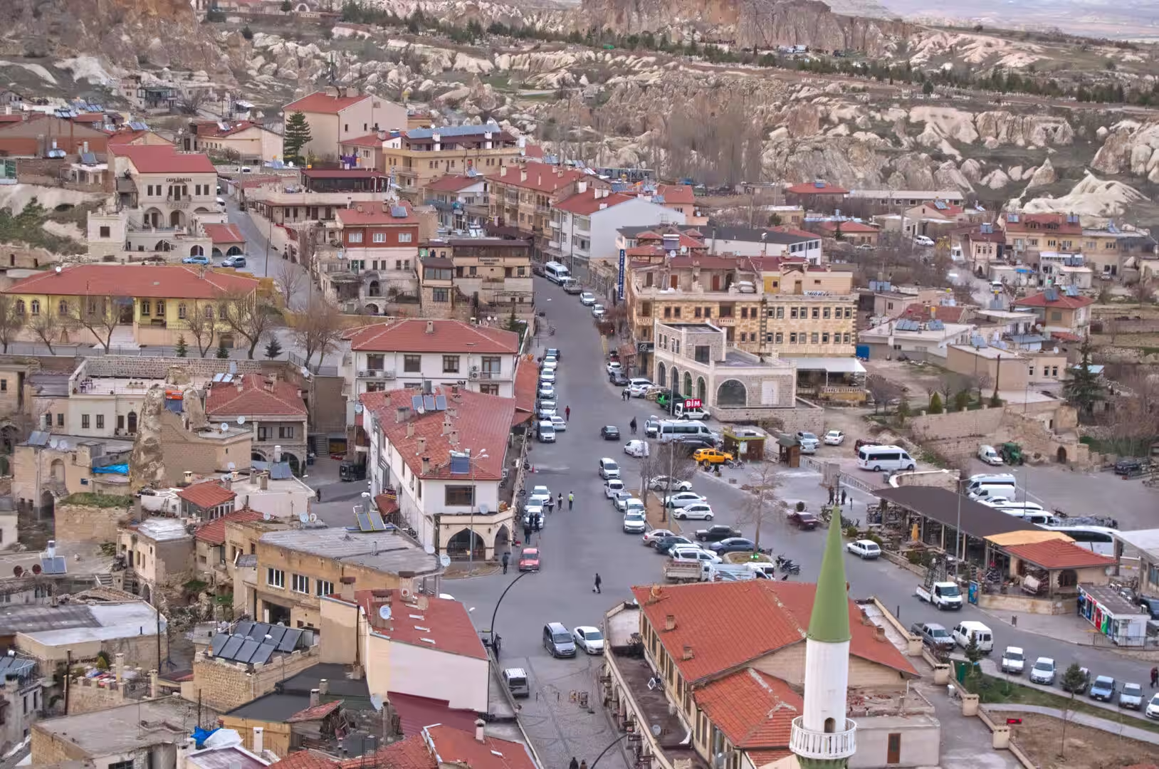
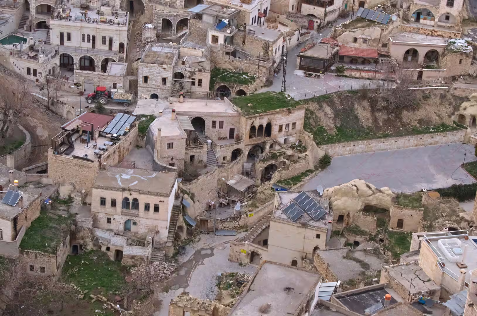
The settlements of the region, among them Göreme, Ürgüp, Avanos, Uçhisar and Ortahisar, are bound up with this geology: stone houses lean against the tuff, and homes, hotels and store rooms are carved directly into it. Tourism now dominates: Göreme, hardly visited until the 1970s, has become the tourist capital of Cappadocia, where former cave homes serve as boutique hotels. Agriculture, vineyards and the potteries of Avanos still thrive beside the tourist trade.
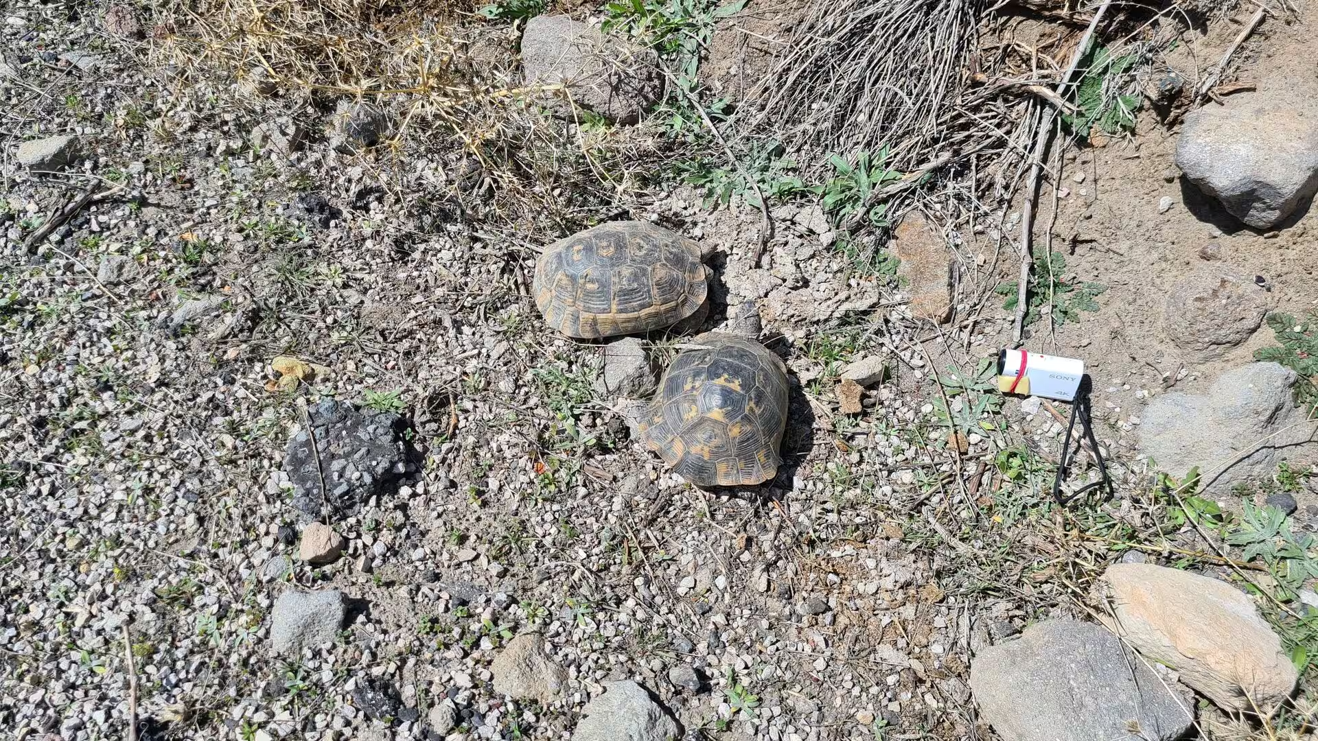
The climate is markedly continental. Summers are hot and dry, winters cold with snow, rainfall is sparse, and much of the countryside is semi-arid steppe and dry farmland. The fauna of these open, stony lands includes the spur-thighed tortoise, a species of the wider Mediterranean basin whose range reaches into Anatolia and which basks on the gravelly hillsides in the spring sunshine.
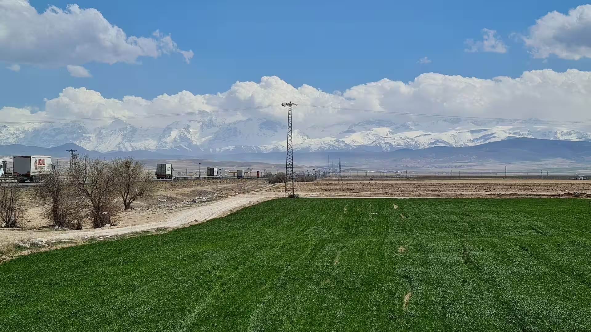
The wider setting of this part of Turkey is one of strong natural contrasts. Away from the volcanic valleys the plateau opens into flat, salty steppe basins, the largest of which holds the shallow brine lake known as Tuz Gölü, whose flooded flats mirror the sky in the wet months and dry to gleaming salt pans in summer. South of Cappadocia the snow-covered Taurus wall separates the inner plateau from the mild Mediterranean coast, a different world of palms, citrus groves and beach resorts.
History
By the late Bronze Age the land later called Cappadocia was known as Hatti, the homeland of the Hittite power centred at Hattusa, which ruled much of Anatolia in the second millennium BC. Even earlier, at the beginning of that millennium, Assyrian merchants had planted their karum, a walled trading quarter, at Kanesh (Kültepe) on the eastern fringe of the region near Kayseri; the roughly 23,500 cuneiform tablets found there form the largest collection of private documents from the ancient Near East. After the fall of the Hittite Empire an aristocratic age followed, its Syro-Cappadocian lords keeping the peasantry in a servile condition until the region was drawn into the Persian world.
Under the Achaemenids Cappadocia became a satrapy, and its name appears for the first time in the trilingual inscriptions of Darius the Great and Xerxes I from the late sixth century BC, where the Old Persian form is Katpatuka. Herodotus records that the Persians applied the name, while the Greeks called the people White Syrians. After Alexander swept away Persian rule, his general Ariarathes, himself a former satrap, made himself king, reigning from 332 to 322 BC, and his adoptive heir Ariarathes II recovered the kingdom; a line of kings then ruled from the stronghold city of Caesarea Mazaca, the modern Kayseri, until Roman times.
Rome backed a series of client kings from 93 BC against Mithridates VI of Pontus, and the last of them, Archelaus, was deposed in AD 17, when the emperor Tiberius reduced Cappadocia to a Roman province. In AD 70 Vespasian joined it with Armenia Minor to form a frontier bulwark, and by 314 Cappadocia was the largest province of the empire. In 371 it was divided into Cappadocia Prima, with its capital at Caesarea, and Cappadocia Secunda, with its capital at Tyana.
Christianity was firmly established in the region by the third century. The Life of Saint Hieron, written in the sixth century though describing events of the third, offers the earliest mention of villagers living in cave houses near Göreme, and in the fourth century Cappadocia gave the church the three Cappadocian Fathers, Basil the Great, bishop of Caesarea, his friend Gregory of Nazianzus and his brother Gregory of Nyssa, who shaped the theology of the Trinity and encouraged the anchorite communities that carved their cells out of the soft rock. From the mid-seventh century the Arab raids turned Cappadocia into a Byzantine borderland, and it was above all in these dangerous centuries that Christians dug the great underground cities as refuges, among them Derinkuyu and Kaymaklı. During the iconoclast controversy, between 725 and 842, the decoration of the sanctuaries was kept to a minimum; after its end the rock-cut churches of the ninth to eleventh centuries, such as those of Göreme, were carved and painted with the brilliant fresco cycles that survive today, and many remained in use until the 1920s.
After the battle of Manzikert in 1071, Turkish clans under Seljuk leadership settled in Anatolia, and Cappadocia passed to the Karamanid lords and then the Ottoman Empire, remaining part of it until 1922. In the early eighteenth century the city of Nevşehir was founded as the new regional capital by a native grand vizier, Nevşehirli Damat İbrahim Pasha, a role it keeps today. Christians and Muslims lived side by side, and many Cappadocian Greeks spoke Karamanlıca, Turkish written in the Greek alphabet. After the population exchange of 1923 the remaining Greek inhabitants left for Greece, and the old cave churches fell out of use. The French archaeologist Charles Texier had described the marvels of Göreme as early as the 1830s; tourism grew strongly from the later twentieth century, and the region was inscribed on the World Heritage List in 1985.
Geology
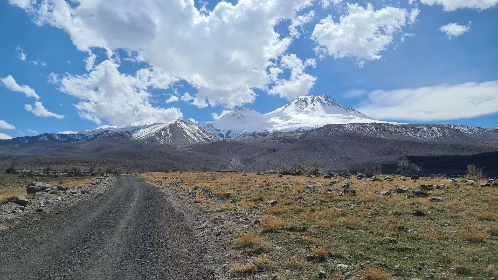
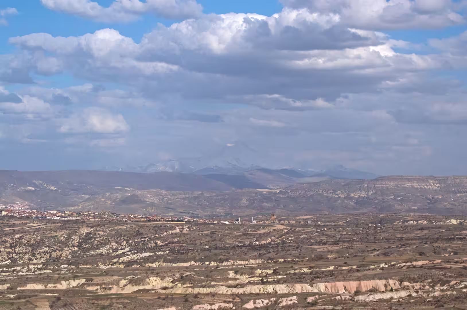
Cappadocia owes its famous landscape to the volcanic history of central Anatolia, which began in the Miocene when the collision of the Arabian and Eurasian plates set off widespread eruptions on the newly risen plateau. The resulting Central Anatolian Volcanic Province, covering roughly 32,500 square kilometres, is dominated by two great stratovolcanoes that flank the region like gateposts: Mount Erciyes near Kayseri, whose summit rises to about 3,900 metres and which last erupted in the early Holocene, and the twin-peaked Hasan Dağı to the south-west, whose most recent eruption is dated to about 6200 BC. Between them, eruptions of Erciyes, Hasan Dağı and the smaller centre of Göllüdağ repeatedly spread ash and pumice across the land, laying down the thick sheets of ignimbrite, in places up to two kilometres deep, on which the region now stands.
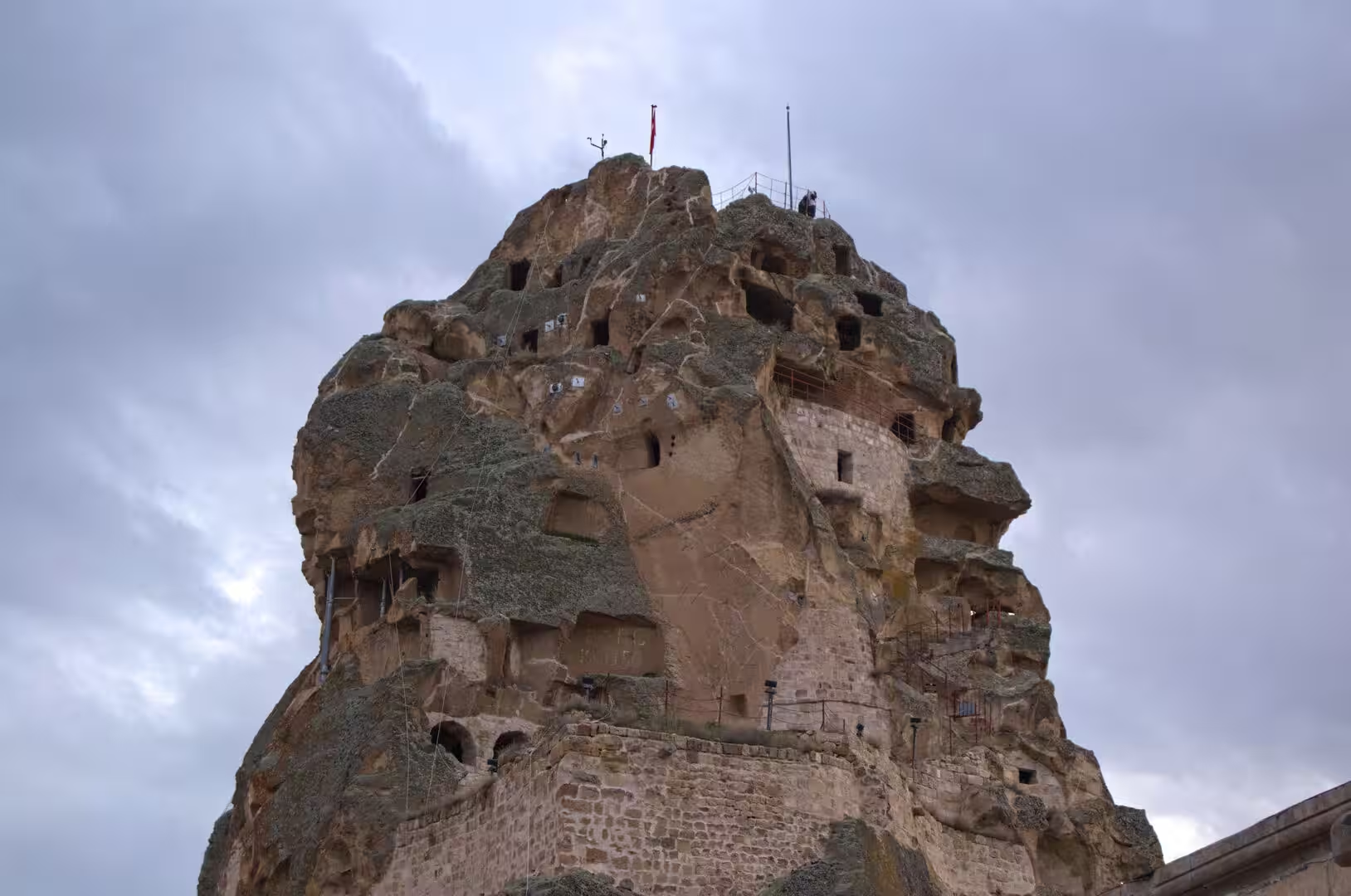
The ash consolidated into tuff, a soft, porous rock that erodes easily, and wind, water and frost then sculpted the deposits into valleys, cliffs and ridges over the past few million years. Where a harder capping layer of basalt or welded ignimbrite protected the softer rock beneath, erosion left the tall, capped pillars known as fairy chimneys; the resistant masses of Uçhisar and Ortahisar, rising like castles above their villages, are the same story on a grander scale. Because the tuff is soft enough to carve with simple tools yet firm enough to stand, the same rock that shaped the scenery also provided its architecture. In 2022 the International Union of Geological Sciences listed the Miocene Cappadocian ignimbrite sequence among its one hundred geological heritage sites of world importance.
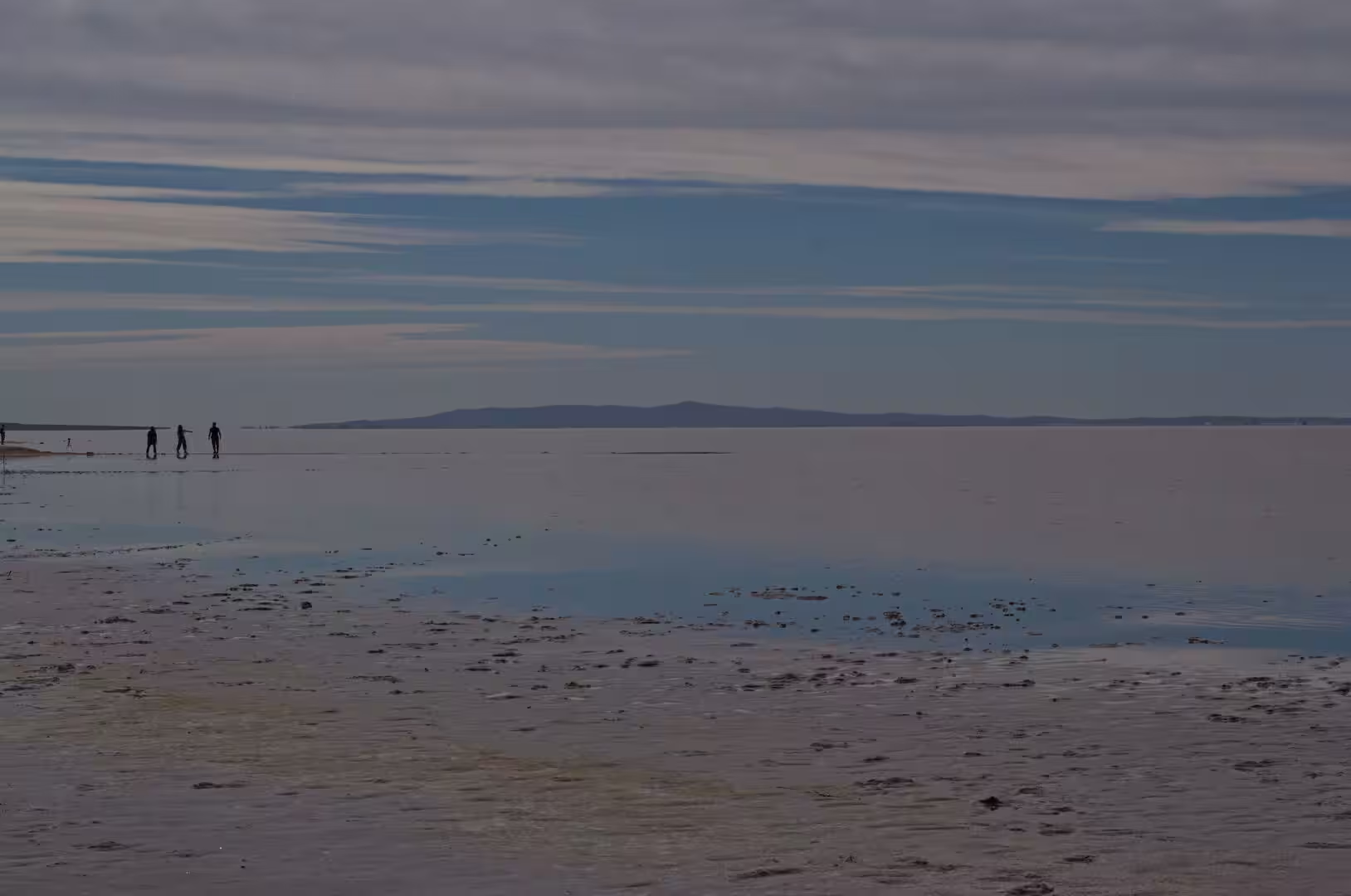
On the bare steppe west of the volcanic country, north-east of Konya and north-west of Aksaray, a very different geology takes over. There the great shallow Lake Tuz occupies a tectonic depression at about 905 metres above sea level; with a surface that can exceed 1,600 square kilometres it is the second largest lake in Turkey and one of the largest hypersaline lakes on earth. Fed by streams, among them the Melendiz River from the volcanic uplands to the south, and by groundwater, it has no outlet, and evaporation concentrates its salts. Its average depth is only about half a metre, its maximum about one and a half. In winter rain and snowmelt dissolve the salt into a brine of roughly 32 to 34 per cent salinity; by August most of the water has gone, leaving a gleaming salt crust on average about 30 centimetres thick, which the mines around the lake harvest.
To the south the plateau ends at the Taurus, a young folded range of the Alpine belt whose predominant rock is limestone, and which separates the interior from the Mediterranean. Its higher summits, some of which exceed 3,700 metres, keep their snow well into the spring. Beneath the range the land falls steeply to a narrow coastal lowland of Quaternary alluvium, where short mountain rivers reach the sea. This mild, frost-free coast carries the palm-lined resort quarters of the southern shore.
Things to See
Göreme lies at the heart of the World Heritage property, its stone houses and carved cave homes clustered in a valley ringed by eroded rock. The village, known in earlier centuries as Korama, Matiana, Macan and Avcılar, preserves painted mansions of the eighteenth century and has become the natural base for exploring the region, many of its old cave dwellings now serving as hotels cut into the living rock. Above the village, the Göreme Open Air Museum stands on the ground of the former village of Korama and is the most visited of the monastic complexes of Cappadocia, gathering more than thirty rock-cut churches and chapels carved between the ninth and the eleventh centuries.
Inside the museum enclosure the rock-cut churches reward a slow visit. Tokalı Kilise, the Church of the Buckle, is the largest church in Göreme: its older nave carries frescoes of the tenth century in a provincial style, while the larger New Church, cut out of the older rock at the end of the tenth or the beginning of the eleventh century, glows with deep blue panels painted with lapis lazuli pigments. The small Karanlık (Dark) Church, whose interior admits only a little light, is counted among the finest frescoed churches of the museum, the dimness of its single chamber having preserved unusually vivid colour.
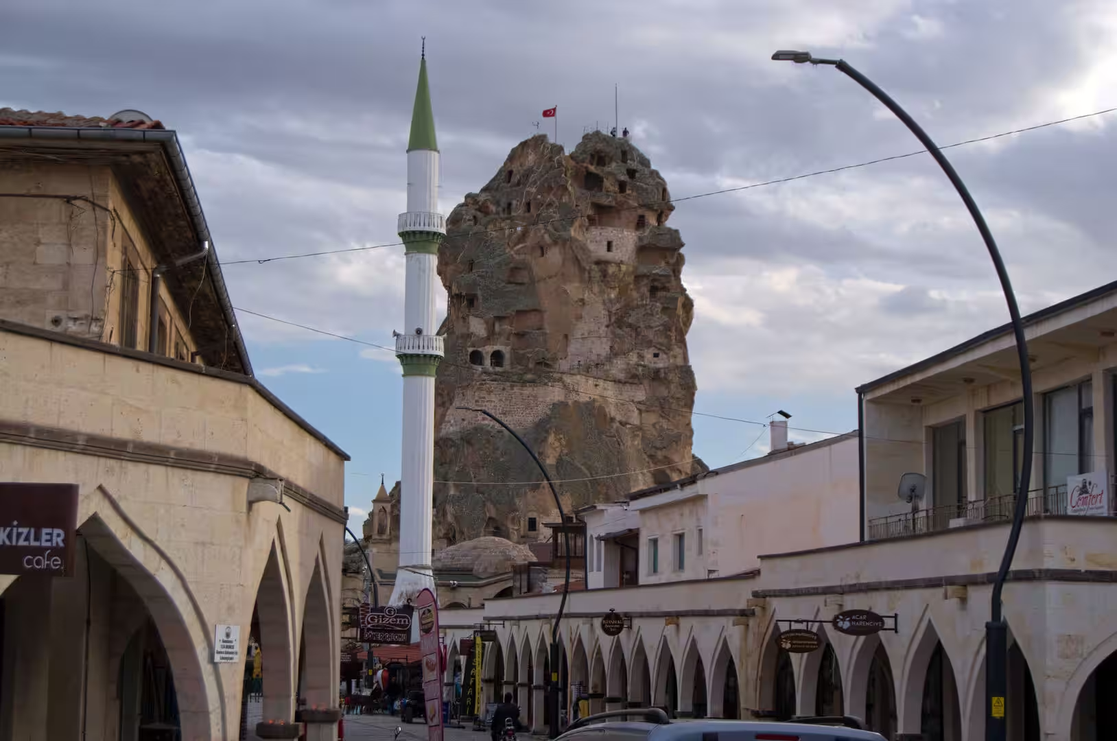
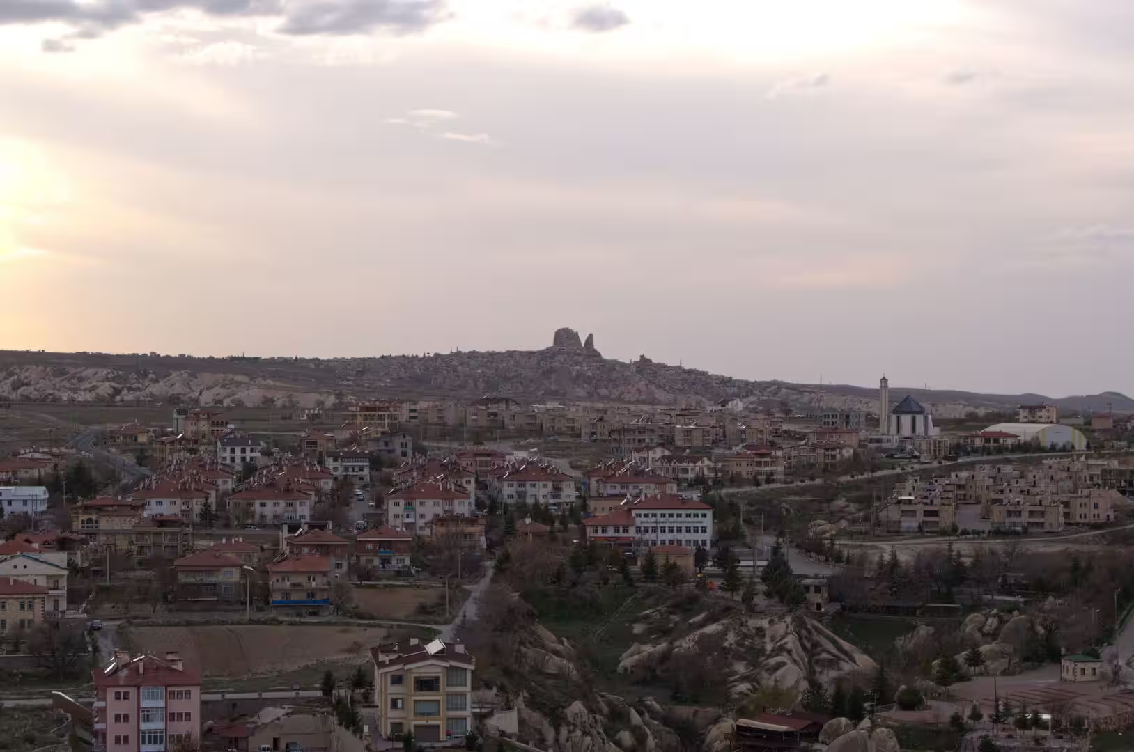
A few kilometres to the west, Uçhisar, whose name means outer citadel, crowds around the base of a huge rock cone. The cone is of harder volcanic rock than the surrounding tuff and is riddled with rooms and passages cut through it; in the Byzantine centuries, when the defensible terrain of the district was deliberately used as a buffer, it served as a stronghold, and from its summit the surrounding valleys open out on every side. The Güvercinlik (Pigeon) Valley runs along the flank of the rock, while to the east the old town of Ortahisar climbs around a similar, more slender fortress rock.
Between these towns the valleys of the fairy chimneys open one into another: Rose and Red valleys of pink tuff, valleys of cones crowned with basalt caps, cliffs honeycombed with doors and windows that show how thoroughly the rock was inhabited. Trekking trails thread the valleys on foot, and the region’s signature experience is the dawn launch of the hot air balloons that drift over the spires and cave towns.
The same soft geology made possible the underground cities that belong to the World Heritage property, of which Derinkuyu is the largest excavated in Turkey. Cut on several levels linked by narrow passages, with rooms for storage, stabling, worship and refuge, it is deep and extensive enough to have sheltered as many as 20,000 people with their livestock and food stores. Its neighbour Kaymaklı preserves a similar warren of carved chambers, both dug as places of concealment in the centuries of invasion and persecution.
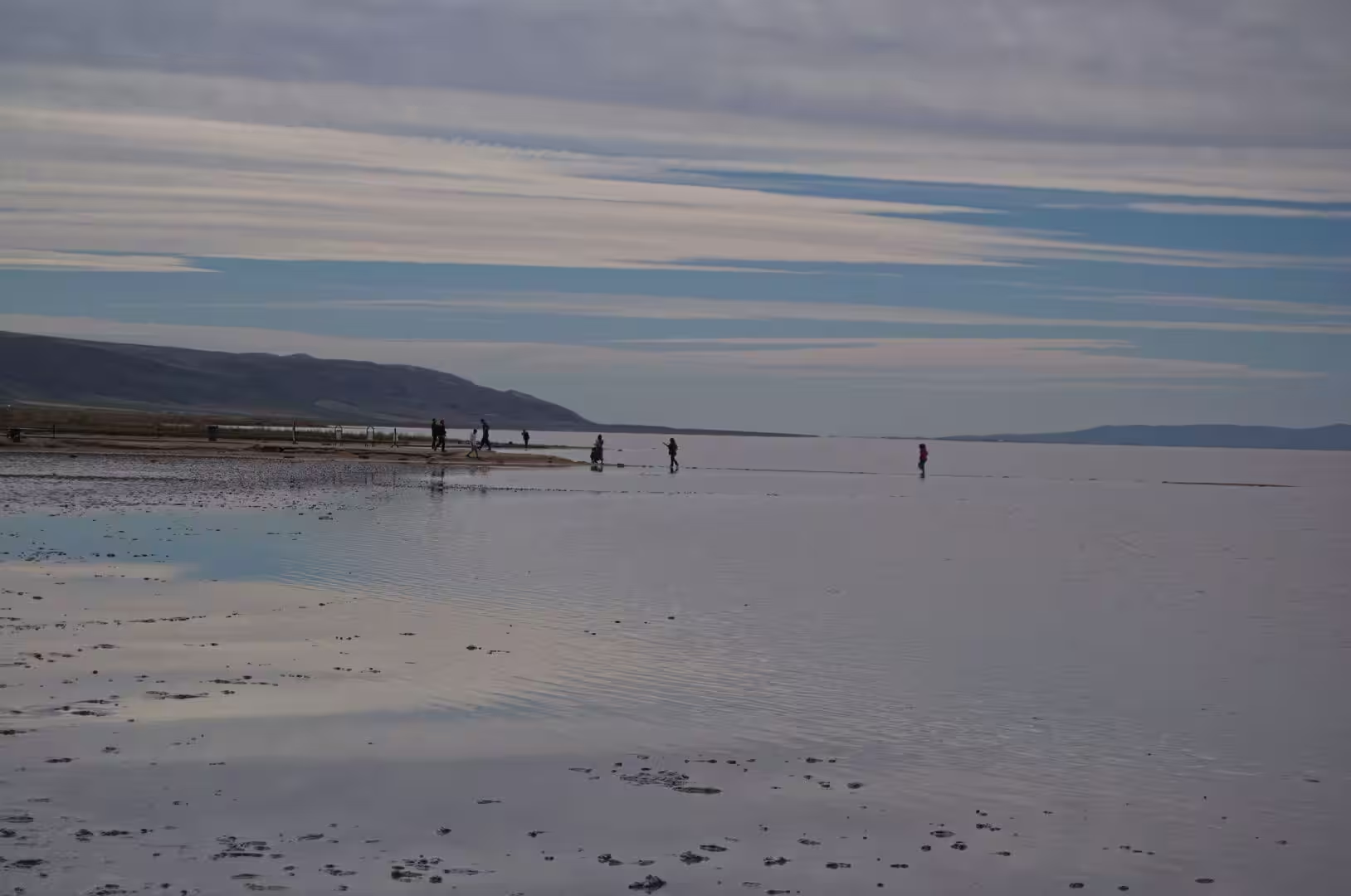
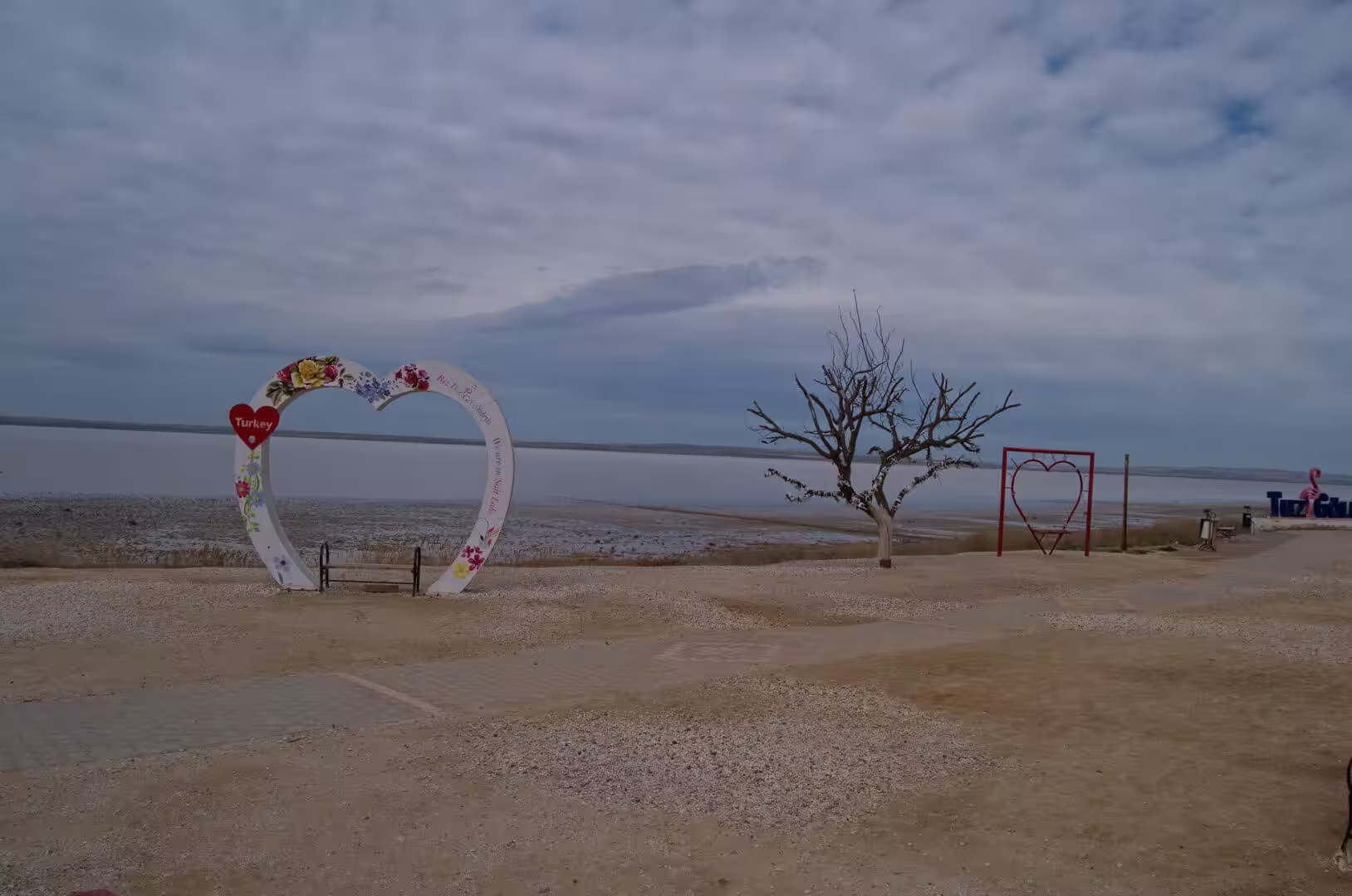
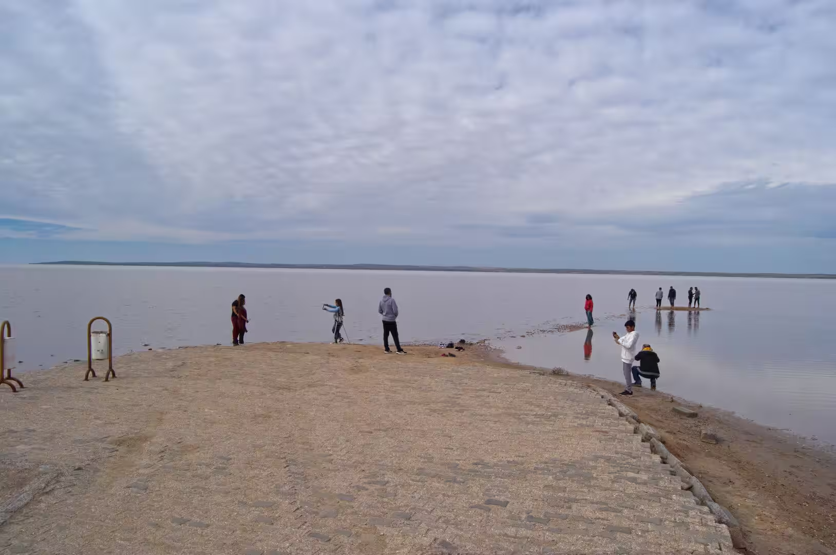
Tuz Gölü (Lake Tuz) fills its tectonic hollow on the open steppe west of the Cappadocian valleys. In the wet months the lake spreads as a vast sheet of water mostly less than half a metre deep, and visitors wade far out across the flooded pan, which mirrors the sky in perfect stillness; low fences and simple heart-shaped frames along the shore mark the customary stopping places of this celebrated salt landscape. In late summer the water retreats over the white crust, and the salt works around the shore, whose three mines produce about 63 per cent of the salt consumed in Turkey, harvest the deposit. The southern islets carry the main Turkish breeding colony of the greater flamingo, and the whole lake has been a specially protected area since 2001.
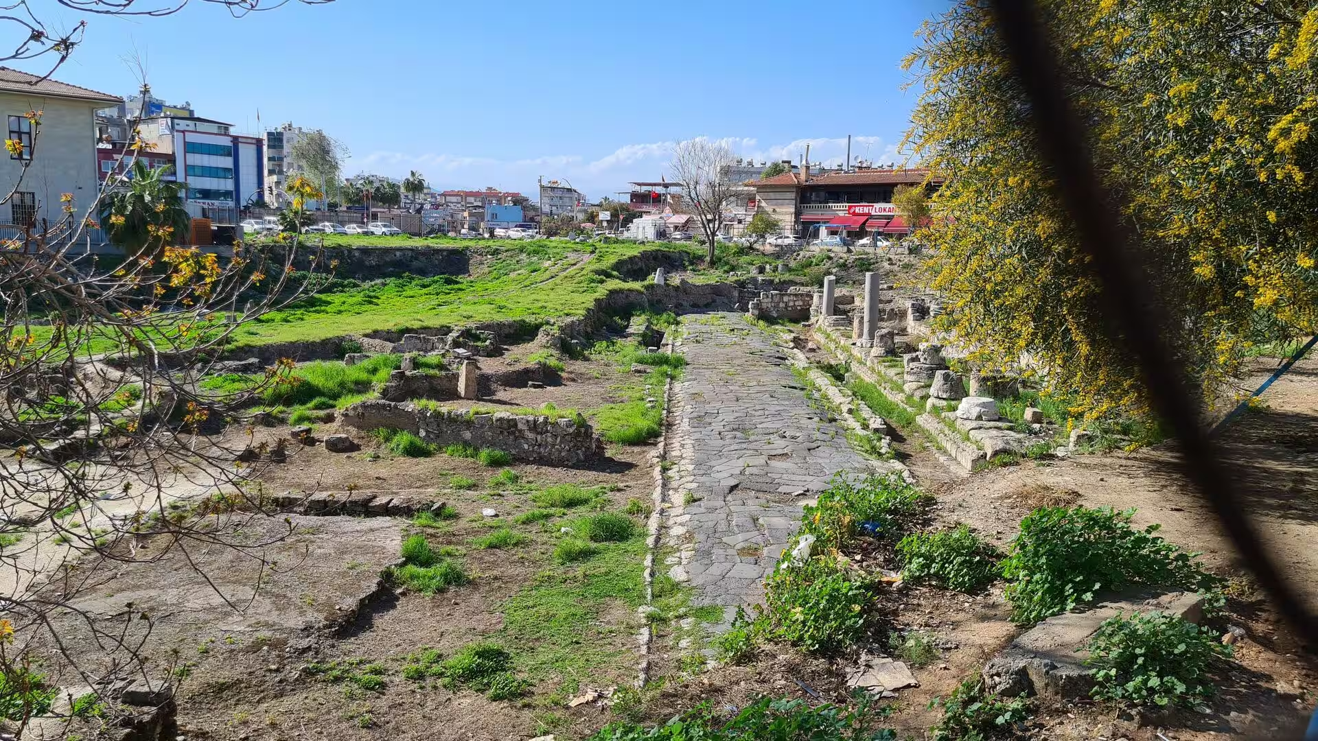
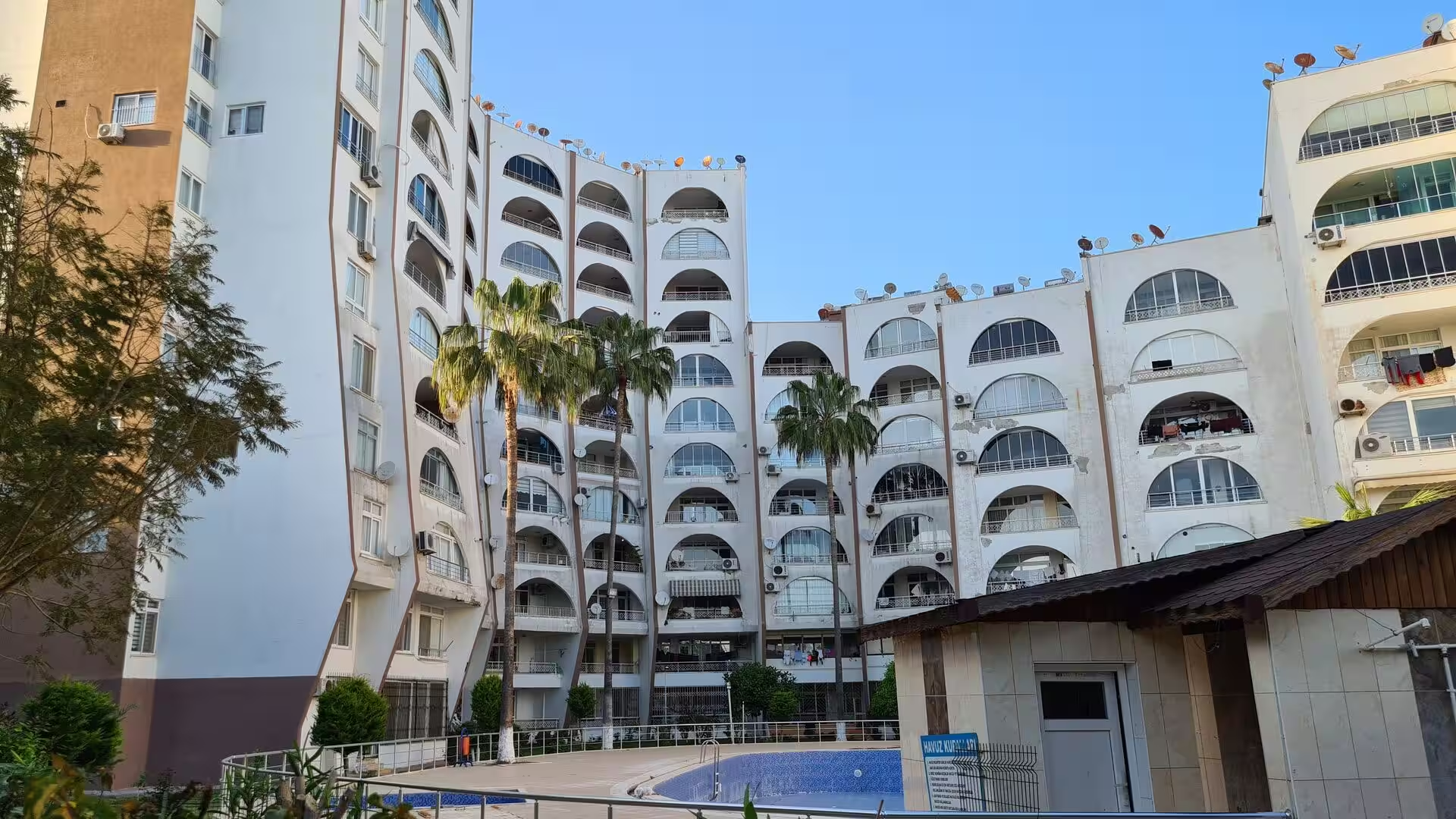
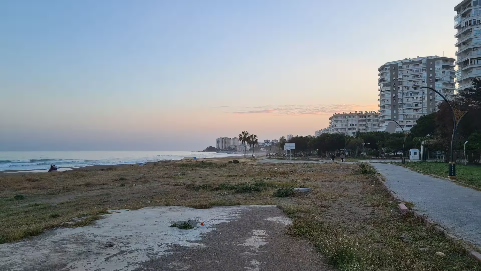
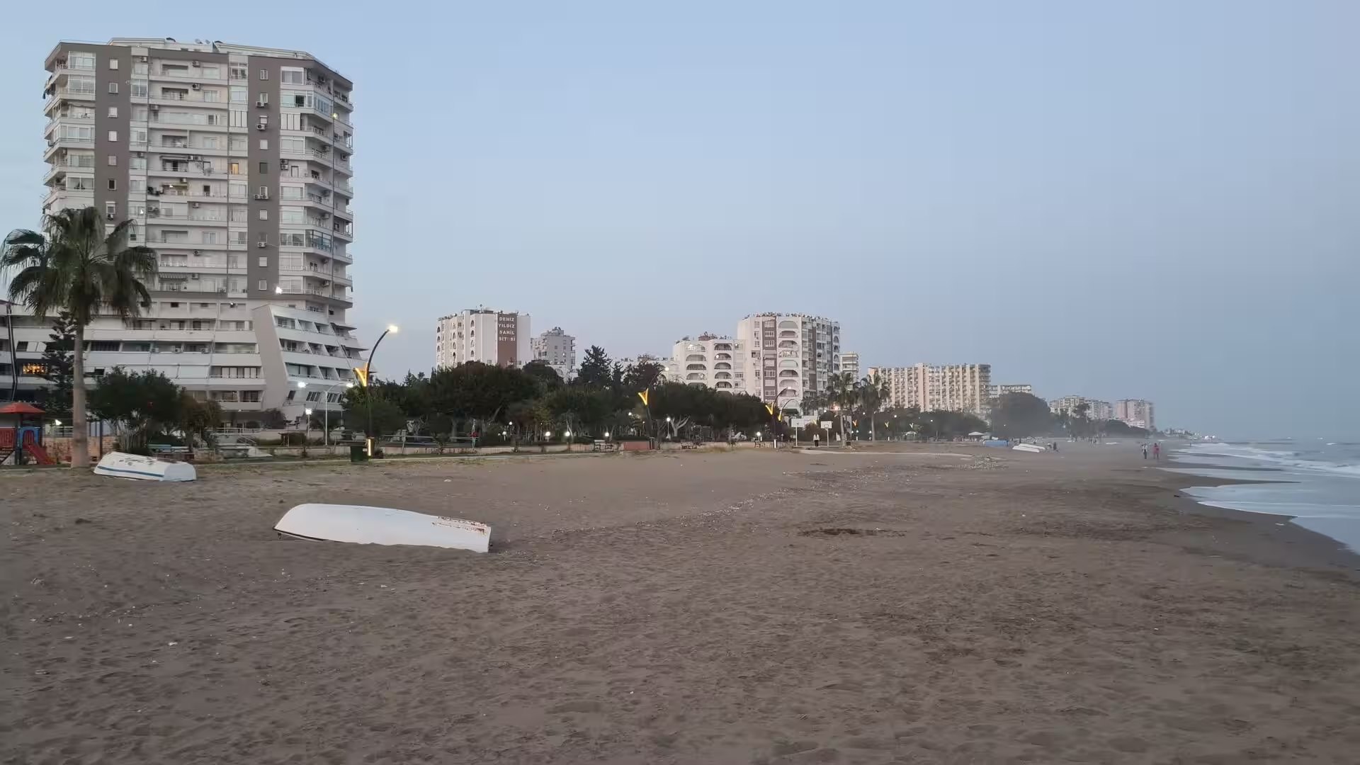
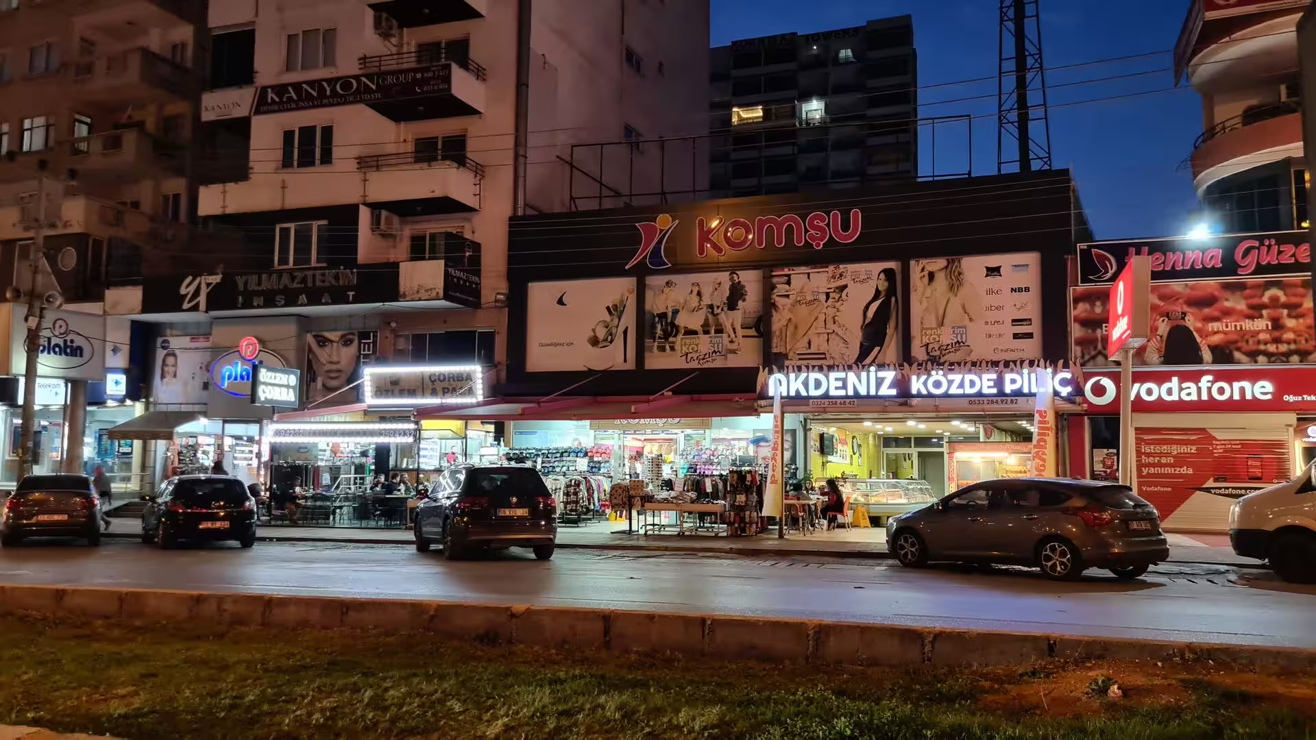
On the Mediterranean shore below the Taurus the character of the country changes completely. Around the modern quarters of the coast lie the grass-grown ruins of the ancient cities of Cilicia: weathered stone-paved streets, scattered columns and low walls half hidden among the fields and flowering trees, while the present-day town presses close around them. The seafront itself is given over to holiday life: long sandy beaches below palm-lined promenades, curved apartment blocks with arched balconies above pools and gardens, and lively shopping streets that stay bright well after dark, when the sea breeze carries the evening promenade along the water’s edge.
References
- Kostof, Spiro (1972). Caves of God: The Monastic Environment of Byzantine Cappadocia. Cambridge, MA: MIT Press.
- Rodley, Lyn (1985). Cave Monasteries of Byzantine Cappadocia. Cambridge: Cambridge University Press.
- Ousterhout, Robert G. (2005). A Byzantine Settlement in Cappadocia. Washington, DC: Dumbarton Oaks Research Library and Collection.
- Kuzucuoğlu, Catherine, Çiner, Attila and Kazancı, Nizamettin (2019). Landscapes and Landforms of Turkey. Cham: Springer.
- Göreme National Park and the Rock Sites of Cappadocia. whc.unesco.org/en/list/357/
- Cappadocia. en.wikipedia.org/wiki/Cappadocia
- Göreme. en.wikipedia.org/wiki/G%C3%B6reme
- Churches of Göreme. en.wikipedia.org/wiki/Churches_of_G%C3%B6reme
- Uçhisar. en.wikipedia.org/wiki/U%C3%A7hisar
- Lake Tuz. en.wikipedia.org/wiki/Lake_Tuz
- Mount Erciyes. en.wikipedia.org/wiki/Mount_Erciyes
- Mount Hasan. en.wikipedia.org/wiki/Mount_Hasan
- Kültepe. en.wikipedia.org/wiki/K%C3%BCltepe
- Derinkuyu underground city. en.wikipedia.org/wiki/Derinkuyu_underground_city
- Kaymaklı Underground City. en.wikipedia.org/wiki/Kaymakl%C4%B1_Underground_City
- Taurus Mountains. en.wikipedia.org/wiki/Taurus_Mountains