Day 5 - Mersin to Ayas
21 July 2023















Journal Notes
General
Mersin is a large port city on the Mediterranean coast of southern Turkey and the capital of Mersin Province, the territory once known as Icel. The urban area is made up of four central districts, Akdeniz, Mezitli, Toroslar and Yenişehir, which together hold more than a million inhabitants, and the wider metropolitan region that also takes in Tarsus and Erdemli is home to over 1.7 million people. Seen together with Adana, the conurbation ranks as the fourth most populous urban area of Turkey. The city takes its name from the myrtle that grows abundantly around it, and the seventeenth-century Ottoman traveller Evliya Çelebi recorded a local clan called Mersinoğulları, the sons of Mersin.
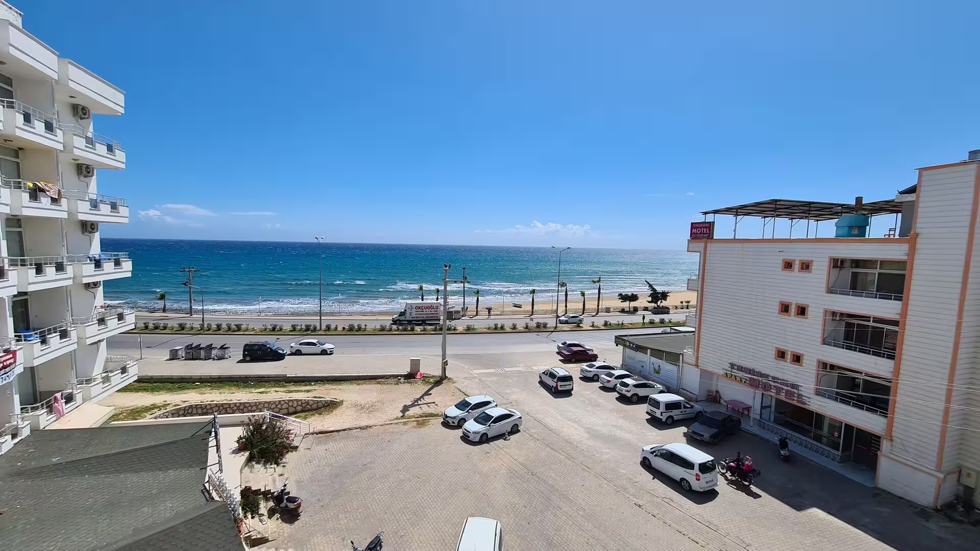
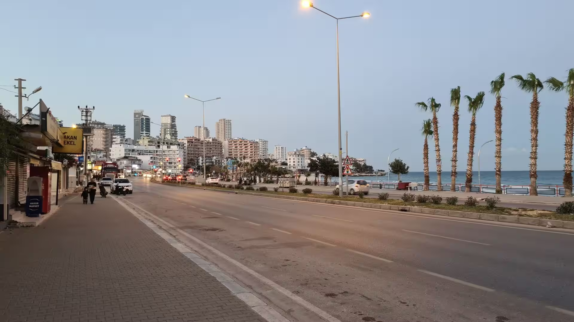
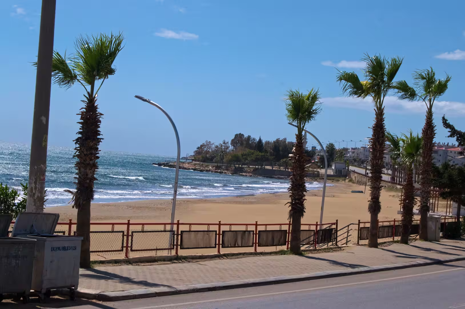
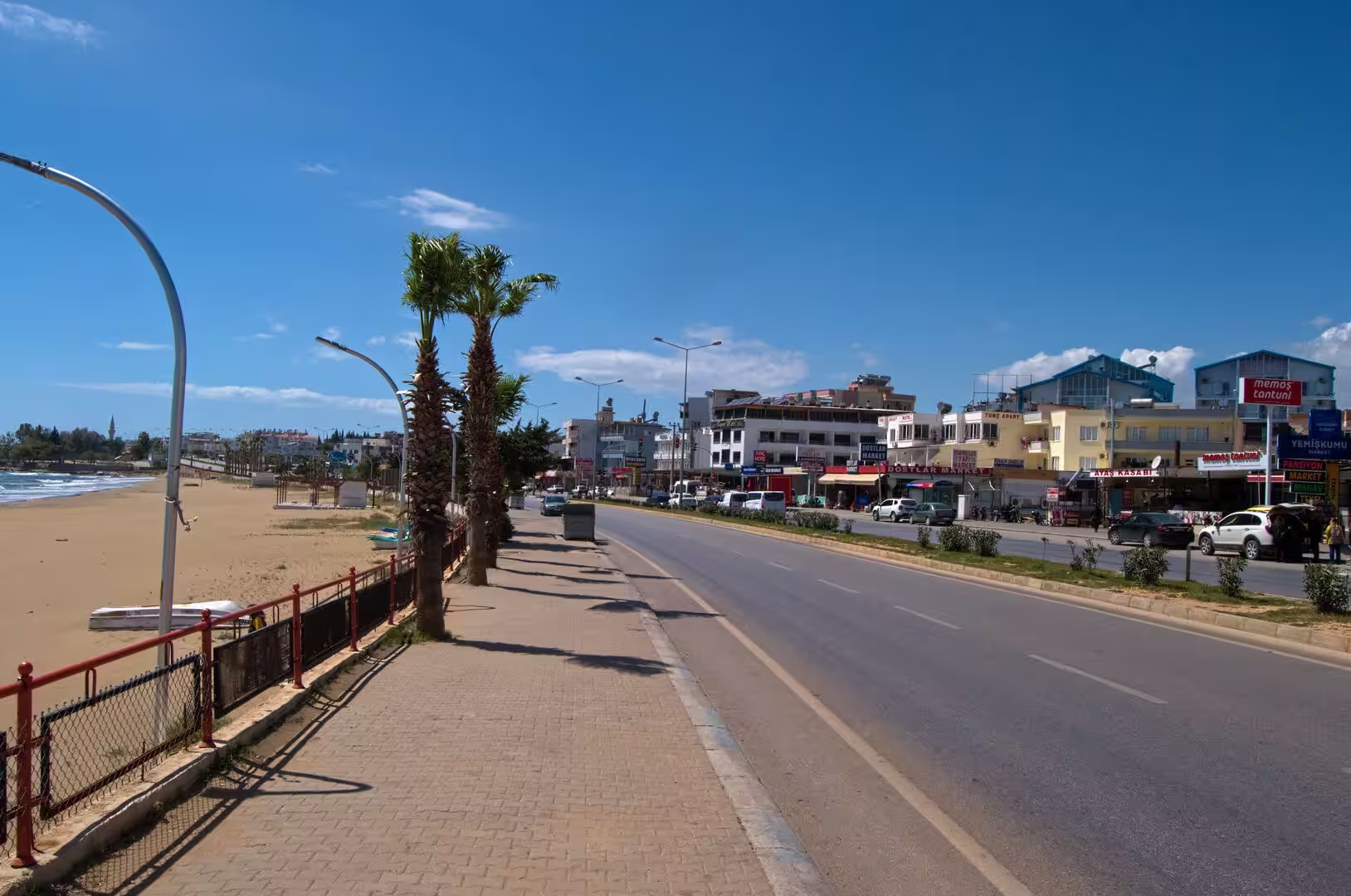
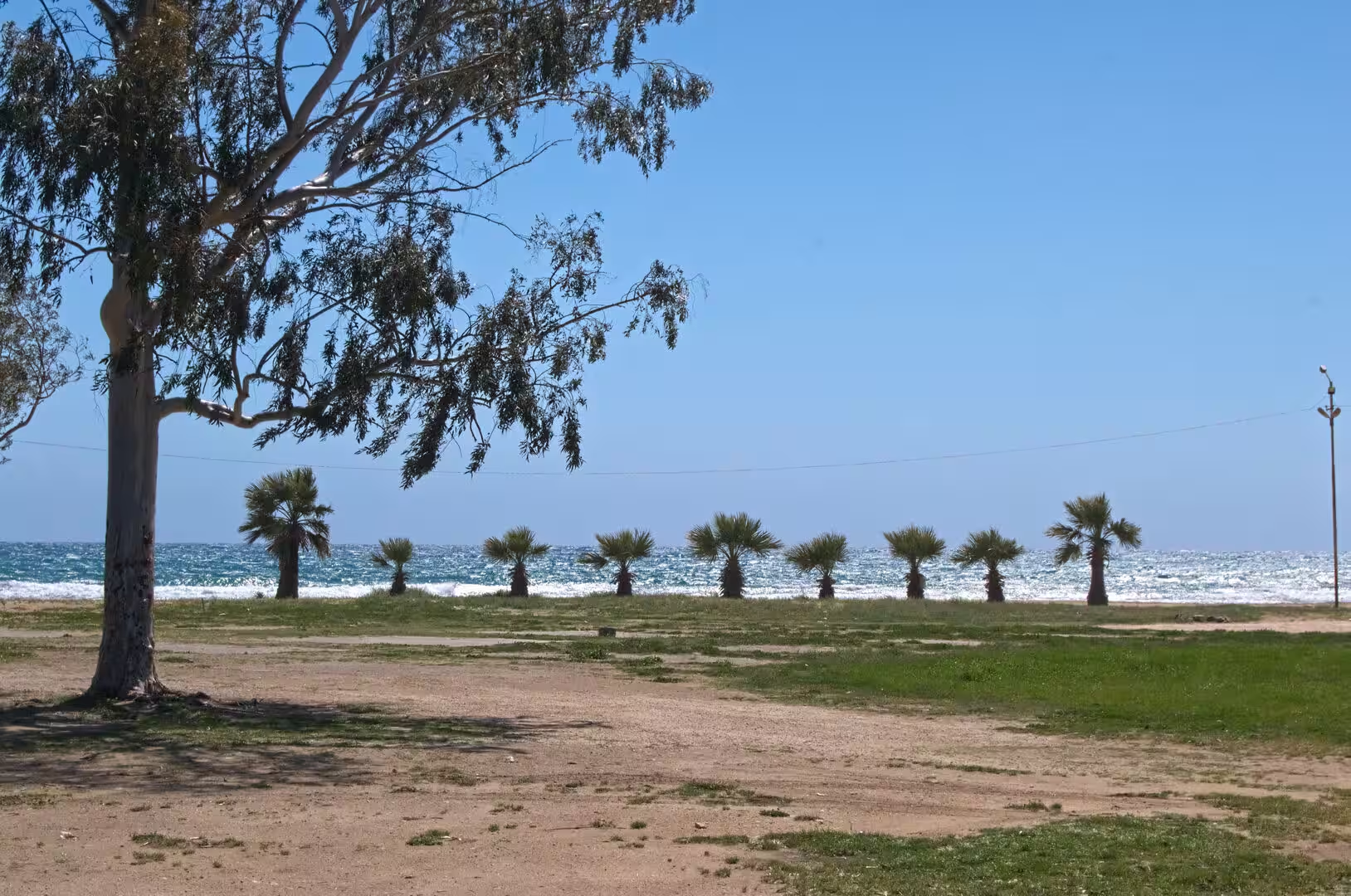
Mersin grew up on the western edge of the Çukurova plain, where the flat, intensely cultivated lowland meets the sea, and it remains the natural gateway between the Anatolian interior and the eastern Mediterranean. The port has a capacity of about 6,000 ships a year, and the free zone established beside it in 1986 was the first of its kind in Turkey. Citrus orchards, cotton fields and greenhouses spread across the coastal plain behind the city, while the economy also rests on logistics, food processing, energy and a growing service sector. The climate is Mediterranean, with hot, dry summers and mild, wet winters, and the municipality has laid out long seafront walkways, parks and palm-lined boulevards along what is said to be the longest continuous seashore of any Turkish city.
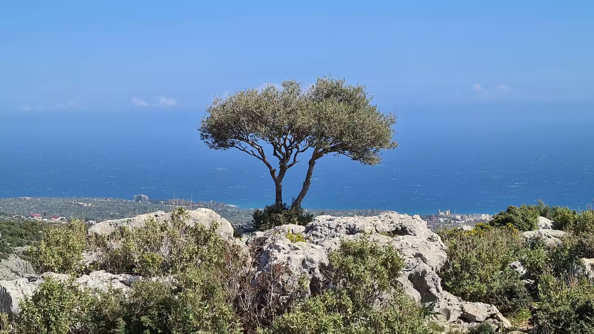
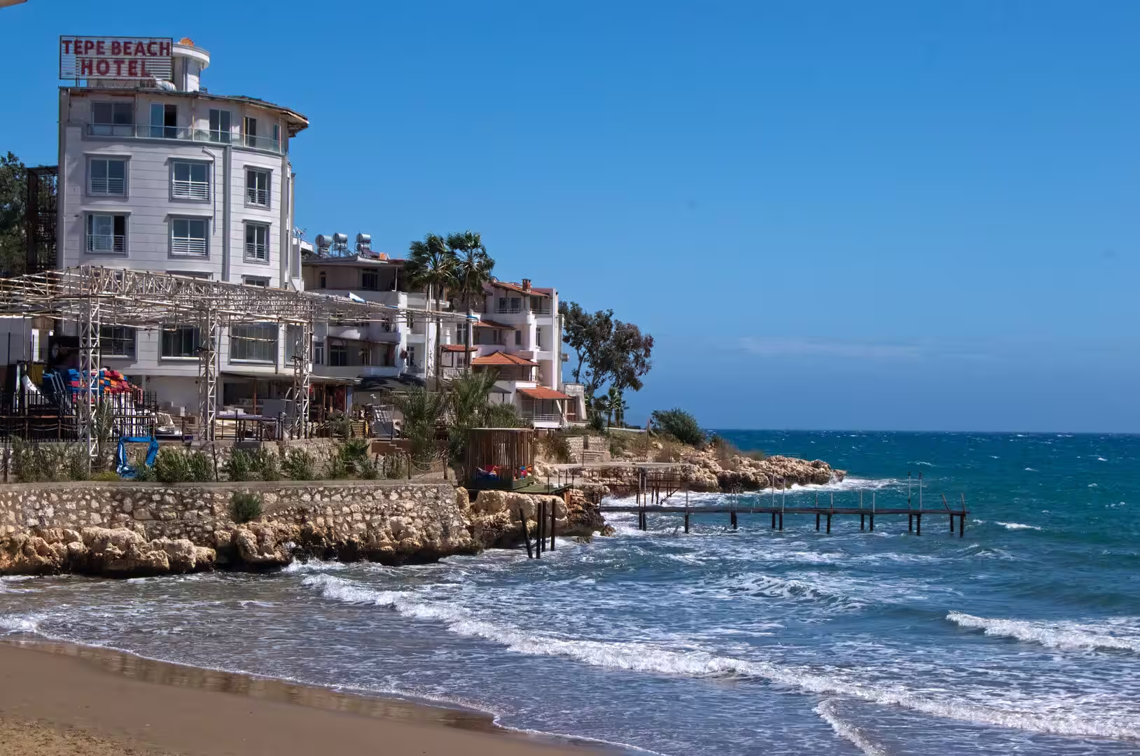
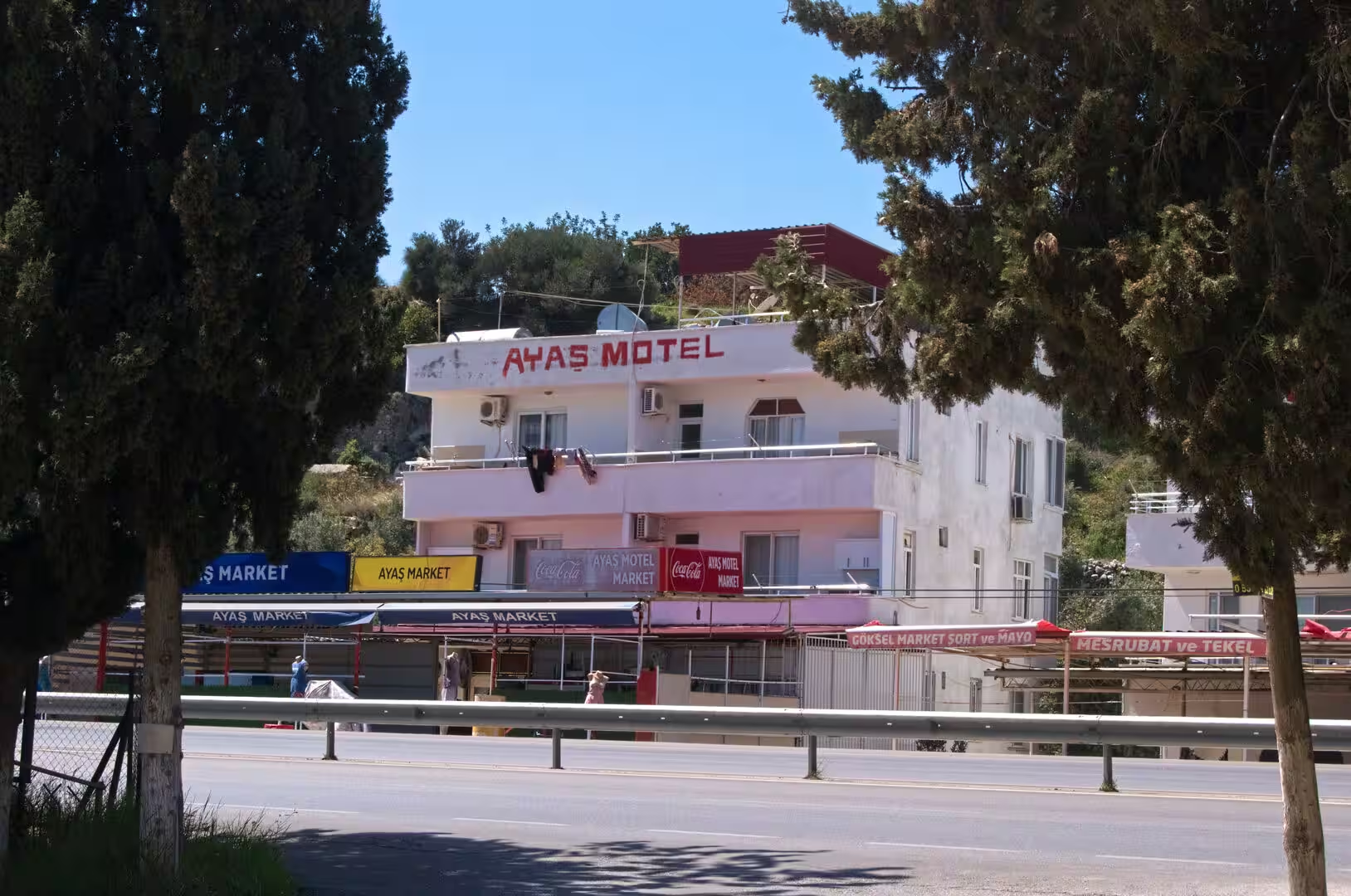
The excursion country lies to the west, along the coastal highway that runs from Mersin toward Silifke through the district of Erdemli. Once past the rocky headlands of the city’s western suburbs, the flat plain narrows and the forested front of the Taurus Mountains crowds down to the shore, so that the road alternates between sandy beaches with resort settlements and stretches of bare limestone cliff. Some 55 kilometres from Mersin the village of Ayaş spreads over the hillside above the ruins of the ancient city of Elaiussa Sebaste; a few kilometres further on, near the village of Narlıkuyu, the ground opens into the great sinkholes of Cennet and Cehennem, and the coast is closed by the beach resort of Kızkalesi with its island castle. The stage therefore concentrates a remarkable variety of Mediterranean Turkey into a compact strip of coast barely sixty kilometres long.
History
The coast between Mersin and Ayaş has been settled for more than eight thousand years. Within the modern city of Mersin, the mound of Yumuktepe preserves twenty-three levels of occupation excavated by John Garstang from 1936 onwards, the earliest dating from about 6300 BC, and the site remained inhabited into the medieval period. In the Bronze Age the surrounding plain belonged to the kingdom of Kizzuwatna, a Luwian and Hurrian land that became part of the Hittite Empire, and the harbour settlements of the shore already traded across the Aegean; the first fortifications at Soli are dated to the fifteenth century BC.
Greek colonists reshaped the coast in the early Iron Age. Achaean and Rhodian settlers re-founded Soli, 11 kilometres west of Mersin, between 700 and 690 BC, and the city minted its own coins even while Cilicia was a satrapy of the Persian Empire from the mid-sixth century BC. Alexander the Great passed through in 333 BC and fined Soli for having favoured the Persians, after which the city passed between the Hellenistic kingdoms and flourished under the Seleucids until the Armenian king Tigranes sacked it in 83 BC and carried off its people. Further west, at Ayaş, Greek settlers founded Elaiussa in the late second century BC on a small island linked to the mainland by an isthmus, growing rich on olives and on trade along the coastal road that connected Anatolia with Syria.
The Roman period brought the two cities to their fullest development. In 67 BC Pompey the Great, acting under the lex Gabinia, cleared the eastern Mediterranean of the Cilician pirates and settled part of the surrendered pirate population in the depopulated Soli, which was renamed Pompeiopolis in his honour; its harbour was rebuilt with Roman concrete and improved again in the early second century AD with imperial support. Elaiussa, meanwhile, was favoured by Archelaus of Cappadocia, a client king of Augustus, who gave the new quarter the name Sebaste, the Greek form of Augusta. A small theatre, baths, an agora and an aqueduct drawing water from the Lamos river were built in the second century AD, and churches with mosaic floors followed in the early Byzantine centuries.
Both cities declined in the upheavals of late antiquity. An earthquake levelled Soli in 525 AD, and raiding in the following centuries, including Arab campaigns from the early seventh century, finished the ruin; Elaiussa lost ground to its neighbour Corycus from the sixth century and had faded away by the early seventh. The coast then belonged successively to Arab commanders, the Tulunids and, from 965, again to the Byzantines. In the early twelfth century the Byzantine admiral Eustathios Kymineianos fortified the little island off Corycus on the orders of the emperor Alexios I Komnenos, building the sea castle later known as Kızkalesi, the Maiden’s Castle. The region soon passed to the Armenian Kingdom of Cilicia, whose kings Leo I and Het’um I rebuilt the castle in the thirteenth century with round towers and fine ashlar masonry, and the Armenians held both the island and the mainland fortresses until the mid-fourteenth century. After the fall of the kingdom in 1375 the coast was contested by the Mamluks, the Ramadanid emirs and the Karamanids, and it was incorporated into the Ottoman Empire by Sultan Selim I in 1517.
Mersin itself long remained a modest village while the history of the region played out around it. Only in the mid-nineteenth century did it begin to grow, when cotton from the Çukurova plain was exported through its harbour in large quantities and a railway station opened in 1886 to link the port with Adana and Tarsus. The city was occupied by French and British troops after the First World War, was recovered by Turkish forces in 1921, and became the capital of its own province in 1924. Since the mid-twentieth century it has expanded along the shore as an industrial port, a service centre and the anchor of one of Turkey’s largest metropolitan areas.
Geology
The stage runs along a genuine geological boundary. Mersin stands on alluvial ground at the western edge of the Çukurova plain, the great lowland built up by the rivers of antiquity known as the Cydnus, Sarus and Pyramus, the modern Berdan, Seyhan and Ceyhan, which carry sediment down from the mountains. The city centre therefore rests on young river and delta deposits, while the flat, fertile soils of the plain have made it one of the most productive agricultural regions of Turkey. West of Mersin this lowland ends abruptly, and the shore is taken over by the solid rock of the Taurus Mountains, which here reach the Mediterranean without any intervening coastal plain.
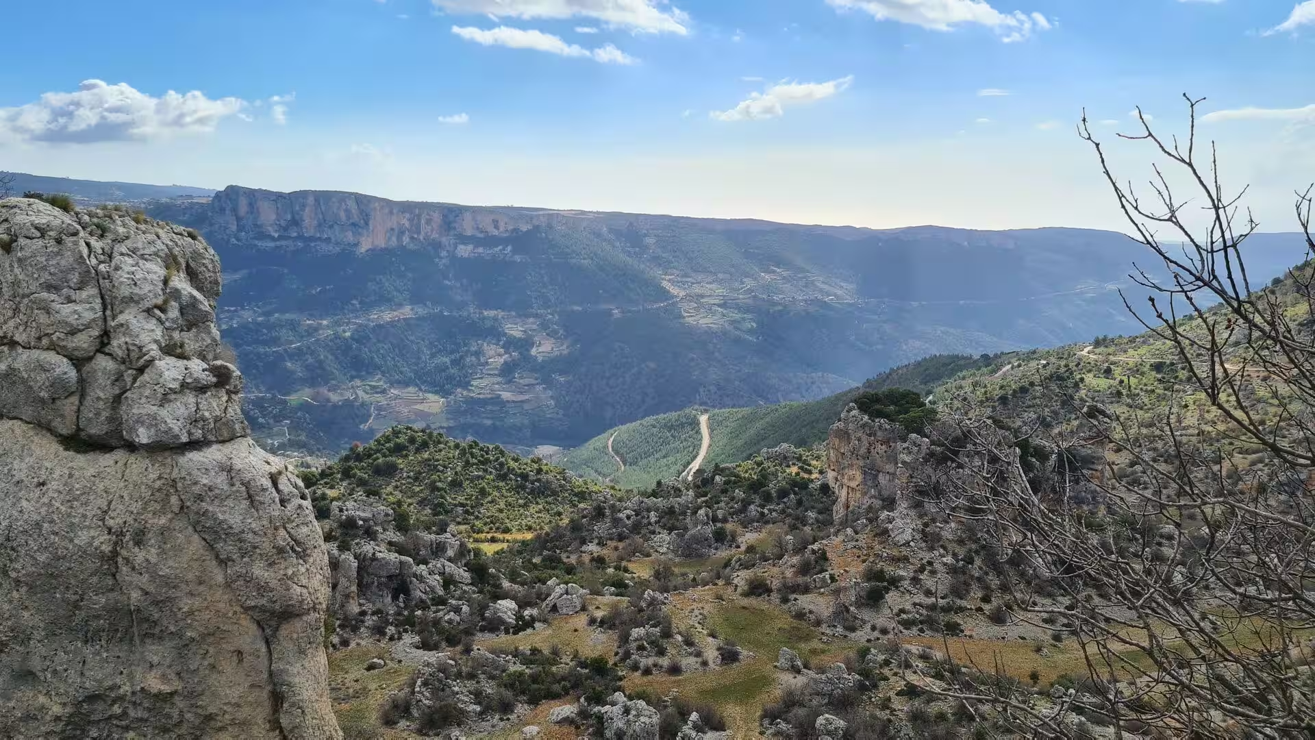
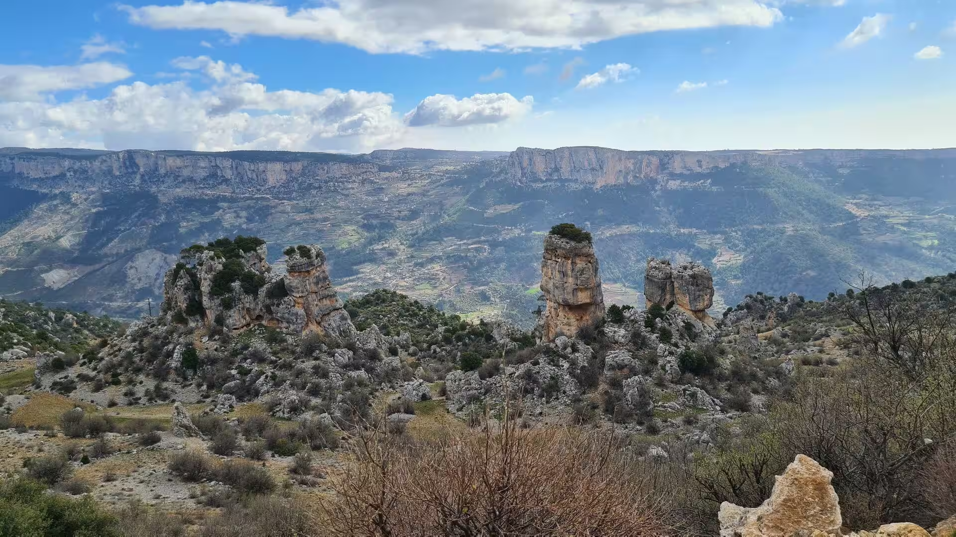
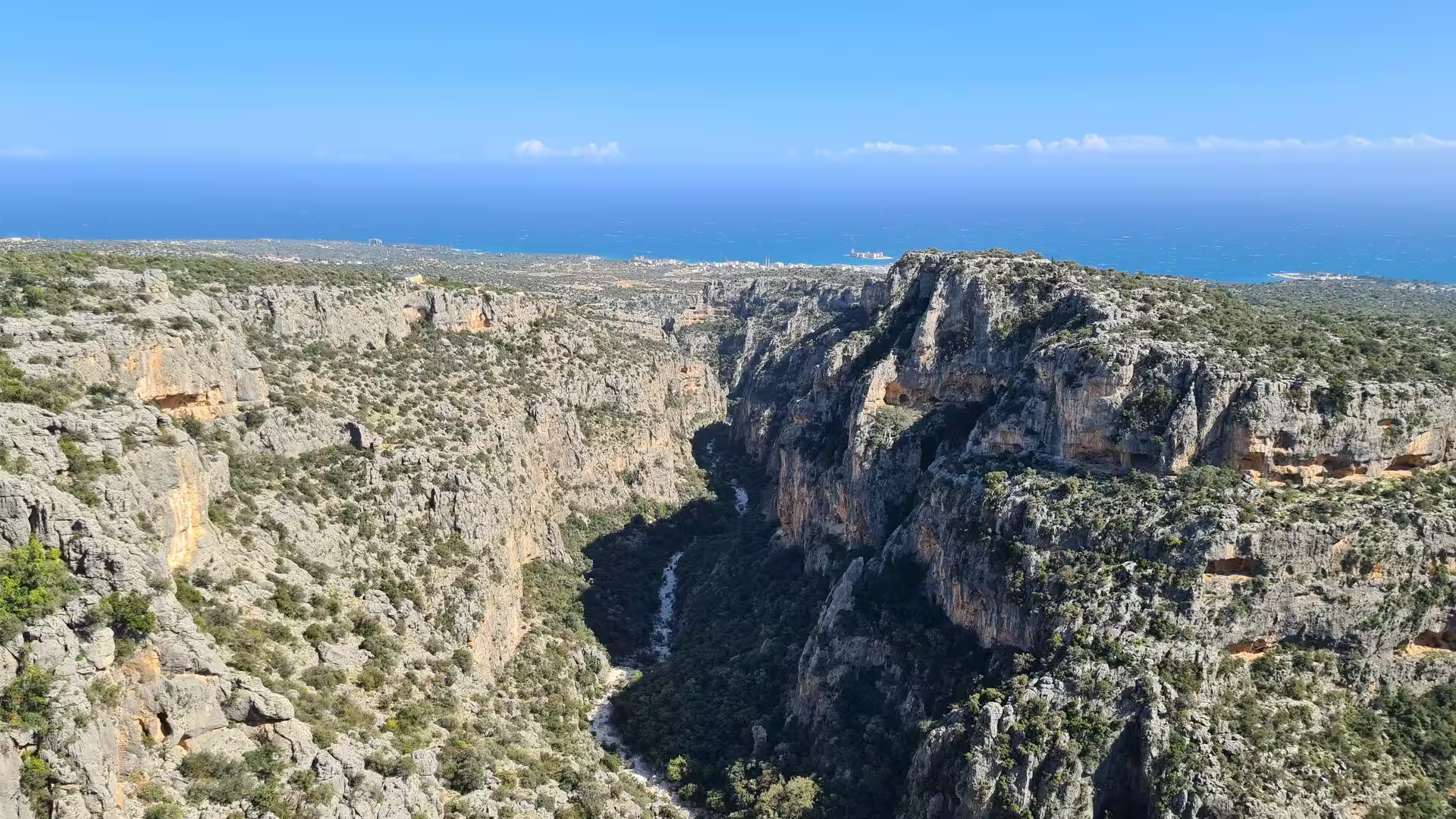
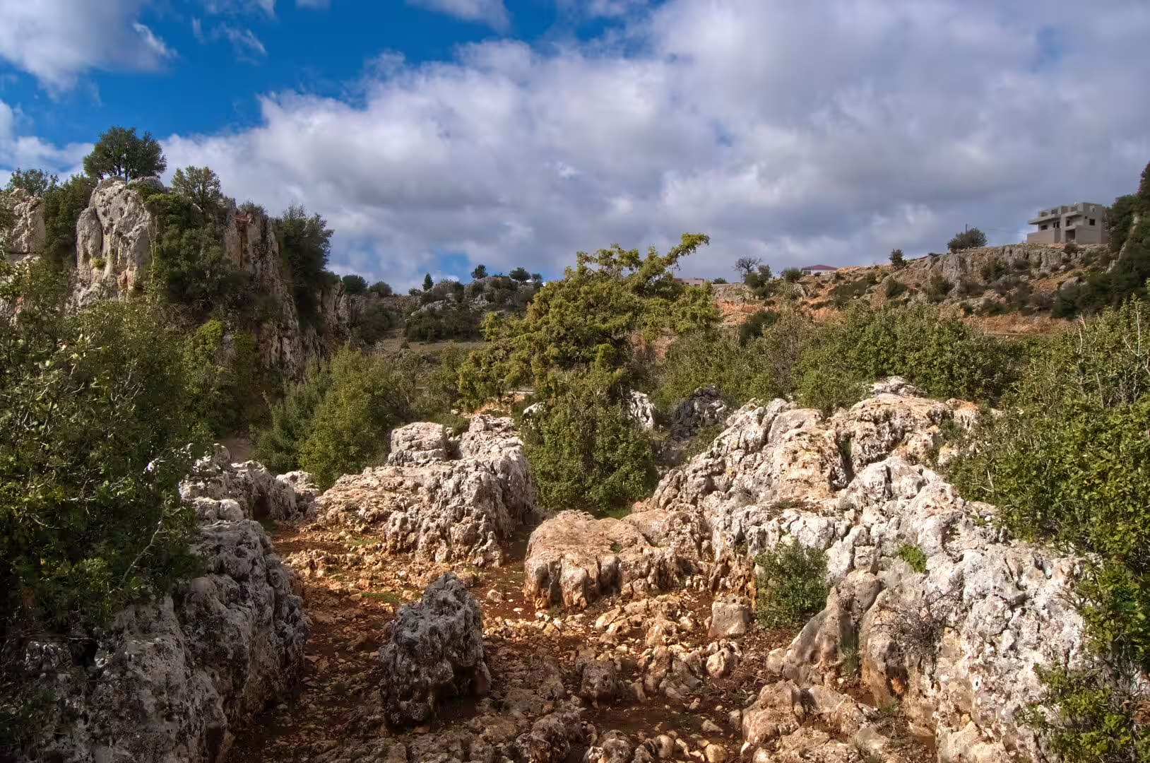
The Taurus is a young mountain chain of the Alpide belt, raised by the collision of the African and Eurasian plates, and its dominant rock is limestone. In the Central Taurus behind Mersin, a district that extends from the coast to the high ranges of the Bolkar and Ala Dağlar mountains, the limestone has been dissolved into classic karst landscapes of gorges, underground rivers, caves and sinkholes; the highest peaks of the Bolkar range rise to roughly 3,500 metres. Along the coastal strip between Erdemli and Kızkalesi the same resistant rock forms sea cliffs, rocky headlands, dry valleys and ravines that open directly onto the water, while the gentler inland slopes are covered by maquis shrubland and red pine forest.
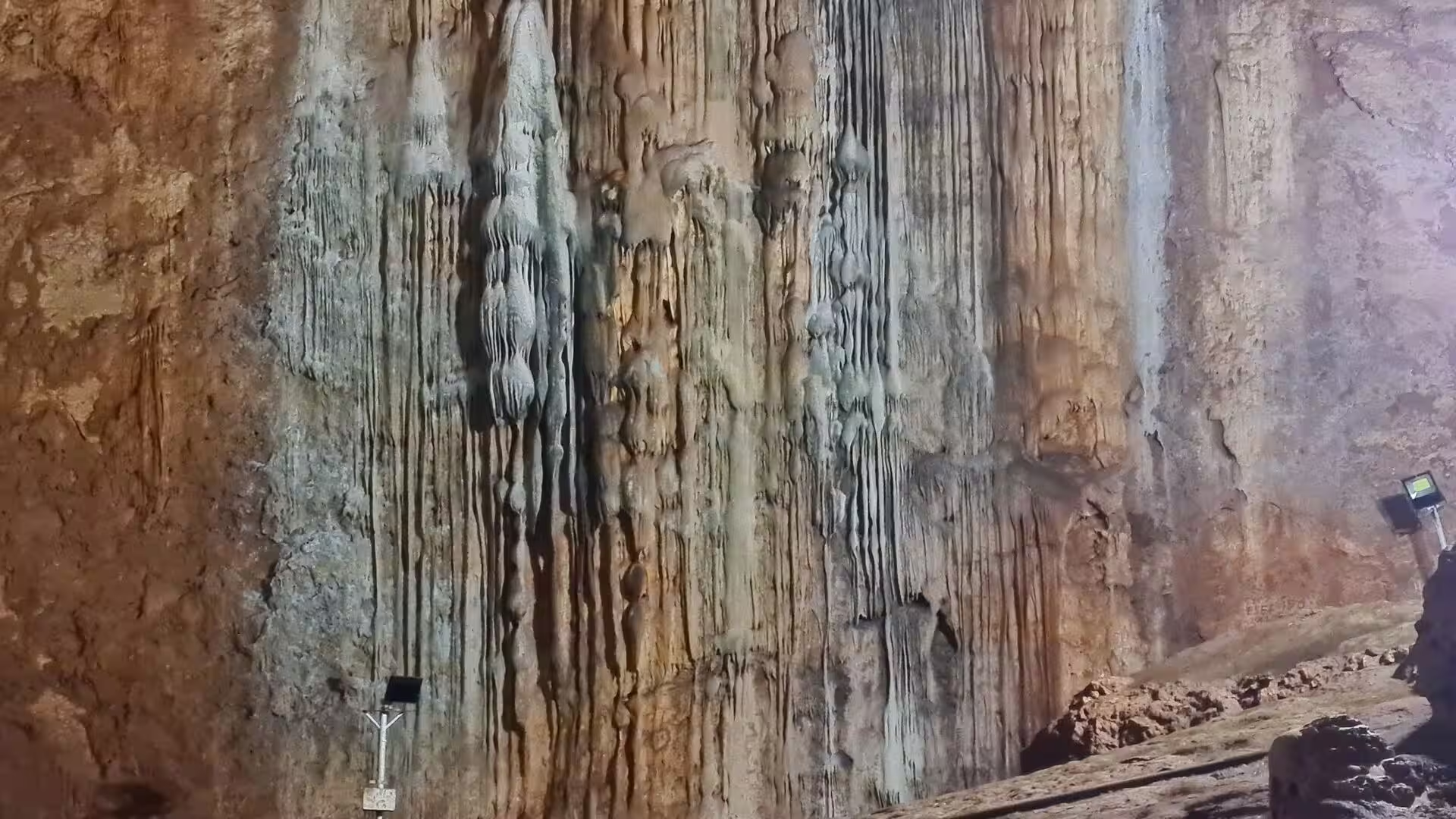
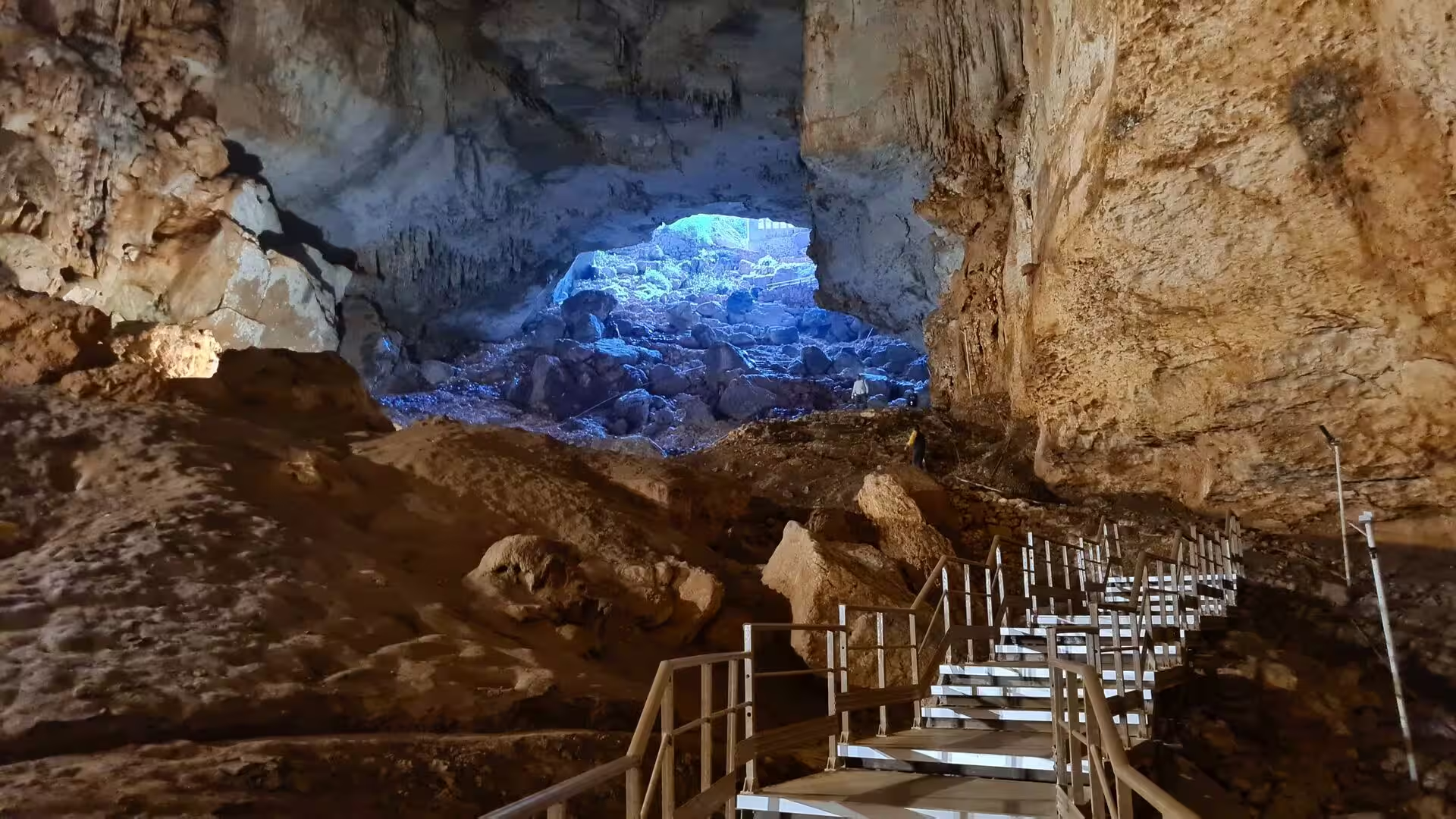
Karst develops where rainwater, charged with carbon dioxide, slowly dissolves the calcium carbonate of the limestone. Over geological time the process widens joints into shafts and caverns, and where a cavern roof collapses it leaves a sinkhole. The most spectacular examples on this coast are the paired chasms of Cennet and Cehennem near Narlıkuyu: Cennet forms an opening about 250 by 110 metres and roughly 70 metres deep, while the sheer-sided Cehennem descends about 128 metres and is closed to visitors. Underground streams continue to carve the rock, and in the nearby Astım cave seeping waters have built stalactites, stalagmites and flowstone over some 200 metres of connected galleries.
Coastal change has also shaped the archaeology of the stage. The islet on which Elaiussa was founded in the second century BC has silted up and is now a low peninsula, and at Kızkalesi the sea castle stands on a reef about 300 metres offshore that was once joined to the mainland fortifications by a breakwater. The same limestone that supplies the building stone of every ruin along the shore continues to determine the landscape: it carries the winter rainfall underground, starves the coast of rivers, and leaves the traveller a rocky, indented shoreline broken by the few sandy bays that the mountain streams and coastal currents have been able to create.
Things to See
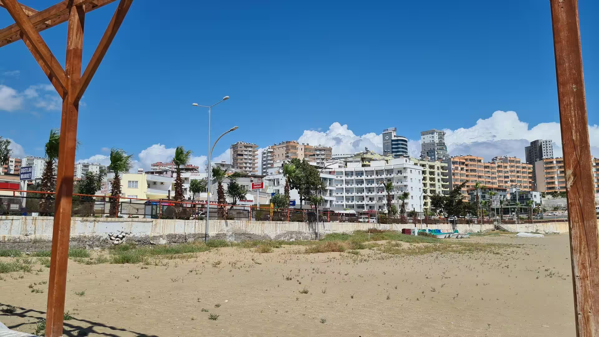
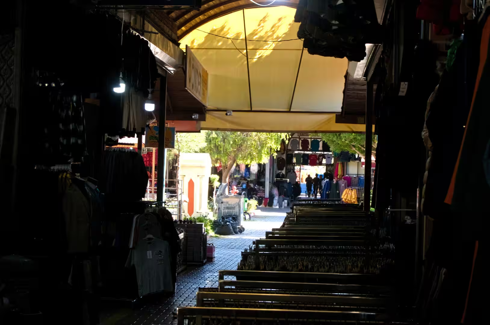
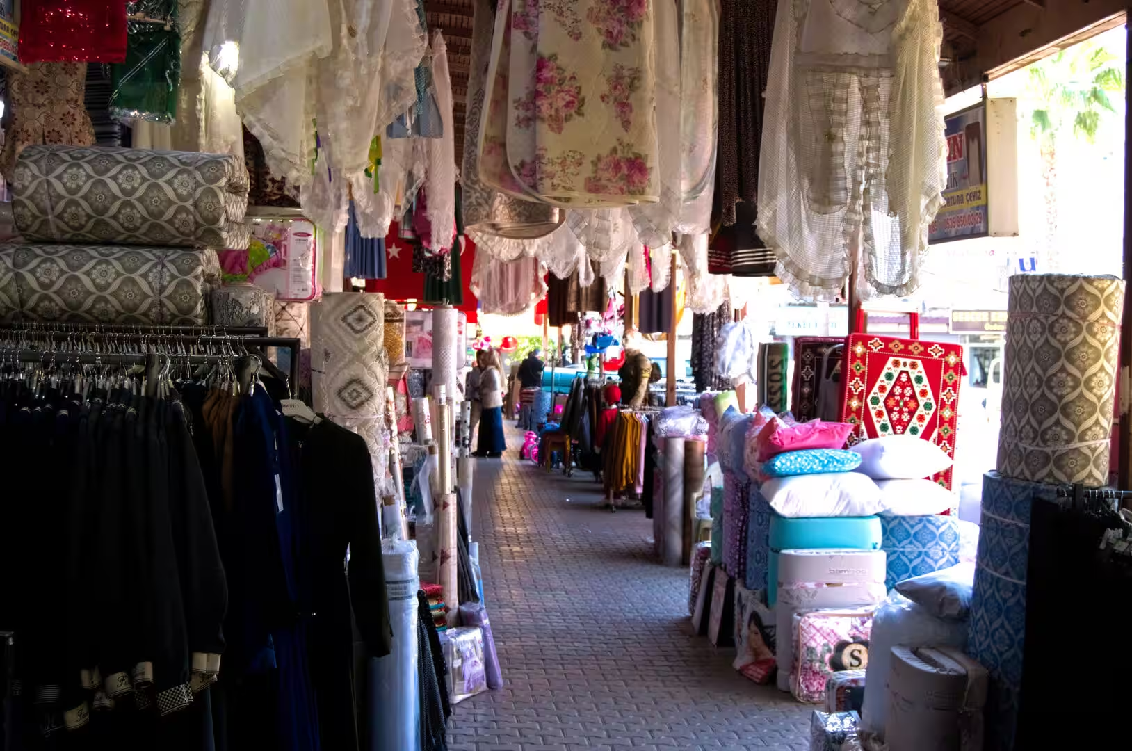
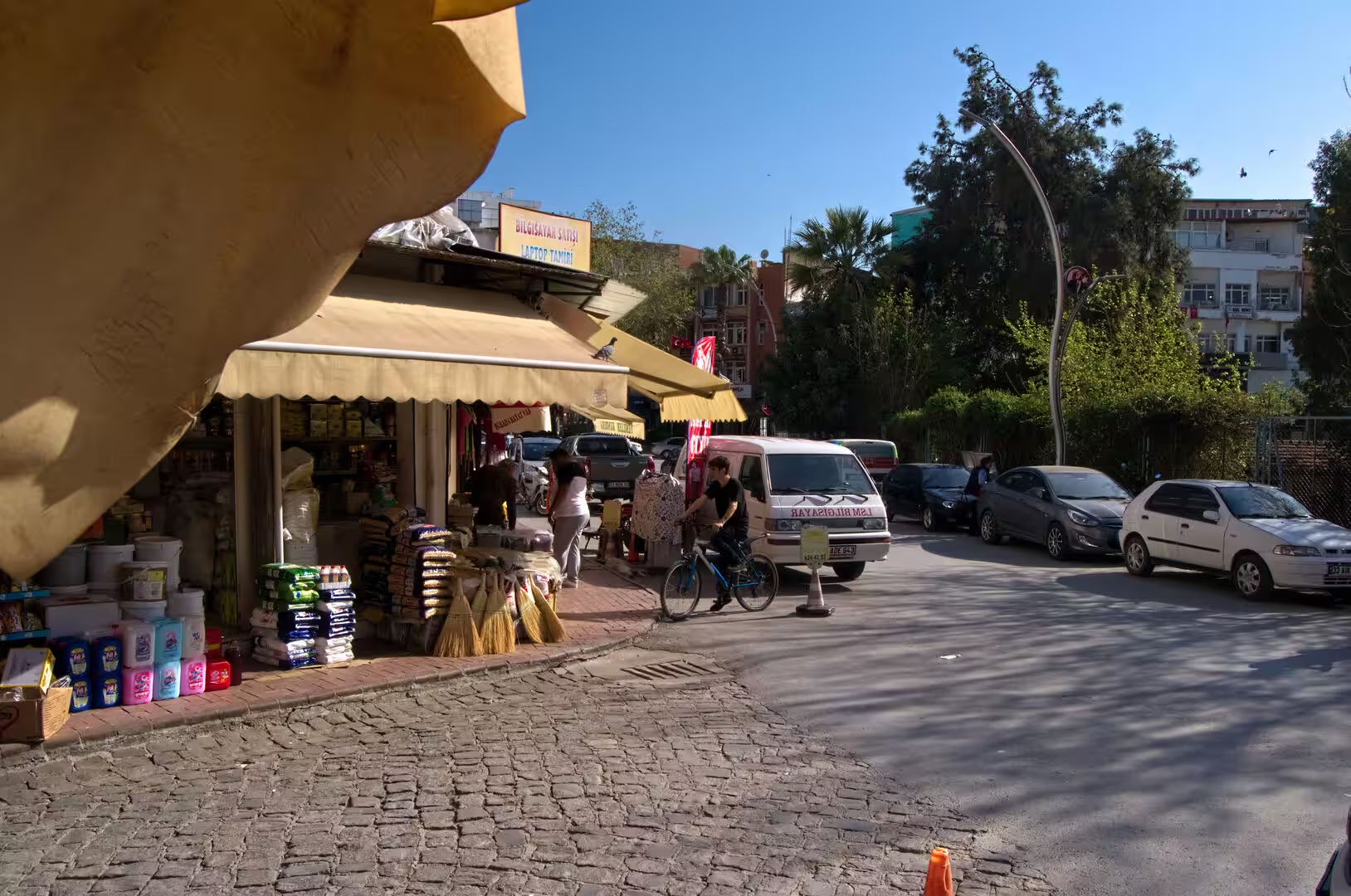
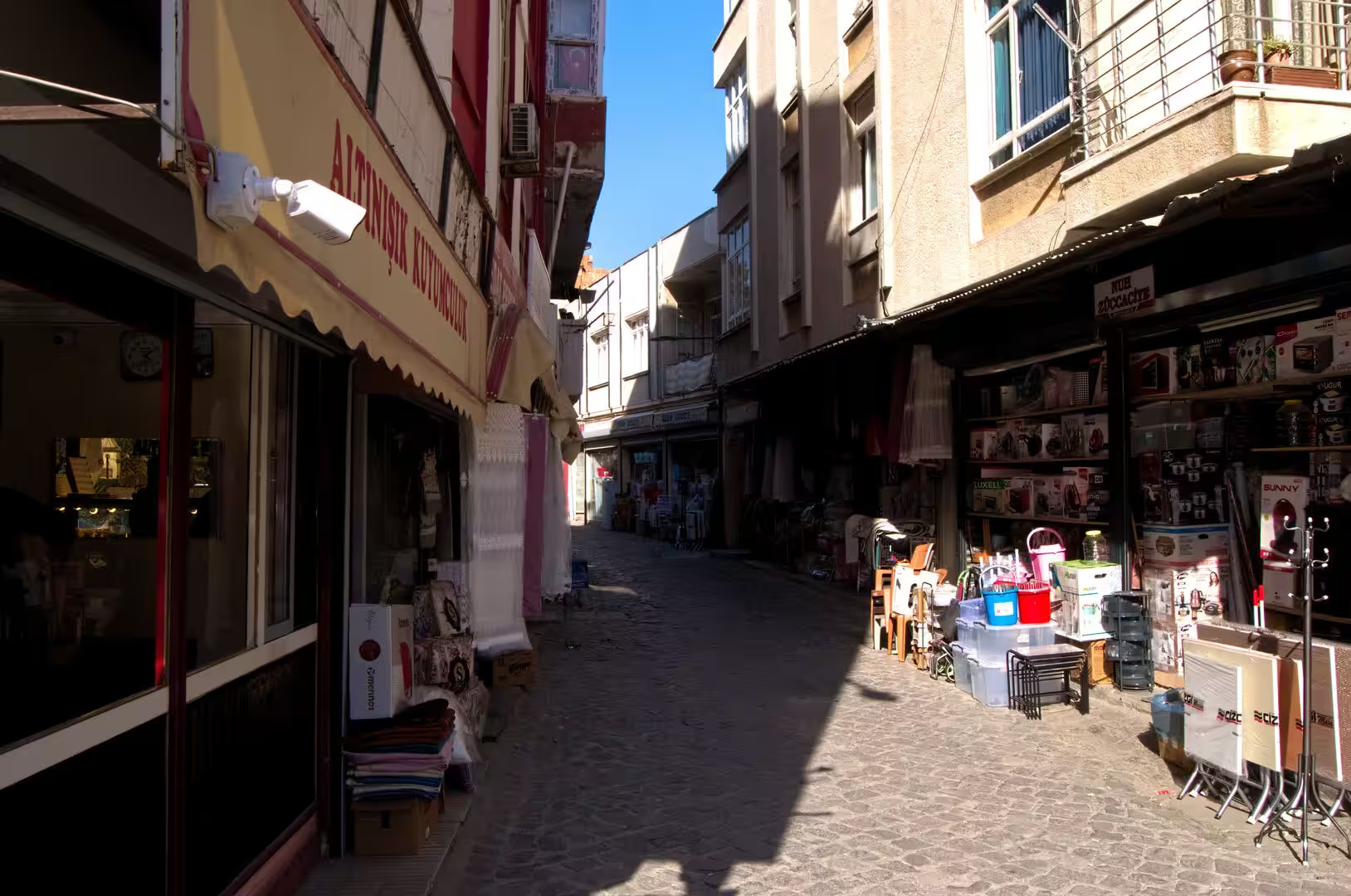
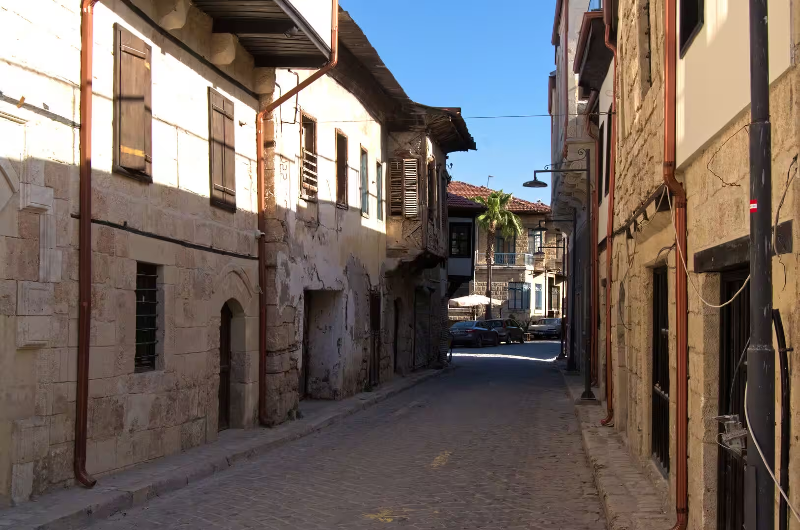
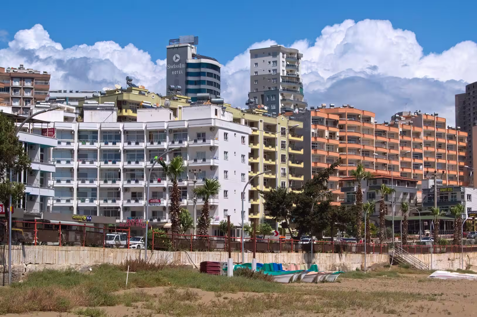
Mersin is best appreciated along its seafront, where walkways, parks and palm-lined boulevards run beside the water for a great distance and the skyline of hotels and apartment towers rises behind the promenade. The marina with its moored yachts and the lively shopping streets of the old centre, still bazaar-like with small shops and awnings, give the city its everyday Mediterranean character, while the Mersin Archaeological Museum displays finds from the surrounding ancient cities. The western suburb of Viranşehir, whose name means ruined city, preserves the remains of Soli Pompeiopolis close to the sea.
Soli Pompeiopolis lies in Mezitli, the westernmost of the four central districts, where the ancient city has been overtaken by modern apartment blocks. The most impressive survival is the colonnaded street: 33 columns of the Roman thoroughfare still stand in two rows, their Corinthian capitals sometimes carved with figured decoration, and inscriptions on some shafts show that the brackets facing the street once carried portrait busts of emperors and officials. The outline of the agora can still be traced, and offshore the two moles of the ancient harbour, spaced about 200 metres apart, are partly preserved, the western one surviving to roughly 160 metres in length.
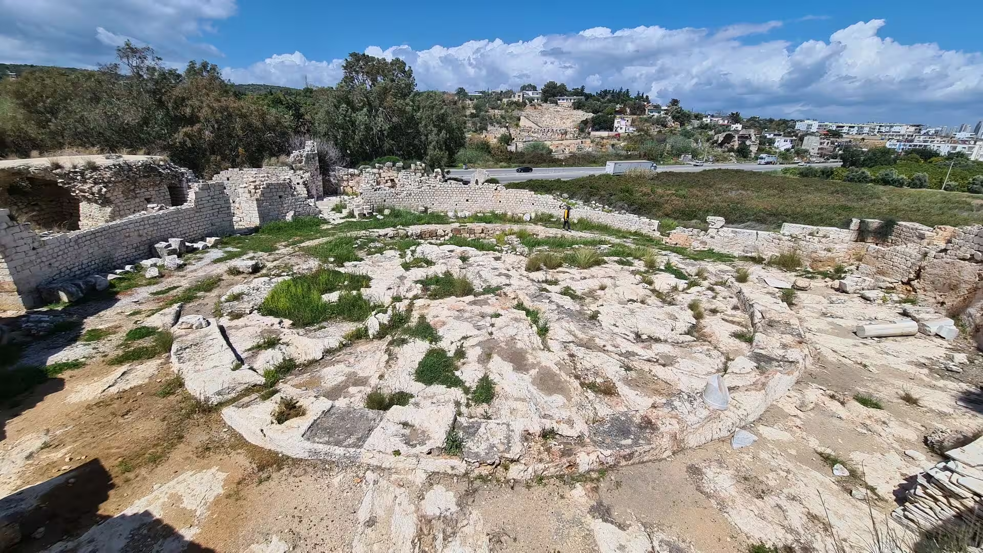
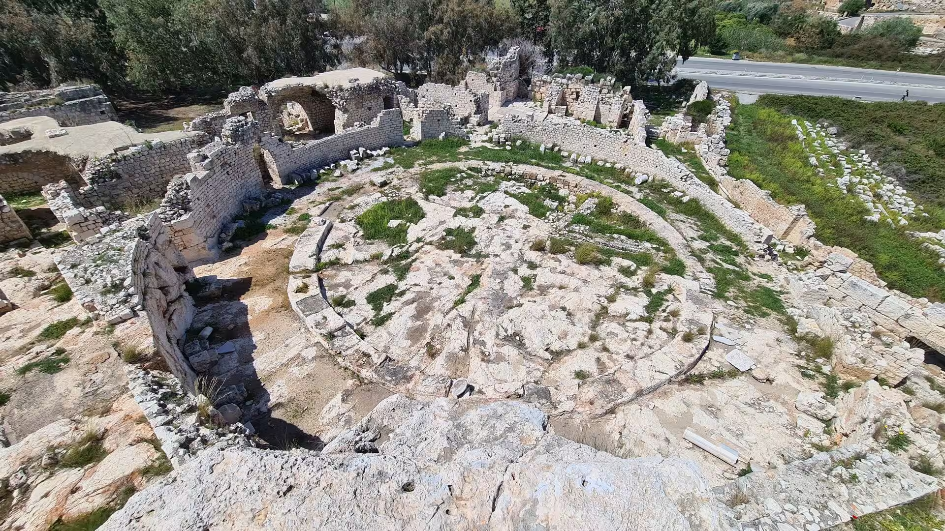
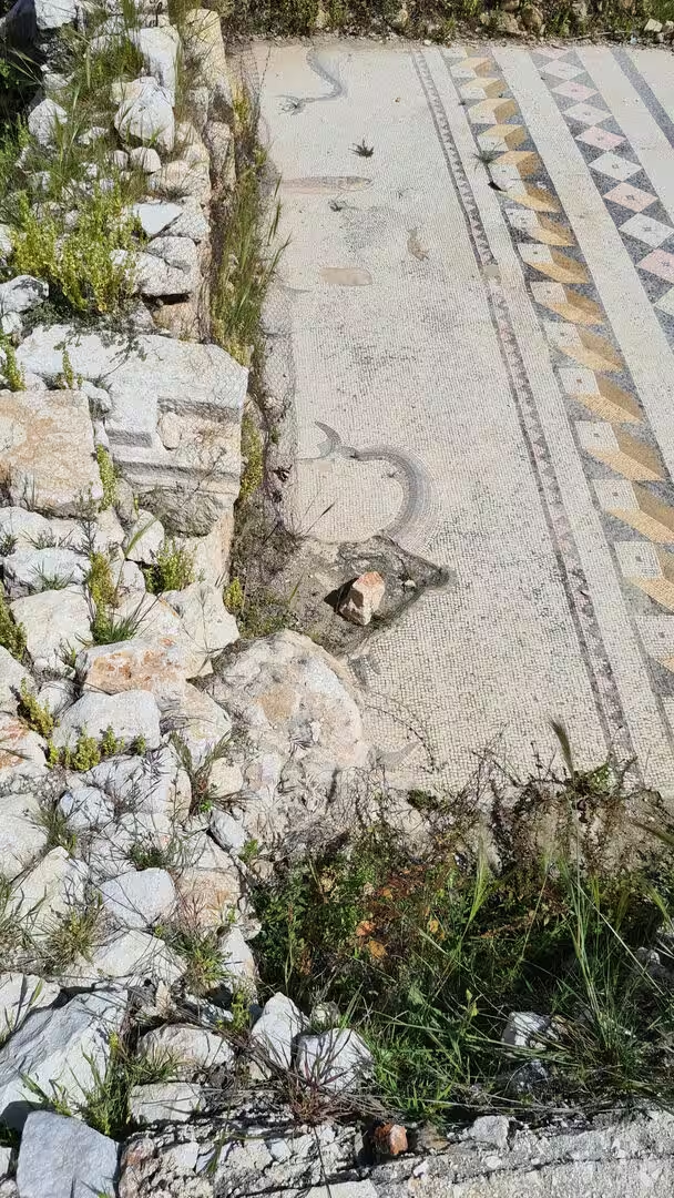
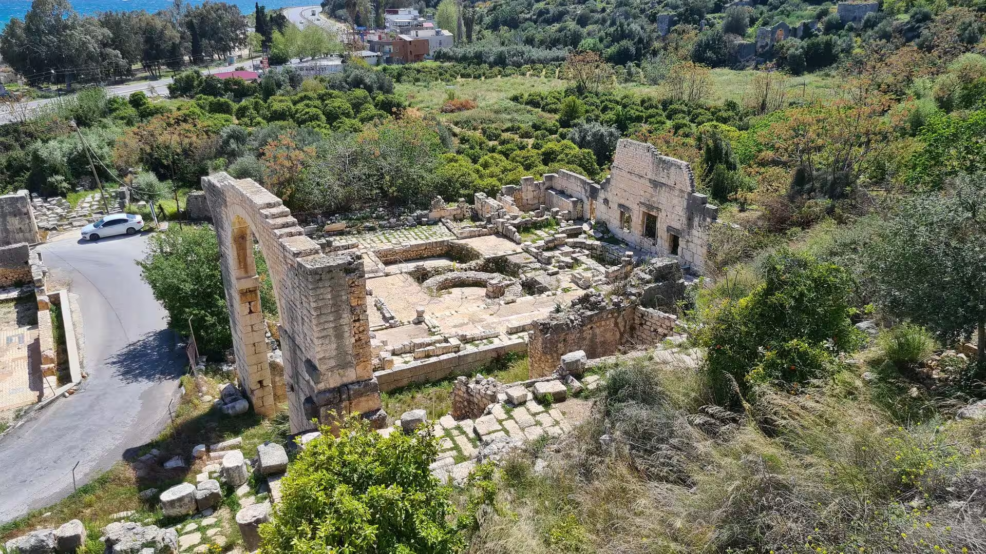
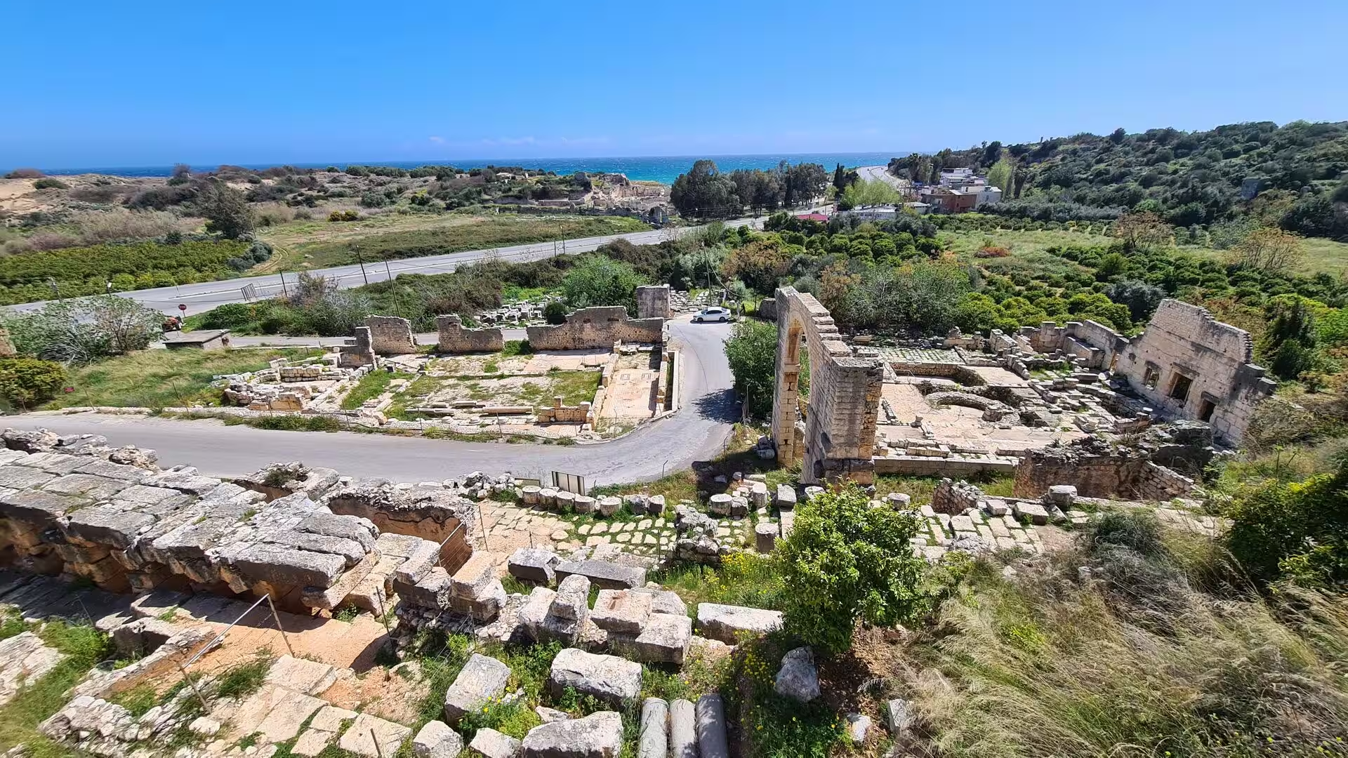
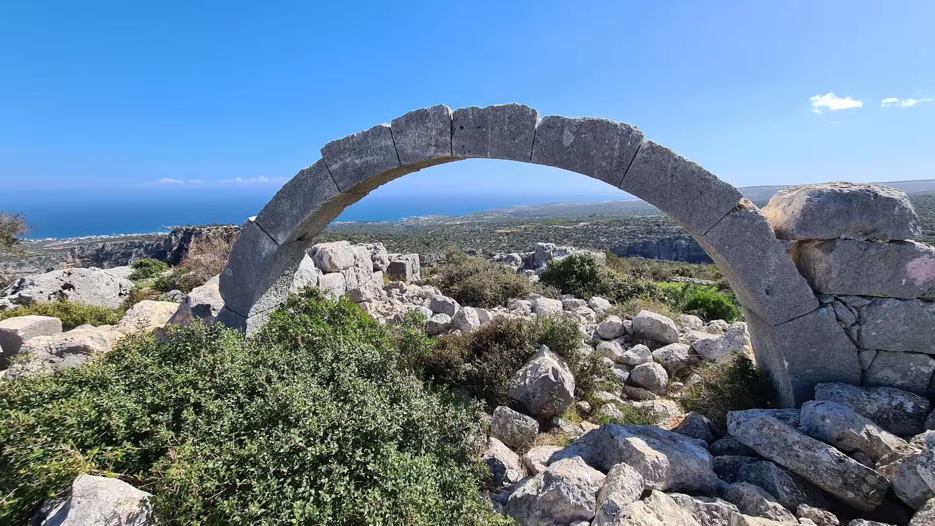
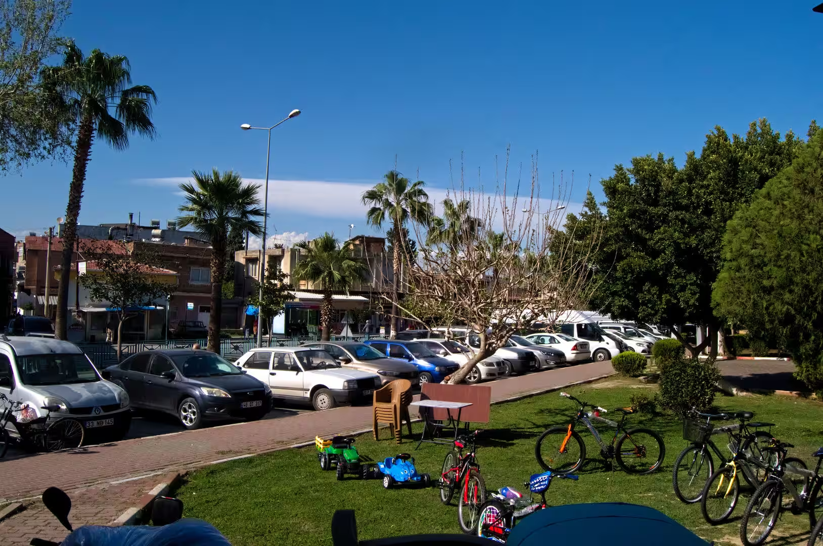
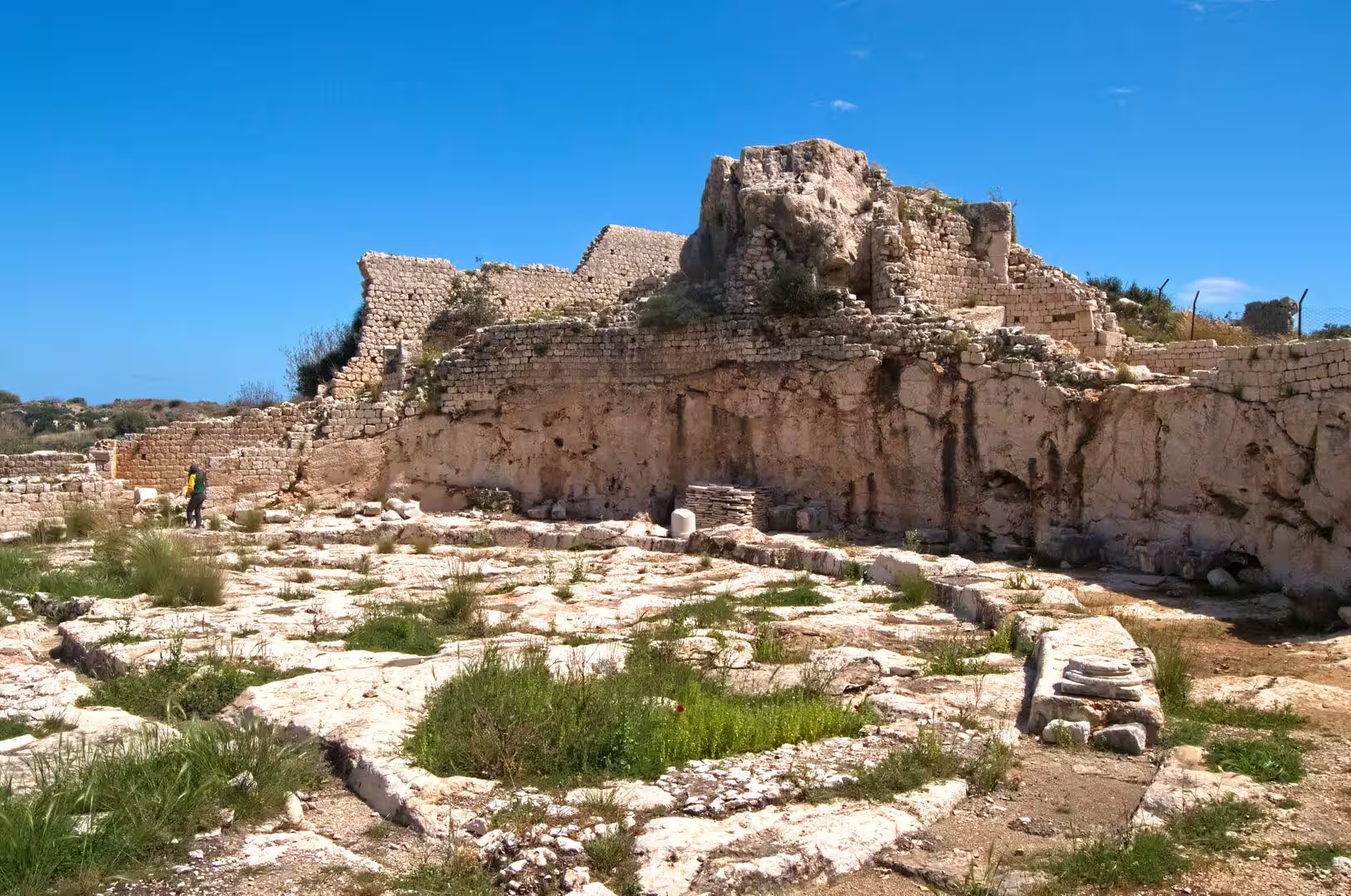
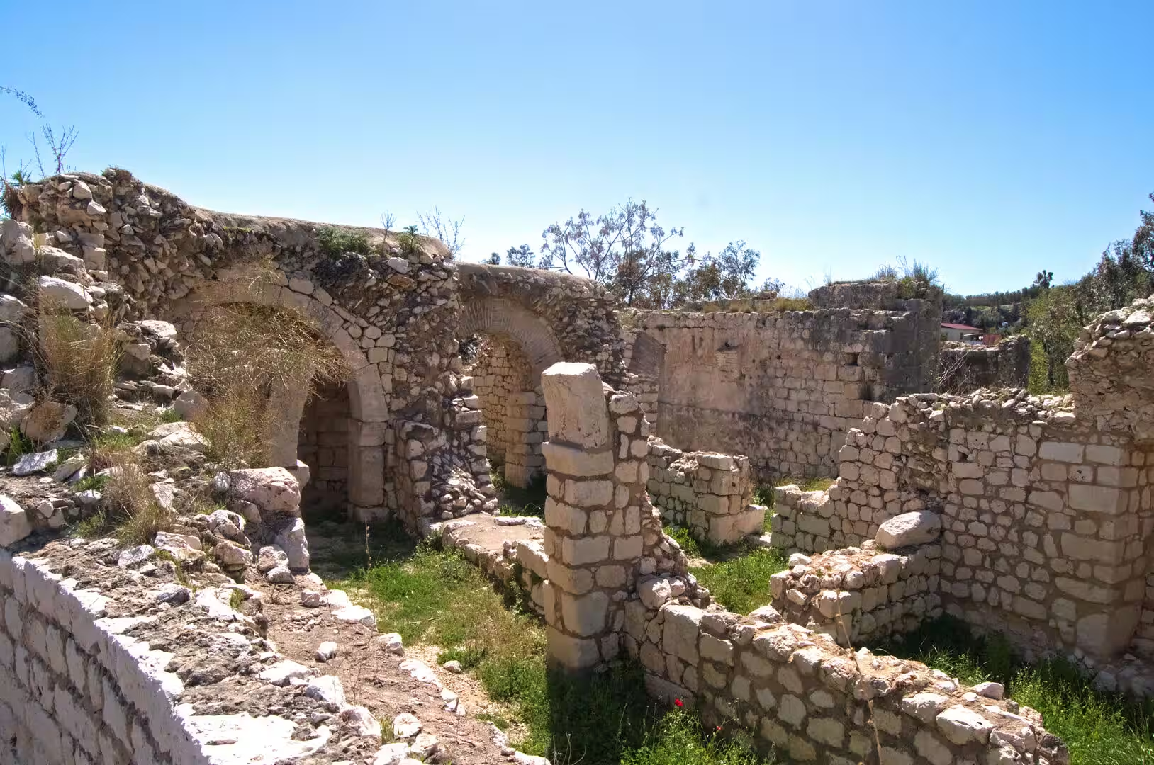
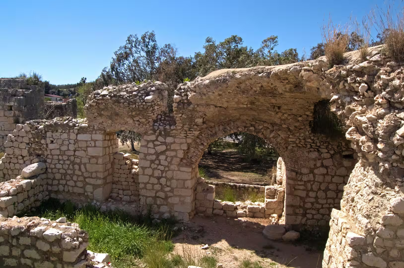
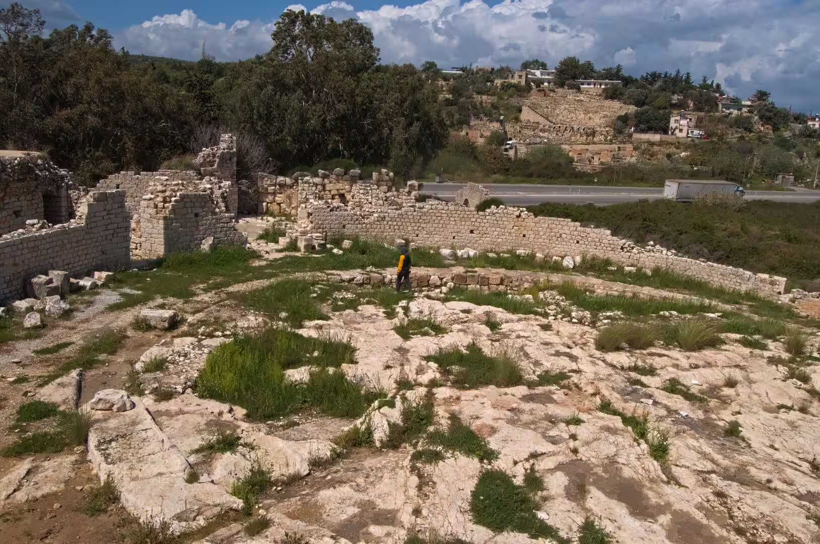
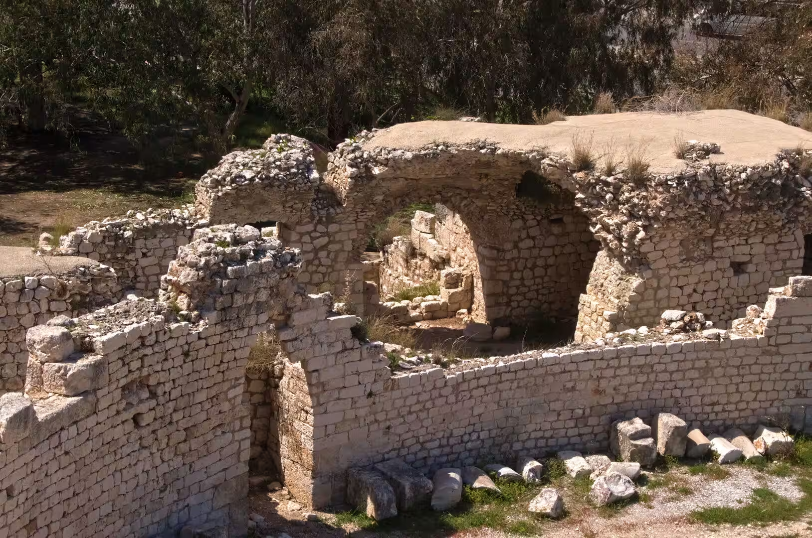
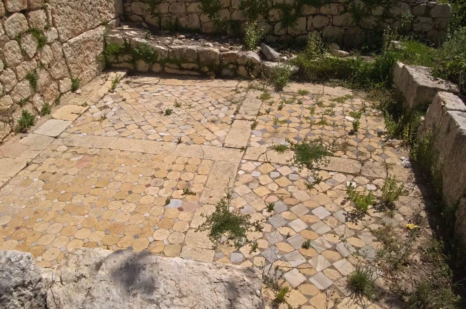
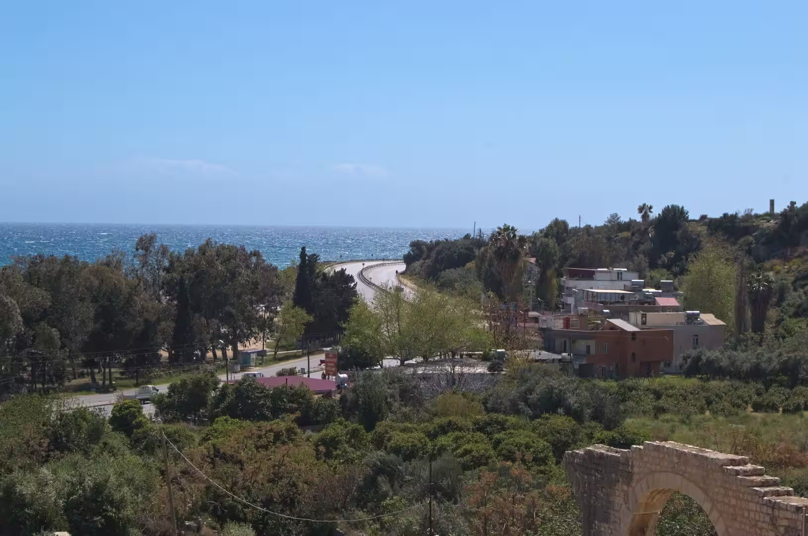
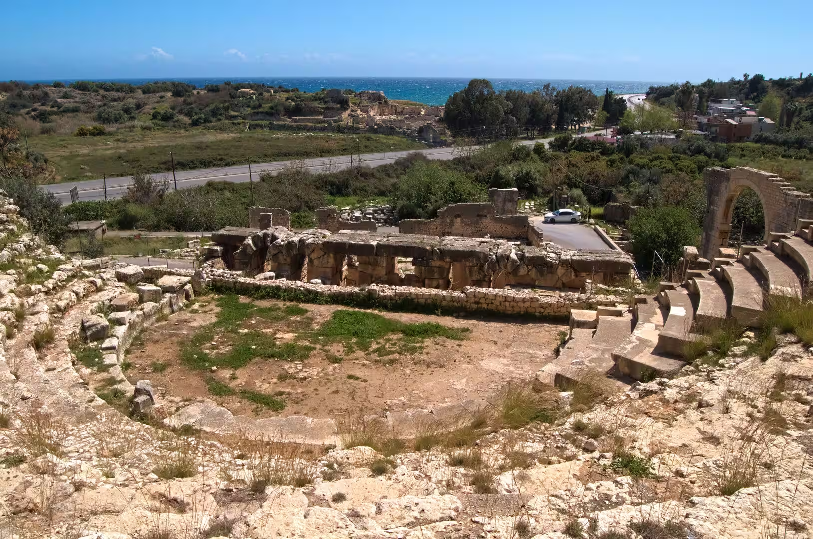
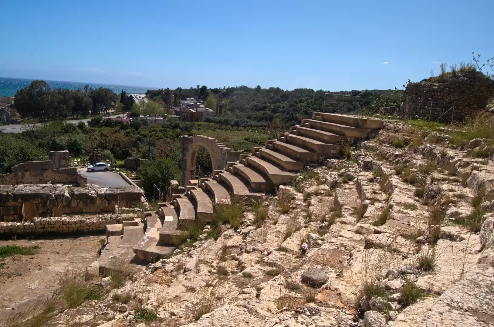
Elaiussa Sebaste is the great ruin site of Ayaş, spread across a grassy peninsula and the hillside above the coastal highway. The island nucleus where the city was founded now forms a low promontory with the remains of baths, cisterns and a defence wall, and opposite it, on the far side of the road, stand the small theatre of the second century AD, whose curved seating has about twenty-three rows, the open agora and the ruins of public buildings. Excavations since 1995 have uncovered mosaic pavements, among them the floor of a church inside the agora, kept covered by sand for protection, and the paved mosaic floor of a bath building; a circular foundation preserves the plan of a small basilica, and two columns of the temple that stood on the hill above the sea are still upright. Arches of the aqueduct that carried water from the Lamos river frame the approaches, and the hillside necropolis, known as the Avenue of Graves, holds close to a hundred tombs scattered among lemon trees. The houses of the village of Ayaş climb the slope directly above the ruins.
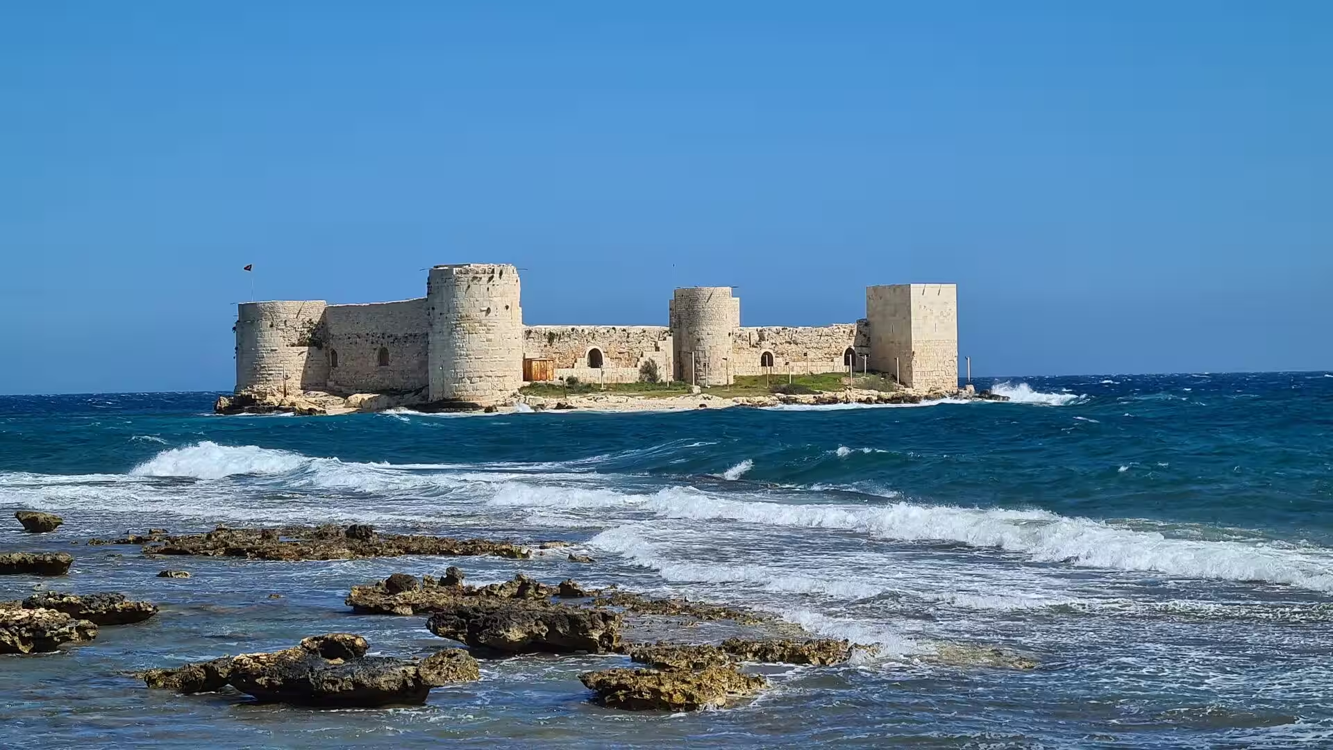
The sea castle of Kızkalesi, the Maiden’s Castle, rises from a reef about 300 metres off the beach resort of the same name, some 60 kilometres from Mersin. The island was already a pirates’ lair in antiquity, and the fortress itself was built after the First Crusade for the Byzantine emperor Alexios I Komnenos and rebuilt by the Armenian kings Leo I and Het’um I in the thirteenth century, which is why its ramparts mix square Byzantine towers with the round Armenian towers that catch the breaking surf. The walls run about 190 metres around the island, defended by eight bastions and enclosing a small chapel, and a ruined breakwater once linked the castle to the larger fortress of Corycus on the mainland, whose ancient city lies among the houses of the modern town. A much-told legend explains the name: a king shut his daughter in the sea castle to protect her from a prophesied snakebite, but a serpent hidden in a basket of grapes reached her all the same.
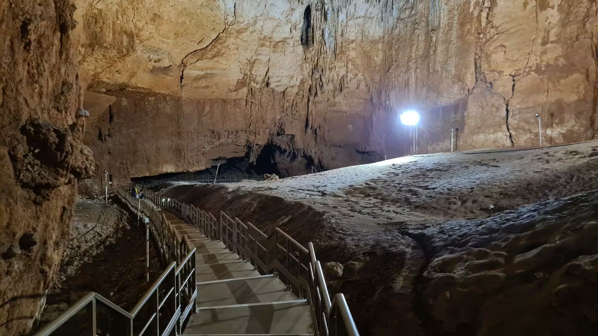
The sinkholes and caves of Narlıkuyu are the showpiece of the region’s karst. Cennet, Heaven, is an enormous collapsed cavern about 250 metres across and 70 metres deep, reached by a long staircase, with the ruins of a fifth-century chapel of the Virgin Mary on its floor; its neighbour Cehennem, Hell, is a deeper but narrower shaft, 128 metres down, that can only be viewed from the rim. A few hundred metres away, the Astım cave, also called the Wishing Cave because visitors tie cloth to the bushes outside, descends by an iron staircase into roughly 200 metres of galleries hung with great stalactites and stalagmites, in air whose humidity stays at 85 to 95 per cent all year. Between the two sites the coast offers the little bay of Narlıkuyu and, further east, the beaches and promenades of the resort strip that fronts the sea castle.
References
- Bean, George E. (1968). Turkey’s Southern Shore: An Archaeological Guide. London: Ernest Benn.
- Hild, Friedrich and Hellenkemper, Hansgerd (1990). Kilikien und Isaurien. Vienna: Verlag der Österreichischen Akademie der Wissenschaften.
- Ford, Derek and Williams, Paul (2007). Karst Hydrogeology and Geomorphology. Chichester: John Wiley and Sons.
- Ministry of Culture and Tourism of the Republic of Türkiye. Kültür Portalı: Elaiussa Sebaste Antik Kenti. kulturportali.gov.tr/turkiye/mersin/gezilecekyer/elaiussa-sebaste-antik-kenti-
- Ministry of Culture and Tourism of the Republic of Türkiye. Kültür Portalı: Soli Pompeiopolis. www.kulturportali.gov.tr/turkiye/mersin/gezilecekyer/soli-pompeipolis
- Mersin. en.wikipedia.org/wiki/Mersin
- Cilicia. en.wikipedia.org/wiki/Cilicia
- Çukurova. en.wikipedia.org/wiki/Çukurova
- Taurus Mountains. en.wikipedia.org/wiki/Taurus_Mountains
- Yumuktepe. en.wikipedia.org/wiki/Yumuktepe
- Soli (Cilicia). en.wikipedia.org/wiki/Soli_(Cilicia)
- Elaiussa Sebaste. en.wikipedia.org/wiki/Elaiussa_Sebaste
- Corycus. en.wikipedia.org/wiki/Corycus
- Kızkalesi (castle). en.wikipedia.org/wiki/Kızkalesi_(castle)
- Cennet and Cehennem. en.wikipedia.org/wiki/Cennet_and_Cehennem
- Astım Mağarası. Turkish Wikipedia. tr.wikipedia.org/wiki/Astım_Mağarası