Day 6 - Along the coast to Anamur
22 July 2023

Journal Notes
General
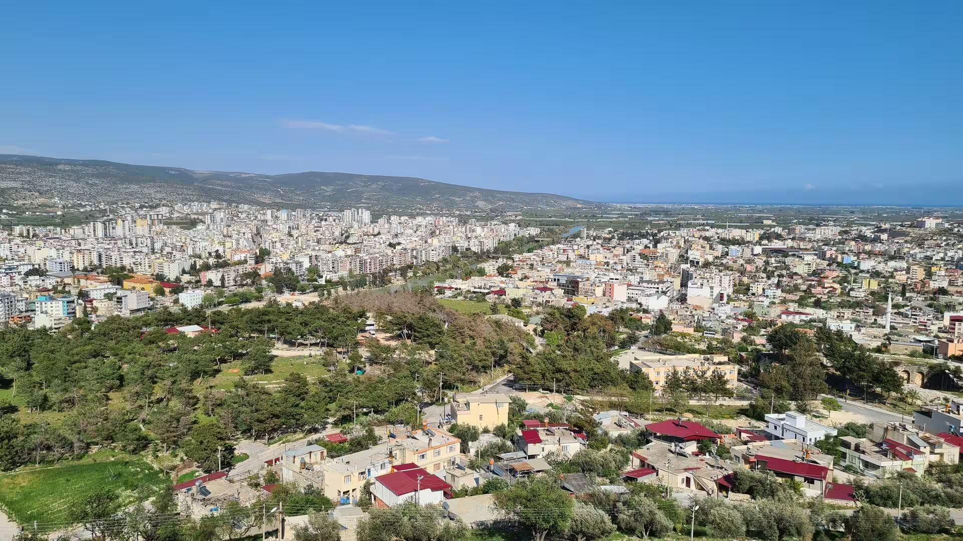
Anamur is a town and district of Mersin Province on the southern coast of Turkey, roughly 220 kilometres west of the city of Mersin along the Mediterranean shore. It is the westernmost district of the province, bordering on Antalya Province, and covers about 1,430 square kilometres, with a population of about 66,850 in 2022. The district contains Cape Anamur, the southernmost point of the Anatolian mainland, and its coast lies only about 64 kilometres north of Cyprus.
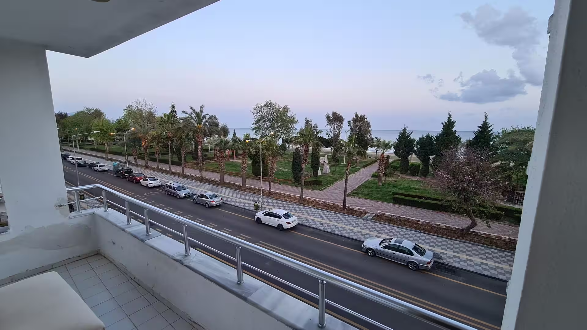
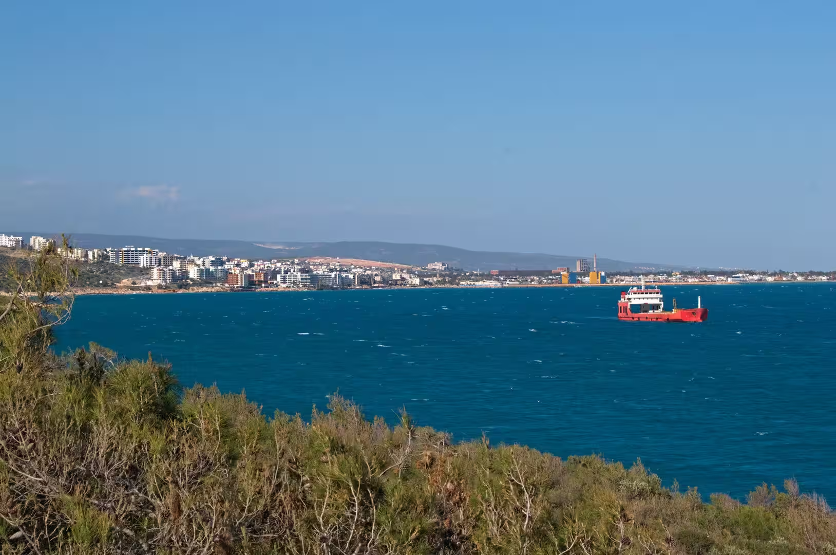
The town centre occupies a small plain between the sea and the steep, forested foothills of the Central Taurus, which rise abruptly behind the district. A short distance inland from the beaches, the centre keeps a quiet, provincial character, while the coastal quarter of Iskele spreads along the bay with holiday apartments, small hotels, shops and a seafront promenade shaded by palms. Long sandy beaches alternate with rocky headlands along the shore, and the flat ground behind them is filled with banana groves and greenhouses, for the mild, frost-free winters of this pocket of coast make it one of the few parts of Turkey where bananas ripen in the open. The plain also yields peanuts, strawberries and subtropical fruits, and taro, known locally as golevez, is a traditional crop.
Agriculture dominates the local economy, and the market town serves a wide rural hinterland that reaches up into the mountain valleys. Tourism is modest and small scale by Mediterranean standards; holiday makers come for the beaches, the quiet atmosphere and the antiquities of the Anamur area rather than for night life. Holiday homes owned by families from central Anatolia and from central and western Europe cluster near the beach, and the seafront is noticeably livelier in summer than in the quiet winter months. The district’s two great monuments, Mamure Castle and the ruined city of Anemurium, draw visitors throughout the year. The climate is a hot-summer Mediterranean one (Köppen classification Csa), with long, hot, dry summers and mild, rainy winters, and the coastal plain stays noticeably warmer in winter than the high country behind it. Anamur is linked eastwards to Mersin and westwards to Antalya by the winding D400 coastal road, which climbs in and out of the river valleys along the Taurus front; long regarded as slow and difficult, the road has been progressively widened and improved.
History
The name Anamur descends from Anemourion, the Greek name of the ancient city whose ruins lie beside the sea at Cape Anamur, and the cape with its settlement is listed in the Periplus of Pseudo-Scylax, a Greek sailing manual of the fourth century BC. In antiquity the coastal belt between the lower Göksu valley and the bay of Antalya formed the western part of Cilicia, known as Rough Cilicia or Cilicia Trachea, a country of steep Taurus spurs, rocky headlands and small anchorages that never grew large inland cities but was famous for its timber. When Seleucid power weakened in the second century BC, the natural harbours of this rugged shore became the home bases of the Cilician pirates, whose fleets carried slaves and plunder across the eastern Mediterranean until Rome intervened. Roman commanders campaigned against them from 102 BC; Publius Servilius Vatia, who subdued both the pirates and the warlike Isaurians of the inner Taurus between 78 and 74 BC, took the surname Isauricus, and in 67 BC Pompey the Great cleared the sea in a single sweeping campaign, settling surrendered pirates at Soli, refounded as Pompeiopolis.
Anemurium itself grew into a port and trading town on the sea route towards Cyprus. In the first century AD it lay within the realm of Antiochus IV of Commagene, whose coins were minted there; in AD 52 the town, besieged by the mountain tribe of the Clietae under Troxobor, was relieved by Antiochus in person. The local mint continued to strike coinage until the reign of Valerian, who ruled from AD 253 to 259, and most of the standing ruins, the circuit of walls built of local blue-grey limestone, the baths, the colonnaded street, the odeon and the aqueducts, belong to the prosperous Roman and early Byzantine centuries. Under the provincial reforms of Diocletian the coast passed from Cilicia into the newly separated province of Isauria. Christianity was established early: a bishop of Anemurium attended the Council of Chalcedon in 451, and the city’s mosaic floors, many of them inscribed, date from the fourth to the sixth centuries. Taken by the Sasanian Persians in 260 and harried by raiders from the Taurus through the following centuries, the city recovered under the Isaurian emperor Zeno, who reigned from 474 to 491, and stayed active into the sixth century, before Arab raids from the sea, linked to the occupation of Cyprus, led to its abandonment in the middle of the seventh century.
Inland, the Taurus country of Isauria remained a byword for lawlessness throughout antiquity. Isaurian tribesmen served the empire as soldiers, and in the fifth century a chieftain of their mountains rose to the throne in Constantinople as Zeno, but the upland districts were not finally brought to order until the reign of Justinian I. The medieval centuries then brought a succession of rulers to this coast. Seljuk power reached the area from the late eleventh century, the Armenian Kingdom of Cilicia held parts of the shore in the twelfth and thirteenth centuries, and in 1221 the Seljuk sultan Alaattin Keykubat I captured the old fortress of Mamure, which guarded the coastal road east of Anamur, and rebuilt it on a larger scale. After the Seljuks, the Karamanids, a Turkmen dynasty of central Anatolia, extended their rule to the sea and took Anamur from the Armenians in 1290. Mahmud Bey of the Karamanids repaired the castle and gave it the name Mamure, meaning prosperous, and an inscription of Ibrahim II of Karaman dated 1450 records the family’s long hold on the fortress. The region passed under Ottoman rule in the course of the fifteenth century, and the castle, repaired in the 15th, 16th and 18th centuries, served for a time as a caravanserai on the coastal route.
Under the Ottomans, Anamur was administered from Konya for centuries, became a district centre in 1869, and passed with the wider region into the Republic of Turkey after 1923, when the modern town began to grow around its government offices and market. The banana economy developed strongly during the twentieth century as irrigation and greenhouses spread across the plain. The ruins of Anemurium were brought to western attention by the English naval officer Francis Beaufort, who surveyed this coast between 1811 and 1812 and published the results in 1817 as Karamania, and excavations begun from the University of Toronto in the 1960s and continued from the University of British Columbia under James Russell uncovered the baths, the odeon and the celebrated mosaic floors. Mamure Castle was added to Turkey’s UNESCO Tentative List in 2012, and both ancient sites are maintained as open air monuments.
Geology
Anamur stands at the south-western end of the Central Taurus, where the great limestone chain of southern Turkey meets the Mediterranean. The Taurus Mountains are part of the Alpide belt and were thrown up by the collision of the African and Eurasian plates; their rocks are predominantly thick-bedded limestones of Mesozoic age, folded and faulted into massifs that rise to more than 3,500 metres in the Central Taurus. Behind Anamur the front of the range is abrupt, and the coastal strip stays narrow except where rivers have built small plains against the mountains.
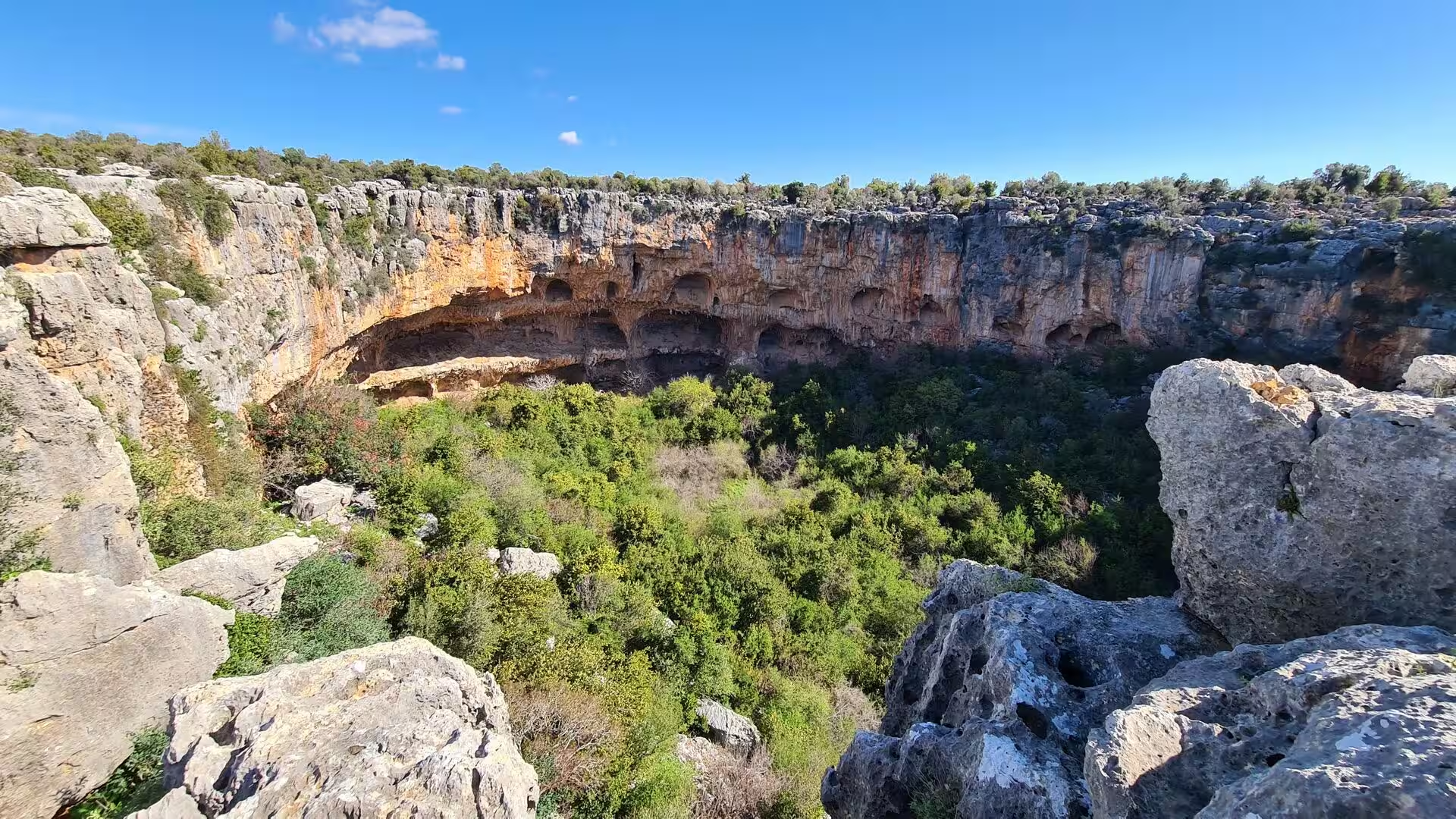
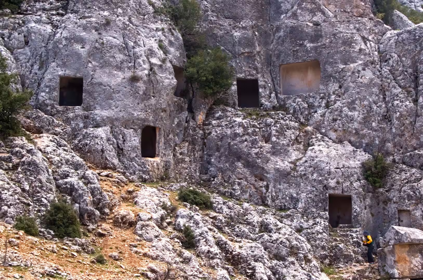
Limestone dominates the scenery of the whole coast. The pale rock forms sea cliffs, gorge walls and headlands, and centuries of solution by rain and groundwater have carved it into a classic karst landscape of caves, shafts, sinkholes and underground streams. Springs issue where the limestone meets less permeable beds at the foot of the massifs, and several rivers of the region lose part of their course underground. The dark openings that pock the cliffs above the wooded gorges inland are natural karst hollows, while along the shore the same limestone is undercut by the sea into bluffs, notches and sea caves. Hard, resistant bands project seawards as capes, the most southerly of which is Cape Anamur, and shattered zones have weathered into the boulder fields and scrub-covered slopes typical of the Taurus front.
Rivers descending from the Central Taurus supplied the sediment that built the district’s habitable ground. The largest river of the western Cilician coast, the Göksu (the Calycadnus of antiquity), enters the sea a little to the east of the district, where its delta shelters lagoons and reed beds; smaller streams, several of them seasonal, cross the Anamur plain itself and laid down the deep alluvial soils in which the banana groves stand. Where the rivers reach the sea, long sandy beaches have formed between the rocky headlands, and the beach sand of the Anamur coast is an important nesting ground for loggerhead sea turtles.
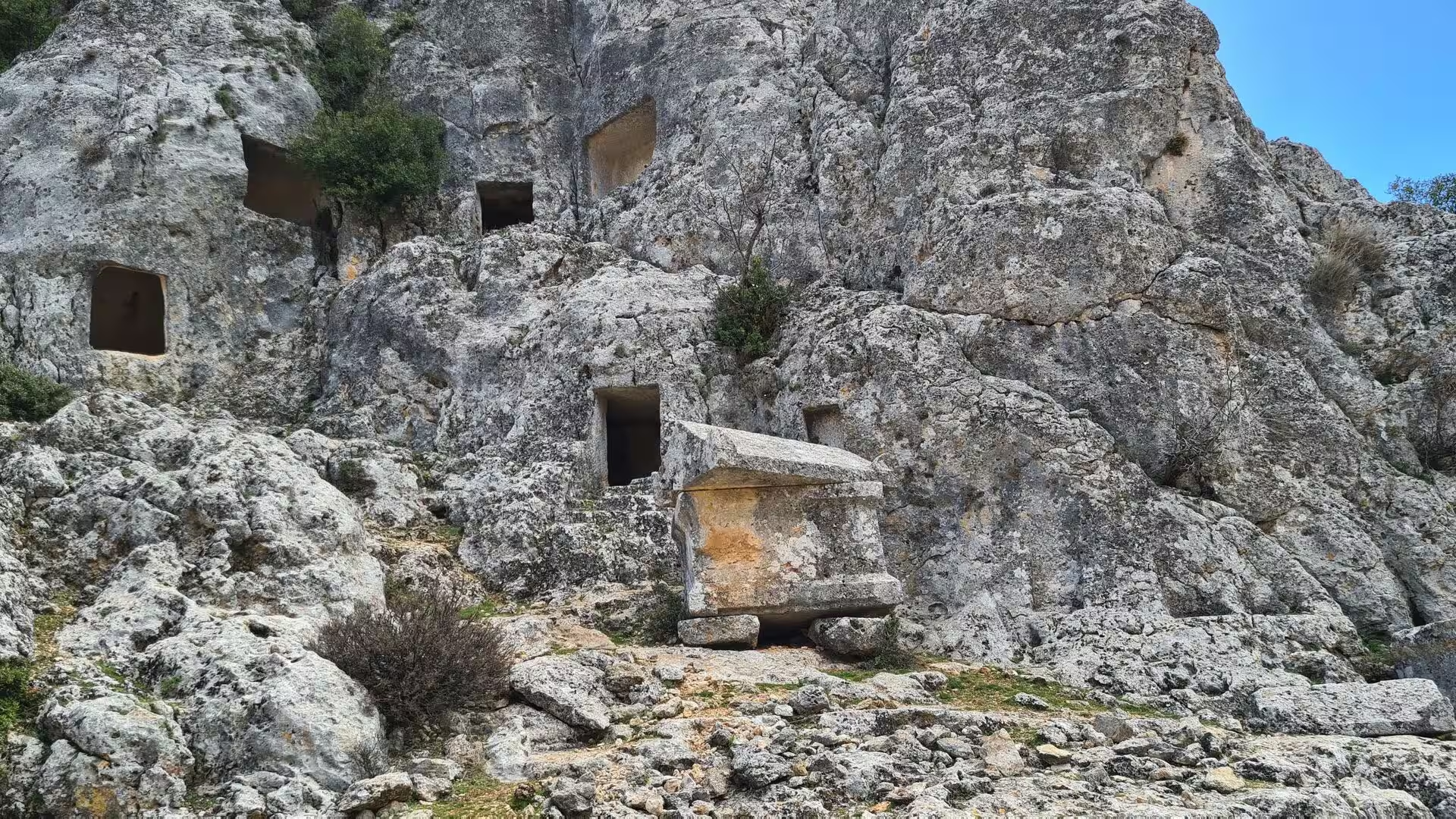
The southern coast of Turkey is seismically active, and the Taurus is still rising; cliffs and terraces above the modern shoreline record repeated uplift of the land. The local limestone was the building stone of the whole region: it was used for the masonry of the ancient cities and of the medieval castles alike, and where the rock stands in firm, even beds, tomb chambers were carved directly into the cliff faces, the practice that gives the rock-cut necropoleis of this coast their characteristic form.
Things to See
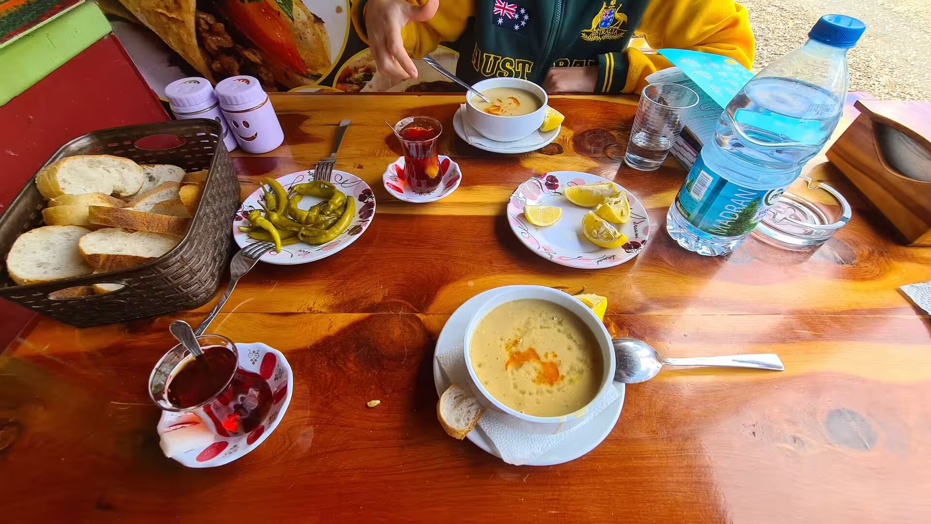
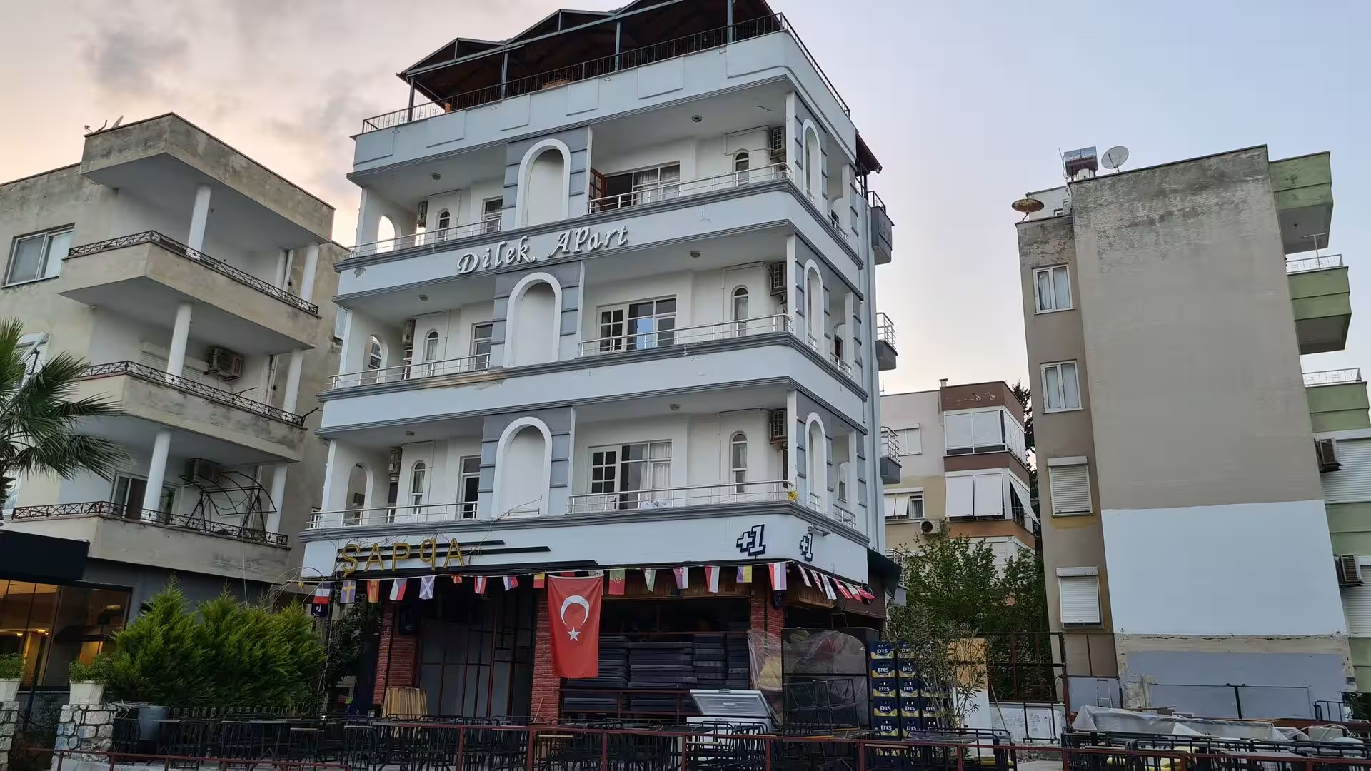
Anamur is a relaxed market town strung along the plain between its beaches and the mountains. The seafront at Iskele, the coastal quarter east of the centre, is the resort heart of the district: a palm-shaded road runs beside the sea past small hotels, holiday apartments and restaurants, with a long sandy beach below. The town market sells the produce of the surrounding plain, bananas above all, along with peanuts, strawberries, avocados and taro, and the greenhouses covering the outskirts are as much part of the local scene as the sea itself. Everyday eating follows the regional pattern: lokantas serve hearty soups with fresh bread and glasses of dark tea, and the shops along the main streets stock cosmetics, household goods and foodstuffs for residents and holiday makers alike.
Mamure Castle stands on the Mediterranean shore about 6 kilometres south-east of Anamur, where the D400 coastal road runs along the beach. It is one of the largest and best preserved medieval fortresses on the Turkish coast, covering about 23,500 square metres within a surrounding moat, with 39 towers and bastions linked by broad ramparts and three successive courtyards. The earliest fortifications on the site probably date from the late Roman period, when they guarded the coast road serving Anemurium; the castle was rebuilt after the Seljuk capture of 1221, repaired by the Karamanids, whose ruler Mahmud Bey gave it the name Mamure, meaning prosperous, and again by the Ottomans. In the western courtyard stand a small mosque with a single minaret, built by Mahmud Bey between 1300 and 1308 and still used for prayer, beside the ruins of a medieval bathhouse, and the ramparts command long views along the shore. The castle has been on Turkey’s UNESCO Tentative List since 2012.
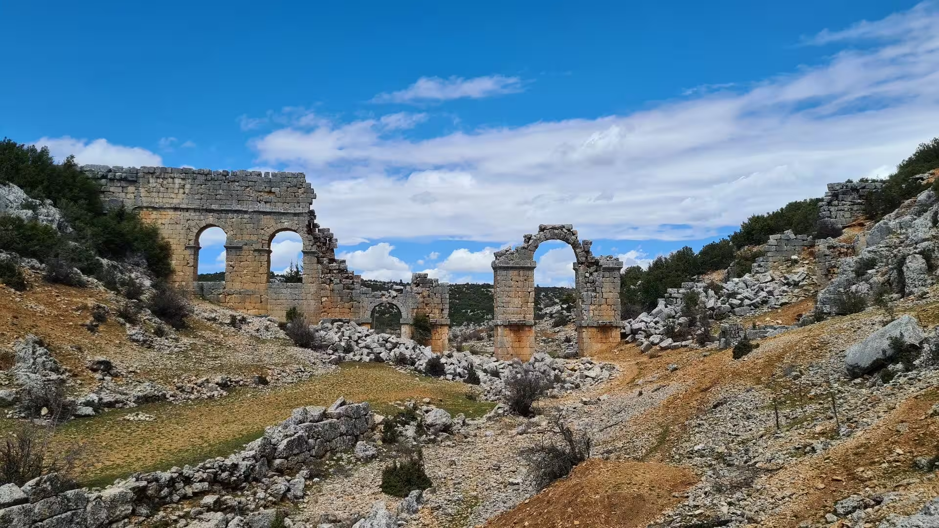
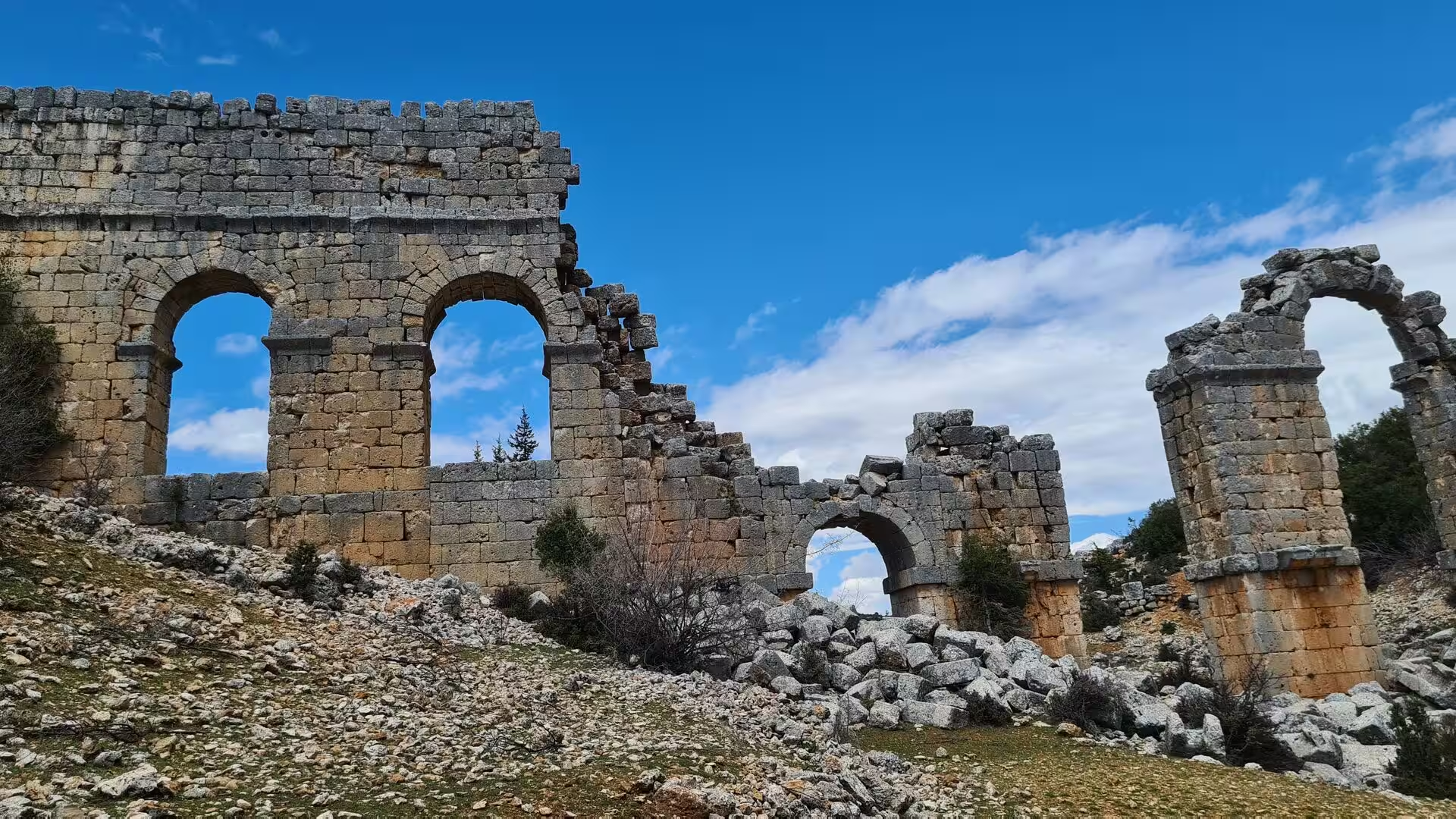
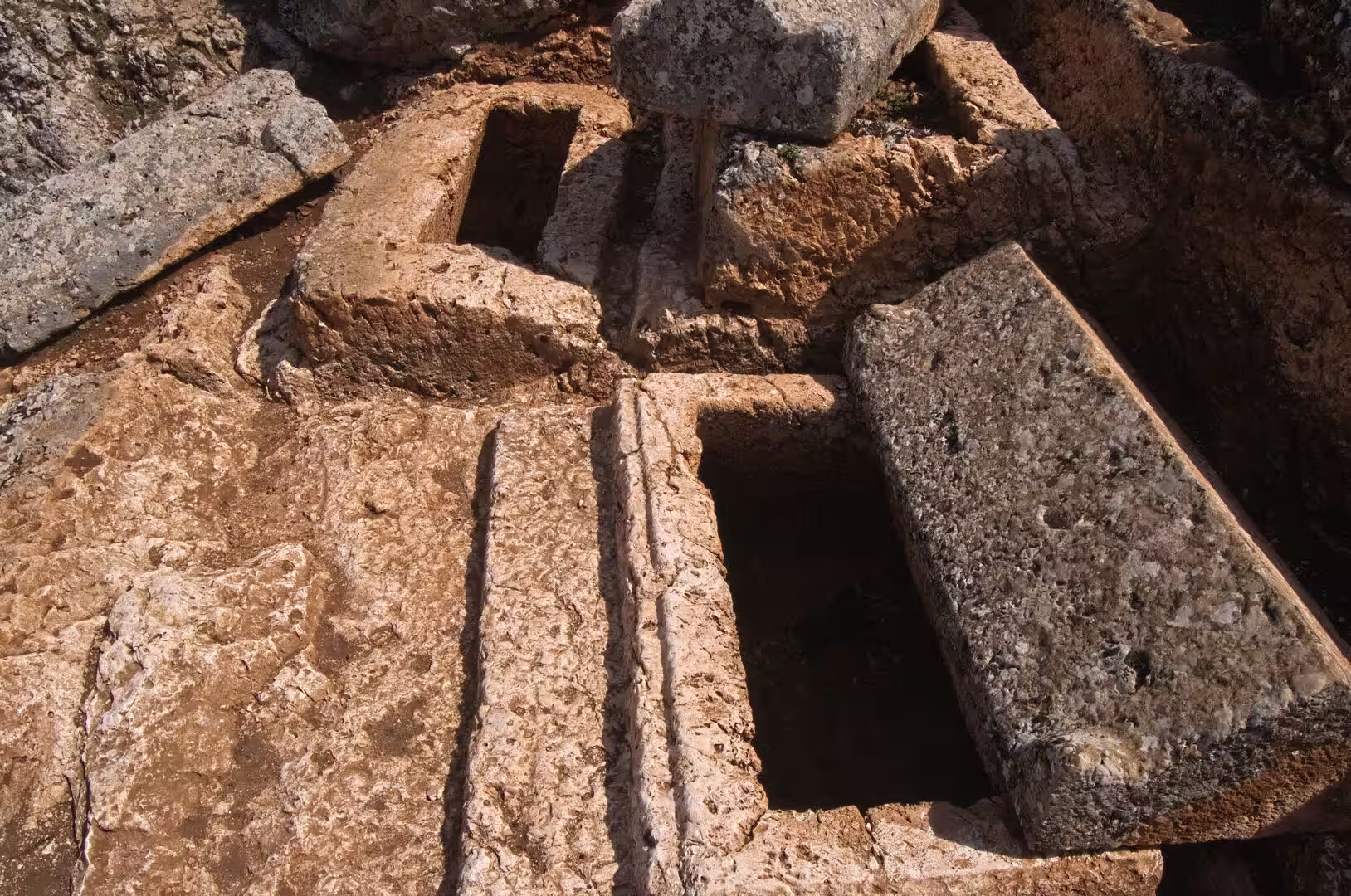
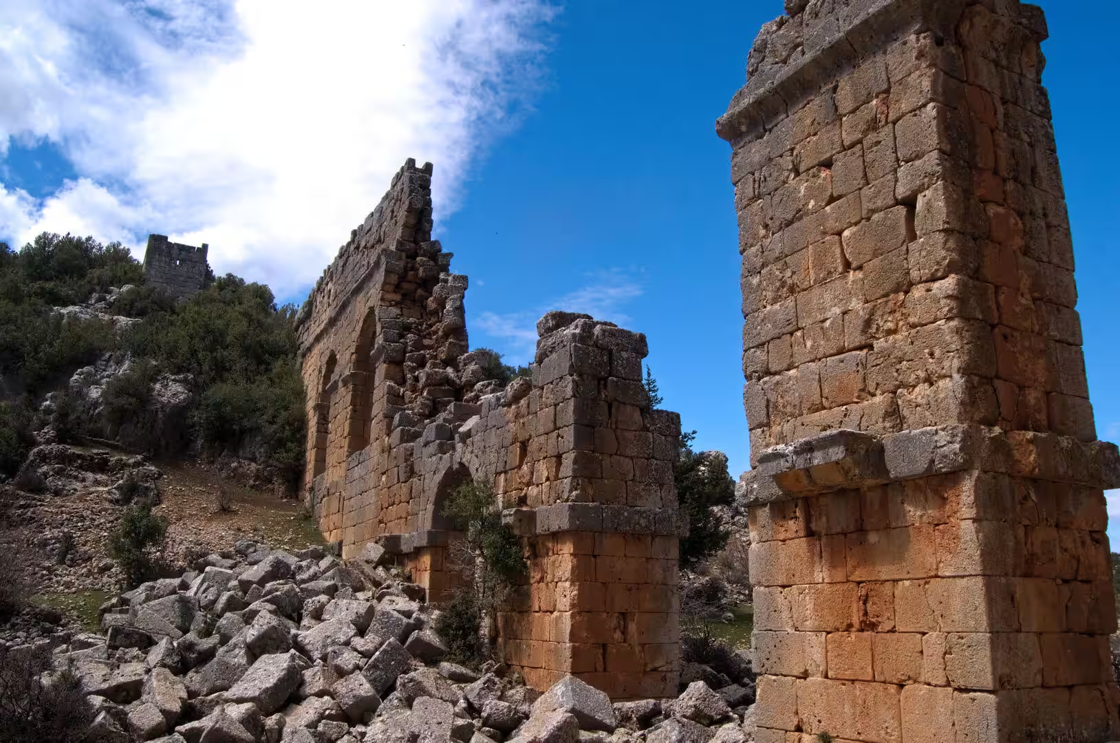
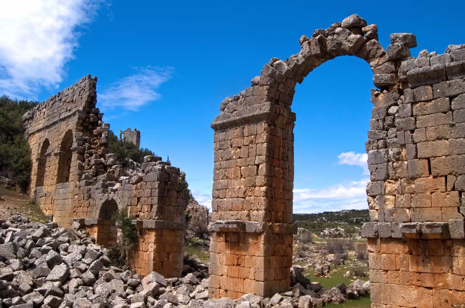
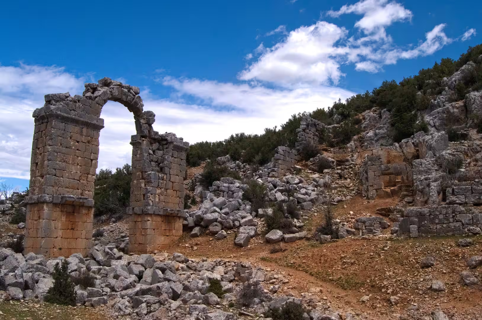
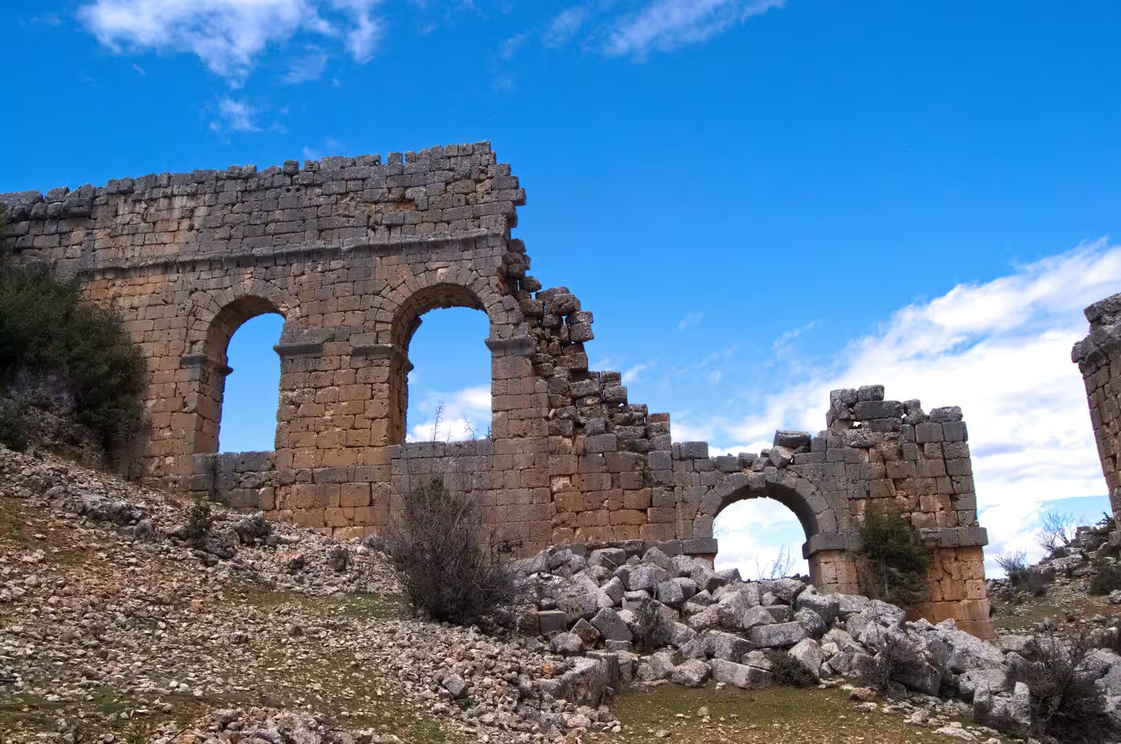
Anemurium, known locally as Eski Anamur, is an ancient city whose ruins climb the seaward slopes of Cape Anamur, the southernmost point of the Anatolian mainland, about 7 kilometres from the town centre by road. It was a port and trading city of the Roman and early Byzantine periods, and its remains, washed by the sea and terraced up the hillside, are among the most complete on this stretch of coast. Roughly 1.5 kilometres of city walls of blue-grey limestone enclose the lower town, where the principal public buildings stand: a large two-storey public bath with vaulted basement chambers, a second bath beside the necropolis, an odeon seating about 900 people, an unfinished theatre, a palaestra and several churches. Two lines of aqueduct arches carried water down from the Taurus, and a colonnaded street ran through the lower town. Outside the walls, on the slopes between the city and the sea, the necropolis preserves around 350 rock-cut and built tombs, many of them vaulted chamber tombs two storeys high with doorways and small forecourts, together with stone sarcophagi, forming one of the best preserved cemetery landscapes of southern Anatolia. Excavations since the 1960s have uncovered mosaic floors, many with inscriptions, now partly displayed in the Anamur Museum, and the site is open throughout the year.
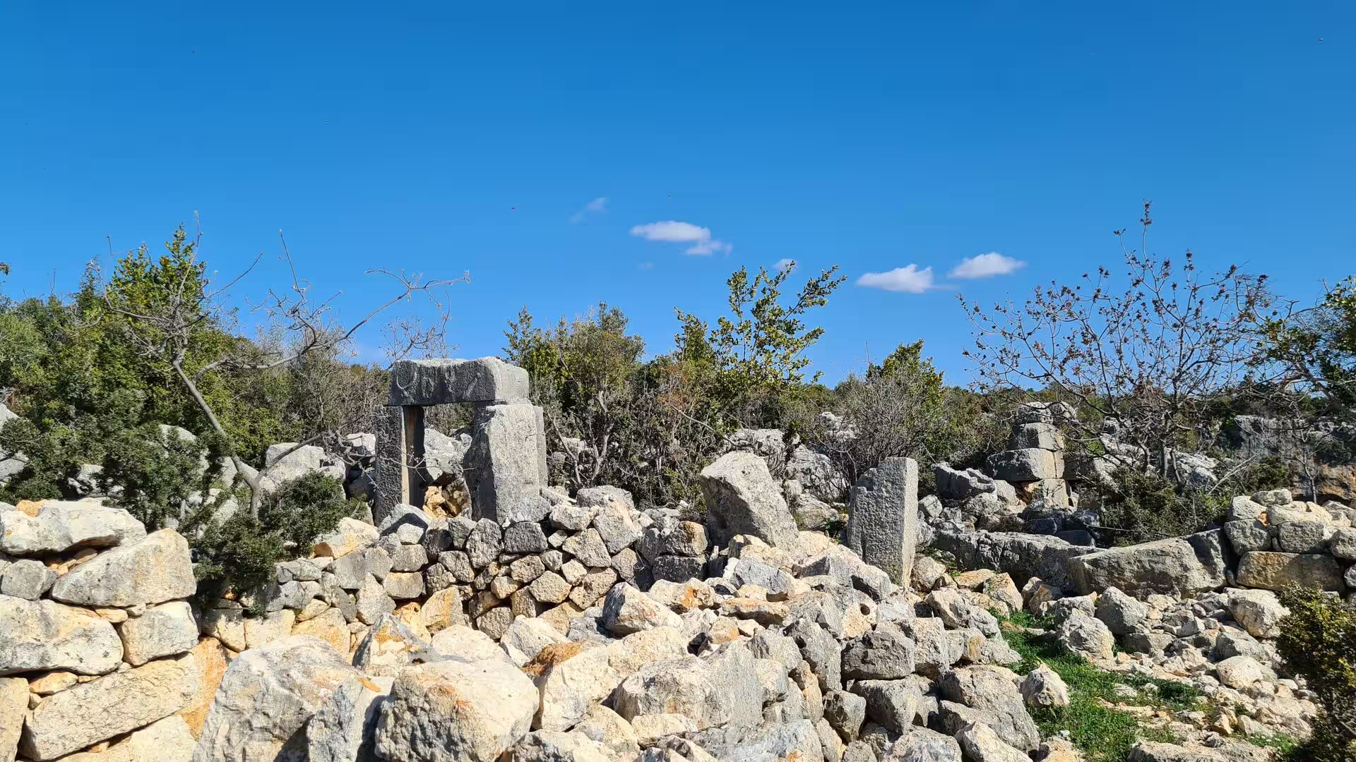
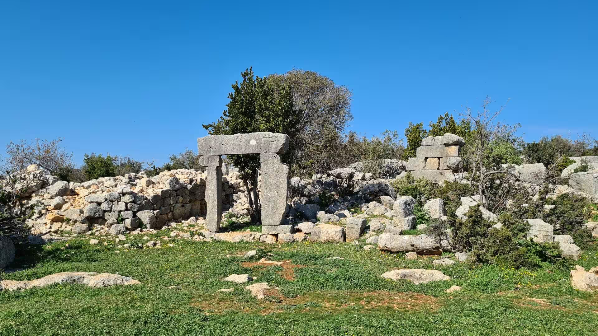
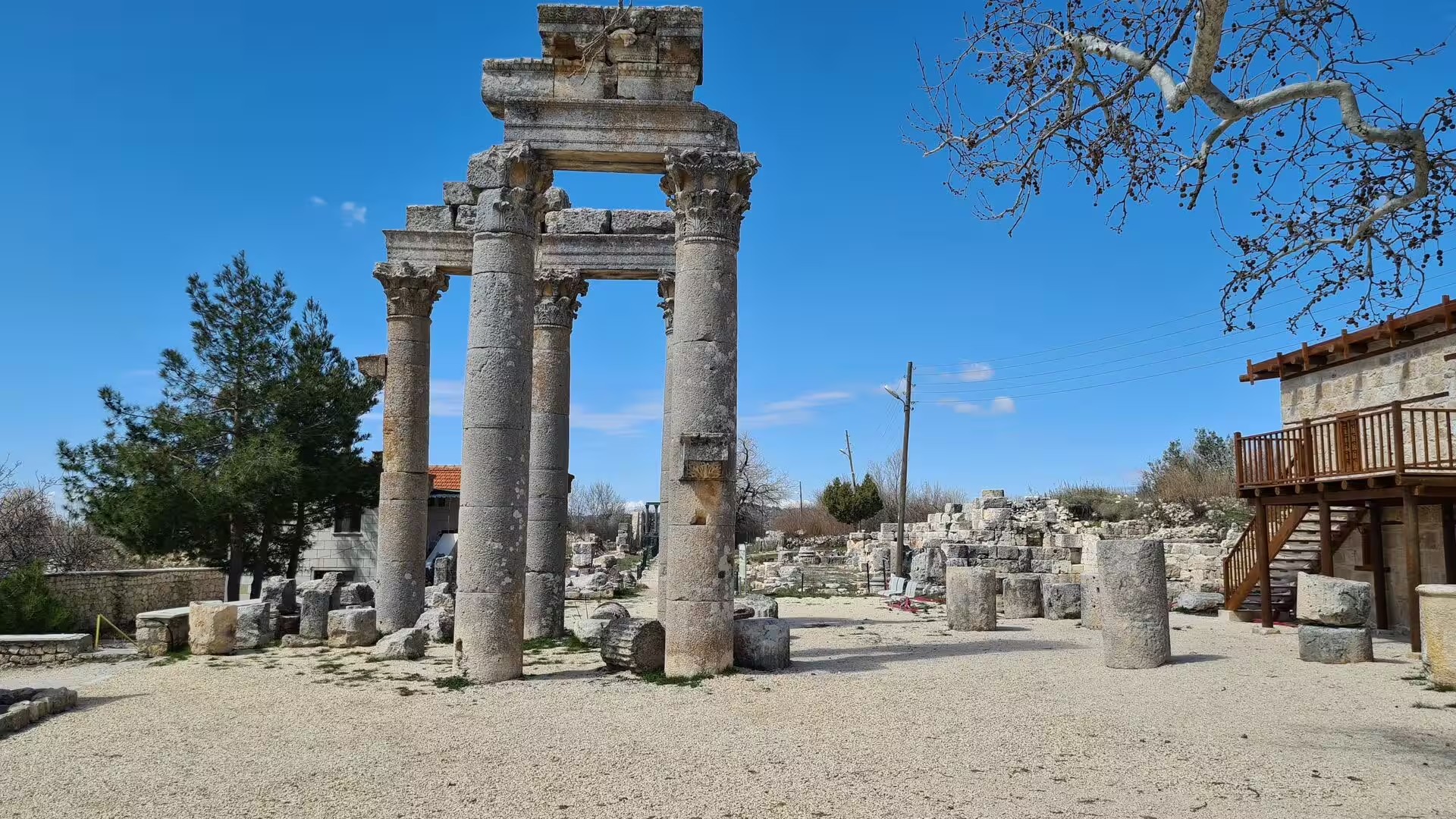
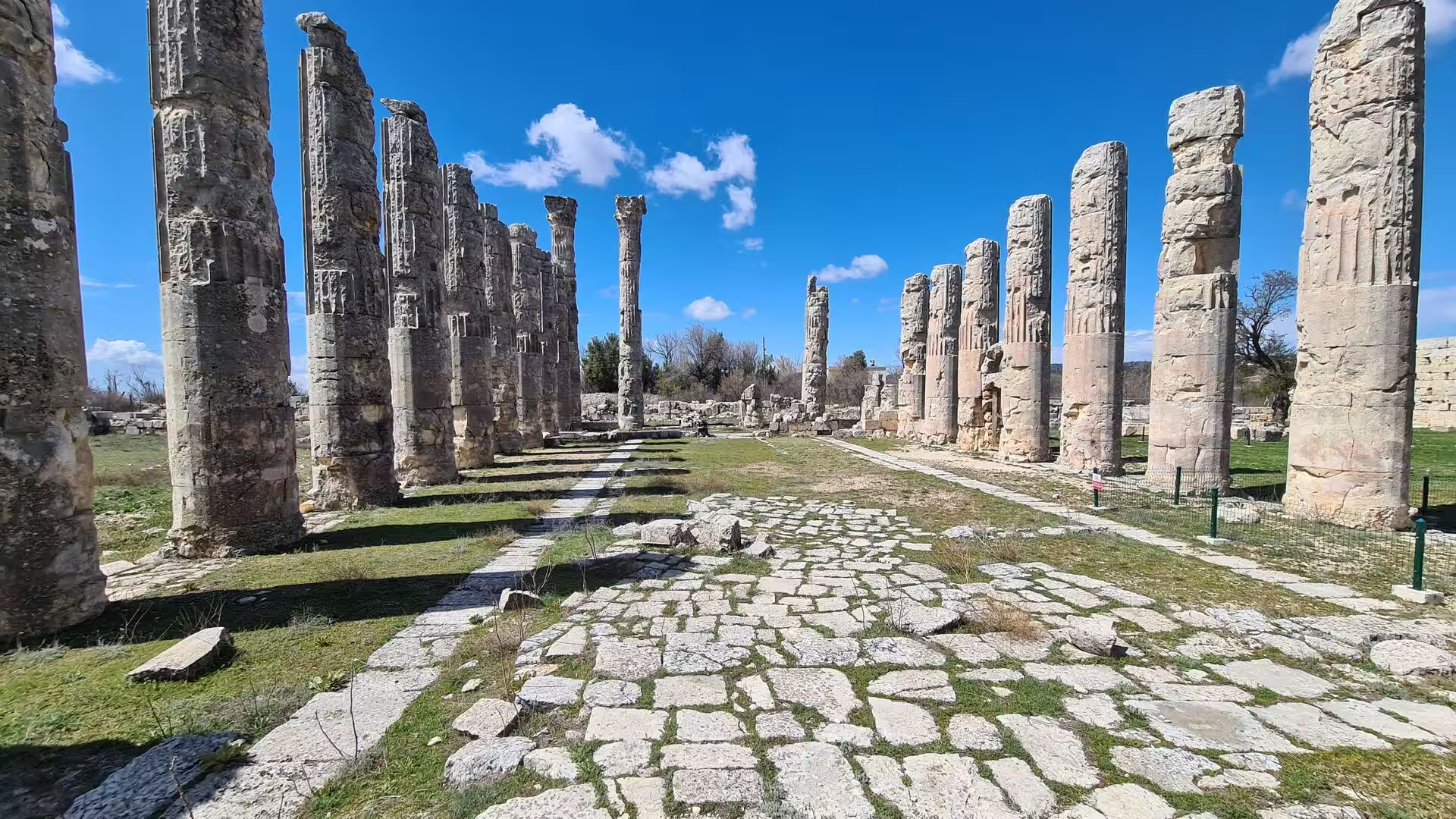
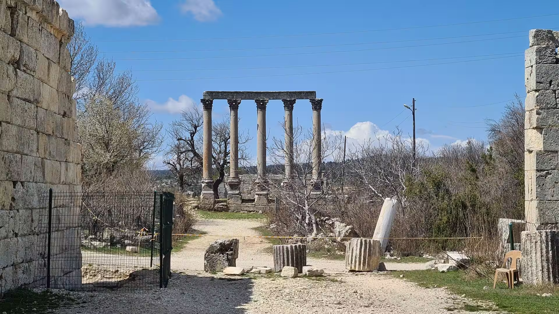
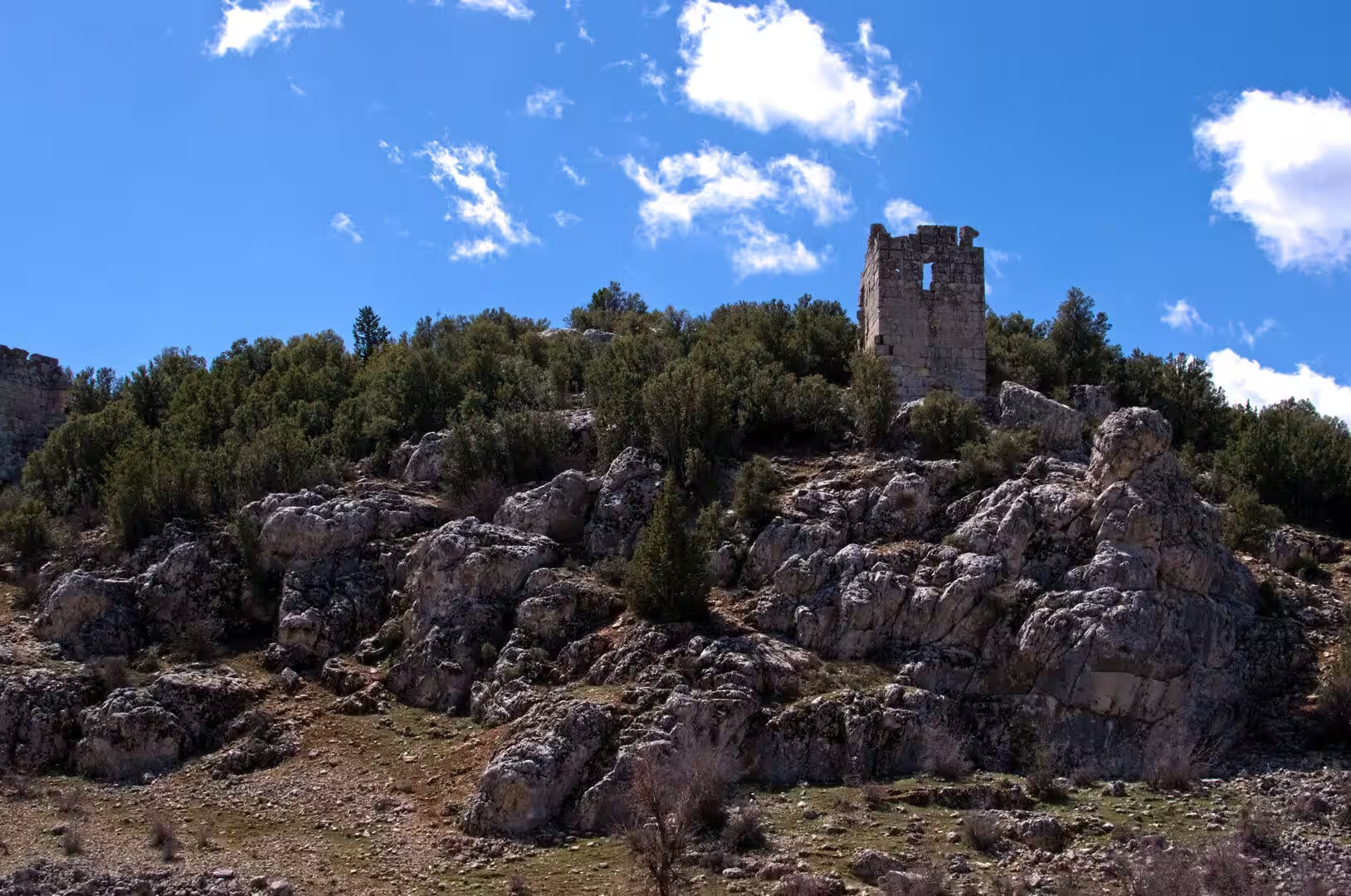
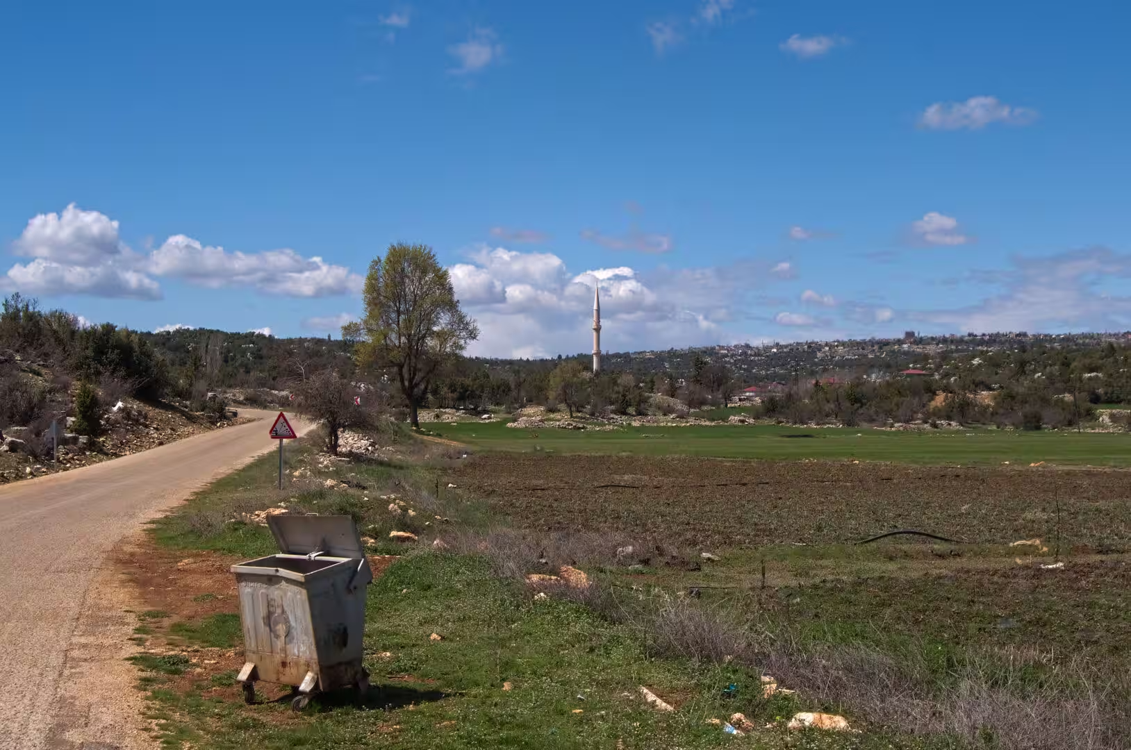
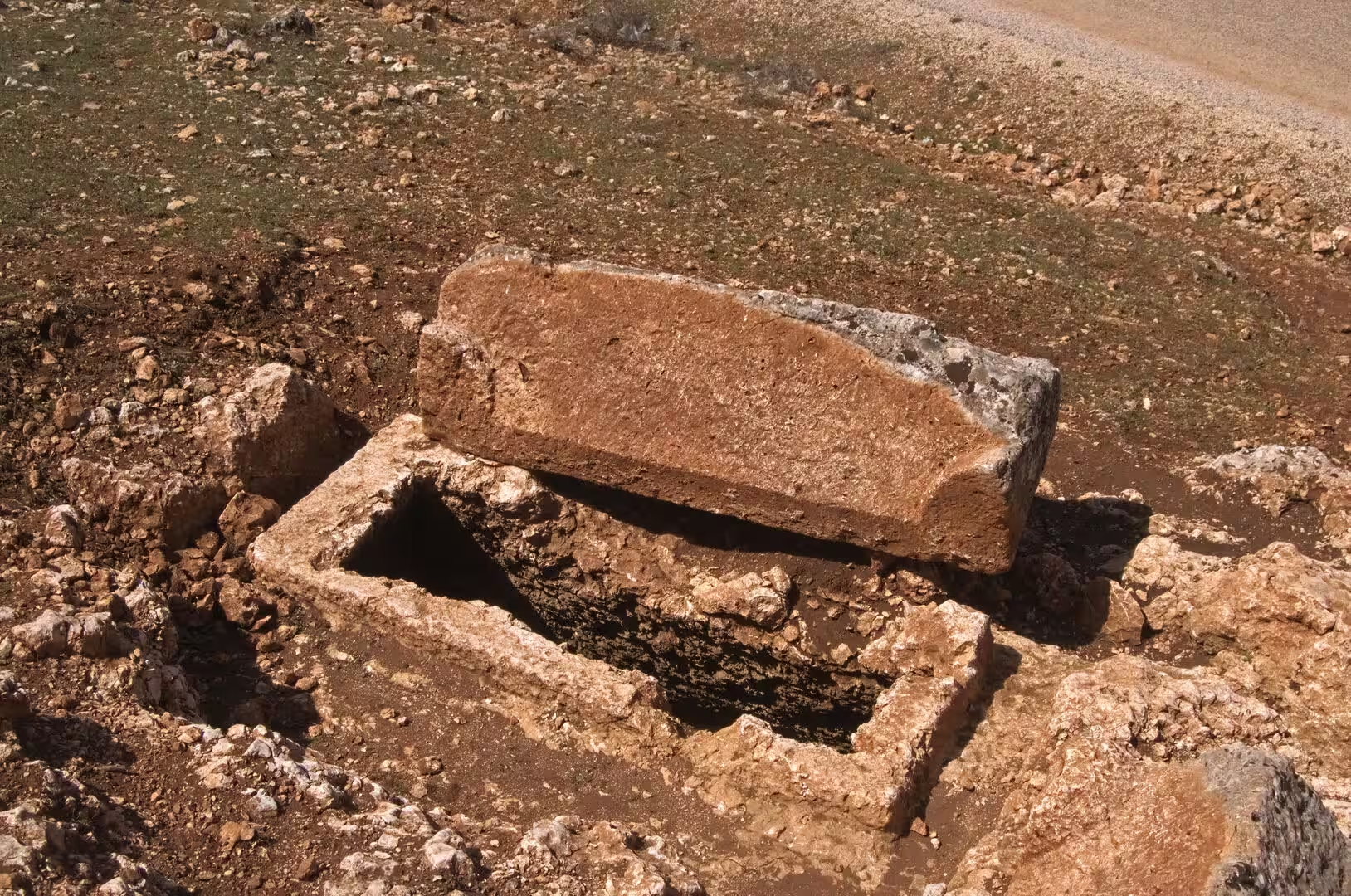
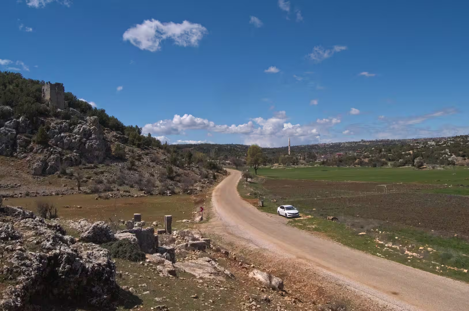
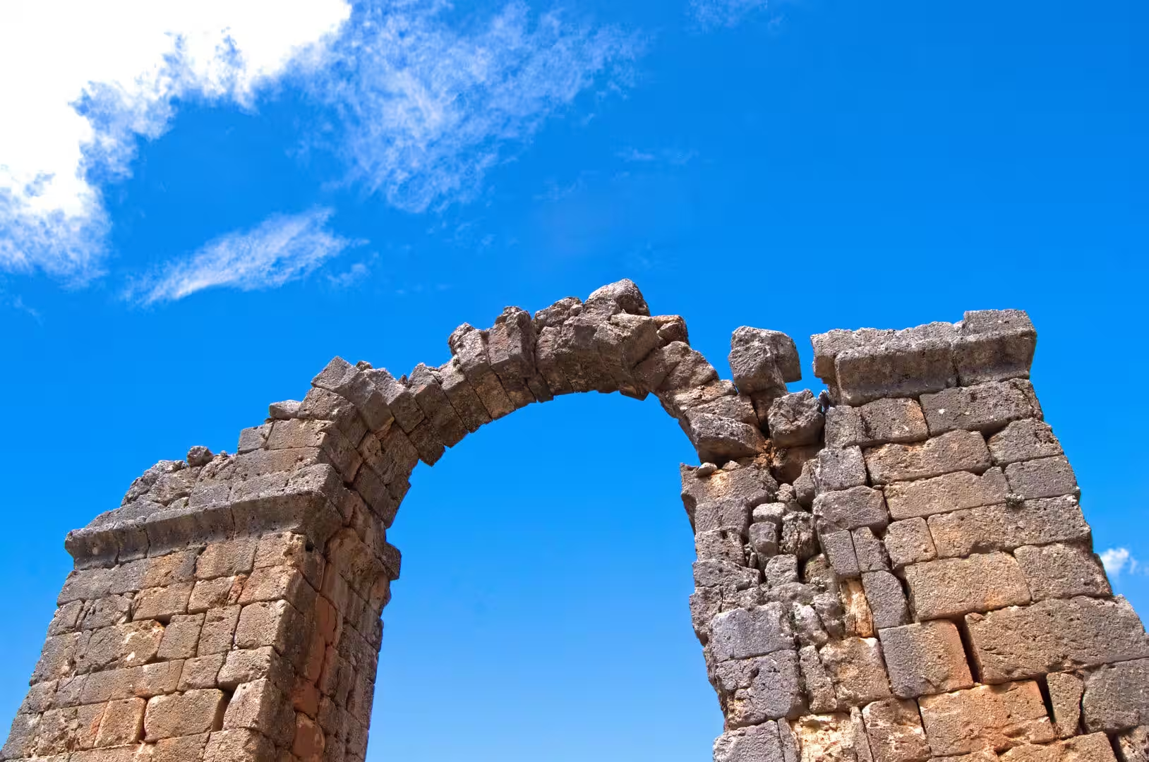
Cape Anamur and the coastal road. Cape Anamur, the blunt headland at latitude 36 degrees 01 minutes north, is the southernmost point of Anatolia; on clear days Cyprus, about 64 kilometres away, can be made out on the horizon. The cape is a windswept limestone bluff, and the ruins of Anemurium overlook its eastern flank. Between Mersin and Anamur the D400 road clings to the foot of the Taurus, crossing the mouths of the rivers, and this stretch of shore is rich in scenery and antiquities alike: rocky headlands and small coves alternate with long beaches, the limestone hillsides are dotted with the remains of ancient farmsteads, watchtowers, open sarcophagi and rock-cut tombs, and ruined towers and arches rise from the scrub above the roadside, while solitary stone gateways, rock-cut tombs and weathered sarcophagi stand in the fields along the route. It is a coast on which almost every headland carries the trace of an ancient settlement or a medieval castle.
References
- Bean, George E. (1968). Turkey’s Southern Shore: An Archaeological Guide. London: Ernest Benn.
- Stark, Freya (1958). Alexander’s Path: From Caria to Cilicia. London: John Murray.
- Russell, James (1987). The Mosaic Inscriptions of Anemurium. Vienna: Verlag der Österreichischen Akademie der Wissenschaften.
- Hoff, Michael C. and Townsend, Rhys F., editors (2013). Rough Cilicia: New Historical and Archaeological Approaches. Oxford: Oxbow Books.
- Mamure Castle. UNESCO World Heritage Centre, Tentative Lists. whc.unesco.org/en/tentativelists/5734/
- Mamure Kalesi. T.C. Kültür ve Turizm Bakanlığı, Kültür Portalı. www.kulturportali.gov.tr/turkiye/mersin/gezilecekyer/mamure-kalesi
- Anemurium Antik Kenti. T.C. Kültür ve Turizm Bakanlığı, Kültür Portalı. www.kulturportali.gov.tr/turkiye/mersin/gezilecekyer/anemurium-antik-kenti
- Anamurium Antik Kenti. T.C. Anamur Kaymakamlığı (District Governorship). www.anamur.gov.tr/anamurium-antik-kenti
- Anamur. en.wikipedia.org/wiki/Anamur
- Anemurium. en.wikipedia.org/wiki/Anemurium
- Mamure Castle. en.wikipedia.org/wiki/Mamure_Castle
- Cilicia. en.wikipedia.org/wiki/Cilicia
- Cilician pirates. en.wikipedia.org/wiki/Cilician_pirates
- Isauria. en.wikipedia.org/wiki/Isauria
- Taurus Mountains. en.wikipedia.org/wiki/Taurus_Mountains
- Cape Anamur. en.wikipedia.org/wiki/Cape_Anamur