2024 Australia - January - Gold Coast
Journal Notes
General
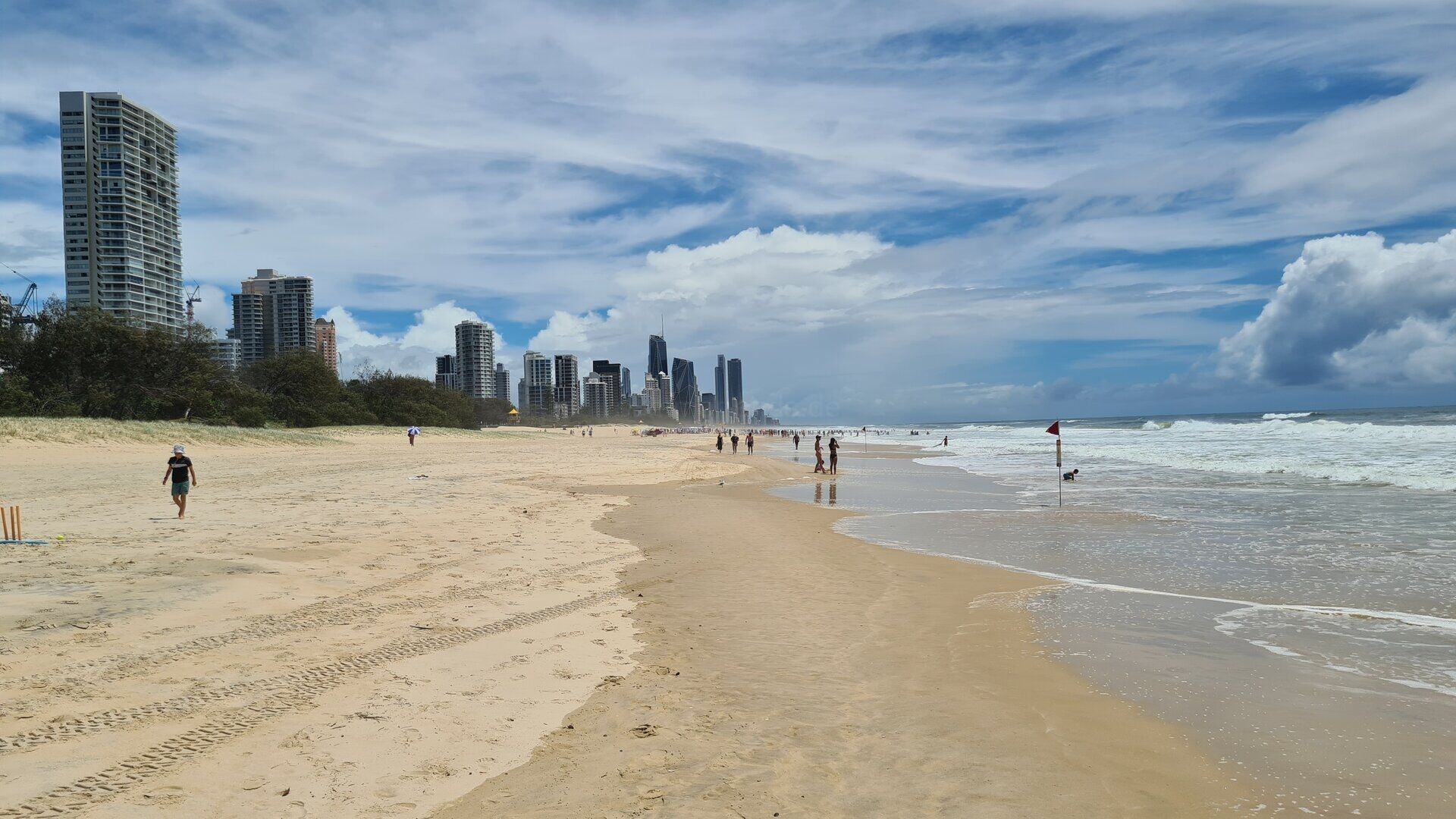
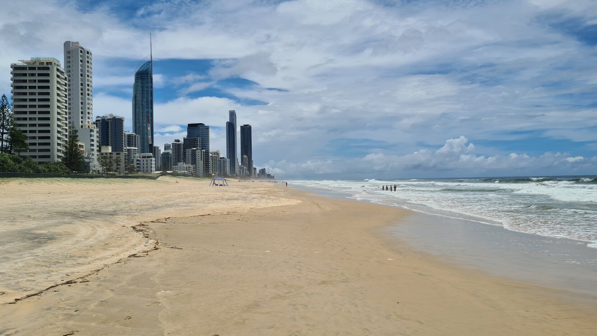
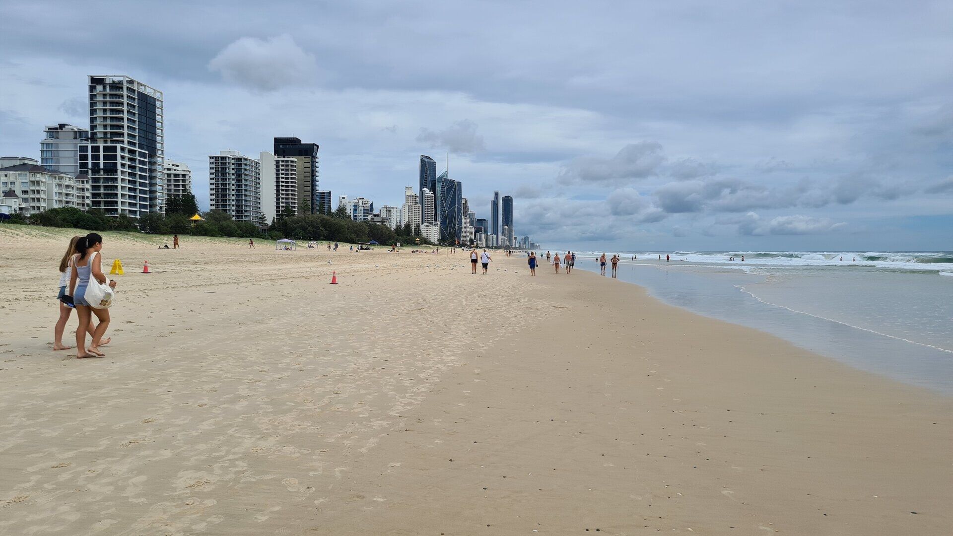
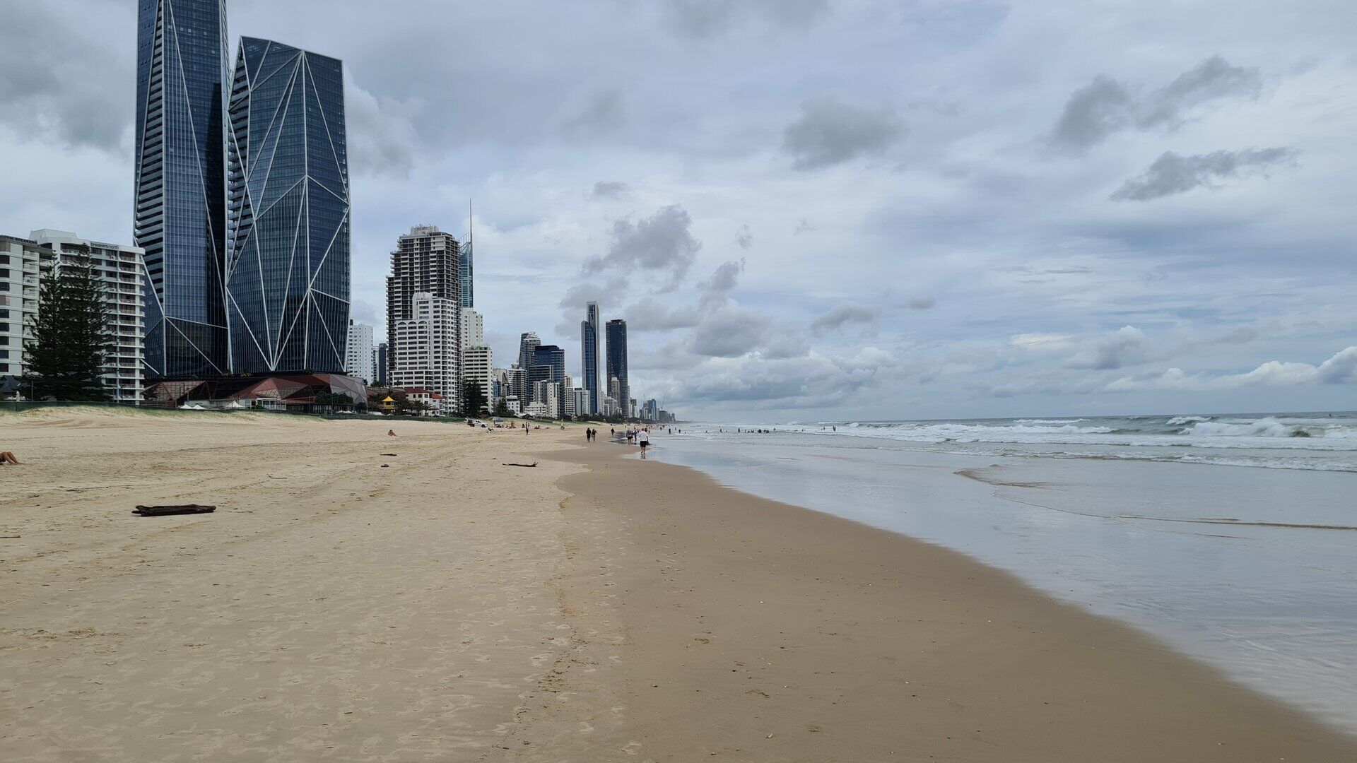
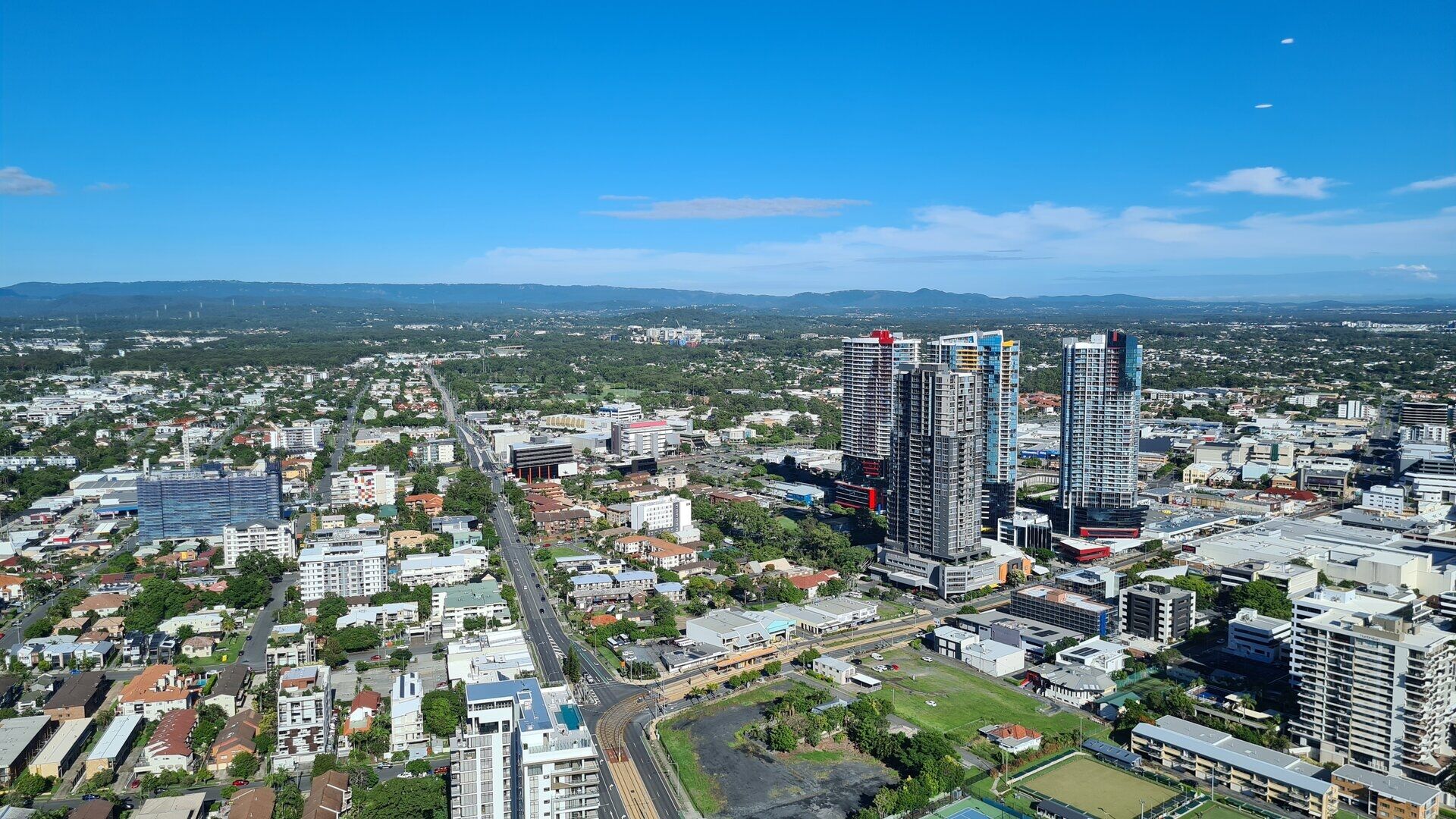
The Gold Coast is a coastal city of South East Queensland, built on the narrow plain between the Pacific Ocean and the forested ranges of the hinterland. The urban area stretches along more than sixty kilometres of coast, from the suburbs that merge with Brisbane in the north to the New South Wales border at Coolangatta in the south, and the city is the second largest of Queensland and the largest non-capital city of Australia. The centre of the region lies around Southport, at the mouth of the Nerang River, while the best known quarter of the coast, Surfers Paradise, gives the city its famous skyline of high-rise towers above the beach.
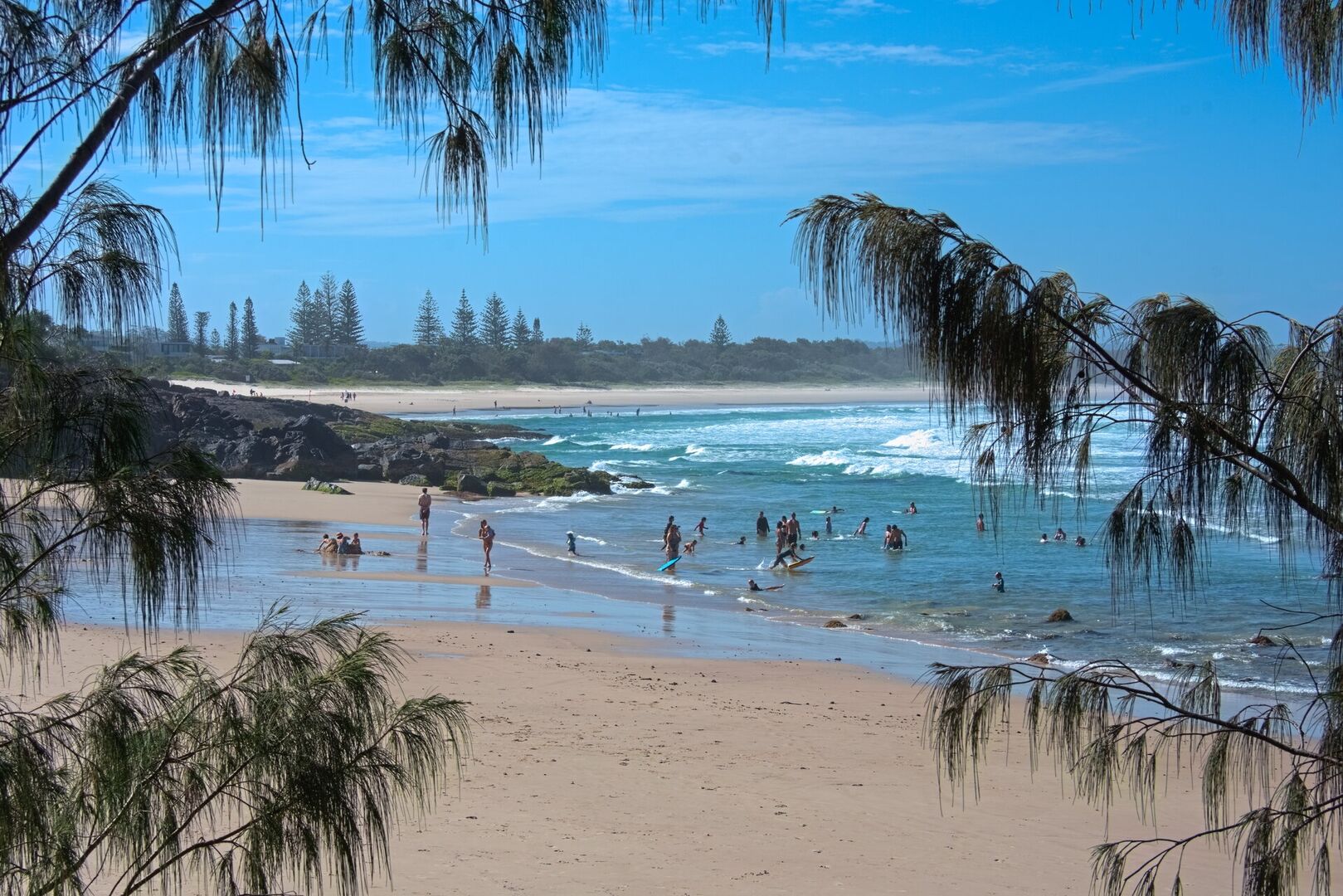
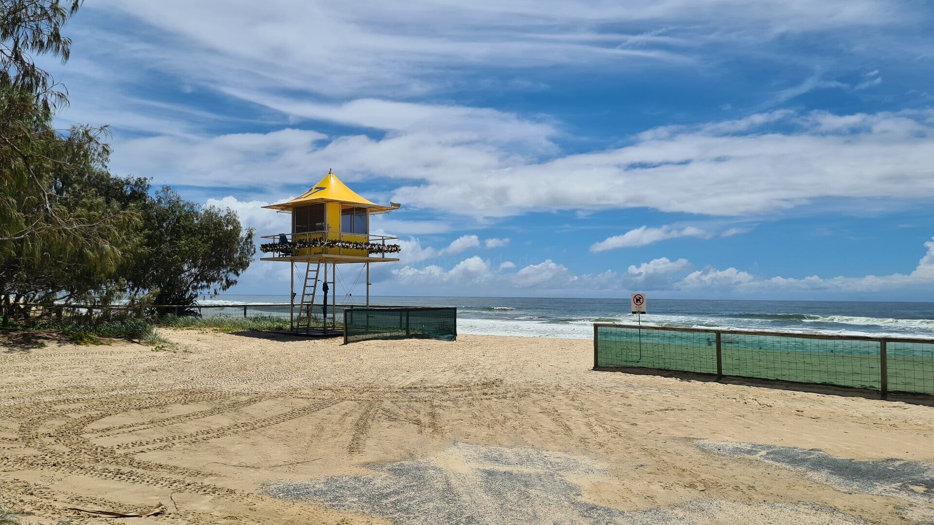
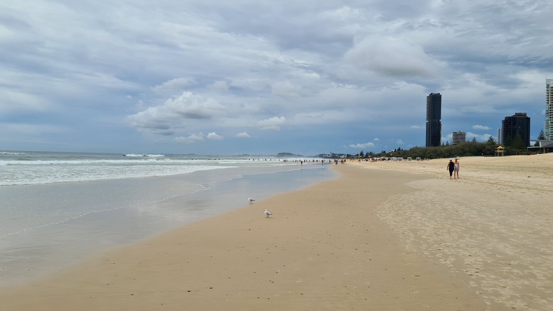
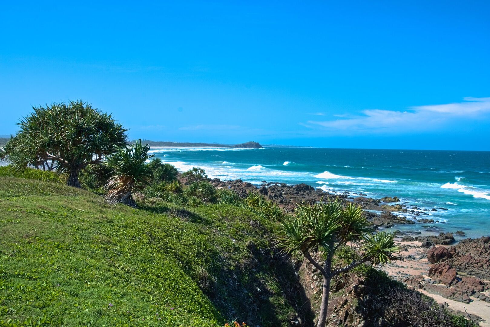
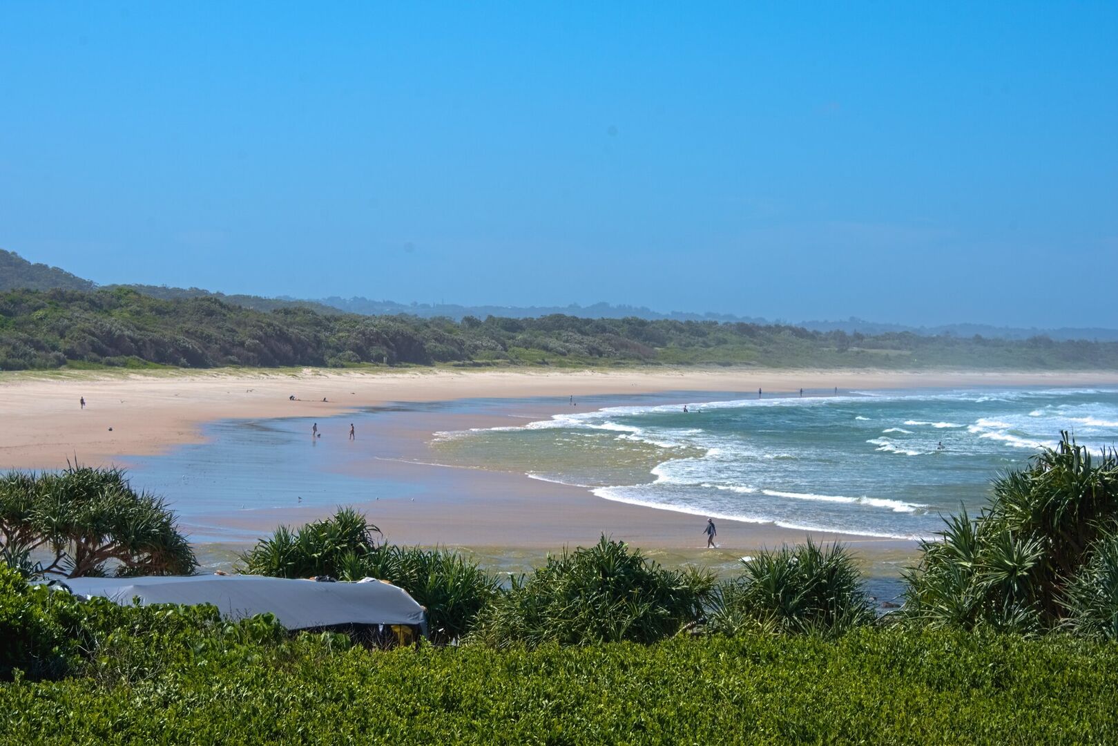
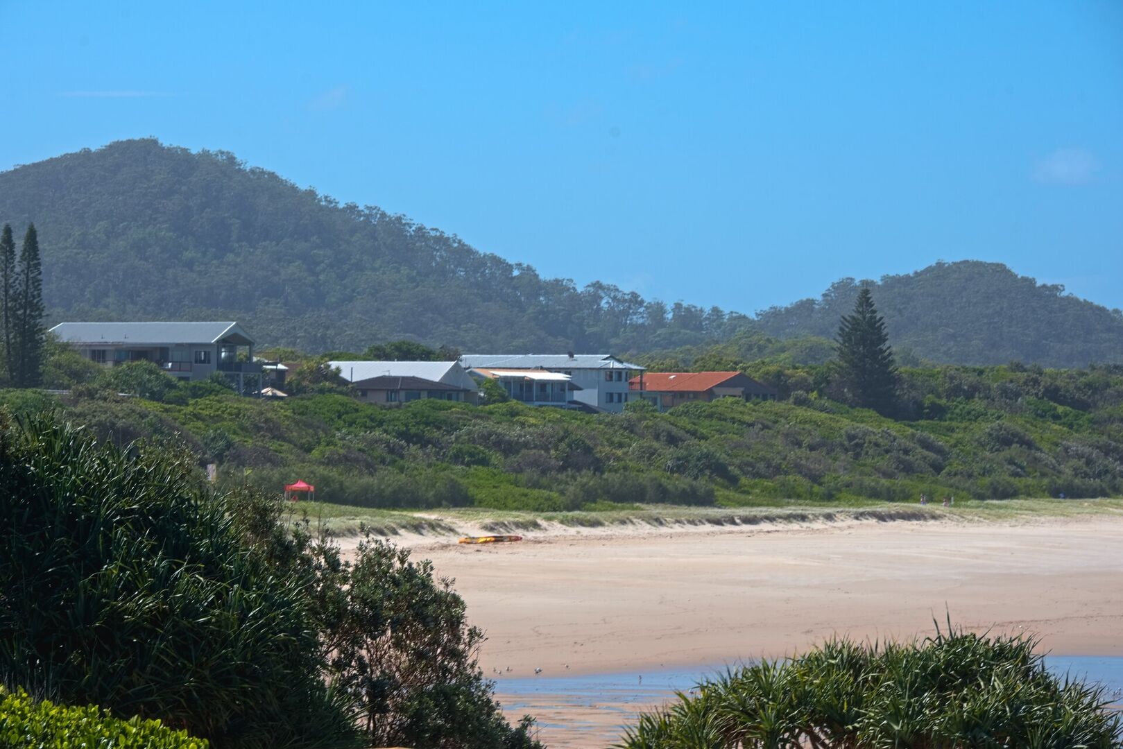
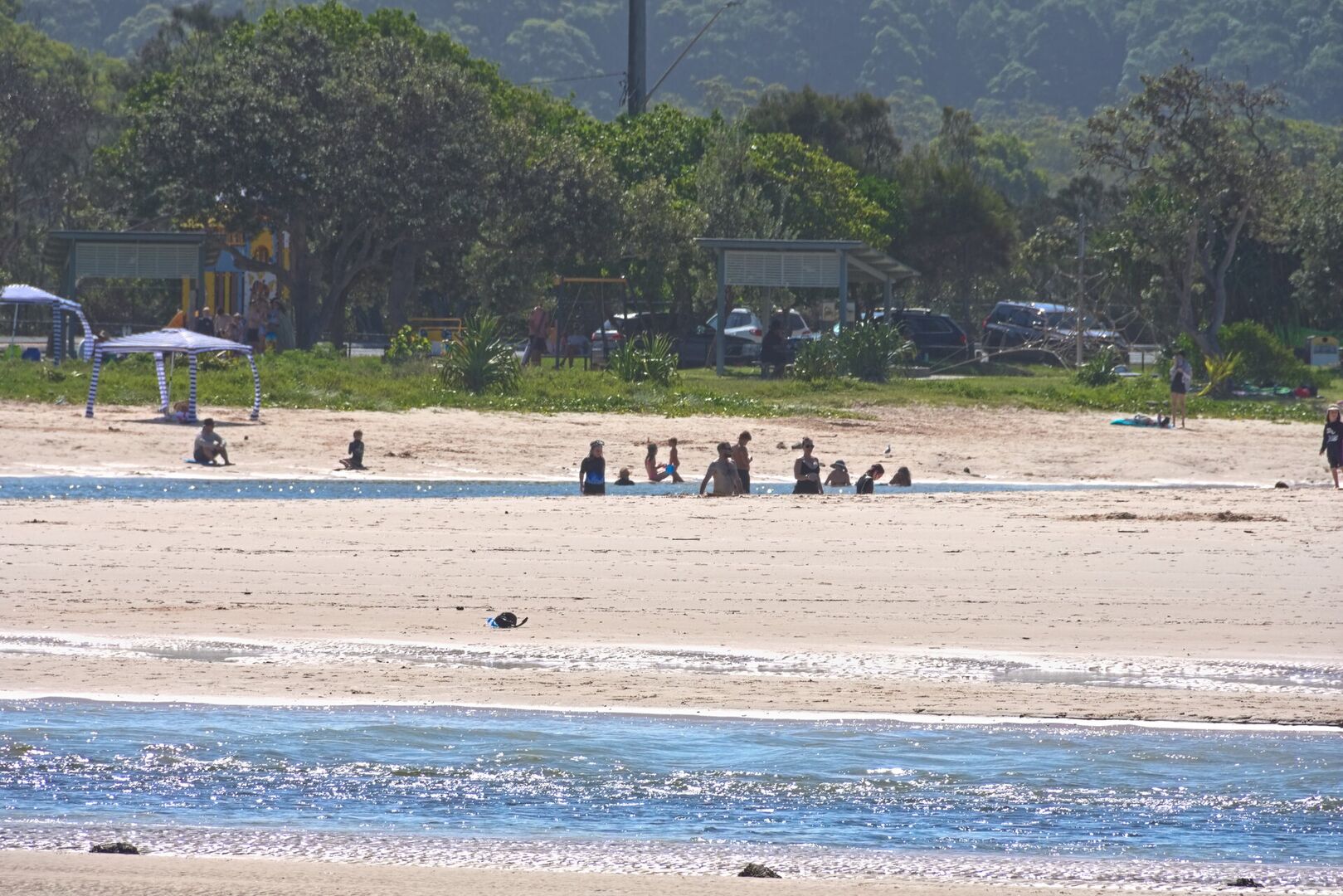
The coast that gave the city its name is a nearly continuous line of surf beaches, broken only by the rocky headlands of Burleigh and the river mouths of the southern creeks. The beaches face the Coral Sea and the Pacific beyond, their sand built from the rivers of the region and washed by the long swell of the ocean, and lifeguard towers, flags and surf patrols mark the swimming areas through the year. Behind the dunes the suburbs spread across the low country of the river plain, threaded by the canals and artificial islands of the Nerang River estuary.
The climate is subtropical, warm and sunny through most of the year, with humid summers and mild winters, and it was this climate that made the coast a holiday place. From the 1920s tourism shaped the towns of the shore, and since the 1960s the resort skyline of Surfers Paradise has grown into one of the most recognisable skylines of Australia. The economy of the city has widened from tourism into health, education, film and television production, construction and services, and the region has become one of the fastest growing of the country.
The city is known to Australians by its nicknames, the Glitter Strip and the Goldy, and its reputation has always been louder than its size. Behind the bright centre the Gold Coast is a string of distinct beach towns, from the family beaches of the north to the surf breaks of the south, each with its own character, shops and surf clubs. The suburban heart of the region is more ordinary than its postcards suggest, a spread of houses, malls and canals that has absorbed the farming towns of the old coast.
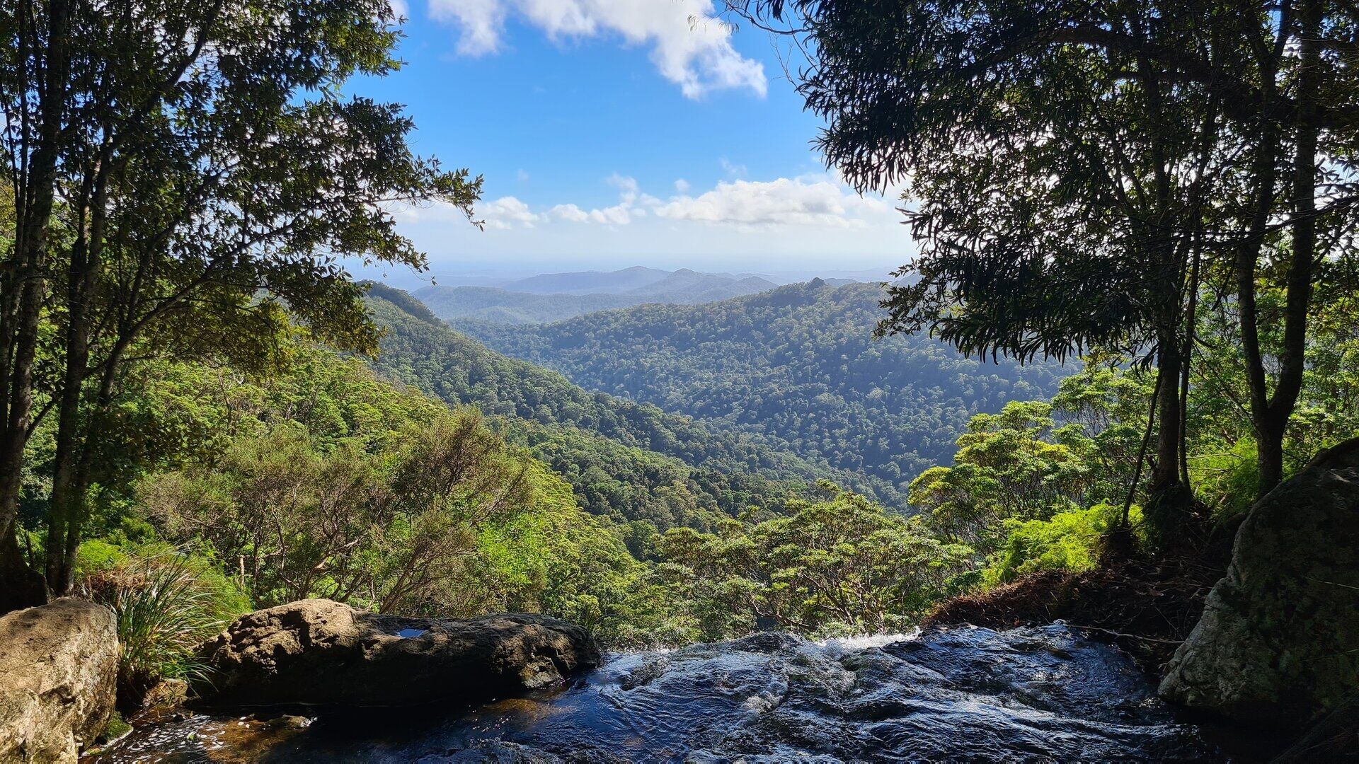
The hinterland rises directly behind the city and belongs to it: the Scenic Rim of forested ranges, volcanic plateaus and national parks, with the plateau of Springbrook and the valleys of the border ranges only a short drive from the beach. The contrast is the essence of the Gold Coast. On one side the surf and the towers, on the other the rainforest waterfalls of the ancient volcanic country, and the coast road and the mountain roads join them in a single landscape.
History
The Gold Coast has been the country of the Yugambeh people for many thousands of years. Their clans held the coast, the river valleys and the forested ranges behind them, gathering shellfish on the tidal flats, fishing the creeks and rivers and moving with the seasons through the coastal woodland, and their camps and ceremonial places lined the shores that later became the resort coast.
European settlement came late and slowly. The coast and its river valleys were taken up by settlers from the middle of the nineteenth century, and the oldest town of the region, Nerang, dates from 1865. The beaches themselves remained almost empty for decades, known only to a few fishermen and campers and reached by rough tracks through the bush.
For decades the district was known simply as the South Coast, a chain of small seaside towns strung along the highway. Tourism brought the decisive change in the 1920s, when Jim Cavill, an early hotelier, opened his Surfers Paradise hotel on the beach north of the river mouth; Cavill Avenue and the Surfers Paradise Esplanade still carry his memory.
The modern city was born in the boom years after the Second World War. In 1959 the Gold Coast was declared a city, the first high-rise tower rose at Surfers Paradise in 1960, and within a generation the skyline of the resort had become the symbol of the city. The 1980s brought the era of rapid tower construction, canal estates and theme parks that fixed the reputation of the Glitter Strip in the Australian imagination.
The twenty-first century has made the Gold Coast a permanent city rather than a resort. The G:link light rail, opened in 2014, ties the coastal suburbs together, the film and television industry has given the city the nickname Goldywood, and the city remains the largest non-capital city of Australia, so that the beach town of the 1950s has become one of the great cities of the country while keeping its surf beaches and its skyline.
Geology
The foundations of the Gold Coast landscape are volcanic. About 23 million years ago, as the Australian continent drifted over a hot spot in the earth’s mantle, a vast shield volcano erupted where the border ranges now stand, building a mountain almost twice the height of Mount Warning today and more than a hundred kilometres across. The lavas of this Tweed Volcano flowed to the sea, and their erosion since has left the ring of plateaus and ranges, the Scenic Rim, that frames the hinterland of the city.
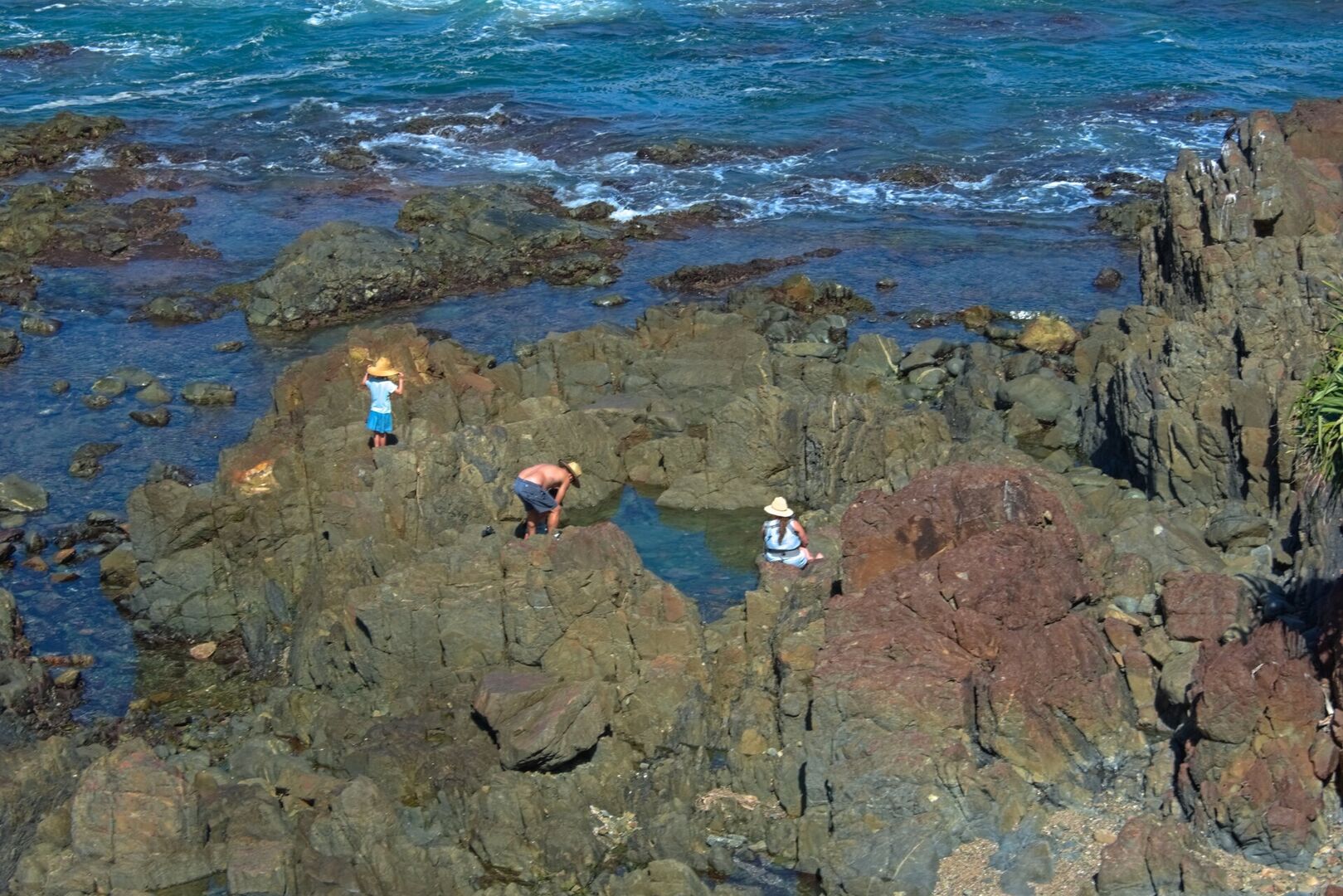
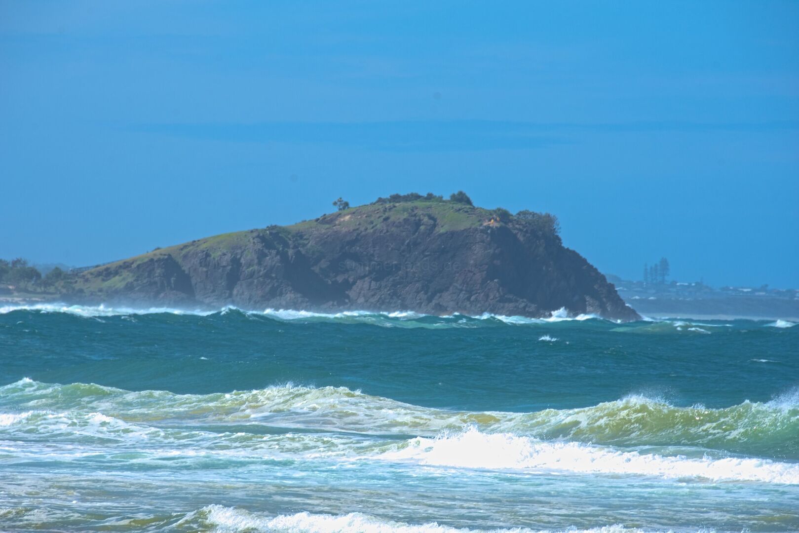
The headlands of the coast are remnants of those lava flows. The basalt reached the shore about 20 to 23 million years ago and now forms the rocky capes of the coastline, among them Burleigh Head, the dark headland that juts into the sea at the mouth of Tallebudgera Creek, and Point Danger at the border. Where the hard volcanic rock meets the ocean, the surf has cut platforms, boulder fields and tidal pools into the old lava, and the headlands stand out against the long sand beaches between them.
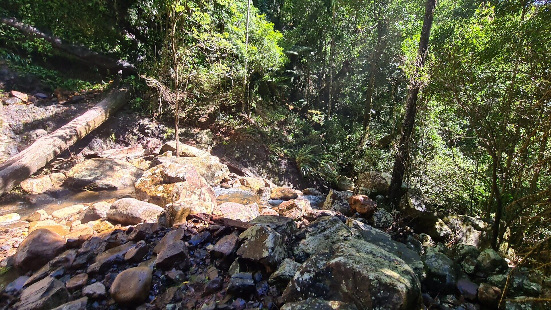
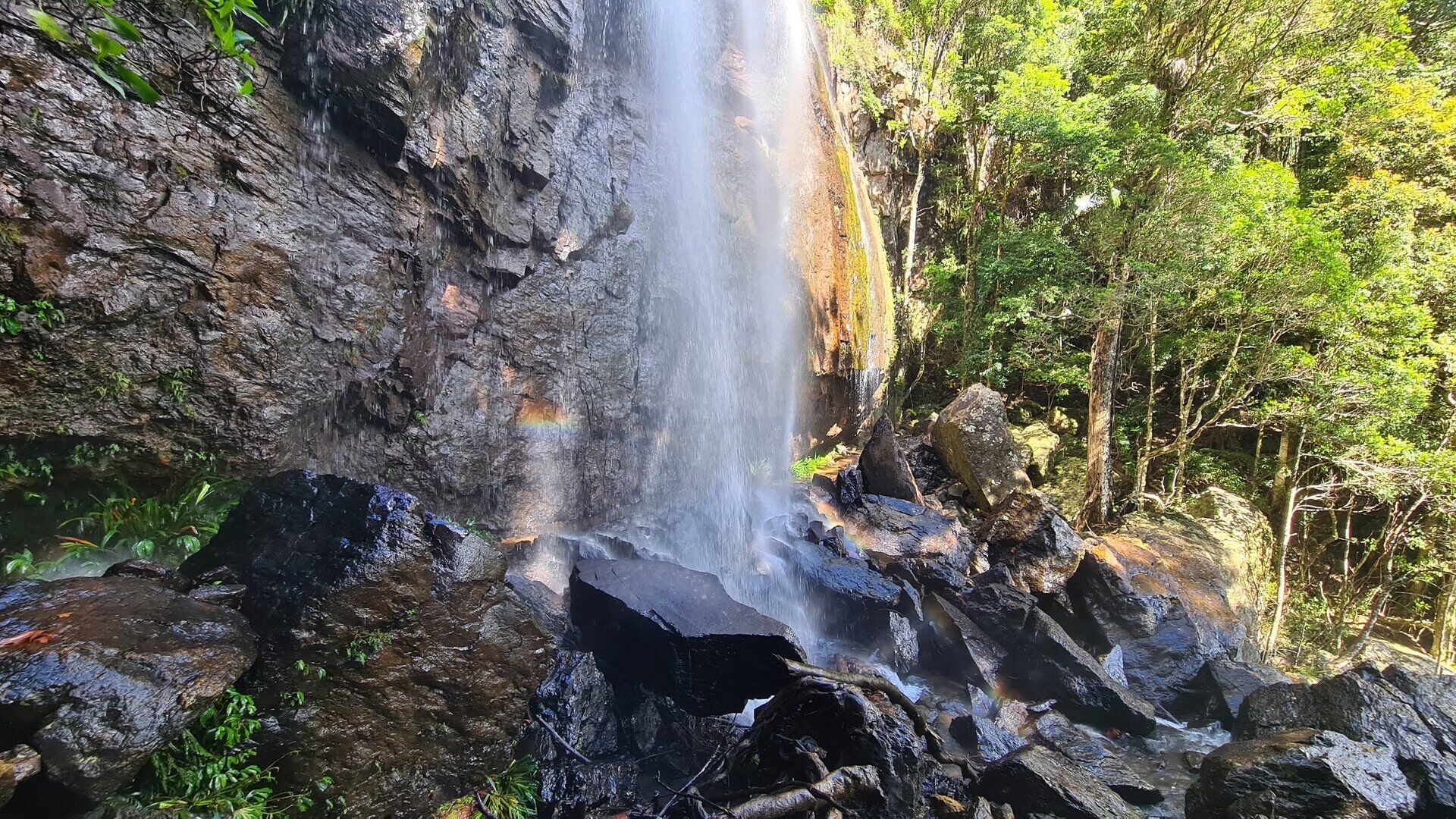
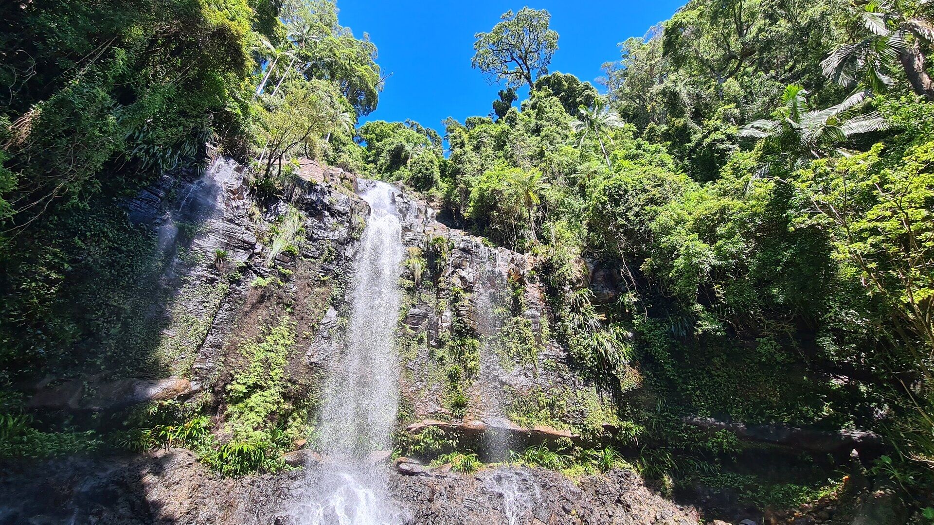
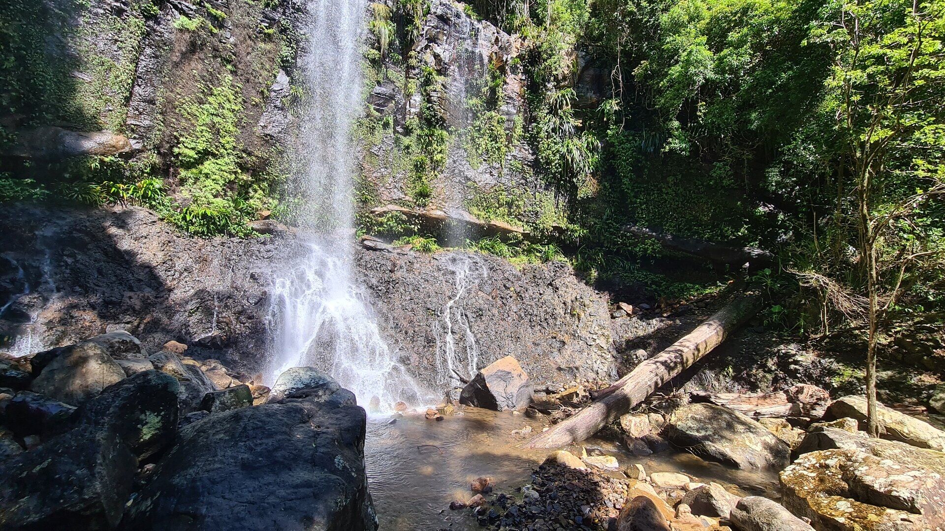
The plateaus of the hinterland are the eroded heart of the same volcano. The Springbrook plateau, part of the McPherson Range, carries the remains of the volcanic pile in its deep basalt soils and its cliffs, where the streams of the plateau drop over the escarpment in waterfalls. At Natural Bridge, Cave Creek, a tributary of the Nerang River, has cut through the basalt in a remarkable way: the falling water undercut a cave, a pothole opened above it, and the creek now pours through a natural arch of rock into a grotto below.
The sand of the beaches is younger than the rock. The rivers of the region, above all the Nerang, carry sand and silt from the ranges to the sea, and the longshore drift spreads it along the coast in the beaches and dunes of the city. The Nerang itself has been reshaped by human hands in the last decades: its lower course was dredged into the canal estates and artificial islands that now carry some of the most valuable waterfront land of Australia, so that the geography of the modern Gold Coast is as much engineered as natural.
Things to See
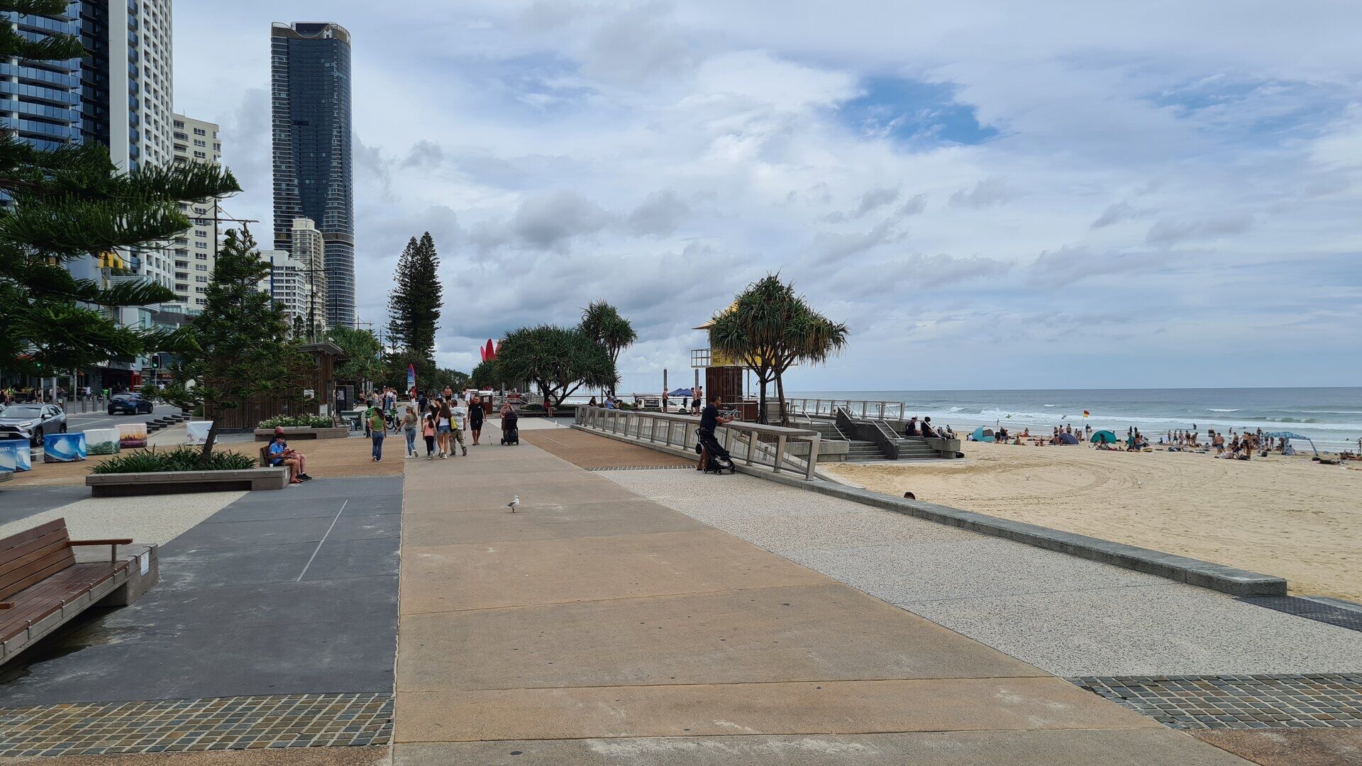
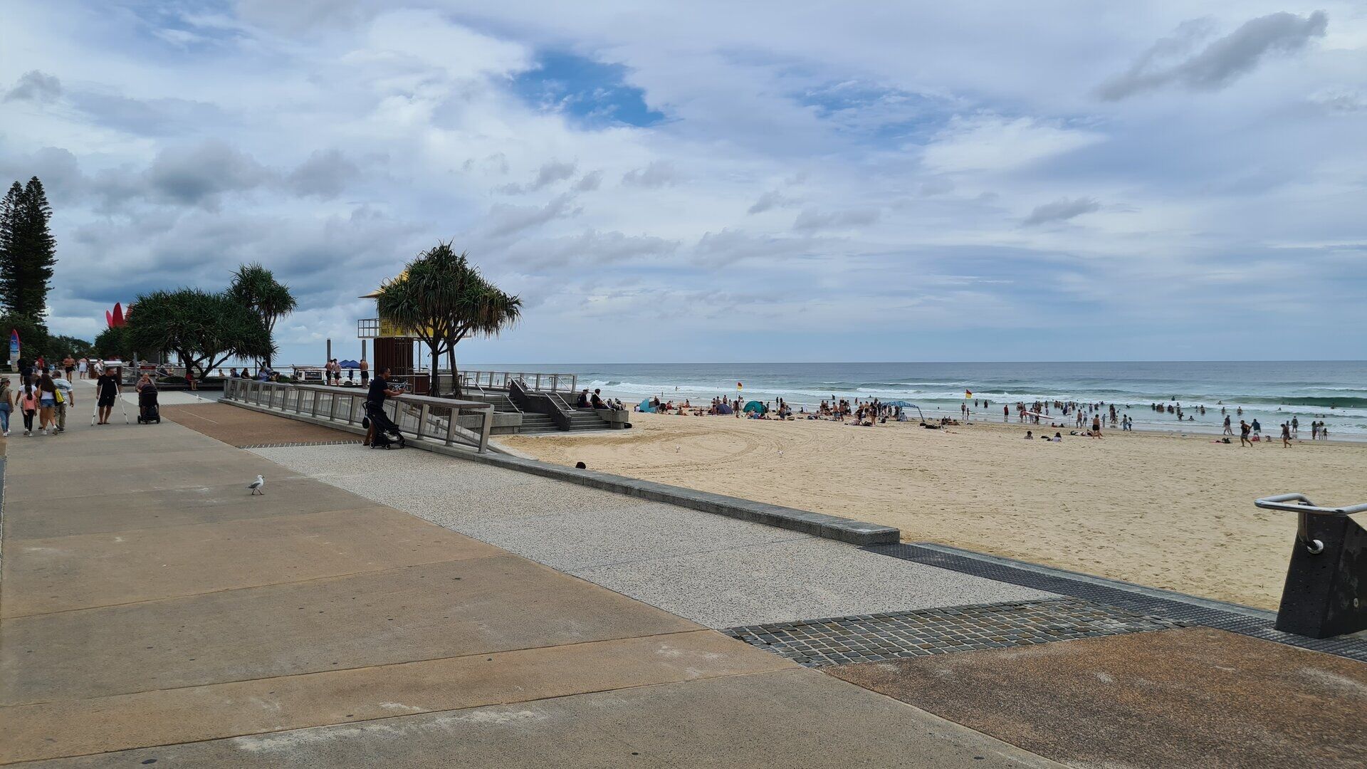
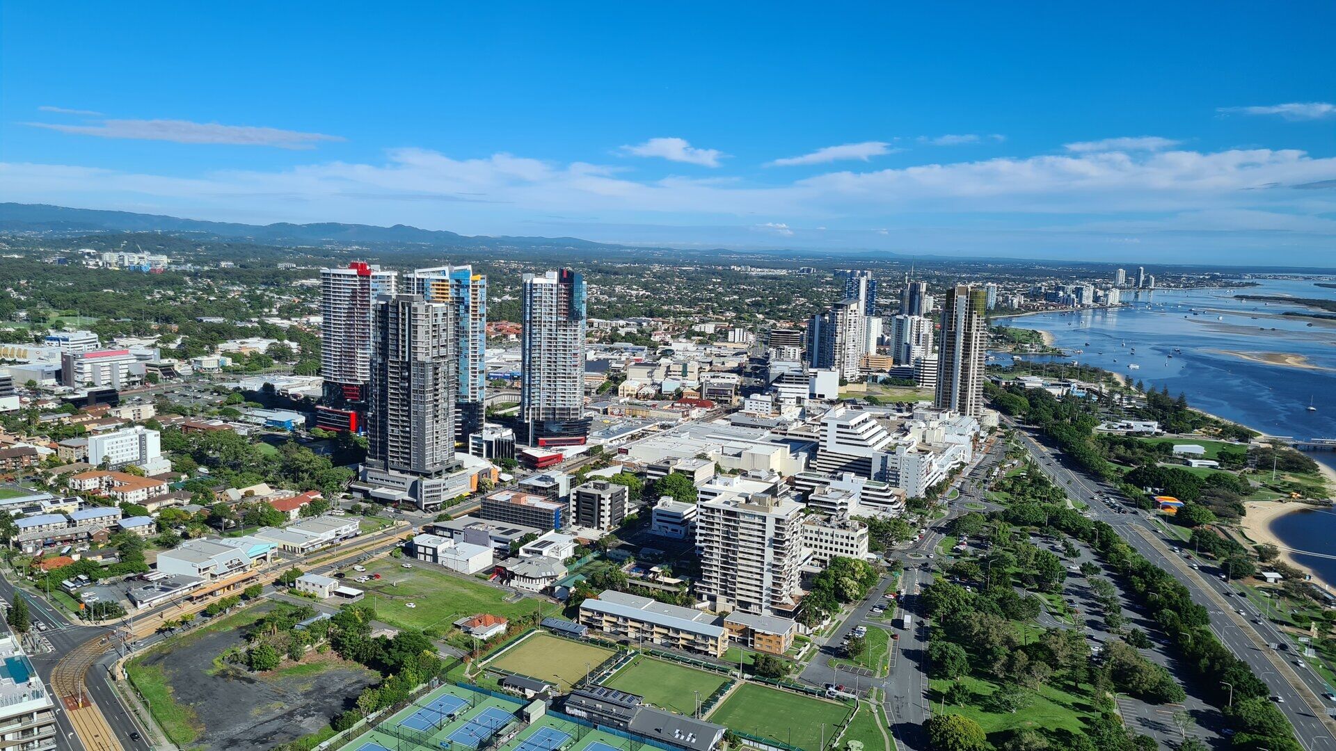
The heart of the resort is Surfers Paradise, where the beach and the skyline meet. Surfers Paradise Beach runs the full length of the suburb, a wide, open surf beach patrolled by lifeguards from their yellow towers, with the high-rise towers of the Esplanade rising directly behind the sand. The Esplanade promenade carries the morning walkers and evening crowds past the surf club and the cafes, while Cavill Avenue, the shopping and entertainment spine of the suburb, runs inland from the beach with its malls, restaurants and nightlife.
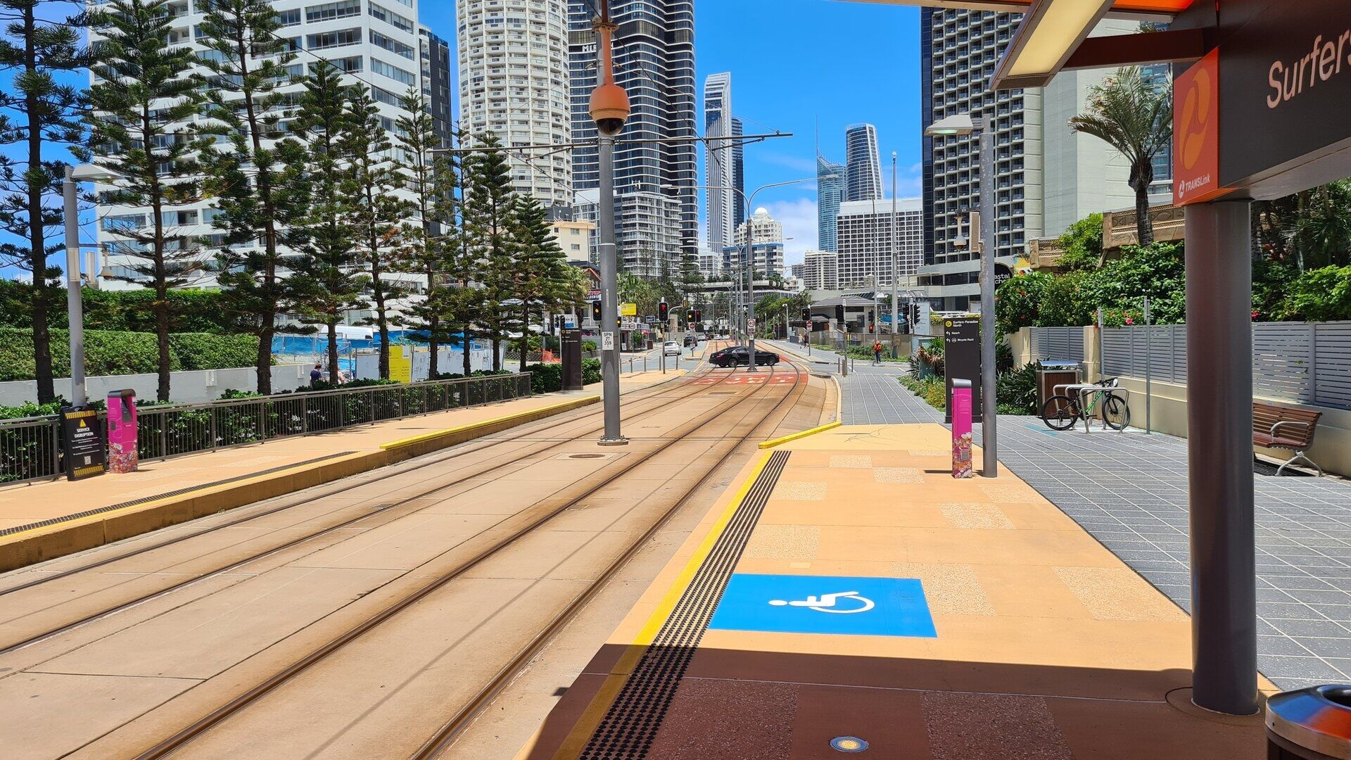
Through the centre of the resort runs the G:link, the light rail of the Gold Coast and the only light rail system of Queensland. The line opened in 2014 and now runs from Helensvale in the north through Southport and Surfers Paradise to Broadbeach and, since 2026, south to Burleigh Heads, its low, quiet trains threading the coast between the towers and the parks. For the visitor the G:link is the easiest way to move along the beaches without a car.
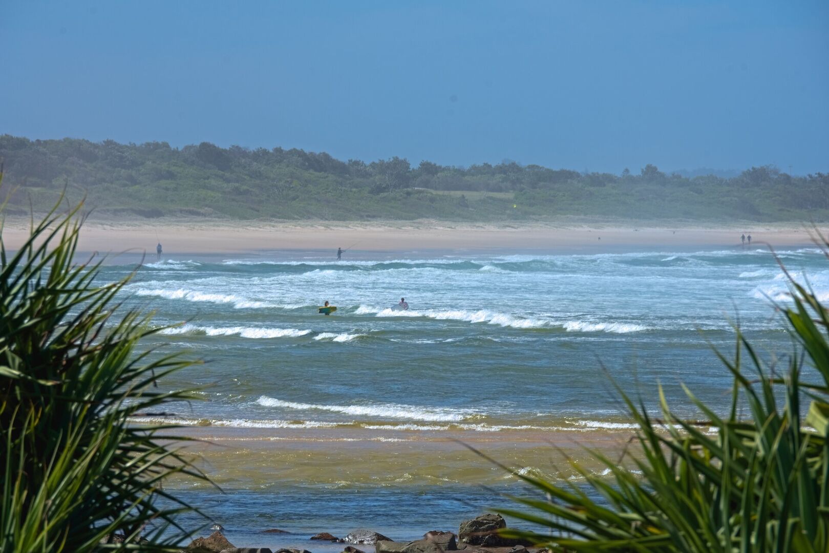
The Nerang River, which separates the northern suburbs from the spit of Southport, is the watery spine of the city. Its mouth opens into the sea at the river entrance between Southport and the surf beach of the spit, where the fishing and dive boats work the bar, and upstream the river divides into the canals and islands of the residential estates. From the air the whole system is visible: the towers of Surfers Paradise, the green sports fields of the river flats and the ribbons of water winding between the rooftops.
At the southern end of the beach line, the headland of Burleigh Heads is the most beautiful point of the coast. Burleigh Head, an 80-metre cap of volcanic rock, juts into the sea at the mouth of Tallebudgera Creek, and the national park that covers it protects a pocket of coastal rainforest where palms lean over the rocks and the surf breaks below. A walking track circles the headland past tidal pools and lookouts, and at its foot the calm water of Tallebudgera Creek, crossed by the bridge of the coast road, invites swimmers and paddlers at low tide.
An hour behind the city, the plateau of Springbrook rises into the rainforest of the Scenic Rim. The Springbrook National Park, some 6,200 hectares of the plateau, belongs to the Gondwana Rainforests of Australia, a World Heritage property of the subtropical and temperate rainforests of the border ranges; its waterfalls drop over the basalt cliffs into fern-filled gorges, and lookouts open over the green valleys toward the sea. The strangest of its sights is Natural Bridge, where Cave Creek pours through a natural arch of rock worn in the basalt by the falling water, into a grotto lit from above by the opening of the pothole.
On the coastal plain south of Burleigh lies Currumbin, where the Currumbin Wildlife Sanctuary spreads through the bush along Currumbin Creek. The sanctuary began in 1947, when the beekeeper and flower grower Alex Griffiths started feeding the flocks of wild rainbow lorikeets that raided his blooms, and the daily feeding of the free-flying lorikeets remains its most famous sight. The grounds hold kangaroos and wallabies, emus, dingoes, tree-kangaroos and a large collection of native birds, with daily shows of the birds of prey, a miniature railway that has run since 1964, and a wildlife hospital that treats the injured animals of the coast.
At the northern end of the city, the suburb of Main Beach faces the open sea behind the sand spit of Southport. Its marinas line the water with cruisers and sailing yachts, and on the water off the shore lies the YOT Club, a circular floating entertainment venue built like a small superyacht, where visitors dine above the water with the skyline of the Gold Coast across the bay.
Two hours north of the city, on the shore of the Brisbane River at Lytton, stands Fort Lytton, the great coastal fortress of colonial Queensland. The fort was built between 1880 and 1882, when Brisbane feared attack by a European naval power, and was designed to close the river mouth with guns and a controlled minefield; its disappearing guns, its tunnels and its grassy ramparts survive almost intact. The fort trained thousands of soldiers for the Boer War and the two world wars before closing in 1965, and it is now a national park and museum, where the gun pits, casemates and magazine of the old fortress are shown on guided tours.
References
- Wikipedia contributors. Gold Coast, Queensland. en.wikipedia.org/wiki/Gold_Coast,_Queensland
- Wikipedia contributors. Surfers Paradise, Queensland. en.wikipedia.org/wiki/Surfers_Paradise,_Queensland
- Wikipedia contributors. Burleigh Heads, Queensland. en.wikipedia.org/wiki/Burleigh_Heads,_Queensland
- Wikipedia contributors. Springbrook National Park. en.wikipedia.org/wiki/Springbrook_National_Park
- Wikipedia contributors. Natural Bridge, Queensland. en.wikipedia.org/wiki/Natural_Bridge,_Queensland
- Wikipedia contributors. Currumbin Wildlife Sanctuary. en.wikipedia.org/wiki/Currumbin_Wildlife_Sanctuary
- Wikipedia contributors. Fort Lytton. en.wikipedia.org/wiki/Fort_Lytton
- Wikipedia contributors. G:link. en.wikipedia.org/wiki/G:link
- Wikipedia contributors. Tweed Volcano. en.wikipedia.org/wiki/Tweed_Volcano
- Wikipedia contributors. Nerang River. en.wikipedia.org/wiki/Nerang_River
- Wikipedia contributors. Gondwana Rainforests of Australia. en.wikipedia.org/wiki/Gondwana_Rainforests_of_Australia
- Wikipedia contributors. Southport, Queensland. en.wikipedia.org/wiki/Southport,_Queensland
- UNESCO World Heritage Centre. Gondwana Rainforests of Australia. whc.unesco.org/en/list/368/
- Currumbin Wildlife Sanctuary. www.currumbinsanctuary.com.au/
- Fort Lytton Historical Association. fortlytton.org.au/
- Tourism and Events Queensland. Natural Bridge, Springbrook National Park. www.queensland.com/au/en/things-to-do/attractions/p-56b25f942880253d74c479de-natural-bridge-springbrook-national-park