2024 Australia - January - Hervey Bay 1










Journal Notes
General
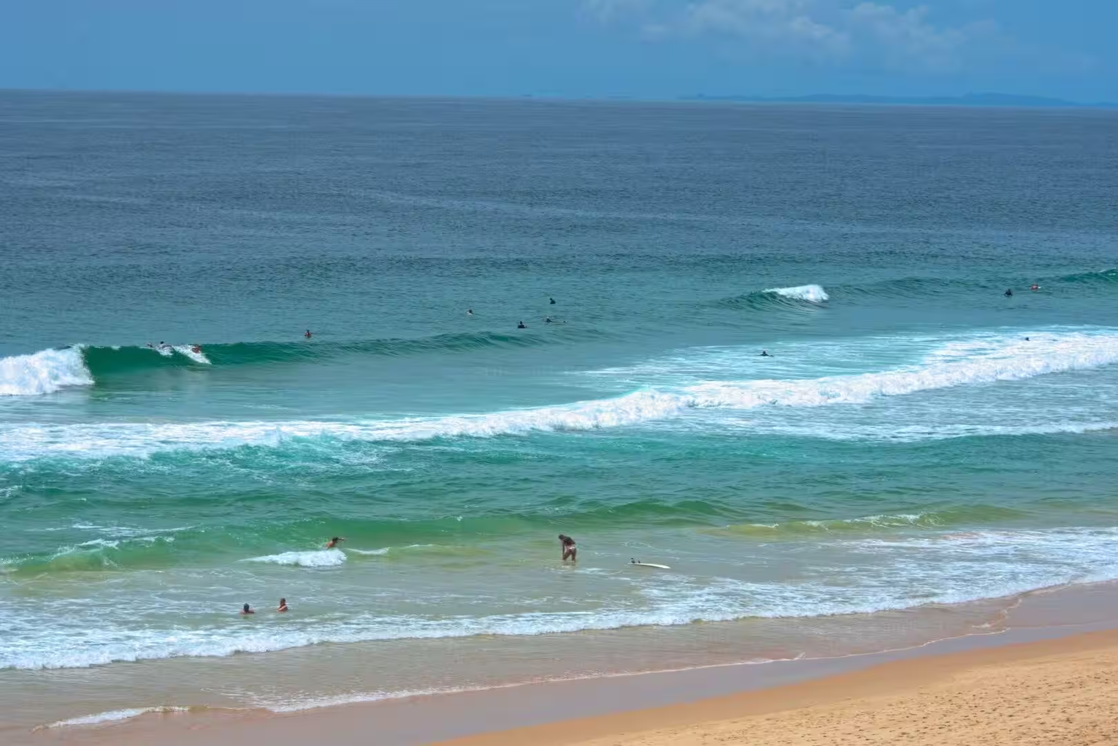
Hervey Bay is a city on the coast of the Fraser Coast Region of Queensland, about 290 kilometres and three and a half hours of highway north of Brisbane. The city faces the bay of the same name, a broad, shallow inlet of the Coral Sea lying between the mainland and the great sand island of K’gari, which shelters it from the ocean swell. The result is a coast of calm, north-facing beaches and wide, open foreshores, quite unlike the surf shores further south.
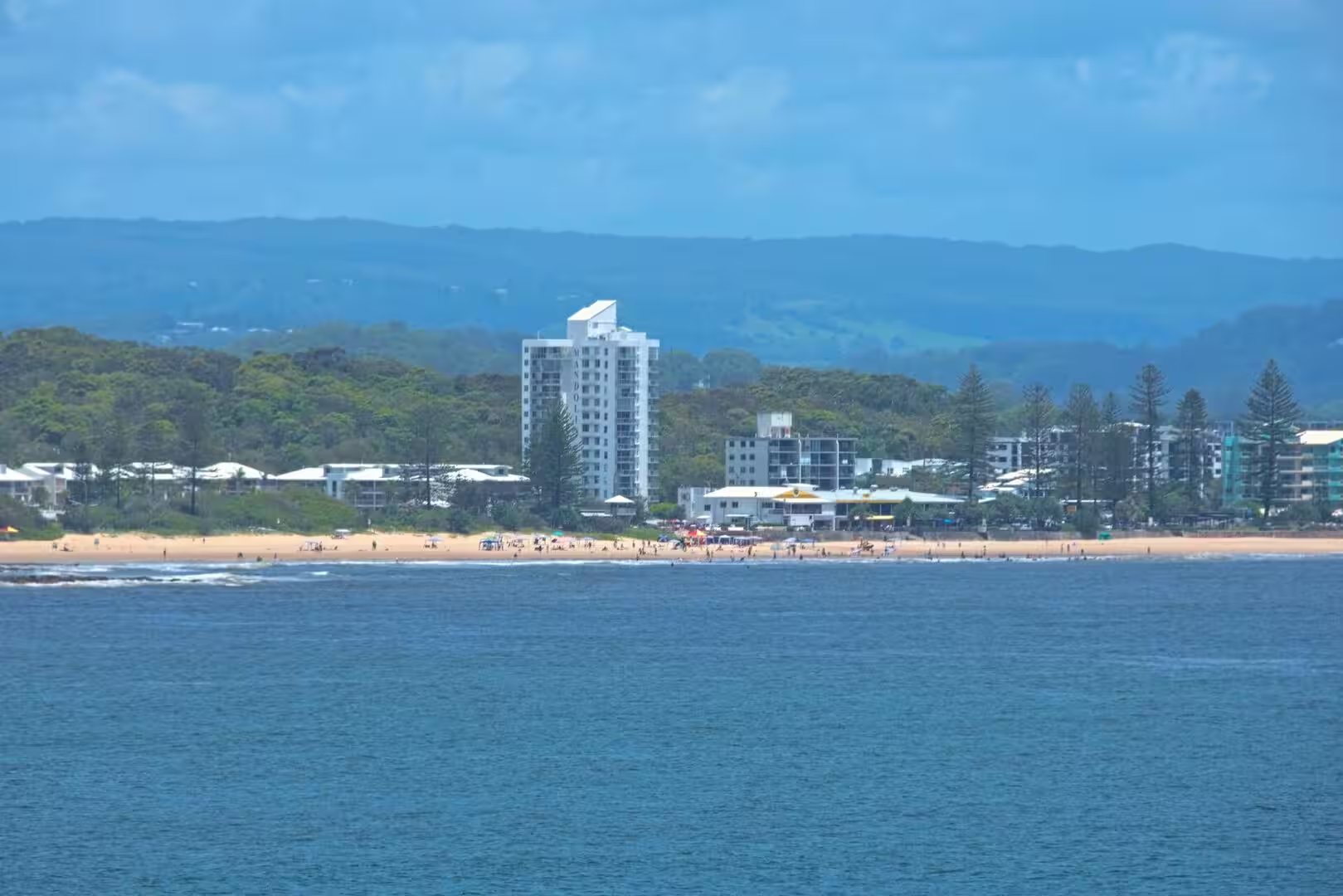
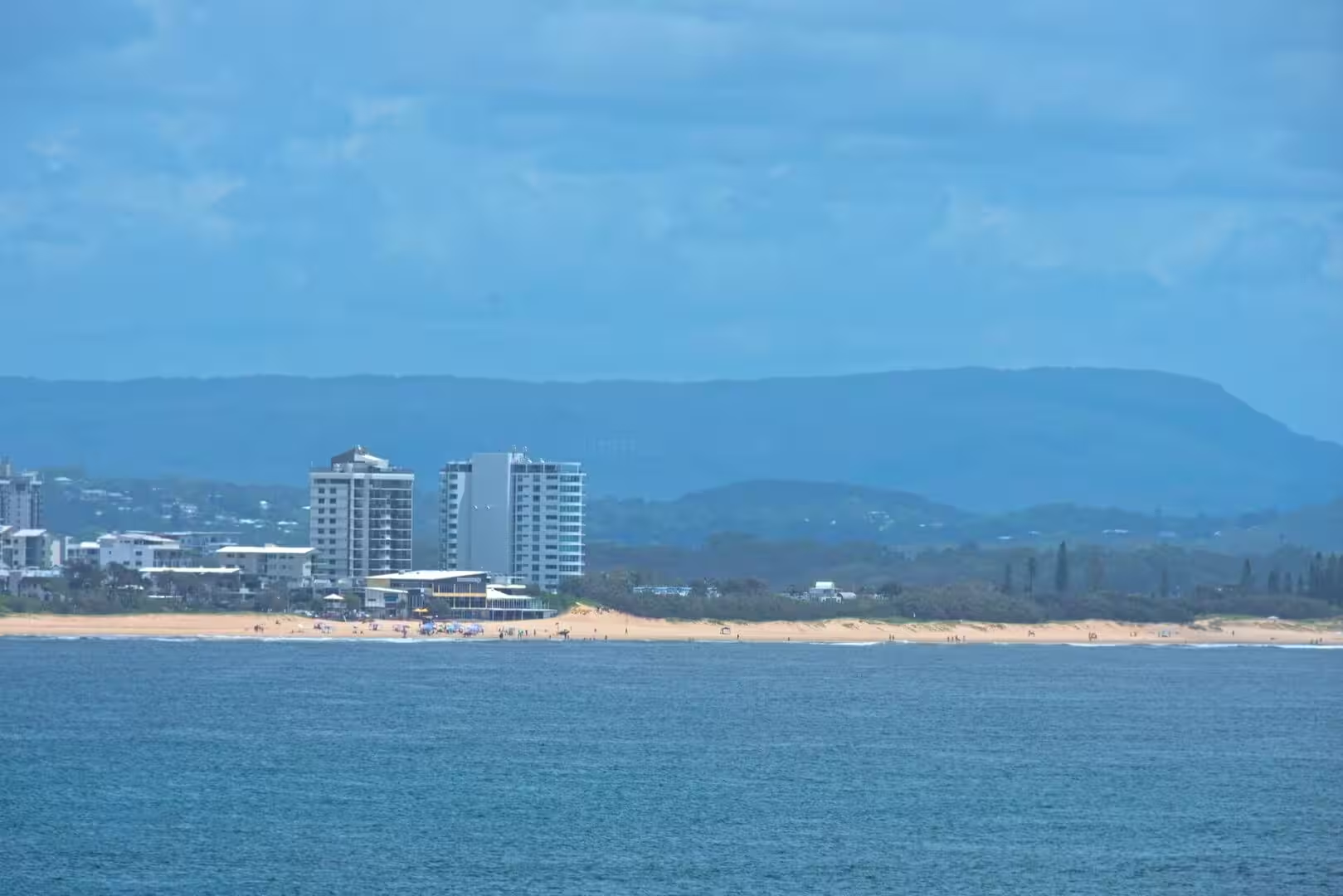
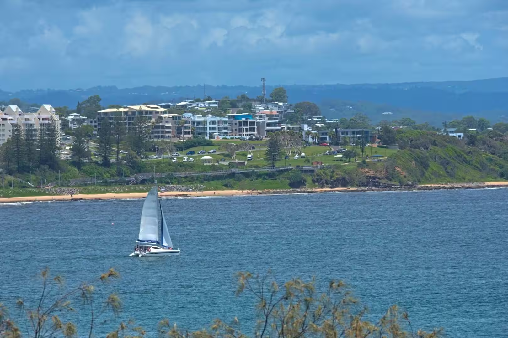
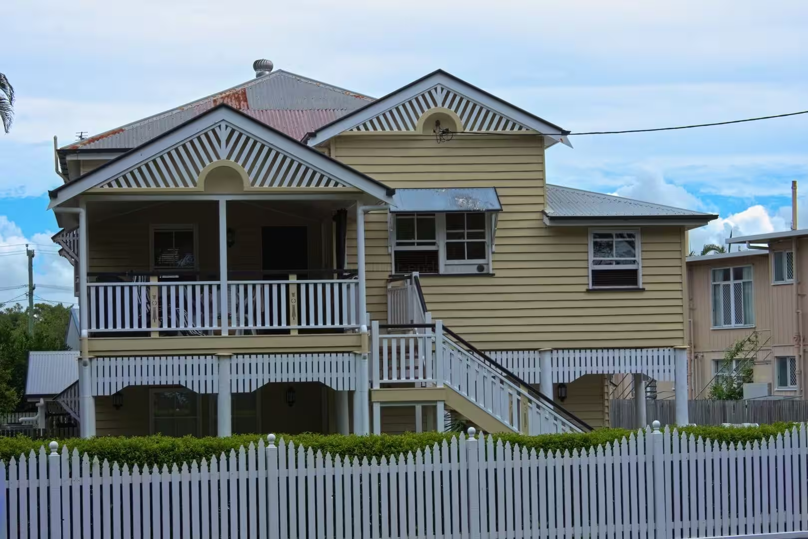
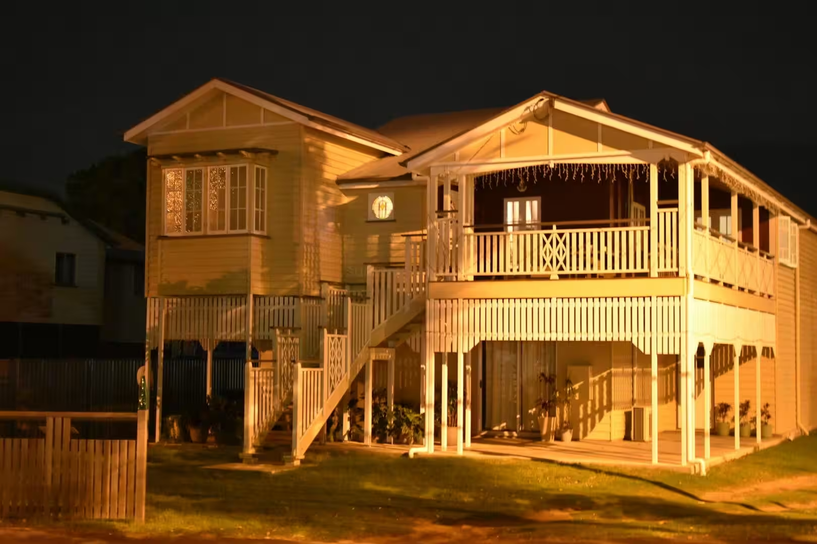
The city is a chain of former seaside towns strung along the bay, each with its own beach and seafront park: Pialba, the oldest, dates from 1863, and is followed south by Scarness, Torquay and Urangan, where the pier and the boat harbour reach into the bay. The suburbs run together into one continuous coastal settlement, their streets of timber houses and holiday apartments set among palms, pandanus and the flowering gardens of the subtropics, with the green hump of K’gari closing the view across the water.
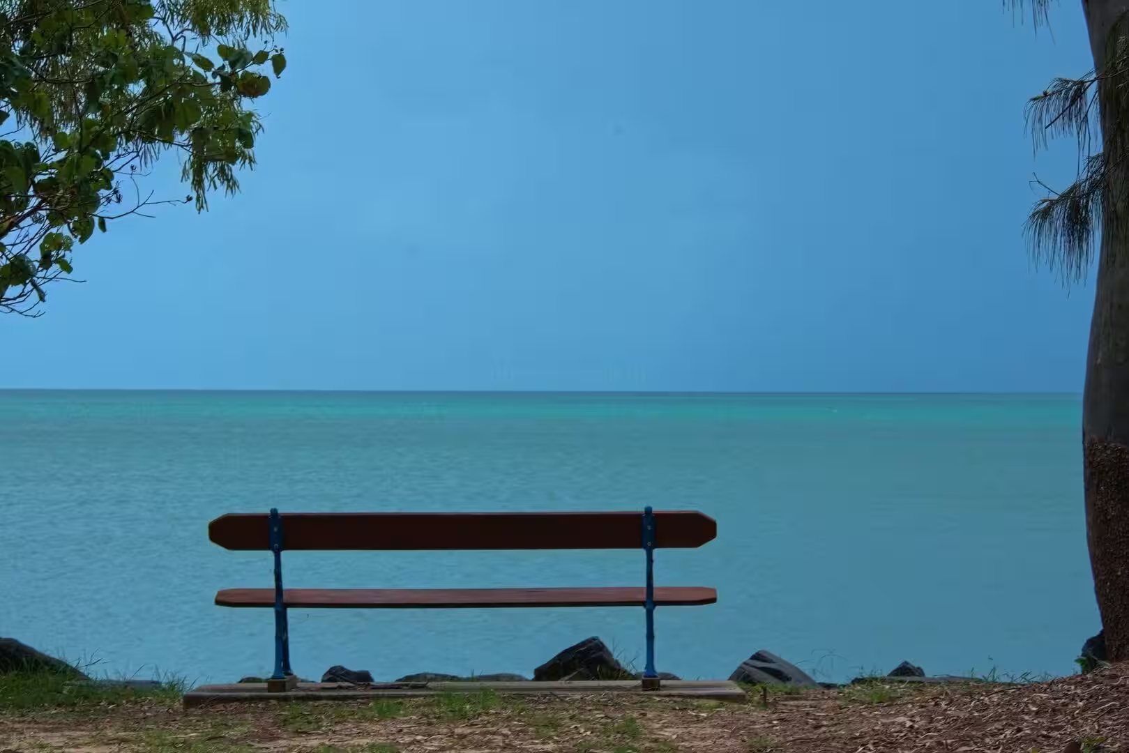
Hervey Bay counted about 58,000 inhabitants in 2021, and it has grown steadily as one of the larger coastal cities of Queensland. The bay is sheltered and calm, one of the gentlest stretches of coast in Australia, and its protected waters have made it a centre of boating, fishing and water sports, while the long seafront parks and walkways give the city its easy, outdoor character. Visitors come for the whales, the island, the fishing and the quiet beaches rather than for crowds and nightlife.
The economy of the city rests on the bay. Whale watching in Platypus Bay, the ferry traffic to K’gari, recreational fishing and boating draw visitors through the year, and in October 2019 Hervey Bay was named the first Whale Heritage Site in the world by the World Cetacean Alliance, in recognition of its sustainable whale and dolphin watching. The harbour at Urangan has grown from a working port into the marina from which the whale boats and the island ferries leave.
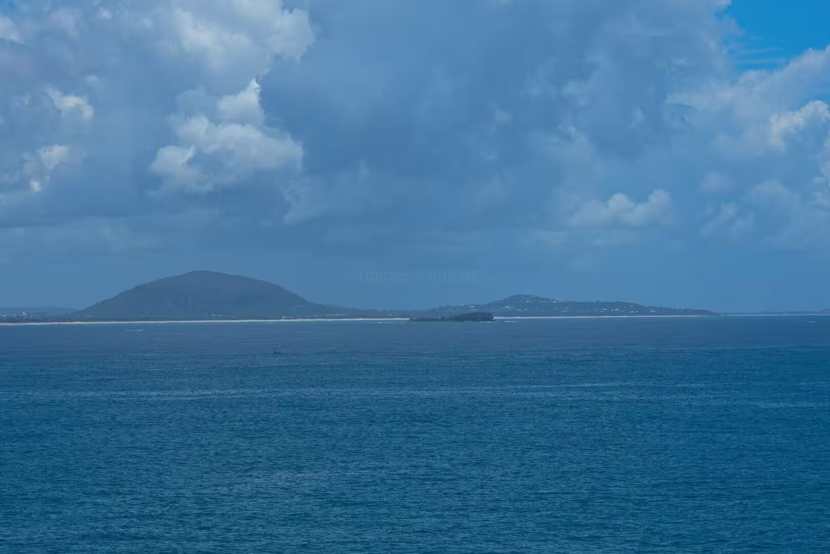
The region around the city is known as the Fraser Coast, after the great island that guards its waters. Maryborough lies inland to the south-west, and the smaller coastal towns of the region line the shores of the Great Sandy Strait. For the visitor Hervey Bay is above all the gateway to K’gari, the island of sand and rainforest whose long silhouette fills the northern horizon of the bay.
History
The bay and its islands have been the country of the Butchulla people, also known as the Batjala, for many thousands of years. The Butchulla story of the bay tells how the creator Yendingie, making the sea and the land, was joined by the beautiful spirit K’gari; she loved the country so much that she asked to remain, and Yendingie changed her into the island, giving it trees and flowers, mirrored lakes and laughing creeks, birds and animals, so that she would never be lonely. The Butchulla held the coast of the Fraser Coast region, fishing the bay and gathering on its shores, and the island of K’gari has remained at the centre of their country and their stories.
The first European to see the bay was James Cook, who charted this coast on 22 May 1770 during his running survey of eastern Australia. He named the waters Hervey Bay in honour of Augustus Hervey, later Earl of Bristol, and the name passed from the bay to the city that grew beside it. In 1799 Matthew Flinders, working south in the Norfolk, established that K’gari was an island and not part of the mainland, although he found no navigable passage through the strait behind it; a lookout in Dayman Park at Urangan commemorates his survey.
The strait was first navigated in 1846, when Lieutenant Joseph Dayman of the Royal Navy took the small decked boat Asp through the passage between the island and the mainland, rather than risk the open ocean around the northern tip of K’gari. Settlement of the bay shore followed slowly: Pialba was the first township, from 1863, and by the end of the century a string of small seaside settlements lined the water, reached by road from Maryborough.
The railway from Maryborough reached Pialba in 1896 and was extended to Urangan in 1913, its terminus built out onto the long pier so that the coal of the Burrum fields could be loaded into ships. For seventy years the pier served the shipping of the bay, until the last ship docked there in January 1985. During the Second World War the quiet coast had a secret role: a training school of the Z Special Unit, the Allied special forces of the Pacific war, operated in the region.
The modern city grew with the tourist boom of the 1980s and was proclaimed a city in 1984. Whale watching made Hervey Bay world famous, the ferries to K’gari multiplied, and in 2023 the state government restored the island’s traditional name, K’gari, after more than 150 years as Fraser Island. The bay that Cook named for an English admiral has become one of the best known whale grounds of the world.
Geology
The bay is a shallow shelf of the sea, protected from the waves of the Coral Sea by the vast sand island of K’gari. The island was once part of the mainland: it became separated by the rising seas of the last ice age, between about 10,000 and 20,000 years ago, when the ocean drowned the low land behind it. Since then the currents of the coast have built the island higher with sand, and its dunes, lakes and rainforest stand on a foundation of pure sand.
Between the island and the mainland lies the Great Sandy Strait, a channel some 70 kilometres long that runs south from Hervey Bay to the ocean at Inskip Point. The strait is shallow and island-studded, its waters fed by the Mary River and spread over more than 900 square kilometres of banks and channels, and at low tide great areas of sand and mud fall dry. Most of its islands are low and sandy; Big Woody Island, the highest of the northern group, rises to 50 metres above the water. It is a water of mangroves, seagrass and wading birds, sheltered from the sea by the island along its whole length.
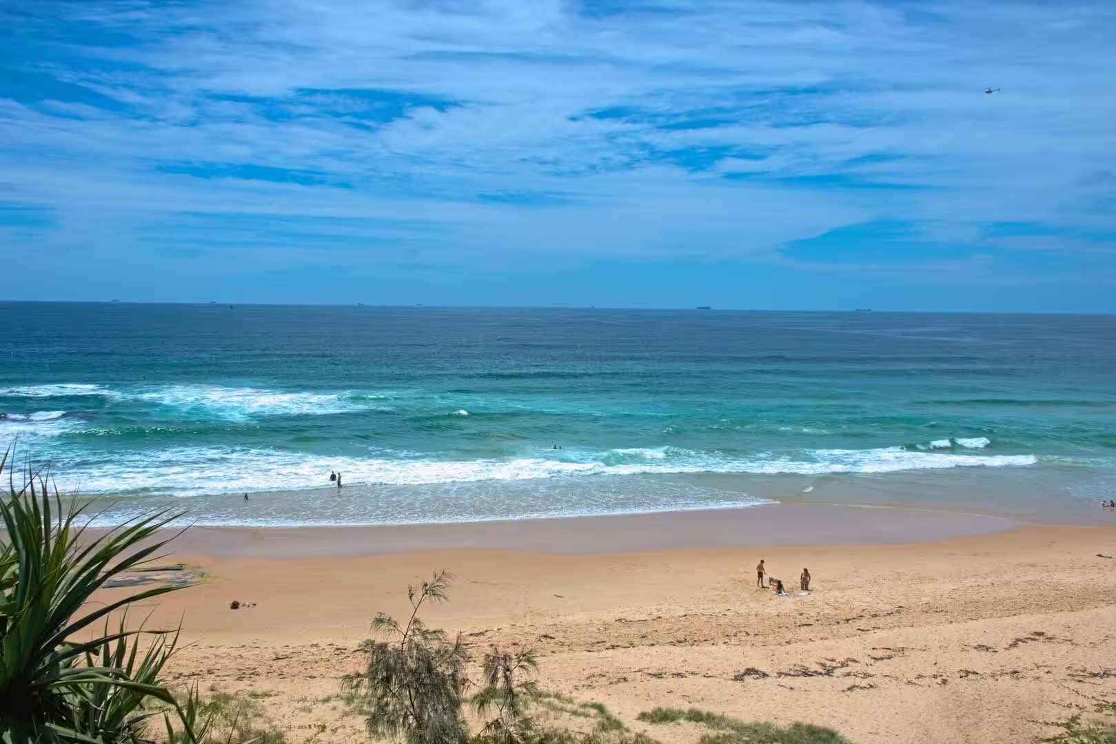
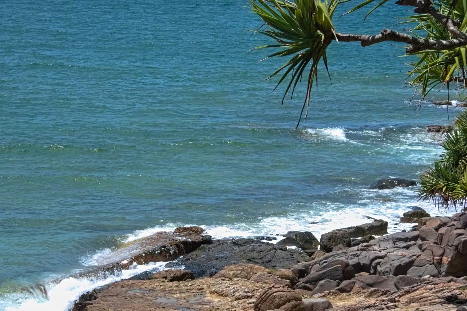
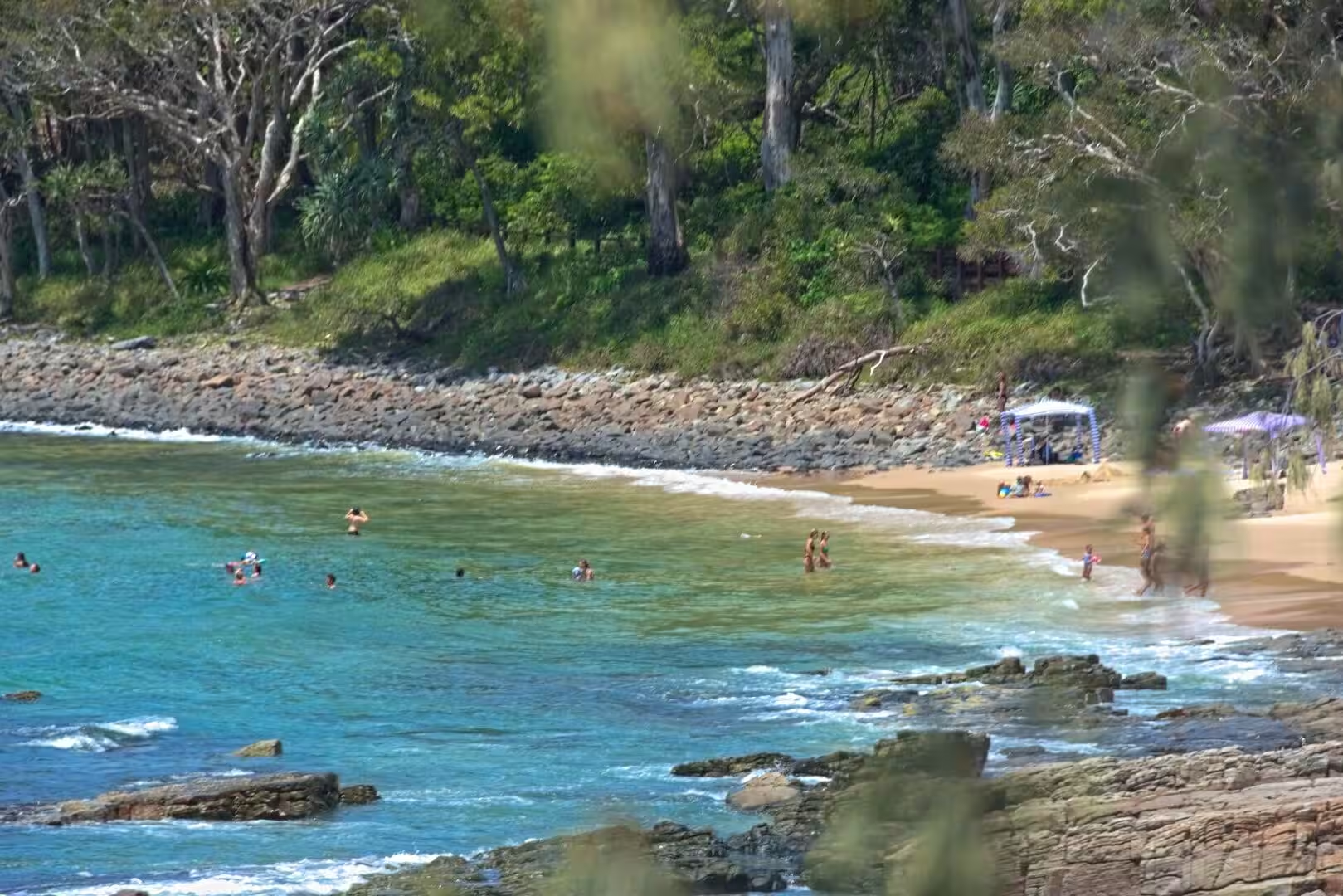
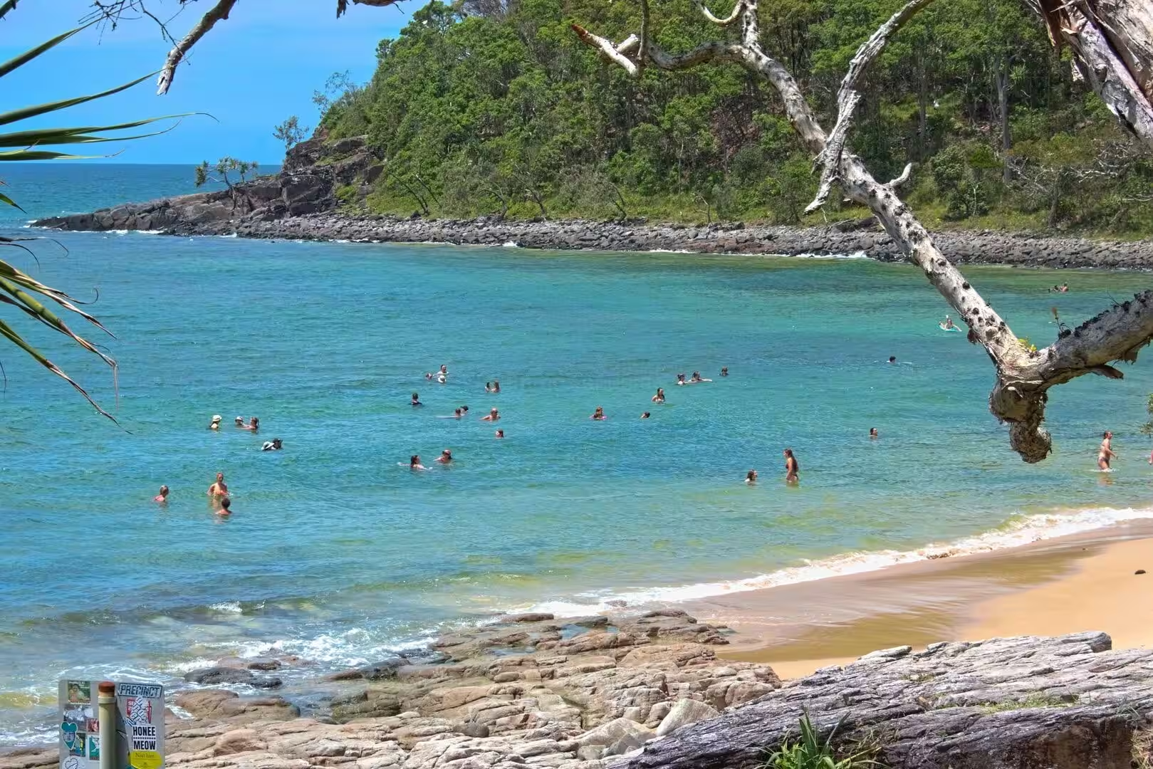
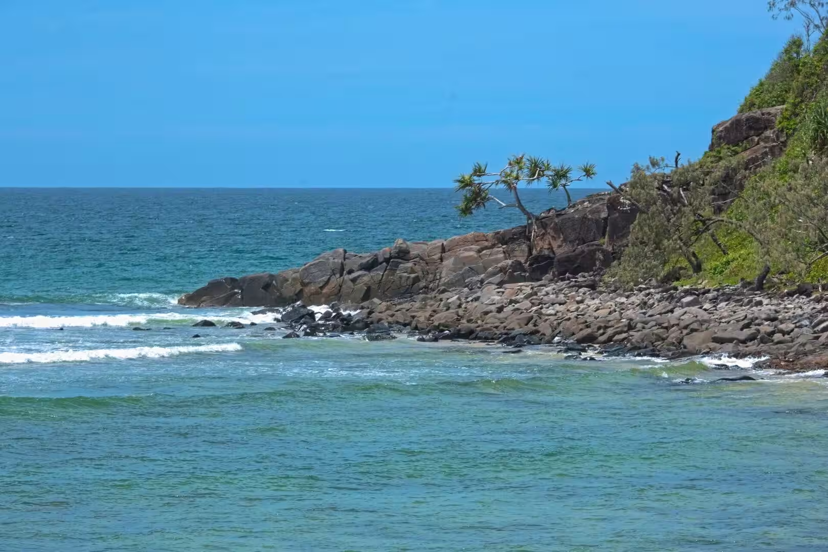
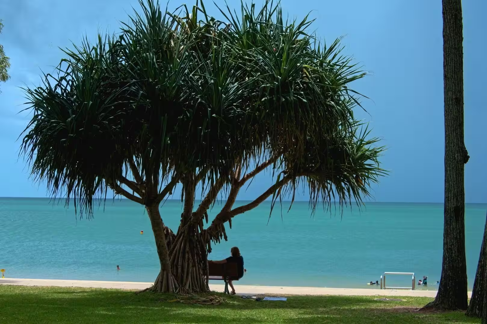
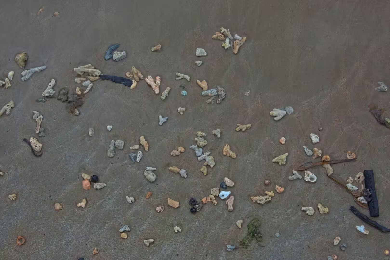
The shore of Hervey Bay itself is a coast of sand and calm water. The beaches face north and are washed by gentle tides rather than surf, so that wide sandflats build out into the bay and fall dry at low tide, cut by the channels of the ebb. The seafront of the city stands on old dunes, and the beaches of the suburbs, among them Shelly Beach between Urangan and Torquay, take their character from the shells and sand of the shallow bay.
The sand that built the coast comes from the rivers of the region and from the island itself, carried by the longshore drift and piled by the wind into the dunes behind the shore. The result is a landscape of great simplicity: sand, water and sky, with the green of the island and the coastal woodland between them. It is a young and mobile land, where channels shift, banks build and the outline of the bay changes slowly with every tide.
Things to See
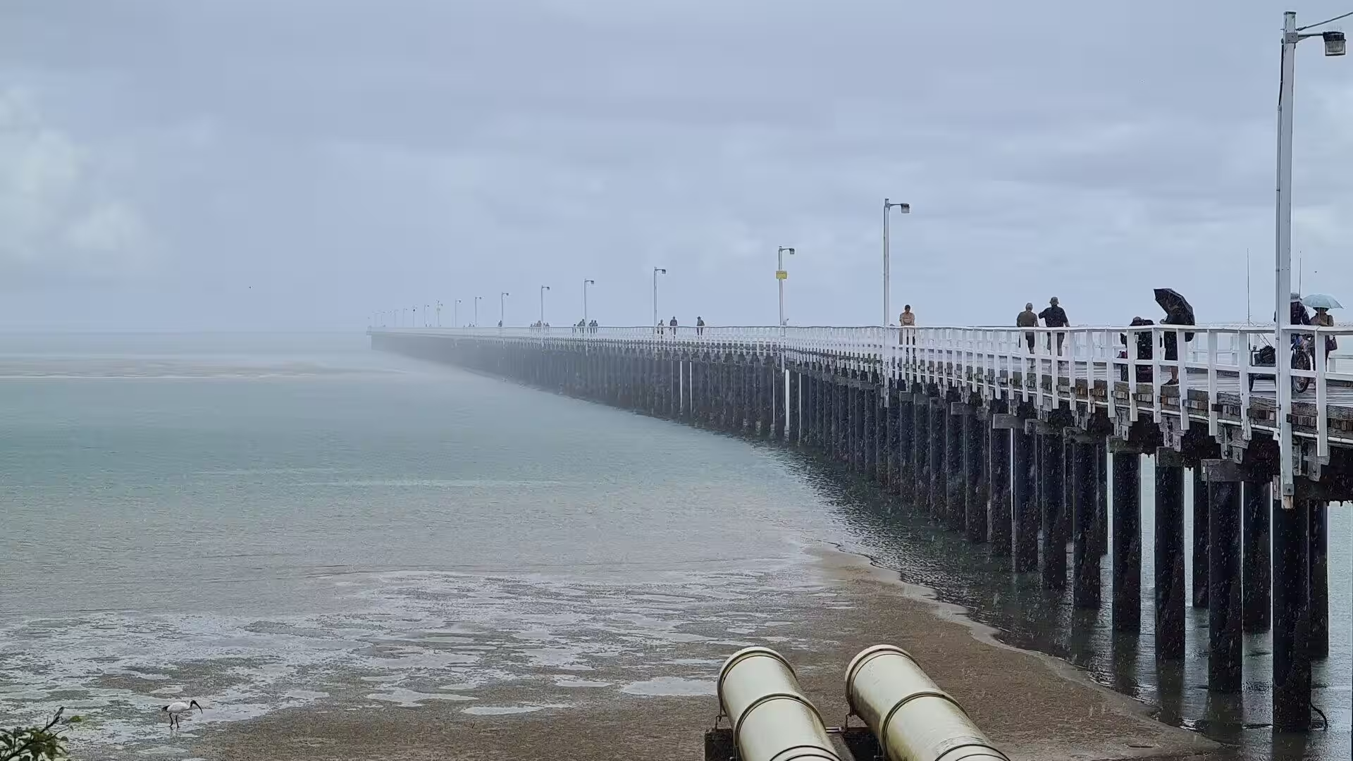
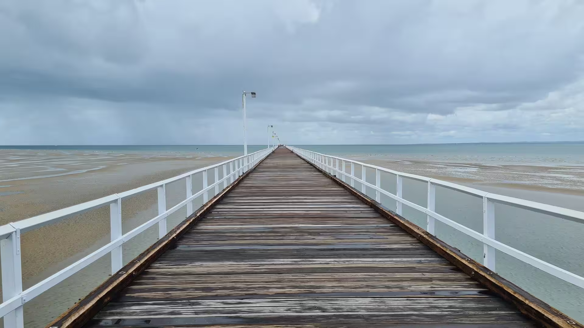
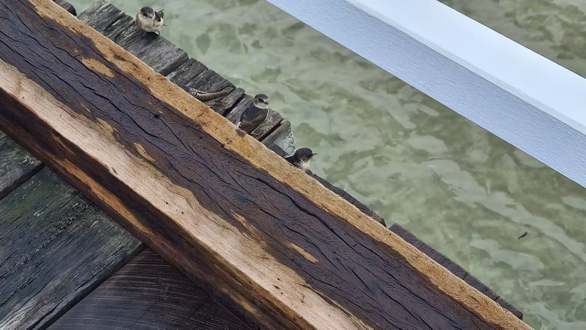
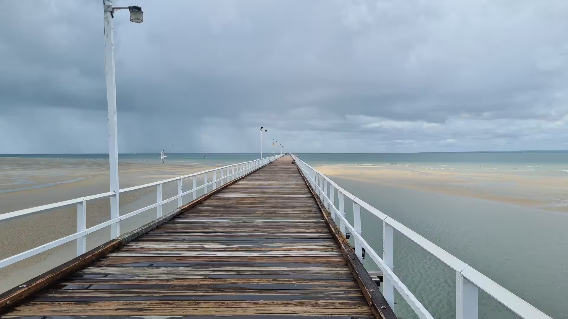
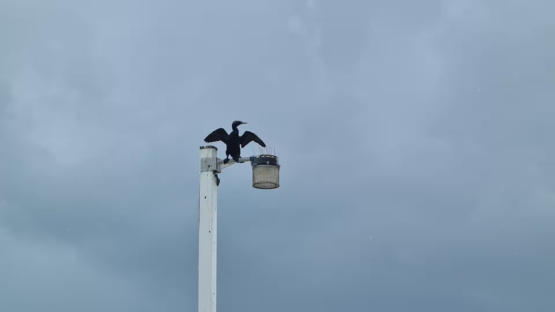
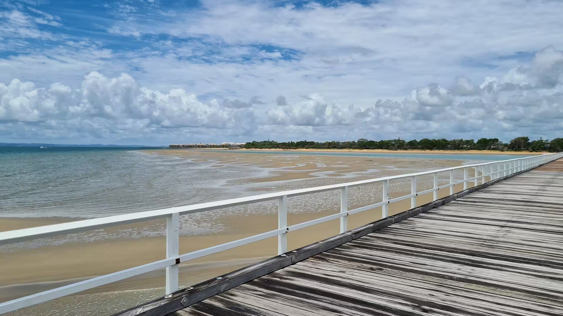
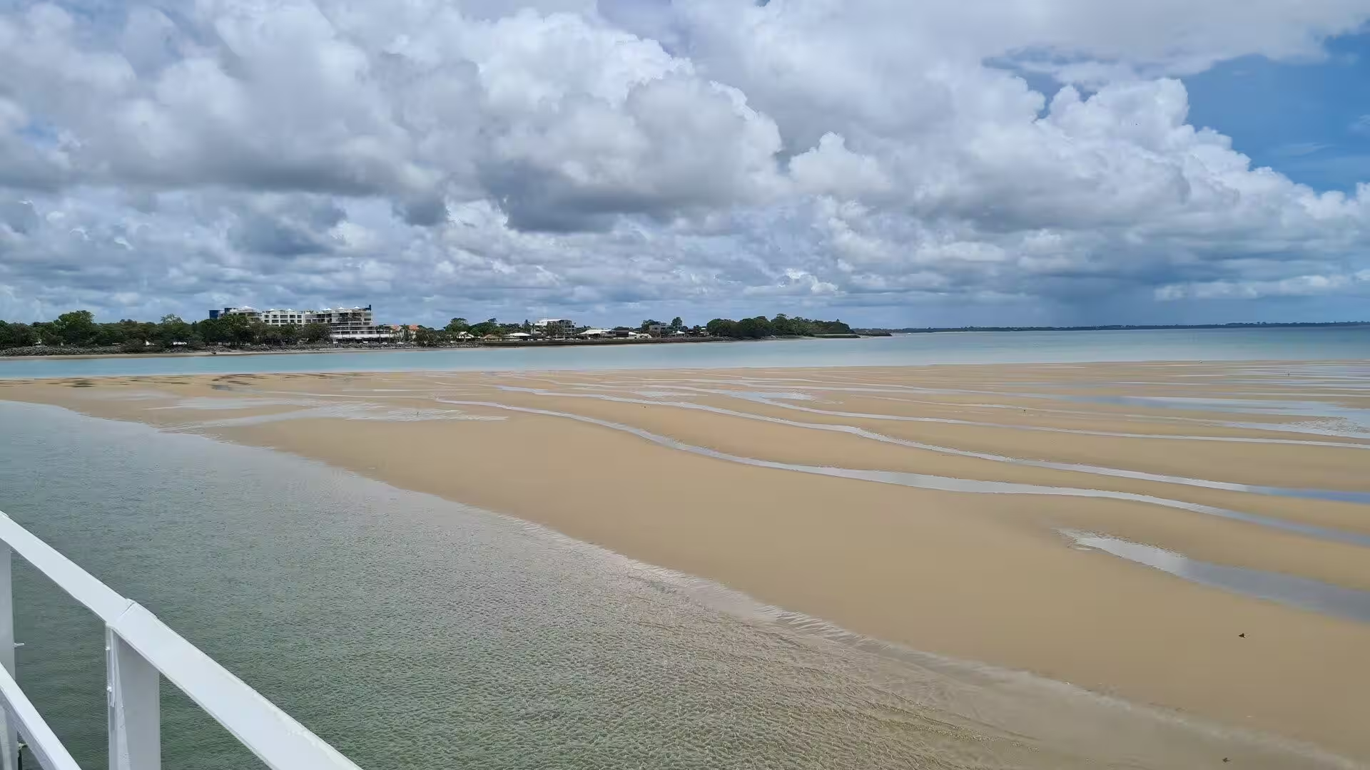
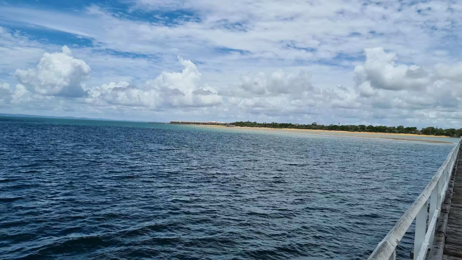
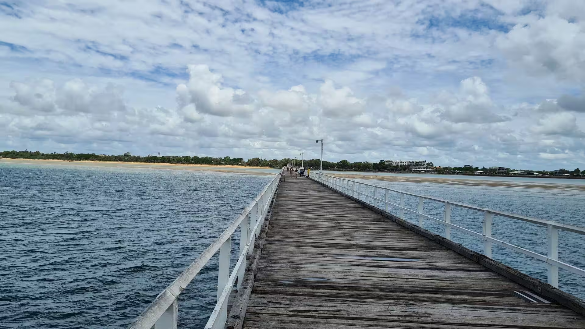
The landmark of Hervey Bay is the Urangan Pier, which strides almost a kilometre out into the bay, one of the longest piers in Australia. The pier carried the railway line that was extended to Urangan in 1913 to ship the coal of the Burrum fields, and it served the port until the last vessel called in 1985. Today the pier is a promenade and fishing platform above the shallows: at low tide the sandflats fall bare beneath it, crossed by winding channels, and swallows rest on its rails and cormorants dry their wings on the lamp posts, while dolphins and stingrays pass in the clear water below the walkers. Fishing is allowed along the whole length of the pier, with whiting among the common catches, and the far end gives the widest view of the bay and the island.
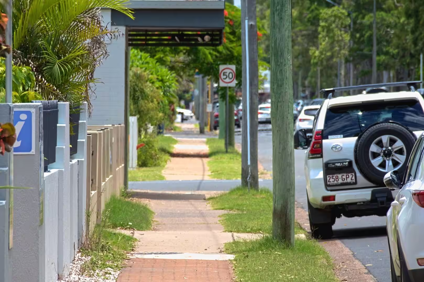
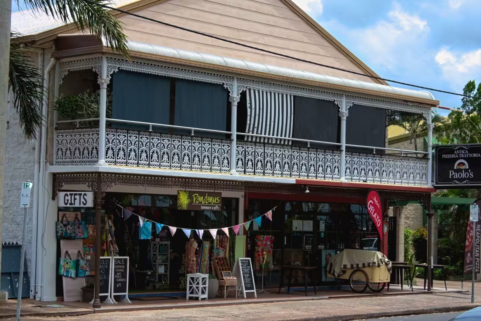
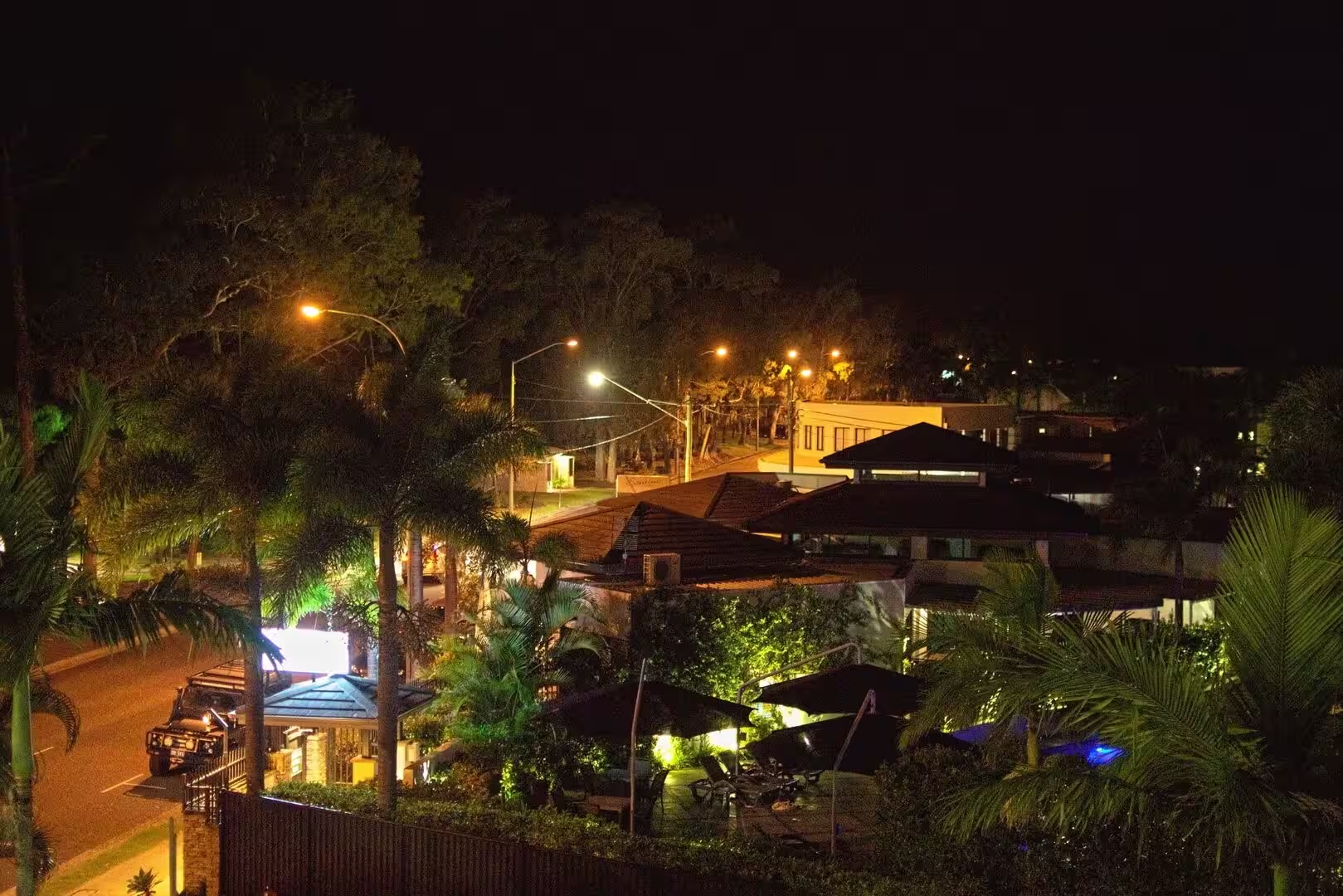
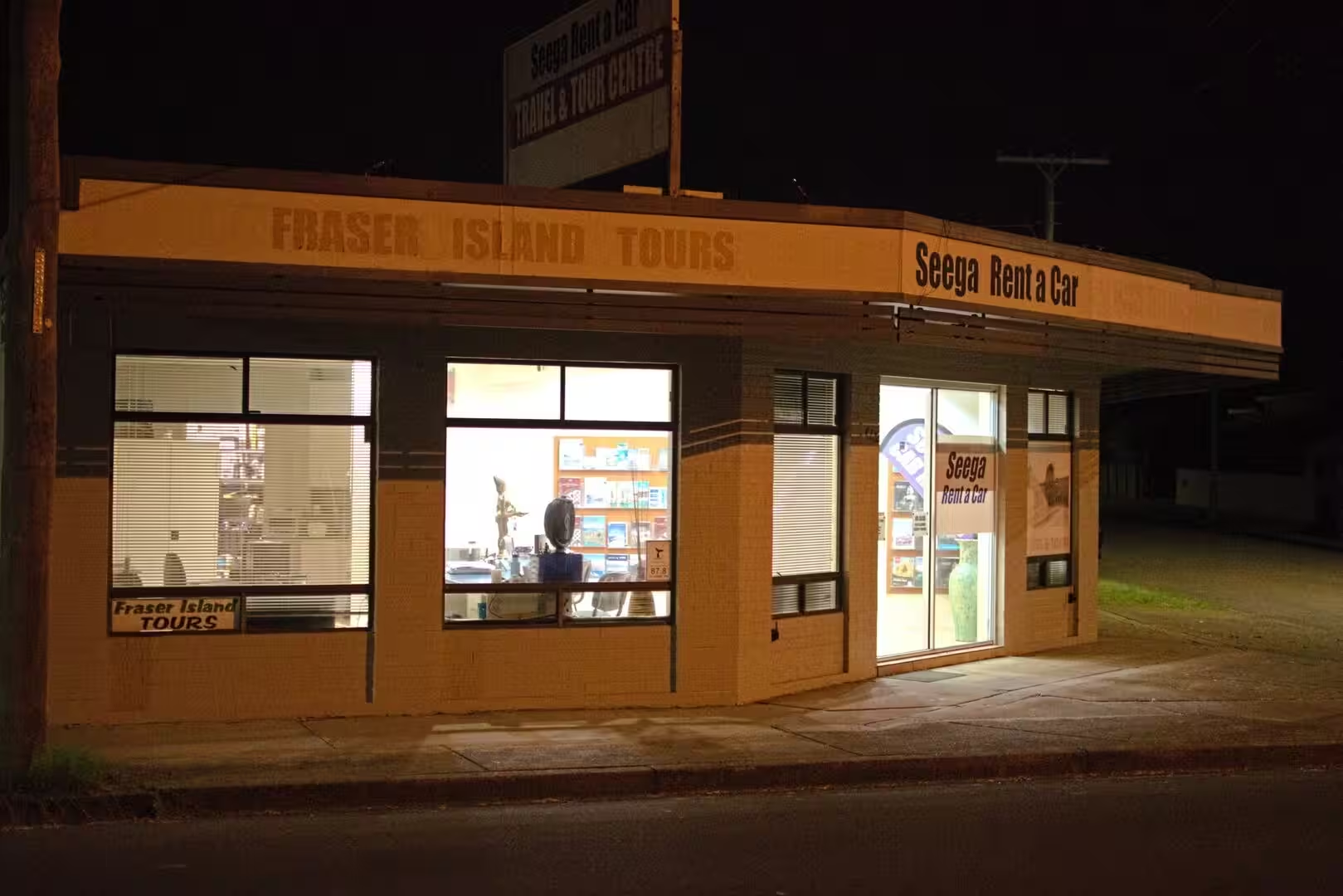
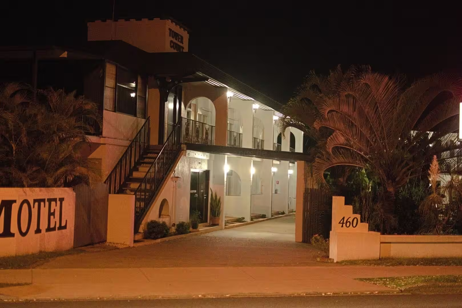
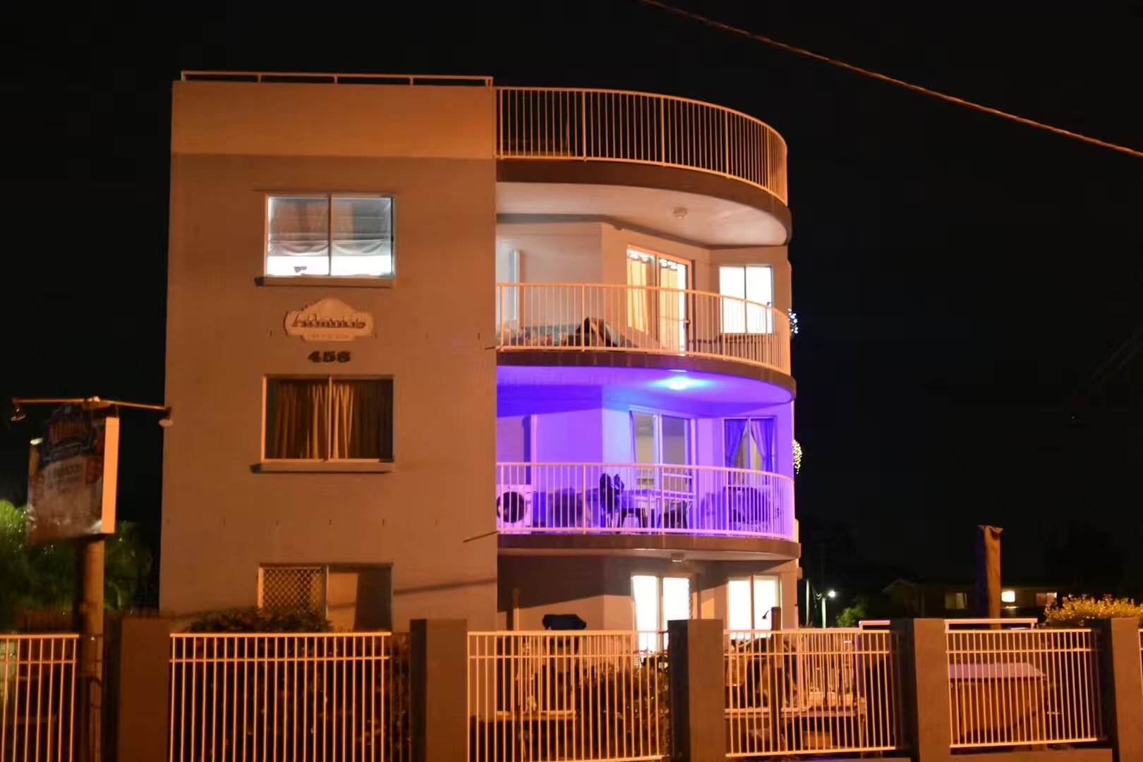
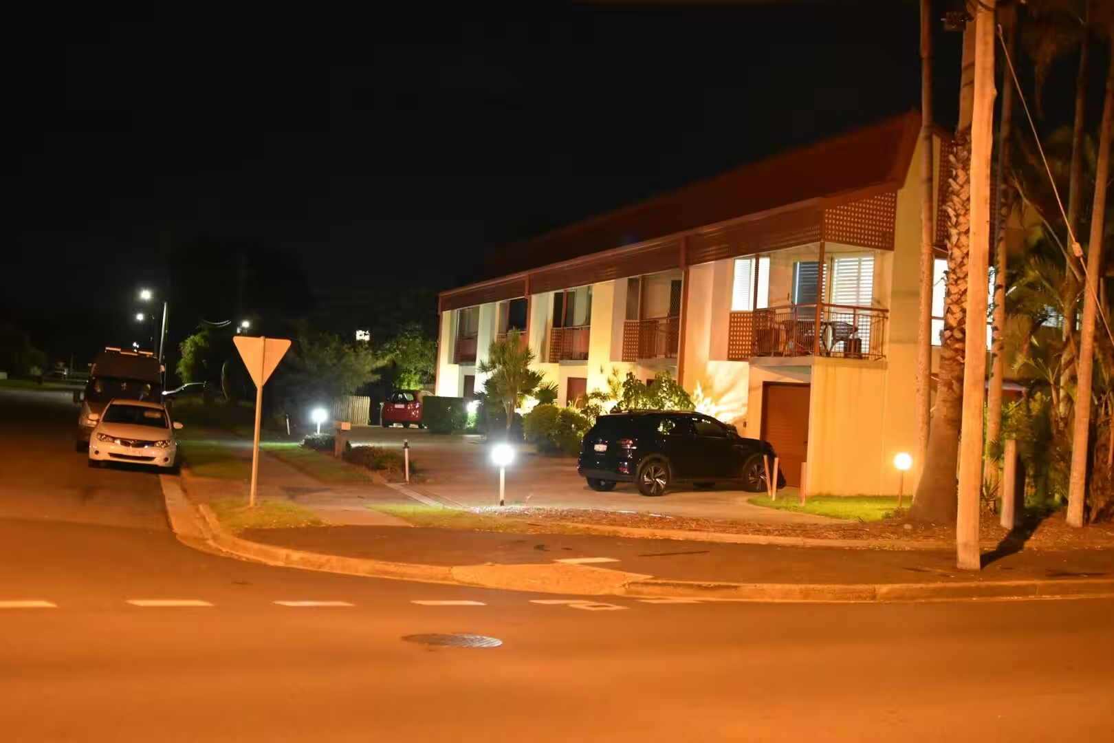
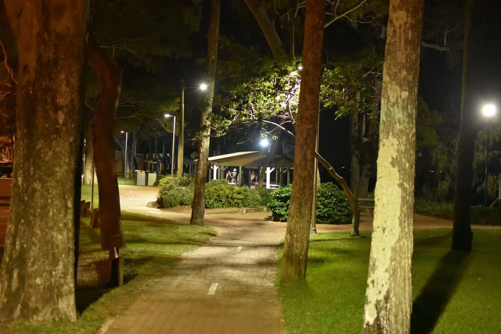
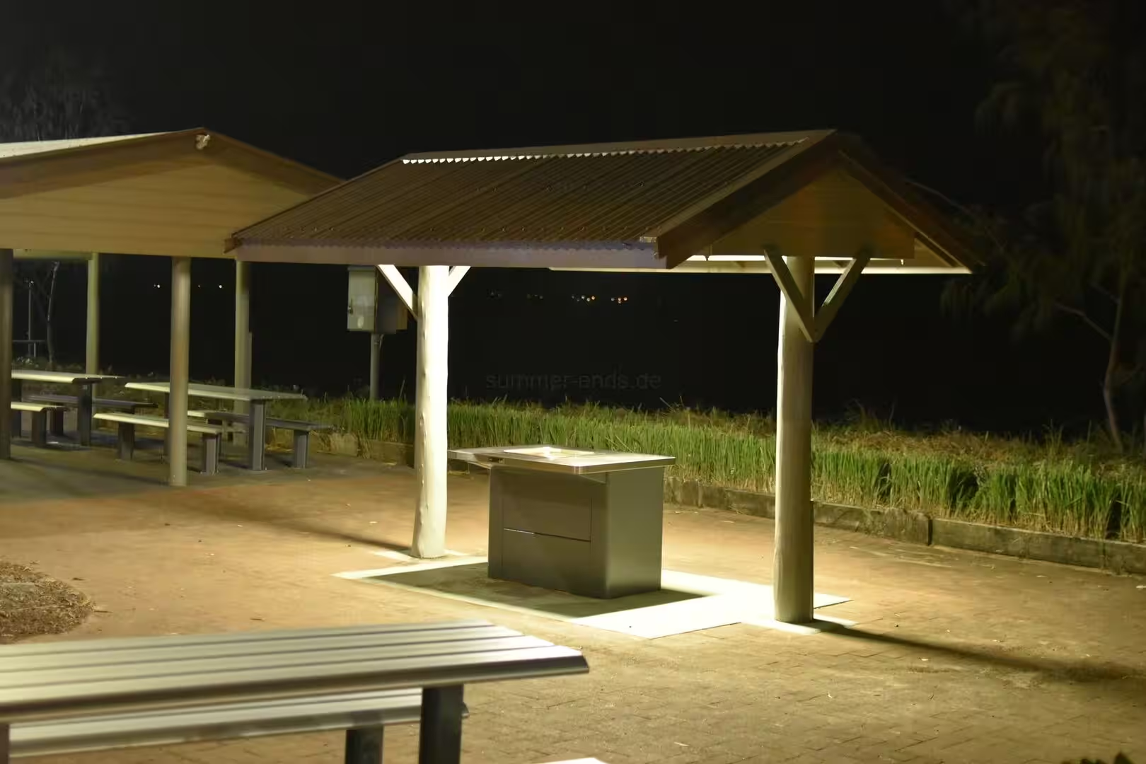
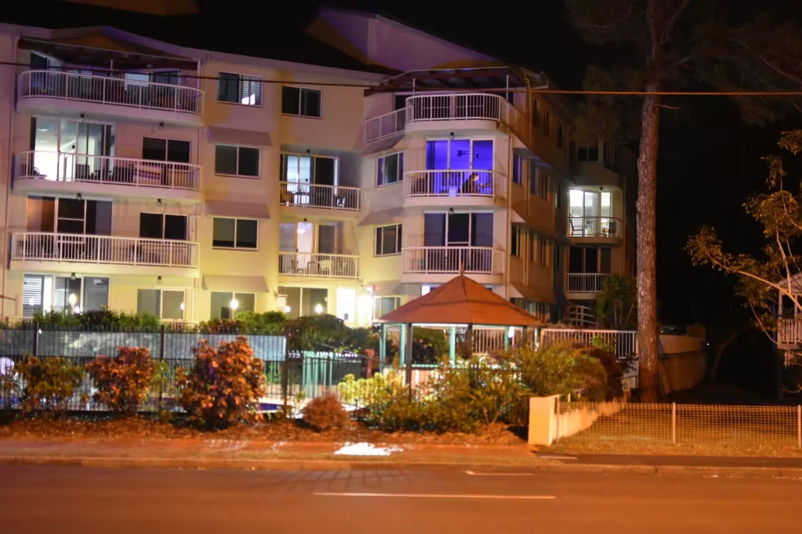
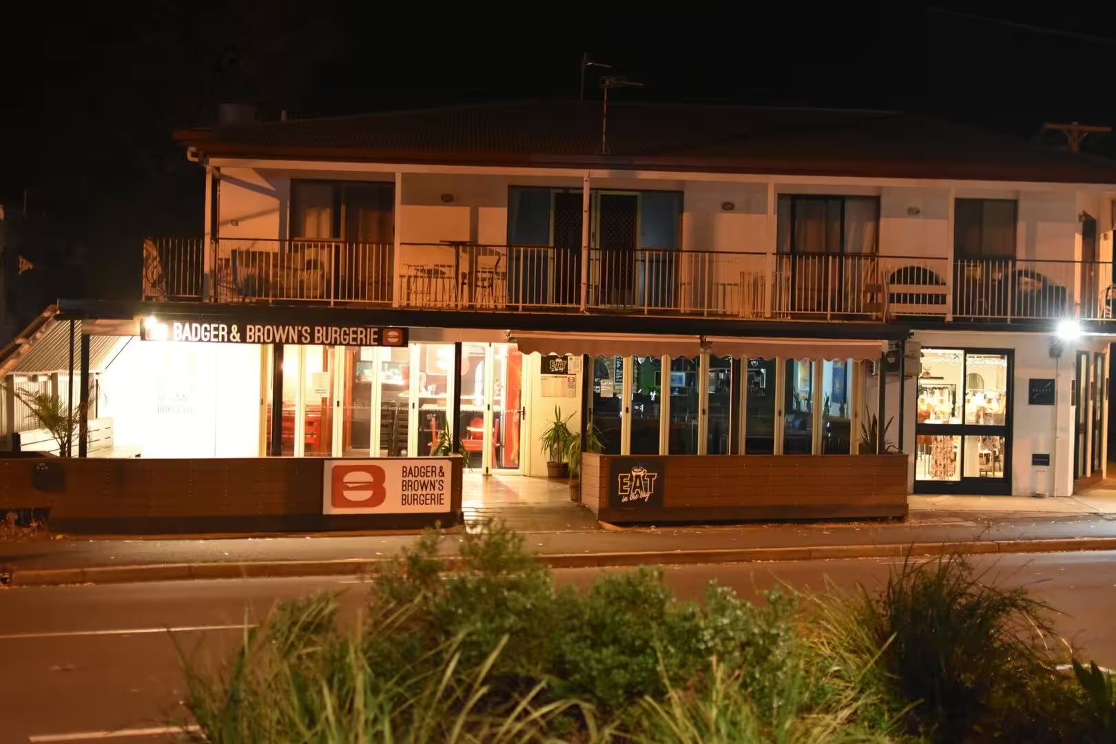
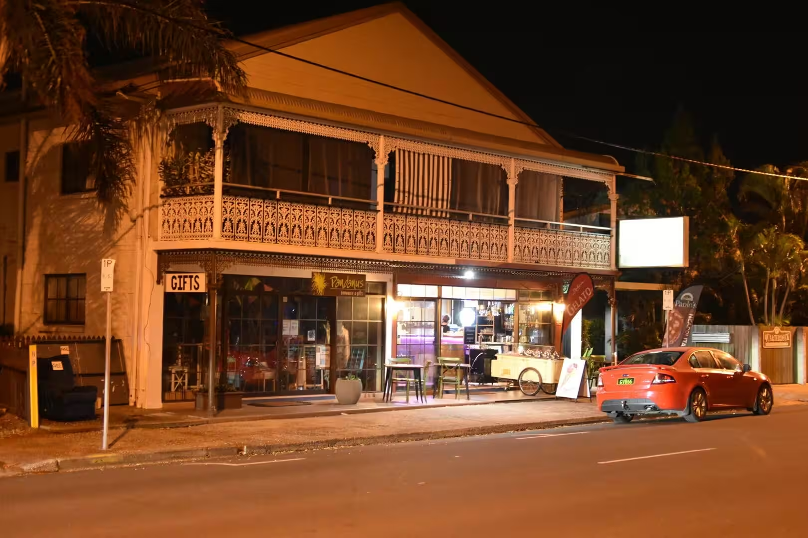
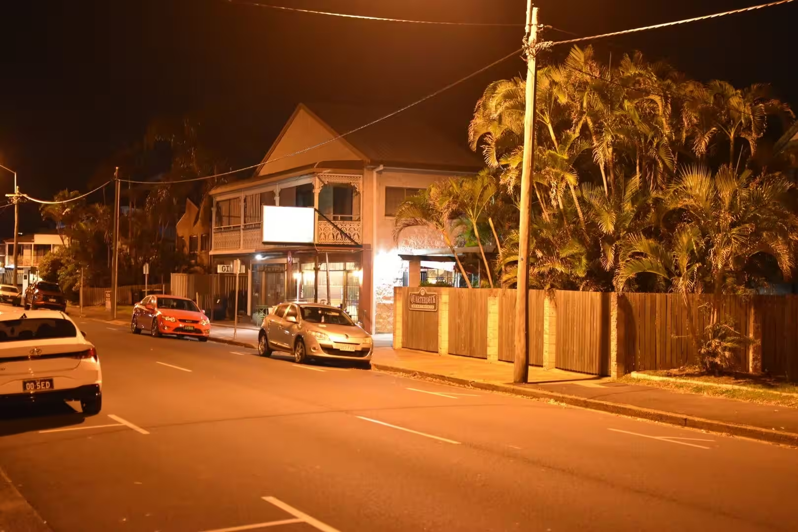
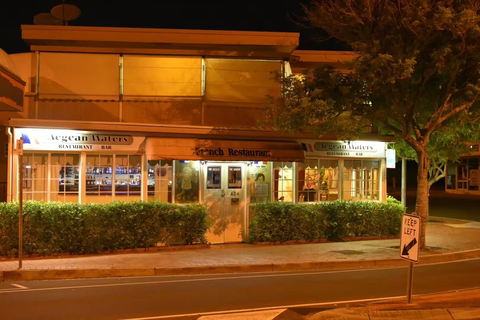
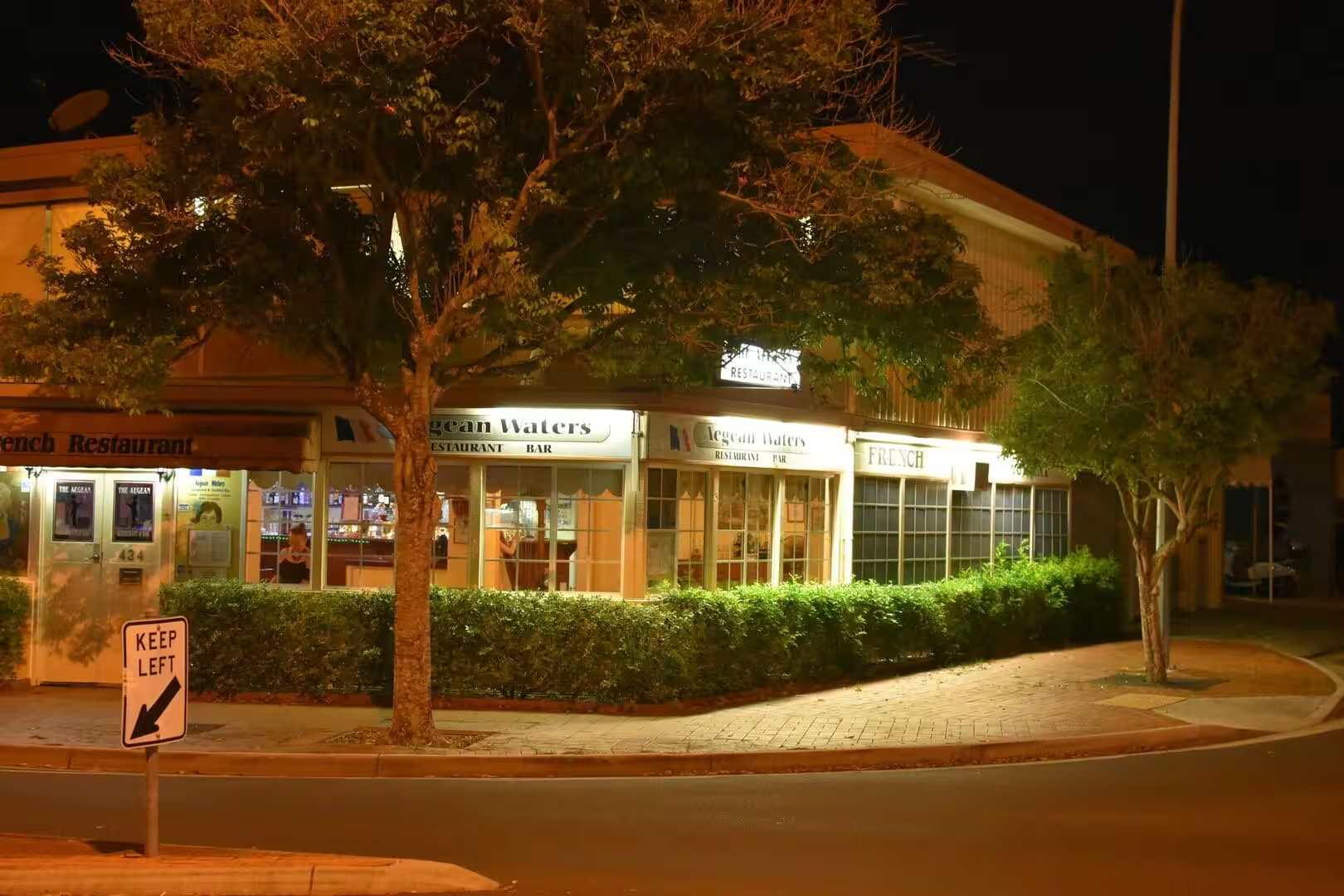
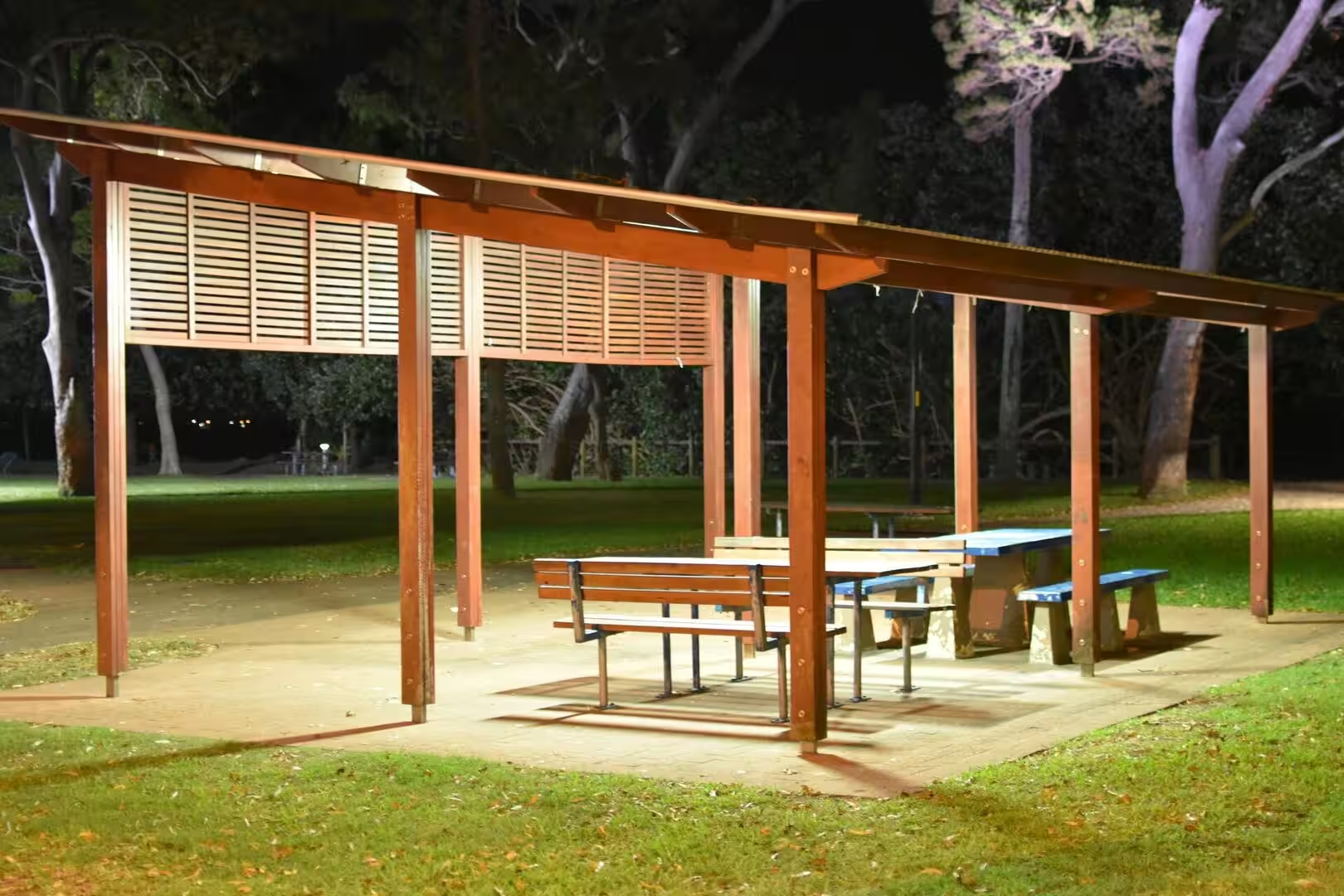
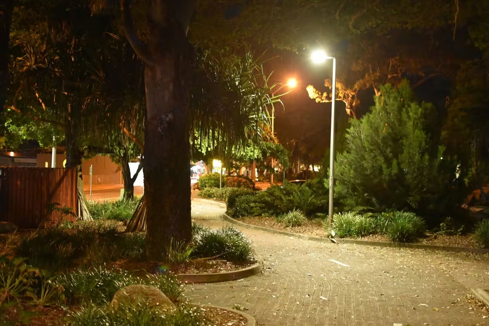
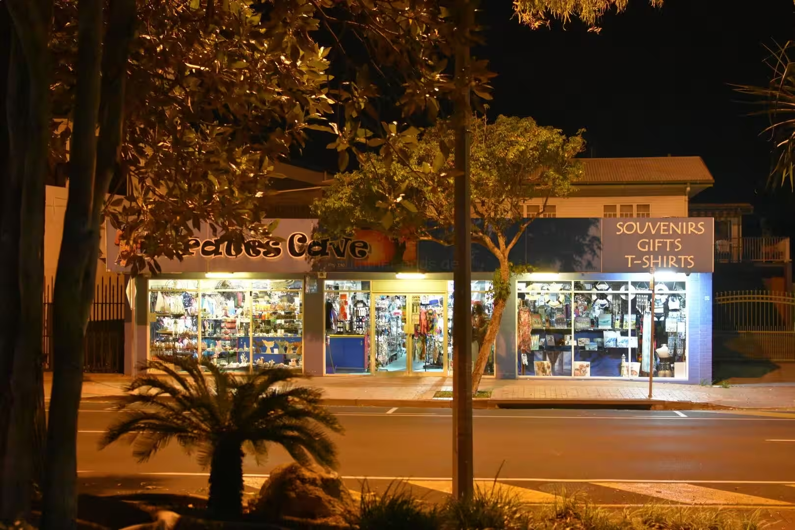
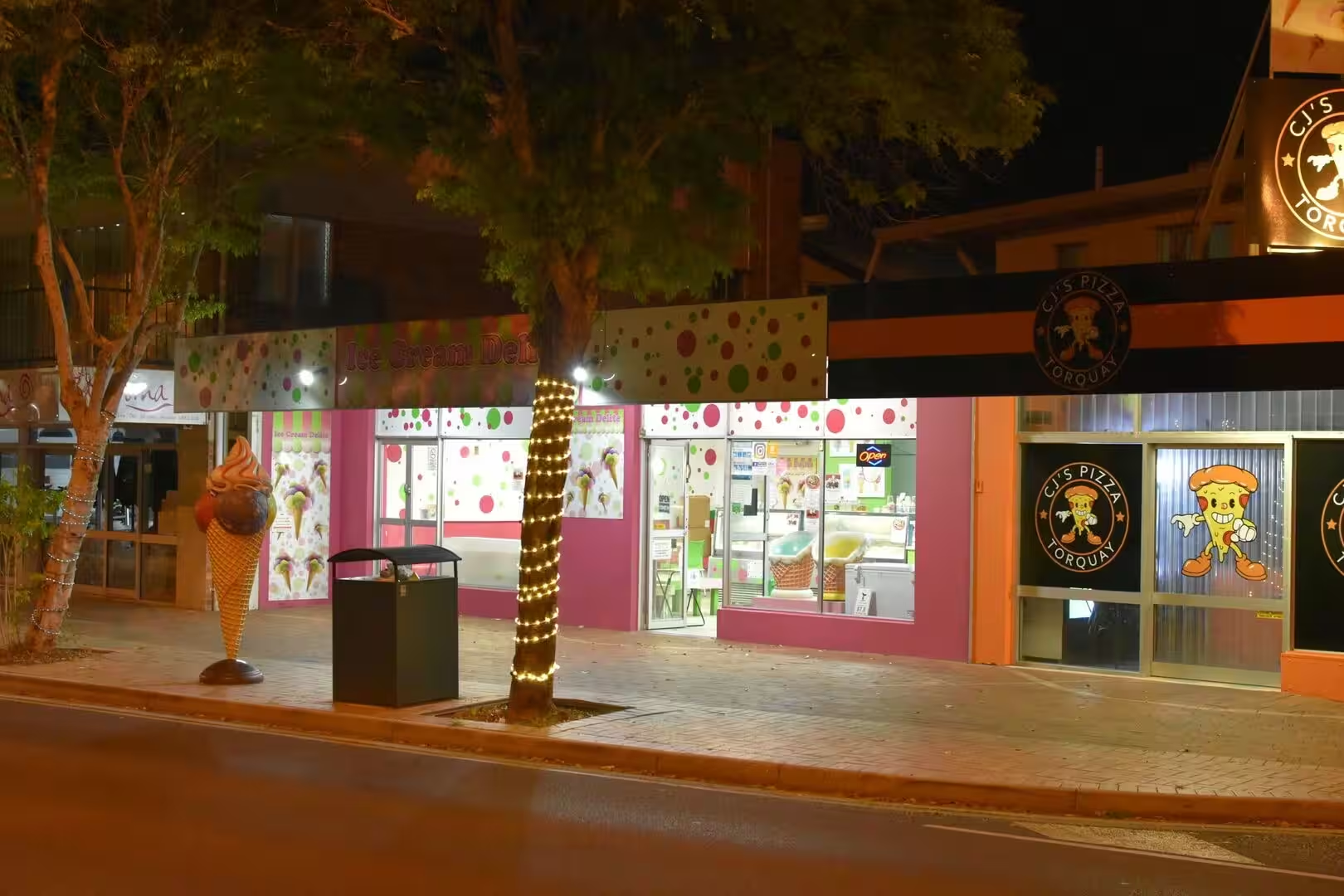
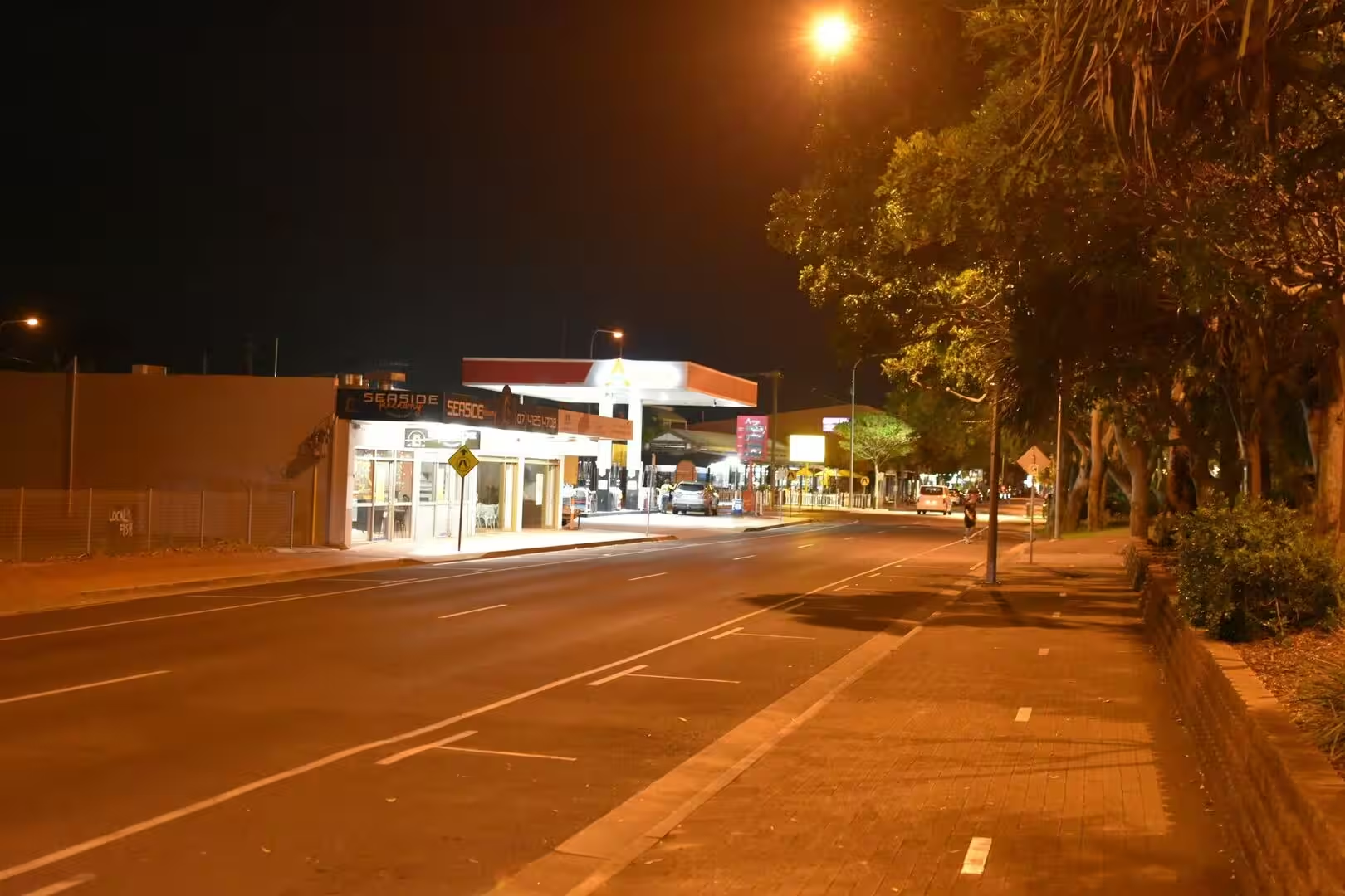
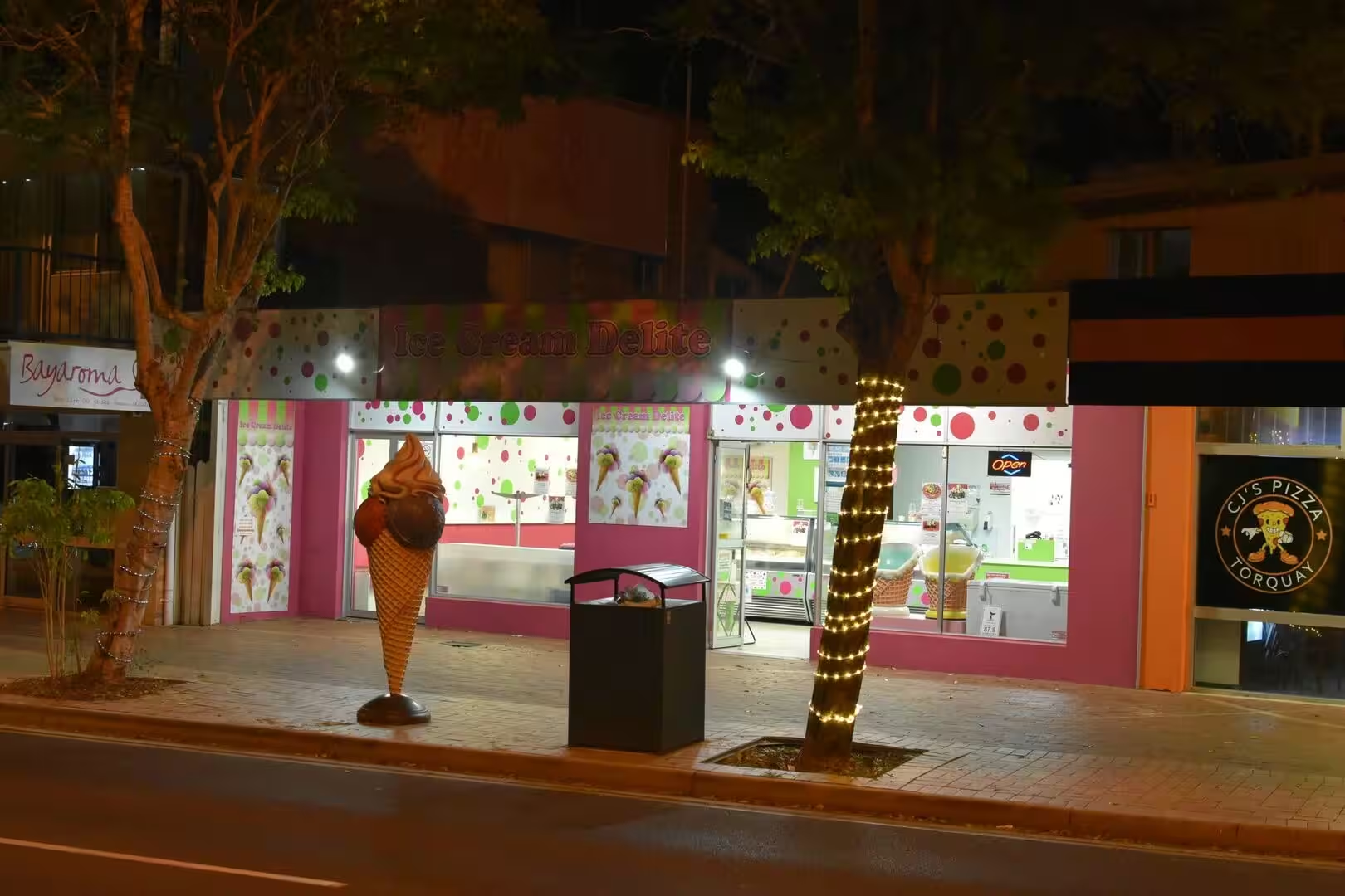
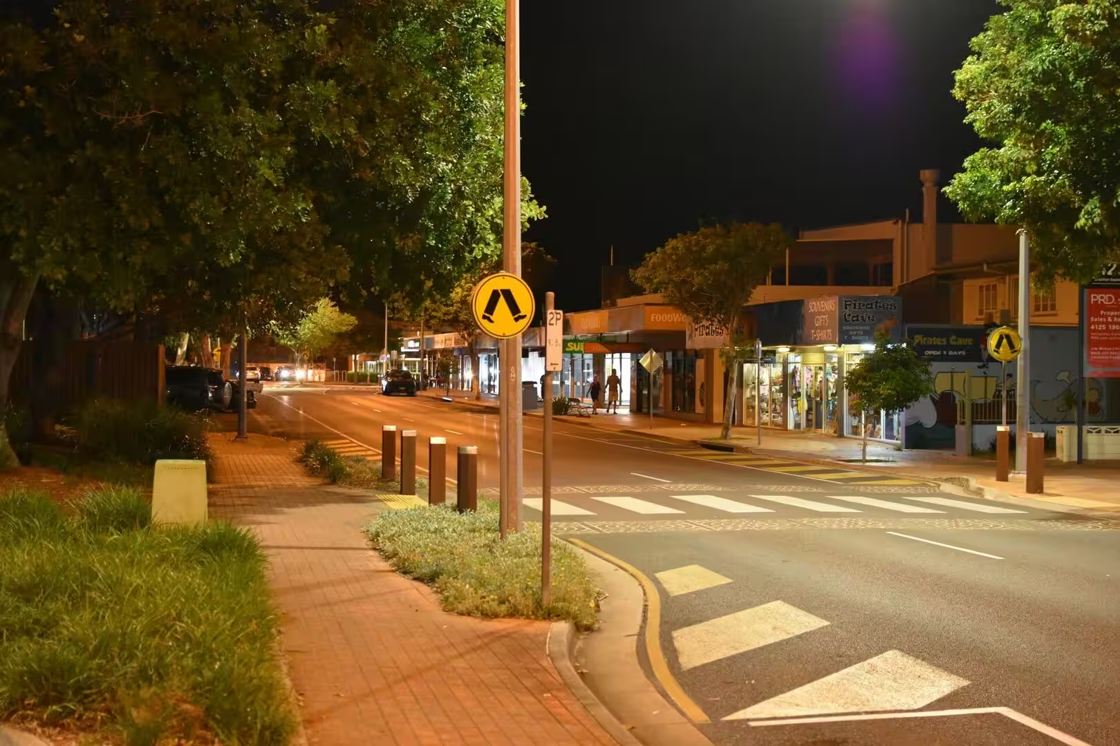
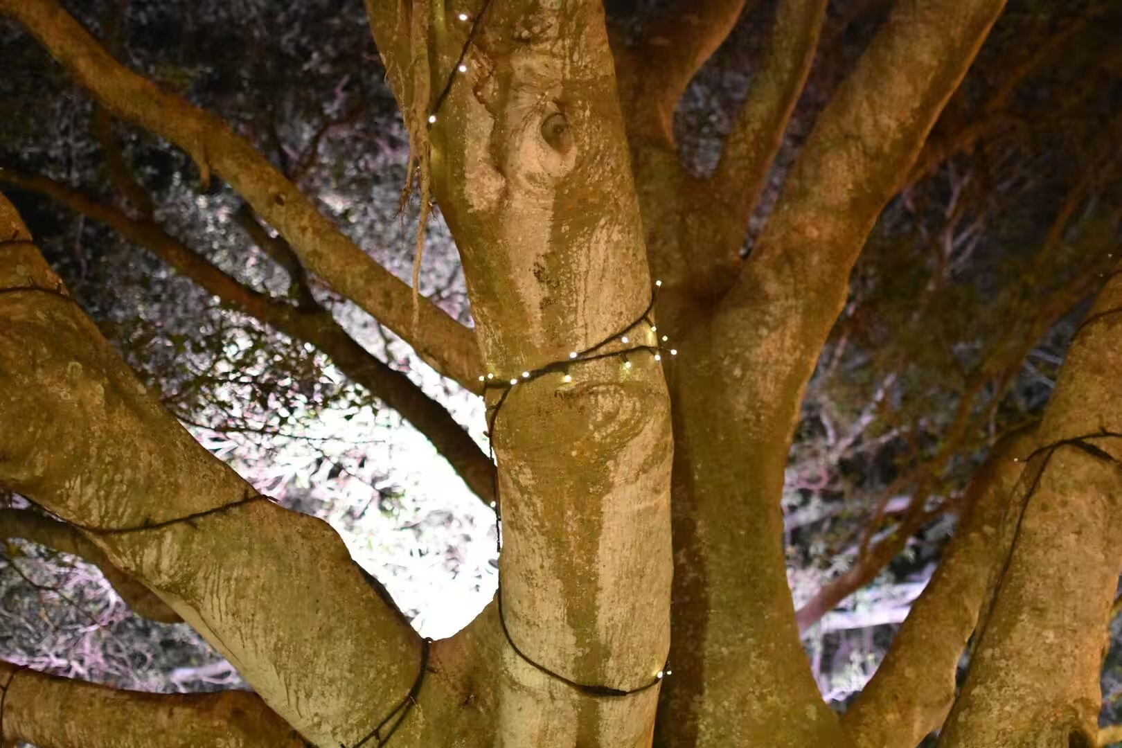
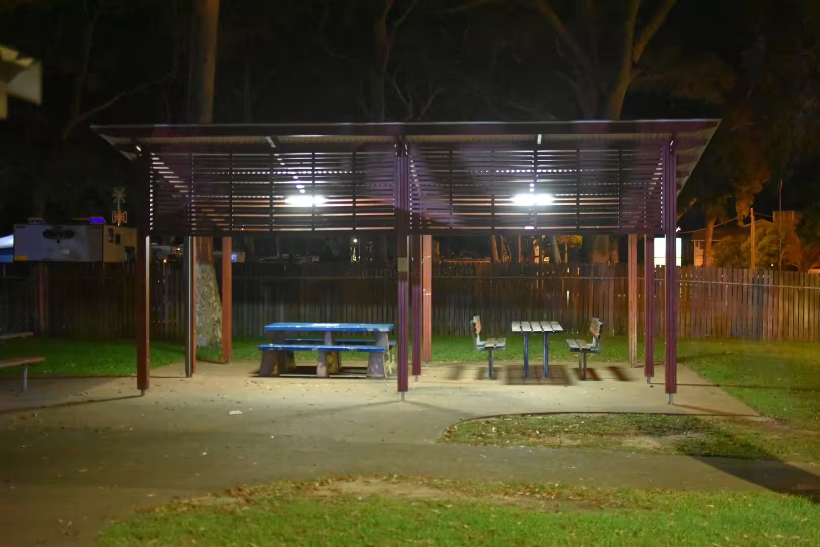
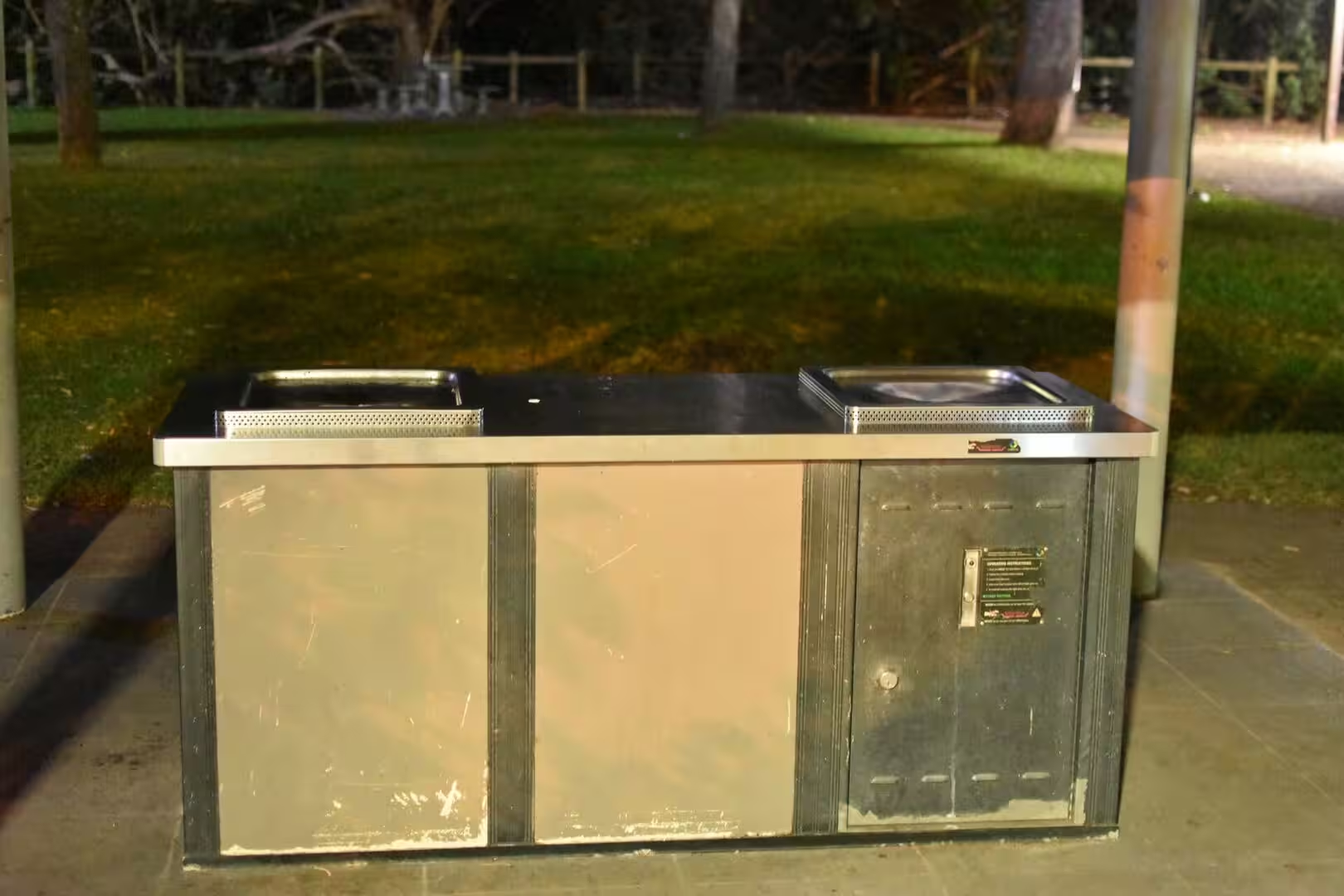
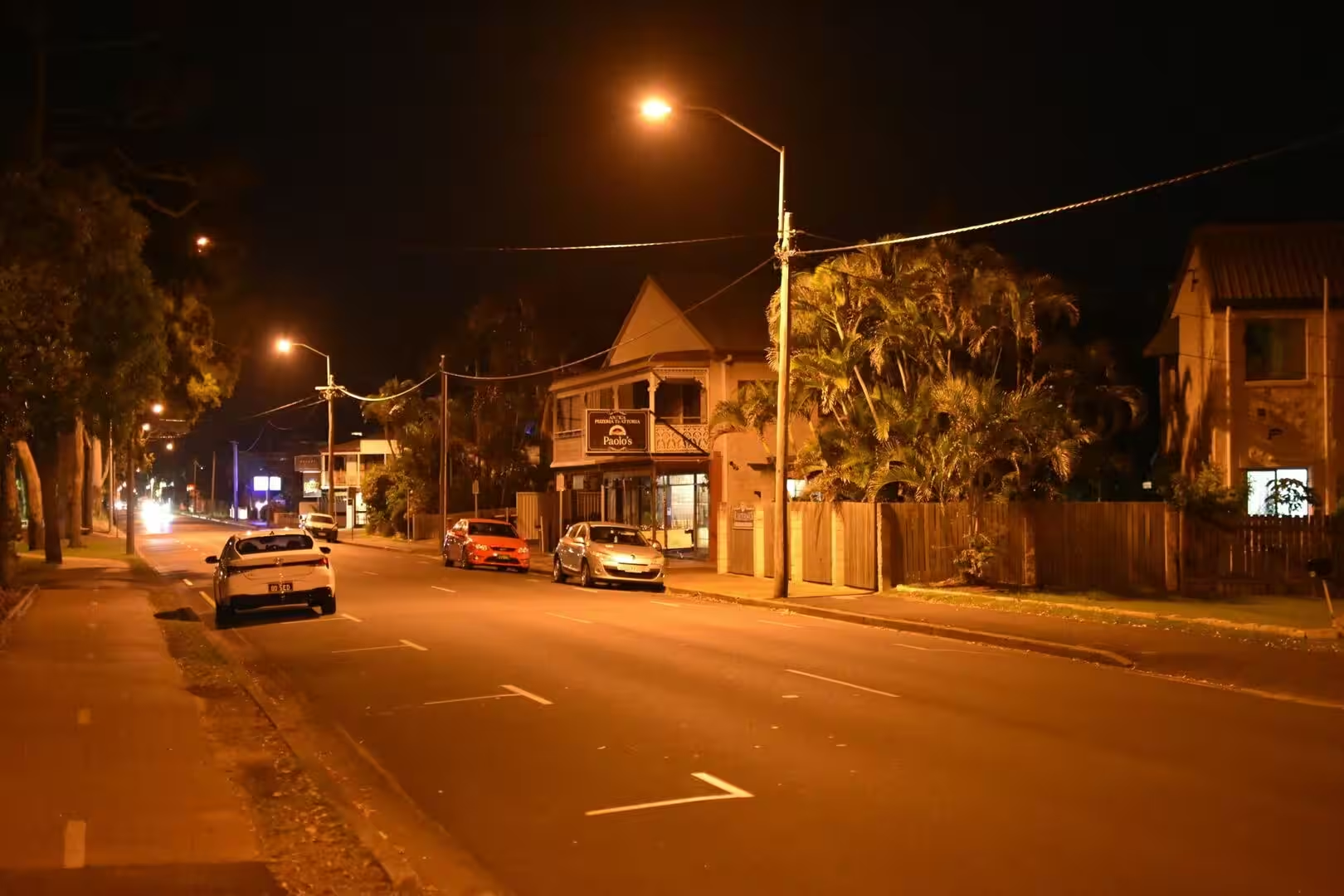
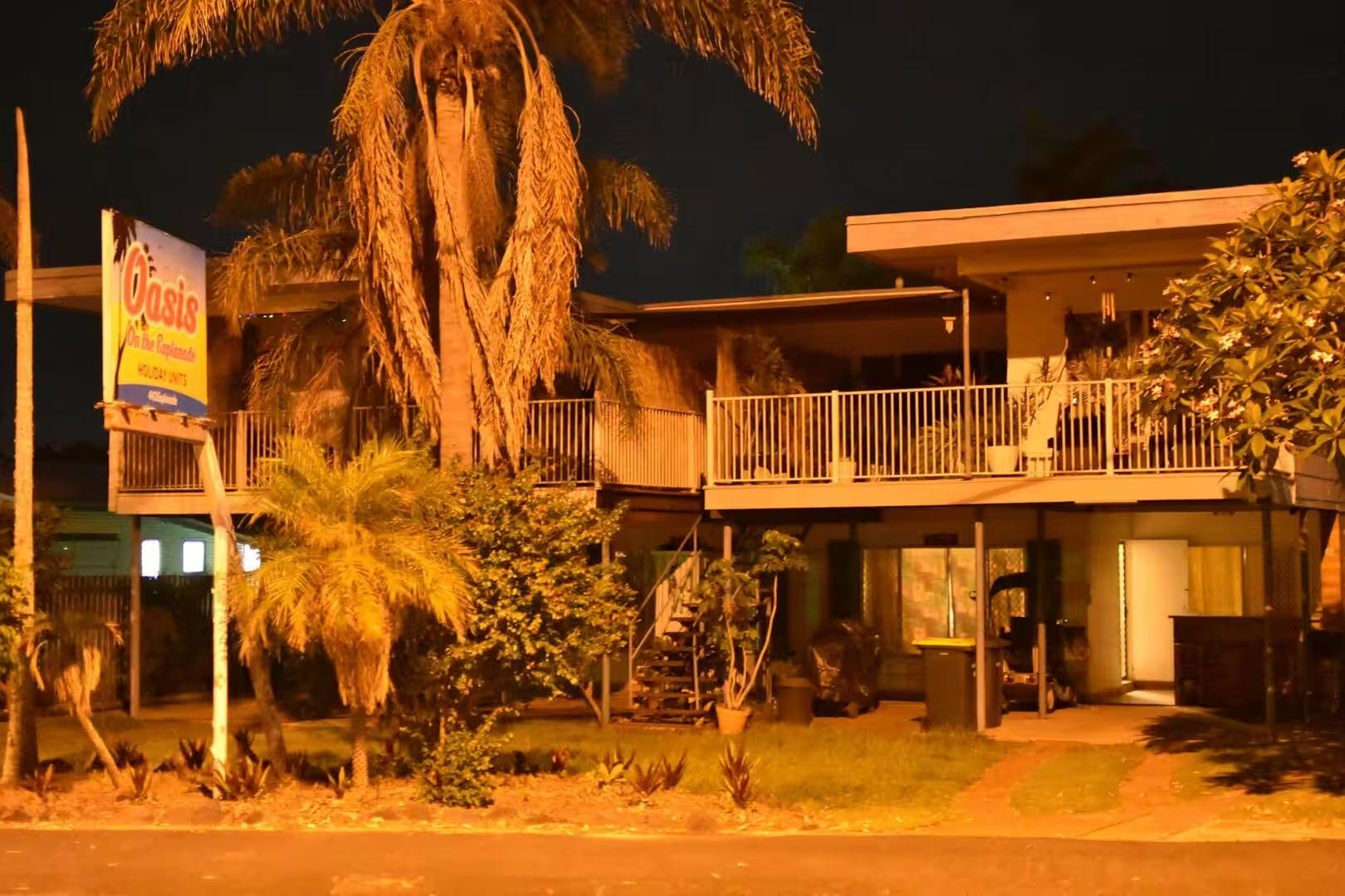
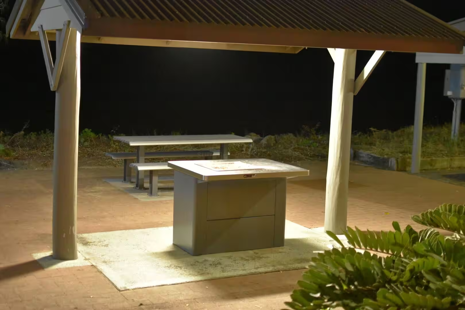
The seafront of the city, where the suburbs of Pialba, Scarness and Torquay face the bay, is lined with parks and picnic grounds that come alive in the evening. Covered barbecue shelters and picnic tables stand on the grass, lamp-lit paths wind between the trees, and fairy lights spiral up the trunks of the old trees. By day the same lawns and beaches belong to the families of the city, and along the shore road the shops and restaurants of the seaside strip glow after dark: the heritage buildings with their cast-iron lacework, the cafes and burger bars, the ice cream parlour of Torquay with its giant cone, and the motels and holiday apartments among the palms.
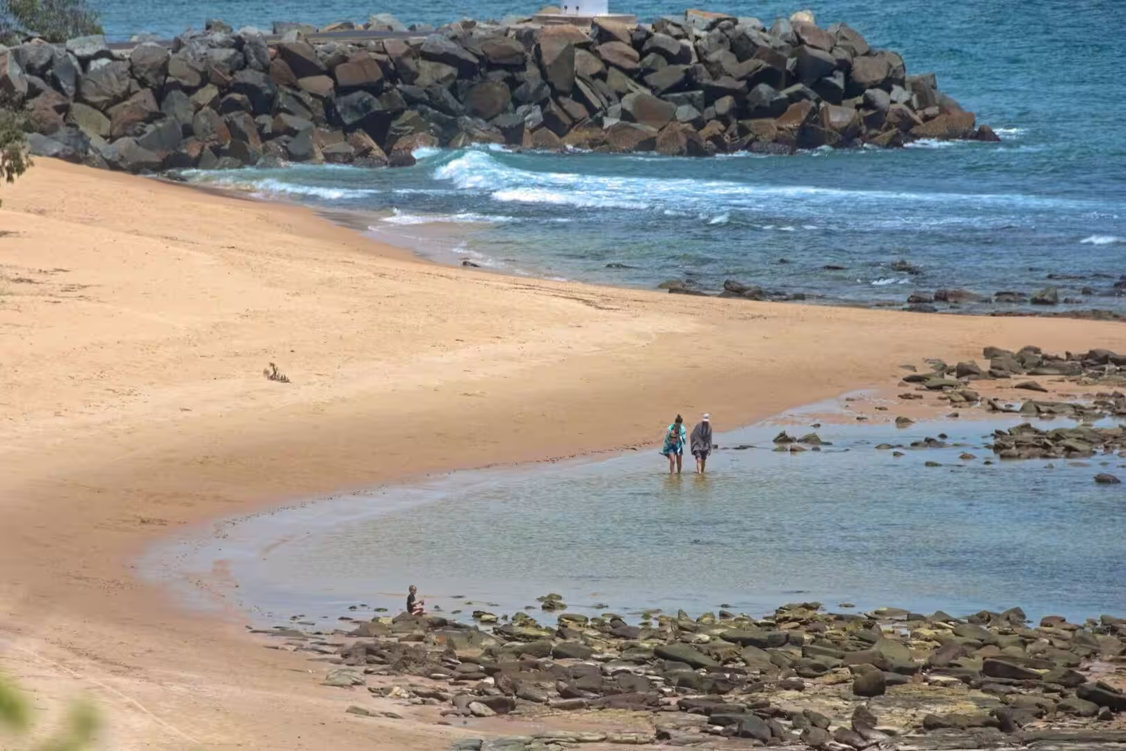
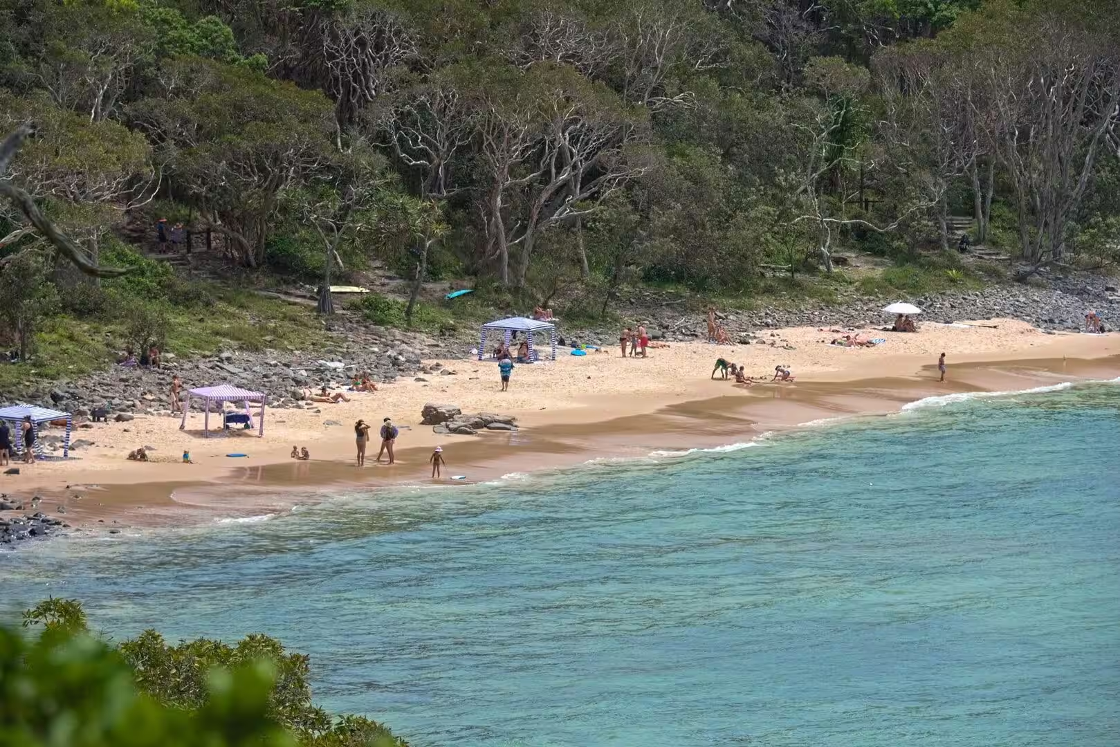
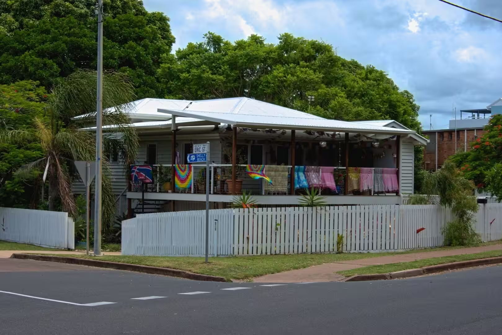
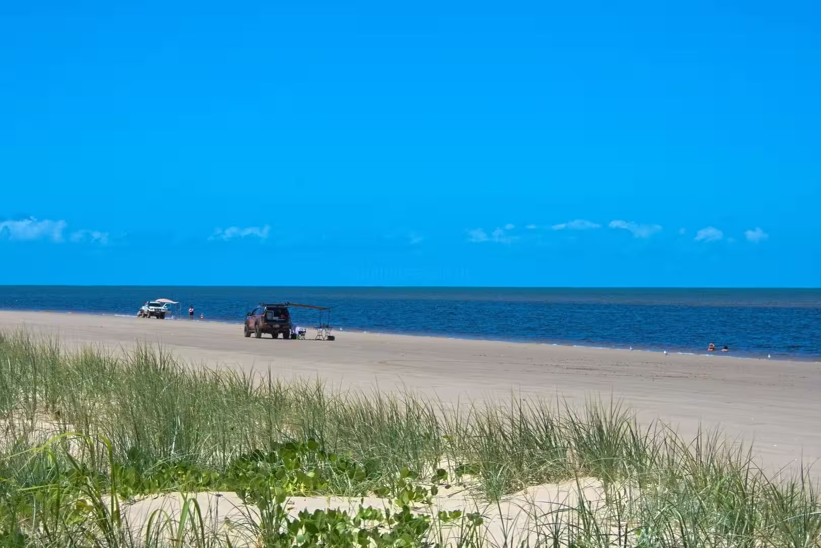
Between Urangan and Torquay, Shelly Beach is the quietest shore of the city, a calm strip of sand below the seafront houses where the water is shallow and the view runs across the bay to the island; the beachside Shelly Bar stands beside the coastal road among the palms. At its northern end the beach runs on into the sands of Torquay, and at low tide the whole shore becomes a wide playground of firm sand. The beach is typical of the Hervey Bay shore: no surf, no crowds, only the gentle water and the long light of the north-facing coast.
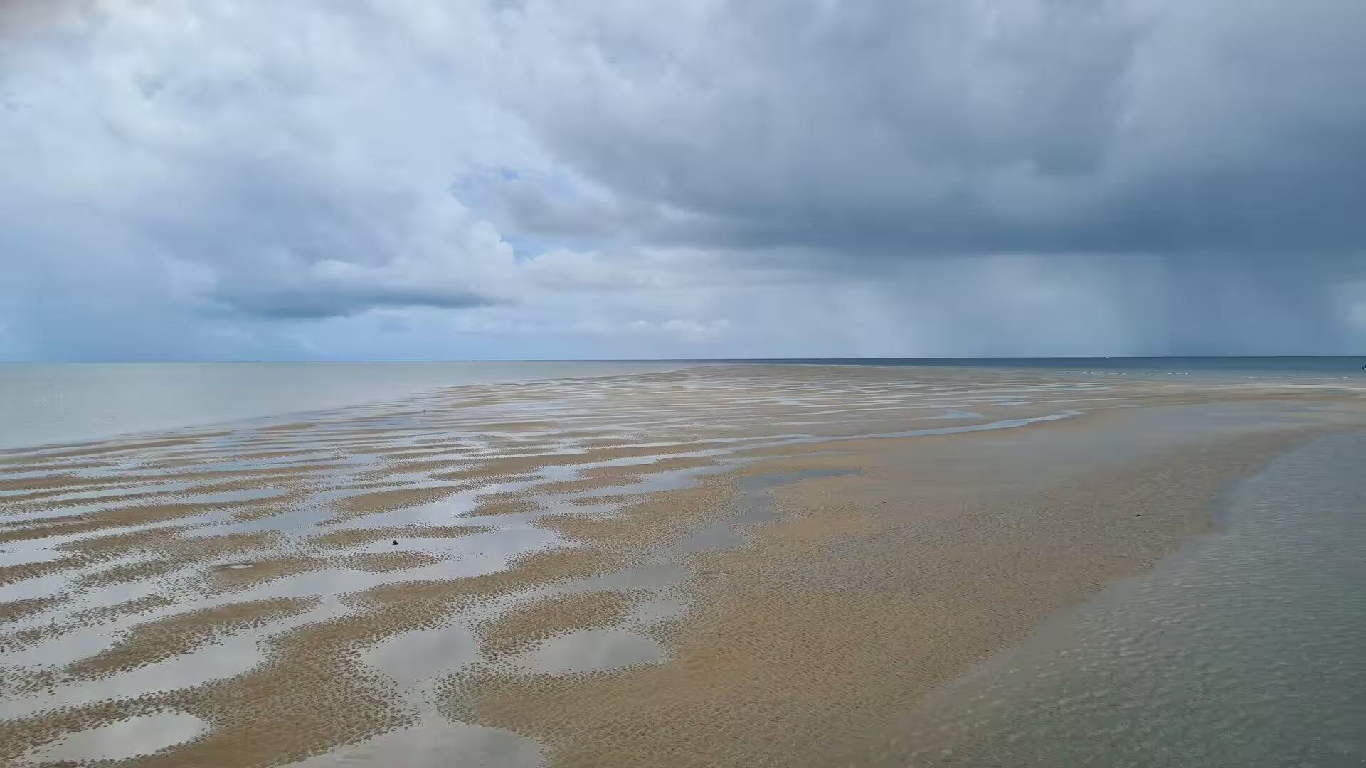
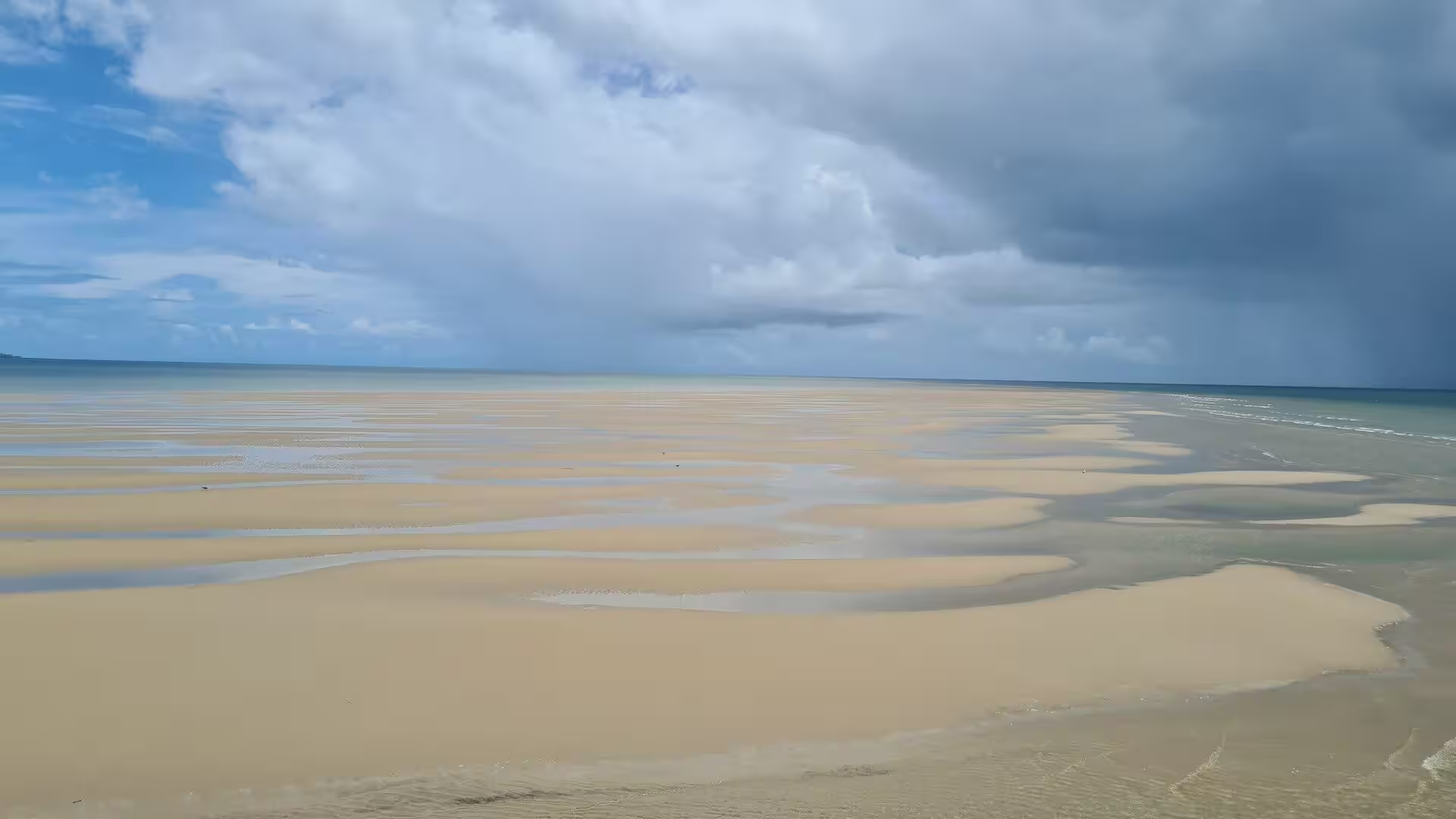
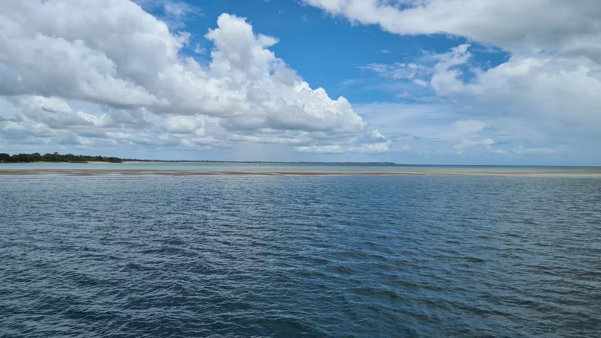
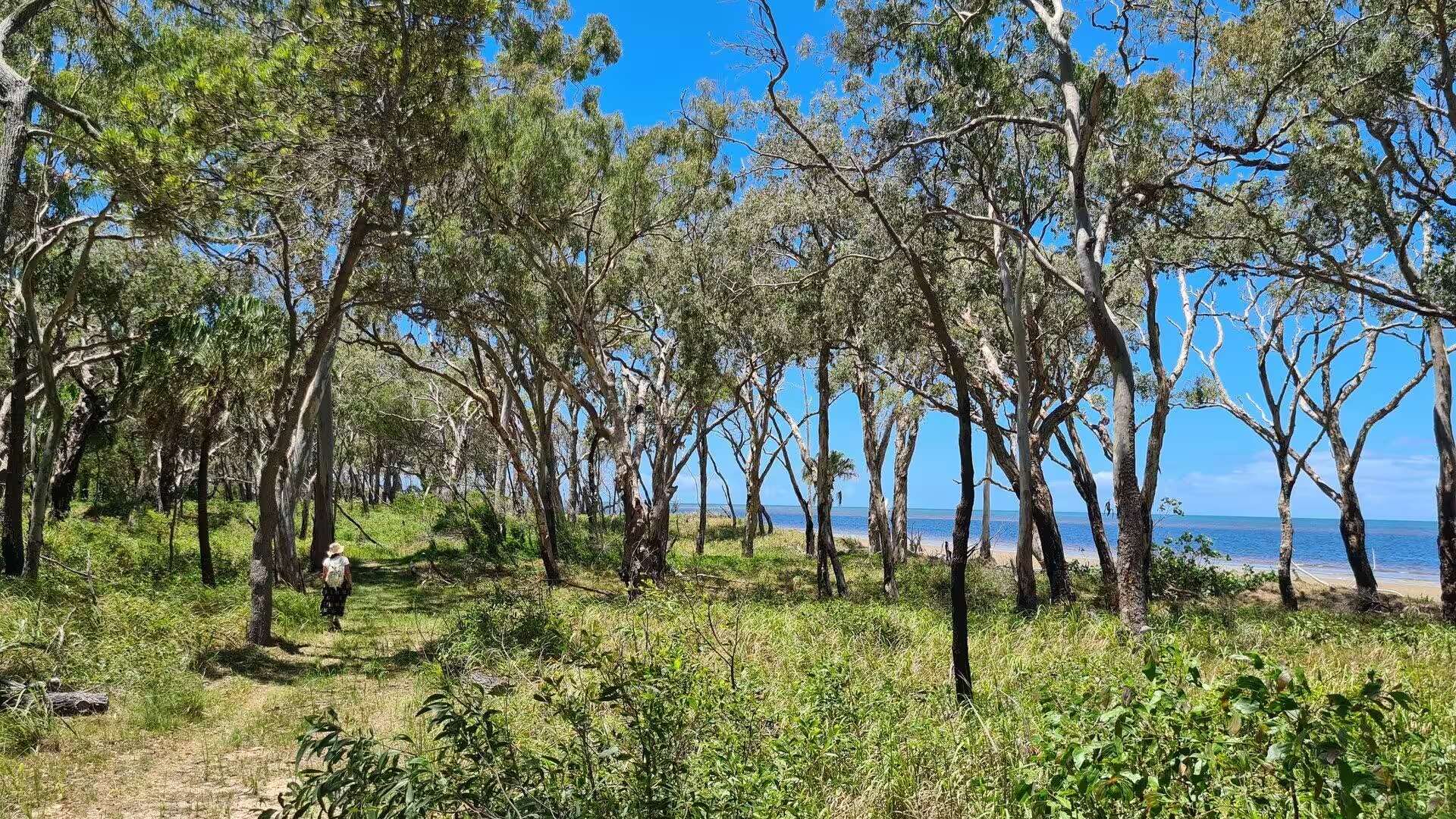
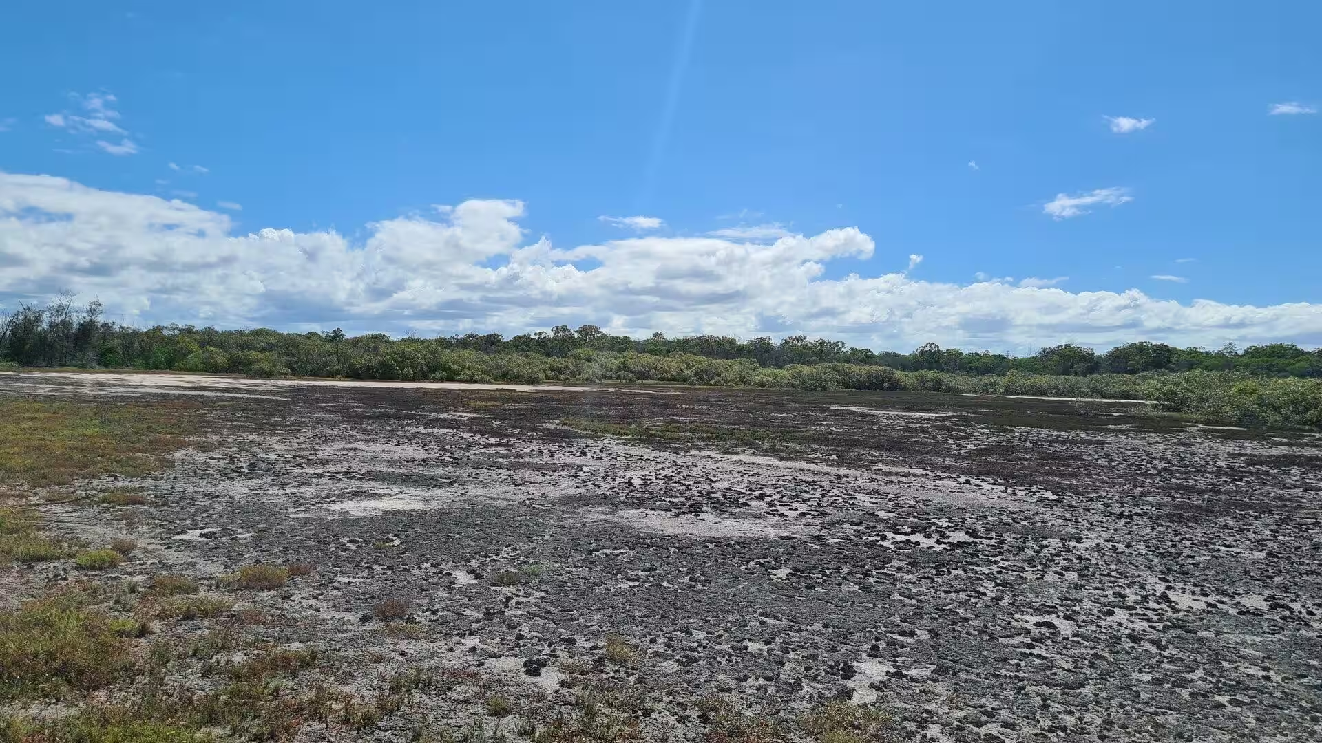
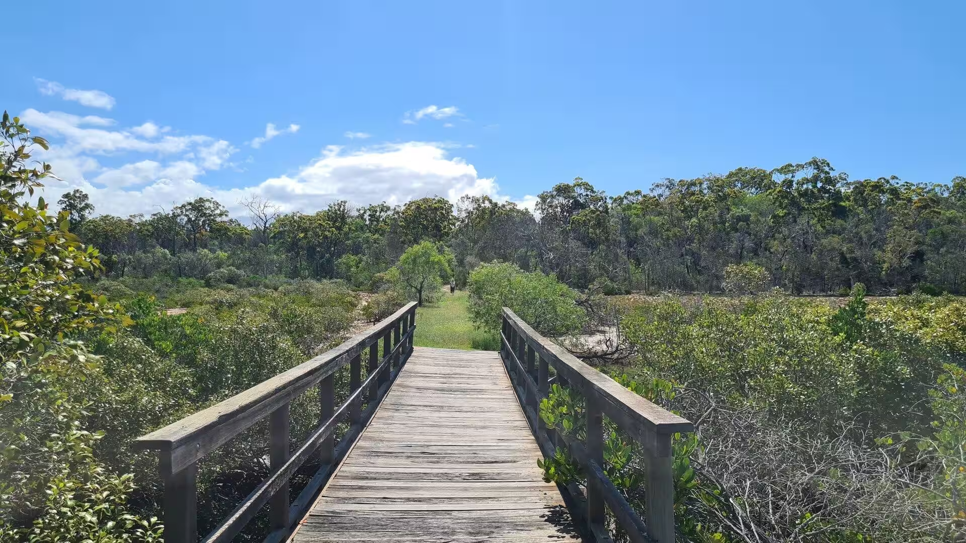
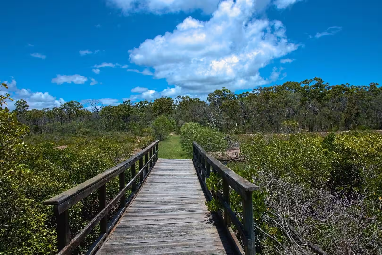
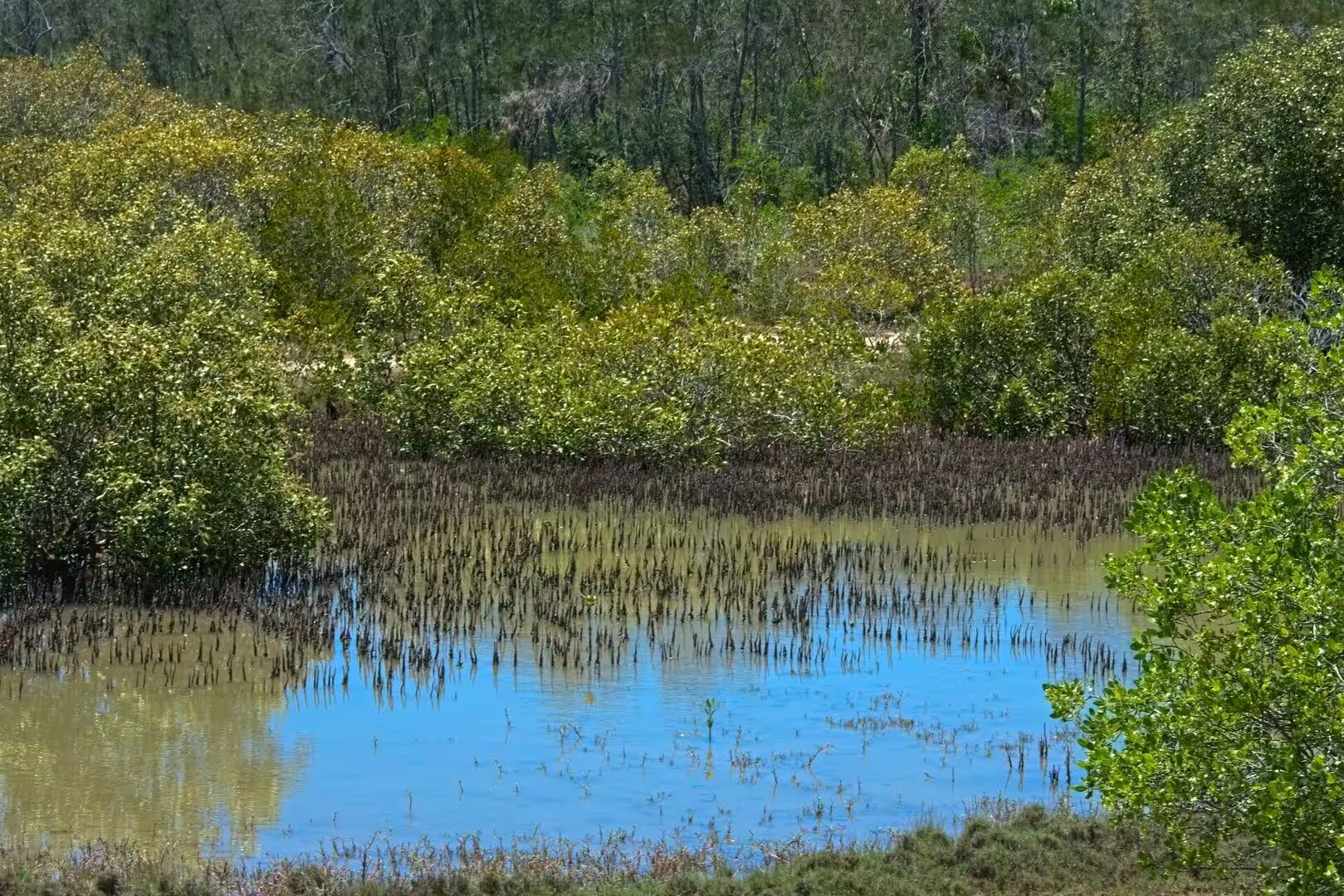
The bay itself is the great attraction, and its moods belong to the tide. At low water the sea withdraws across the sandflats, leaving rippled plains of sand cut by shallow channels, where wading birds feed and the reflections of the sky lie in the pools; the boardwalks of the foreshore lead through the coastal scrub and the mangroves at the water’s edge. At high water the bay fills again, calm and green, and the small boats of the city cross to the sandbanks and the islands of the strait.
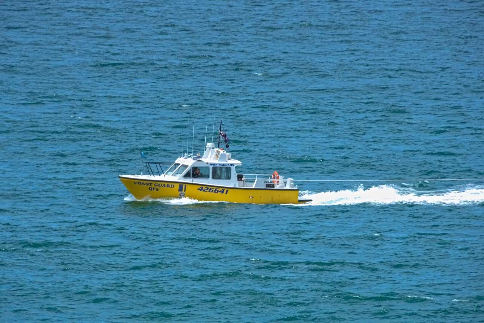
At Urangan the old boat harbour has become the working heart of the bay’s tourism. From the marina the whale watching cruises leave for Platypus Bay, where the humpback whales gather on their migration and Hervey Bay has earned its title of Whale Heritage Site, and the passenger ferries depart for K’gari across the strait. The harbourside is a place of masts and tour offices, with the pier and the island in view.
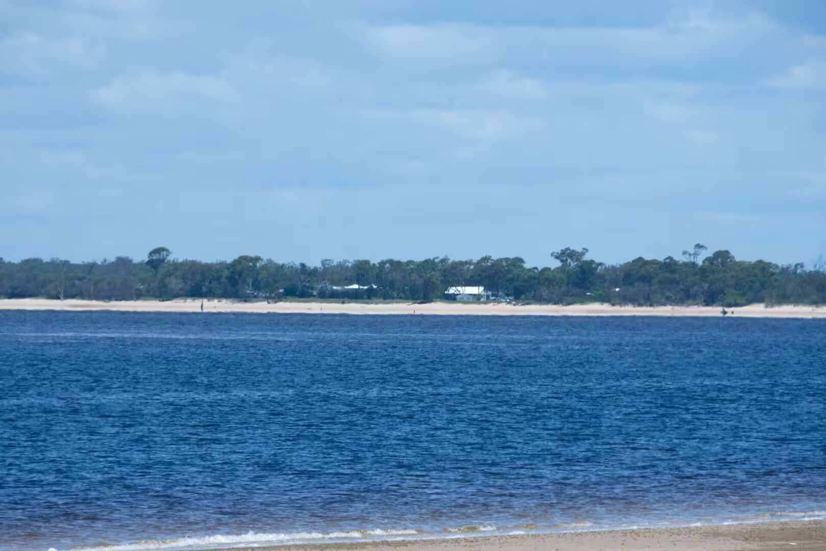
K’gari, the island that fills the horizon of the bay, is the destination that draws most visitors to Hervey Bay. The island, renamed from Fraser Island in 2023 and listed as a World Heritage property for its sand dunes, rainforest and lakes, lies only a short ferry crossing from Urangan, and its beaches and inland tracks are reached by four-wheel-drive tours that leave from the city. Even without crossing, the island is the constant companion of the bay, its long green silhouette closing every view across the water.
References
- Hough, R. (1994). Captain James Cook. London: Hodder and Stoughton.
- Wikipedia contributors. Hervey Bay, Queensland. en.wikipedia.org/wiki/Hervey_Bay,_Queensland
- Wikipedia contributors. Urangan, Queensland. en.wikipedia.org/wiki/Urangan,_Queensland
- Wikipedia contributors. K’gari. en.wikipedia.org/wiki/K%27gari
- Wikipedia contributors. Great Sandy Strait. en.wikipedia.org/wiki/Great_Sandy_Strait
- Wikipedia contributors. Fraser Coast Region. en.wikipedia.org/wiki/Fraser_Coast_Region
- Wikipedia contributors. Great Sandy National Park. en.wikipedia.org/wiki/Great_Sandy_National_Park
- Wikipedia contributors. Pialba, Queensland. en.wikipedia.org/wiki/Pialba,_Queensland
- Wikipedia contributors. Torquay, Queensland. en.wikipedia.org/wiki/Torquay,_Queensland
- Wikipedia contributors. Scarness, Queensland. en.wikipedia.org/wiki/Scarness,_Queensland
- Wikipedia contributors. Point Vernon, Queensland. en.wikipedia.org/wiki/Point_Vernon,_Queensland
- Wikipedia contributors. Butchulla. en.wikipedia.org/wiki/Butchulla
- Wikipedia contributors. Maryborough, Queensland. en.wikipedia.org/wiki/Maryborough,_Queensland
- Wikipedia contributors. Coral Sea. en.wikipedia.org/wiki/Coral_Sea
- UNESCO World Heritage Centre. Fraser Island. whc.unesco.org/en/list/630/