2024 Australia - January - Sydney 2


Journal Notes
General
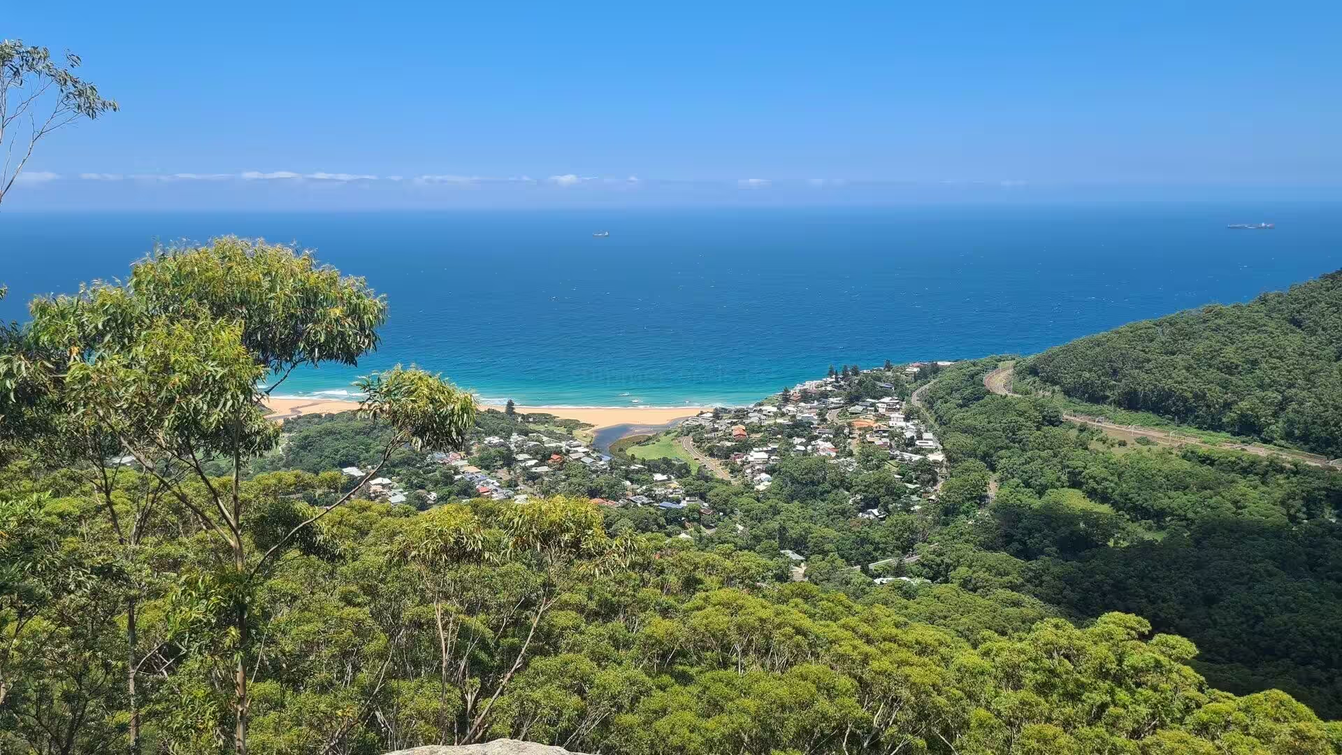
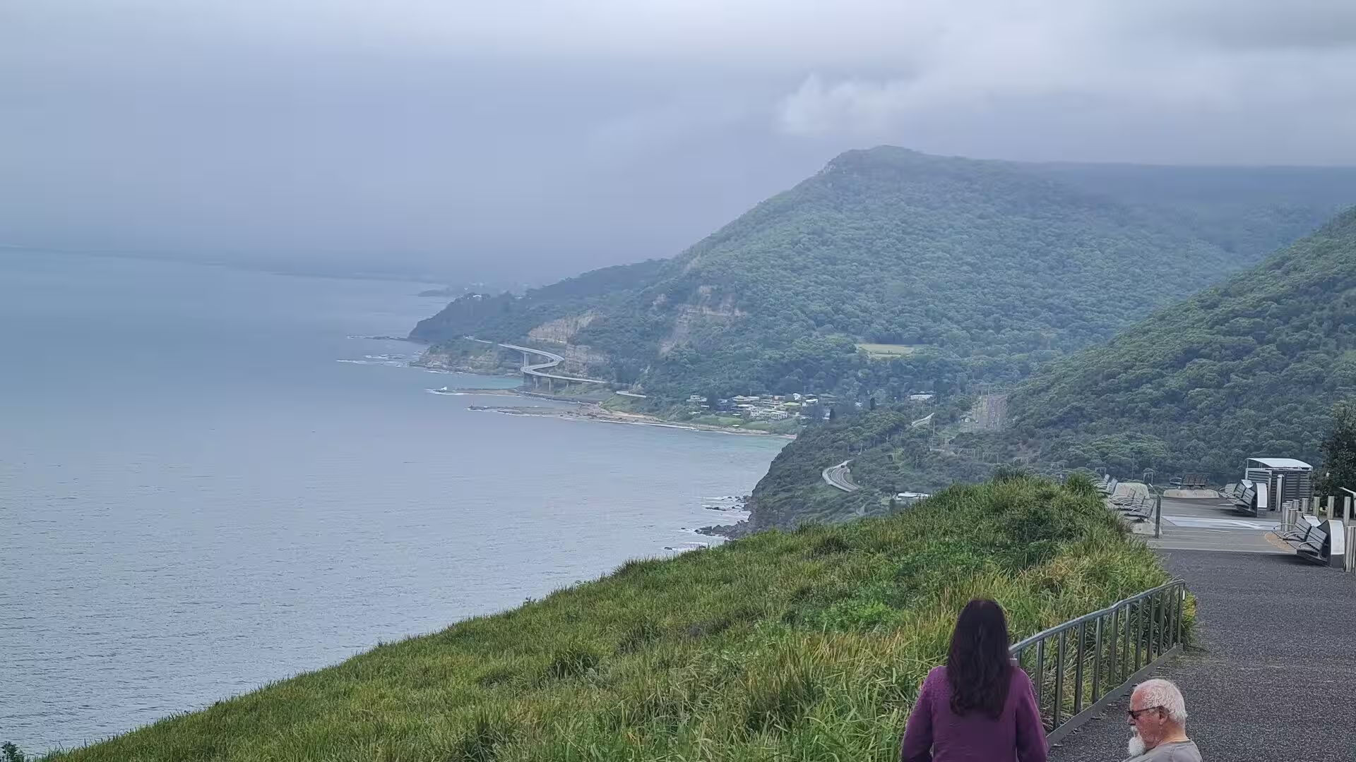
Sydney is a city of two coasts. To the north and east lie the drowned valleys of the harbour and the beaches of the ocean shore; to the south, beyond the shallow inlet of Botany Bay, the sandstone coast runs on towards the sea cliffs and surf beaches of the Illawarra. This southern shore, barely an hour from the centre of the city, is the wilder face of Sydney: headland after headland of bushland, long beaches of pale sand, and small villages hidden in the bays.
The green heart of this southern coast is the Royal National Park, which begins where the suburbs of Sydney end and runs south between the sea and the forested valleys of the hinterland. Established in 1879, it was the first national park of Australia and remains one of the great possessions of the city: more than fifteen thousand hectares of bushland, cliffs, beaches and waterways, held between the urban shore of Port Hacking and the open ocean. The park is held and managed for the people of New South Wales by the state parks service, which maintains its walking tracks, lookouts, picnic grounds and surf safety services across the whole reserve.
The settlements of the park lie on its waterways. Bundeena, at the mouth of Port Hacking on the northern edge of the park, is a village of houses among the trees, reached by passenger ferry from Cronulla or by road through the park; from its beaches the eye crosses the water to the sand hills of the far shore. Further inland, the old settlements of Audley and Maianbar sit on the rivers and creeks of the park, while the coast road winds south between the forested headlands and the sea.
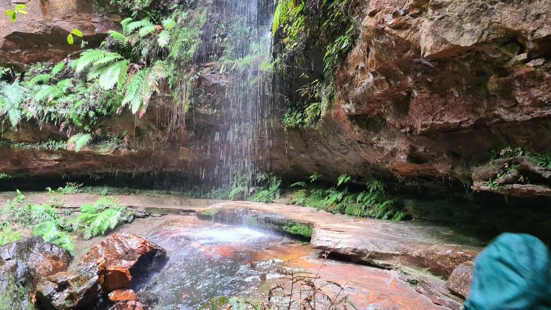
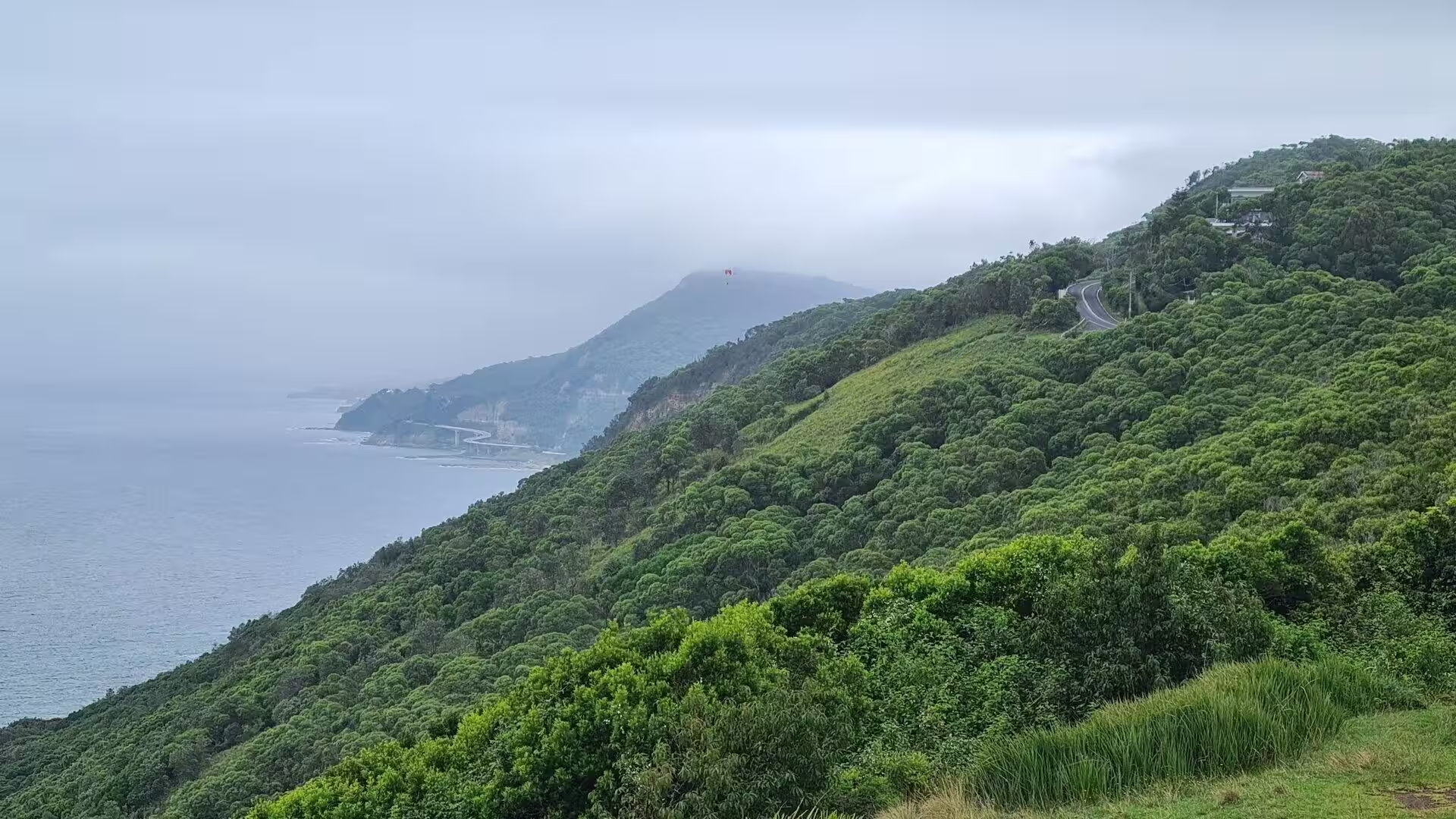
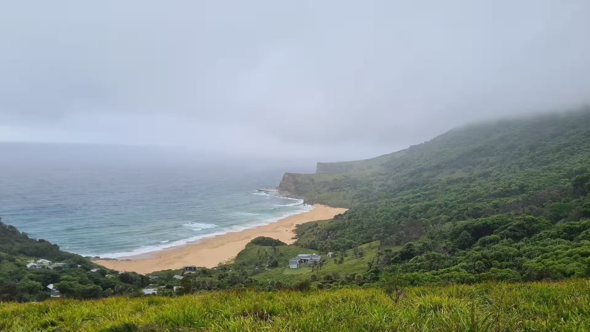
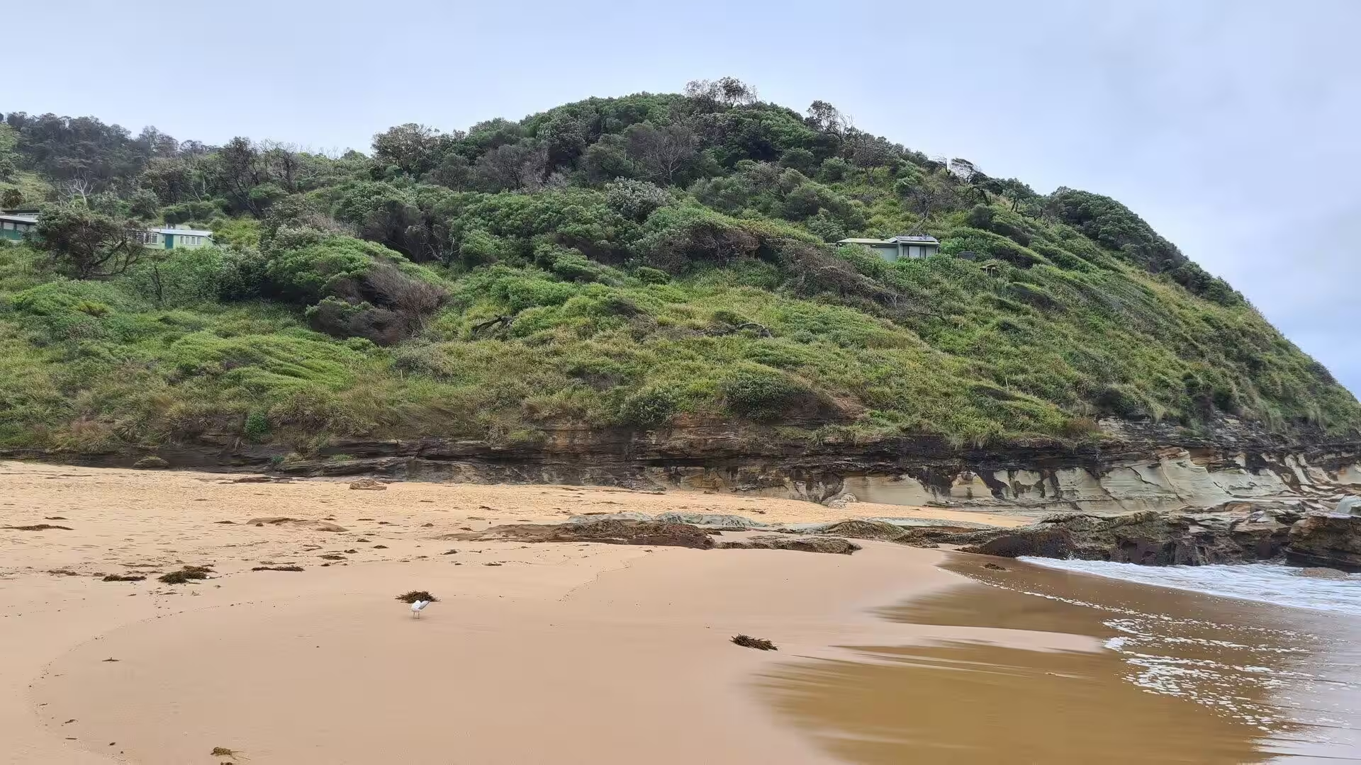
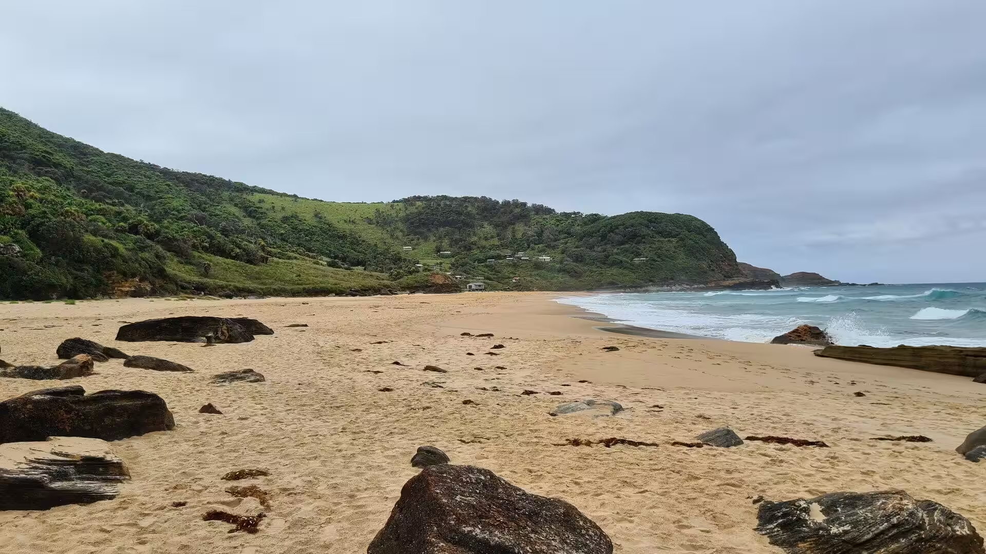
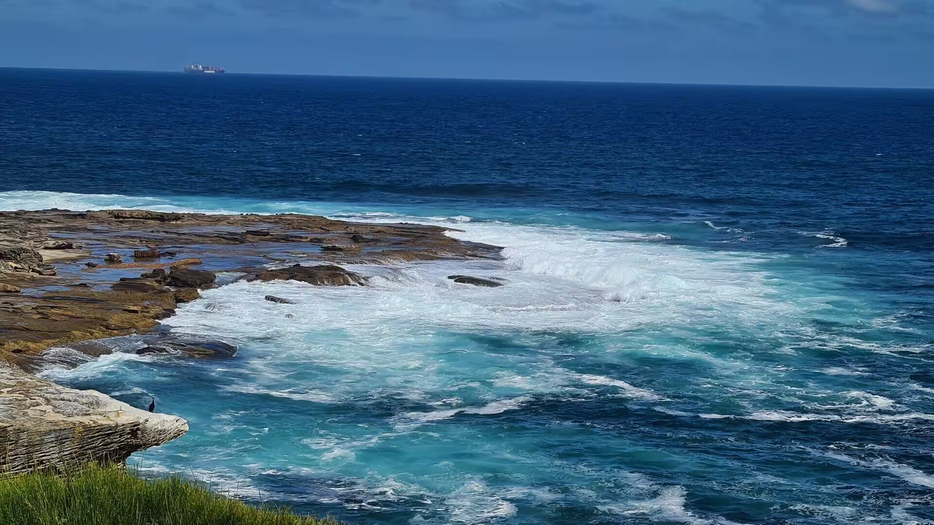
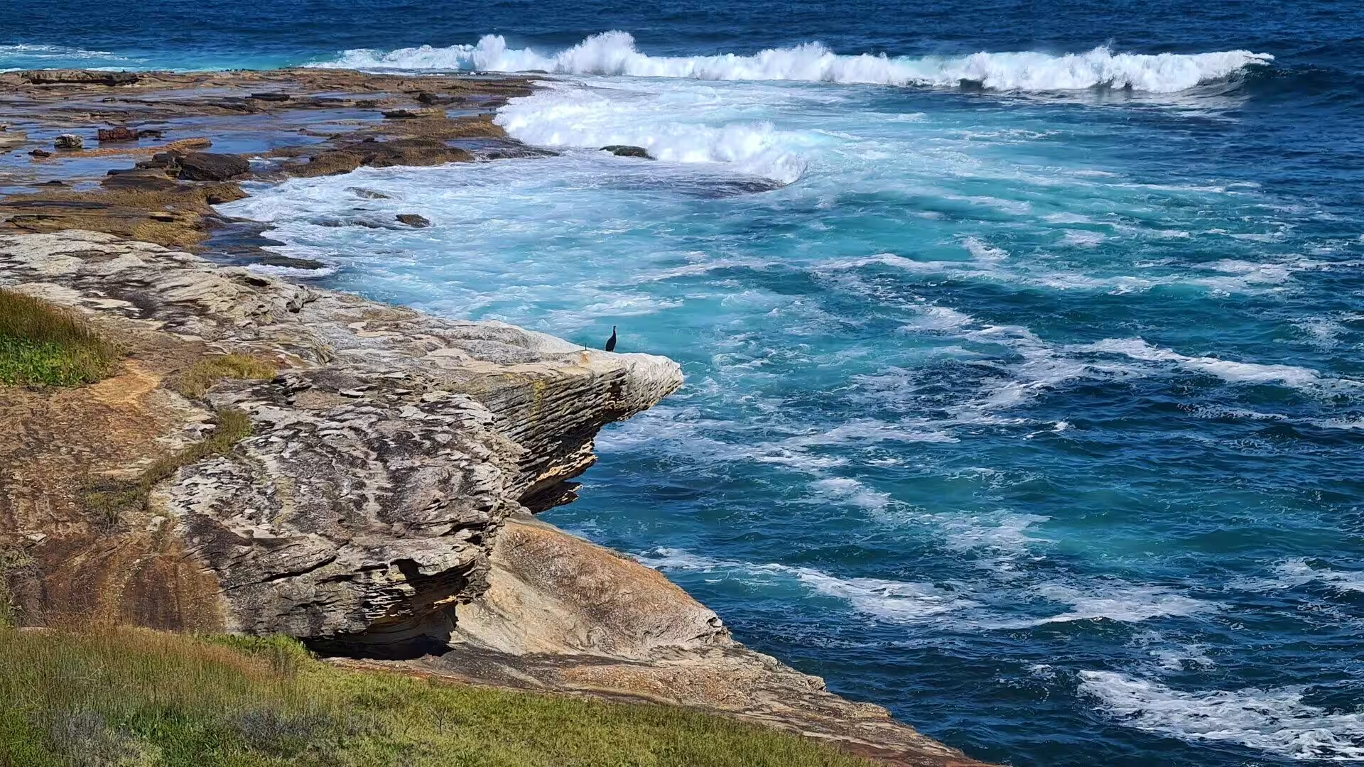
The shoreline of the park is a succession of beaches, coves and rocky points. Eleven beaches lie within its bounds, from the sheltered sands of the northern bays to the long surf beaches of the open coast, where the waves roll in against the sandstone cliffs and the platforms of rock that run out from the headlands. In the gullies behind the shore, streams drop over mossy ledges into pools fringed with ferns, and the bush is loud with birds through the summer.
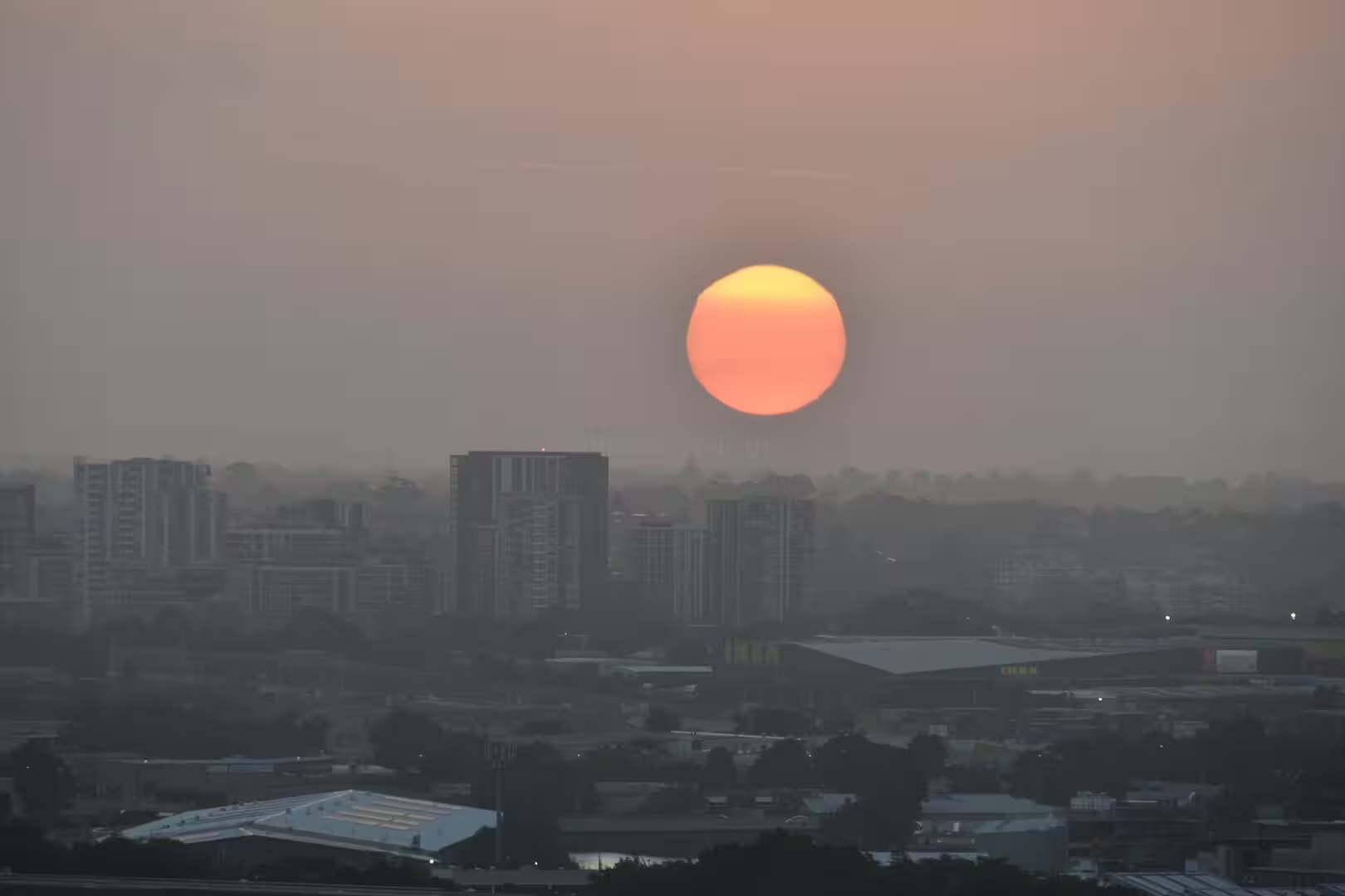
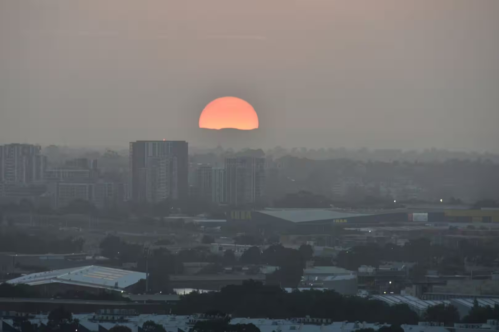
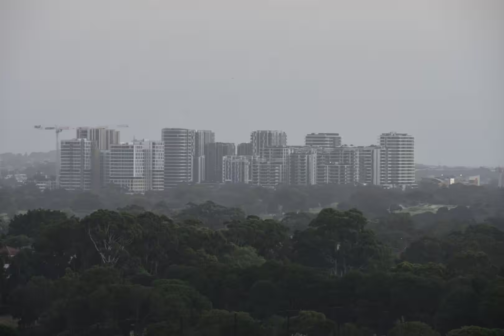
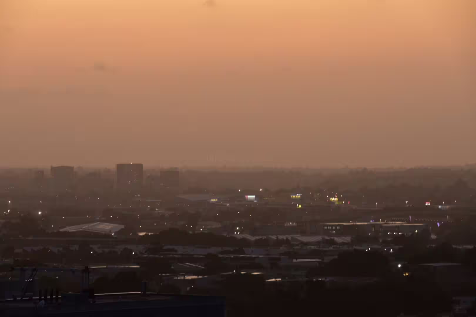
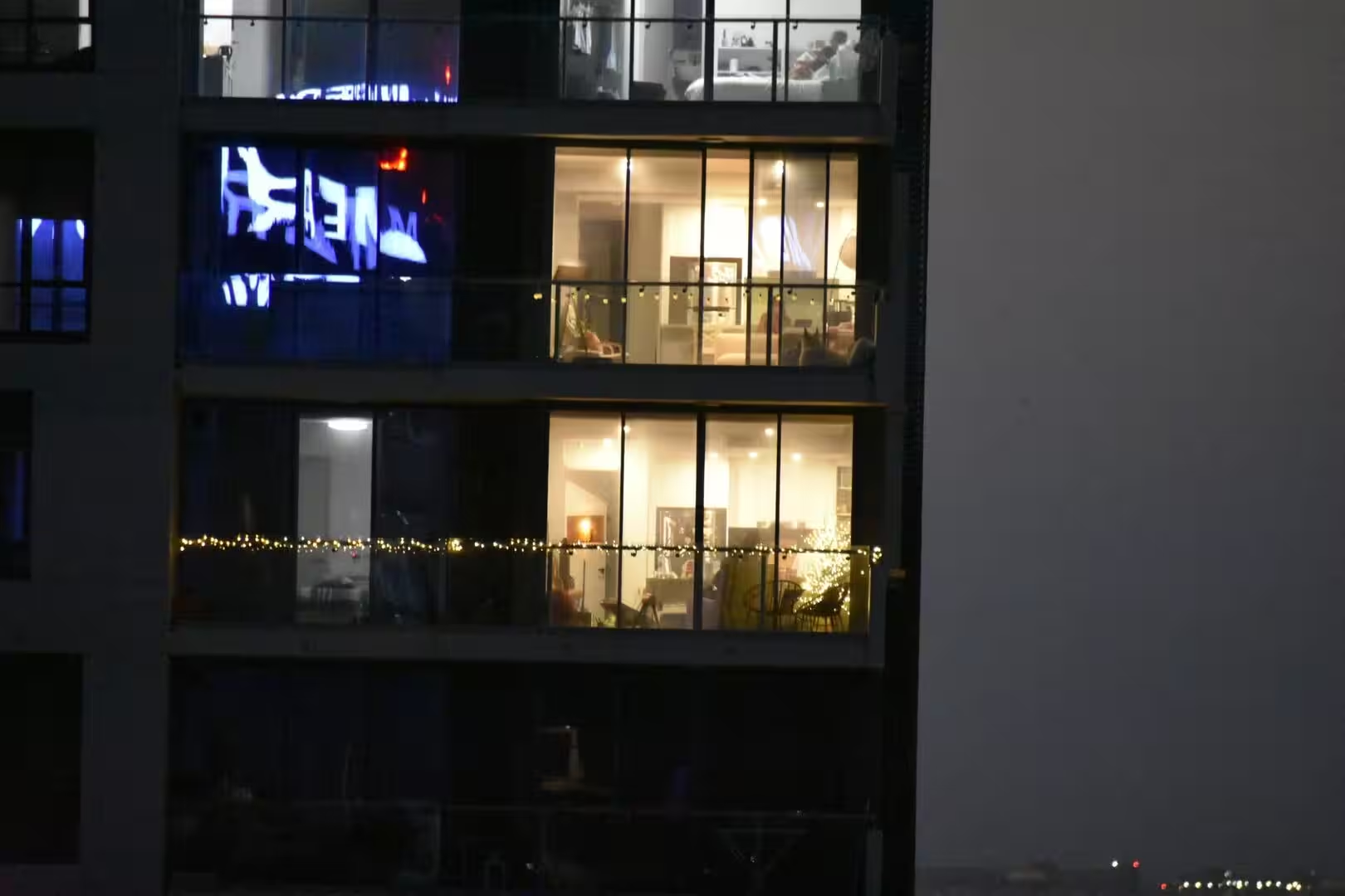
At the end of the day the coast gives way to the city again, and from the ridges and gardens of the suburbs the sun sets over the towers of Sydney: the skyline glowing orange through the summer haze, the apartment lights coming on one by one, and the dark line of the bushland hills standing against the last light. It is the quietest view of one of the great cities of the world, and it belongs to the coast that surrounds it.
History
The coast south of Sydney has belonged to the Aboriginal people of the region since long before the arrival of the Europeans, and the country of the park and its waterways carries their names and their memory. Wallumarra, the name of the park’s environmental education track, is an Aboriginal word for education and protection, and the walking tracks of the coast follow routes used for thousands of years along the shore.
Europeans first examined this coast in the 1790s. In 1796 George Bass and Matthew Flinders, exploring south from Sydney in a small open boat, investigated the bays and inlets of the region, and on one occasion Flinders, seeing breakers ahead, turned the boat towards the shore, caught a wave and shot across a sandbar into the calm water of a lagoon, which the two explorers named Providential Cove. The cove is now known as Wattamolla. The name of the village of Bundeena, an Aboriginal word said to mean noise like thunder, recalls the sound of the waves breaking on the beach at the village shore.
The park itself was the first of its kind in the world outside the United States. It was proclaimed on 26 April 1879 by Sir John Robertson, the Acting Premier of New South Wales, only seven years after Yellowstone National Park was established in America and eleven years before Yosemite. Its original name was simply National Park, and it was renamed Royal National Park in 1955, after Queen Elizabeth II had passed along its boundary by train during her tour of Australia the year before. In 2006 the park was added to the Australian National Heritage List.
Within the park, the settlements of Audley, Maianbar and Bundeena grew as places of recreation and retreat. The passenger ferry from Cronulla has carried visitors to Bundeena across Port Hacking for generations, the roads and picnic grounds of Audley opened the park to the families of Sydney, and the deer that graze the coastal bush descend from animals introduced in the early colonial period. The surf life saving clubs of the park’s beaches, among the oldest of the New South Wales coast, have watched over the swimmers of the southern shore since the early twentieth century.
Geology
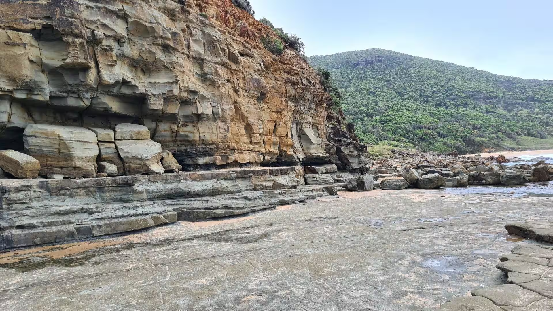
The southern coast of Sydney is a landscape of sandstone and sea. The region lies on the great sheet of Triassic sandstone of the Sydney Basin, the same rock that forms the harbour cliffs of the city, and in the national park the stone has weathered into cliffs, overhangs and flat platforms that run out beneath the surf. The yellow and red banding of the layered cliffs, seen clearly where the sea has undercut them, records the ancient river and dune sands from which the rock was built.
The interior of the park is an ancient plateau, cut by deep and extensive river valleys that drain towards the north and the sea. The Hacking River and its creeks flow down through the forested valleys into Port Hacking, the long, shallow inlet that forms the northern boundary of the park; like the harbour of Sydney, Port Hacking is a drowned river valley, flooded by the sea when the ocean rose at the end of the last ice age. Its quiet waters, studded with sandbanks and lined with mangroves, are a world apart from the surf of the open coast.
Along the ocean edge, the sea has built a coast of great variety. Between the rocky headlands lie beaches of pale quartz sand, some open to the full force of the Pacific surf, others sheltered behind sandbars and spits. Where creeks reach the sea, their waters collect behind the beach to form lagoons, and the configuration of these lagoons changes with every tide and flood: sandbars shift, outlets open and close, and freshwater and seawater mingle in the shallow basins. The most beautiful of these lagoon shores is Wattamolla, where two creeks join behind the beach.
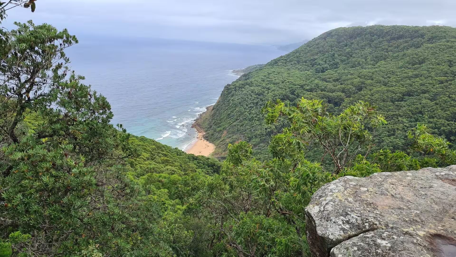
Vegetation follows the pattern of rock and water. The exposed headlands carry low heath and wind-shaped shrubs, the valleys shelter tall forests of eucalyptus and, in the dampest gullies, pockets of the littoral rainforest that once lined this whole coast; the park preserves some of the last of these coastal rainforests, with their palms, ferns and vines. On the sandstone platforms and heaths grow the flowers of the Sydney bush: waratahs, flannel flowers, gymea lilies and the grass trees of the coastal scrub.
Things to See
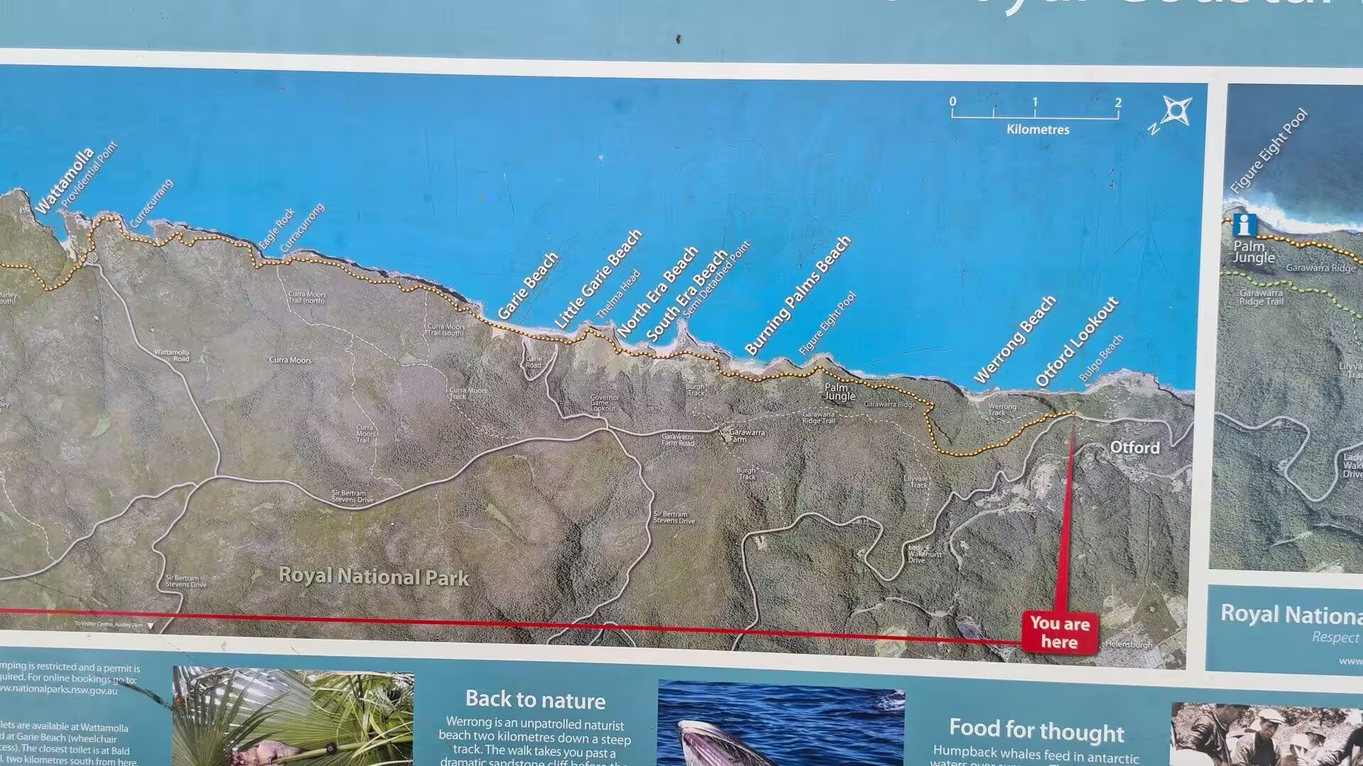
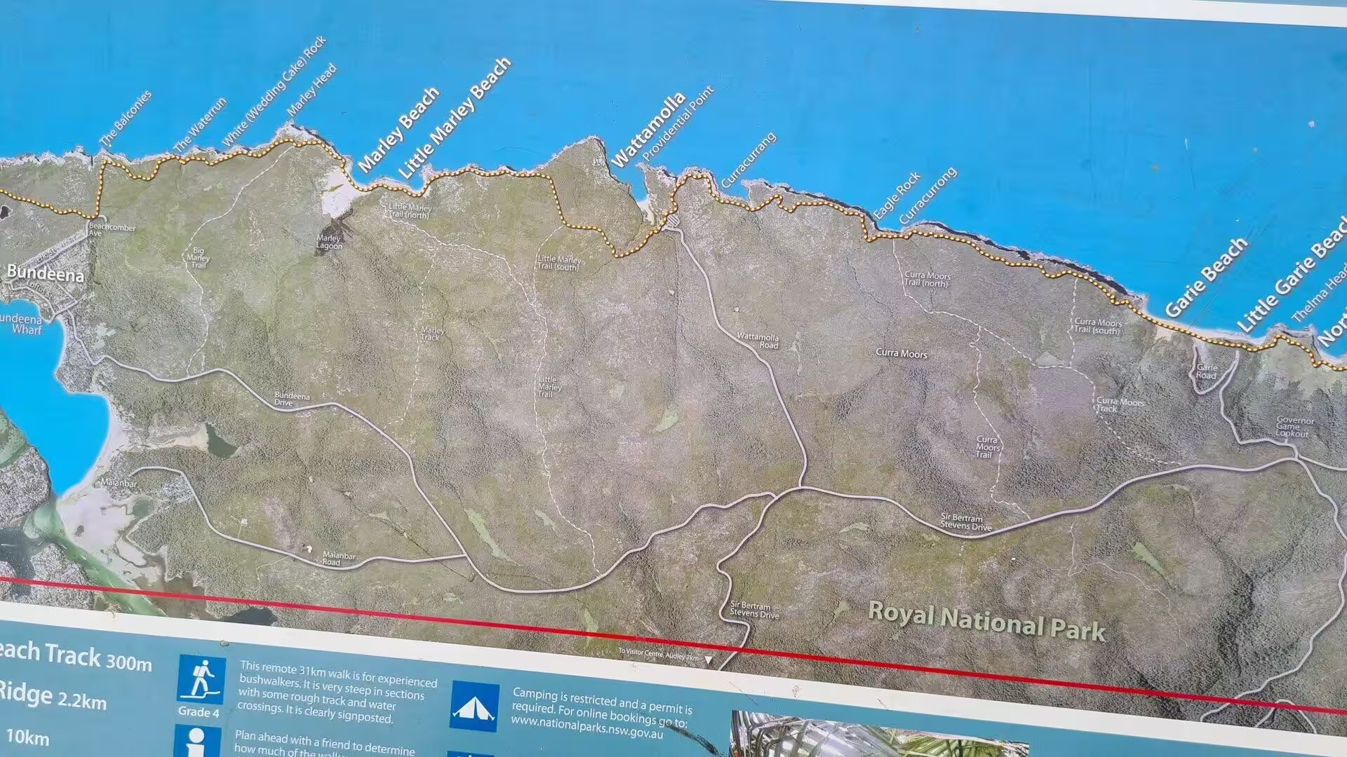
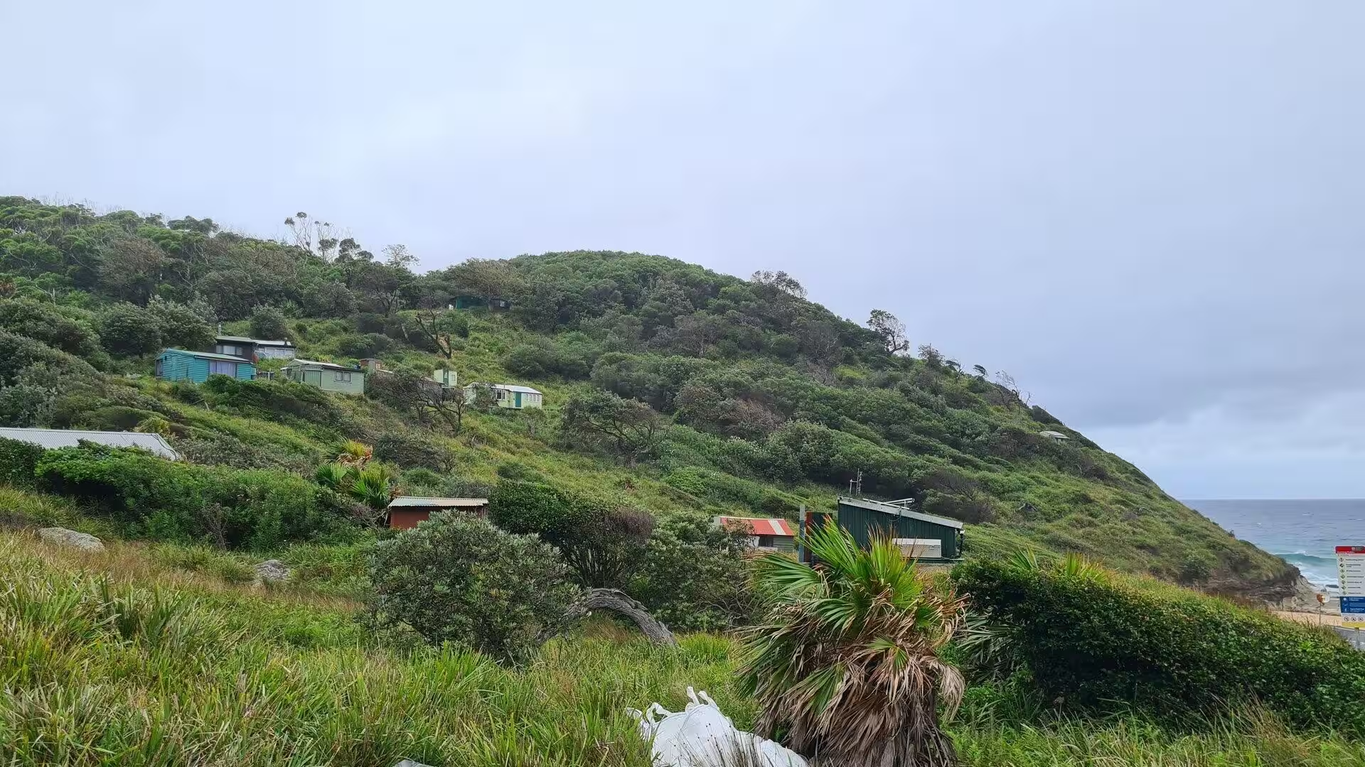
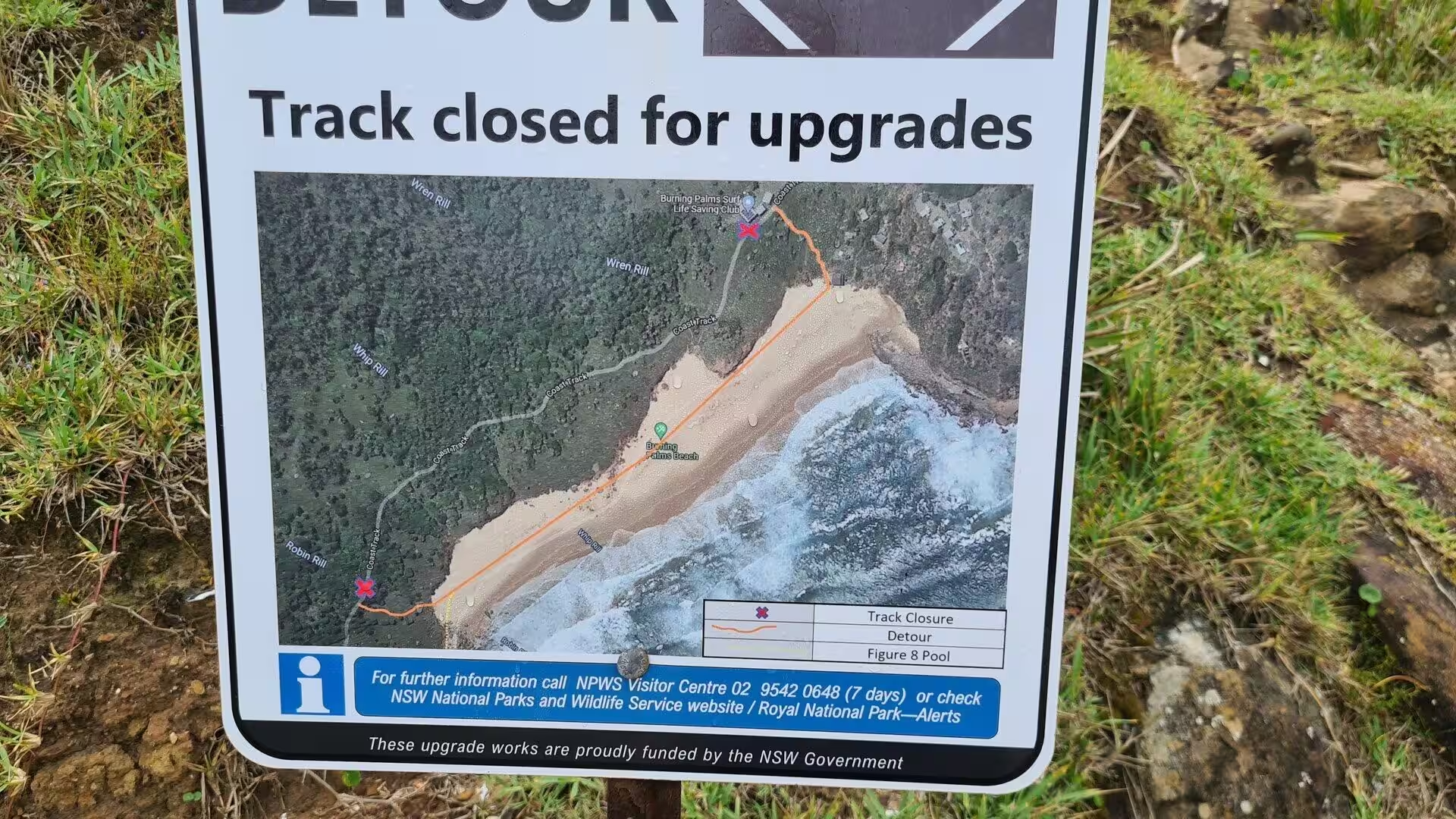
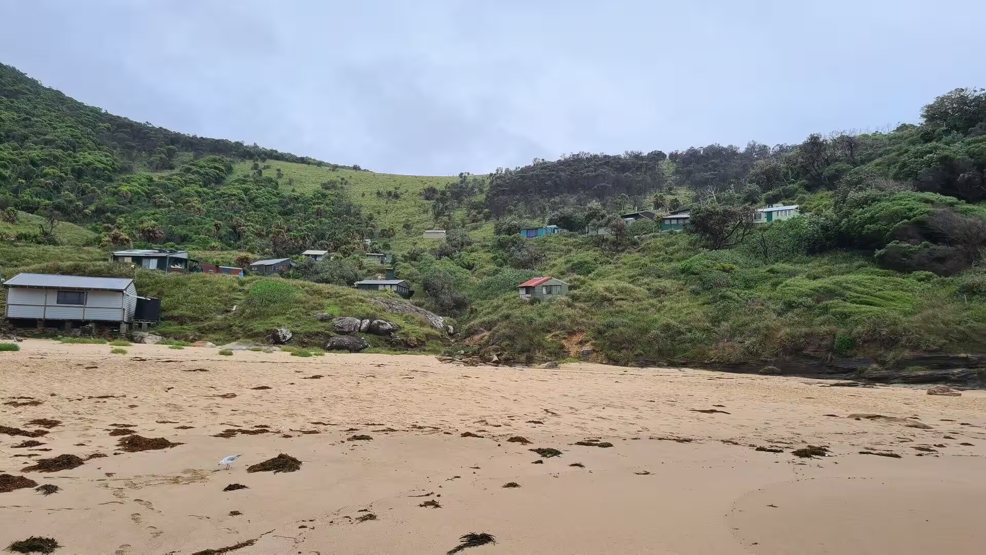
The Royal National Park is the great coastal playground of southern Sydney, and its finest experience is the Coast Walk, which follows the eastern edge of the park from Bundeena south to Otford. The track, some thirty kilometres long, runs along the clifftops and drops into the coves between them, passing beaches, rock platforms, waterfalls and the bushland of the headlands; it can be walked in a day by the fit or in stages over several days, passing the old camp of Burning Palms in the south before climbing to the clifftops at Otford. The walk is a favourite of the Duke of Edinburgh’s Award, and its southern sections are reached by the coast road that winds along the cliffs towards Garie.
Bundeena, the village at the mouth of Port Hacking, is the northern gateway of the park. Its sandy beaches and rocky points look across the water to the Cronulla peninsula, and the passenger ferry from Cronulla delivers walkers and day visitors in about half an hour; Bundeena may also be reached by road through the park from Sutherland or Waterfall, and many of its residents commute to the railway station at Sutherland rather than by ferry. The village has a small wharf, a general store and the calm atmosphere of a place that the park has protected from the growth of the suburbs; from its beach the whole length of the bay opens towards the sea.
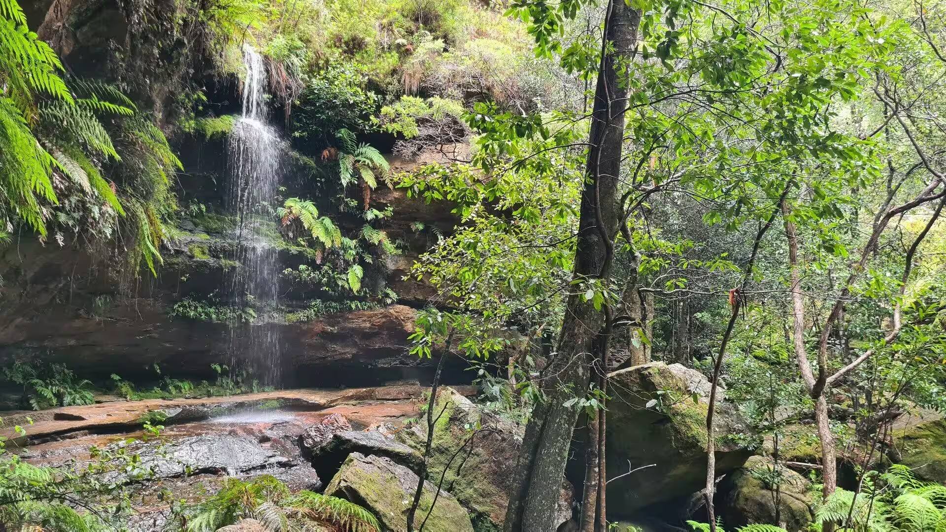
Wattamolla is the most sheltered of the park’s beaches and one of its most popular. A cove between rocky headlands holds a large lagoon, fed by Wattamolla Creek from the north-west and by the smaller Cootes Creek, which enters the lagoon from the west over a waterfall; the lagoon lies behind a sandy bar and reaches the sea through a shallow stream at one end of the beach. In summer the cove fills with swimmers and families, the water of the lagoon calm and clear; on fine summer Sundays the car park fills early, and the wise arrive before the heat of the day. A lookout above the waterfall, built in recent years, gives a view over the whole cove.
Garie Beach, in the south of the park, is the southernmost beach of the Sydney metropolitan area and one of the three patrolled beaches within the national park. It is a long, straight surf beach, backed by the green slopes of the coastal hills and reached by a winding road down through the forest; the Garie Surf Life Saving Club watches over the swimmers on weekends, with lifeguards on duty through the summer holidays, and the beach is the traditional southern end of the great coastal walk of the park. The wide sands of Garie also served as a location for the 1954 film Long John Silver.
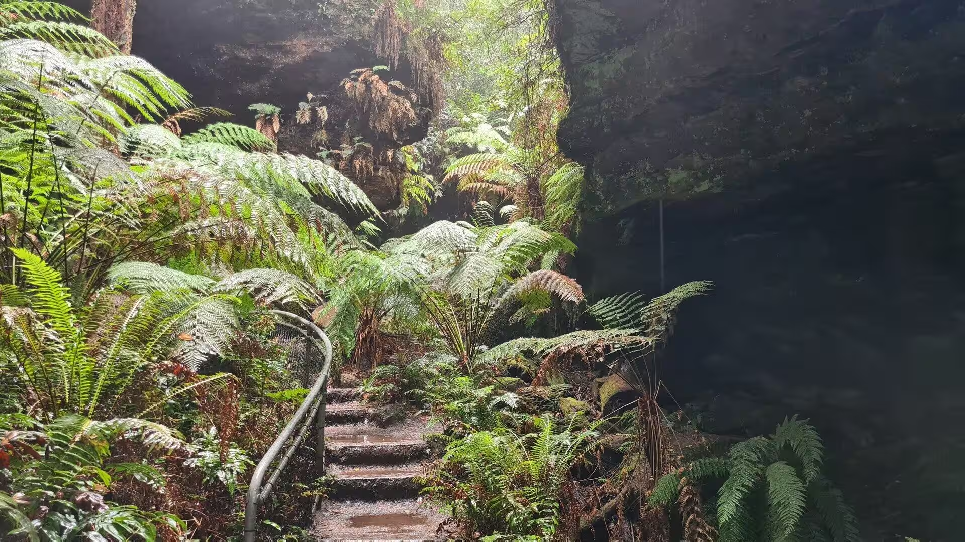
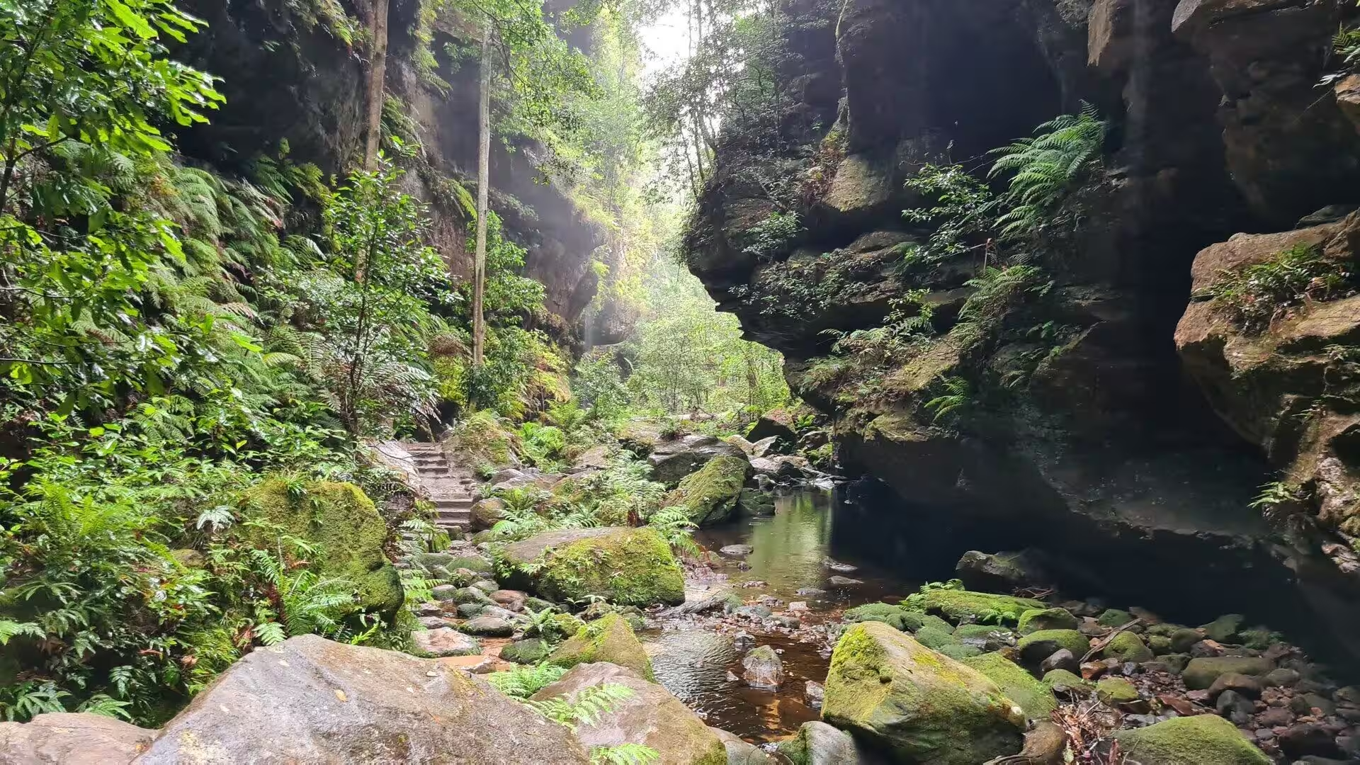
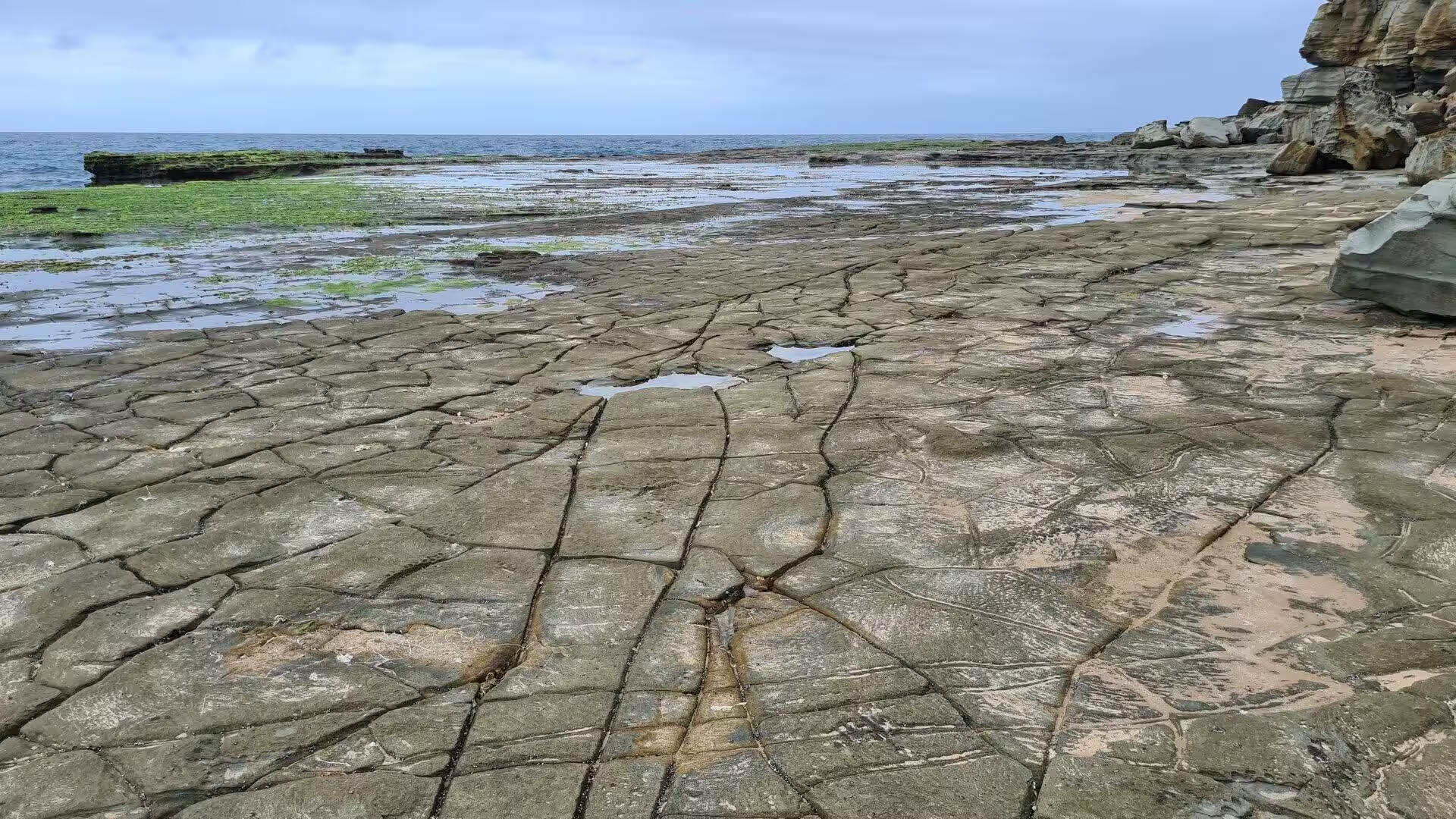
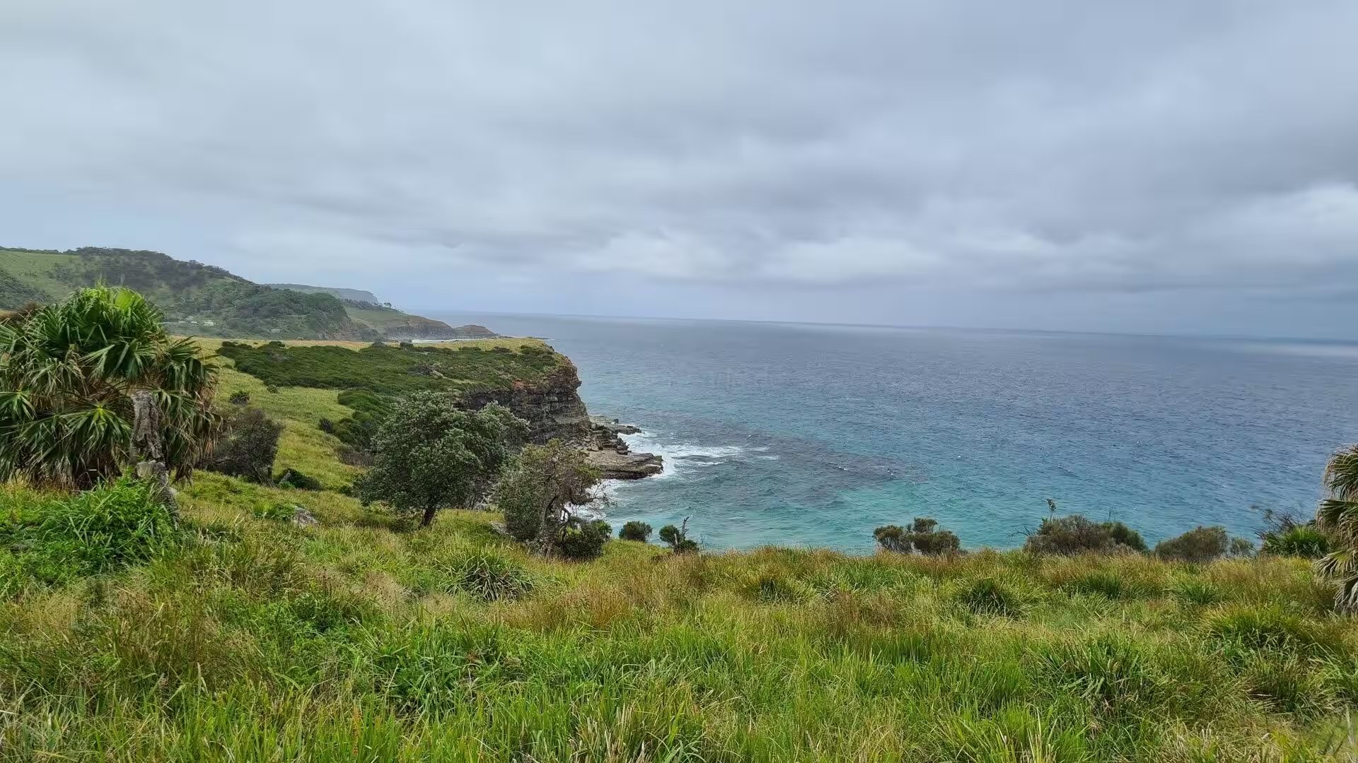
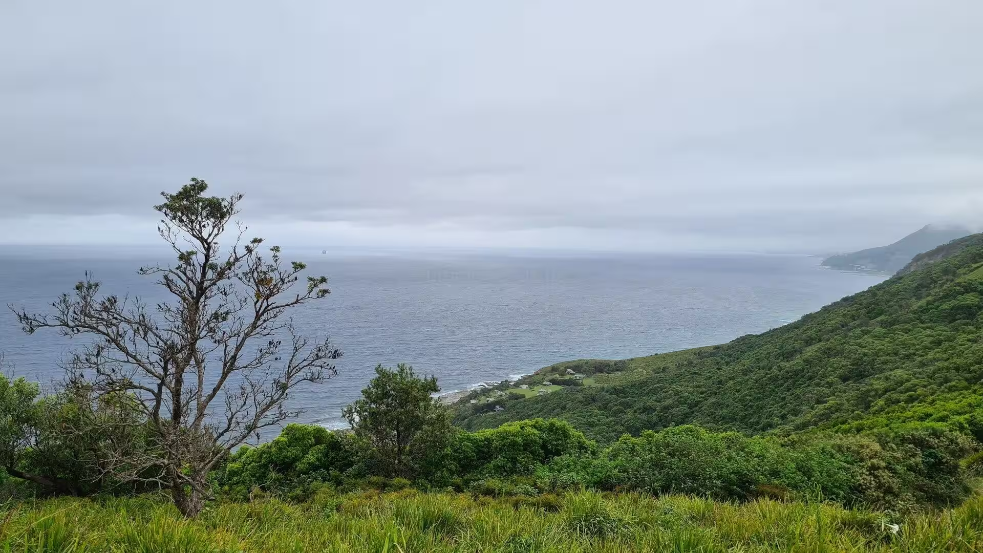
The coast between the beaches holds the quieter pleasures of the park. Headland lookouts look down on coves where the surf breaks over rock shelves, and short tracks lead to hidden beaches below the cliffs. In the gullies behind the shore, streams fall over mossy rock ledges into fern-fringed pools, and the sandstone platforms at the water’s edge, cracked into great tiles by the weather, carry the pools and weed of the lower shore. The bush of the park shelters the superb lyrebird, whose calls echo through the gullies, and the brush turkey scratches among the leaf litter of the forest floor. It is a coast of many moods, from the thunder of the surf beaches to the stillness of the lagoon shores.
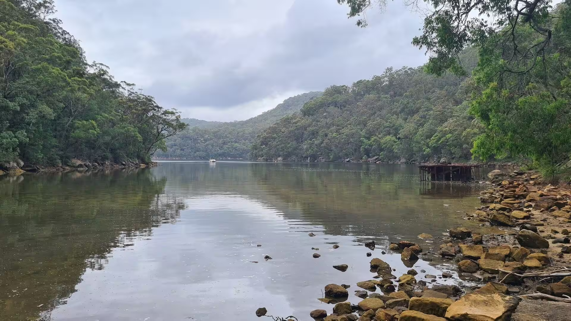
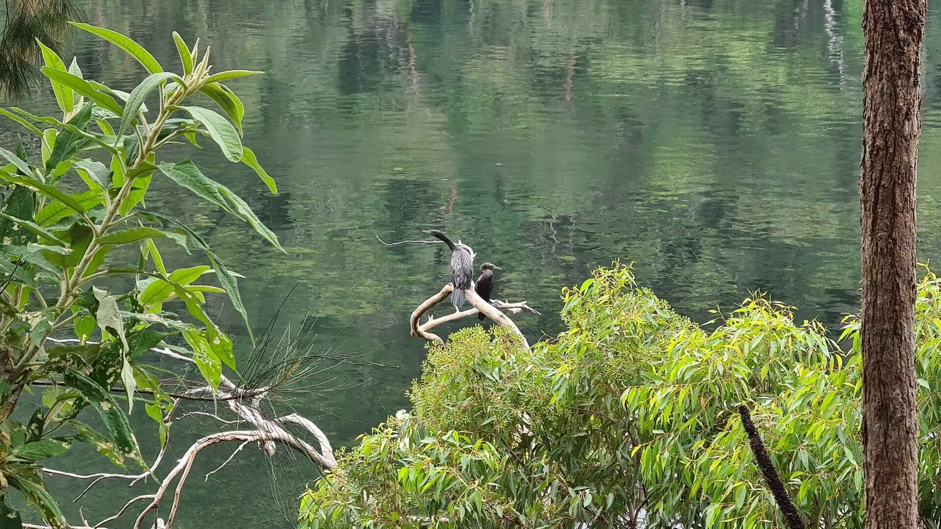
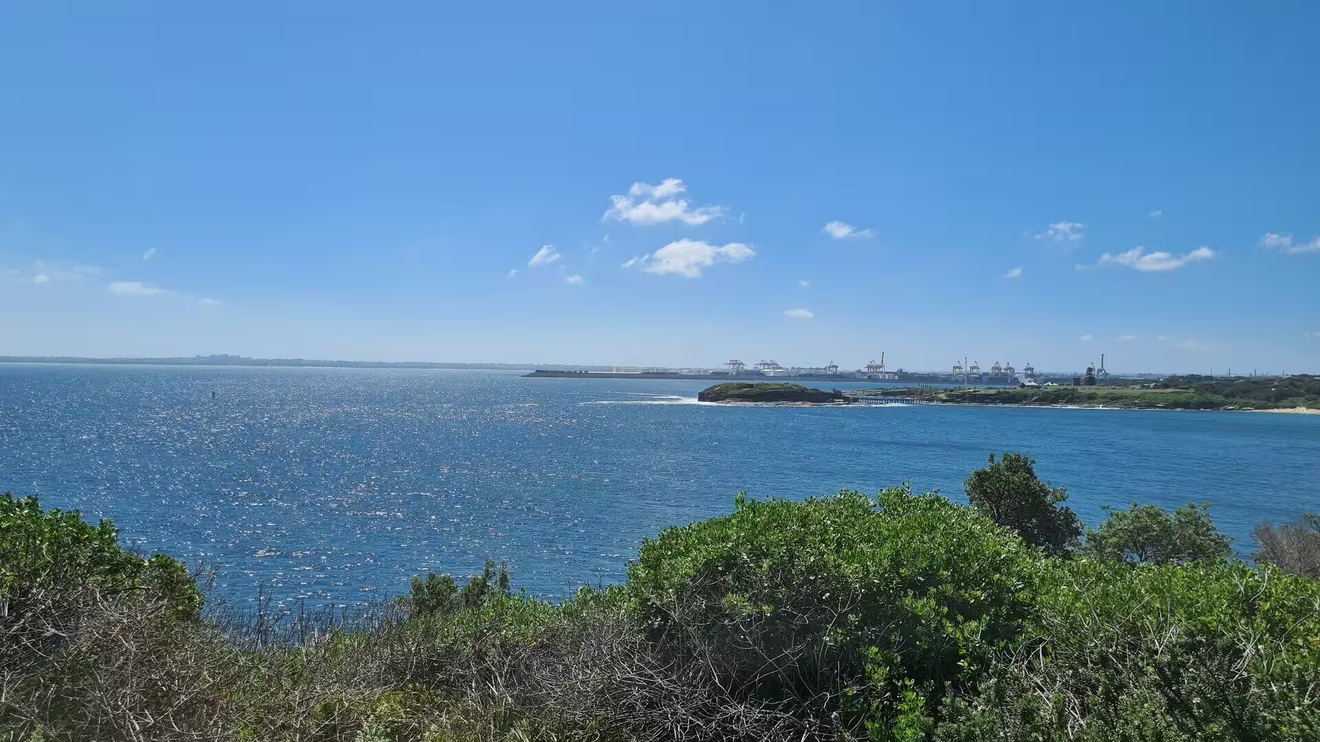
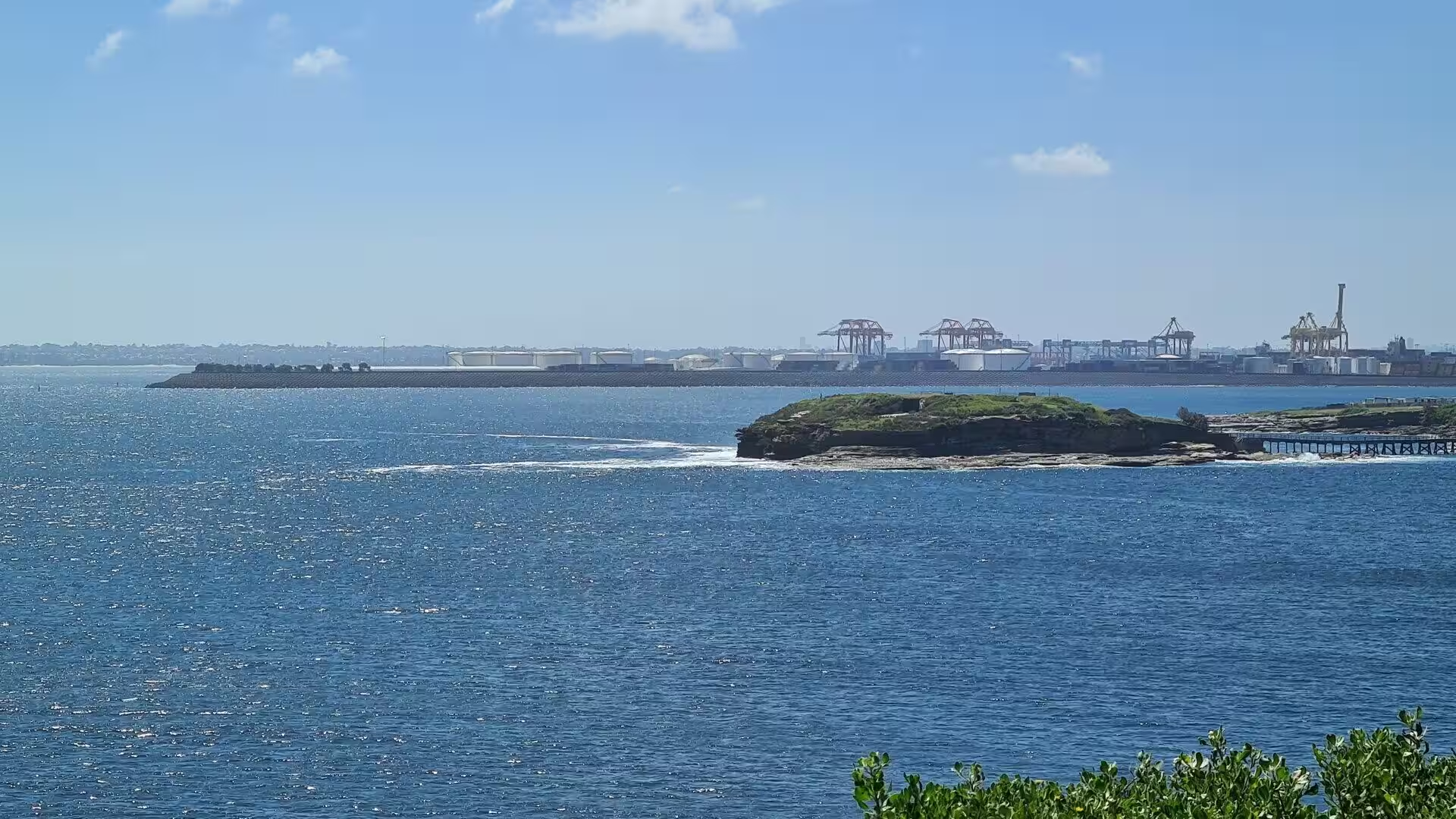
Port Hacking, the long inlet that borders the park to the north, is the water playground of this part of Sydney. Its sheltered channels carry sailing boats, small craft and the ferries that run between Cronulla and Bundeena, and its shores are lined with the houses and jetties of the southern suburbs; the upper reaches of the inlet, where the Hacking River winds through mangroves and mudflats, are quiet and wild, home to the birds of the estuary; platypus were once at home in these upper waters. The ferry wharf at Cronulla lies on Gunnamatta Bay, a short walk from the railway station, and the crossing to Bundeena takes between twenty and thirty minutes. On the far side of the inlet the sand hills of Cronulla rise above the water, and beyond them the surf beaches of the open coast run away to the south.
References
- Wikipedia: “Royal National Park”, en.wikipedia.org/wiki/Royal_National_Park
- Wikipedia: “Bundeena, New South Wales”, en.wikipedia.org/wiki/Bundeena,_New_South_Wales
- Wikipedia: “Port Hacking”, en.wikipedia.org/wiki/Port_Hacking
- Wikipedia: “Cronulla, New South Wales”, en.wikipedia.org/wiki/Cronulla,_New_South_Wales
- Wikipedia: “Sutherland Shire”, en.wikipedia.org/wiki/Sutherland_Shire
- Wikipedia: “Audley, New South Wales”, en.wikipedia.org/wiki/Audley,_New_South_Wales
- Wikipedia: “Garie Beach”, en.wikipedia.org/wiki/Garie_Beach
- Wikipedia: “Wattamolla”, en.wikipedia.org/wiki/Wattamolla
- Wikipedia: “Sydney”, en.wikipedia.org/wiki/Sydney
- Wikipedia: “Matthew Flinders”, en.wikipedia.org/wiki/Matthew_Flinders
- Wikipedia: “George Bass”, en.wikipedia.org/wiki/George_Bass
- National Parks and Wildlife Service New South Wales: “Royal National Park”, www.nationalparks.nsw.gov.au/visit-a-park/parks/royal-national-park