2024 Australia - October - Springbrook National Park














Journal Notes
General
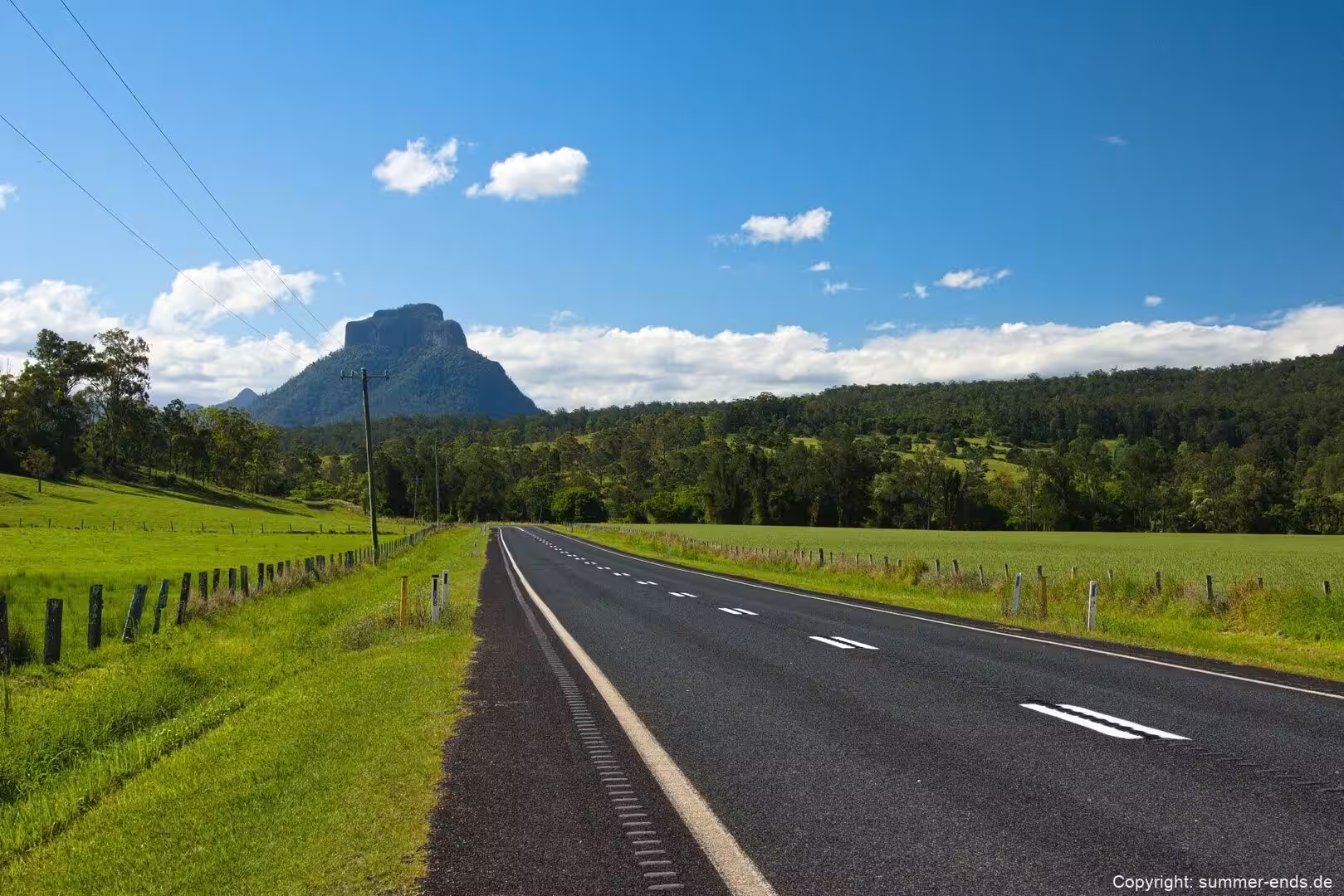
Springbrook National Park lies in the Gold Coast hinterland of Queensland, on the McPherson Range roughly one hundred kilometres south of Brisbane and just inland from the coastal strip between Surfers Paradise and the New South Wales border. The park is made up of four distinct sections: the Springbrook Plateau along the crest of the range, Mount Cougal to the south east, and the Natural Bridge and Numinbah sections to the west and north west. Published figures for the total area vary slightly, with the Queensland Parks and Wildlife Service putting the park at about 6,558 hectares while other accounts round the same land closer to 6,200 hectares.
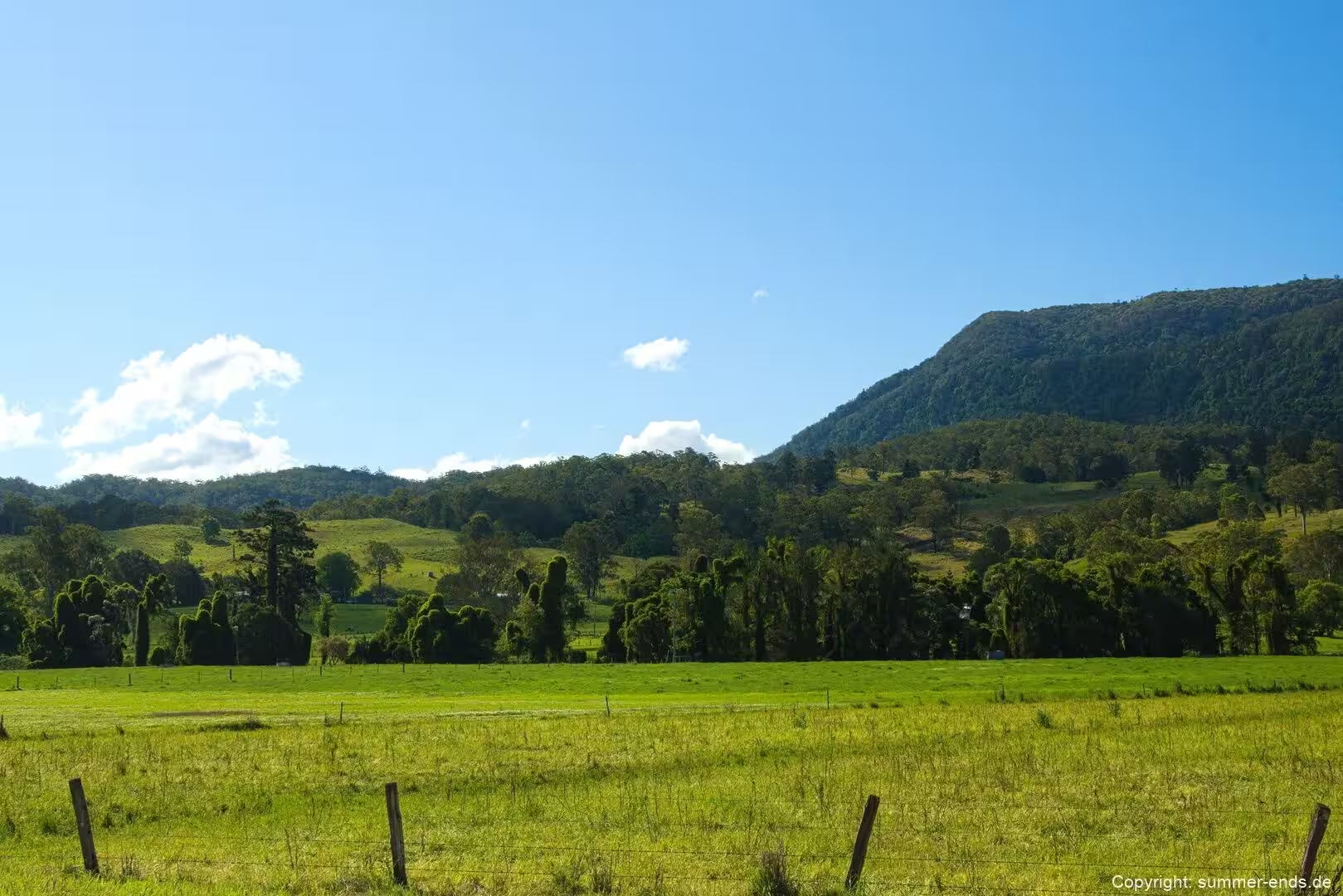
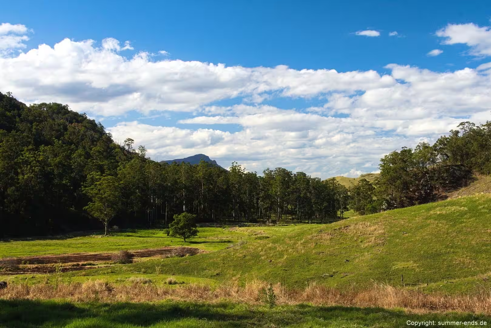
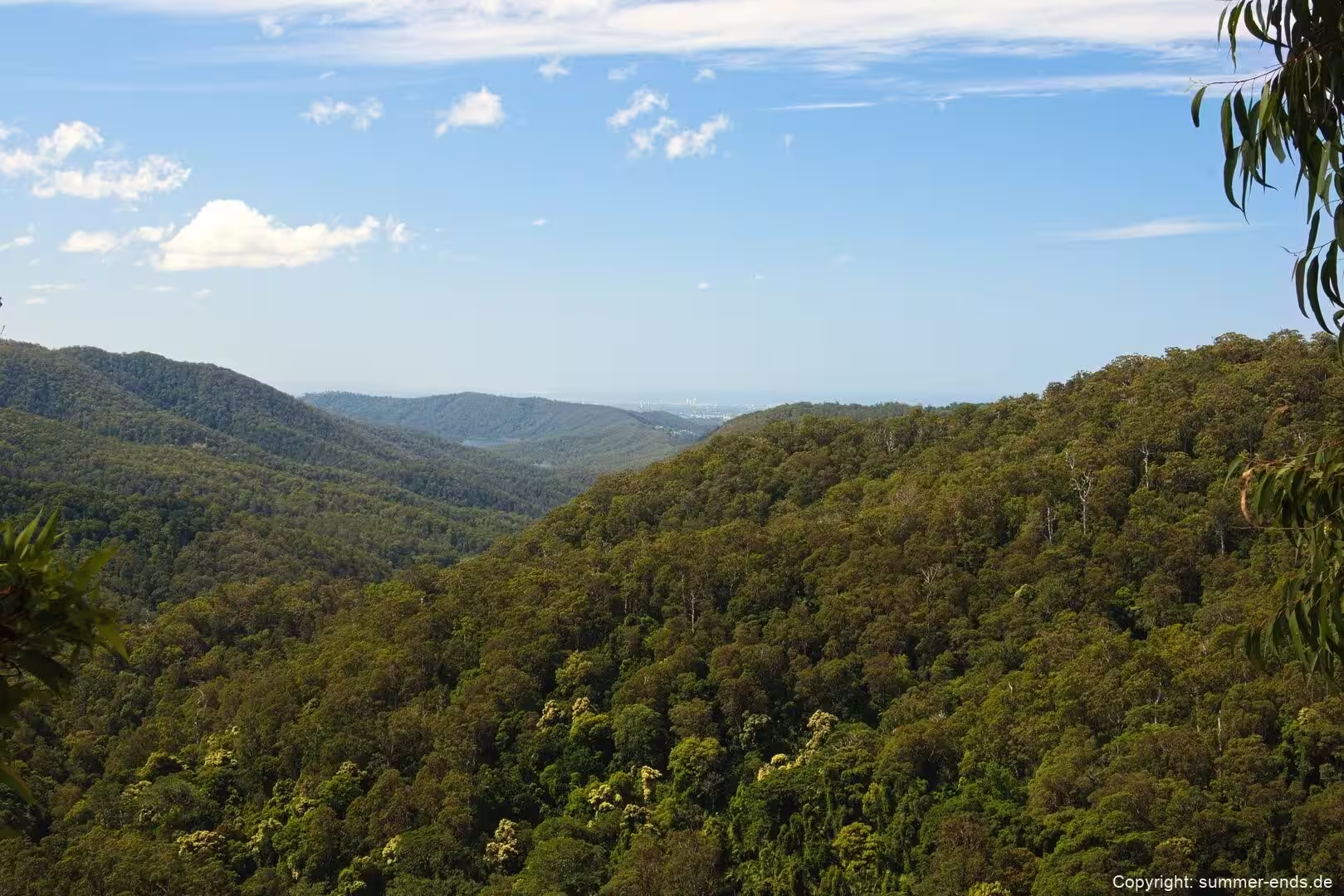
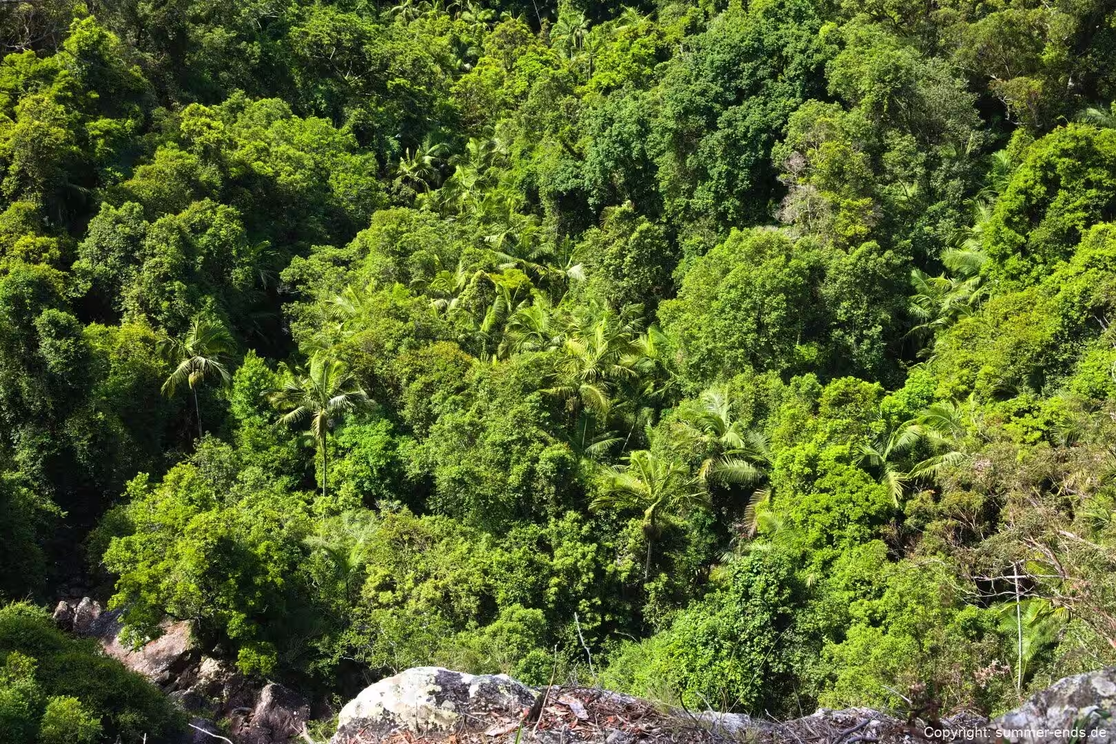
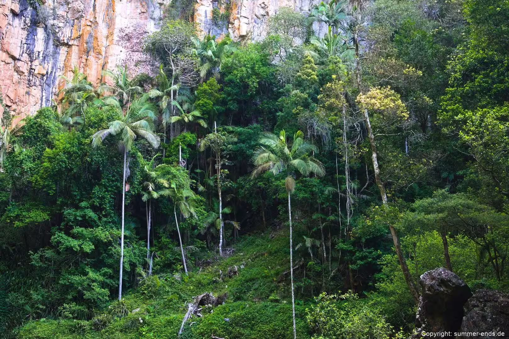
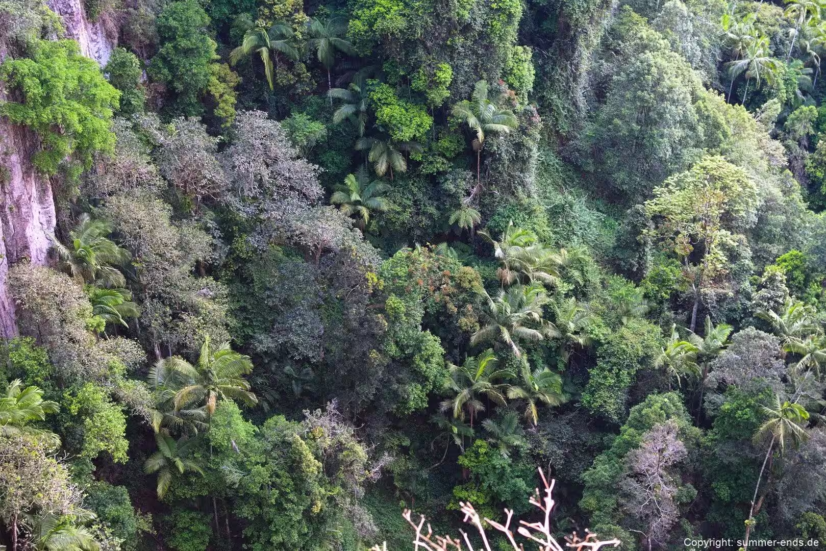
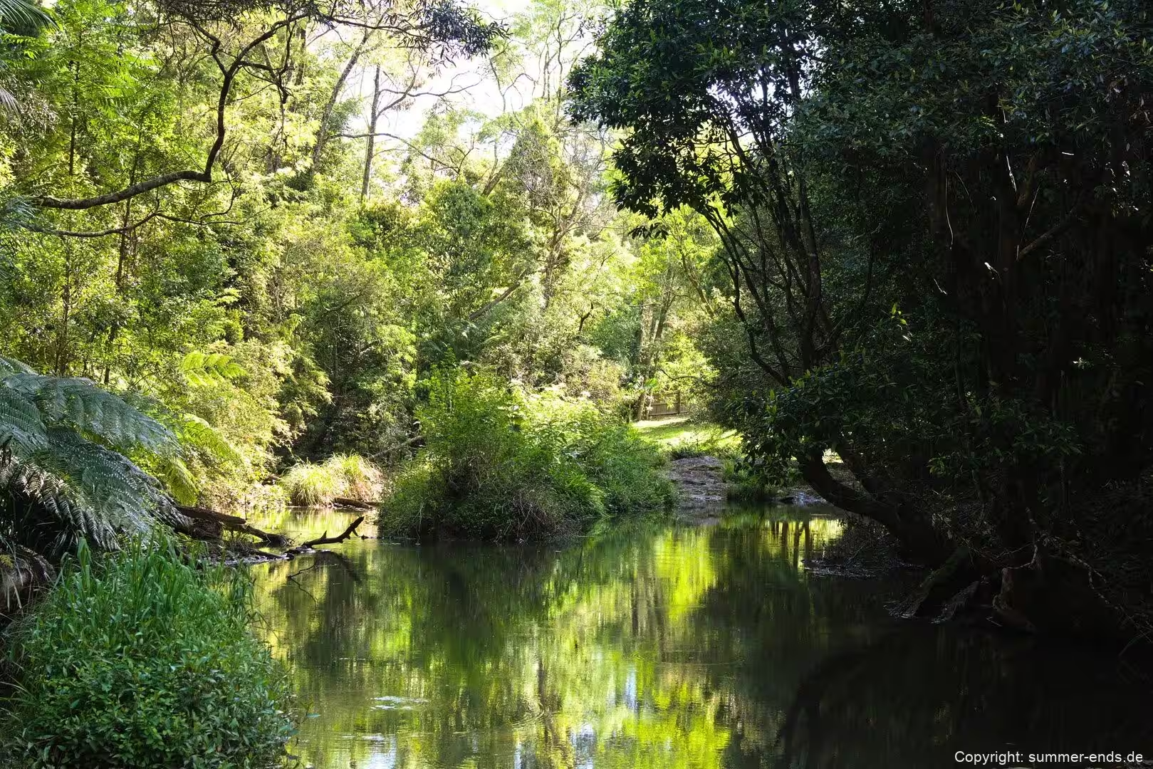
Springbrook dominates the western skyline above the Gold Coast. Its cool forests and mountain streams offer a landscape of subtropical and warm temperate rainforest, open eucalypt forest and montane heath, threaded with superb viewpoints along the plateau edge. The plateau sits between roughly 600 and 1,000 metres above sea level, so it can be noticeably cool even in the middle of summer. Rainfall exceeds 3,000 millimetres in most years, with the heaviest falls between December and March, while the Natural Bridge section receives around 2,500 millimetres, much of it during the hot, humid summer months.
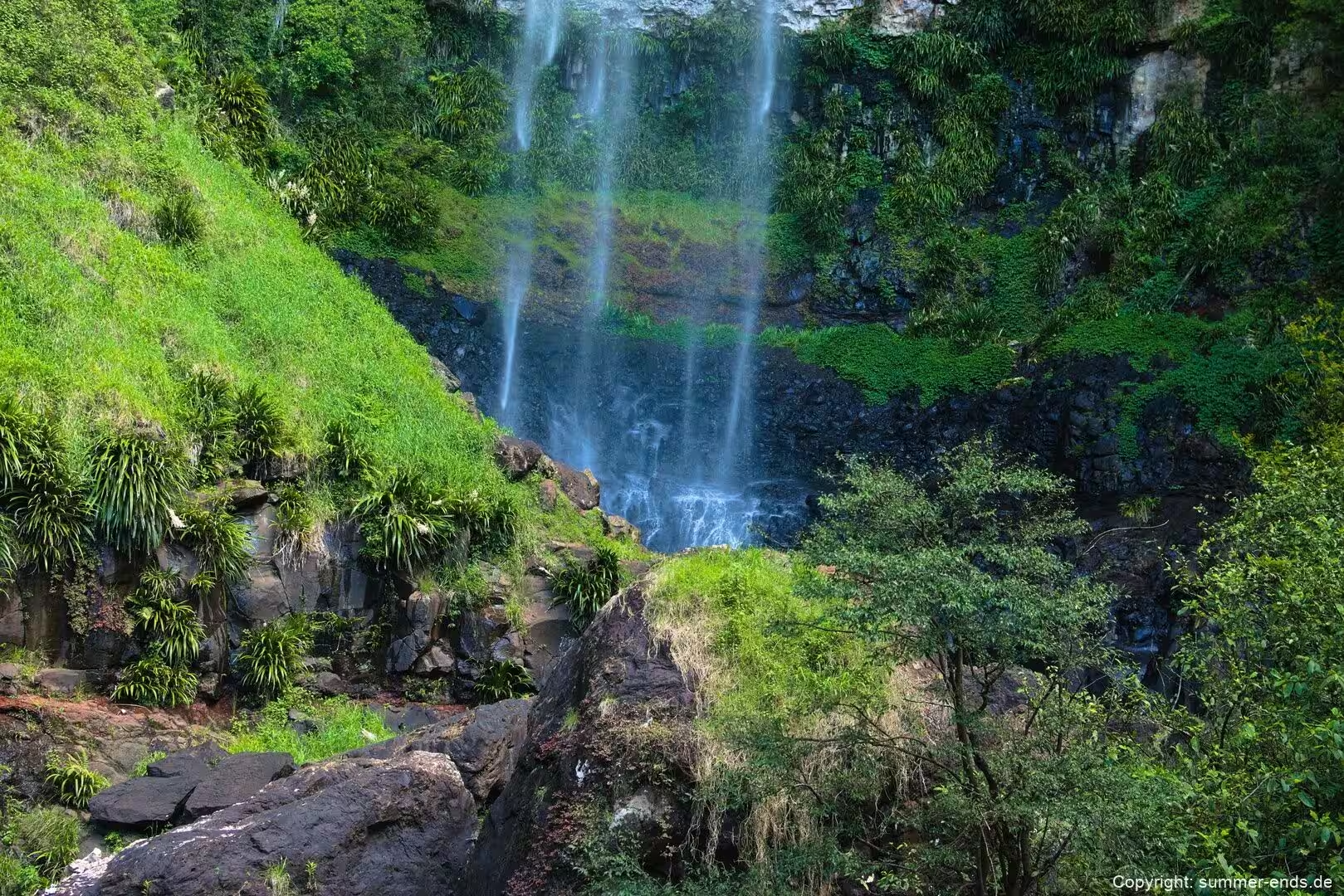
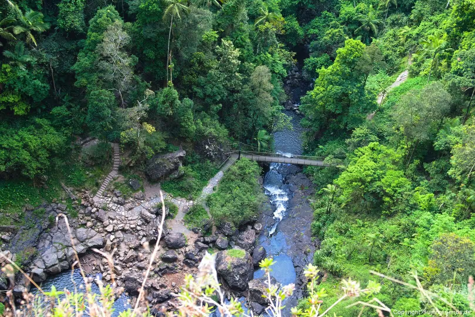
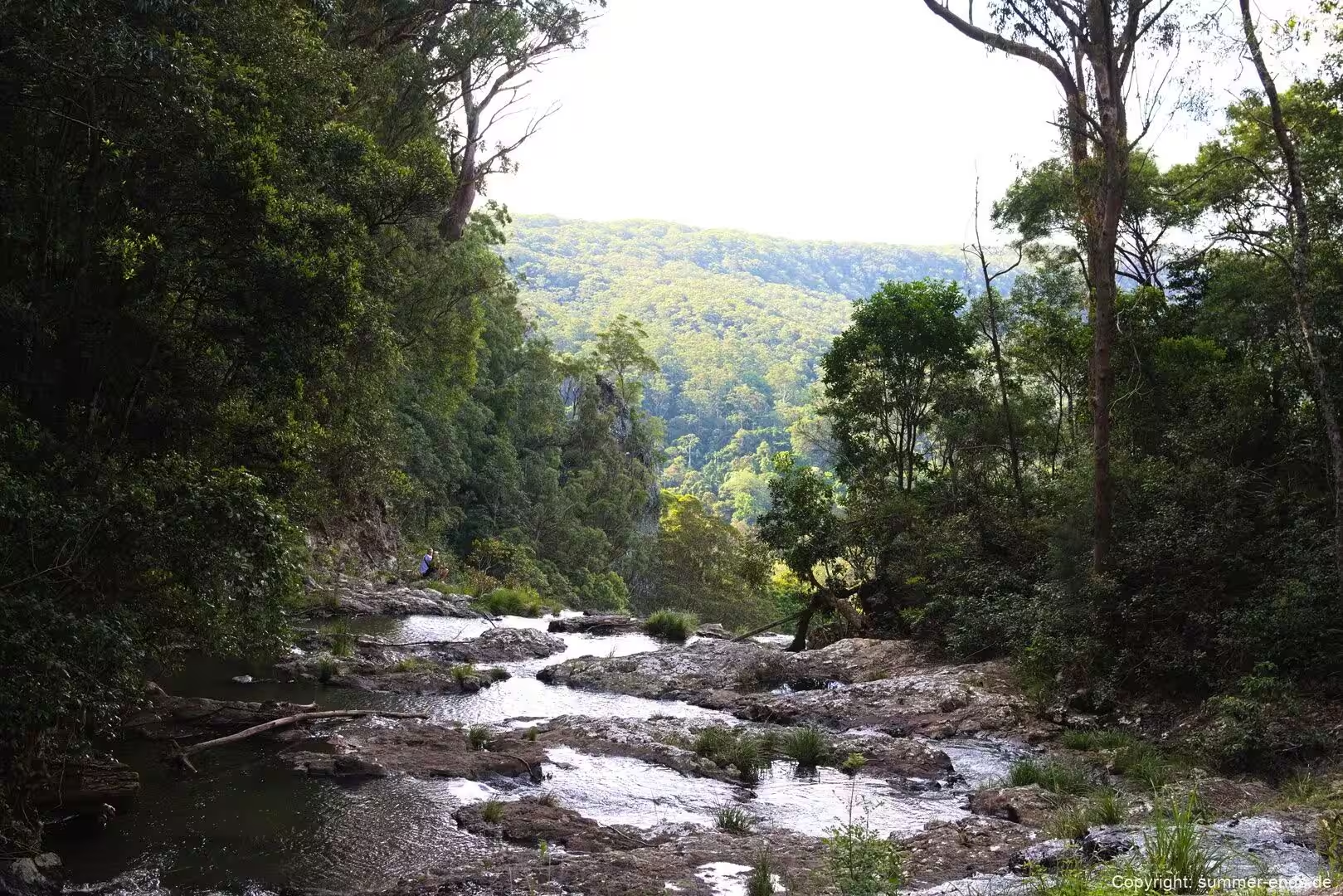
The park is part of the Shield Volcano Group of the Gondwana Rainforests of Australia, a UNESCO World Heritage property spread across south east Queensland and northern New South Wales and one of Queensland’s five World Heritage areas. It conserves rainforest and eucalypt forest in the cliff lined headwaters of the rivers and creeks that flow towards the Gold Coast, above all the Nerang River along the plateau’s western edge and the Little Nerang River to the east. Where these waterways spill over the escarpment, sixteen waterfalls have formed, and it is these falls and the sheltered valleys beneath them that give Springbrook much of its character.
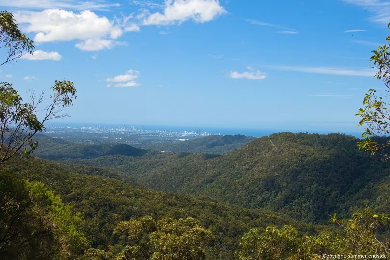
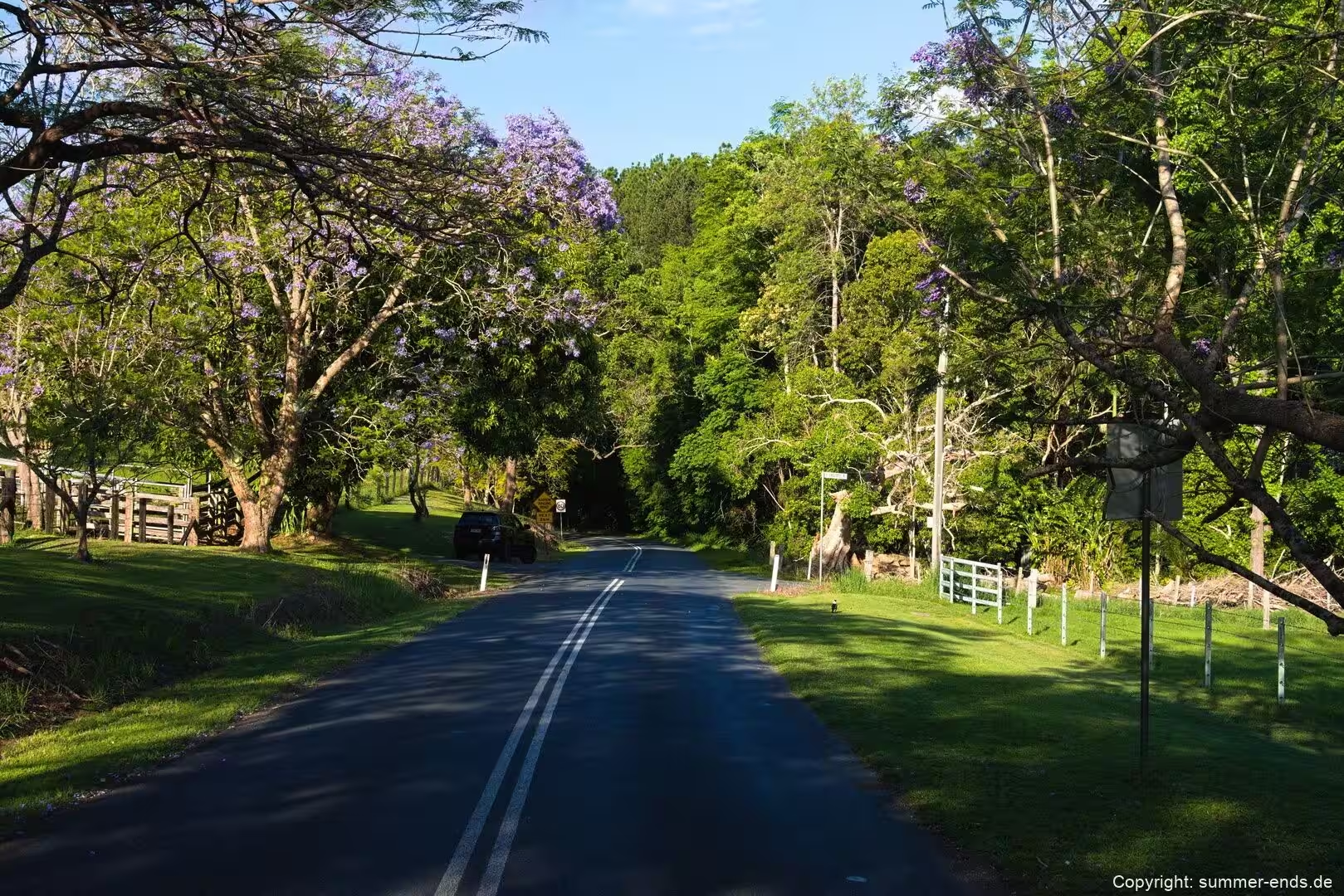
Access to the plateau is by a sealed road from Nerang through the Numinbah Valley, or by the road from Mudgeeraba. Across all four sections the park offers picnicking, nature study and a wide range of walks, most of them built around waterfalls, lookouts and stands of ancient forest, and there is a single small camping area along Carricks Road. On a clear day the plateau’s eye lines run north across the ridges and ranges of the Scenic Rim and out towards the low green plain of the coast.
History
Springbrook’s story of protection is closely tied to the recognition of its forest values. In December 1994 the UNESCO World Heritage Committee extended the Gondwana Rainforests of Australia World Heritage Area over the Scenic Rim, an area that takes in nearly all of Lamington and Springbrook national parks together with much of Main Range and Mount Barney, as well as the rainforests of northern and central New South Wales. The listing recognised the region’s outstanding geology, its subtropical and cool temperate rainforests and its rare fauna. In 2007 the named areas of the property were added to the Australian National Heritage List, and in 2009 Springbrook was named one of the Q150 Icons of Queensland for its role as a natural attraction.
Protection of the plateau came about slowly. Until the early twentieth century the natural vegetation remained largely intact, because the formidable terrain kept settlers and timber getters at bay. The plateau was known as the Numinbah Plateau and, among the timber getters, as the Land of the Tall Timber. It had been declared a timber reserve, but that status was revoked in 1906 and the land was opened for selection as agricultural holdings, with the government offering special inducements to intending settlers in the hope of increasing the population of the young state of Queensland. Farming, notably a dairy industry after the Second World War, followed, and from the mid twentieth century the pressure for conservation grew as the remaining forest shrank.
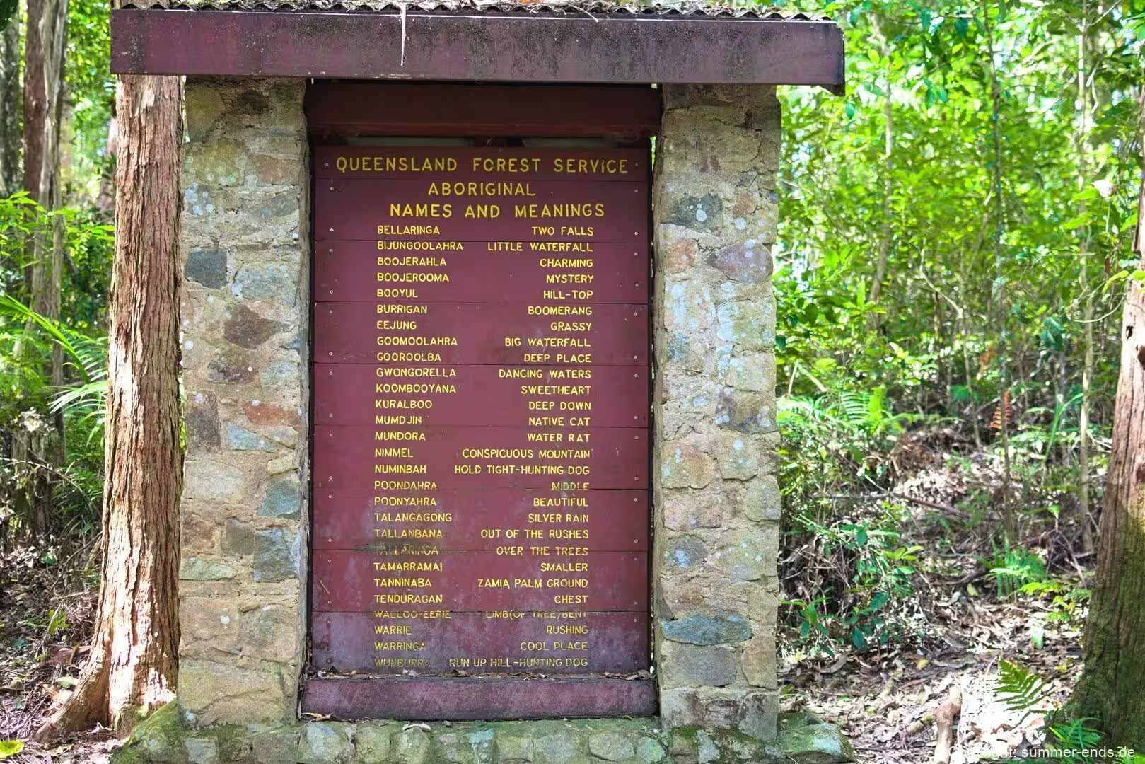
The modern national park has been assembled piece by piece from timber reserve, crown land and private property. The first section, Warrie National Park in the Canyon area, was declared in 1937, and in 1940 an area at Purling Brook Falls was set aside as Gwongorella National Park. Those names held until 1990, when they were amalgamated with Wunburra, Natural Bridge and Mount Cougal to form Springbrook National Park. The Mount Cougal section had begun in 1938 with 142 hectares set aside and grew over time to about 811 hectares, and it was in this corner that a bush sawmill operated from 1943, cutting easily milled flooded gum and blue fig for the packing crates used by local banana growers until a particularly wet winter brought work to a halt in 1955.
Aboriginal people hold a deep and continuing connection to the country around Springbrook. The twin peaks of Mount Cougal are known within the Yugambeh language group as Ningeroongun and Barrajanda, linked to a story of a legendary hunter named Gwayla and his two prized dingoes, said to be buried beneath the summits. The Natural Bridge sits within the country of the Kombumerri, a family group of the Yugambeh peoples, and the first Europeans known to reach it were the timber cutters Alexander Duncan and Denis Guinea, shown the way by the Yugambeh man Kipper Tommy in the early 1890s. The Queensland Parks and Wildlife Service manages the park under the Nature Conservation Act 1992.
Geology
The landscape of the Springbrook Plateau is what remains of the northern rim of a huge shield volcano that dominated the region about 23 million years ago. The volcano was centred on Woolumbin, known today as Mount Warning, and spanned roughly 80 kilometres across. Built up by flows of highly mobile basalt lavas rising from a central vent that may have reached about two kilometres high, it poured lava over an area close to 6,000 square kilometres, spreading north towards Tamborine, south past Lismore towards Coraki and west towards Kyogle. Some individual lava flows were around 270 metres deep, together producing the basalts, rhyolites and pyroclastic rocks of the region, and later eruptions laid down the acidic rhyolite that forms the sheer cliffs of the plateau.
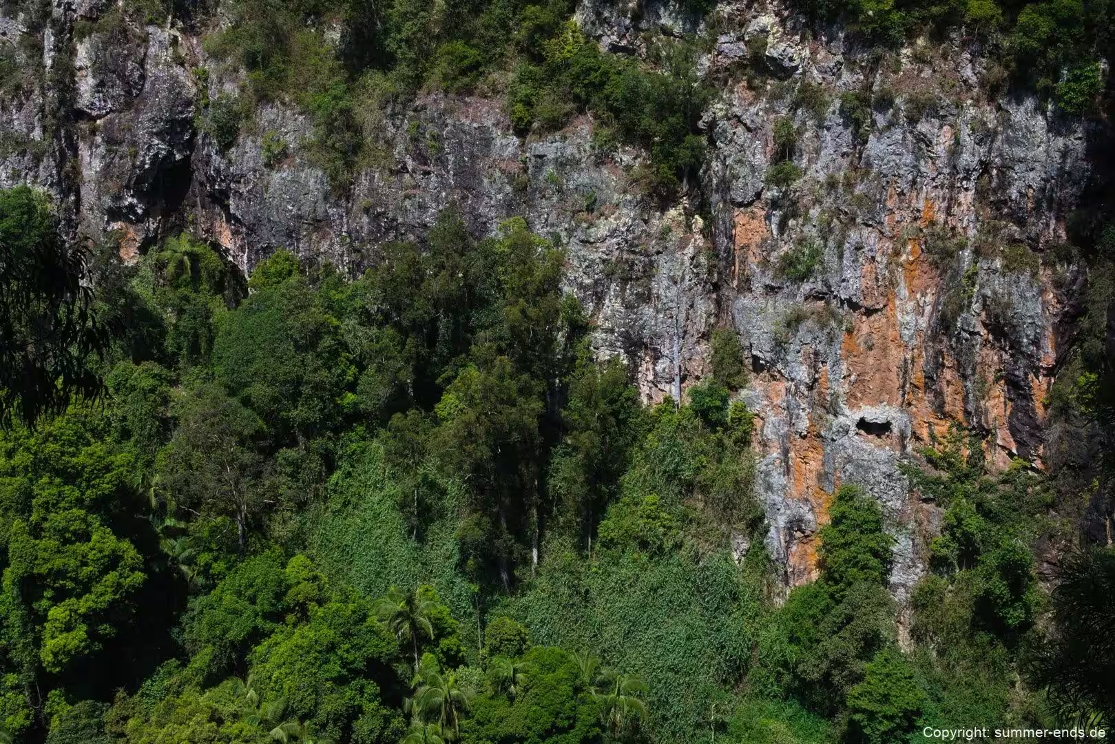
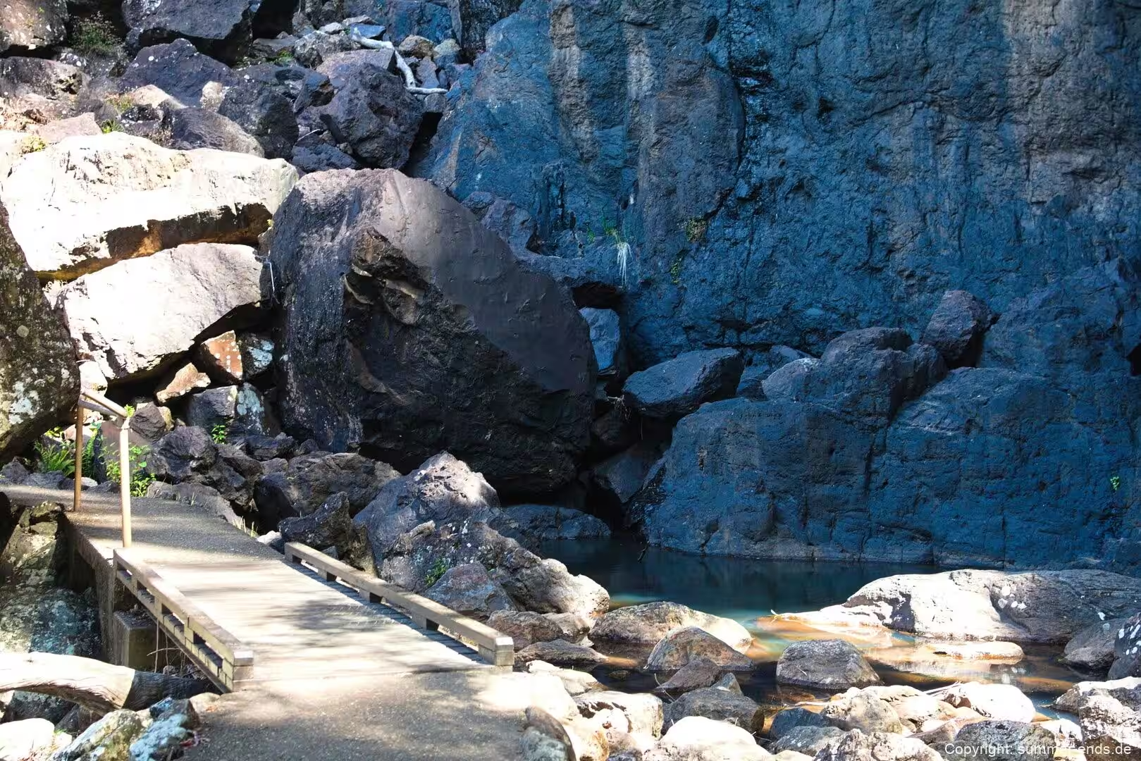
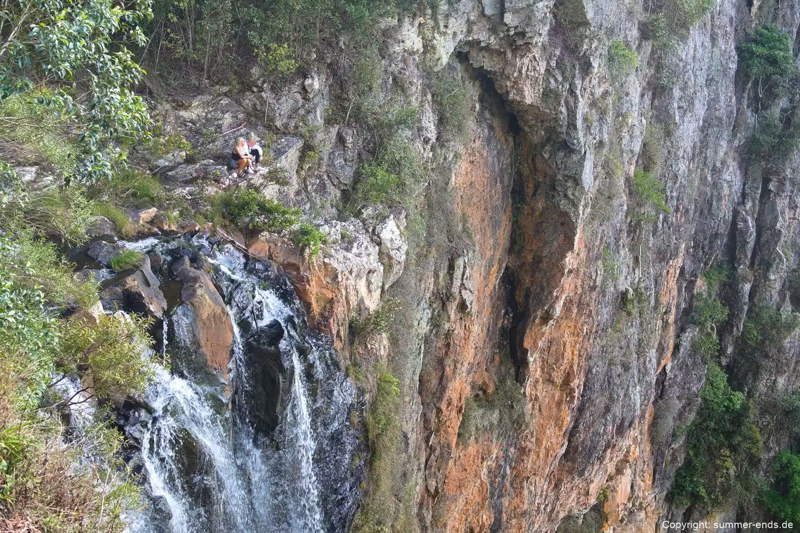
Those cliffs are a defining feature. The southern cliffs of Springbrook and Lamington national parks belong to the remnants of the northern rim of the ancient Tweed Volcano, and they are composed of resistant, volcanic rhyolite. Rock overhangs are common, and massive rock falls can dislodge house sized blocks. Beneath the rim the plateau has been carved by its rivers. The Nerang River along the western edge and the Little Nerang River to the east have both eroded rock that was less resistant than the cliff forming rhyolite, cutting the valleys that serve as the headwaters of waterways flowing towards the Gold Coast. Where these creeks cross the edge of the escarpment, no fewer than sixteen waterfalls have developed.
The geology of the park also explains the shape of the Natural Bridge. This rock arch spans Cave Creek, a tributary of the Nerang River, and it formed when a waterfall undercut a cave beneath the fall while digging a pothole on top. Once the two cavities joined, the creek was left to flow through the cave, and the arch remained across the front. Below the arch a cave has become home to a large colony of glowworms, whose light draws insects towards the hanging threads they use to feed.
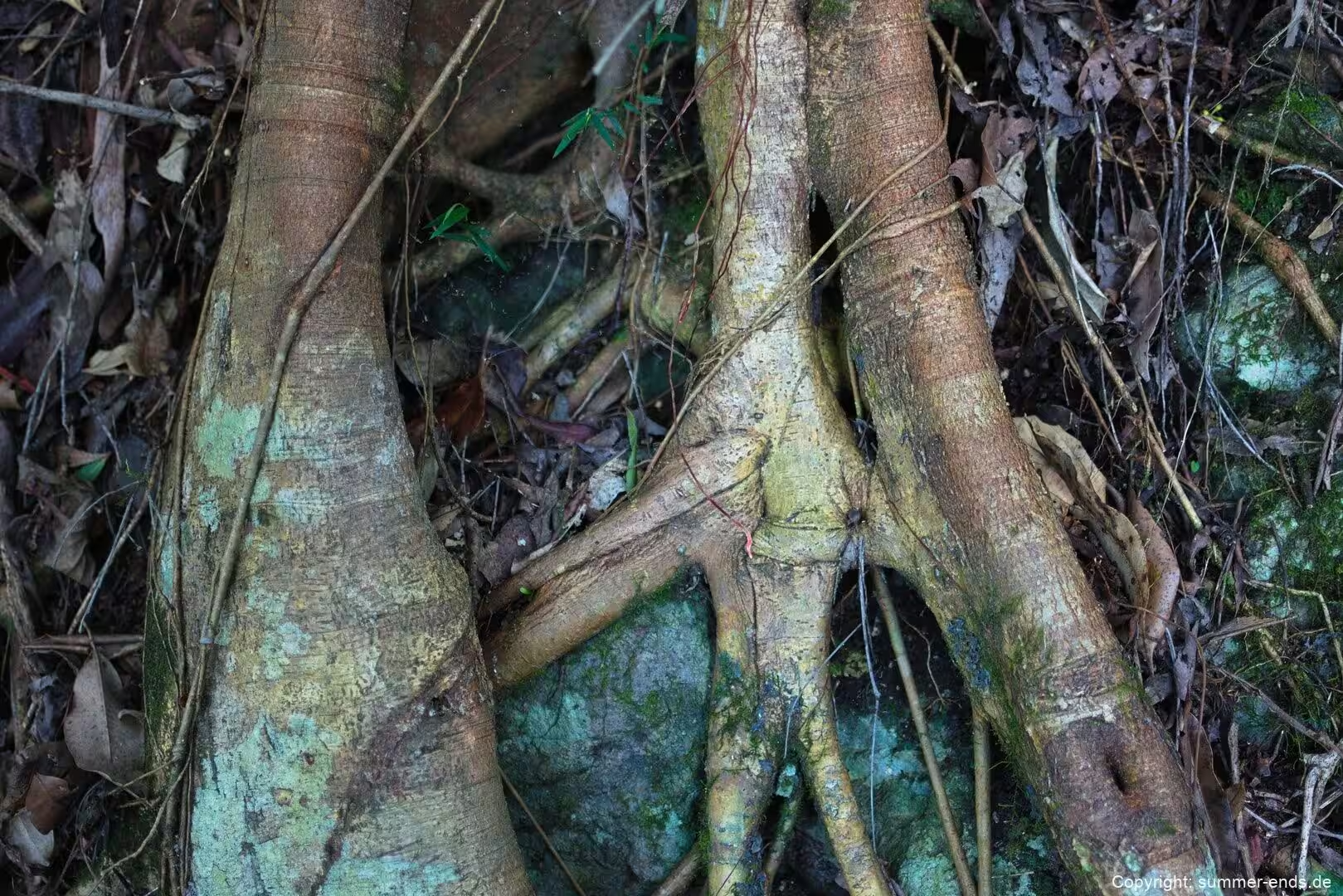
The variety of volcanic rock shapes the vegetation as much as it shapes the land. Basaltic soils typically carry subtropical rainforest dominated by black and white booyong, while the poorer rhyolitic soils favour warm temperate rainforest in which coachwood is prominent. One small stand of cool temperate rainforest, dominated by Antarctic beech, survives near the Best of All Lookout just over the border in New South Wales, and some of those beech trees are said to be around 3,000 years old. The Springbrook leatherwood, a tree found only in warm temperate rainforest on this plateau, was not described until 1993.
Things to See
Natural Bridge, sometimes called the Natural Arch, is the most celebrated of the park’s features and sits in its own section to the west. The arch forms a natural gateway over Cave Creek, and the cave beneath it holds a colony of glowworms, the larvae of the insect Arachnocampa flava. The light these creatures produce is bioluminescence, created by a reaction within their bodies and used to lure prey. Commercial operators run guided night tours so that visitors can see the glowworm colony after dark, and swimming is no longer permitted in the area bounded by the walking circuit in order to protect the habitat. The walk itself is short and easy, and the section is reached from the Nerang to Murwillumbah road.
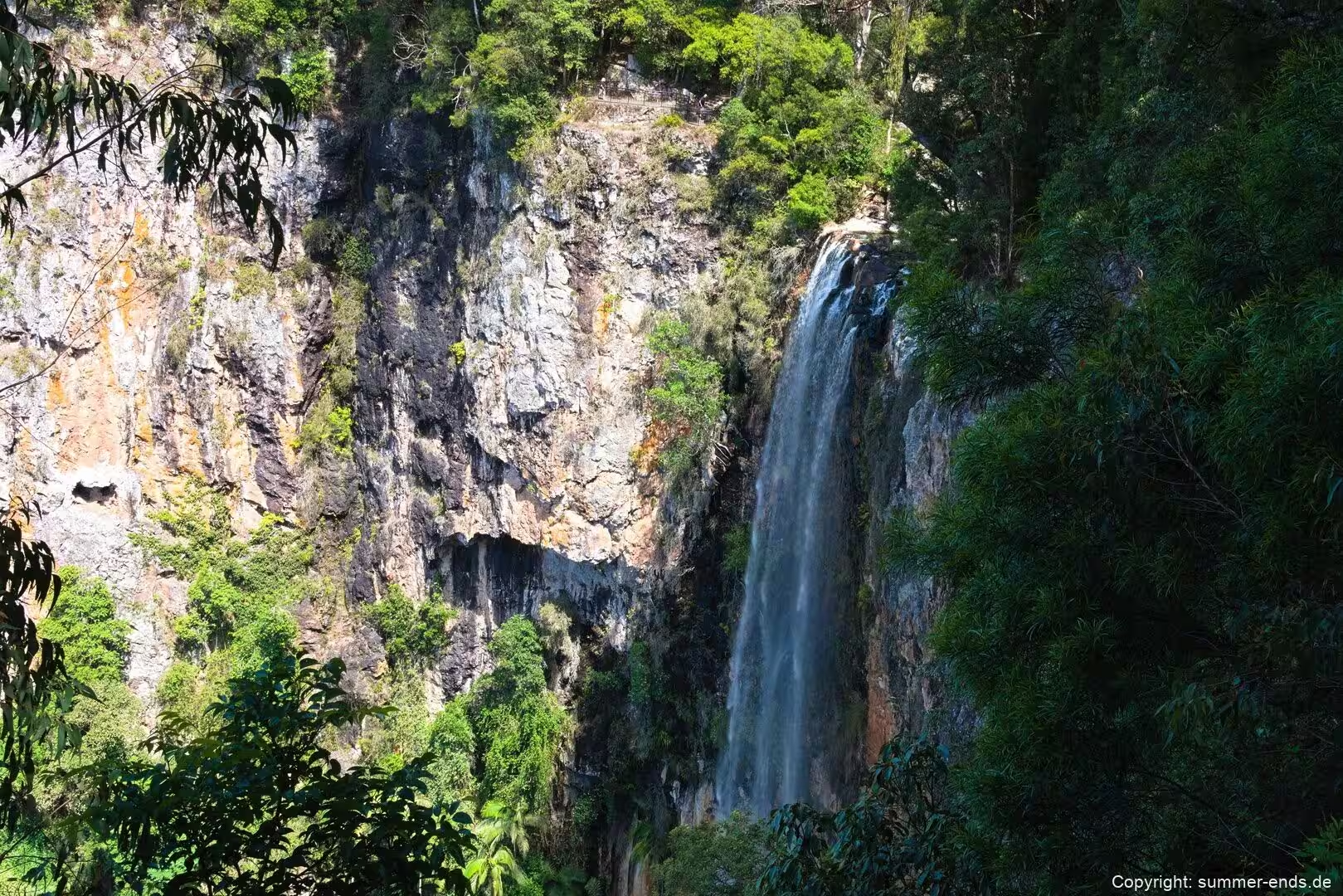
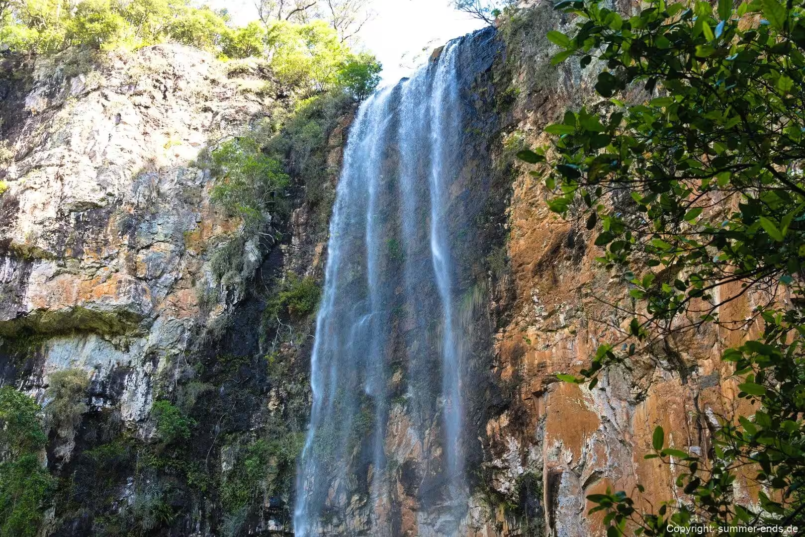
Purling Brook Falls is a single drop horsetail fall of around 100 to 106 metres on Purling Brook. A circuit of about four kilometres, best walked clockwise and graded moderate, takes roughly two hours and leads down through cliff edge rainforest towards the base of the falls when the lower track is open. After heavy rain the falls become a full spectacle, and at these times the rockfall hazard commonly closes the track across the foot of the drop.
Twin Falls is the plateau’s other classic circuit, a loop of about four kilometres starting from the Tallanbana picnic area or the Canyon Lookout. The walk passes behind two waterfalls through rock crevices and beneath towering brush box trees, and it takes around two hours; the section near the cascades stays damp and slippery, so sturdy footwear helps. On the same reach of the plateau a return circuit from the Tallanbana or Goomoolahra picnic areas runs past a string of named falls, including Rainbow Falls, Goomoolahra Falls and Kaadjagooma Falls, while the longer Warrie Circuit offers a full day through the canyon for experienced walkers.
The plateau is also known for its viewpoints. Canyon Lookout is a short walk of only a few minutes from the car park and looks across the folds of the forest towards the coast. Best of All Lookout, reached by a six hundred metre track at the end of Repeater Station Road, opens long views towards the Tweed caldera and Mount Warning, known as Wollumbin, on a clear day, and its short approach passes beneath cool climate forest. Goomoolahra Falls has its own lookout track, and Boojerahla is reached by a separate short path. Several picnic areas and lookouts are strung along the plateau crest.
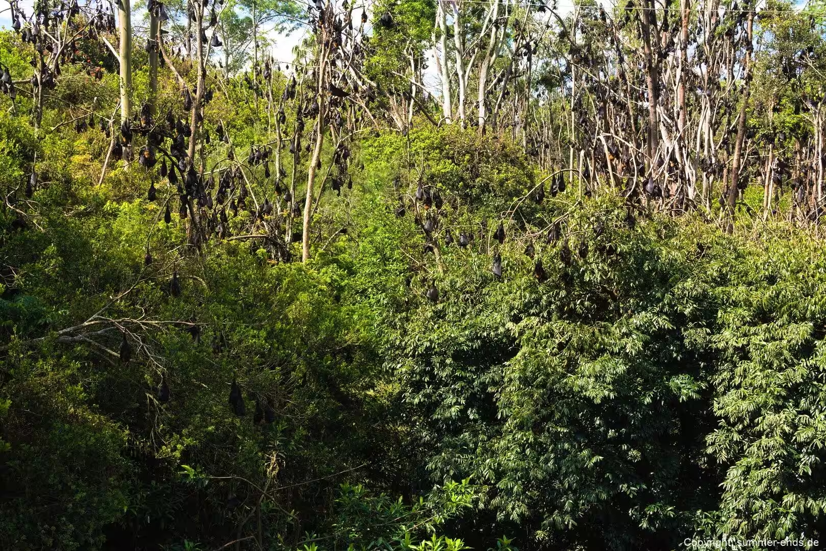
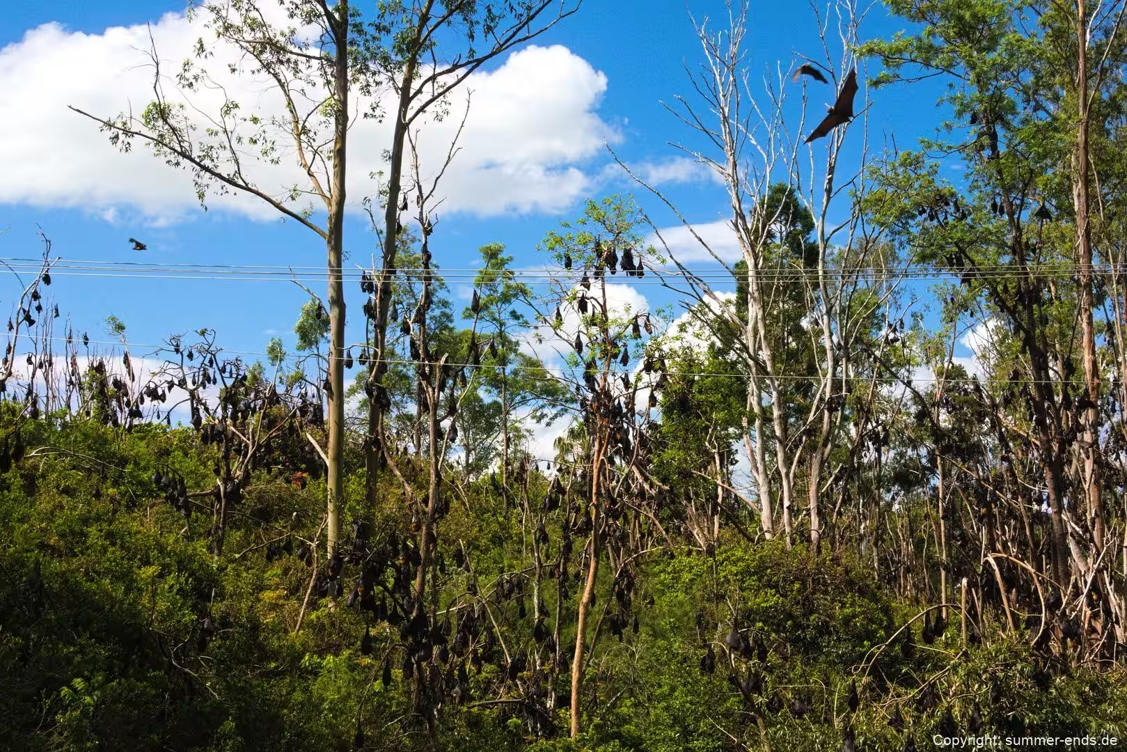
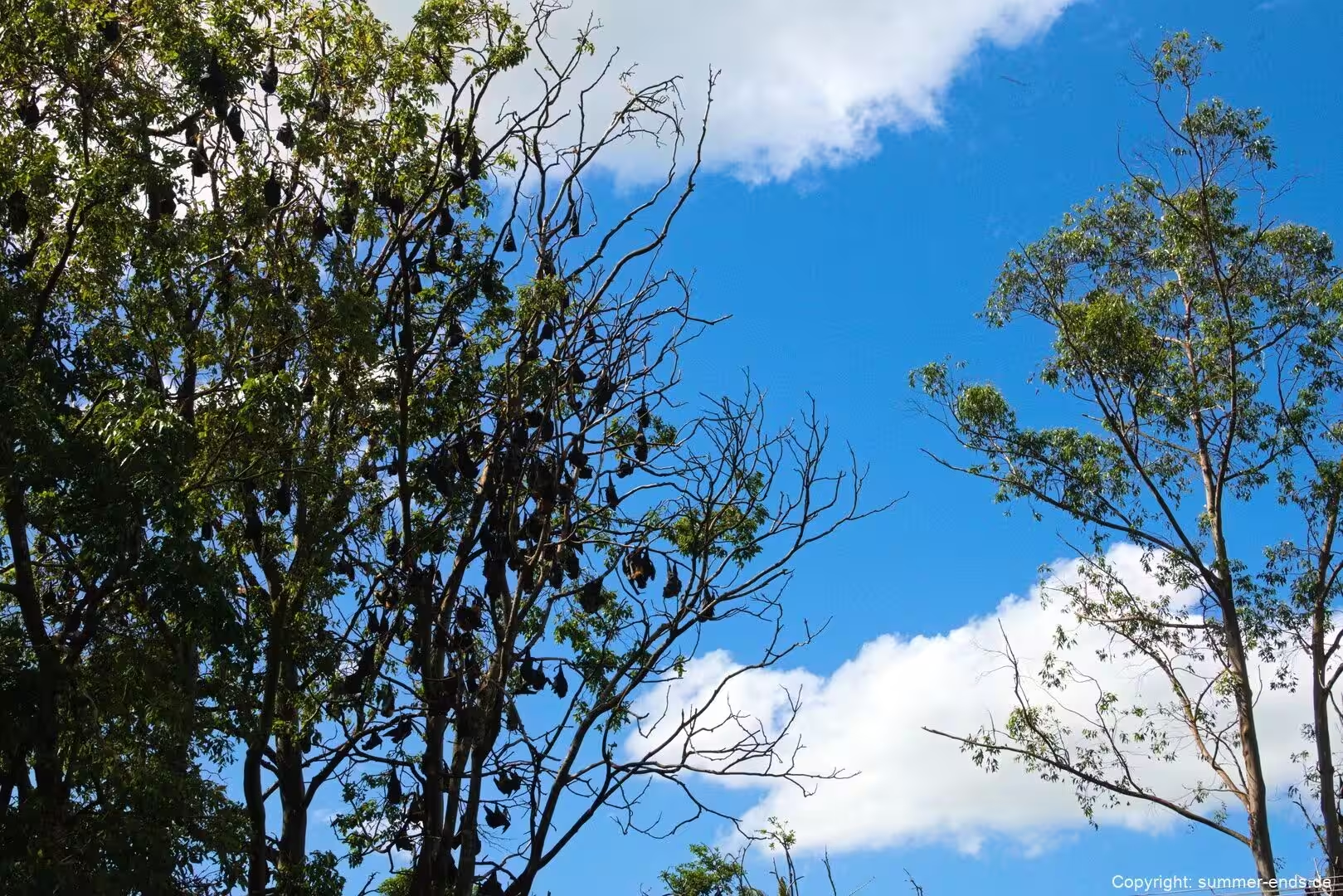
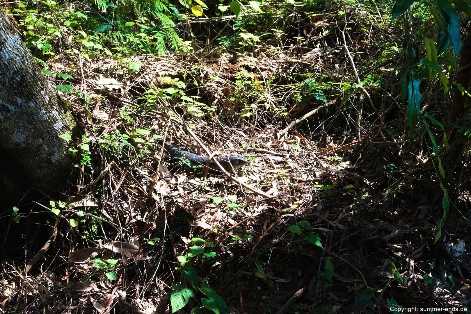
Springbrook is also a haven for wildlife. The park provides habitat for more than a hundred bird species, among them the yellow tailed black cockatoo, rufous fantail, satin bowerbird, whipbird and the Albert’s lyrebird, and it is part of the Scenic Rim Important Bird Area identified by BirdLife International for its threatened birds. Nocturnal animals such as the mountain brushtail possum, the ringtail possum and the sugar glider are common, and long finned eels live in the plateau pools. Reptiles include the land mullet, the world’s largest skink, and the lace monitor, while the rare Richmond birdwing butterfly, the blue spiny crayfish and the glowworms are notable finds. Red necked pademelons and koalas can also be seen. Because so much of the surrounding hinterland has been cleared, the park has become an important refuge for this wildlife.
References
- parks.qld.gov.au/parks/springbrook
- parks.qld.gov.au/parks/springbrook/about
- www.queensland.com/au/en/places-to-see/experiences/nature-and-wildlife/everything-to-know-about-natural-bridge
- whc.unesco.org/en/list/368/
- en.wikipedia.org/wiki/Springbrook_National_Park
- en.wikipedia.org/wiki/Gondwana_Rainforests_of_Australia
- en.wikipedia.org/wiki/Purling_Brook_Falls
- en.wikipedia.org/wiki/Natural_Bridge,_Queensland
- en.wikipedia.org/wiki/Tweed_Volcano
- en.wikipedia.org/wiki/Mount_Warning
- en.wikipedia.org/wiki/Arachnocampa_flava
- en.wikipedia.org/wiki/McPherson_Range
- en.wikipedia.org/wiki/Numinbah_Valley
- Shilton, Peter (2005). Natural Areas of Queensland. Mount Gravatt, Queensland: Goldpress. ISBN 0-9758275-0-2.
- Explore Australia Publishing (2008). Explore Queensland’s National Parks. Prahran, Victoria: Explore Australia. ISBN 978-1-74117-245-4.
- Hema Maps (1997). Discover Australia’s National Parks. Milsons Point, New South Wales: Random House Australia. ISBN 1-875992-47-2.
- Queensland Parks and Wildlife Service (1999). Visitor Information Sheet, Springbrook National Park. April 1999.