2024 Australia - October - Stanwell Park to Wollongong







Journal Notes
General
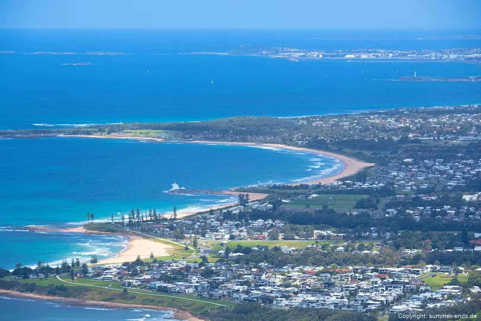
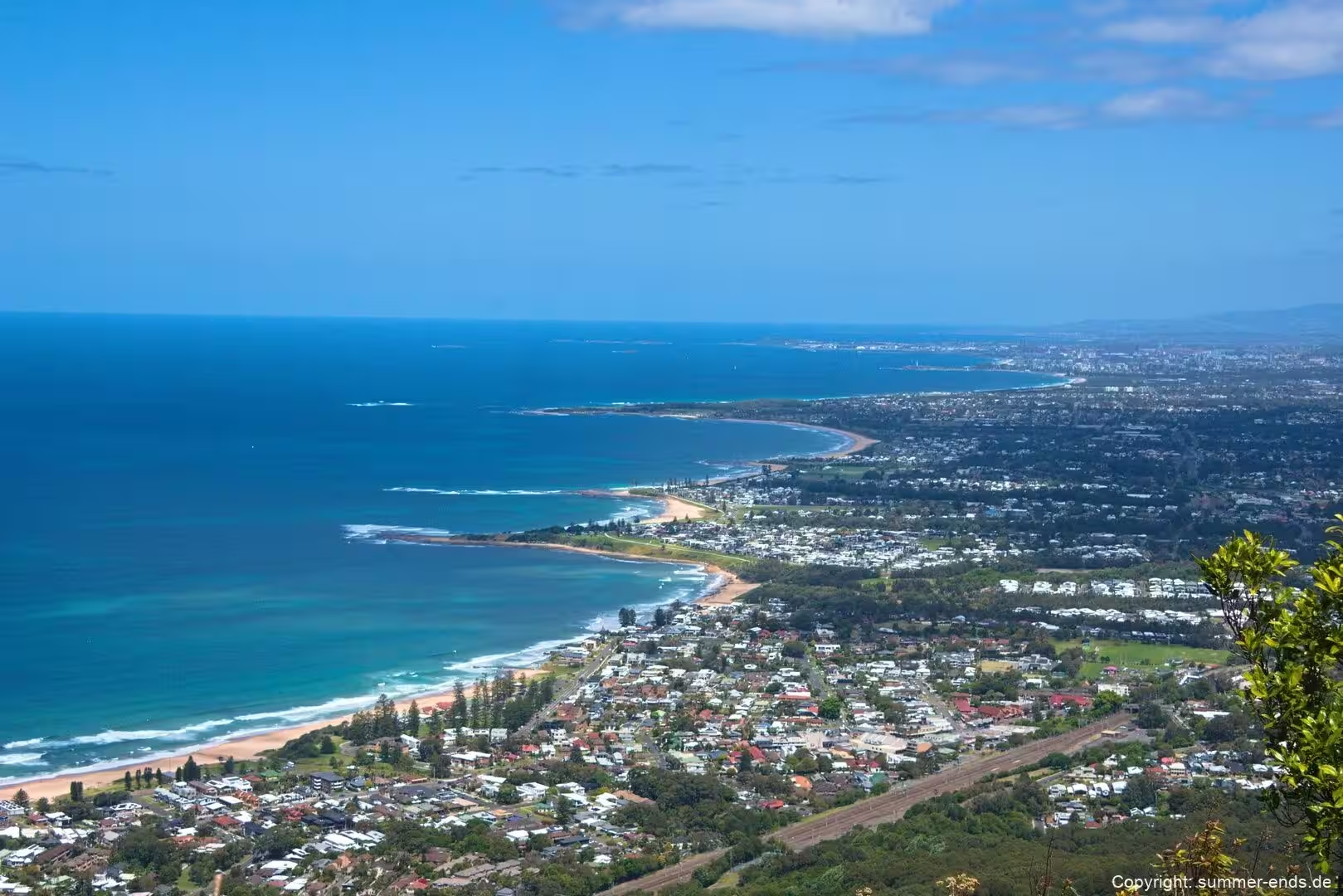
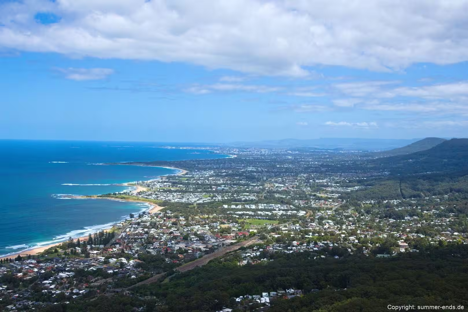
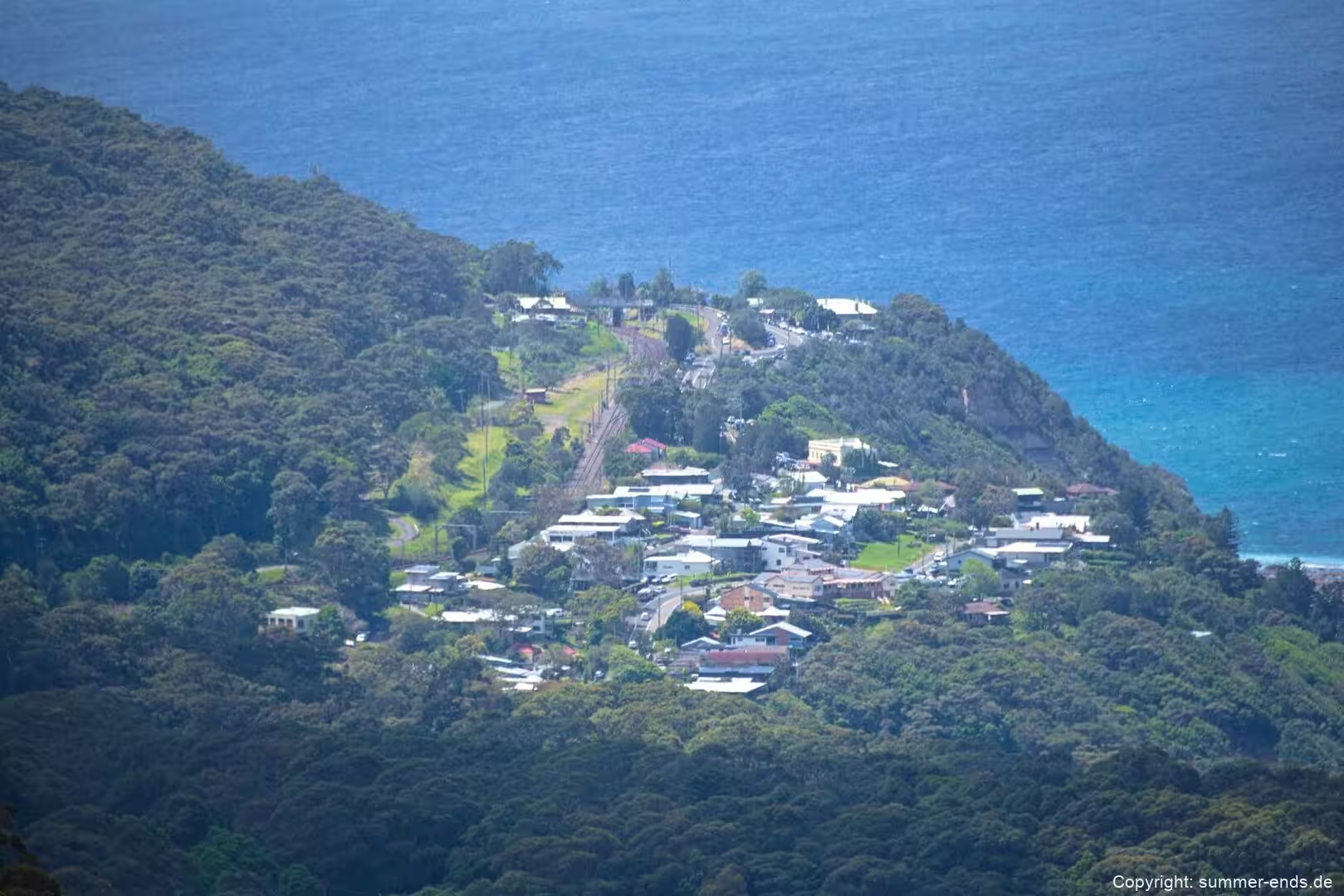
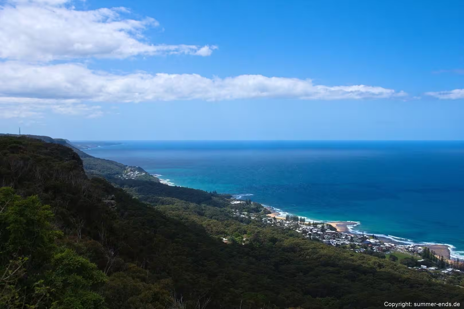
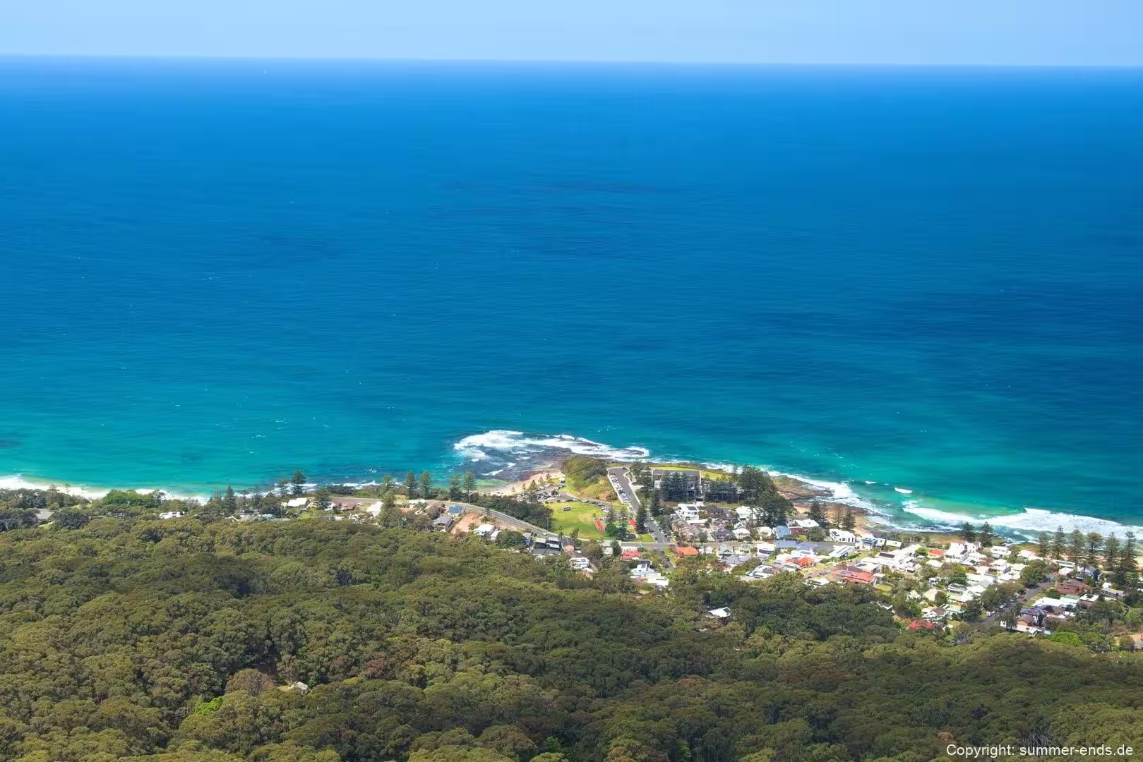
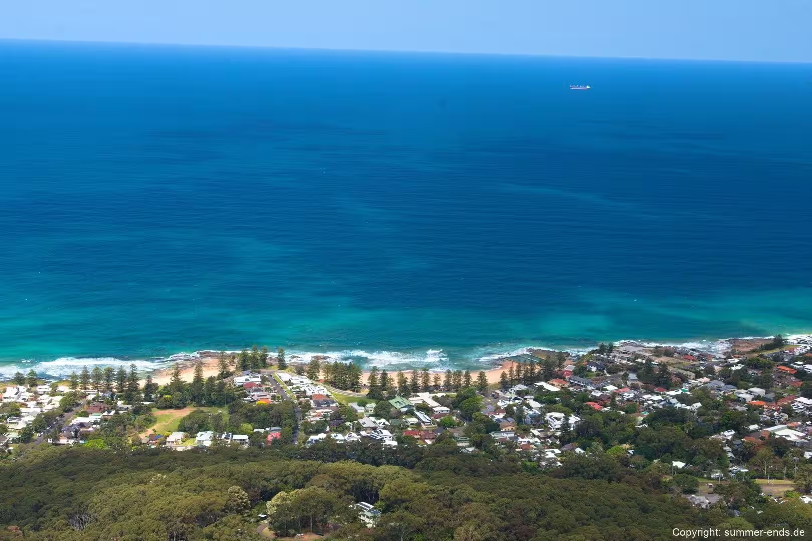
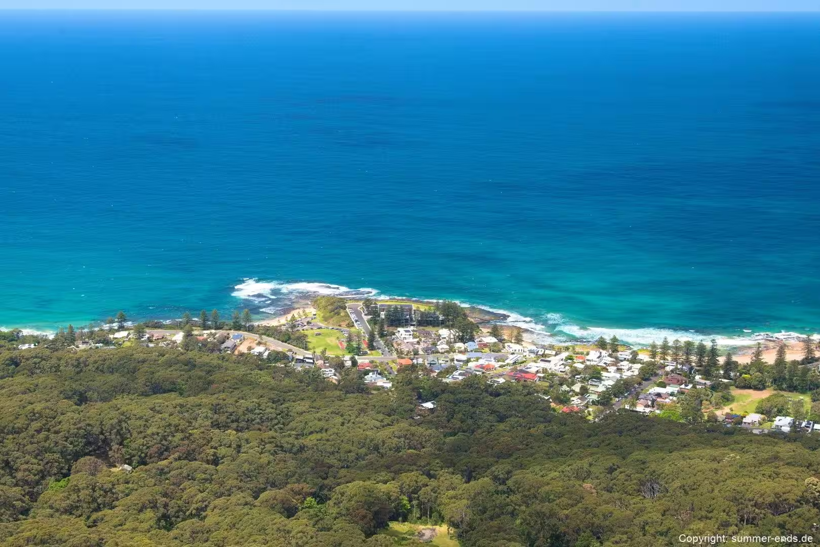
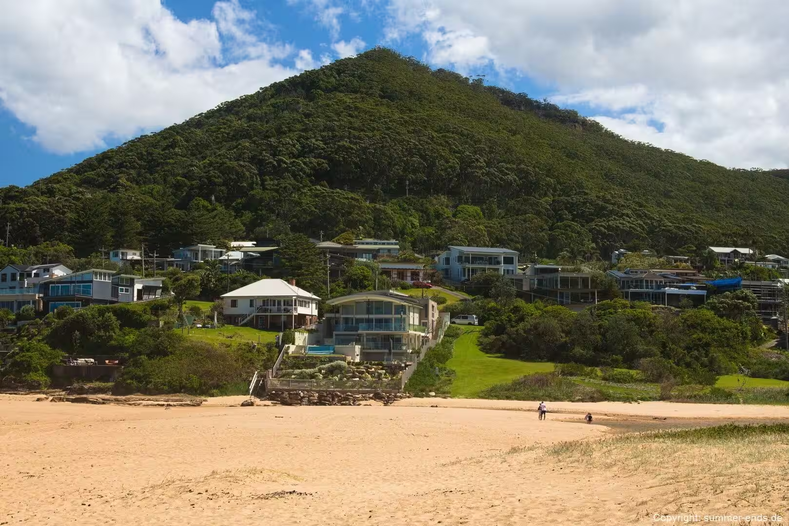
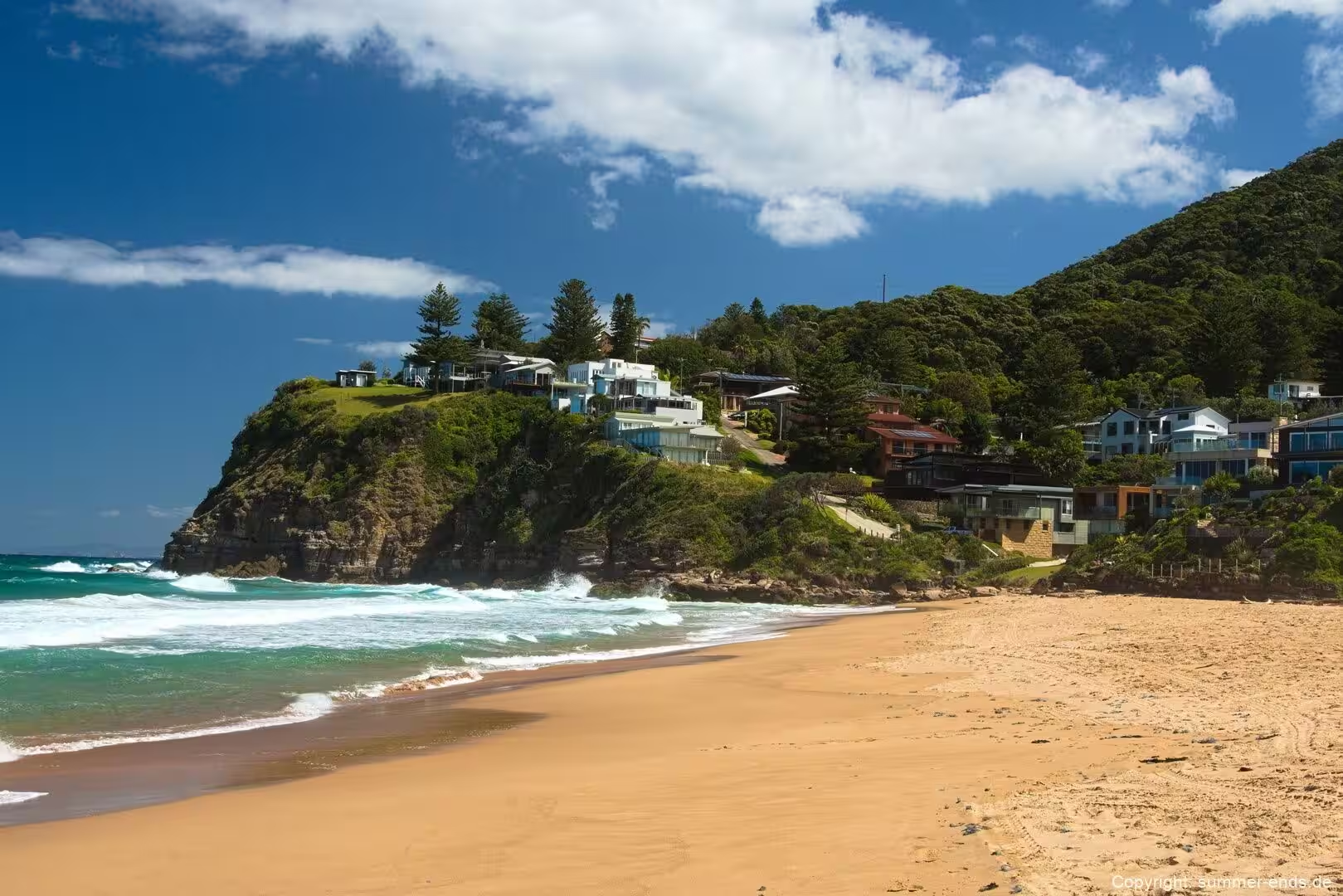
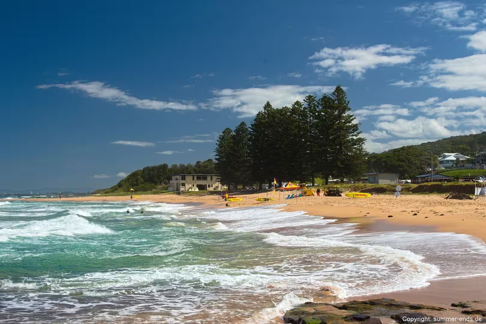
Stanwell Park is a small coastal village and the northernmost suburb of Wollongong, perched in a narrow valley at the top of the Illawarra coastal strip in New South Wales. It sits immediately south of the Royal National Park, squeezed between the sea and the steep slopes that rise behind it. The settlement is framed by Bald Hill to the north, Stanwell Tops to the west and Mount Mitchell to the south, which is why the ridge lines above the village open out into such a wide arc across the water. Two creeks, Stanwell Creek and Hargrave Creek, run down to the shore here and pool into small lagoons behind the sand, while the surf beach that curves between the headlands is the heart of the village.
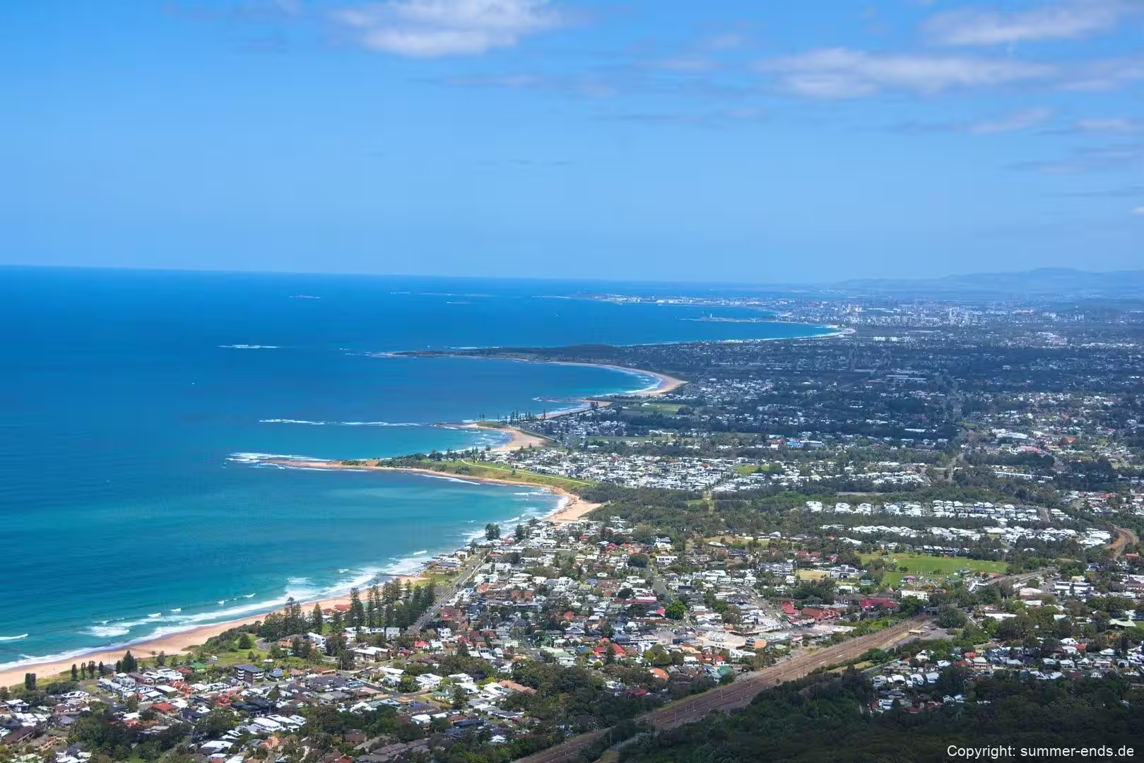
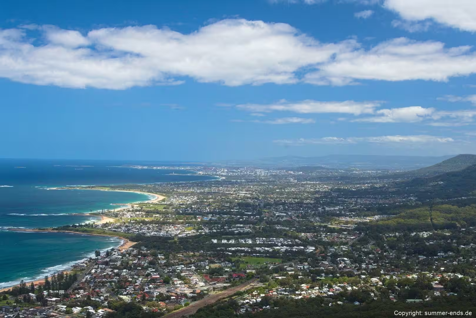
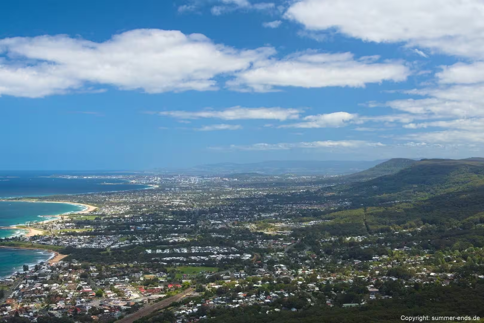
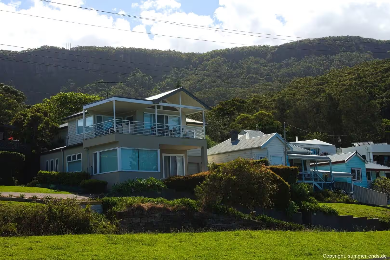
The whole stretch belongs to the Illawarra, a coastal region held between the Illawarra Escarpment and the Pacific Ocean. Wollongong, the largest city in the region, sits on the same narrow plain roughly 85 kilometres south of Sydney and is the third largest city in New South Wales, with a line of smaller villages continuing north along the shore. The escarpment runs like a wall behind most of this coast, so the townships, the railway and the road are all crowded onto a few hundred metres of level land before the hills take over.
The road that stitches the villages together is Lawrence Hargrave Drive, the coastal route also marketed as the Grand Pacific Drive. The scenic drive of that name runs about 140 kilometres from the Royal National Park through Wollongong, Shellharbour, Kiama and the Shoalhaven region to Nowra, and is one of the state’s most celebrated seafront drives. Where the escarpment drops straight into the ocean between Coalcliff and Clifton, the road leaves the cliff and swings out over the water. That bridge, the Sea Cliff Bridge, is the single landmark most people attach to this stretch of coastline.
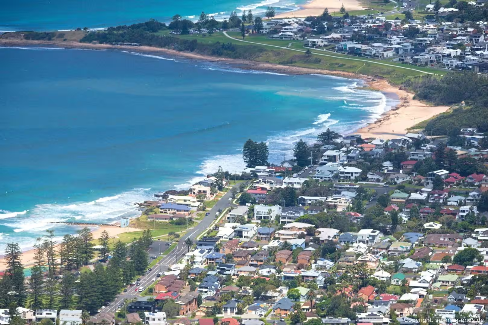
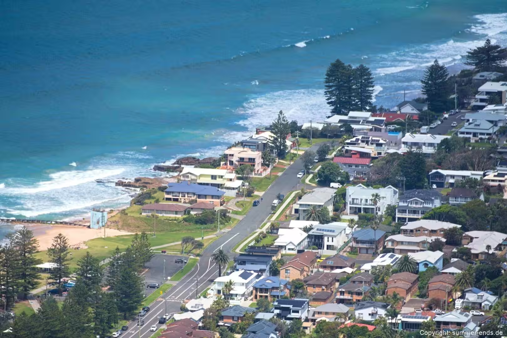
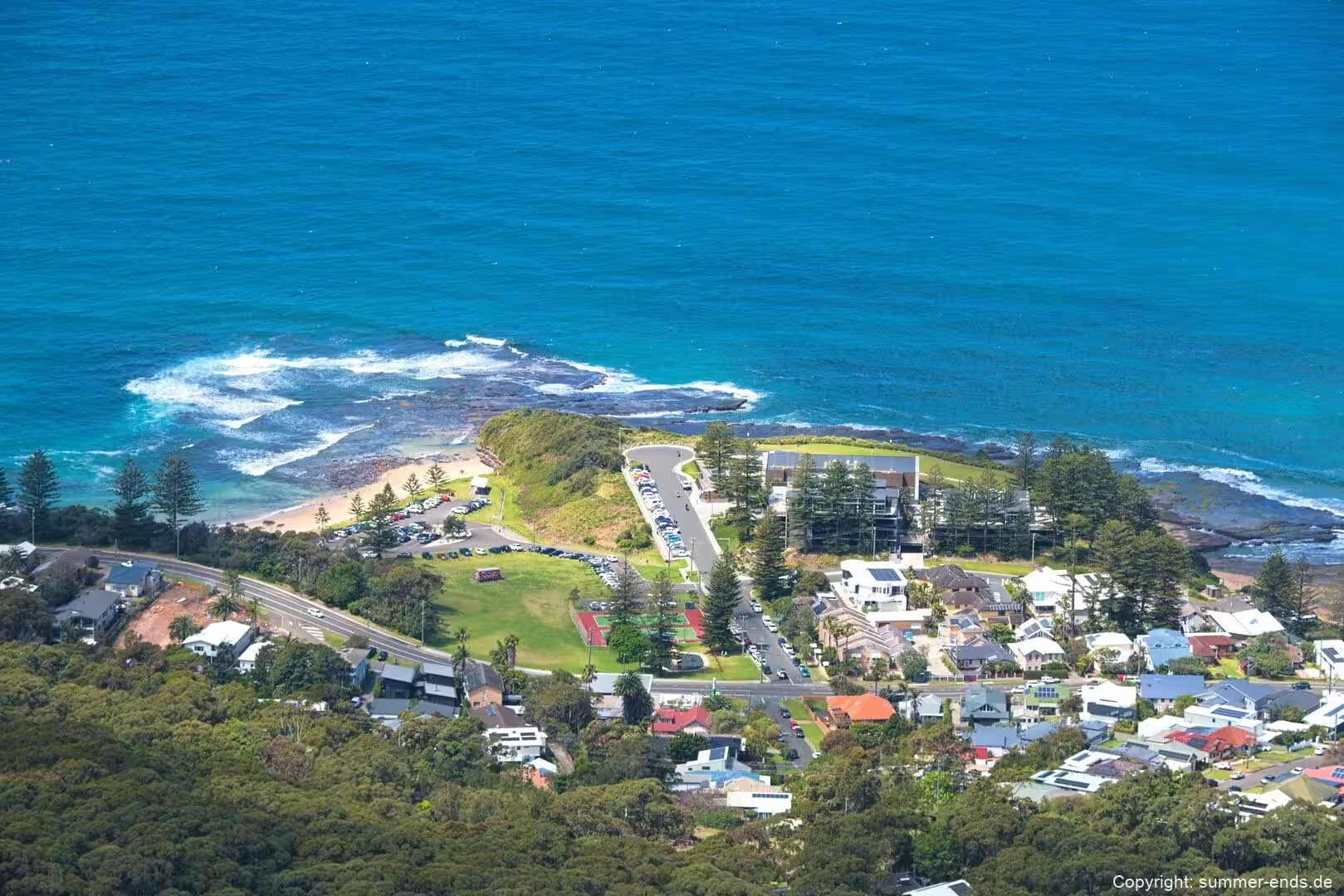
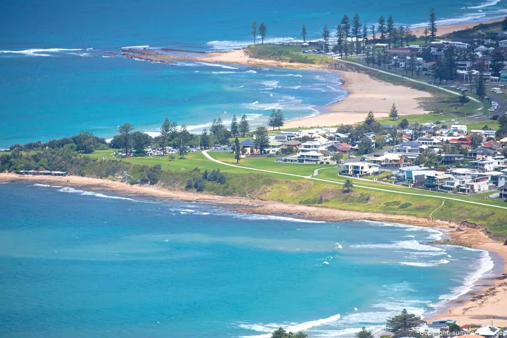
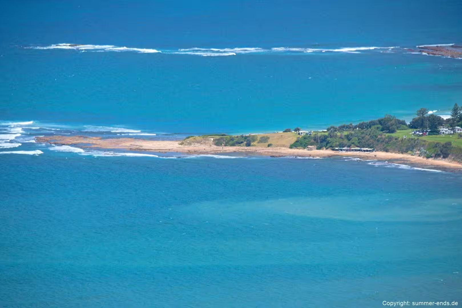
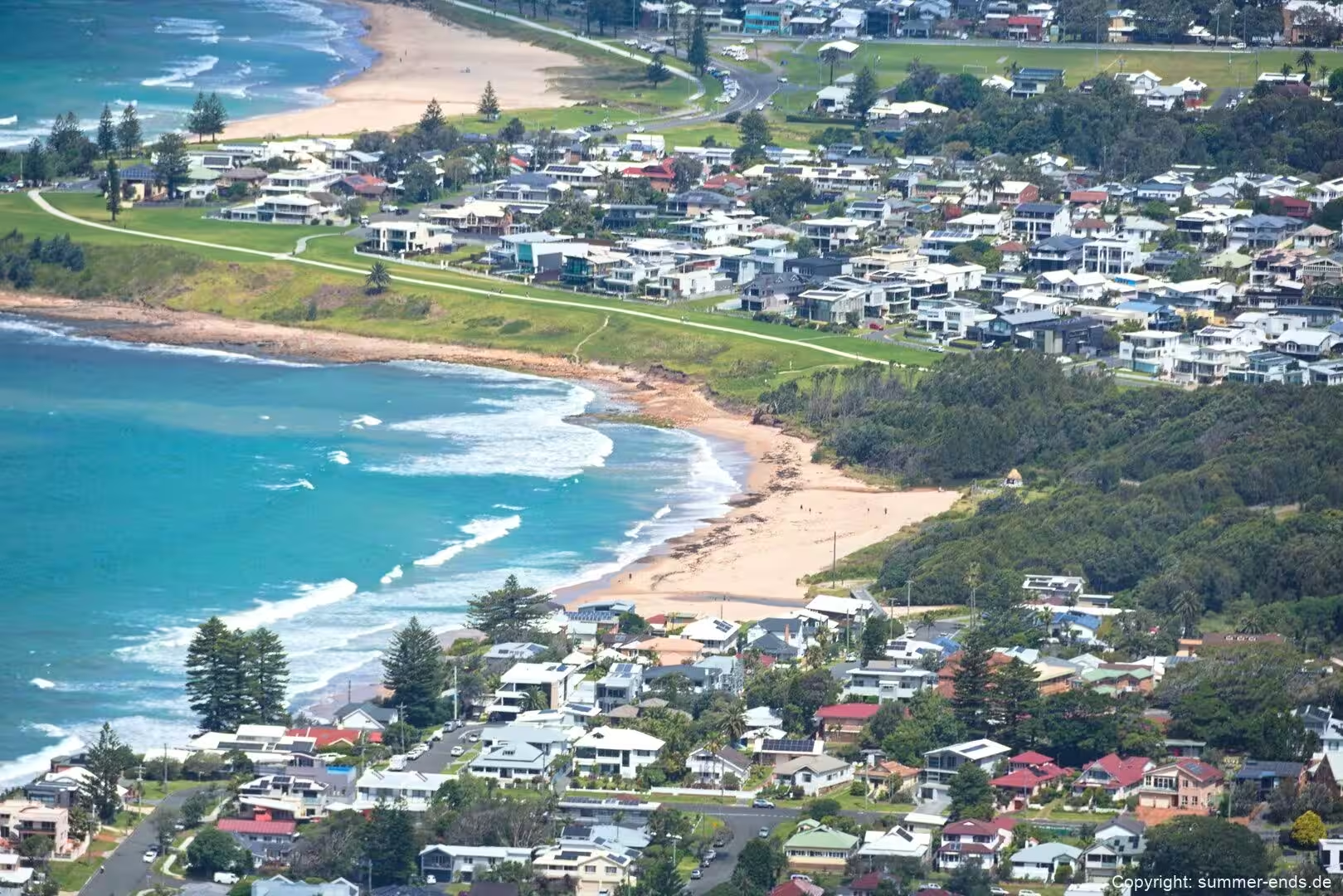
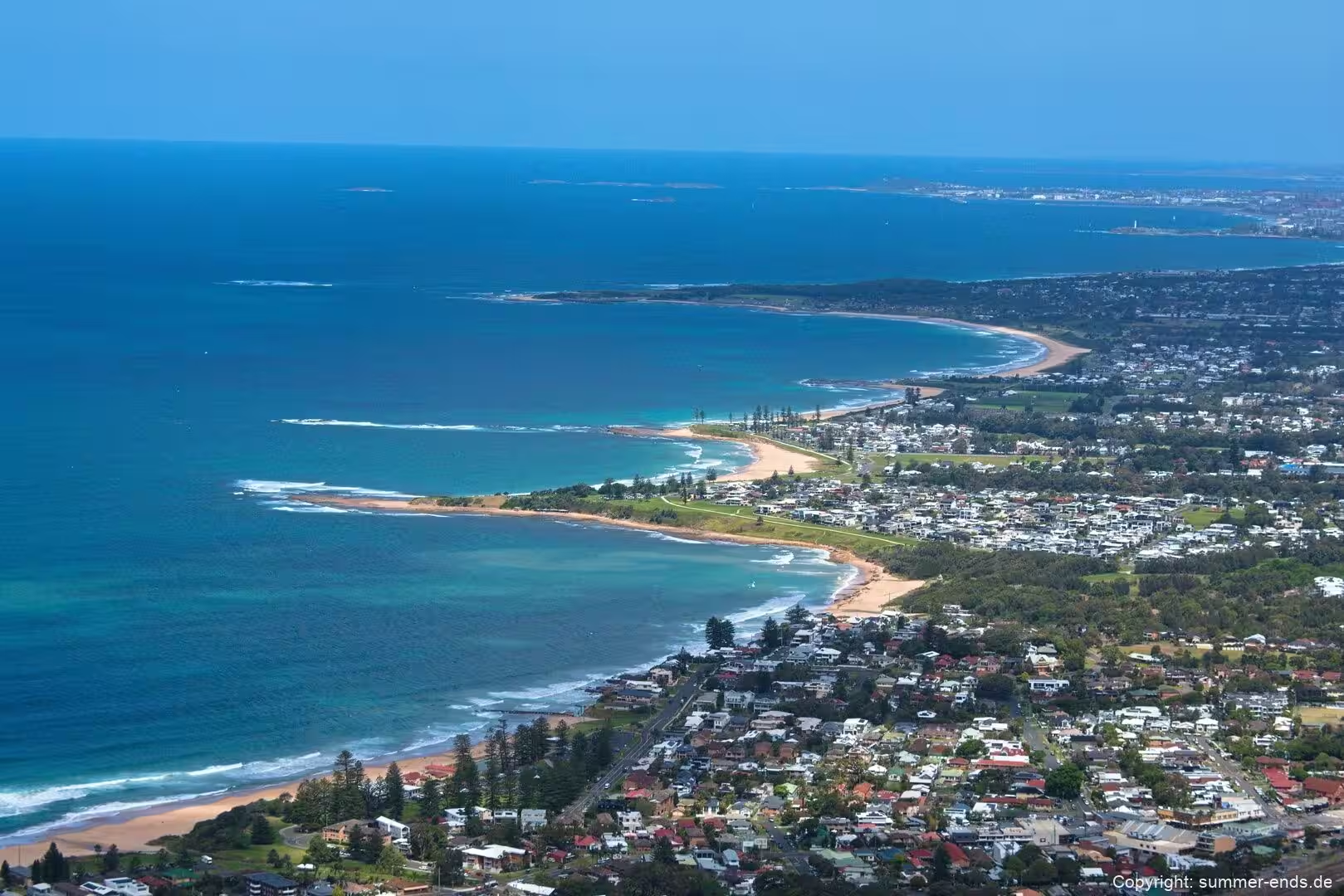
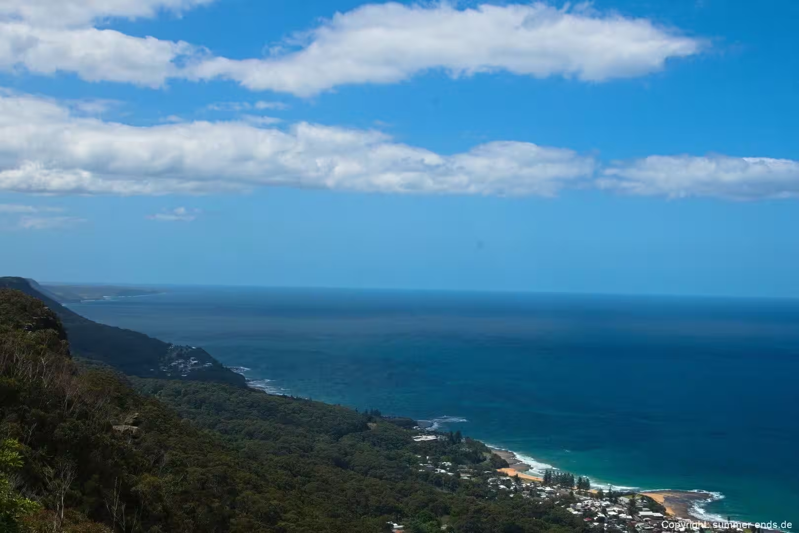
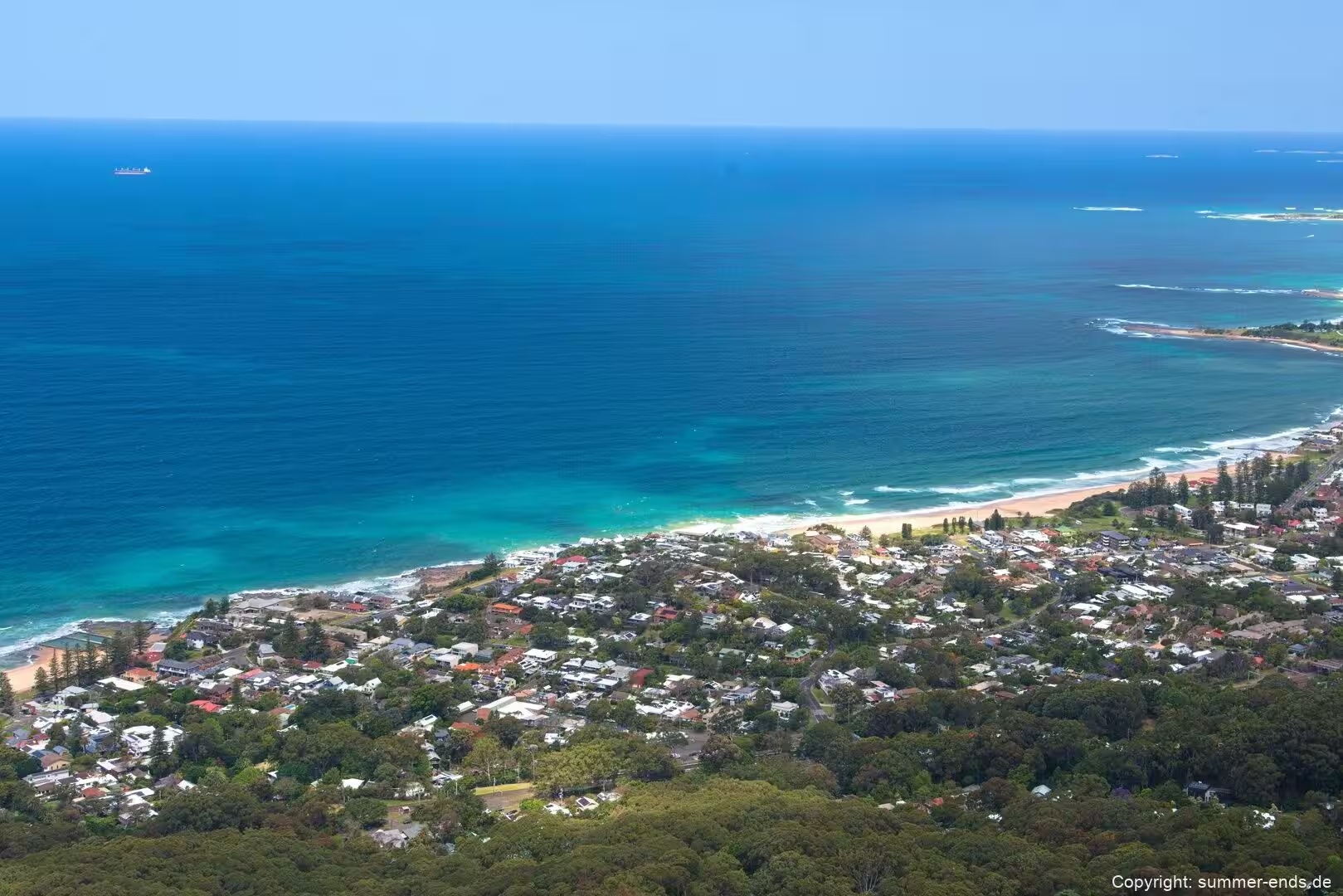
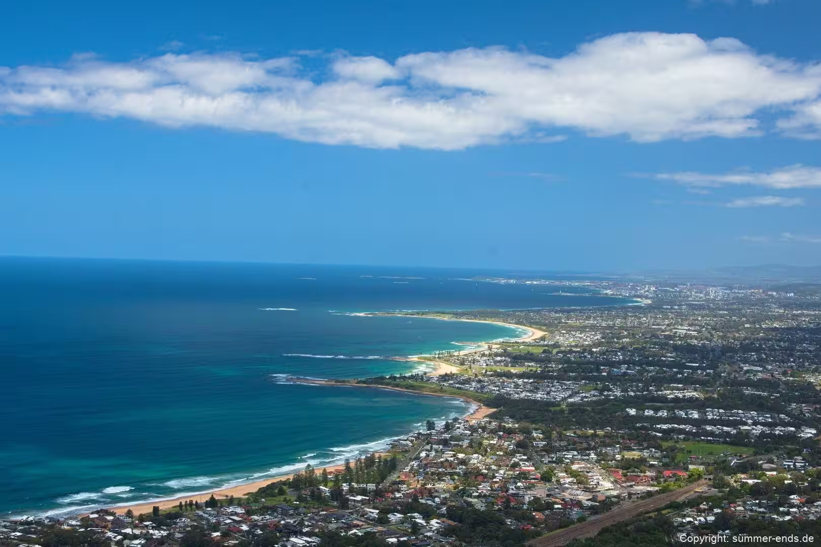
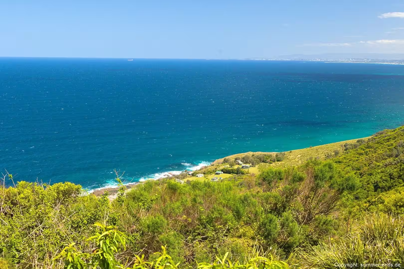
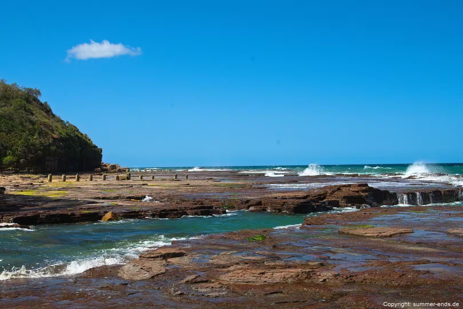
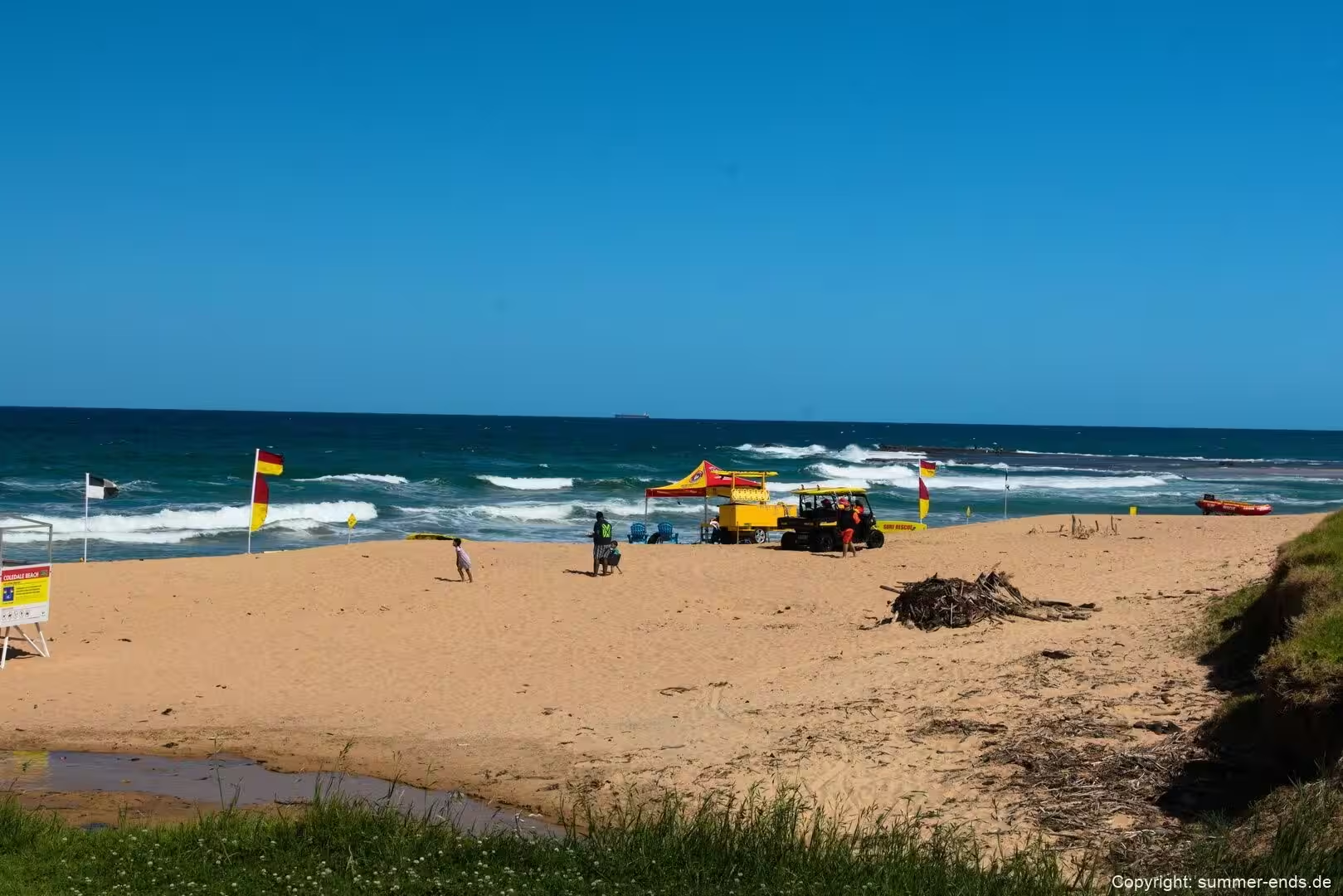
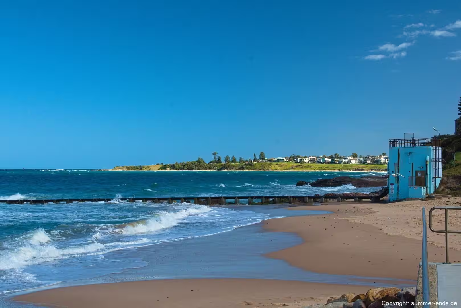
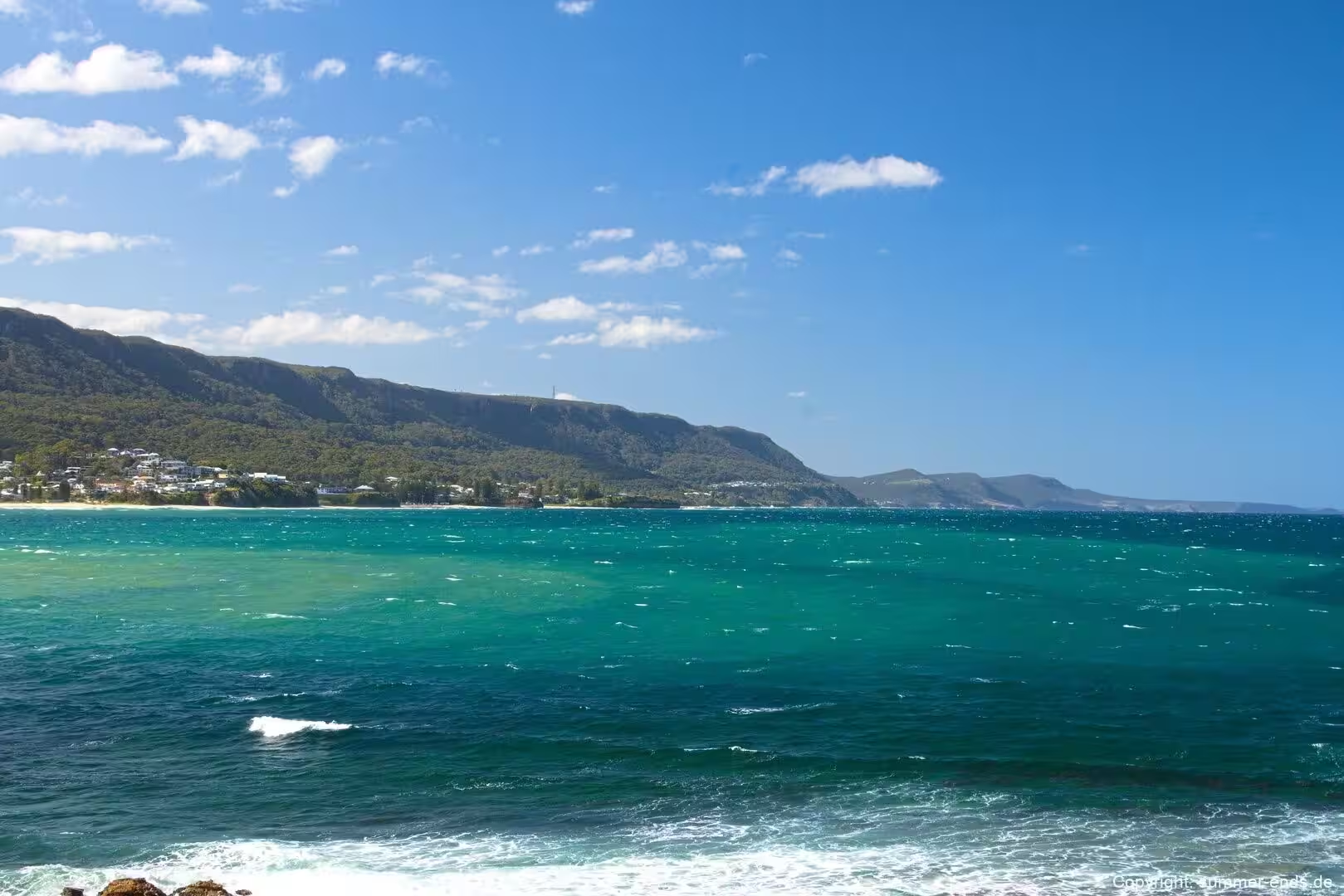
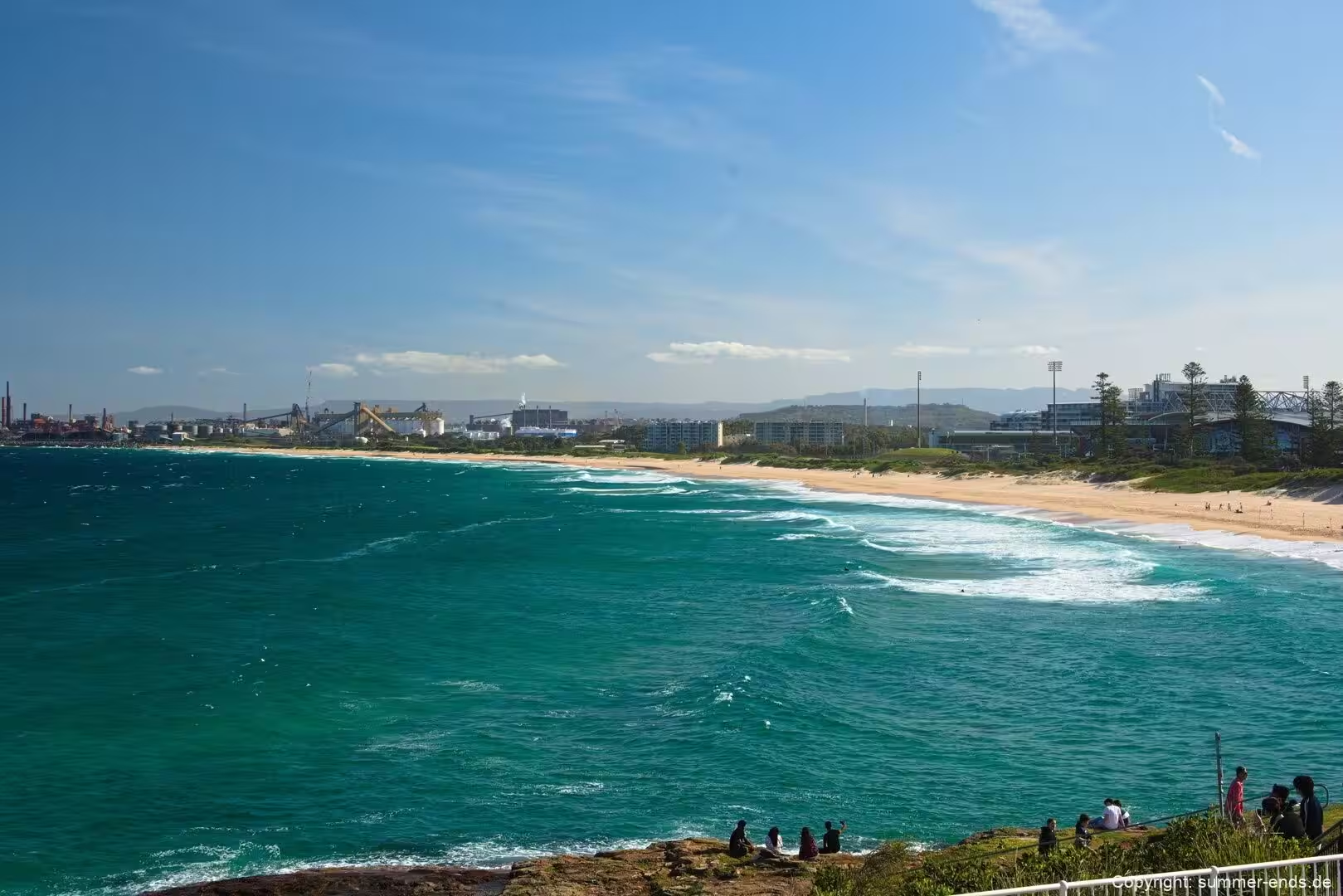
Beyond the bridge the shoreline continues as a run of beaches, rocky headlands and narrow sand pockets at the foot of the cliffs. Coastal villages such as Coalcliff, Clifton, Scarborough, Wombarra, Coledale, Austinmer and Thirroul line the way south, each with its own surf beach, reserve and rocky platform. The water offshore is deep and blue, the sandstone at the shoreline is buff and weathered, and behind everything sits the green wall of the escarpment with a few rounded headlands and grassy tops jutting into the sea. It is a coast of clear, defined edges and unbroken views, and it is the reason travellers leave the busier southern beaches and turn along this quieter stretch to the north of Wollongong.
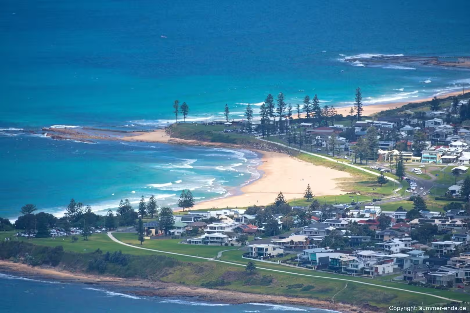
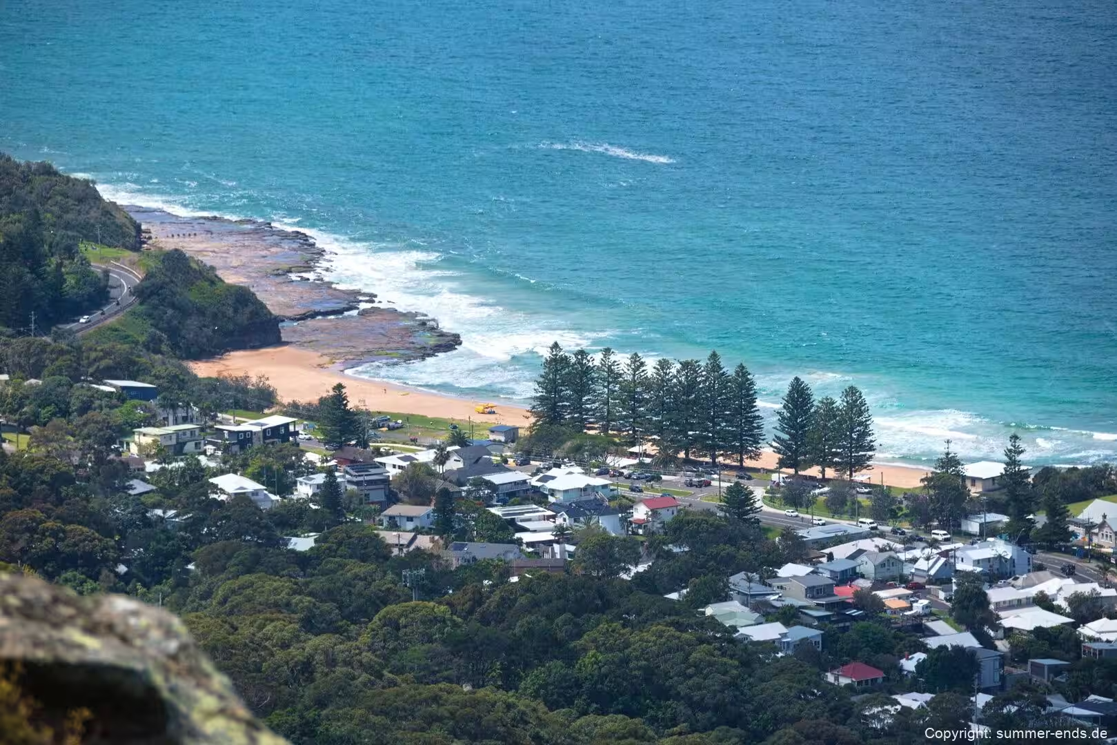
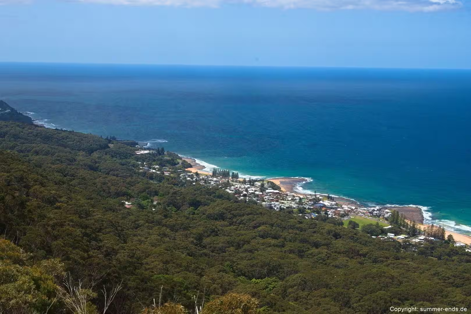
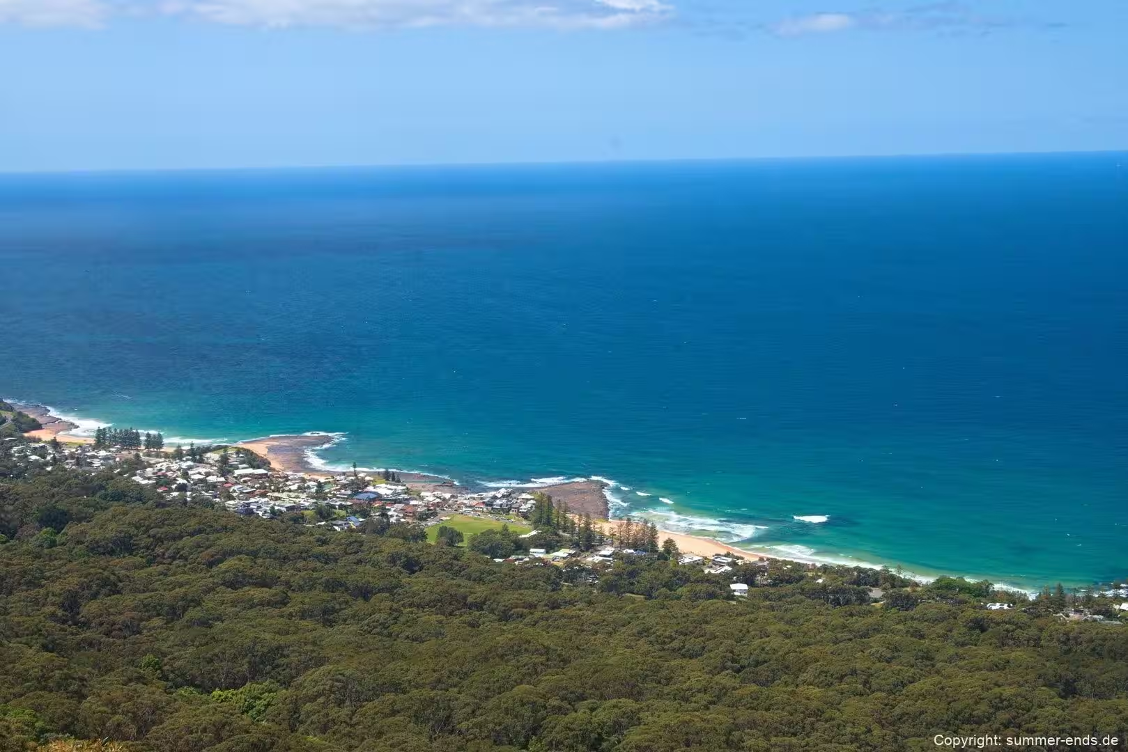
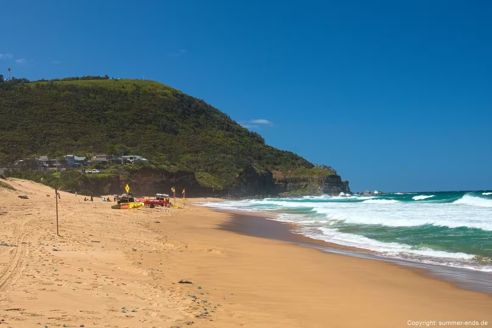
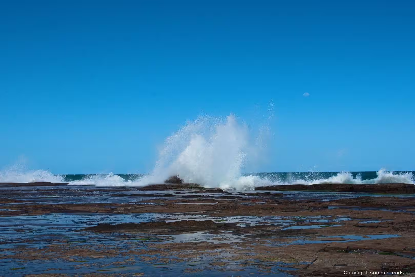
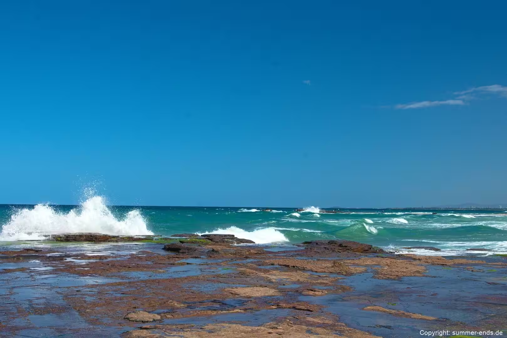
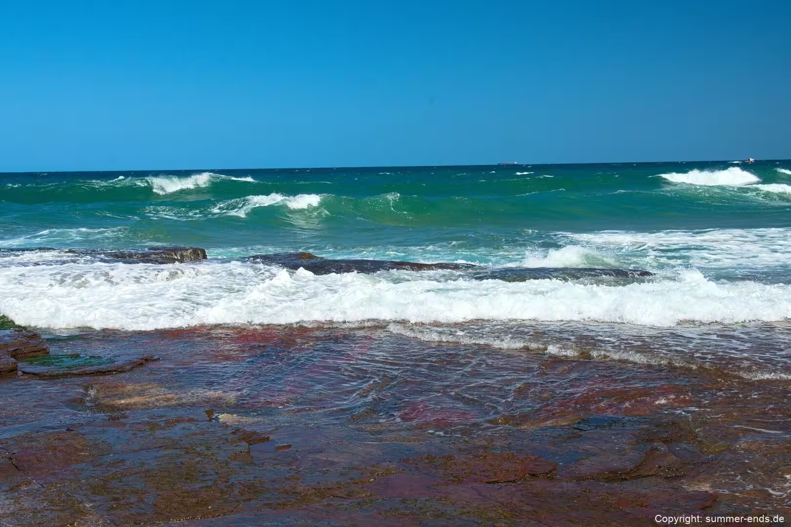
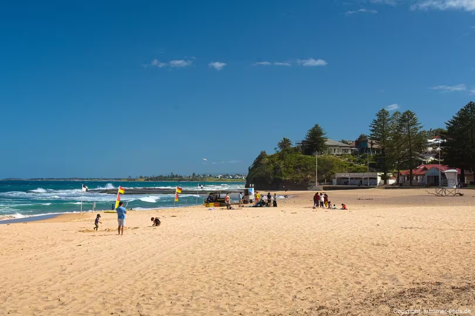
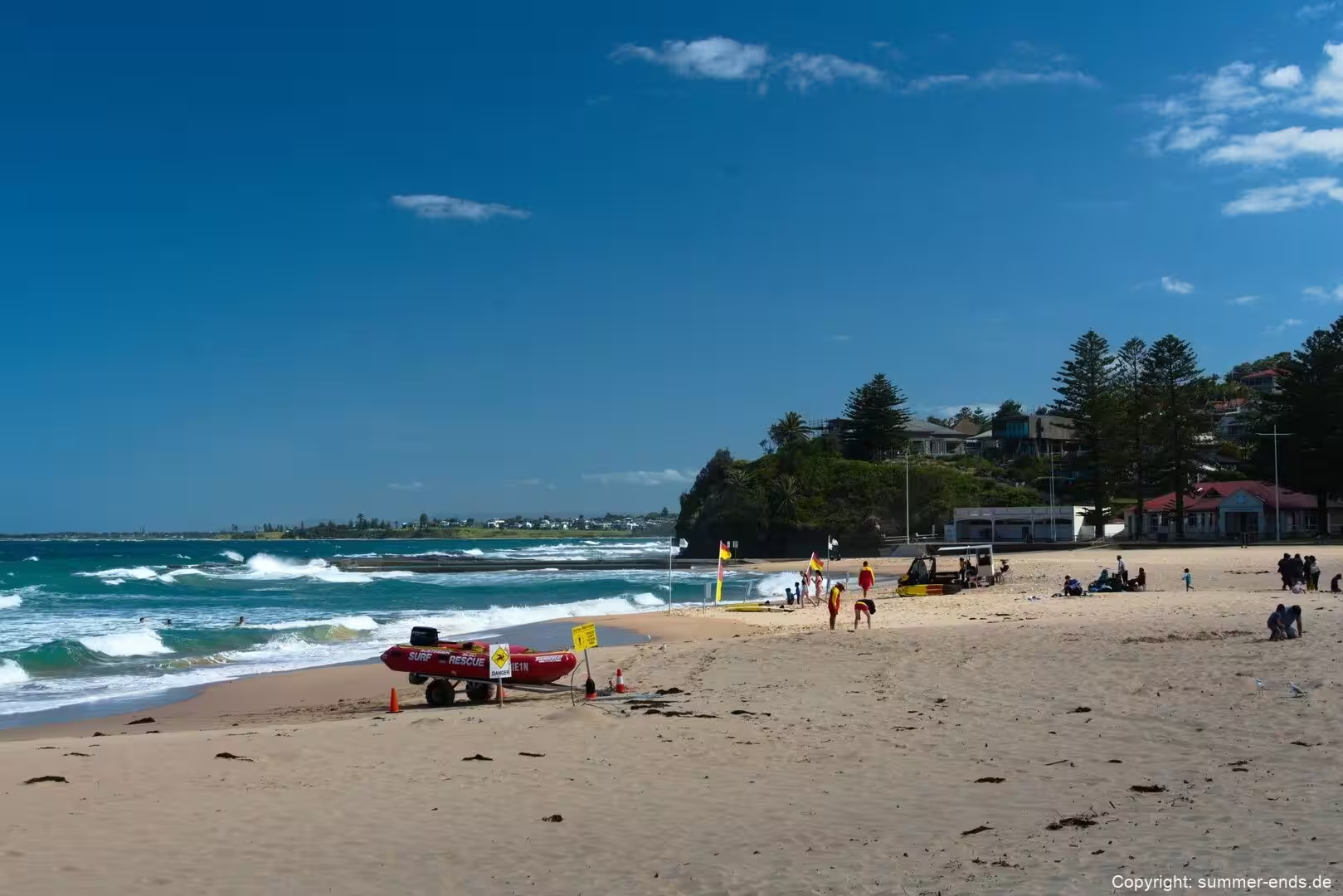
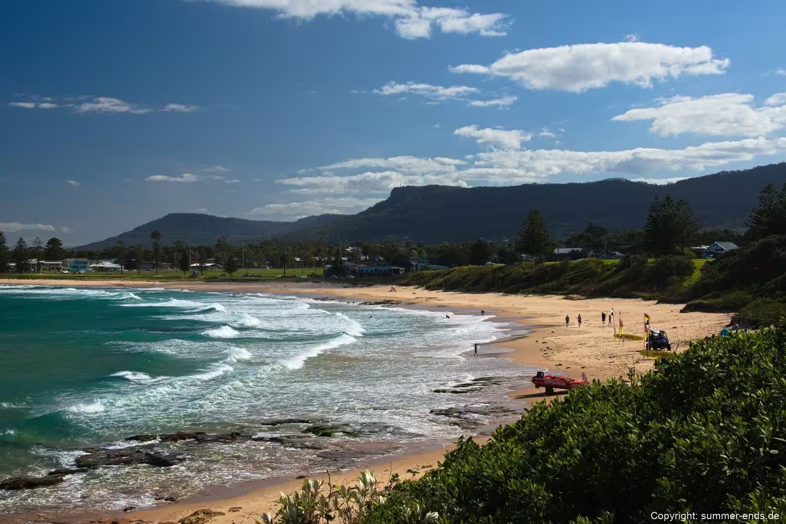
Village life here turns on the sea. The escarpment shelters the valley from the worst of the westerlies, and the north east swell shapes the beach and the surf throughout the year. In sheltered corners the water rests against the sand in a turquoise green, while further out the colour deepens to blue. Green headlands push into the sea at the south end of the beach, and from the sand the coastline bends away in a long curve towards the bridge and the villages beyond. The South Coast rail line serves the village and Coalcliff, so the sea, the bridge and the cliffs sit only a short ride from central Sydney.
History
The road and the village carry the names of the people who shaped them. Lawrence Hargrave Drive honours Lawrence Hargrave, an engineer, explorer and aeronautical pioneer who is best remembered for devising the box kite, an invention that helped to form the aerodynamic basis of the early biplane. During the late nineteenth century Hargrave carried out gliding experiments on the beach below Bald Hill, and a memorial cairn on the hilltop records that work. The gliding tradition he began still defines the area: Bald Hill is among the best known launch sites for hang gliding and paragliding in the region.
Coal is the older story. The name Coalcliff refers to a coal seam found in the cliff face, and the account usually given runs back as far as 1797, when survivors of a wreck walking north towards Sydney came across the coal in the rock and used it to light a fire. Once the discovery was reported, George Bass was sent south to investigate. Coal was worked along this shore for a long time, with a jetty serving the workings, and the town and its colliery were active until the later decades of the twentieth century.
For generations the coastal road hugged the cliff, and the rockface above it gave regular trouble. Slips, rock falls and mudslides closed the road time and again, and each time it was patched and reopened. In August 2003 a section between Coalcliff and Clifton was closed permanently after repeated rock falls. Because Lawrence Hargrave Drive is the only road directly linking Coalcliff, Stanwell Park, Otford and Helensburgh to the northern suburbs of Wollongong, the closure caused a strong public reaction and led to a search for a lasting solution.
The answer was to move the road out over the sea. An alliance was formed to build a bridge in a curve parallel to the coast, braced against the Tasman Sea and set to seaward of the old road, together with a shorter incrementally launched bridge on the northern side. The Sea Cliff Bridge was opened in December 2005 and was inaugurated by the Premier of New South Wales; the total cost came to about A$52 million. Since then it has become an icon of Wollongong and of the northern Illawarra coast, and it is the signature image of the Grand Pacific Drive.
Stanwell Park itself has grown as a quiet beach and gliding village rather than as an industrial or commercial centre, and it remains one of the northernmost places of the Illawarra. Its identity is bound up with the escarpment lookout and the air, much as the identity of Coalcliff was once bound up with the coal beneath the cliff.
Geology
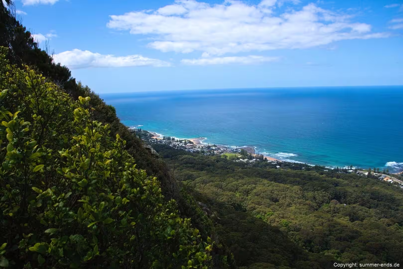
The backdrop to this whole coast is the Illawarra Escarpment, a long and steep wall of cliff, slope and ridge that separates the narrow coastal plain and the urban area of Wollongong from the inland Southern Tablelands, running for roughly 120 kilometres along the shore. It was formed by folding and then worn back over long stretches of geological time to the height it has today, and it is one of the most imposing landforms on the New South Wales coast because it rises so abruptly from the plain and blocks the view inland.
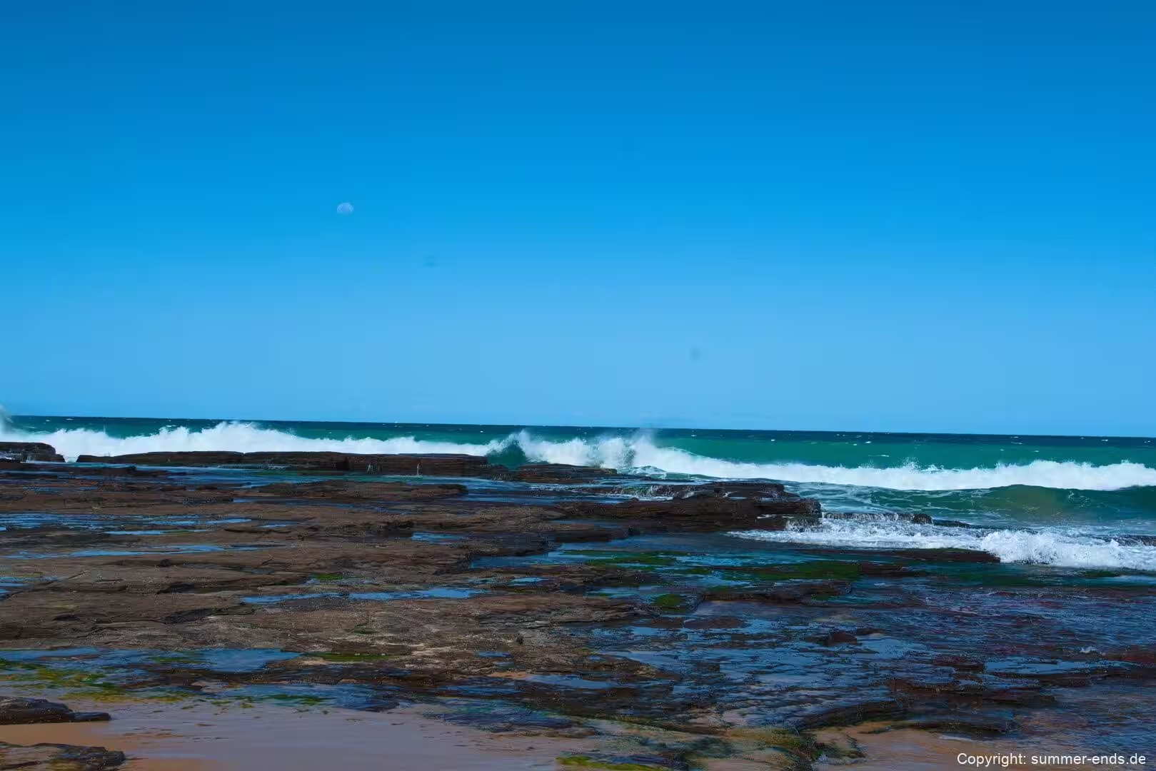
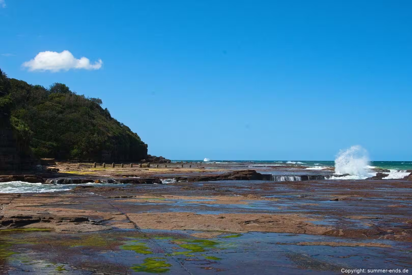
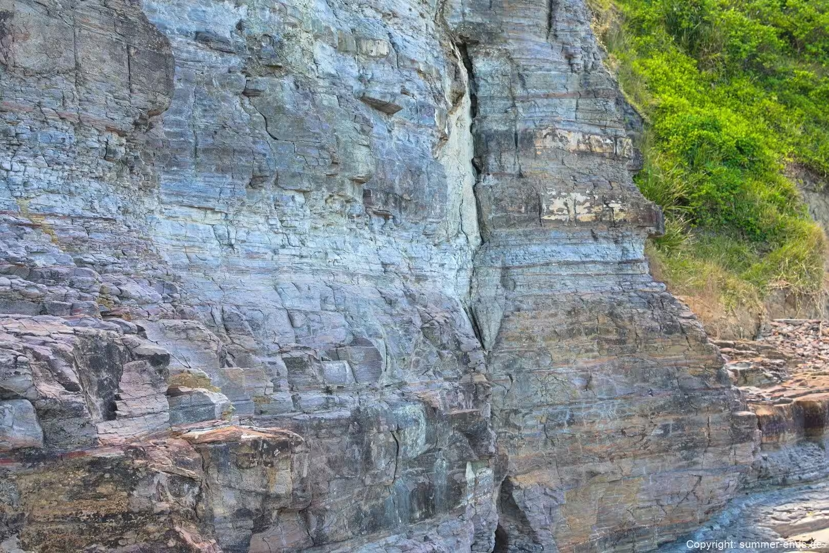
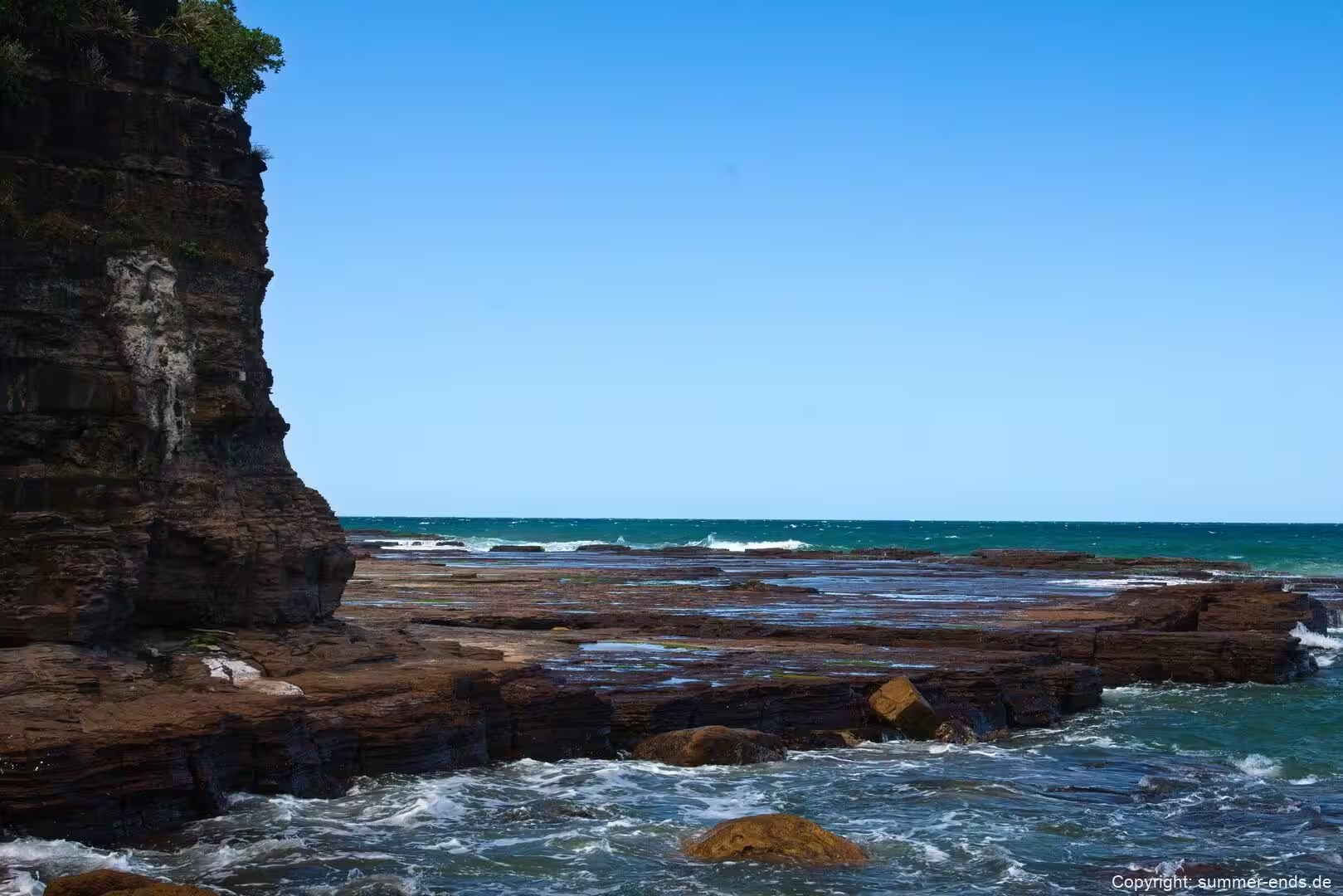
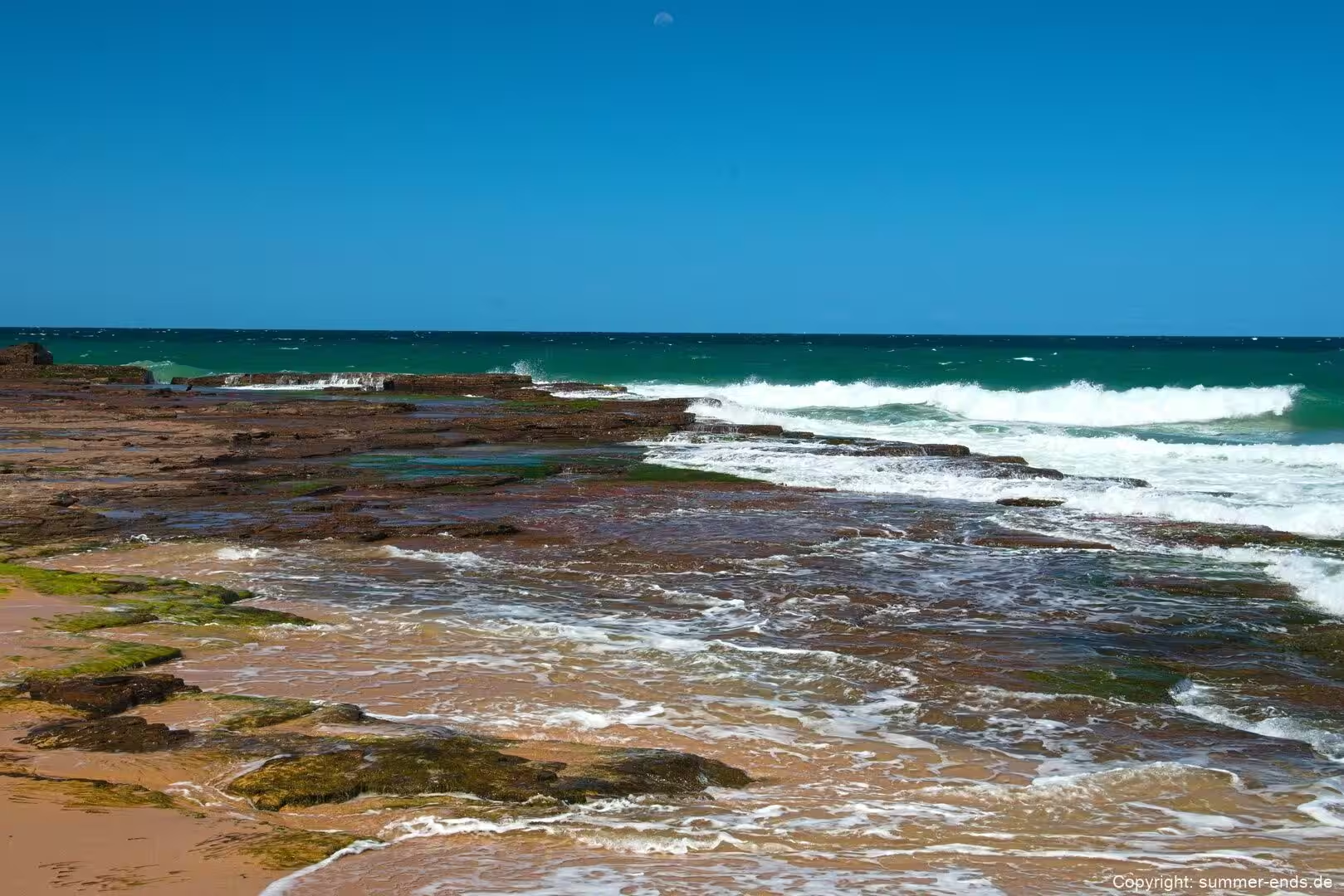
Most of the escarpment is sandstone, and along the sea cliffs ledges and boulders of Hawkesbury Sandstone are exposed in addition to the cliff faces themselves. The honeycomb pitting known from coastal sandstone is visible on the platforms and cliff faces near the waterline, where salt, spray and weathering have hollowed the surface into small cavities. The cliff tops are capped by beds of the same sandstone, which is why the headlands stand in stepped terraces above the sea.
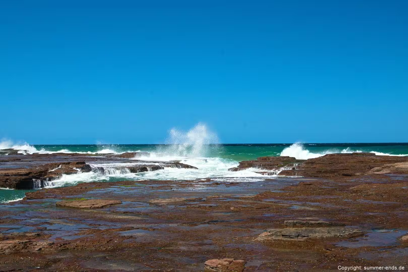
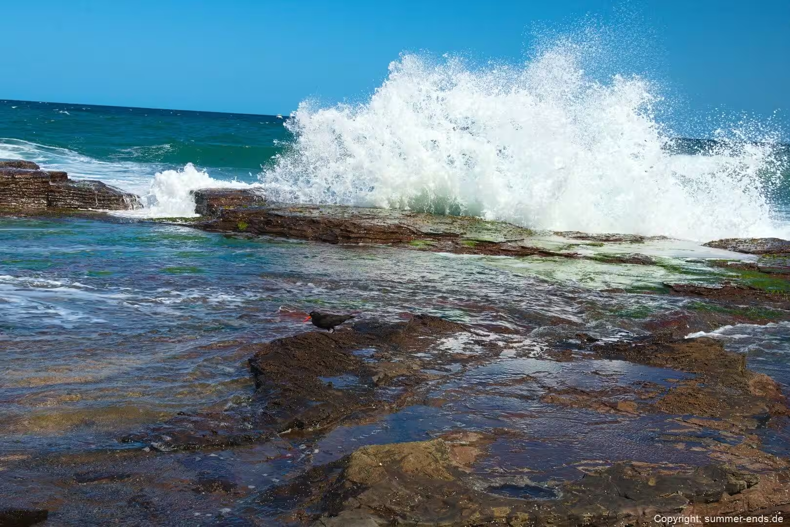
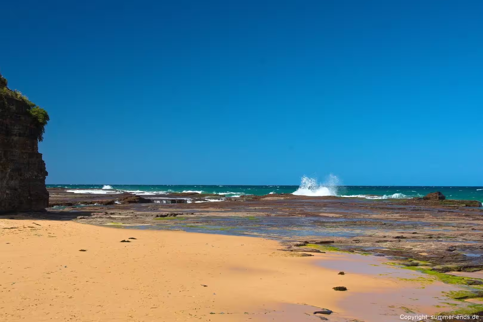
The coastal cliffs themselves are hard, layered rock. The sea and the weather attack the base of the cliff, undercutting it and loosening blocks that tumble down the slope to the shore. Where joints cut through the sandstone, water forces its way in and widens the cracks, so the rock breaks away in large pieces. Those boulders, ledges and rock platforms at the waterline are a defining feature of this coast, and they are precisely the material that made the old cliff-hugging road so vulnerable to rock falls and slips.
A few of the higher summits are made of harder rock still. Bald Hill, above Stanwell Park, is capped by a fine grained volcanic rock of intermediate composition, a latite, which resists erosion better than the sandstone around it and helps to explain why the hill stands up so prominently. Similar harder caps and outcrops contribute to the ruggedness of the escarpment edge in places. Because the escarpment meets the sea so abruptly, the only practical way to carry a road along this shore was to lift it out over the water; the geology that makes the coastline so striking is the same geology that demanded an engineering solution at the Sea Cliff Bridge, where the structure carries the road in a sweeping curve beside the rock.
The present day landscape is therefore a balance between rock that is hard and resistant and rock that is weaker and more easily worn. The resistant sandstone forms the cliffs, the terraces and the platforms, while the softer beds and the fractured zones erode back to form the small embayments where the villages and beaches sit. Set against the constant work of the ocean, it is a slow and patient shaping that is still continuing along this shore.
Things to See
The Sea Cliff Bridge is the obvious first stop. The structure carries two lanes and a raised pedestrian walkway, and it can be crossed on foot or by bicycle between Coalcliff and Clifton. Standing on the walkway, the view takes in the curve of the deck, the rock platform below, the escarpment sweeping down to the sea and the long run of coastline to the north and south. Railings keep walkers clear of the road, and during the migration season the bridge doubles as a viewpoint for whales passing offshore. Coalcliff station is a short walk away, on the landward side, and there are bus stops on either side of the bridge.
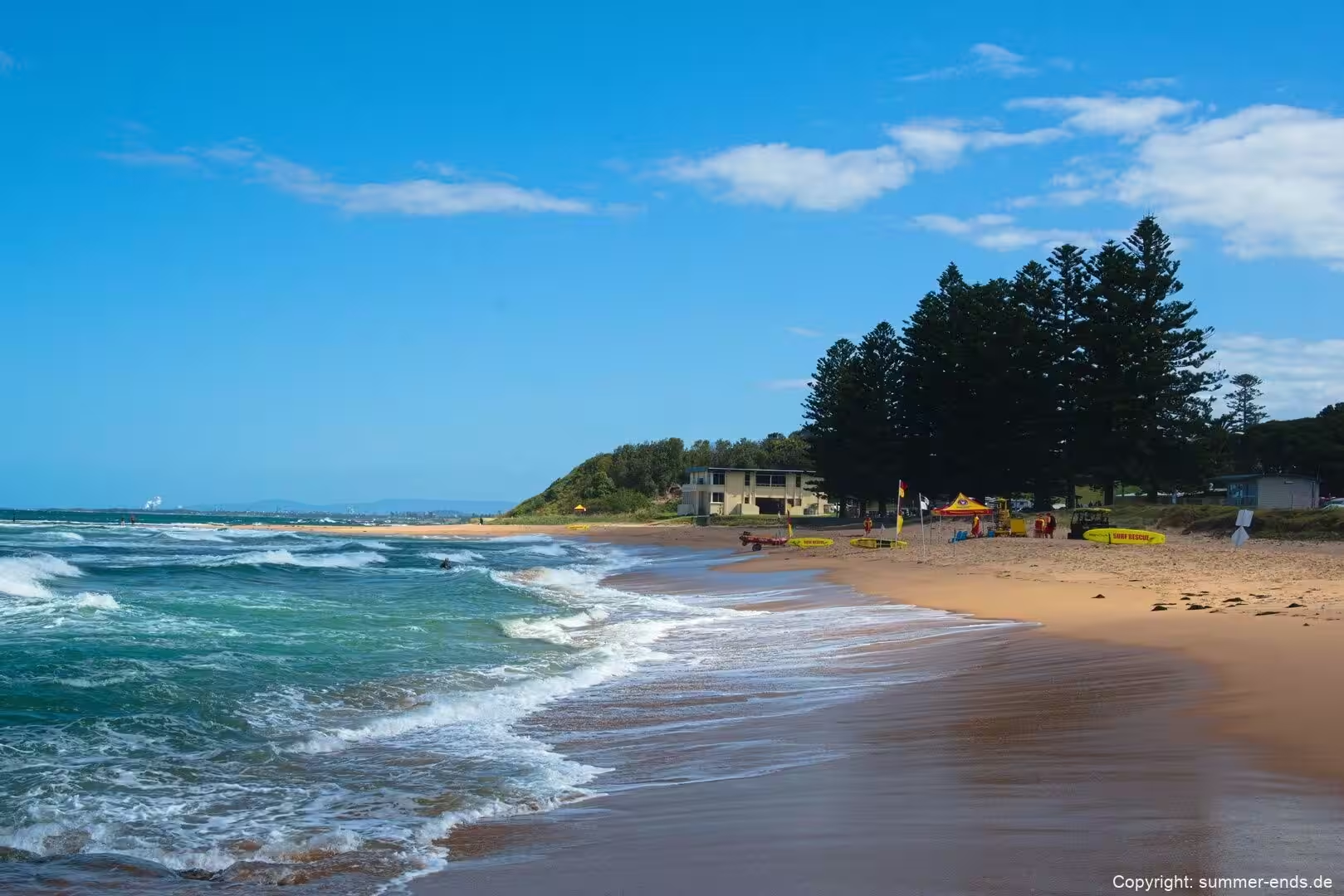
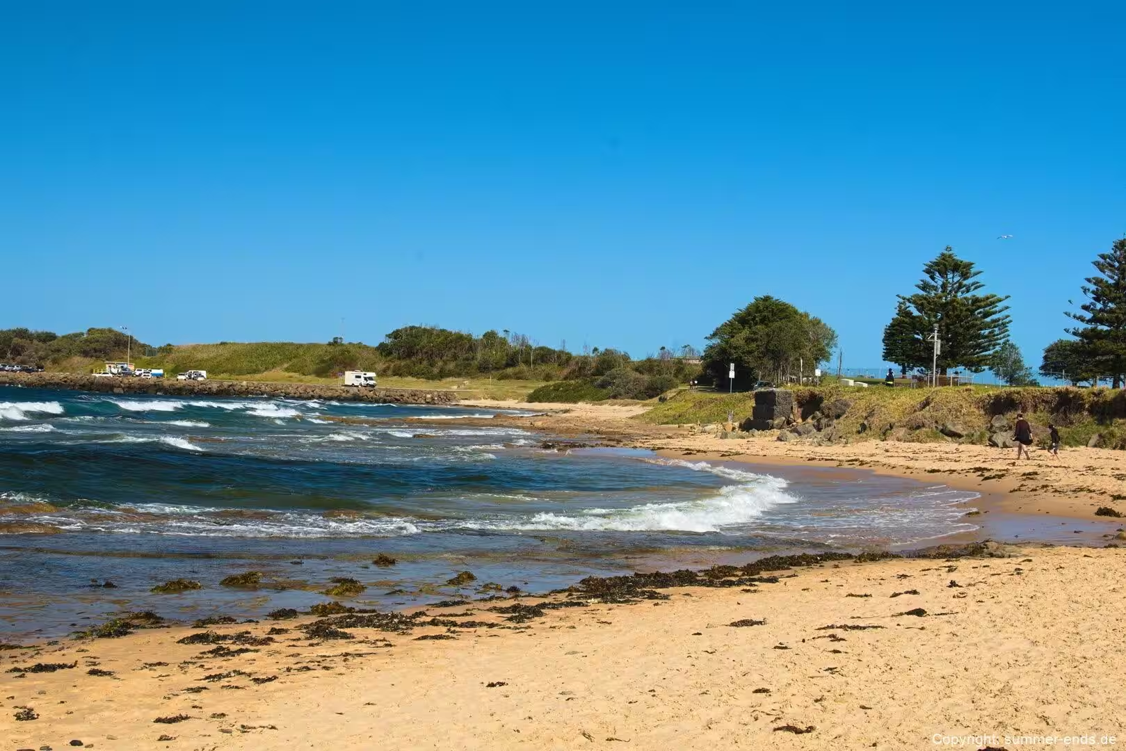
Stanwell Park Beach sits under the escarpment, a broad curve of sand between headlands fronting the village. The surf breaks across the beach and the two lagoons behind it add shallow, sheltered water to the mix. The large reserve alongside the beach gives plenty of open space, with picnic and barbecue facilities, and the beach is patrolled in season. The village is known as a surf and swimming spot, and the slope above it is the take off point for gliders rather than a motor road, so the air above the sand is as busy as the water in fine weather.
The coastal walking is a major draw. A stepped track of about one kilometre, including more than four hundred sandstone steps, links Bald Hill down to Stanwell Park and connects the Royal National Park with the Illawarra Escarpment State Conservation Area. Longer routes continue along the shore: the Great South Coast Walk and various Illawarra coastal walkways thread through the beach parks and suburban foreshores, with views and access points at almost every headland. The wider Grand Pacific Walk is a long term plan to link the coast between the Royal National Park and Lake Illawarra for walkers and cyclists.
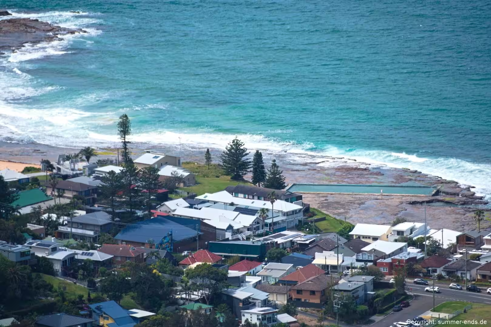
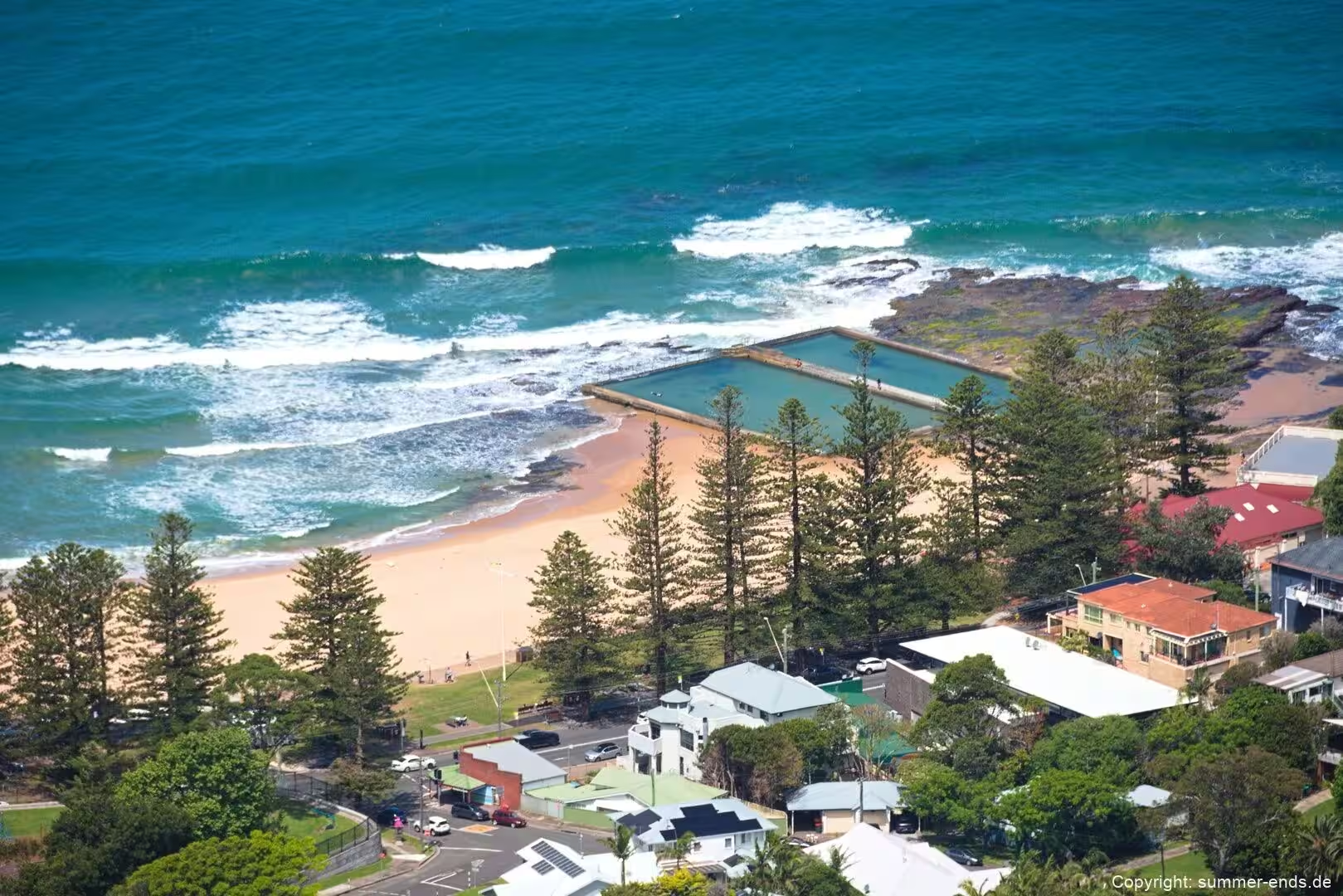
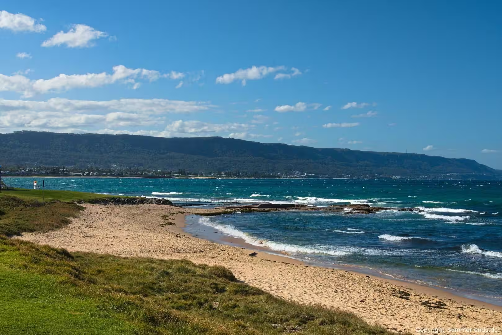
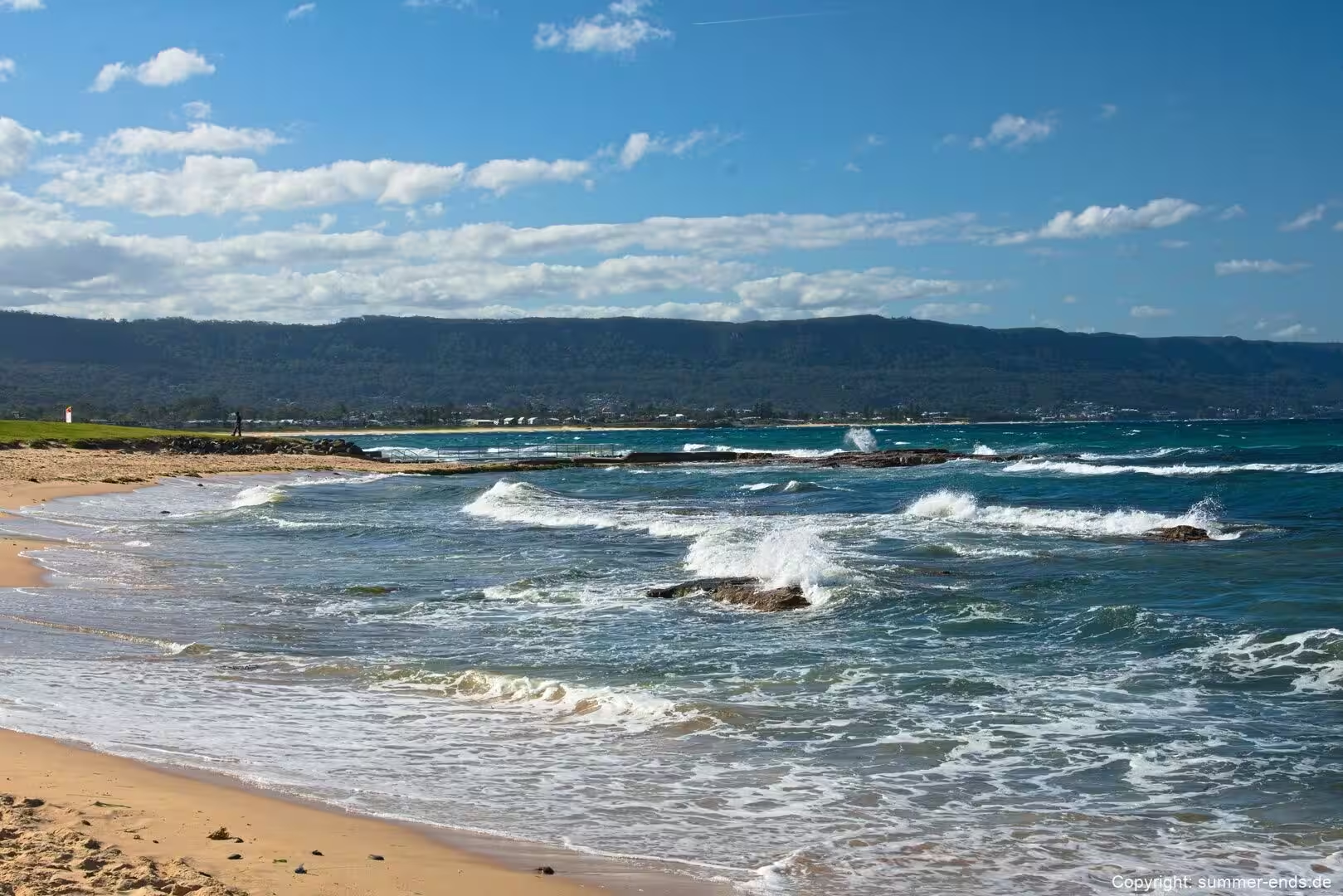
Along the base of the cliffs, rock platforms hold seawater pools that are a feature of this shore. Near Coalcliff the platform is arranged into a main saltwater pool and a shallow children’s pool between the rocks, and the village beaches to the south have their own baths and rock pools set into the shelves. Further south towards Wollongong the coastal esplanade passes a number of ocean pools built onto the rock, a tradition of sea bathing that belongs to the whole Illawarra shore. These pools are at their best on a rising tide, when the sea tops the edges and keeps the water fresh.
From the top of Bald Hill the view opens across the escarpment, the plain and the Tasman Sea. The lookout overlooks the surf beach below and the Sea Cliff Bridge curving along the coastline, and it is internationally known as a hang gliding and paragliding launch site. A cafe sits in the car park above, and the memorial to Lawrence Hargrave stands on the hilltop. It is the natural vantage point for seeing the bridge in its setting, and it is reached by a short drive from the village.
For a longer outing, Kiama lies further south along the Grand Pacific Drive, a coastal town about 120 kilometres from Sydney in the Illawarra. Its blowhole, surfing beaches and cafes make it a common extension, and the lighthouse and harbour add to the coastal character of a day trip that already ends with the bridge.
References
- www.nsw.gov.au/visiting-and-exploring-nsw/locations-and-attractions/sea-cliff-bridge
- www.nsw.gov.au/visiting-and-exploring-nsw/locations-and-attractions/bald-hill-lookout-otford
- www.nsw.gov.au/visiting-and-exploring-nsw/locations-and-attractions/stanwell-park-beach
- www.grandpacificdrive.com.au
- roadsonline.com.au/sea-cliff-bridge-connecting-the-coast/
- www.transport.nsw.gov.au/system/files/media/documents/2023/lhd-part-2-summary-report_0.pdf
- en.wikipedia.org/wiki/Sea_Cliff_Bridge
- en.wikipedia.org/wiki/Grand_Pacific_Drive
- en.wikipedia.org/wiki/Stanwell_Park
- en.wikipedia.org/wiki/Illawarra_escarpment
- en.wikipedia.org/wiki/Bald_Hill_(Australia)
- en.wikipedia.org/wiki/Wollongong
- en.wikipedia.org/wiki/Kiama,_New_South_Wales
- en.wikipedia.org/wiki/Illawarra
- en.wikipedia.org/wiki/Coalcliff
- en.wikipedia.org/wiki/Lawrence_Hargrave