2024 Australia - October - Trip to Batemans Bay
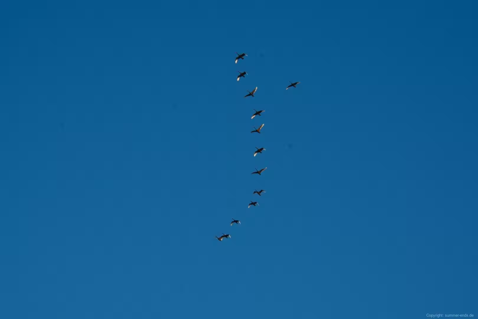
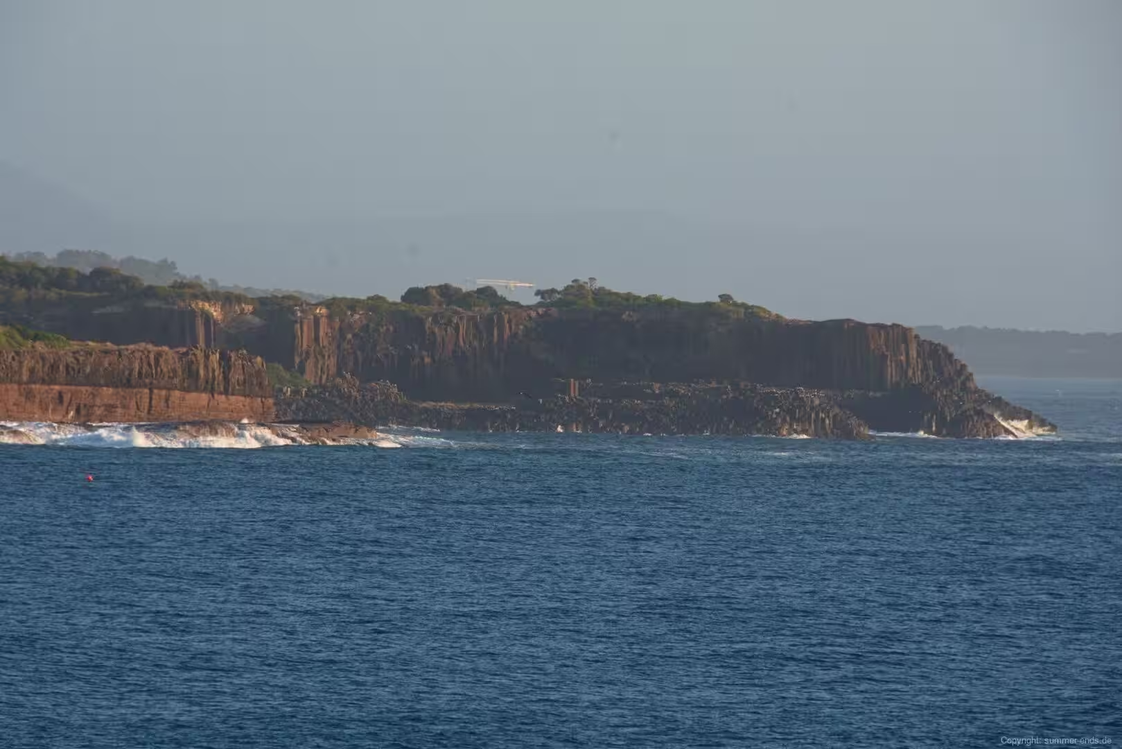

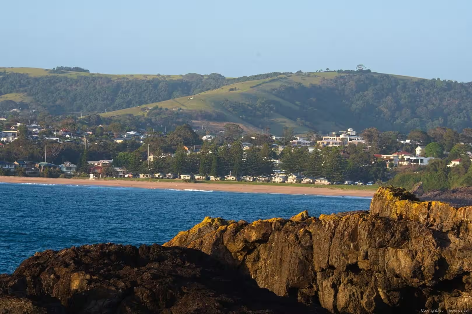
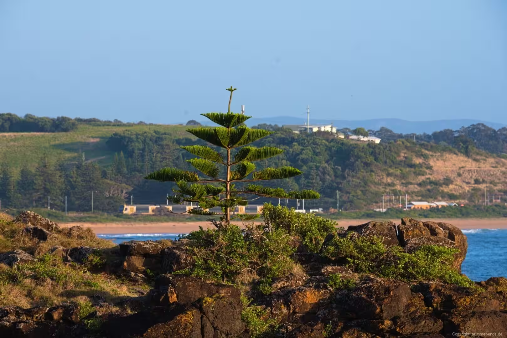








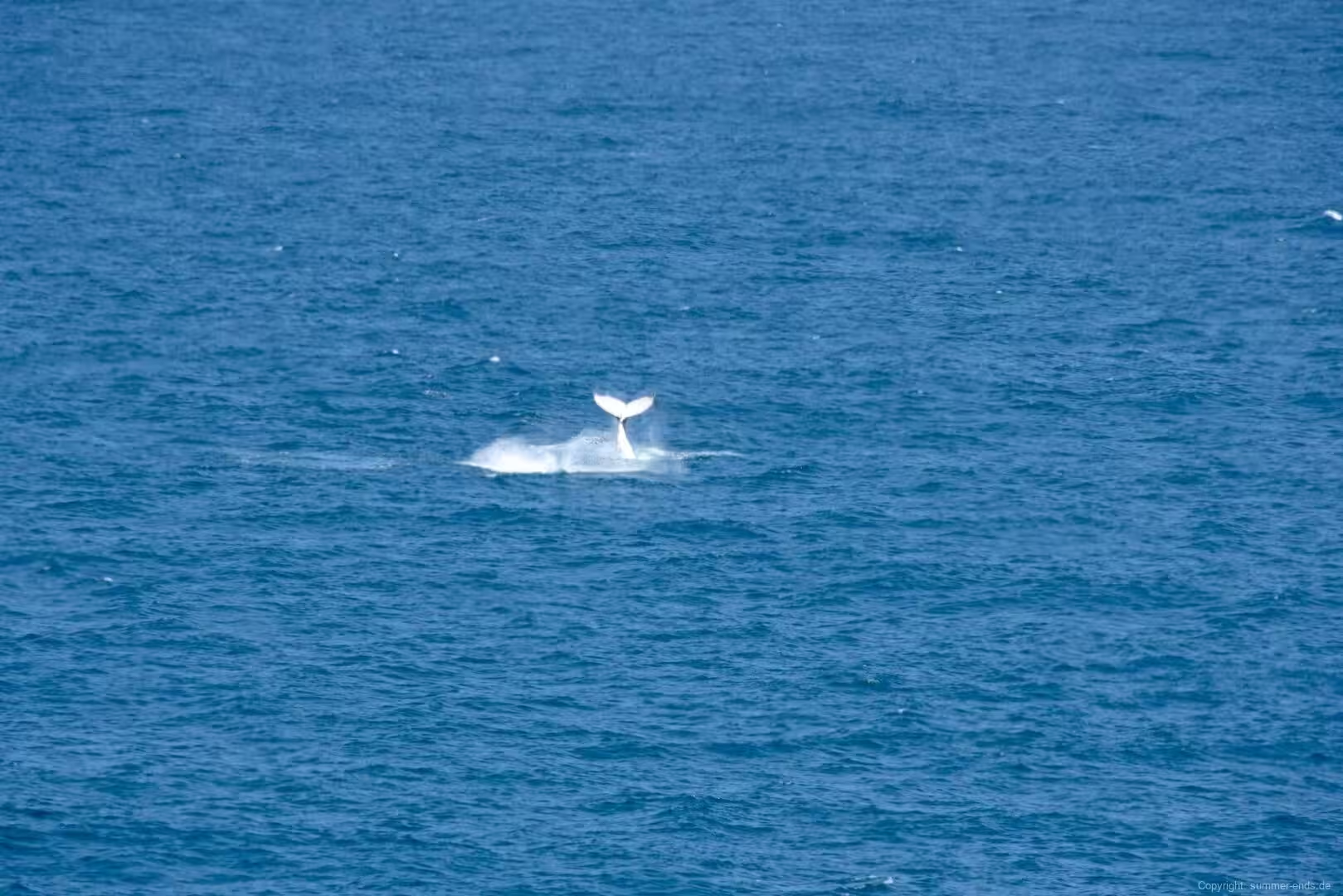
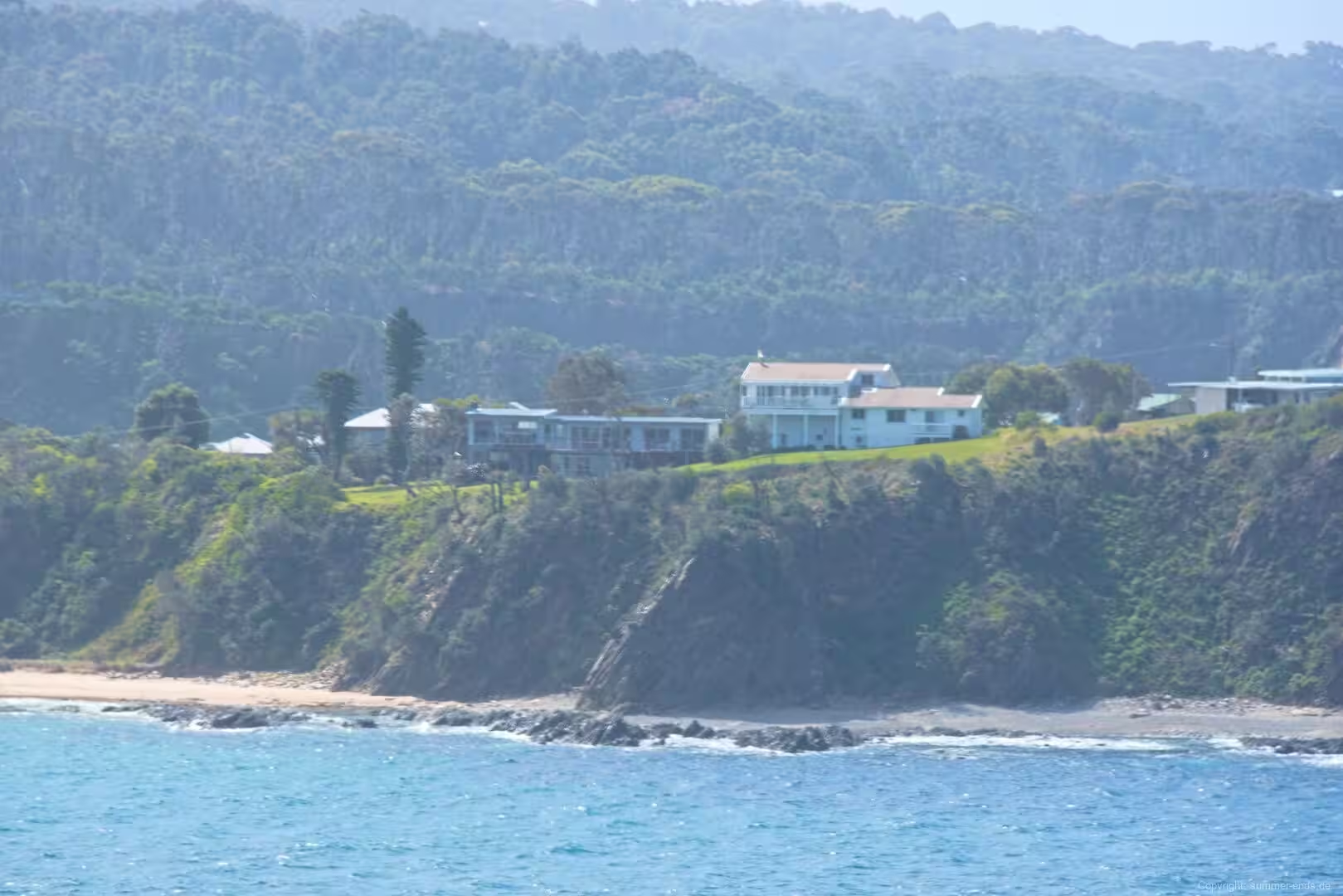
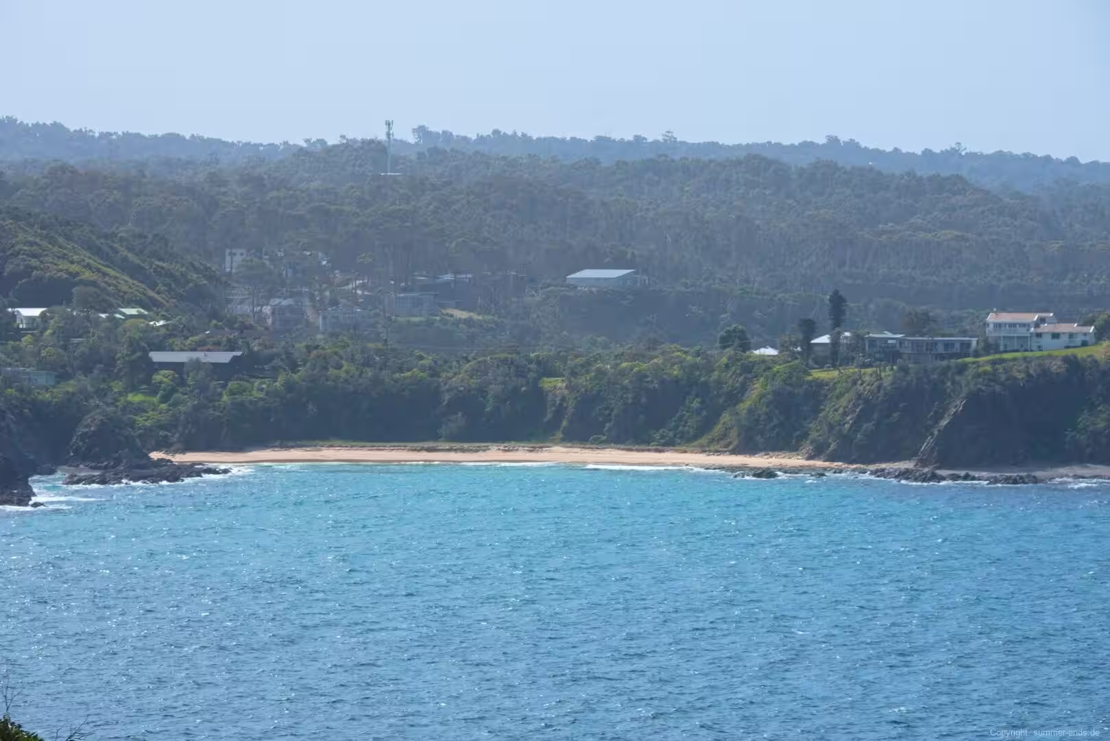
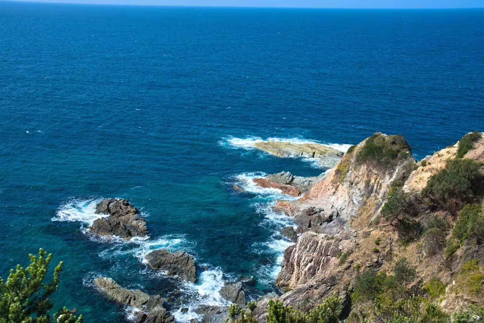
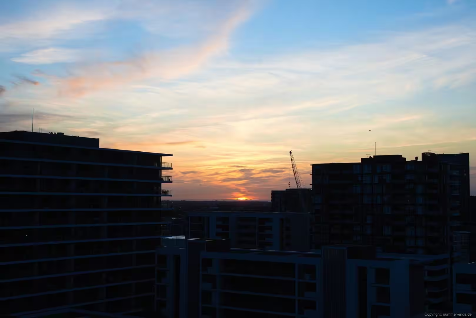
Journal Notes
General
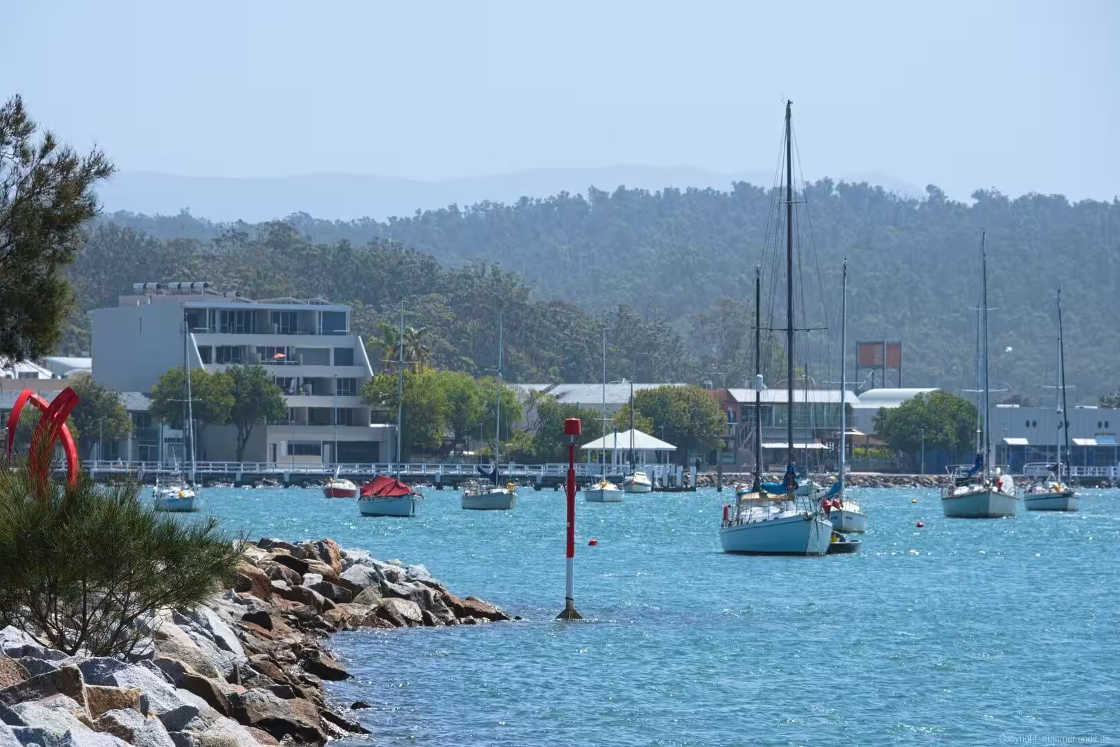
Batemans Bay is a coastal town on the South Coast of New South Wales, set on the shore of the estuary where the Clyde River meets the southern Pacific Ocean. It is the commercial and service hub of the northern Eurobodalla region and forms the northern gateway to the shire, a long stretch of coastline that has earned a national reputation for its undeveloped beaches and its food and wine.
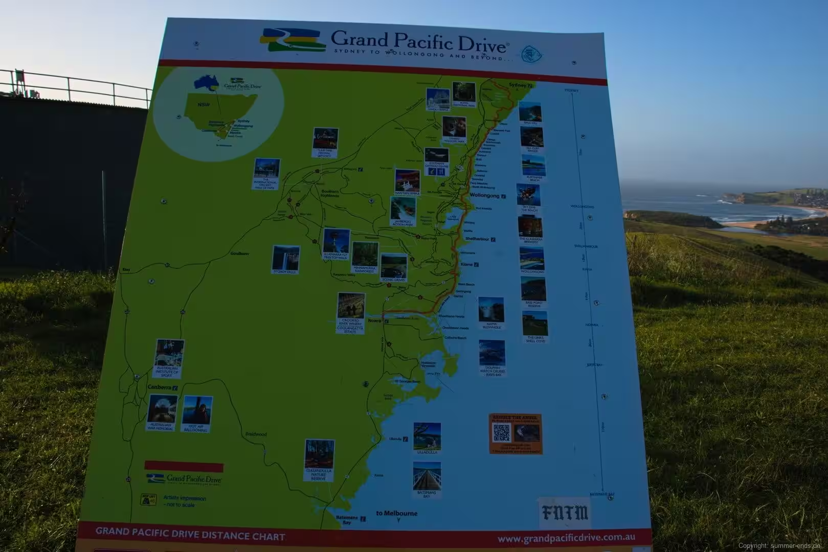
The town stands at the junction of the Princes Highway, which trails down the length of the South Coast, and the Kings Highway, which climbs inland to Canberra. That position makes it the closest seaside town to the Australian capital, about 280 kilometres south of Sydney and roughly 150 kilometres east of Canberra by road, and it has long served as the nearest beach destination for residents of the national capital. The 2021 census counted a population of about 17,500 in the town.
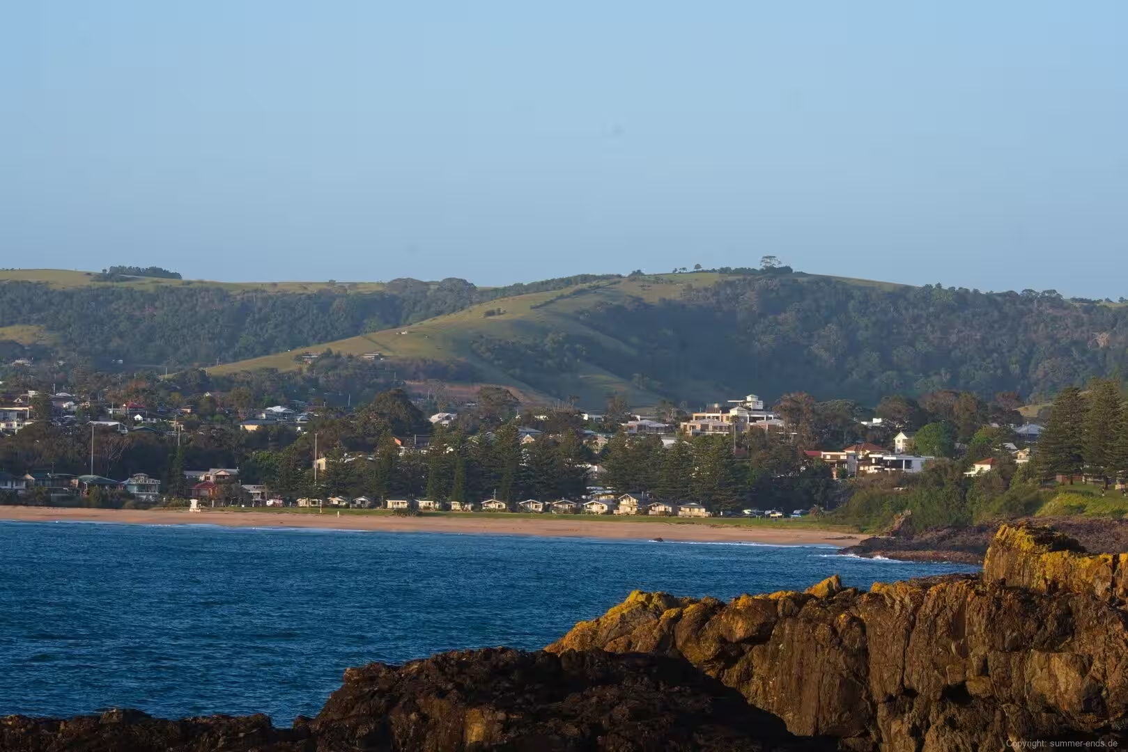
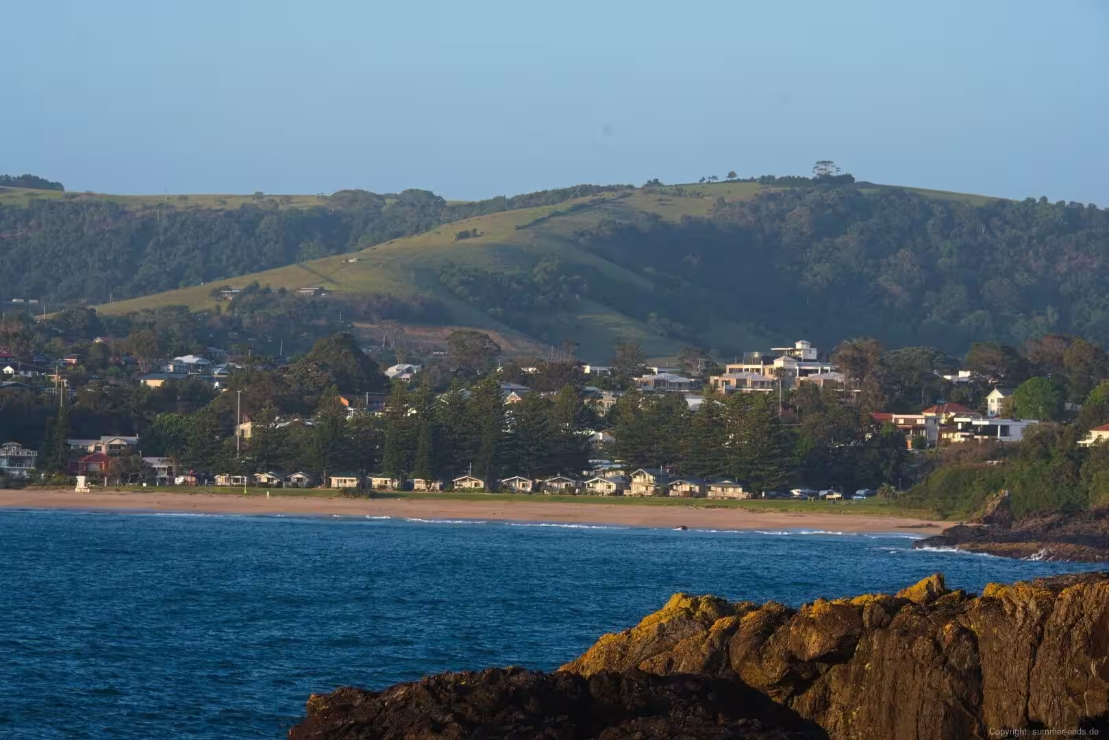
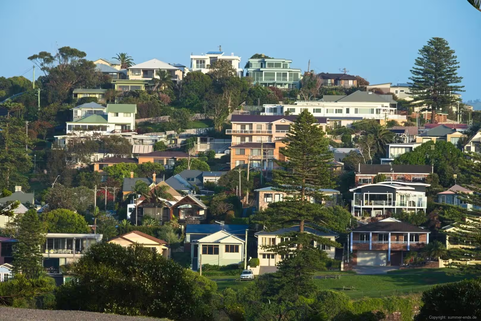
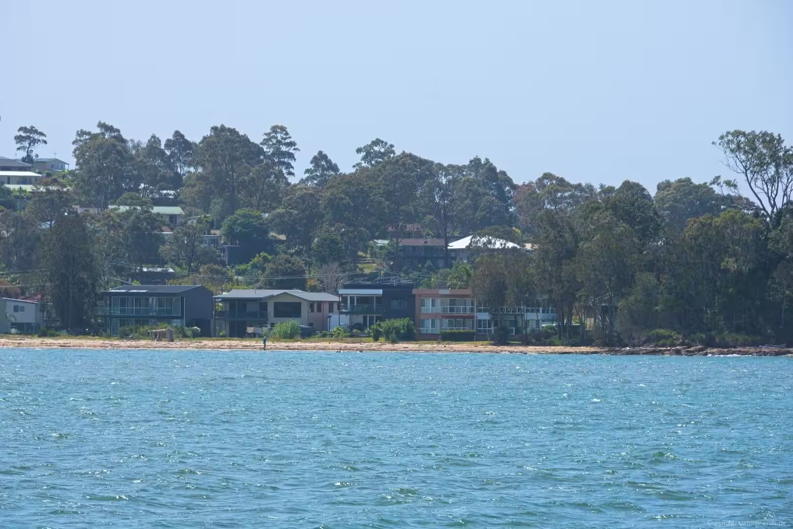
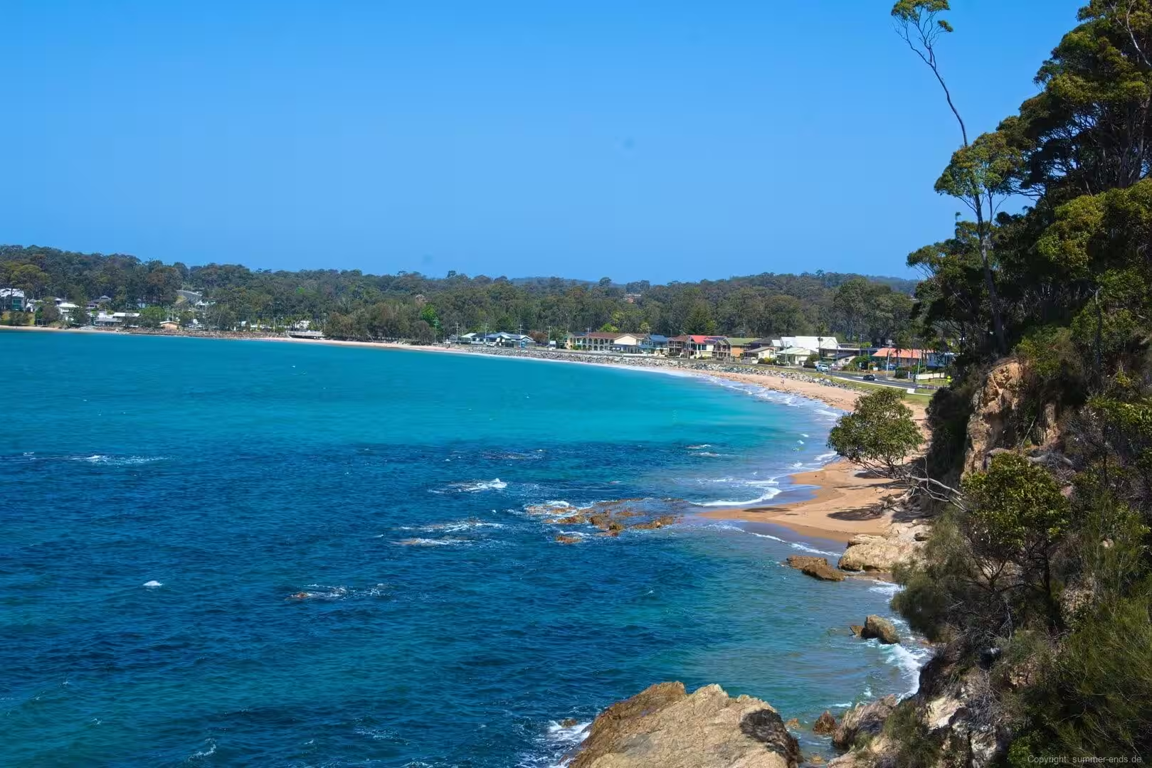
The wider Greater Batemans Bay area strings together a series of beach and hill settlements along the shore. South of the estuary mouth lie Batehaven, Surf Beach, Sunshine Bay, Denhams Beach, Malua Bay and Maloneys Beach, while Surfside and North Batemans Bay sit on the northern side of the river. Each has its own sandy frontage, and together they spread the town along the curving shoreline of the bay.
The local economy has long drawn on the natural resources of the estuary and the bush behind it. Oyster farming on the Clyde dates back to 1860 and remains the signature industry, drawing on an estuary regularly described as among the cleanest in Australia; the river’s oysters appear on menus across the region and are sold at farm gates along the shore. Forestry, retail and a robust eco-tourism sector round out the economy, and the estuary, the national parks and the beach suburbs have together made the district a base for nature based holidays.
The bay itself is a deep, sheltered embayment that formed when the sea filled the drowned mouth of the Clyde valley, and its calm water has shaped the town from the start. It offered an anchorage for coastal shipping, a working water for oyster boats and fishing vessels, and a protected waterfront for the town that grew beside it. The climate is maritime and temperate: summers are warm with a moderating sea breeze, winters are mild and sunny, and the town records a high number of clear days through the year. As a seaside town that is also a retirement destination, Batemans Bay has attracted older residents drawn by the quiet coast, though it has begun to pull in younger families seeking housing and a relaxed life by the water.
History
The Walbunja people of the Yuin nation are the traditional custodians of the land around the bay, and their Dhurga language still names the key features of the coast. The bay itself is known as Yangary, while the Clyde River is called Bhundoo. A number of places around the bay and the lower river, including Bhundoo and Hanging Rock, hold cultural significance, and the Walbunja connection to this shoreline reaches back long before any written record.
European contact began on 22 April 1770, when Lieutenant James Cook sighted and named the bay from HMS Endeavour. Cook left no note of the reason for the name, and historians have suggested it may honour either Nathaniel Bateman, captain of HMS Northumberland at a time when Cook served aboard her, or John Bateman, 2nd Viscount Bateman, a former Lord Commissioner of the Admiralty. Whatever the source, the name has described the inlet for more than two centuries.
The sheltered water and the surrounding timber made the district attractive to the colony. In April 1808 the colonial vessel Fly was driven into the bay by bad weather, and its crew clashed with the local people. In 1821 Lieutenant Robert Johnston entered the bay aboard the cutter Snapper and examined the lower reaches of the Clyde, and Snapper Island in the bay takes its name from that vessel. Johnston later returned with Alexander Berry and Hamilton Hume and traced the river back toward its source in the ranges. When the district was surveyed in 1828 it held little more than a deserted hut and stockyards; cedar getters and land clearers worked the area through the 1820s, and for two decades from the 1820s the country to the Moruya River marked the southernmost official limit of location of the colony of New South Wales.
The river, not the road, tied the district into the wider colony for much of its early life. The Illawarra and South Coast Steam Navigation Company found the Clyde navigable in 1854, and regular steamship services from the 1860s and 1870s carried passengers, timber and produce and encouraged settlement. The village of China Bay was surveyed in 1859, oyster farming began in 1860 and by 1870 a fleet of roughly forty oyster boats worked the river, with a sawmill raised in the same year. The port and town were proclaimed in 1885. A ferry crossed the Clyde from 1891 until the first bridge opened in 1956, and Batemans Bay remains the only place where coastal traffic can cross the river. During the Second World War a trawler was attacked by a Japanese submarine in the approaches between Batemans Bay and Moruya in 1942.
Closer to the present day the town has weathered two dramatic episodes. In May 2016 an estimated 120,000 grey headed flying foxes, a species legally protected as vulnerable, descended on the town and led the council to declare a state of emergency; the bats were moved on using smoke, noise and lights. In the summer of 2019 and 2020, catastrophic bushfires reached the coast and cut Batemans Bay off from all external road links at the height of the tourist season, with thousands of locals sheltering on the beaches and a large number of buildings lost.
Geology
Batemans Bay lies in the far southern reaches of the Sydney Basin, a Permo Triassic foreland basin whose rocks are exposed along the South Coast between the town and Wollongong. The southern margin of the basin is the geologically most telling part of the coast here, because it preserves deposits laid down during the Late Palaeozoic glaciation of southeastern Gondwana, long before Australia drifted away from Antarctica.
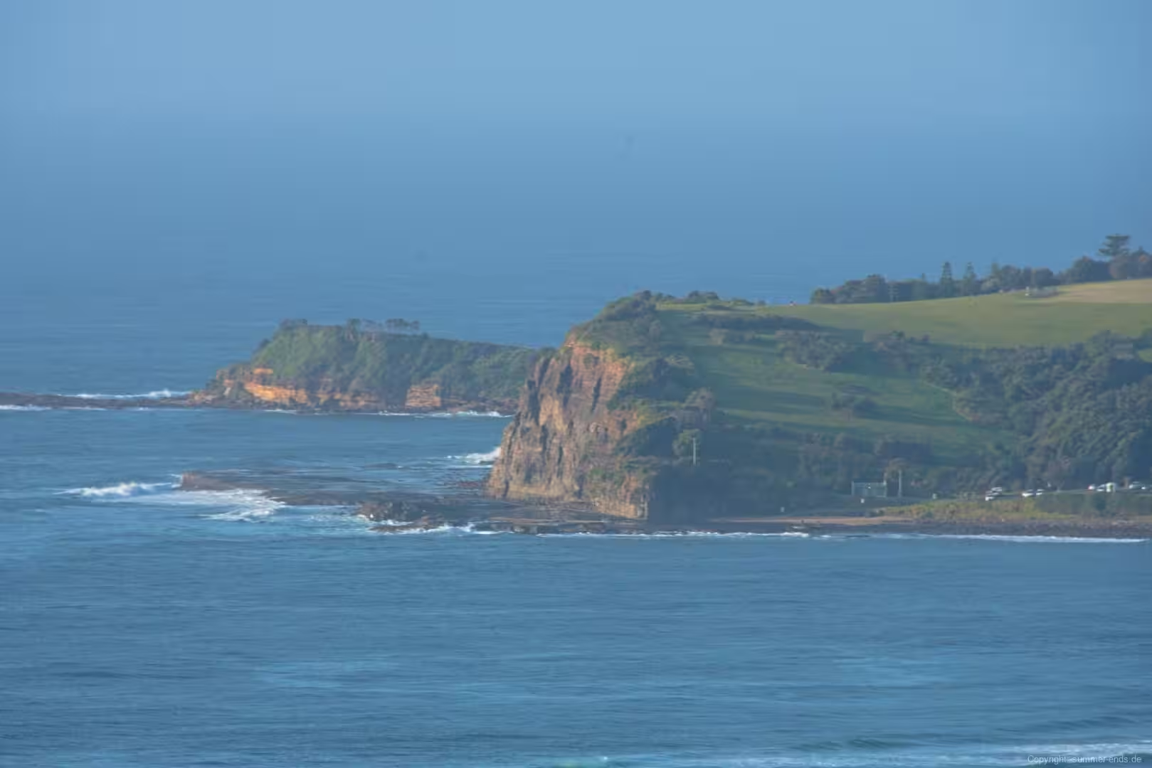
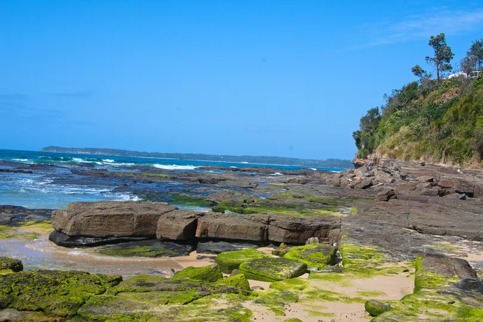
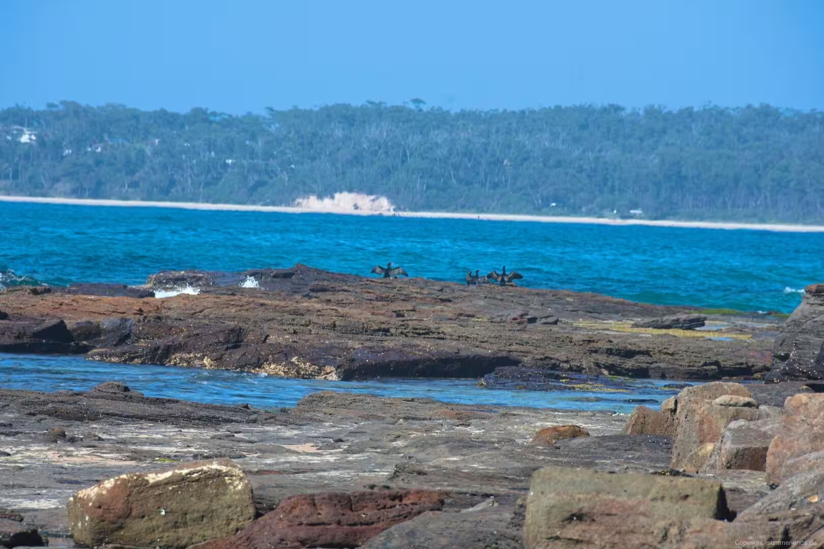
The headlands and cliffs that frame the bay are cut into Permian sedimentary rocks of the Shoalhaven Group, a succession of sandstone, siltstone and conglomerate laid down in shallow, storm influenced marine and nearshore settings. Around Batemans Bay these include the Snapper Point Formation, the Pebbley Beach Formation and the Wandrawandian Siltstone, as well as the slightly older Wasp Head Formation. Between Myrtle Beach and Wasp Head, close to the town, the Early Permian Wasp Head Formation sits unconformably on folded deep marine shale and chert of the Ordovician Wagonga Beds, which form the basement beneath the basin. The rocks here record a cold past: the sandstones of the Wasp Head and Pebbley Beach formations were deposited between about 277 and 258 million years ago on a polar, glacially influenced continental margin, and they carry glendonites and ice rafted debris that were dropped by icebergs.
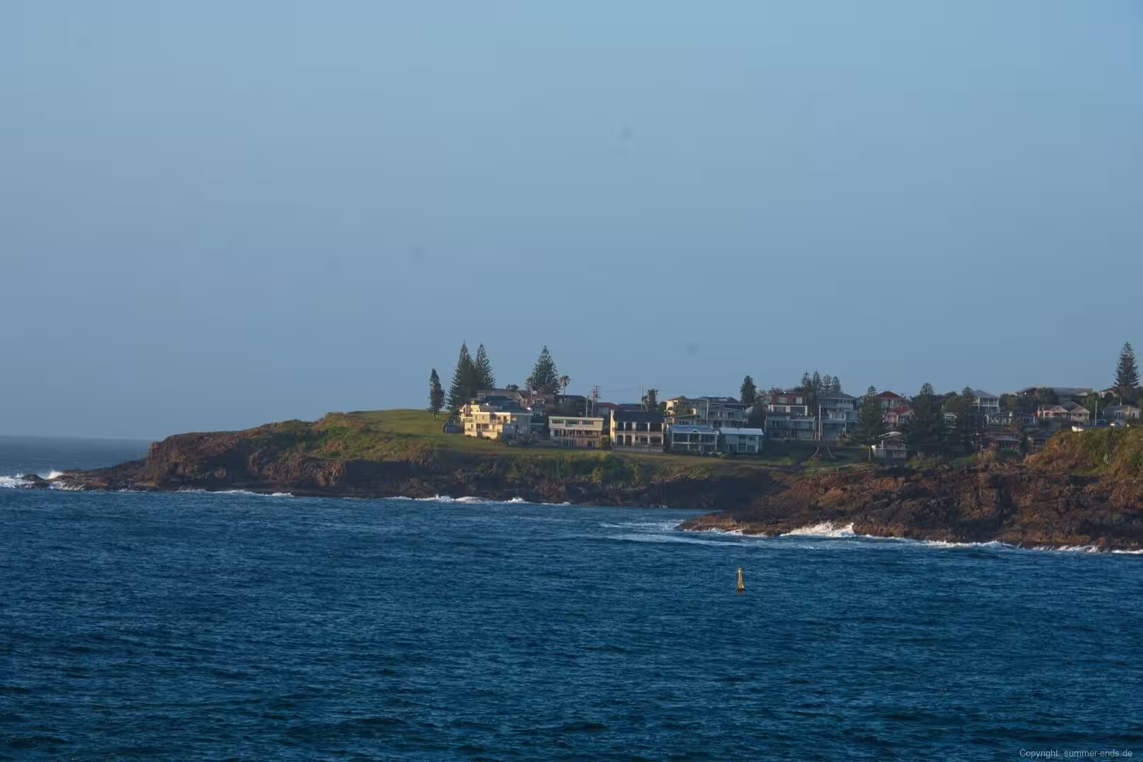
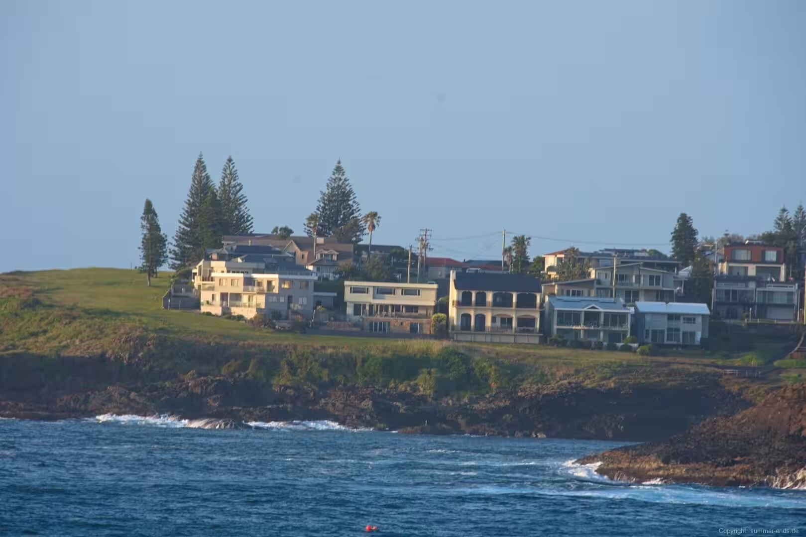
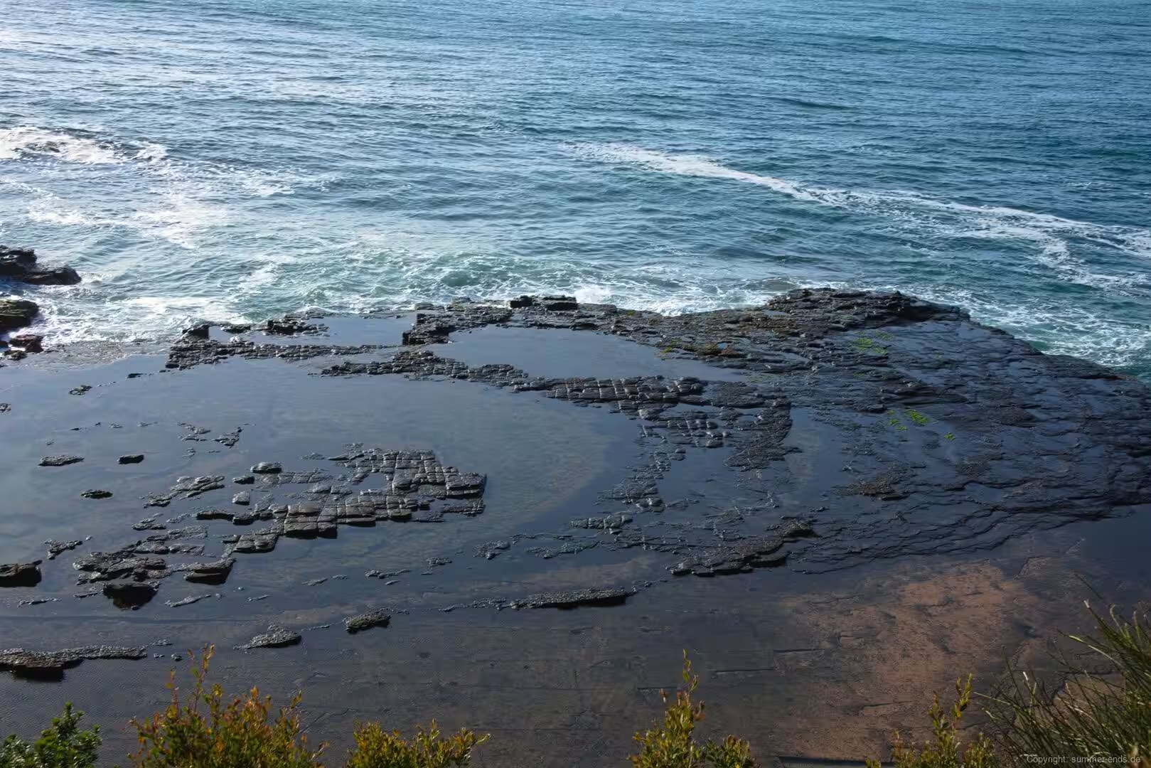
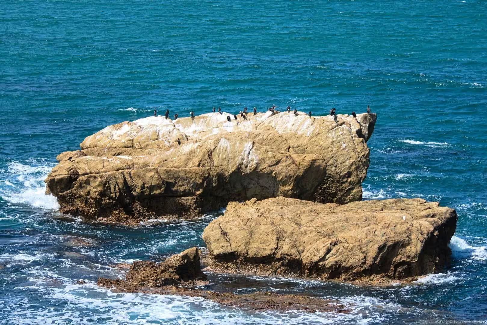
The succession along the South Coast is not purely sedimentary. It also contains volcanic units, among them the Gerringong Volcanics, a set of lava flows and tuffs laid down toward the top of the Shoalhaven Group, and younger basaltic dykes injected into the sequence during later igneous events. It is this combination of indurated sandstone and basalt that gives the coastline its hard, resistant headlands and the rocky ledges and platforms that line the shore beneath the cliffs.
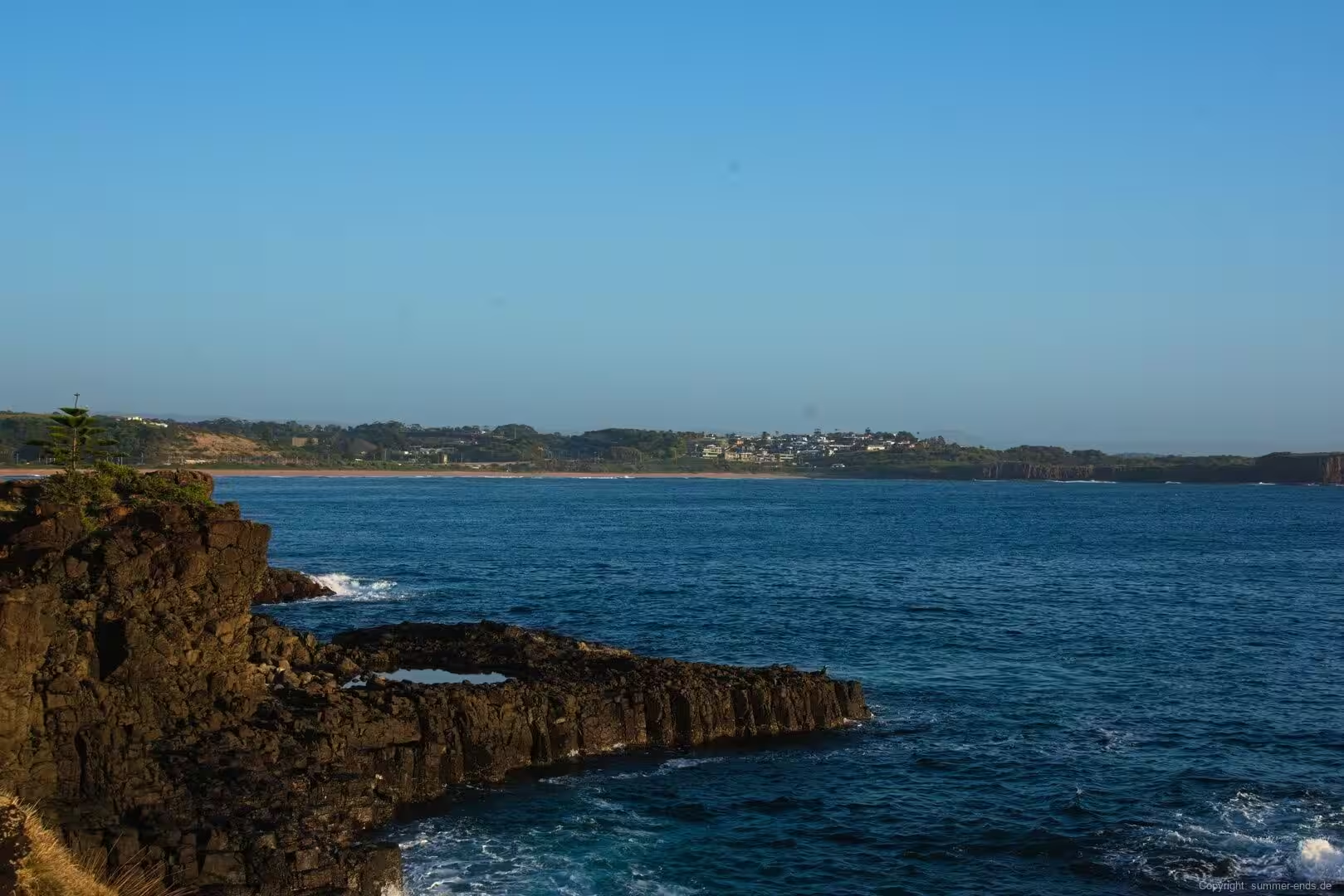
The estuary itself is a drowned river valley. The Clyde rises in the Budawang Range and drops some 600 metres over its 100 kilometre course, and the lower reaches form a tide dominated estuary that is navigable by small vessels inland to Nelligen. When sea level rose after the last glacial period it flooded the mouth of the valley and created the bay that gives the town its name. The bay is an open oceanic embayment at the end of that system: it receives the Clyde and Cullendulla Creek, spans about 34.5 square kilometres at an average depth of some 11 metres and holds close to 383,000 megalitres of water before opening to the Tasman Sea. Between the projecting points, bays of sand have accumulated in the shelter of the headlands, so the bay is bounded by green hills rising from rocky points and narrow sandy beaches.
Things to See
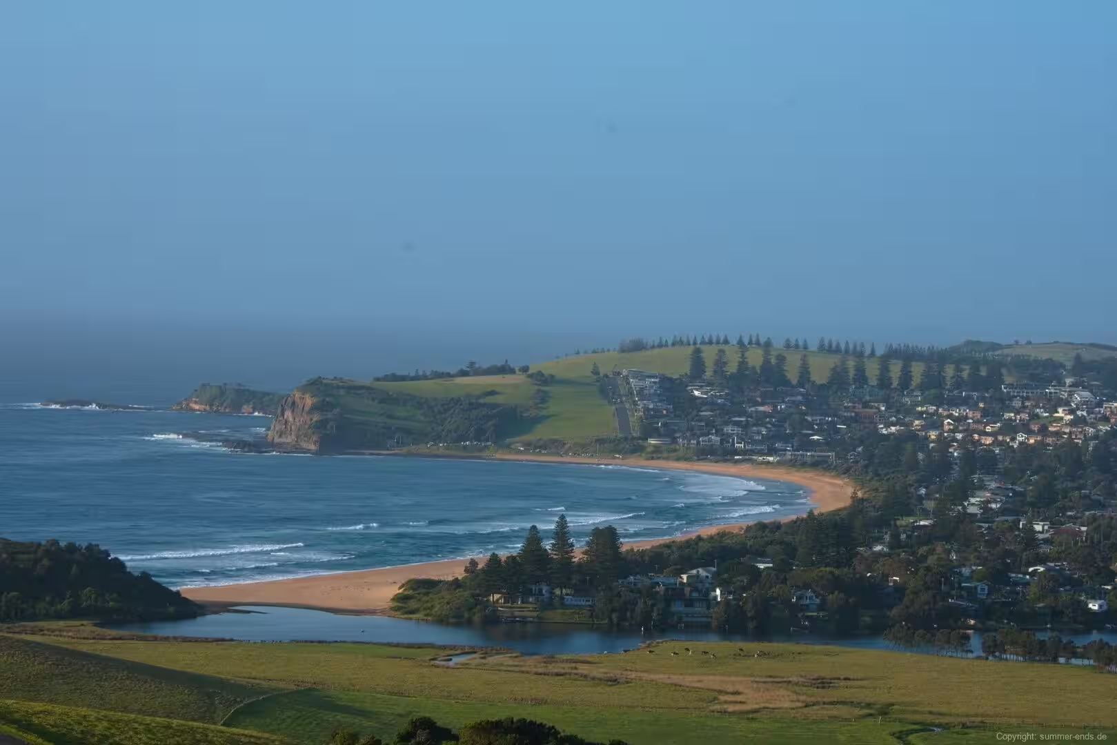
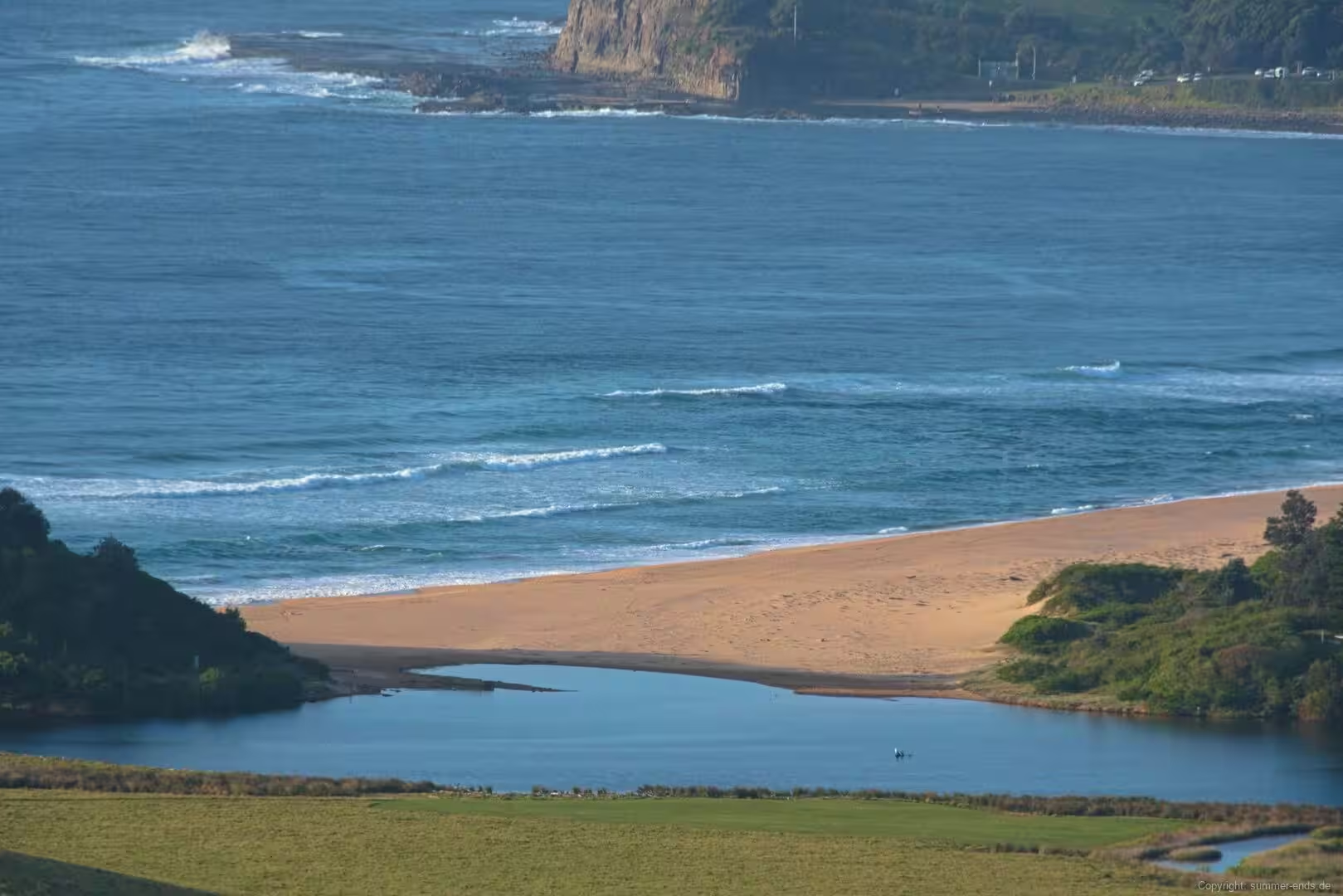
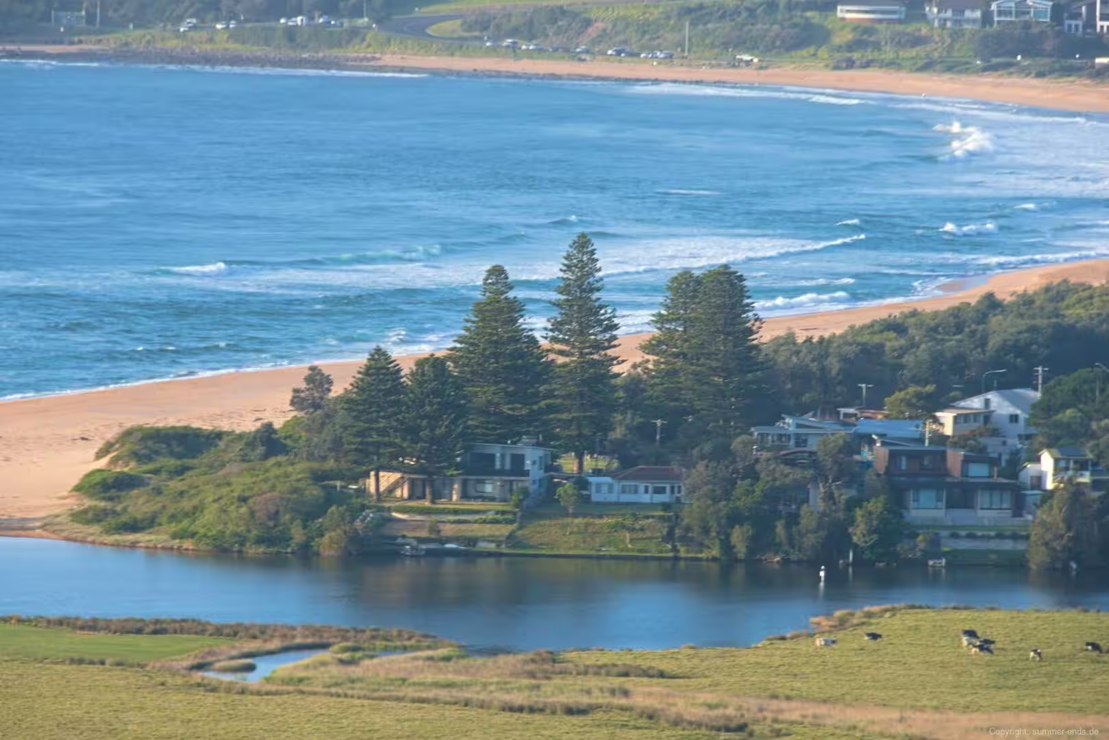
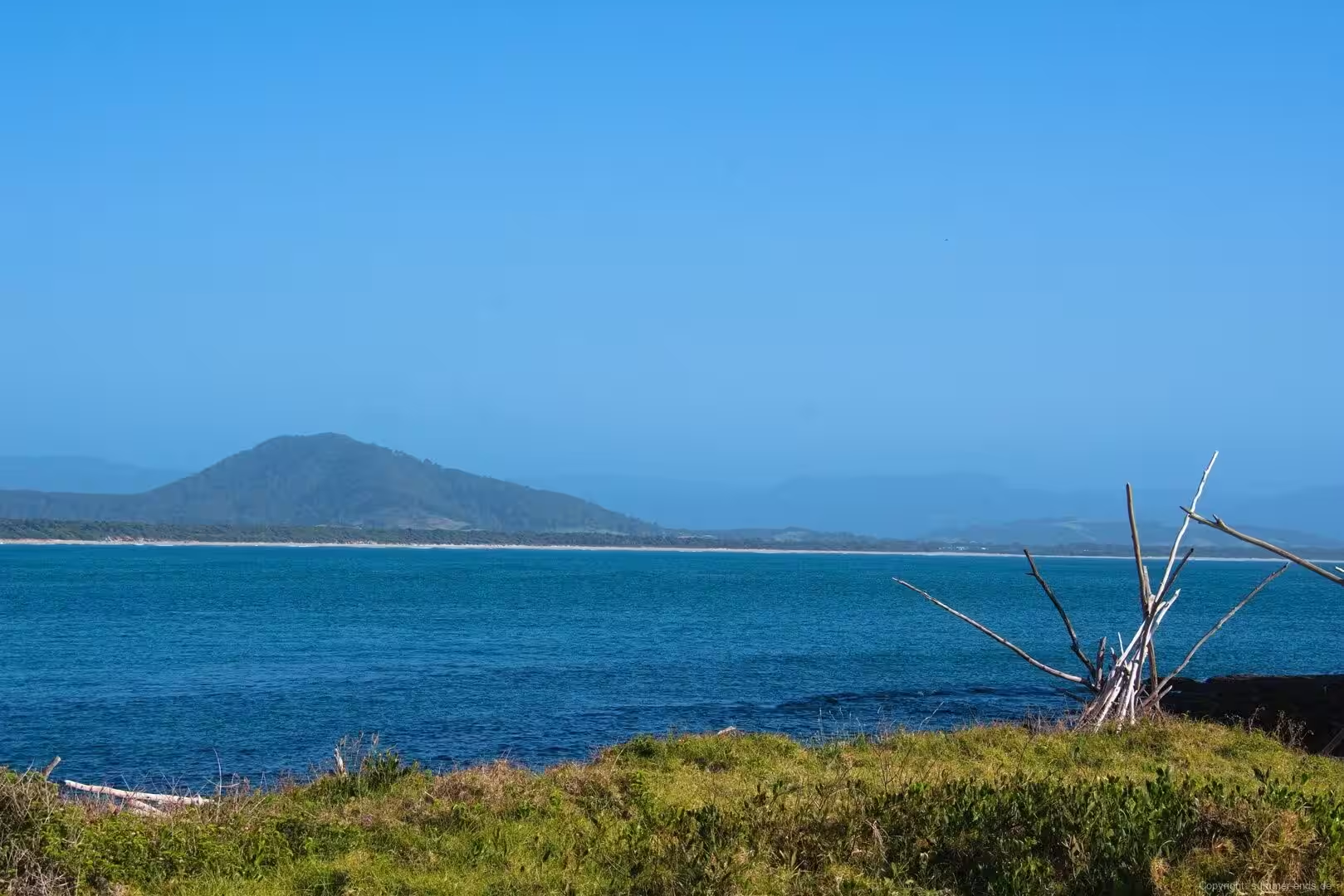
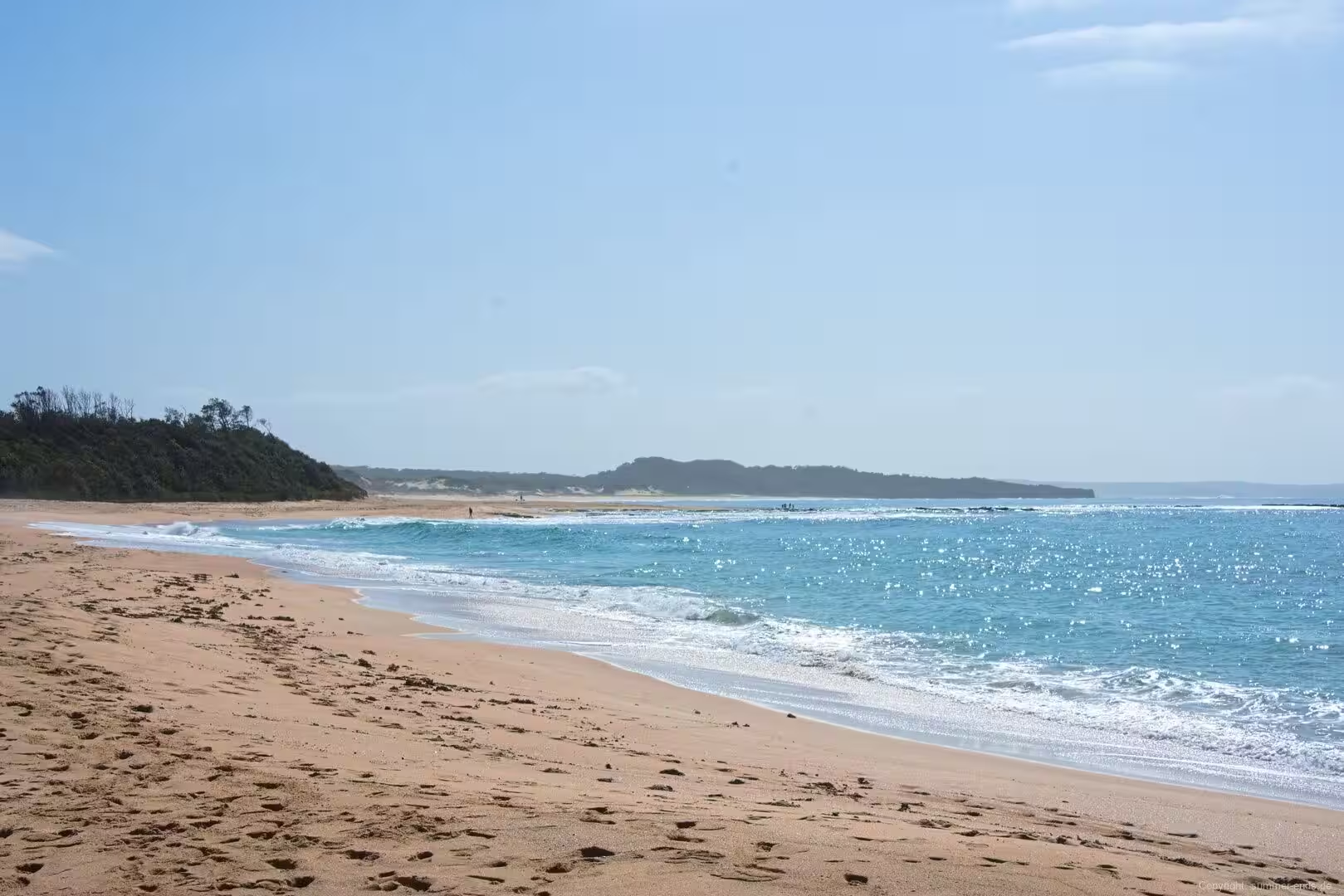
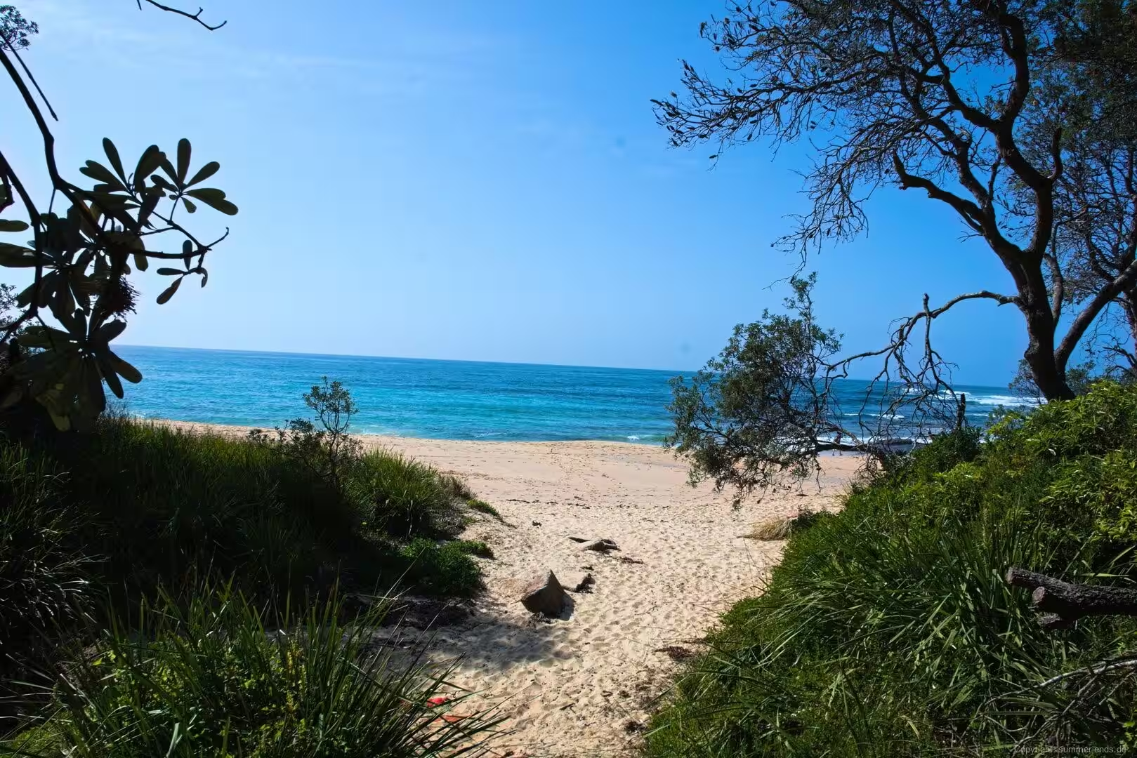
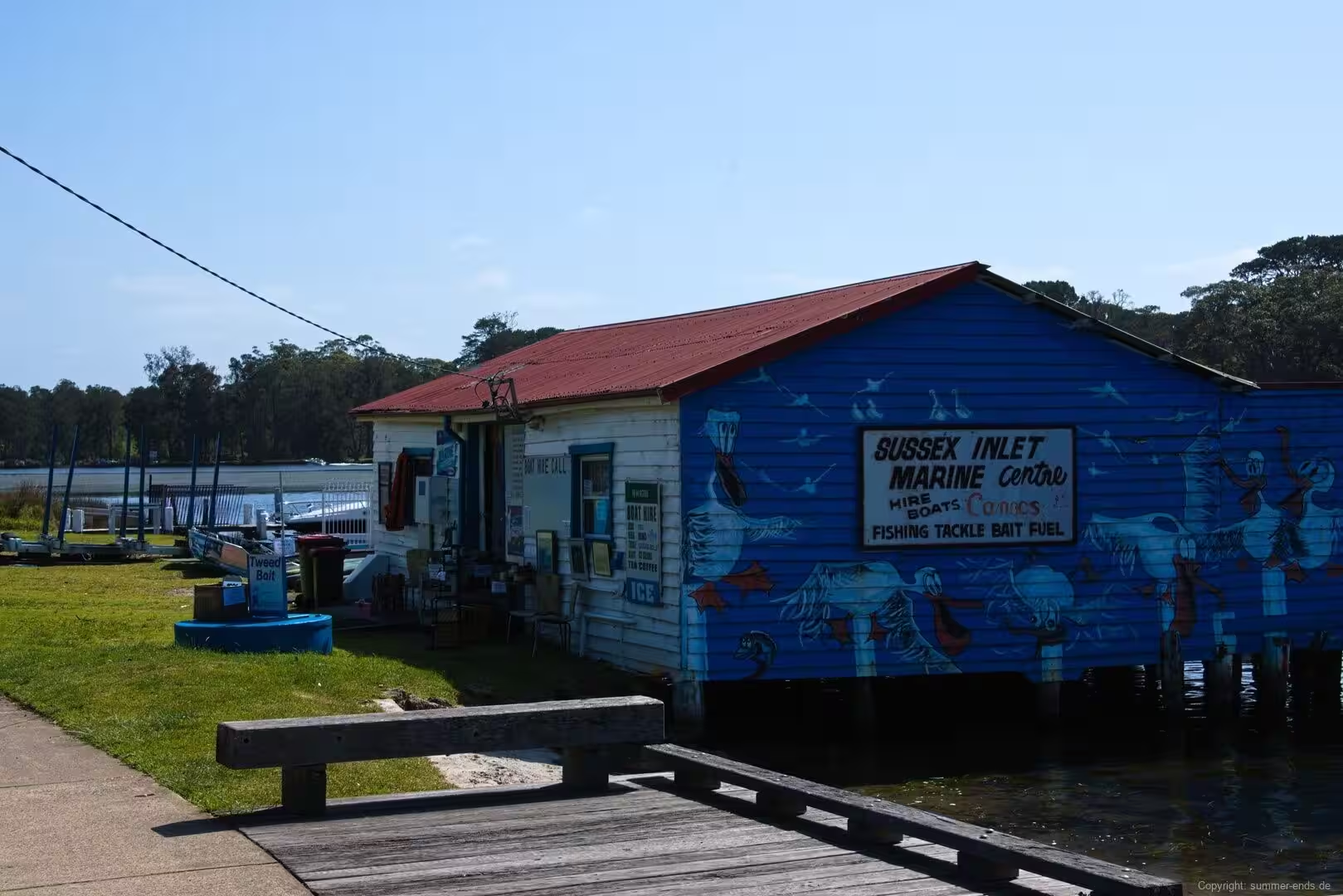
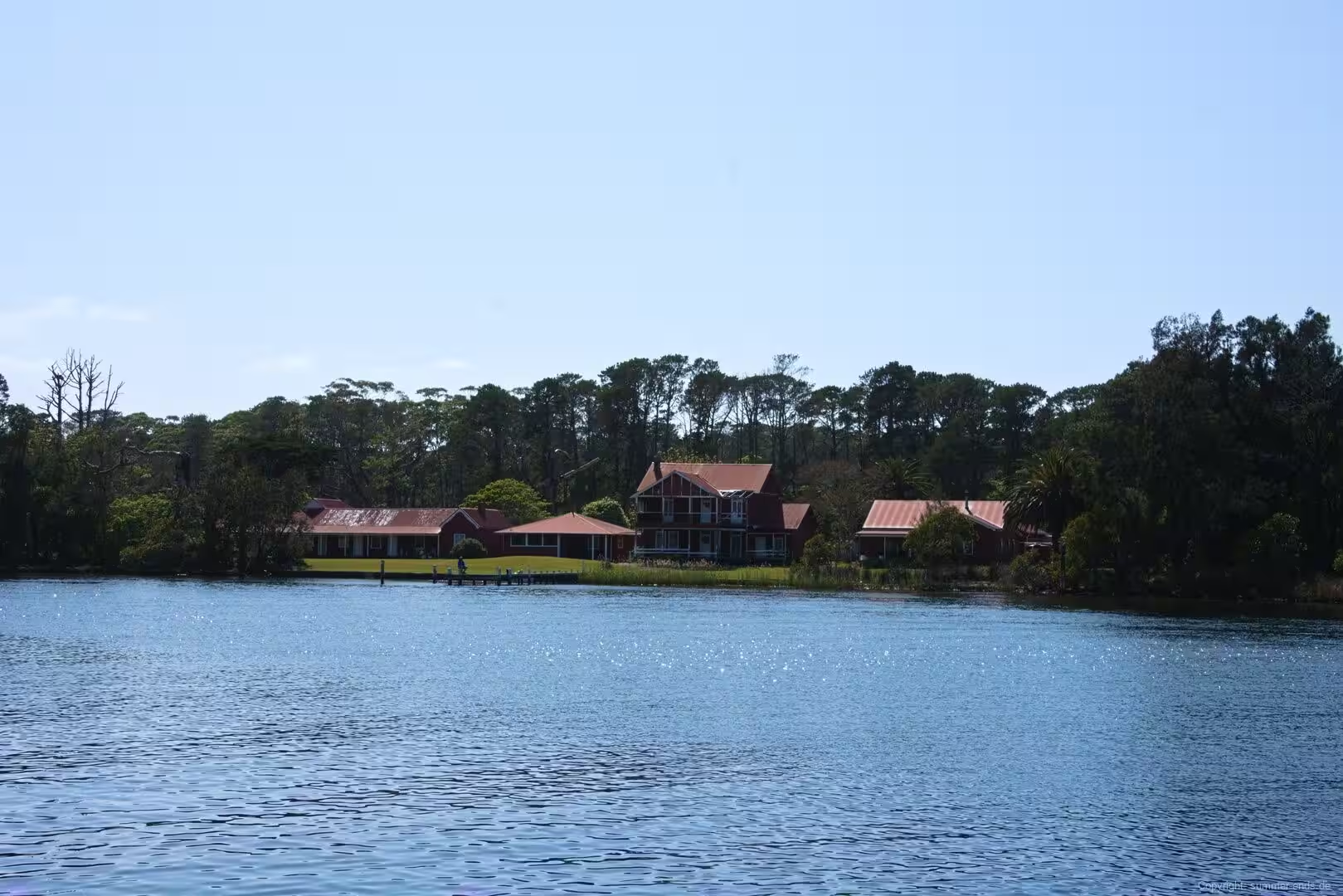
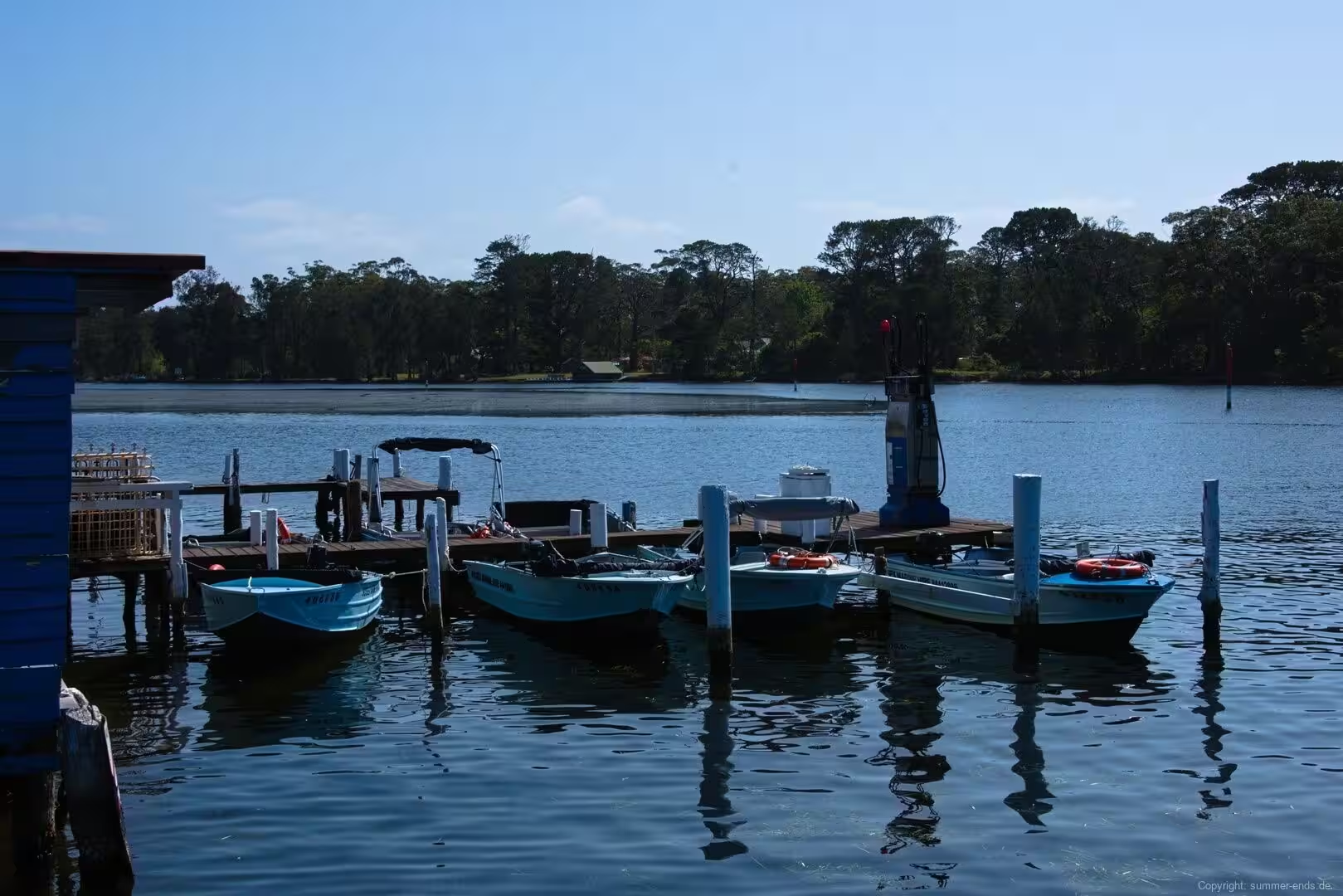
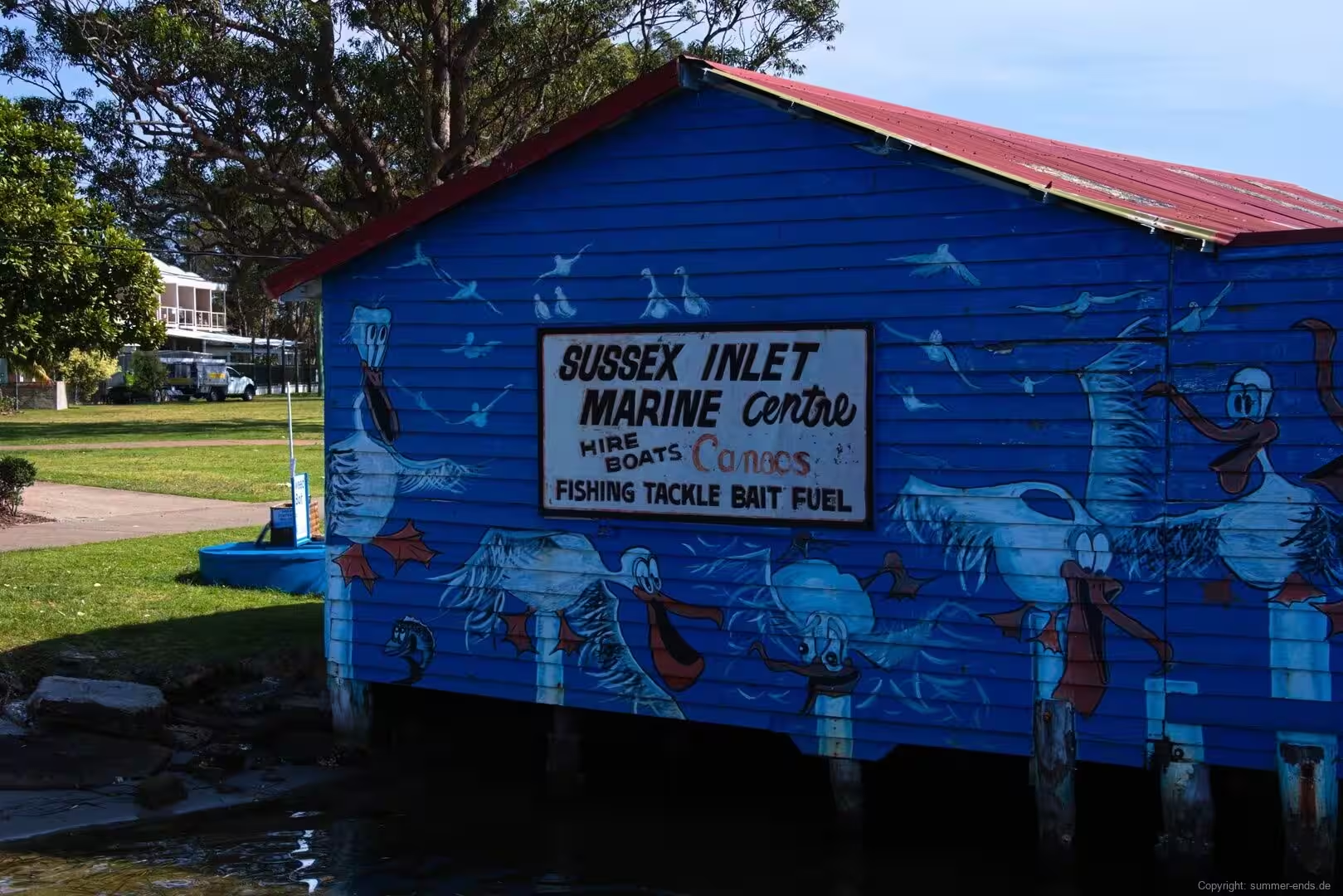
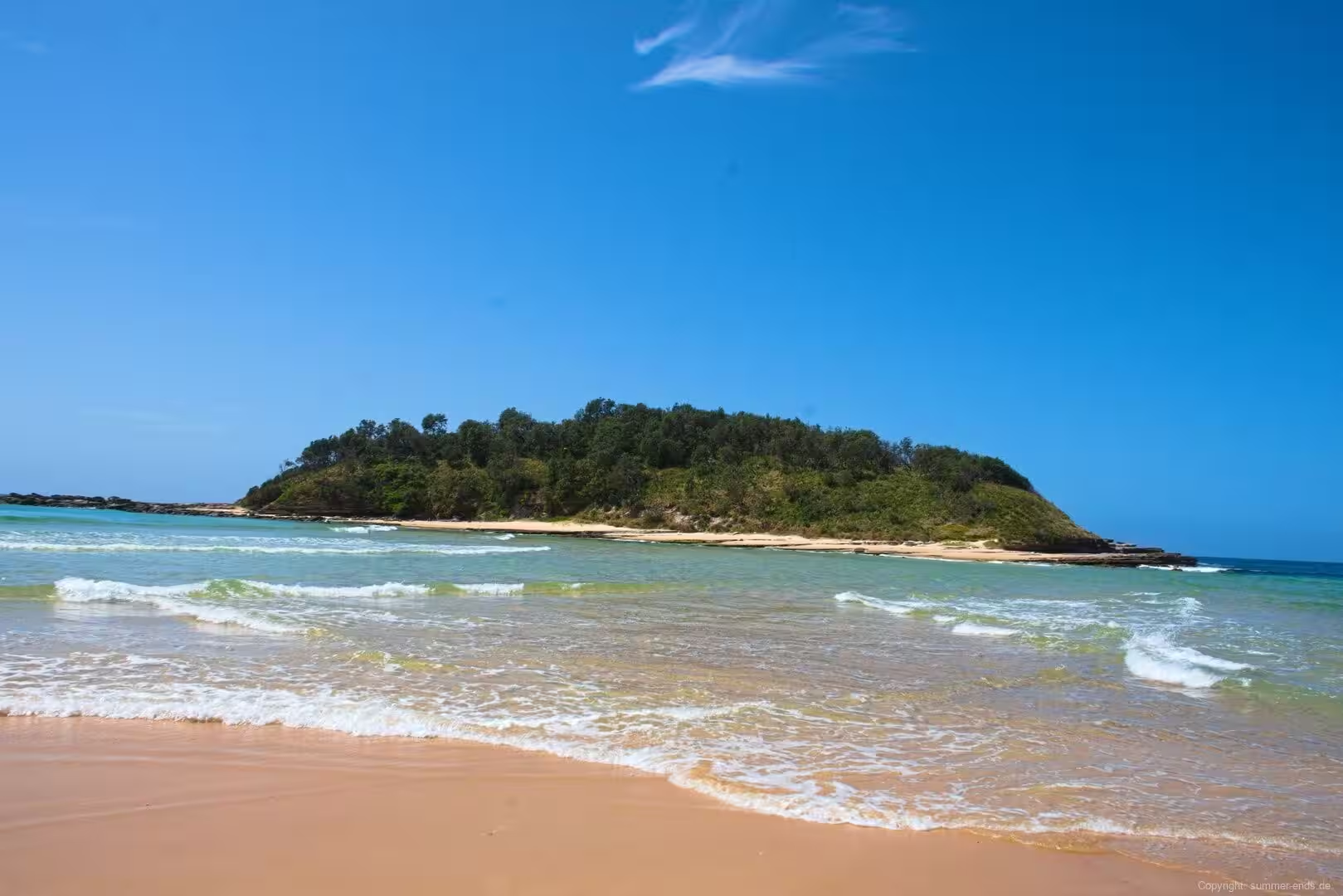
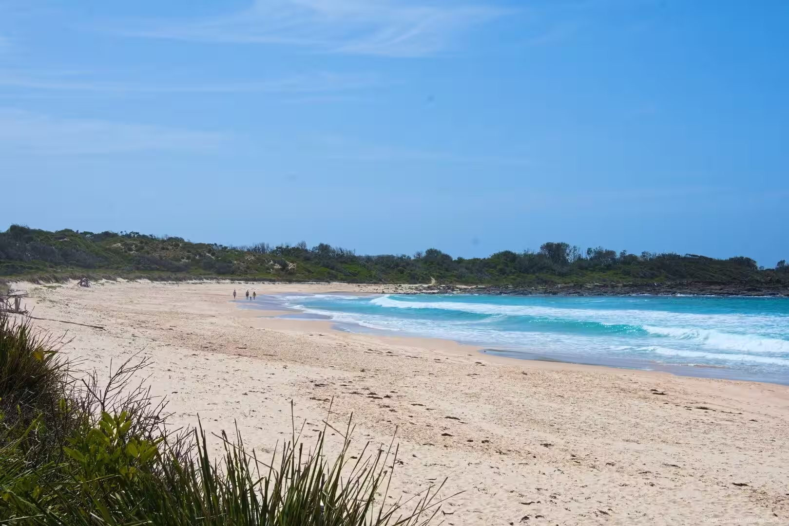
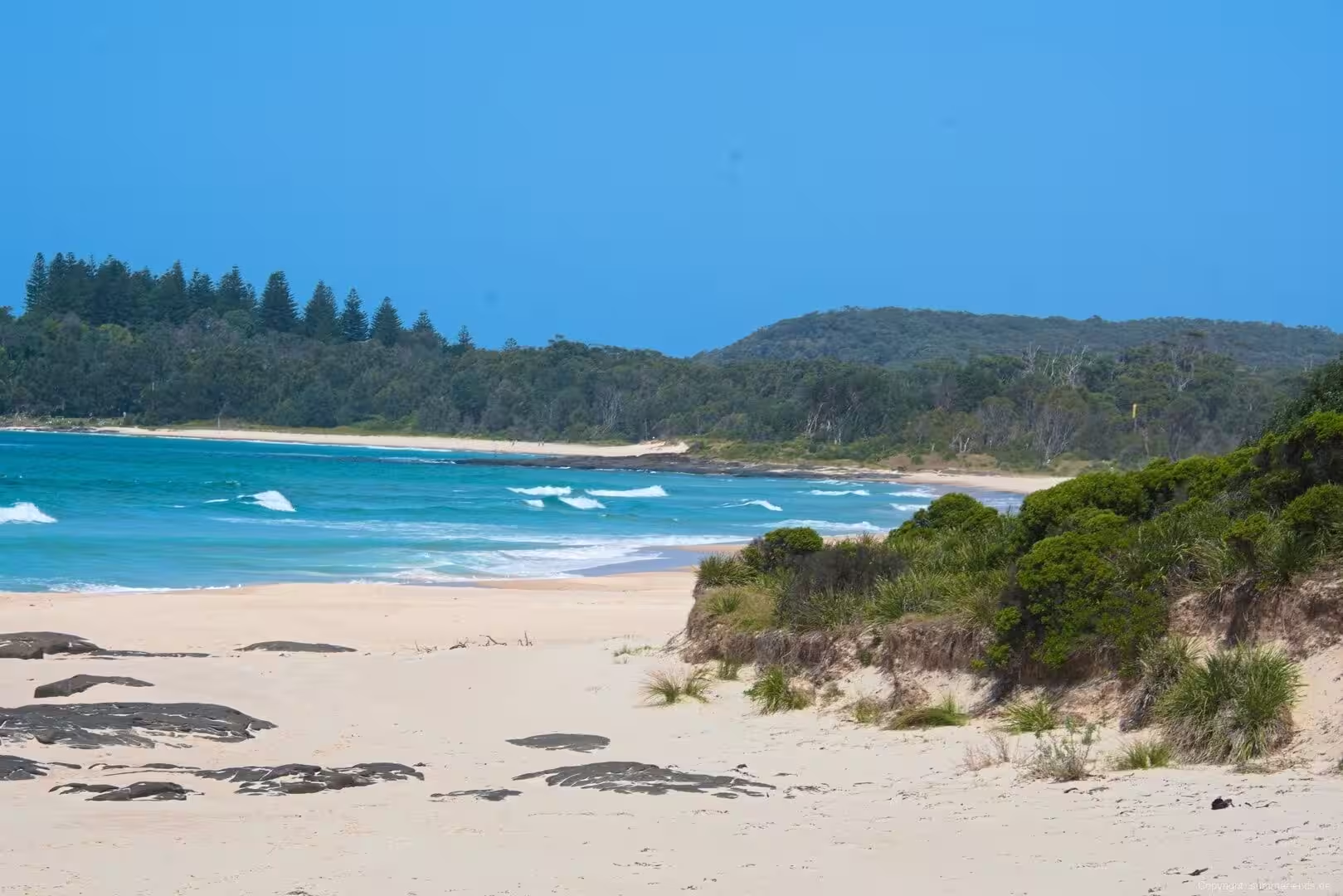
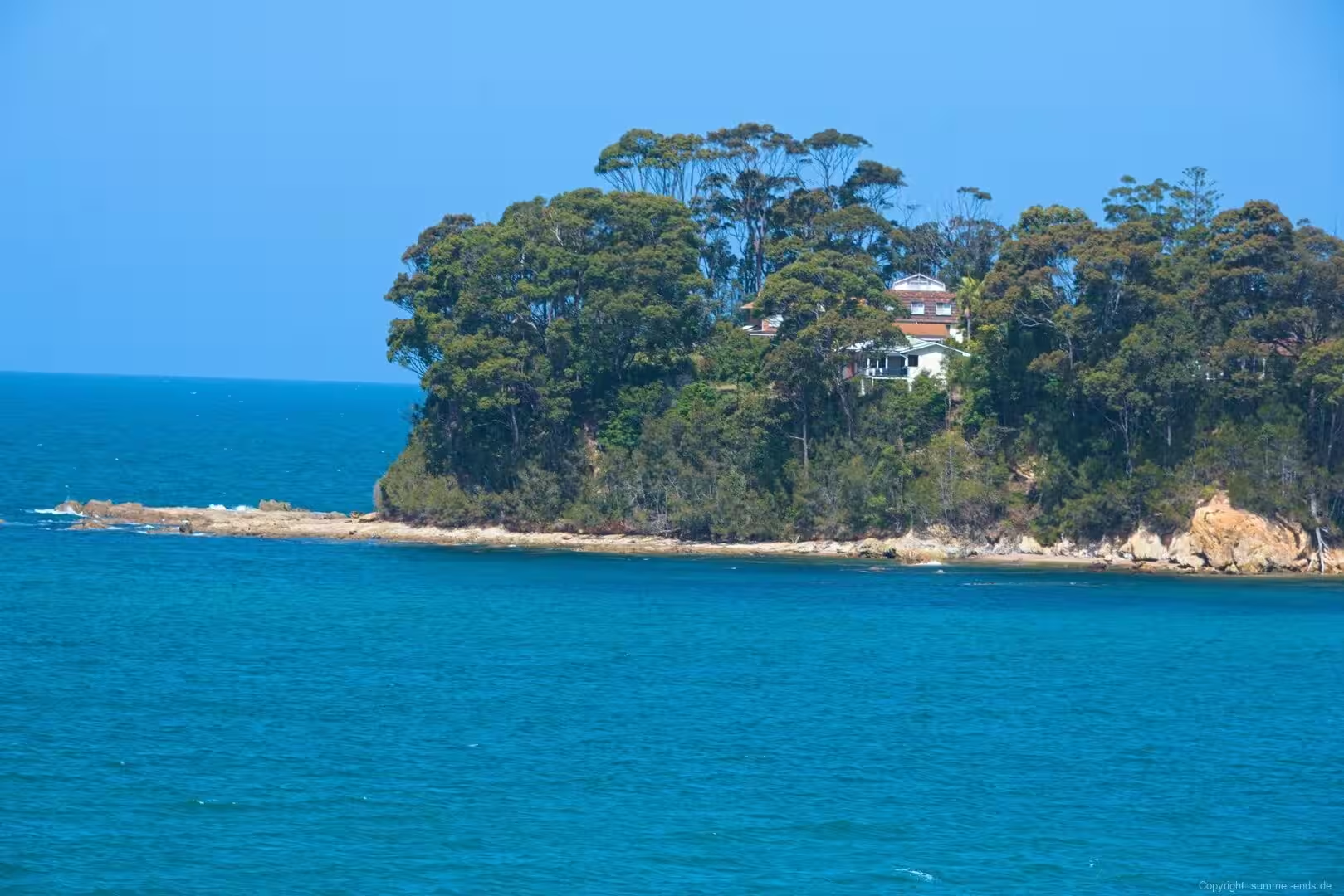
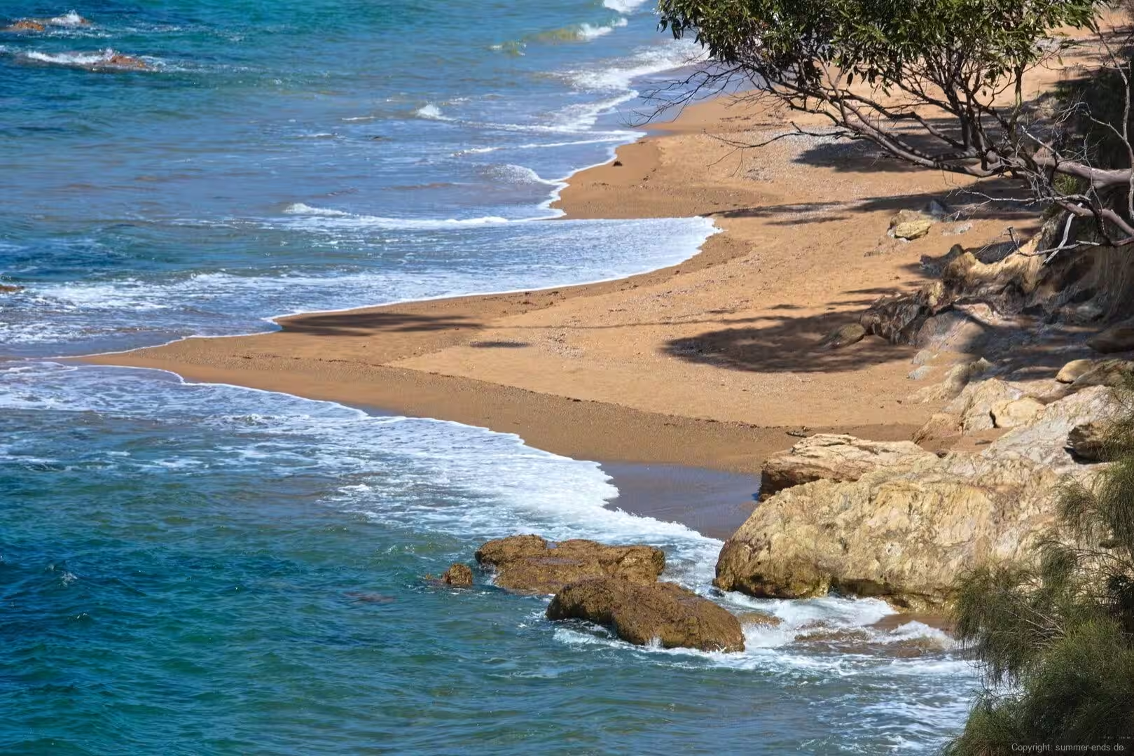
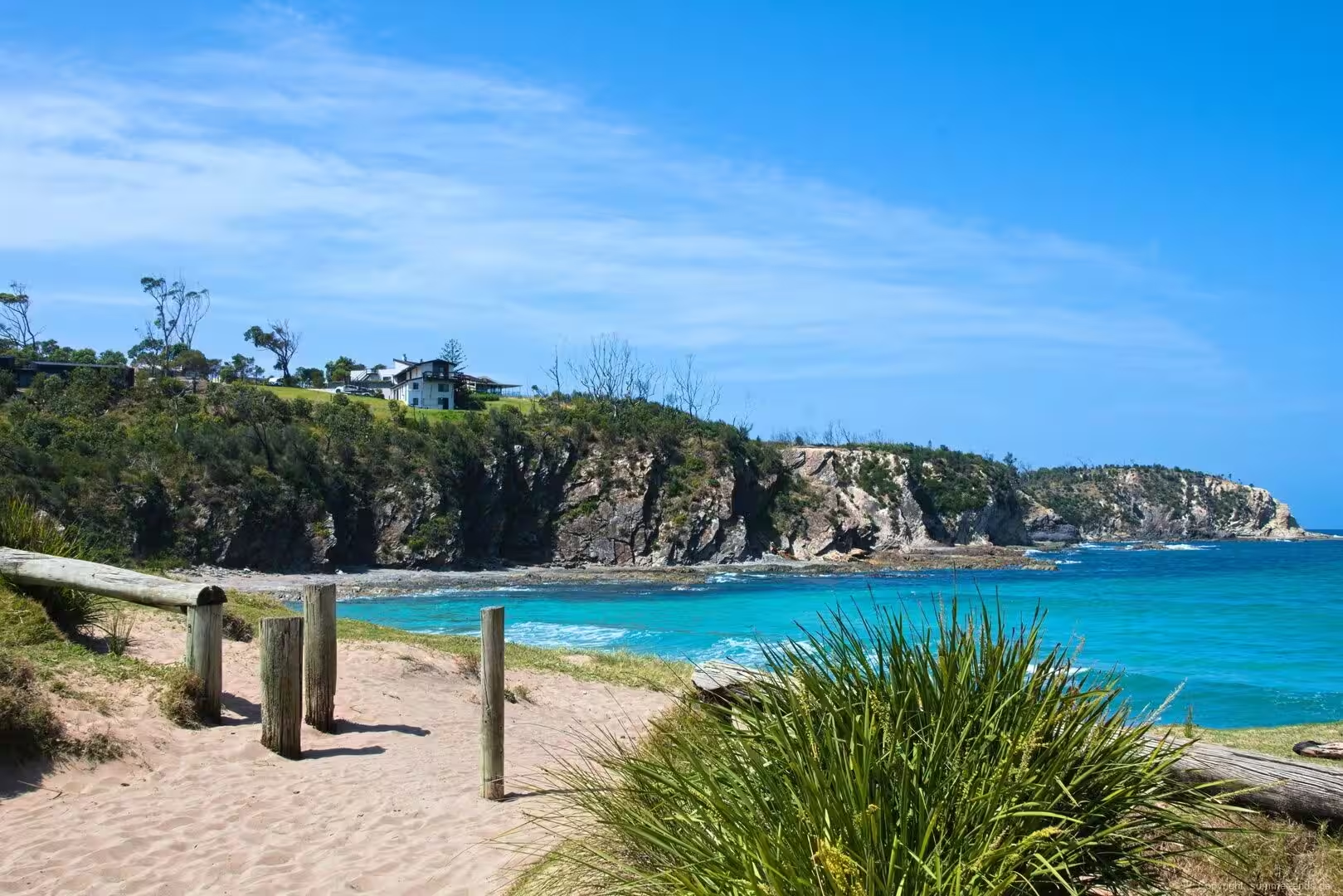
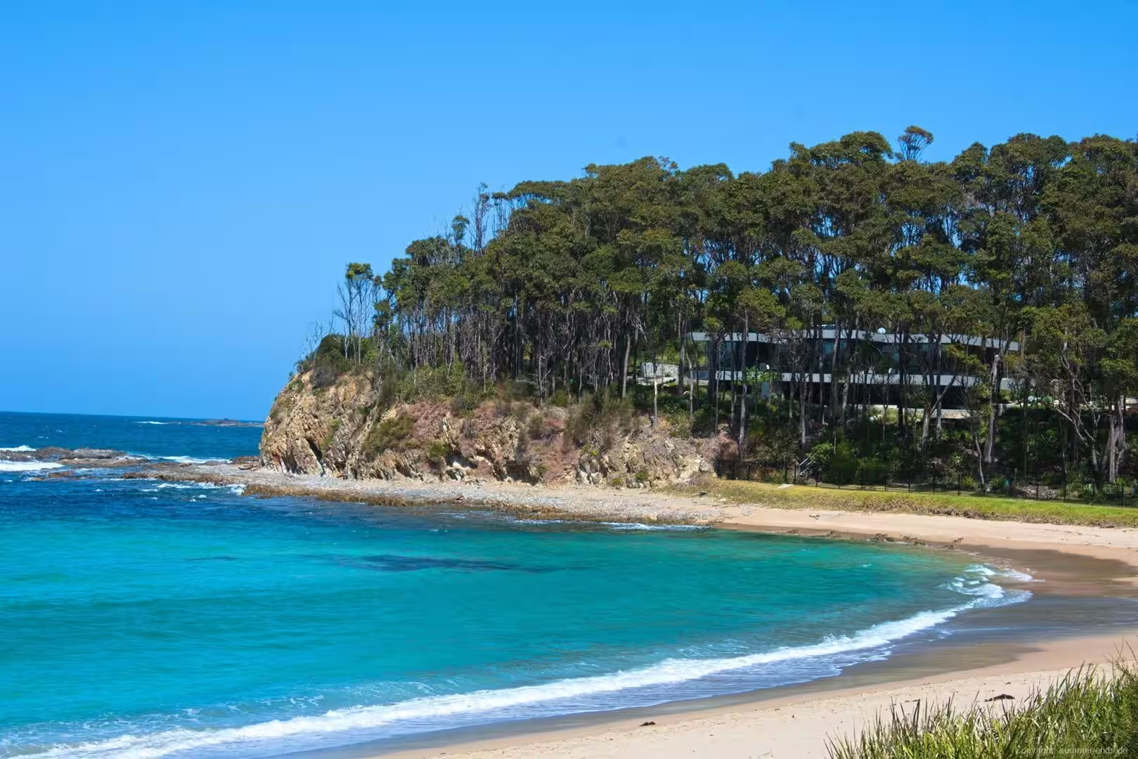
The town waterfront is the entry point to the estuary. The Clyde reaches the Tasman Sea here, and the settled shore is lined by the Murra Murra Mia walkway, an esplanade opened in 1983 whose name is said to mean plenty of fish. Sandy beaches are scattered along both sides of the bay, from Surfside and the beaches north of the mouth to the sheltered swimming and surfing strands of Batehaven, Surf Beach, Sunshine Bay, Denhams Beach and Malua Bay to the south, each backed by low green hills and, in places, stands of coastal pines.
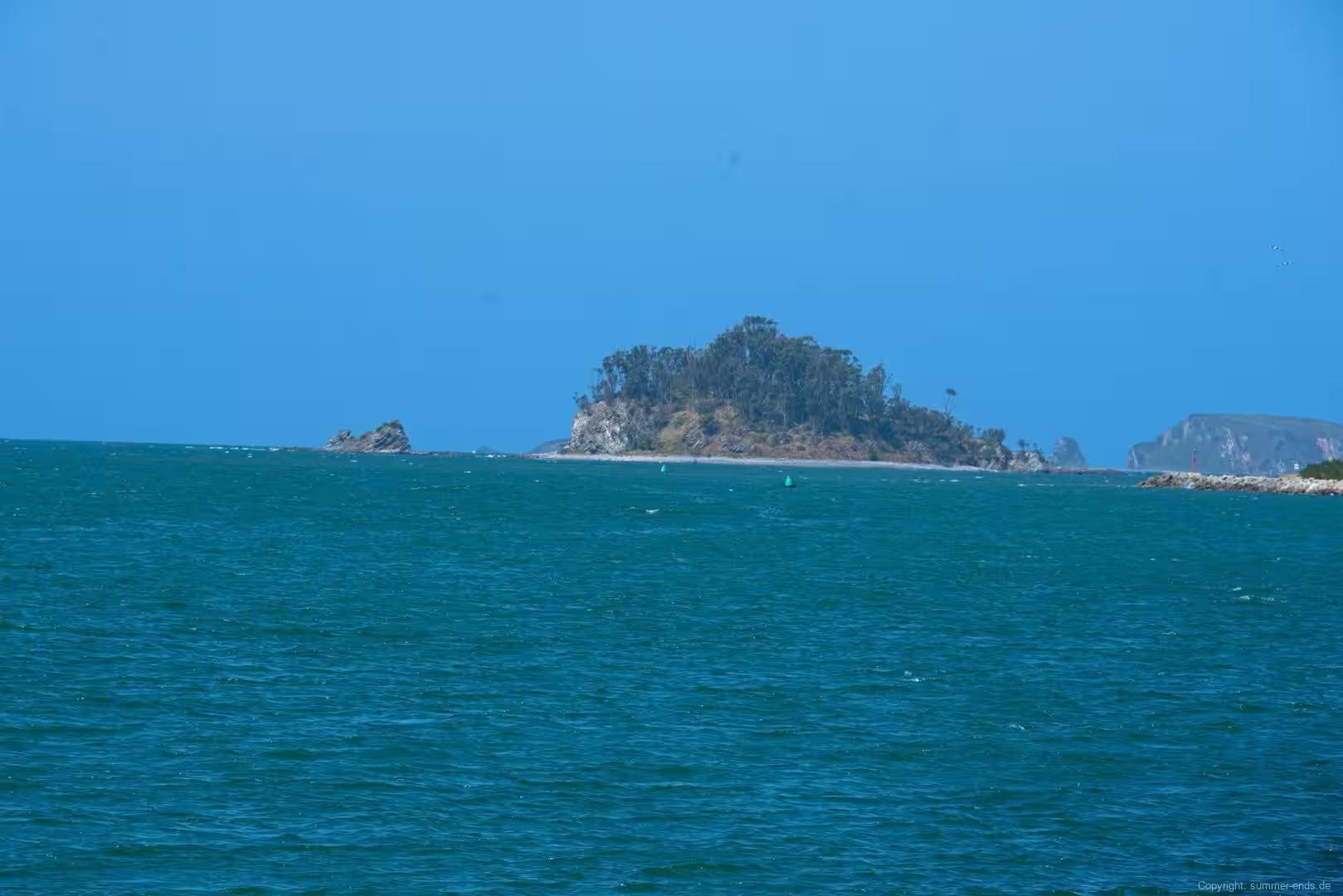
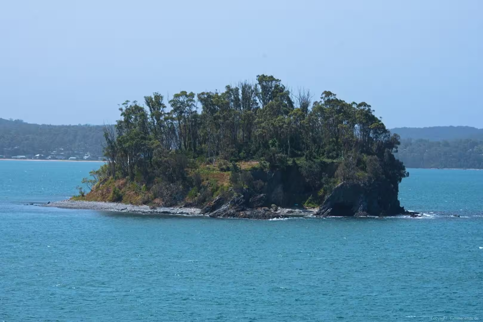
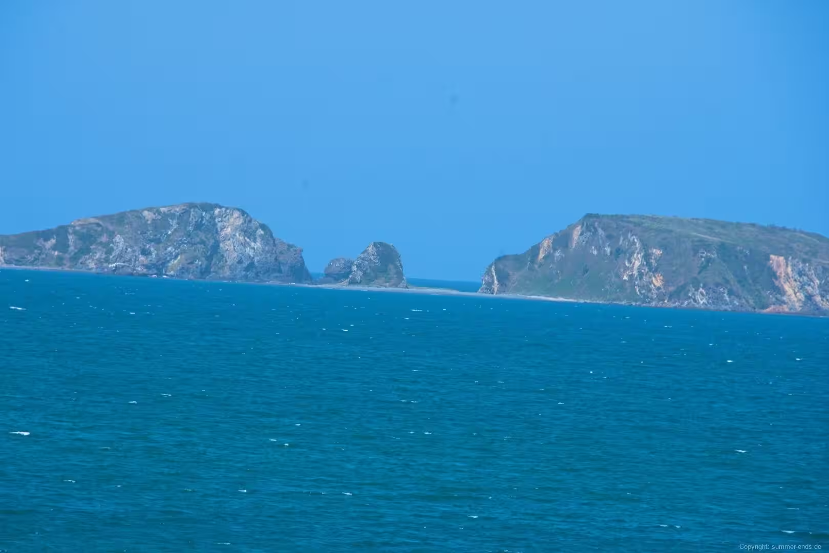
Two reserves neighbour the river mouth and protect the estuary and its islands. Cullendulla Creek enters the bay between Surfside and Long Beach, and its mangrove lined creek is protected as a nature reserve, while the Tollgate Islands guard the entrance to the bay offshore. Snapper Island, named for the cutter that explored the river in 1821, lies further upstream. The whole of the tidal Clyde and Batemans Bay, together with the coastline from Bawley Point down to Wallaga Lake, falls within the Batemans Marine Park, gazetted in 2006.
Upstream, the Clyde River National Park wraps around the lower reaches of the river and its two islands, Big Island and Little Island. The park was reserved in 2001 and covers roughly 1,280 hectares of river flats, forest and floodplain, and Big Island holds cultural significance as a place of ceremony, as a training and testing ground for young people and as a refuge for women and children in troubled times. The islands and the river are a destination for paddlers and for fishers after bream and flathead among the bars and channels.
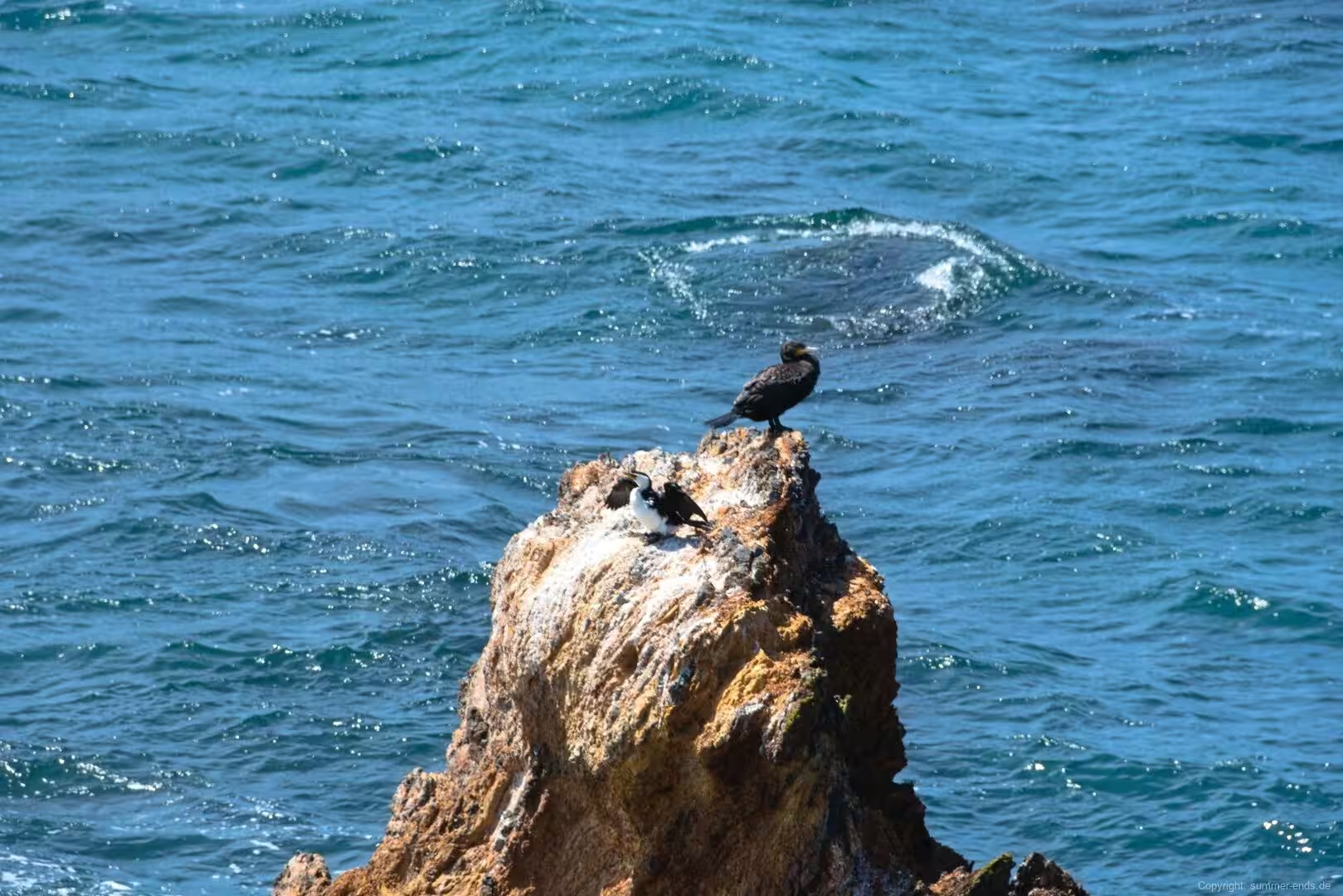
South of the town, Murramarang National Park spans more than 40 kilometres of coastline and about 121 square kilometres, established in 1973. Pebbly Beach is its best known strand, a surf beach set between two headlands with grassy slopes behind it where kangaroos graze close to the sand; the park is also home to goannas and a rich birdlife, and it forms part of the Ulladulla to Merimbula Important Bird Area identified for its swift parrots. Walks and dives follow the headlands, tidal rock pools line the shore, and Wasp Head, Depot Beach and other strands are popular with surfers. In the north of the park the Murramarang Aboriginal Area protects the largest midden on the south coast, and a steep path climbs Durras Mountain for wider views across the sea.
North toward Ulladulla, the hamlet of Bawley Point and its neighbour Kioloa are known for uncrowded beaches, surf breaks and the forested margins of the park. The village takes its name from an Aboriginal word said to mean brown snake, and it is remembered for the timber that once came down from the hills to its sawmill and jetty, relics of which survive on the point. Offshore, the recorded history runs even deeper: on 23 April 1770, James Cook and the crew of the Endeavour made the first recorded direct observation of Aboriginal Australians at nearby Brush Island. Lakes and lagoons in the surrounding area, together with the bushland and beaches, draw walkers, paddlers and bird watchers to this quiet corner of the South Coast.
References
- en.wikipedia.org/wiki/Batemans_Bay
- en.wikipedia.org/wiki/Batemans_Bay_(bay)
- en.wikipedia.org/wiki/Clyde_River_(New_South_Wales)
- en.wikipedia.org/wiki/Murramarang_National_Park
- en.wikipedia.org/wiki/Bawley_Point
- en.wikipedia.org/wiki/Sydney_Basin
- en.wikipedia.org/wiki/Clyde_River_National_Park
- en.wikipedia.org/wiki/Eurobodalla_Shire
- en.wikipedia.org/wiki/Snapper_Island_(New_South_Wales)
- en.wikipedia.org/wiki/Dhurga_language
- en.wikipedia.org/wiki/Princes_Highway
- www.nationalparks.nsw.gov.au/visit-a-park/parks/murramarang-national-park
- www.nationalparks.nsw.gov.au/visit-a-park/parks/murramarang-aboriginal-area
- www.nationalparks.nsw.gov.au/visit-a-park/parks/clyde-river-national-park
- www.visitnsw.com/destinations/south-coast/batemans-bay-and-eurobodalla/batemans-bay