2024 Australia - October - Sydney to Condobolin















Journal Notes
General
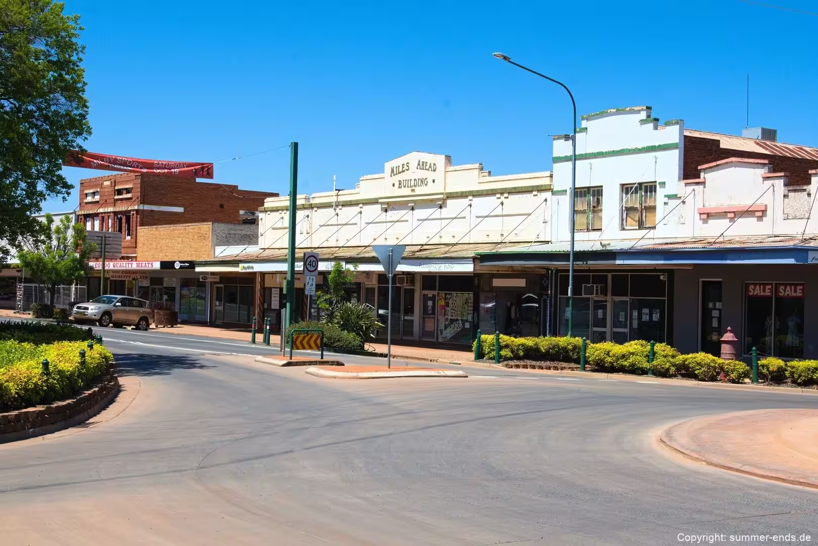
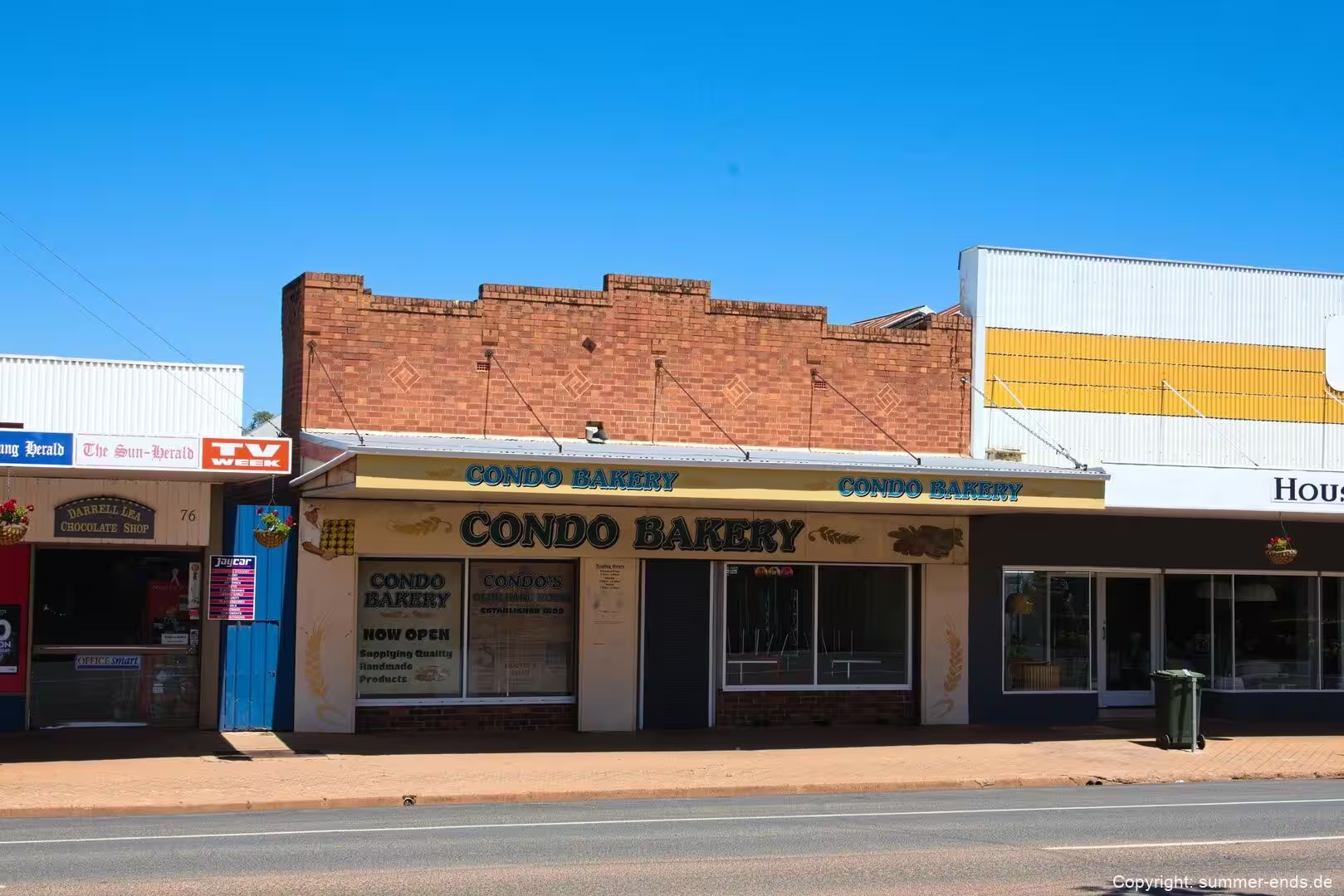
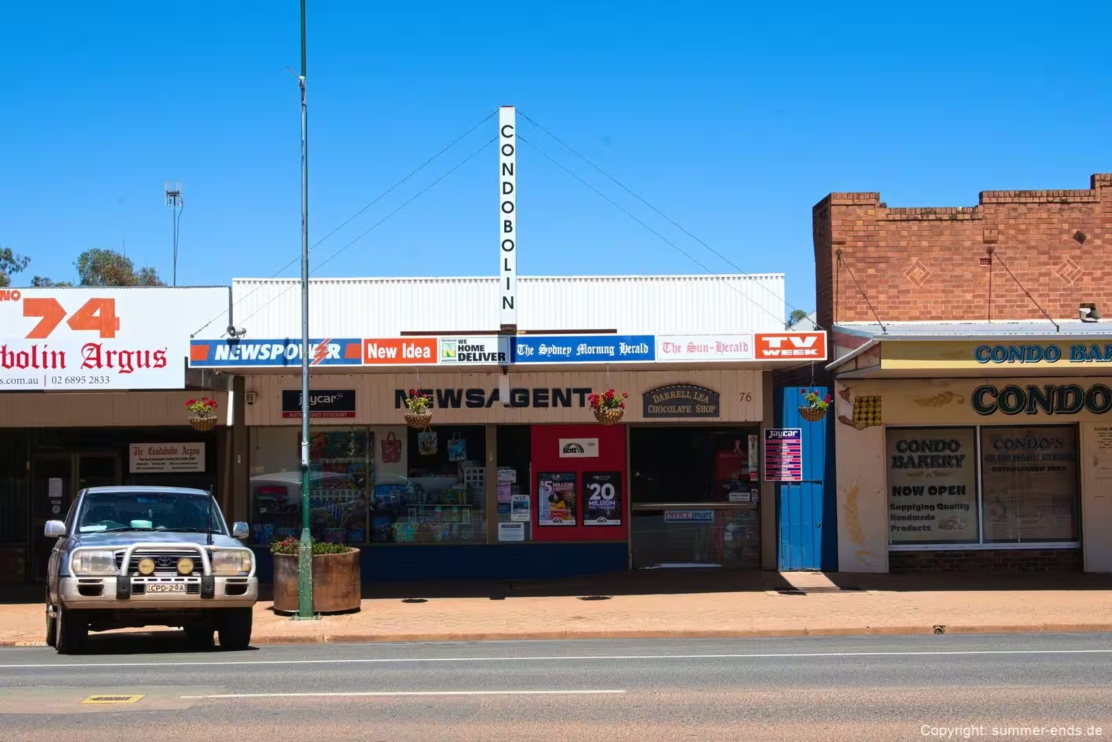
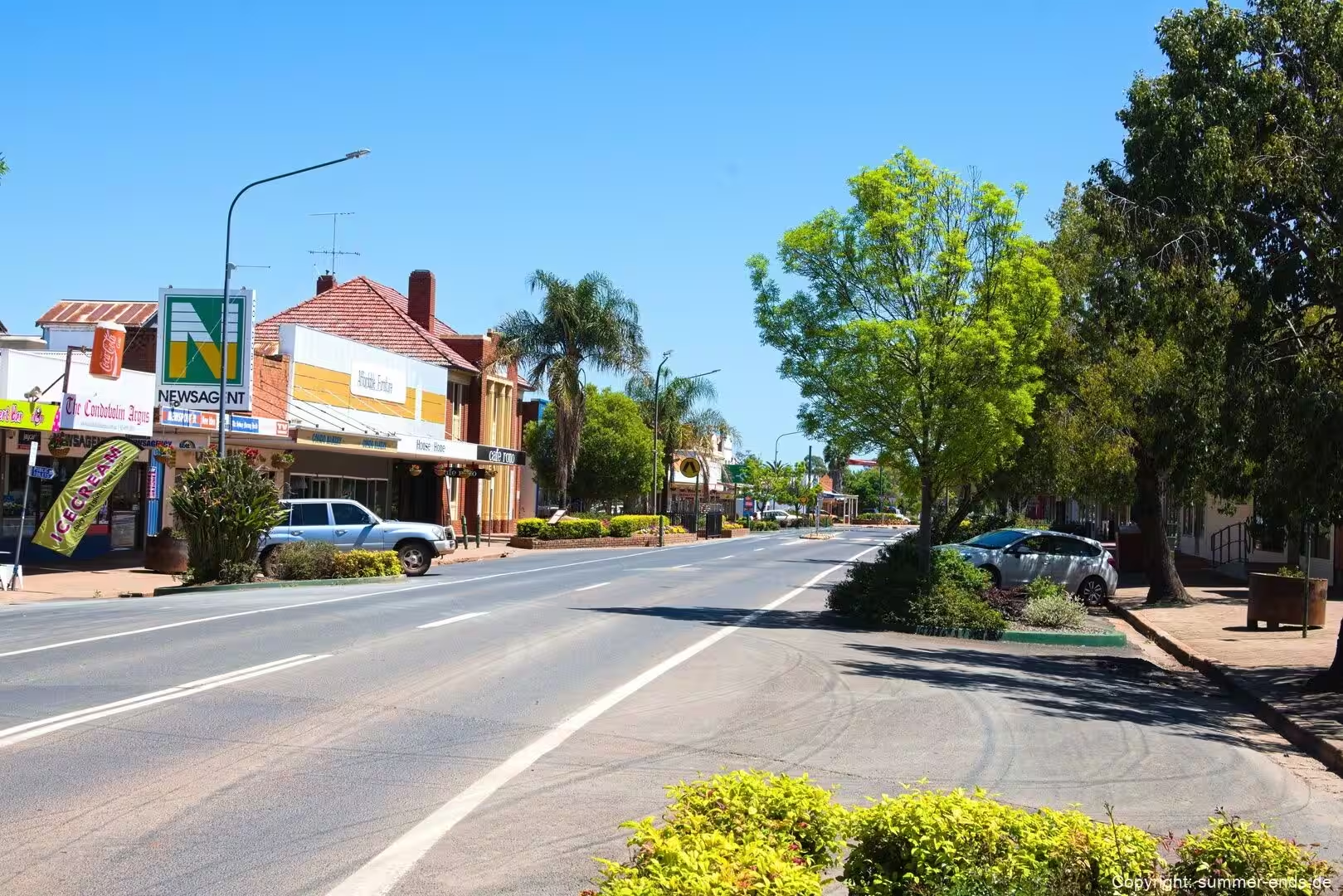
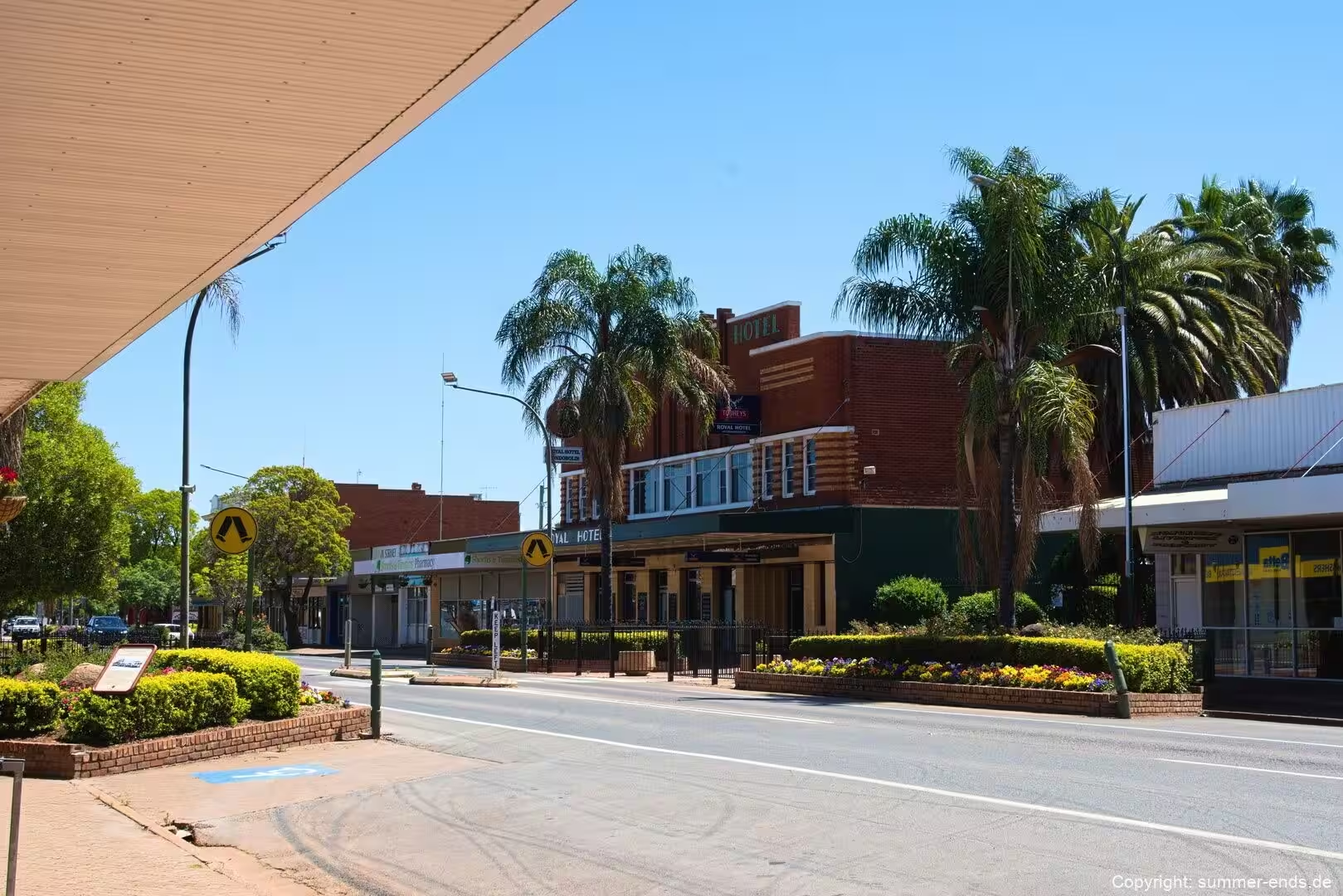
The route from Sydney to Condobolin runs north west out of the coastal basin, climbs the escarpment of the Great Dividing Range, and then descends into the broad pastoral country of the Lachlan River. Condobolin itself, a town of about 3,185 people at the 2021 census, sits at the junction of the Lachlan River and Goobang Creek, roughly 463 kilometres west of Sydney. It is a service centre for the wheat, wool and mixed farming country of the Central West, and it stands near the end of a corridor that carries travellers southwest through the Blue Mountains and the Southern Highlands before opening onto the inland plains.
The first stage of the journey is the Blue Mountains. The range is the western fringe of the greater Sydney area, its foothills beginning about 50 kilometres west of the city centre near Penrith, and it is traversed for much of its length by the Great Western Highway and the Main Western railway line. The range runs for about 96 kilometres from near Emu Plains to the mountains north of the Coxs River, and established towns such as Springwood, Katoomba, Blackheath and Mount Victoria stand along its heights. As defined in 1970 the region is bounded by the Nepean and Hawkesbury rivers to the east, the Coxs River and Lake Burragorang to the west and south, and the Wolgan and Colo rivers to the north.
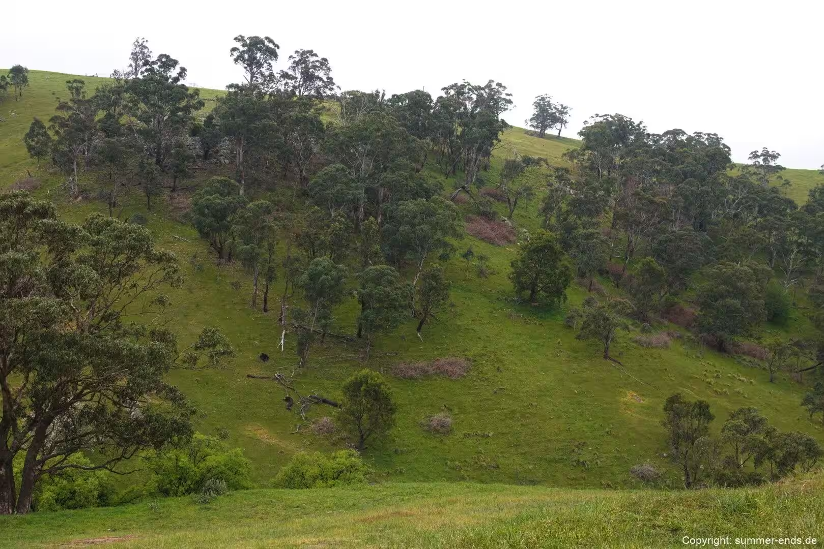
South of the Blue Mountains, the road cuts through the Southern Highlands, a temperate plateau district about 110 kilometres southwest of Sydney that sits between 500 and 900 metres above sea level. The district includes the Wingecarribee Shire and part of the former Mulwaree Shire, and centres on the towns of Mittagong, Bowral, Moss Vale, Bundanoon and Robertson, together with the historic village of Berrima. It is a recognised wine region, cool and damp, with gardens and parkland that draw weekend visitors out of the city. On the fringes of the highlands are smaller rural localities such as High Range, a farming and vineyard area near Bowral and Mittagong that lies about 720 metres above sea level and receives roughly 740 millimetres of rain a year.
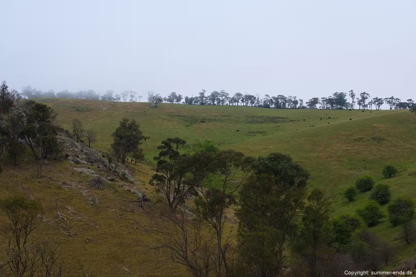
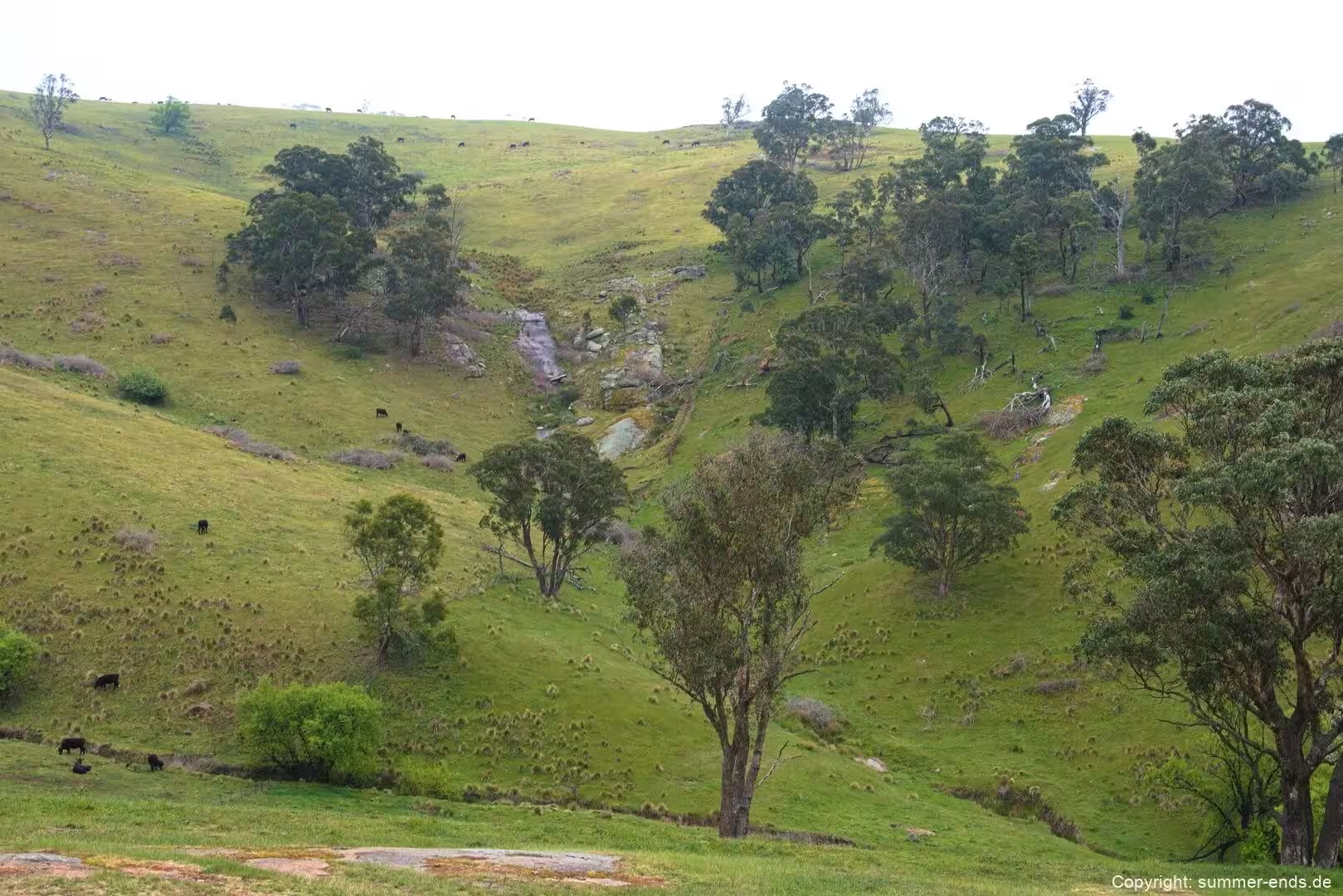
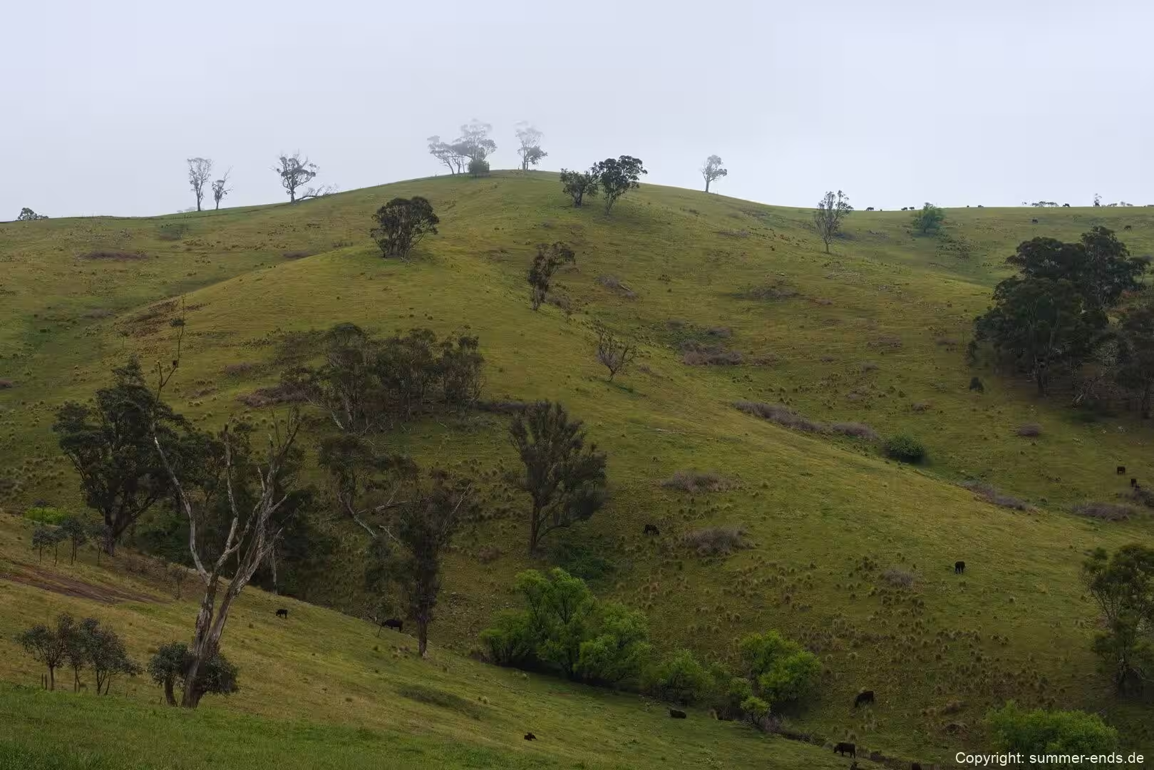
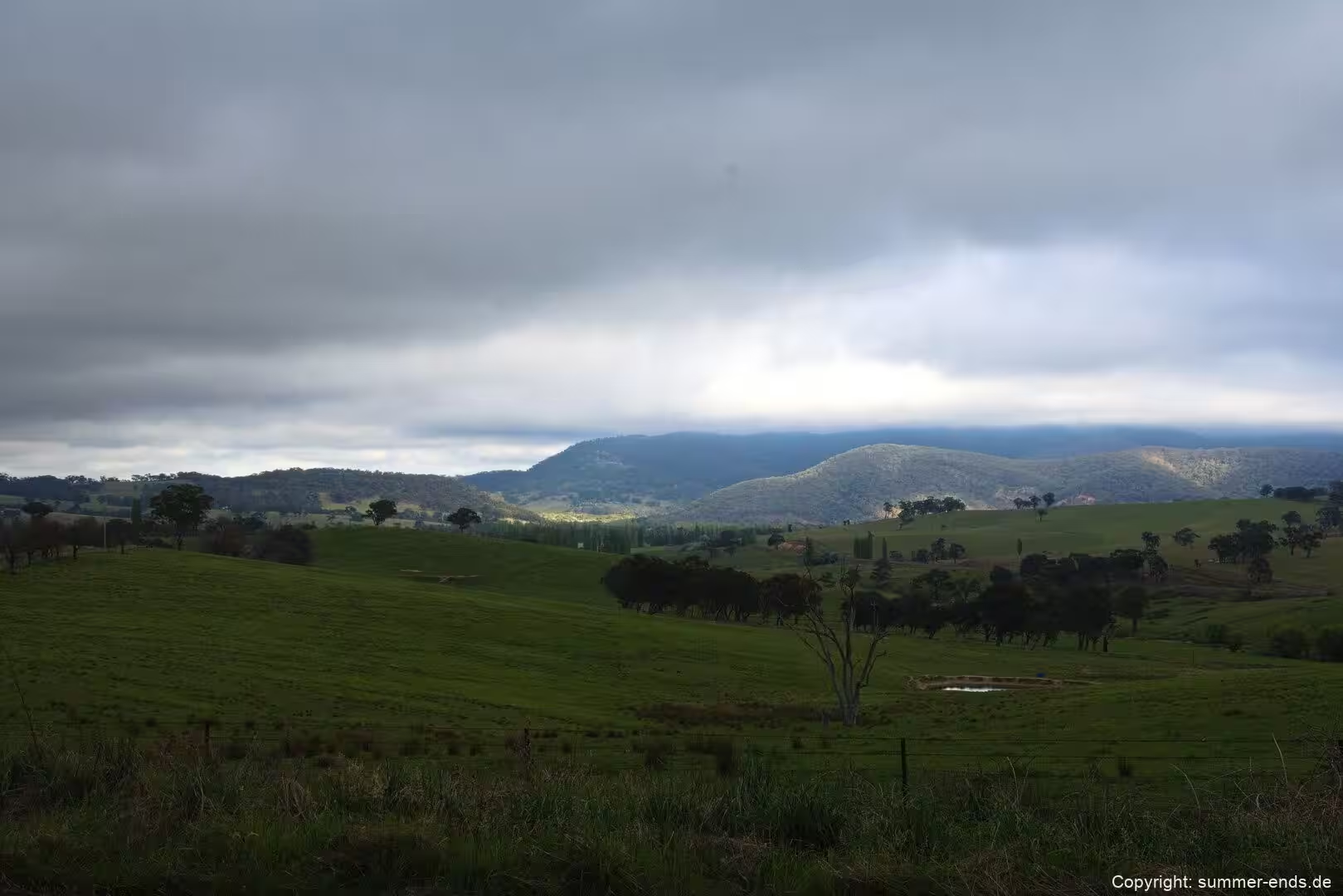
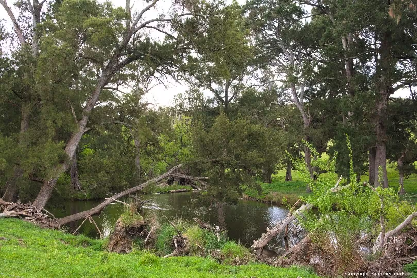
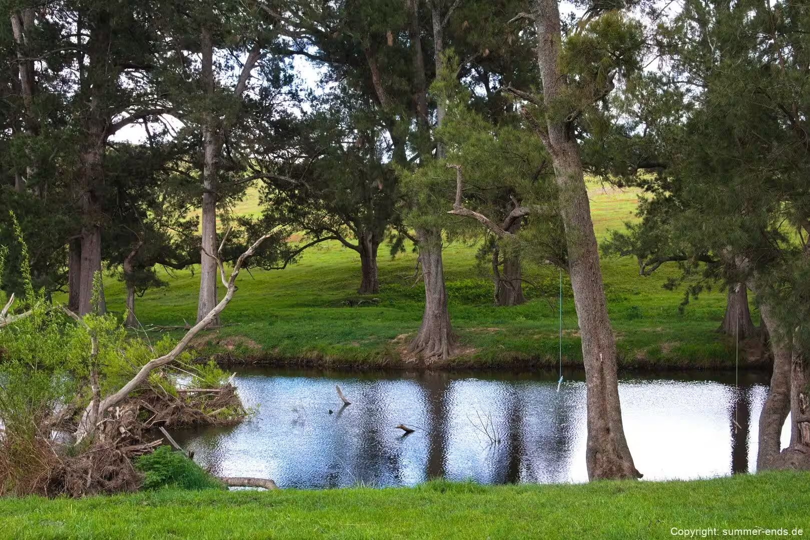
Beyond the Great Dividing Range the land changes character. Bathurst, founded in 1815 and the oldest inland settlement in Australia, lies about 200 kilometres west northwest of Sydney on the western slopes, and further on the country falls away toward the Lachlan system. The Lachlan is an intermittent river, part of the Murrumbidgee catchment within the Murray-Darling basin, and it flows through the Southern Tablelands, the Central West and the Riverina. The inland corridor is the wheat belt, a broad region of sown pasture, cereal cropping and grazing where towns such as Forbes and Parkes serve the farming community, and where Condobolin functions as a local rail and road hub.
Condobolin grew as a crossing point on the river. The town was proclaimed in 1859 and surveyed in 1862, and it developed as a place where livestock moving from western New South Wales toward the Sydney markets could be crossed and rested. For most of the nineteenth century the district was devoted to driving cattle and sheep; closer settlement followed the breaking up of the large runs from 1880, and fruit and wheat cultivation arrived with it. The damming of the Lachlan at Wyangala in 1935 expanded production, and today the district raises wheat, barley, canola, wool, sheep and cattle, with irrigation bringing horticulture and cotton to parts of the river.
The journey therefore links three distinct New South Wales landscapes: the sandstone plateau and gorges of the Blue Mountains, the cooler basalt and shale highlands to the south, and the open artificial grassland and cropping country of the Lachlan plains that surround Condobolin.
History
The Blue Mountains long formed a barrier to movement out of the Sydney settlement. The range was named the Carmarthen and Lansdowne Hills by Governor Arthur Phillip in 1788, and the original Dharug and Gundungurra name, Colomatta or Gulu-mada, is said to mean “koala place”. The reefs and deep valleys of the plateau made travel on foot impractical, and the coastal colony looked inland across an apparent wall that no one had managed to cross.
The first successful European crossing came in 1813, when Gregory Blaxland, William Wentworth and William Lawson led an expedition that followed a line of ridges and found a path across the mountains. The route opened the interior to pastoral expansion, and within a year Governor Lachlan Macquarie approved a proposal by William Cox to build a road over the range, a road later improved and extended as the line of the Great Western Highway. Evans, the government surveyor, reached the Bathurst plains in 1813 and the settlement of Bathurst followed in 1815, the oldest inland town in Australia.
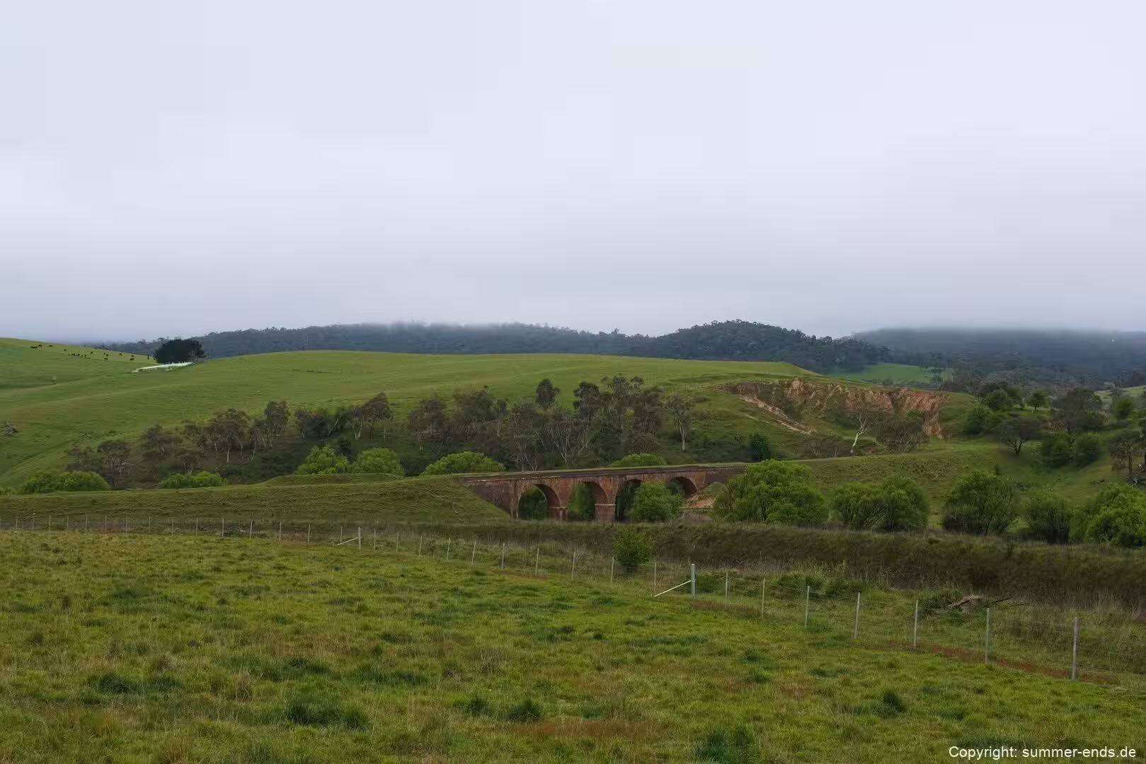
The railways extended the same penetration. The Main Western line climbed the Blue Mountains and pushed across the mountains toward the tablelands, and the corridors of rail and road fixed the pattern of settlement along the range. In the Southern Highlands the railway had a comparable effect: Moss Vale was subdivided from part of the Throsby Park estate from 1864, a station opened in 1867 under the name Sutton Forest, and the town was renamed Moss Vale in 1877. The railway and the land acts that encouraged smaller selectors brought denser rural settlement to the highlands.
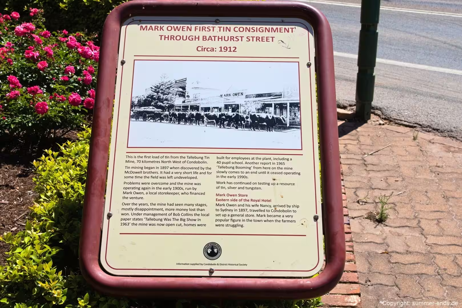
The inland town of Condobolin followed a parallel story, though a later one. The area was explored by John Oxley in 1817 and by Thomas Mitchell in 1836, and squatters held runs in the district after the Mitchell expedition. A copper find north of the town in 1885 and gold in 1896 brought a brief boom, and a major copper and gold mine operated from about 1898 until around 1910. The railway reached Condobolin in 1898, the Parkes to Condobolin section being completed and the station opening on 1 March 1898, and the town’s population grew quickly with the line.
The pastoral economy that the railway served had deep roots. The river saw paddle steamer traffic from the 1860s until the 1920s, moving wool and produce downstream, and the droving routes of the nineteenth century were the same network that Condobolin served as a crossing point. The region’s agricultural identity was consolidated in the twentieth century when the Lachlan was dammed at Wyangala in 1935, providing water for irrigation and making the plain around Condobolin a productive, rather than a marginal, farming district.
Geology
The Blue Mountains are not mountains in the tectonic sense but a dissected and uplifted plateau, the product of gentle warping, minor faulting and millions of years of river erosion. Geologically the area lies on the western margin of the Sydney Basin, which accumulated sediments from the Early Permian, about 295 million years ago, through to the Middle Triassic, around 240 million years ago. The strata record a shallow, cold marine shelf in the Early Permian, followed by the retreat of the sea and the onset of coal swamp sedimentation, elements of which form the Shoalhaven Group that flanks the present escarpment.
It is the Triassic sandstones that give the range its character. The Narrabeen Group contains the massive cliff forming units, notably the Burra-Moko Head Sandstone and the Banks Wall Sandstone, which produce the bold cliffline scenery of the upper Blue Mountains. The Hawkesbury Sandstone, once thought to underlie all the cliffs, is now known to be largely confined to the lower Blue Mountains, where it can reach about 240 metres thick; in the upper range it survives mainly as thin outliers beneath basalt caps. The plateau is divided by gentle monoclines, the most prominent being the Lapstone Structural Complex, which marks the eastern boundary of the range and separates the lower Blue Mountains from the higher country to the west.
Volcanic activity has left a distinctive mark. Isolated basalt capped residuals stand above the sandstone plateau, among them Mount Tomah, Mount Bell, Mount Banks, Mount Irvine, Mount Wilson, Mount Caley and Mount Hay. These caps are remnants of a once extensive basalt flow that covered much of the plateau; the flow has been dated by radiometric methods to between roughly 14 and 18 million years old, that is, to the Miocene epoch. On the higher residuals the basalt can be thick, reaching about 140 metres at Mount Tomah, and columnar jointing is common where the flow cooled. The basalts also carry the rich soils of the Blue Mountains and Southern Highlands Basalt Forests, a vegetation community of conservation significance.
Older volcanic structures appear as the necks or vents of diatremes, explosive volcanic pipes about 200 million years old that are filled with breccia. They weather more readily than the surrounding sandstone and now sit in hollows on the plateau surface, sometimes quite large ones. The Southern Highlands, sitting between 500 and 900 metres on the Great Dividing Range, share much of this framework, with shale and basalt giving rise to woodland and pasture over the same basement.
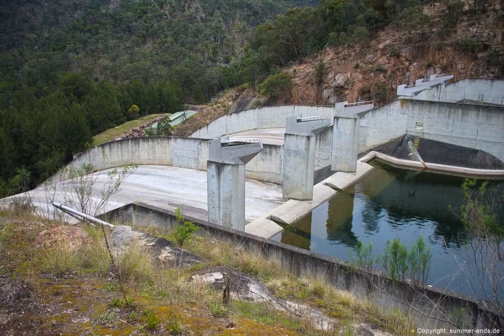
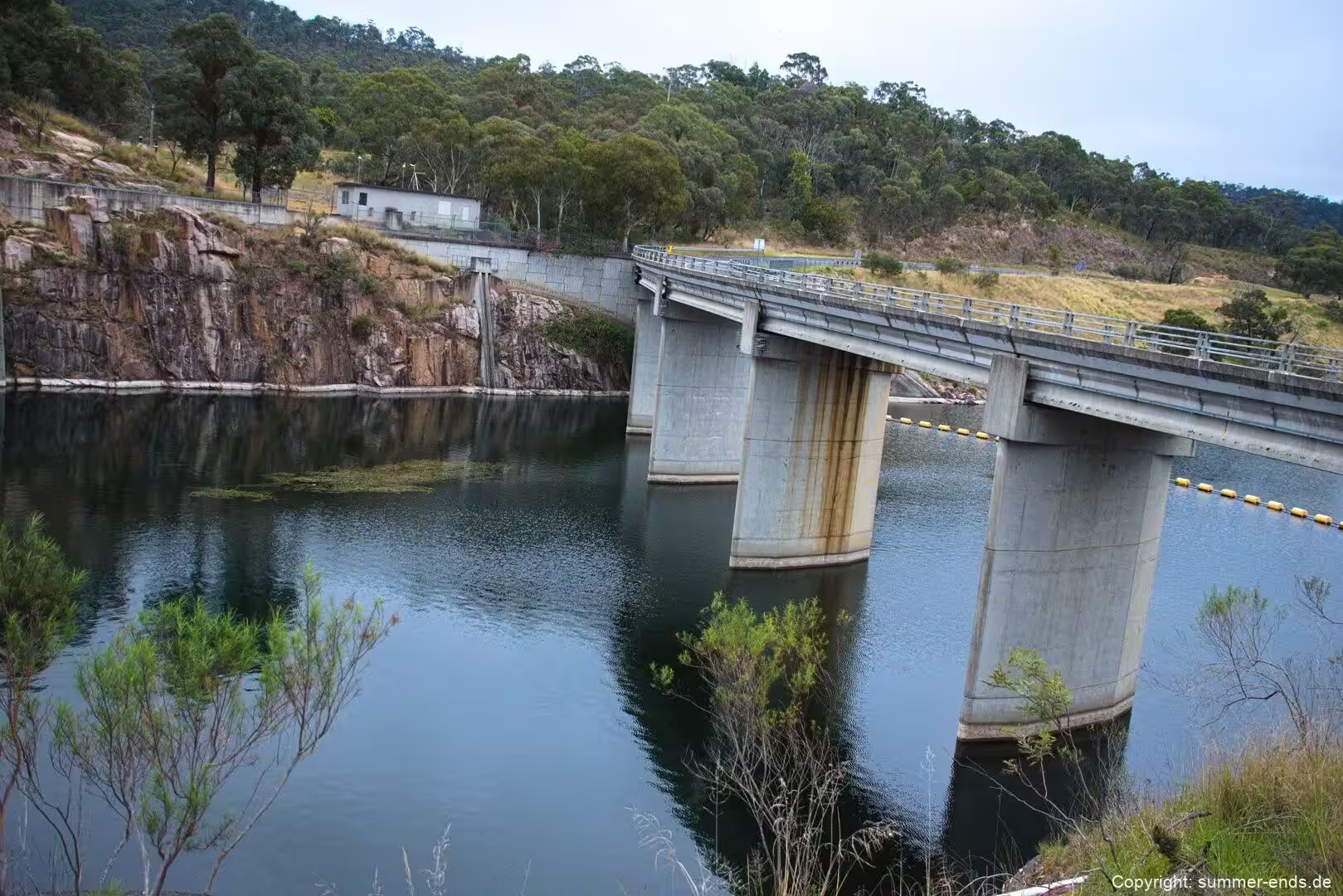
The sandstone is also the key to the region’s water supply. The dissected plateau catches rain, and the runoff is gathered in rivers that drain into the Warragamba, which flows through a narrow gorge to form one of the chief water storages for Sydney. The Hawkesbury-Nepean river system, which covers more than 22,000 square kilometres, is the largest drinking water source for the city, and the five catchment areas that feed the Sydney storages occupy about 16,000 square kilometres in total.
Things to See
The Blue Mountains offer some of the best known viewpoints in New South Wales. At Echo Point above the Jamison Valley, the Three Sisters stand on the north escarpment, three sandstone pillars named Meehni, Wimlah and Gunnedoo, rising 922, 918 and 906 metres respectively. They were formed by erosion of the Triassic sandstone over a long period, and the formation was declared an Aboriginal Place in January 2014. A walking trail leads from the lookout to the base of the pillars by way of the Giant Stairway, and on to the Katoomba Falls and the Scenic Railway below.
Wentworth Falls, a town on the Great Western Highway at about 872 metres elevation, gives its name to a waterfall in the Jamison Valley and to the Valley of the Waters, a series of cascades linked by walking tracks through the national park. Further north, in the Grose Valley, Govetts Leap Falls drops about 180 metres over Taylor Wall in a single bridal veil fall, making it one of the tallest waterfalls in Australia. The falls are named after William Romaine Govett, a government surveyor who was the first European to record them, and the adjacent Govetts Leap Lookout is a celebrated viewpoint over the gorge and its sandstone walls.
The Blue Mountains National Park covers about 267,954 hectares and lies roughly 80 kilometres west of the Sydney city centre. It is an uplifted plateau broken by deep river valleys, rising to a high point of 1,215 metres at Mount Werong and falling to the Nepean River at about 20 metres near the eastern edge. The park is one of the eight protected areas inscribed as part of the Greater Blue Mountains World Heritage Area in 2000.
In the Southern Highlands, Morton National Park protects the Fitzroy Falls, an 81 metre single drop in Yarrunga Creek that is named after Sir Charles Fitzroy, the governor of New South Wales who visited the area in 1850. Boardwalks and paths along the rim provide views over the valley and the surrounding sandstone plateau. The highlands towns of Bowral, Mittagong and Moss Vale offer gardens, heritage buildings and a cool climate wine country, while Berrima preserves a colonial gaol and courthouse from the period when it served as the main town of the district.
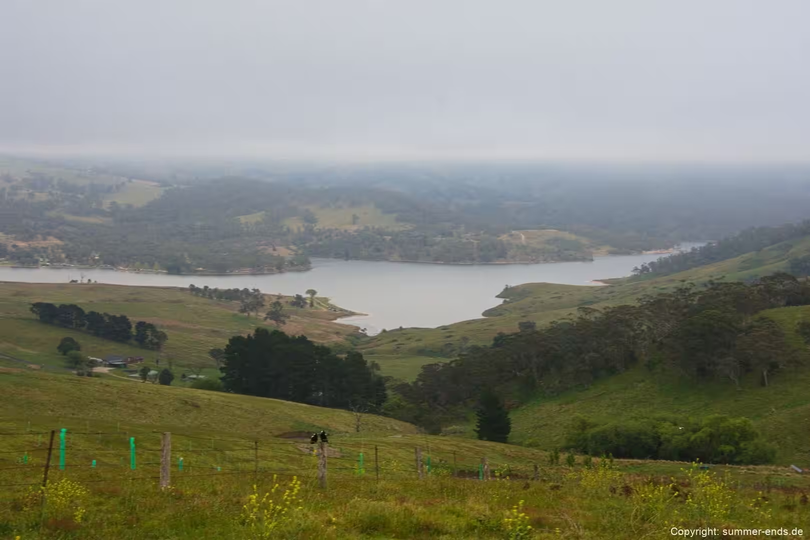
On the higher slopes toward the western edge of the highlands, Wombeyan Caves Road passes farming and vineyard country including the locality of High Range, near an 827 metre hill of the same name. The Wombeyan Caves themselves, a karst reserve in marble, are a short distance further on, home to several species of wallaby, bird, possum and wombat, and worth the winding road that descends toward the Wollondilly River.
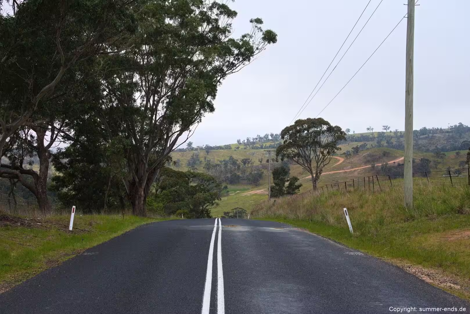
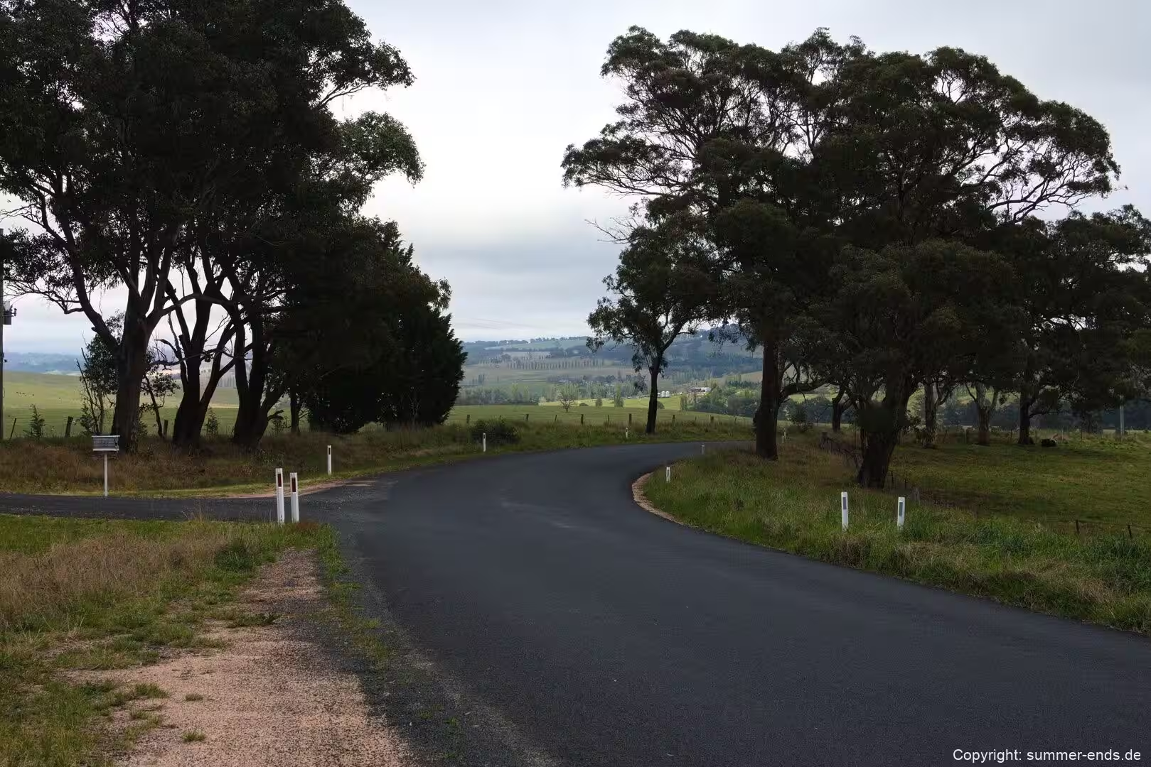
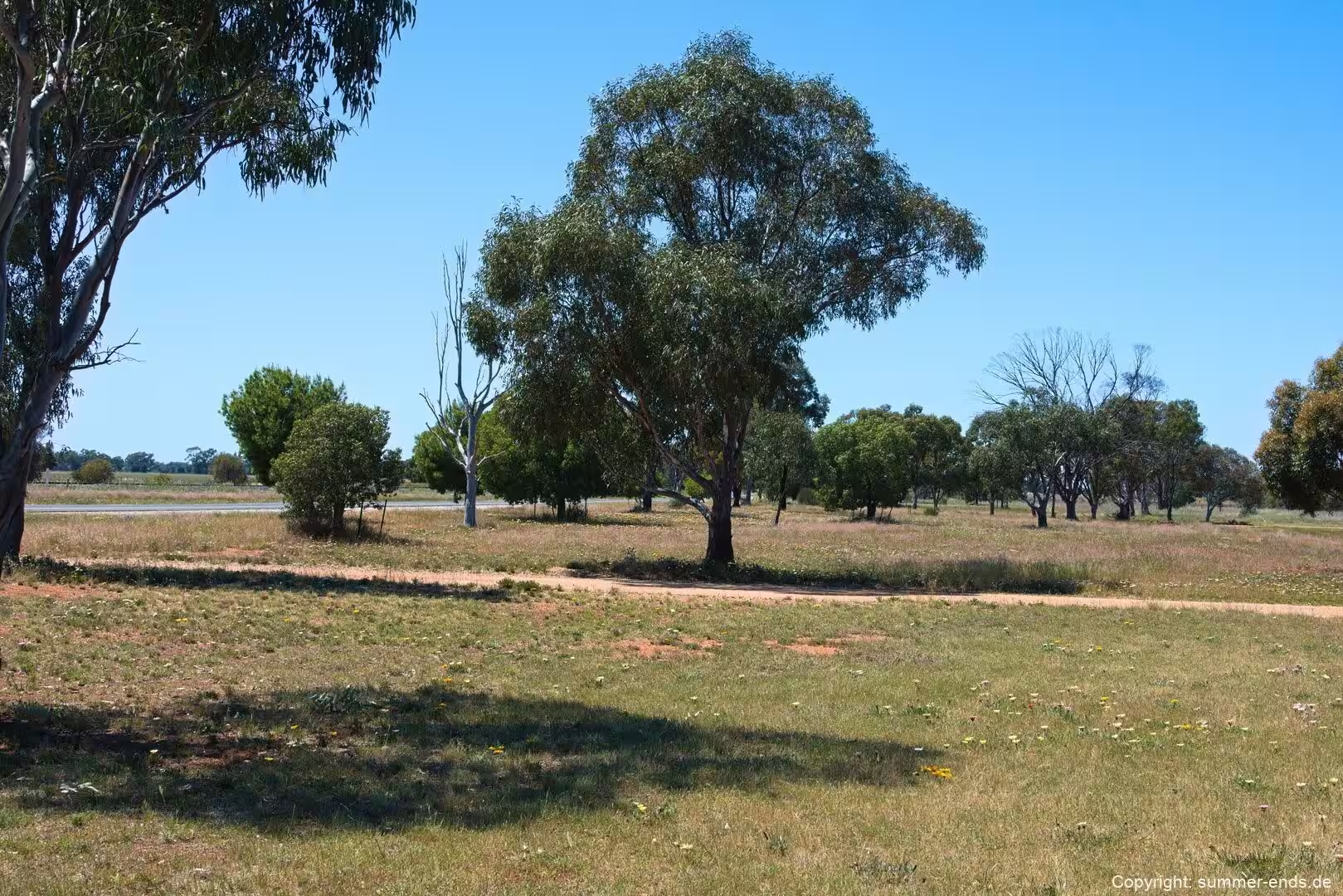
West of the divide, the country roads of the Lachlan Valley Way cross the open grassland and cropping plains that surround Condobolin. The town itself retains the All Saints’ Anglican Church on McDonnell Street, listed as heritage, and stands close to Mount Tilga, a low hill that some maps have claimed as the geographical centre of New South Wales. Near the town is the Overflow Station, the setting for Banjo Paterson’s poem Clancy of the Overflow, which captured the world of the inland drovers and shearers. The Wyangala Dam on the Lachlan, completed in 1935, created a large lake used for flood mitigation, irrigation and water supply, and remains a landmark of the river plain.
References
- Pickett, J. W. & Alder, J. D. (1997). Layers of Time: The Blue Mountains and the Sydney Basin. Sydney: New South Wales National Parks and Wildlife Service.
- New South Wales National Parks and Wildlife Service. Blue Mountains National Park.
- New South Wales National Parks and Wildlife Service. Morton National Park.
- Lachlan Shire Council. Farming and Agriculture, Lachlan Shire.
- catalogue.nla.gov.au/catalog/1075853: Down the Lachlan years ago: history of Condobolin, New South Wales.
- en.wikipedia.org/wiki/Blue_Mountains_(New_South_Wales)
- en.wikipedia.org/wiki/Blue_Mountains_National_Park
- en.wikipedia.org/wiki/1813_crossing_of_the_Blue_Mountains
- en.wikipedia.org/wiki/Three_Sisters_(Australia)
- en.wikipedia.org/wiki/Wentworth_Falls,_New_South_Wales
- en.wikipedia.org/wiki/Govetts_Leap
- en.wikipedia.org/wiki/Southern_Highlands_(New_South_Wales)
- en.wikipedia.org/wiki/Condobolin
- en.wikipedia.org/wiki/Lachlan_River
- en.wikipedia.org/wiki/Warragamba_Dam
- en.wikipedia.org/wiki/Condobolin_railway_station