2024 Australia - October - Tamborine National Park








Journal Notes
General
Tamborine National Park is a compact but tight-packed reserve on the plateau of Tamborine Mountain in the Gold Coast hinterland, roughly 80 km by road south of Brisbane and set above the northern Gold Coast. It covers about 11.6 square kilometres (4.48 sq mi) of the mountain summit and its tumbling escarpment, and falls administratively within the City of Gold Coast and the Scenic Rim Region in South East Queensland.
The park is not one unbroken expanse. It is built up from about 14 separate sections knotted together between the villages of North Tamborine, Eagle Heights and Mount Tamborine, with farmland and rural residential land woven in between. The plateau itself runs roughly 8 km long and 5 km wide and climbs to around 525 m. Because it sits above the surrounding lowlands it stays noticeably cooler: the climate is subtropical highland, with about 1,550 mm of rain a year falling mainly between December and March, average summer maxima near 25 degrees C and winter maxima near 17 degrees C, and conditions usually 5 to 7 degrees C cooler than the lowland country below. Dense forest and shaded gullies also trap moisture, so the plateau keeps its green throughout the drier winter.
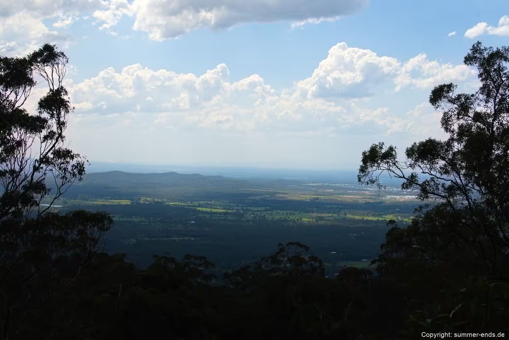
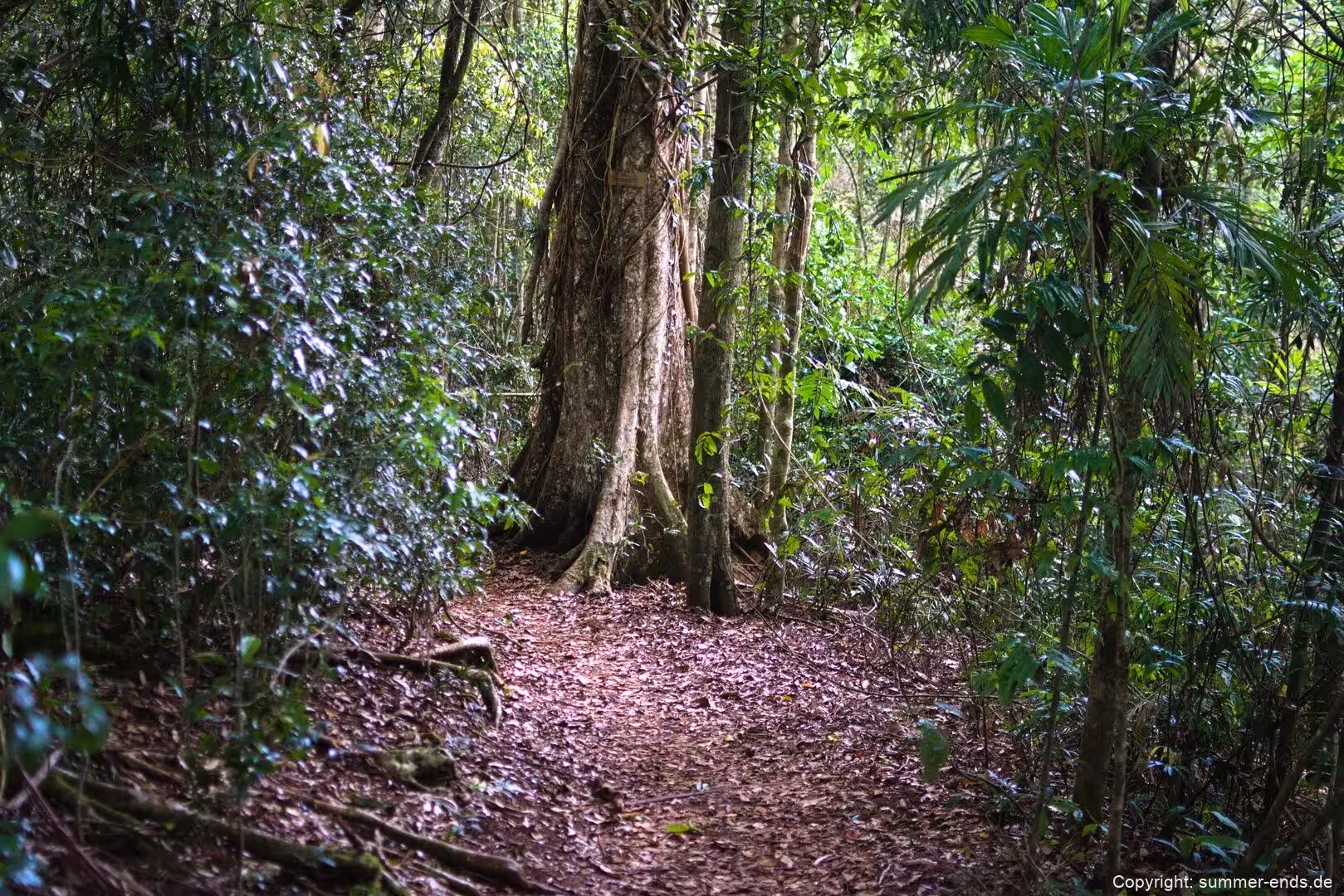
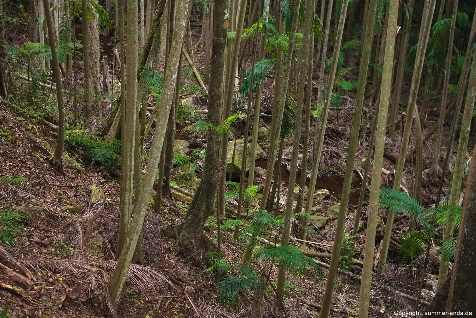
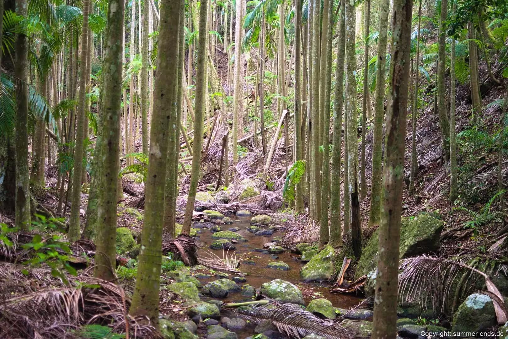
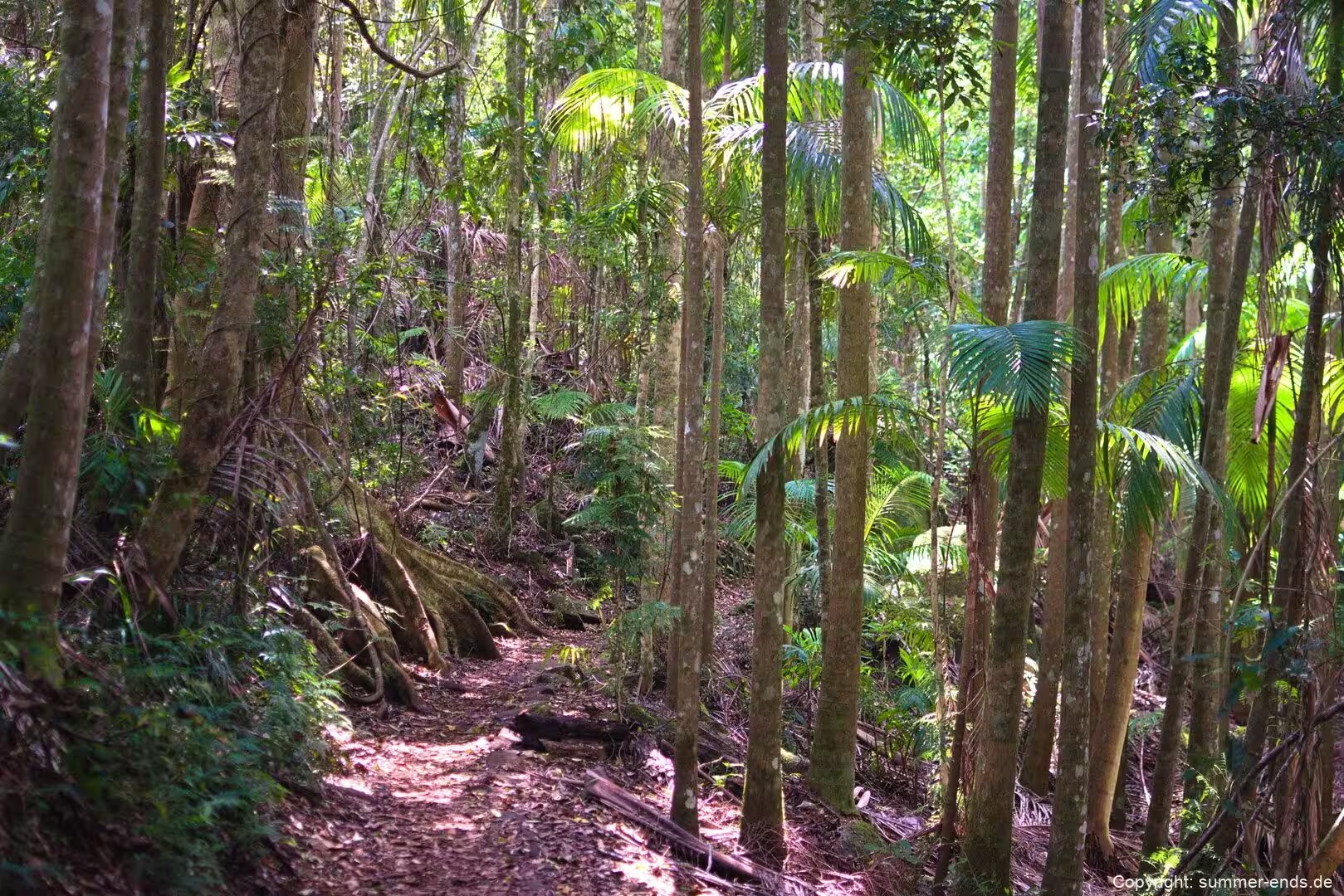
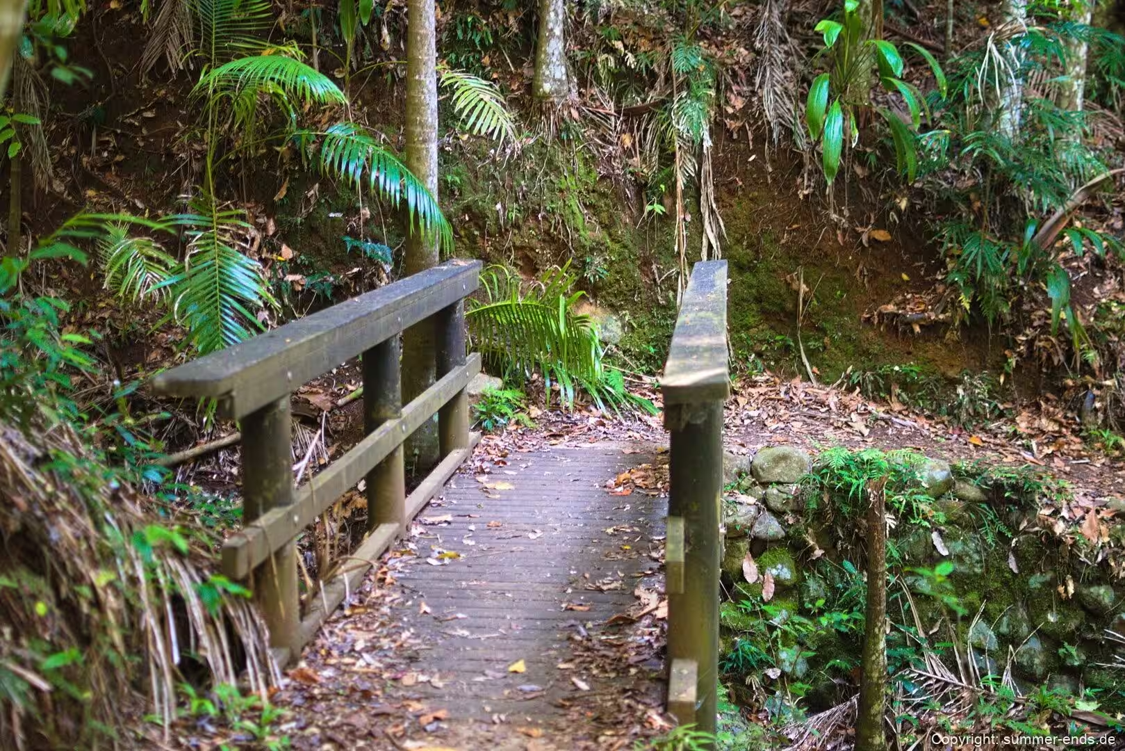
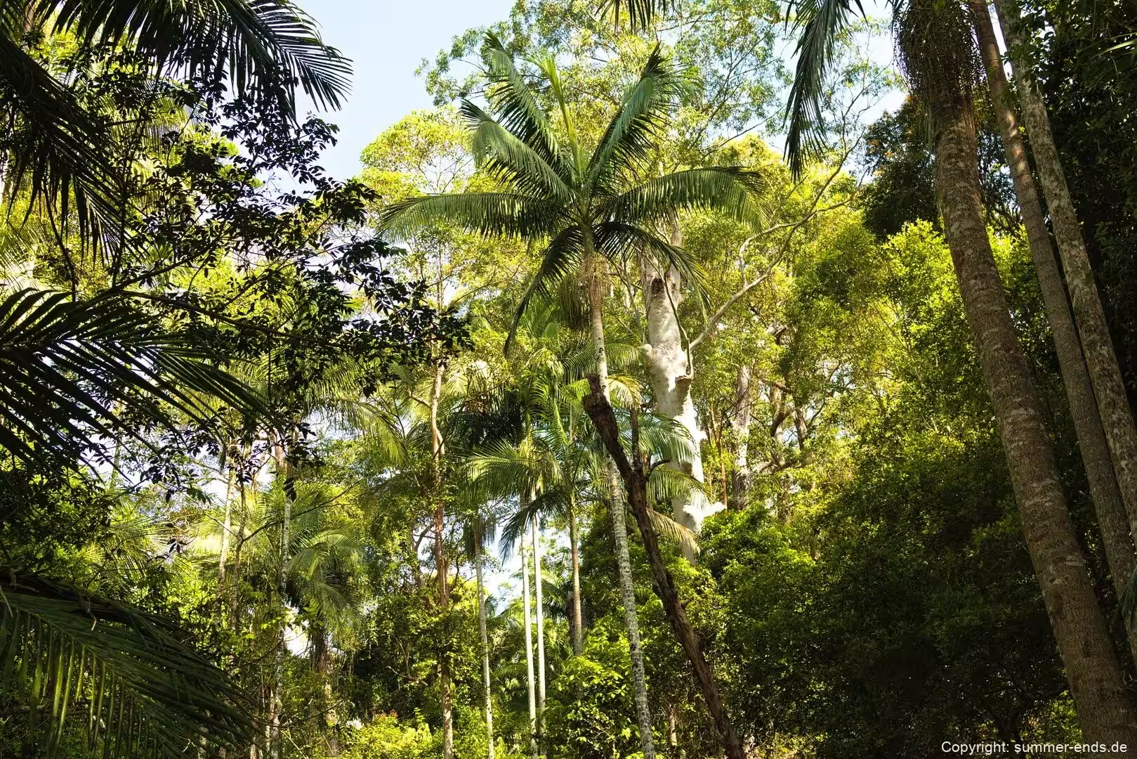
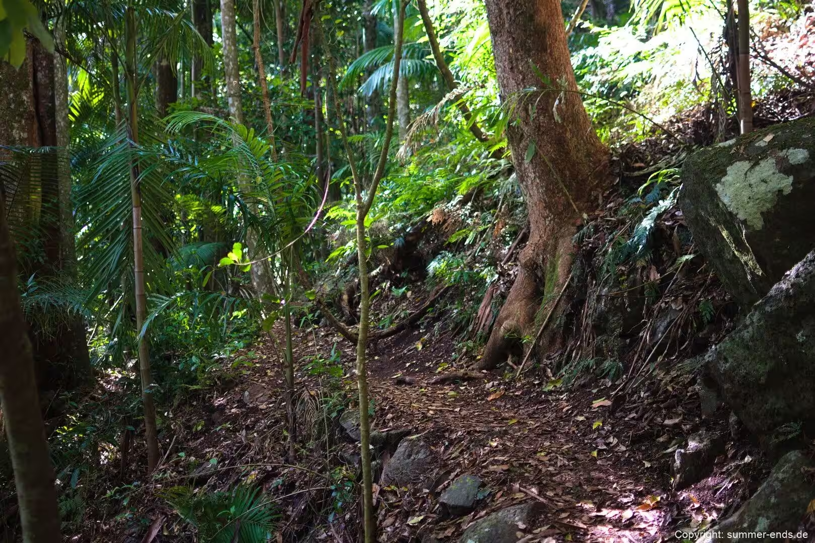
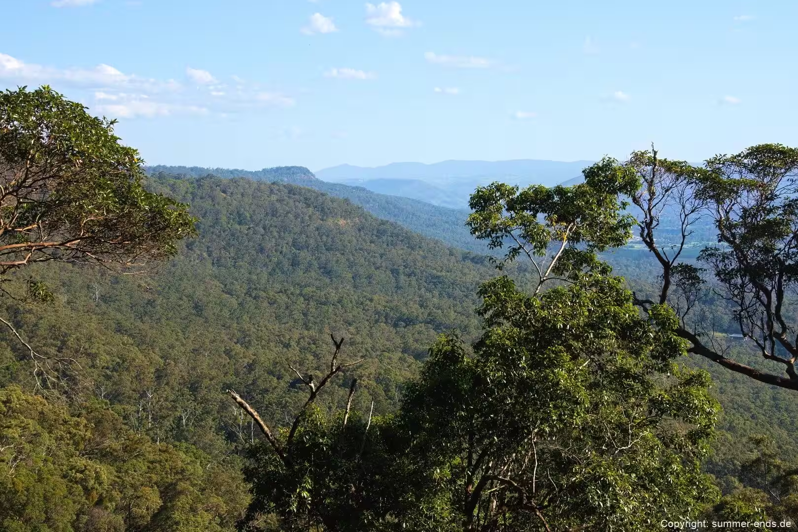
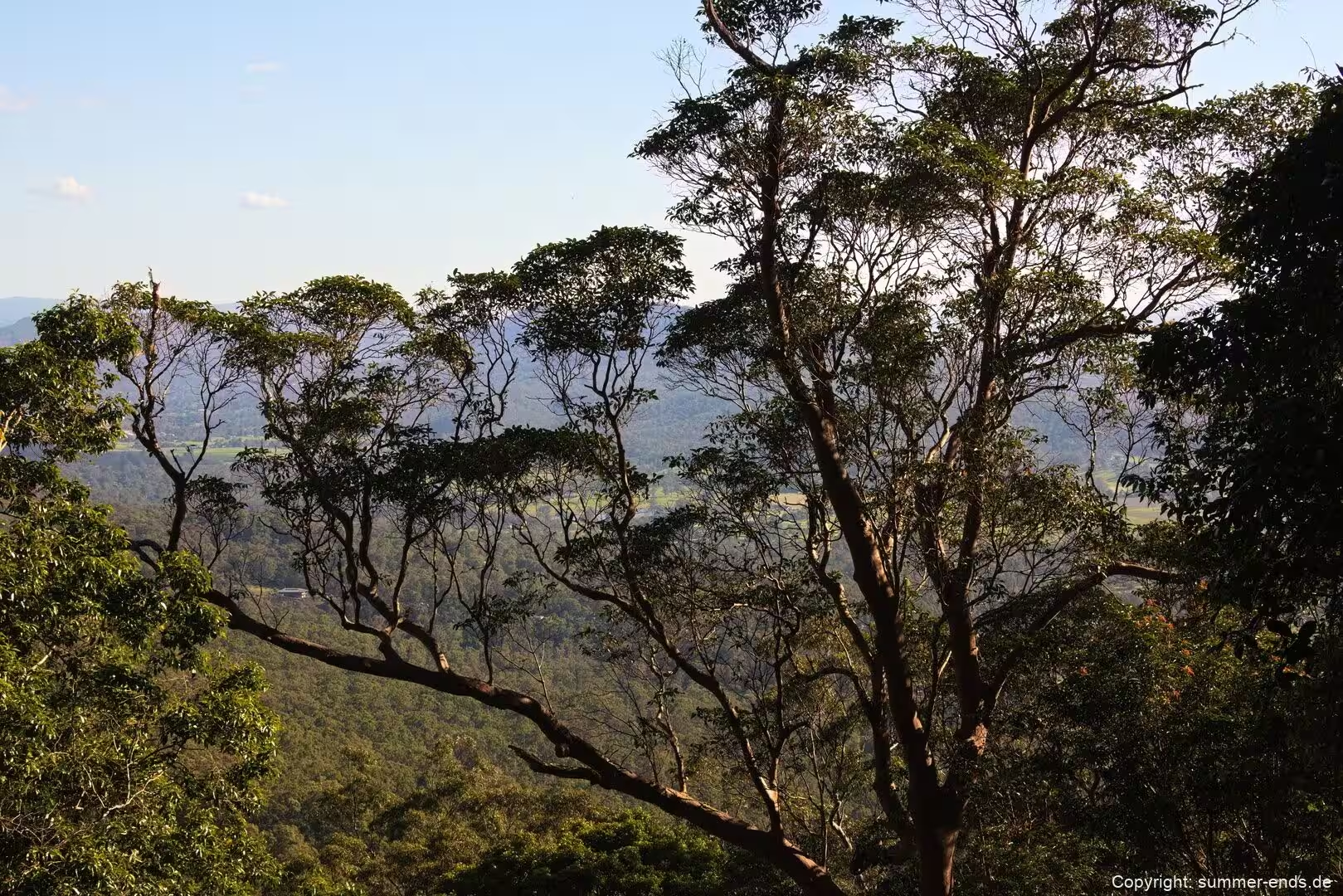
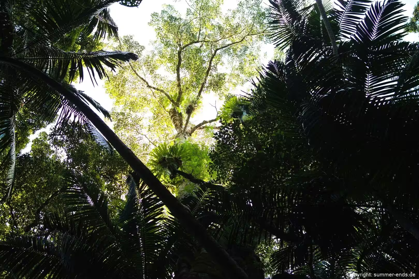
The reserve is within an hour’s drive of both Brisbane and the Gold Coast, and from the higher spots you can look east over the Pacific Ocean and the Gold Coast skyline and west to the forested ridges of the Scenic Rim. For such a small area the terrain is unusually varied: subtropical rainforest, wet eucalypt forest under tall flooded gums, open forest with a bracken fern understorey and drier woodland sit side by side, threaded by creeks that spill over basalt ledges into shaded gullies. Camping is not allowed anywhere in the park, but day use is well served by picnic areas, scenic drives and a network of walking tracks linking lookouts, gorges, cliffs and waterfalls.
That road access is what makes the park so busy. The mountain road climbs the western scarp from the lowland, the plateau is also reached from the east, and nearly every section begins at a picnic area by a roadhead. Visitor figures commonly given for the park exceed 1.5 million domestic visitors a year, and on weekends the villages fill with day trippers for whom the galleries, cafes and small producer outlets of the plateau are almost as much a draw as the forest itself.
Its value to wildlife is out of proportion to its size. Queensland Parks reports that the park provides habitat for about 85 per cent of the native fauna species and 65 per cent of the flora species recorded across the Scenic Rim region. Among the residents are Albert’s lyrebirds, brush-turkeys, lorikeets, eastern whipbirds, satin bowerbirds, green catbirds, regent bowerbirds and Australian logrunners, together with sooty owls, marbled frogmouths and glossy black cockatoos. In the creeks there are platypuses, while the escarpment forest supports short-beaked echidnas and the Richmond birdwing butterfly, whose caterpillars feed on a rainforest vine.
History
Long before any European presence the mountain was inhabited, and it had been so for tens of thousands of years. At the time of early colonisation the plateau lay in the territory of the Wanggeriburra clan of the Yugambeh people, whose language also gave the place its name. Tamborine is an anglicised form of a Yugambeh word, written in early records as Jambreen, Tchambreem and even Goombireen. Queensland Parks explains the word as the wild lime or finger lime, a citrus relative that grows wild on the slopes and whose sour fruit was eaten by the Yugambeh and later traded to settlers; the mountain was also known by the name Wonglepong. Some accounts render the same word as wild lime tree or yam in a cliff, so the exact gloss differs, but the link back to the Yugambeh language is not disputed.
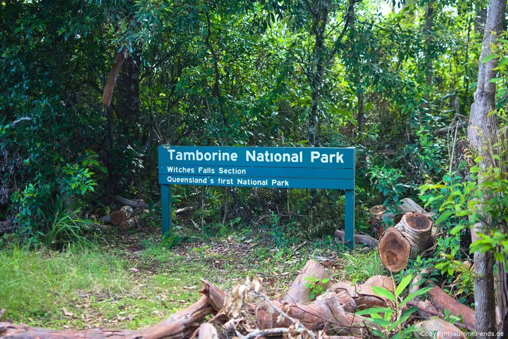
The push to protect the forest came largely from one local figure. Robert Martin Collins, a pastoralist with land in the McPherson Range, visited the United States in 1878 and returned inspired by Yellowstone, the world’s first national park, established in 1872. Back home he argued for reserves and parks in Queensland and was elected to Parliament in 1896, where he pressed the case for state forests and national parks against substantial opposition. The legal footing arrived with the State Forests and National Parks Act 1906, which came into force at the start of 1907.
In June 1907 the Tamborine Shire councillors Sydney Curtis and Joseph Delpratt put a motion to the Department of Public Lands asking it to reserve Crown land on the mountain as a national park for the preservation of the flora and fauna, warning that clearing in the district made the step urgent. The upshot was the proclamation of the Witches Falls area as a national park on 28 March 1908 under the new Act, the first national park in Queensland and only the second in Australia. It remains the oldest national park in the state, and a shelter shed at the falls was put up in 1958 to mark the fiftieth anniversary.
Further reserves were added on the plateau and foothills over the decades and later gathered into the Tamborine National Park, which the official site describes today as 14 sections. The mountain was also worked hard for timber in the early twentieth century, with red cedar, rose gum and crow’s ash cut from the lower forest and old cart tracks left behind, some of which later came back into use as walking routes; a 1950s forestry sign and camp still stand in the Palm Grove area. That history of clearing is why the surviving forest matters so much now: the park is a conservation island ringed by farms, villages and roads, and its sections hold small fragments of plant communities that once covered far more of the mountain.
Geology
The plateau is the hardened surface of an ancient lava flow. Its origins lie in the Tweed Volcano, a broad shield volcano that erupted in what is now northern New South Wales and is often called Wollumbin or Mount Warning after the peak marking its old summit. The volcano was alive in the Early Miocene, roughly 20 to 23 million years ago, as the region of Australia drifted over the East Australia hotspot, and the source material gives the lava capping the plateau an age of about 22 million years. Its rocks are lumped together with the Lamington Volcanics.
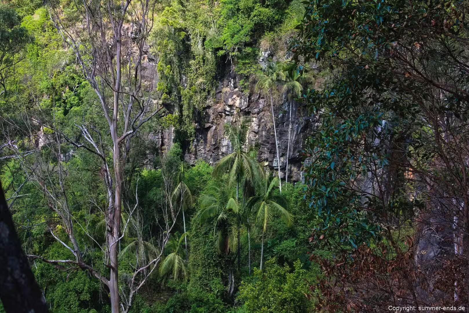
The Tweed Volcano is one of the great shield volcanoes of Australia, piled up by repeated flows. The oldest recognised units are tholeiitic and calc-alkaline basalts, named the Beechmont Basalt in Queensland and the Lismore Basalt in New South Wales, erupted in many separate sheets. These were followed by eruptions of rhyolite lava and pyroclastic material, known as the Binna Burra Rhyolite in Queensland and the Nimbin Rhyolite in New South Wales. A later basalt flow is what caps Tamborine Mountain, and it explains the deeply weathered red volcanic soil that makes the plateau so rich. The contrast between the resistant upper layers and the gullies cut into the old cone gives the mountain its stepped face, with steep basalt and rhyolite slopes falling away from the scarp and basalt ledges over which the creeks drop as waterfalls.
Once the volcano quietened, erosion took over. The softer ash and lower slopes were stripped away, leaving Mount Warning as a hard volcanic plug standing where the summit had been, ringed by an erosion caldera described as the largest in the Southern Hemisphere. Tamborine Mountain itself rises at the north-eastern end of the Scenic Rim, the arc of forested ranges that sweeps through South East Queensland and northern New South Wales and forms part of the Great Dividing Range.
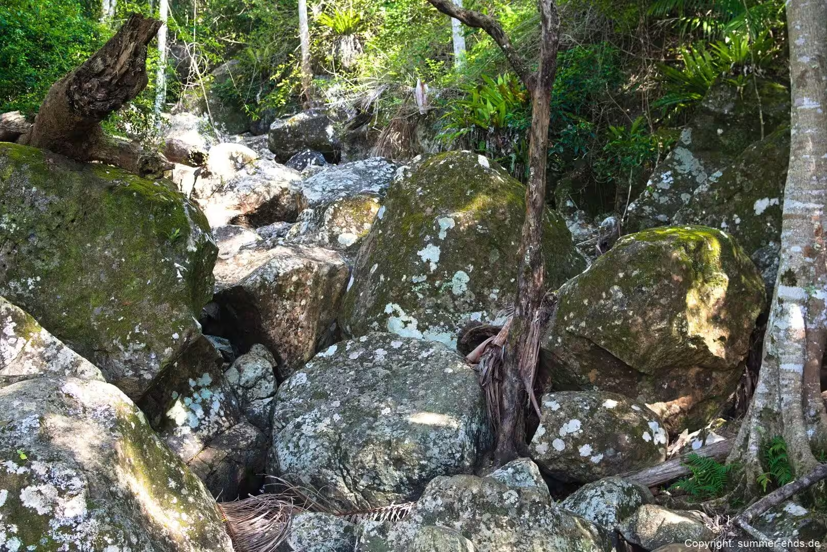
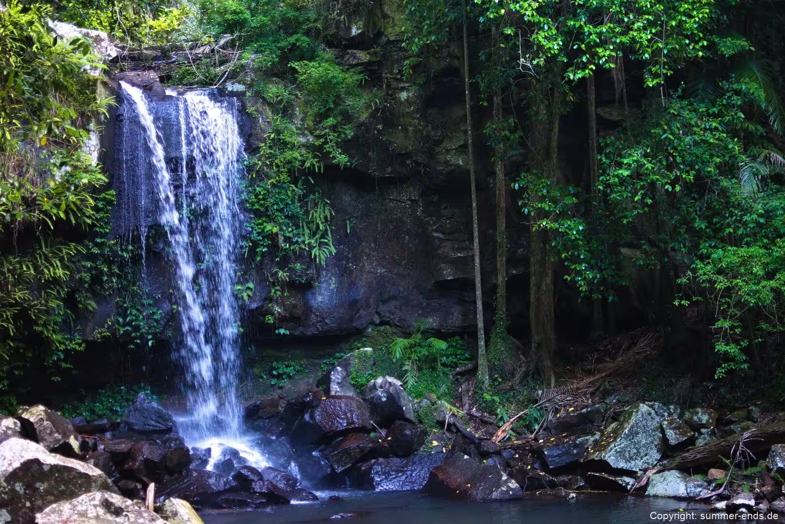
That geology shapes what you see underfoot. The ledge the creek at Curtis Falls pours over, and the shelves over which Cedar Creek tumbles, are the same resistant basalts; the rock pools at the base of the falls sit in the hollows the water has scoured. Beneath the surface the basalt has weathered into fertile soil that, with the heavy rain, supports intensive farming on the plateau, with avocados, kiwifruit, passionfruit, rhubarb, apples and mangoes grown around the reserve.
Things to See
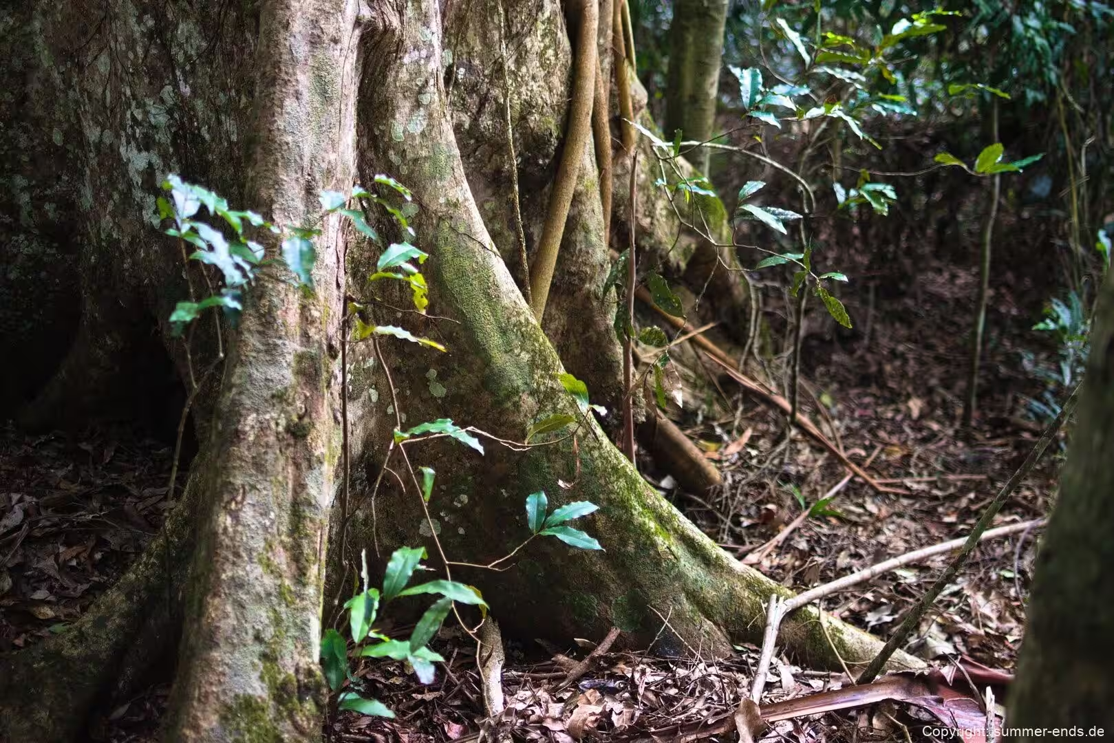
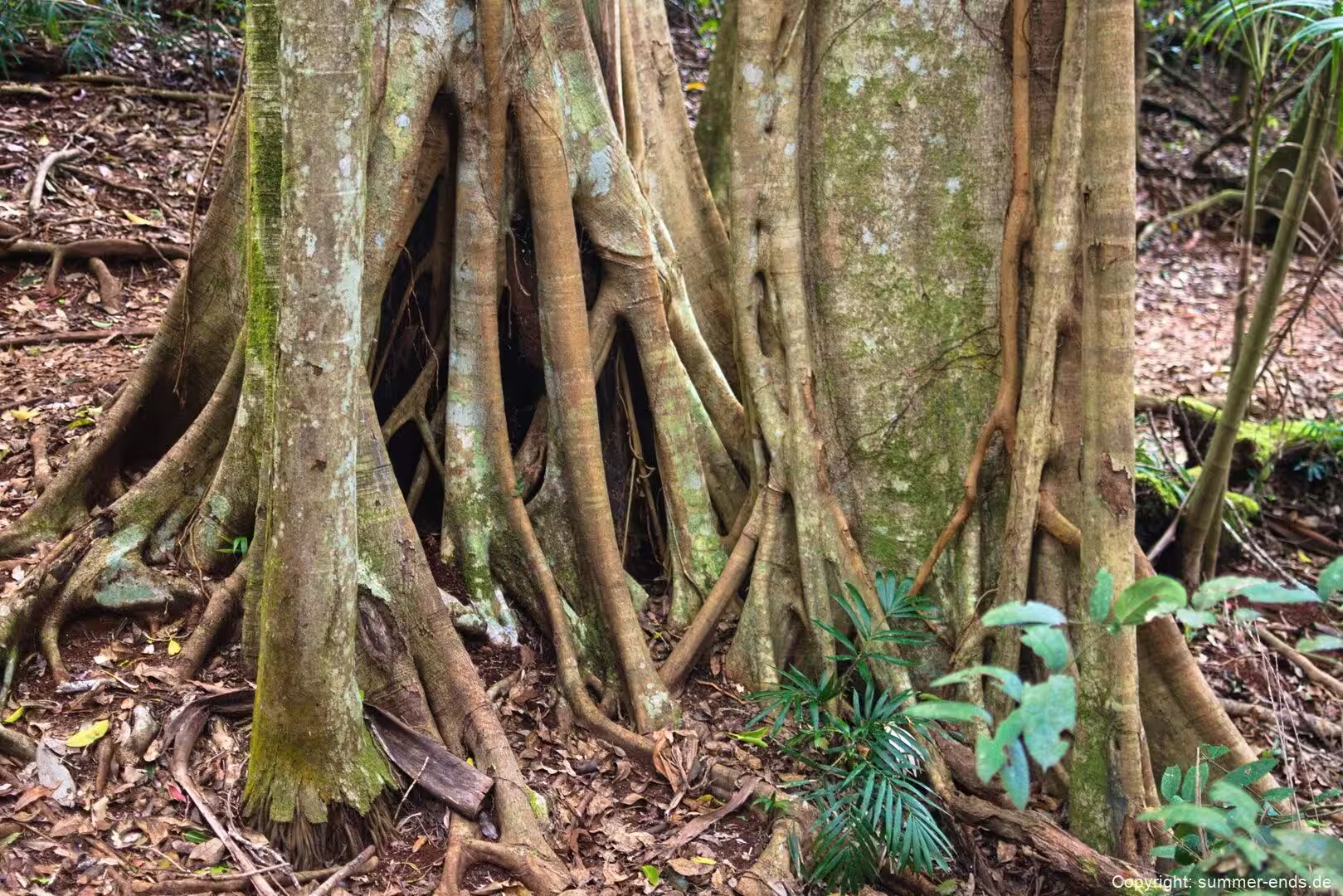
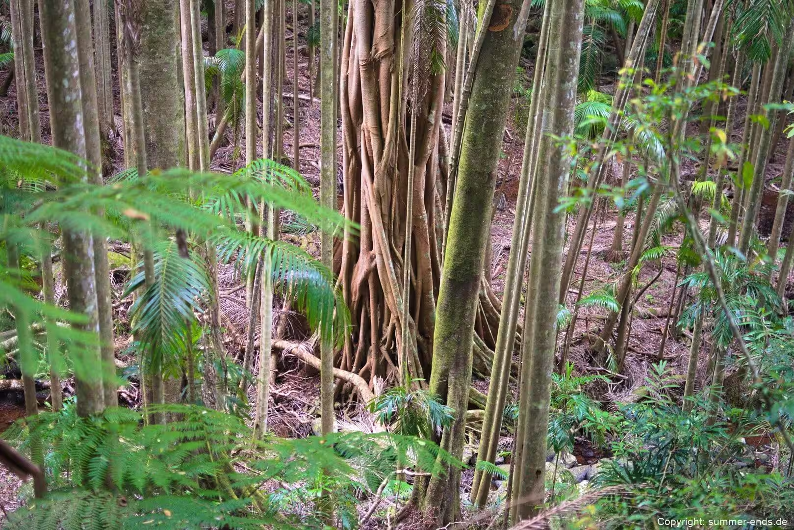
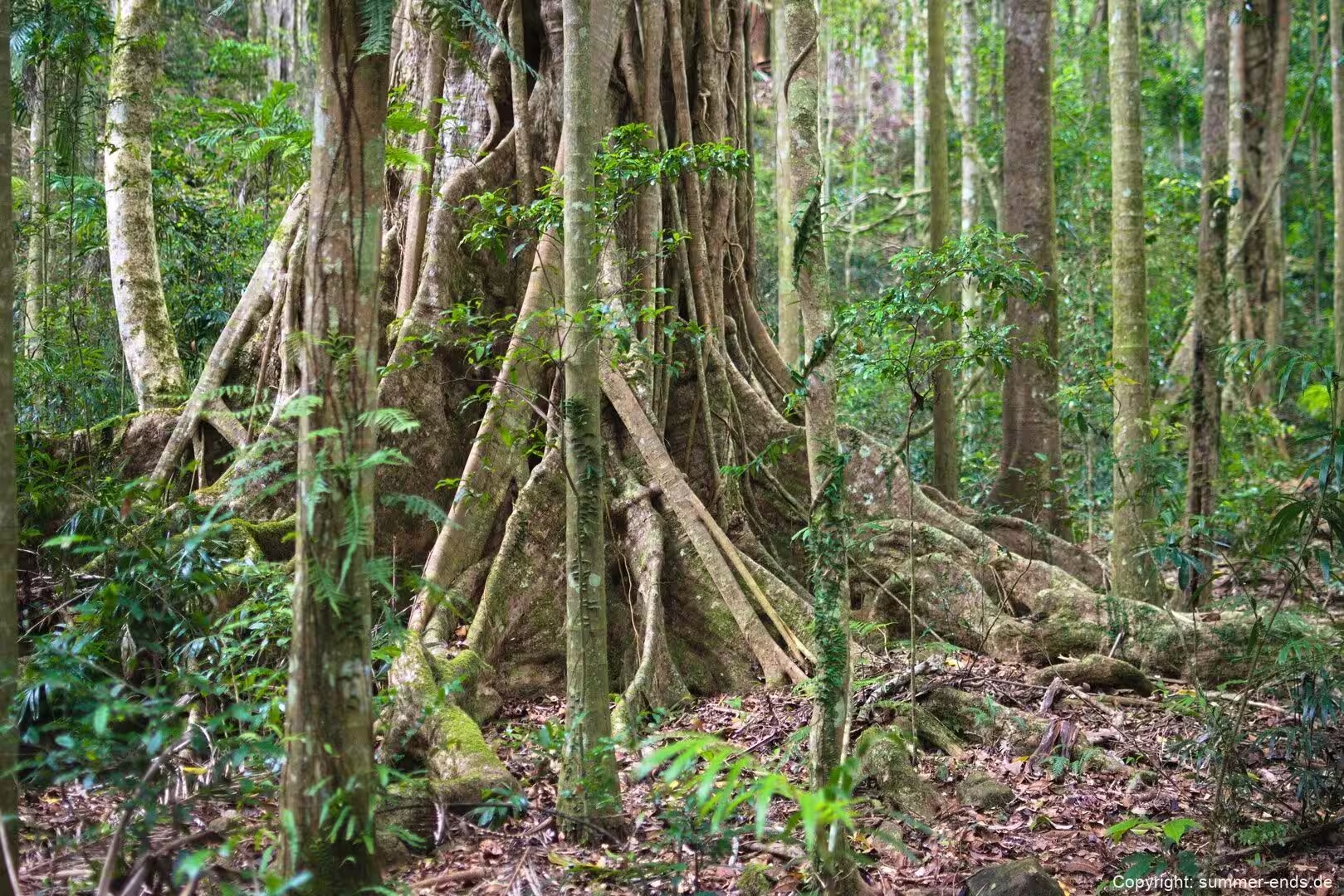
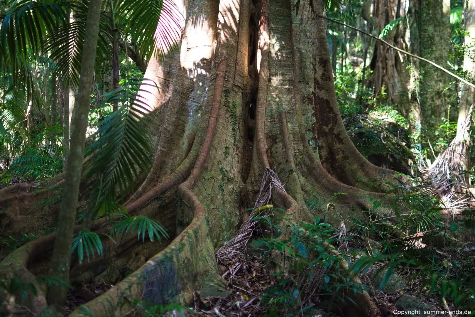
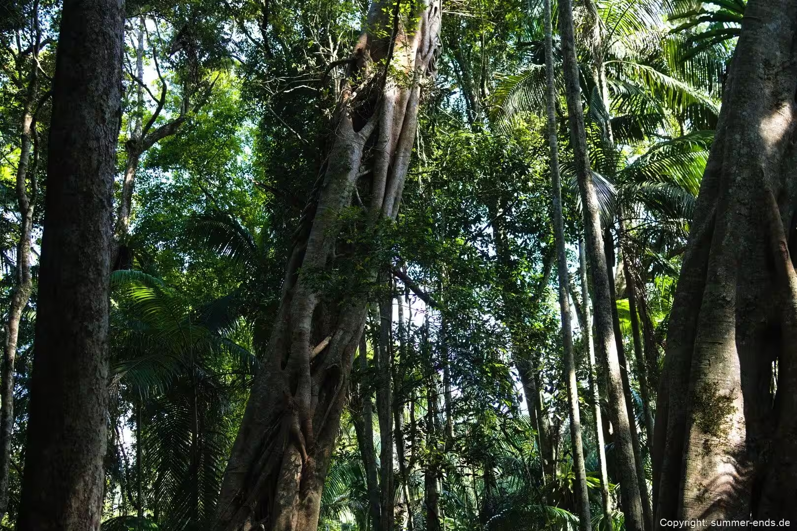
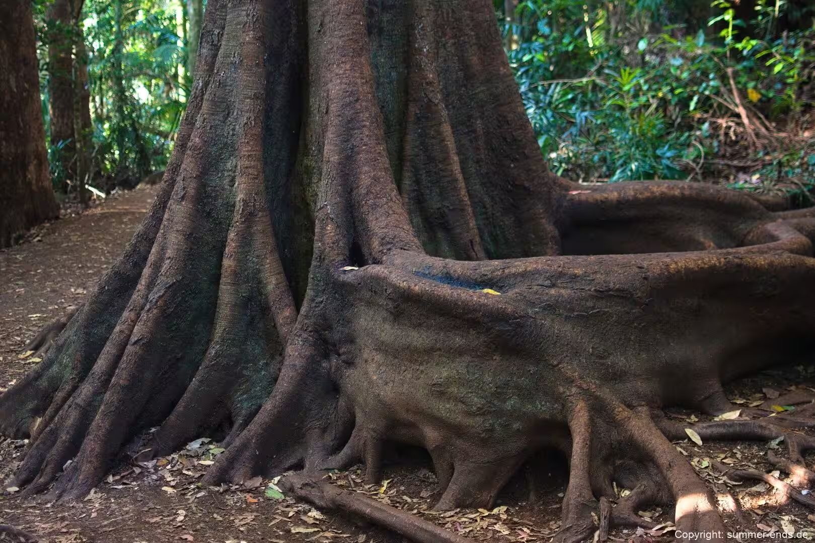
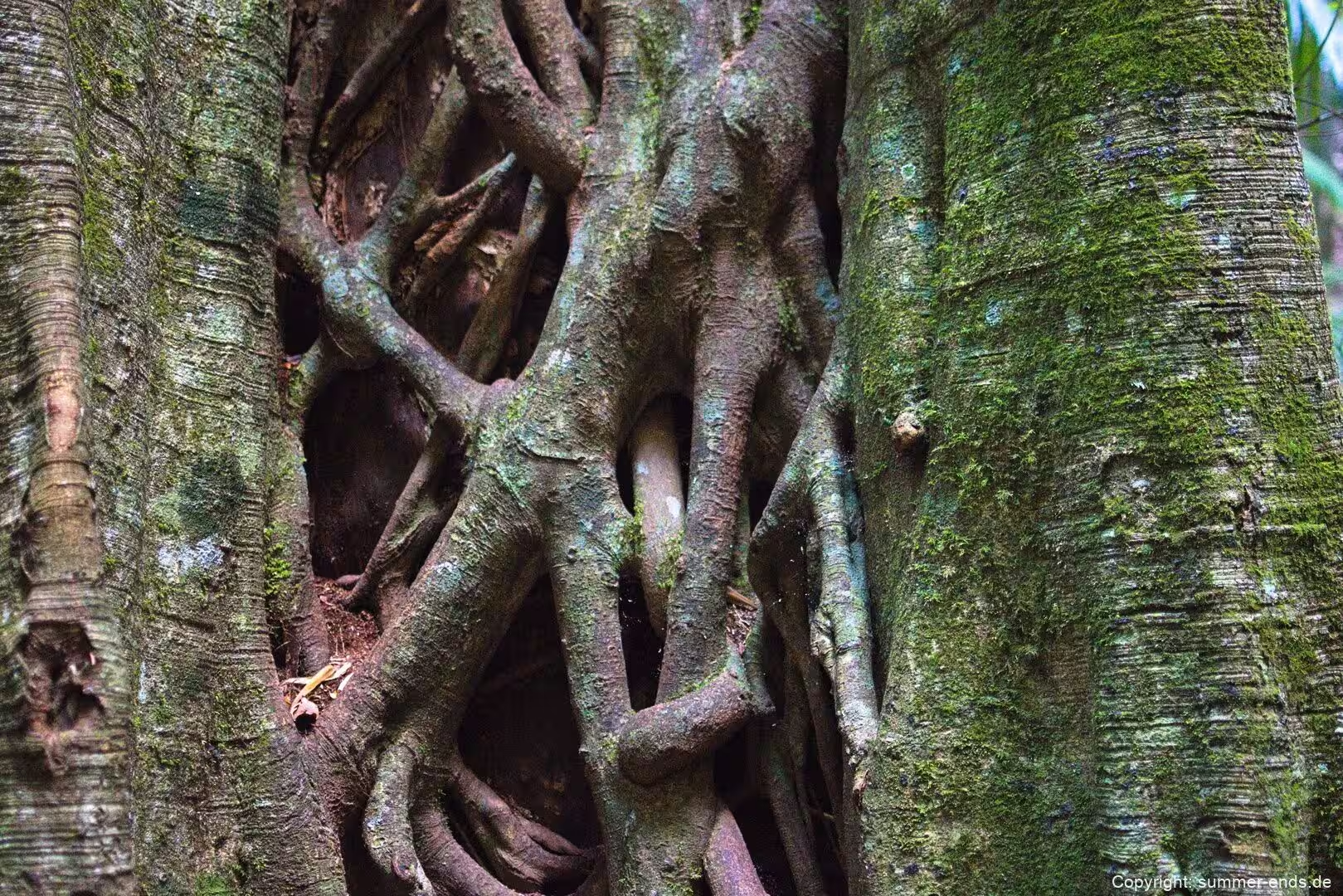
The Witches Falls section, east of Mount Tamborine village, is the historic heart of the park. The Witches Falls Circuit runs about 3 km, dropping down a steep slope through closed forest into subtropical rainforest with cycad groves, seasonal lagoons, enormous strangler figs and palm groves on its way down to the falls; the longer Beacon Road Track, about 4 km each way, is an alternative route. Access is off Main Western Road, known also as Tamborine Mountain Road and Geissmann Drive.
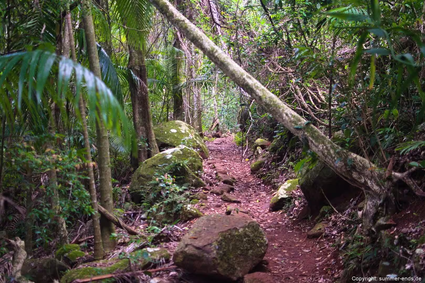
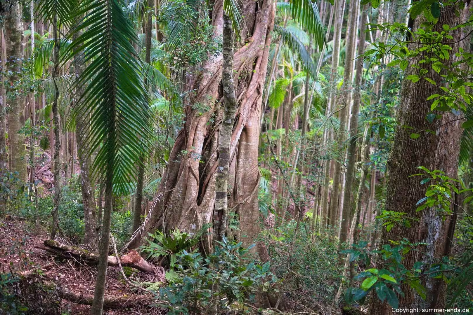
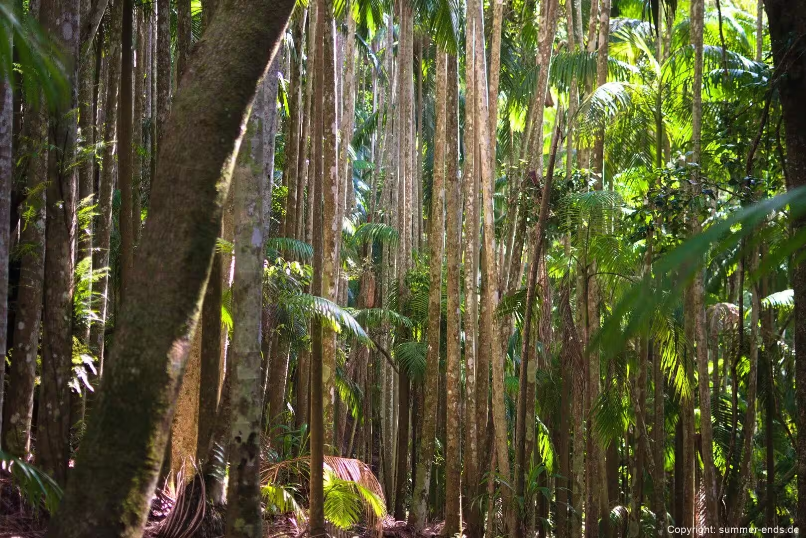
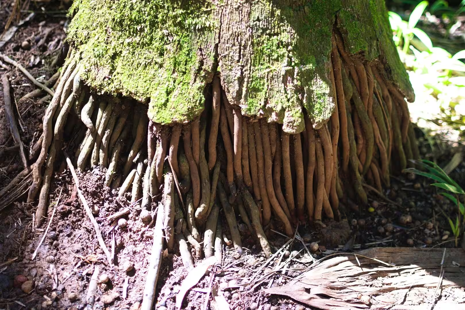
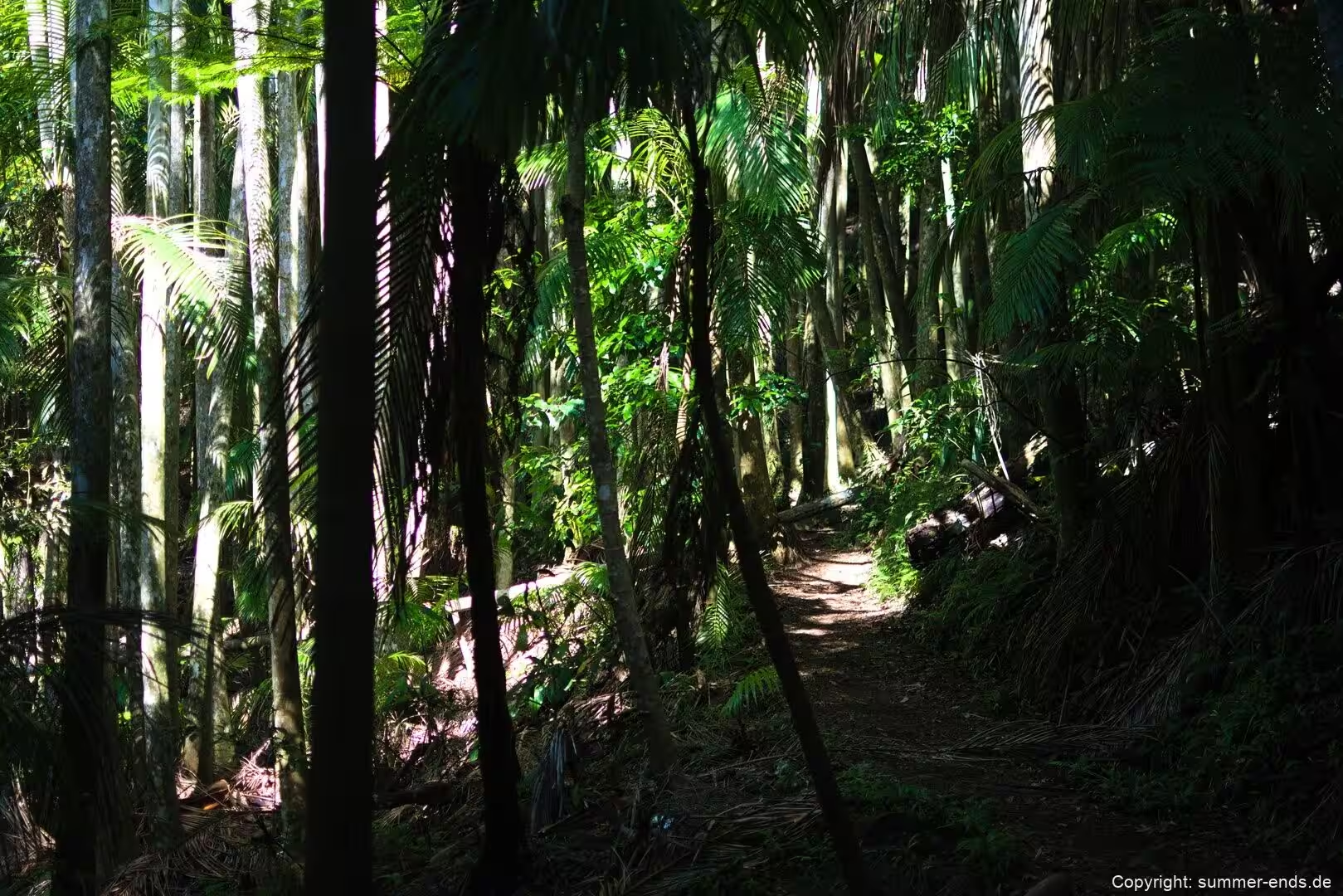
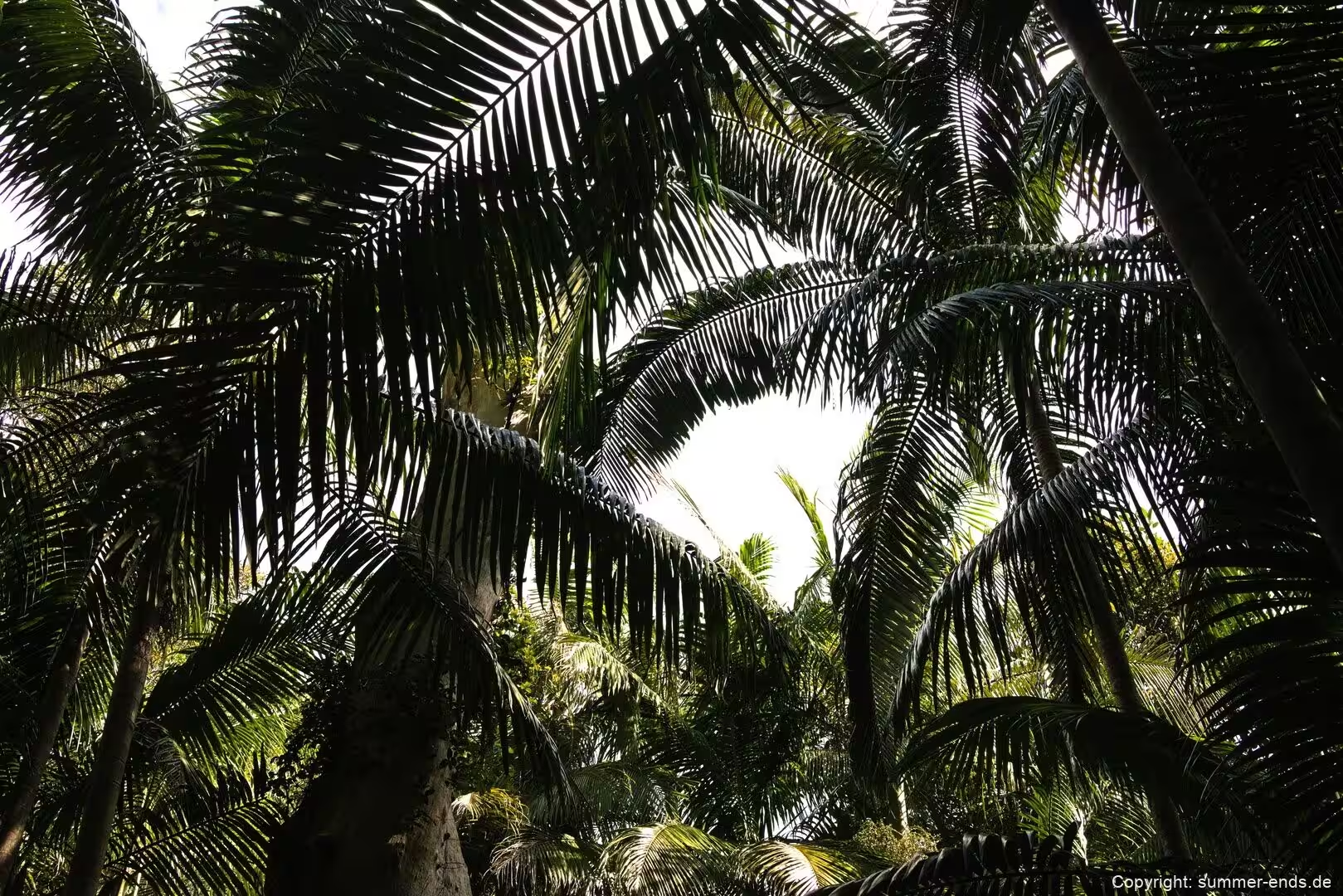
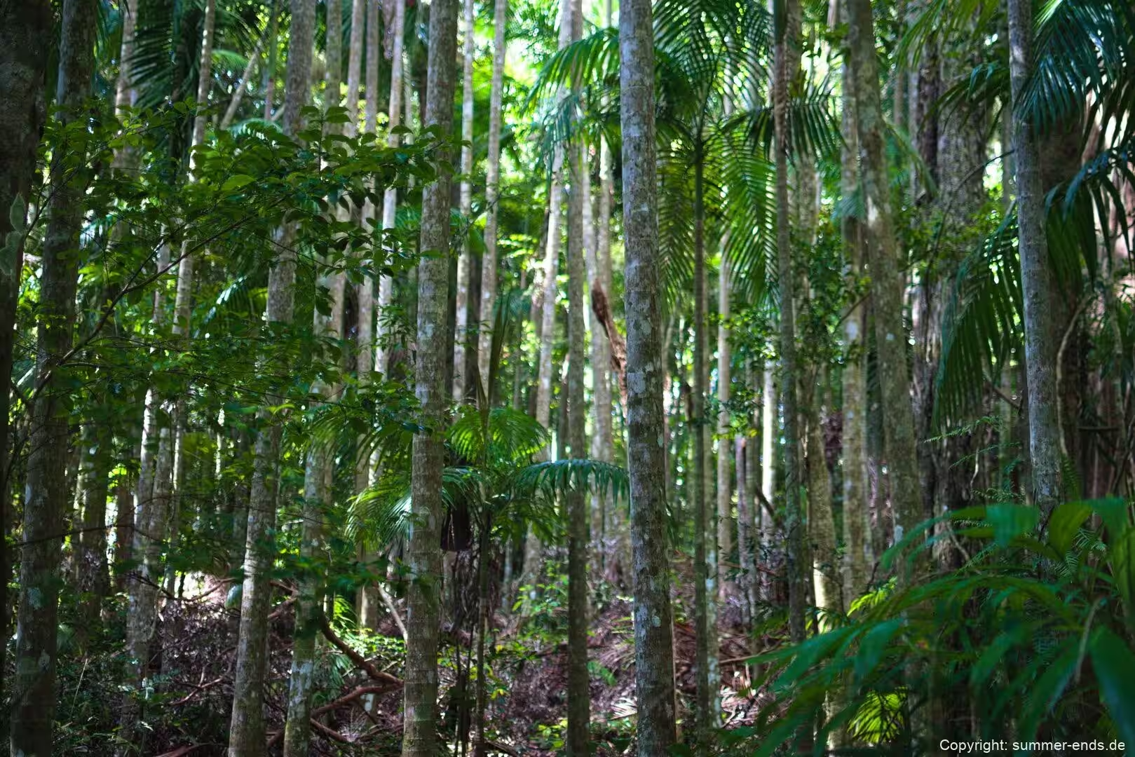
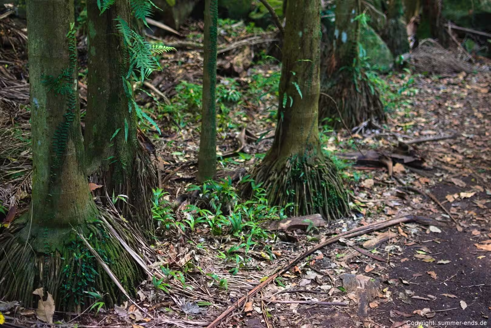
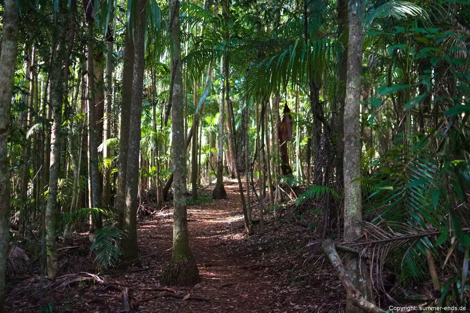
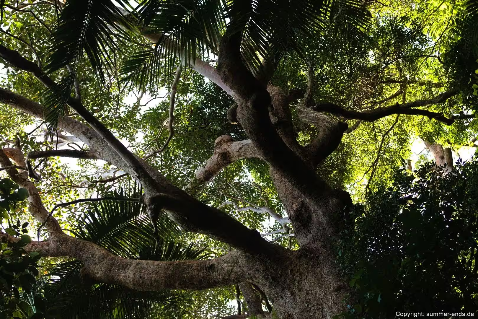
On the far side of the mountain, the Palm Grove section takes its name from the piccabeen palms, the Bangalow palm, that flourish there. The Curtis Road Track, about 1.2 km each way, links Curtis Road with Palm Grove Avenue, while the Palm Grove Circuit, about 1.4 km, winds through rainforest and groves of figs and palms. It is a gentle downward walk beside mountain streams and a small waterfall to a huge fallen fig tree brought down by storms in 2013, with palms rising about 30 m over the track.
Between Witches Falls and Palm Grove, the Joalah section holds one of the most popular short walks in the district. The Curtis Falls Walk is about 1.5 km return, dropping through the gully to a rock pool at the foot of the falls, with the basalt rock face clearly visible behind the water. It links with the Joalah Circuit of about 4 km and is a dependable place to spot brush-turkeys. Further north, off Cedar Creek Falls Road, the Cedar Creek section offers the Cedar Creek Circuit of about 3.2 km, following a chain of cascades and rock pools past open and dry rainforest and hoop pines, with an optional detour onto the shorter Rock Scree Walk. The falls here spill over ledges more gently than at Curtis Falls. The Knoll, MacDonald Park and Niche’s Corner sections each have picnic areas and short tracks, and several open onto lookouts across the escarpment and the lowlands below.
Beside the public park sit two privately run places worth knowing. Between the rock pools of Cedar Creek, the Tamborine Rainforest Skywalk is a walk of about 1.5 km combining forest-floor trail with steel bridges threaded through and above the canopy, including a 40 m cantilever that juts about 30 m above the creek, starting at a small eco gallery; the site reports glow worms along the creek and has run night tours since 1999, and says no standing trees were removed during the build. Higher on the plateau, a purpose-built glow worm cave at a Cedar Creek estate is reached by guided boardwalk and tour through a replanted rainforest. Glow worms need permanently moist conditions, so they are bound closely to rainforest and wet caves.
References
- en.wikipedia.org/wiki/Tamborine_National_Park
- en.wikipedia.org/wiki/Tweed_Volcano
- en.wikipedia.org/wiki/Tamborine_Mountain,_Queensland
- en.wikipedia.org/wiki/Scenic_Rim
- en.wikipedia.org/wiki/Mount_Warning
- en.wikipedia.org/wiki/Yugambeh_people
- en.wikipedia.org/wiki/Robert_Martin_Collins
- en.wikipedia.org/wiki/Albert%27s_lyrebird
- en.wikipedia.org/wiki/Richmond_birdwing
- en.wikipedia.org/wiki/Microcitrus_australasica
- en.wikipedia.org/wiki/Archontophoenix_cunninghamiana
- parks.qld.gov.au/parks/tamborine
- parks.qld.gov.au/parks/tamborine/about
- parks.qld.gov.au/parks/tamborine/about/culture
- parks.qld.gov.au/parks/tamborine/things-to-do
- skywalktamborine.com/
- www.tamborineglowworms.com.au/